Connecticut
Massachusetts
Rhode Island
New York
New Jersey
Other States
Latest Adventures
About Mandy & Lexi
Beach Guide
FAQ
◂︎ Mandy & Lexi's Connecticut Adventures
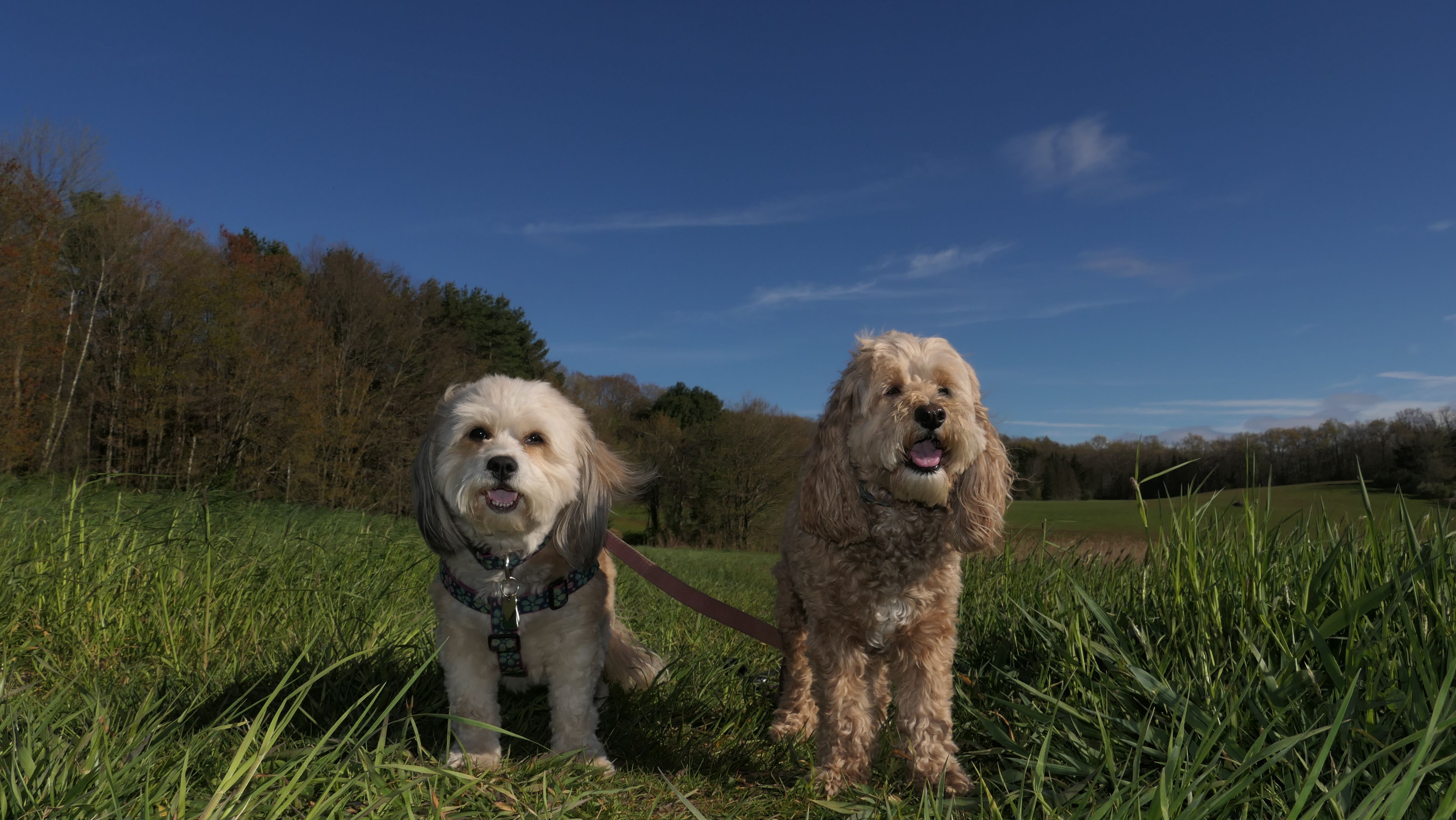
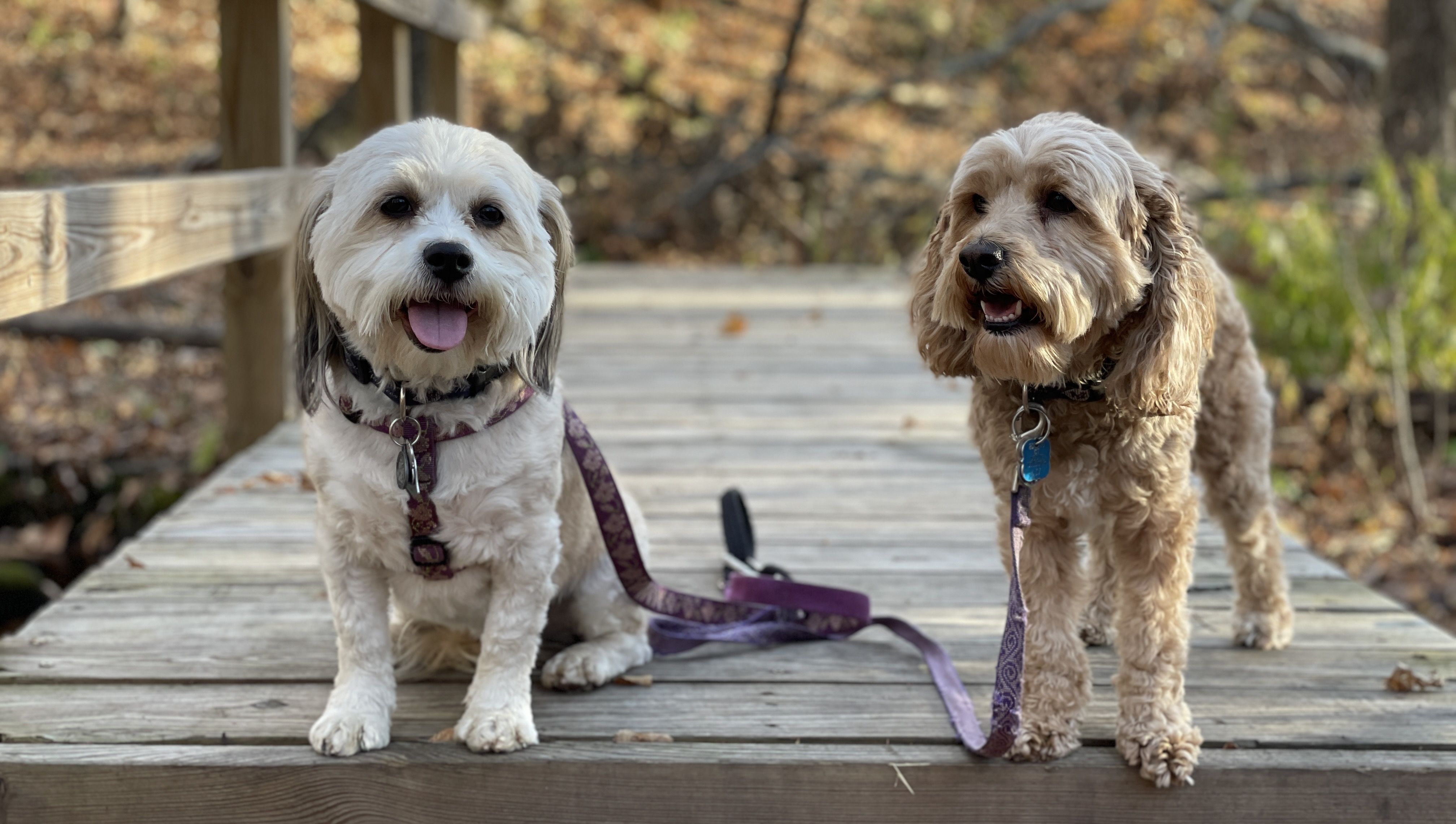
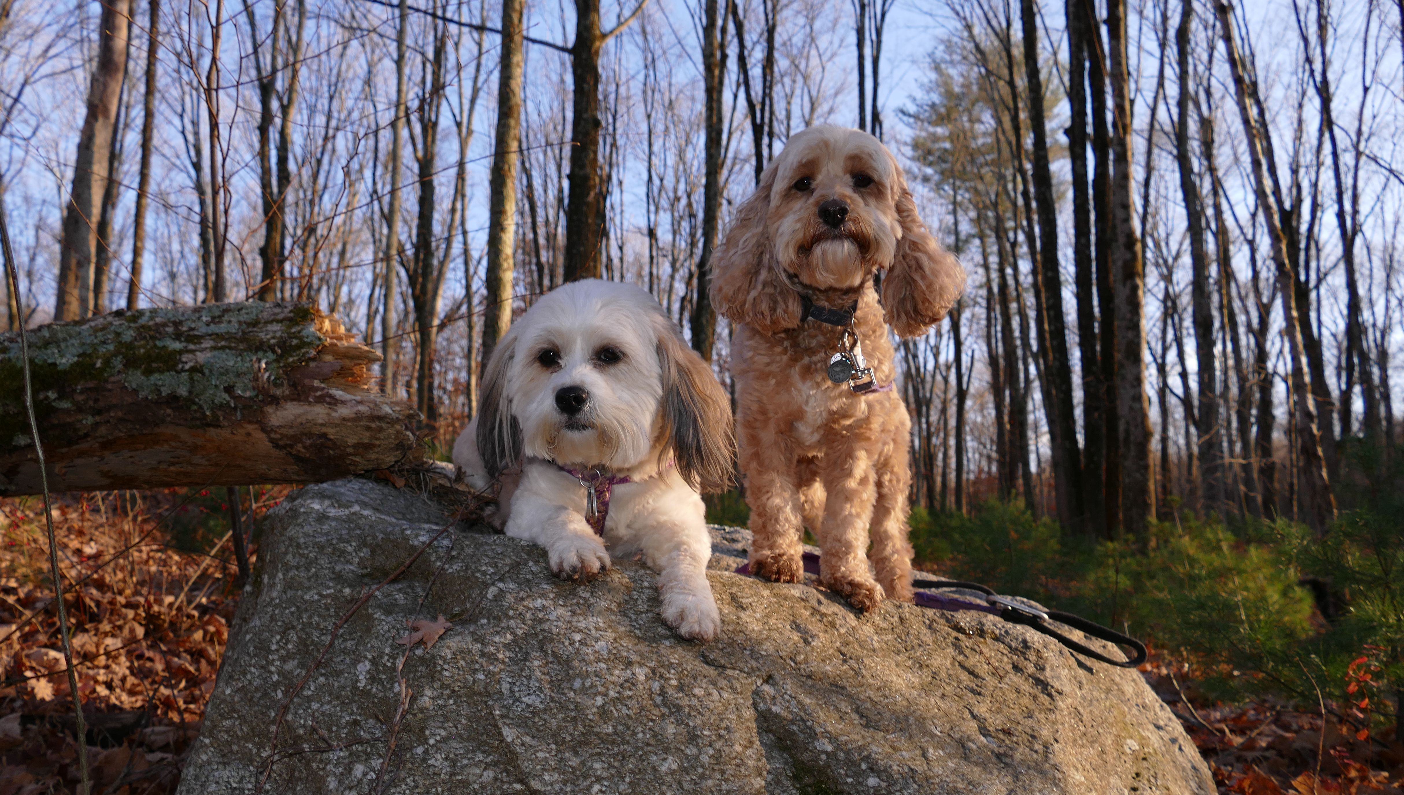
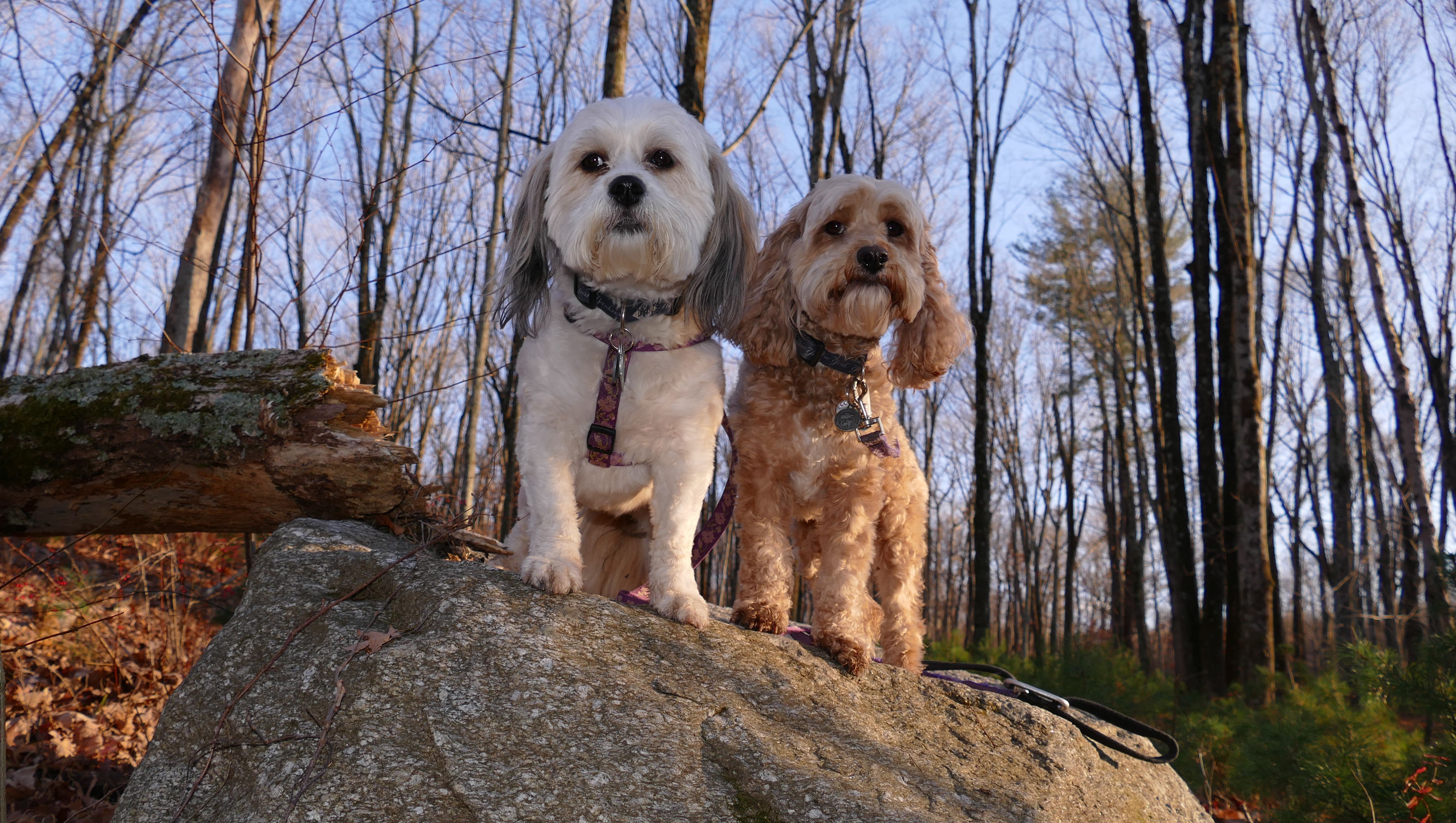
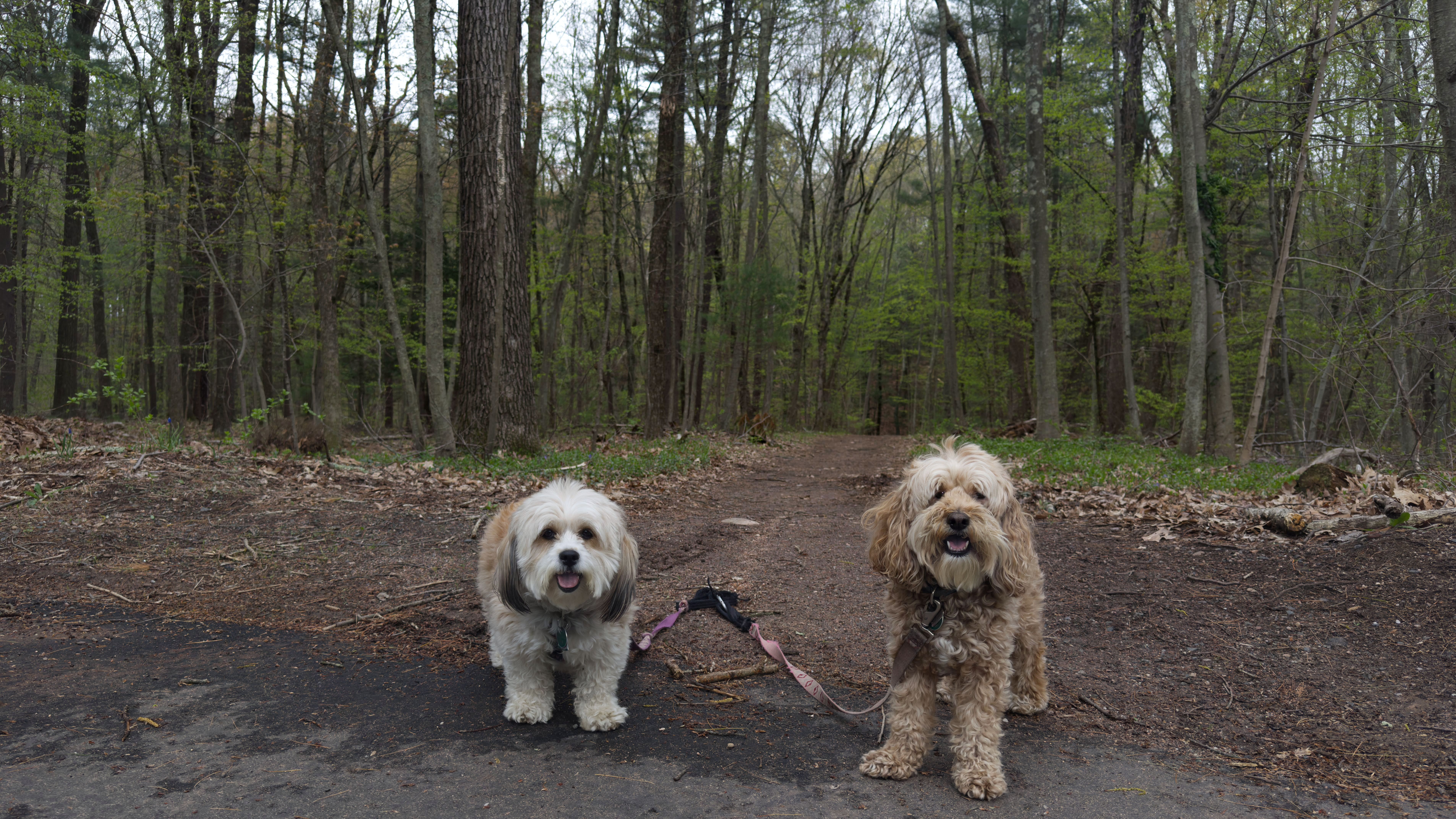
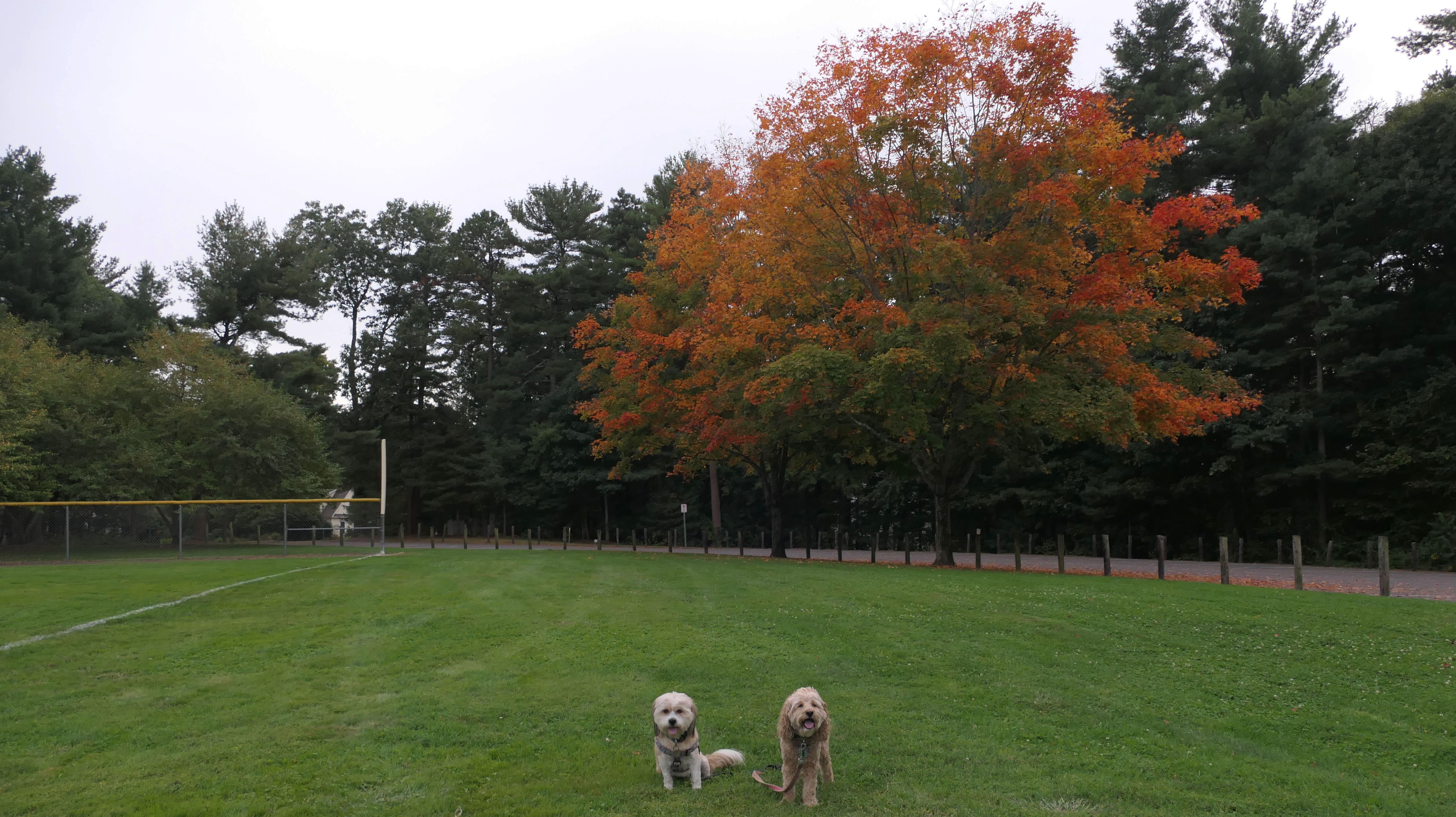
Glastonbury
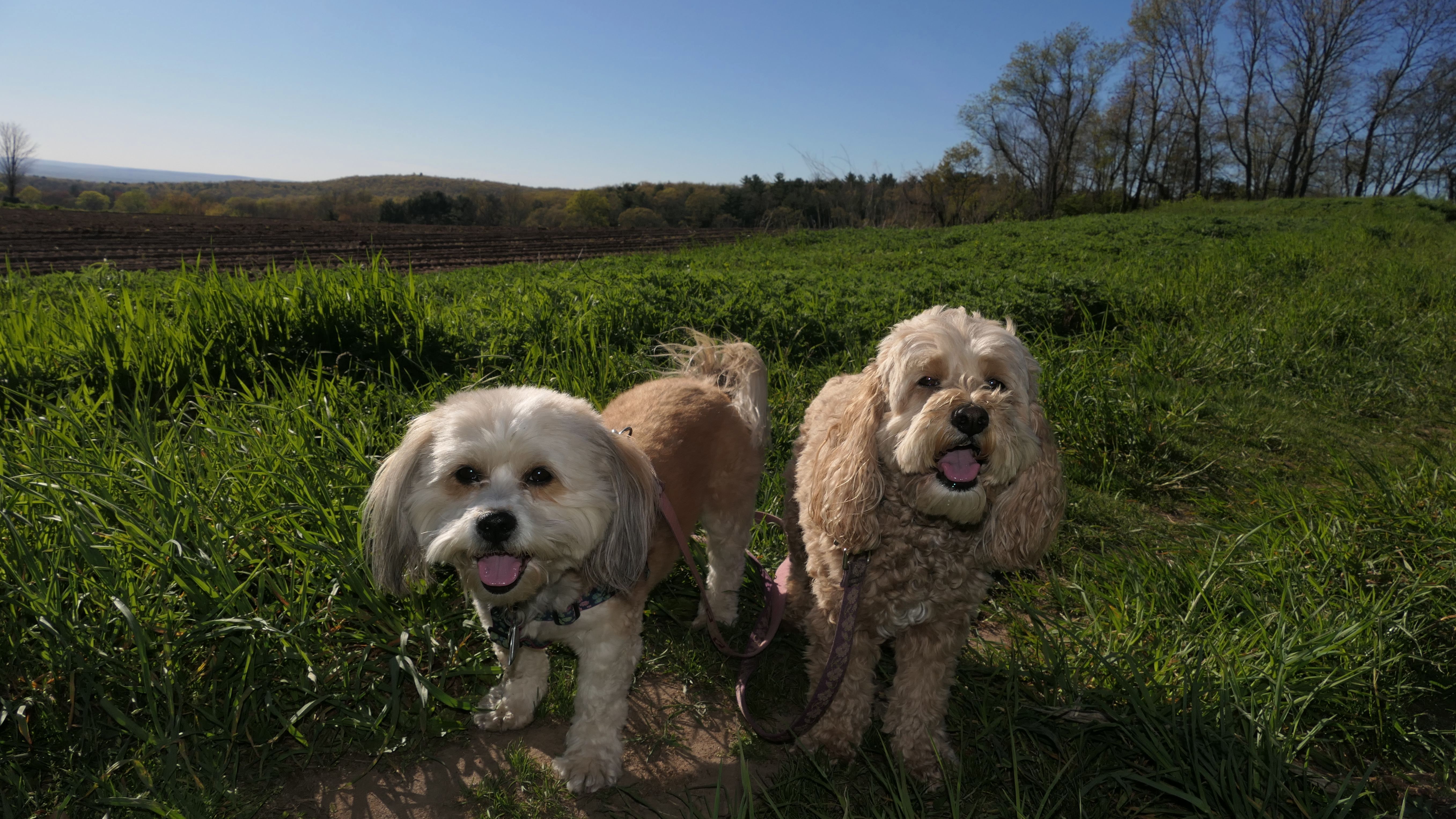
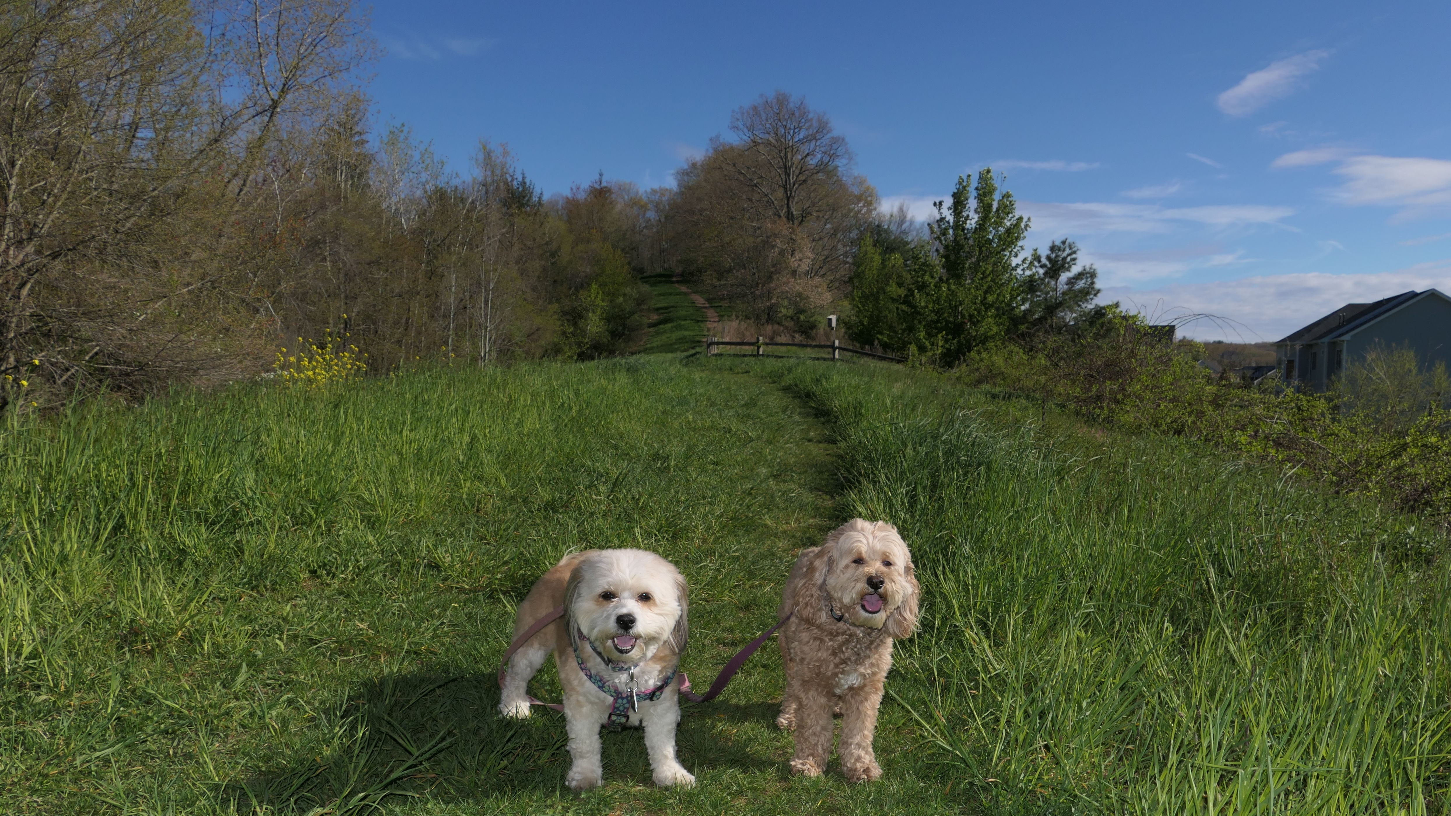
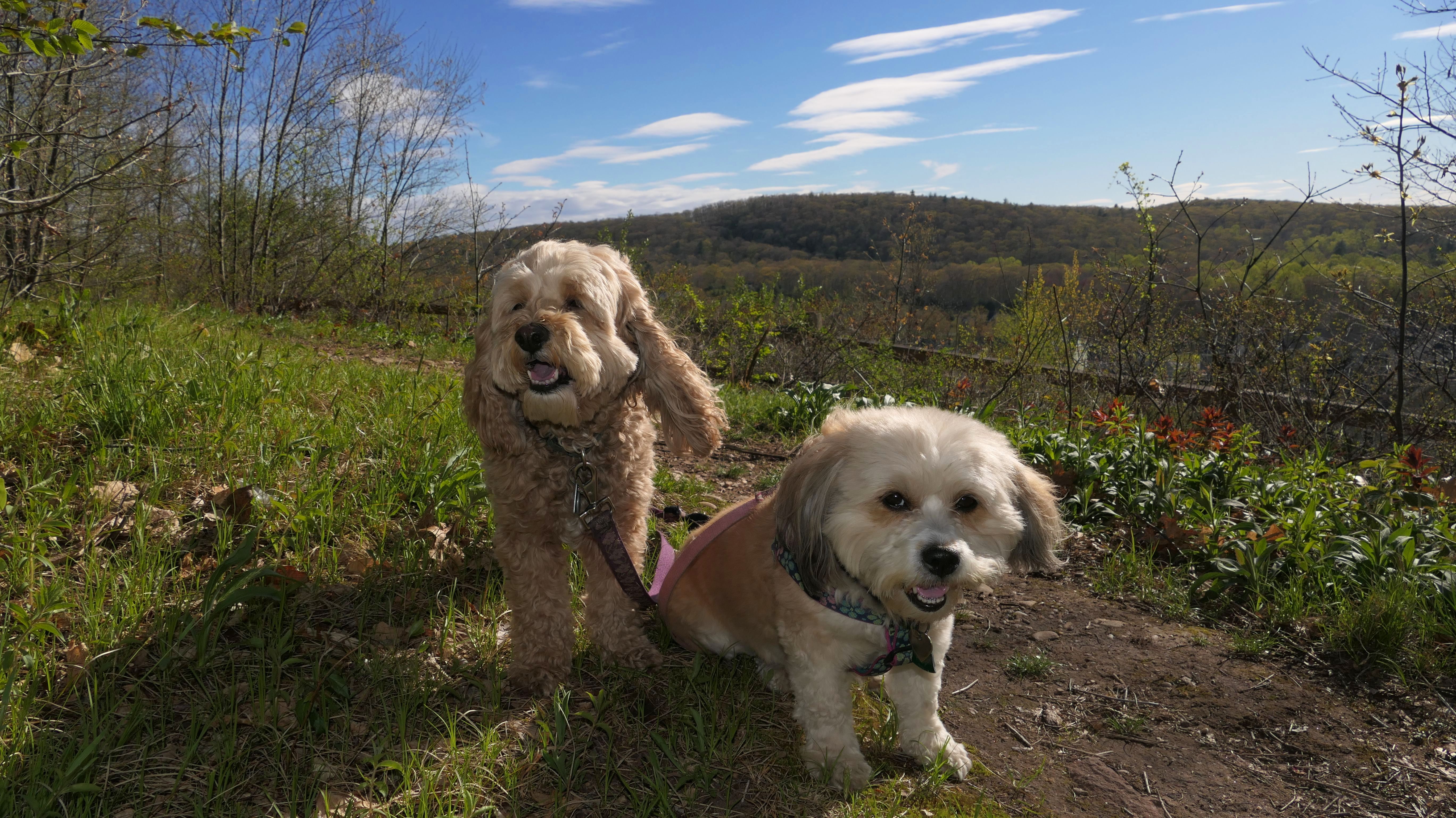
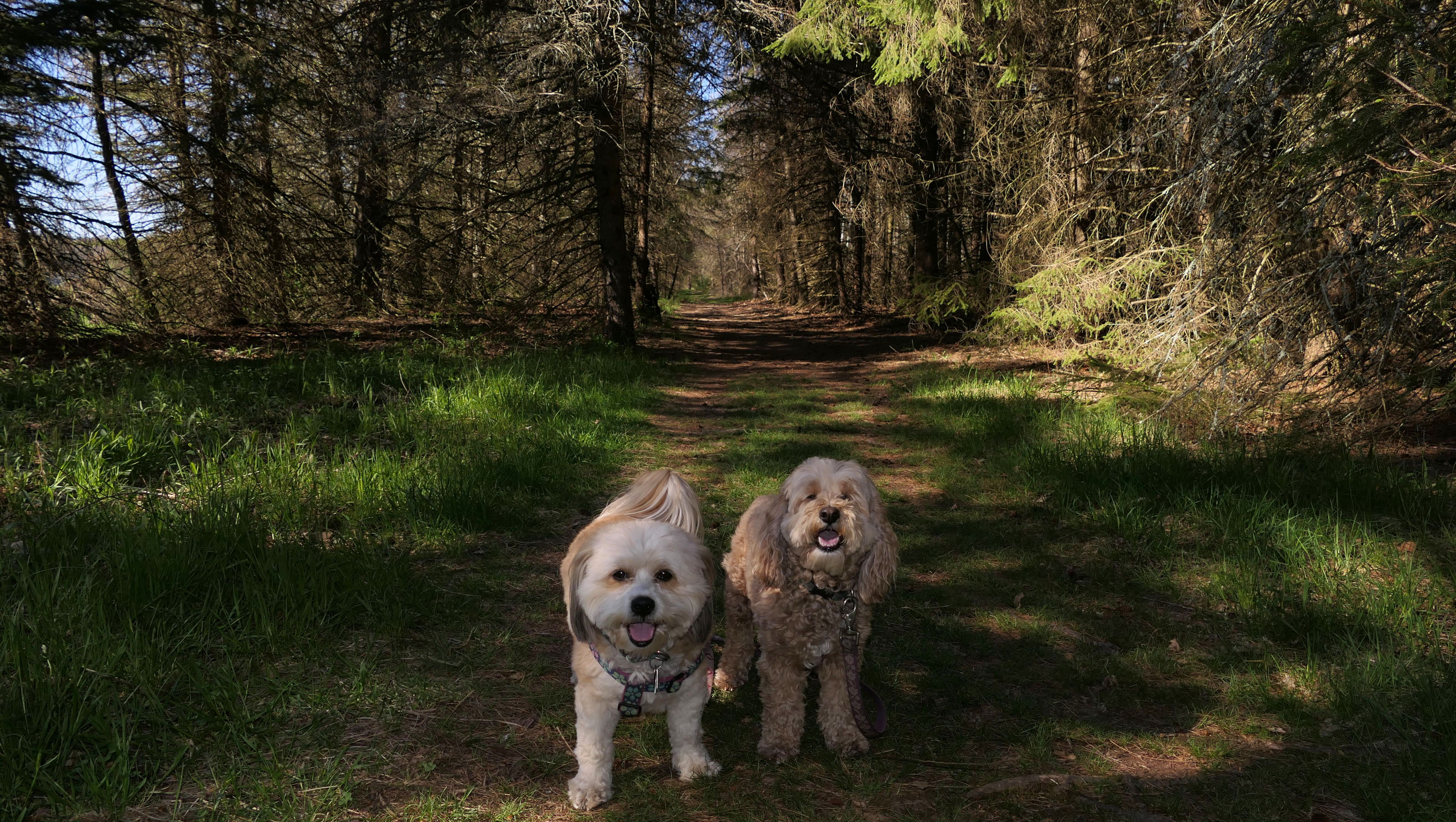
Longo Farm Open Space
Date visited: 5/10/2022
There are many great hiking areas in this area of the state, but it's hard to believe we had not visited this one already. This hiking area is also on an active farm, with signs to remind hikers to stay on the path and not to pick the crops! There's a lot of un-shaded open space here, so this wouldn't be ideal for the doggos on a hot summer day. Fortunately, when we visited it was in the upper 60's and breezy. It was just a beautiful day all around. There are some additional trails that go deeper into the woods that we will have to come back and explore at some point.
More Images
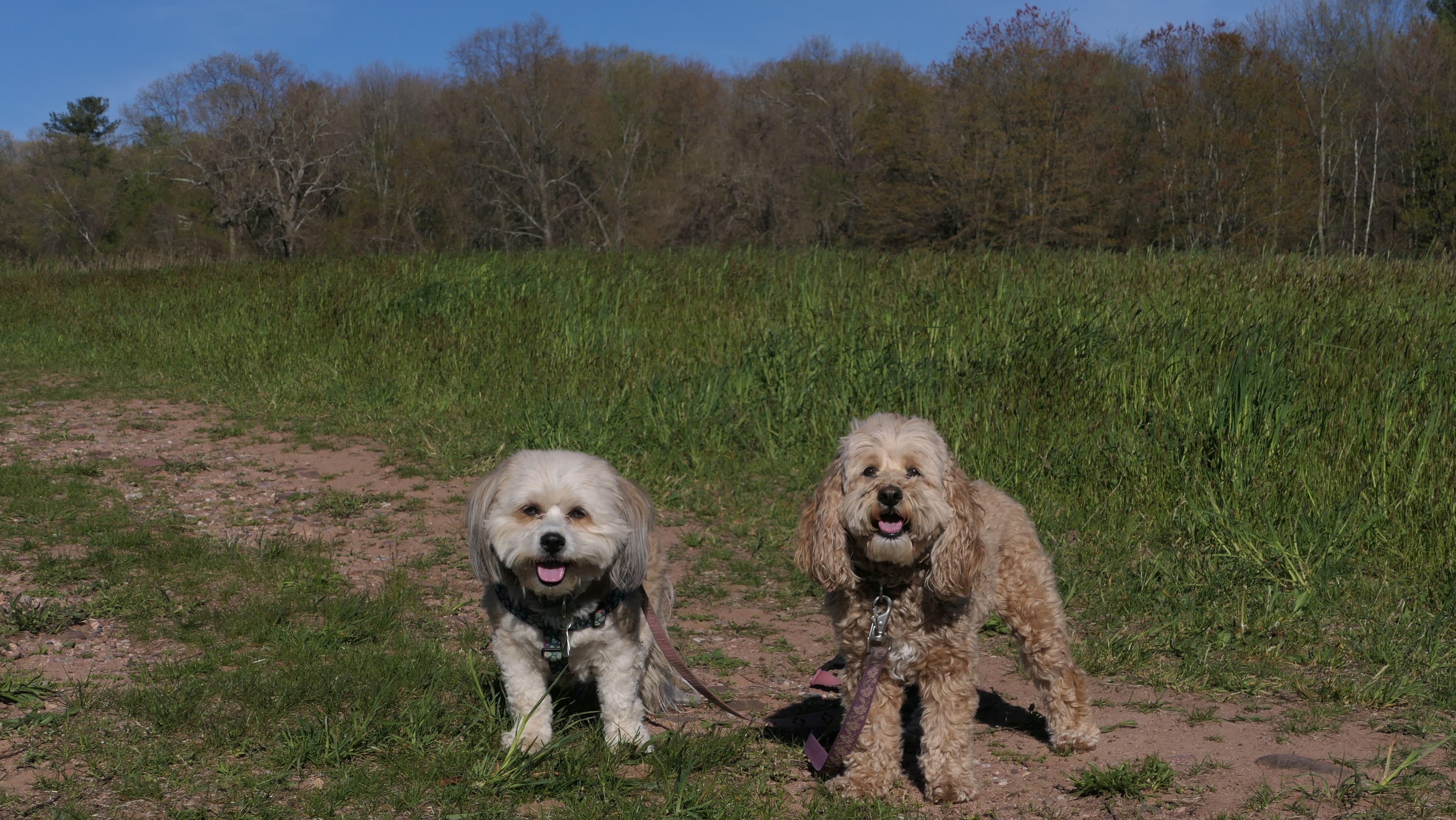
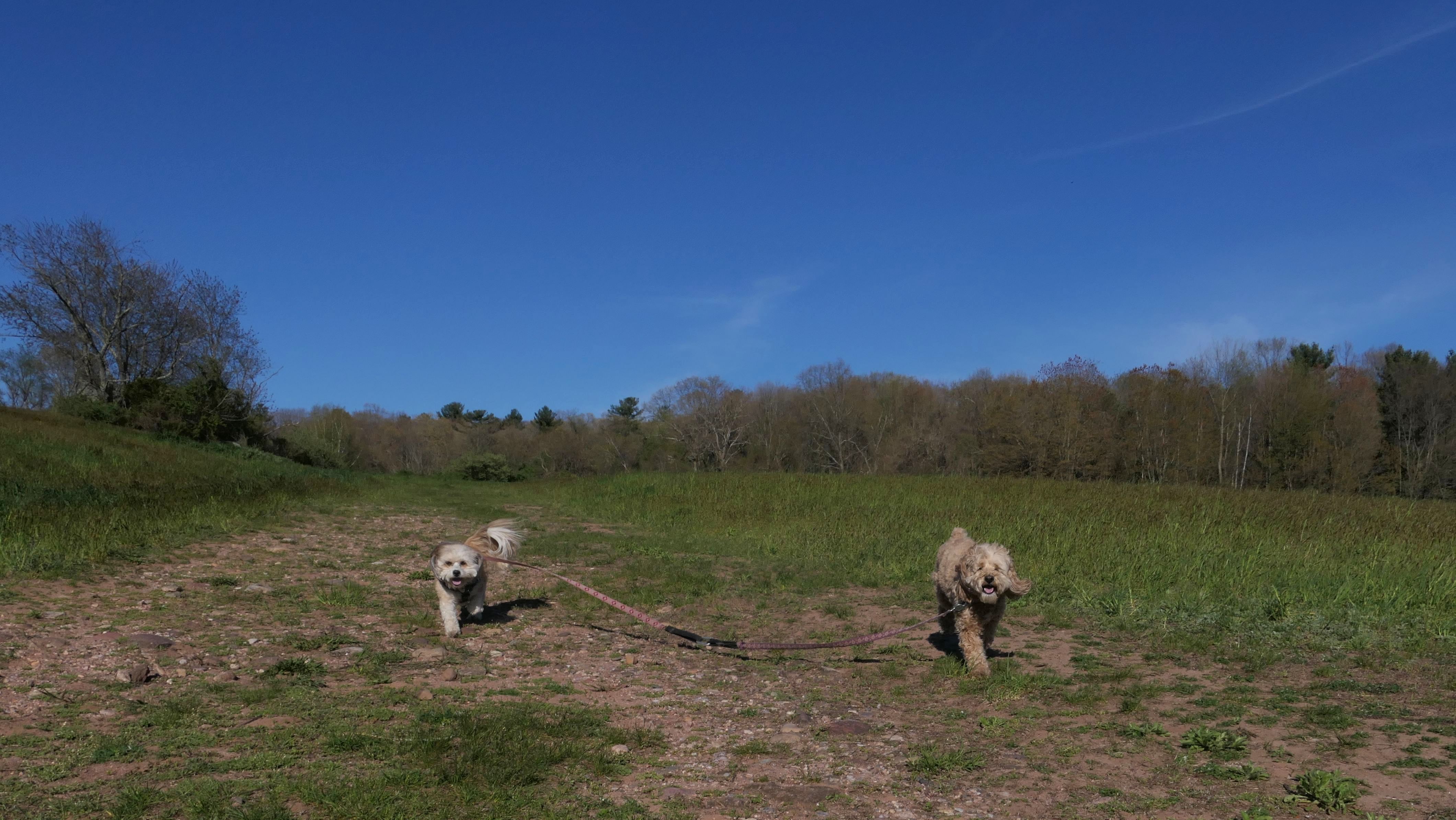
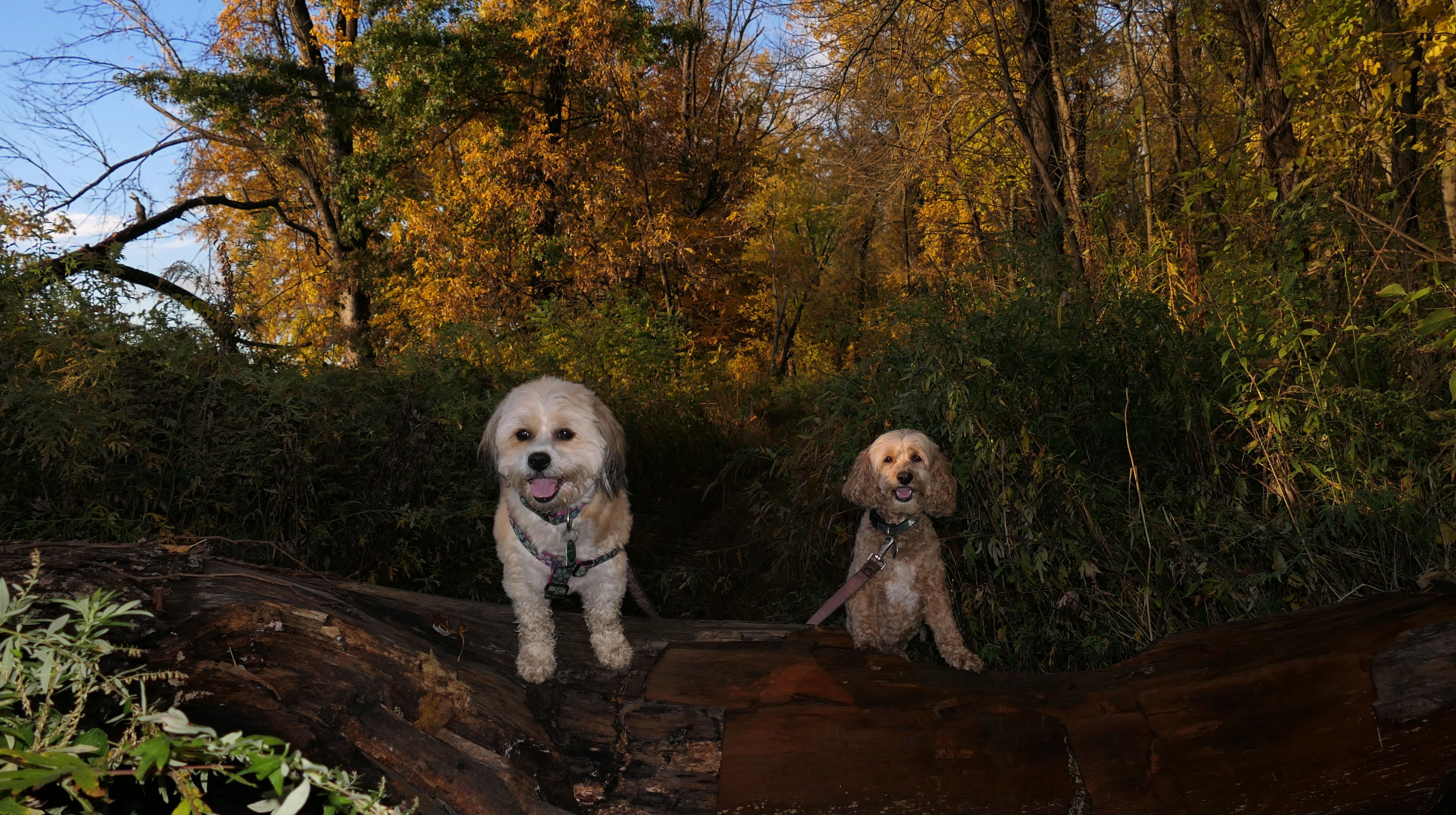
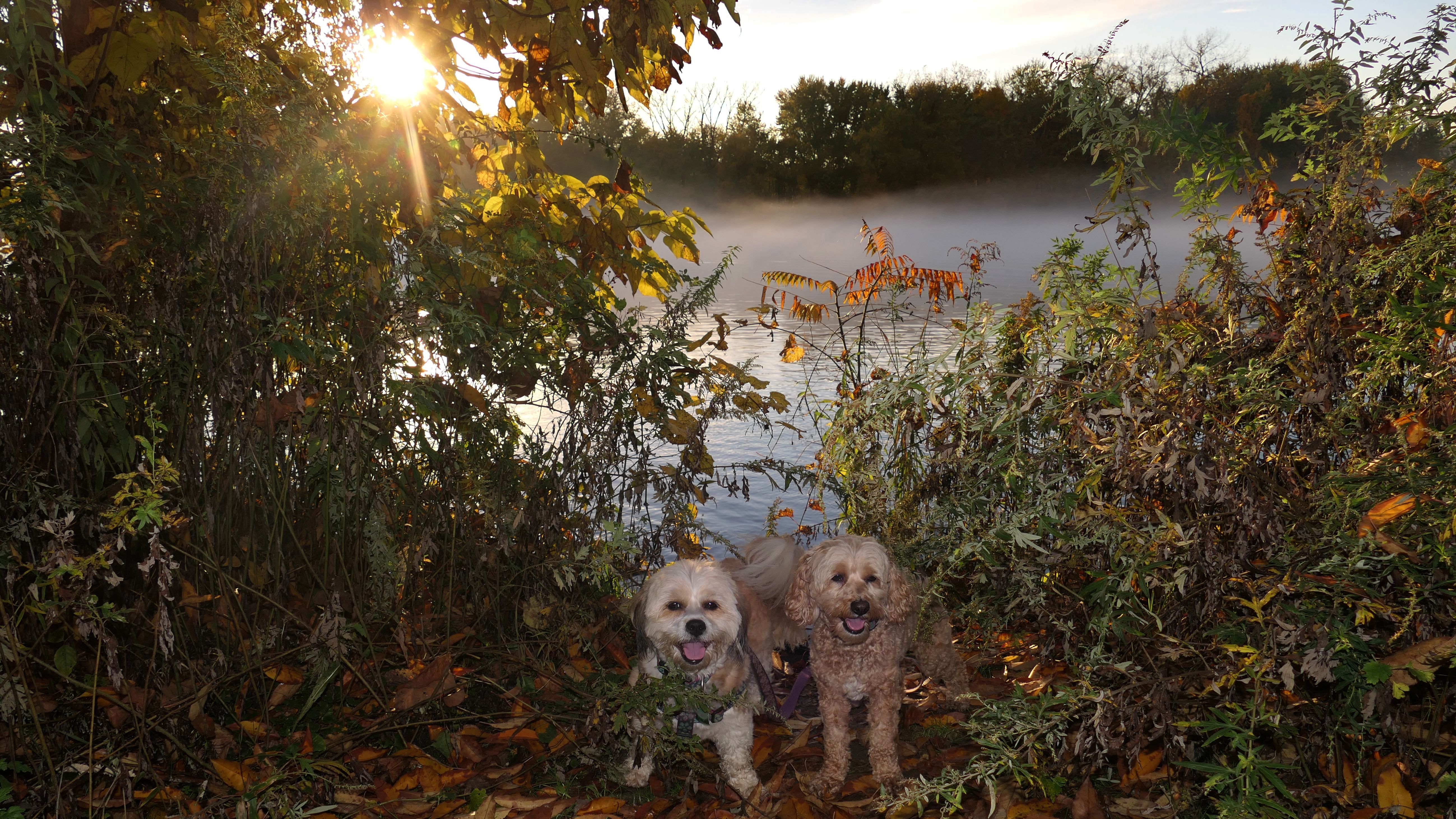
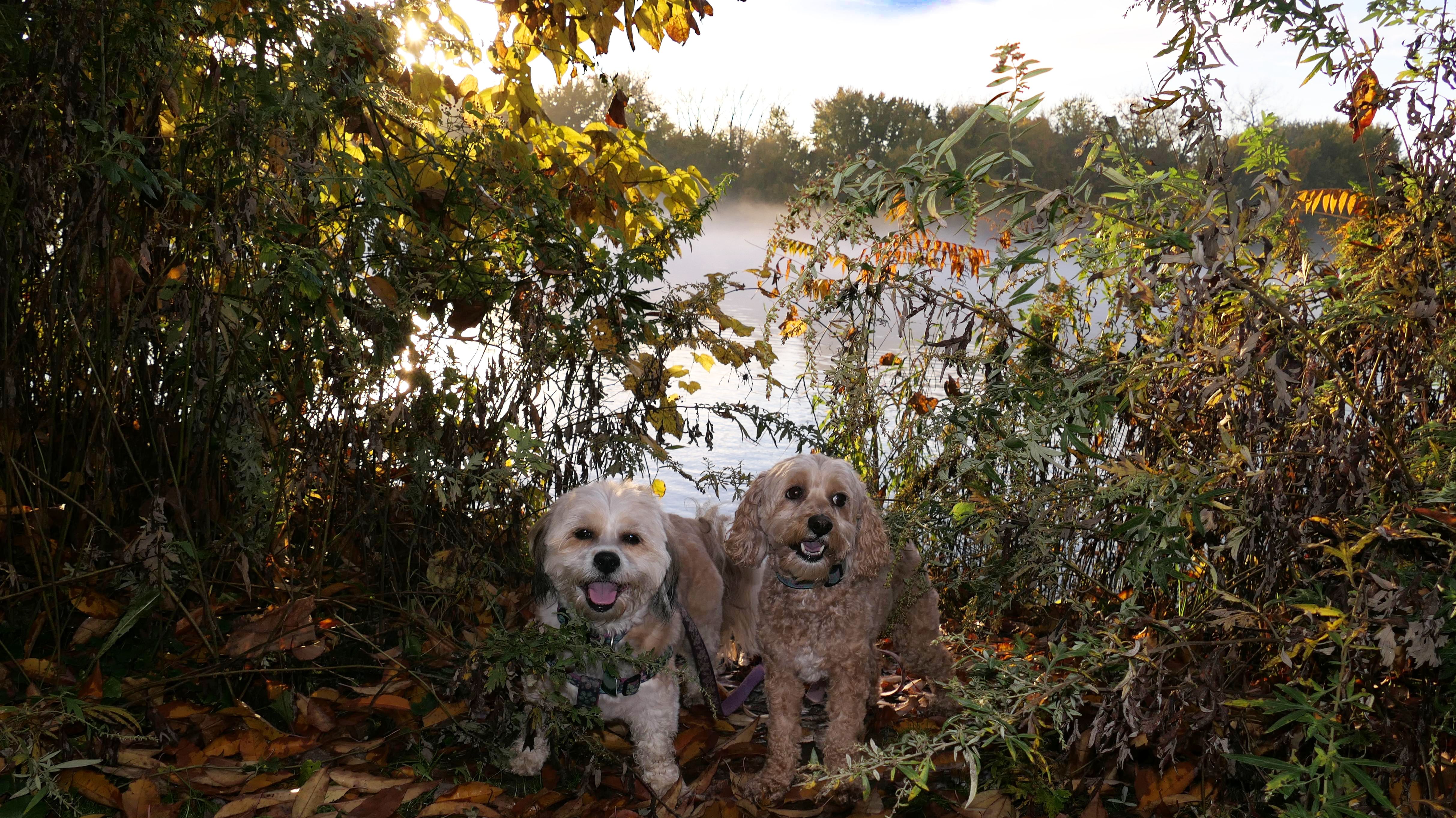
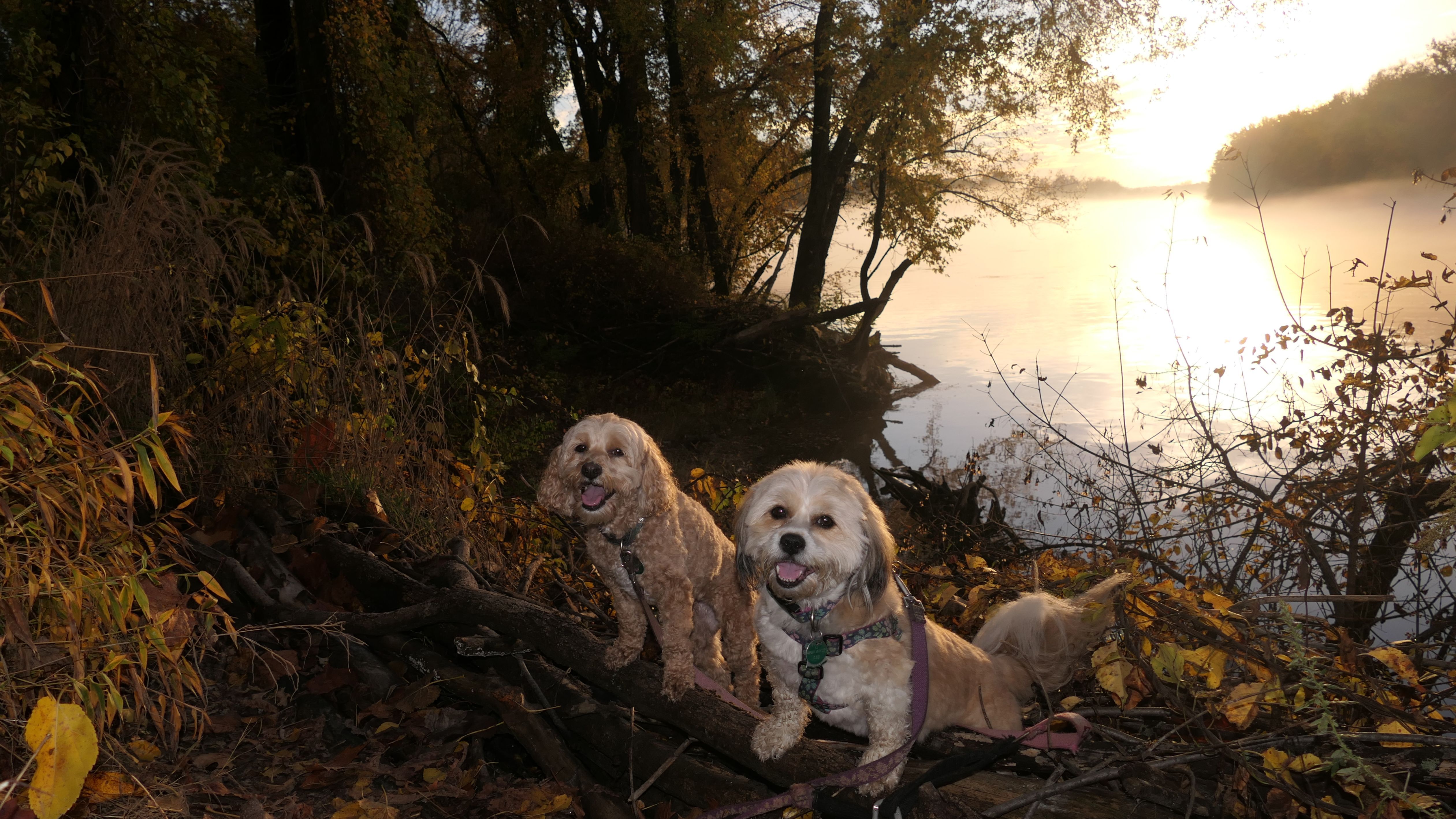
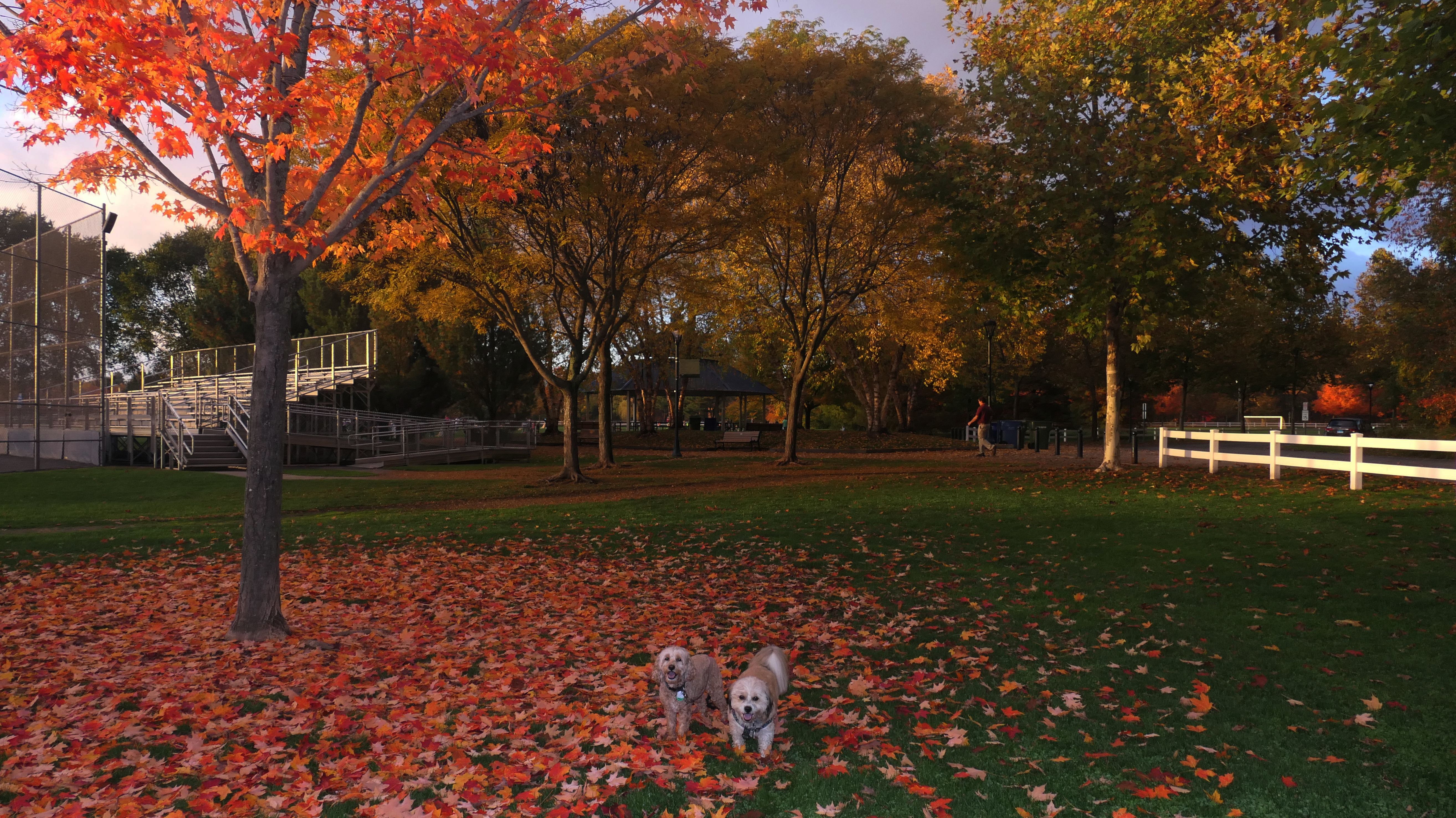
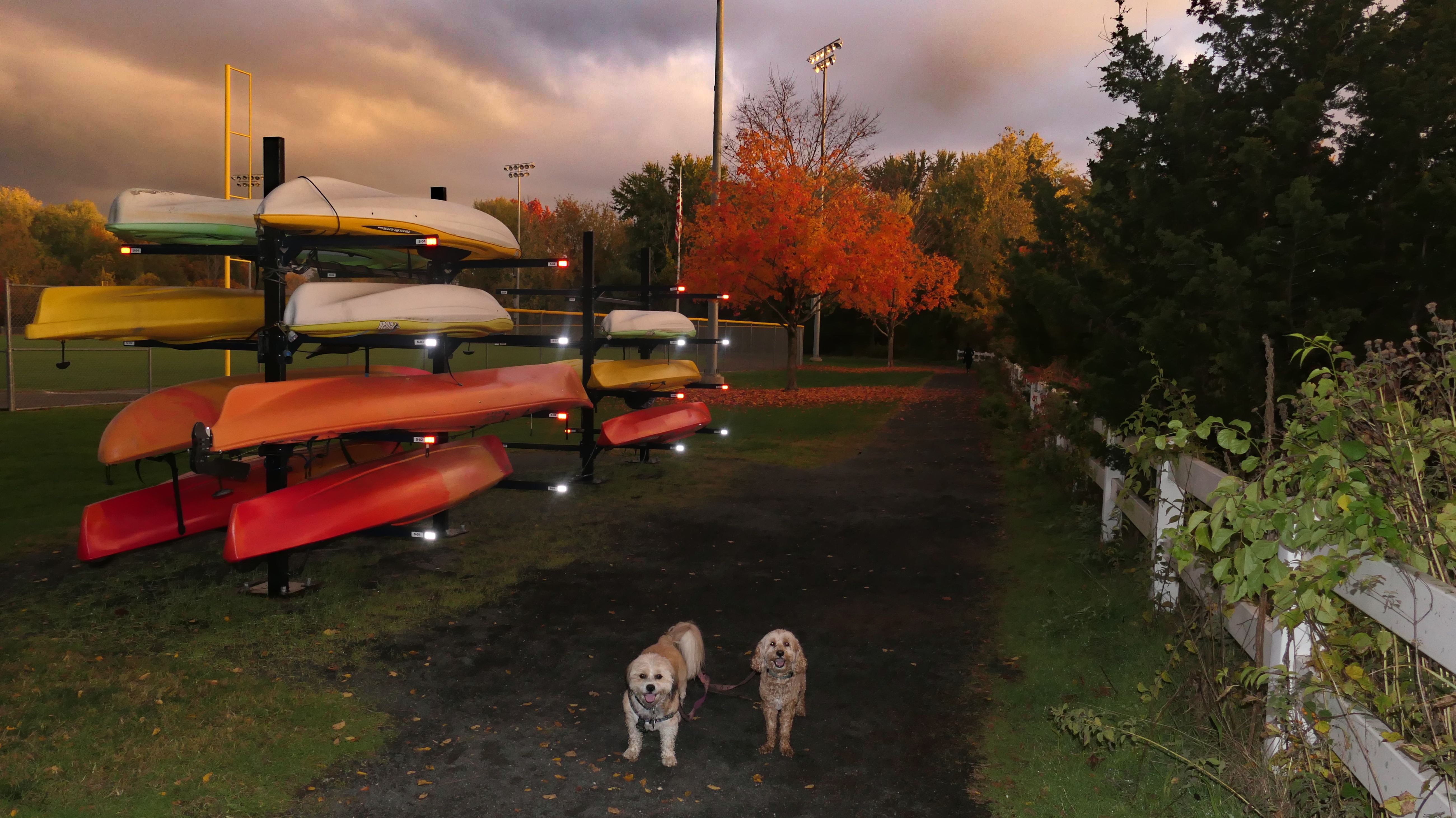
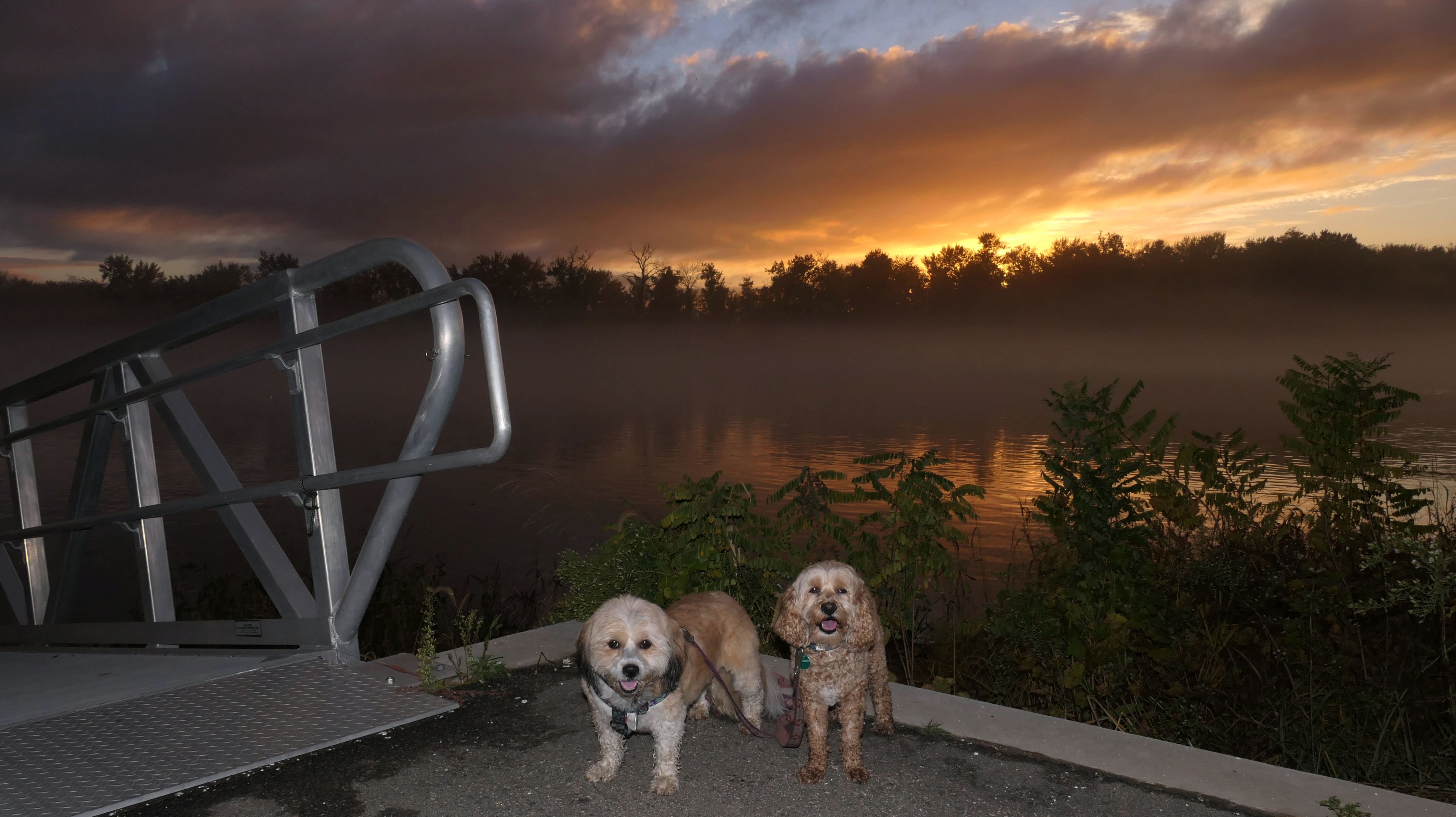
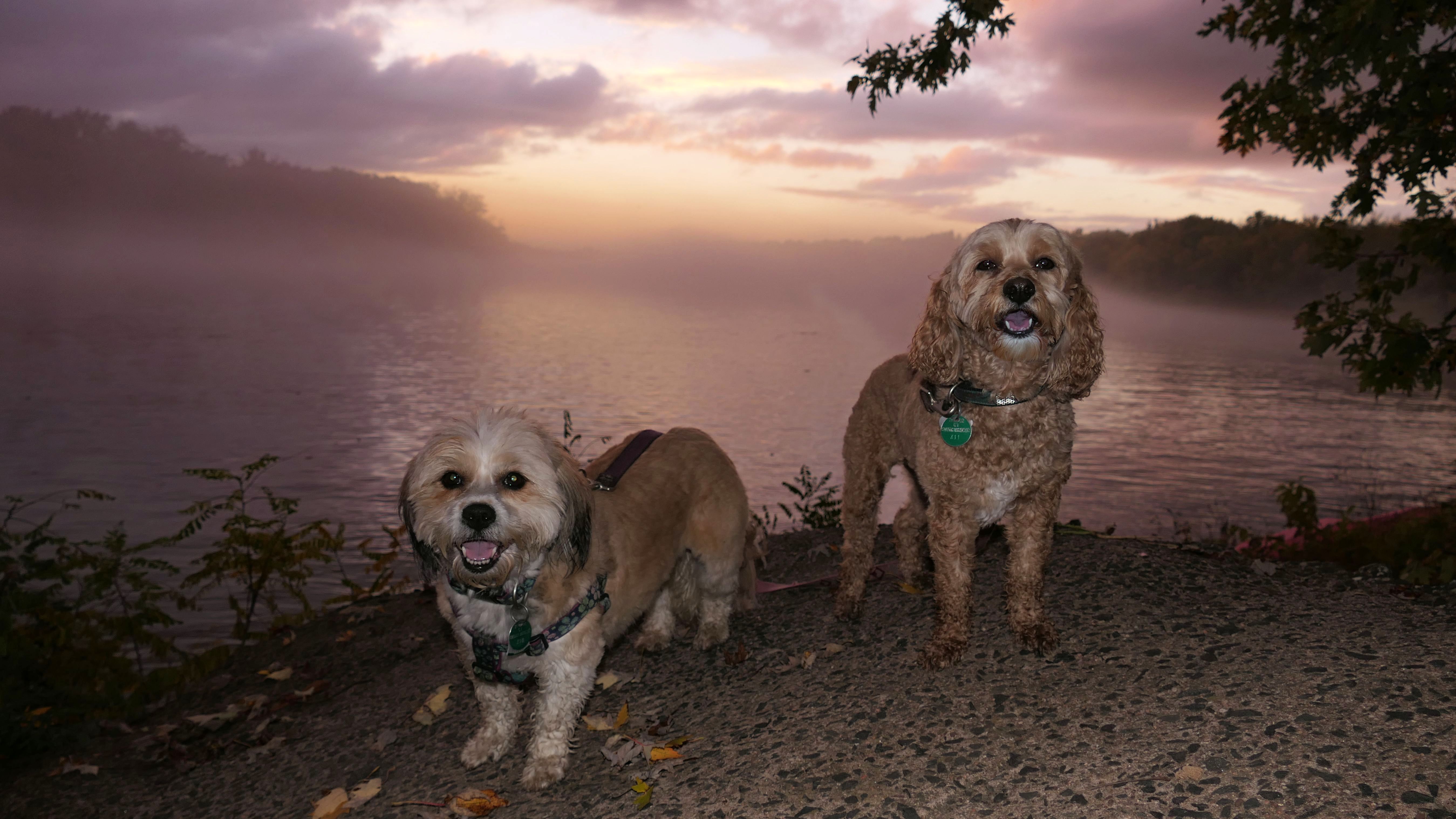
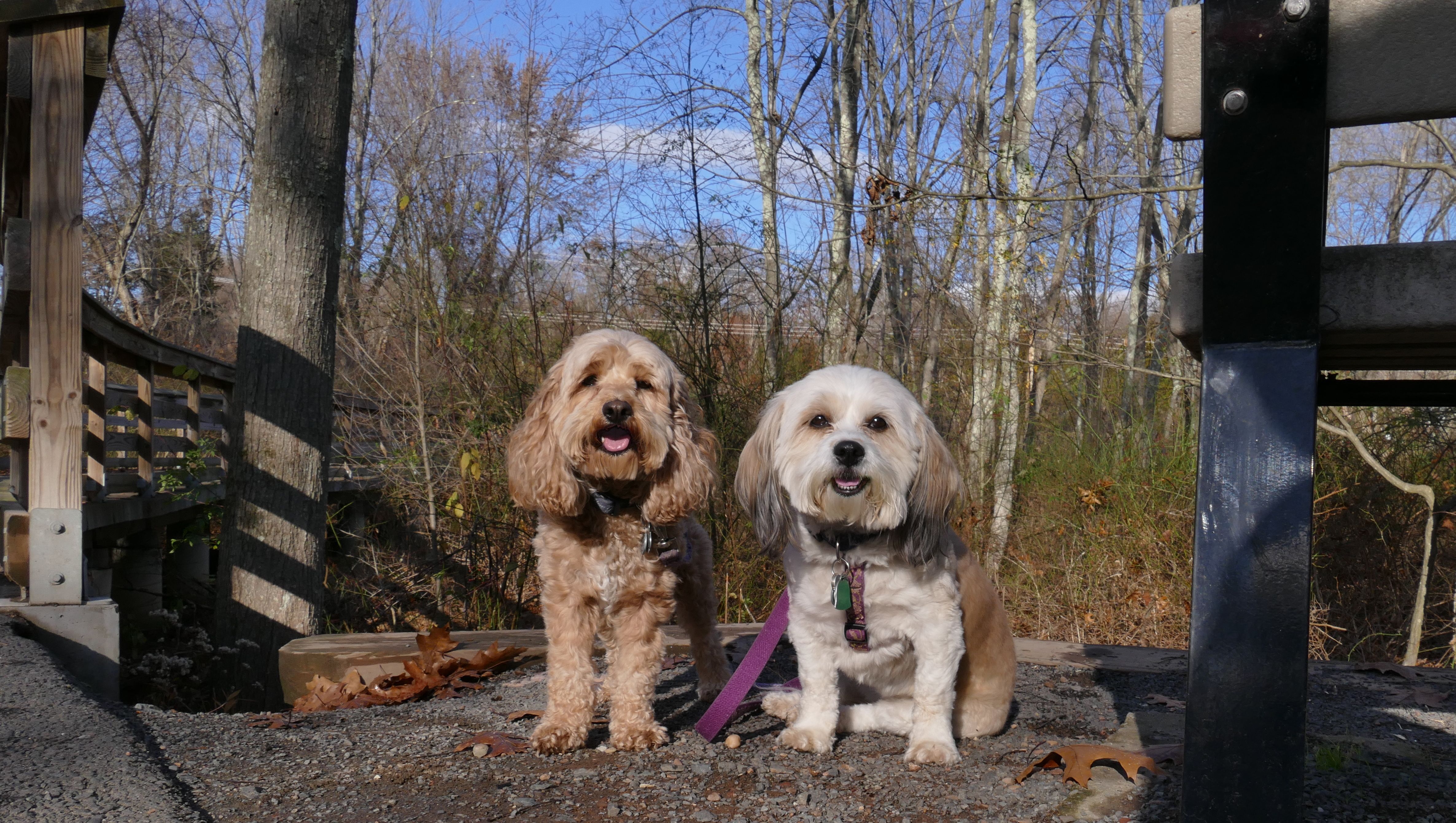
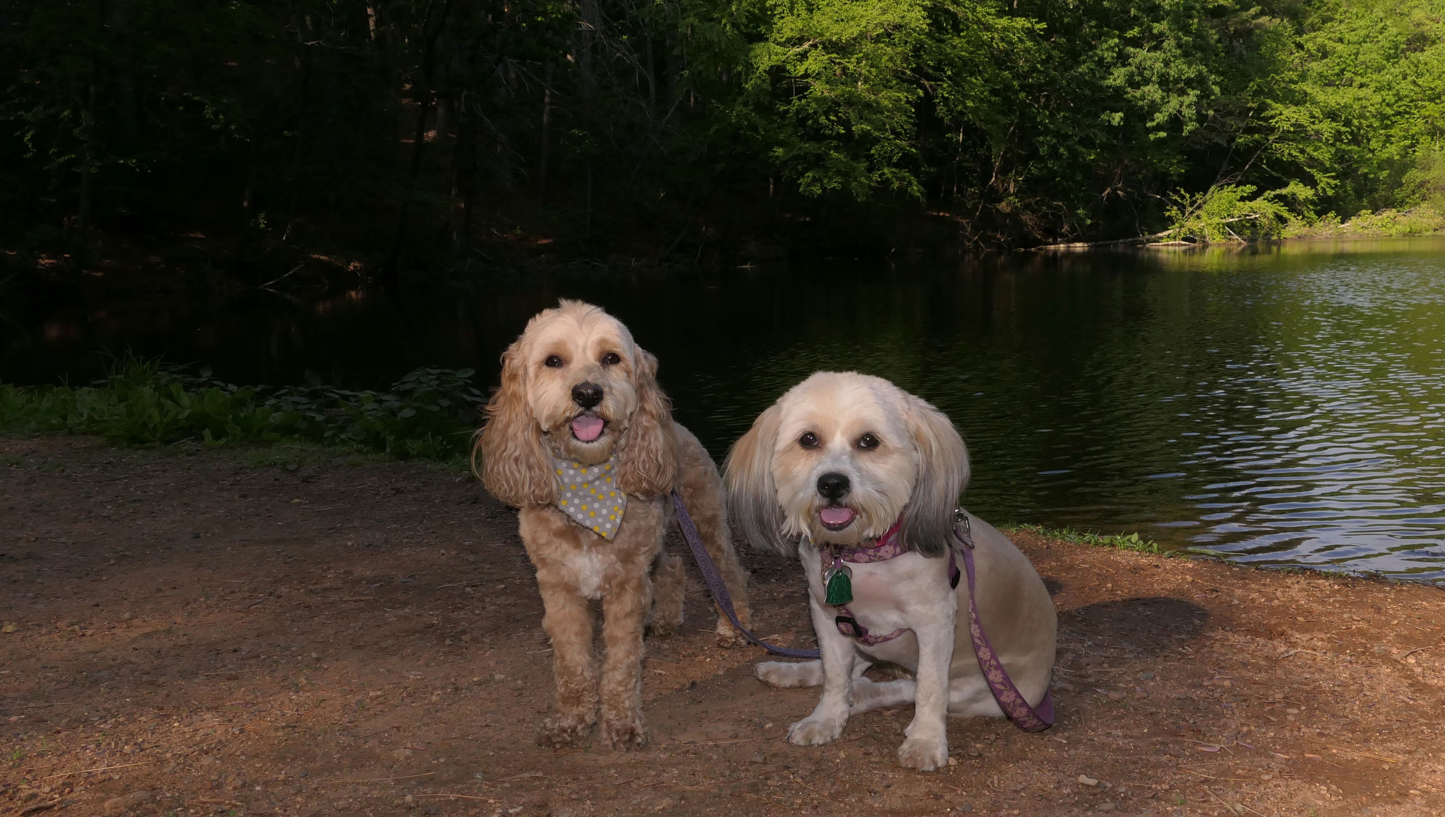
Riverfront Park
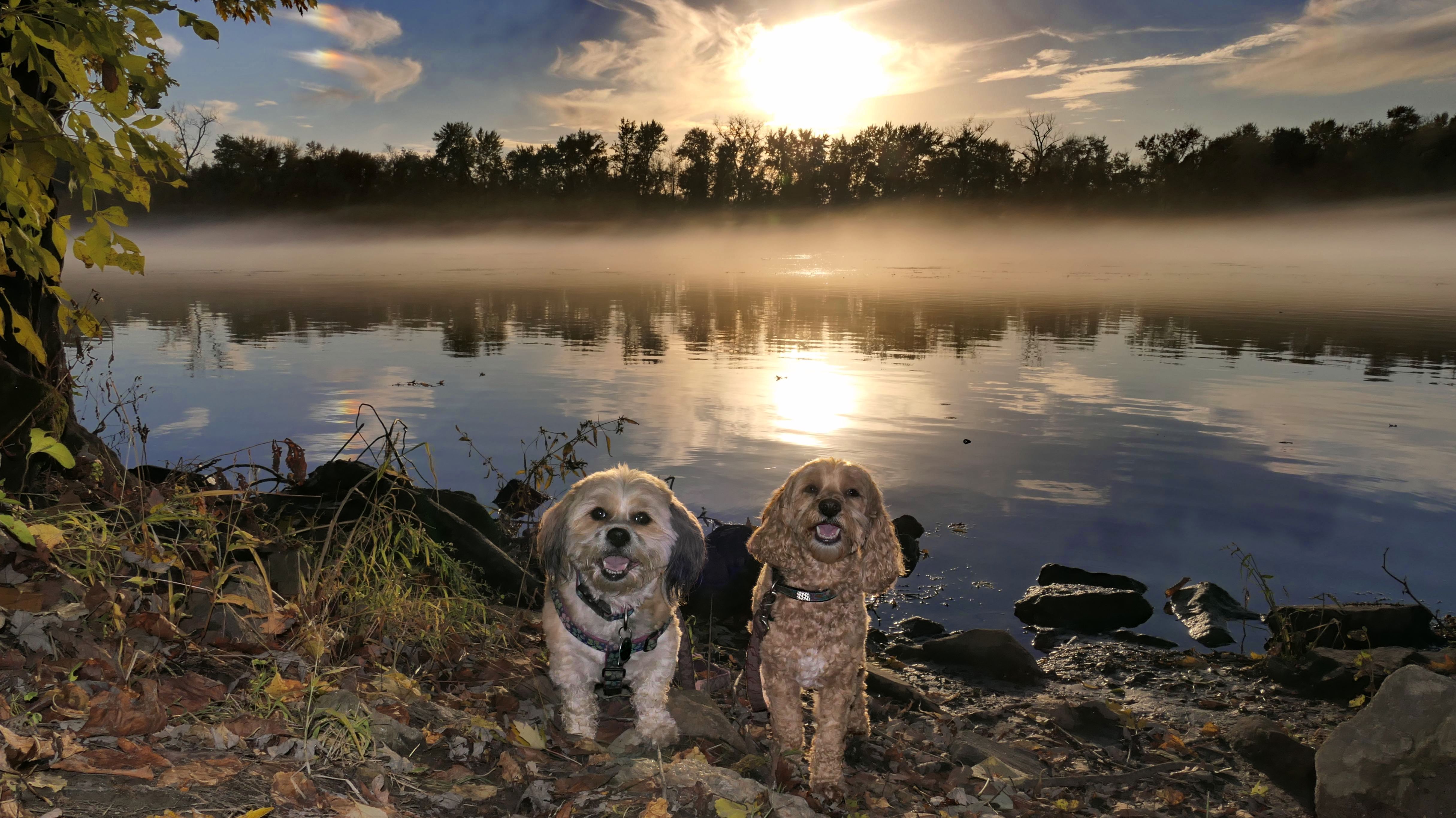
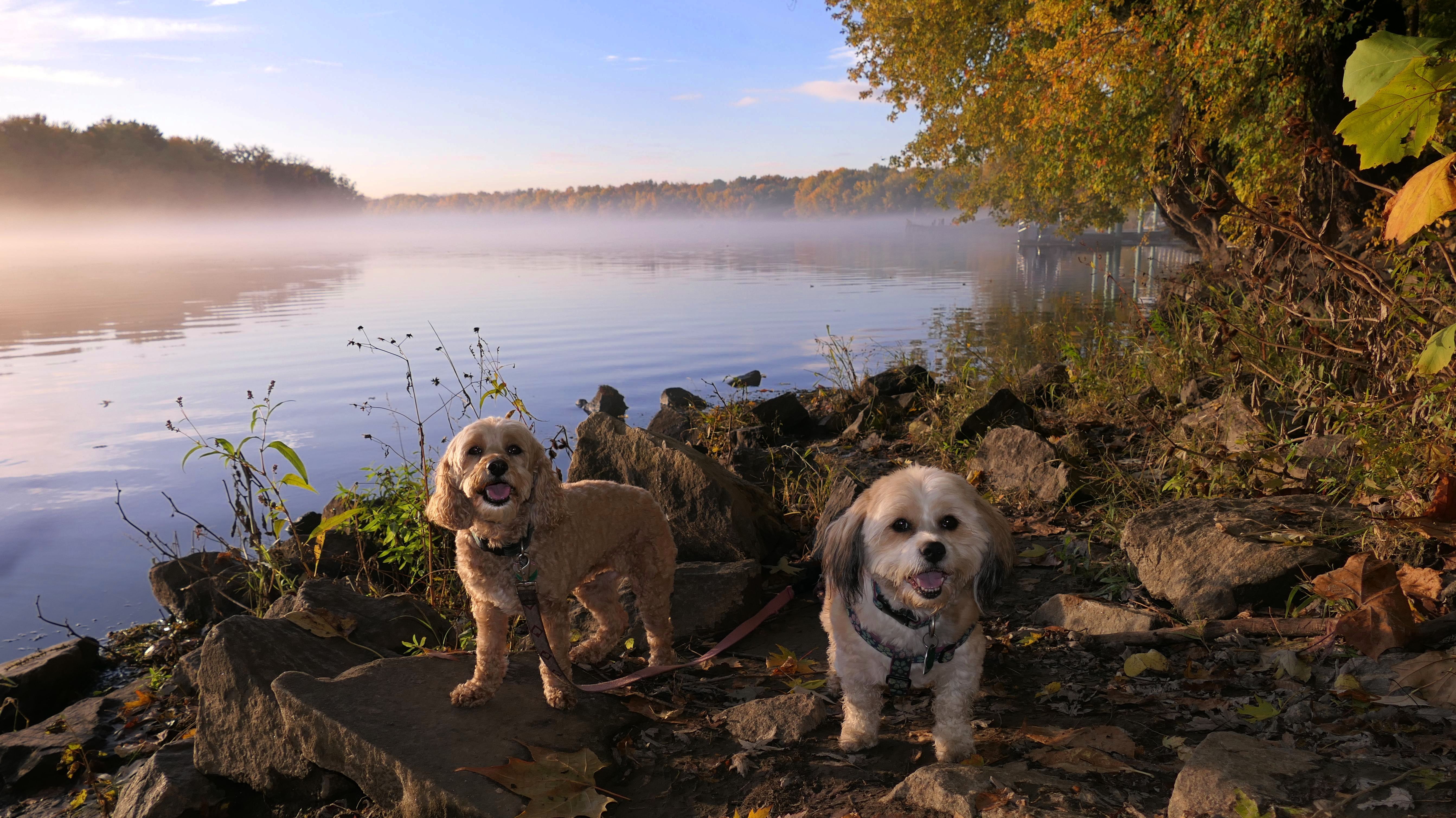
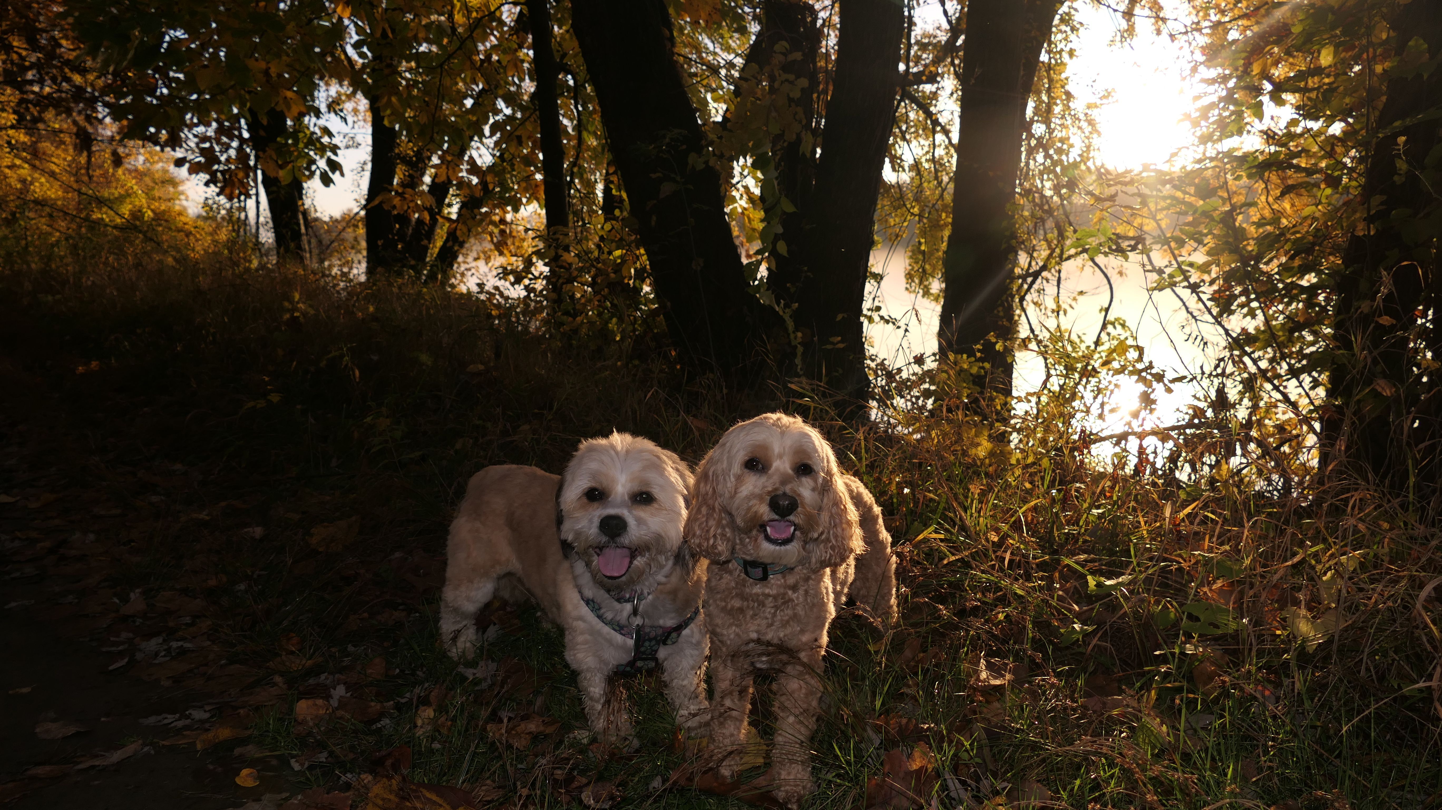
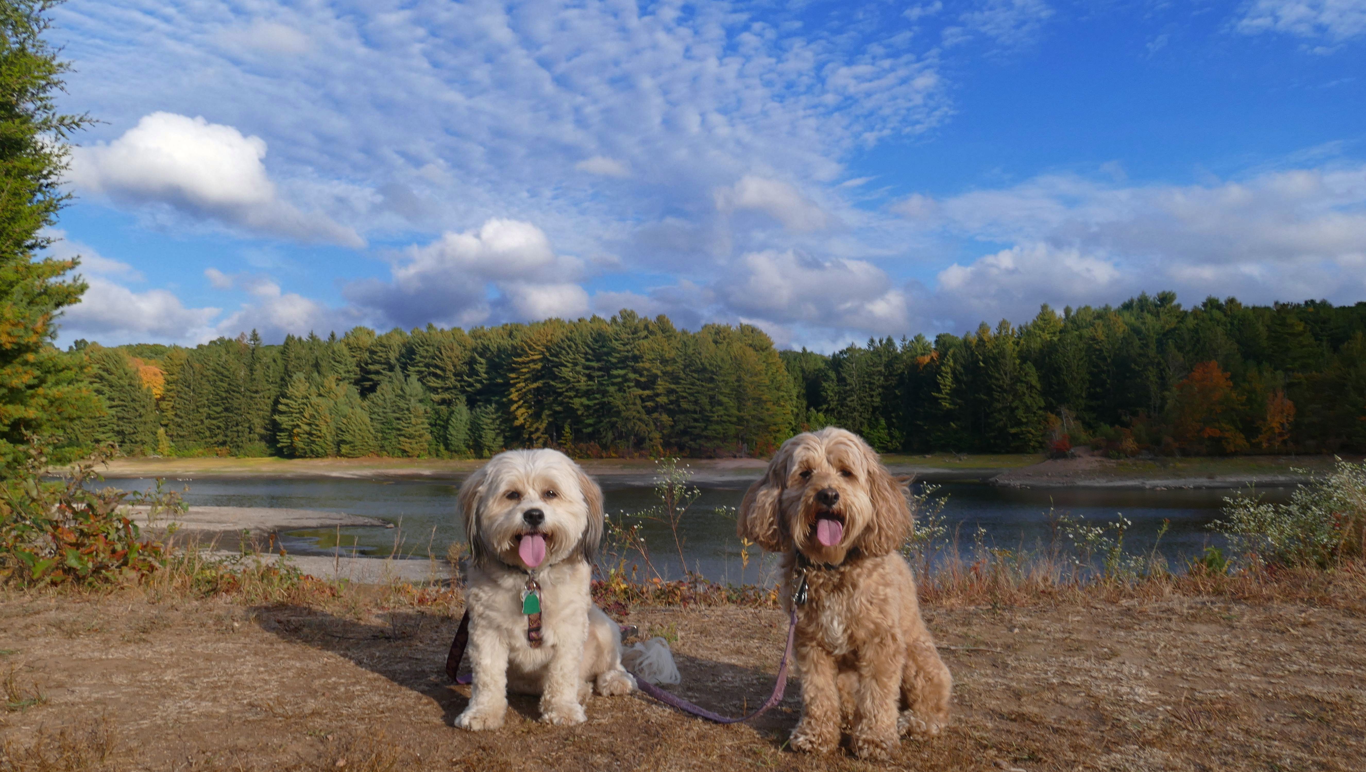
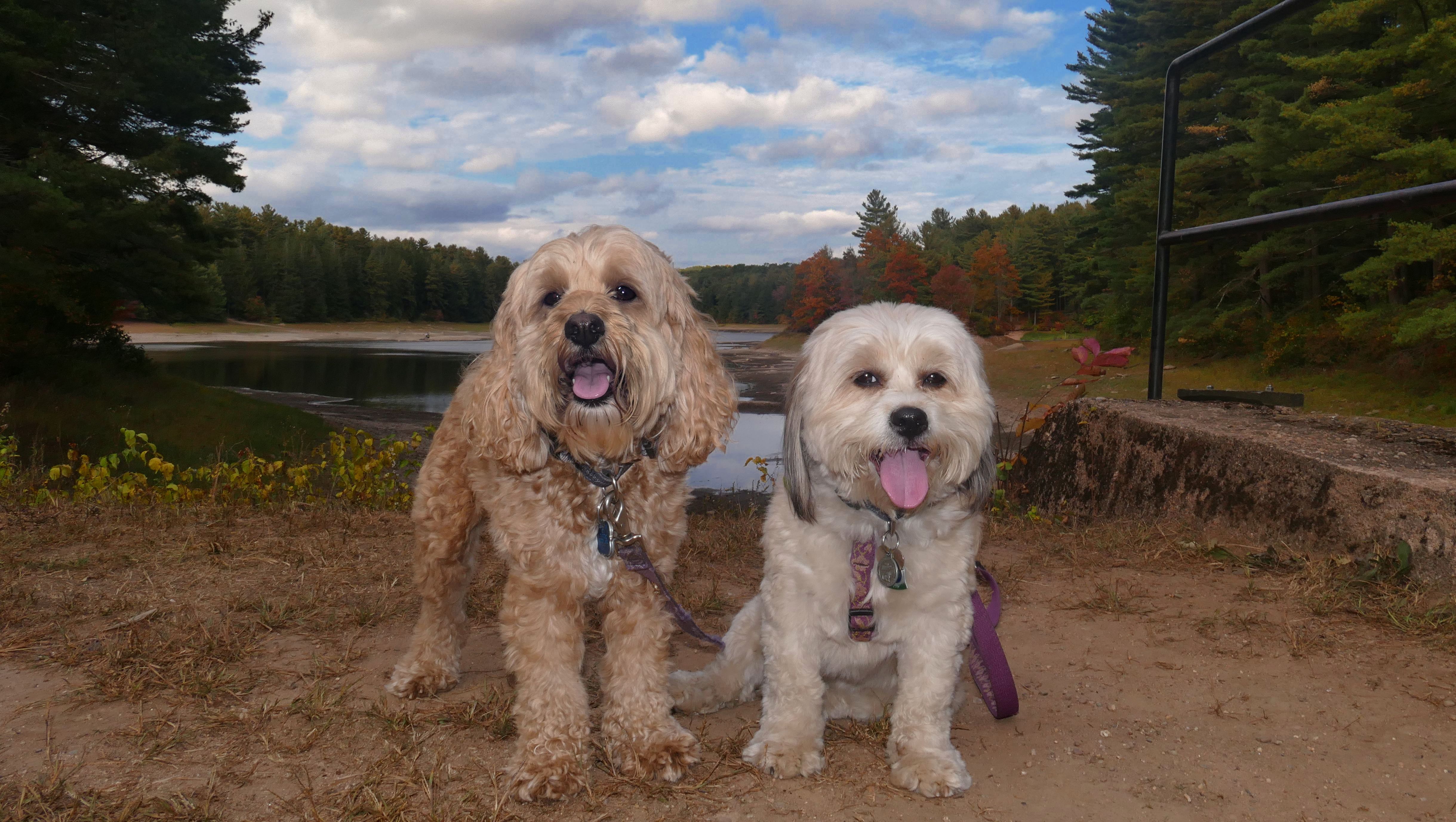
Date visited: 10/25/2022
I'm amazed it took me 2 1/2 years to discover this park. This is a great town park situated along side of the Connecticut River. There's athetic fields and a boat launch, and some walking trails. Most of the trail around the park is stone dust surfaced, but there's a standard dirt trail that runs alongside the river that offers some great views in places. It had rained for a few days, and the sun finally came out in the late afternoon. It was unusuably warm for late October, over 70 degrees. A fog could be seen rising from the river while the sun was setting. It was really quite remarkable. We wound up walking over two miles here on the trail and around the park and boat launch. Just as we were leaving, the skies opened up and it started to pour again, so our timing was perfect!
More Images

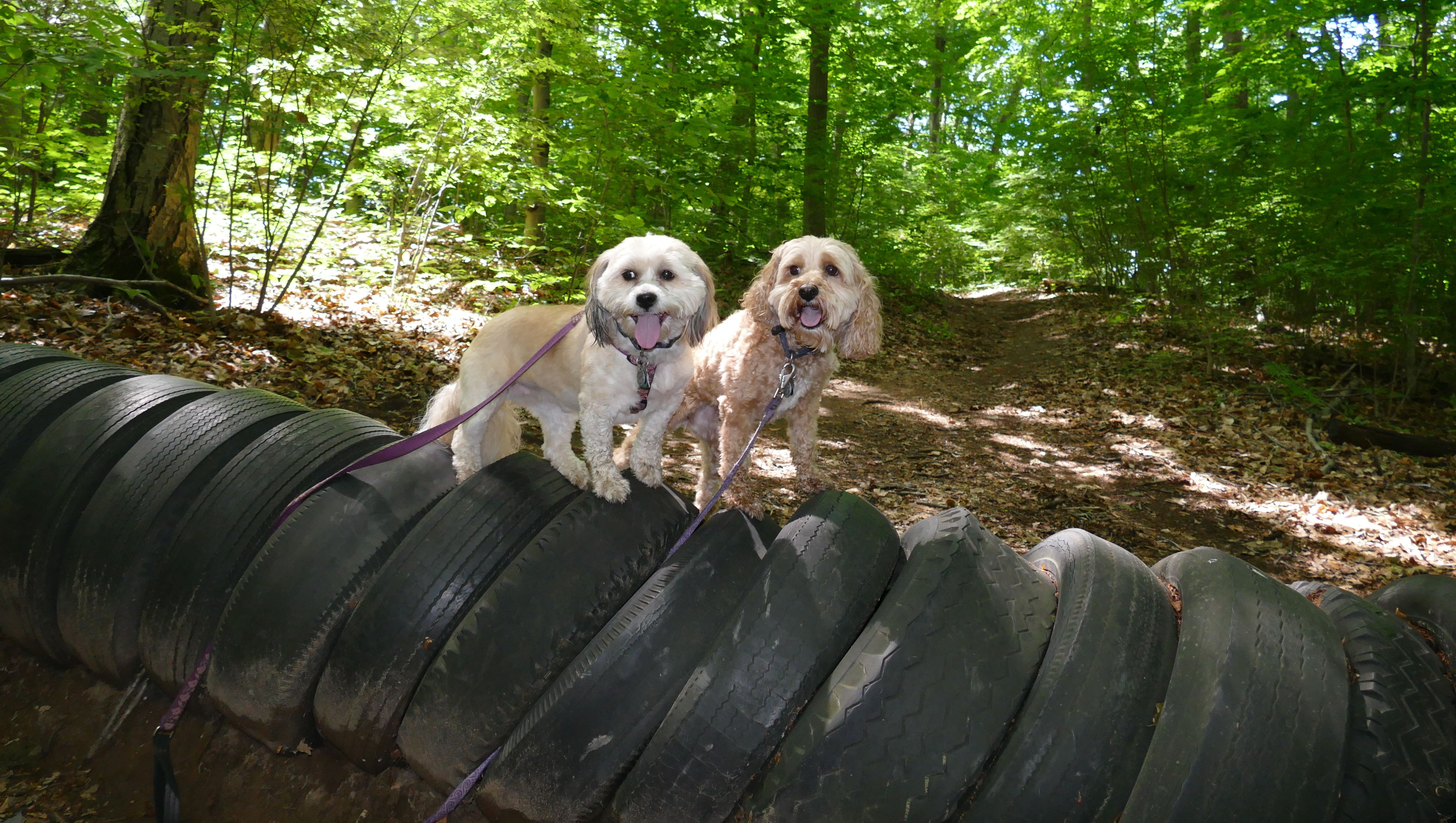
Earle Park
Date visited: 7/1/2020
I'll be honest...I don't remember a lot of detail about this place. I remember the taking the picture with the tires. The dogs only looked up at the camera like that because they saw a person walking their dog and it grabbed their attention.
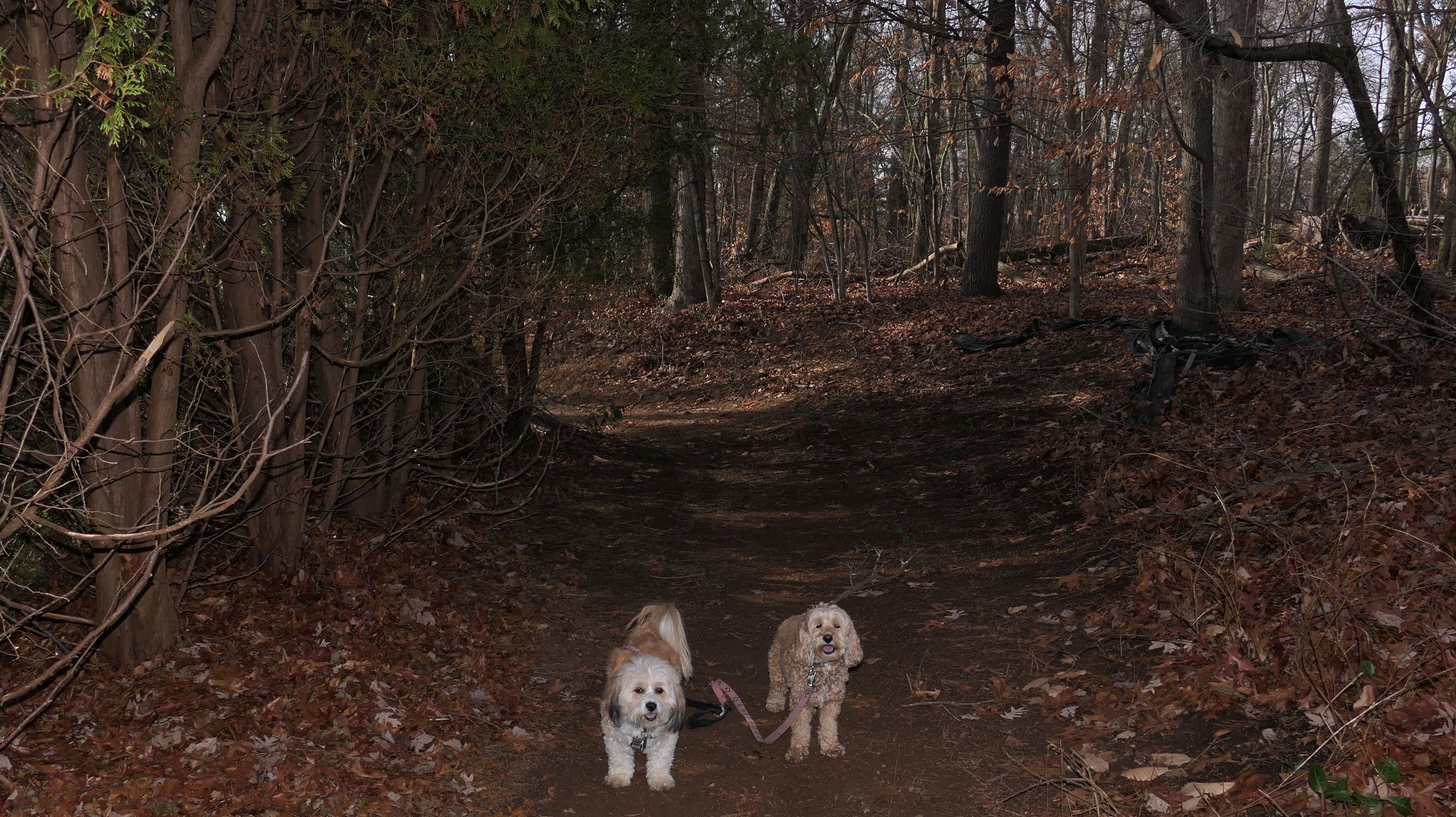
Cotton Hollow
North
Date visited: 7/1/2020
We did this place the same day as Earle Park, and I do remember this one. First of all, there was no cell service (at least at the beginning of the trail), I had to drive up the hill to where there was a signal in order to download an offline copy of the map for the All-Trails app. Secondly, this trail was legitimately scary. So much of it was on the side of a cliff that went straight down. The trail kept getting narrower and narrower. At one point, I dropped this new water bottle I had just gotten to carry the dogs water. I watched it fall down the cliff, maybe 30 feet, bounce on a ledge, and then fall into the stream below. There was a family down on the rocks swimming, and this little girl fished the bottle out of the stream for me. I kept thinking I'm going to fall, get injured, and not be able to call for help because there was no cell service! I turned around at that point and didn't go any further. We were at least 75% of the way through the trail anyway. A few weeks later, the town of Glastonbury shut down the park because of too many incidents with people getting hurt. There's only one picture, because I was too worried about not dying to take pictures!
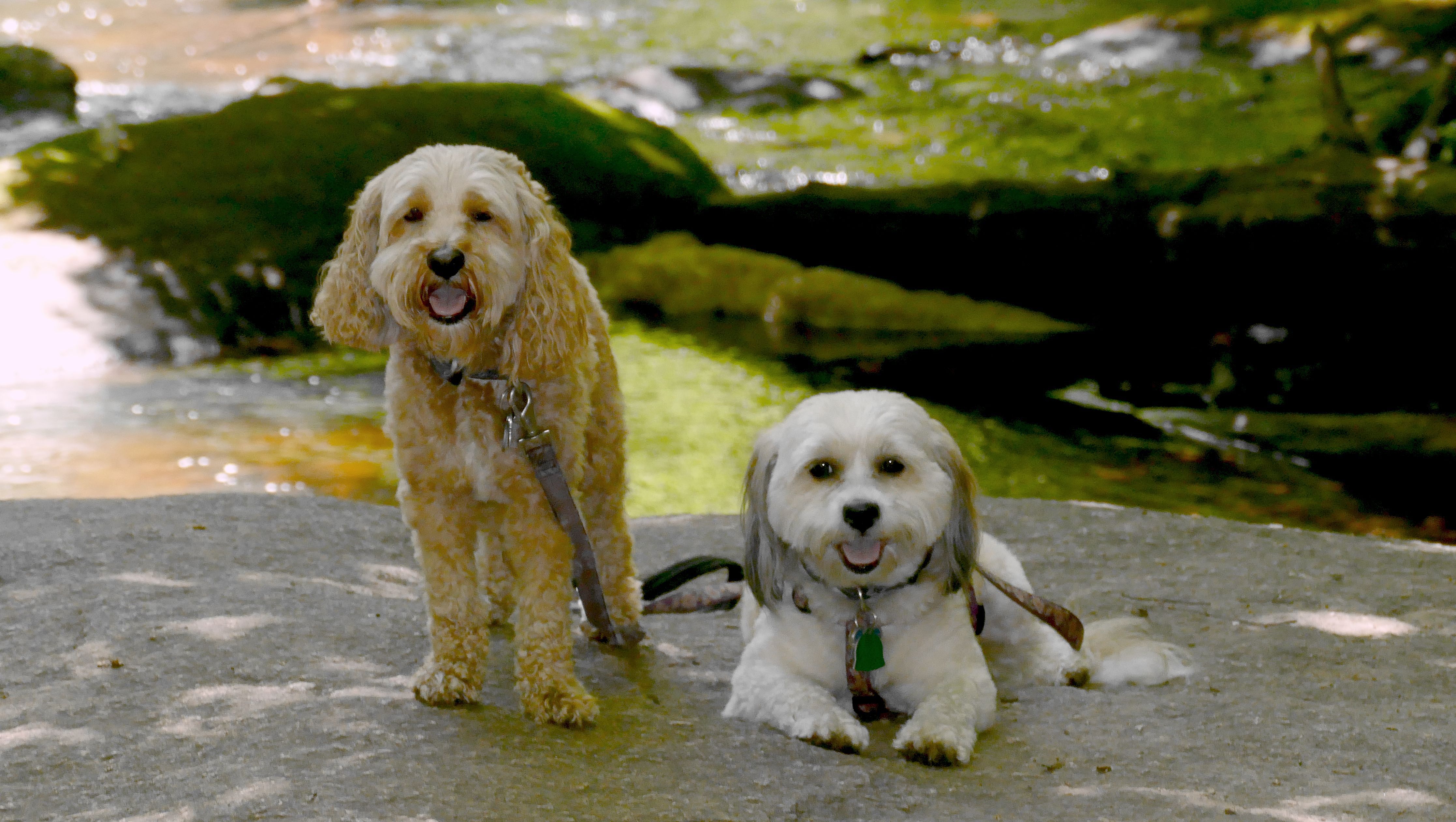
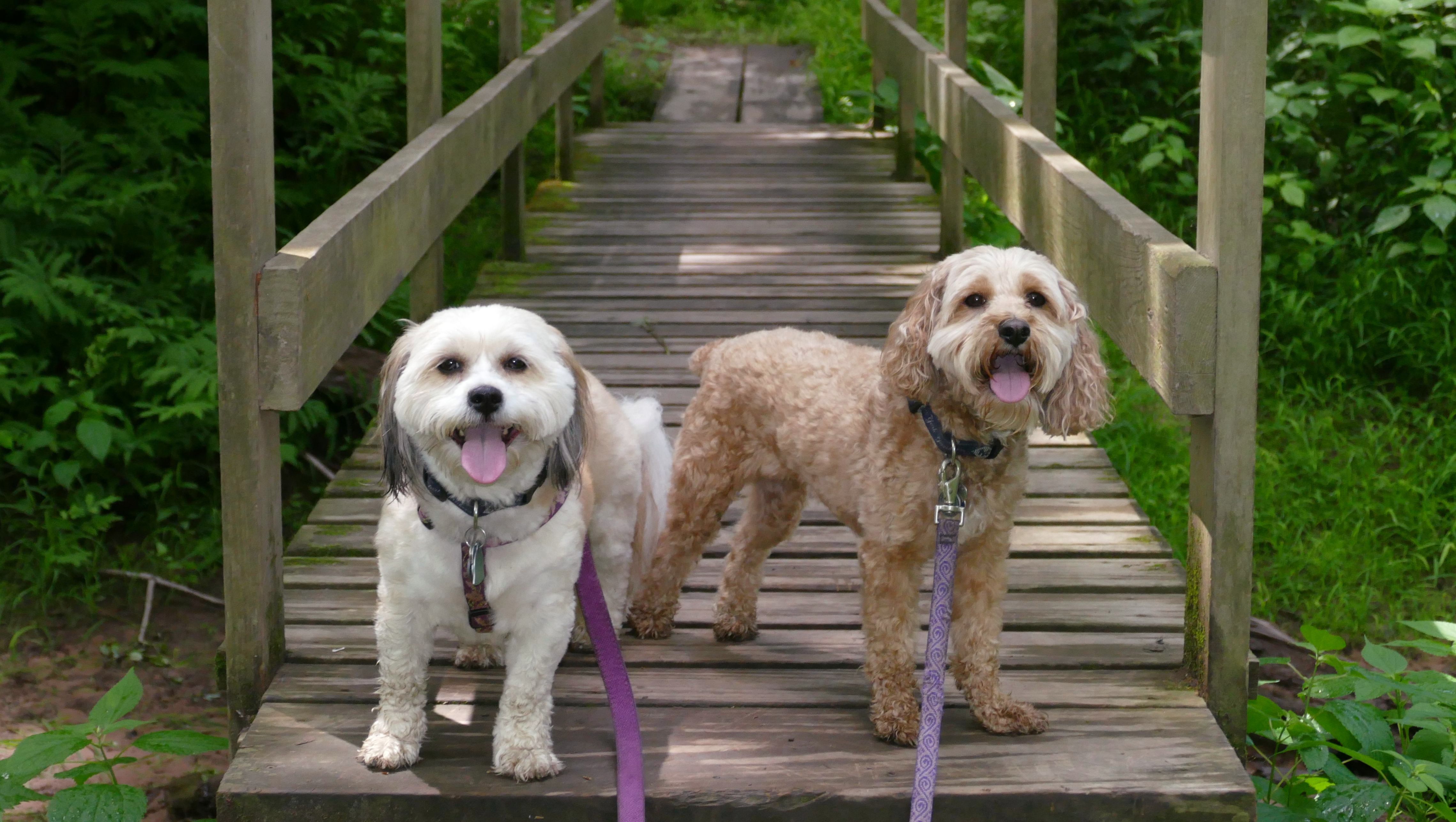
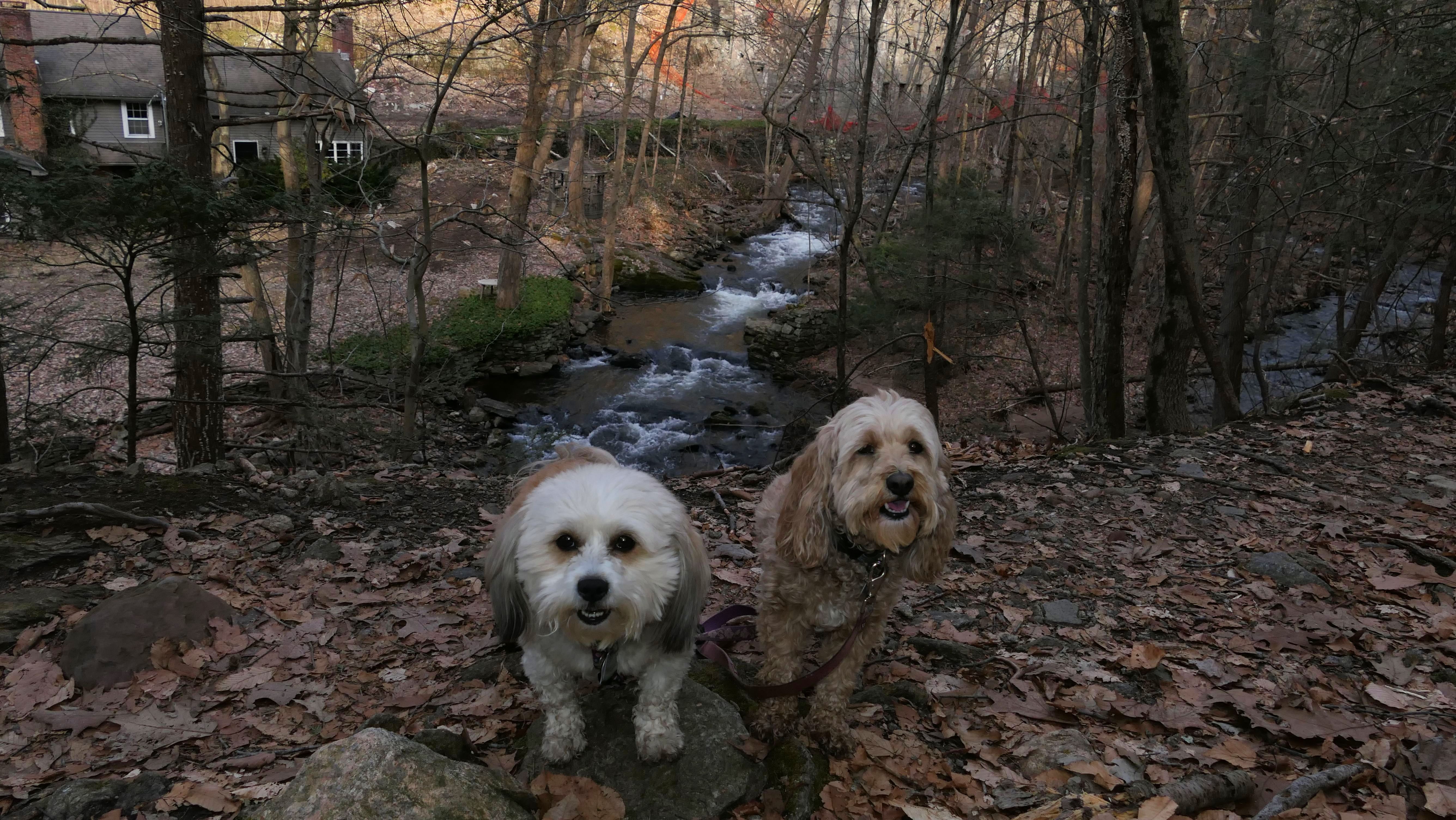
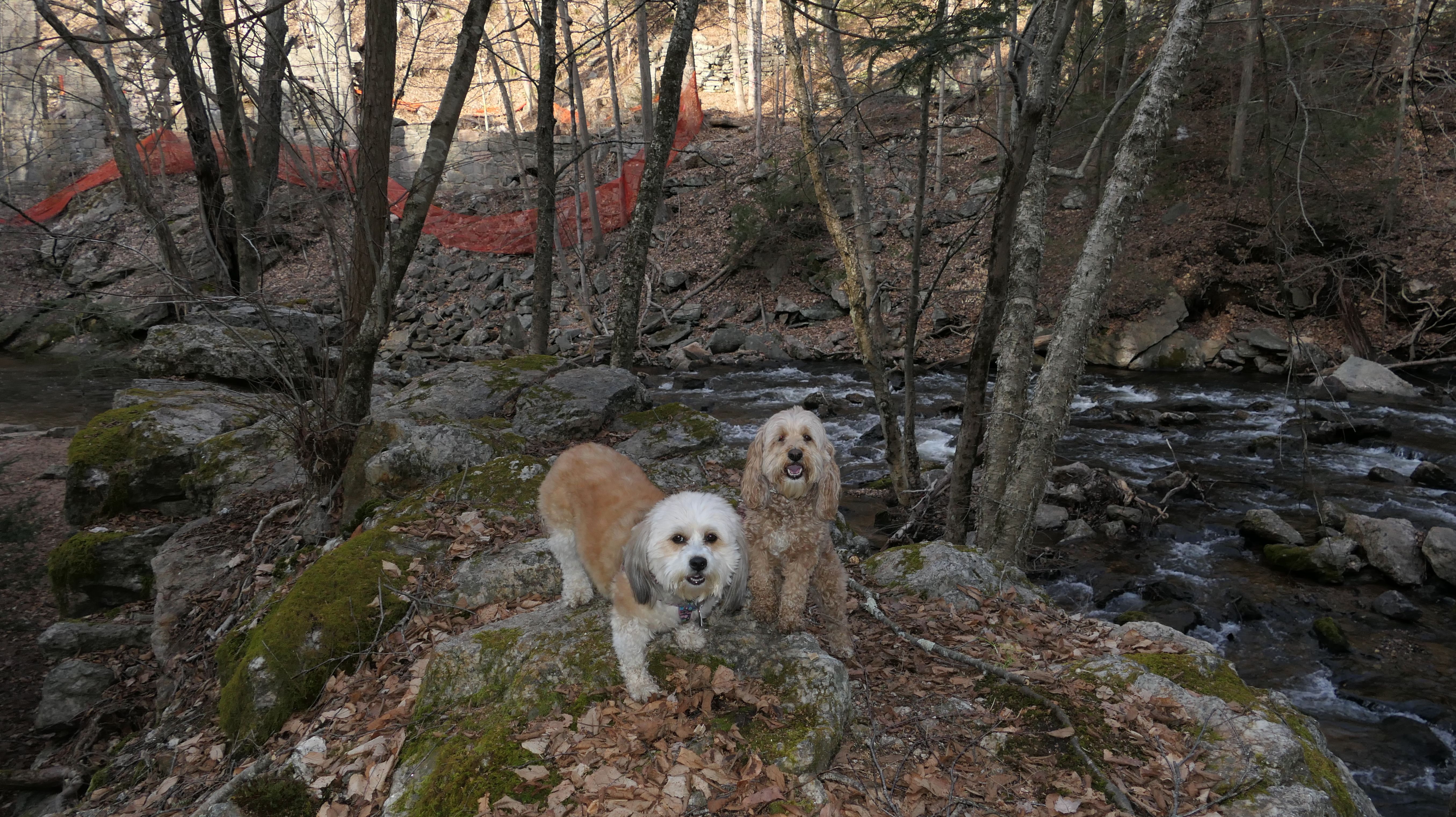
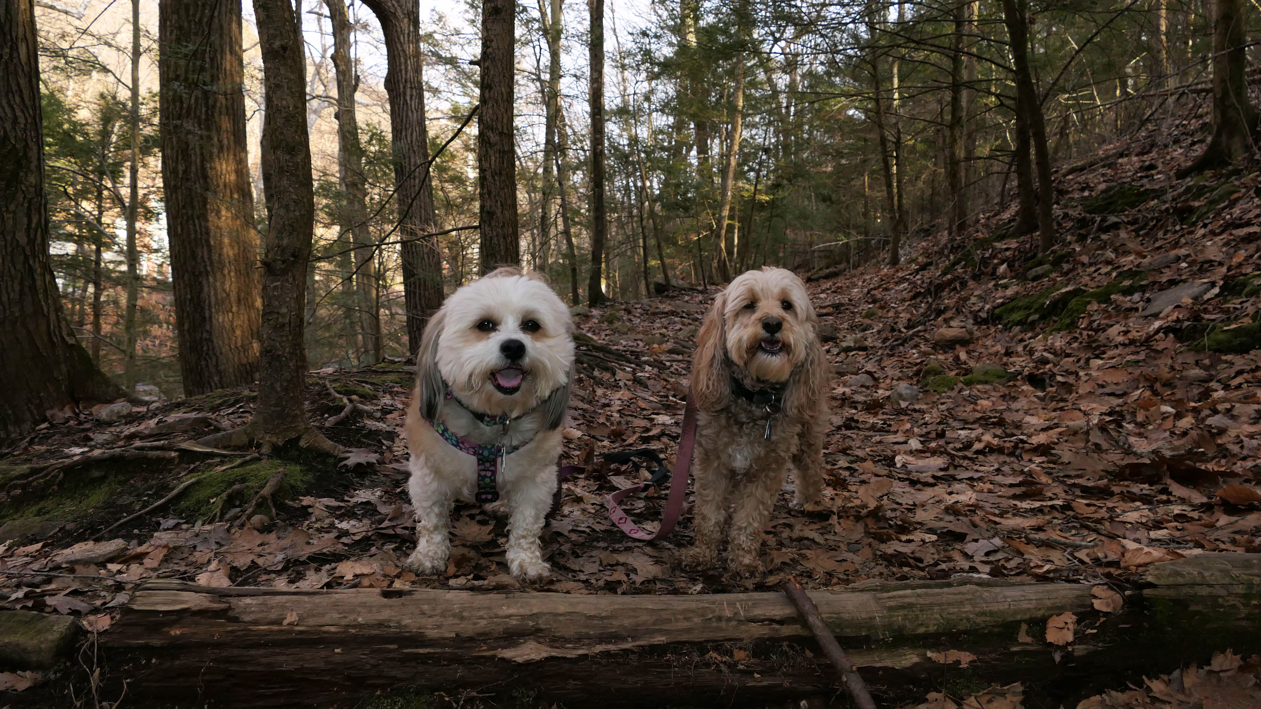
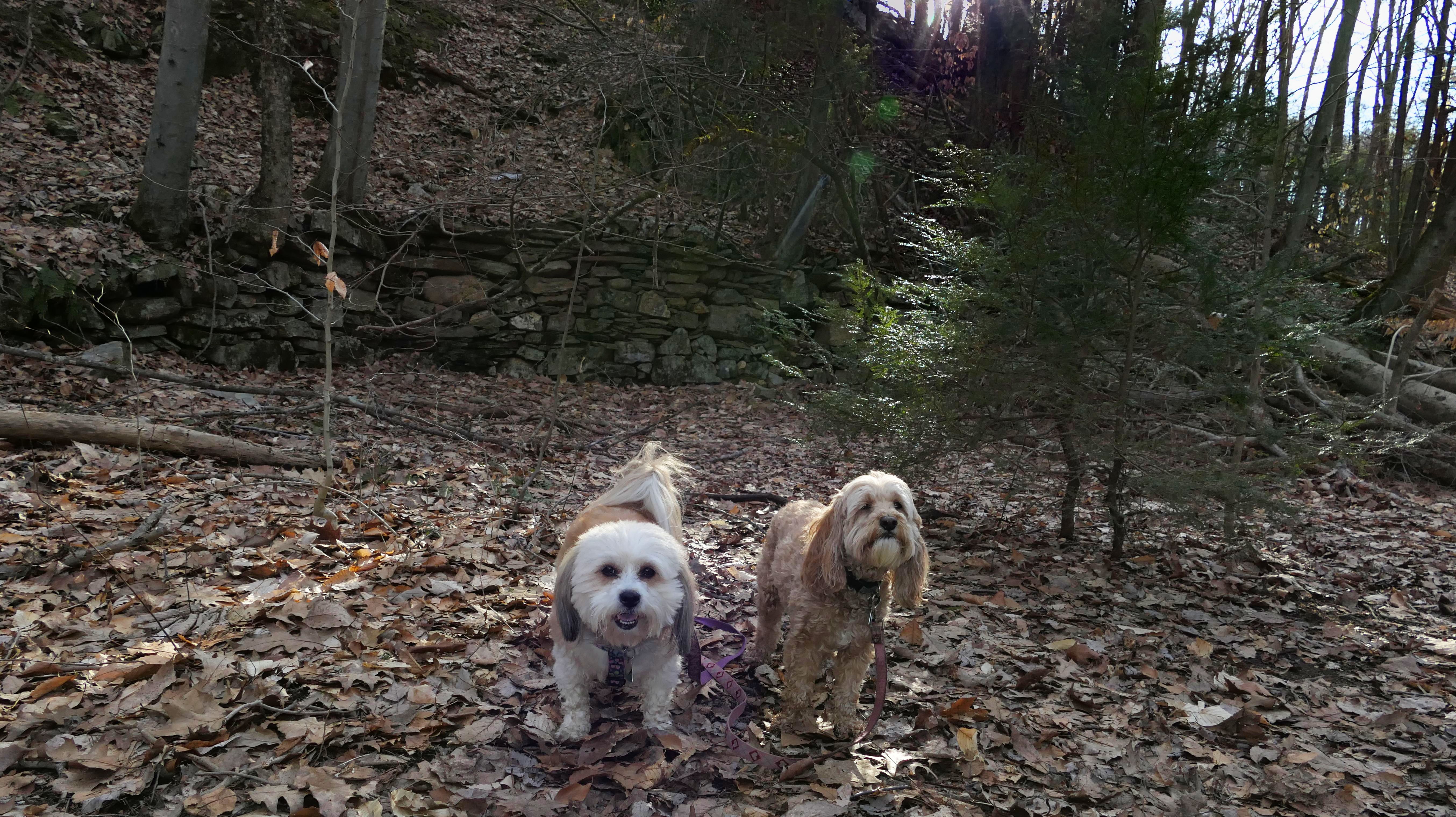
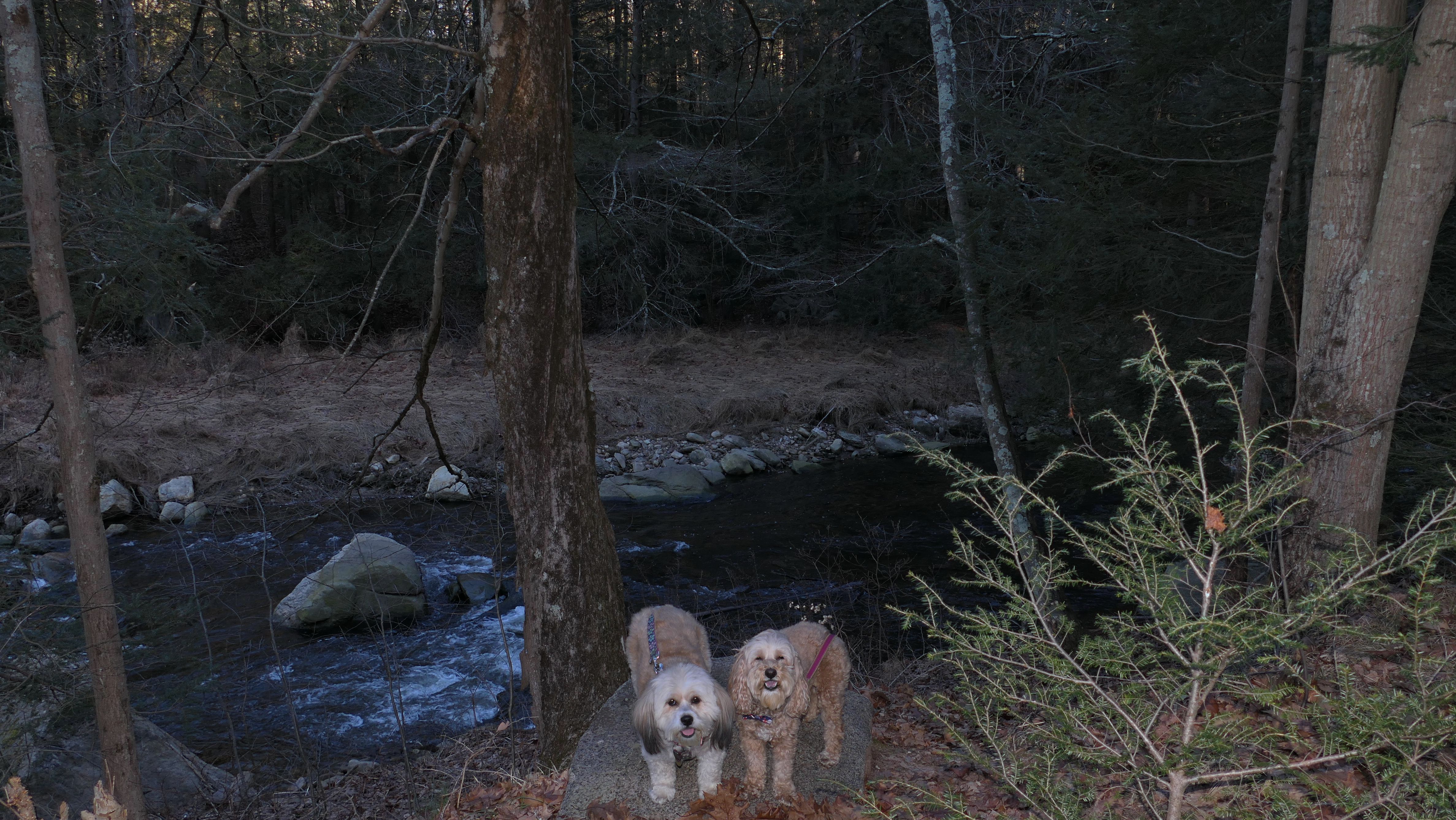
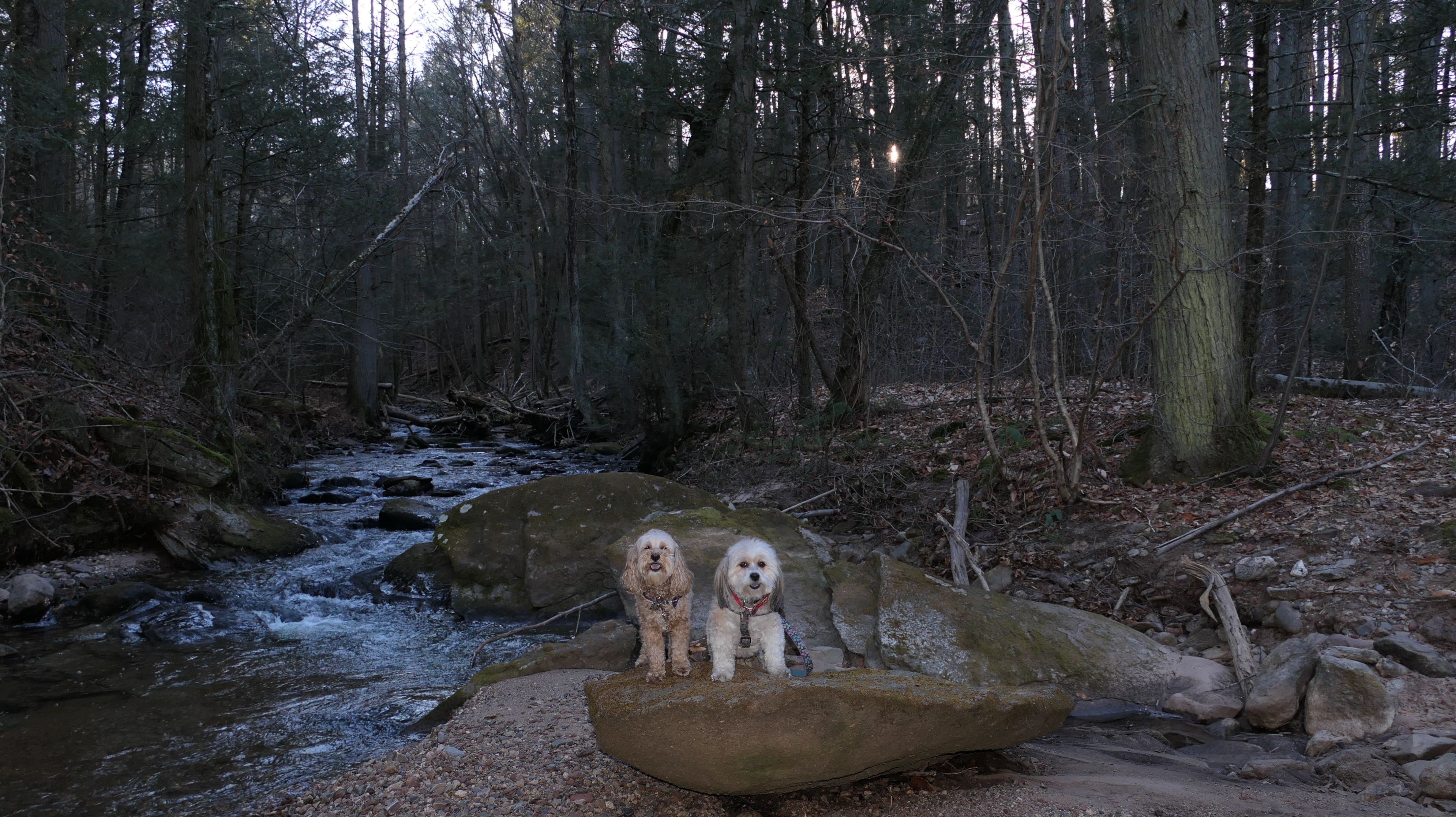
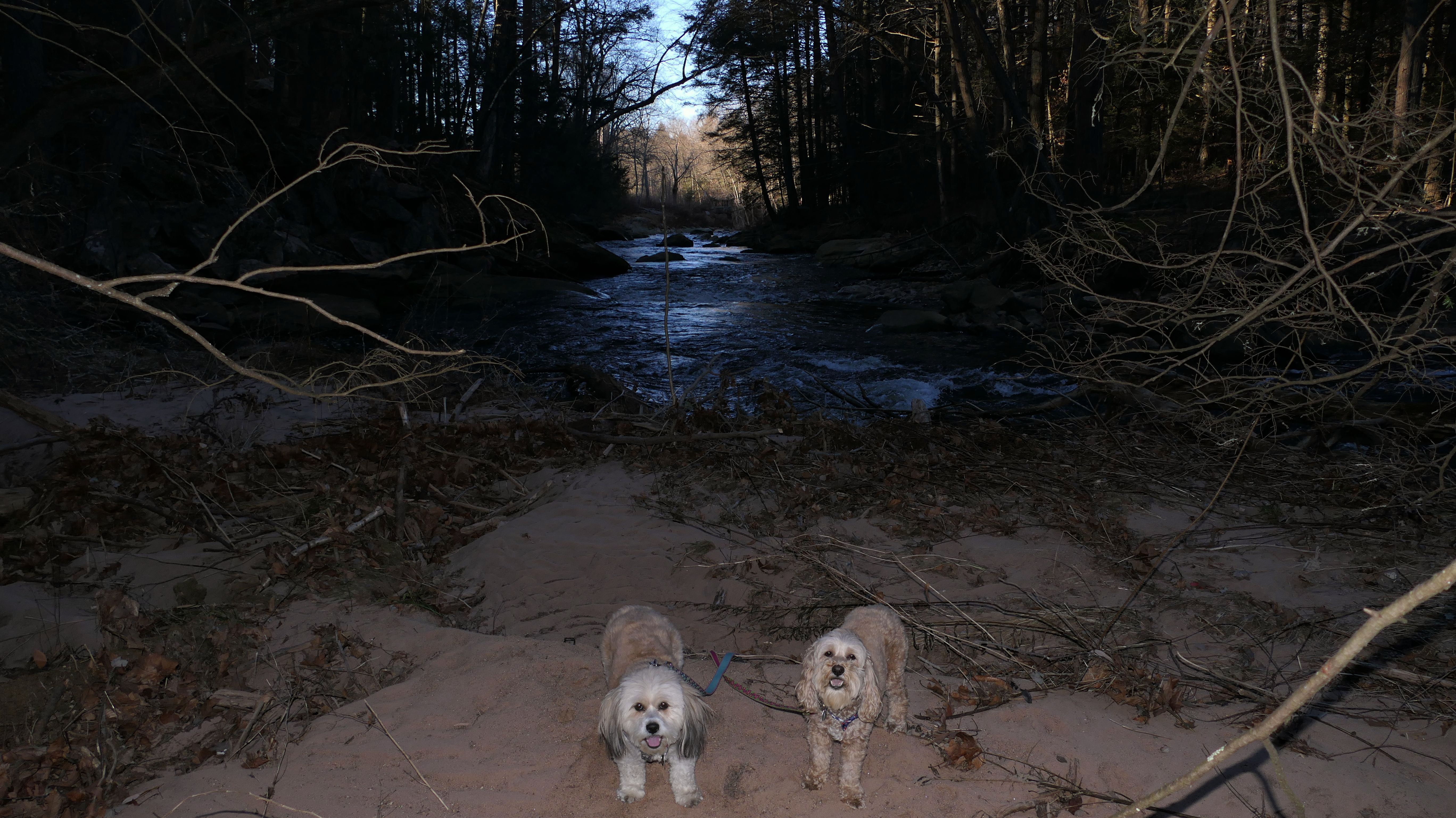
Cotton Hollow South
Date visited: 3/15/2022
We visited the "south" part of the Cotton Hollow Nature Preserve over a year and a half after visiting the "north" section. I was concerned it would be just as dangerous. Thankfully it wasn't nearly as scary! The trail follows Roaring Brook for about a mile, and leads to an area adorned with ruins of old mills. Like the Northern section, the path does run alongside a cliff with a sharp drop, but the path itself is wider and less rocky. The end of the trail is a cool area with lots of rocks and rushing water. I would have liked to explore a bit further, but there wasn't a real easy way to get to the far series of rocks without going through the river, and I wasn't prepared for that. Maybe we'll revisit this in the summer. I'm sure Mandy wouldn't mind going through the river on a hot day!
More Images
Bush Hill Farm
Date visited: 11/5/2020
This is a really nice place. It too, is probably one of the lesser known hiking spots in Mancheter. I believe it's a Manchester Land Trust property. The property crosses the border into Glastonbury, from Manchester and the pictures here are from the Glastonbury section of the trail. There was a sign explaining the town marker, and the history behind it.

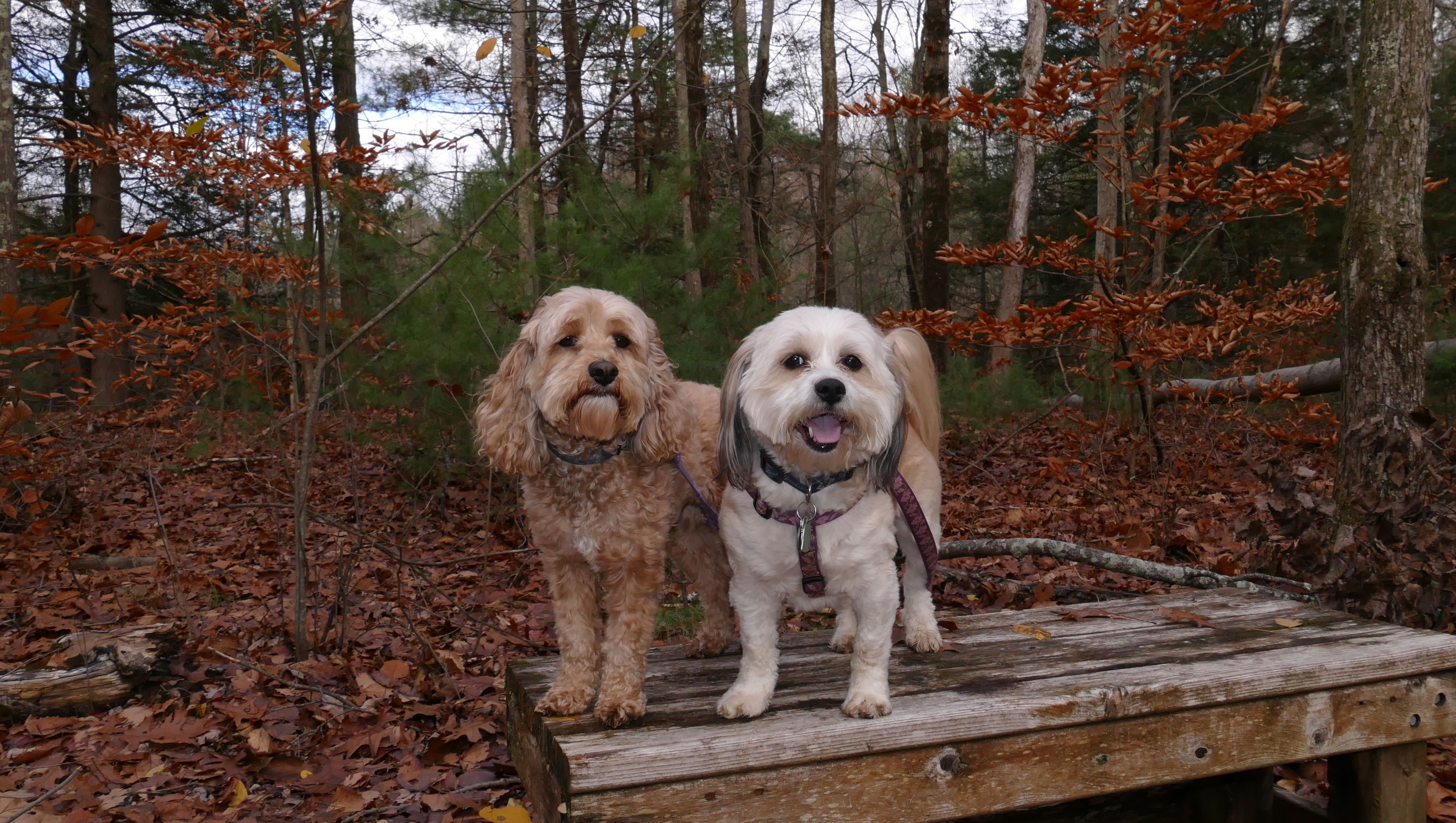
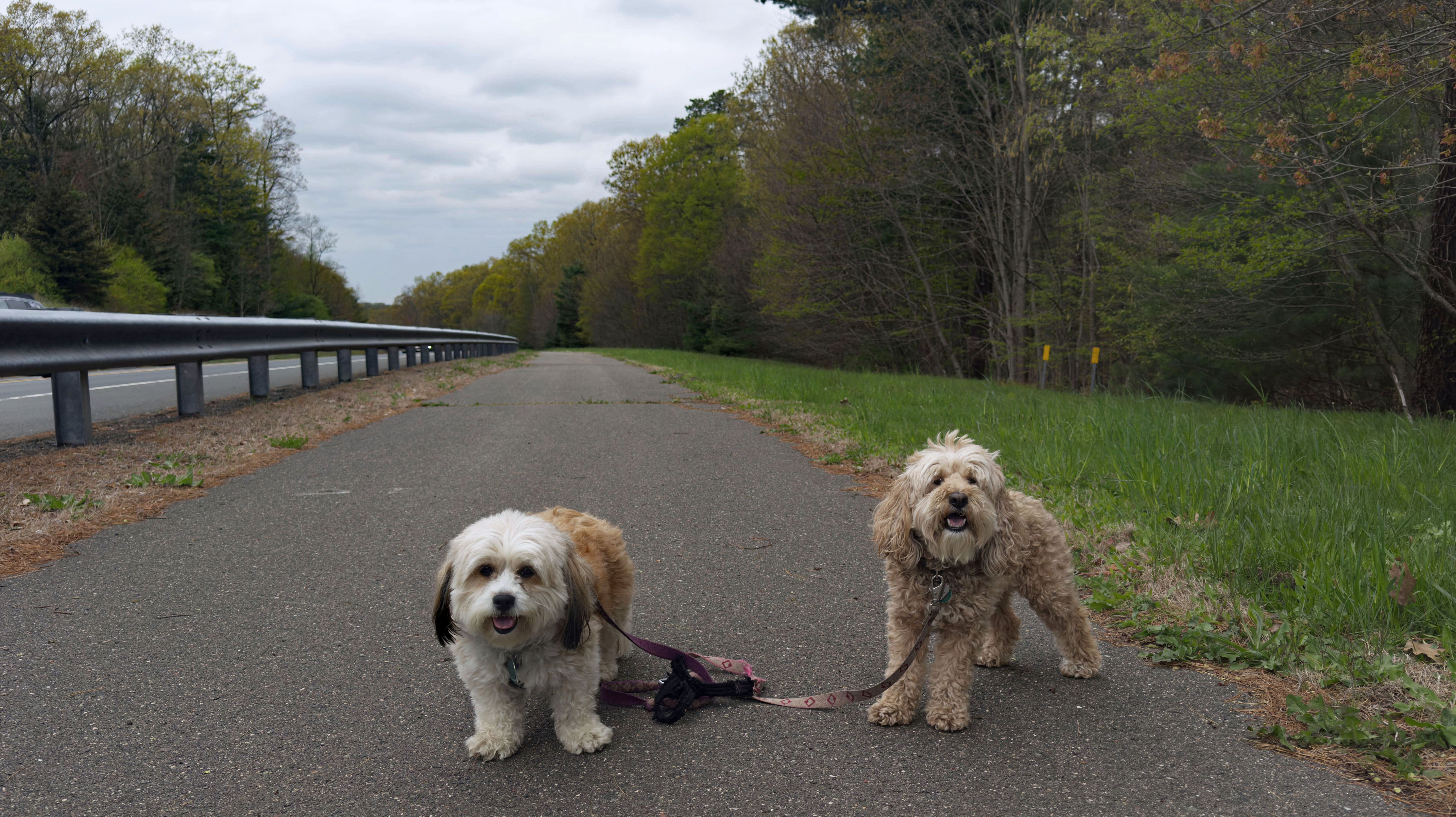
Addison Bog
Date visited: 11/14/2020
This is primarily a paved walking trail, with some standard side trails. There is an extensive trail system here, and I think the trails near the power lines here connect with trails in Manchester, Vernon and Bolton as well. We stuck mainly to the main paved trail, but did the nature trail loop and took an alternate path back on the return trip.
More Images
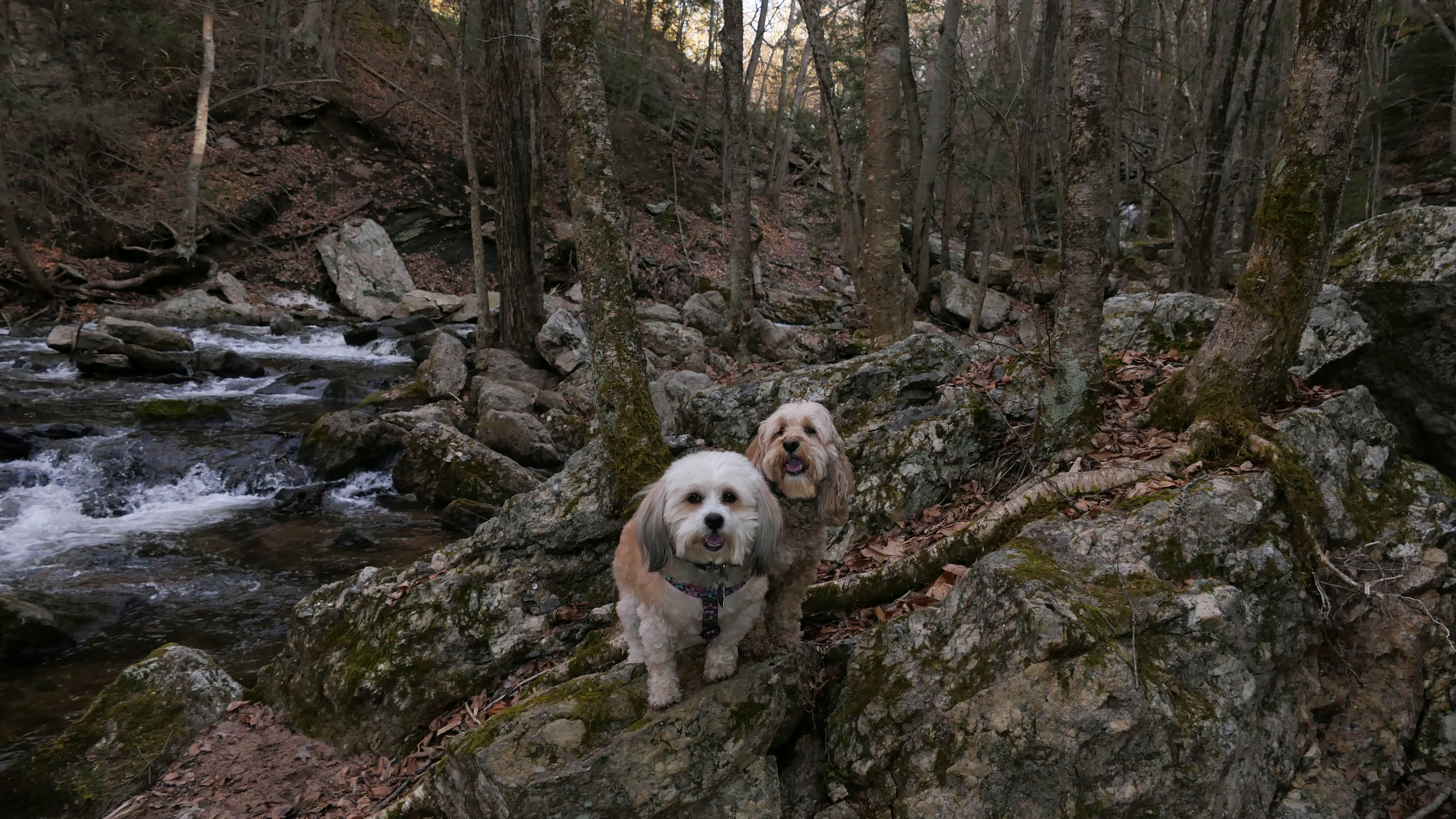
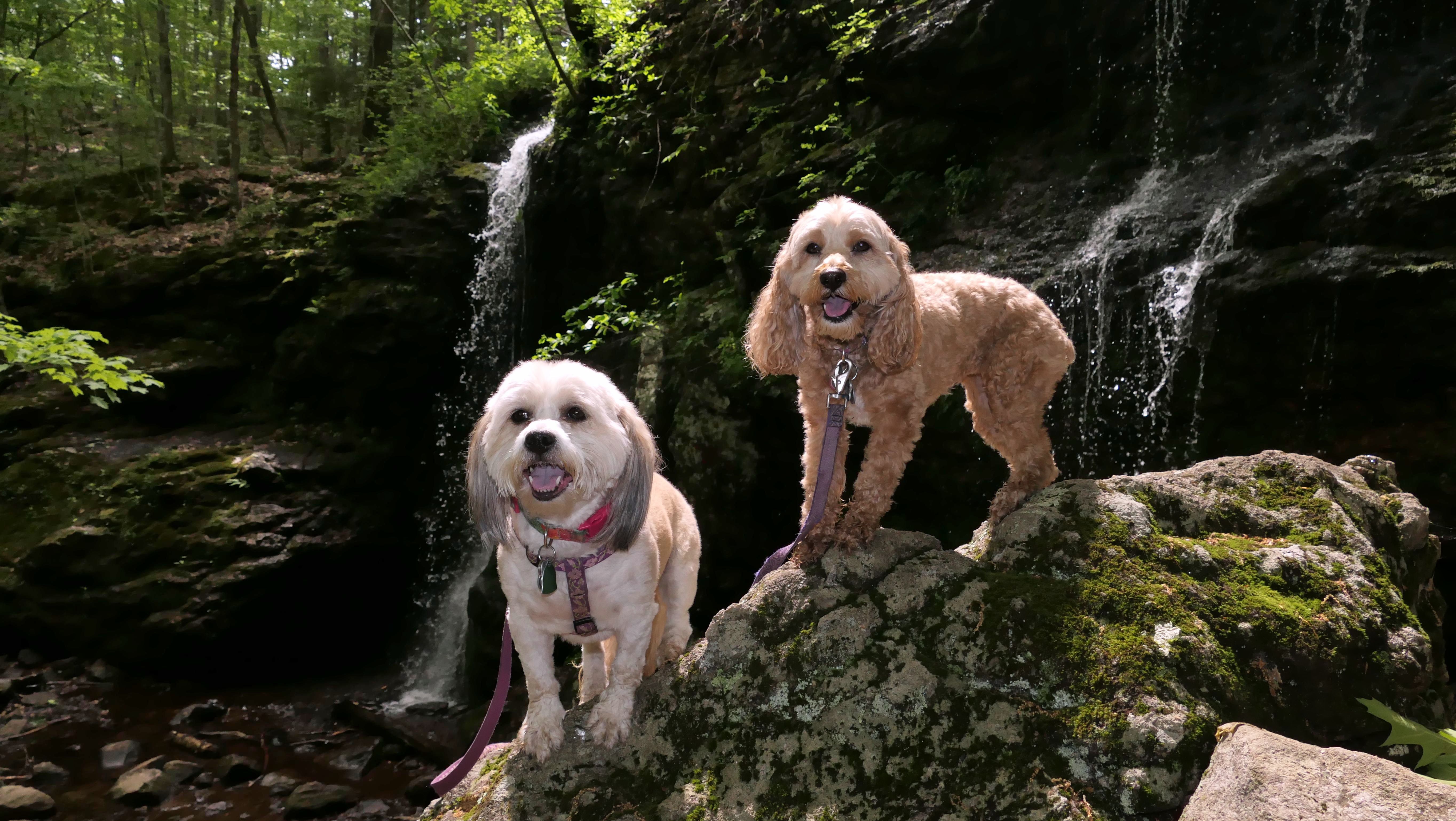
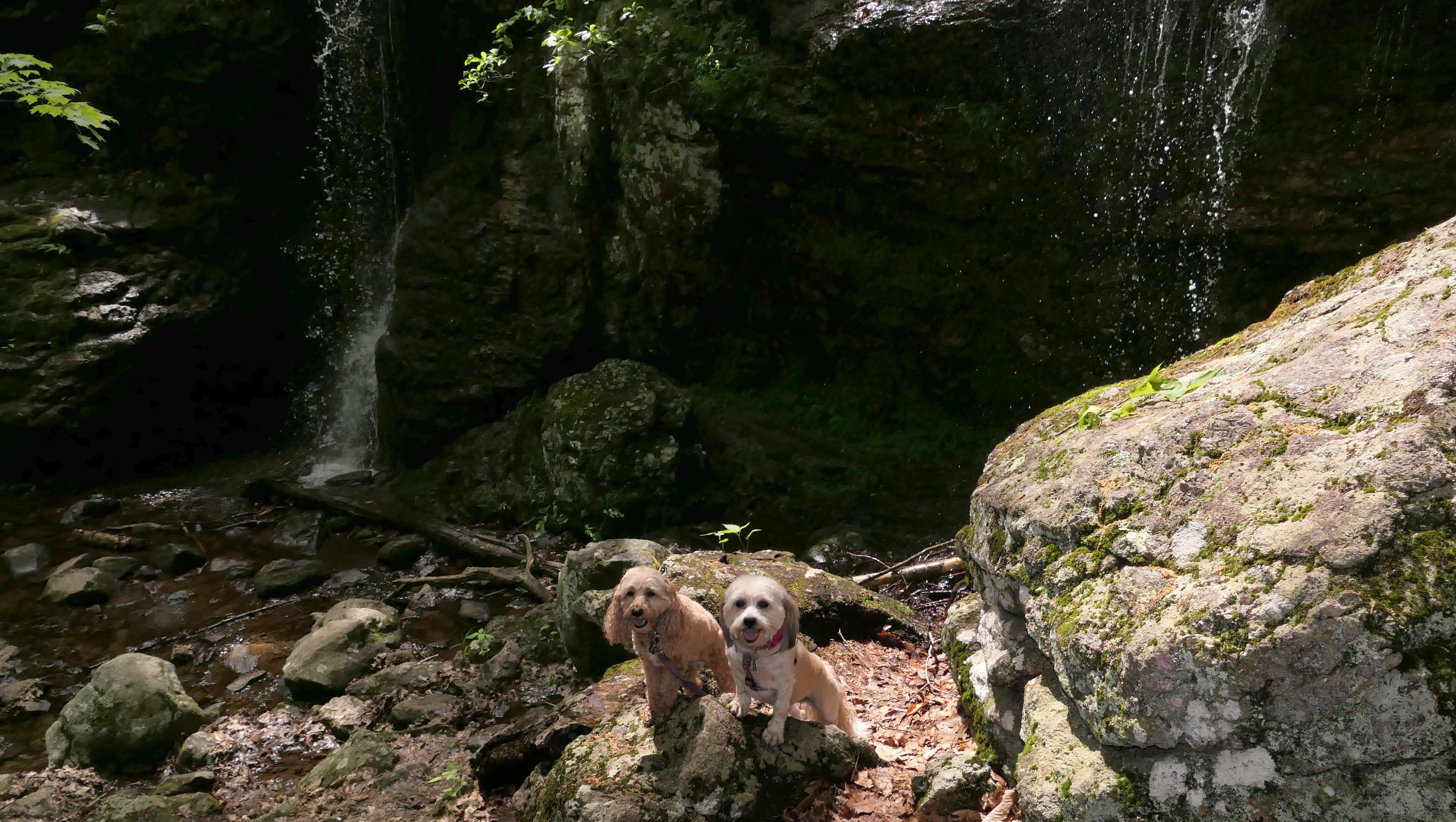
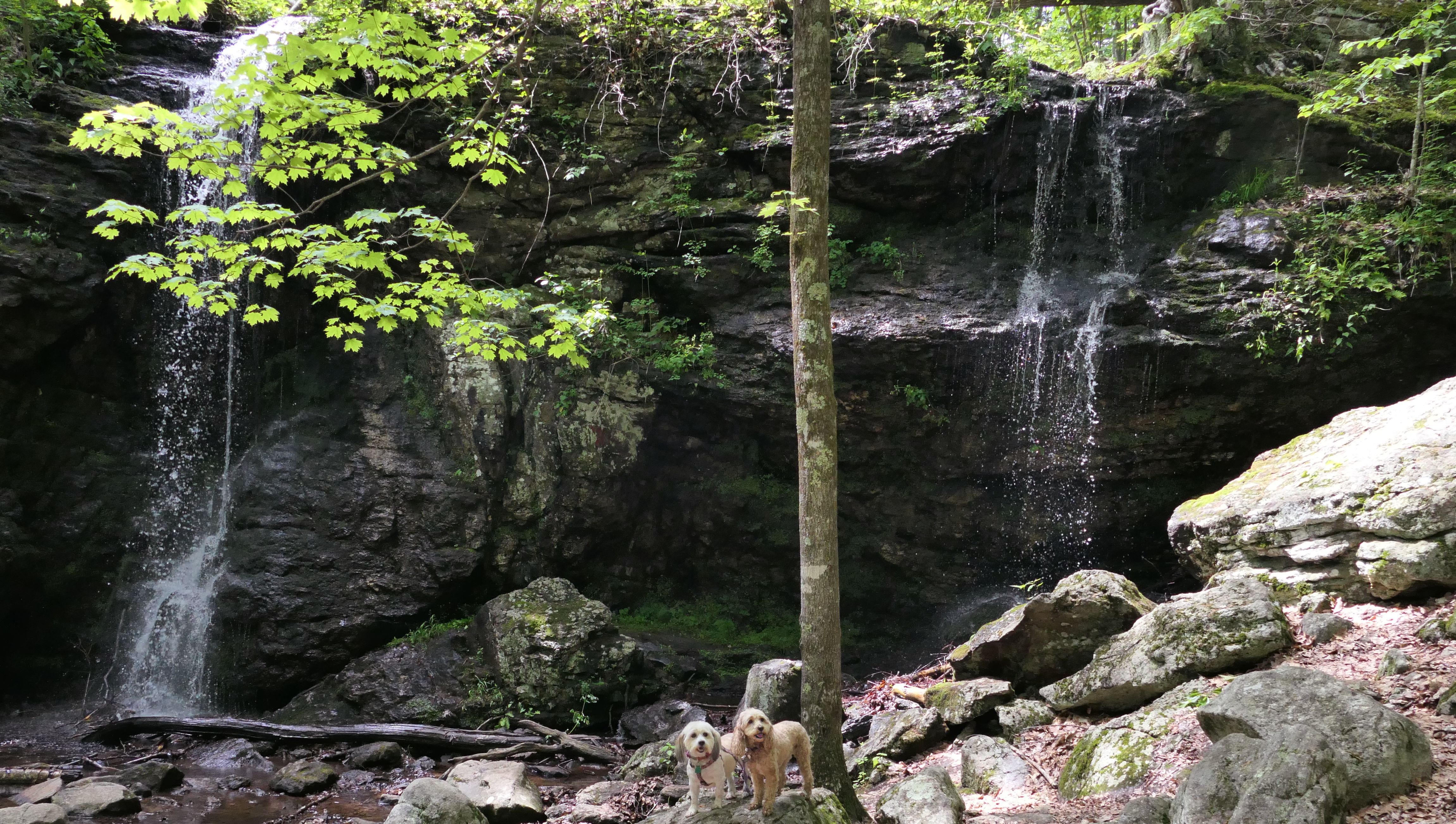
Blackledge Falls
Date visited: 6/1/2021
This is the loop trail that leads to Blackledge Falls, a waterfall on or near the Blackledge River. The trails around the falls are short, with a nice uphill climb to the falls. The falls themselves were okay. Based on water levels, there can be one to three plunges. There was two plunges the day we went. The trails lack water crossings, as we crossed multiple streams. There are a couple of bridges at the end of the loop, but most of the water crossings were on rocks...if we were lucky. I had to carry the dogs across twice. We extended our hike via a connecting trail that led through the Meshomasic State Forest into Gay City State Park in Hebron.
More Images
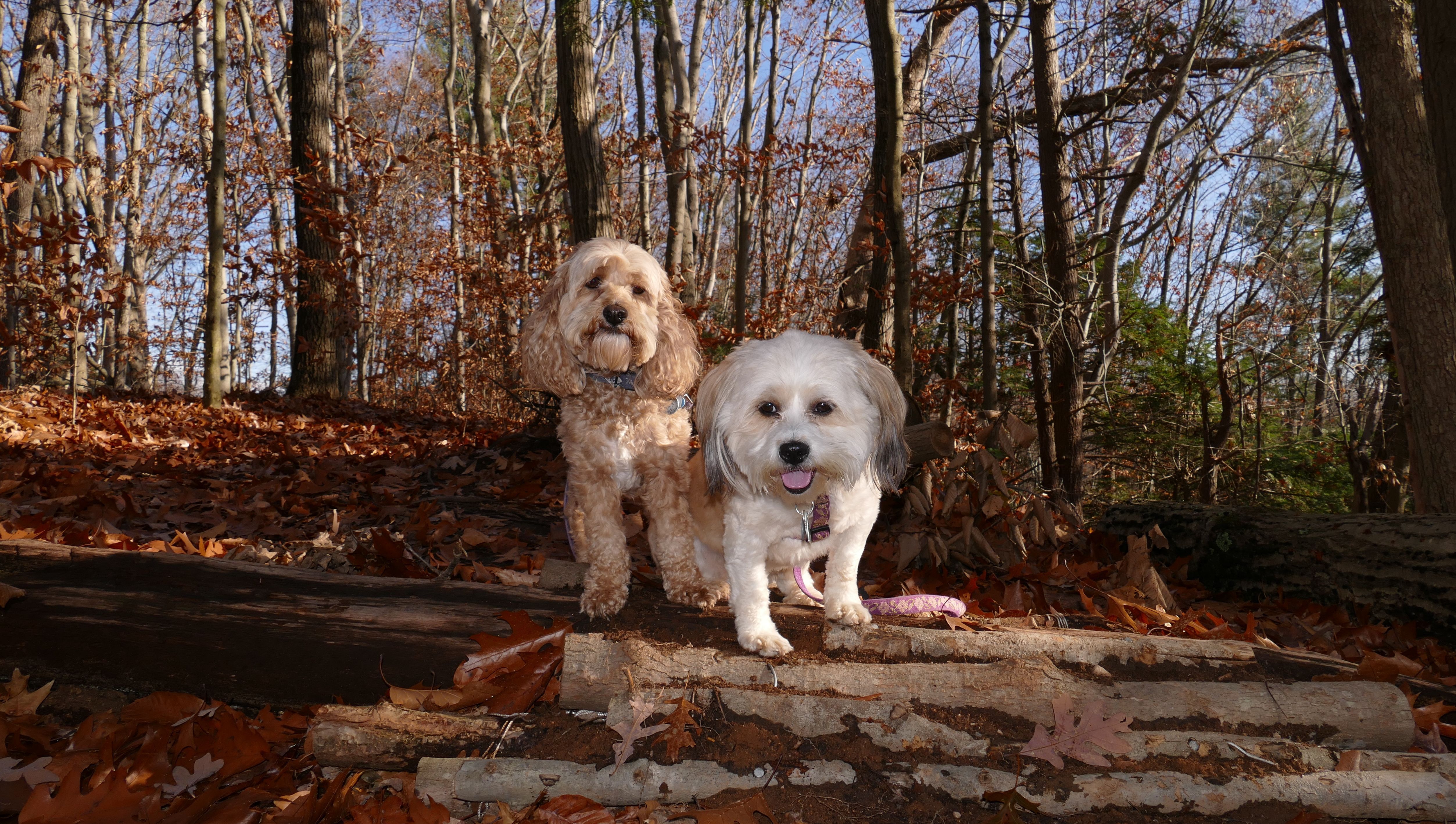
Buckingham Reservoir
Date visited: 9/28/2020
The beginning of this trail was great! The reservoir was practically dry, but the trail was very nice. The problem was the second half, the right side of the reservoir if you are approaching from the trail head. The terrain was tough at first. Lots of rocks to climb over, but passable. Then the trail pretty much disappeared. It just wasn't there anymore. Perhaps it was just overgrown, but I was practically cutting through brush to move forward. I finally made my way to the dried up reservoir and finished the loop by walking through the dried up reservoir.
More Images
Taylor Reservoir
Date visited: 11/14/2020
This is actually across the street from Taylor Reservoir. The area is on Line Street, which straddles the Manchester and Glastonbury town lines. One side of the street is in Manchester, the other in Glastonbury. These were the best pictures of the day from the trip, and they were taken in Glastonbury.
More Images
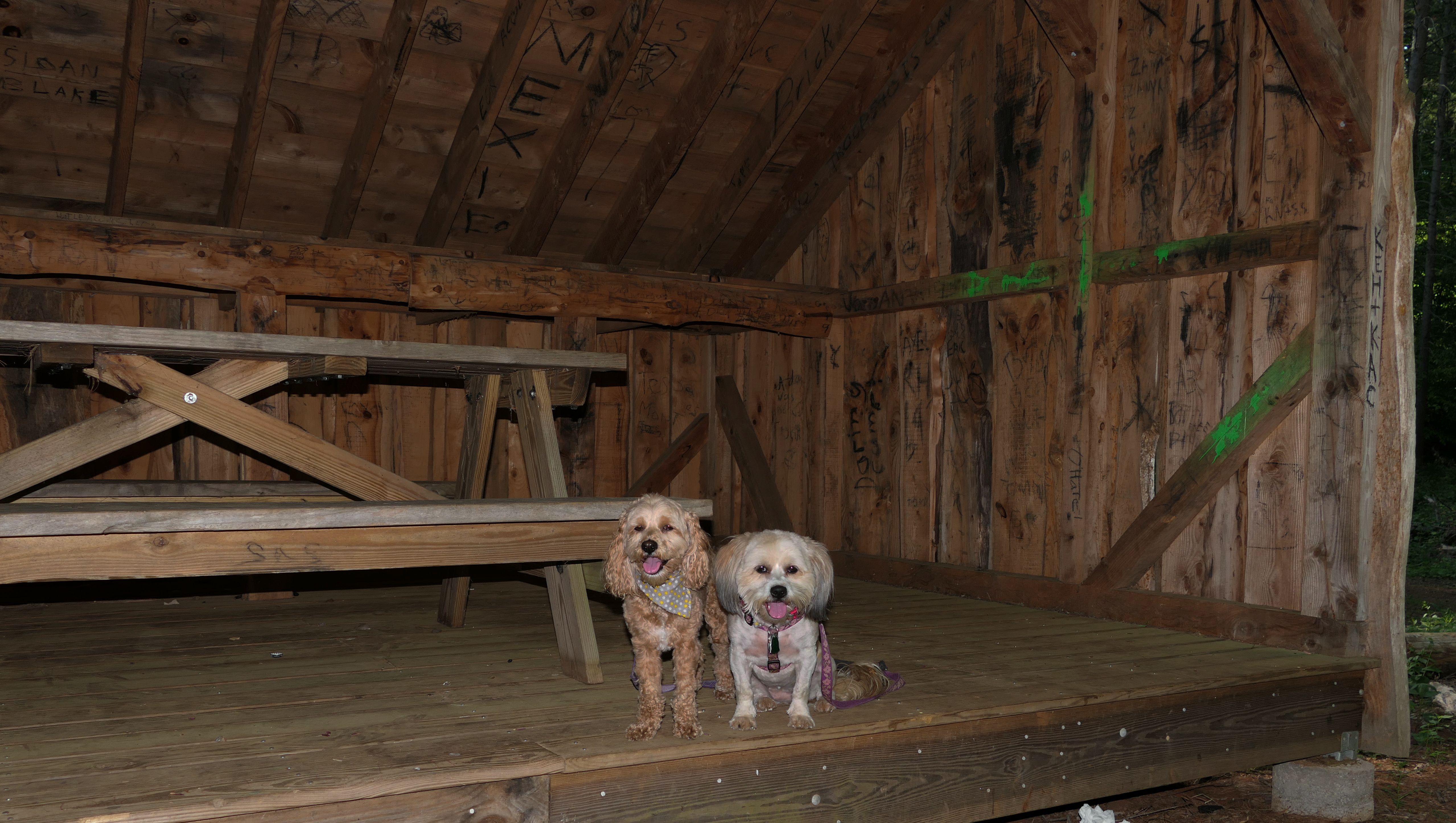
JB Williams Park
Date visited: 5/21/2021
This park features a nice wooded area with a wide loop trail, some side trails, and a small pond. We walked the loop trail, and around the pond. There are some hiker structures as well.
More Images
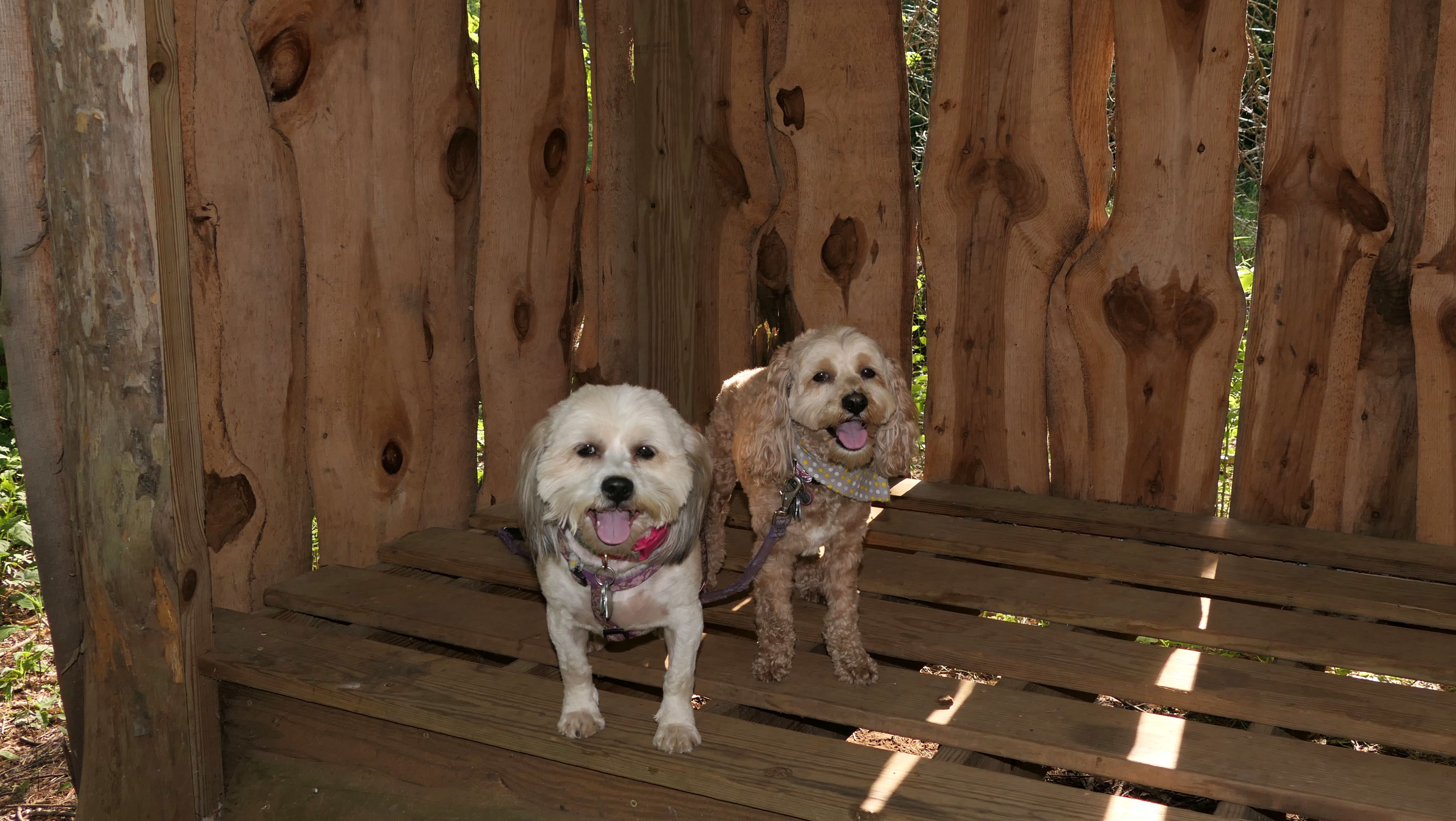
Shoddy Mill Open Space
Date visited: 9/16/2021
This is a nice loop trail through a thick forest, with Roaring Brook running through it (that's the name of the brook). There's a pretty good hill that offers a good view of the brook.
More Images
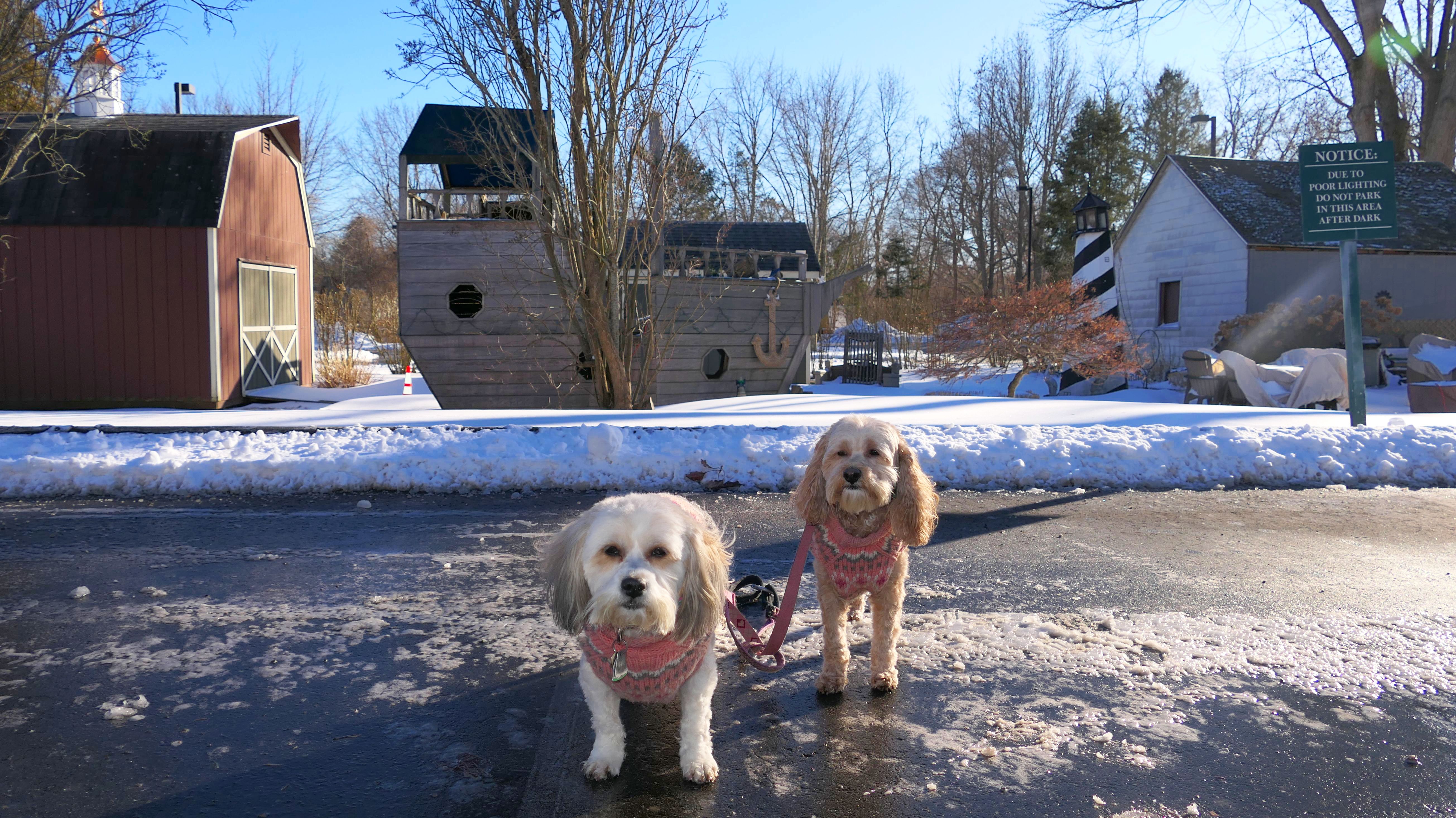
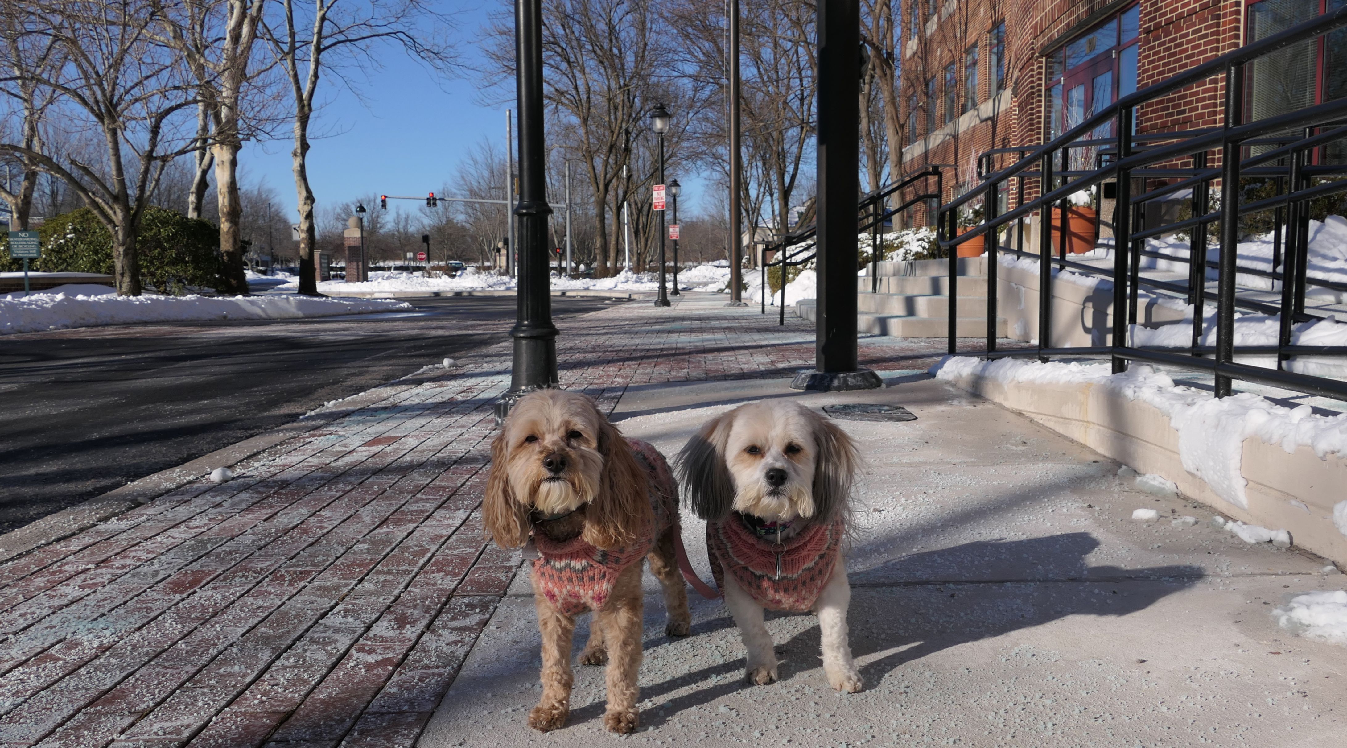
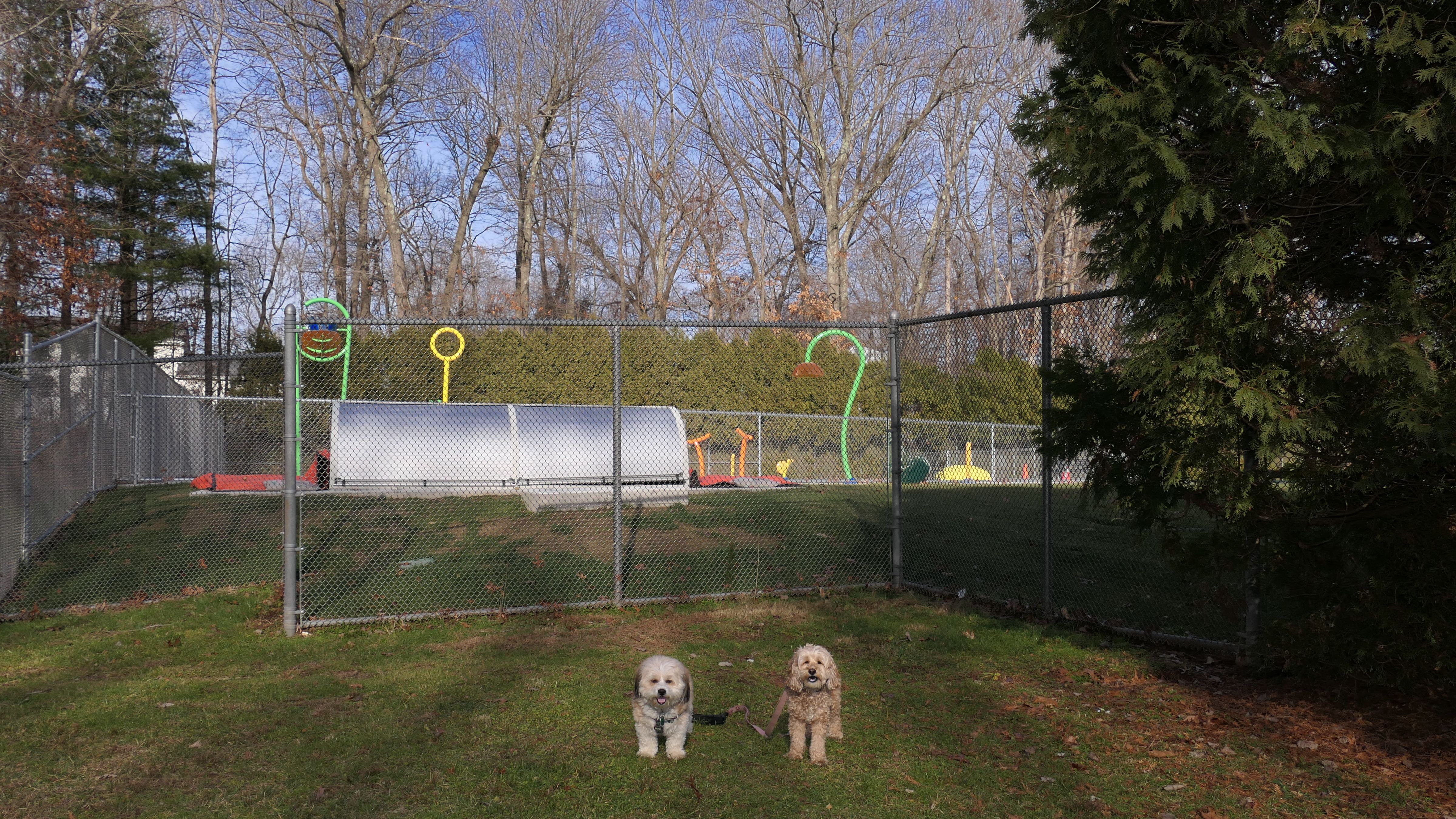
The Shops At Somreset Square
Date visited: 1/30/2022
This was the day after the "Blizzard of 2022", and I wanted to get out of the house. We didn't really get a blizzard in this part of the state. It was windy and snowy, but not anything we're not used to getting in New England. Still, a lot of the State Parks were closed, and other places weren't cleared off, so I stopped at this shopping plaza in Glastonbury. We walked around the plaza, and around some of the office buildings on Glastonbury Boulevard.
More Images


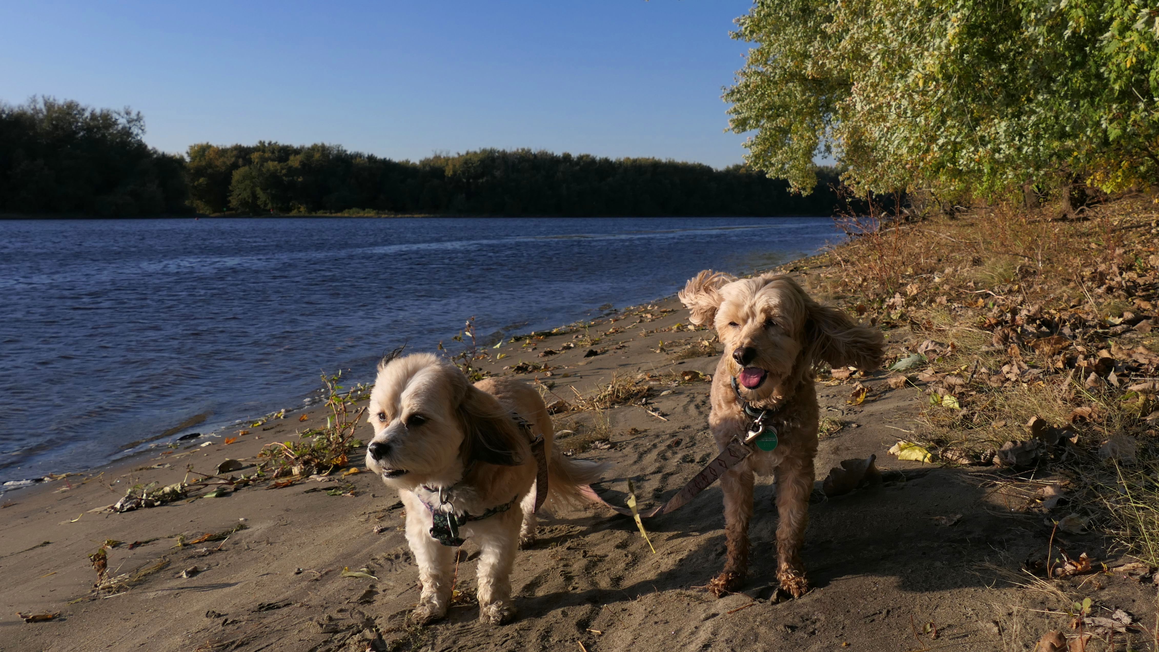
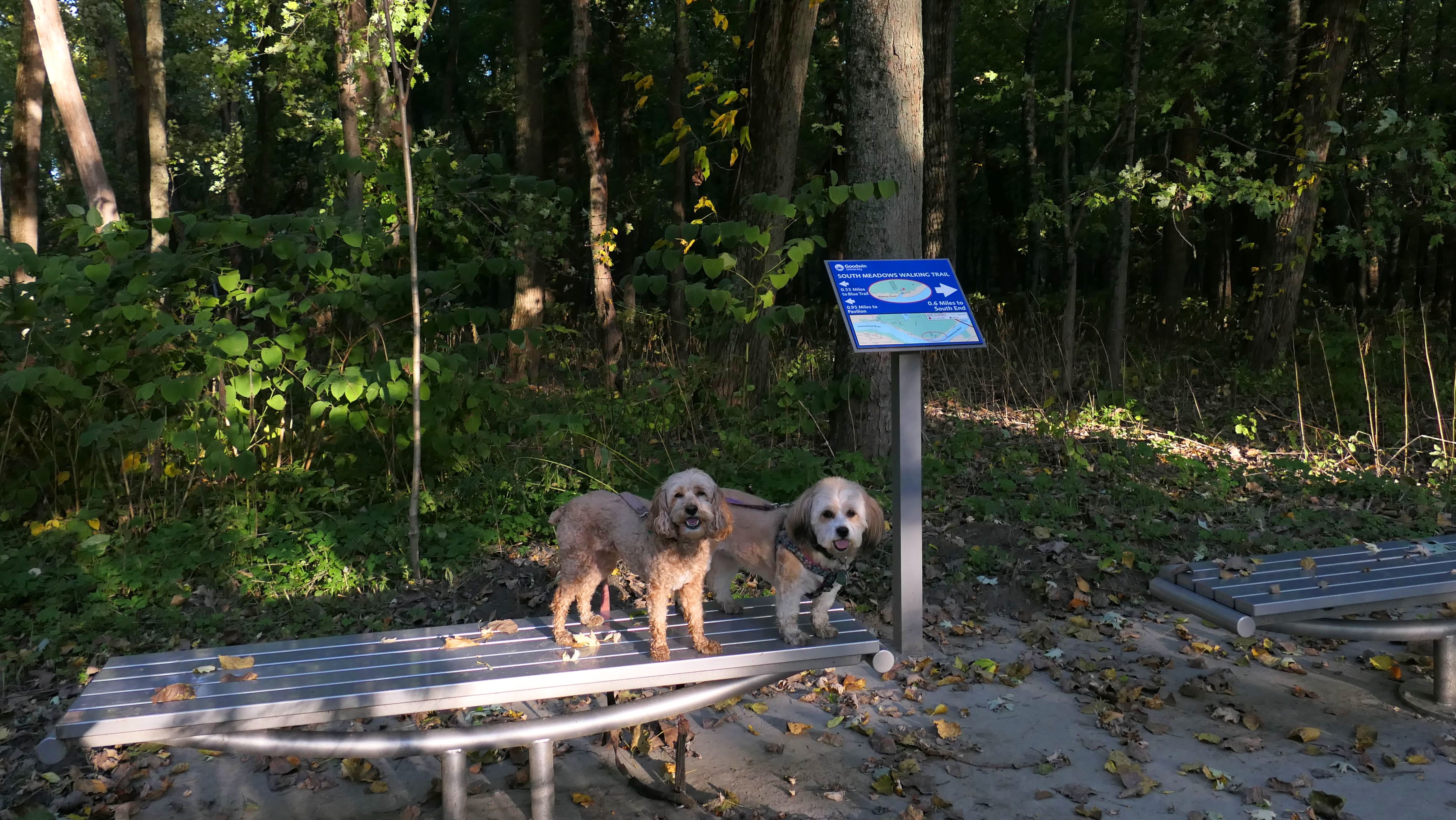
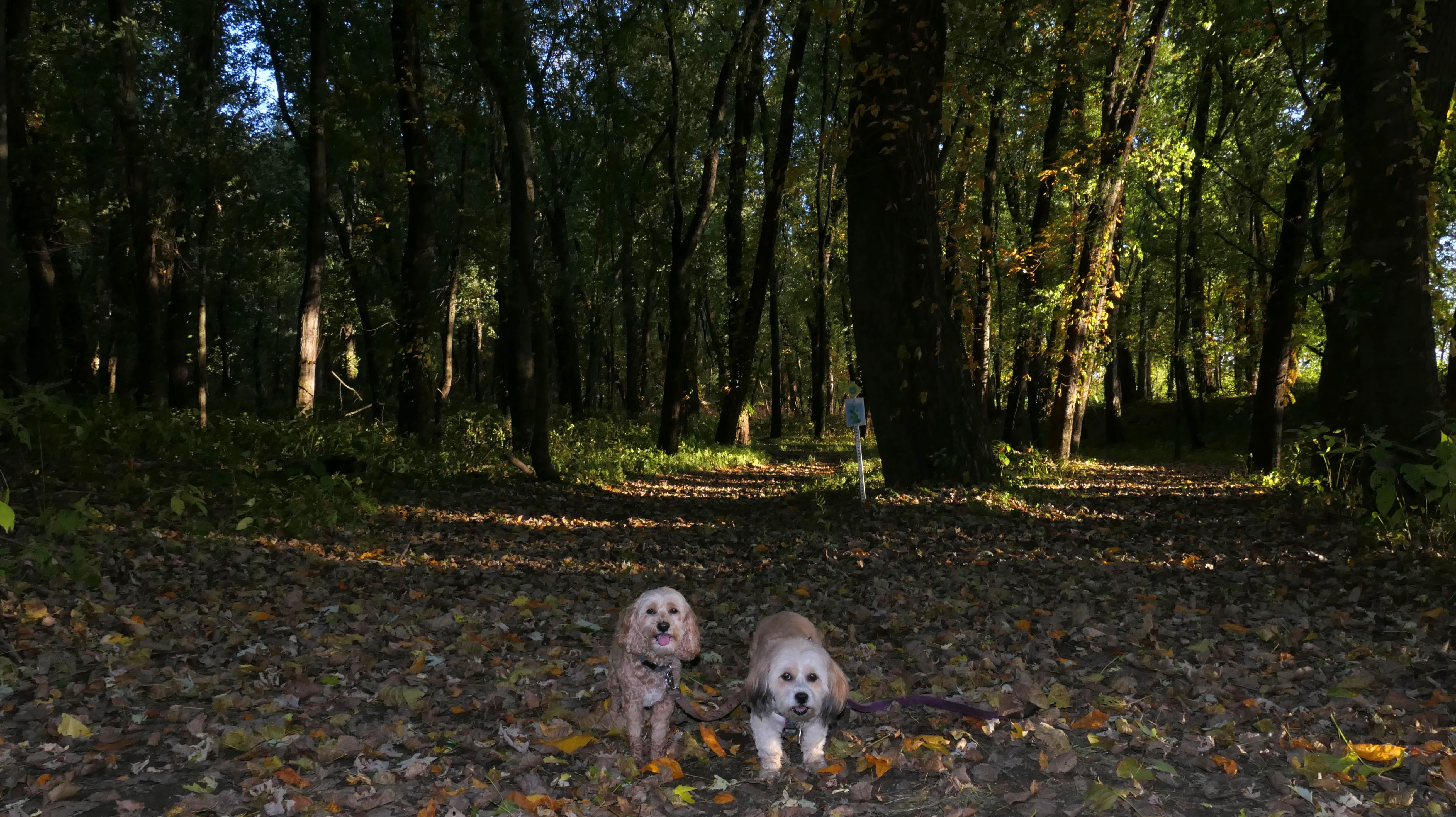
South Meadows River Trail
Date visited: 10/20/2022
See Also: East Hartford, Wethersfield, Glastonbury
I honestly have no idea how I didn't find this trail sooner. It's the kind of trail we do often and it's less than a half hour away from our home base. This trail, maintained by Goodwin College, runs along the east bank of the Connecticut River through three towns. The entire trail is about 1.7 miles long (3.4 out and back), mainly through East Hartford and Glastonbury, but there is a short section through Wethersfield in the middle... yes Wethersfield!. You can read more about how part of Wethersfield wound up on the east side of the river on the Wethersfield page. The Glastonbury portion runs from the Wethersfield line to the Putnam Bridge. There is a side trail that leads to a beachy spot of the river, where Mandy insisted on wading in despite it being in the mid 50's temperature wise. The official trail ends just before the bridge, but it looks like you can continue past the bridge, but we turned around and headed back.
More Images
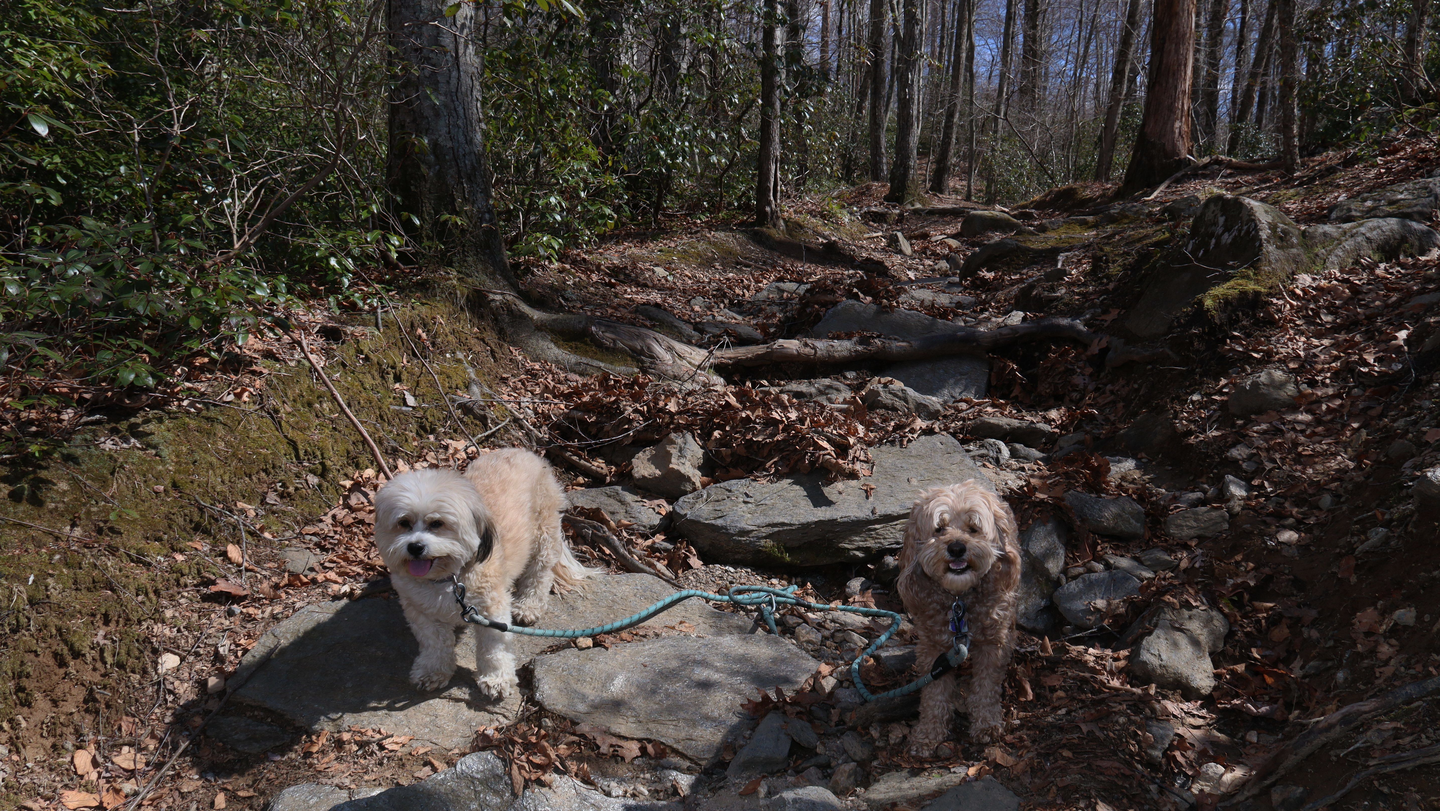
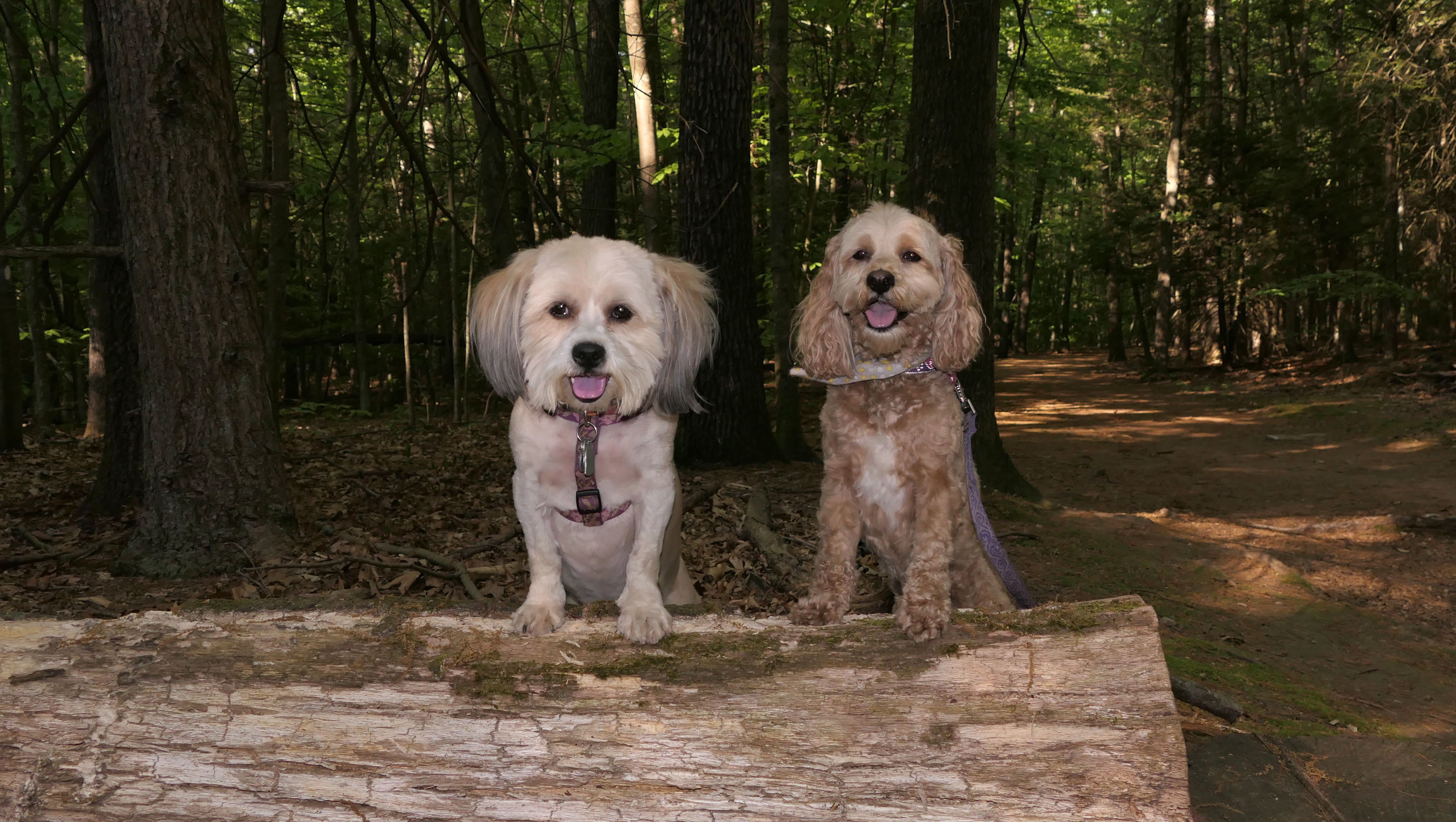
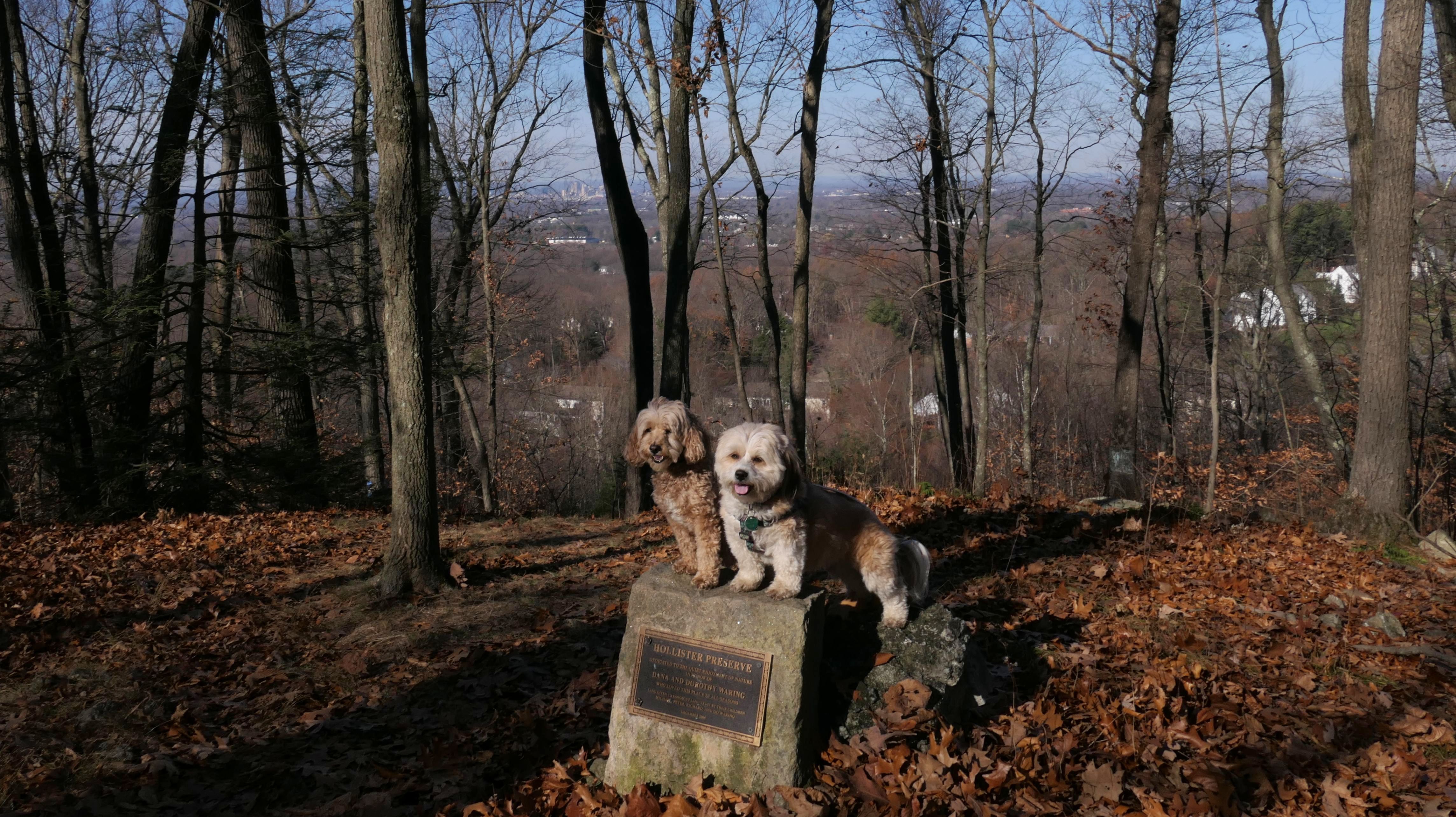
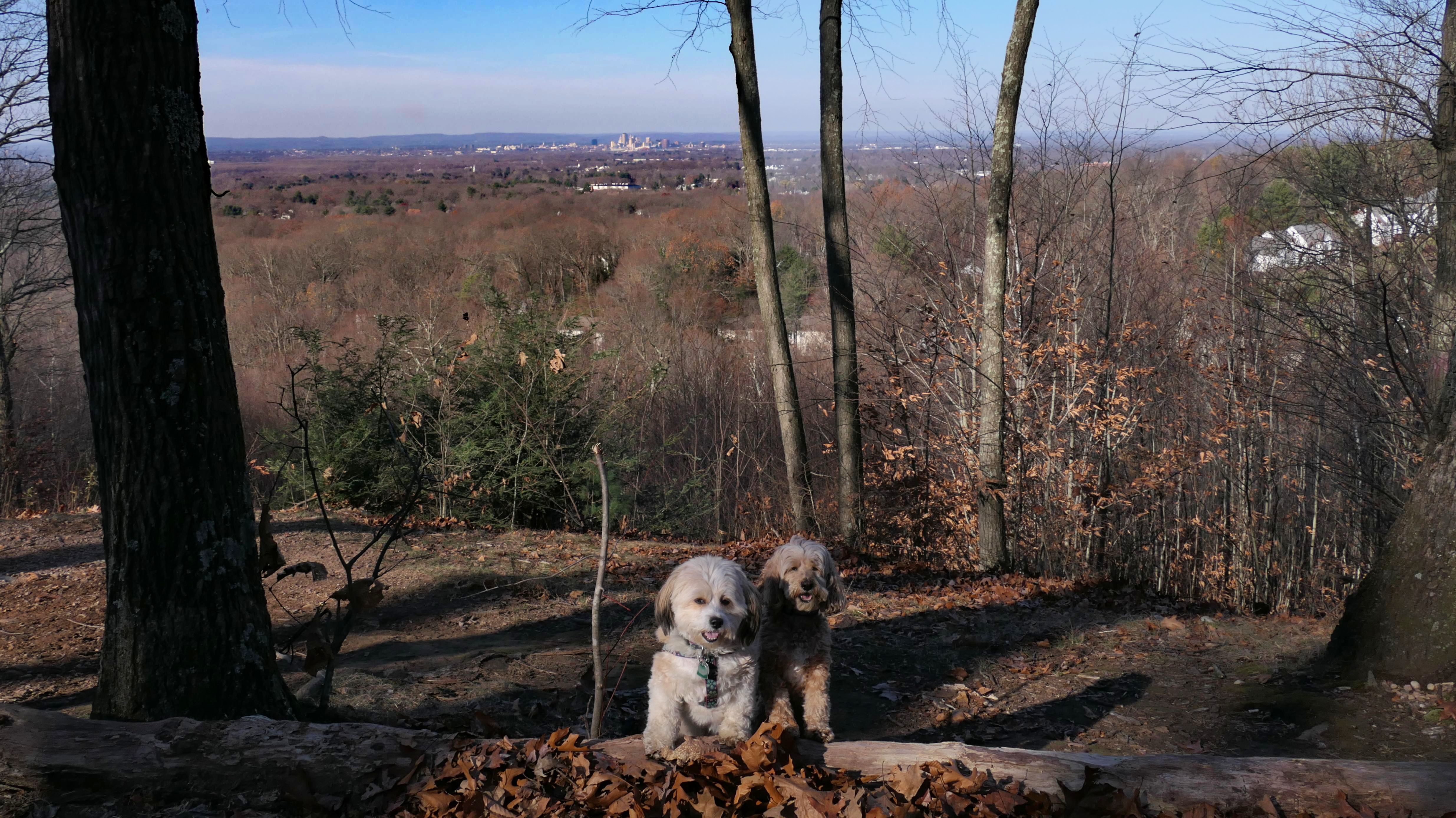
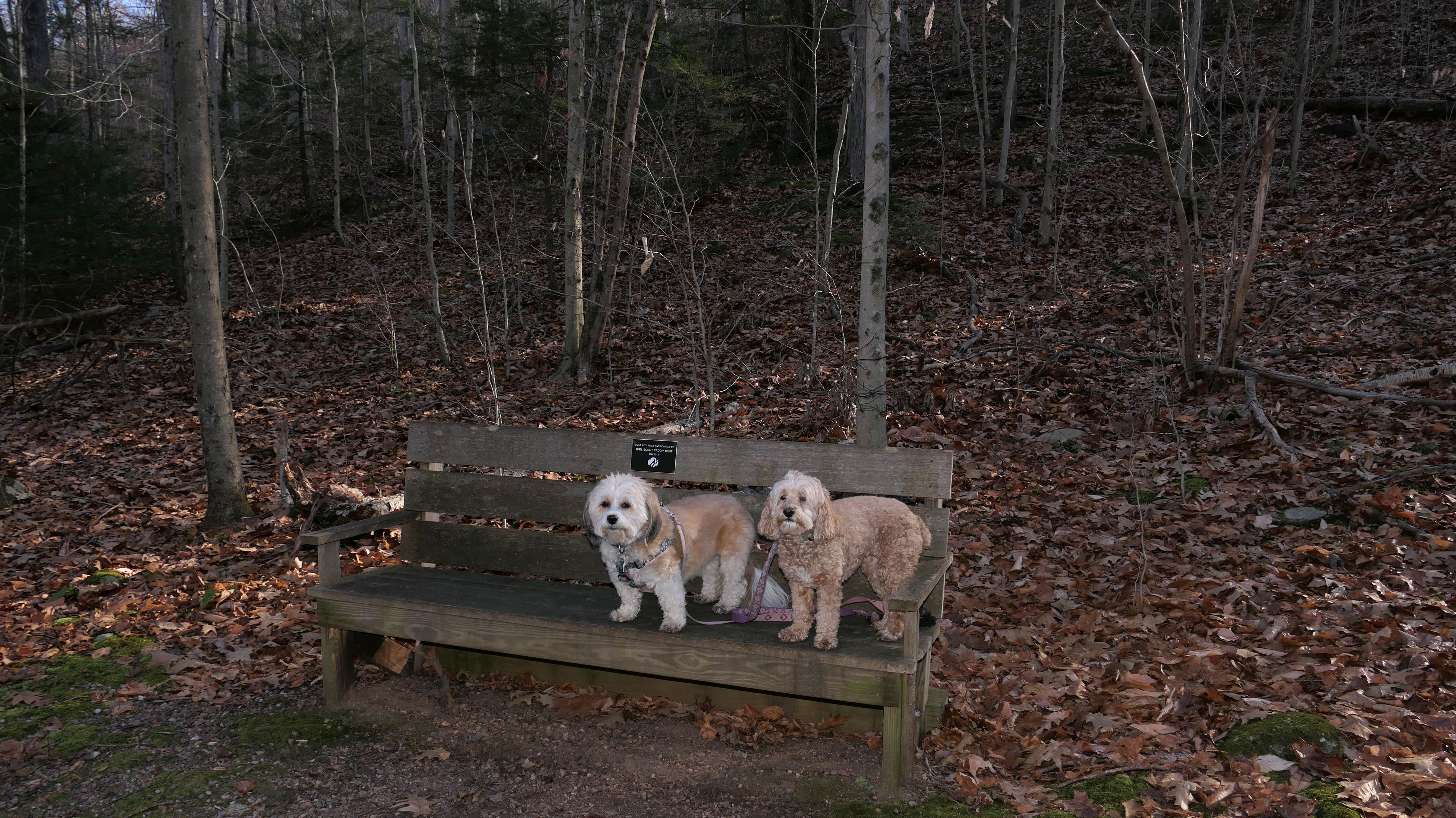
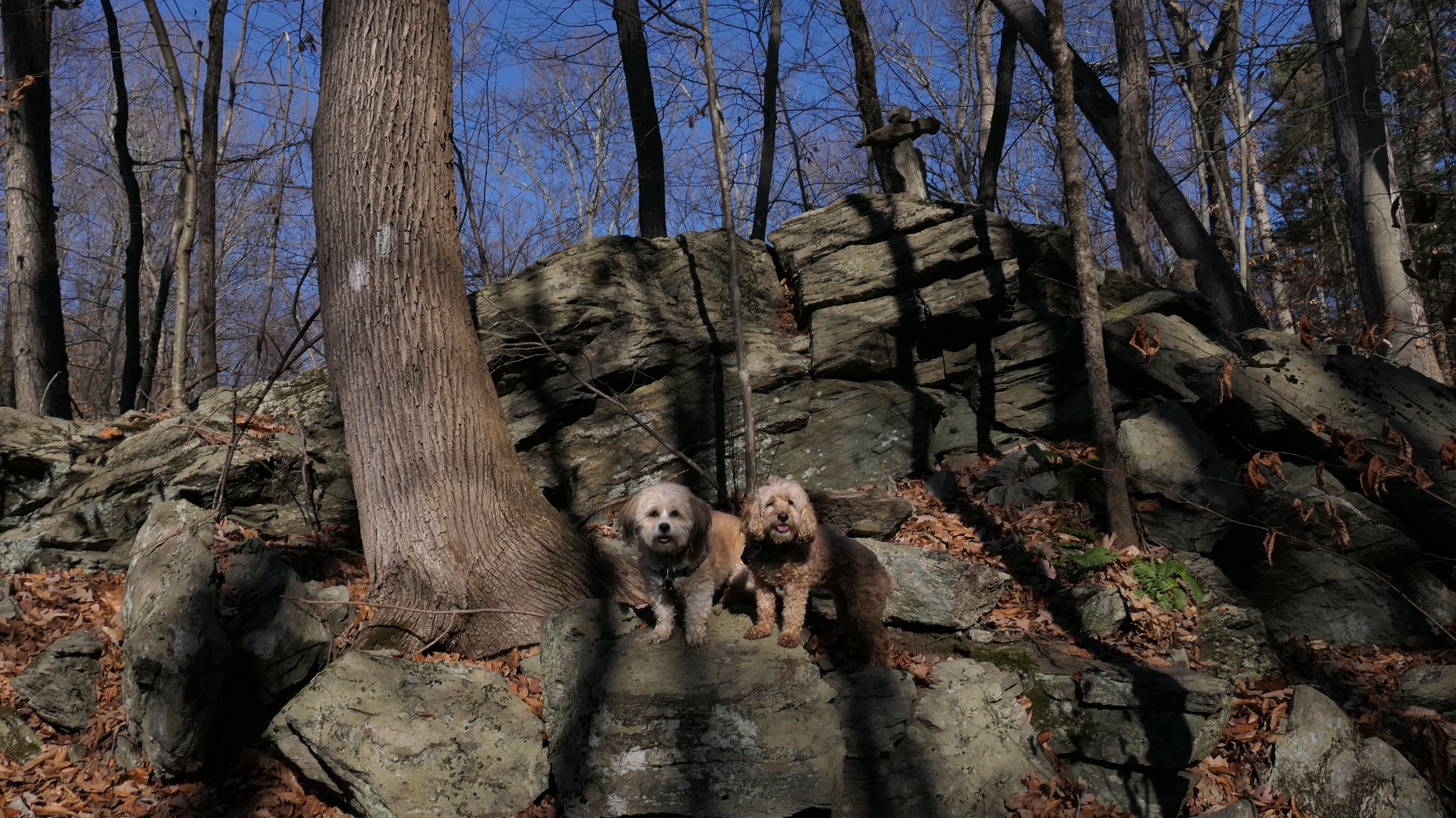
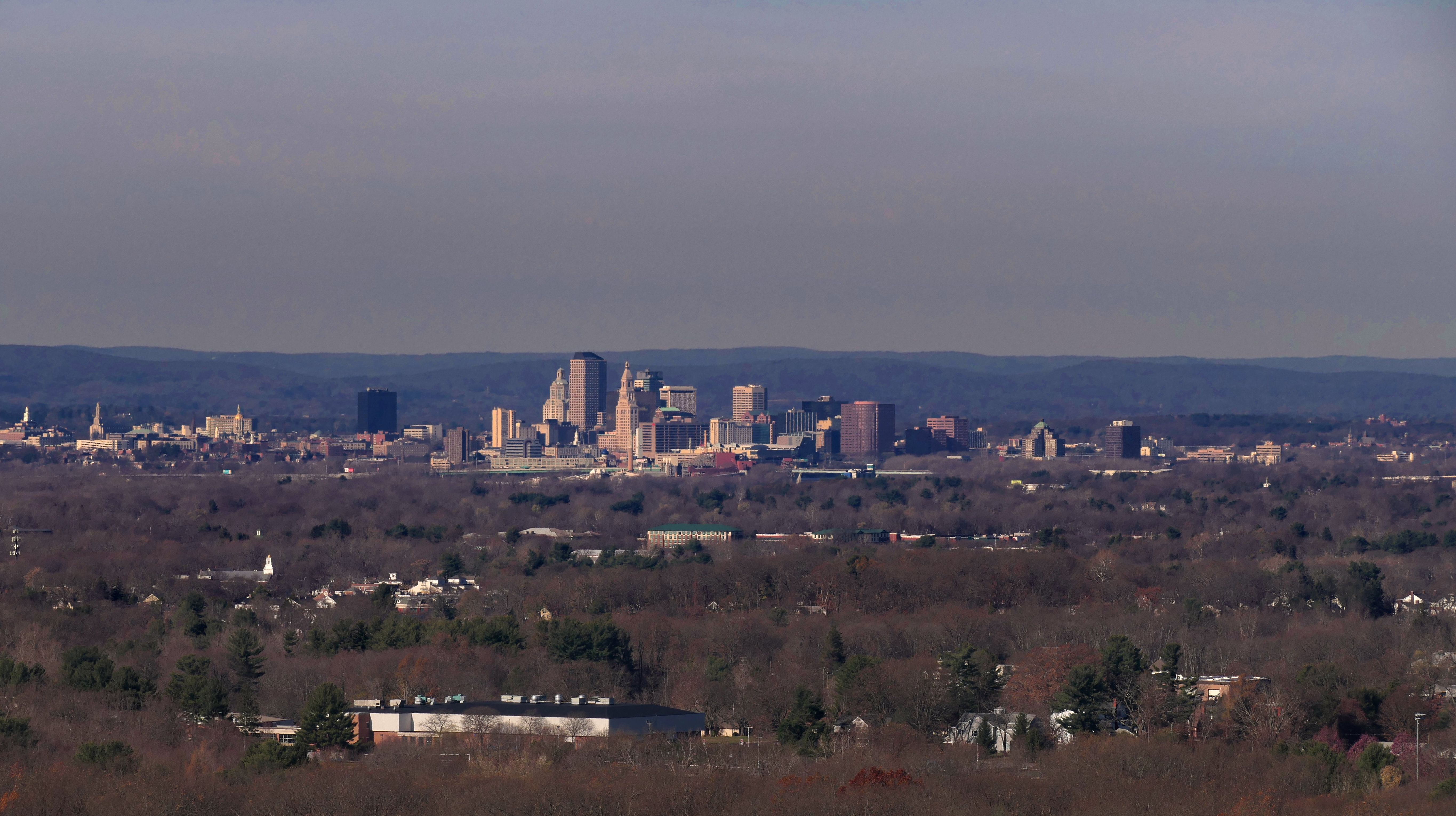
Hollister Preserve & Whitehouse Family Preserve
Date visited: 11/24/2022
This is a challenging hike that features a 300+ foot climb to a scenic overlook with a great view of the Hartford Skyline. We started at the trail head on Tall Timbers Road and headed on the loop clockwise after the bridge over the stream. I went this way because on the map it looked like this was the steeper side. I wanted to climb up the steeper side because the leaves made the way down very slippery. In actuallity, I think both directions were equally as steep. I slipped a few times on the way down but managed to stay upright. The section of the 1.5 mile loop that runs along side the stream was also rough. It was very rocky and rooty and completely covered with leaves, so you never knew what you would be stepping on. It was actually a pretty fun hike on a beautiful Thanksgiving morning.
More Images
Addison Park
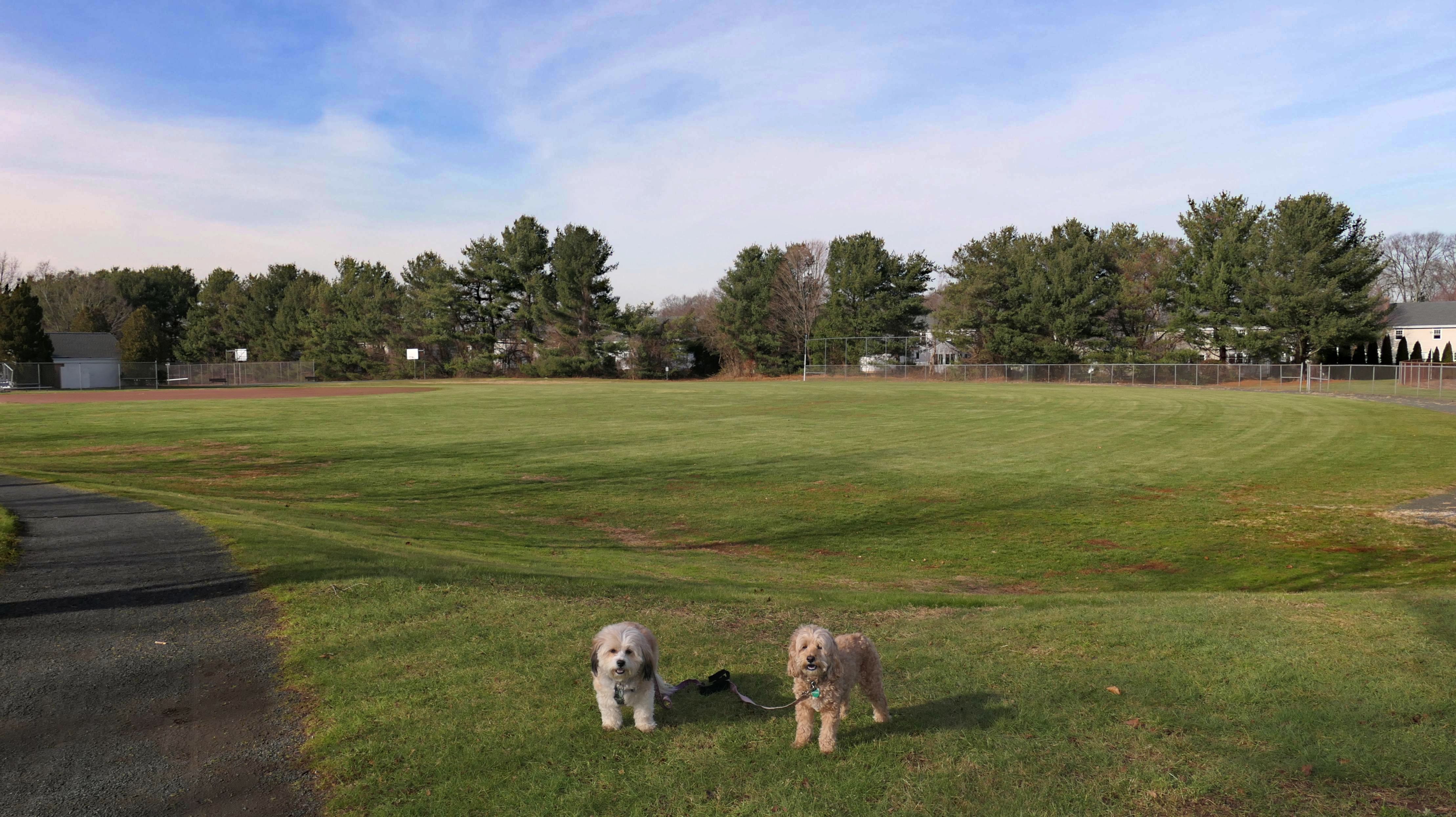
Date visited: 12/5/2022
This is different place than Addison Bog, though that place isn't far from this one. This is a town park situated very near to the East Hartford border. We came here during lunch break from work. There are some access paths that lead out to neighborhood streets, as well as a short stone dust walking path. We pretty much just walked around the perimeter of the park, which was a bit over a mile and a half. The park is pretty nice. It has the usual town park "standards", like baseball fields, tennis courts, soccer fields and a playground. This one also has a swimming pool, so I imagine this place gets pretty busy in the summer.
More Images
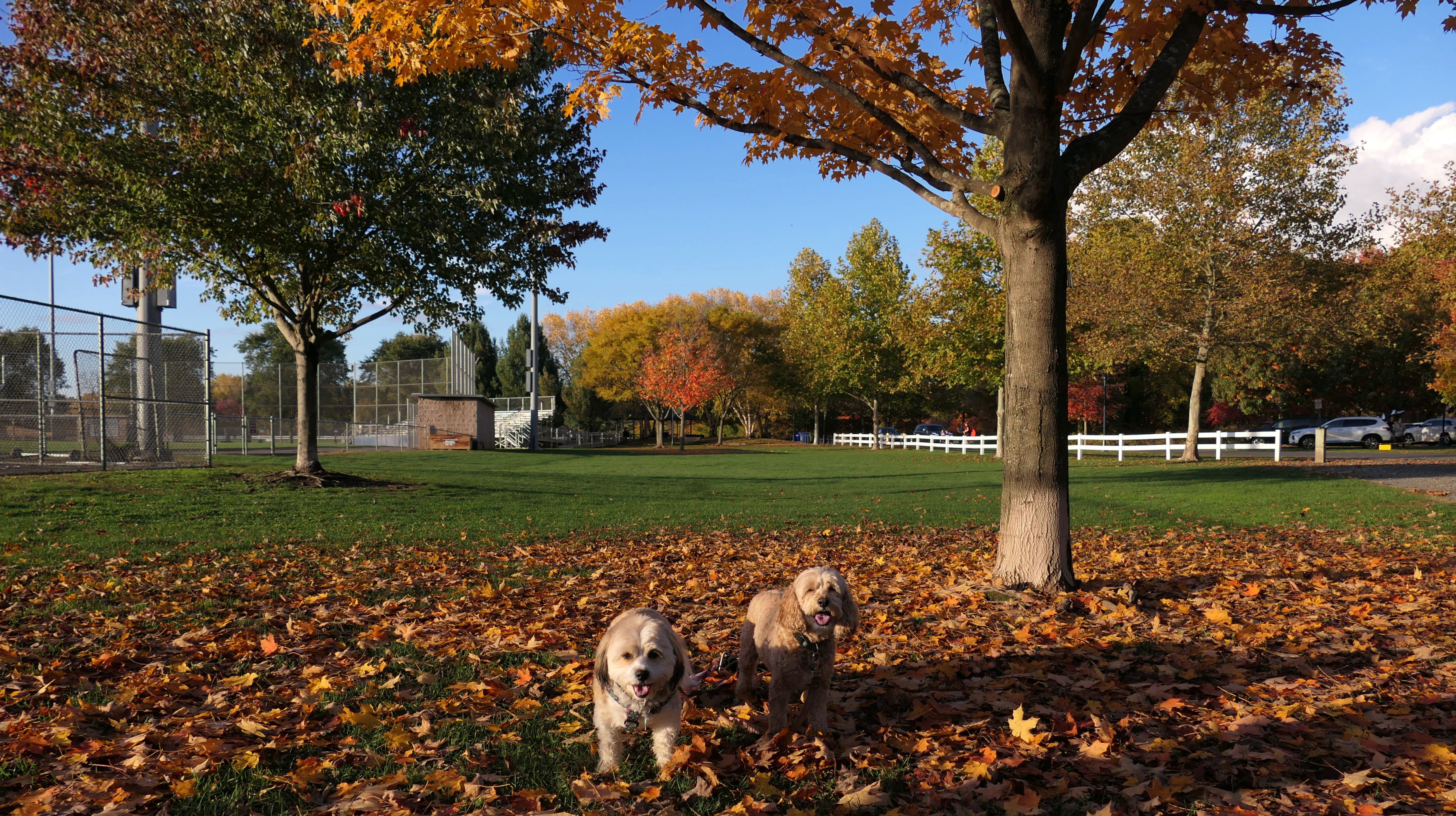
Buckingham Park
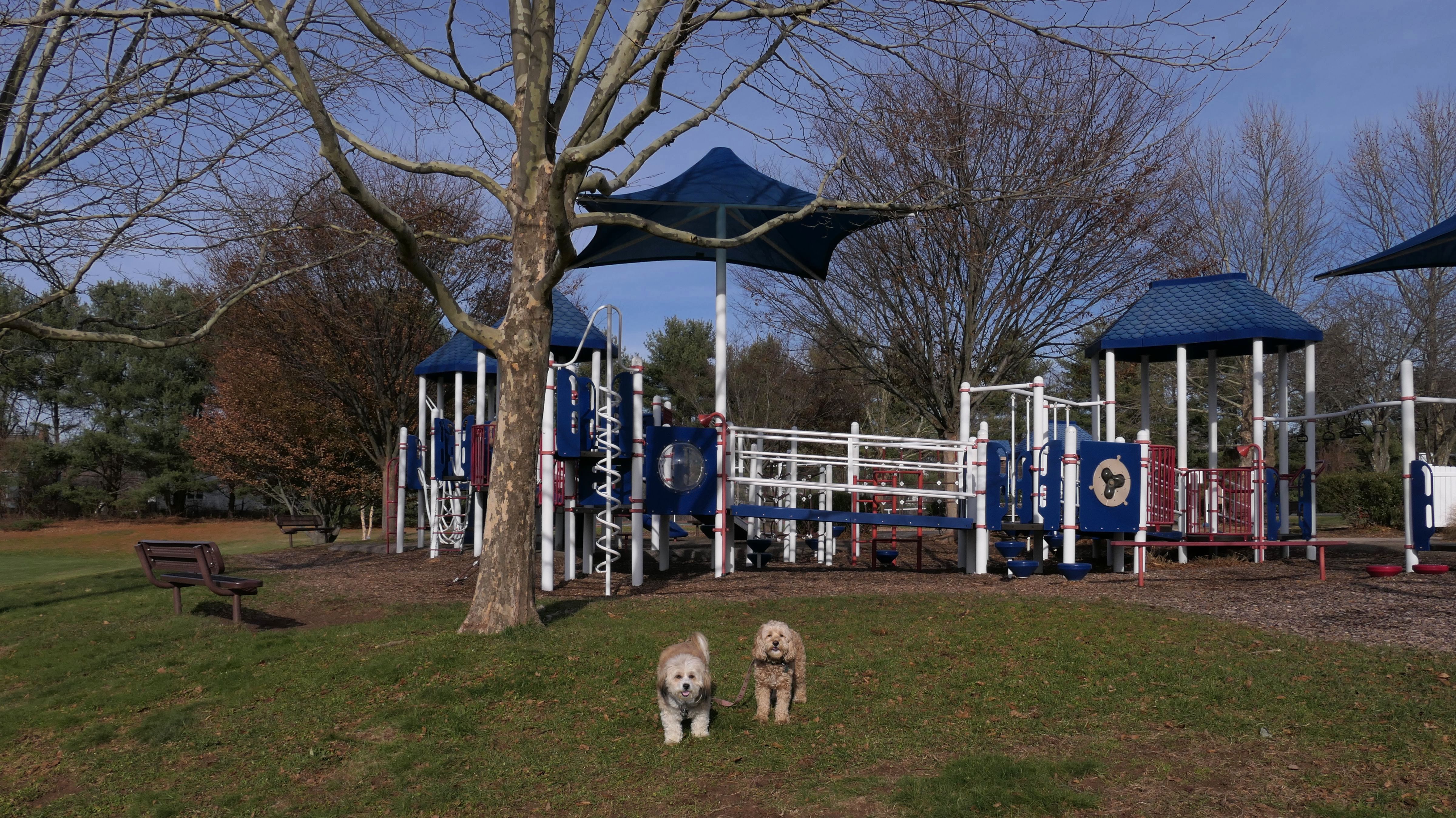
Date visited: 4/29/2023
This was an unplanned stop. It had rained all day, so I took the dogs with me to run some errands. There was a let up in the showers, and this park was nearby so we checked it out. Besides the athletic fields and playground, there's a short stone dust walking path that leads to a paved bike path that runs along side Hebron Ave (Route 94). There is also a very nice one mile loop trail through the woods. I wasn't planning on going for a hike, so I didn't have my real camera with me, or the dog treats. But luckily I had "emergency dog treats" in my car, and took the photos with my iPhone.
More Images
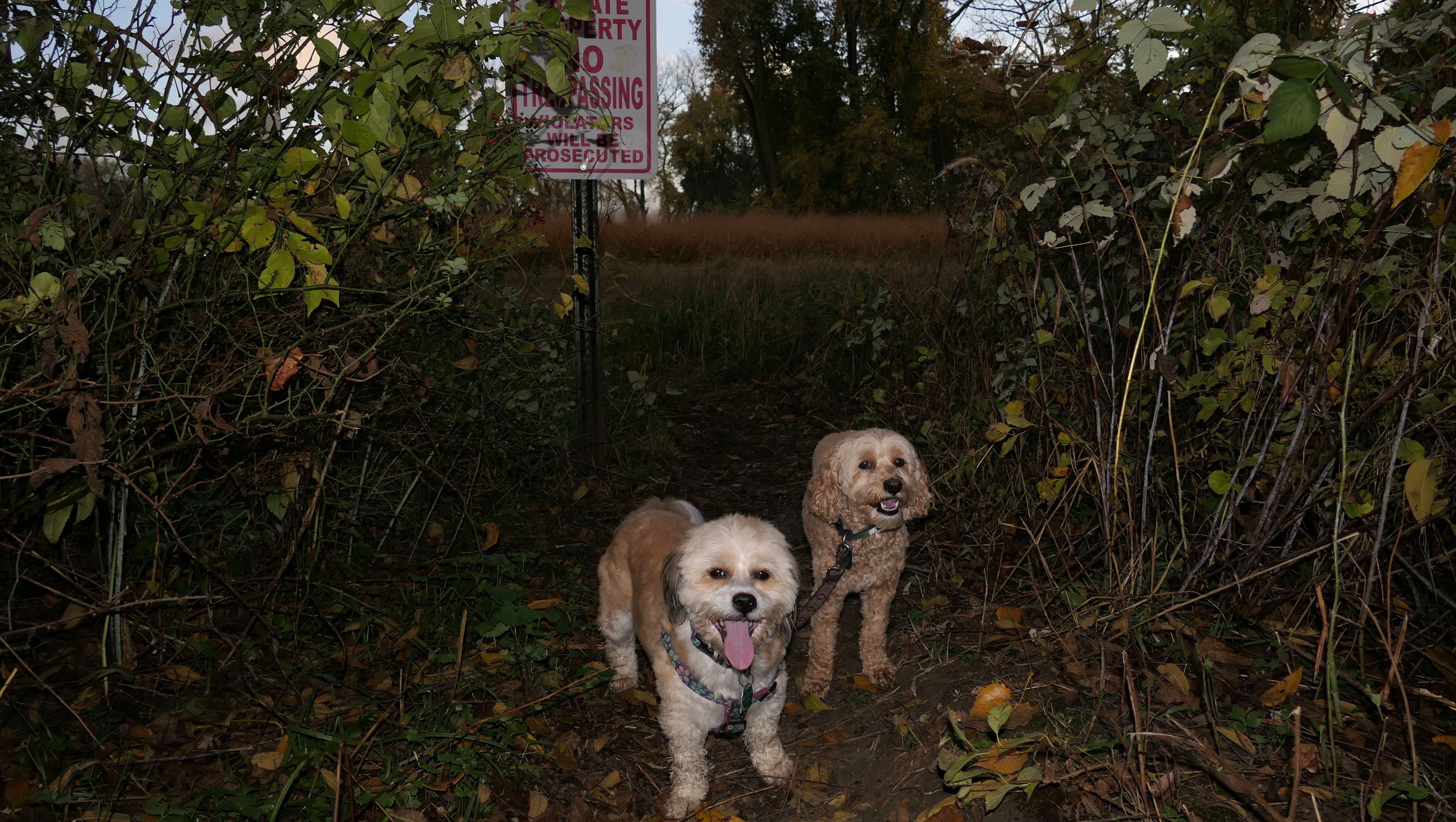
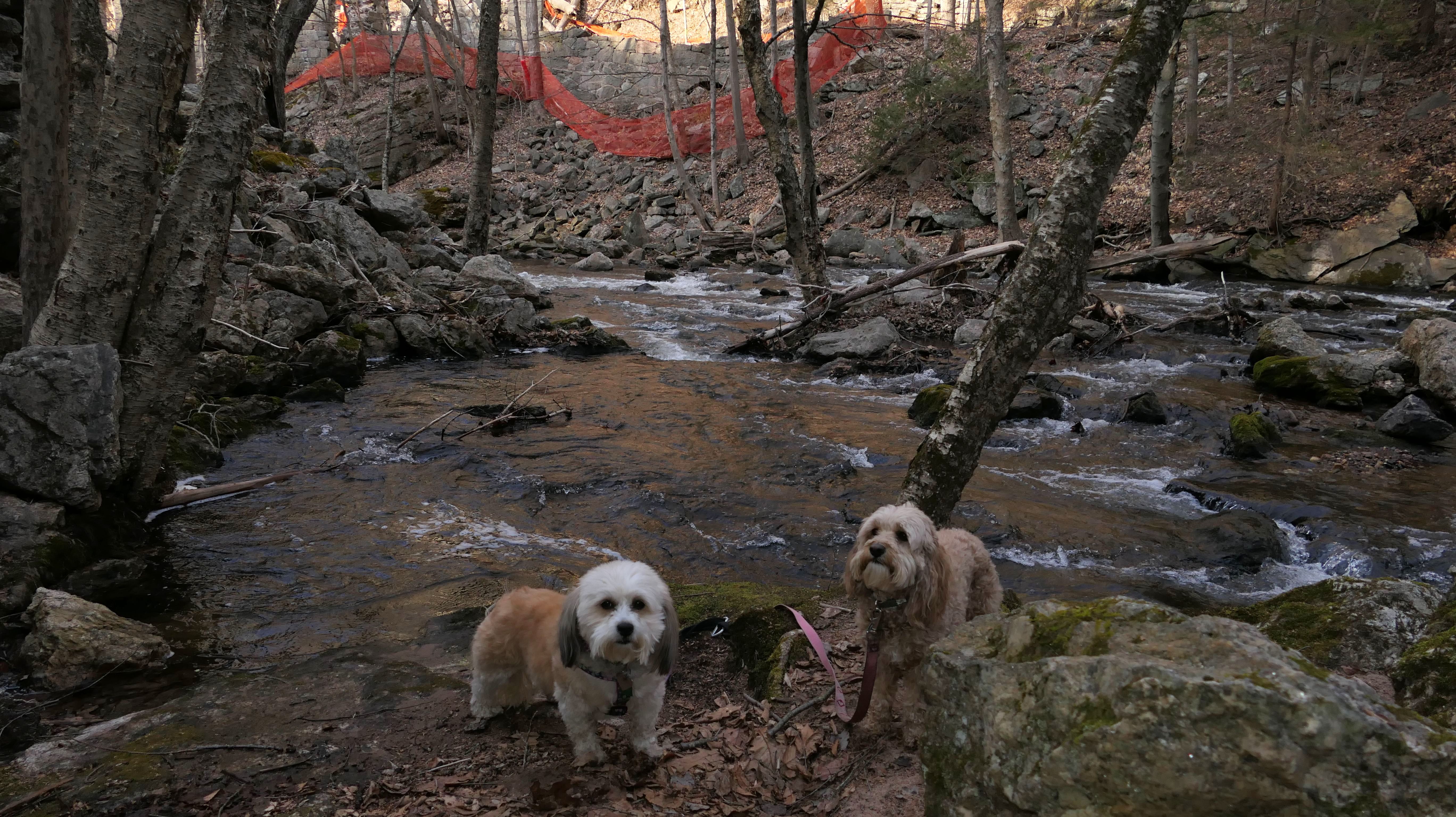
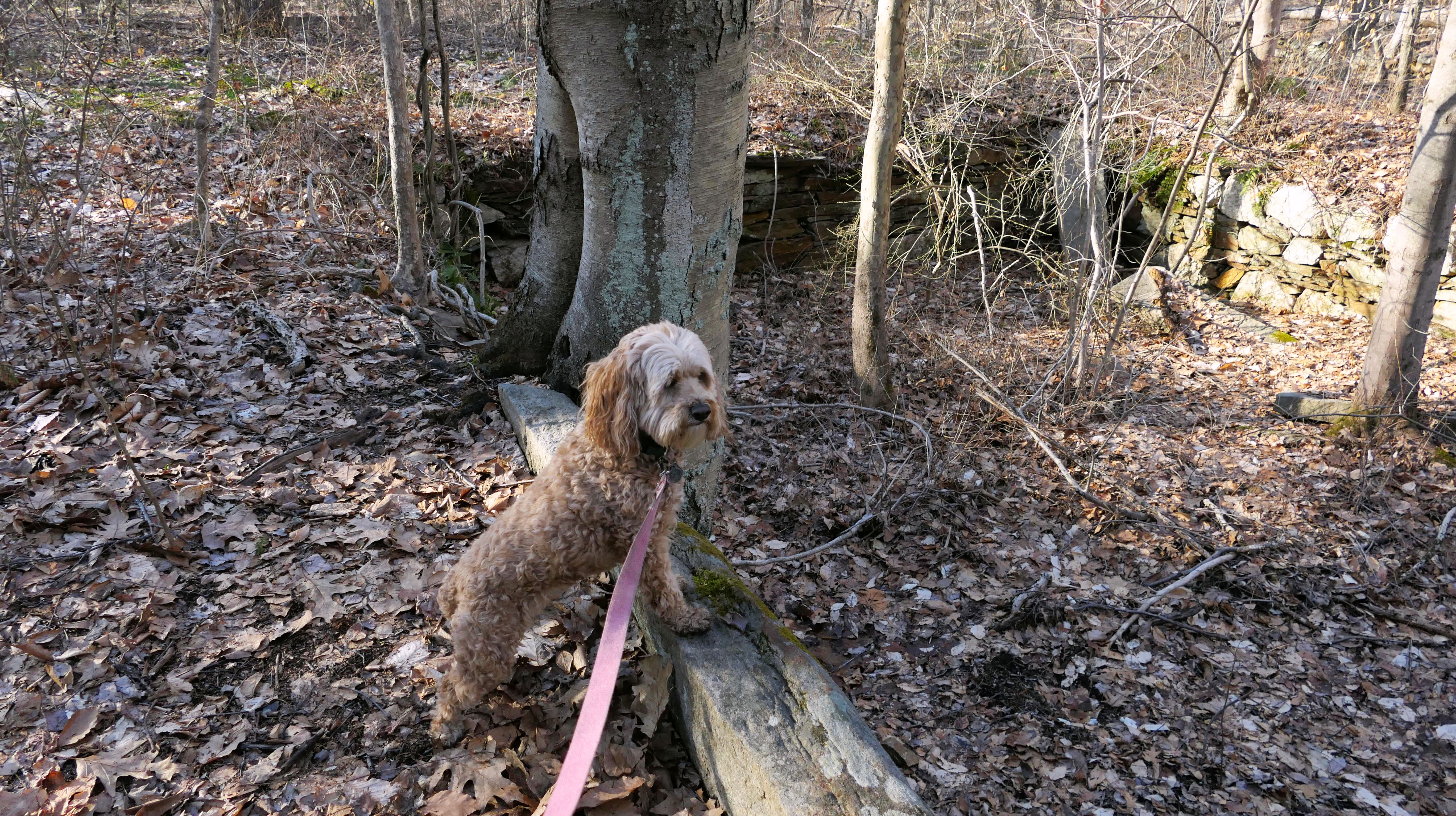
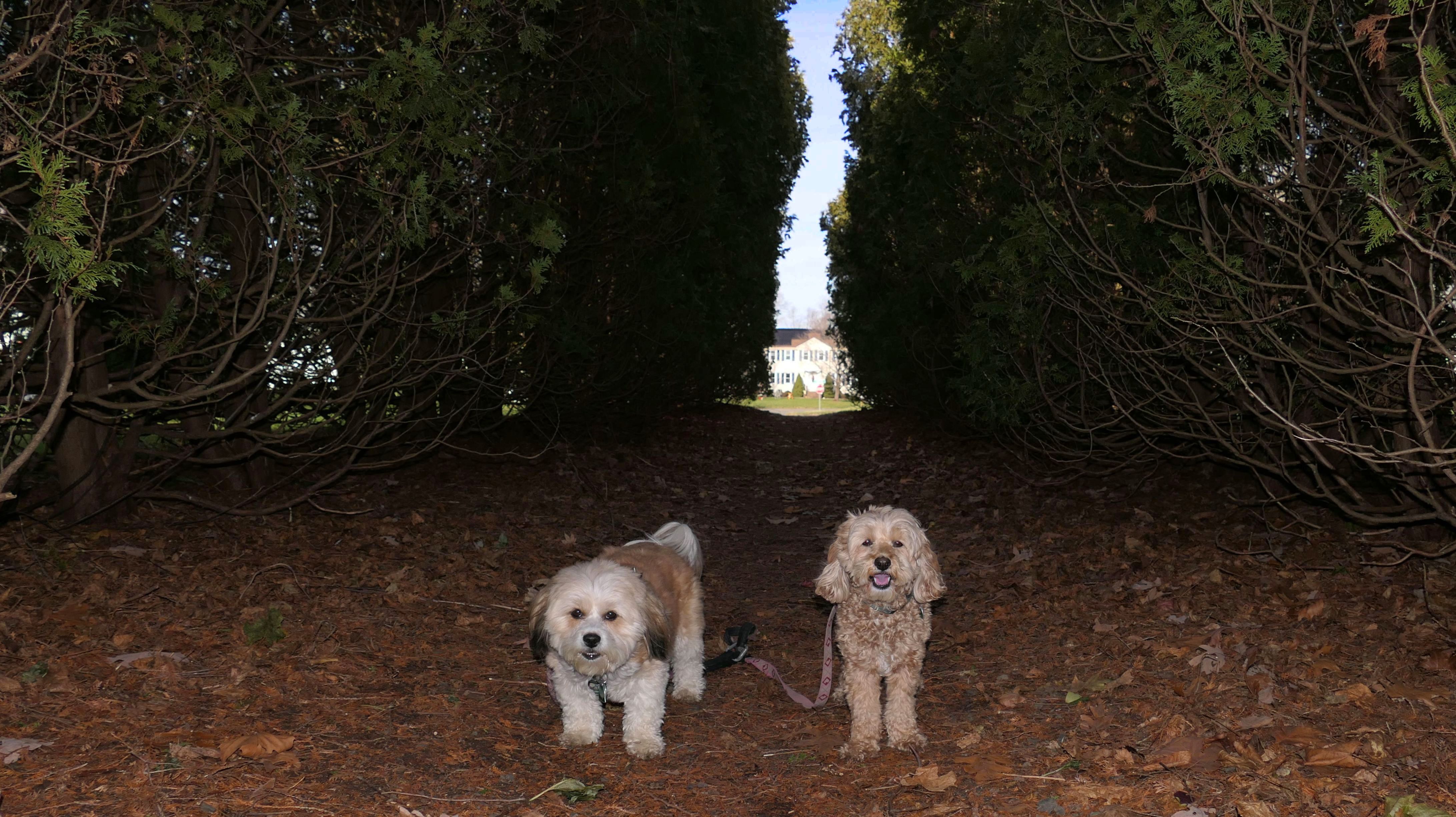
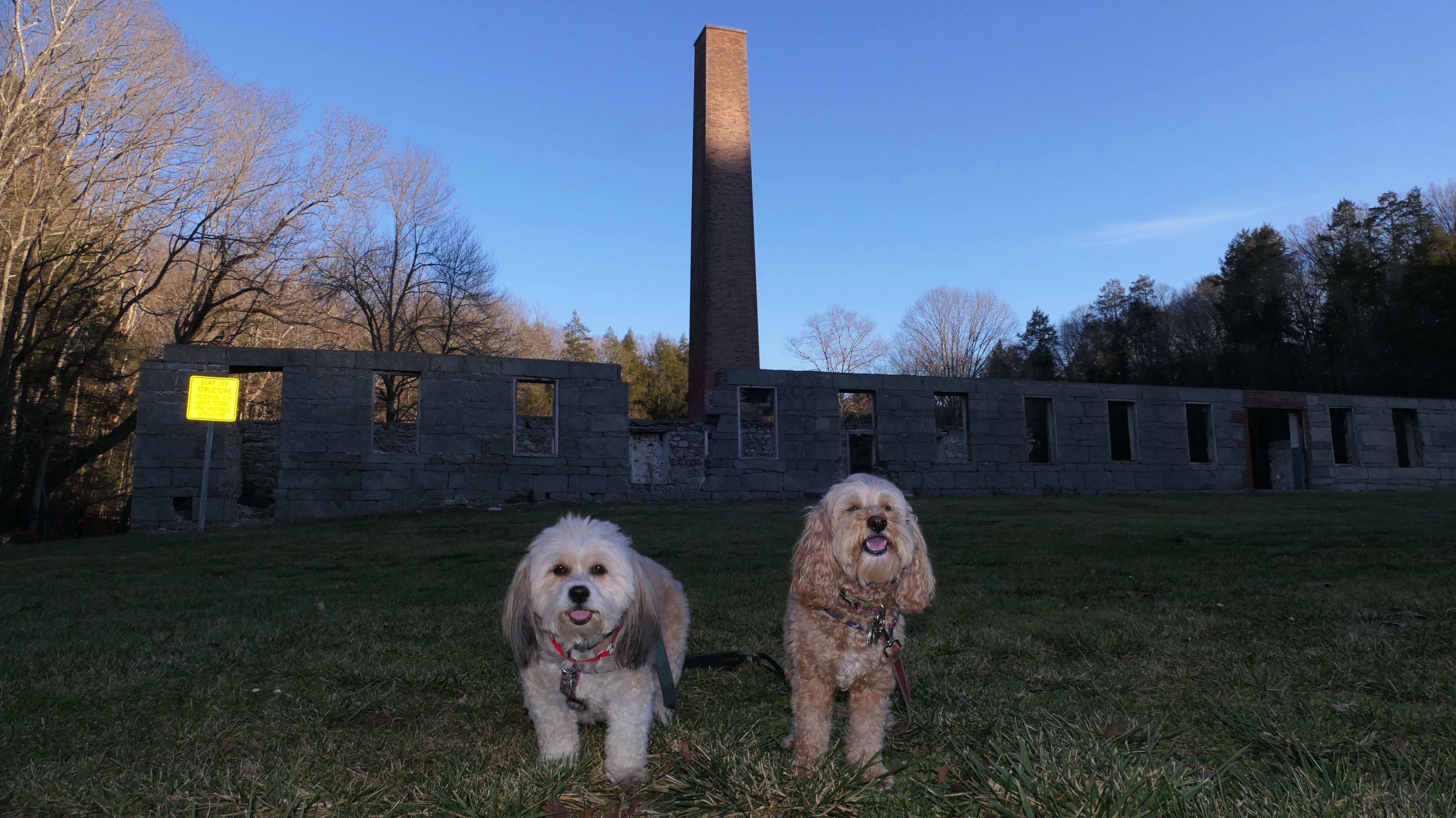
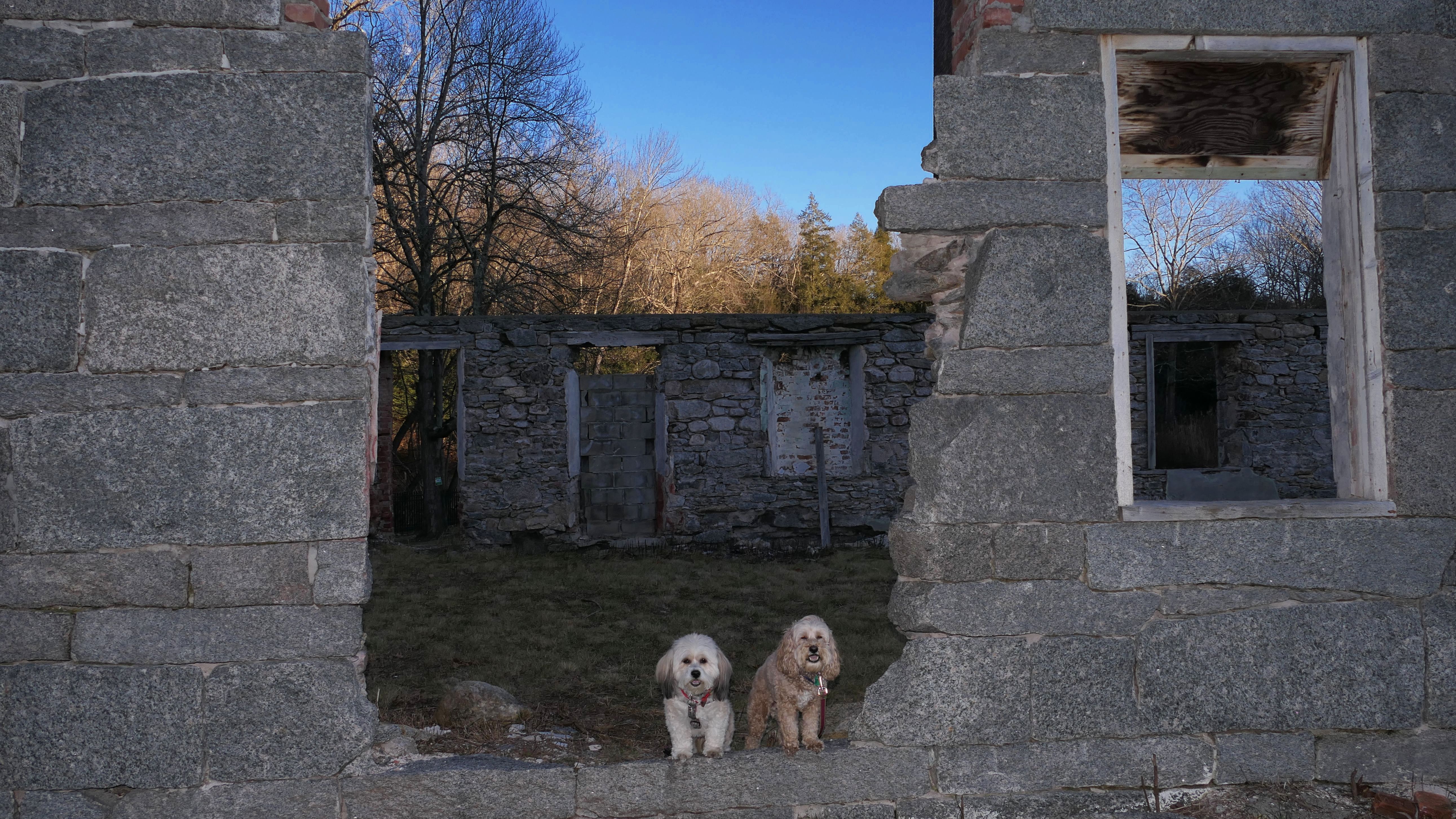
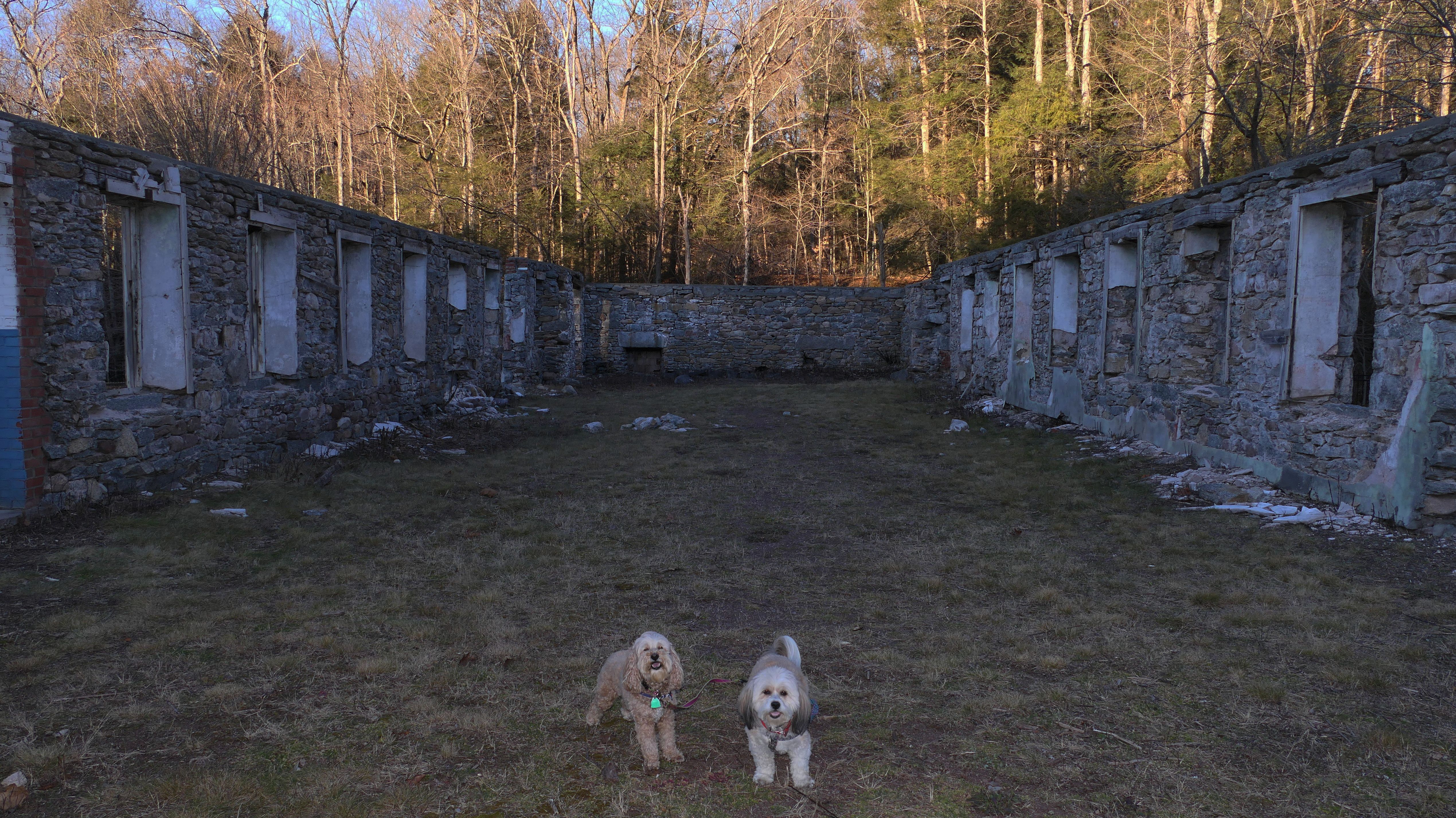
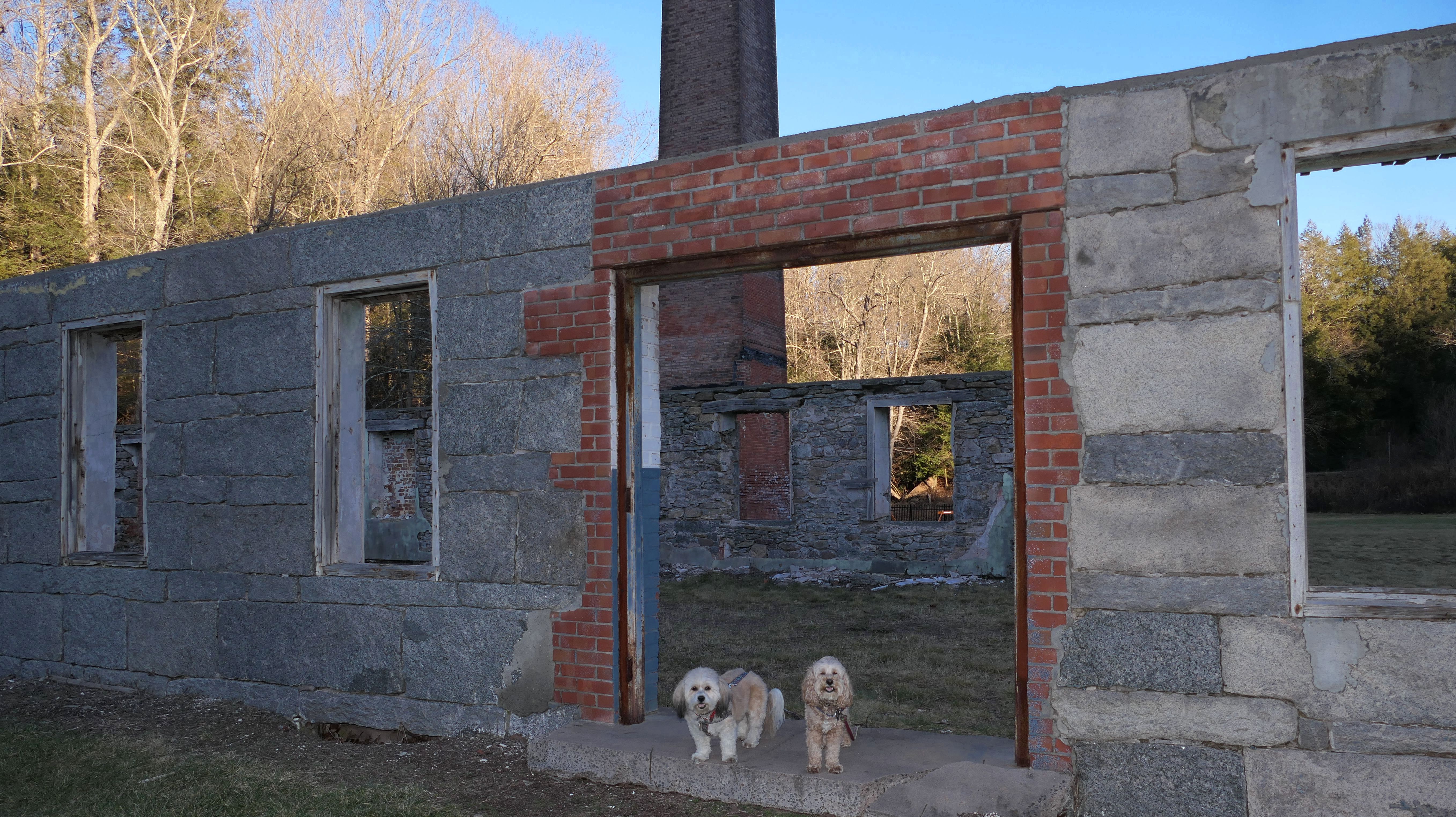
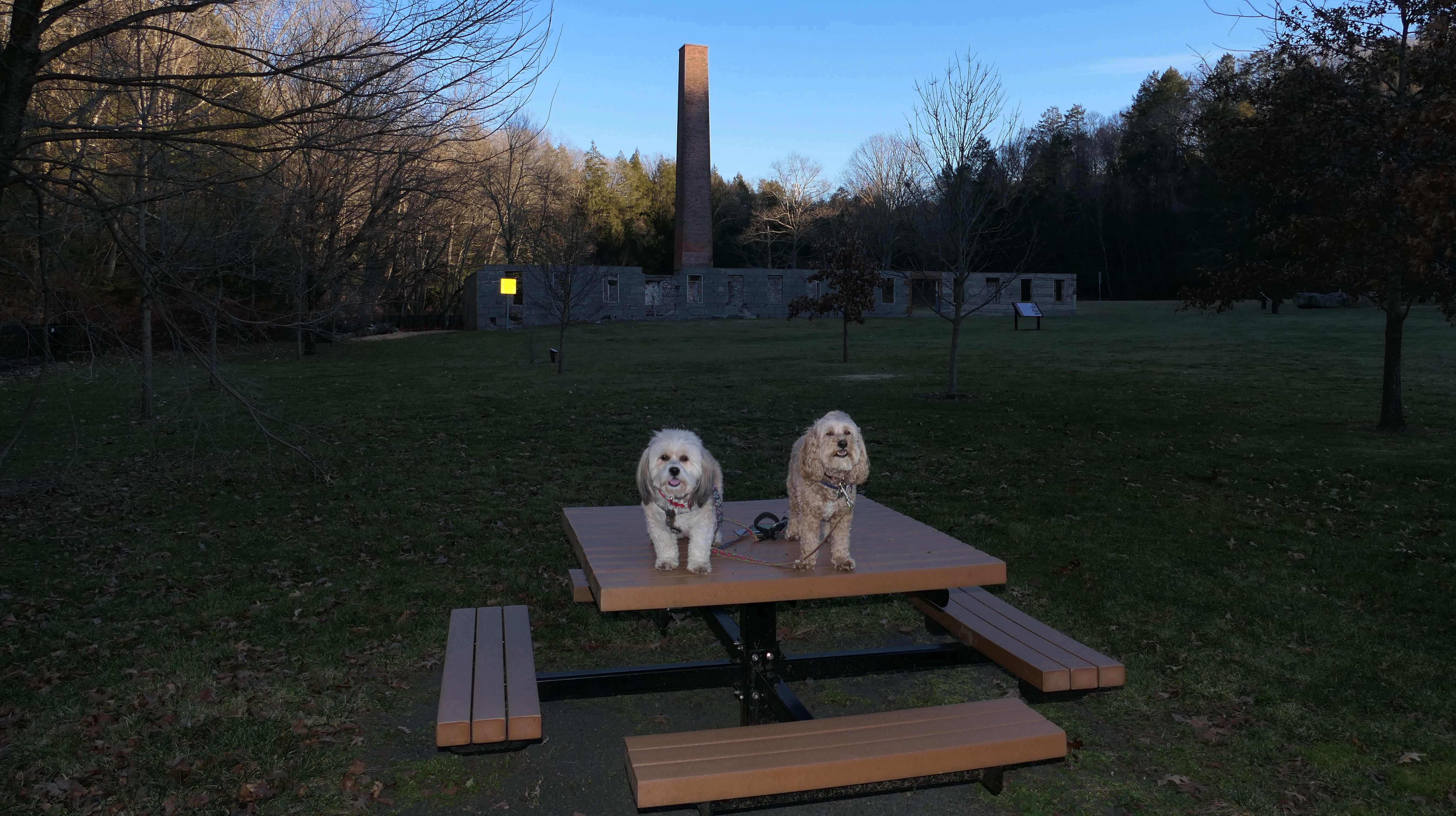
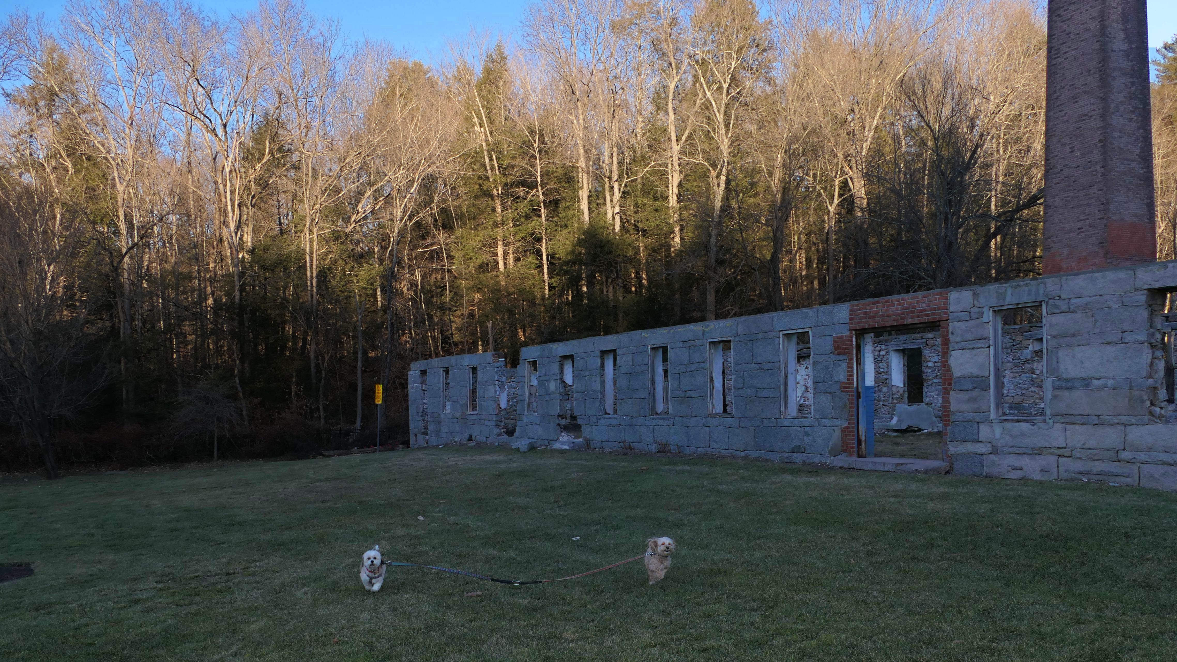
Matson Hill Open Space
Date visited: 12/22/2023
This is a site of a former mill, built in 1836. There are a number of informational signs on the property describing the history of the mill, but I didn't see any that explained exactly how it came down. According to one of the signs, it was "Home to over 120 years of textile production in Glastonbury, CT". Since 2007, it's a park owned by the town of Glastonbury. Some of the foundation and the big chimney is all that's left. There are some picnic tables and benches, and it looks like you can fish Roaring Brook. There's a trail near the brook, which is very similar to the trails at the nearby Cotton Hollow Preserves, except it's very short. It leads to private property with no trespassing signs, near where Slab Gut Brook intersects with Roaring Brook. It looks like at one point there was a bridge and the trail continued, but it's gone now. There's not a lot of area for walking, but it's a nice place to visit if you want to check out ruins of an old mill.
More Images
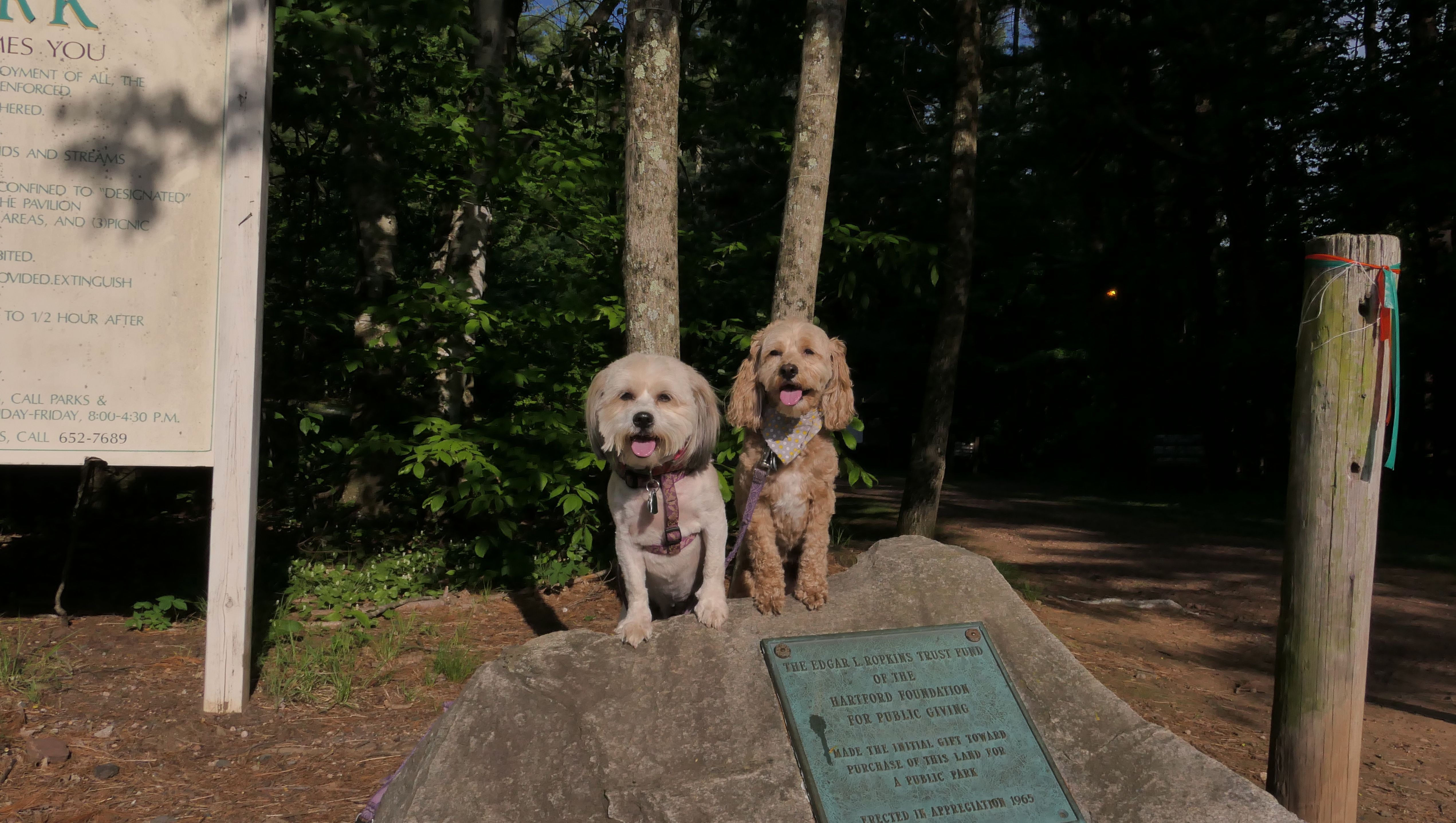
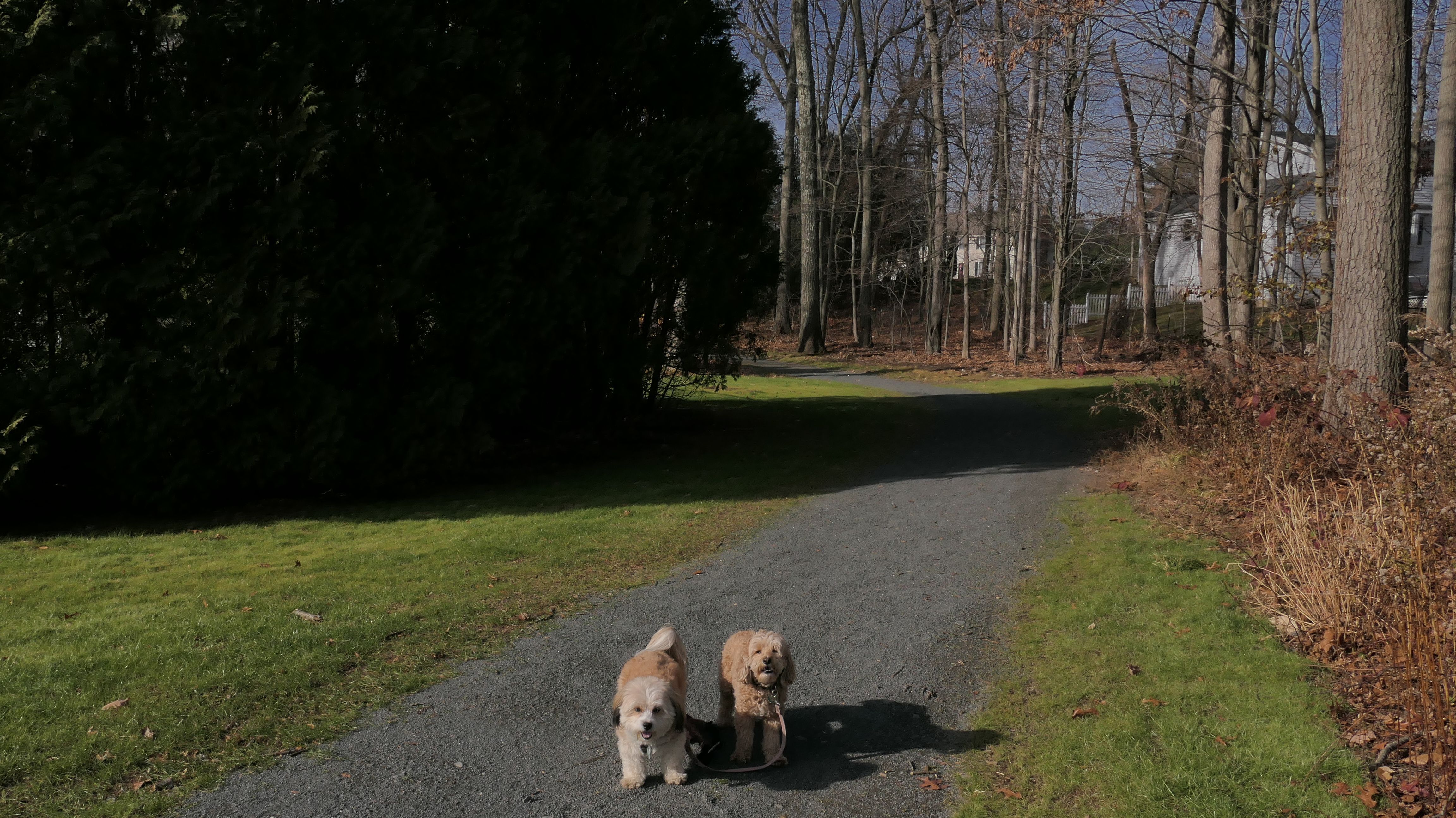
Eastbury Pond & Butler Drive Open Space
Date visited: 9/18/2024
This pond is a popular fishing spot, and serves as a swimming hole in the summer time. There's a trail with a steep climb, that passes through the Butler Drive Open Space, and leads to two very well maintained baseball fields. There are some other short connecting un-blazed trails here. We walked about a mile and half total here.


More Images


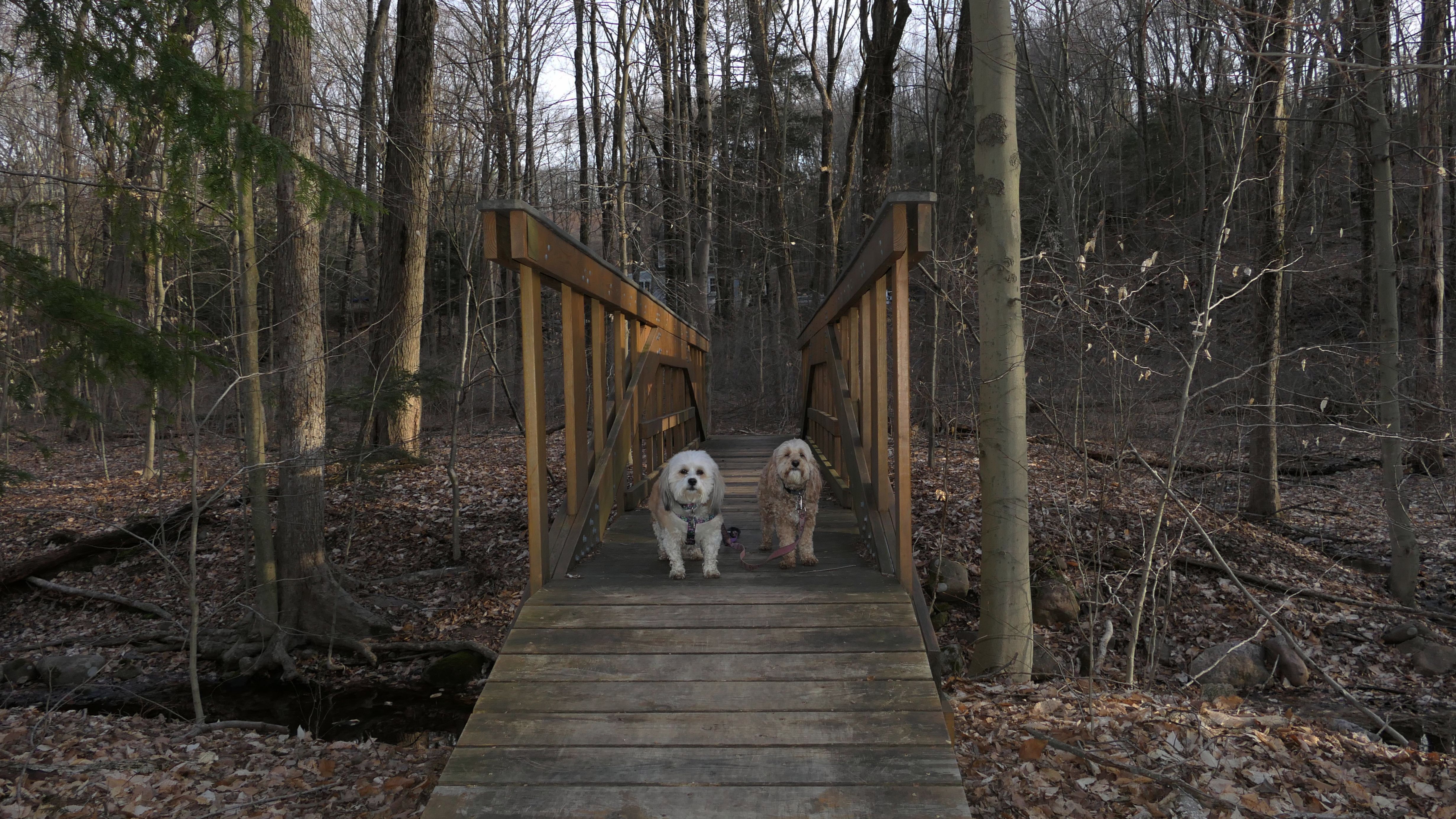
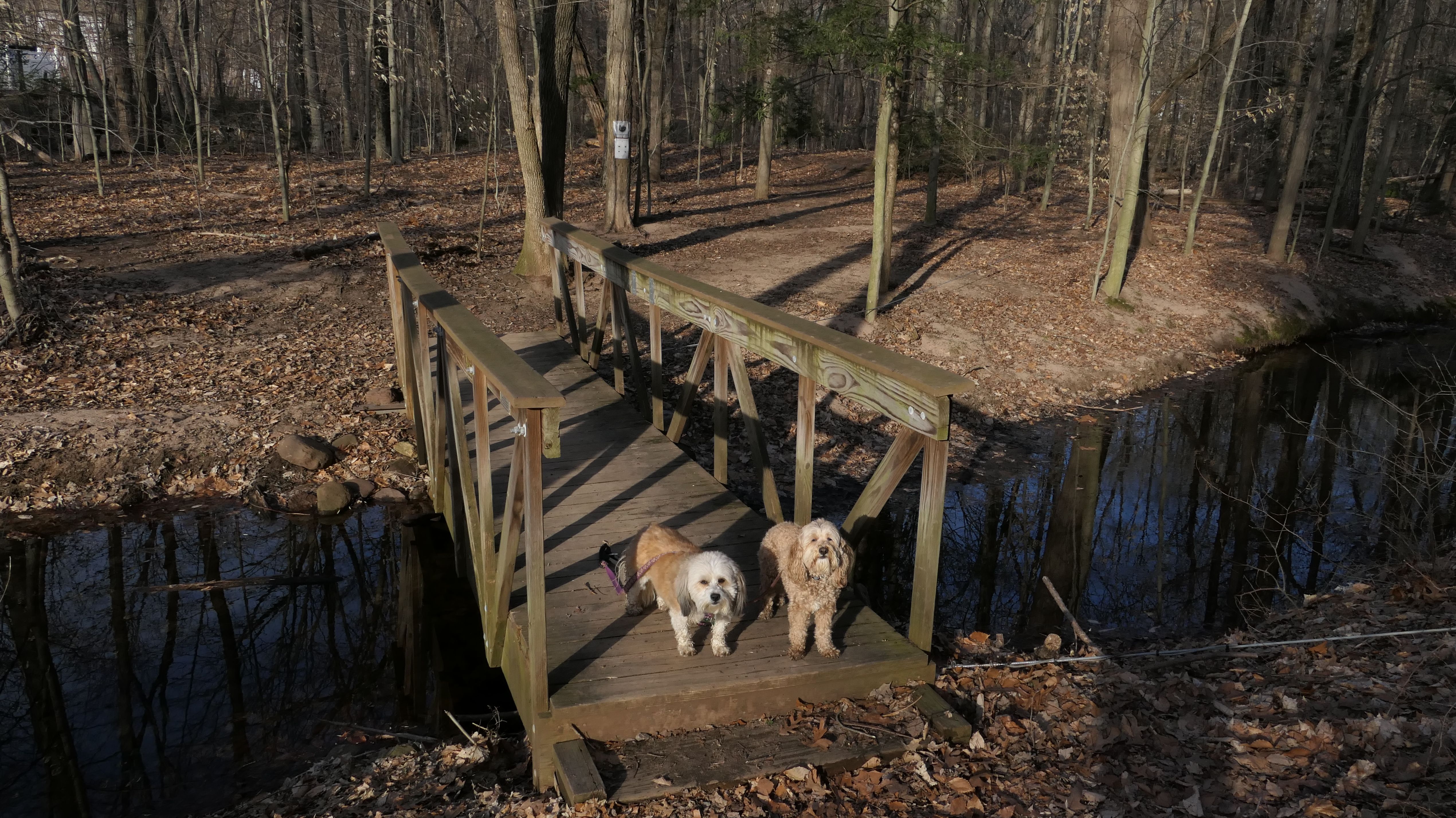
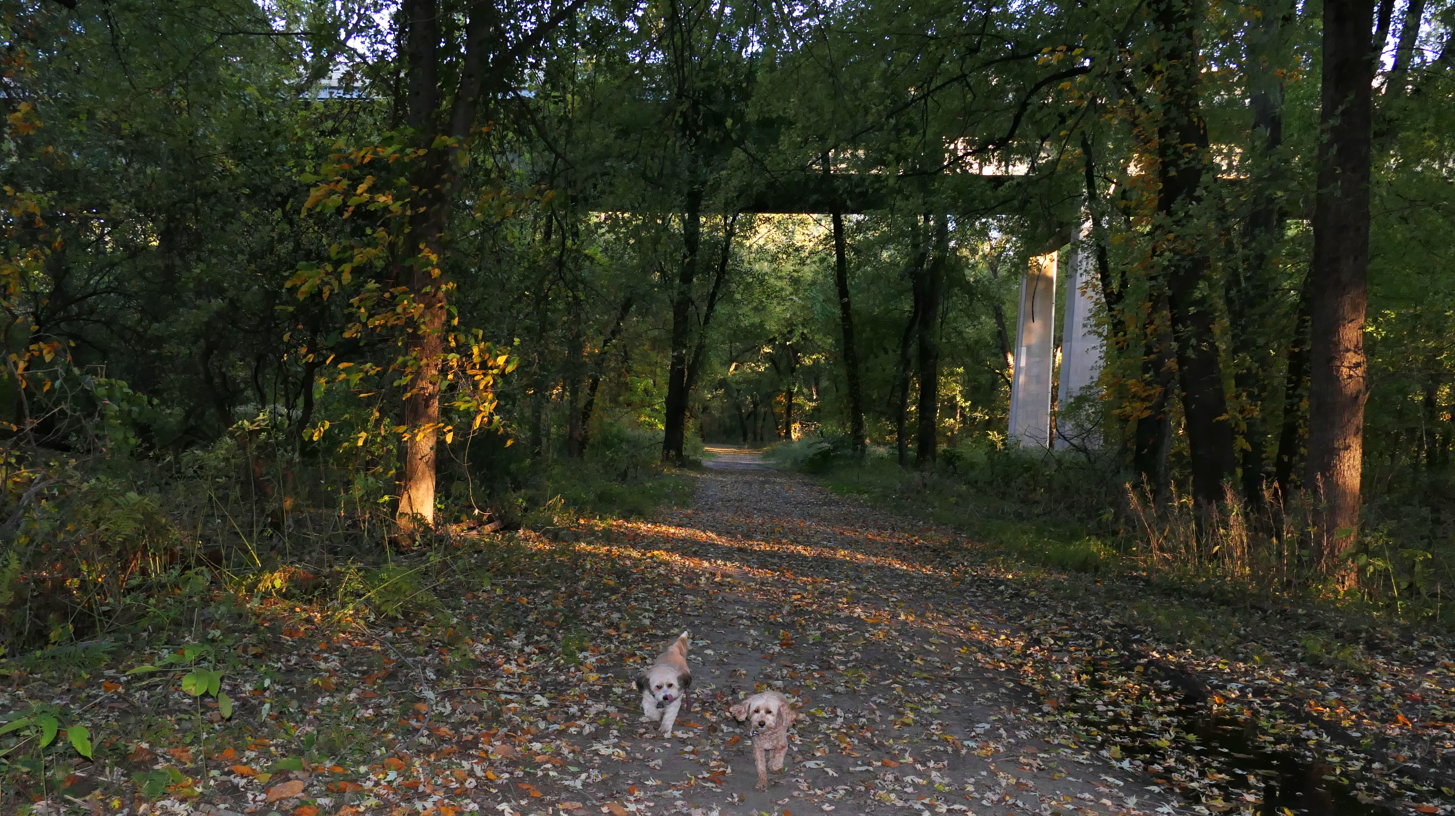
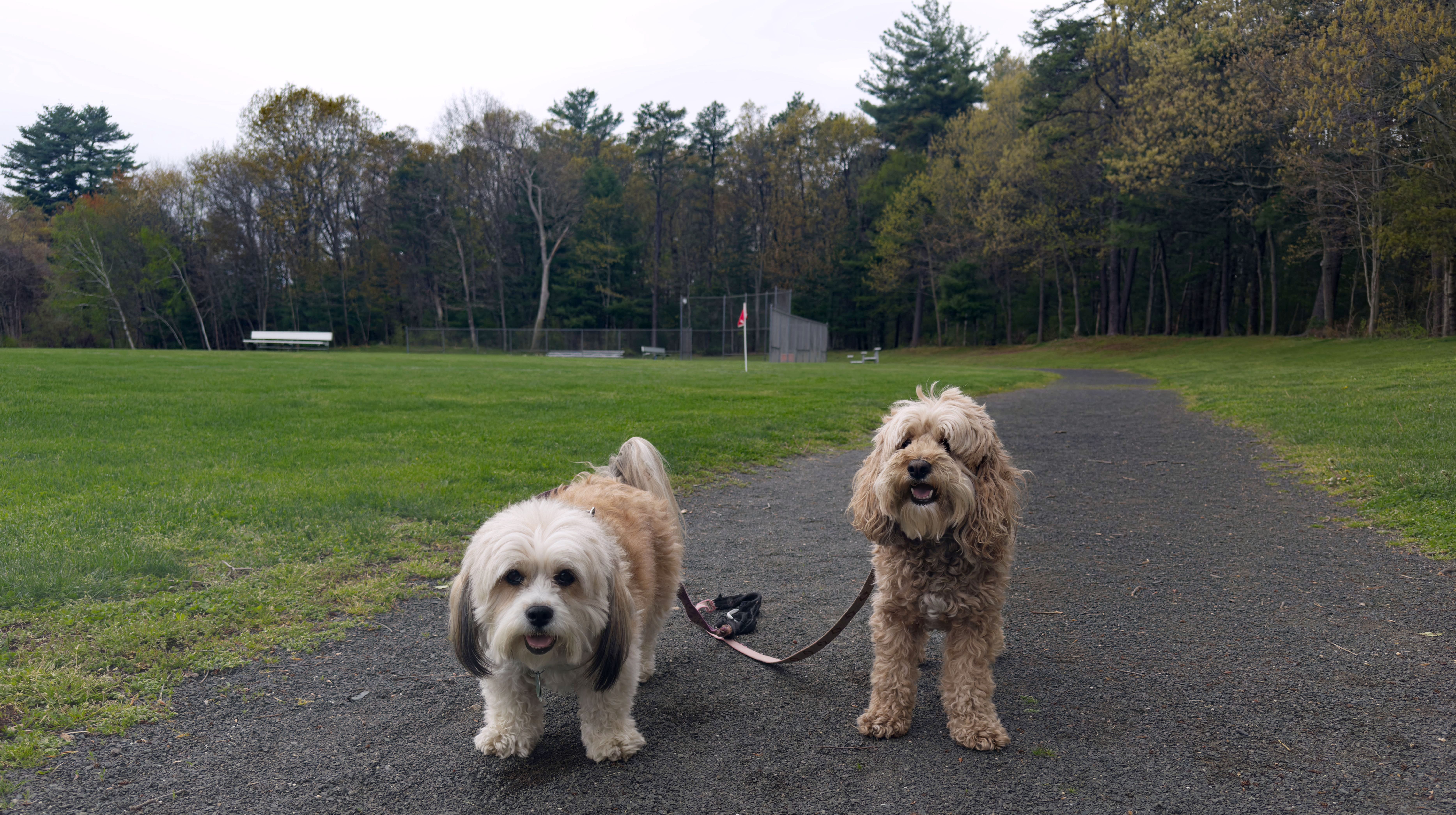
Putnam Bridge Trail
Date visited: 1/19/2025
This is a new bike trail that opened in May of 2024, connecting Glastonbury to Wethersfield over the Putnam Bridge. The trail runs just under one and a half miles, and new parking lots were built on each end. The surface of the trail is mostly asphalt, but the portion on the actual bridge is a steel grate, so if you look down you can see the river below. The Glastonbury side also features a paved spur trail that connects to the South Meadows River Trail (the signage on the new trail calls this the "South Meadows Greenway"). We walked the entire length of the trail and back, and also the spur trail which ended right where we left off in October of 2022 on the South Meadows River Trail.


More Images


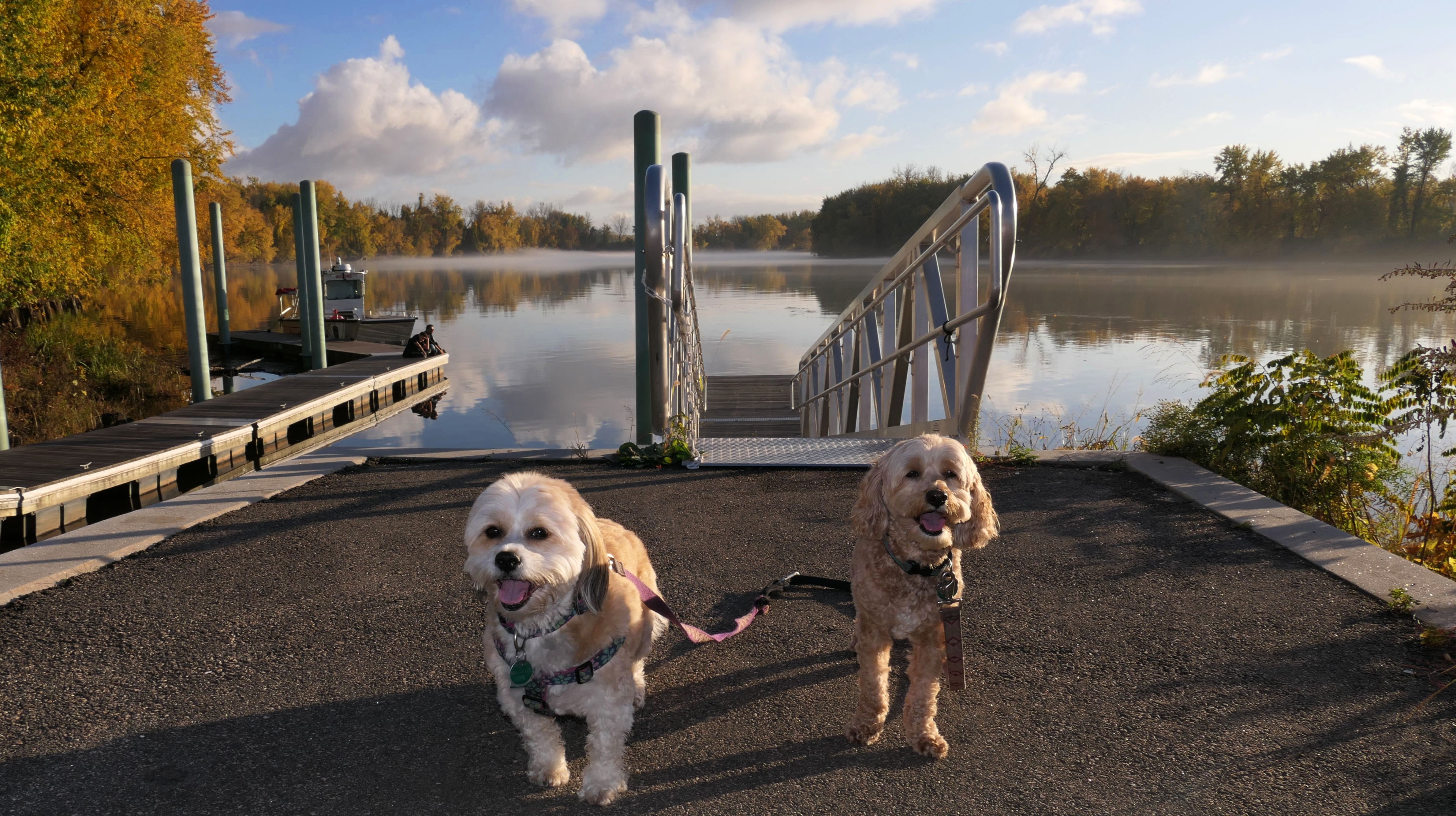
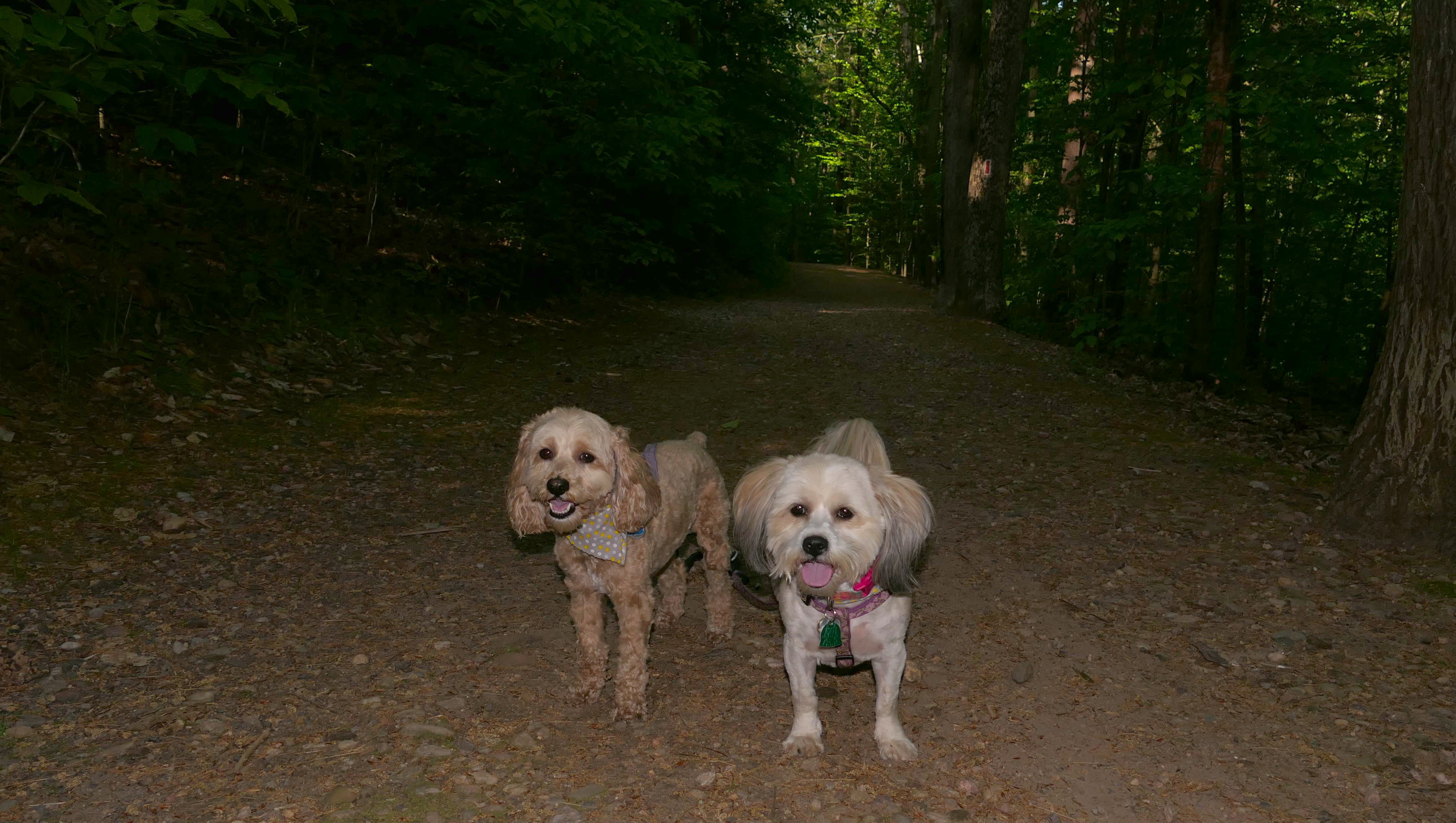
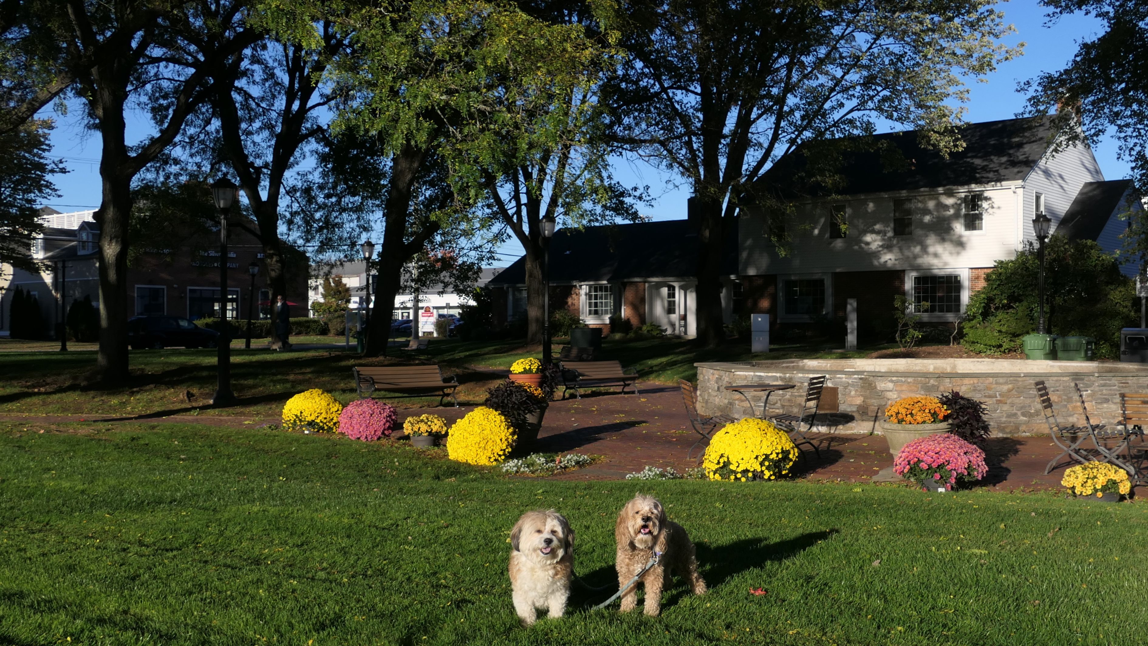
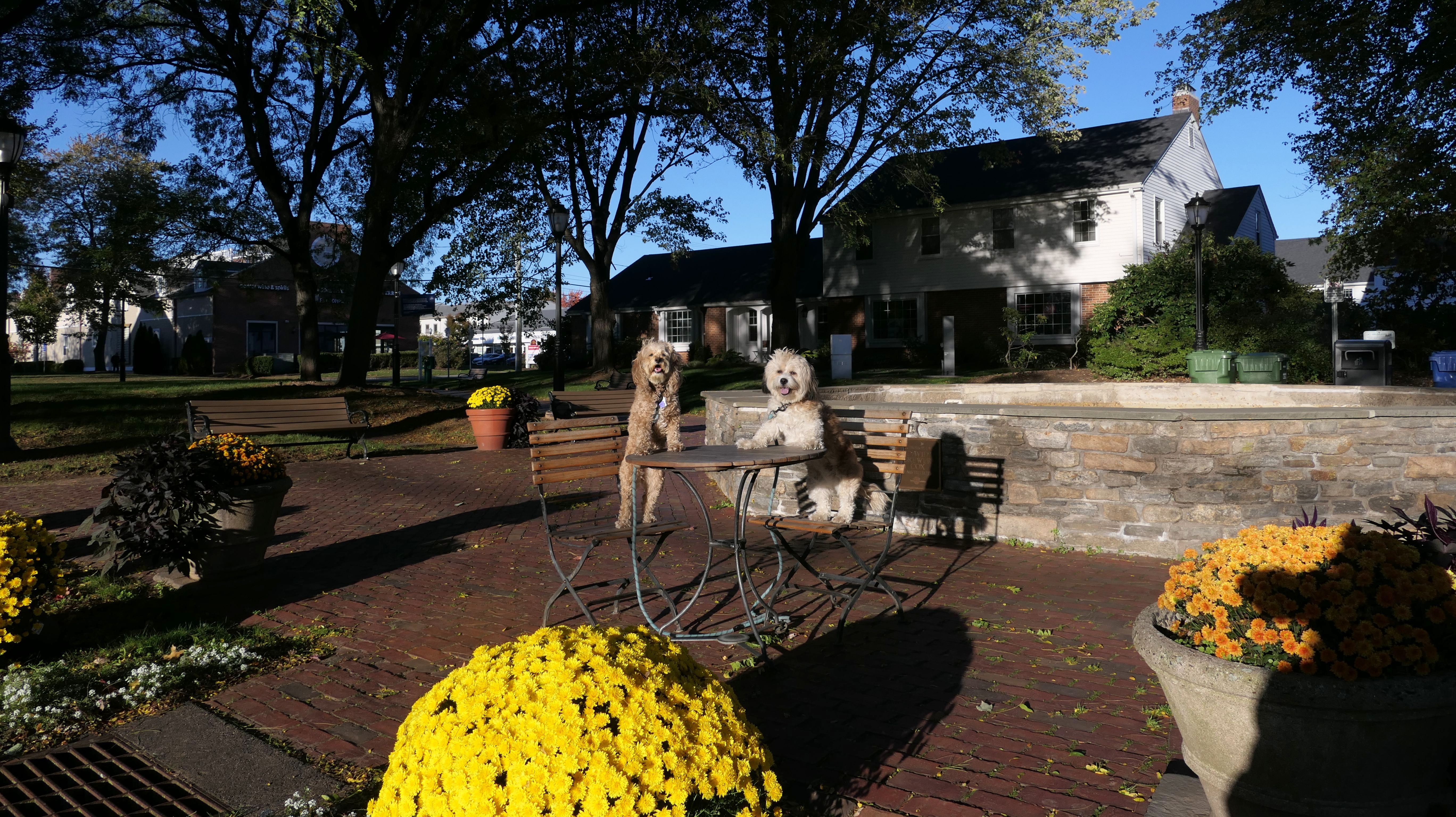
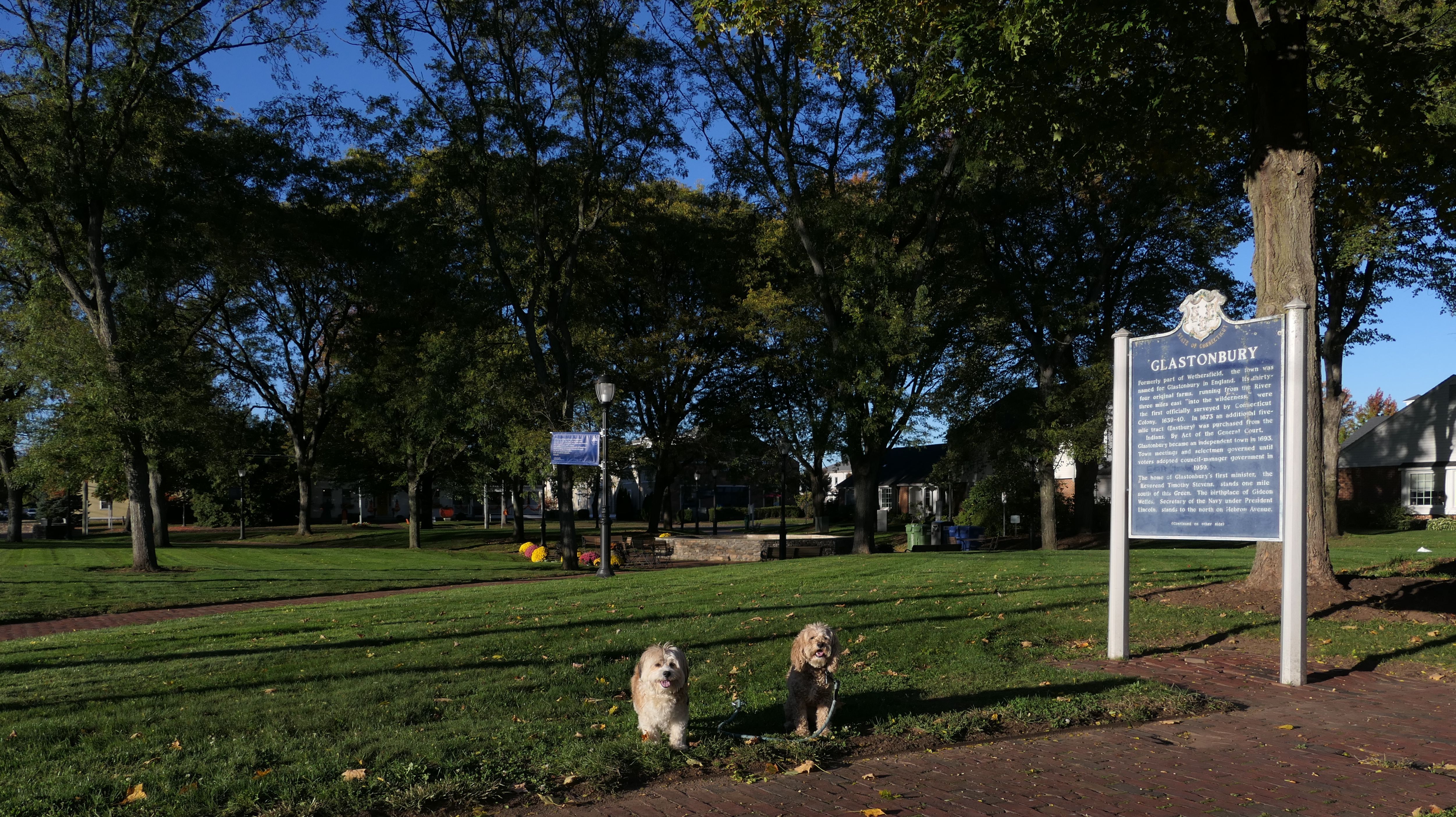
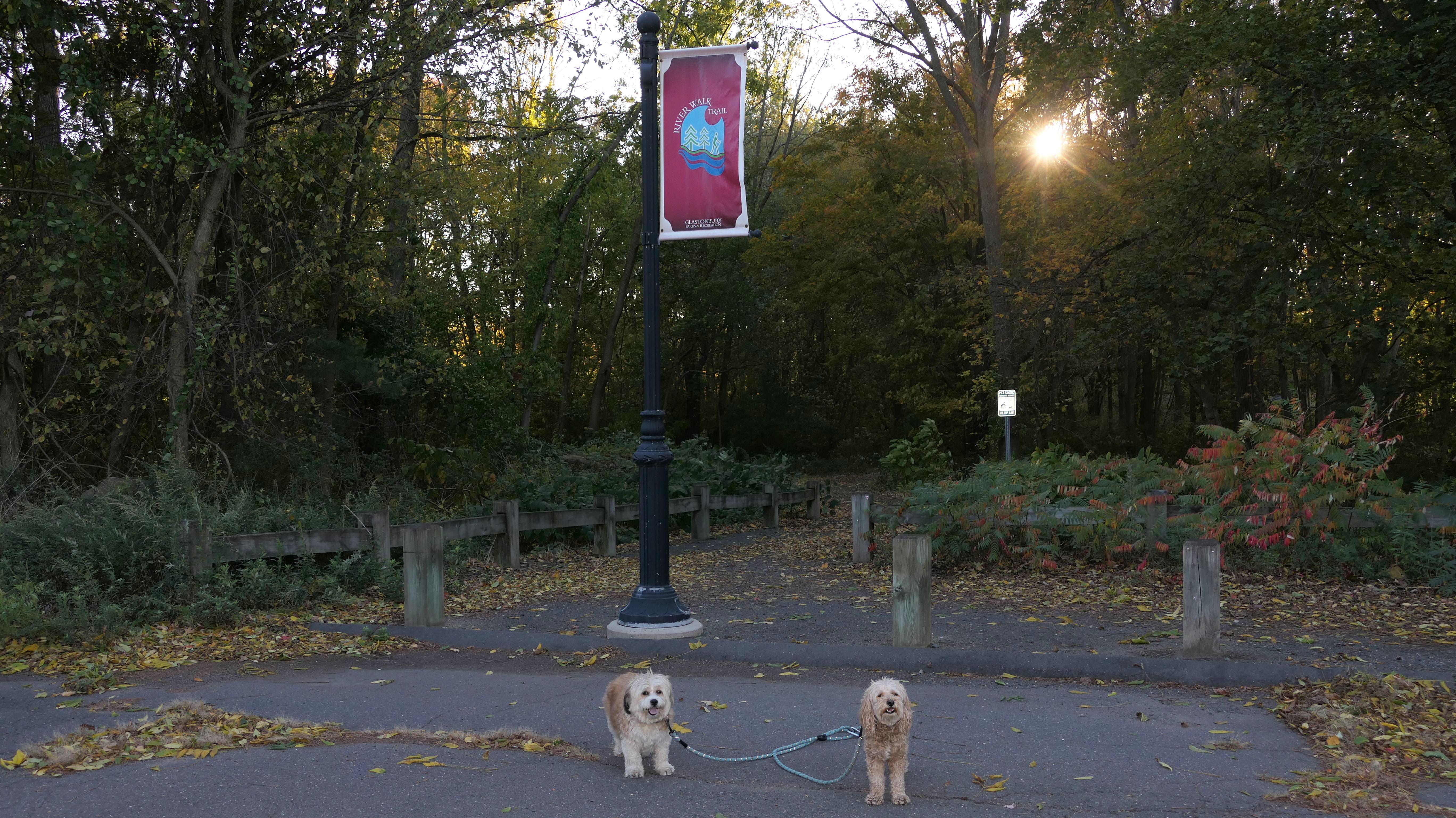
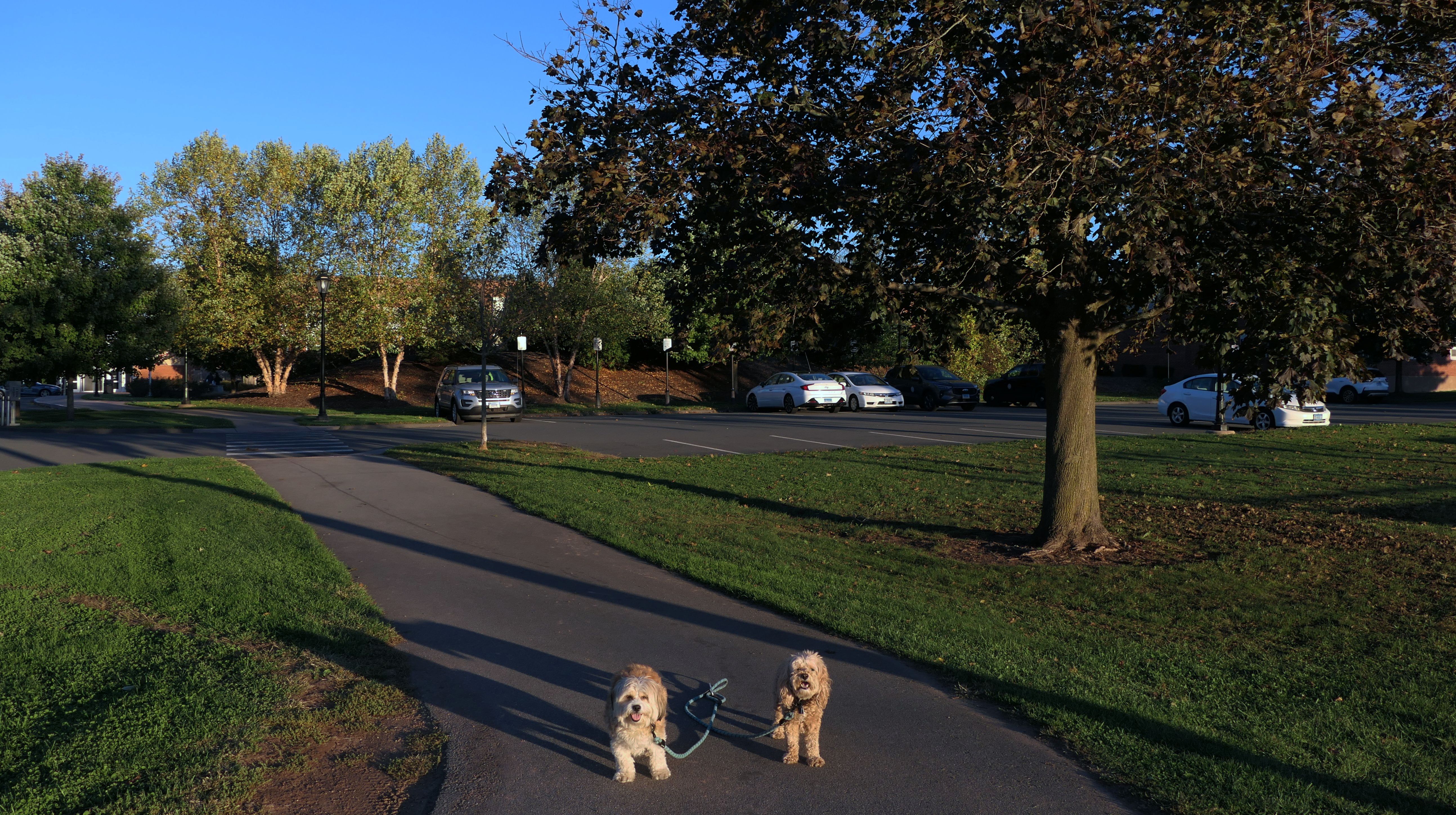
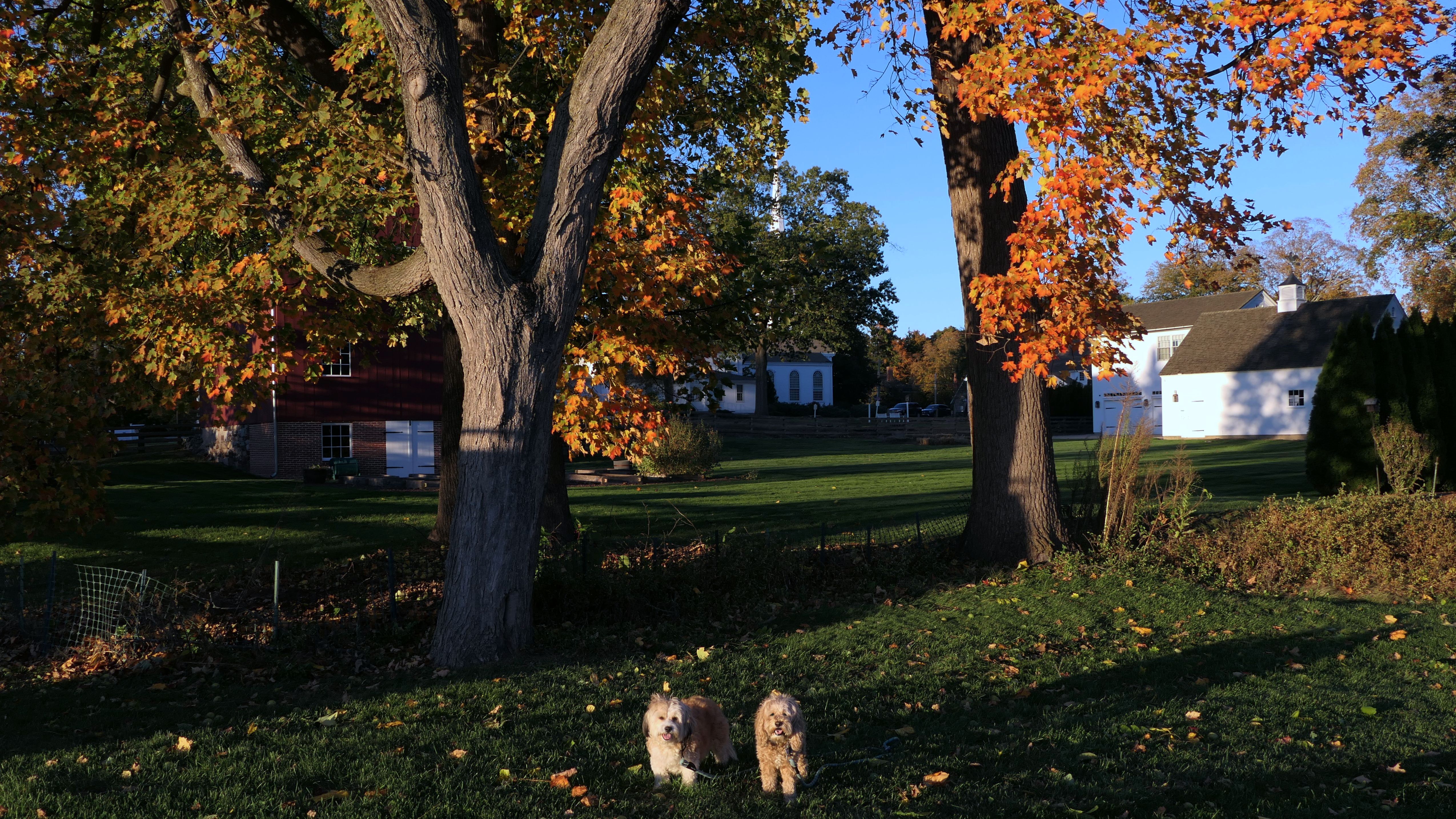
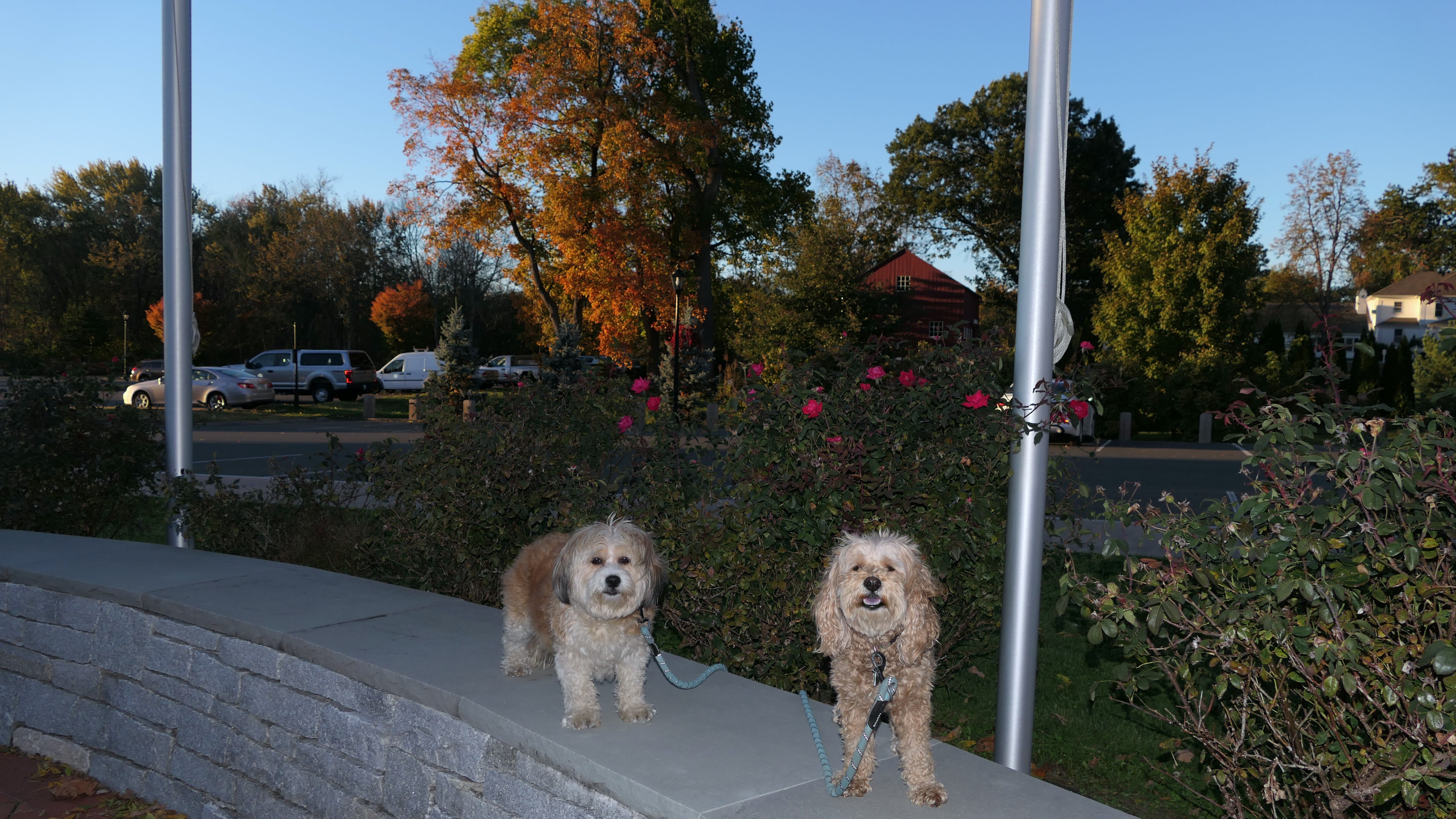
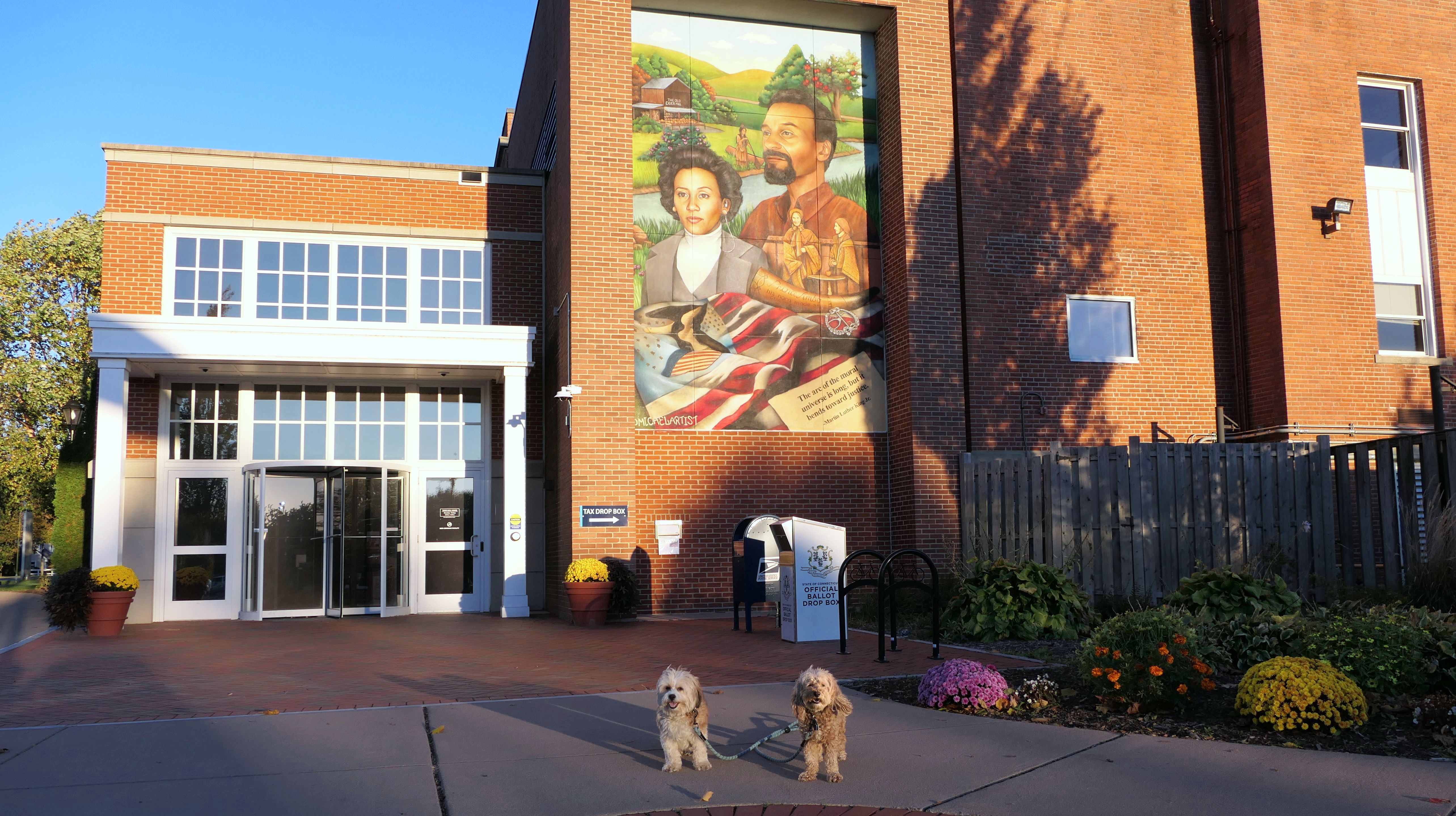
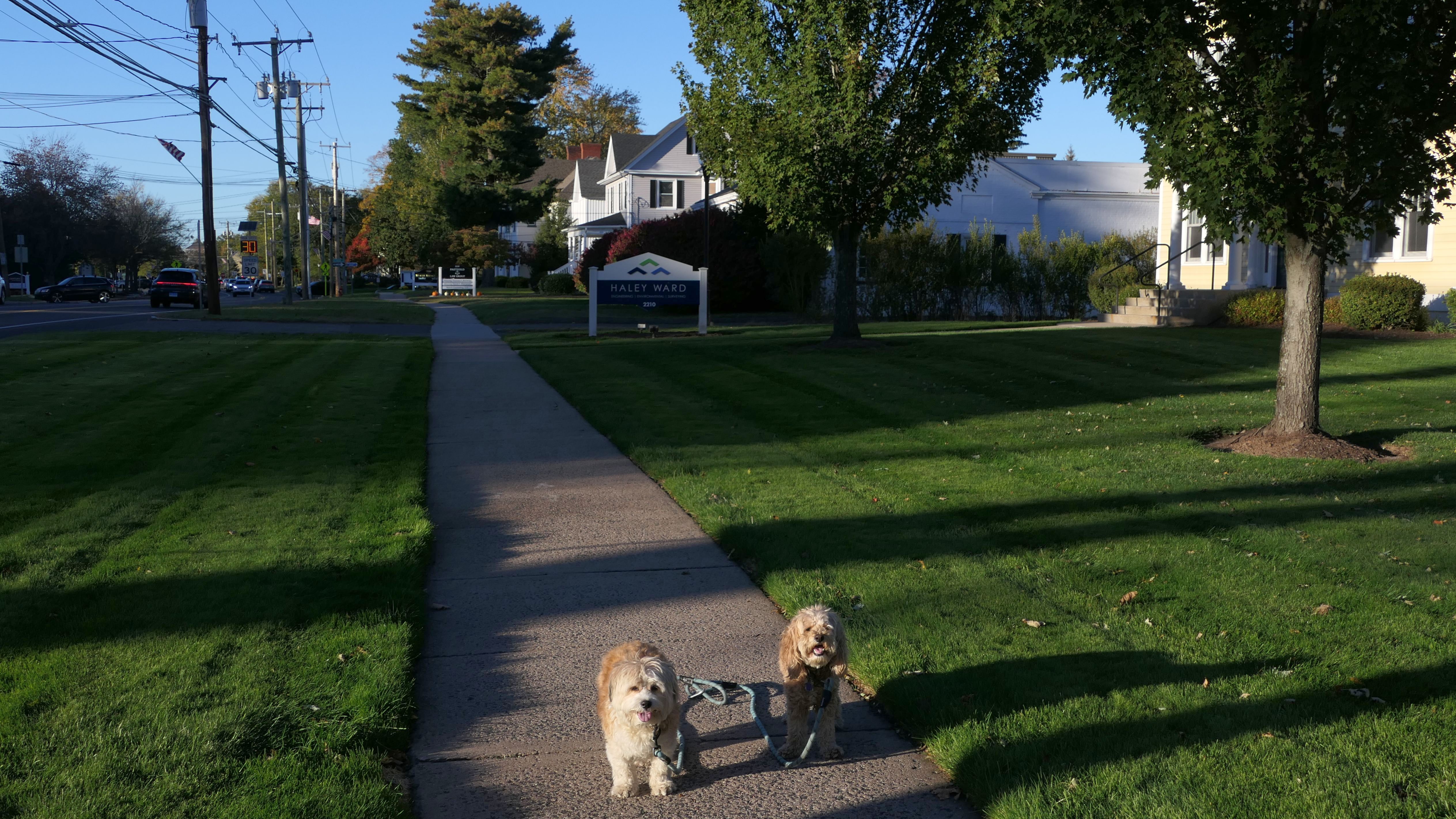
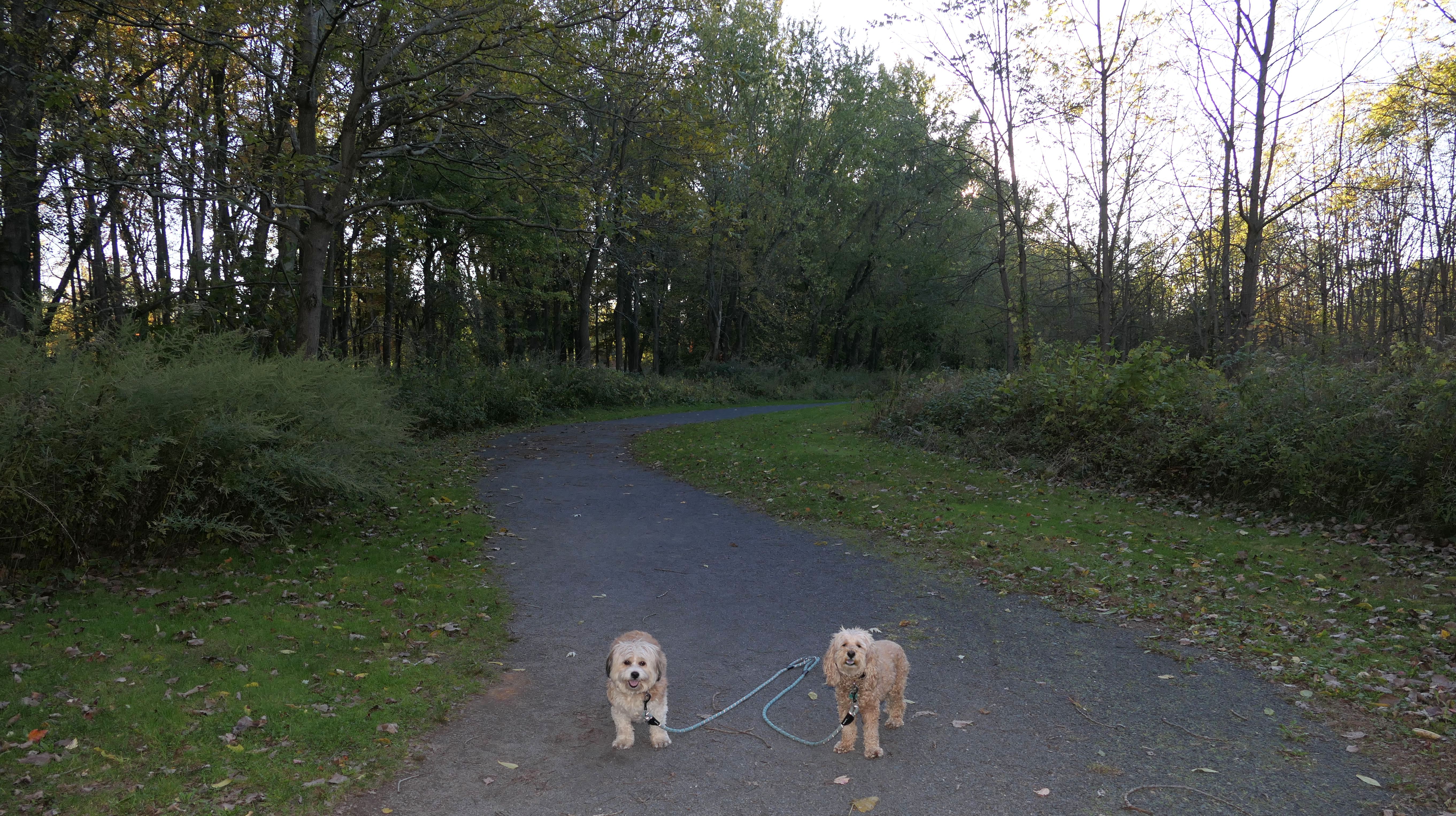
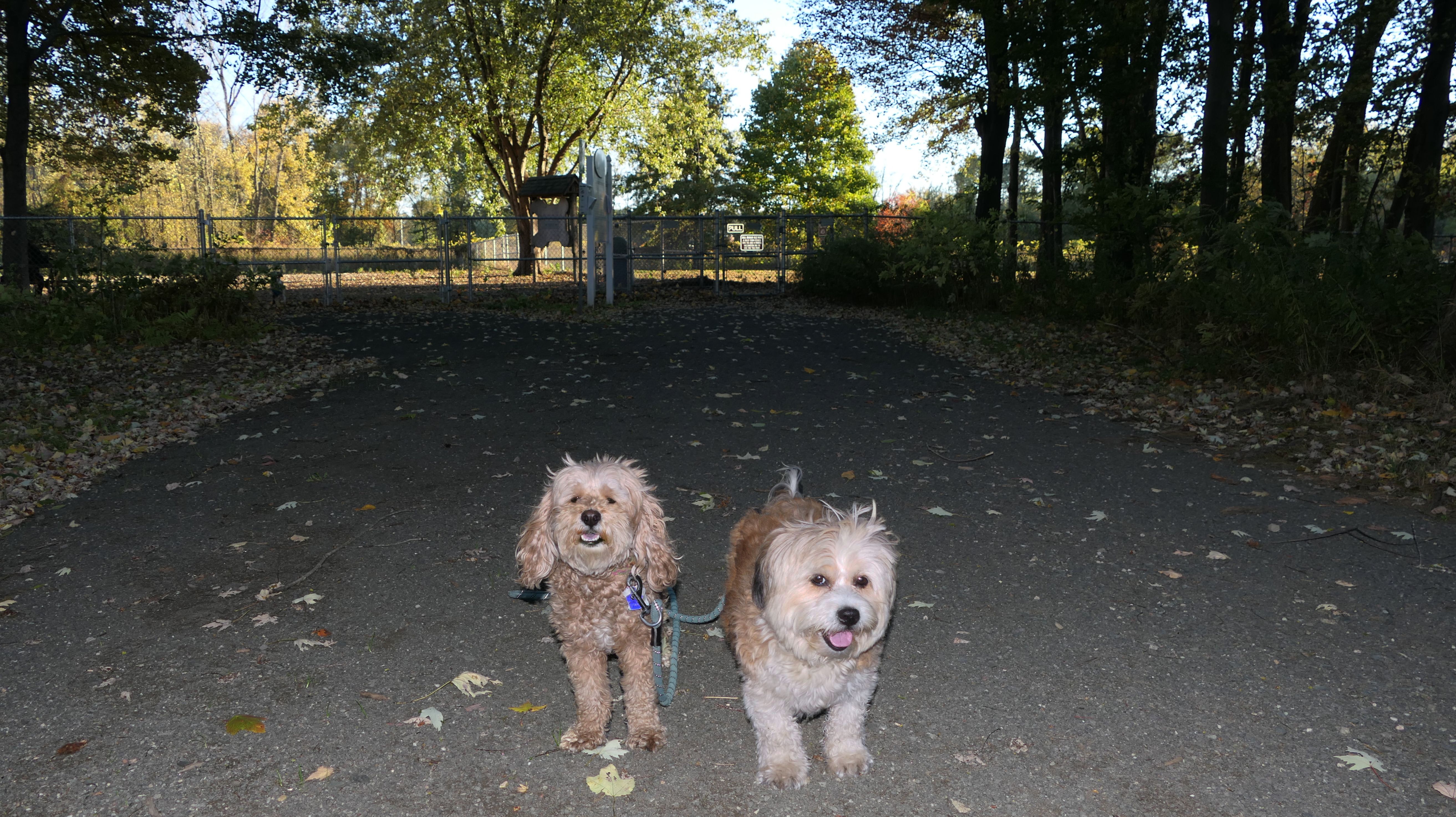
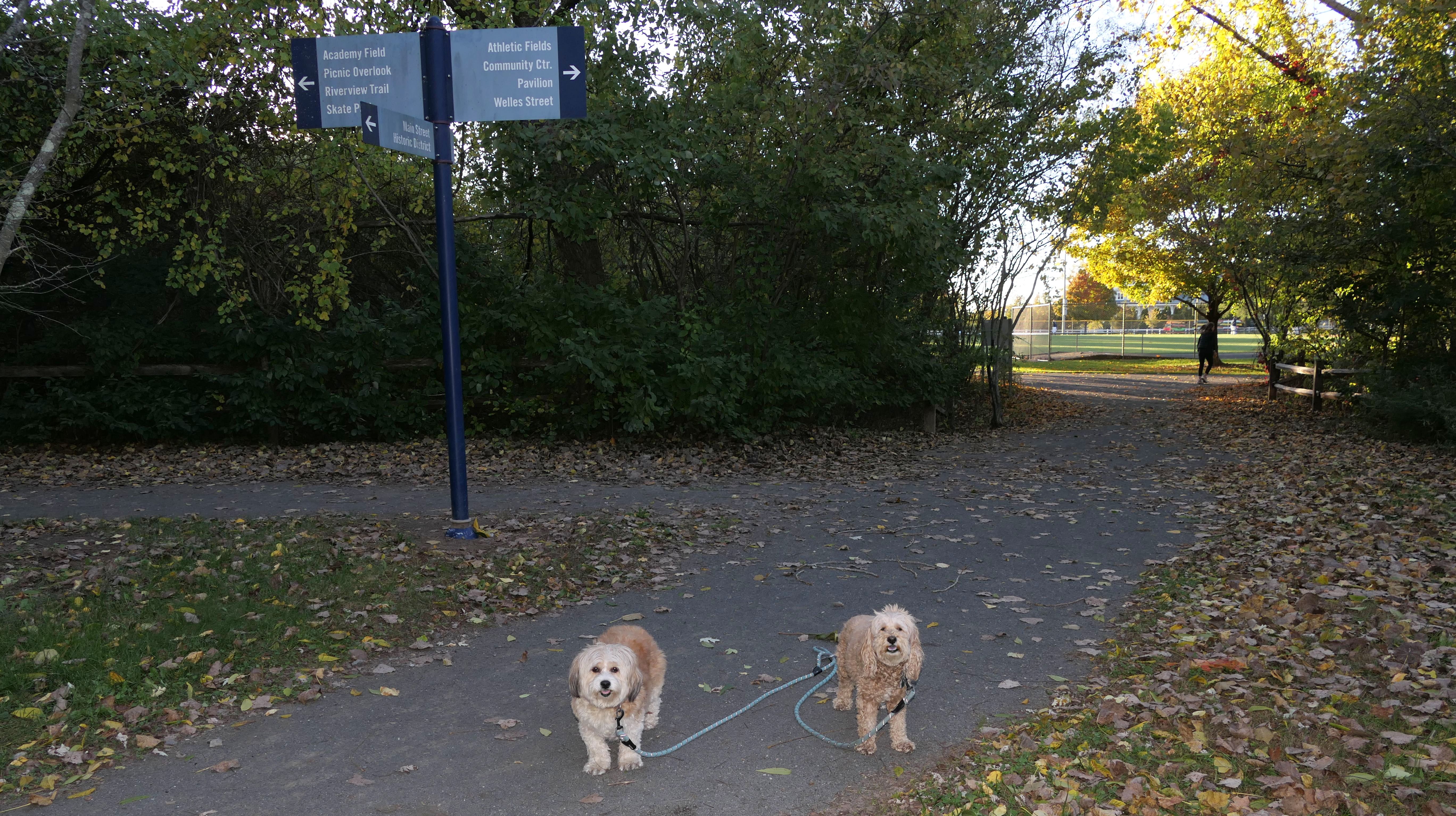
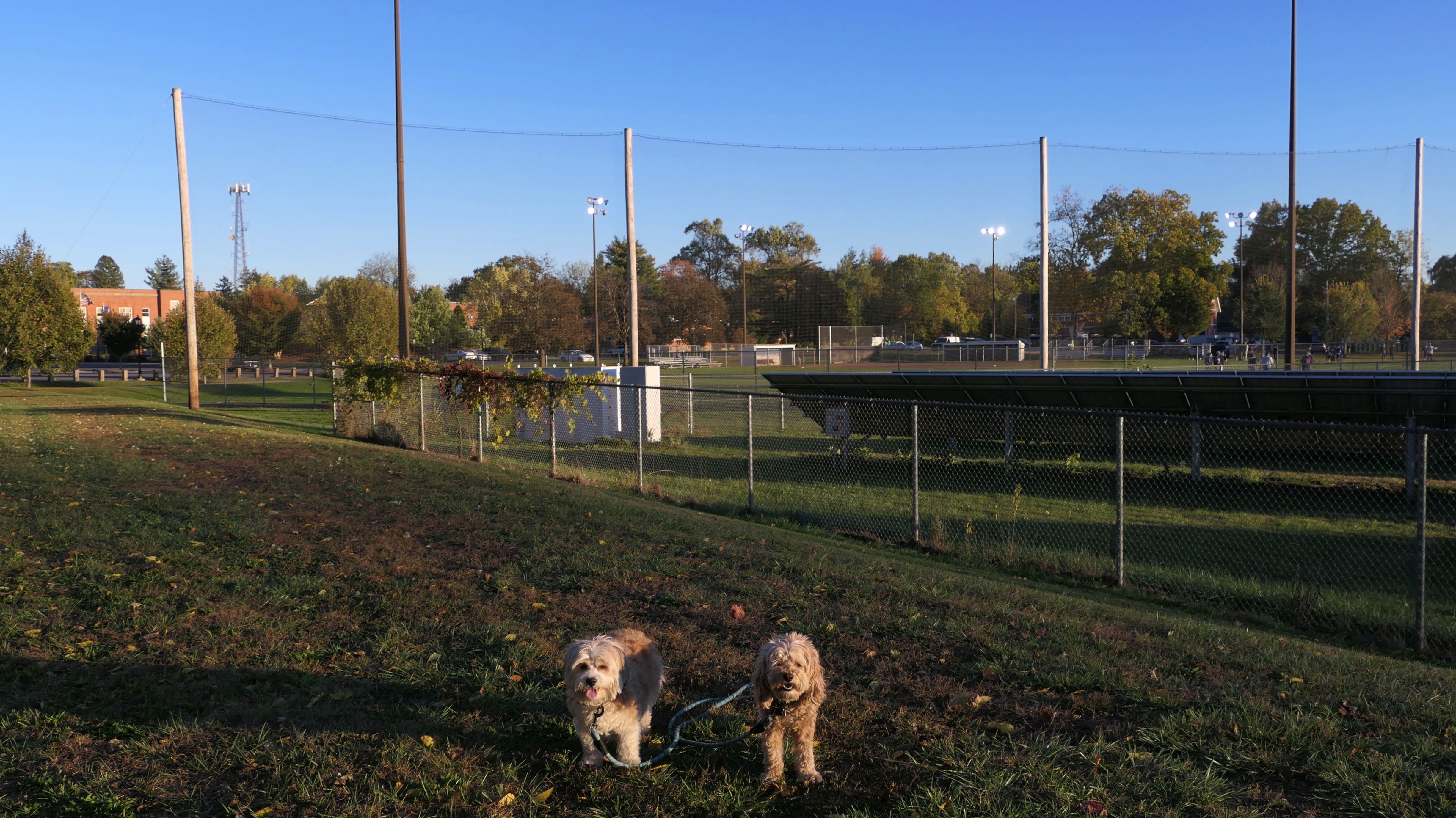
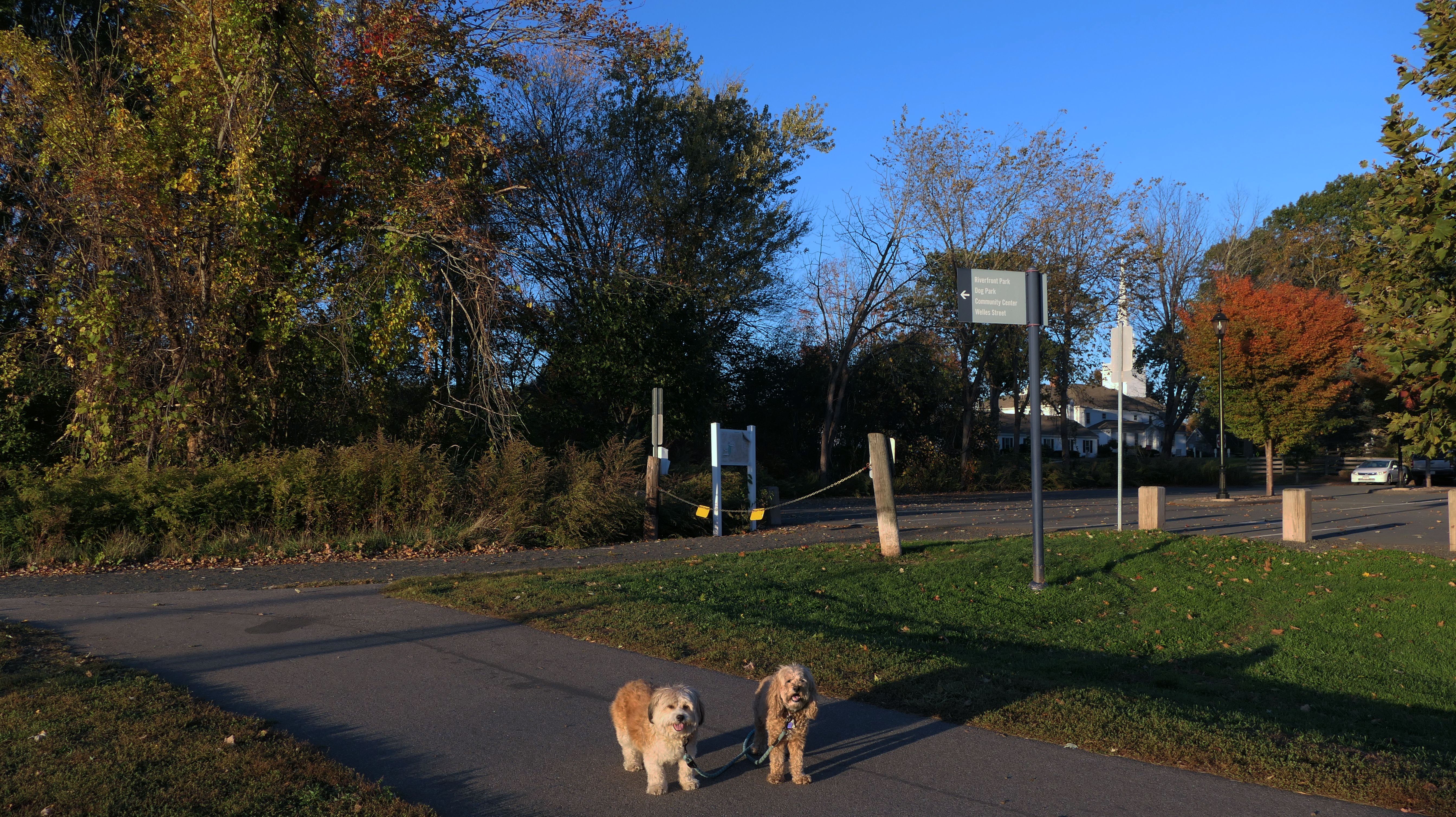
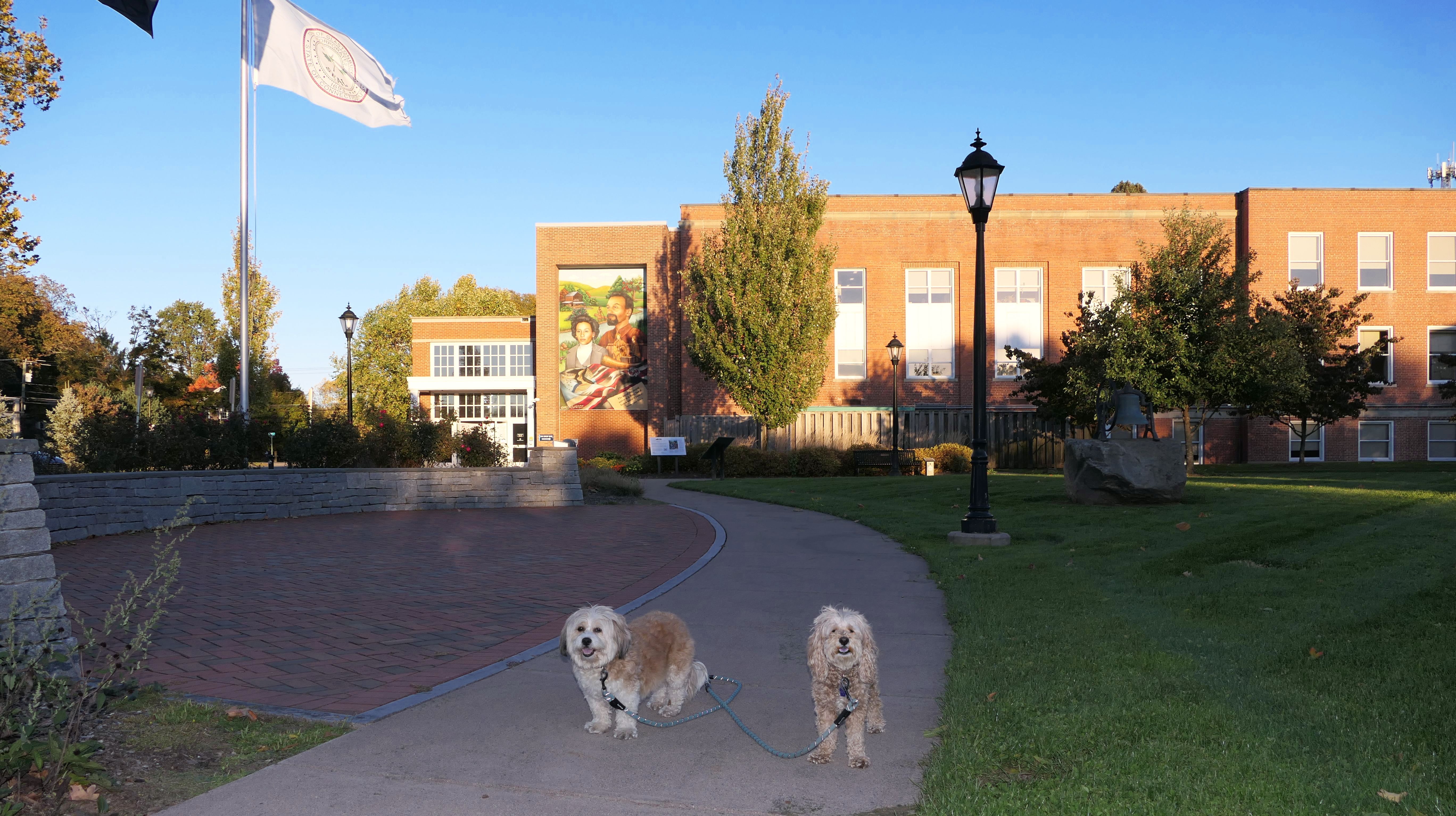
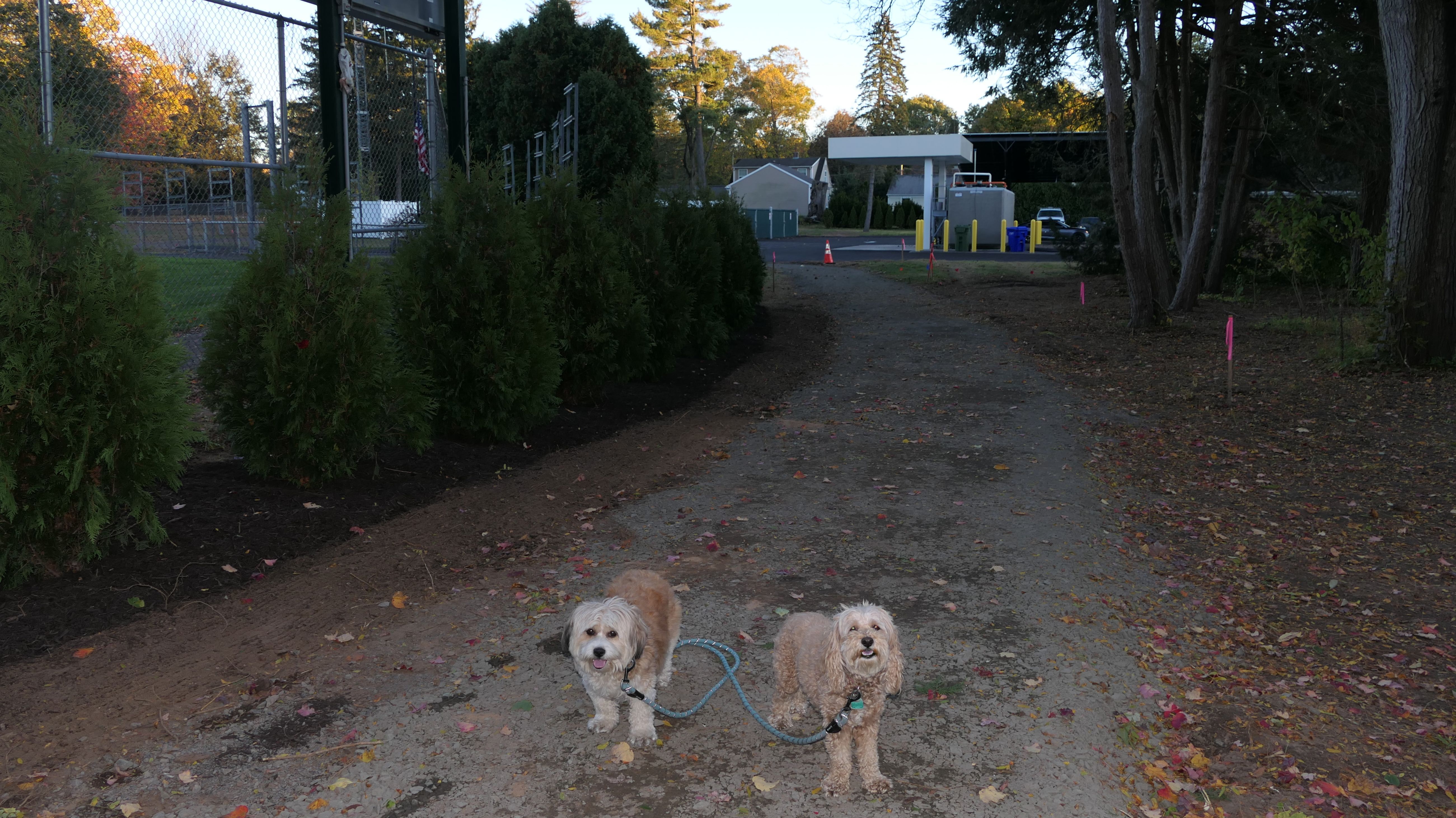
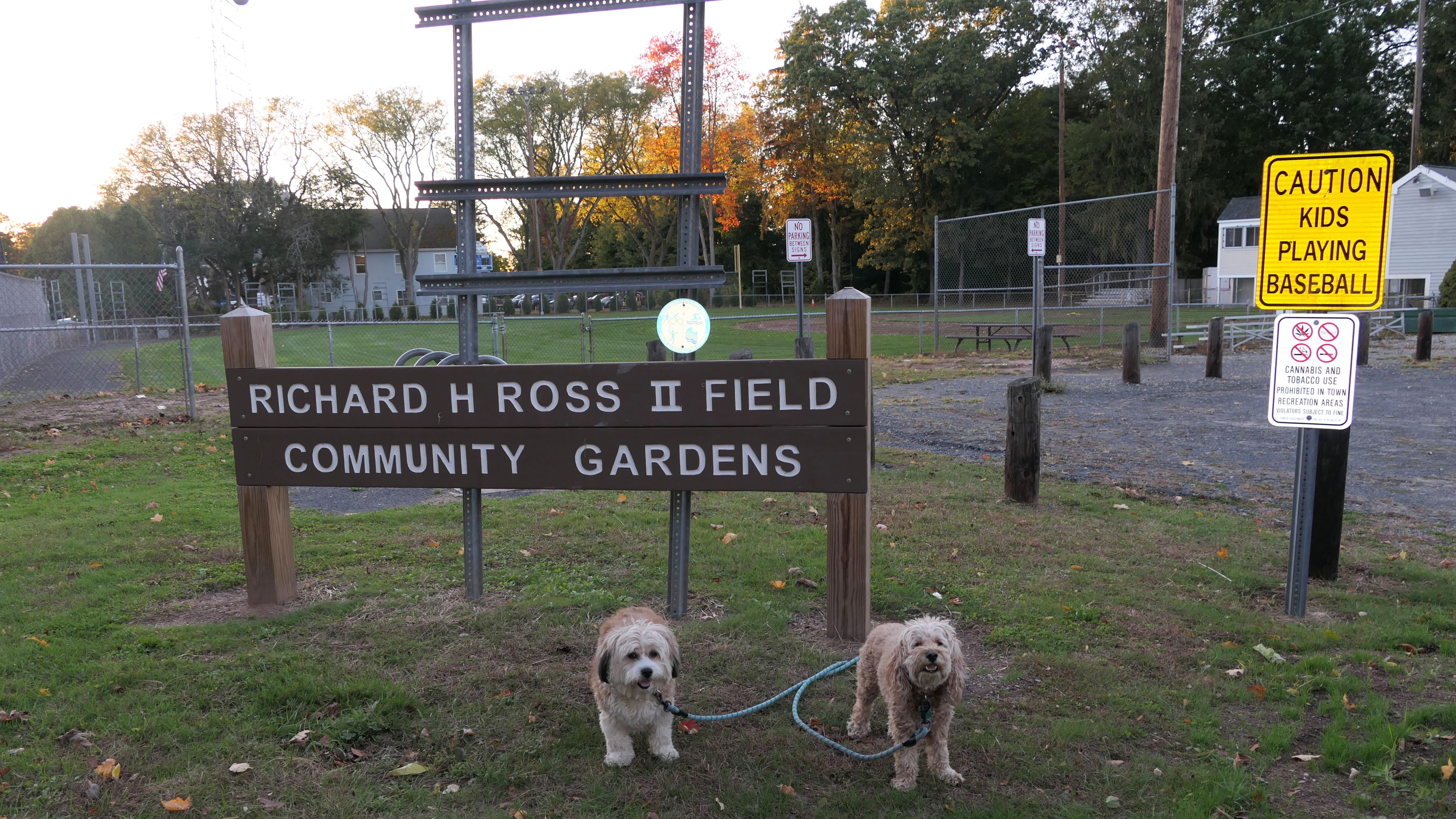
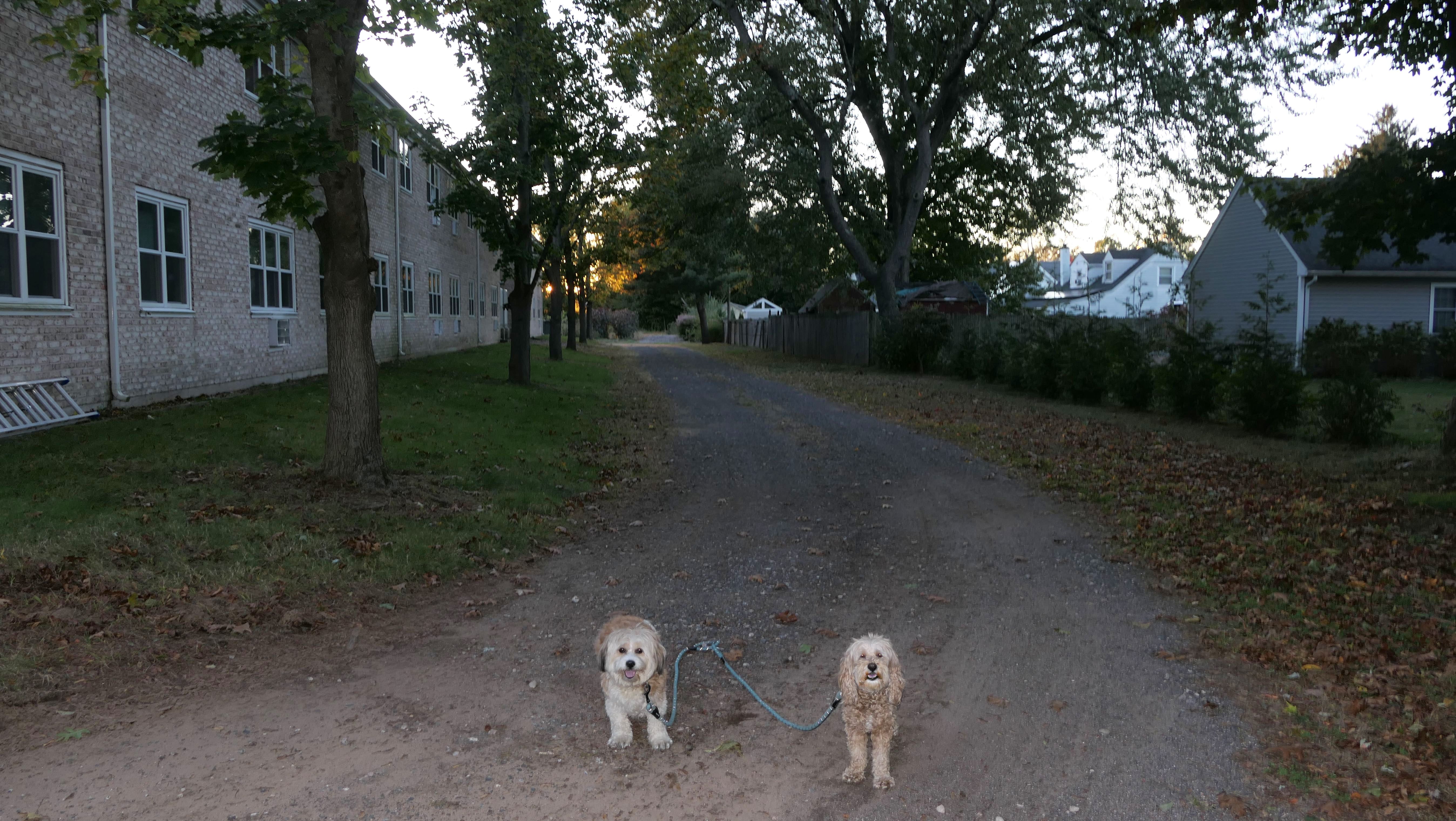
Glastonbury Center
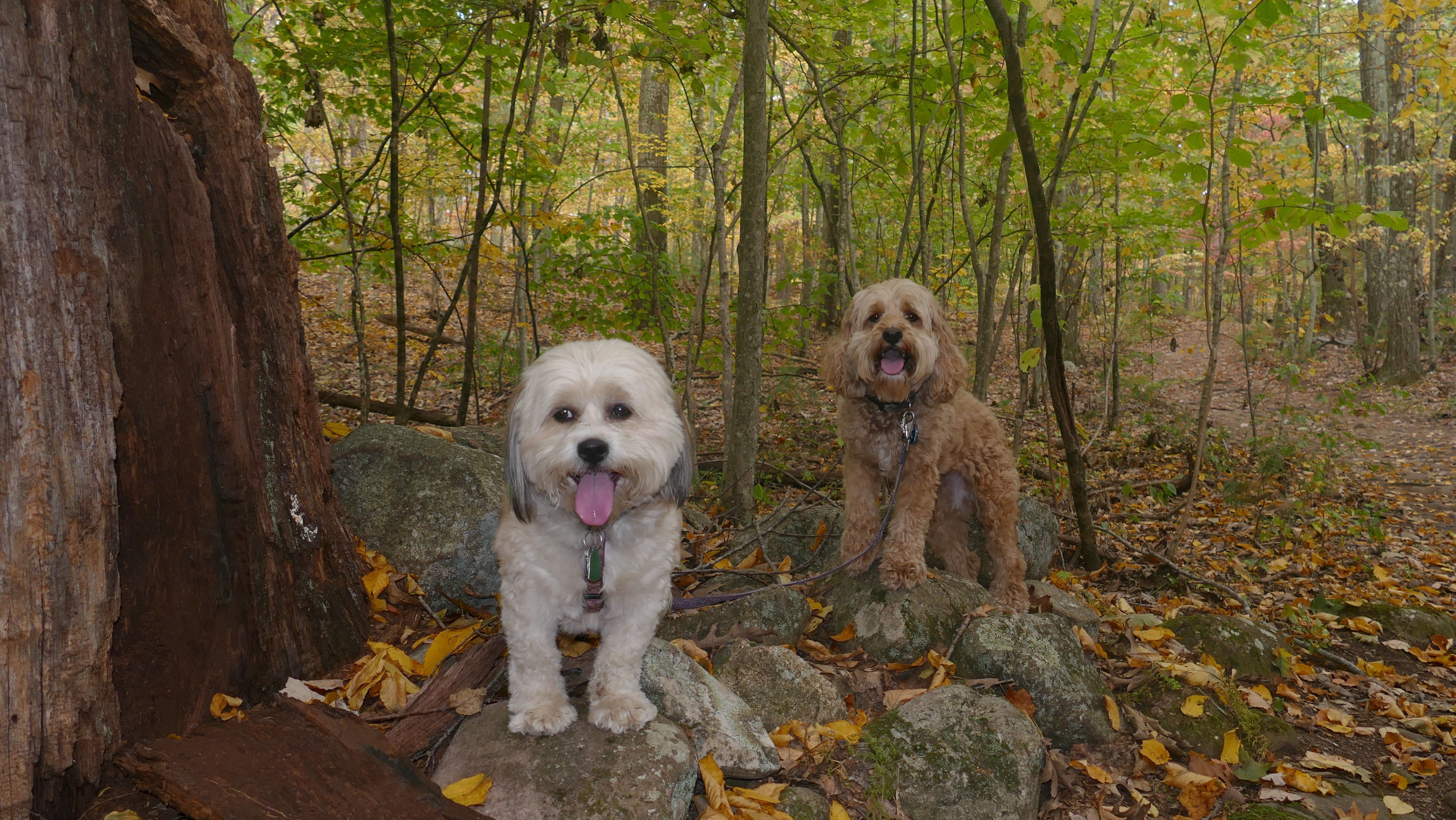
Date visited: 10/16/2025
This was a walk through the historic downtown Glastonbury area. We started at the small park area known as Center Green, and walked down Main Street a bit, before crossing the street and walking down the River Walk Trail. The trail leads to Riverfront Park, a place we visited three years prior. From there, we followed a paved trail that led to the Town Hall area, and crossed to the street and headed down another walking trail that led to another park area behind the police station with a baseball field, a playground and a community garden. This was a decent walk that we were able to squeeze in after work before it got dark.
More Images
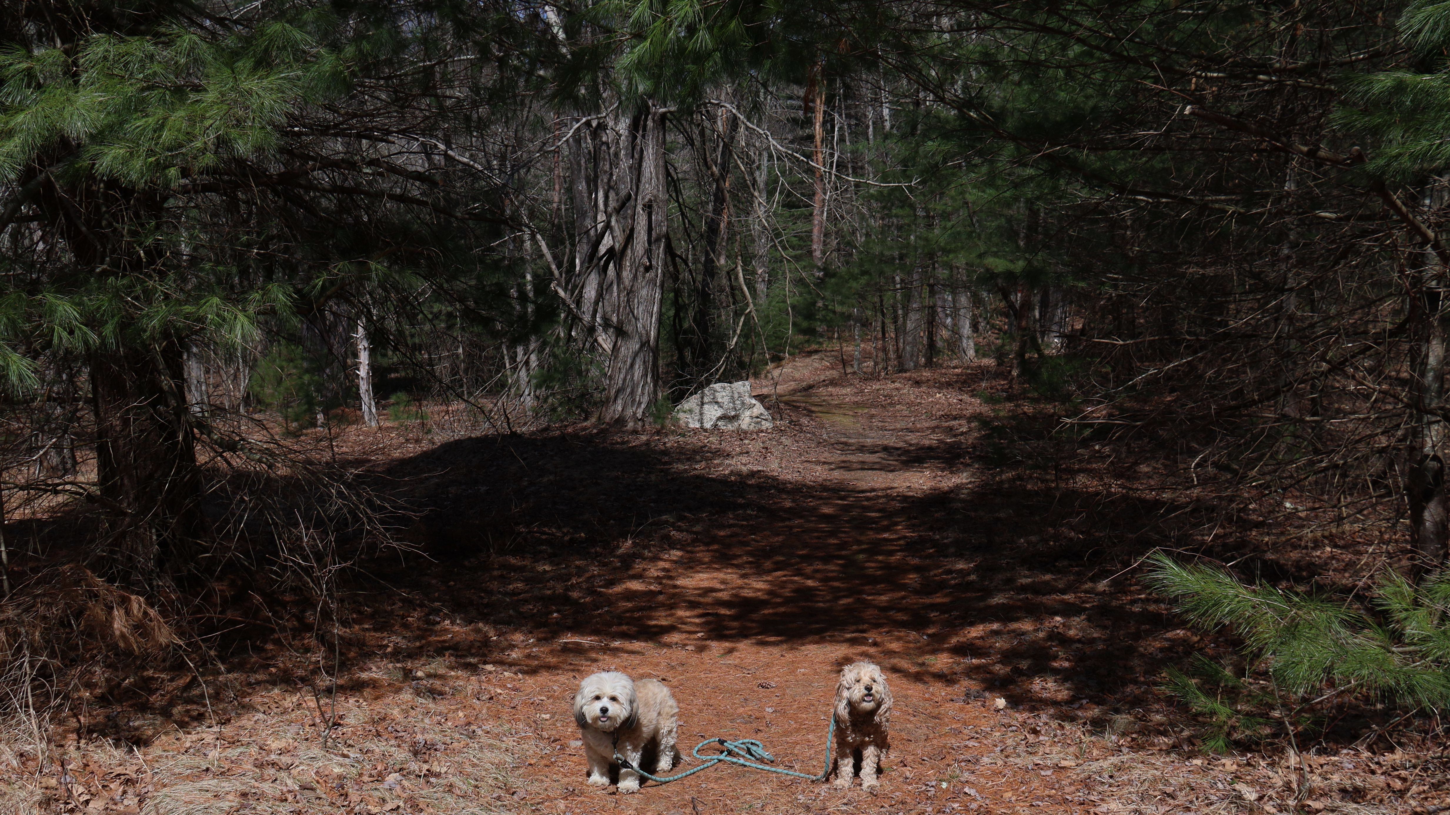
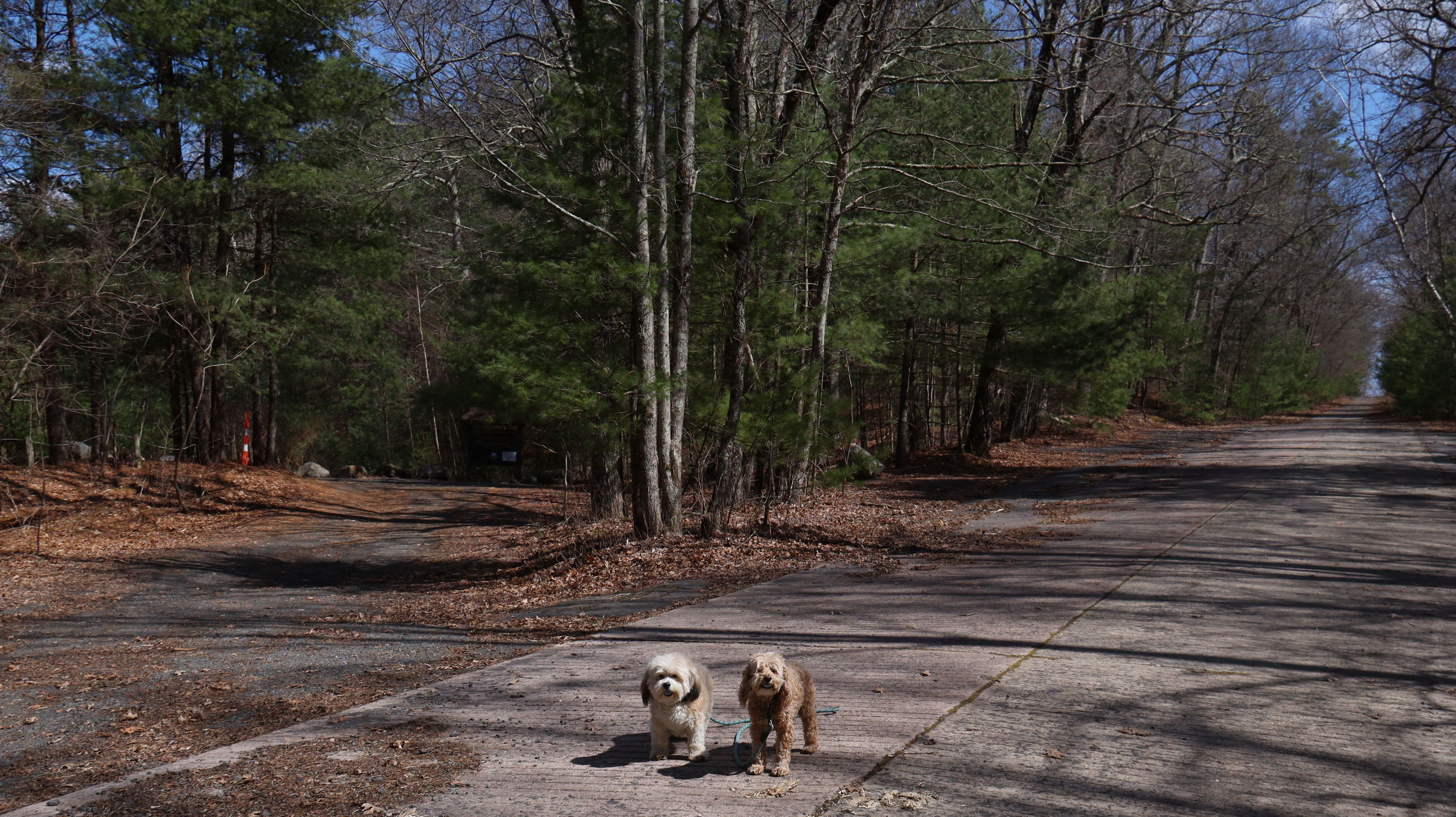
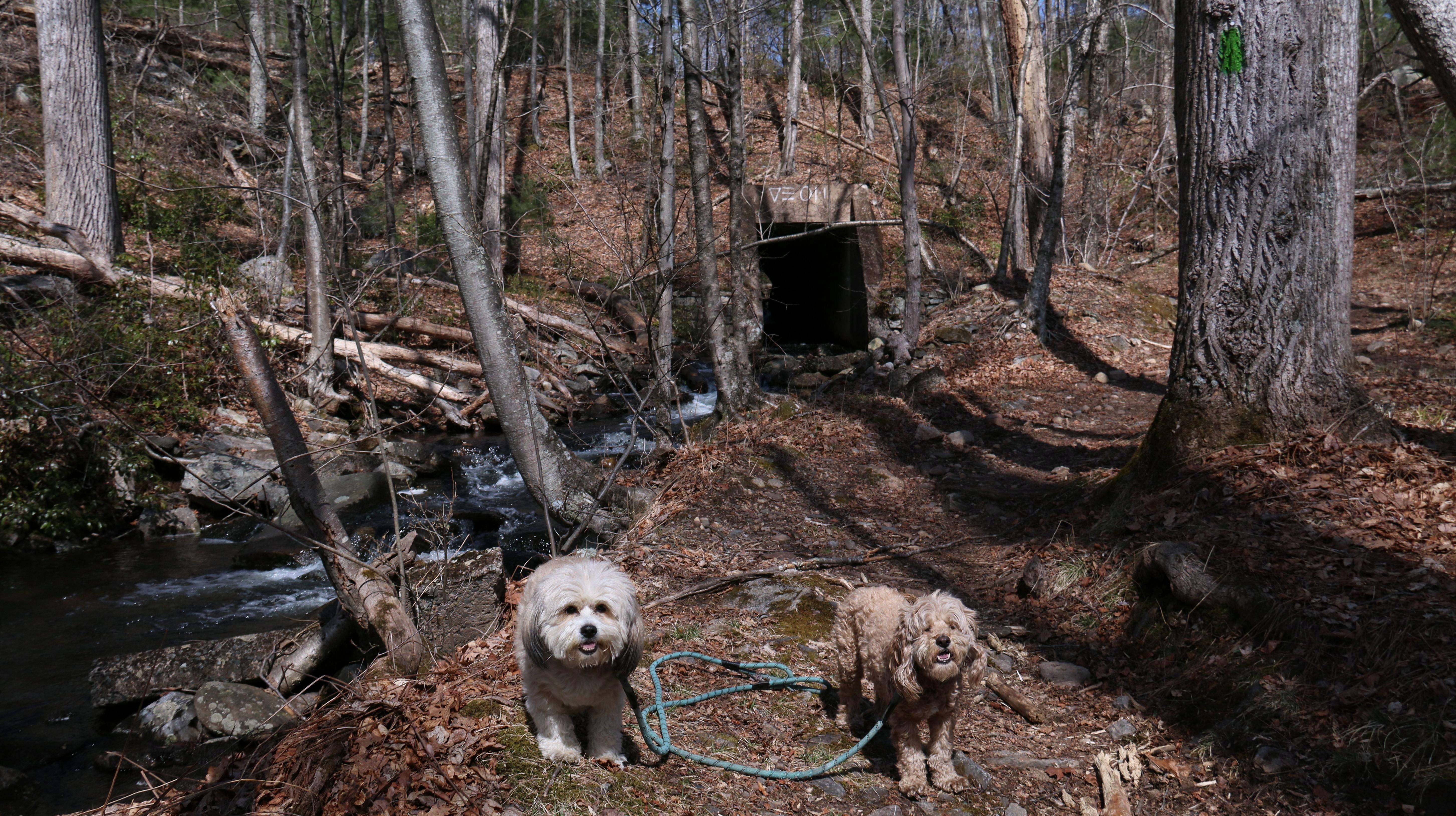
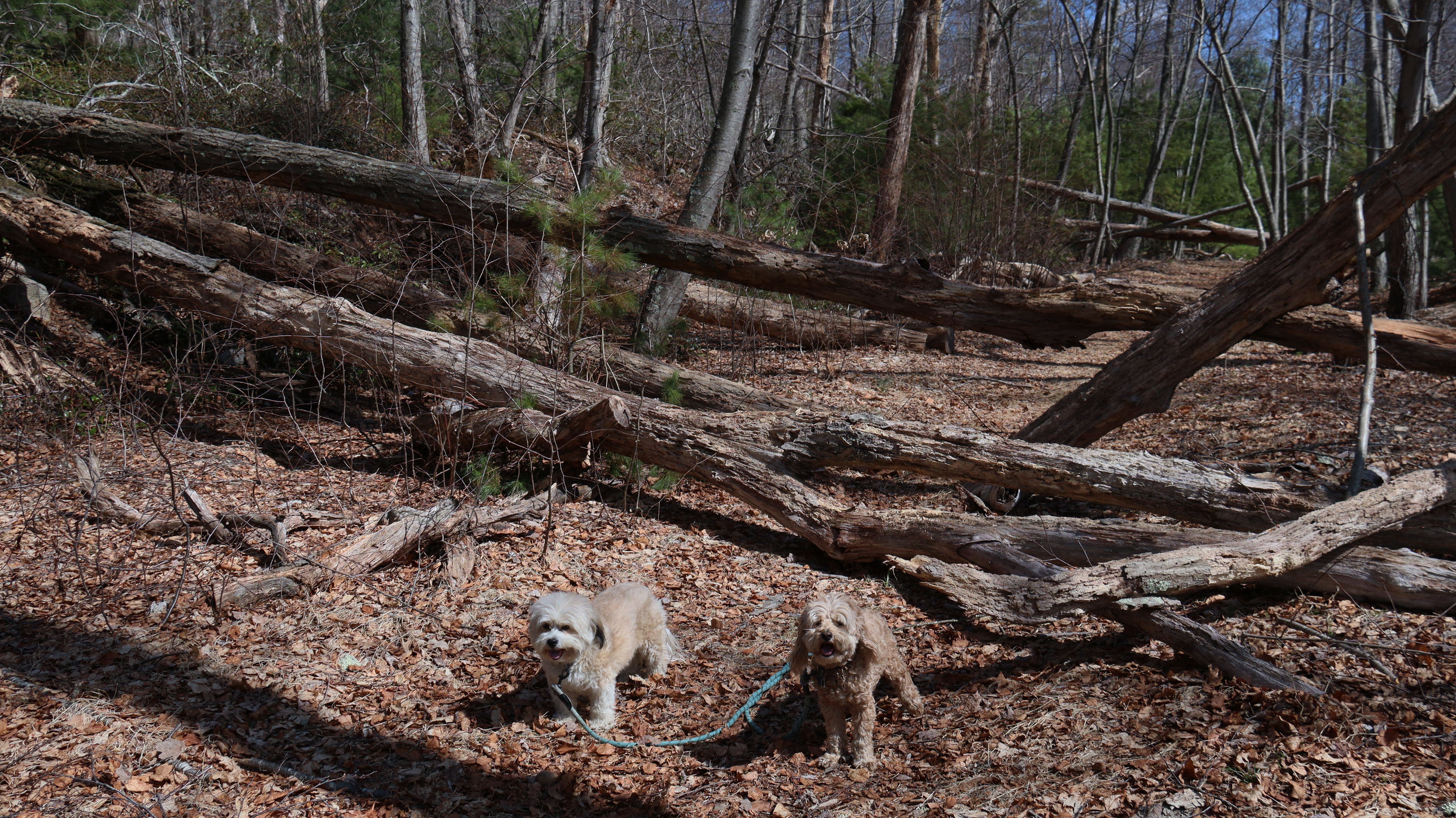
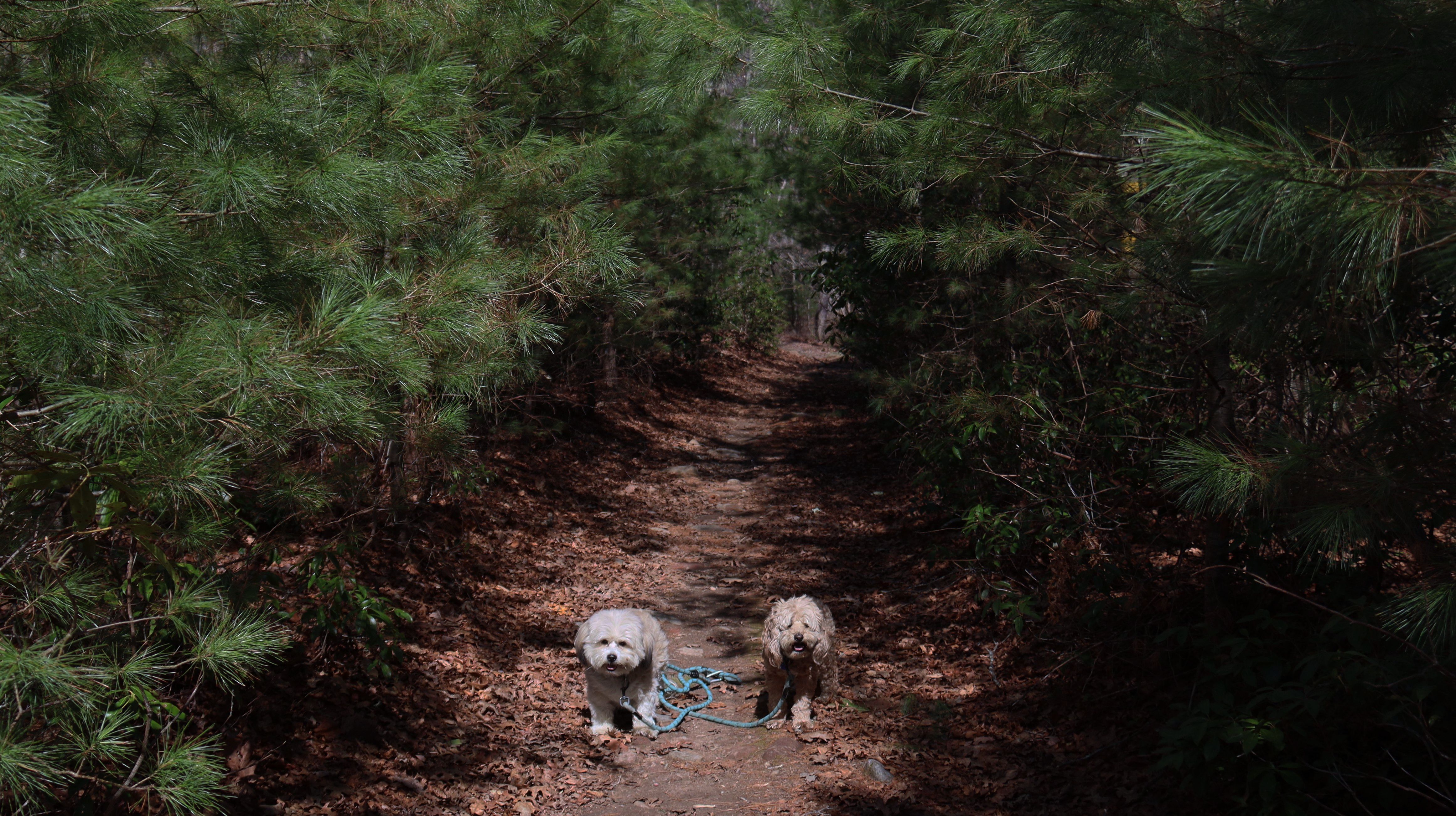
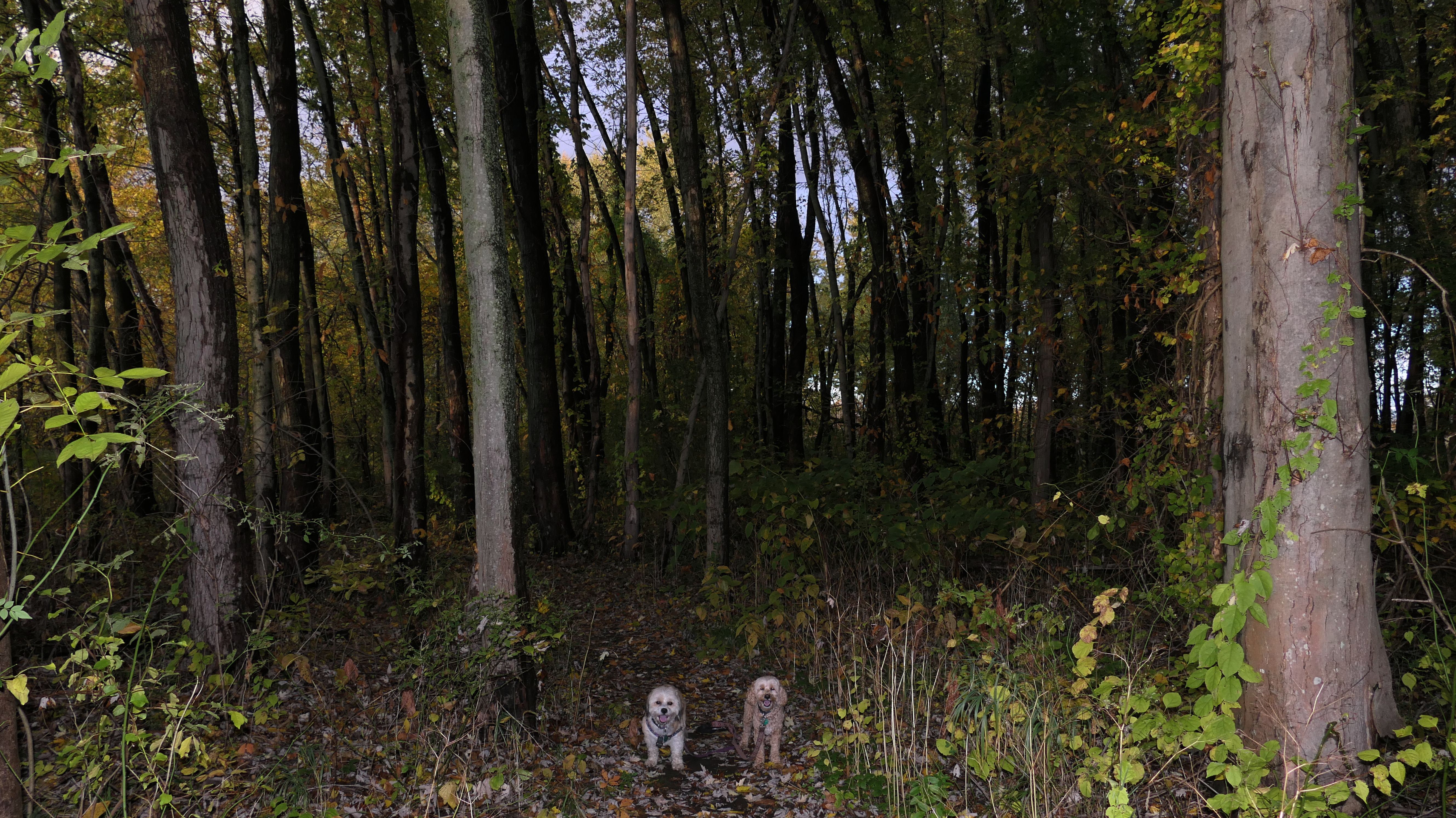
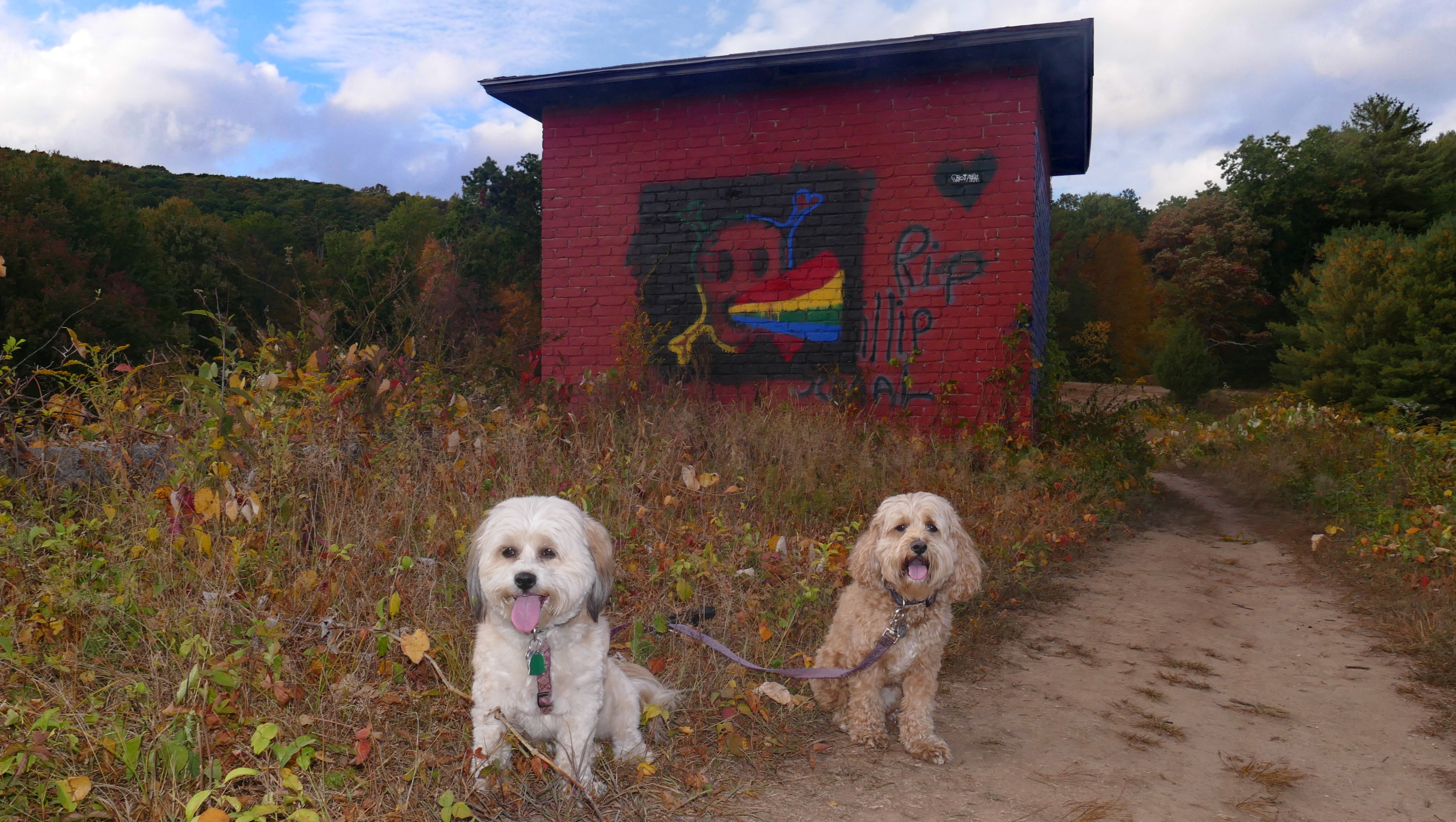
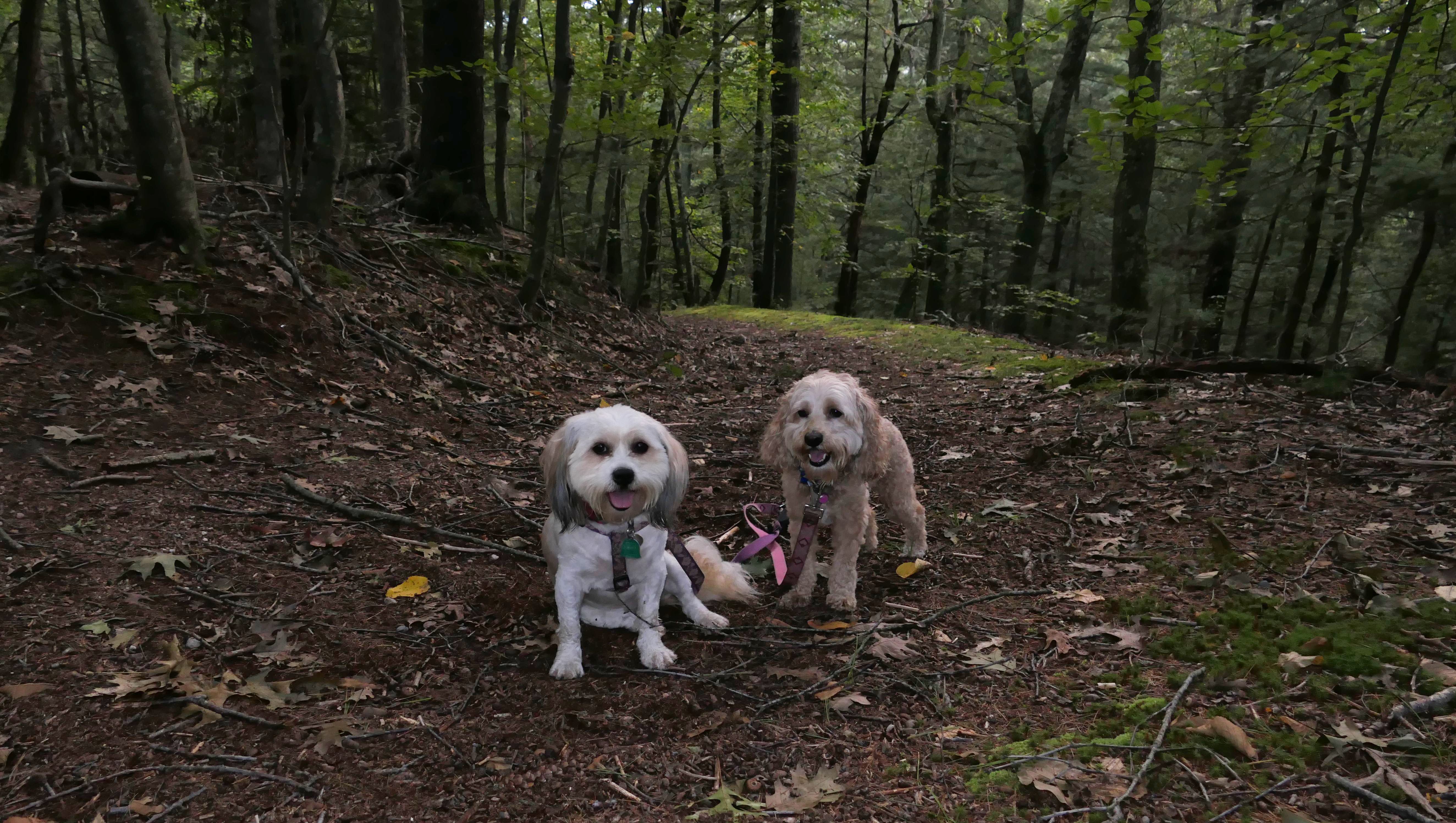
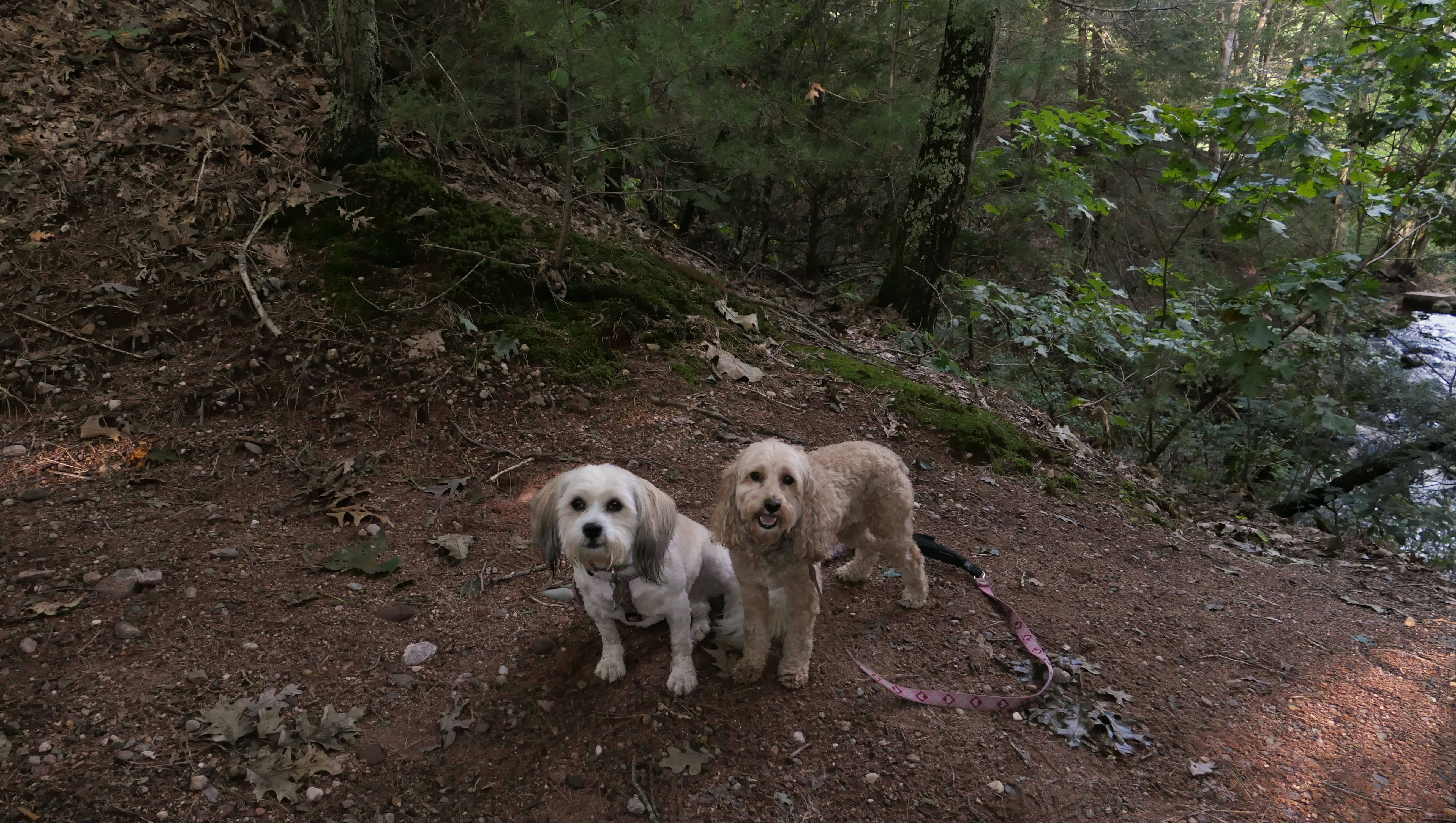
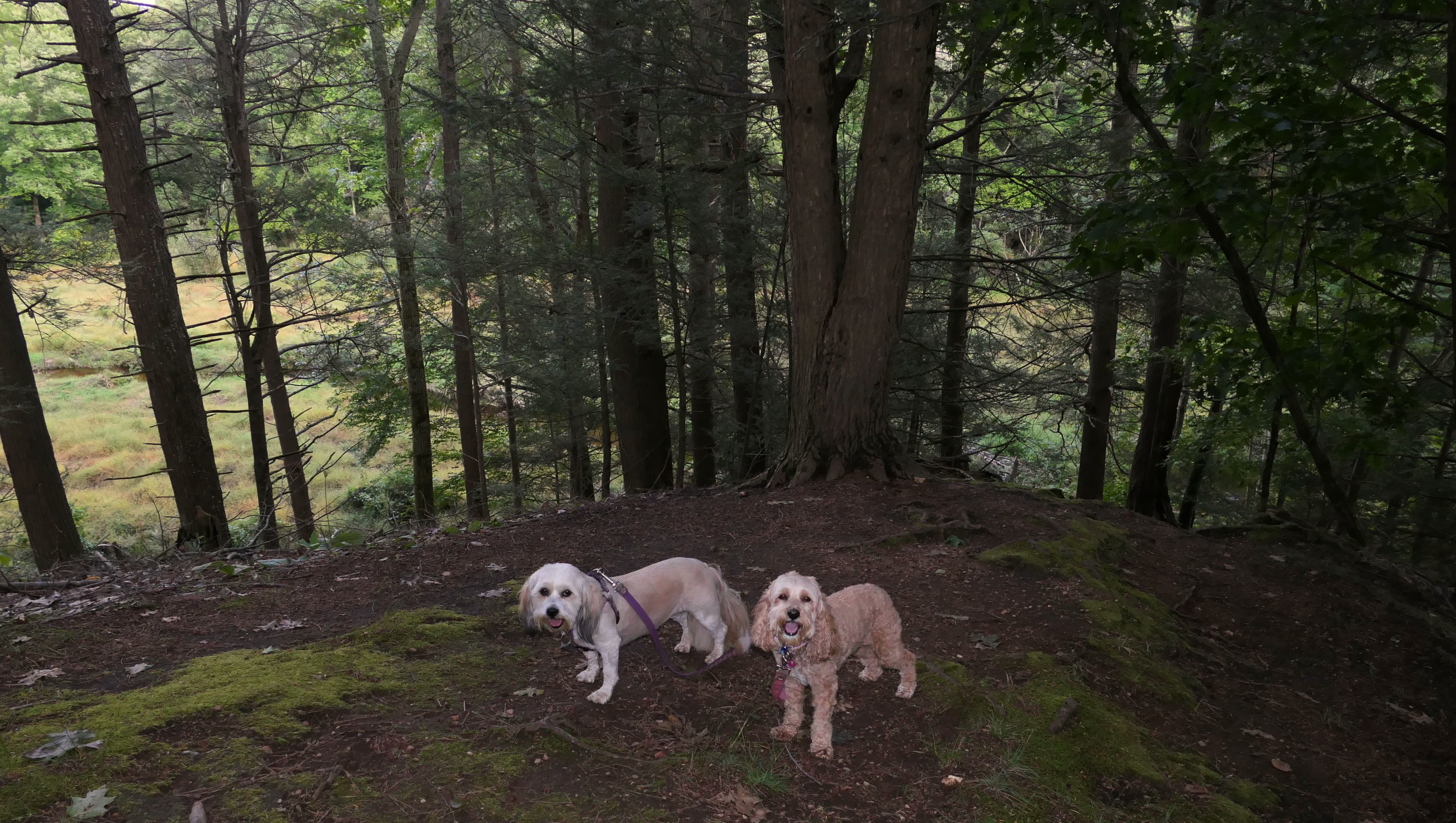
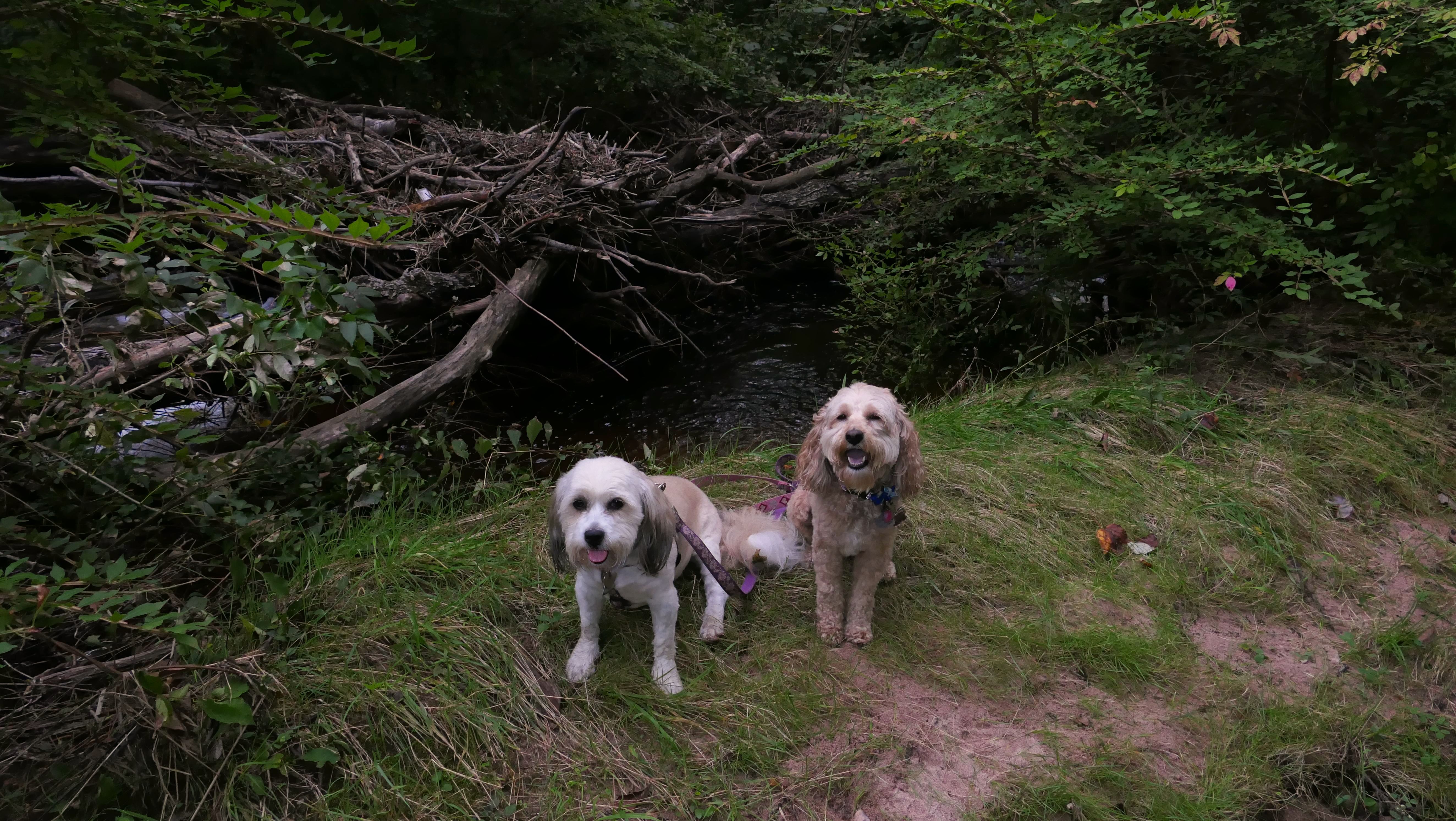
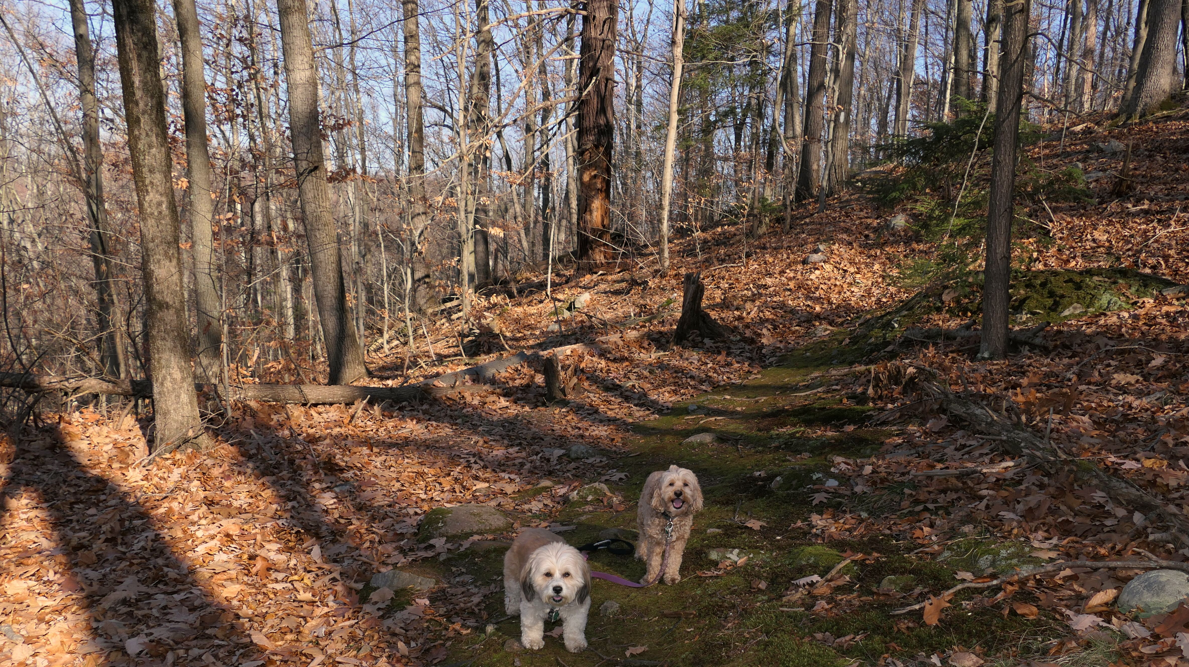
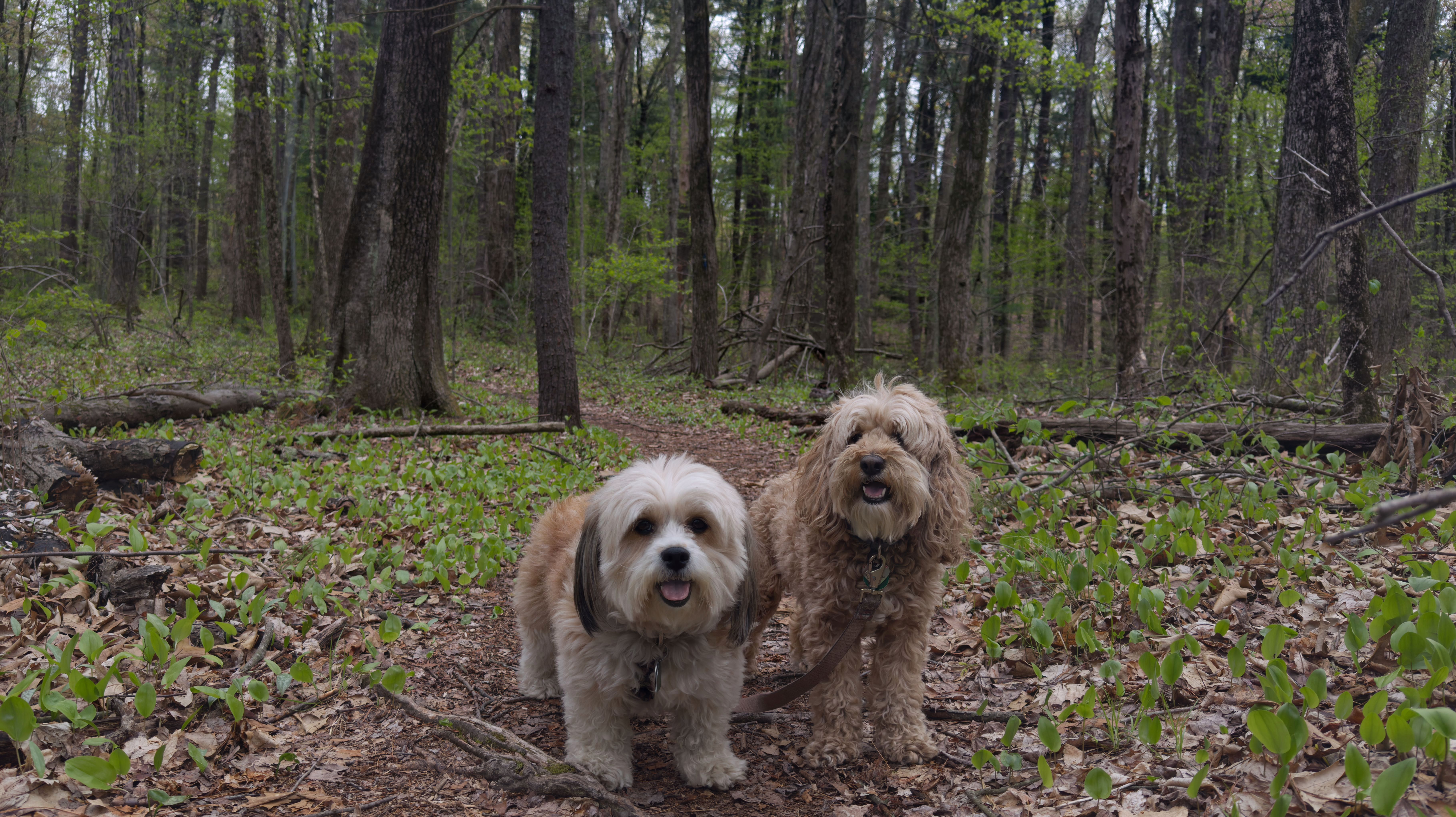
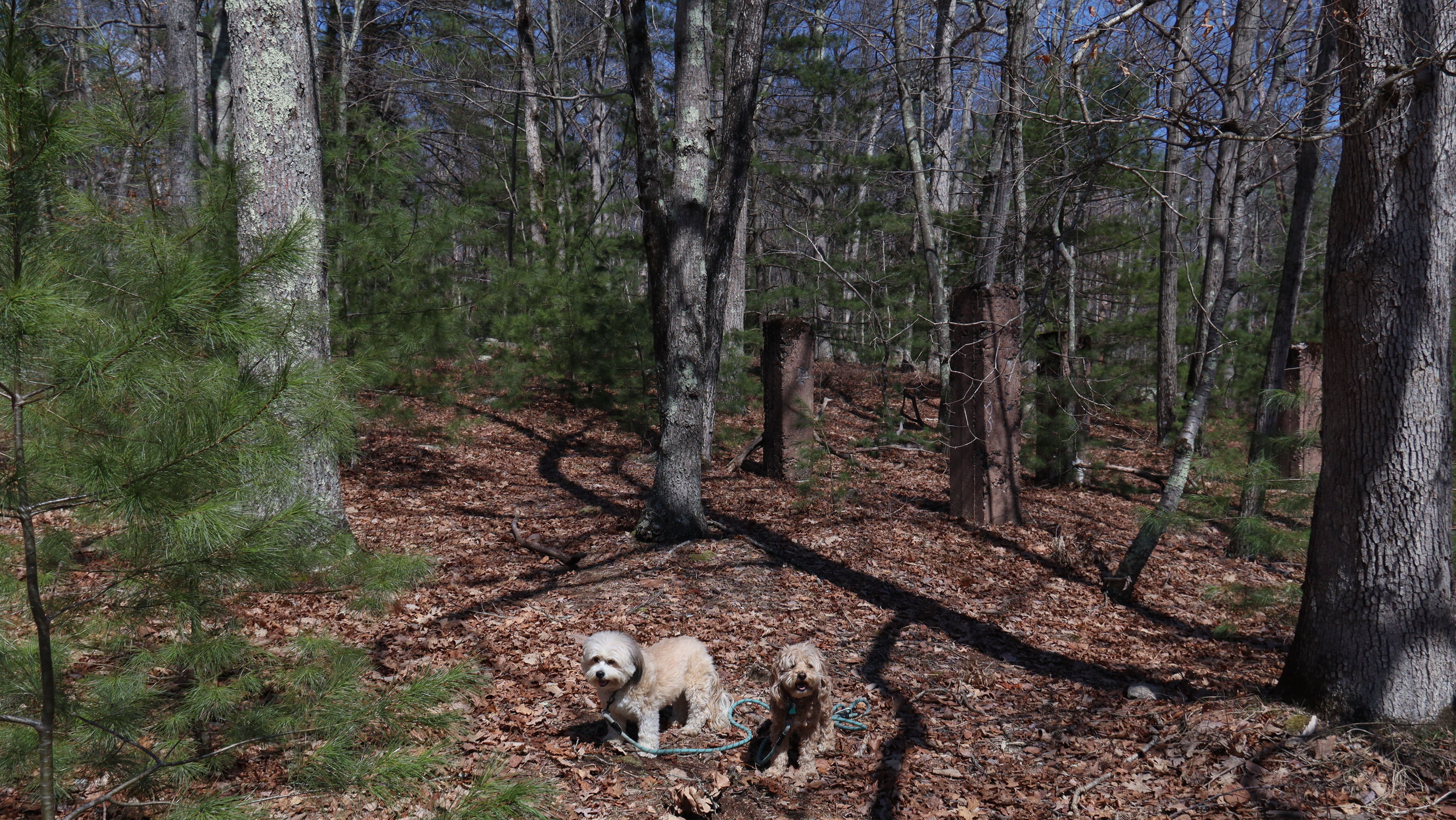
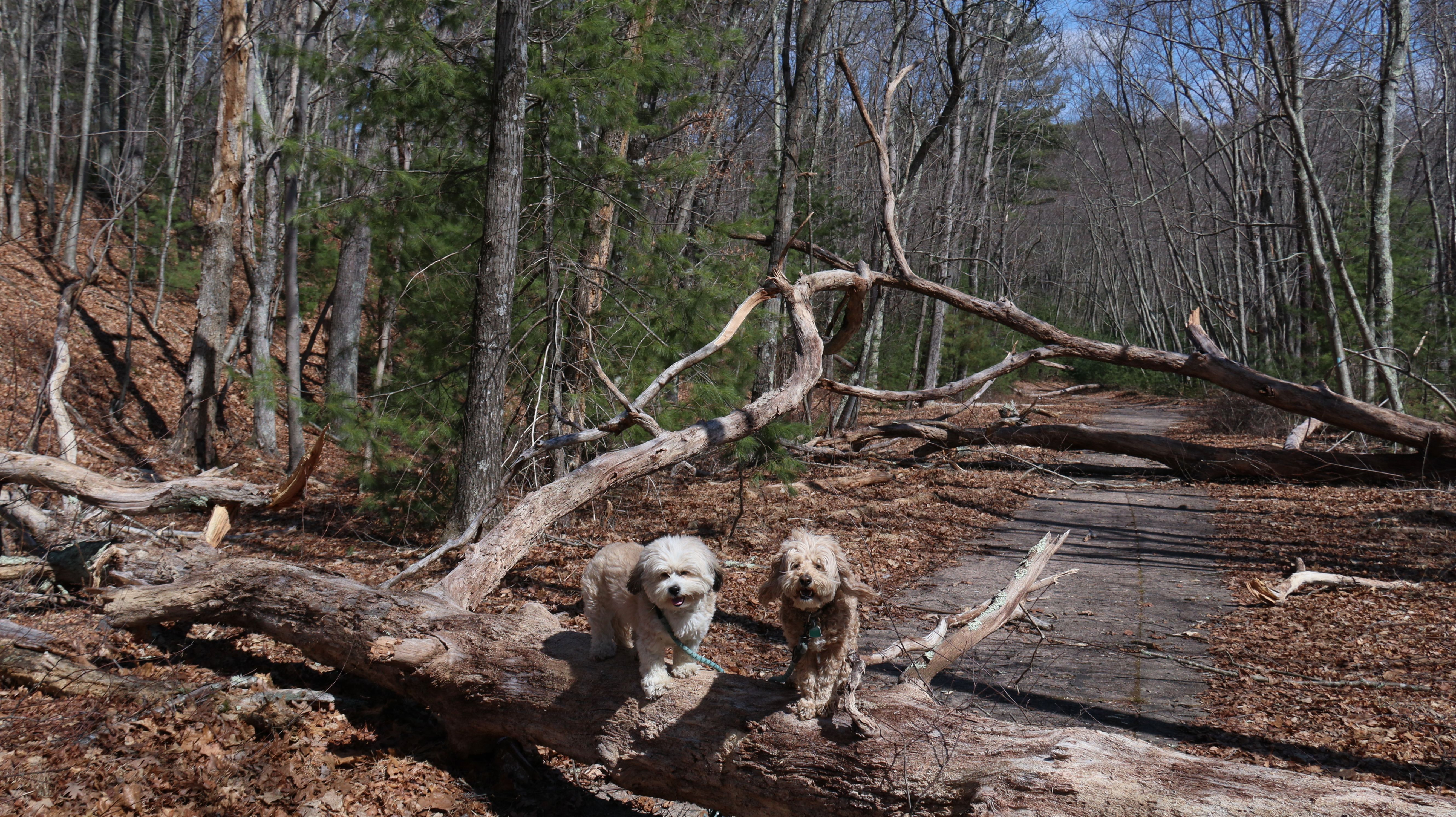
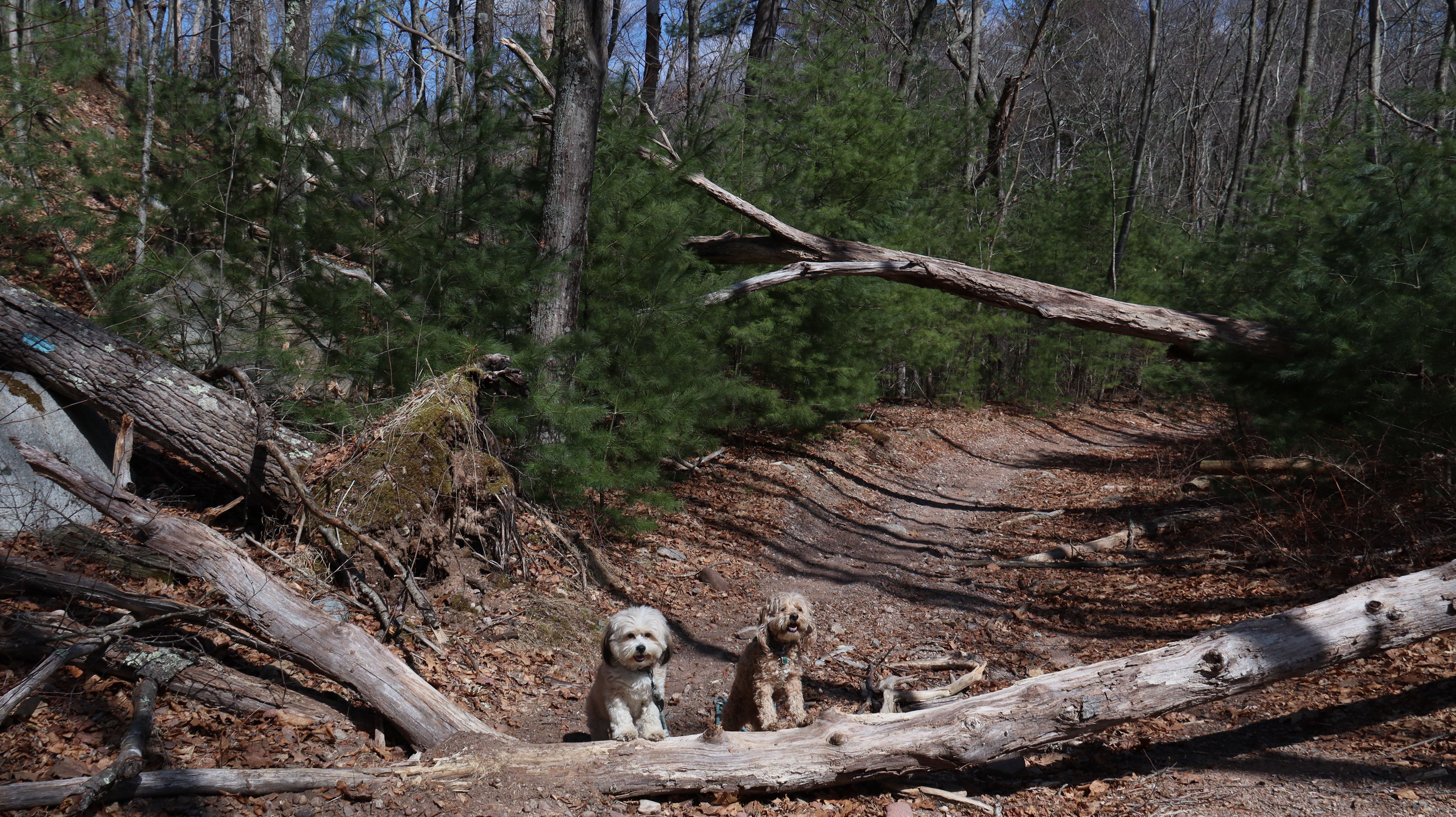
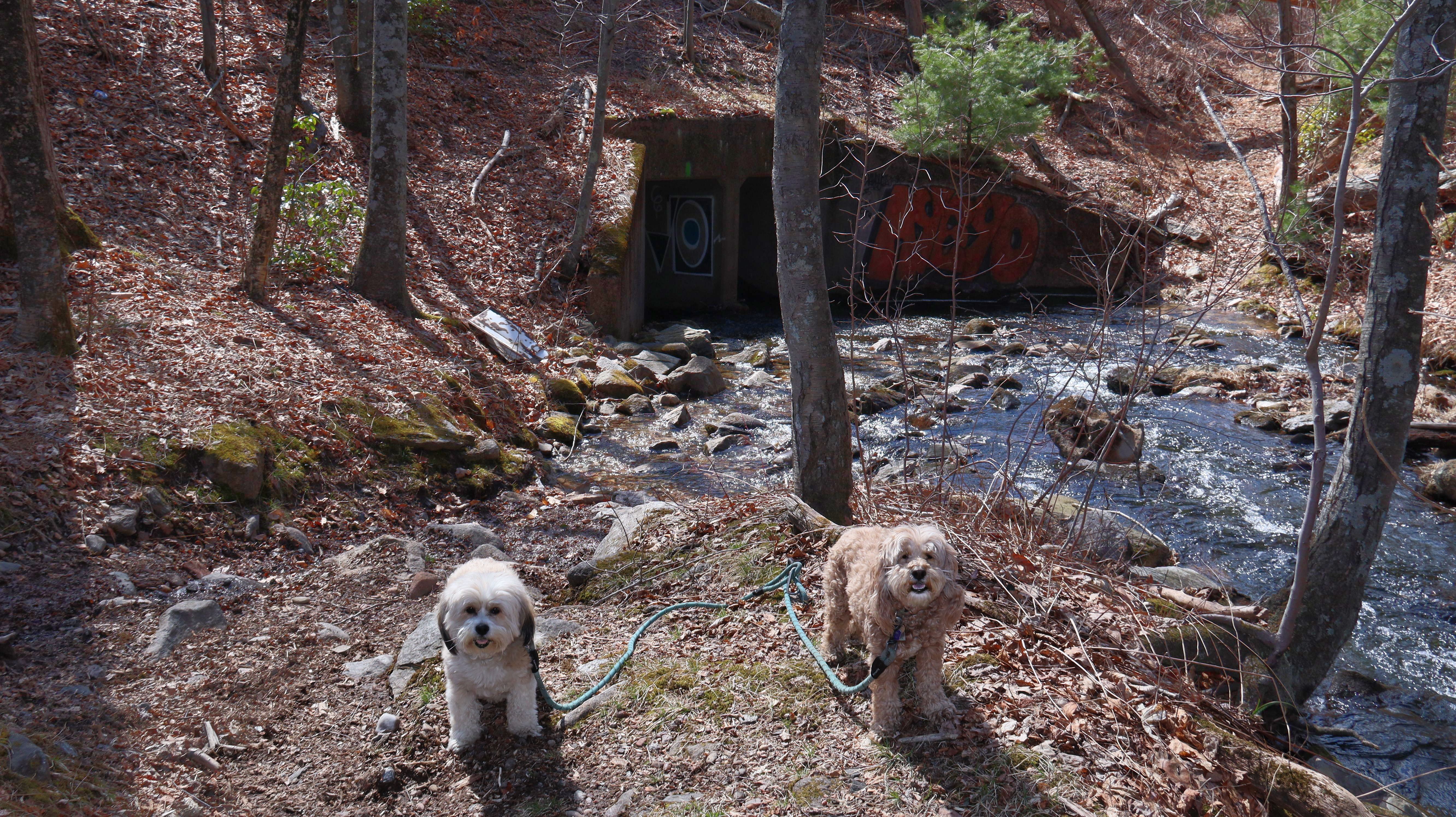
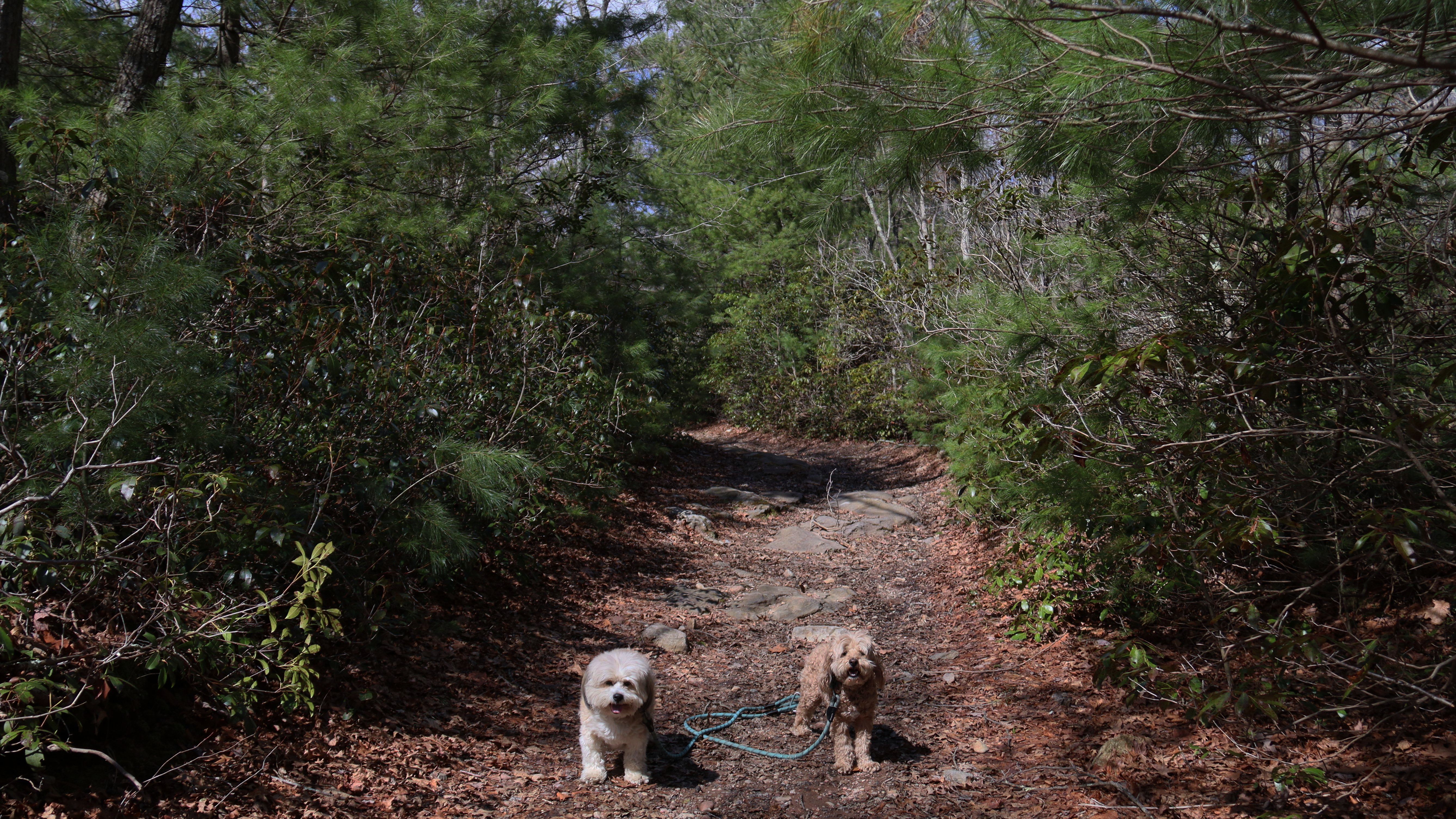
Meshomasic State Forest
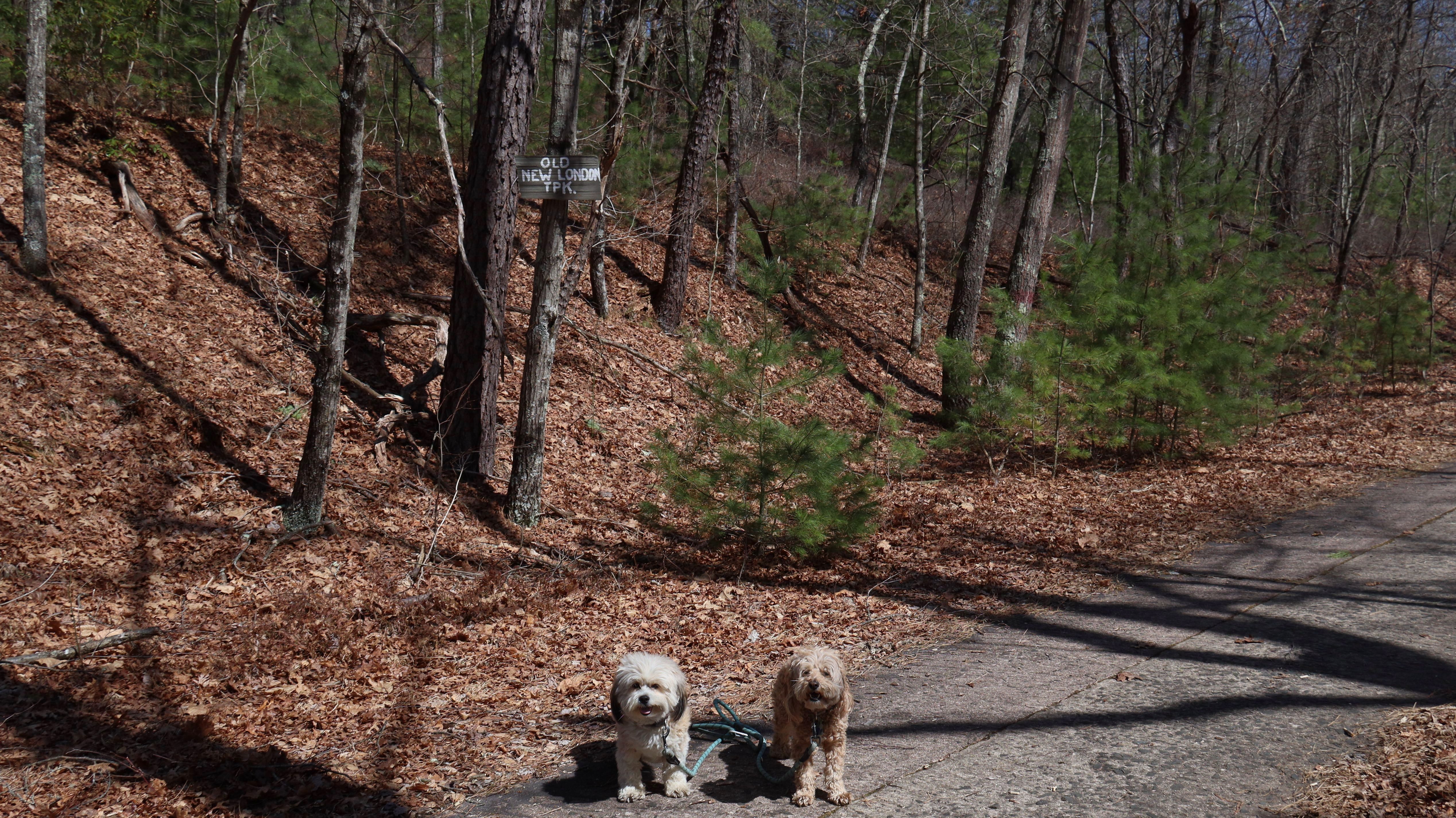
Date visited: 3/28/2026
We hiked what is Google Maps calls "North Mesh Trail", that runs through the northern part of the forest. We went out about one and half miles before turning around. The trail is pretty well maintained, and there are a number of side trails that you can take to make it longer if you want. Portions of the trail run along the old New London Turnpike, and alternate between a gravel and cement surface, before turing into a dirt trail. A couple things to be aware of...the trail passes a gun range. Luckily nobody was using it when we were there. There was a number of downed trees and some muddy spots, but we were able to navigate around them without too much trouble. There is also a fair amount of highway noise as the trail runs pretty close to Route 2 for a good portion of the hike. One of the connecting trails leads under route two through a tunnel, but it's sort of a stream now so you would need to wade through it to get to the other side, and we didn't want to do that with the dogs.
More Images