Connecticut
Massachusetts
Rhode Island
New York
New Jersey
Other States
Latest Adventures
About Mandy & Lexi
Beach Guide
FAQ
◂︎ Mandy & Lexi's Connecticut Adventures
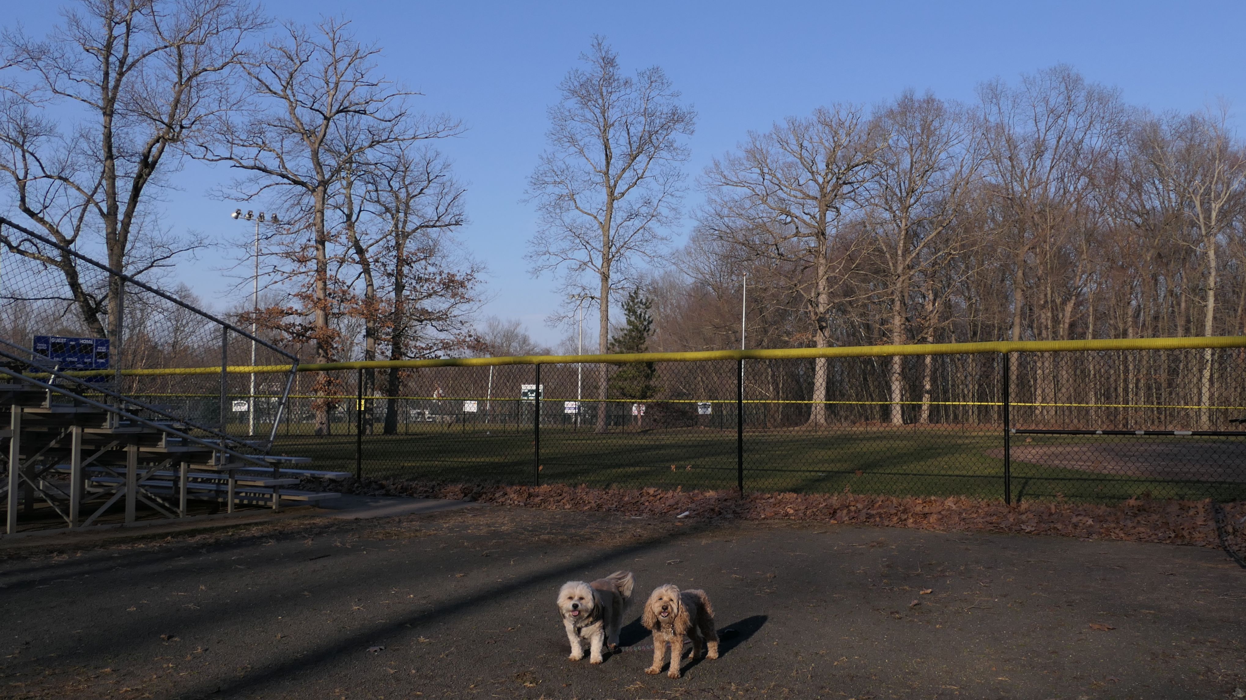
Wethersfield
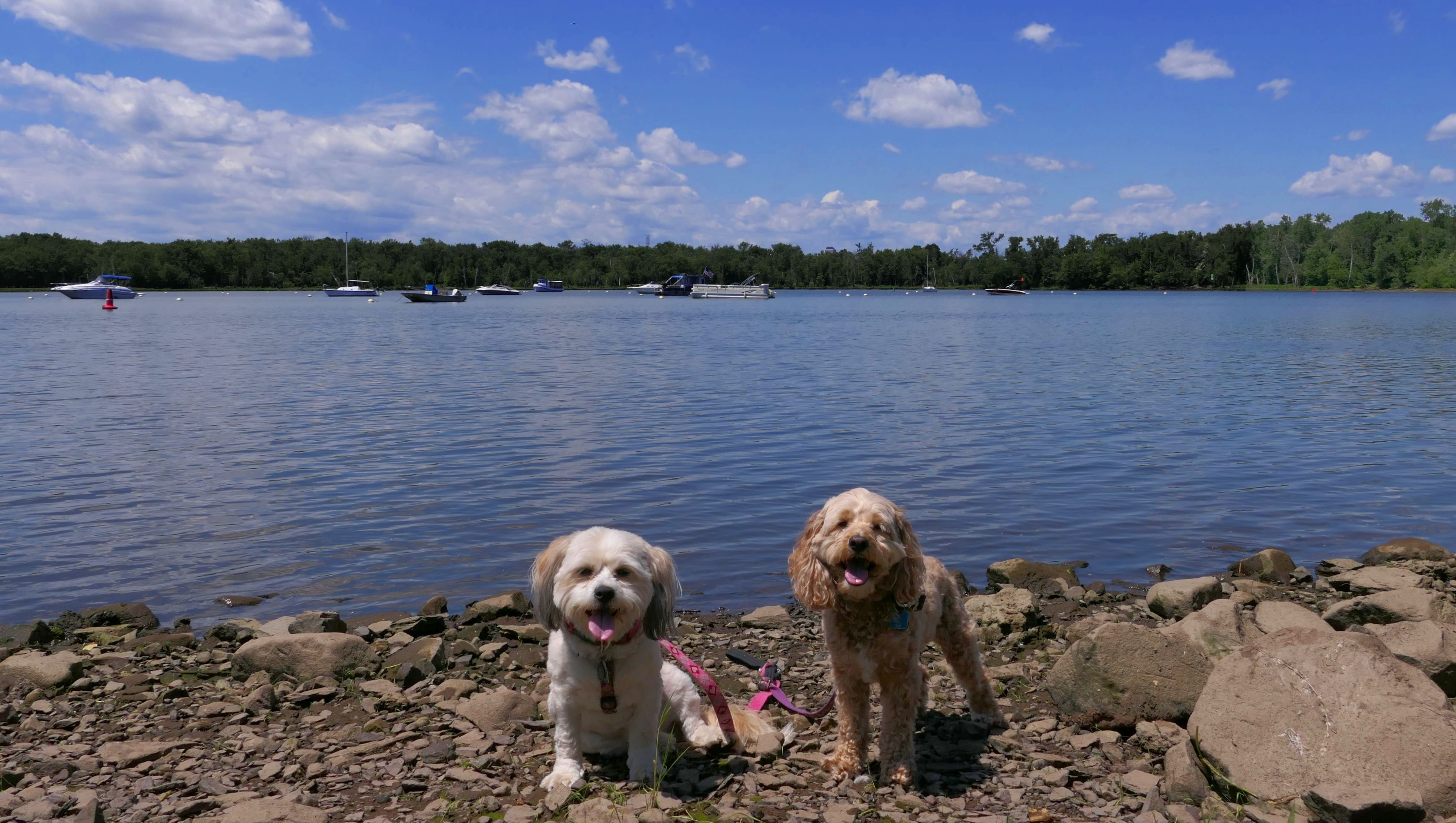
Cove Park
Date visited: 6/13/2021
Wethersfield might be best known for "Wethersfield Cove", the inlet that runs under I-91 and is a popular boat launch spot. Access to the Cove is through "Cove Park". There is a short, half mile or so, walking trail here. There is also a small museum that had water out for passing dogs. There is also an atheletic field, that was playing host to an old-timey softball game while we were there. The players were wearing vintage uniforms, and must have been very hot!


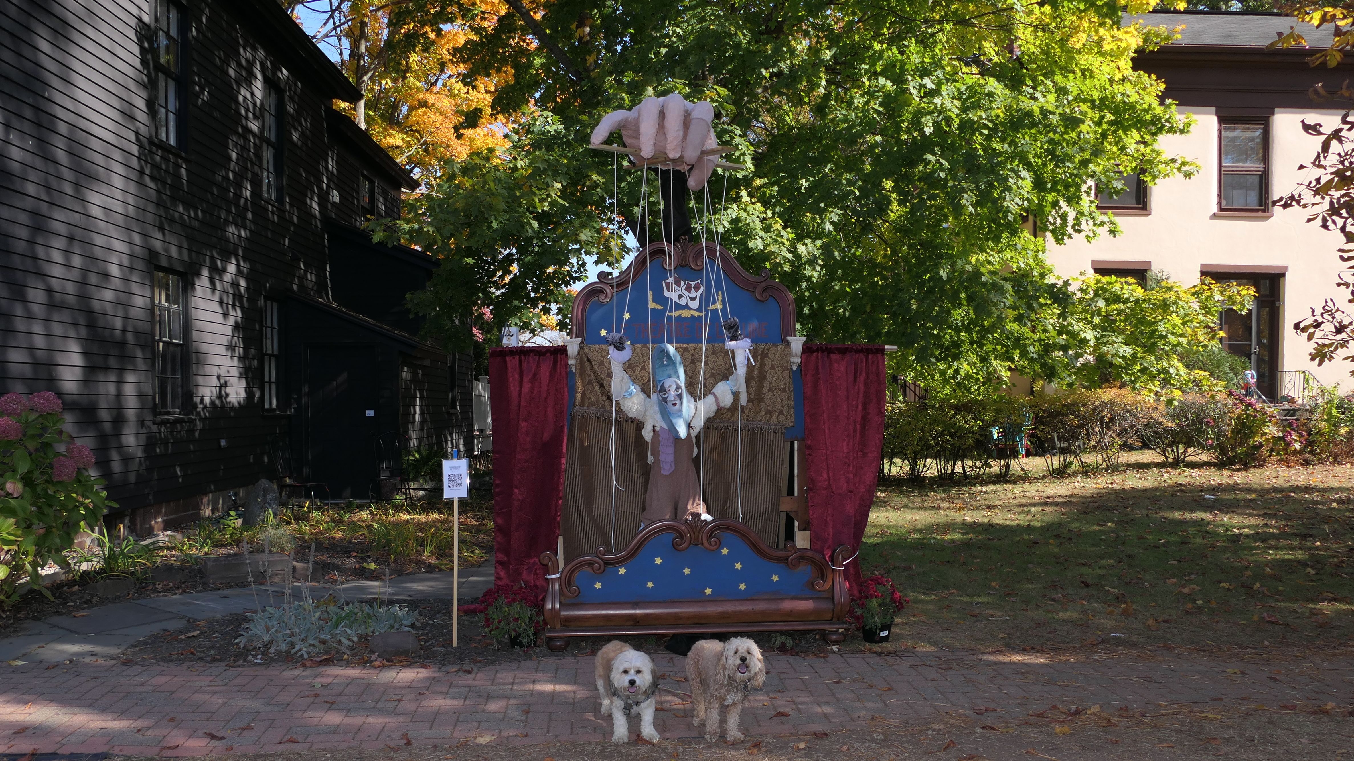
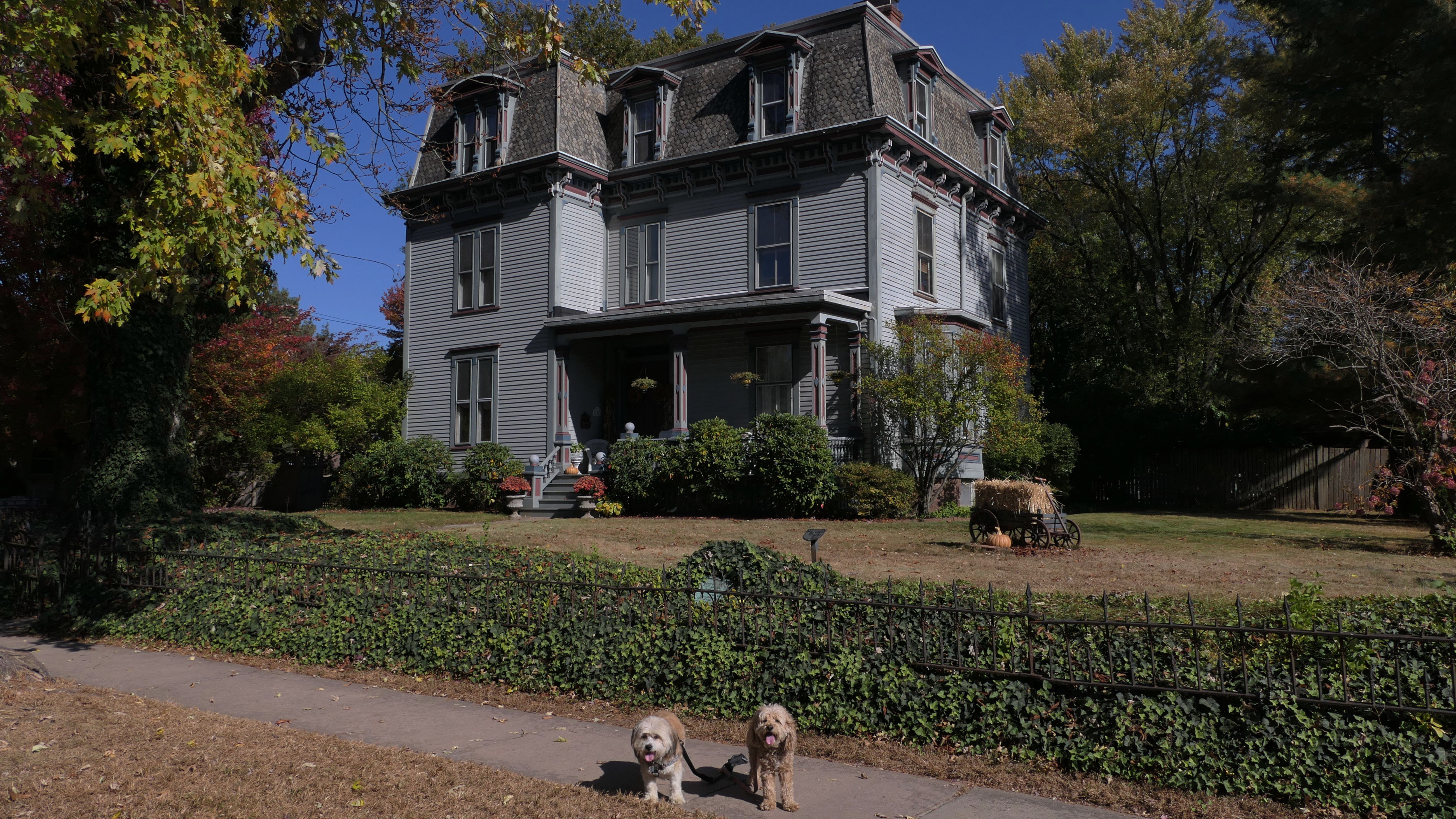
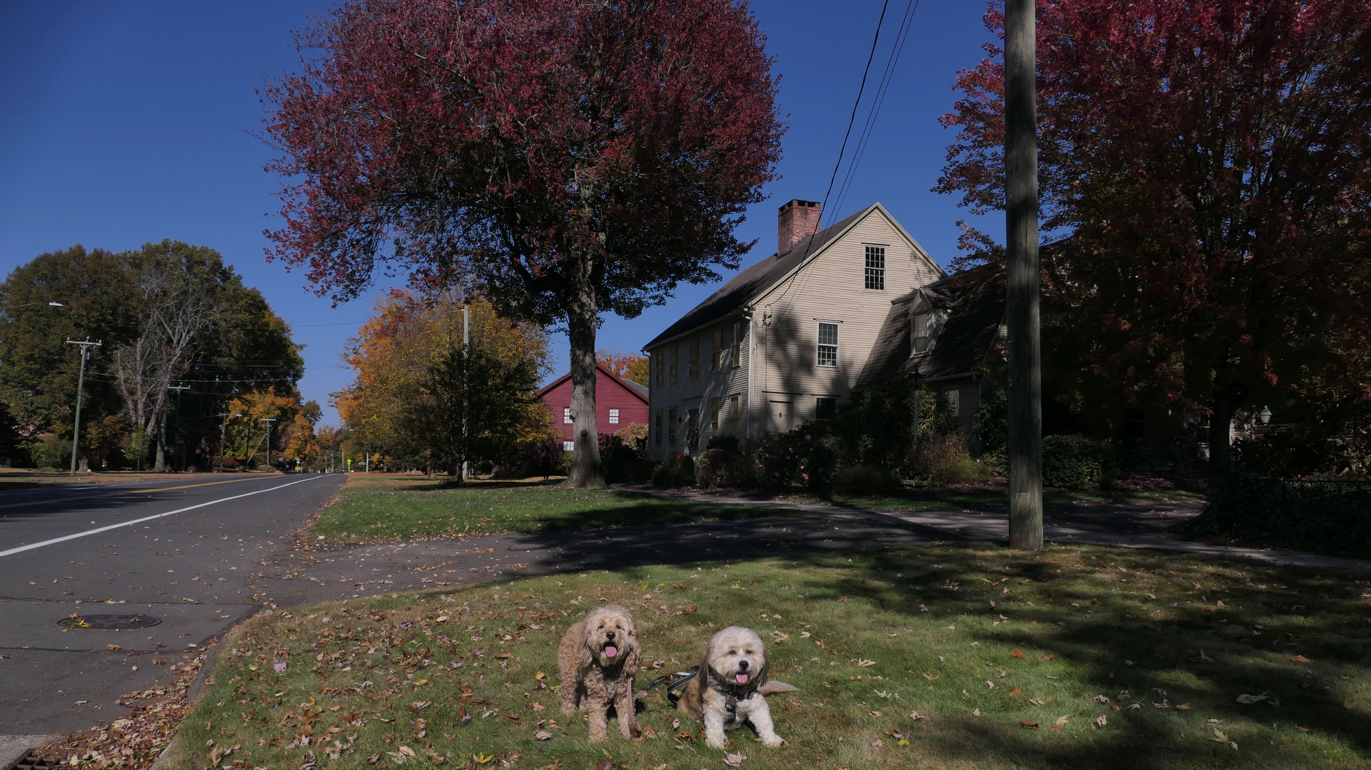
Old Wethersfield
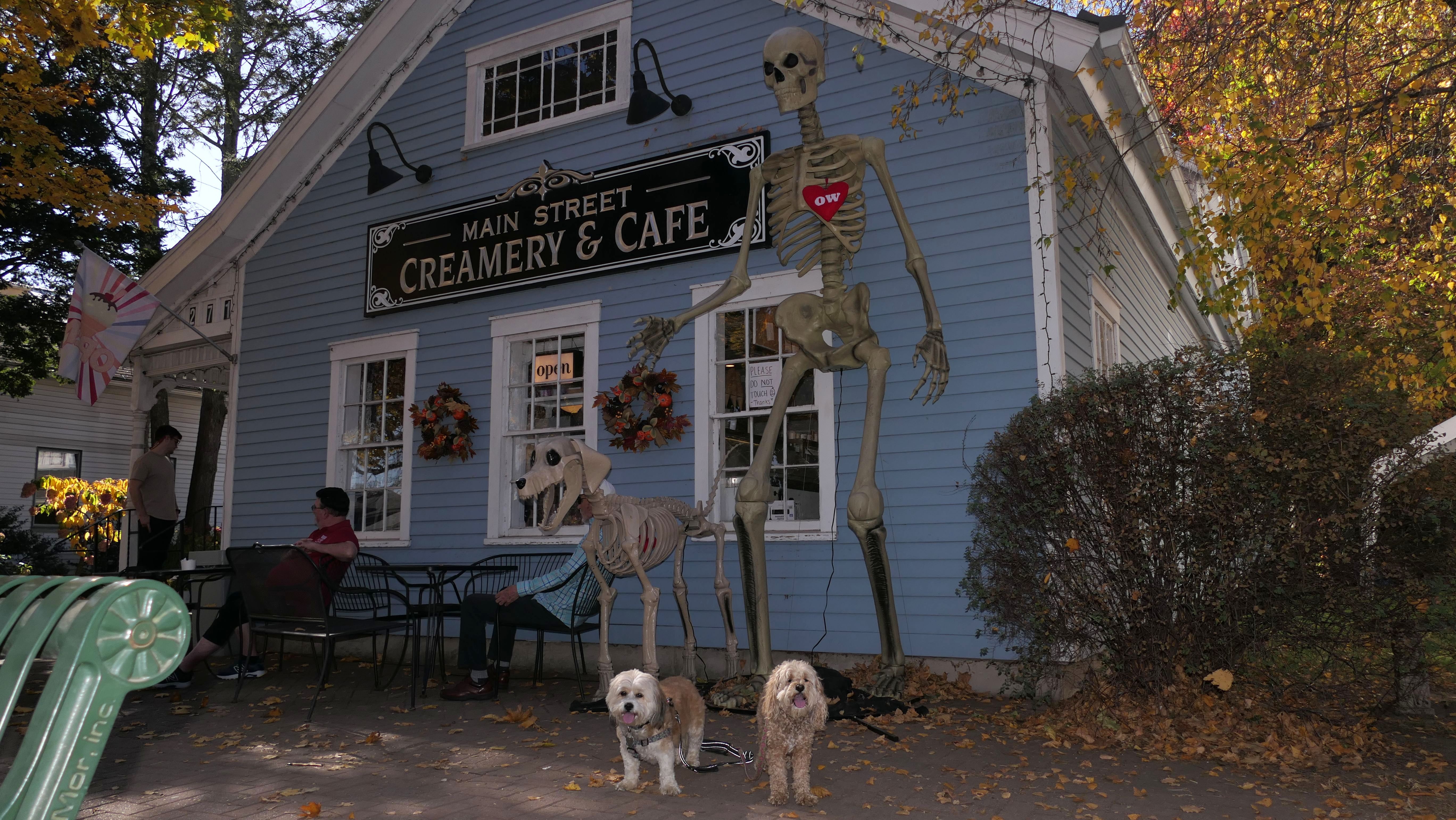
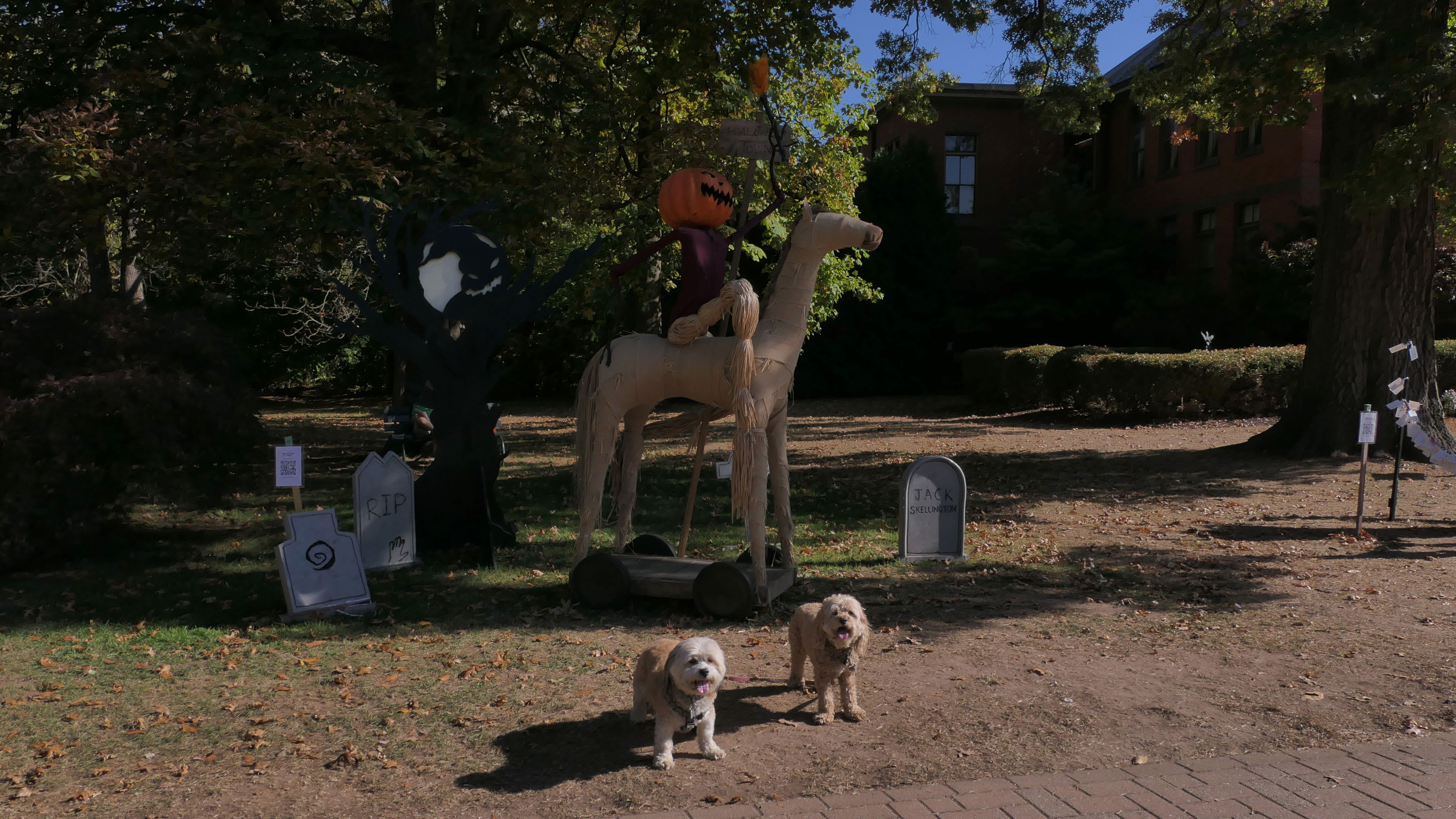
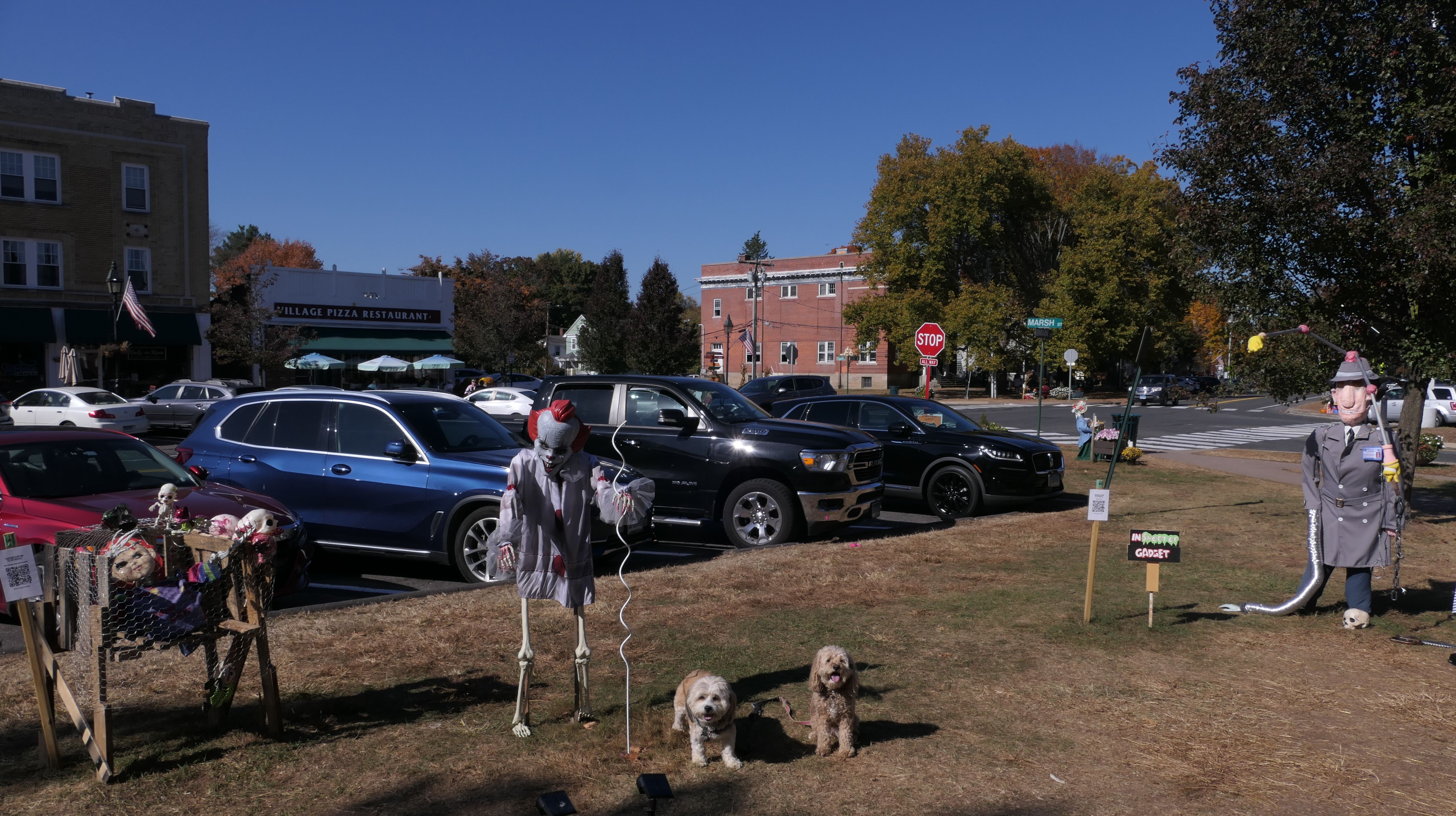
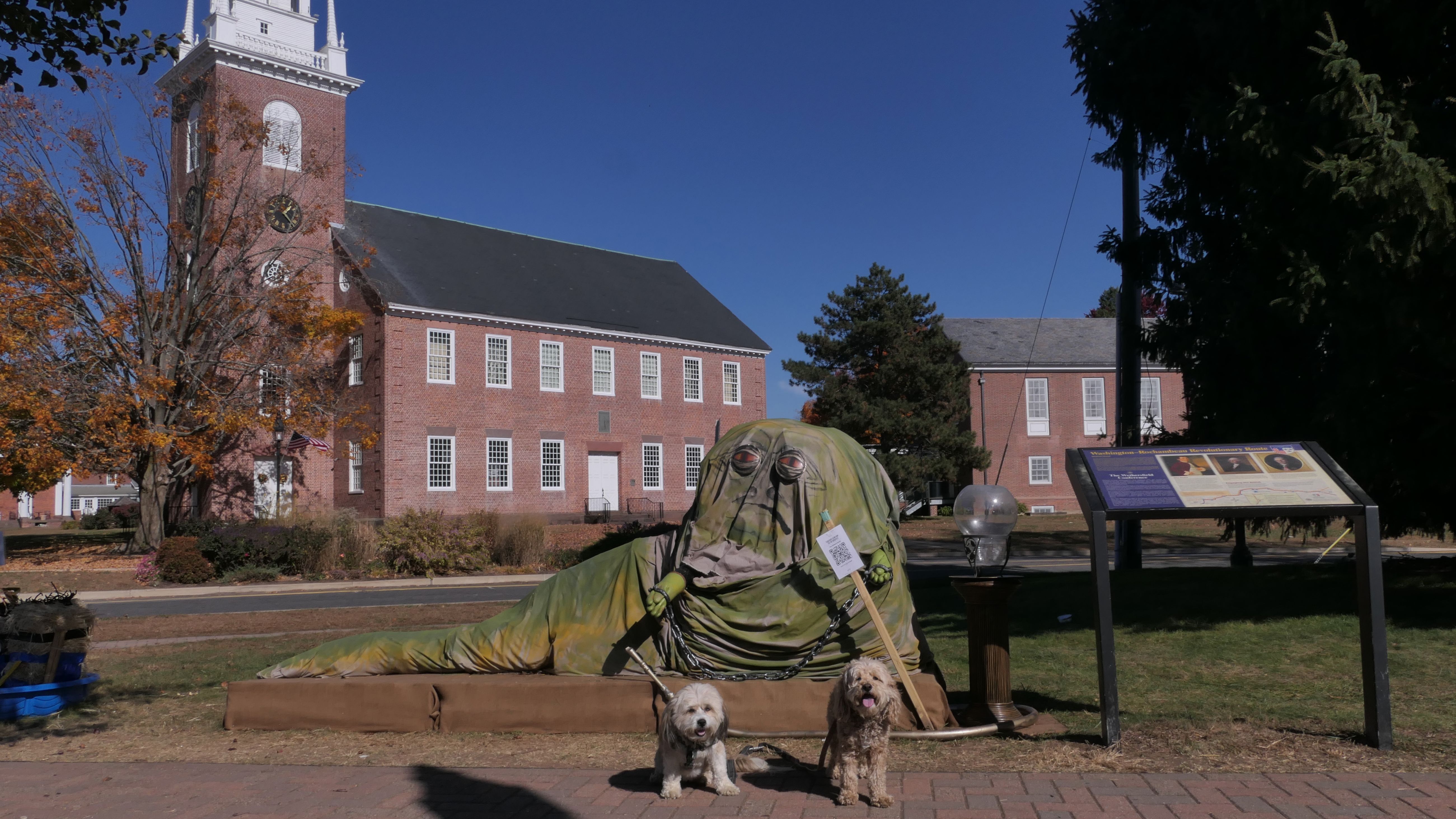
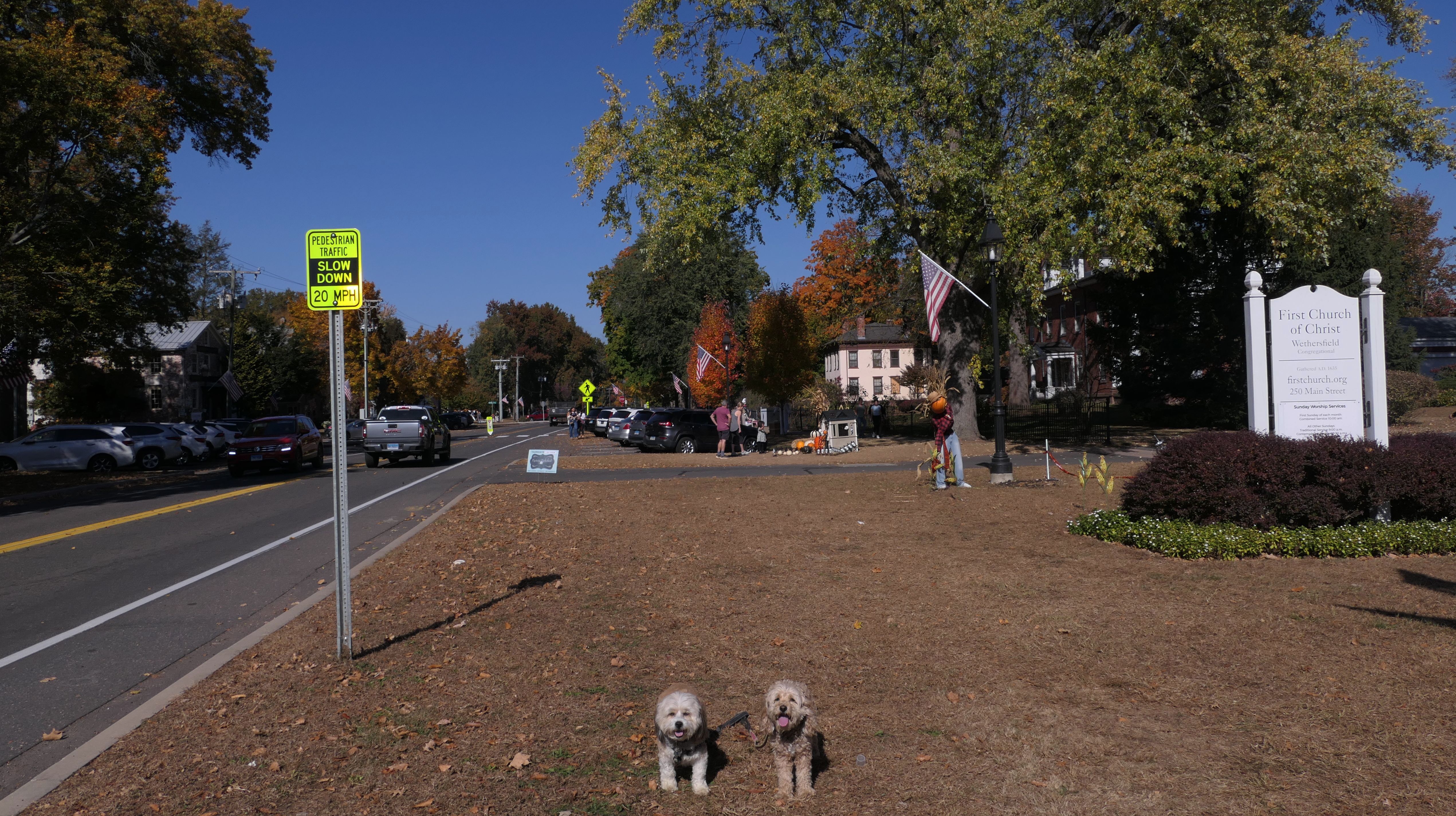
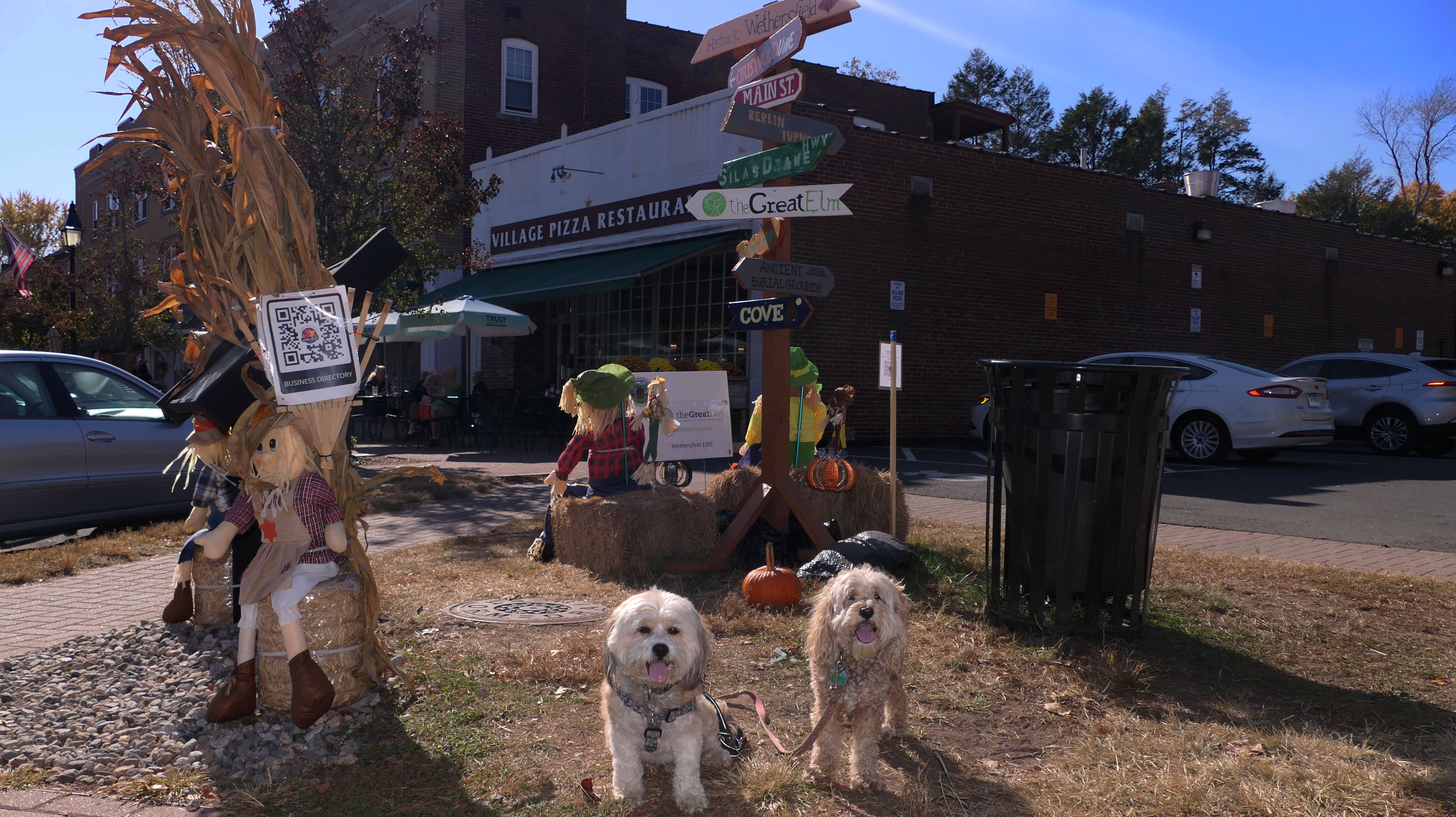
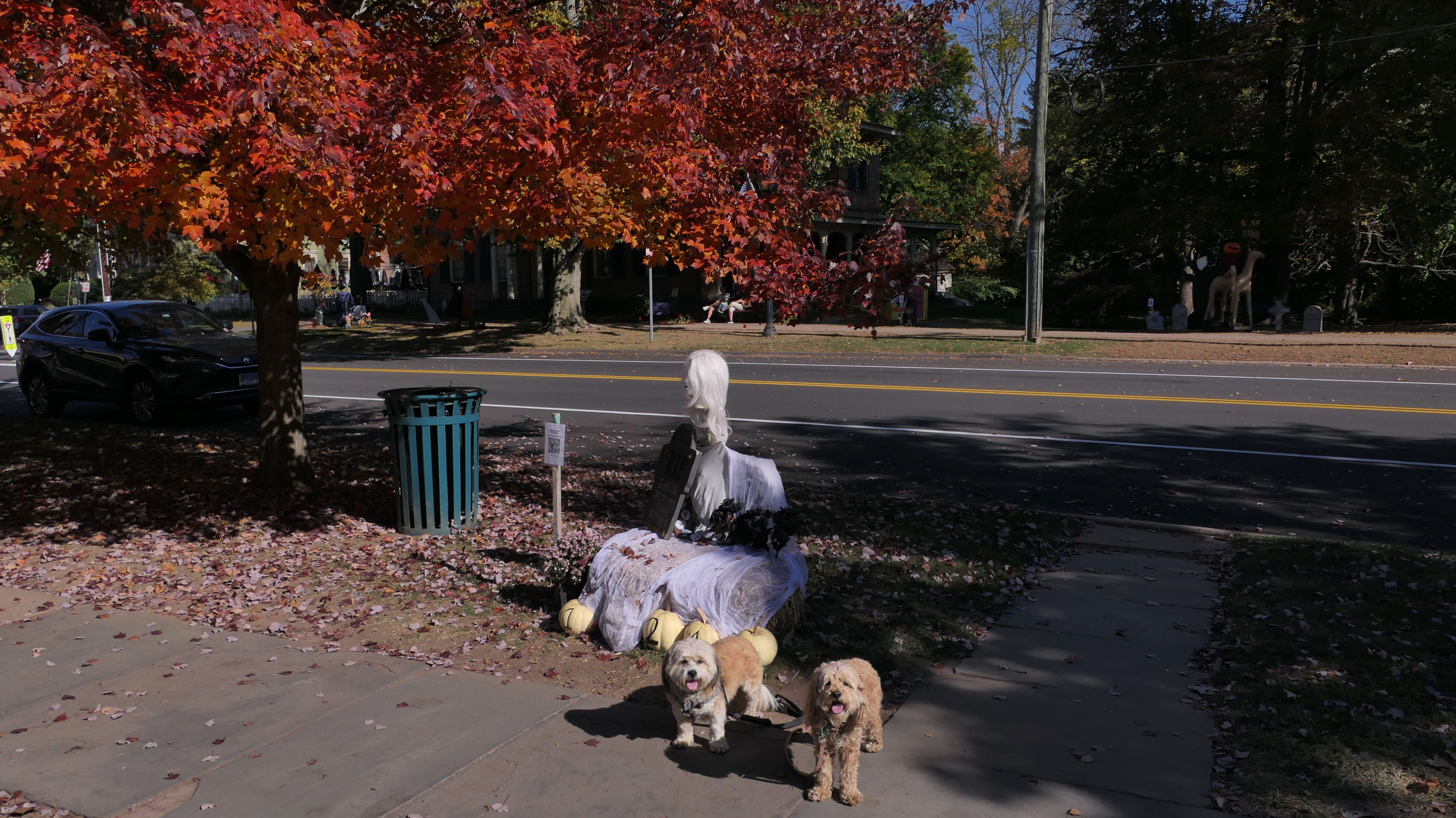
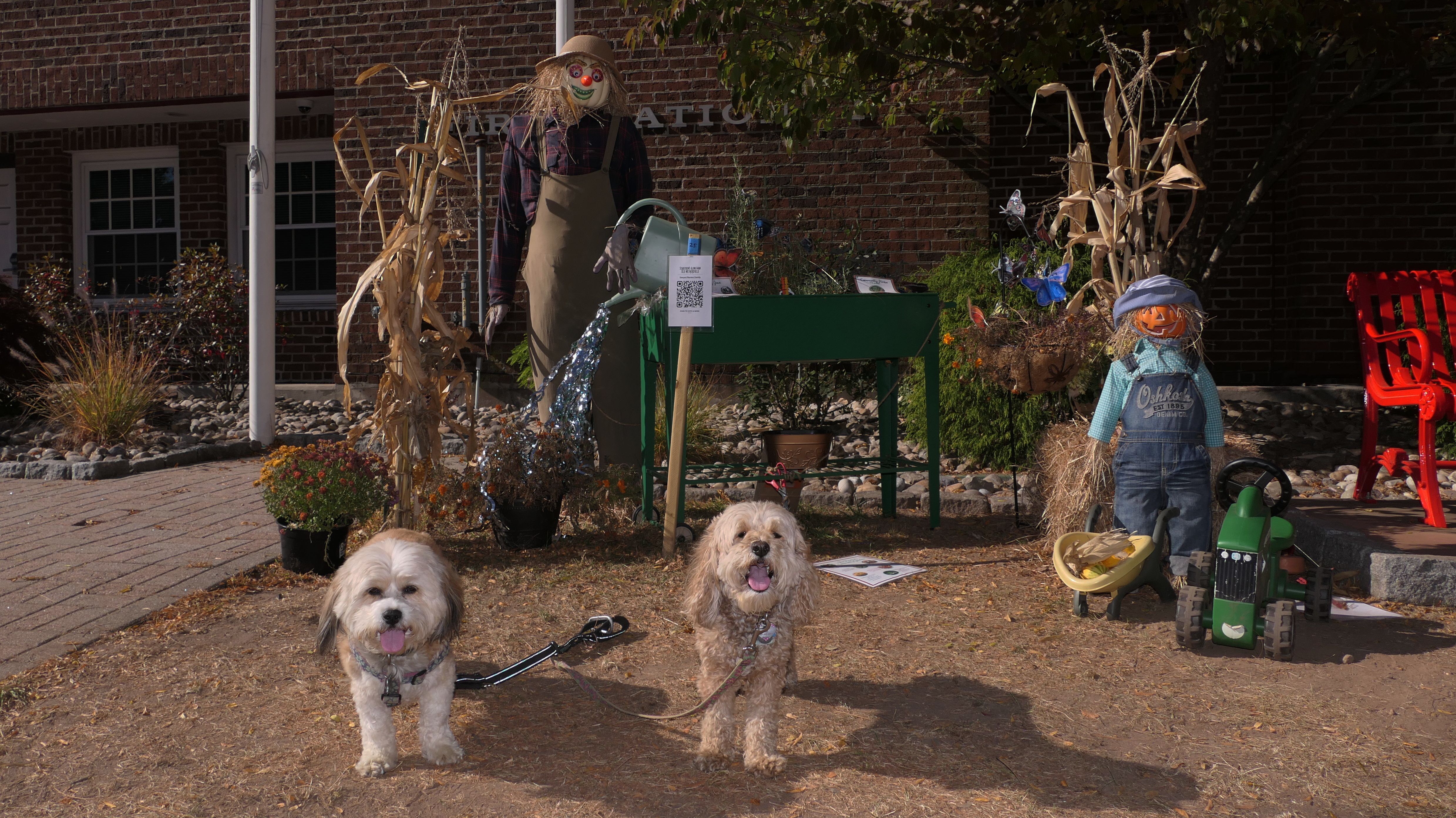
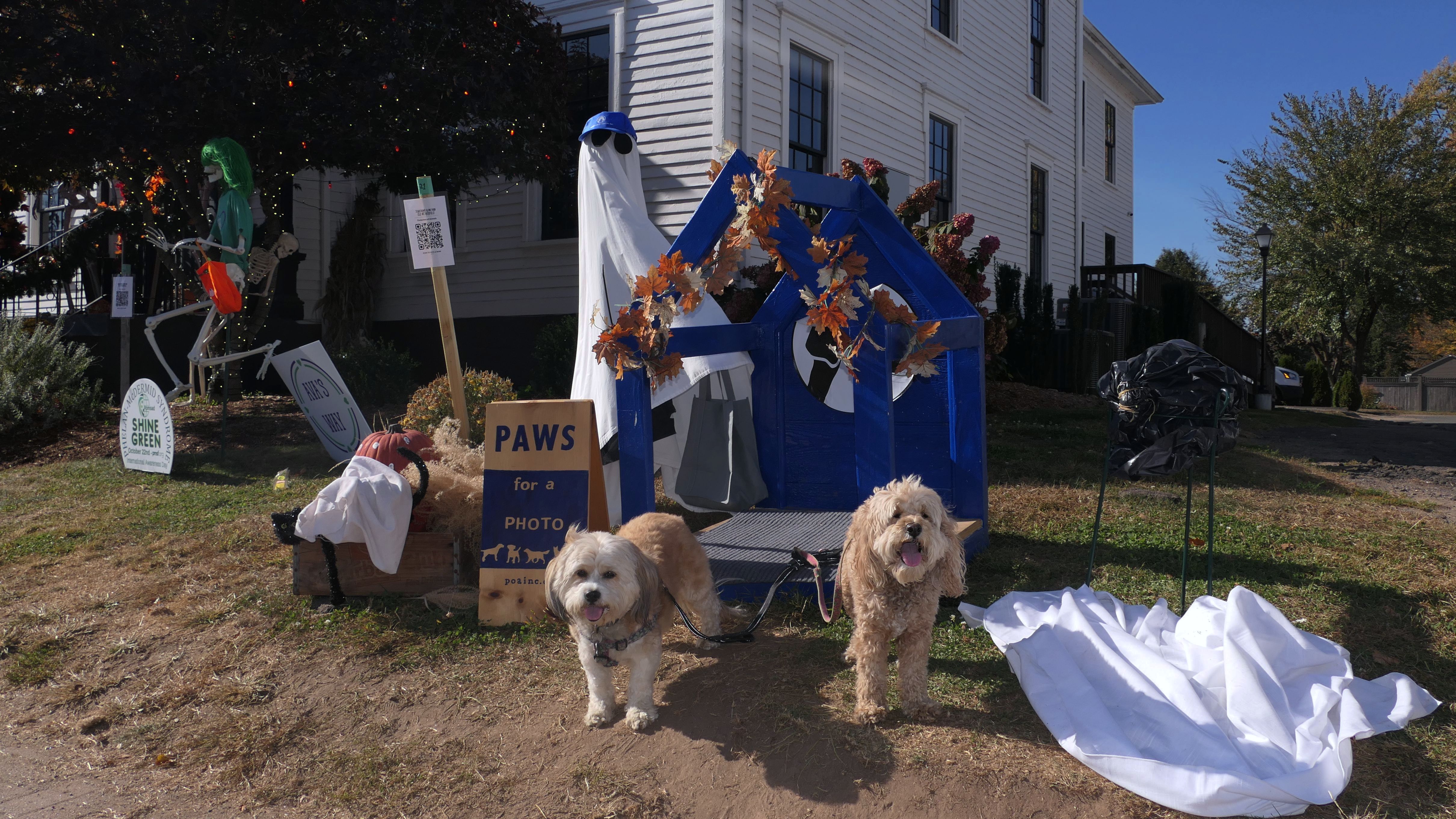
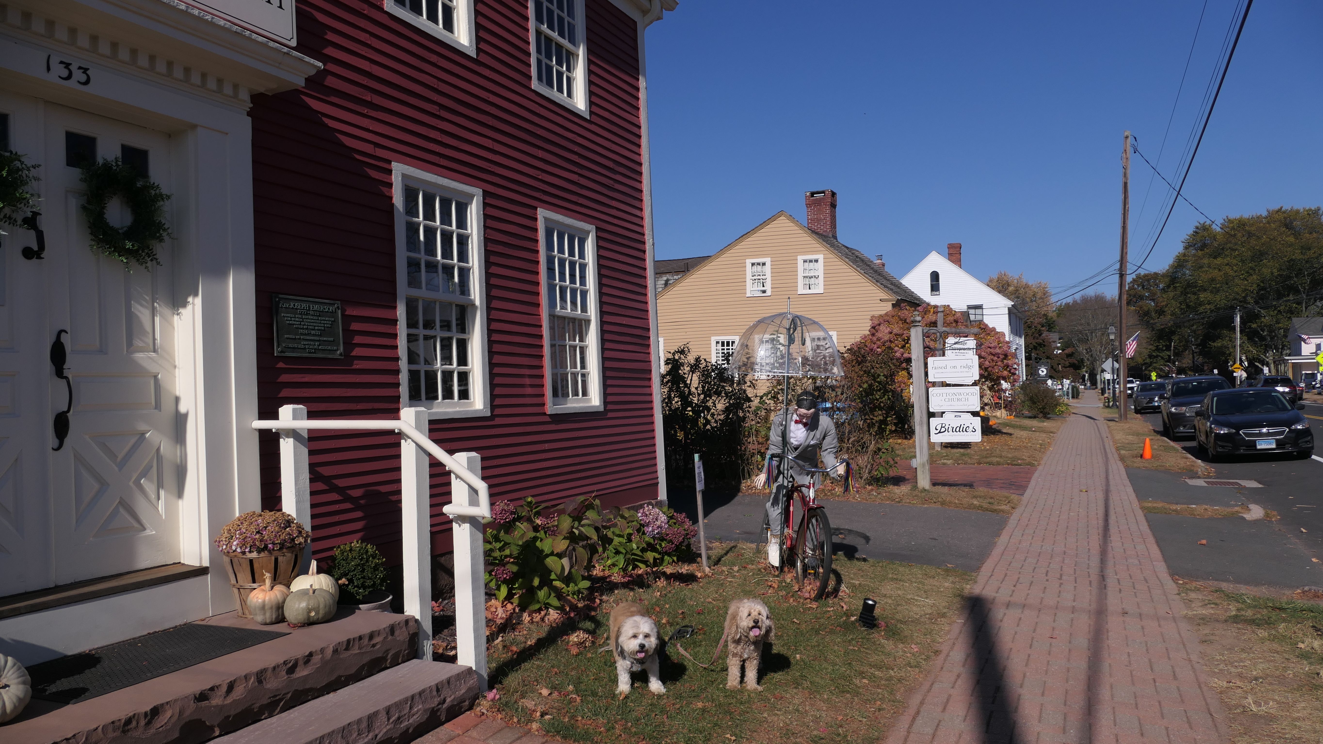
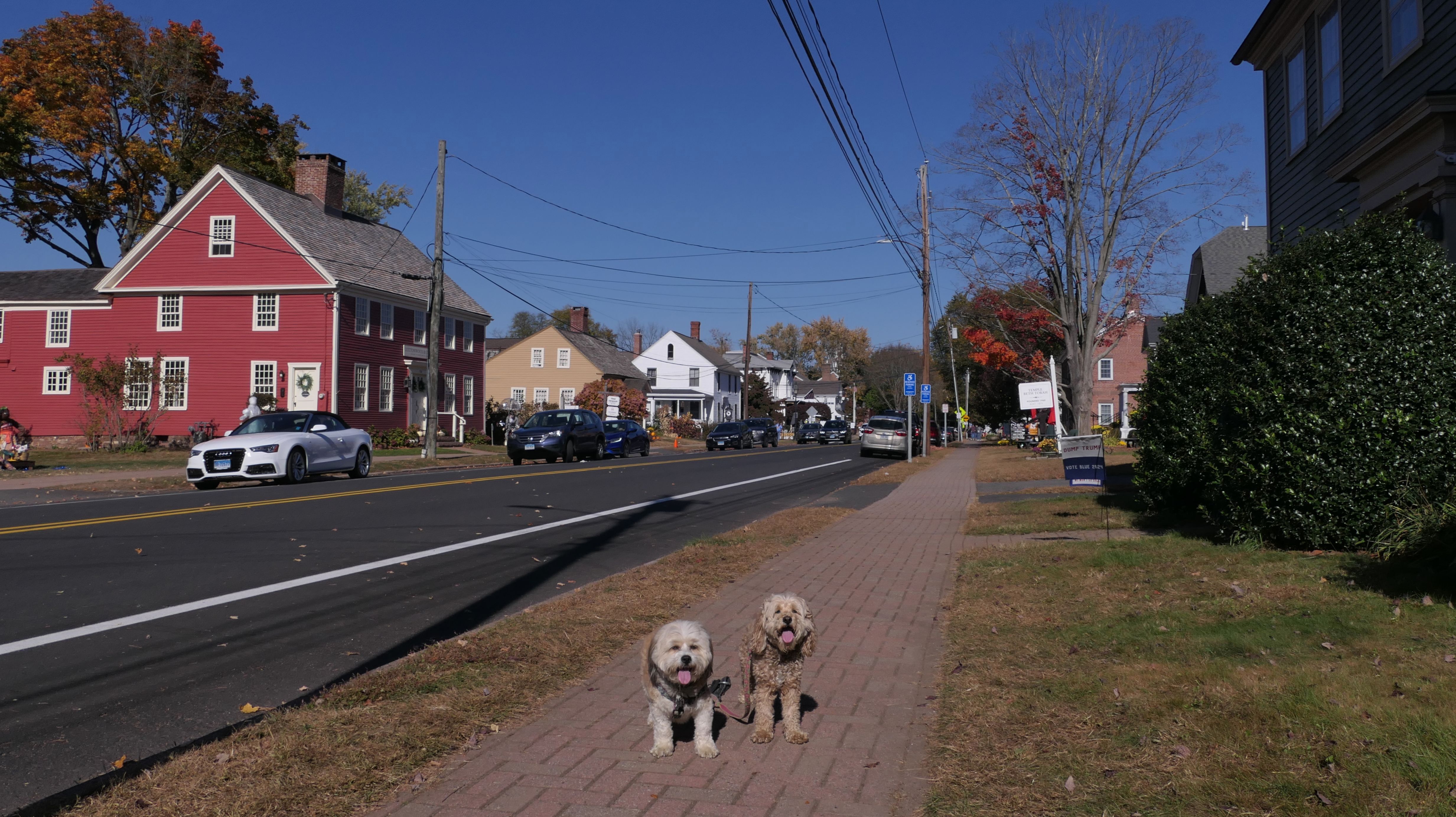
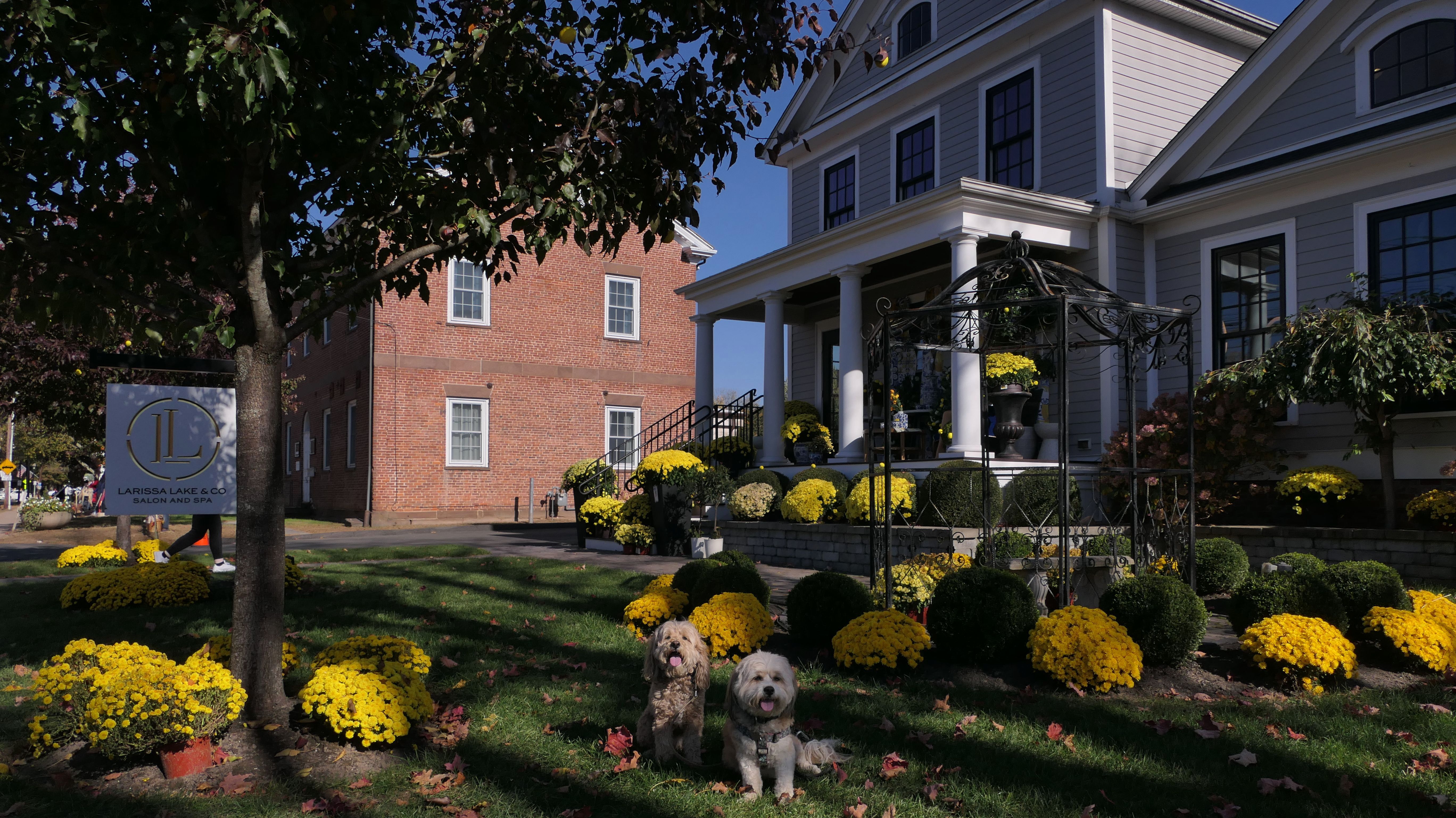
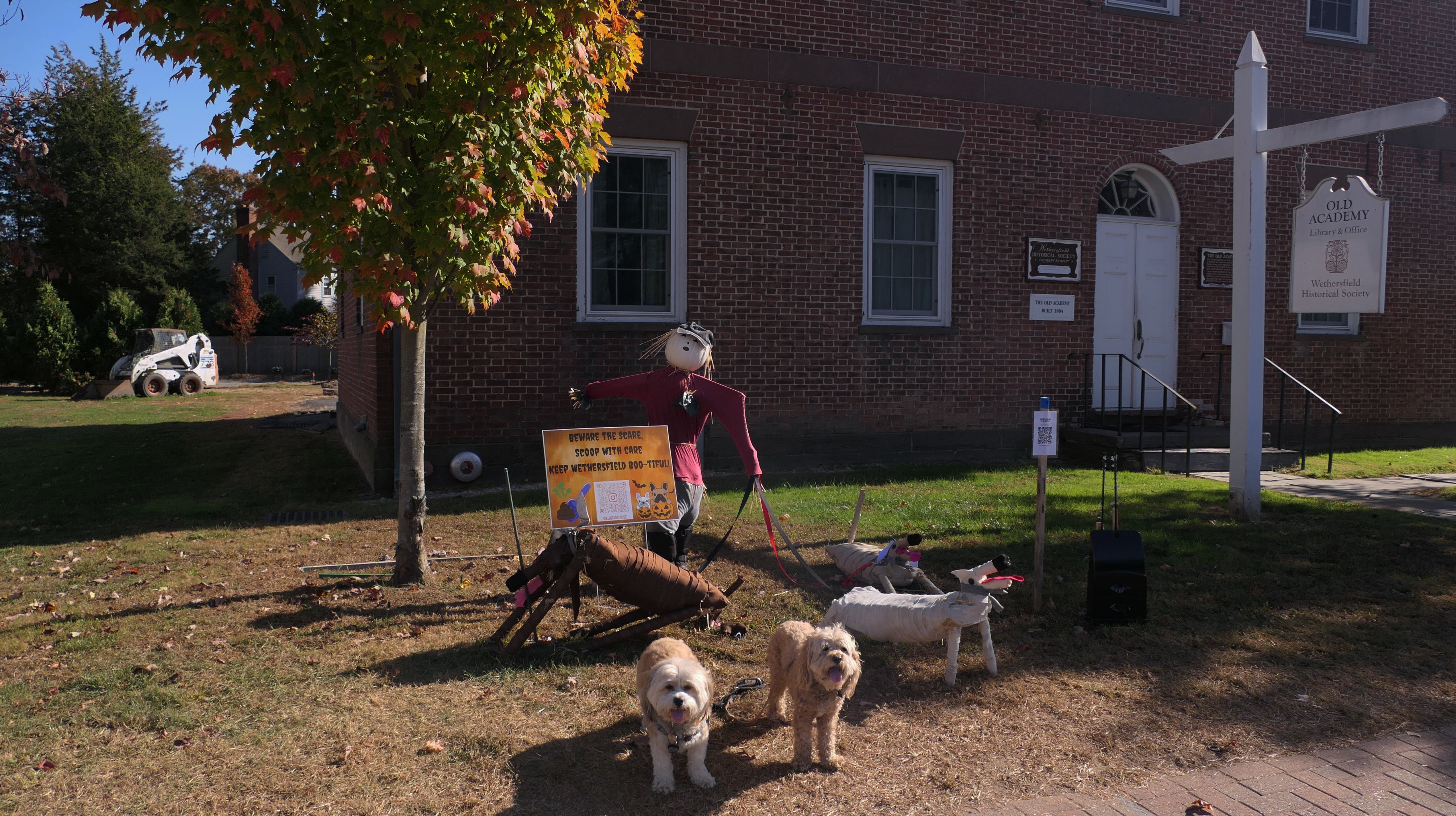
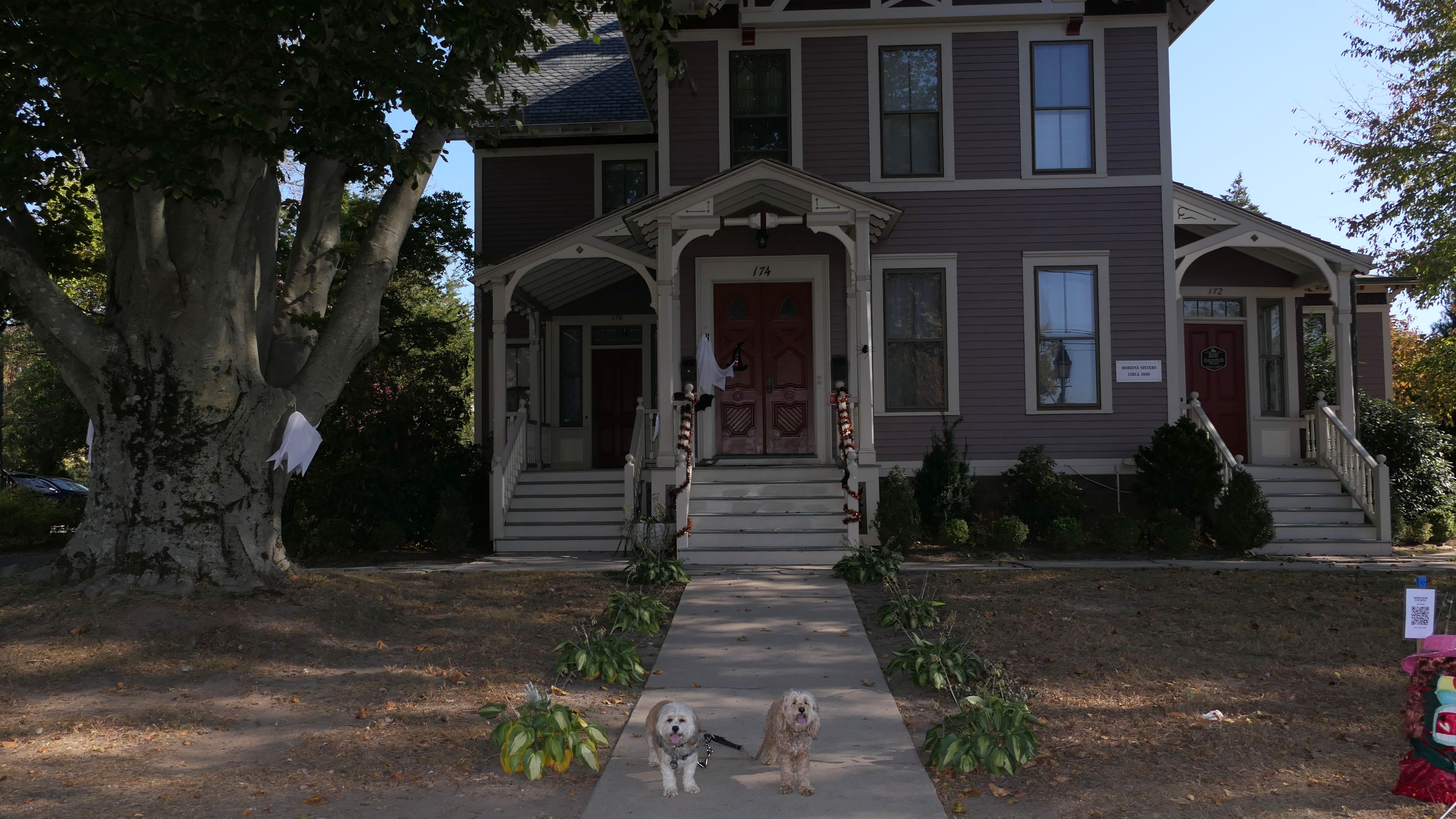
Date visited: 10/21/2024
Record heat in the mid 80's on this day. Normally, we'd go to a beach, but I had a non-dog related event in the evening, and it was just too much to traveling on one day, so we stayed local. It's amazing that we hadn't visited Historic Old Wethersfield yet, but I'm glad we did in the fall! In October, they hold an annual "scarecrow festival". Main Street is lined with unique scarecrow displays, although the term "scarecrow" is used loosely. Only a handful of the displays seem to be actual scarecrows in the traditional sense. There are Q codes to scan so that people can vote for which ones they like best. In addition to the scarecrows, there are shops, museums and many colonial era houses along Main Street as well. It's really a nice place to visit, especially in the autumn! (Be sure to click the "More Images" link to see all the different displays).


More Images


Wintergreen Woods
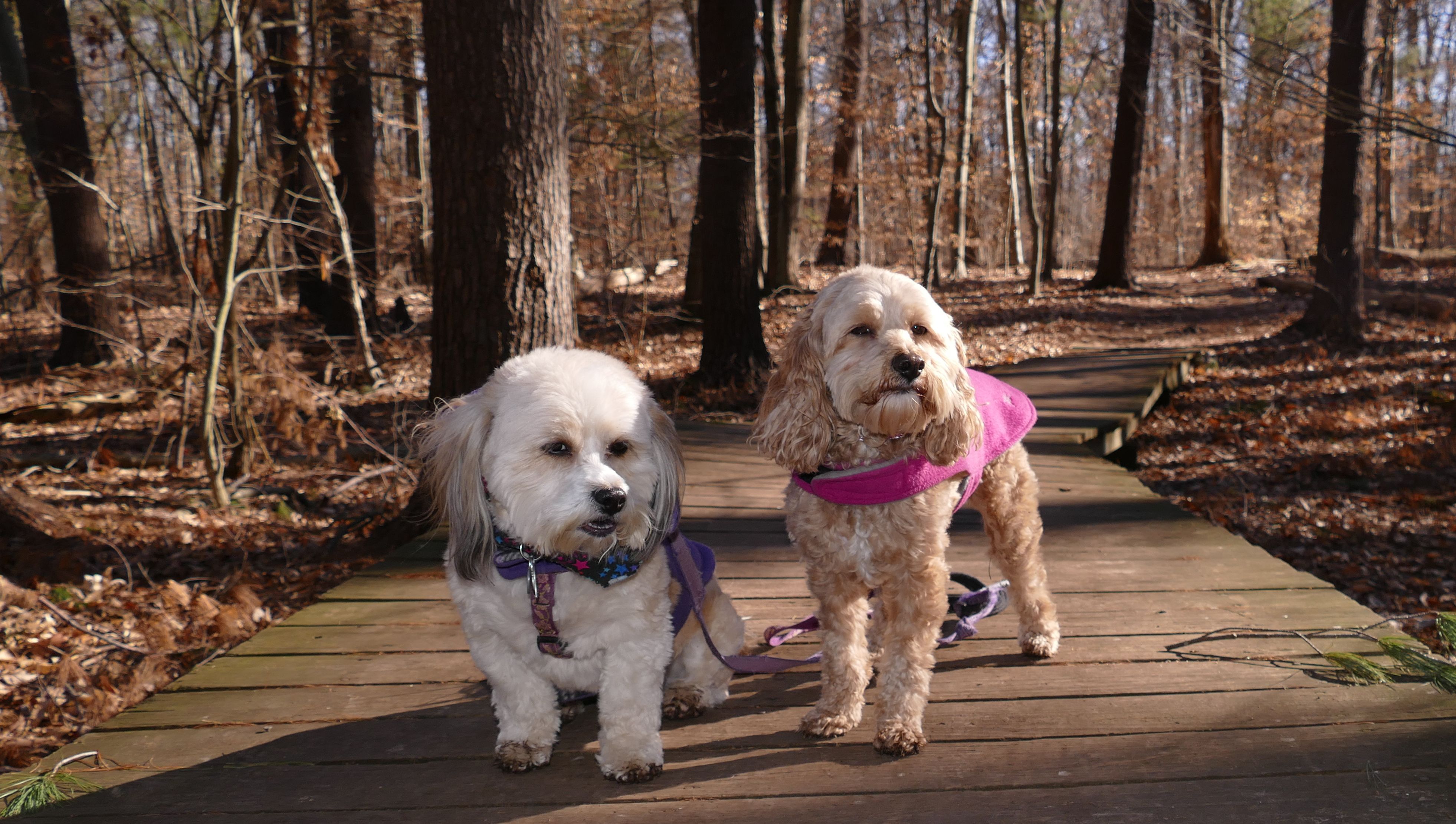
Date visited: 1/23/2021
This is a short loop trail in the woods. There wasn't really anything that unique about it, other than the tire swing at the start of the trail.

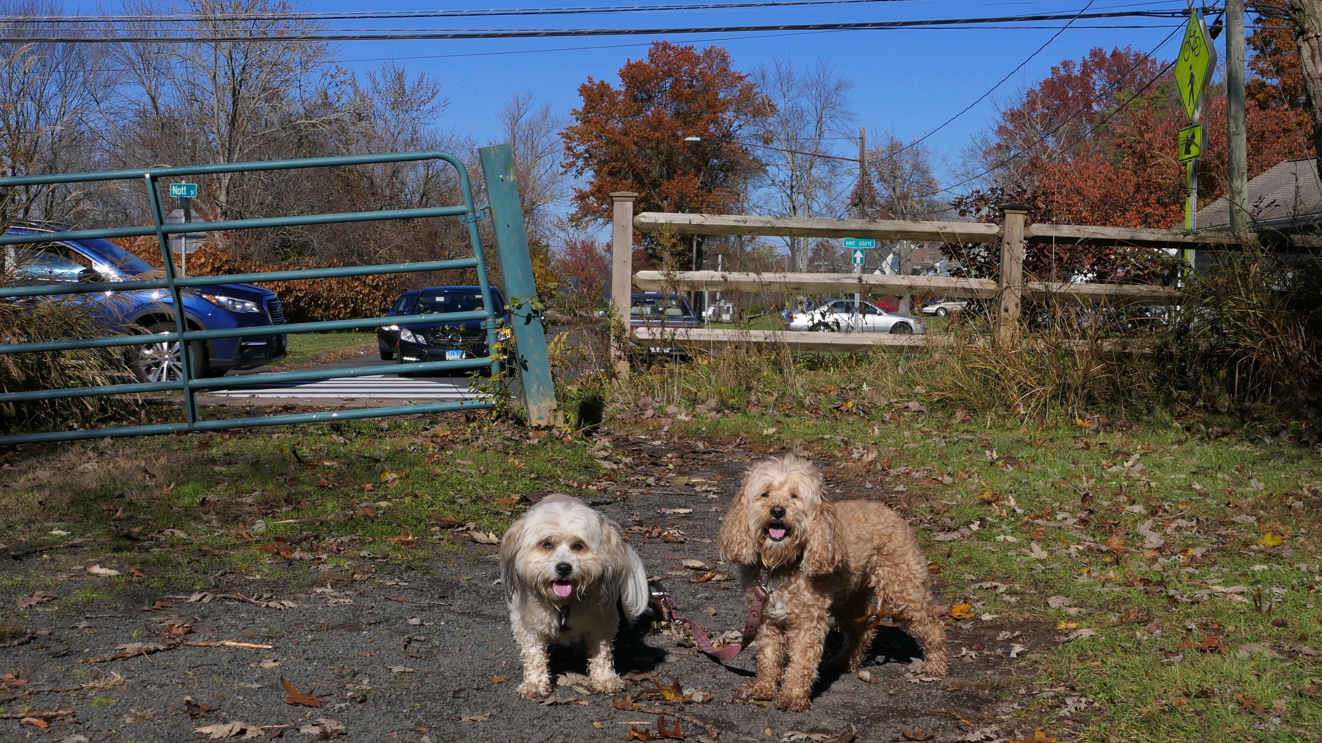
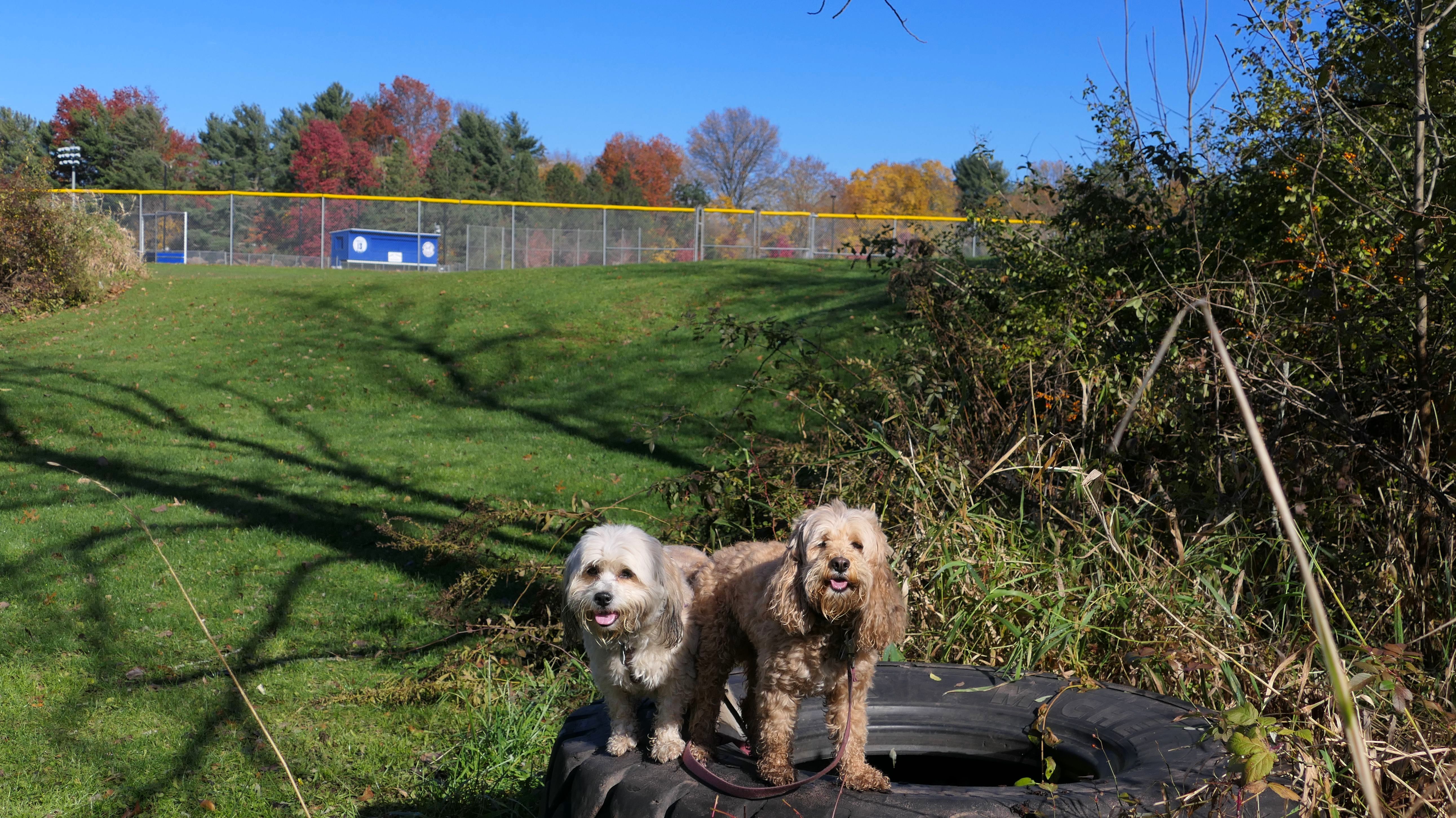
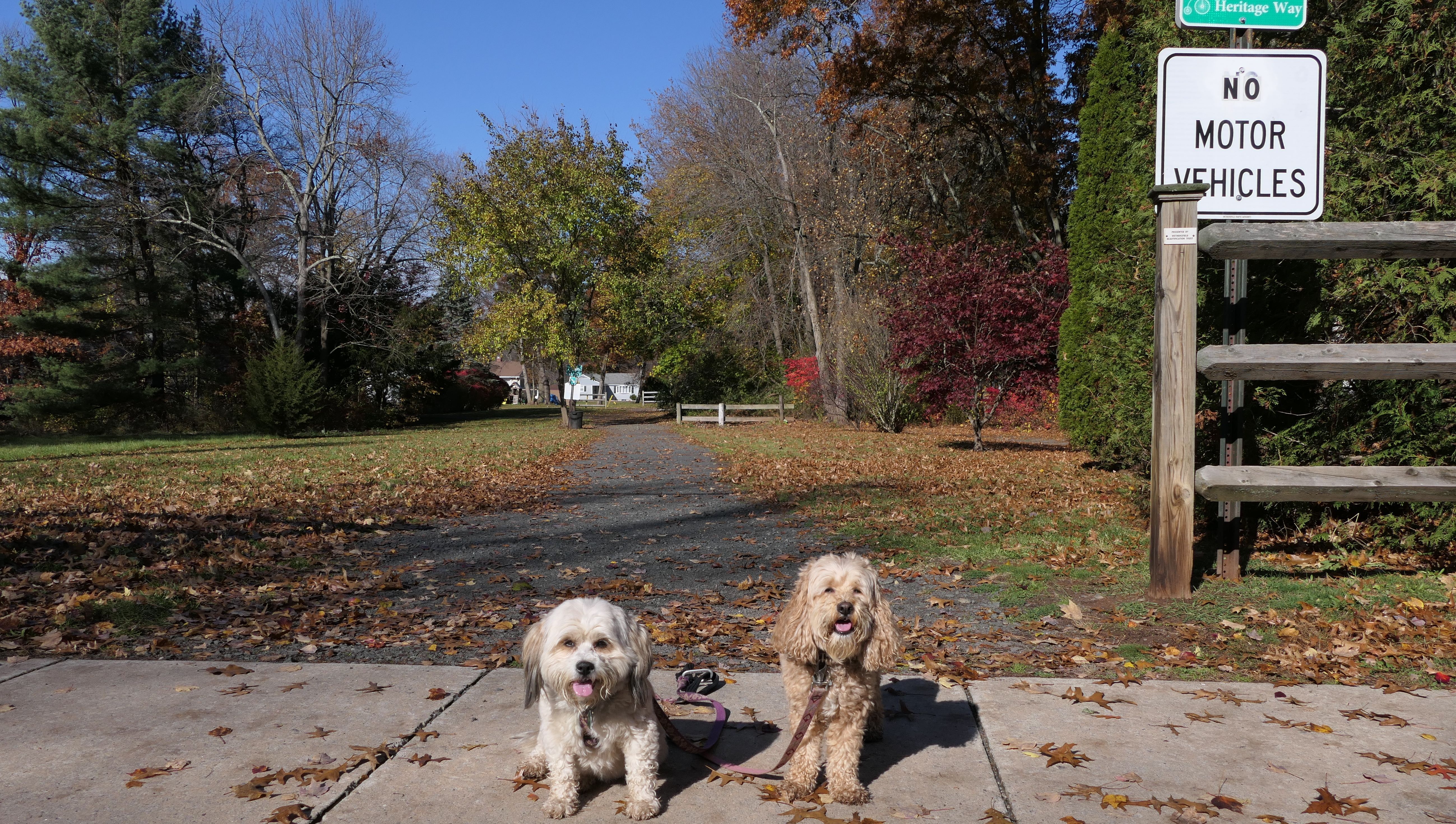
Wethersfield Heritage Way Bikeway Path
Date visited: 11/13/2021
The Wethersfield Heritage Way Bikeway path is a bike route through town that features a stone dust trail as well as some on road sections. We only walked the stone dust sections. If the picture in front of the tire swing looks familiar, that's because we took a similar picture when we visited Wintergreen Woods. The two spots share the same parking area, and that's where the tire swing is located. This path is as flat as can be, and runs behing Wethersfield High School and some resedential neighborhoods. Most of the leaves had completely dropped here, so it wasn't that scenic of a trail. The stone dust portion runs about a mile and a half (including some short road sections that are more of extended driveways), so we walked about three miles total here out and back.


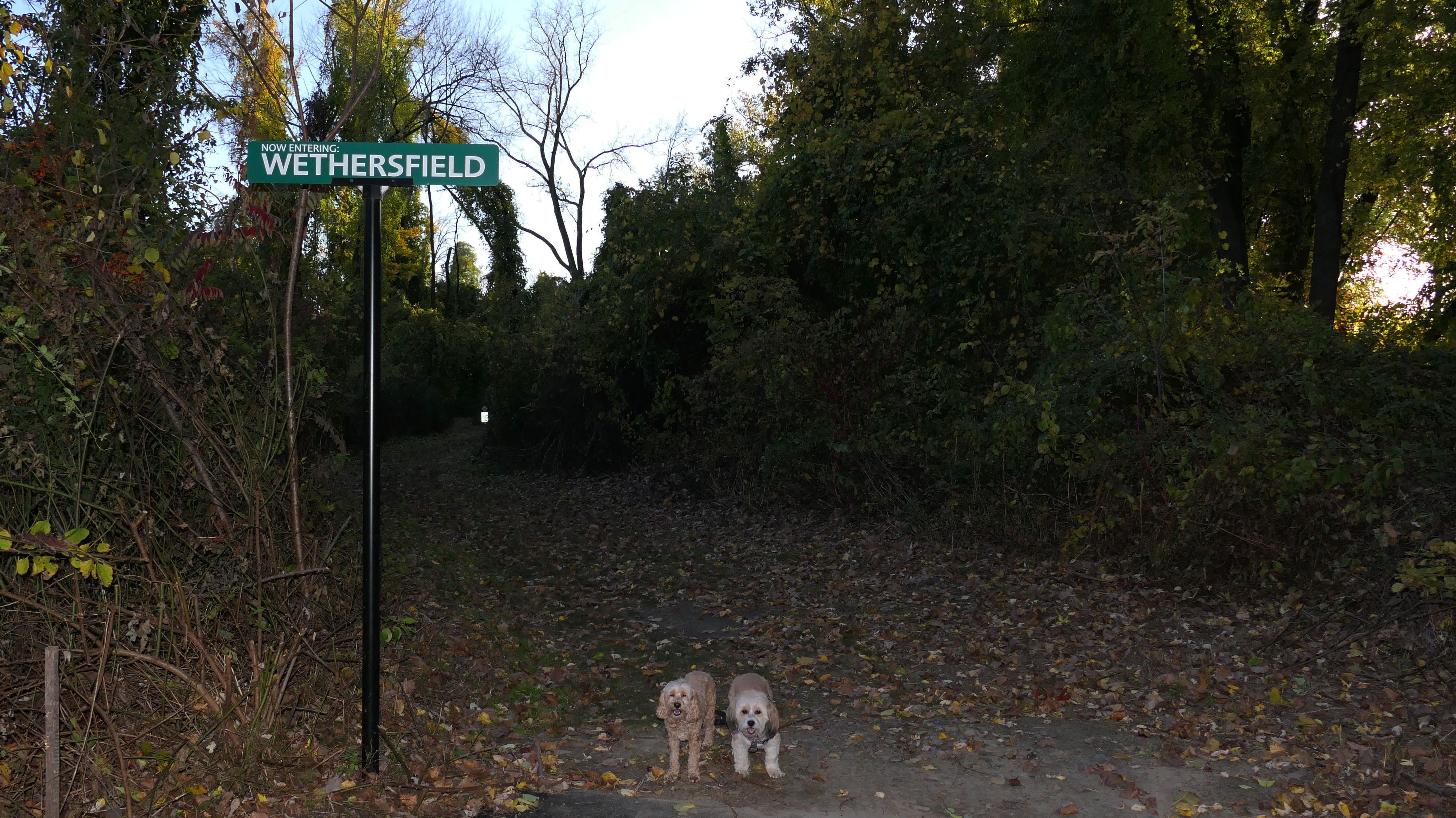
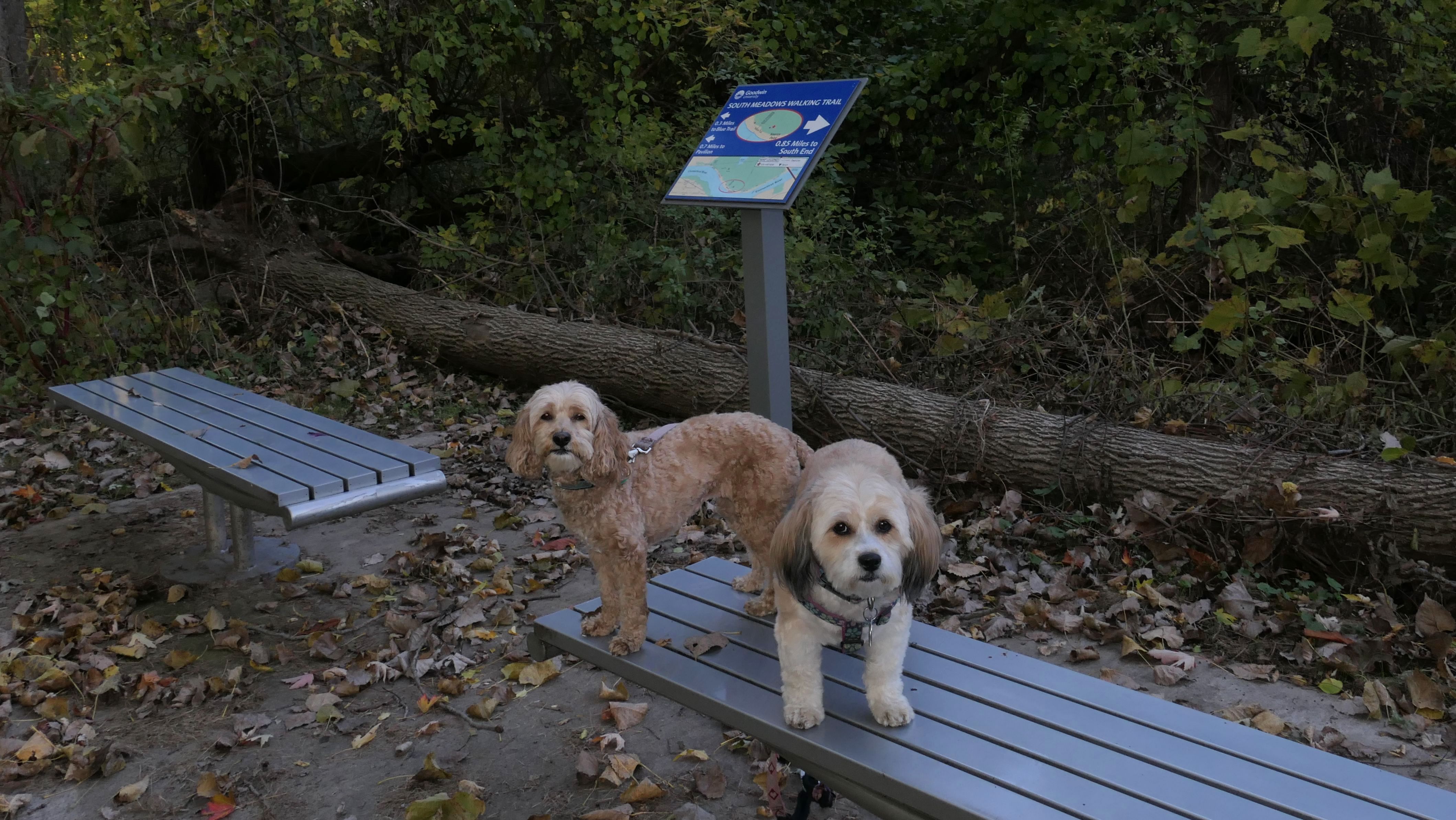
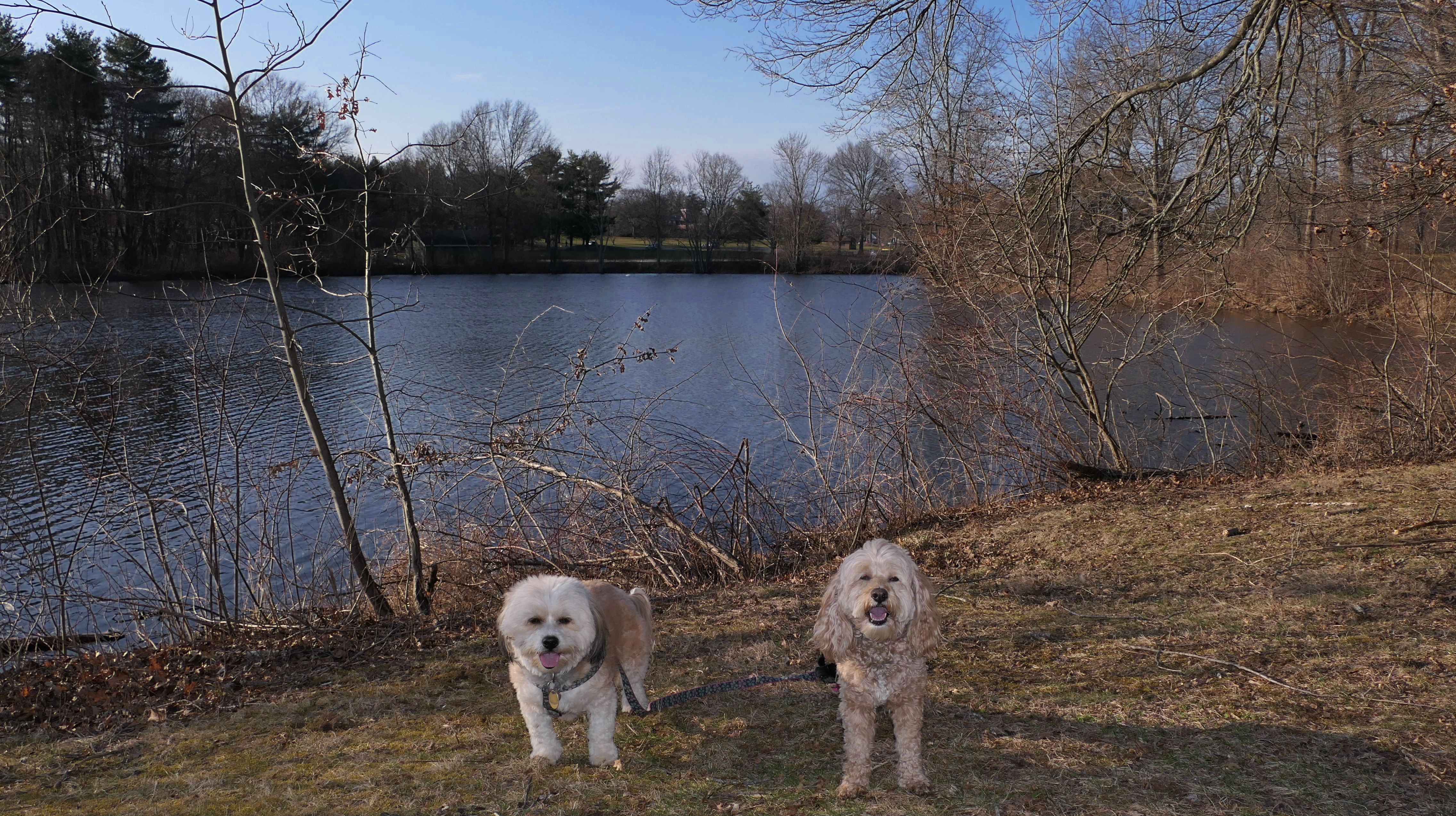
South Meadows River Trail
Date visited: 10/20/2022
See Also: East Hartford, Wethersfield, Glastonbury
I honestly have no idea how I didn't find this trail sooner. It's the kind of trail we do often and it's less than a half hour away from our home base. This trail, maintained by Goodwin College, runs along the east bank of the Connecticut River through three towns. The entire trail is about 1.7 miles long (3.4 out and back), mainly through East Hartford and Glastonbury, with a short section through Wethersfield. If you're like me, you may have thought that Wethersfield was contained entirely on the west side of the river, but you would be wrong. There is a 55 acre section of Wethersfield known as the "Wethersfield Triangle" that jets out across the river and cuts into East Hartford and Glastonbury. This trail goes through that short section, and there are signs indicating when you enter and leave Wethersfield. When Wethersfield was established, it was contained entirely on the west side of the river, but floods in the 1600's re-routed the path of the Connecticut River, and part of it wound up on the east side. Despite efforts by East Hartford and Glastonbury to take control of the triangle, it has remained part of Wethersfield ever since. There are no resedential properties or roads, or actually much of anything located within the triangle, just this trail.

More Images
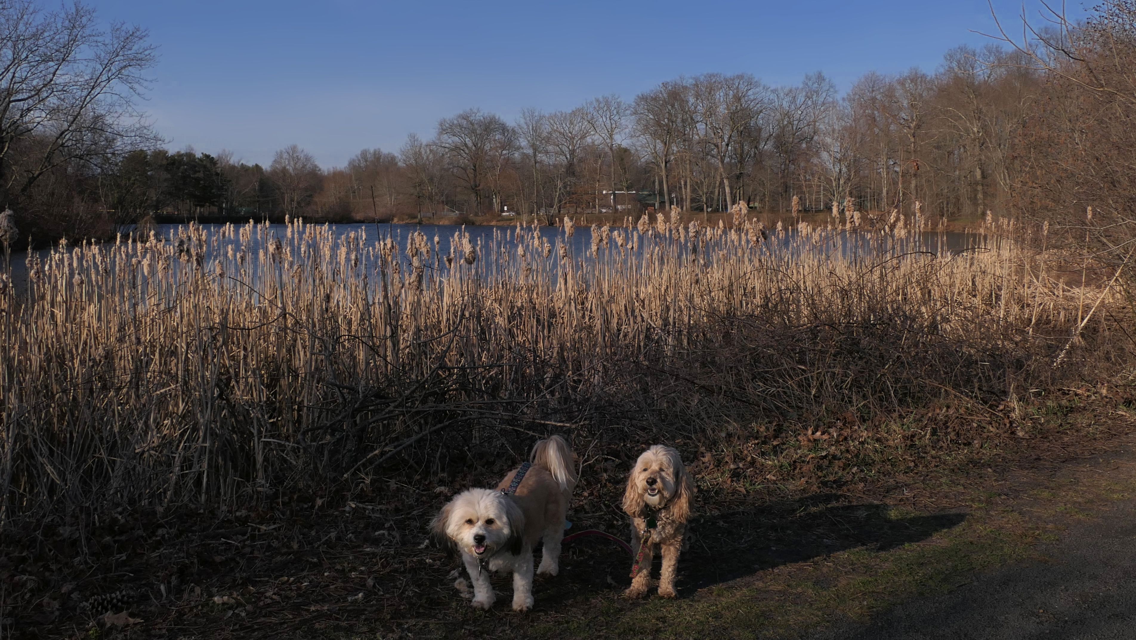
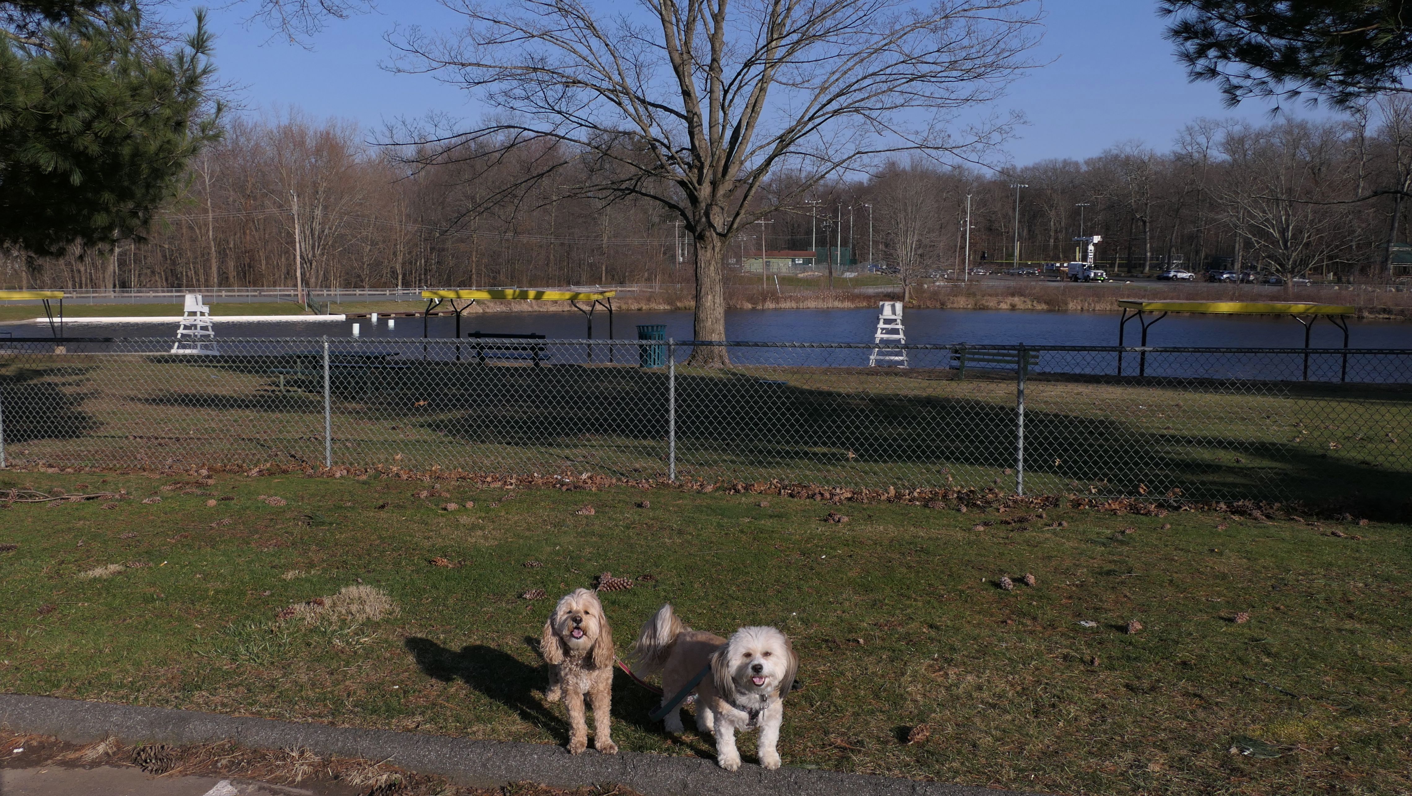
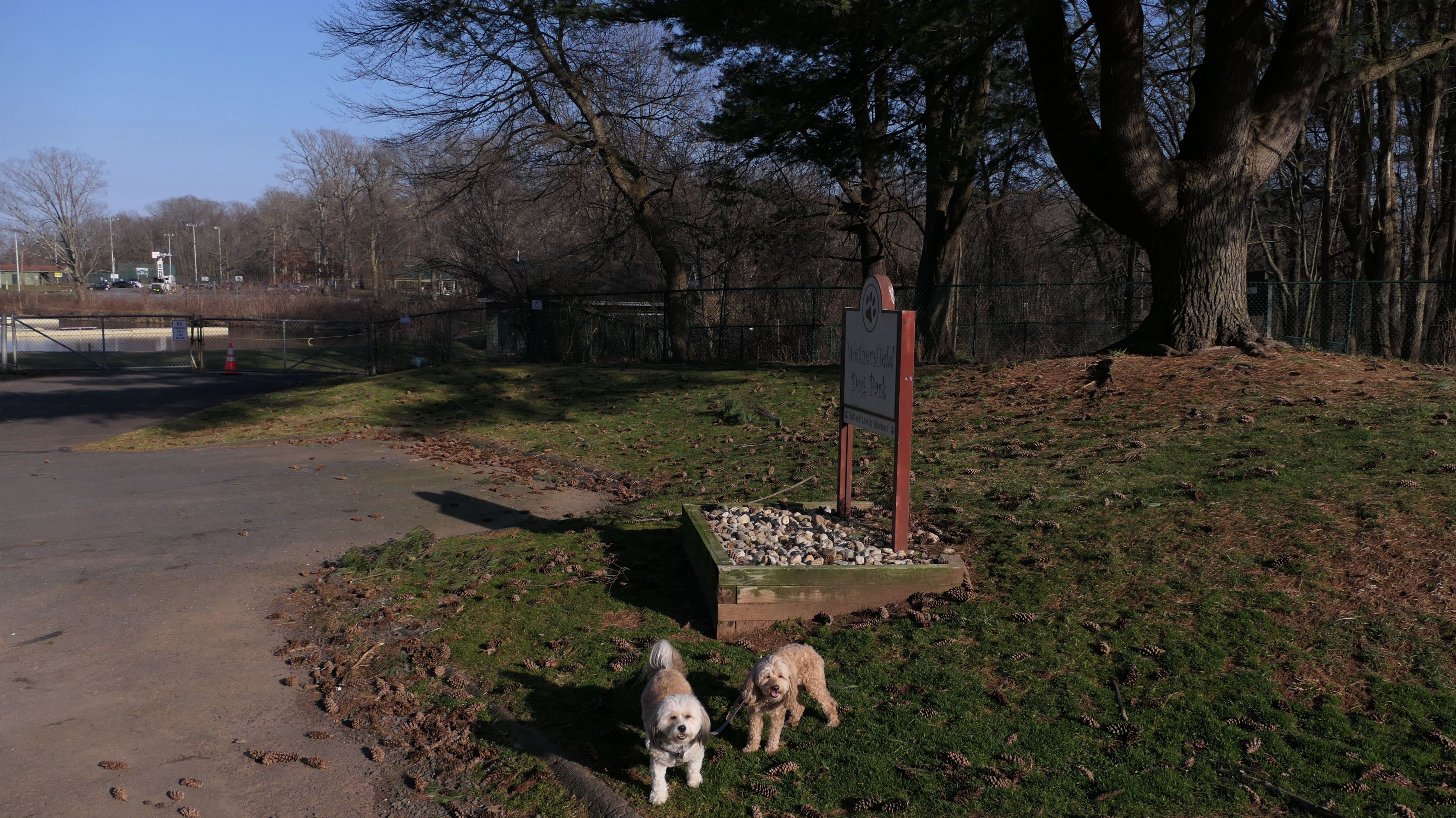
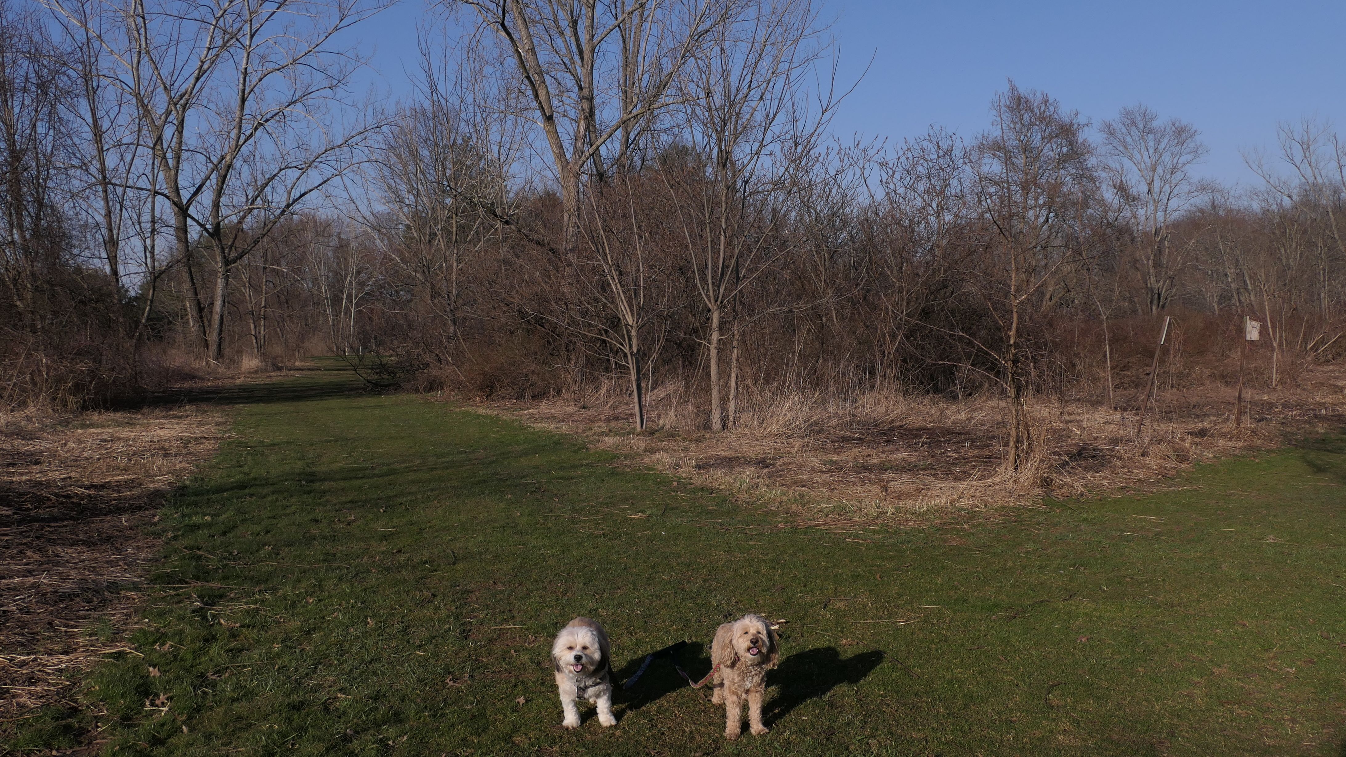
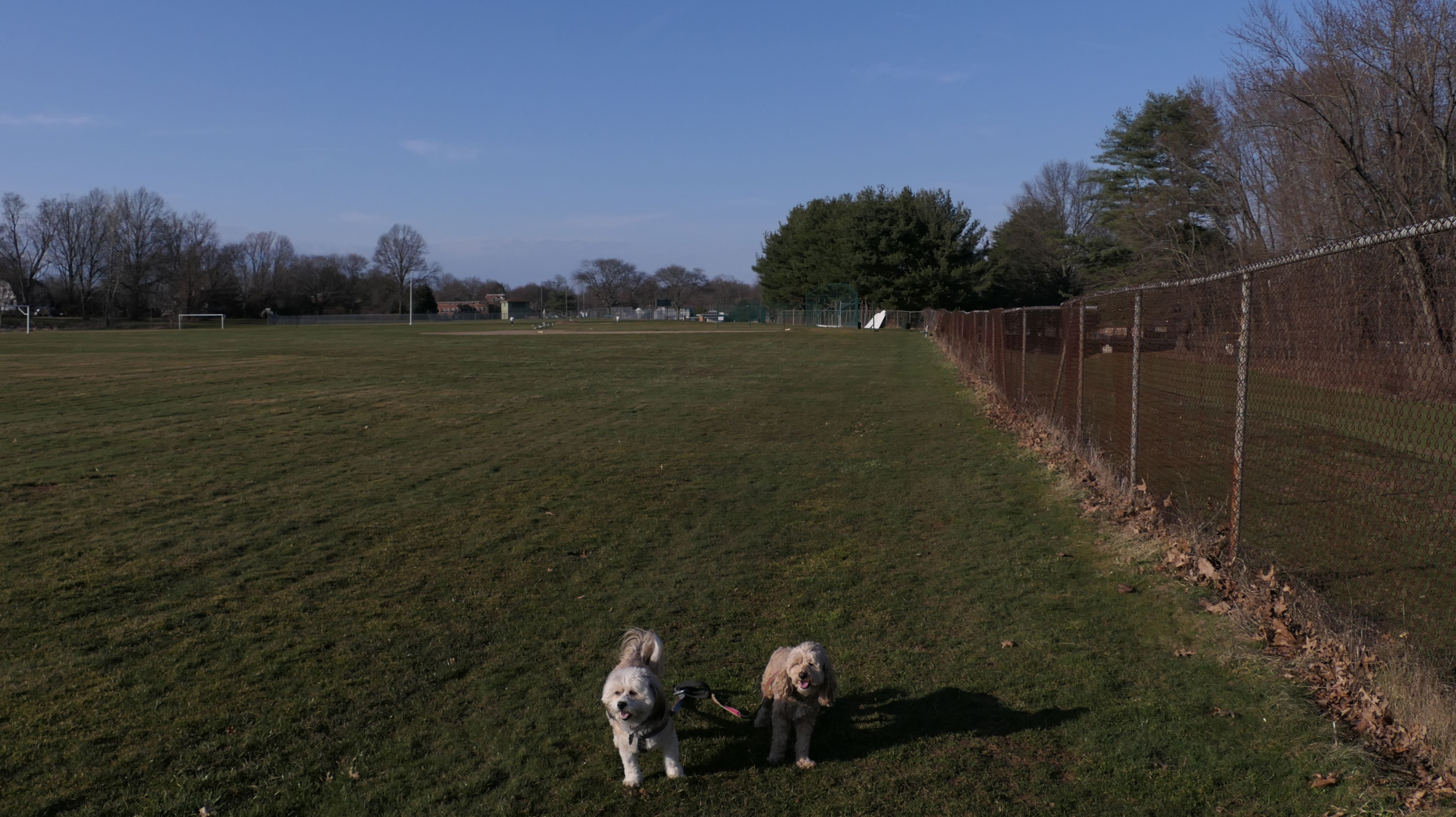
Mill Woods Park
Date visited: 3/13/2024
It was such a nice day! Unfortunately, I can't take half days off from work every nice day. At least with us back on Daylight Savings Time, we can go on short adventures after work again. This is a town park that is just loaded with nearly every type of town park thing you can think of. There are athletic fields, playgrounds, basketball courts, tennis courts, swimming areas, picnic tables, bike trails, walking trails, a skate park - you name it, this park seems to have it. The Wethersfield Dog Park is even located here. It also has mud....lots of it! And the kind of mud that camouflages itself as grass, where you don't realize you're stepping in mud until it's too late! Also, both the stone dust bike trails, and the regular trails through the woods were flooded. Our rainfall has been well above average of late, so the mud is not completely unexpected. Anyway, we were all sort of a mess when it was all said and done. We did get over two miles of walking in, just wandering around the park, but we should have saved this visit for when the ground was a bit drier.

More Images
Putnam Bridge Trail
Date visited: 1/19/2025
This is a new bike trail that opened in May of 2024, connecting Glastonbury to Wethersfield over the Putnam Bridge. The trail runs just under one and a half miles, and new parking lots were built on each end. The surface of the trail is mostly asphalt, but the portion on the actual bridge is a steel grate, so if you look down you can see the river below. Fun fact: In the mid 90's I briefly worked in the office building on Great Meadow Road near the new Wethersfield parking lot. I also noticed the "There is hope. There is help." signs on either end of the bridge. I've seen similar signs posted on other bridges as well. It's kind of morbid, but the purpose of the signs is to try to persuade those thinking about suicide to not jump off the bridge. I wonder if they have actually changed anyone's mind?


More Images

