Frequently Asked Questions (FAQ)
Where do you find all these places to go?
I use the All Trails app as my primary source to find
places to go. It features a large user created database of trails. I've submitted many trails myself. I use the app as my main GPS on our
adventures. It tracks our path and alerts me if we go off path. I pay for a pro subscription that allows me to download off-line
maps, so that the GPS works even when there is no cell service. It's not perfect. The app can be buggy at times, and the service has been
overloaded at times during COVID, since many more people are using it now. But it's the best I got.
Another great resource is Steve Wood's fantastic CTMQ page that features guides for each town. Sometimes
I can find great places to visit there that aren't in the All Trails app. When I can't find good places to visit for some towns, or I've
already done everything listed in the App, I start doing simple web searches. I will just bring
up OpenStreetMap.org or Google Maps and look for the green
areas.
Keeping in mind, we generally keep the hikes easy - usually less than a 300 foot climb (these are small dogs with little legs, remember!), but
if you have any suggestions for a place we may enjoy anywhere in the Northeast, feel free to drop me a line using the email
link on the bottom of the home page.
How do you have the time to go to so many places?
From the start of our adventures until early September 2024, I worked remotely, and had over six weeks paid time off per year, that I could use in half-day increments if I wanted. Since we don't take any other vacations, that gave us a lot of time. From early September 2024 through late September 2025, I wasn't working at all. We took advantage of that opportunity and went out whenever we could. Since September 2025, I'm back to remote work, so we are going on fewer adventures, but we still try to get out whenever we can.
You visit a lot of beaches, how do you know which beaches allow dogs?
Great Question! Mandy & Lexi have a new Beach Guide with all you need to know about beaches!
You say you've visited every town in Connecticut, Why isn't Winsted (or other
random place name) listed?
Well, basically Winsted isn't a real town, it's a section of another town, in this
case - Winchester. Connecticut has 169 municipalities (towns, cities, or in Naugatuck's case, boroughs). Each municipality can have sections
within them, some of them even have their own post office or zip code, but they are not separate towns. Here is a list of some of the
most well known places that aren't real towns:
Winsted - Winchester
Willimantic - Windham
Broad Brook - East Windsor
Mystic - Stonington and Groton (this one overlaps two towns)
Collinsville - Canton
Danielson - Killingly
Rockville - Vernon
Those are just some examples. There are literally hundreds. Some are classified as villages, or boroughs. We stuck to the 169 actual
municipalities for this project, but I'm sure we've hit most of the more well known sections of each town.
How do you get the dogs to pose so nicely for the pictures?
For every perfectly posed photo on this site, there are probably 20 more outtakes! (see below) Patience is the key. But actually, both dogs went through dog training and learned the "Wait" command. There is usually a treat in front of the dogs (I remove the treats digitally), and the dogs are waiting while I take their picture, until I give them the okay to eat the treat when I'm done. They're basically really good at this now. But sometimes one of them will steal both treats, and other times Lexi will just not cooperate if the treats aren't good enough! They are so spoiled!

What camera do you use?
Up until the end of 2025, I was primarily using a Panasonic Lumix FZ1000M2 since May of 2021. Prior to that I was
using the version one of the same camera. They are classified as "bridge" cameras.
The cameras have a one inch sensor, same as many DSLR's, but have retractable lenses. Basically, I don't want to carry around additional heavy lenses
on these hikes. I'm already carrying around my phone, a thermos of water with a dog bowl, and the dogs in addition to the camera. There are a handful of photos on the
site taken with an iPhone, but most are from one of the two Panasonic models listed above. The Panasonic cameras also geo-tag
my photos (via a Bluetooth connection with my phone), which is an absolute must considering all the places we visit!
Starting at the beginning of 2026, I switched to a Canon EOS R100. I had three of the Lumix cameras, but each one developed issues. They aren't
very durable, and a sticky shutter button is a common problem. They are also very susceptible to dust getting inside the sensor causing dark spots
to appear on the photos. It's unfortunate, because they took great pictures and I didn't need to carry lenses or an external flash around. With the
Canon, I am basically using a 18-55mm lens (not the kit lens, one I had from a previous Canon camera that I hadn't used in 15 years), along with an
external flash. It does take nice photos, and also does the geo-tagging via the Bluetooth.
Is it possible to see some of the full page backgrounds used on the pages?
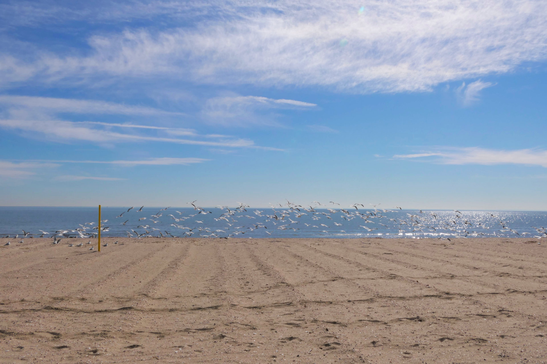
I recently went through the pages and tried to give each town page a unique background photo taken from the town we were visiting. I am really happy with how some of them came out (like the one from Seaside Park in Bridgeport below). I've indexed my favorite background photos here.

You visit a lot of College Campuses. Are you allowed to walk your dogs at college campuses?
Short answer is I've never been asked to leave. Long answer is it depends on the college. Public colleges and university
are open to the public by definition. Anyone is welcome to visit the grounds. Private institutions can invoke their own rules.
The only college that we've visited so far where I saw a sign indicating that the campus was not open to the public was
my alma-mater Western New England University, and I'm pretty sure I'm allowed
to visit as an alumni.
As for whether or not you can walk your dogs... some colleges have "No Dogs" signs for the athletic fields or gardens, but I
haven't encountered an institution that disallows dogs entirely. Some even provide poop-bag dispensers, so I take that to
mean that dogs are welcome. If you visit during an active semester, students will likely stop and ask to pet the dogs.
