Connecticut
Massachusetts
Rhode Island
New York
New Jersey
Other States
Latest Adventures
About Mandy & Lexi
Beach Guide
FAQ
◂︎ Mandy & Lexi's Rhode Island Adventures
Cumberland
Blackstone River Greenway
Date visited: 7/15/2022
See Also: Worcester, MA, Millbury, MA, Uxbridge, MA, Millville, MA, Blackstone, MA, Woonsocket, RI, North Smithfield, RI, Cumberland, RI, Lincoln, RI, Providence, RI
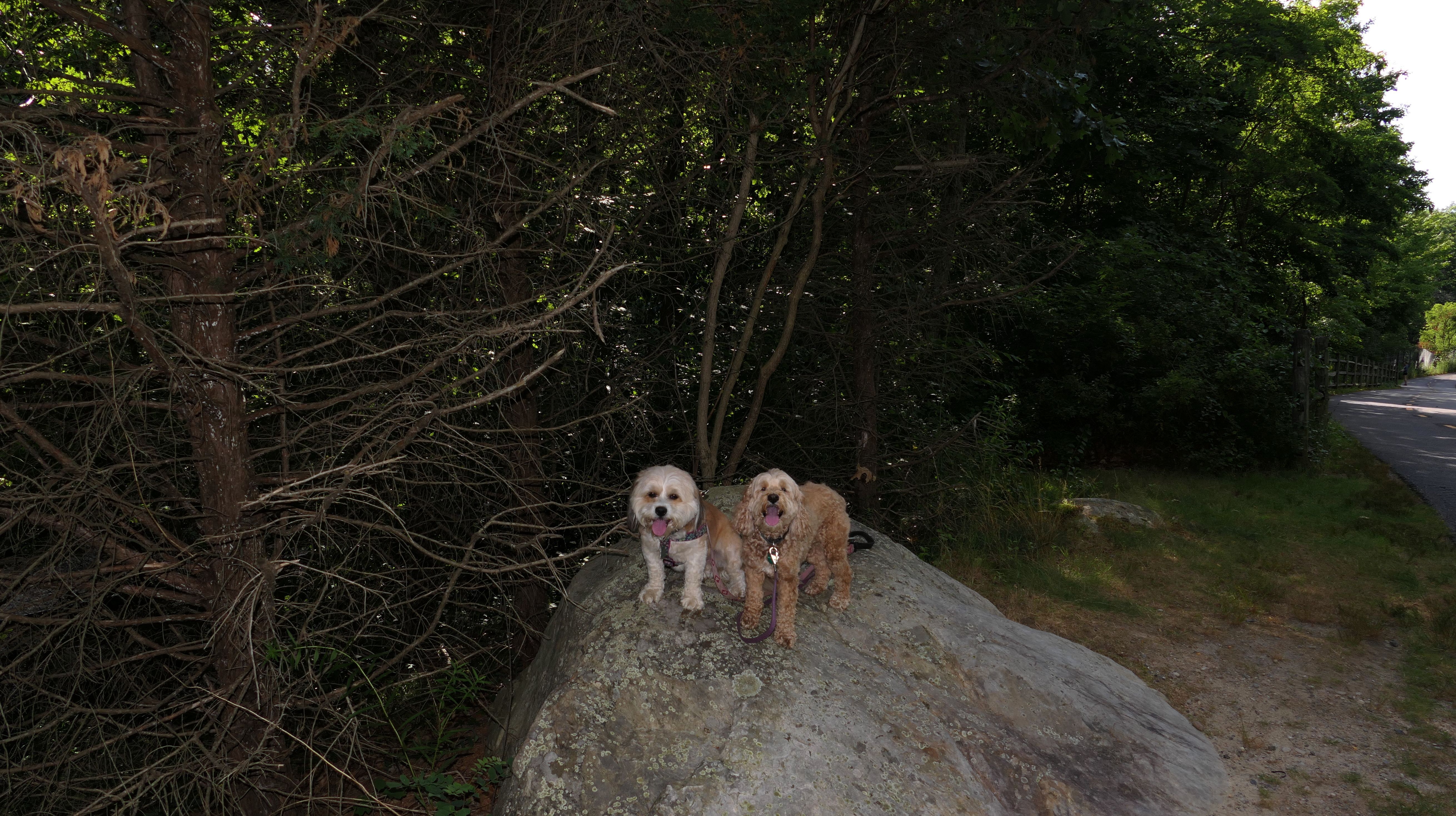
We walked the portion of this multi-town bike path between Lincoln and Cumberland. This section does not connect with the portions in North Smithfield and Woonsocket that we visited a couple days prior to this. There was no real access to the river and this section of the path was not very interesting.


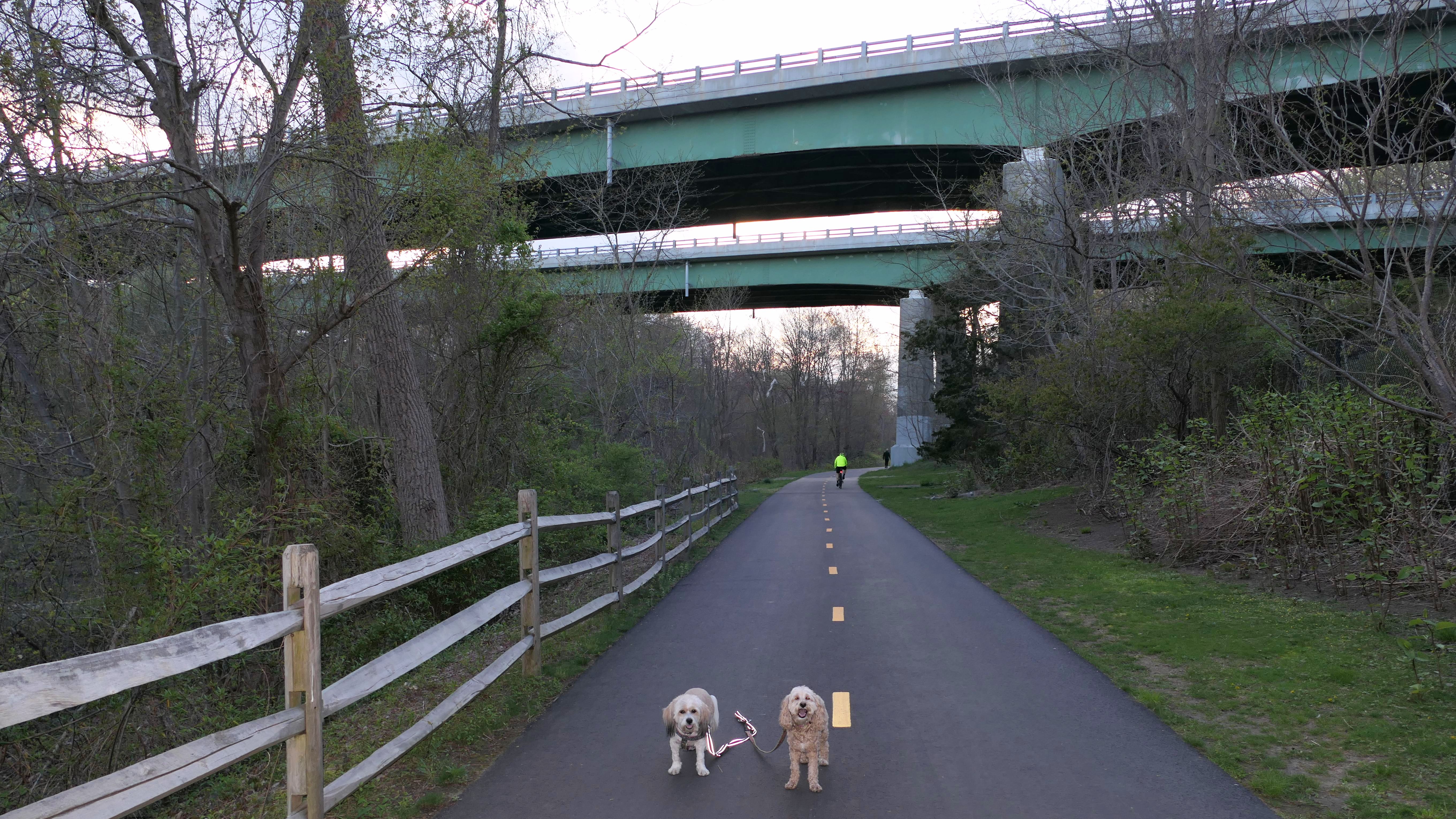
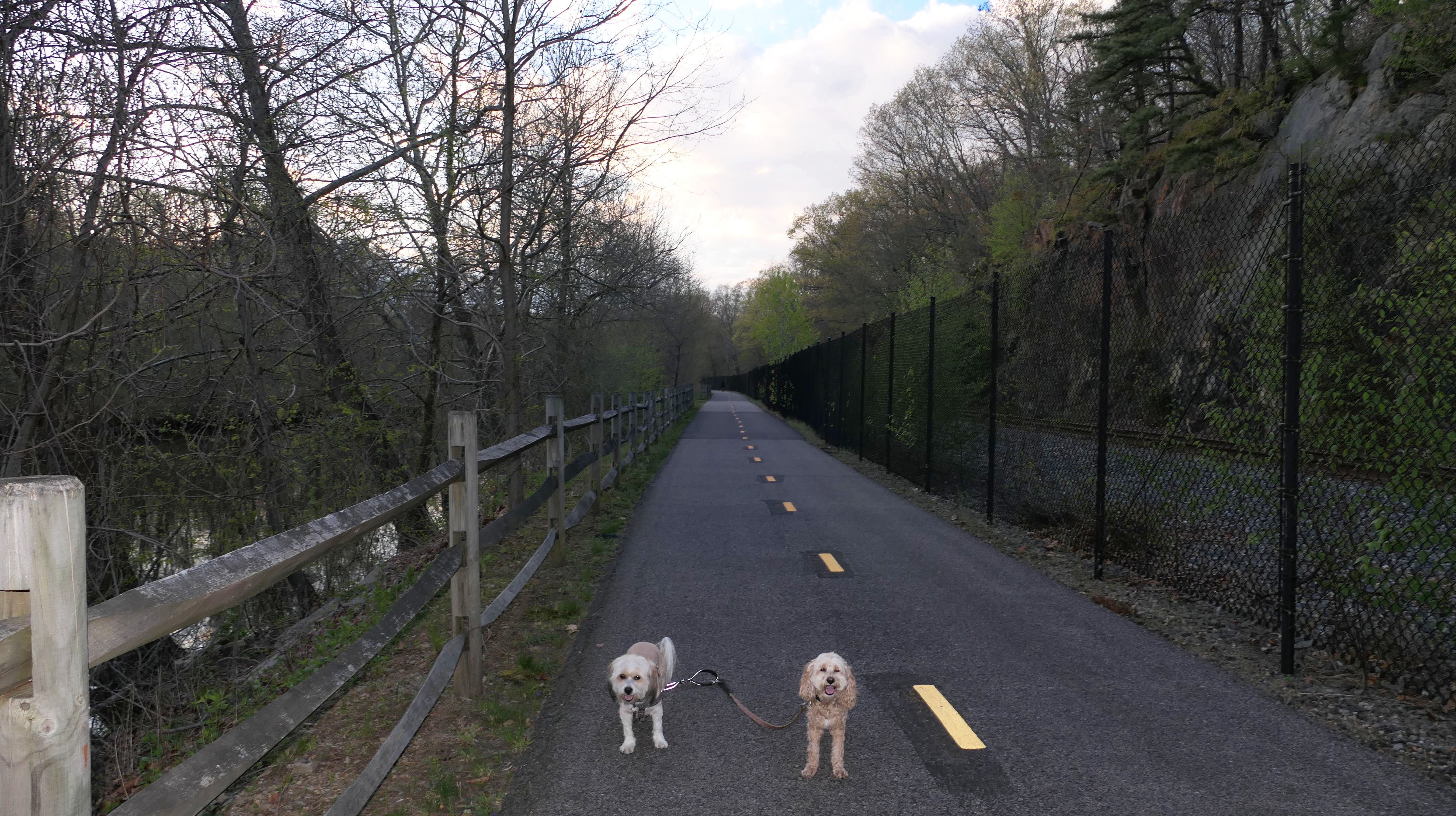
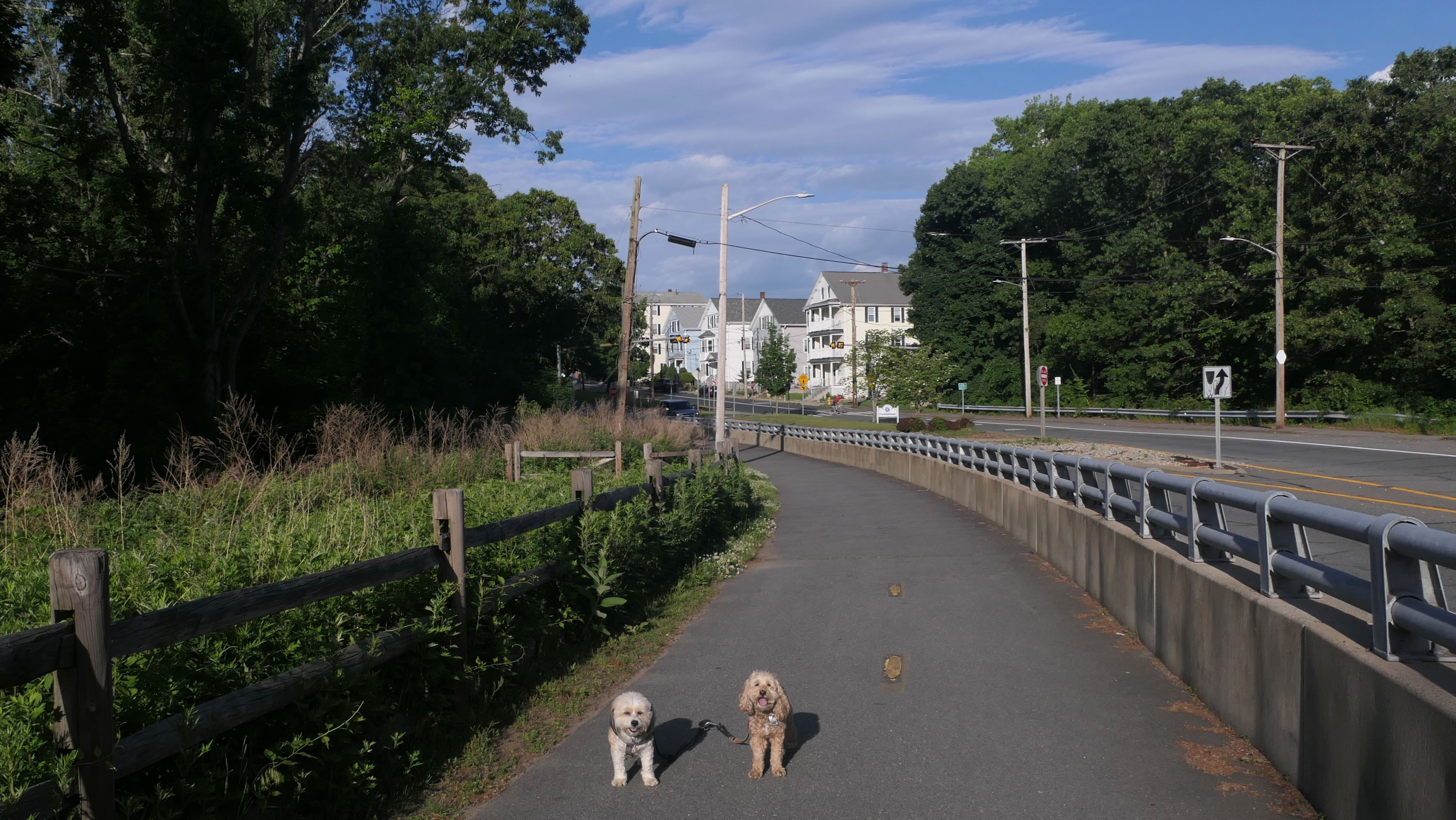
Blackstone River Greenway
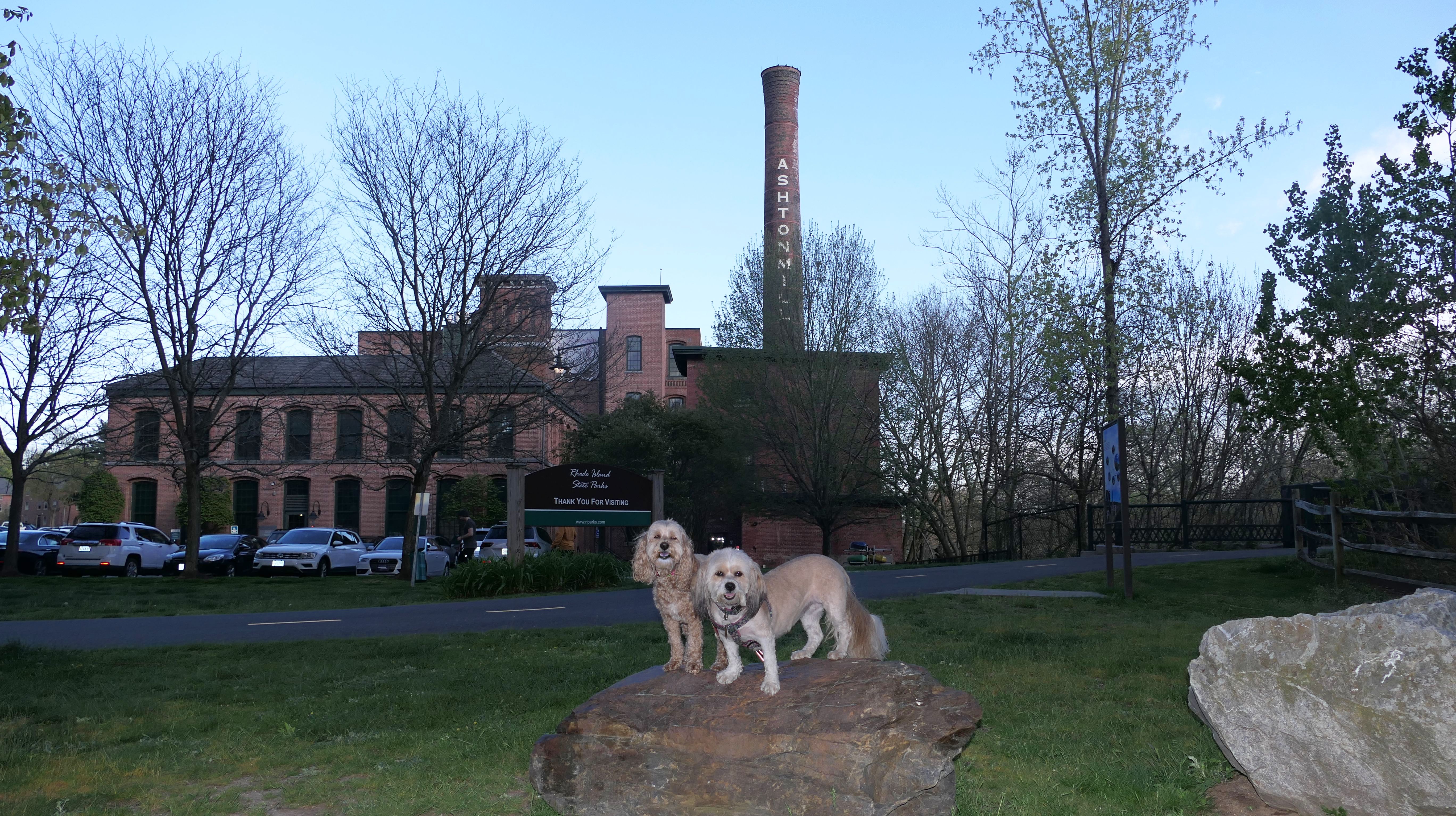
Date visited: 5/2/2024
This is the section of the trail that runs from the Ashton Mill Apartments near Blackstone River State Park in Lincoln, to the point where we left off nearly two years earlier. This stretch is about a mile long, passes under I-295, and runs parallel to train tracks that are on the other side of a large chain link fence.
More Images
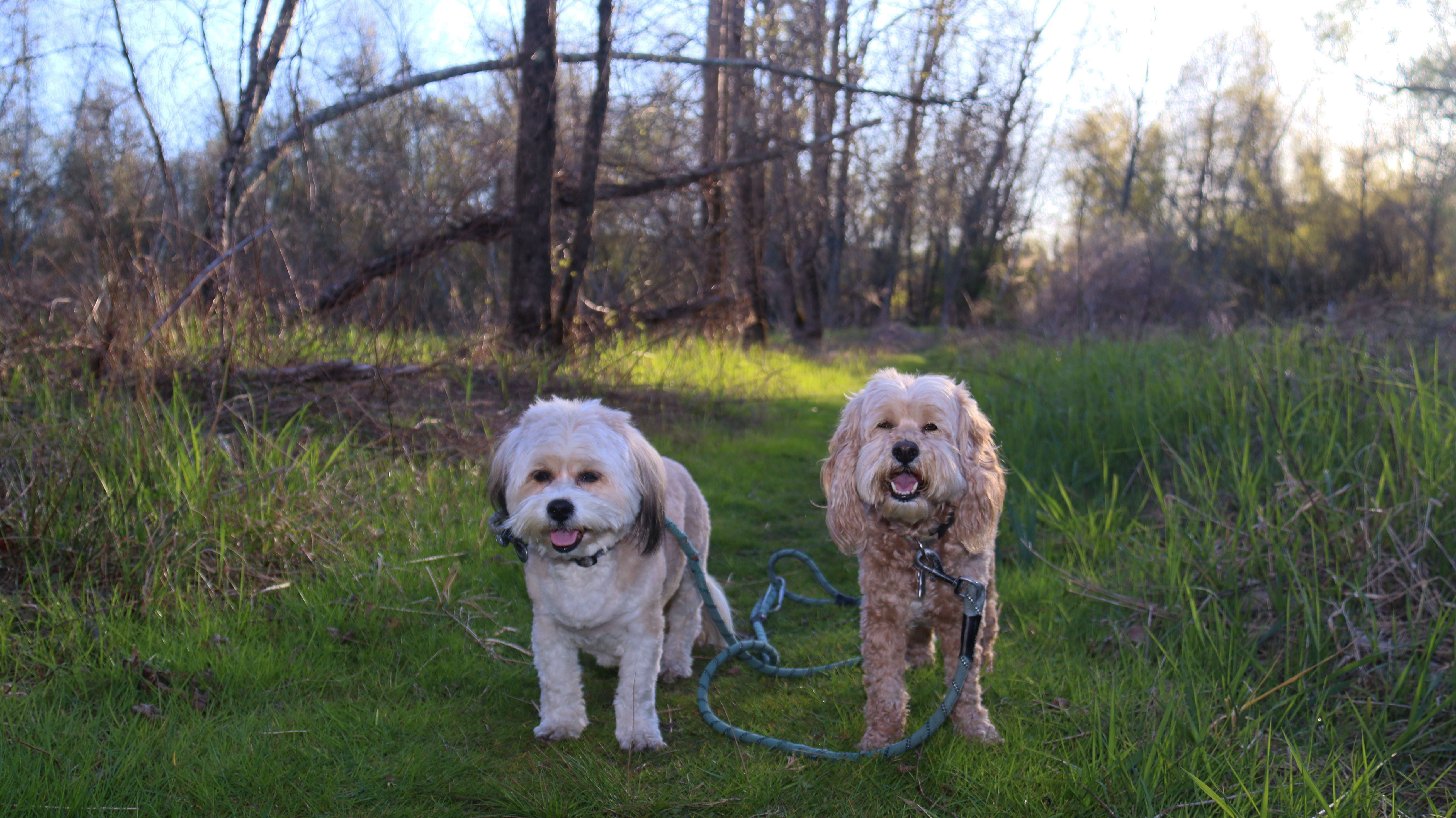
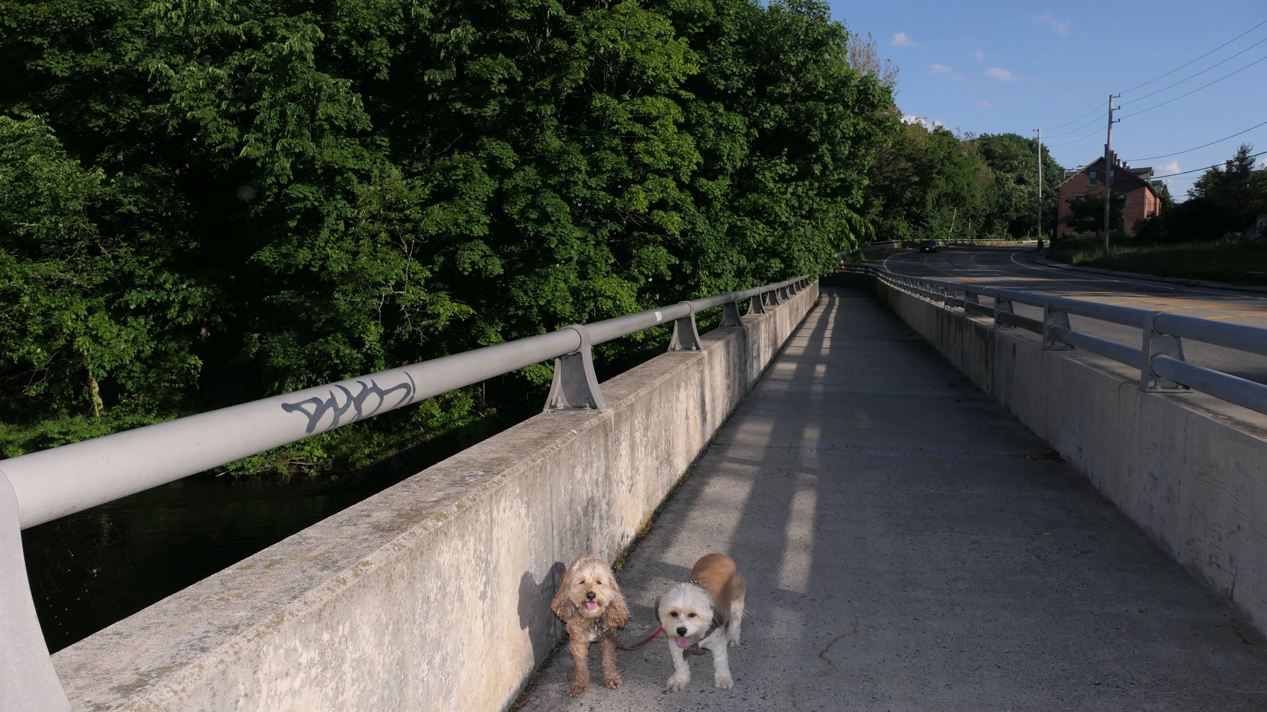
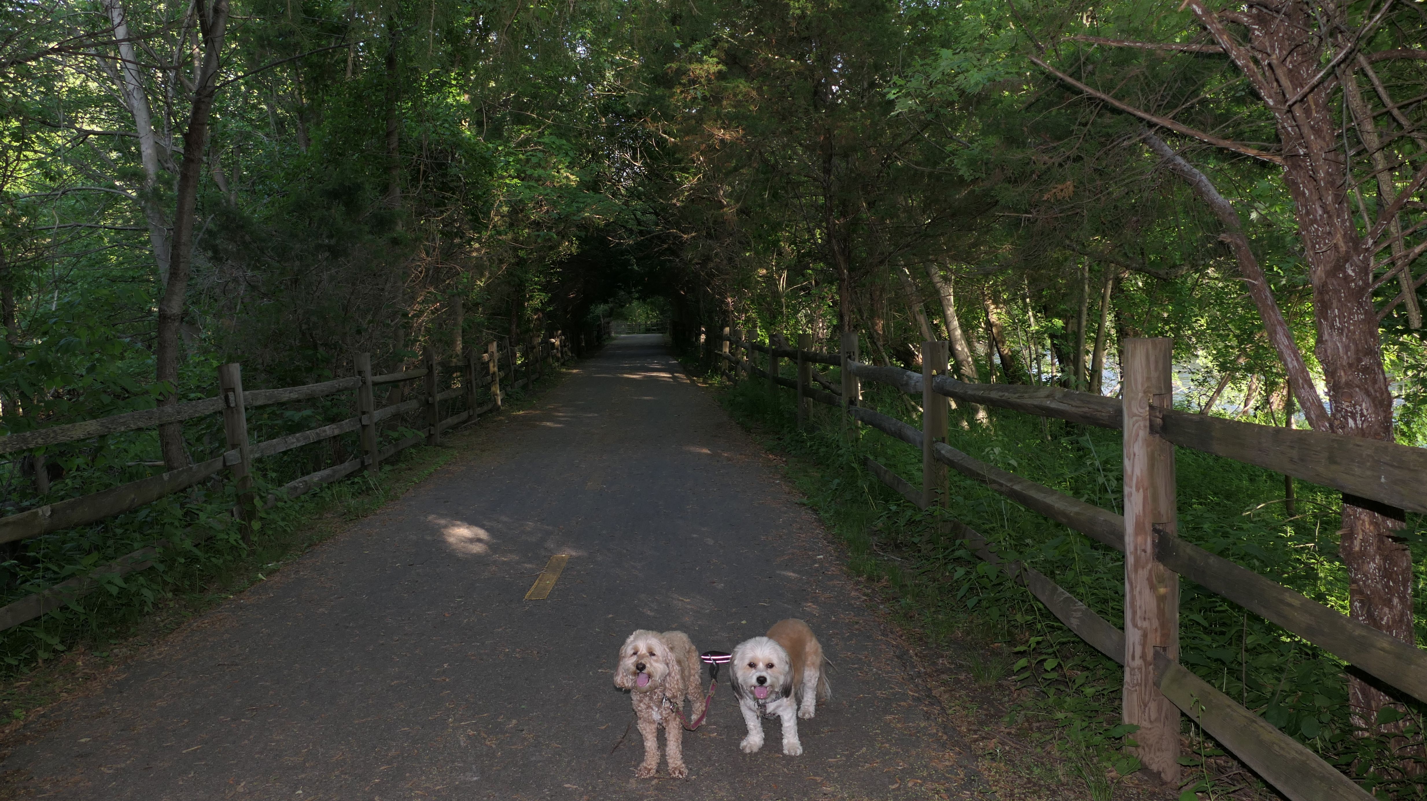
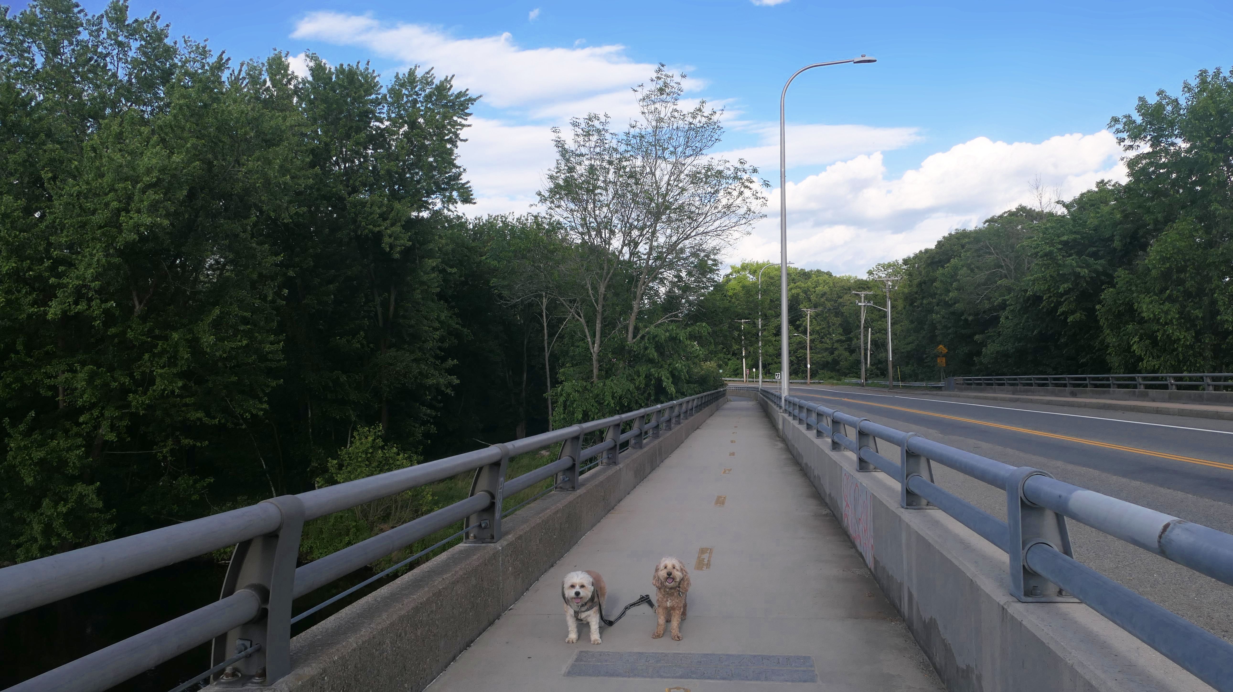
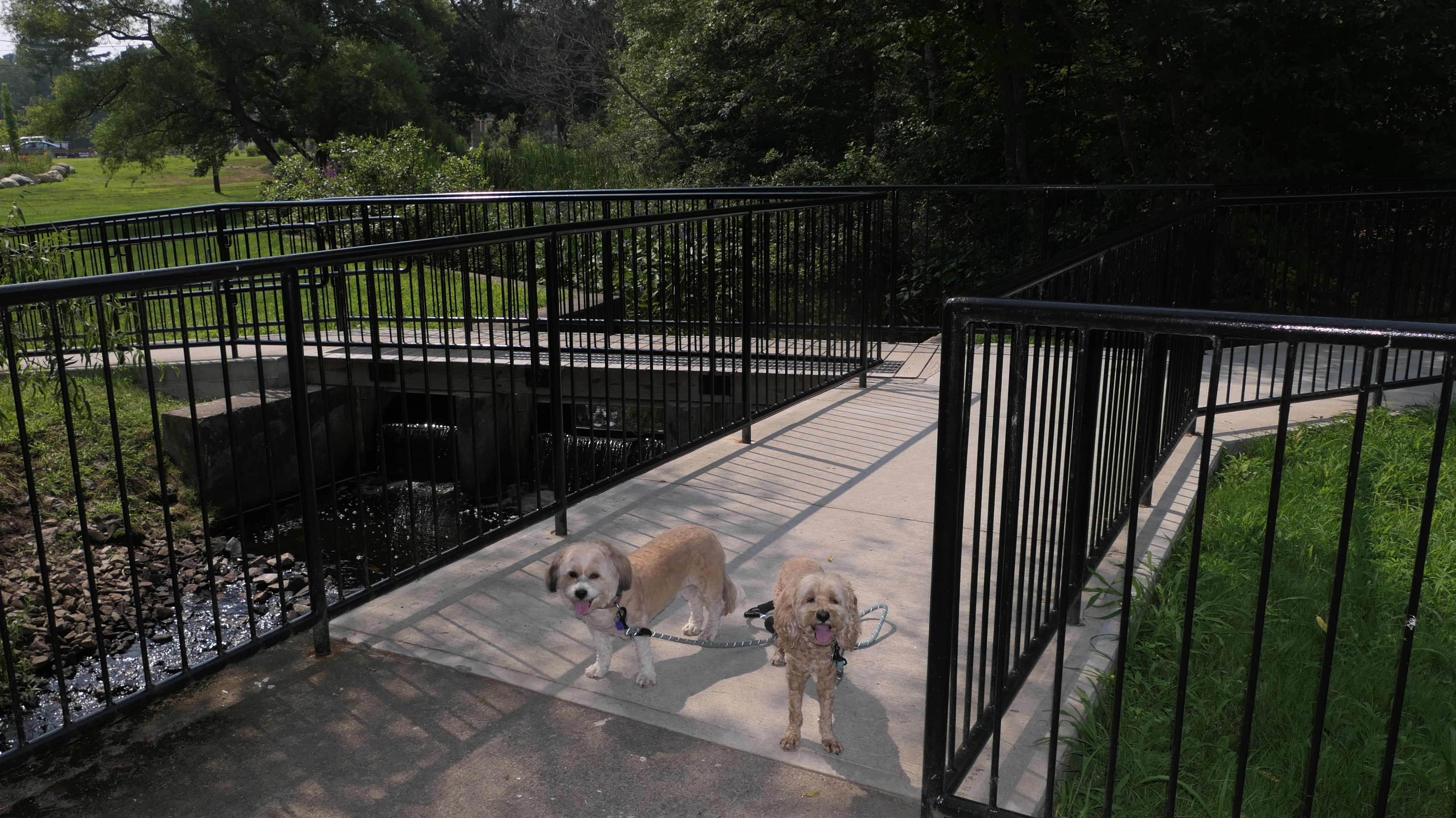
Blackstone River Greenway
Date visited: 5/28/2024
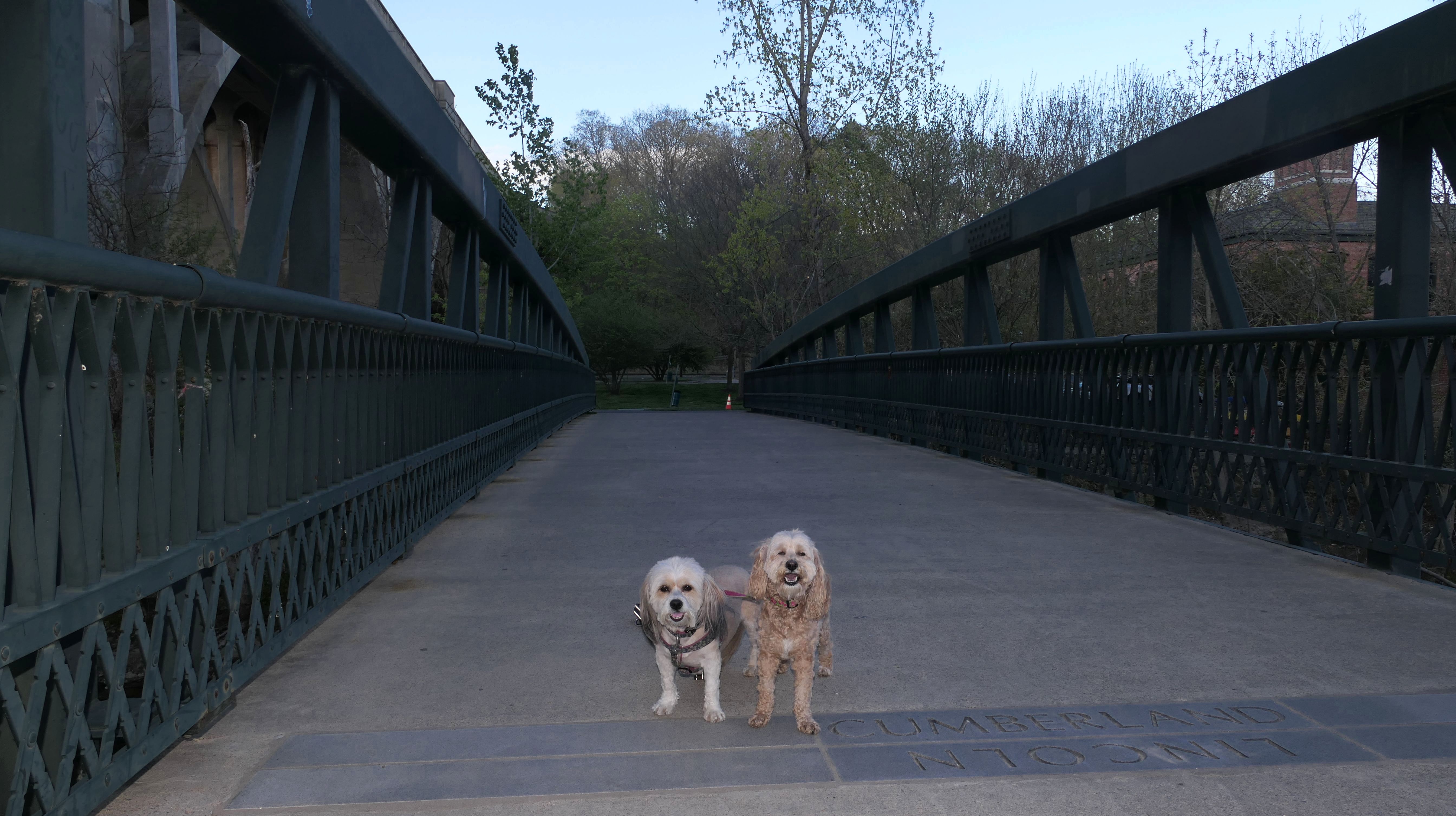
We started this walk at the John Street parking lot in Lincoln. The trail quickly crosses into Cumberland over the Lonsdale Avenue bridge. Once in Cumberland, it crosses Lonsdale Avenue near Stop and Shop, running right along side the river until it reaches an elaborate bridge over the river leading back to Lincoln.
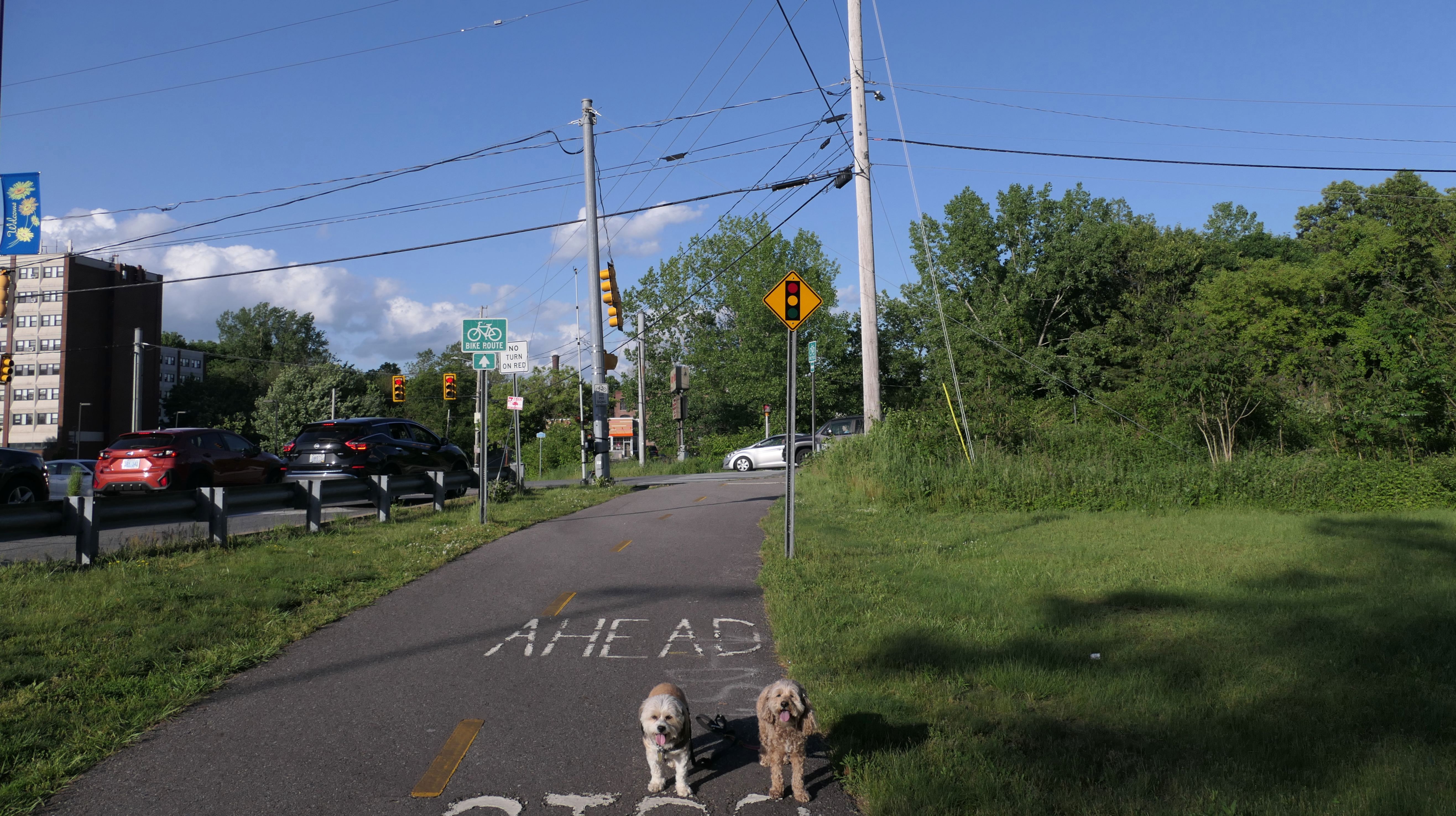
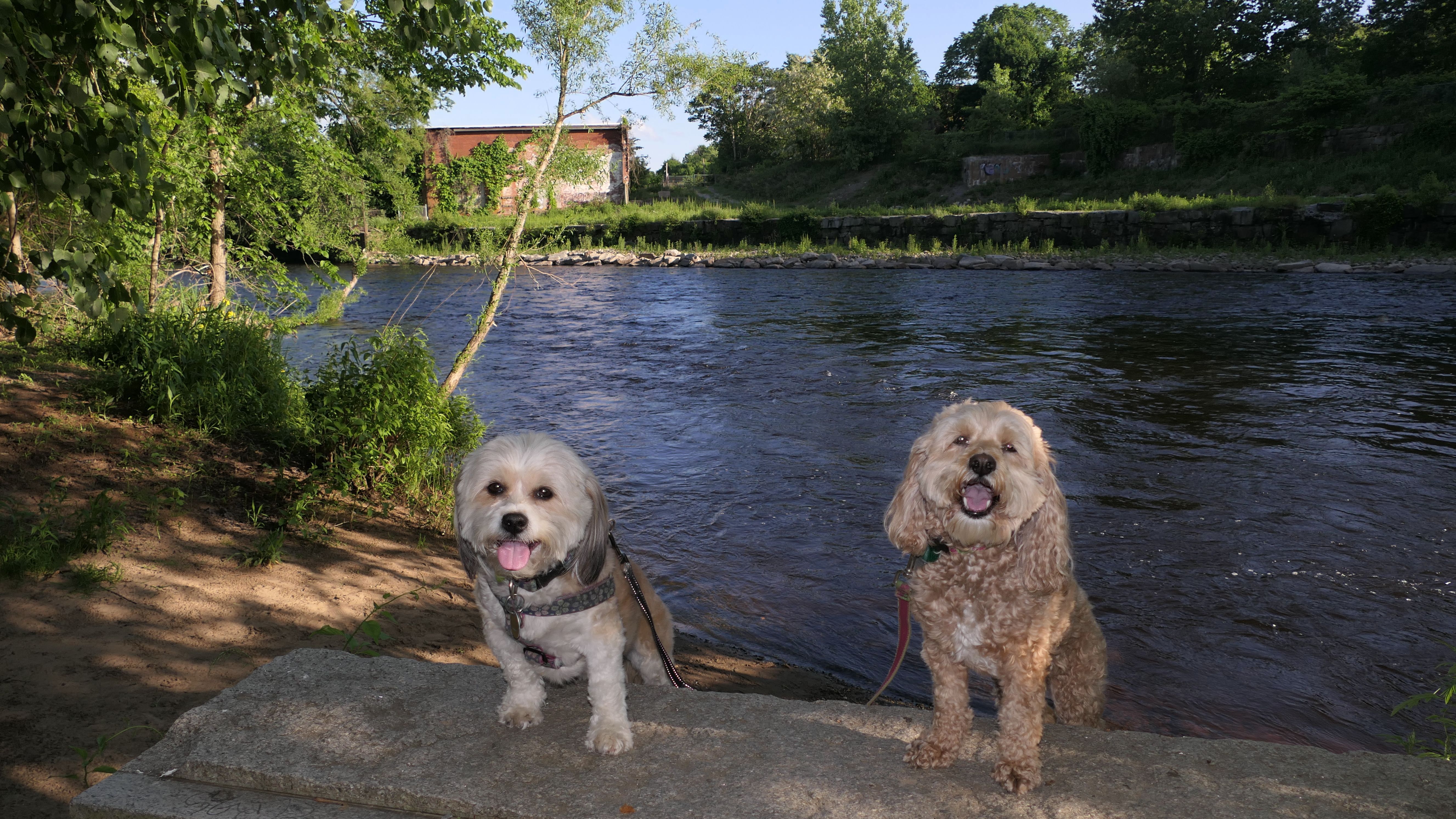
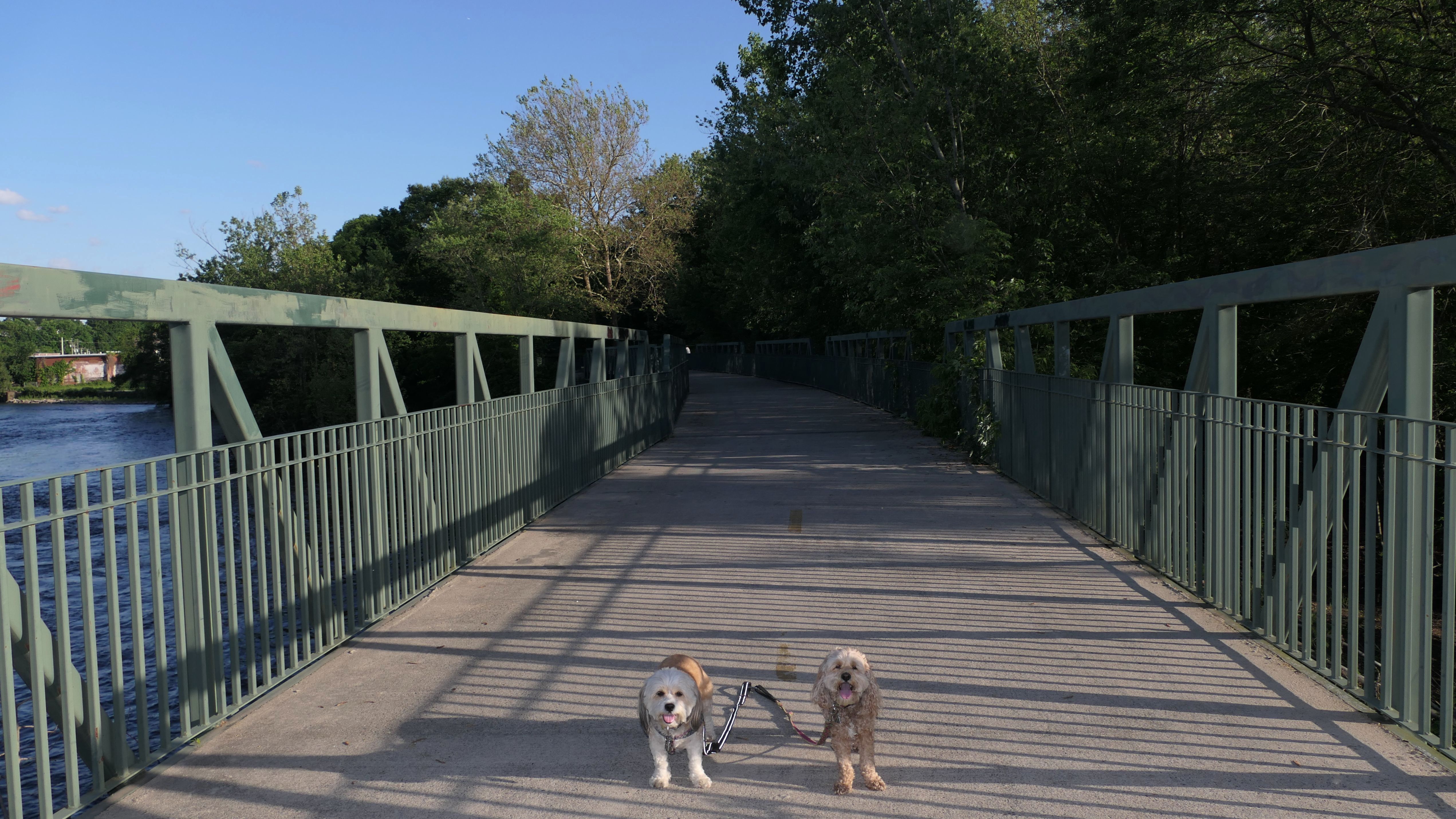
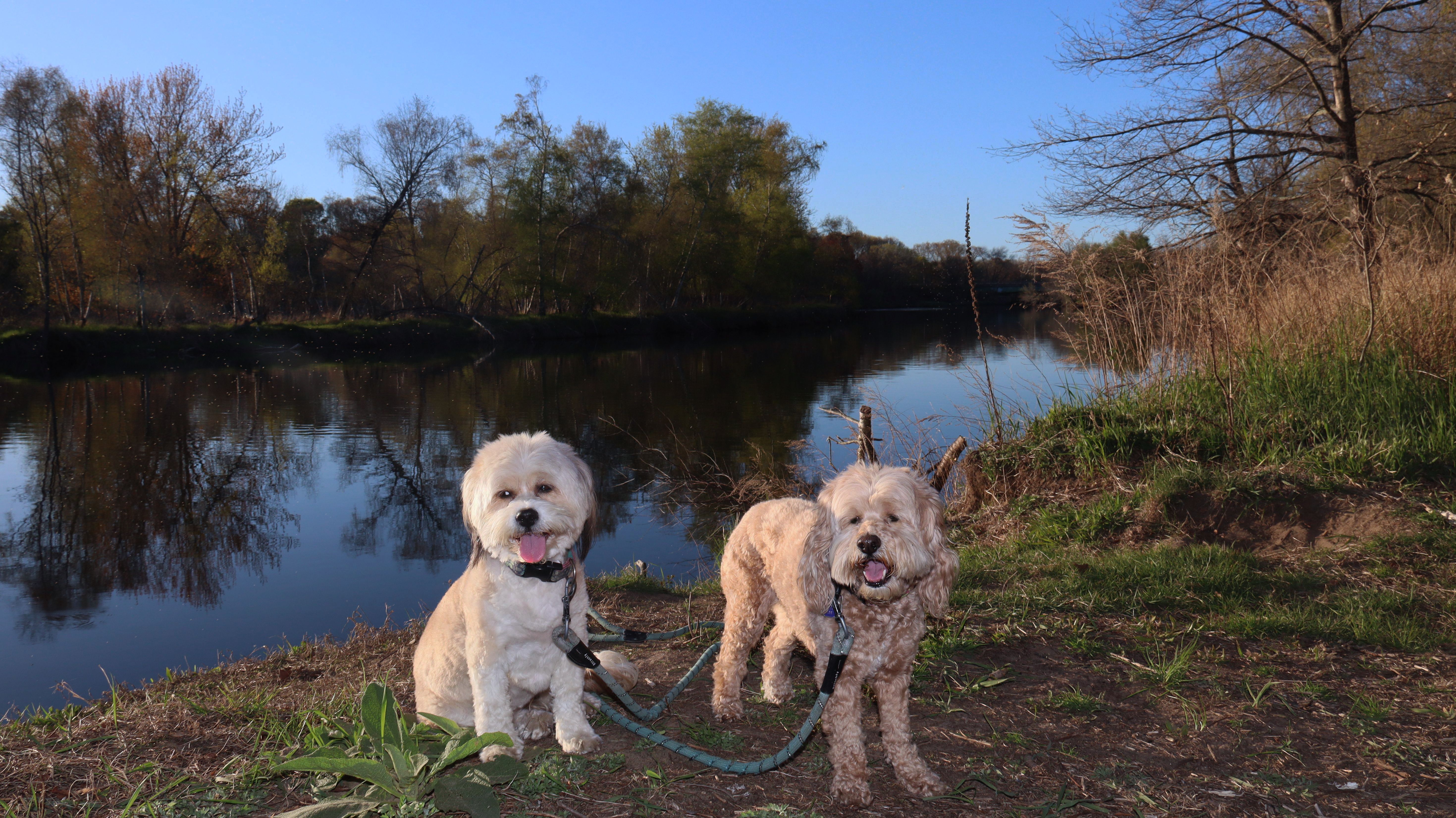
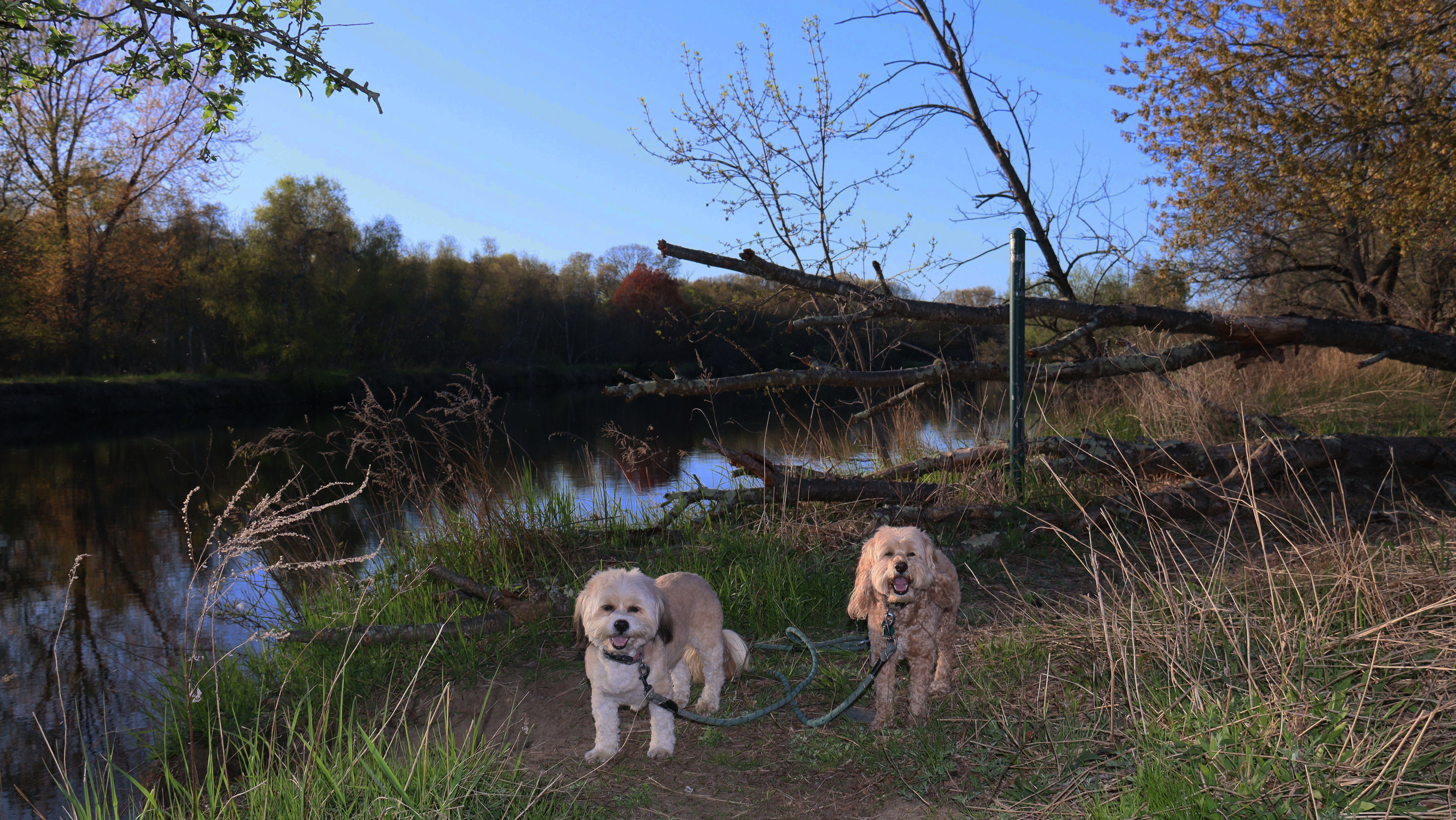
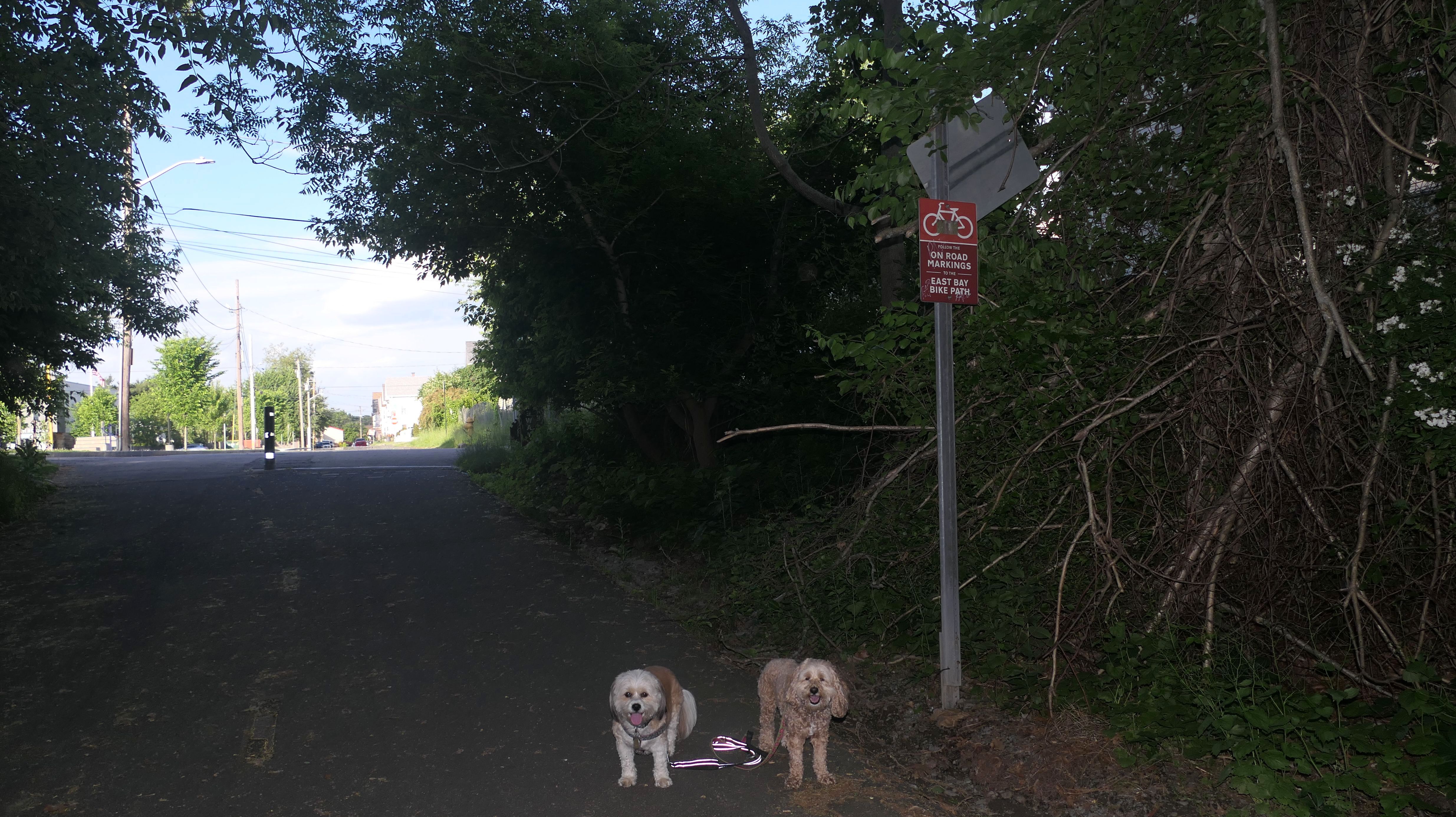
Blackstone River Greenway
Date visited: 5/31/2024
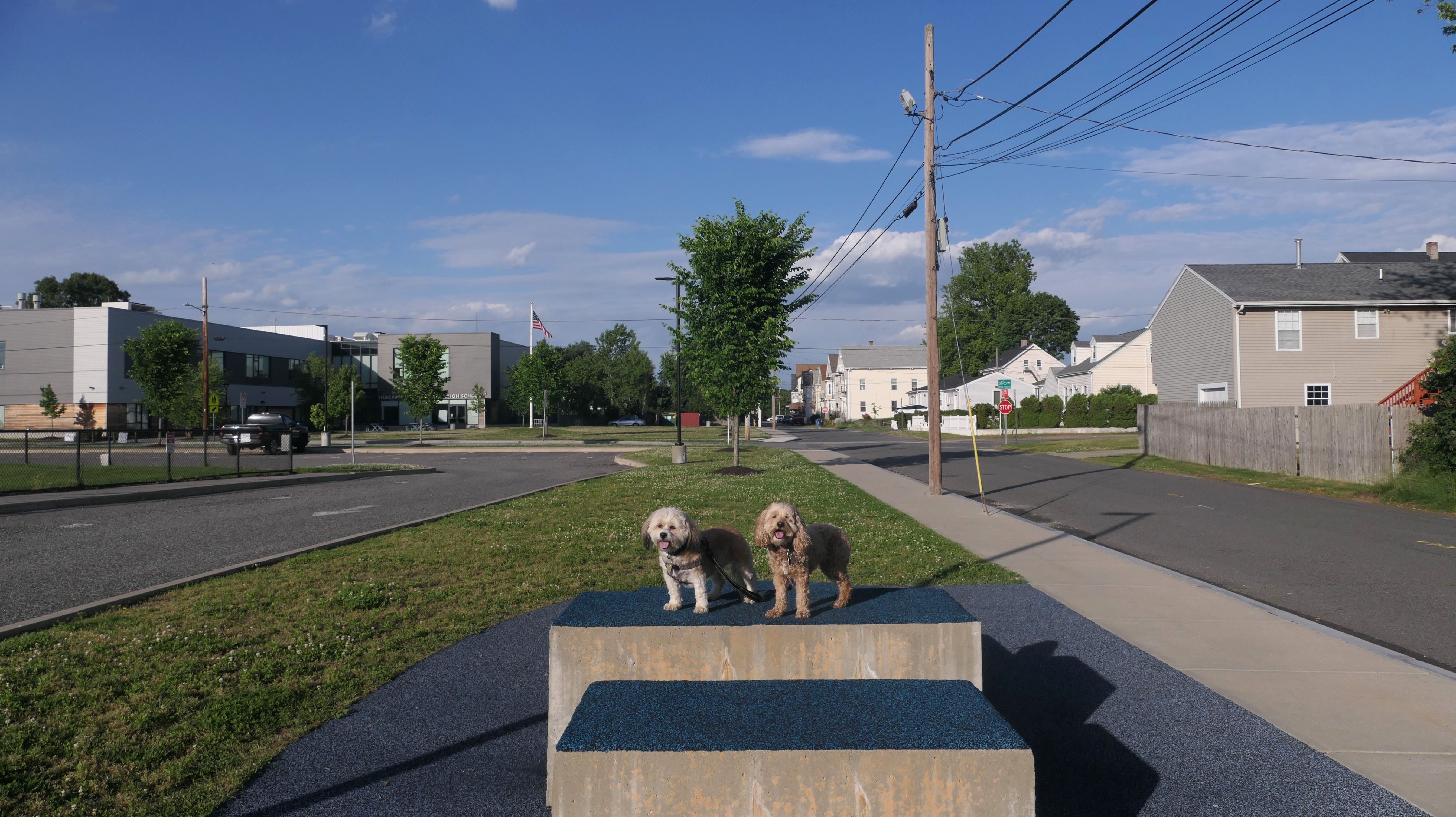
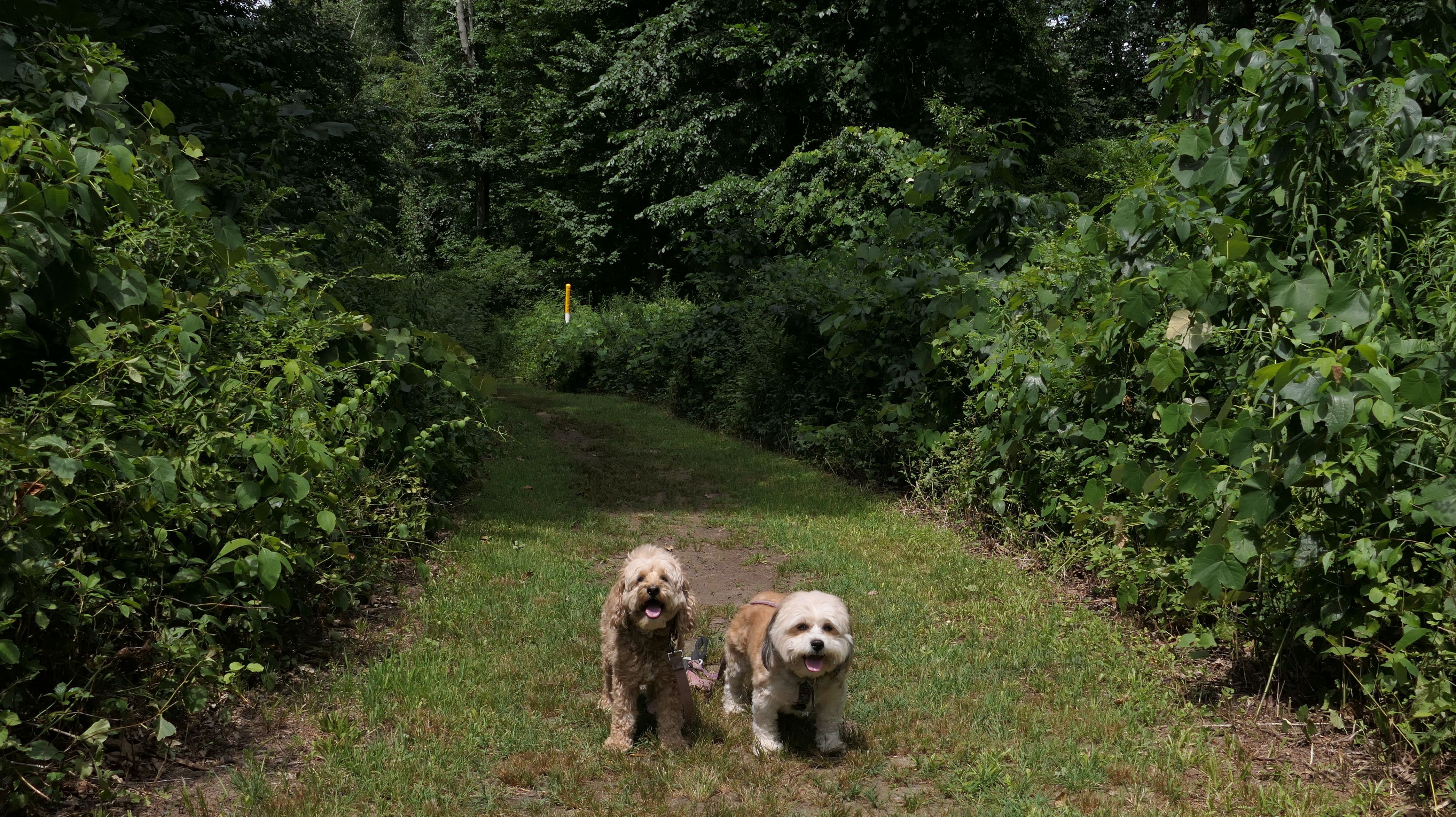
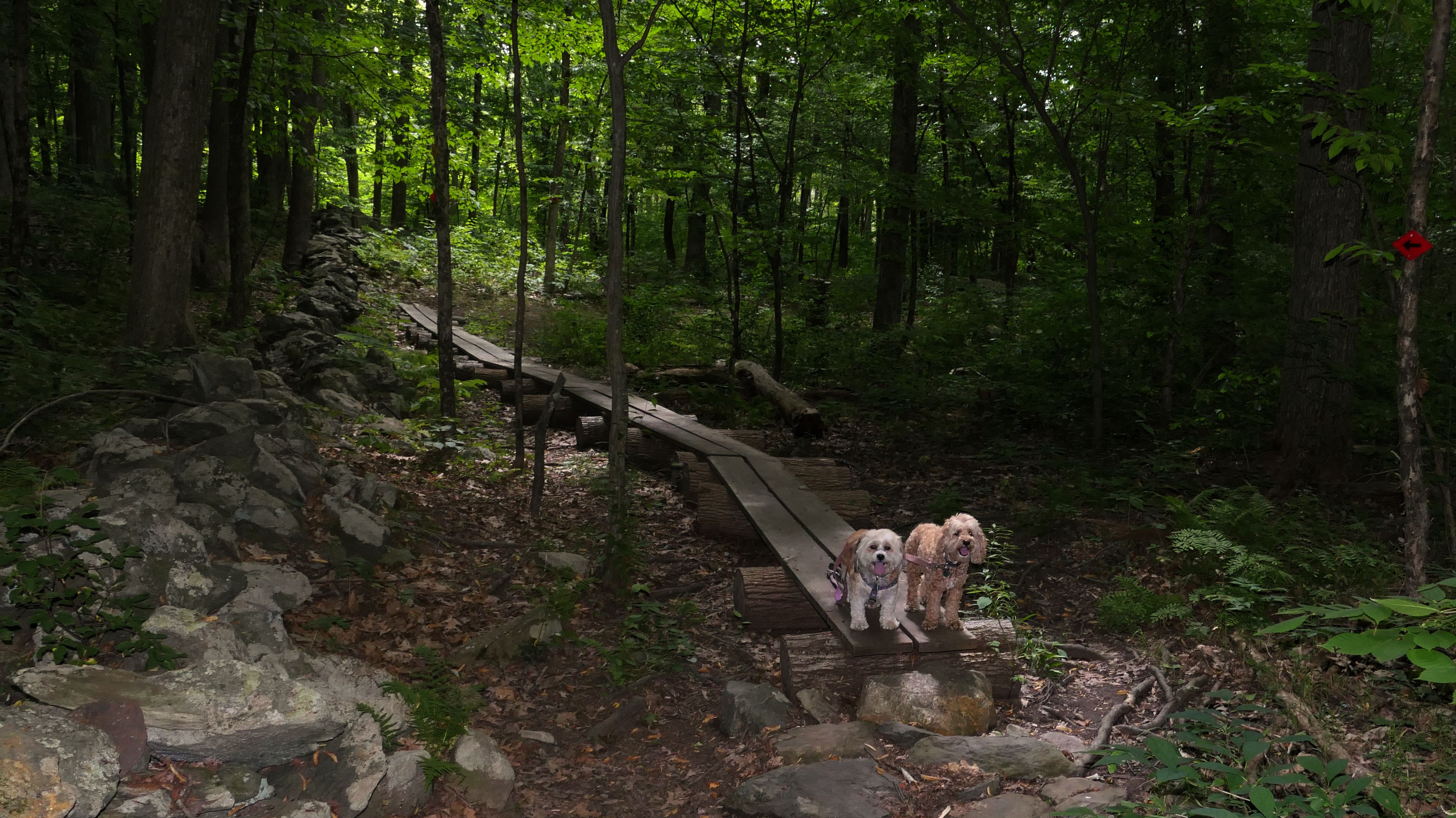
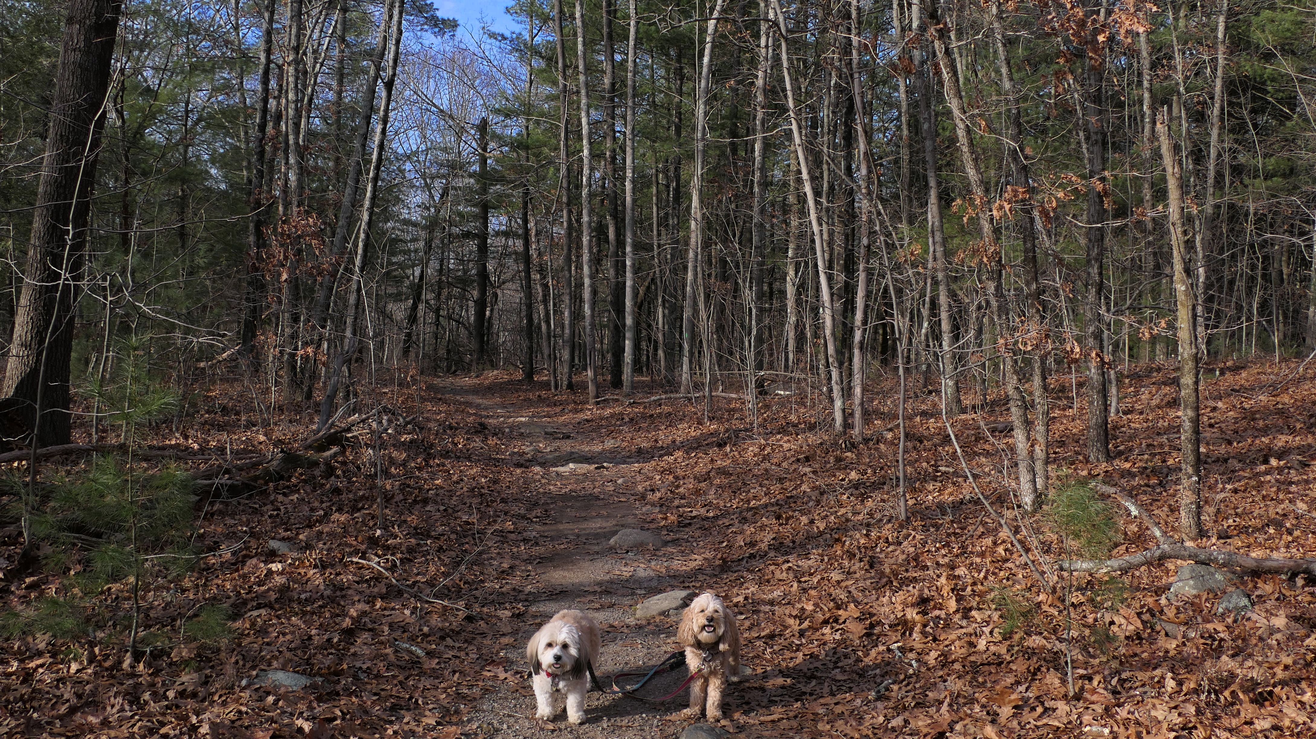
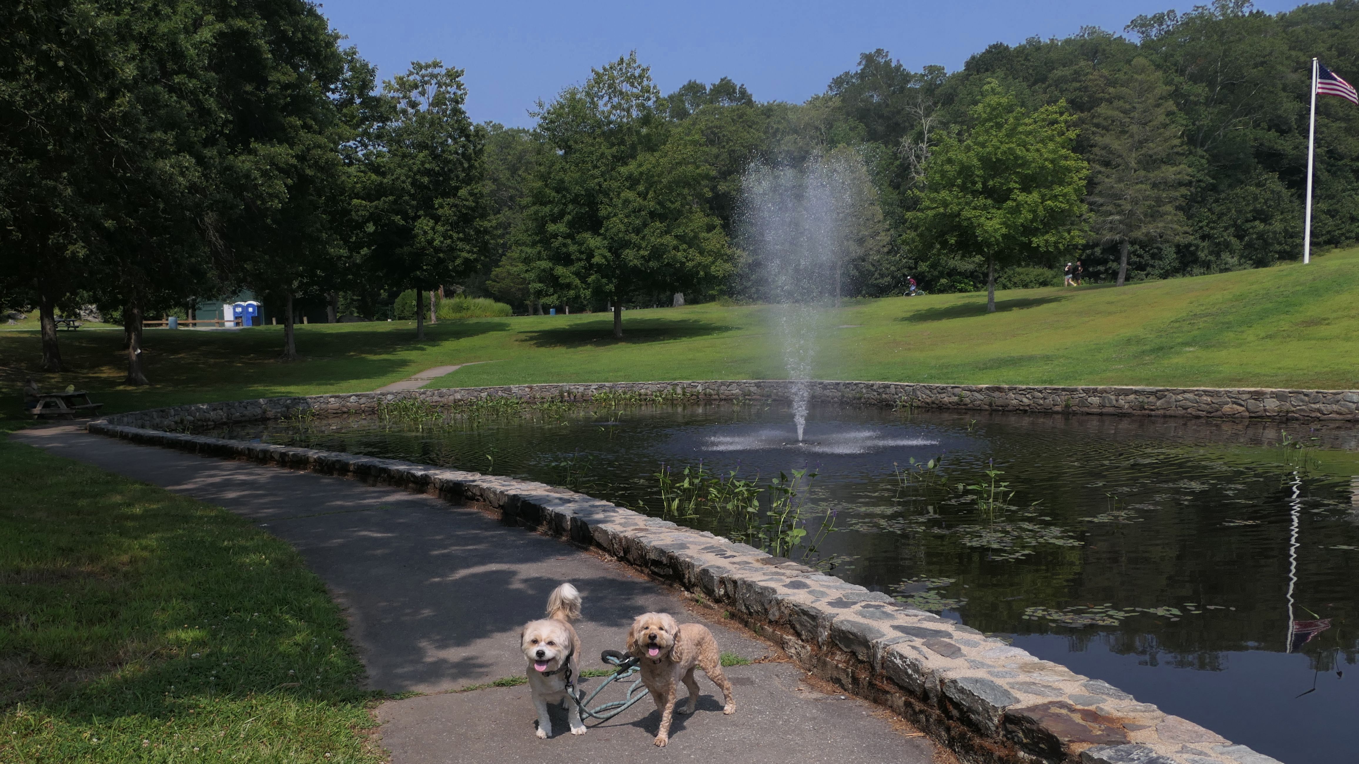
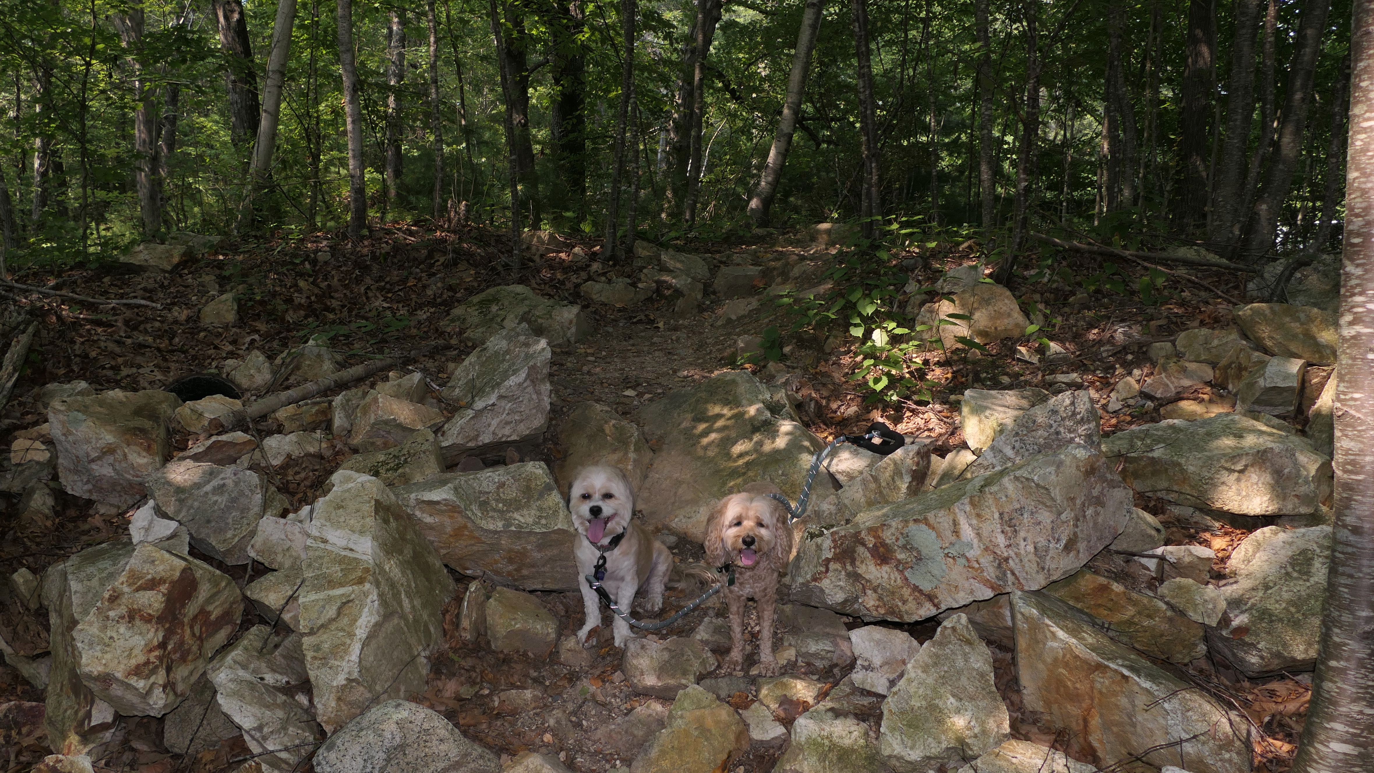
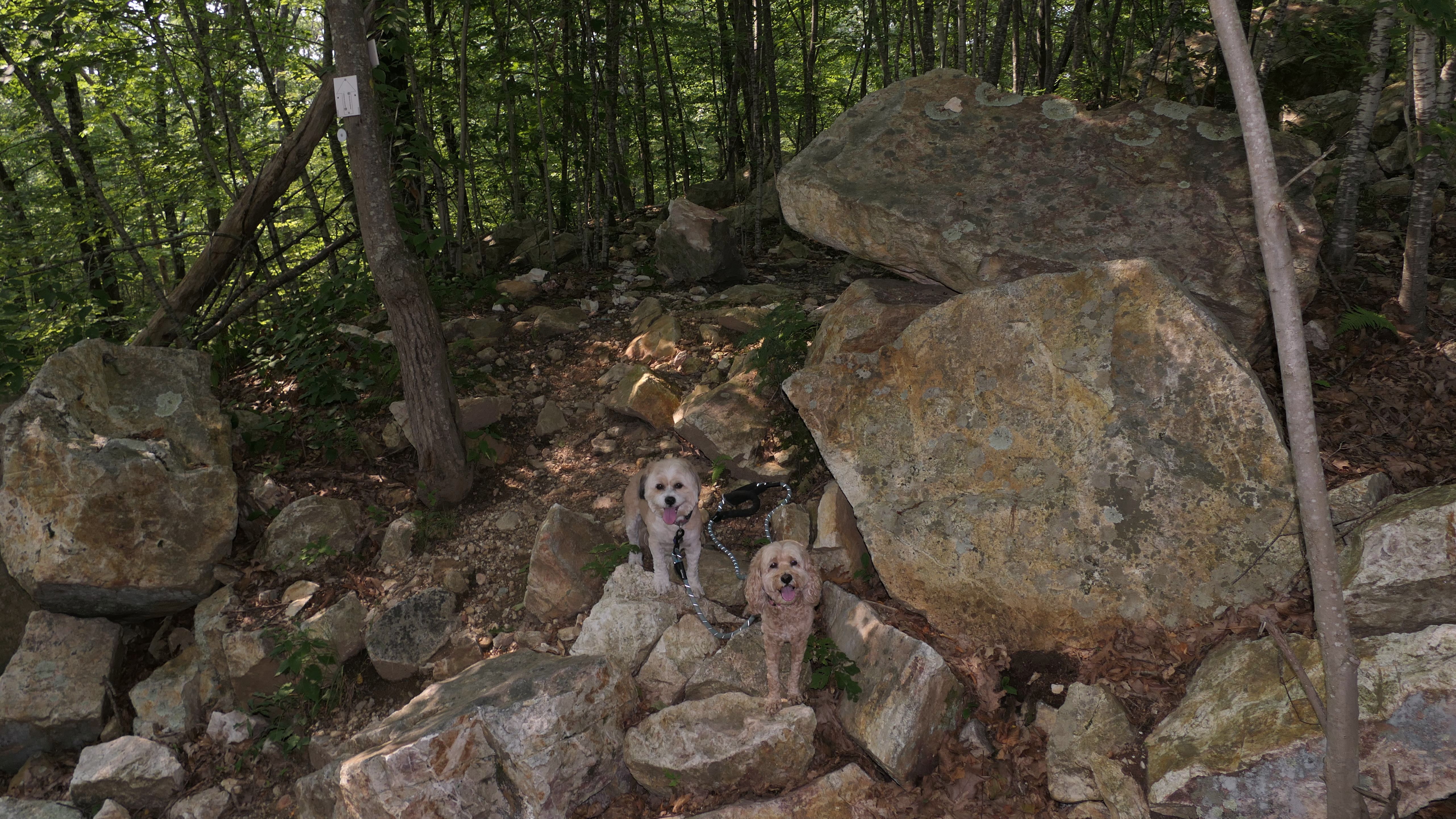
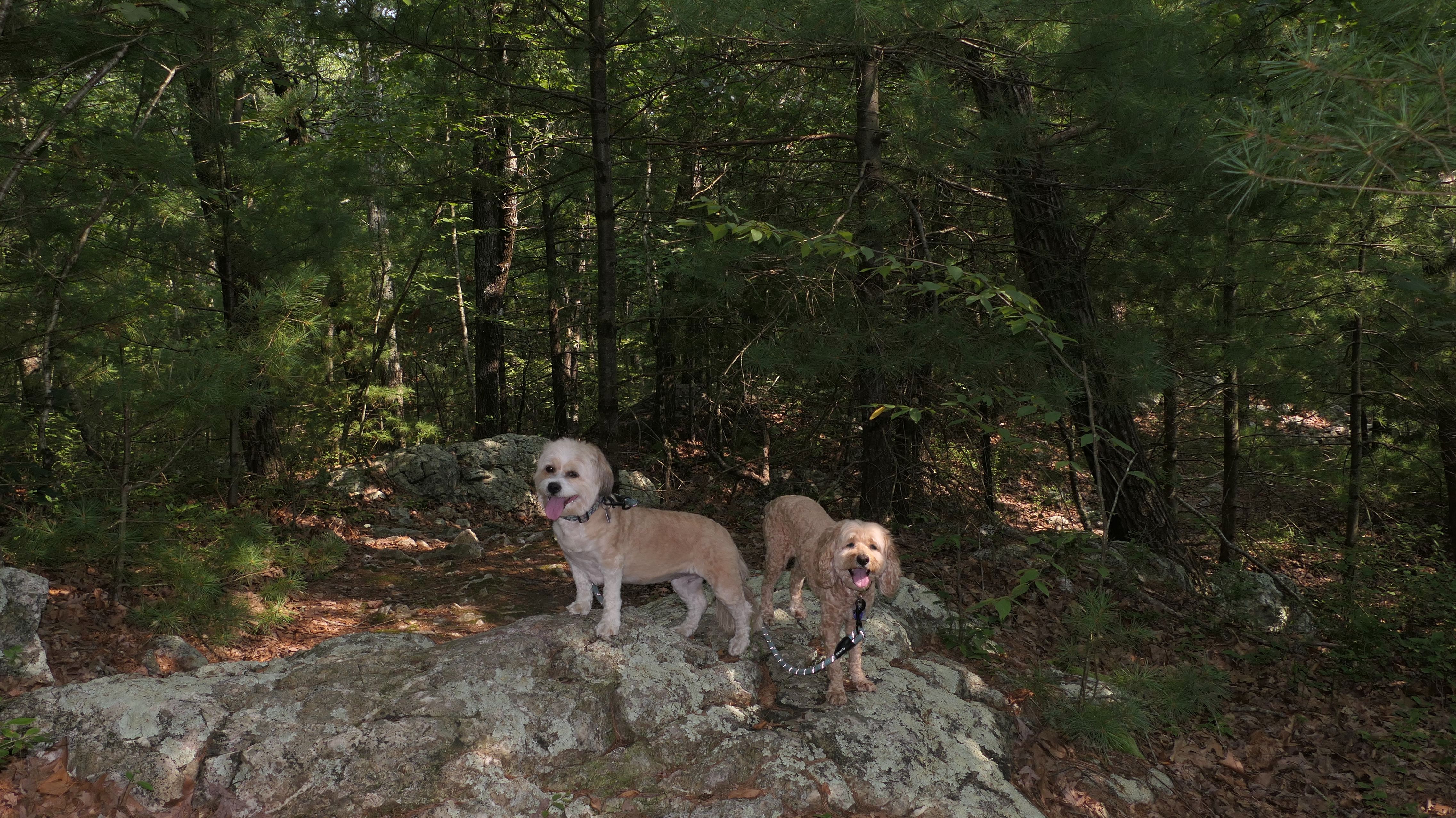
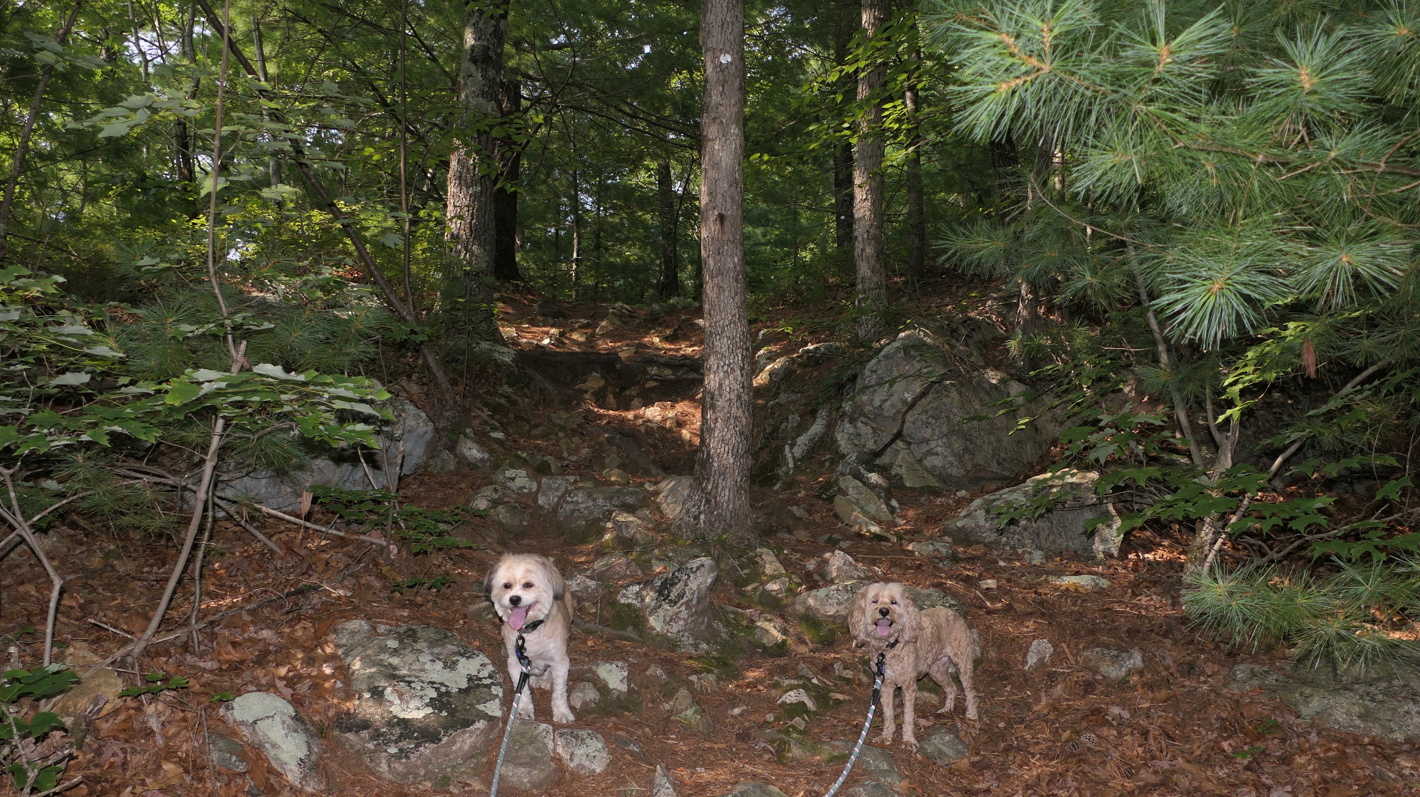
This is the southern most section of the largest continuous "off-road" section of the trail. We have now walked the entire completed section of the trail in Rhode Island. We again started at the John Street Lot in Lincoln, and again crossed over the river into Cumberland along John Street (Route 123). The trail crosses John Street and passes through Valley Marsh on a large wide wooden boardwalk. The section ends just past the boardwalk near Blackstone Valley Prep High School. There are also side trails that lead to the river. This portion is only about three quarters of a mile long. At the end of the trail, there are signs instructing bikers to follow the on-road marker that eventually lead to a short off-road section in Providence that connects to the East Bay Bike Path.

More Images
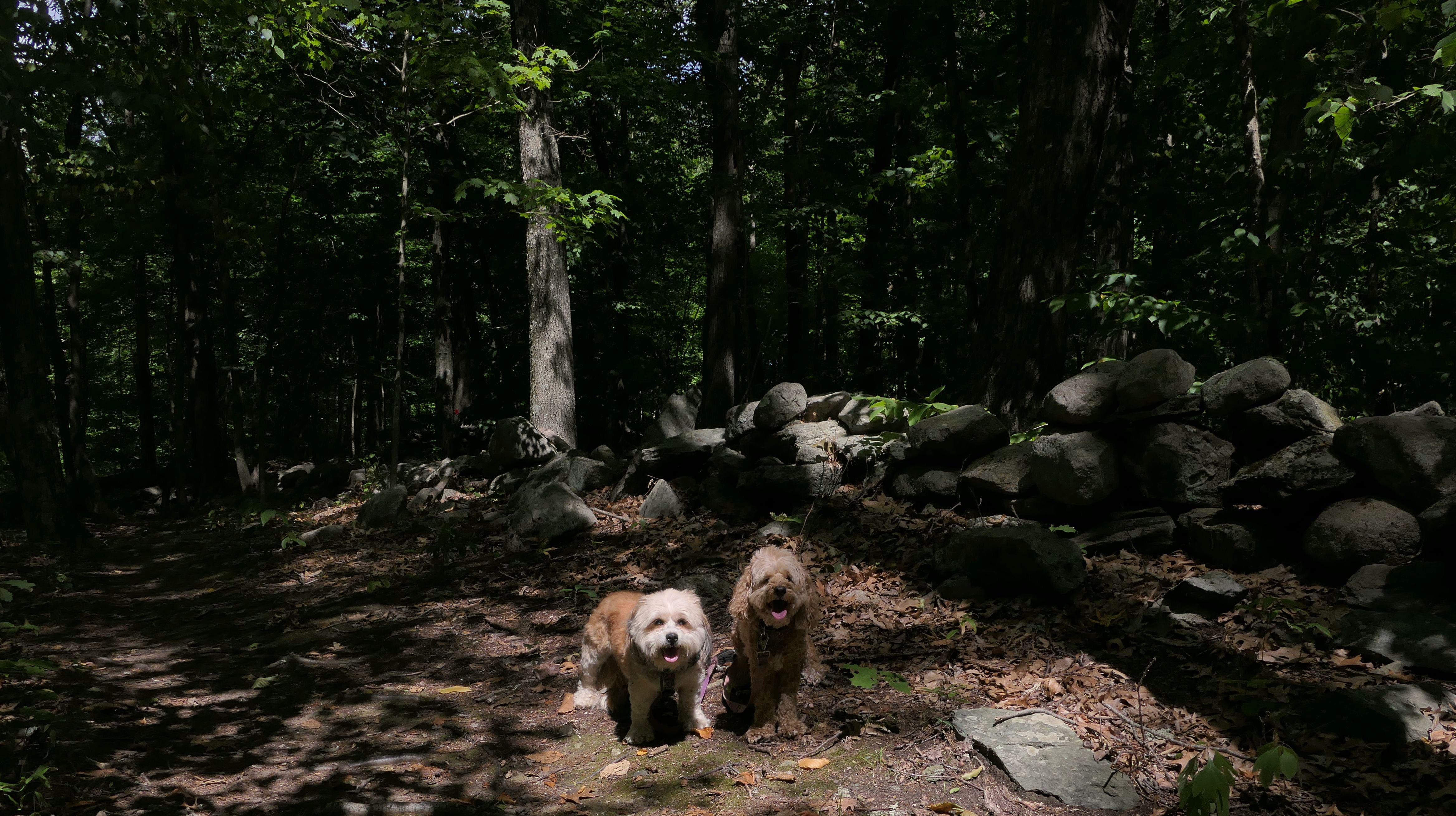
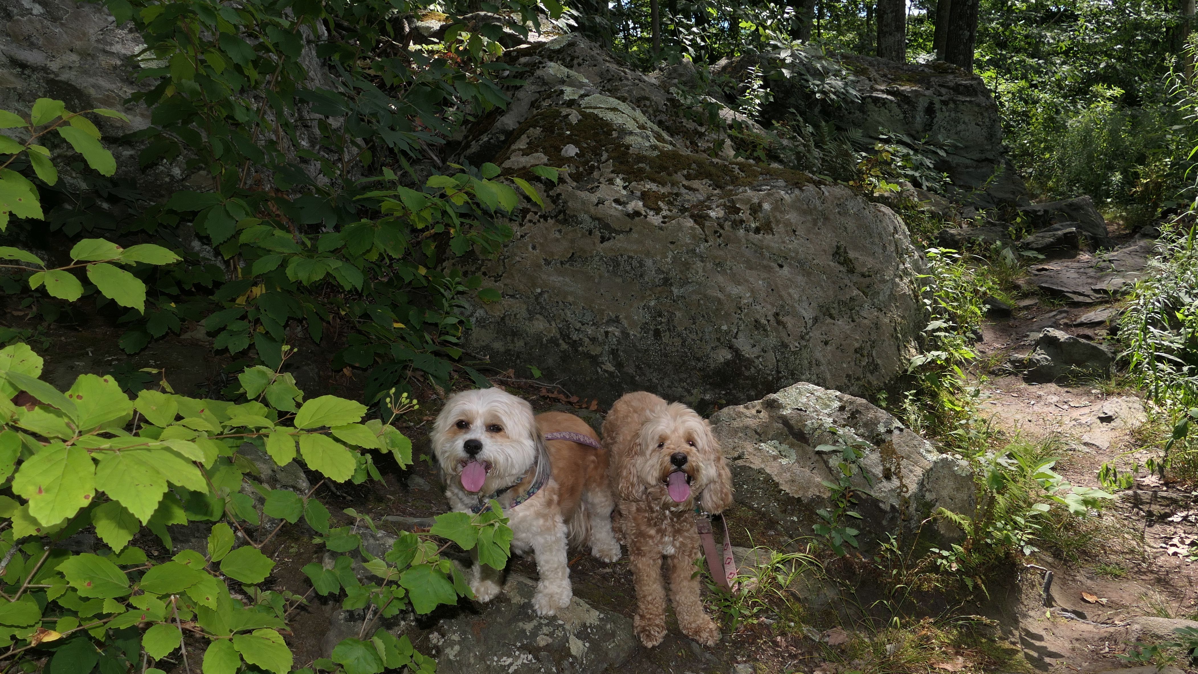
Burlingame Preserve
Date visited: 7/31/2022
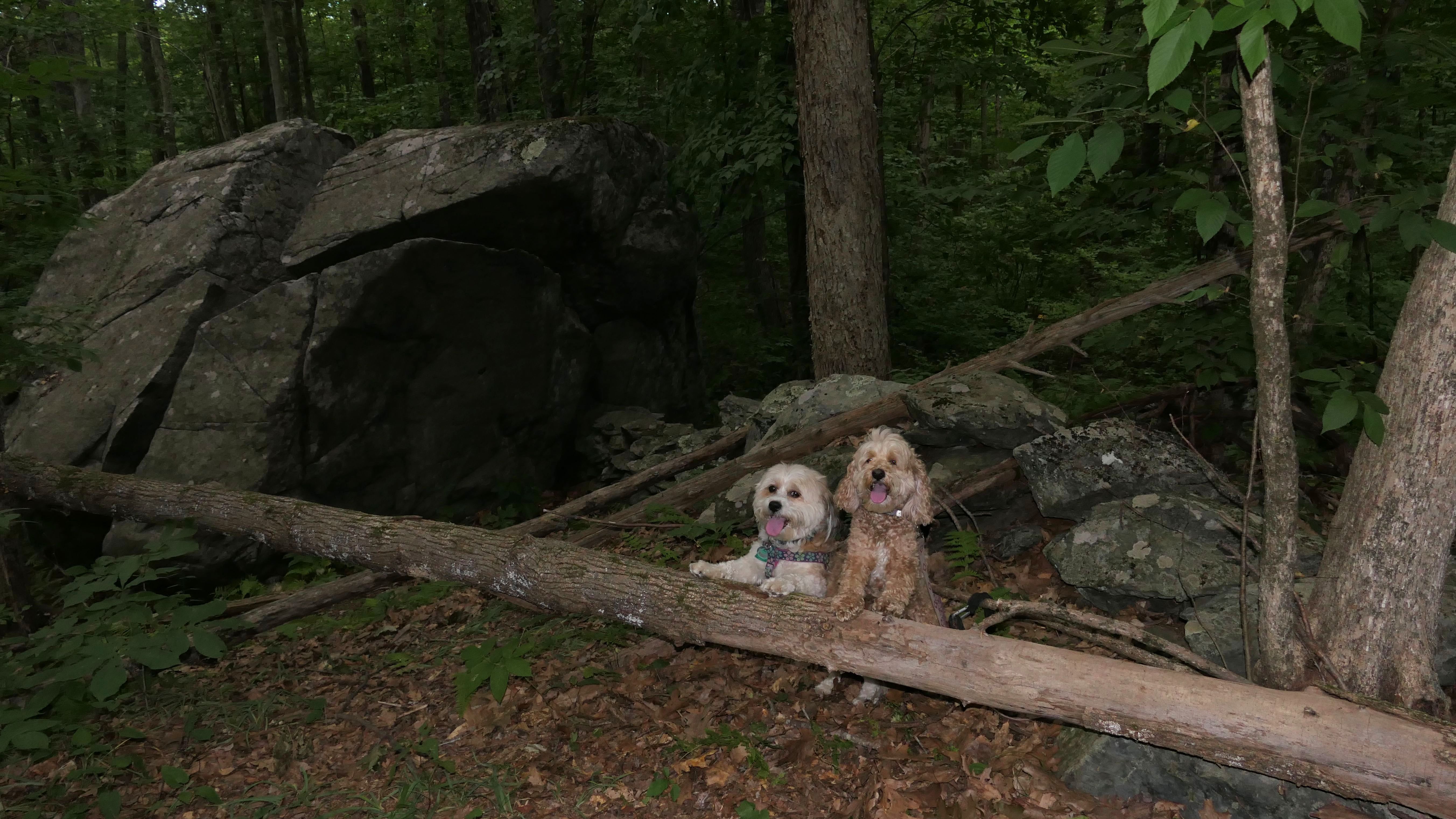
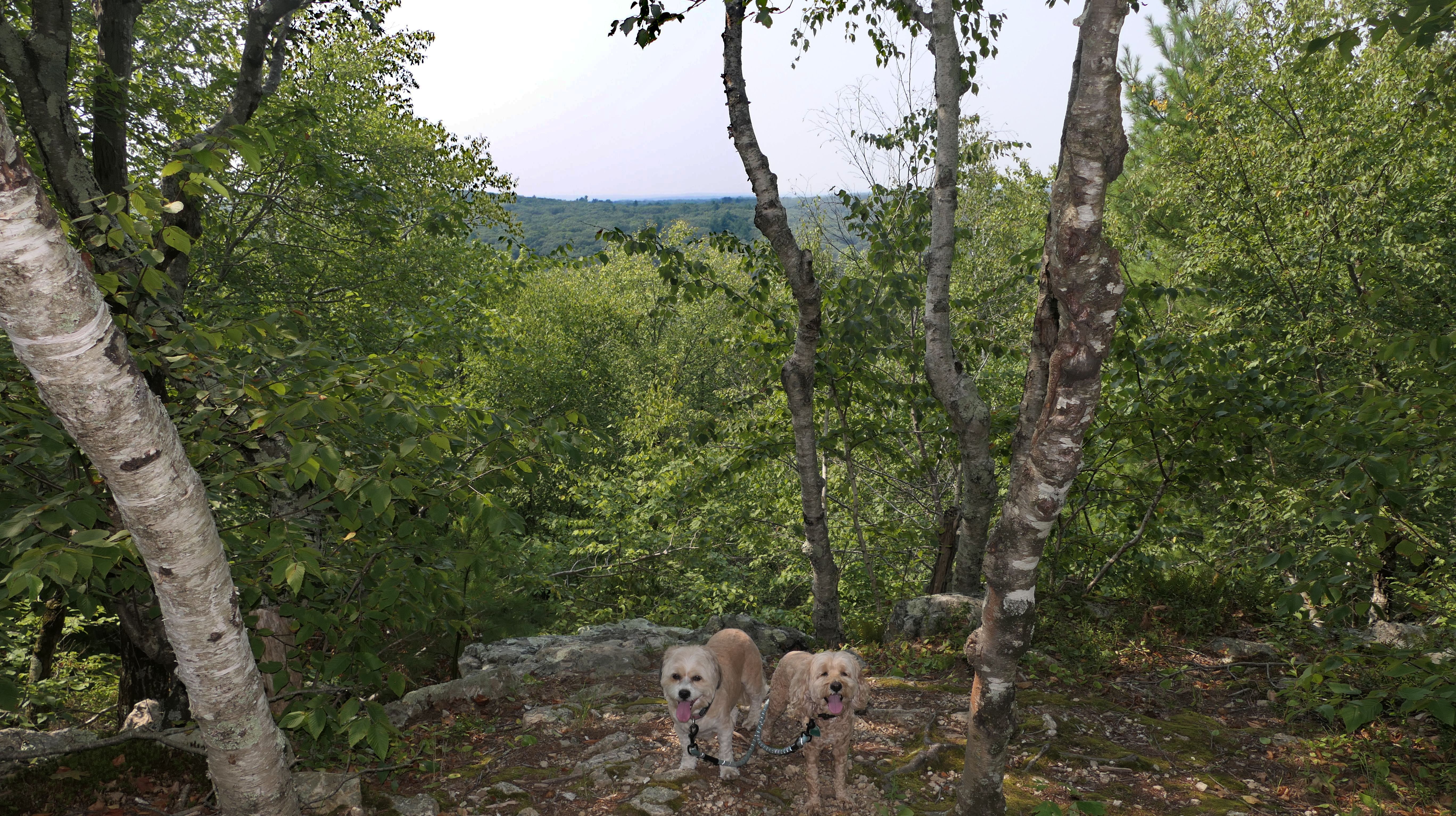
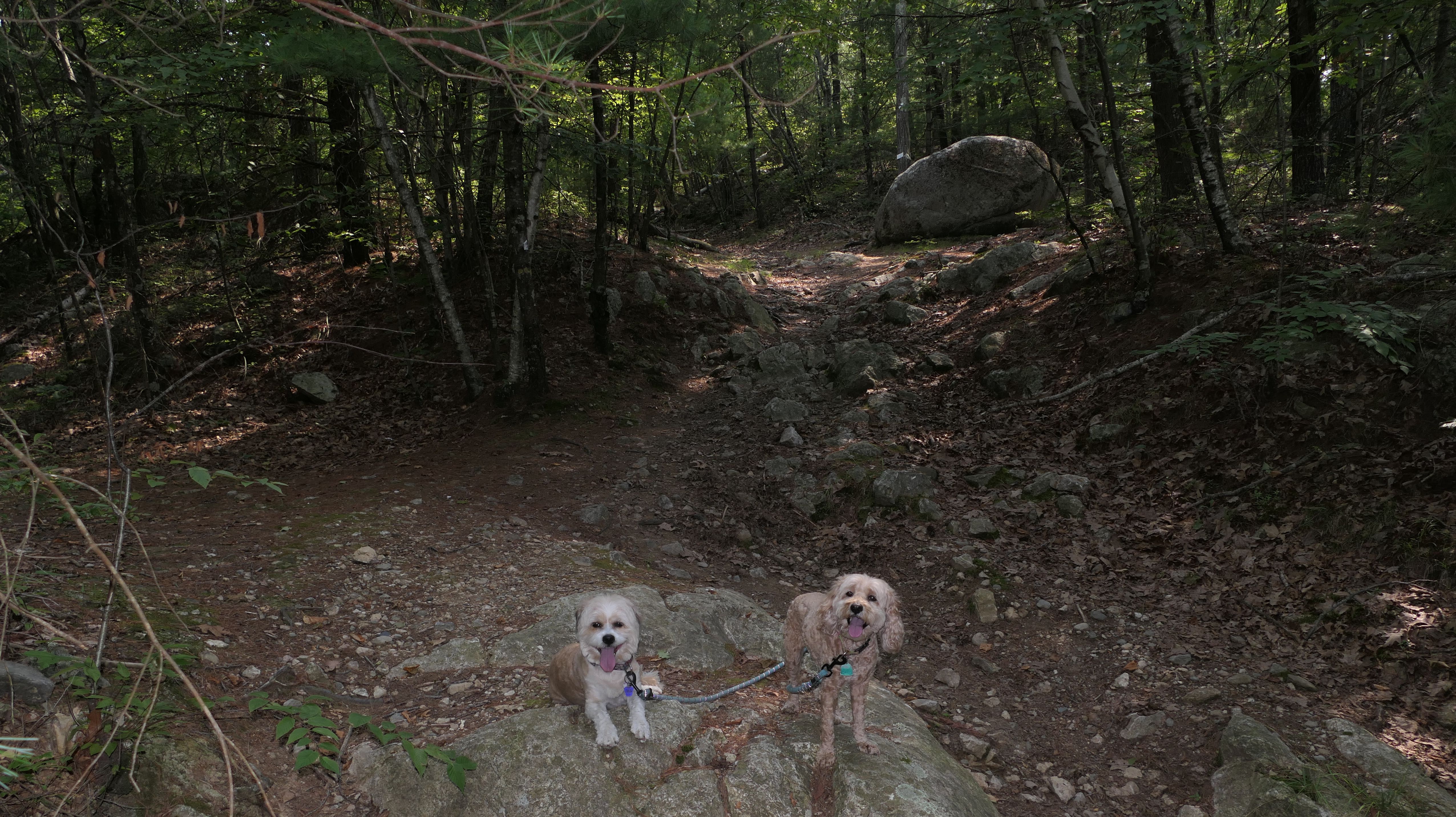
There are actually four different properties here: Atlantic White Cedar Swamp, Gold Star, James Bland and Burlingame Preserves. I named this one Burlingame because that one is the largest, and the majority of the three mile loop trail we walked is part of that preserve. There are actually four different loops that you can take, with three of them being shorter versions of the main loop. The trails are nicely maintained, well marked, and feature a great many stone walls. We parked at the small lot on Pound Road, and accessed the trails from there. The only issue is somewhere near the beginning of the trail, the dogs managed to get all these little green prickers stuck in their fur. I stopped for 10 minutes pulling them out. On the way back, I was careful to keep them on the trail, but somehow they did it again. I spent another 10 minutes in the car pulling them out, and then probably an hour more when I got home. Great wooded trail, except for the little green prickers.


More Images
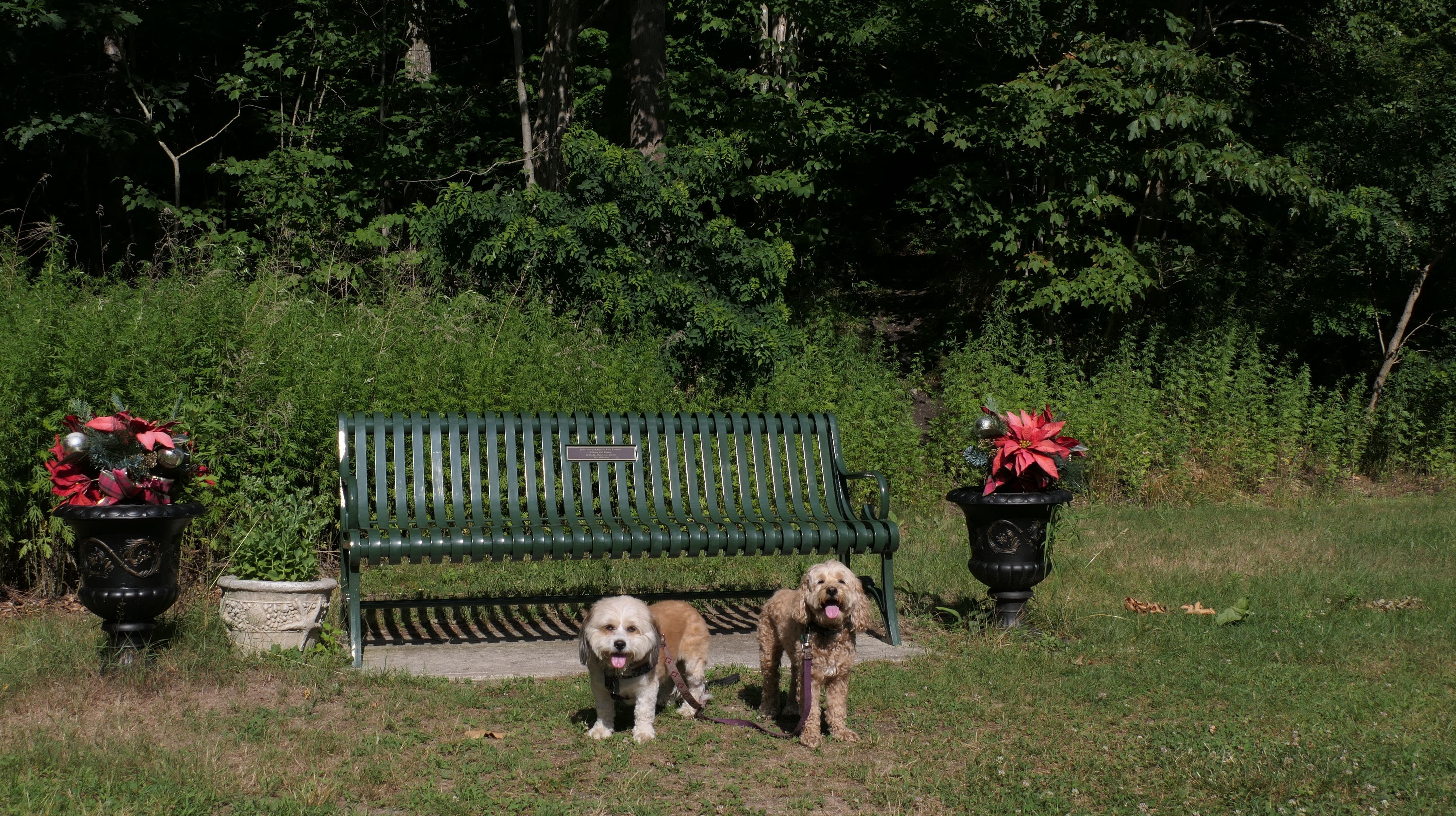
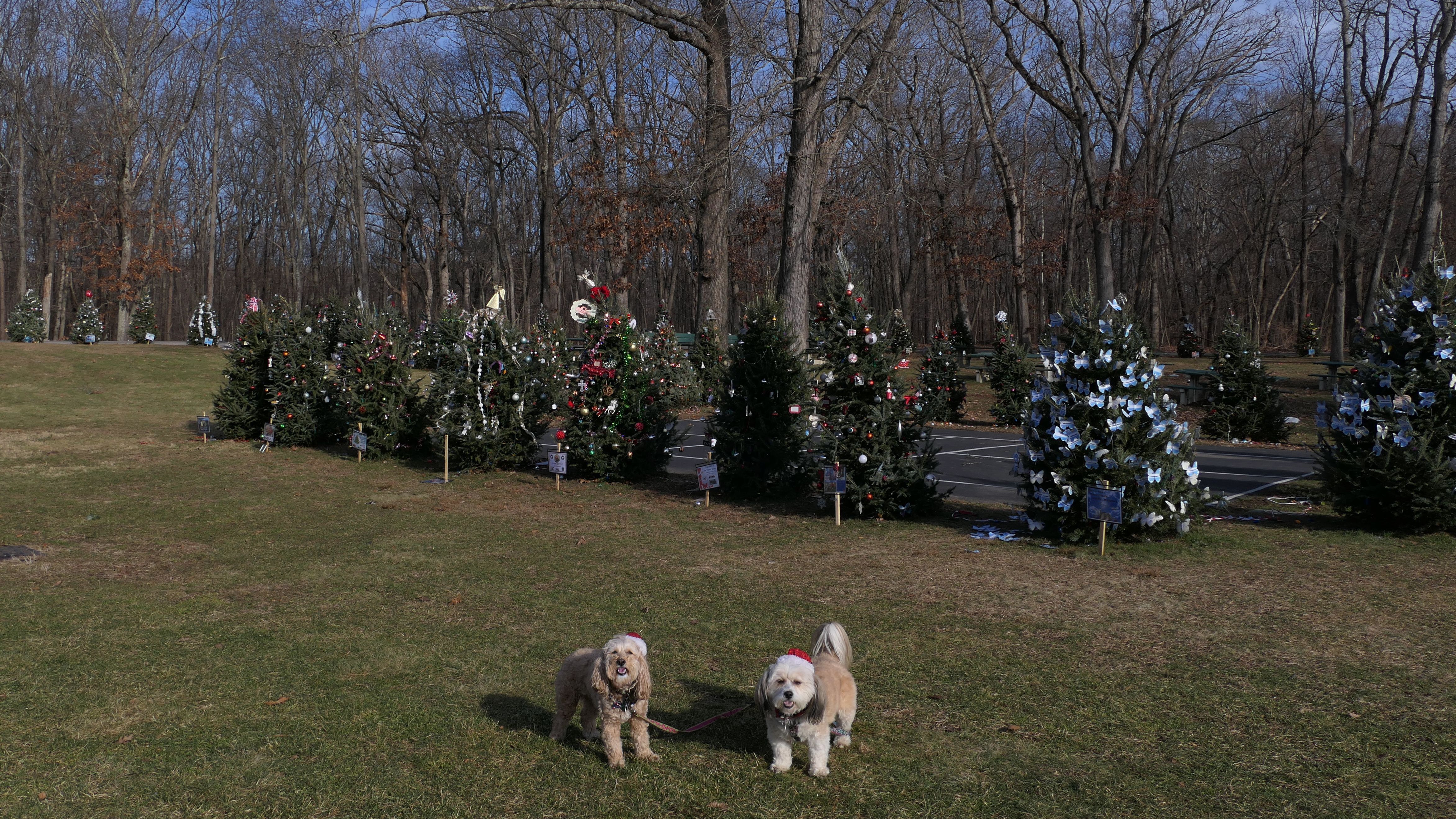
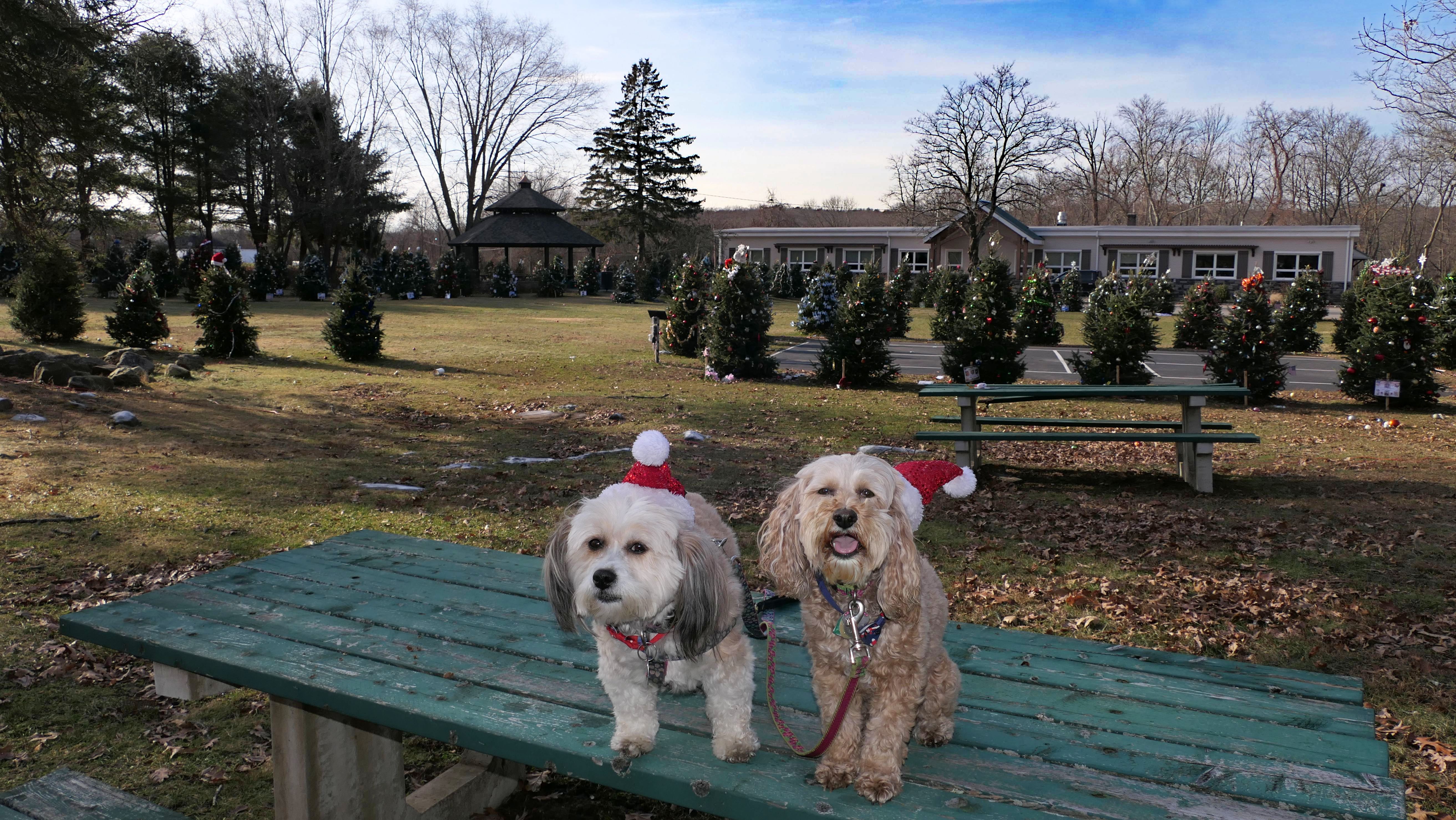
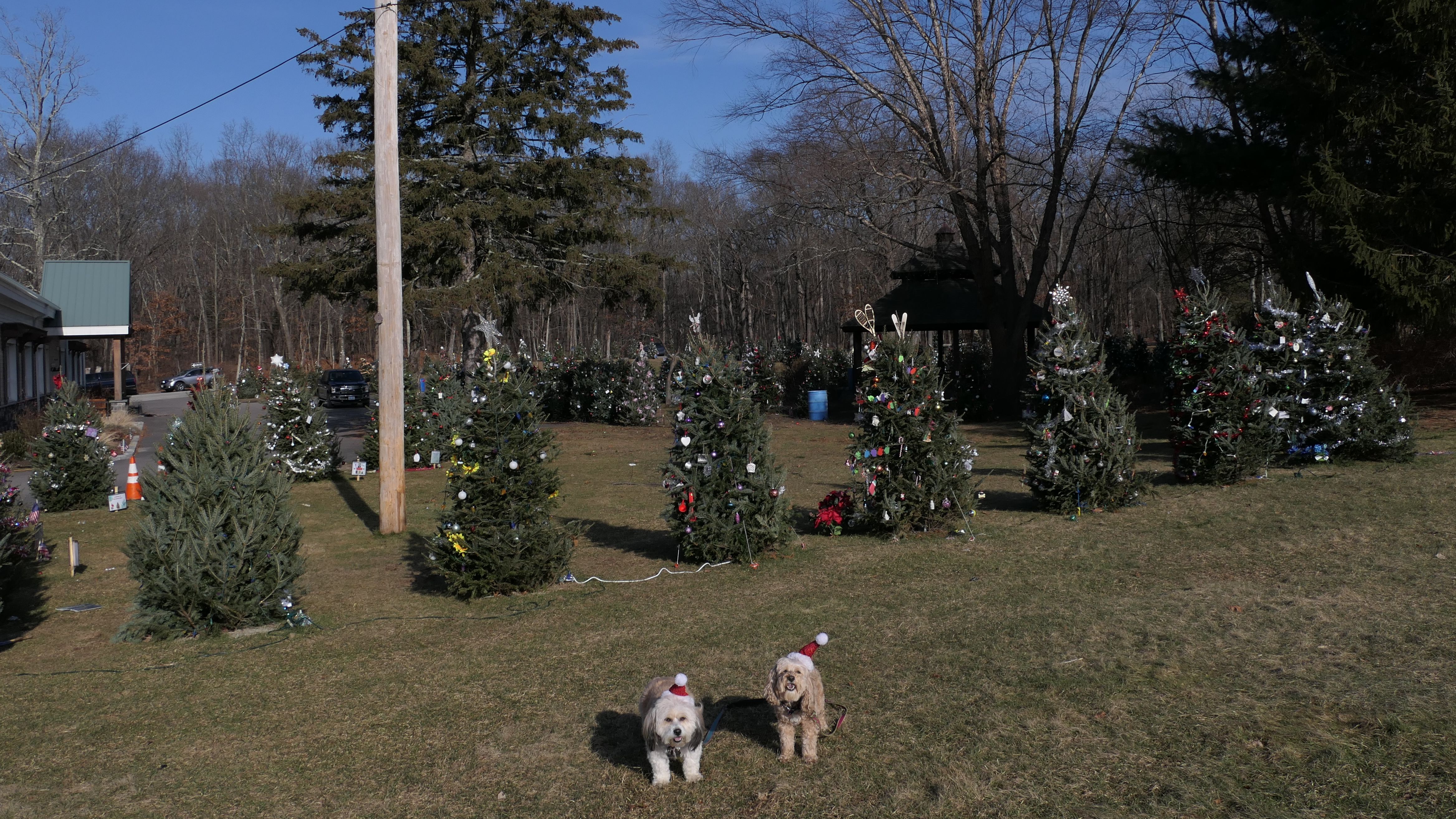
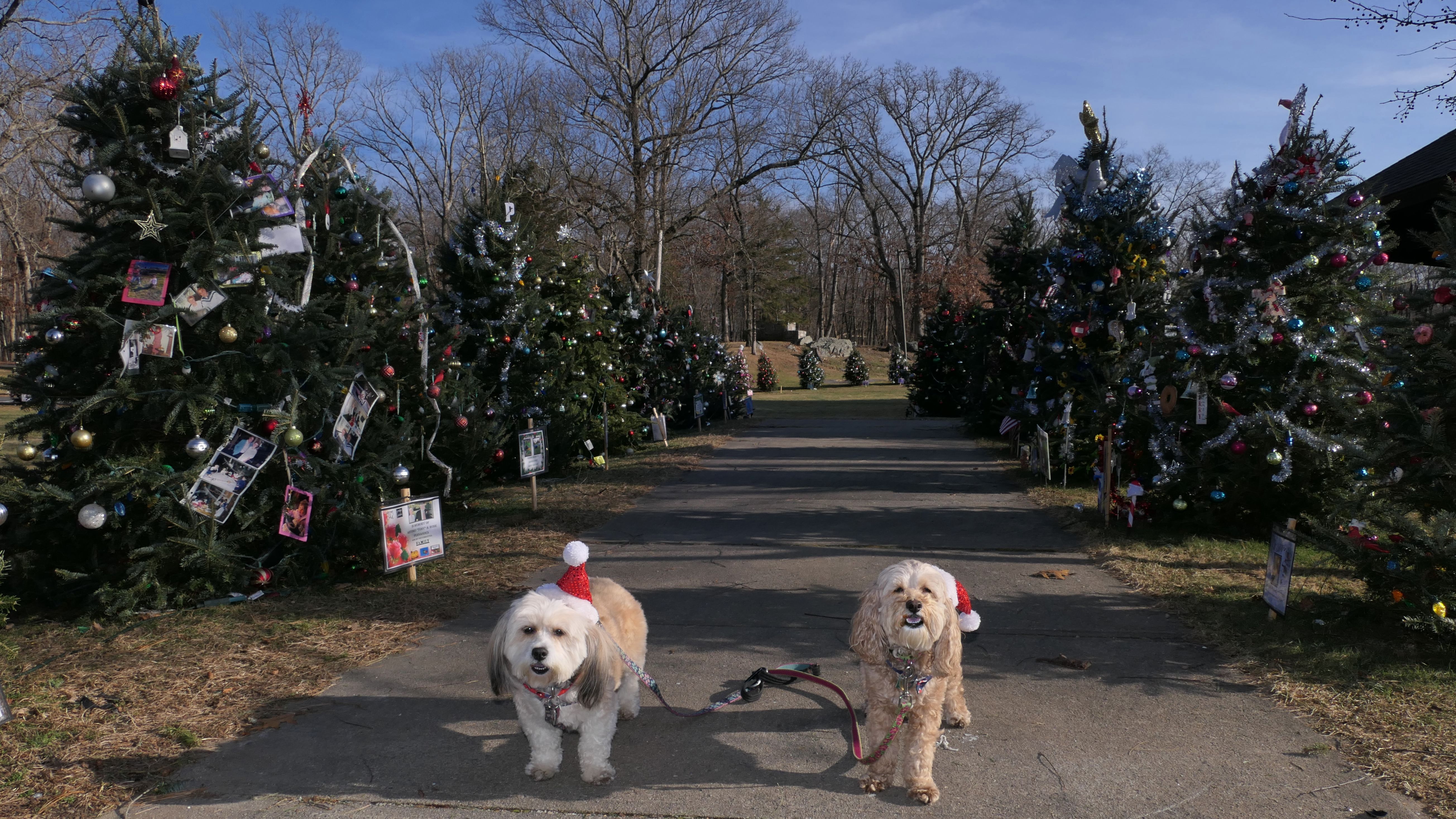
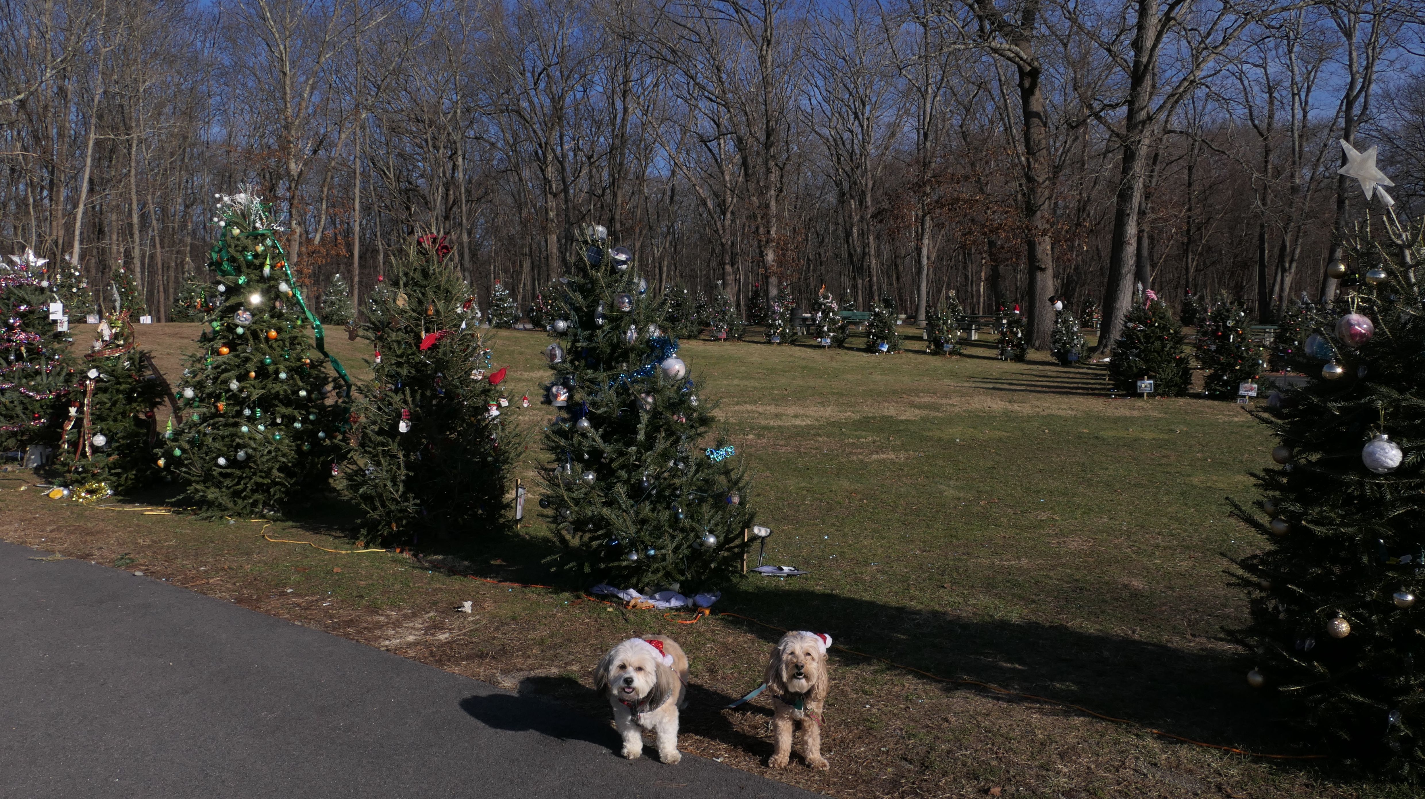
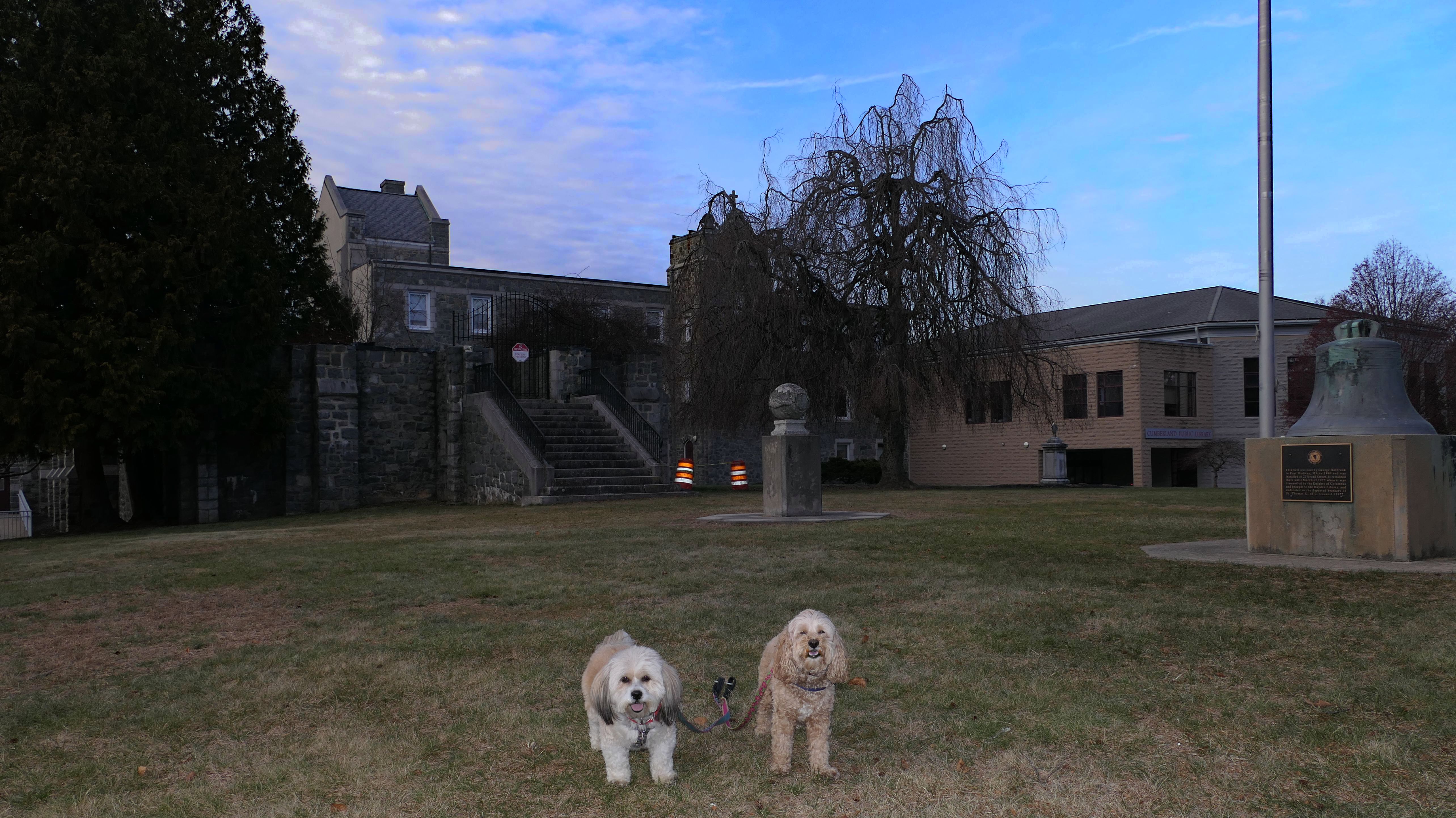
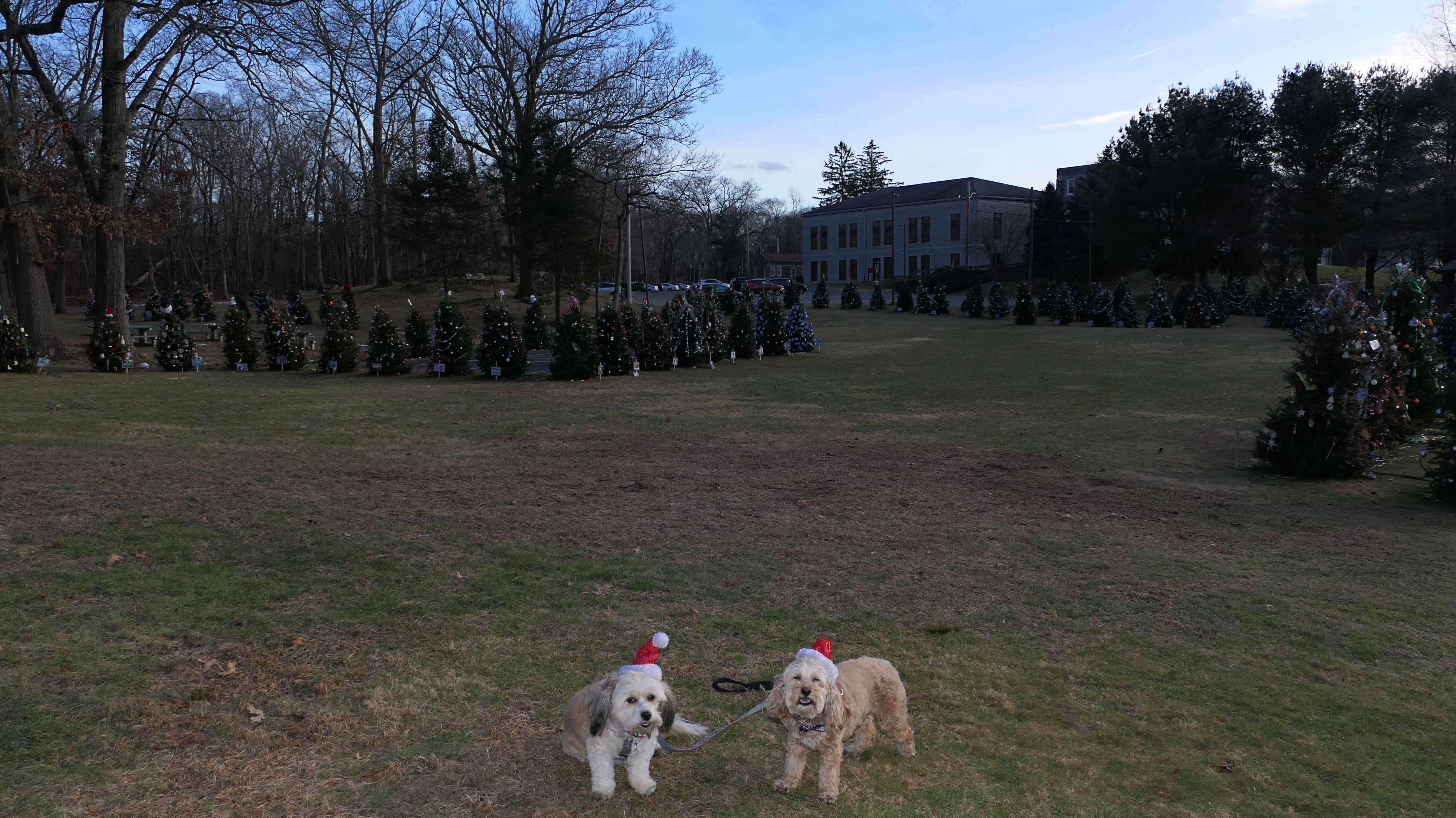
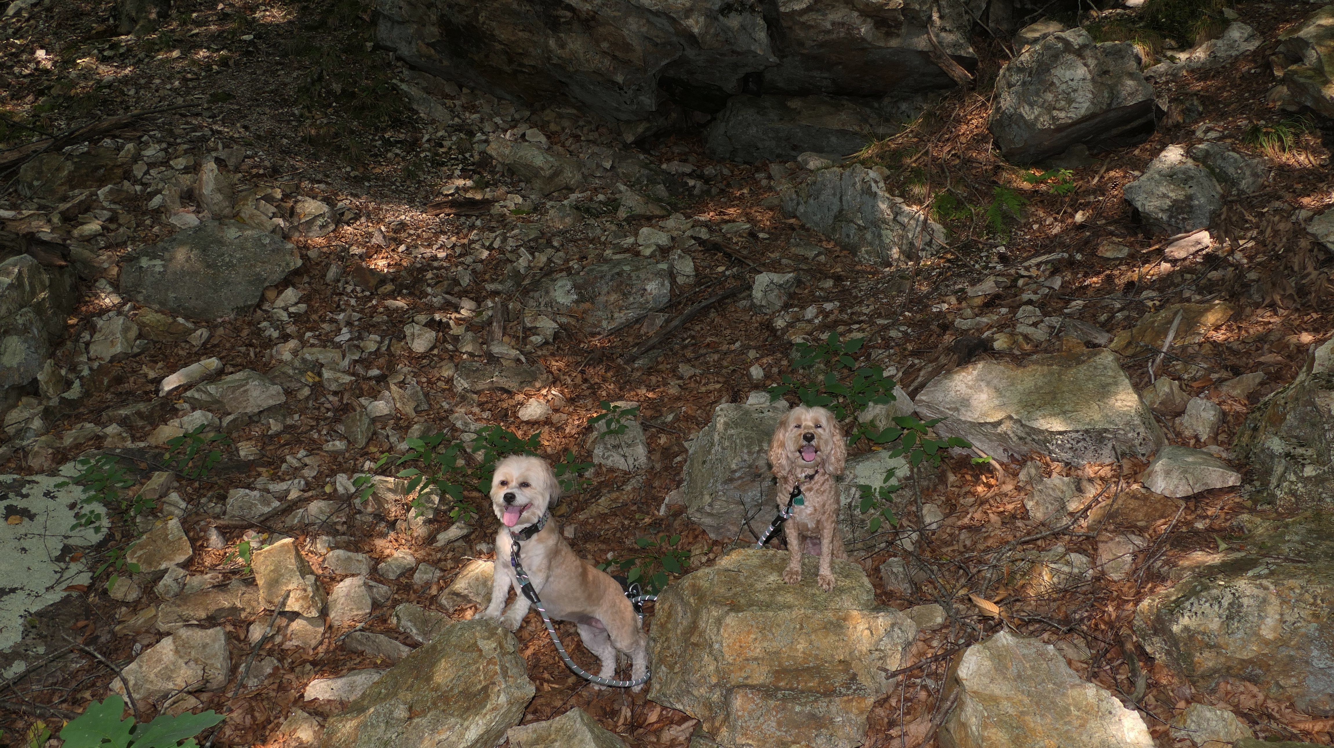
Cumberland Monastery
Date visited: 12/23/2023
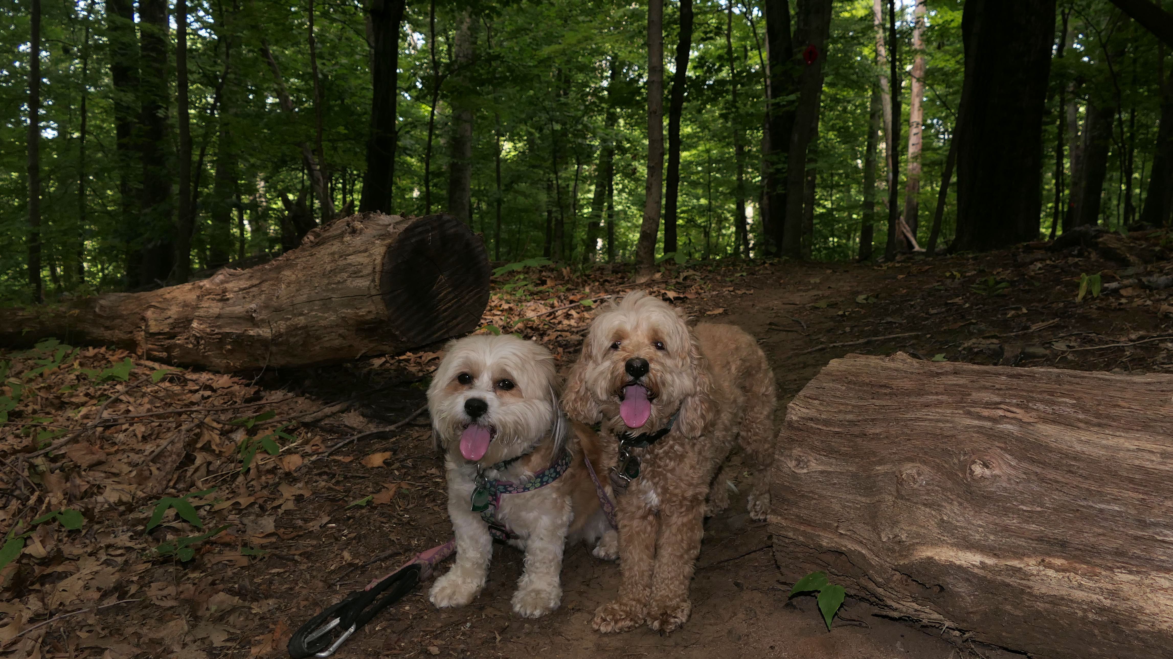
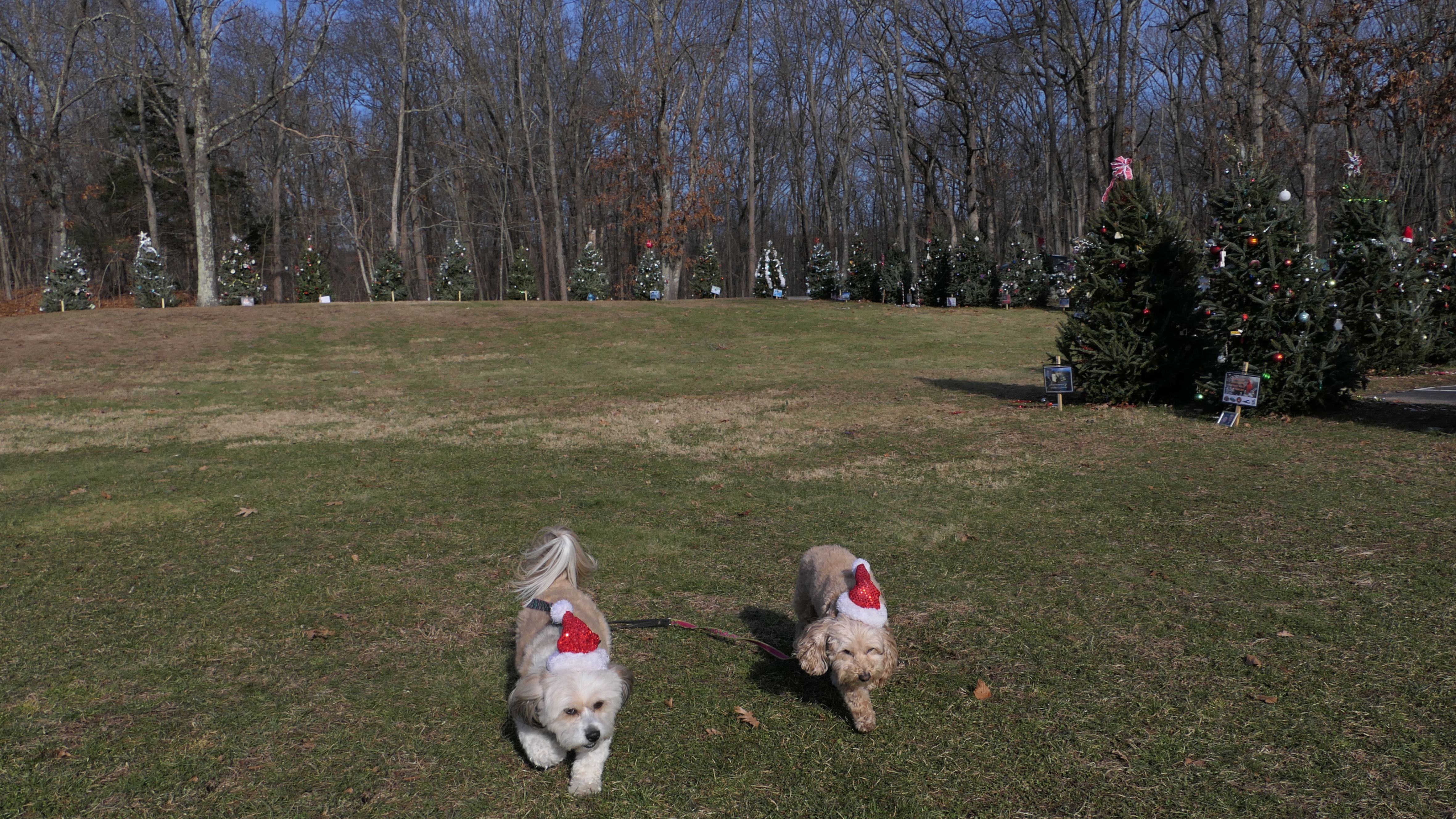
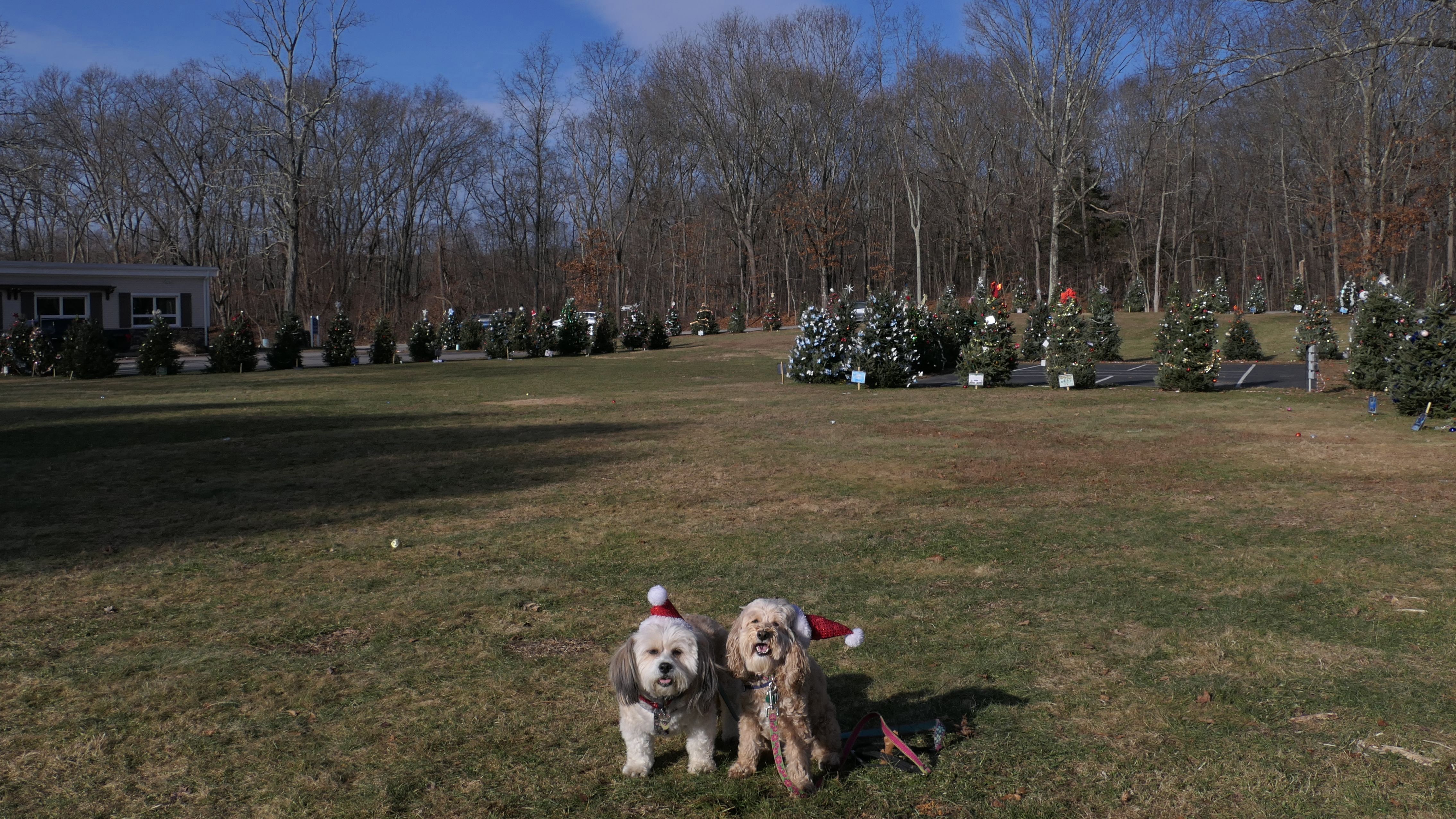
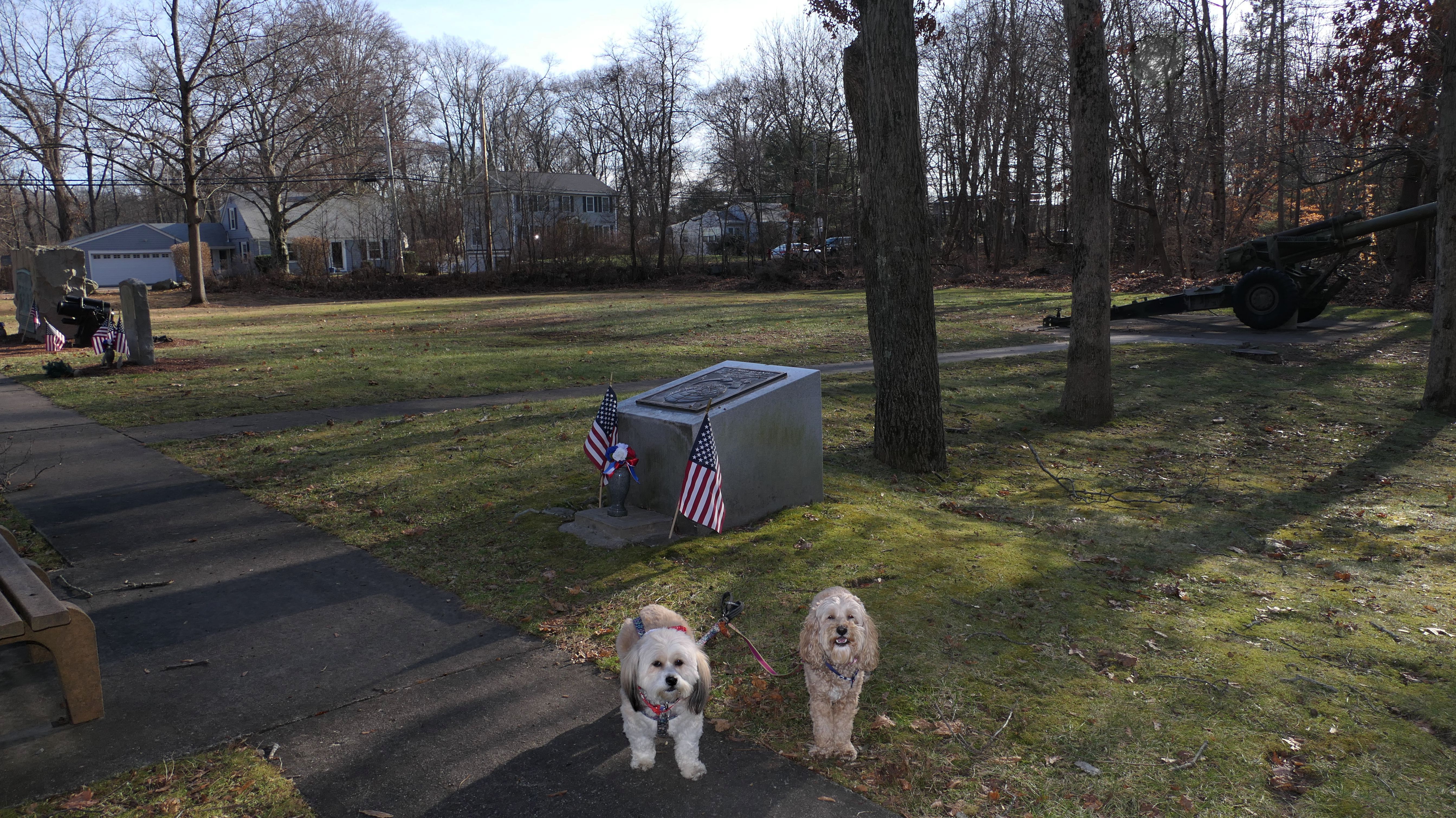
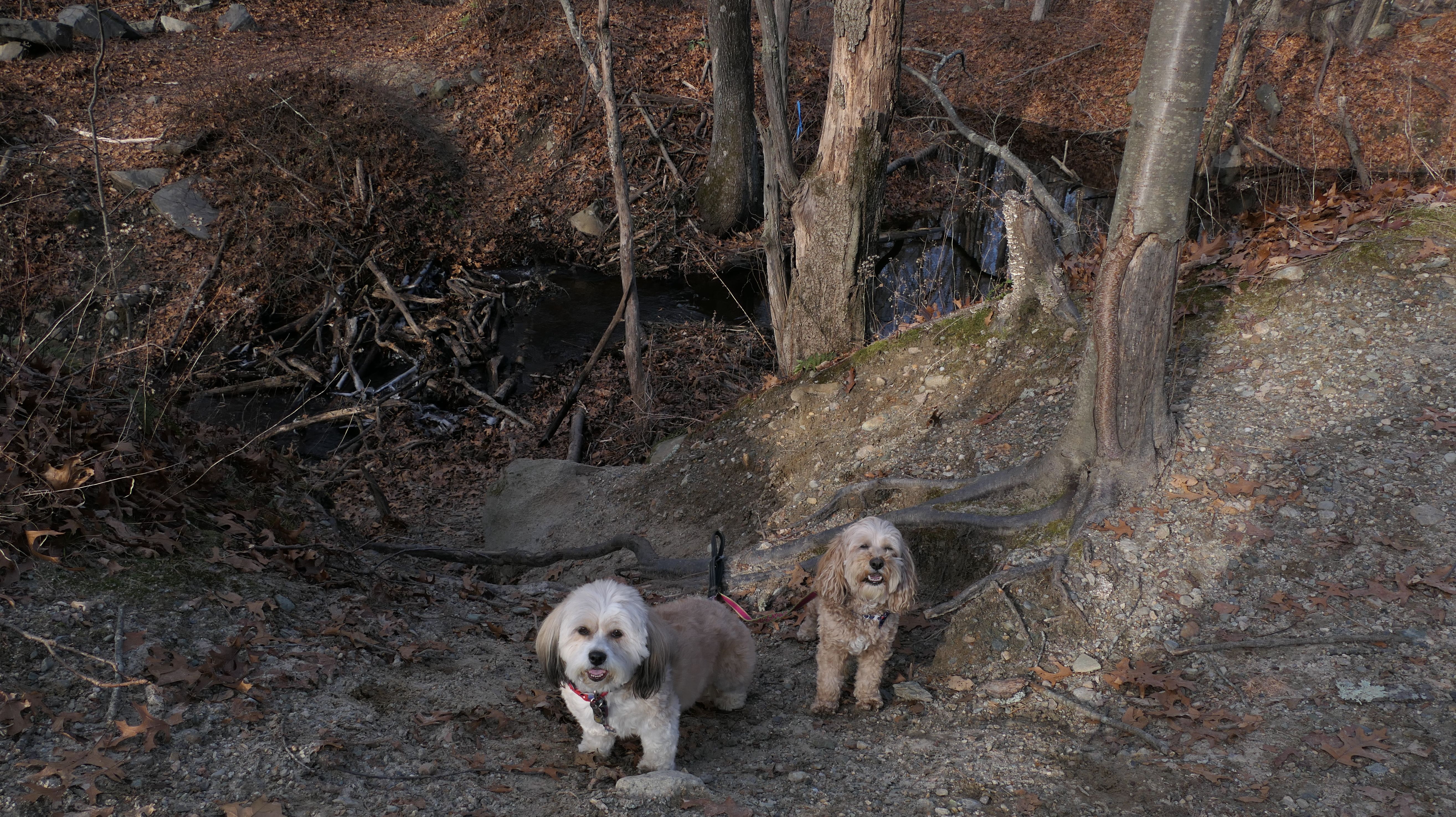
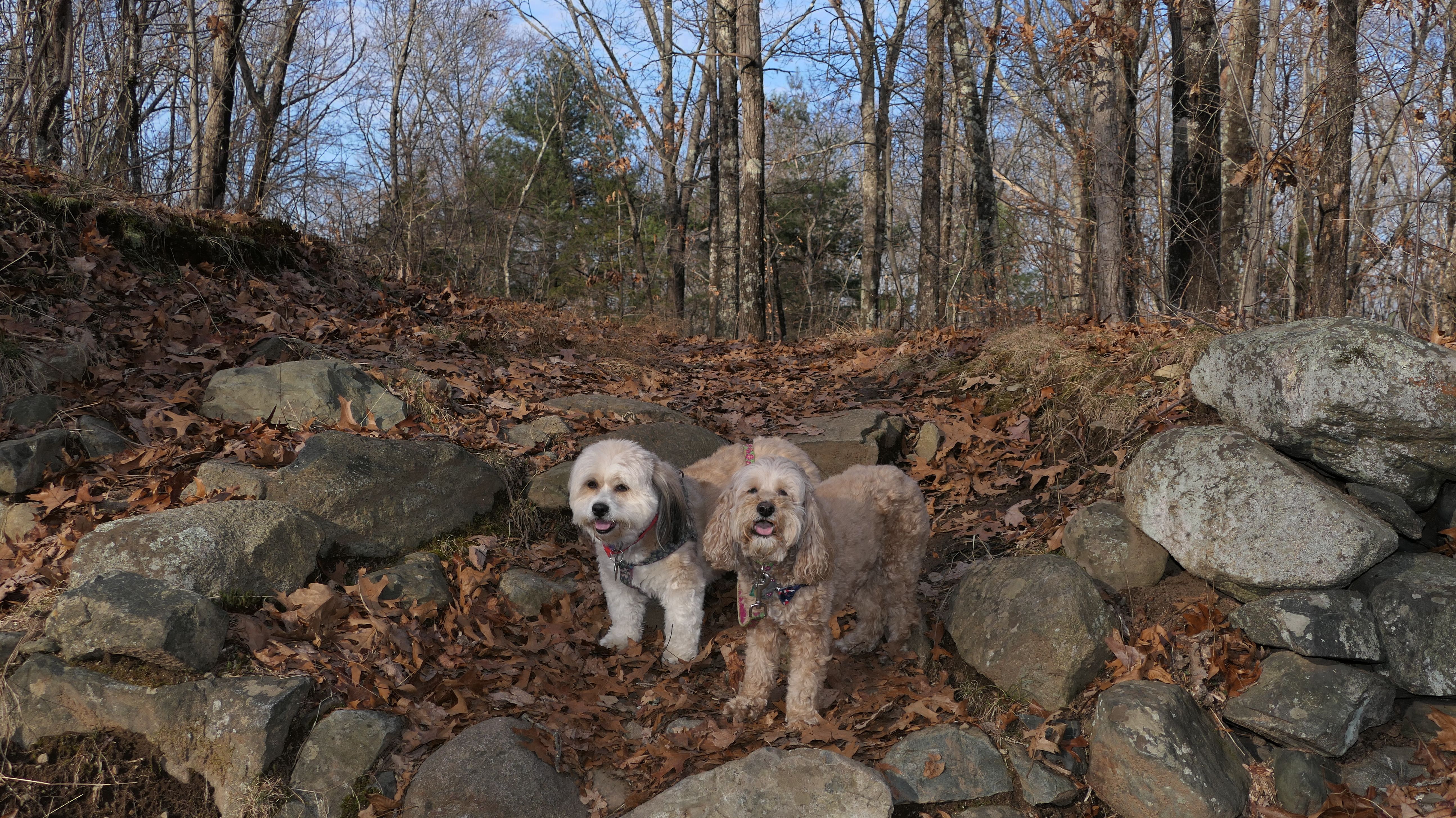
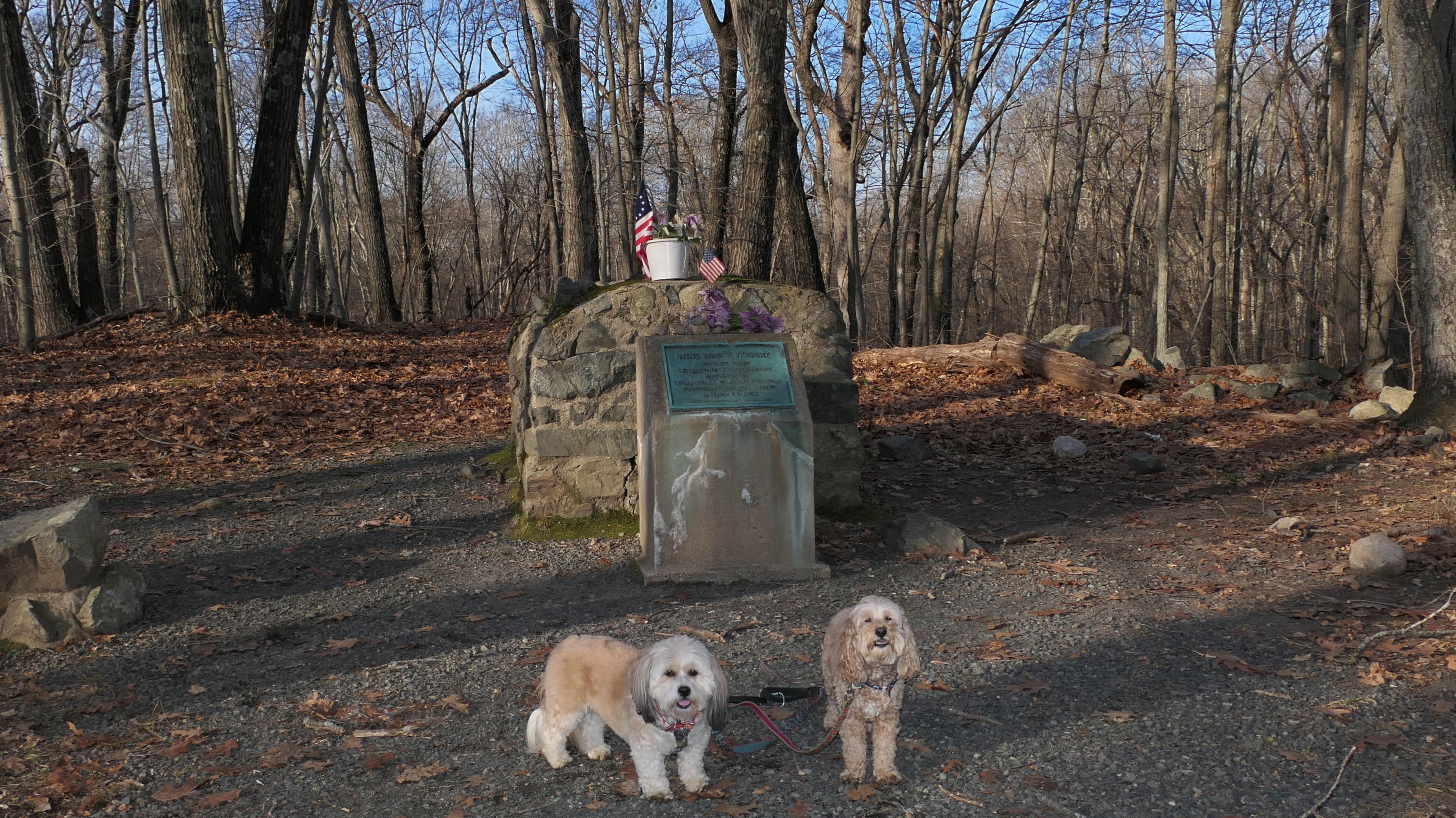
This was our 124th trip to Rhode Island over the past two years, but only the fifth time we've visited the state in the winter over that time (and those other four trips involved at least one beach). This is the time of the year to visit the monastery if you want to see the memorial Christmas Trees. Families set up the trees that are dedicated to loved ones who have passed. There are usually over 200 trees each year. The site itself was the home of a Trappist Monastery, starting in 1902. The monks moved to Spencer, Massachusetts in 1950 after a fire. The town of Cumberland purchased the land that is now a recreation area. The library and the Senior Center are on this site, and also a maze of trails. We used the All-Trails app and hiked a loop trail around the perimeter of the property. Part of the trail is a flat, wide, and easy, stone dust trail. The other part is quite challenging, with hills, rocks, and some difficult stream crossings. One of which looks like it was built by beavers, and I had to carry the dogs over it! It was a fun hike, and the Christmas Trees made for a good photo opportinity two days before Christmas.

More Images


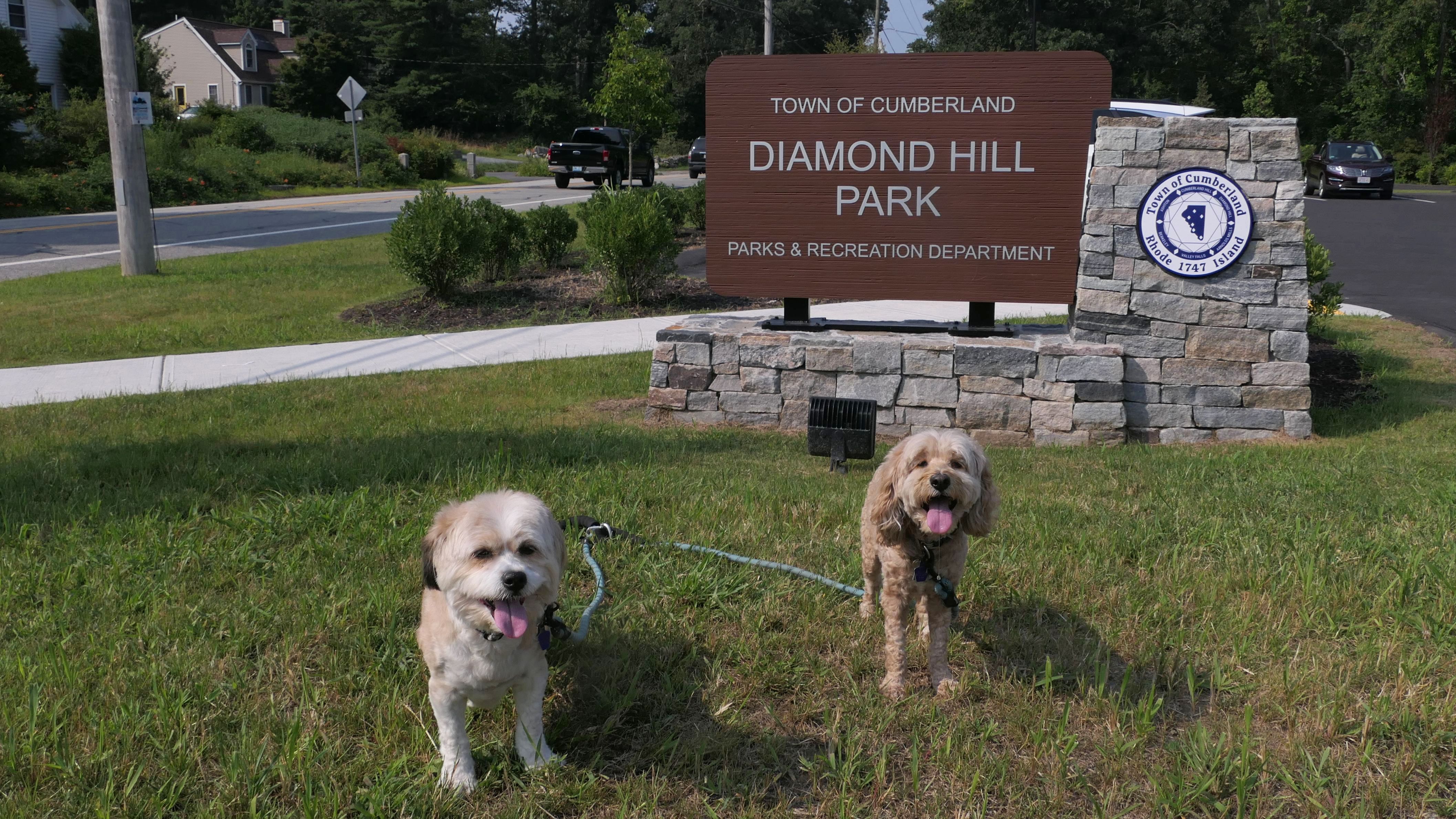
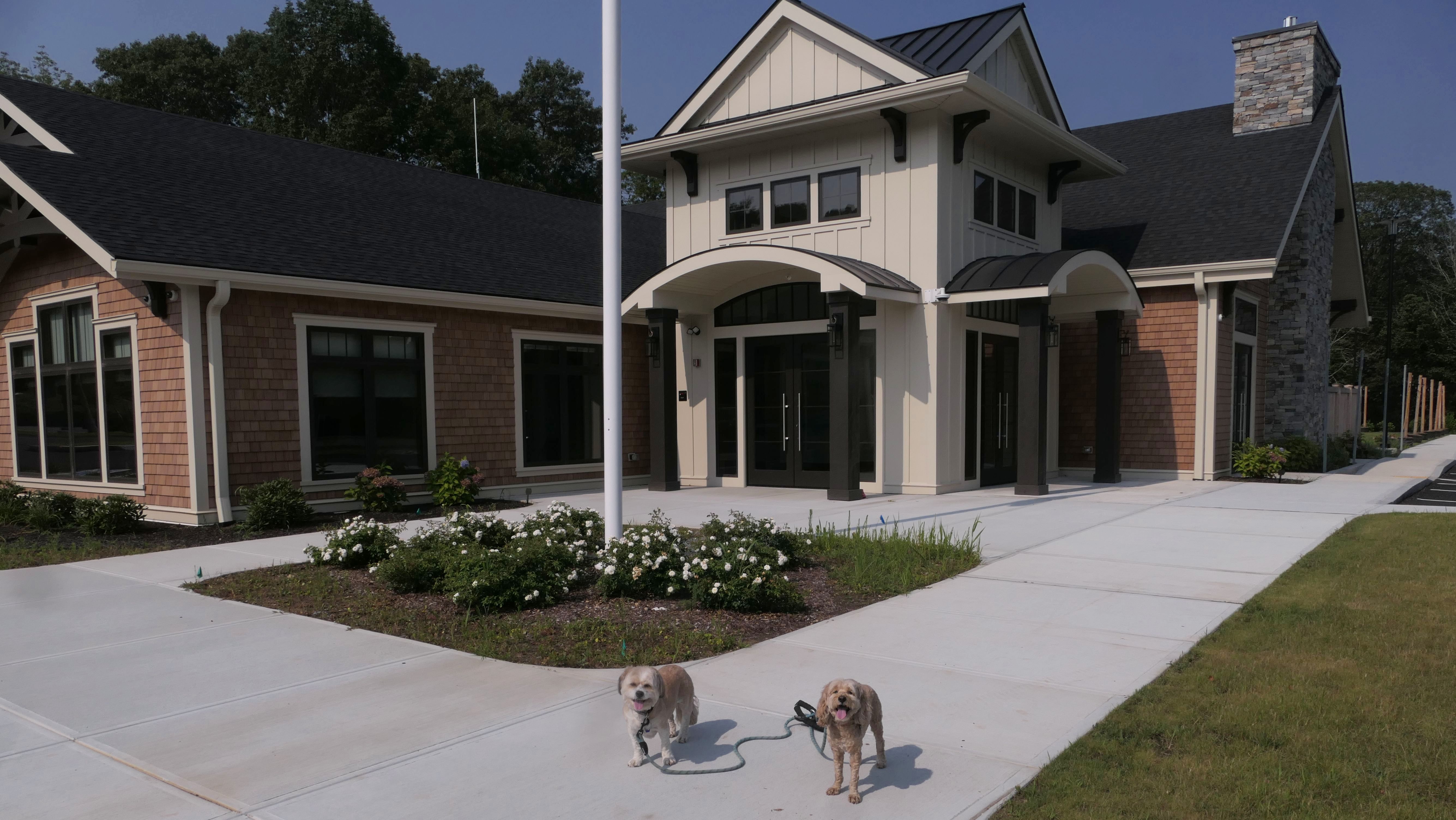
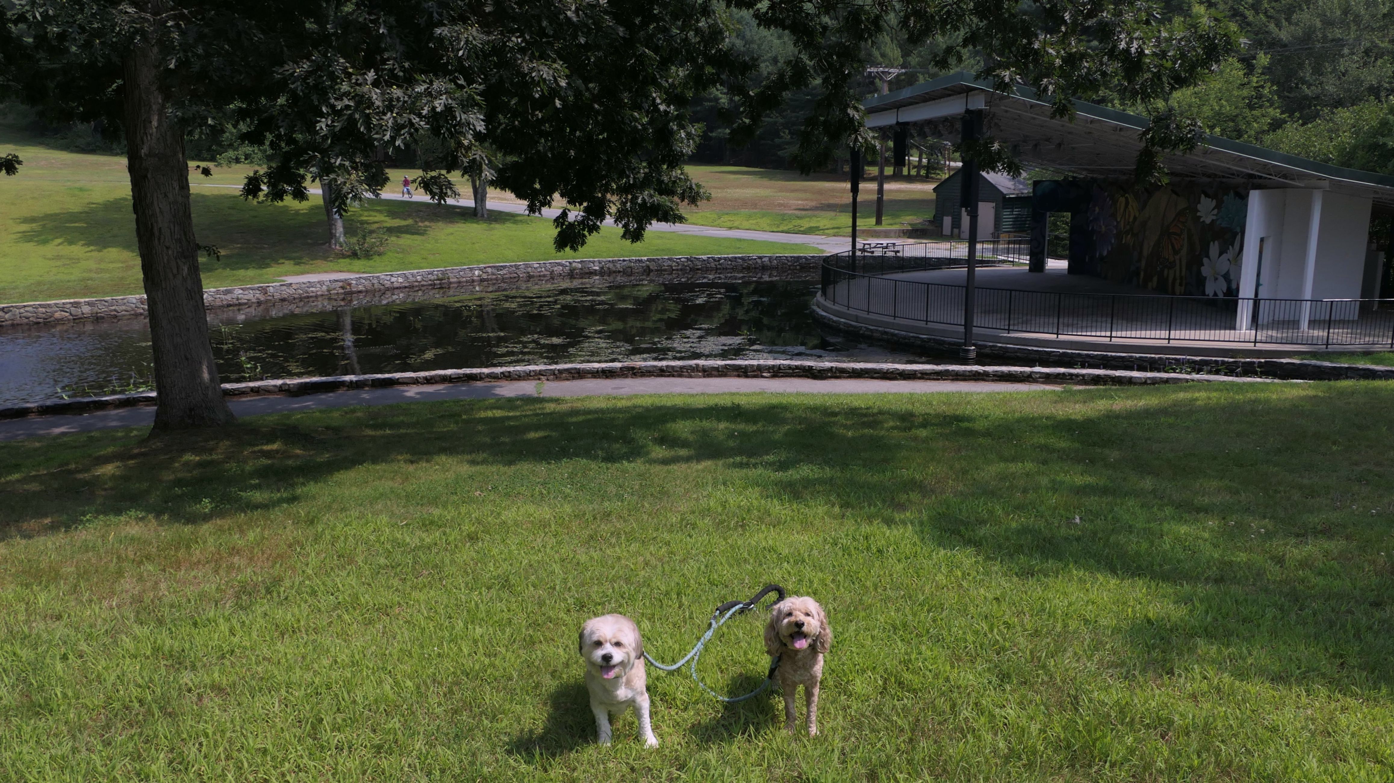
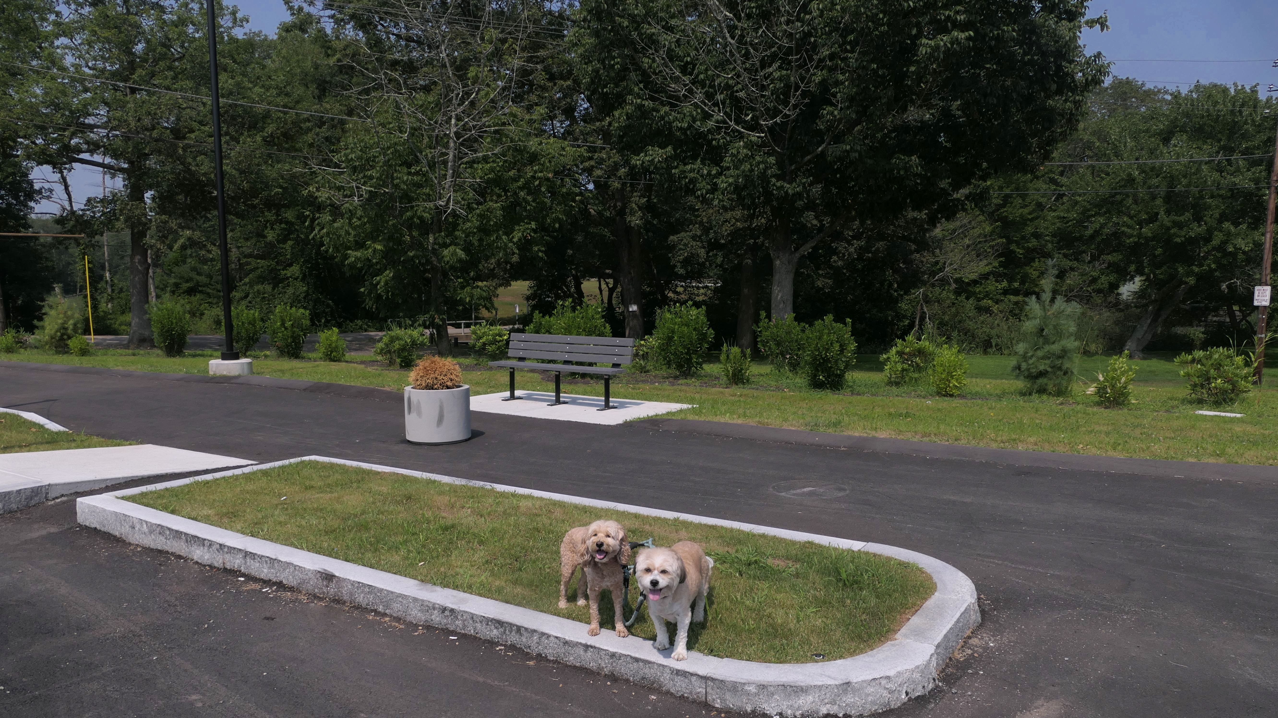
Diamond Hill Park
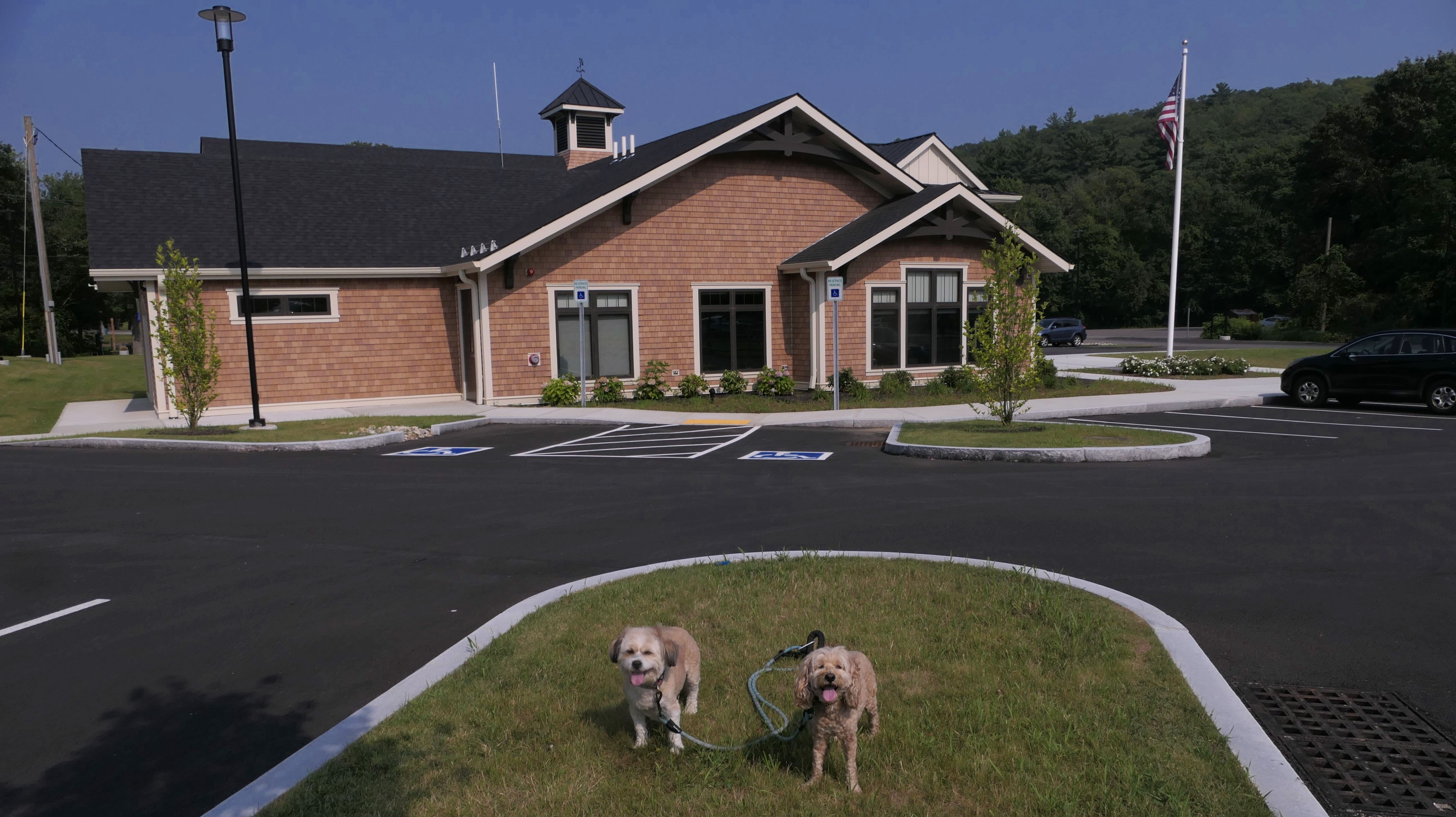
Date visited: 8/3/2025
This park is located on the site of a former ski area. It has a large grassy section, with picnic areas and benches, and a skate park. It also features a large stage surrounded by a moat! I guess you need a raft if you want to be in the front row. It is also the site of the new Diamond Hill Community Center. The park area is real nice, and a good place to just hang out. Of course, the park also features a series of confusing trails leading up the hill. Reviews on the net indicated that at the peak you could see all the way to Boston on a clear day. All I saw was tree-tops. Perhaps you can see it in the winter time when trees are bare, but certainly not this time of year. The sky was hazy and smoky anyway, so visibility would likely be limited anyway. I advise using a GPS enabled map for this hike. The trails are confusing and not marked well. We followed one of the routes from the All-Trails app, but it wasn't entirely accurate. Near the peak there is a spot where we would need to climb a 10 foot barbed wire fence to stay on the route! We found our way around. The fence protects the water tower and cell tower at the peak. There are also ruins of an old structure near the top. The hike is not easy. There's a 300 foot climb, some of which on steep and rocky terrain. We wound up hiking a bit over 2.5 miles here.
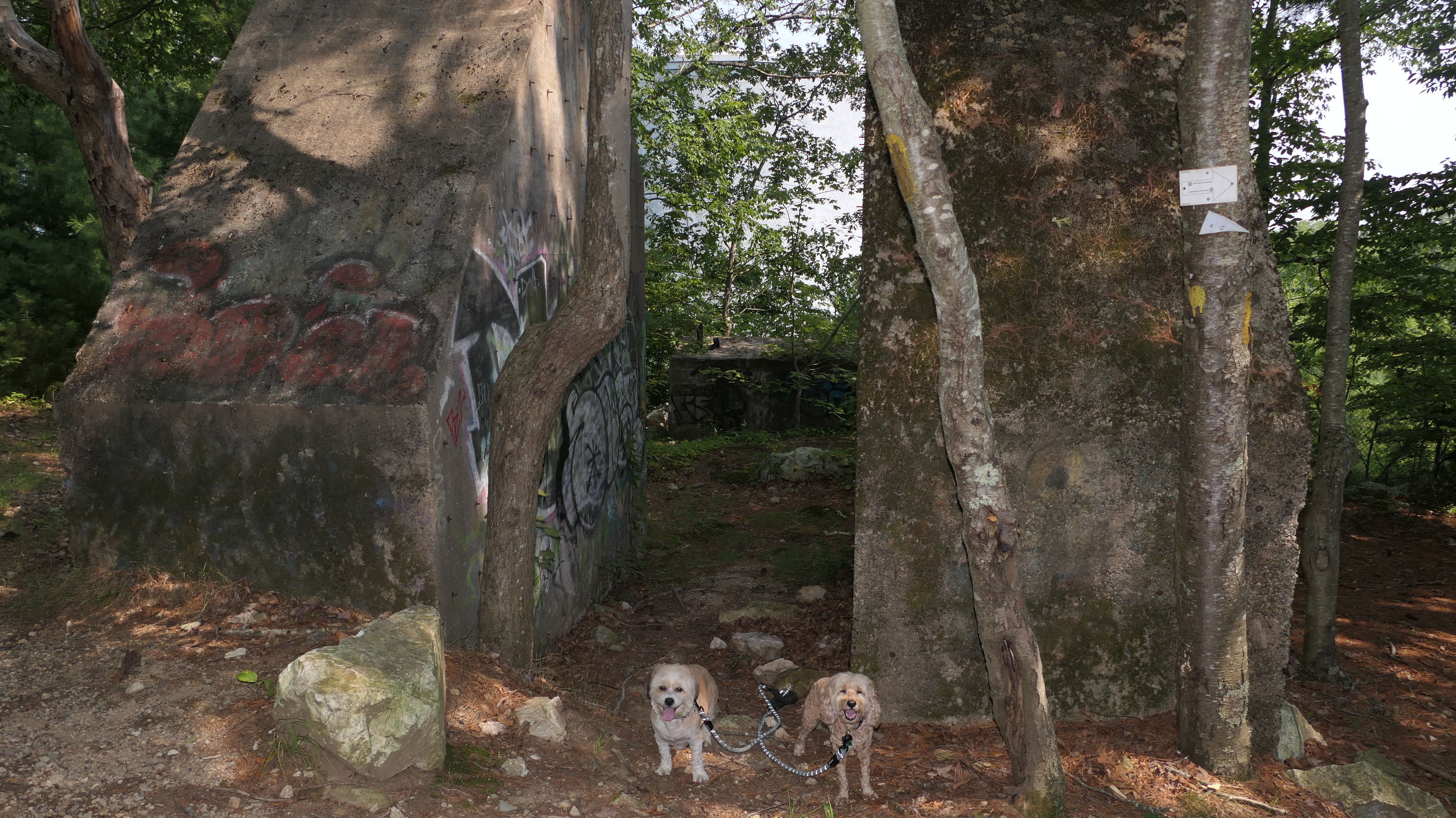
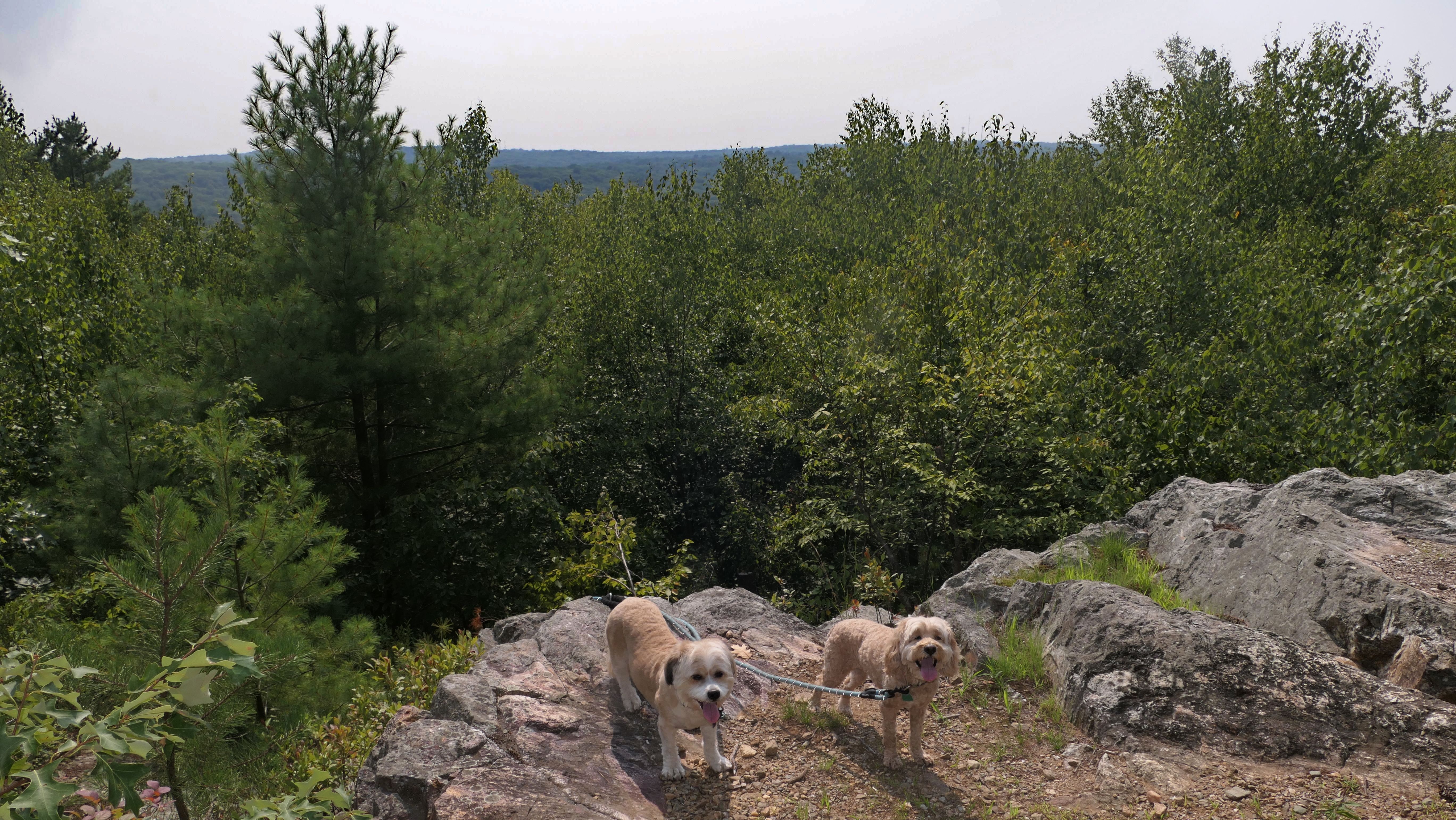
More Images
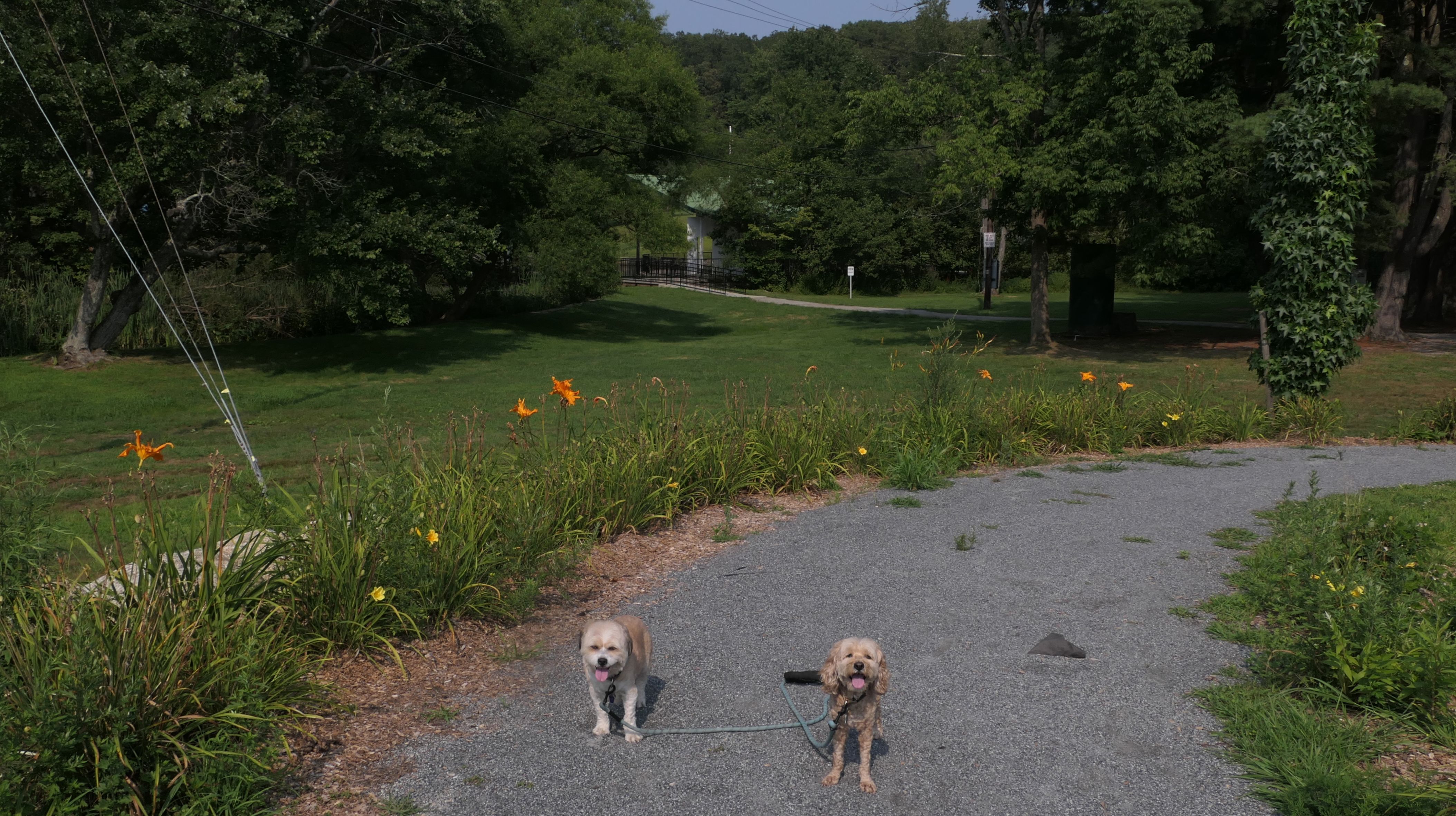
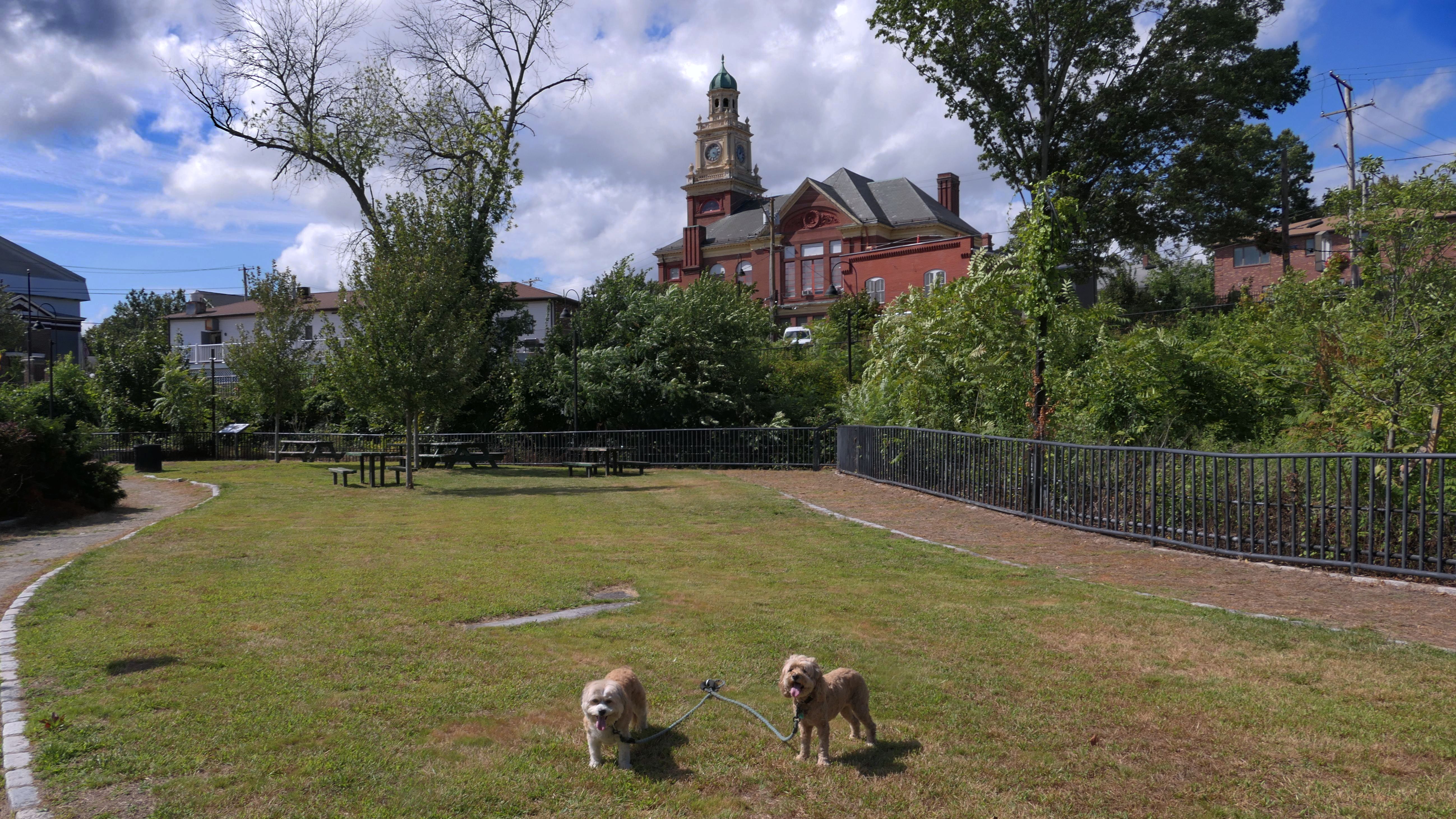
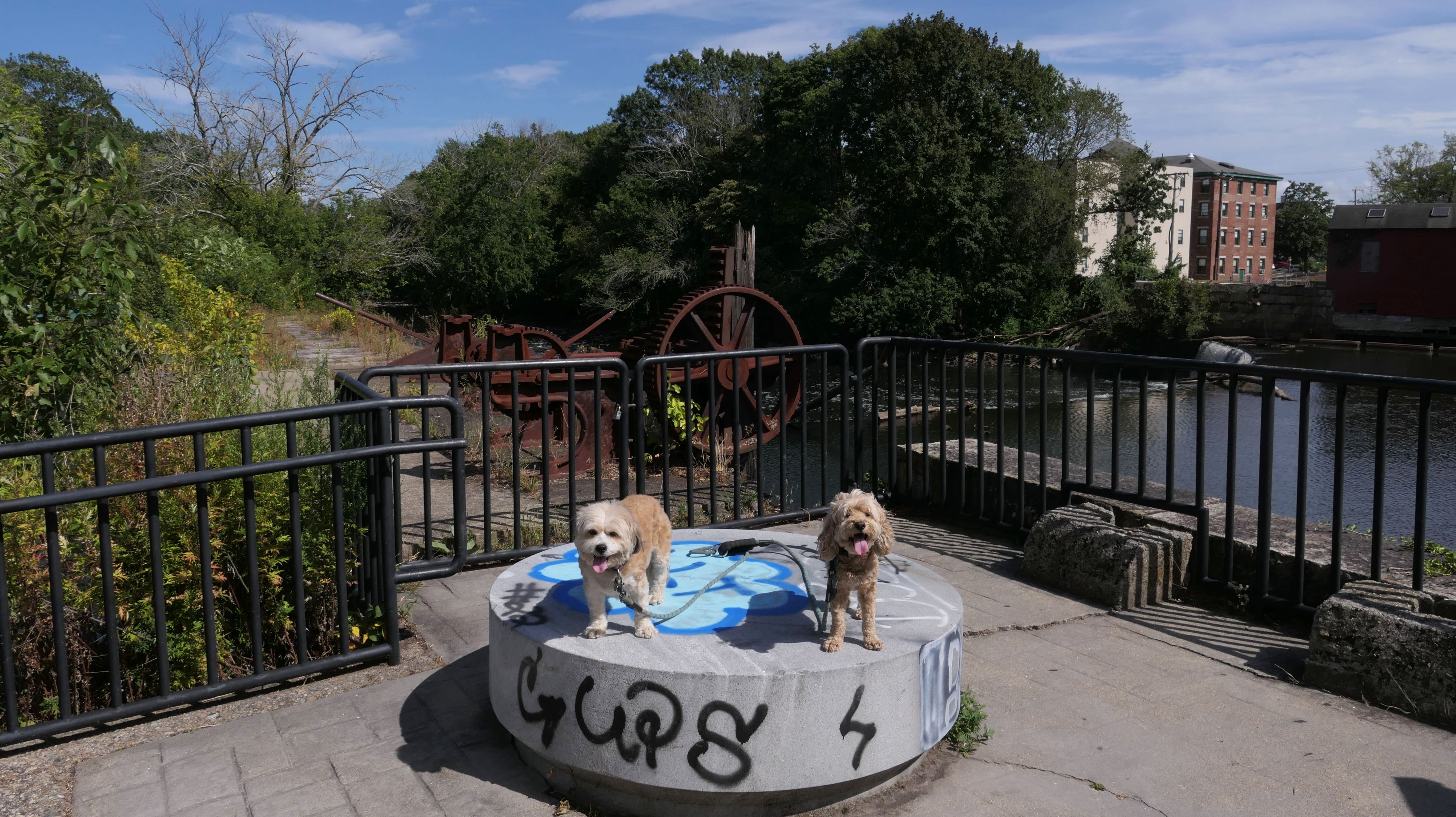
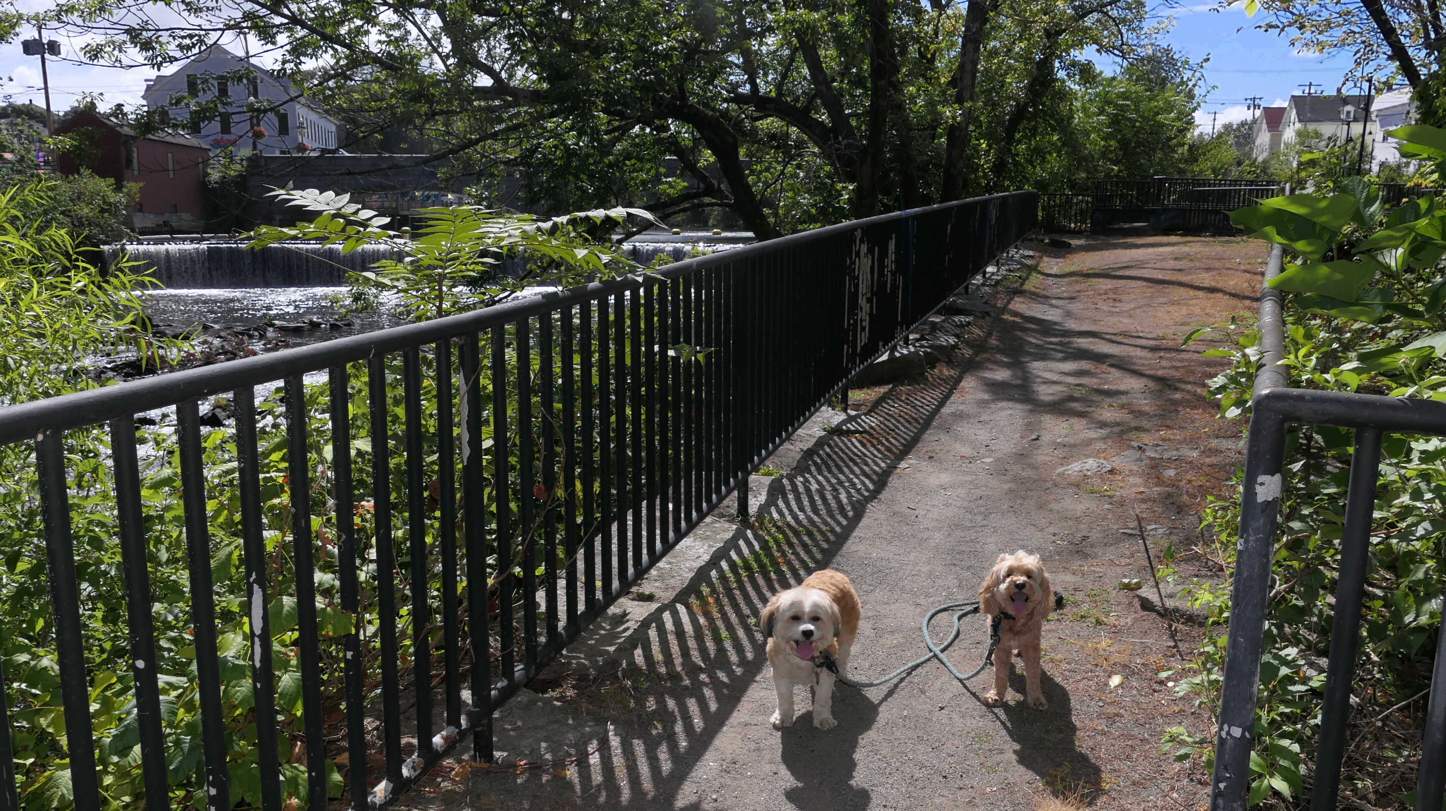
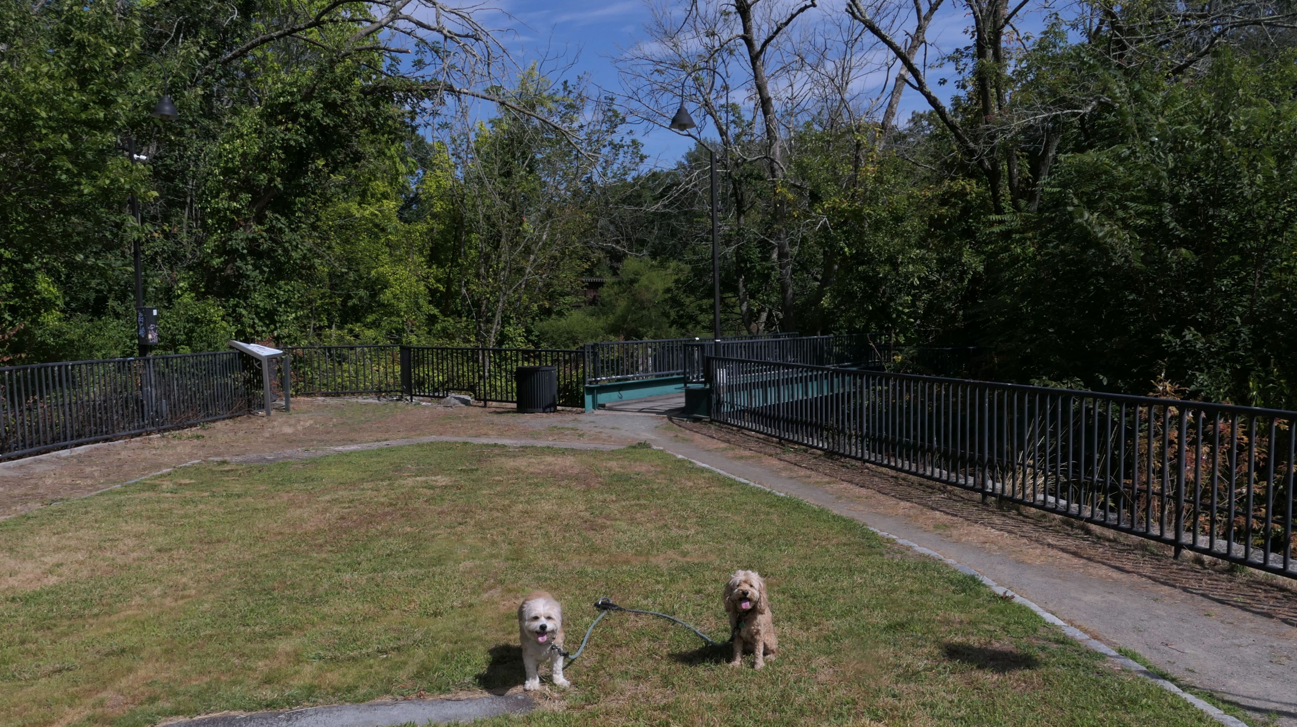
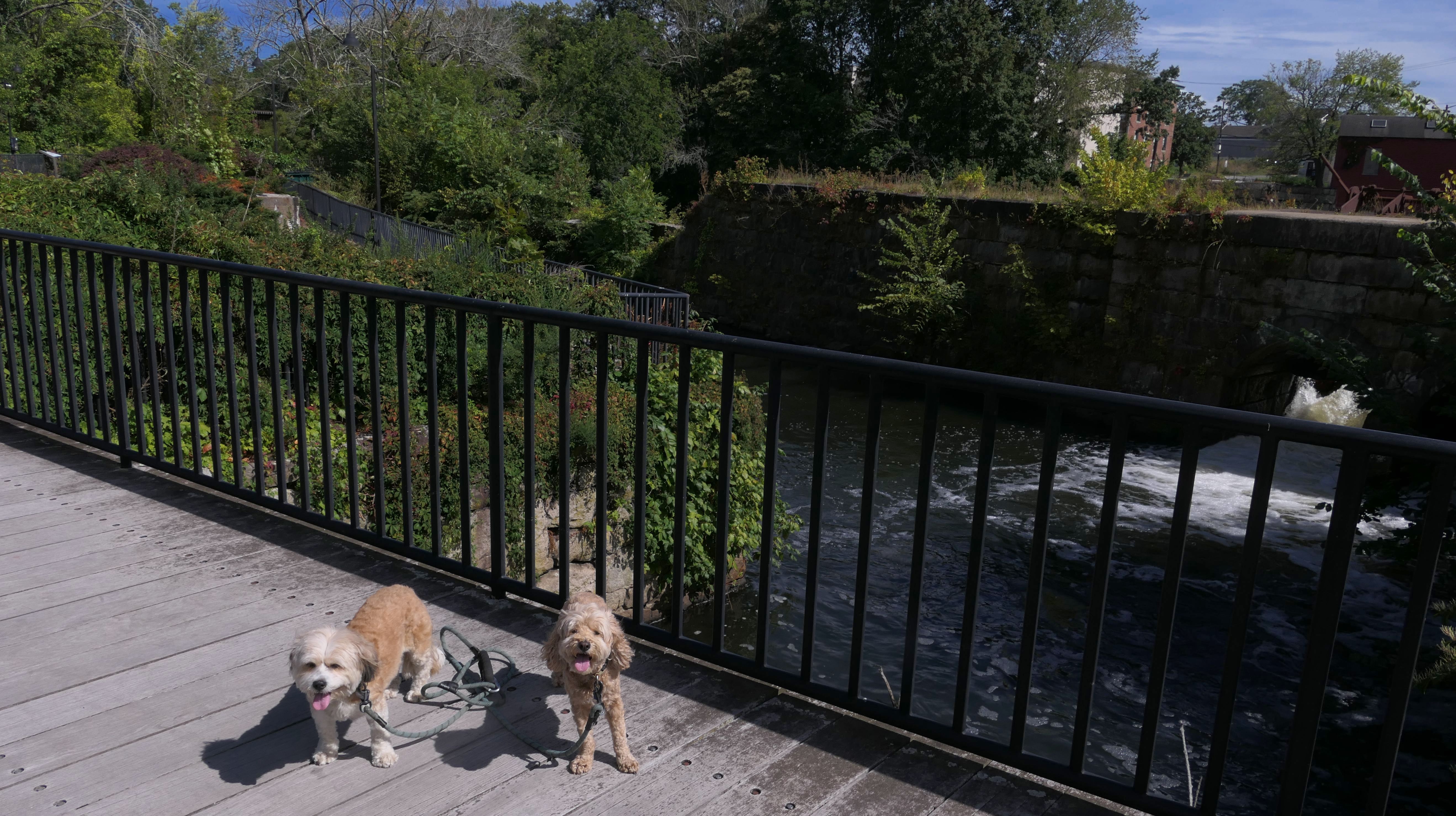
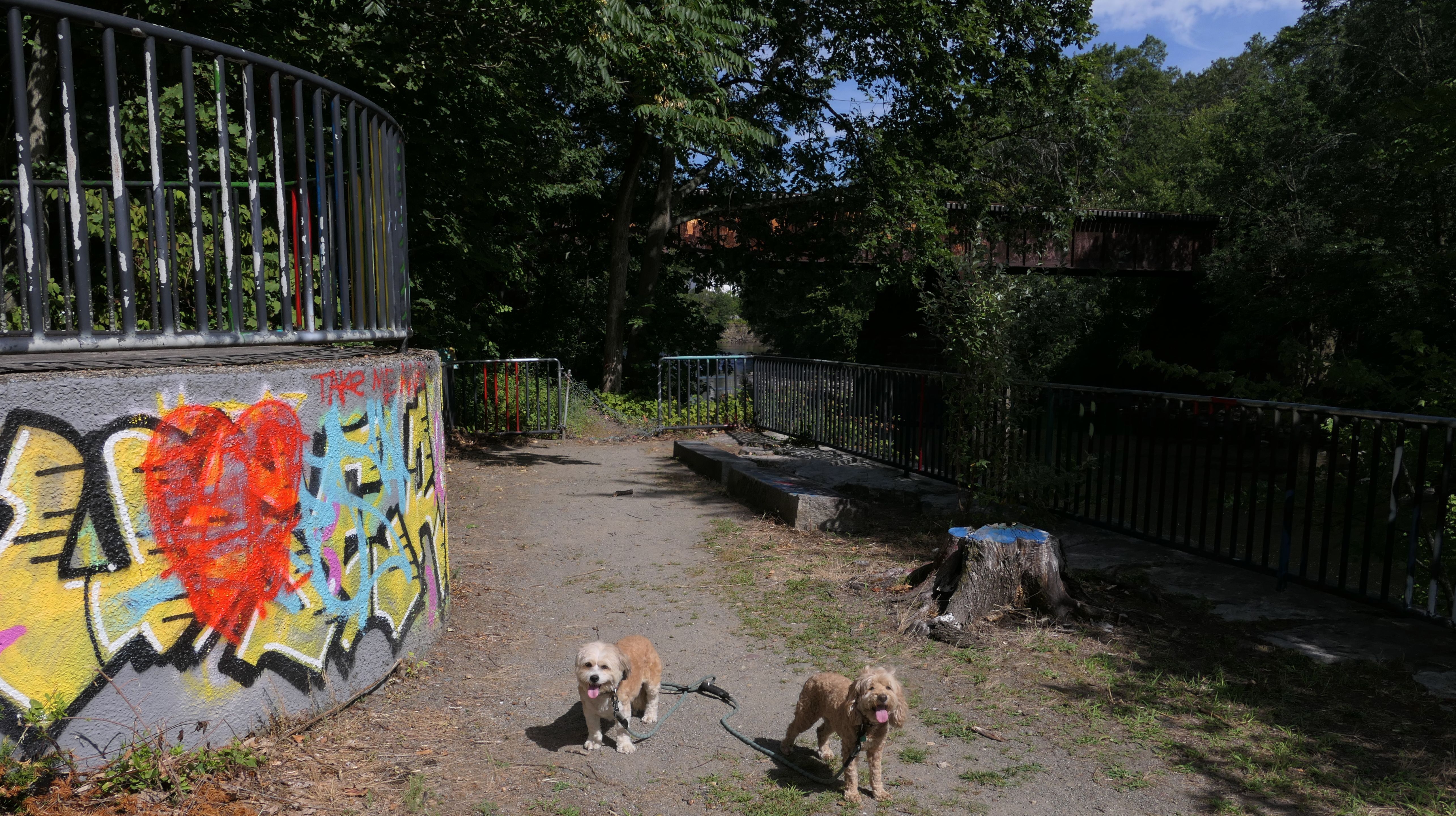
Valley Falls Heritage Park
Date visited: 8/24/2025
This is historic park along the edge of the Blackstone River on the border of Cumberland and Central Falls. I was actually surprised that there was a "No Dogs Allowed" sign near the small parking area, as none of my research before hand indicated that dogs weren't allowed. It may just be an old sign. The park itself is small, with a series of ramps that lead to an area where you can view the Valley Falls Dam. The park is pretty run down, with lots of graffiti. It looks like it could use some TLC. Be aware, there are homeless people camped nearby, and there was a strong whiff of pot smoke emanating from the park during our visit. It was hard to get a good picture of the falls with the dogs in it, because of the angle of the sun, but we did the best we could. This could be a nice park if it was better maintained, but for now it's one that could probably be skipped.
More Images
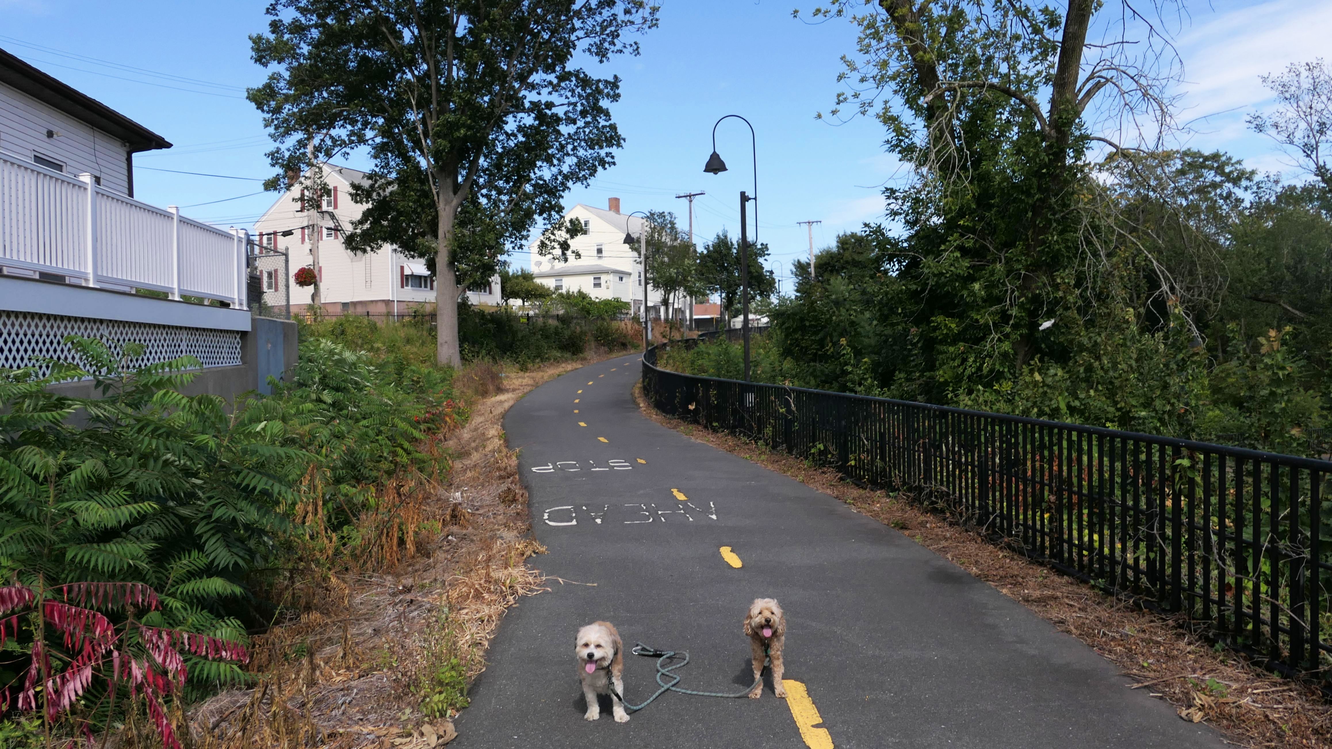
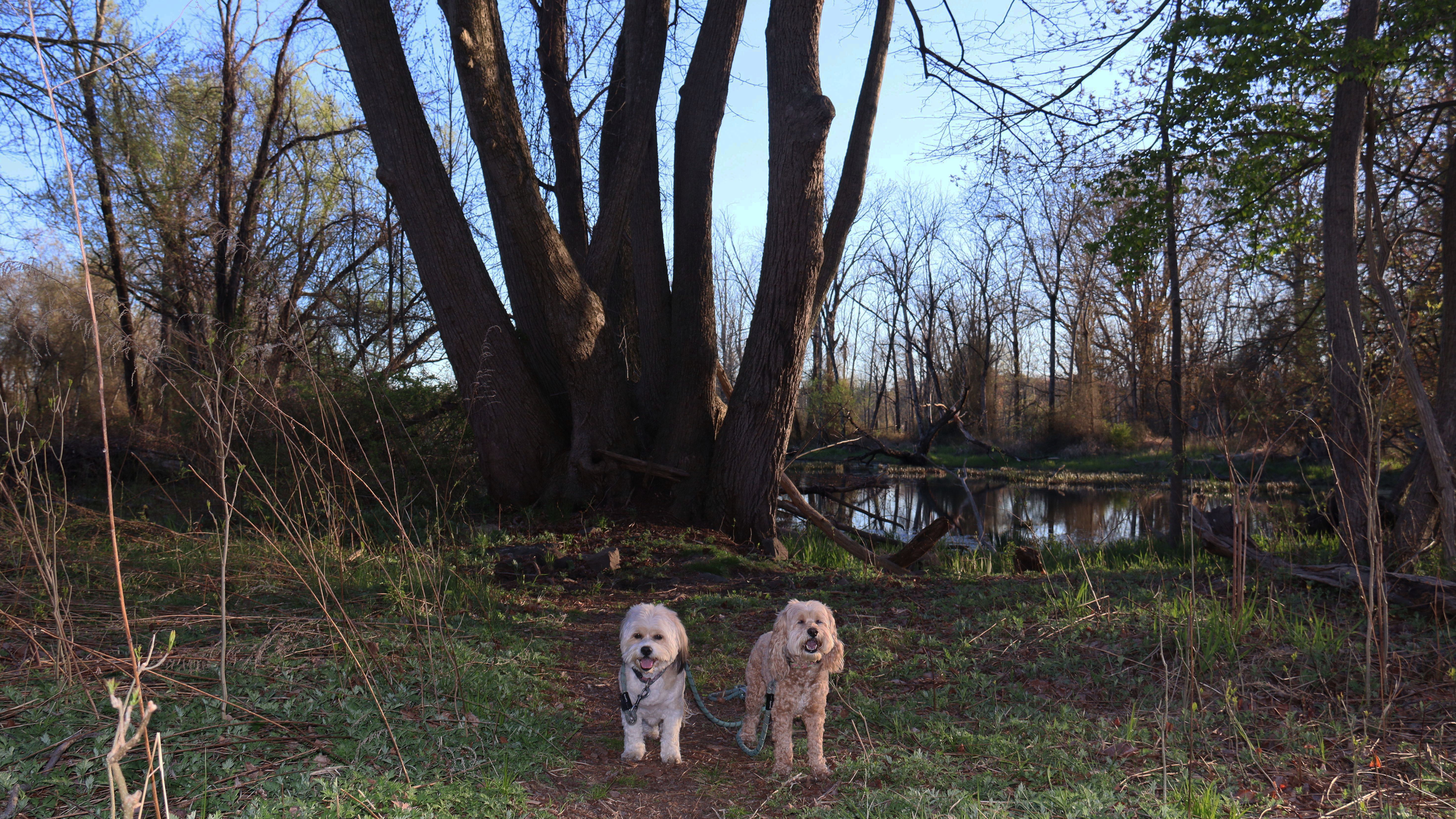
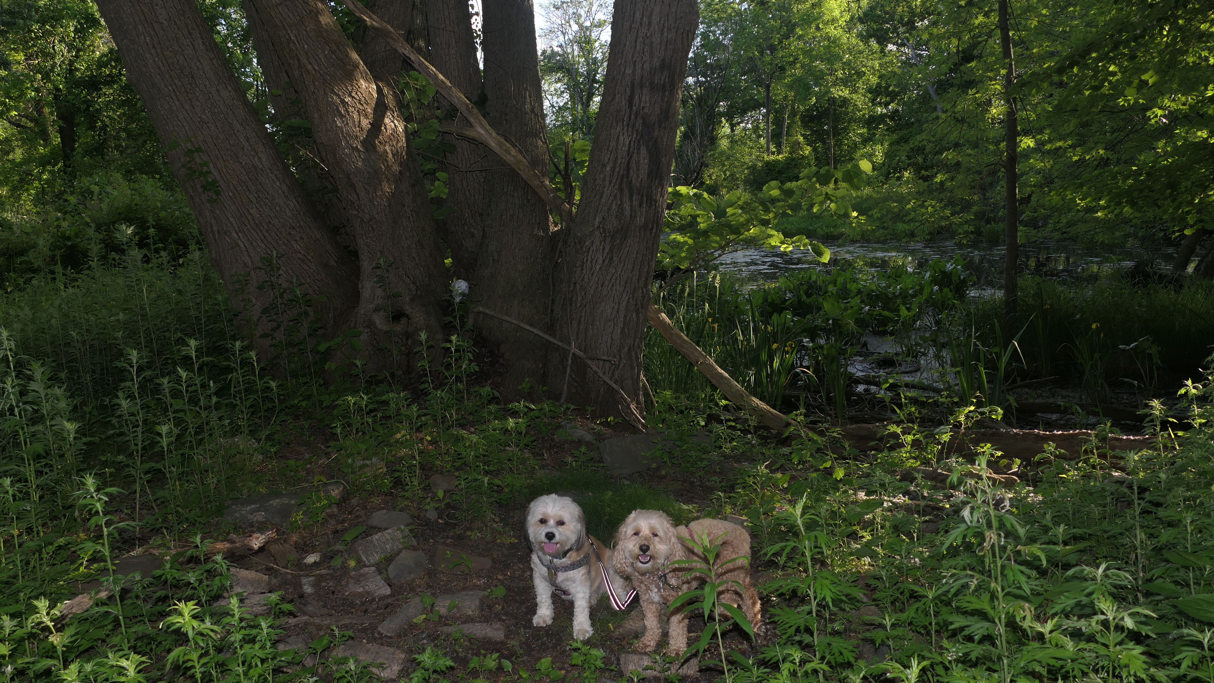
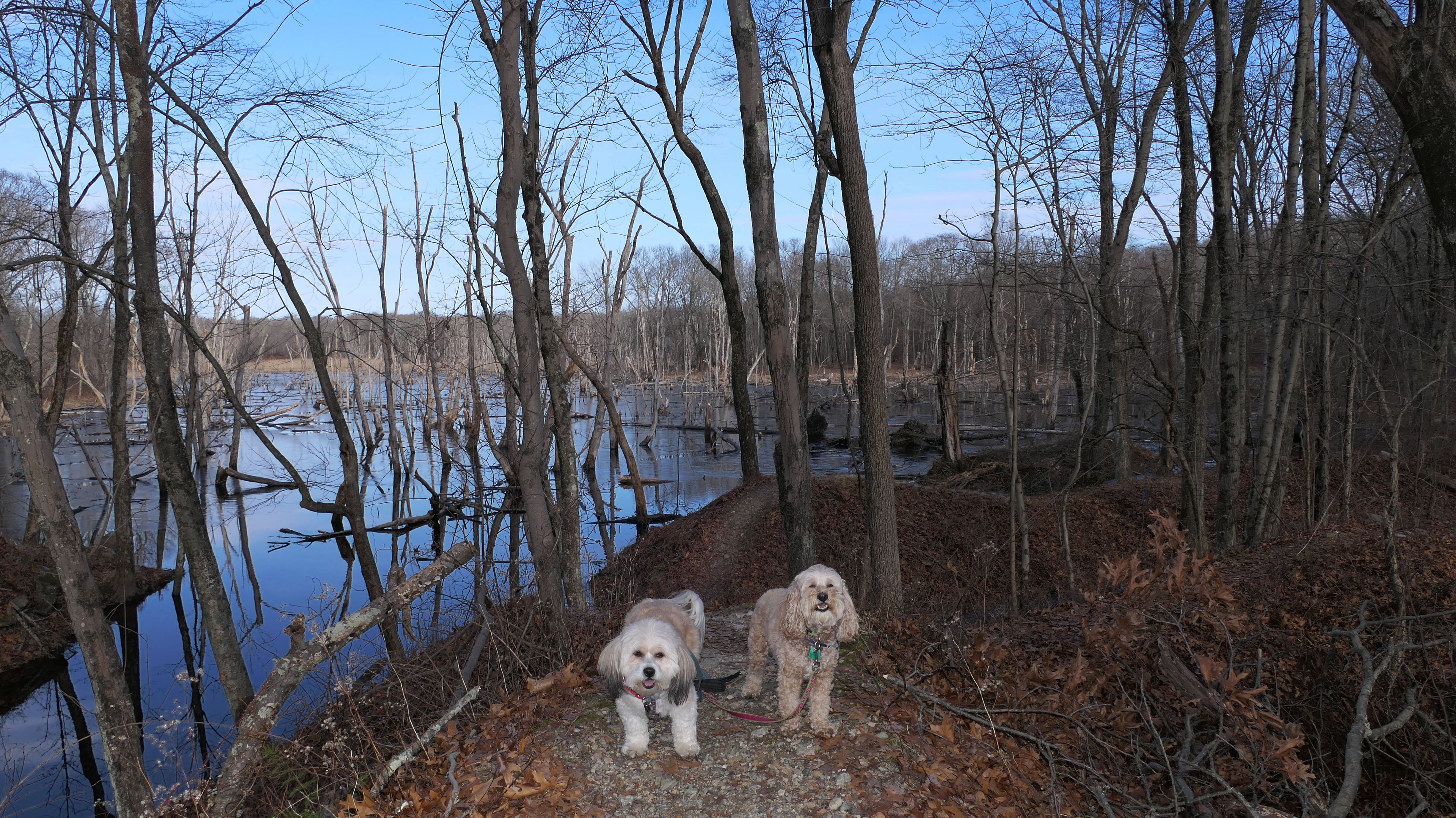
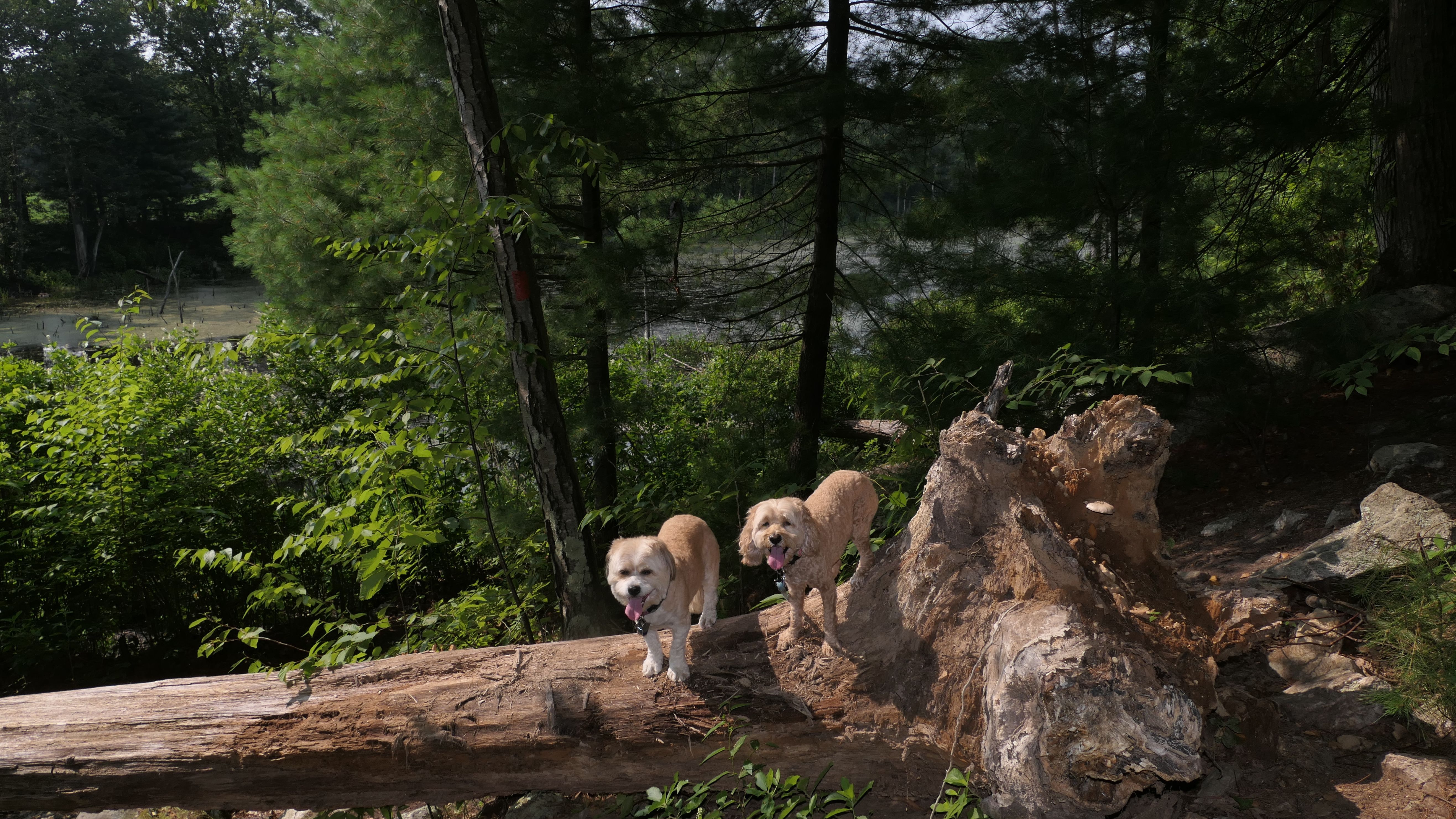
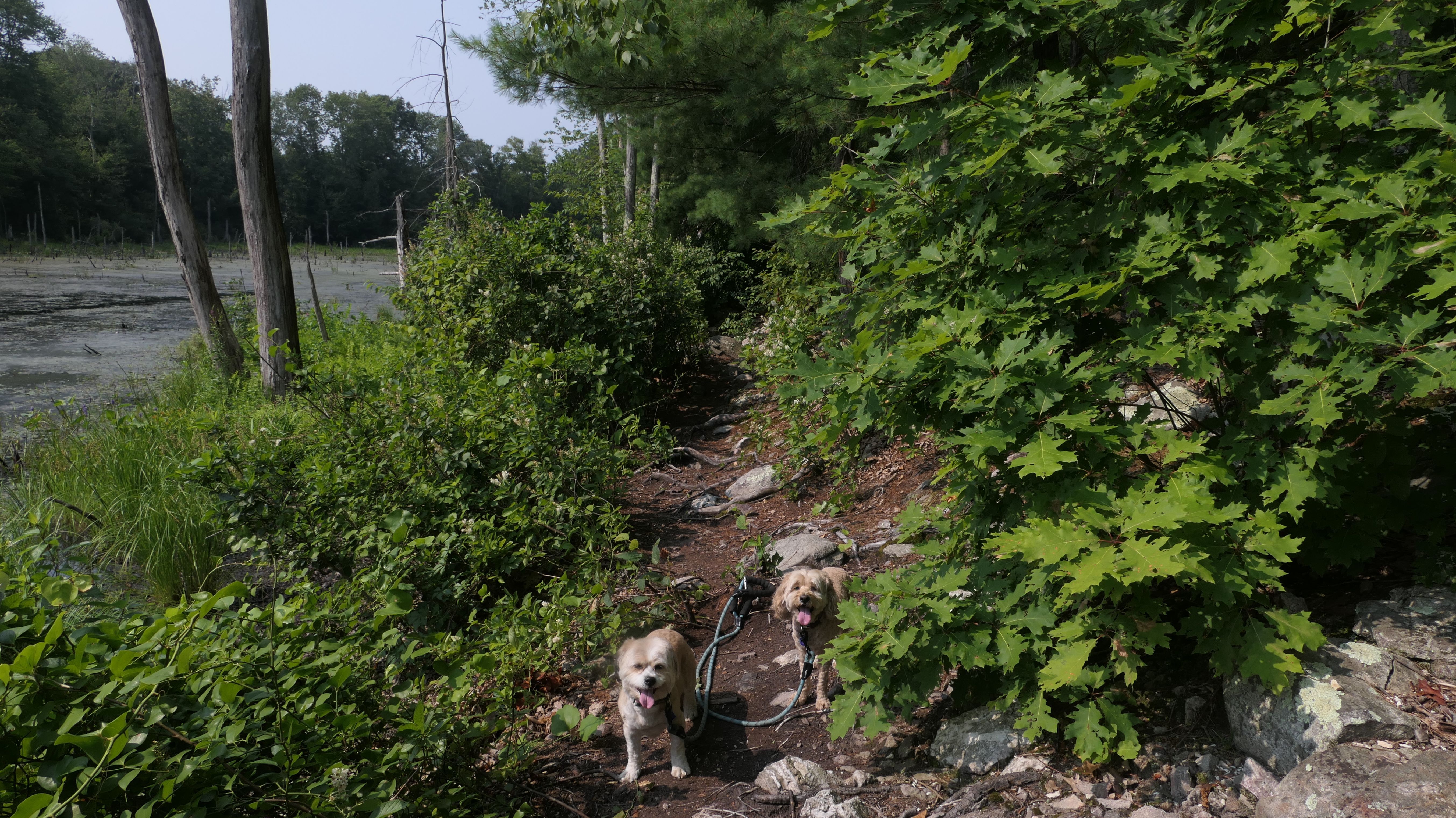
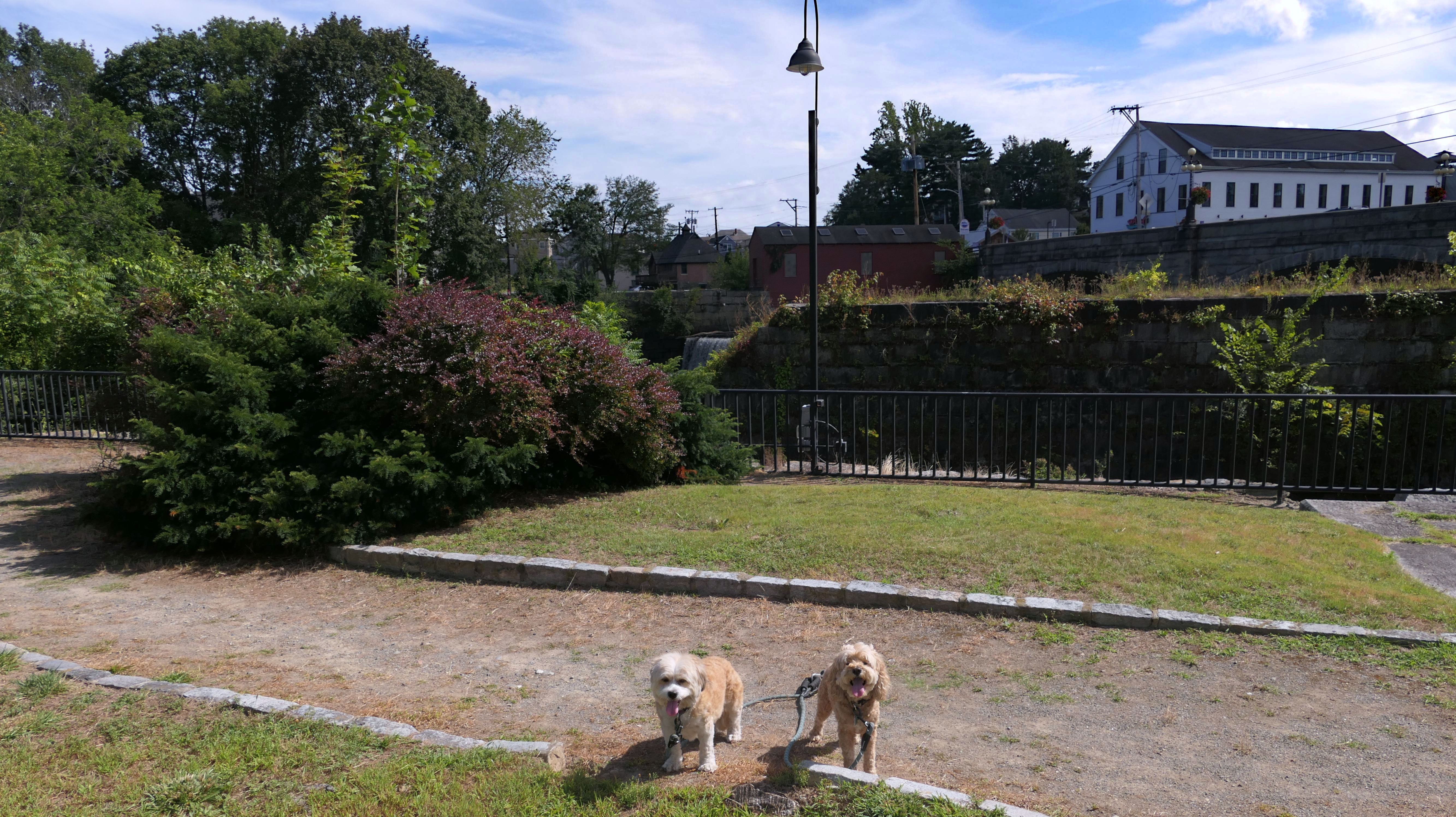
Valley Marsh
Date visited: 4/27/2026
This area is labeled "Valley Marsh" on Google Maps. There is a short trail that leads from the Blackstone River Greenway to the river. The trail is about a quarter mile long, and is a nice walk through the marsh.