Connecticut
Massachusetts
Rhode Island
New York
New Jersey
Other States
Latest Adventures
About Mandy & Lexi
Beach Guide
FAQ
◂︎ Mandy & Lexi's Rhode Island Adventures
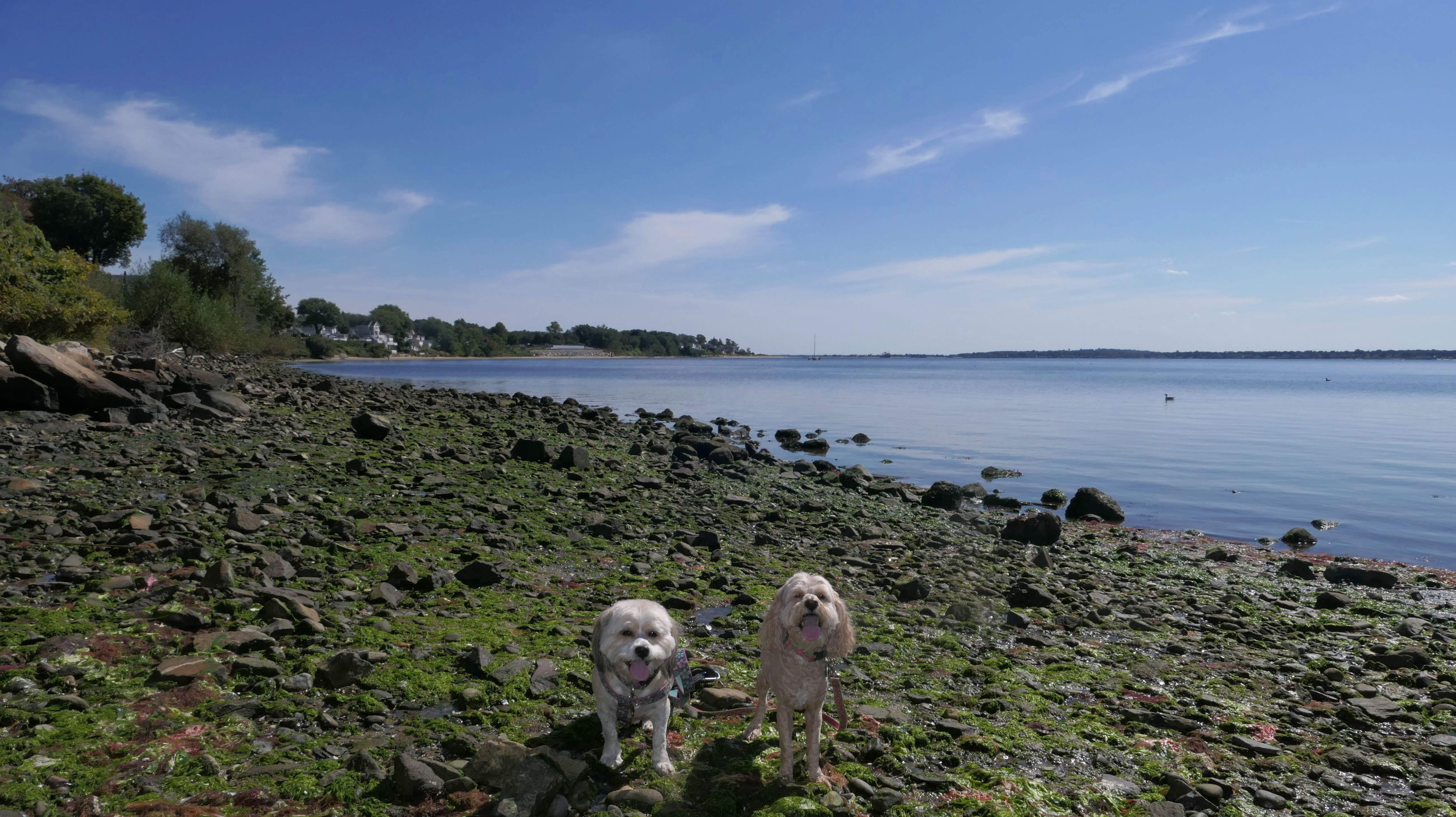
East Providence
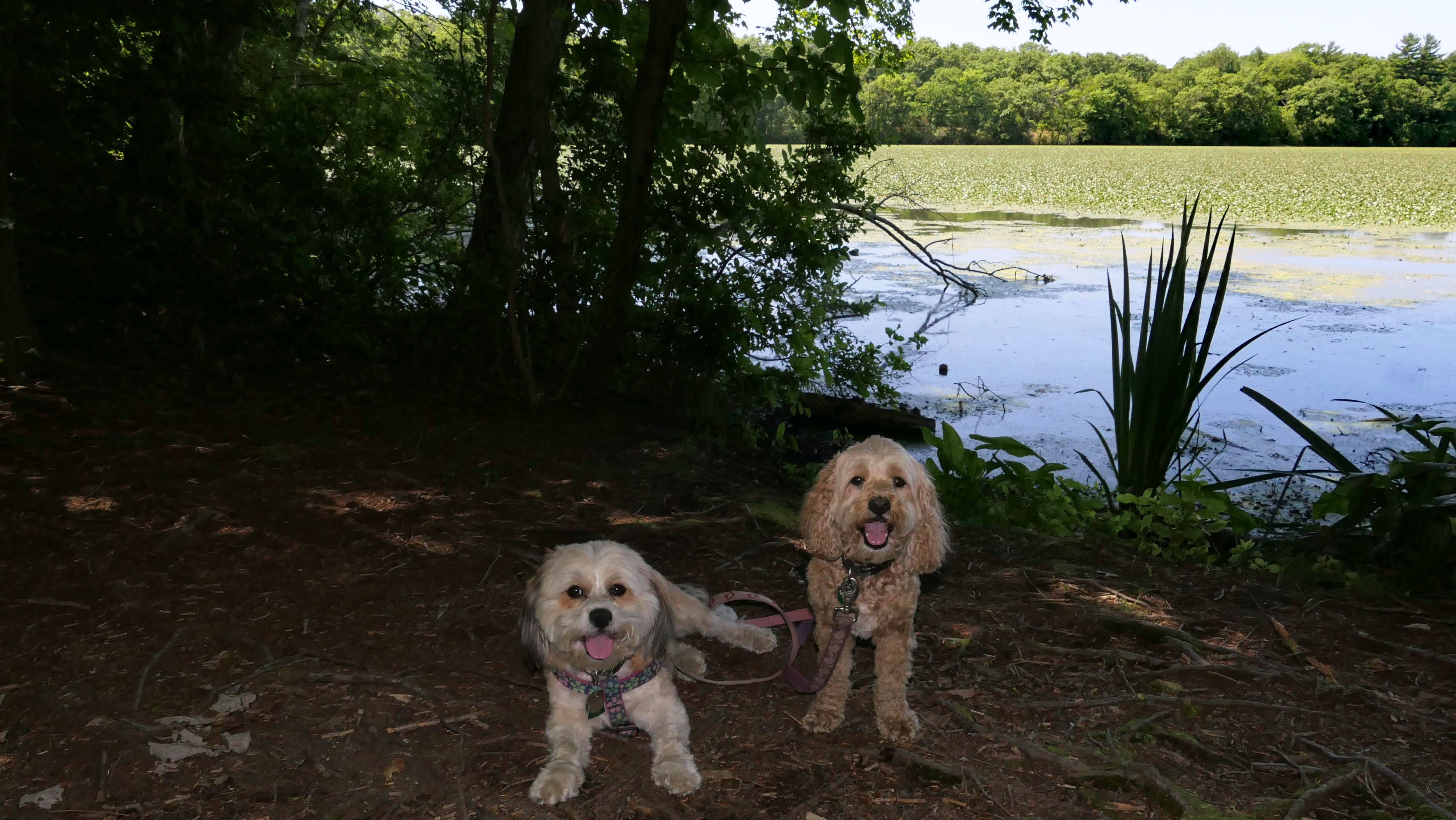
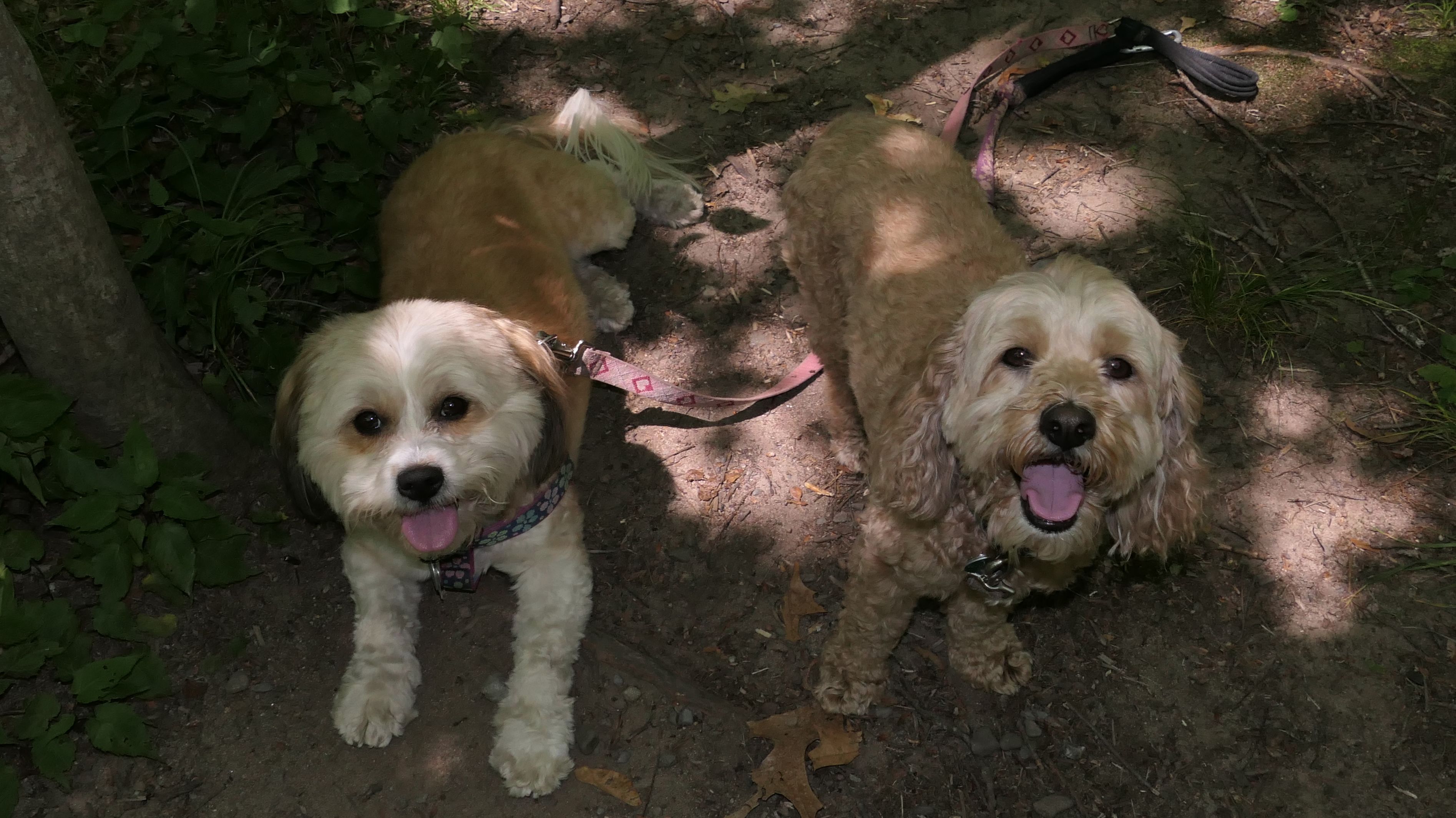
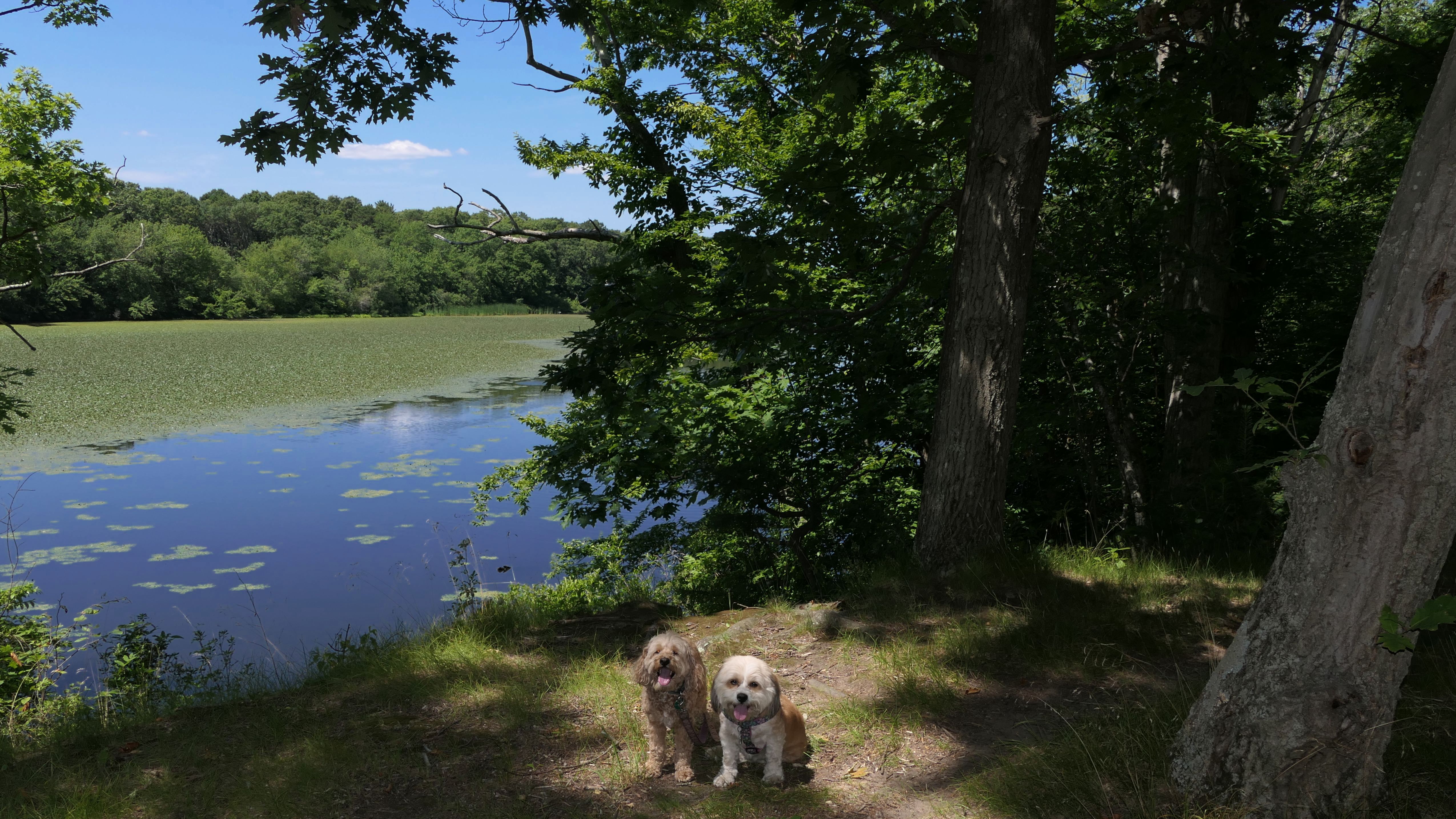
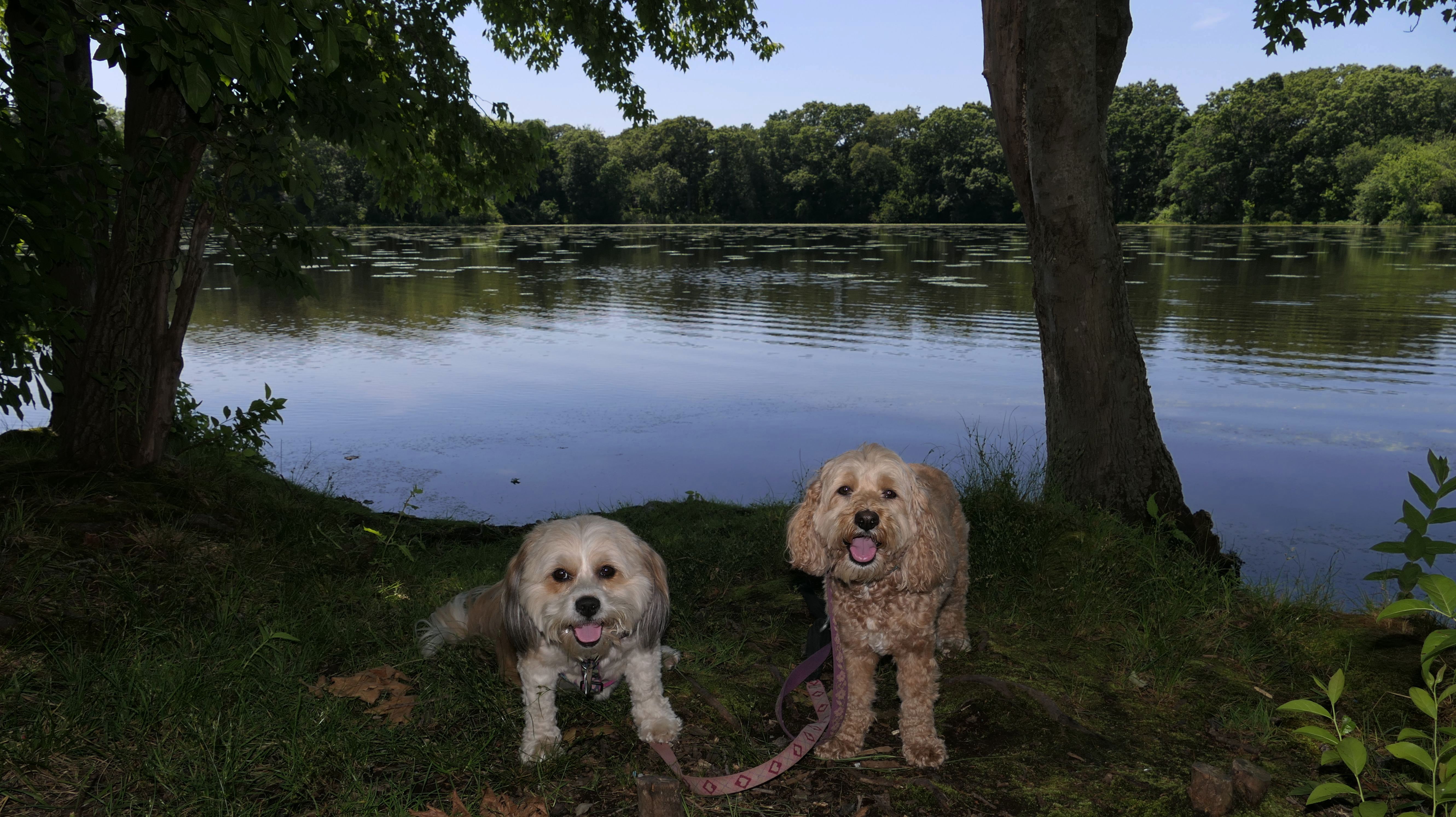
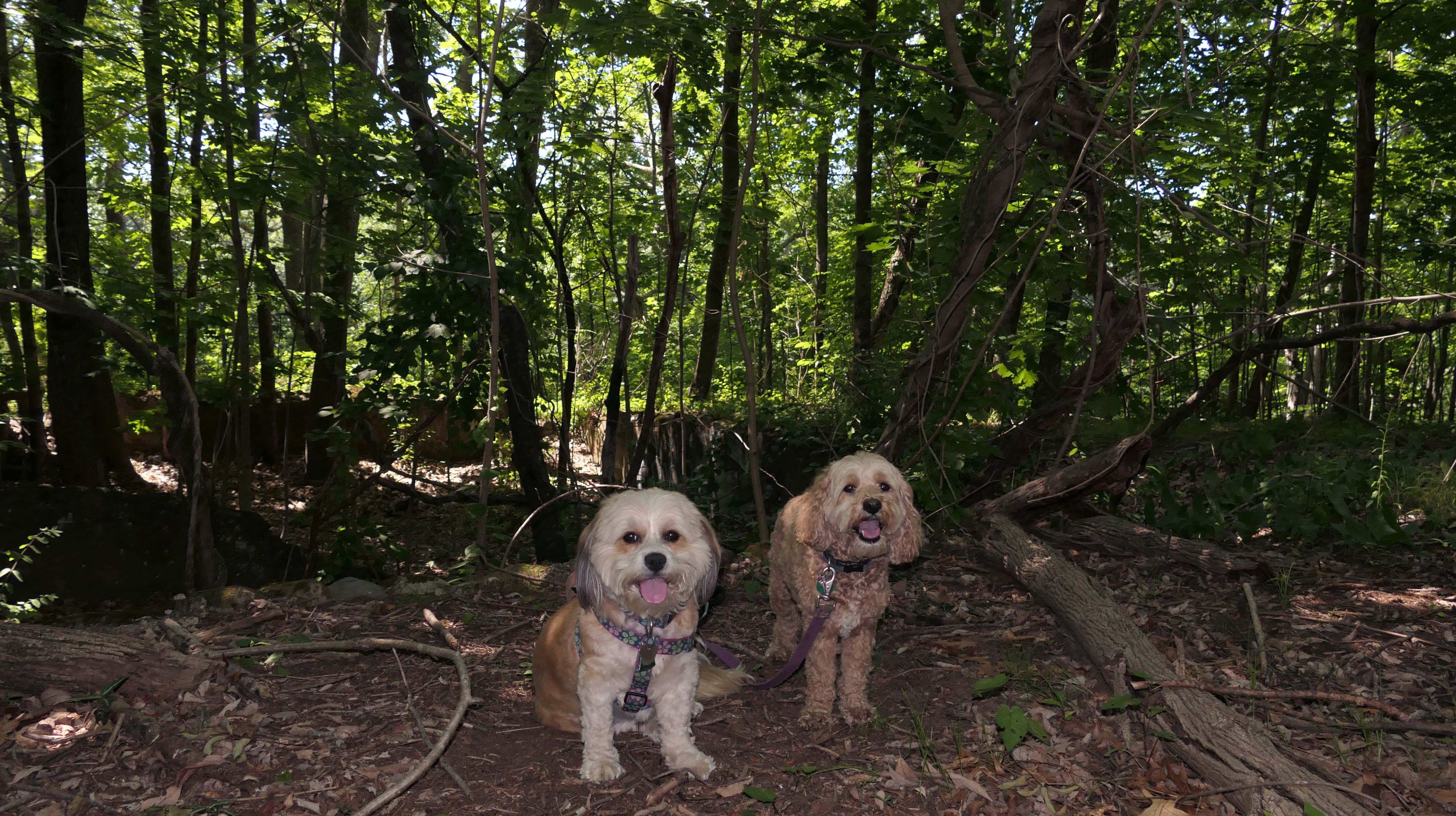
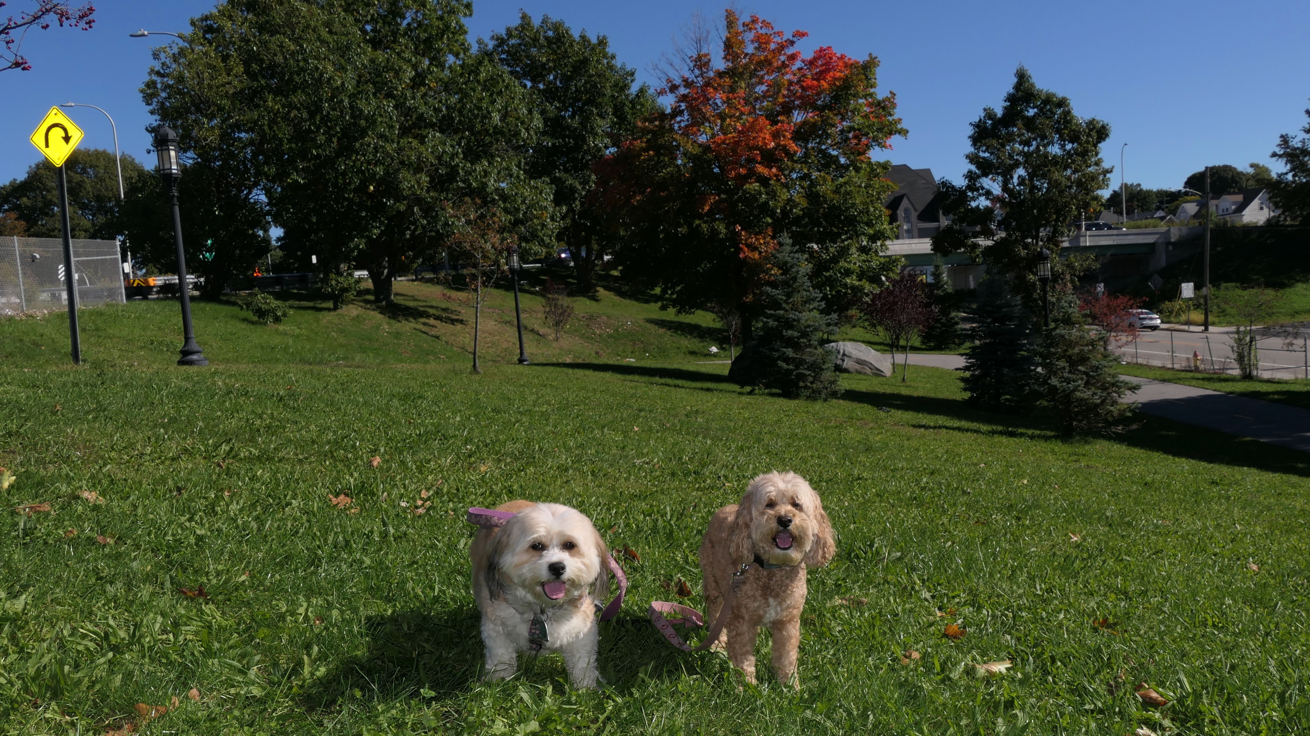
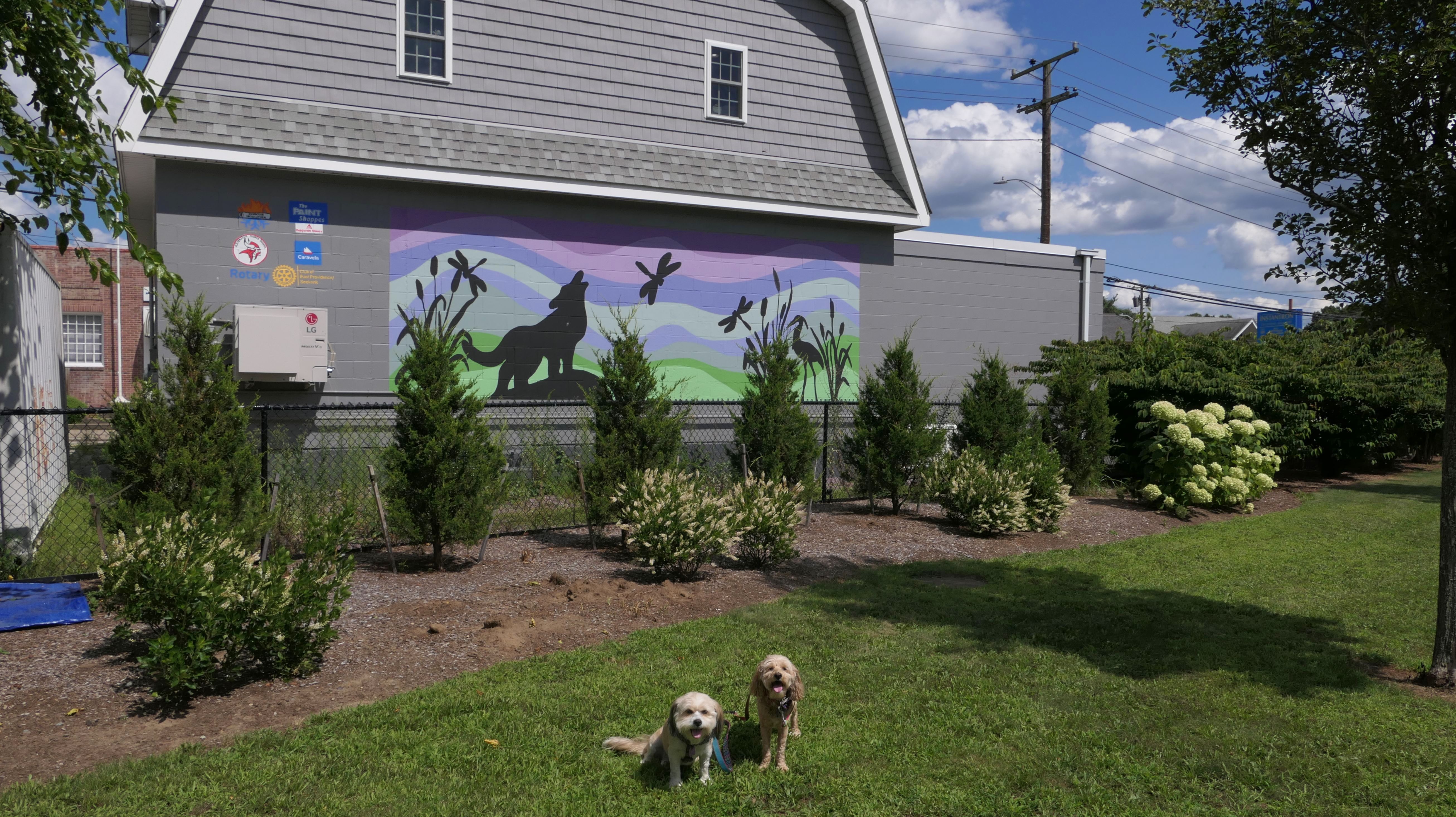
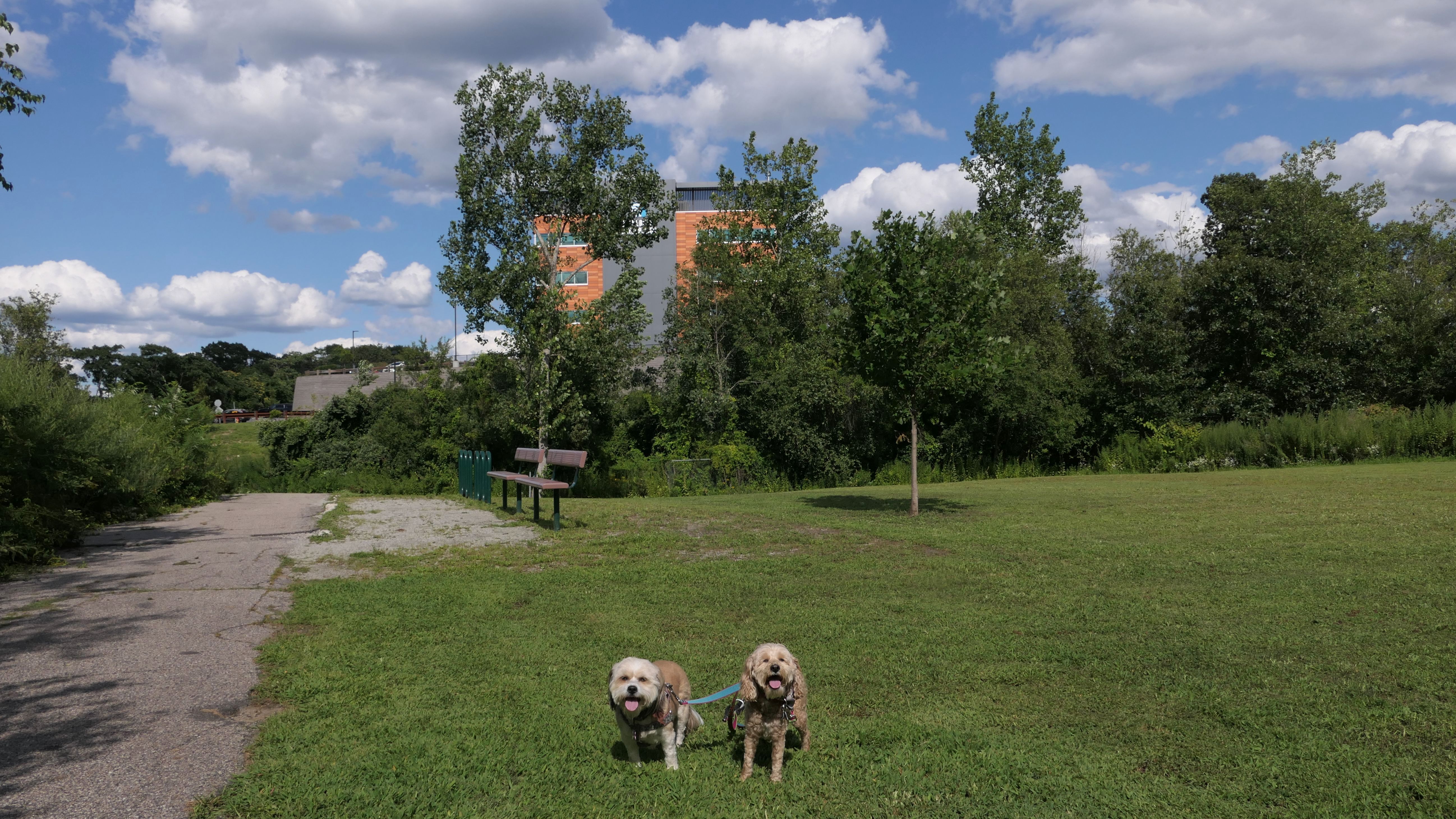
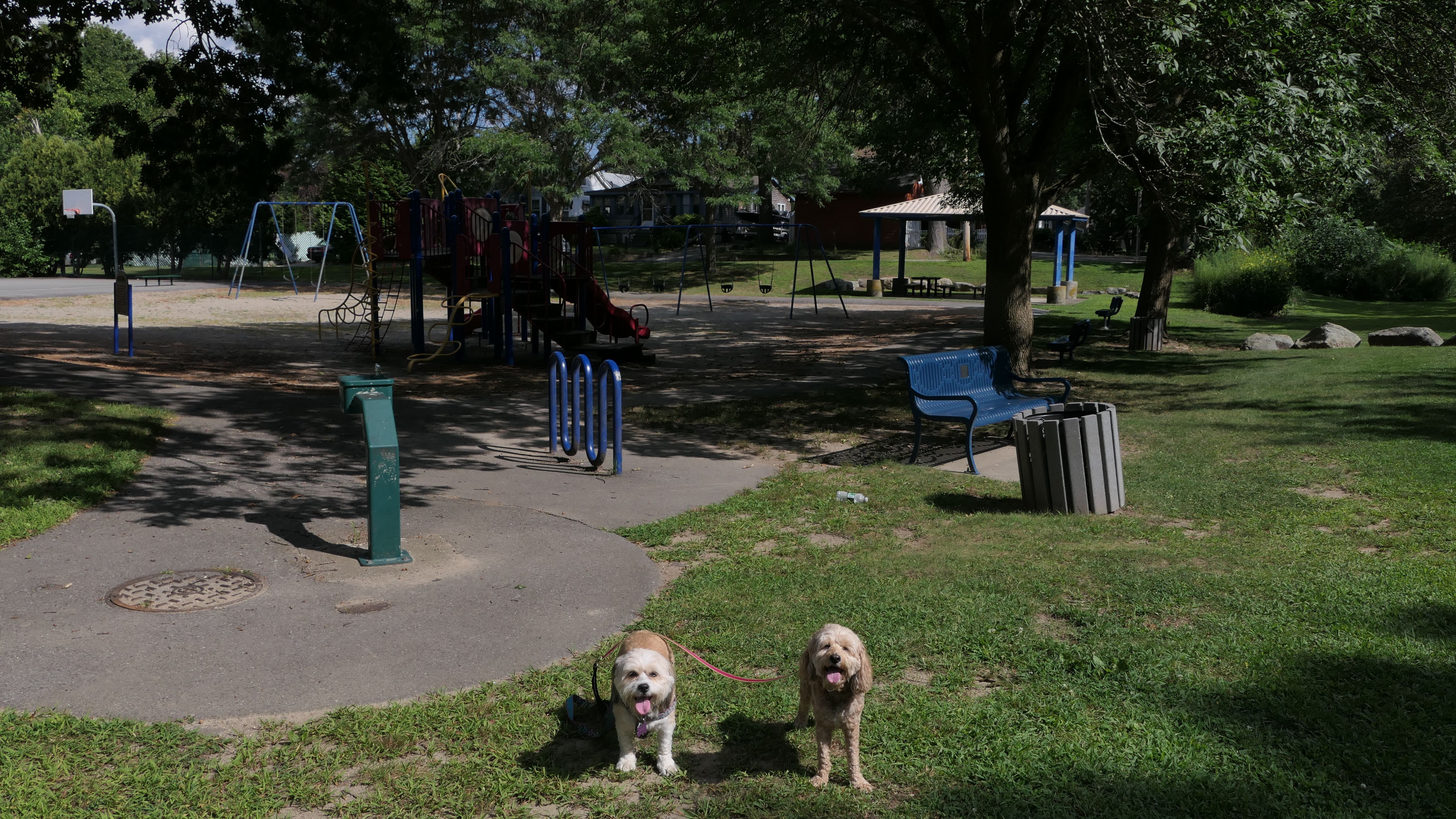
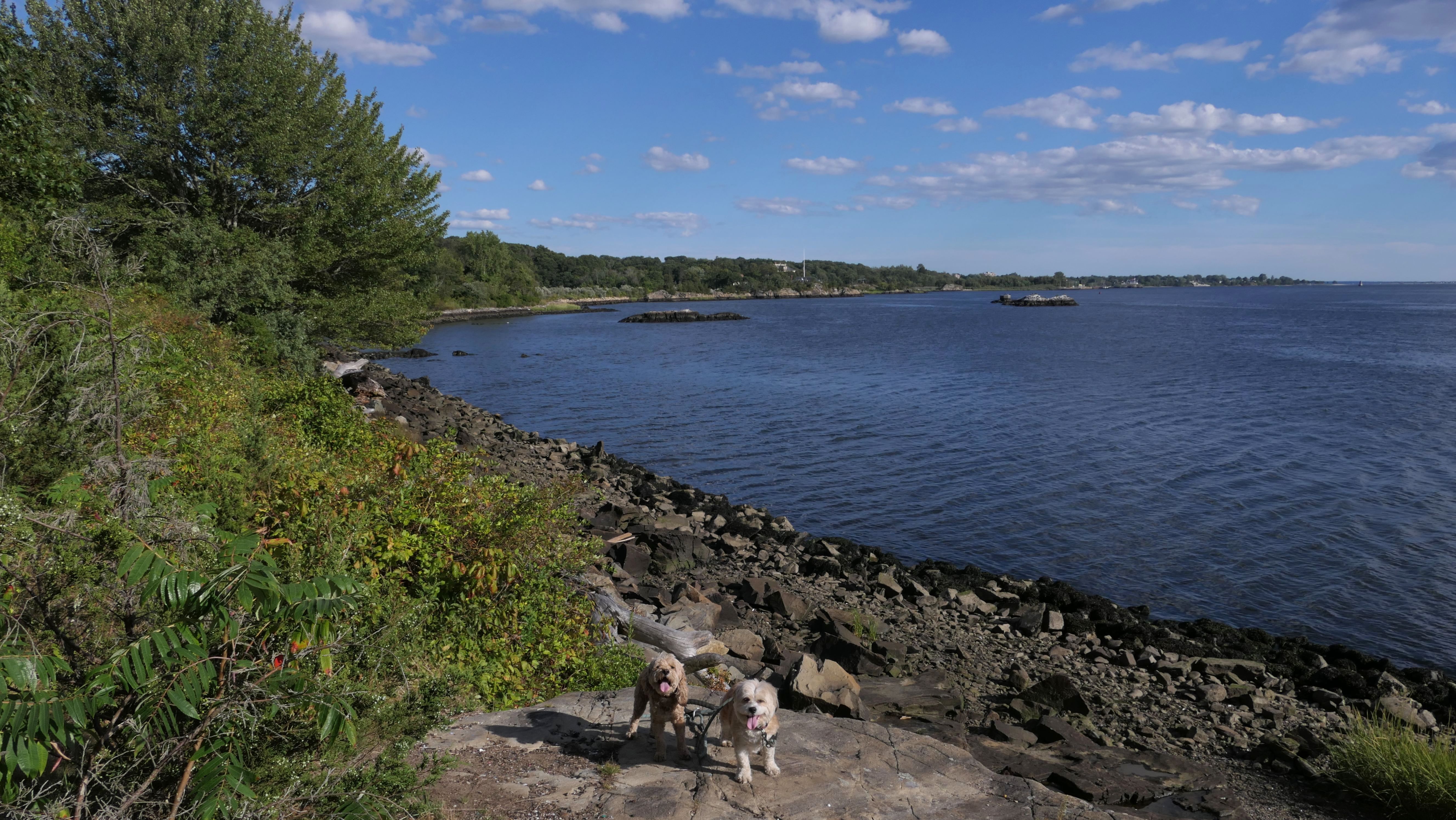
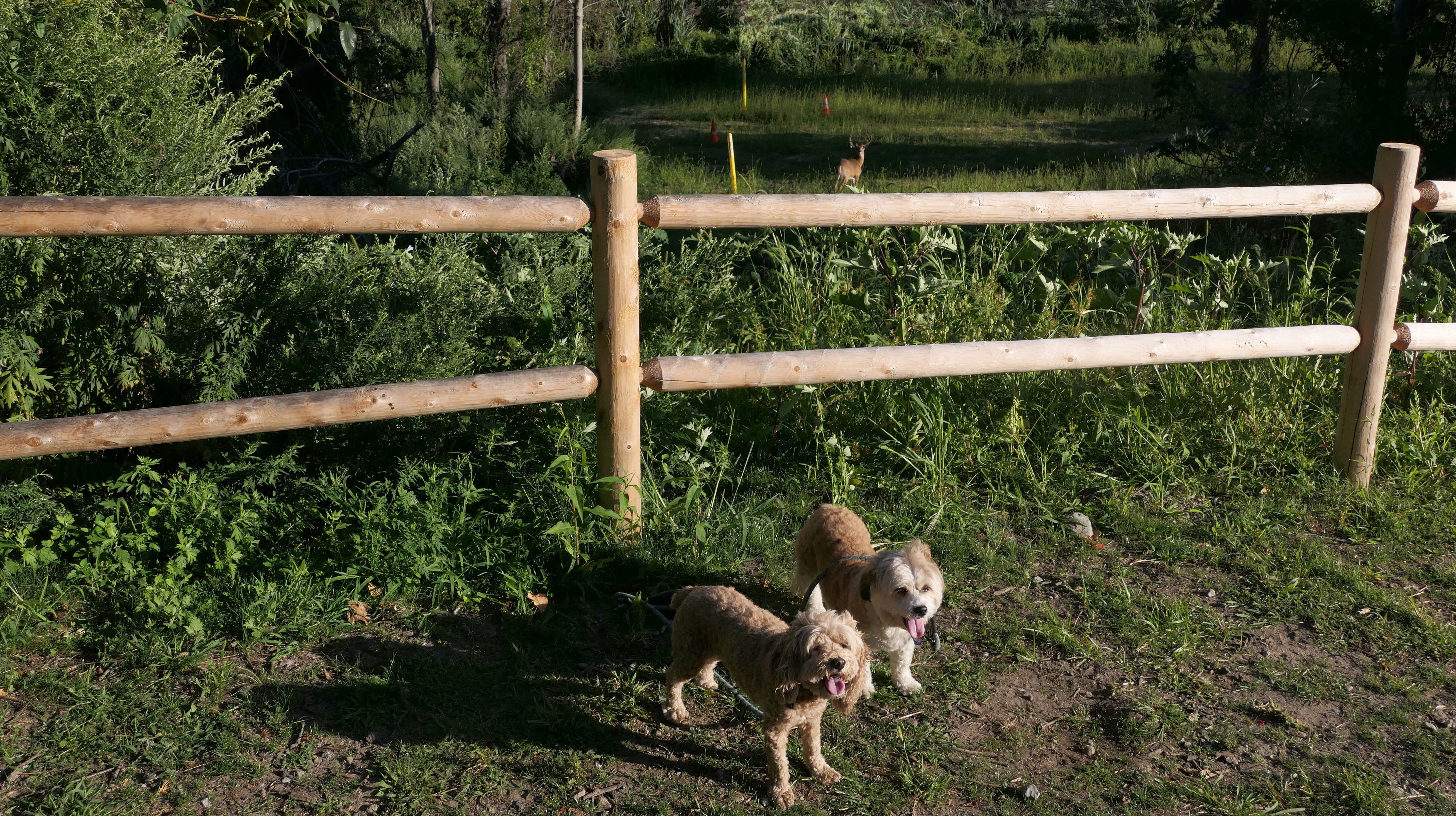
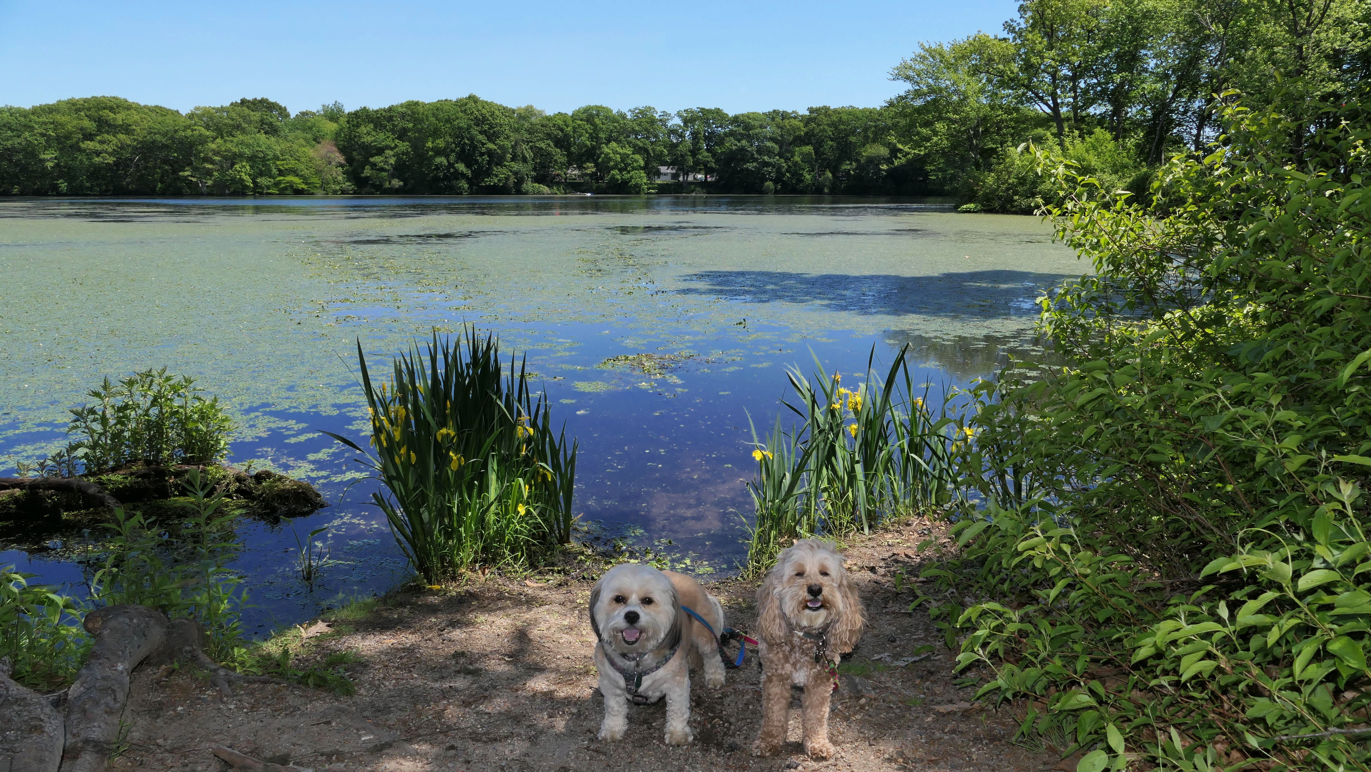
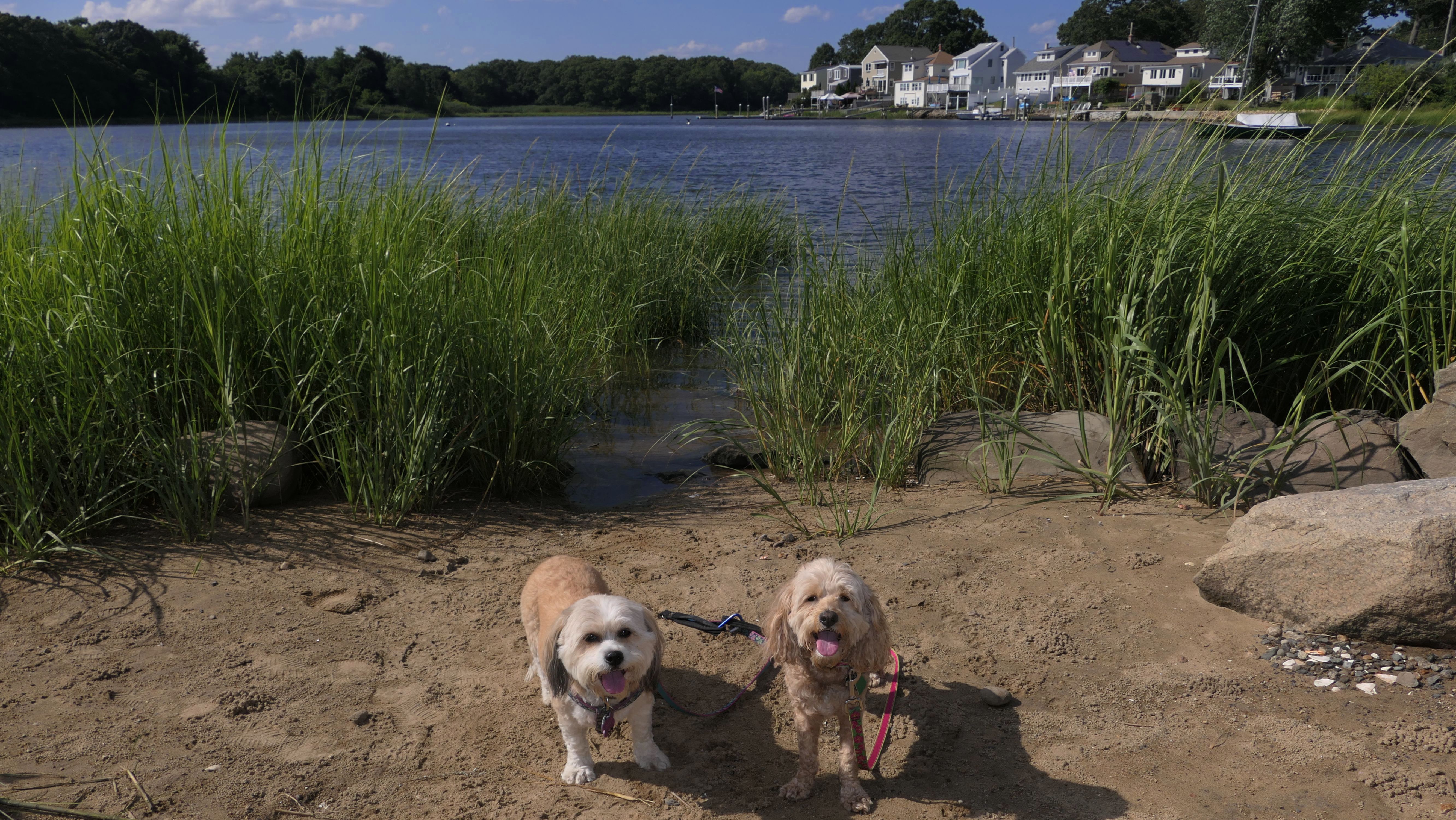
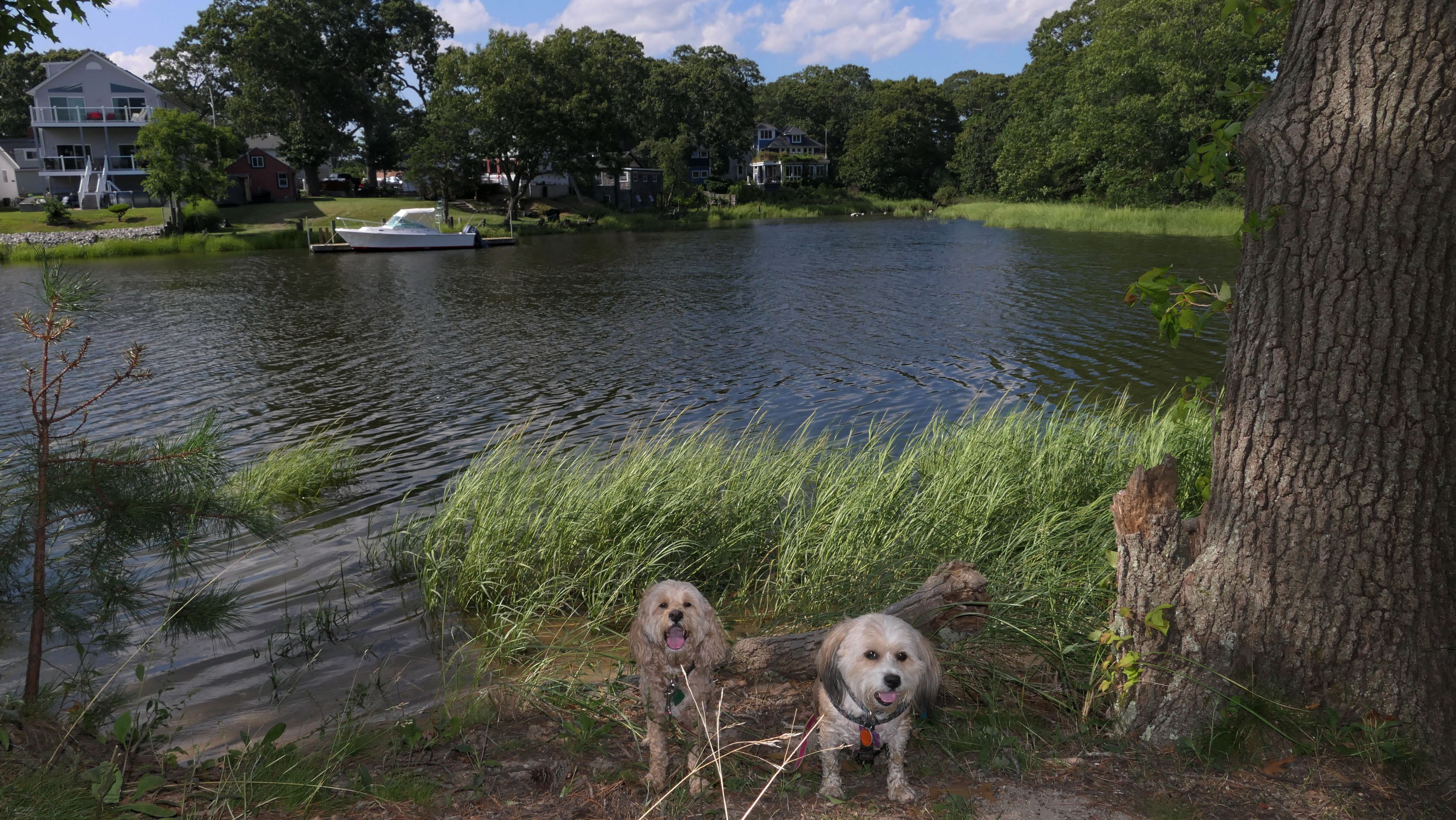
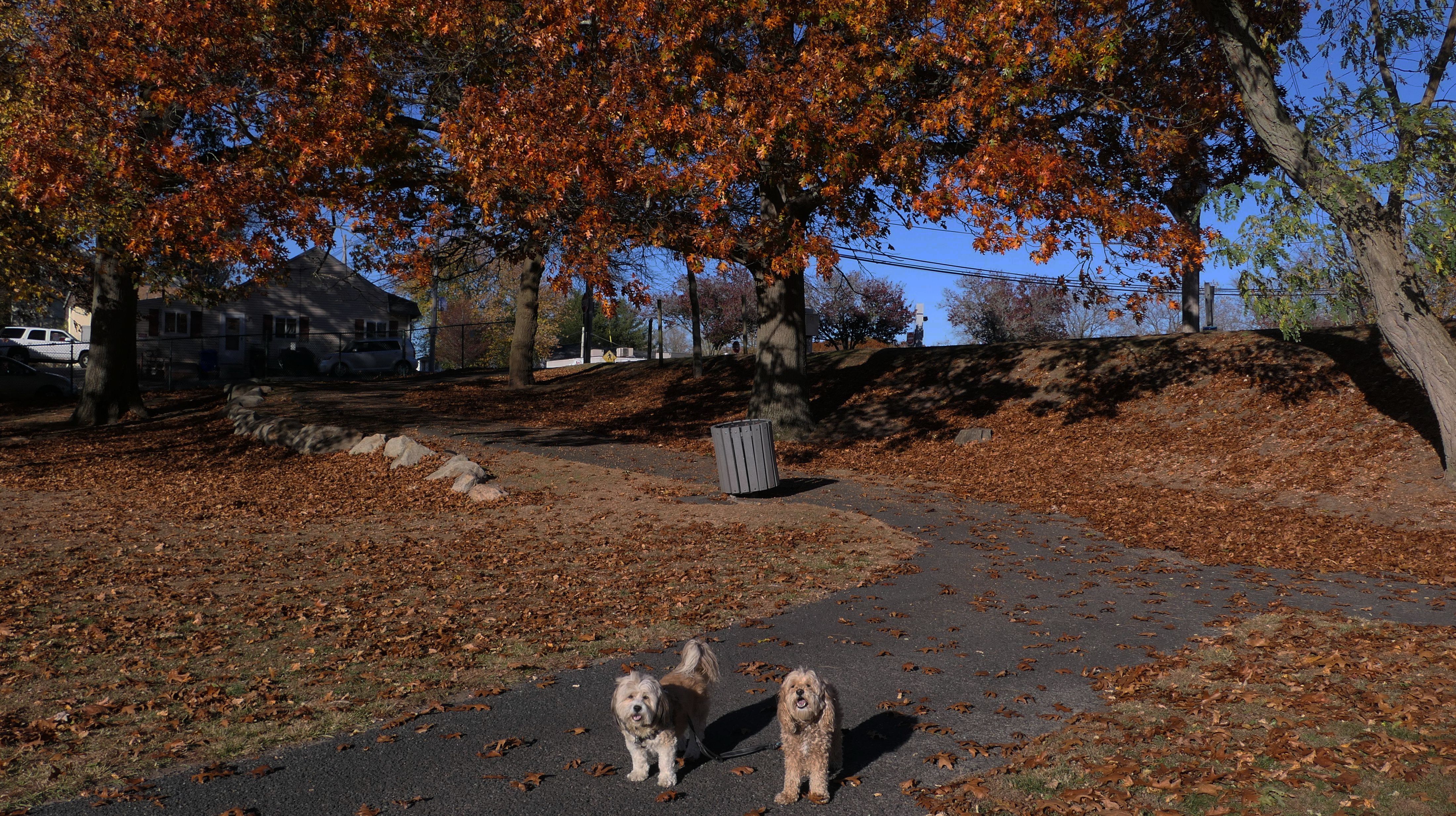
Seekonk Meadows
Date visited: 7/10/2022
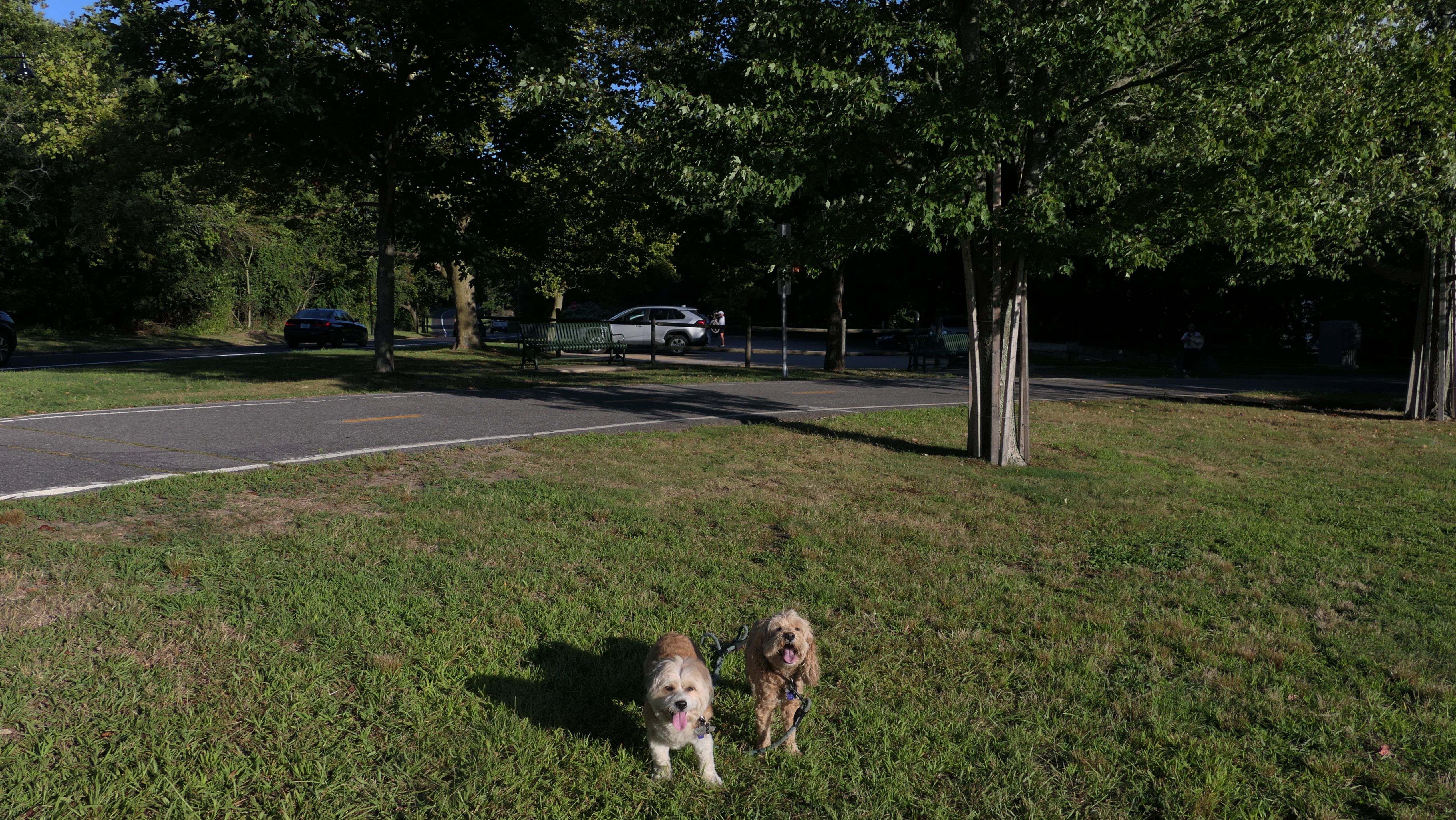
This was not the place I was planning to take the dogs, but my first two picks didn't really work out. I found this on the All-Trails app, and it actually turned out to be pretty well. I think "Seekonk Meadows" is only the open area just behind the parking lot. I don't know what property the trails behind the open area belong to. The trails themselves are very nice. They start in Seekonk, MA and extend into East Providence, RI where they run alongside Central Pond. We hiked a very pleasant three mile loop. The pictures below are from the East Providence sections of the trail.
More Images
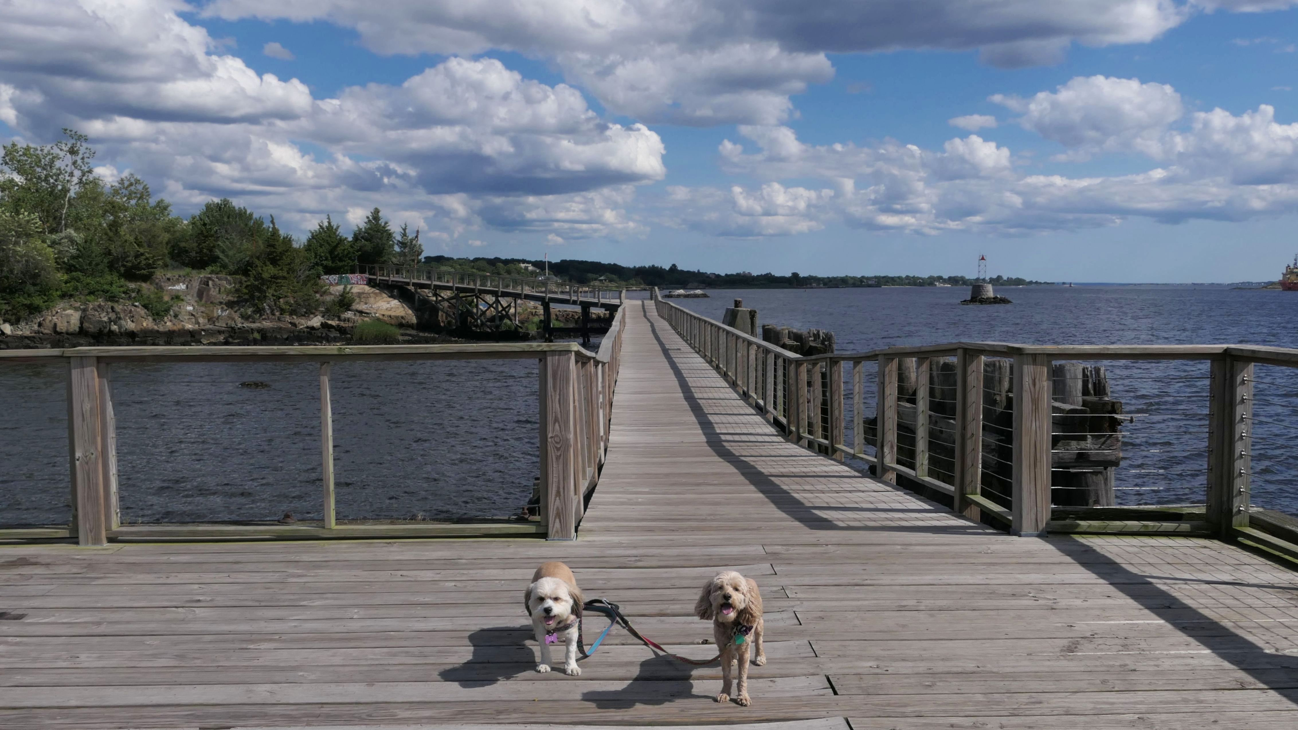
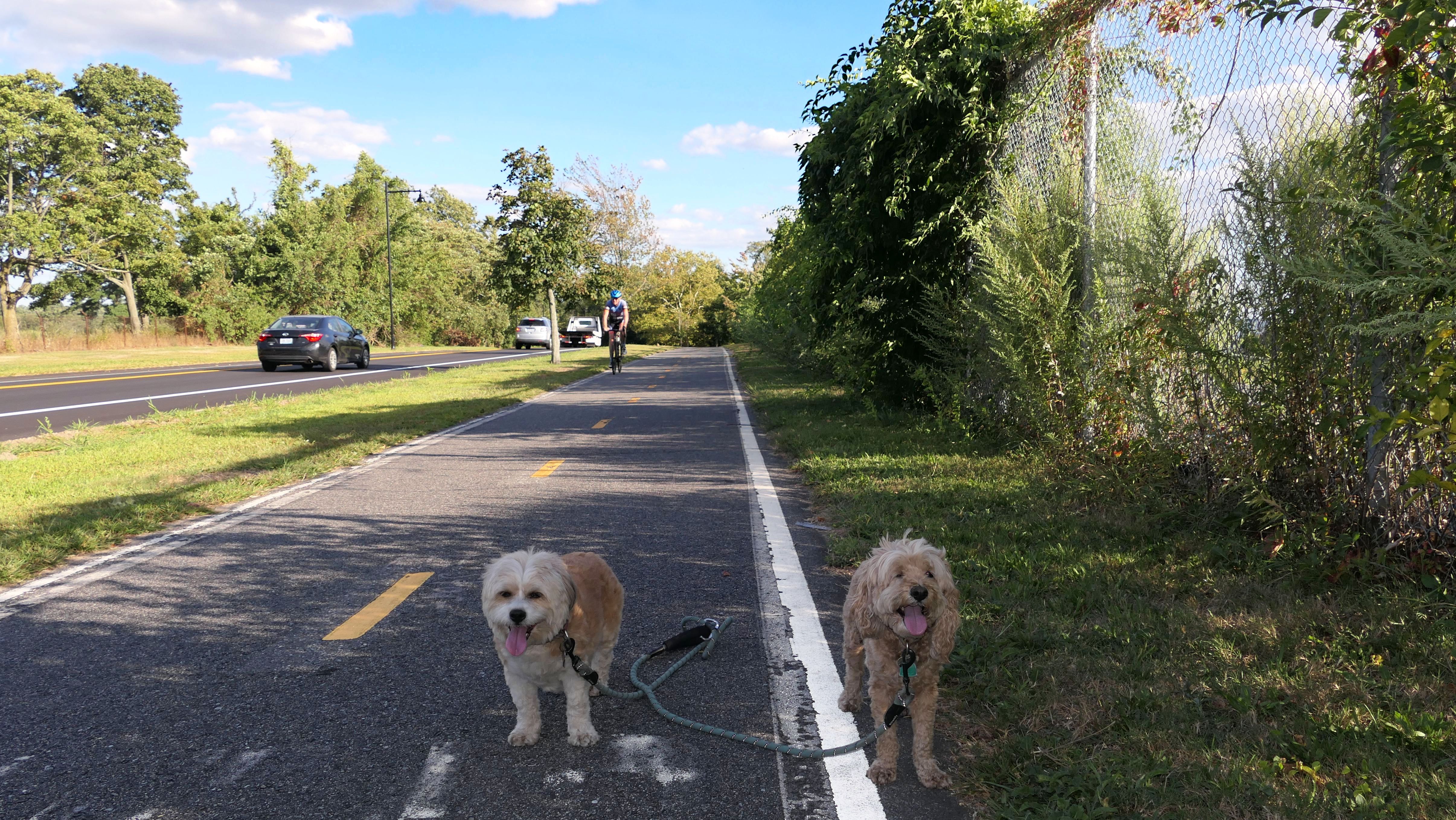
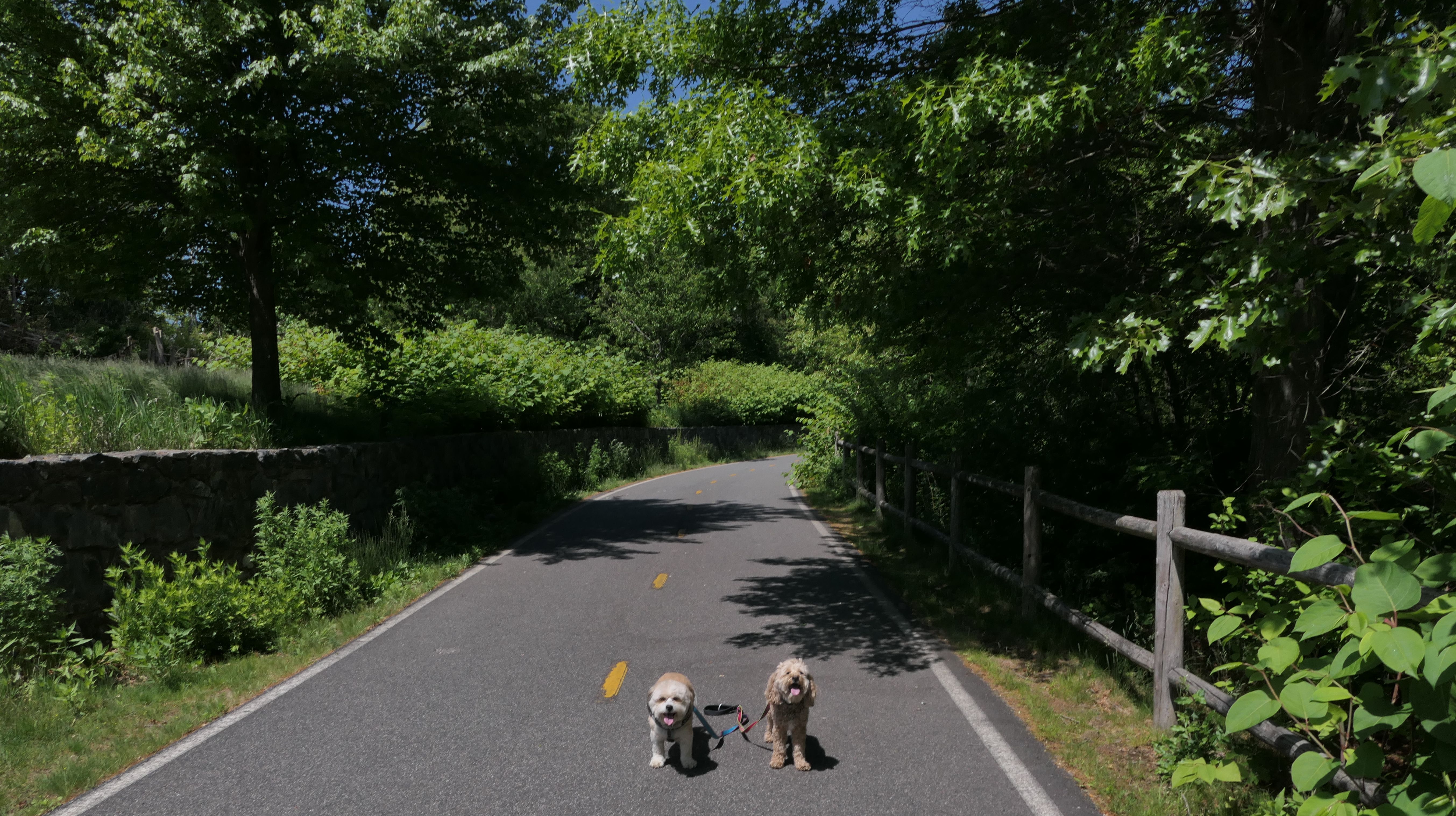
East Bay Bike Path
Date visited: 7/10/2022
See Also: Providence, East Providence, Barrington, Warren, Bristol
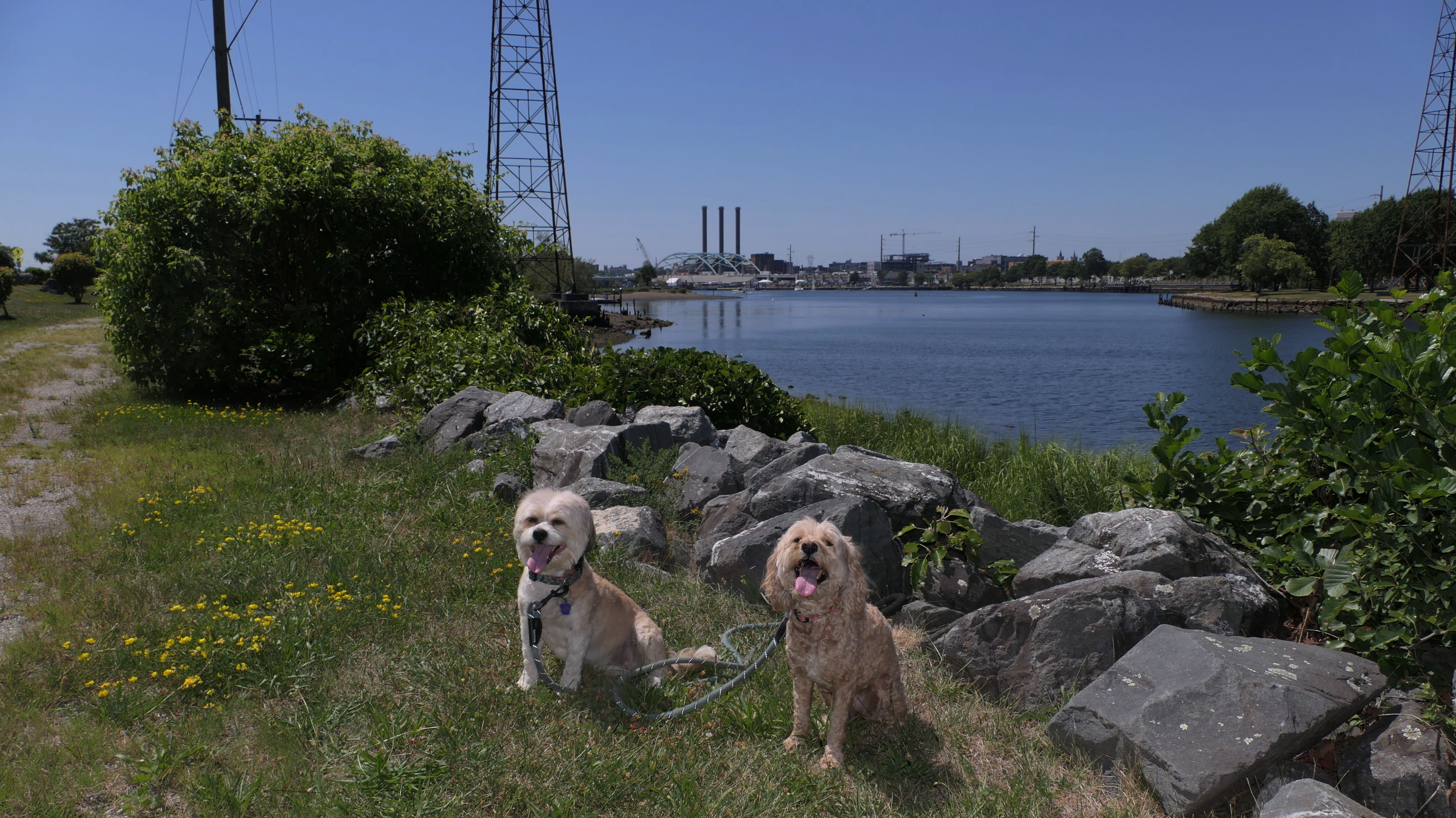
I had originally intended to visit India Point Park in Providence, and cross the bridge into East Providence, but that didn't work out. There was some sort of event happening at the park, and traffic was snarled and there was no parking. I had a backup plan, and caught the bike path a little further down. It wasn't that great. The views were blah. Across the river was some kind of industrial station of some sort. Even though it was only about 80 degrees, there is no shade on this section of the trail, and I could tell the dogs were hot. So we only walked about 0.4 miles before turning around and going somewhere else.
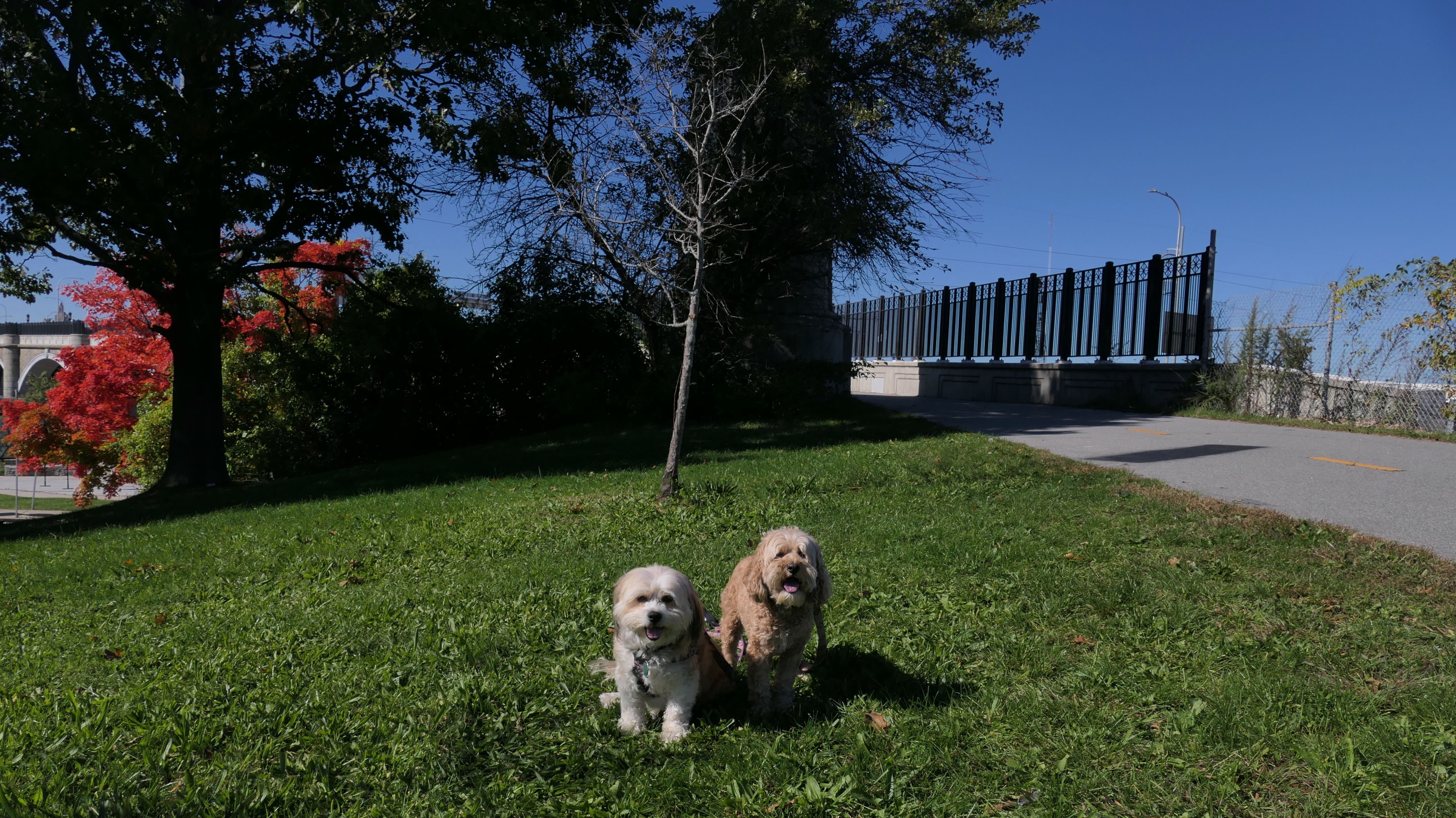
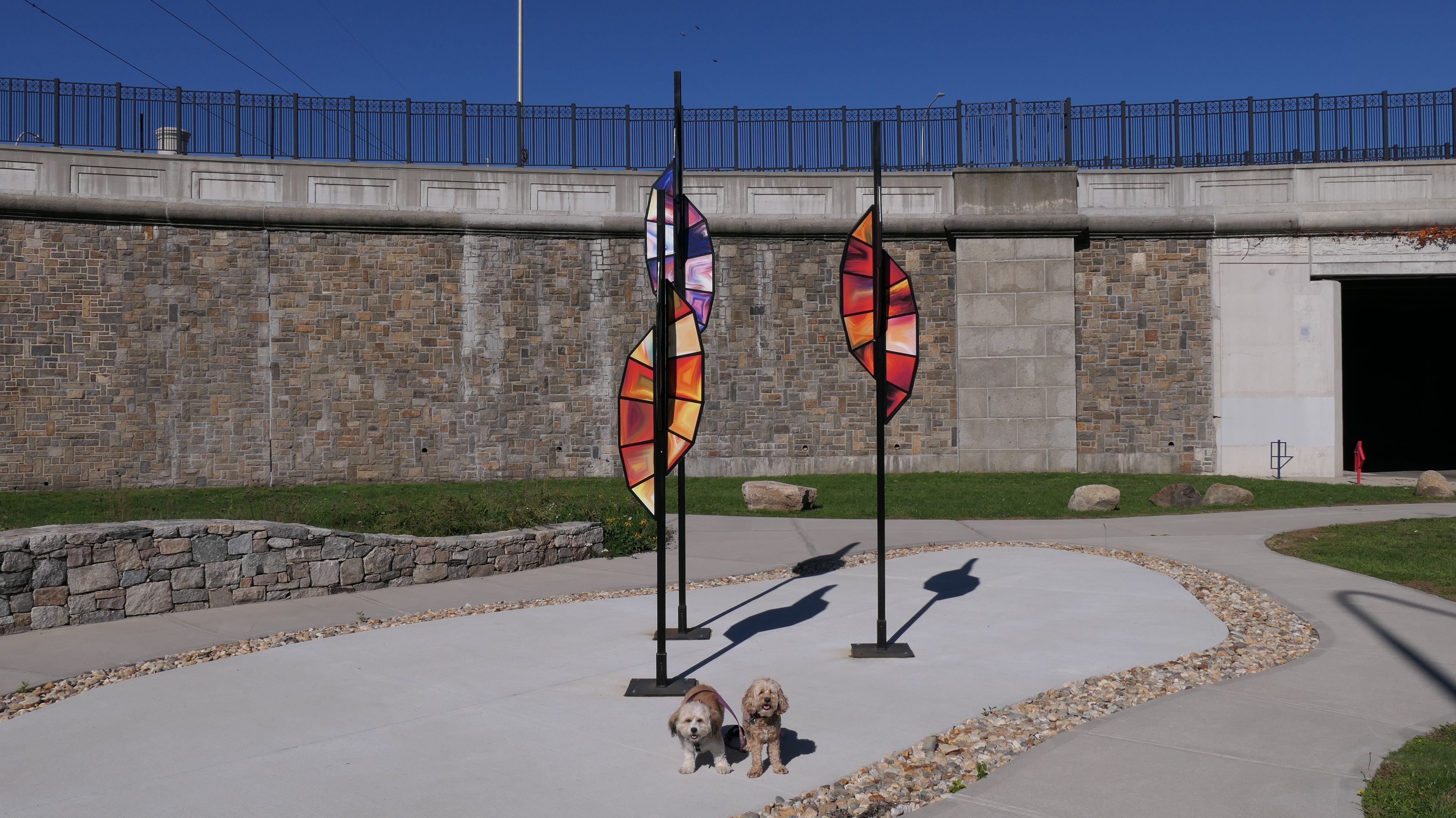
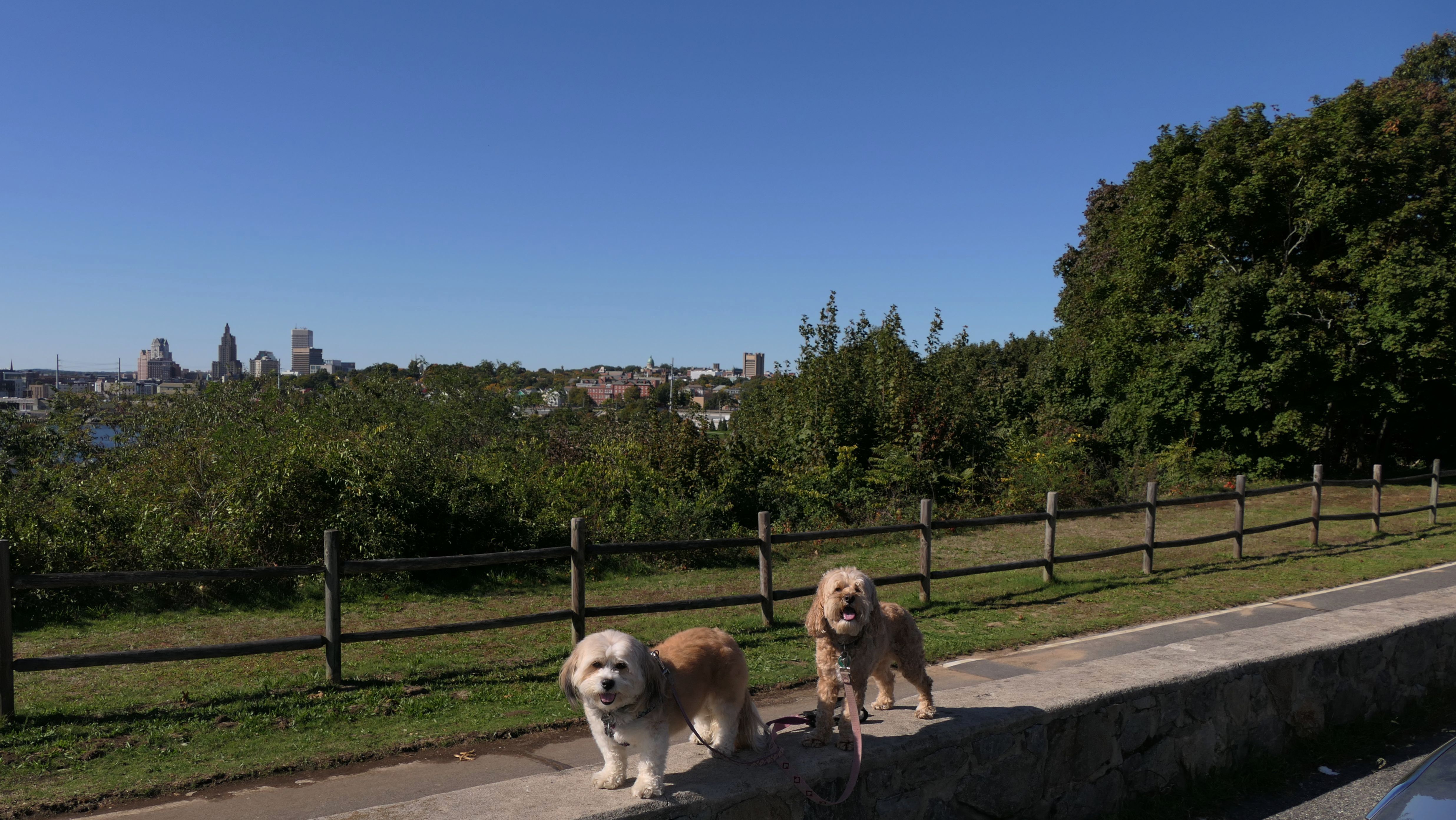
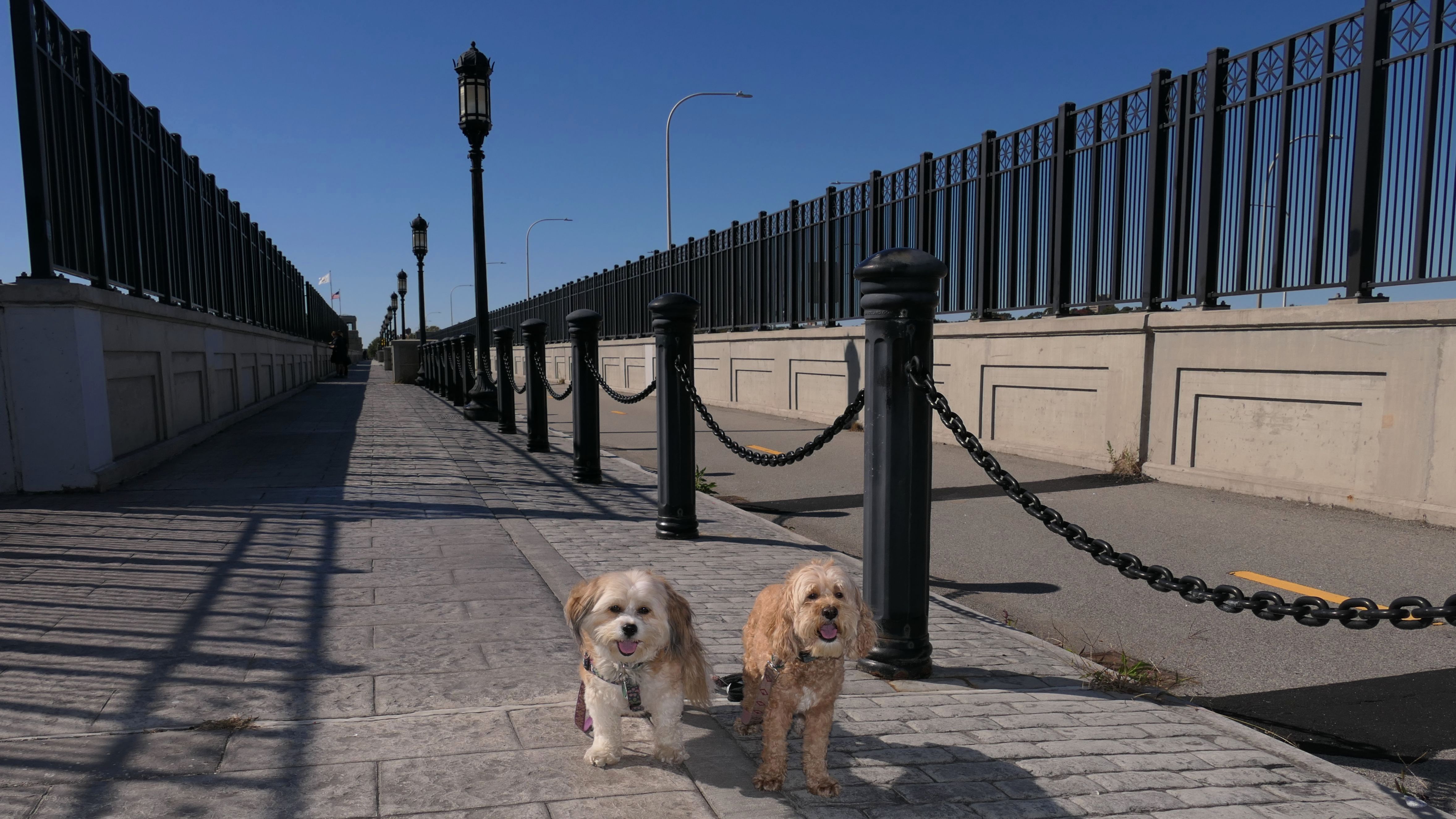
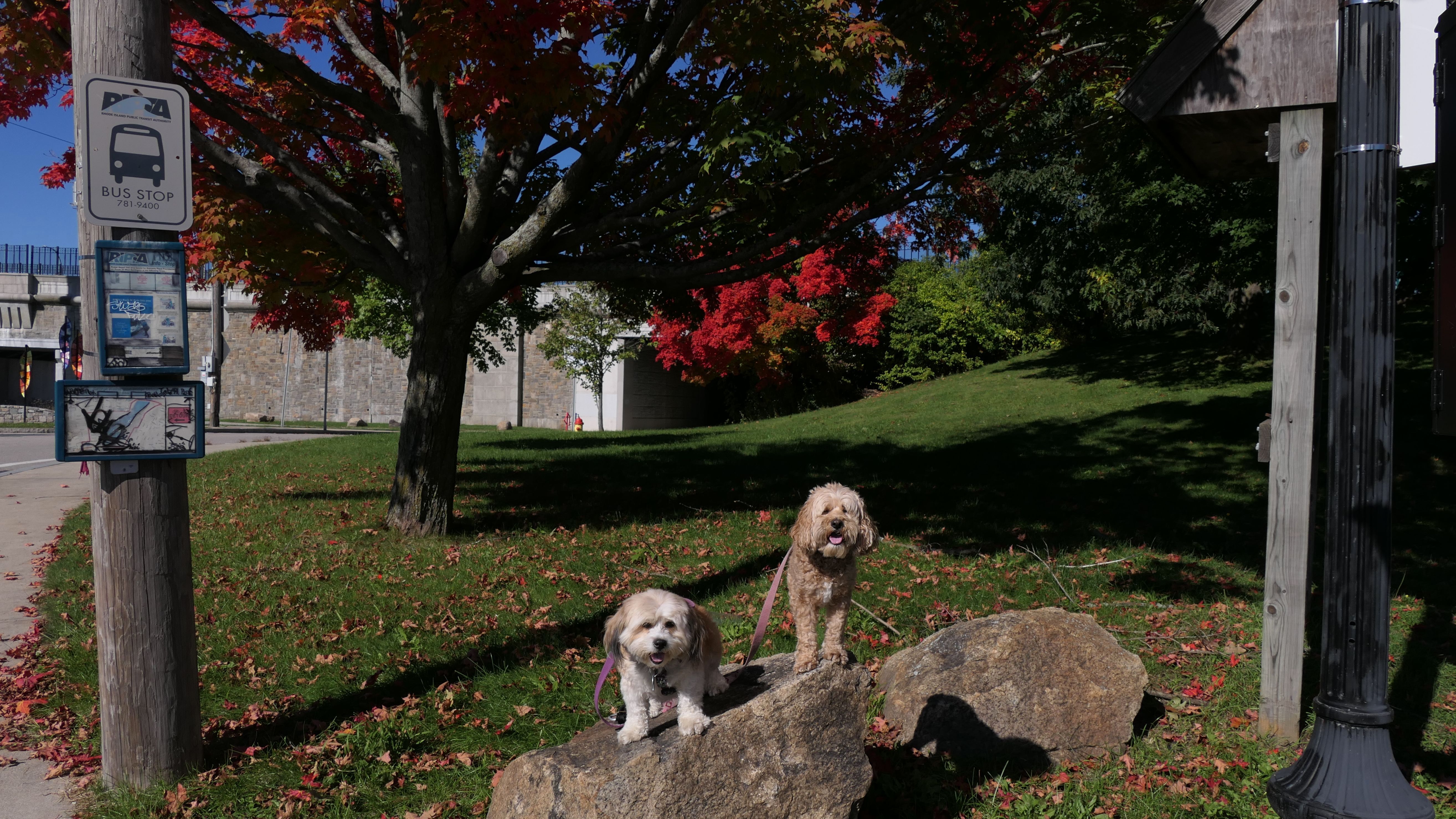
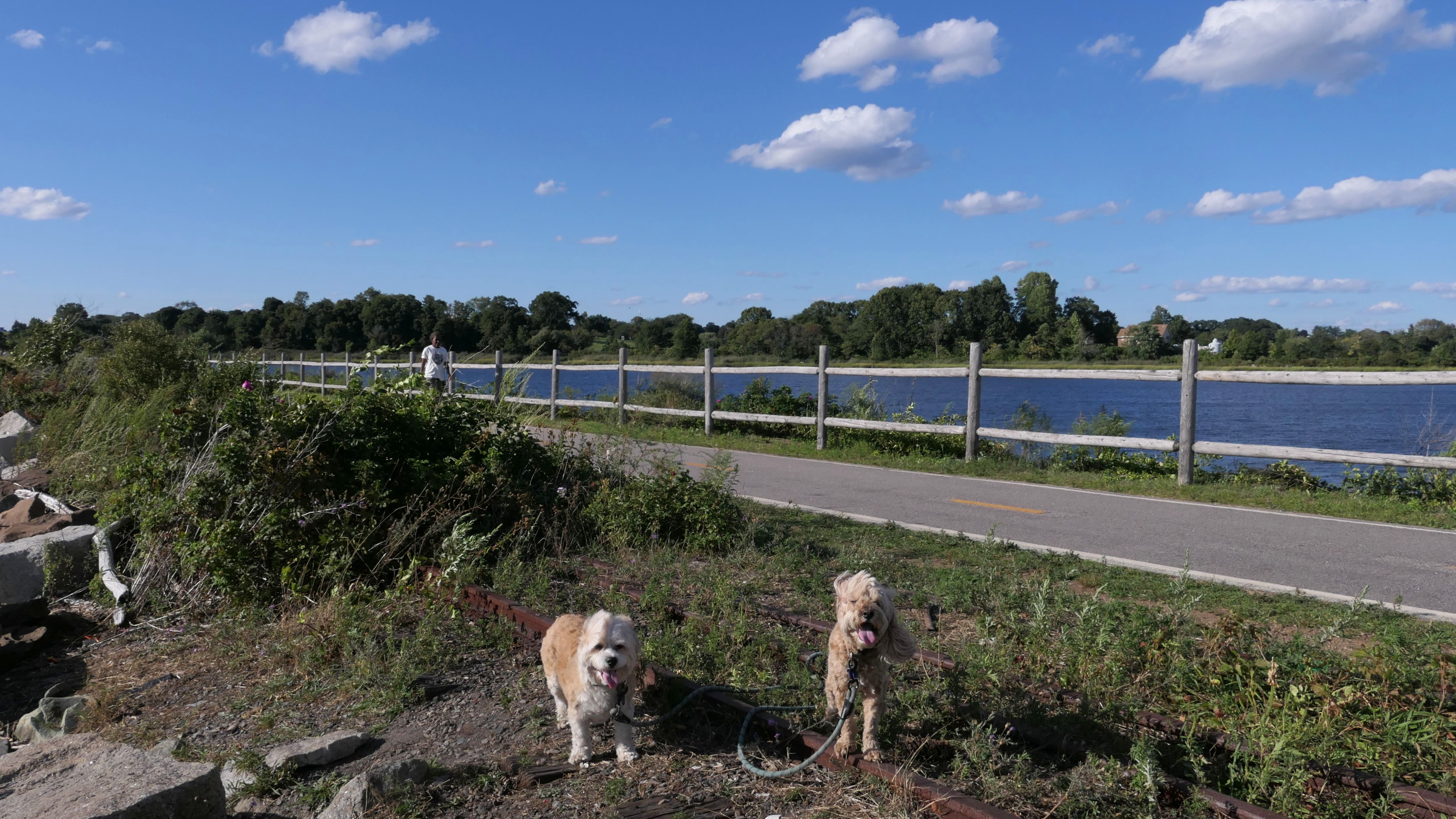
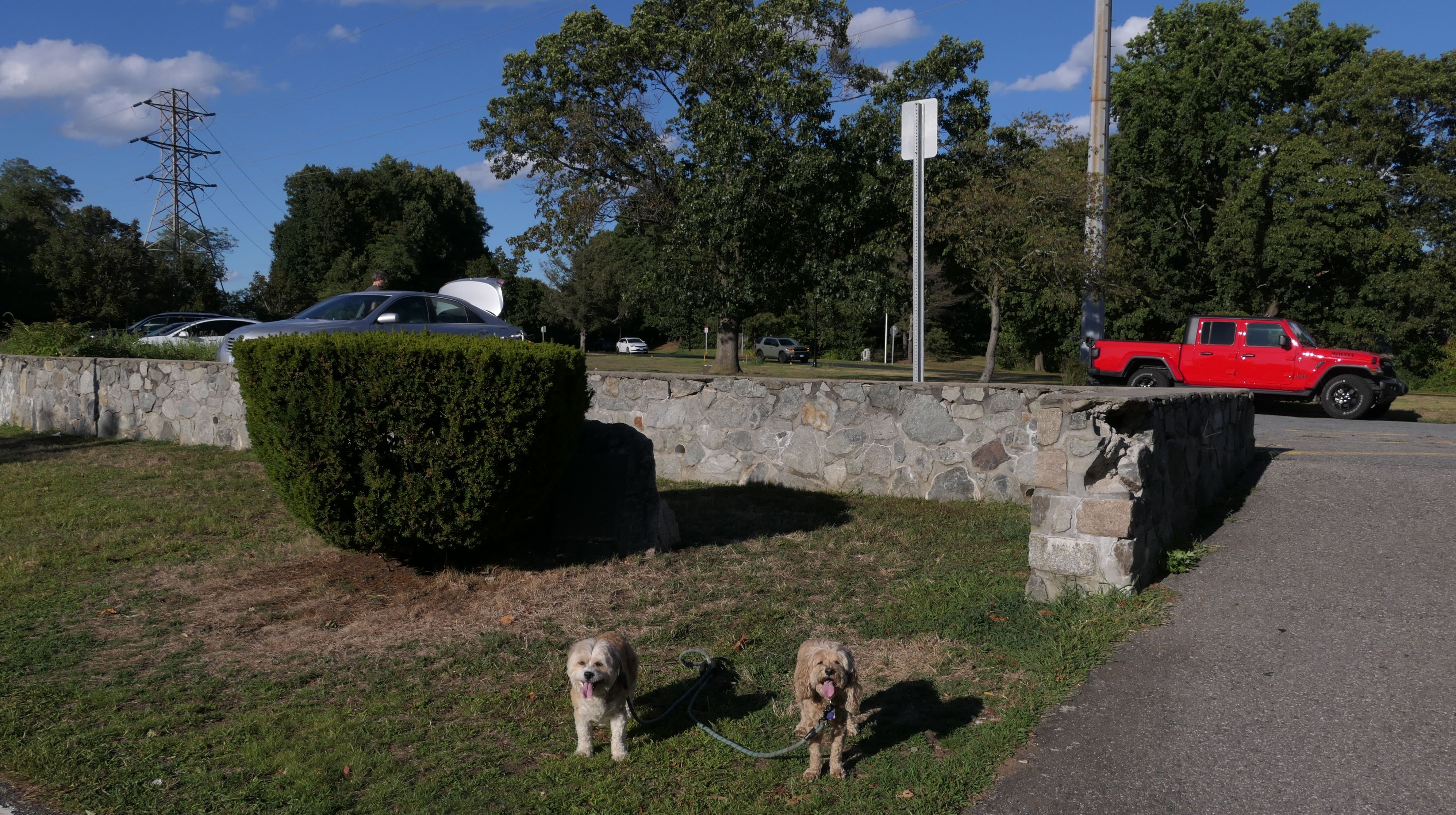
East Bay Bike Path
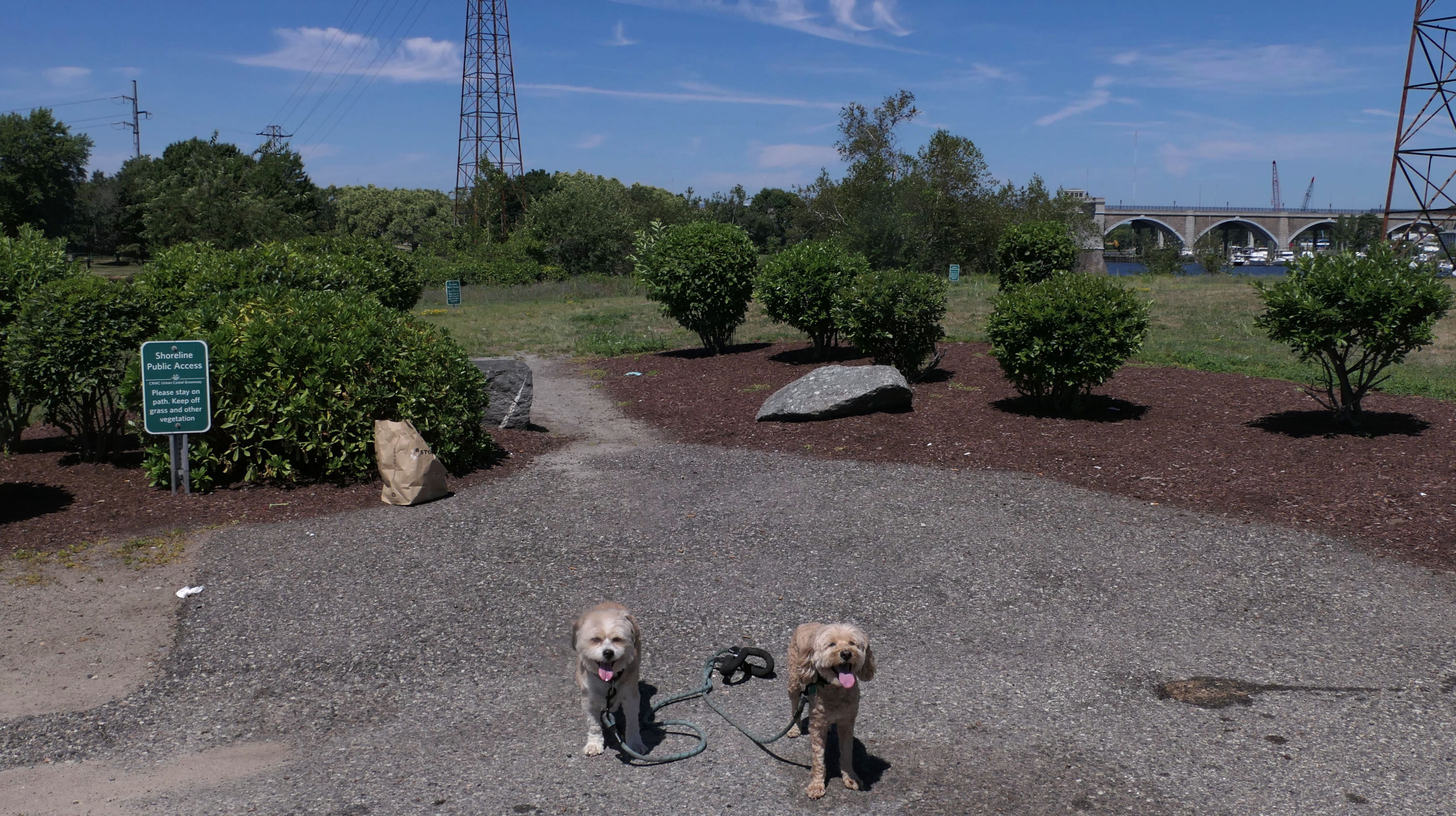
Date visited: 10/8/2022
We returned later in the year, and walked the portion that leads up to George Redman Linear Park on the bridge over the Seekonk River leading into Providence.
More Images
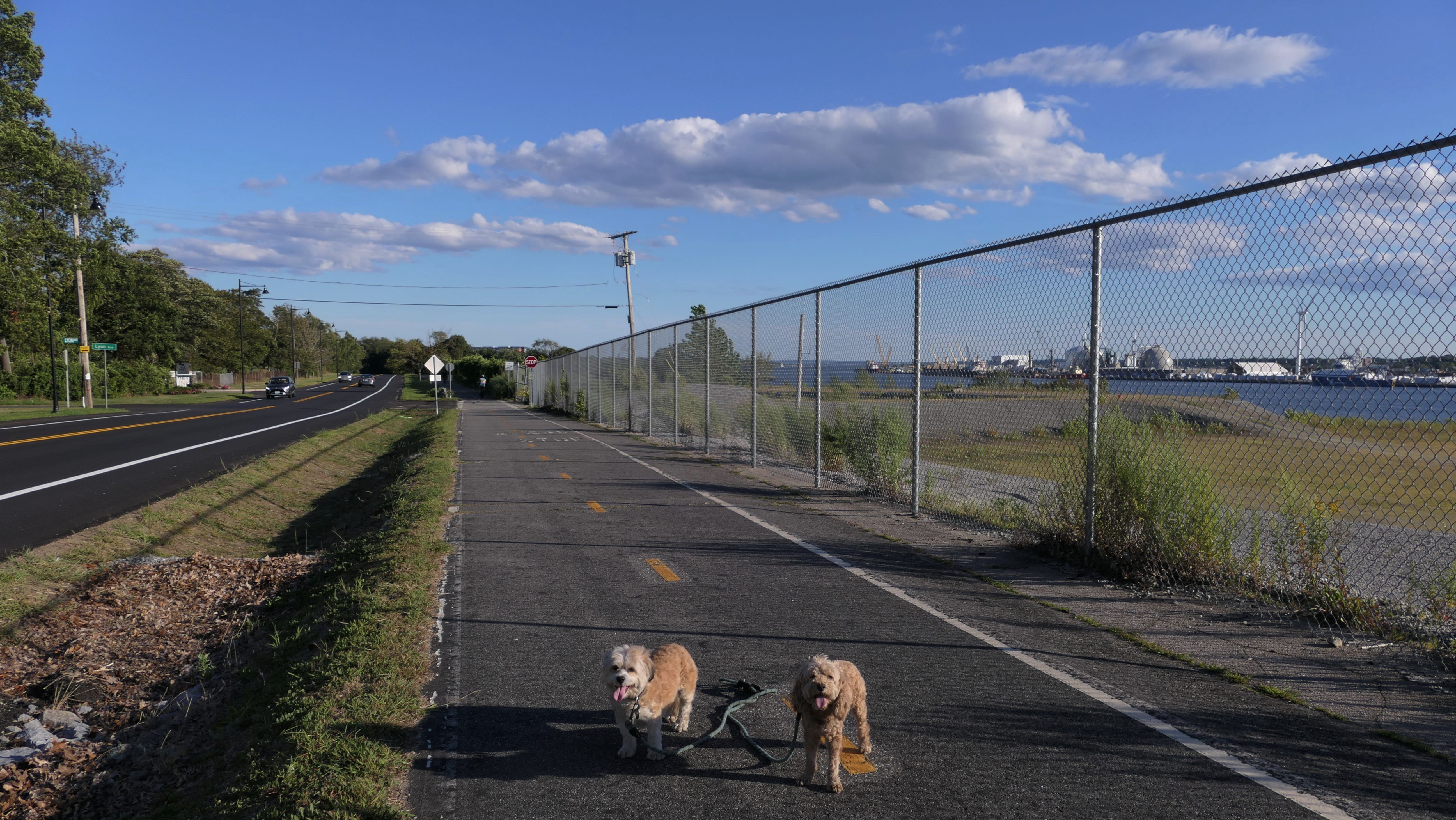
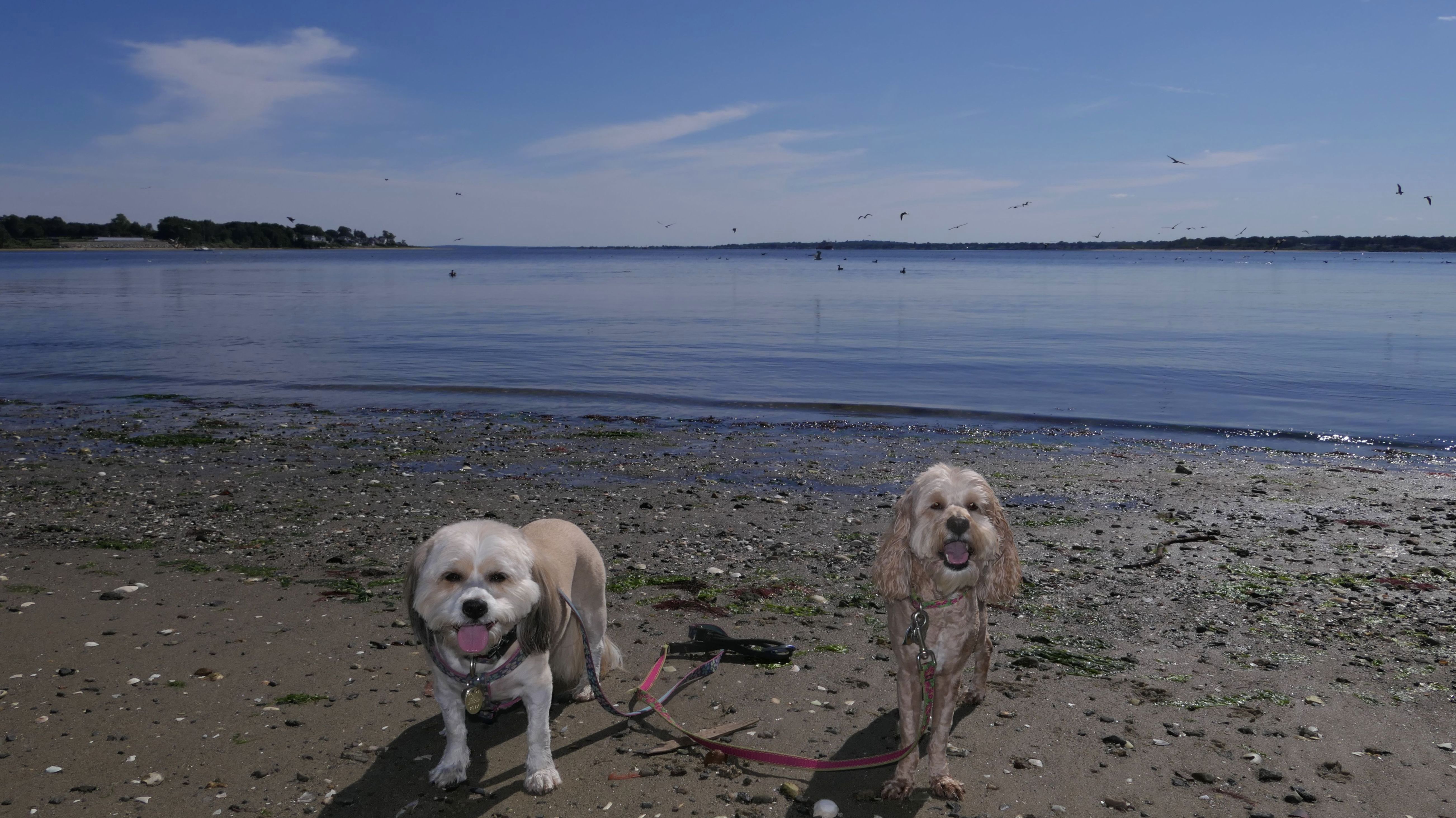
East Bay Bike Path
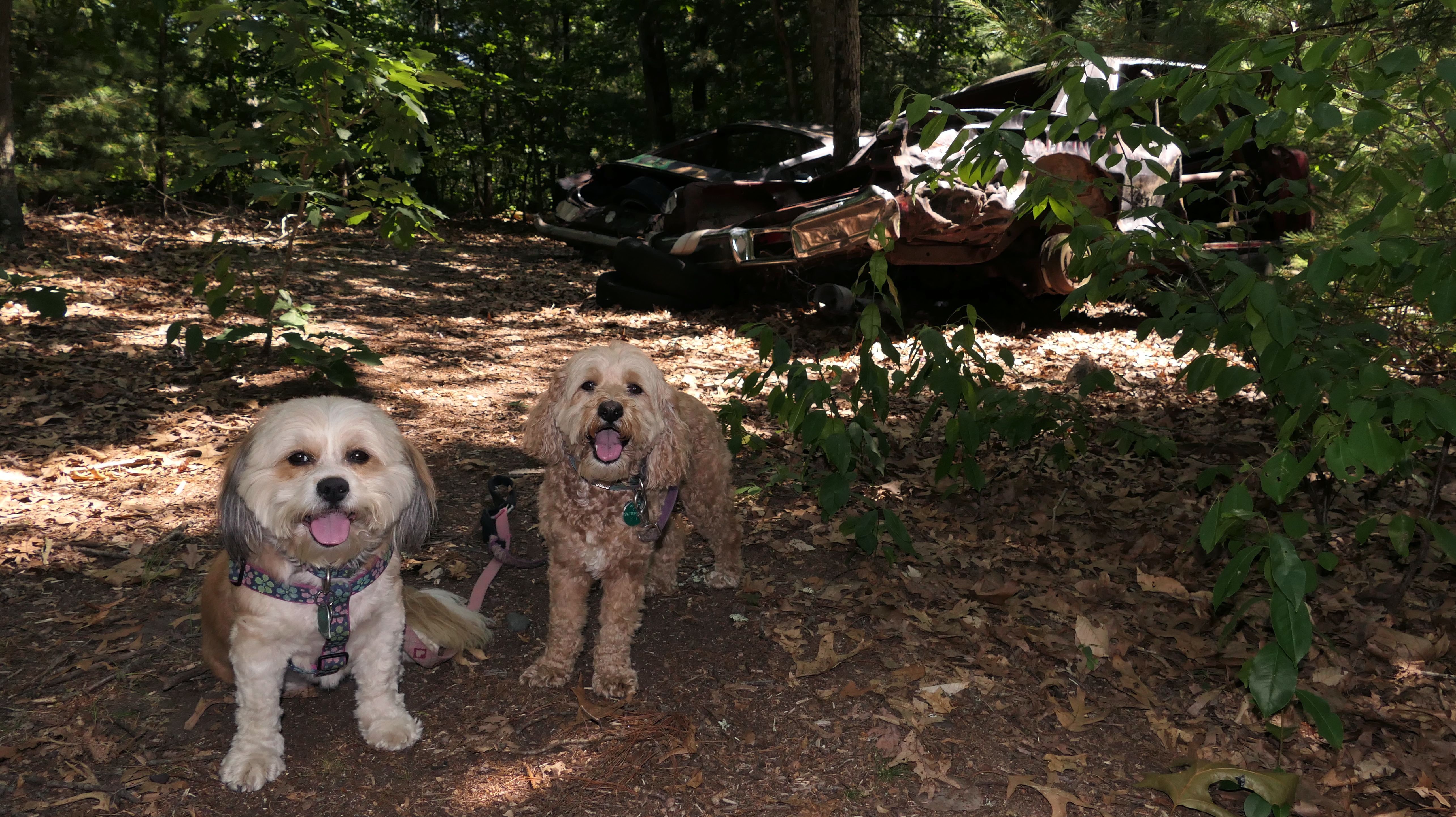
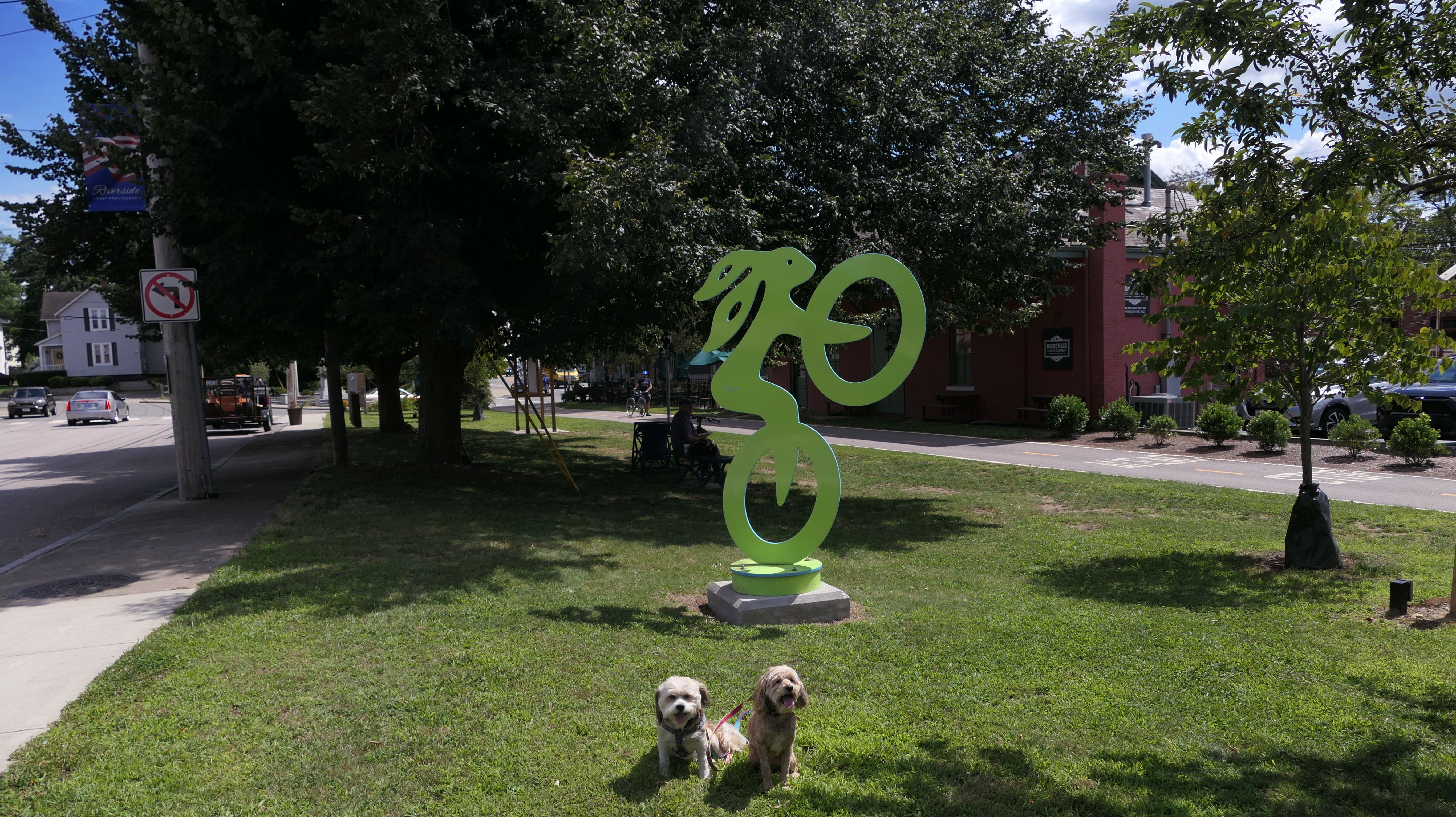
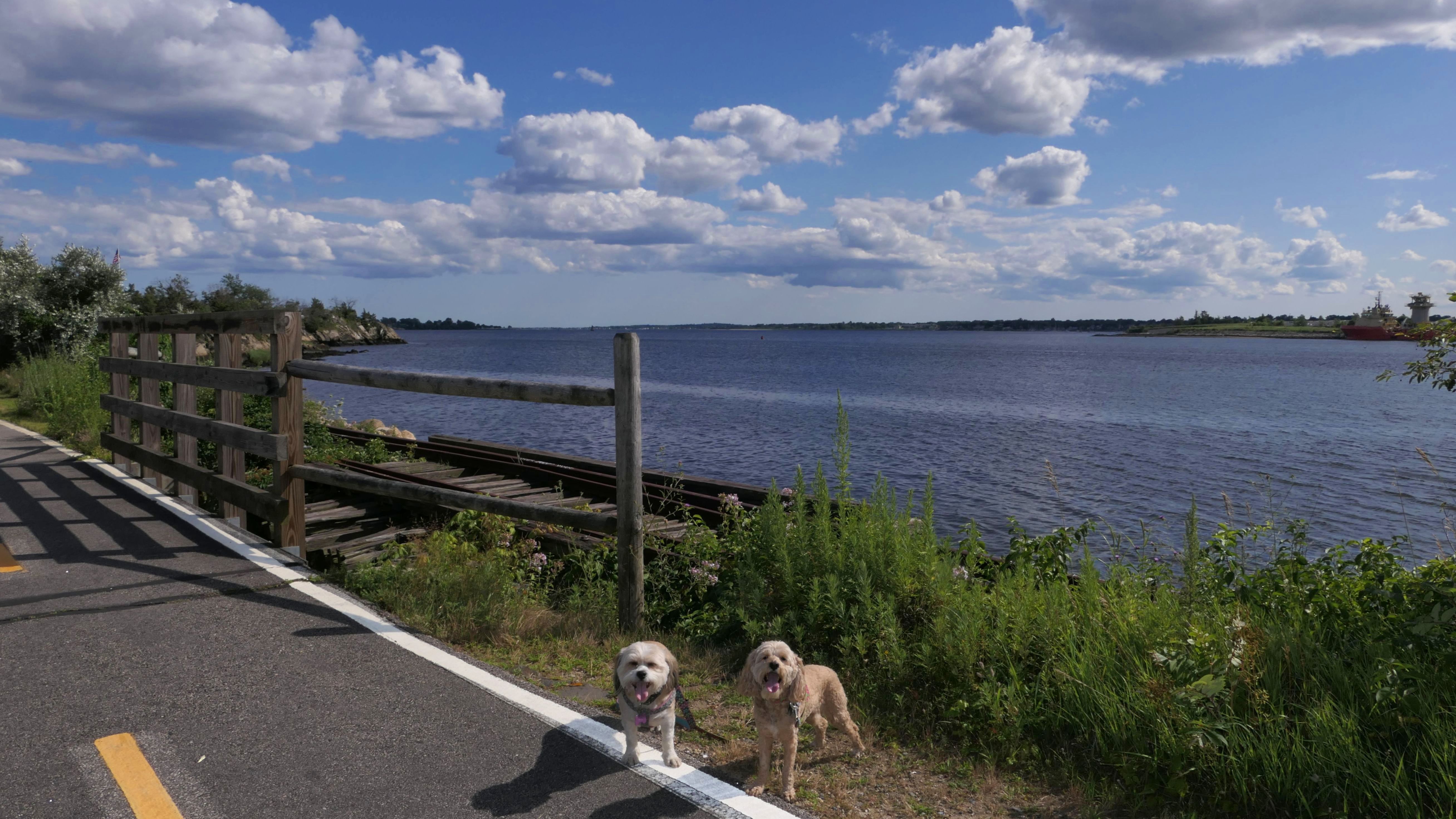
Date visited: 8/1/2023
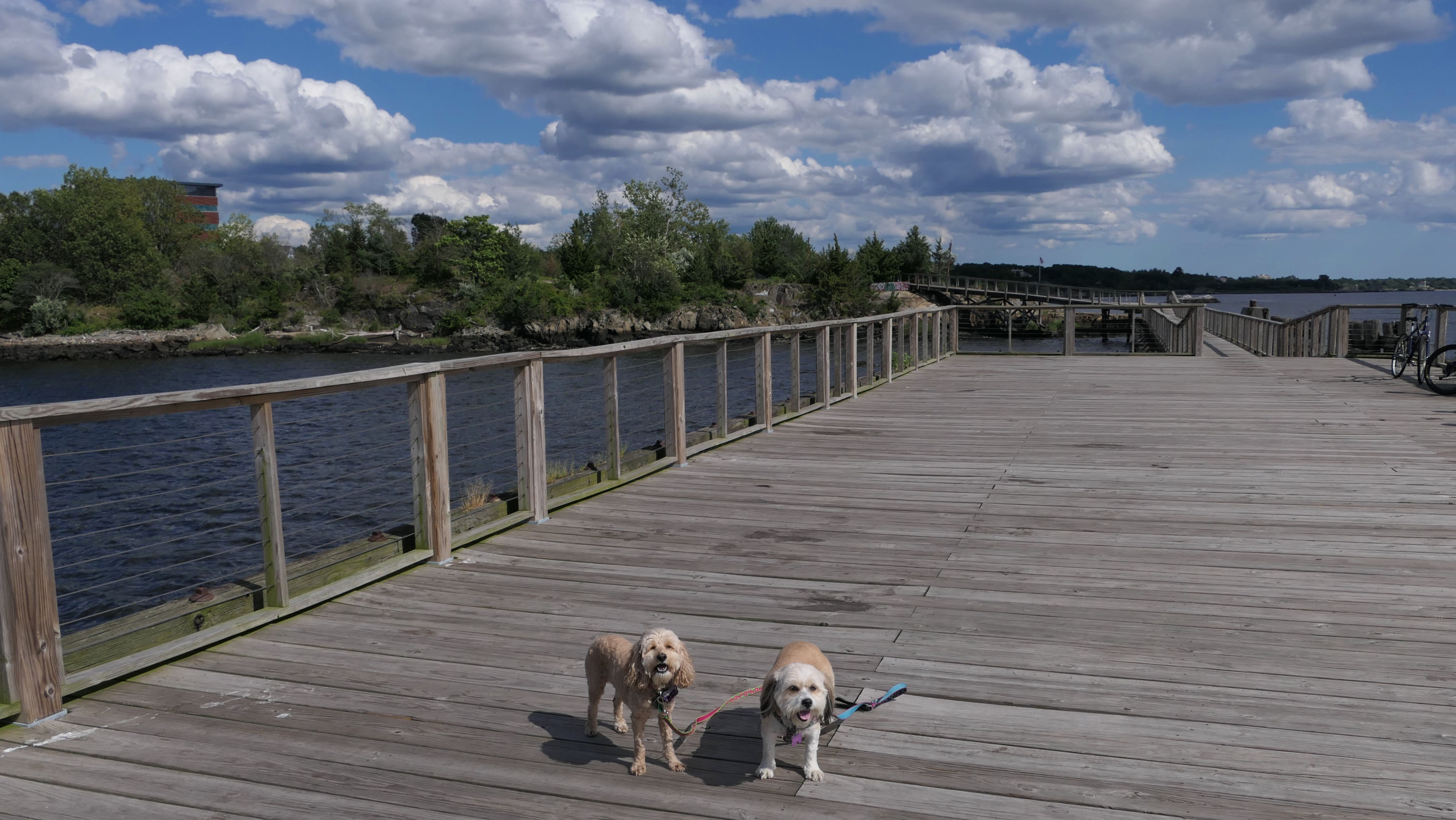
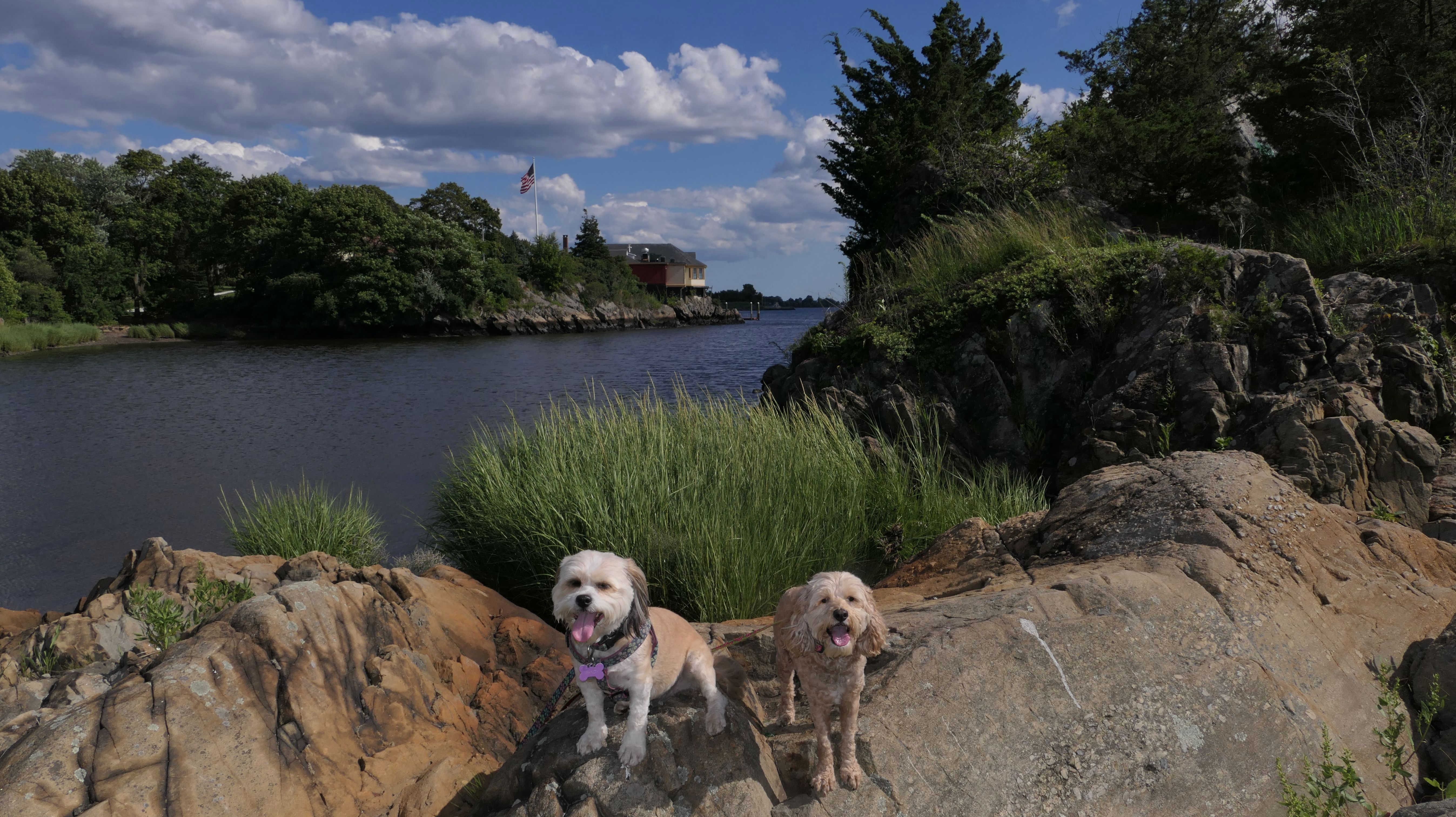
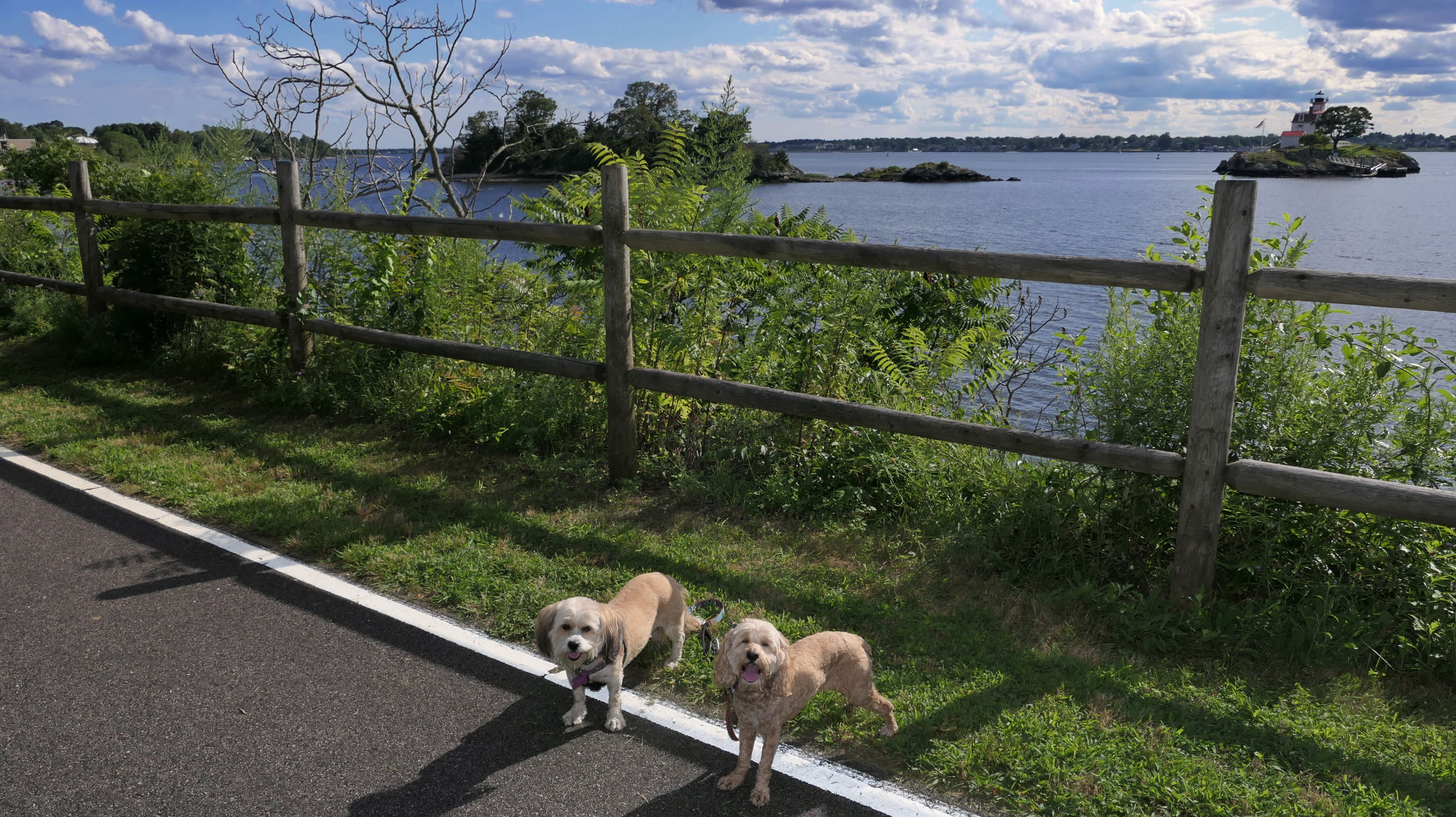
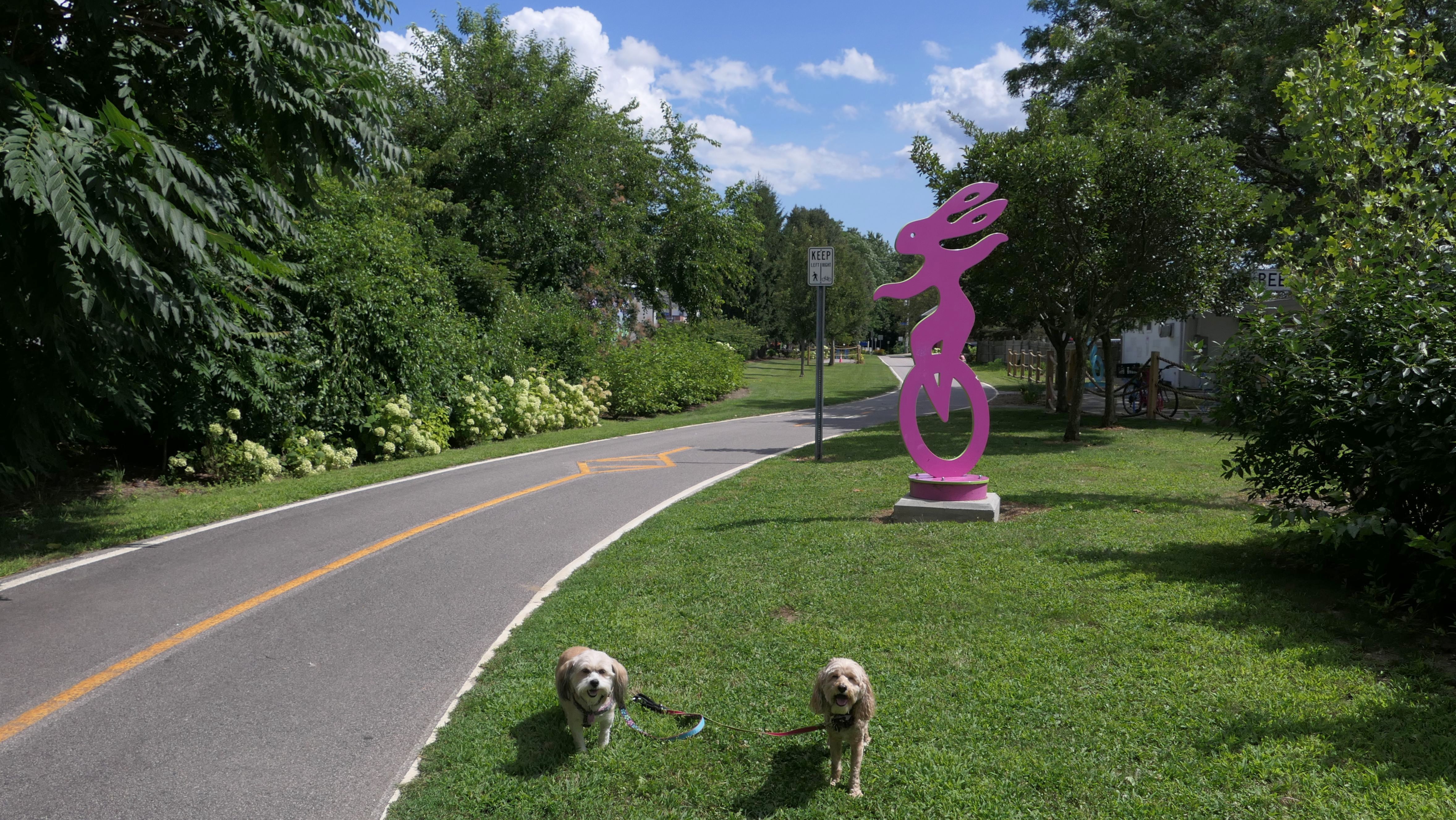
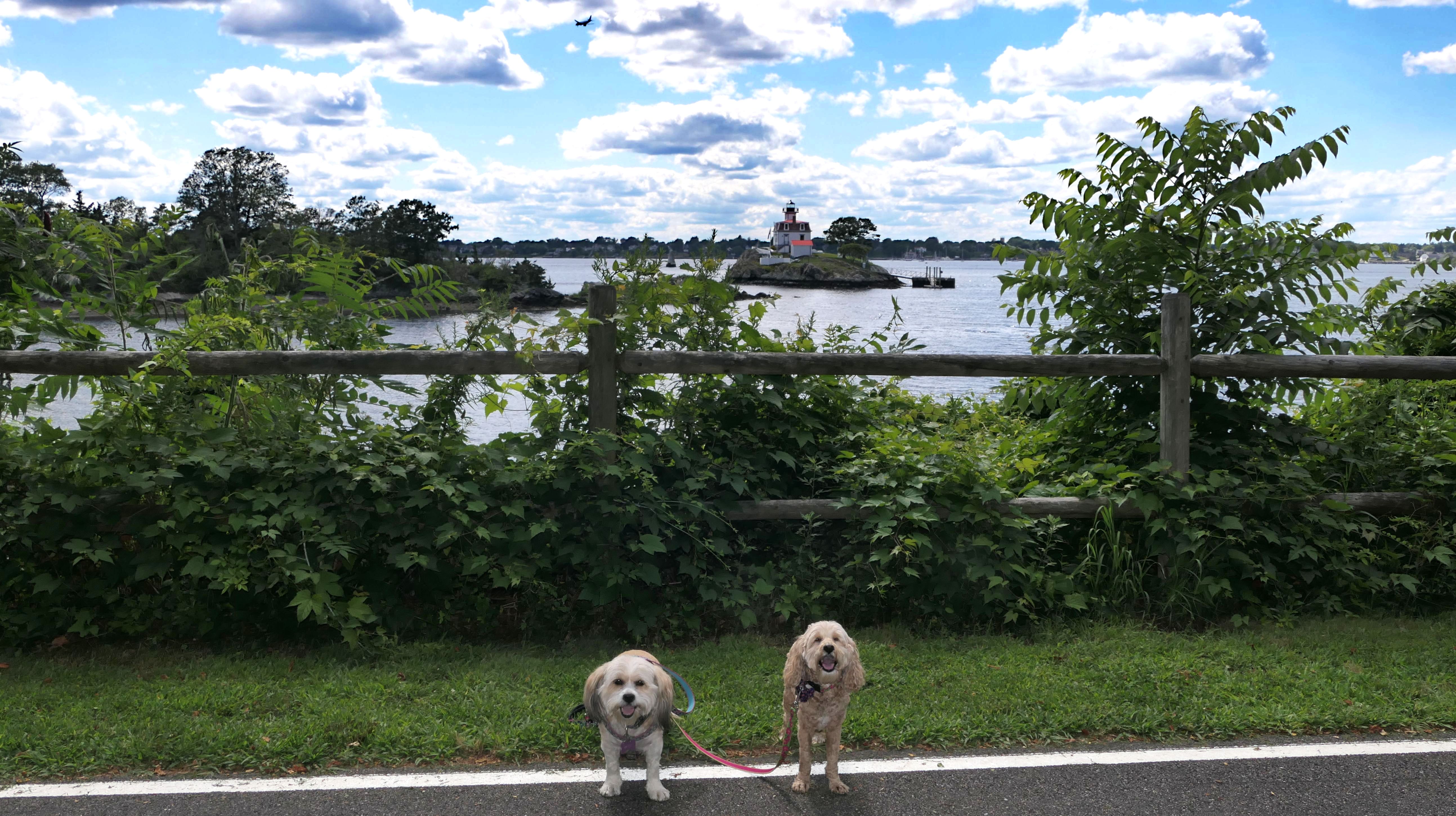
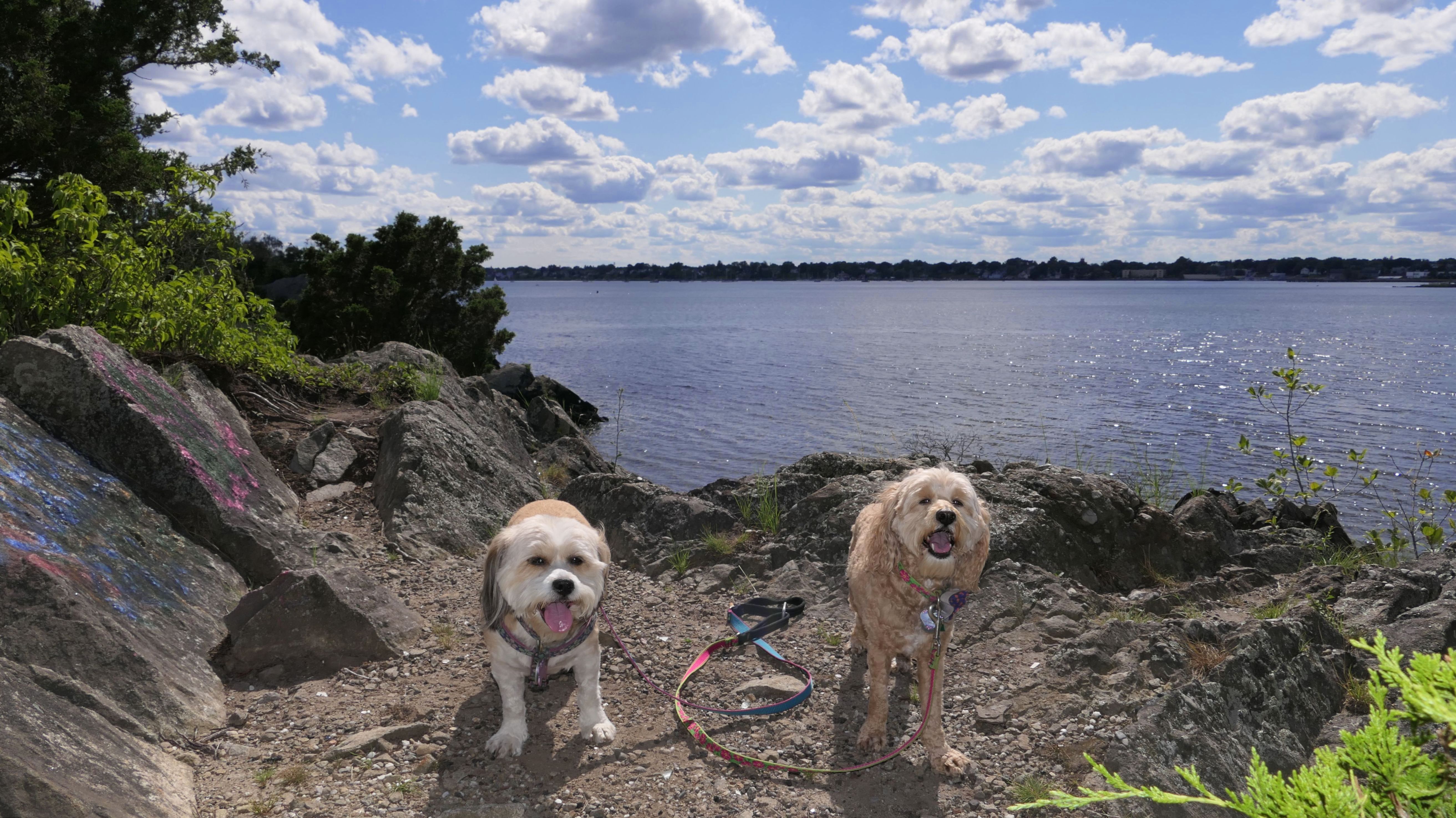
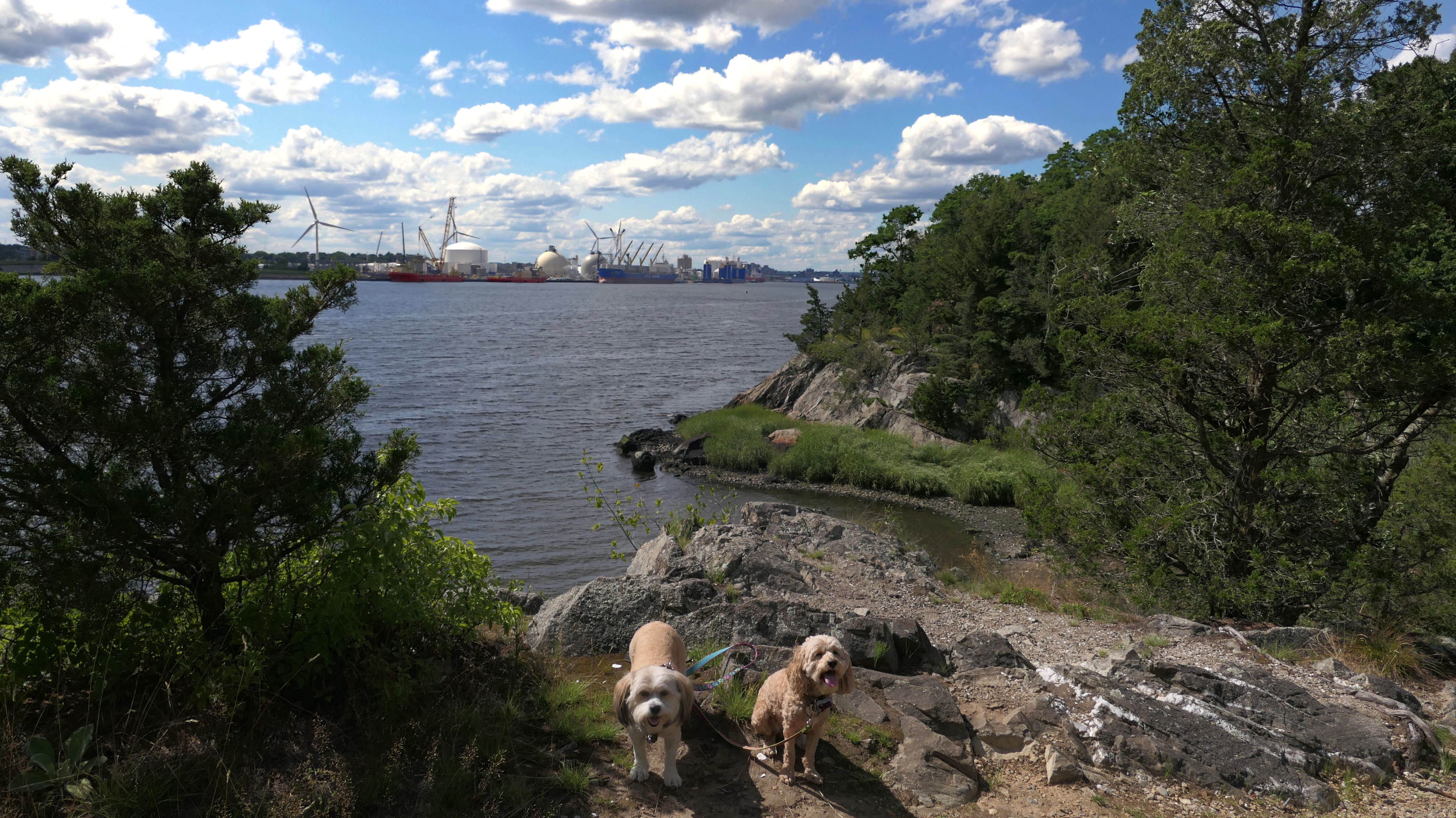
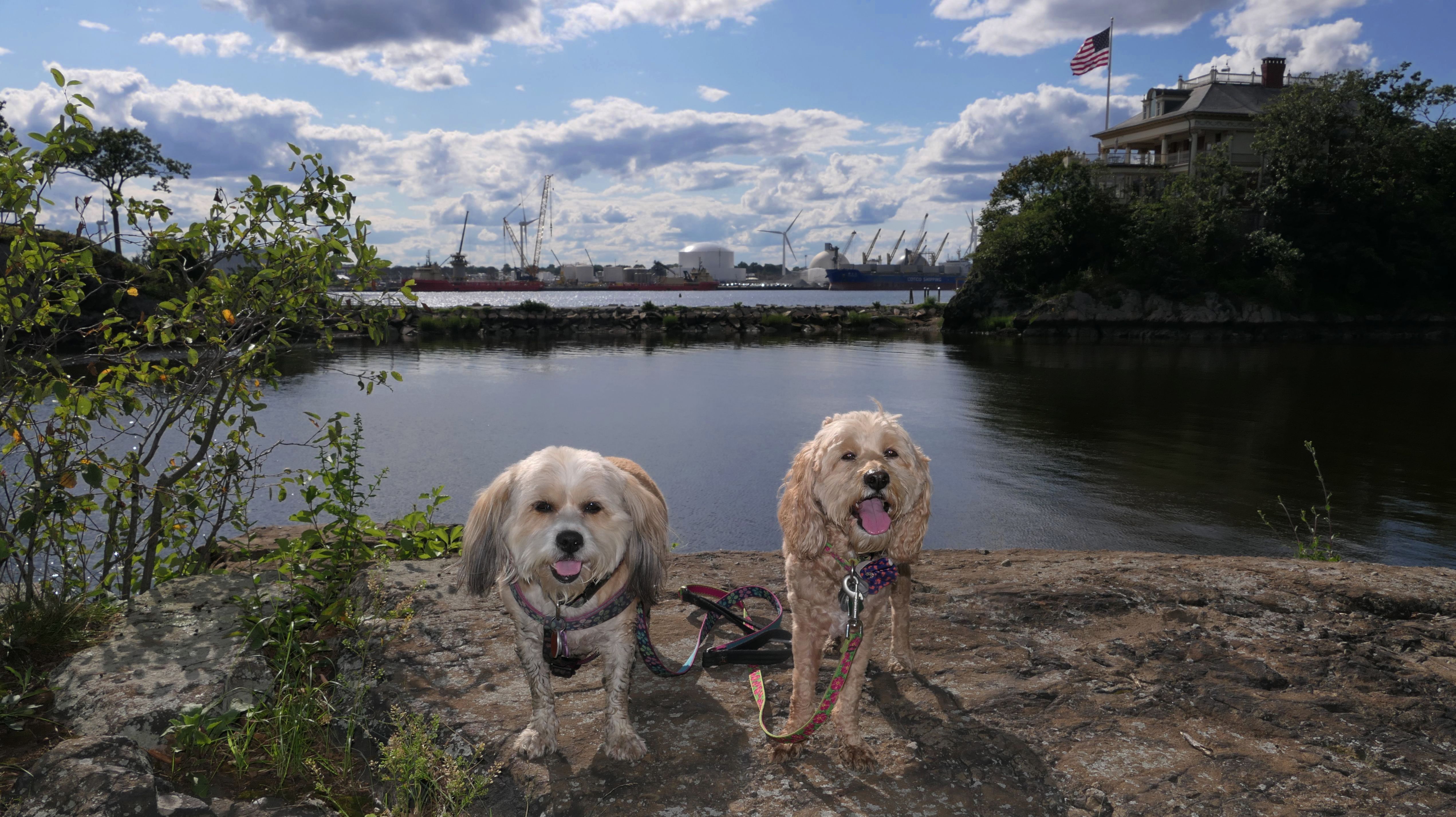
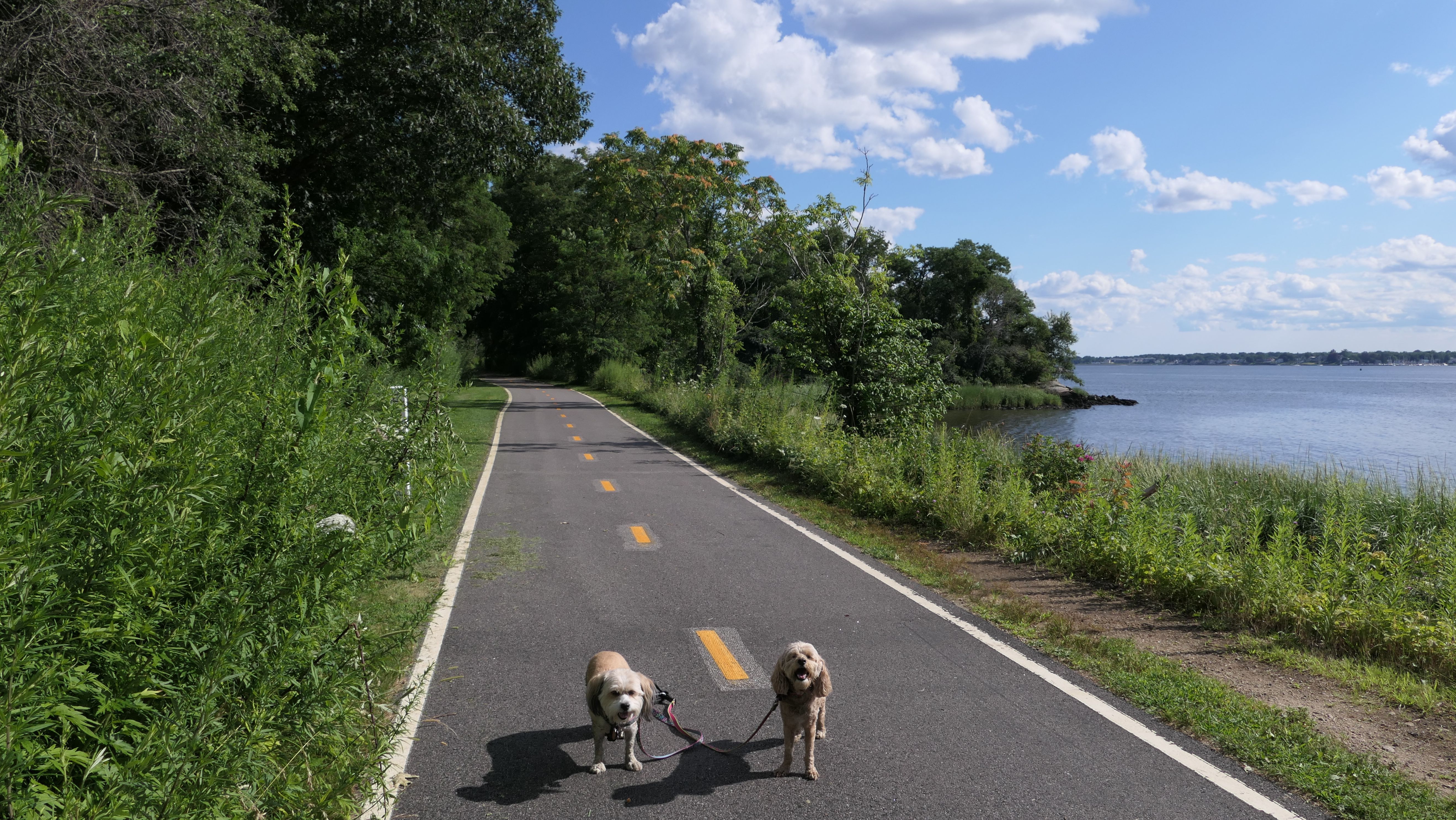
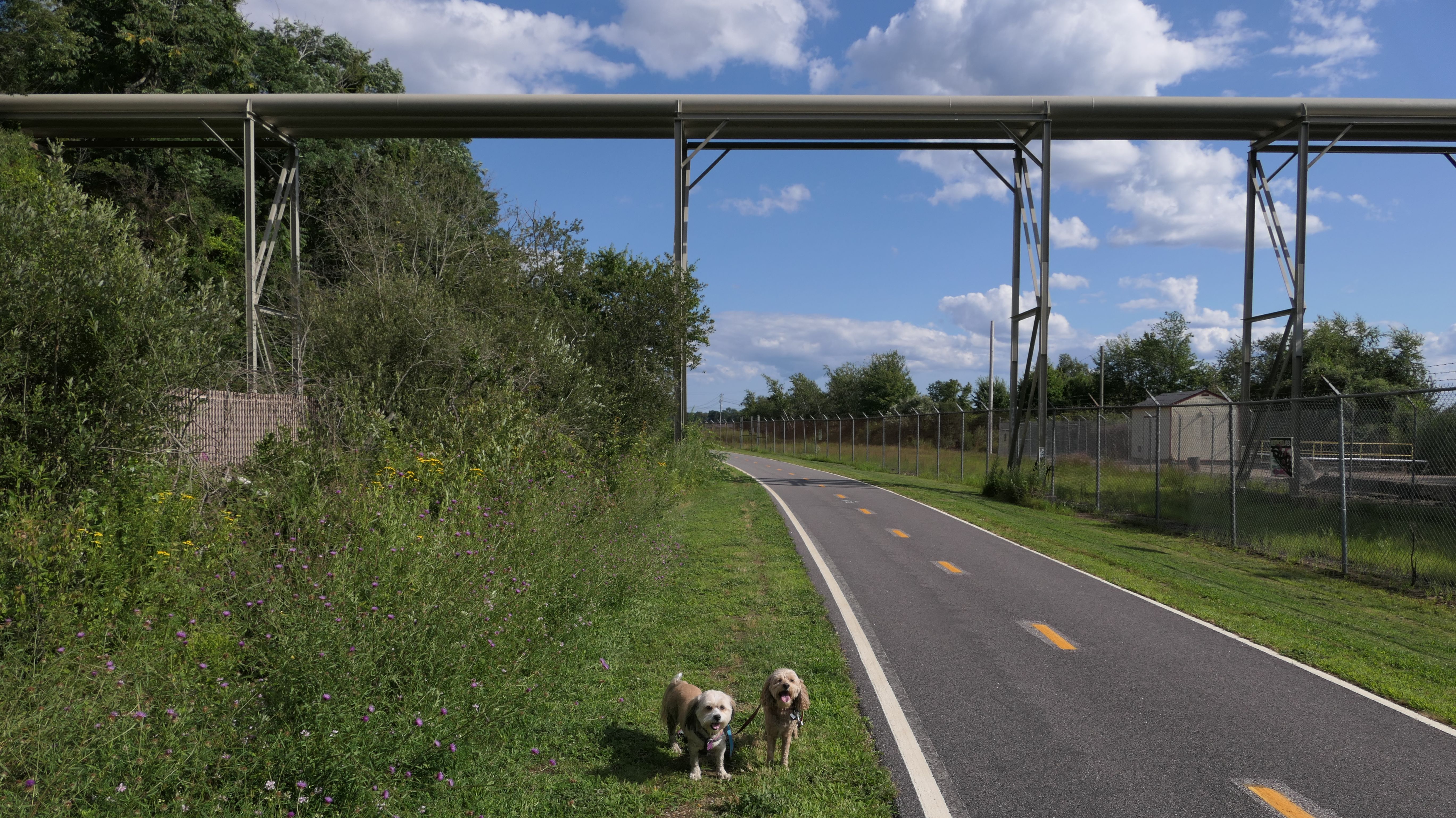
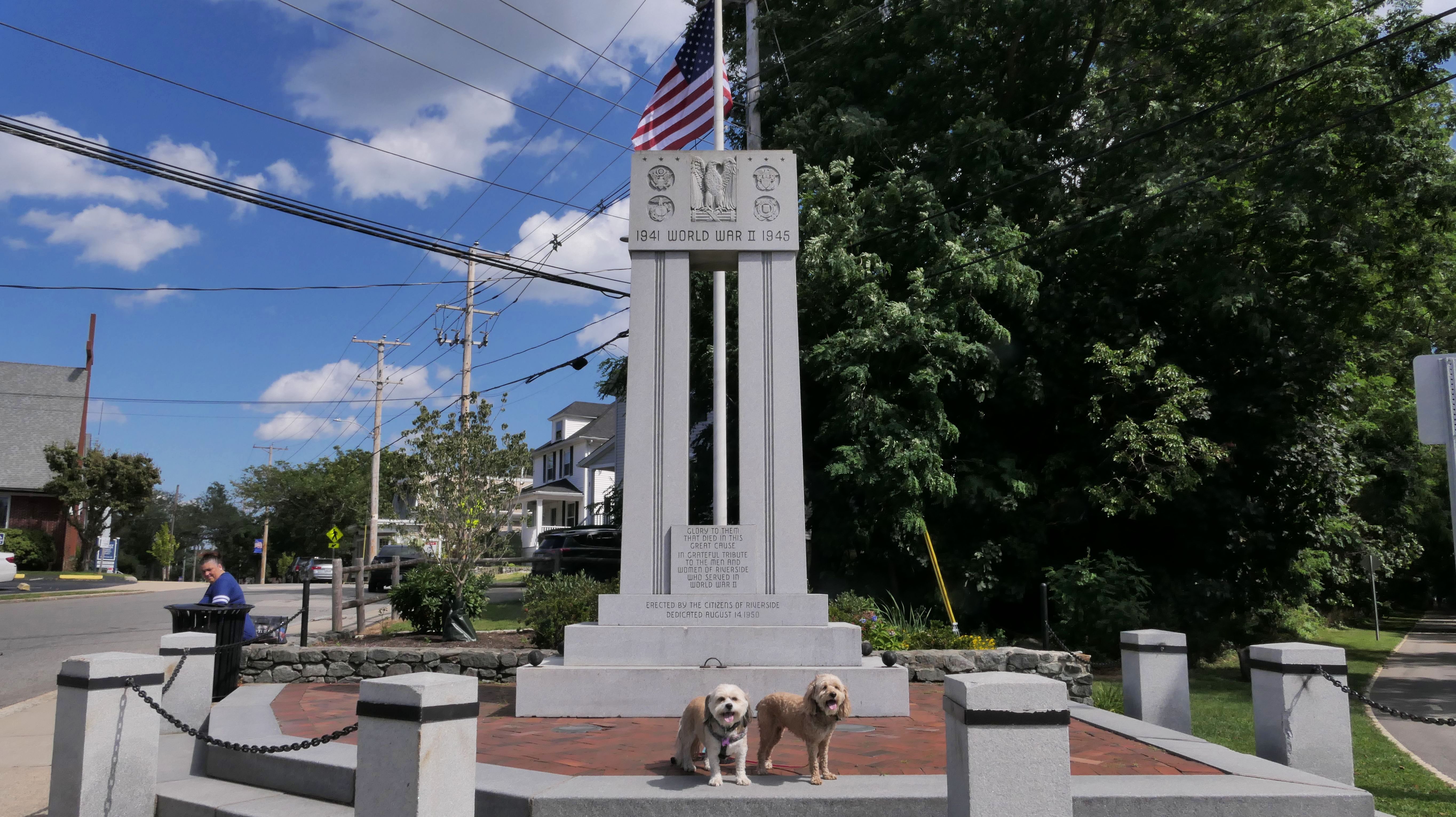
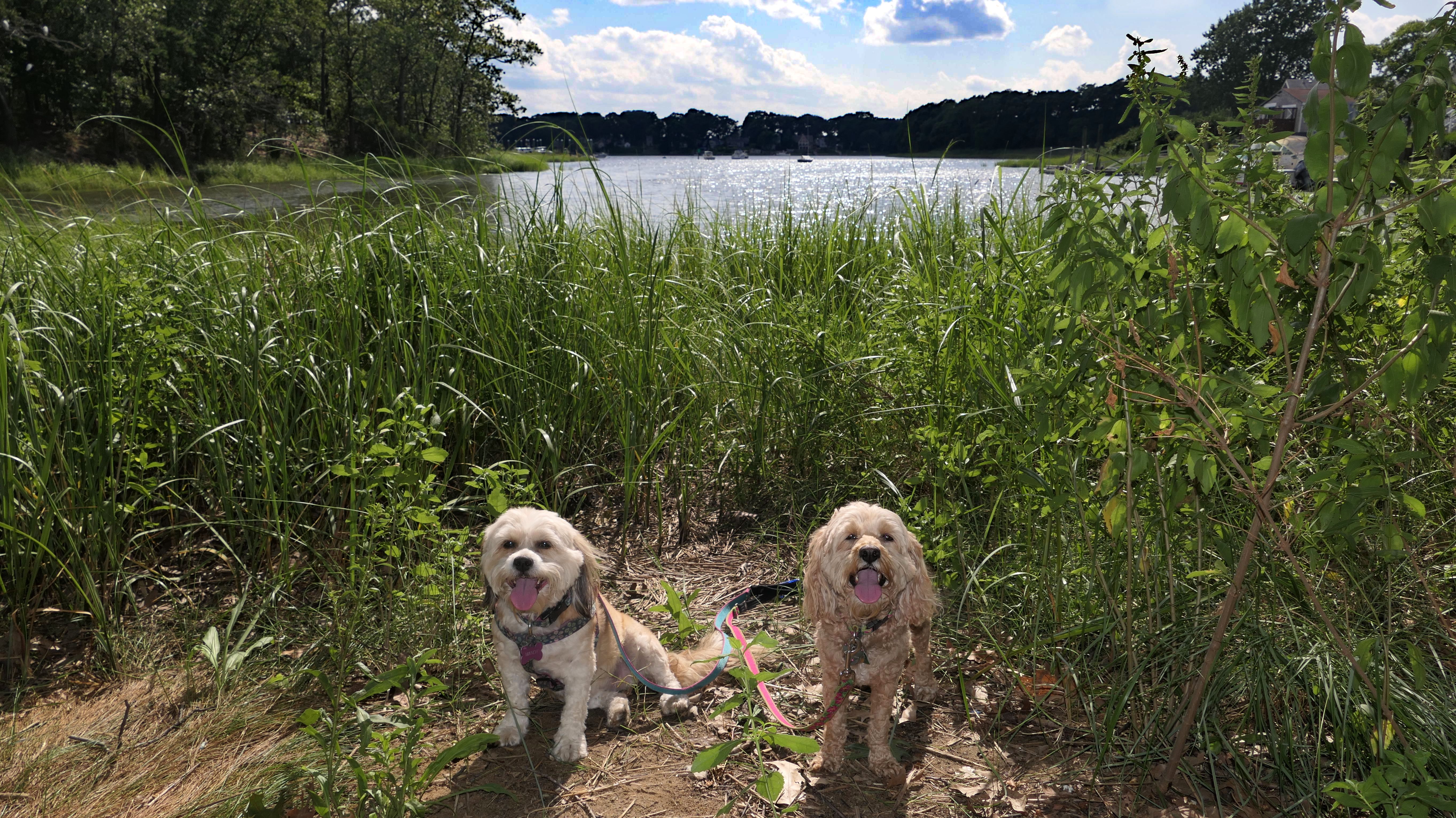
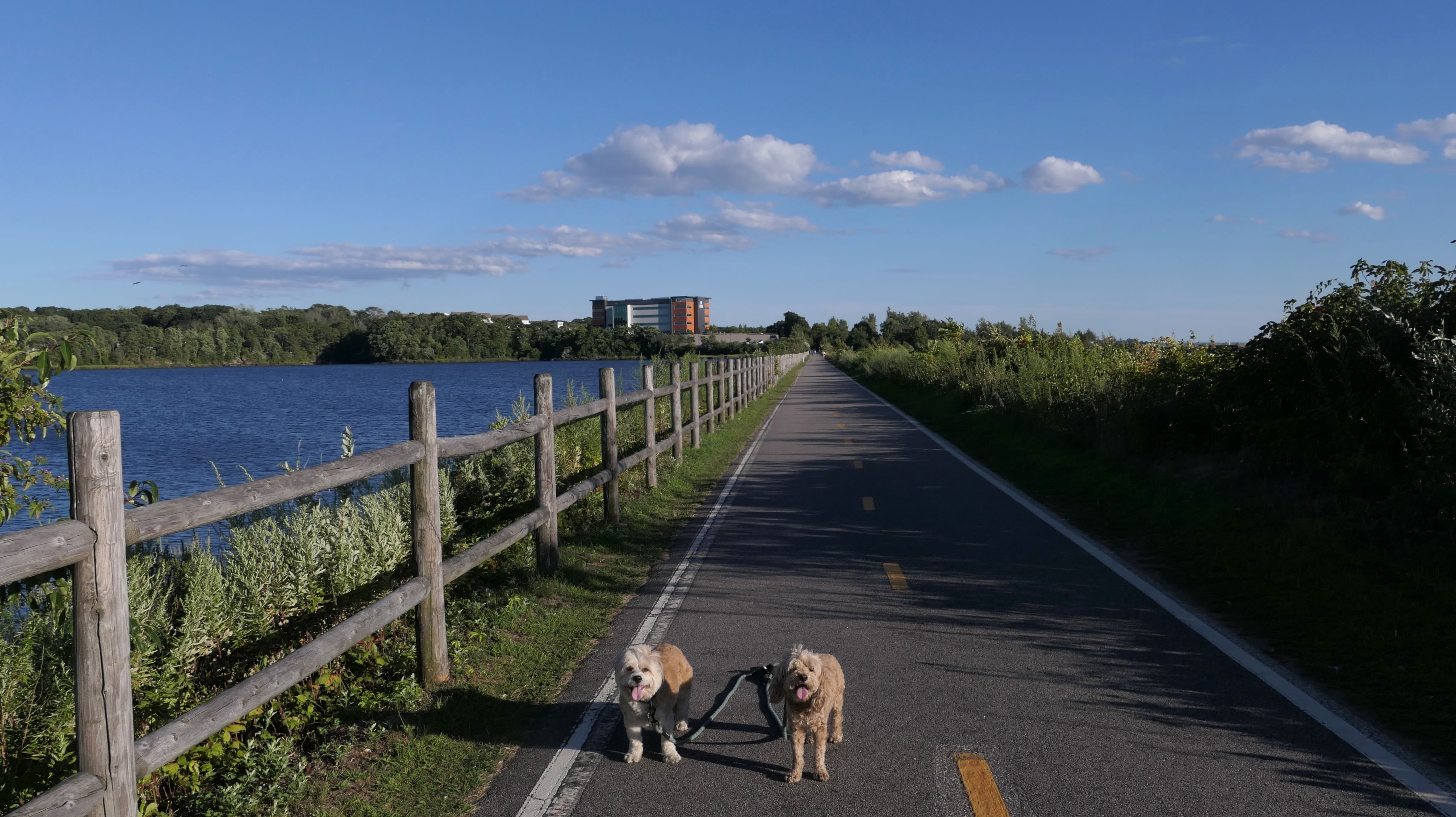
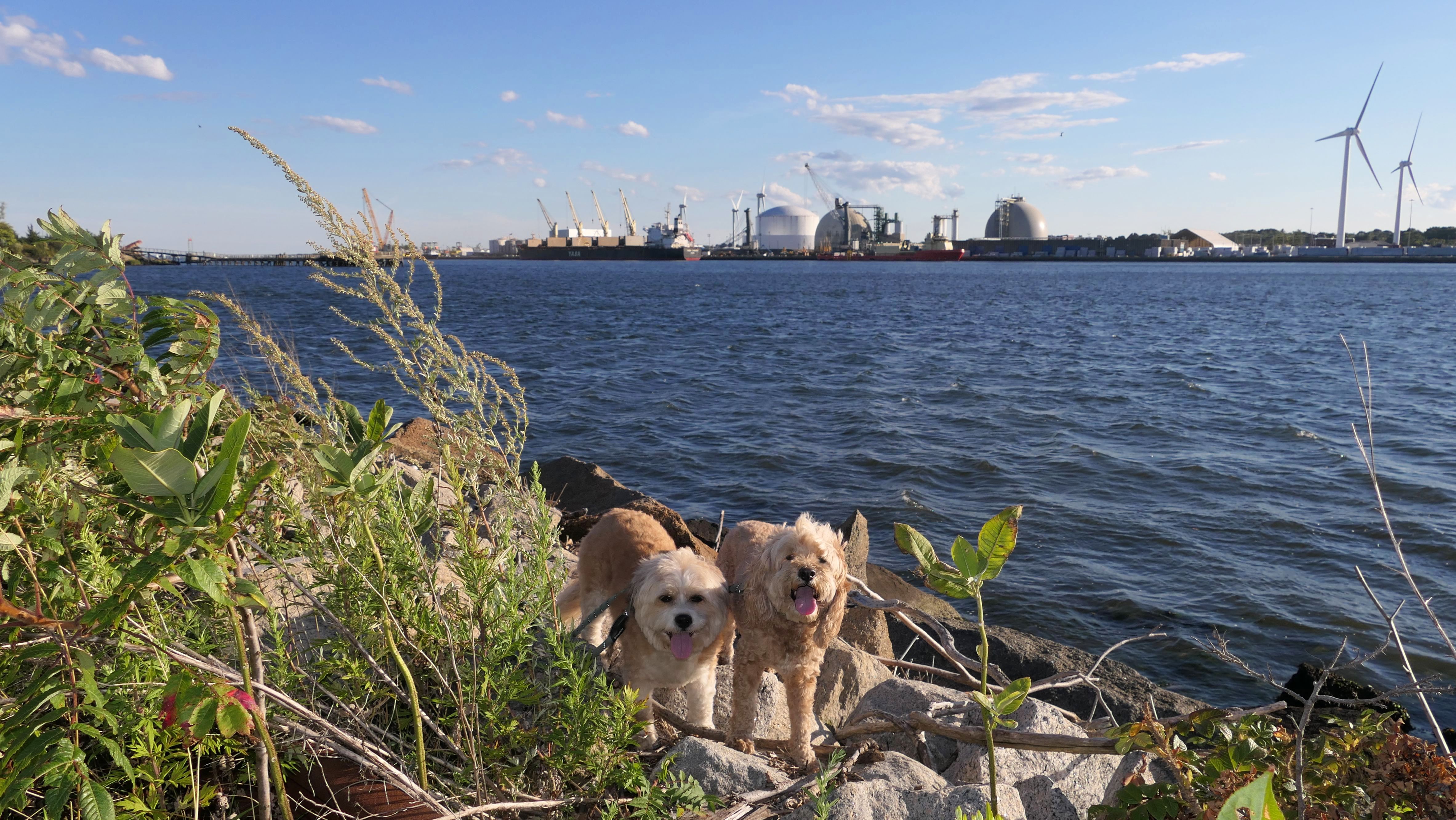
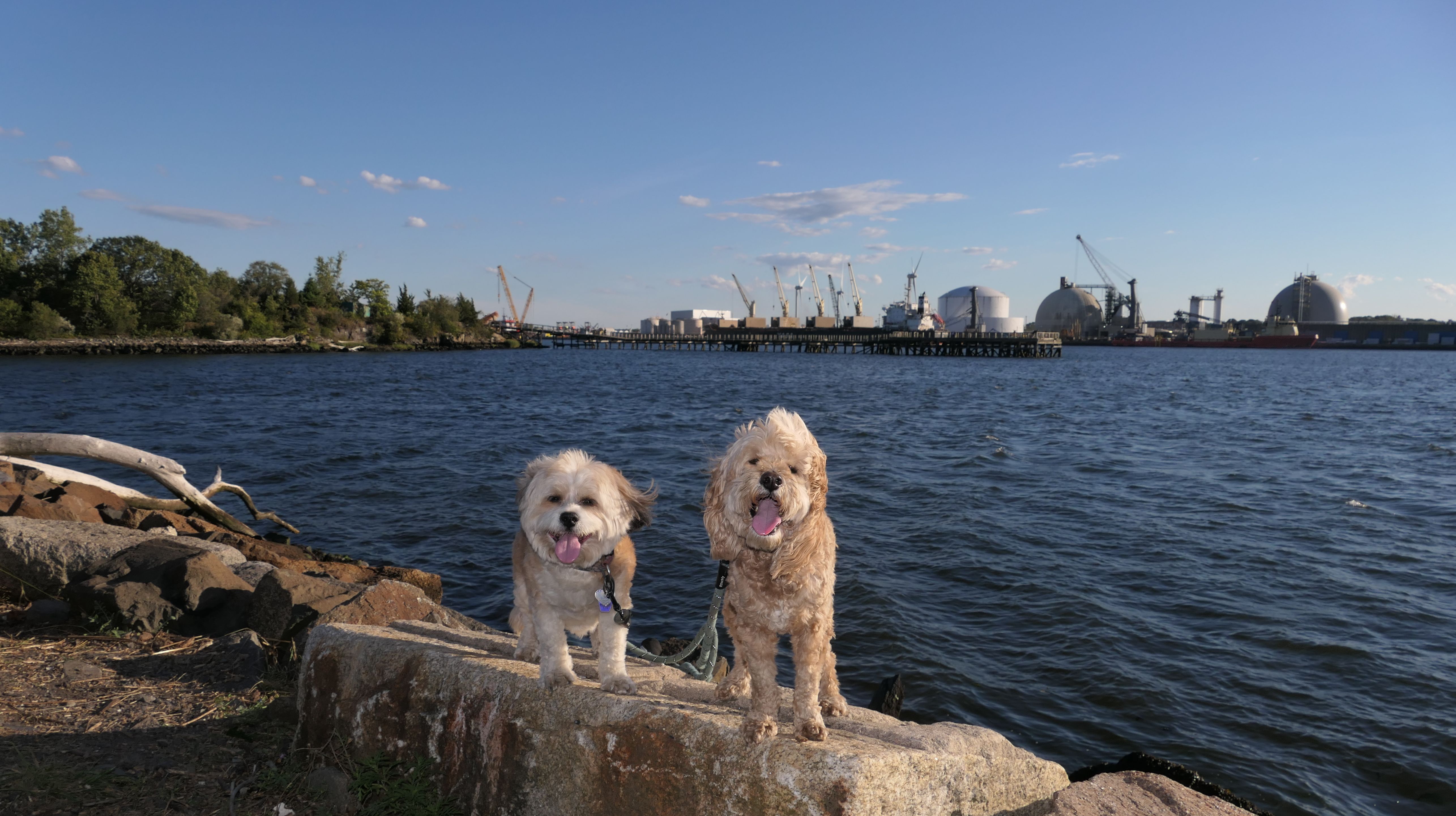
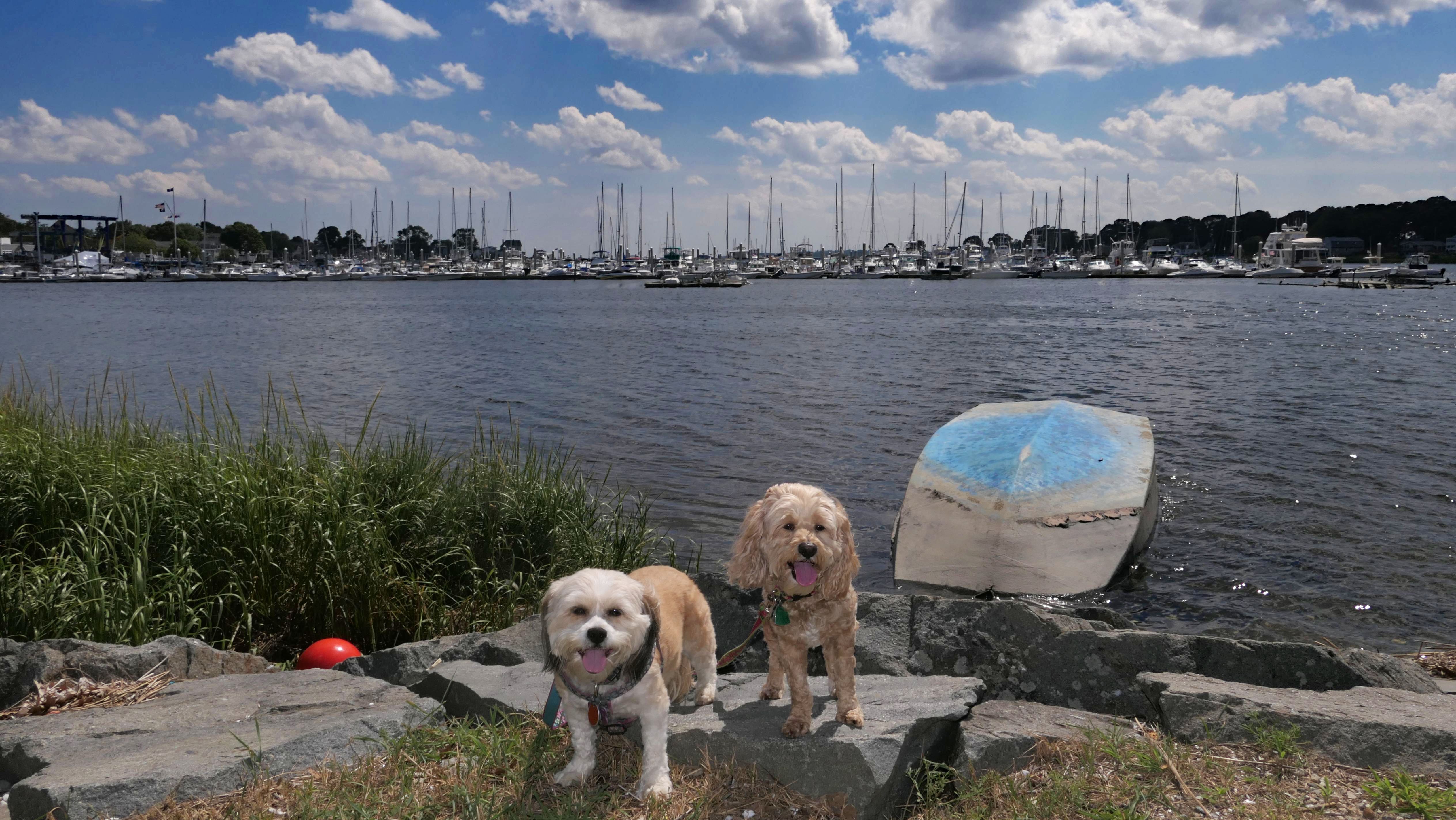
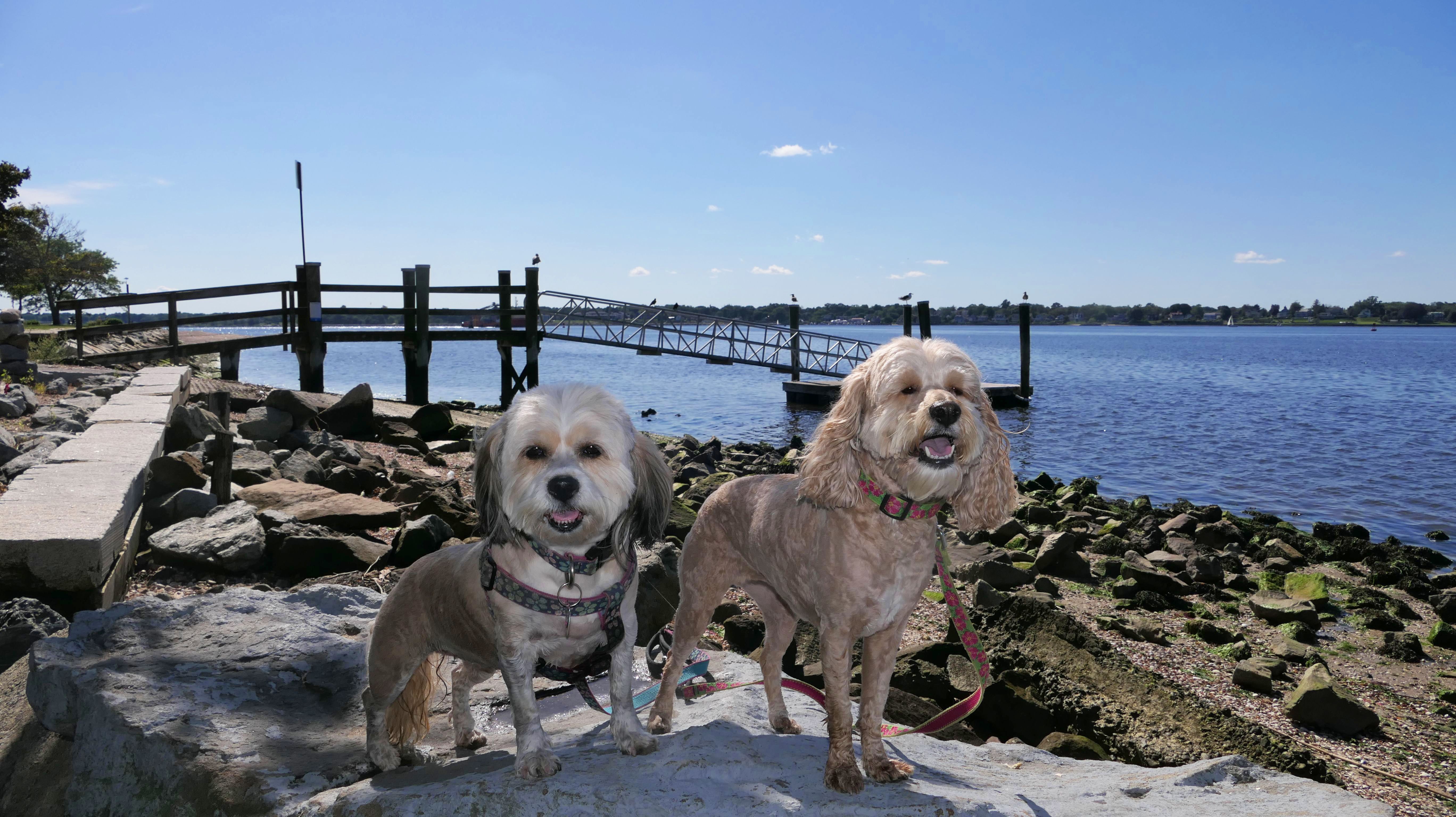
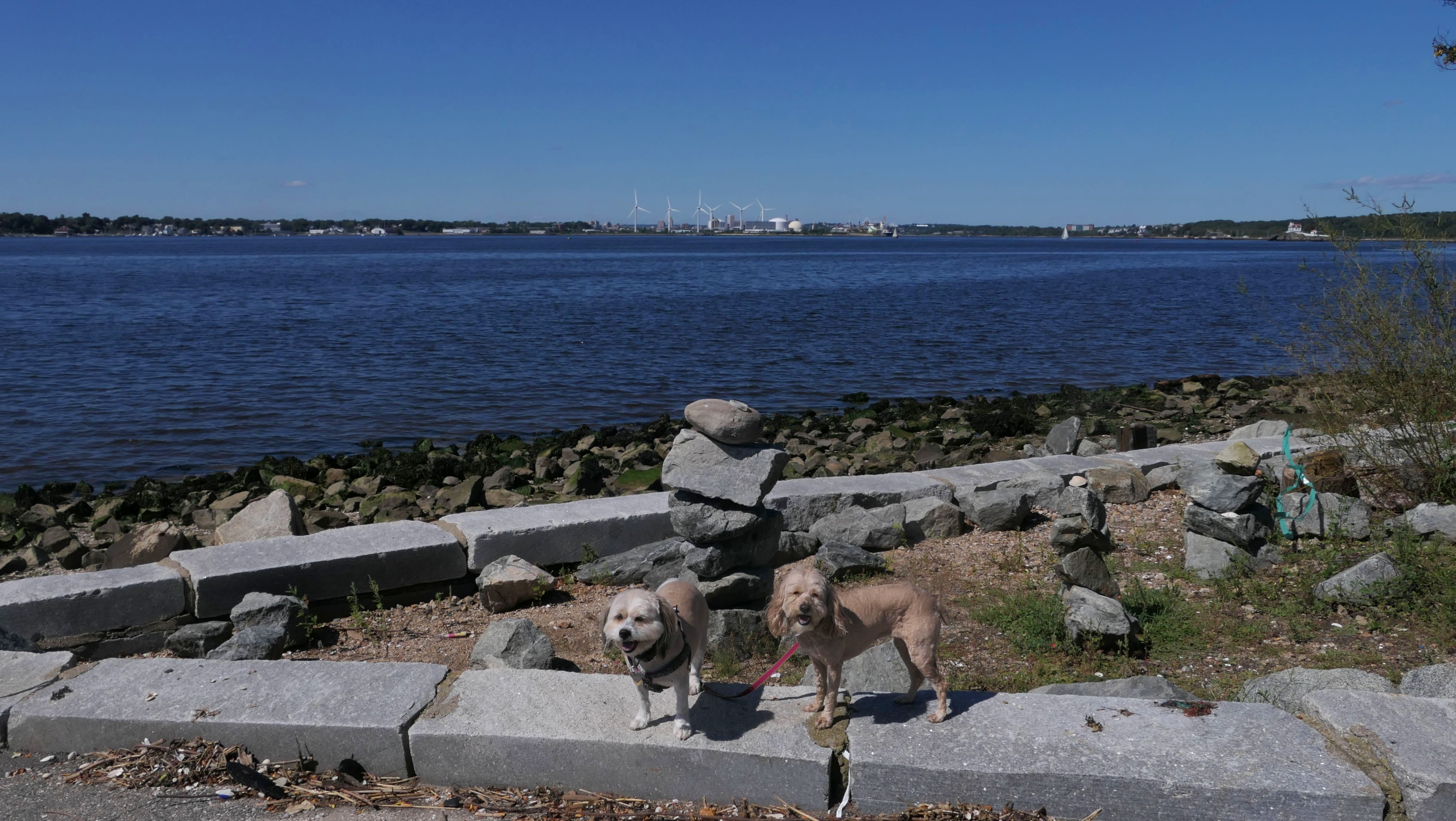
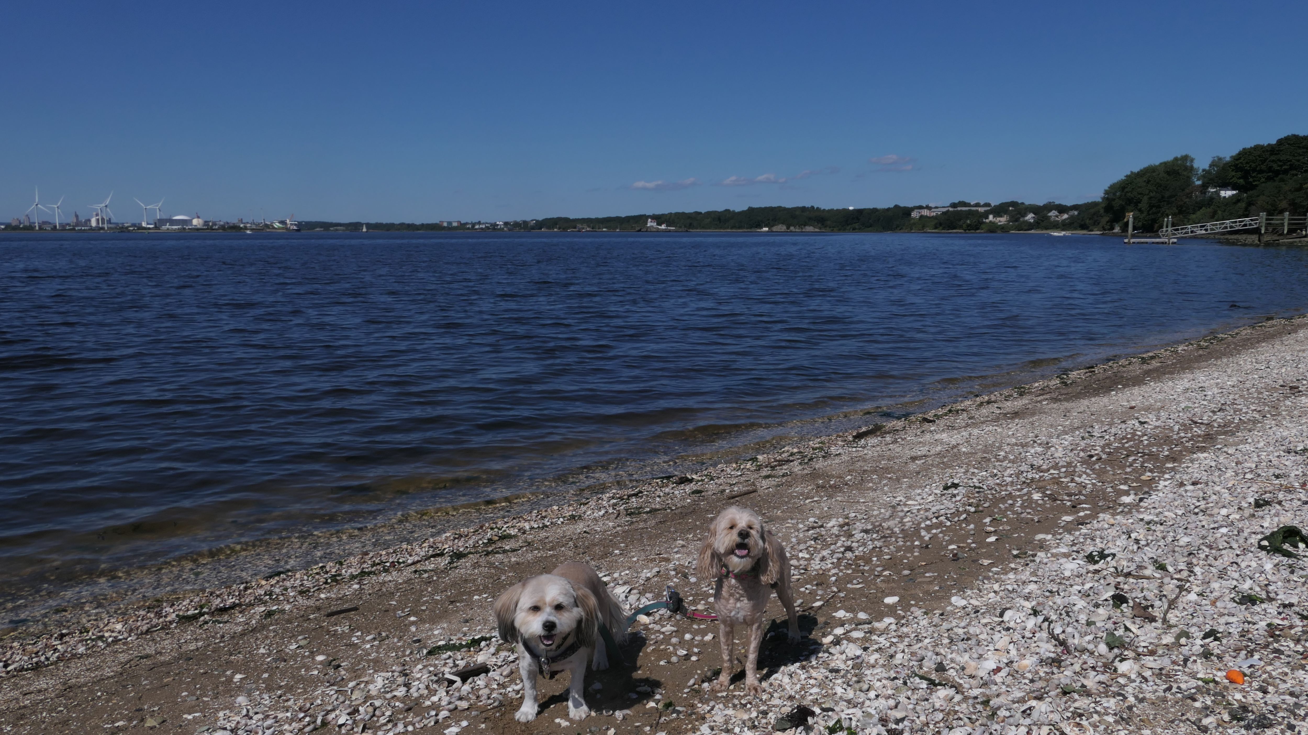
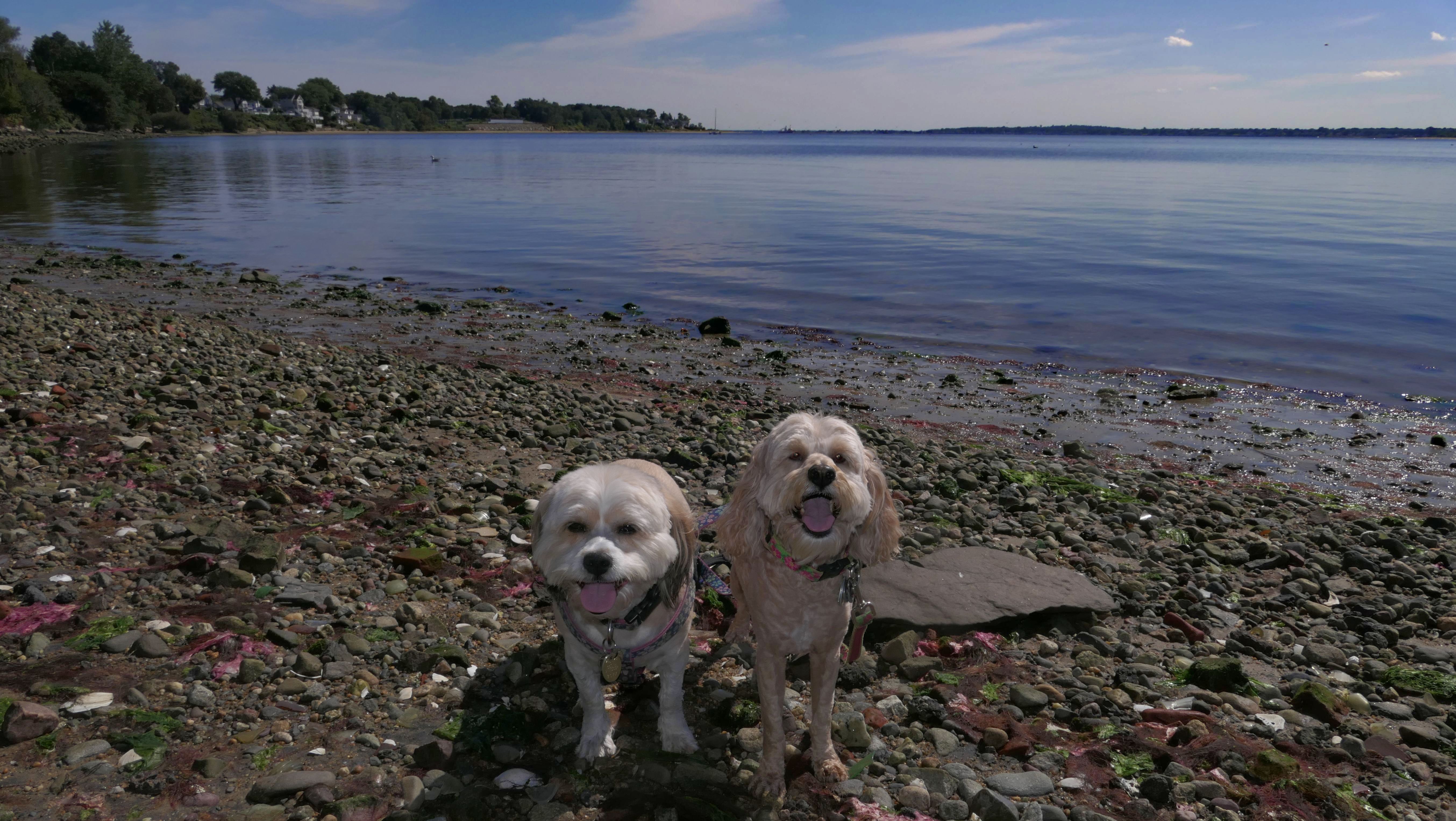
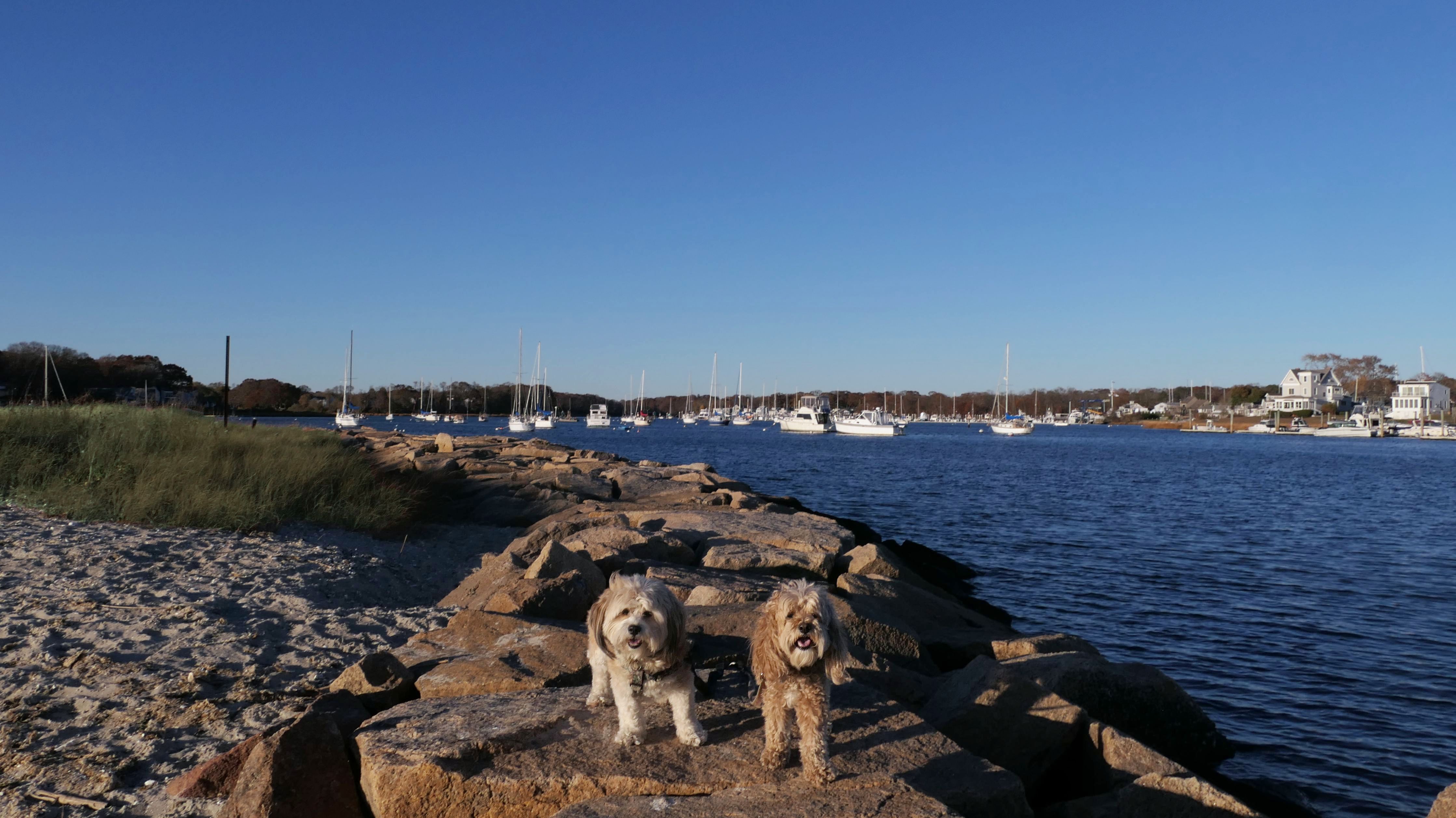
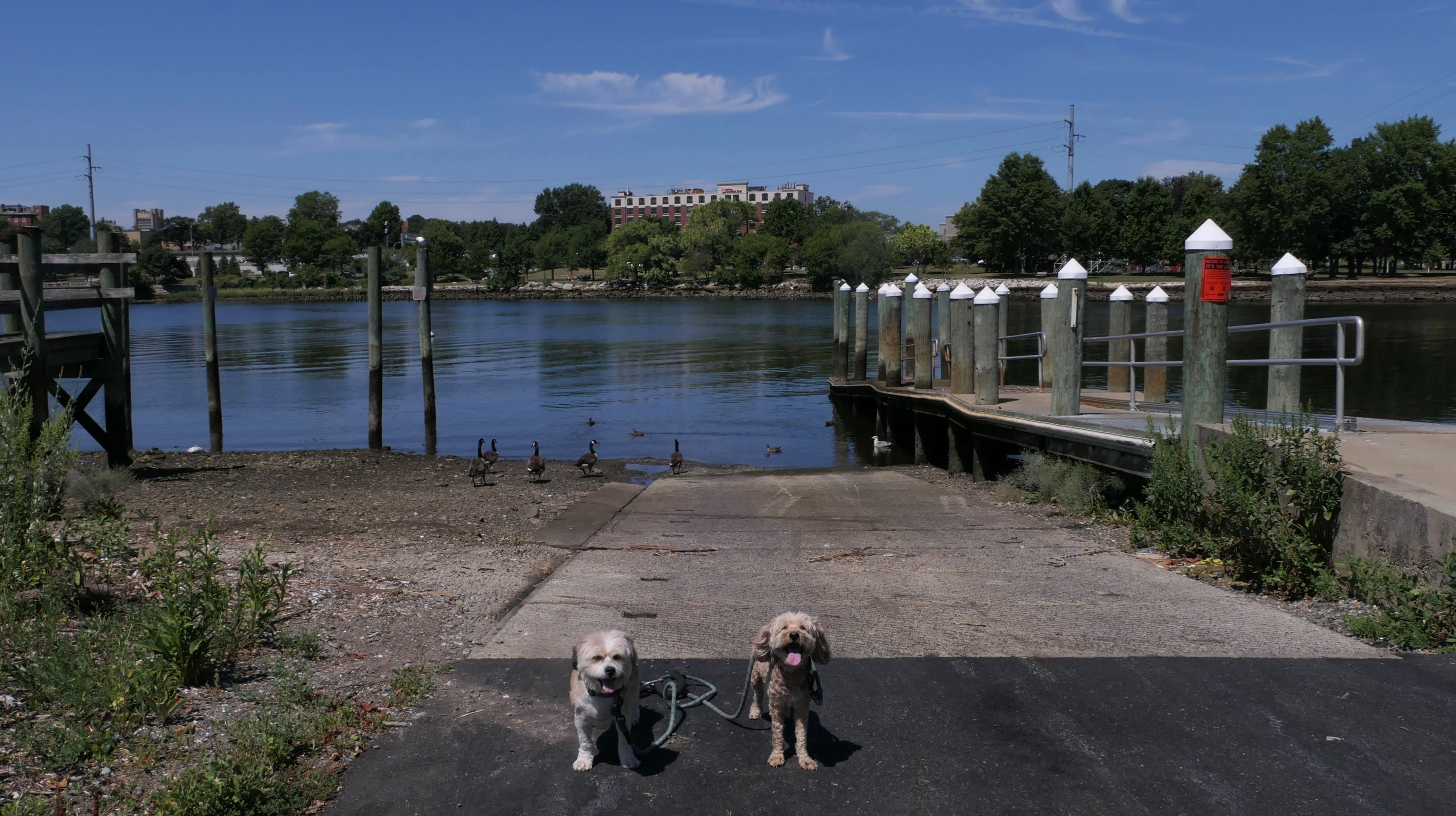
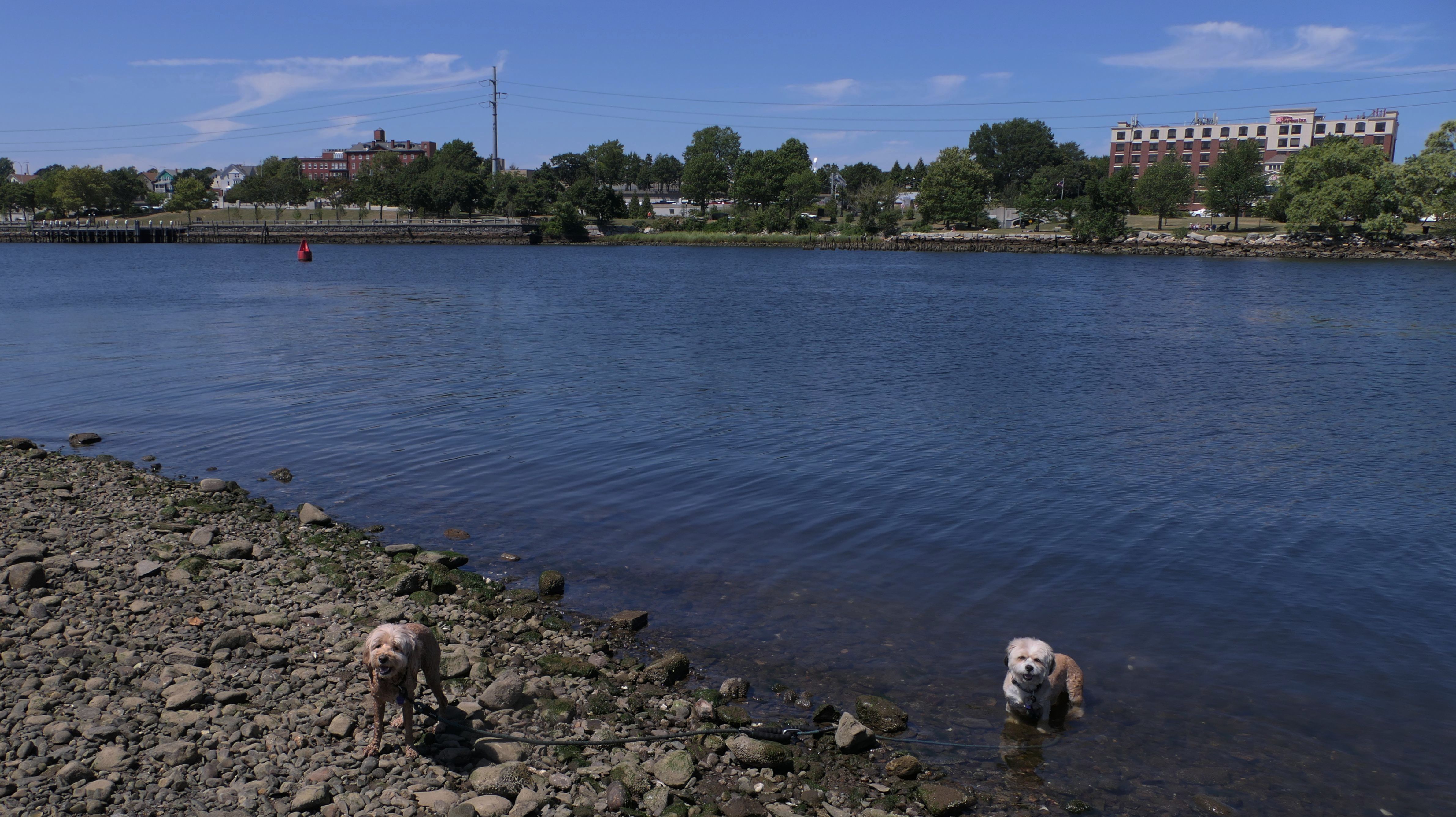
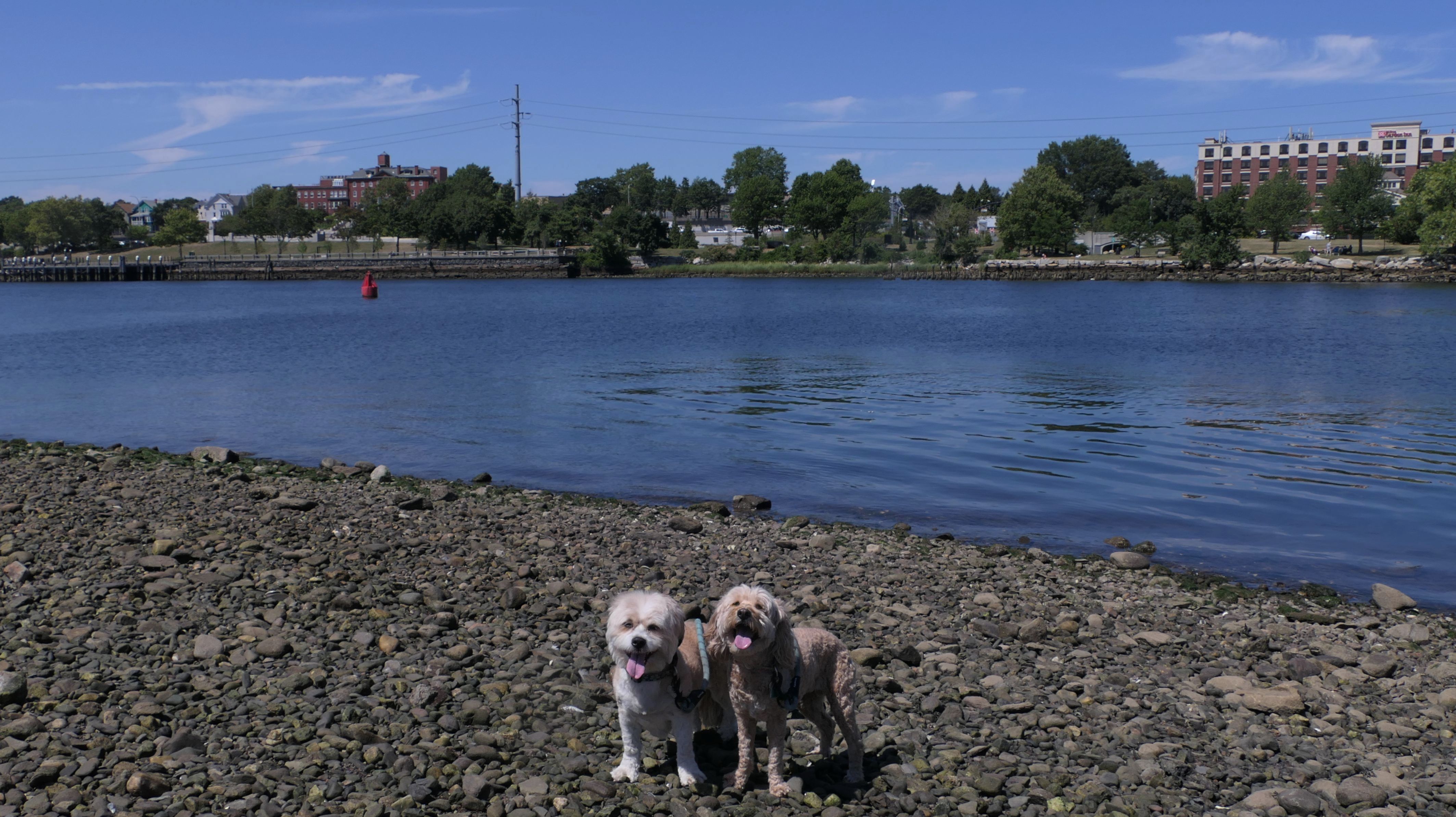
The next section we walkled started at the parking area on Washington Avenue and headed north to "Spooky Bottom Dock". The beginning had a different feel to it then the rest of our trip. It runs between two busy roads and features some pastel colored metal scupltures of bunnies, as well as a garden area, and a small ice cream shop. Once the path proceeds under the Bullocks Point Avenue bridge, it leaves the busy roadways behind as it runs along side the Providence River. The first notable landmark is the Pomham Rocks Lighthouse. It was tough to get a good picture with the sun hiding behind a large cloud. Then when the sun came out, it was above and behind the lighthouse, which caused shadows. Right after the lighthouse is a Mobil Oil complex, with a series of pipes constructed over the bike path. Next we pass the "Squantum Association". This is the very large fancy building that jets out on Squantum Point. It seems to be some kind of exclusive membership only venue. Access to Boyden Heights Conservation is on the right, and then Cranberry Island on the left. We climbed the rocks and explored part of the island. Finally we reached the "Spooky Bottom Dock", which offers great views of the bay and the city of Providence. It also offers views of ships on the river, and some ugly industrial buildings on the Providence side of the river. At this point, we had reached the area of the trail where we left off at last July, so we turned around and headed back. There are a few areas along the way where you can get up on the rocks, close to the river and admire the views of the bay. In all, this section was a bit over 2 1/2 miles, so we walked over five miles total. This stretch of bike trail was interesting, with a lot more to see than most bike trails.
More Images
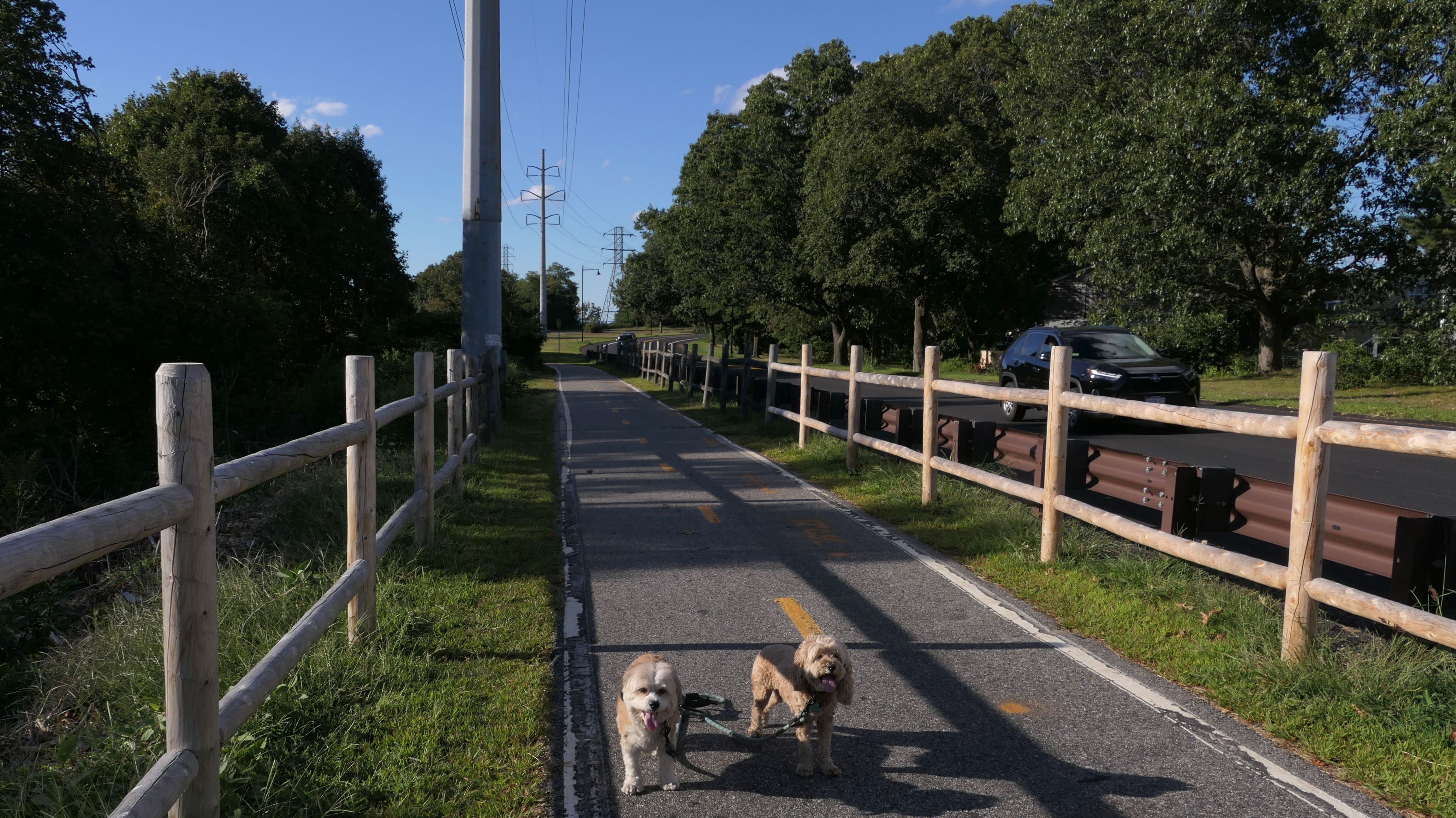
East Bay Bike Path
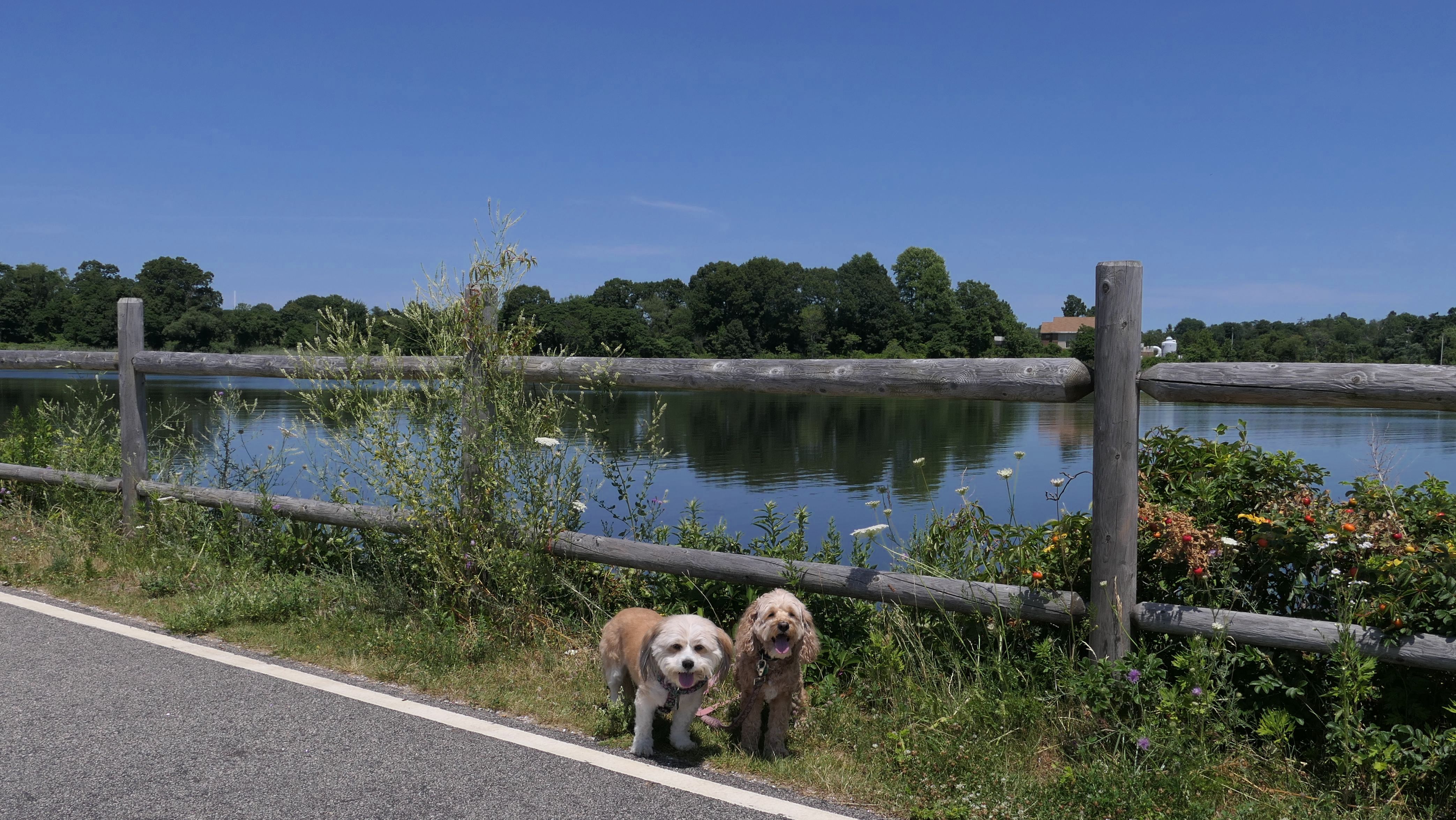
Date visited: 8/11/2023
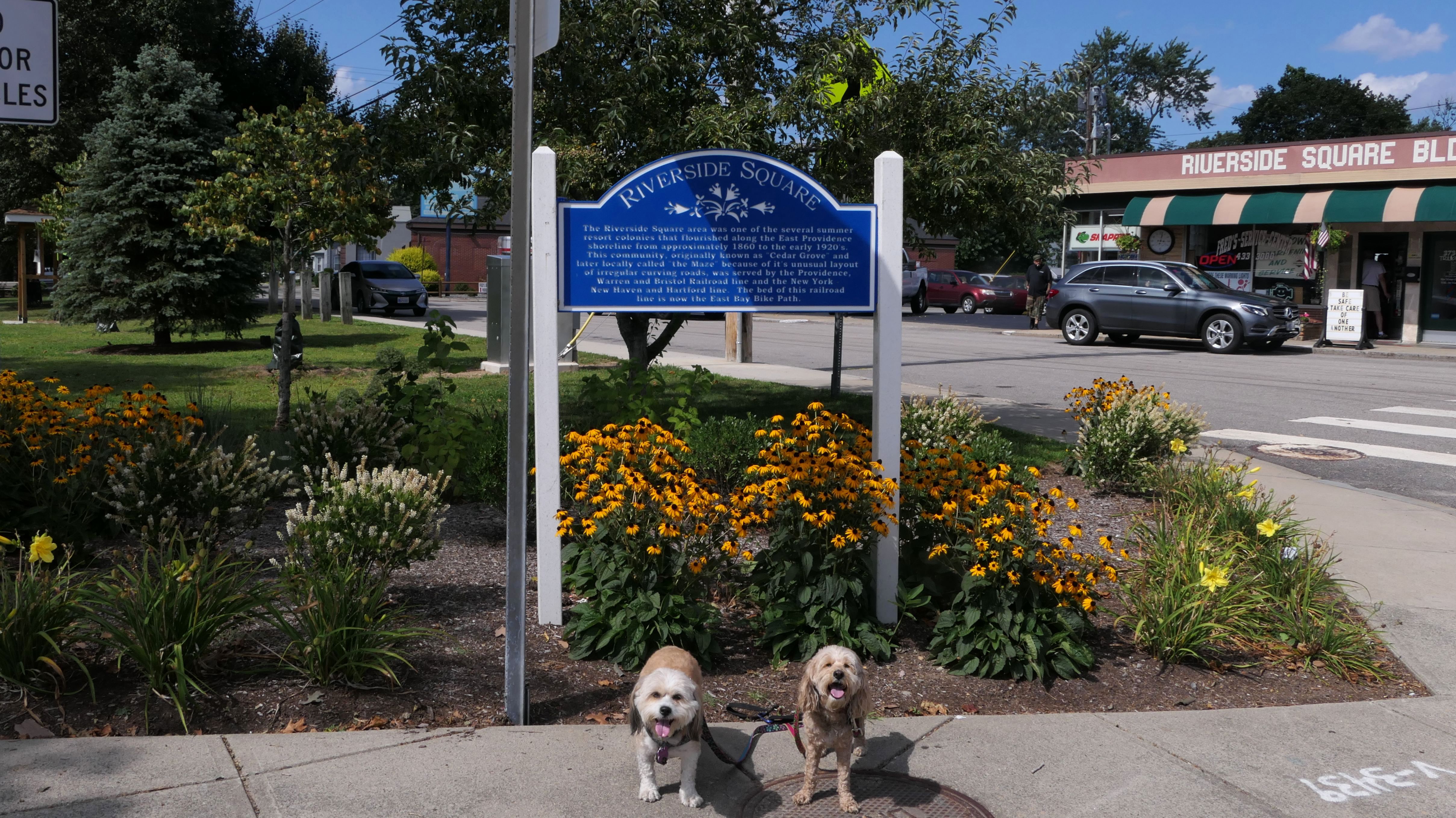
We were at it again ten days later after our last visit. This time we started off at Haines Memorial Park, and headed north to where we started last time at Washington Avenue. This section featured some very short side trails with nice views of Bullocks Cove. The trail runs behind backyards on either side, as this section was mainly through resedential neightborhoods. Finally we hit Riverside Square and our turn around point, then headed back to Haines Park.
More Images
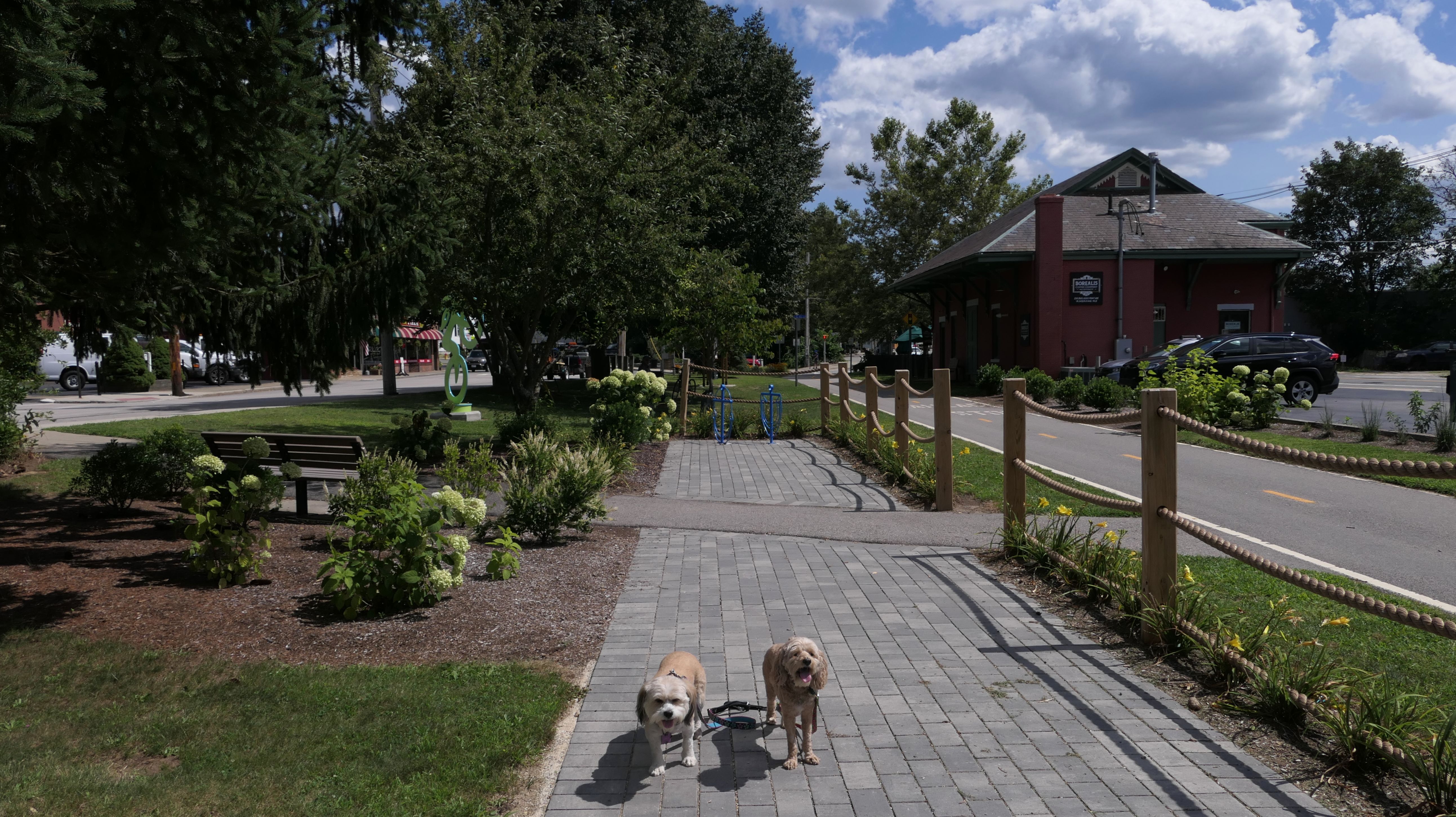
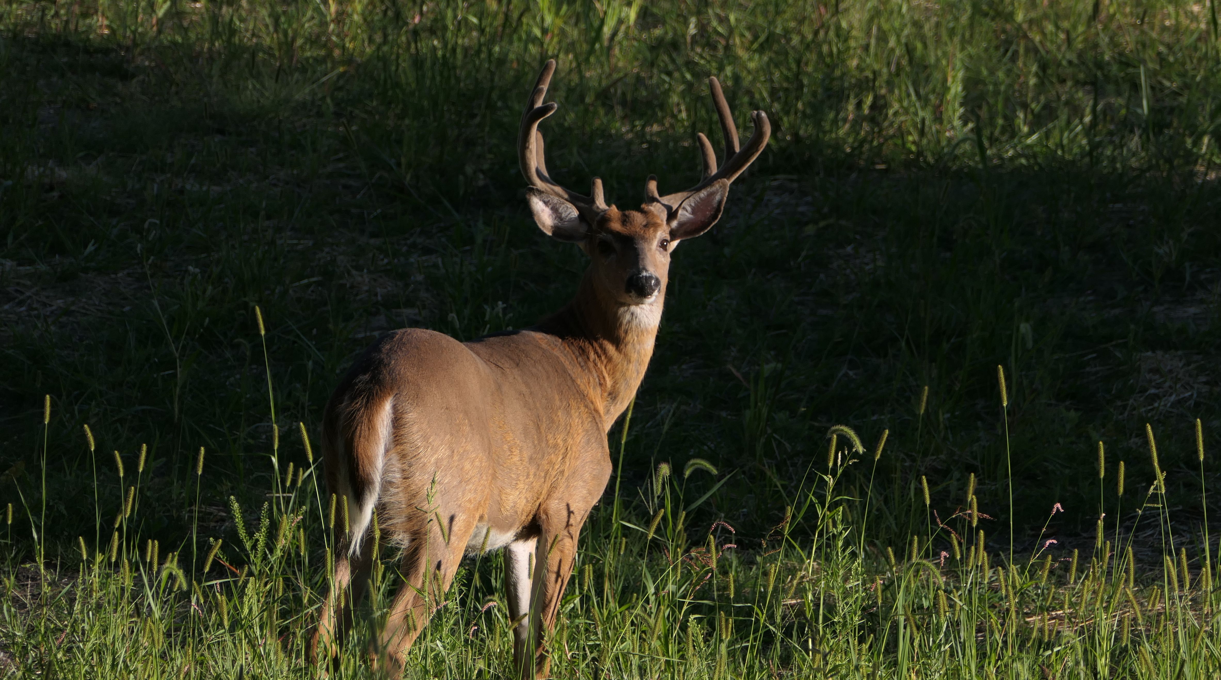
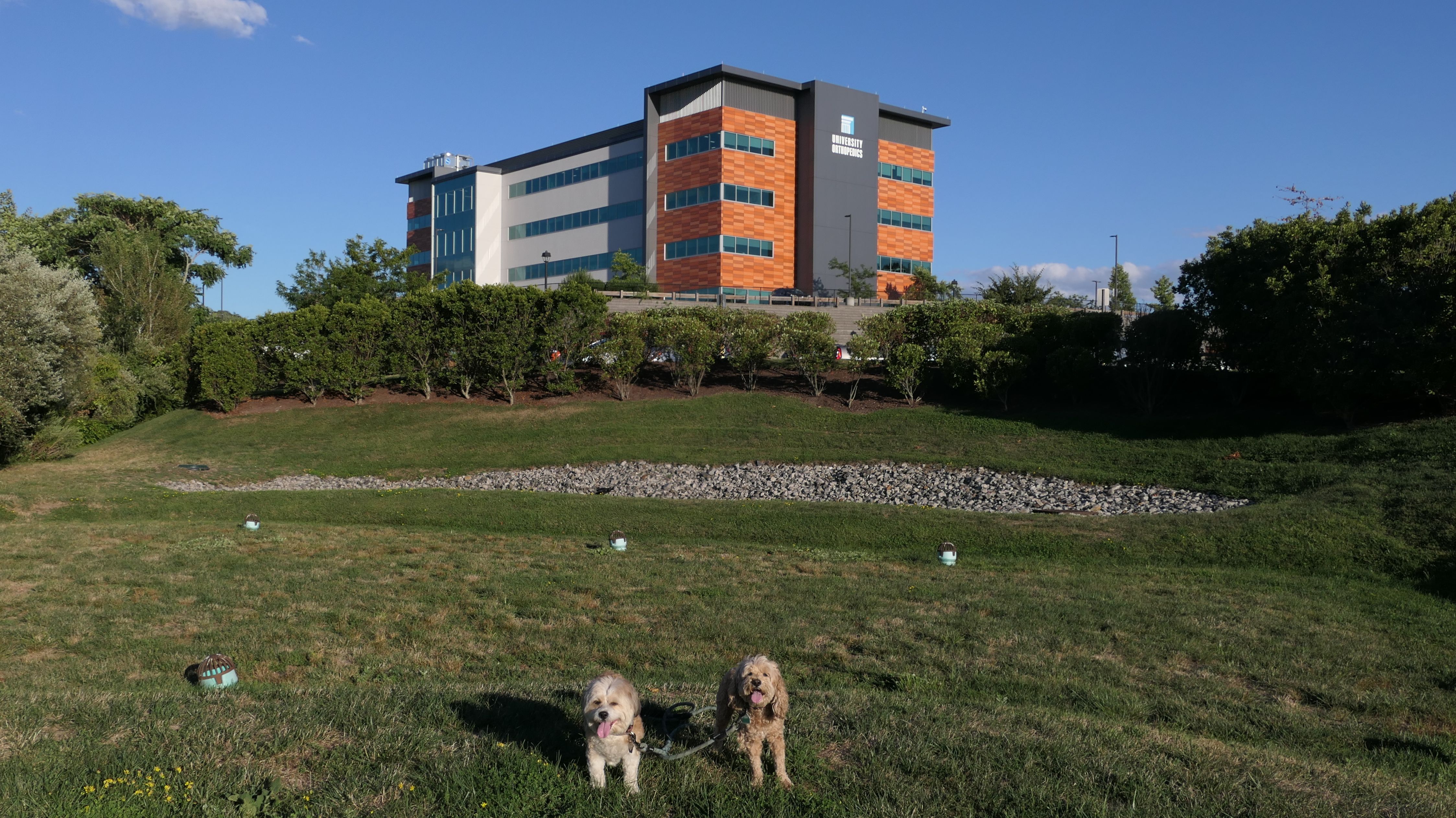
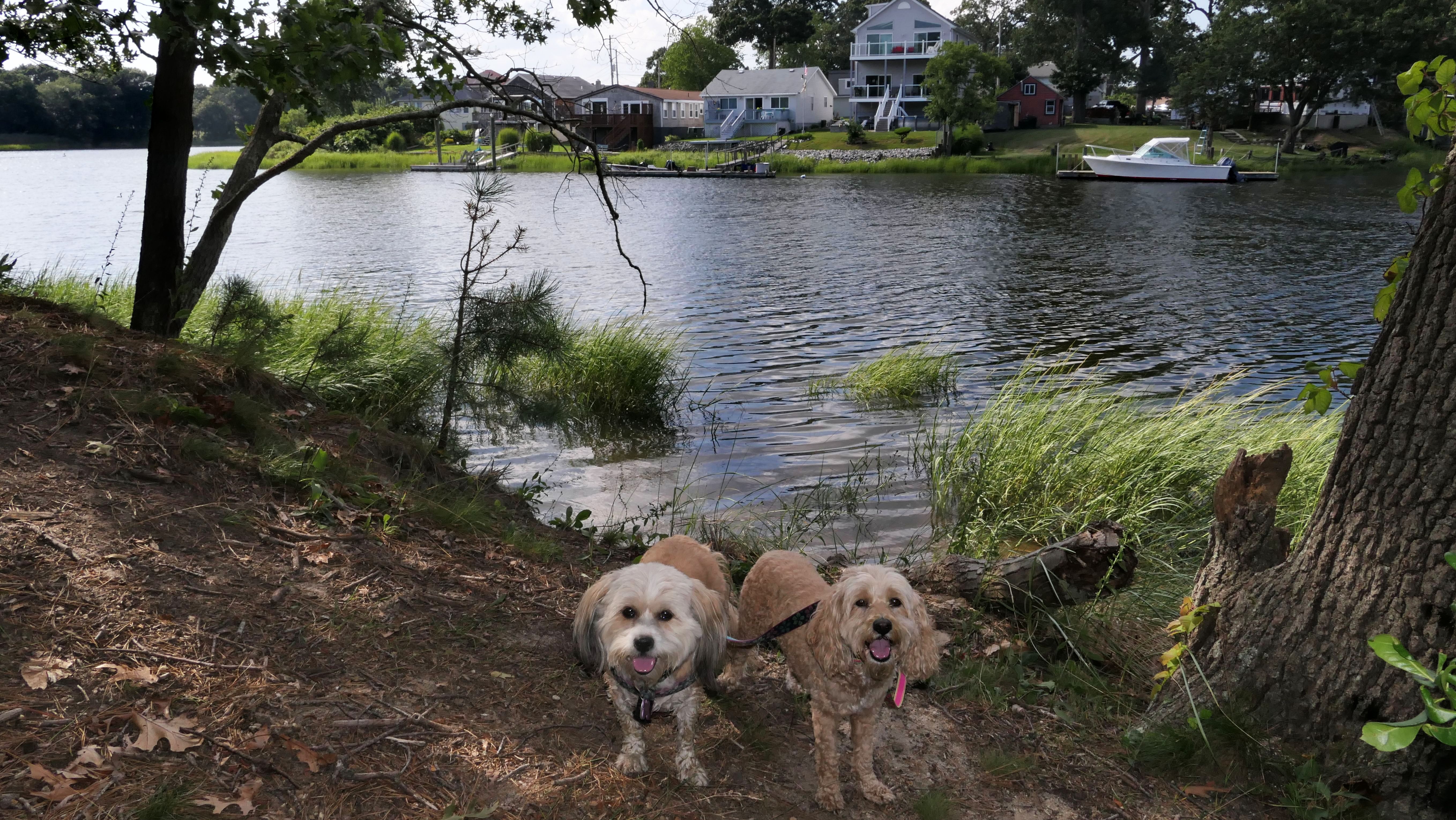
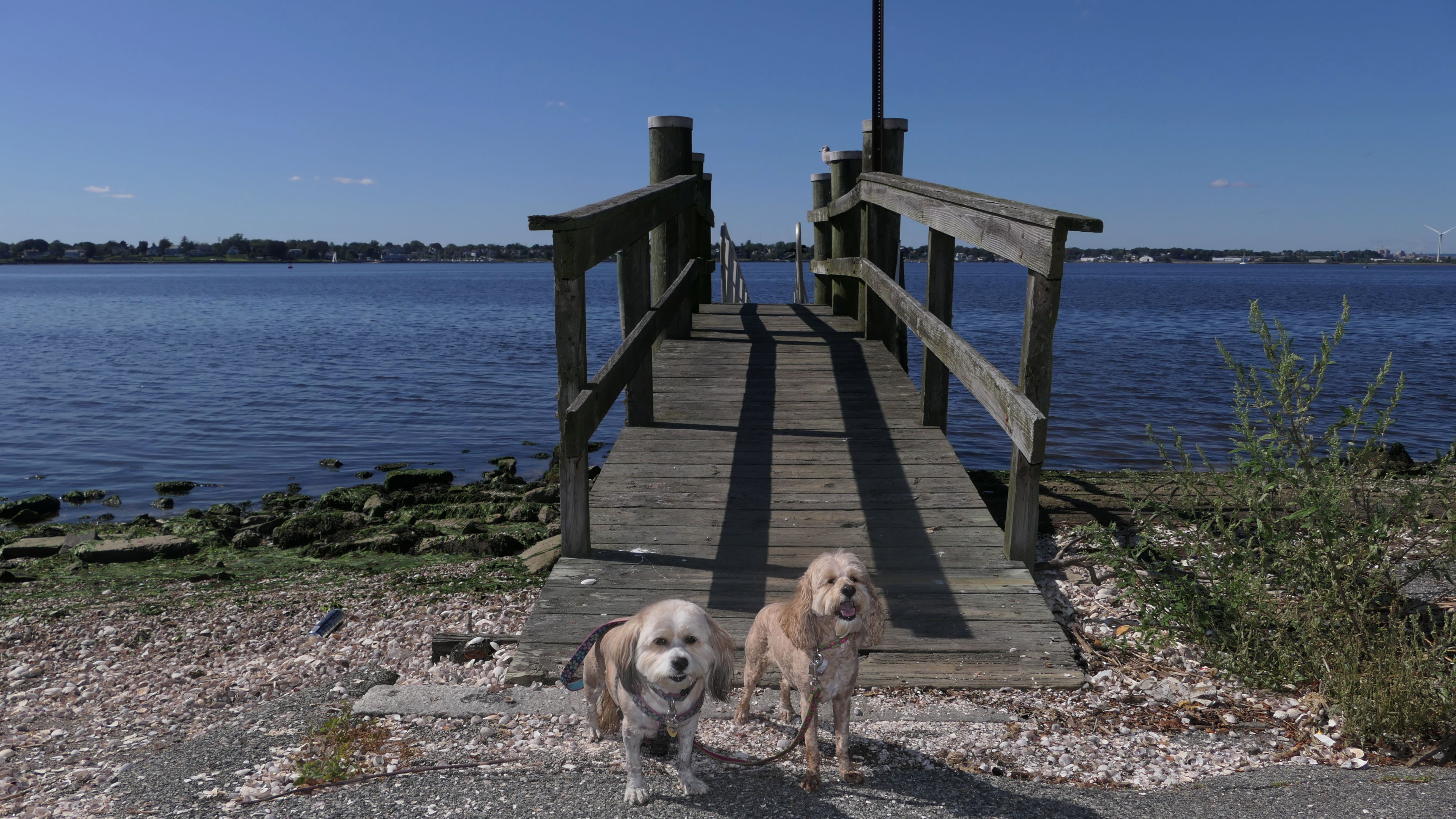
East Bay Bike Path & Kettle Point Park
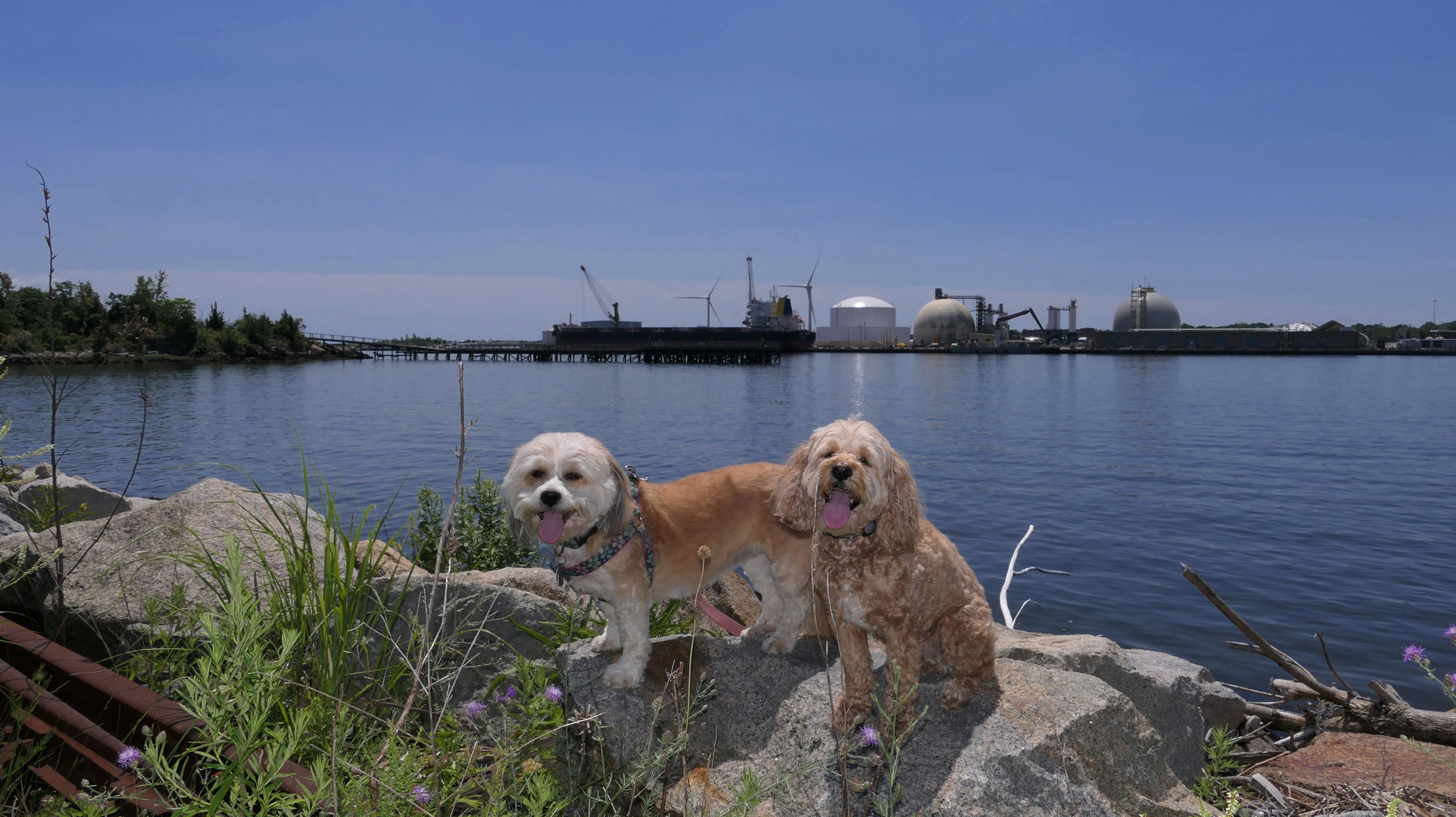
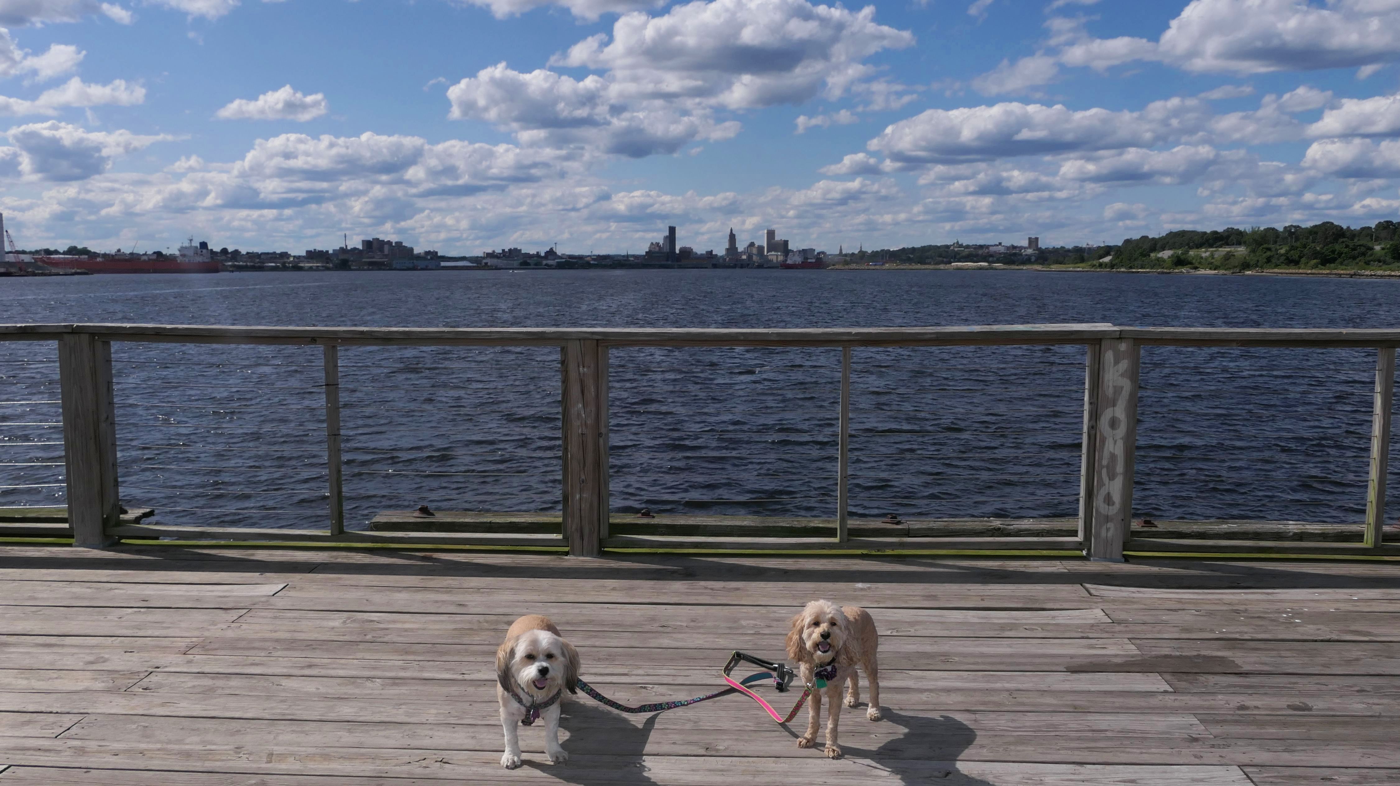
Date visited: 8/26/2025
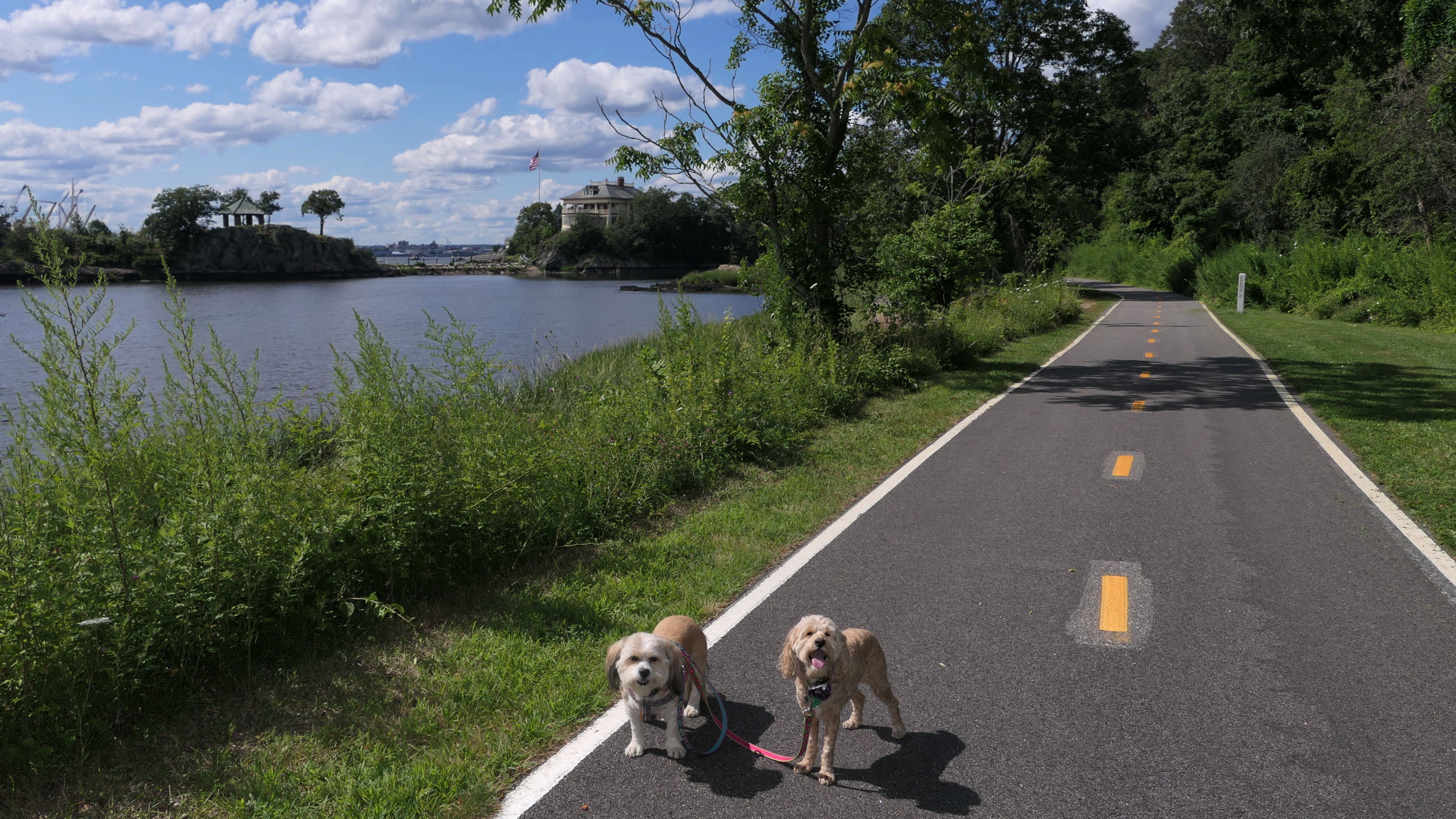
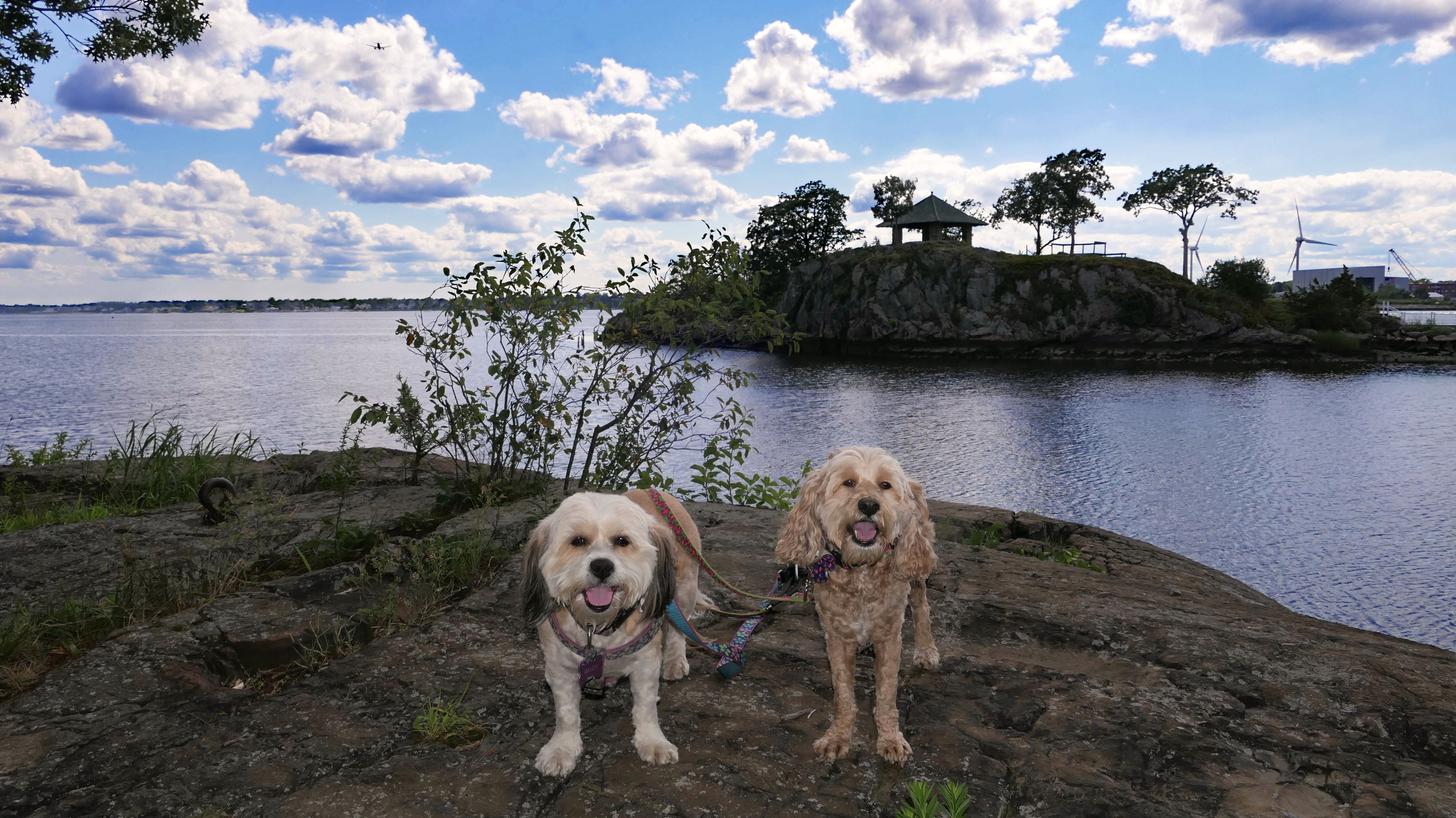
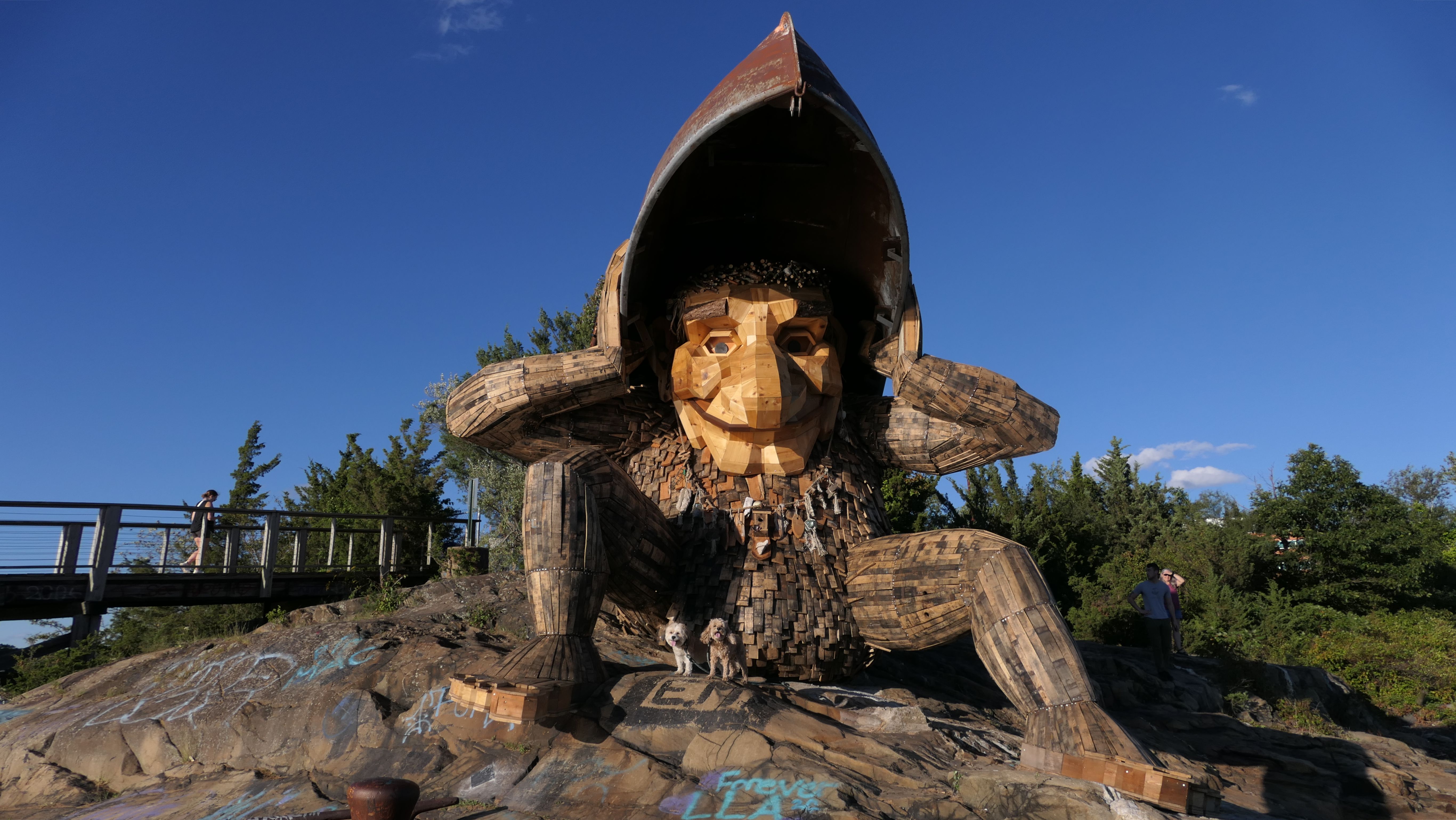
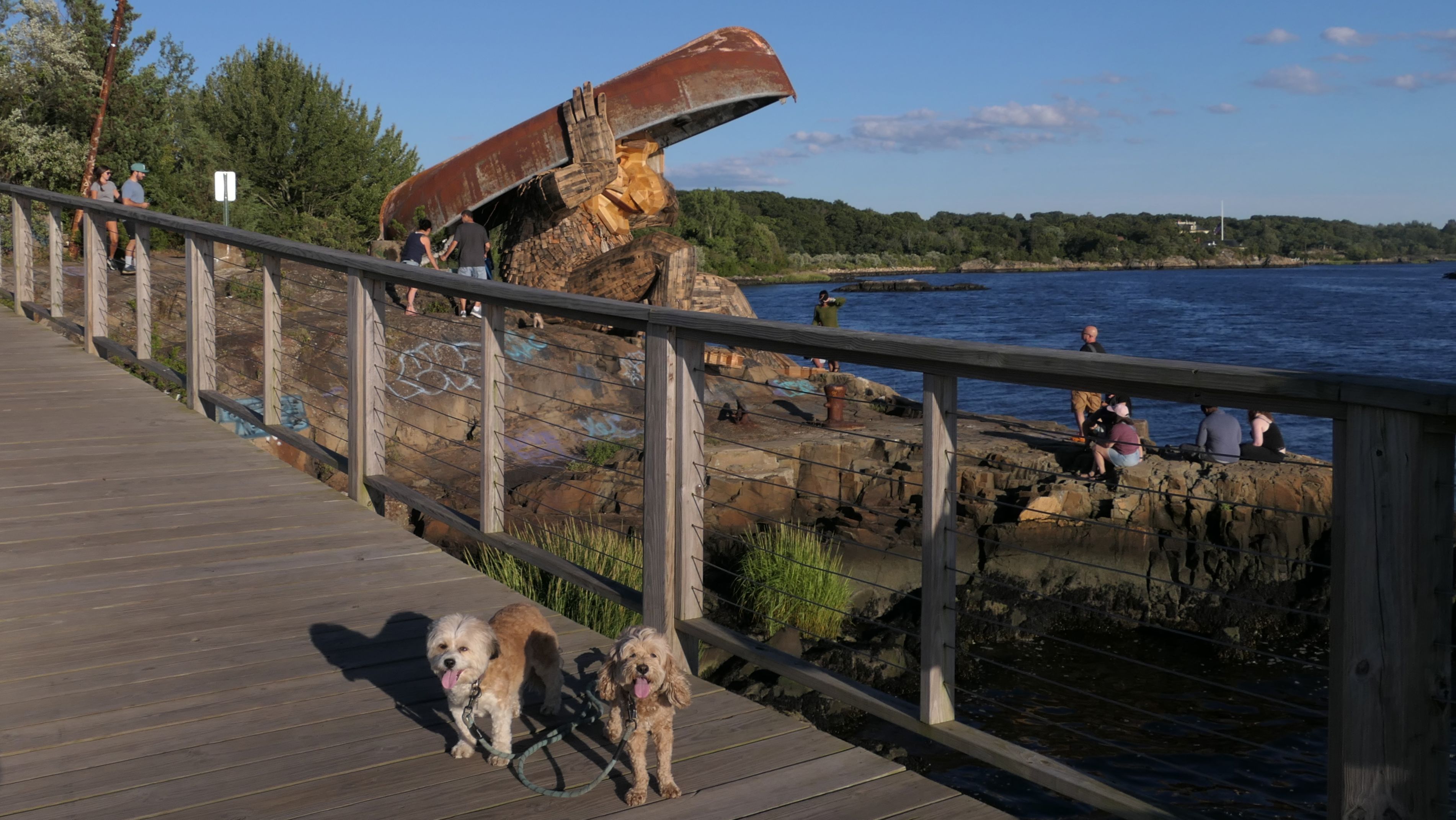
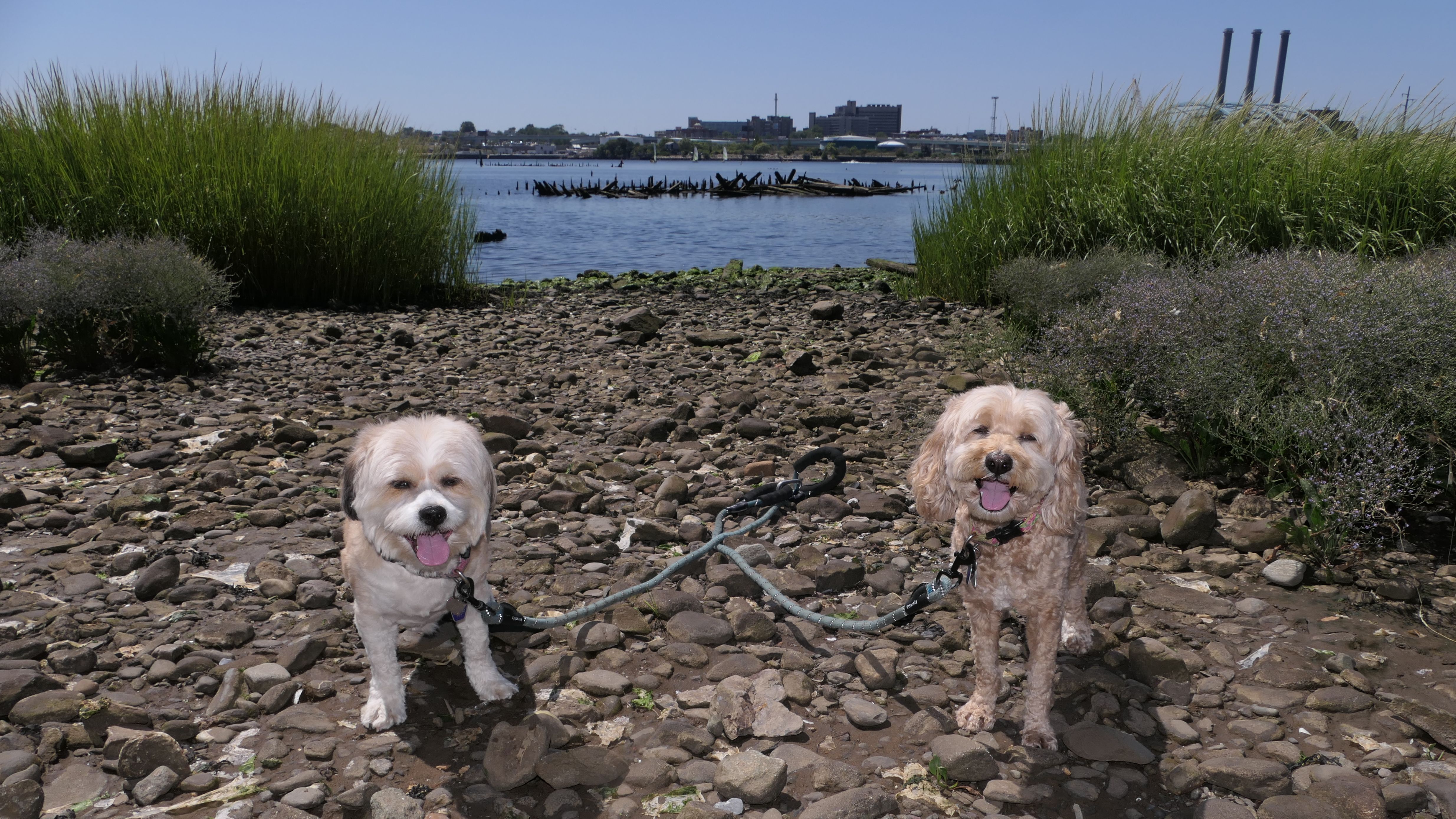
Here it is! The fifth and final Rhode Island Troll, created by artist Thomas Danbo. Meet Mrs. Skipper, sitting on the rocks overlooking the Providence River. She joins Iver Mudslider at Ryan Park in North Kingstown and Young Boulder at Browning Mill Pond in Exeter as the three newest Rhode Island Trolls. Erik Rock and Greta Granite who reside at Ninigret Park in Charlestown are the other two that were unveiled last year. Mrs. Skipper can be accessed easily from the Kettle Point parking area for the bike path near University Orthopedics. There is a sign warning people to stay off the rocks and to view the troll safely from the pier. It appeared everyone ignored the sign (us included). I forsee this will be a real problem, especially if someone gets hurt. It can be tricky getting down the rocks in front of the troll, but we've encountered much worse on our travels. Besides the troll, we walked about 4 miles out and back on the bike path, repeating the section on Watchemoket Cove Crossing, and continuing on the section along side Veteran's Memorial Parkway, which is the last section of the bike path in East Providence that we hadn't covered yet. On the way back, we observed a beautiful buck near the cove.
More Images
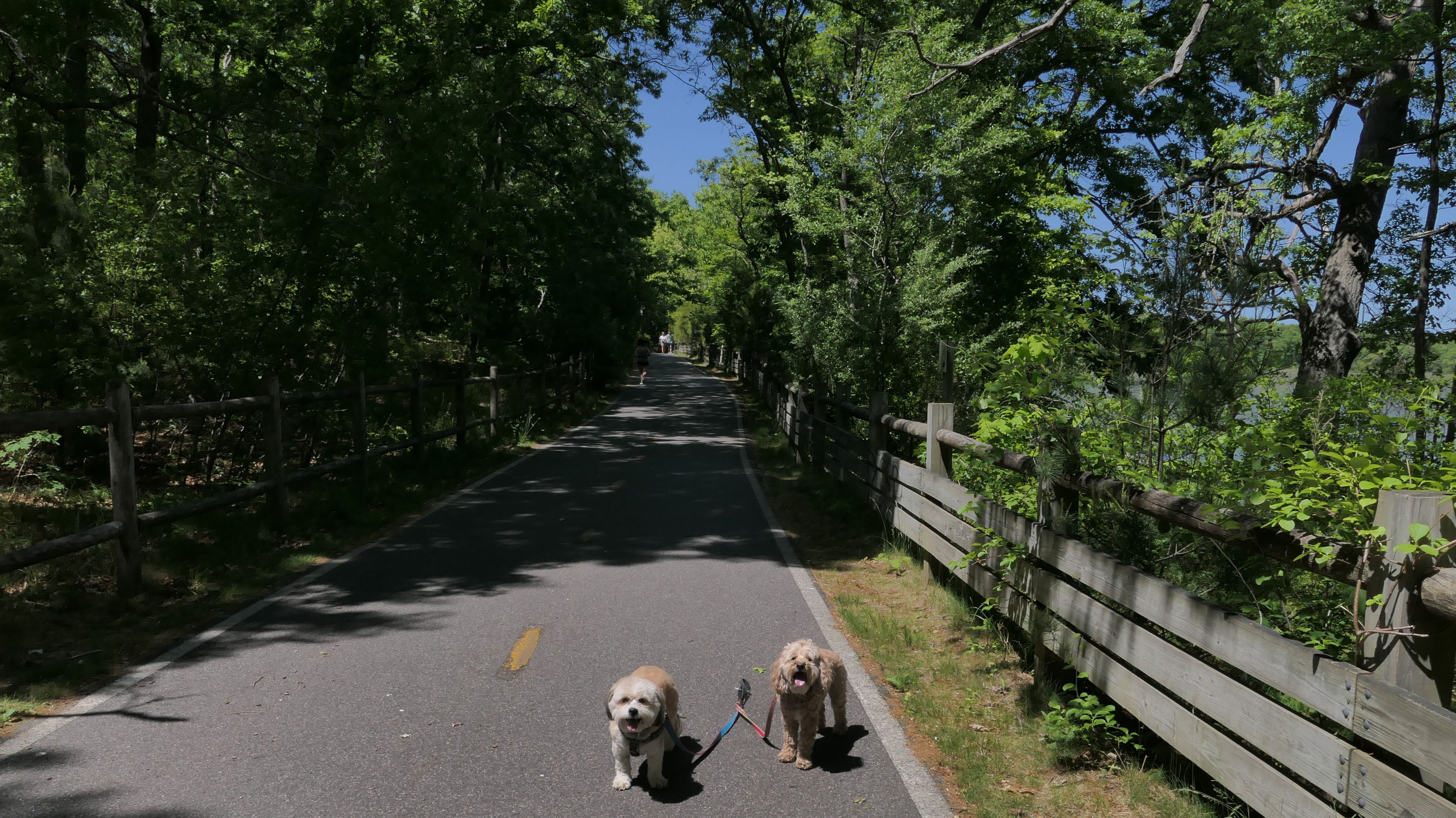
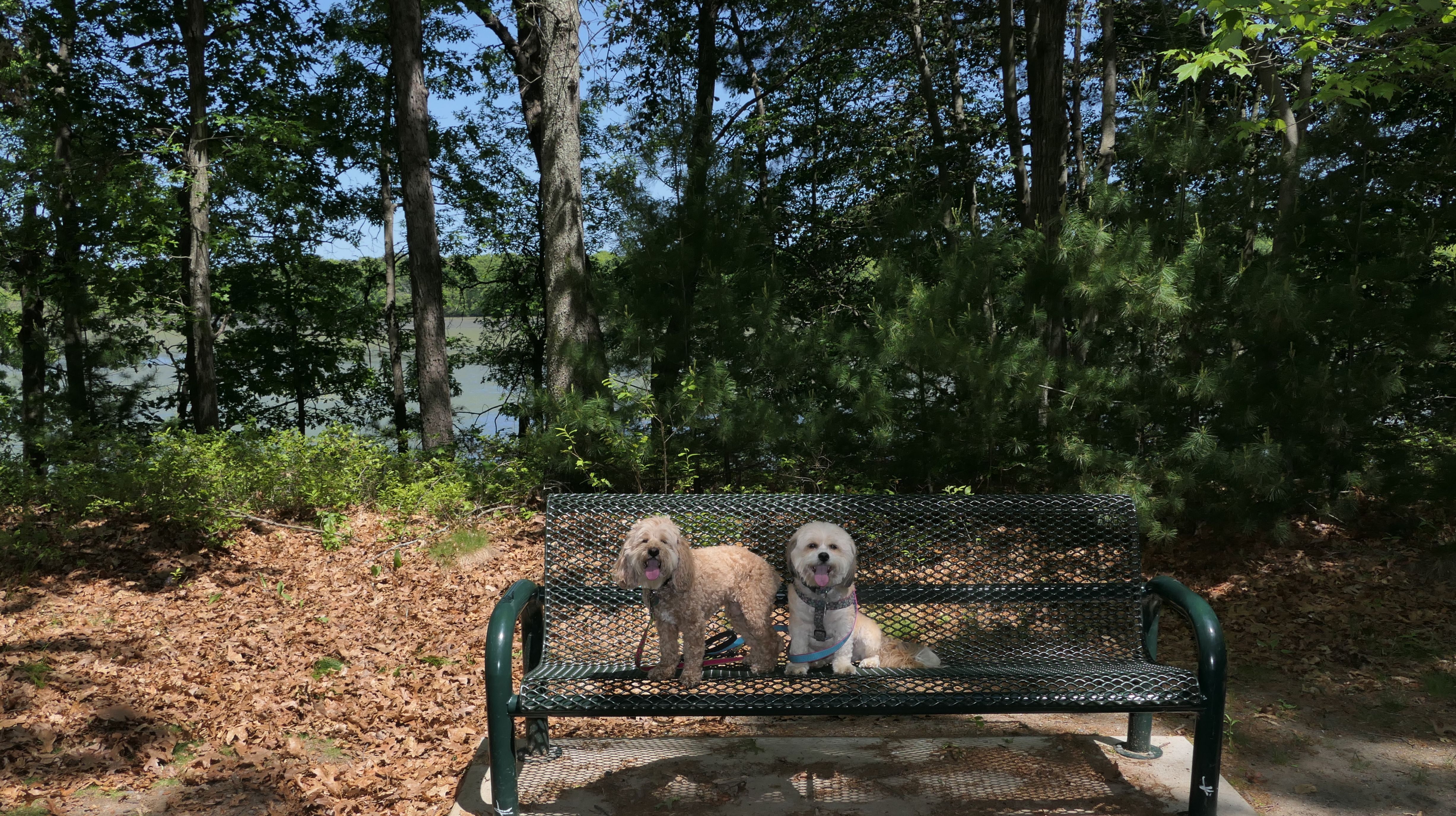
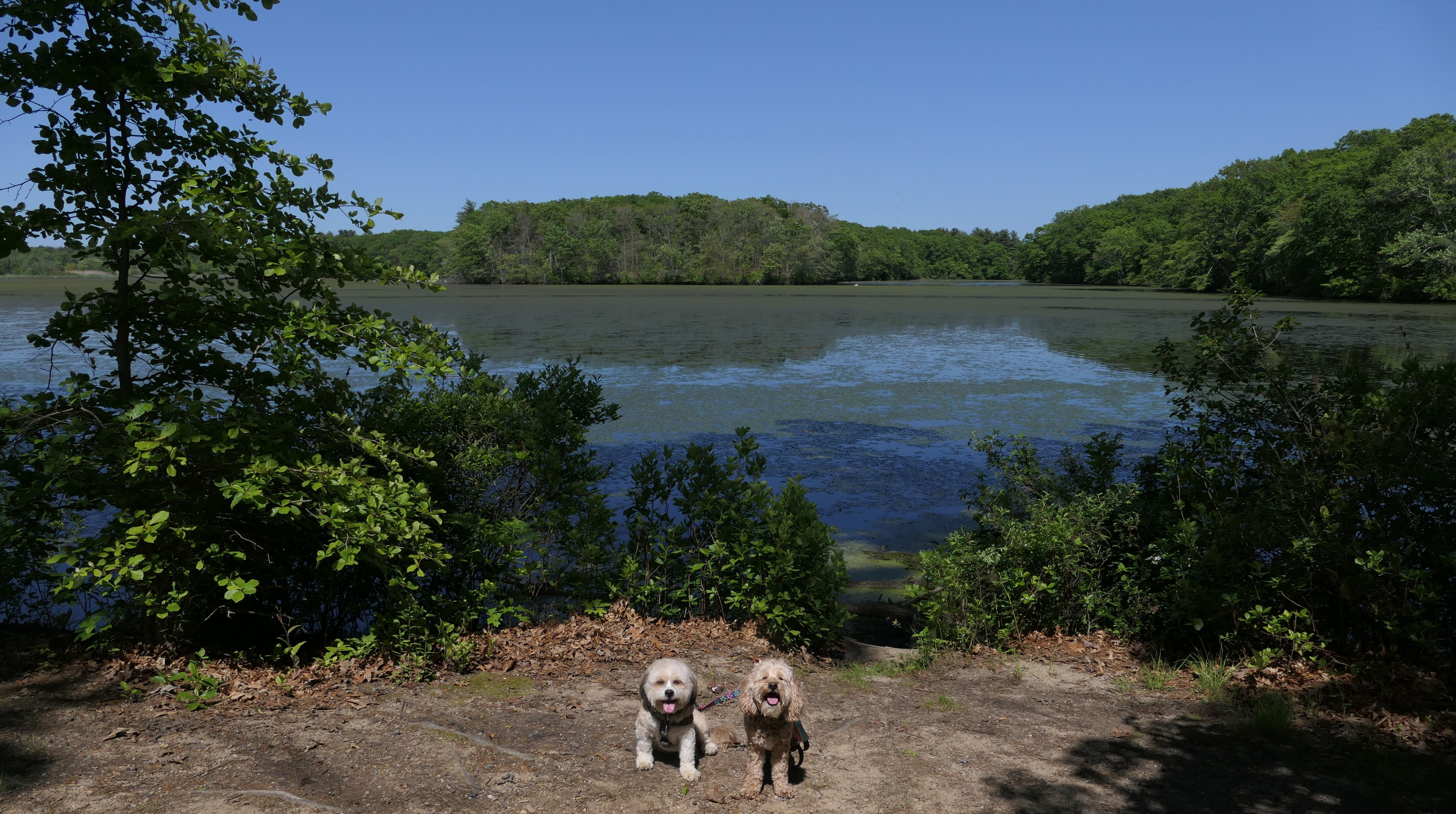
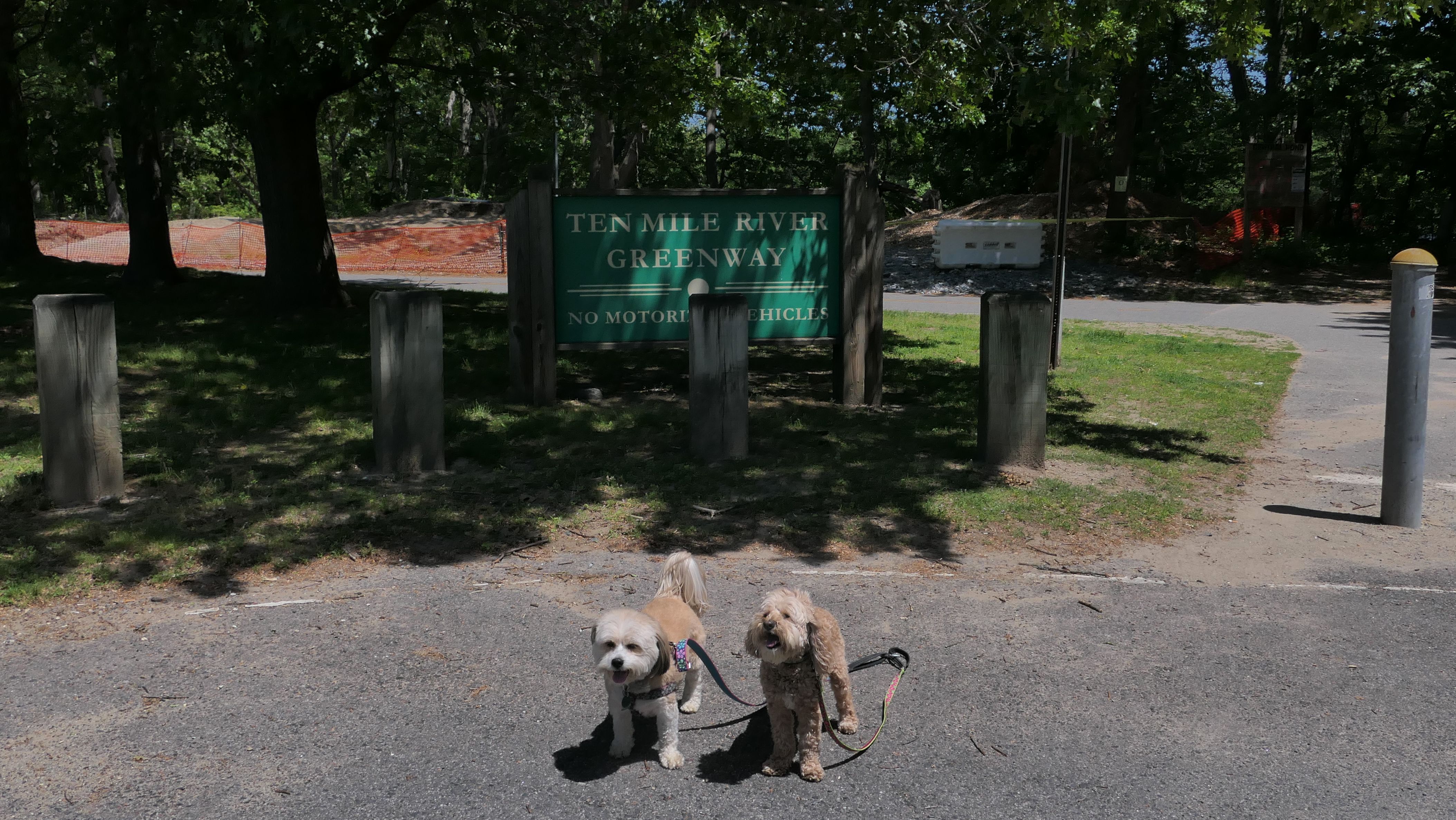
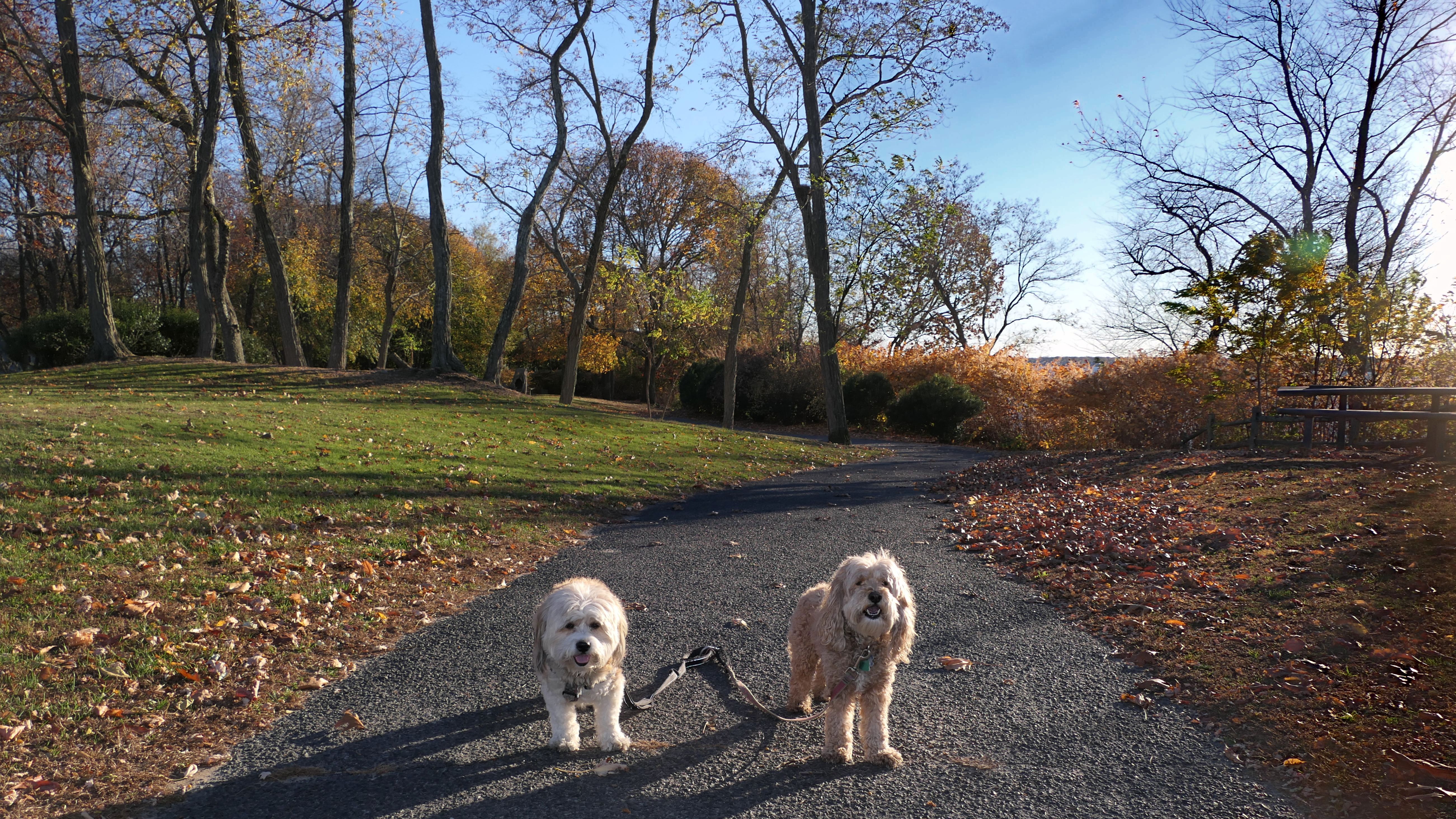
Ten Mile River Greenway
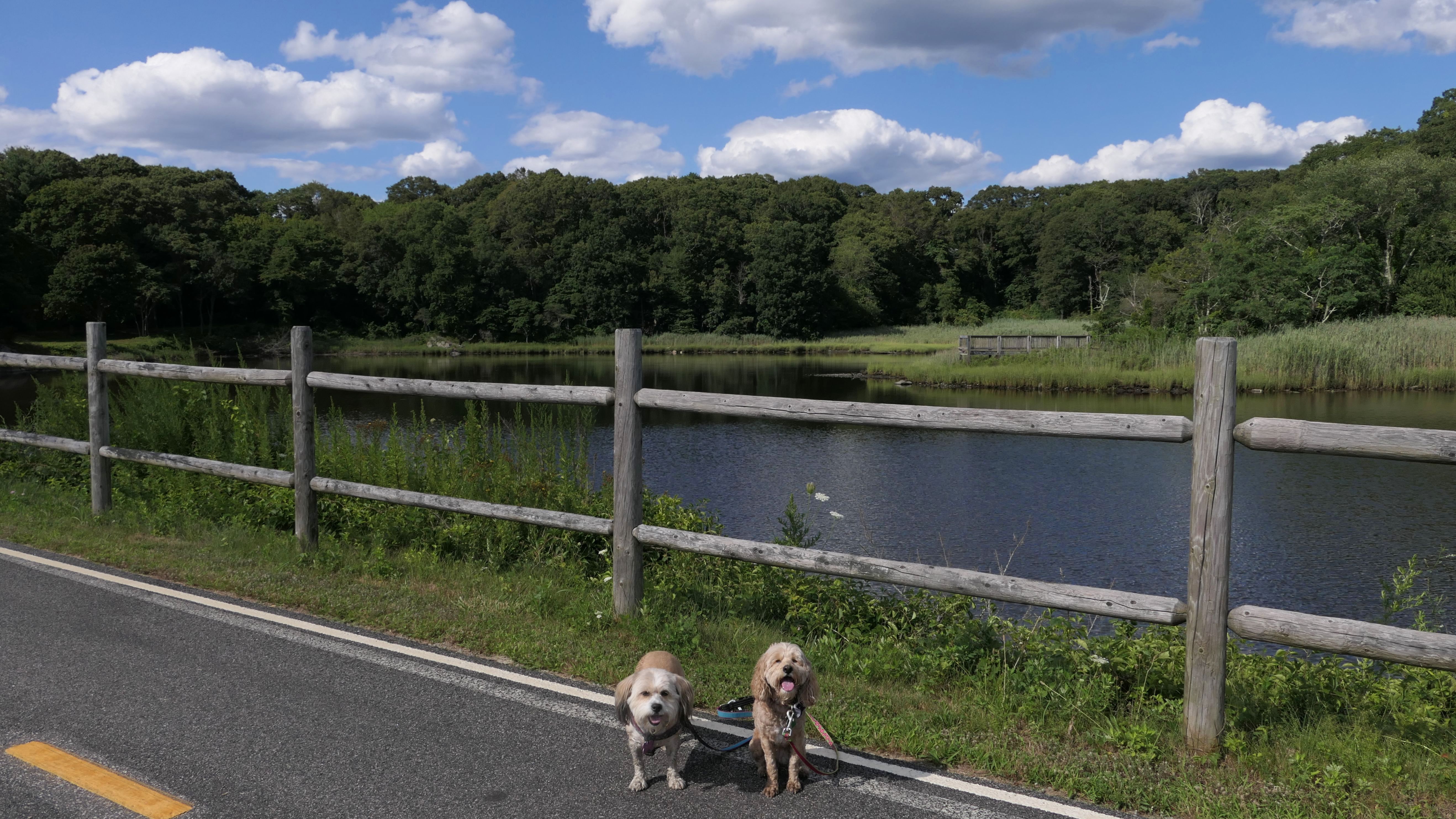
Date visited: 5/27/2023
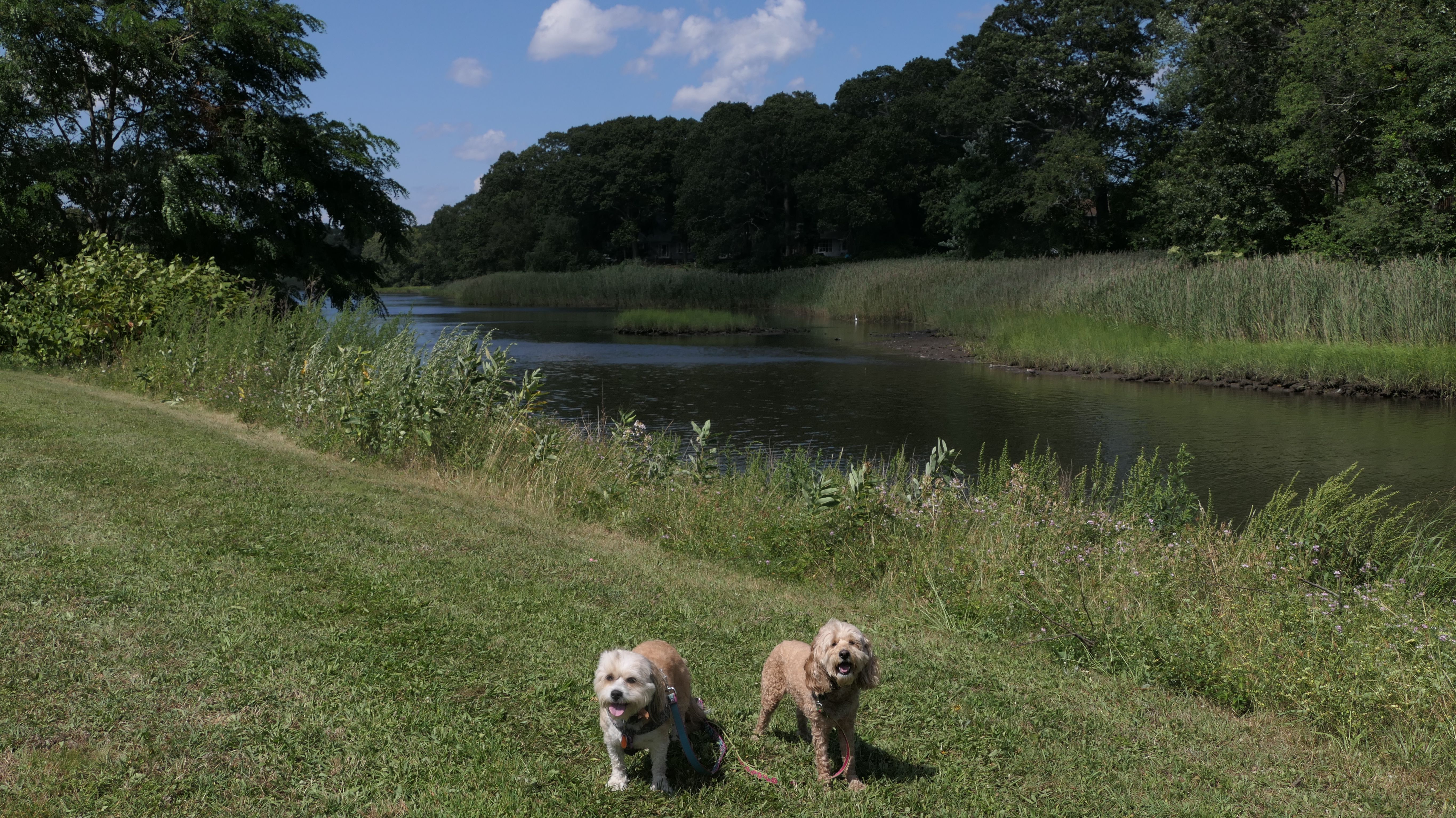
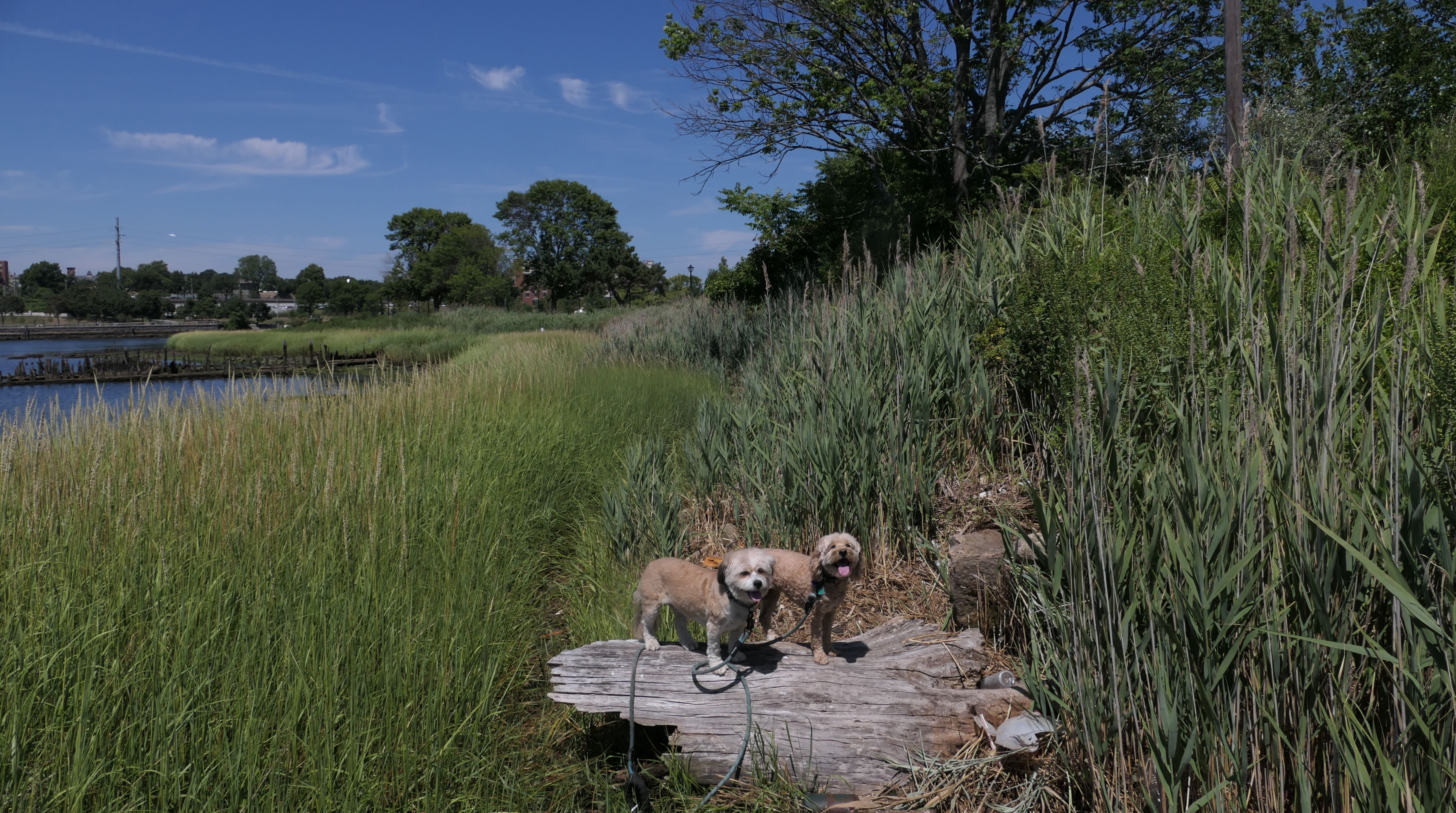
The Ten Mile River Greenway is a paved bike trail that starts in the Rumford section of East Providence, and continues through Pawtucket, eventually going through Slater Park, before ending north of the park. Unlike most paved bike paths, it is not a rail trail. It follows the Ten Mile River for just three miles total. The Ten Mile River itself is 22 miles long, so this trail only covers a small portion of the river. (I have no idea why it is named the "Ten Mile River" when it is much longer than that). We walked the entire East Providence section and up to Slater Park, stopping where we left off on the trail when we visited the park last summer. We also explored some side trails that get closer to the river. The pictures below are from the East Providence section. Visit the Pawtucket page, for pictures from that section.
More Images
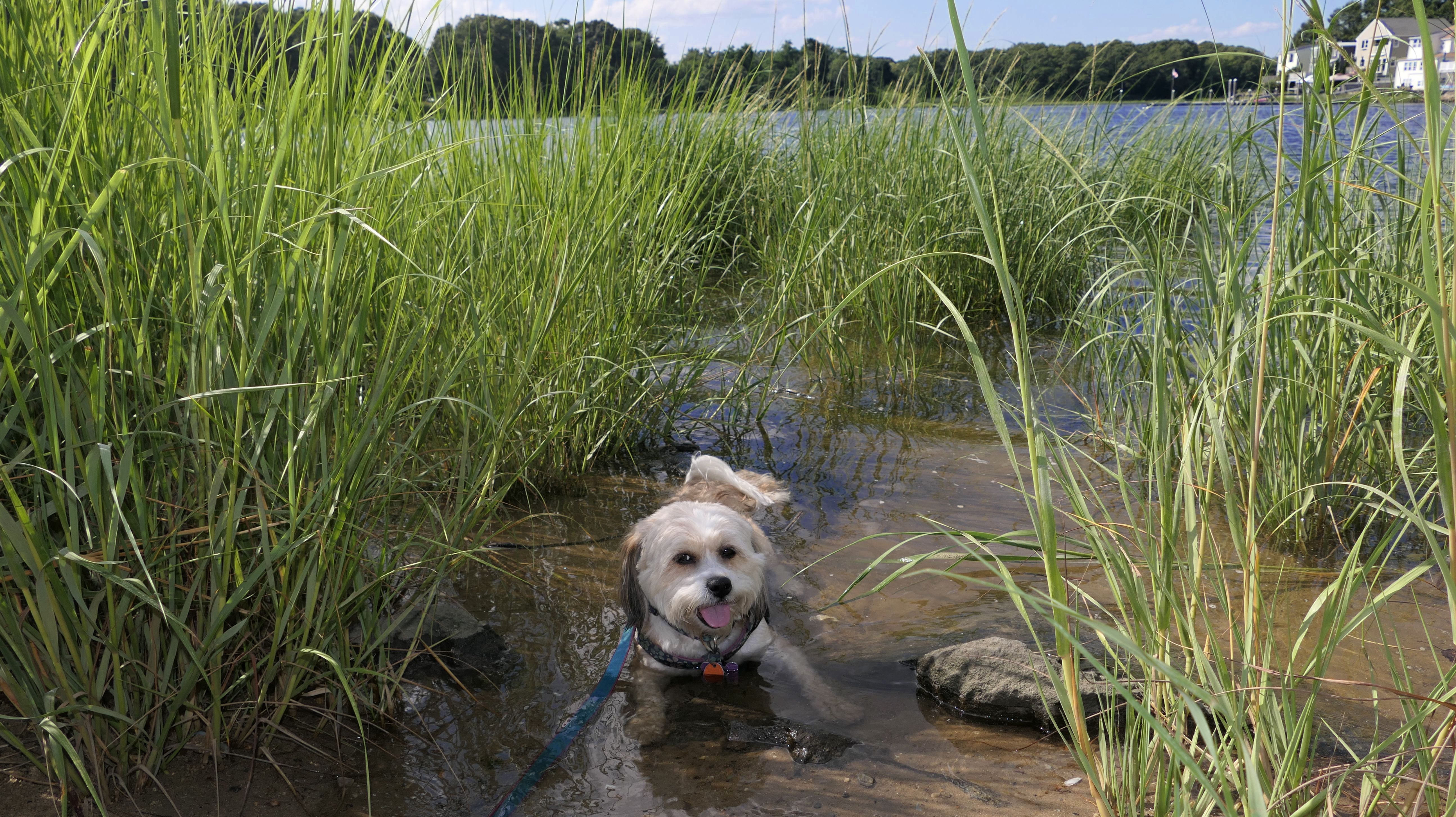
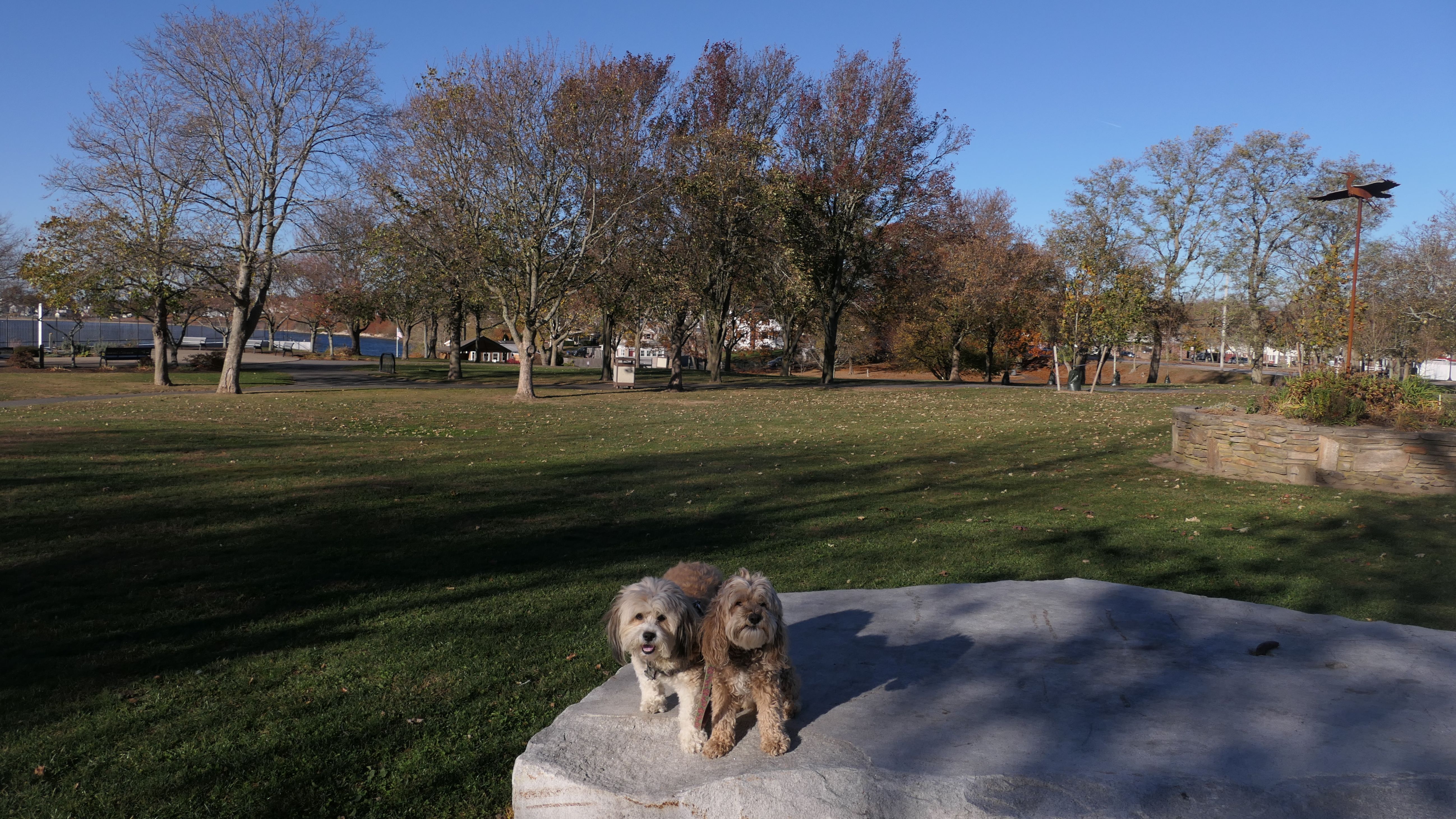
Haines Memorial State Park
Date visited: 8/11/2023
According to the sign here, this is one of Rhode Island's oldest State Parks. It sits on the border of East Providence and Barrington at Bullock's Cove. The East Bay Bike Path runs through the park. The East Providence section consists mainly of the boat launch and part of the picnic area. Both dogs soaked themselves at the boat launch preparing for our walk on the bike path! There is a short trail that runs along side the cove, along with an area that Mandy was able to lay down in the water.
More Images
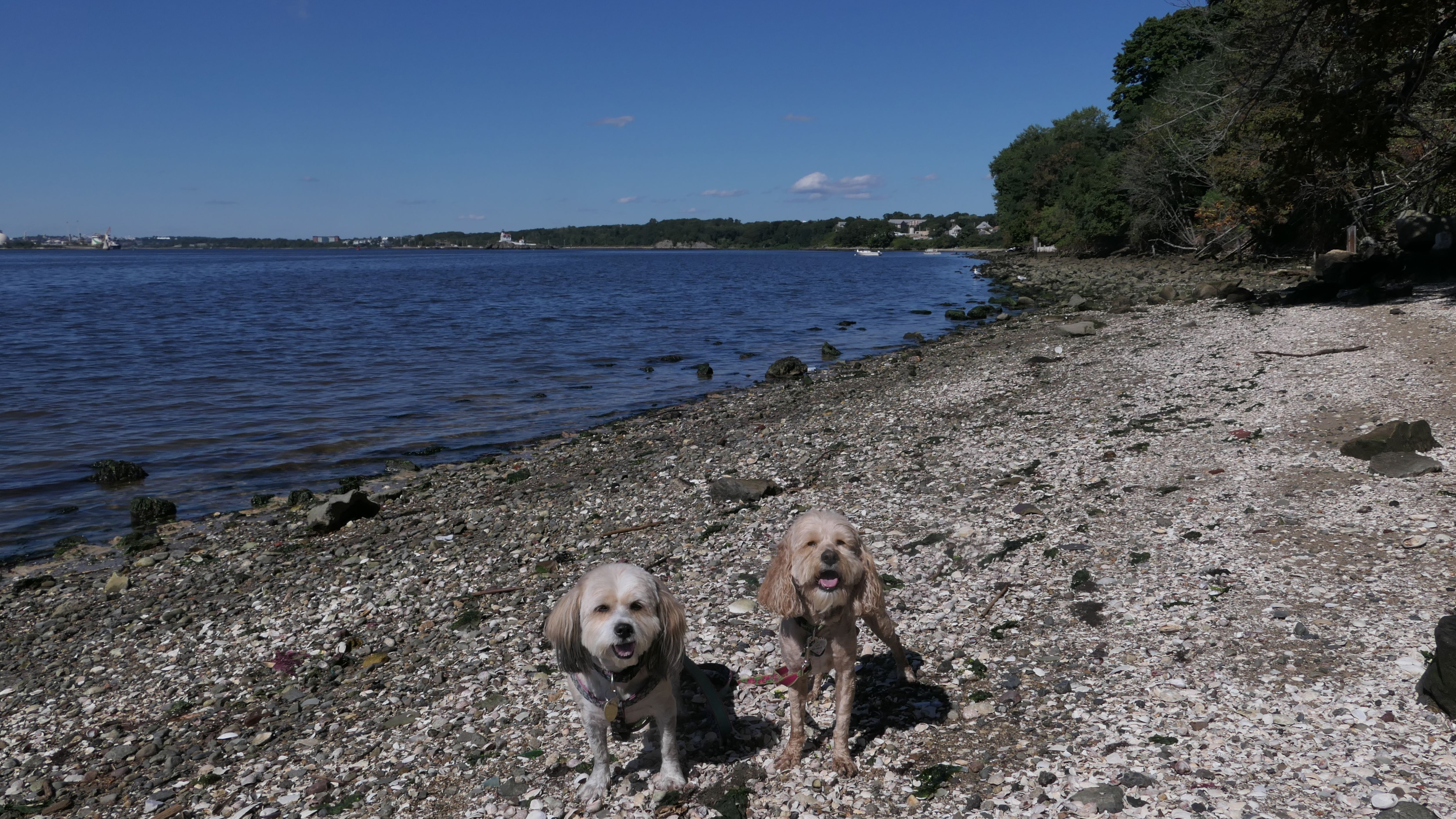
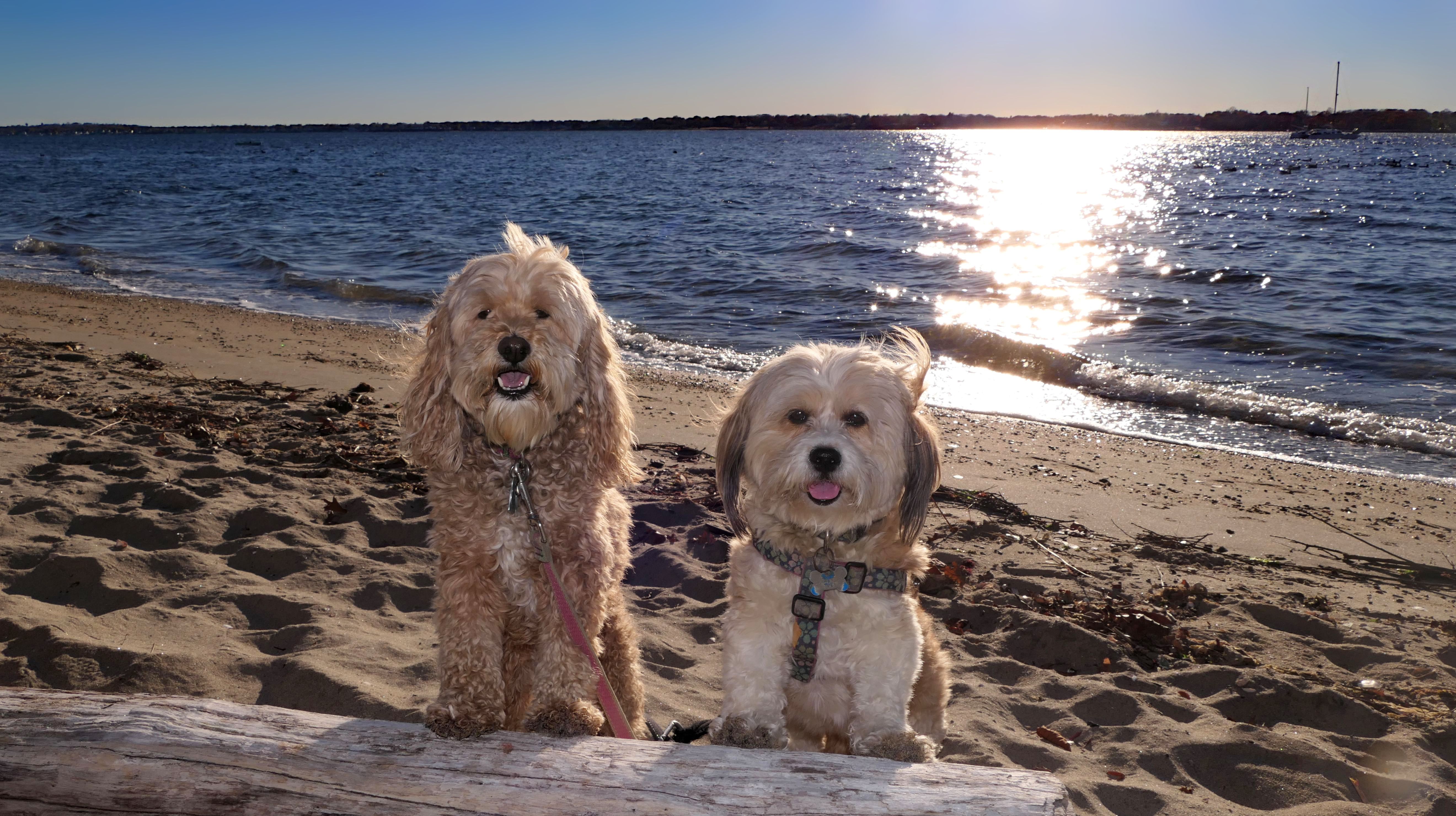
Sabin Point Park
Date visited: 9/14/2023
This is a four acre town park with access to Narragansett Bay. There's a short paved walking trail, a boat launch, a basketball court, and a playground. There are also some beachy areas that are popular spots to go fishing. We wakled the trail and explored the beach areas.
More Images
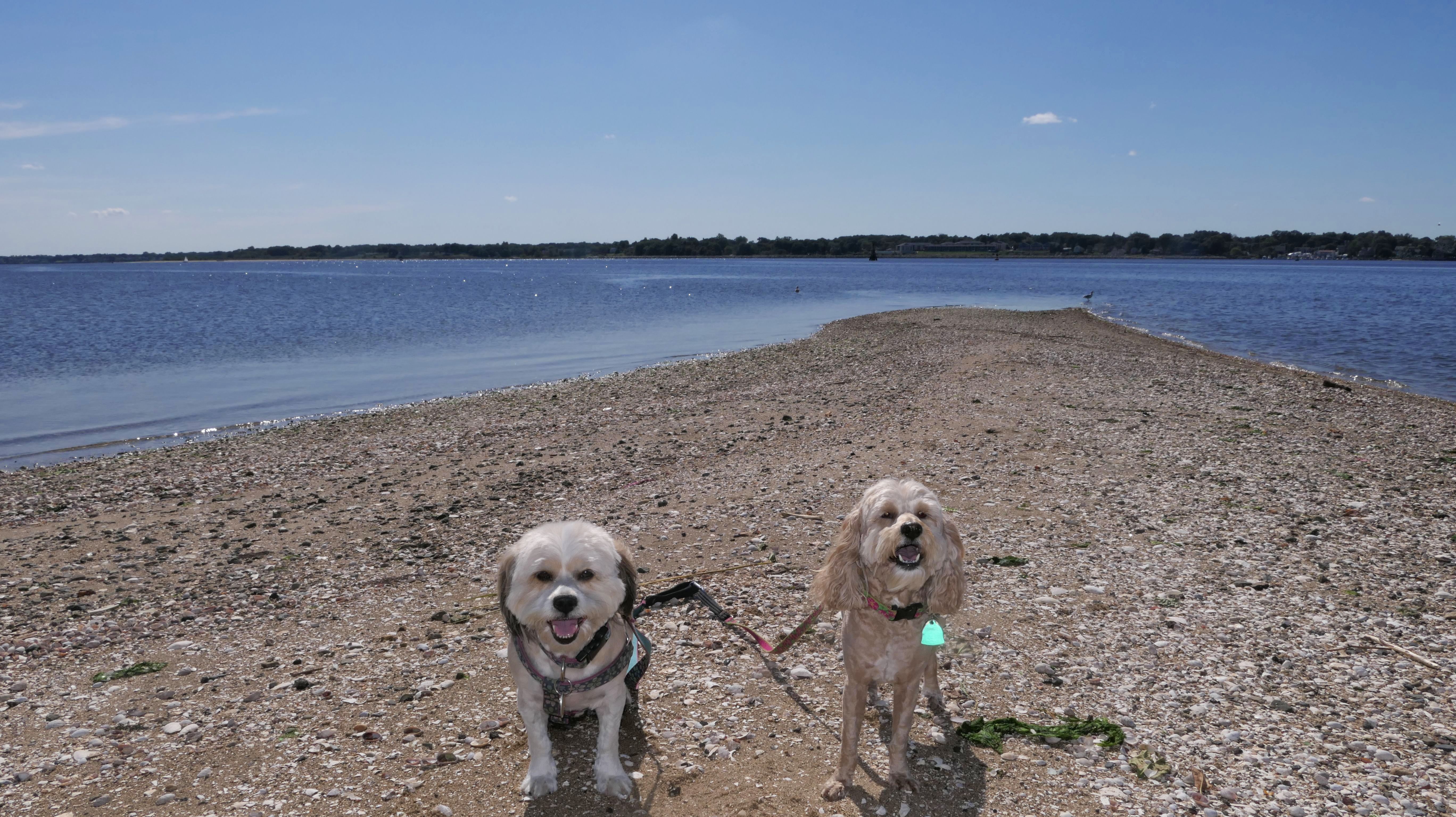
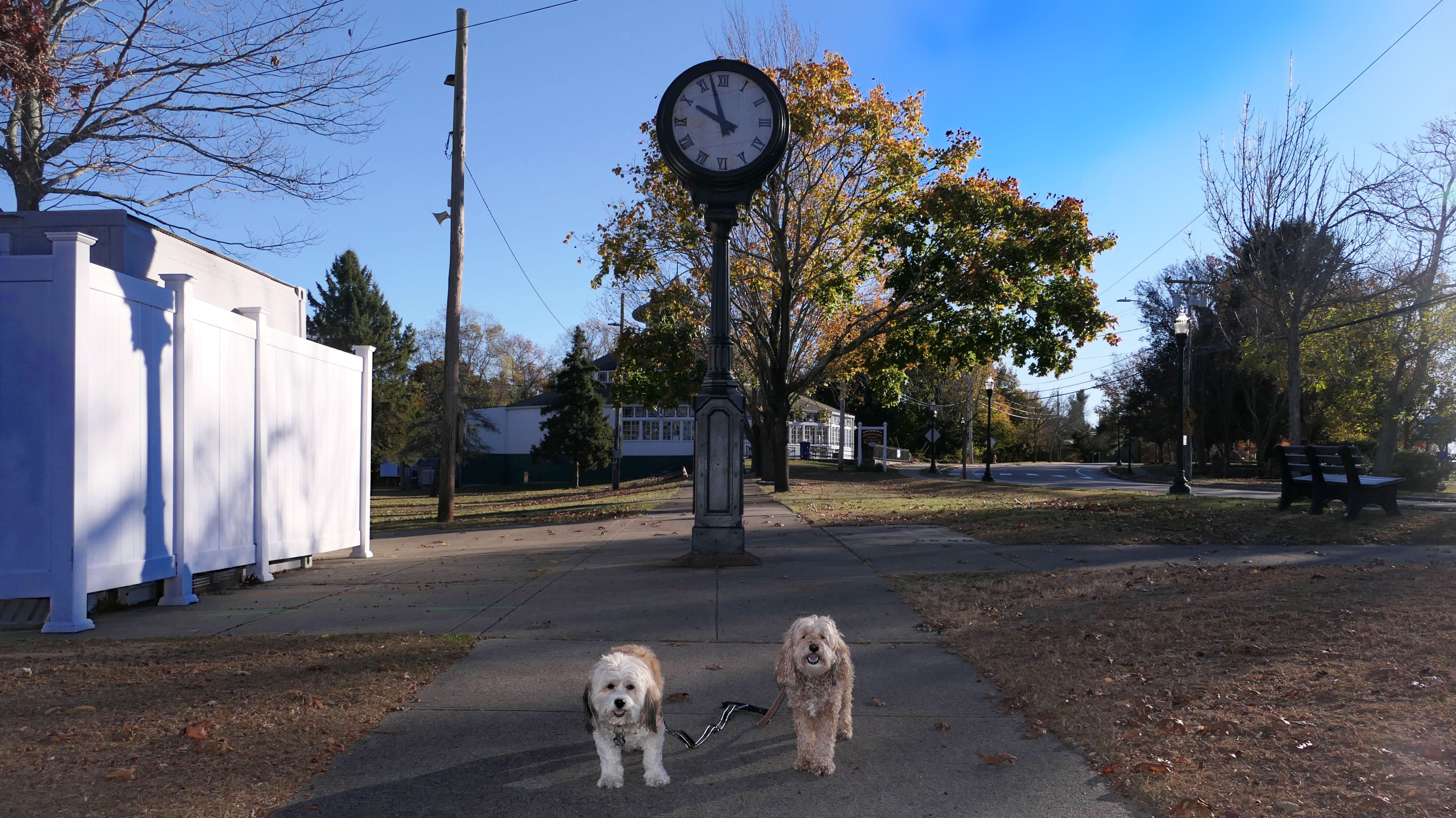
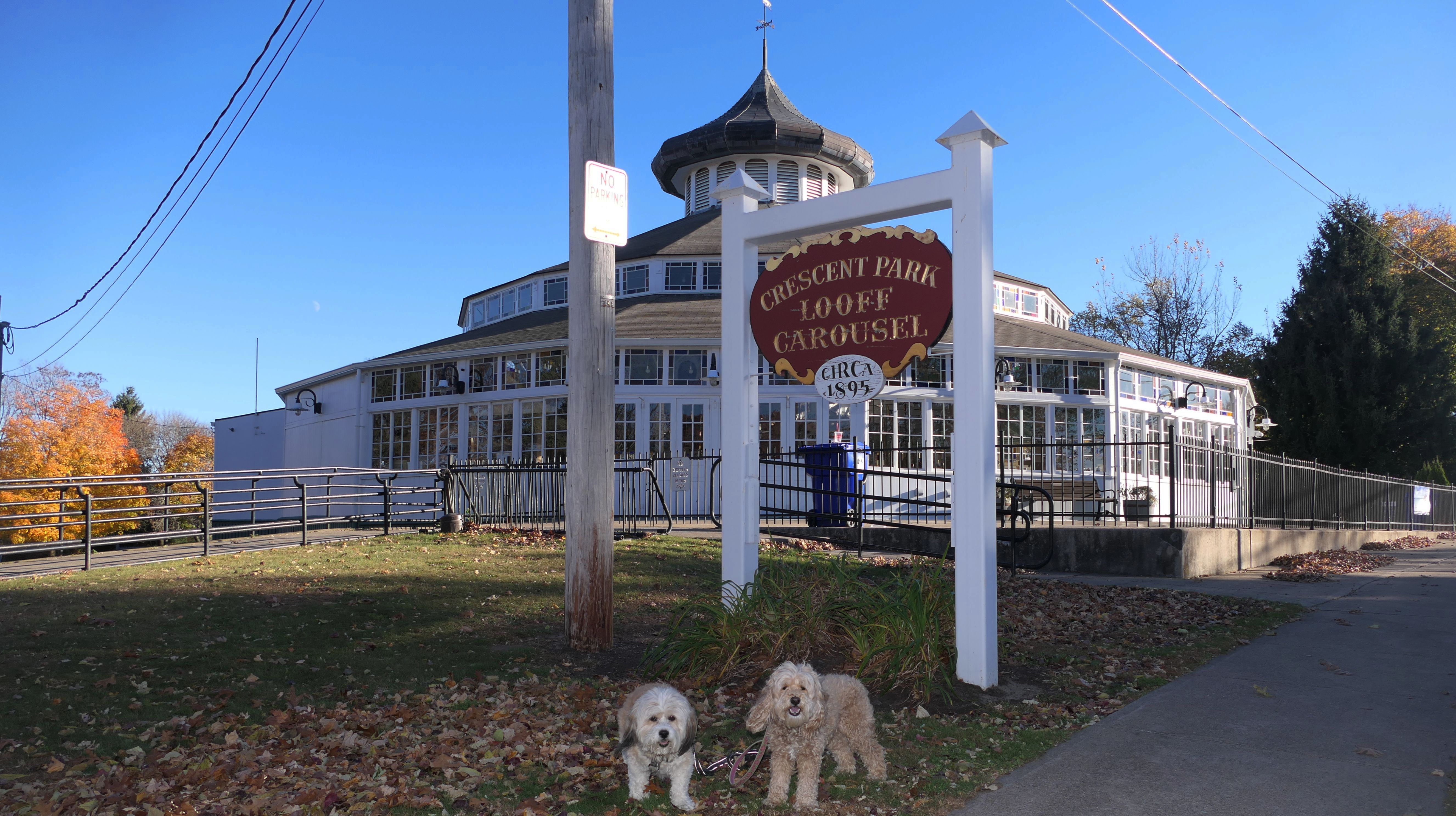
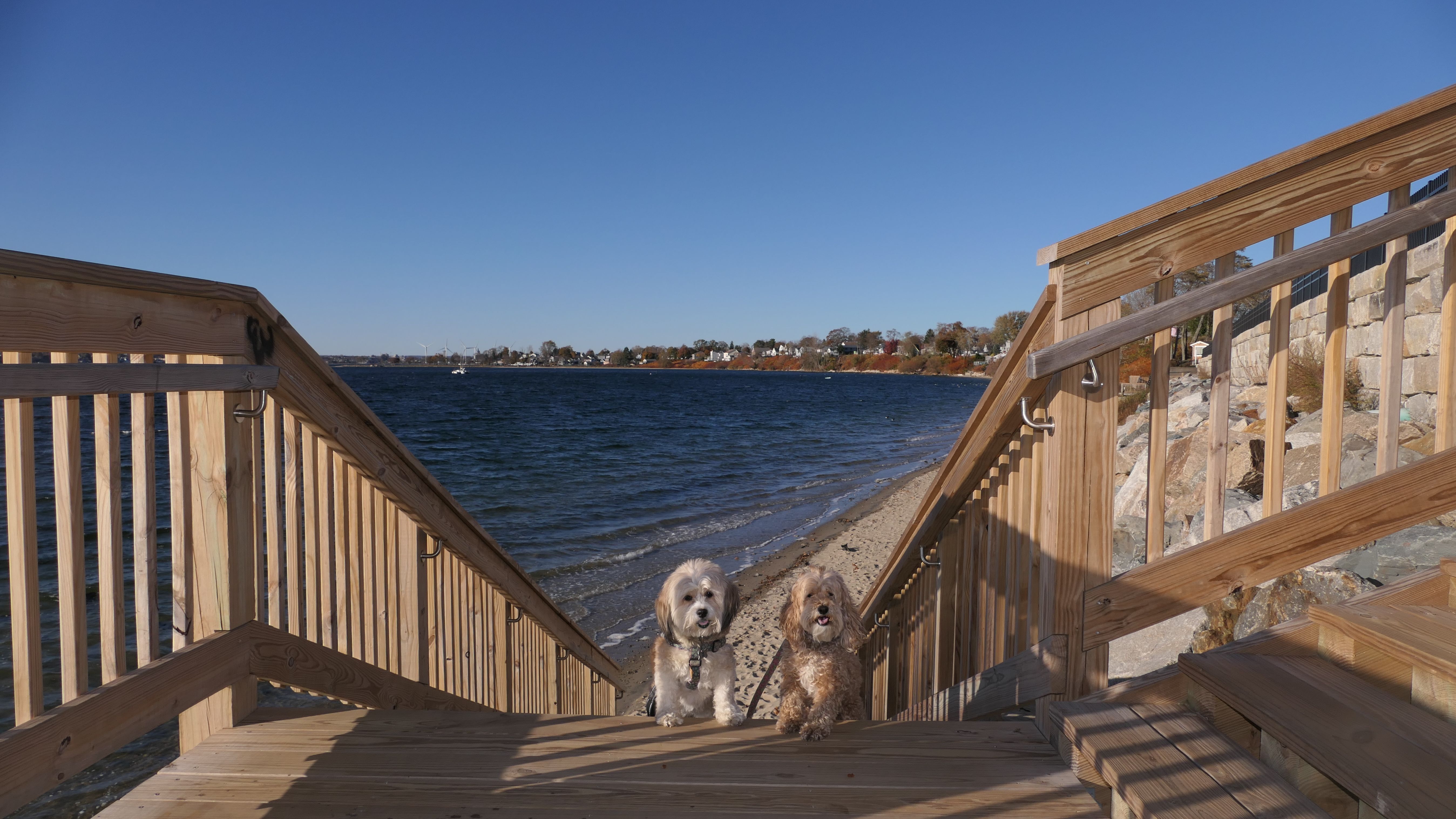
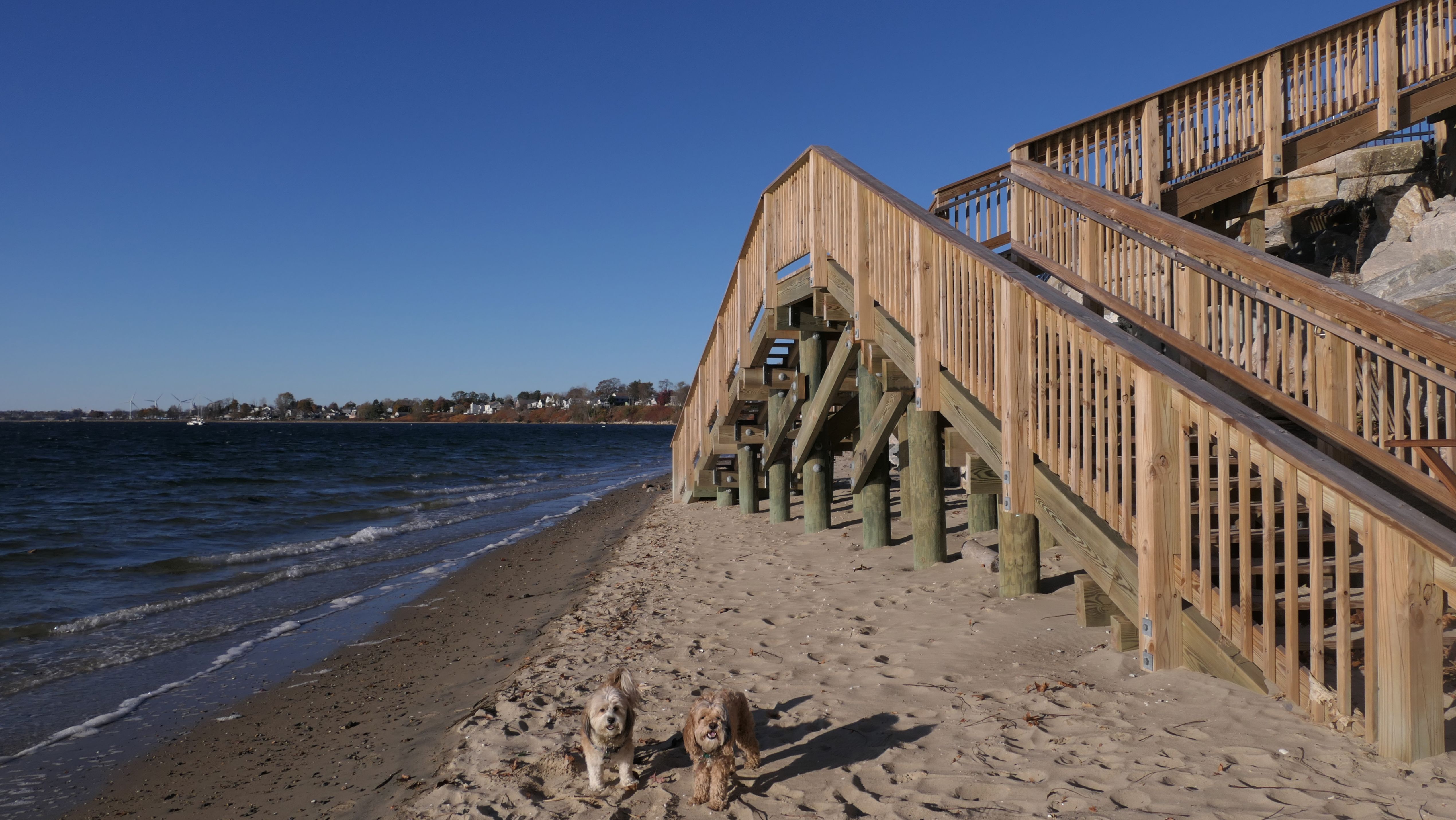
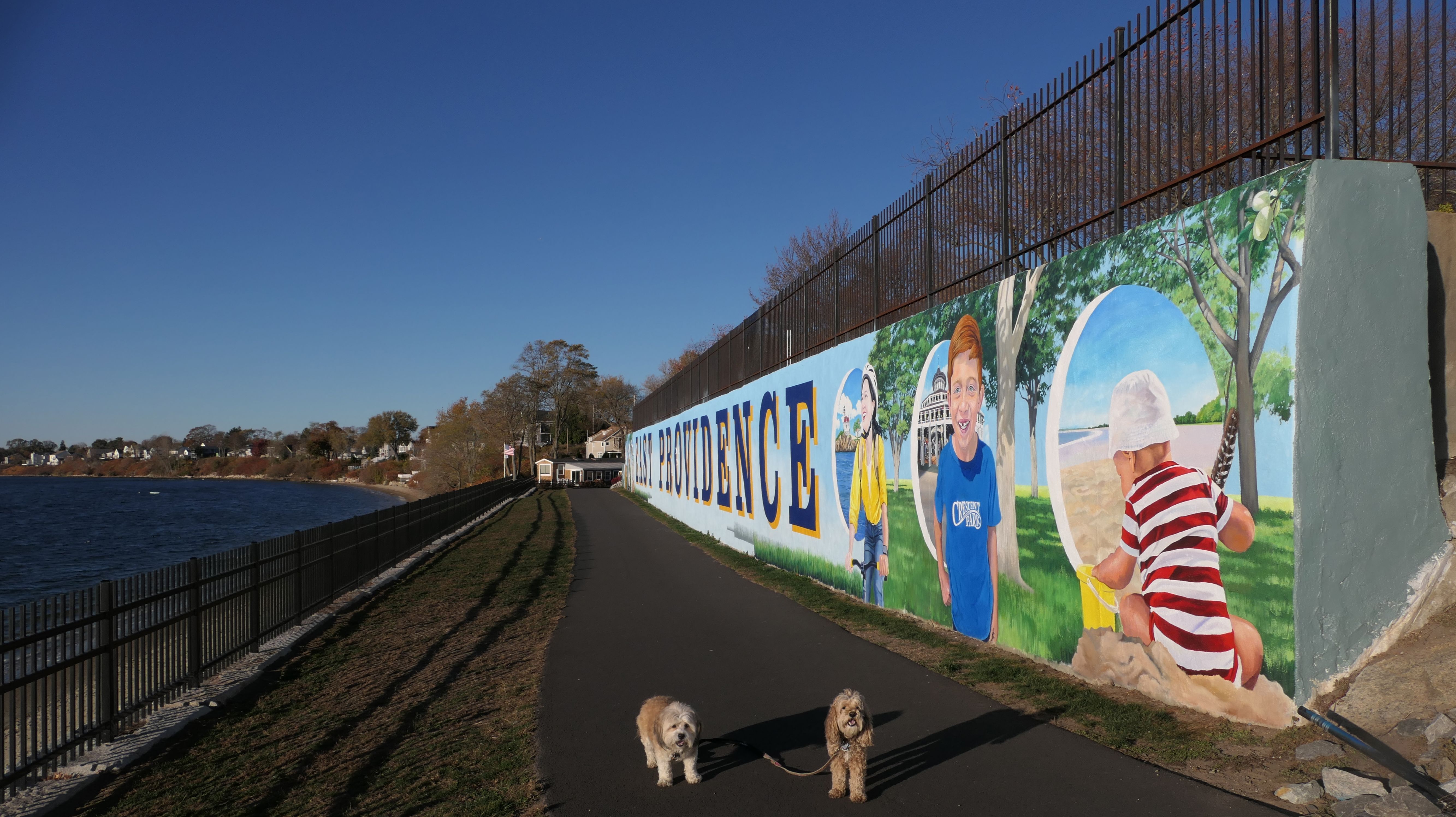
Rose Larisa Memorial Park & Beach
Date visited: 11/9/2024
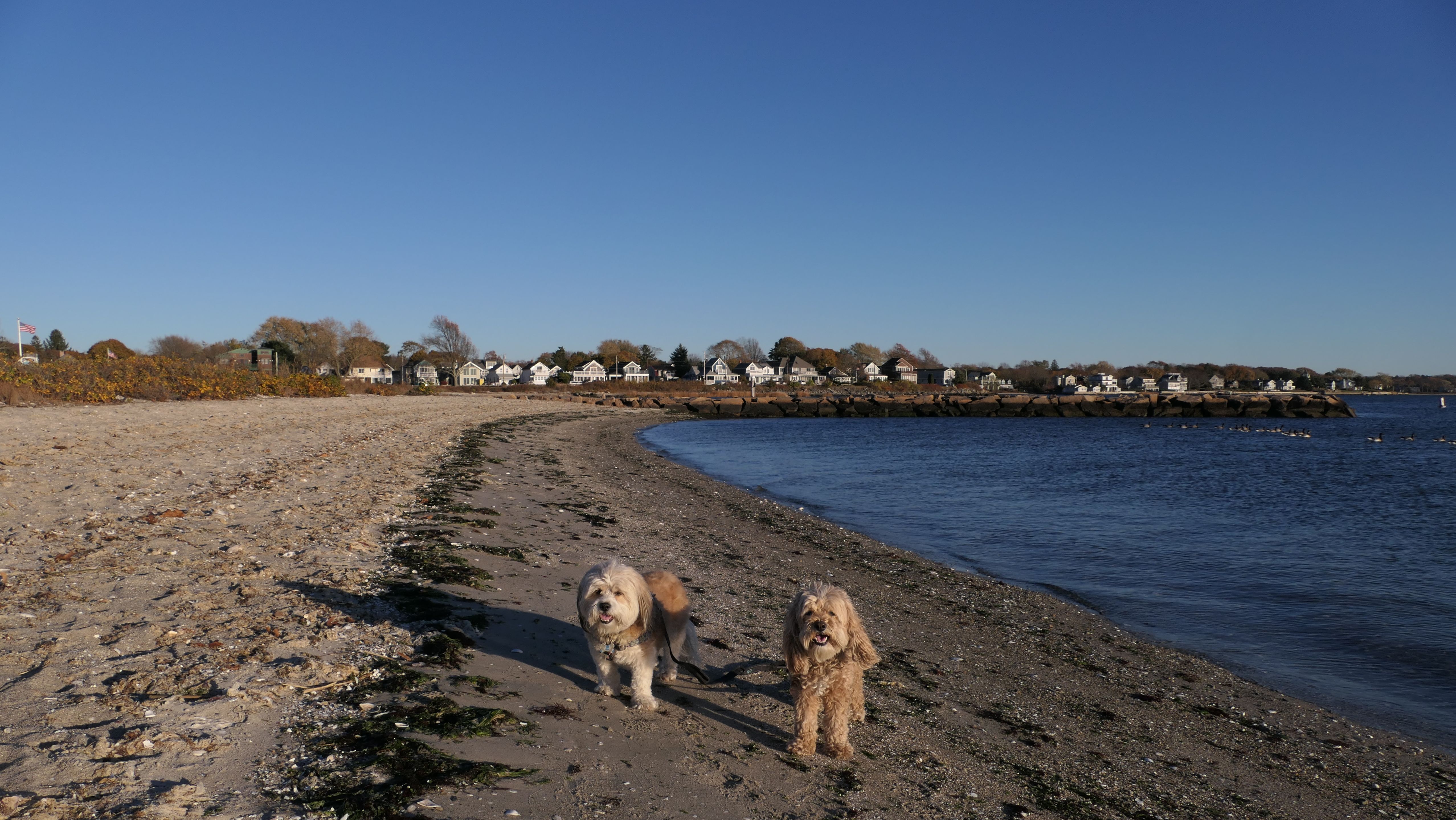
This park is also known as "Crescent Park". It is built on the site of an old amusement park that opened in 1886 and ran until 1979. The only remnant of the amusement park left is the carousel, which is still operational. The rest has become a park with walking trails and picnic tables, with access to a narrow beach. Oddly enough, we saw the "East Providence" mural that faces the bay the day before our visit here, while we were across the bay at Gaspee Point in Warwick. After walking the park and the length of the beach, we walked through the neighborhood (known as "Narragansett Terrace") and headed to "The Jetty" in order to get some additional steps.
More Images

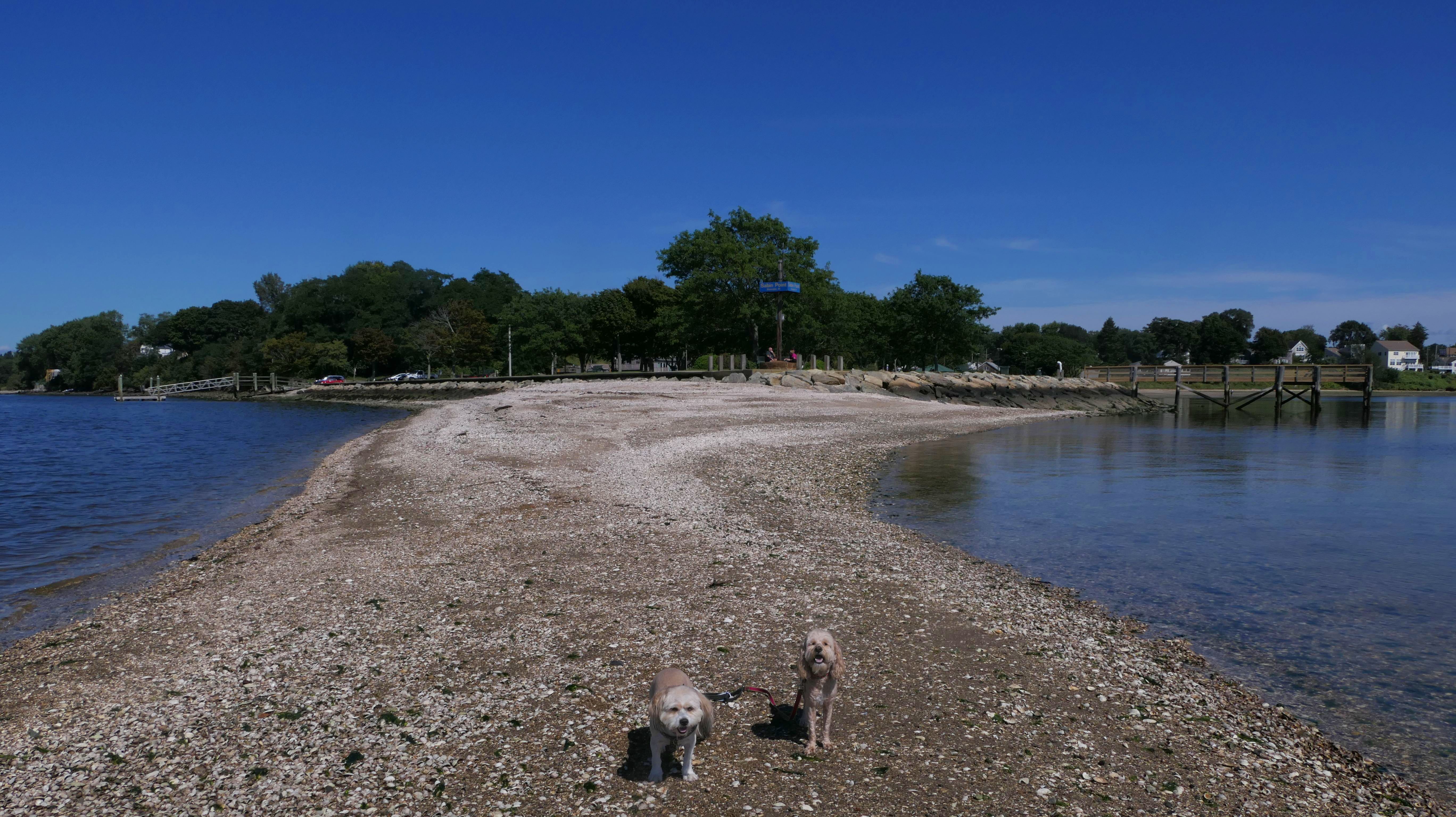
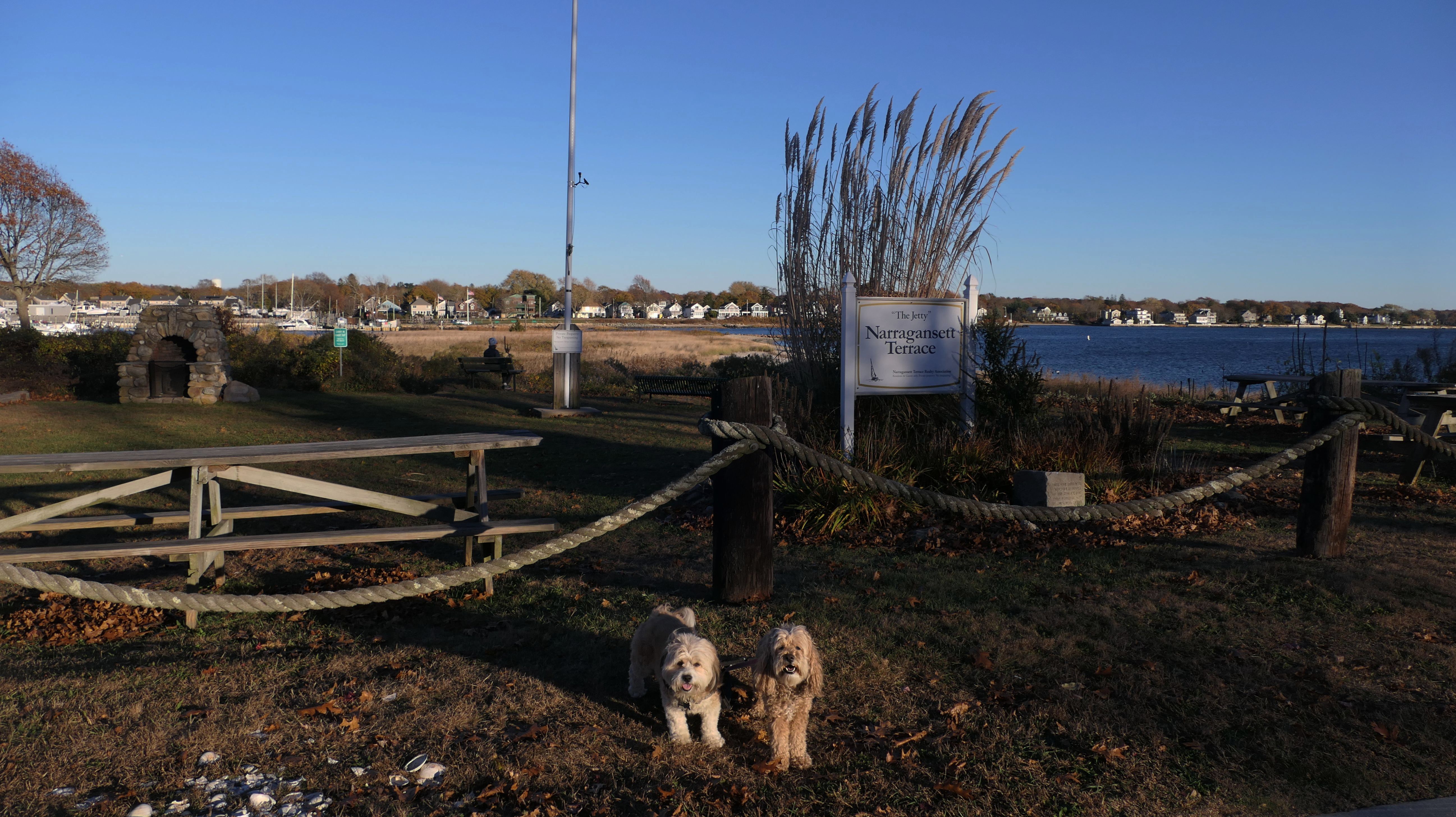
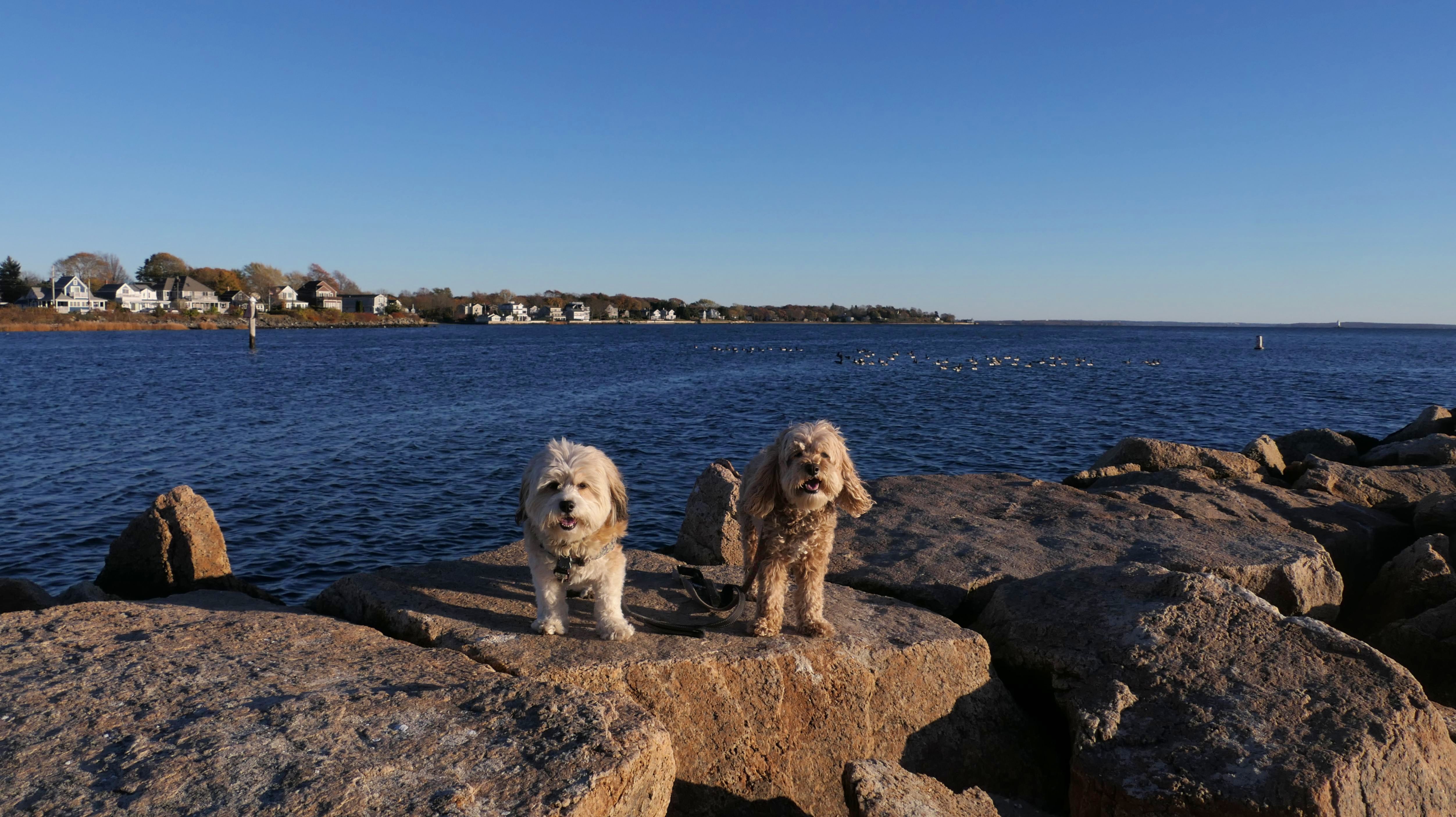
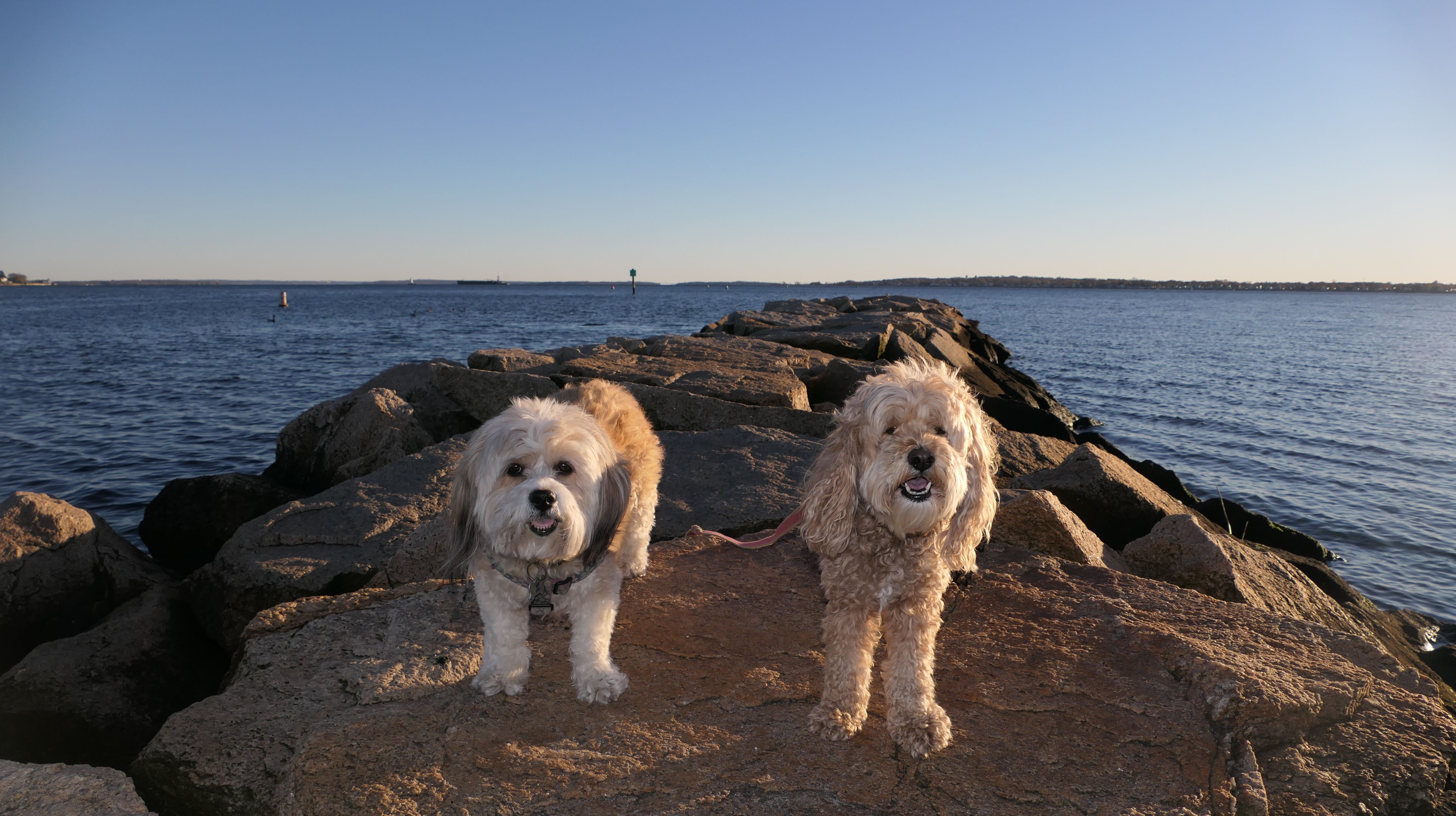
Narragansett Terrace Jetty
Date visited: 11/9/2024
This is a small, private park for Narragansett Terrace residents and guests. There is a trail from the park that leads to the jetty and a small beach area. Some maps put the jetty and beach in the town of Barrington, but I consulted the official town map from East Providence's website to confirm that it is in fact located in East Providence.
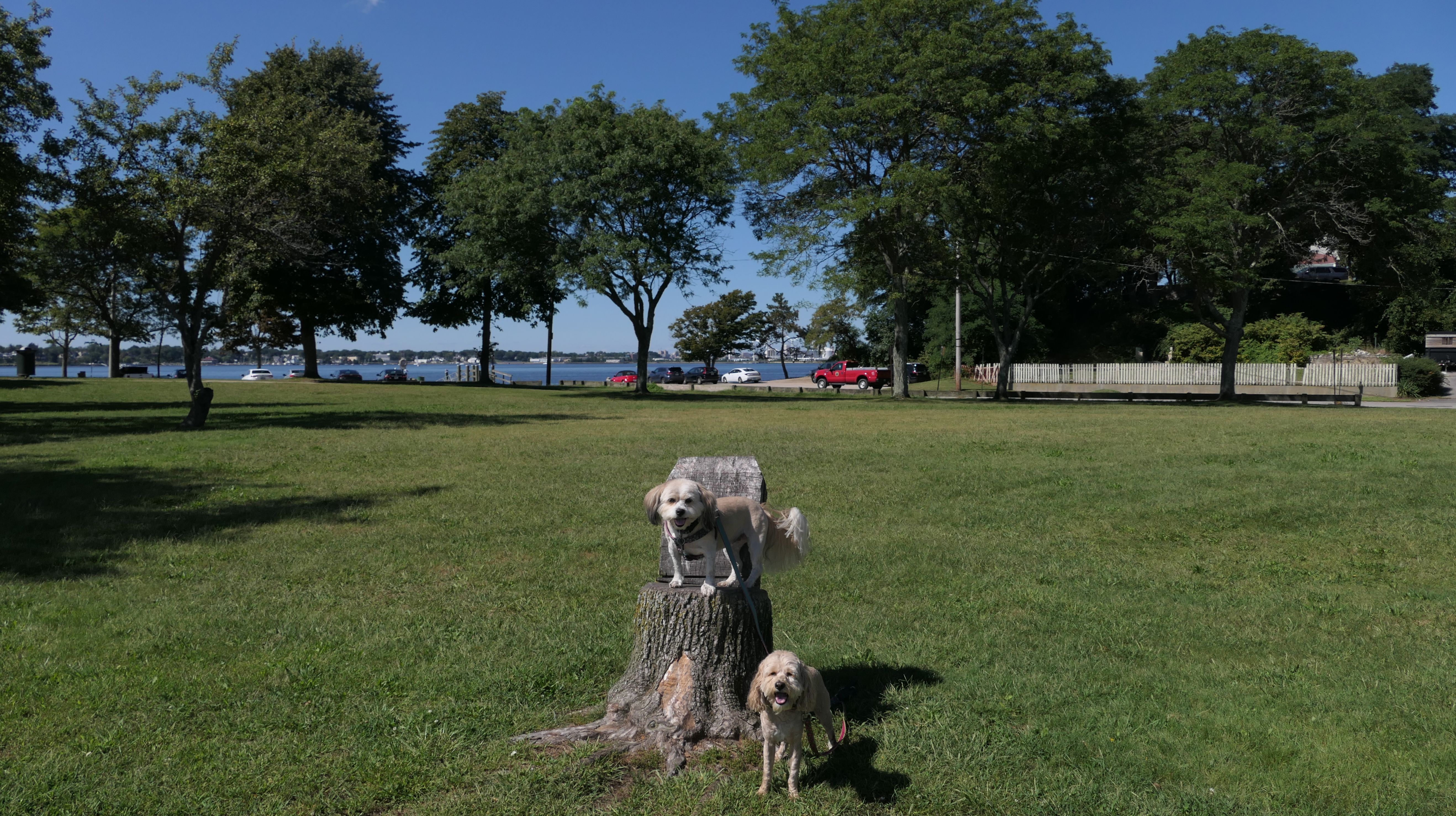
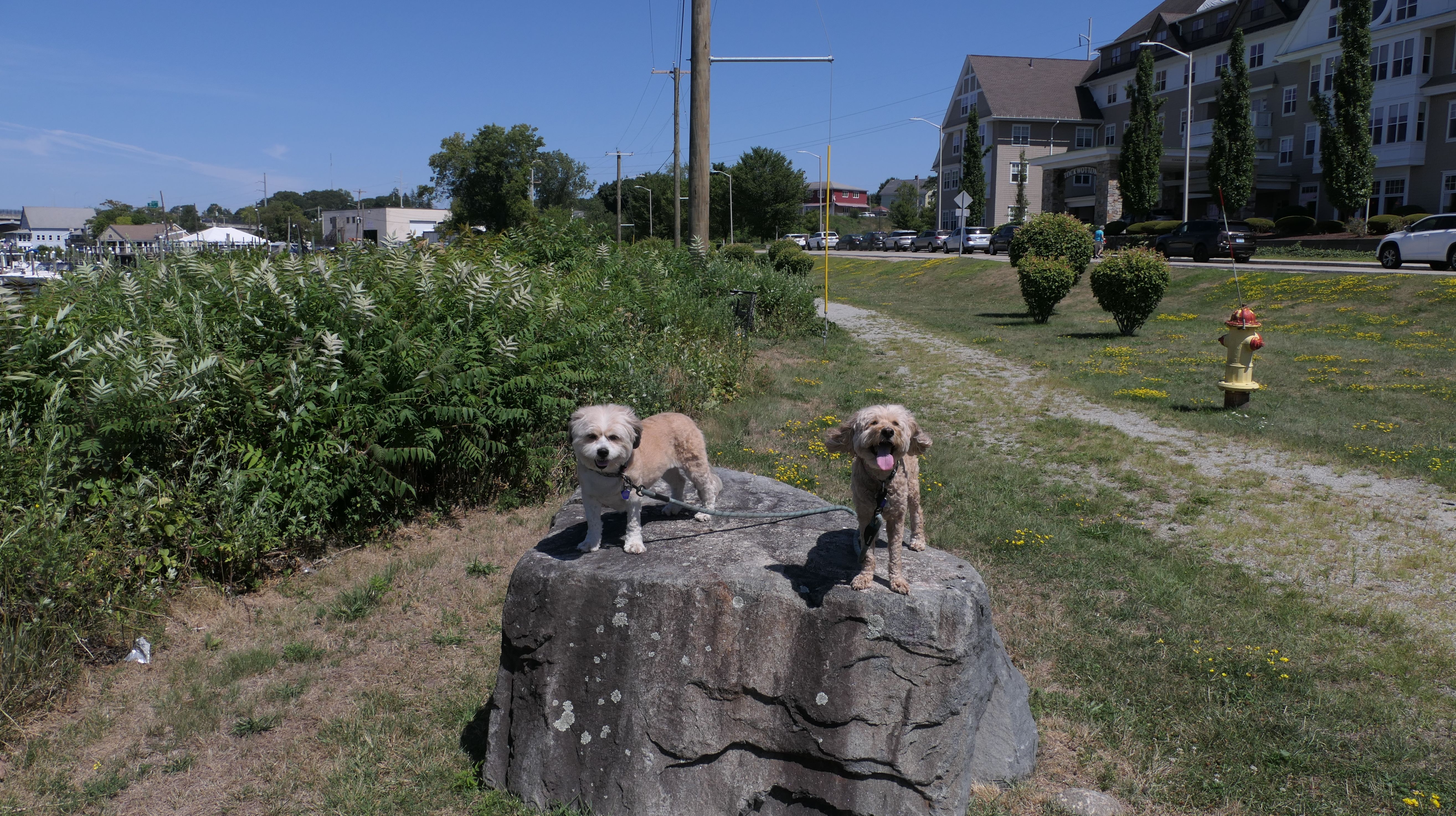
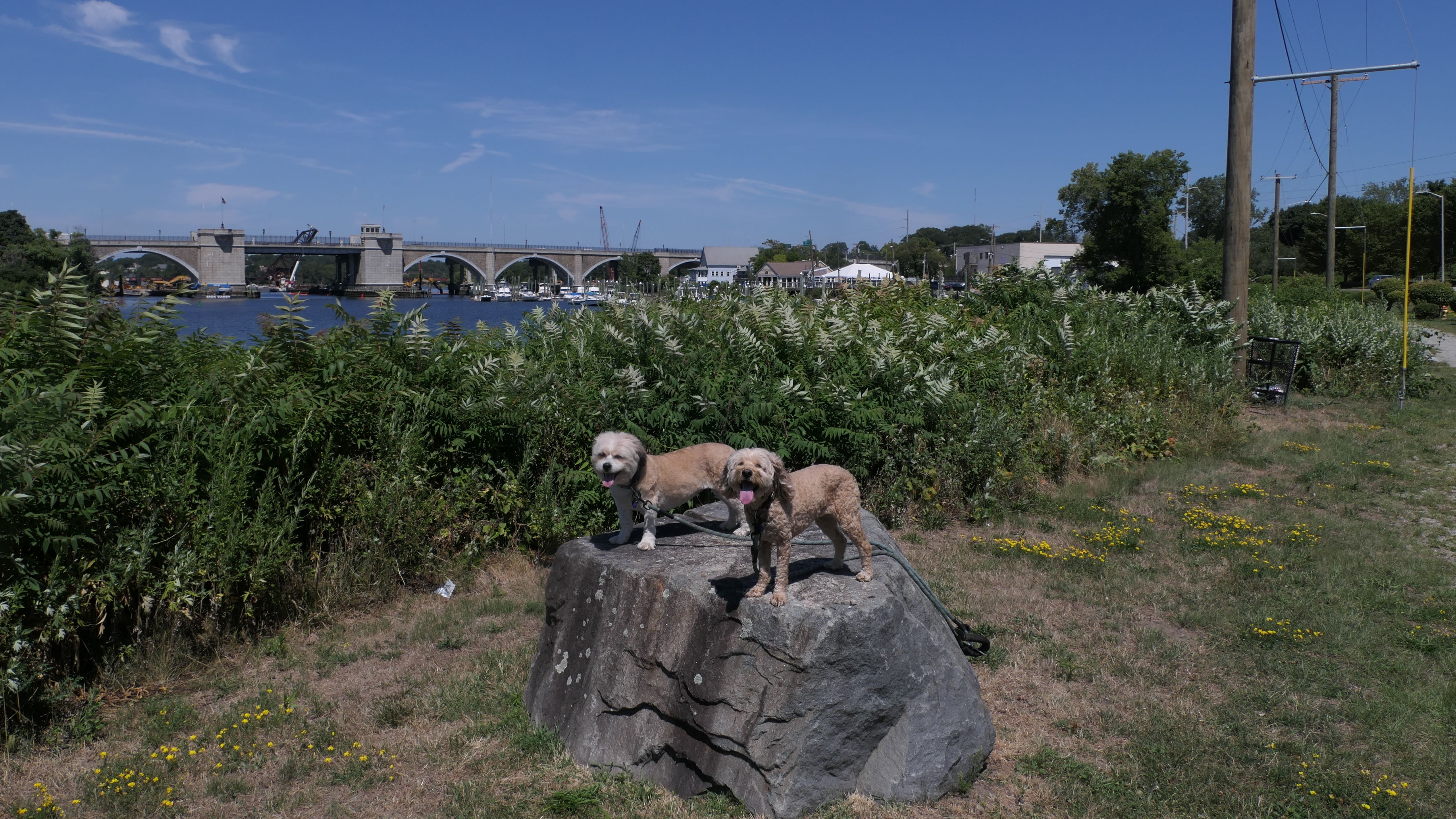
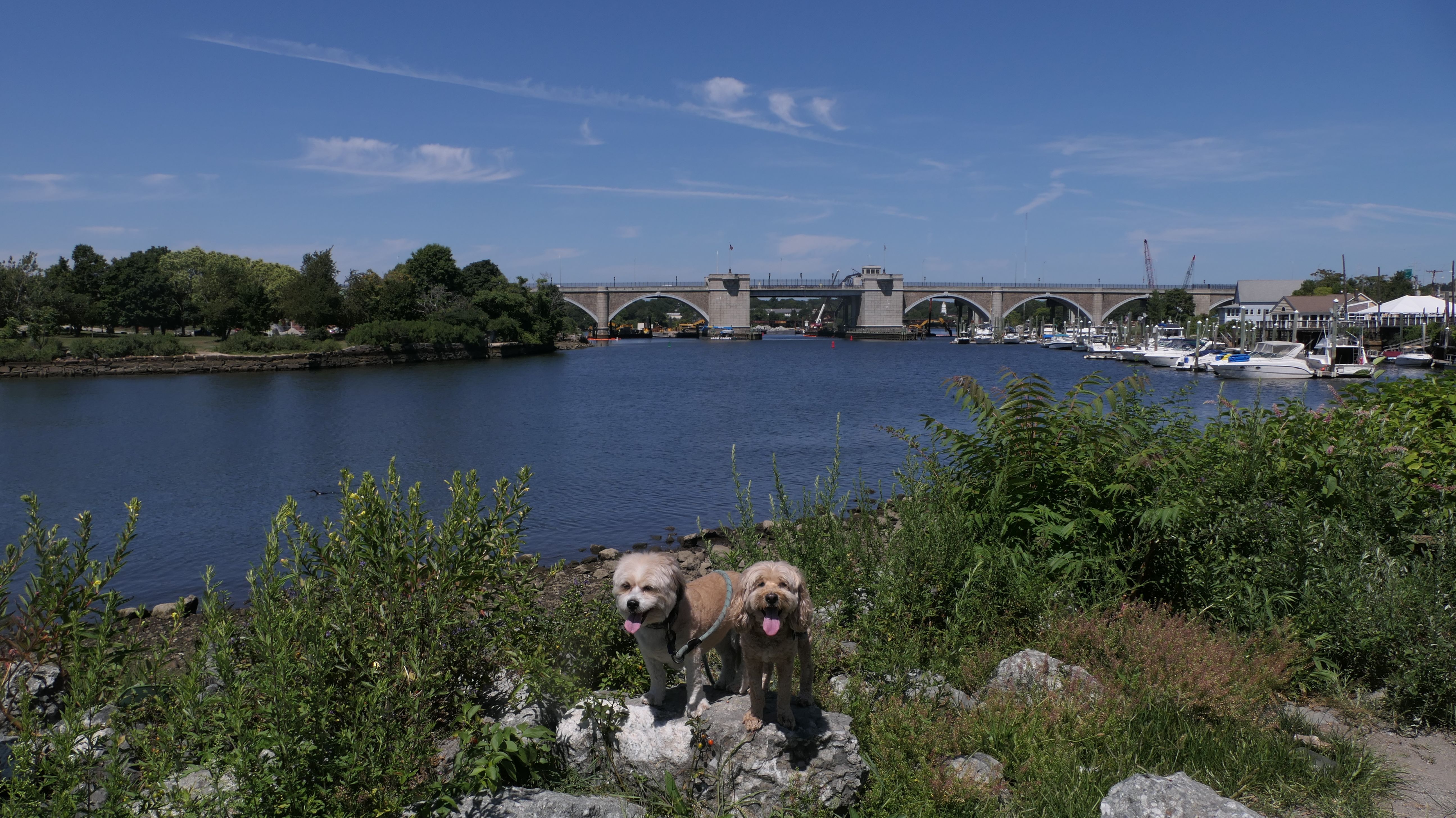
Bold Point Park
Date visited: 8/8/2025
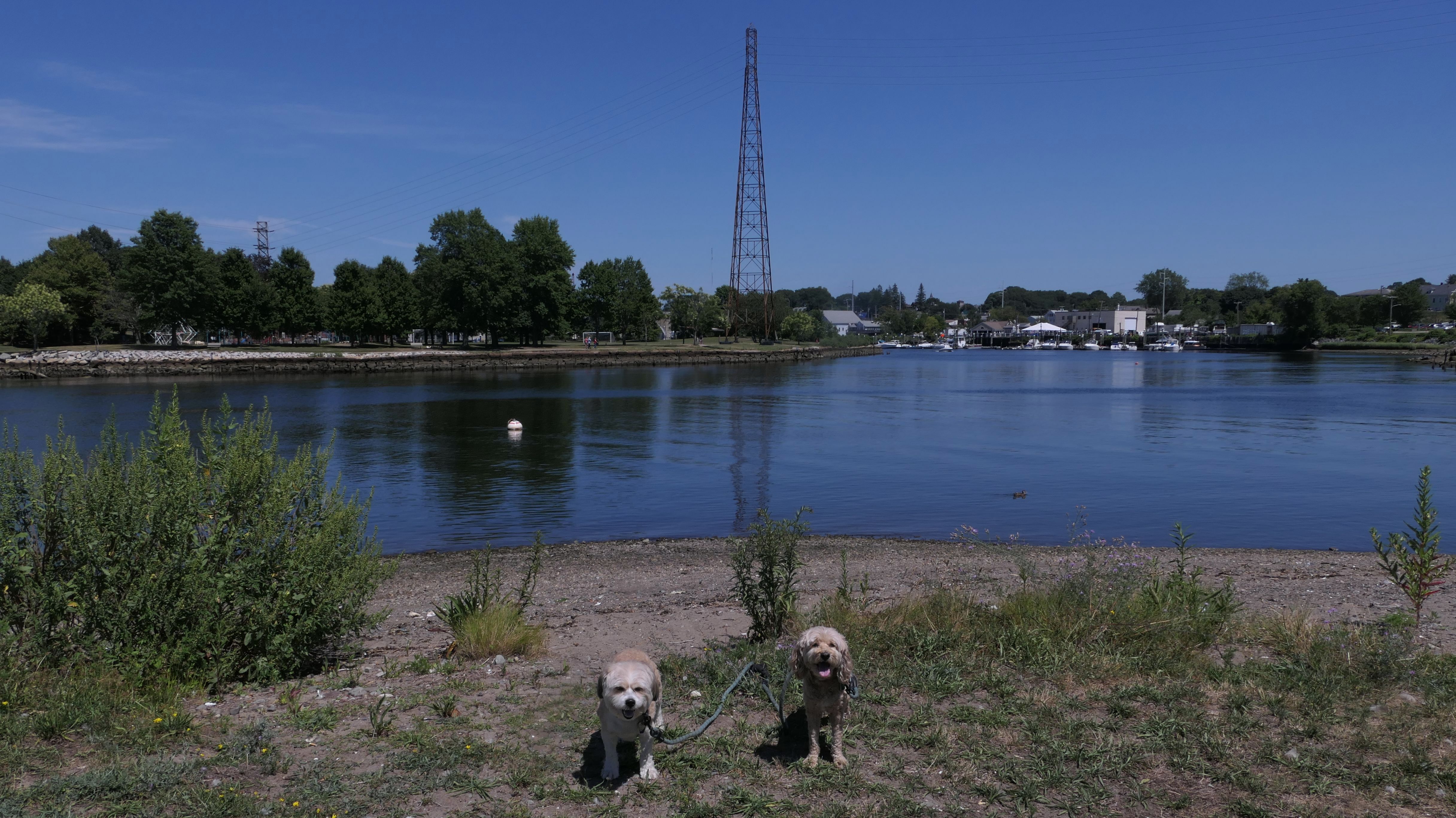
This is a town park at Bold Point. There is a short paved walking path, benches, and a boat launch. There is also a trail along the shore, but it is overgrown and littered with trash. There used to be concerts here, but I'm not sure exactly where. I saw no signs of a stage, or anything that resembled a stage nearby. The next lot over was under construction. Perhaps that is where they were held? (I actually had a ticket to a show here back in 2019, but didn't make it because of a last minute trip to England). The parking area and the picnic area appeared "new". The pavement and cement looked like it was laid down recently. Of course, Mandy and Lexi cooled off in the water. We also walked over to Tockwotton Park, another nearby waterfront park.
More Images
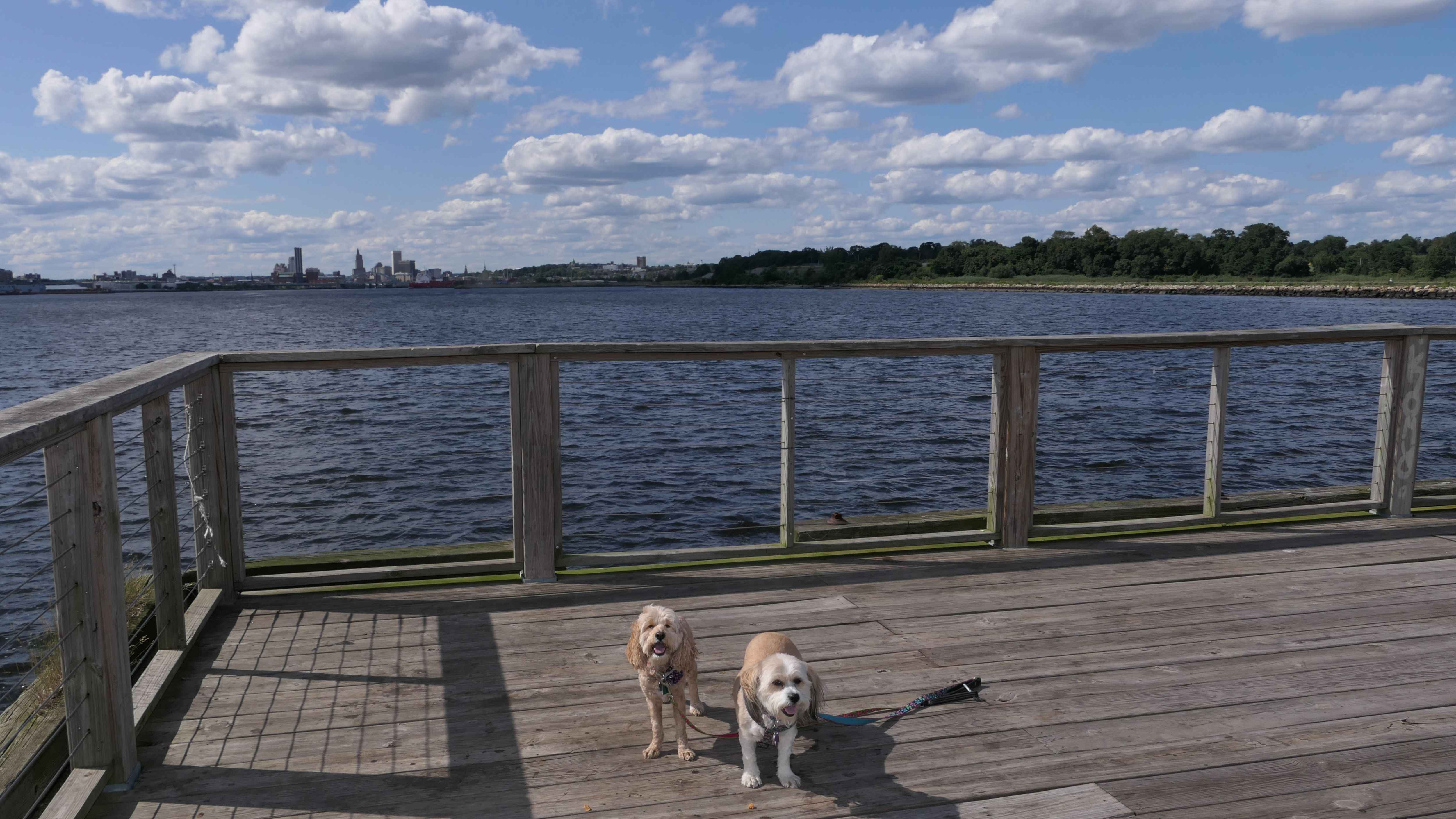
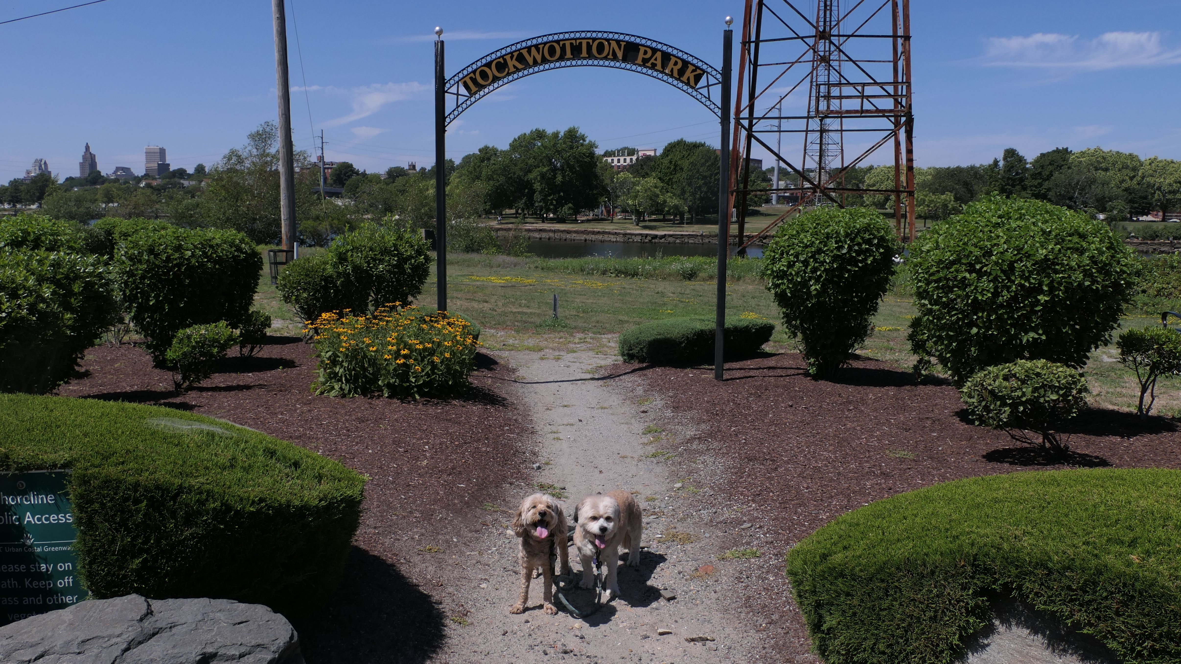
Tockwotton Park
Date visited: 8/8/2025
This is a small waterfront park, right next to Bold Point Park, across the street from "Tockwotton on the Waterfront", an assisted living facility. There's sort of a path along the river, with views of the Washington Bridge and India Point Park across the river.
More Images
Turner Reservoir
Date visited: 3/2/2026
This was a fun hike—until it wasn't. The trail is a loop around Turner Reservoir, and I wasn't sure how passable it would be after the Blizzard of '26 dropped three feet of snow on the area just a week earlier. To my surprise, the parking lot had been completely cleared and the trail was nicely packed down, so at least at the start, it was an easy walk. The east side of the loop weaves in and out of Seekonk, MA (see the Seekonk page for photos from that section). The challenge comes when completing the loop requires a stretch along a busy road. The snow wasn't as well packed on the approach to the street, and Arcade Avenue in Seekonk was especially narrow since the plows hadn't fully cleared the edges. Near the corner of Newman Avenue there were sidewalks, but they hadn't been shoveled. Once we crossed back into Rhode Island, the shoulder was much better plowed and there was plenty of room to walk. Unfortunately, when we tried to rejoin the trail off Newman Avenue, it hadn't been packed down at all, so we detoured along side streets that connect to the Bridgham Farm Conservation Area, where we were able to pick up the loop again. In total, we covered about three miles, and aside from the road portion, it was an enjoyable hike, but I'm definitely ready for the snow to melt and for spring to arrive.


More Images


Bridgham Farm Conservation Area
Date visited: 3/2/2026
This an 18 acre meadow with a small dirt parking area near Turner Reservoir. We utilized the trail here to lead us back to the Turner Reservoir Loop Trail when we were forced to take some detours along some side streets. We encountered a few friendly dogs as we were passing through.

