◂︎ Mandy & Lexi's Rhode Island Adventures
Bristol
Colt State Park
Date visited: 7/4/2022
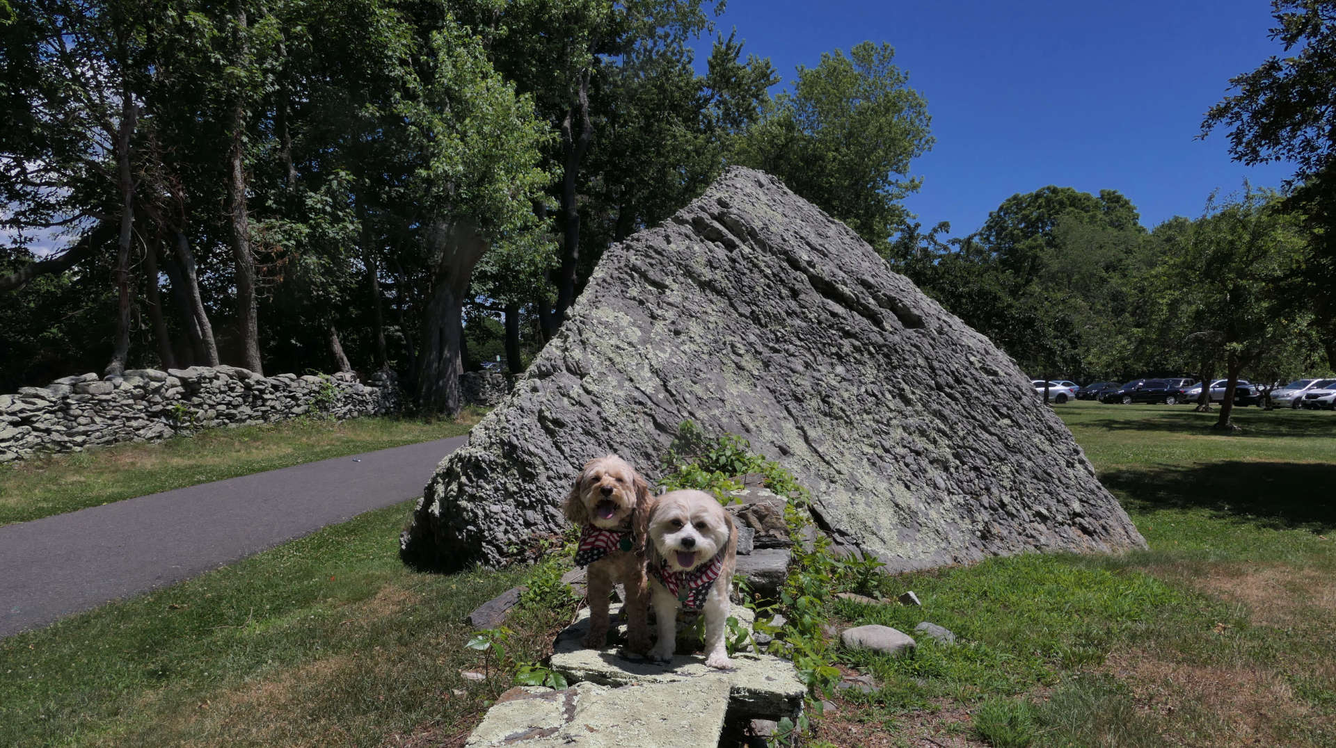
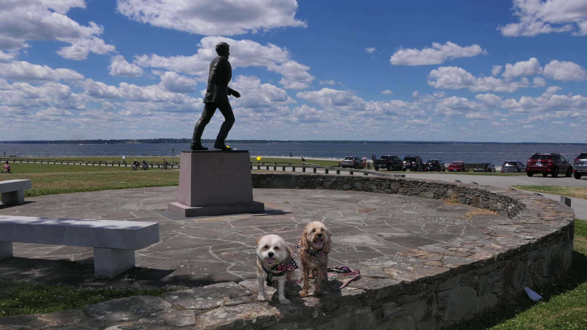
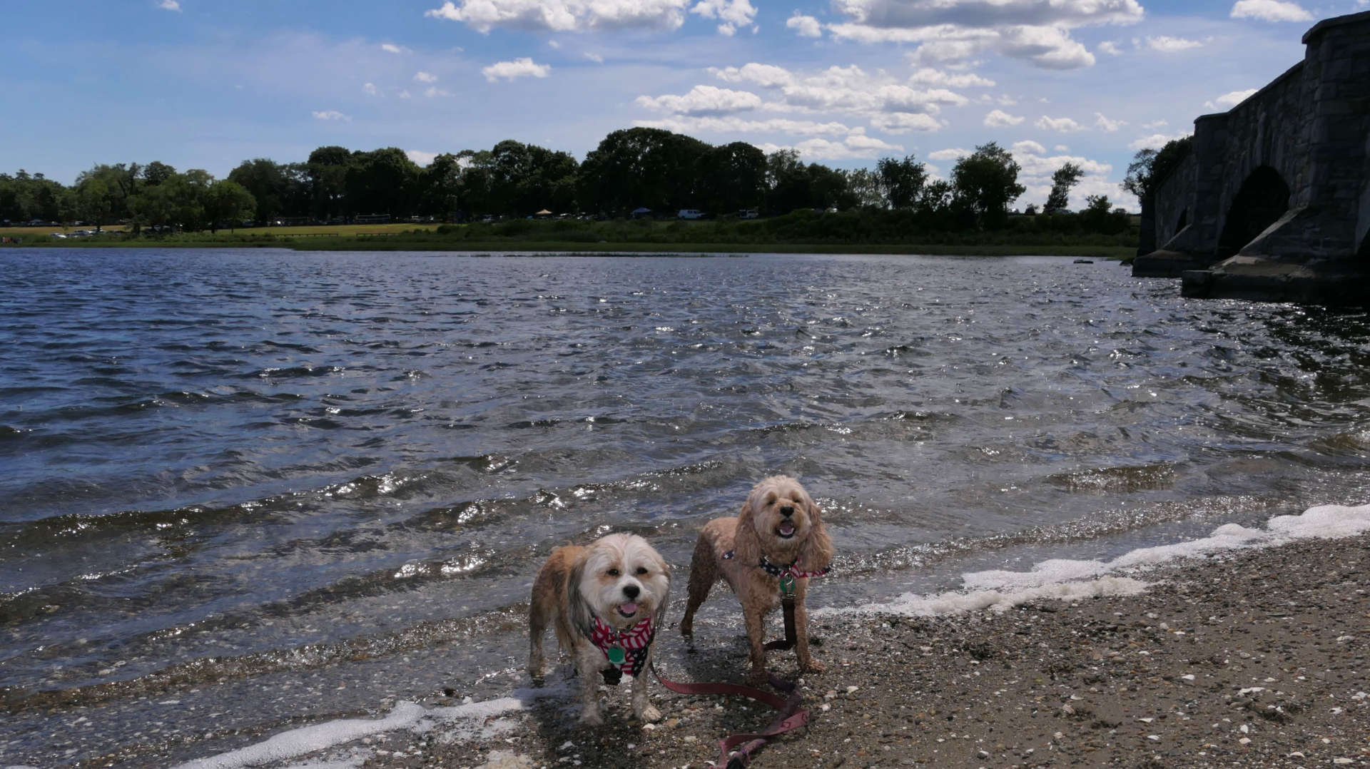
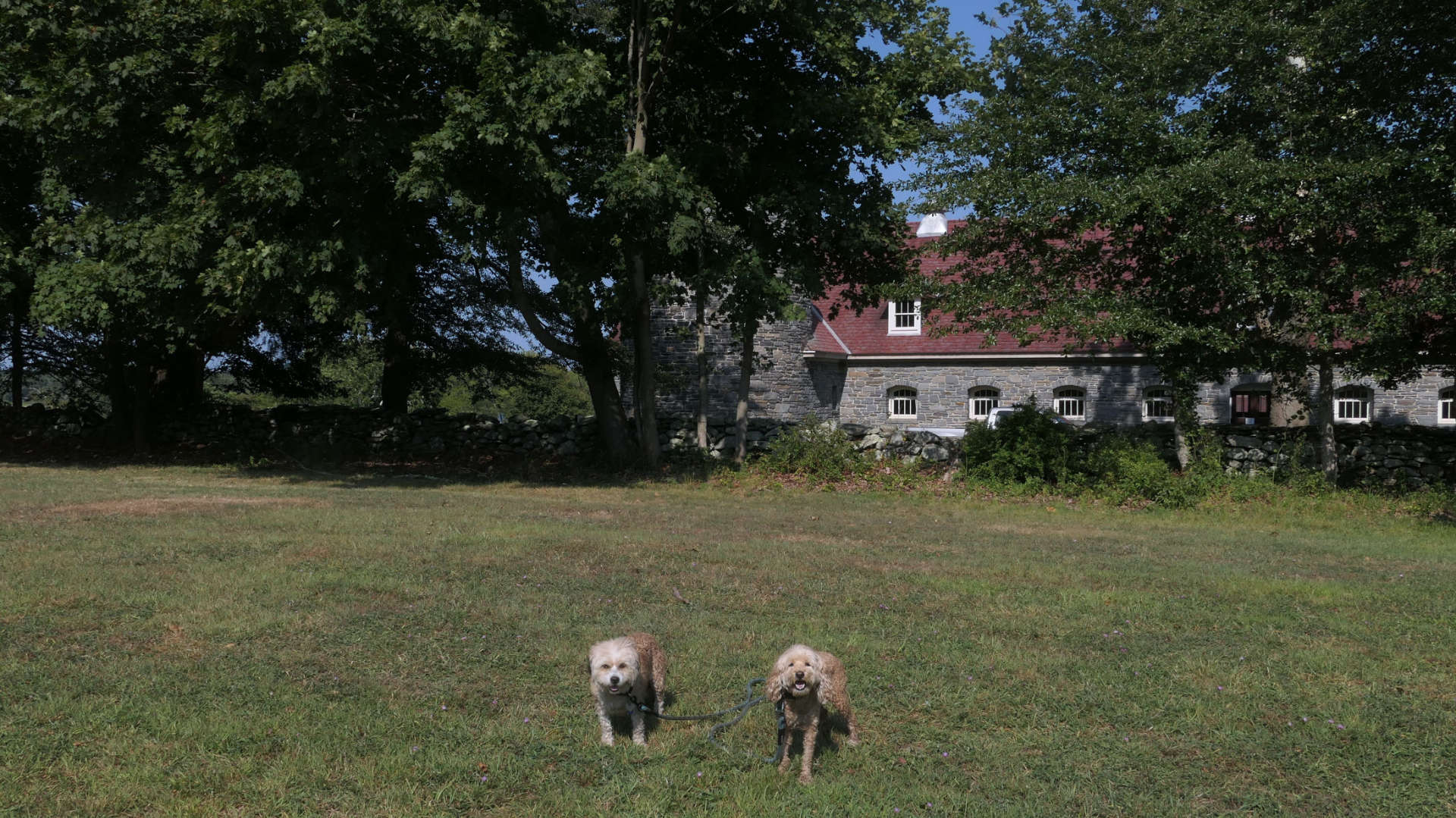
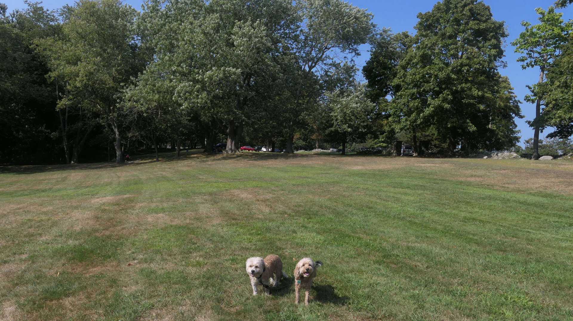
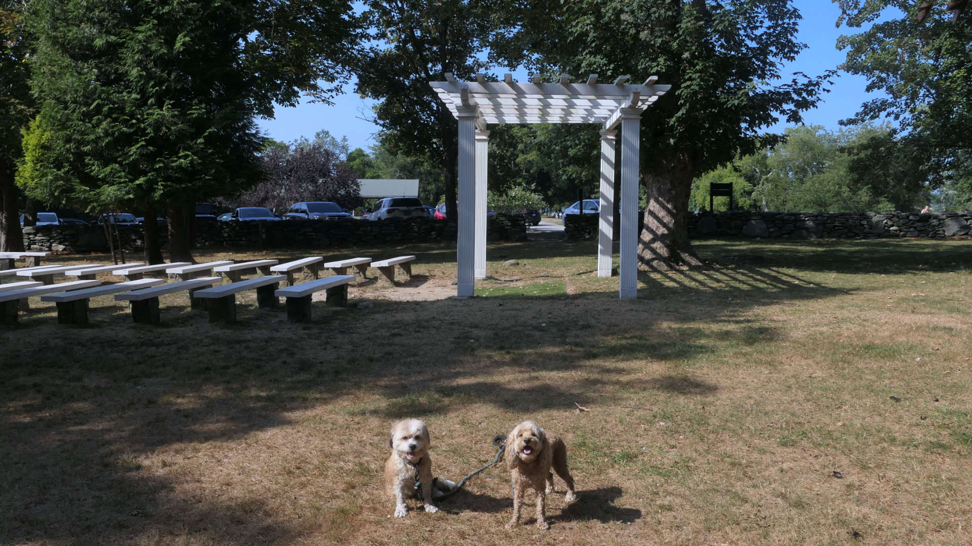
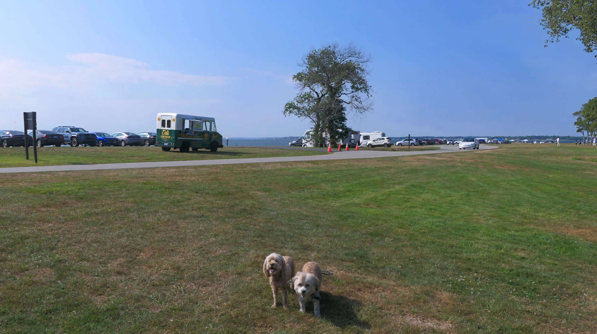
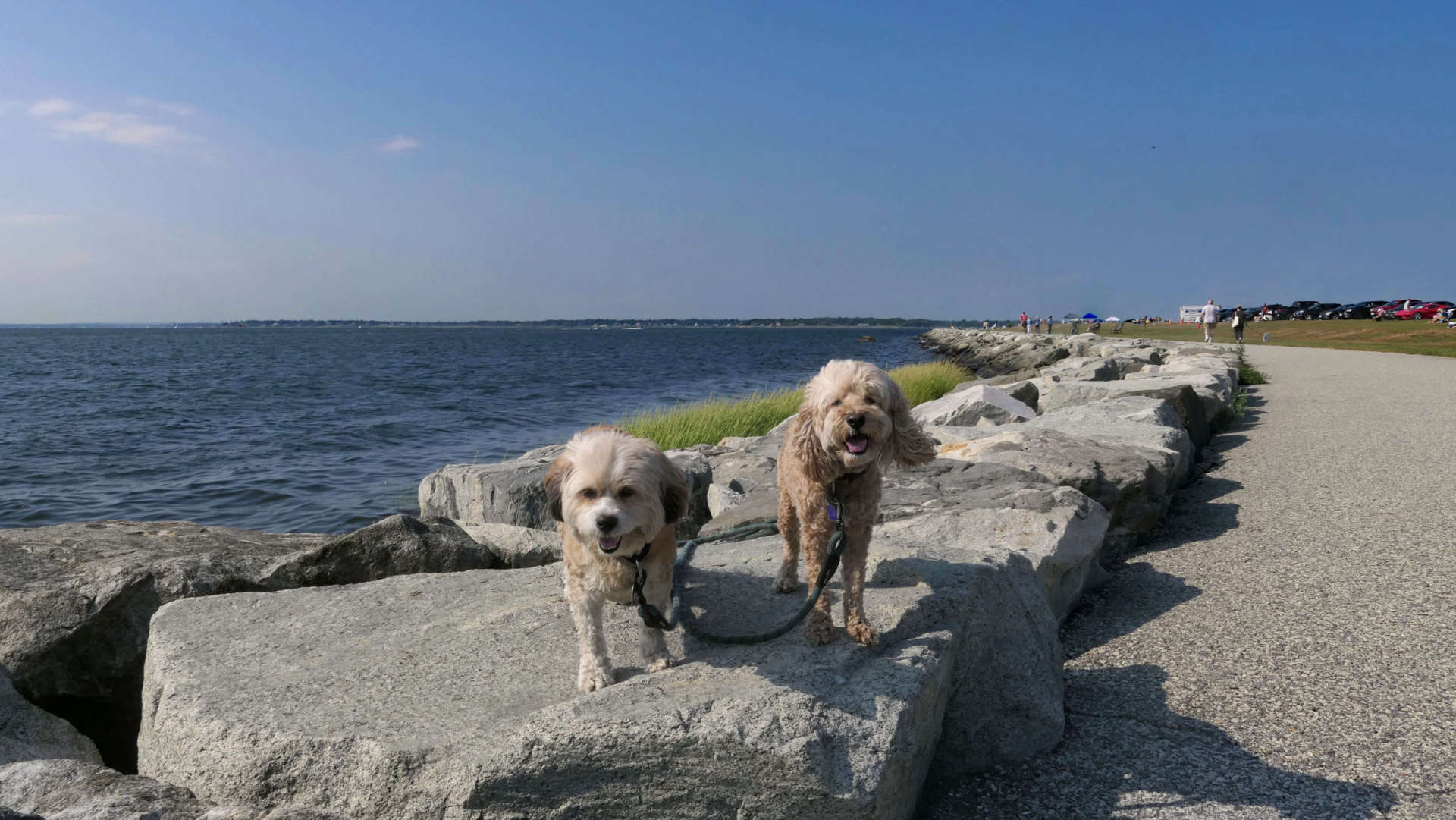
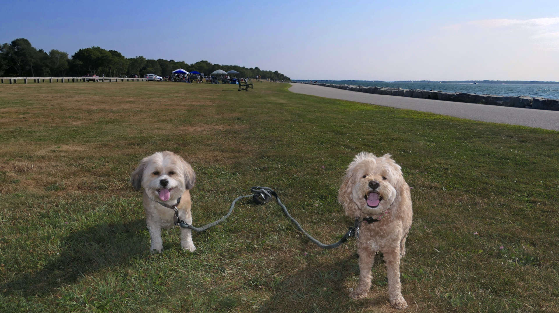
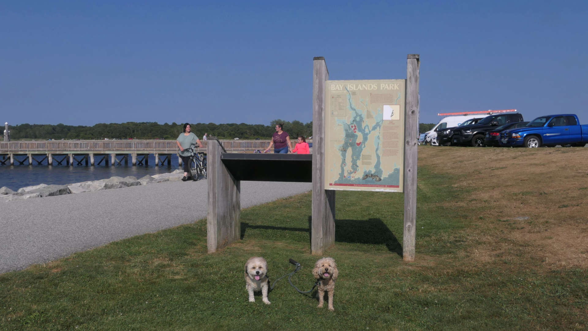
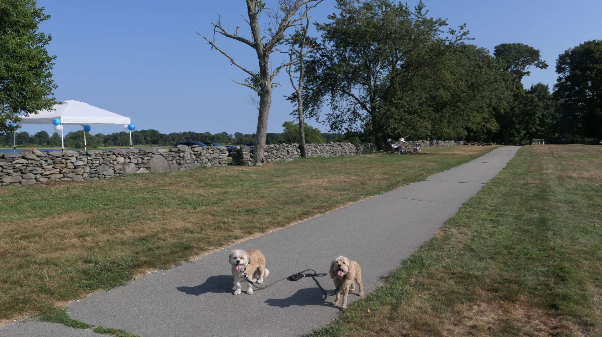
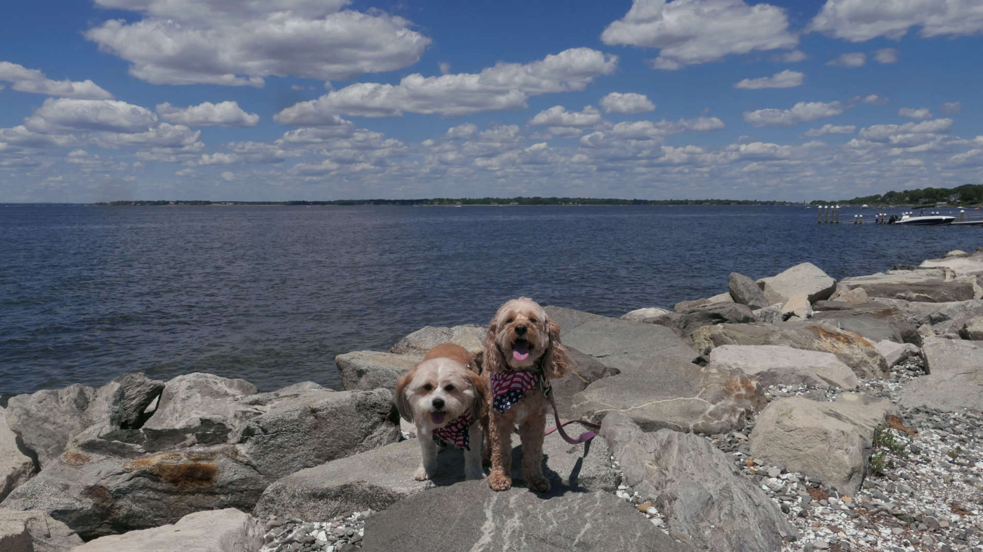
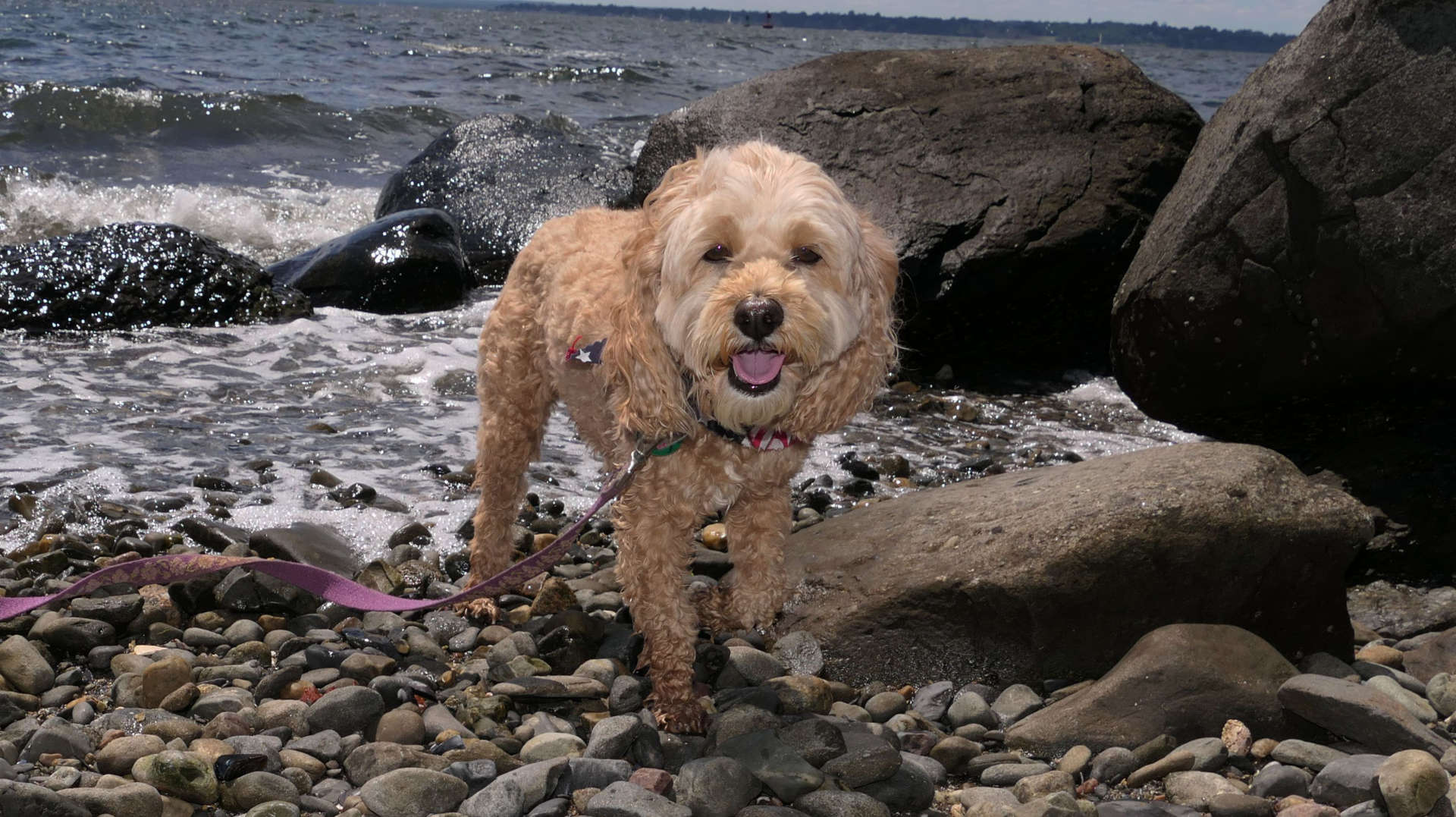
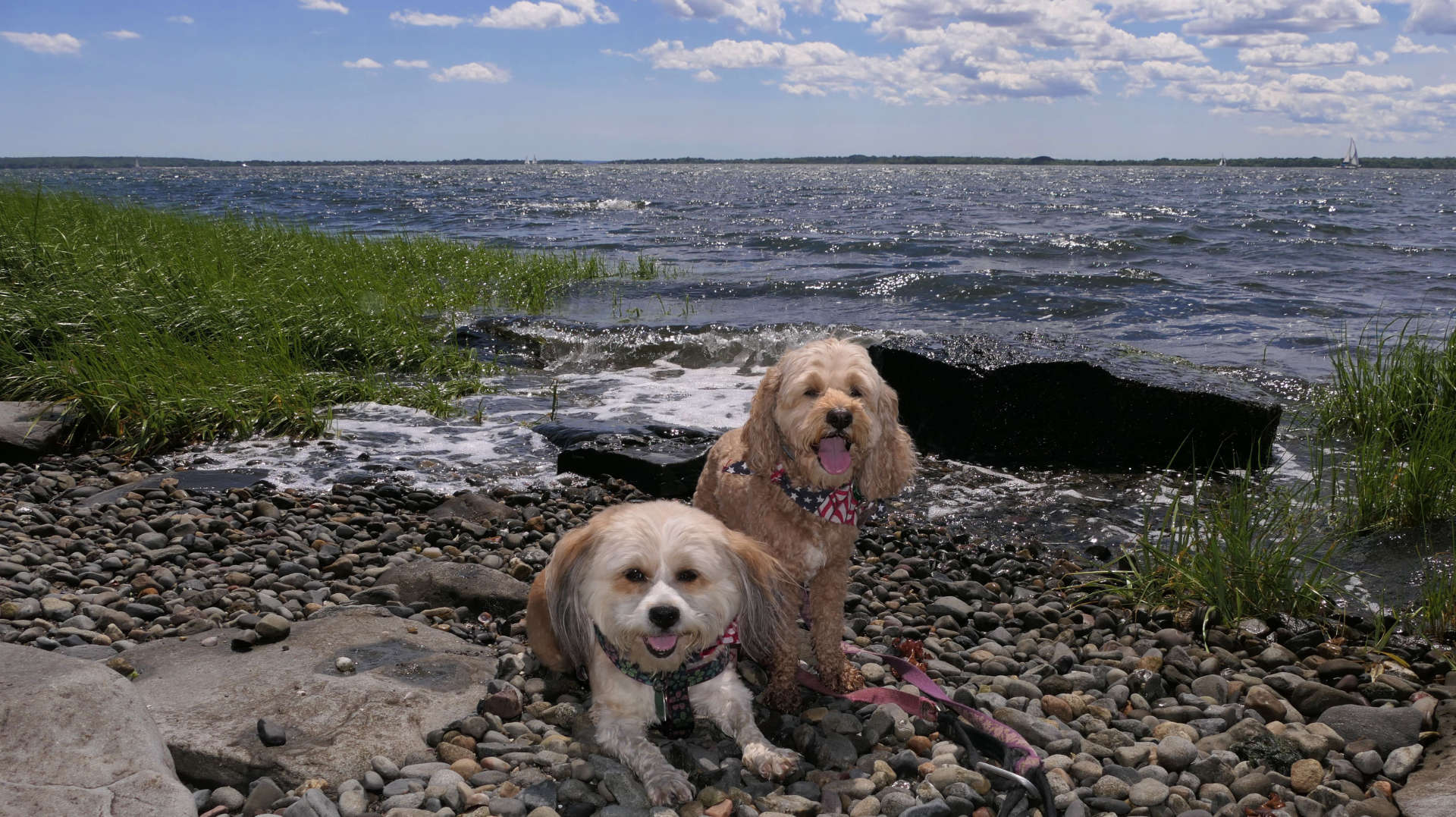
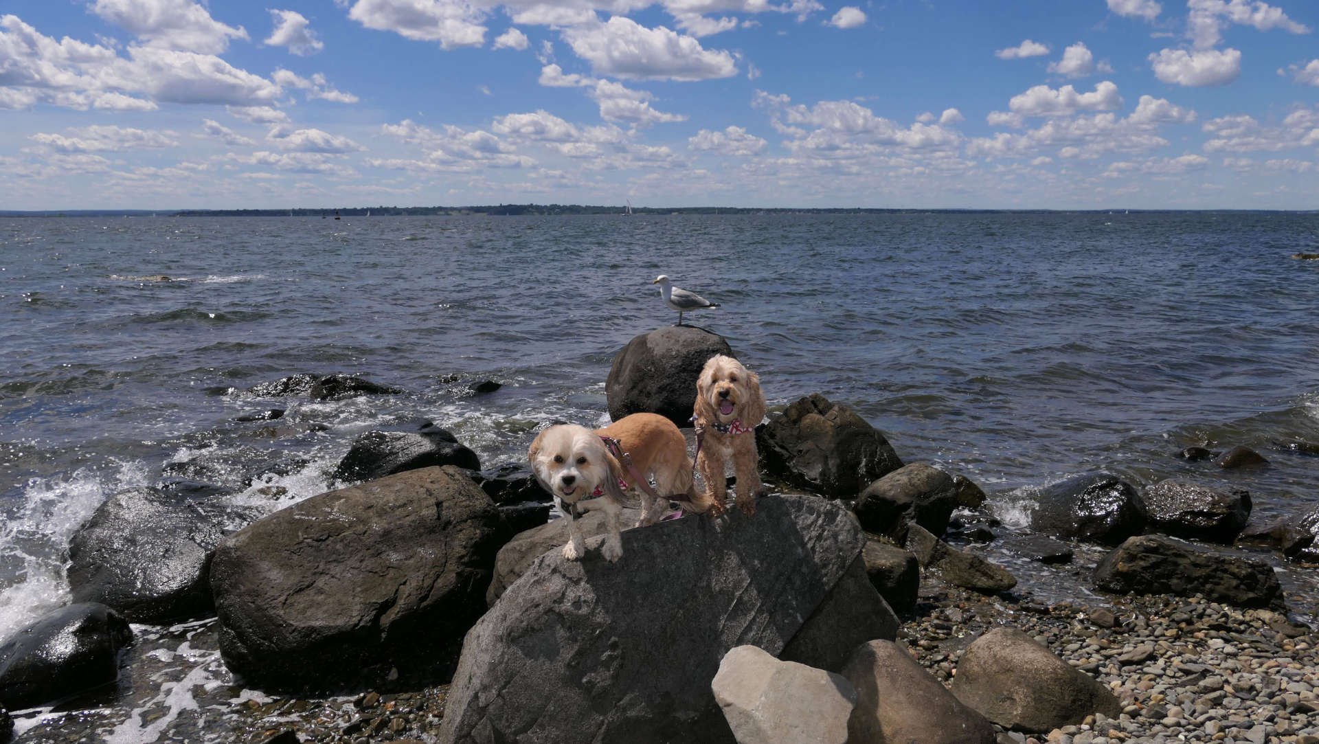
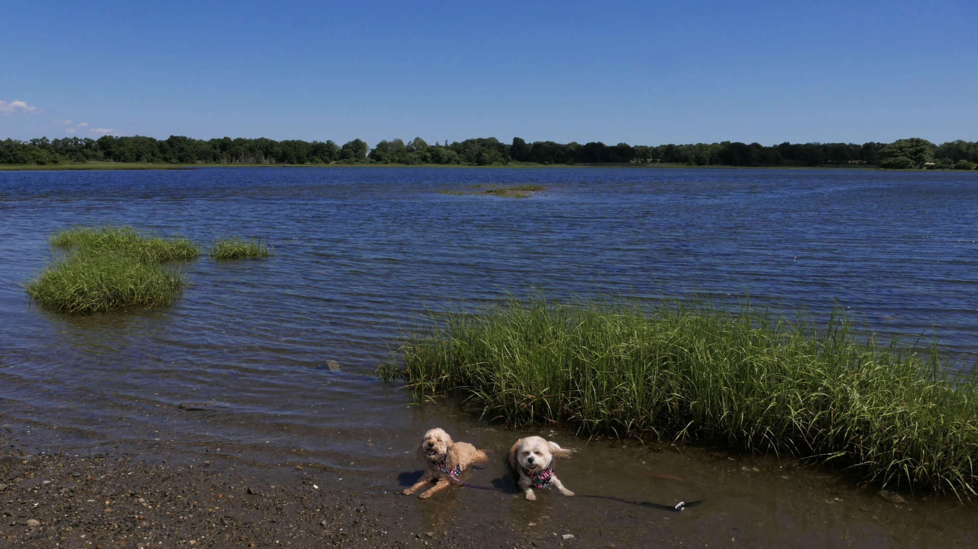
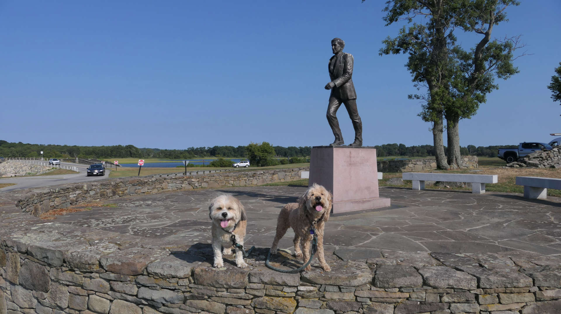
It was probably a mistake going here on the 4th of July. I was unaware that the town of Bristol has an annual 4th of the July parade, right near this park. In fact, it is the oldest running 4th of July celebration in the country, and of course I randomly picked the 4th of July to visit! The roads were just re-opening as we arrived. This meant that the park was really busy! We planned to hike the loop trail defined in the All-Trails app, but we had to modify it a bit. There were not enough places for the dogs to get into the water to cool off, so we adjusted the route to stay in the shade as much as we could. It was just too busy here. We probably would have done better on a different day. We did get some great pictures, especially the one where the I got the seagull to pose along with the dogs!
Colt State Park
Date visited: 8/16/2025
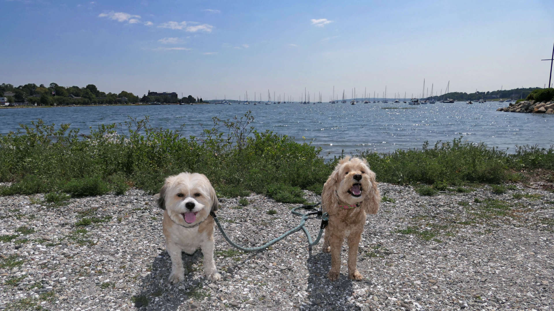
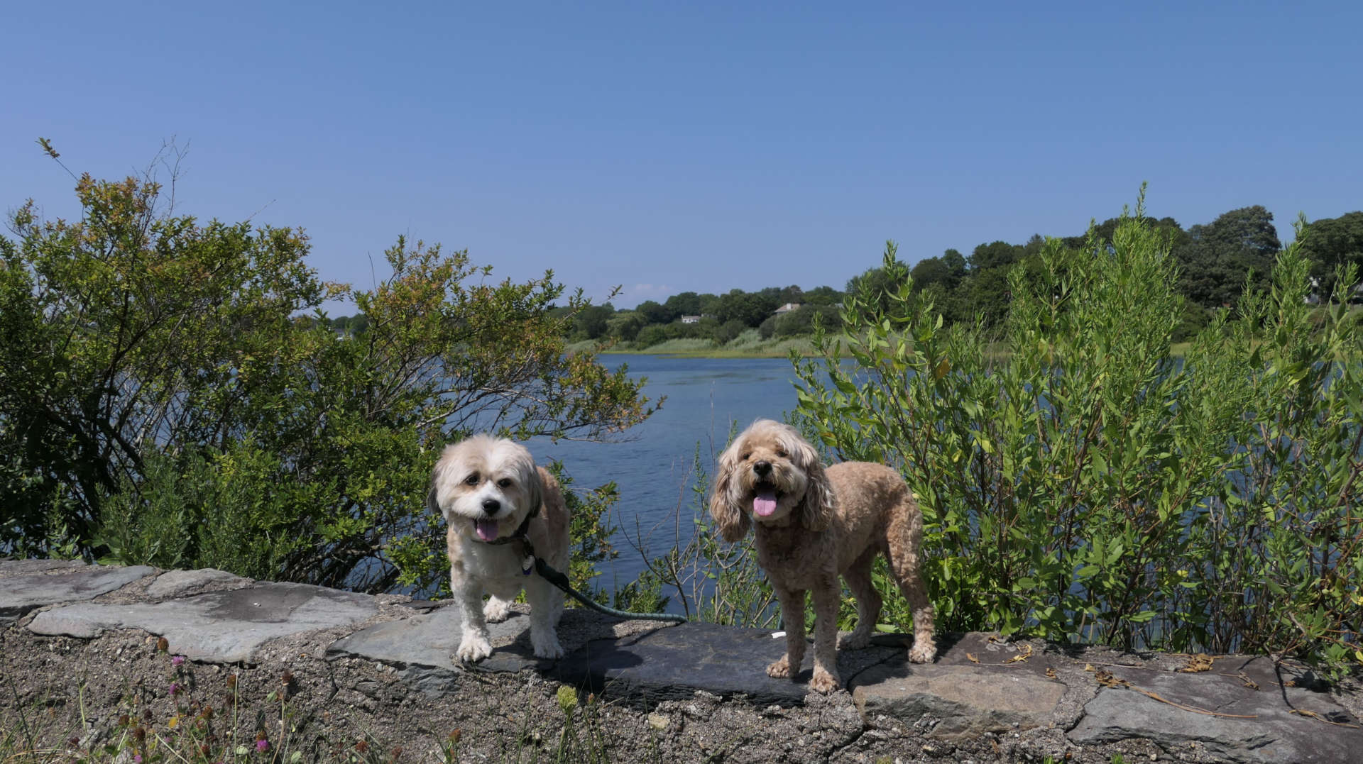
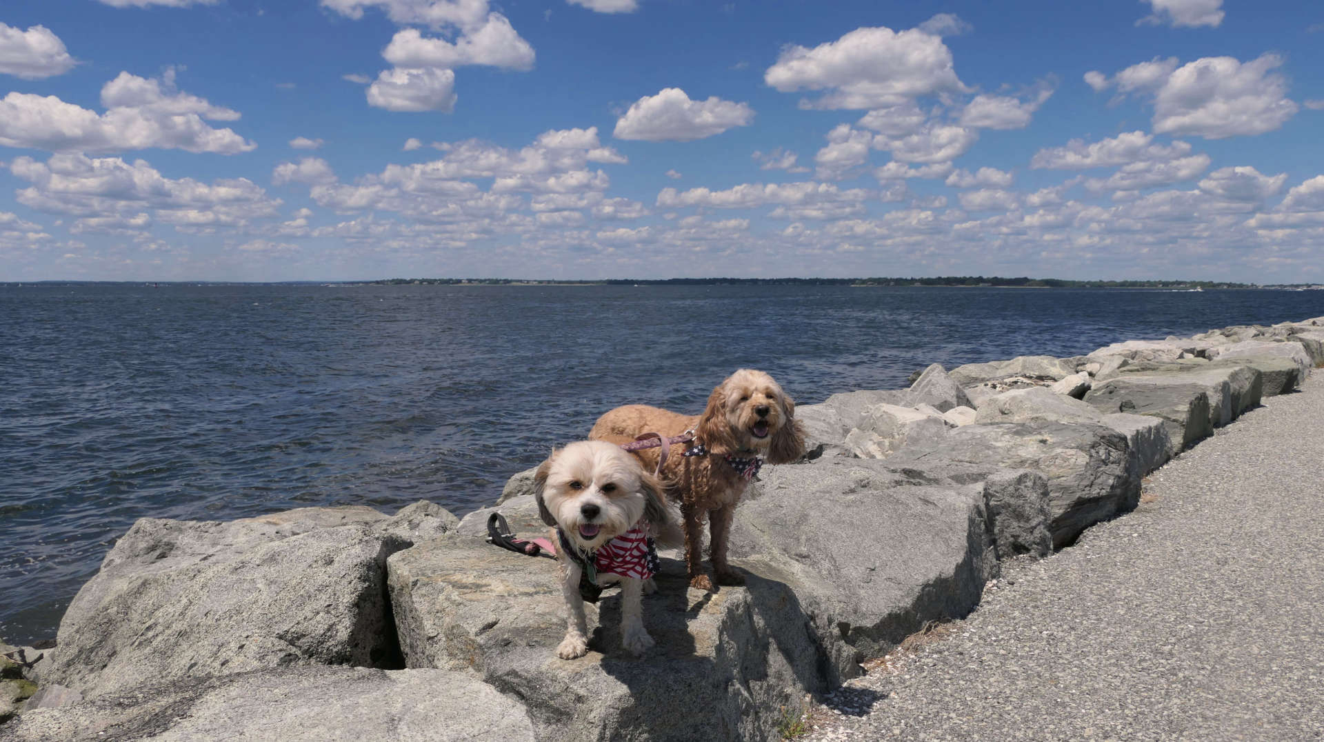
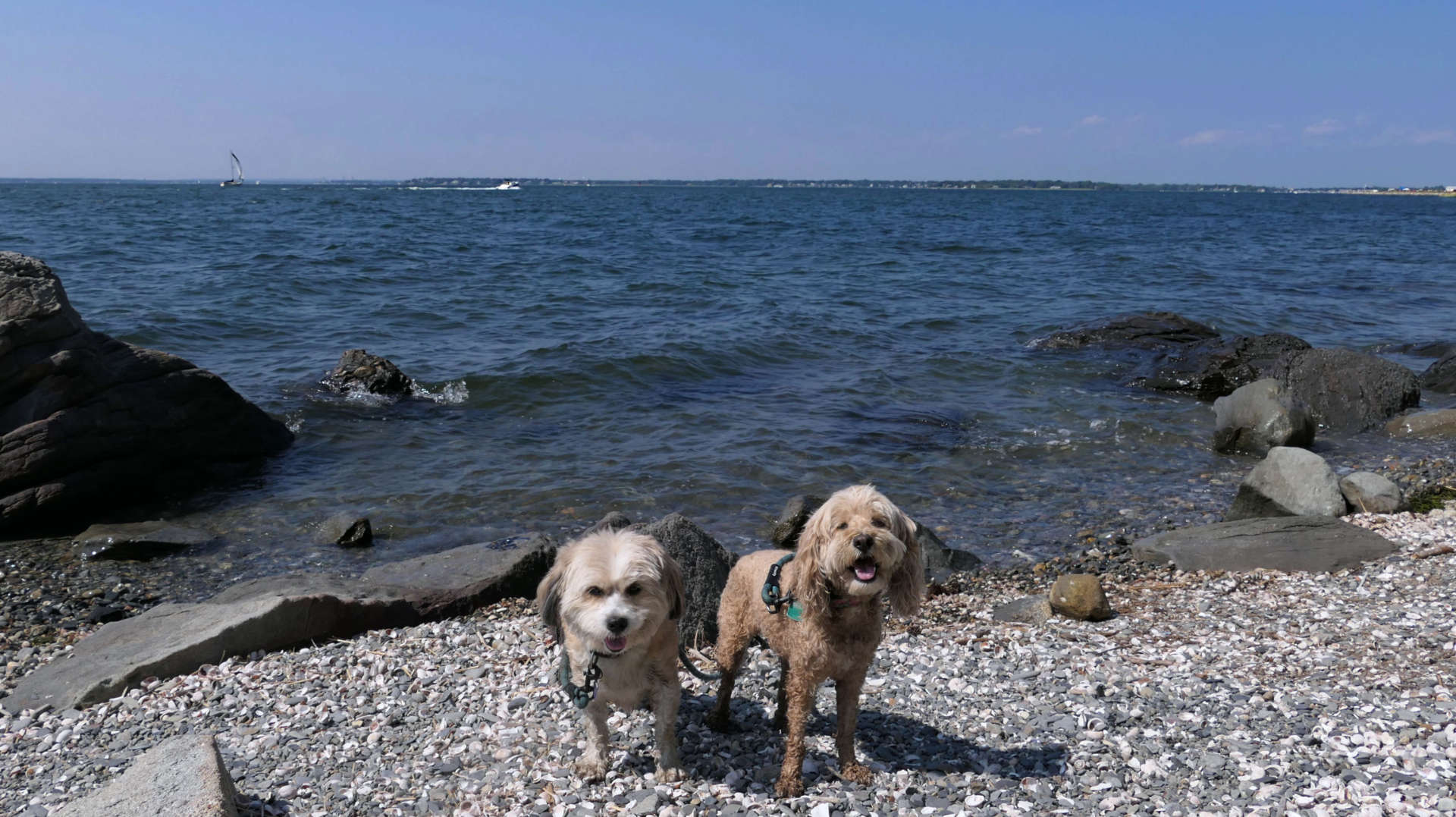
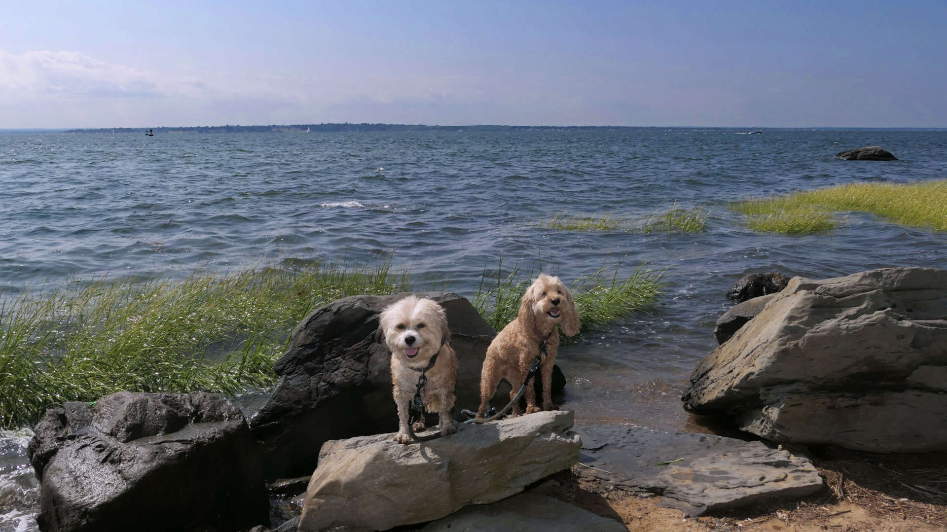
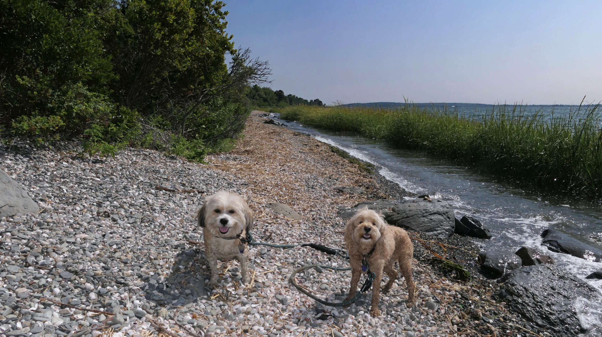
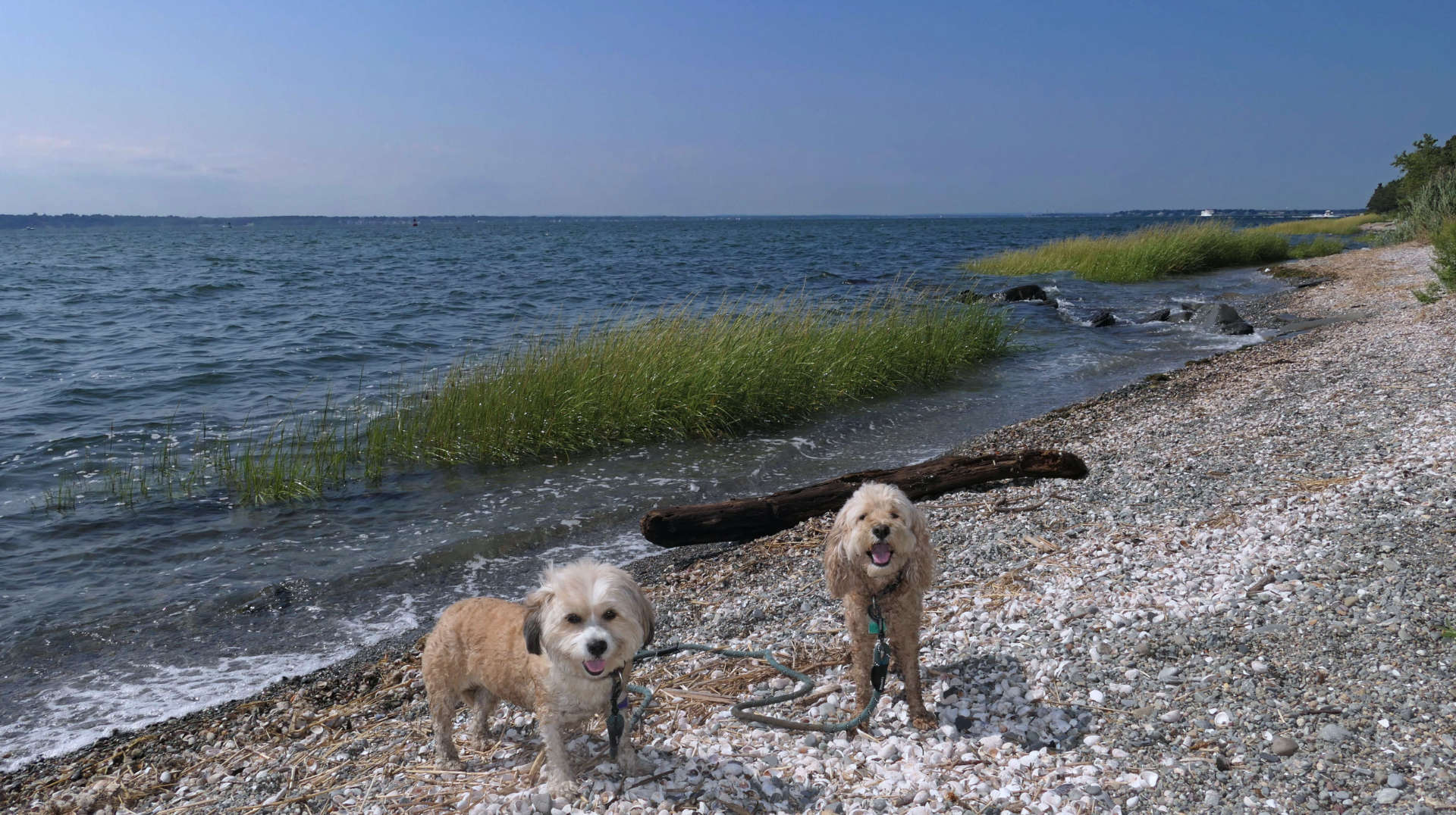
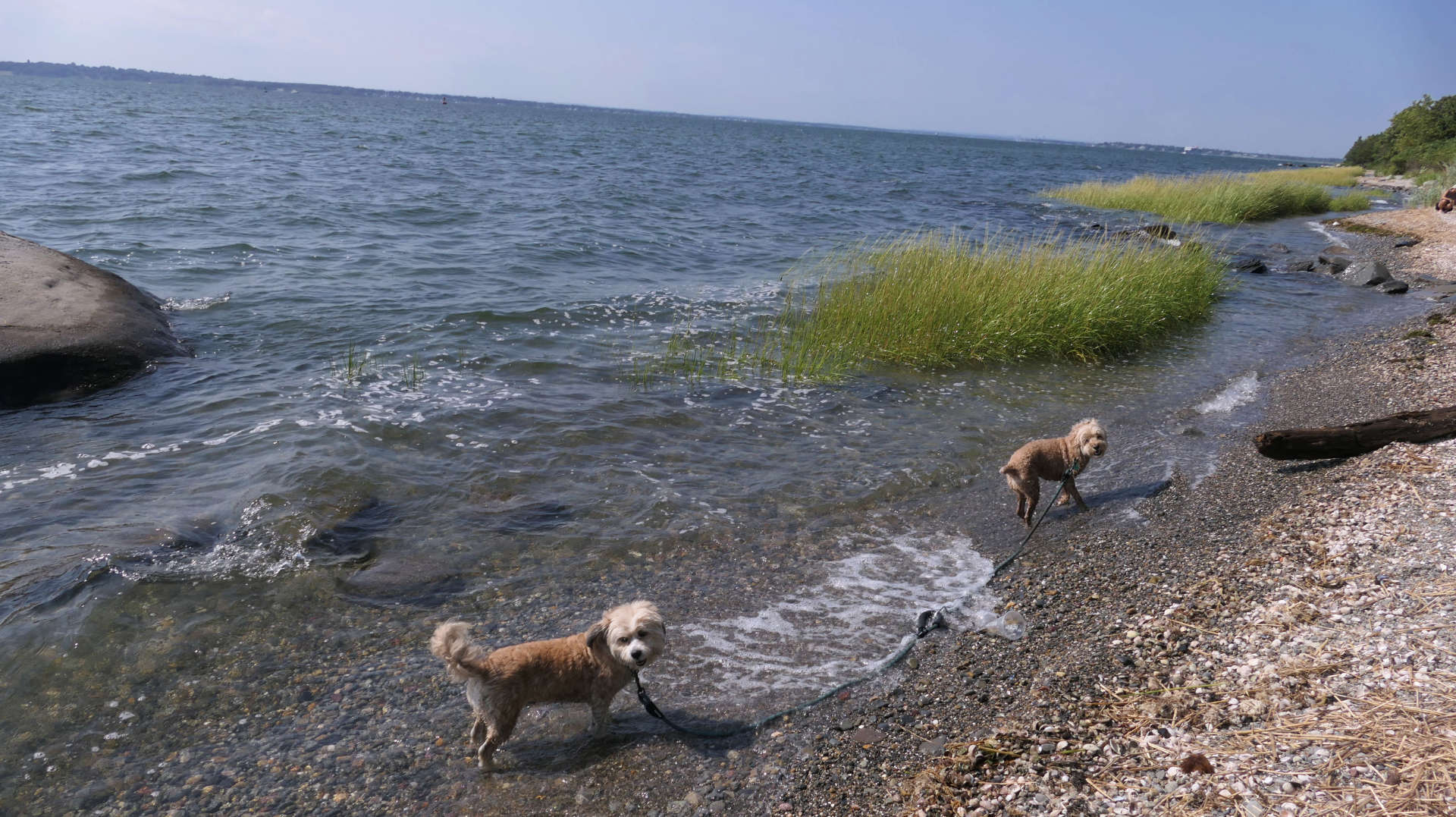
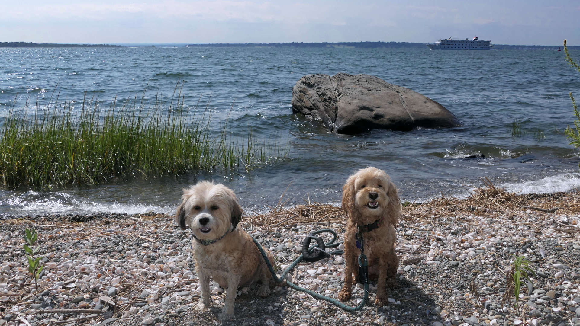
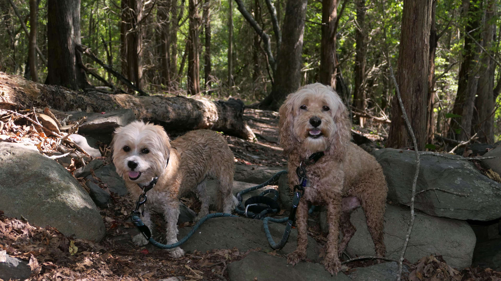
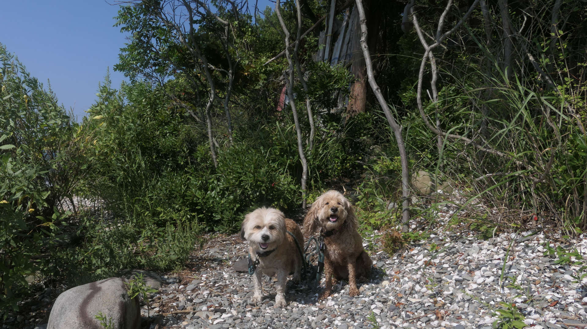
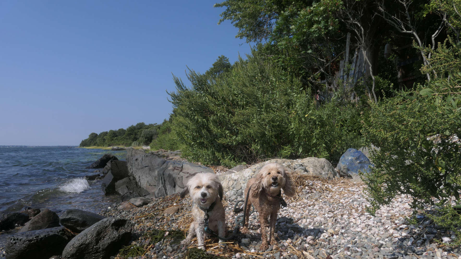
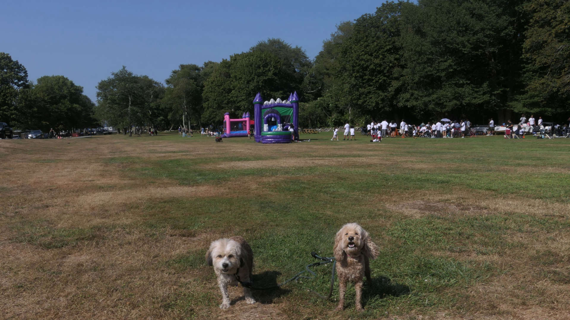
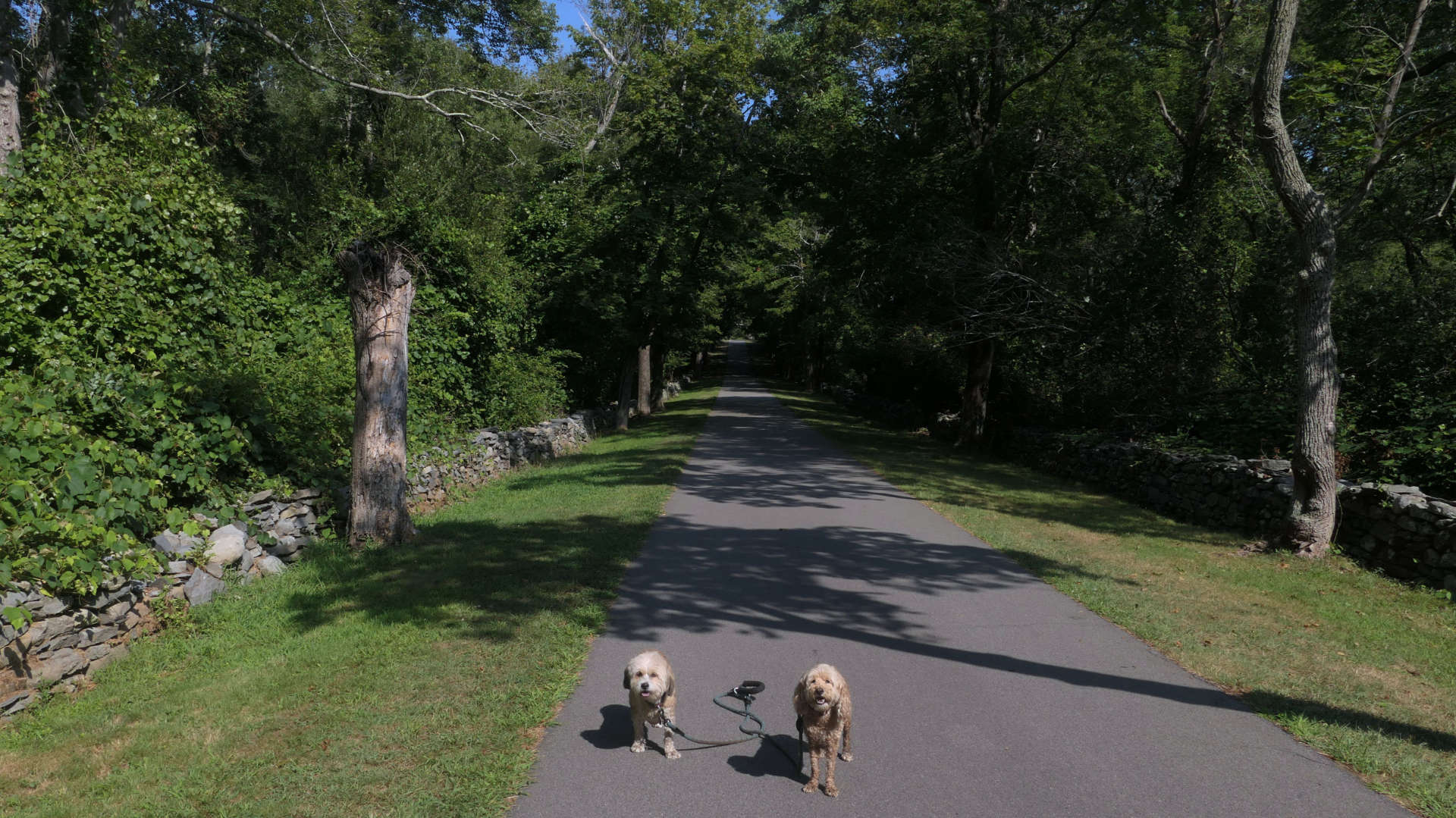
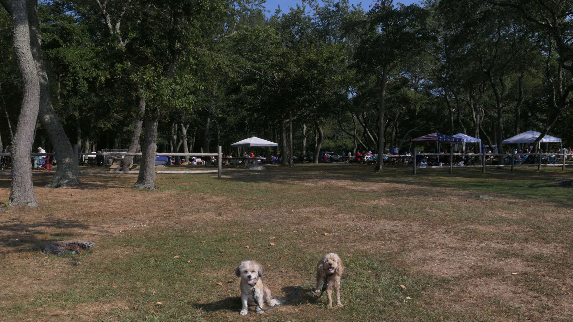
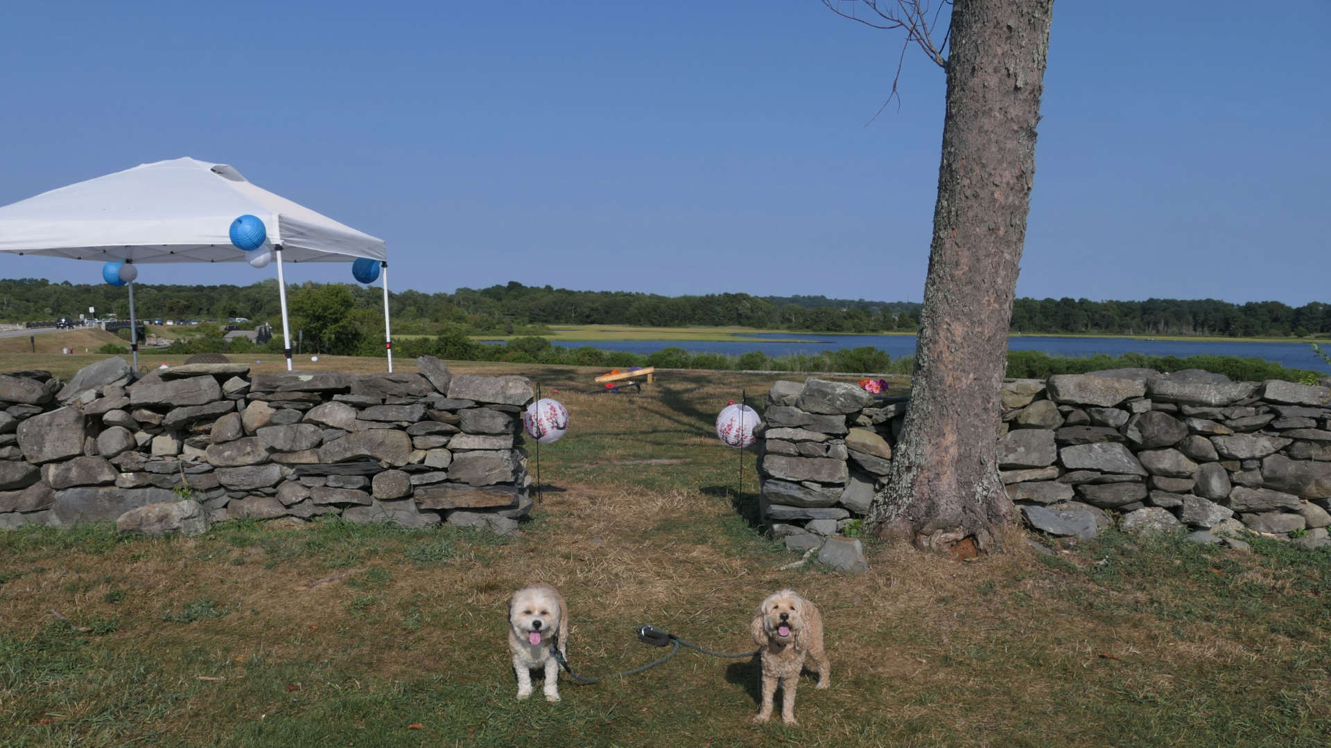
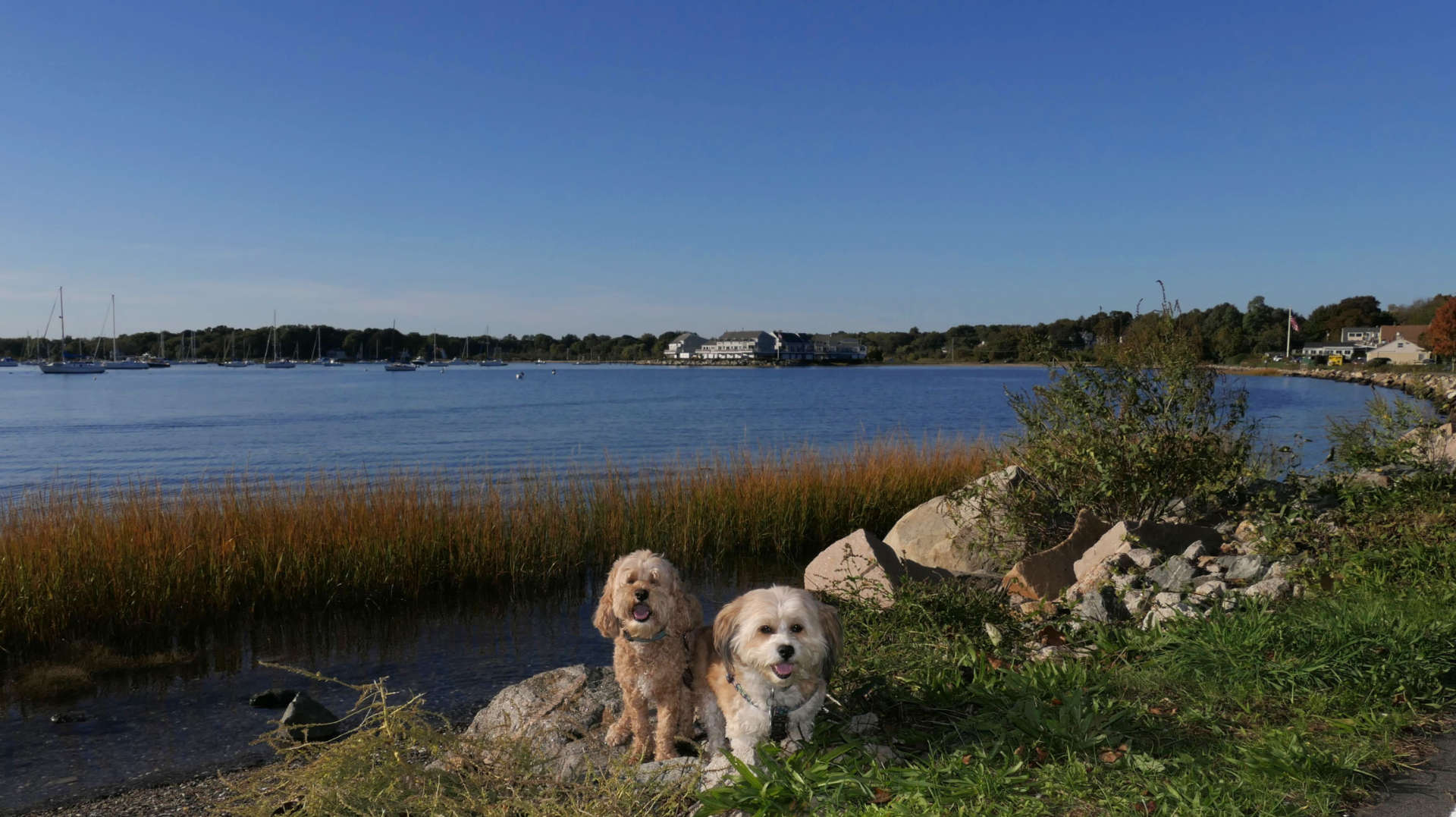
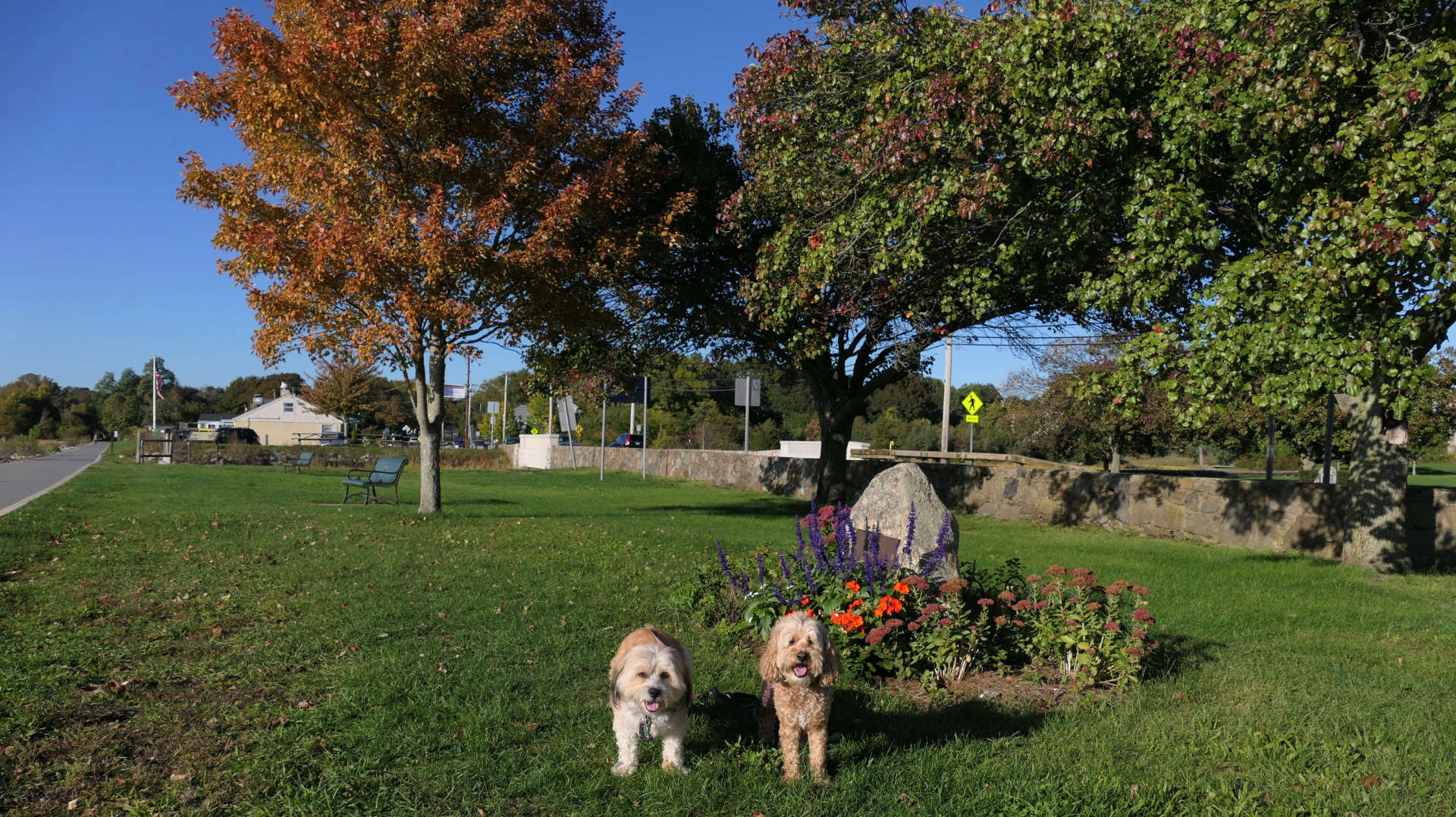
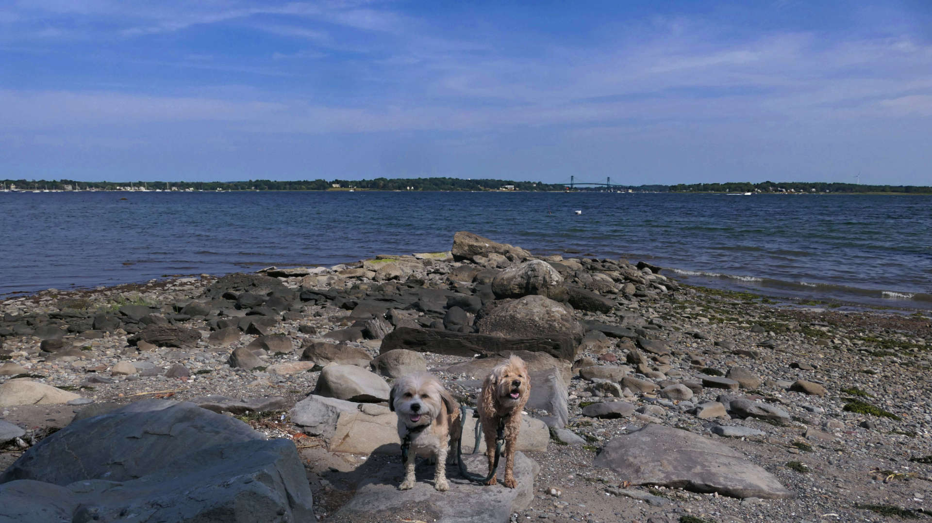
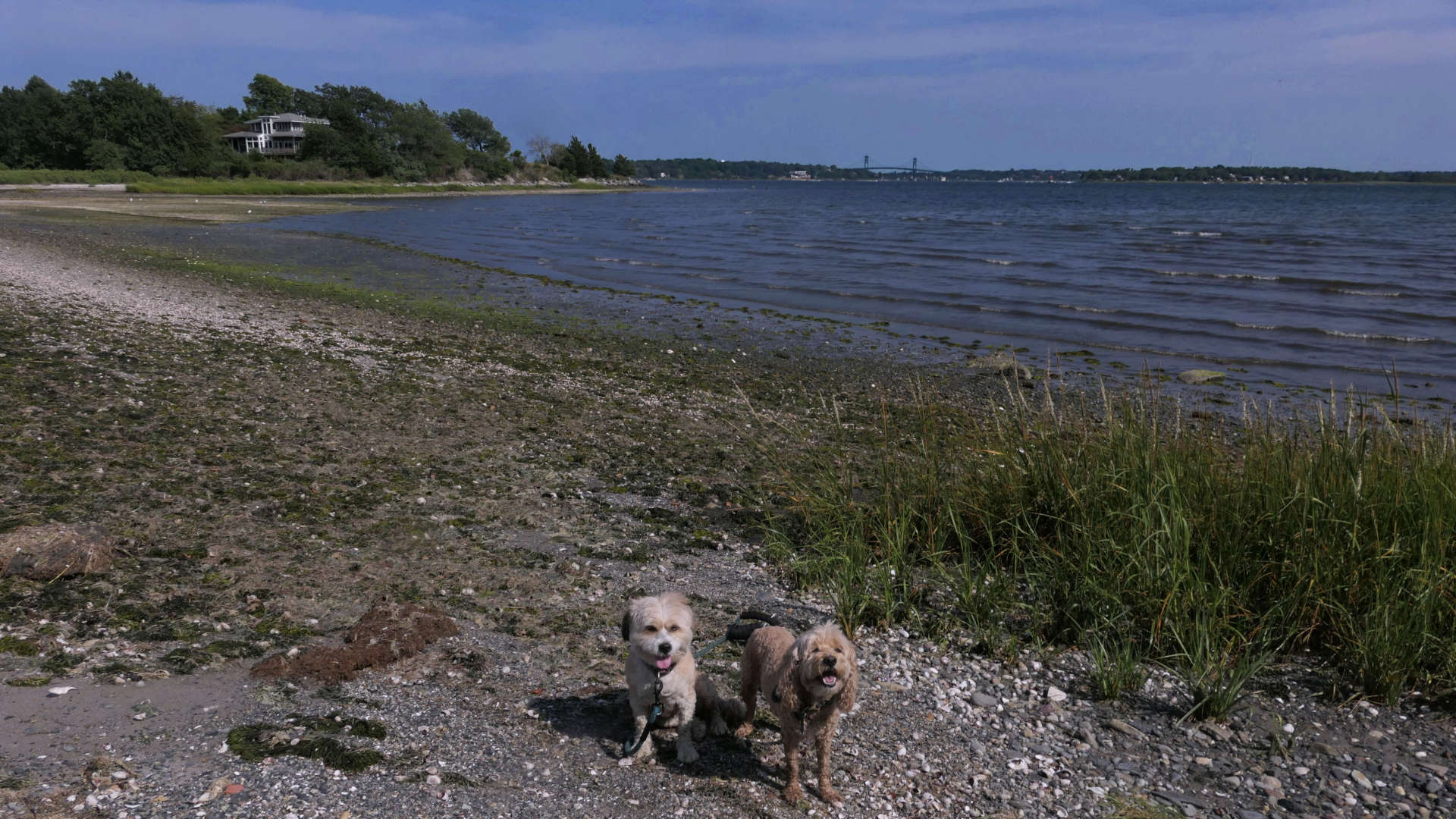
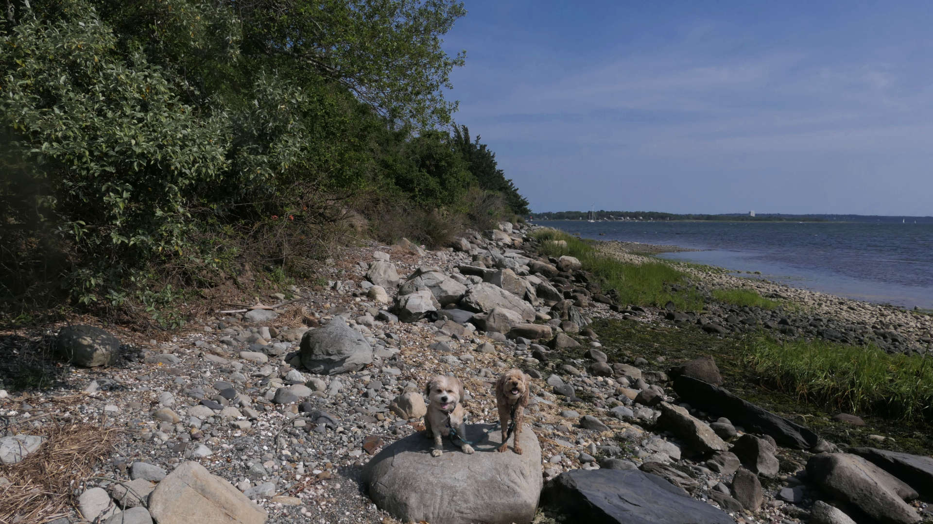
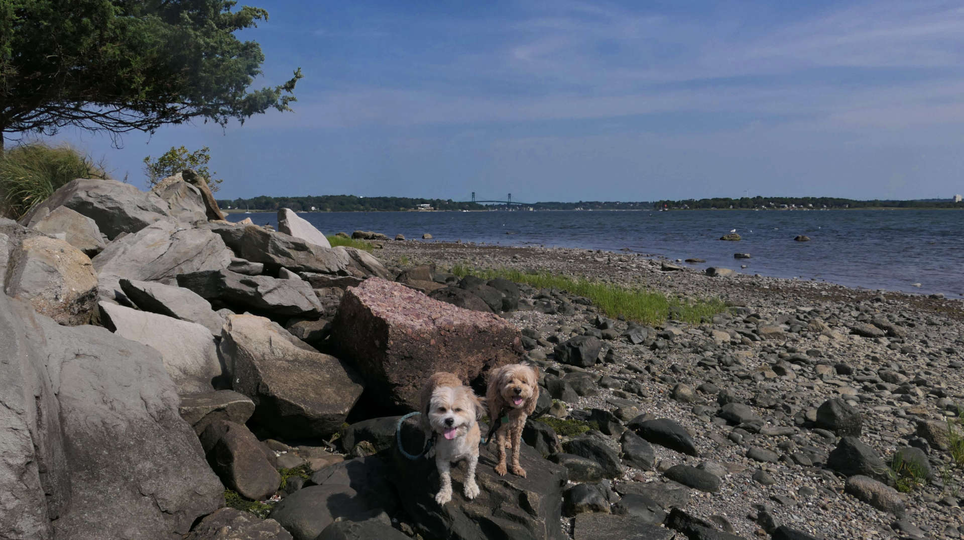
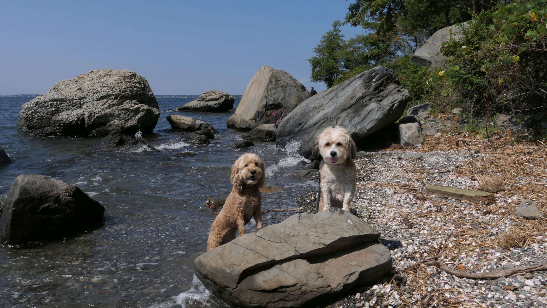
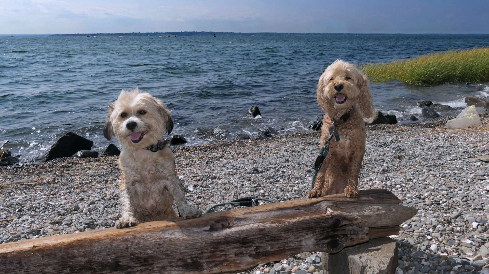
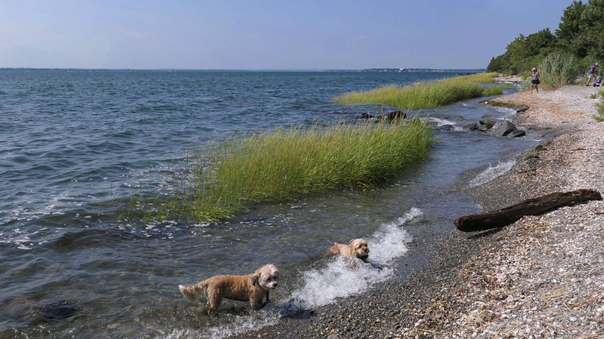
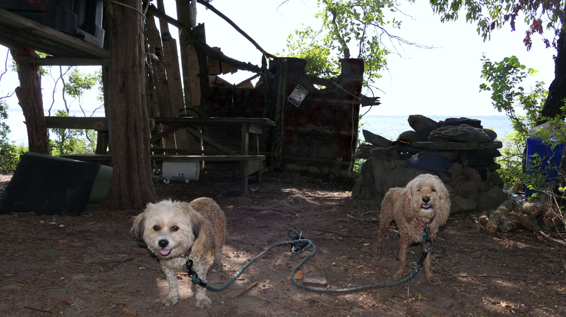
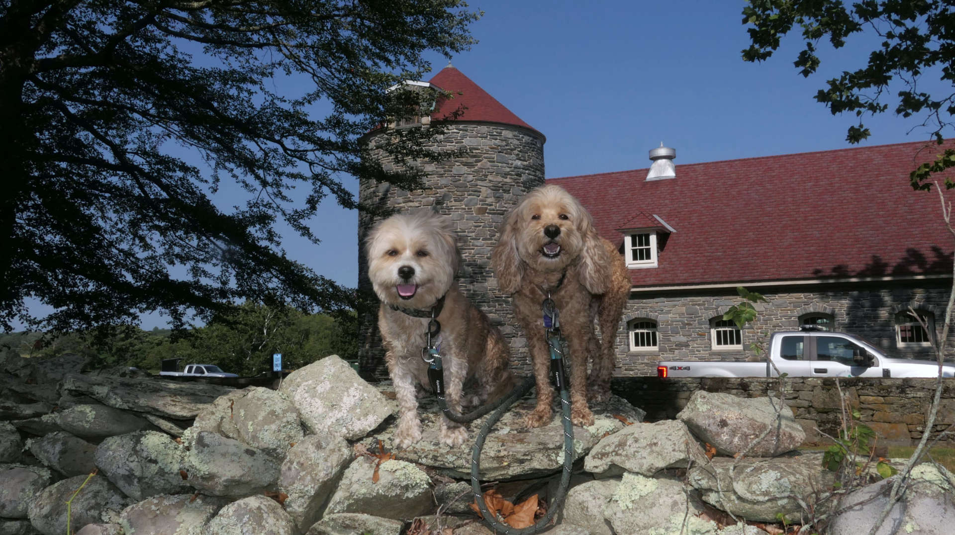
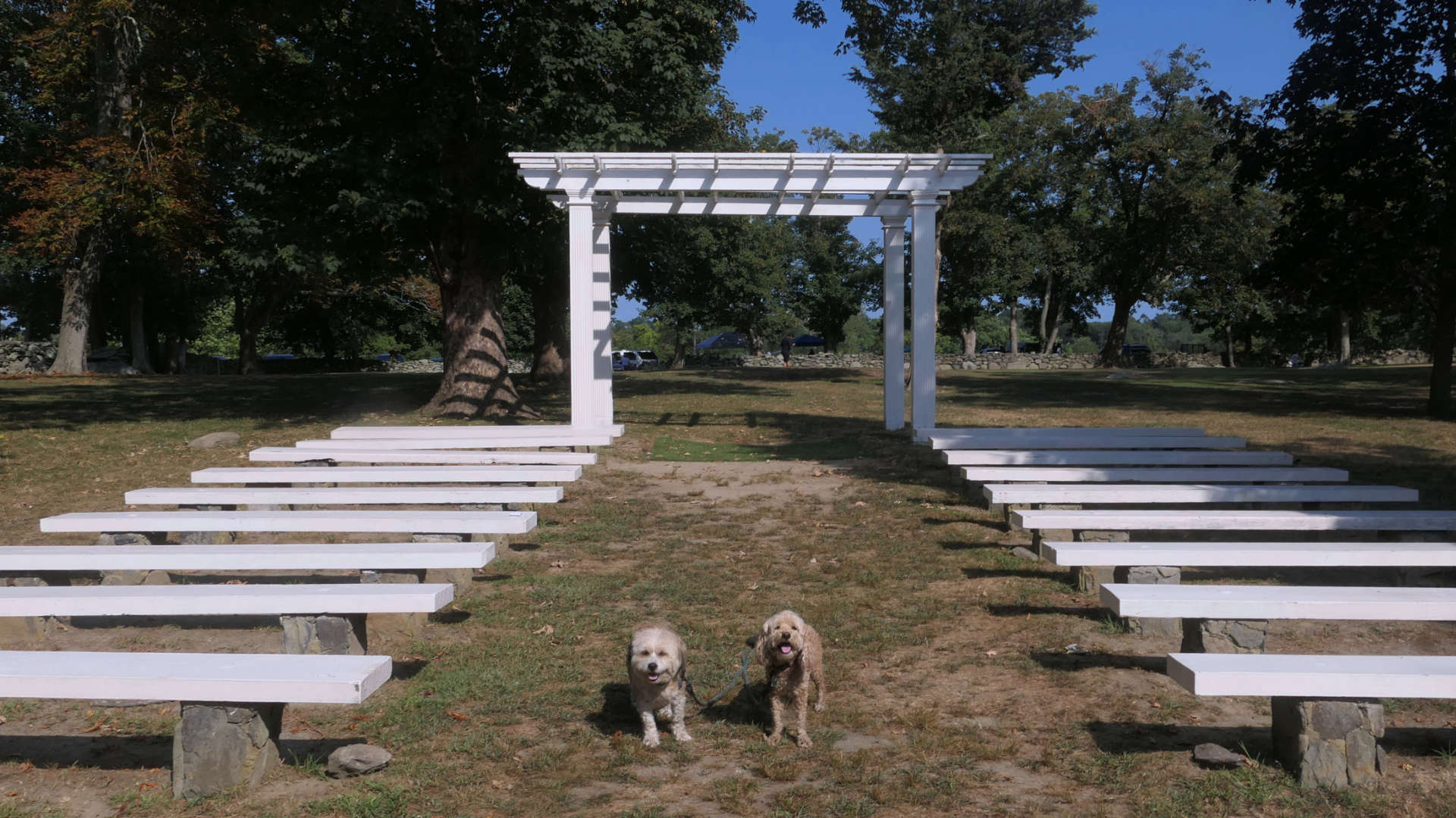
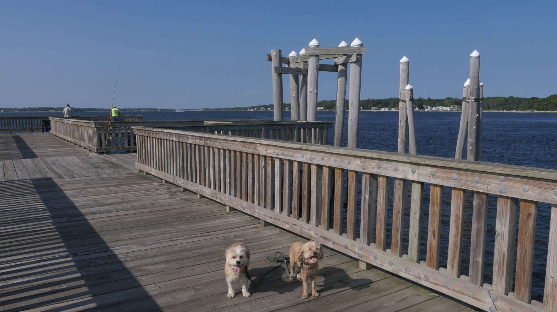
This was our second visit to this beautiful state park—our first trip was more than three years ago—so it had been a while. This time, we parked on the southern side of the park to explore areas we hadn't reached before. The highlight of our adventure was a walk along the shoreline south of the main path. The spot is popular for fishing and also provides a place where dogs can wade into the water. Unlike our first visit, we were able to continue farther south. Since the tide was high, we alternated between walking directly along the shore and following wooded trails that run parallel to it. Along the way, we stumbled upon a “shelter” that looked straight out of a post-apocalyptic movie—unfortunately, it was cluttered with empty bottles and trash, a reminder of late-night gatherings. One downside of Rhode Island State Parks is that they don't provide trash cans; while this avoids maintenance costs, it often results in litter left behind. As much as I enjoy these parks, the amount of trash takes away from the experience. After our shoreline walk, we wandered around the main section of the park. Being a warm, sunny Saturday in the summer, the place was lively—full of picnics, cookouts, and gatherings. Despite the crowds, it's a great park to stroll through and simply enjoy the day with your dogs.
Independence Park
Date visited: 10/6/2022
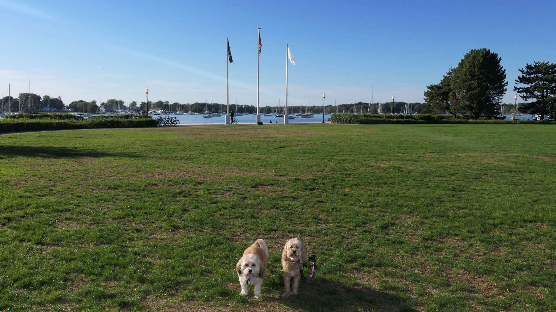
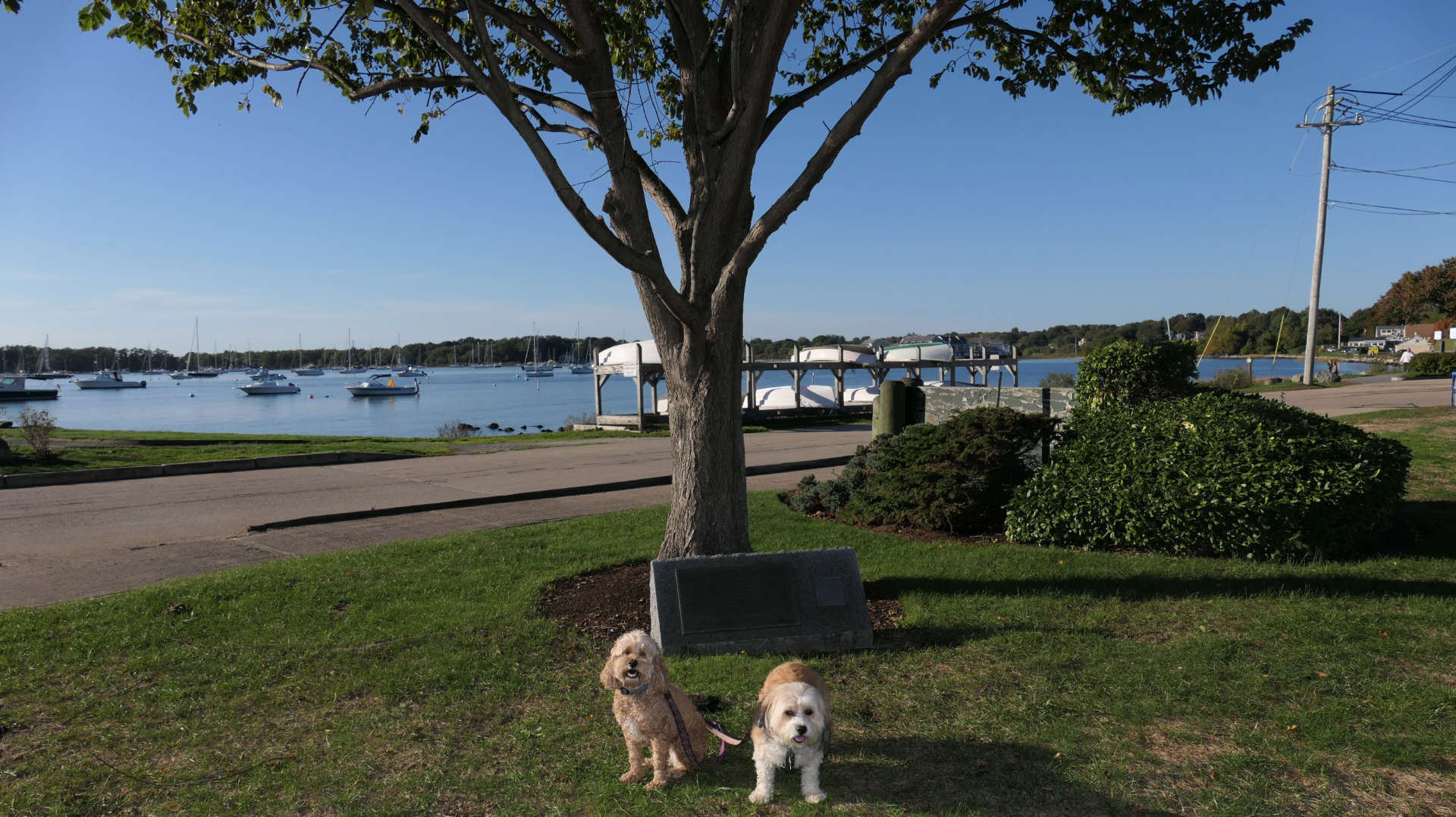
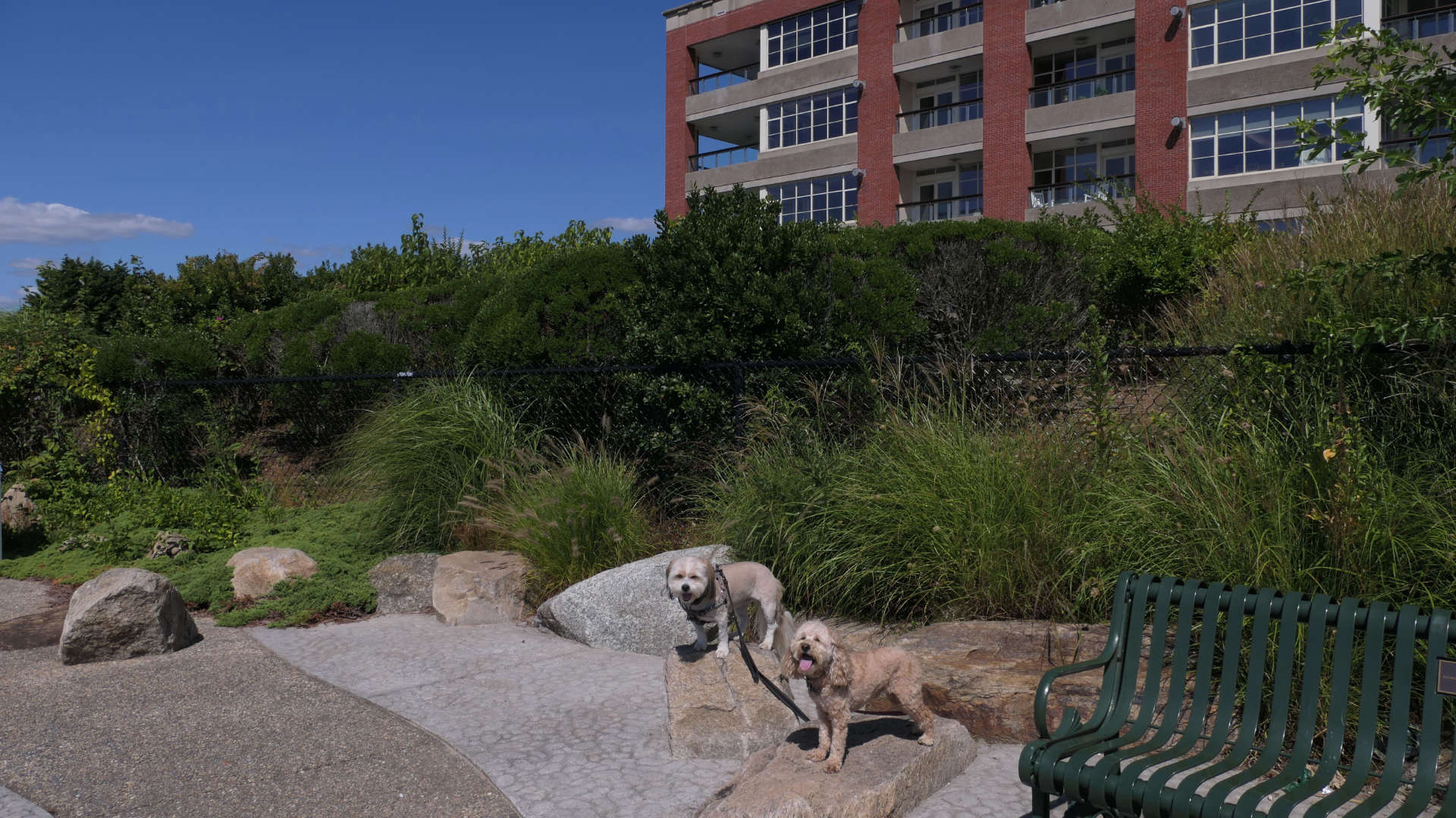
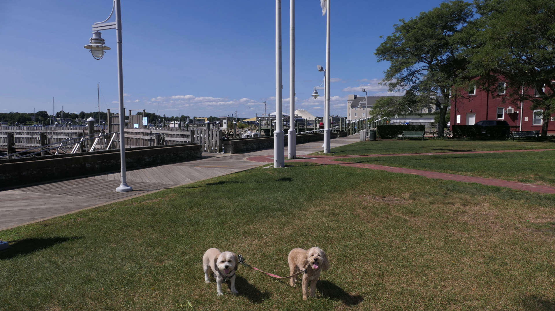
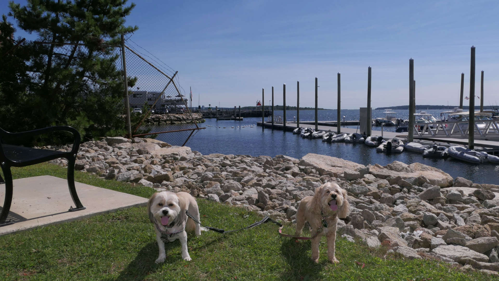
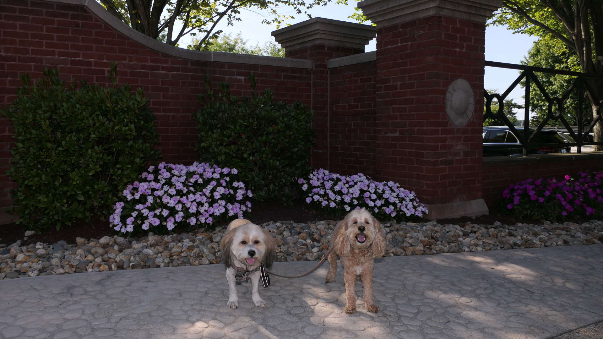
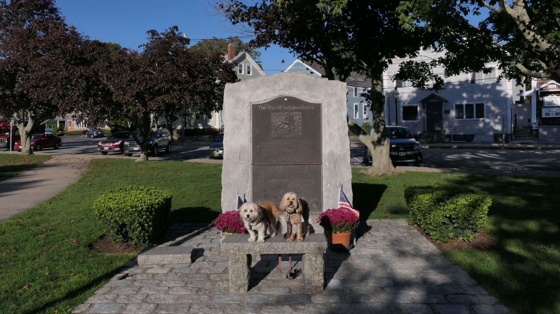
This is a small park near a marina, featuring a grassy area and some war monuments. The south end of the East Bay Bike Path starts here as well. The paved walking path circles around the park.
East Bay Bike Path
Date visited: 10/6/2022
See Also: Providence, East Providence, Barrington, Warren, Bristol
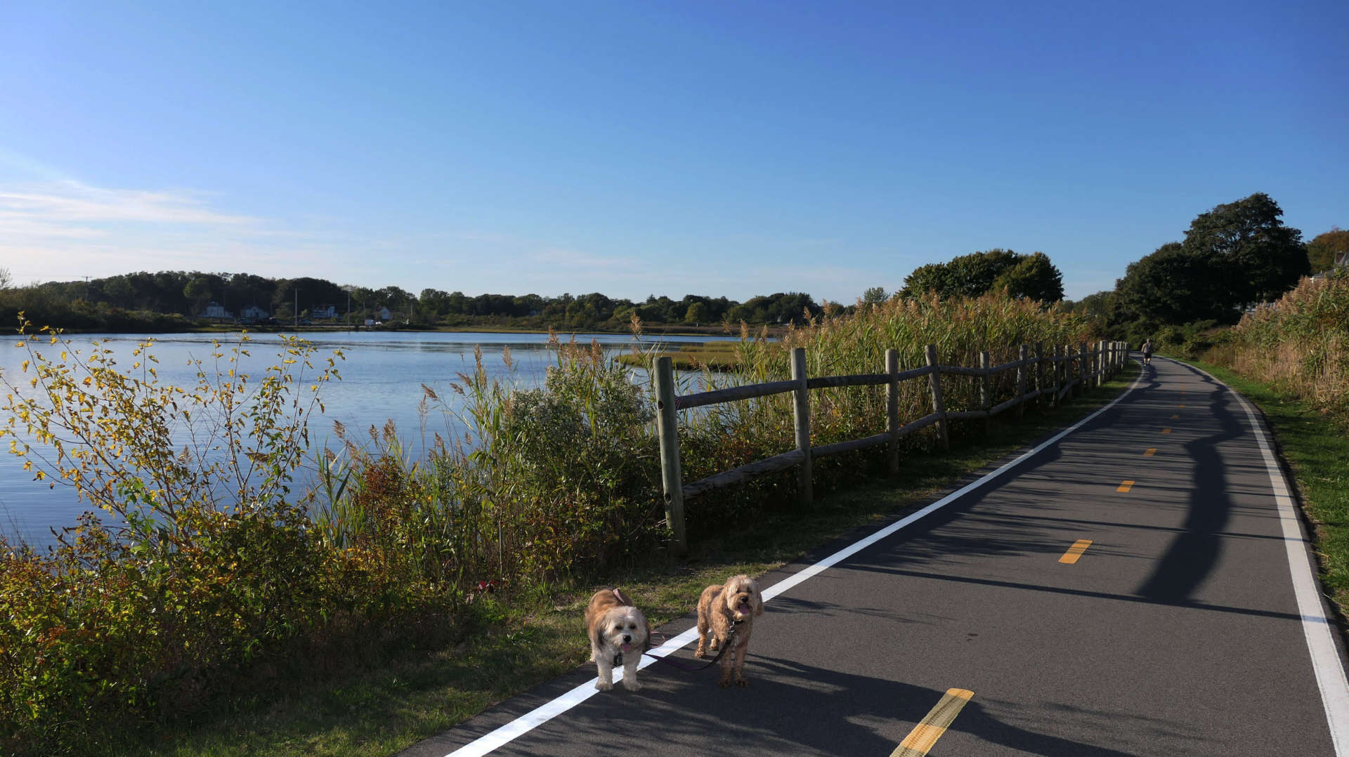
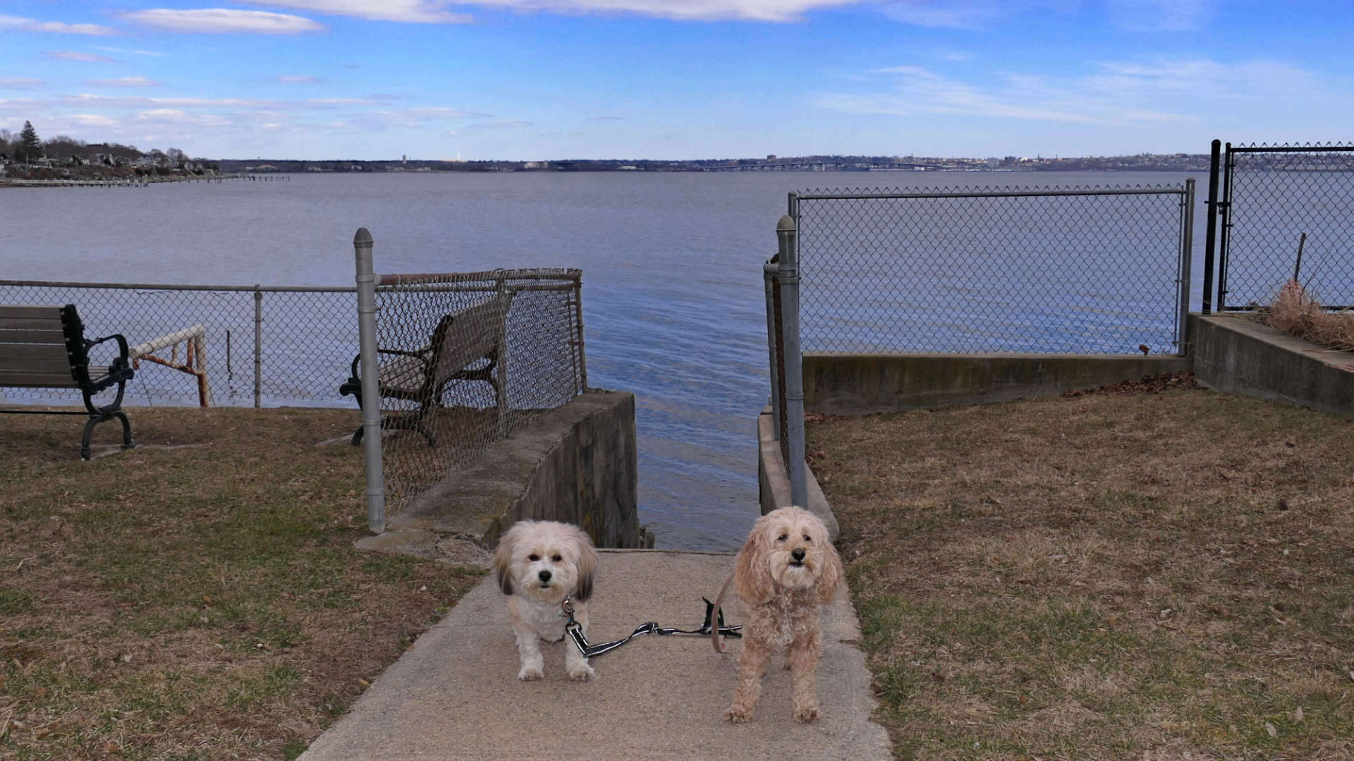
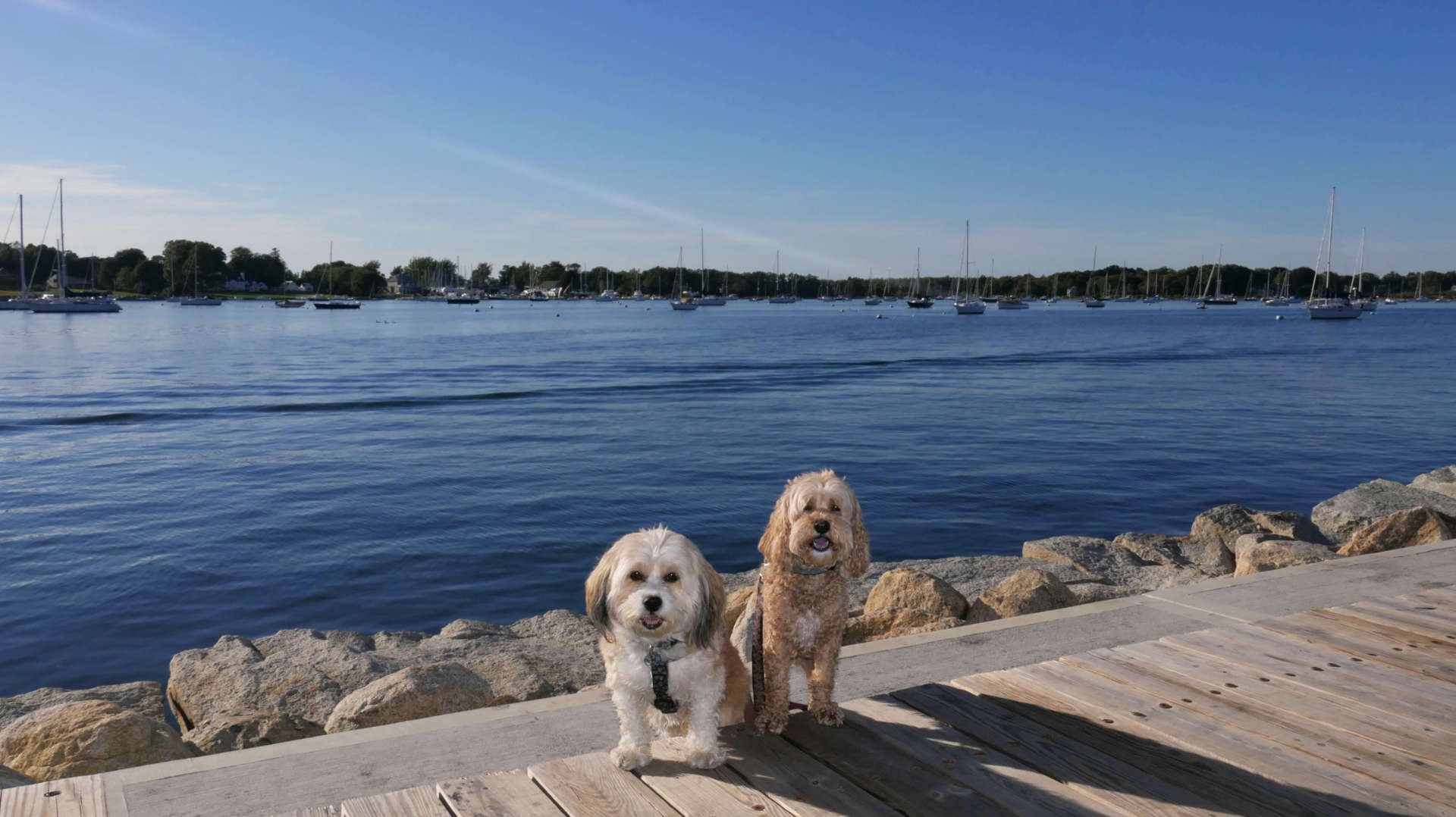
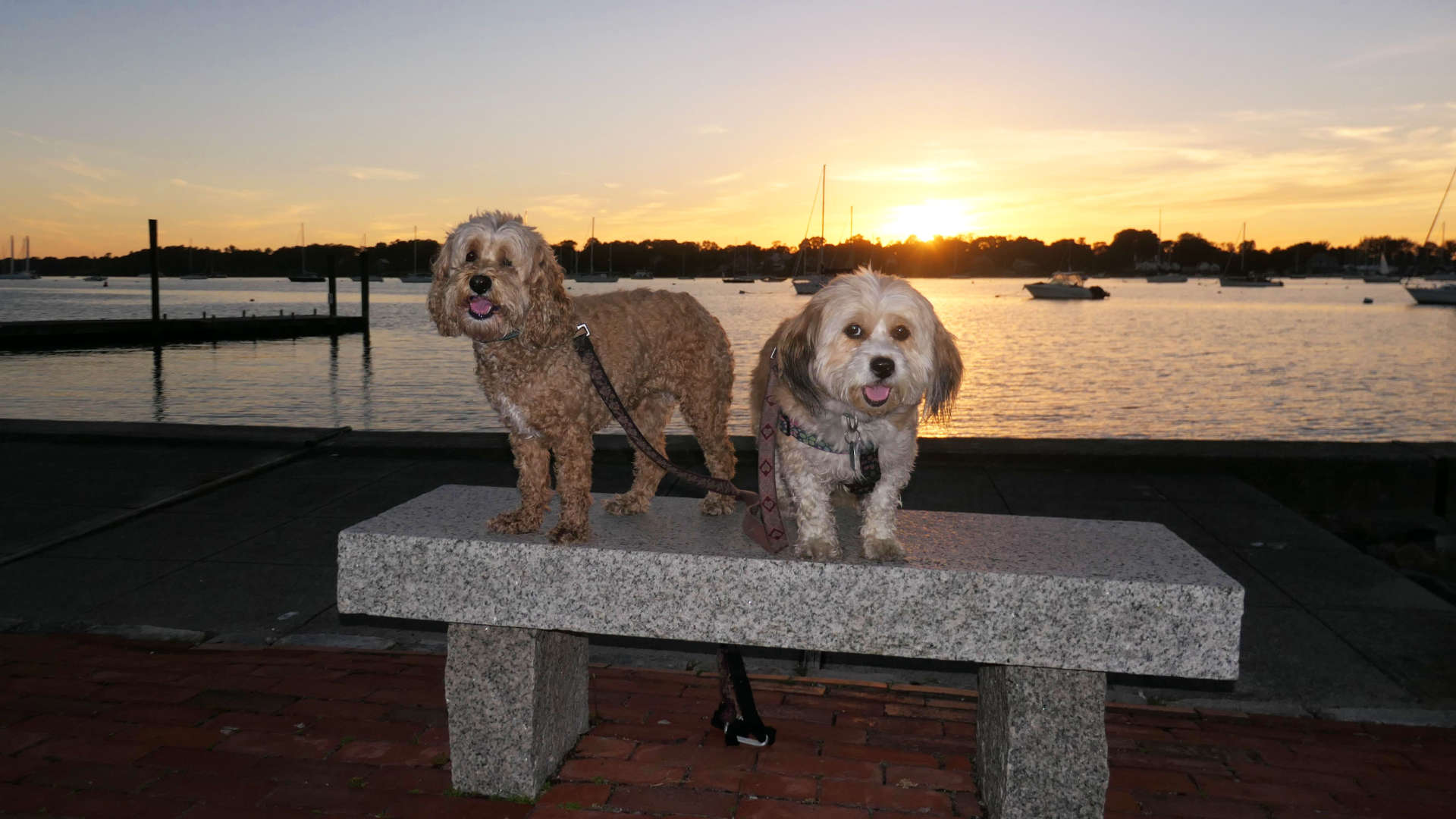
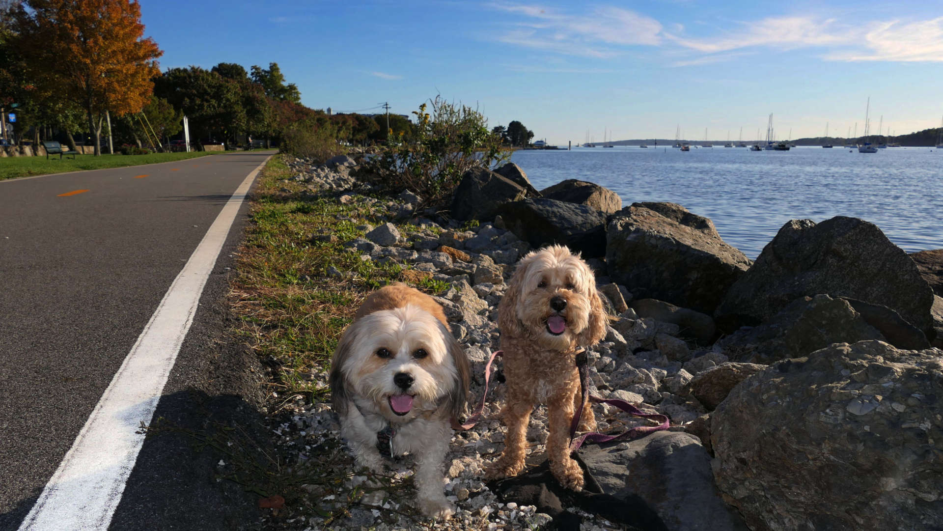
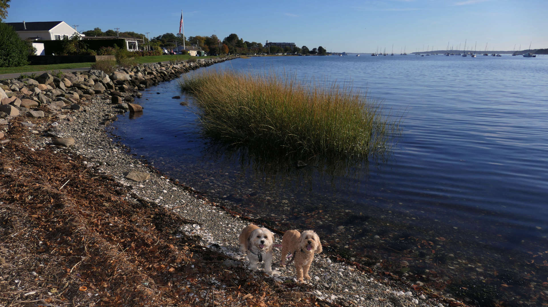
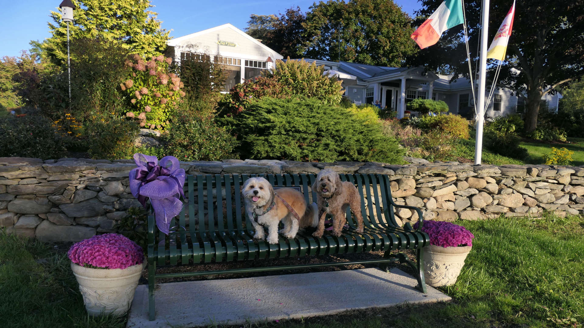
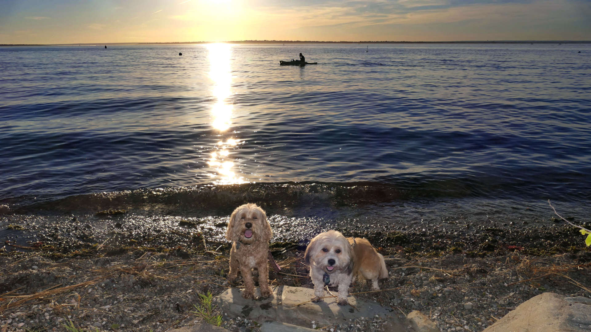
We walked the stretch of bike path from Independence Park to the "right of way" area about 2 miles north. This is the southern end of the bike path that runs all the way to Providence. This section traverses along side the coast, and past Colt Park. This is a scenic stretch, that was quite busy. It passes some businesses and restaurants. One of the restaurants had a guitarist playing live music as we passed. The "right of way" area I mentioned is interesting. It's a small area that is sandwiched between two parcels of private property. There are steps that lead right down to the water. Overall, this is one of the better streches of bike path that we have walked.
Bristol Waterfront
Date visited: 8/30/2024
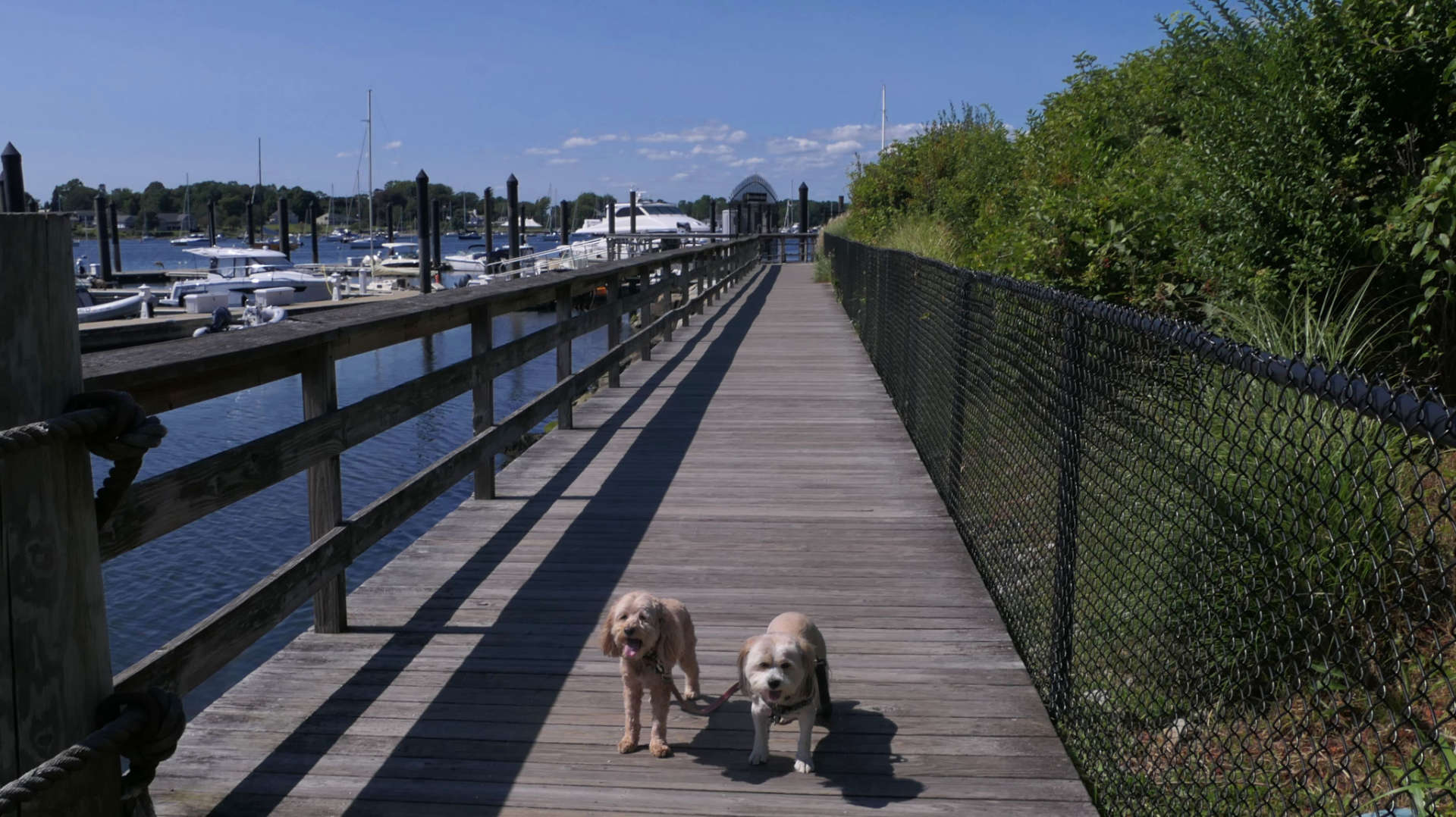
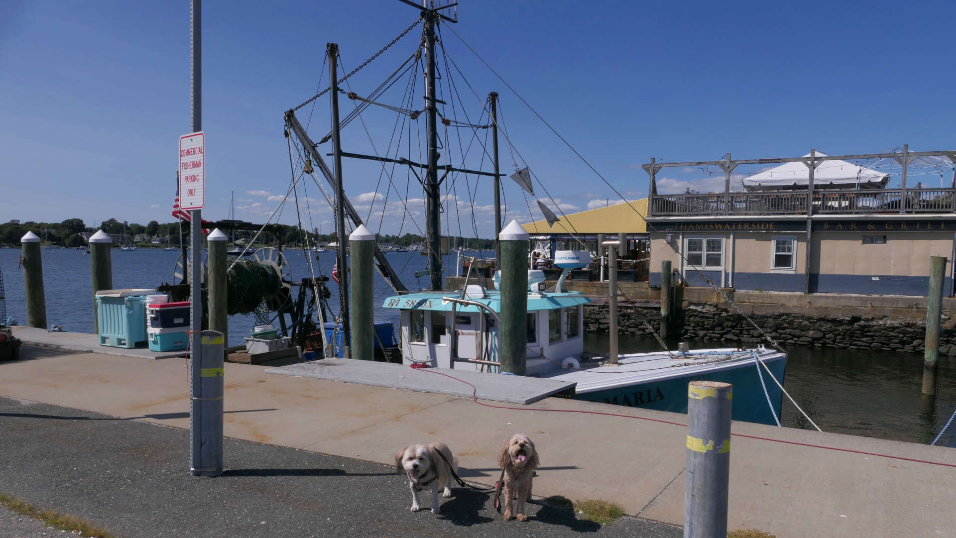
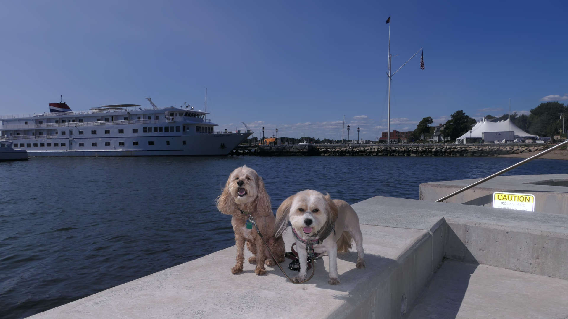
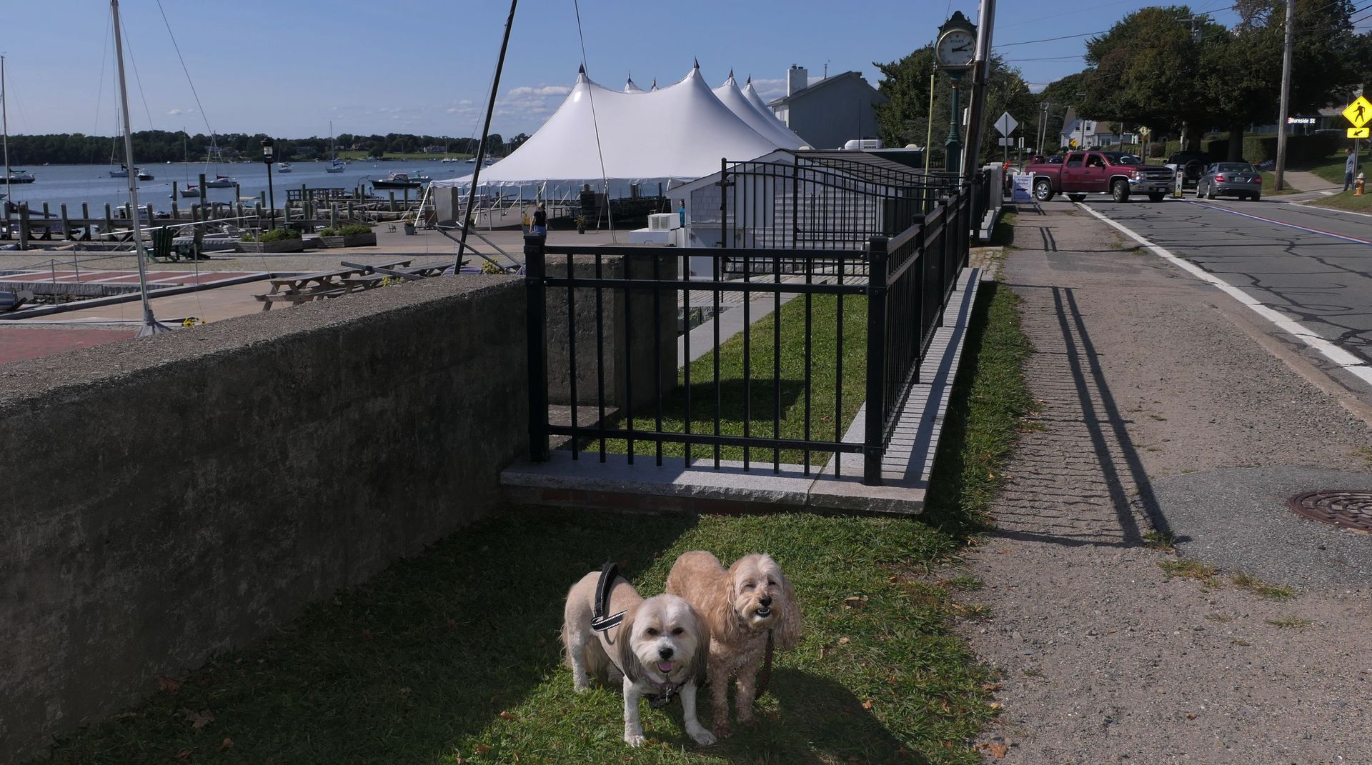
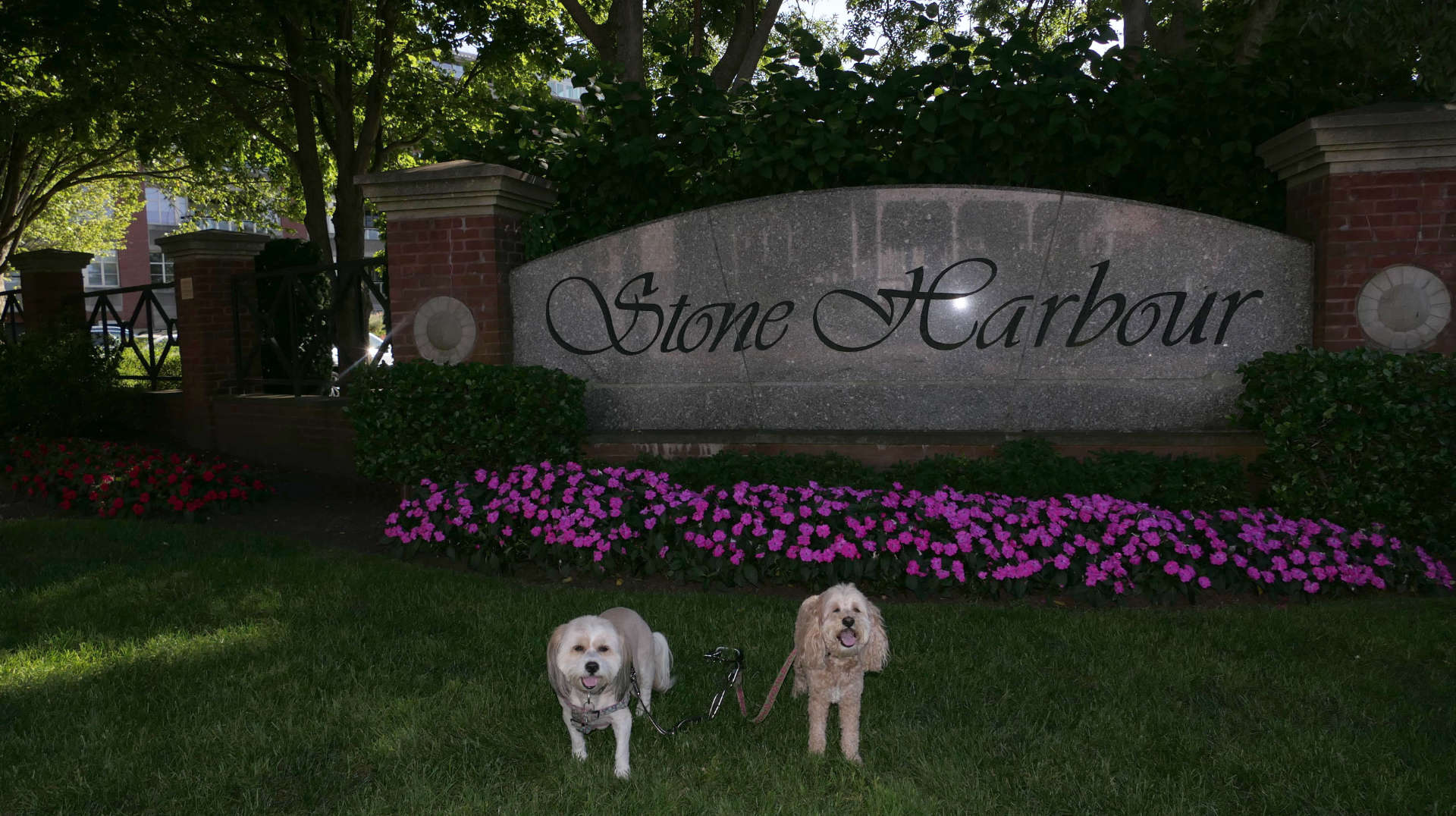
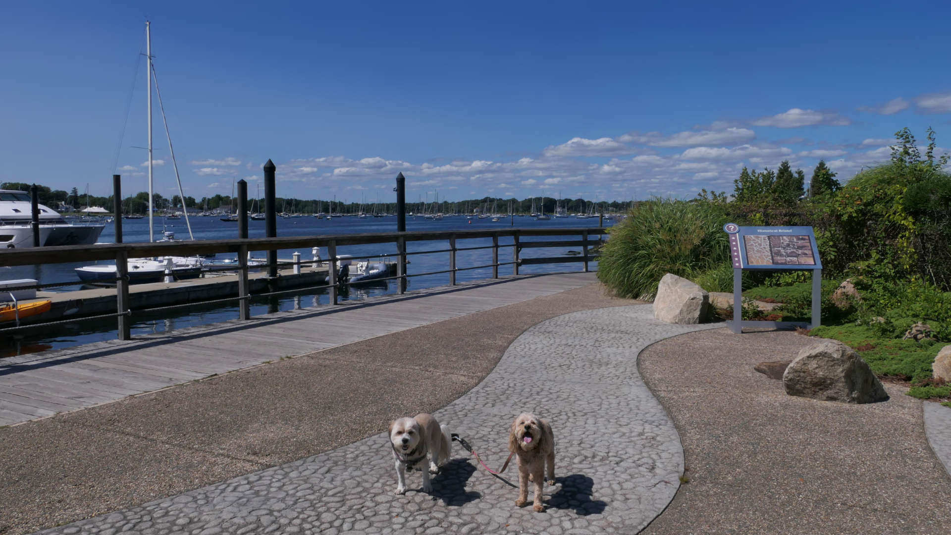
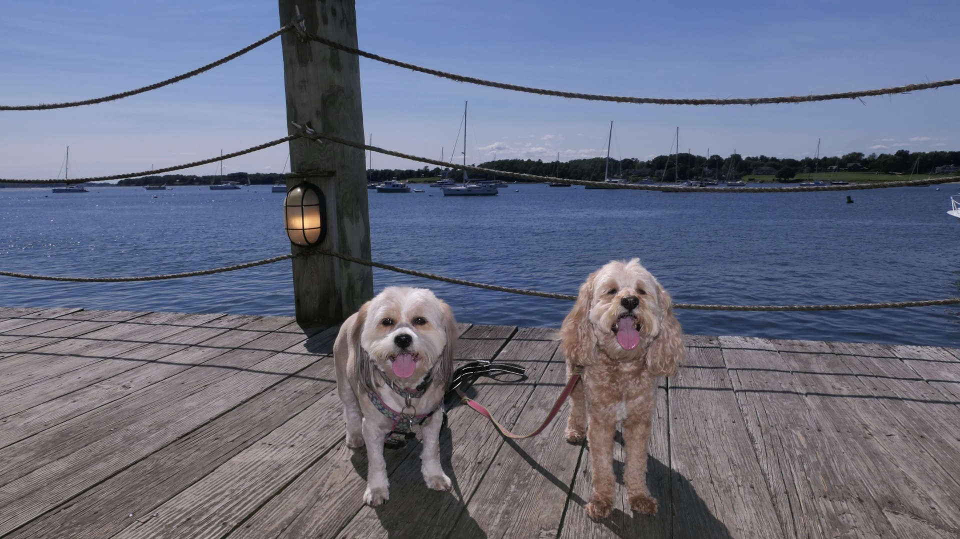
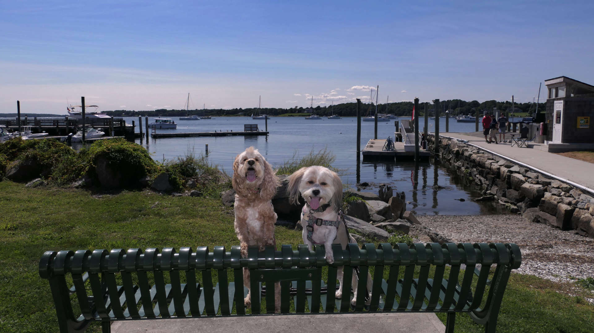
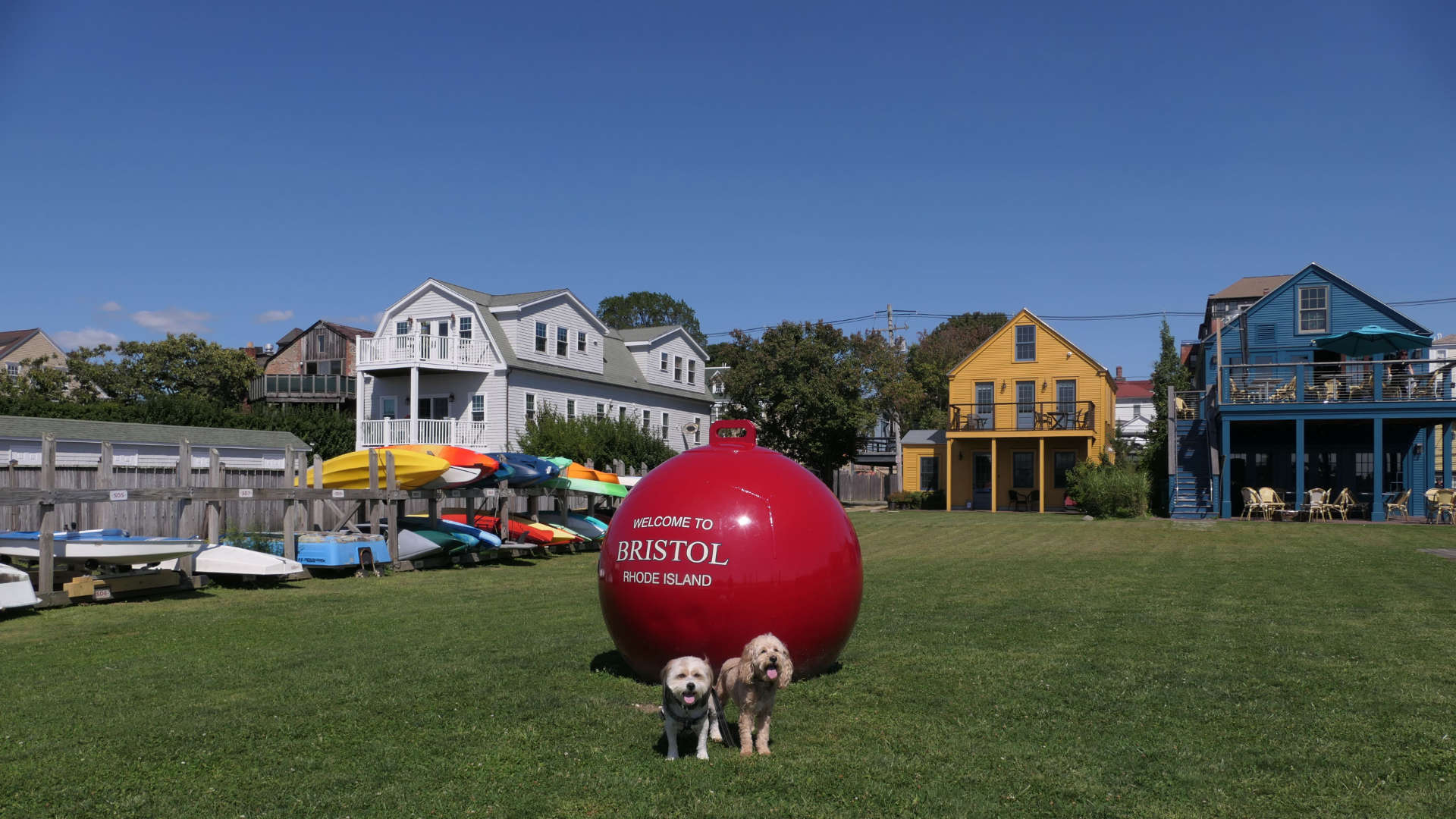
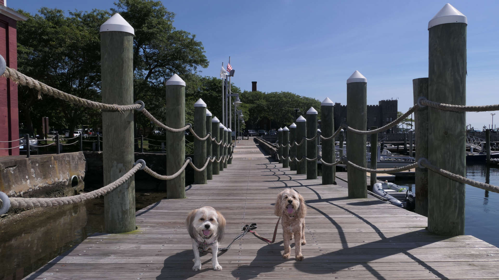
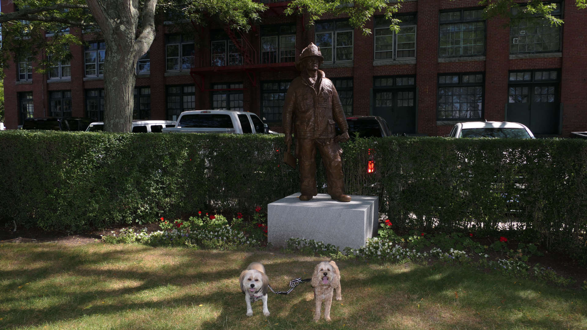
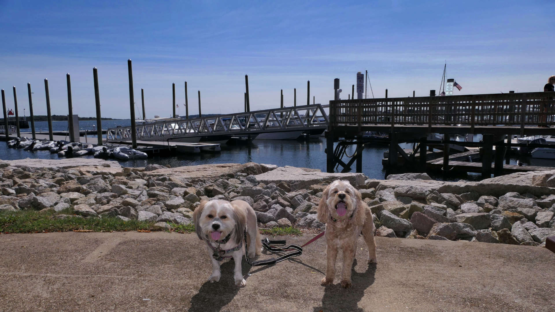
This was the first stop on four mile walking tour of the downtown Bristol area. We parked at the lot at Independence Park, and proceeded south on the Stone Harbor Condominium Boardwalk, which is open to the public. After passing Thames Waterside Bar and Grill, there is another public boardwalk that leads to two small parks, Rockwell Park and Bristol Fireman's Memorial Park. From here, we proceeded down Thames Street, to our next stop.
Constitution Street Shoreline Access
Date visited: 8/30/2024
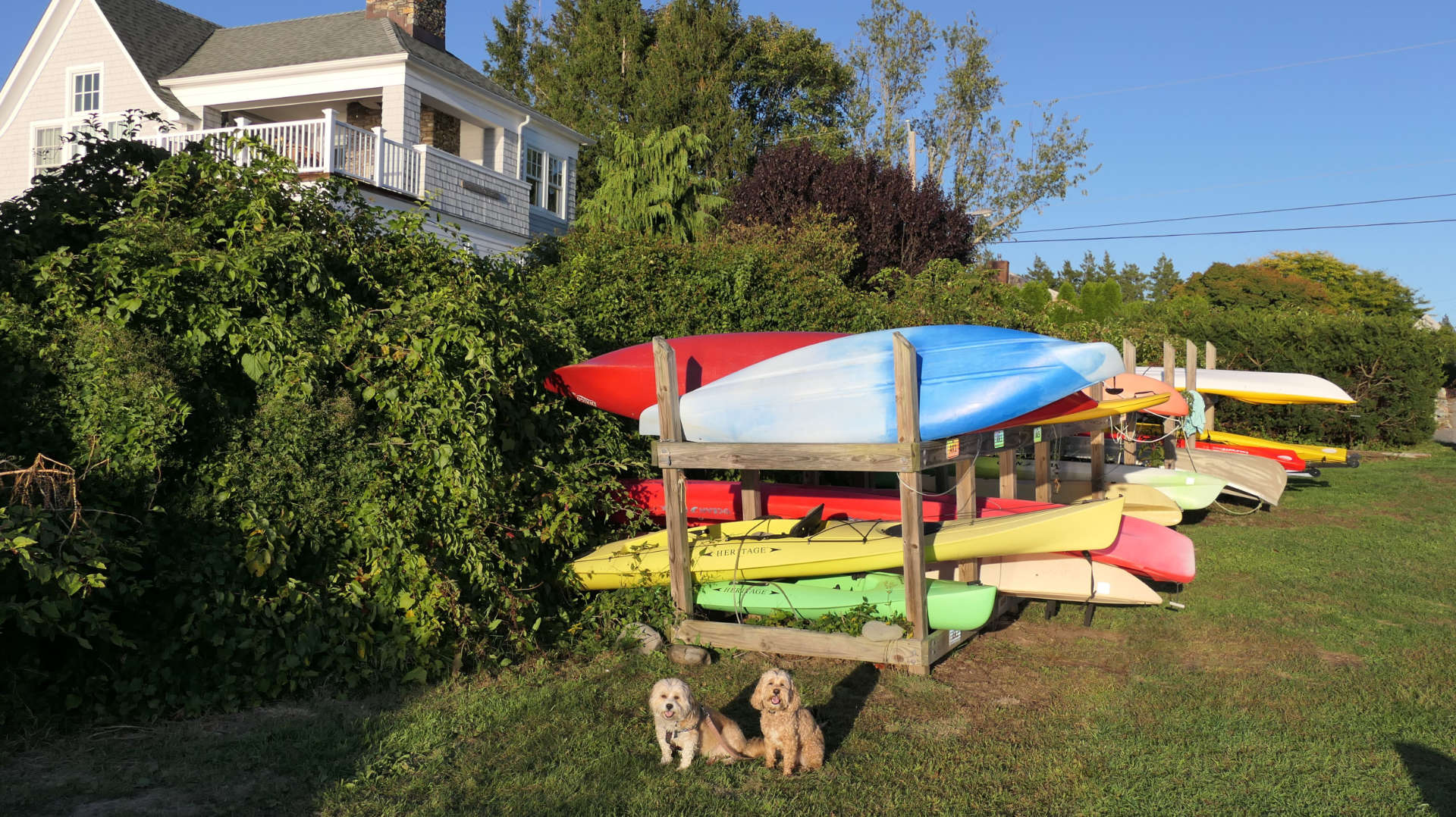
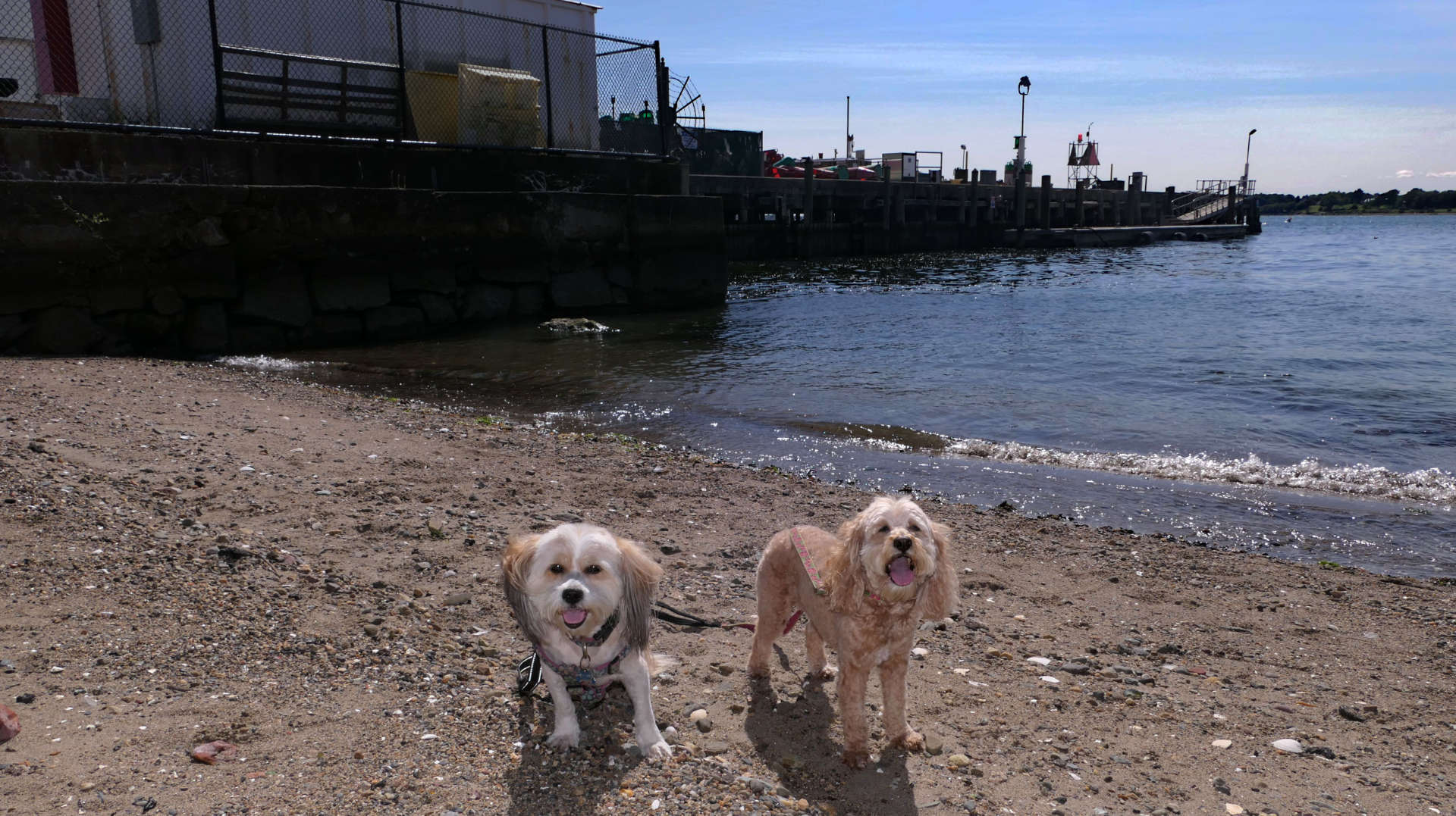
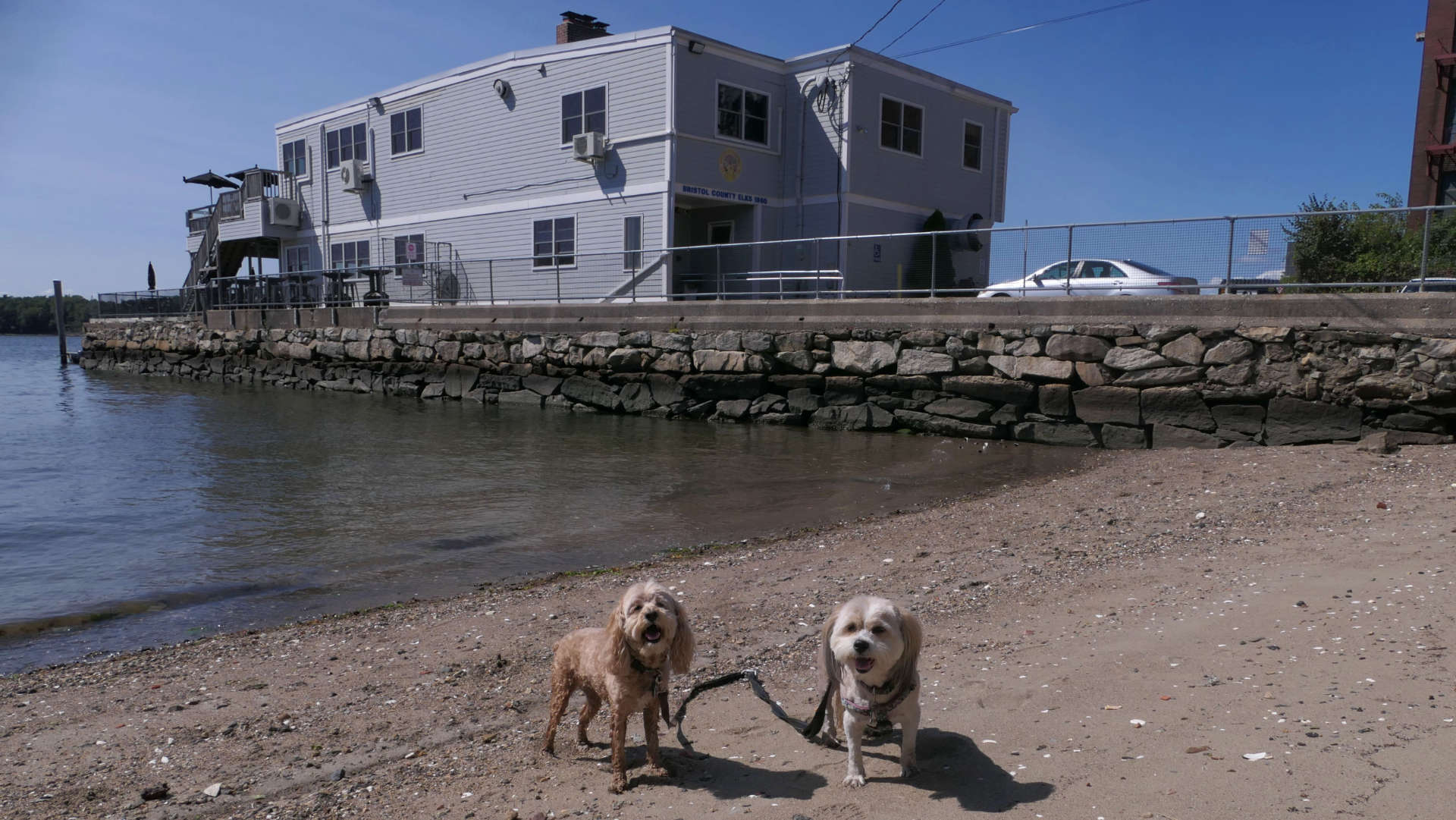
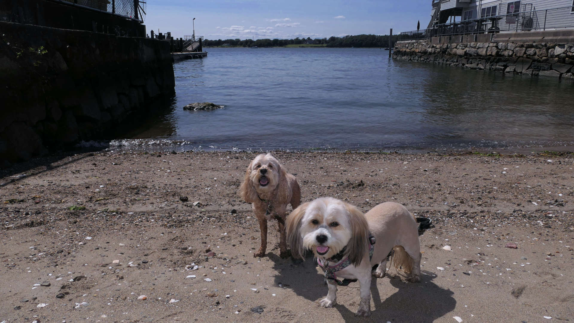
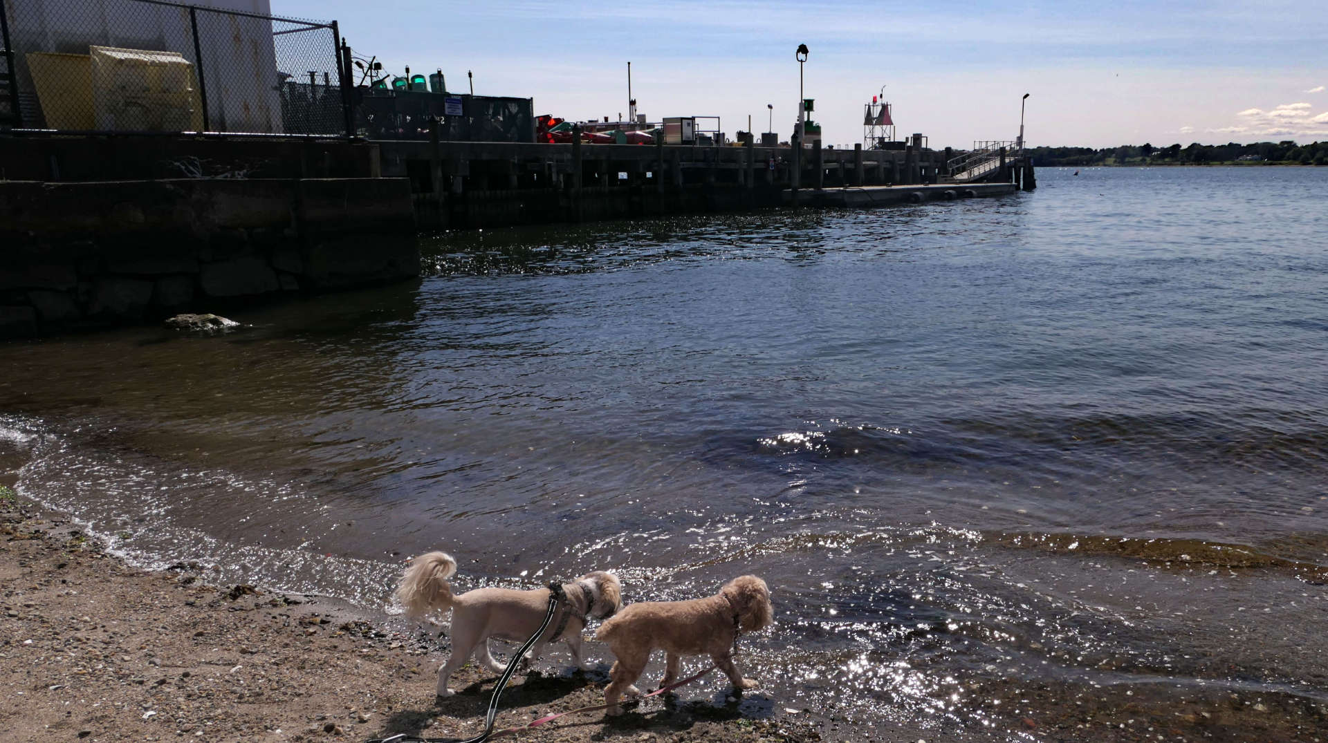
This is a small public waterfront access spot at the end of Constitution Street. It is sandwiched between the Elks Club and a Coast Guard station. This was a stop along our tour of the downtown Bristol area. Mandy and Lexi enjoyed cooling off here, before we headed down Hope Street toward our next stop.
Halsey Chase Herreshoff Park
Date visited: 8/30/2024
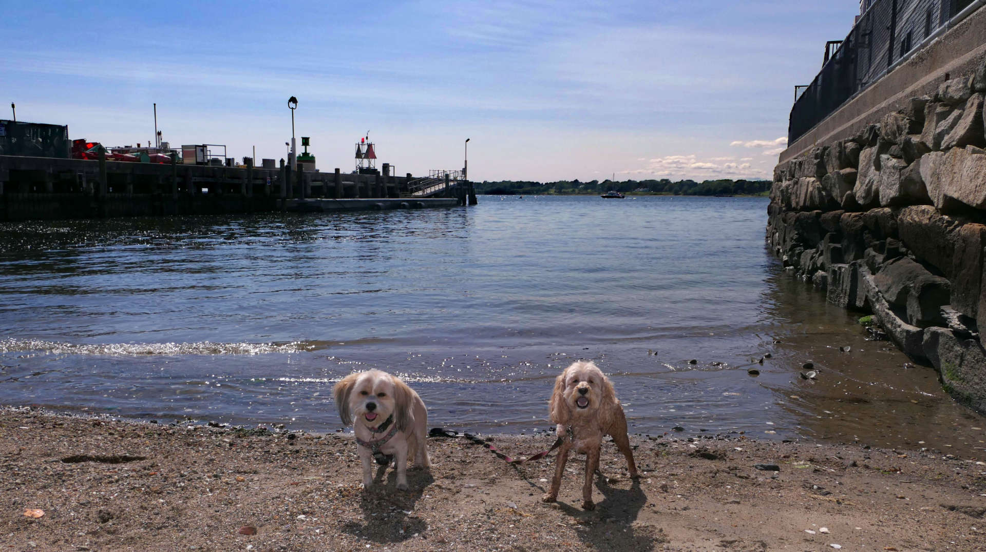
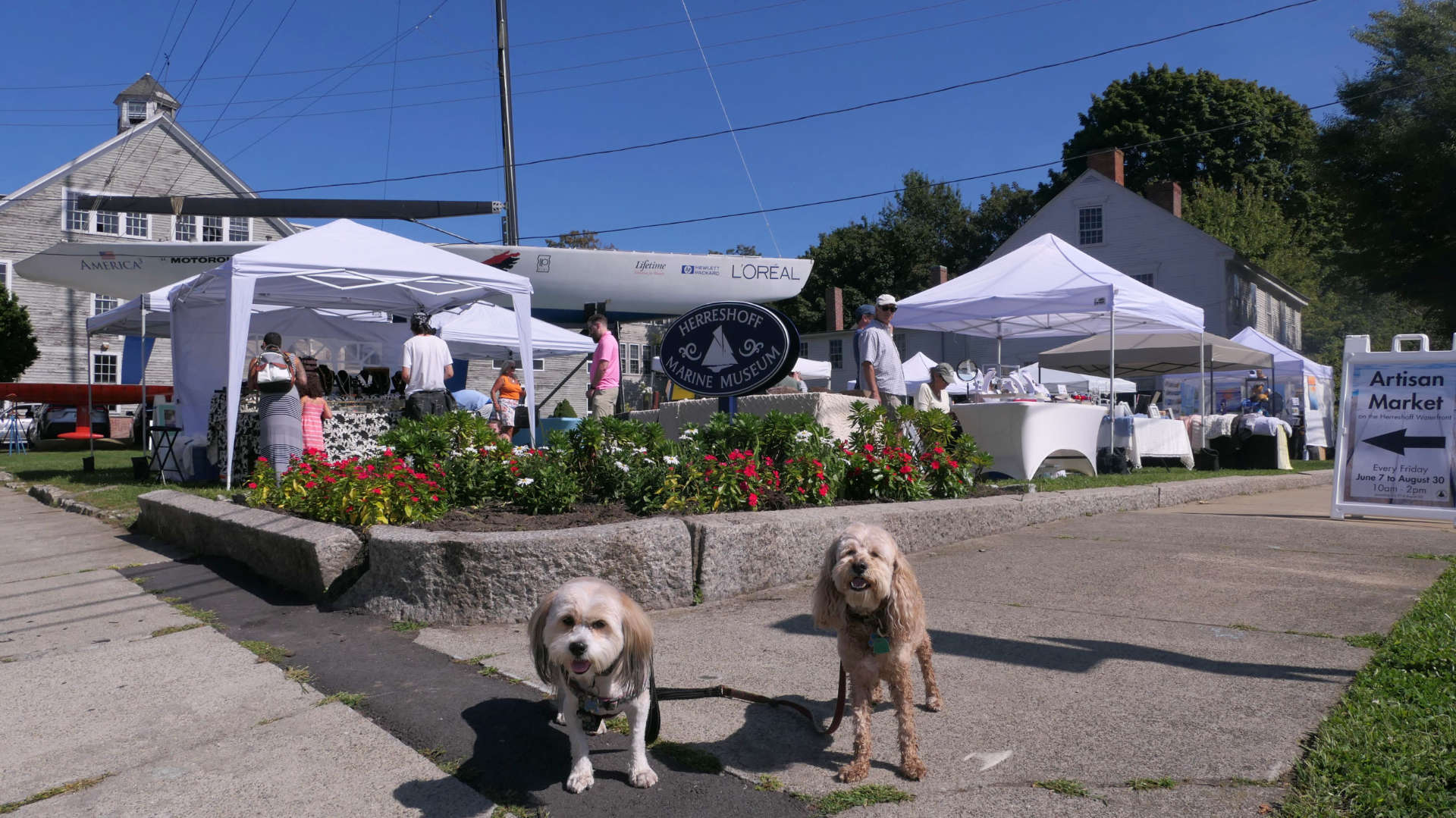
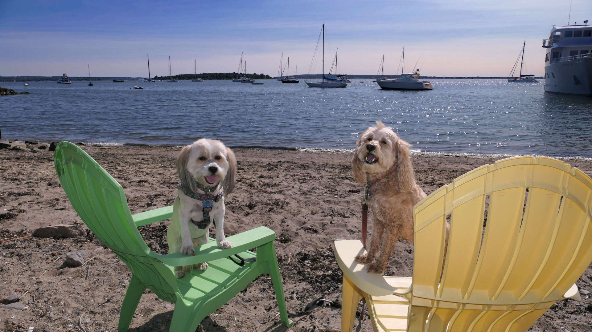
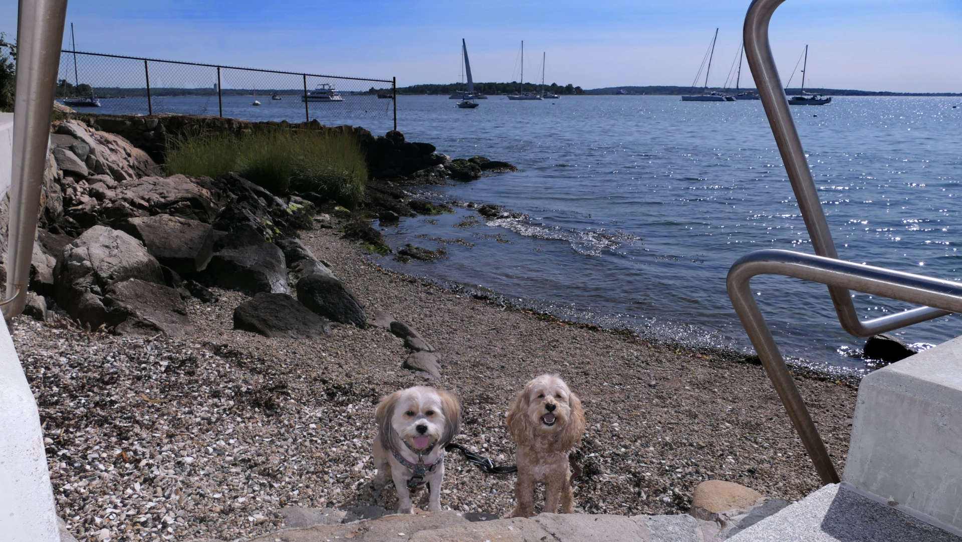
The sign at the park reads "Halsey Chase Herreshoff Park", but most maps have this park labeled as "Walley Park". This is a nice park with a small parking area that is for Bristol residents only. We arrived by foot, so that wasn't an issue. There's a small beach area here, as well as some nice areas to relax and enjoy the view. Also included in the pictures below is the area just to the north of here, the Prudence Island ferry port. Across the street is the Herreshoff Marine Museum, where they have an Artisan Market every Friday during the summer. This was the mid-point of our adventure around the downtown Bristol area, and from here we headed back up Hope Street toward our next stop.
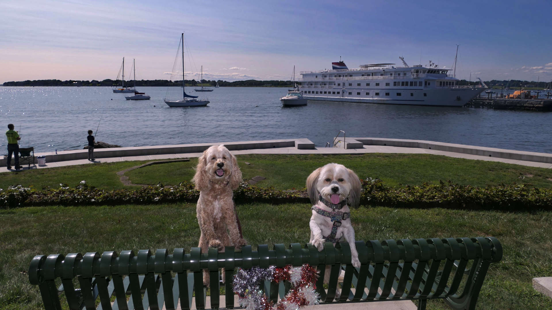
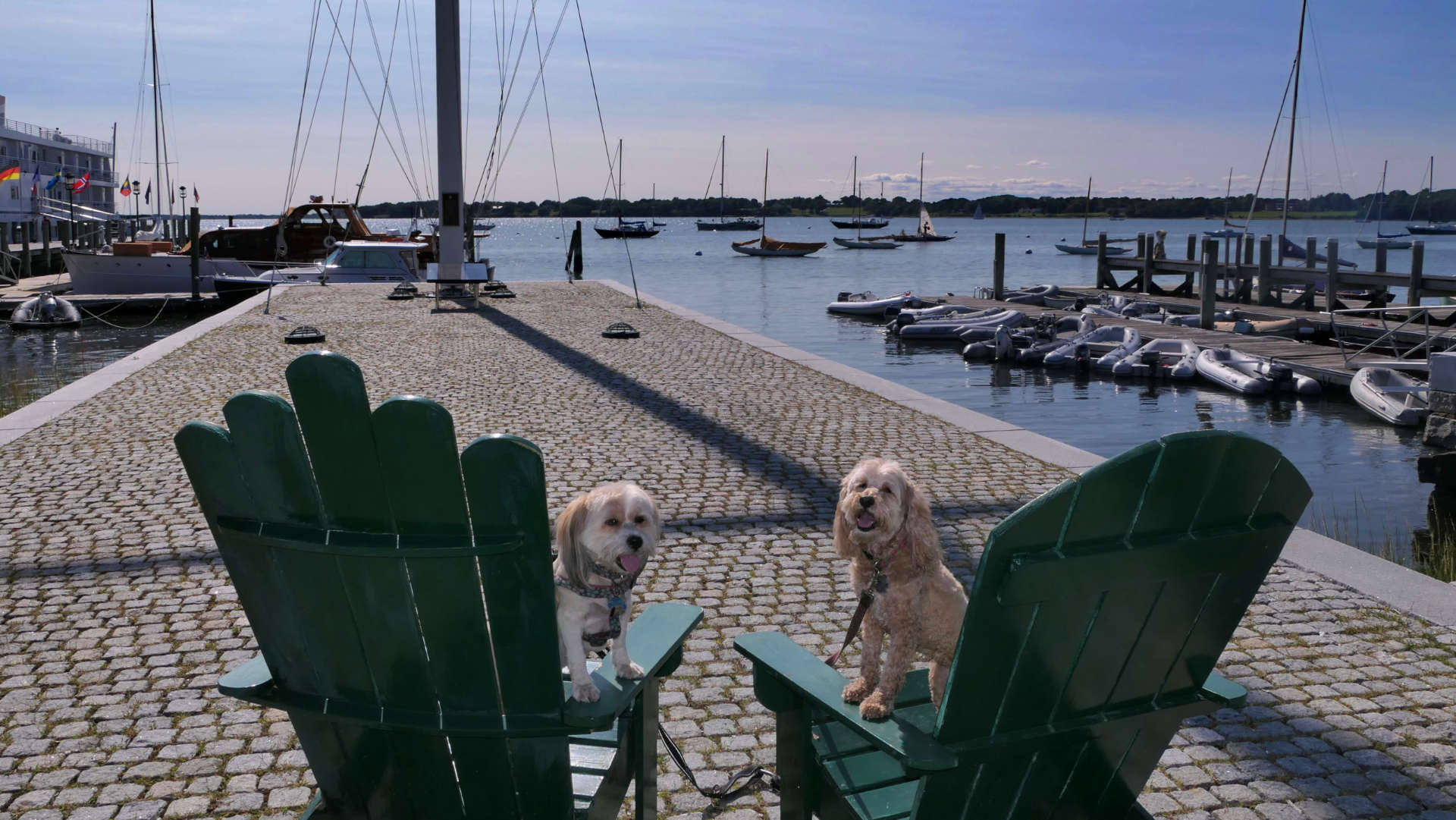
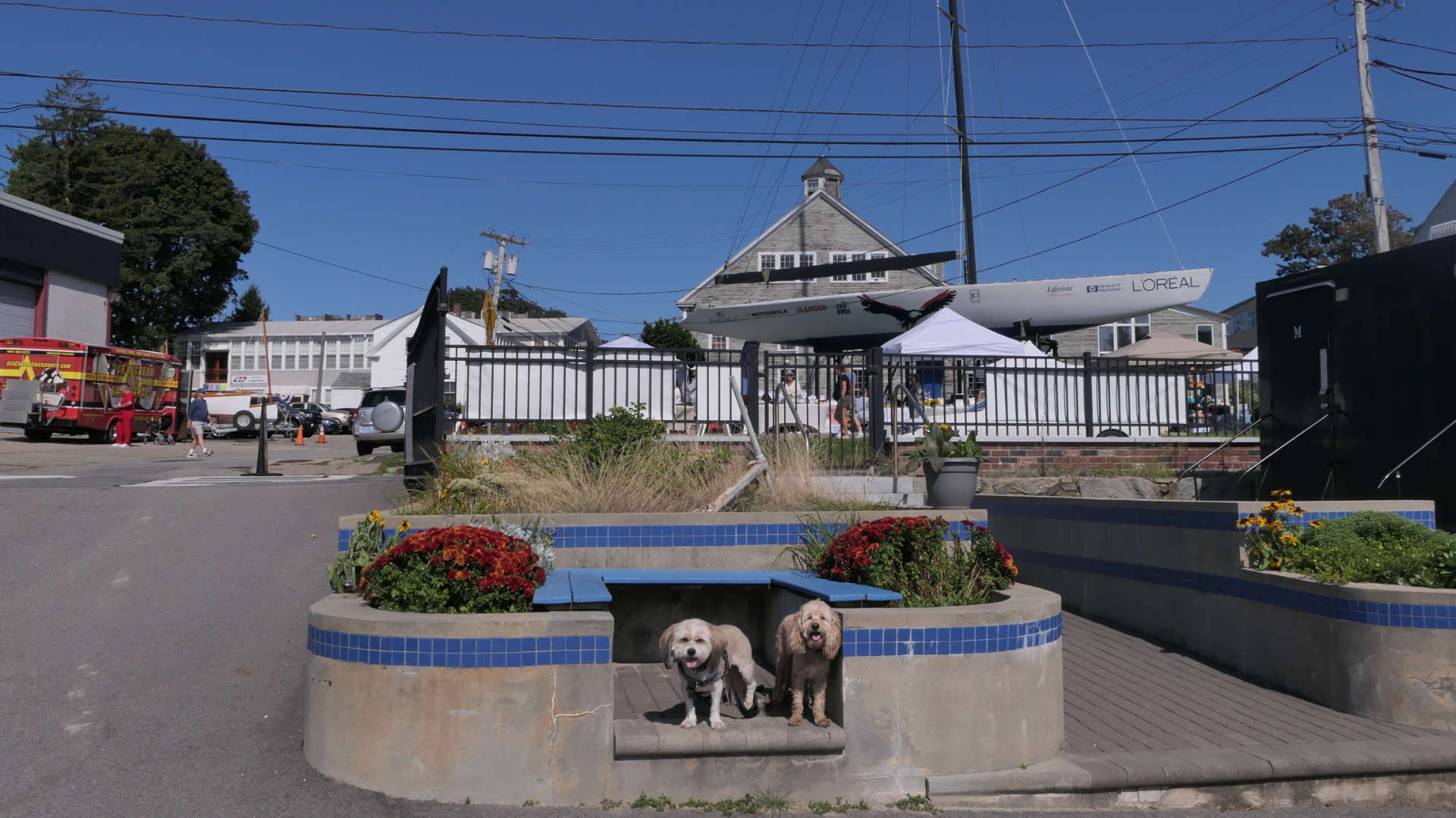
Union Street Shoreline Access
Date visited: 8/30/2024
This is yet another small waterfront access point in downtown Bristol, where the dogs could cool off. There is a very small park area and beach here. After a brief stop here, we continued on our Downtown Bristol adventure.
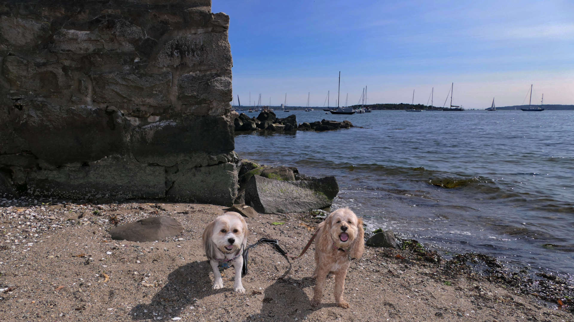
Downtown Bristol
Date visited: 8/30/2024
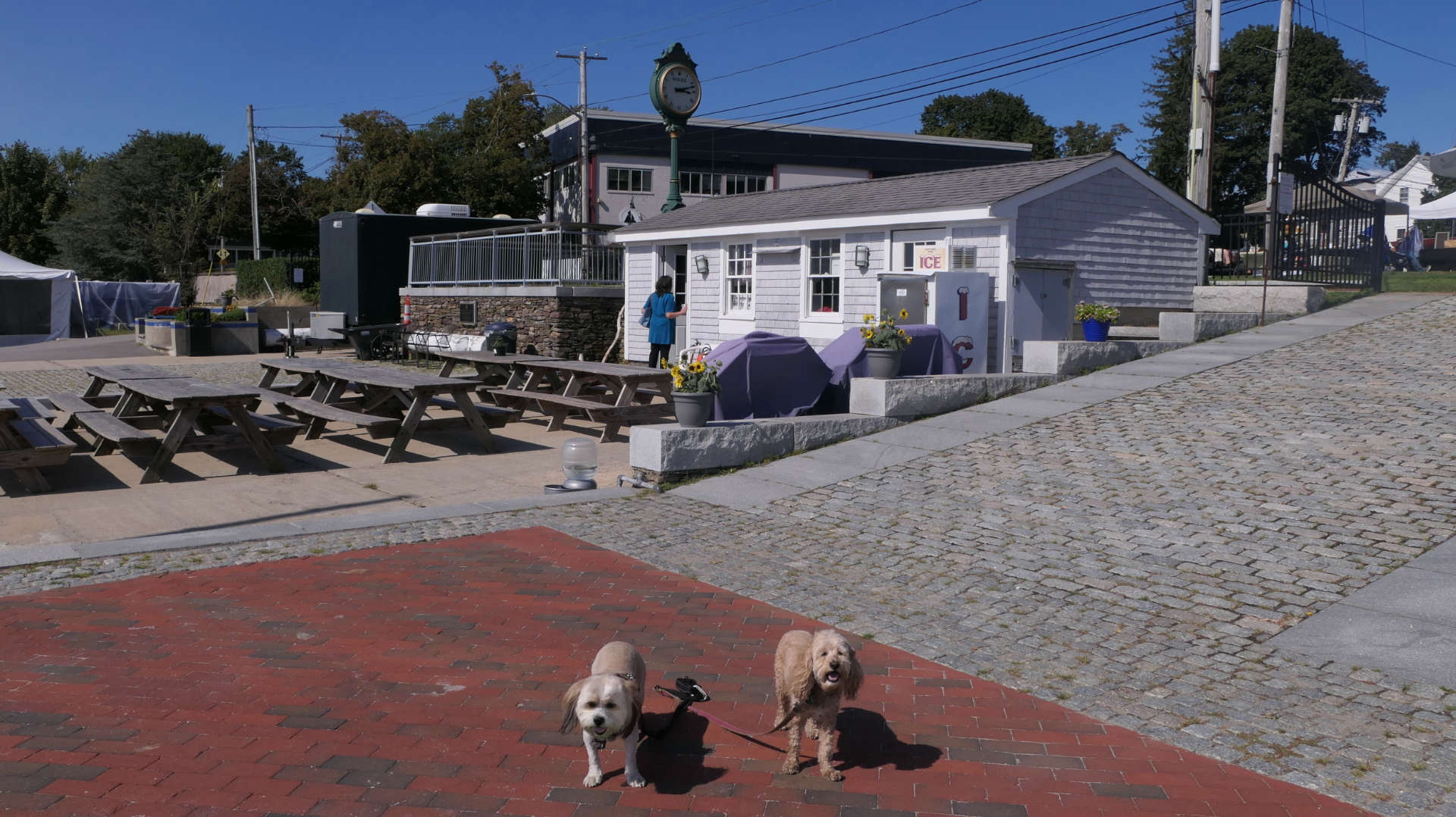
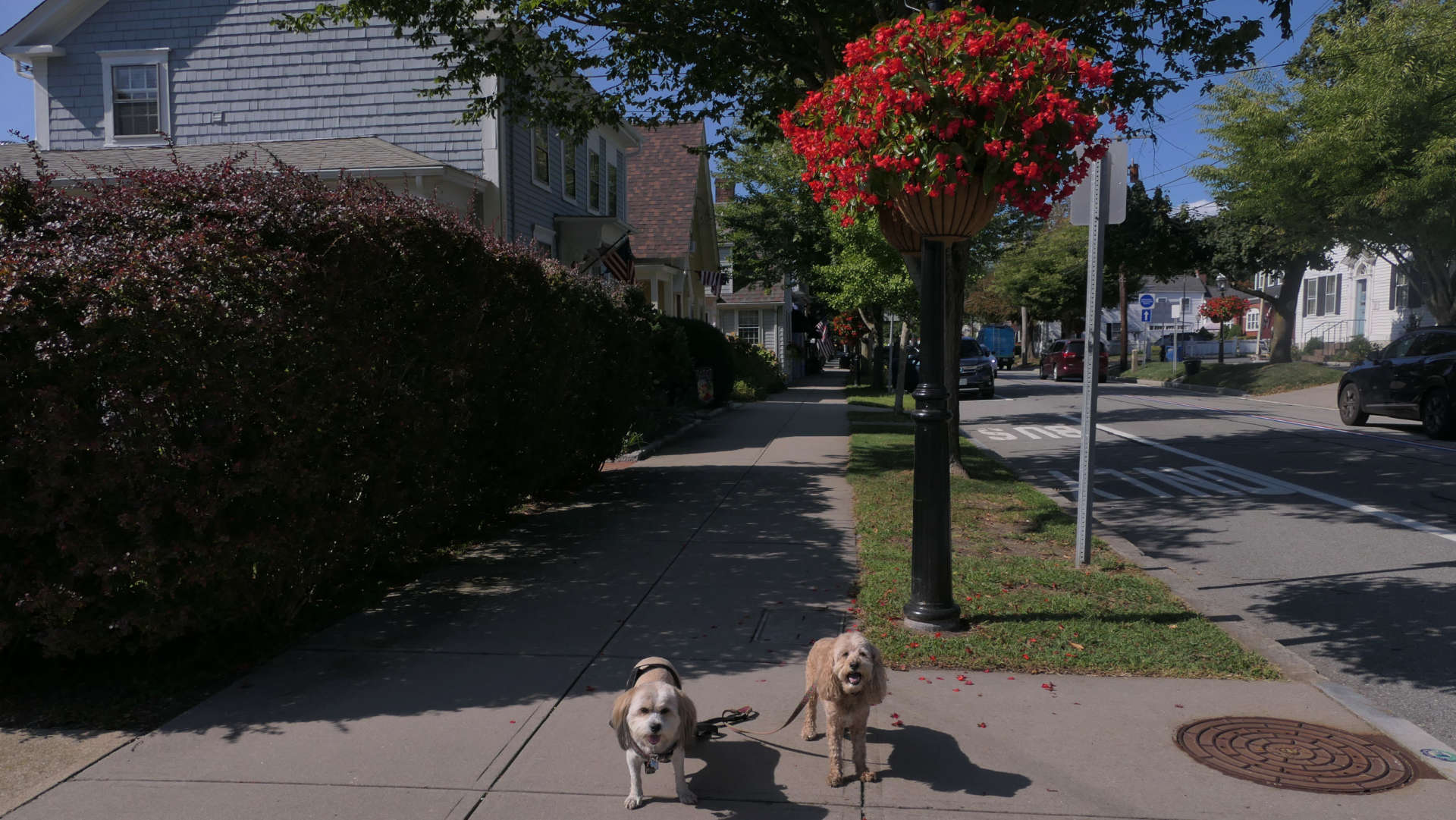
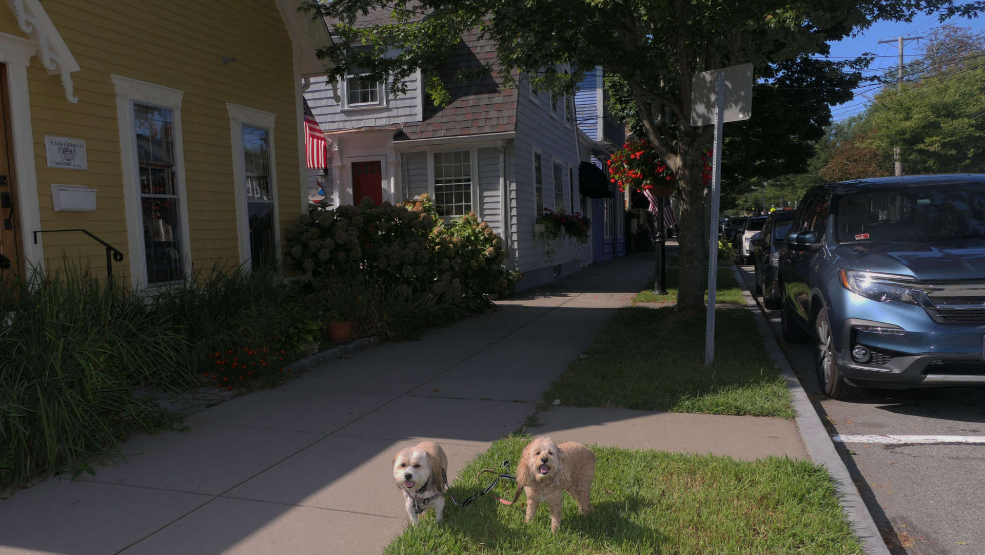
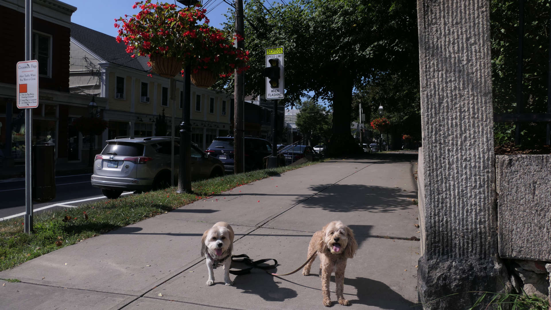
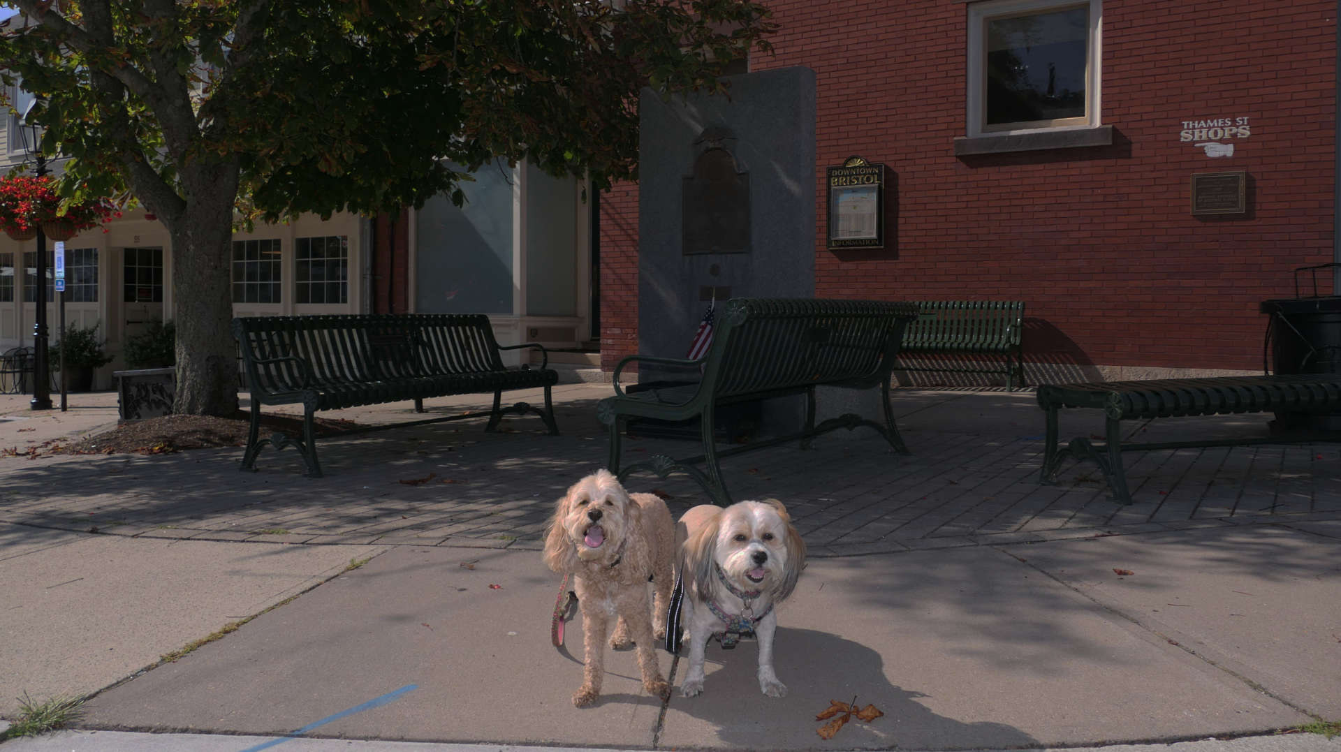
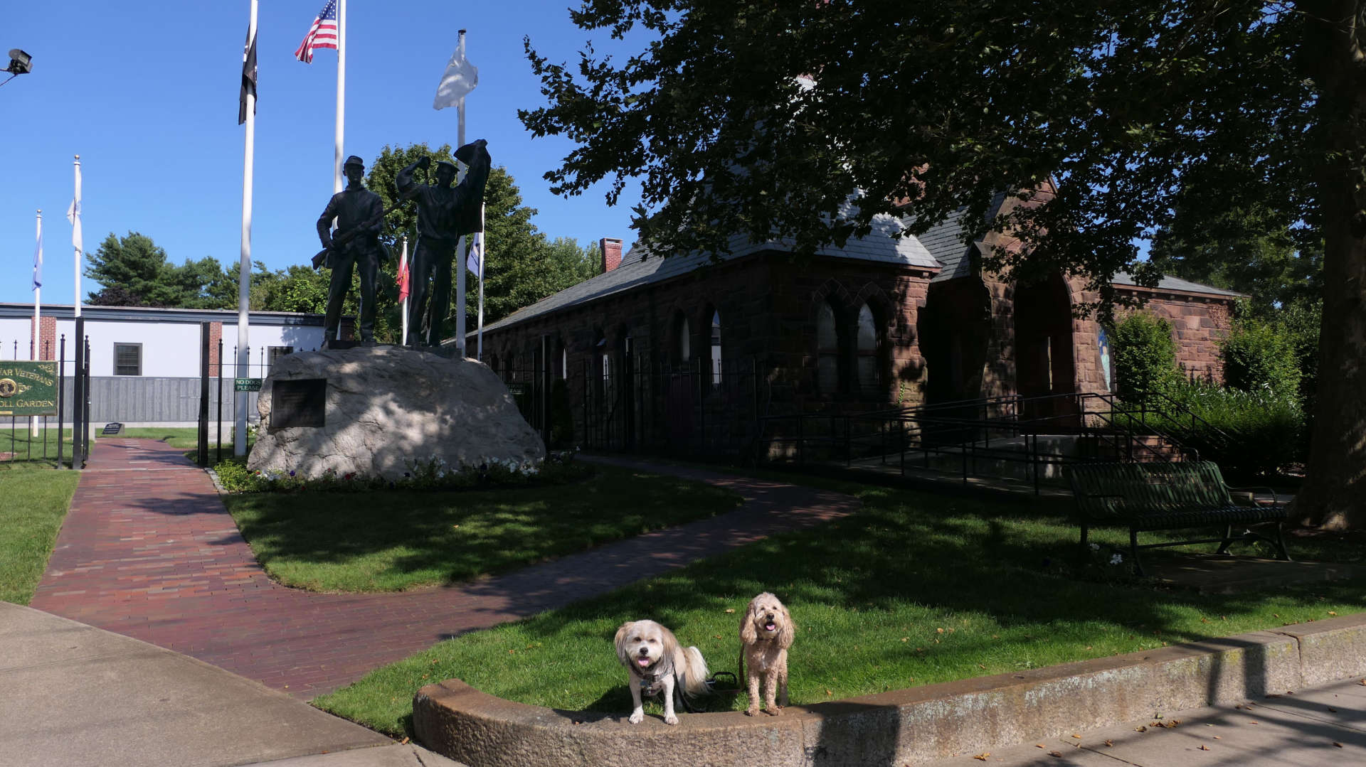
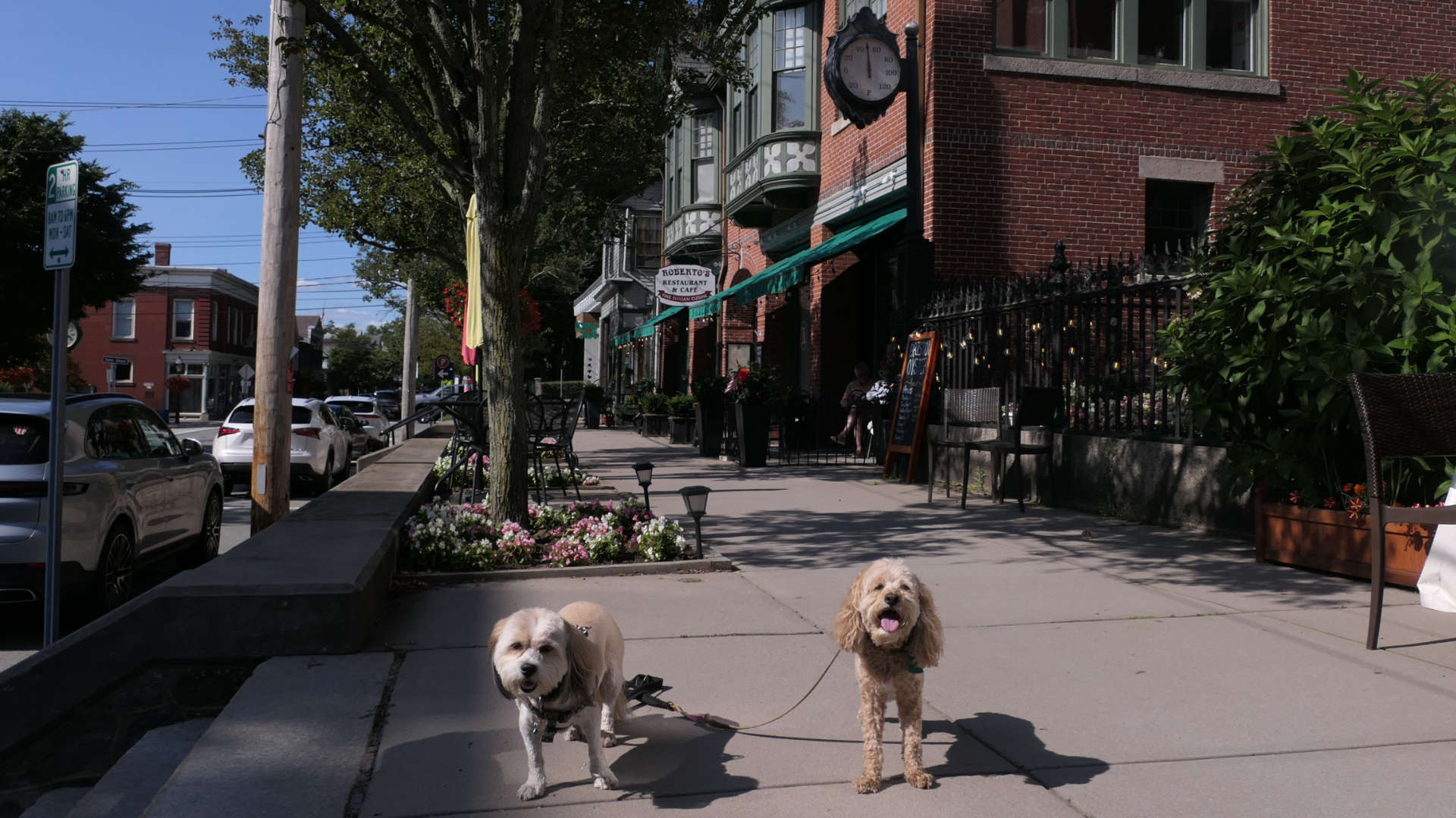
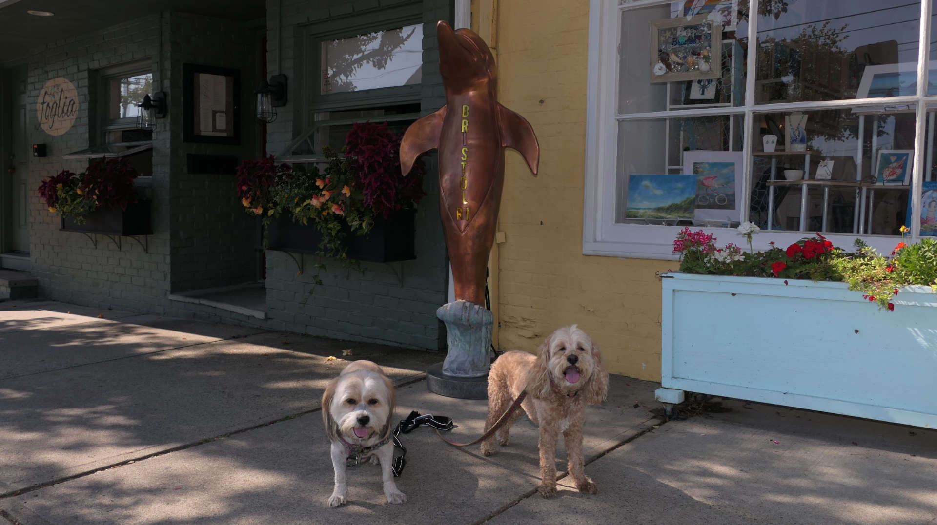
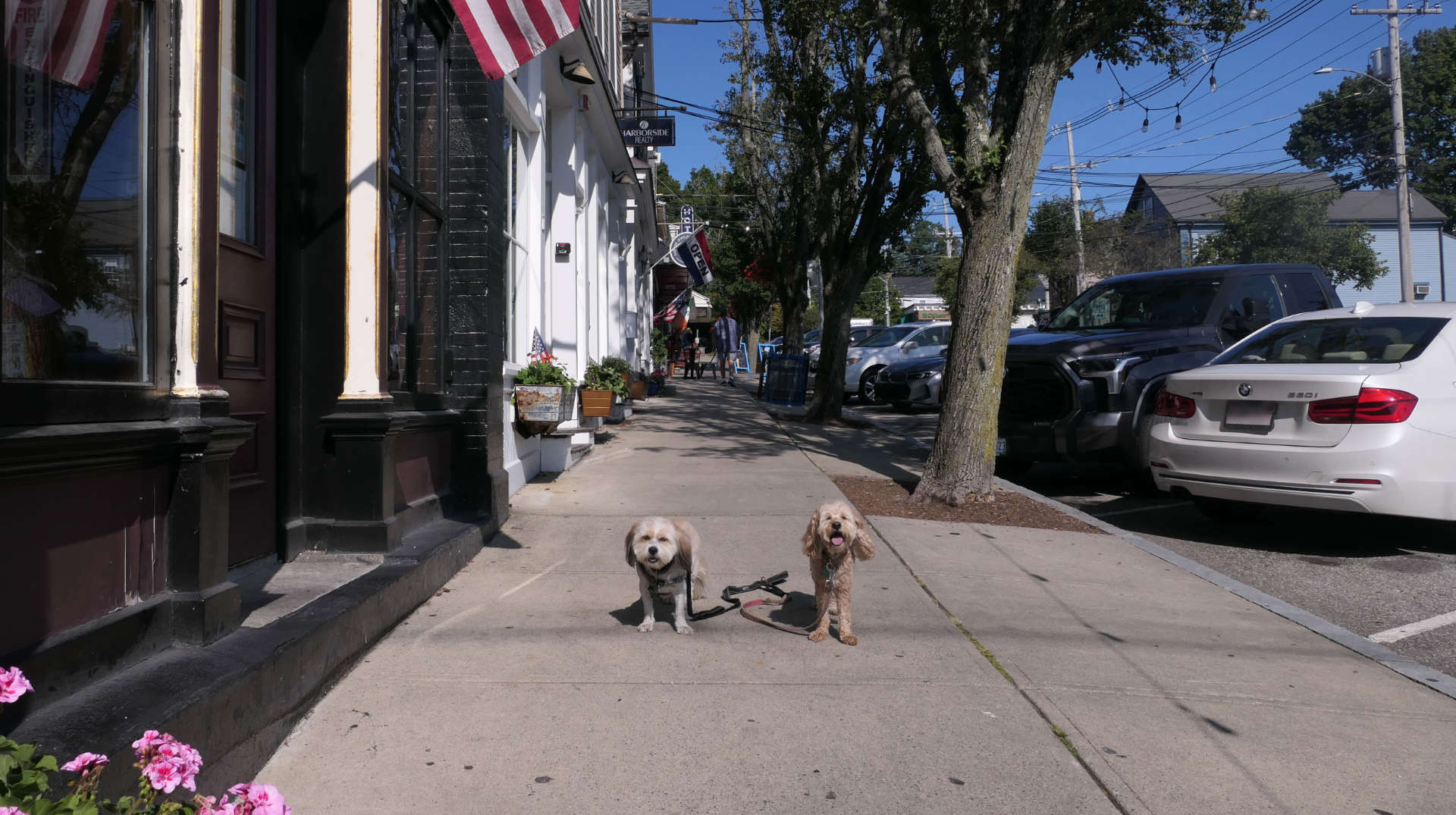
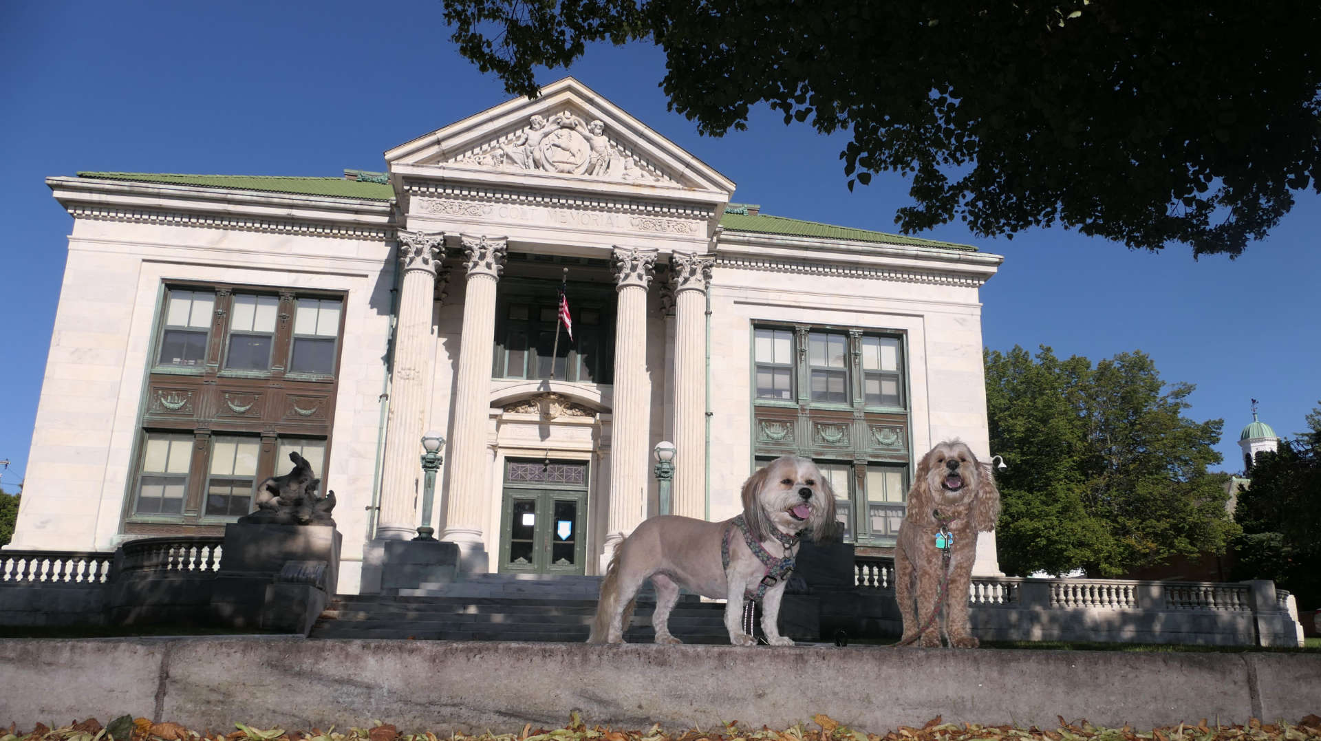
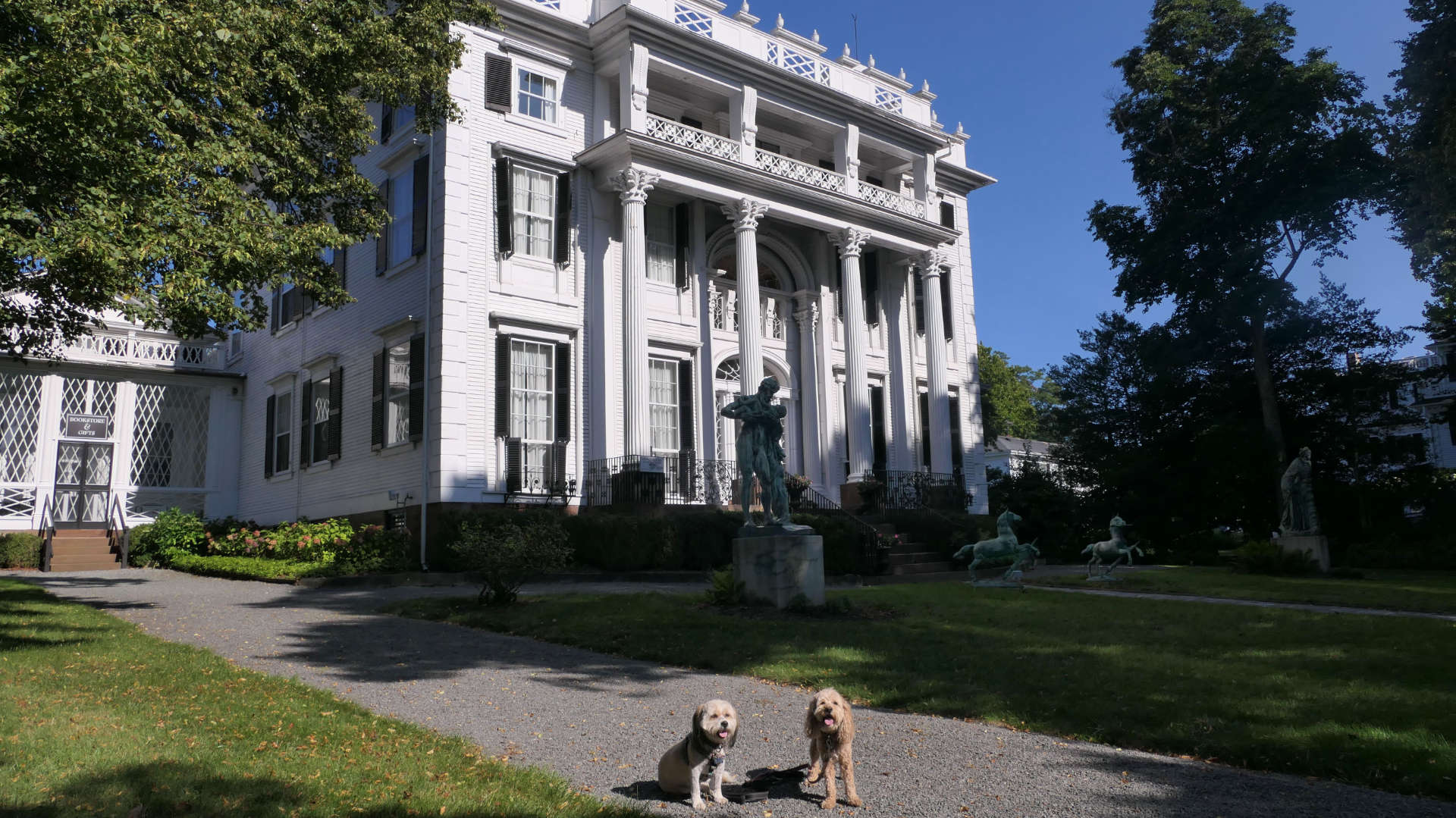
This is the historic downtown area, mostly along Thames Street, Hope Street and State Street, with shops, restaurants, and museums. We also walked up State Street to the Town Common before heading back to Independence Park where we parked and completing our four mile adventure.
Downtown Bristol
Date visited: 12/13/2024
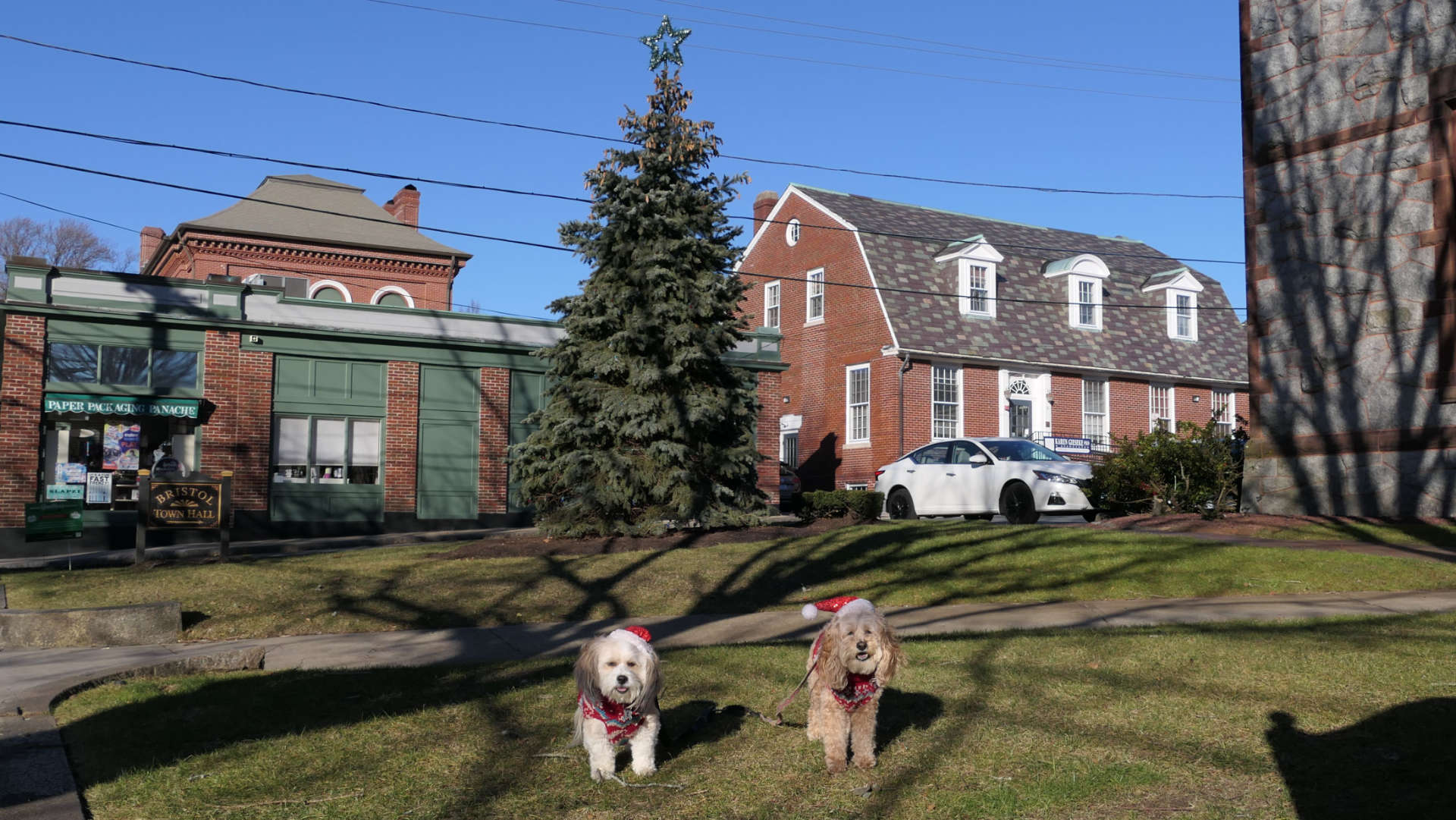
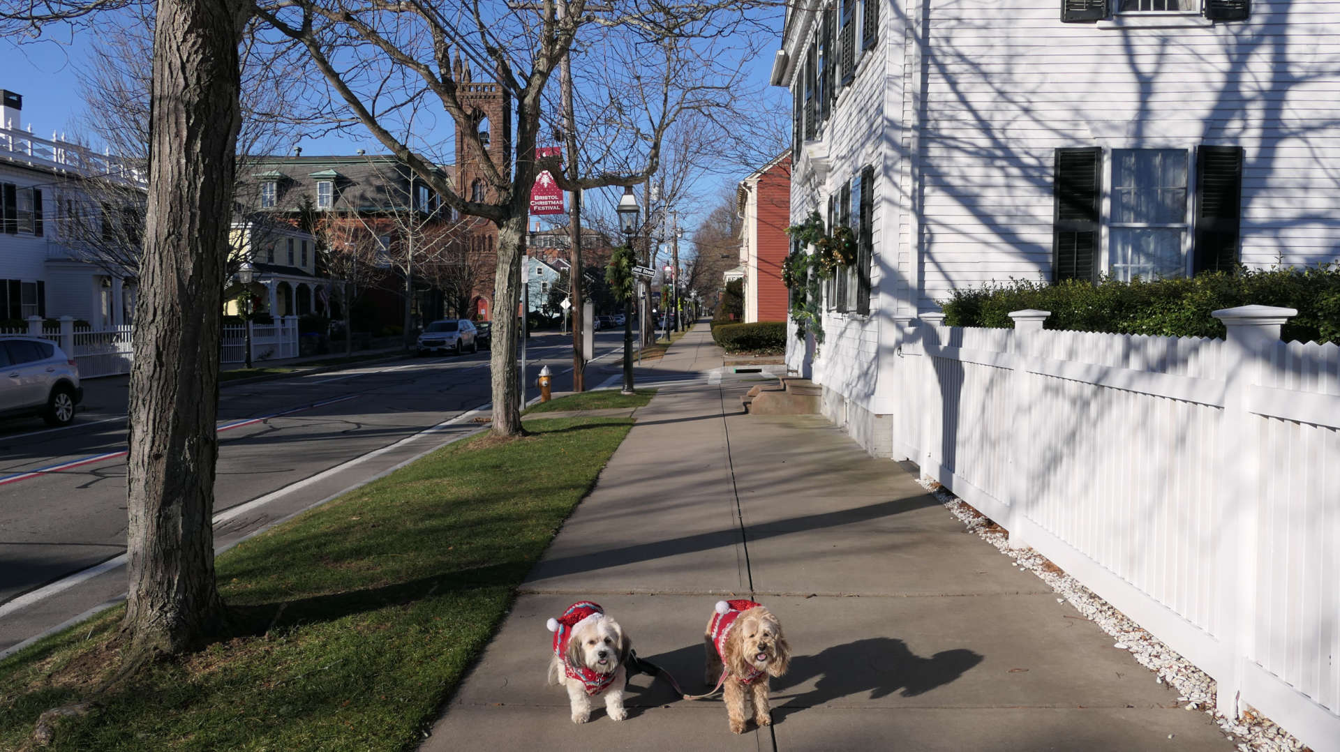
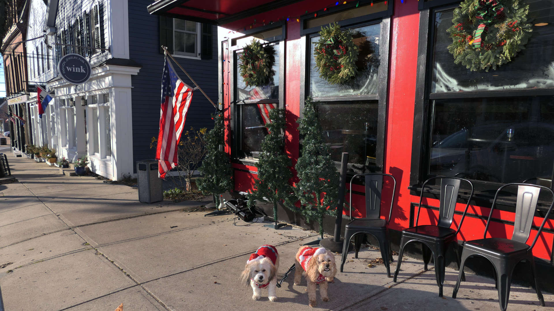
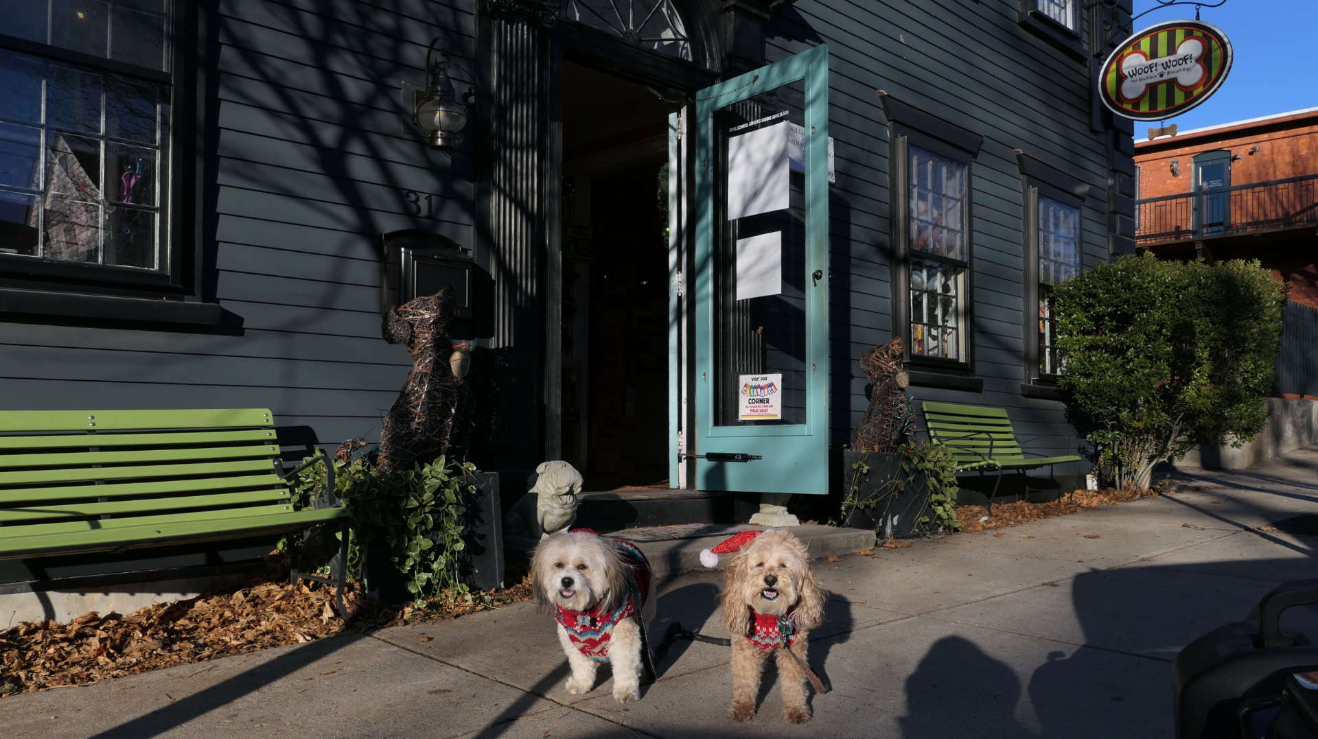
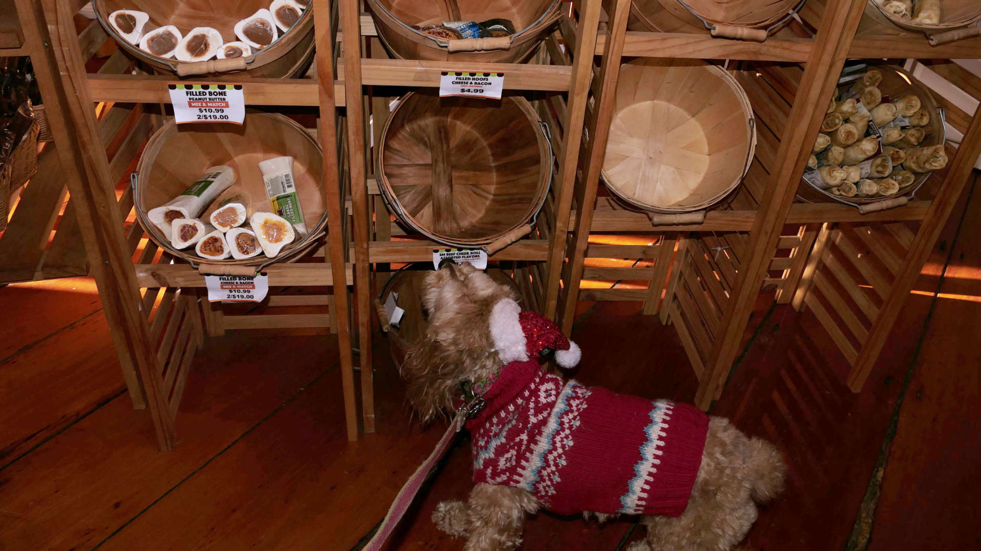
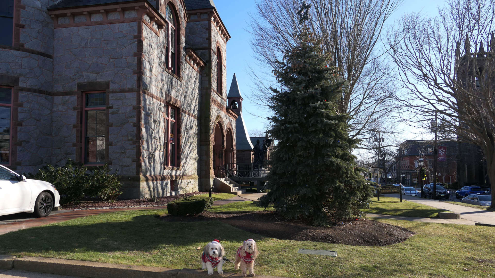
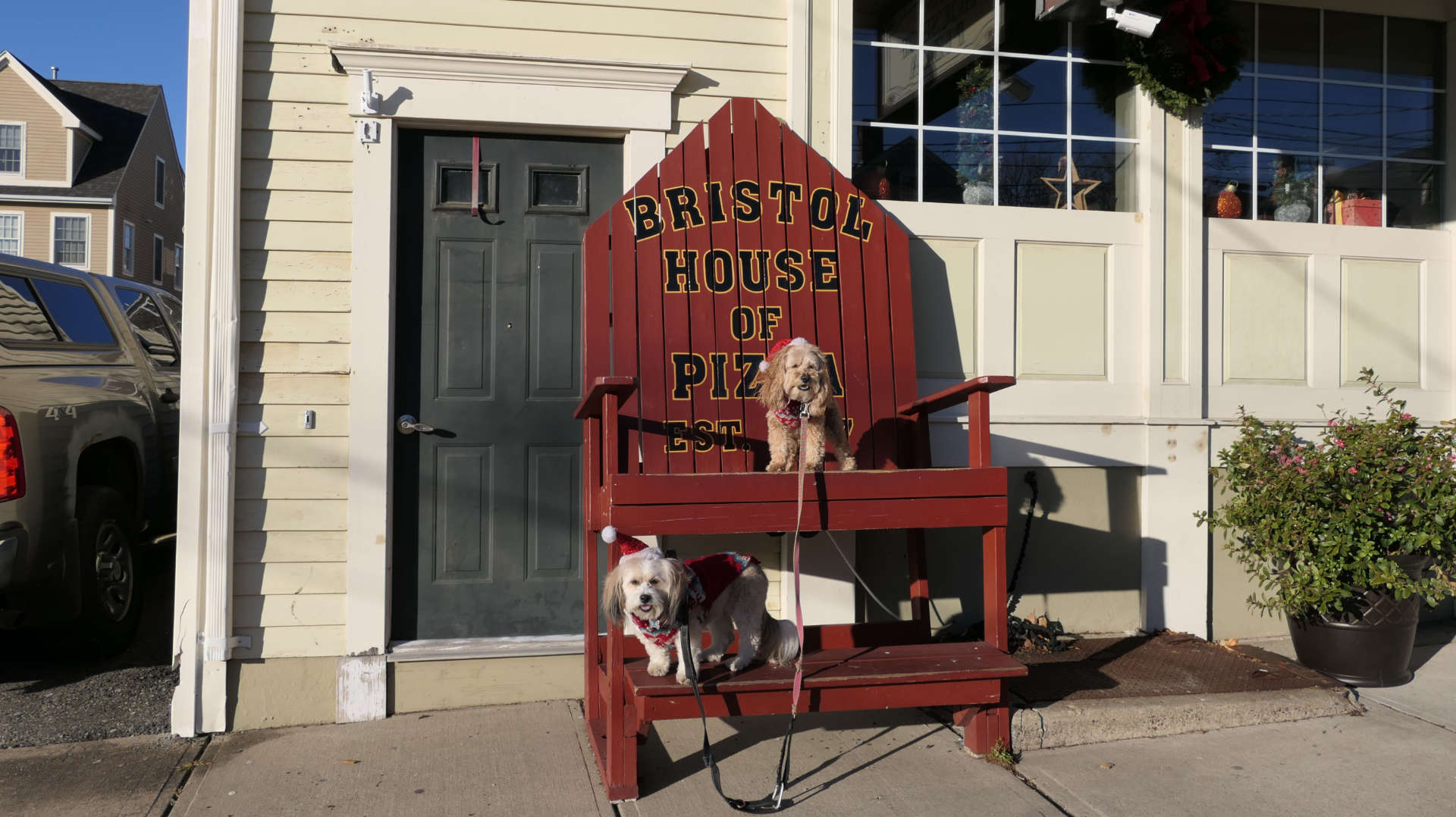
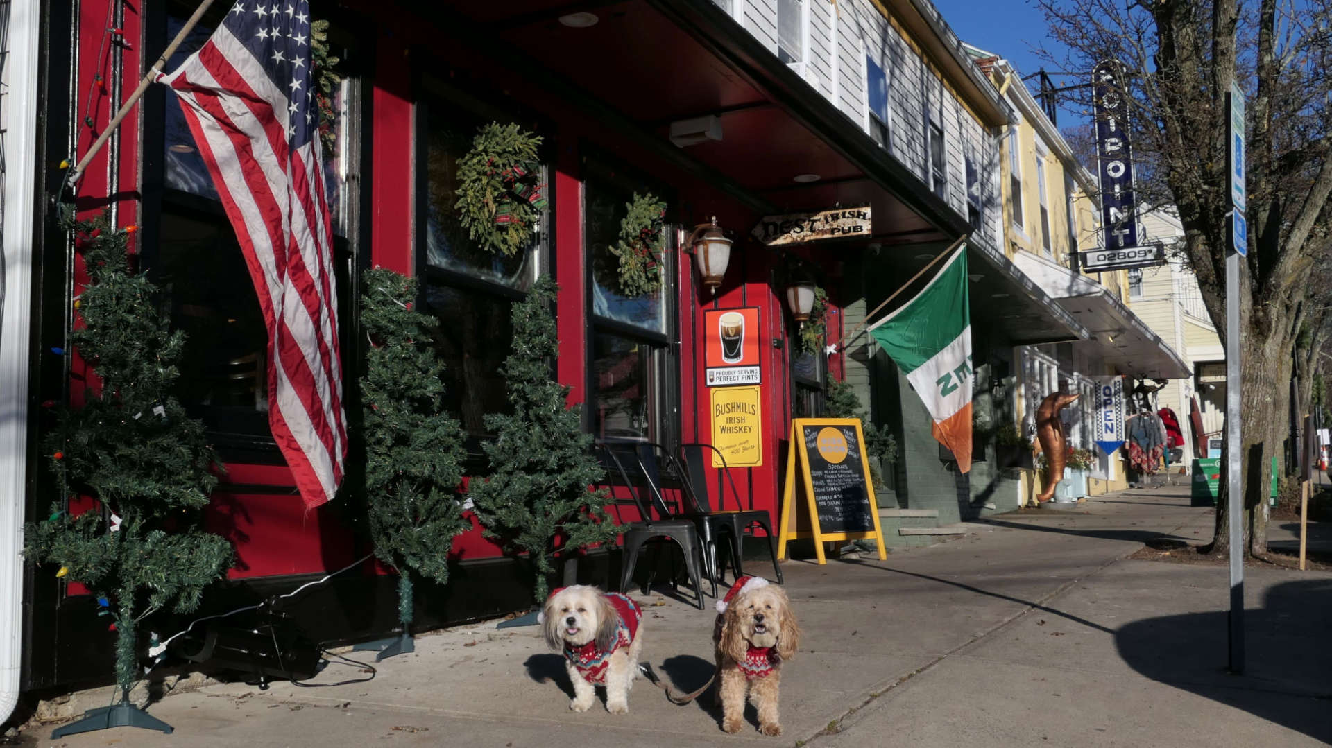
We returned for another walk around Downtown Bristol. This time the goal was to take some Christmas photos. We missed Bristol's annual Christmas Festival because it was held the same date and time as Newport's, but the decorations were still up! Our walk started at Bristol Common, and wrapped up near Unity Park.


Downtown Bristol
Date visited: 8/10/2025
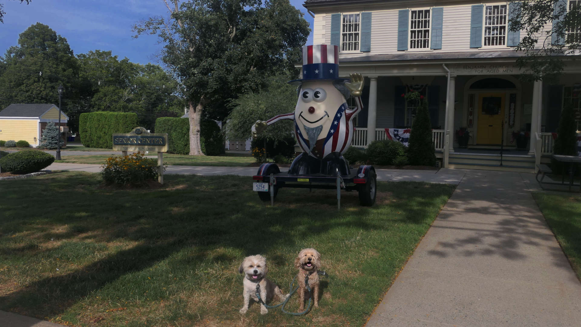
We found another one of the Hasbro Potato Heads scattered around Rhode Island. This one is "Uncle Sam", and he makes an appearance yearly at Bristol's annual 4th of July Parade. He was sitting outside the Benjamin Church Senior Center when we drove by, so we had to stop! This is the second potato head we've discovered, with Regular Joe being the first. You can read more about the potato head's over on the Warren page.
Bristol Town Common
Date visited: 12/13/2024
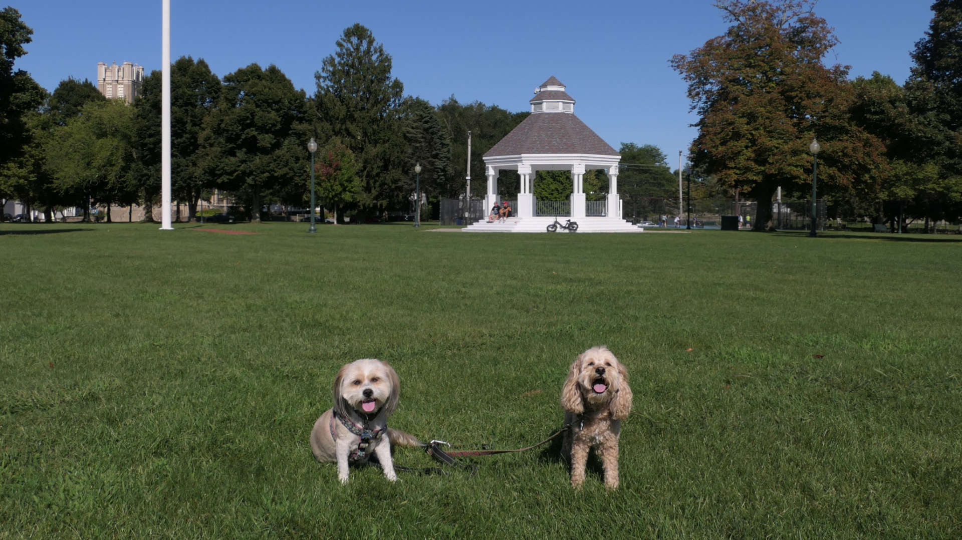
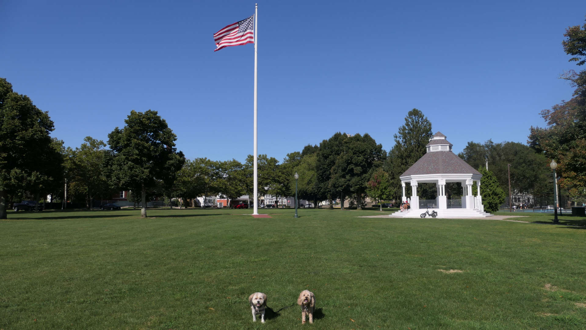
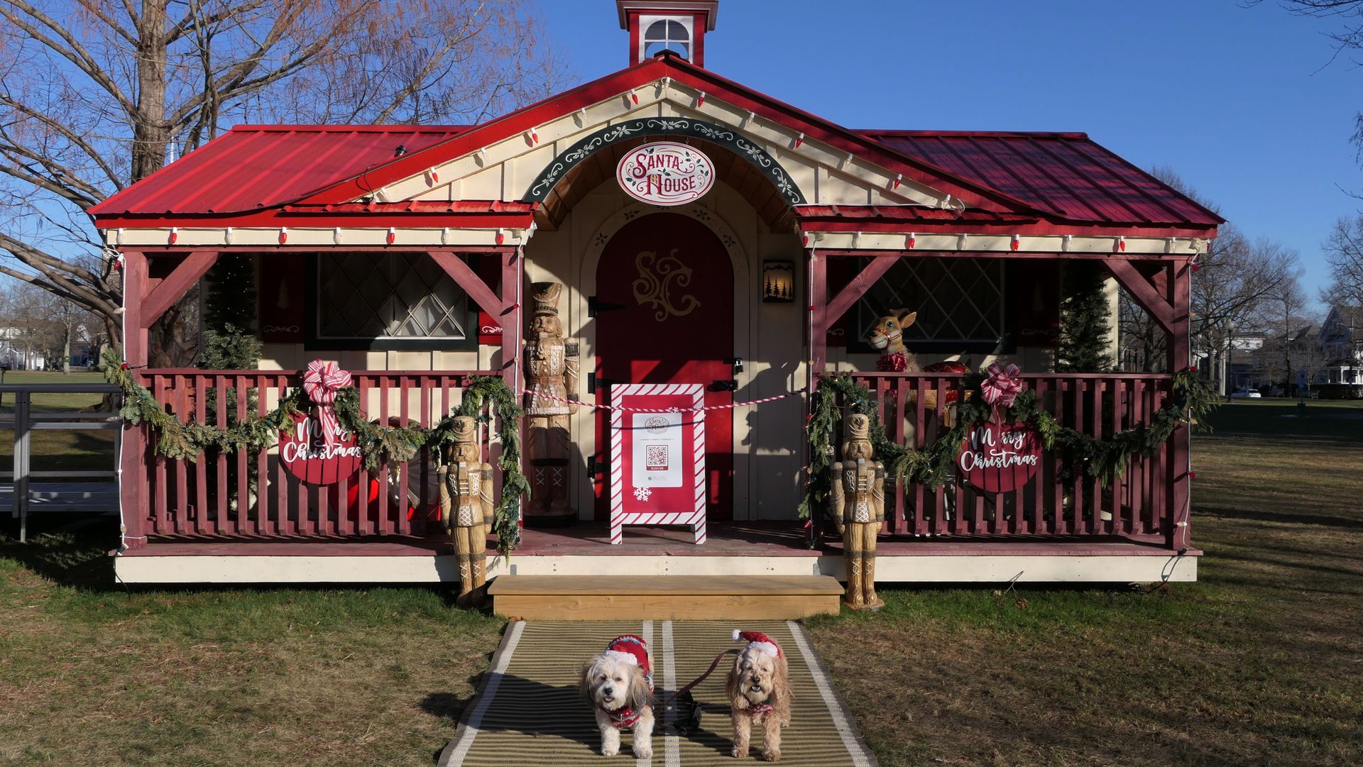
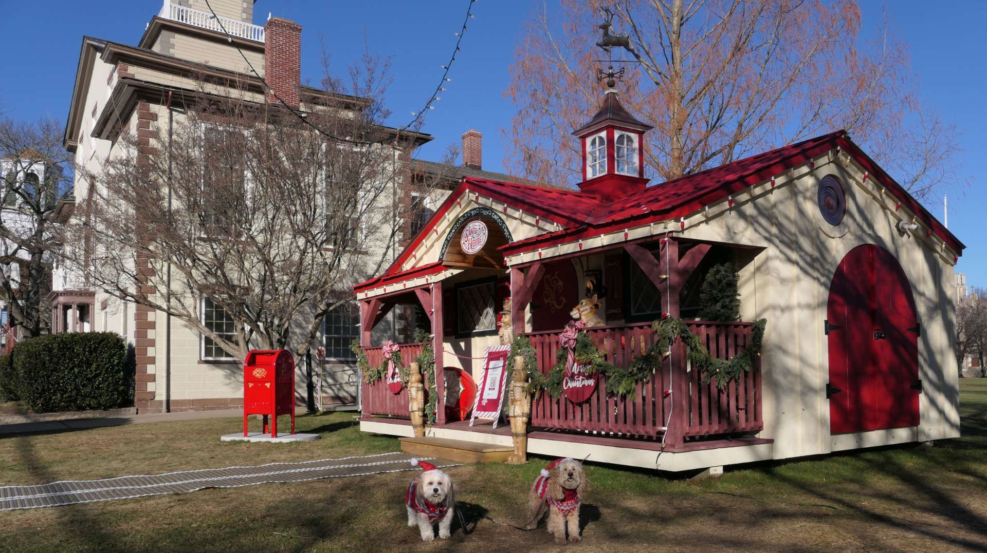
We started our Holiday walk through Bristol at the Town Common, taking pictures at the gazebo and at Santa's House, before heading through the downtown area and Unity Park.

Roger Williams University
Date visited: 8/31/2024
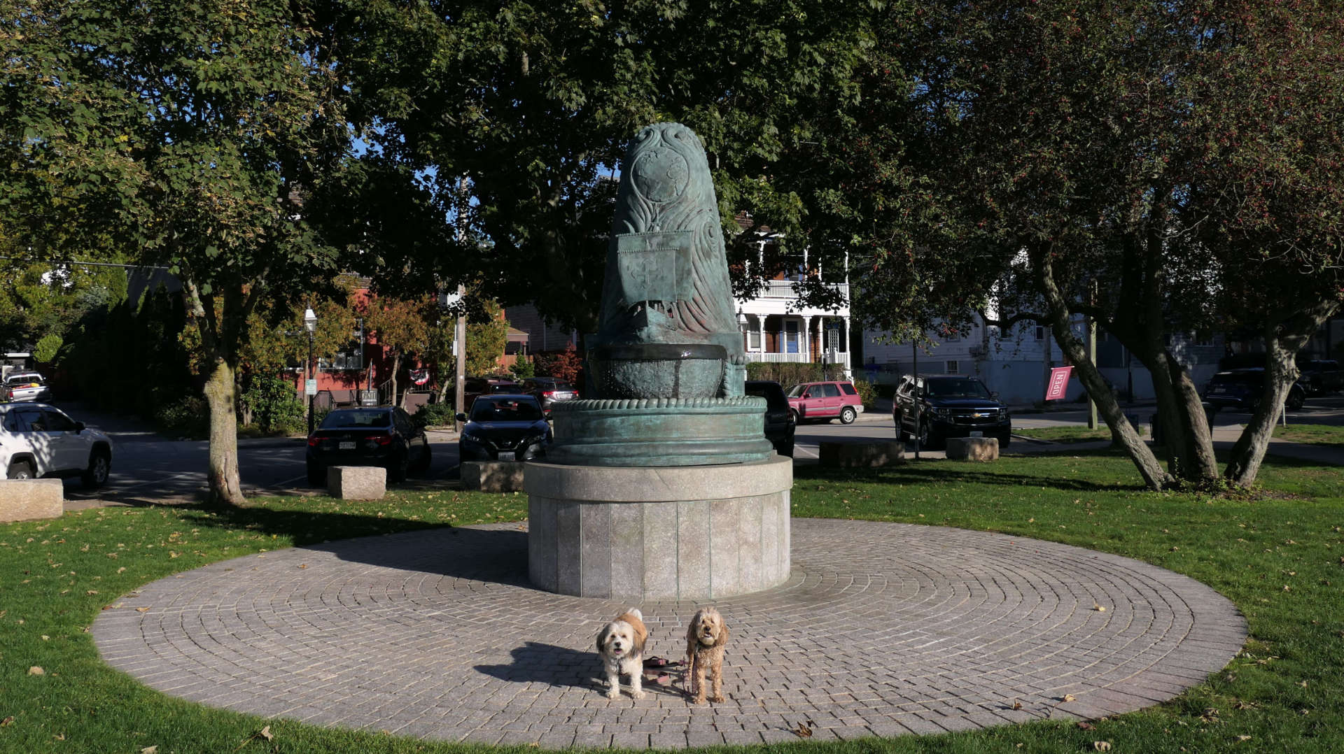
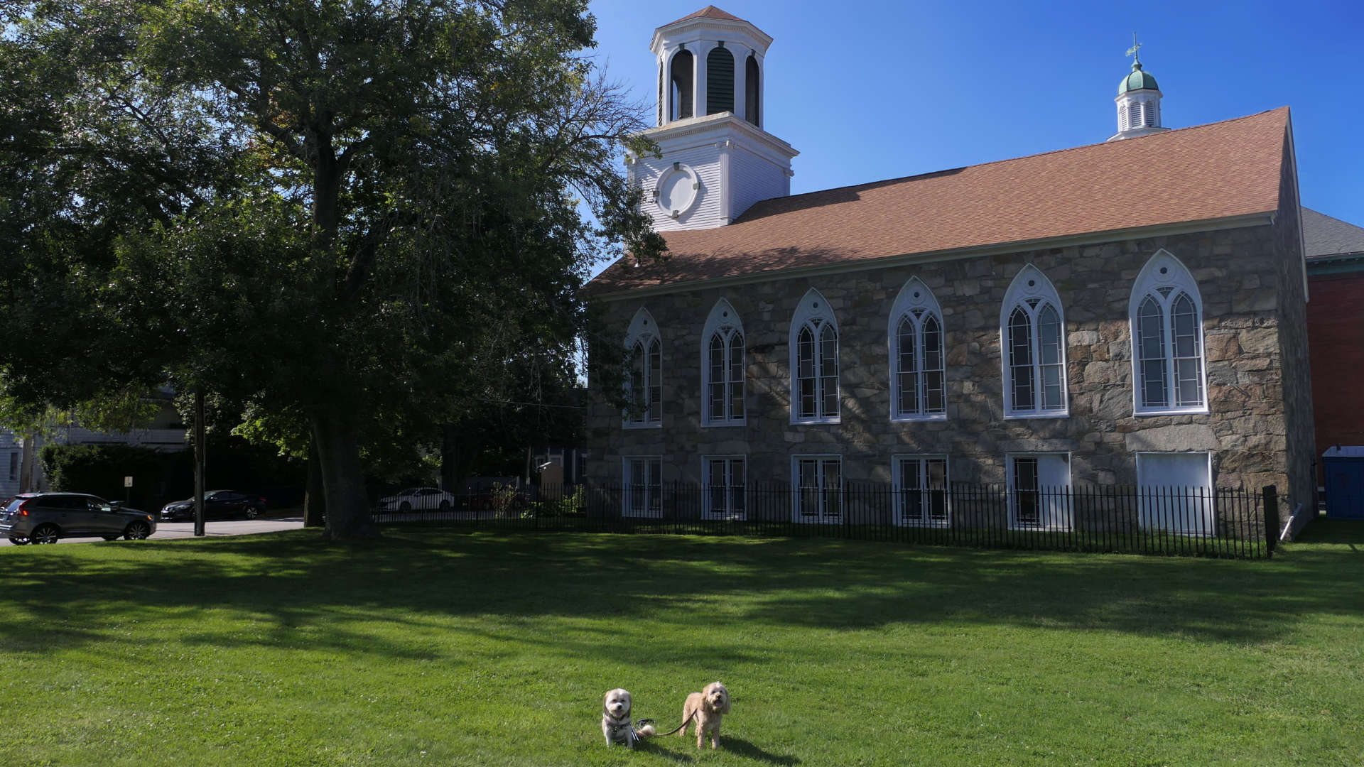
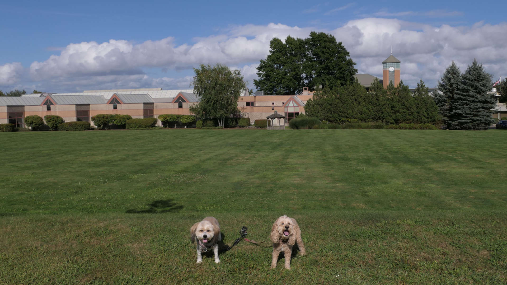
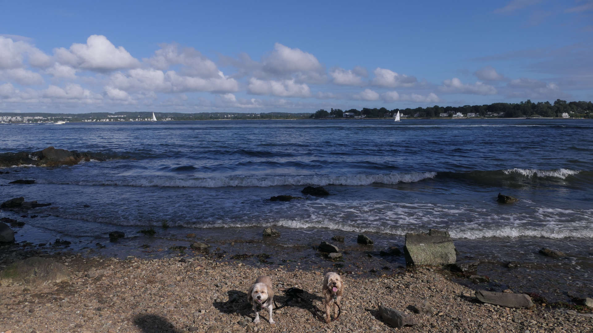
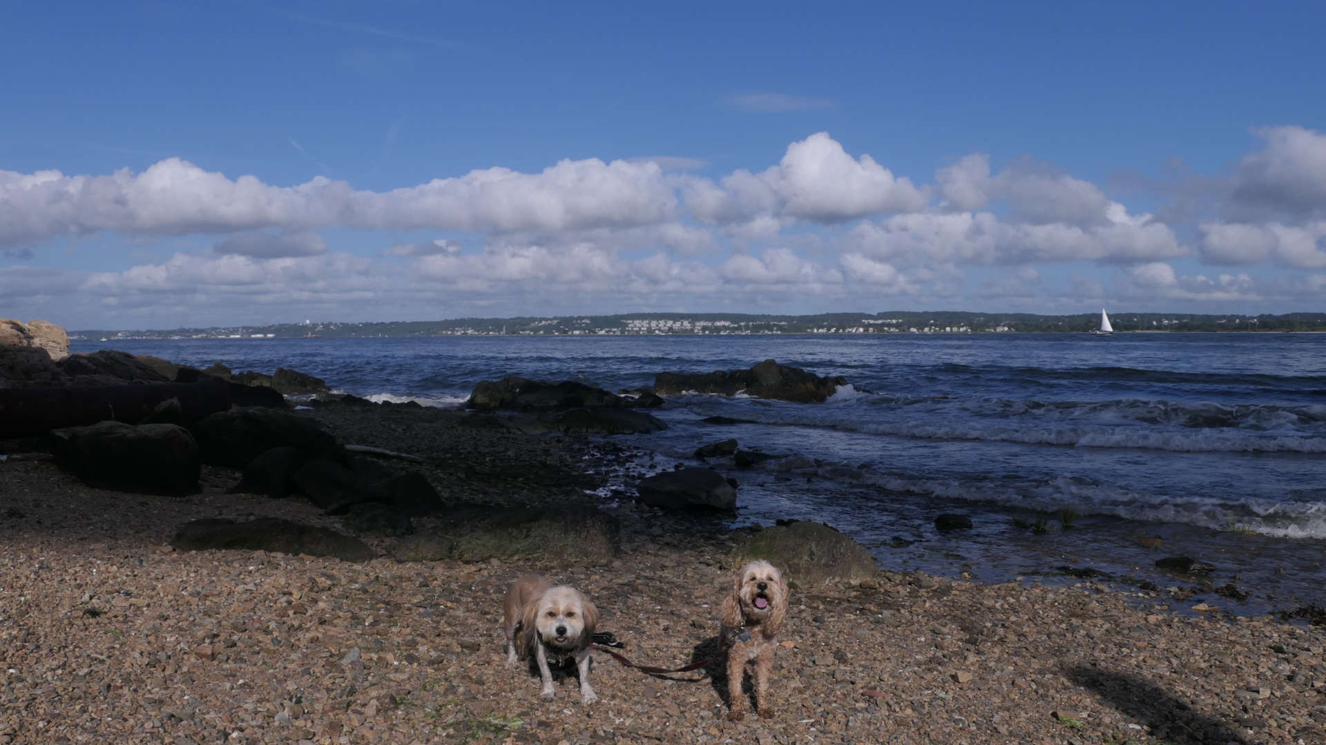
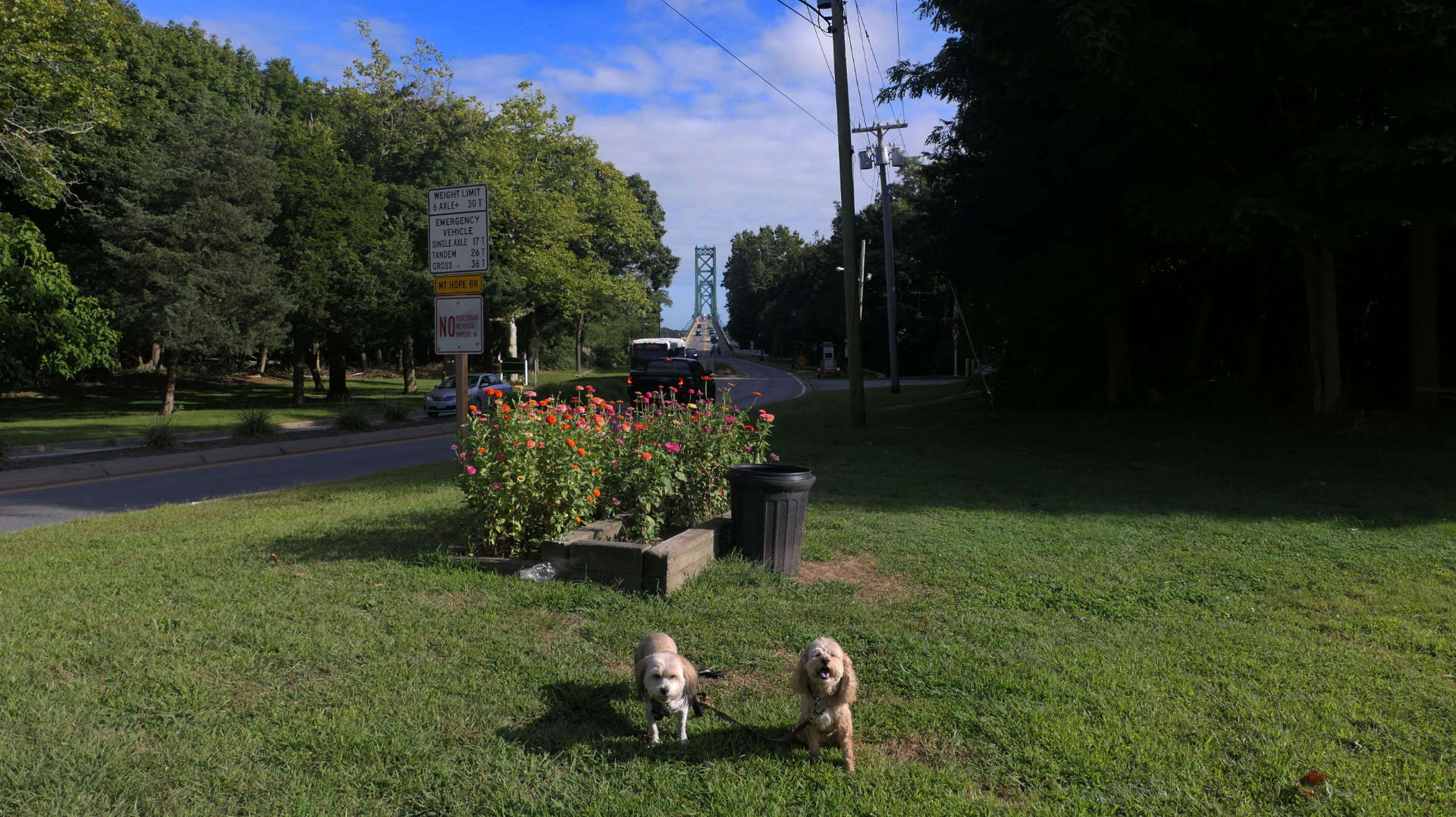
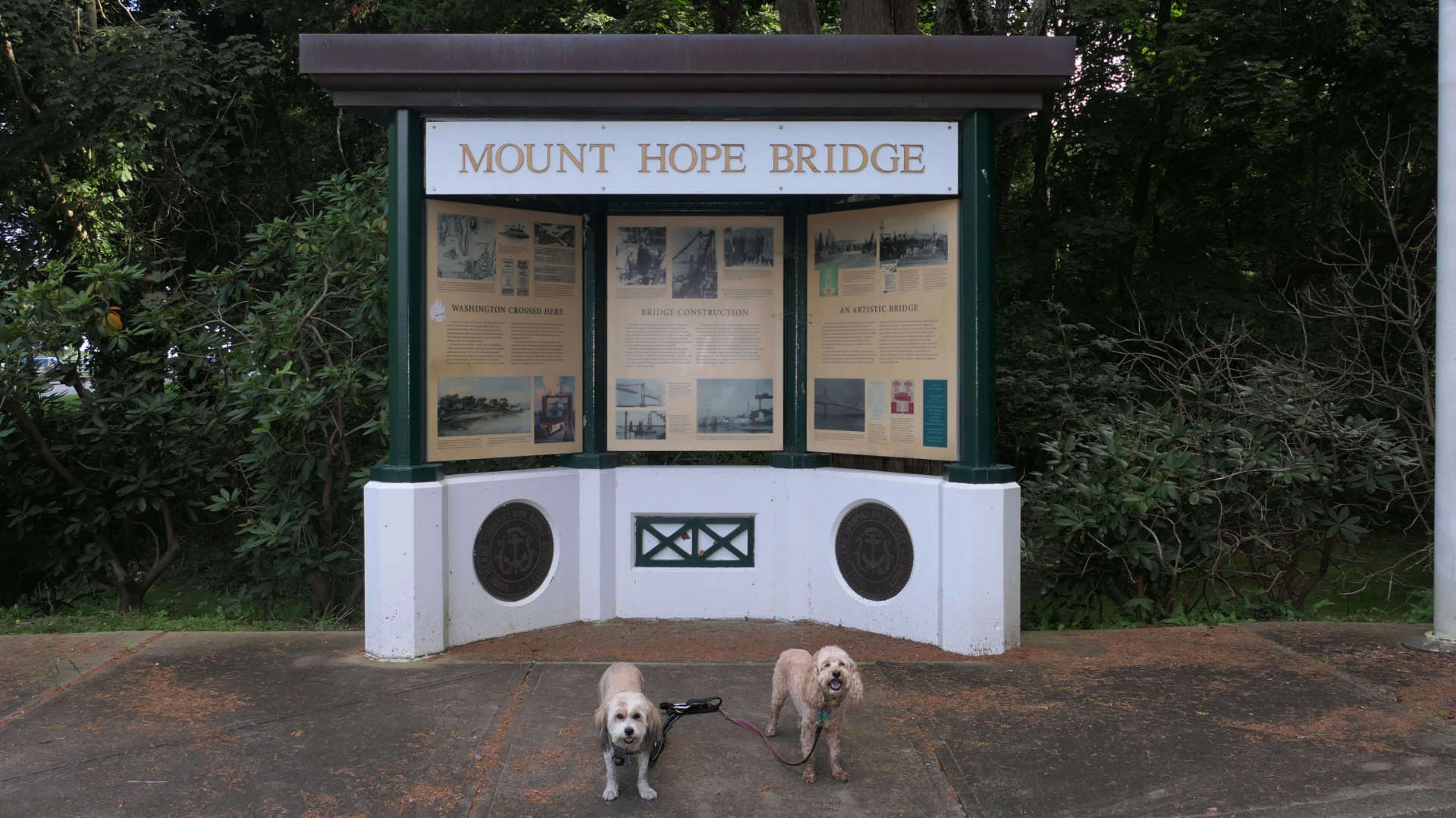
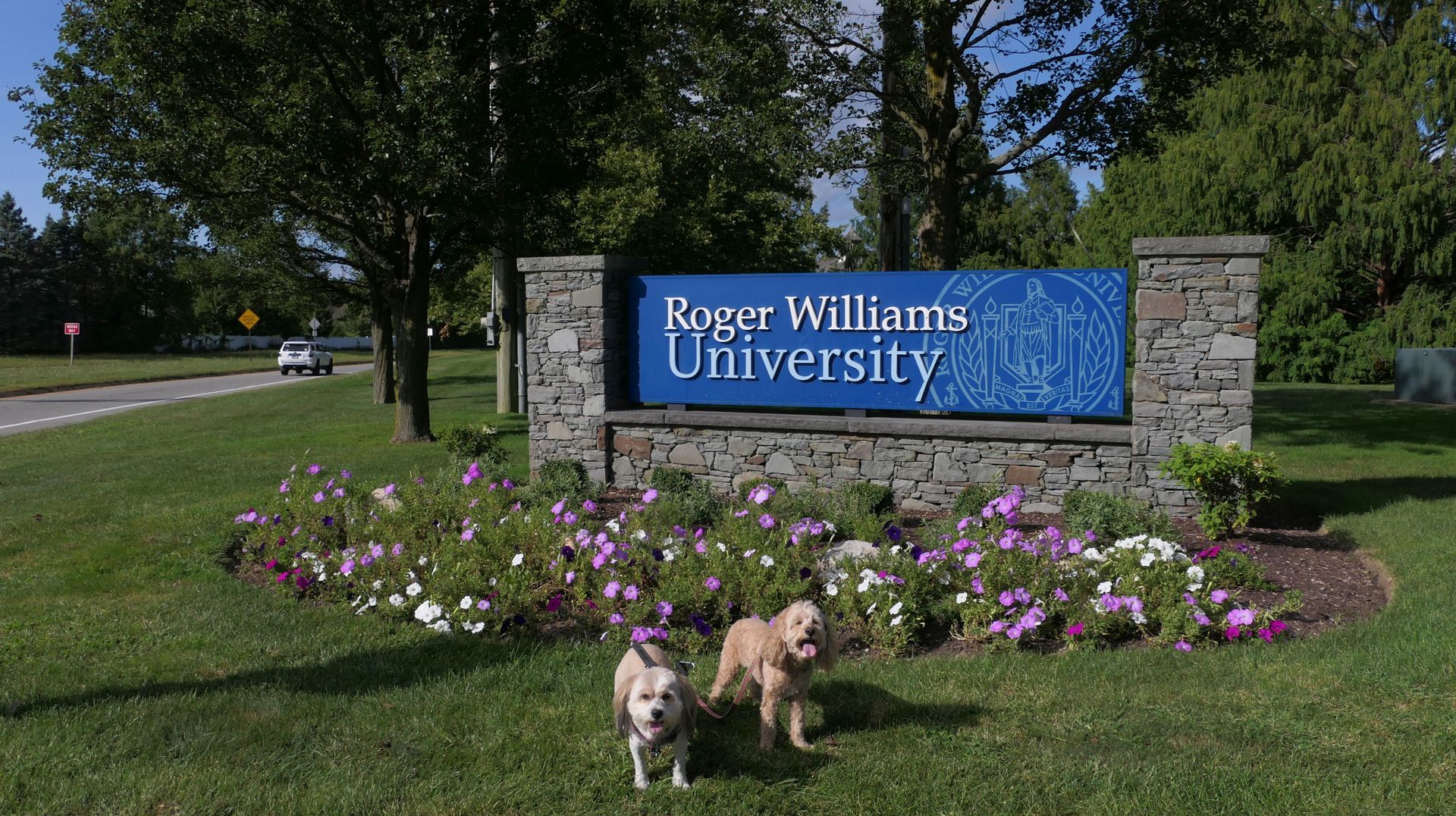
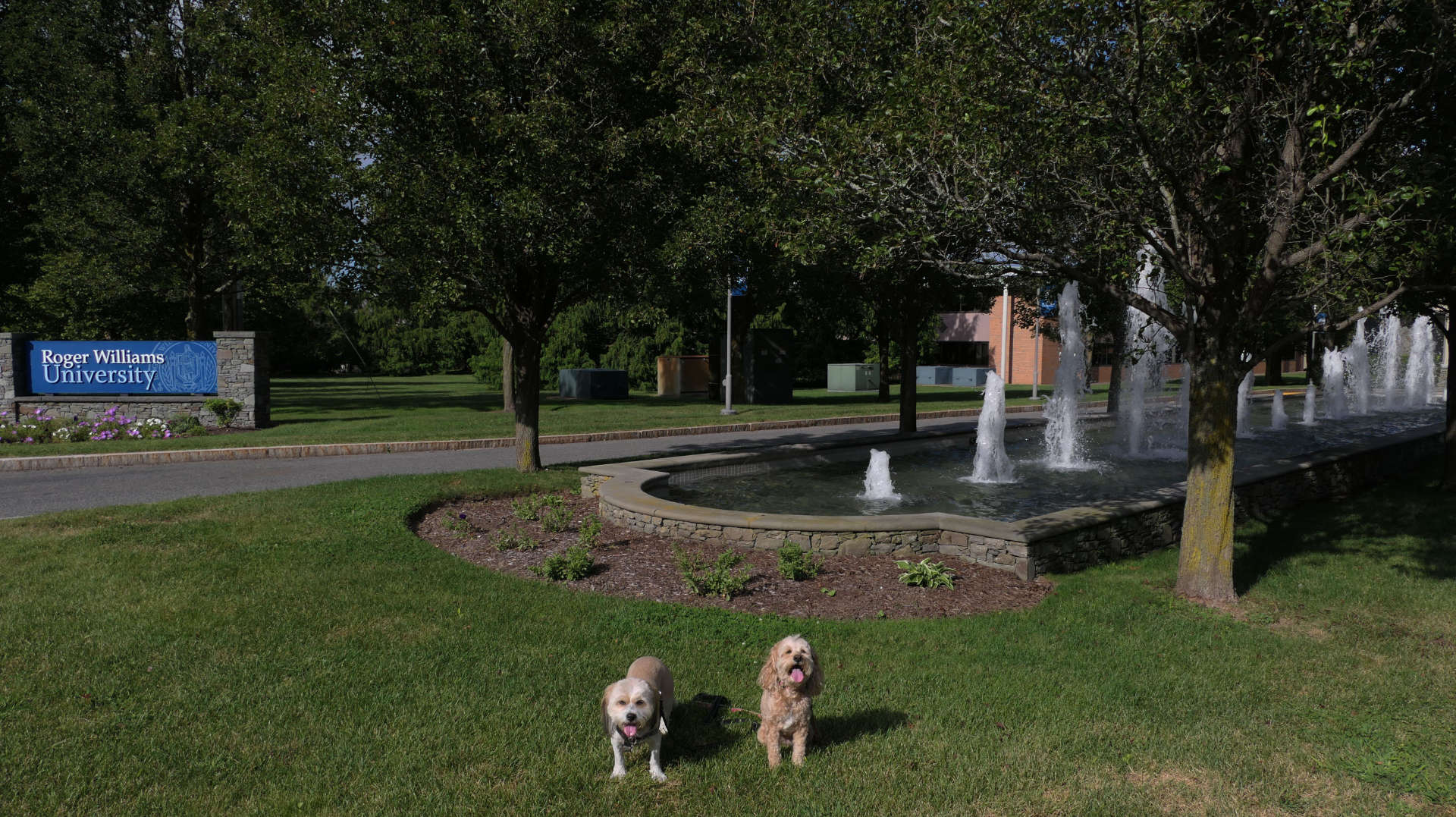
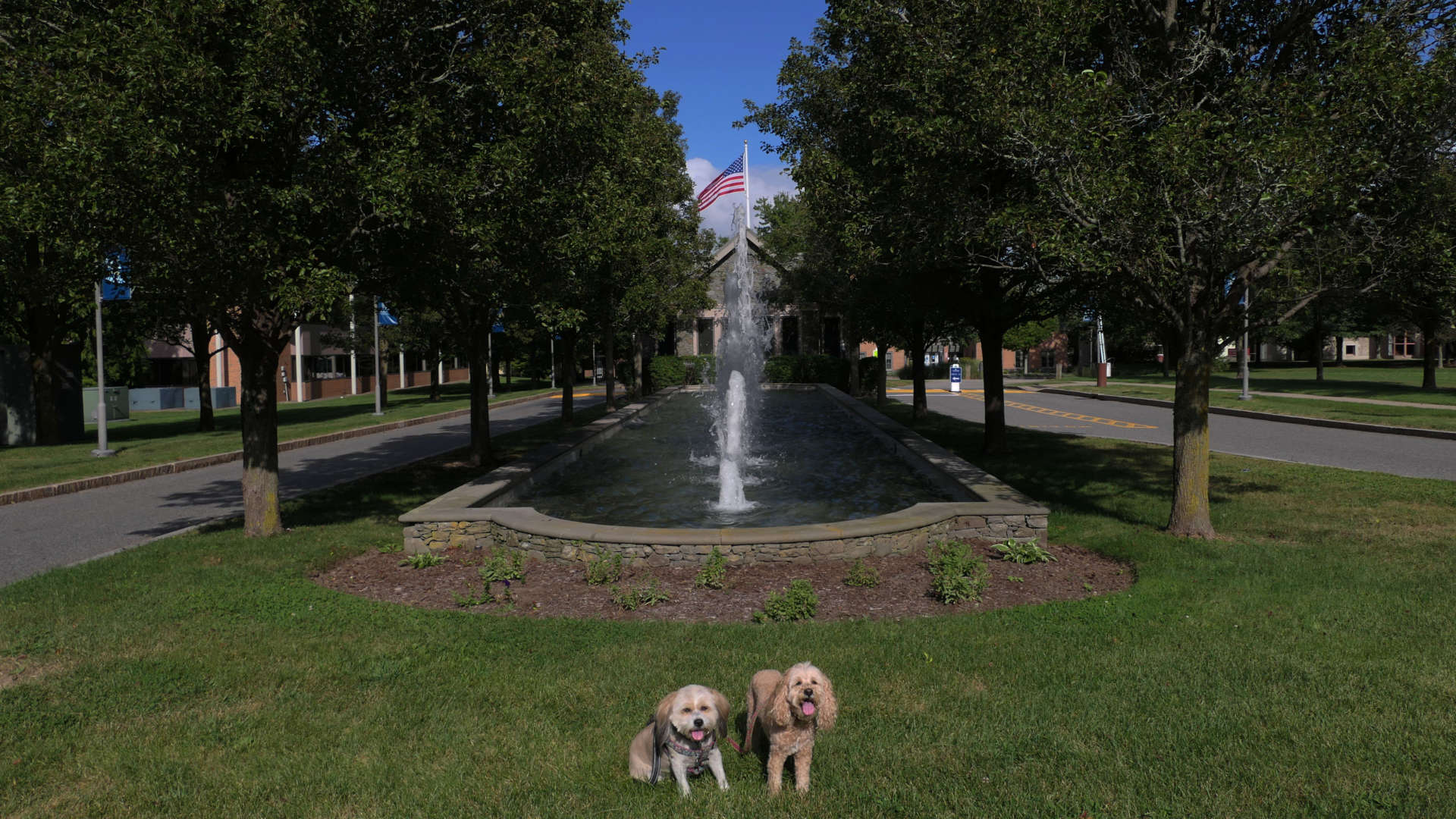
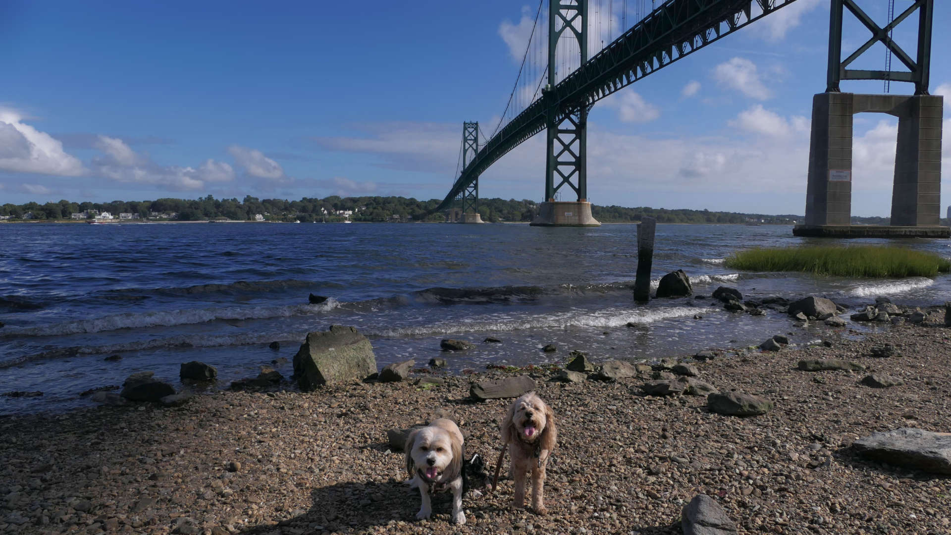
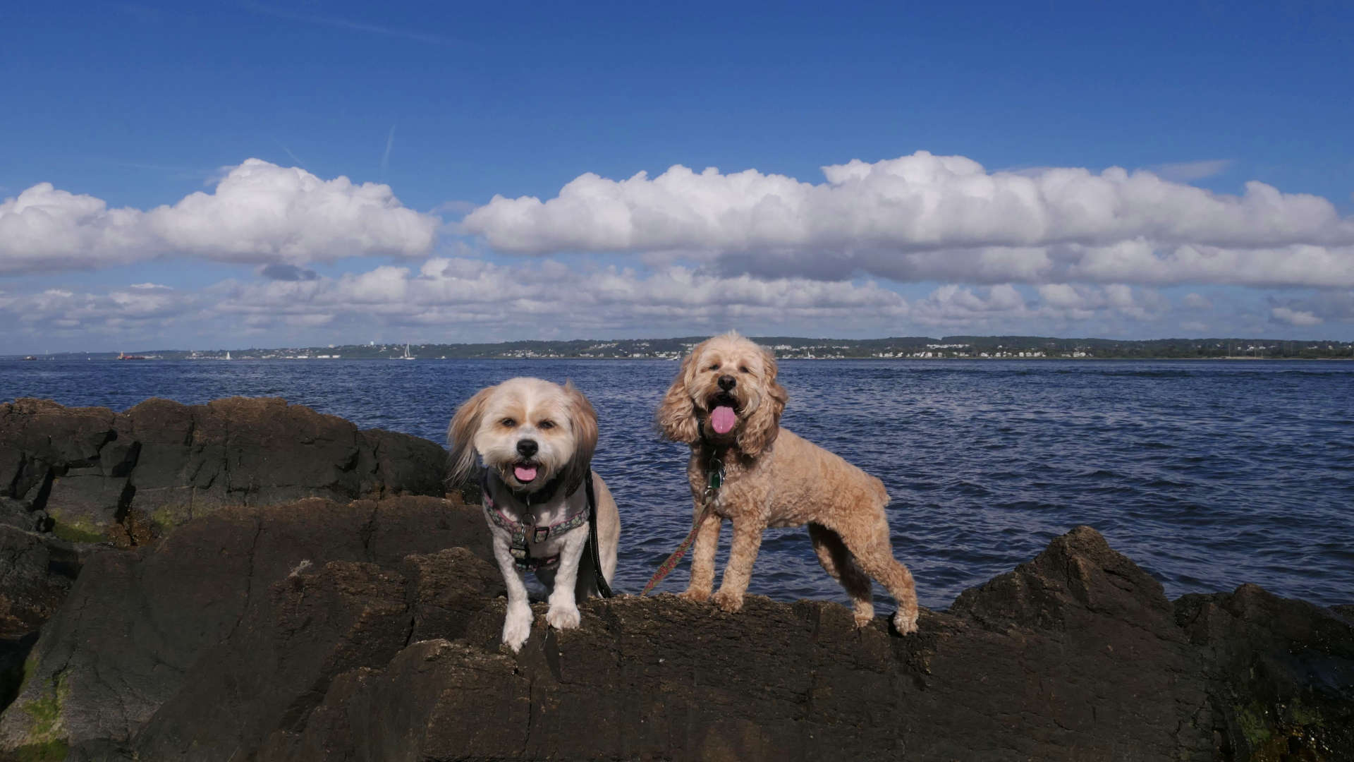
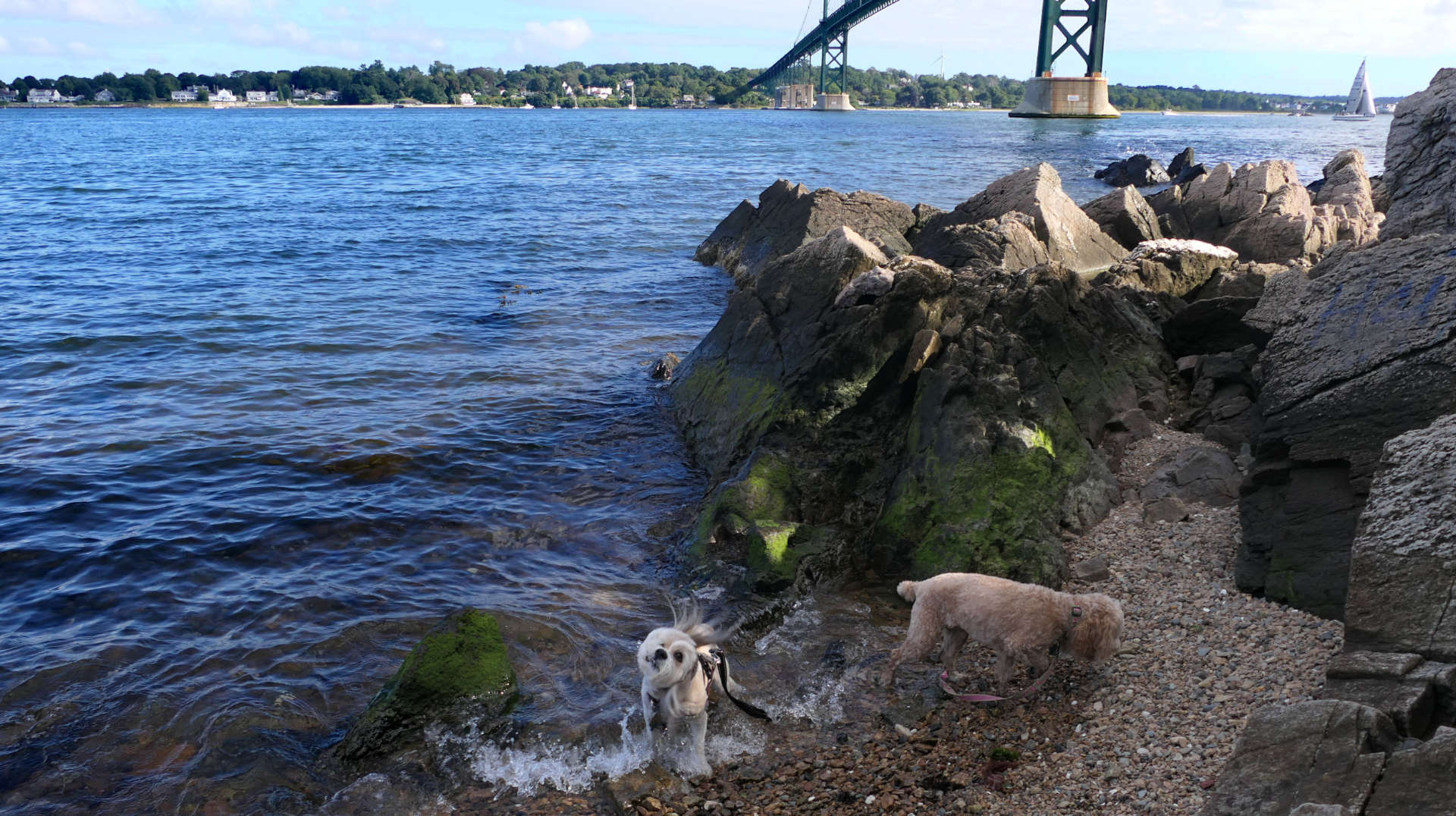
We parked at a small parking lot on the west side of Route 114, just before the Mount Hope Bridge. There is one hour parking here, and a monument to the bridge explaining the history of it's construction. We crossed the street and headed up to the Roger Williams University main entrance. We didn't really walk through the campus or anything, we mainly just walked the sidewalk between the road and the university property. I love the fountain at the entrance! After that, we headed down Old Ferry Road, which leads to a public waterfront access point. It is a popular fishing spot. The access point abuts the university's property, and also seems to be a party spot for students. There was a lot of trash and litter here! I imagine some of the people fishing leave their trash here too. It's really a shame that people treat nature like this! Other than the trash, it is a nice spot where the dogs could cool off, with cool views of the Mount Hope Bridge.
Unity Park
Date visited: 12/13/2024
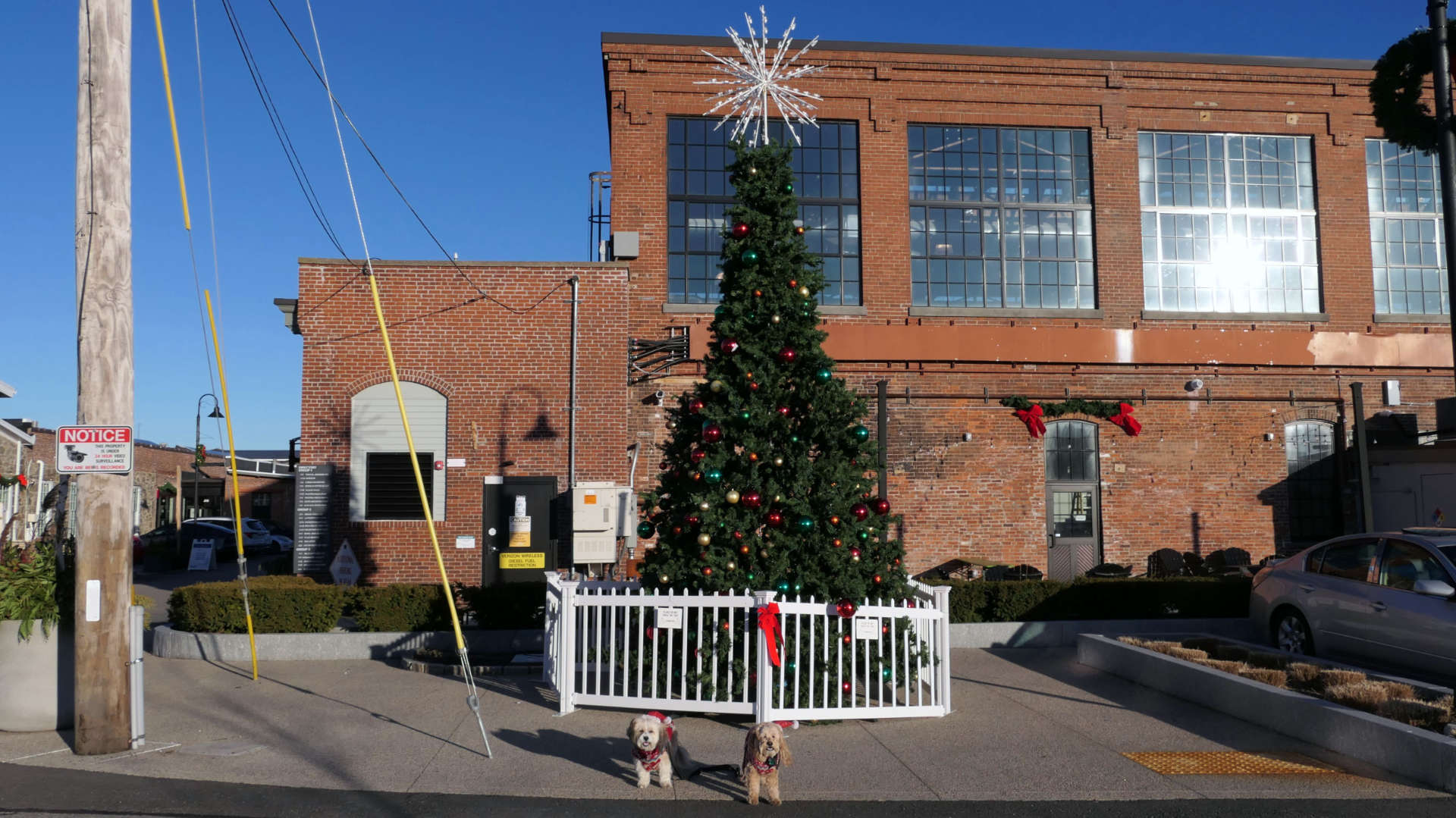
Unity Park isn't really a park in the conventional sense. It's an old industrial park that has been transformed into a commercial space with a variety of businesses. We stopped here toward the end of our holiday walk through downtown Bristol.

Narrows Fishing Area
Date visited: 3/9/2025
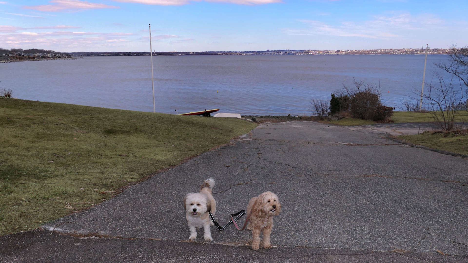
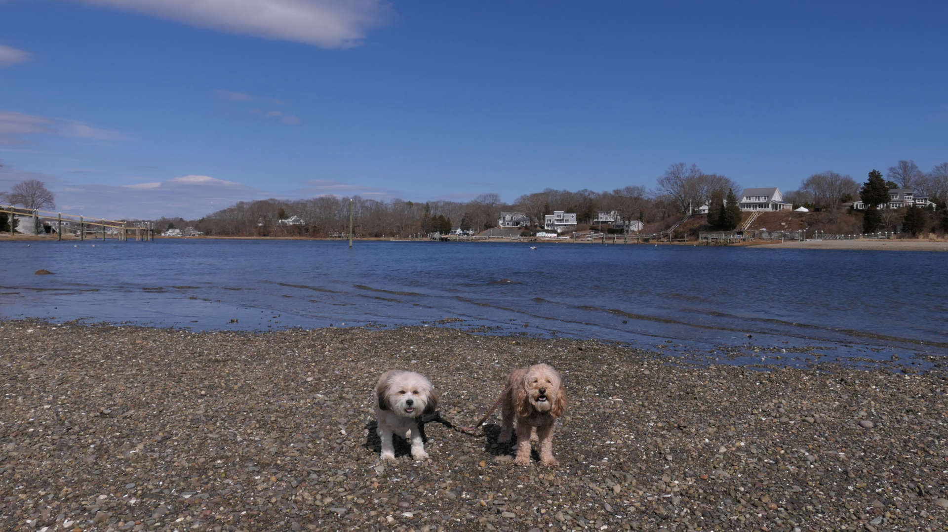
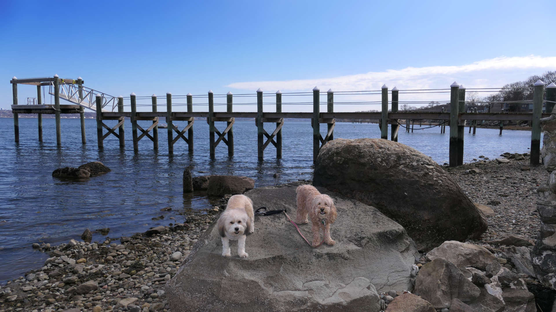
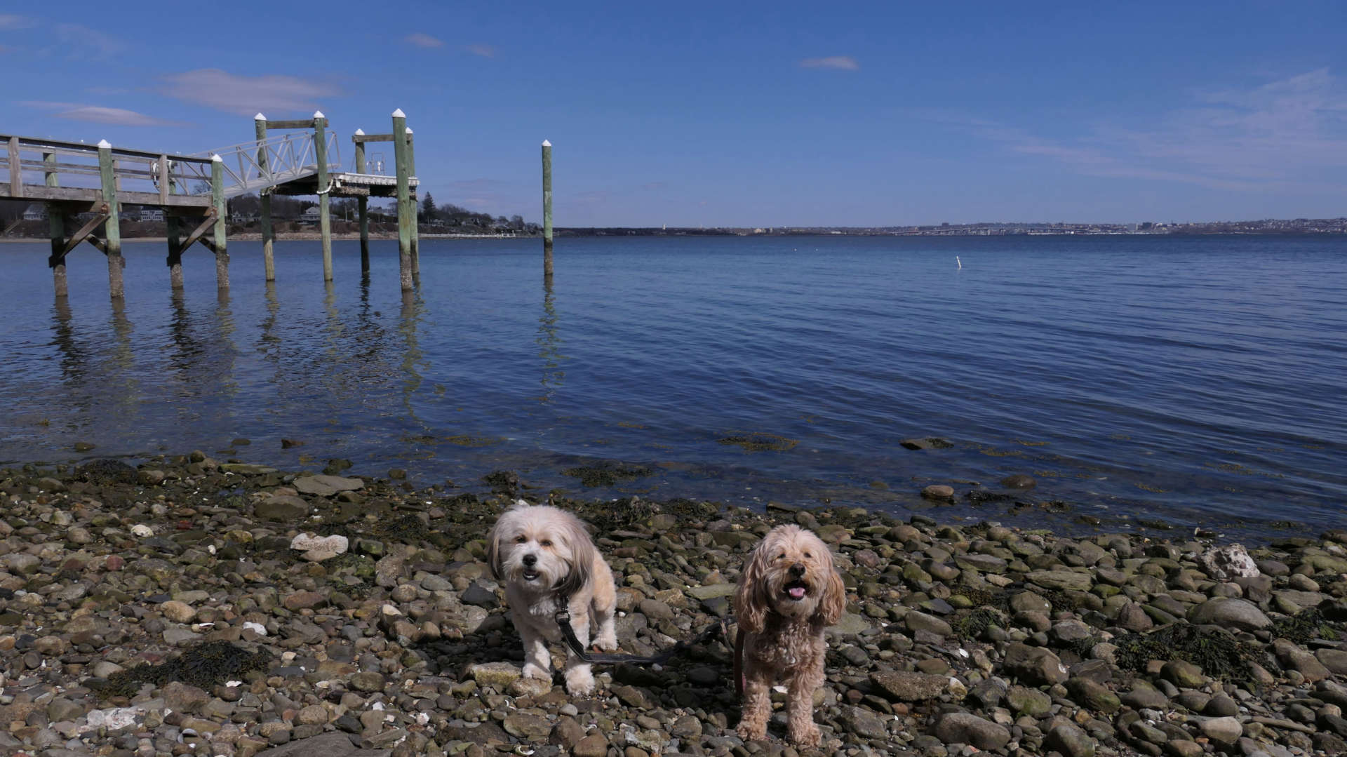
This is a shoreline access point at the end of Narrows Road. There is a parking area that holds about 12 cars or so. There are some trails through the woods that possibly lead to Juniper Beach. We encountered a stream that I didn't feel like crossing, so we didn't really go too far on the trails. Instead, we headed south along the shore line. There are a number of access points that lead up to King Philip Avenue. We headed back to the parking area via the road. We walked about a mile and a half total here.

Bristol Town Beach
Date visited: 3/9/2025
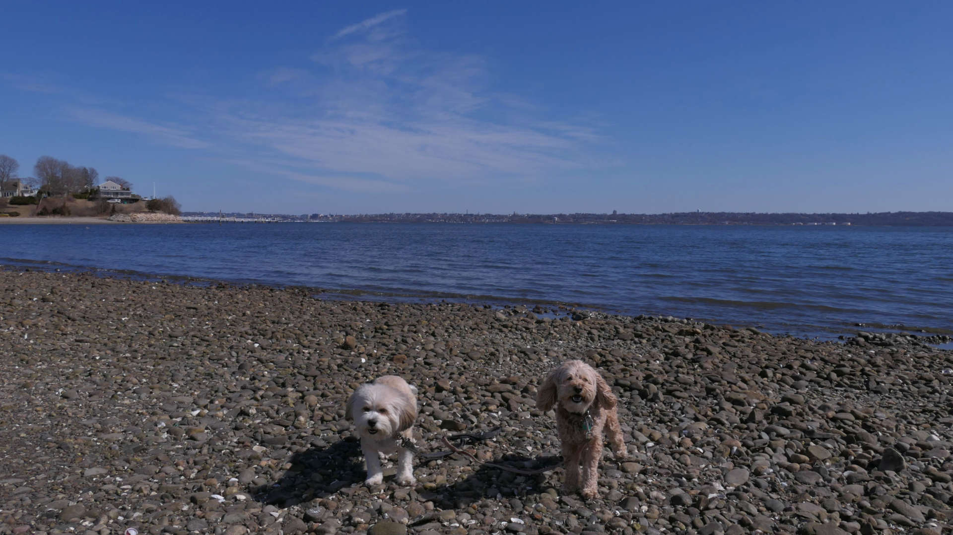
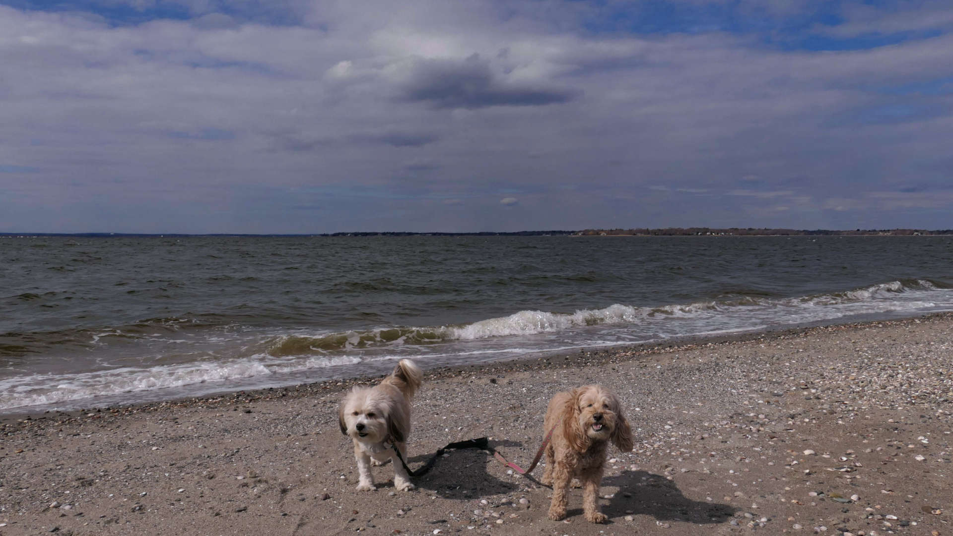
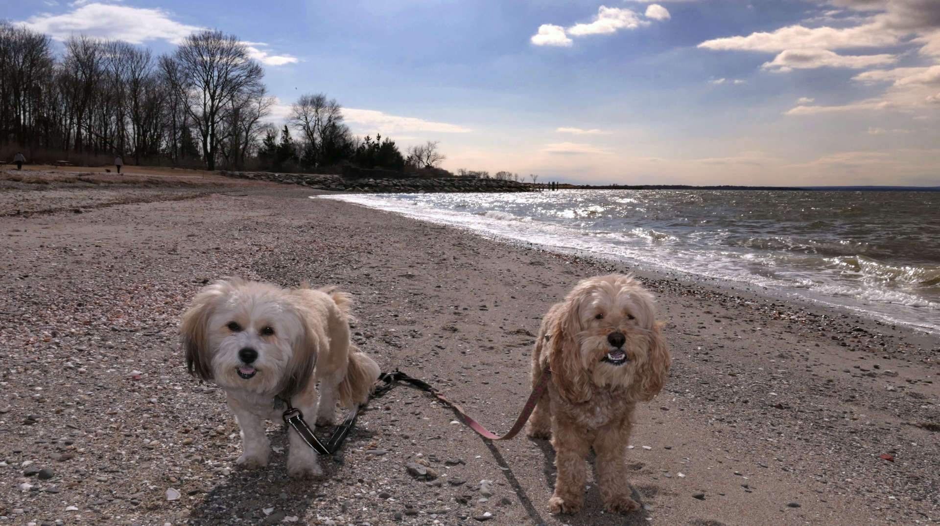
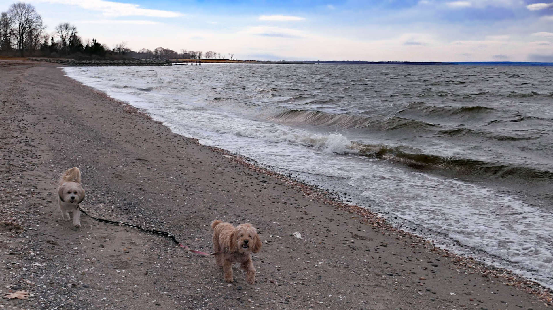
We almost made it to this beach before when we were visiting Colt State Park. This beach is adjacent to the state park. It was the 4th of July on that visit, and it was very busy. Also dogs are only allowed before 8AM and after 5PM. Of course, for this visit to the beach we were here during the day, but it was in the winter, and there were a number of people walking their dogs. It's a small beach, littered with pebbles and seaweed. Perhaps they comb the beach during the beach season. At any rate, the clouds came in shortly after we arrived, so we didn't stay very long.
Portside Road Shoreline Access
Date visited: 8/10/2025
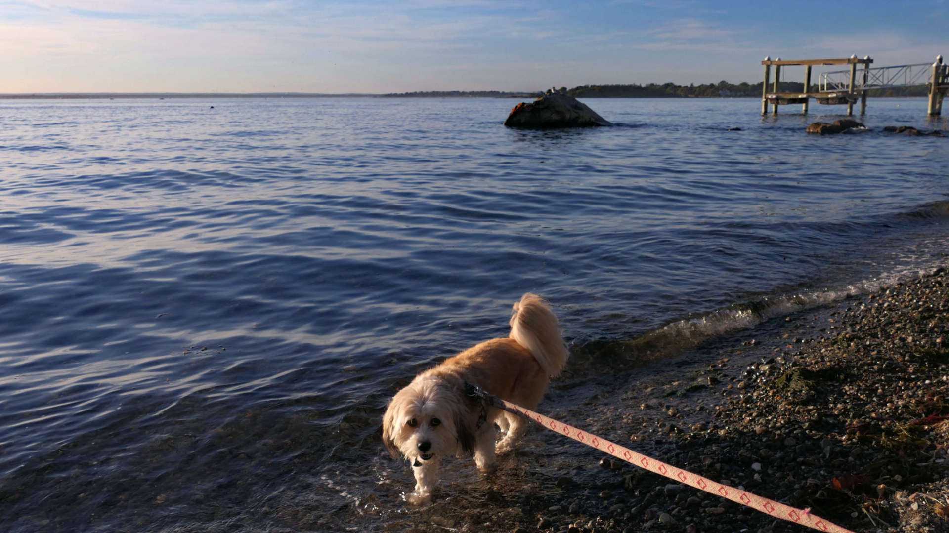
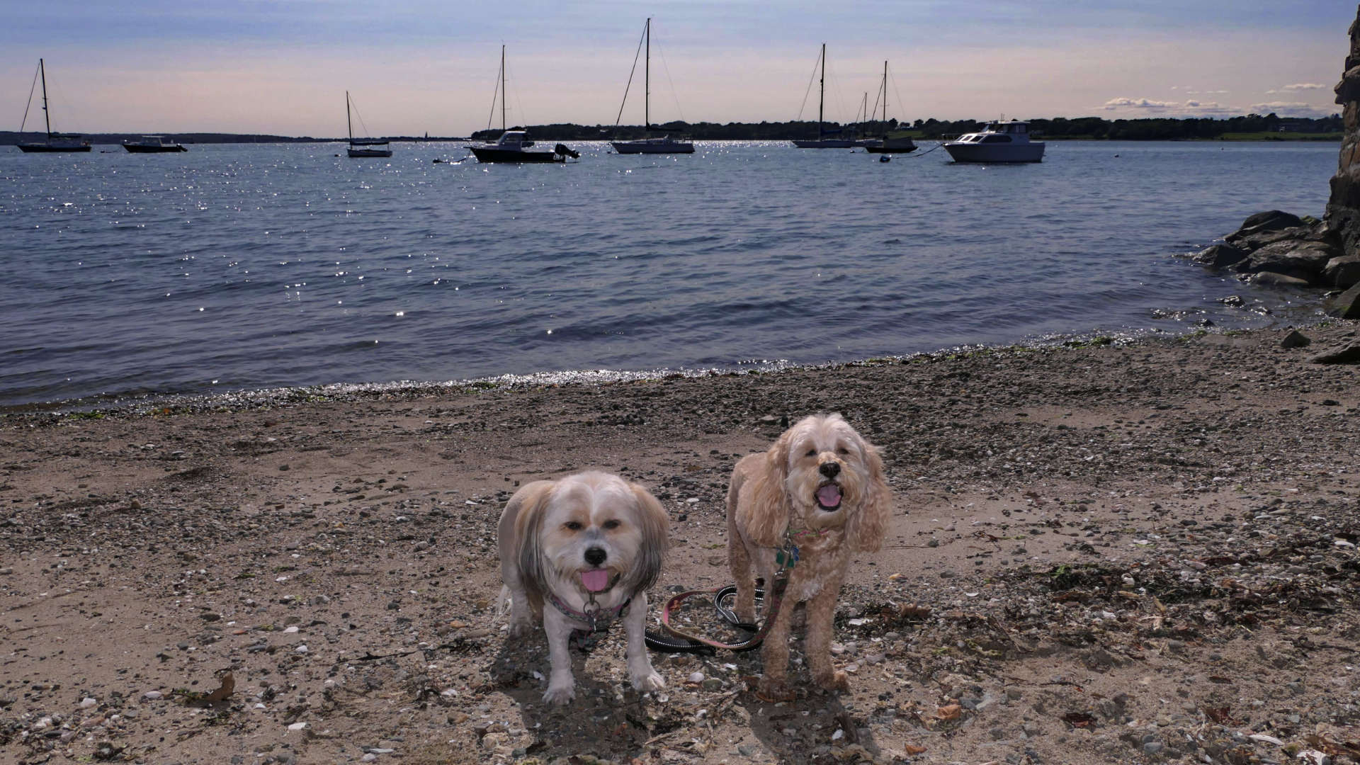
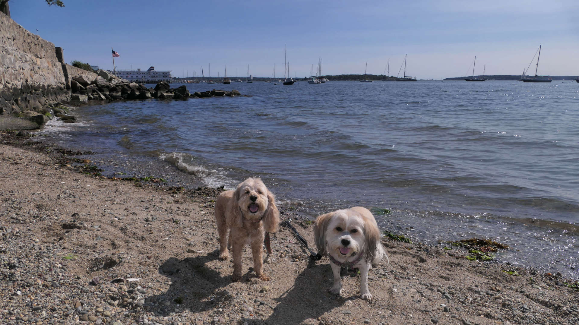
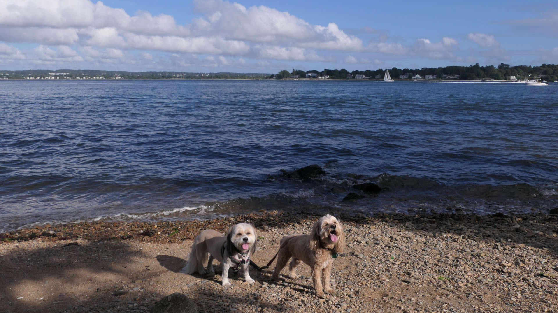
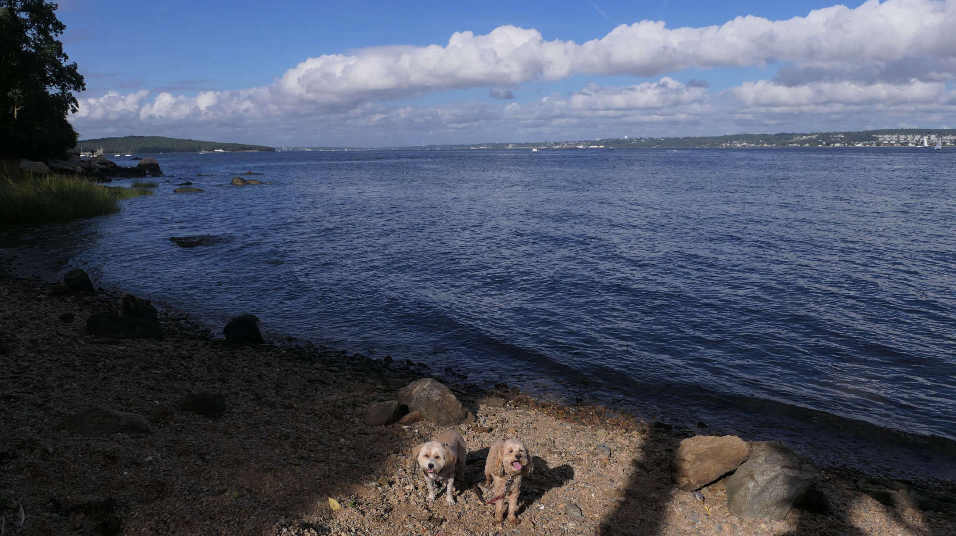
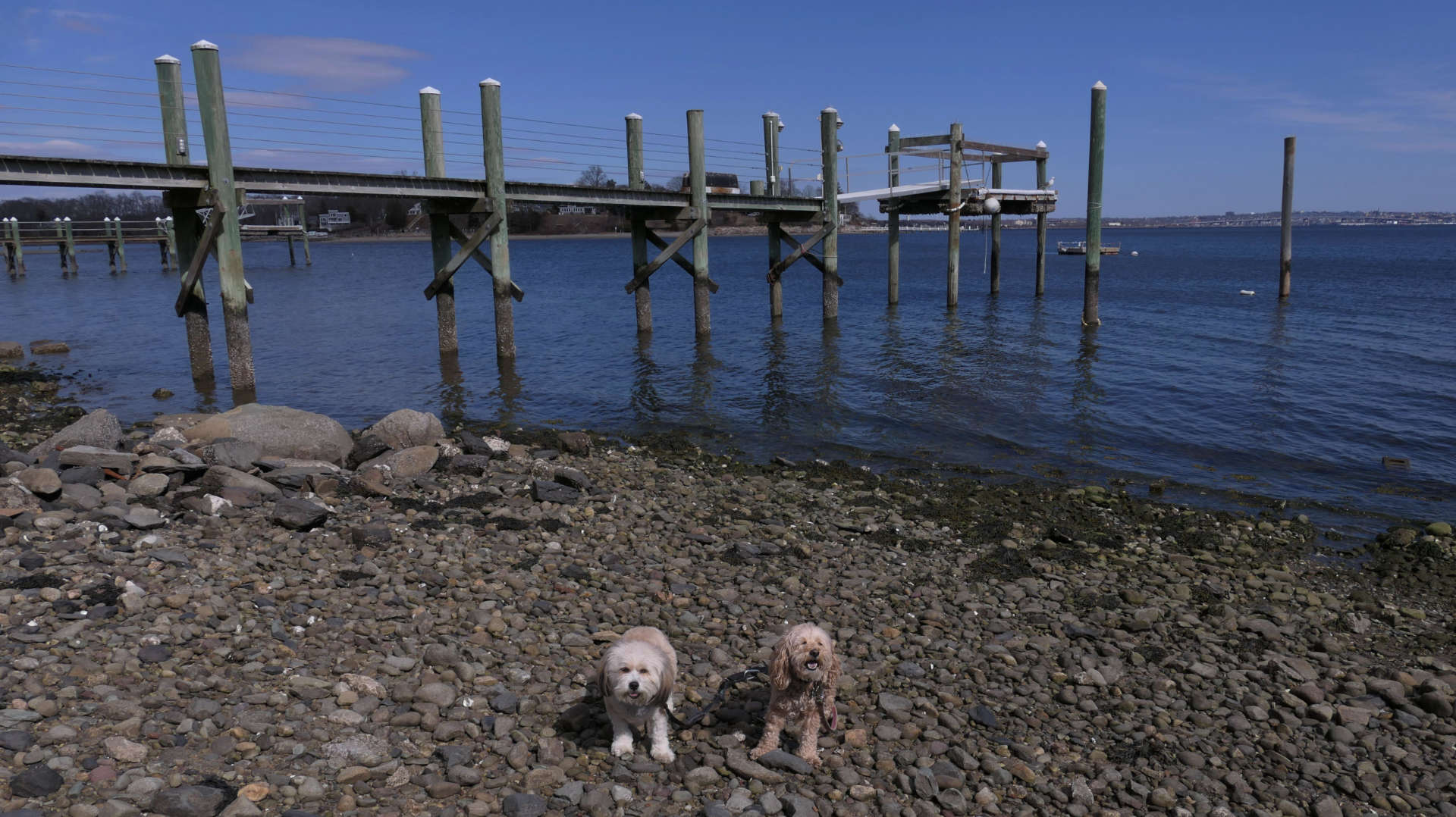
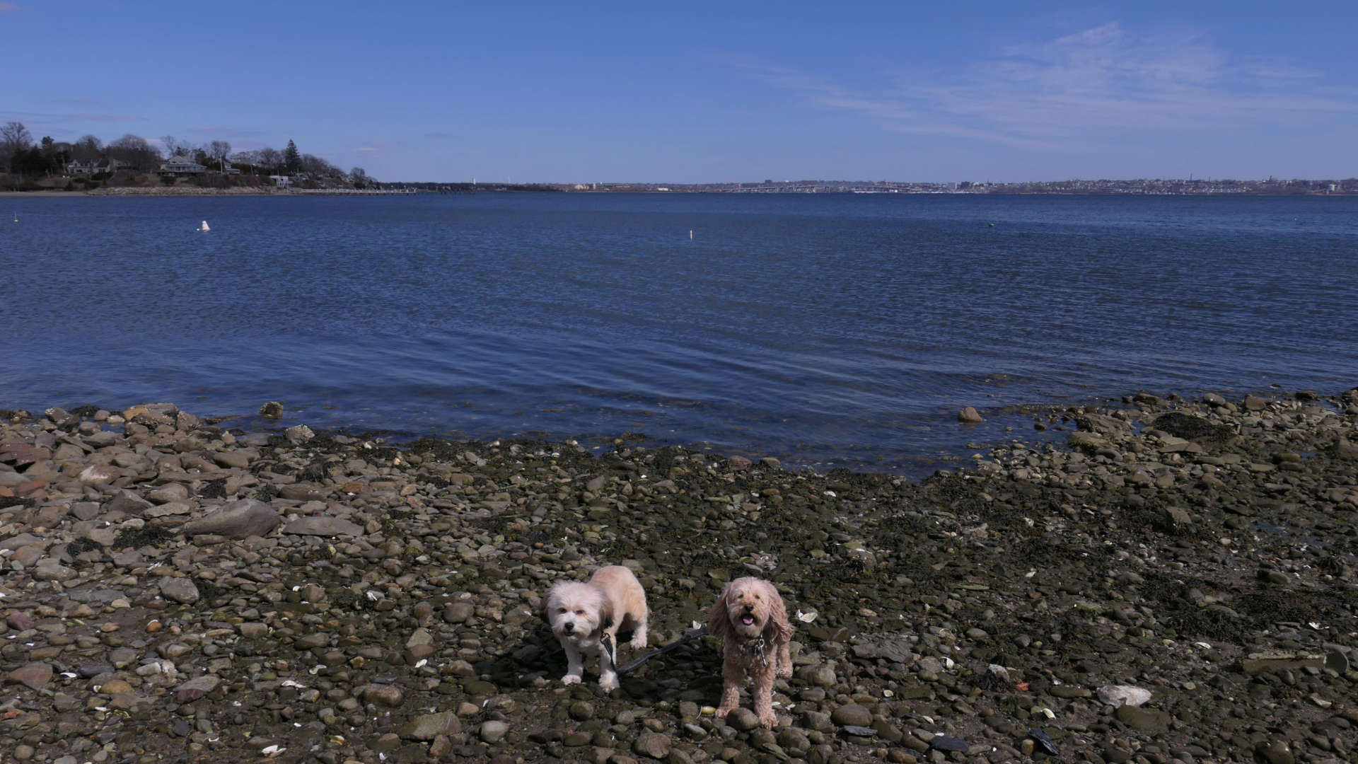
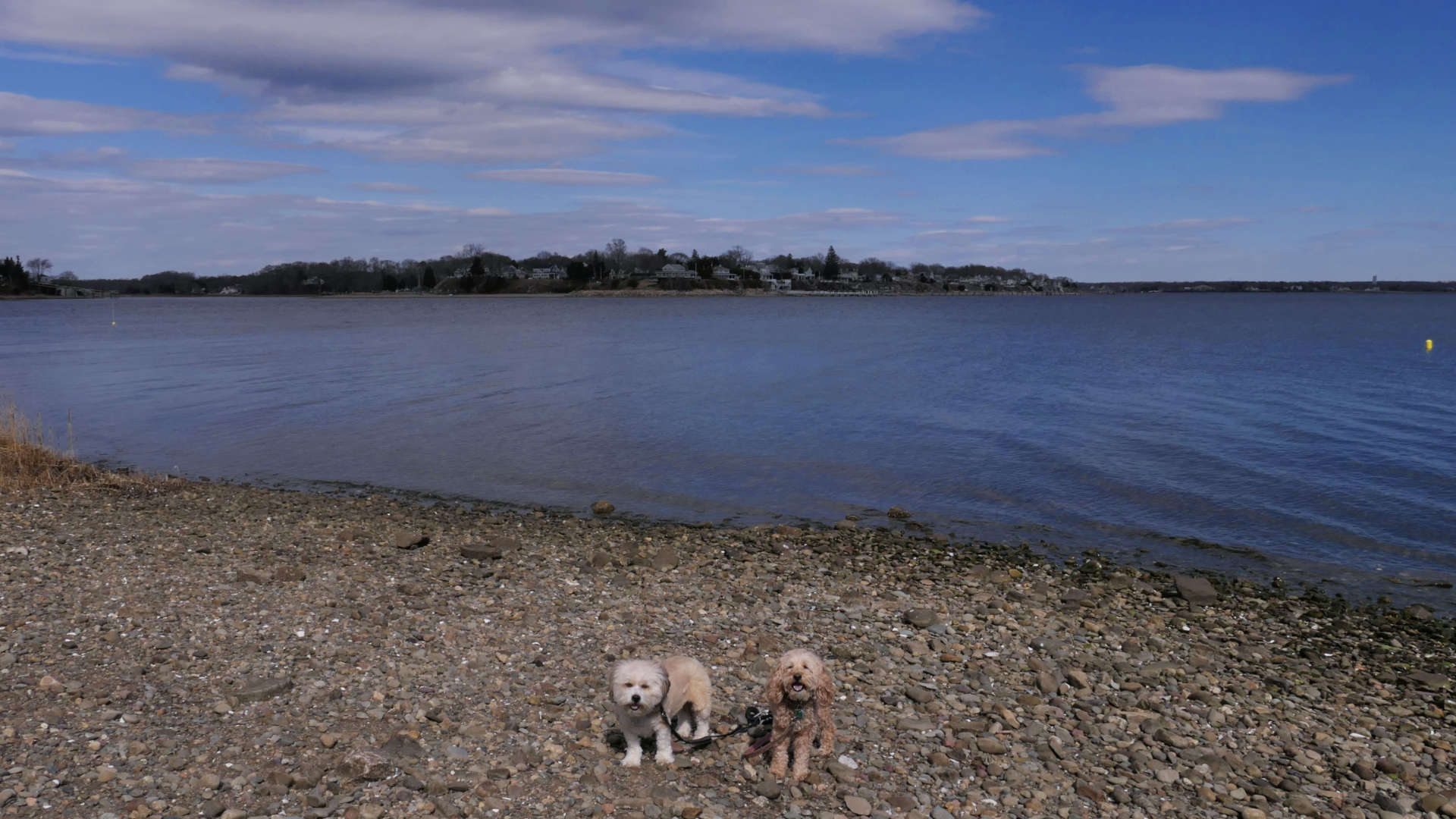
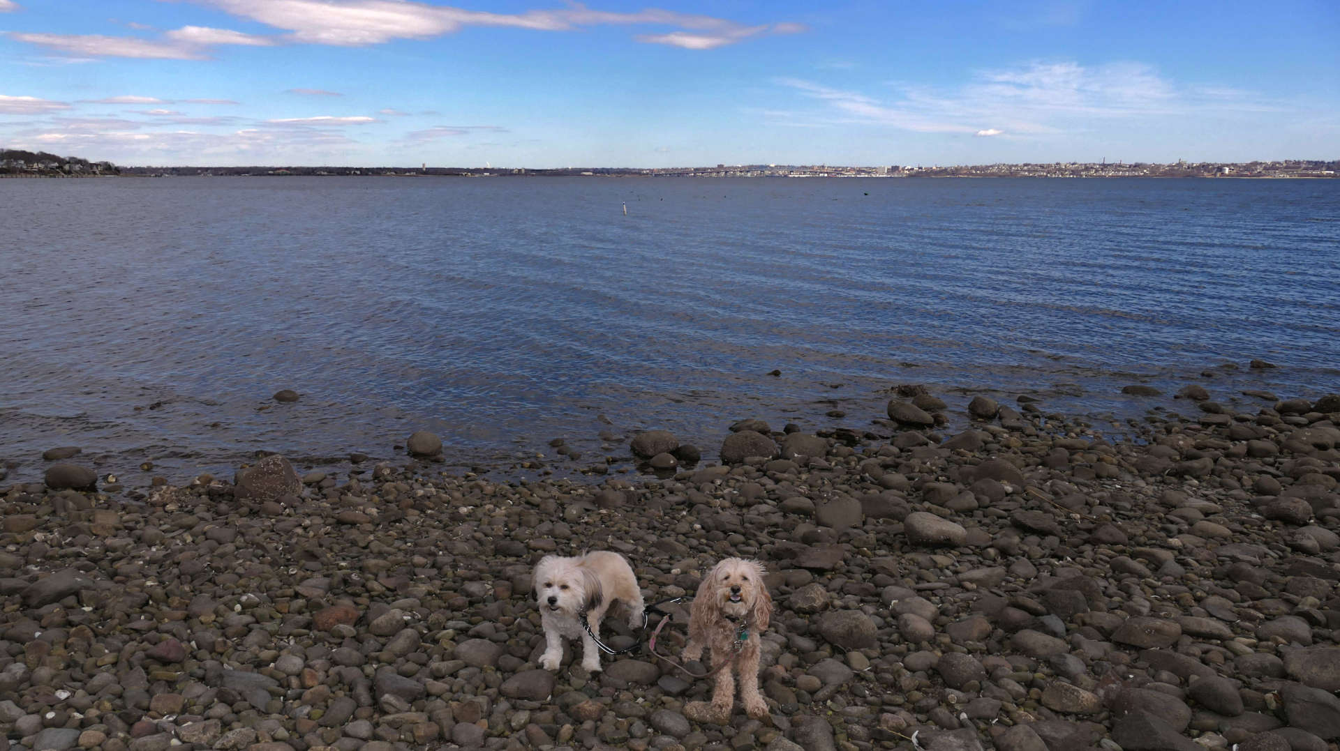
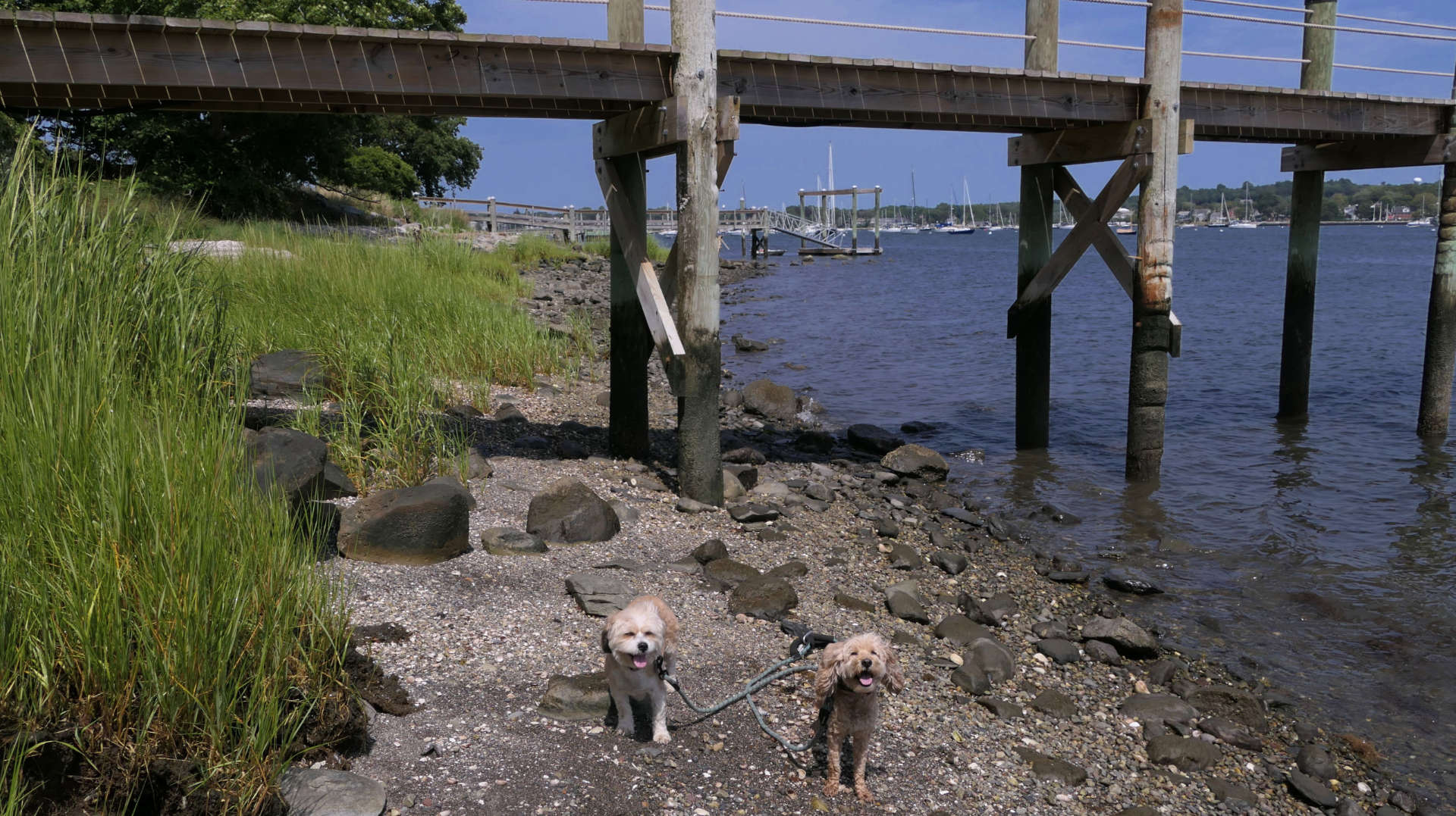
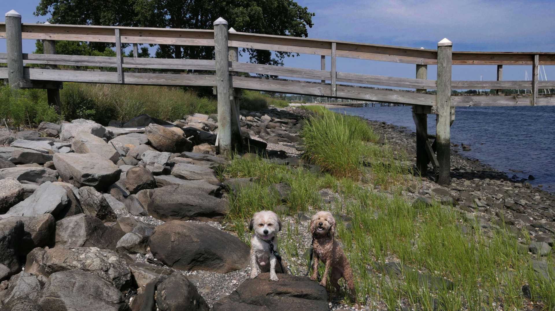
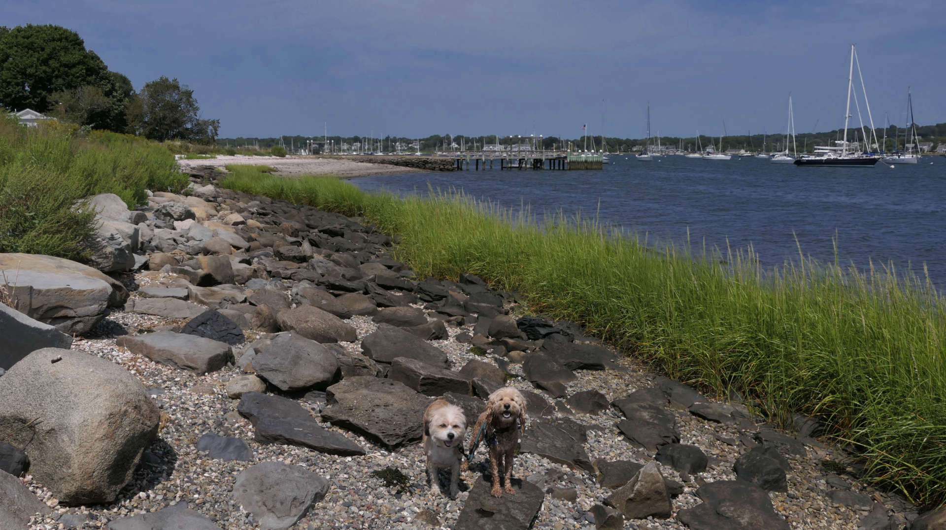
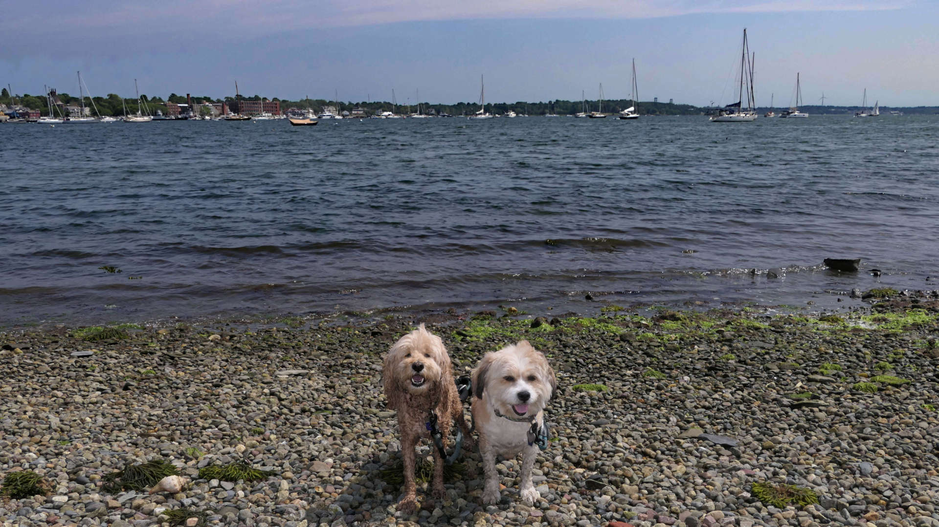
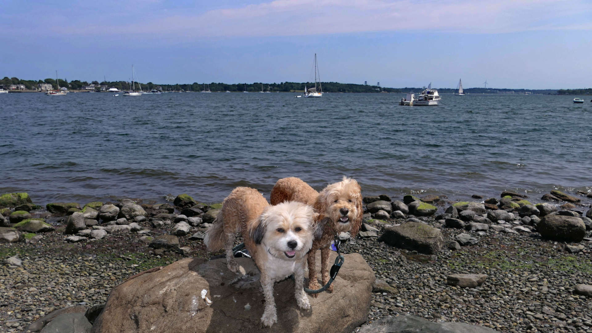
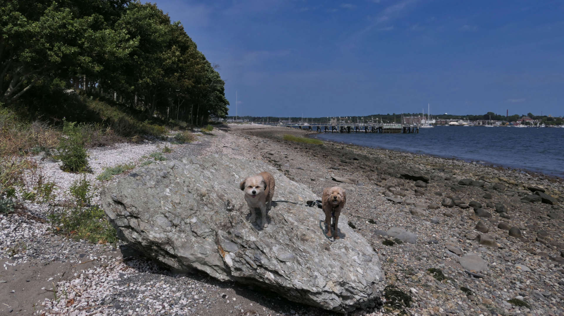
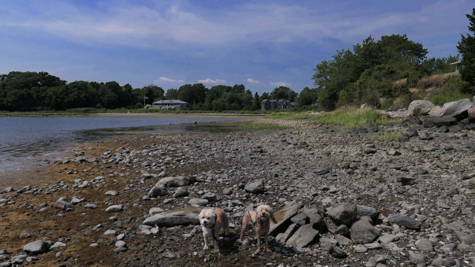
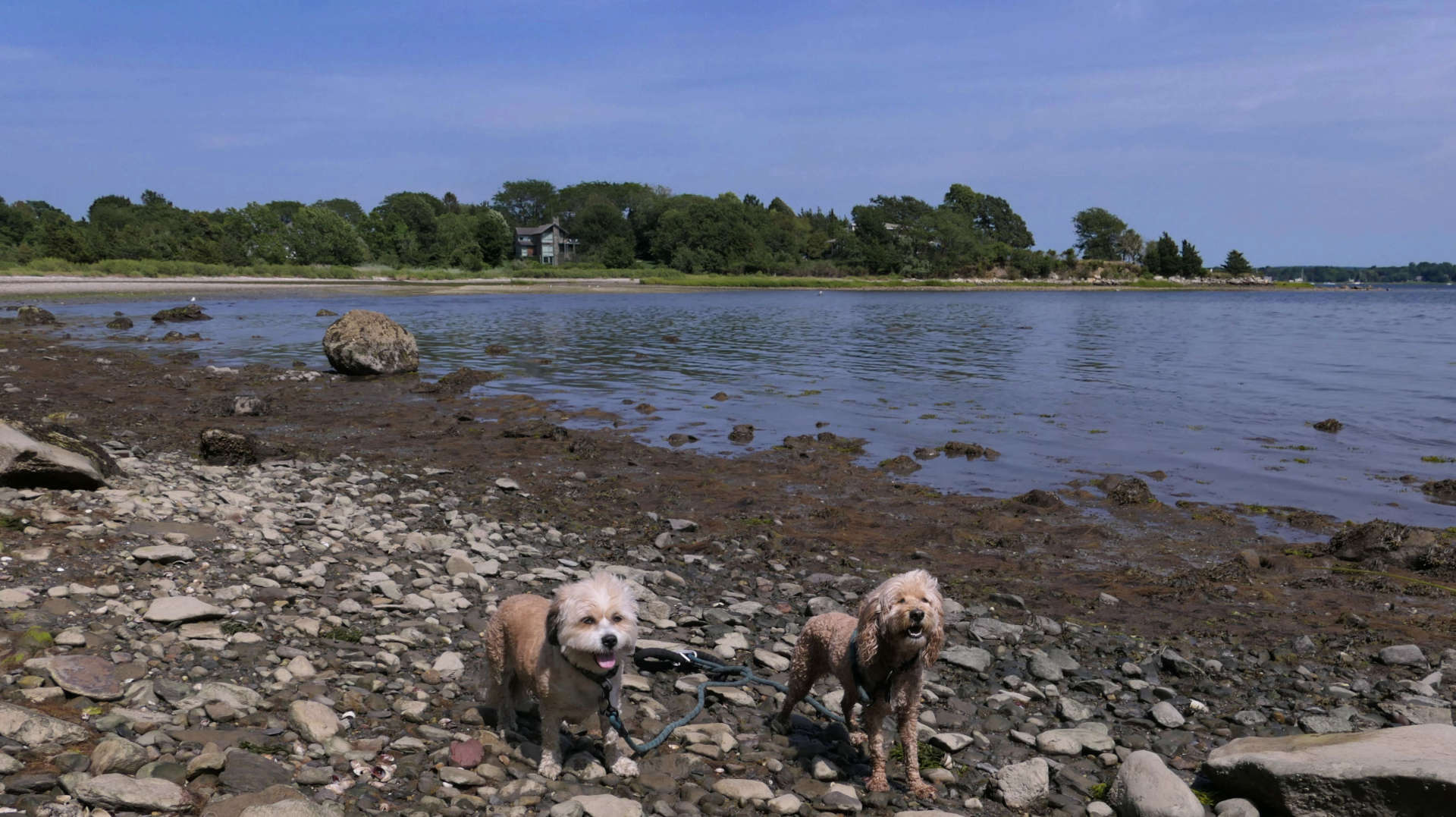
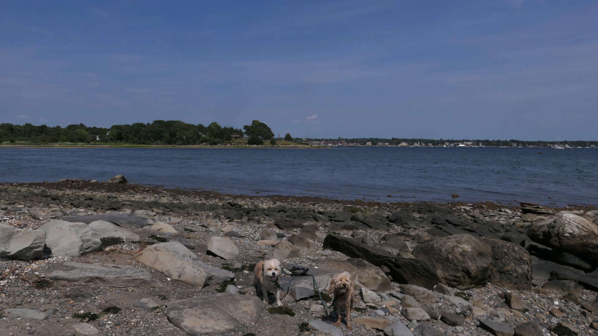
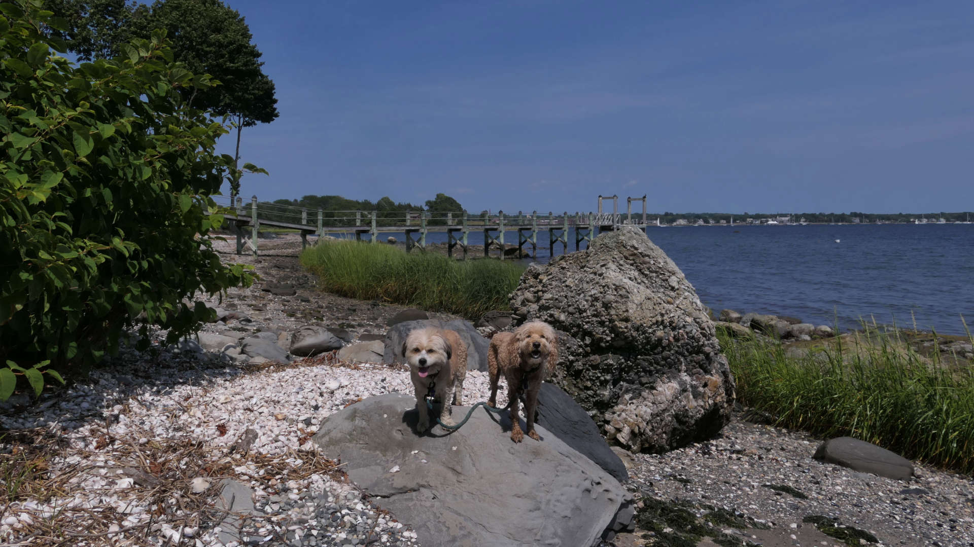
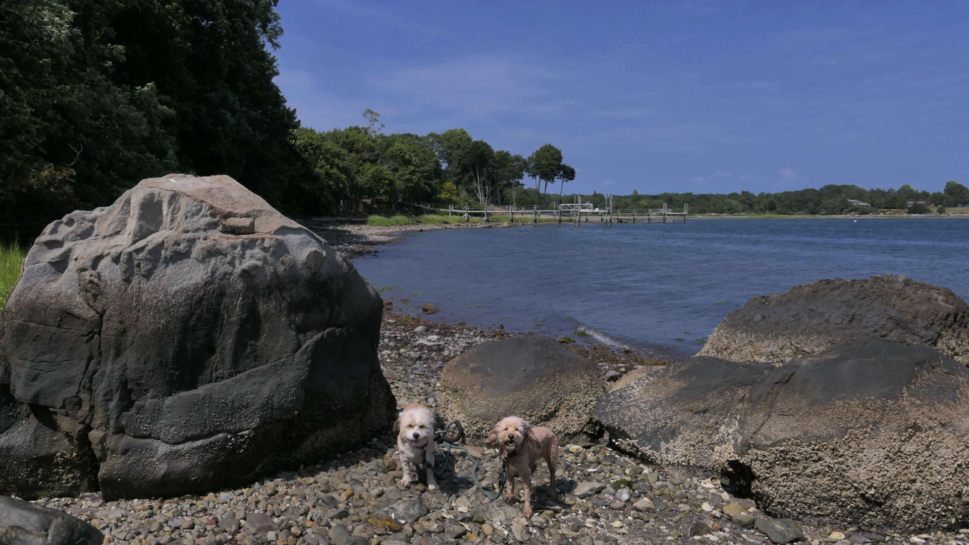
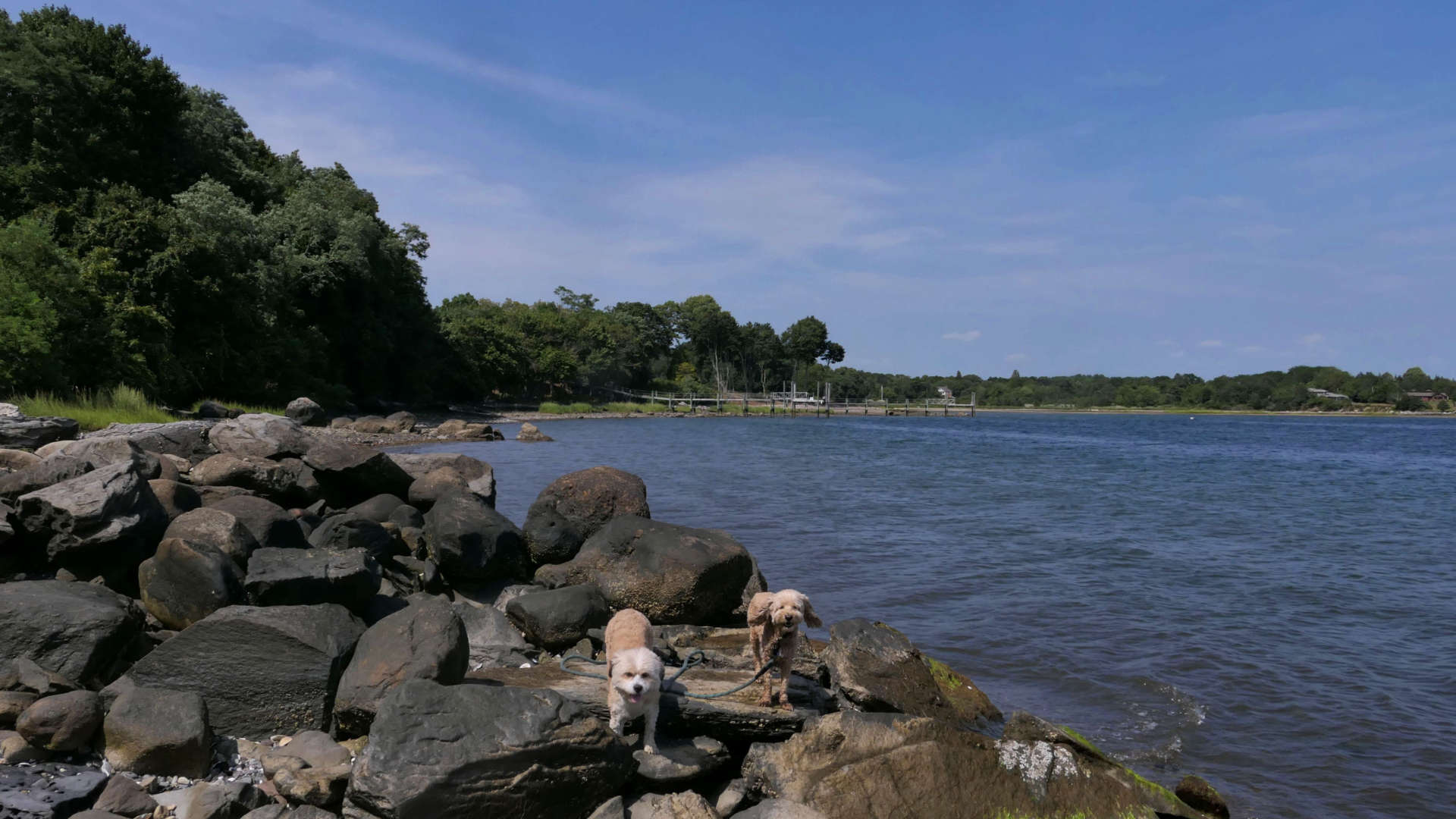
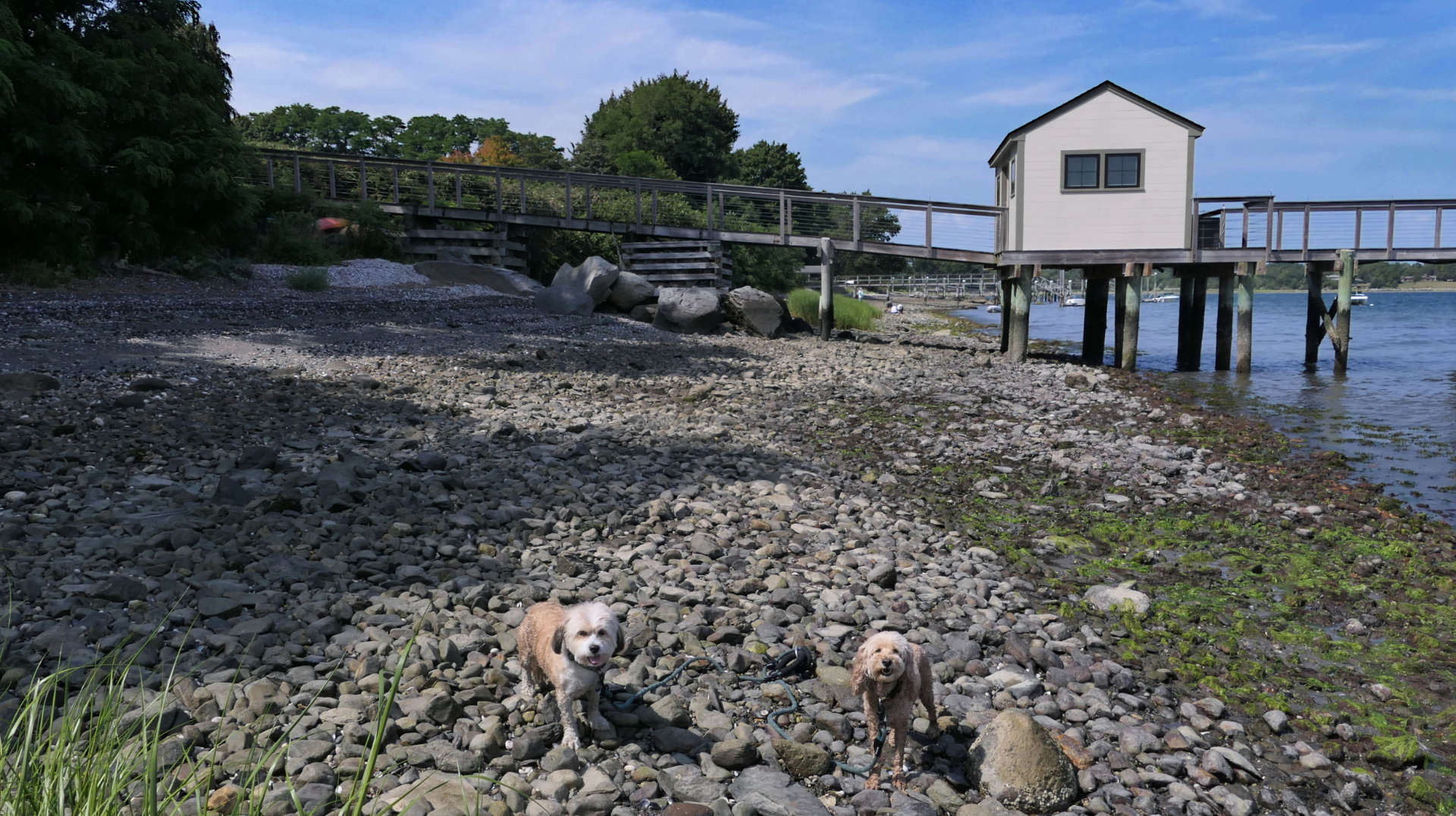
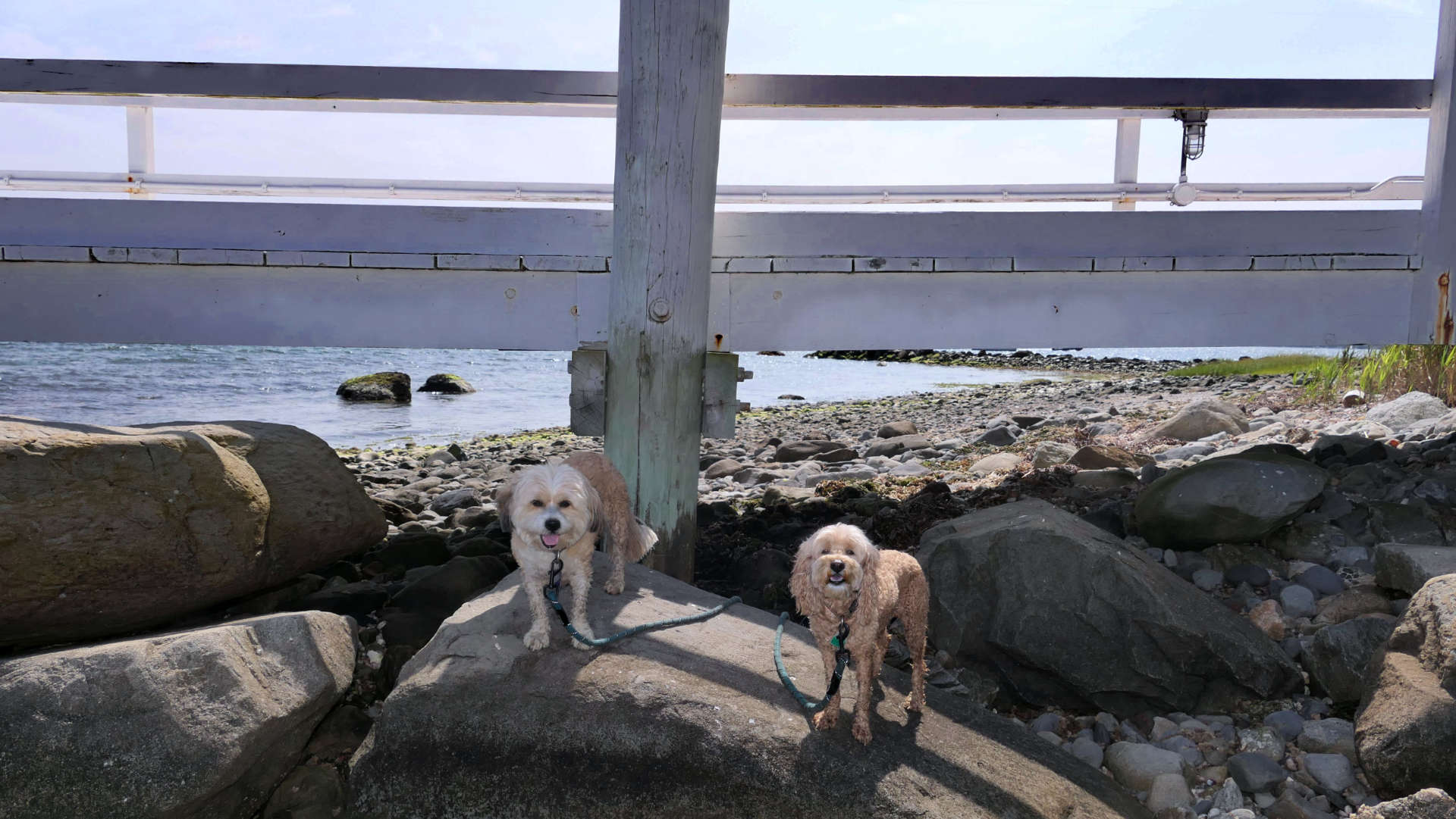
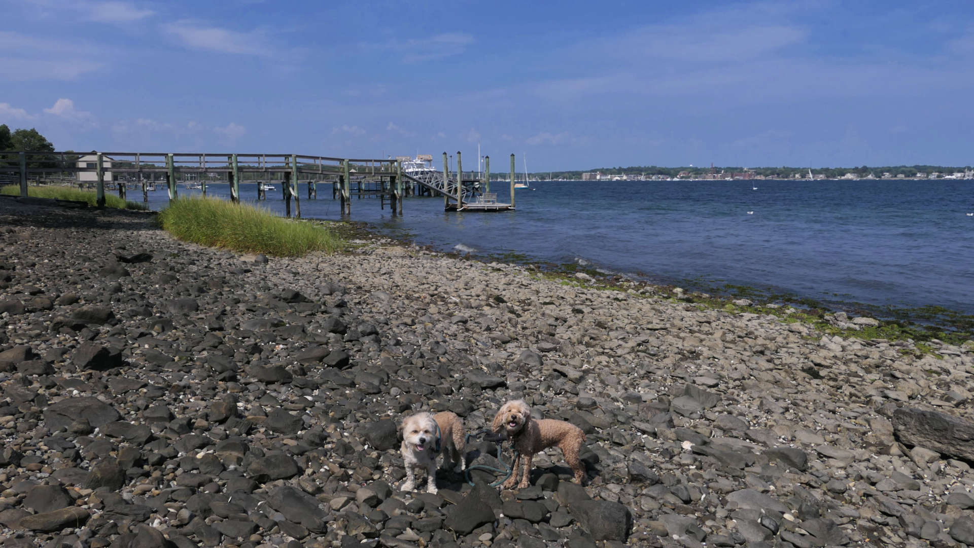
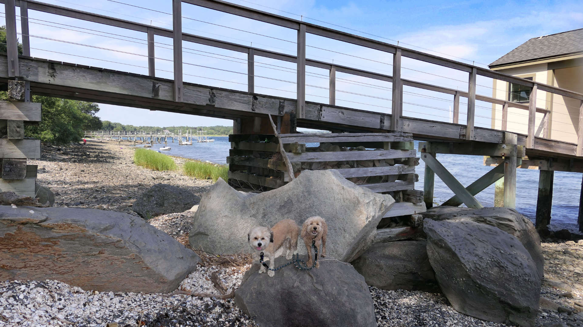
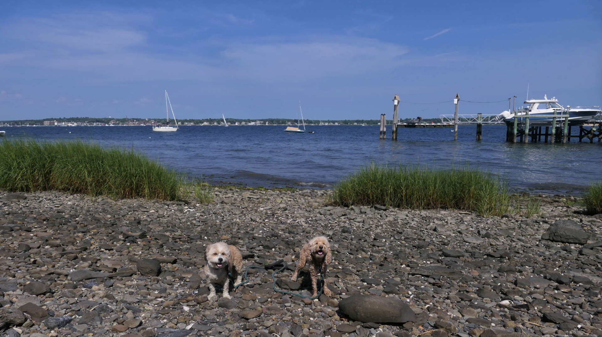
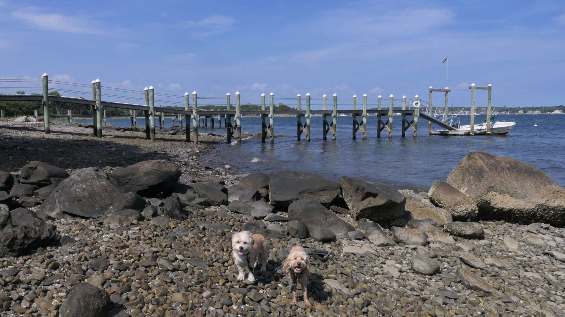
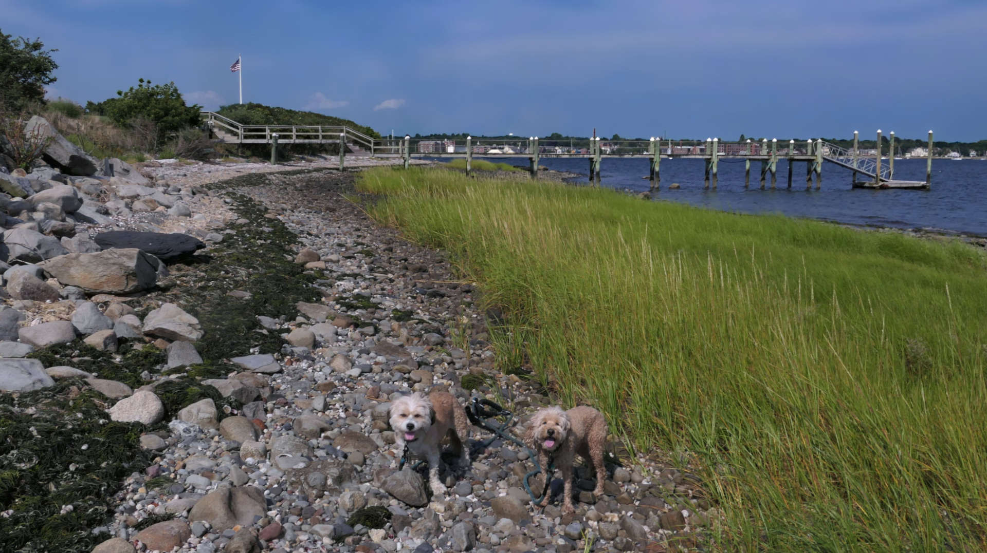
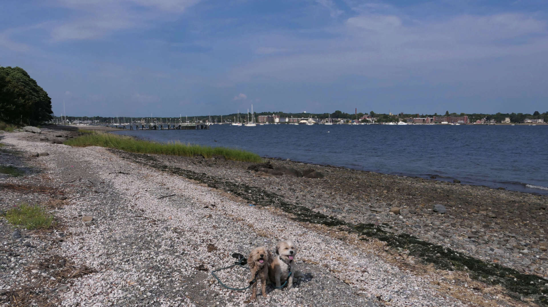
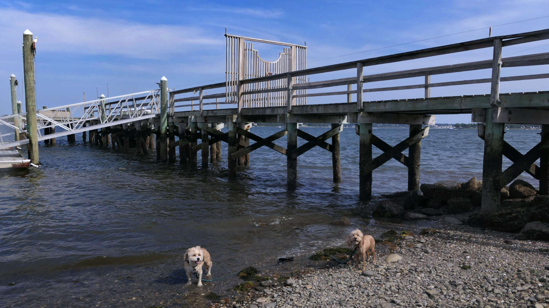
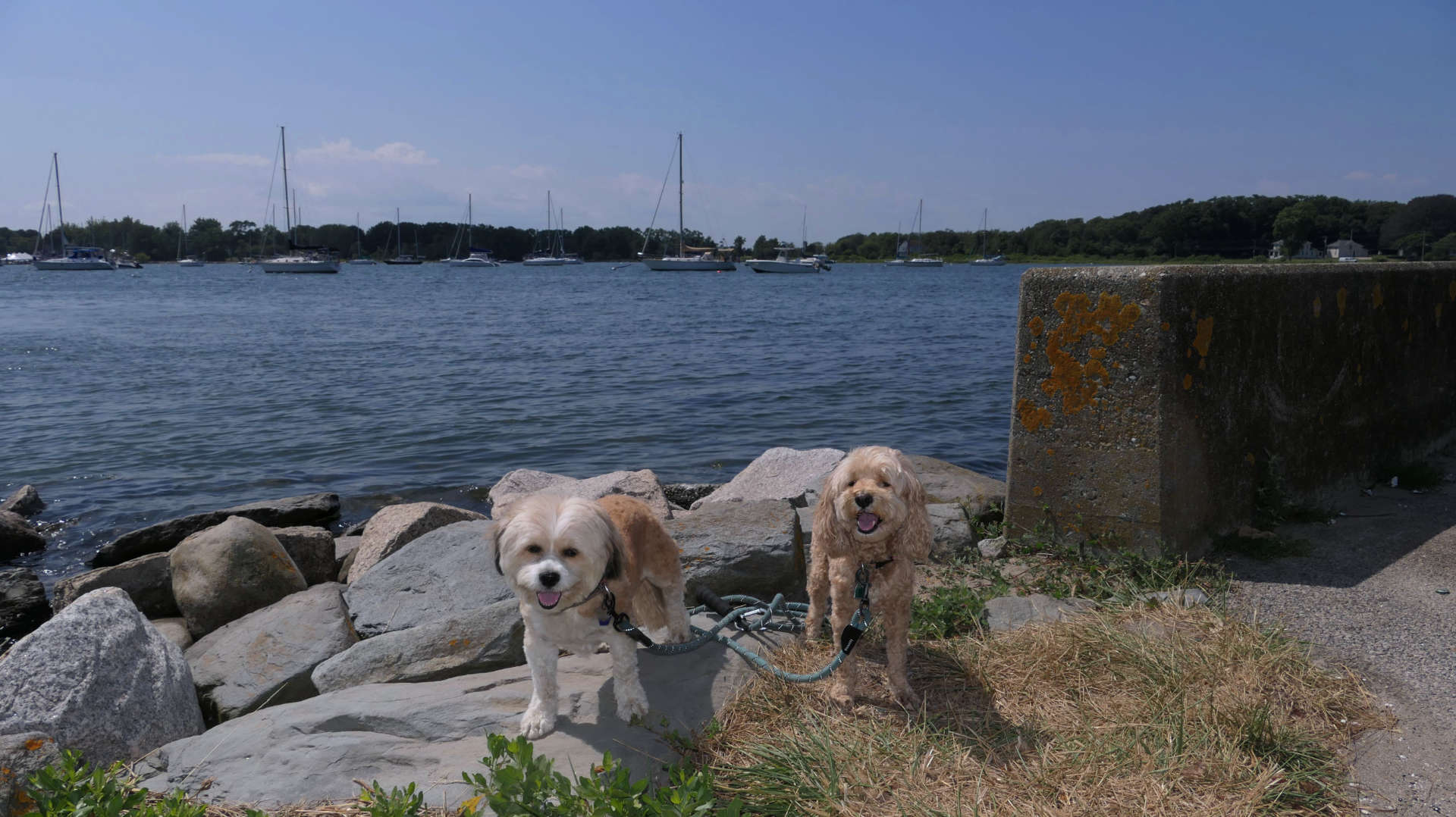
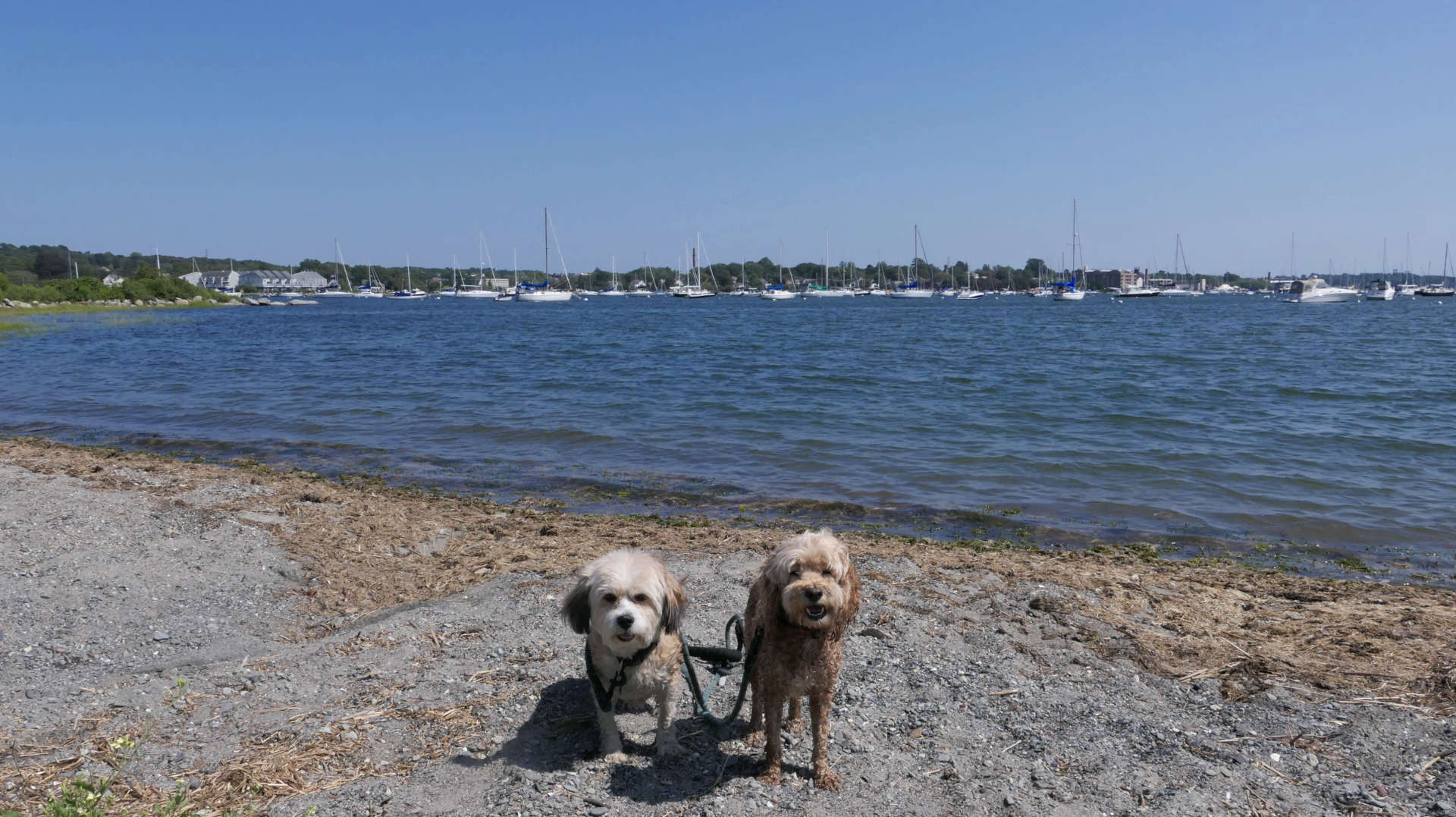
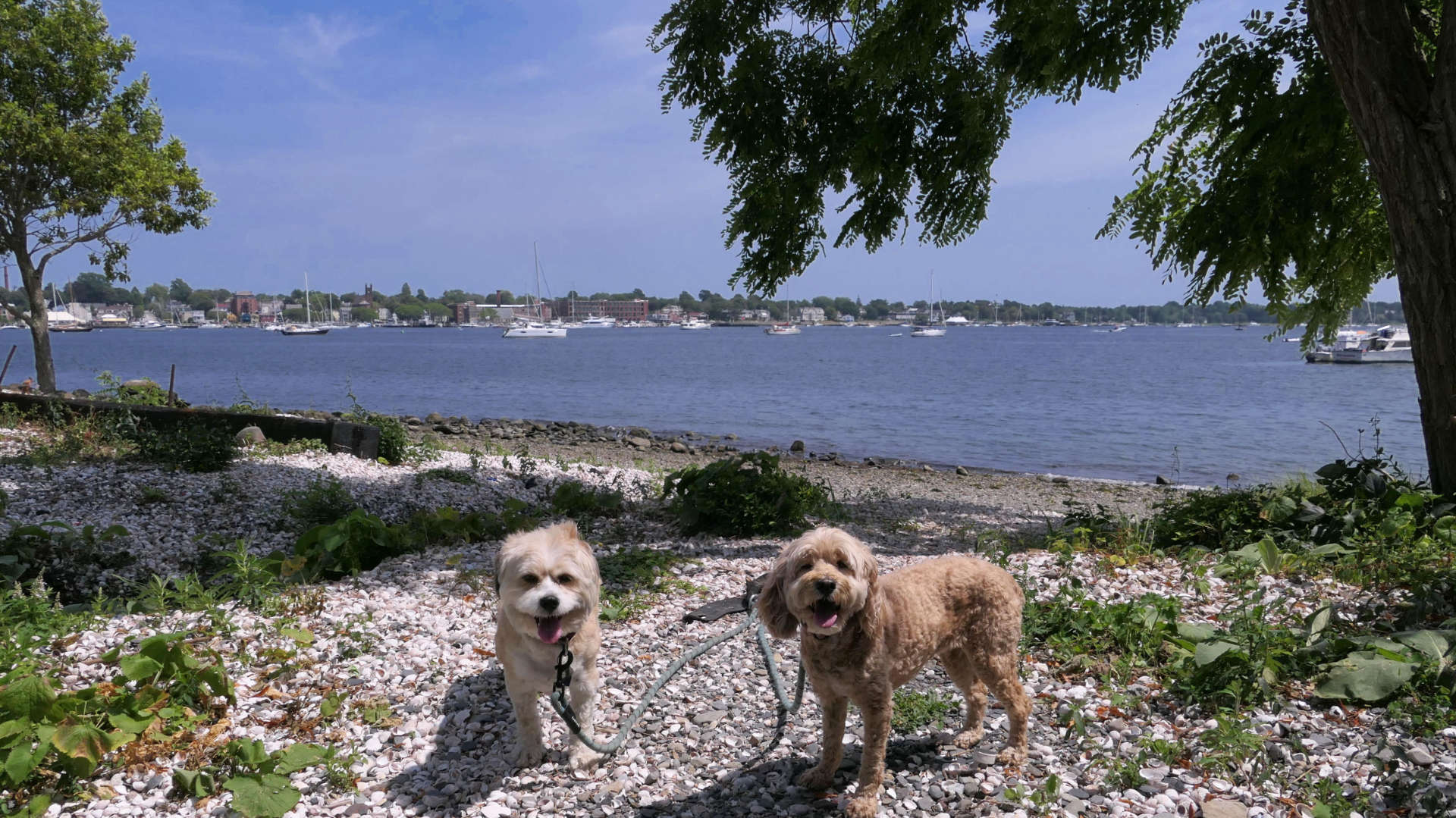
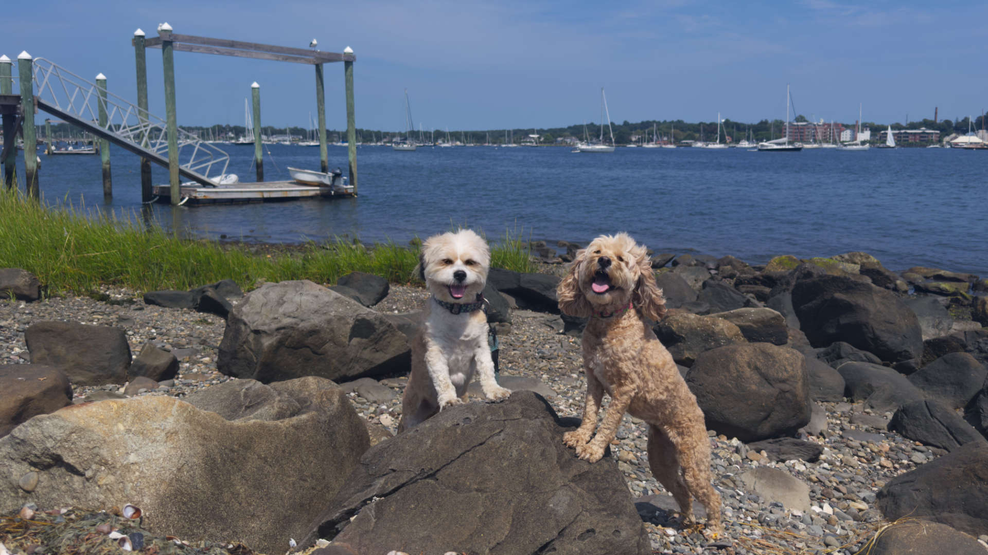
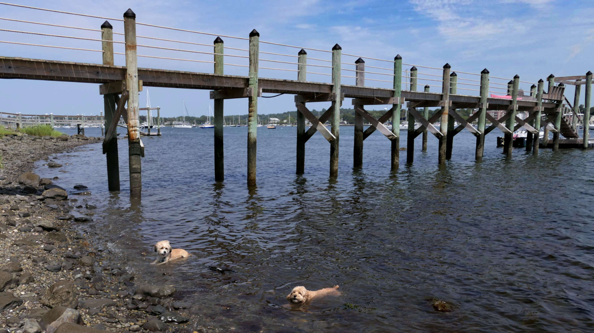
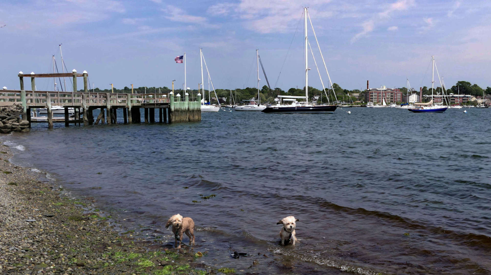
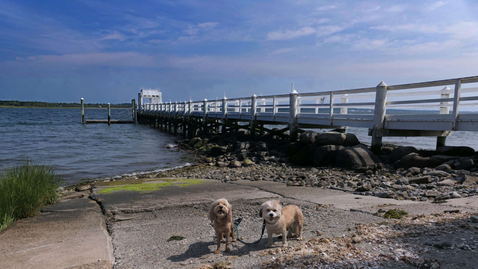
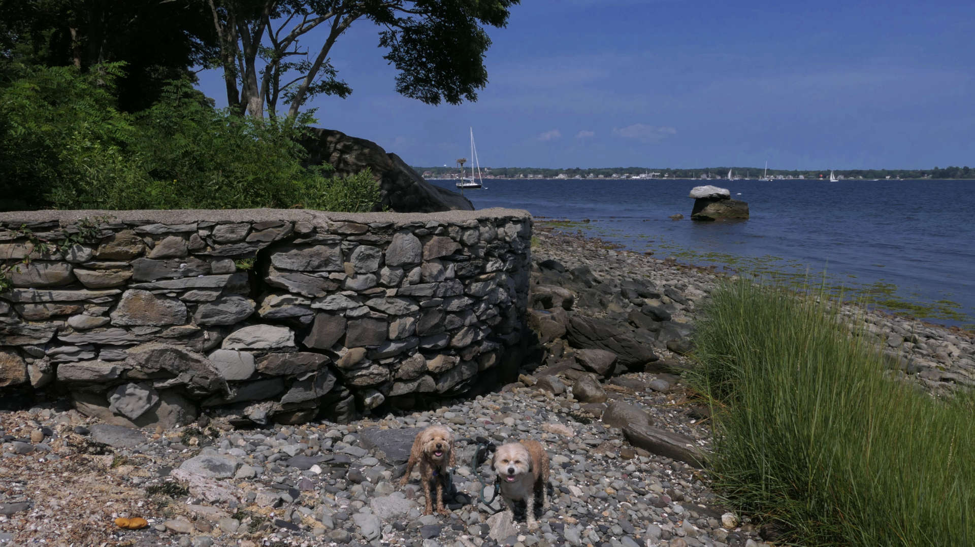
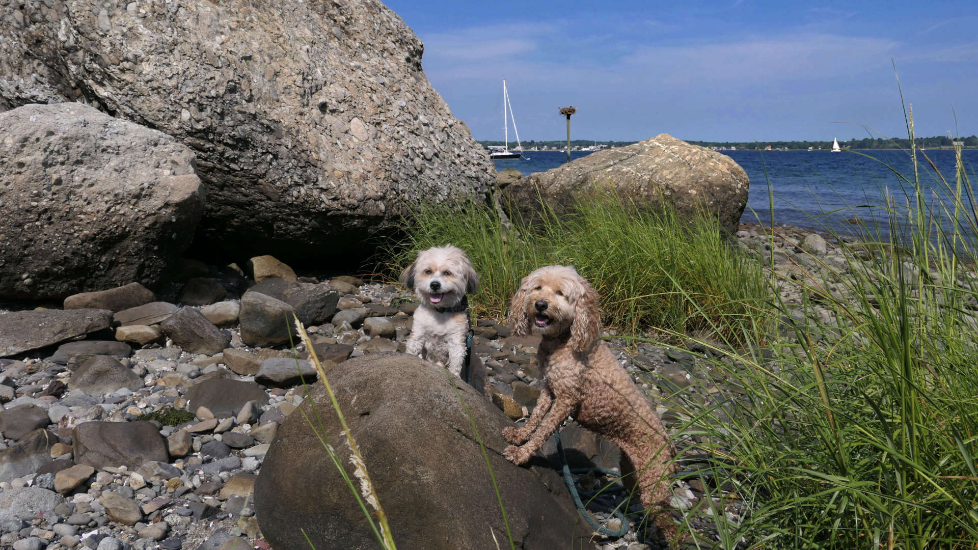
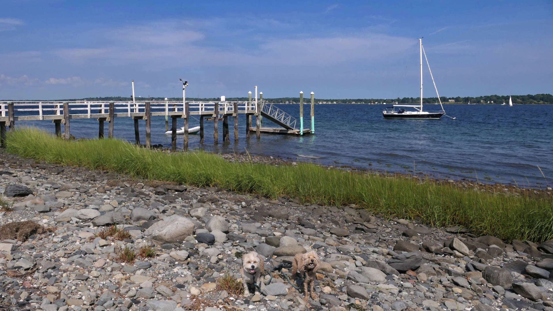
This place was a pleasant surprise. I found out about it just scrolling around Google Maps. I figured it would be a small fishing area that we could take a couple pictures at. I didn't realize I'd be able to get in a 4+ mile hike here. We followed the short path from the small parking area on Portside Road to the shore. We first headed north along the shore for about a quarter of a mile or so before we encountered a seawall we couldn't get around. We then headed the other direction, past Usher Cove, all the way down to the tip of Popasquash Point. It's a scenic walk over a cobble beach, with small stones. There are numerous docks that extend out into the bay along the way. There are wonderful views of Bristol Harbor and the Mount Hope Bridge. Mandy and Lexi had plenty of opportunity to cool off in the water along the route. We encountered a few locals who were crabbing, and even some that were just out for a swim. This was a very pleasant shoreline walk.
Poppasquash Road Shoreline Access
Date visited: 8/16/2025
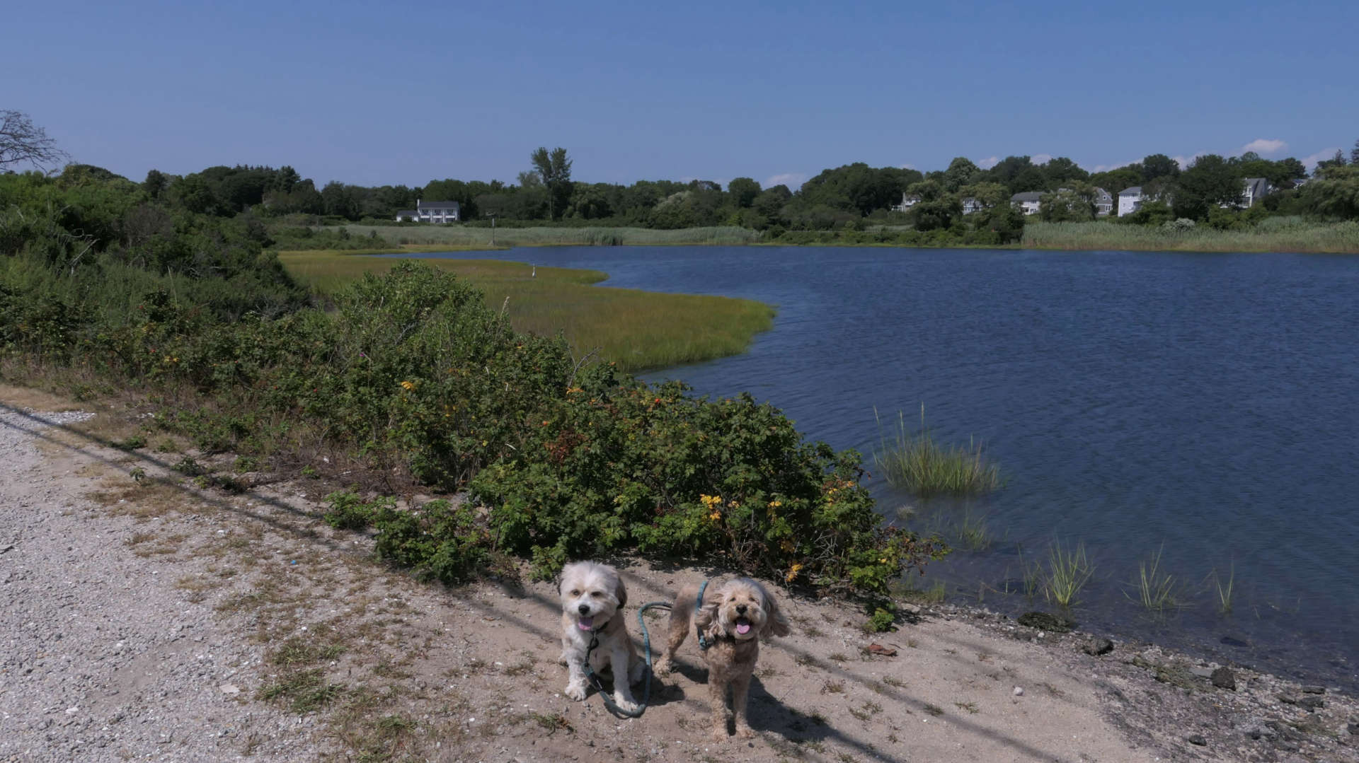
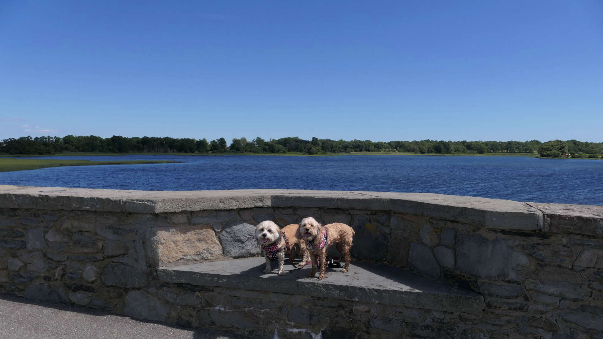
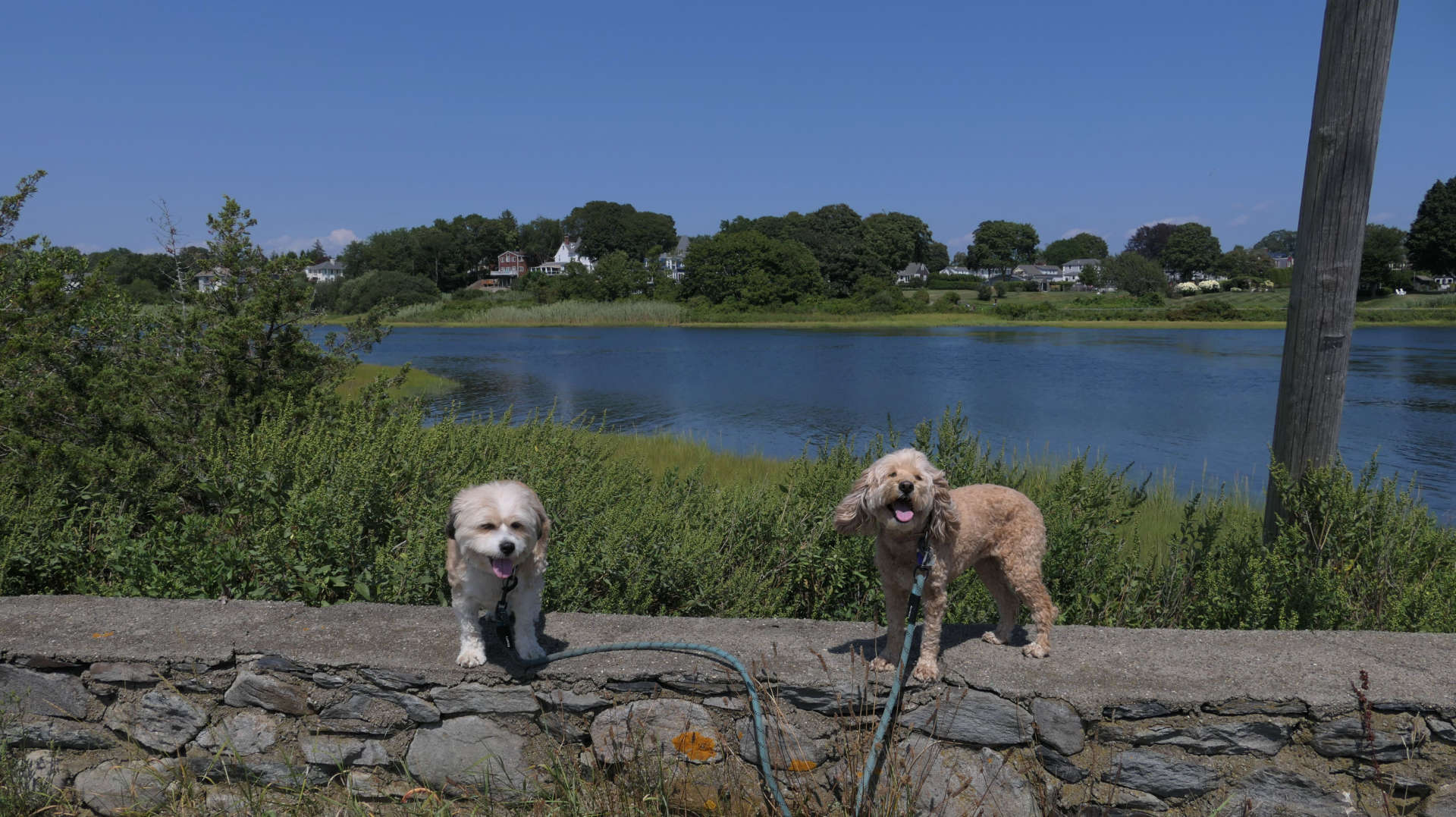
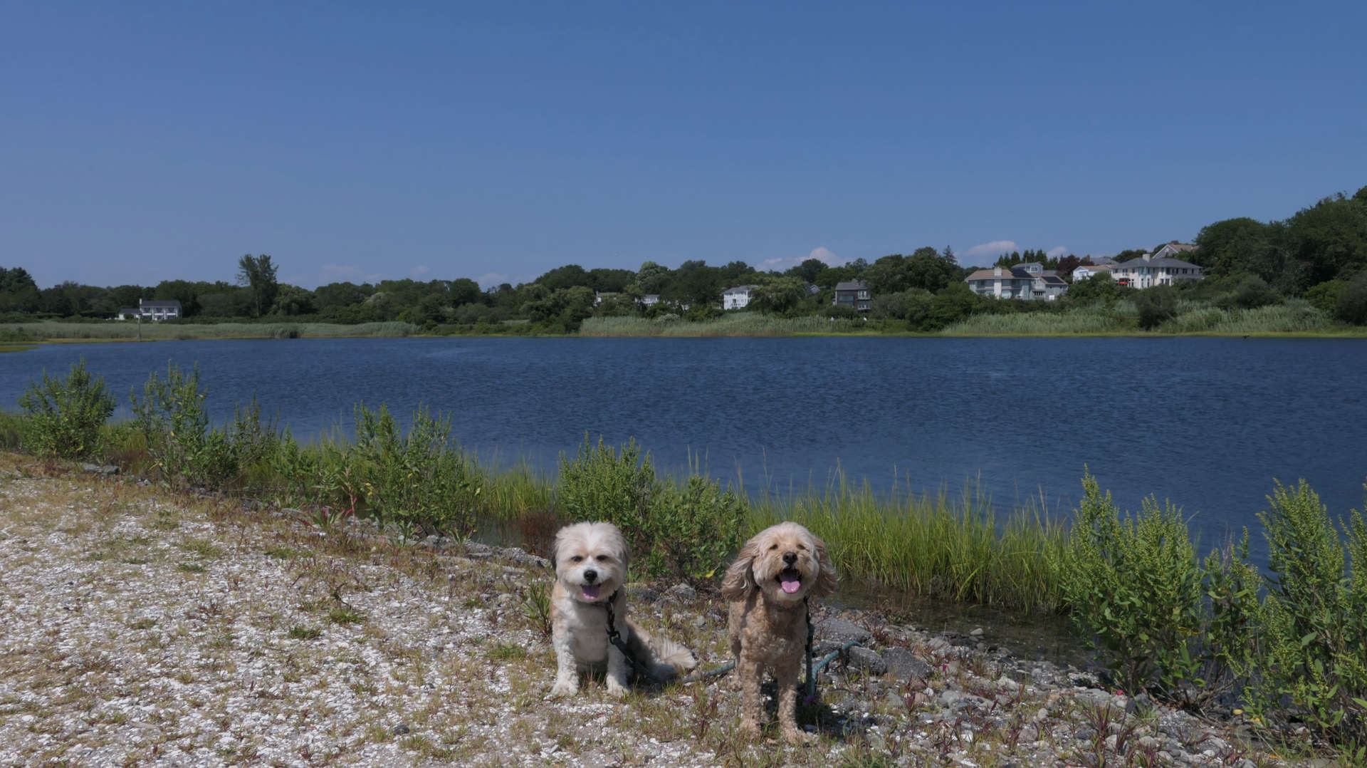
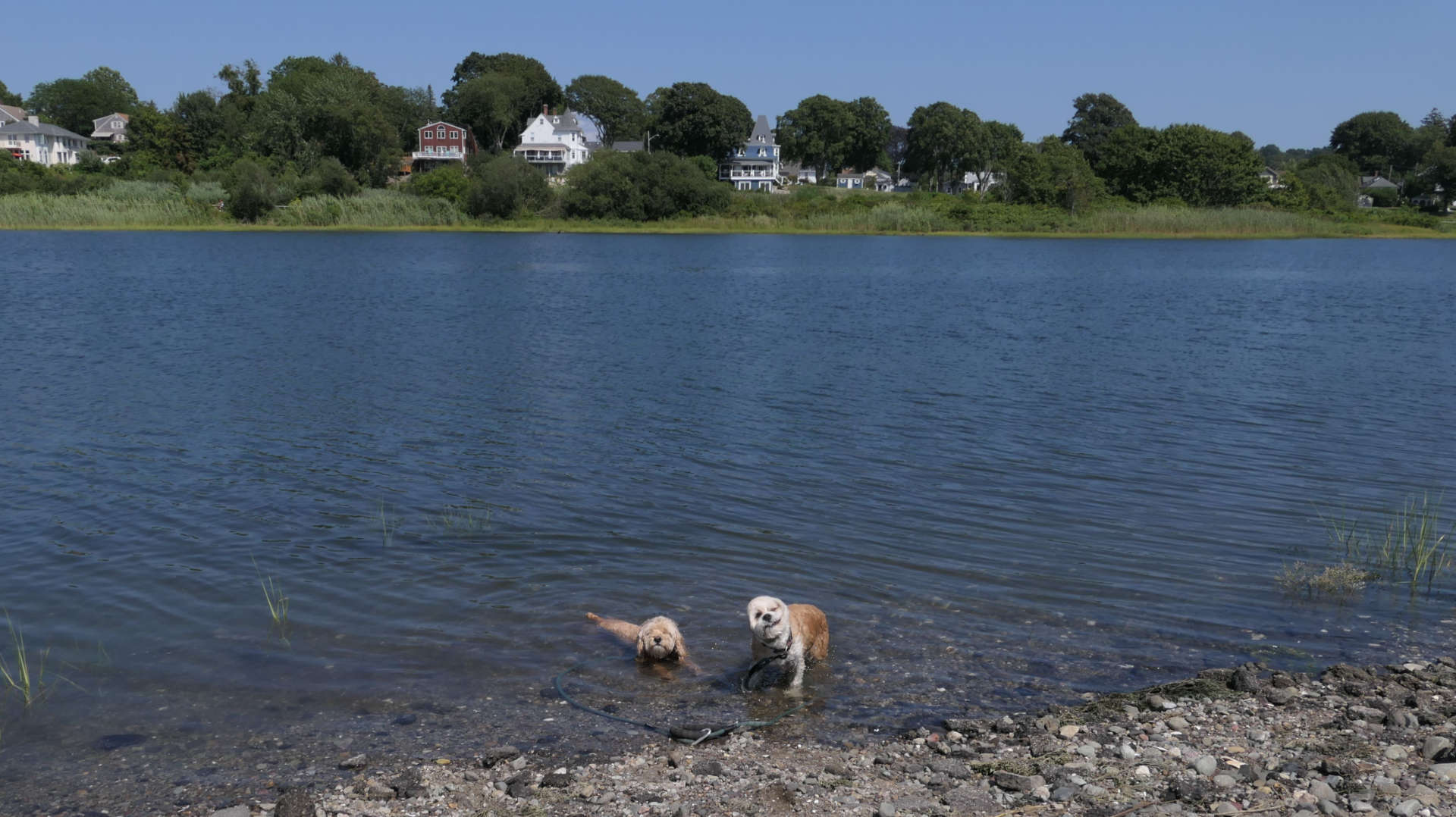
There are actually multiple access points on both sides of Poppasquash Road, with Bristol Harbor to the south and Mill Pond to the north. There are a few different pull-off's along the road to park. One spot on the harbor side even has a small beach. It's hard to walk between the spots, because there are no sidewalks and people drive fast on the road. Mandy and Lexi found a clean spot on the pond side where they could cool off. An entrance to Colt State Park is located here as well, and we headed there next.
