◂︎ Mandy & Lexi's Connecticut Adventures
Old Saybrook
The Preserve
Date visited: 5/11/2021
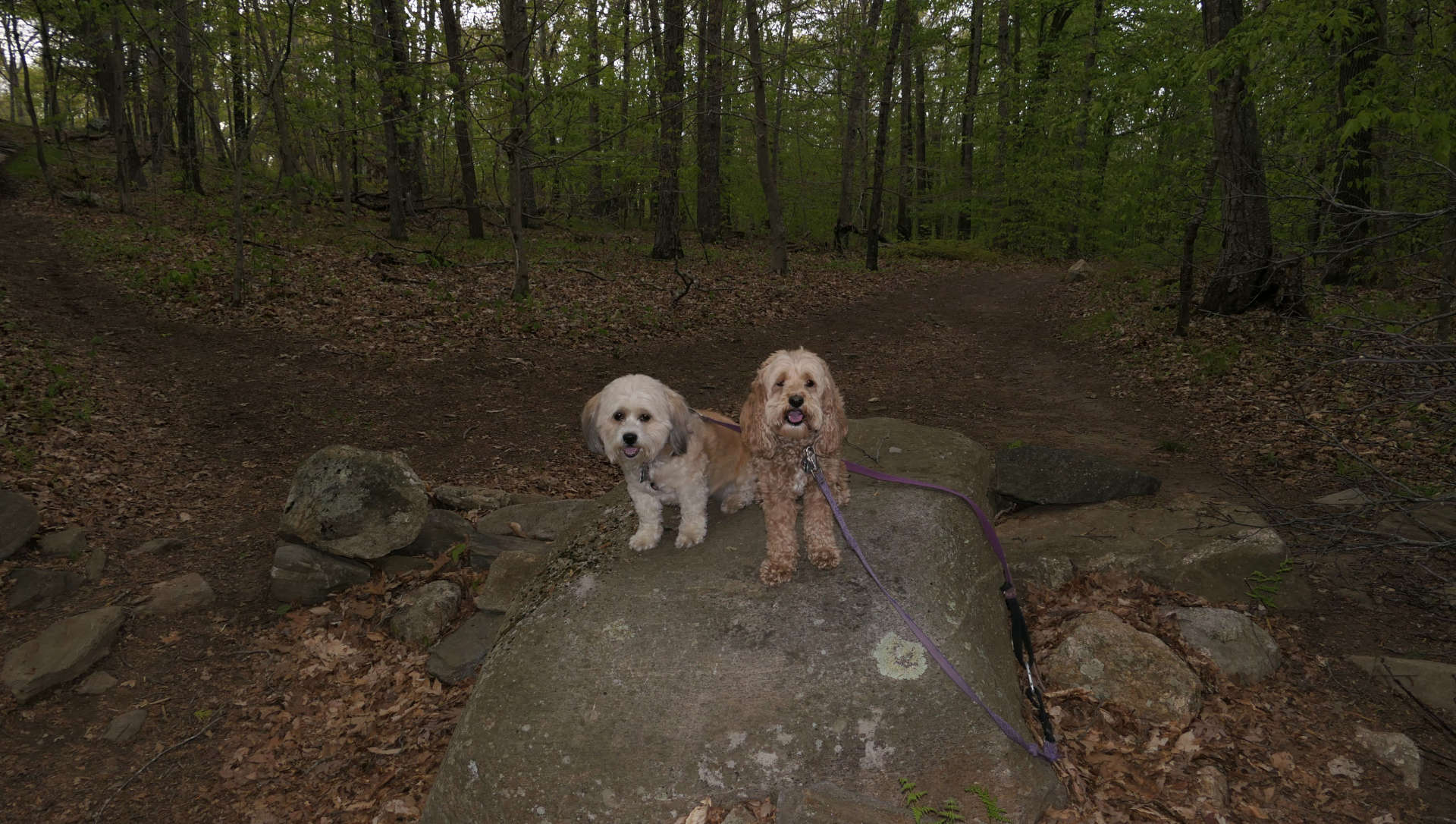
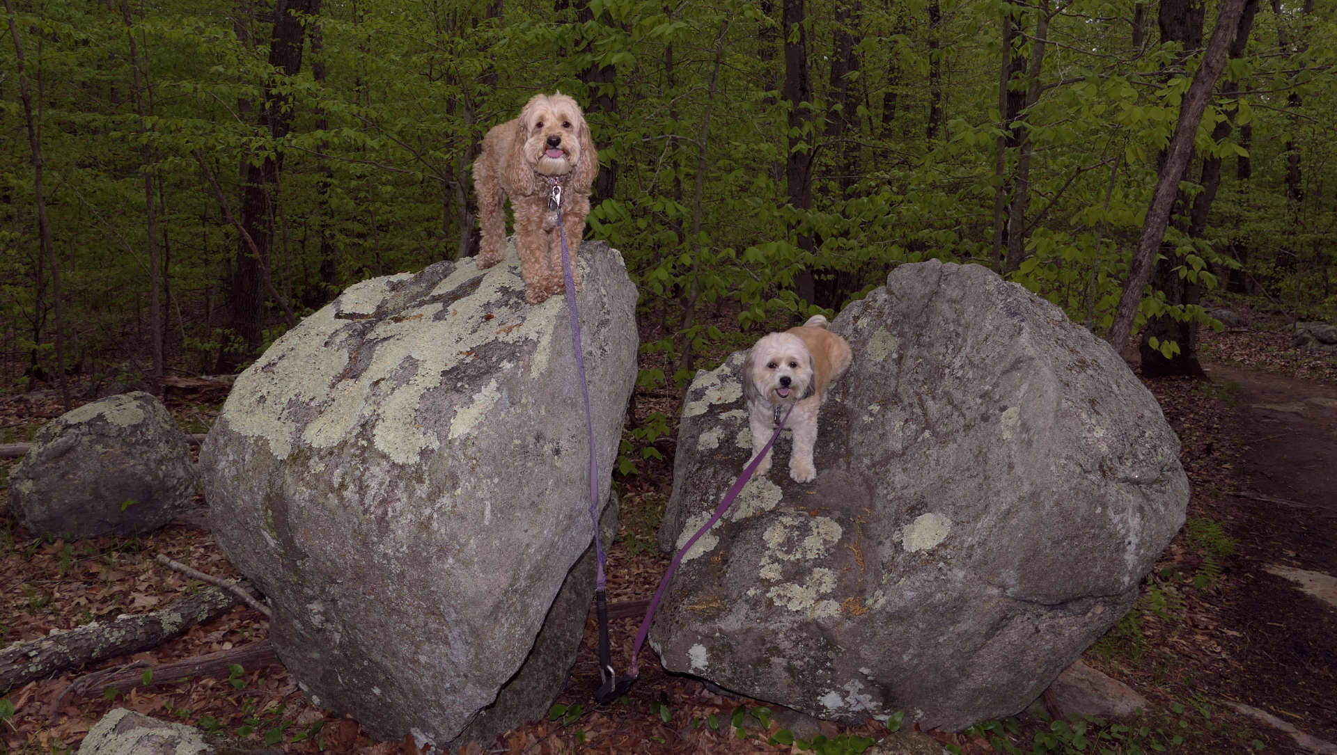
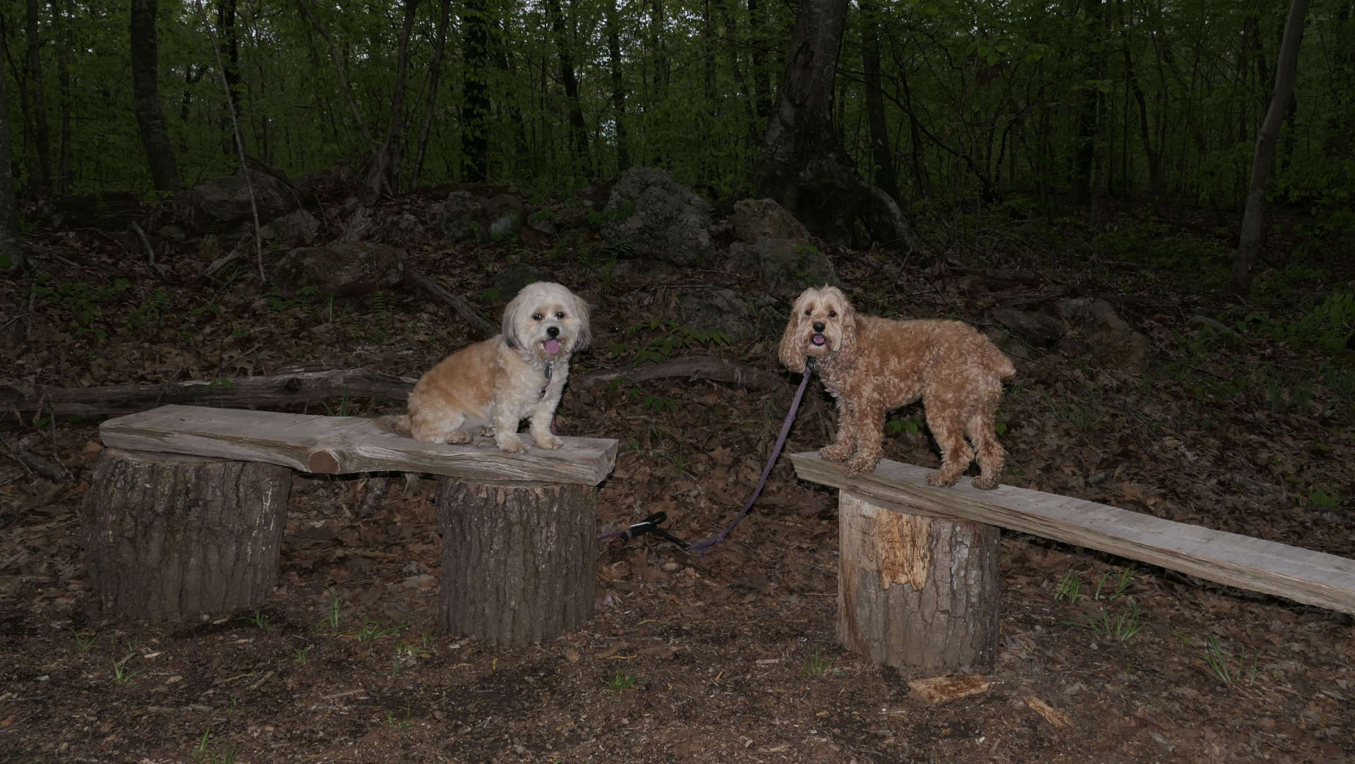
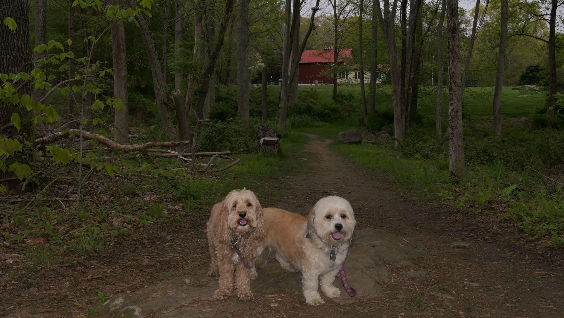
This area, simply called "The Preserve" is a 963 acre area located in Old Saybrook, Essex and Westbrook. Most of it is owned by the State of Connecticut, with a small section owned by Essex Land Trust. There are great trails here. We walked a loop trail that All-Trails calls "Pequot Swamp Pond Trail". This trail was almost entirely located in the Old Saybrook section of the preserve, with a small section in Essex. The trail was mostly nice and wide. Some sections were flooded, but new side paths have been established to get you around the wet sections. There are a lot of side trails to explore as well, but we kept to the 2.6 mile loop.

Turtle Creek Wildlife
Area
Date visited: 2/20/2021
This is a hiking area located mostly in Essex, that goes through a conservation area along side the Connecticut River. The start of the trails are in Old Saybrook. The snow was packed which made for an easy hike around the loop trail.

Harvey's Beach
Date visited:12/14/2022
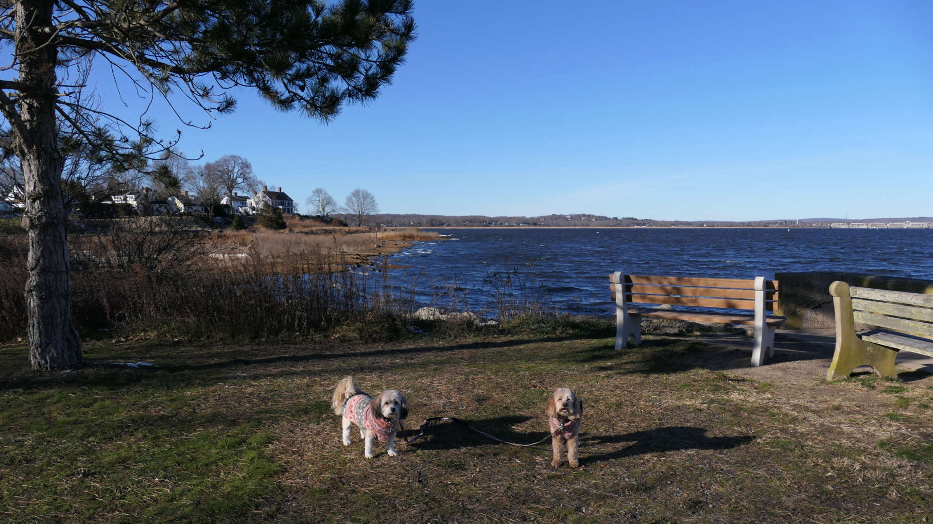
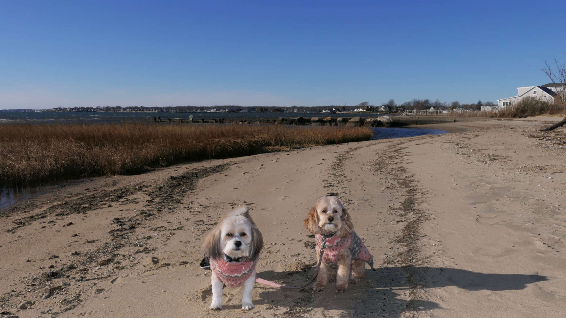
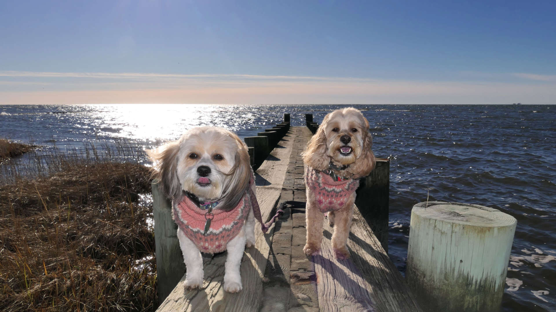
This is a very small town beach. Dogs aren't allowed during the summer months, and I think I'm not really allowed at all, beacause the beach is just for residents of the town. Nobody was going to chase me off on a windy 38 degree in December! There's really not much to do here, even if the weather was better.
Fort Saybrook Monuemnt Park
Date visited: 12/14/2022
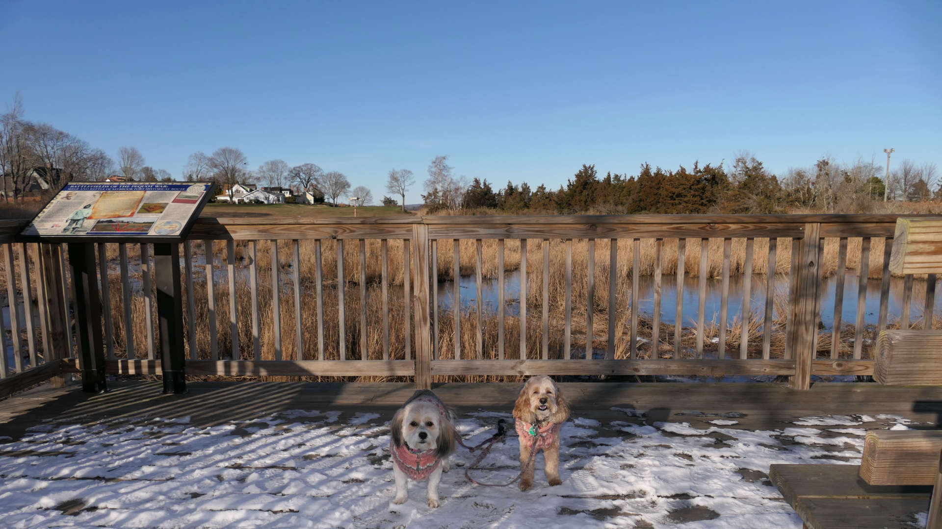
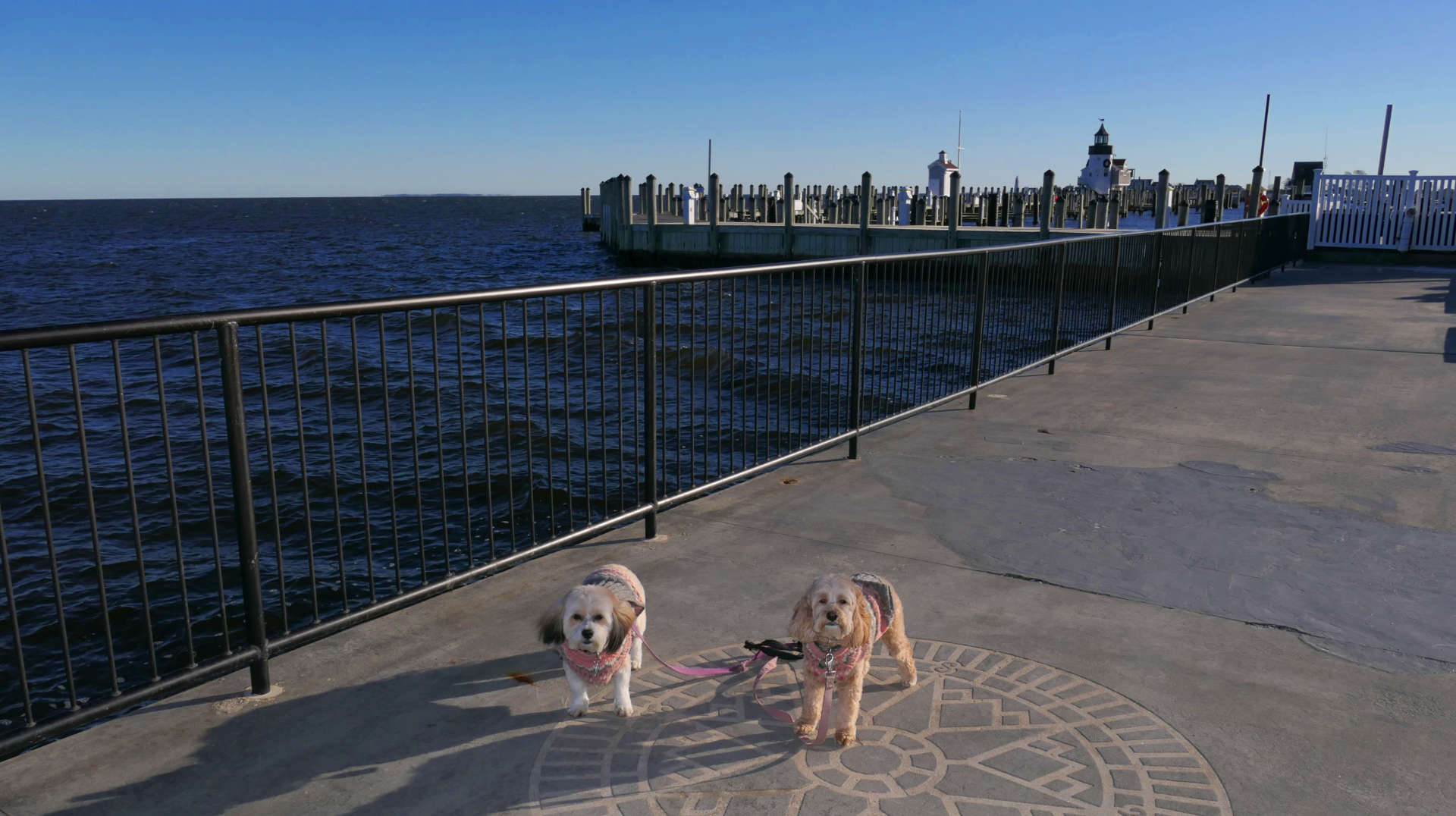
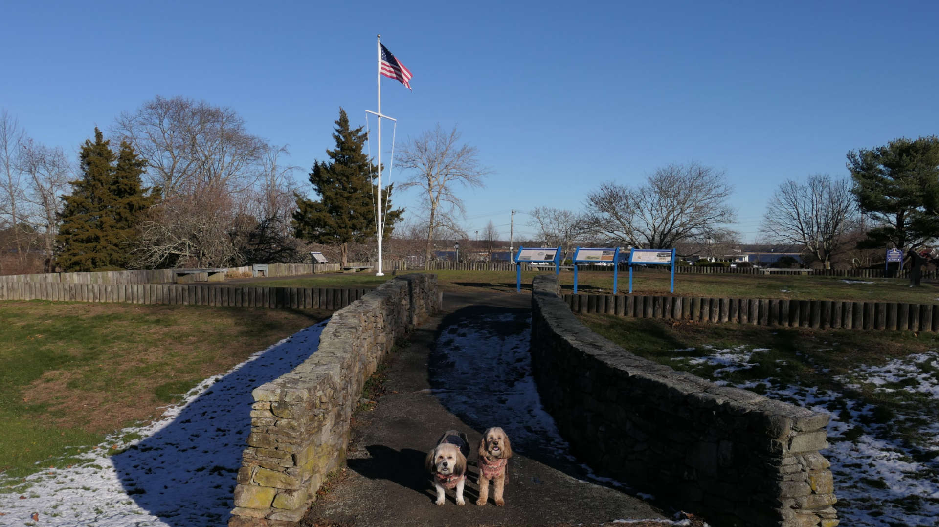
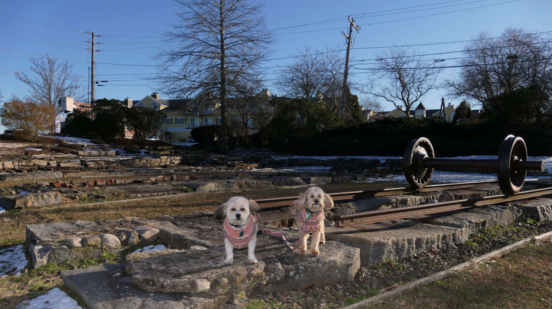
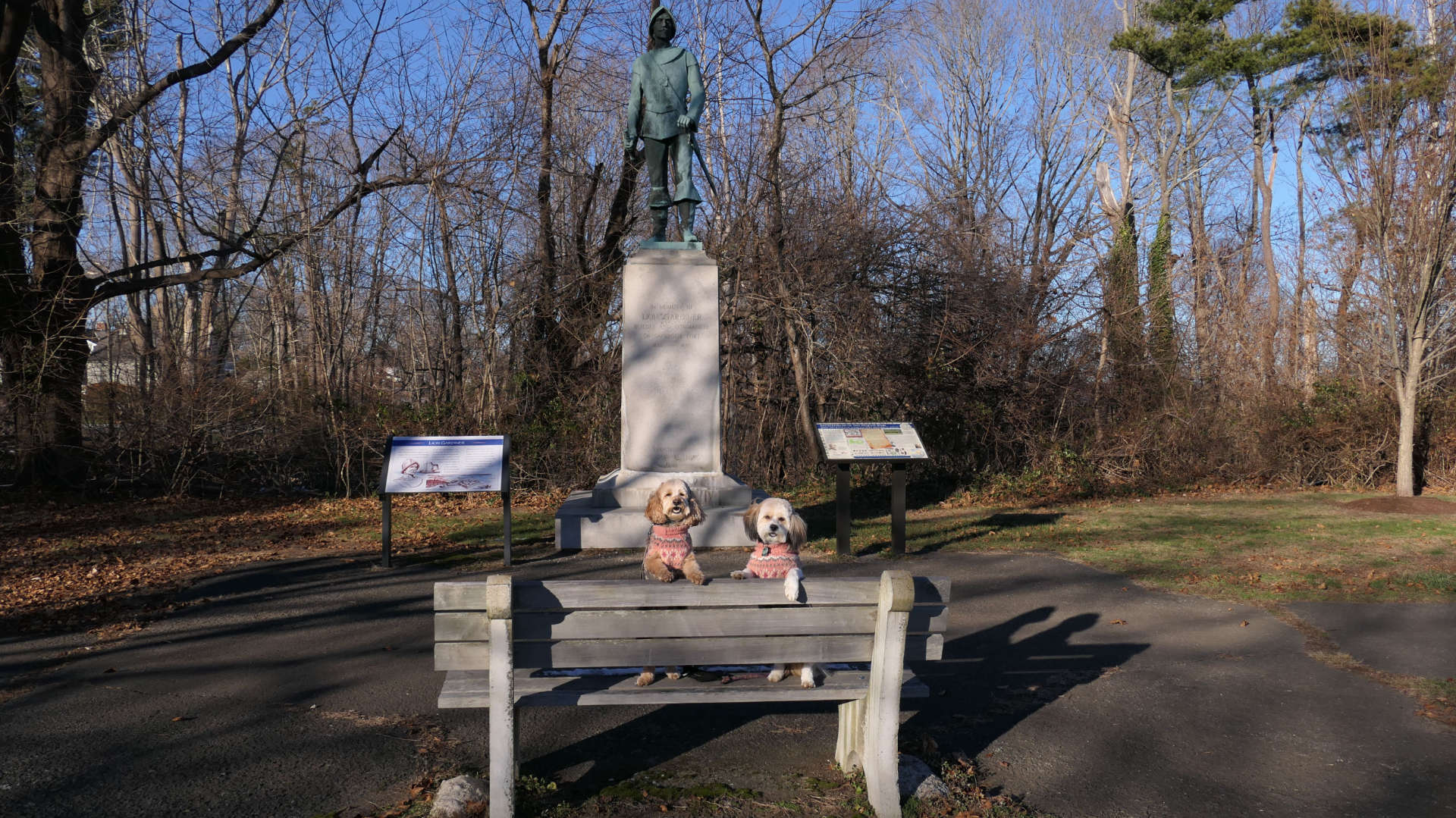
This is a historical town park near the Saybrook Point section of Old Saybrook. There are storyboards throughout that depict the history of the town, with a couple of exhibits. The statue is of Lion Gardiner, the builder and commander of Saybrook Fort, which stood on this spot in the 1600's. This area connects to a marina and pier, so we walked down there as well.
South Cove Causeway
Date visited: 12/14/2022
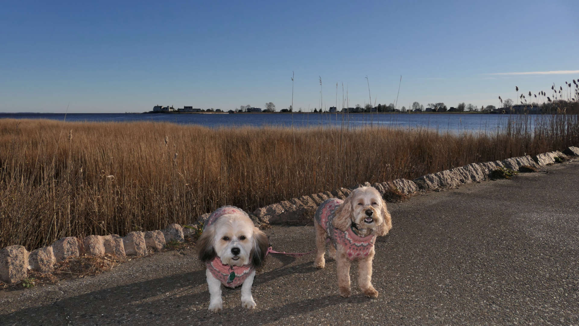
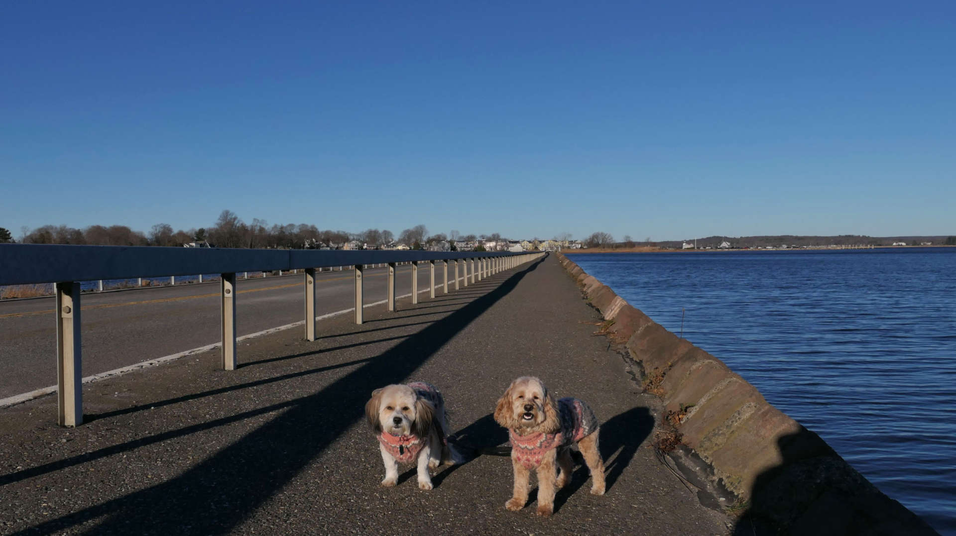
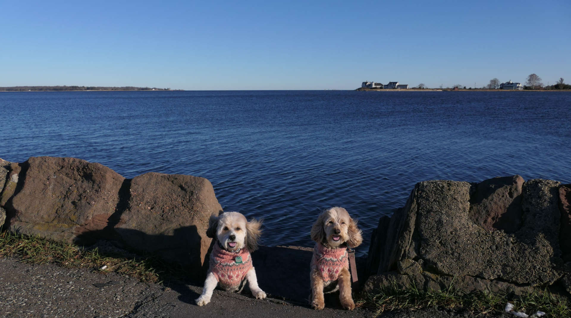
This was an unplanned stop, but it worked out well and made for a great walk. The causeway carries Route 154 and a pedestrian path over the South Cove. I imagine you wouldn't want to be here during a storm, as the road isn't very high off the water. The pedestrian path is separated from the road by a two and a half foot guard rail. There are three wider areas that are used as fishing spots. The road is busy at times, but there were long stretches where there was no traffic and it was quite peaceful. With the recent snow, and trails being pretty muddy, this fit the bill as an easy walk on a very sunny but chilly afternoon.
Connecticut River Scenic Overview
Date visited: 8/8/2023
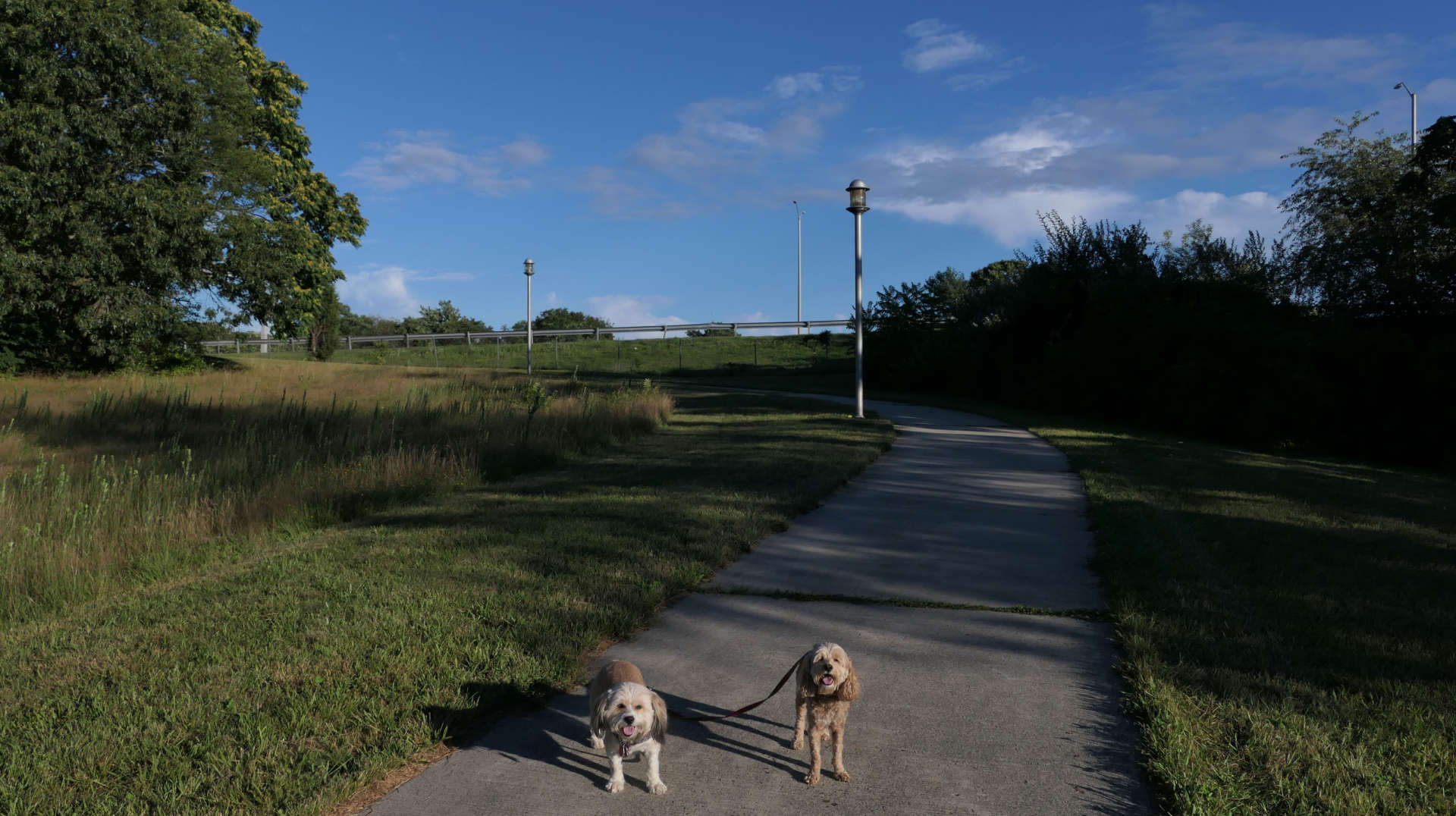
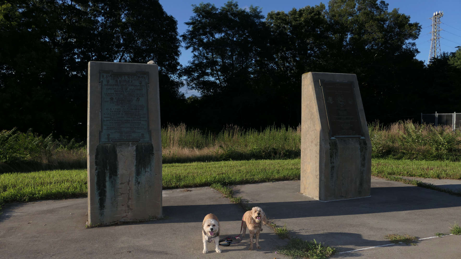
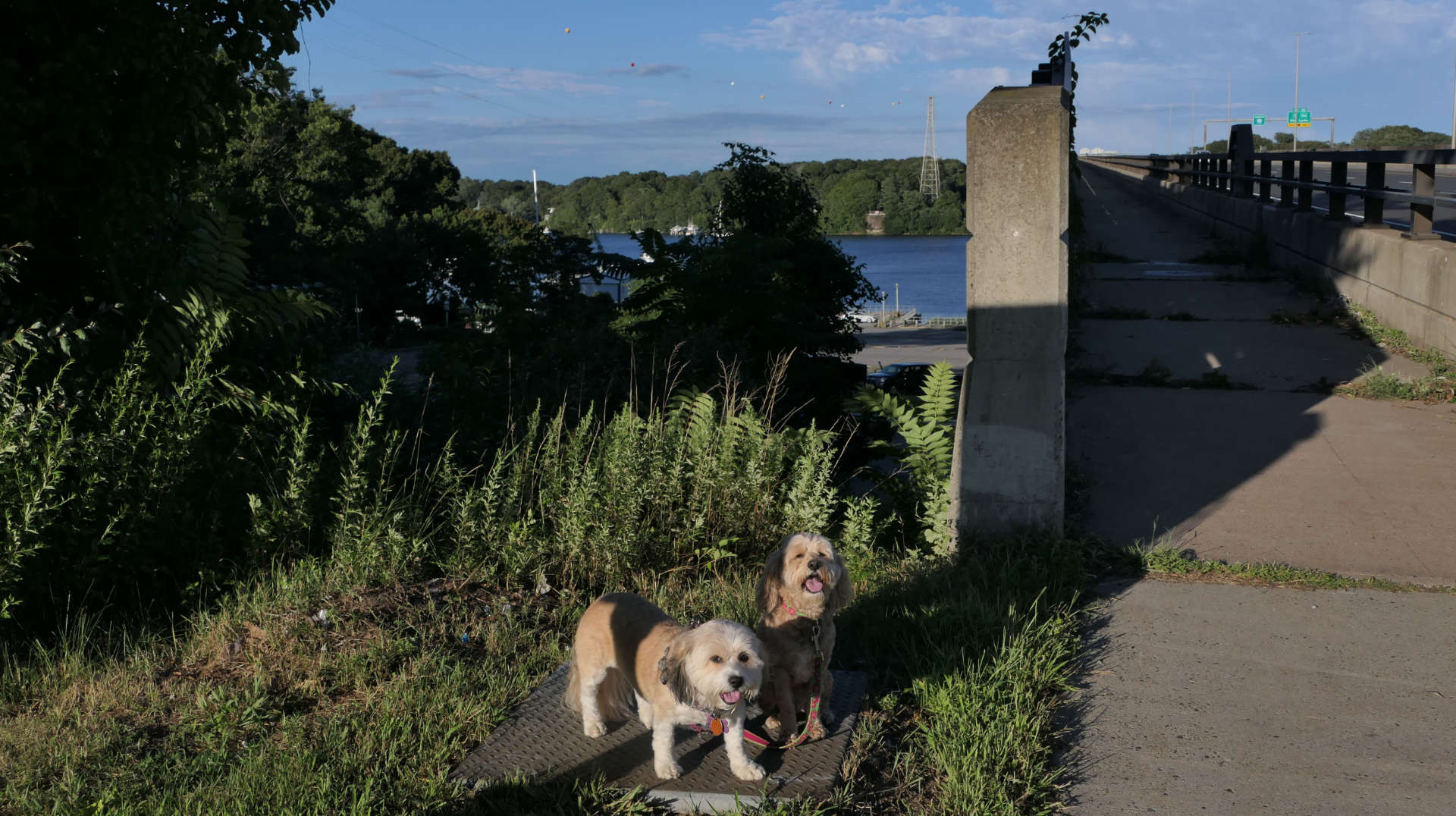
This was an unplanned stop. We were driving home from our last hike, when I noticed a paved walking trail near the Raymond E Baldwin bridge. It had been overcast and stormy all day, but the sun had come out, so I decided to check out the trail. The bridge carries I-95 over the Connecticut River, close to where the river feeds into Long Island Sound. The walkway is on the north side of the bridge, alongside the southbound lanes. (I-95 really runs east/west in Connecticut...don't get me started!) We parked on the side of the road near the start of the walkway. I did not realize that the main parking area is at the commuter lot on the other side of the bridge. The approach up to the bridge is nice. There are some interesting looking light posts, an old boarded up building, and two monuments related to the two different "Raymond E Baldwin" bridges erected on this site. The first one built in 1948 and the current one completed in 1994. Prior to that, a double-bascule bridge was on this site that was opened in 1911. The walkway over the bridge itself isn't the best. There was all sorts of trash on the walkway, most likely thrown from cars going over I-95. There's a high fence that limits the views of the river from the bridge, but I completely understand the need for the fence! There's a small park on the Old Lyme side of the river, and you can read about it on the Old Lyme page. Including the portion in Old Lyme, We wakled a bit over two miles total here, out and back.
