Connecticut
Massachusetts
Rhode Island
New York
New Jersey
Other States
Latest Adventures
About Mandy & Lexi
Beach Guide
FAQ
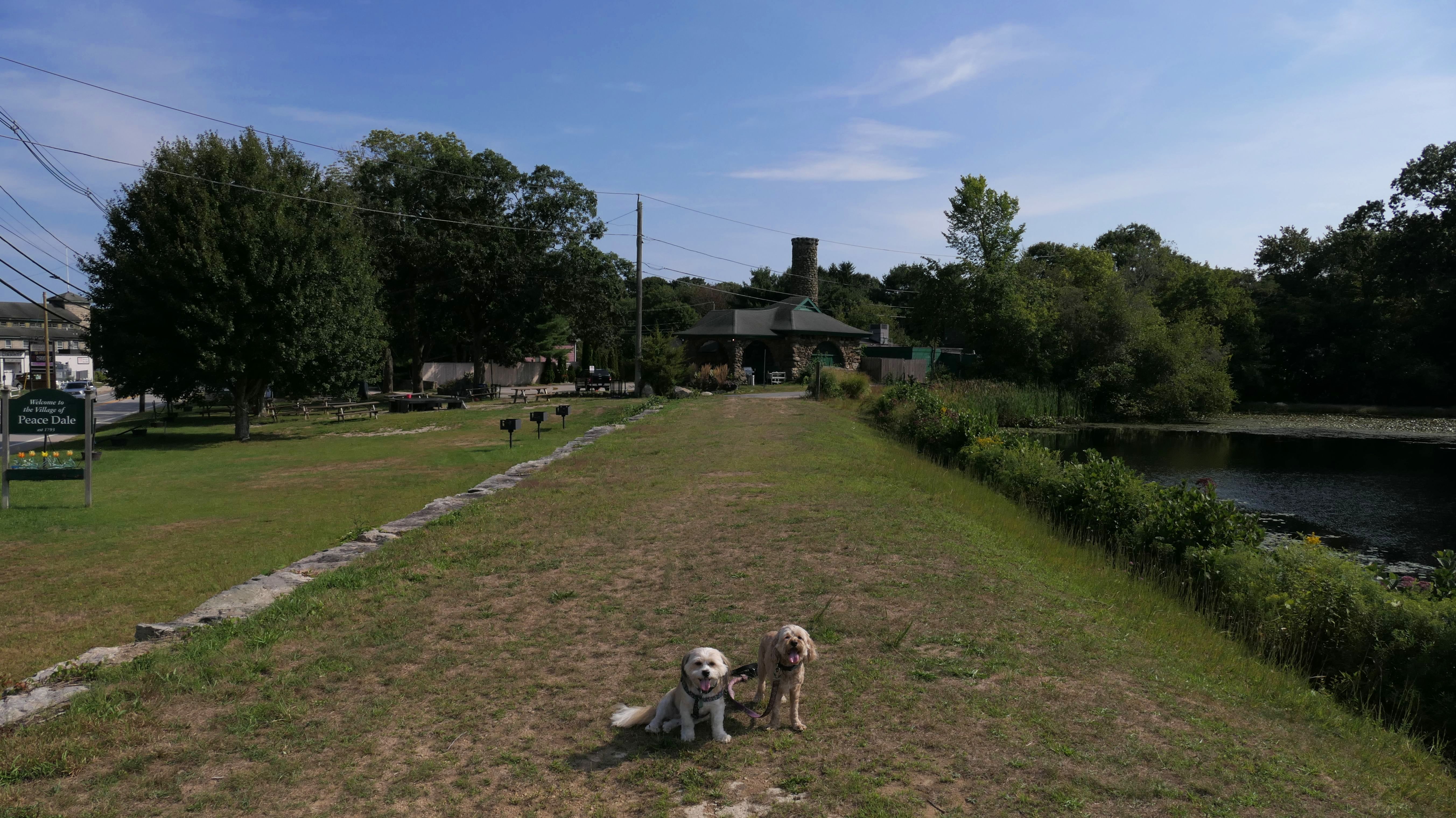
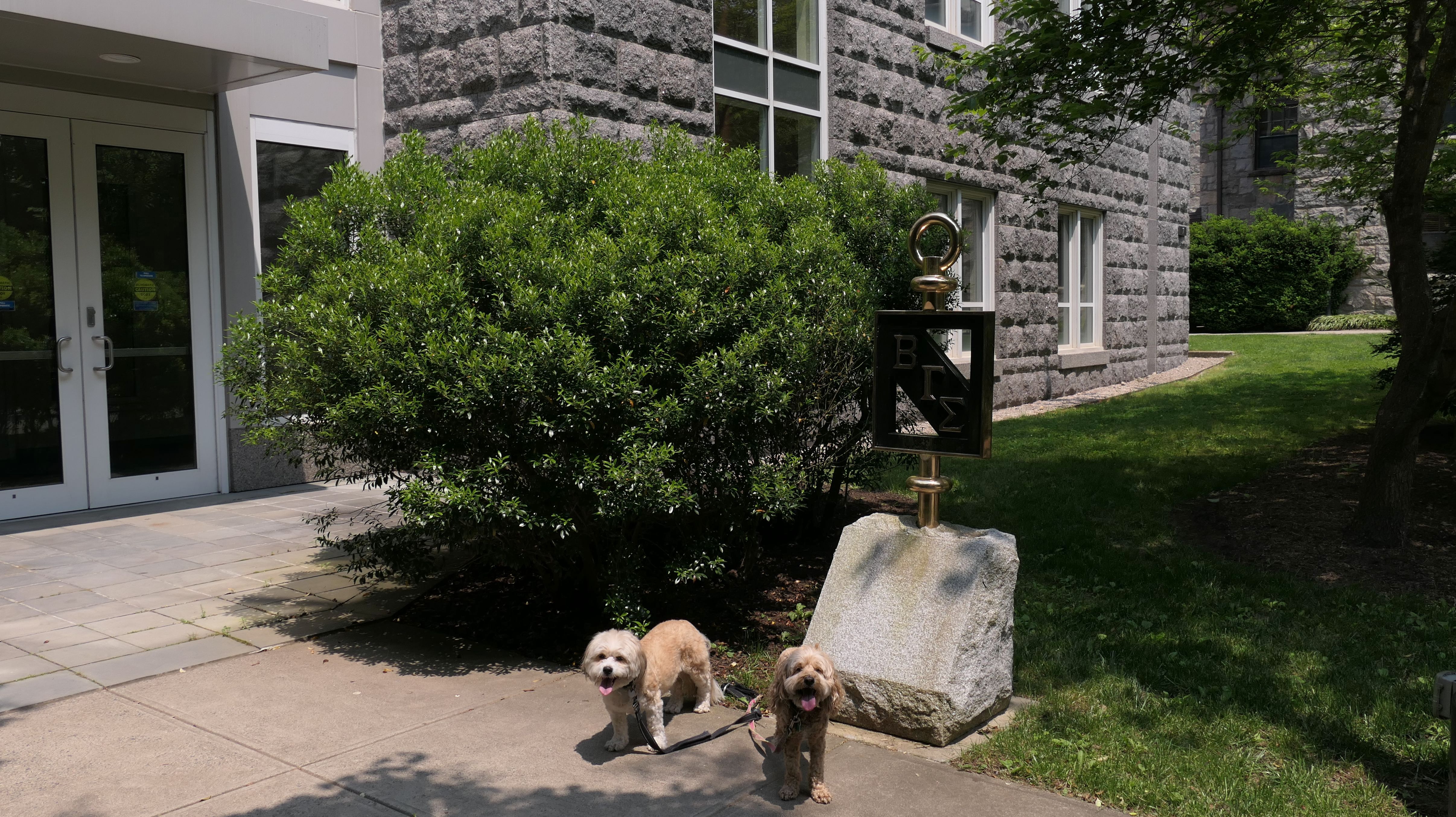
◂︎ Mandy & Lexi's Rhode Island Adventures
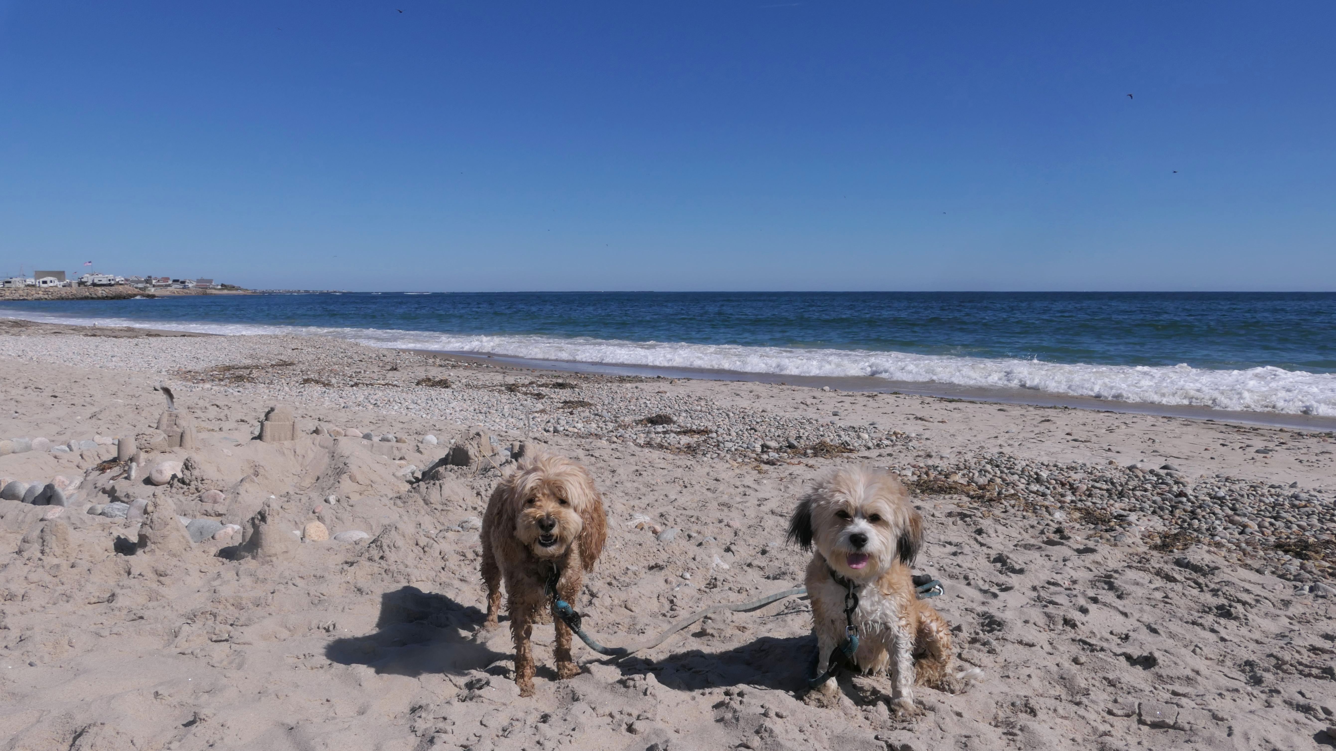
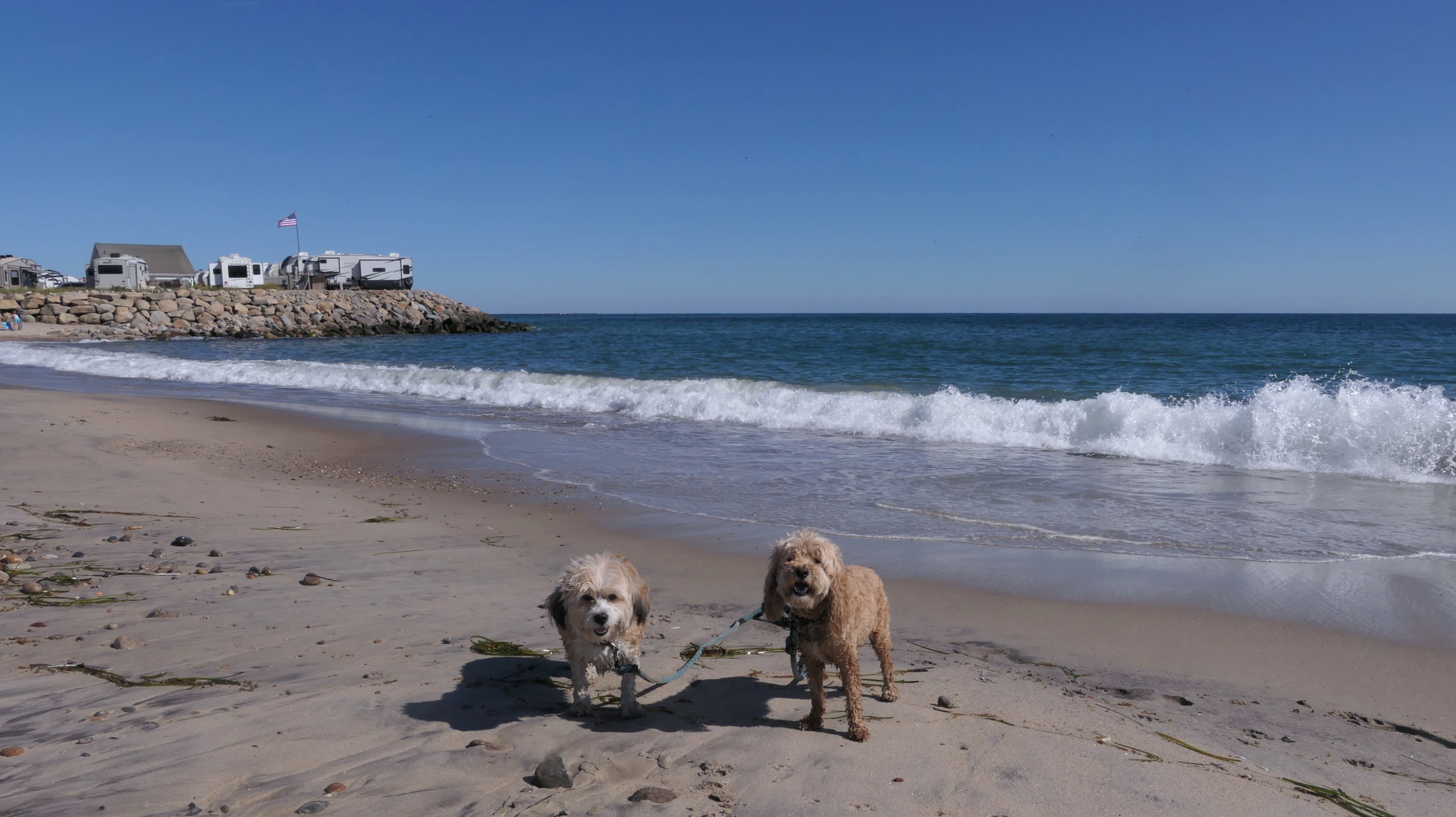
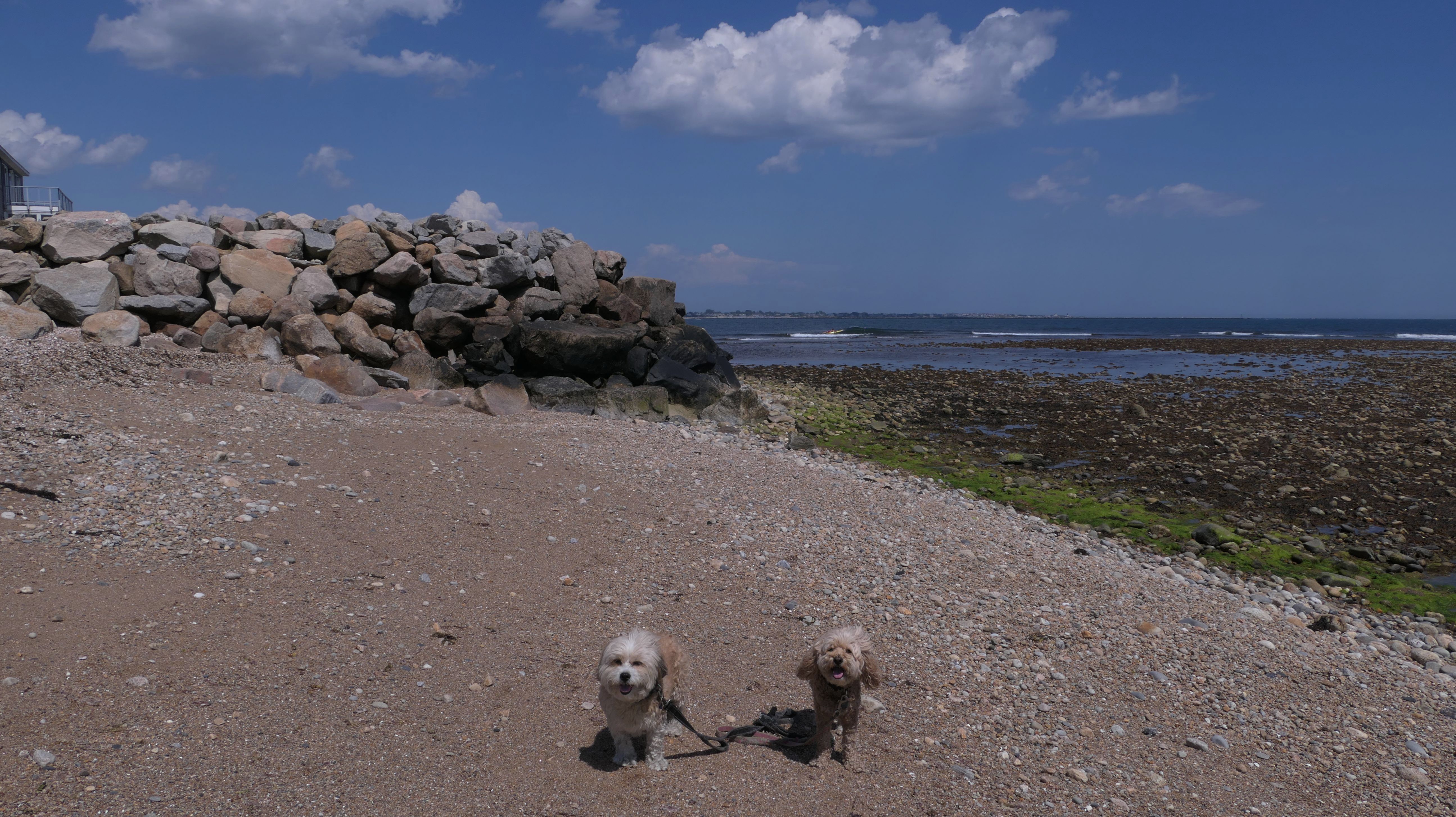
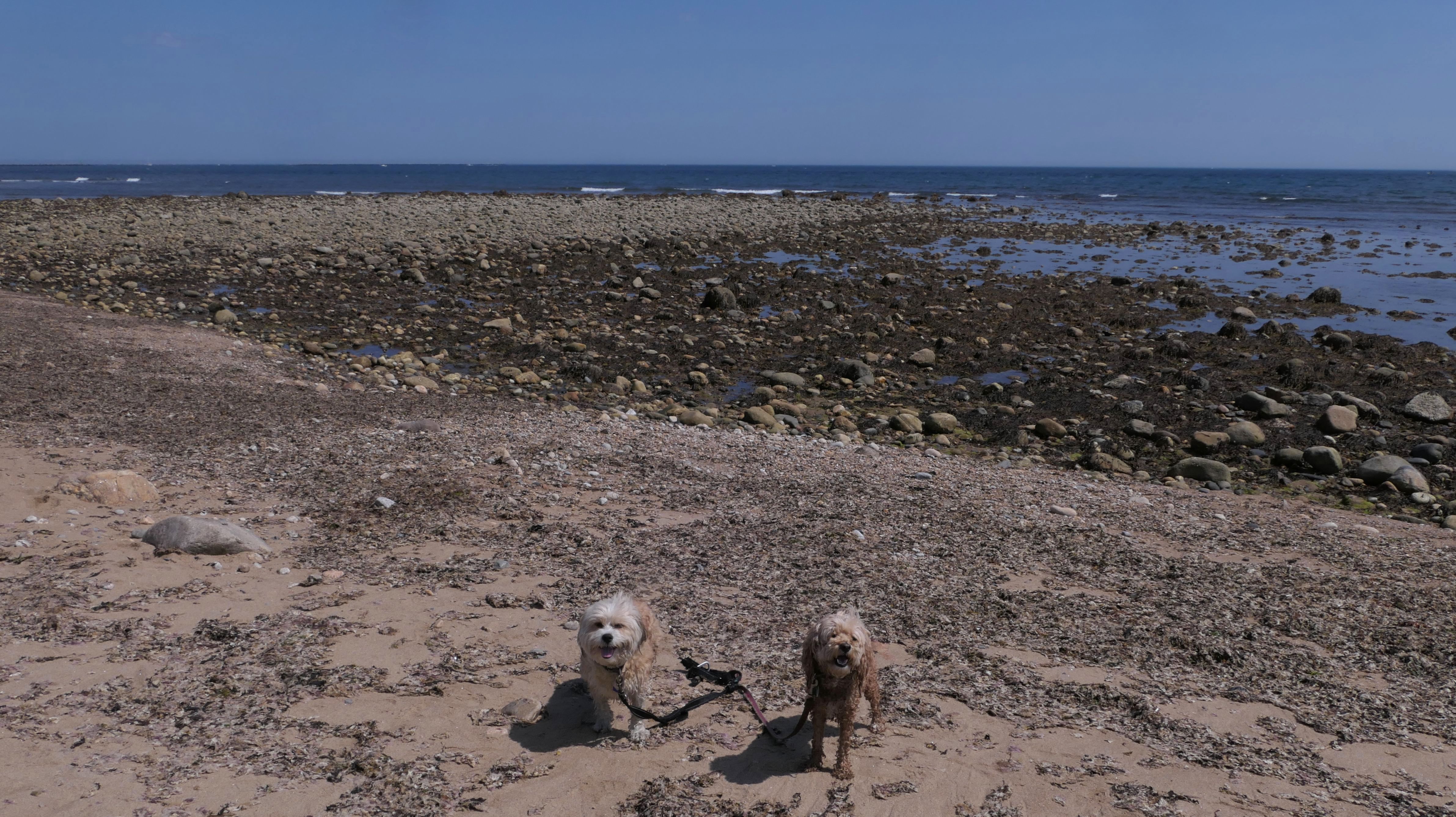
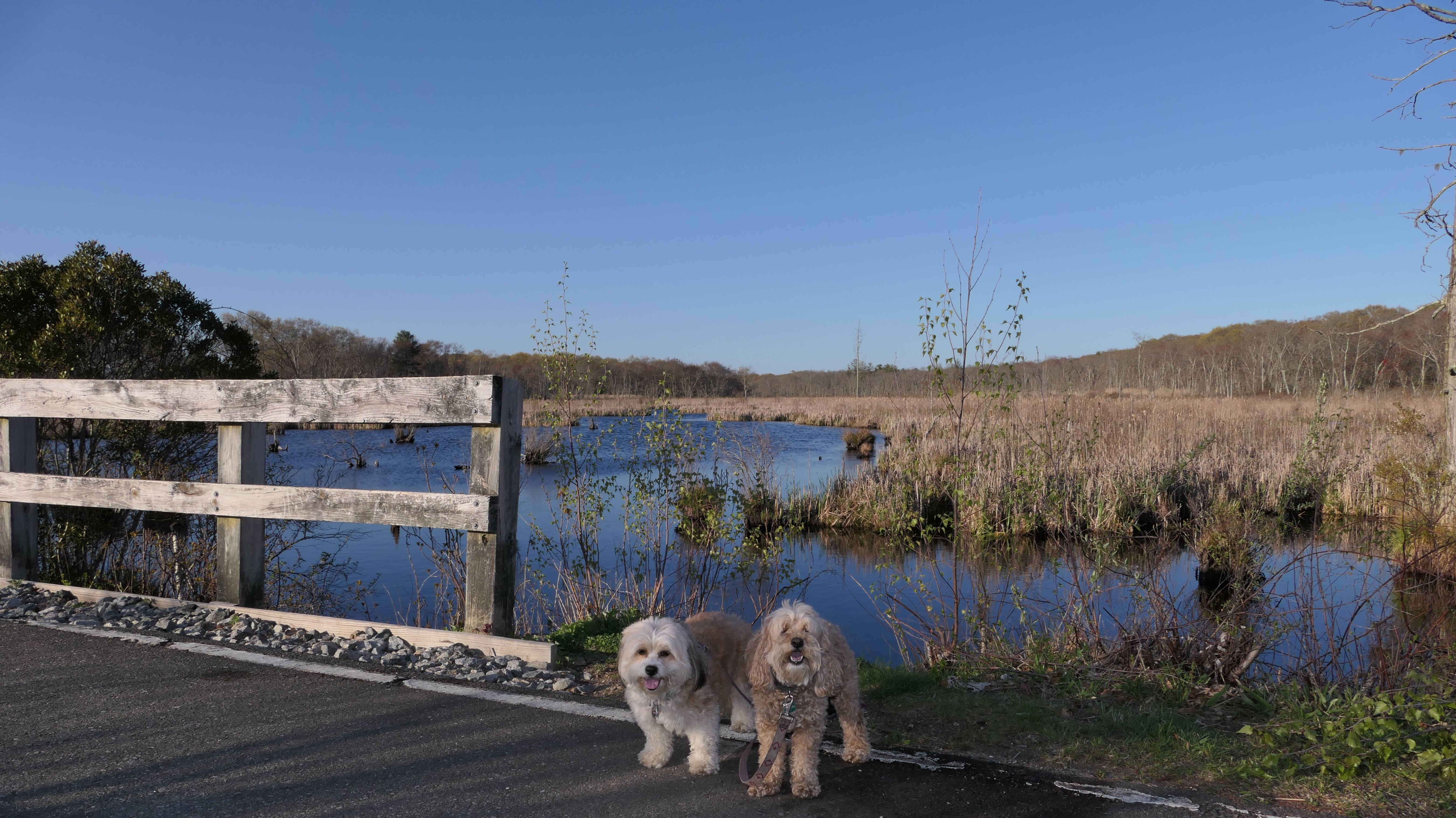
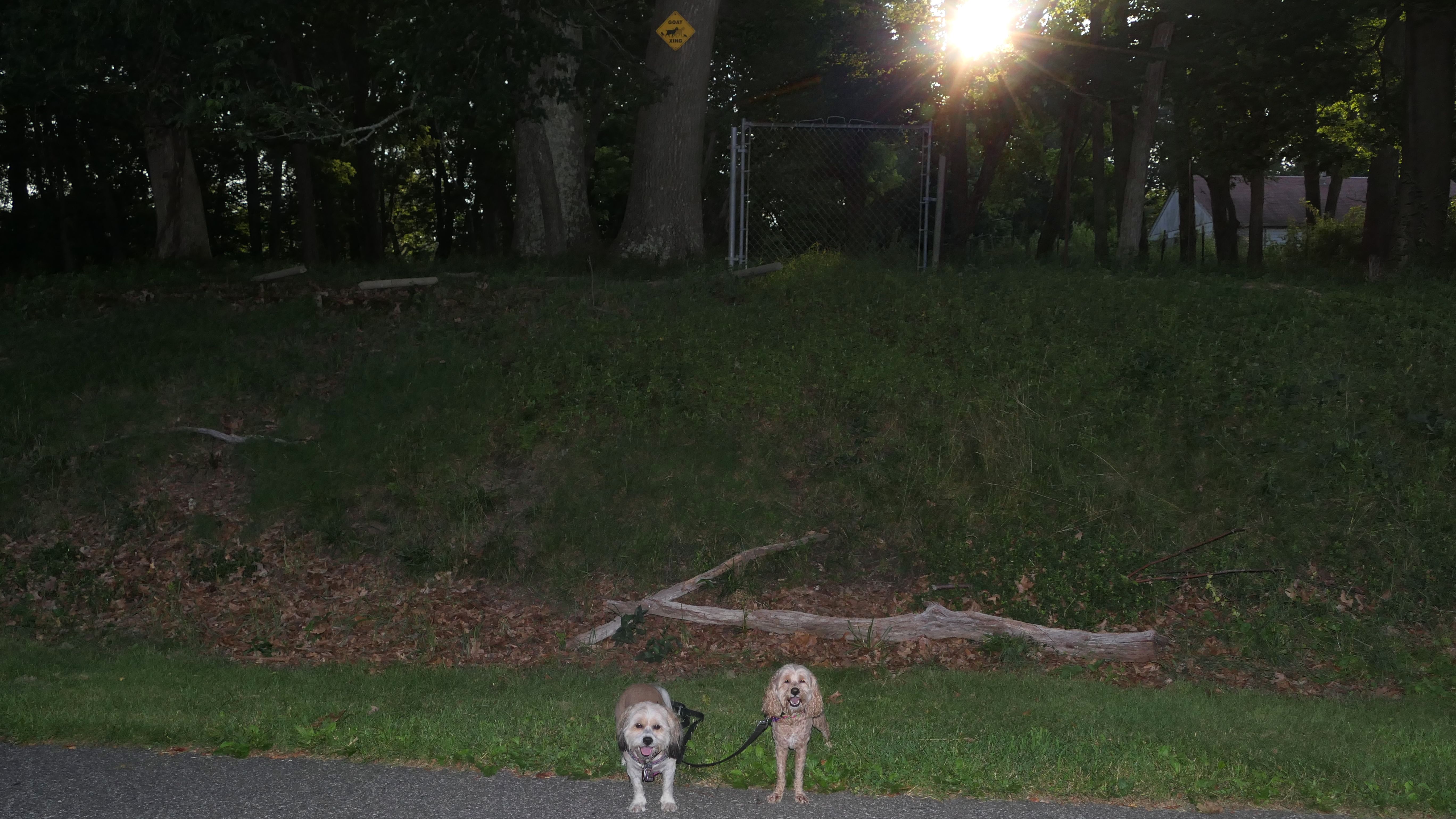
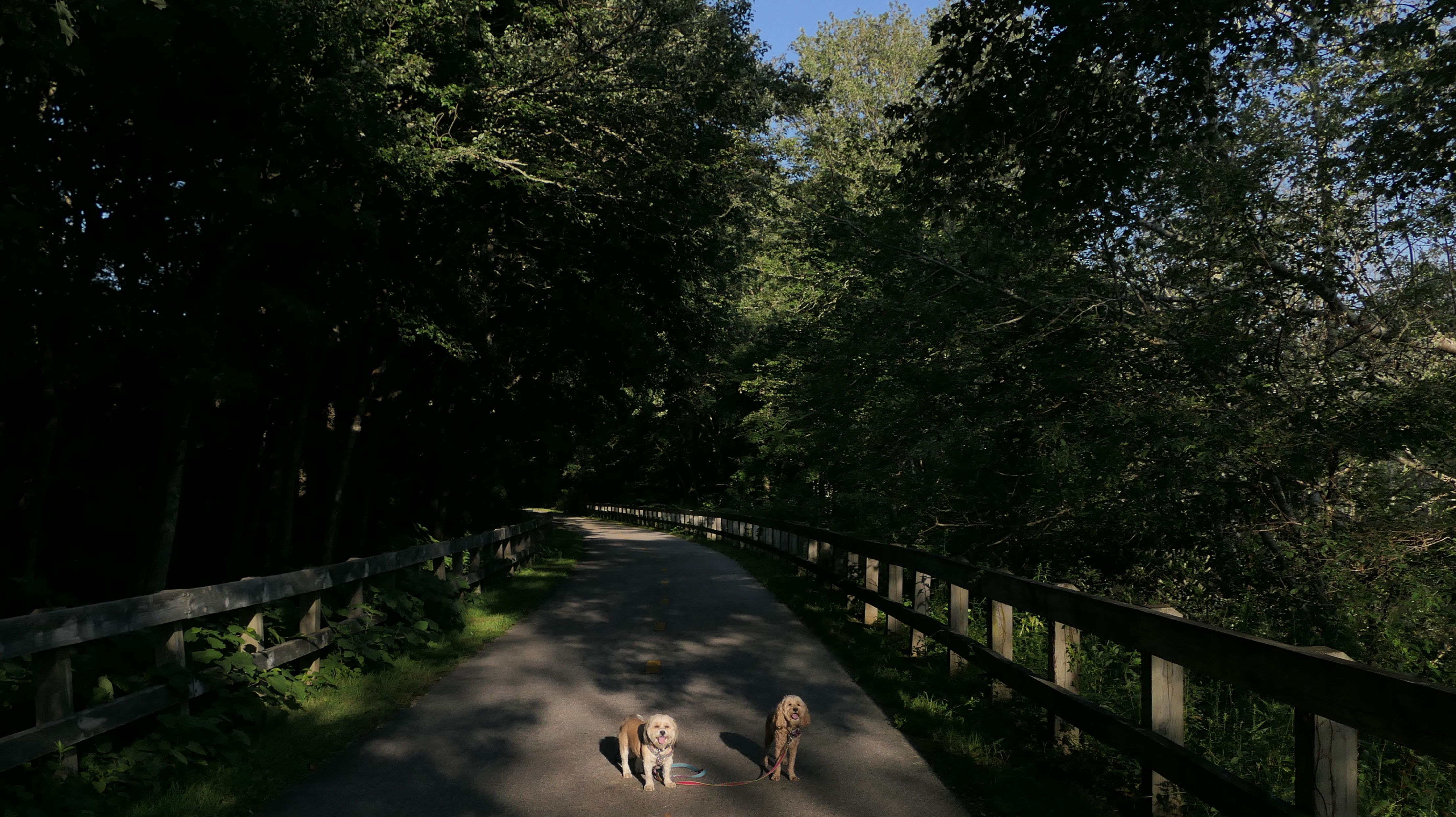
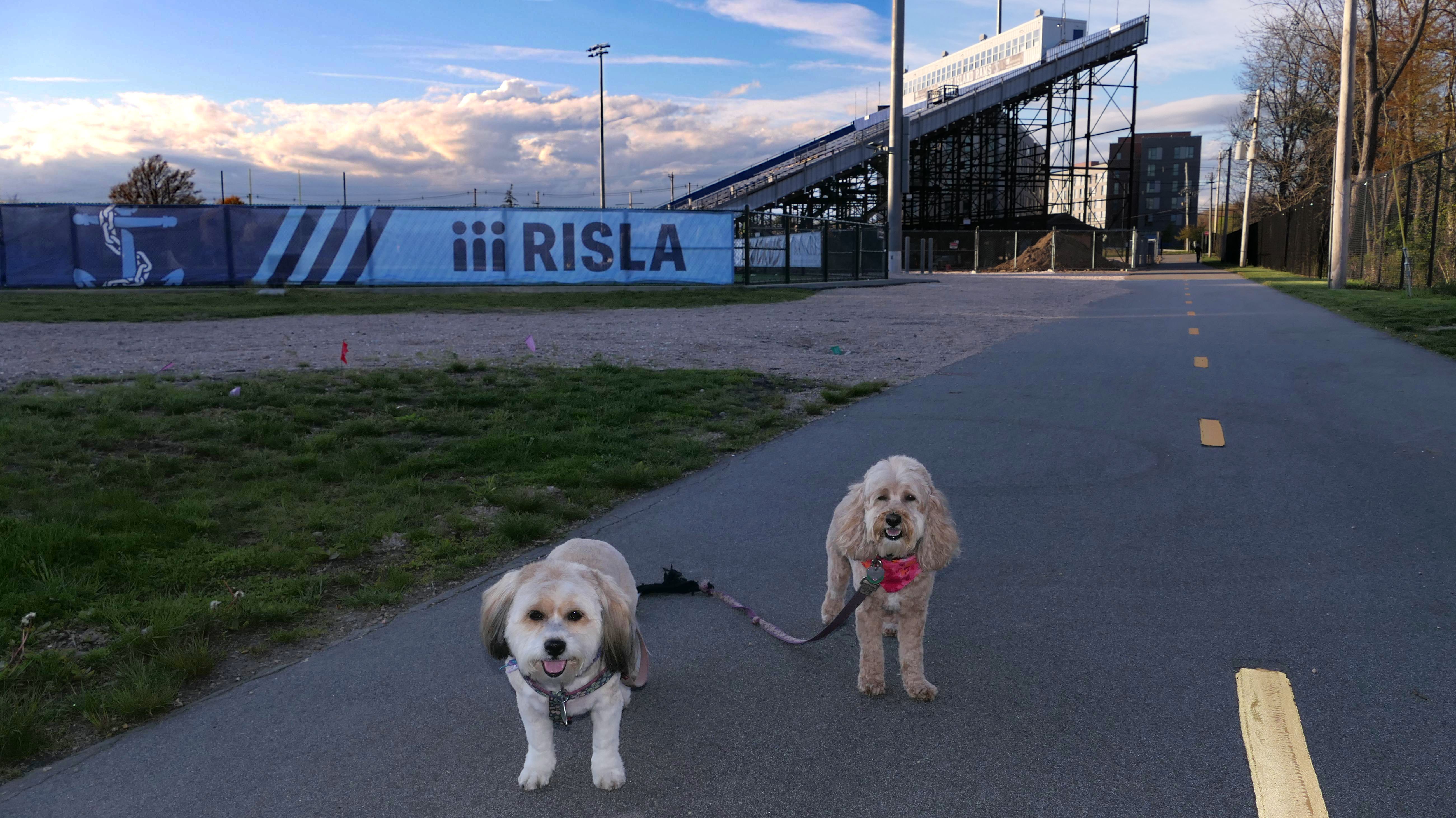
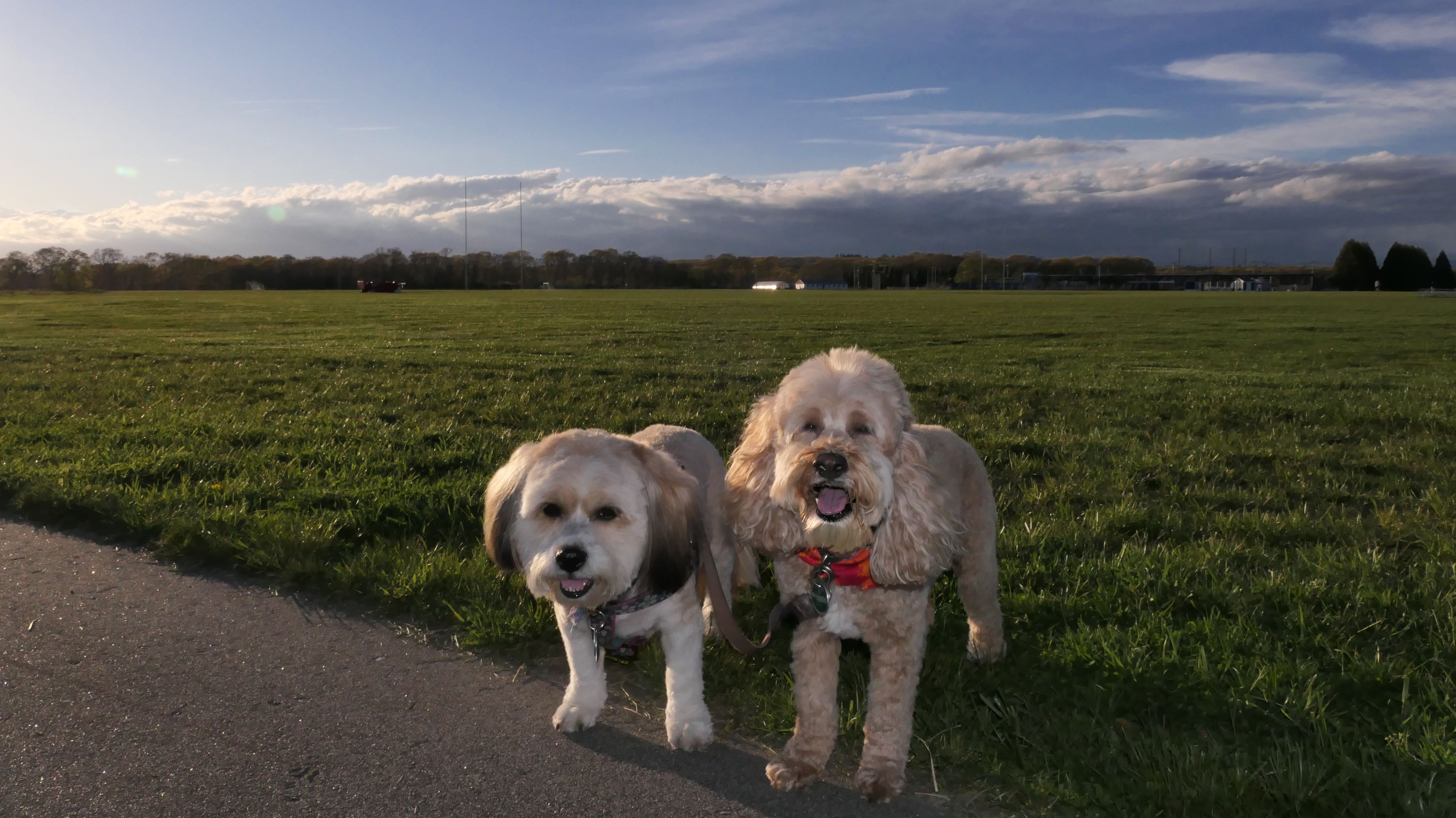
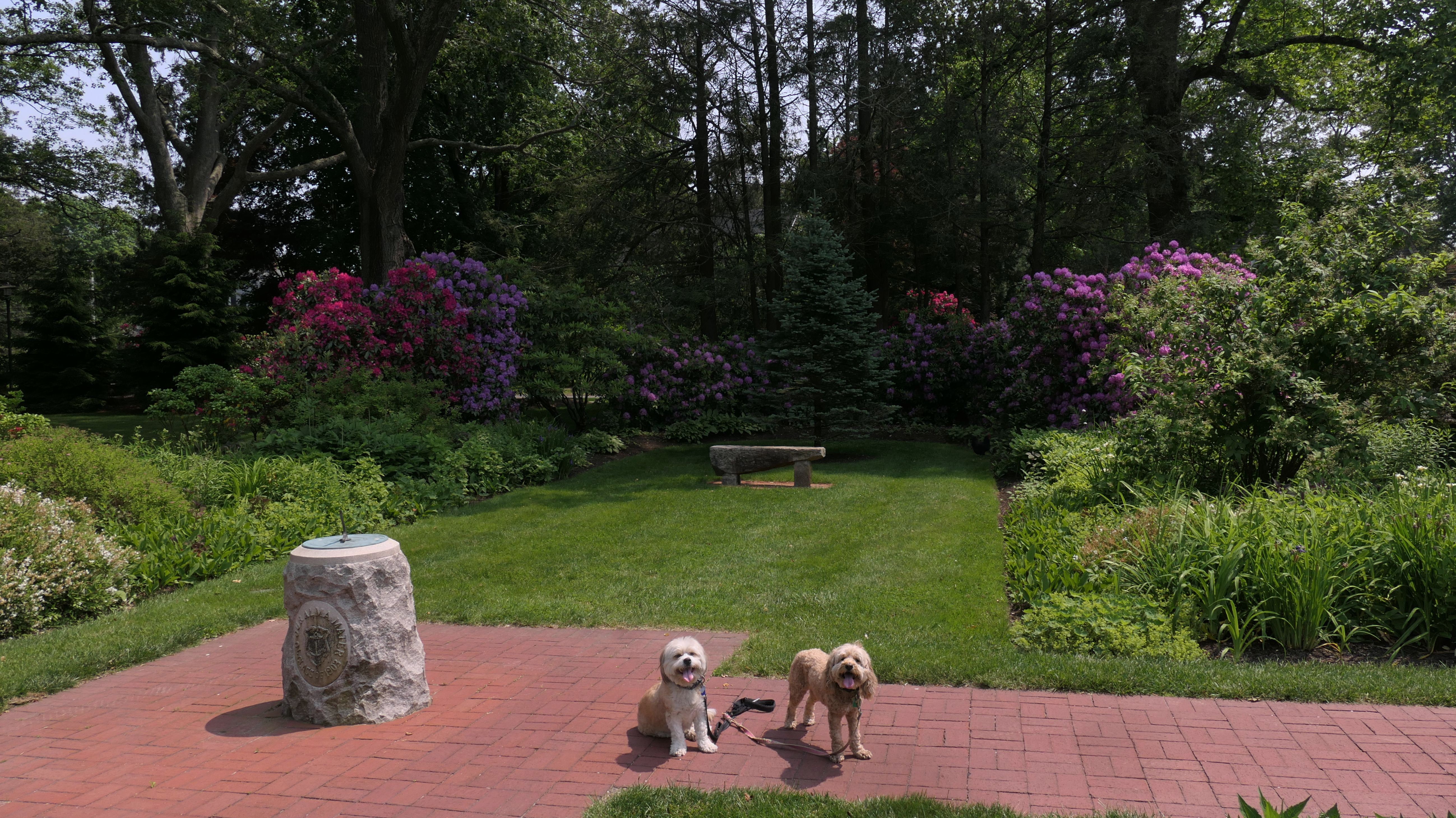
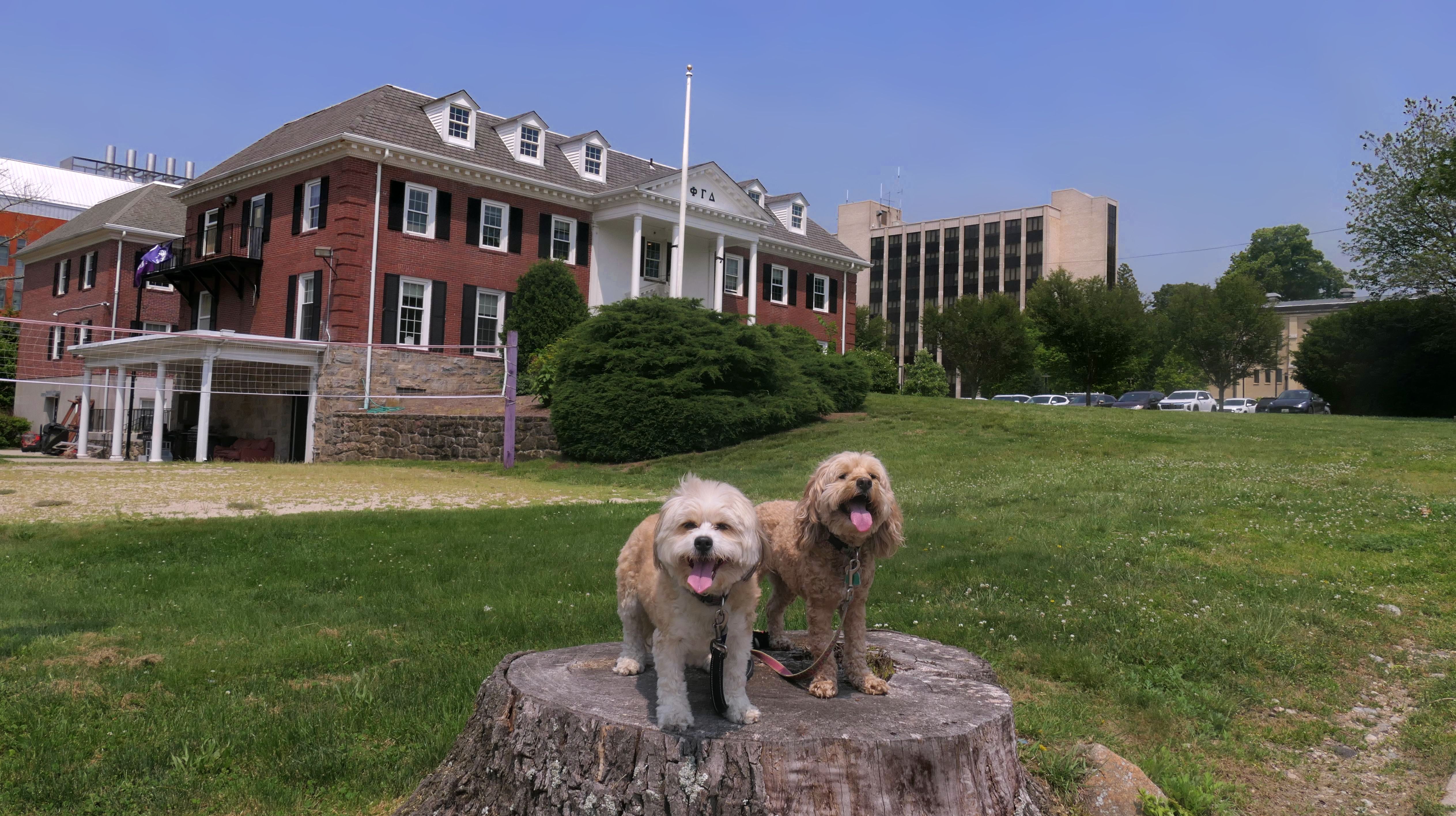
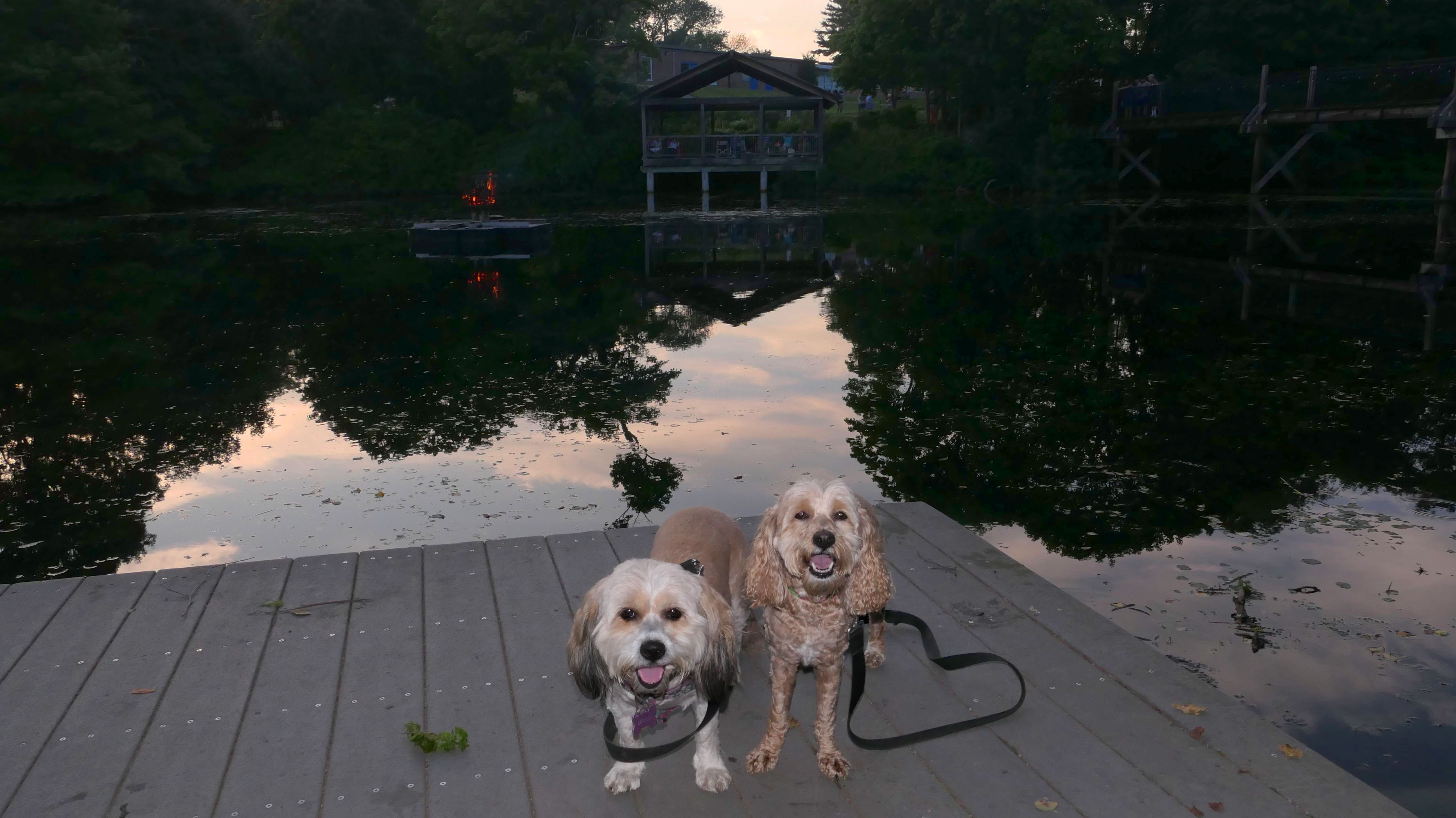
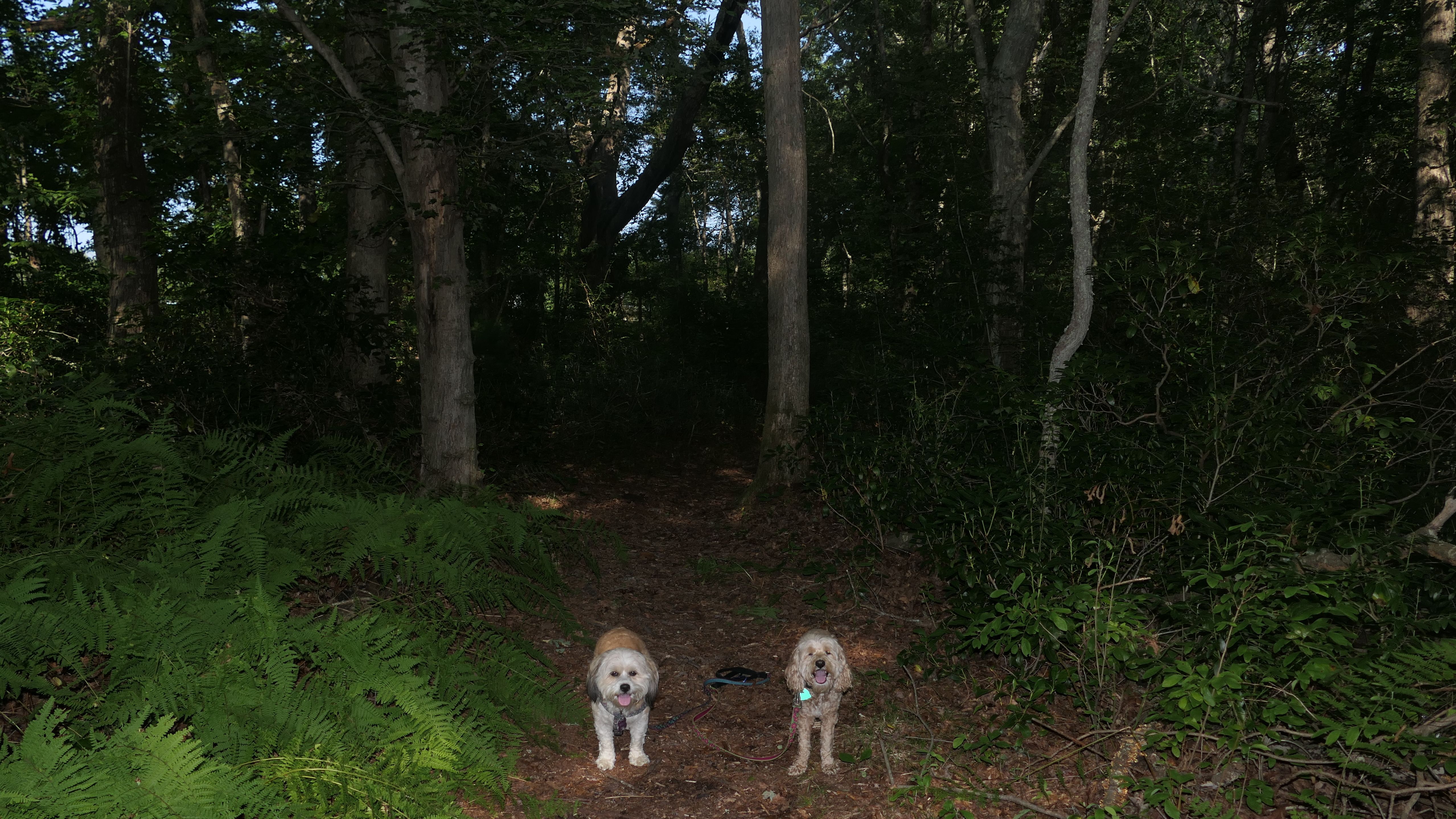
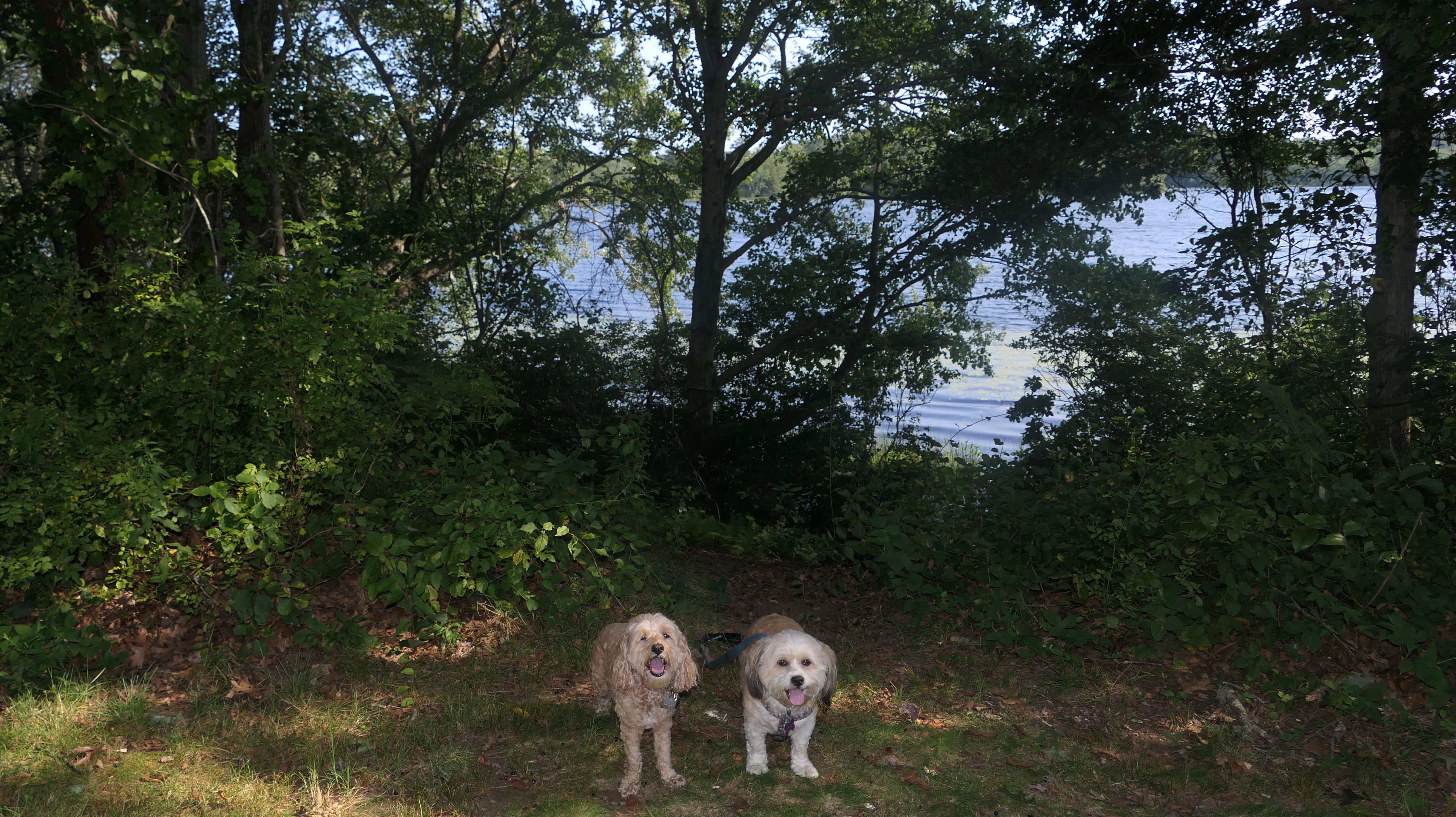
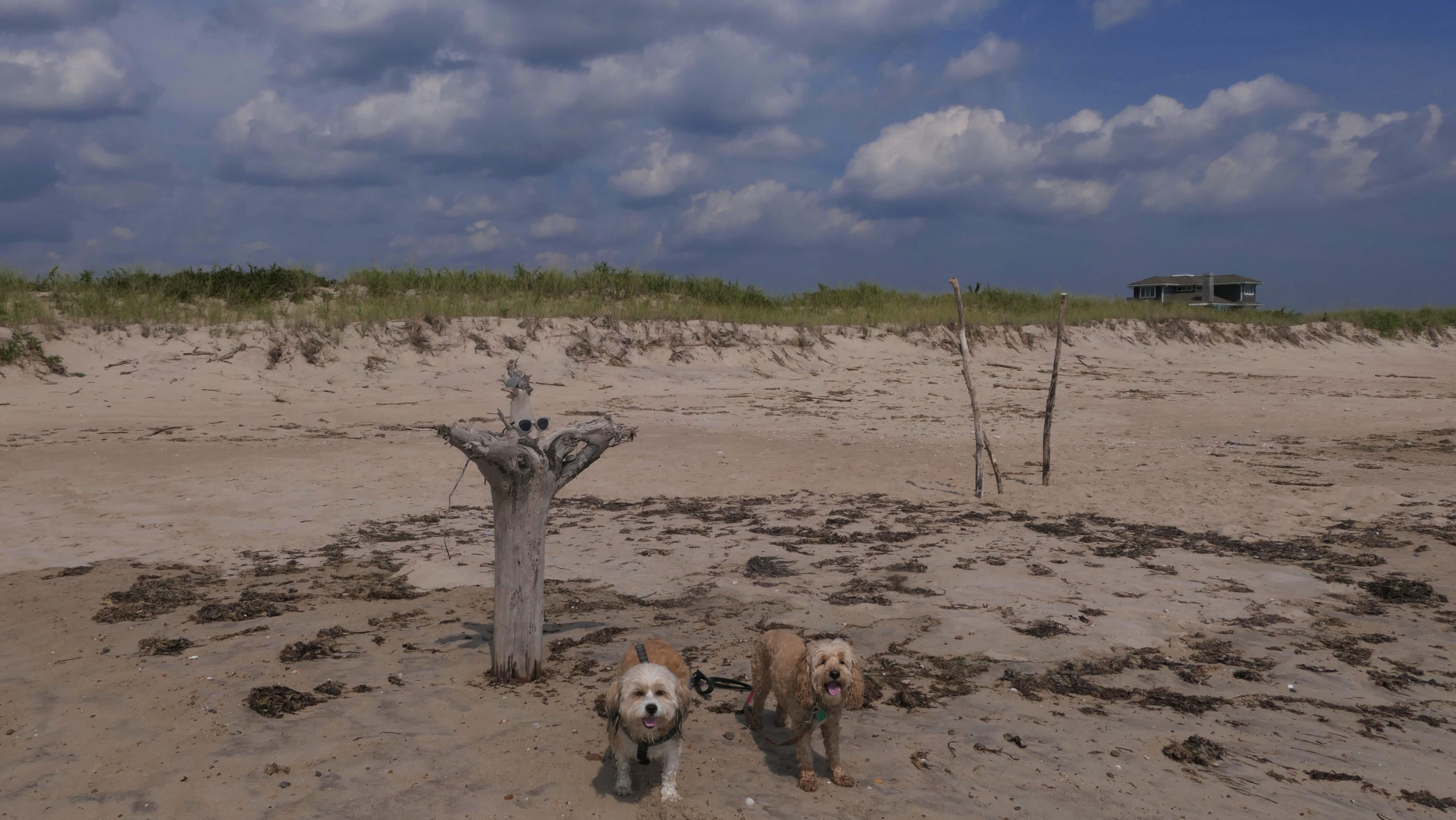
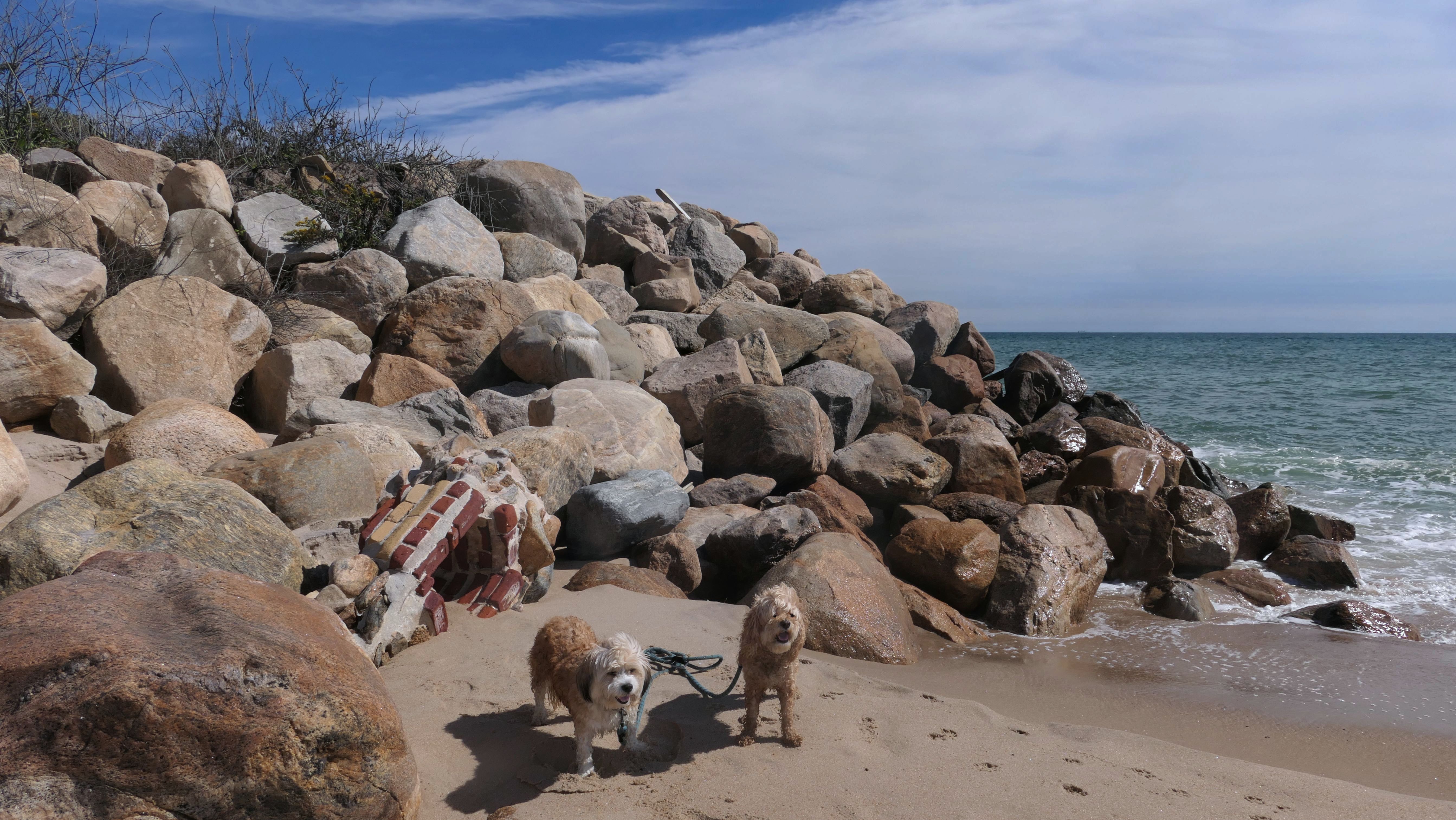
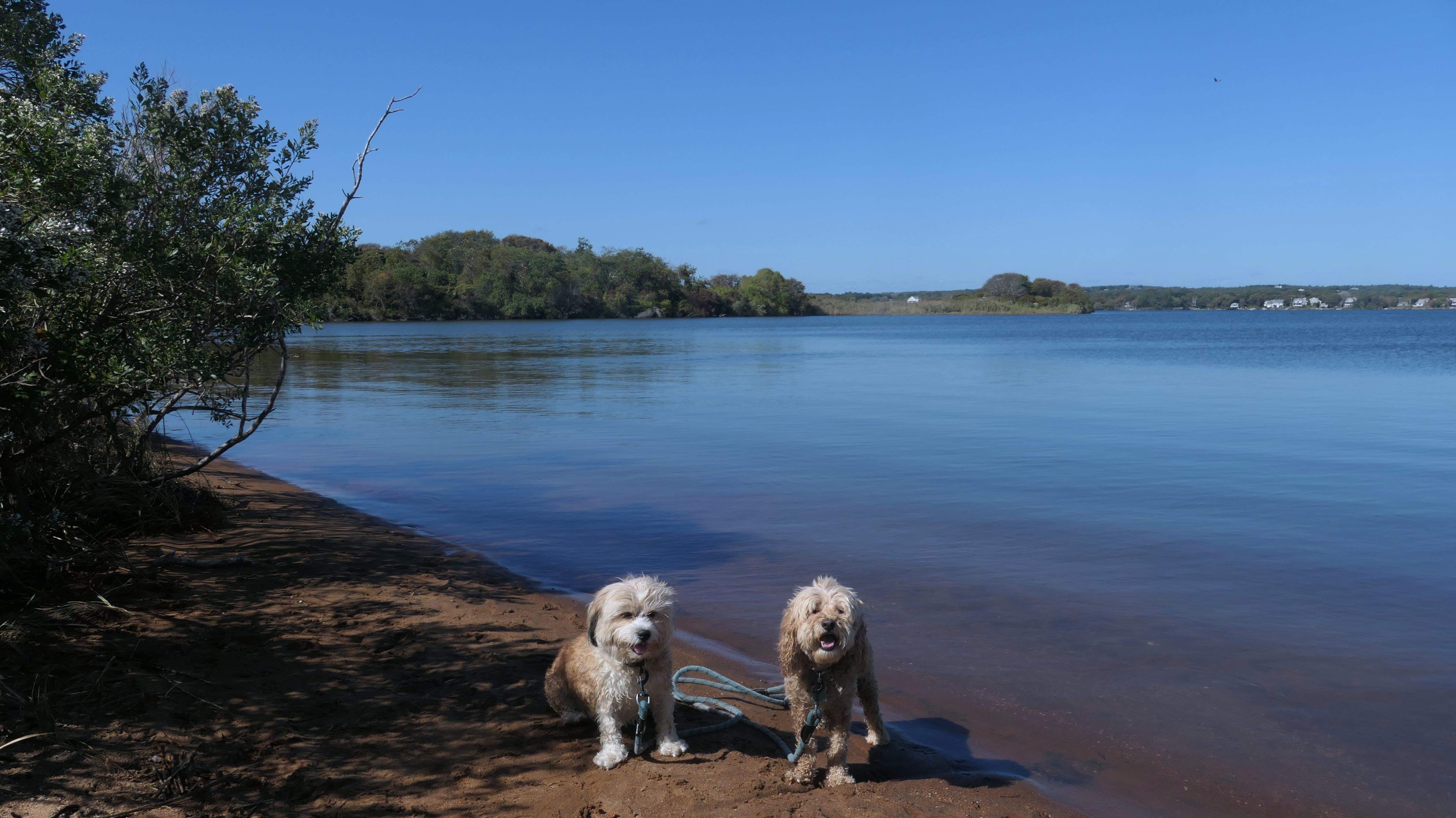
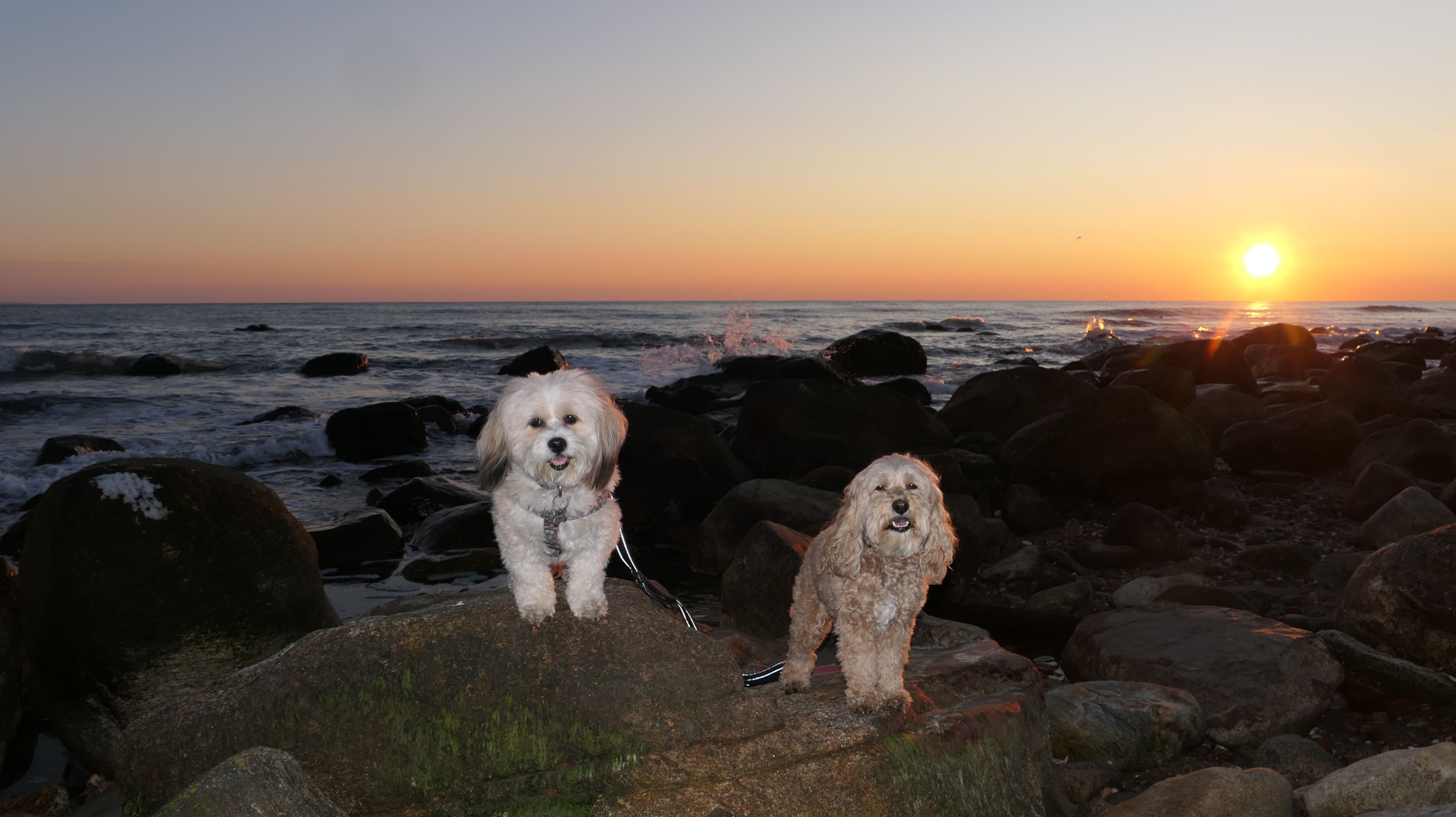
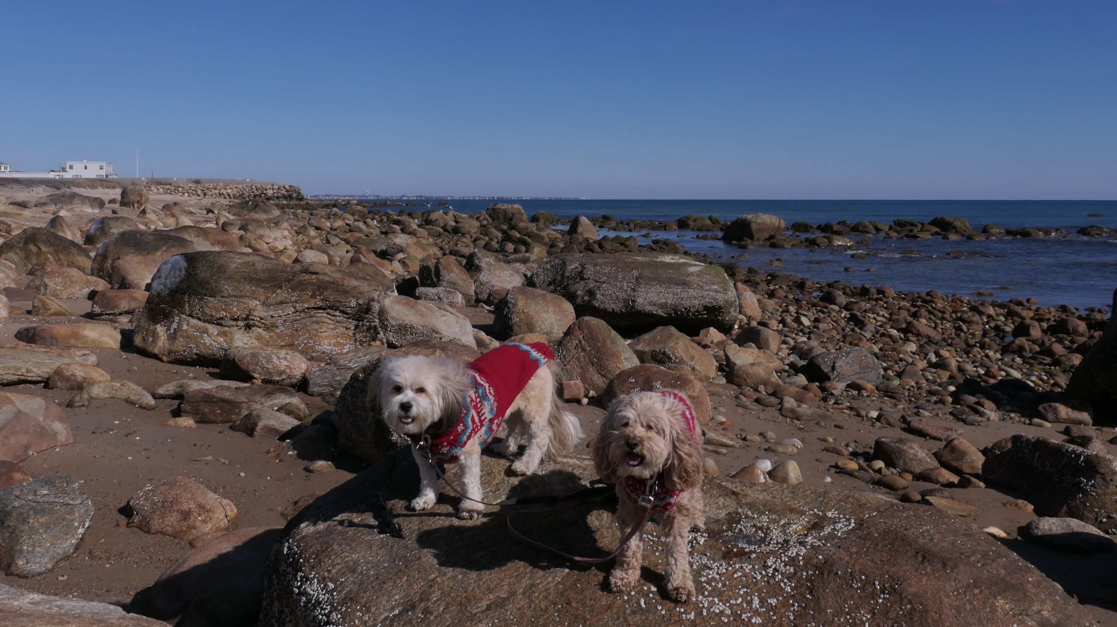
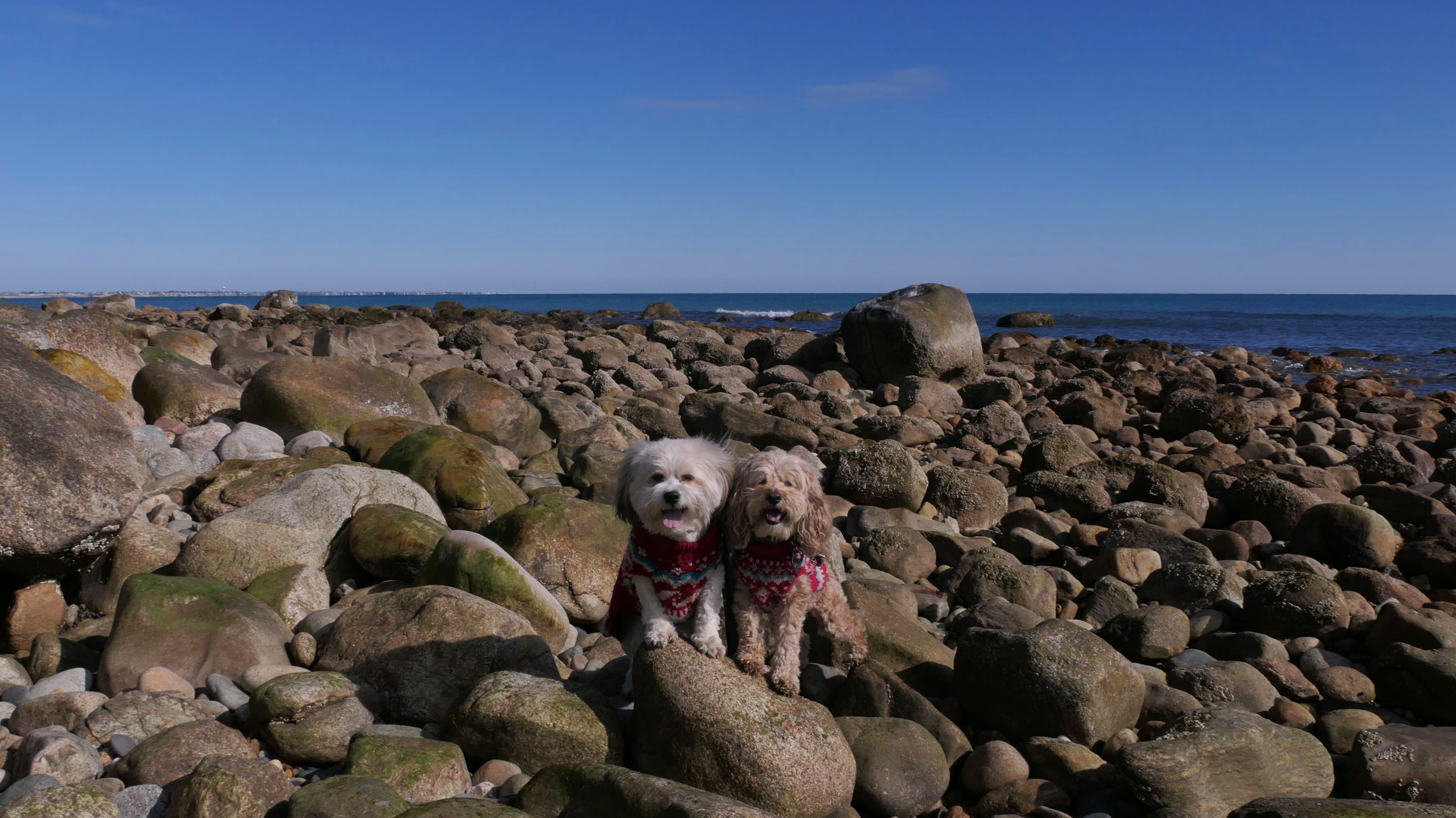
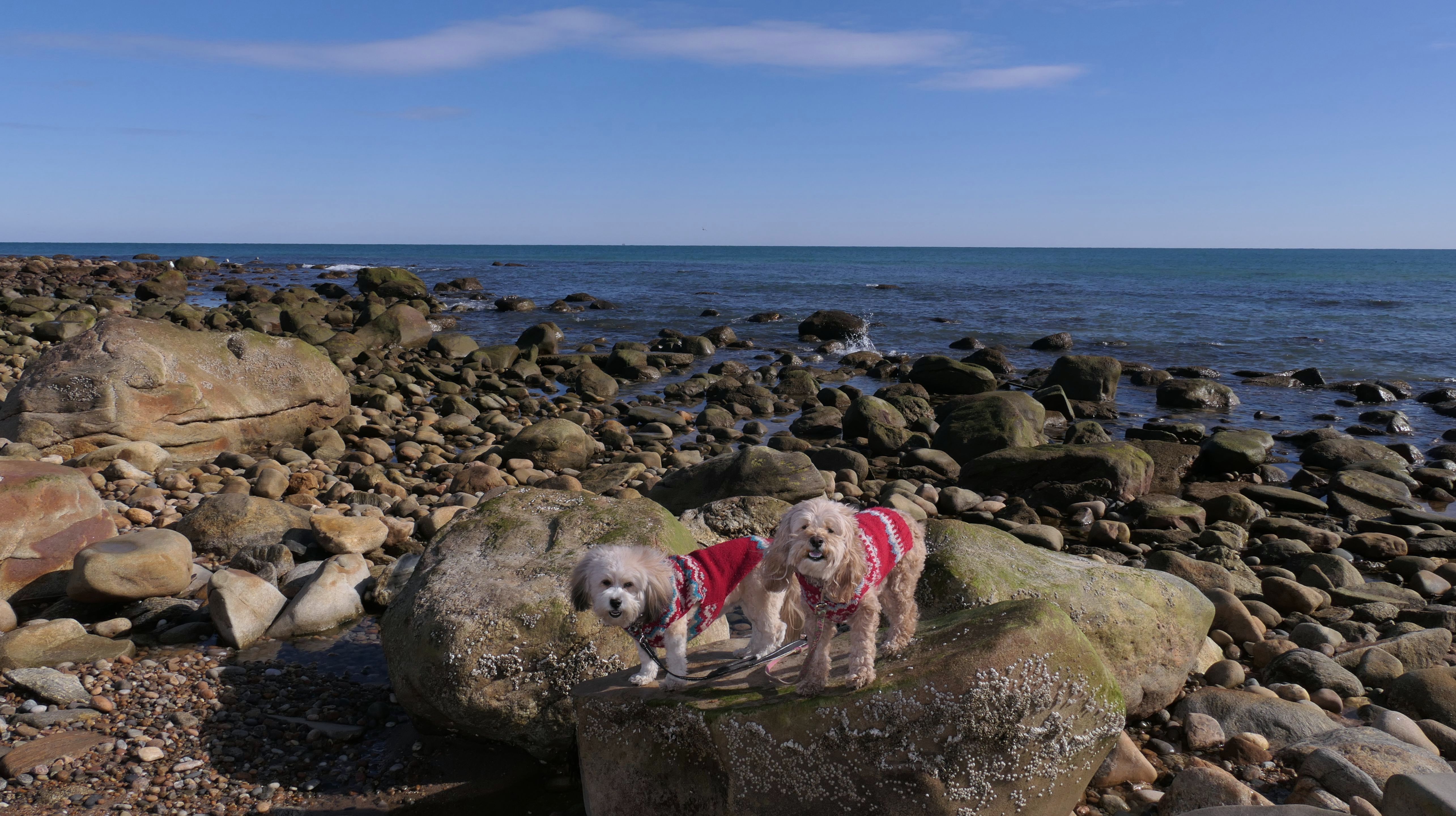
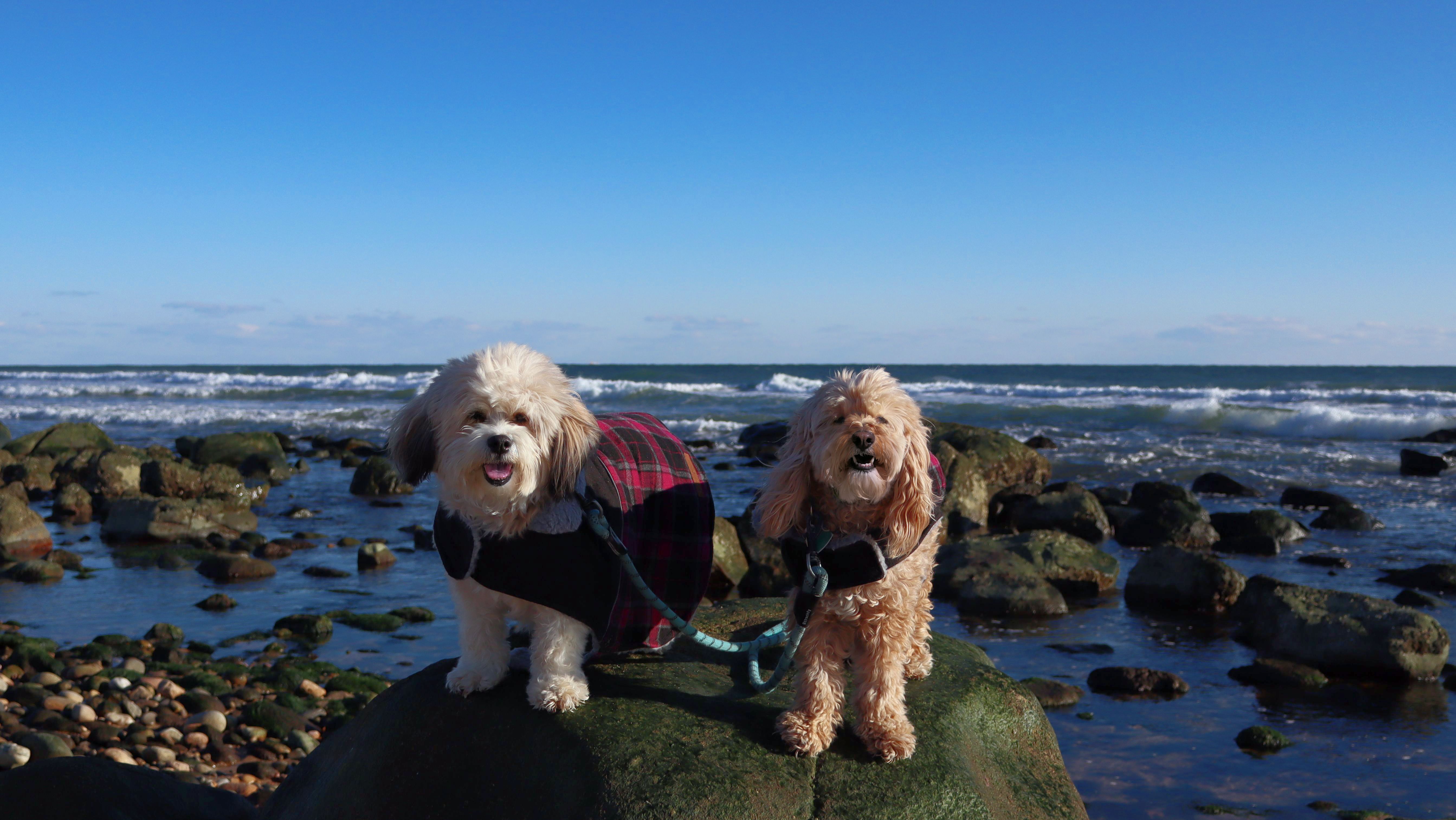
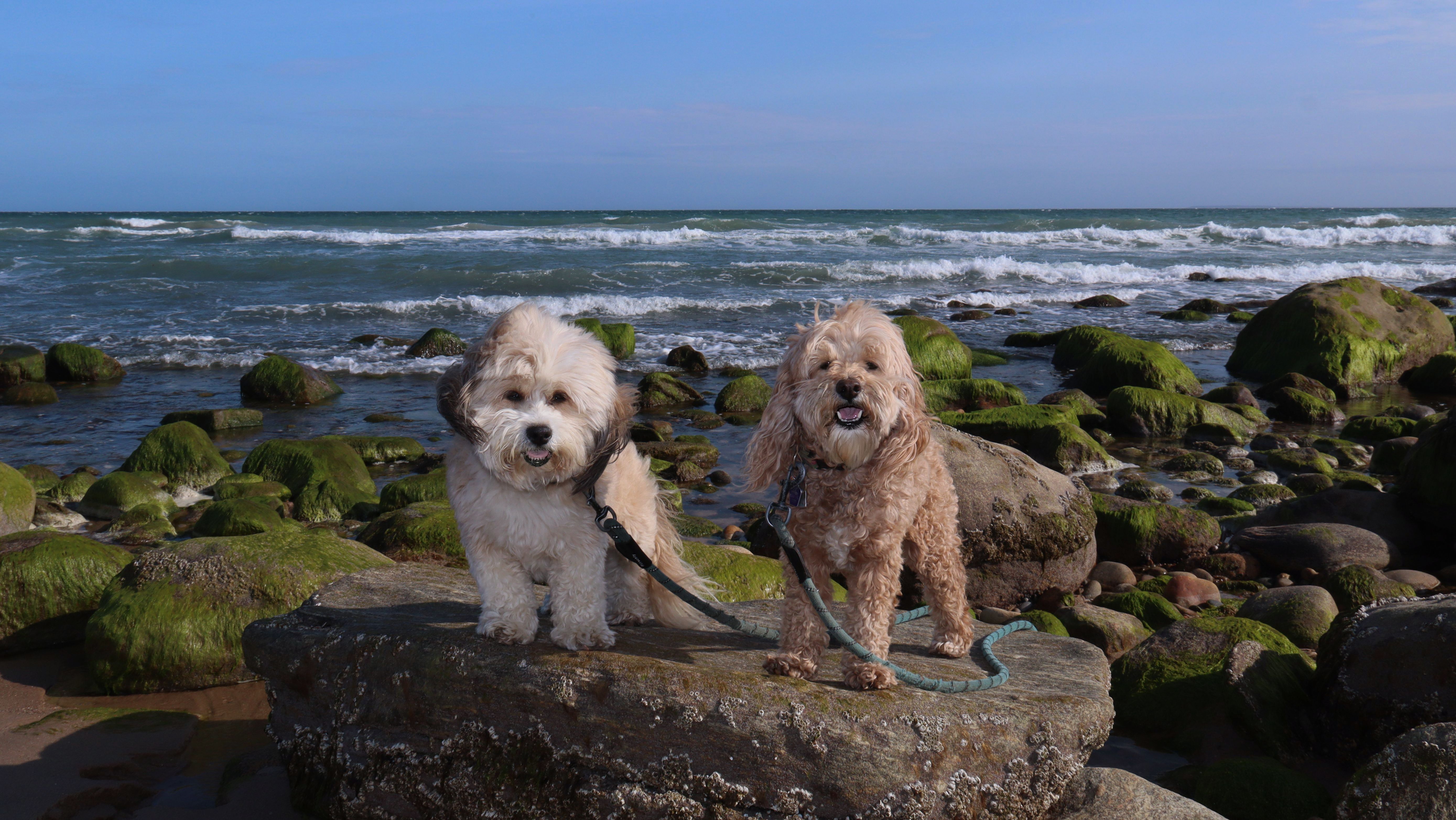
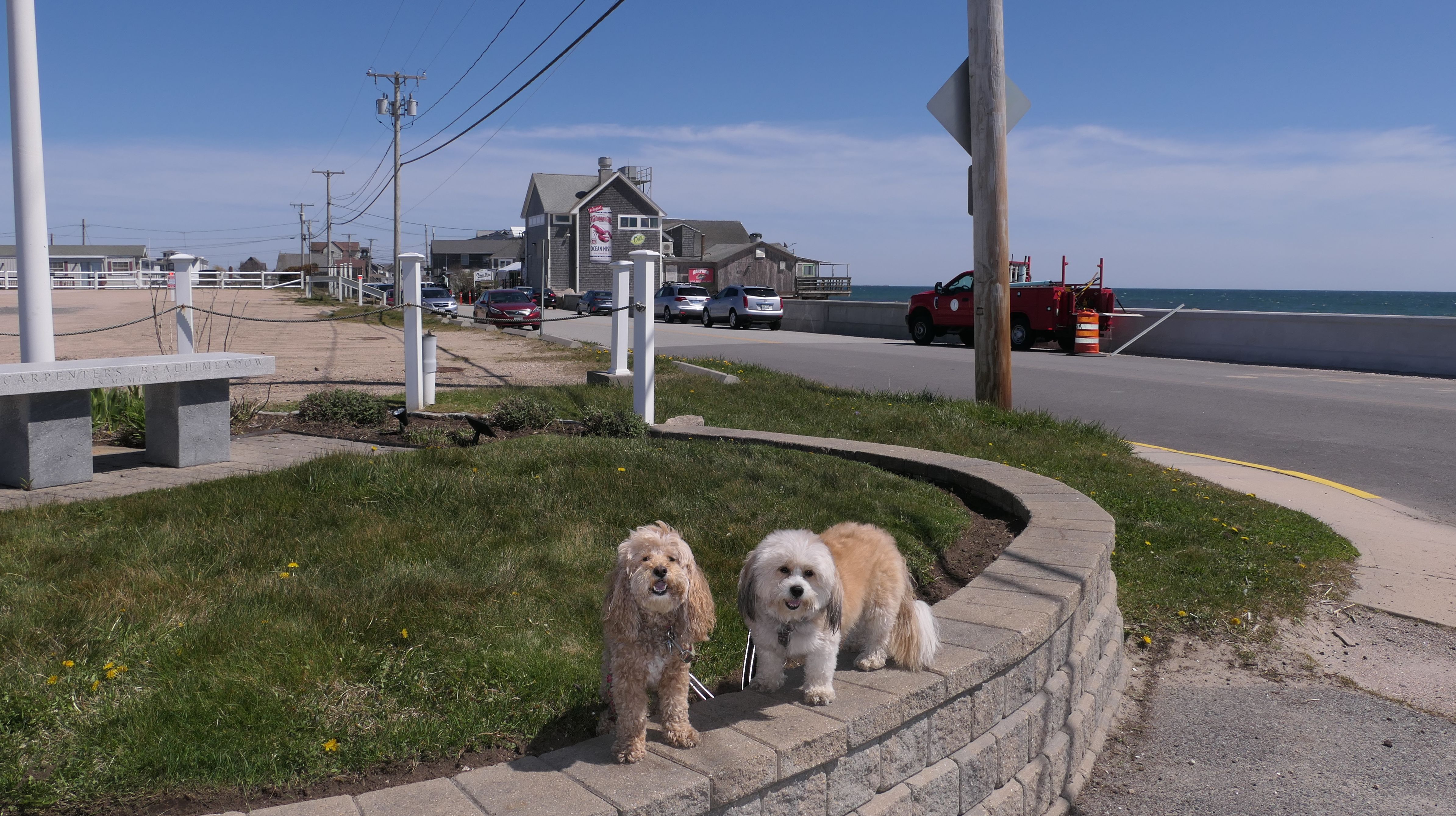
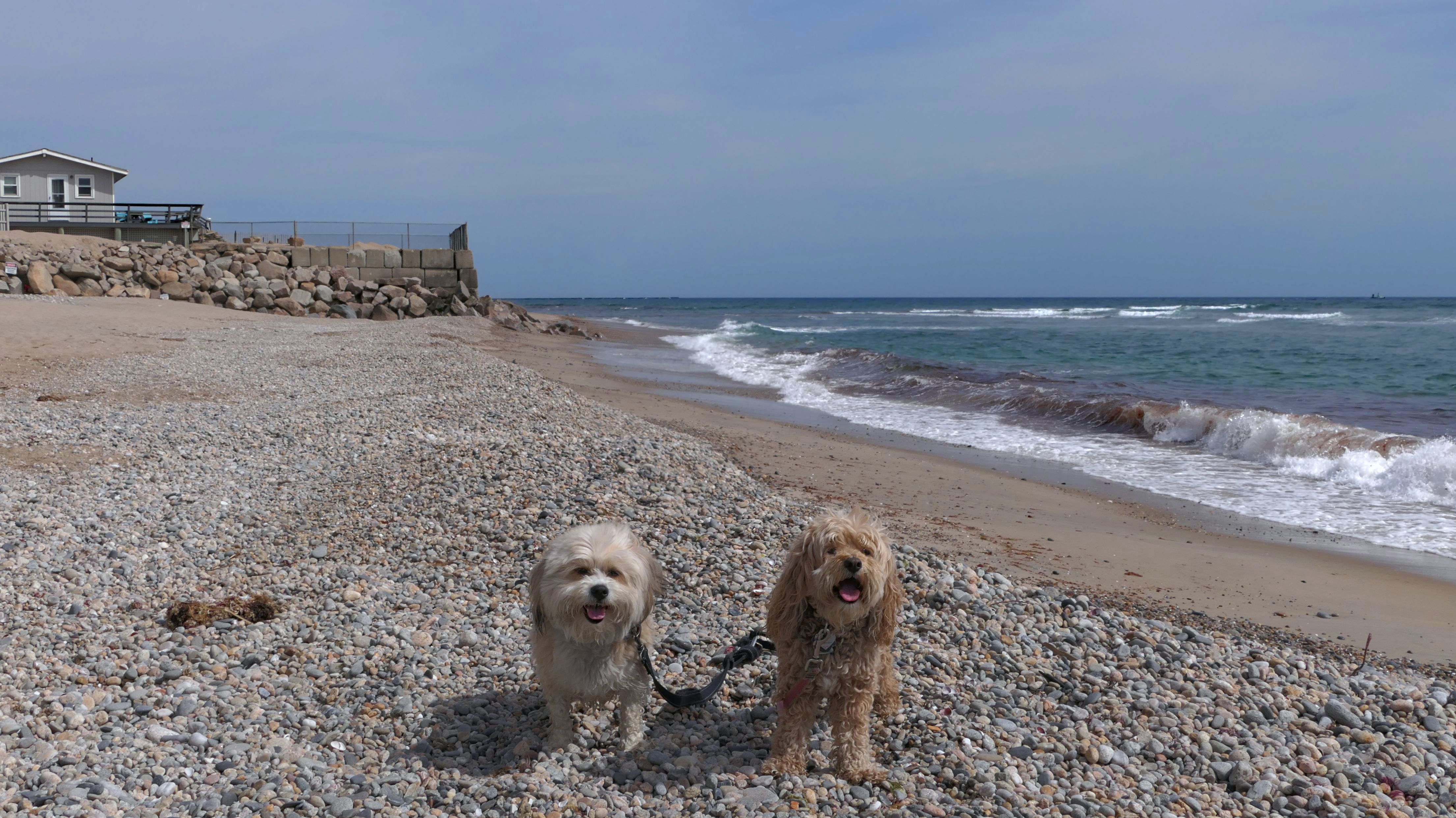
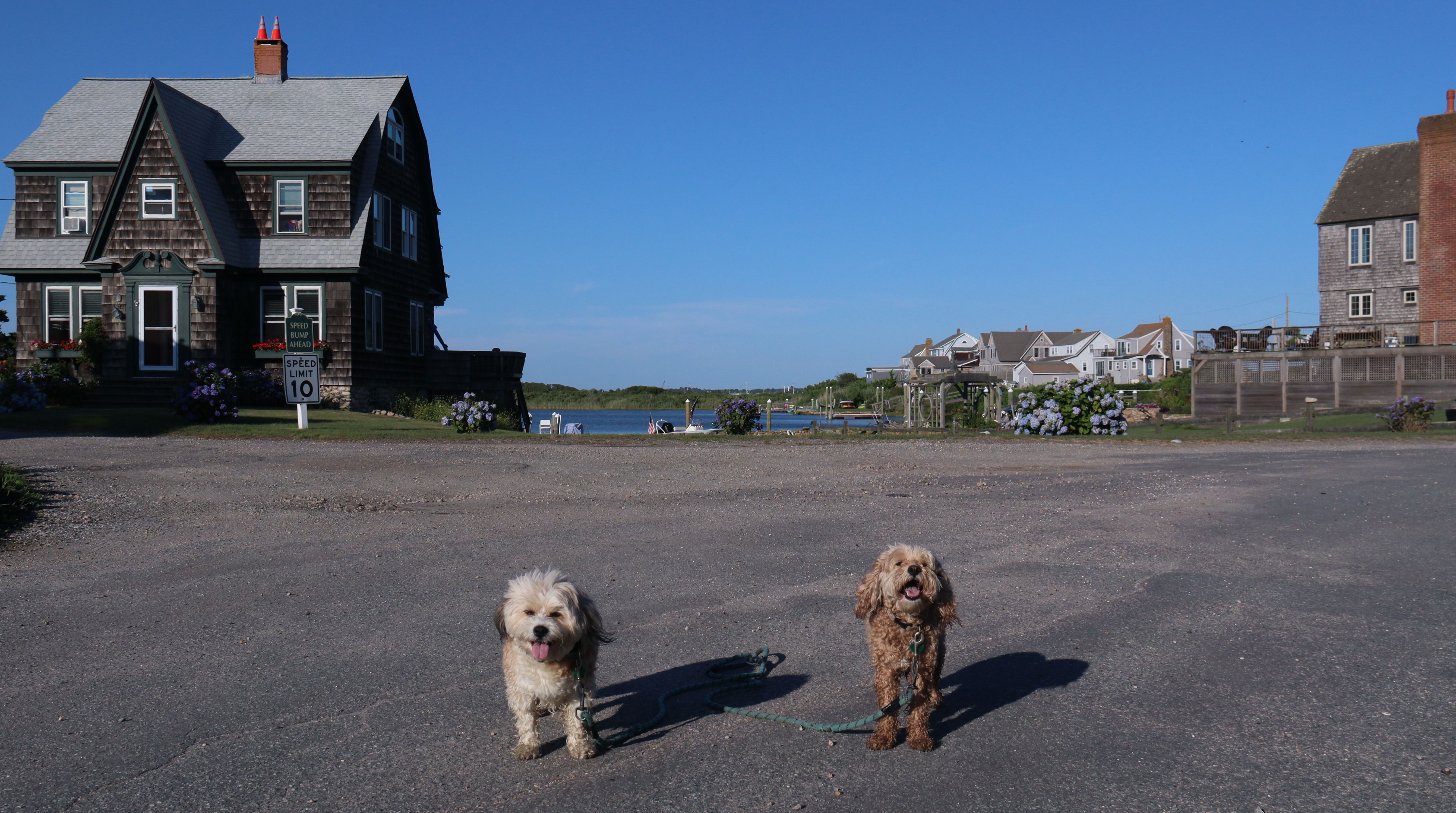
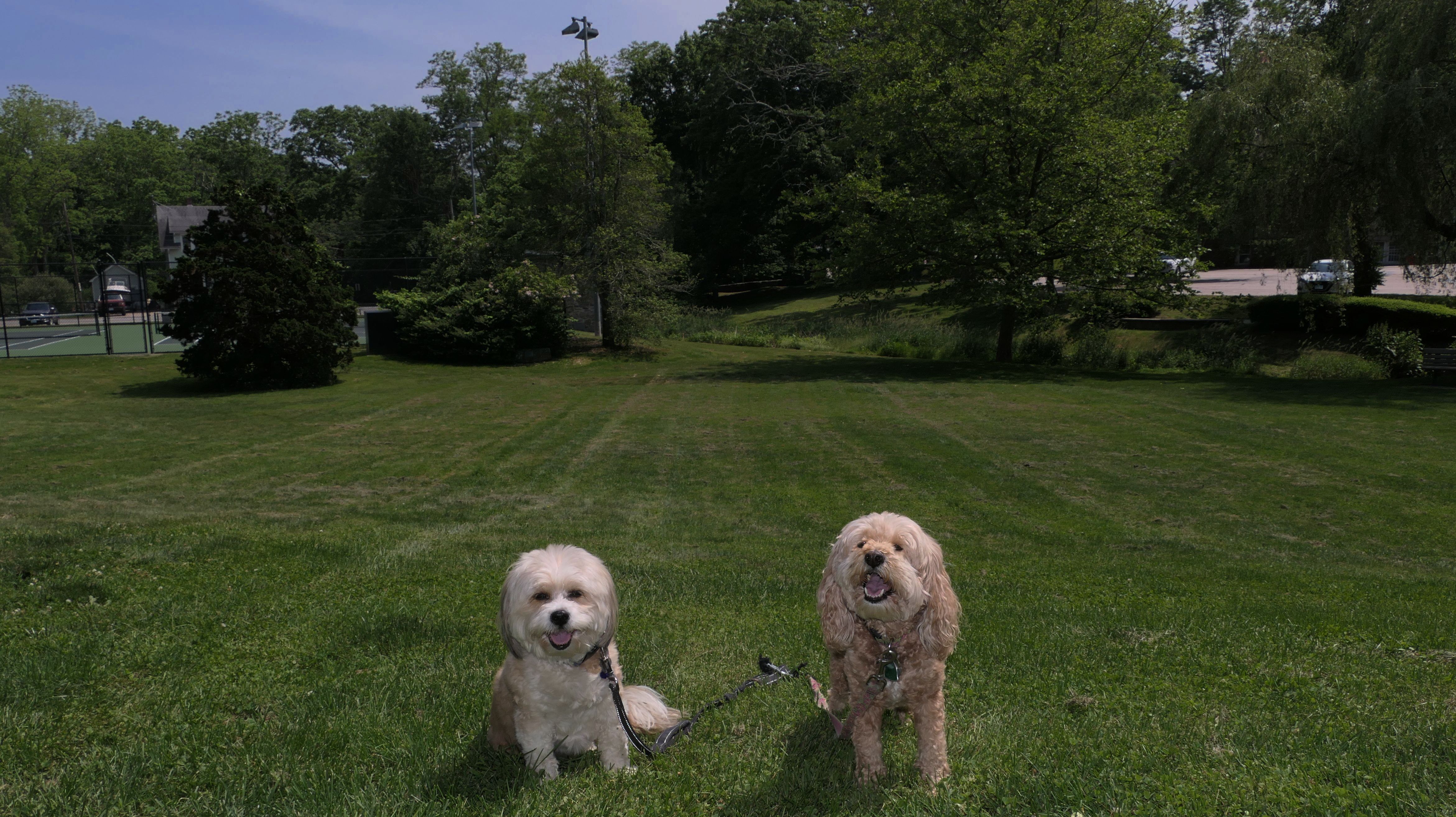
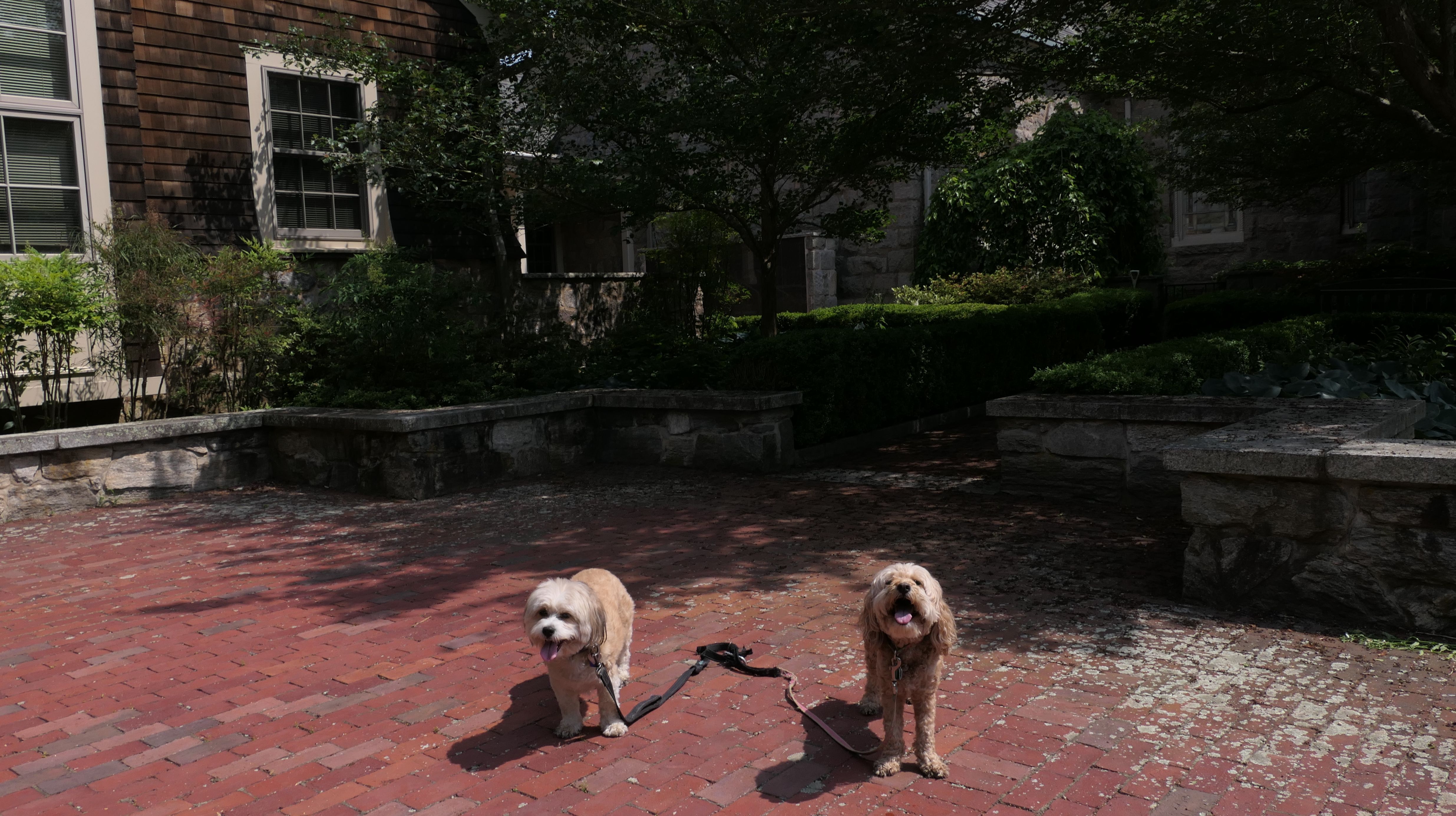
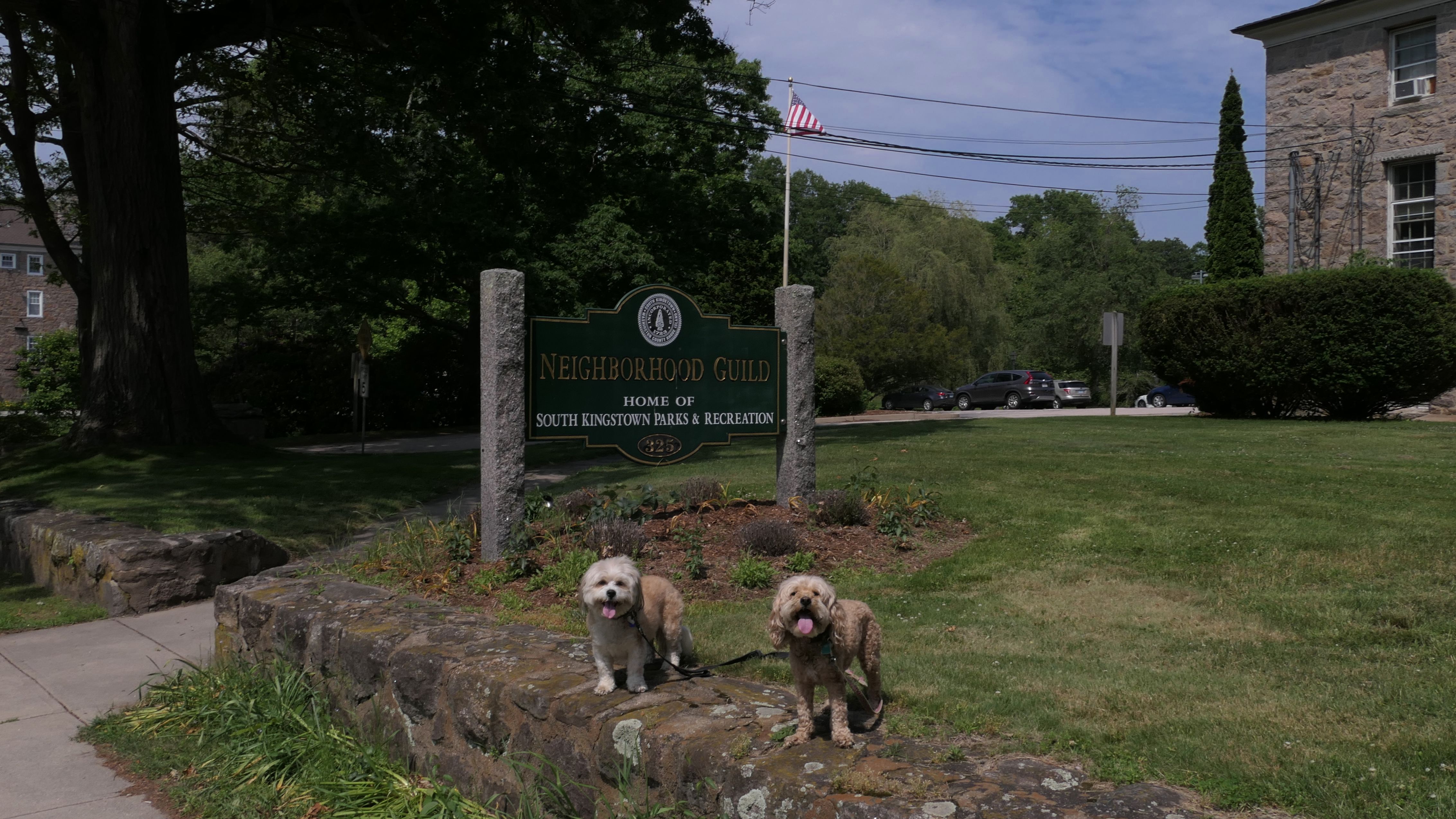
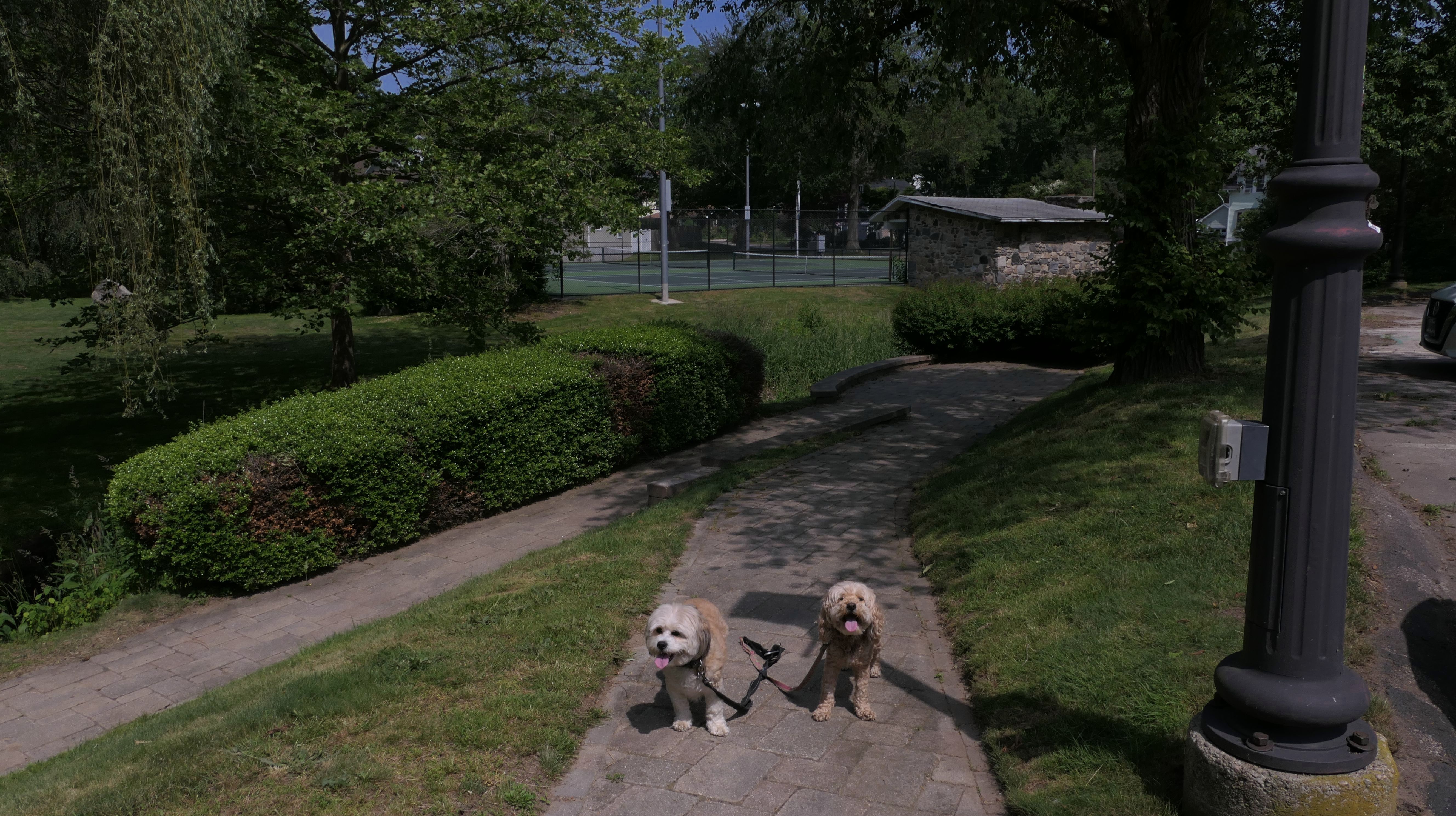
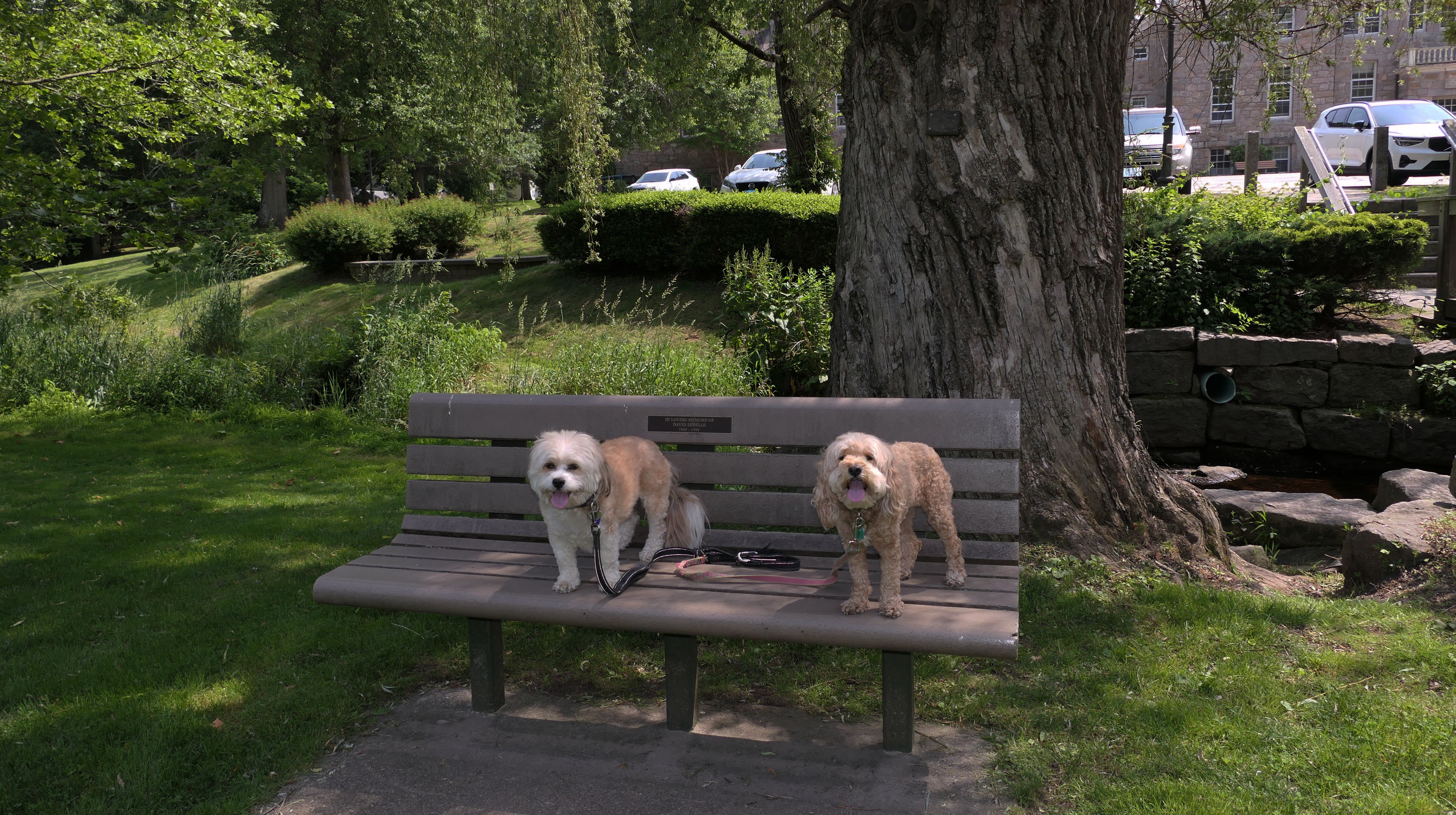
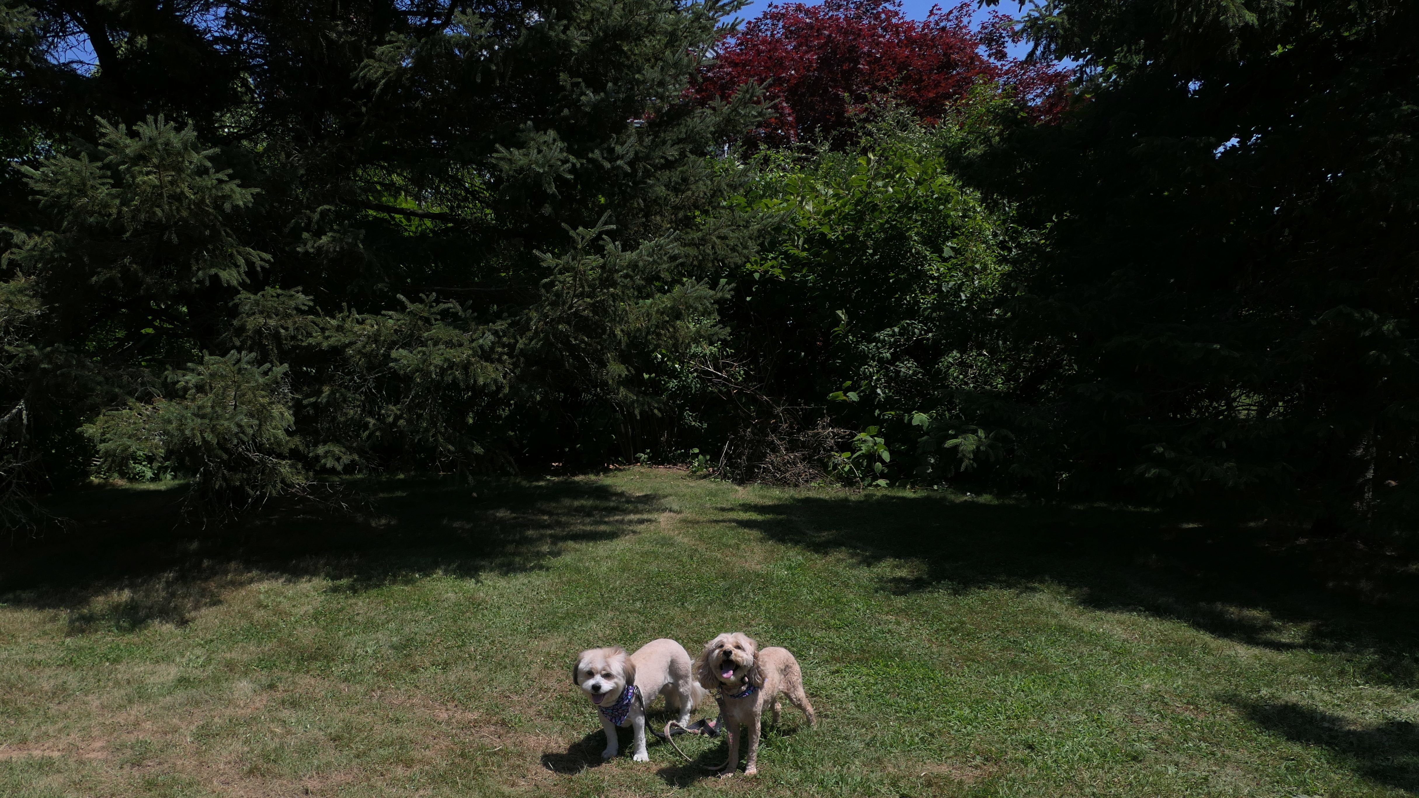
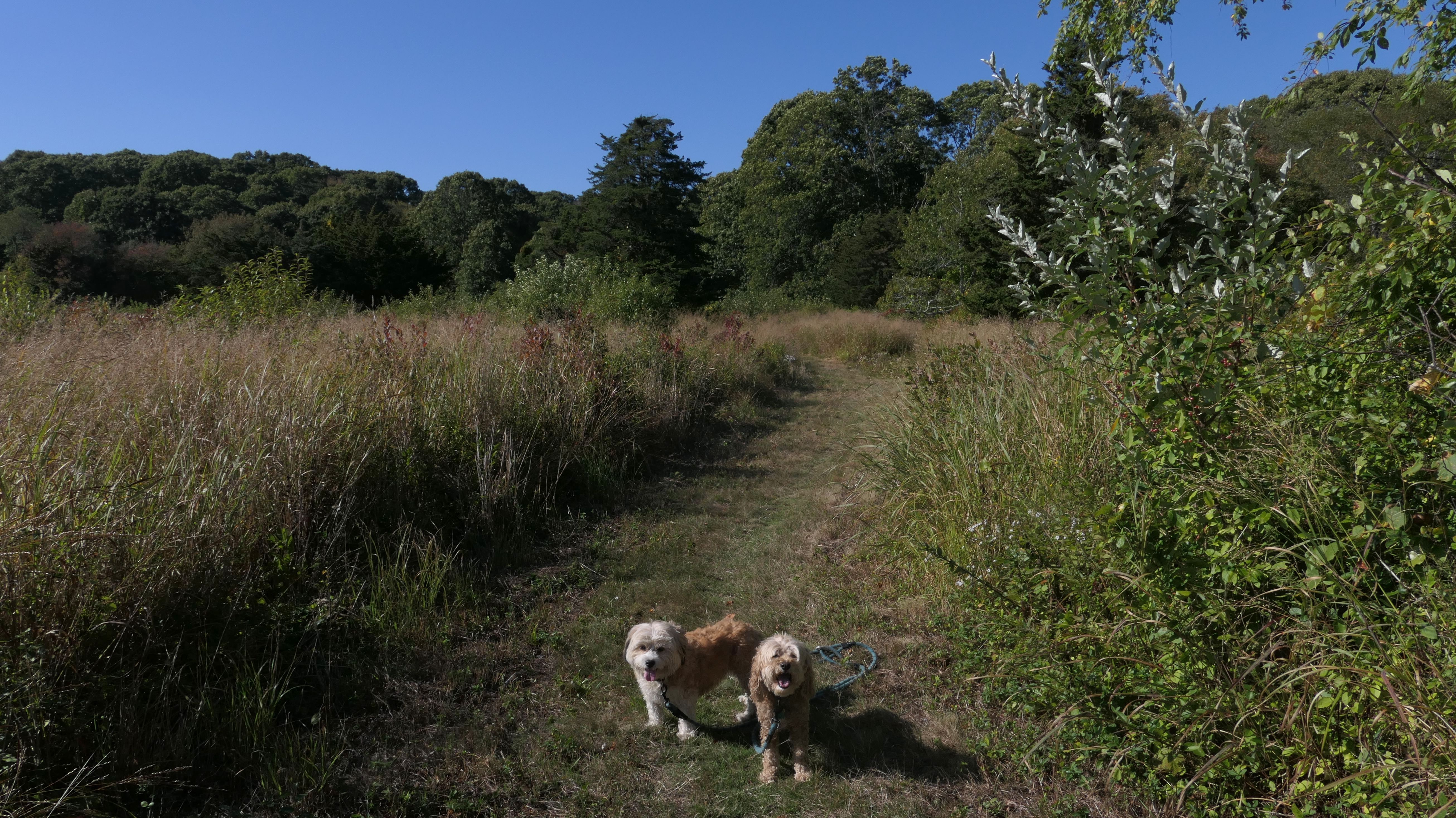
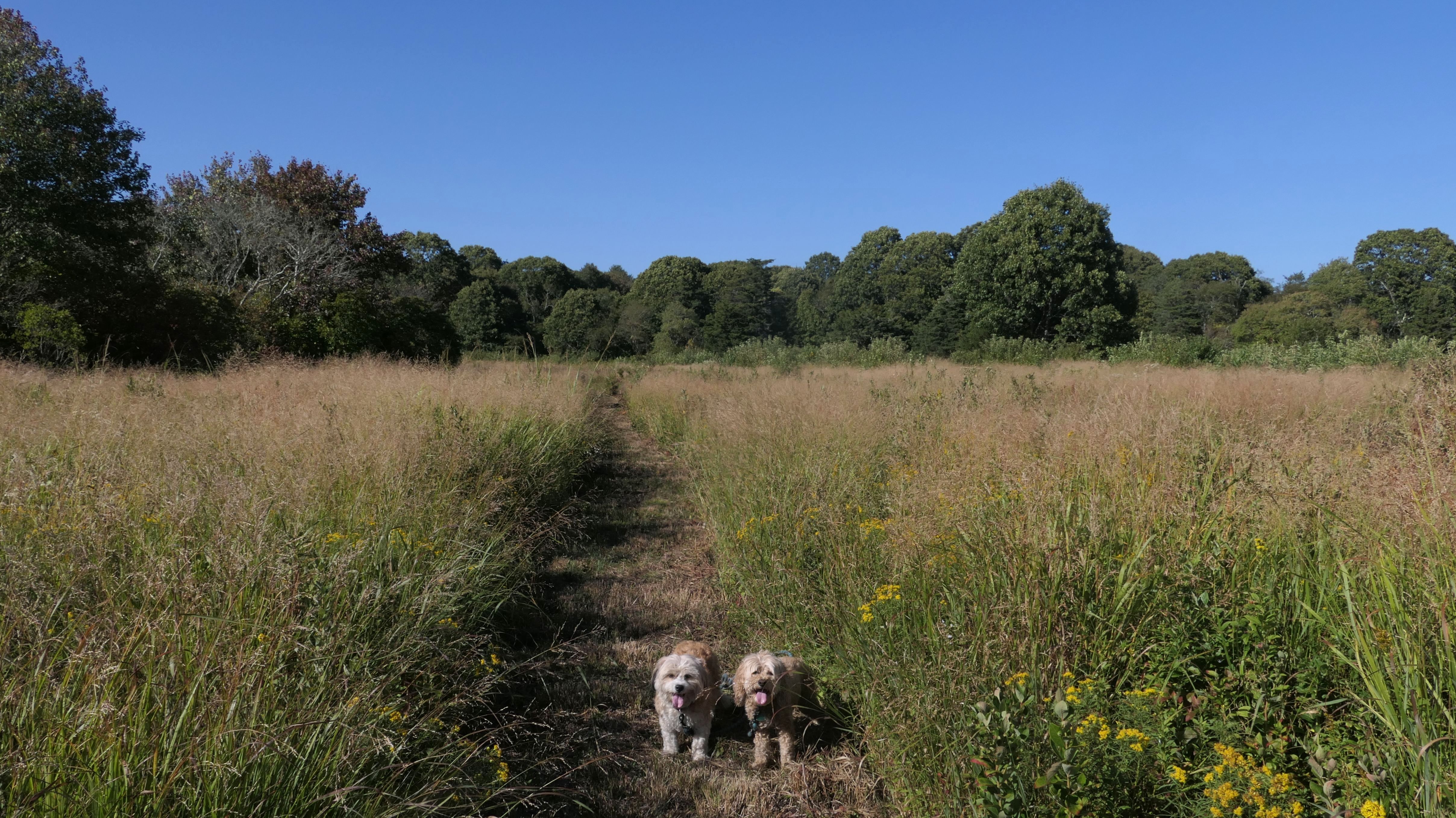
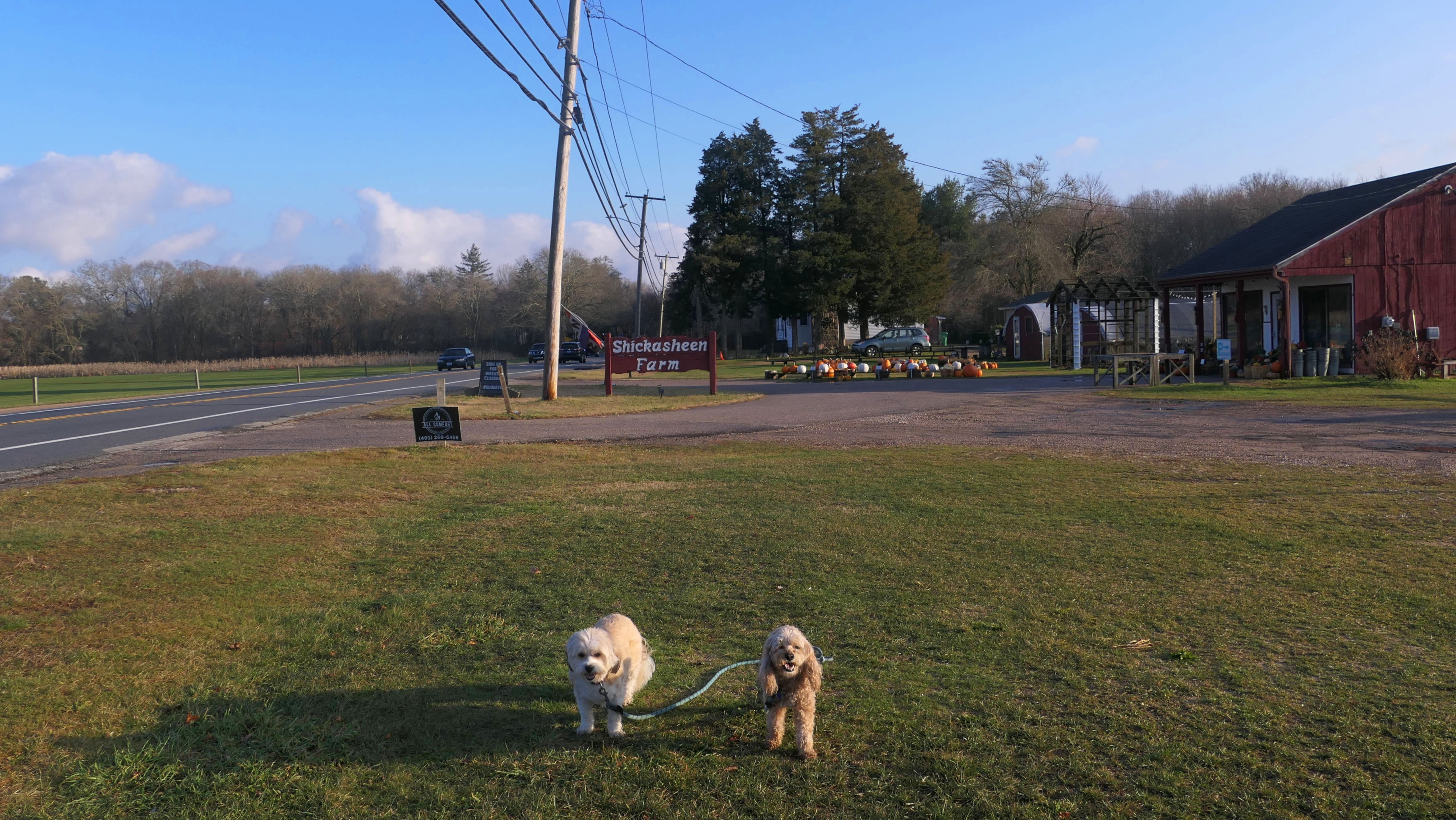
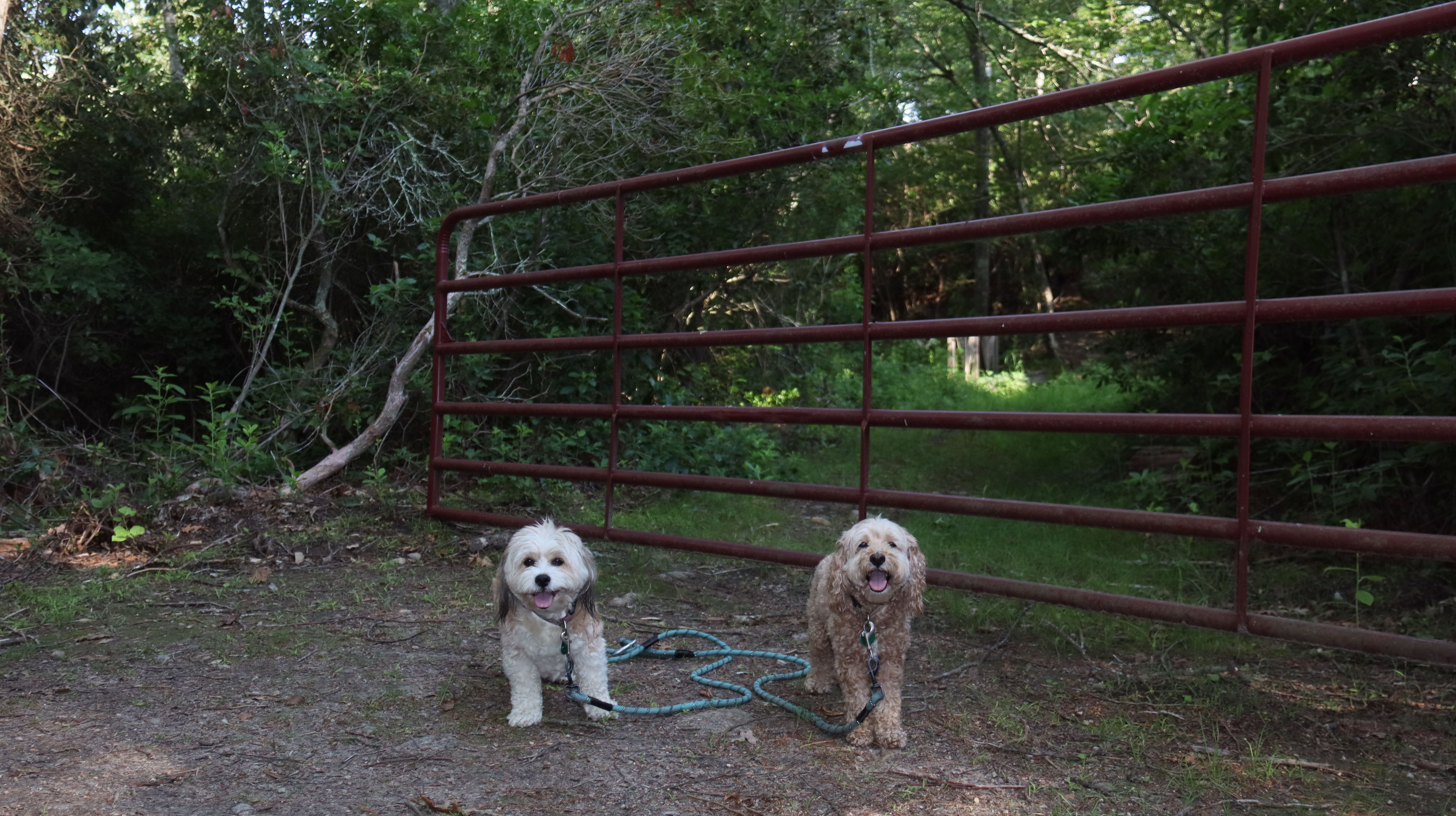
South Kingstown
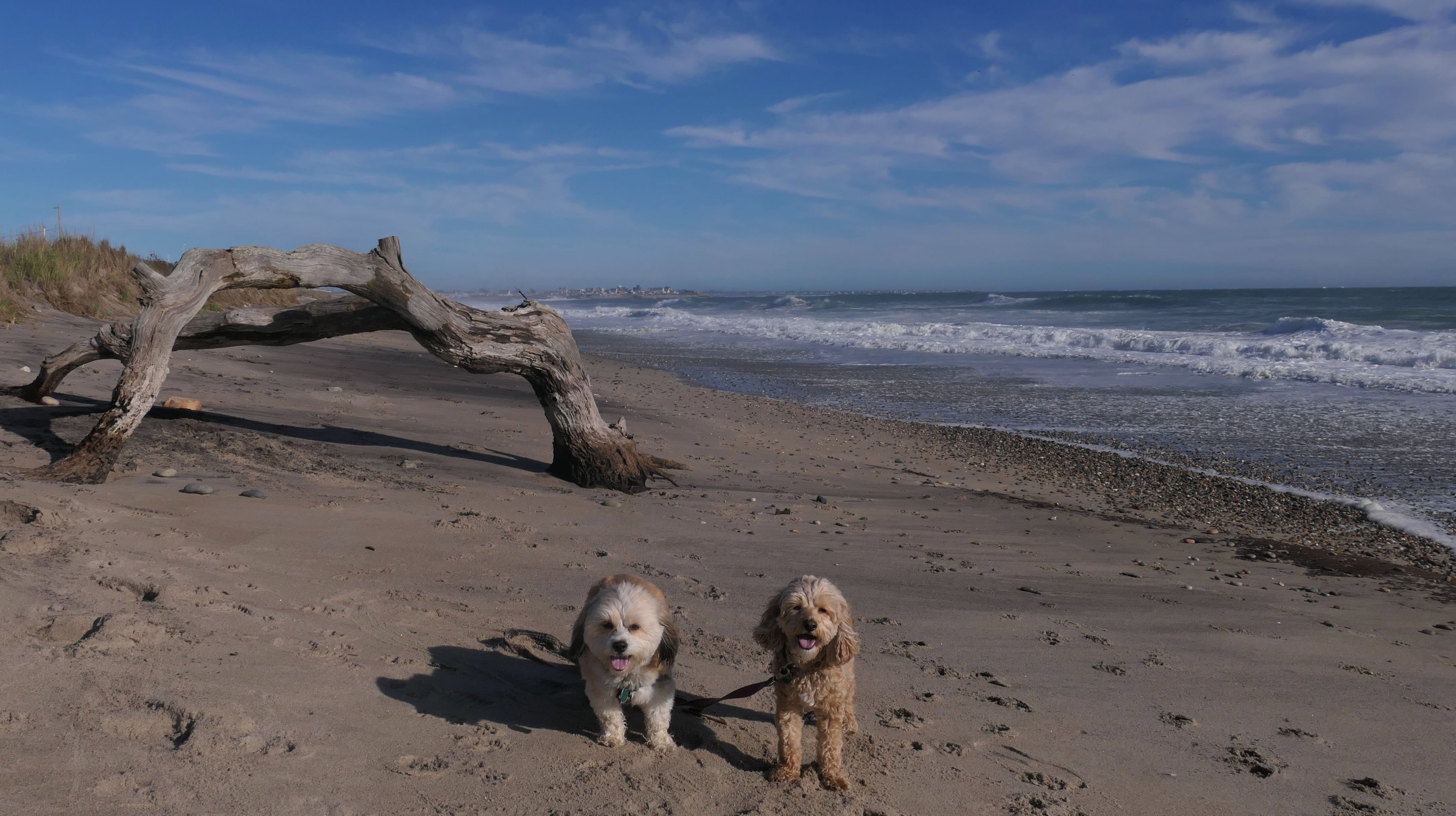
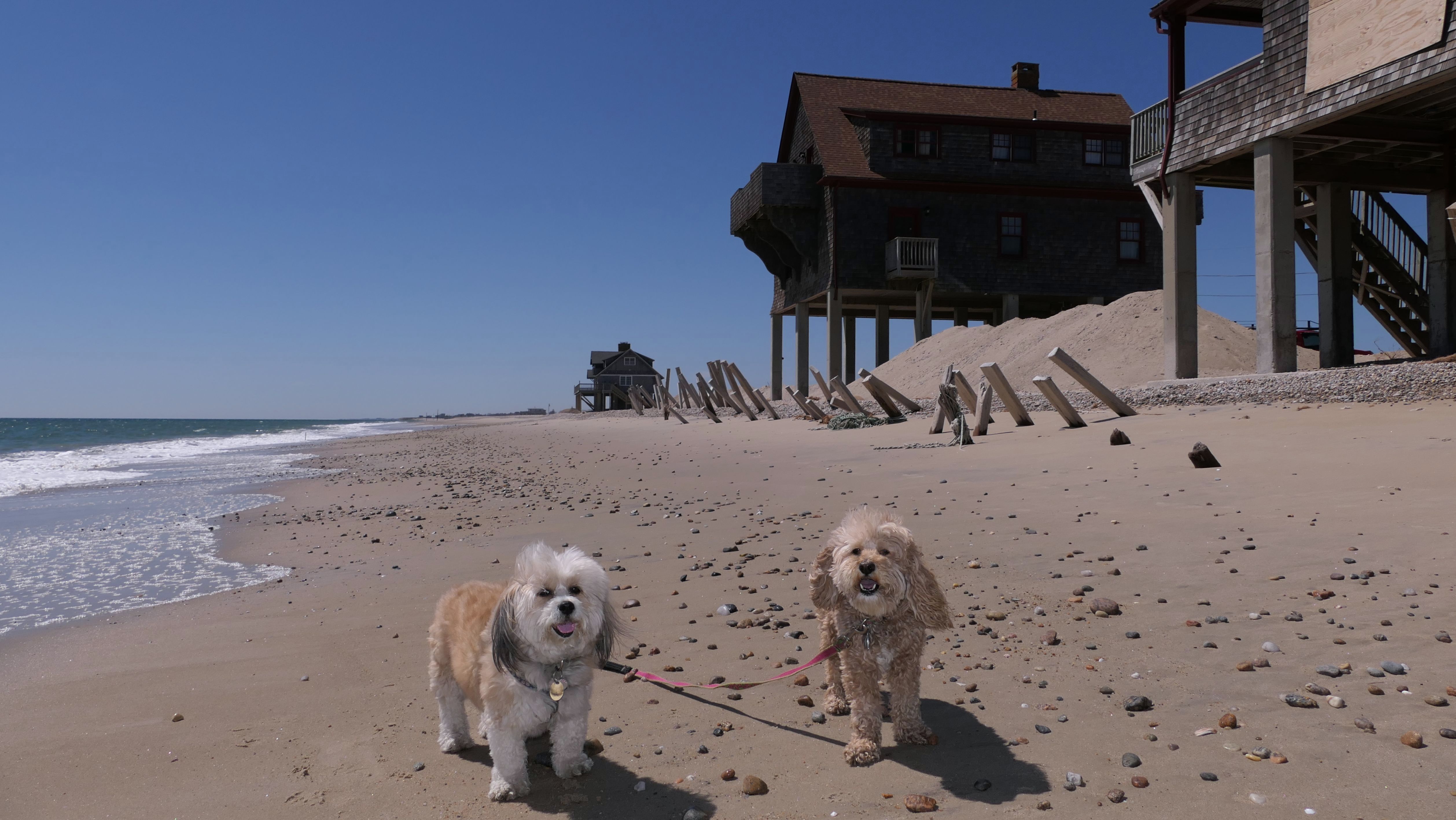
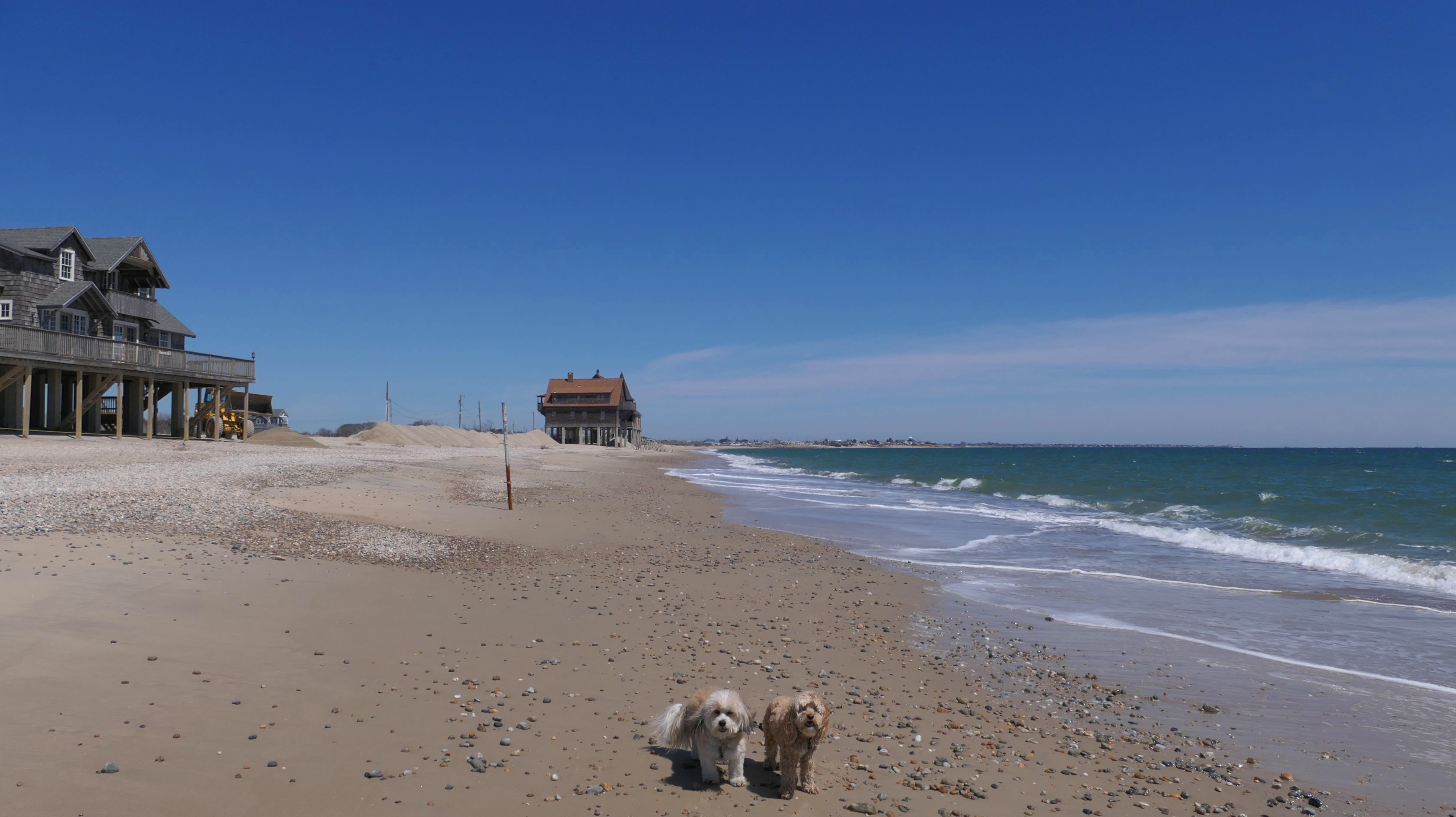
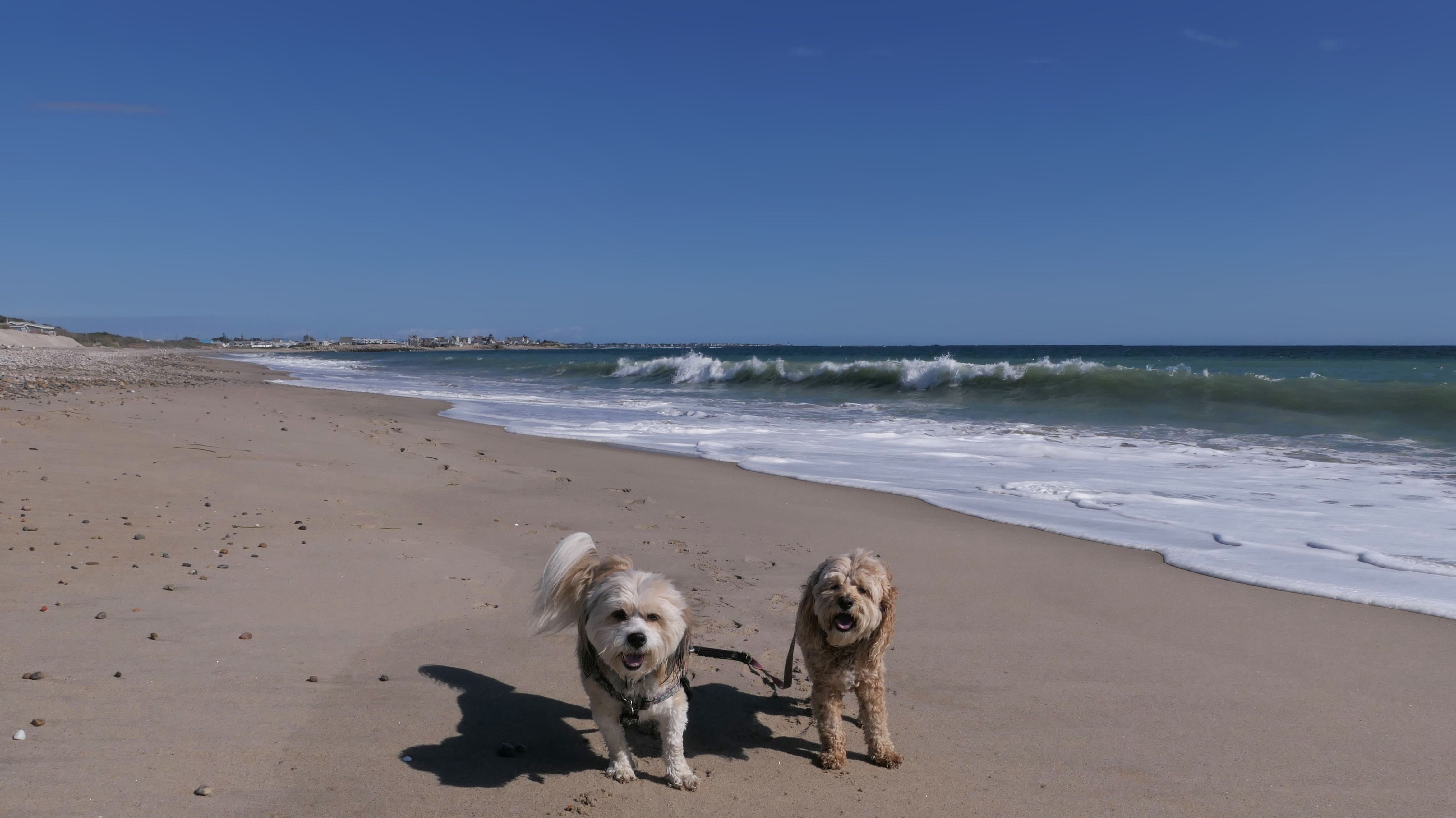
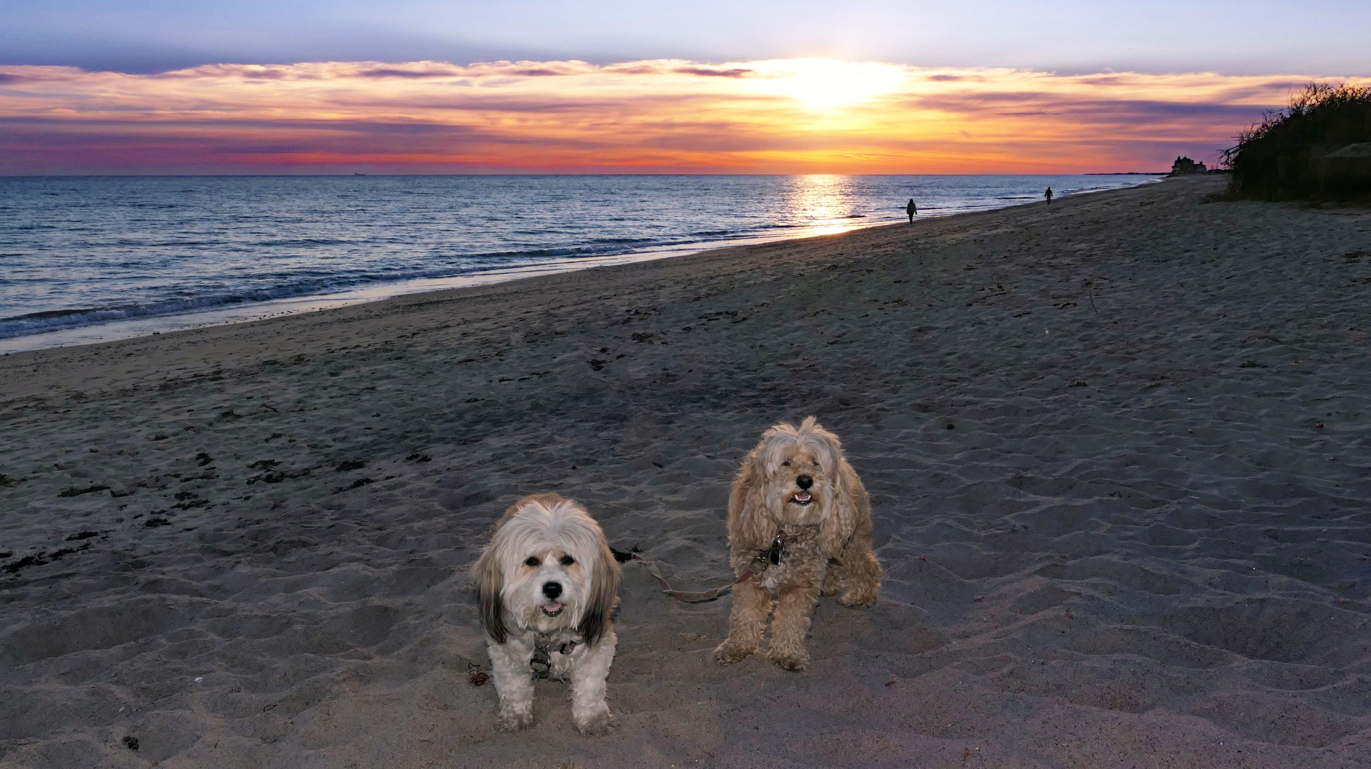
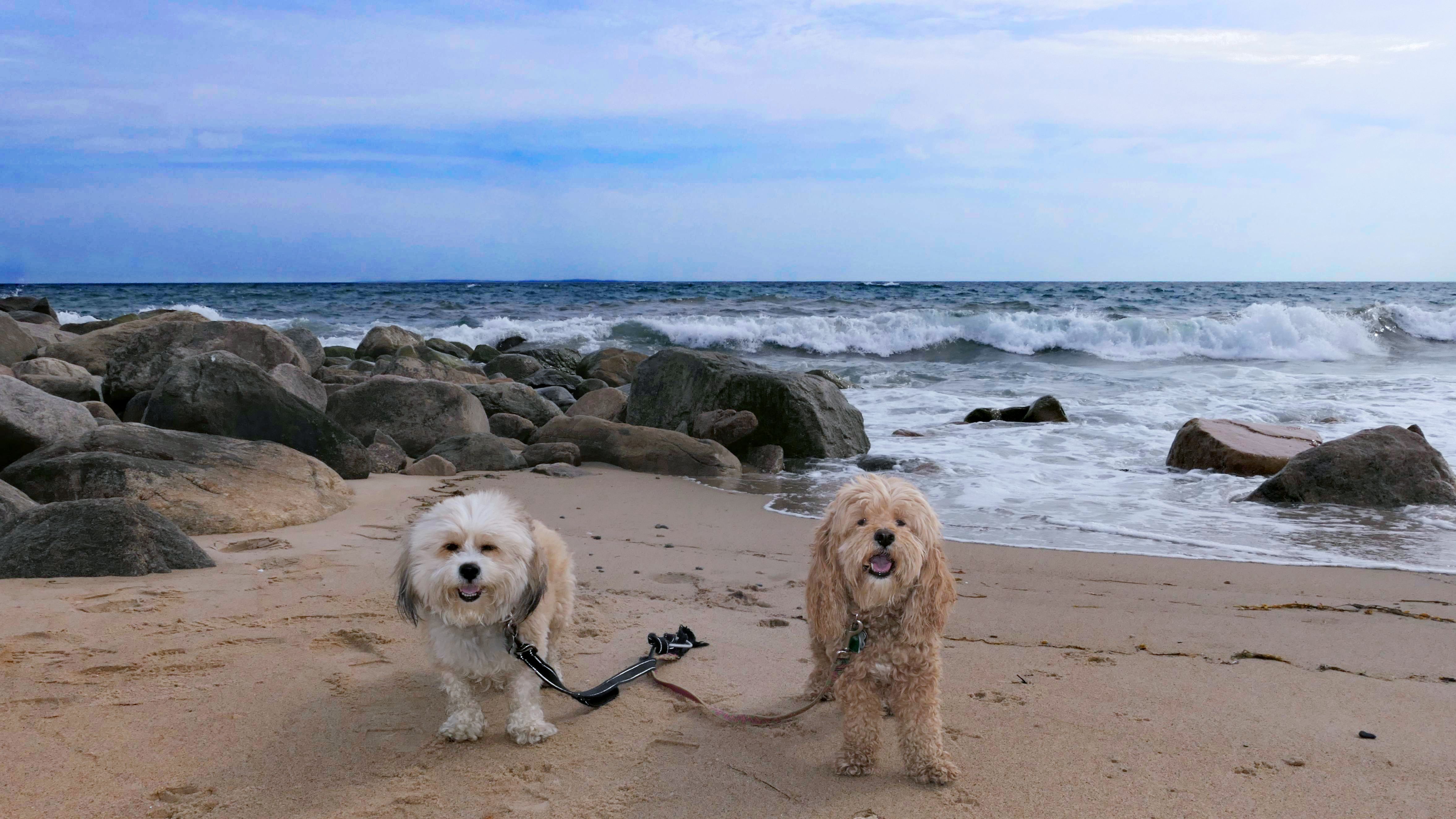
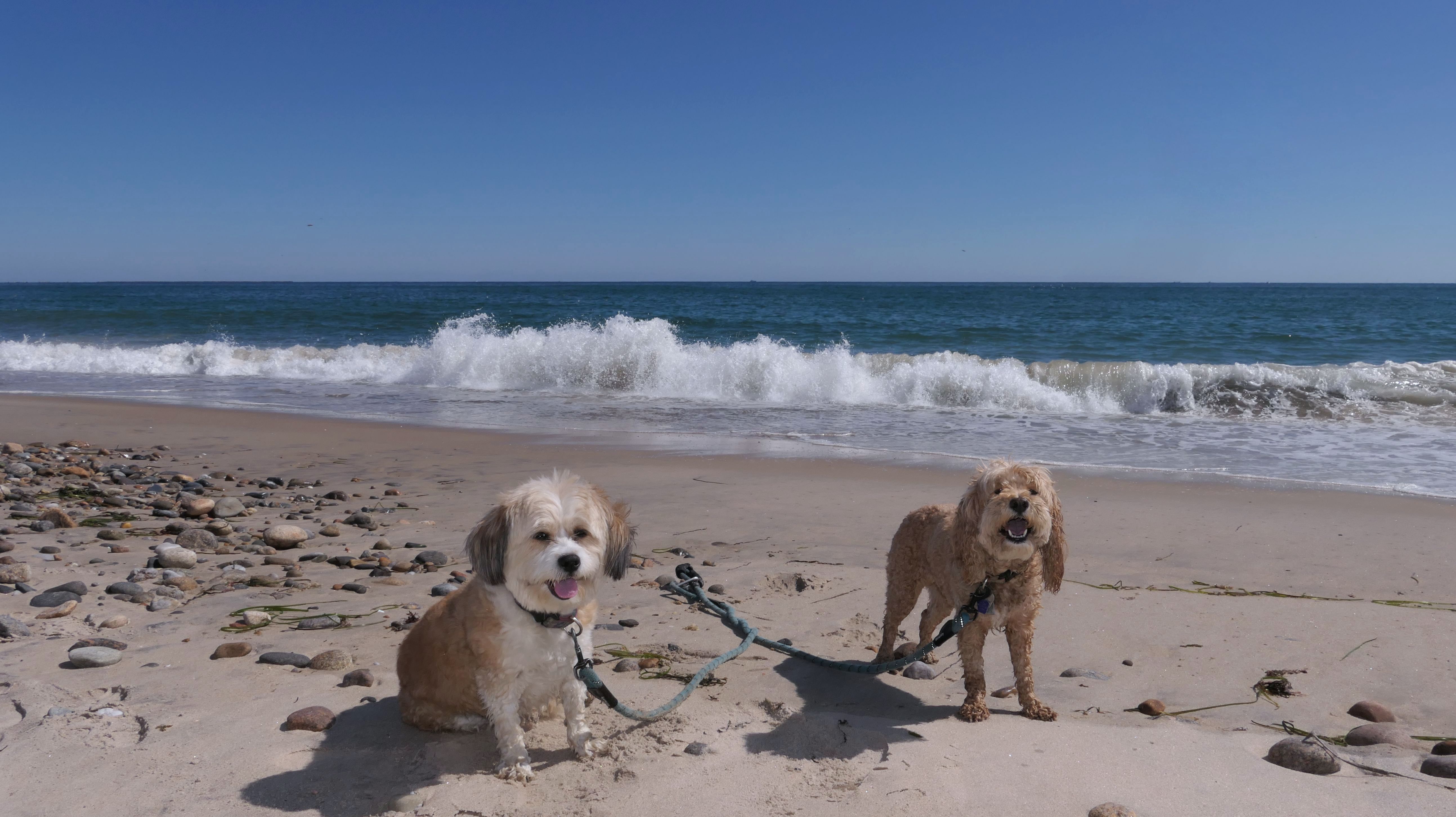
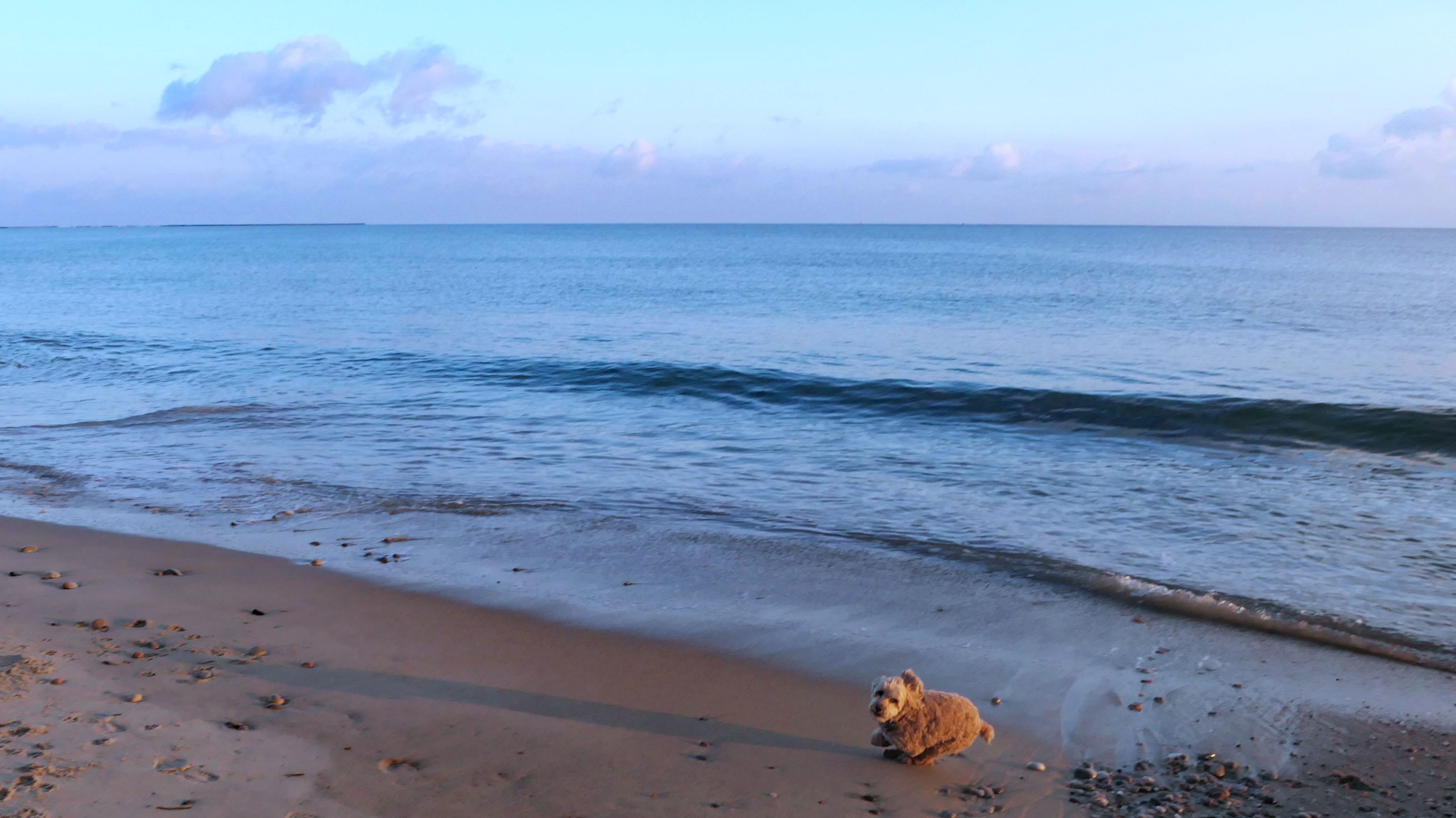
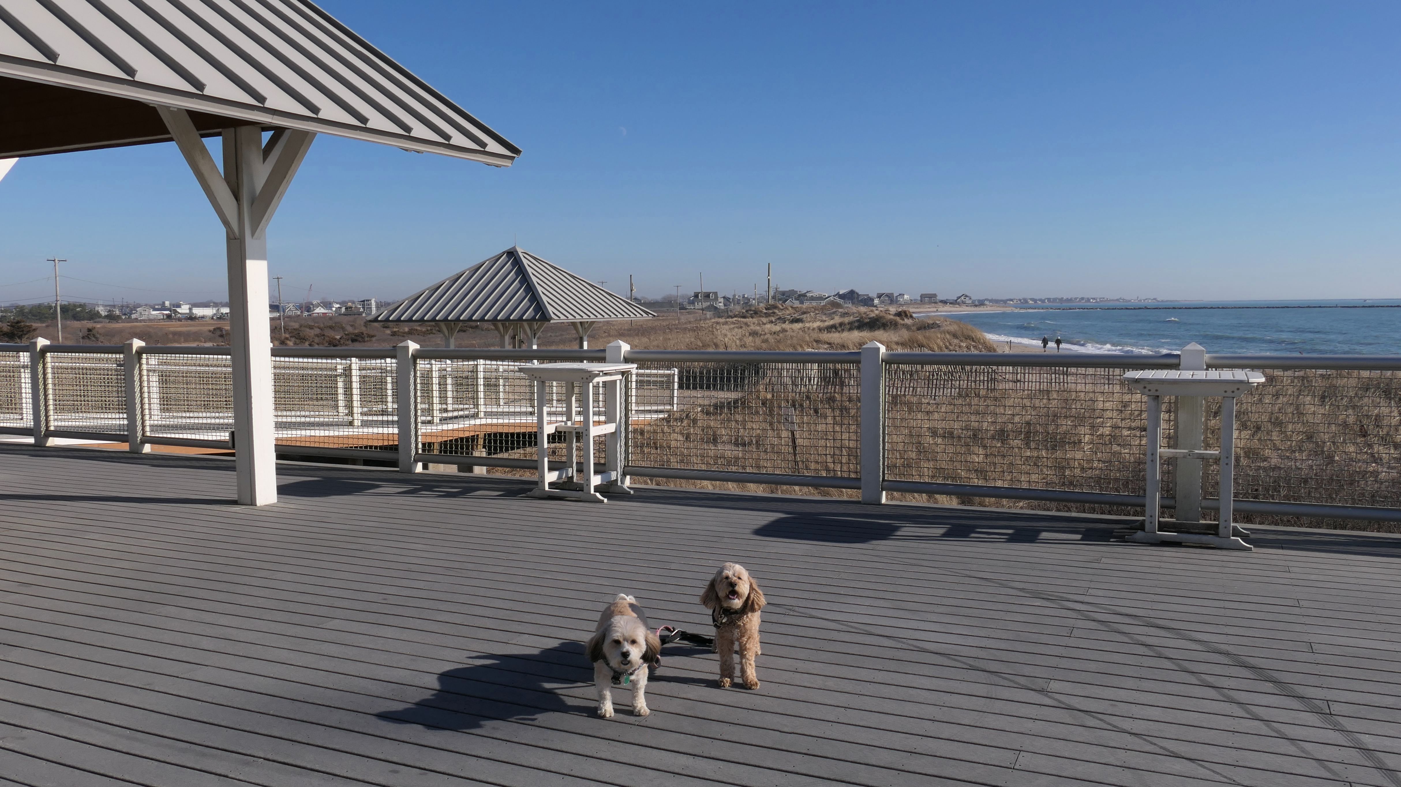
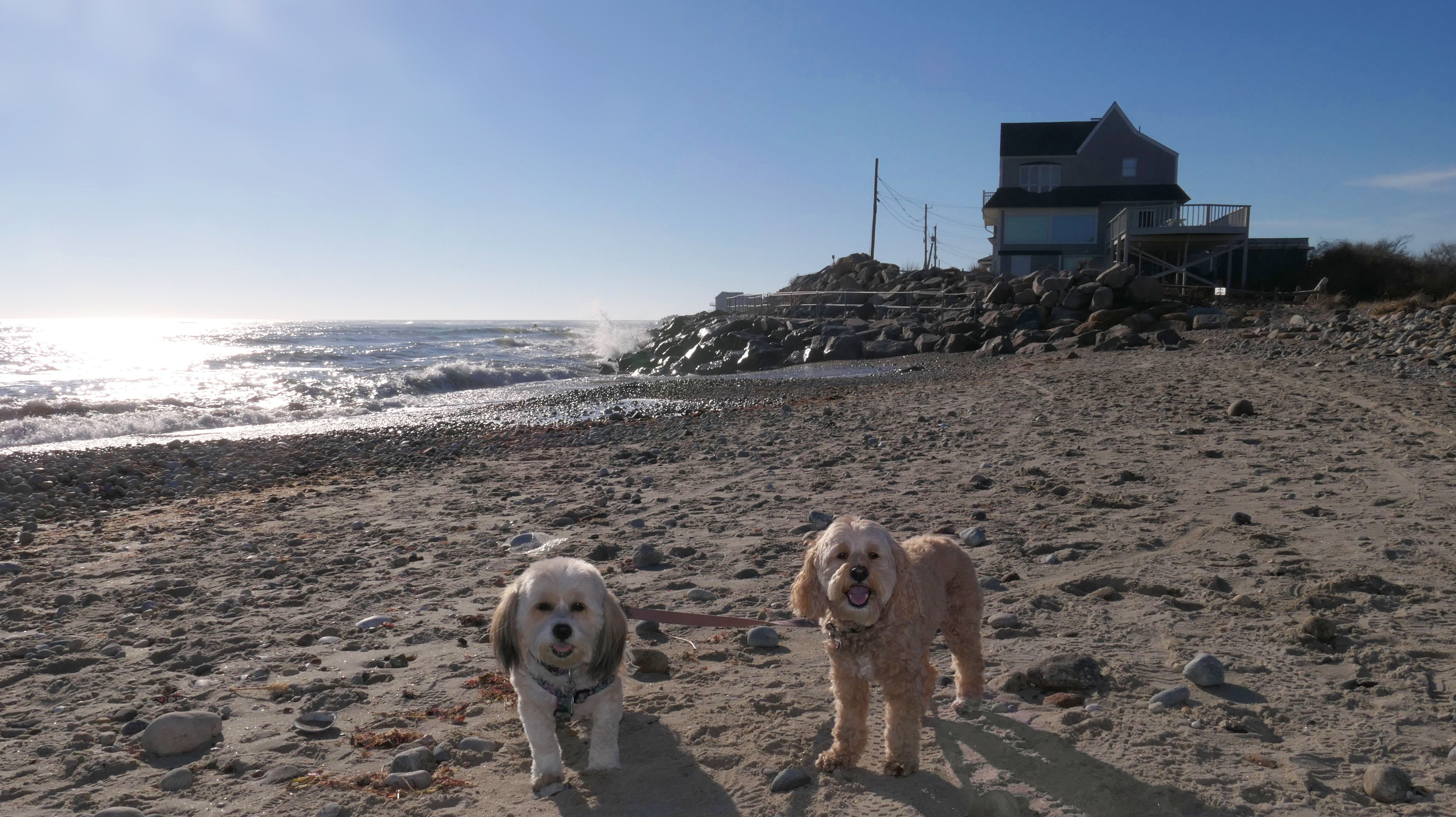
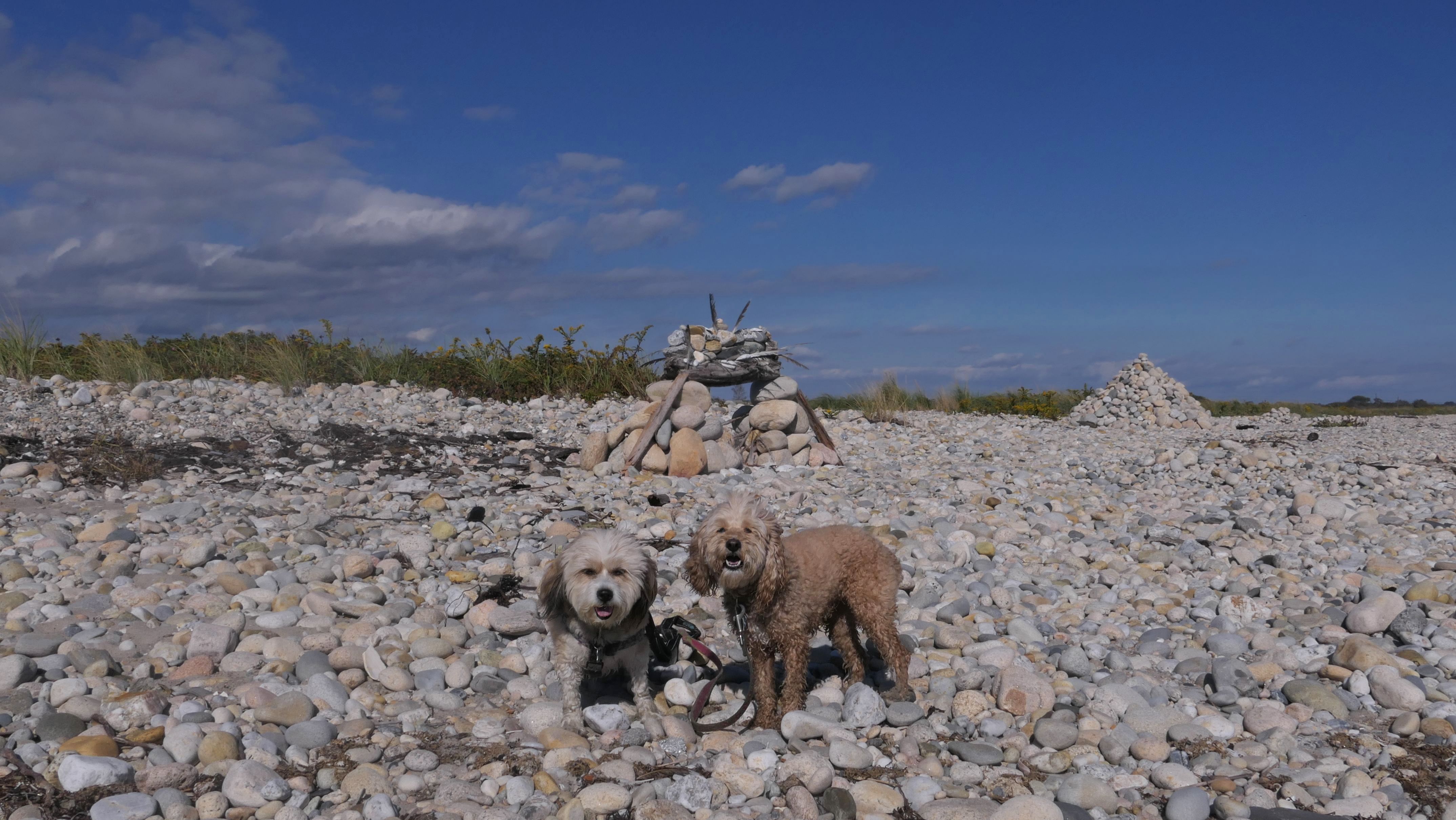
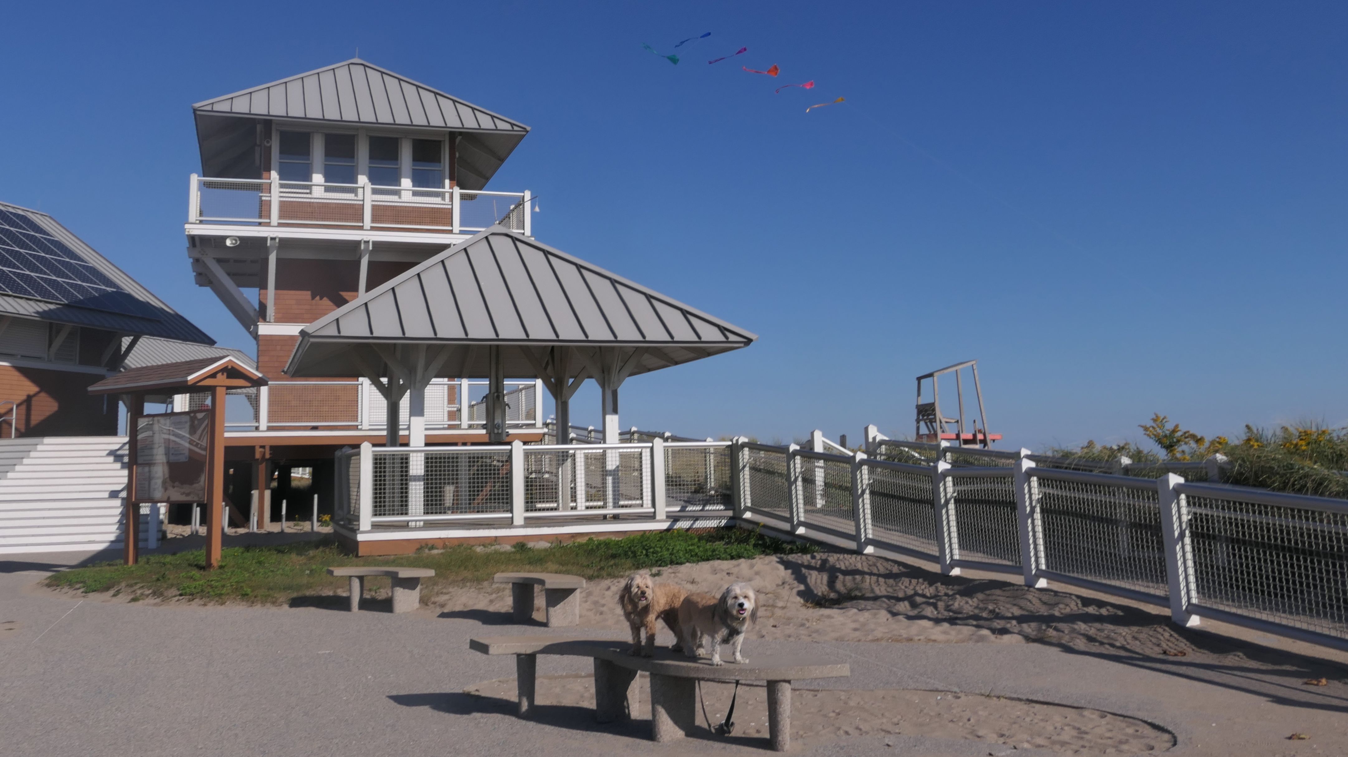
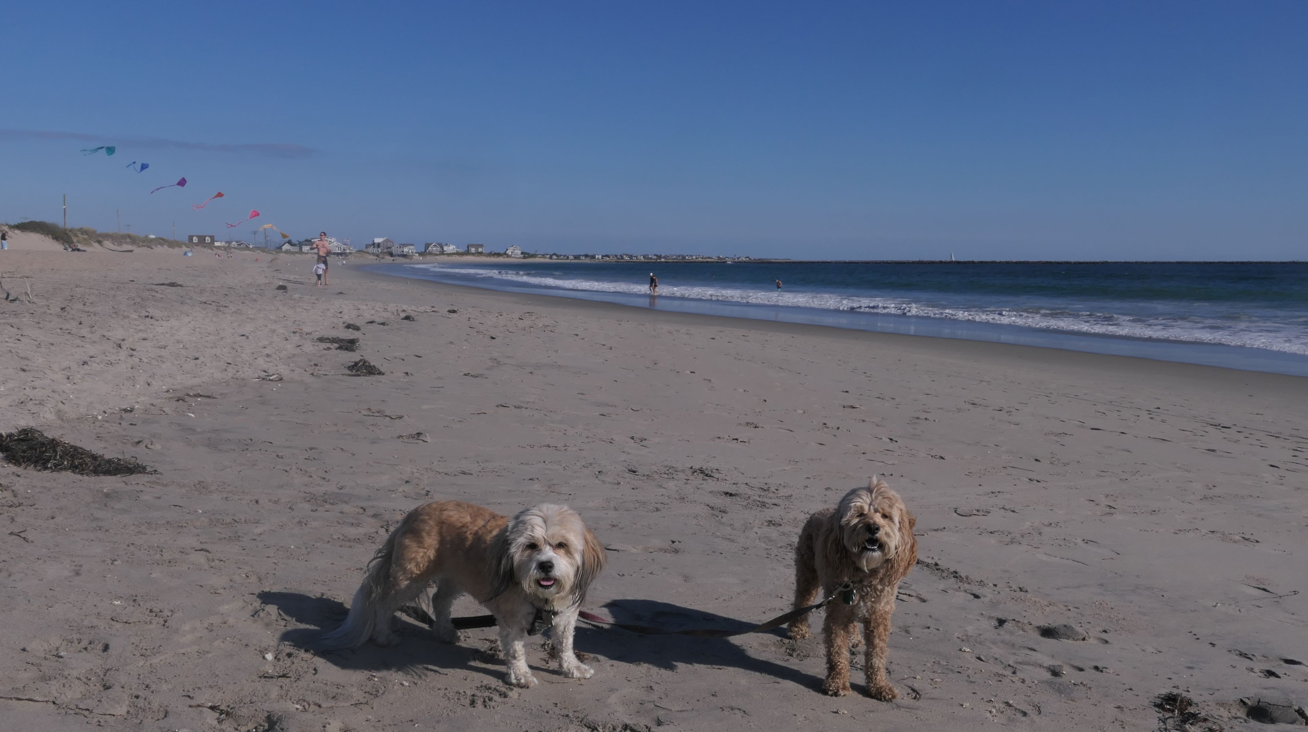
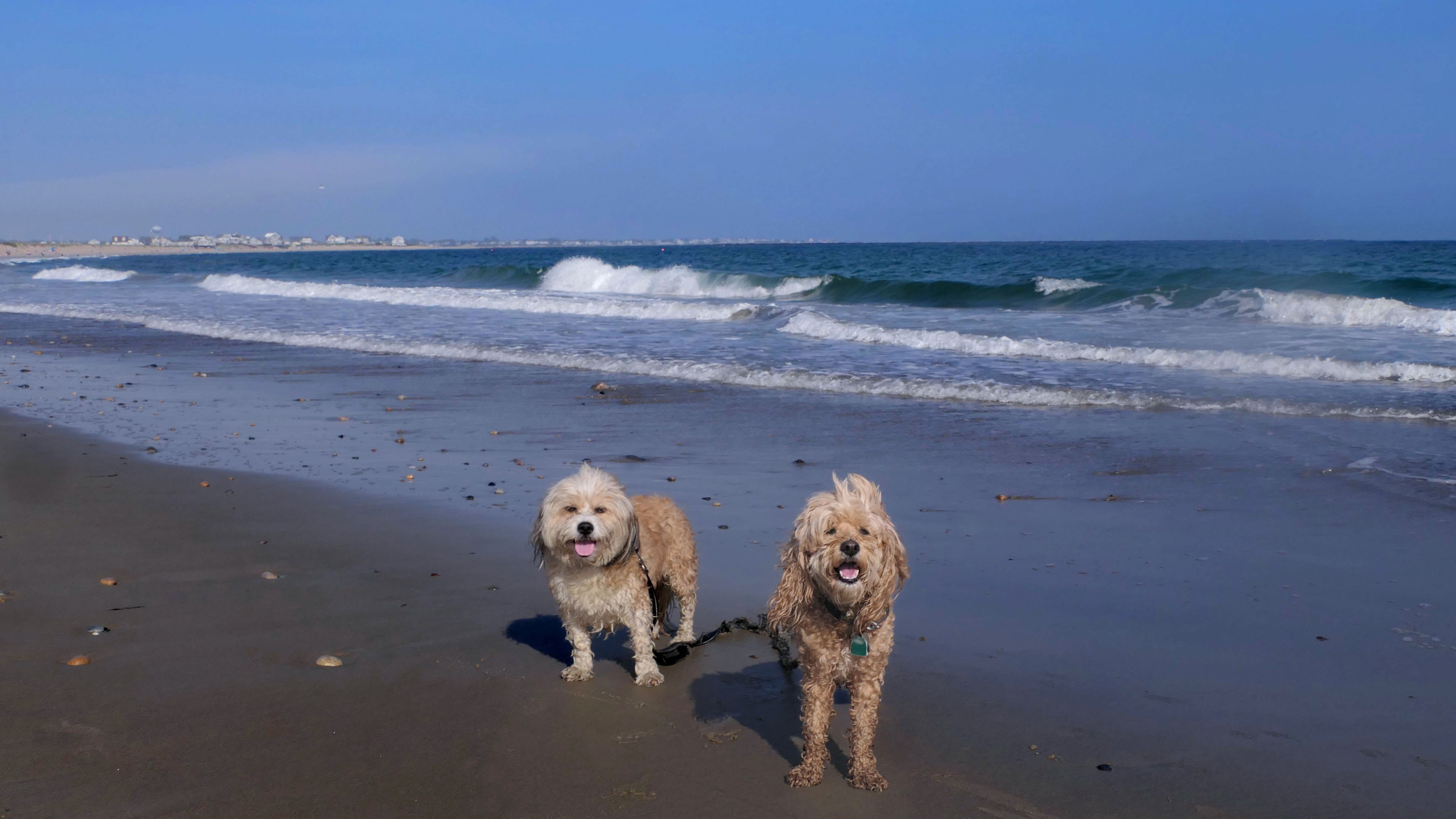
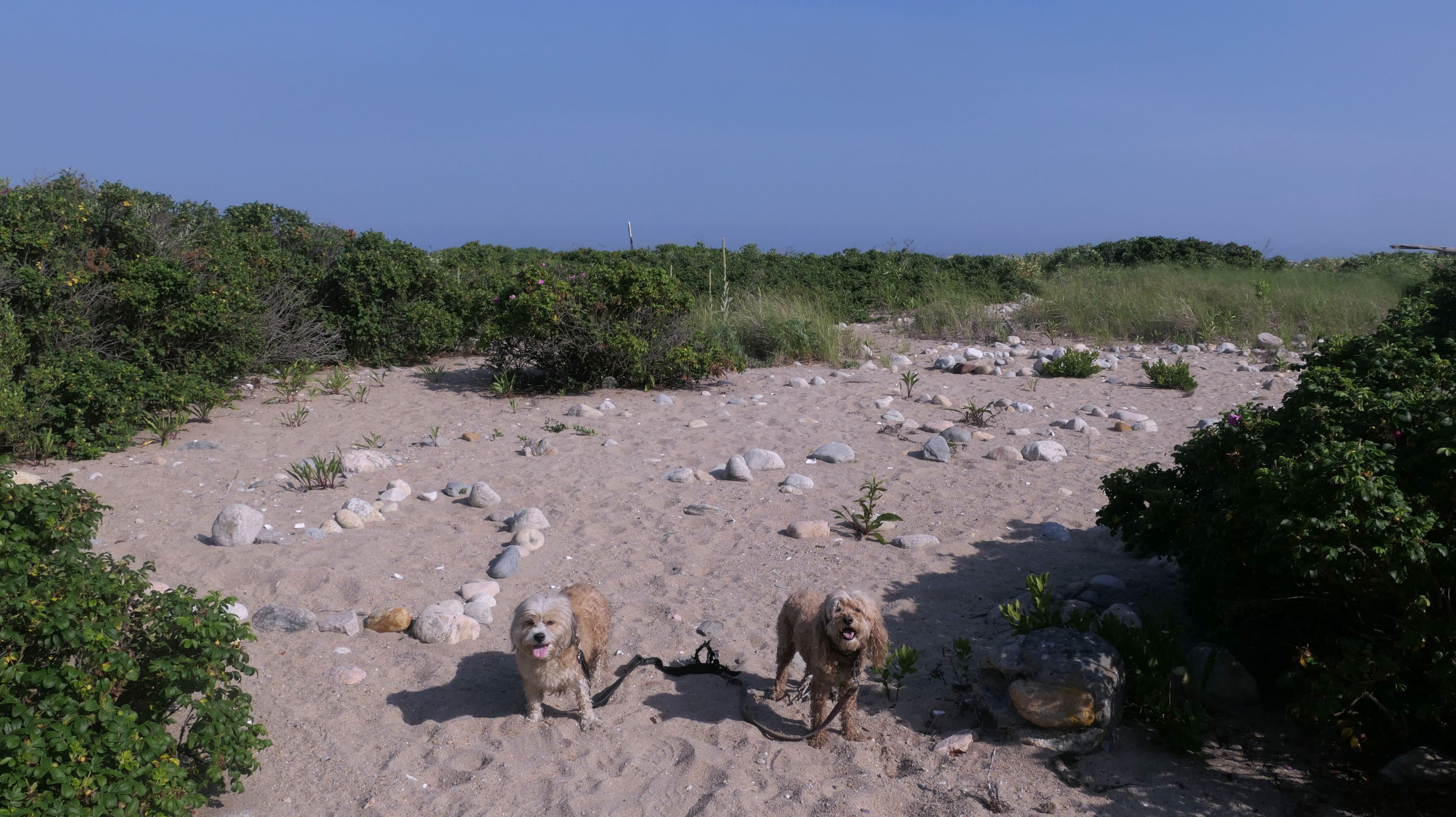
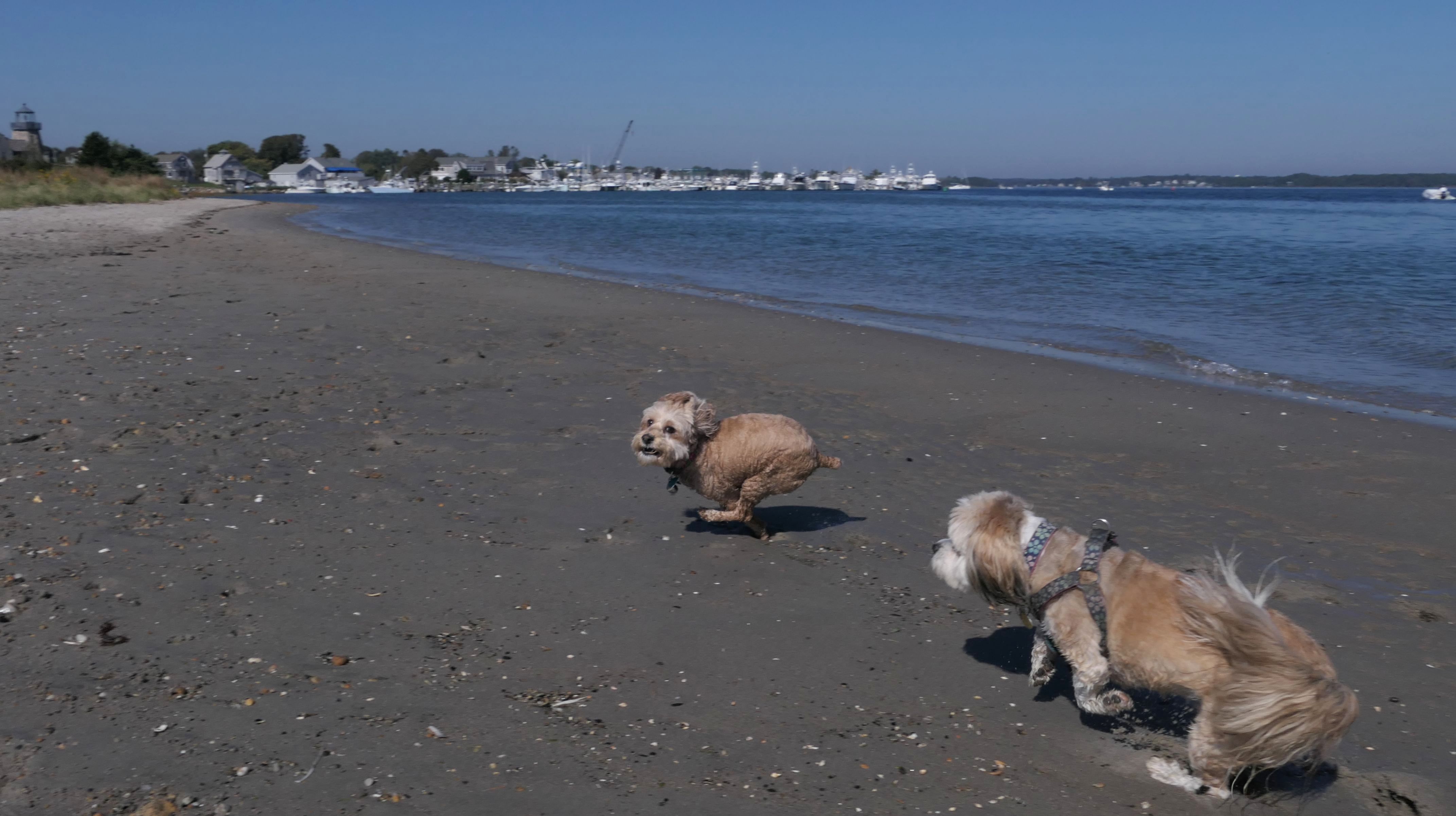
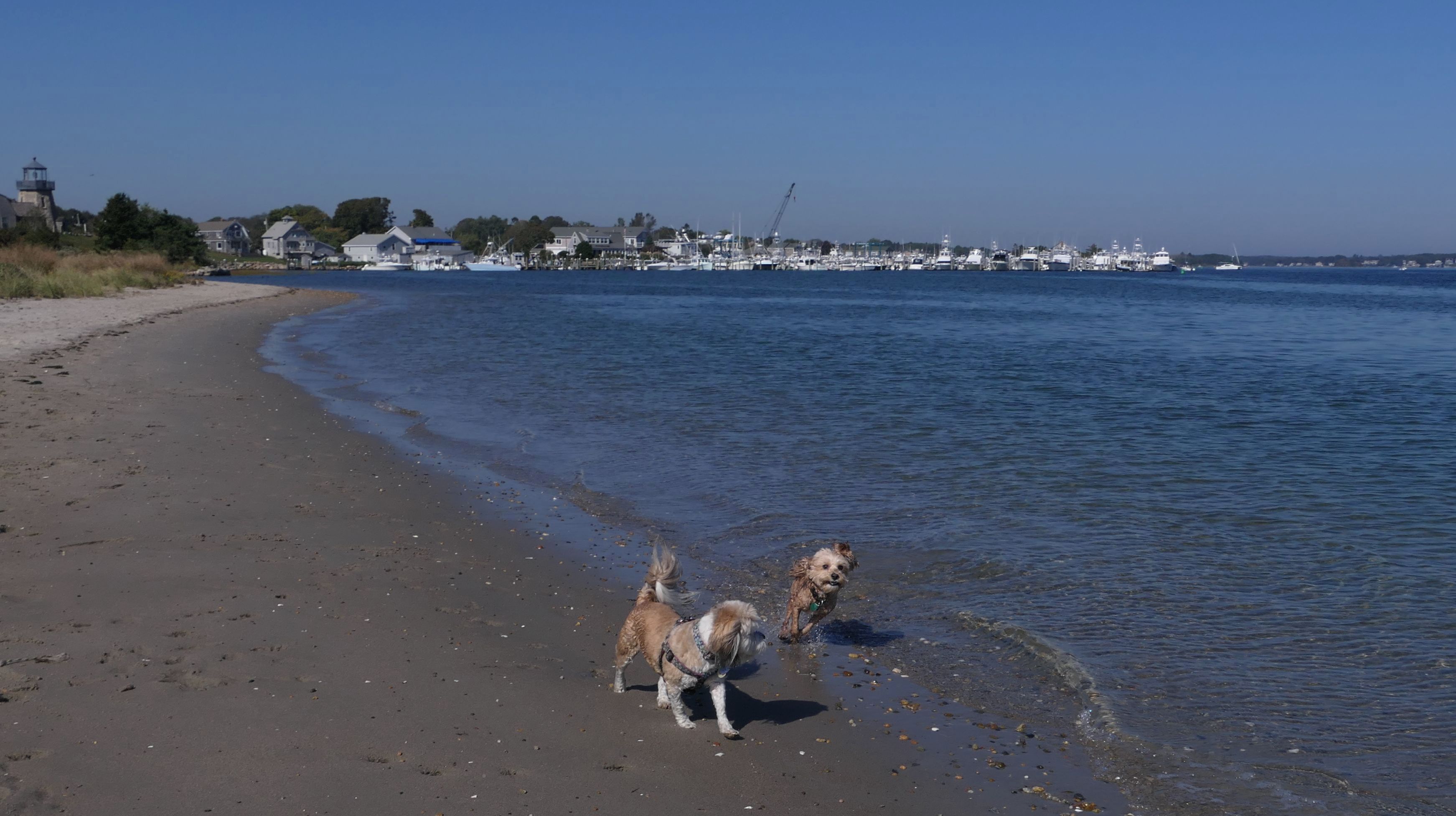
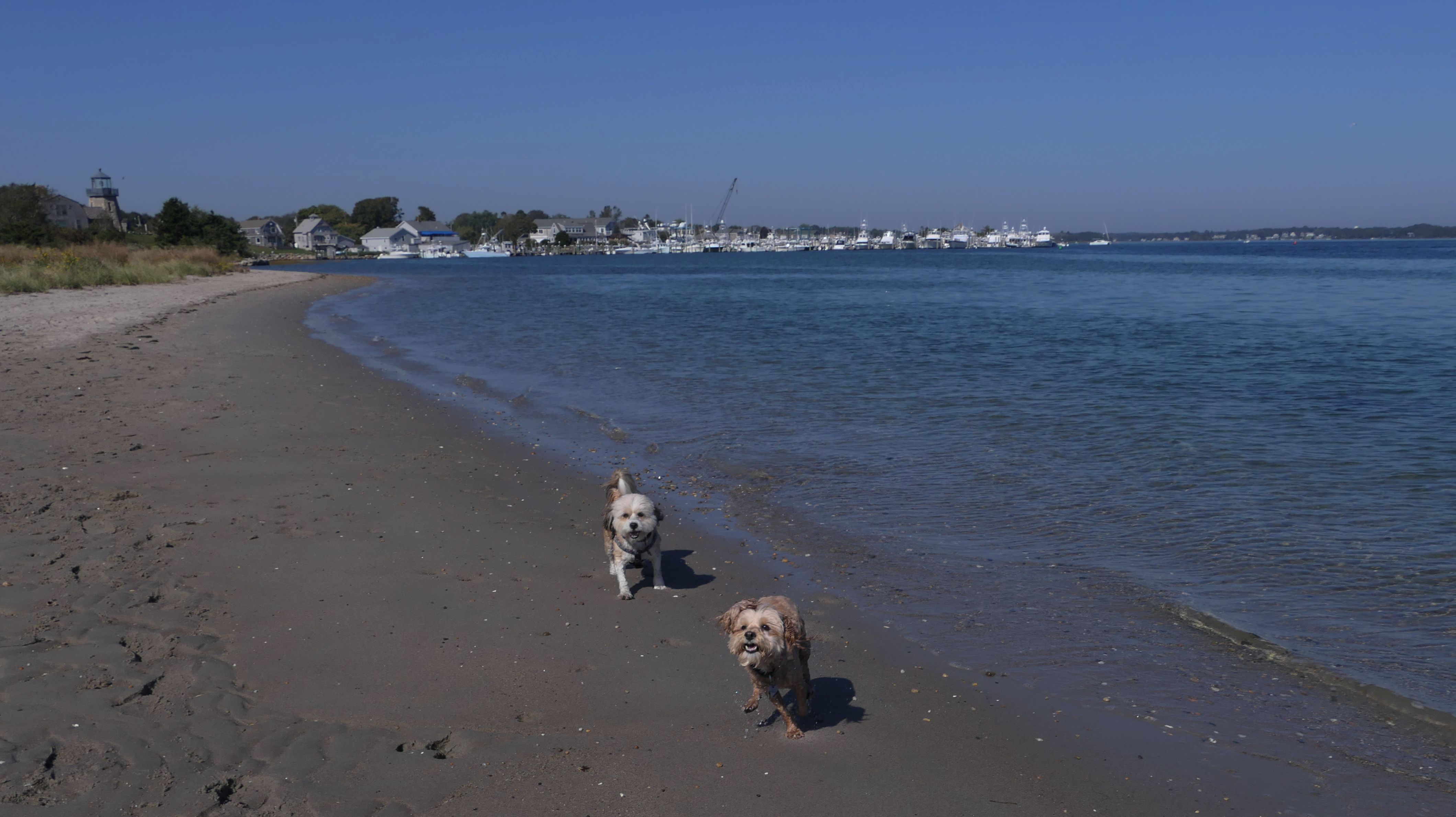
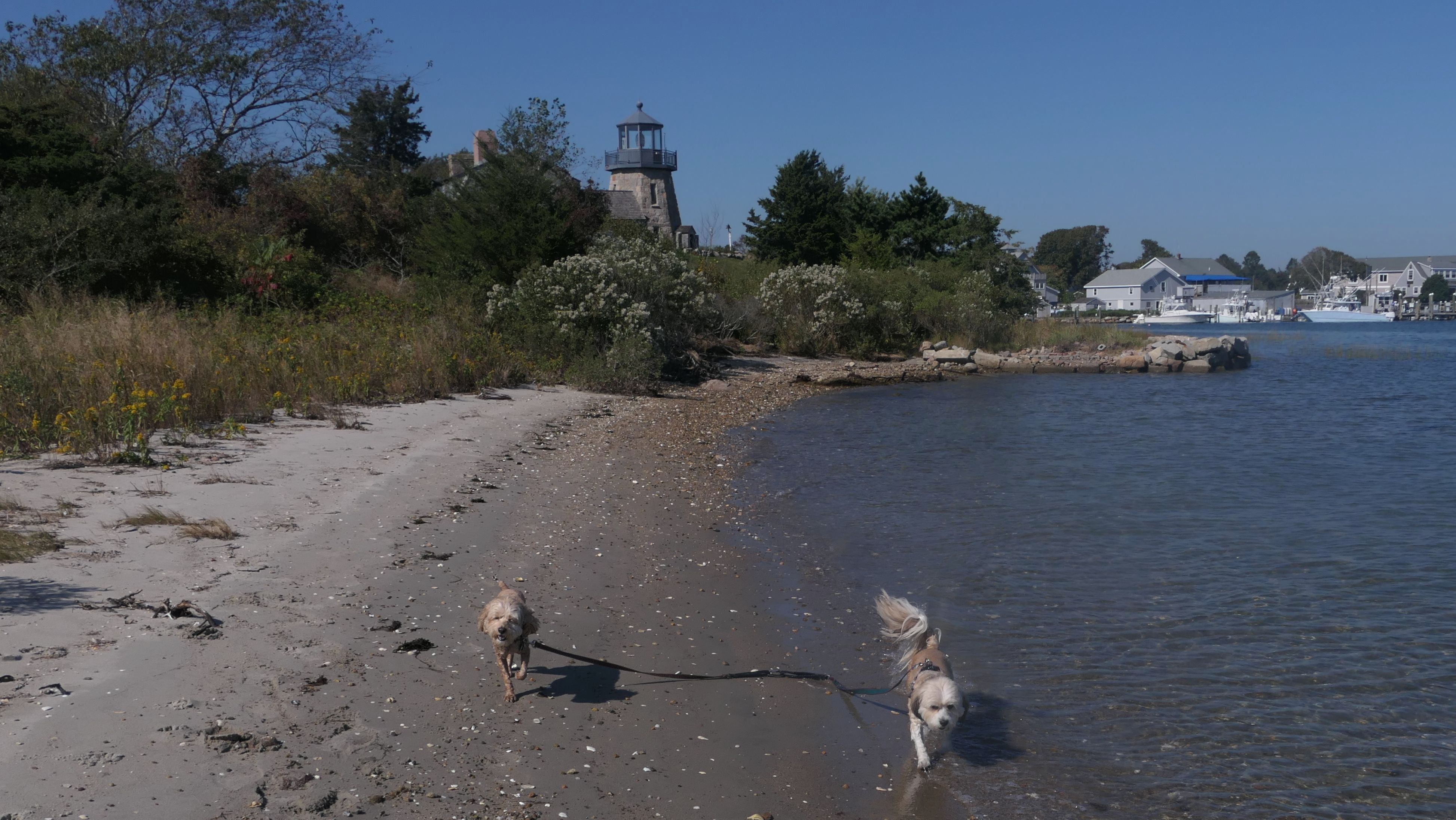
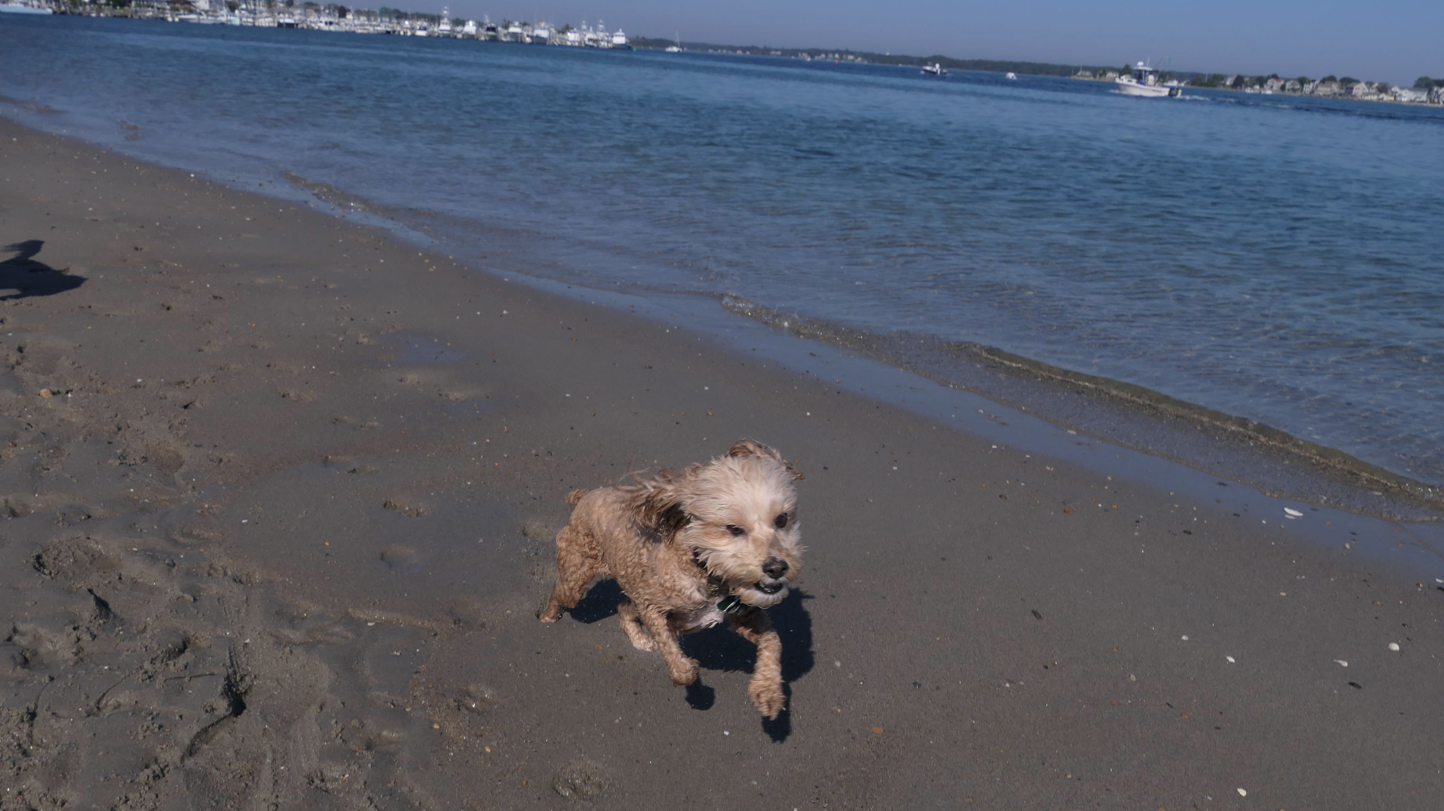
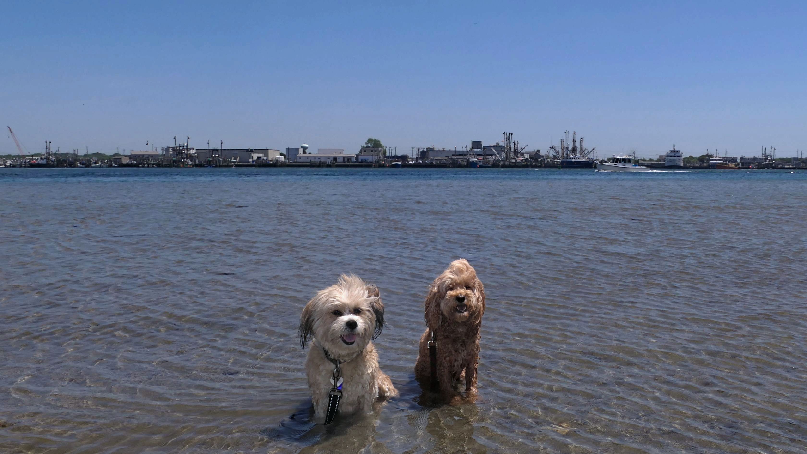
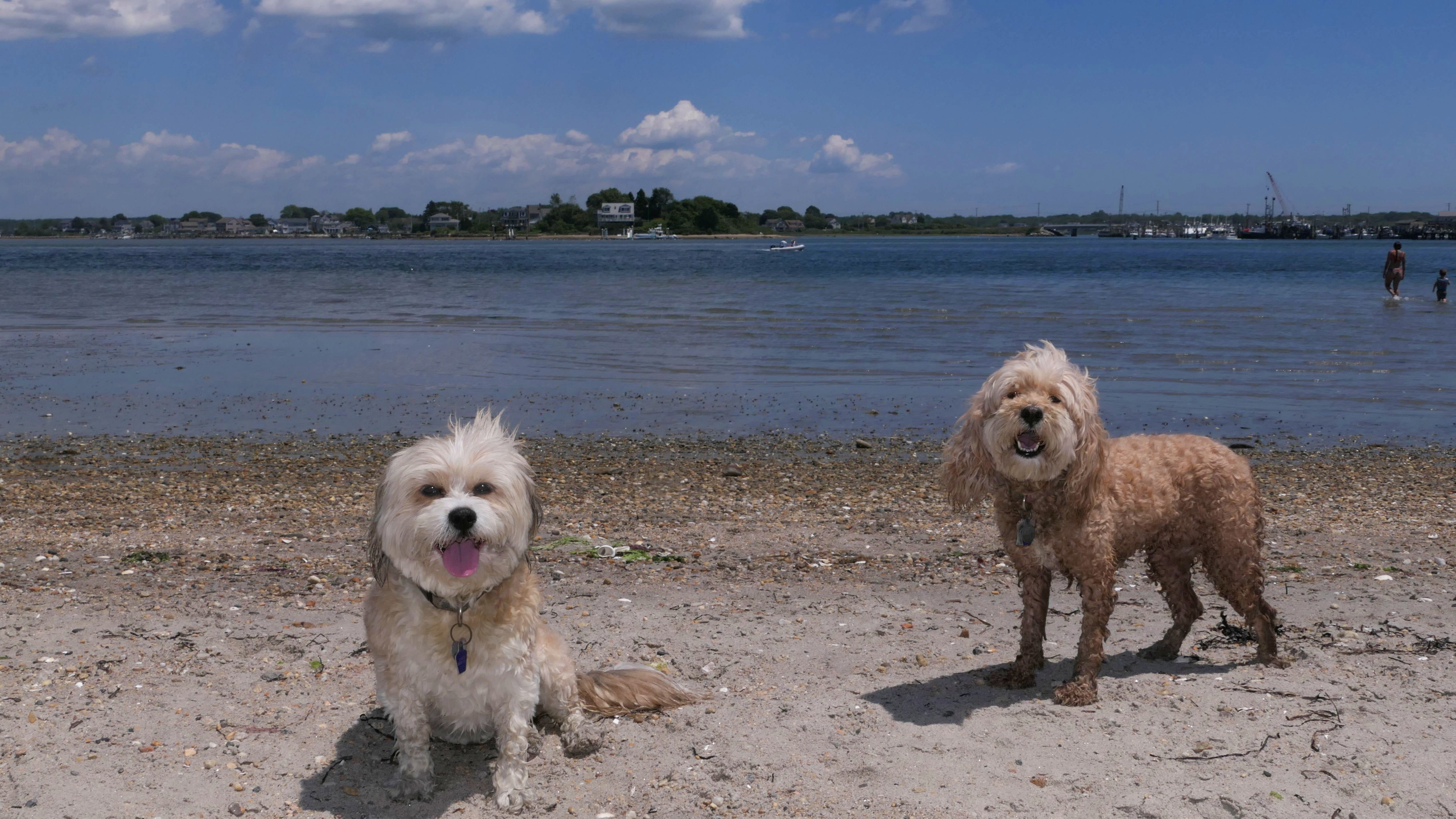
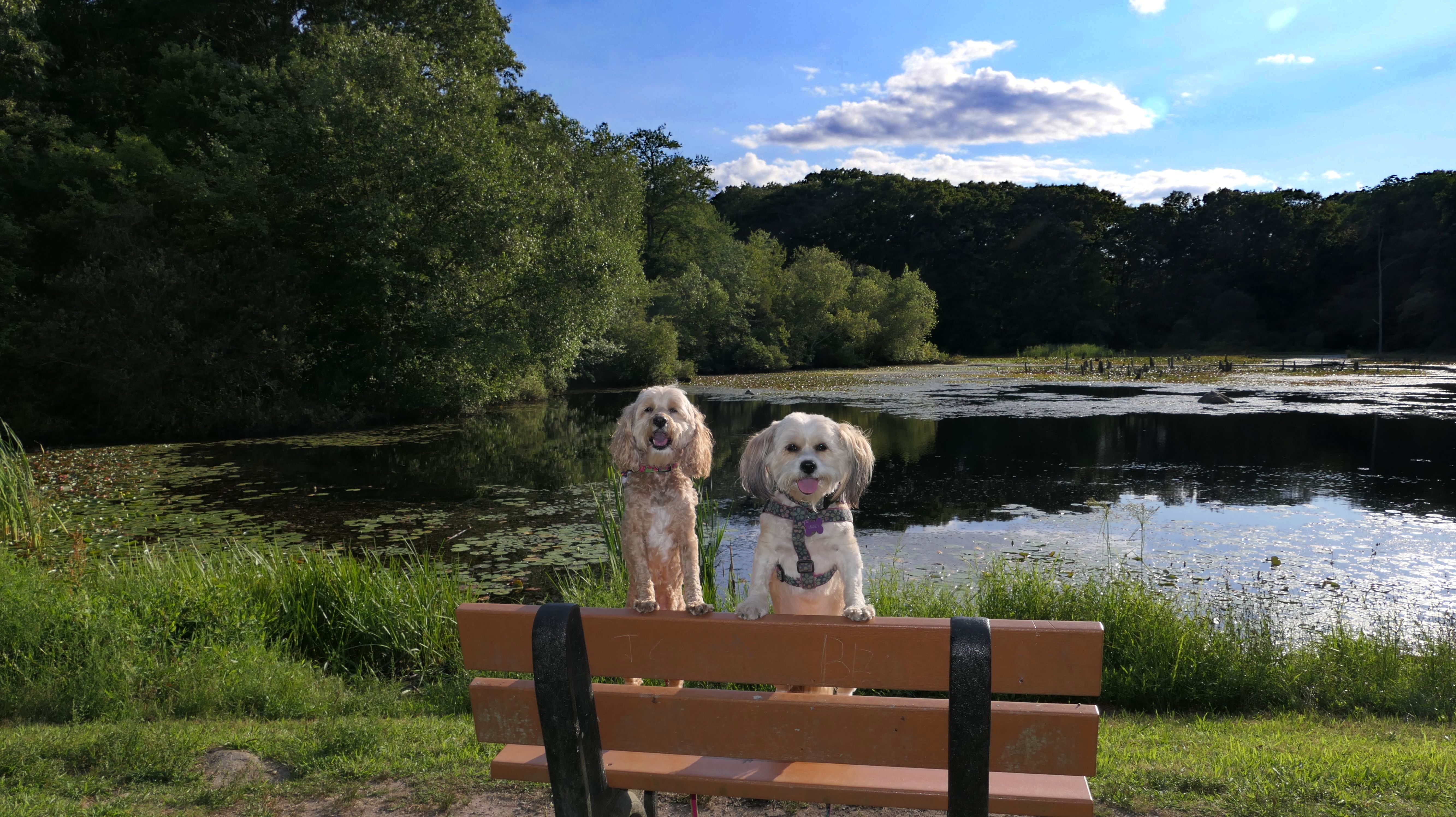
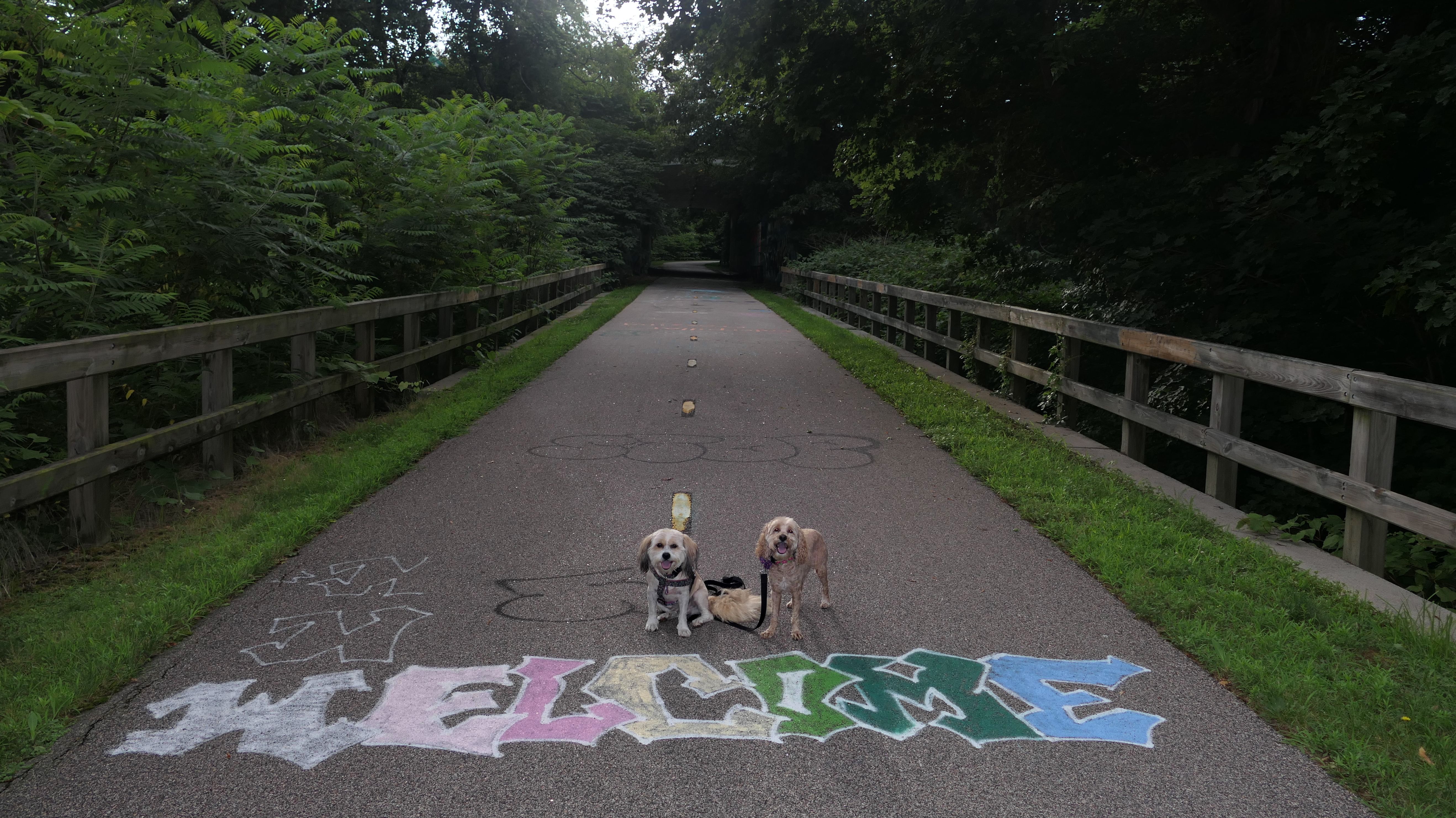
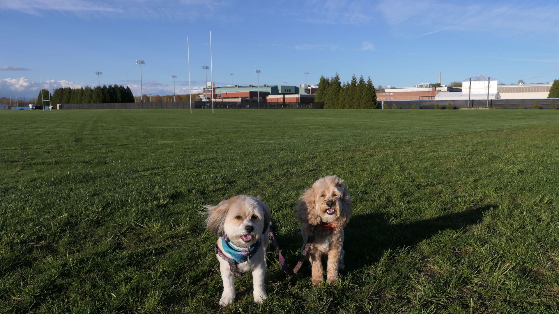
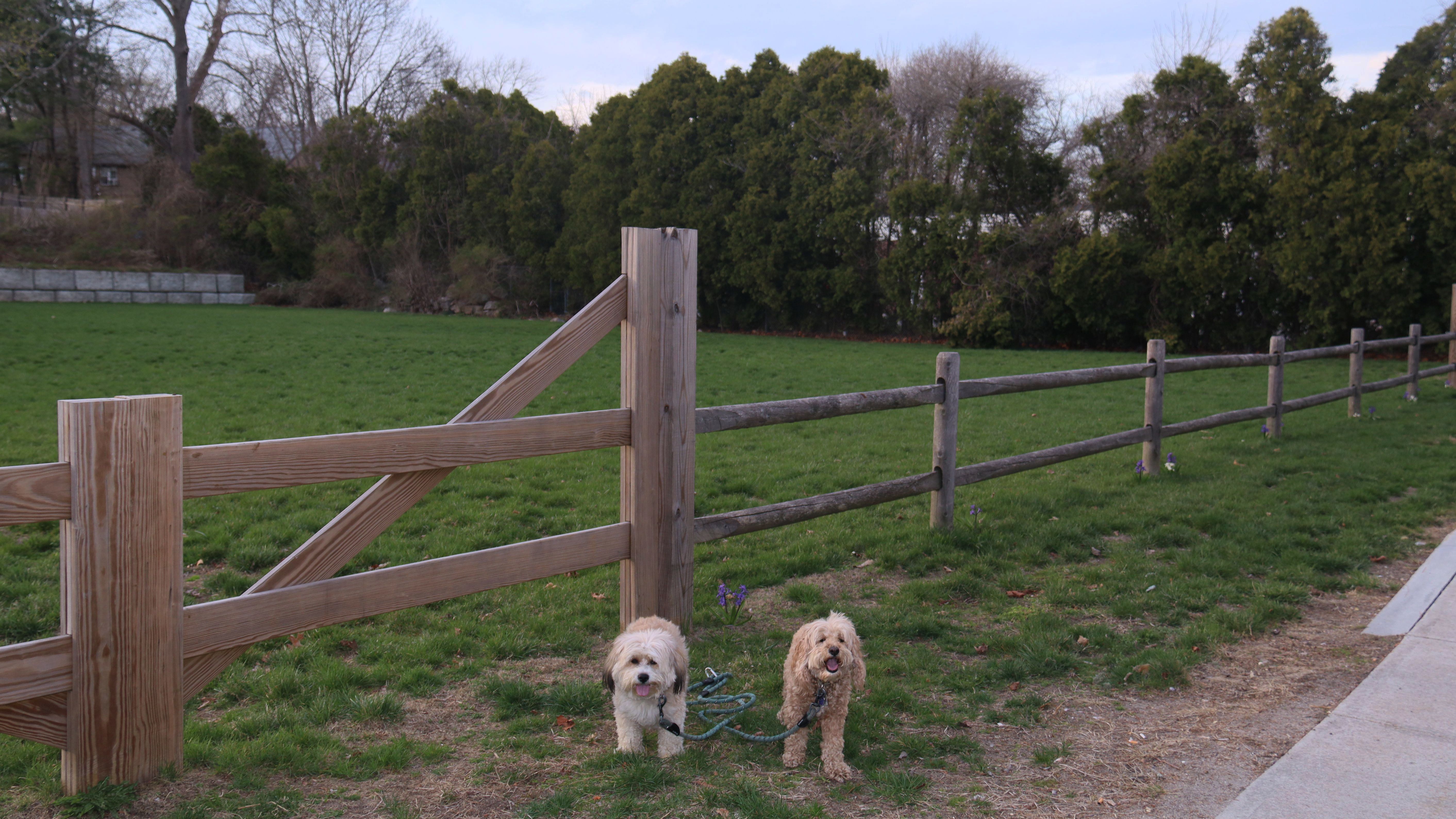
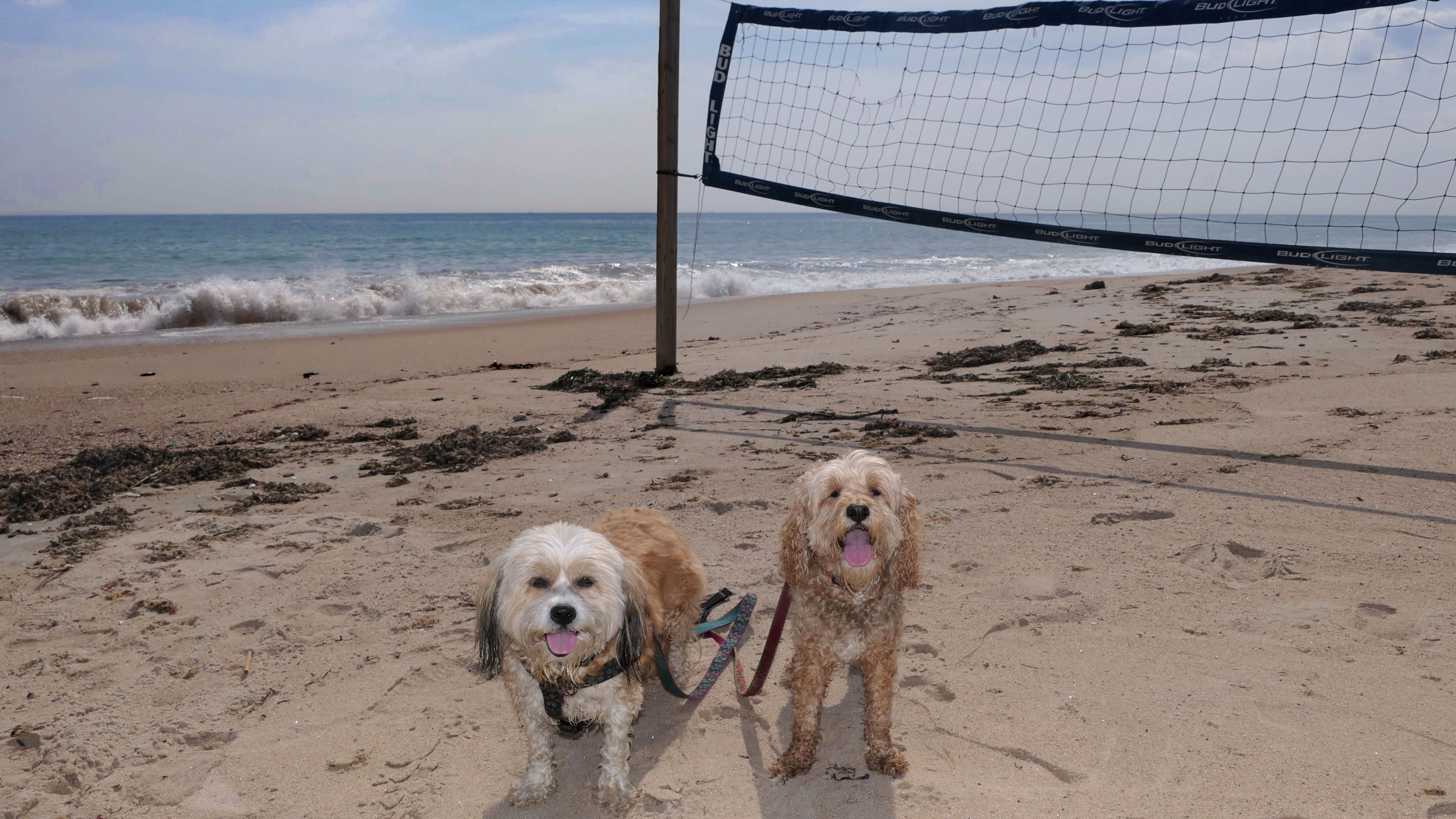
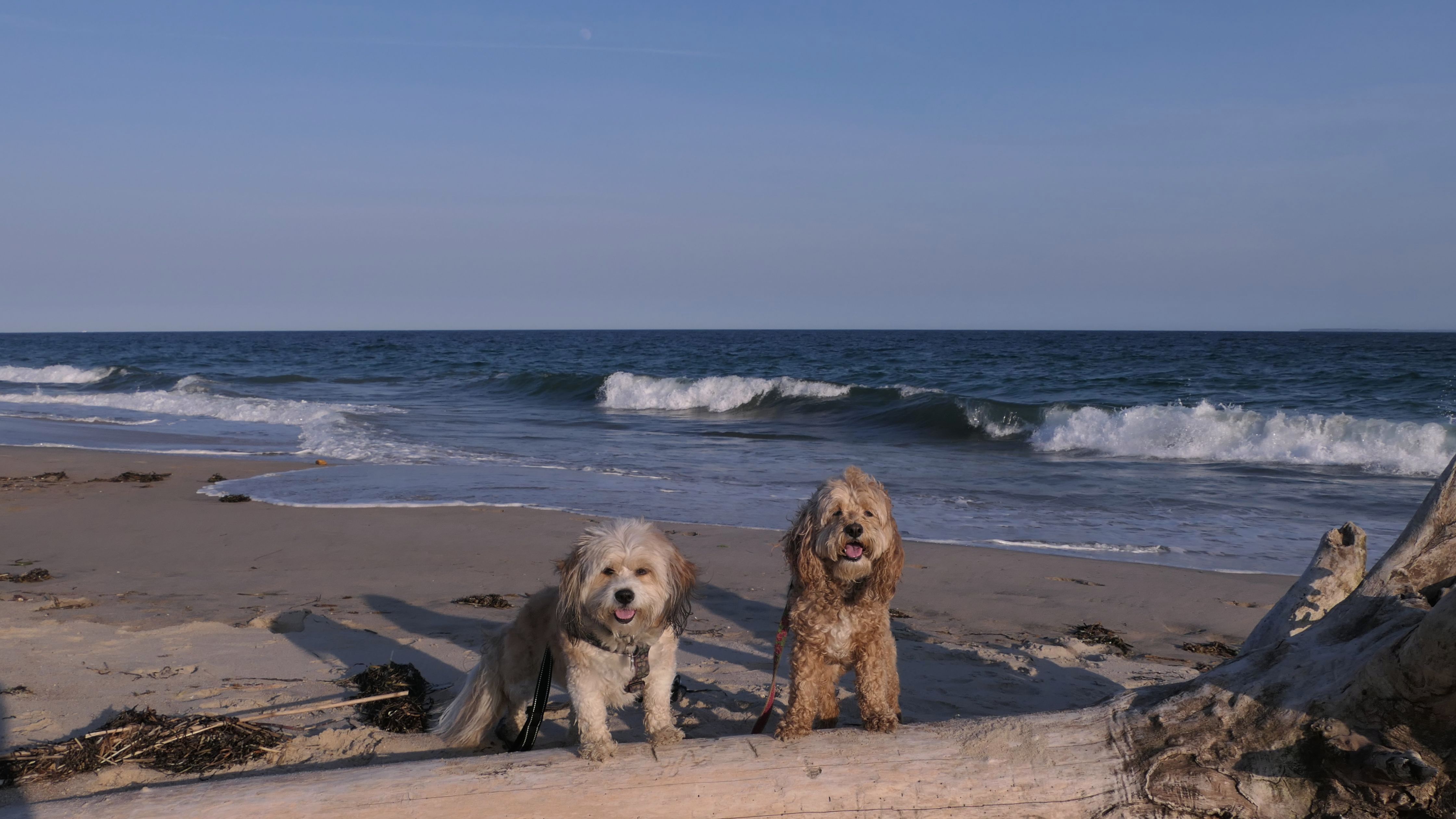
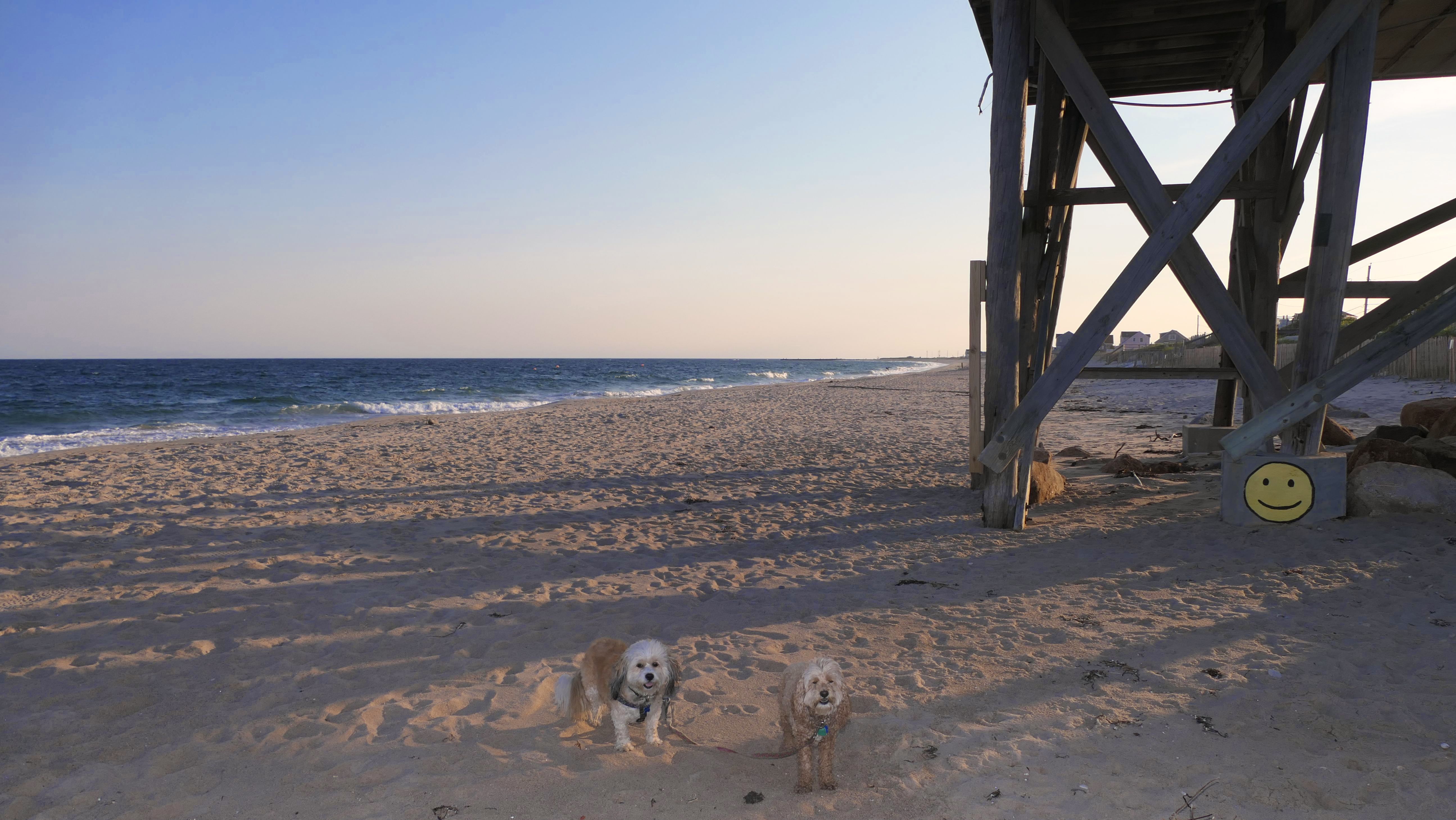
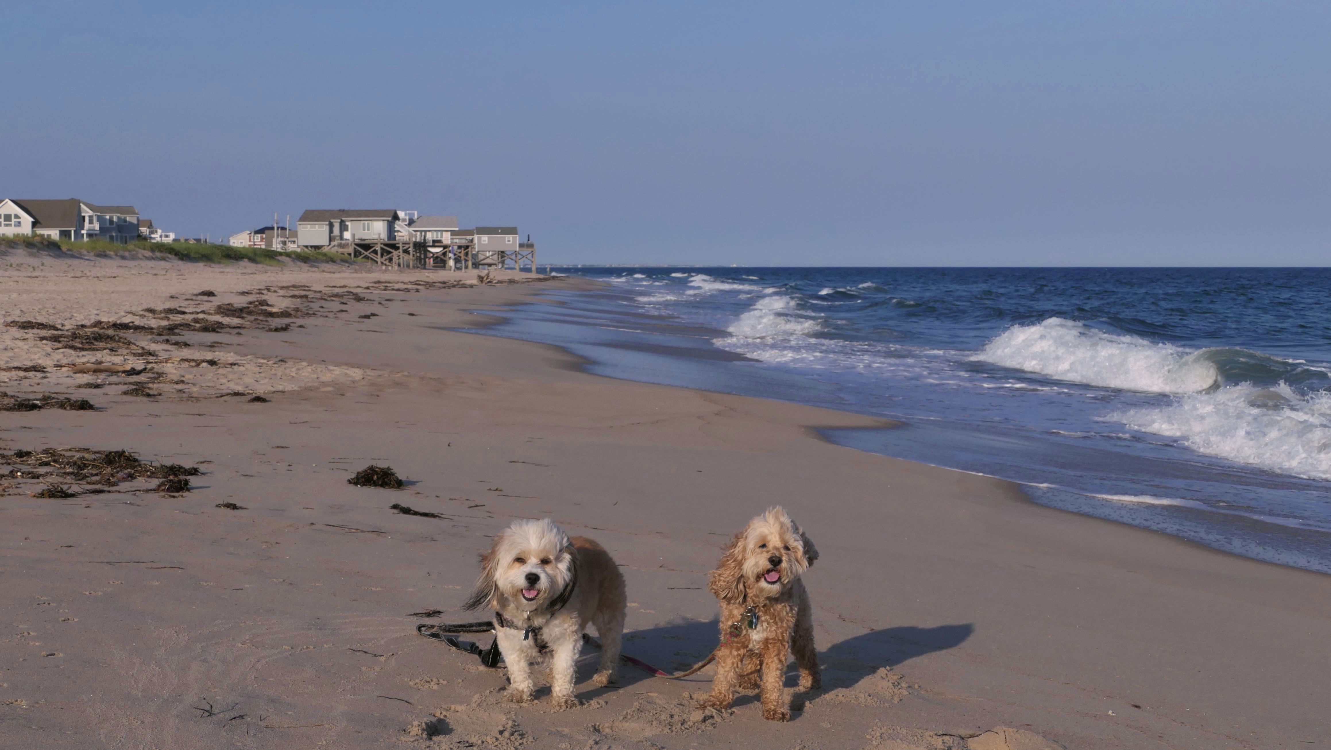
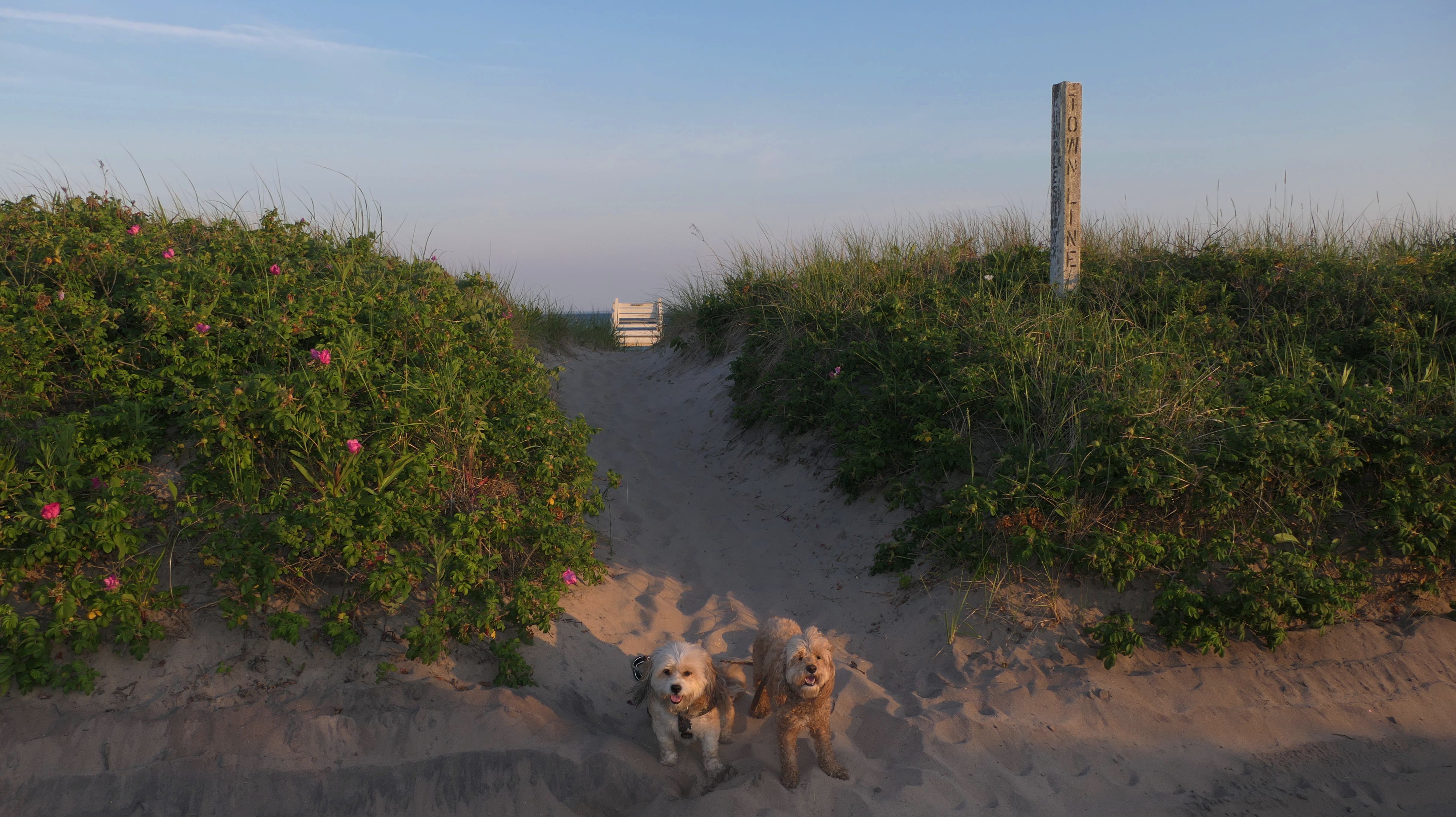
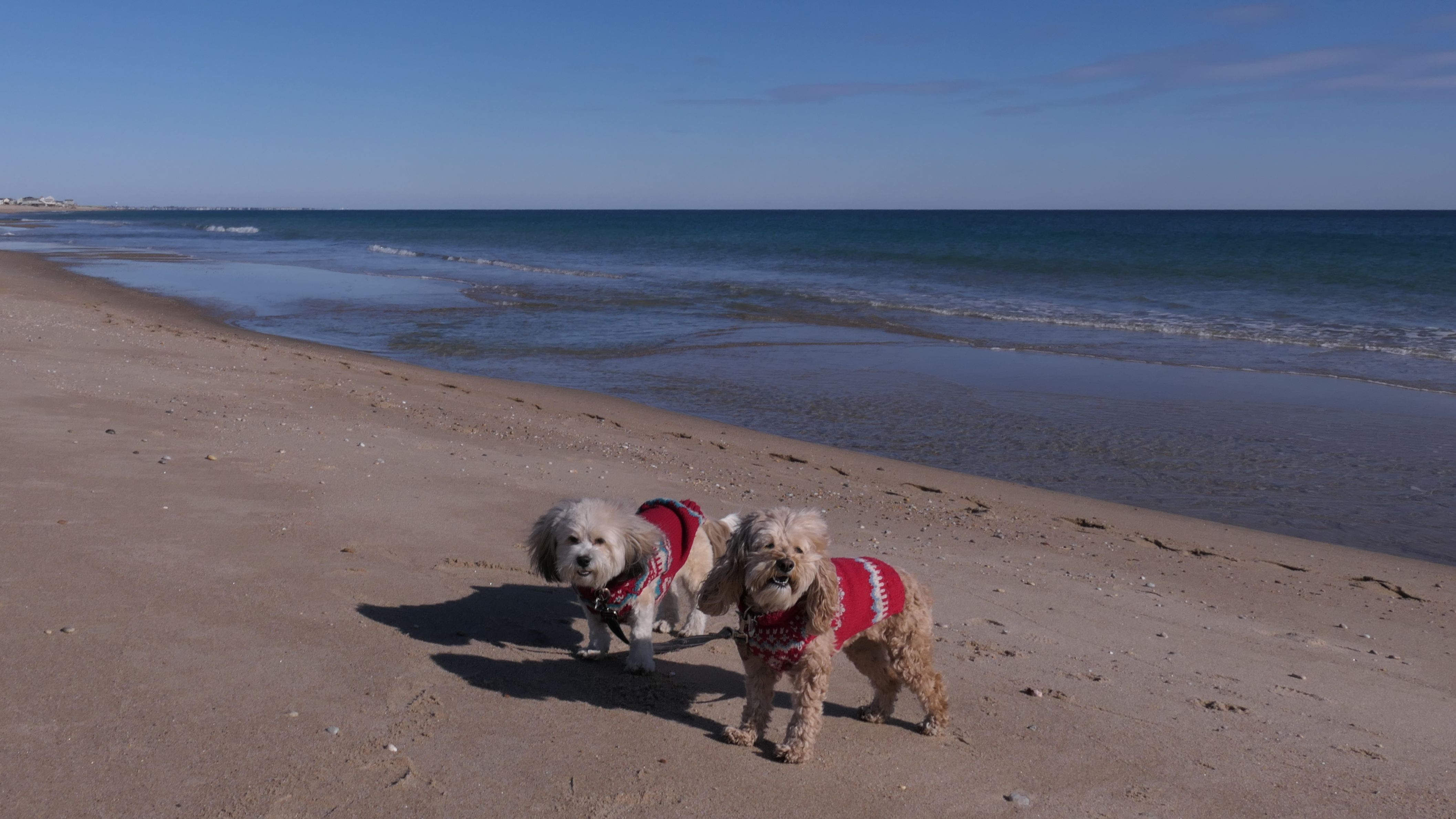
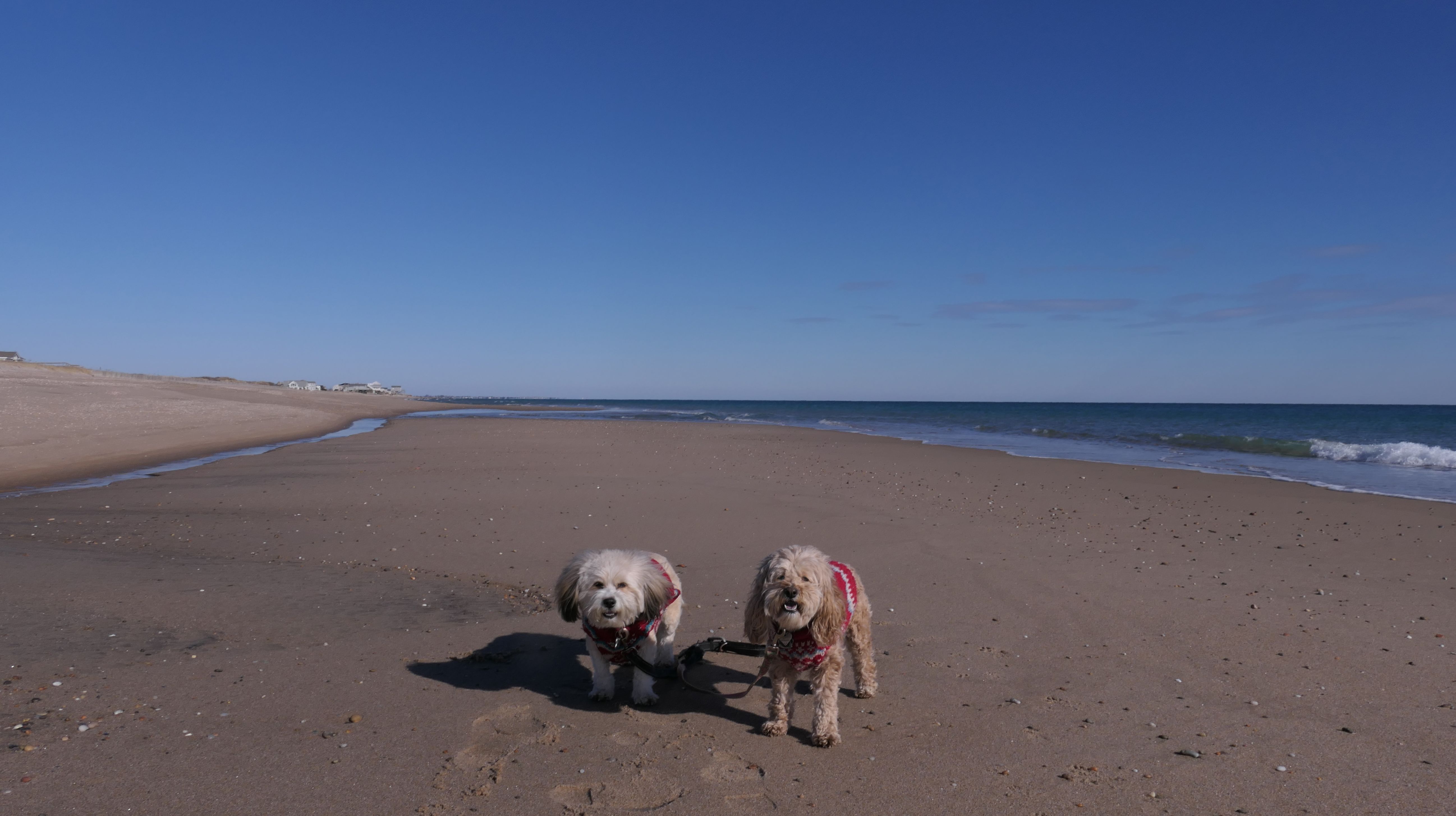
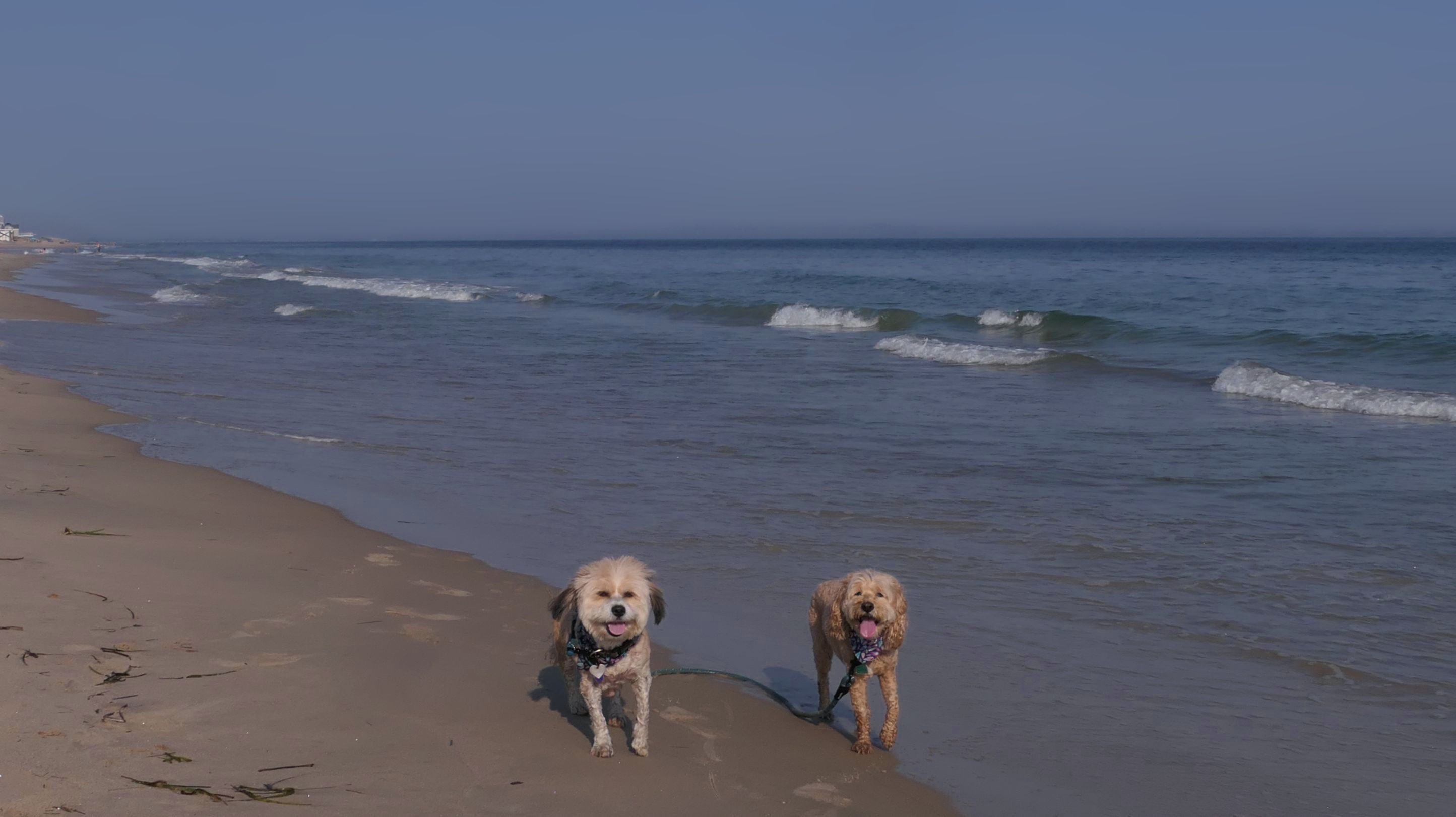
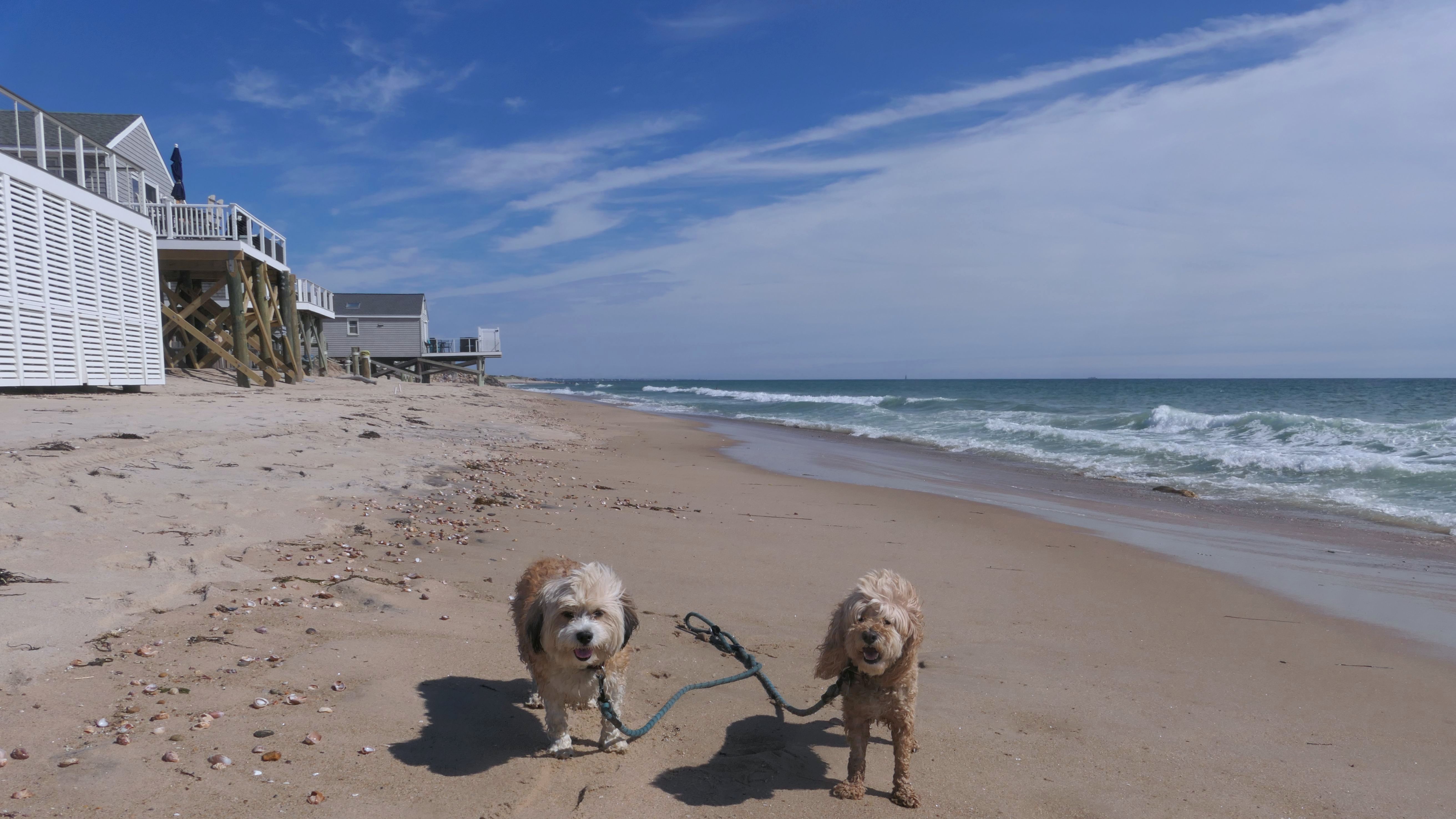
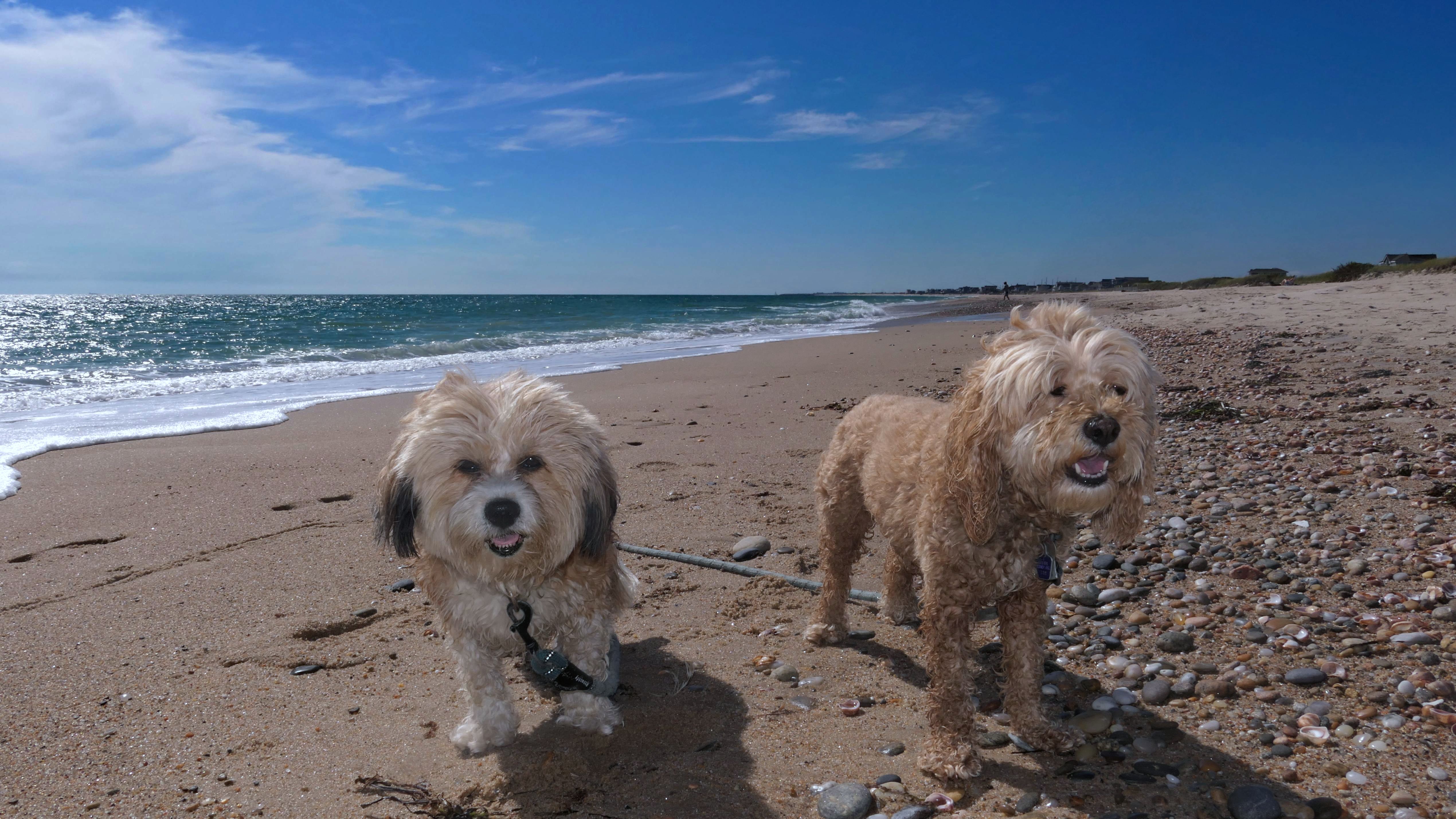
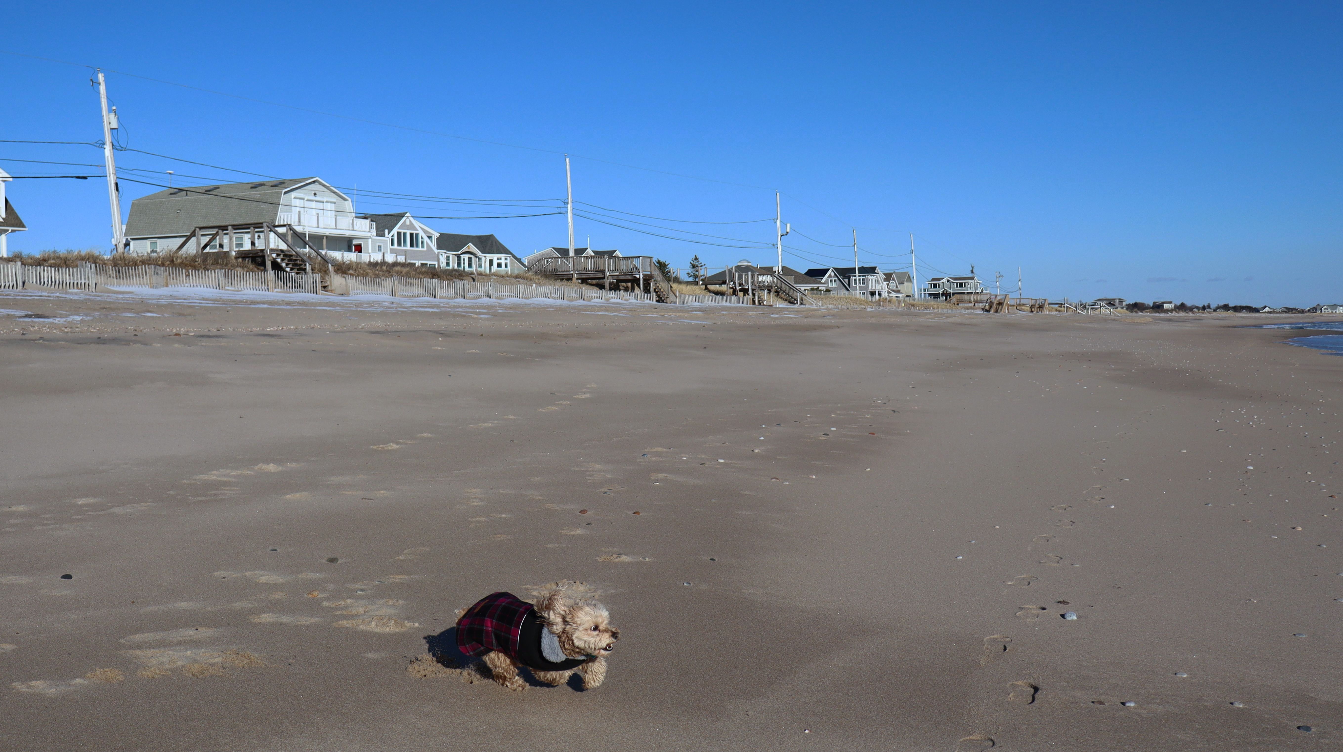
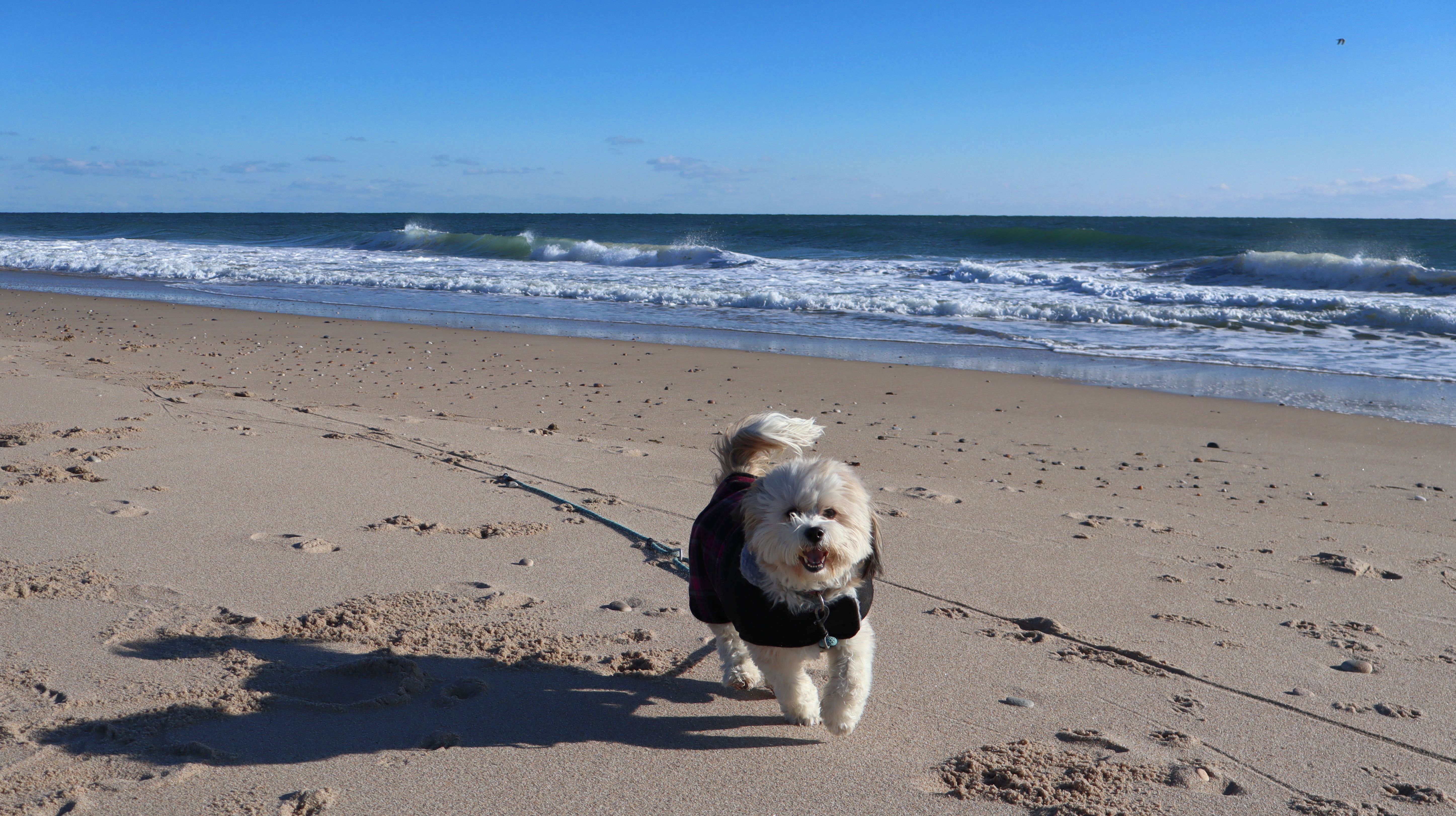
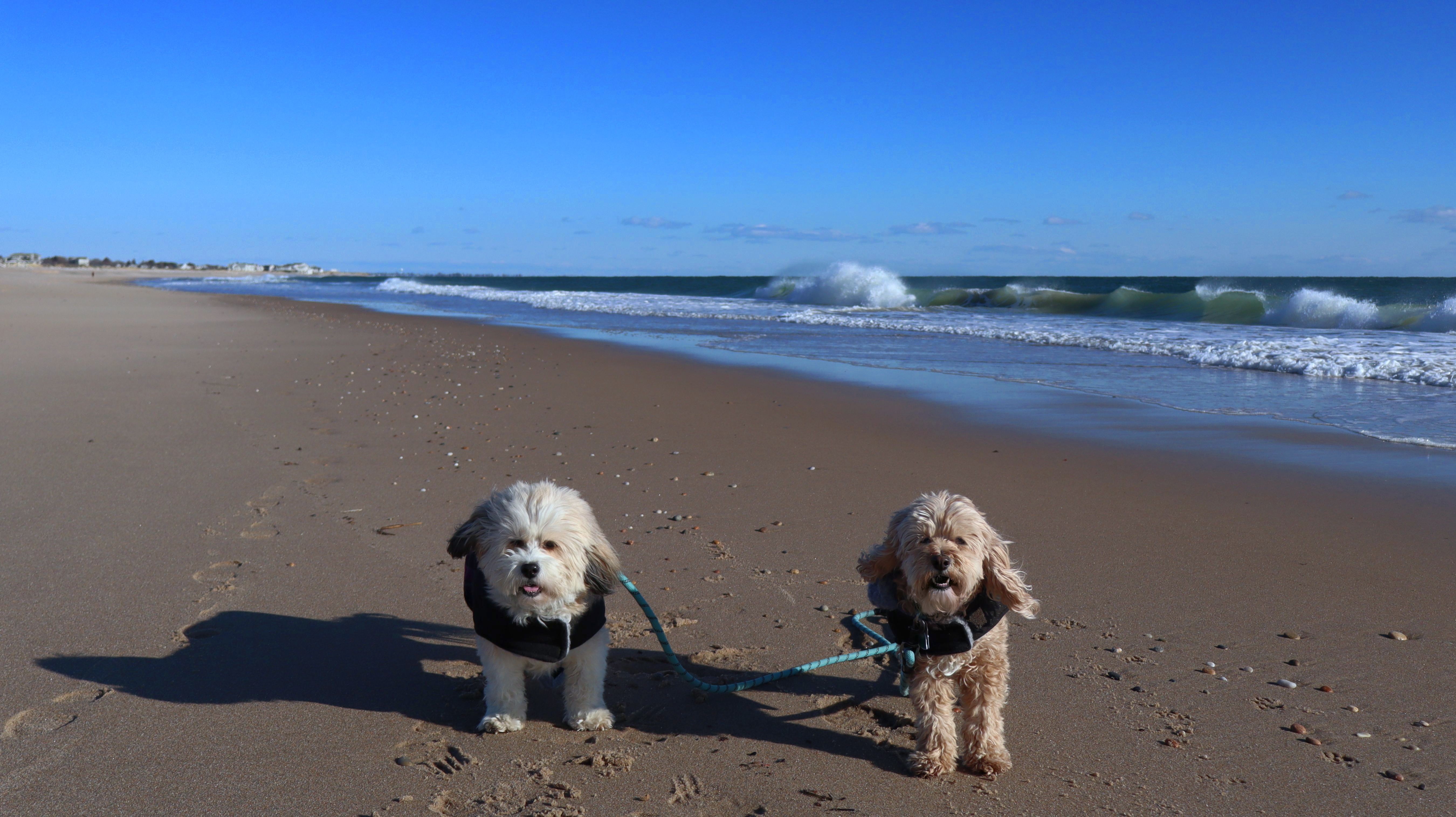
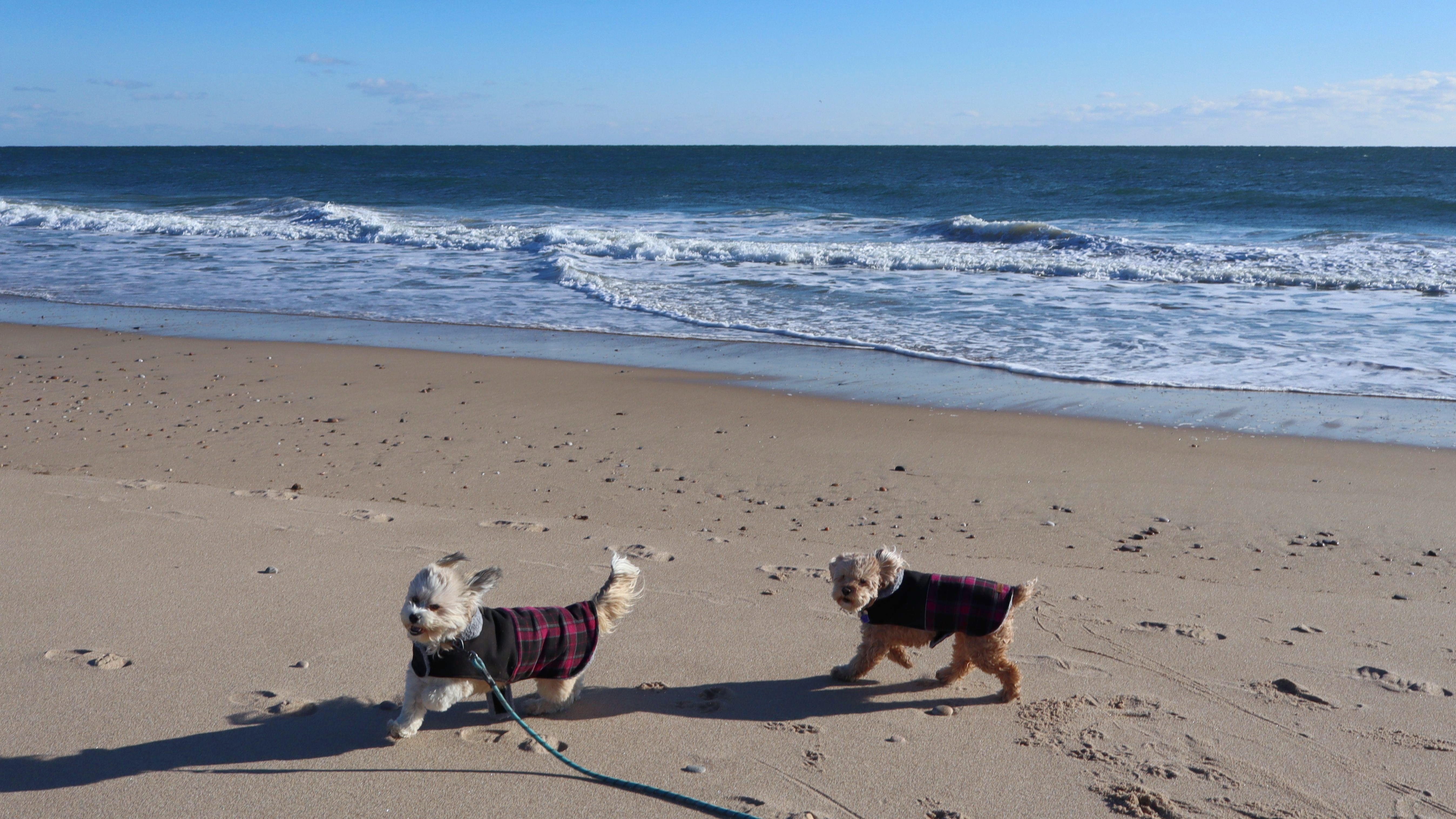
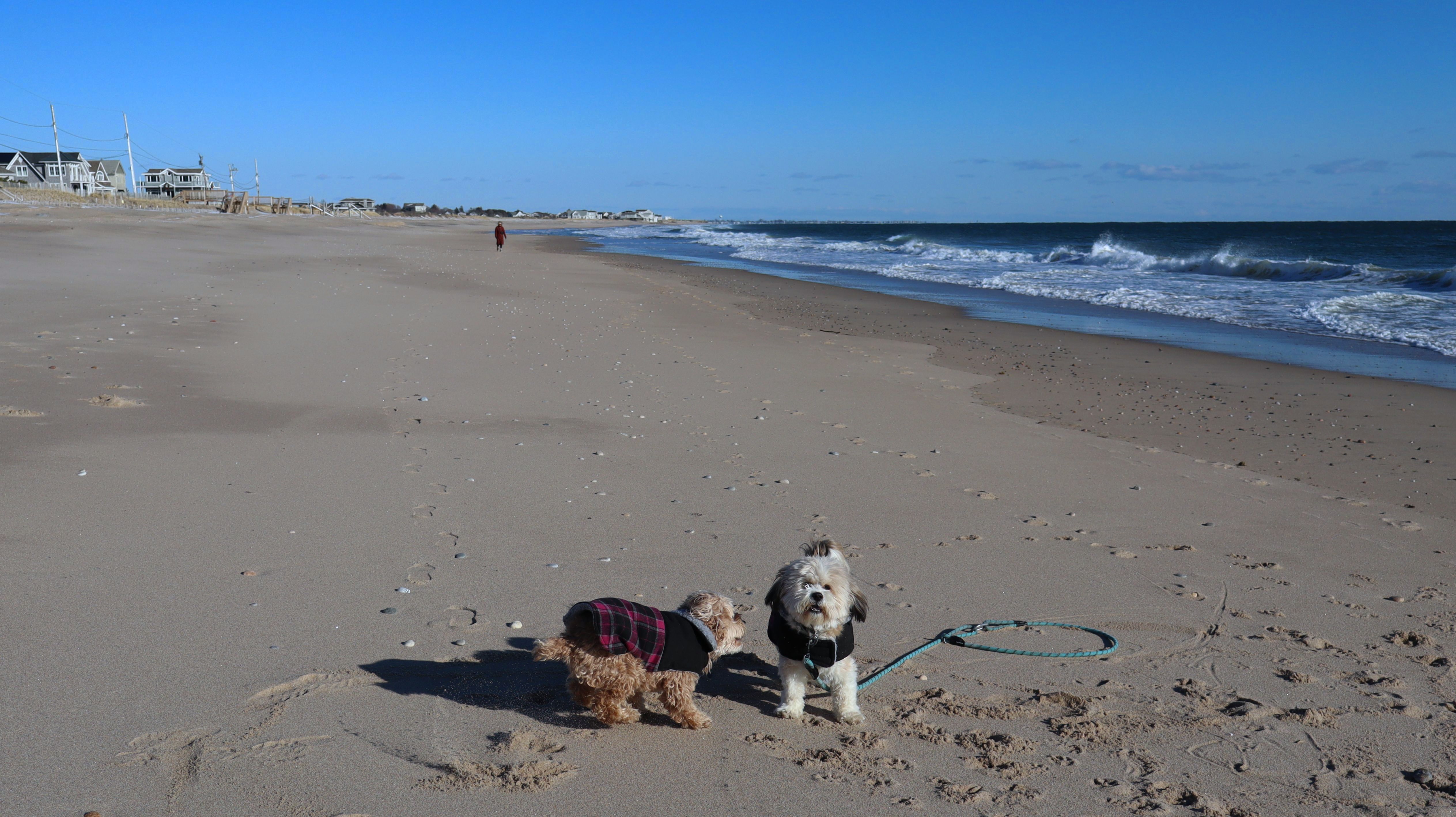
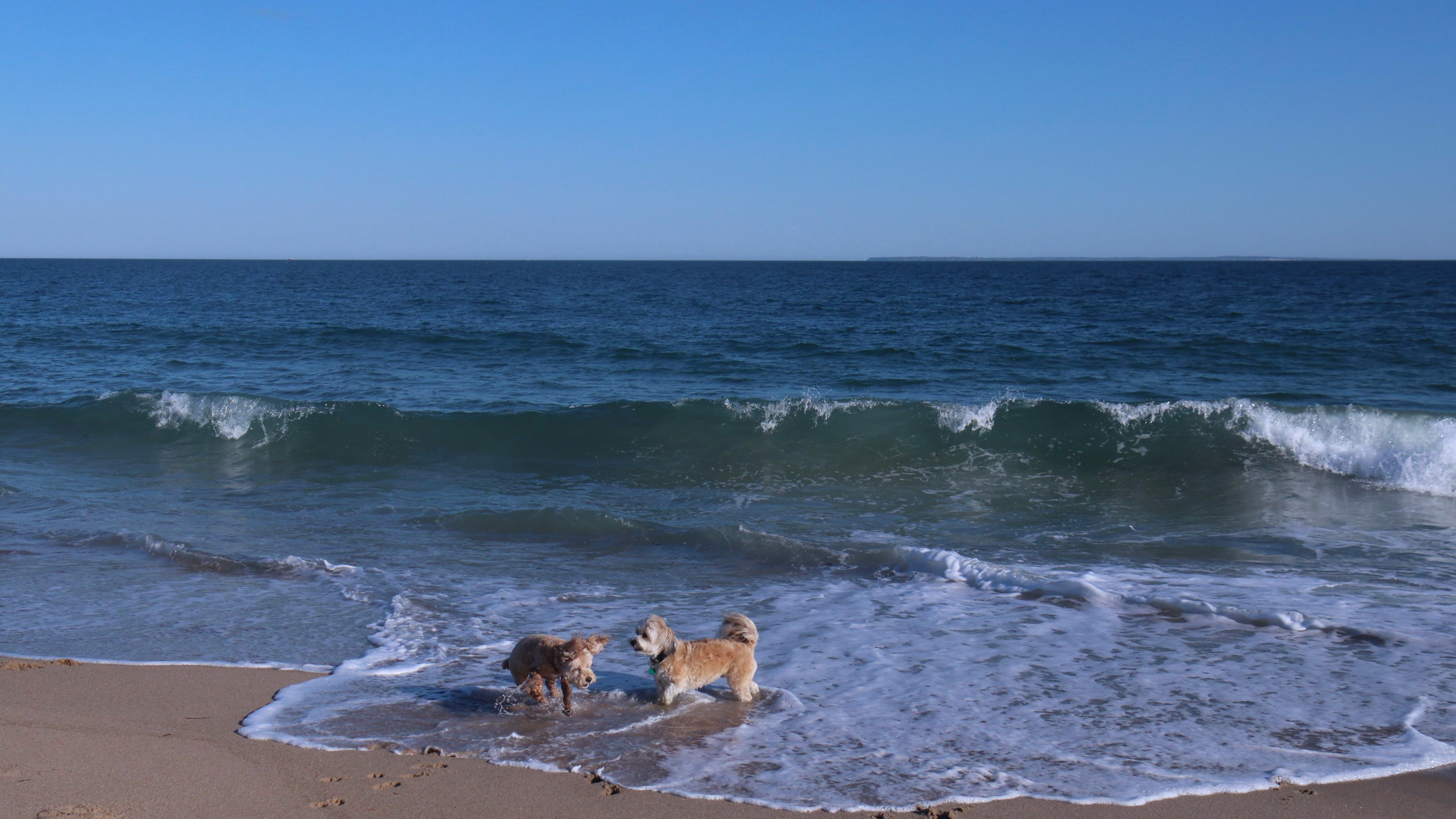
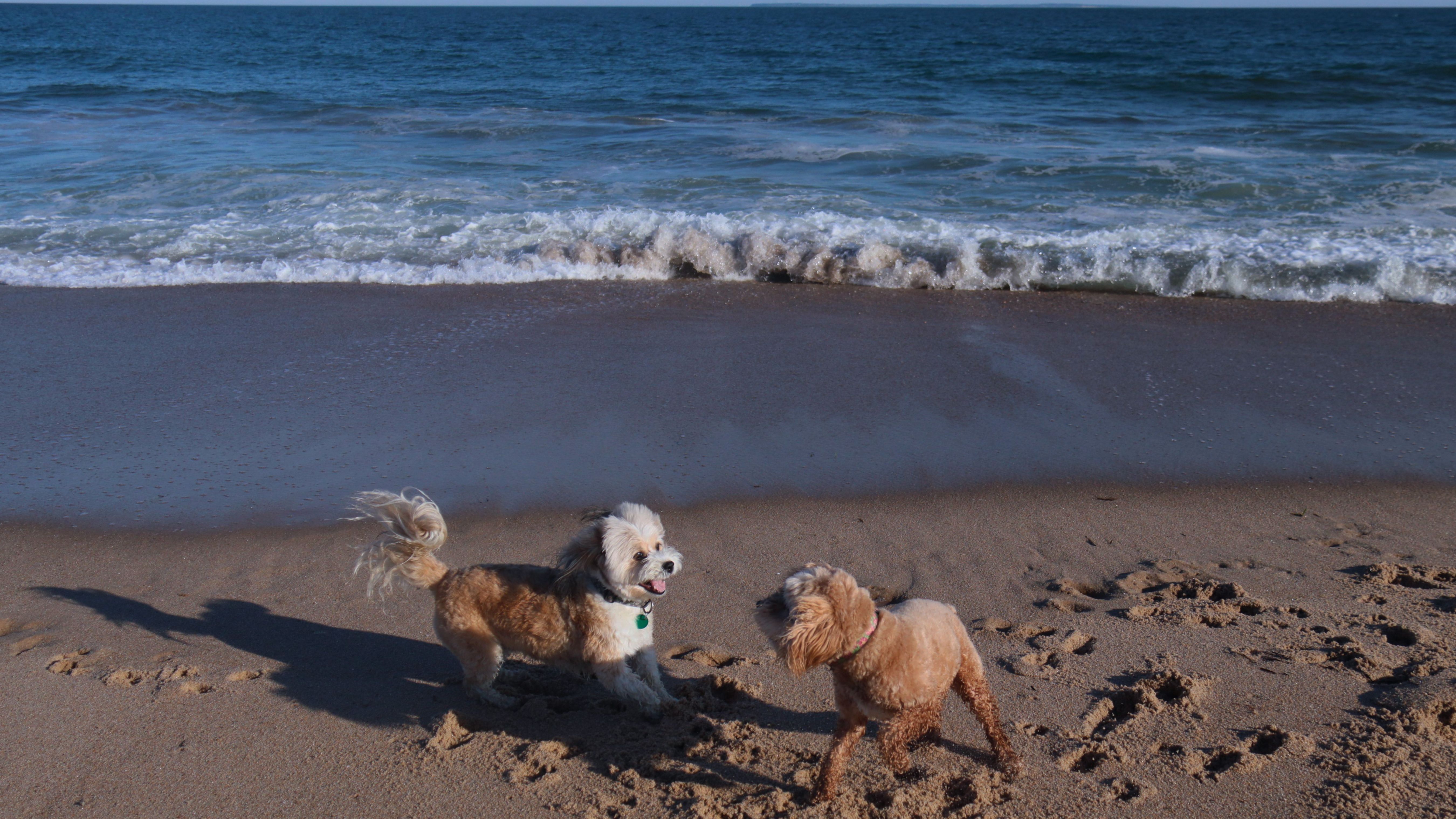
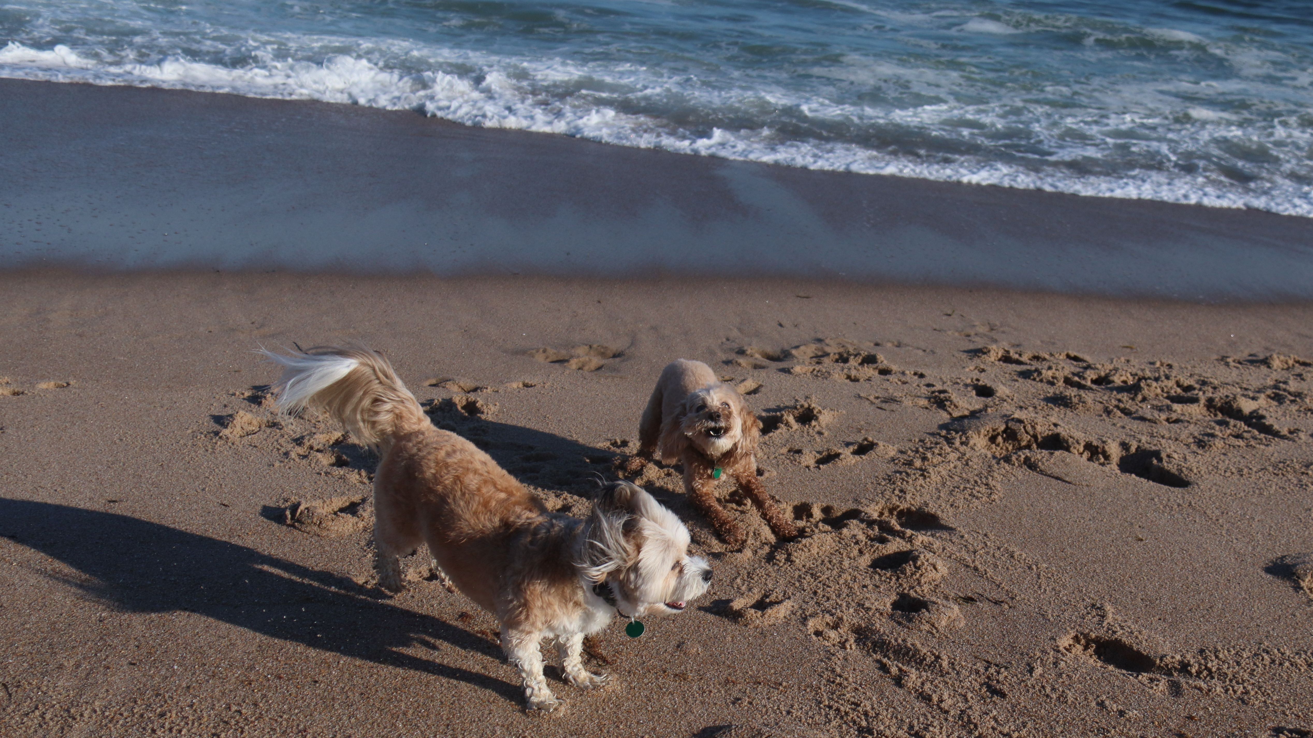
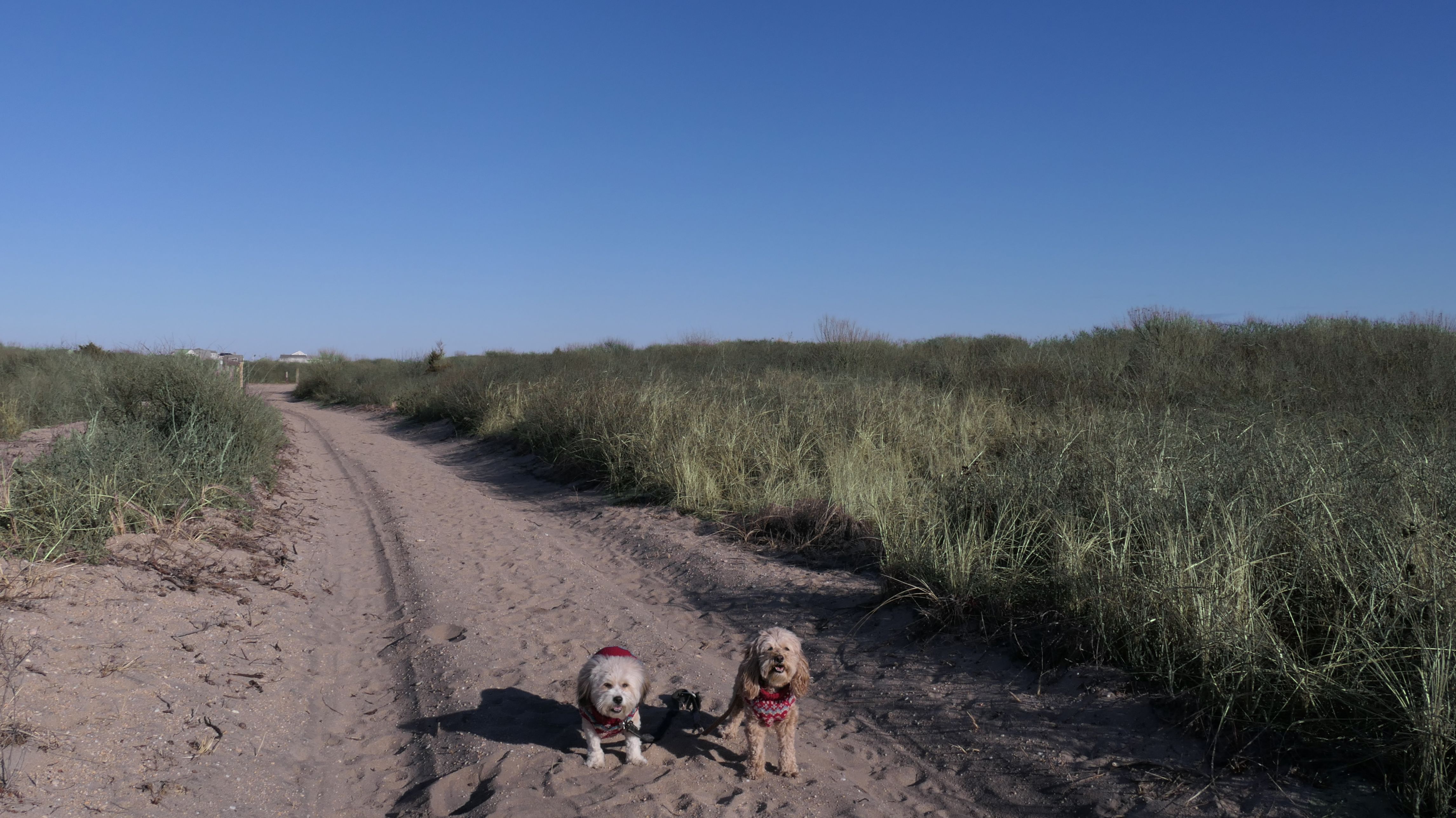
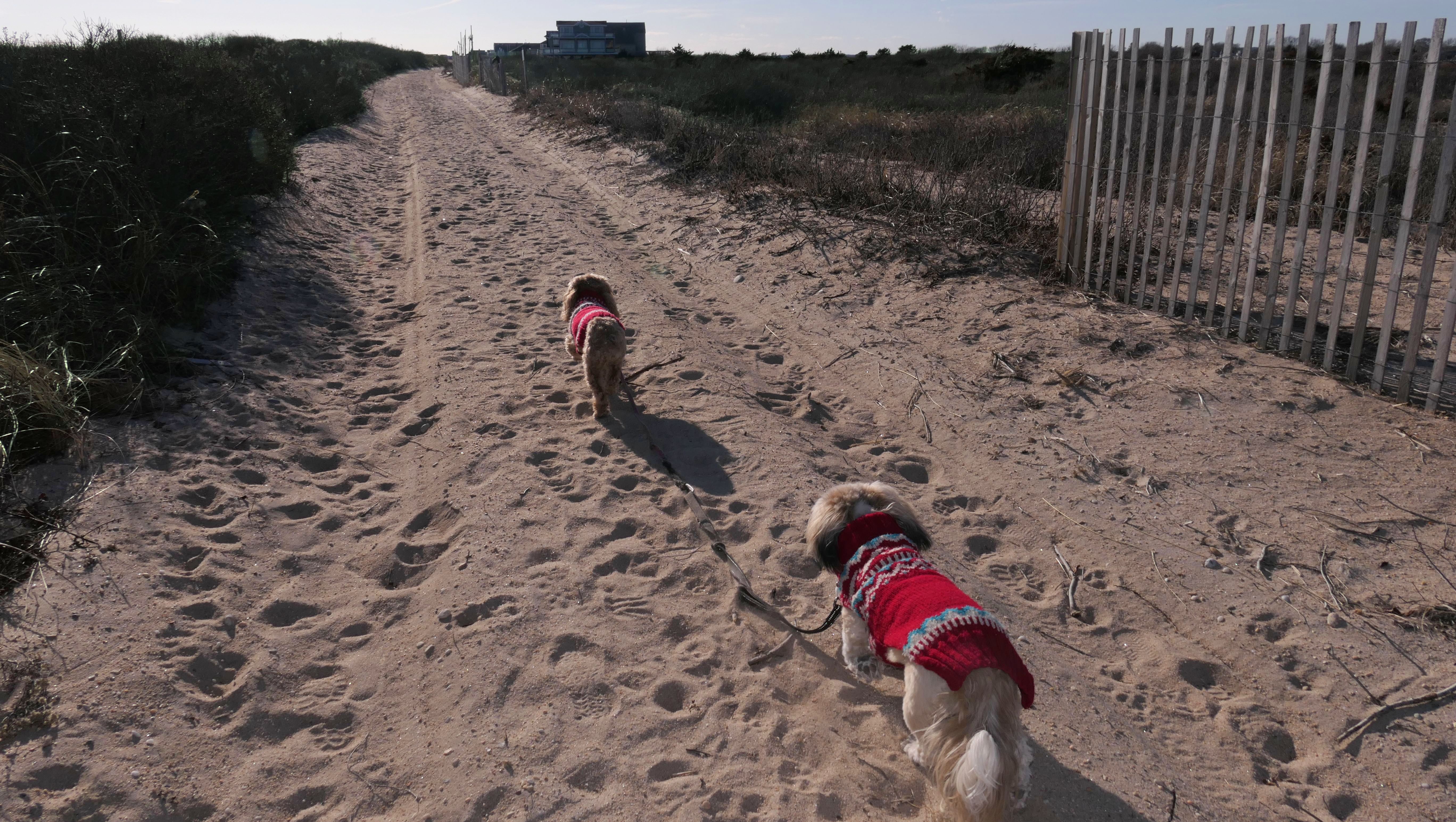
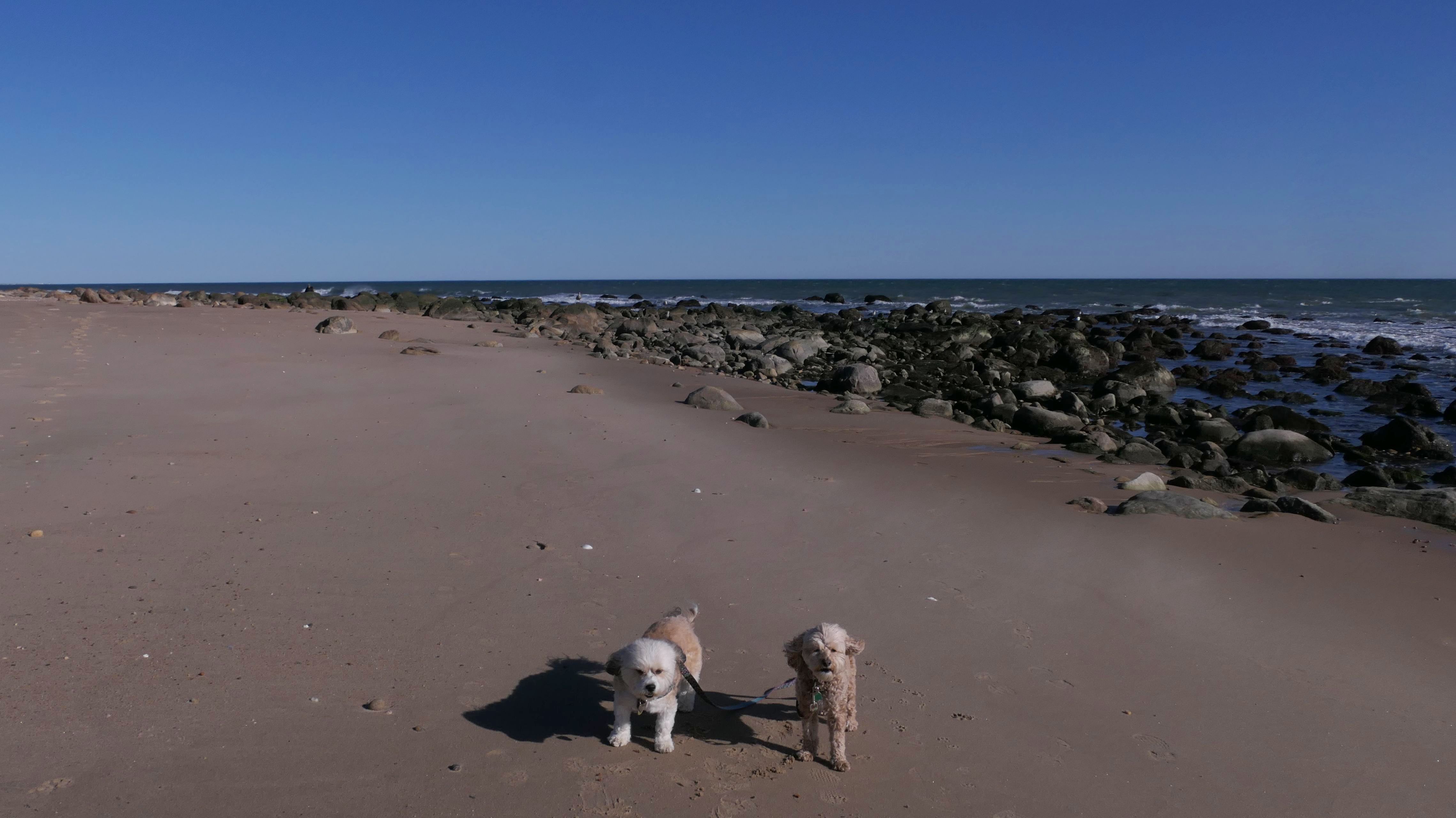
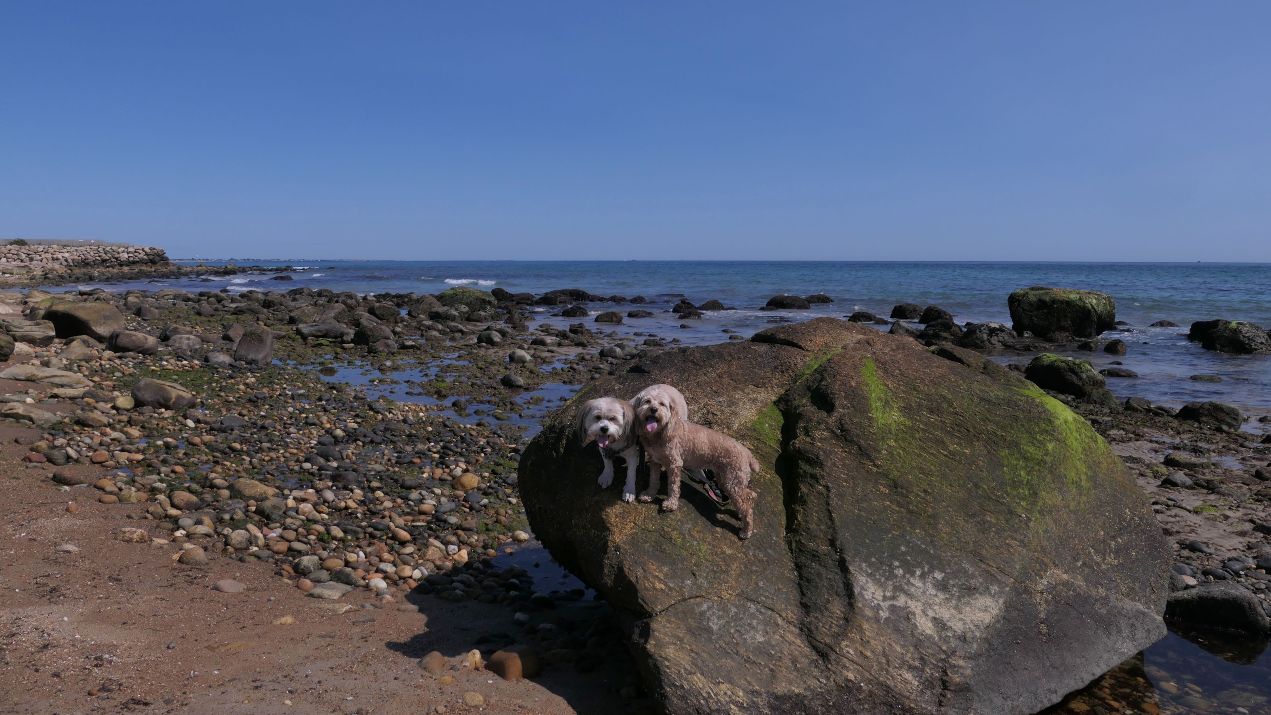
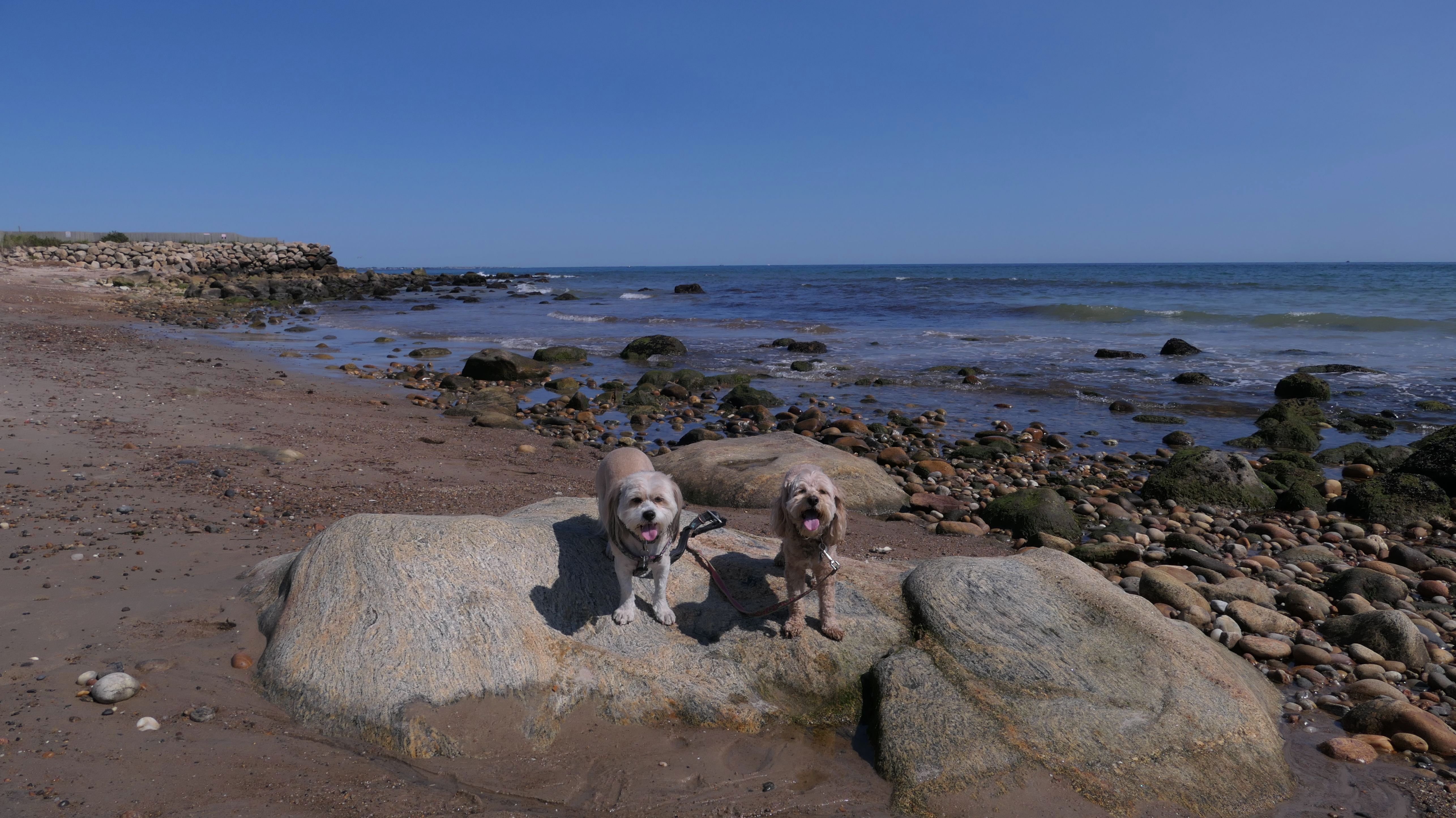
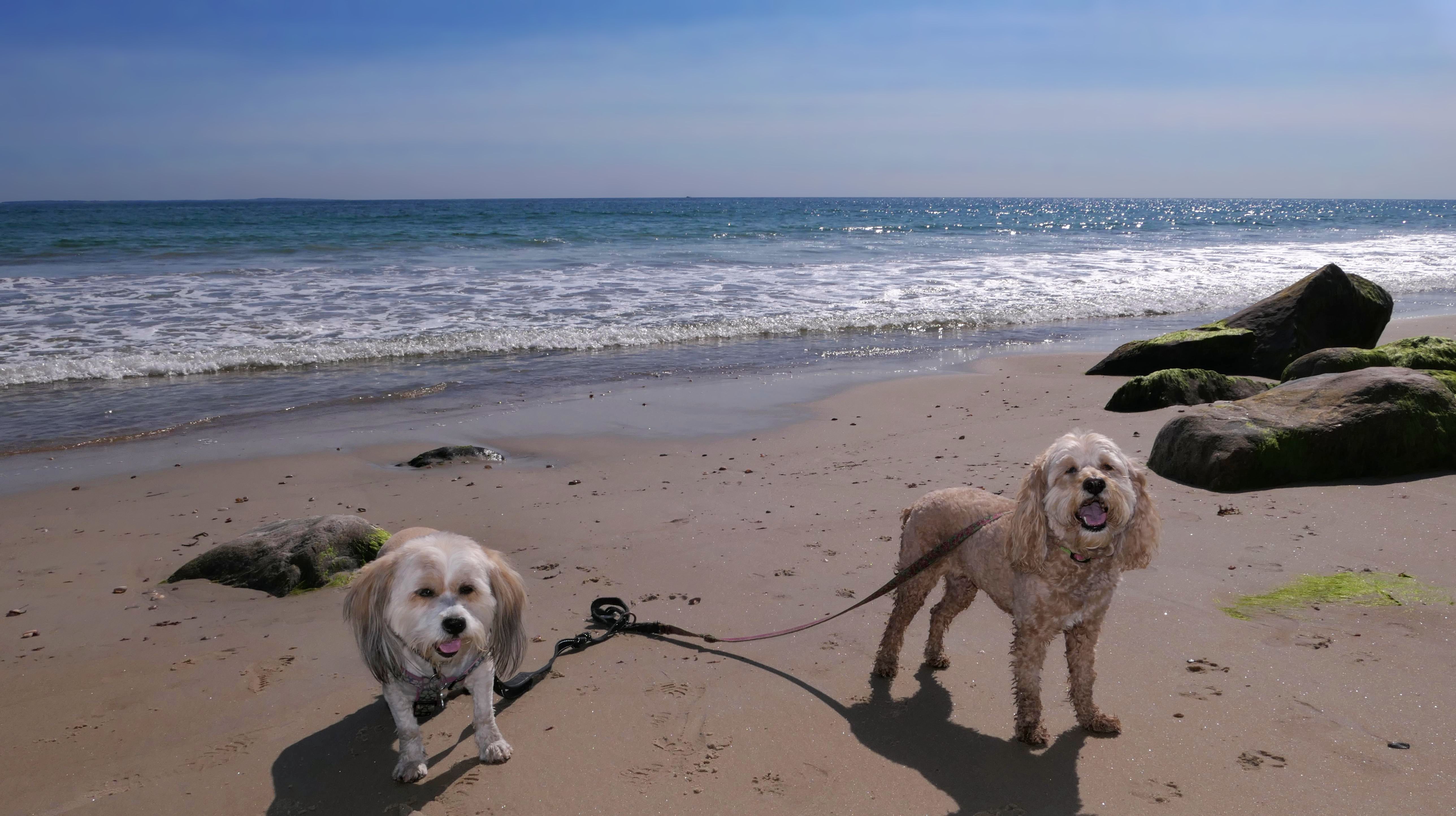
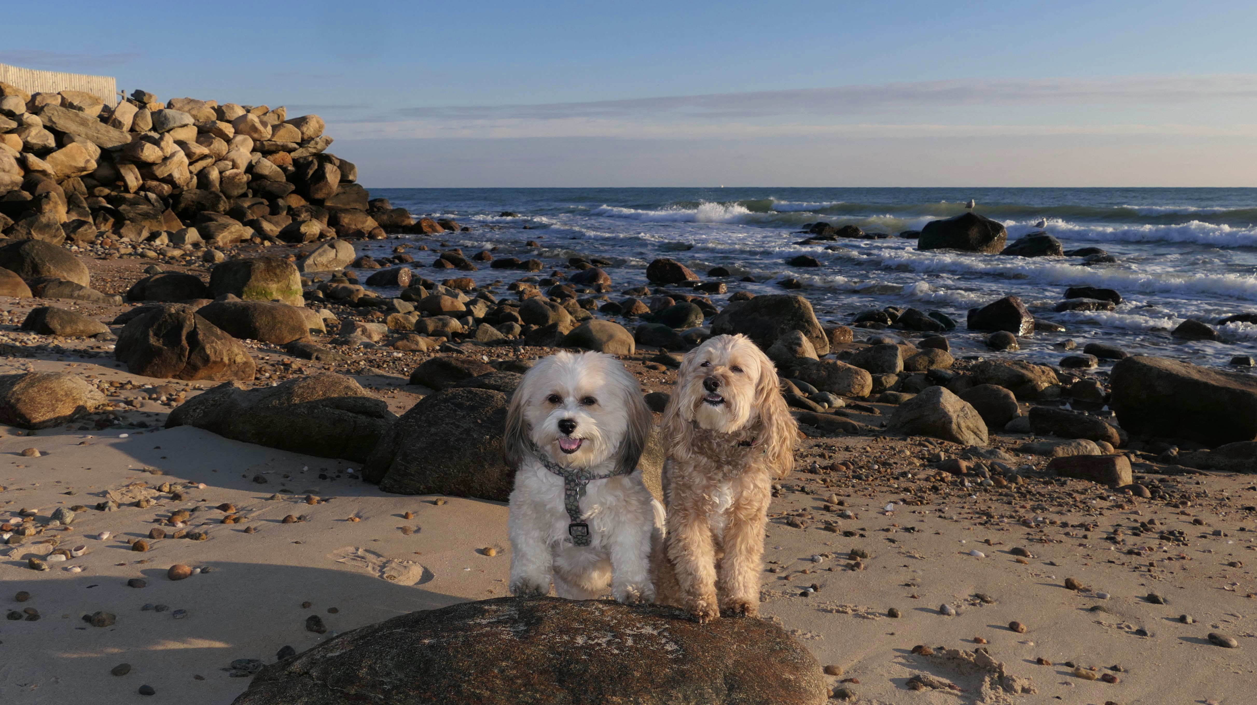
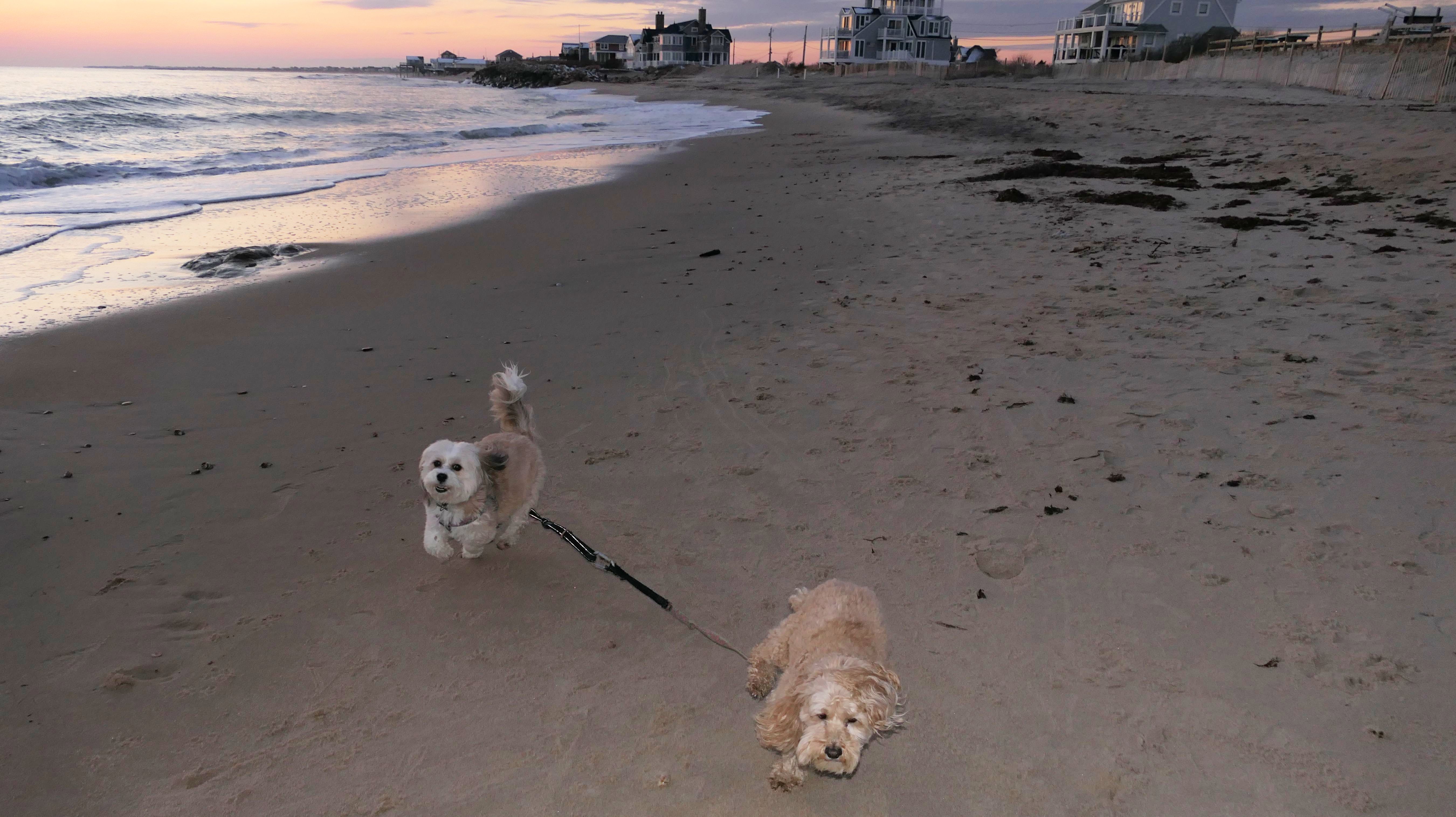
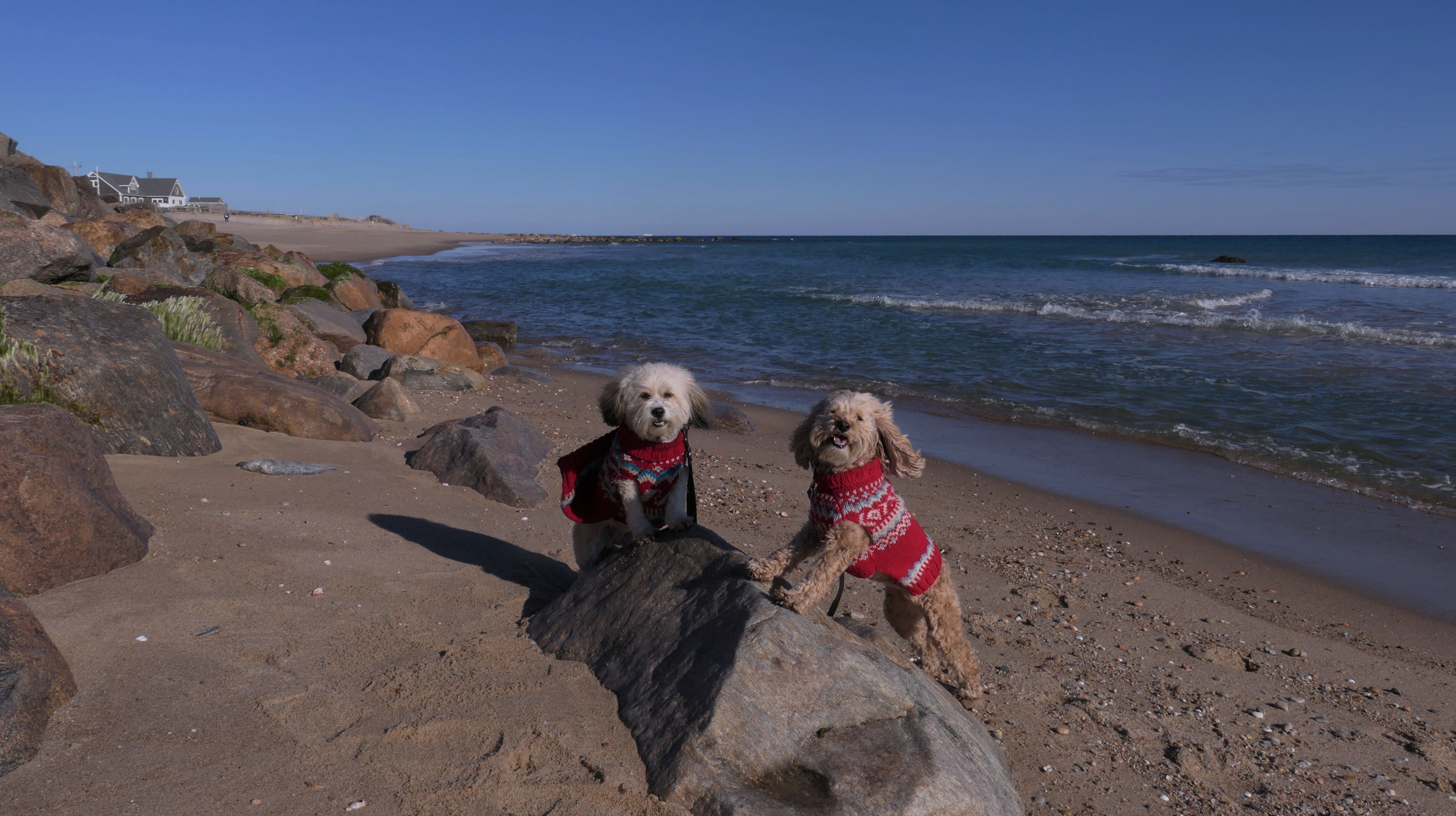
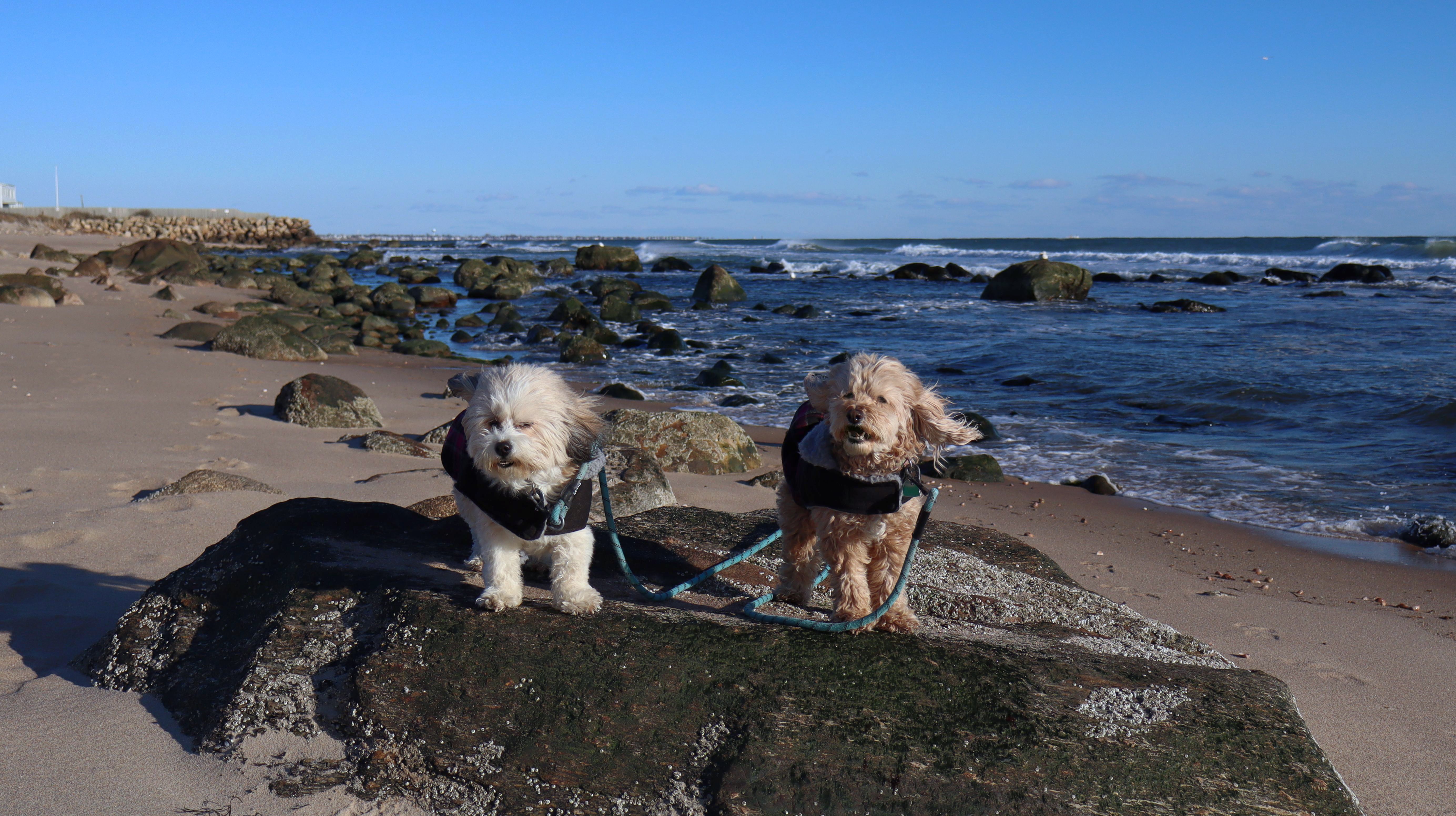
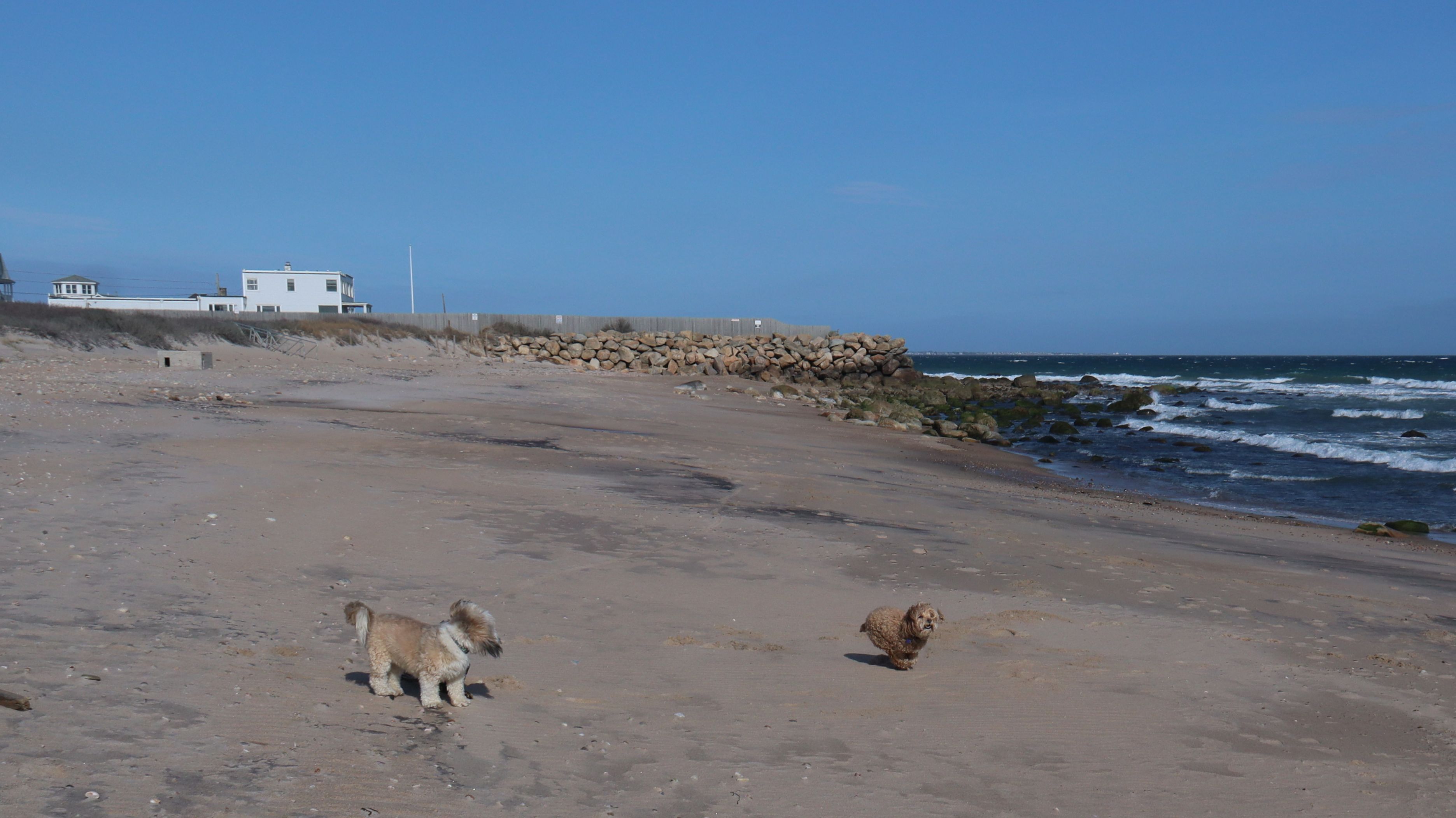
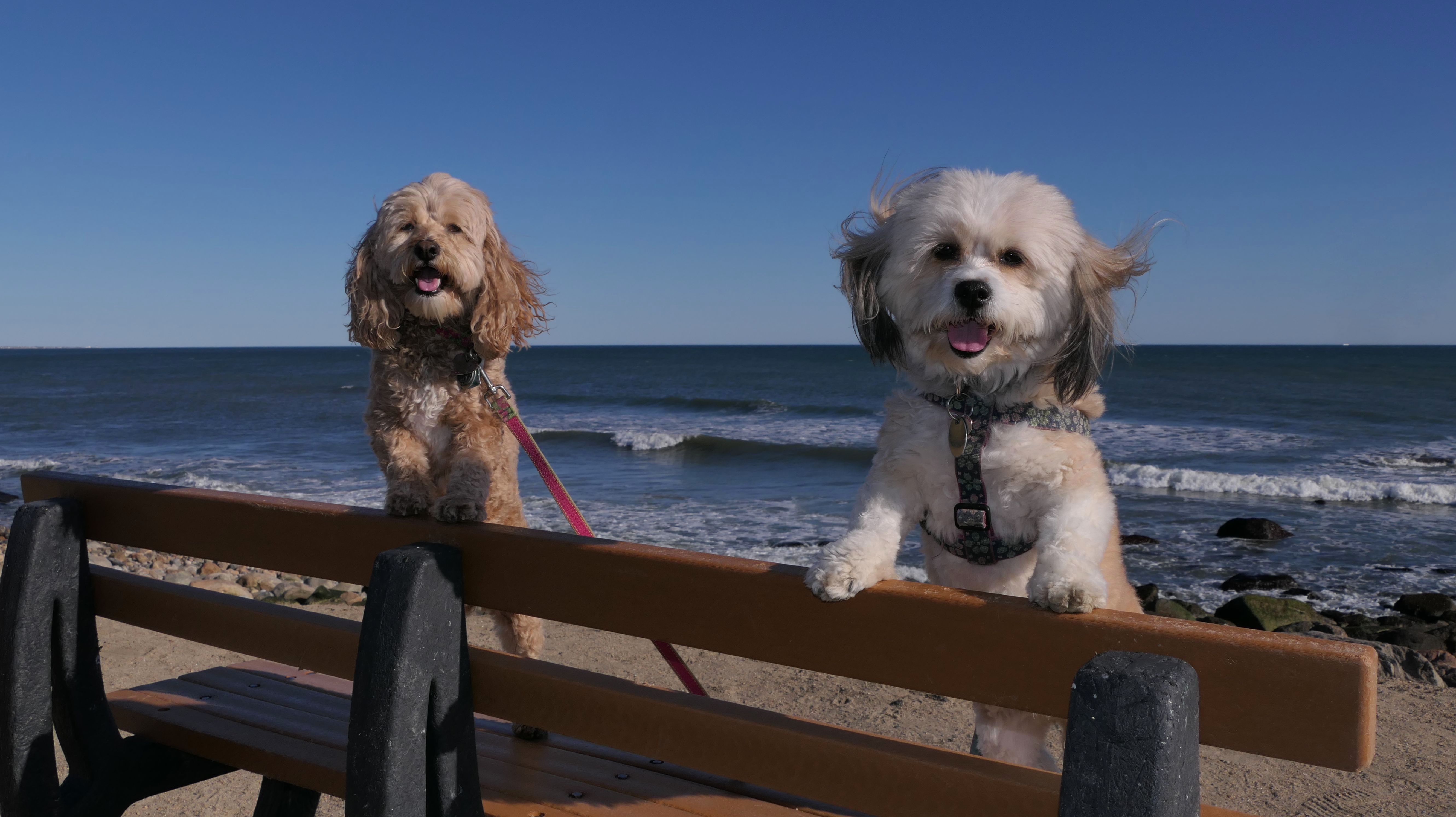
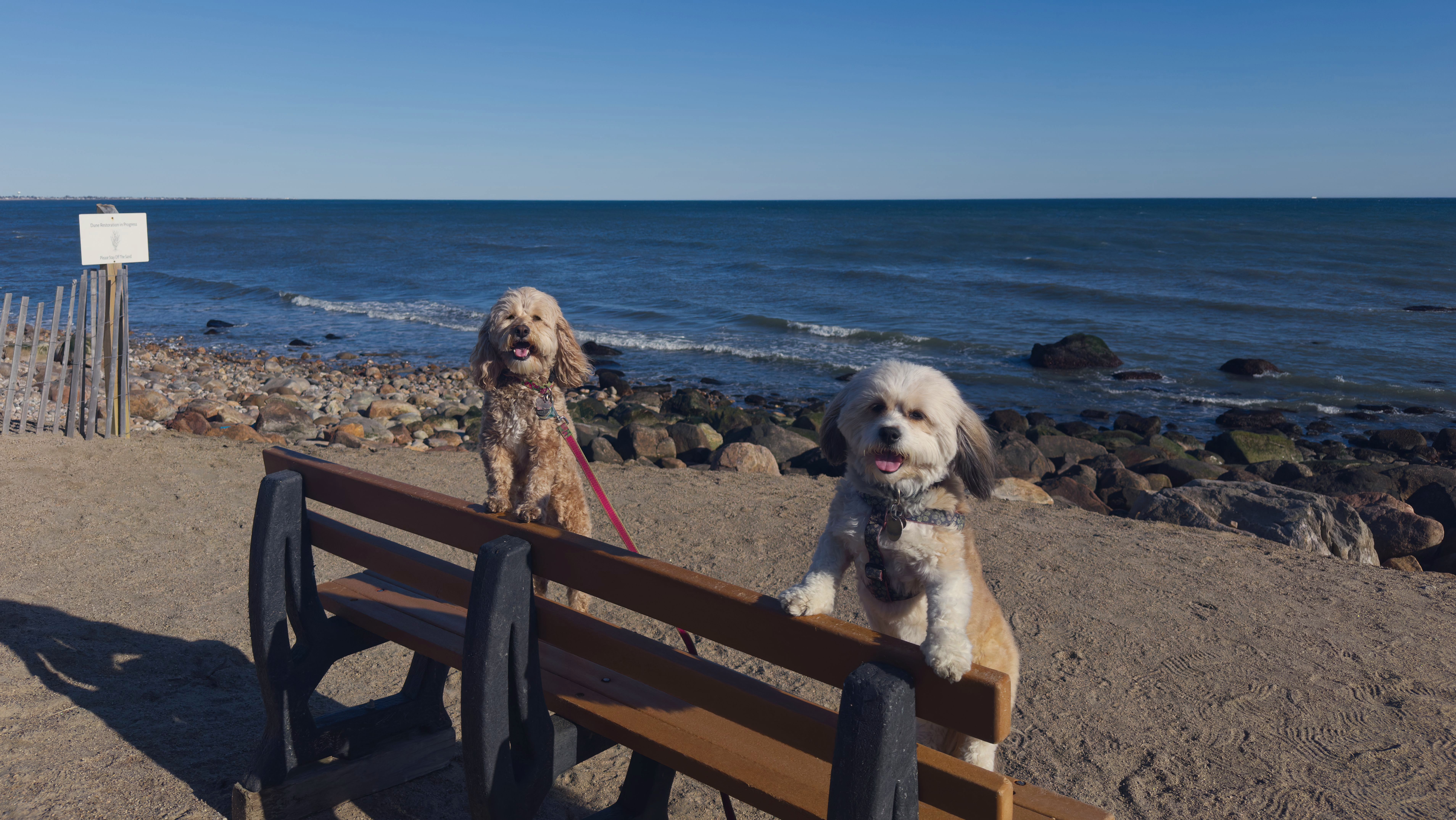
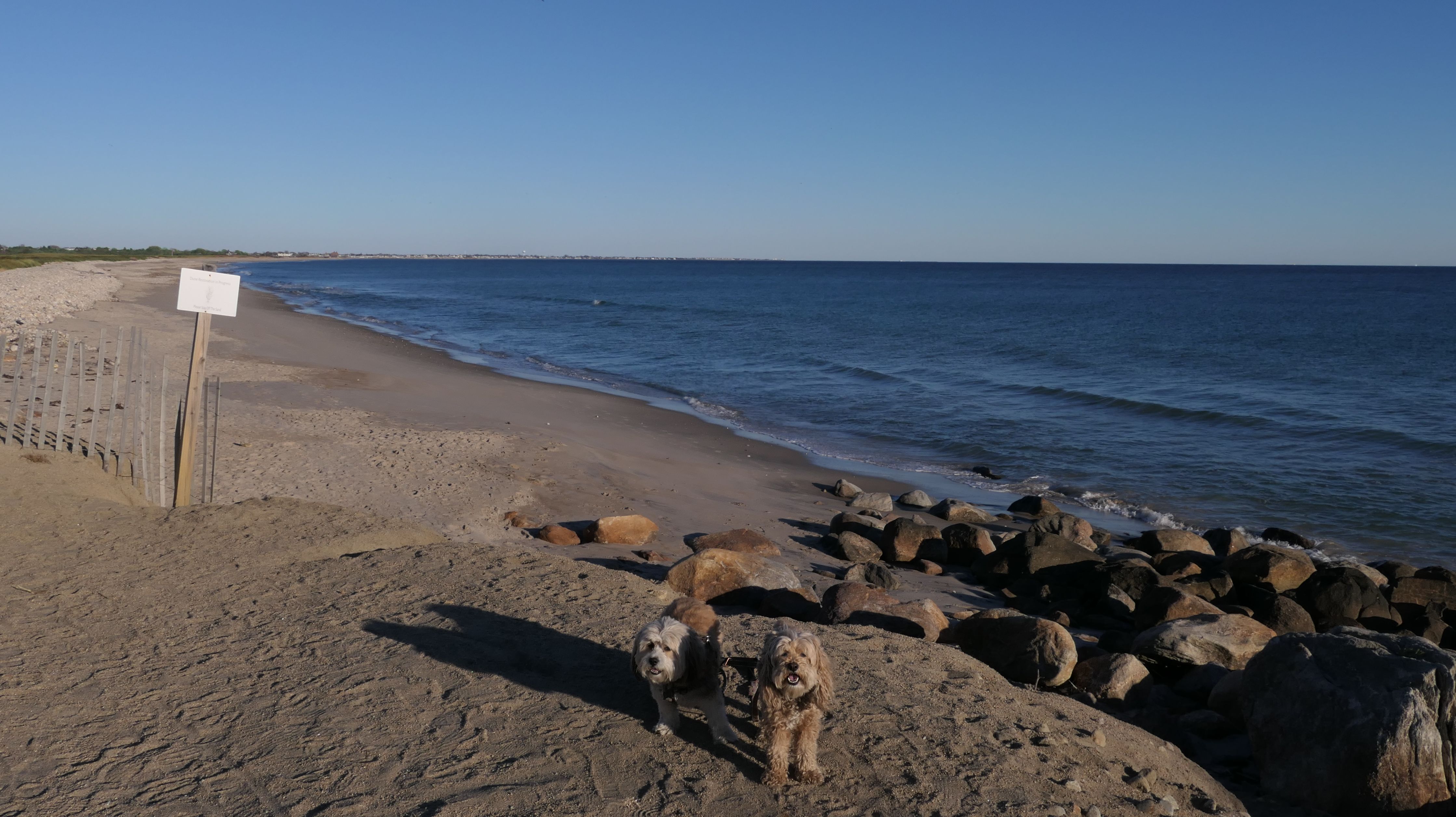
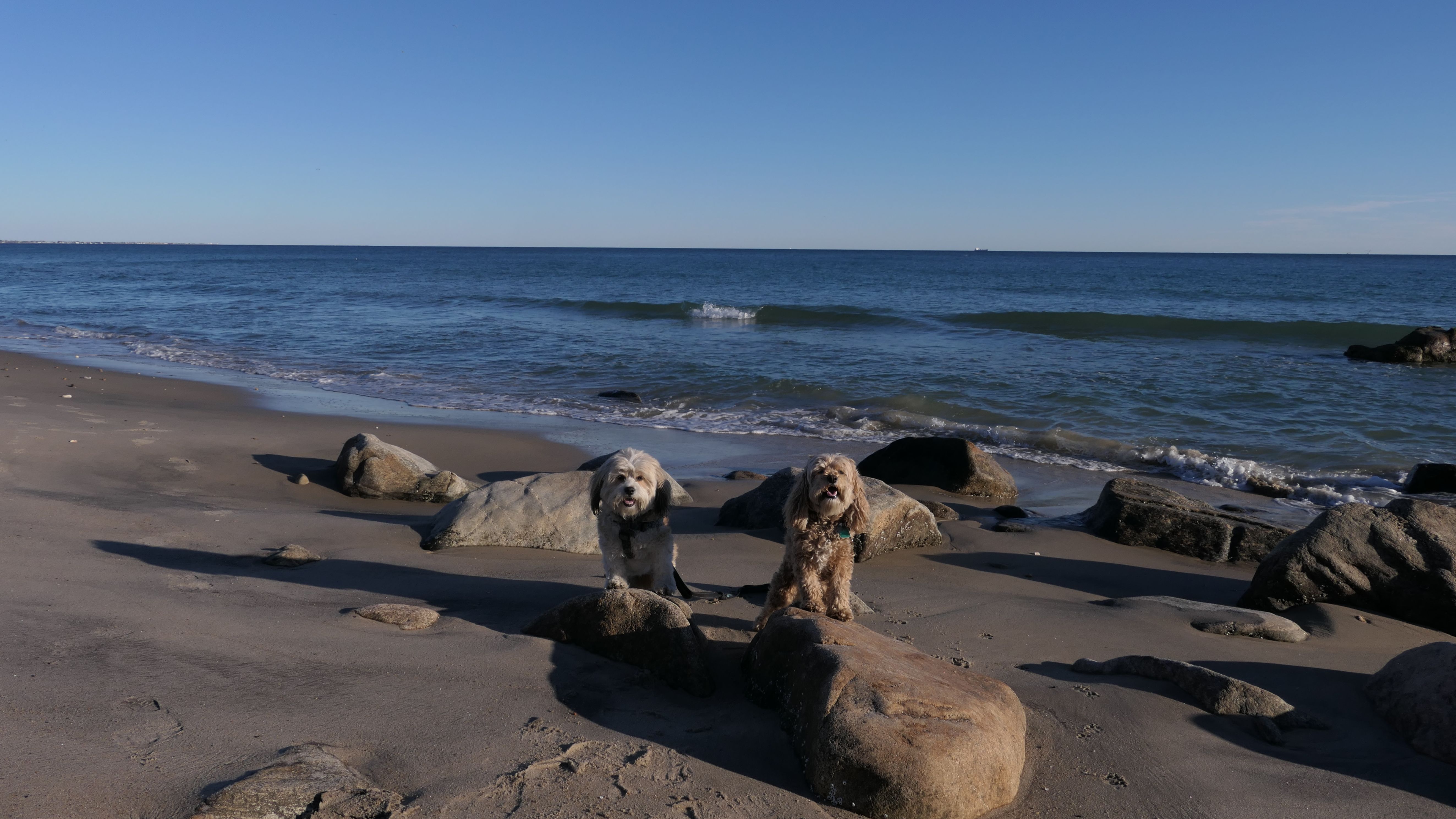
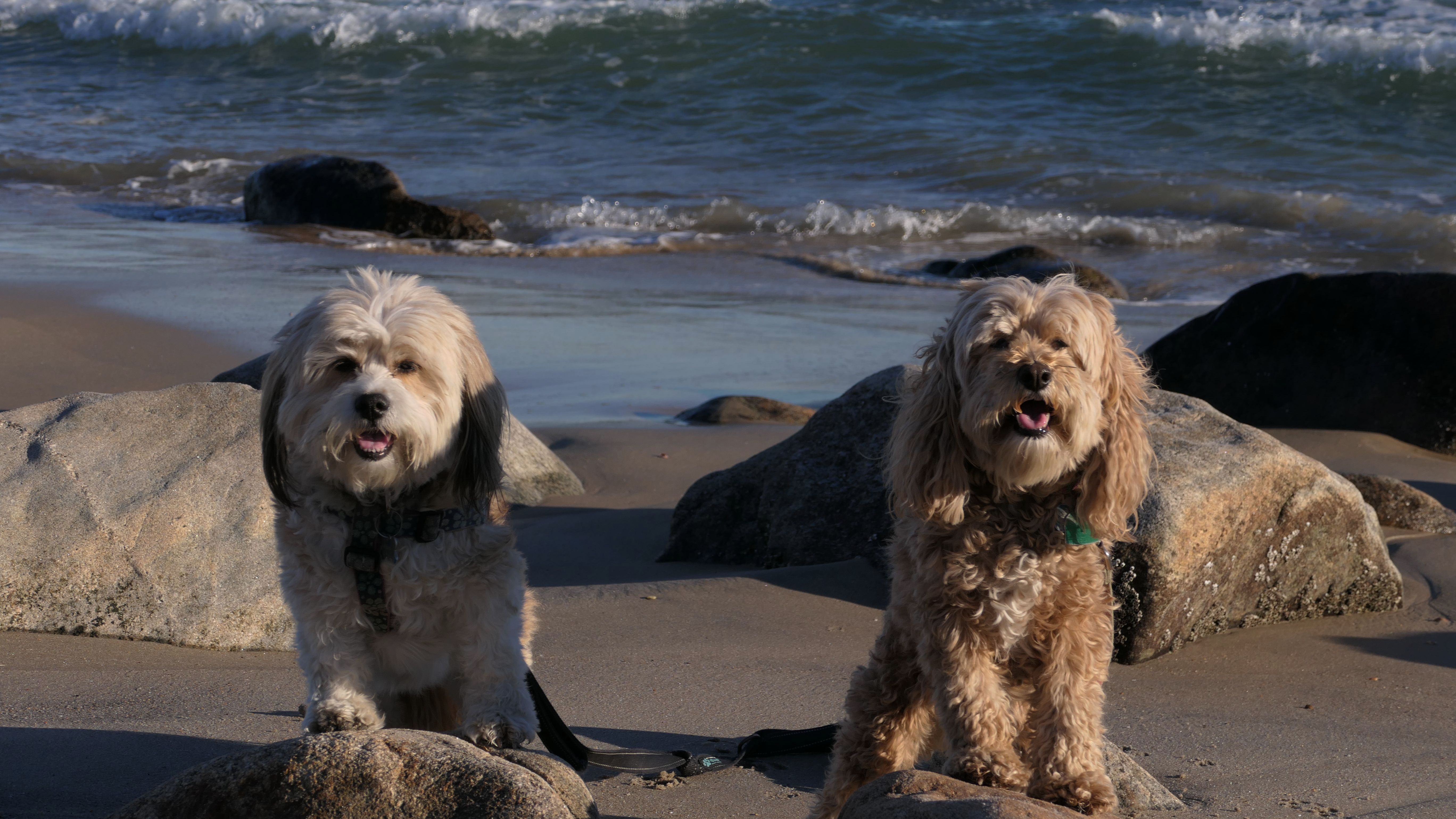
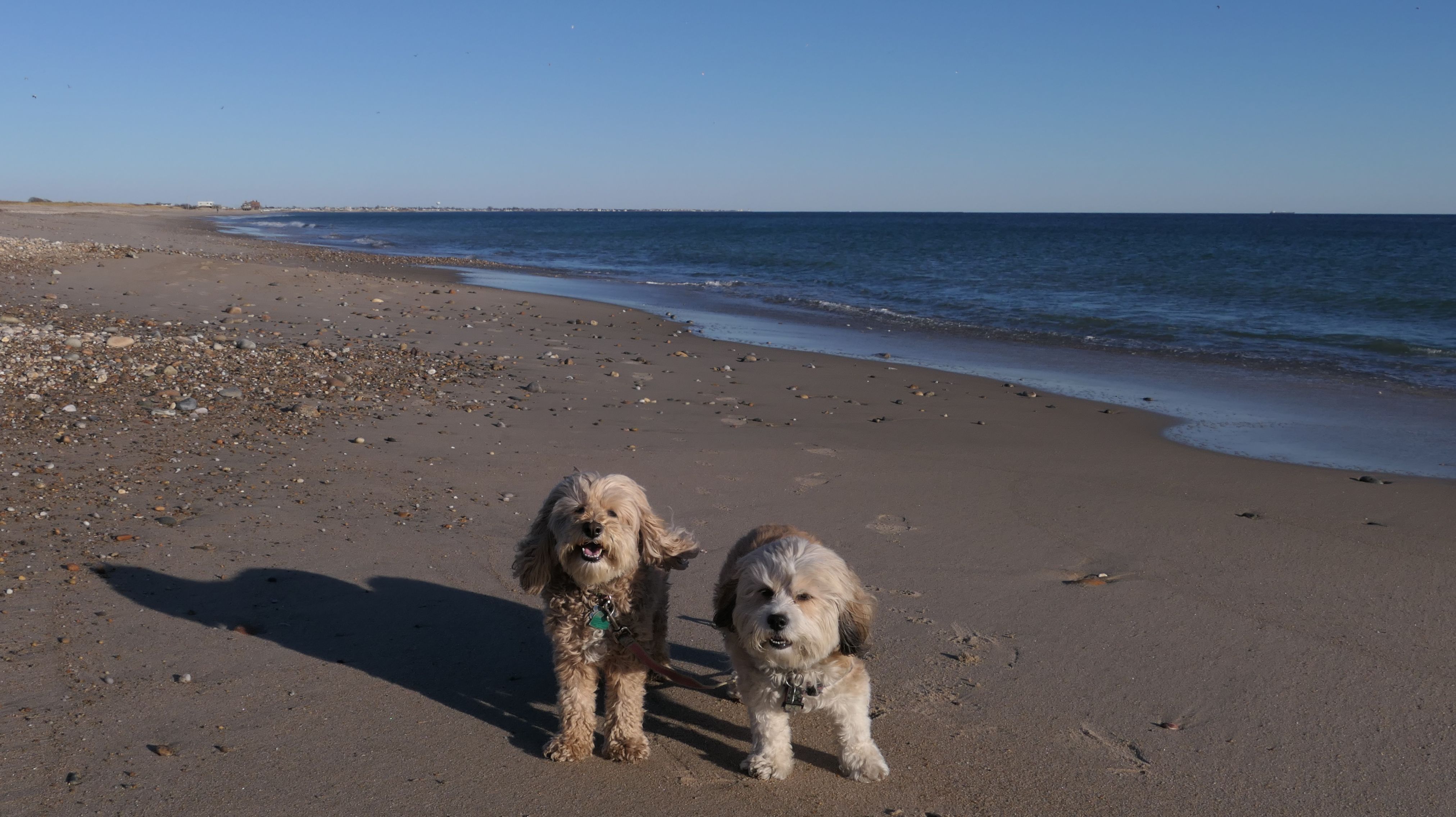
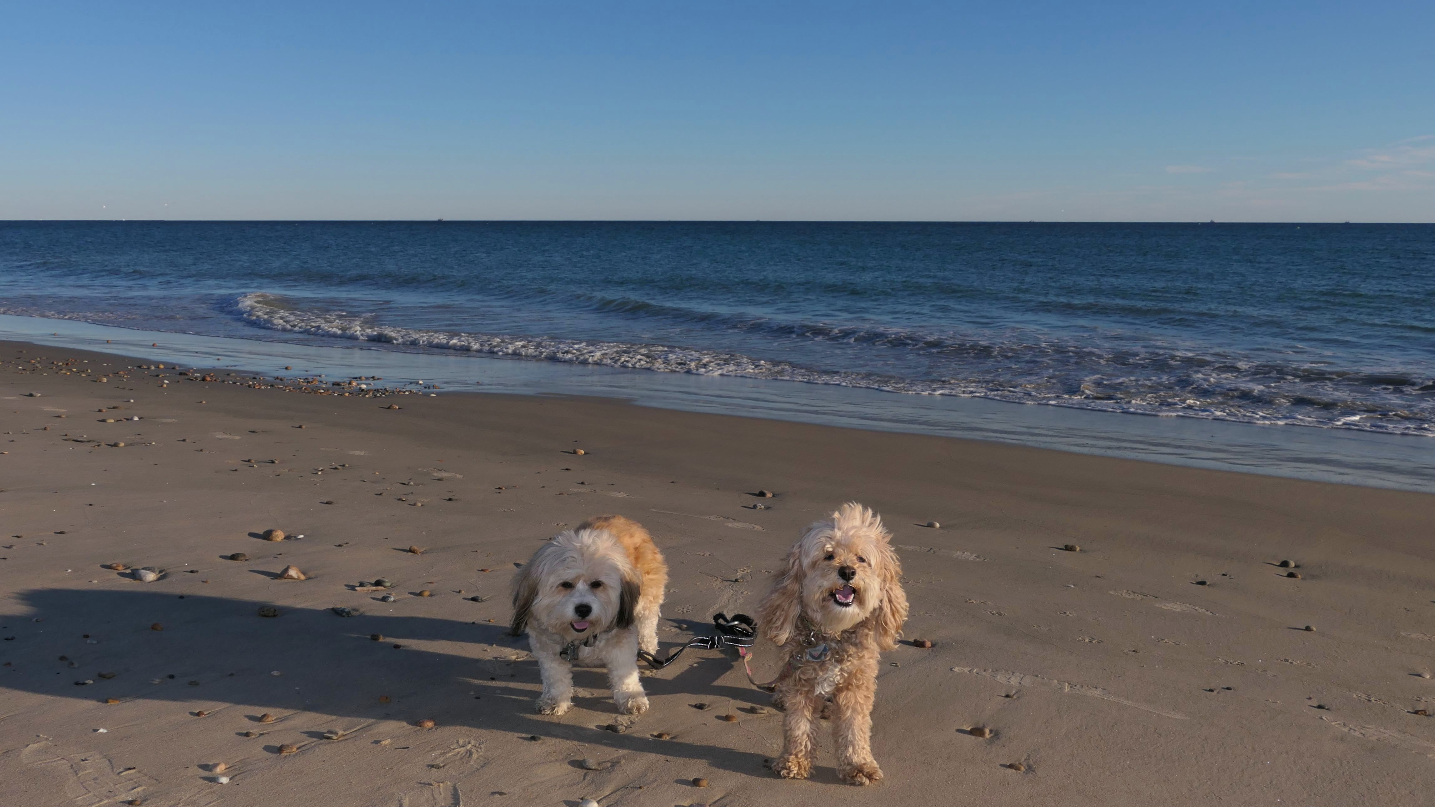
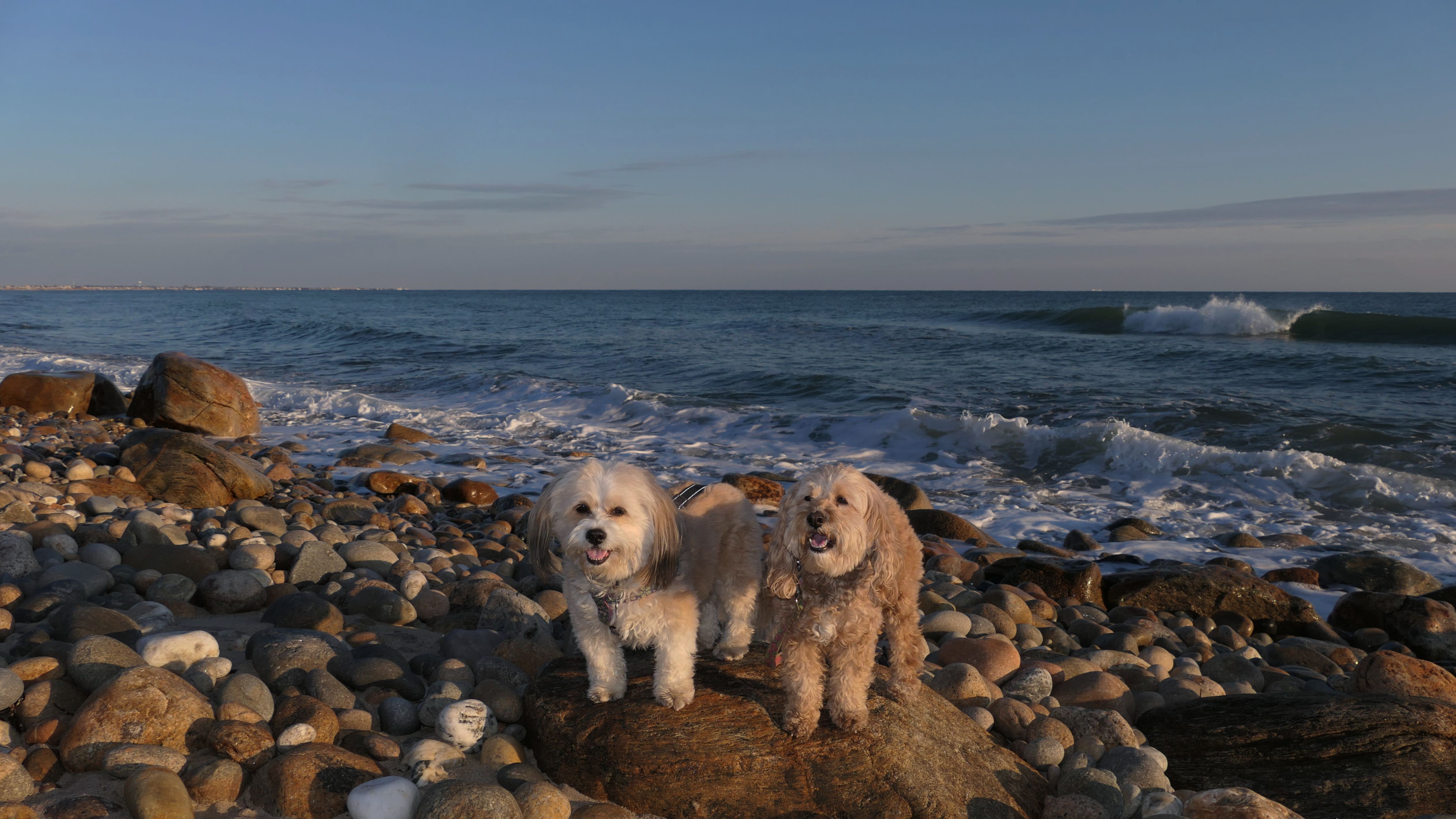
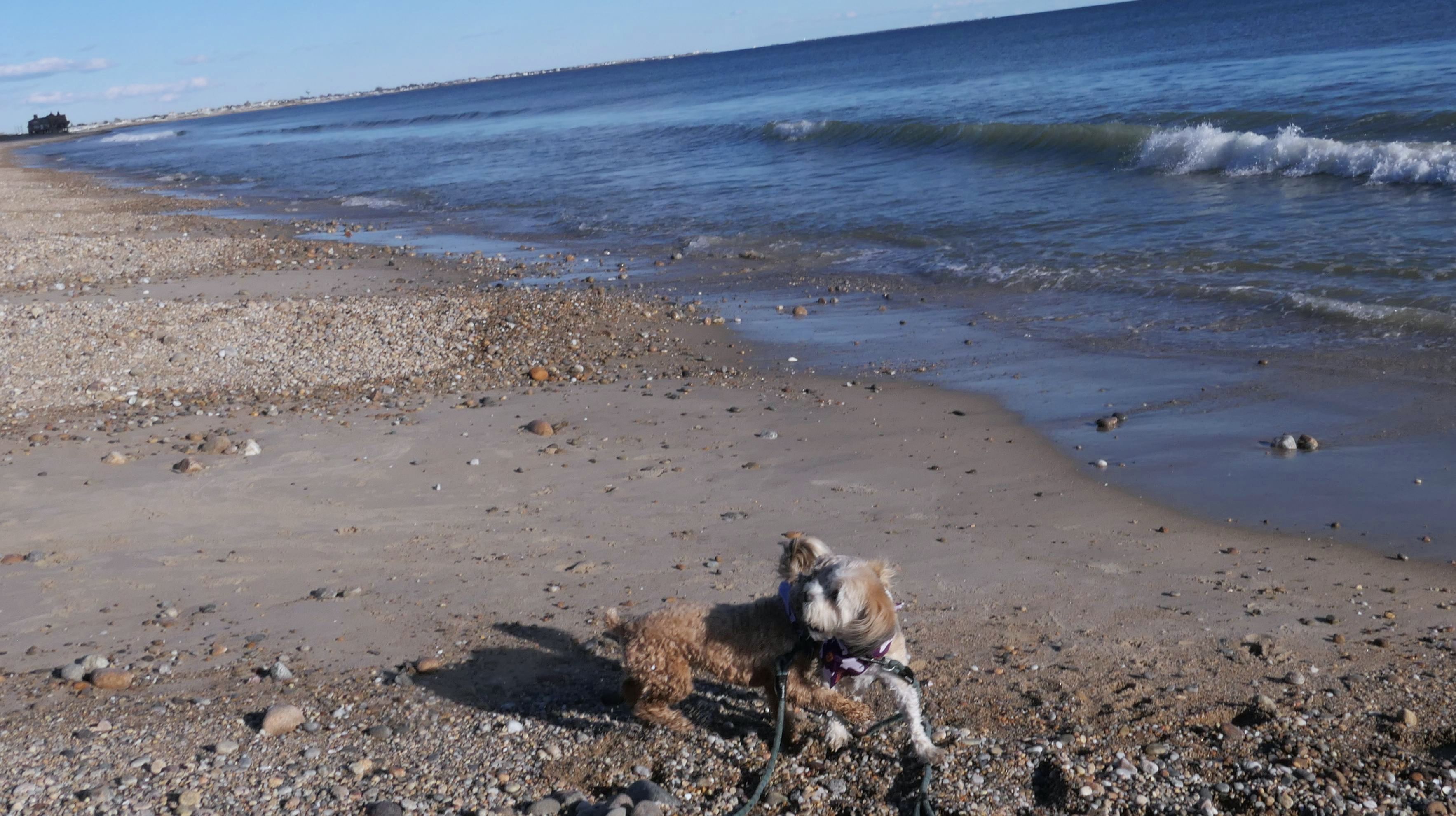
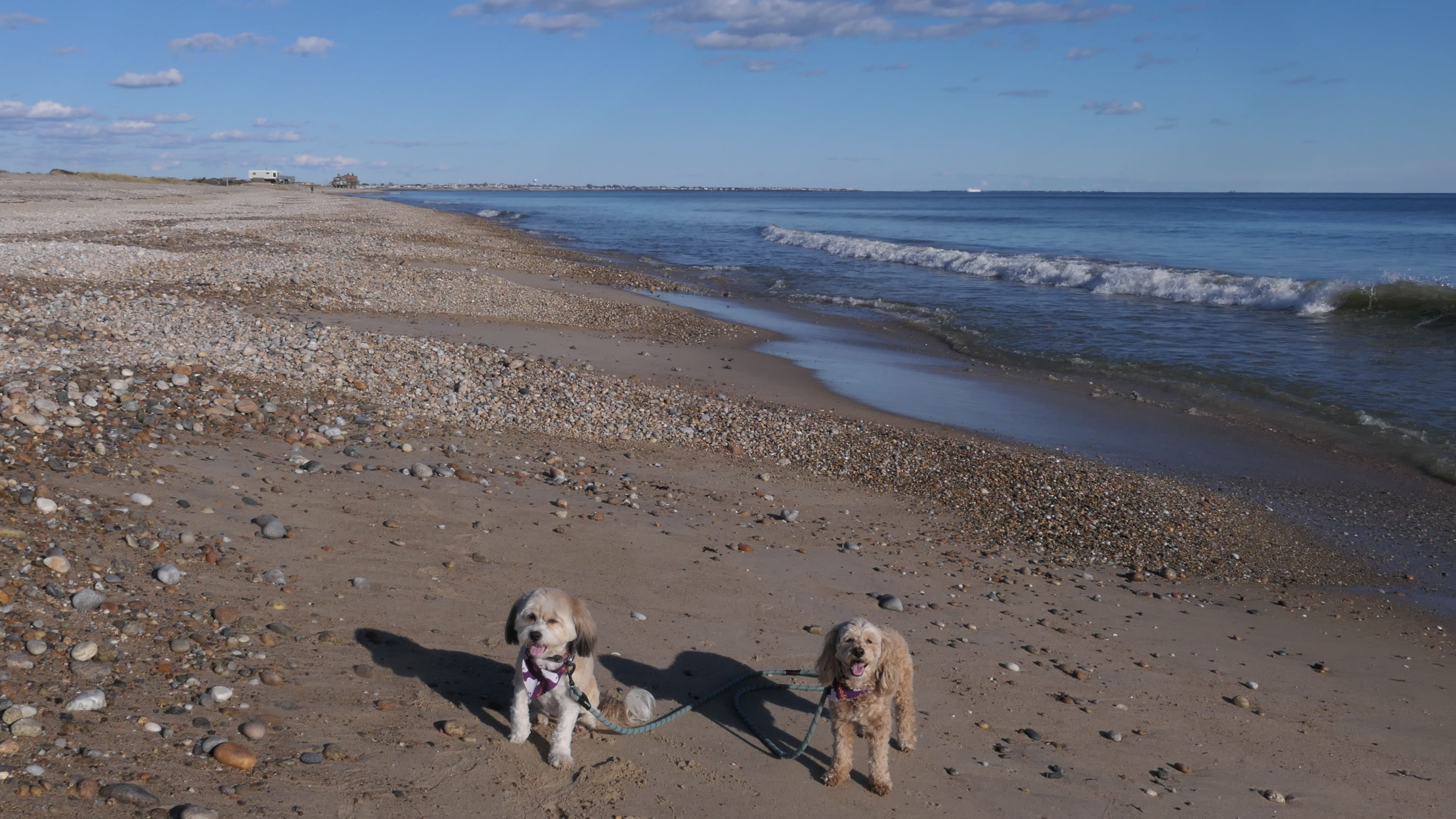
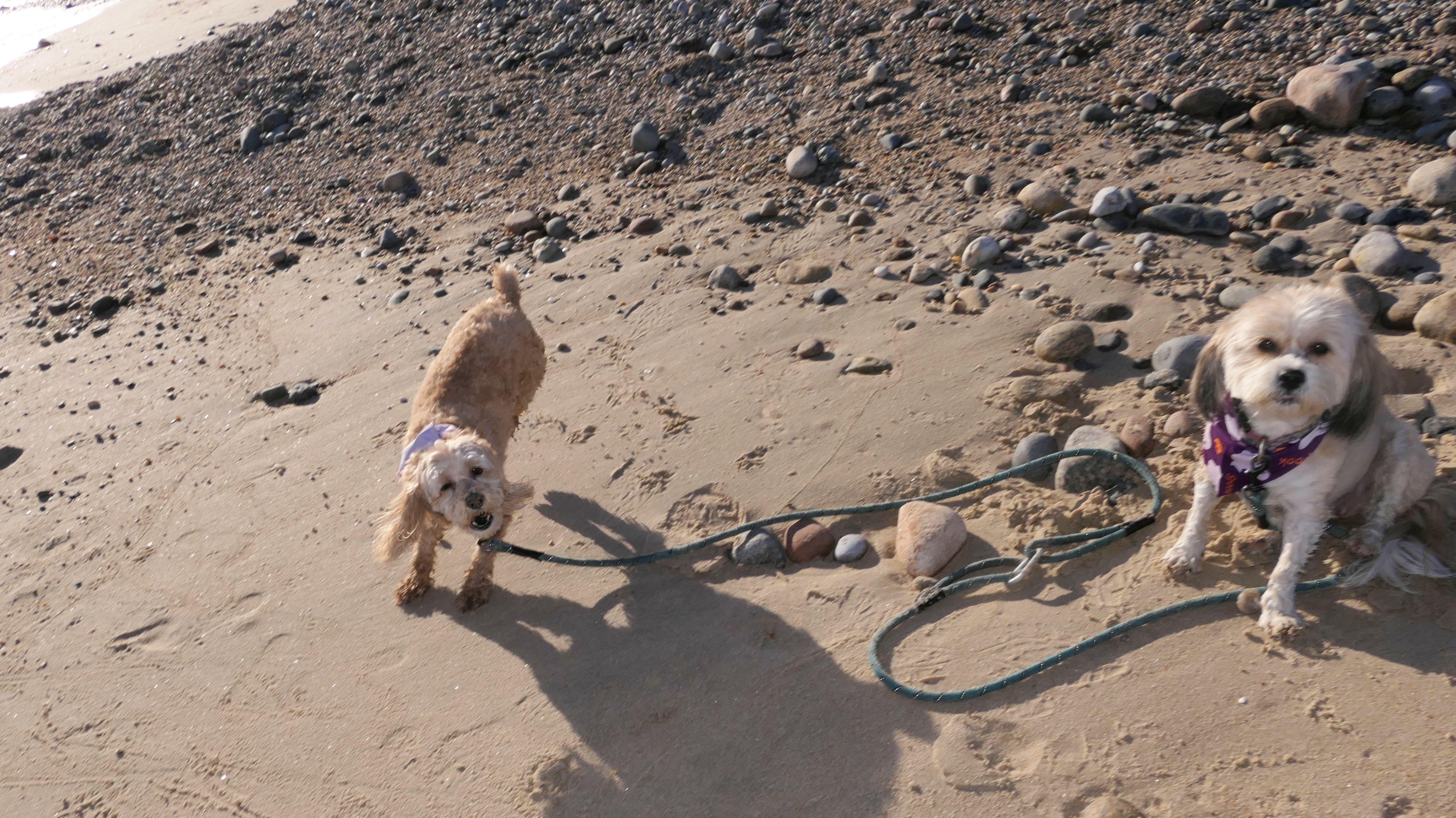
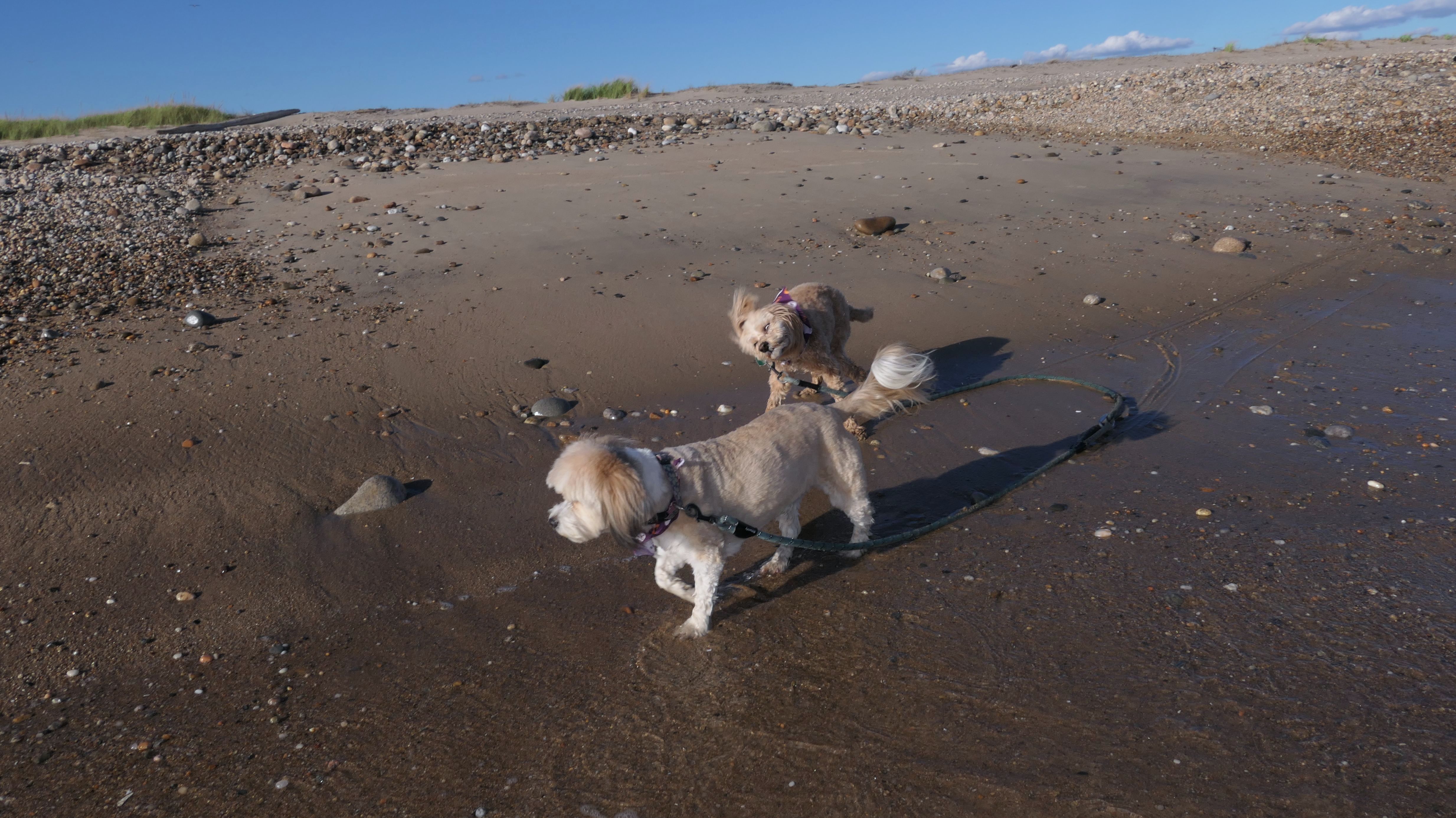
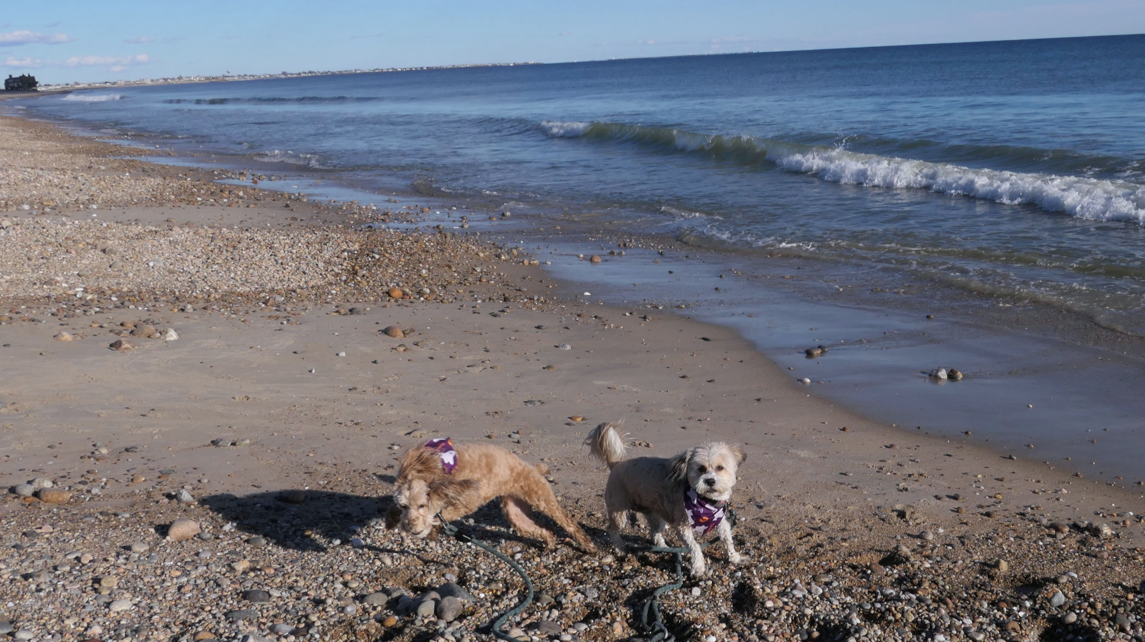
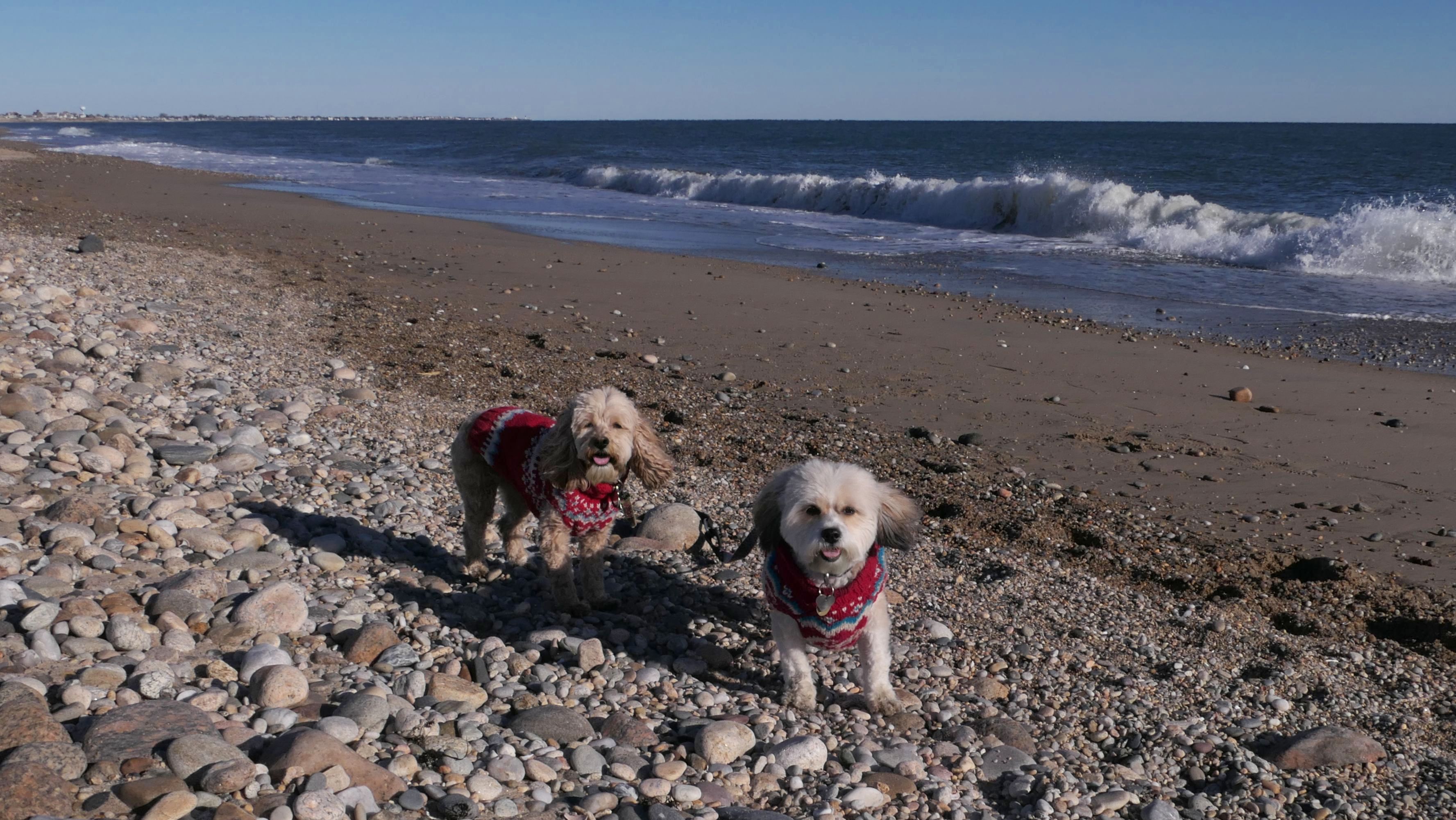
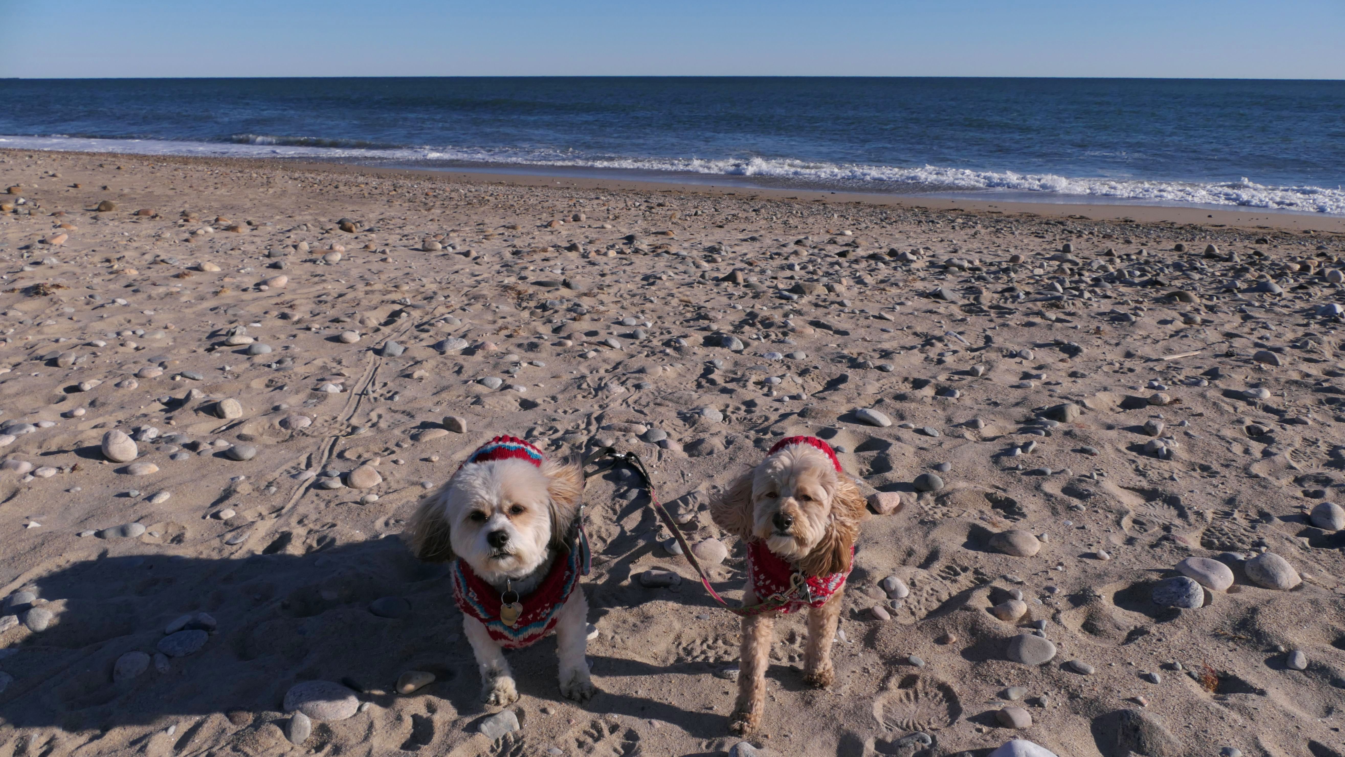
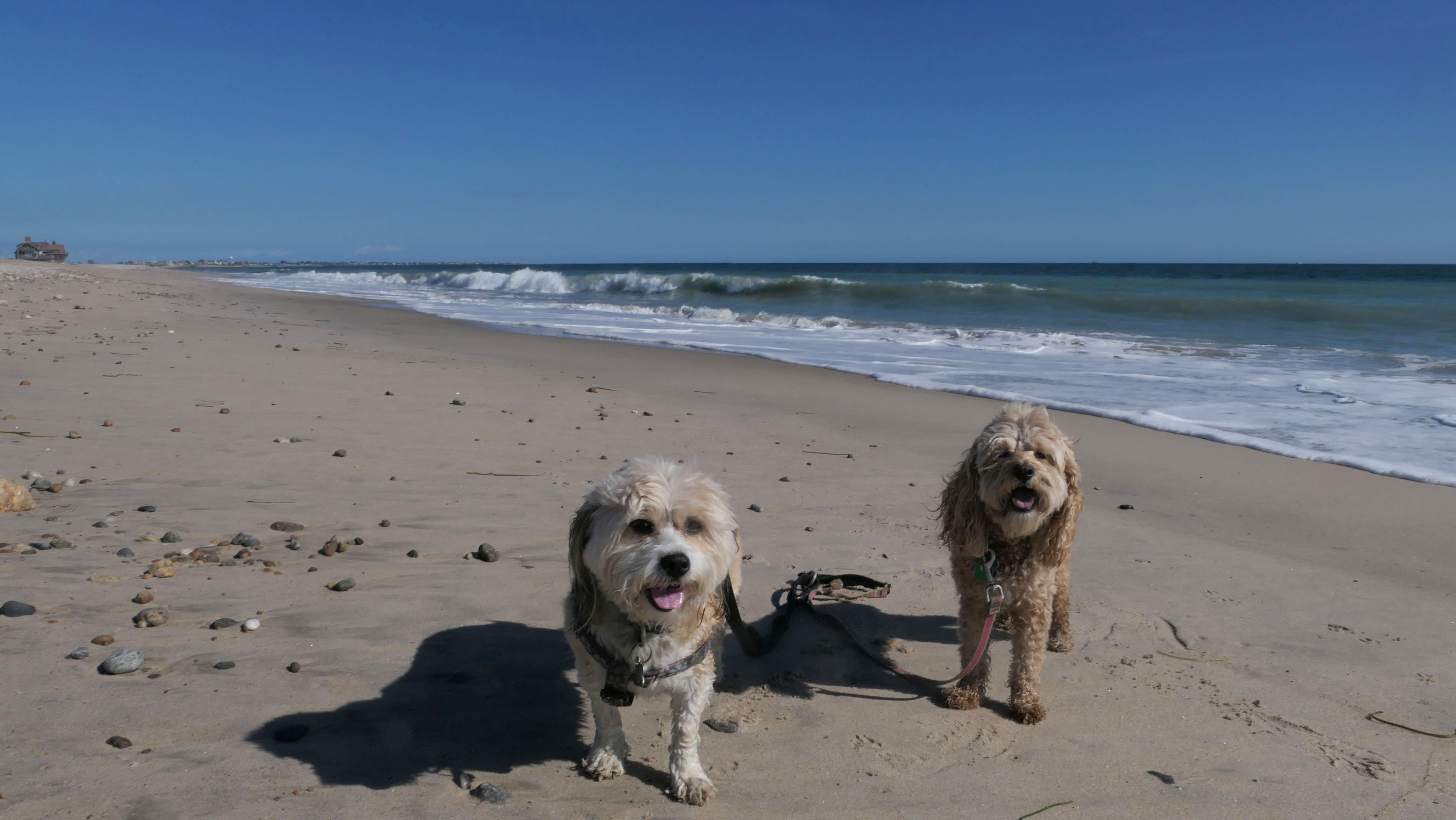
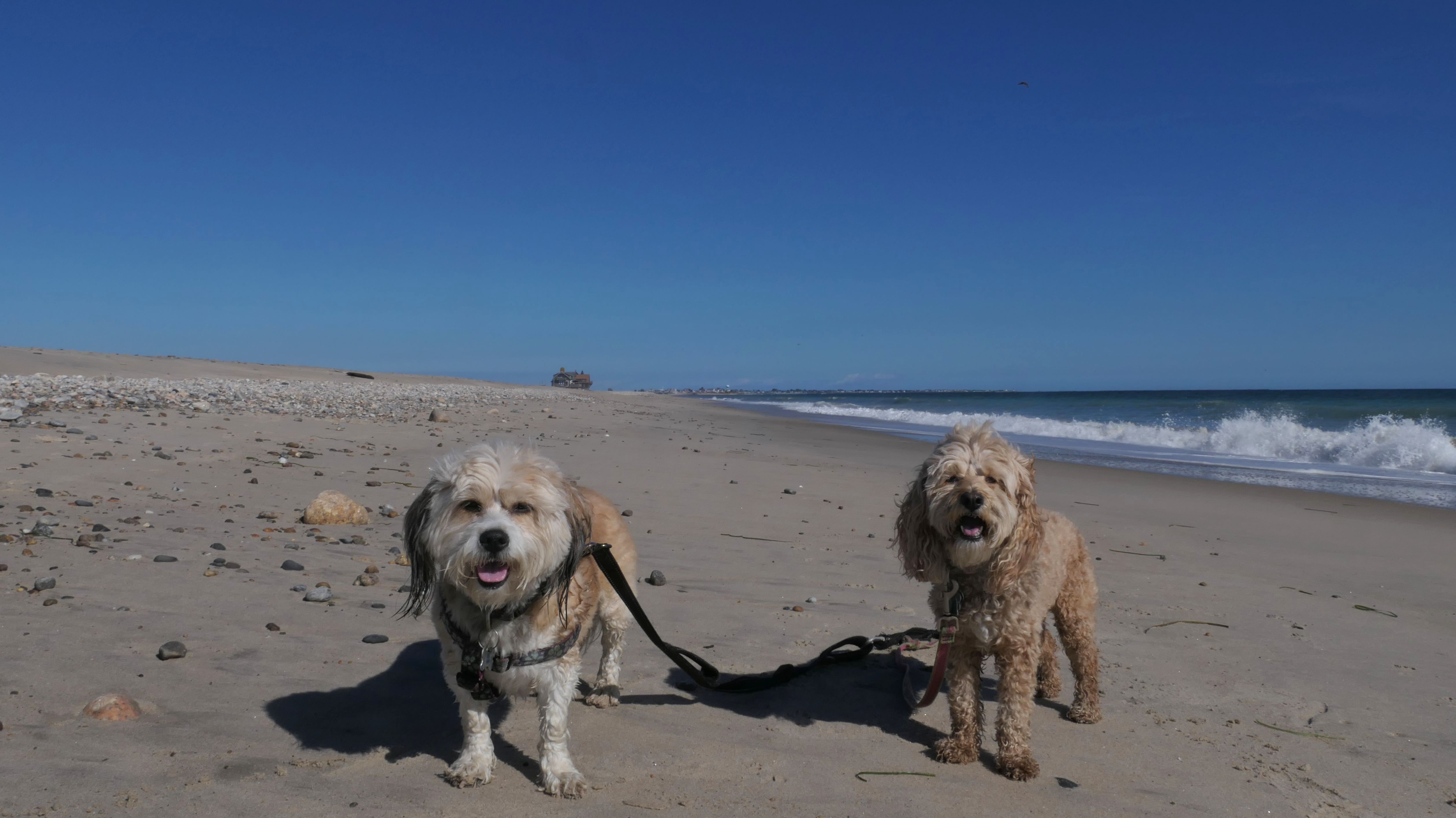
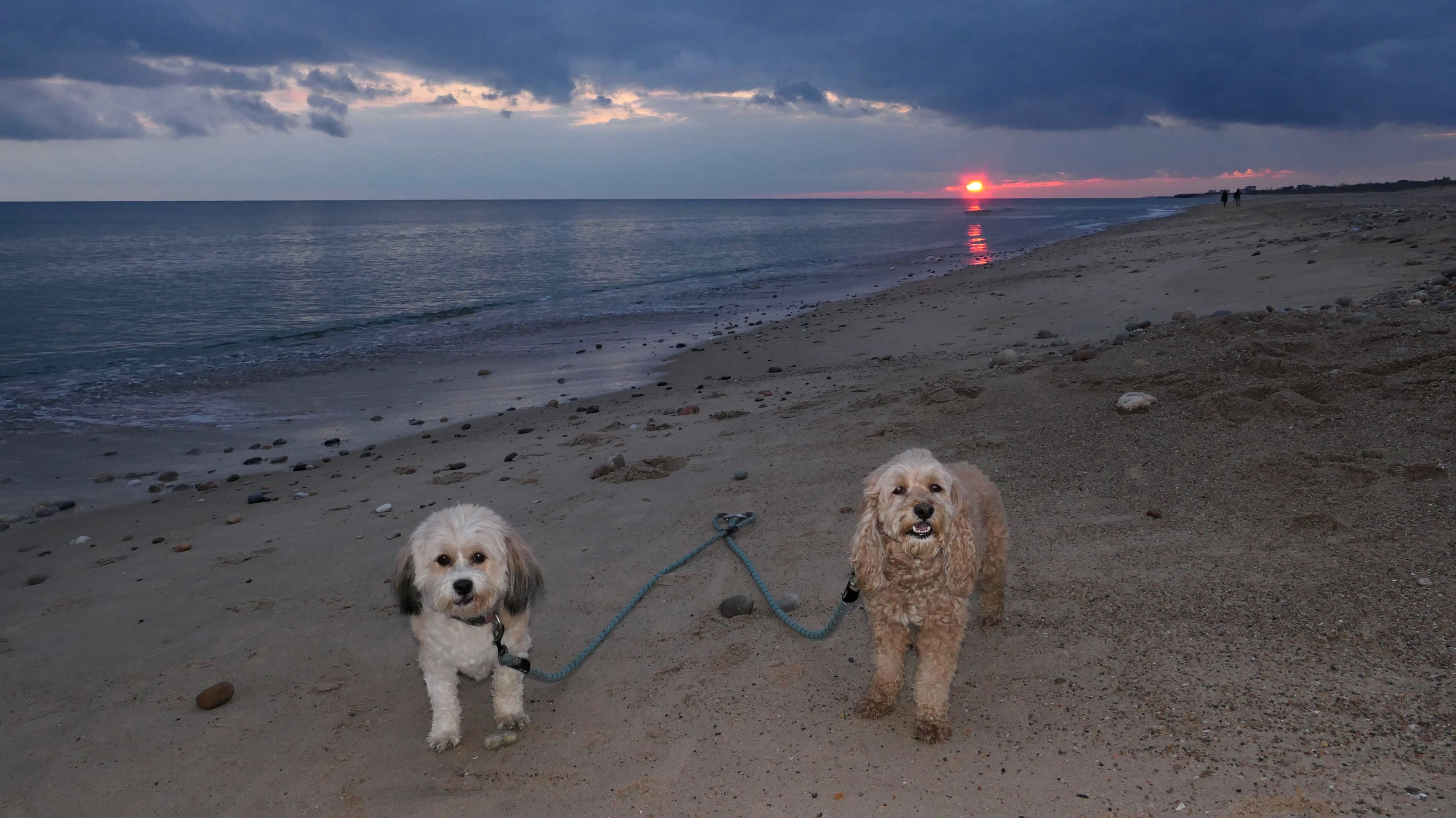
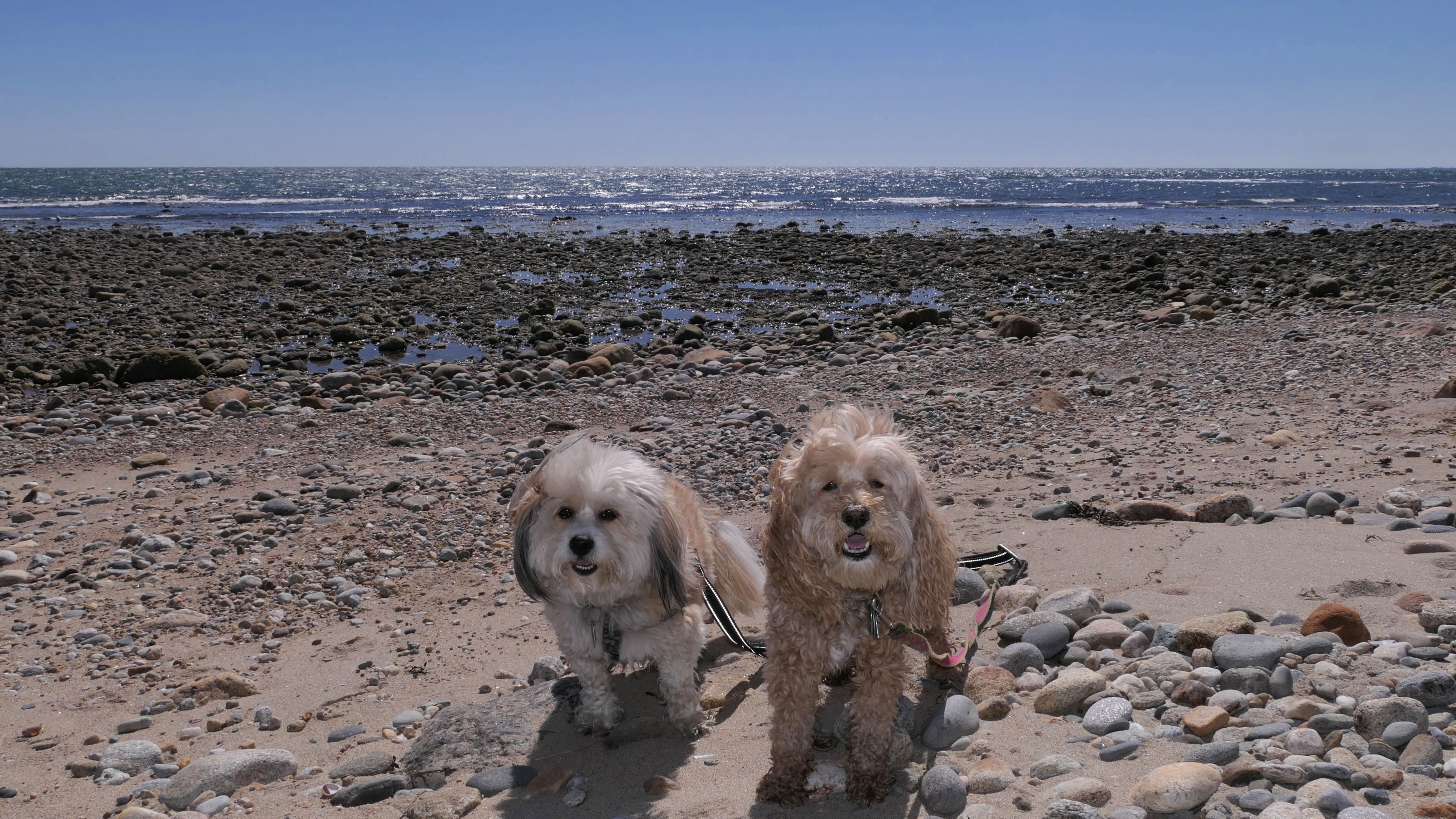
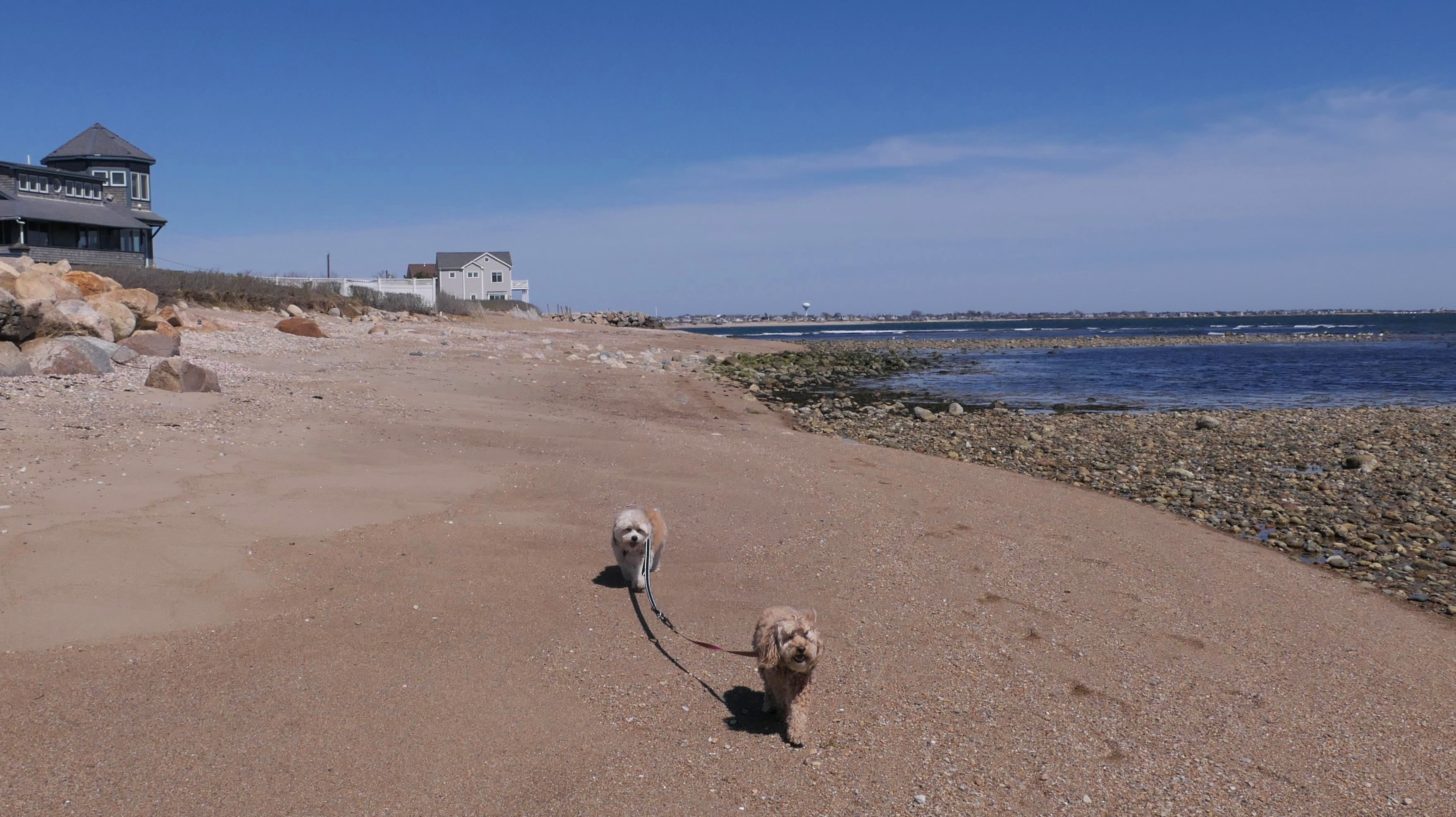
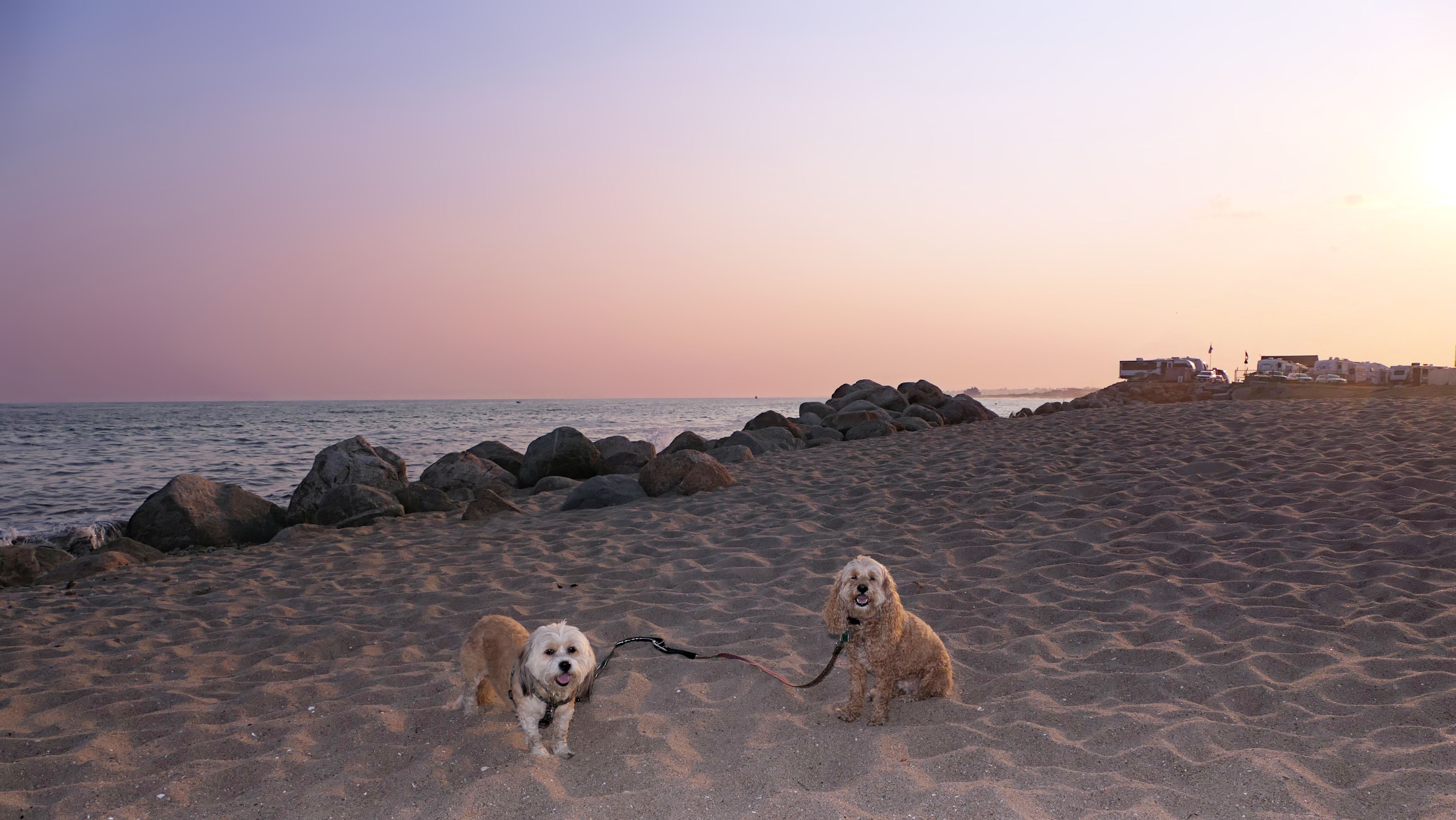
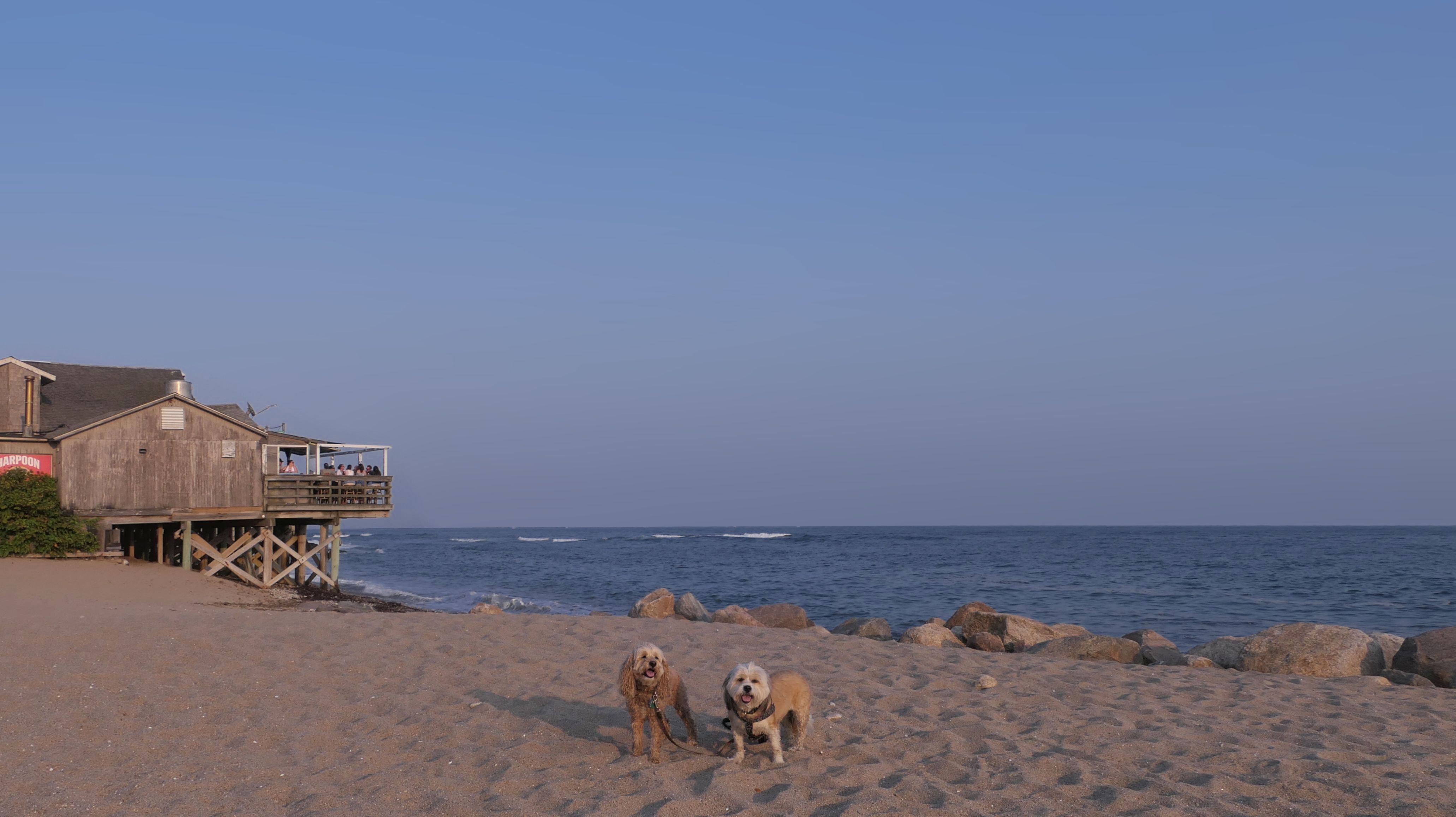
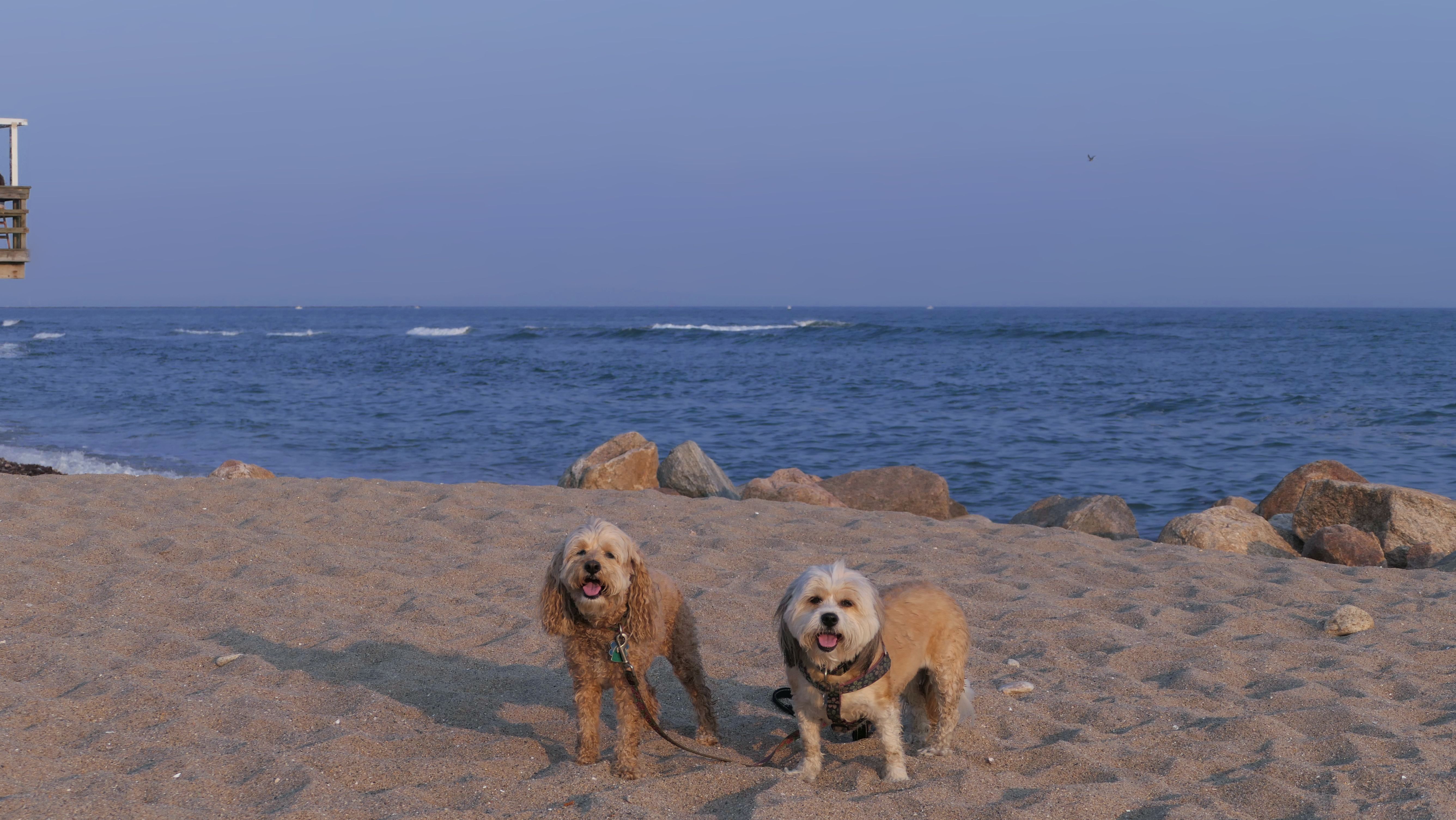
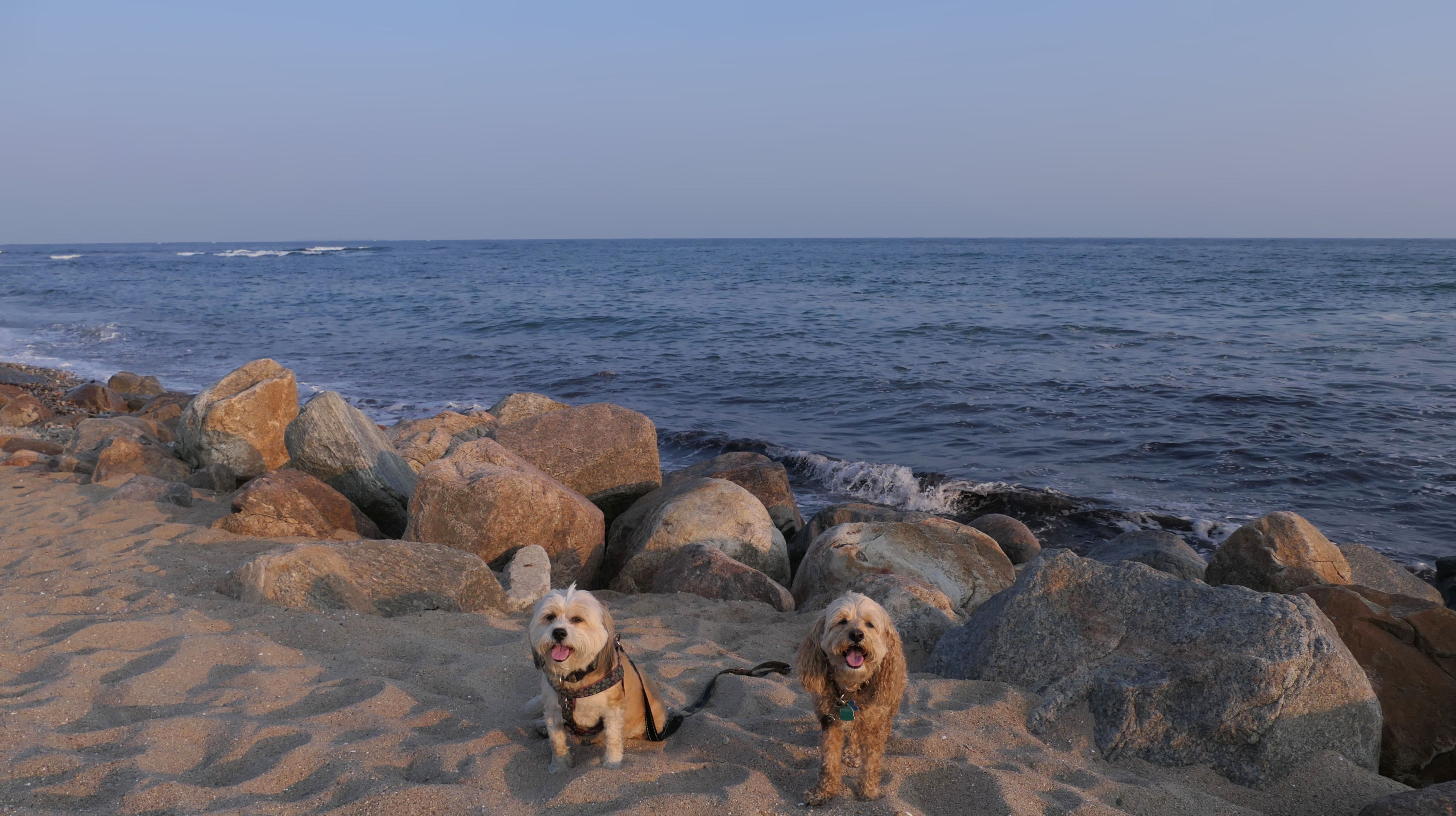
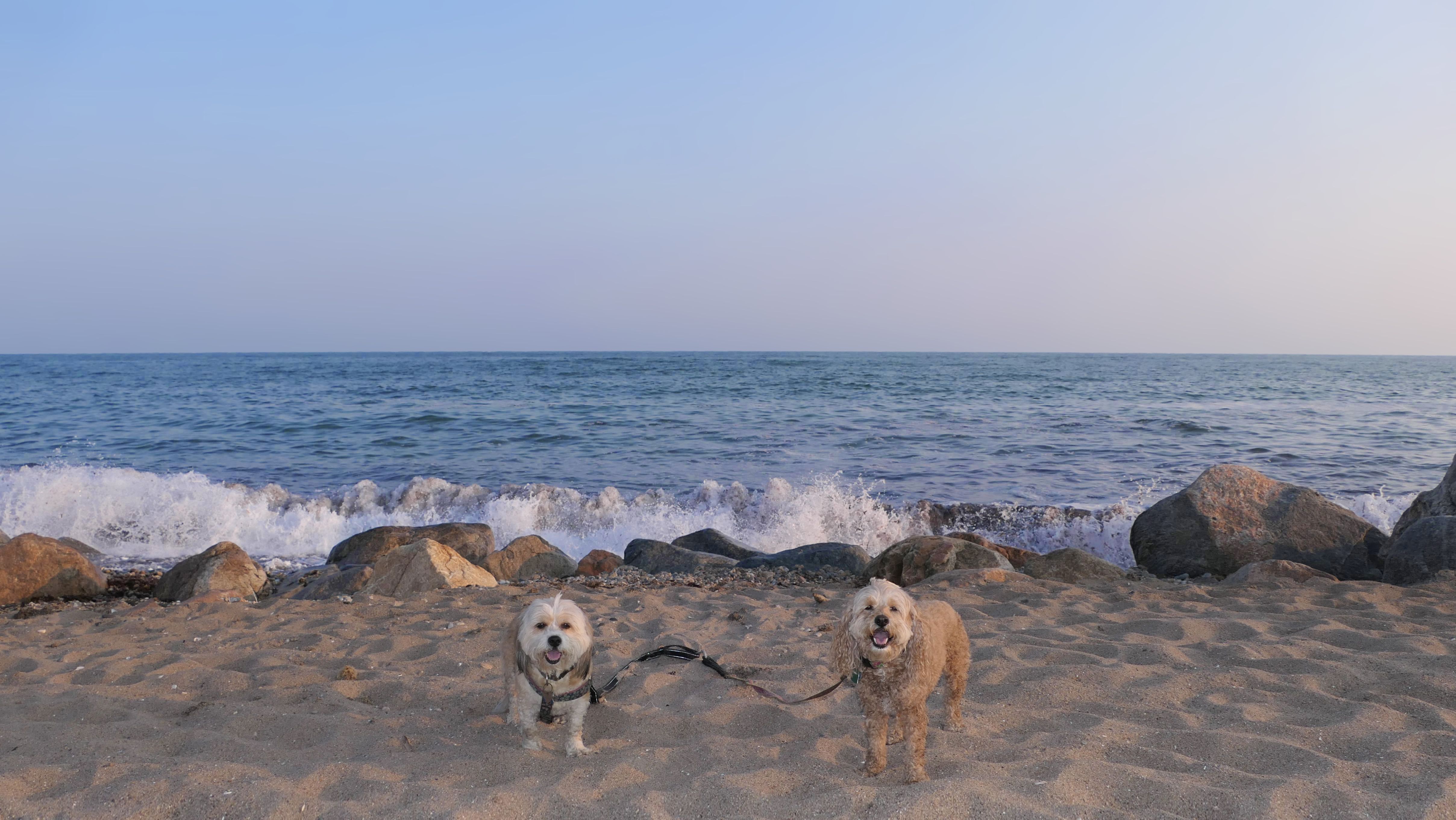
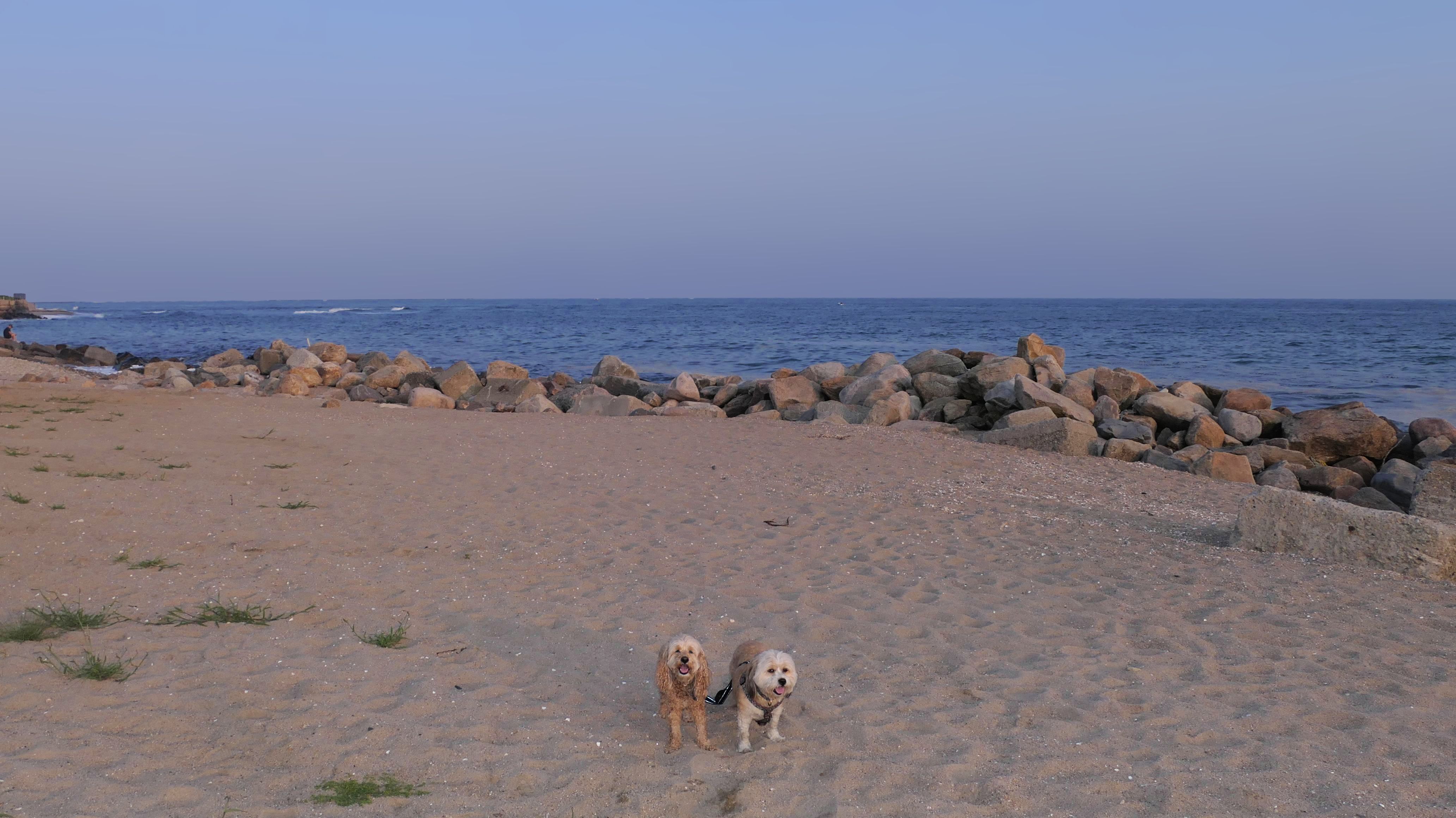
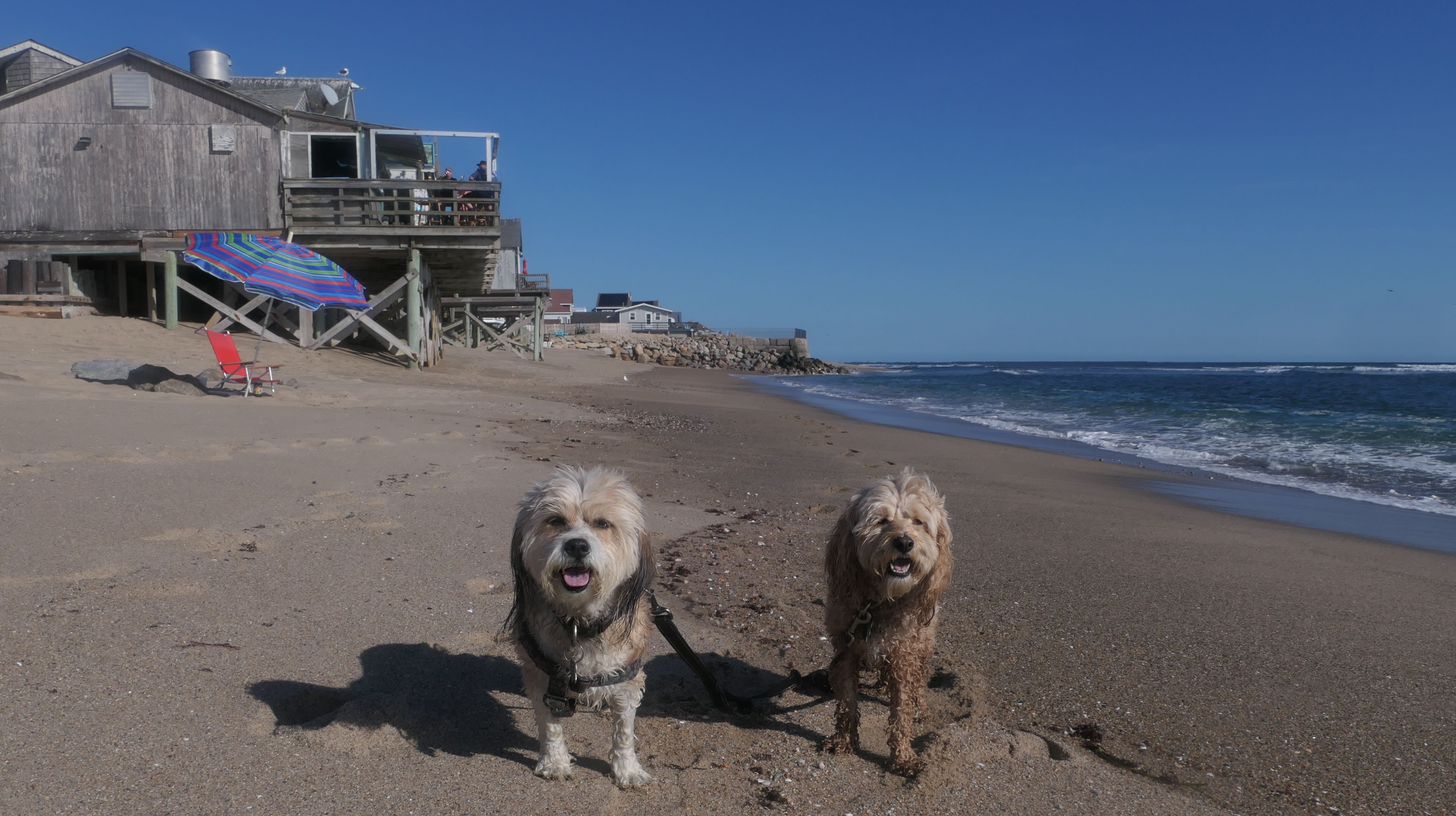
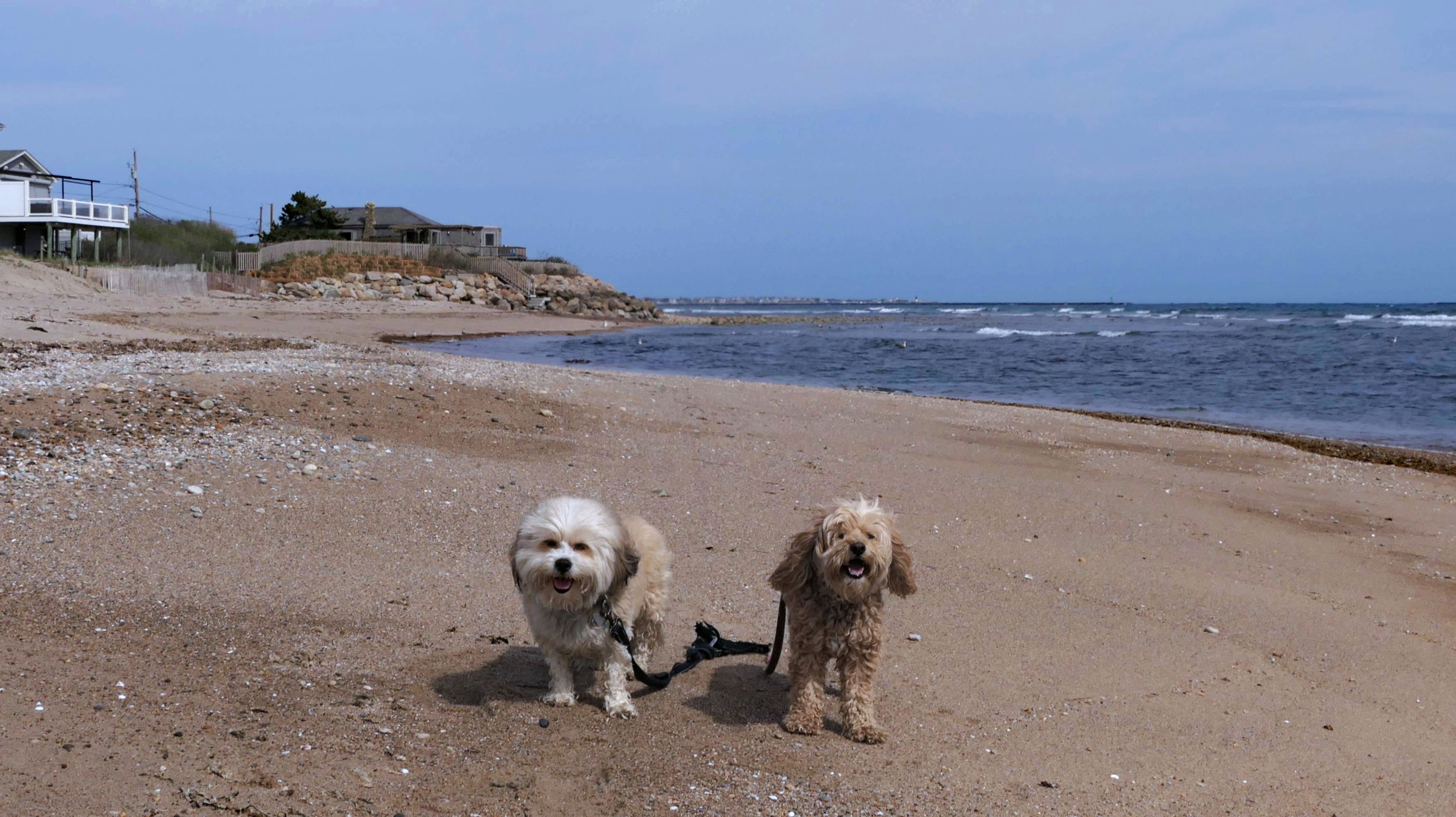
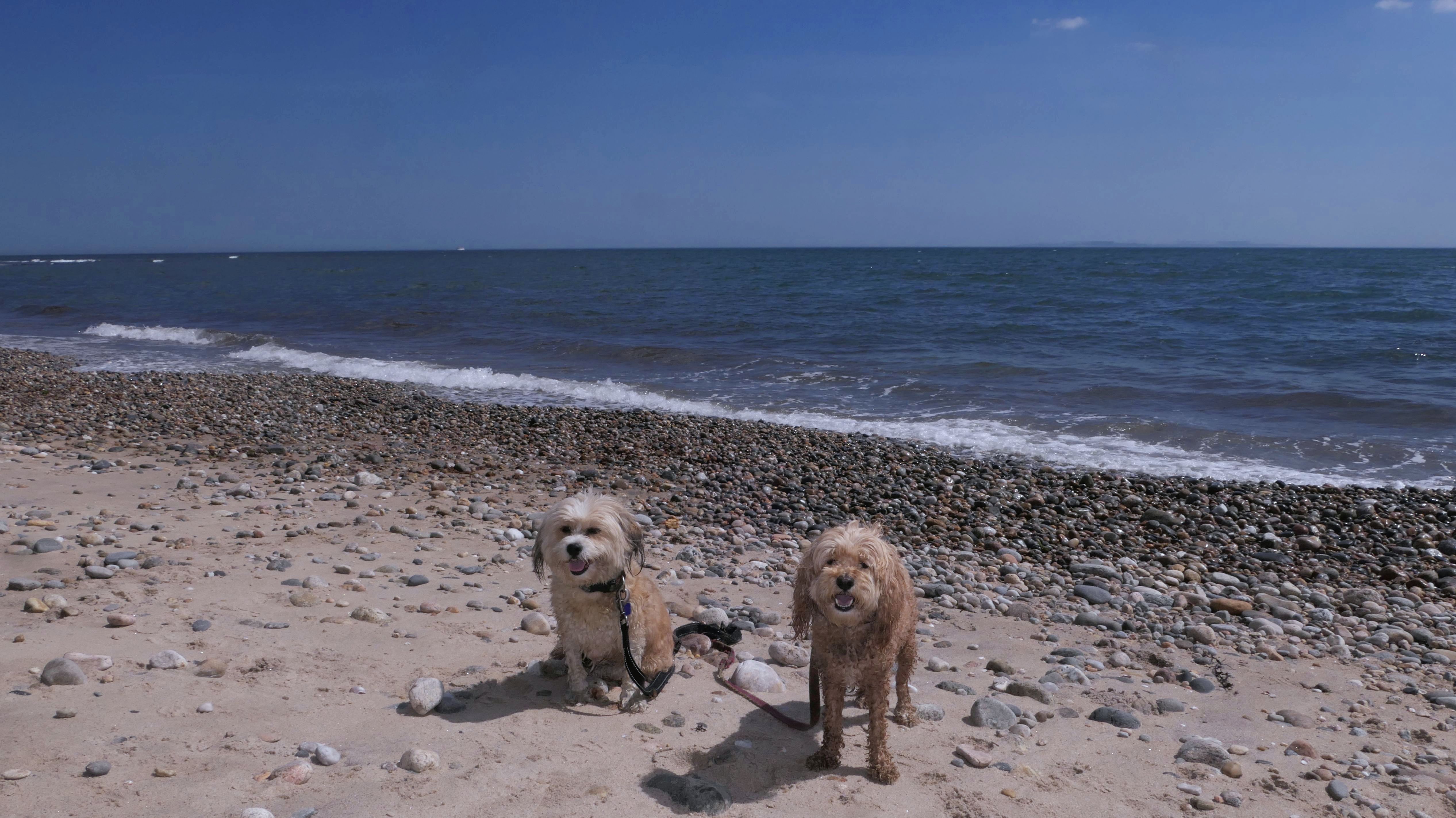
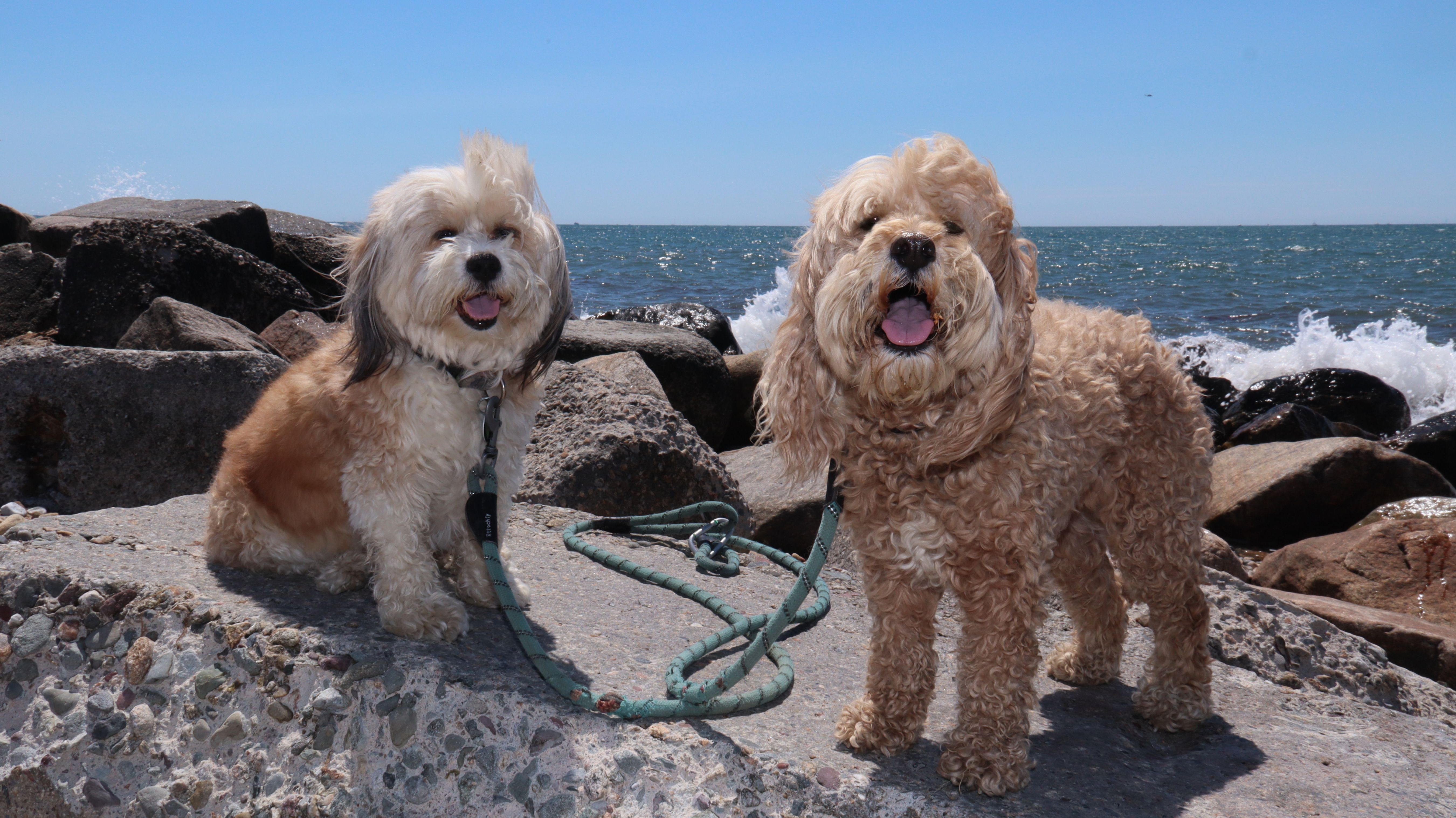
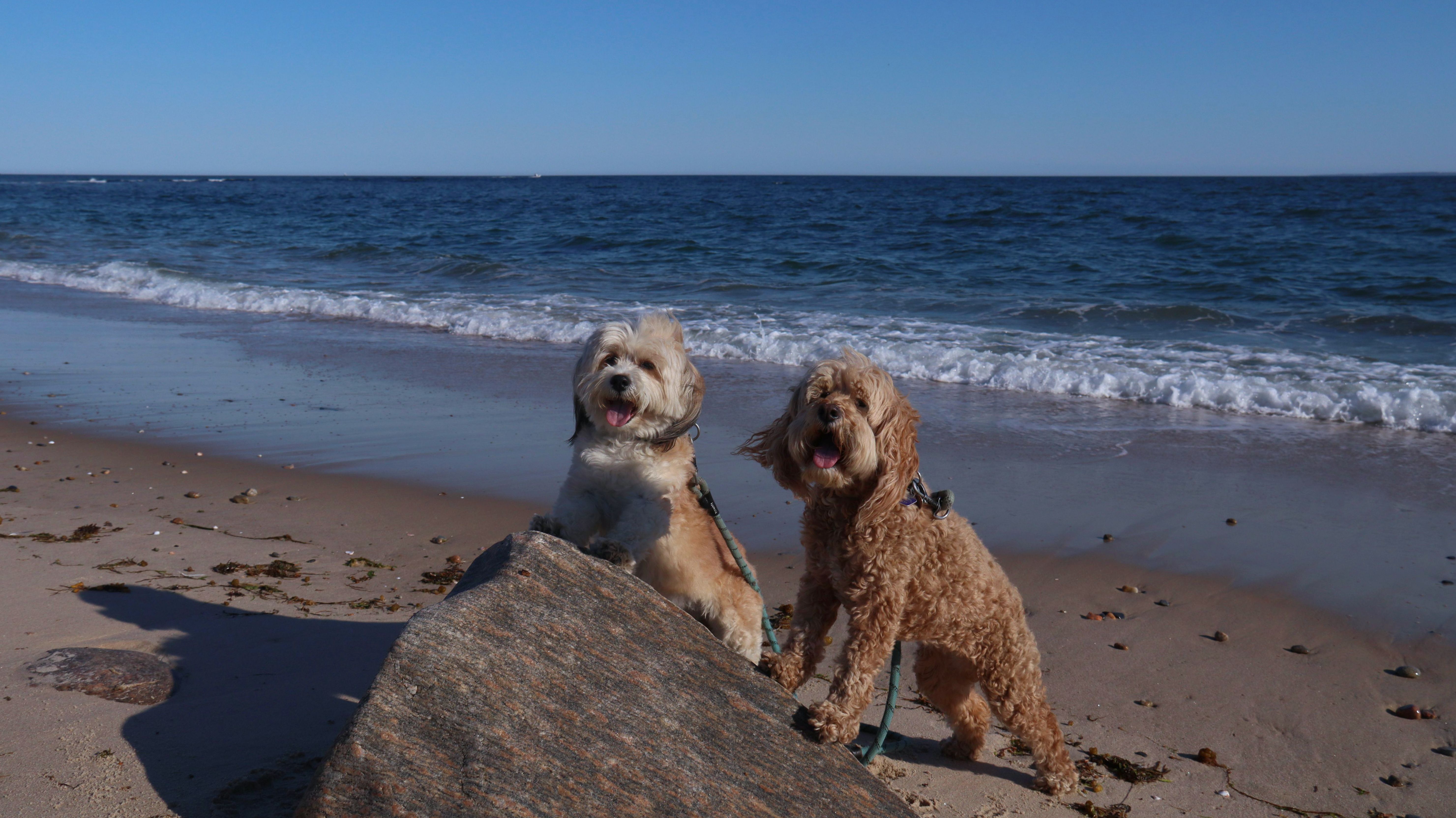
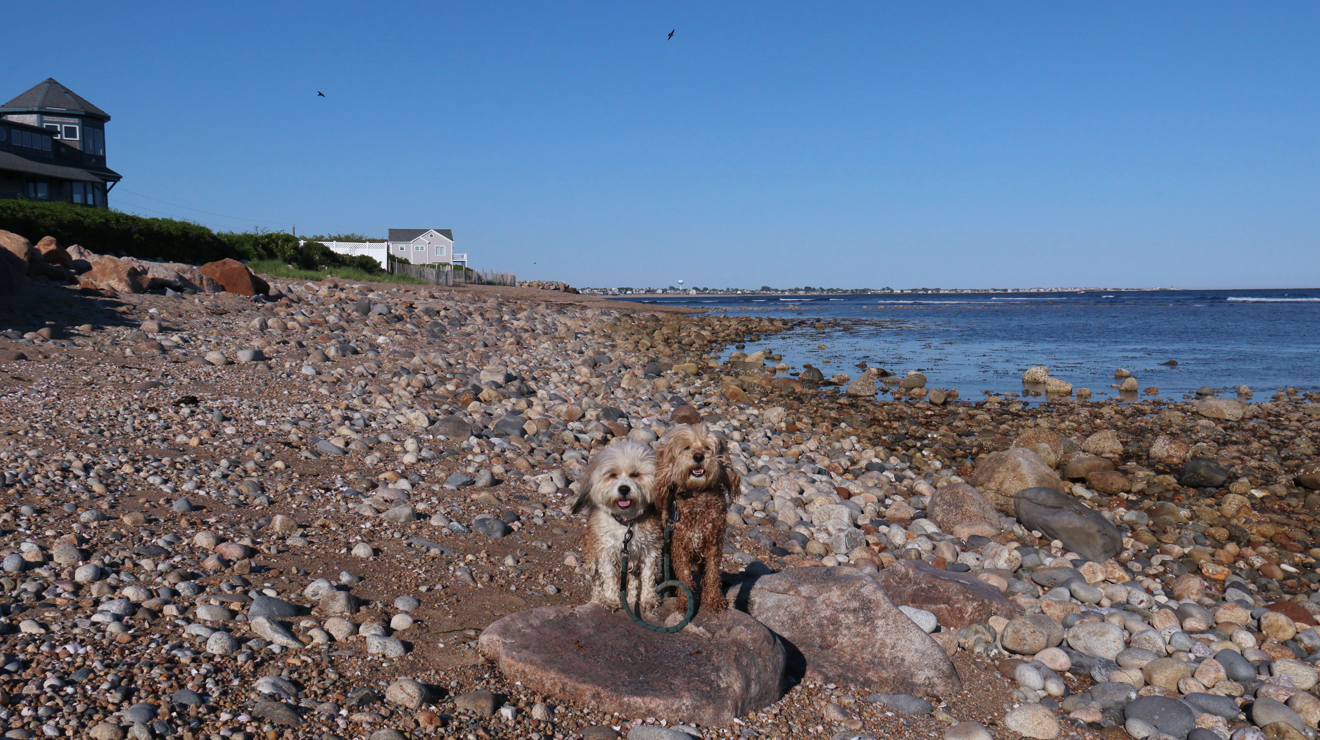
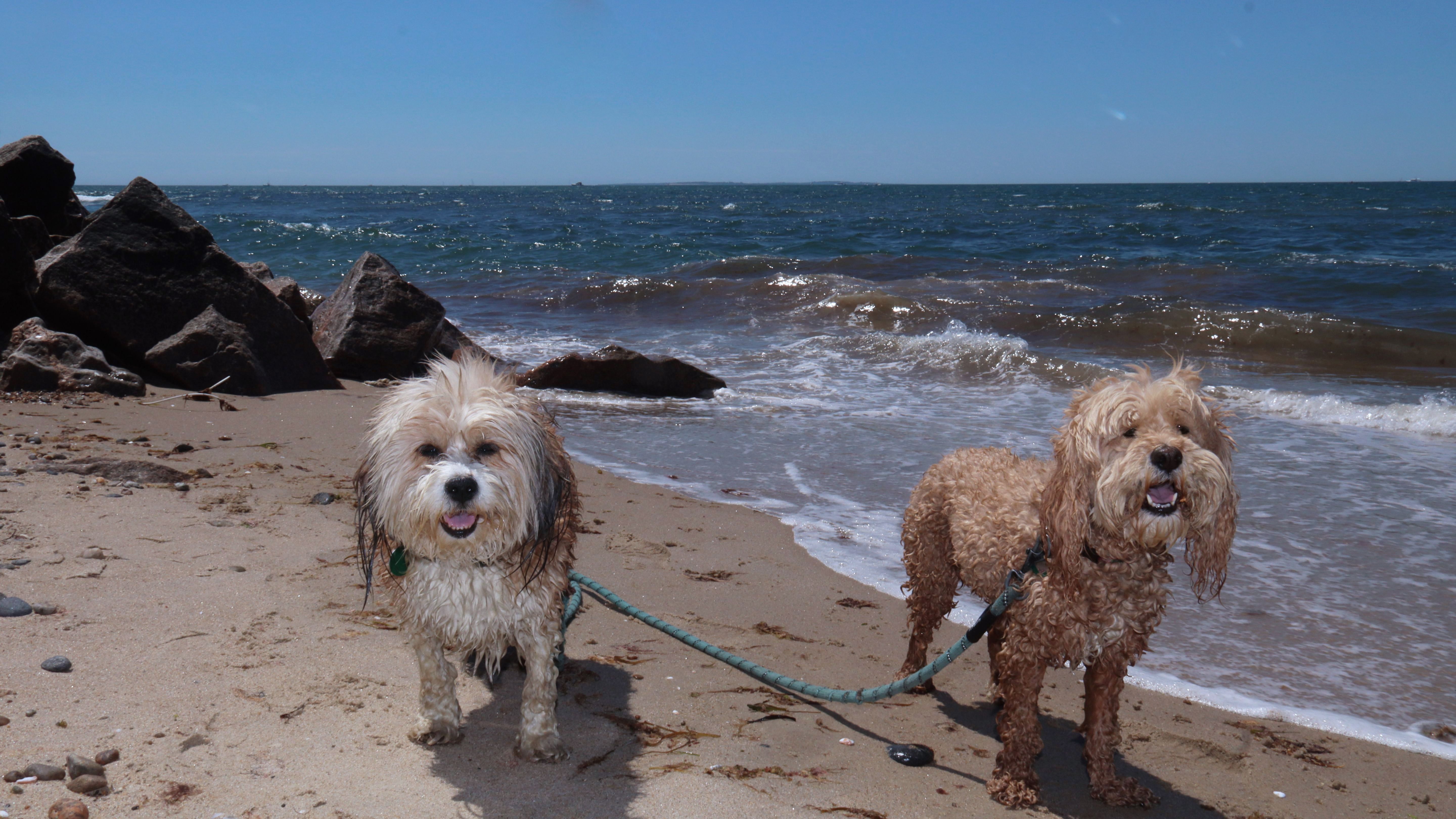
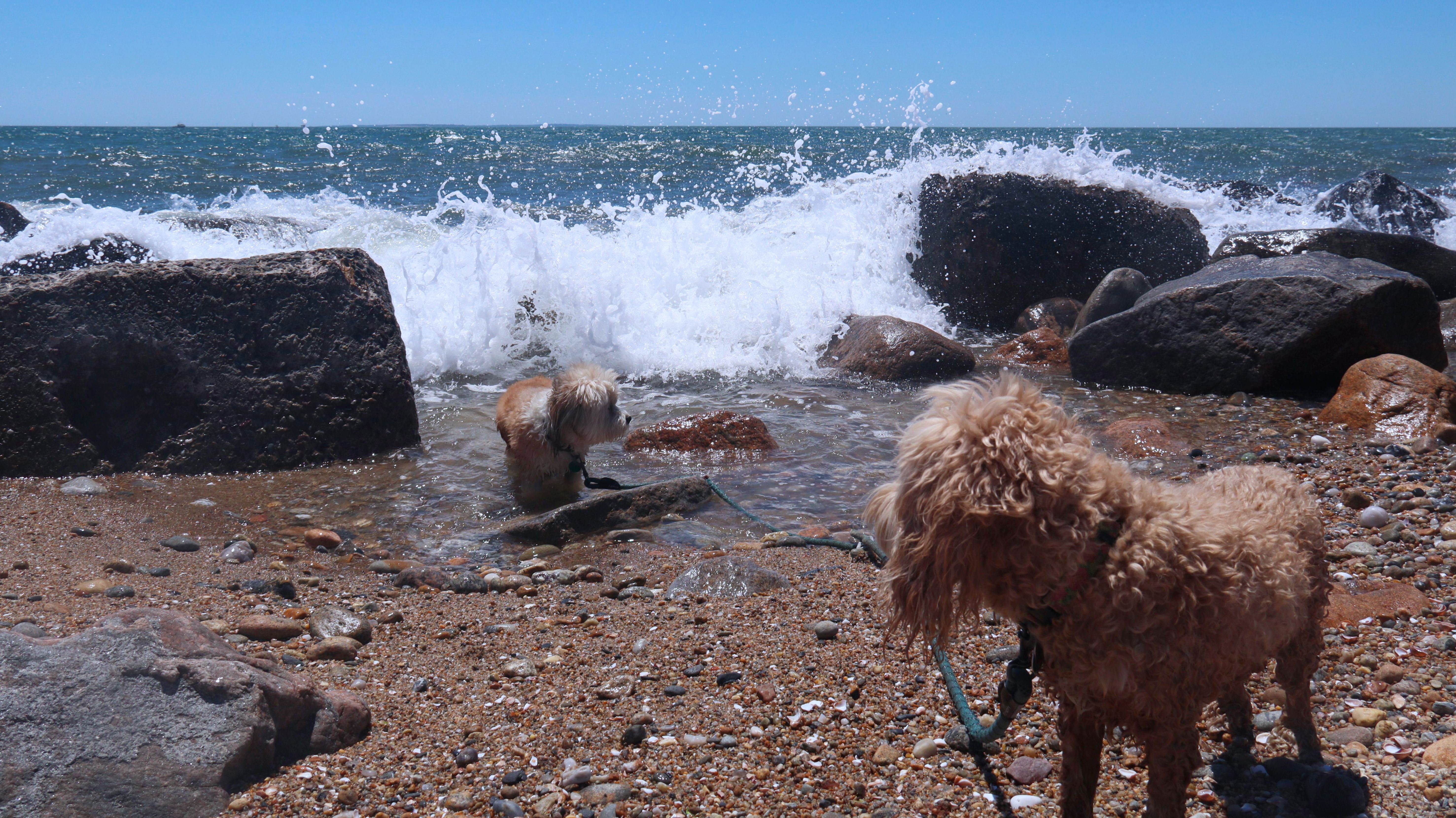
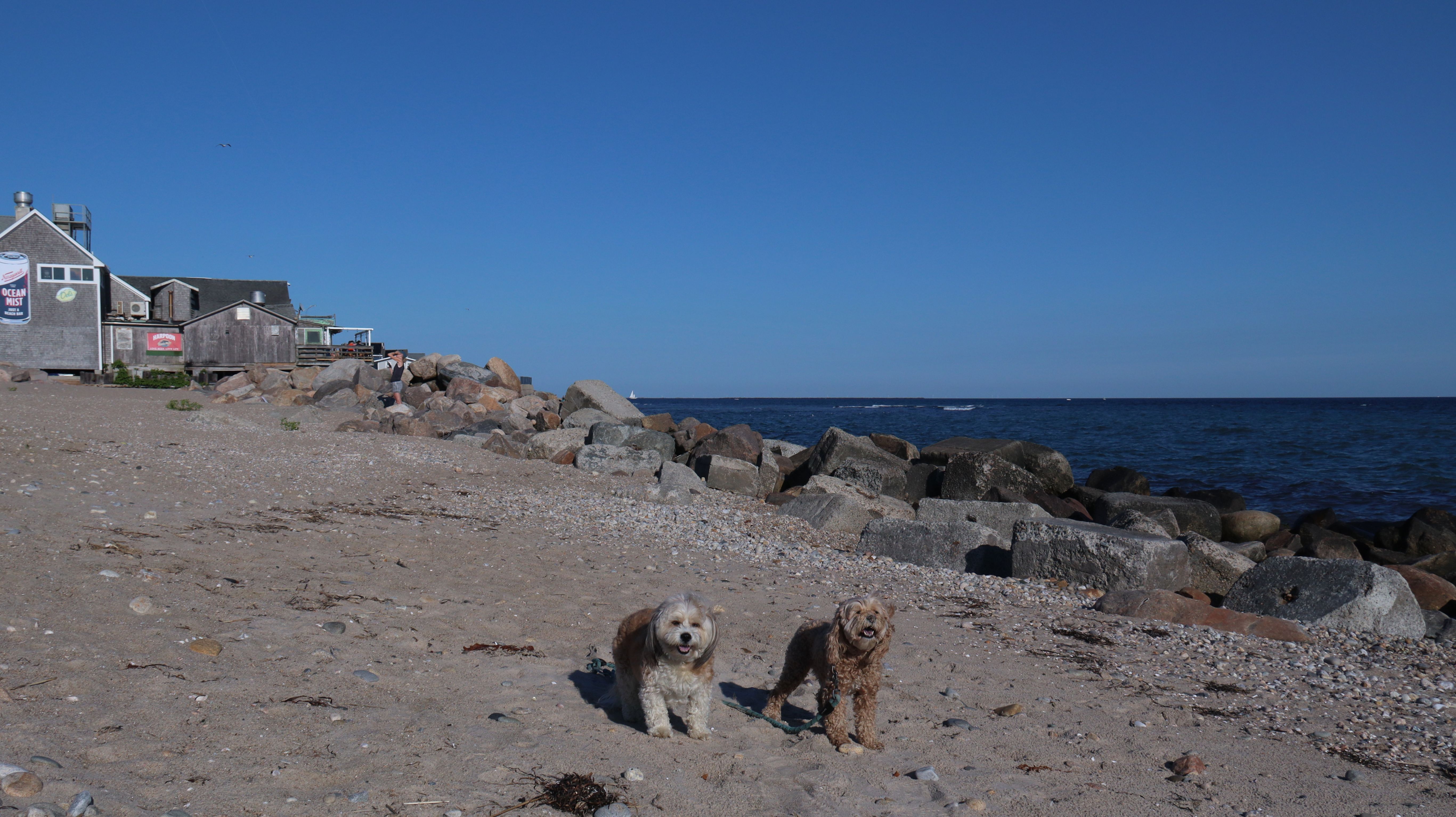
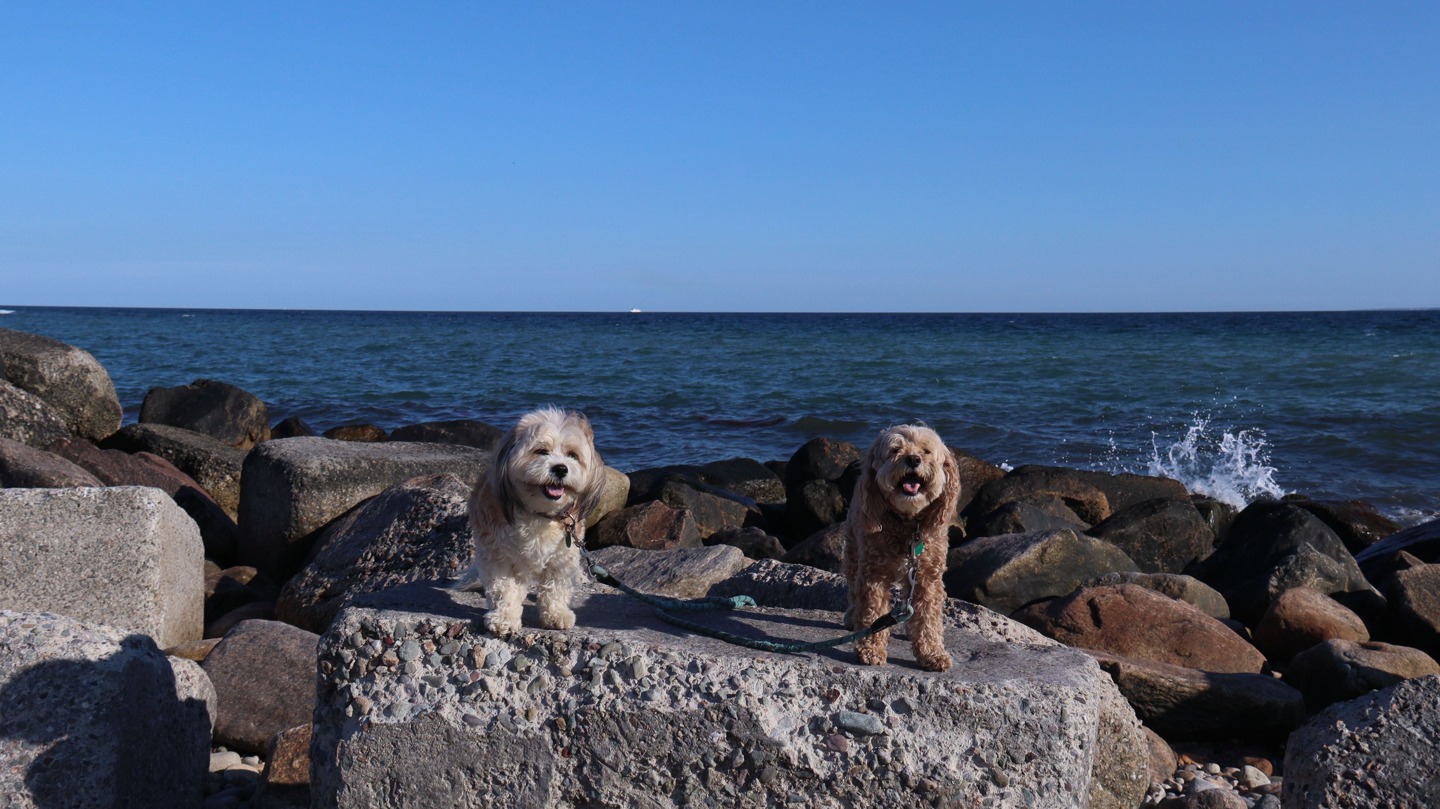
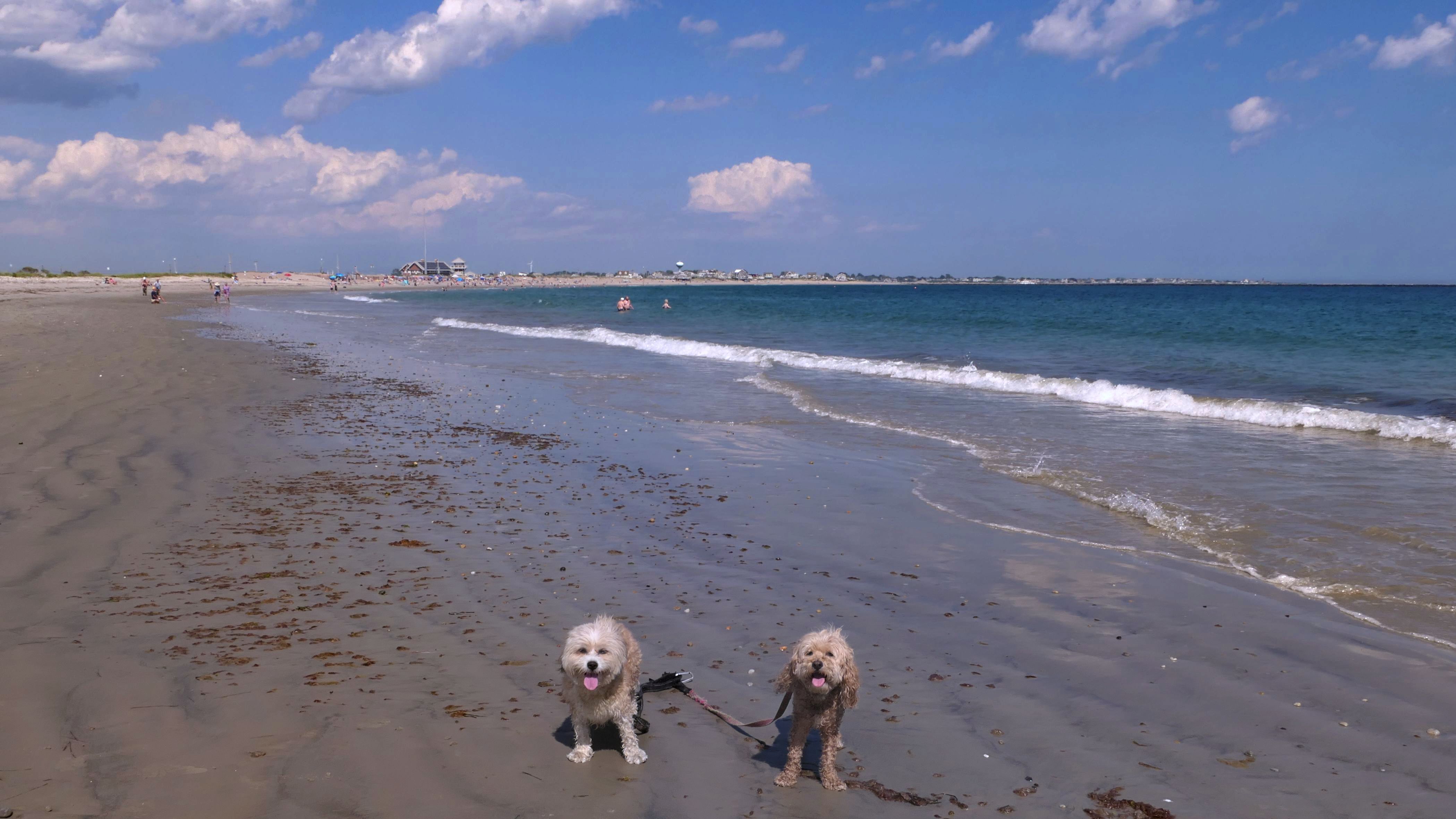
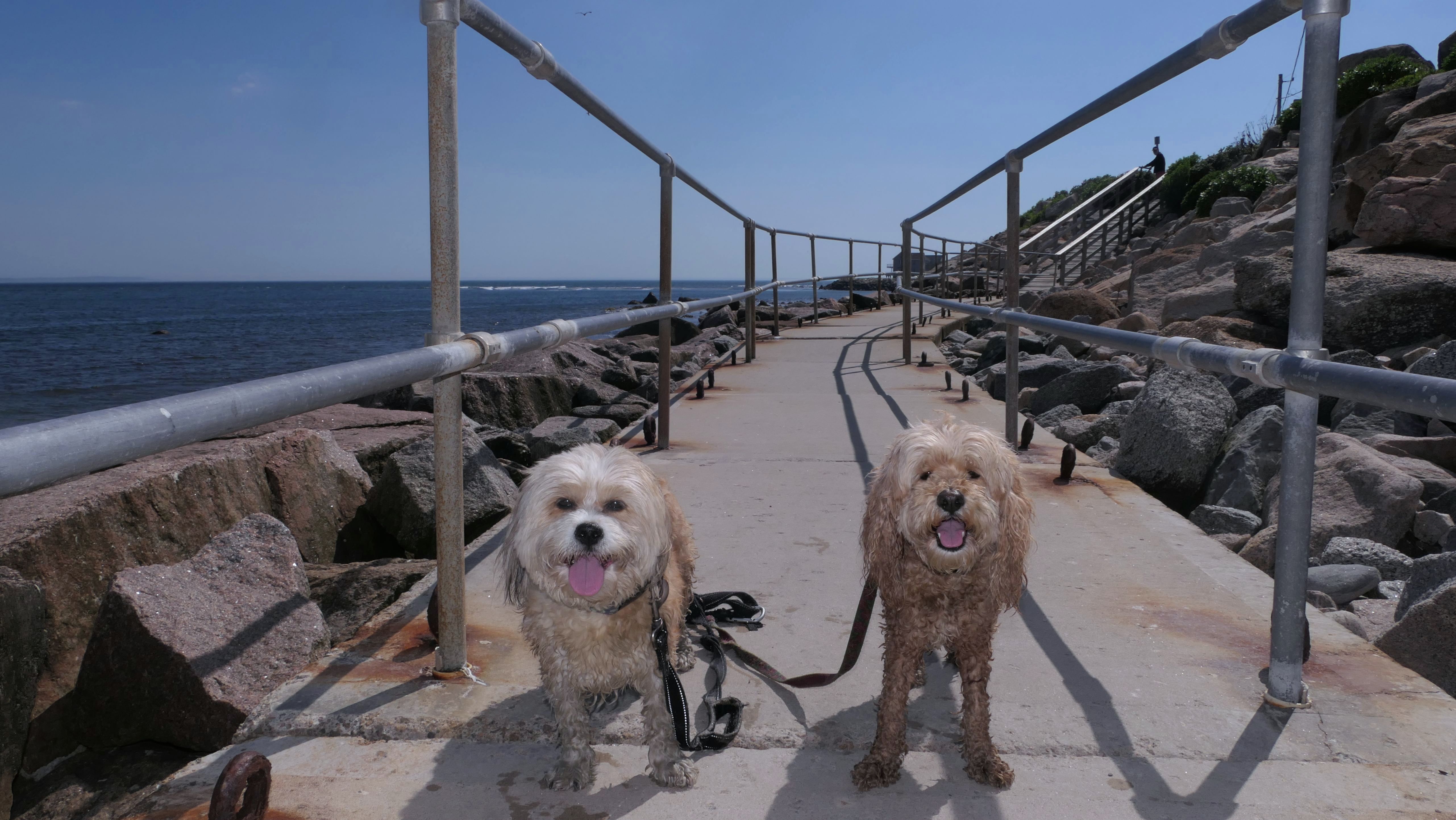
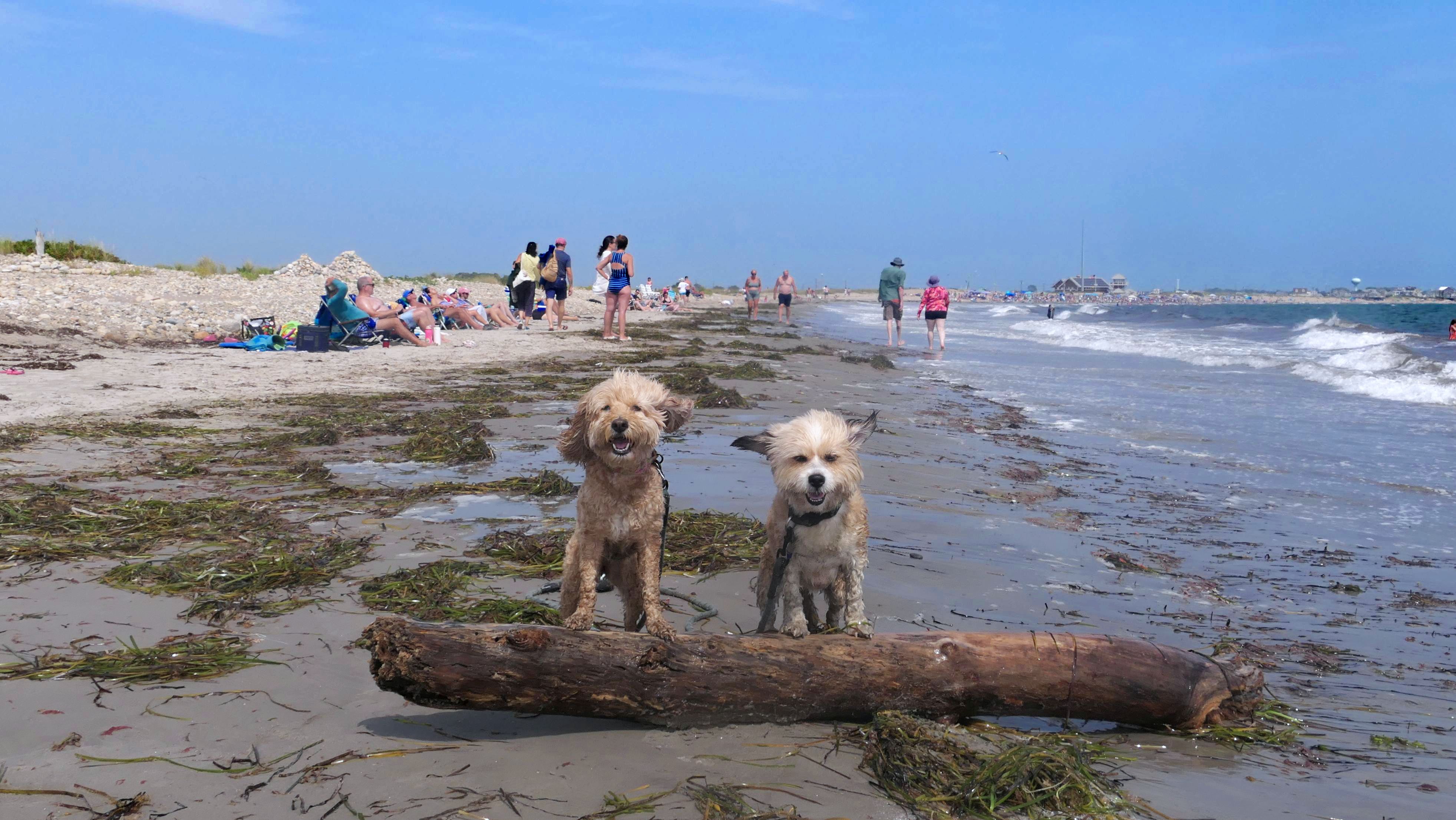
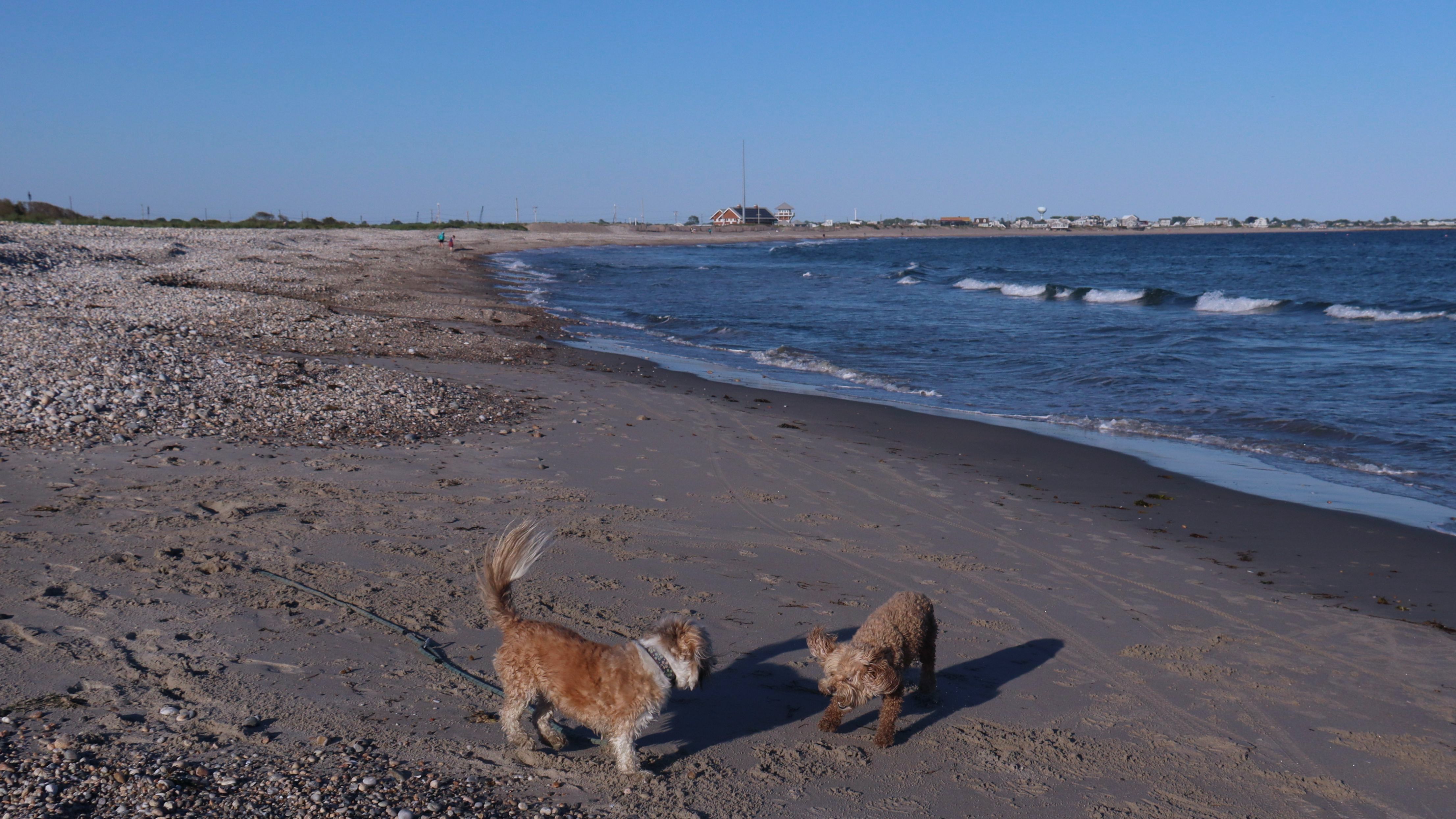
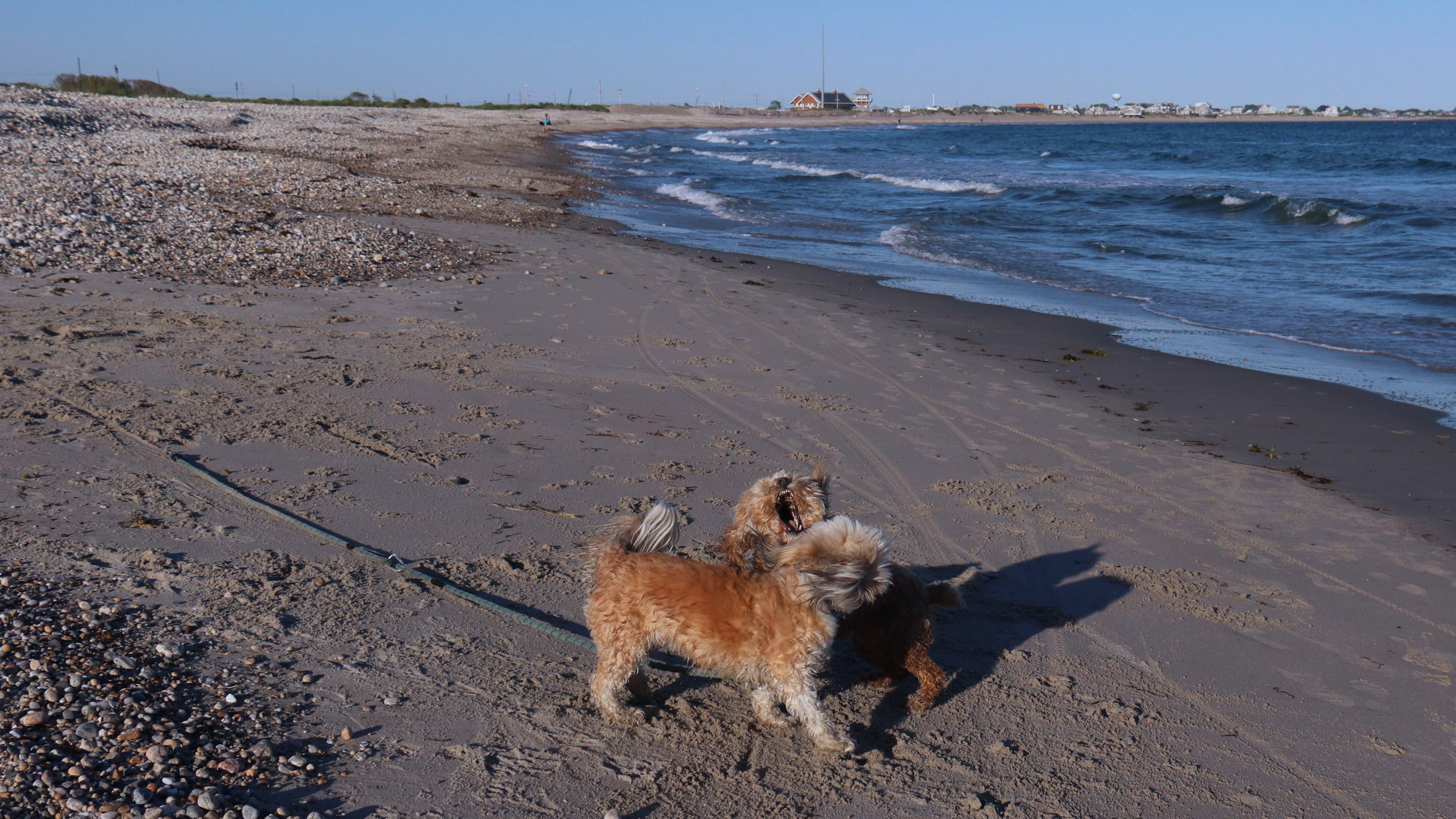
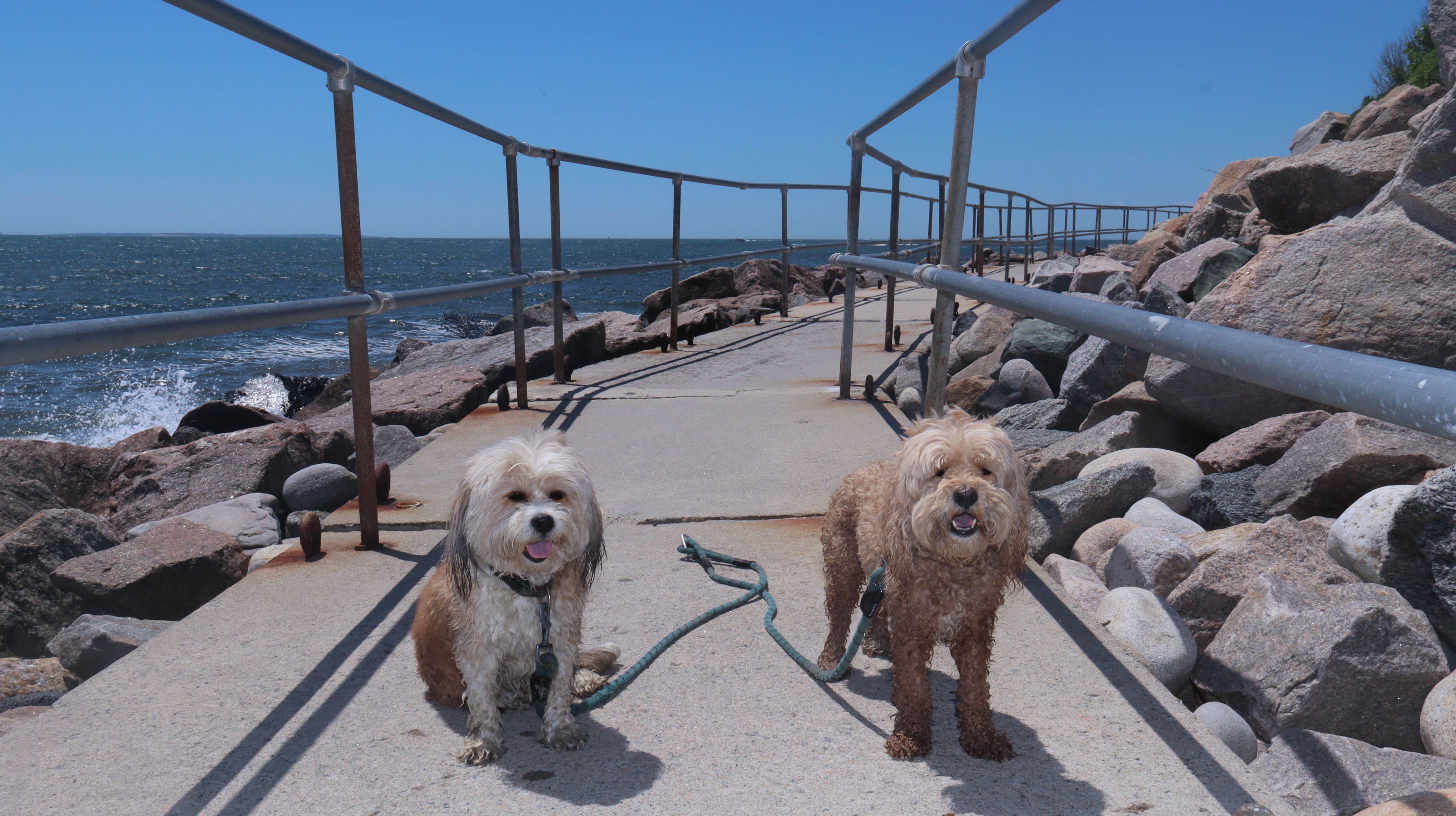
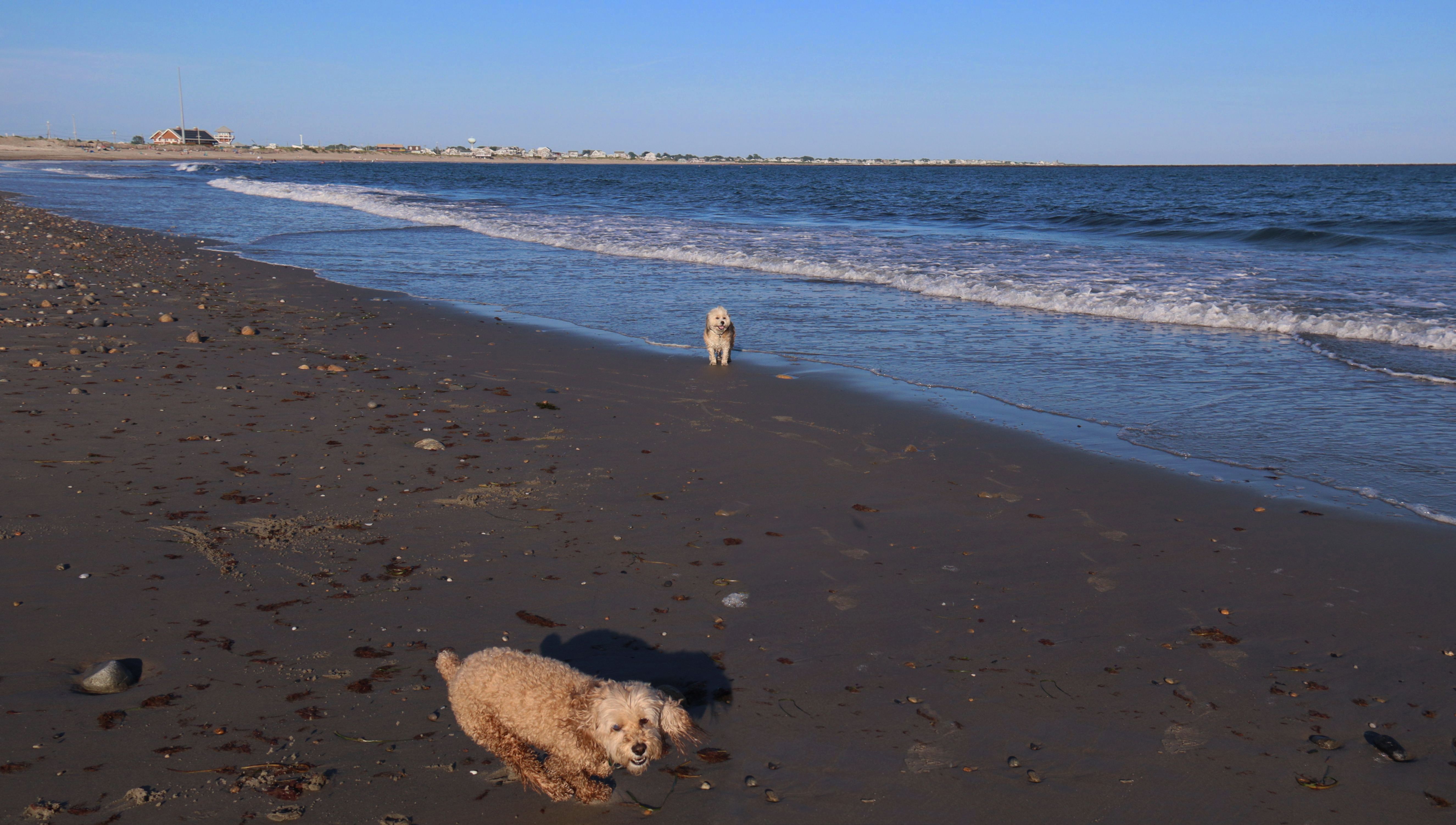
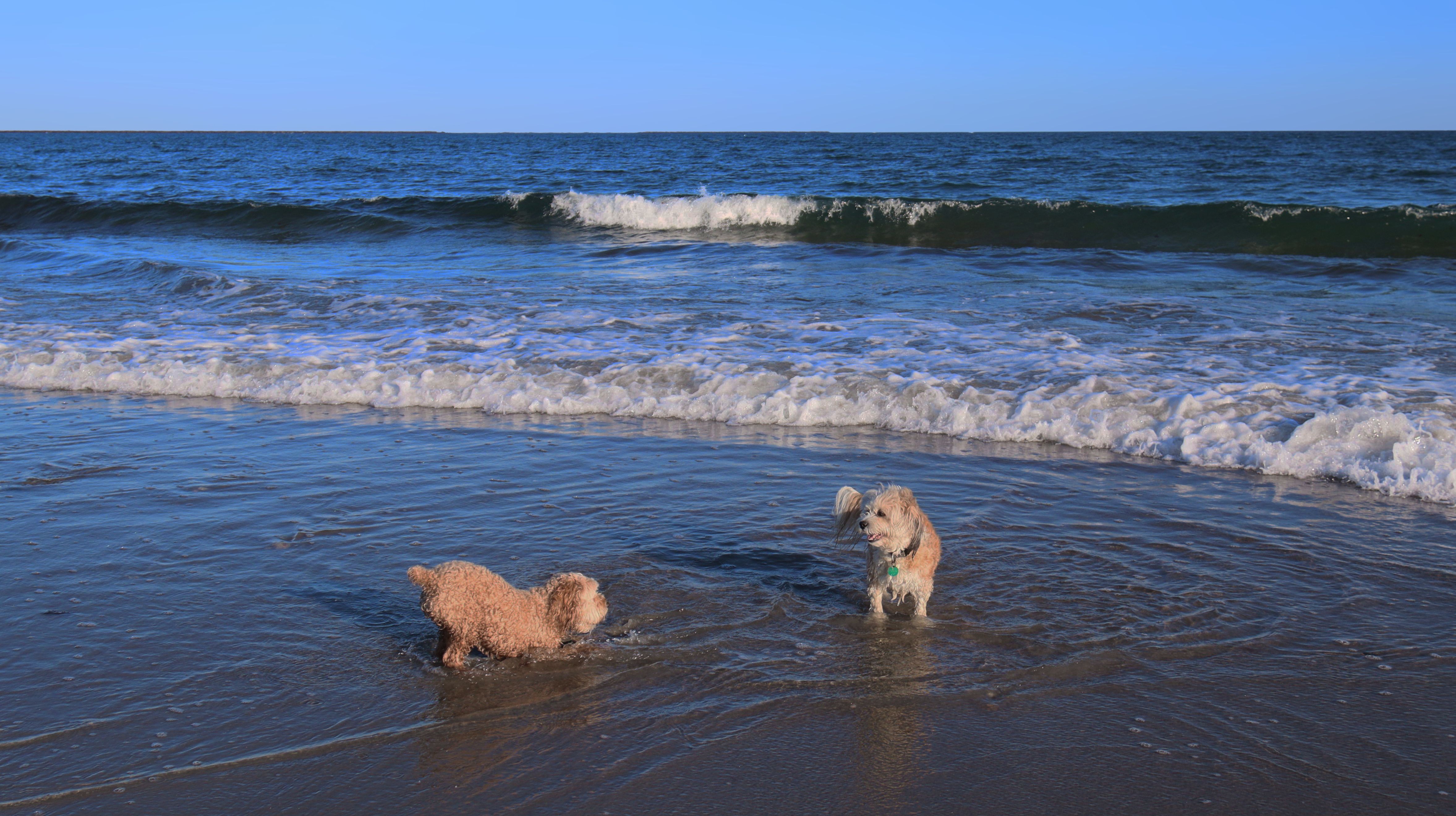
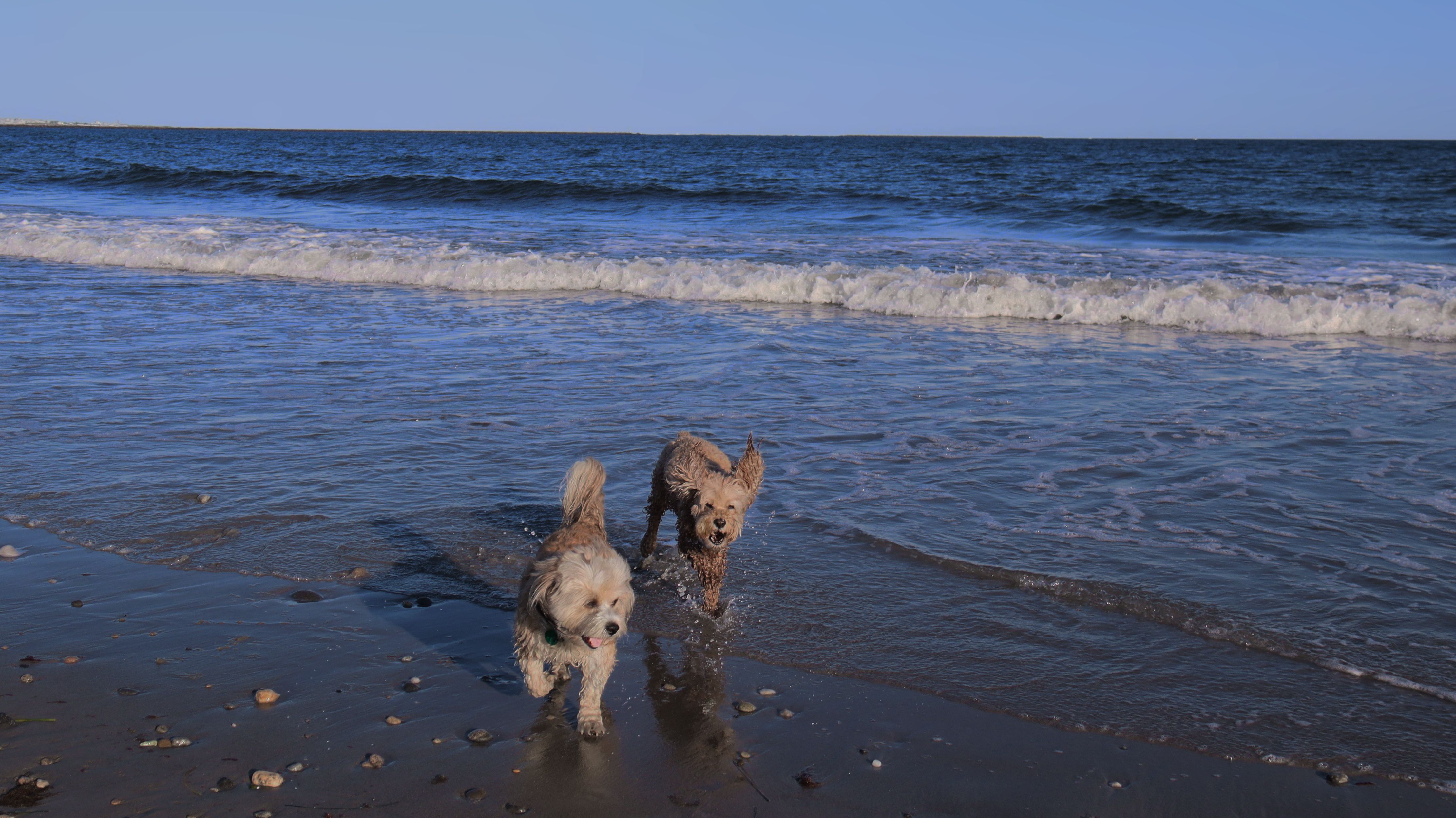
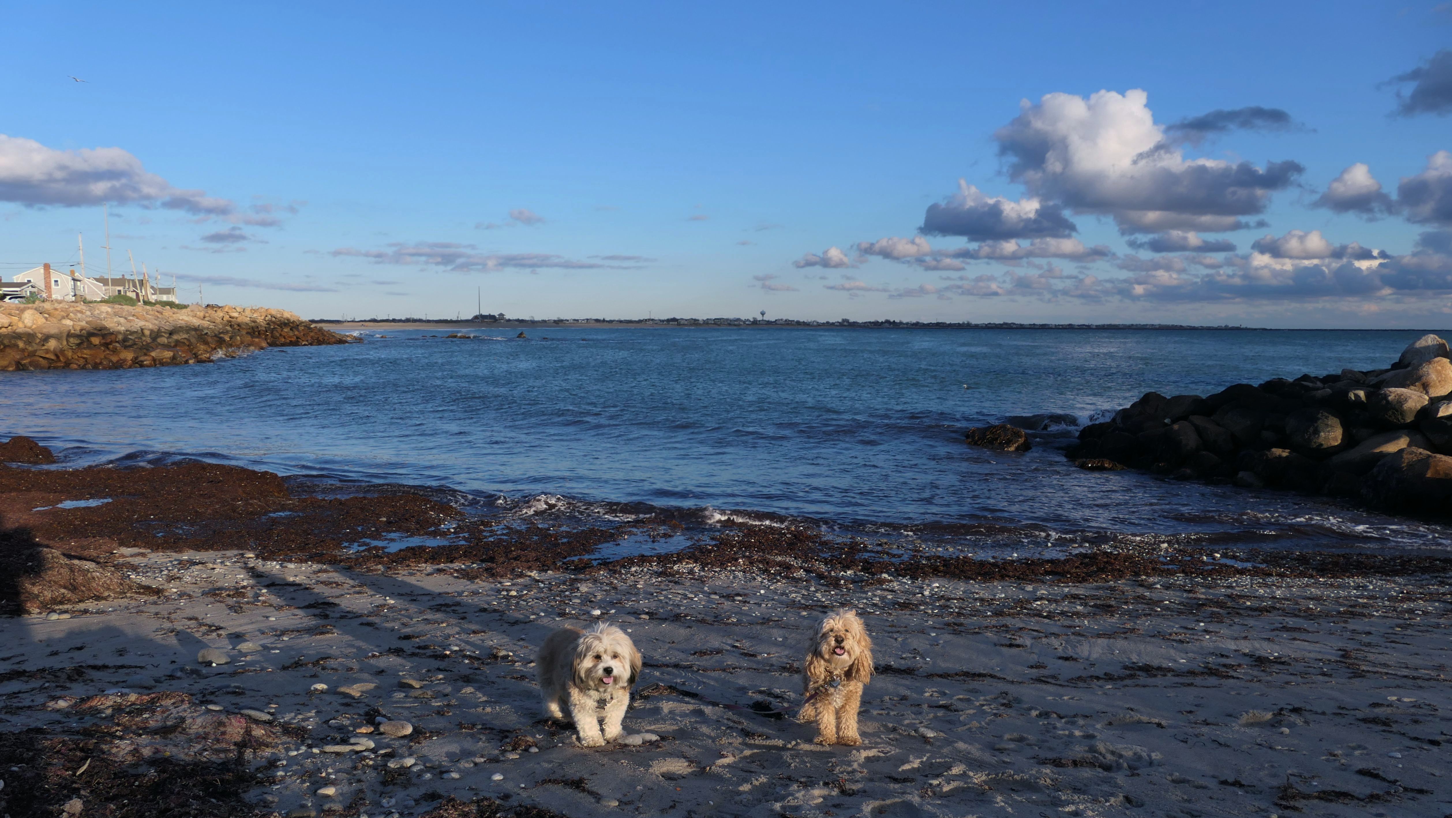
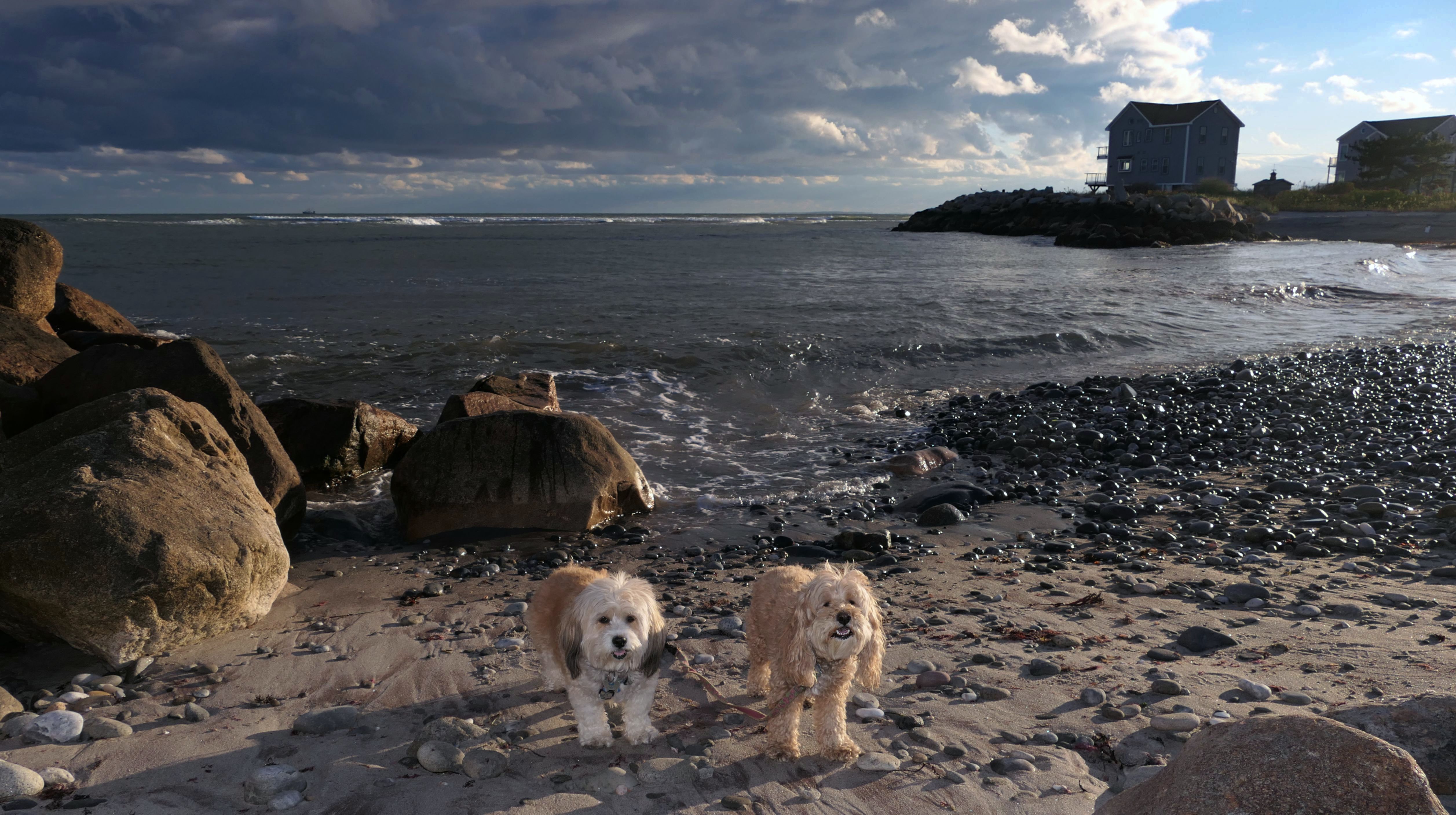
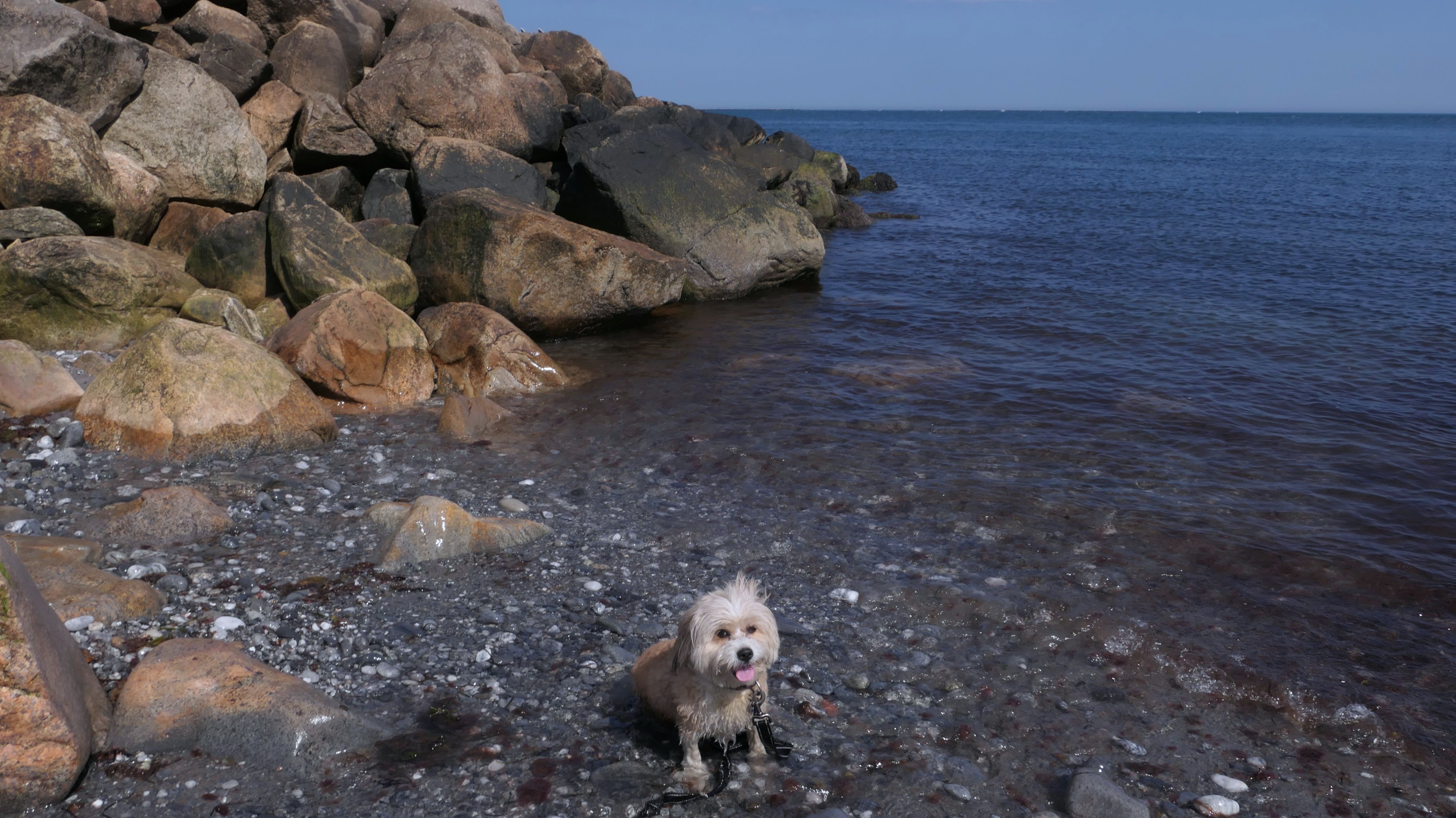
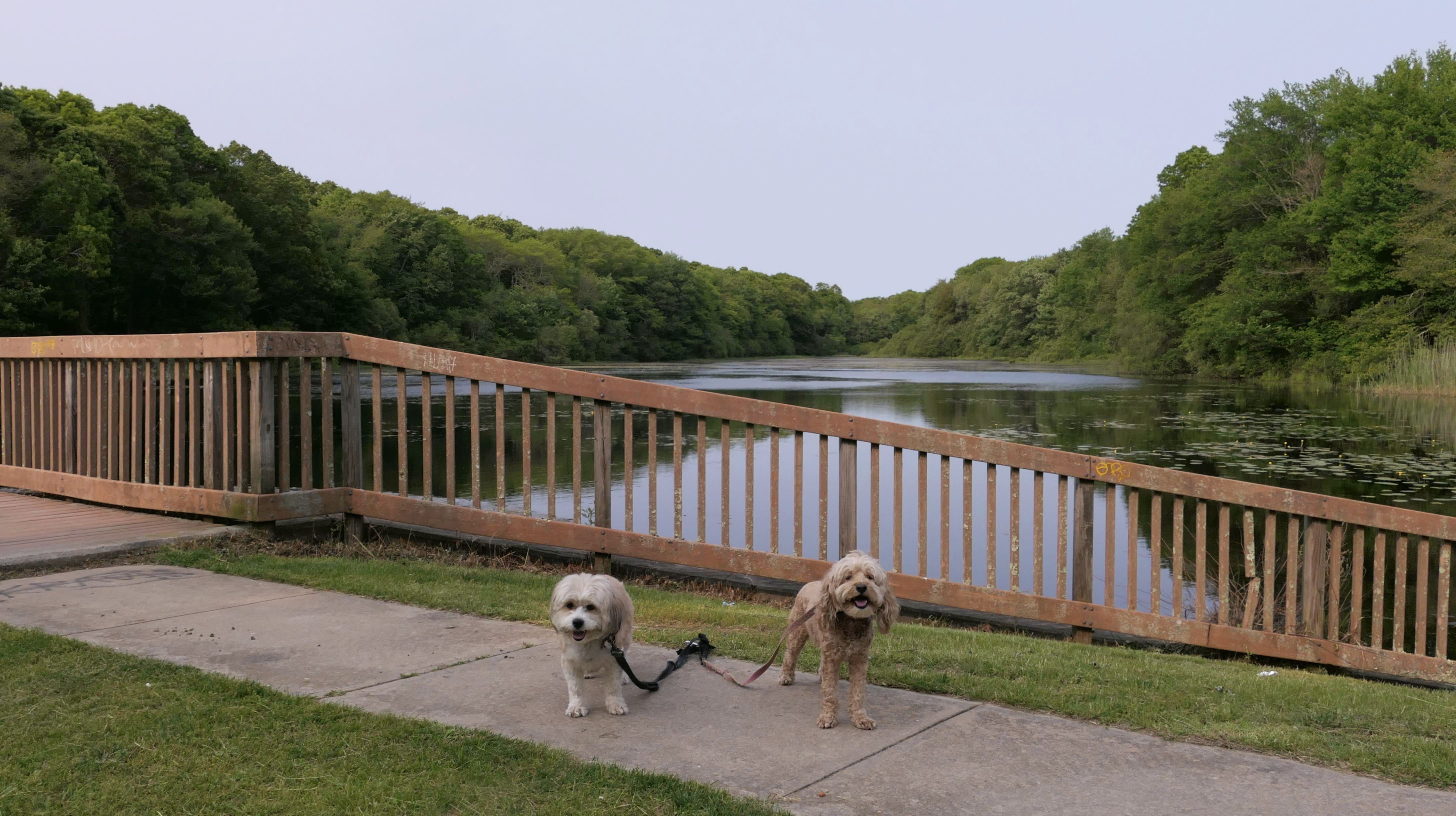
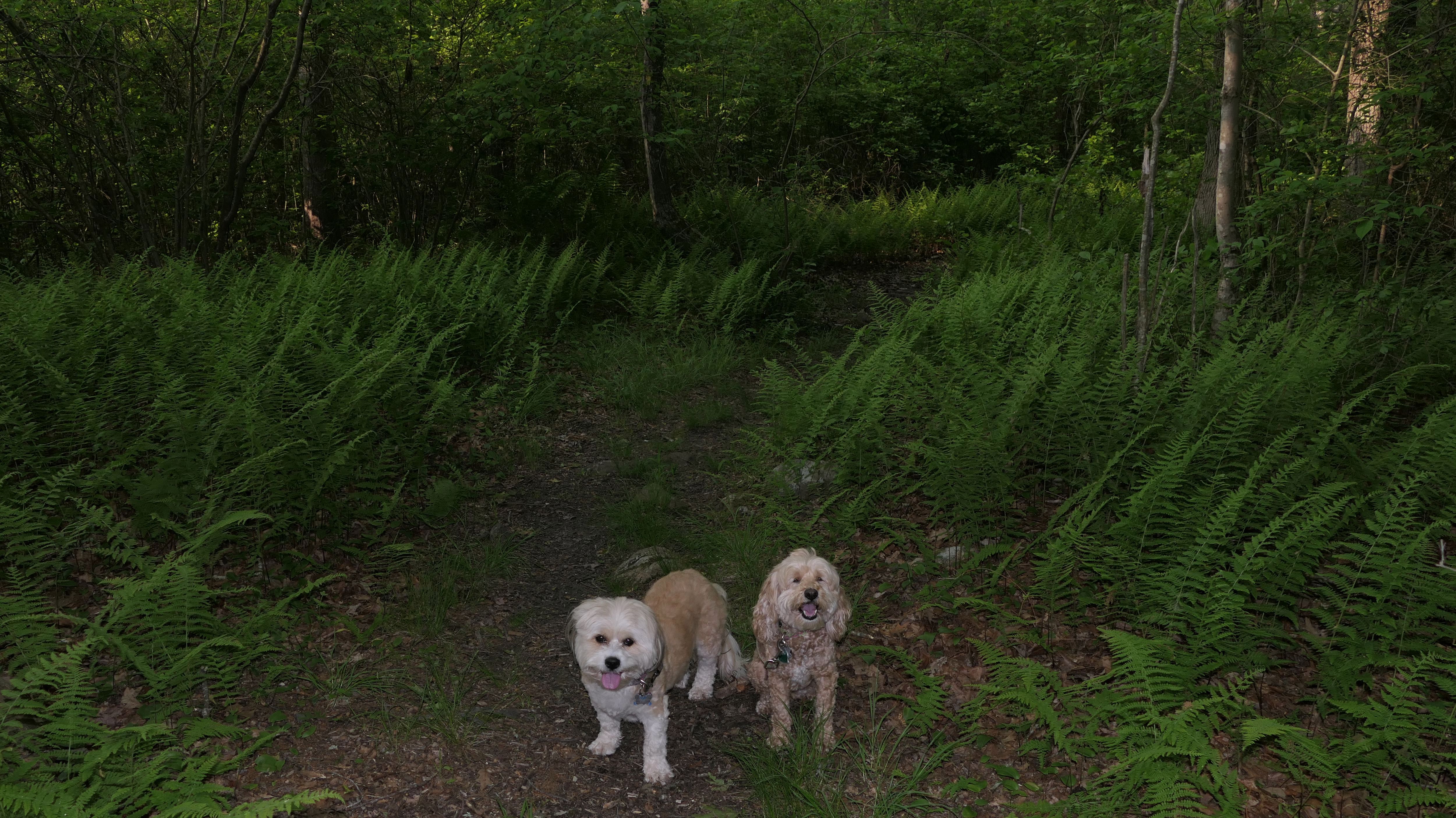
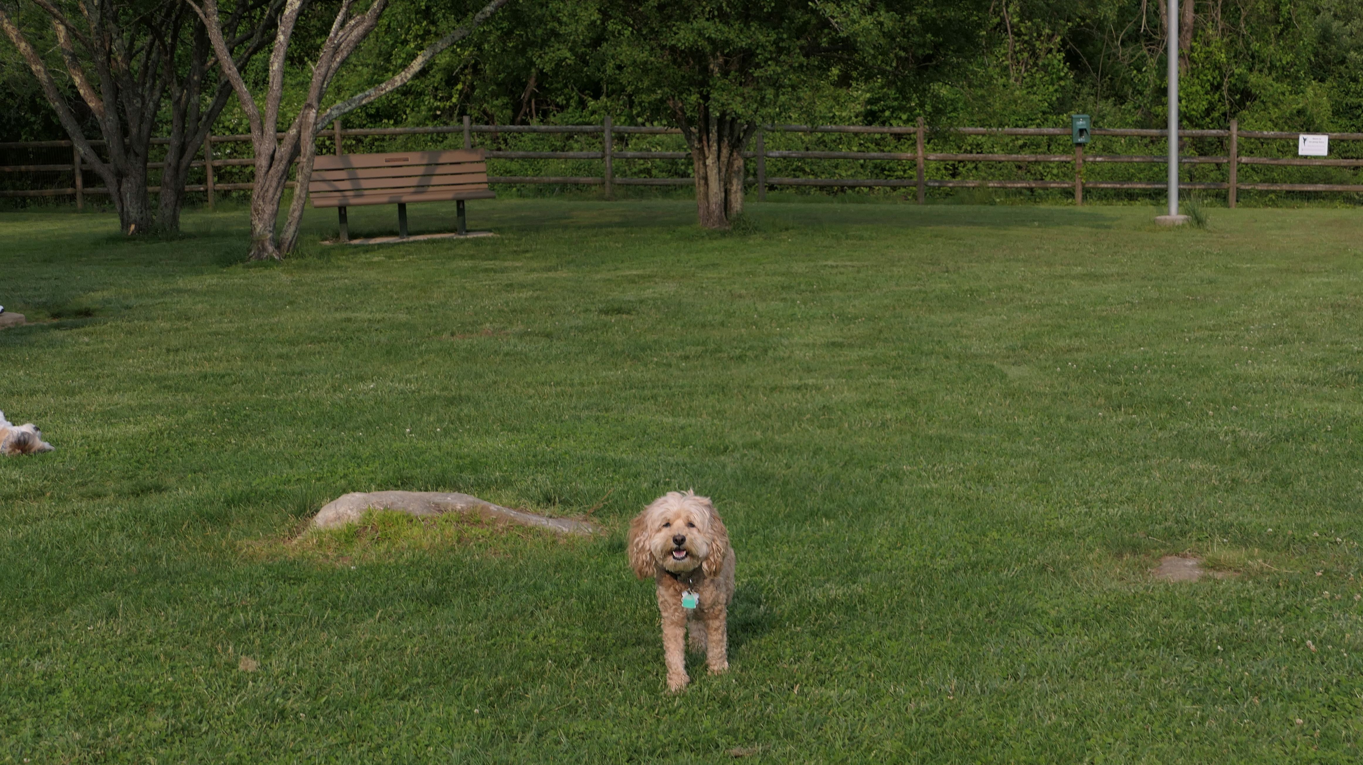
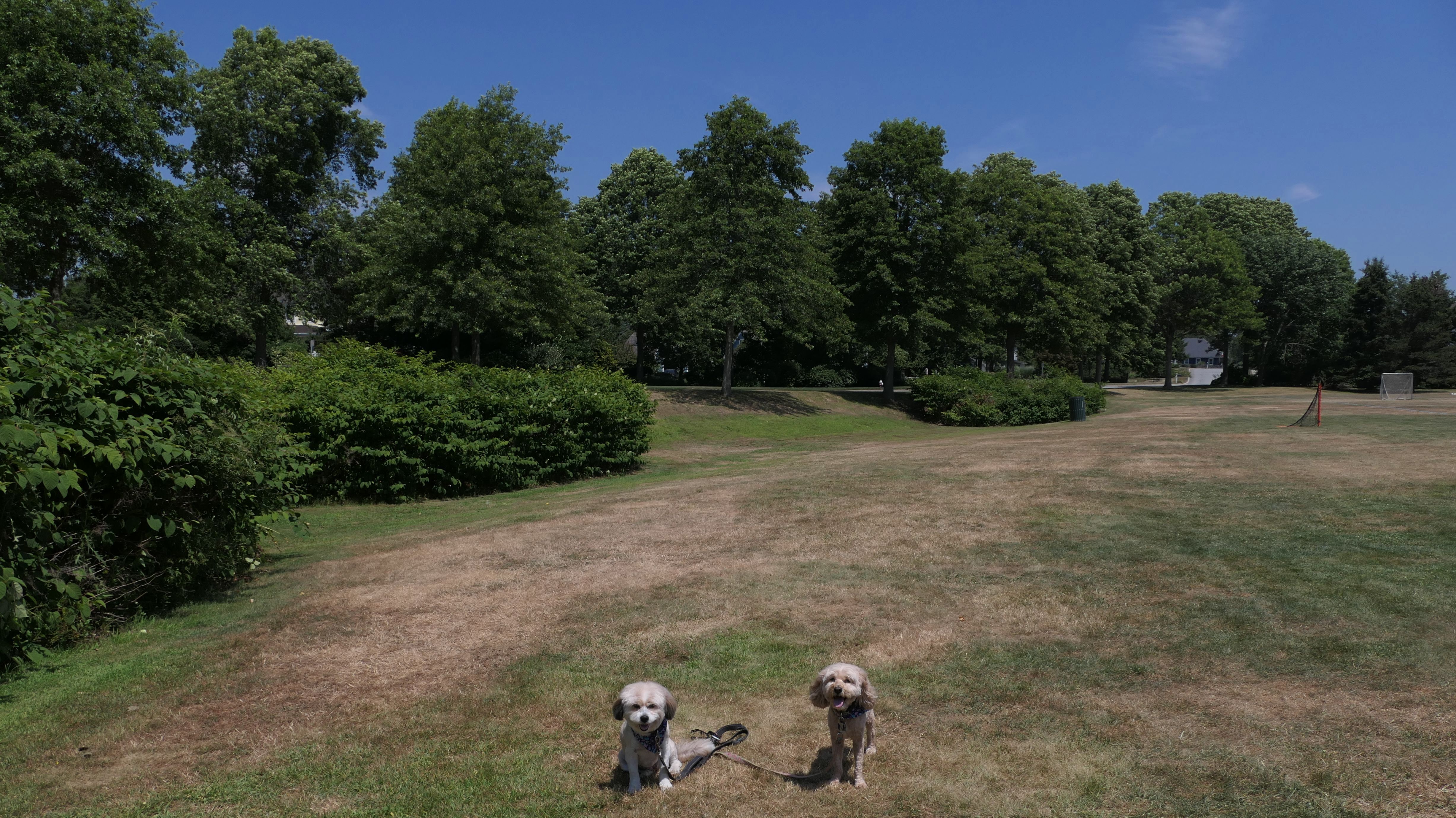
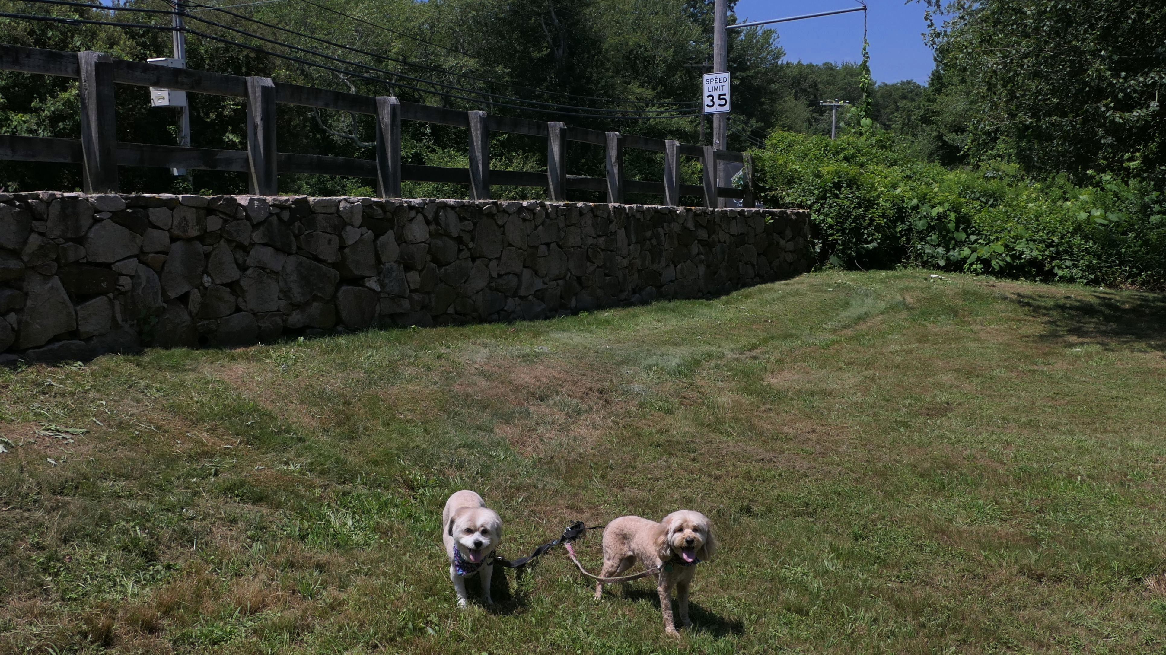
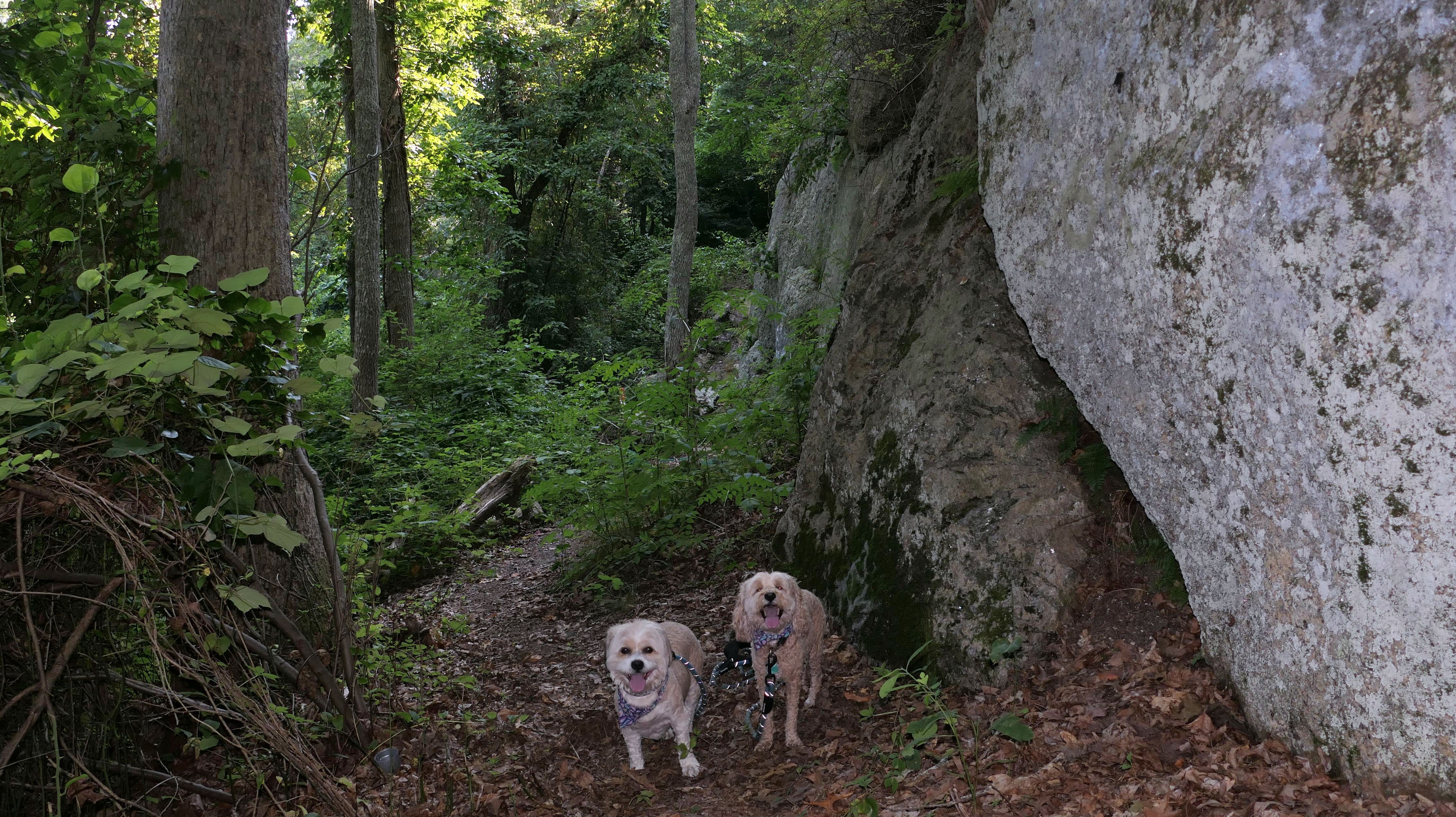
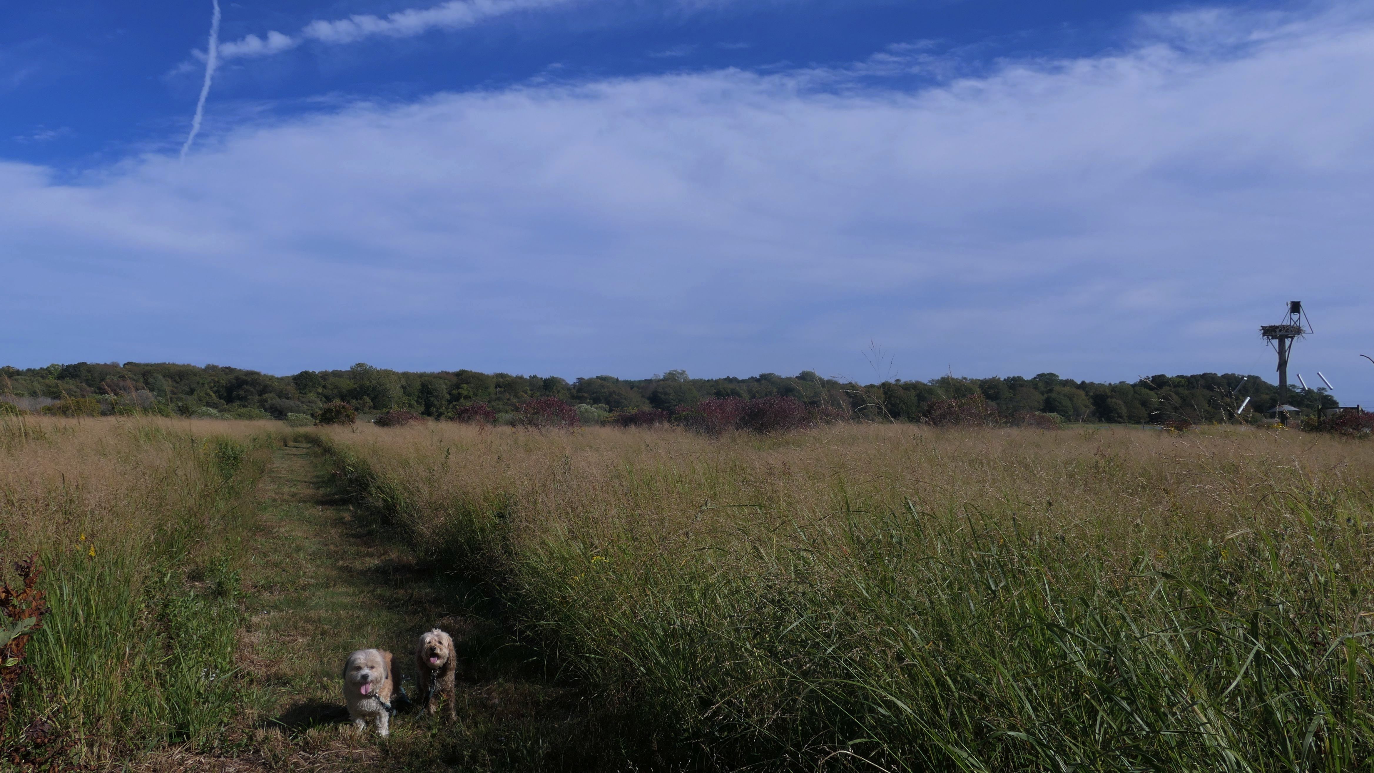
South Kingstown Town Beach
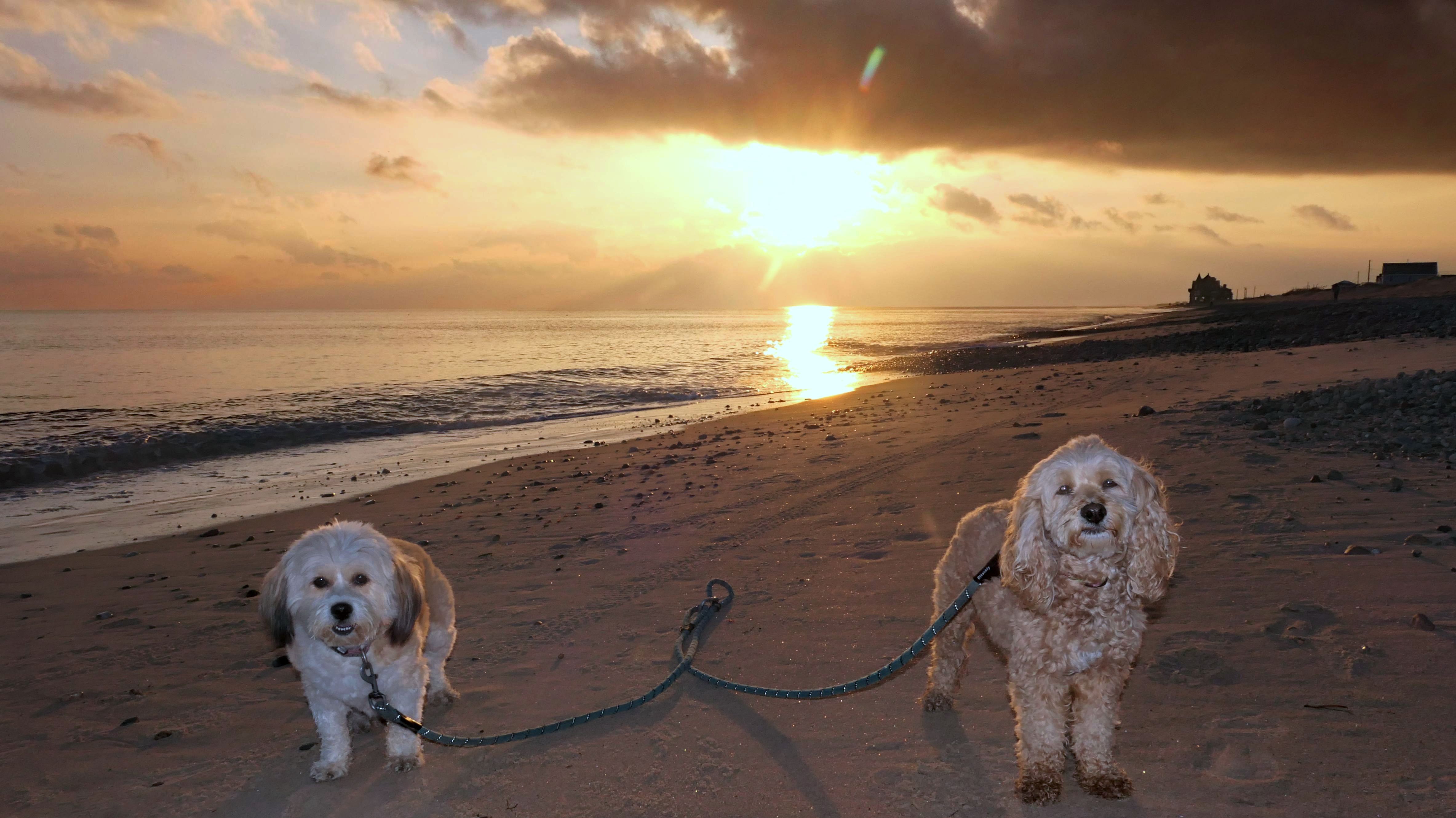
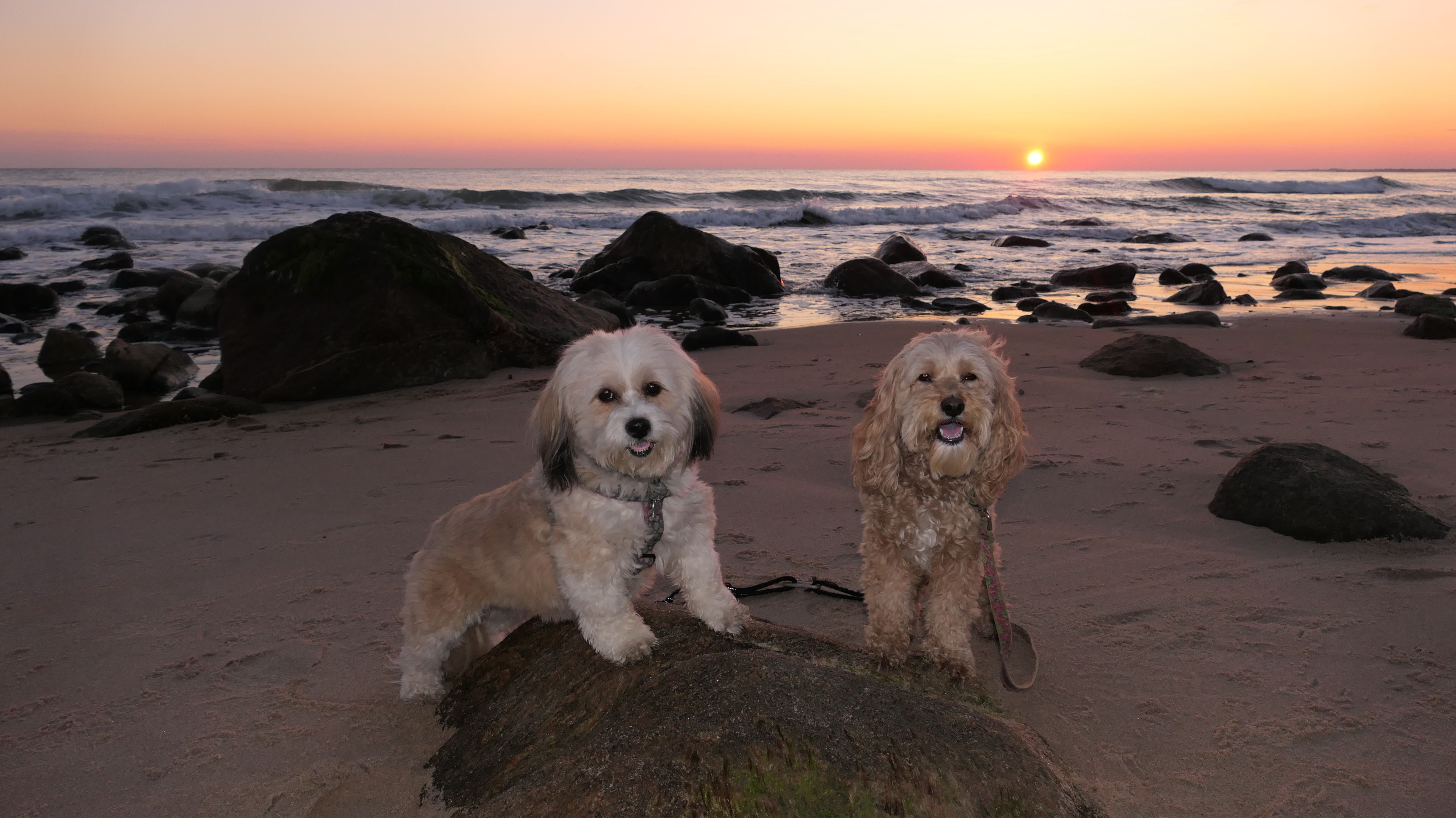
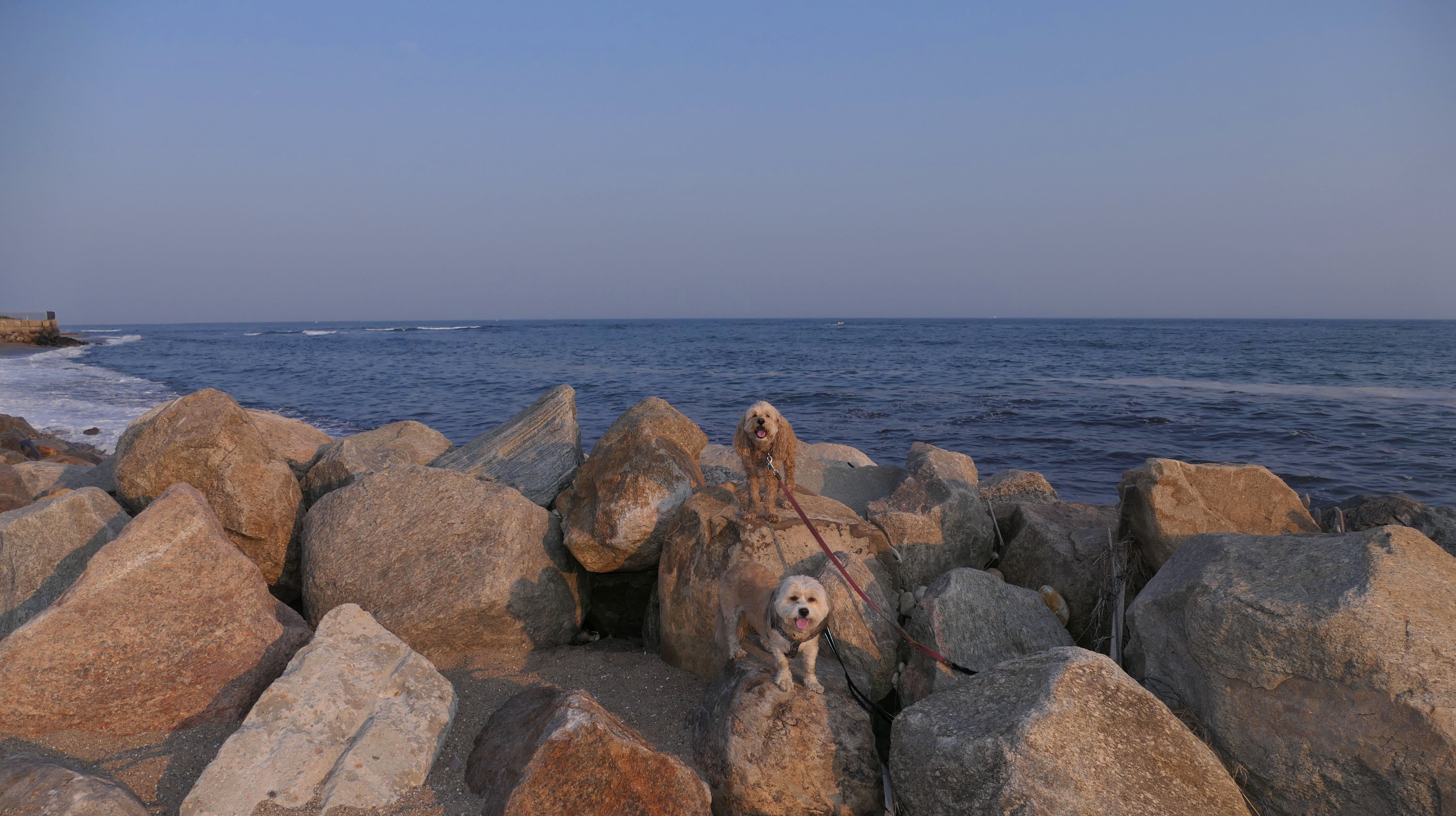
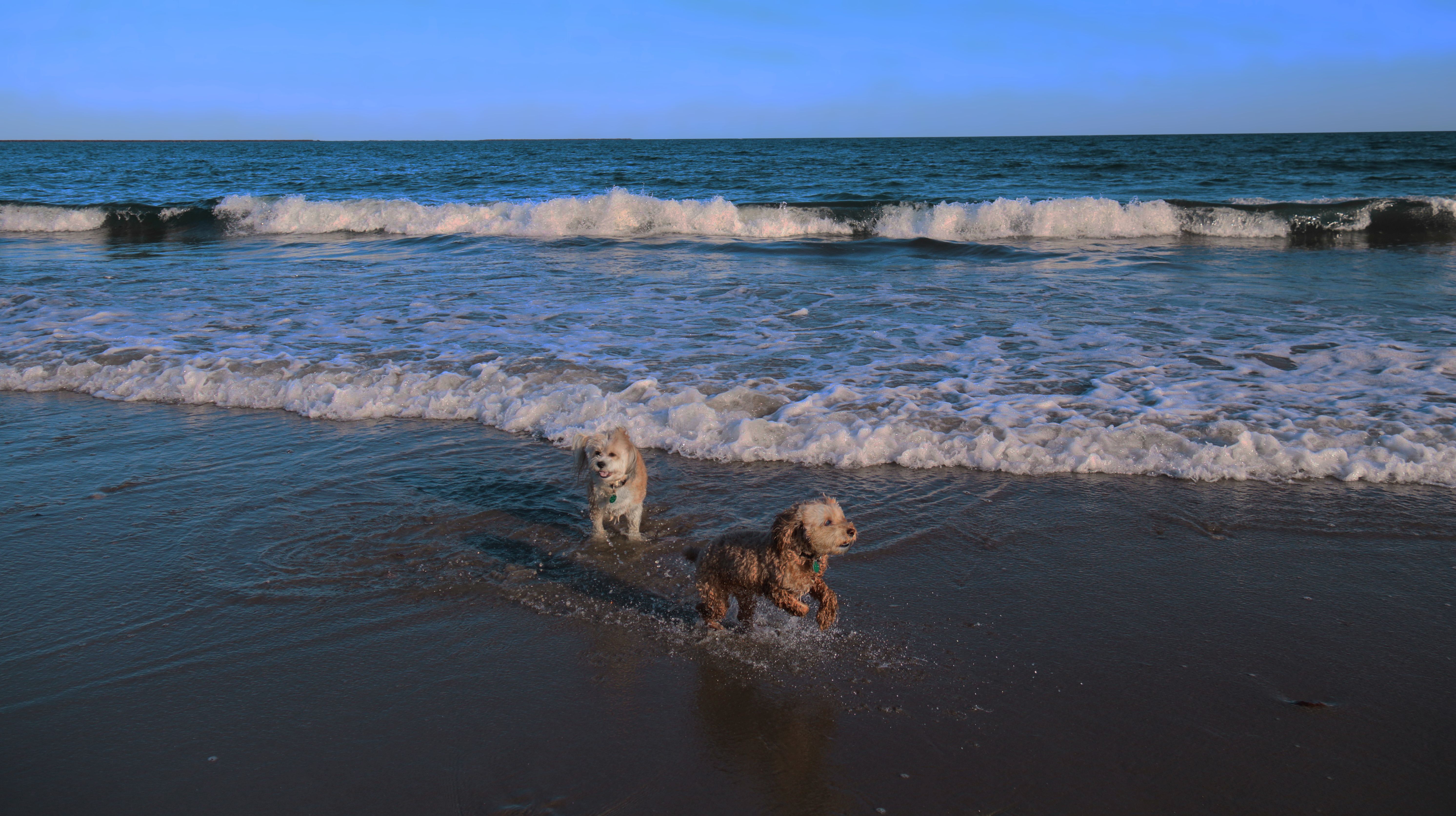
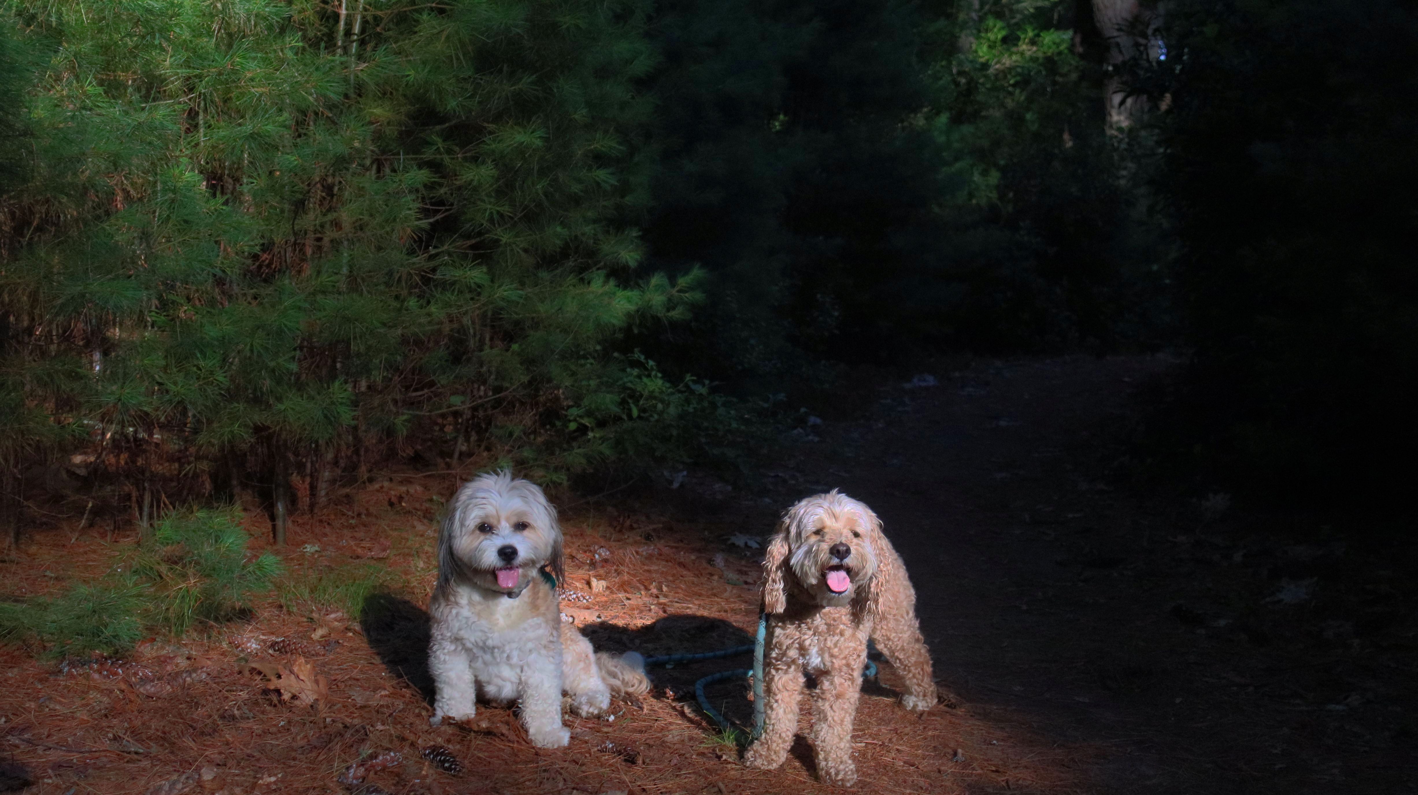
Date visited: 11/12/2022
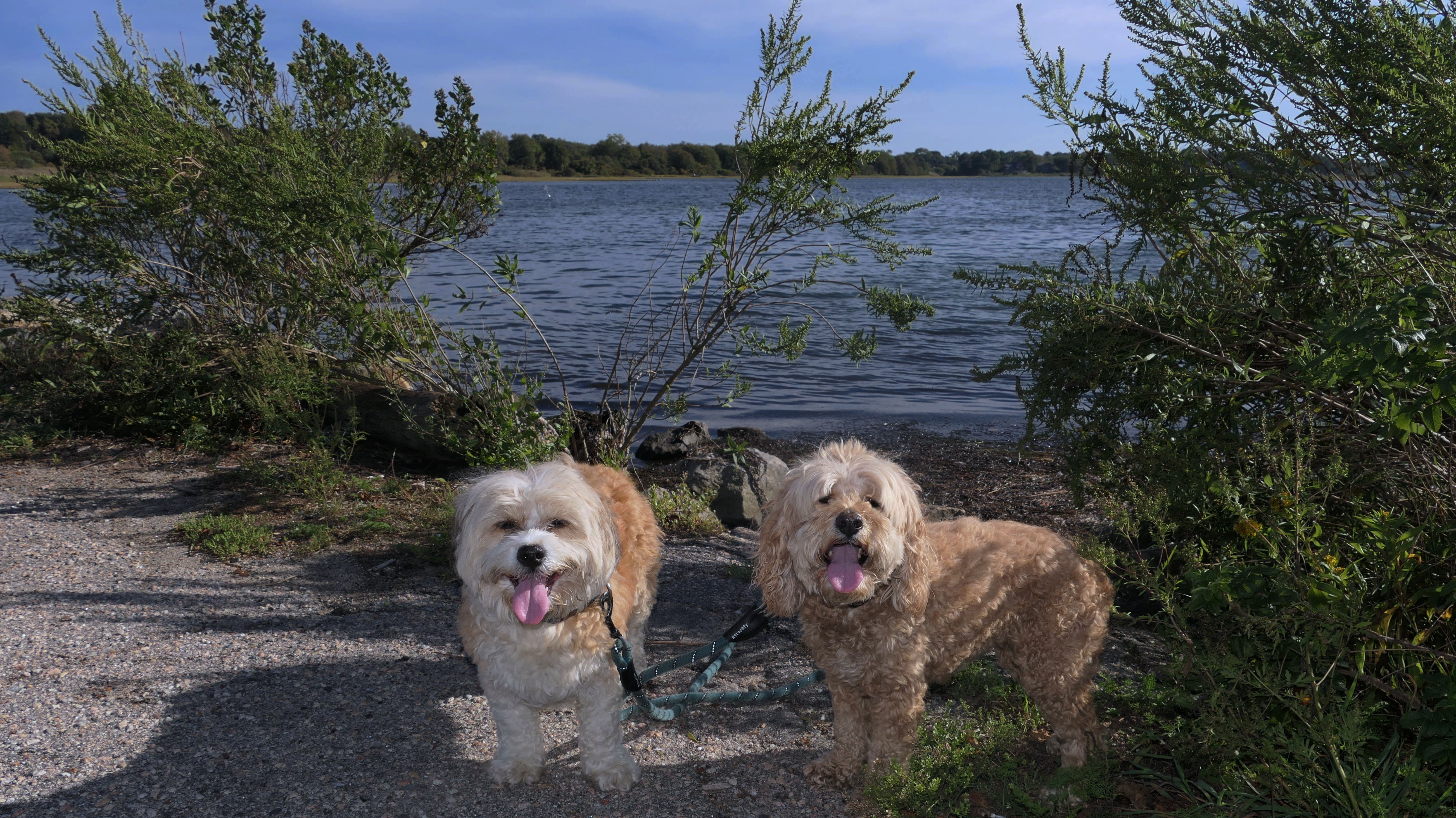
This is a very nice town beach that allows dogs in the off-season. I believe they are allowed here from the day after Labor Day until the day before Memorial Day. The waves were ripping here today, and we were here at low tide. There was a gale warning for the area because the remnants of Hurricane Nicole passed through the evening before. The storm also brought in some more tropical air, as it was 72 degrees when we arrived at the beach....on November 12th! We walked the length of the beach and back. It was a little over two miles.


More Images


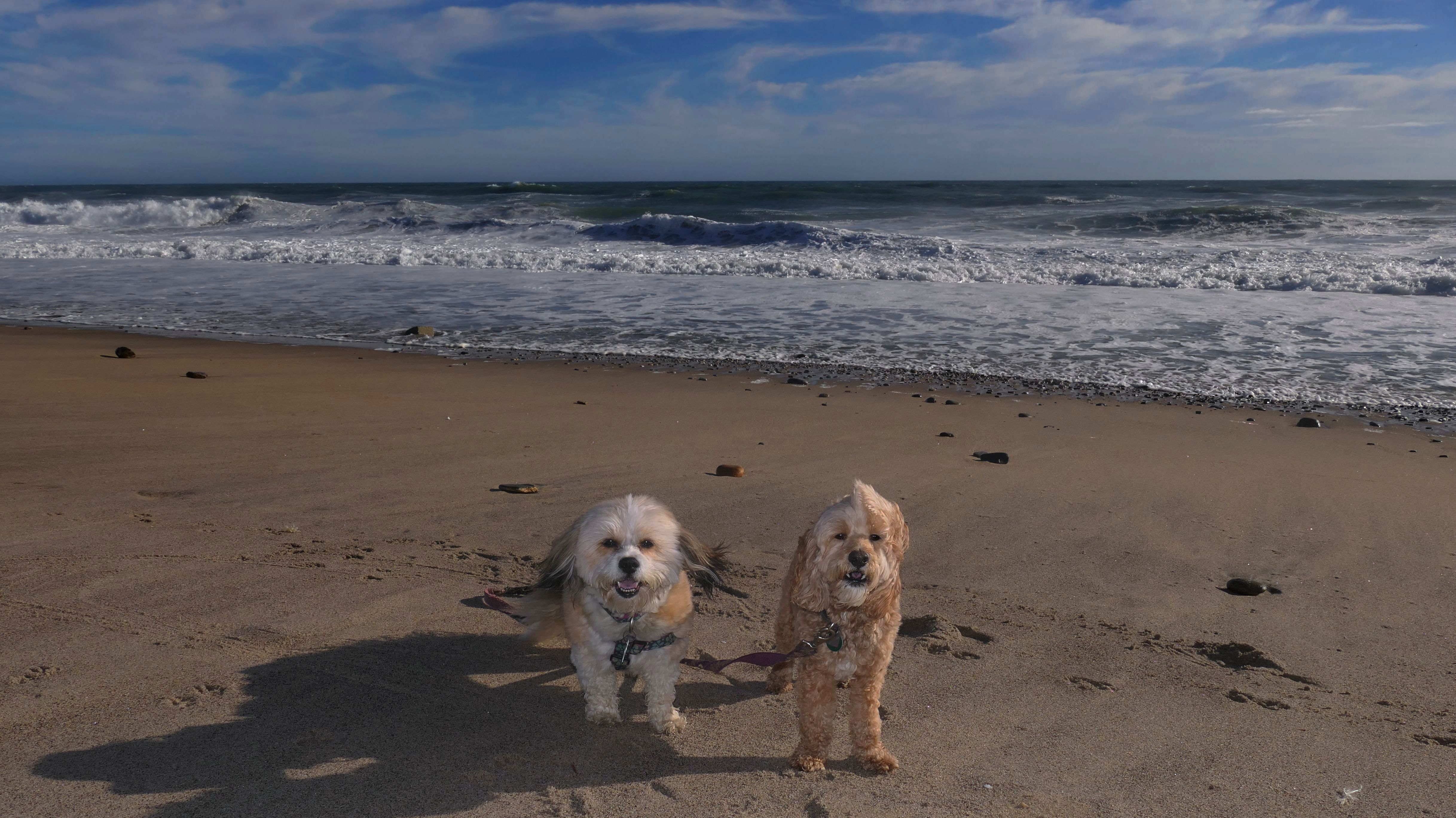
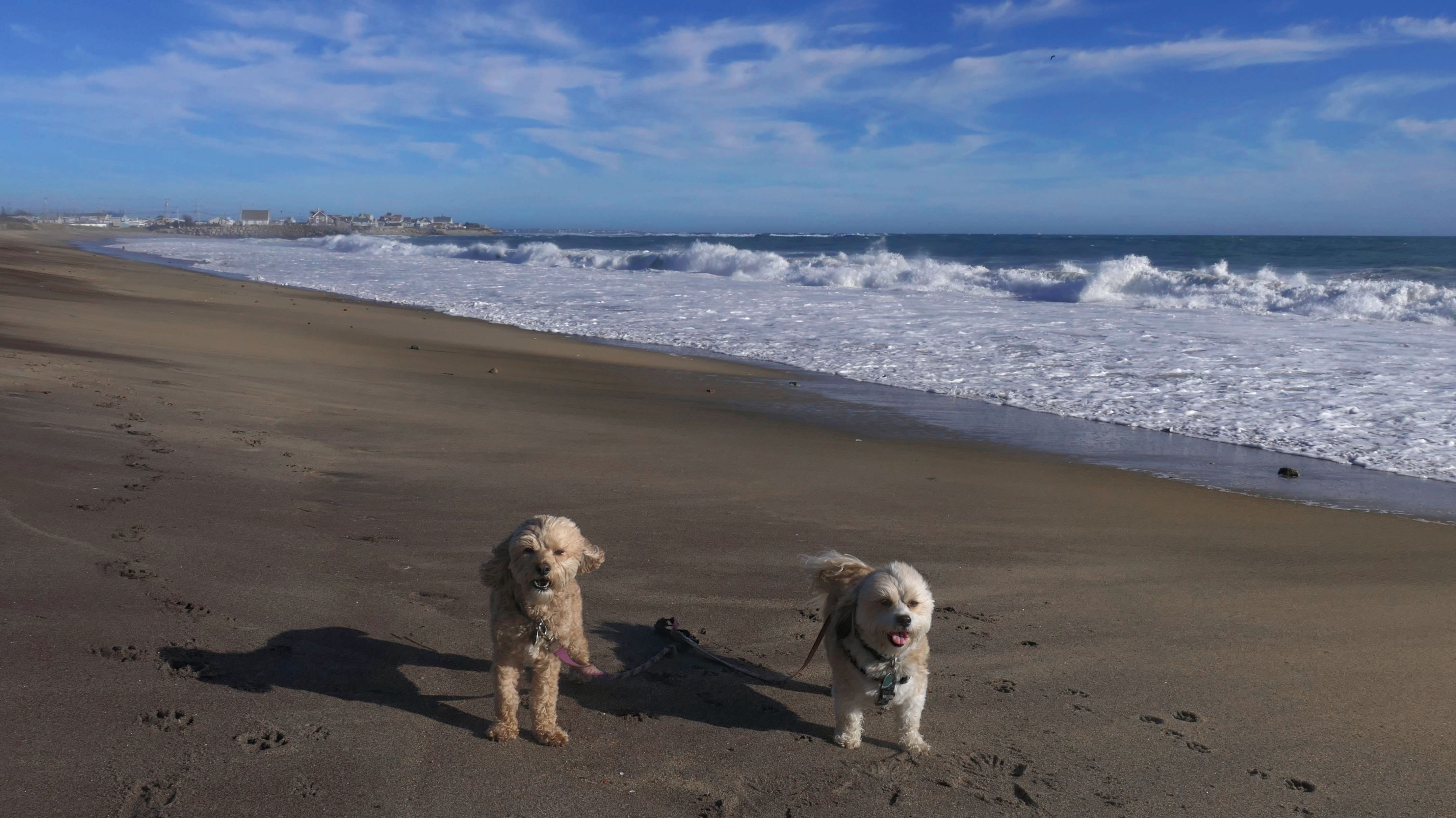

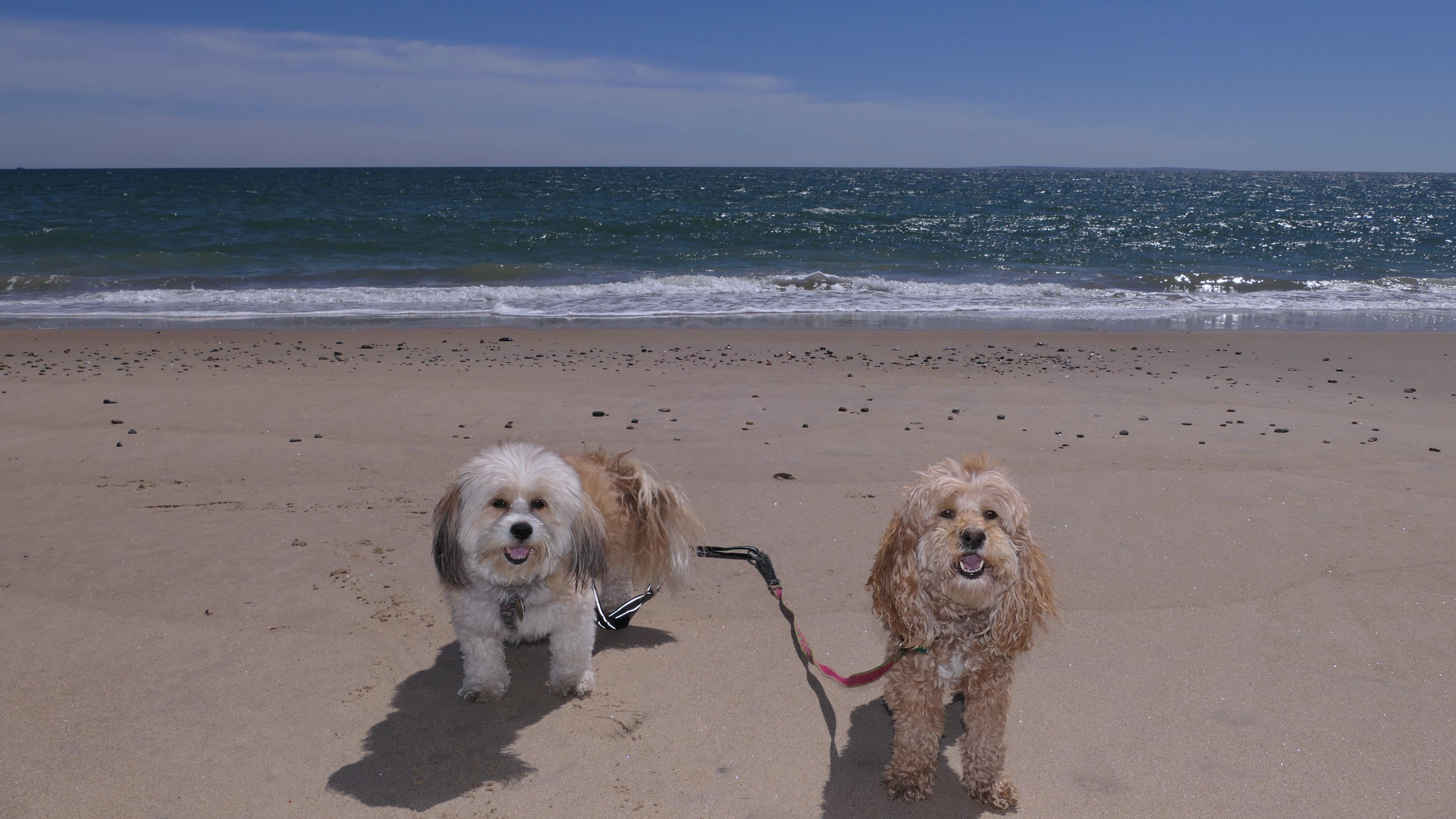
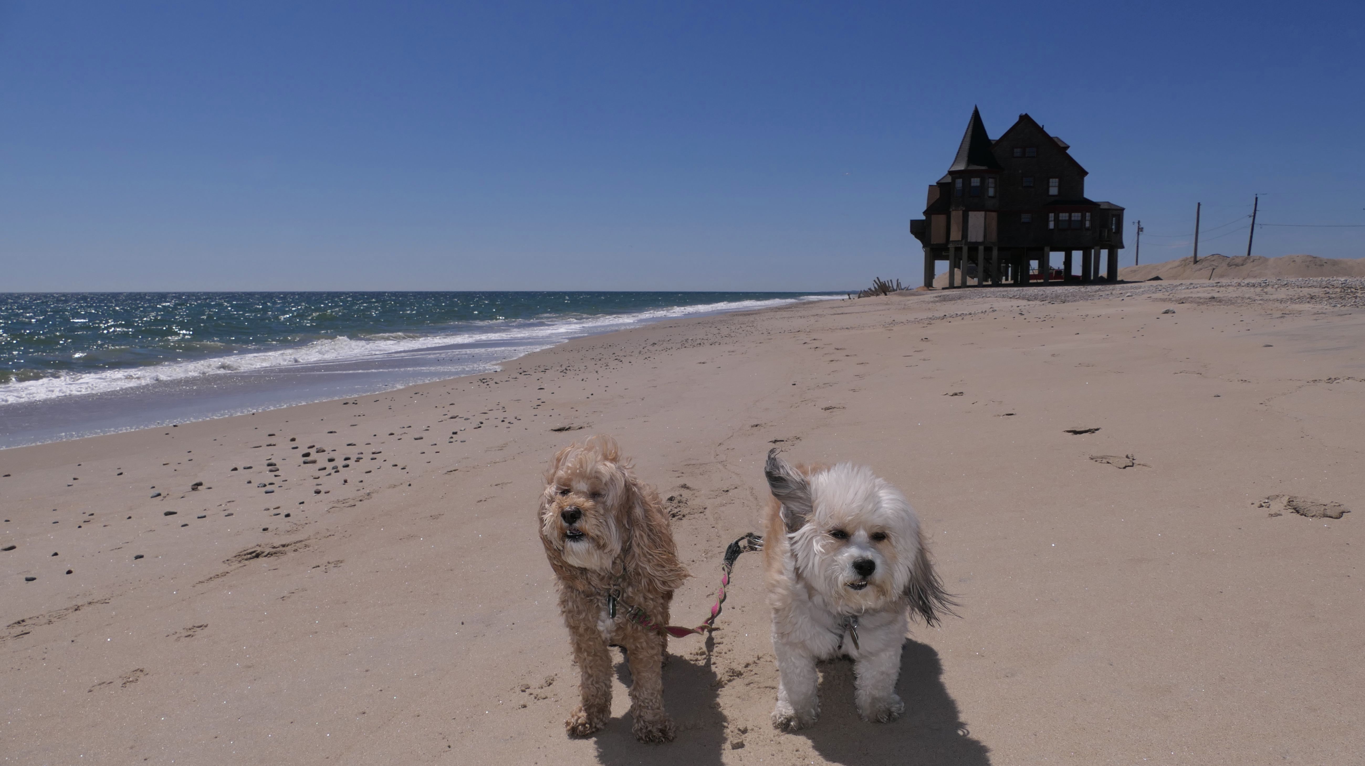
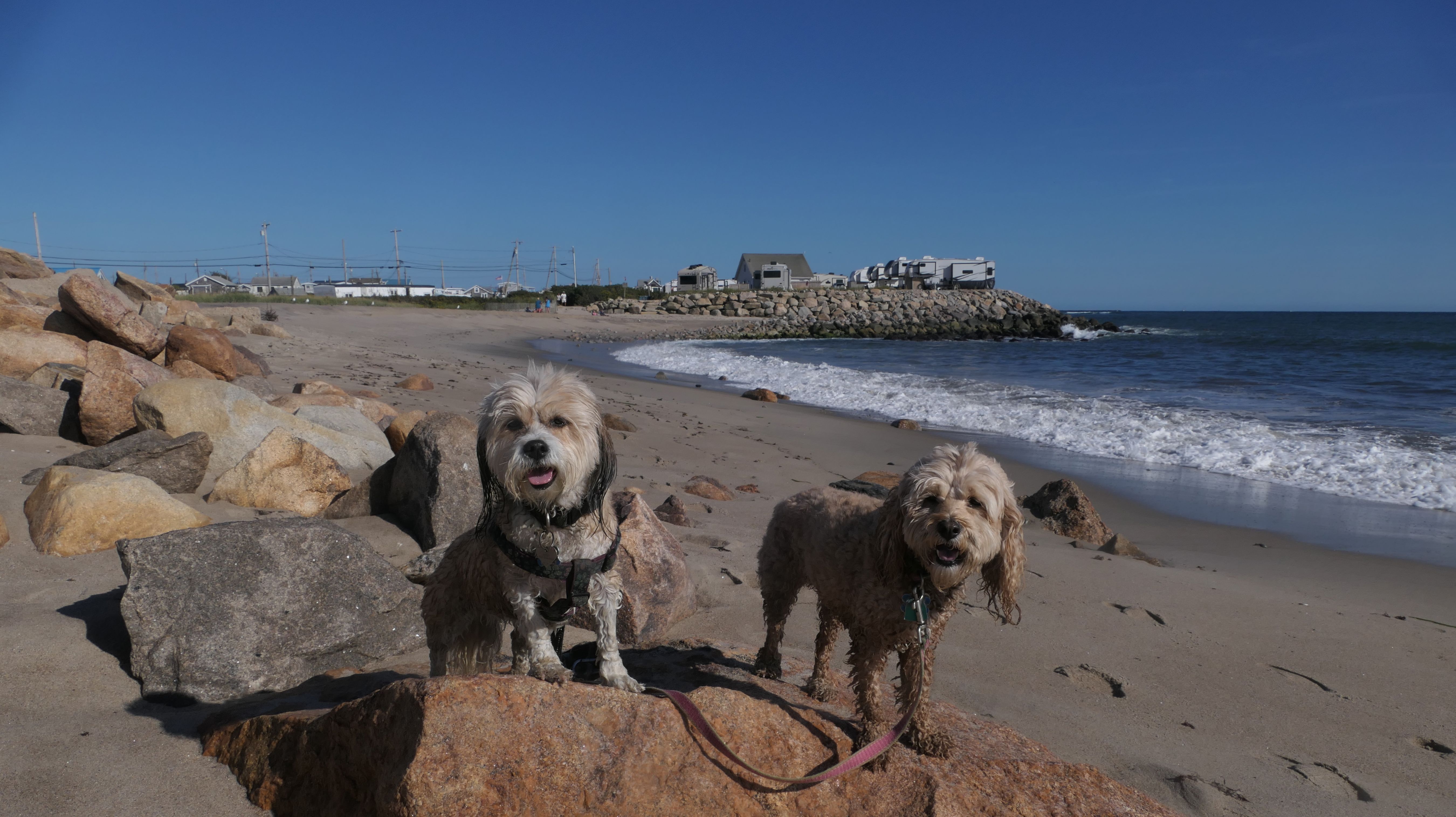
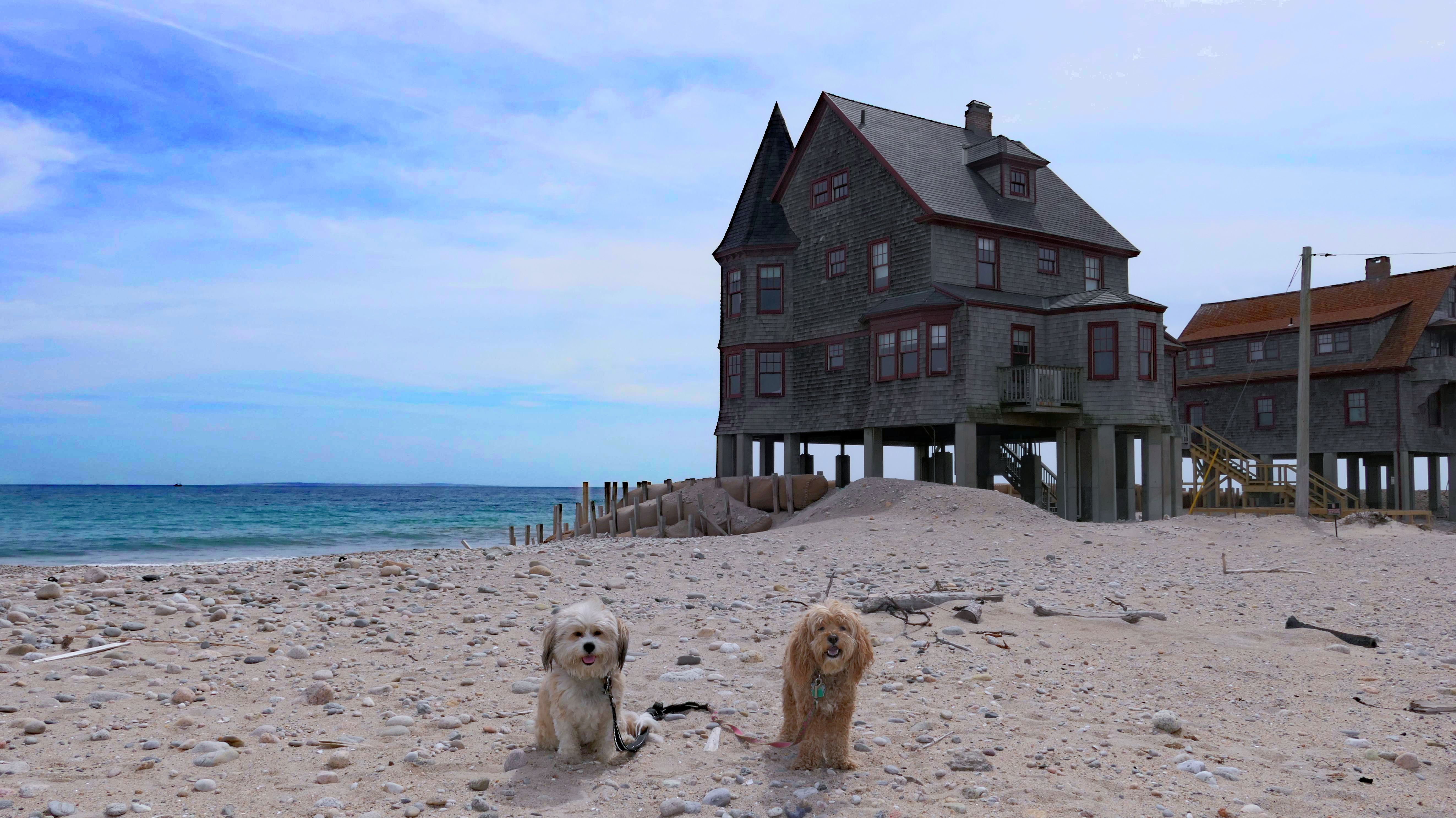
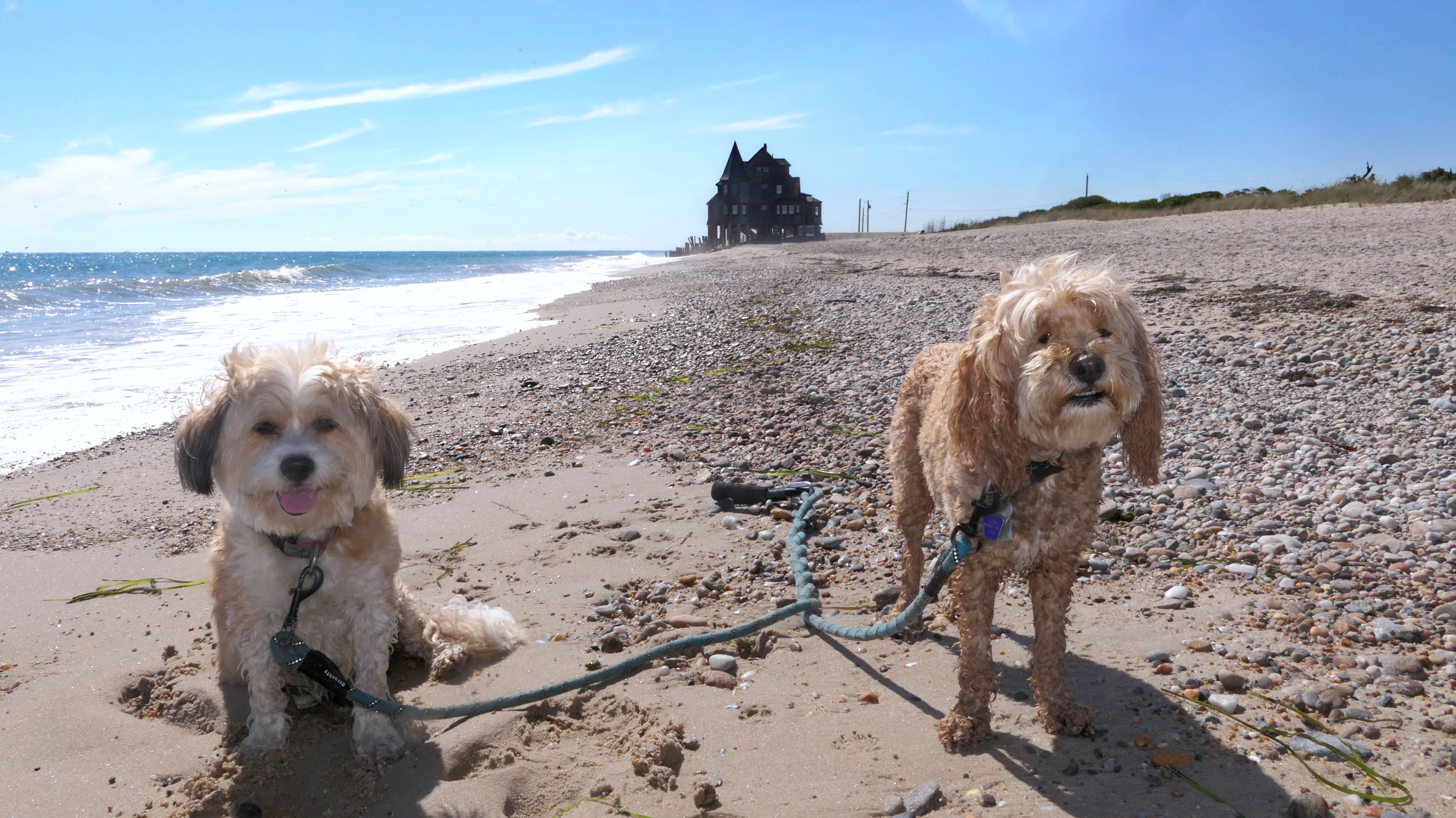
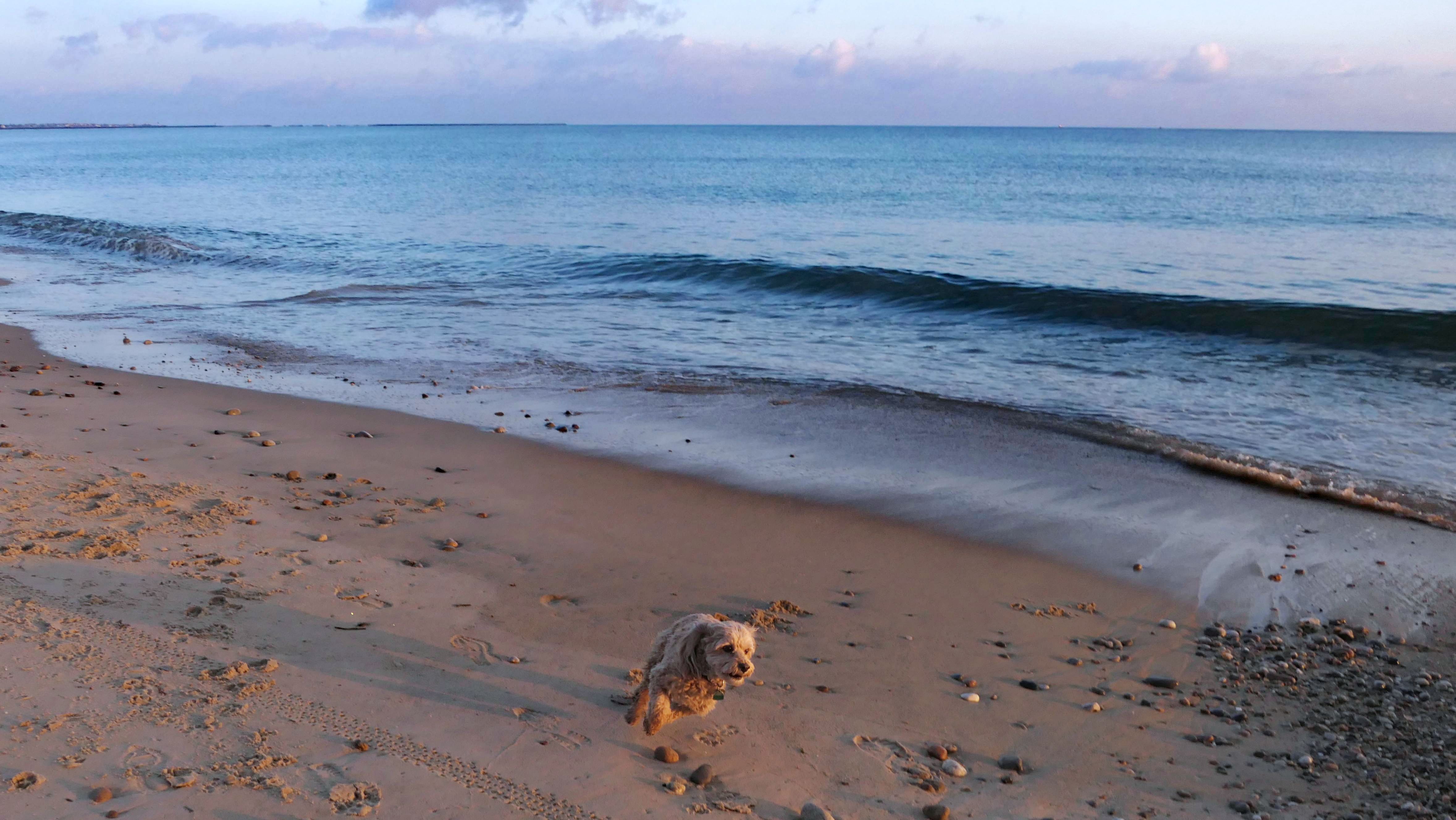
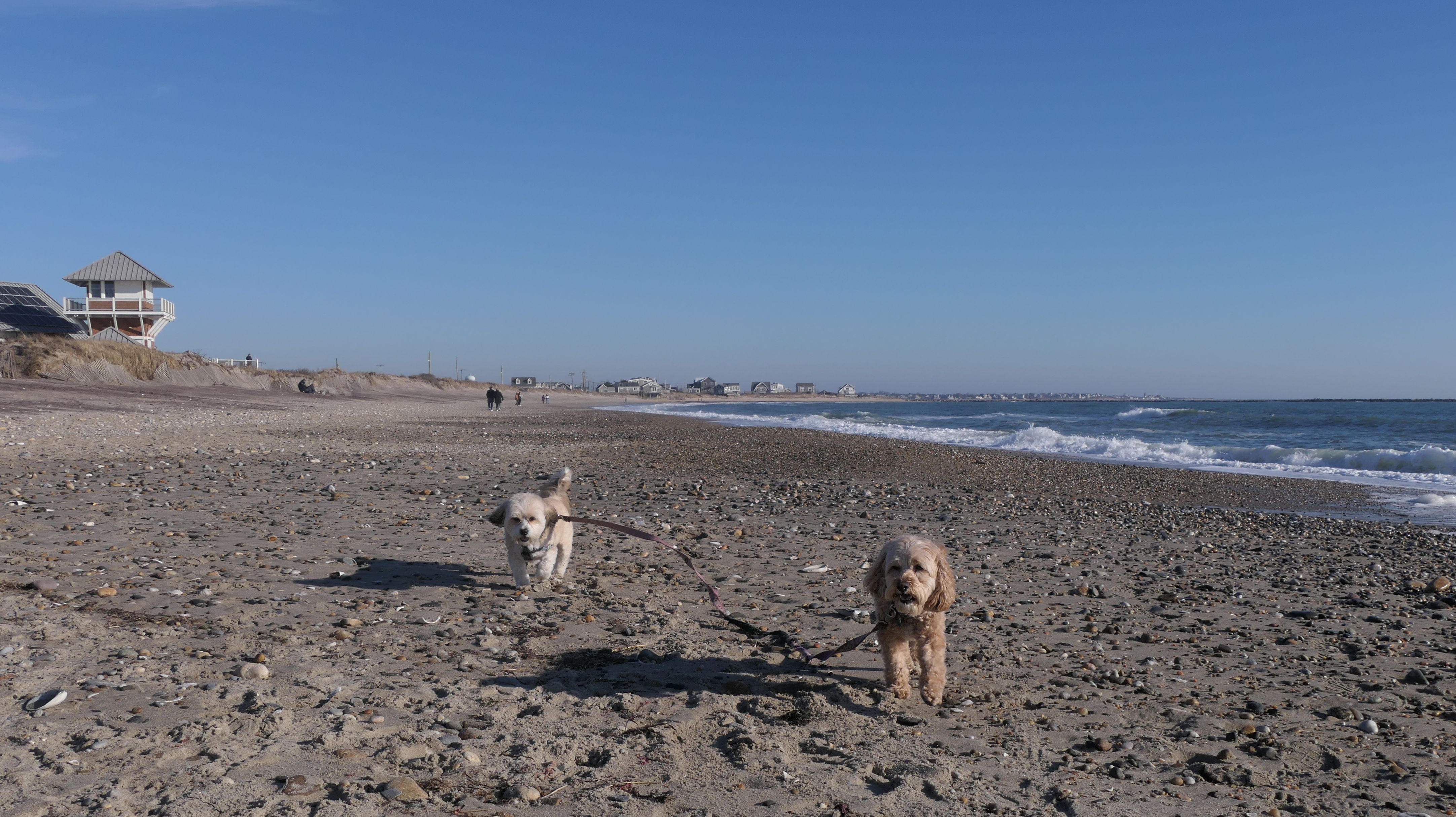
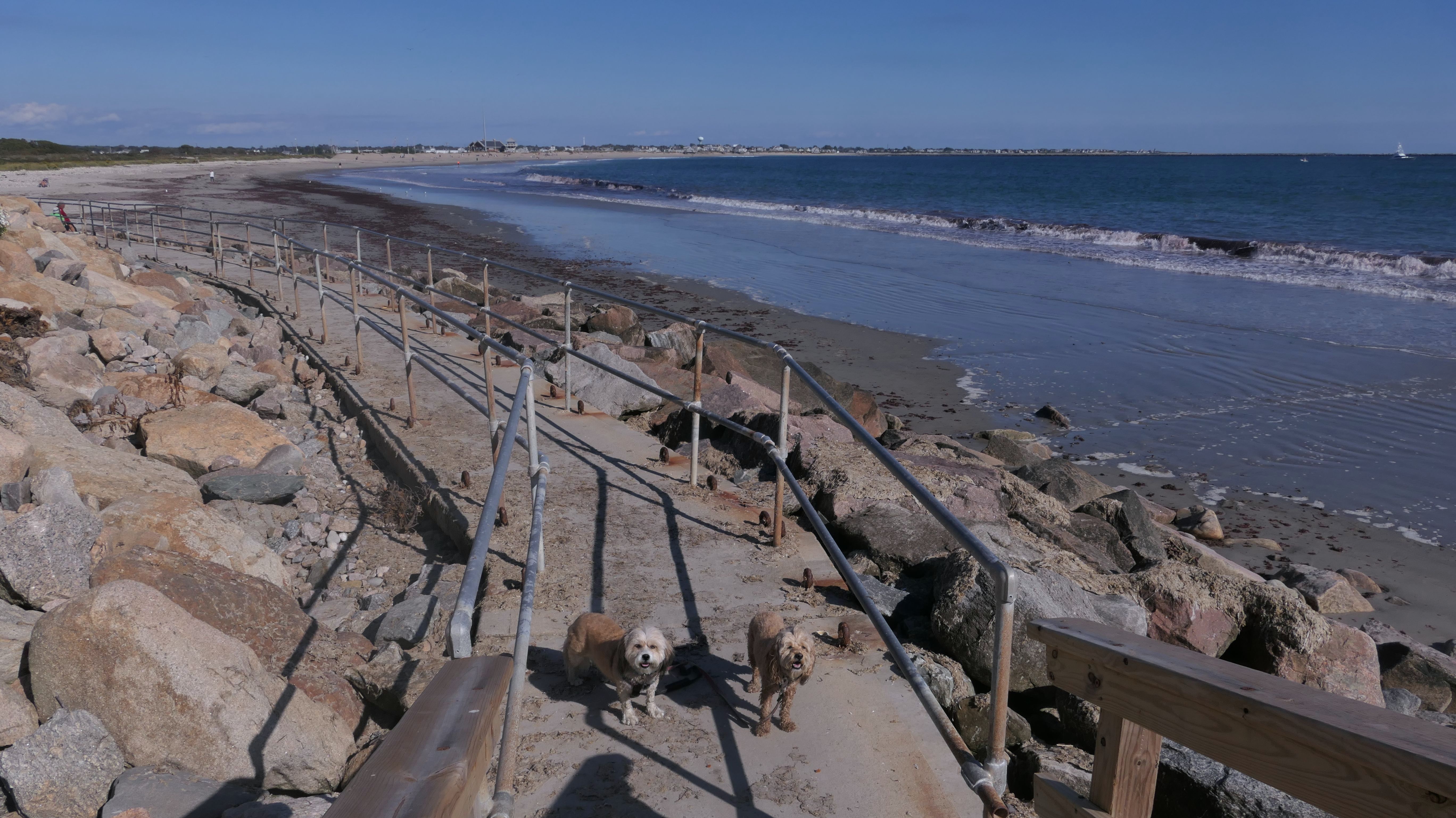
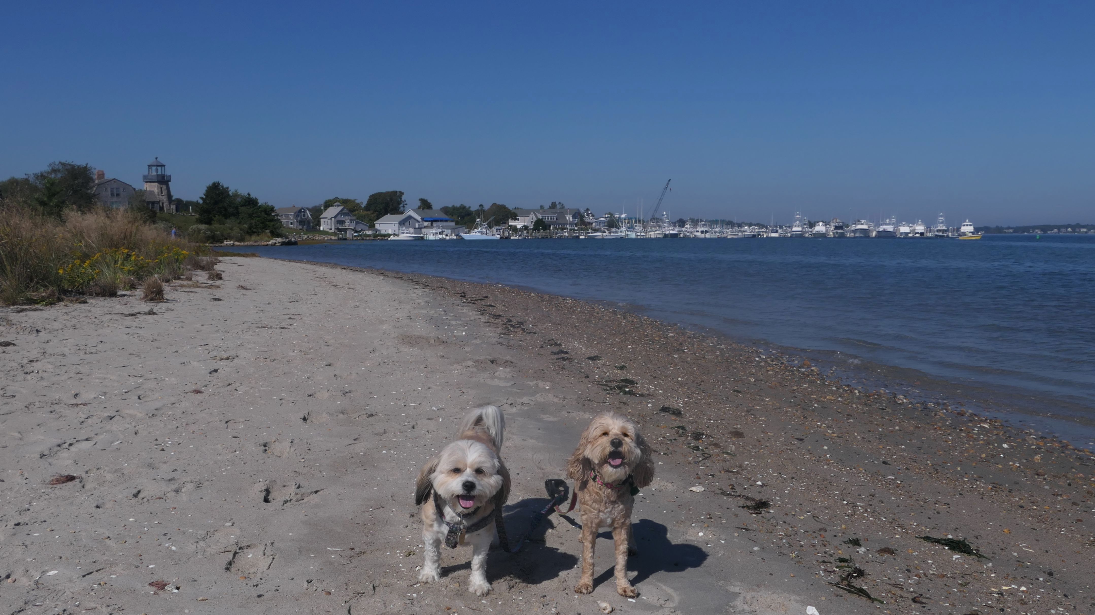
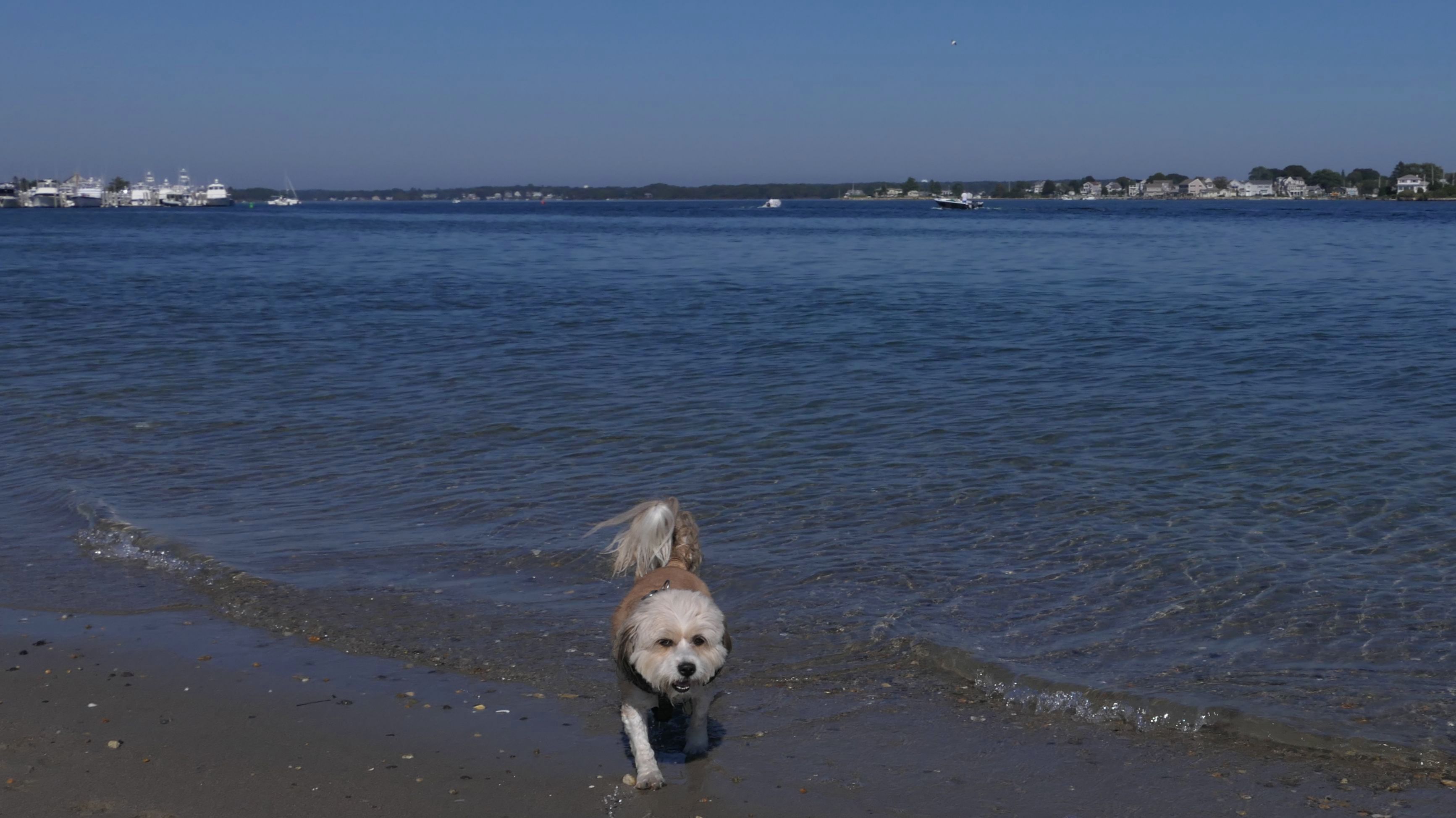
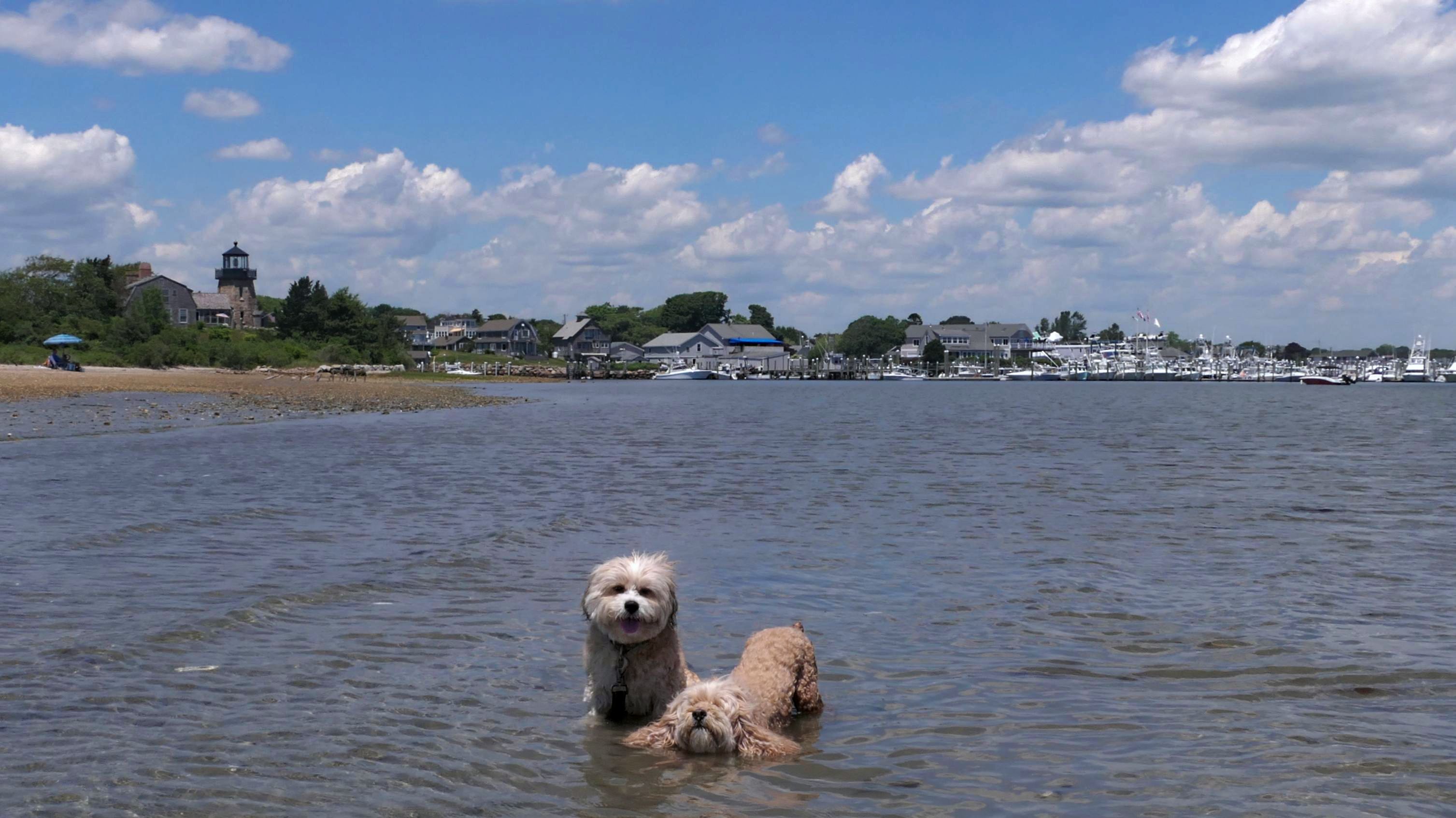
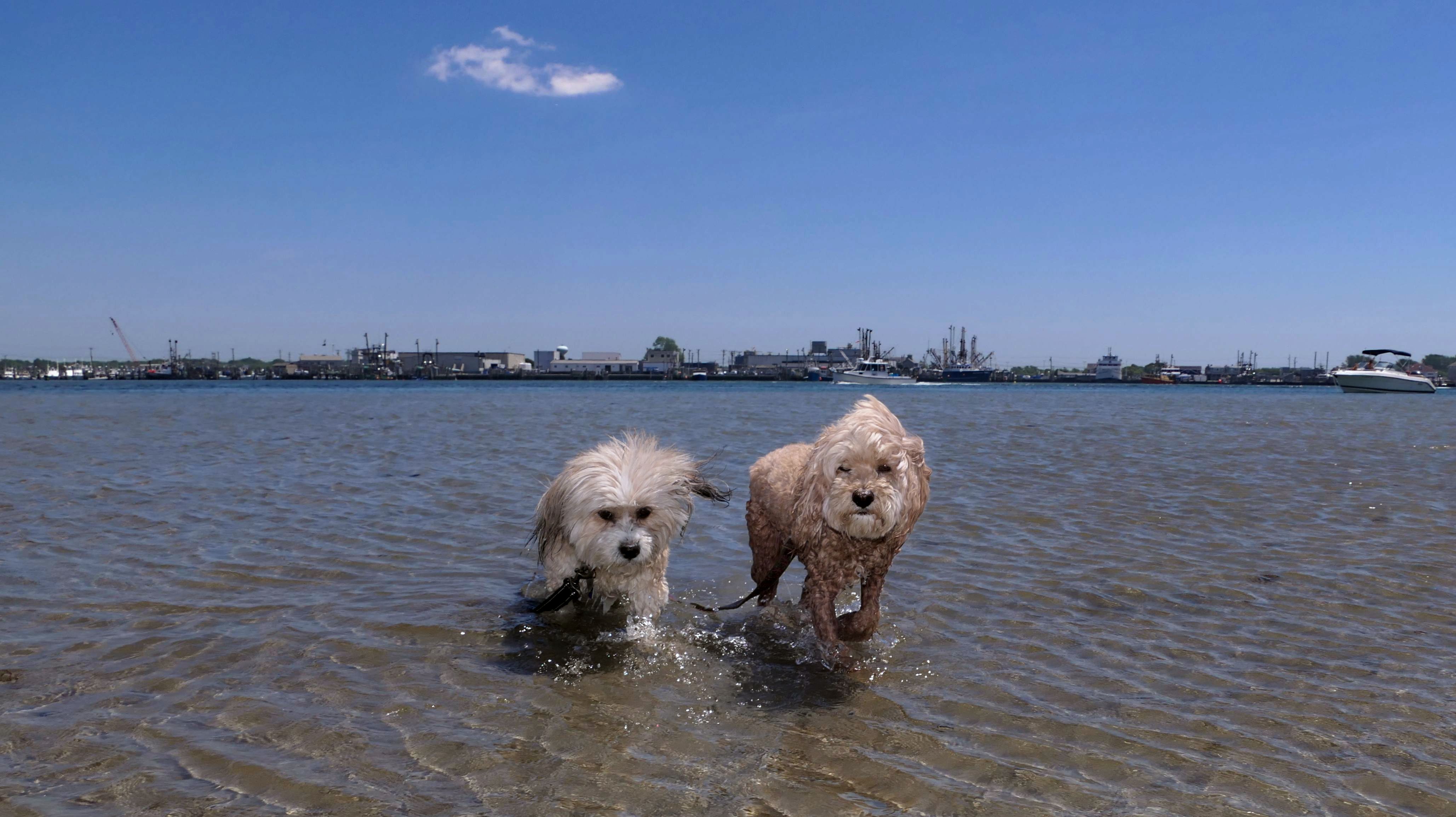
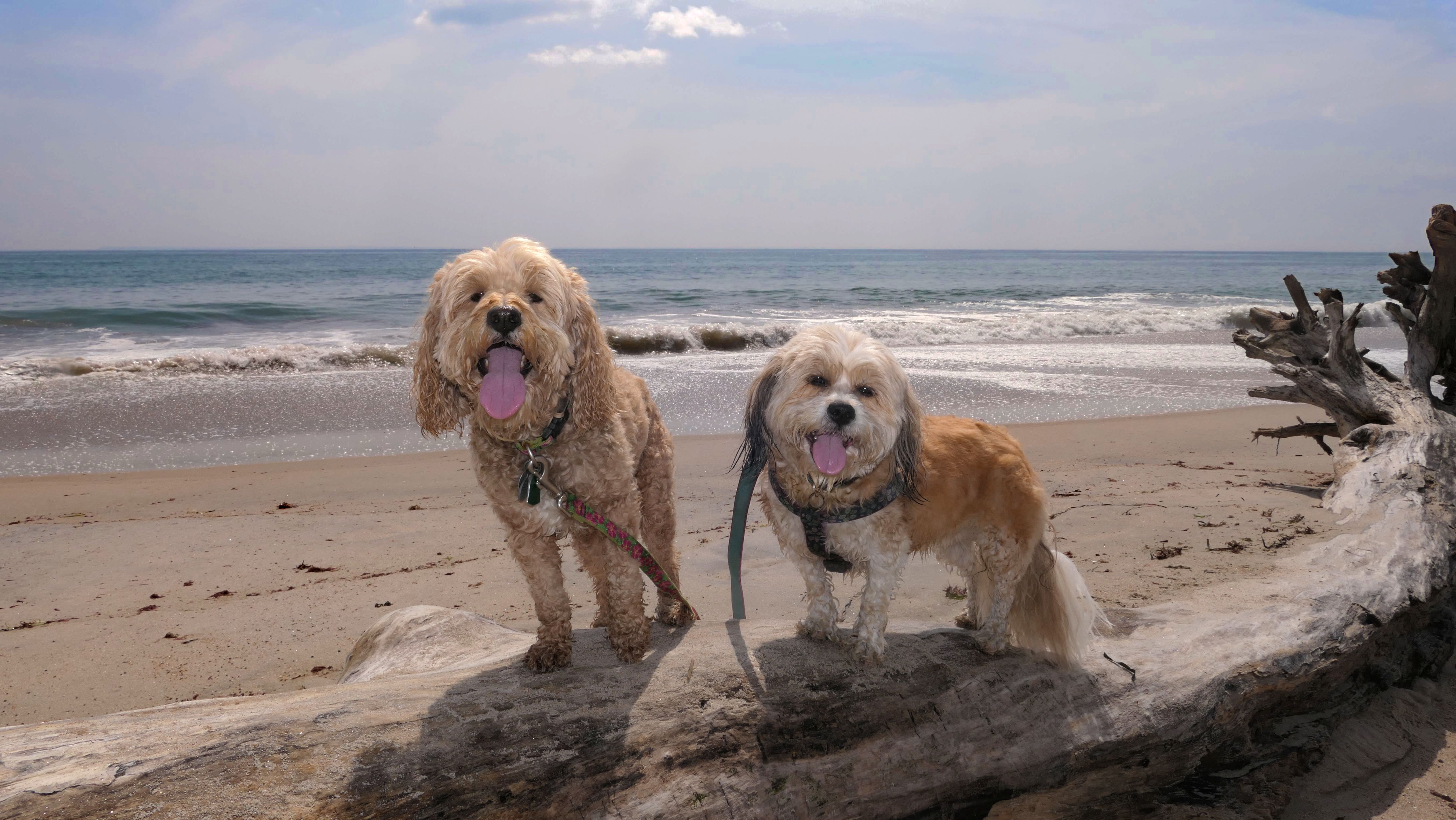
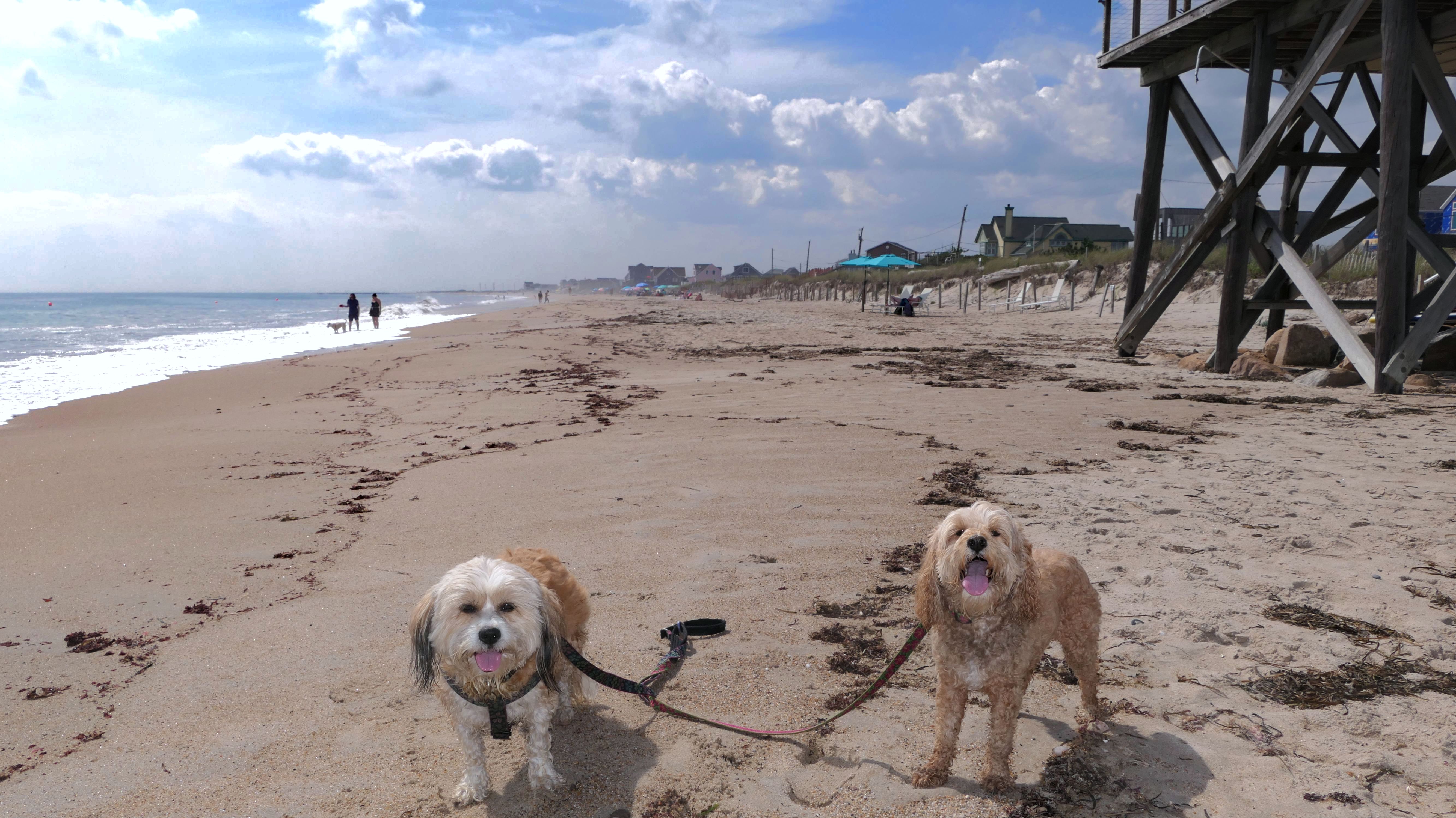
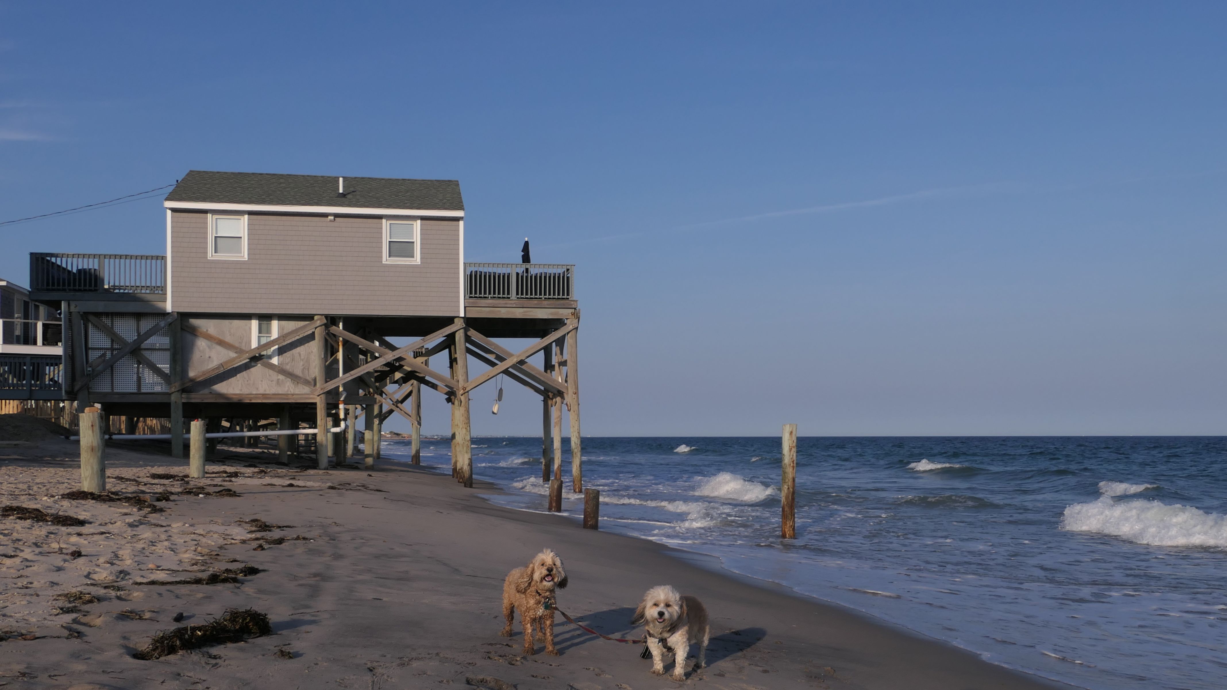
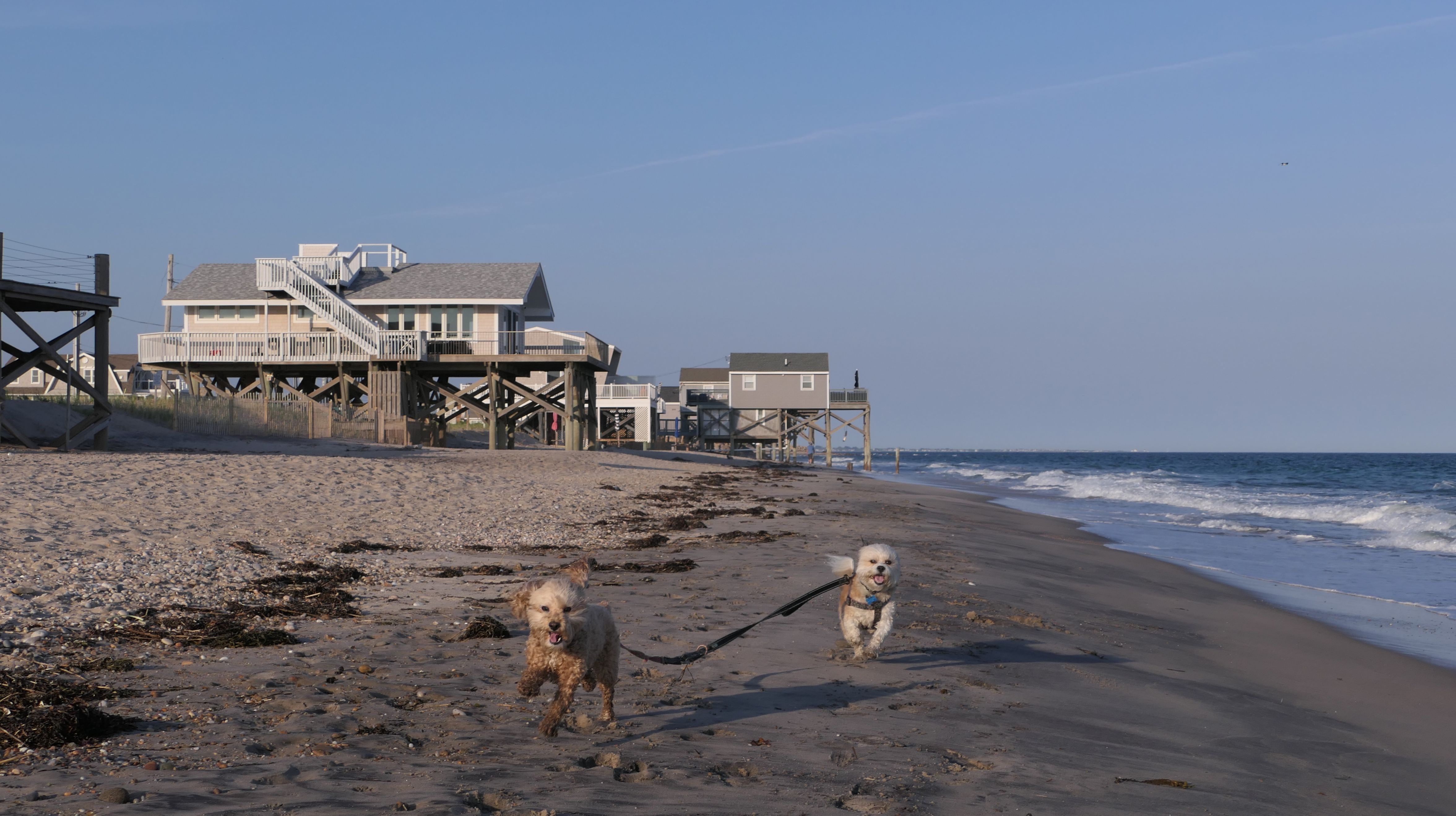
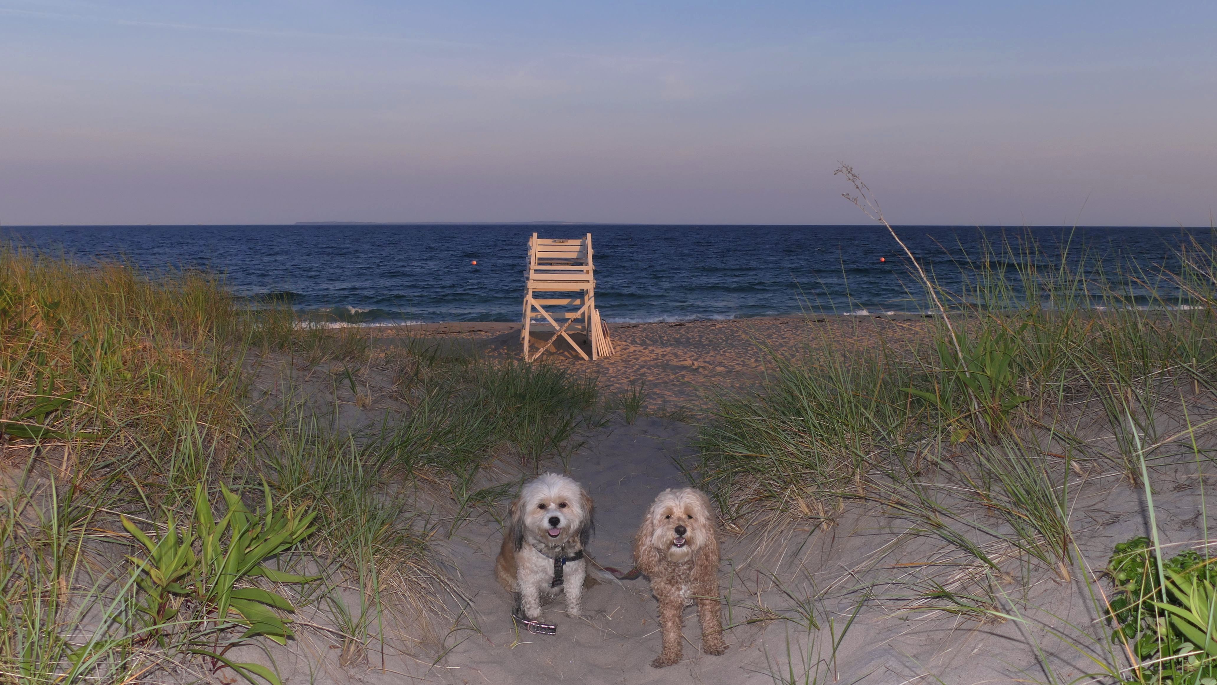
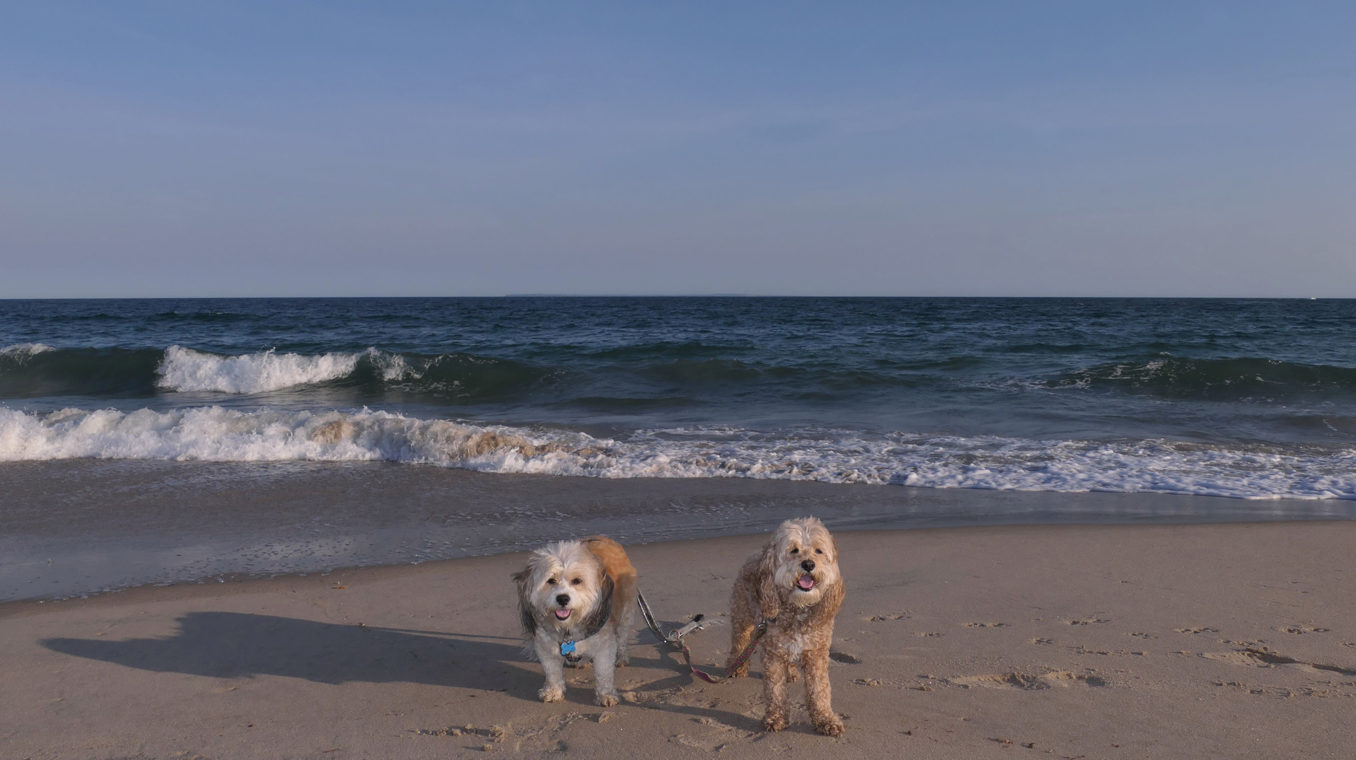
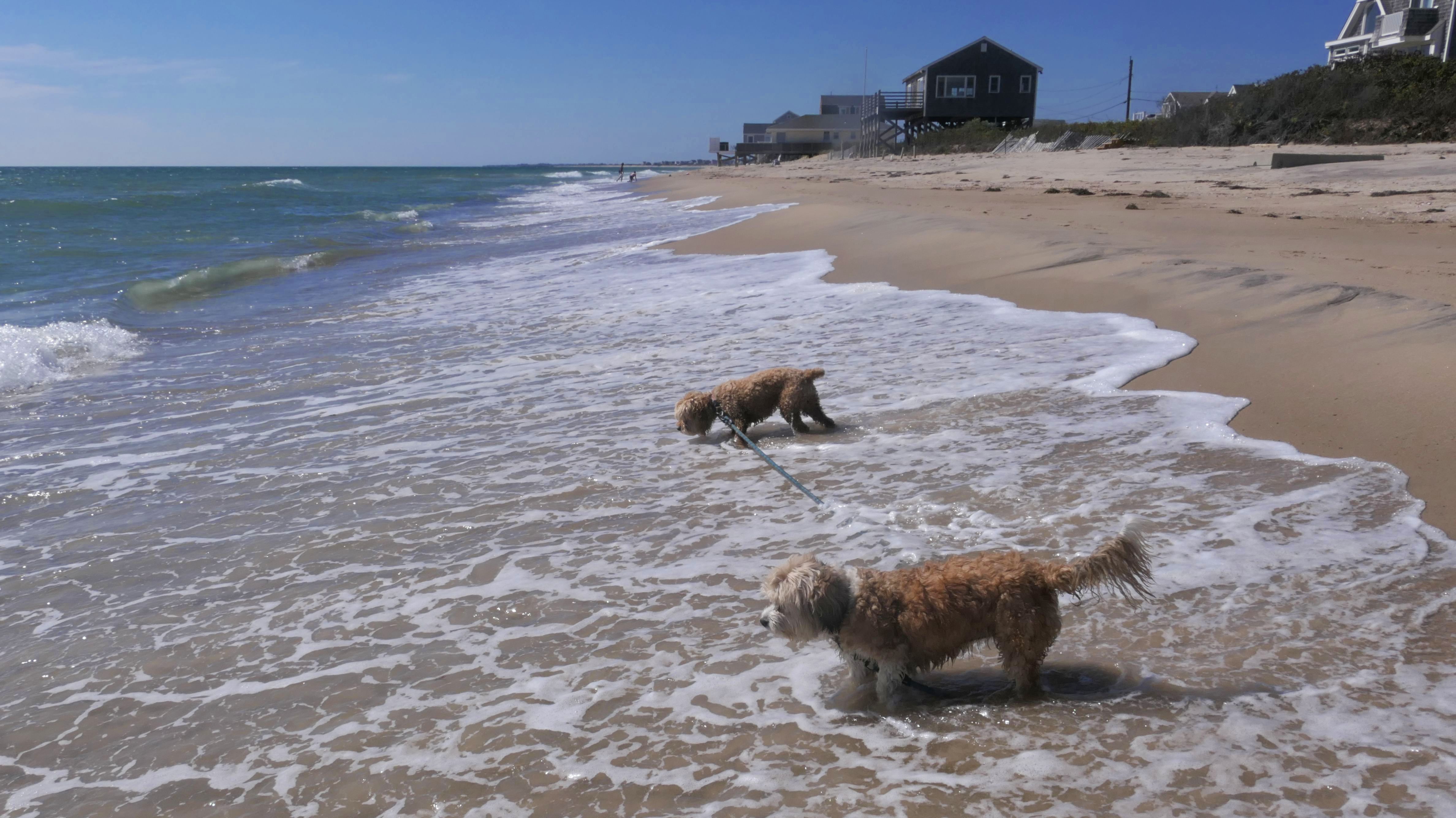
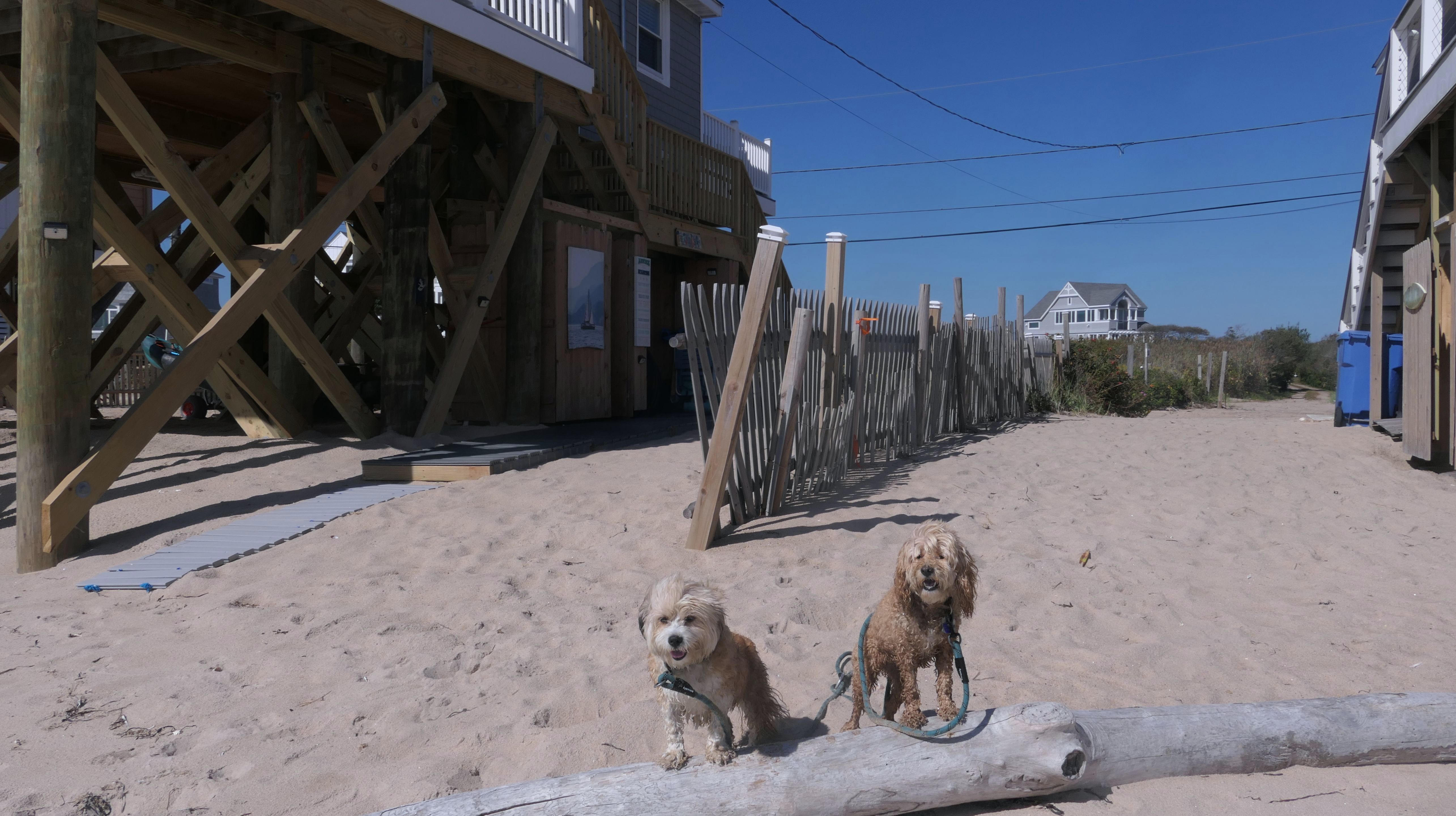
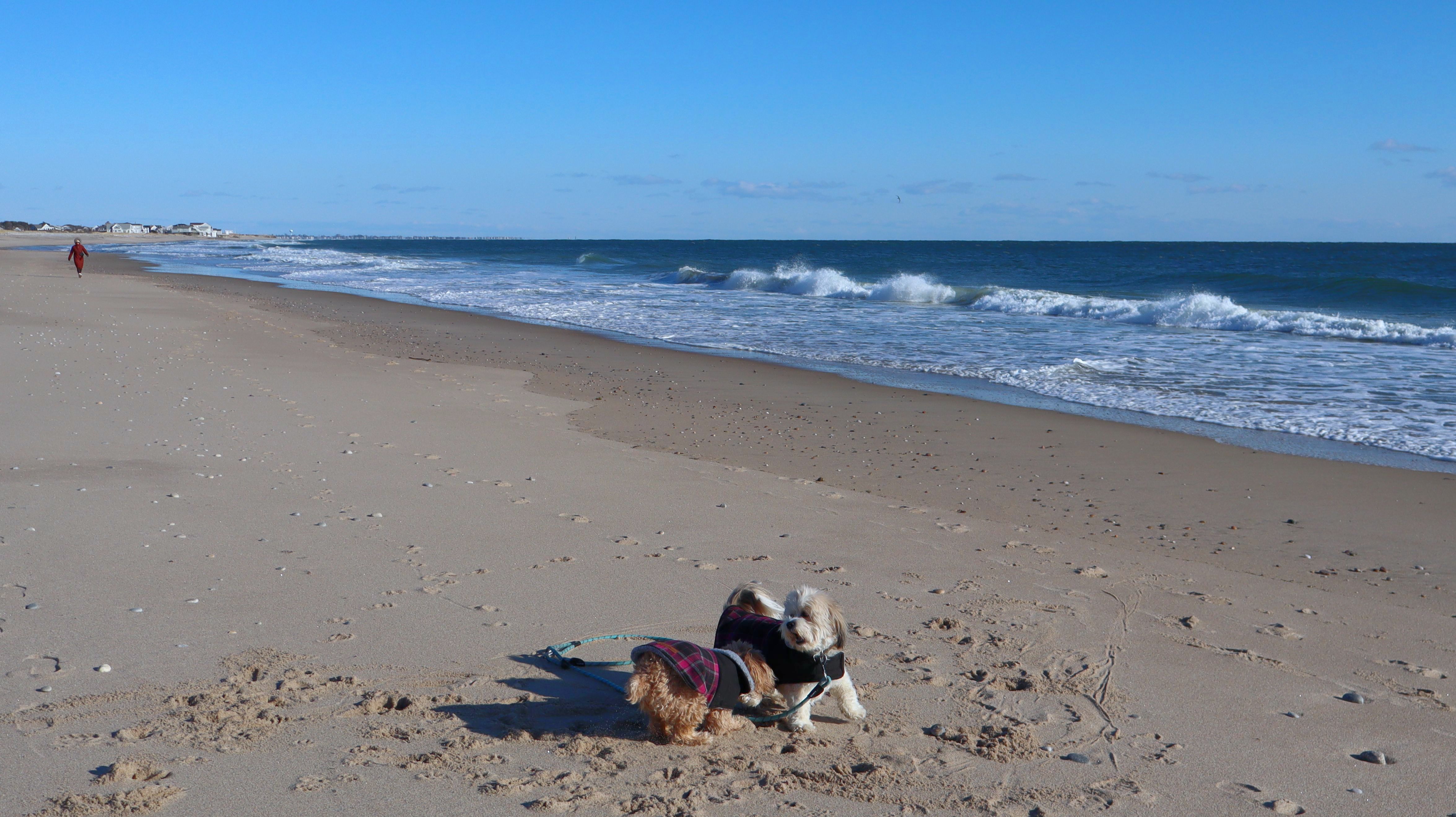
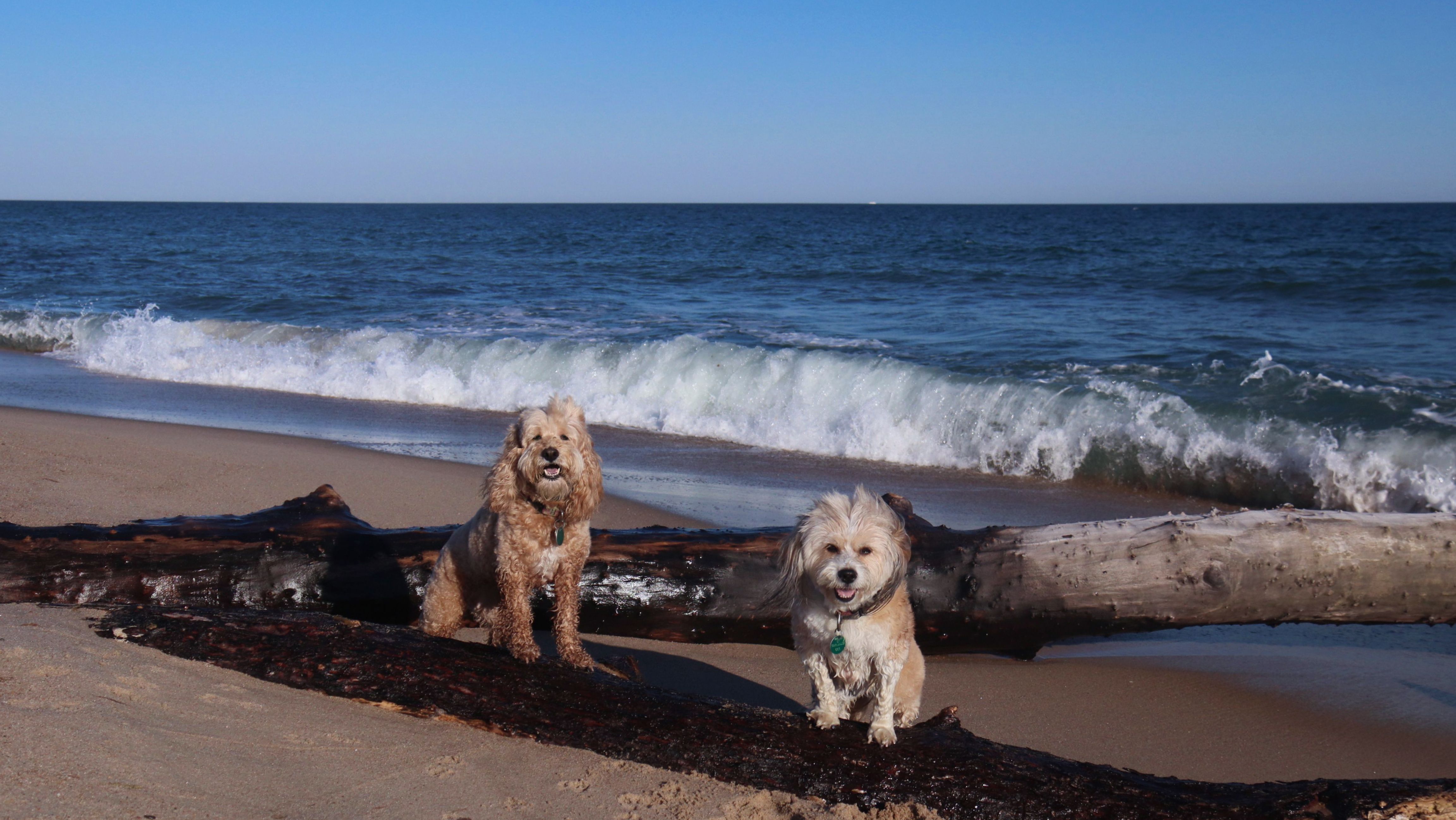
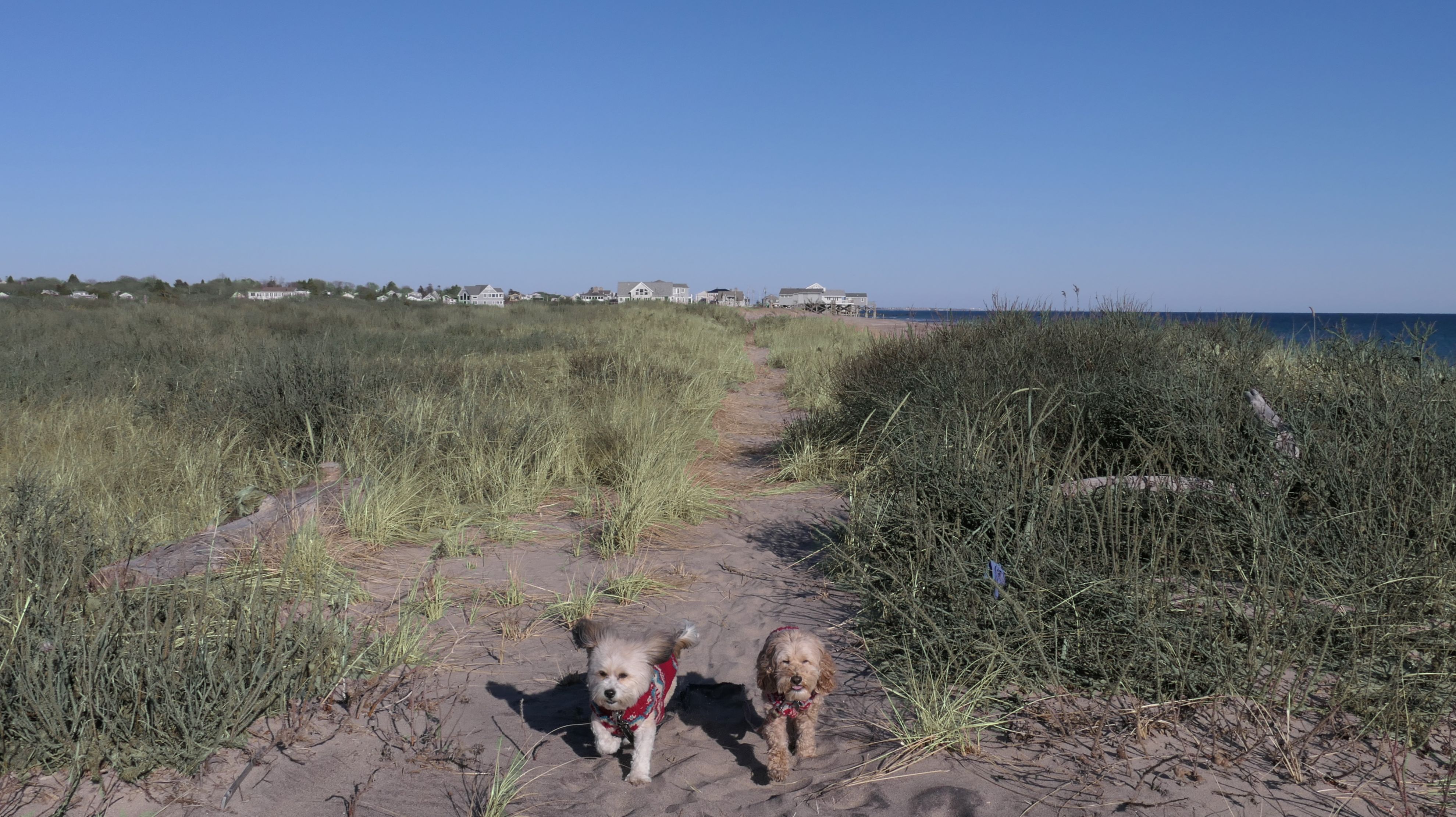
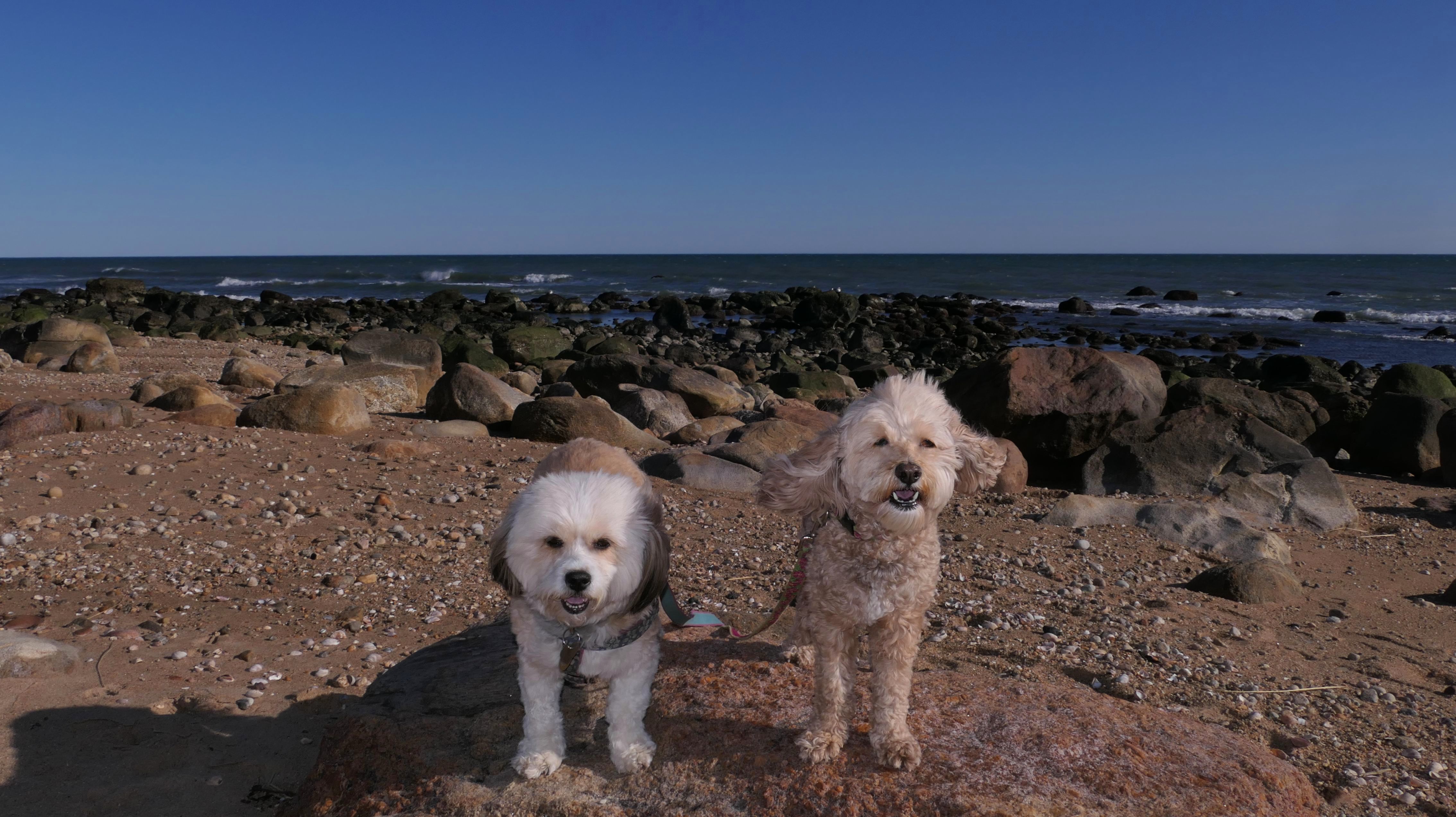
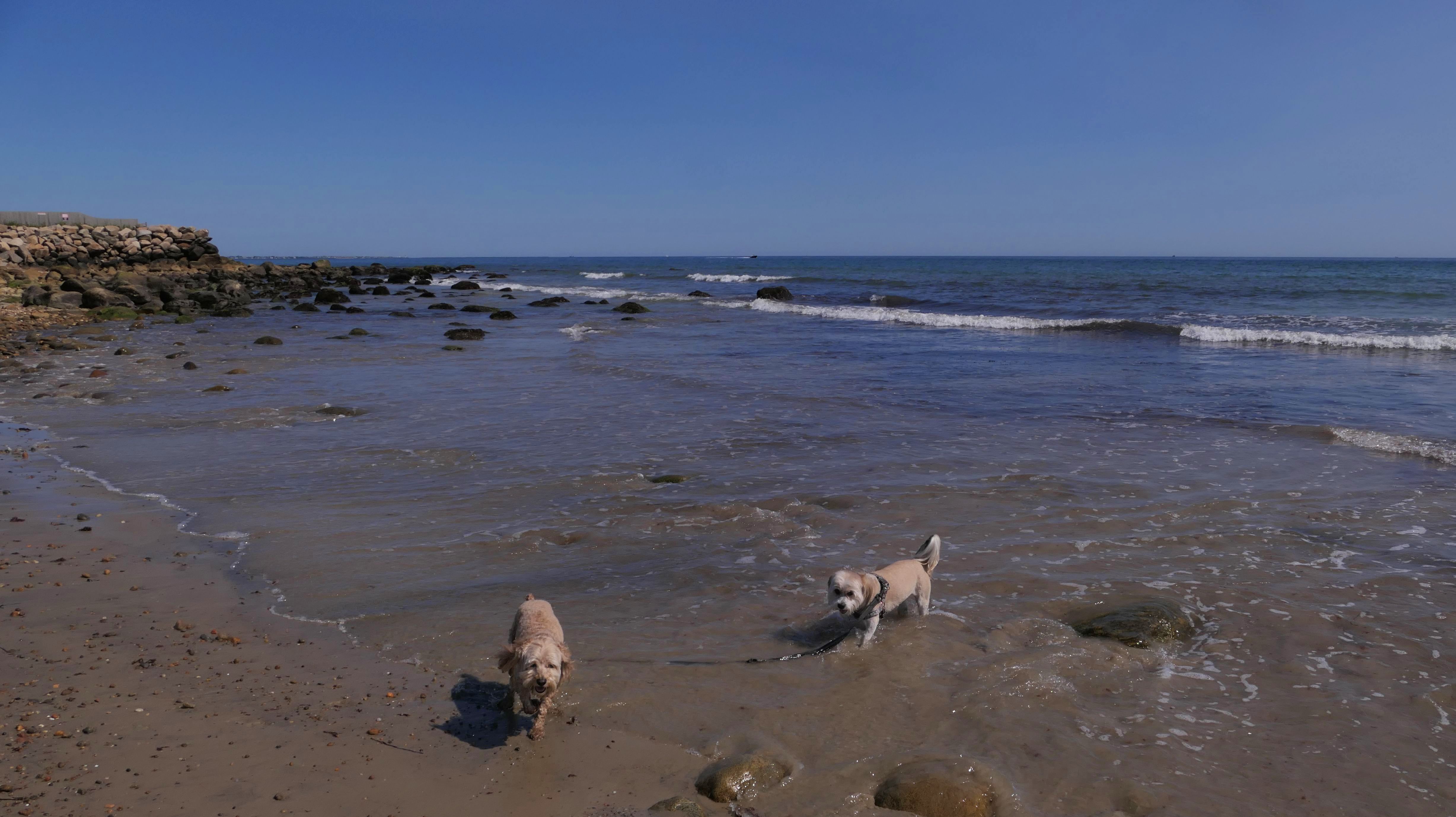
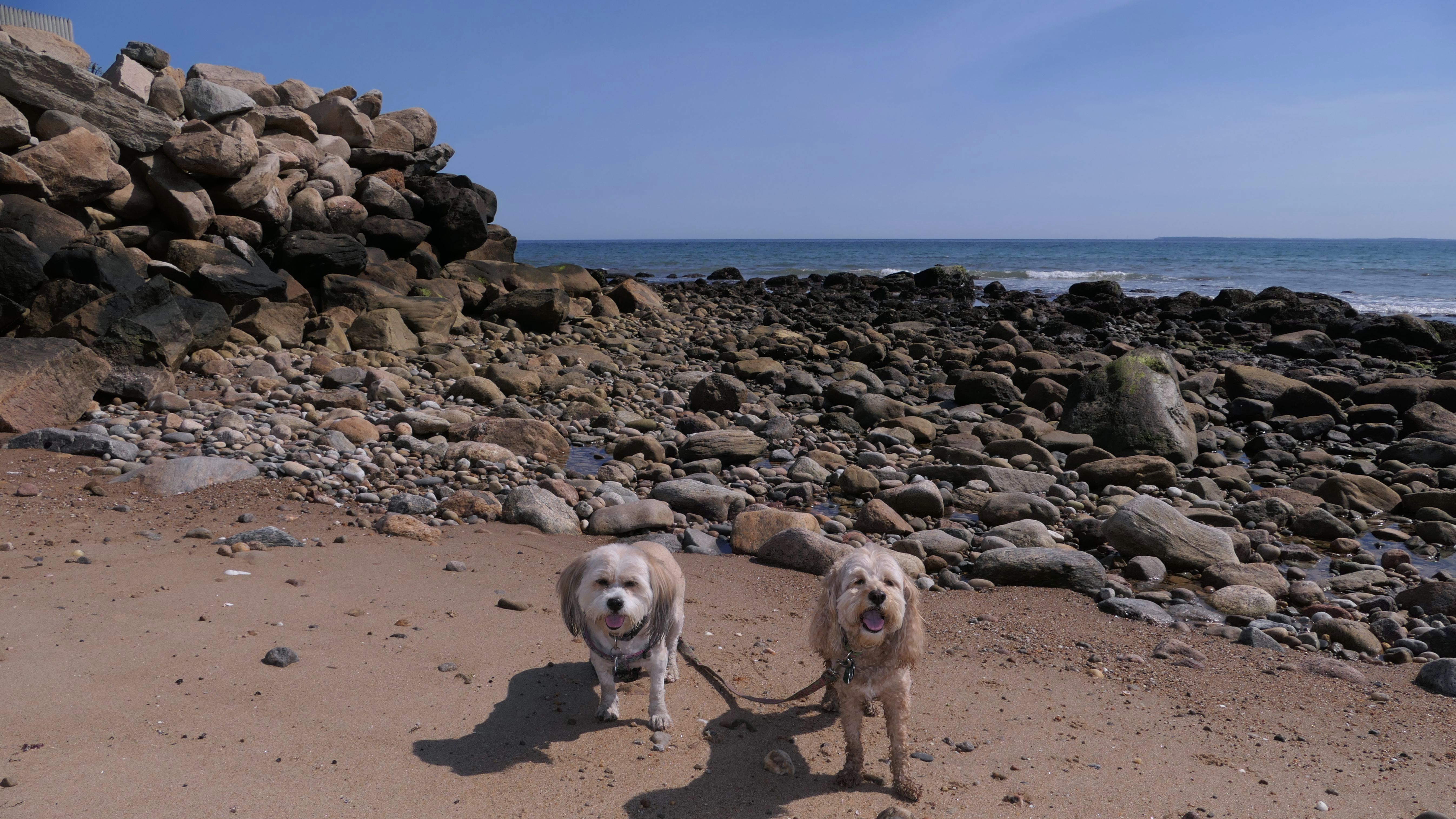
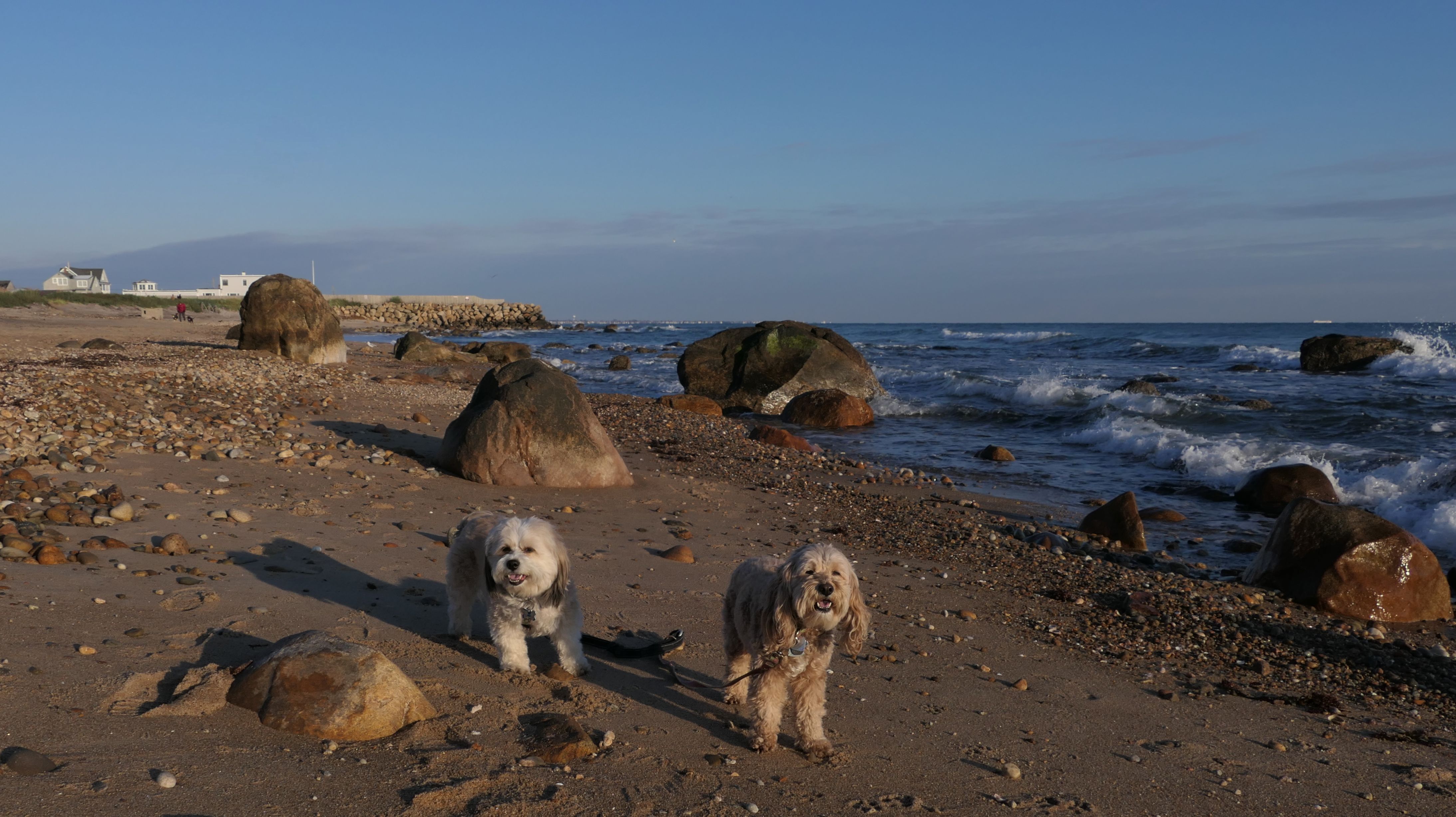
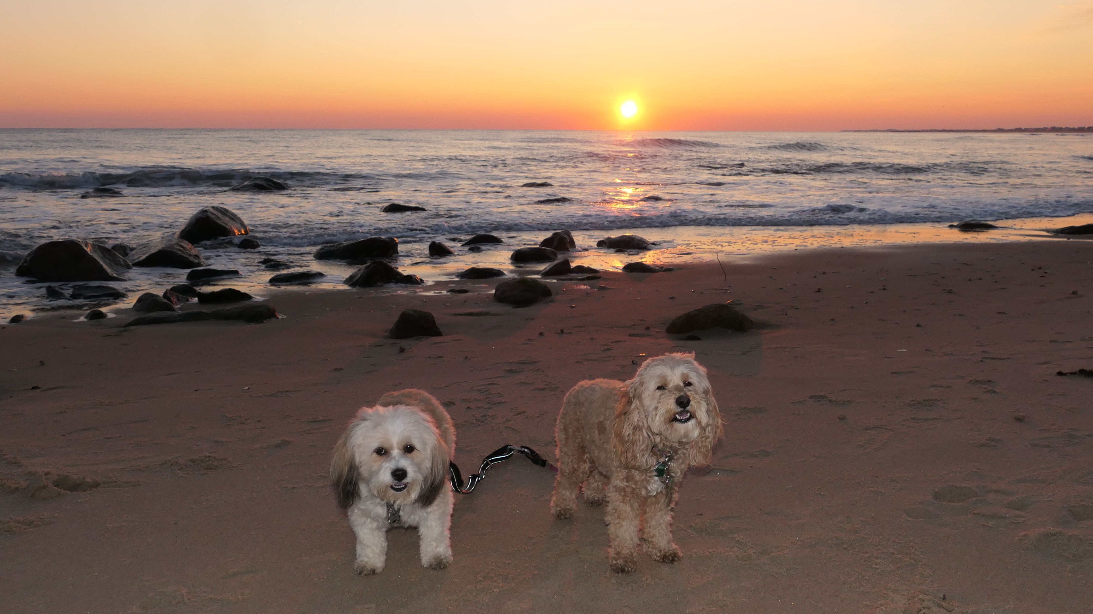
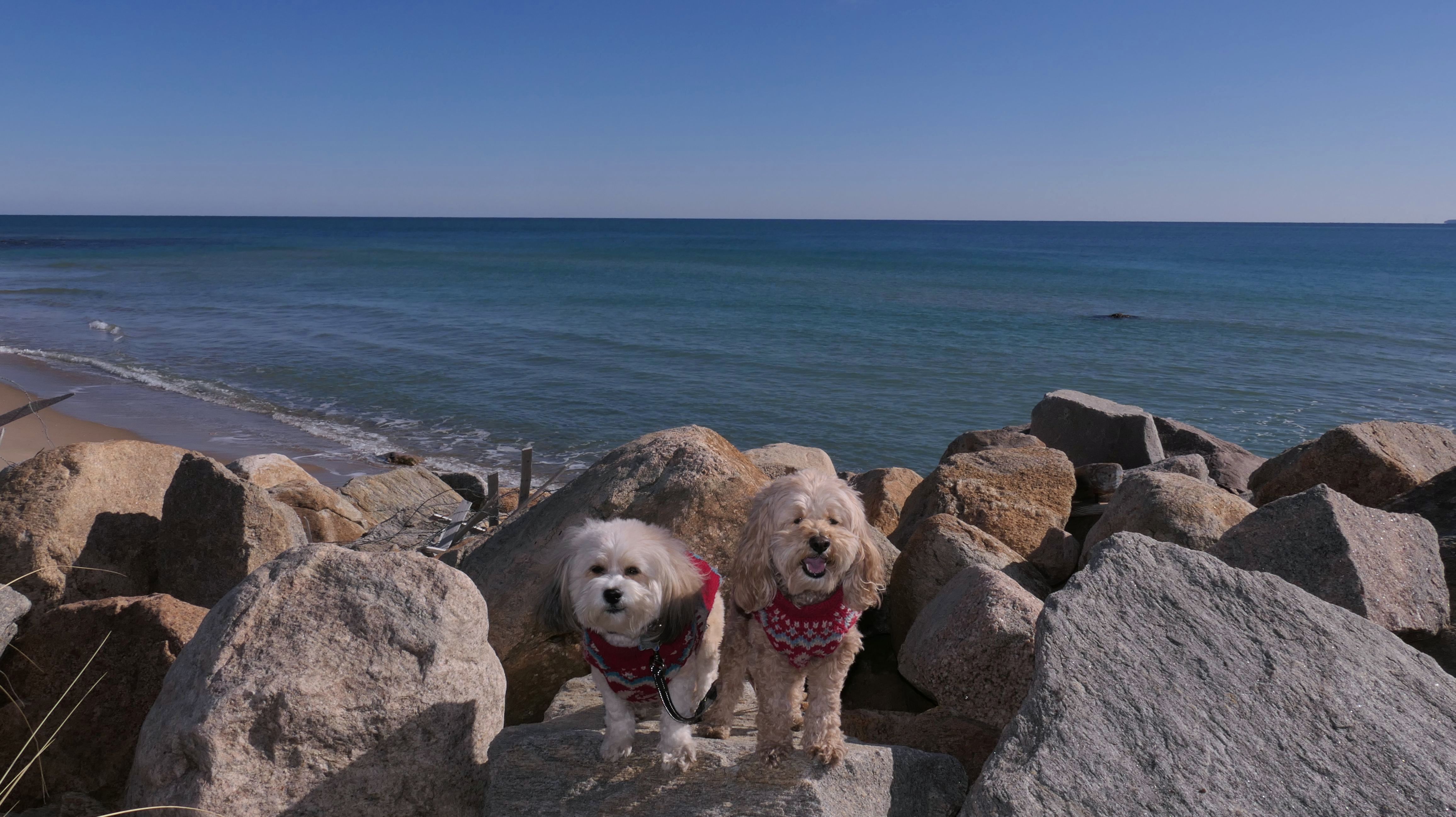
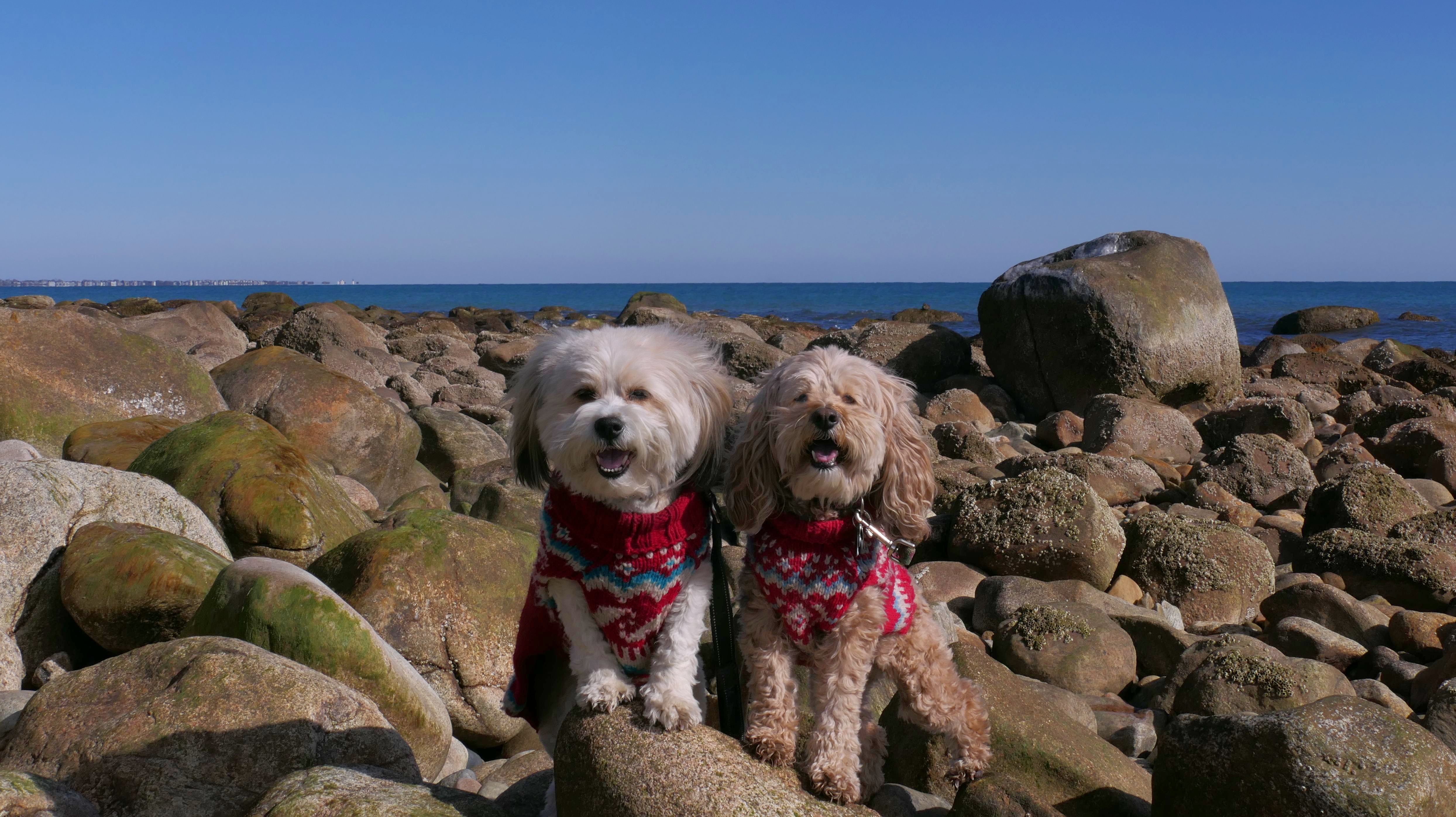
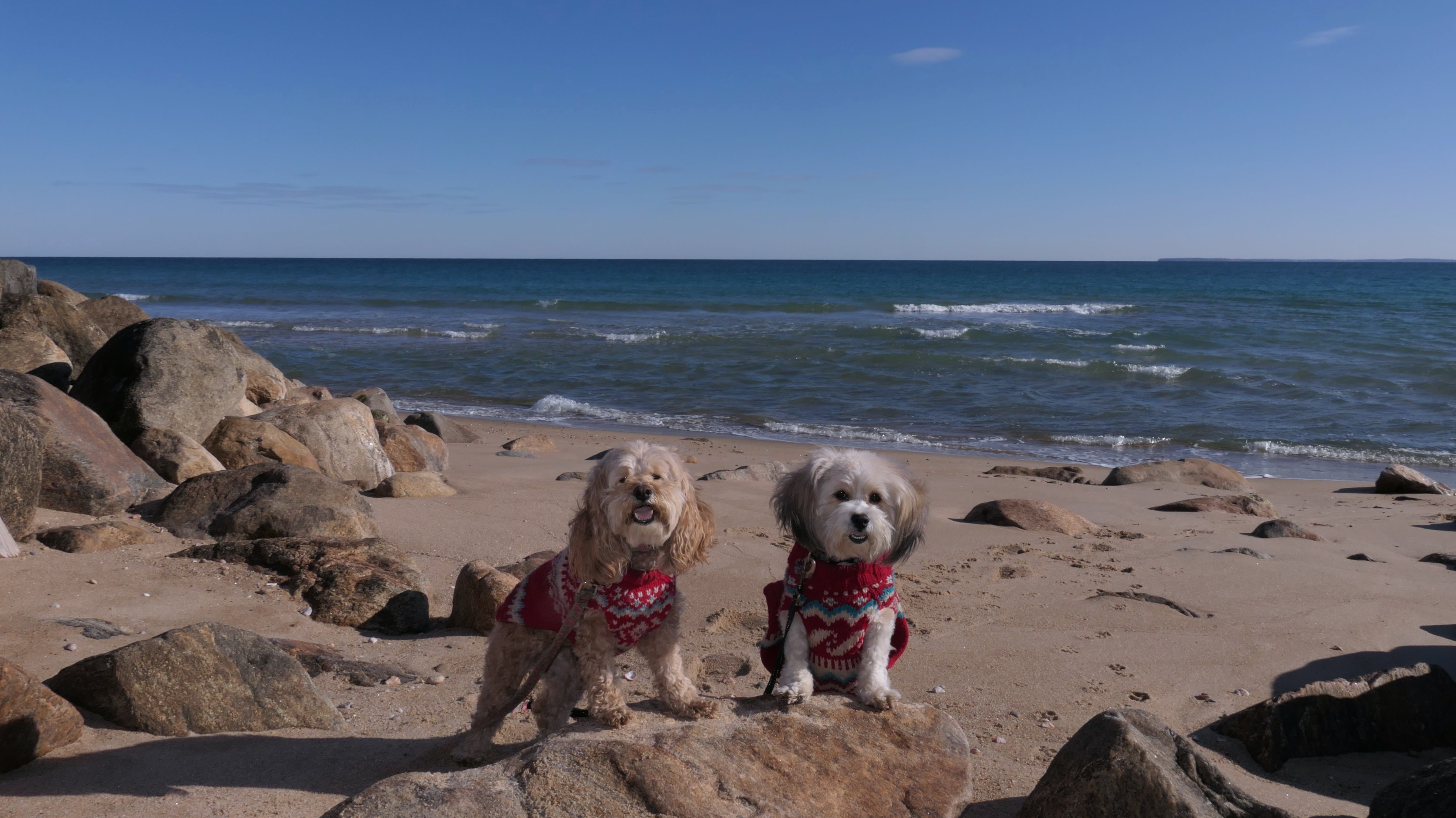
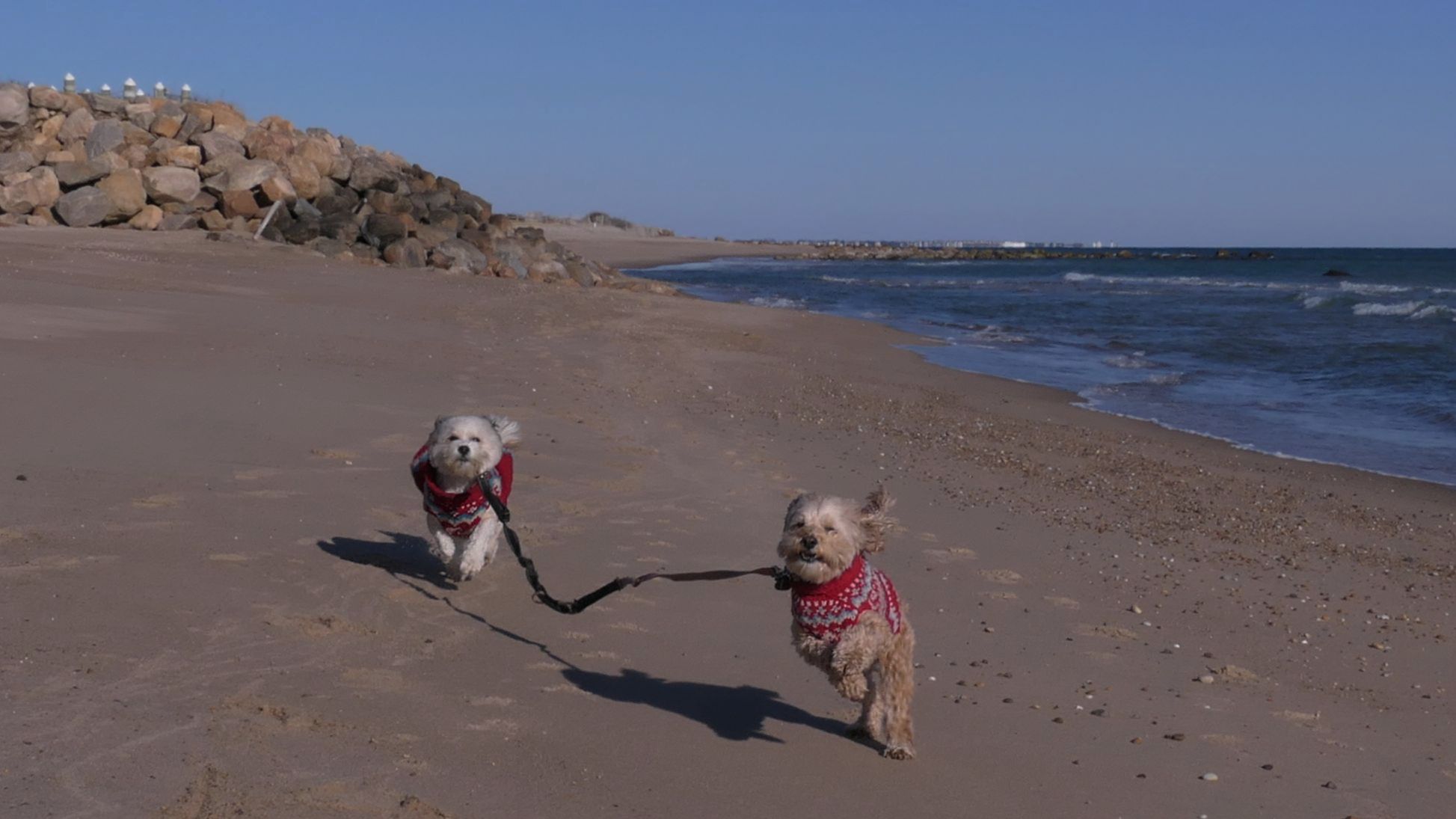
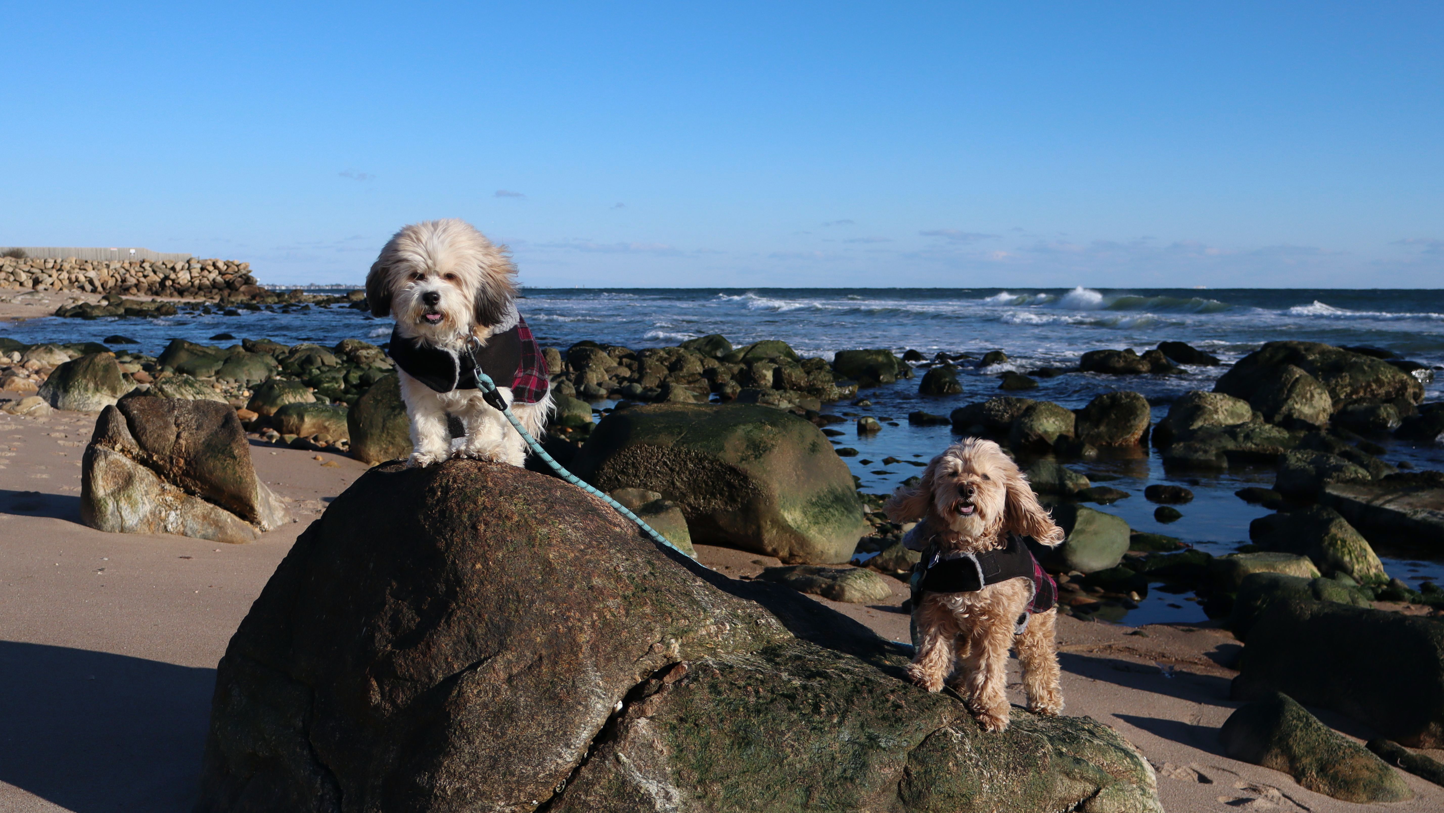
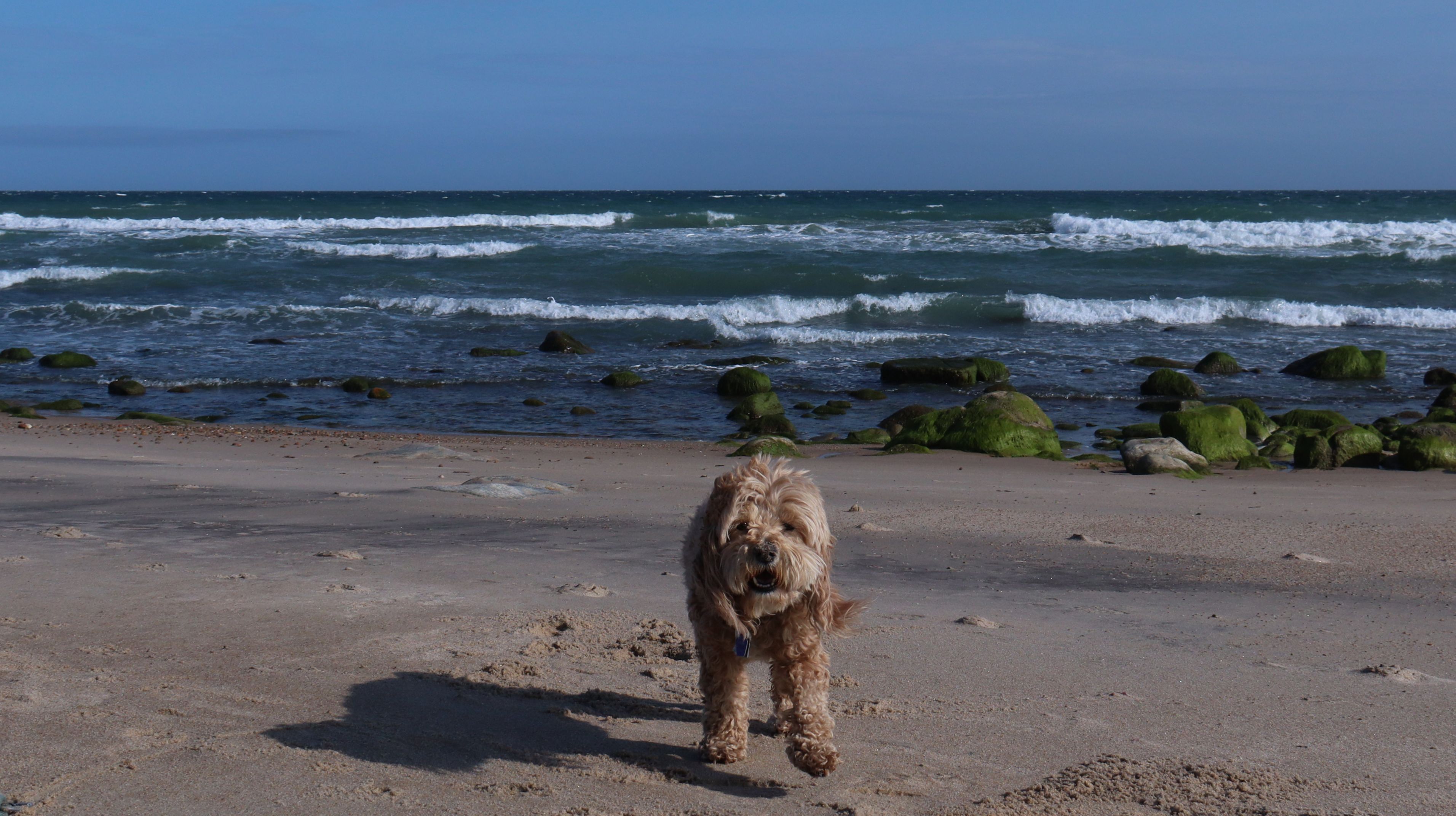
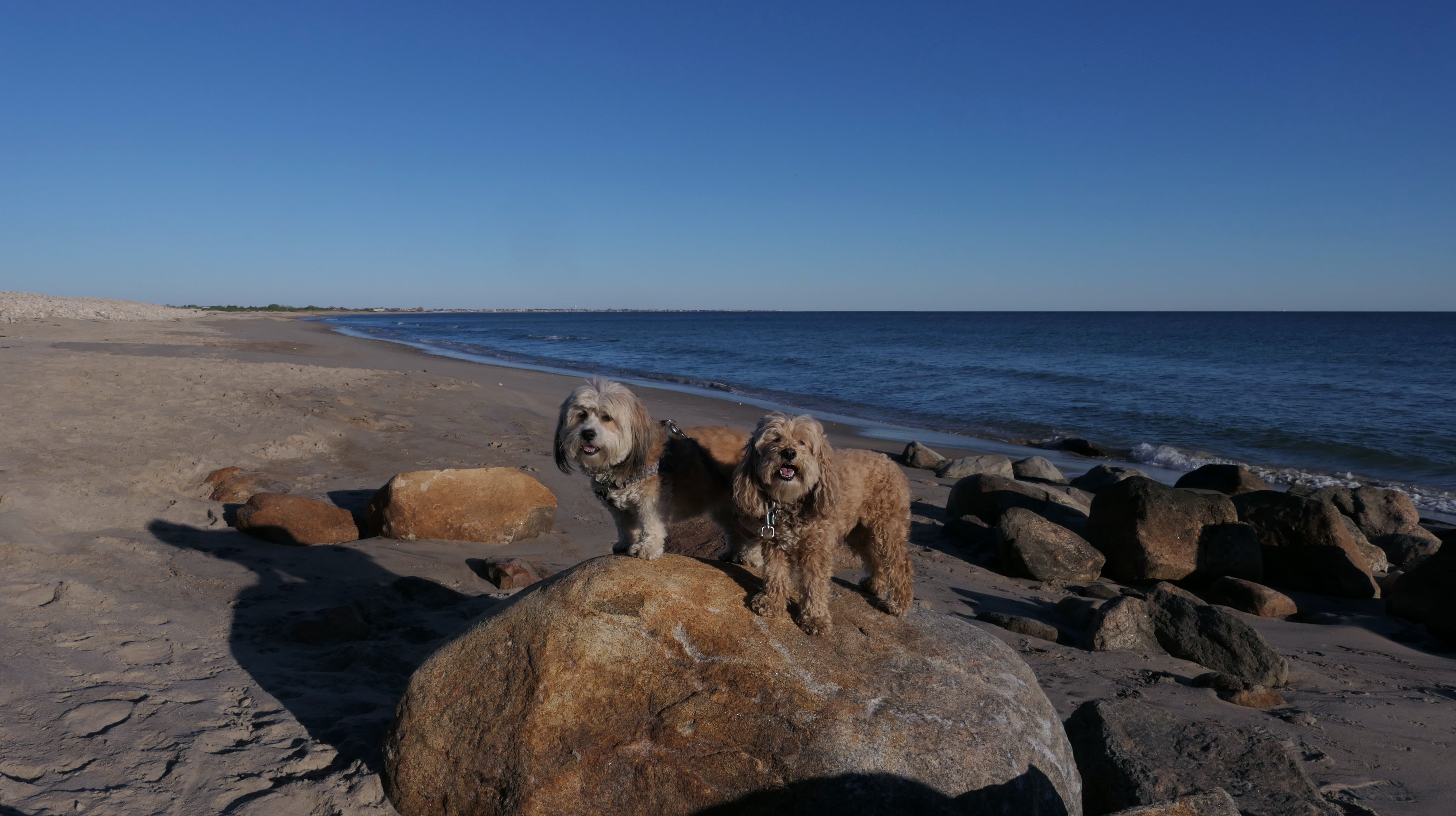
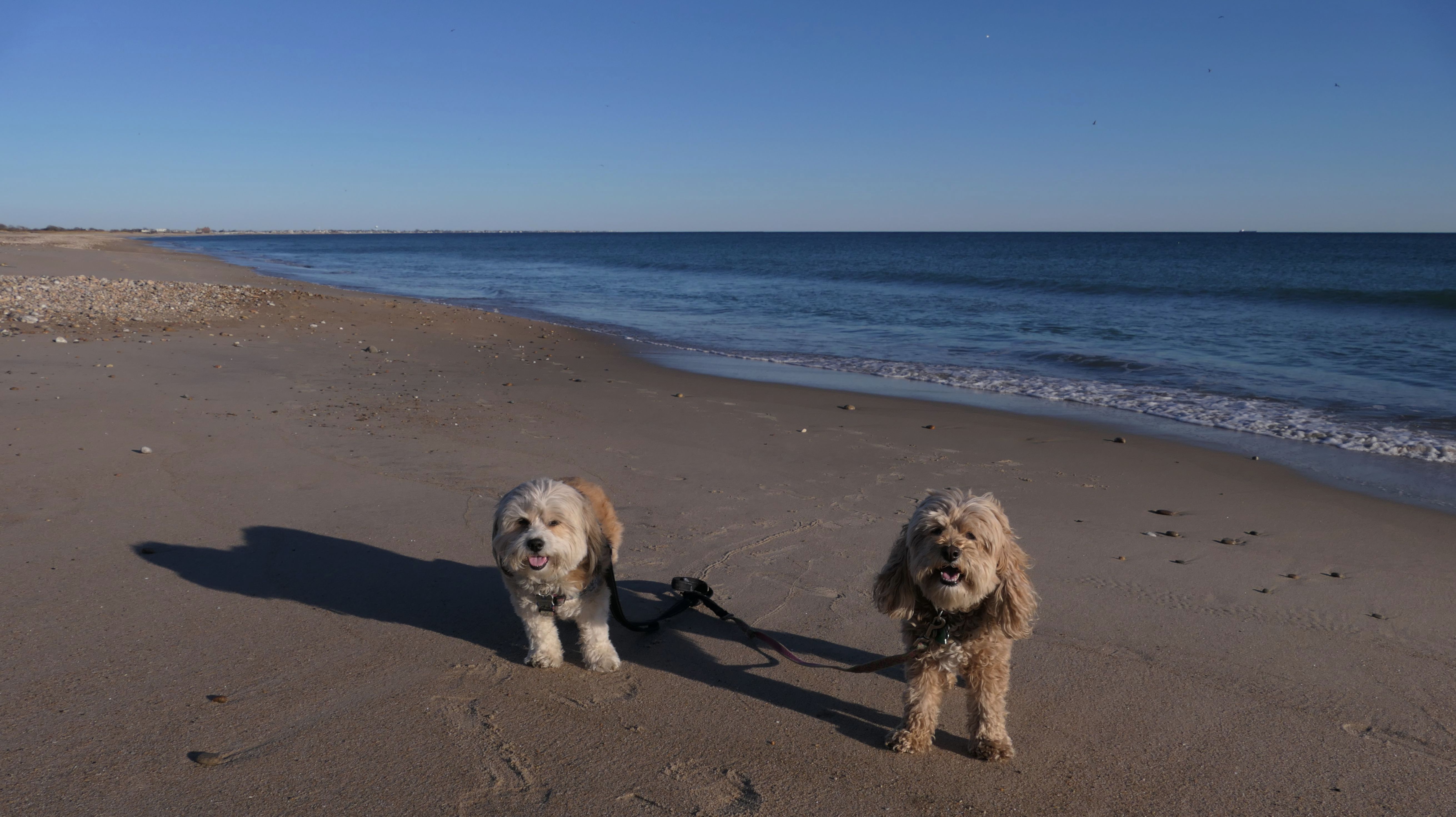
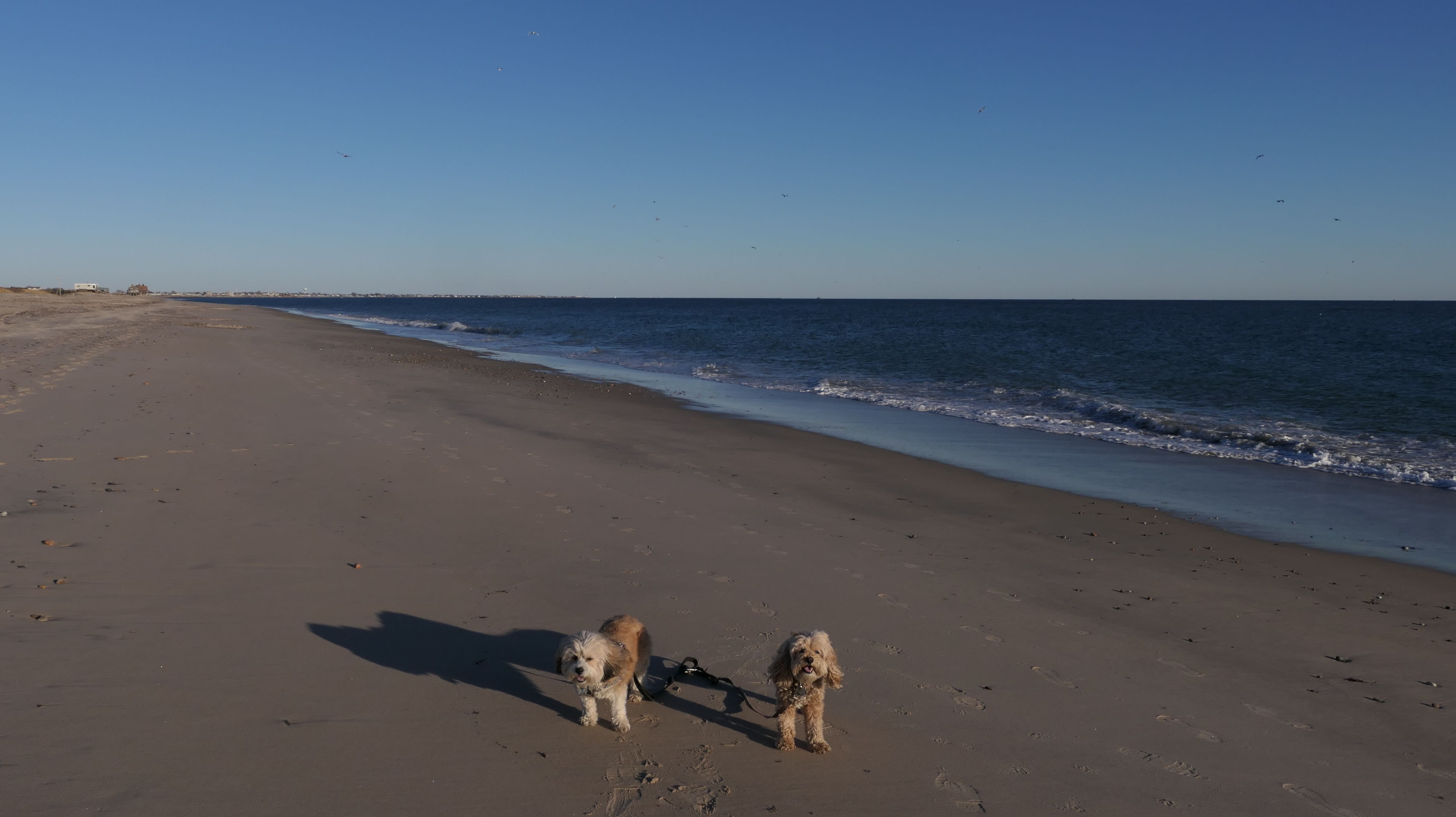
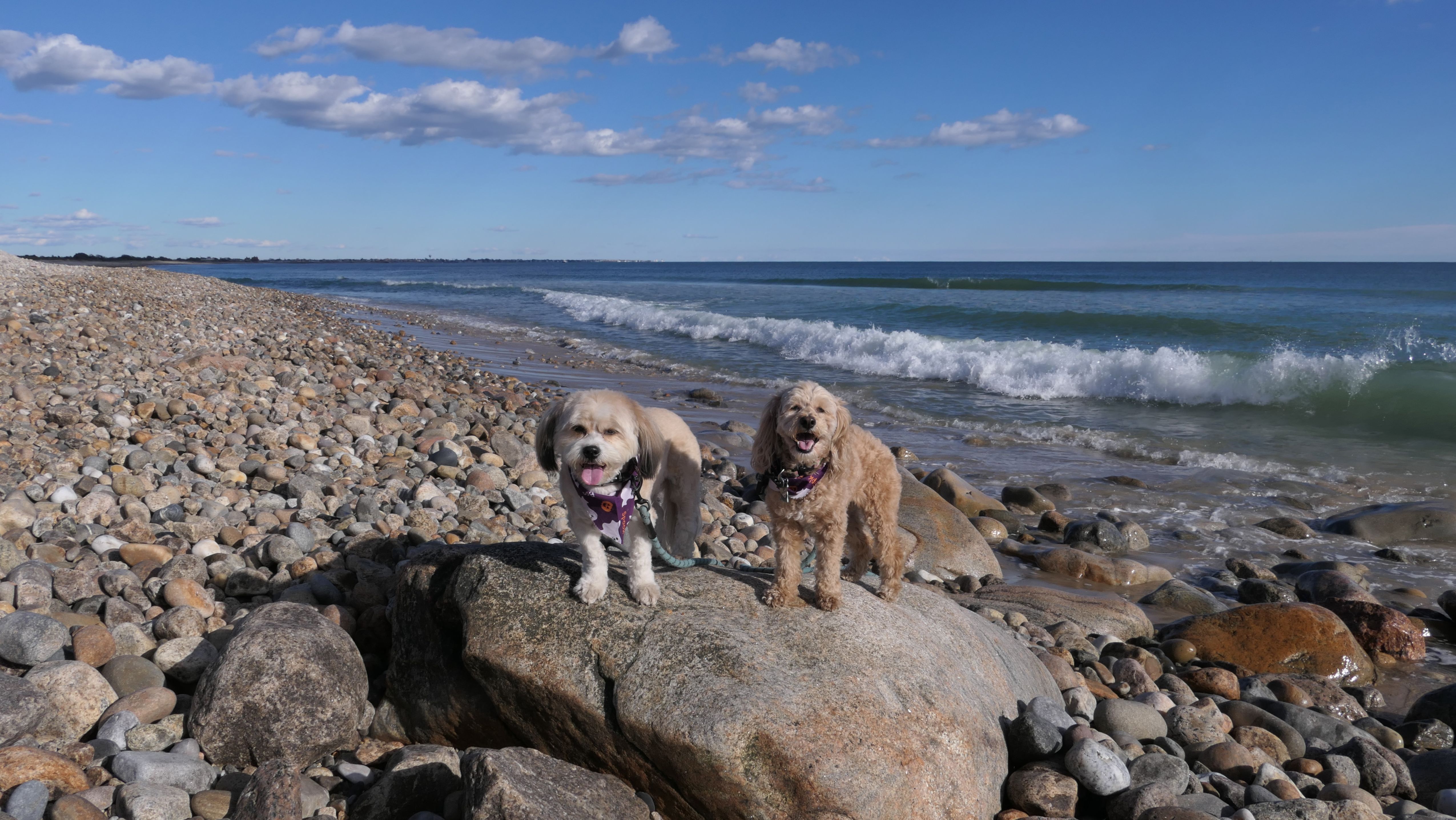
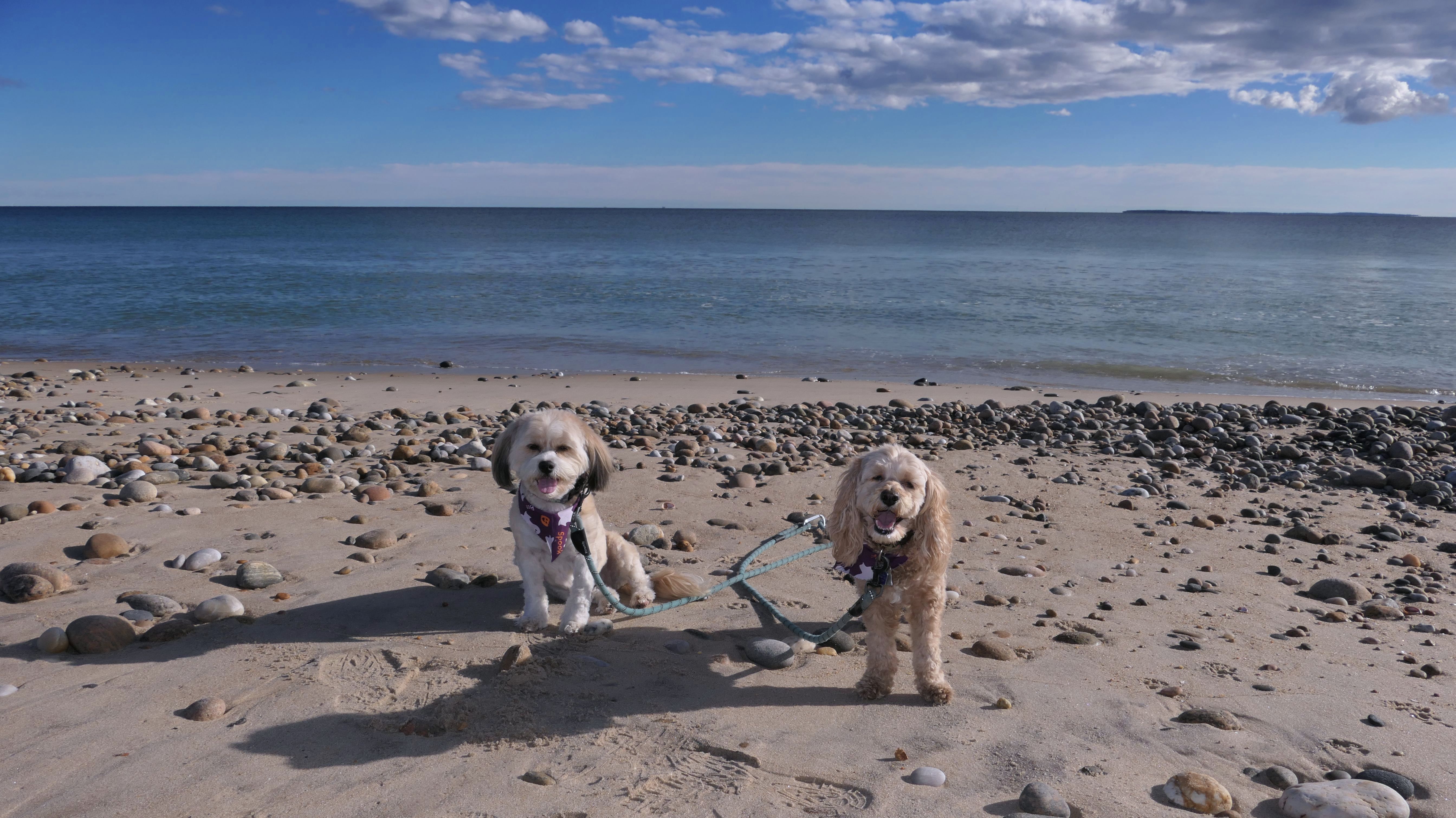
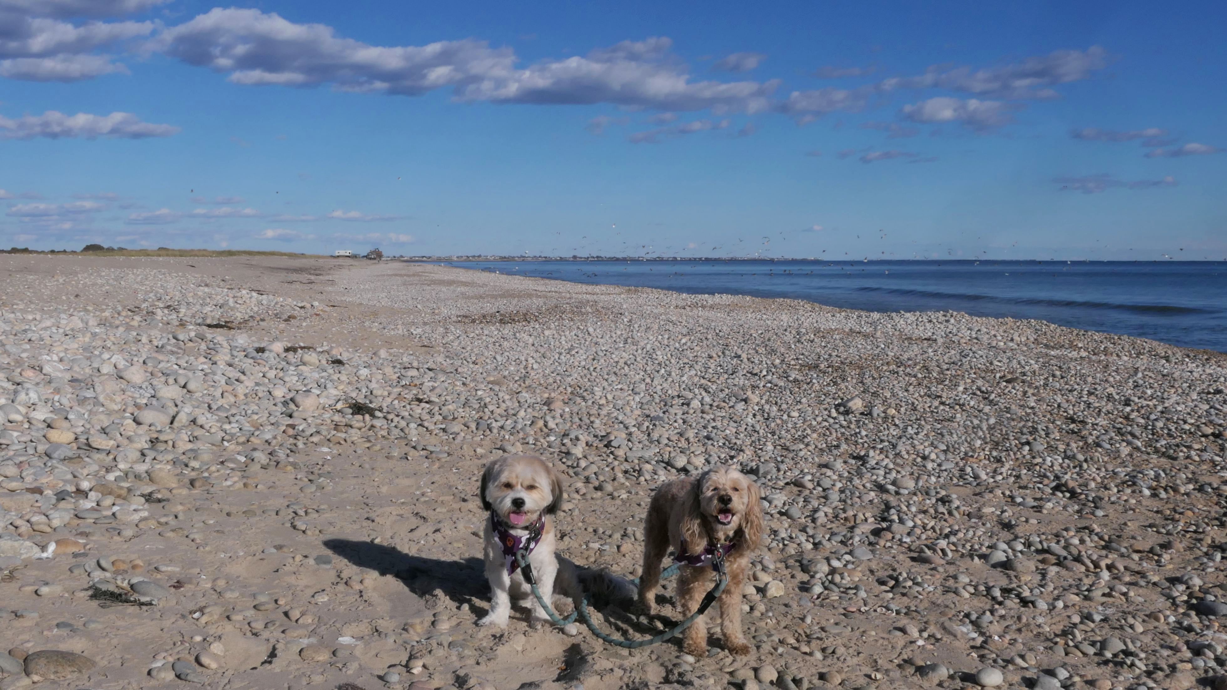
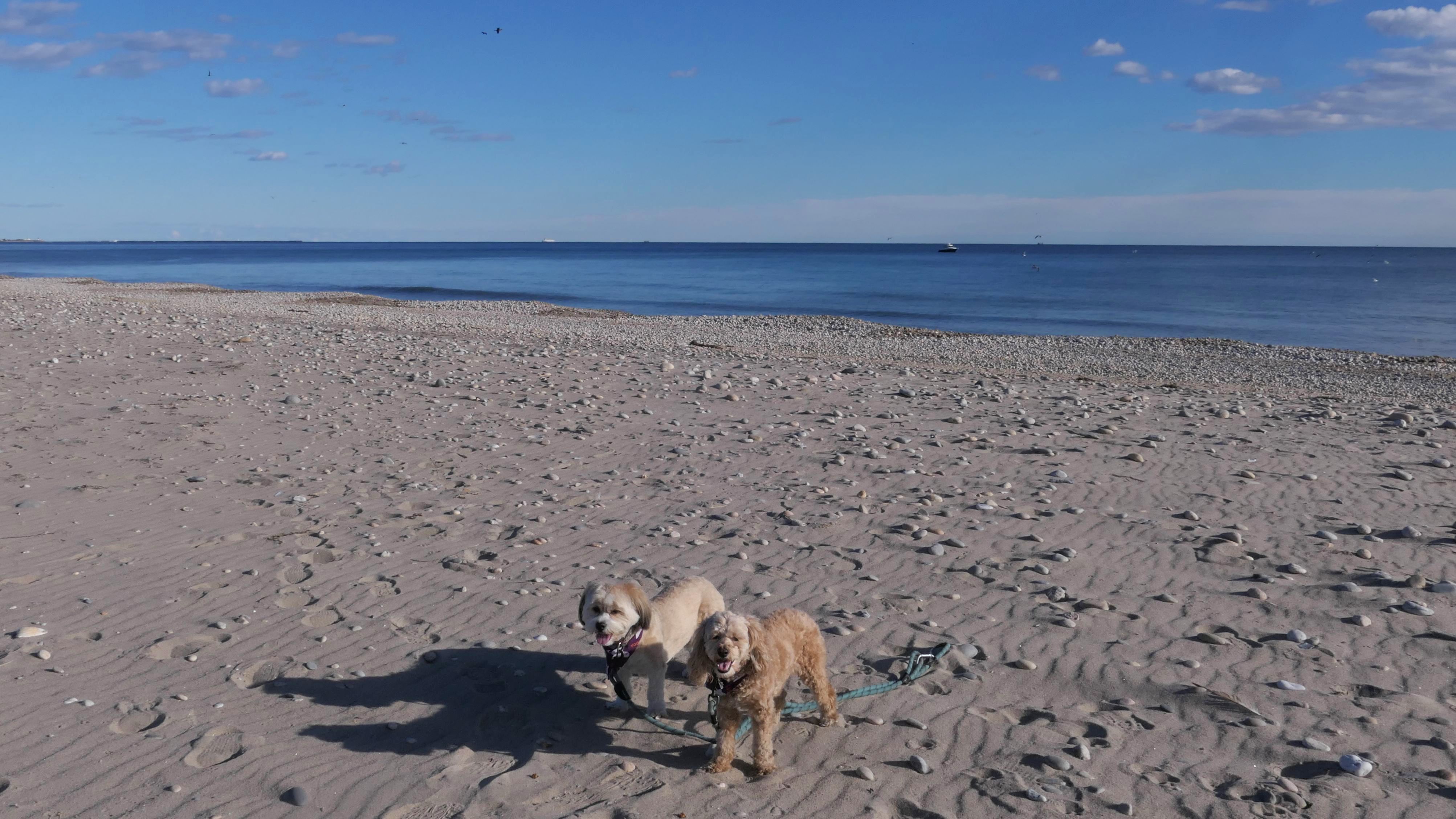
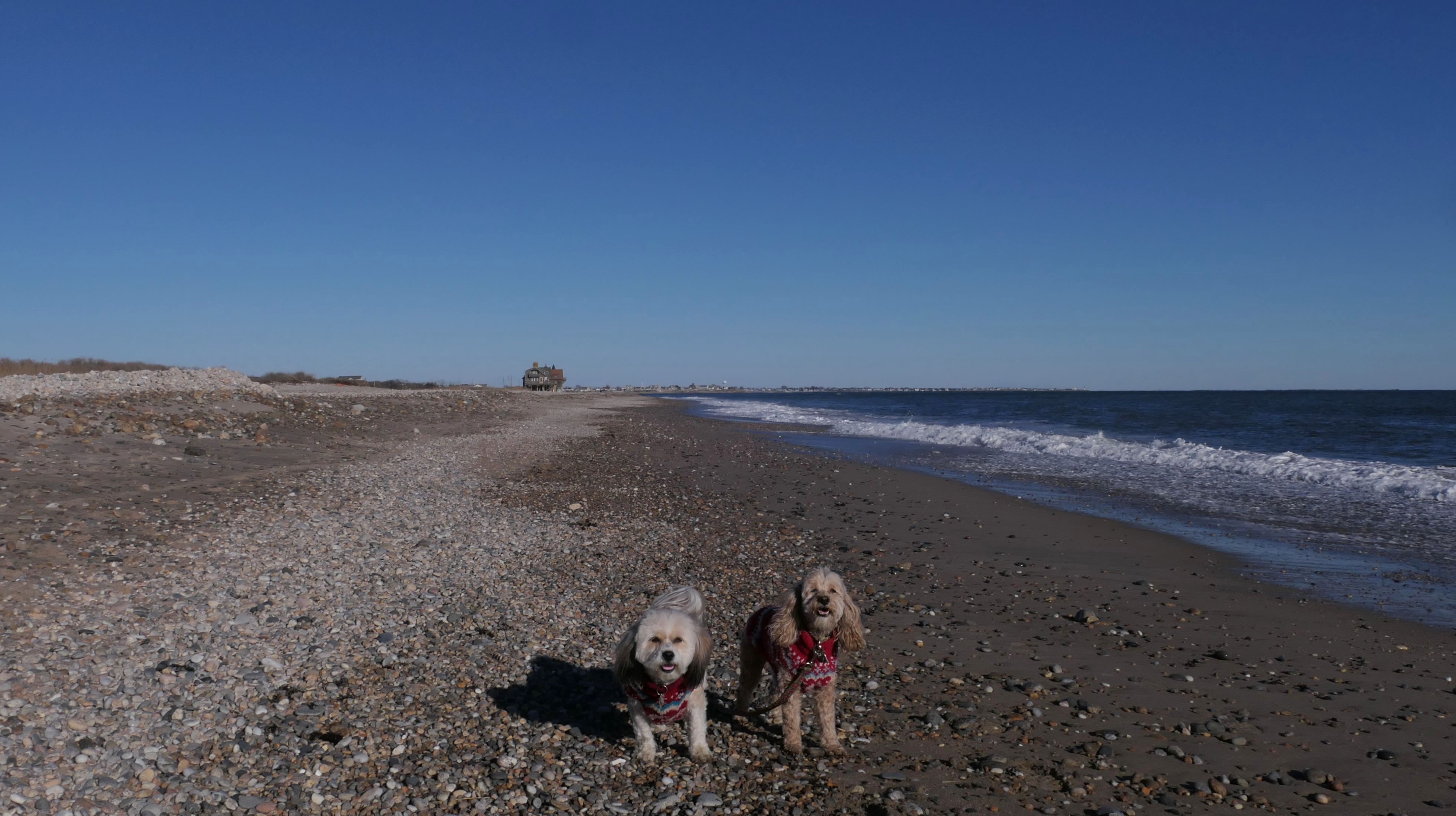
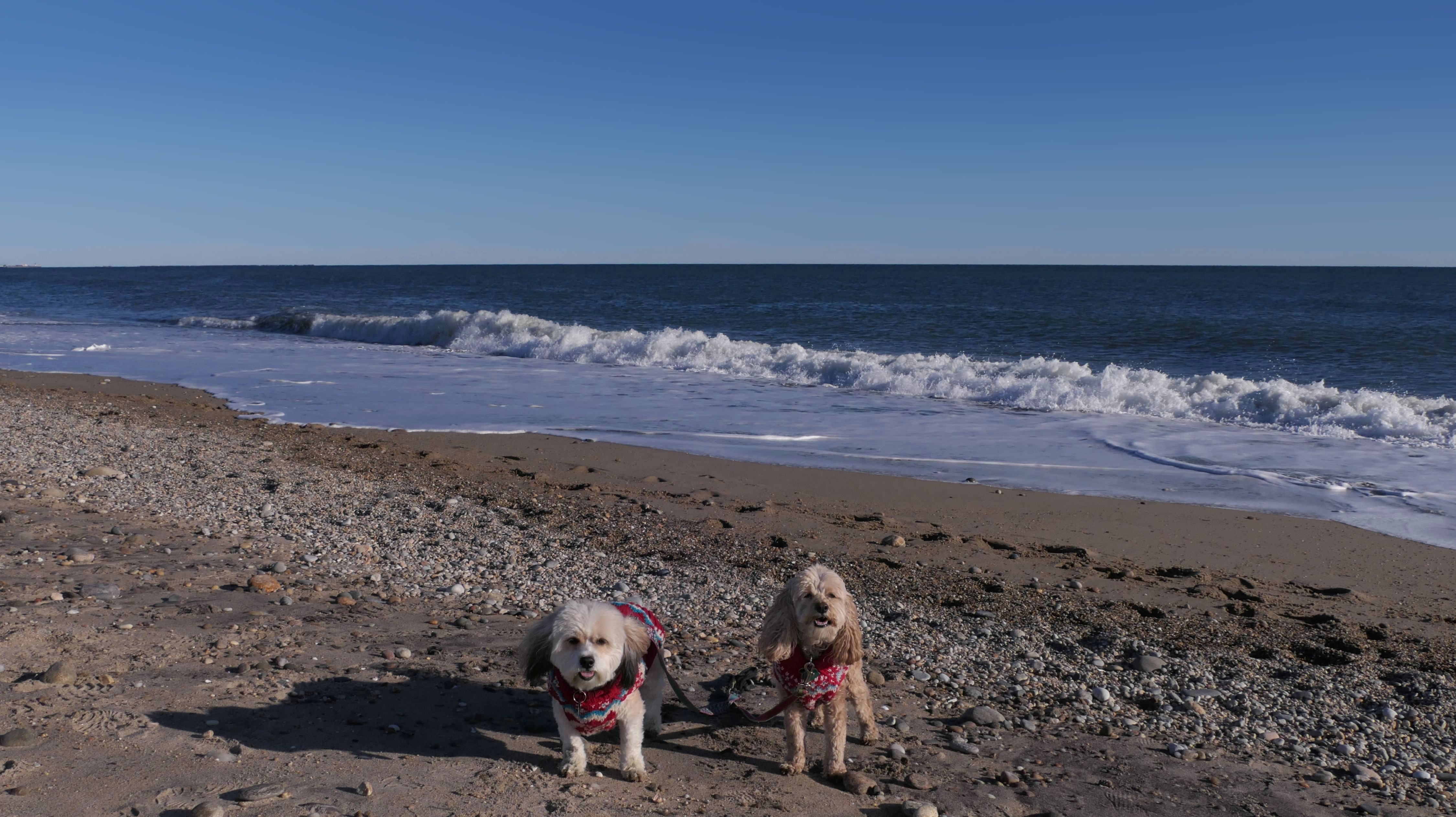
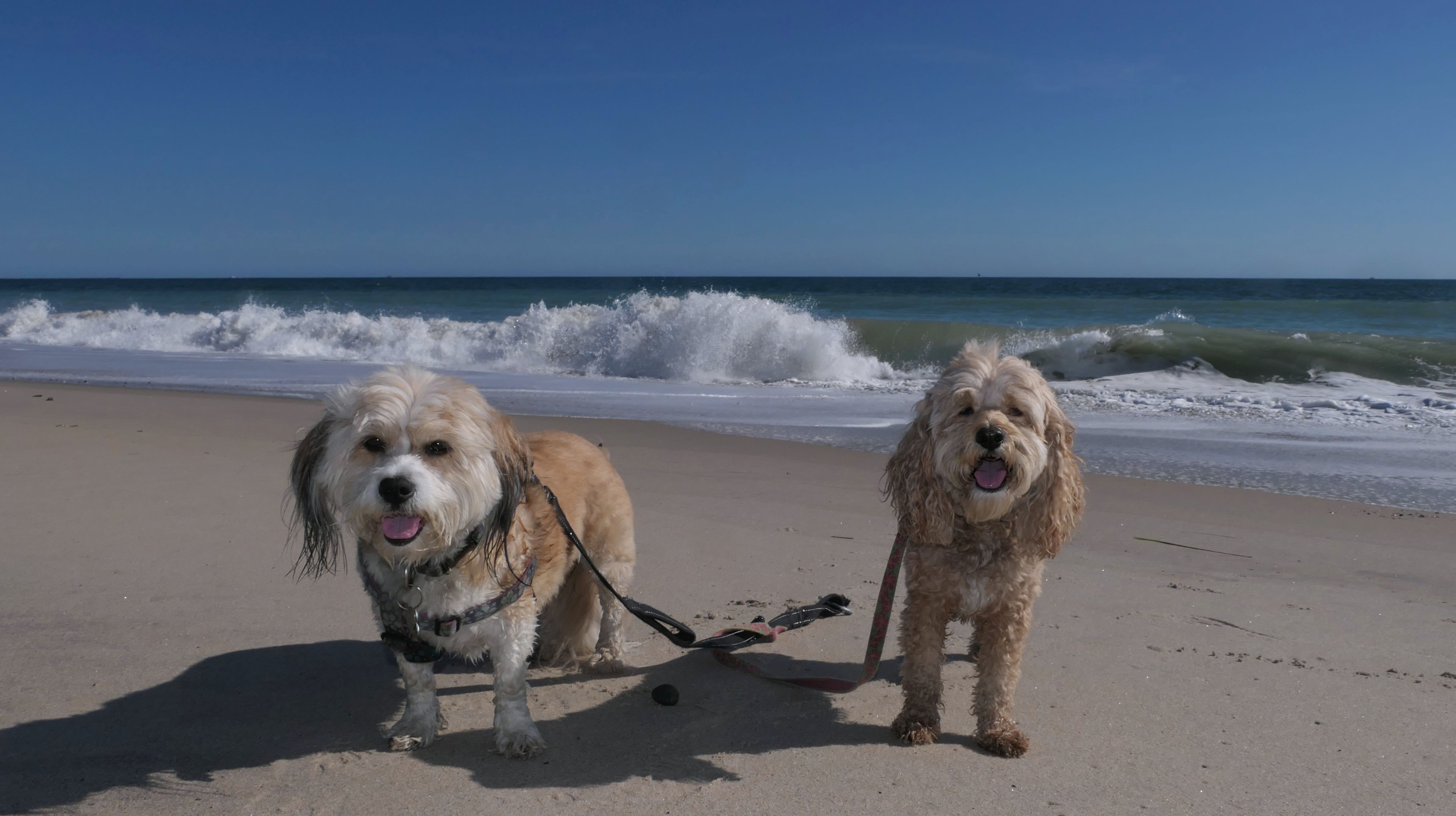
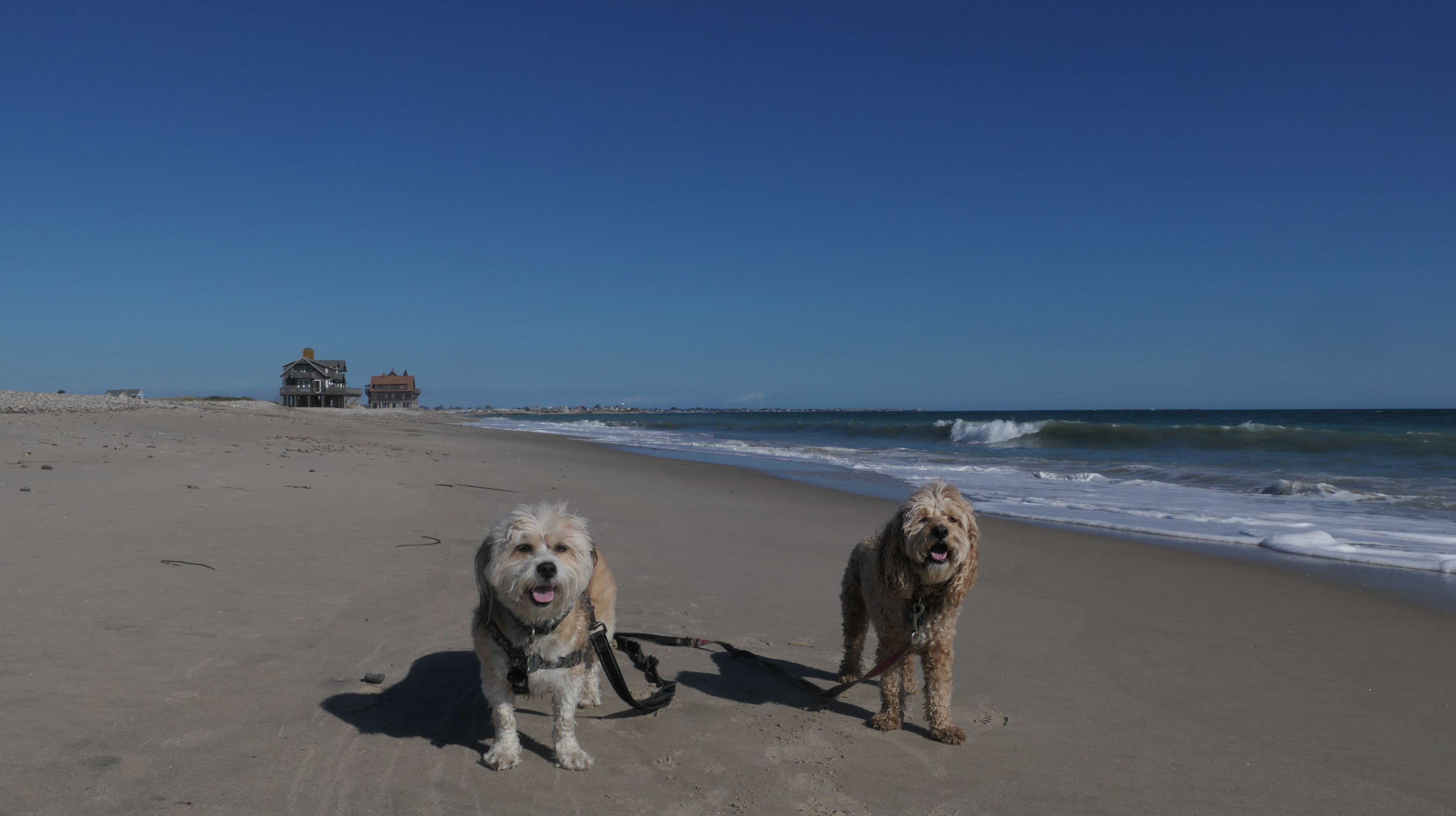
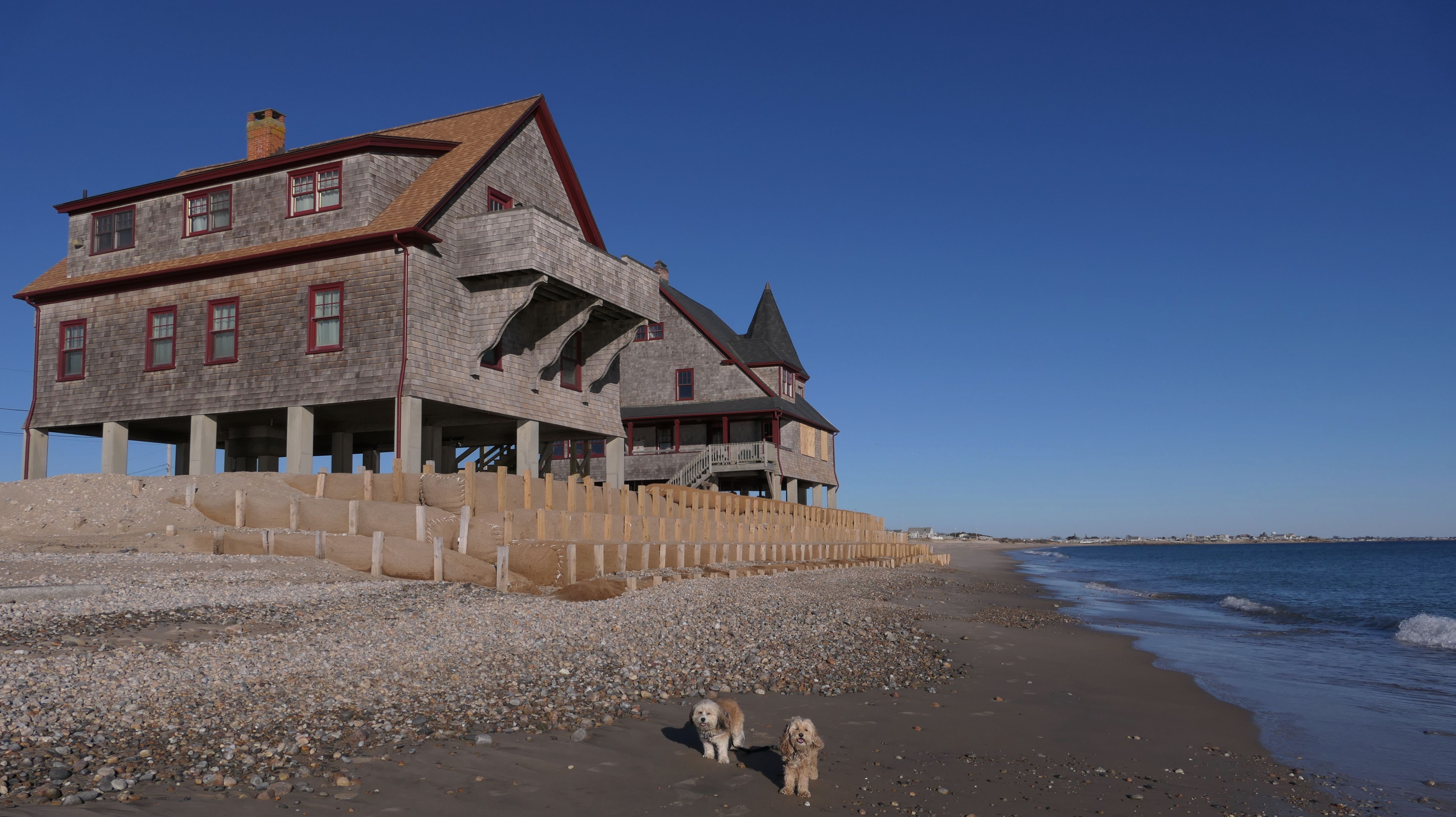
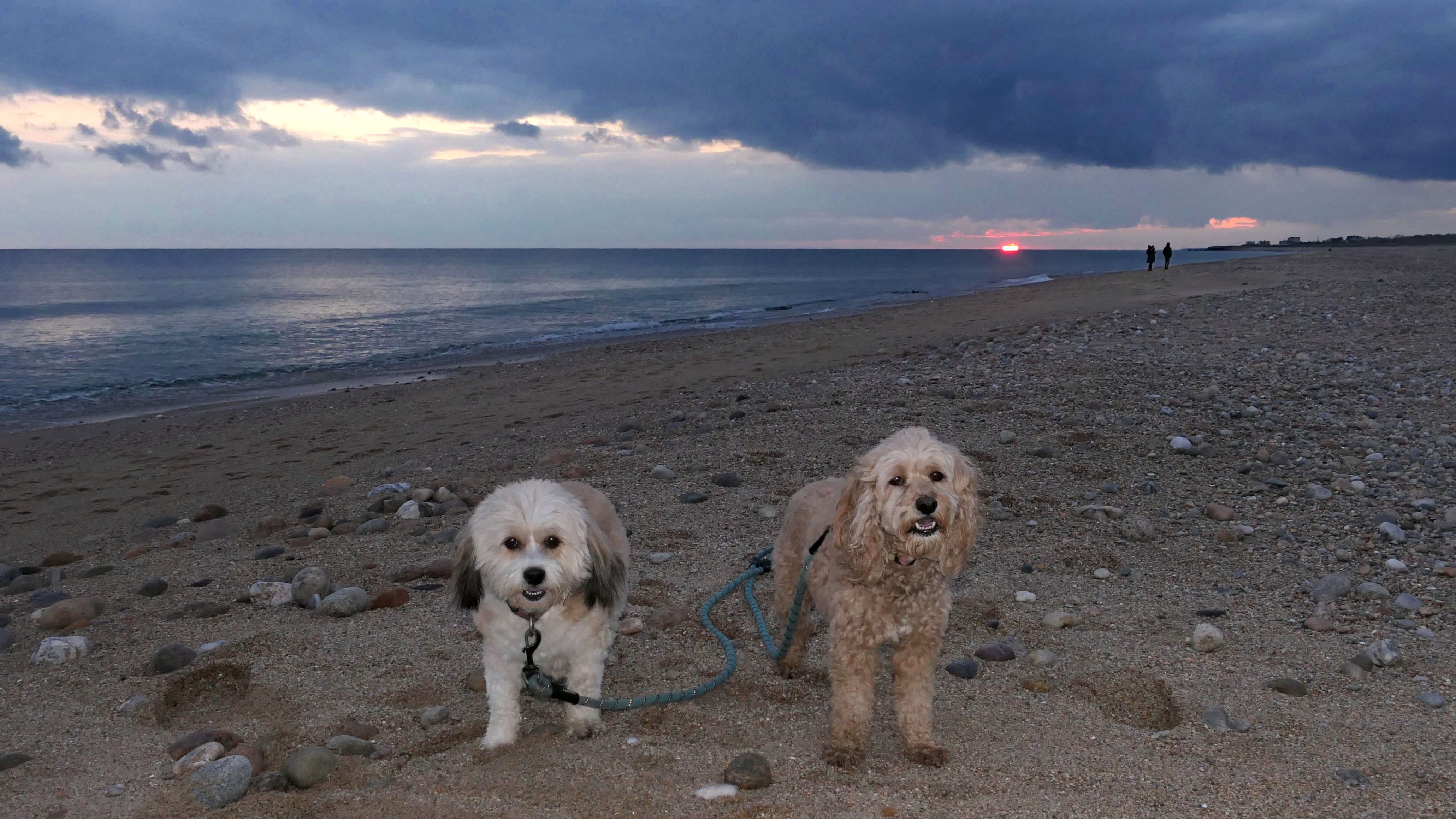
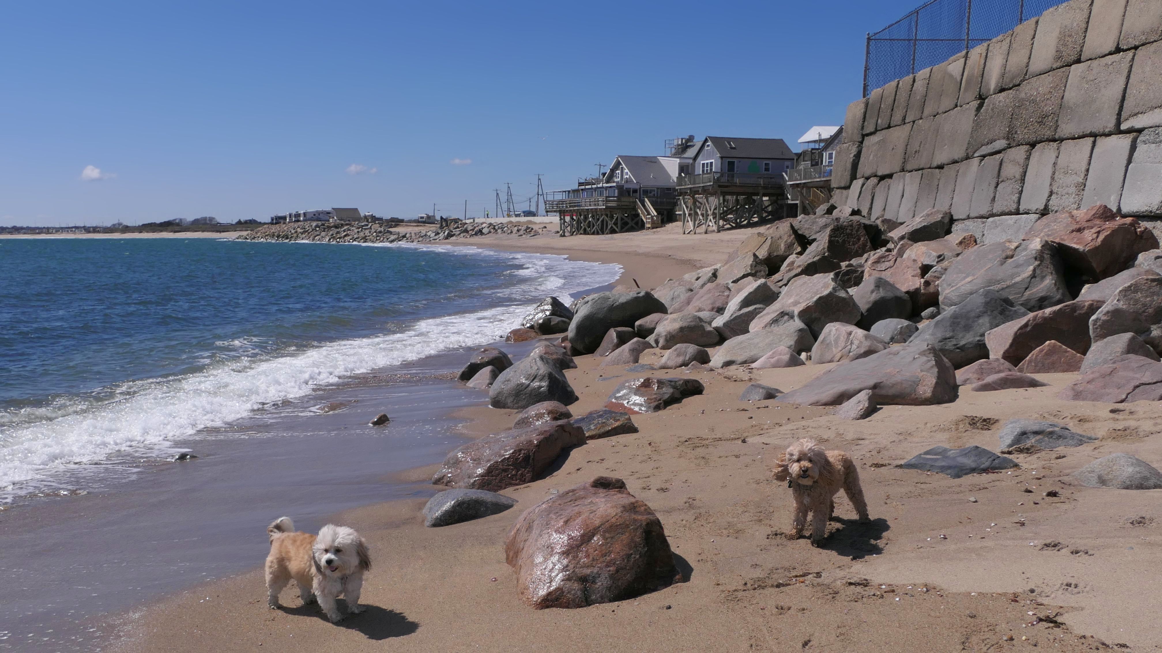
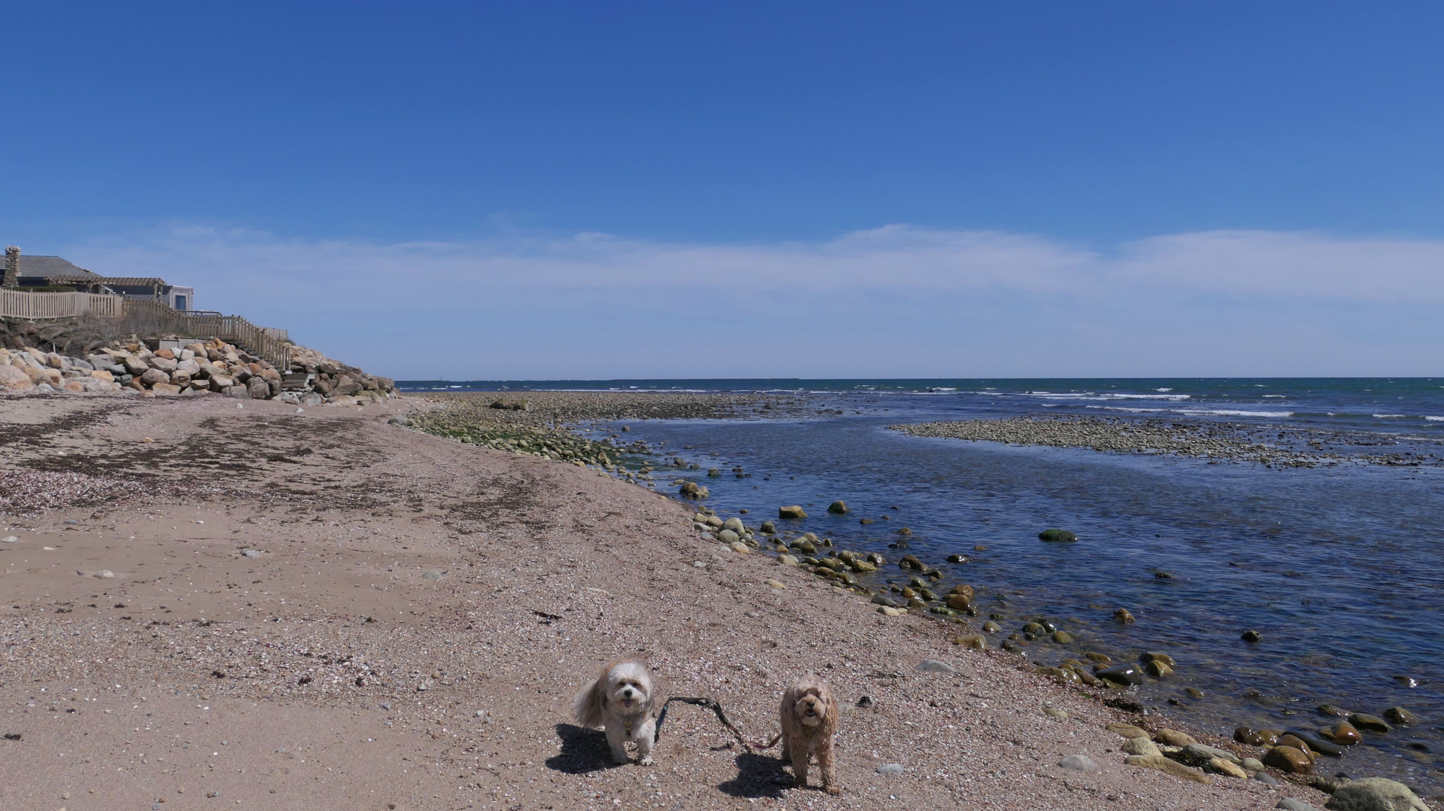
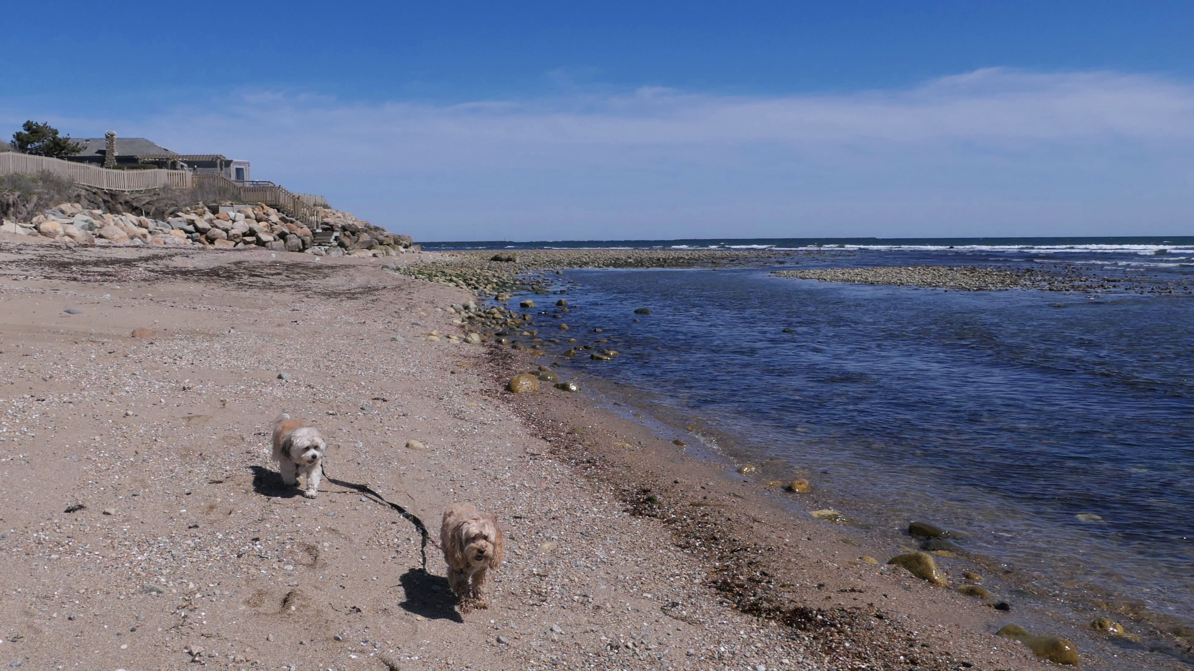
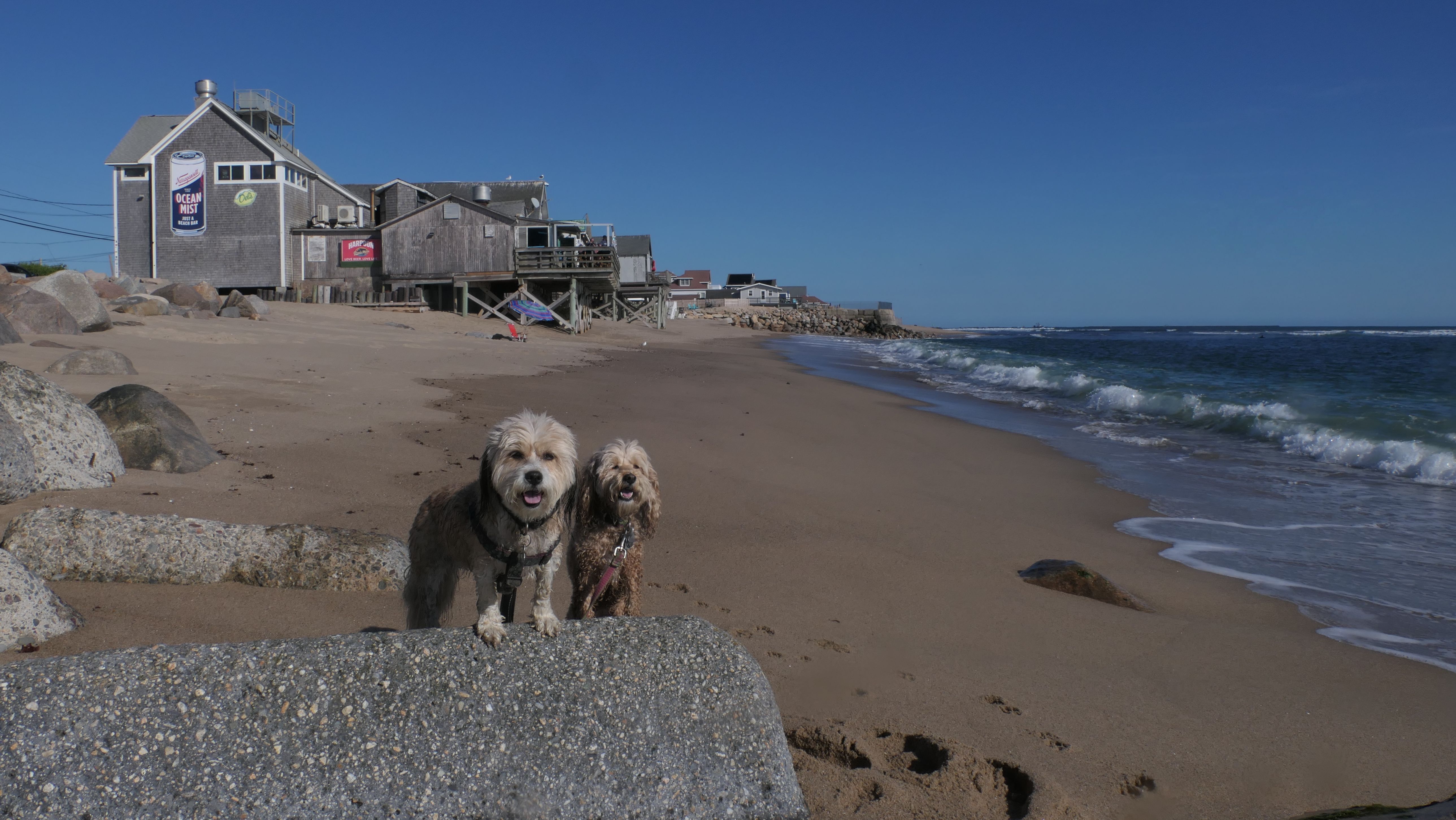
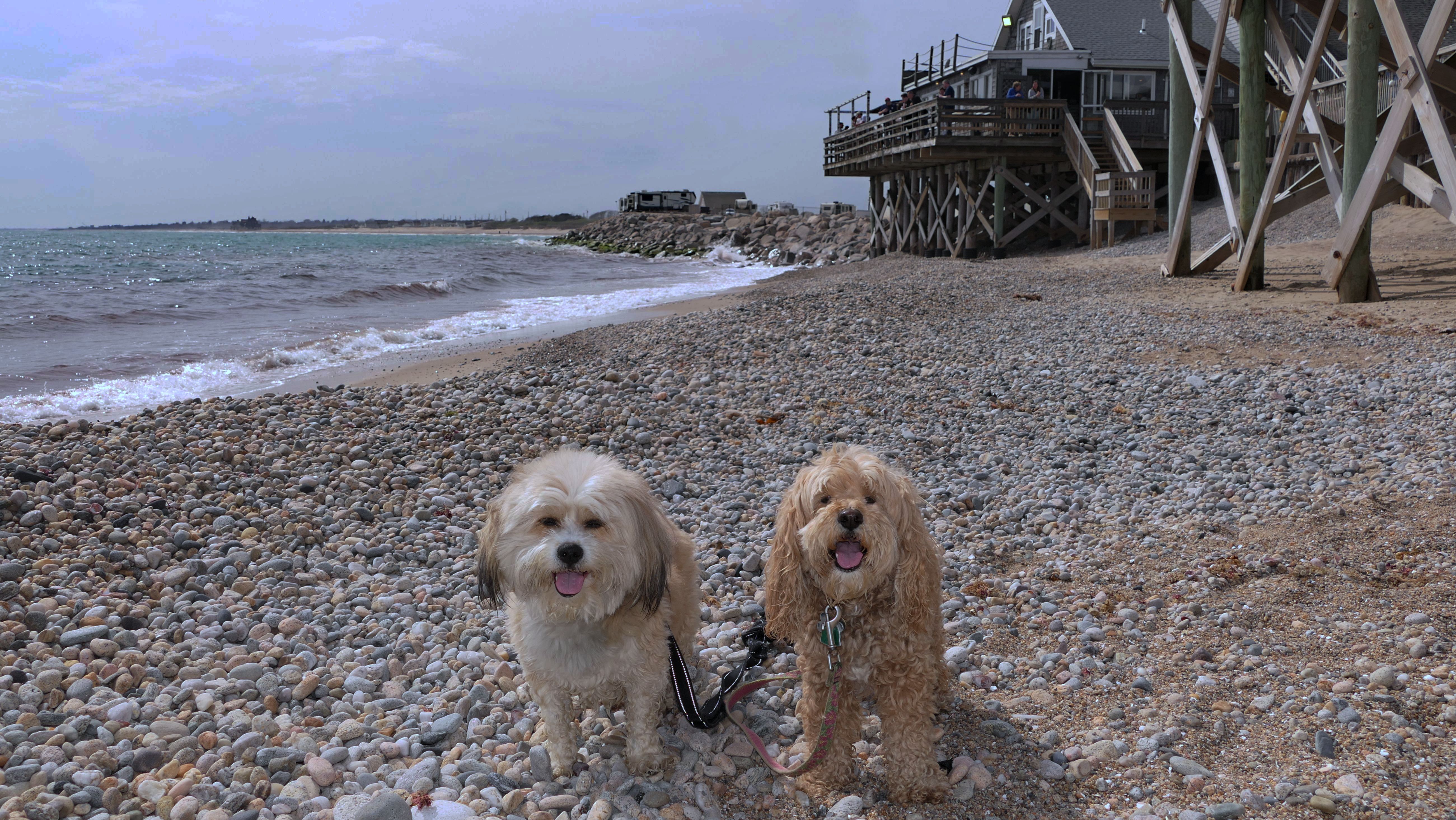
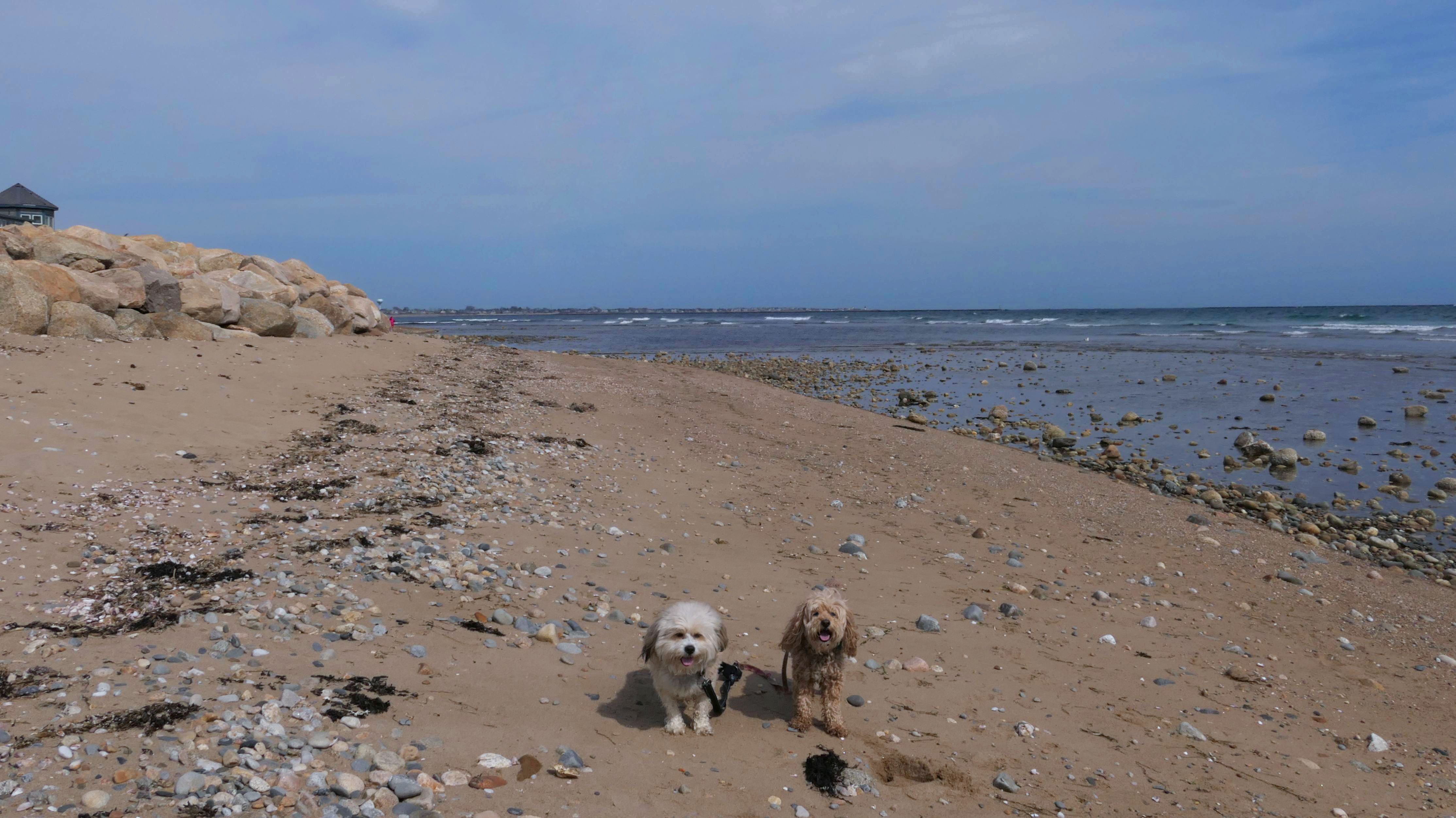
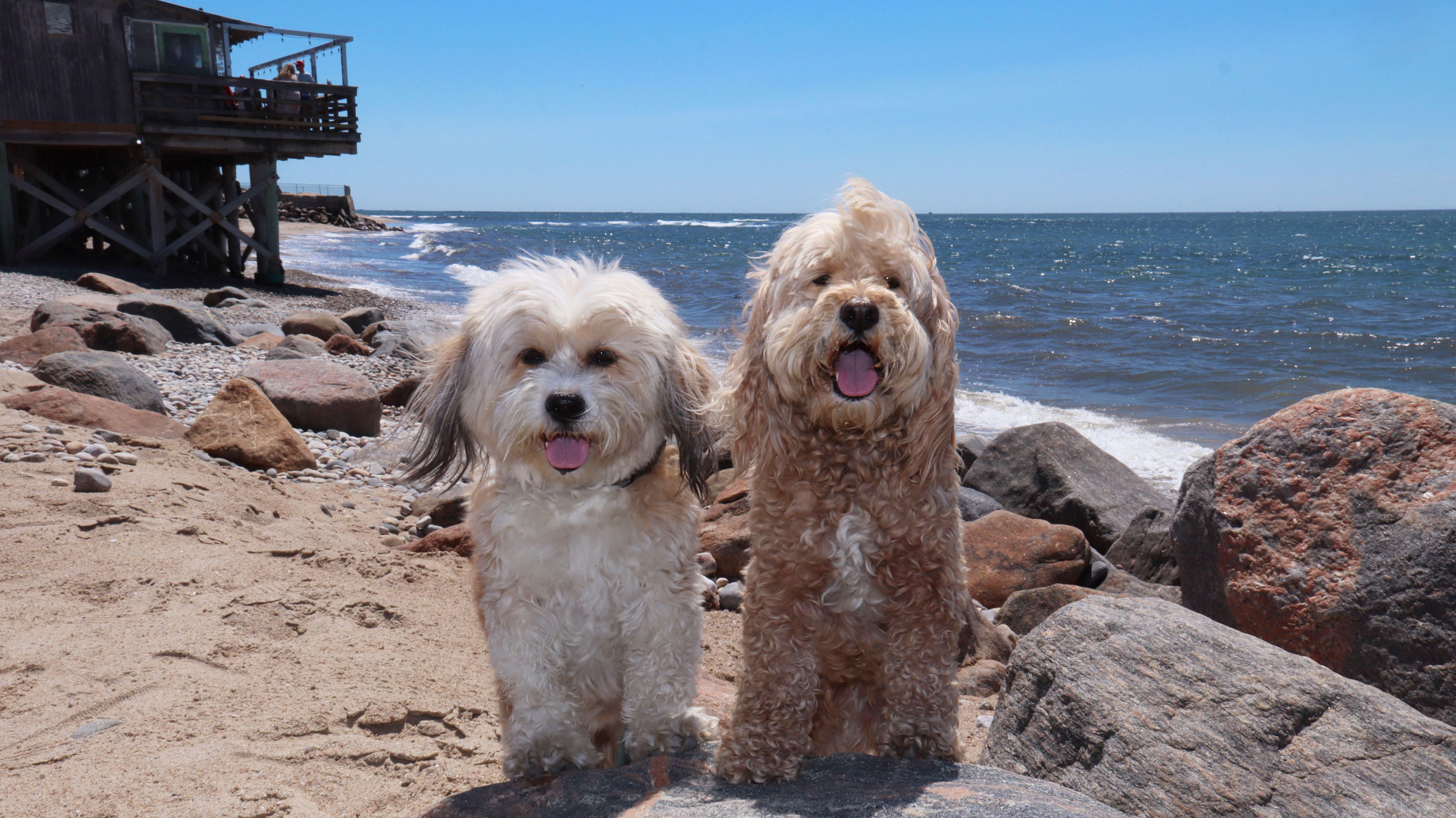
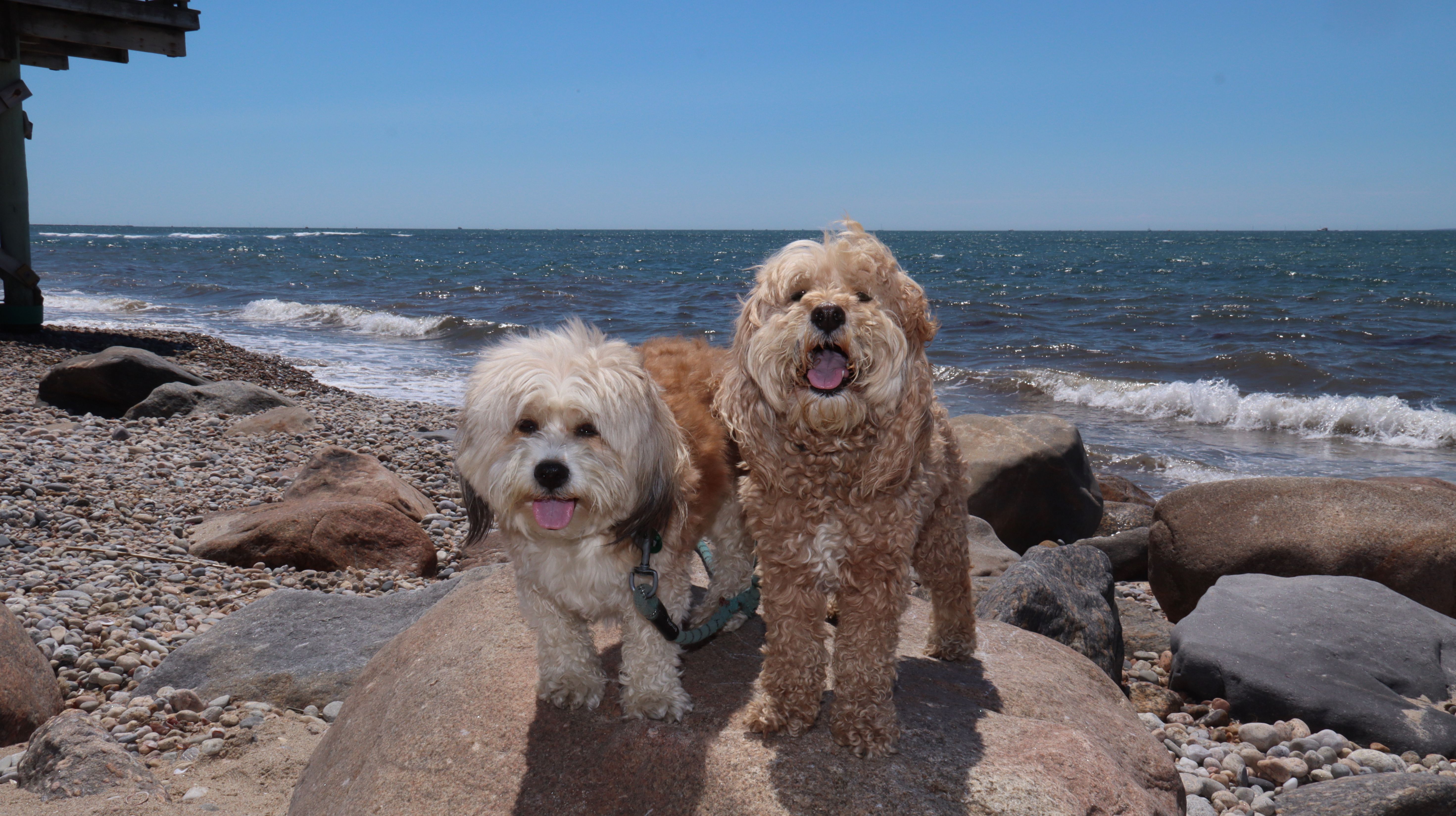
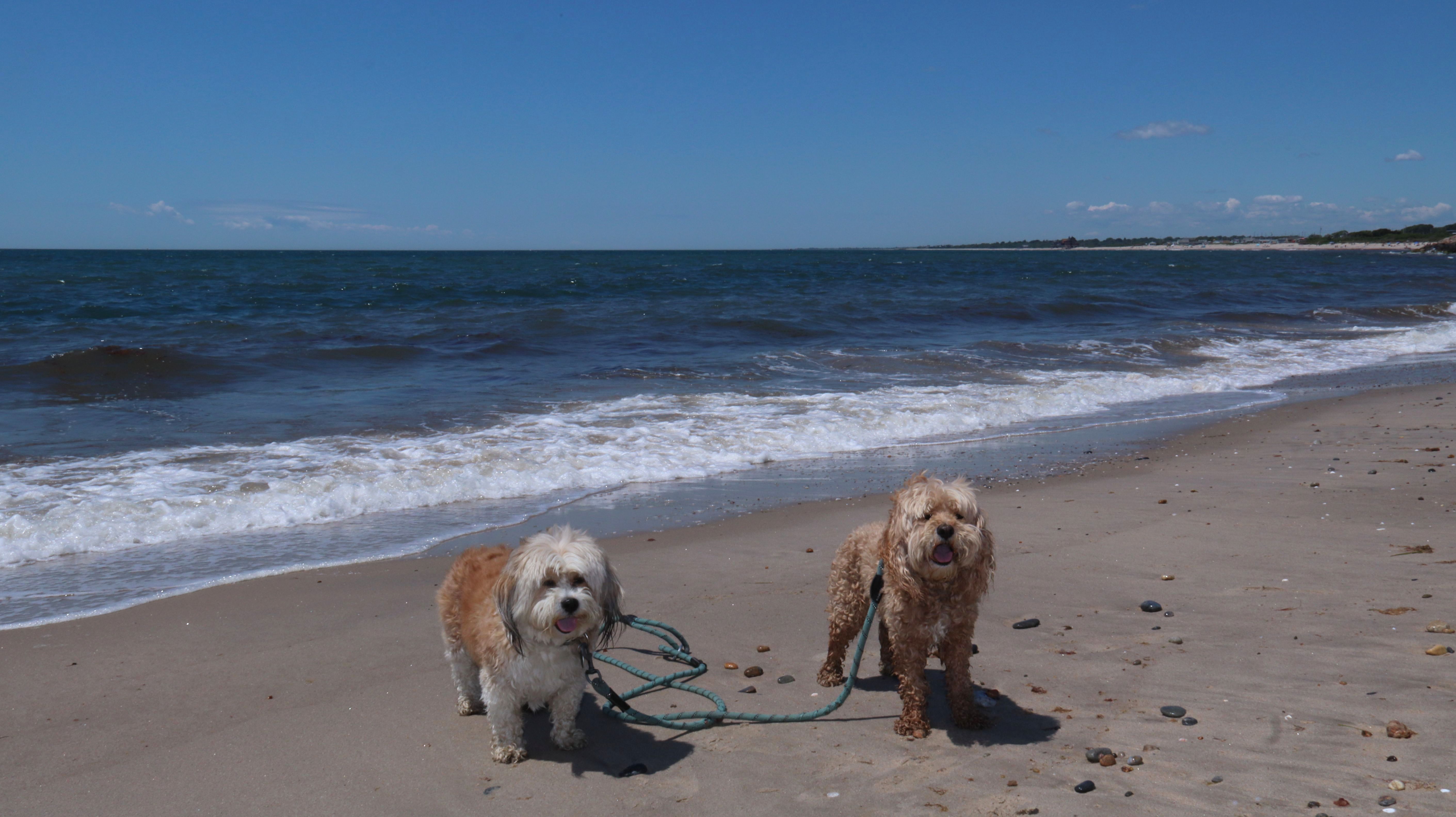
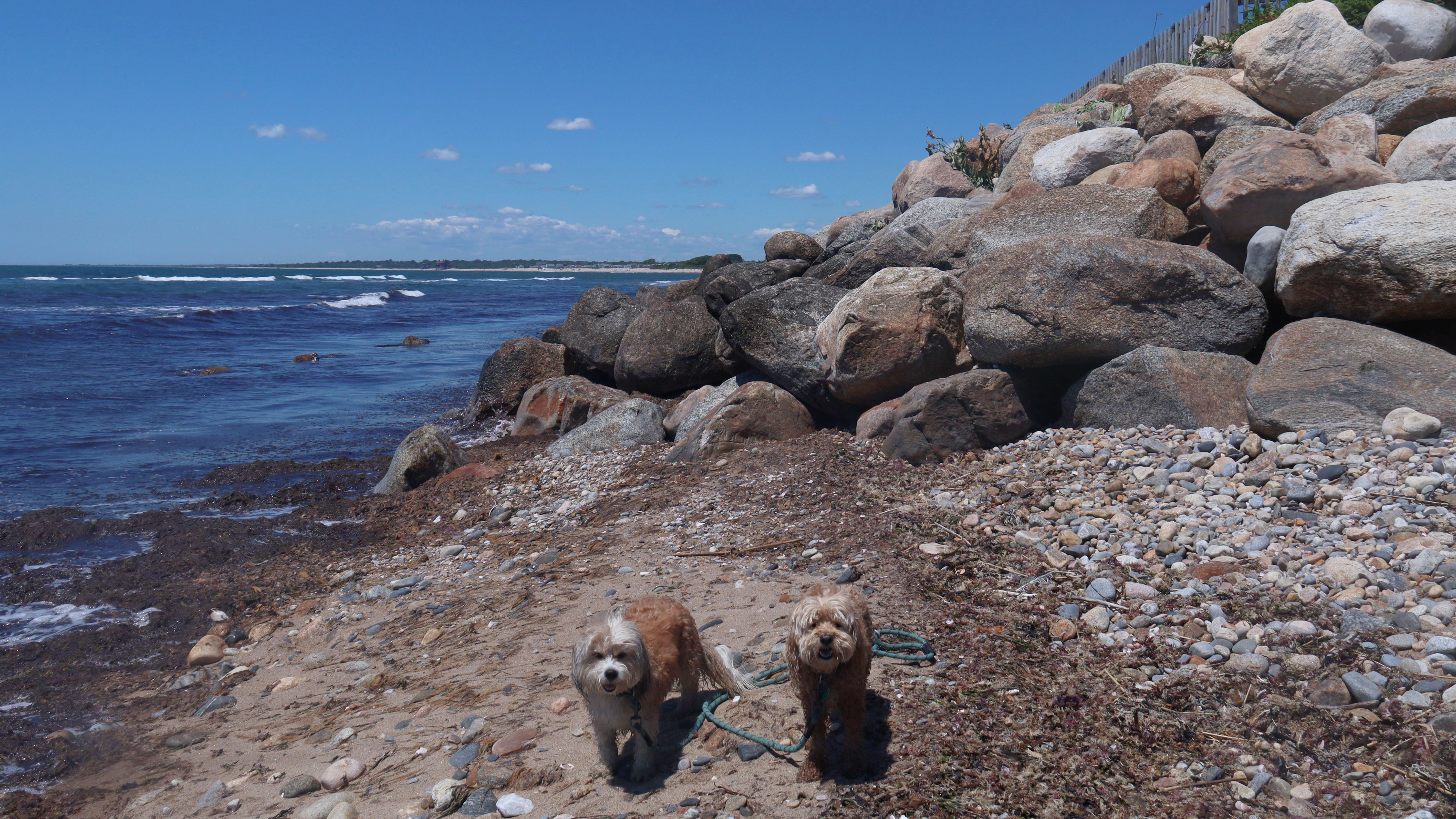
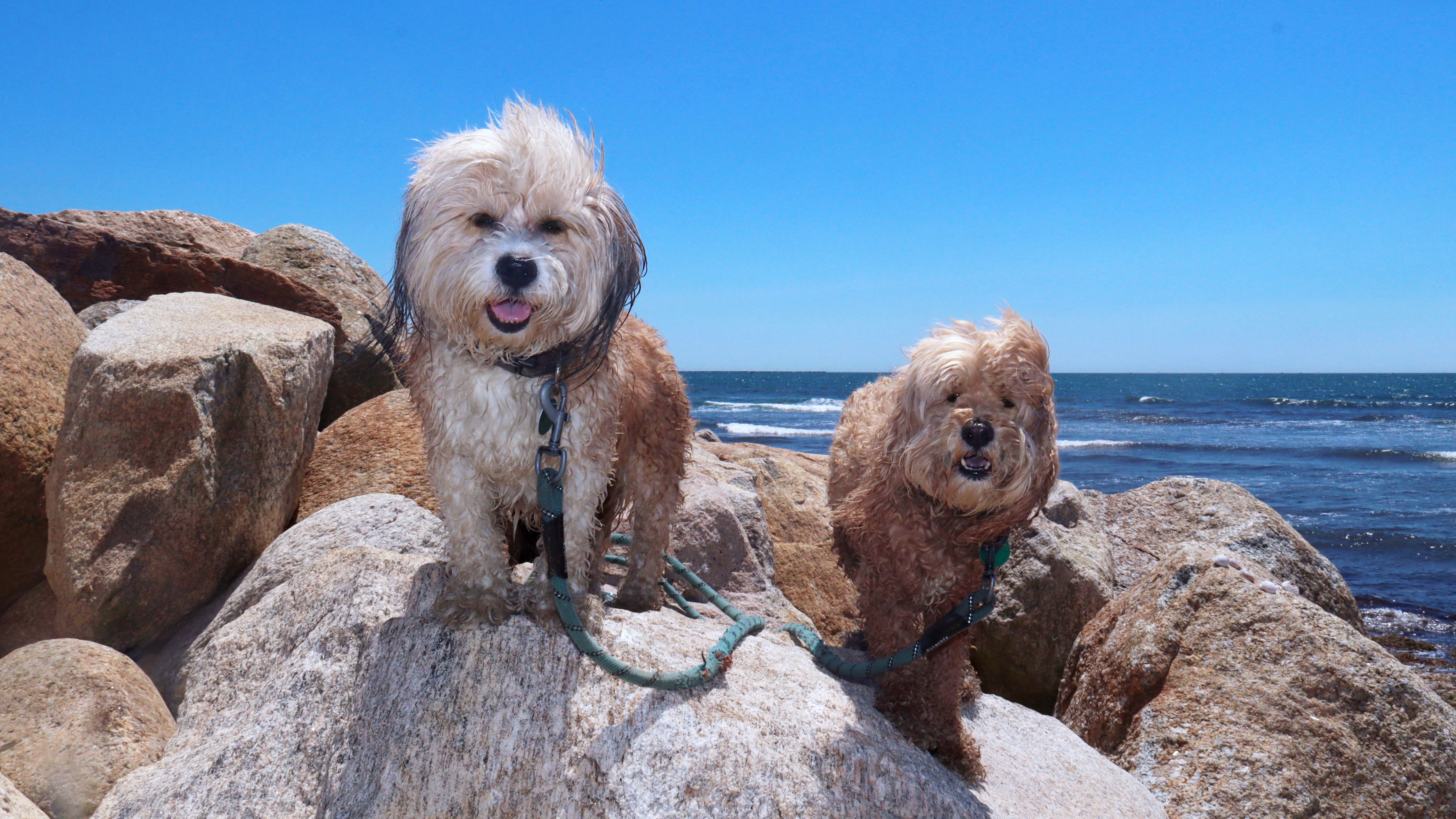
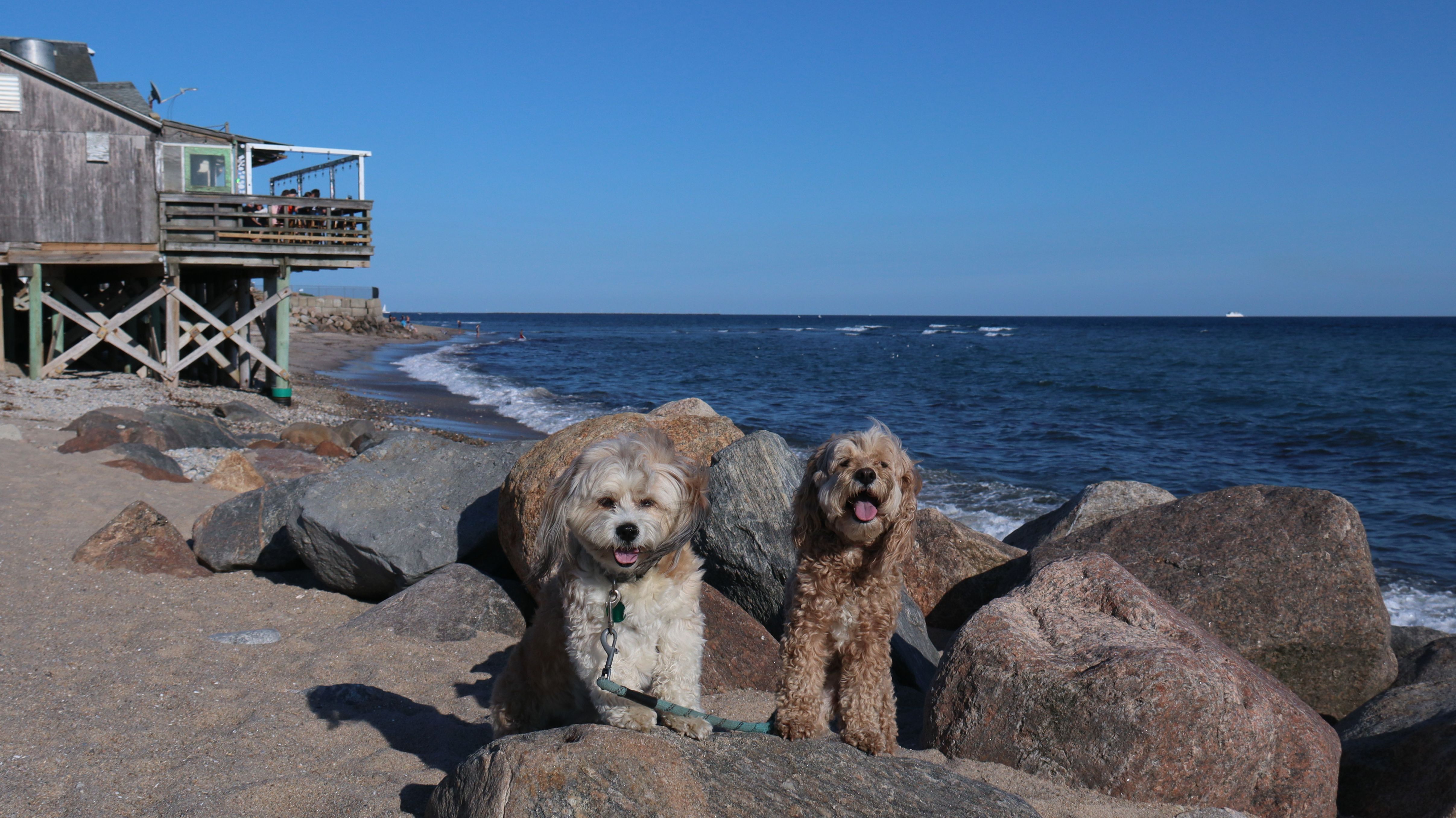
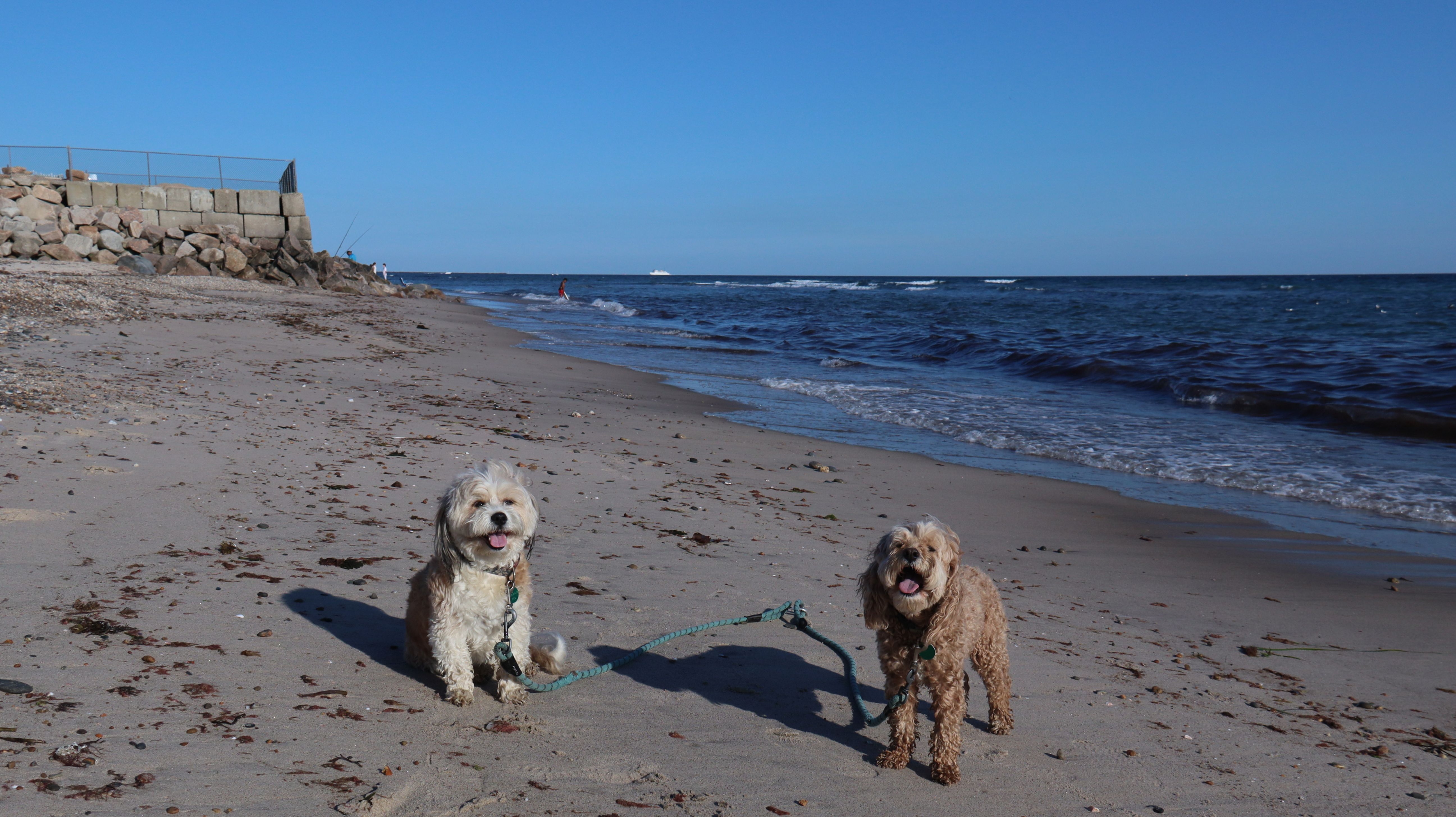
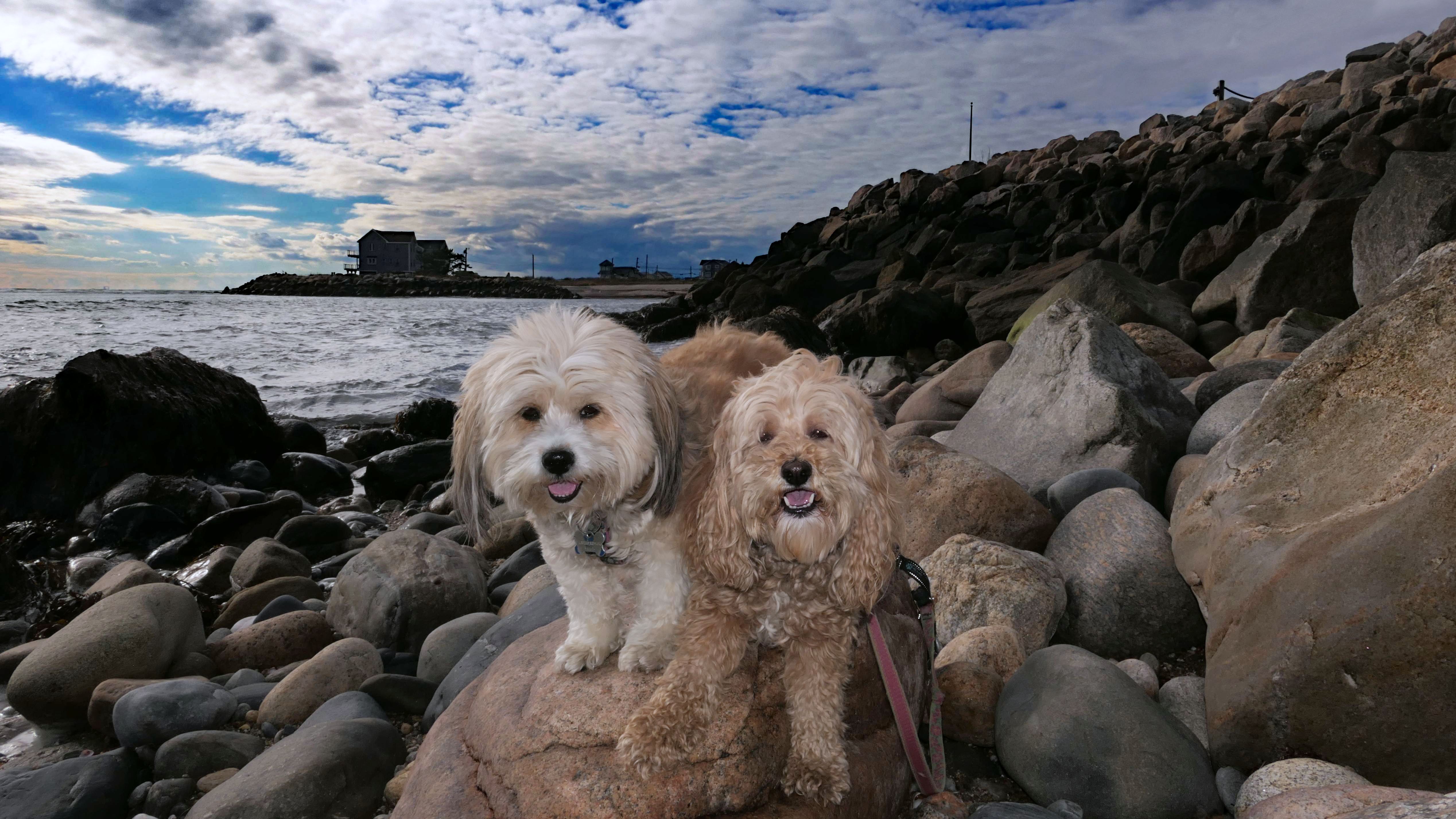
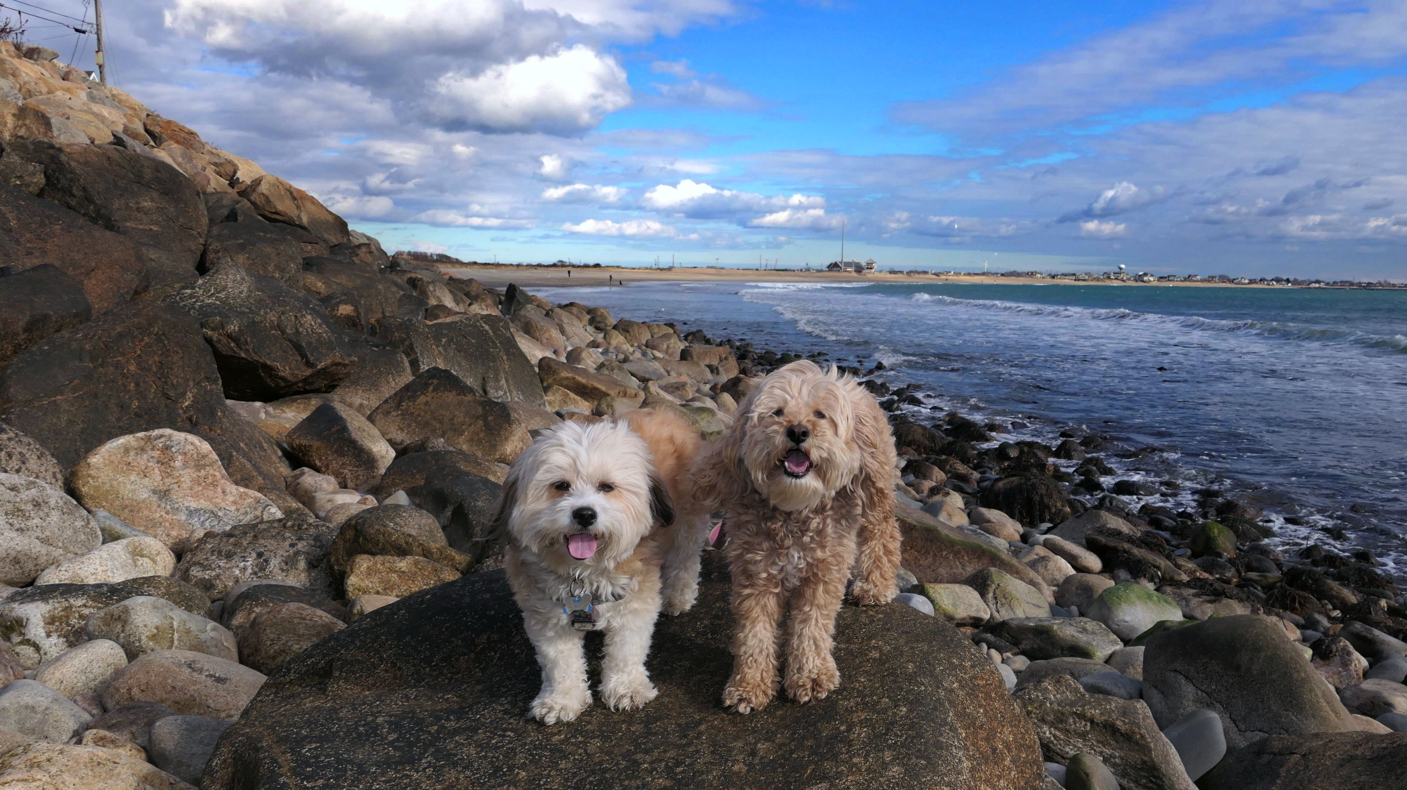
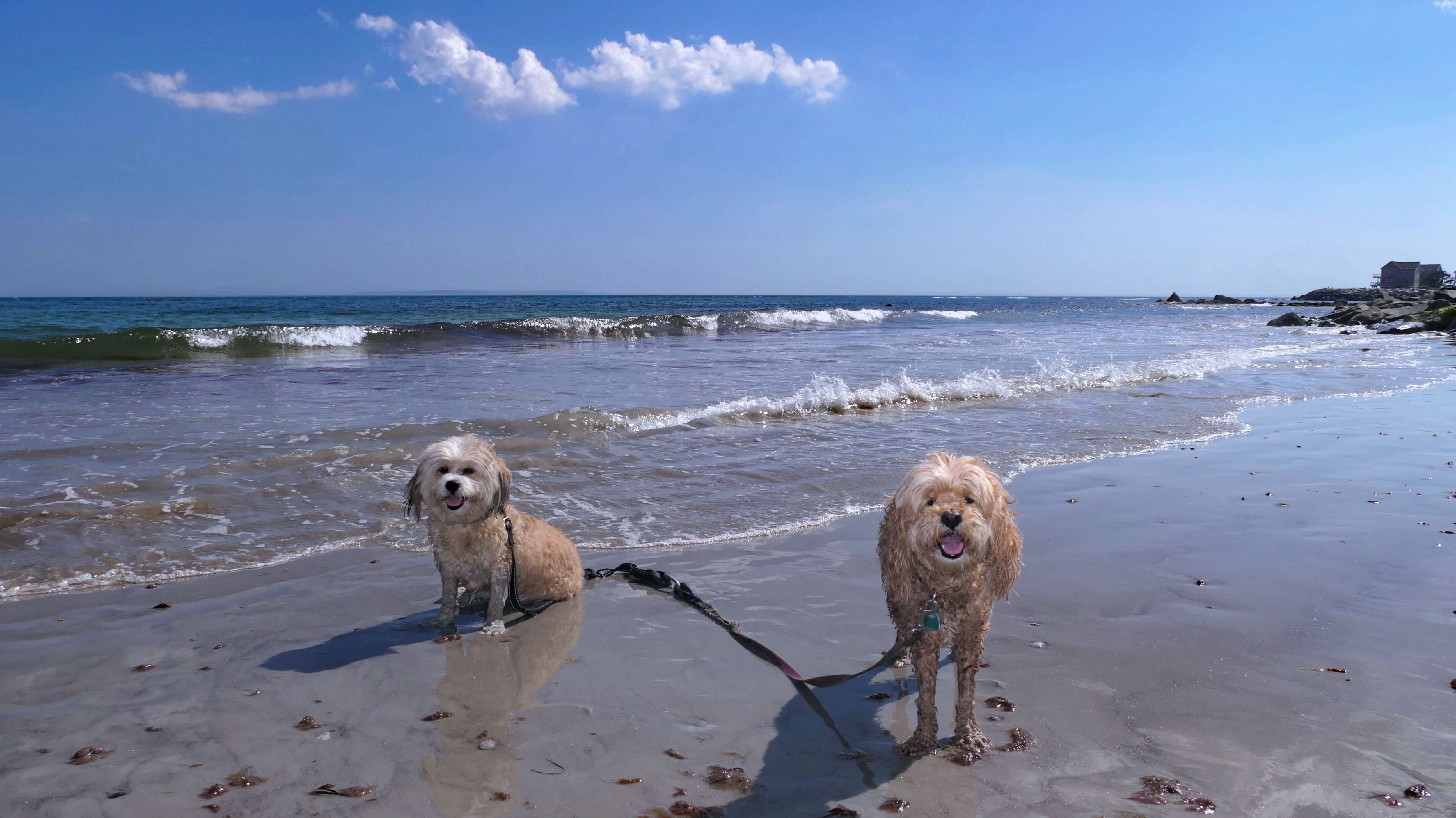
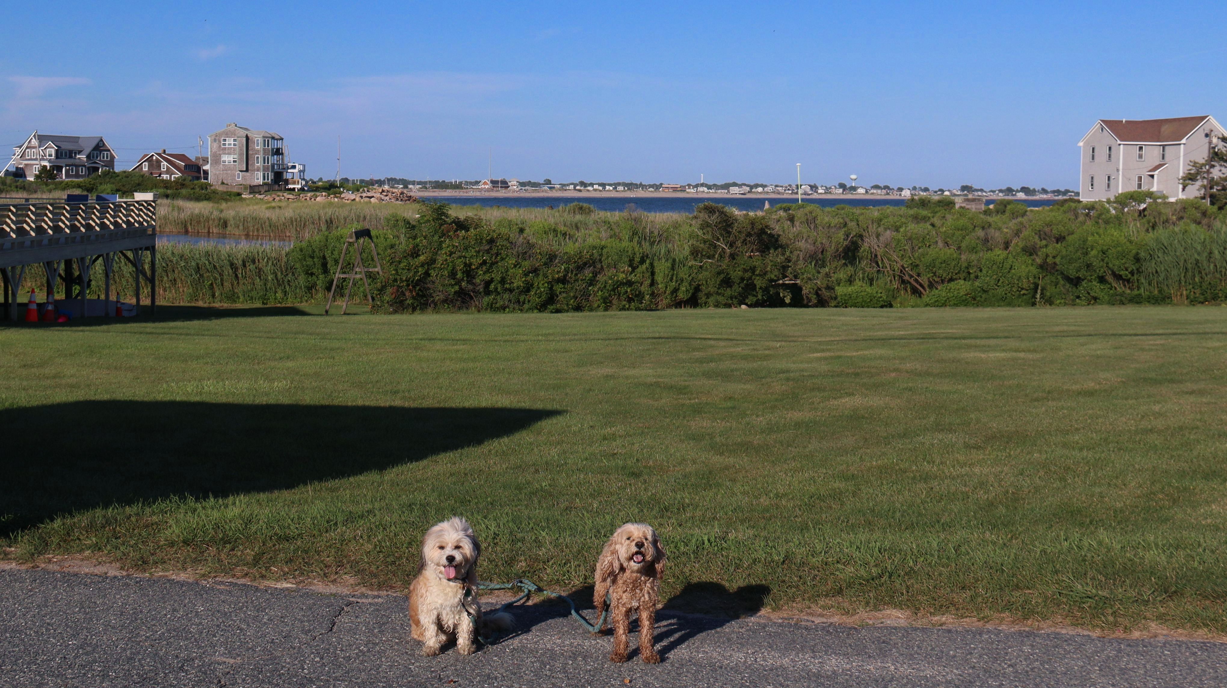
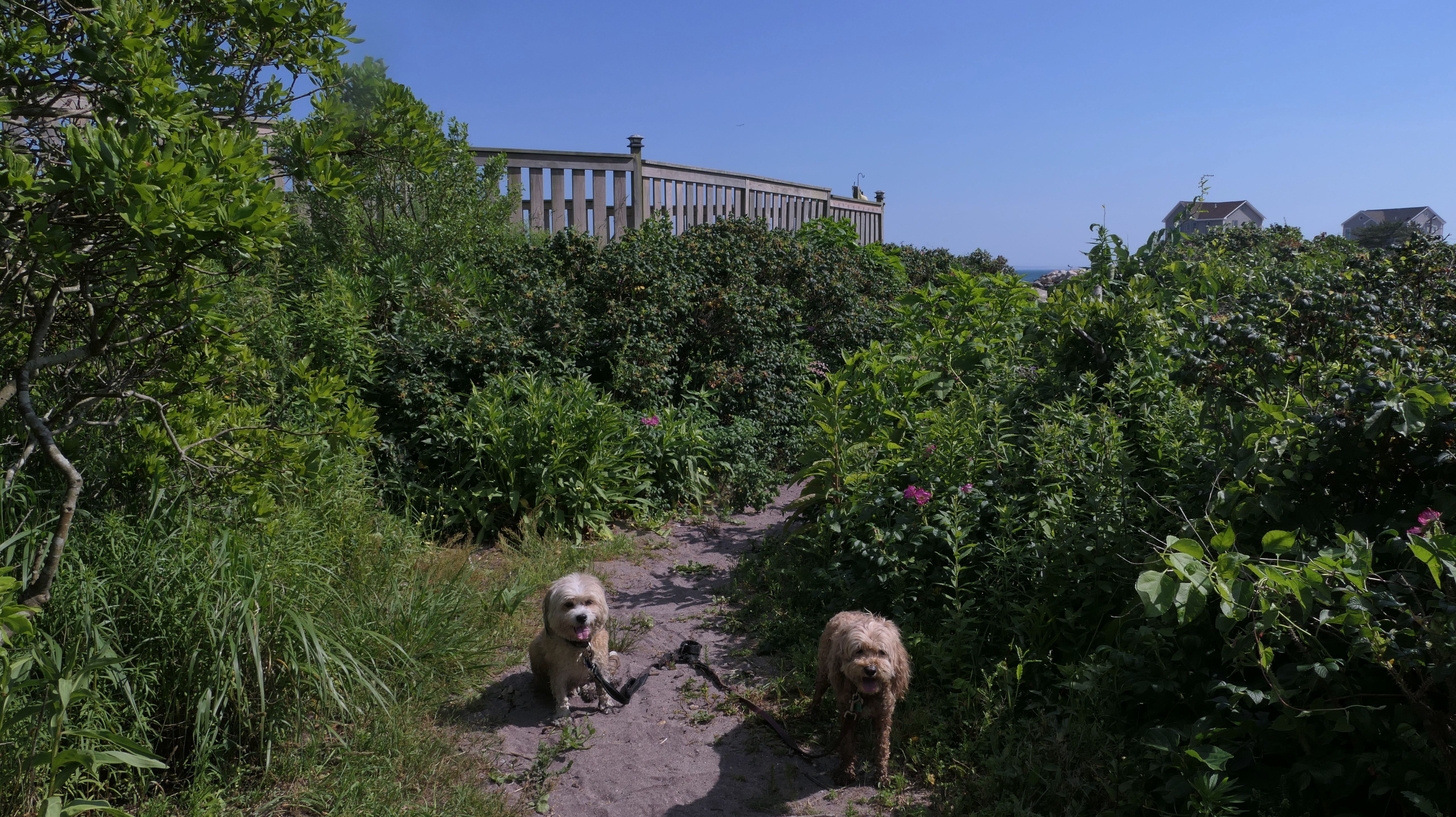
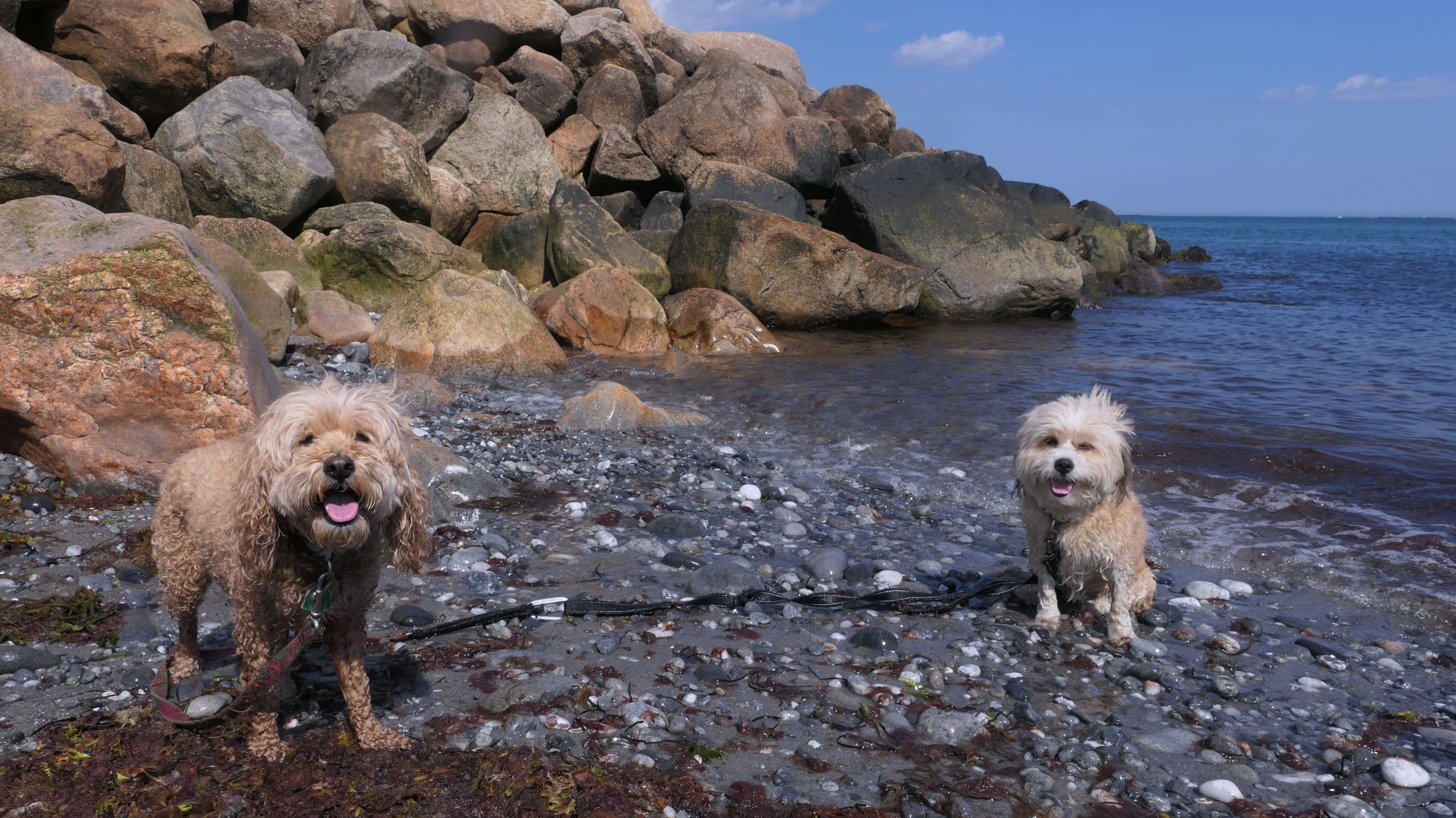
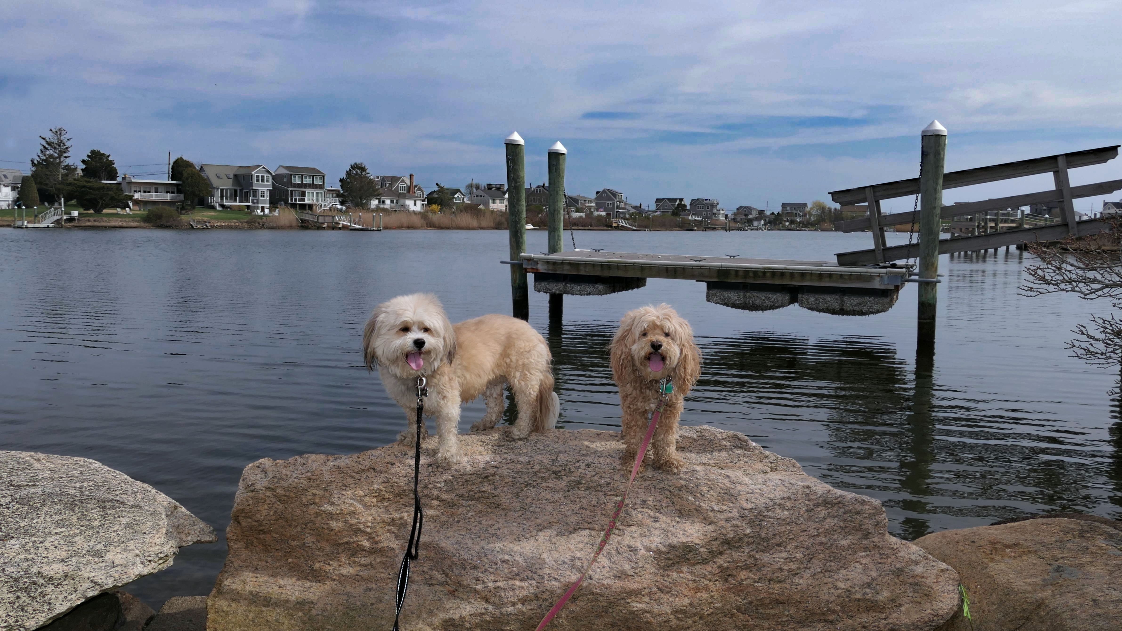
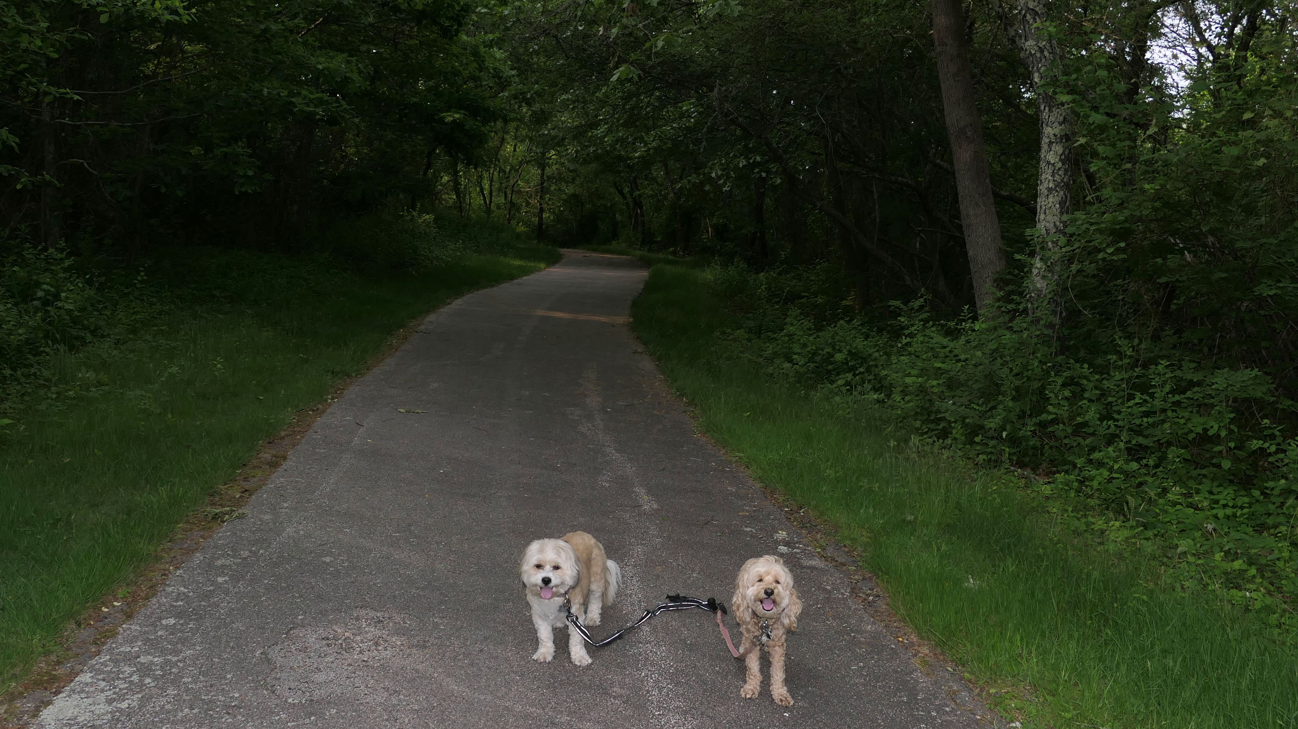
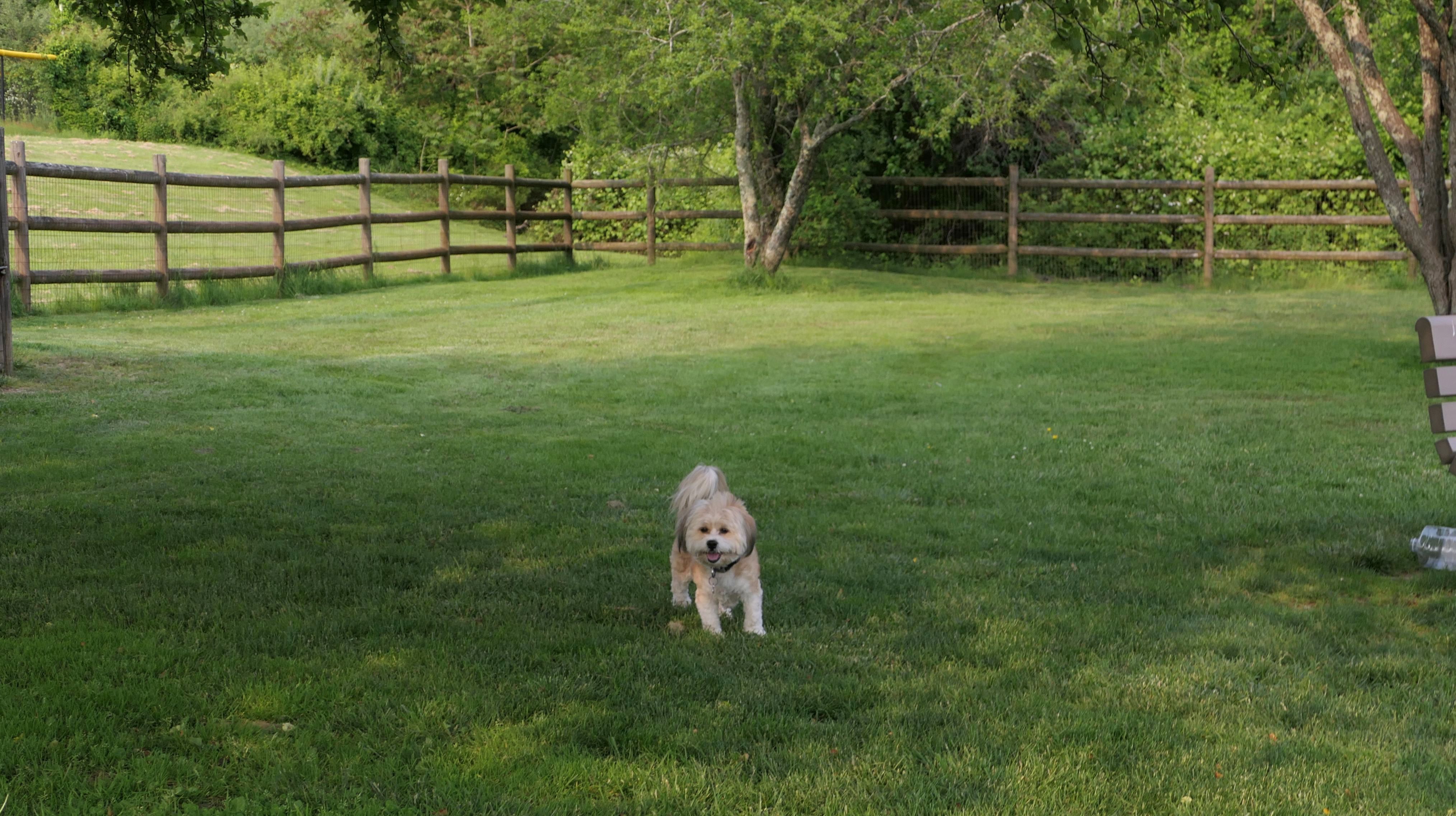
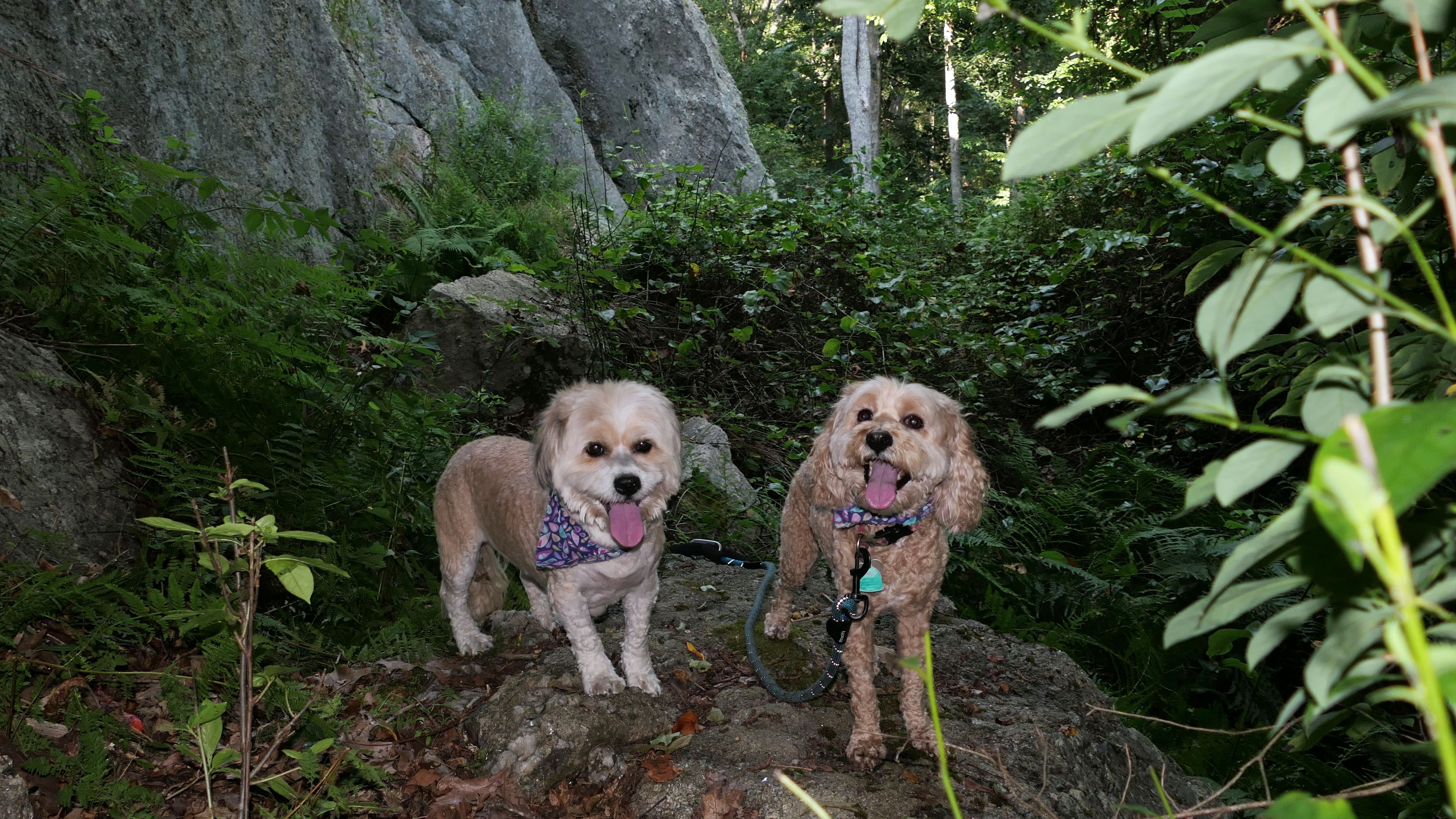
South Kingstown Town Beach
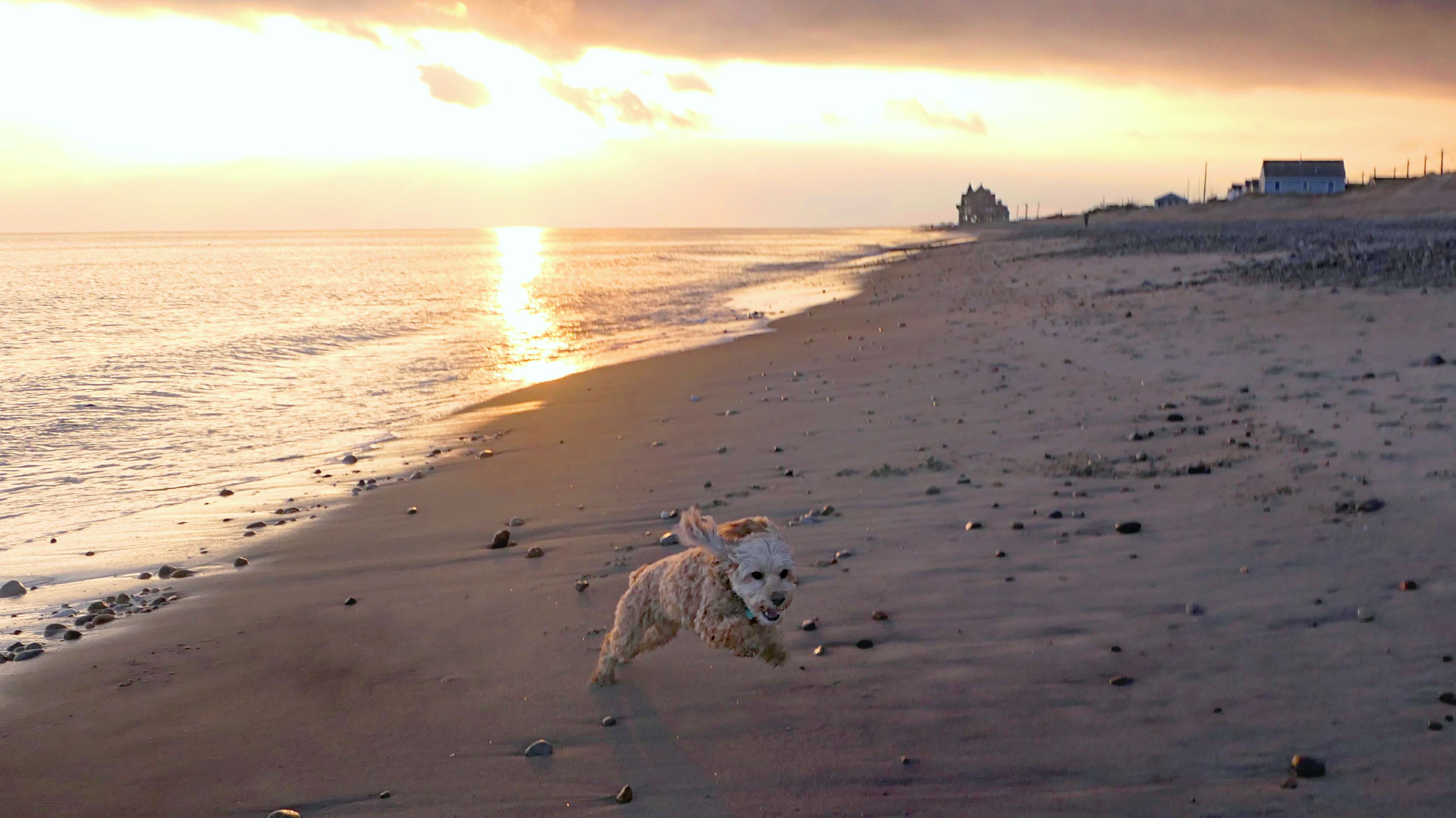
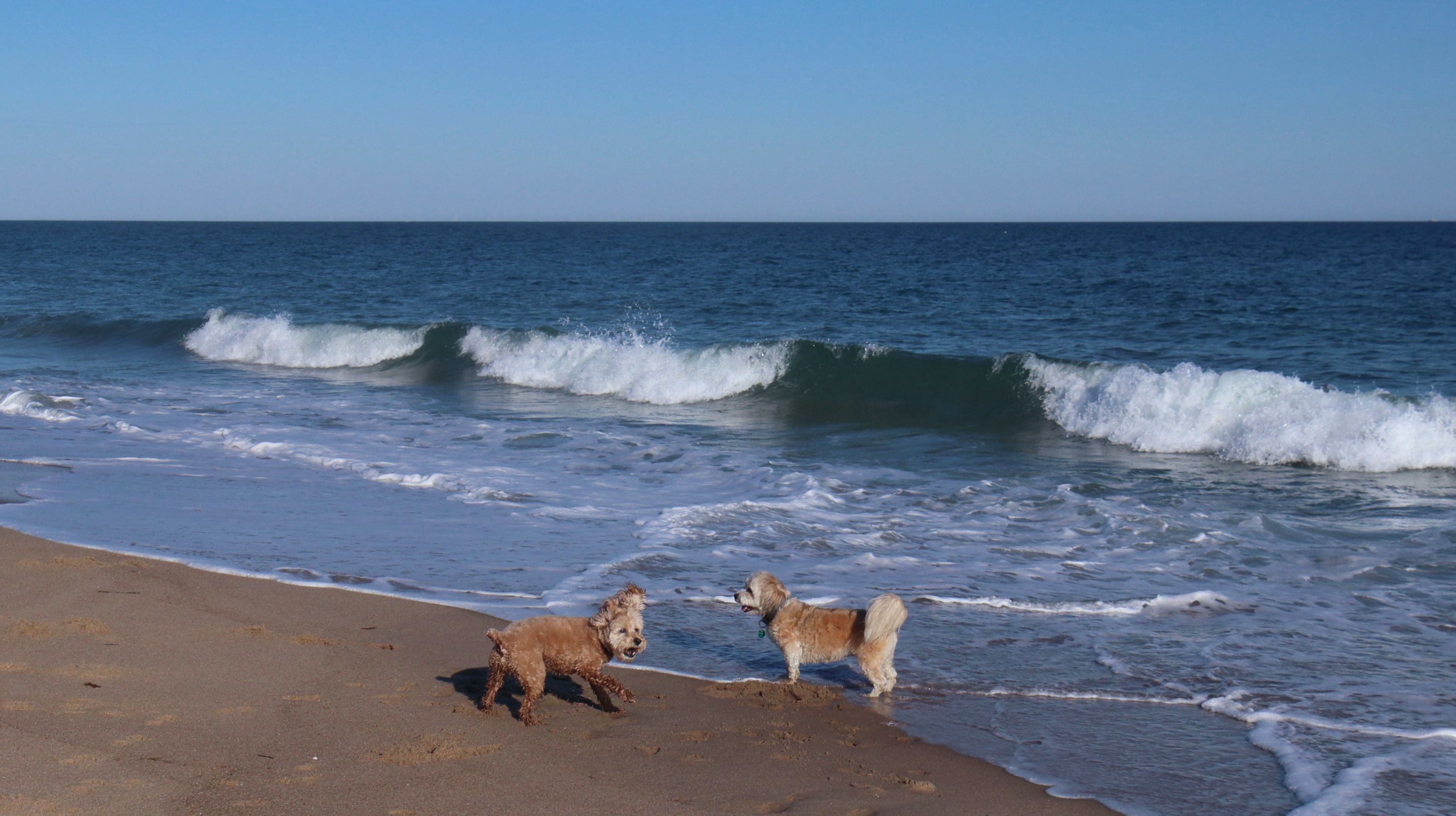
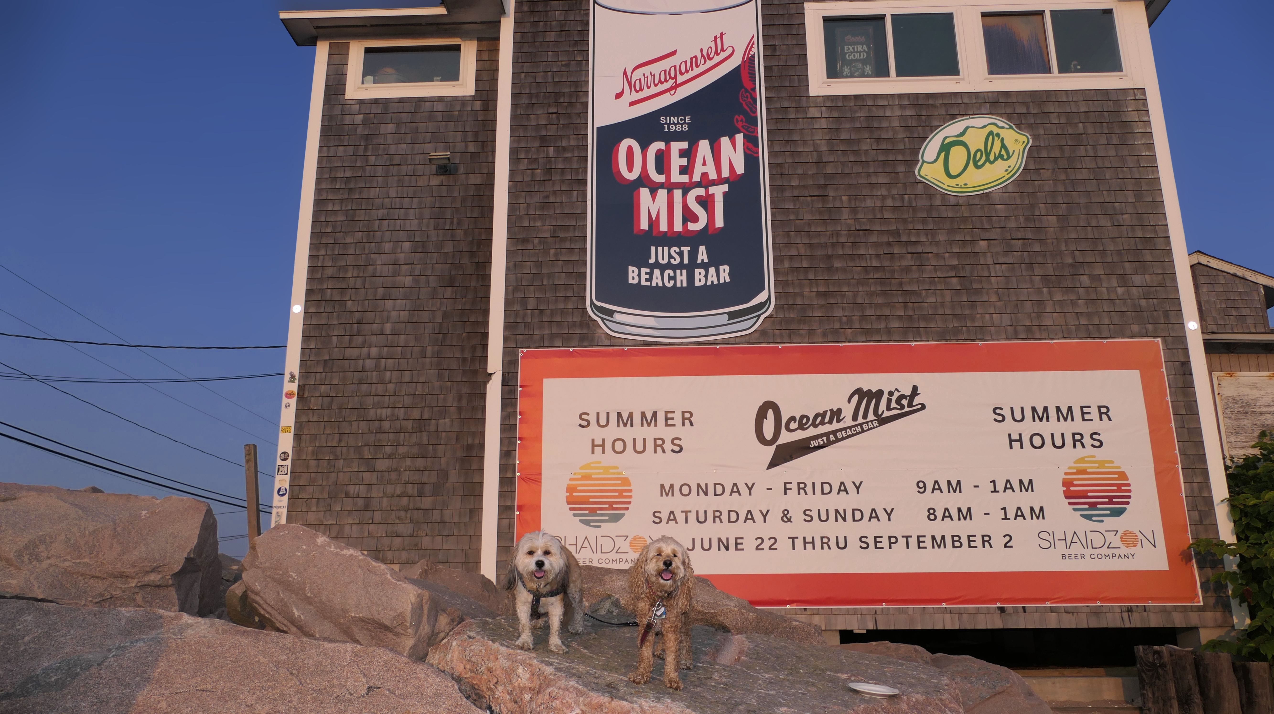
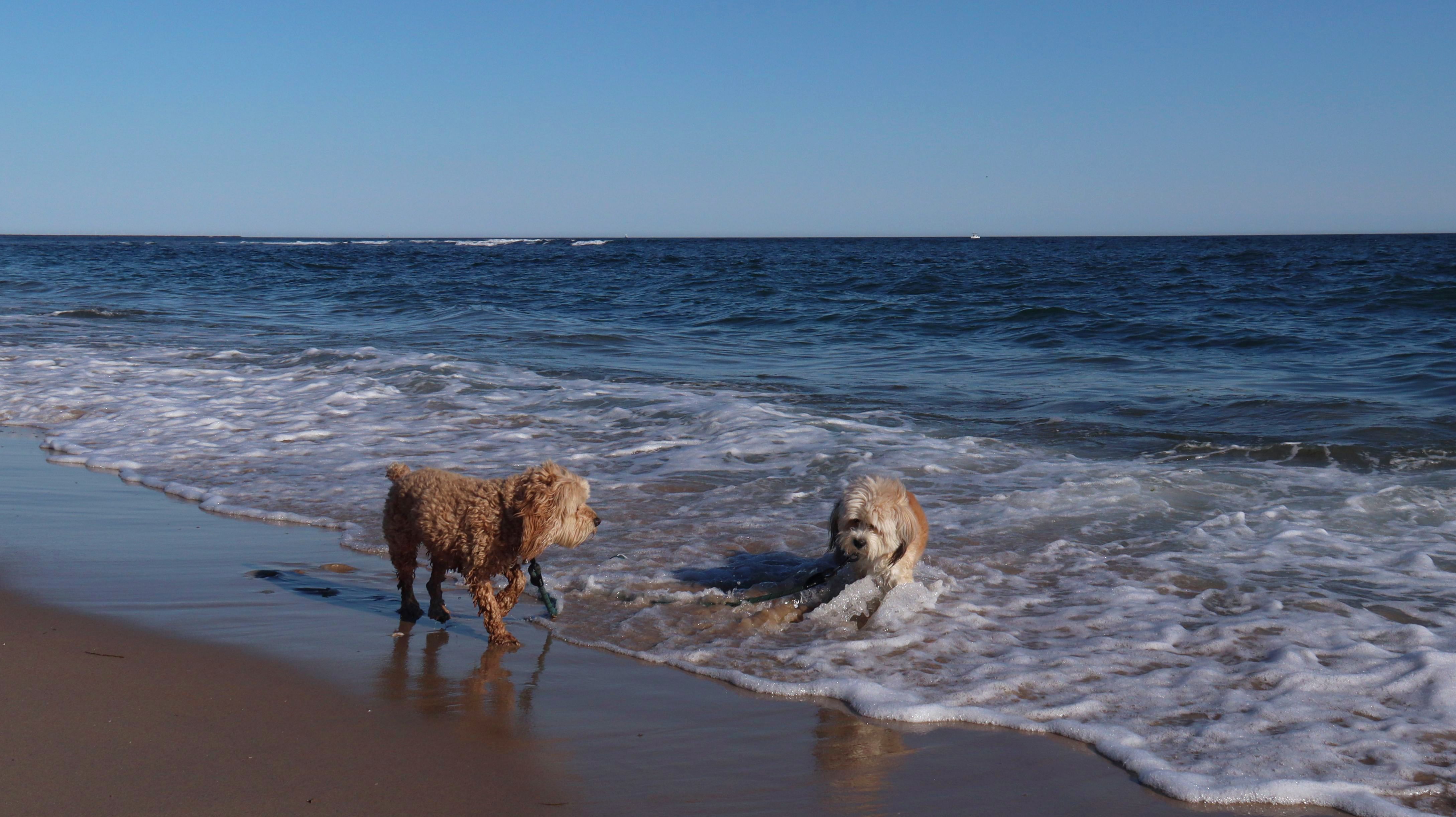
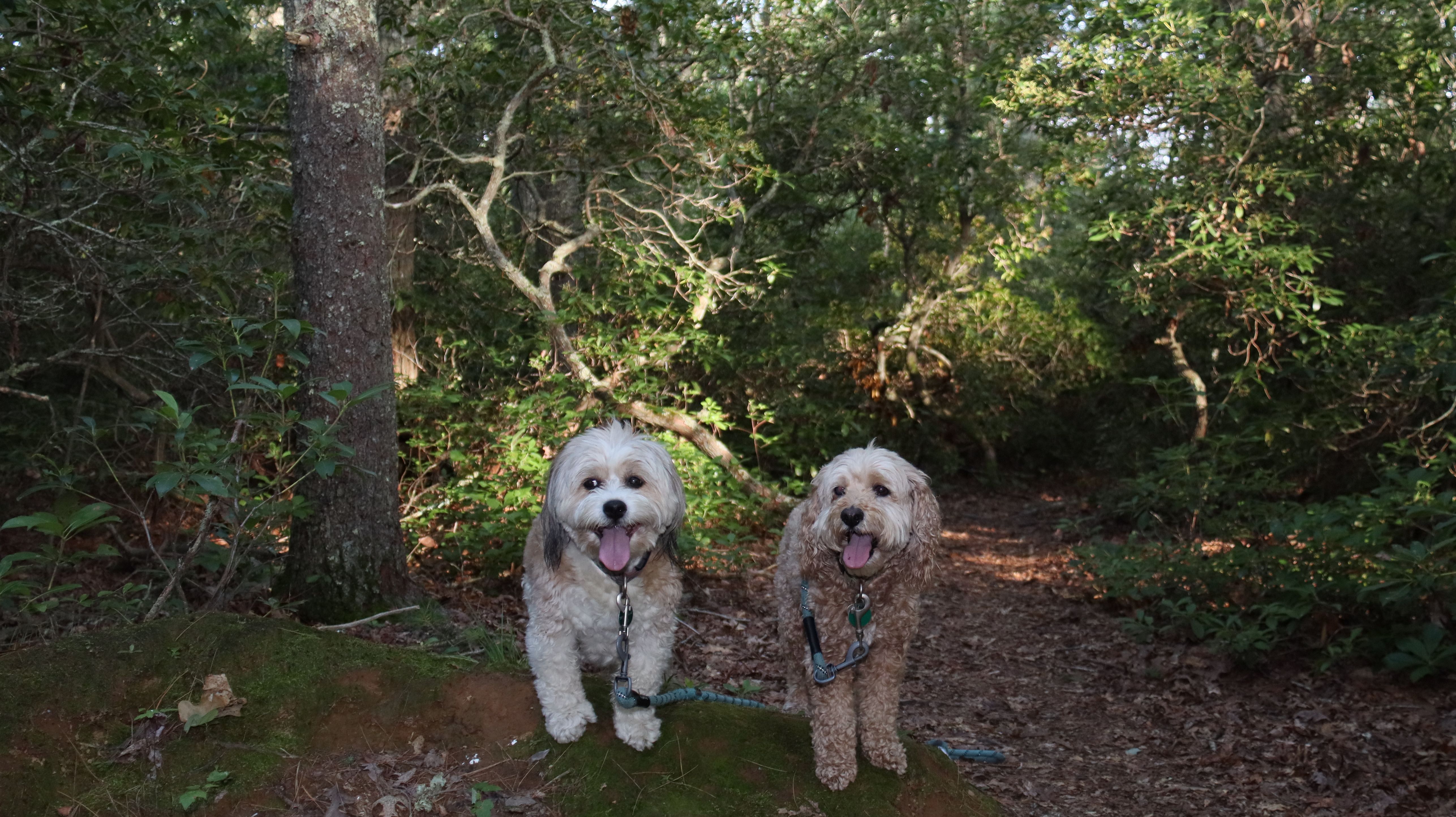
Date visited: 4/23/2024
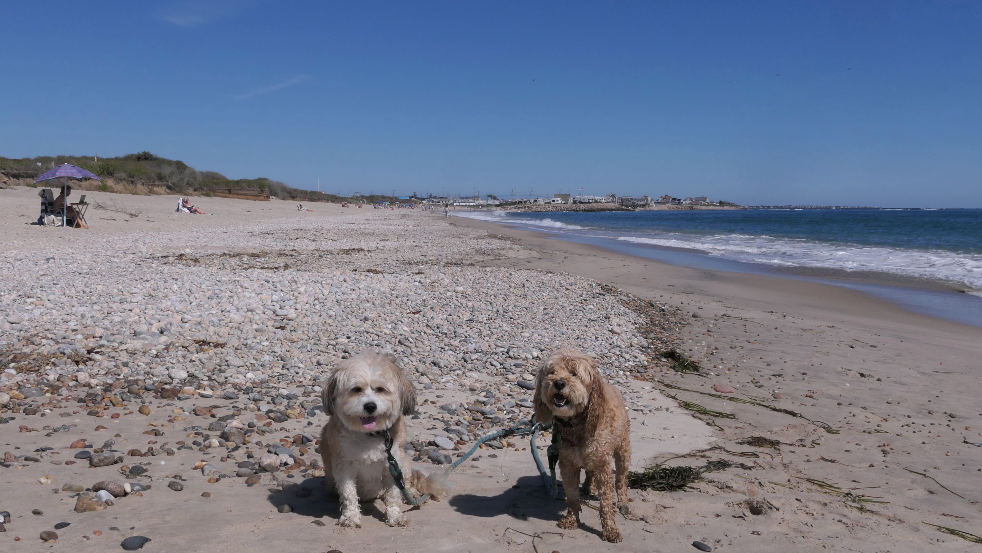
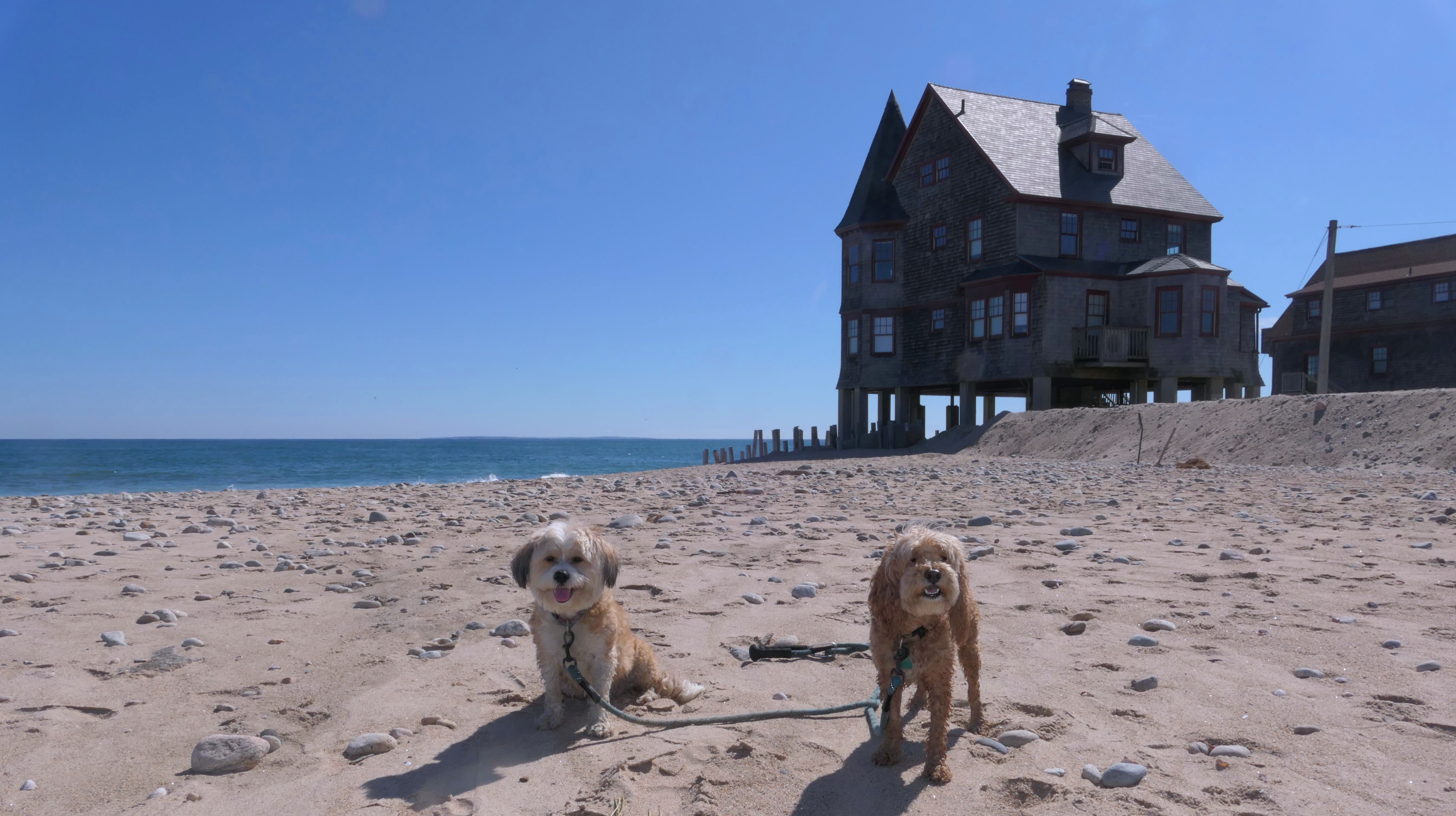
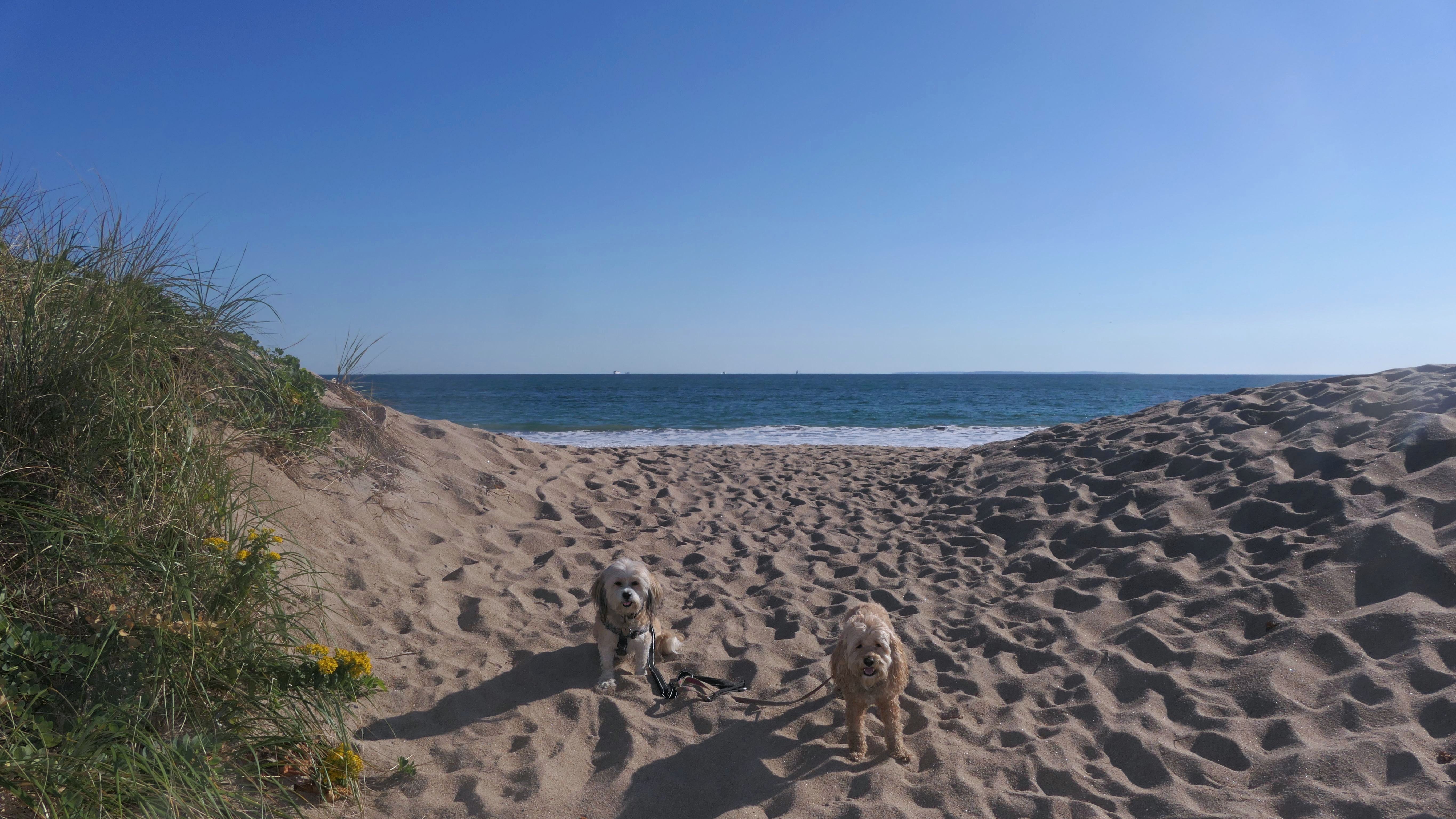
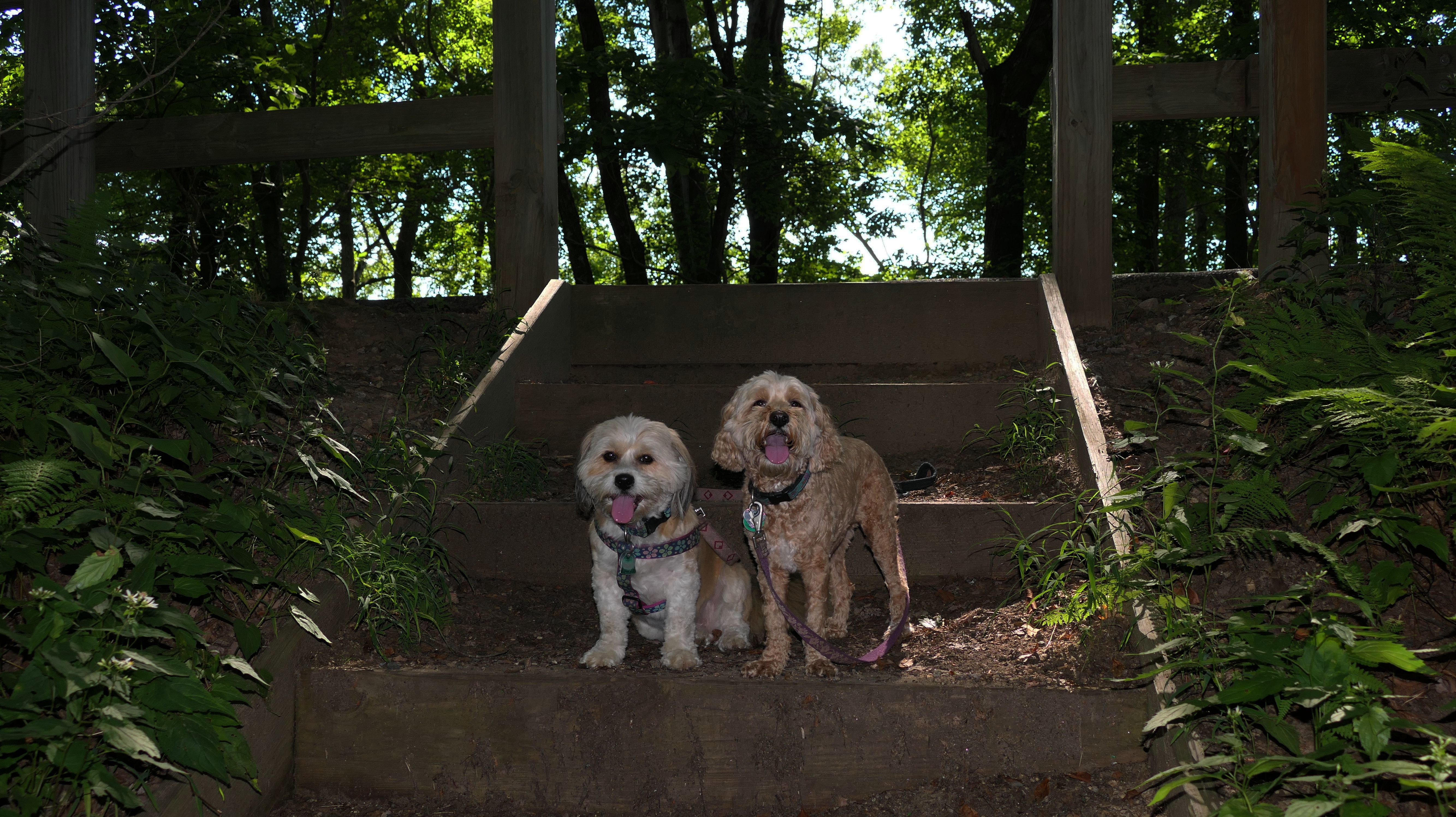
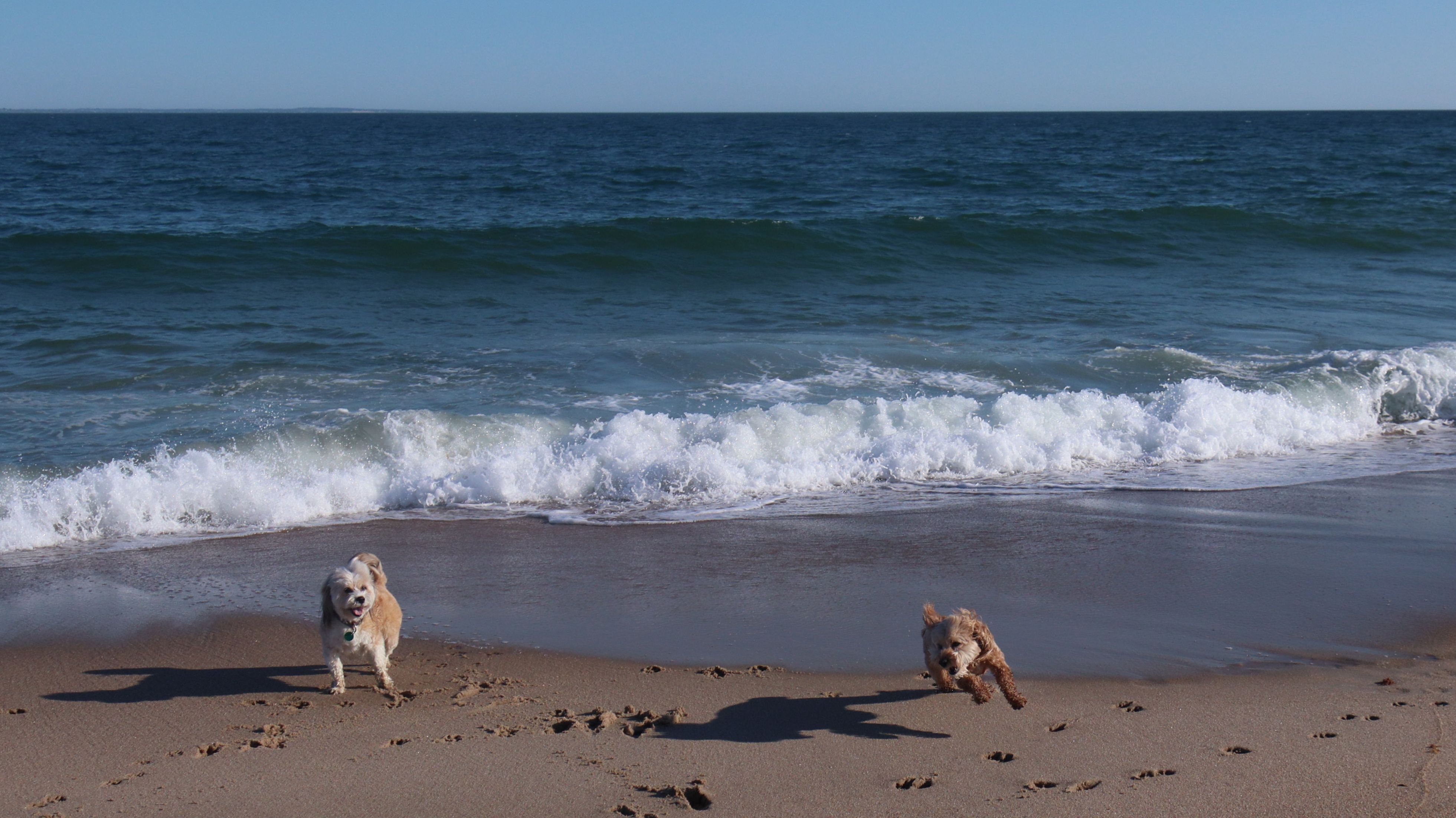
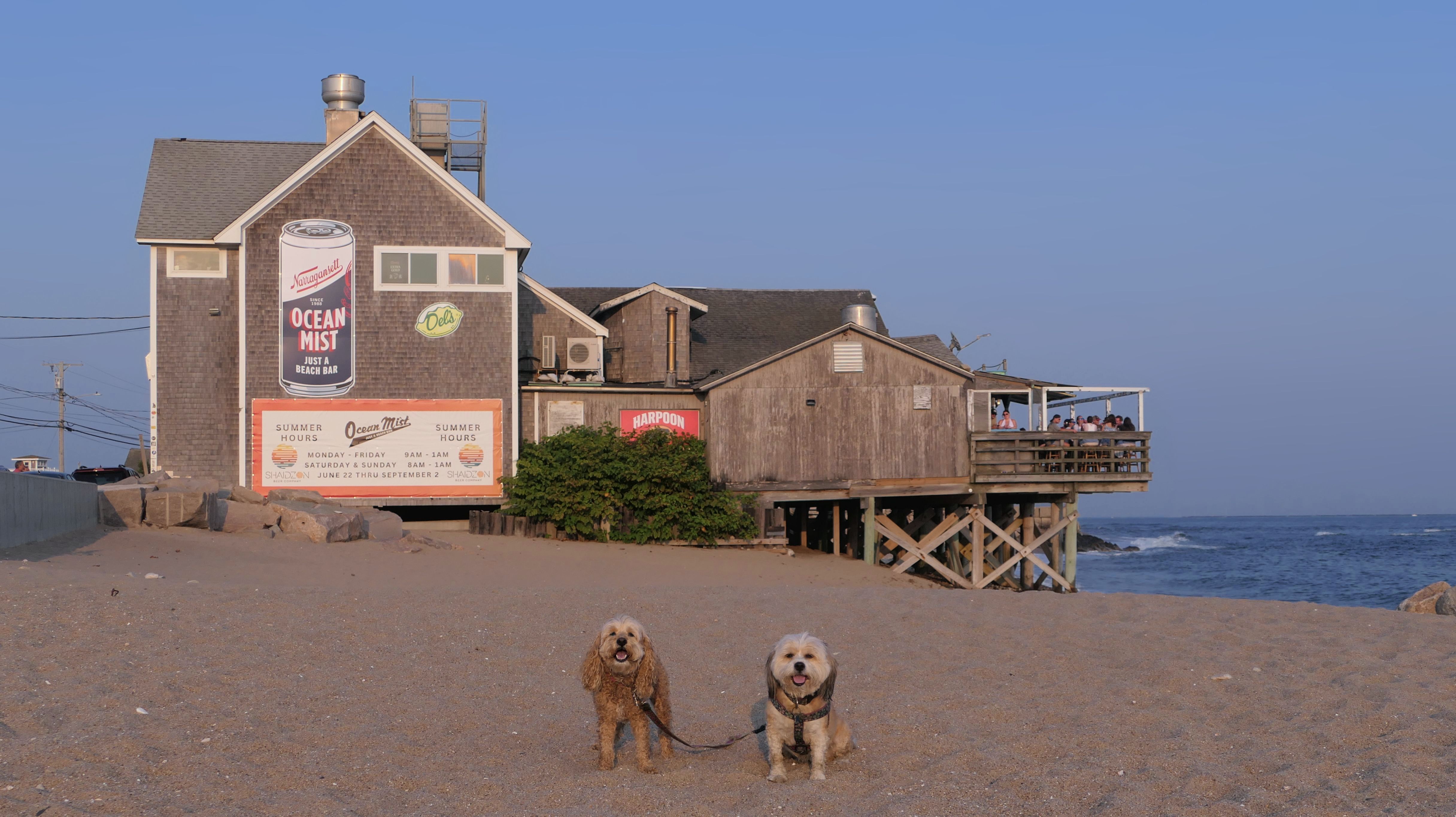
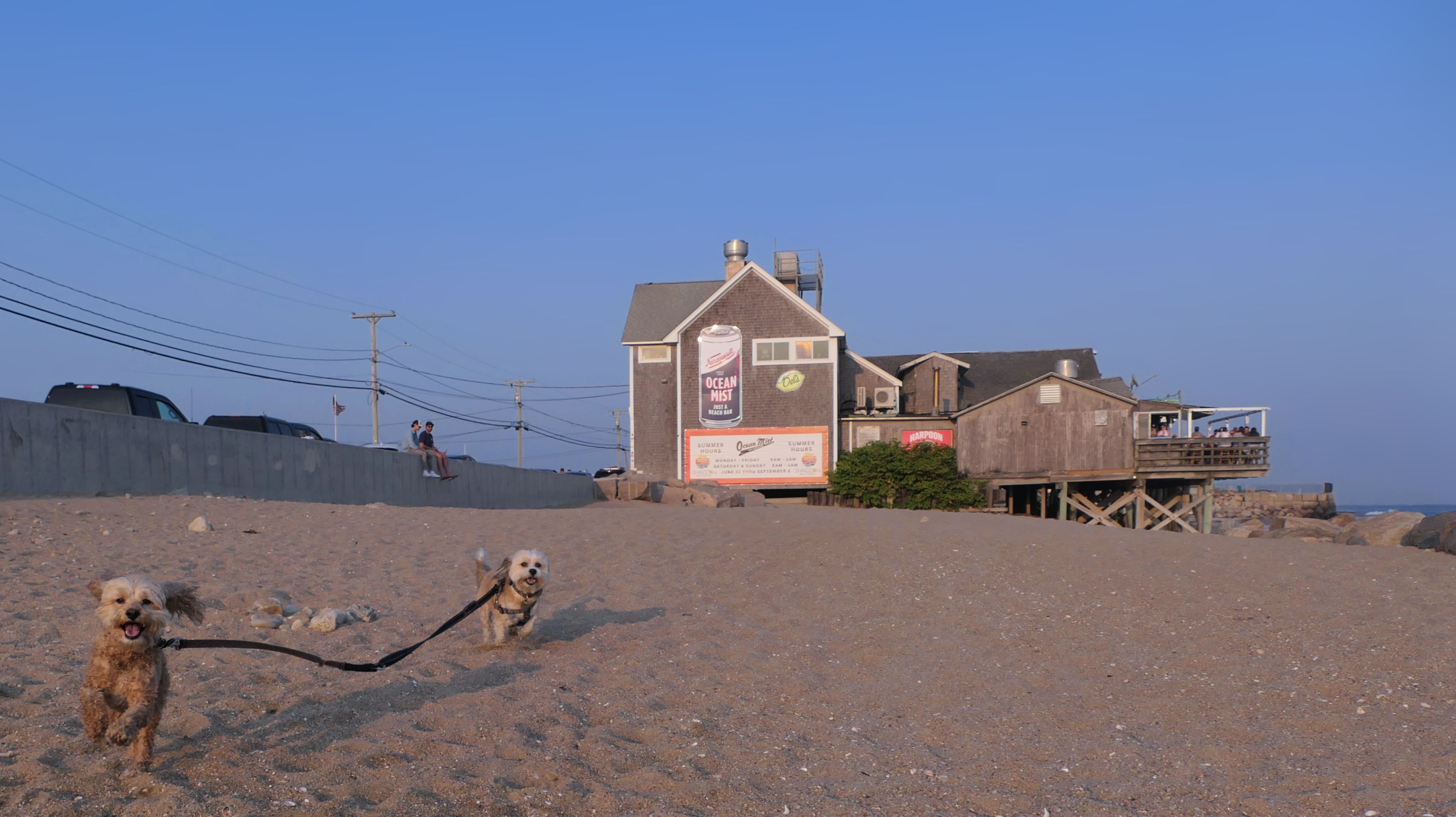
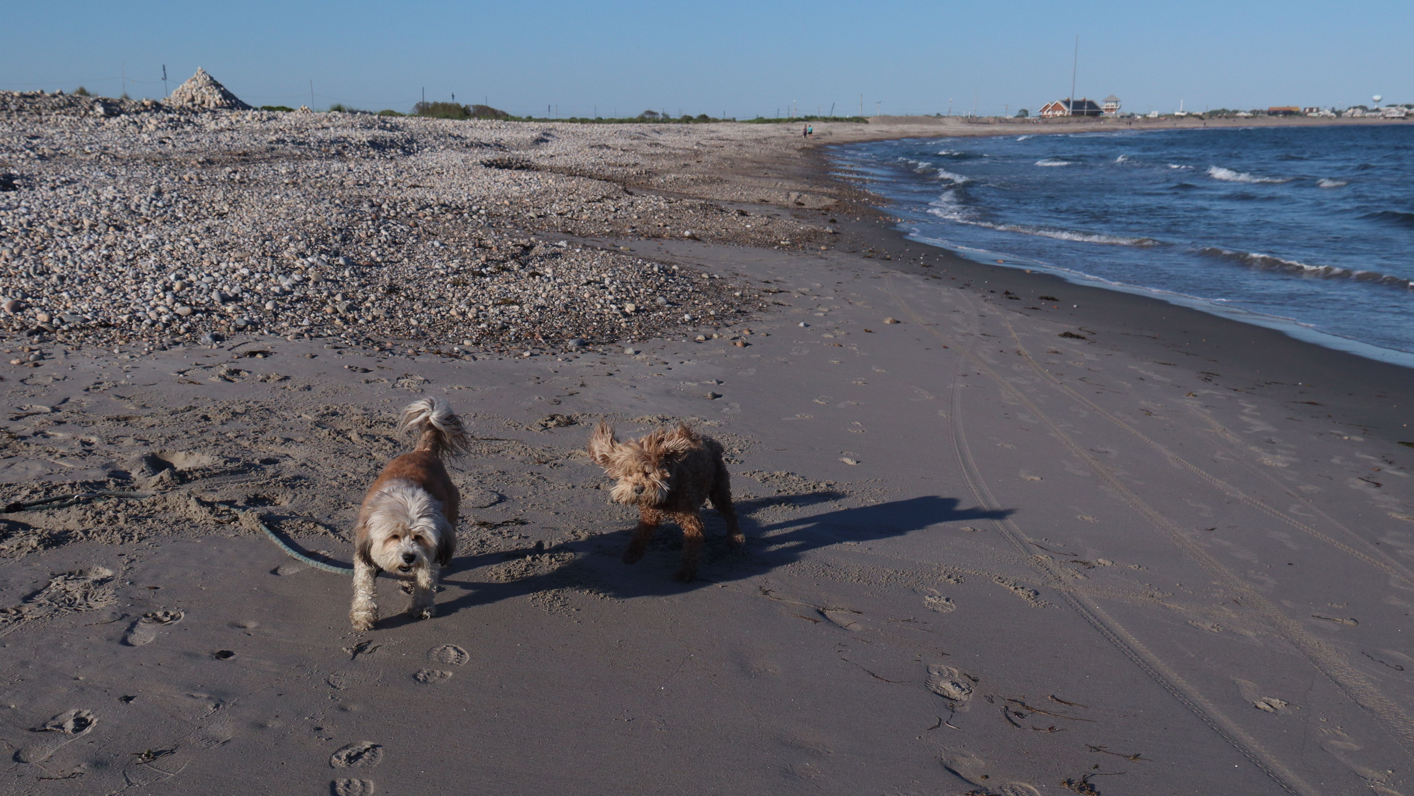
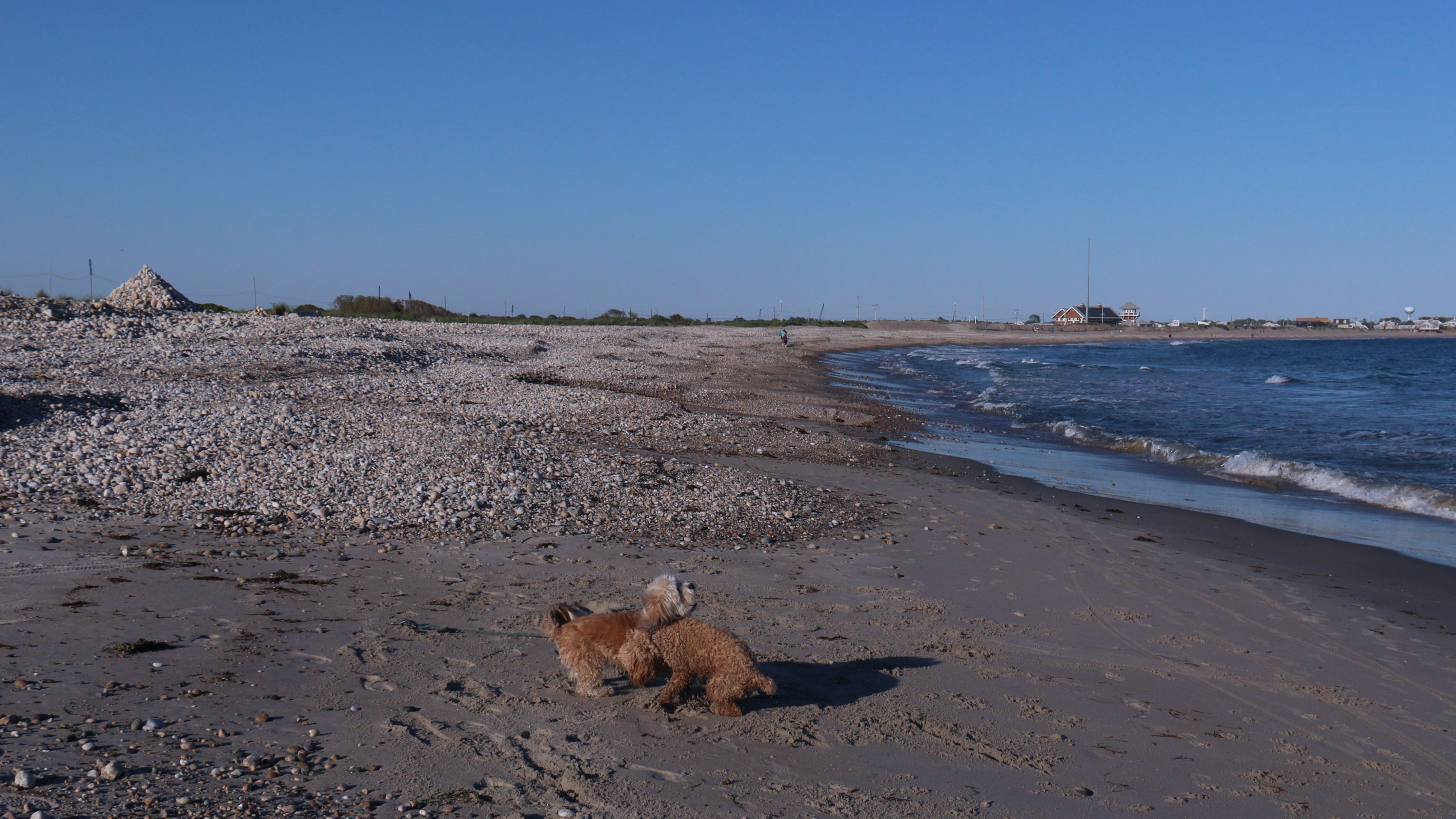
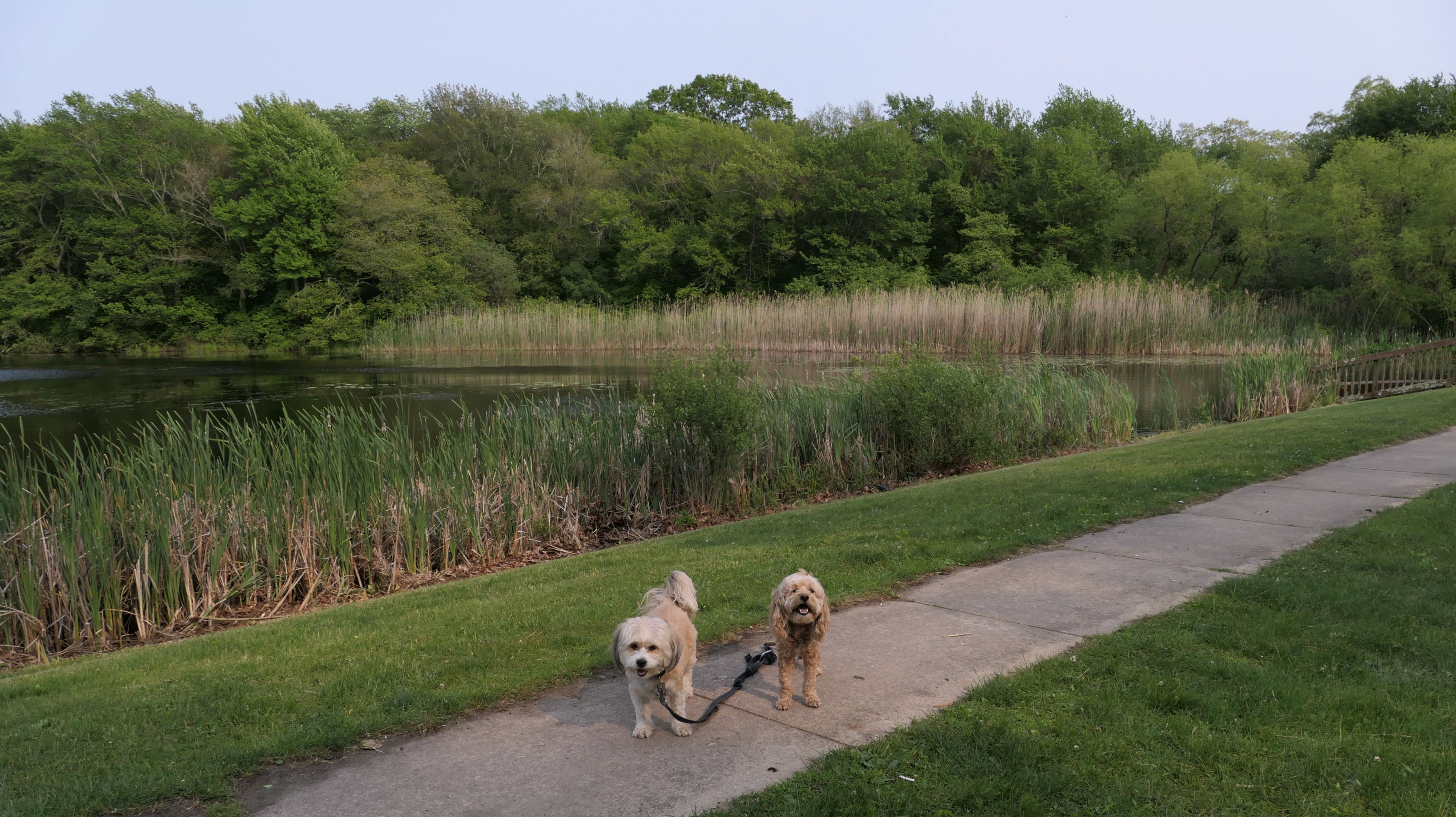
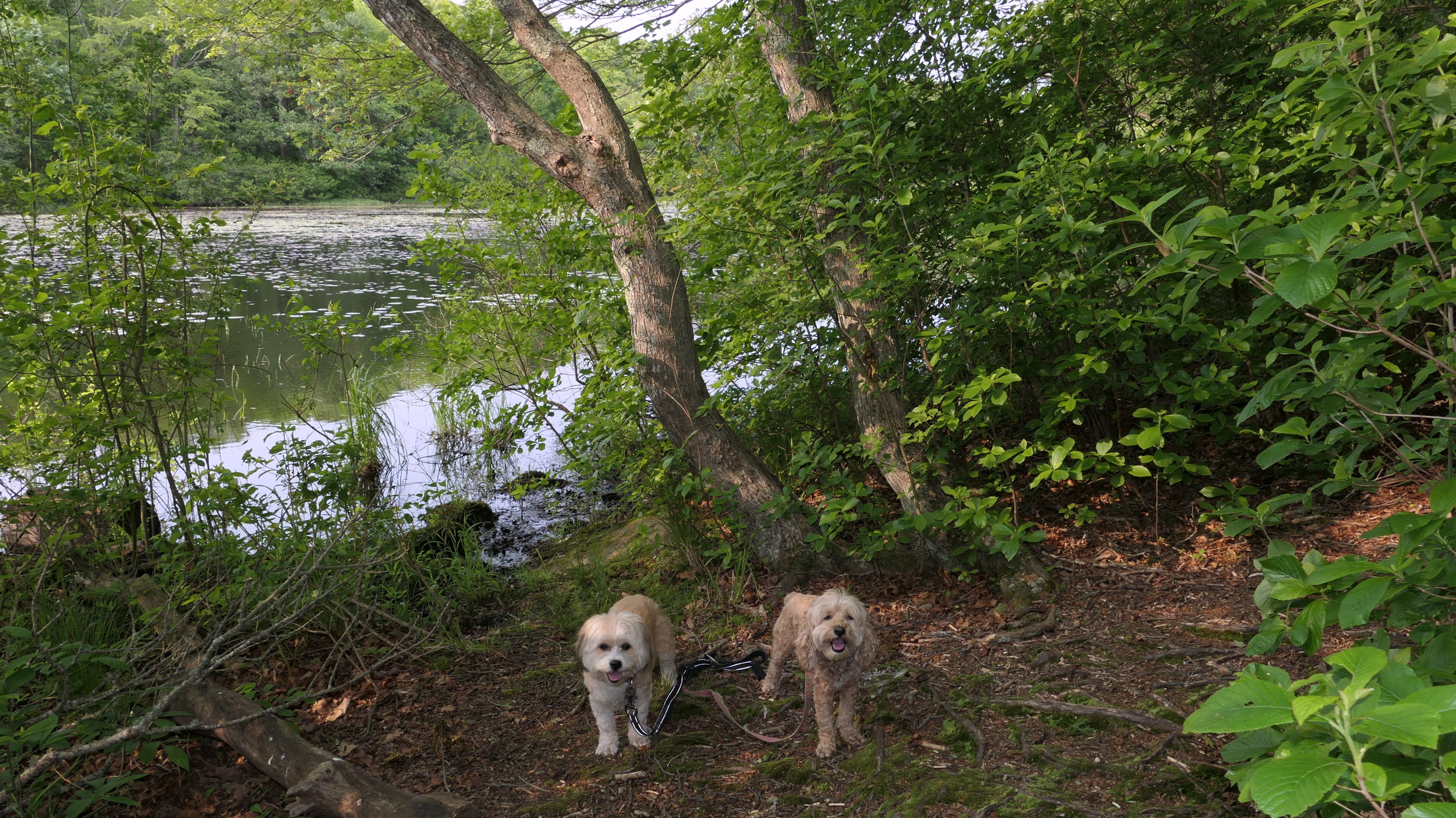
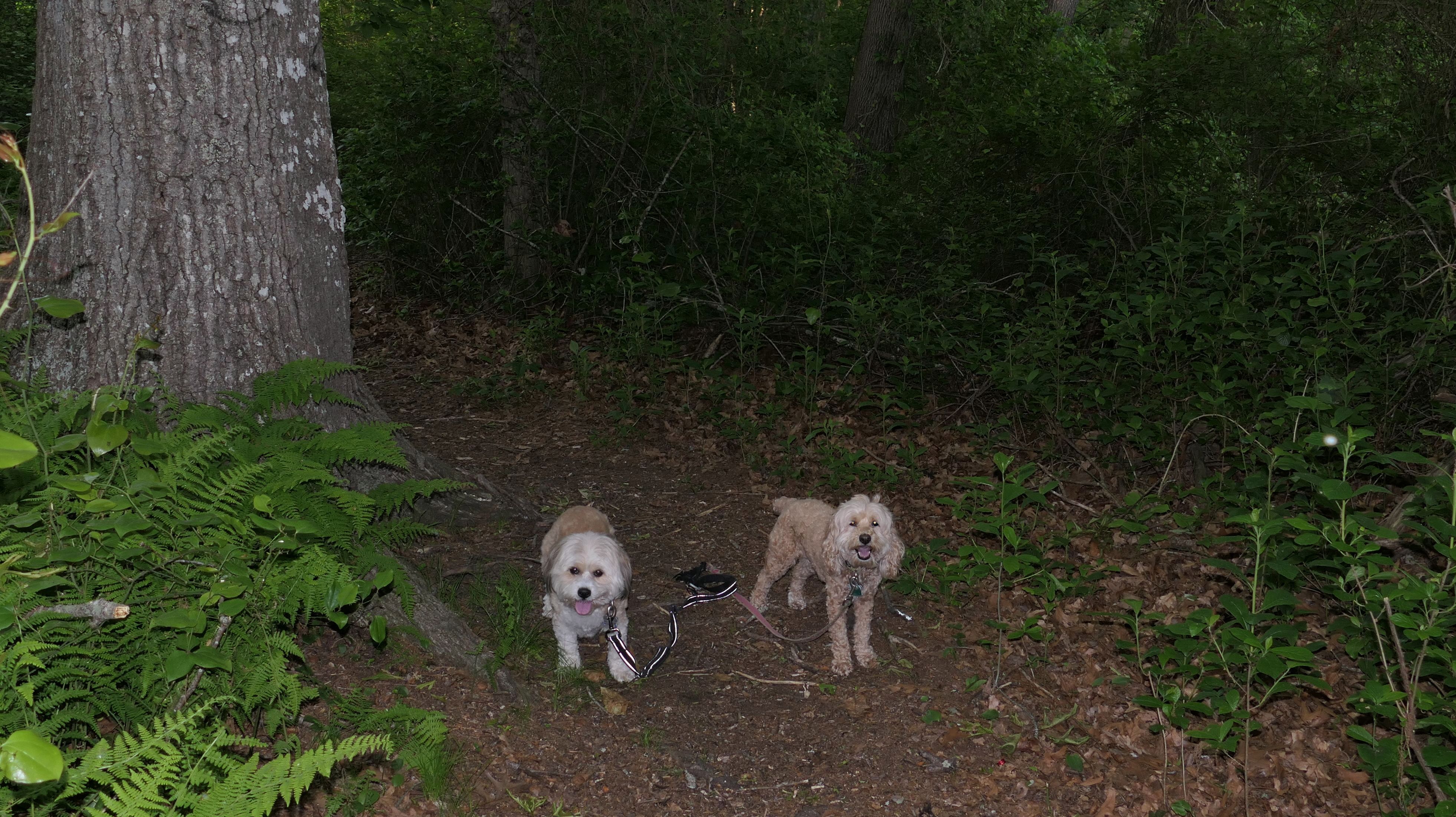
On our second visit to this beach, the waves were much calmer than the first time we were here. There was much more sand this time, and we were able to actually walk around the three houses on stilts on the west end of the beach (which is probably actually "Roy Carpenter's Beach"). We couldn't go any further than that, because that part of the shoreline is actually Moonstone Beach, most of which is inaccessible in the warmer months due to bird nesting. The Trustom Wildlife Refuge folks actually rope off the beach. We walked back toward the Town Beach parking area to the east end of the beach. On our previous visit, we had climbed up some rock stairs to an elevated platform that overlooked the shoreline, but that area is now a small trailer park. We continuted our adventure walking a couple miles down on Matunuck Beach Road, past Ocean Mist, and out to the end of Ocean Avenue, before heading back, walking almost six miles altogether.

More Images
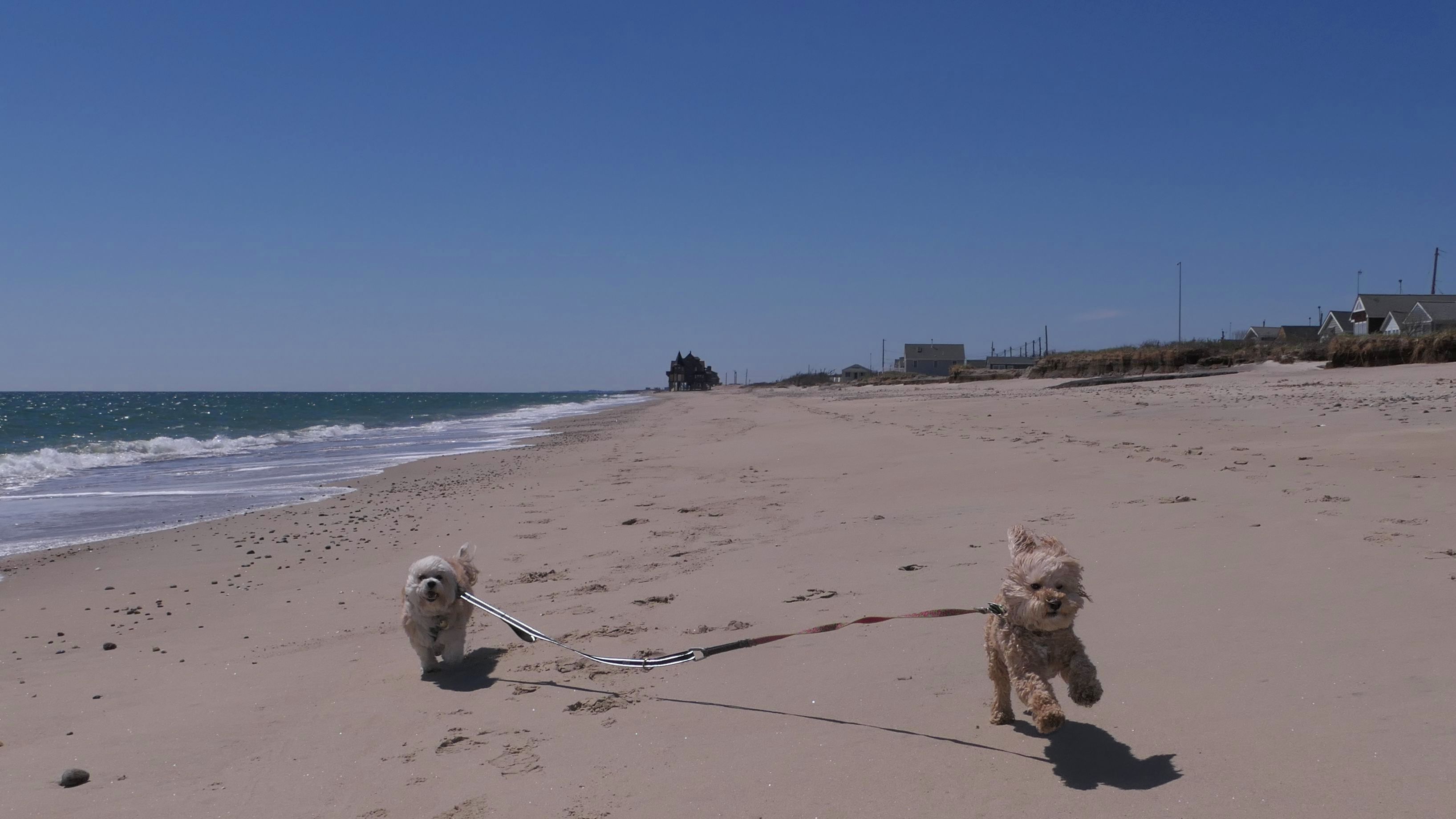

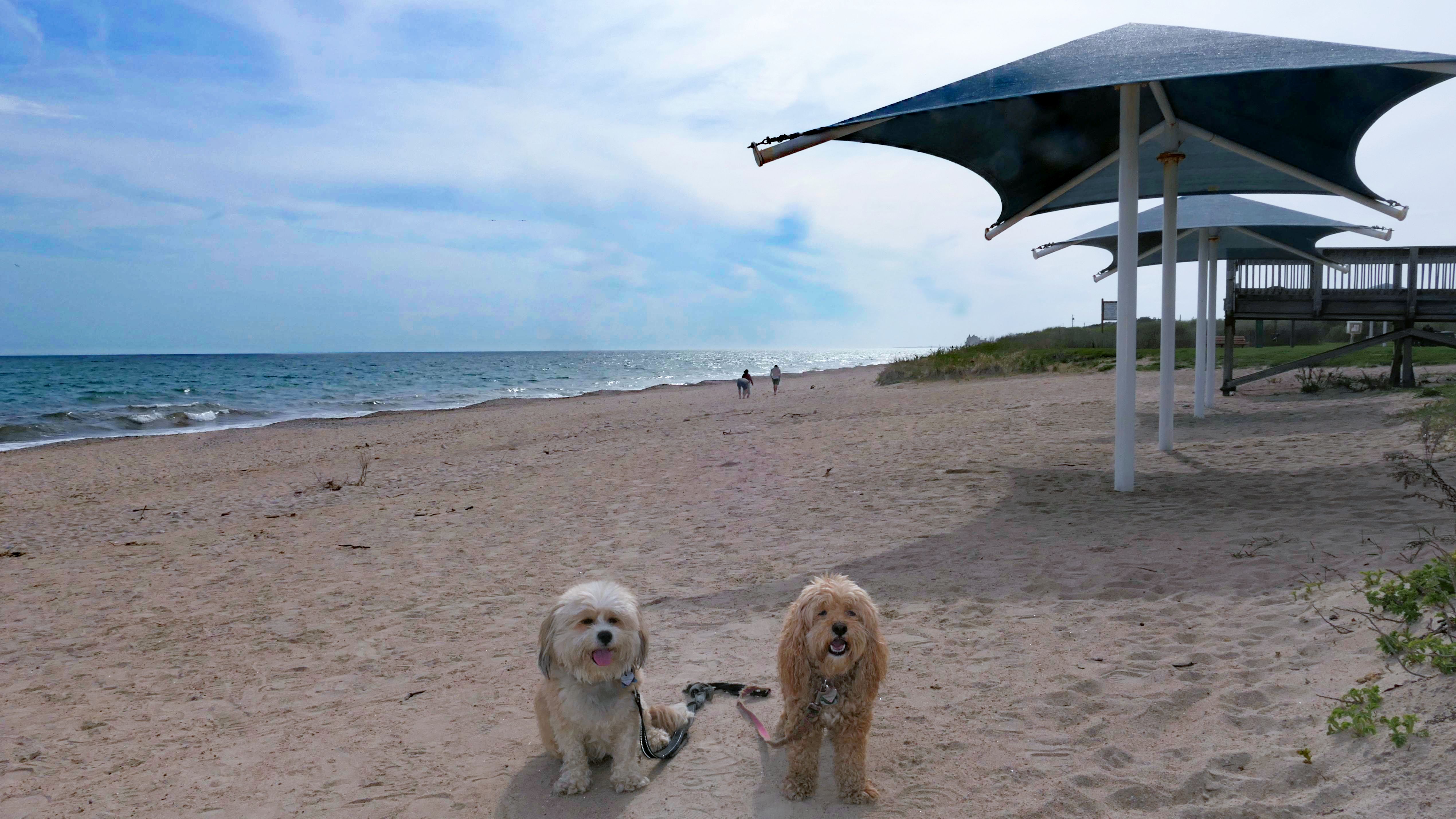
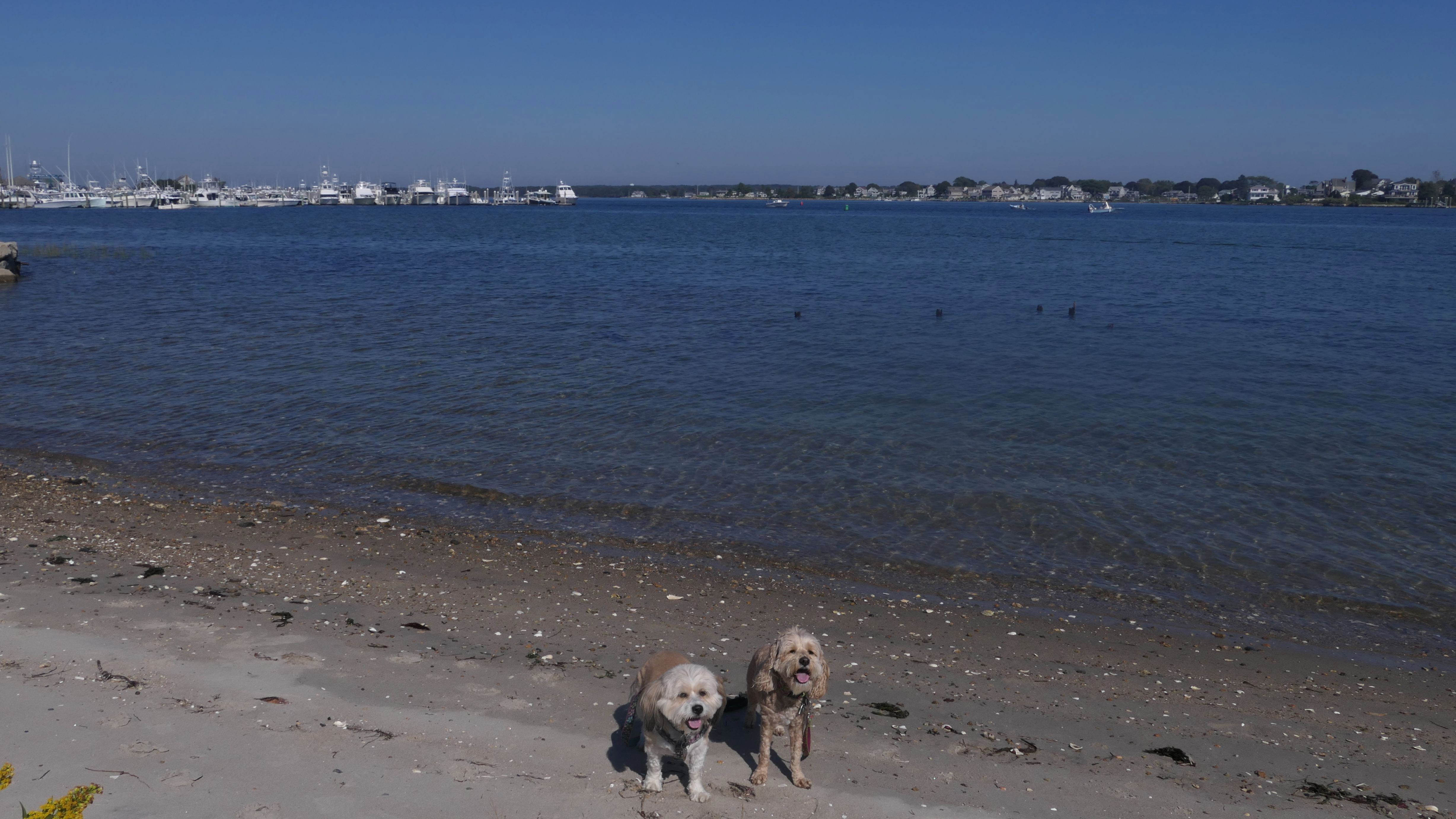
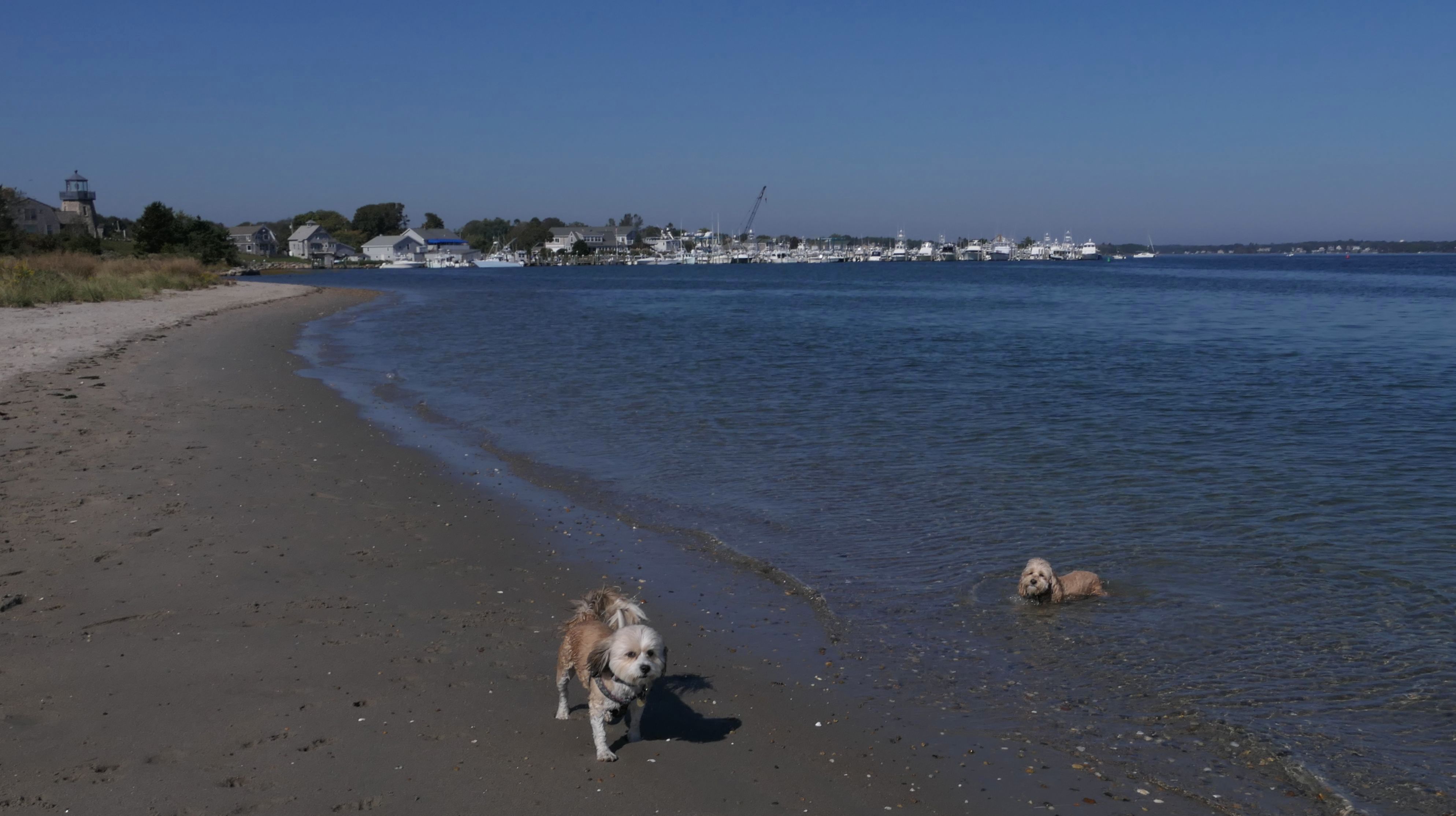
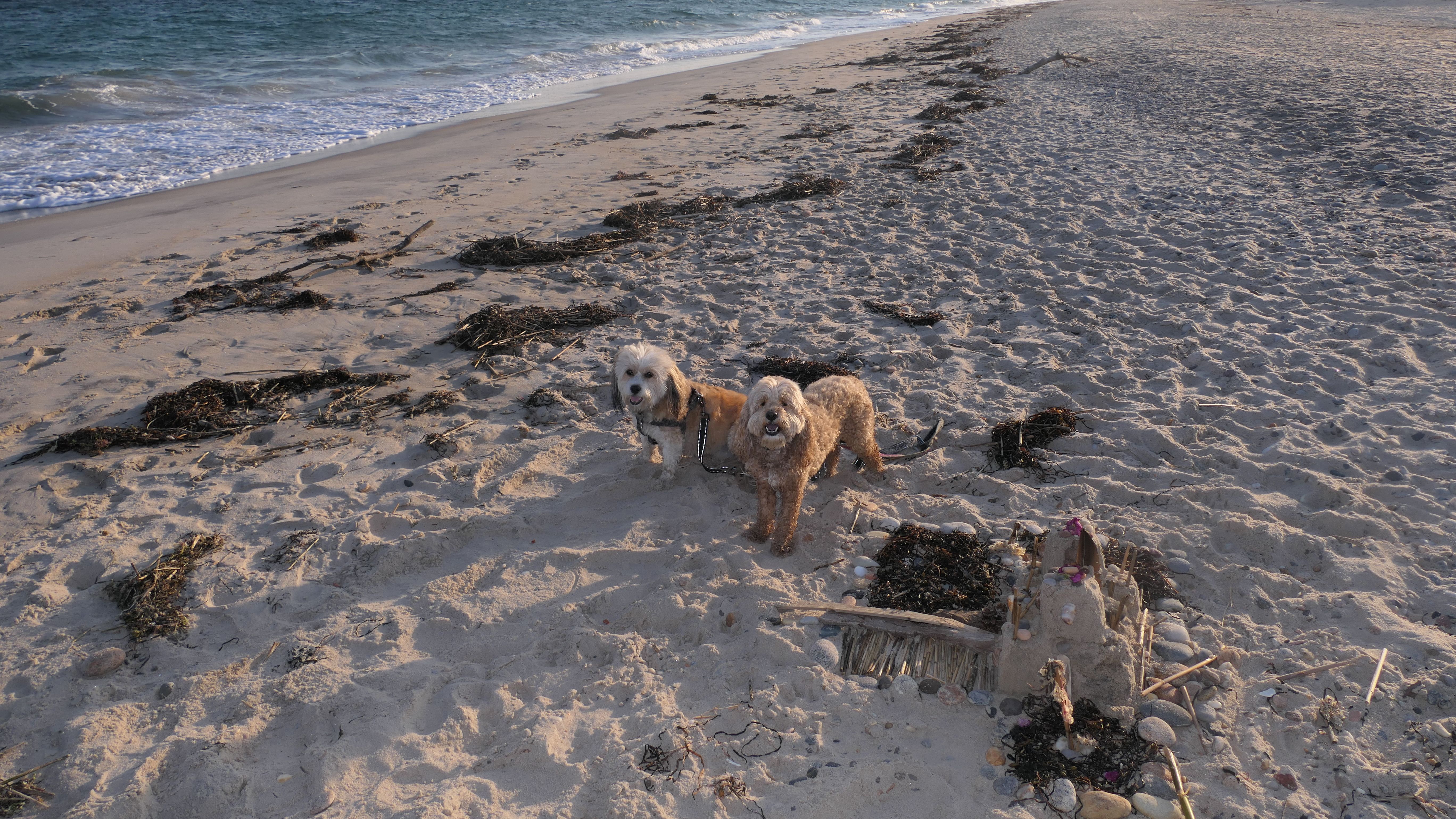
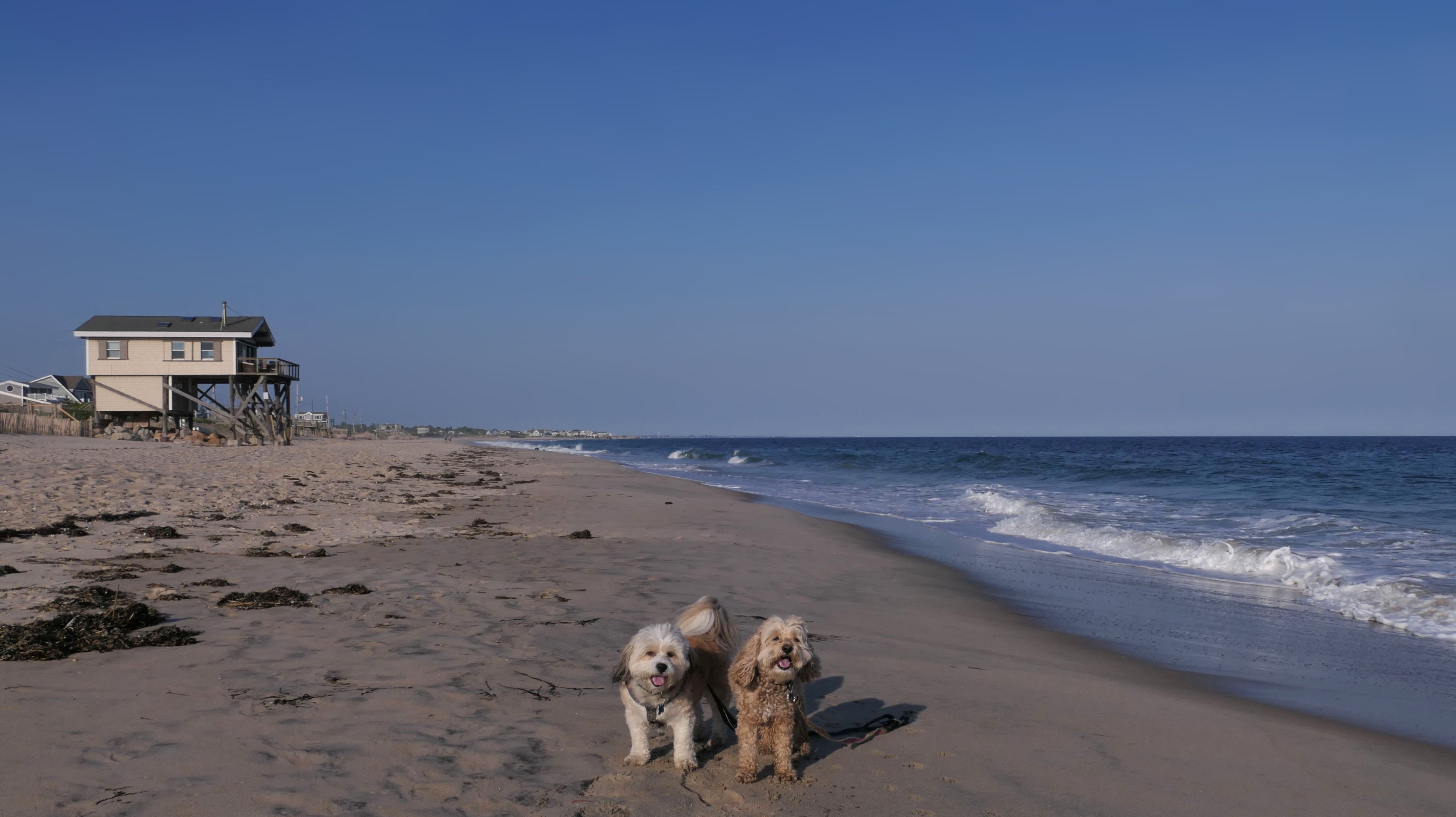
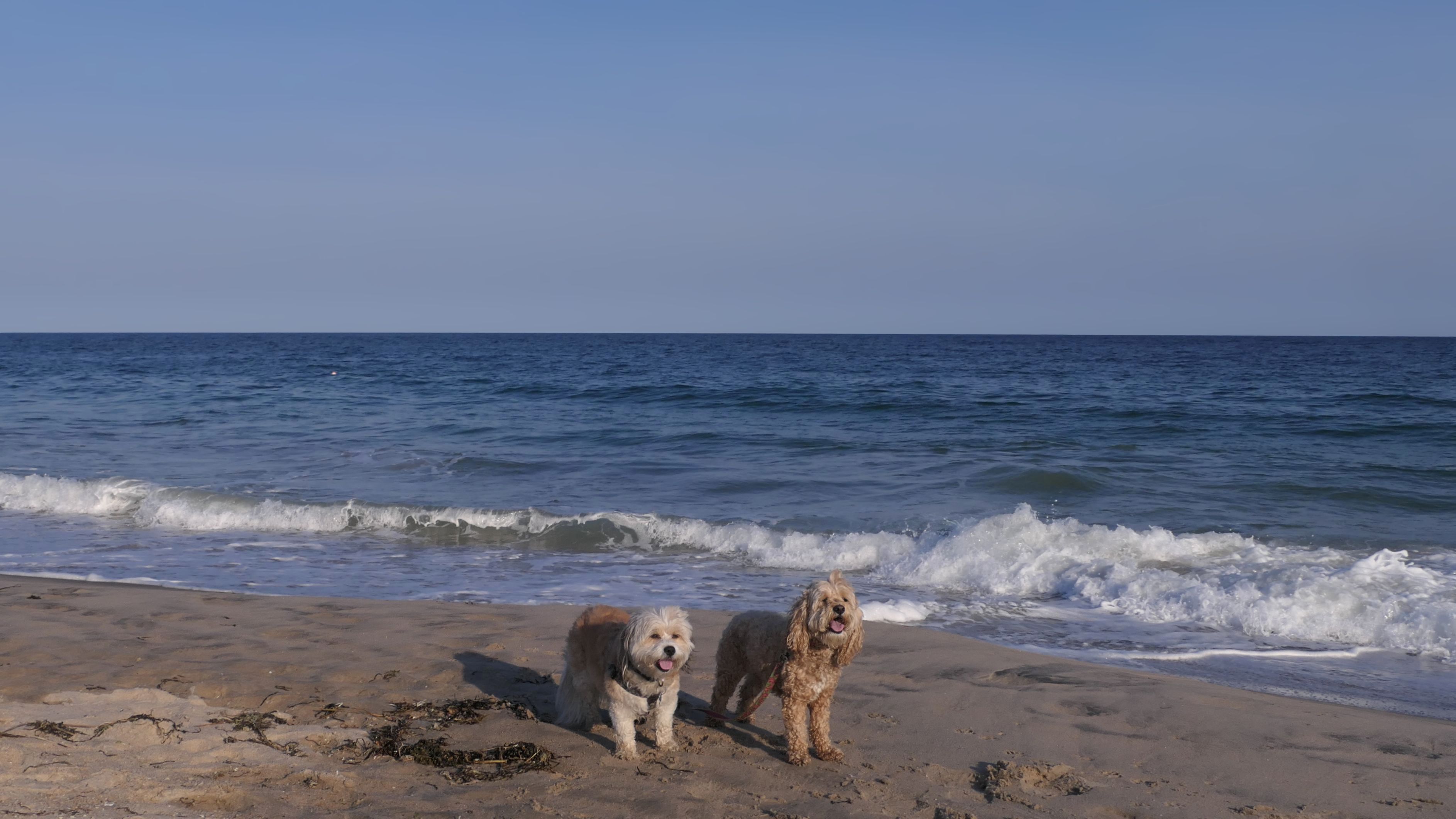
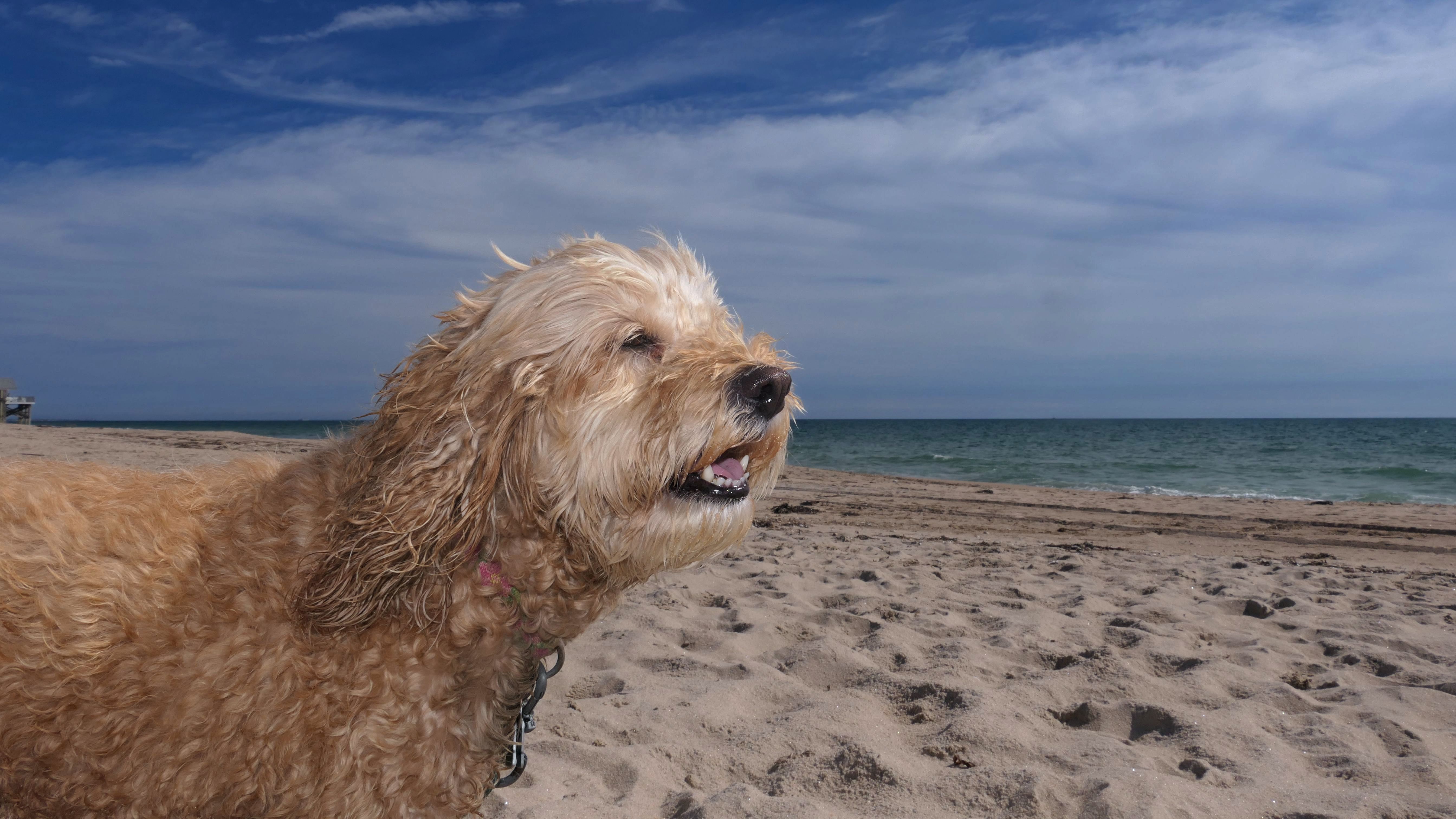
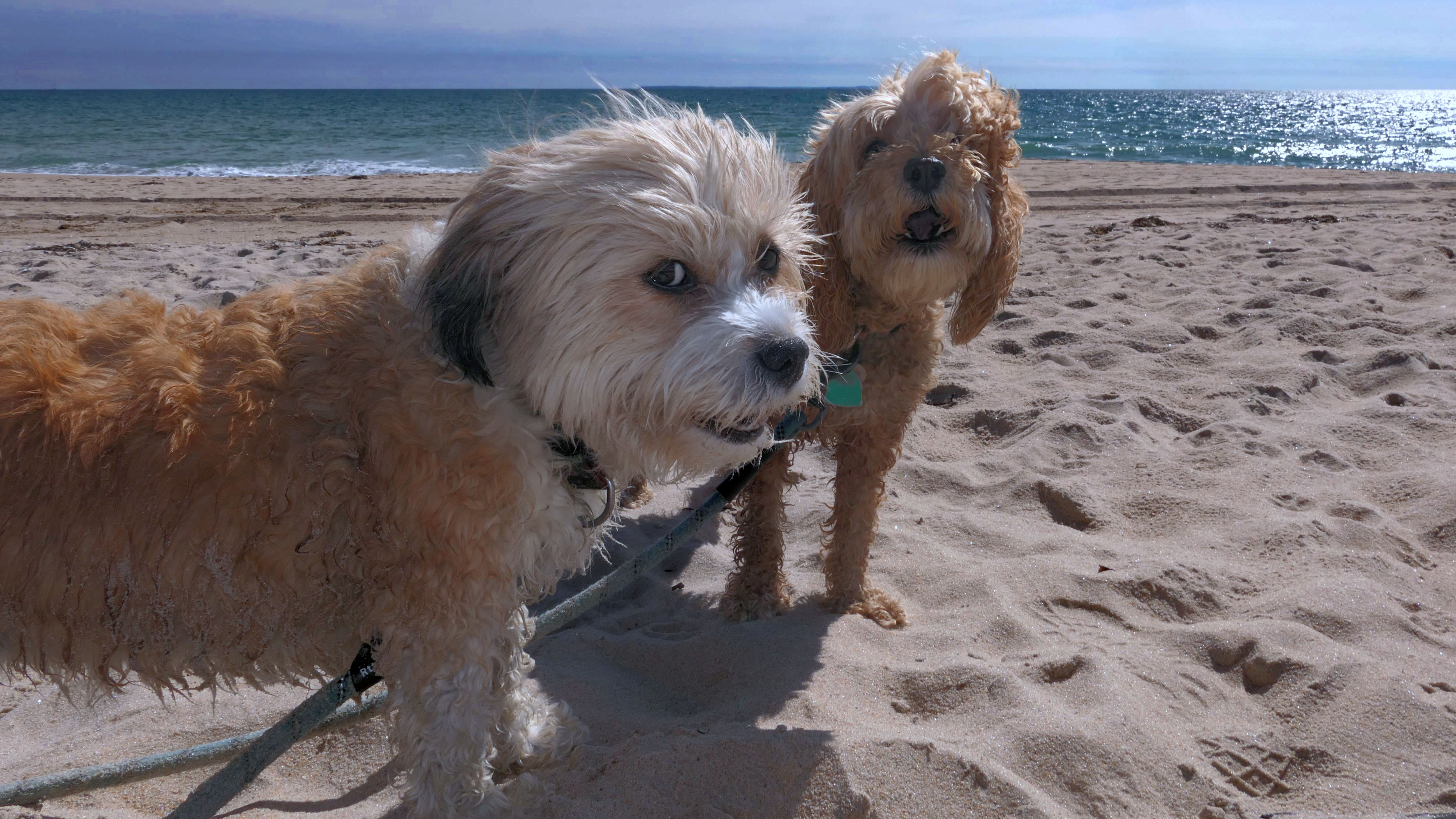
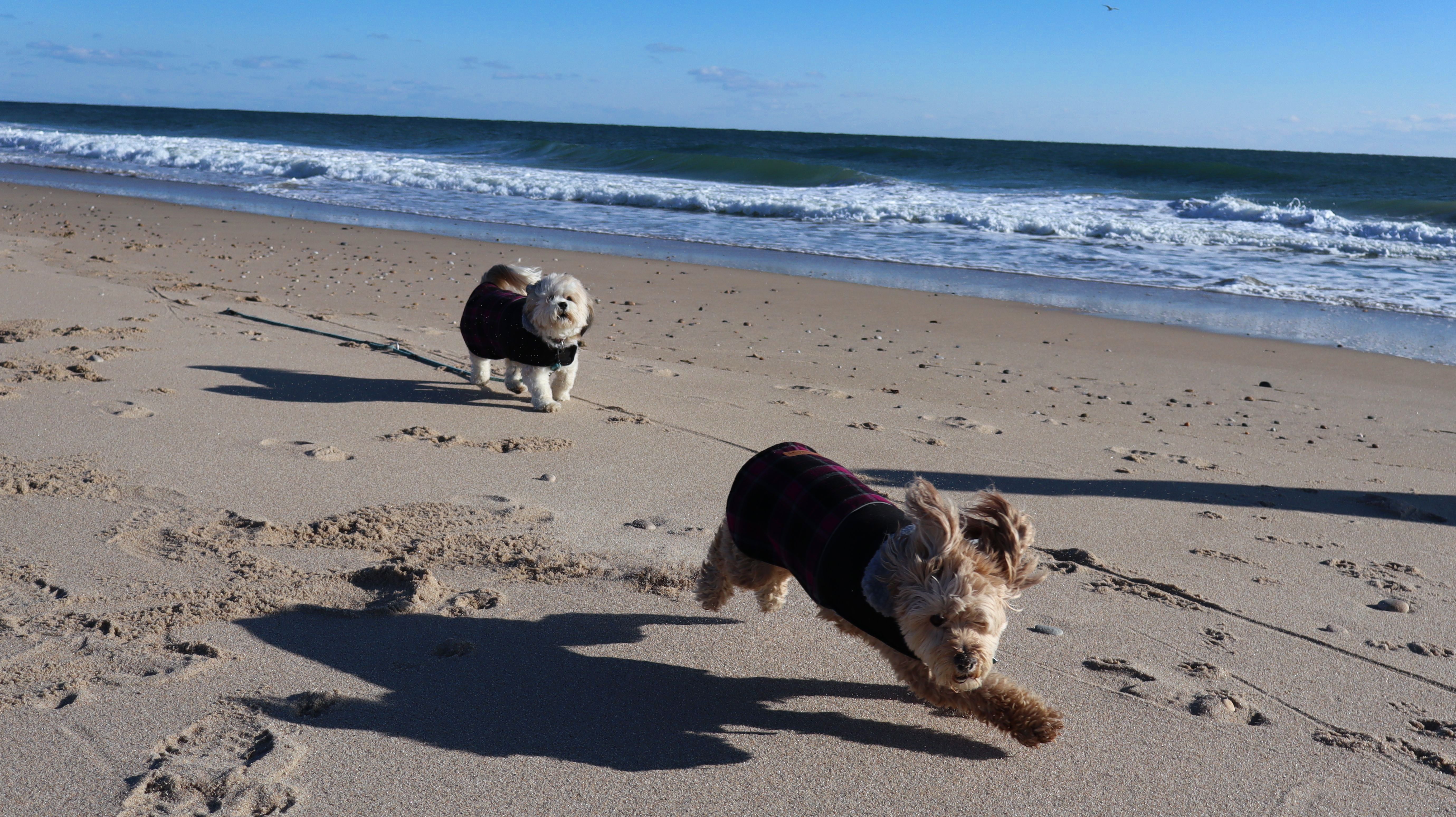
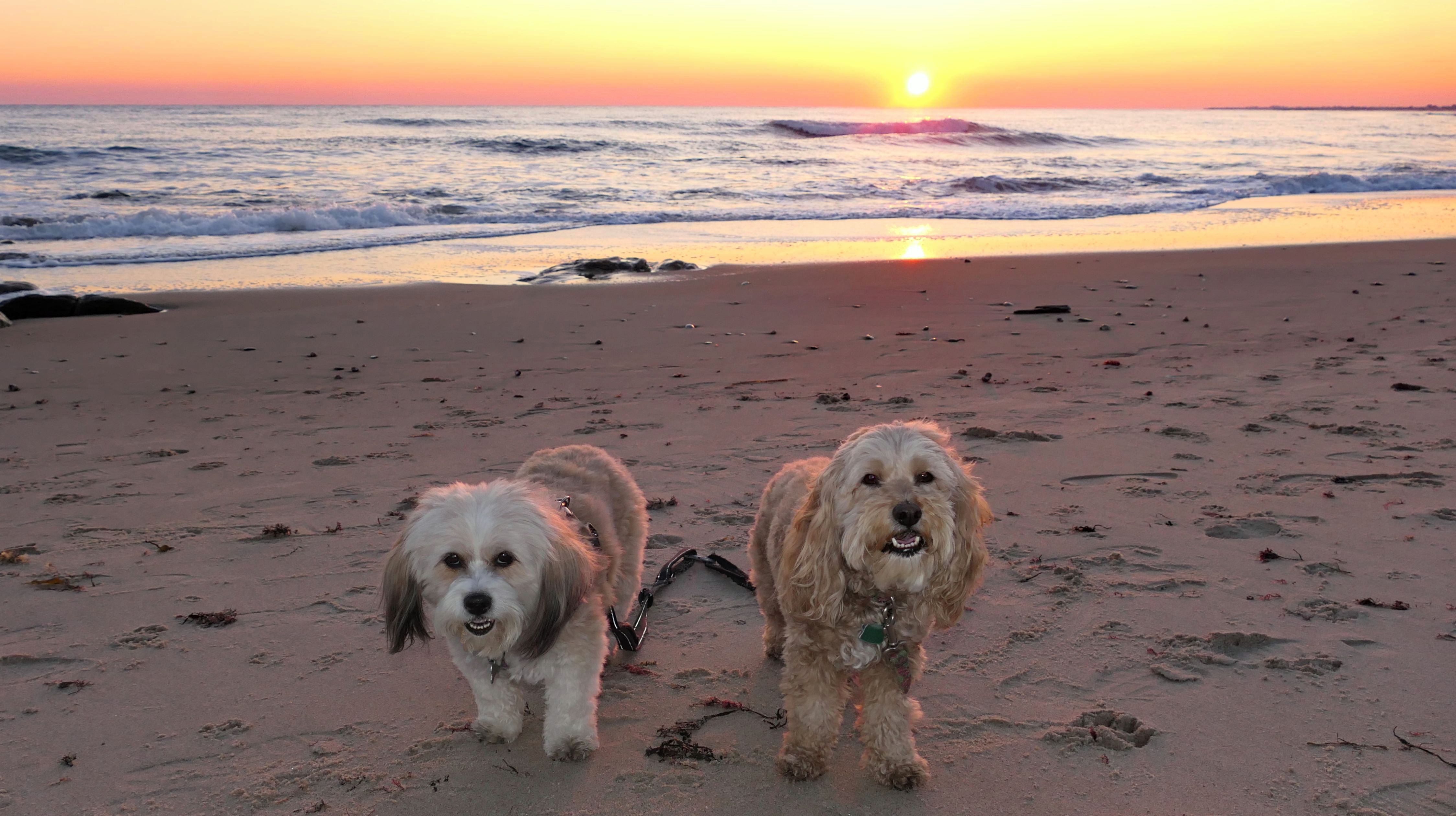
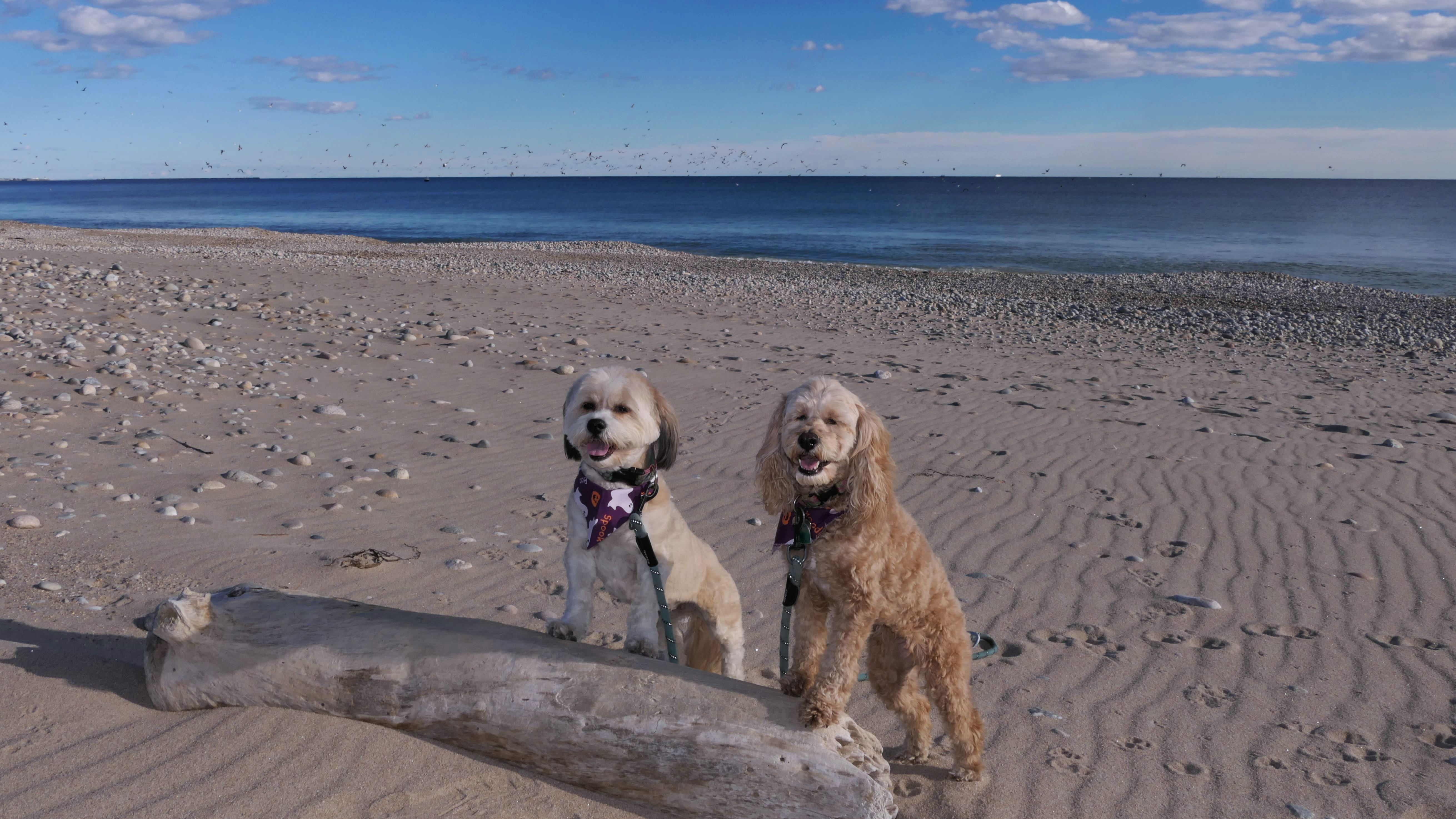
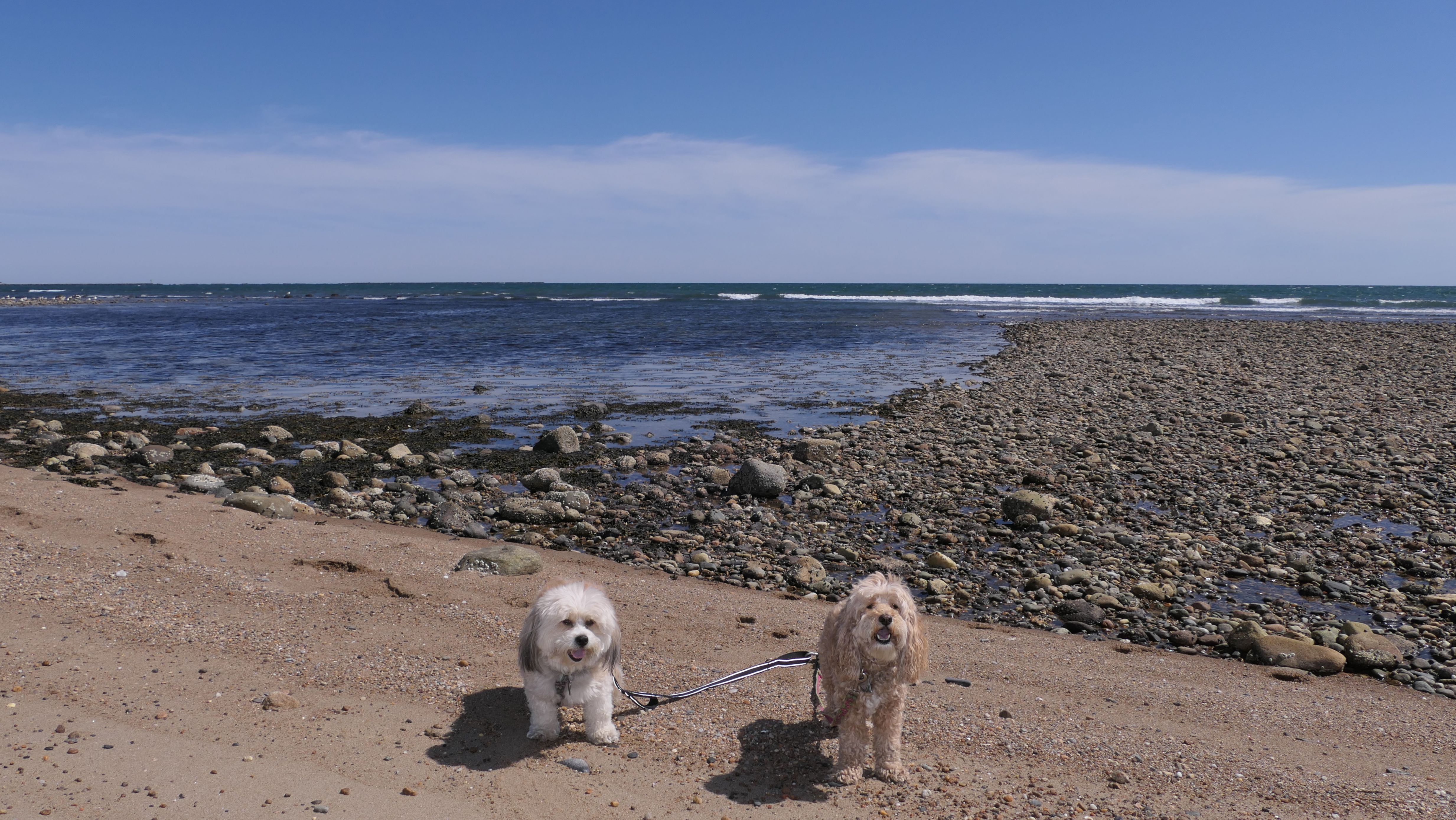
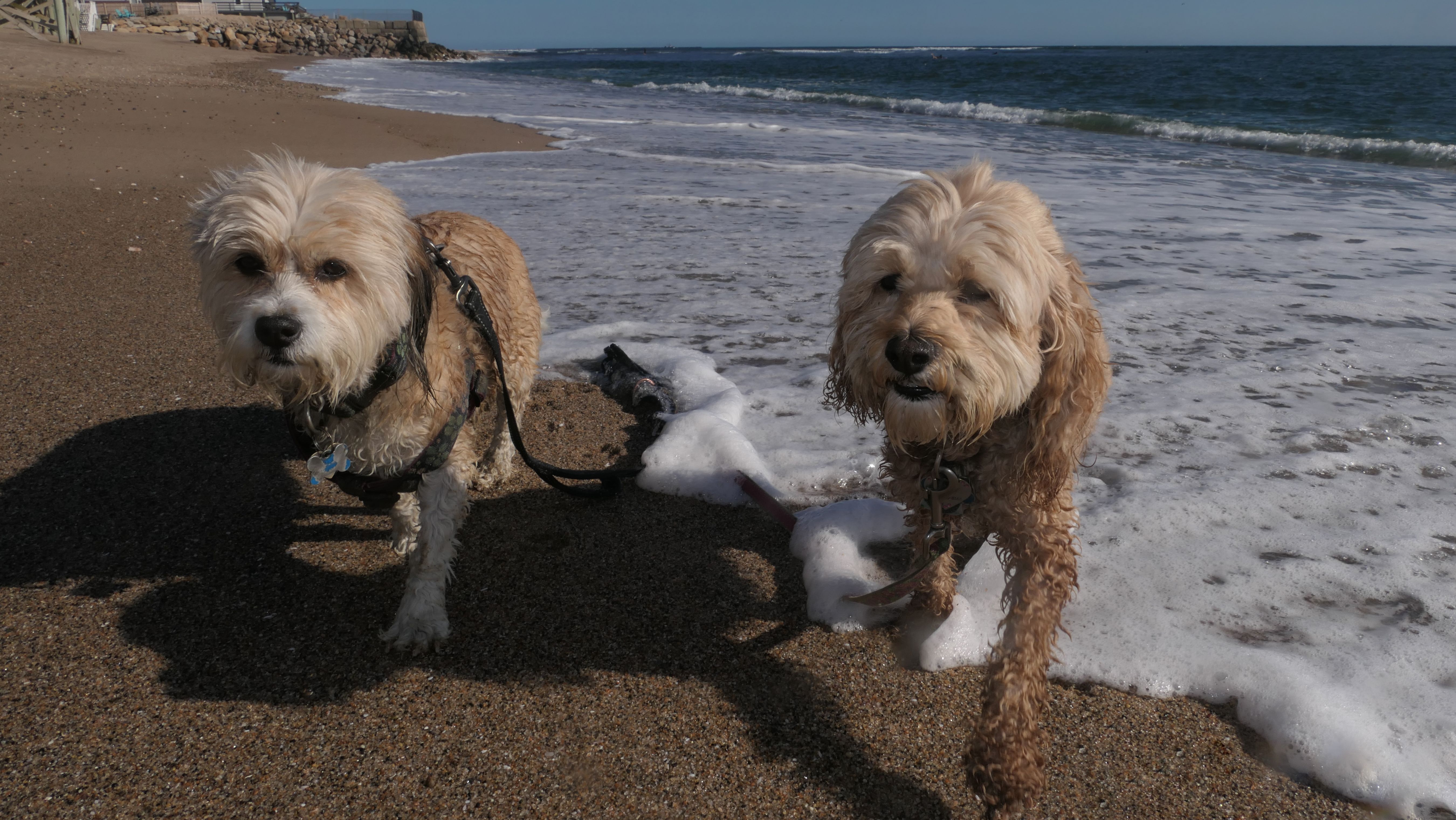
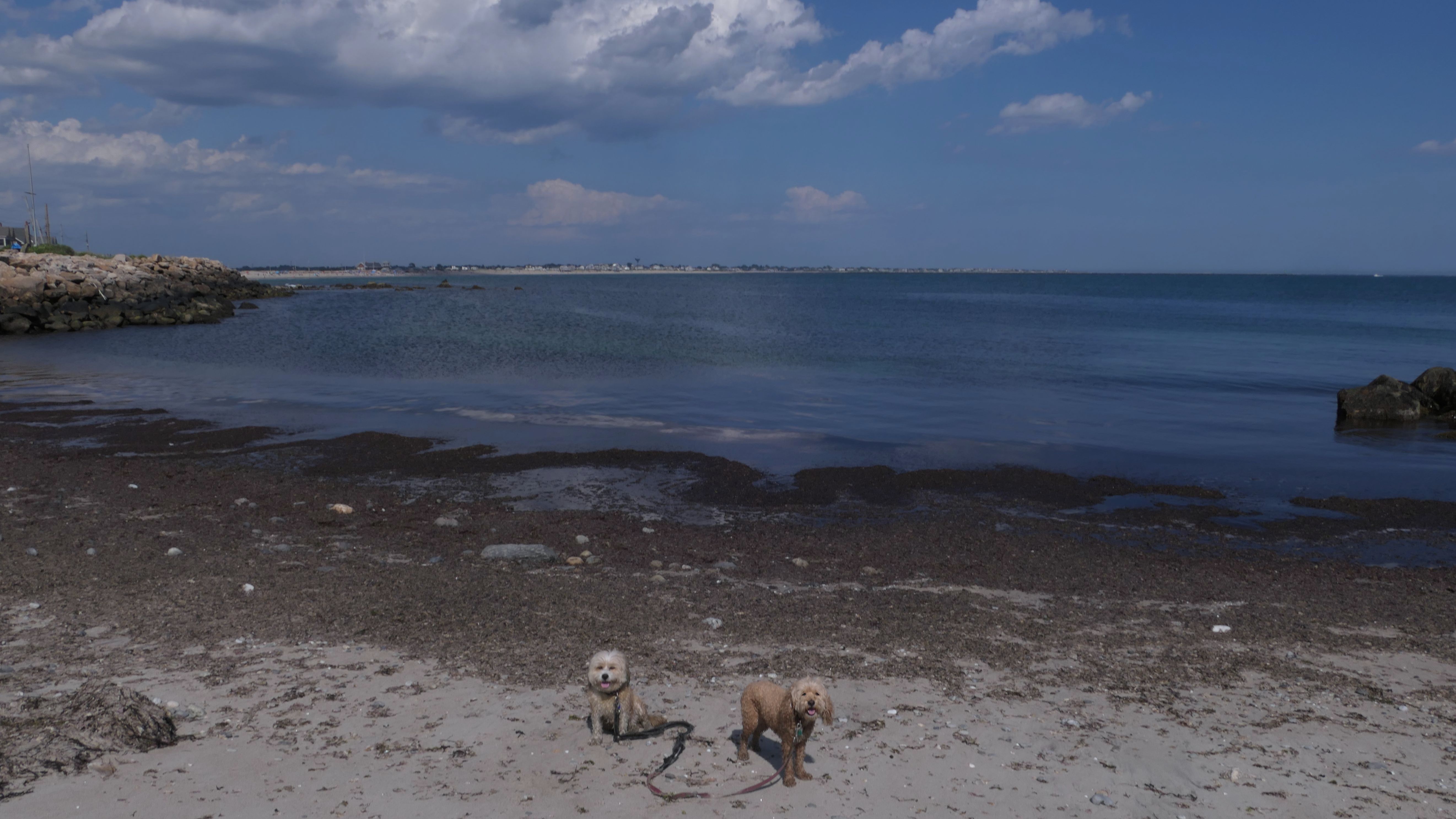
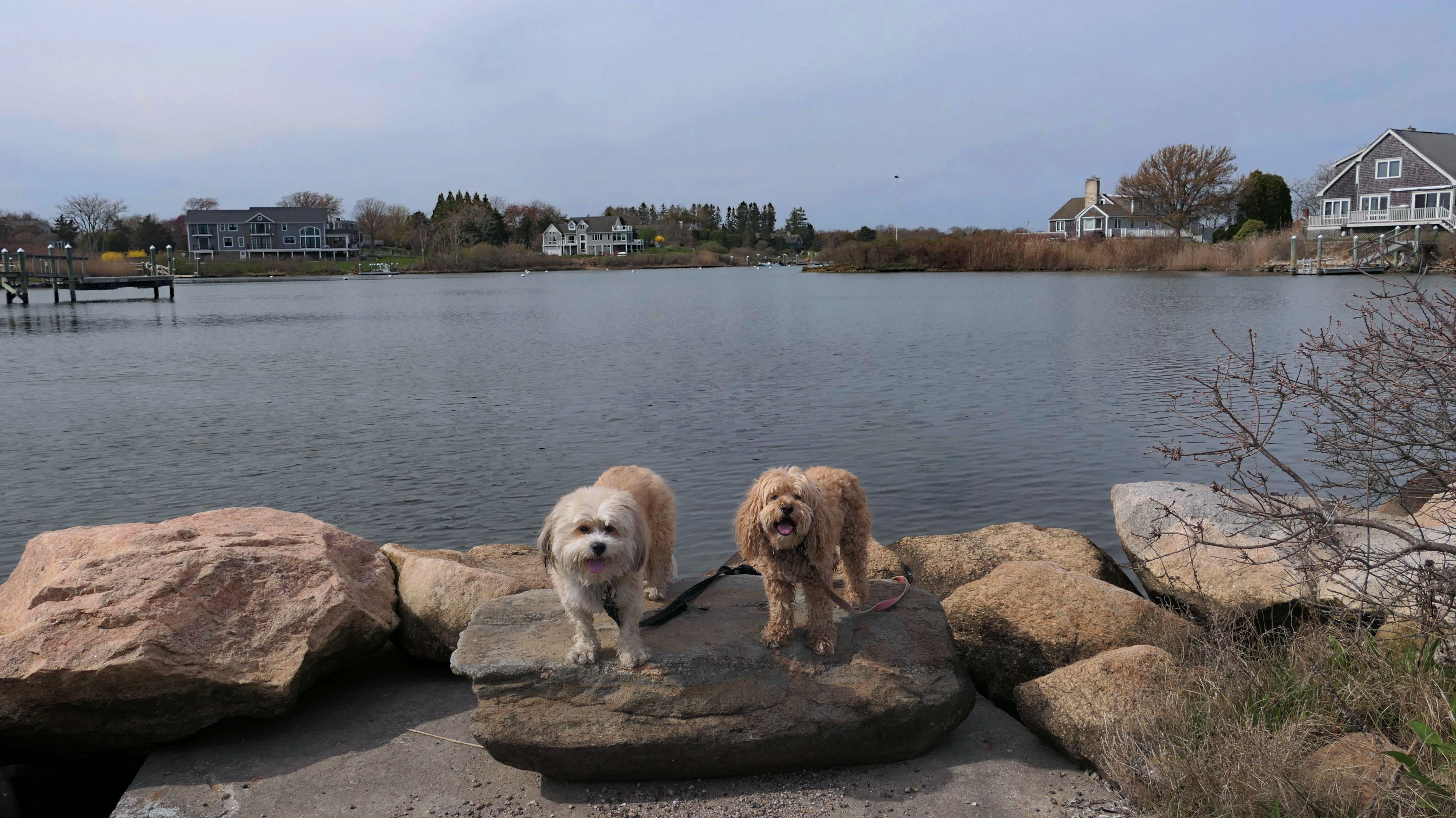
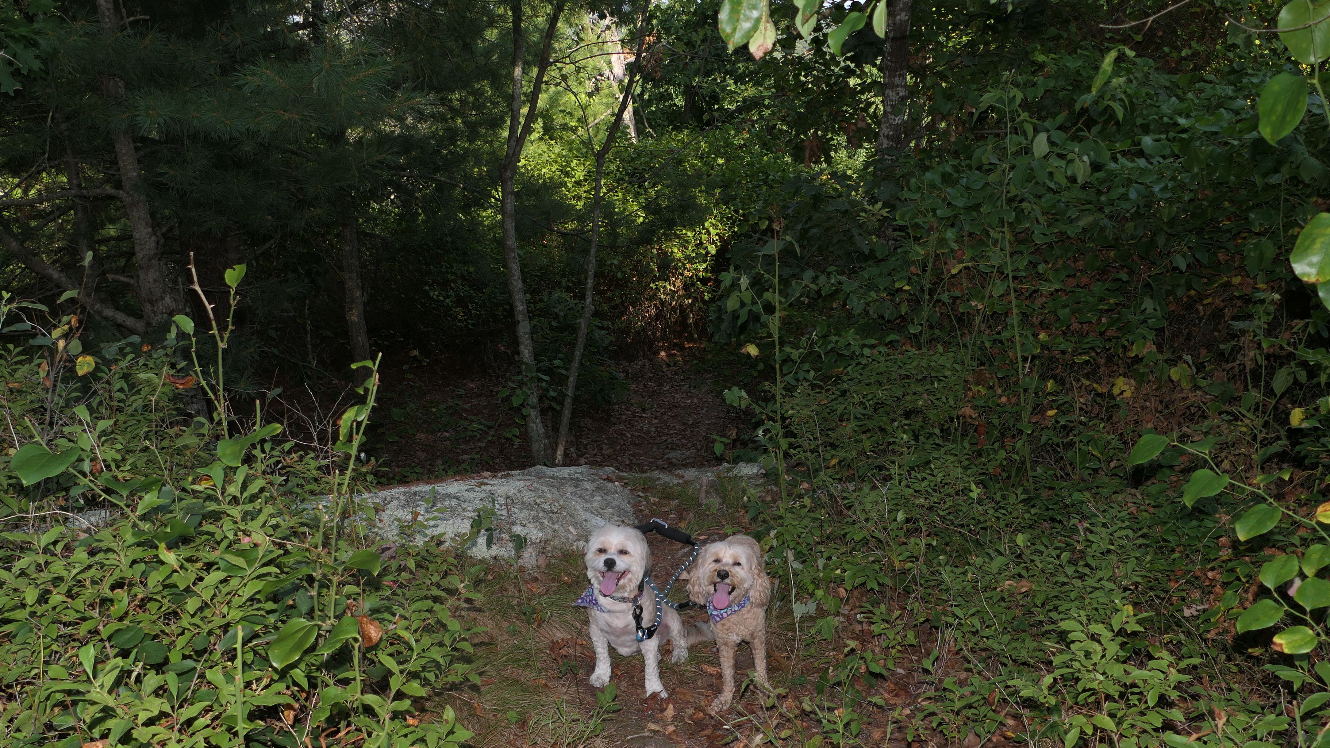
South Kingstown Town Beach
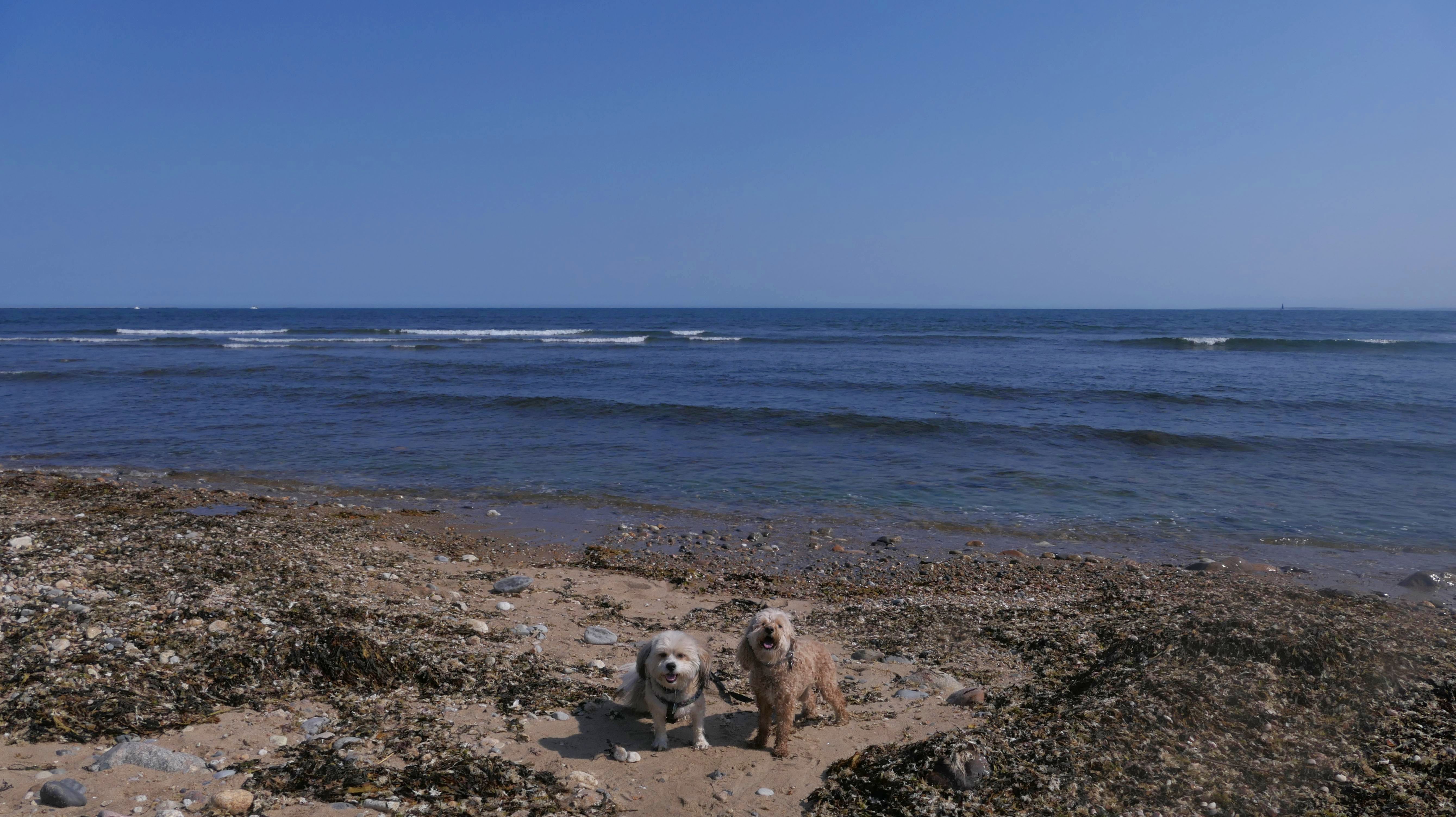
Date visited: 10/3/2024
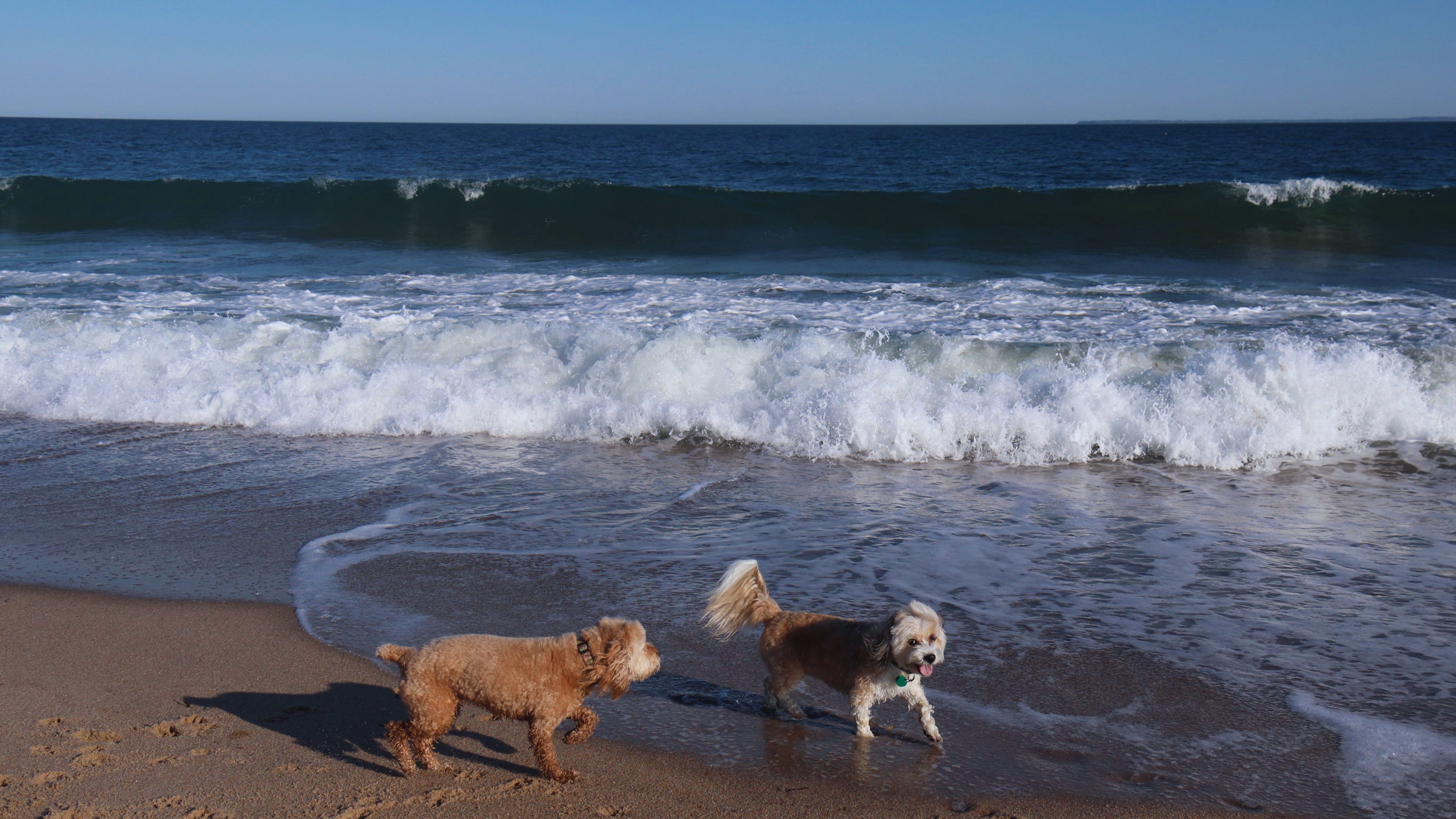
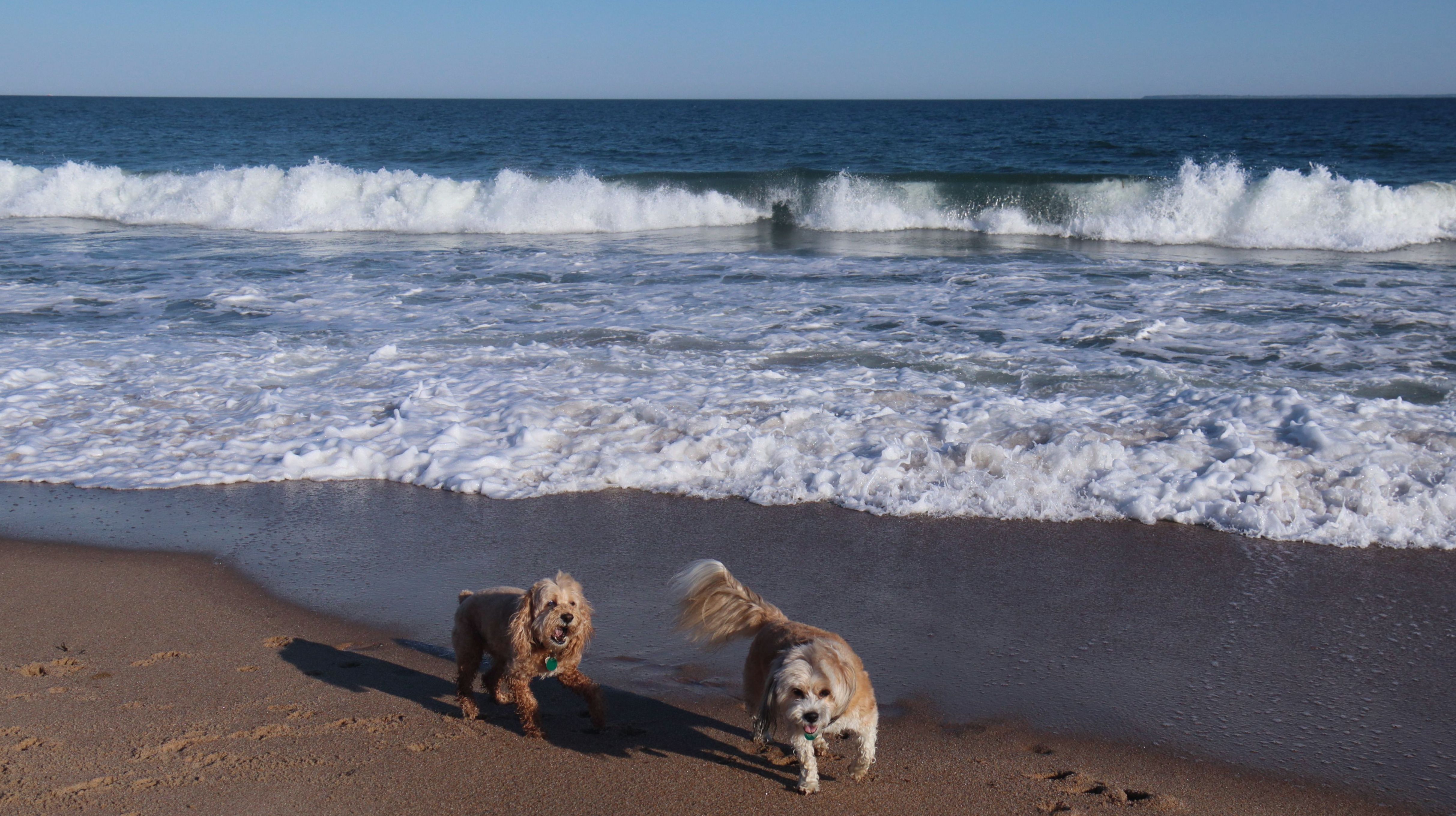
In an effort to hold on to summer as long as possible, we returned to this beach on a nice 70 degree early October day. We walked the entire beach, and also onto the beach directly to the west, as well as adding some additional steps at nearby Ocean Mist Beach. We didn't take too many photos on the town beach portion of the walk, since we've been here a couple times already. We did wade through the edge of the waves, and sat for a bit and just enjoyed the day.
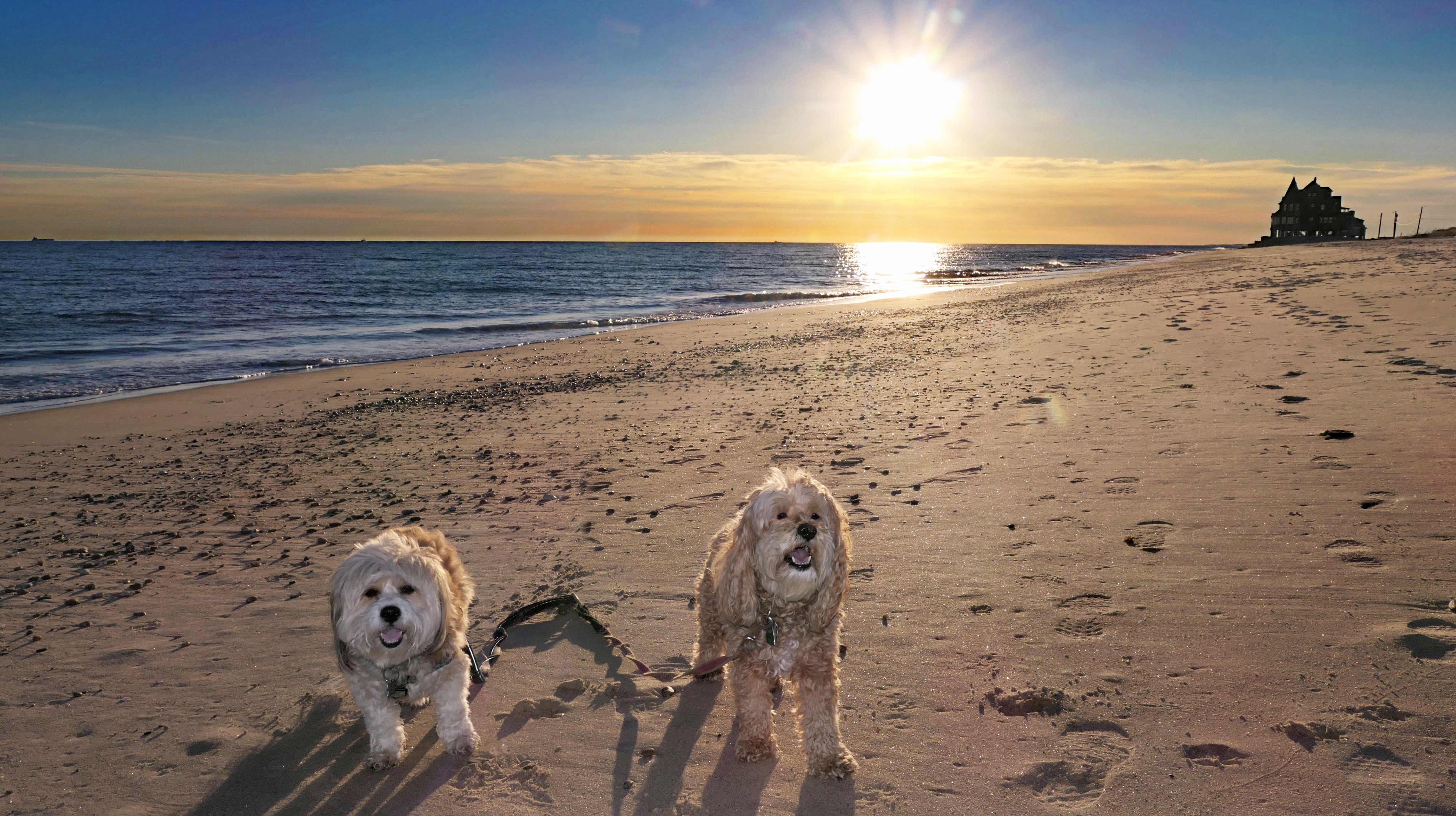
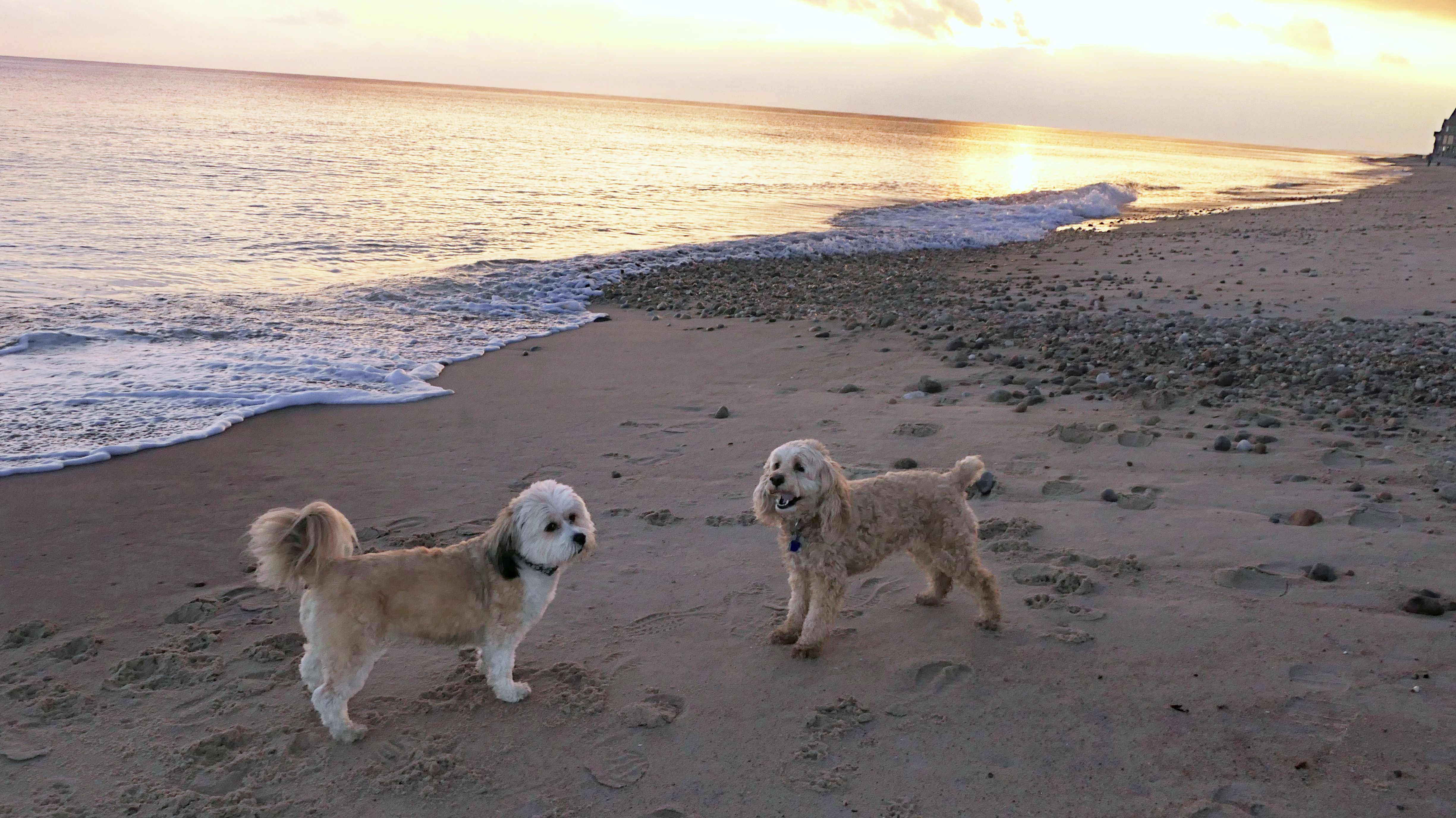
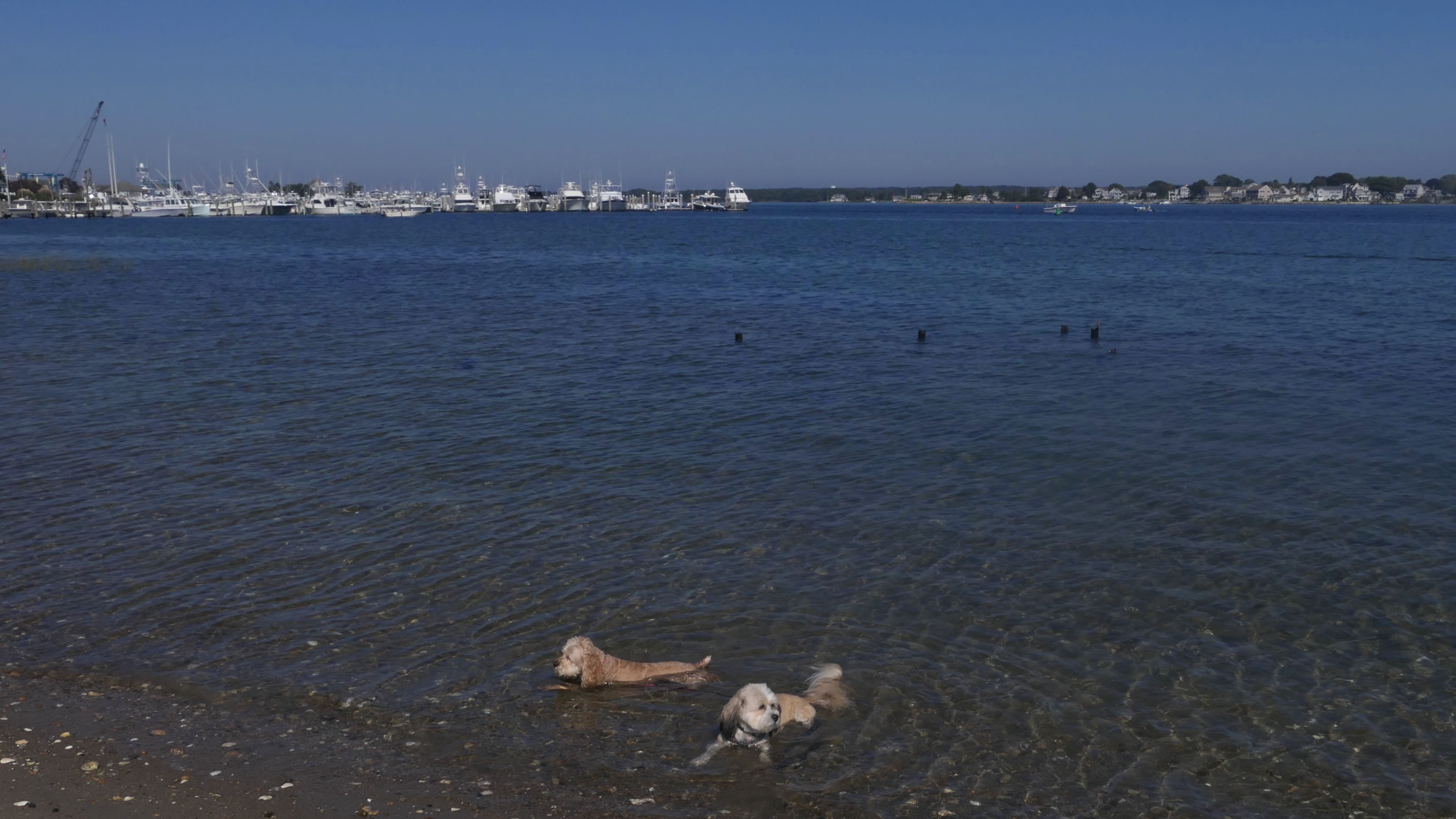
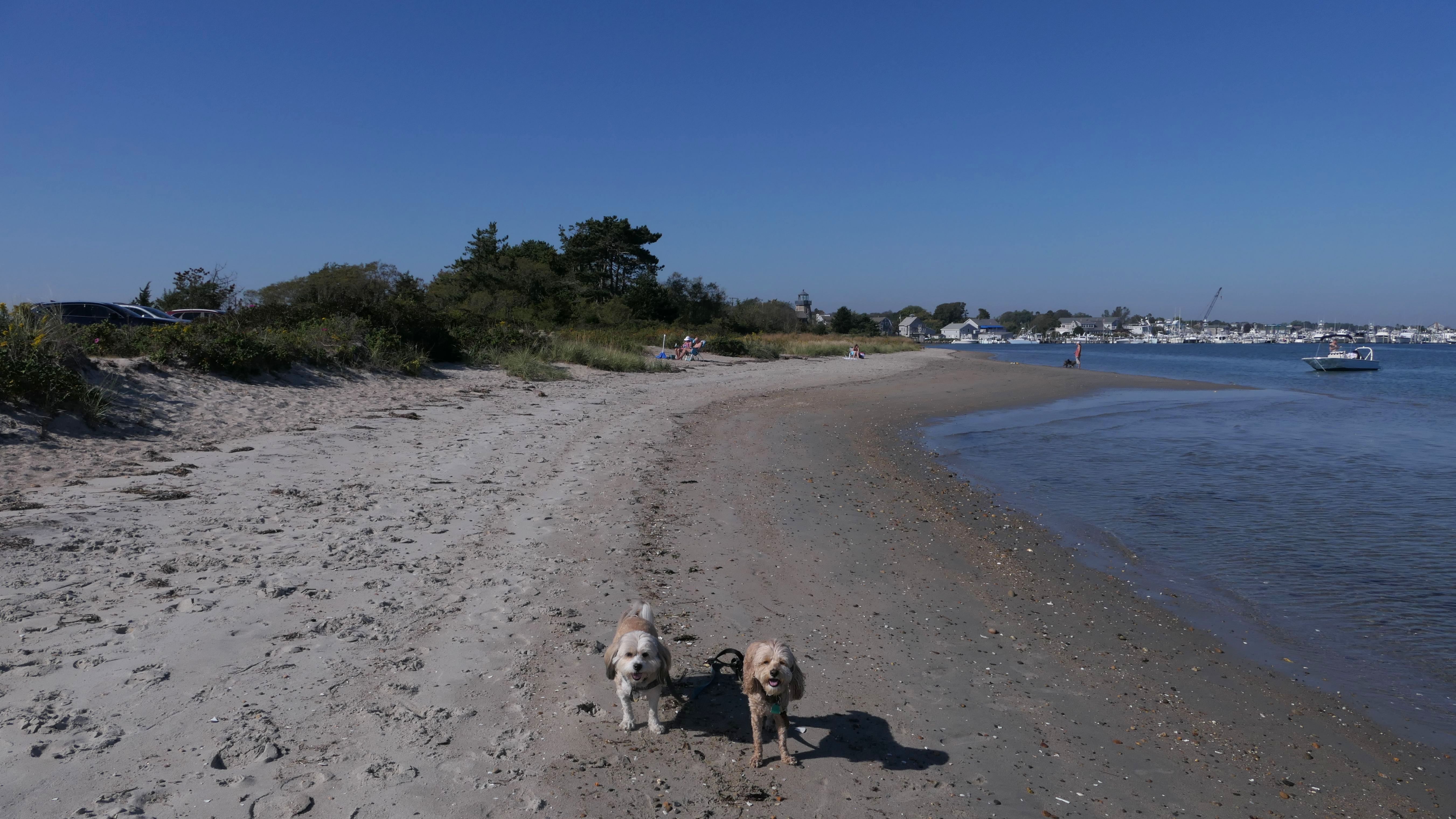
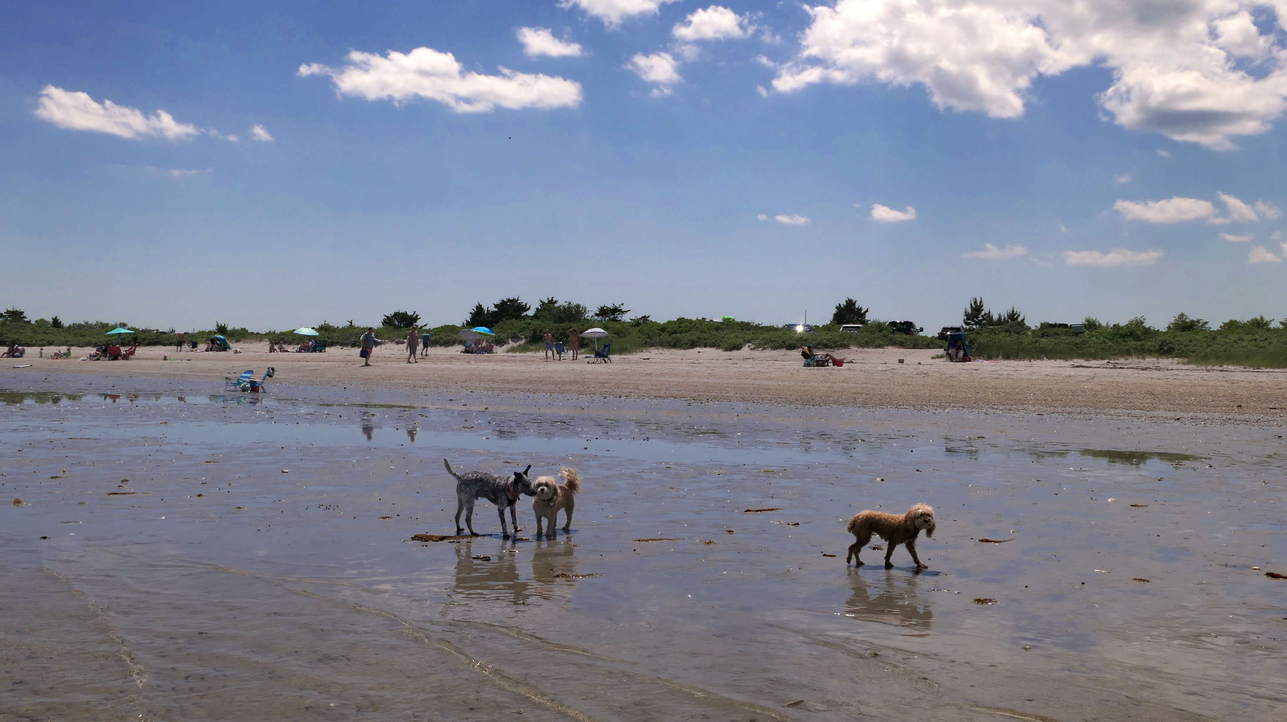
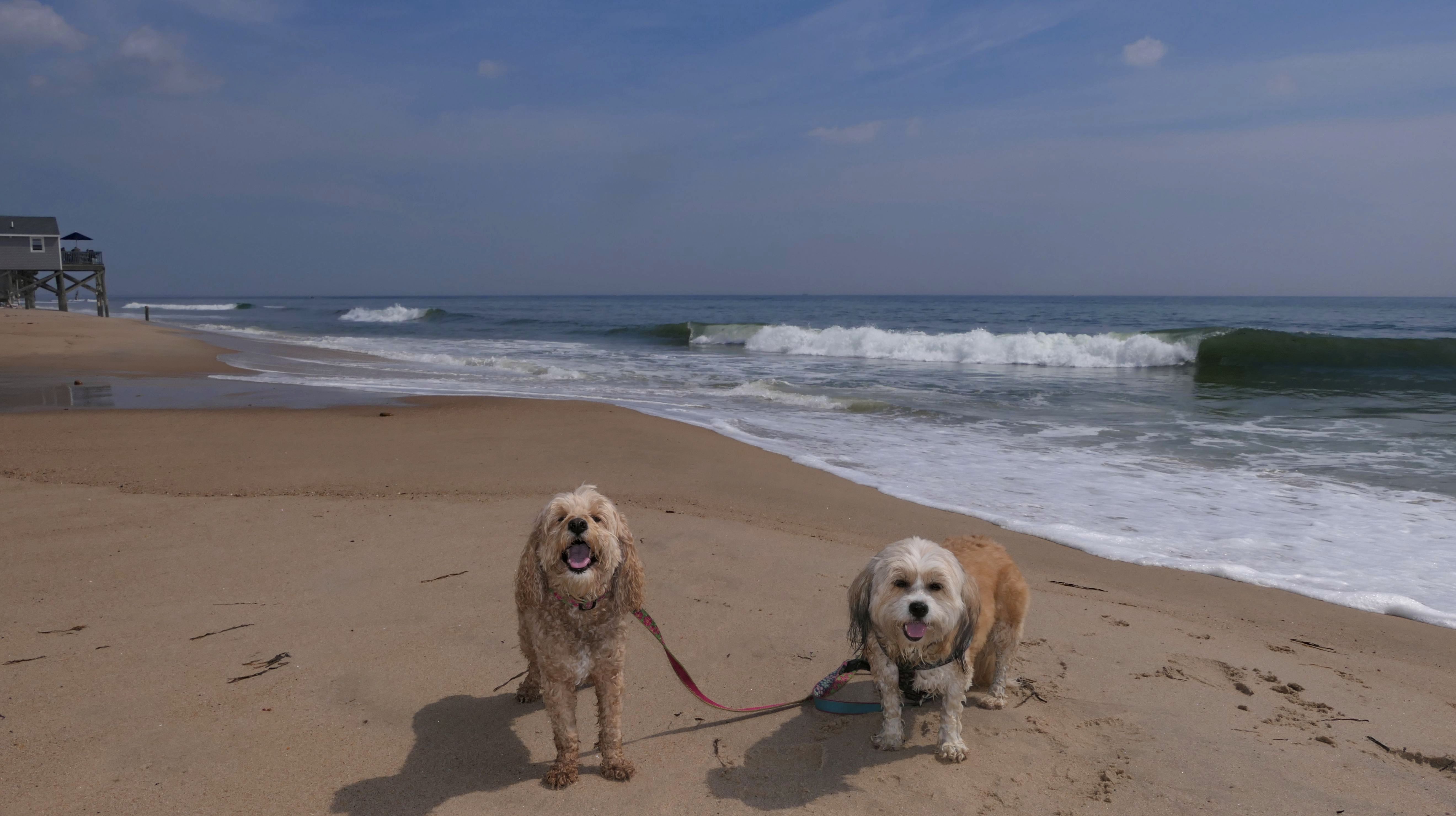
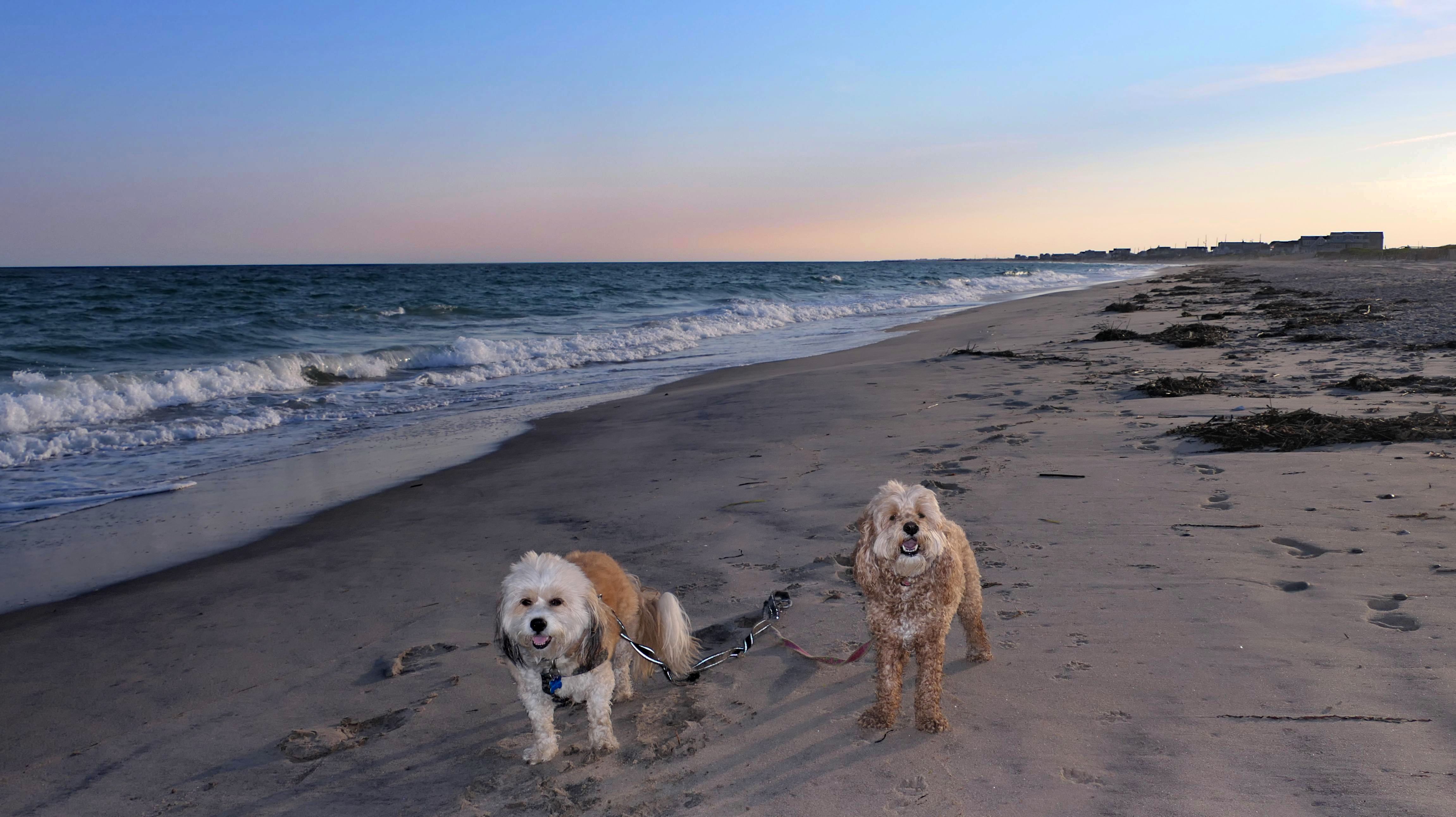
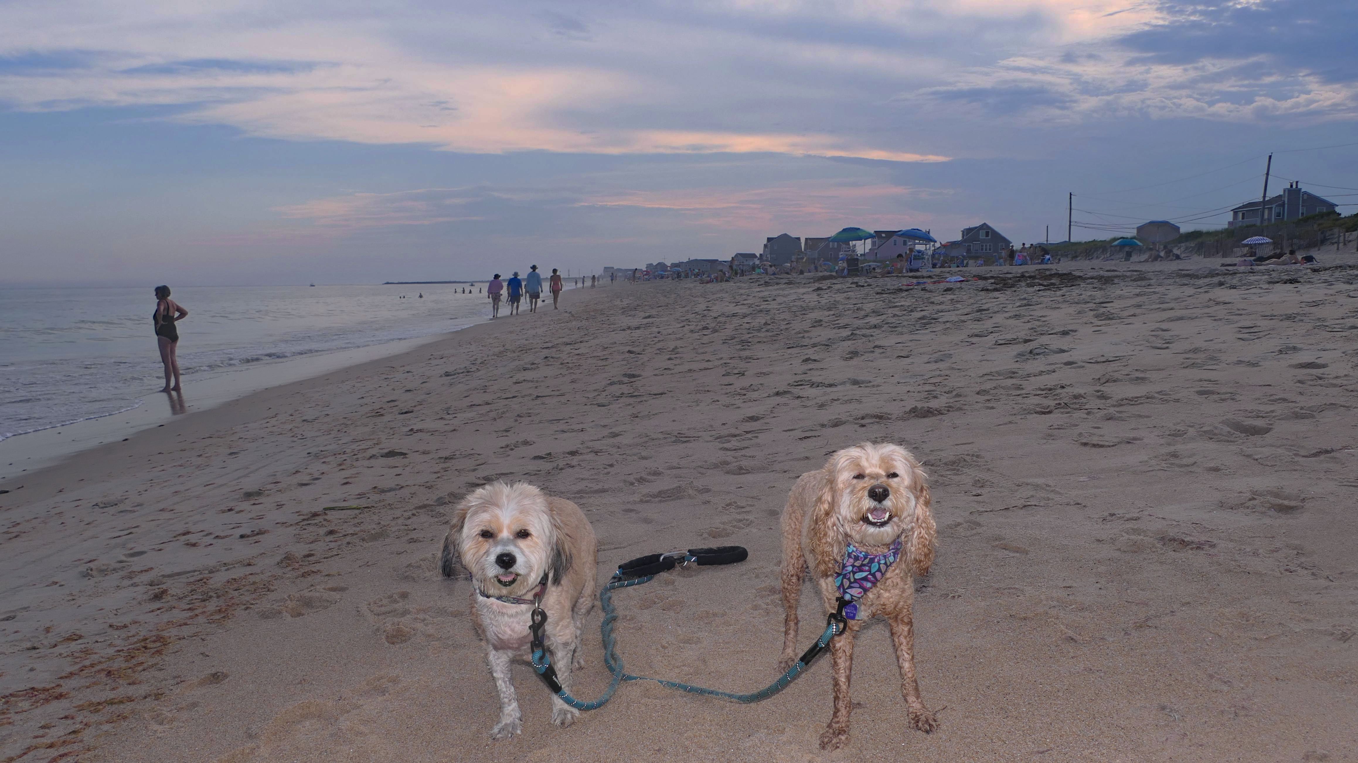
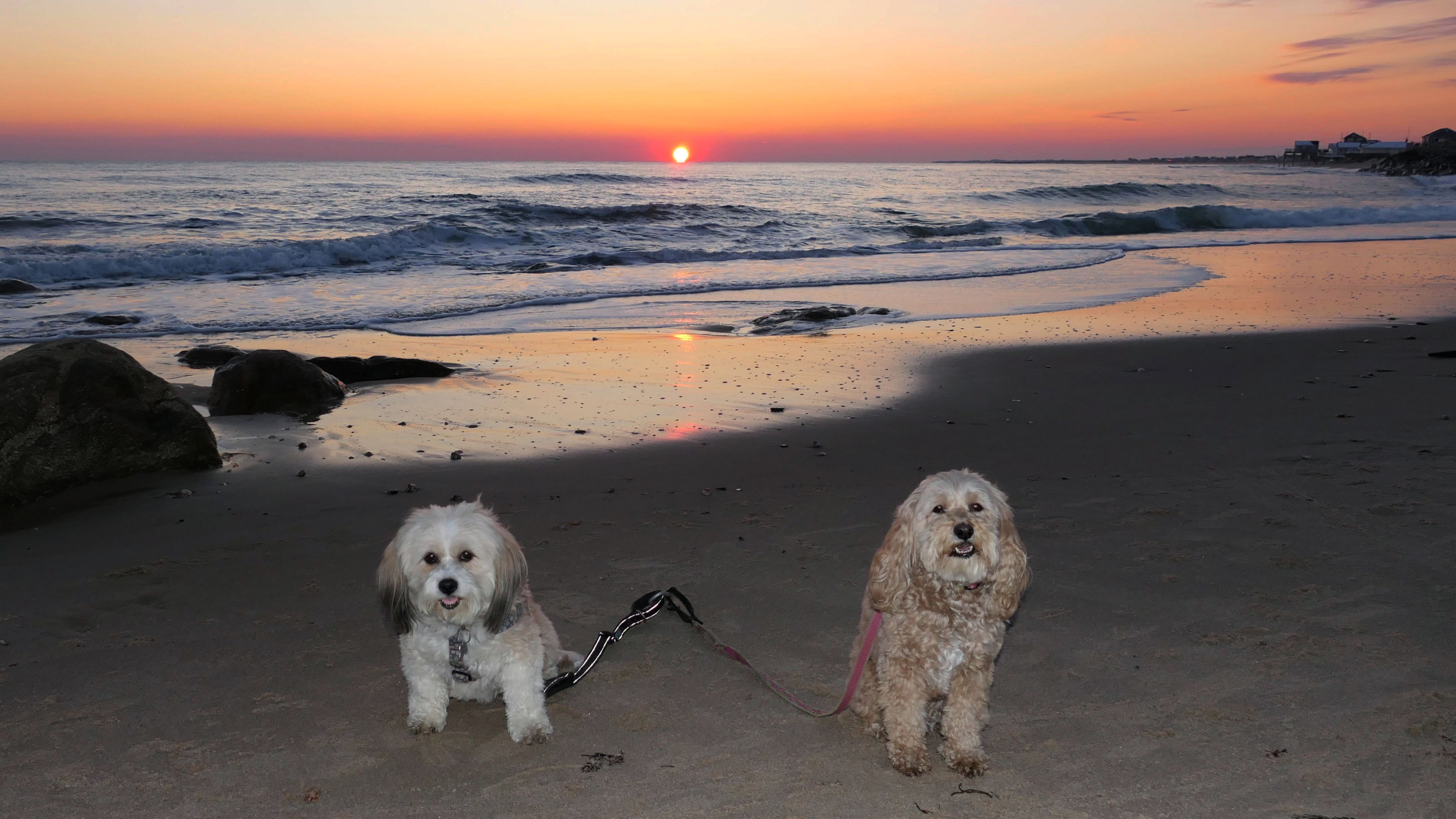
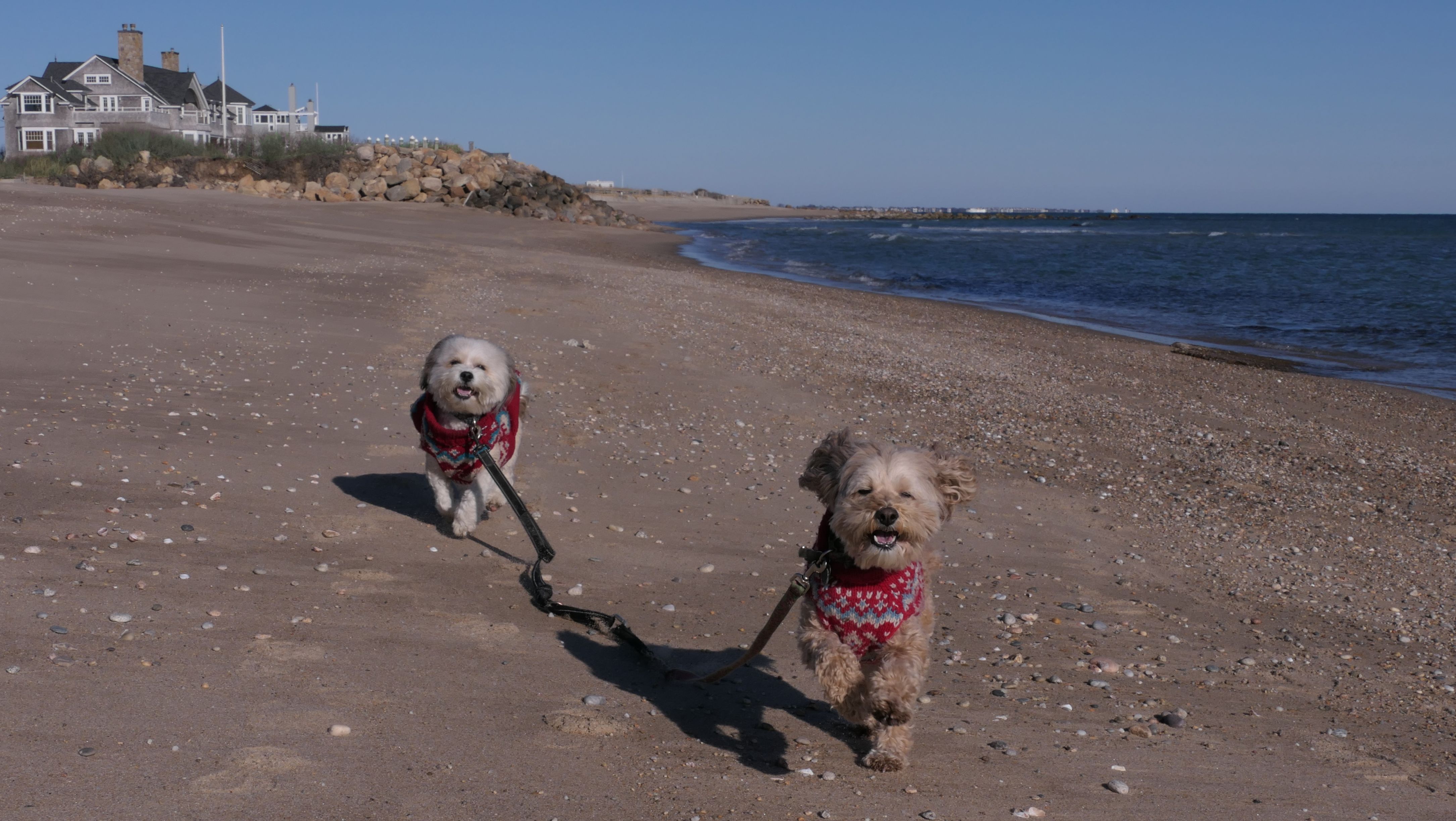
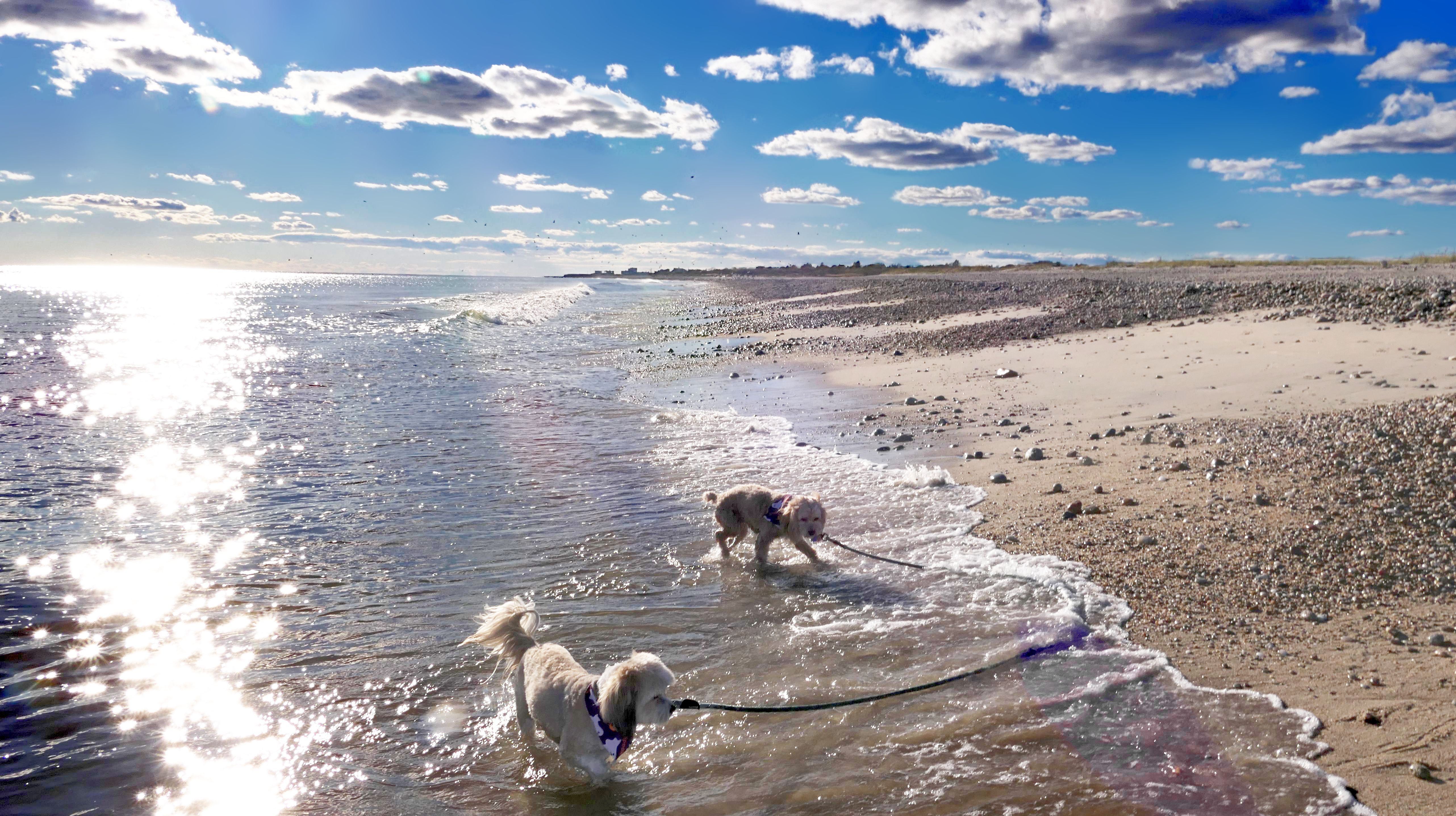
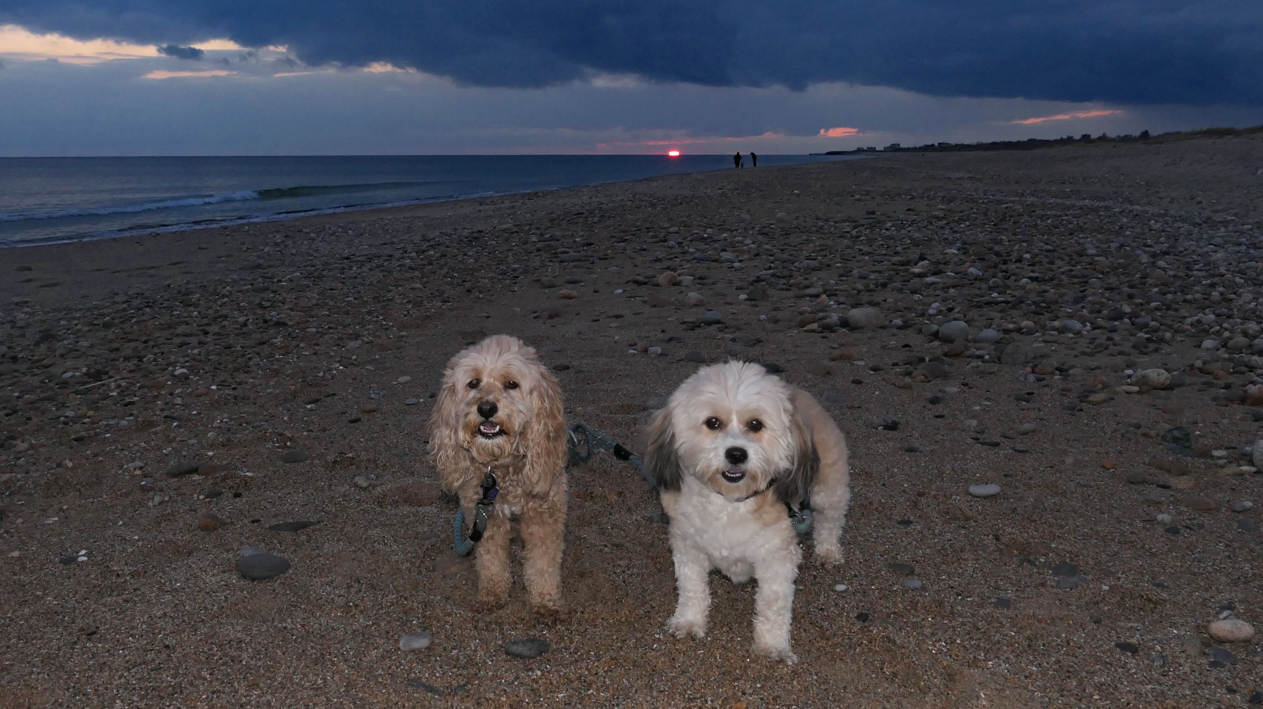
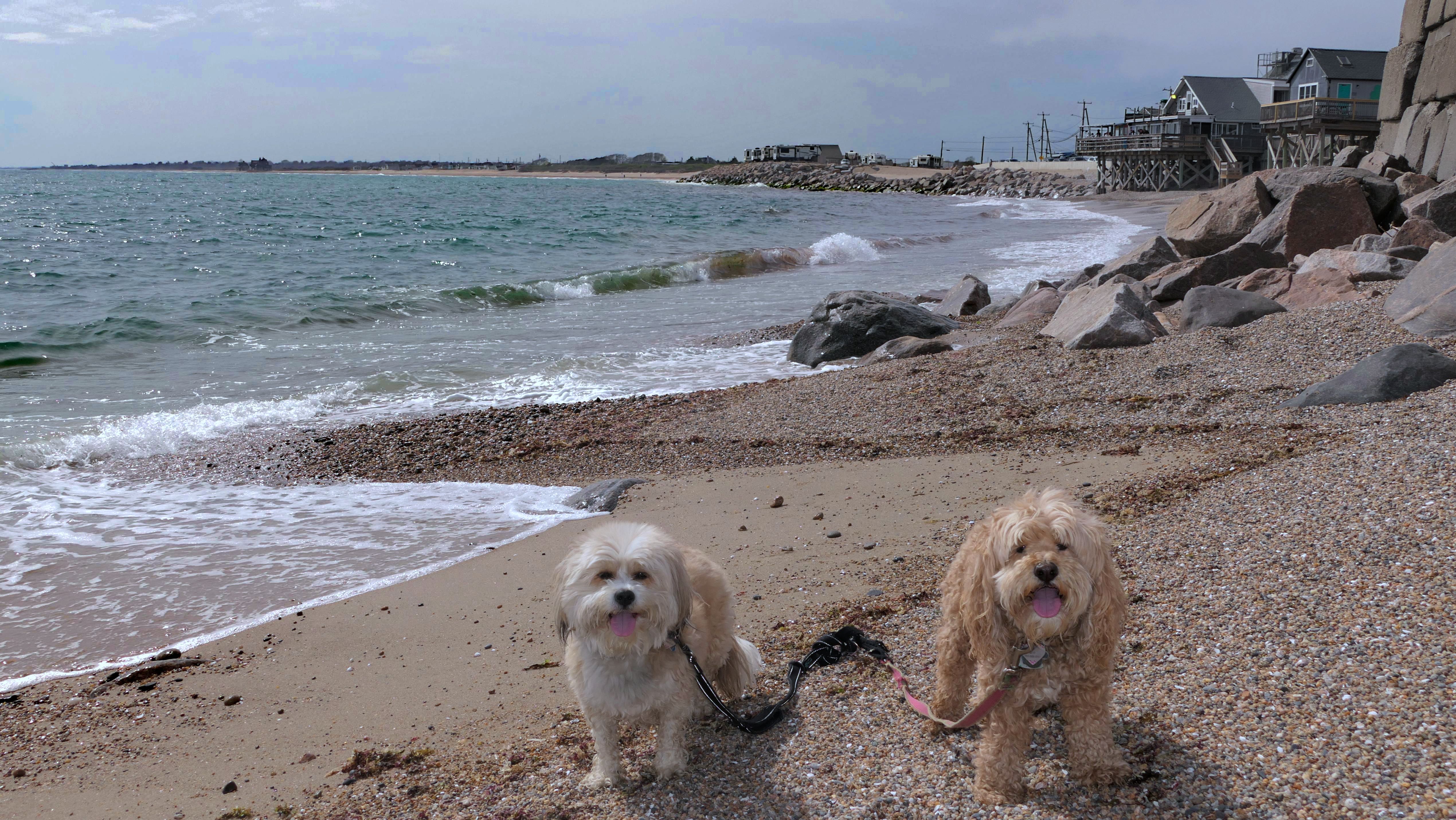
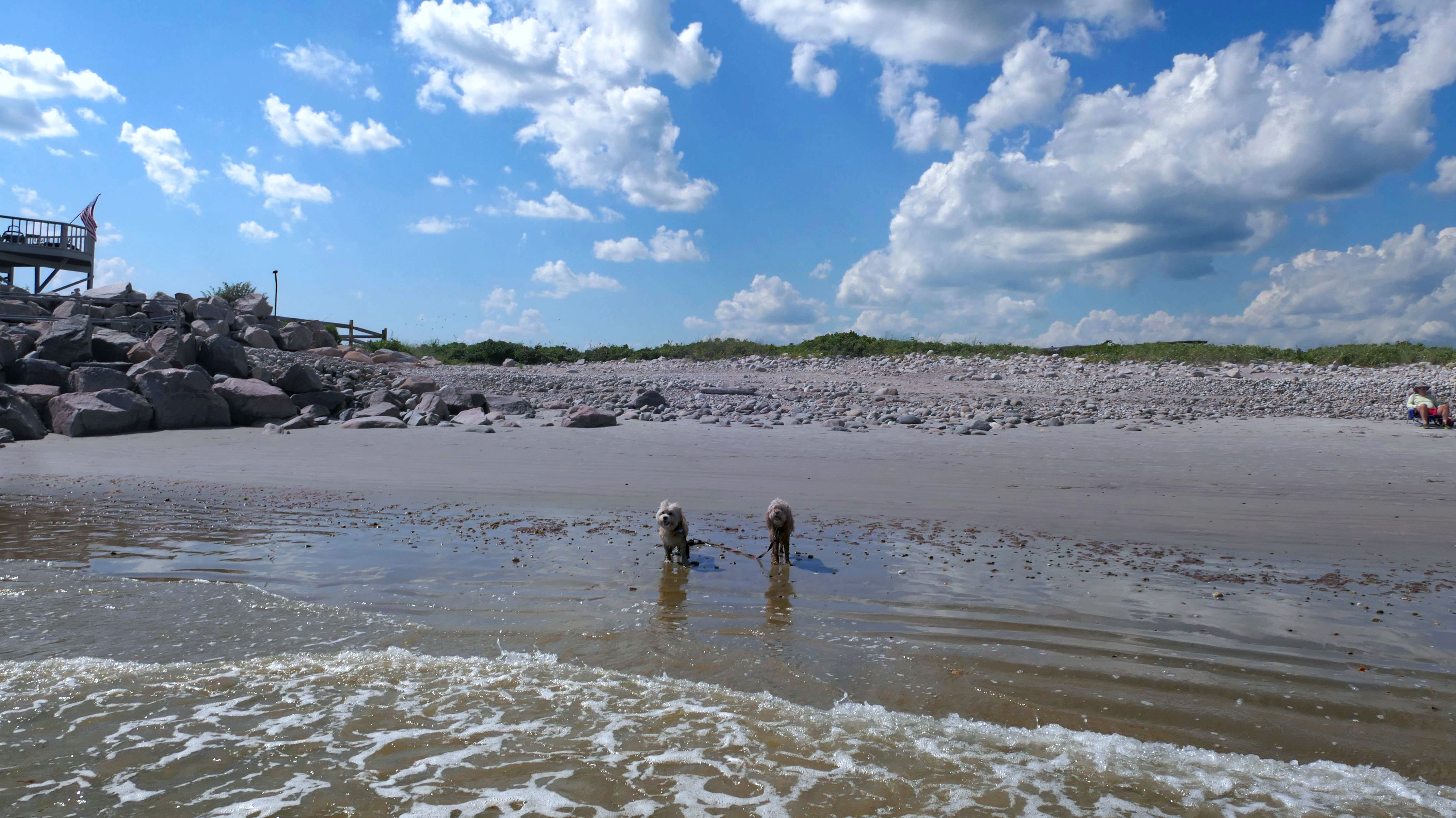
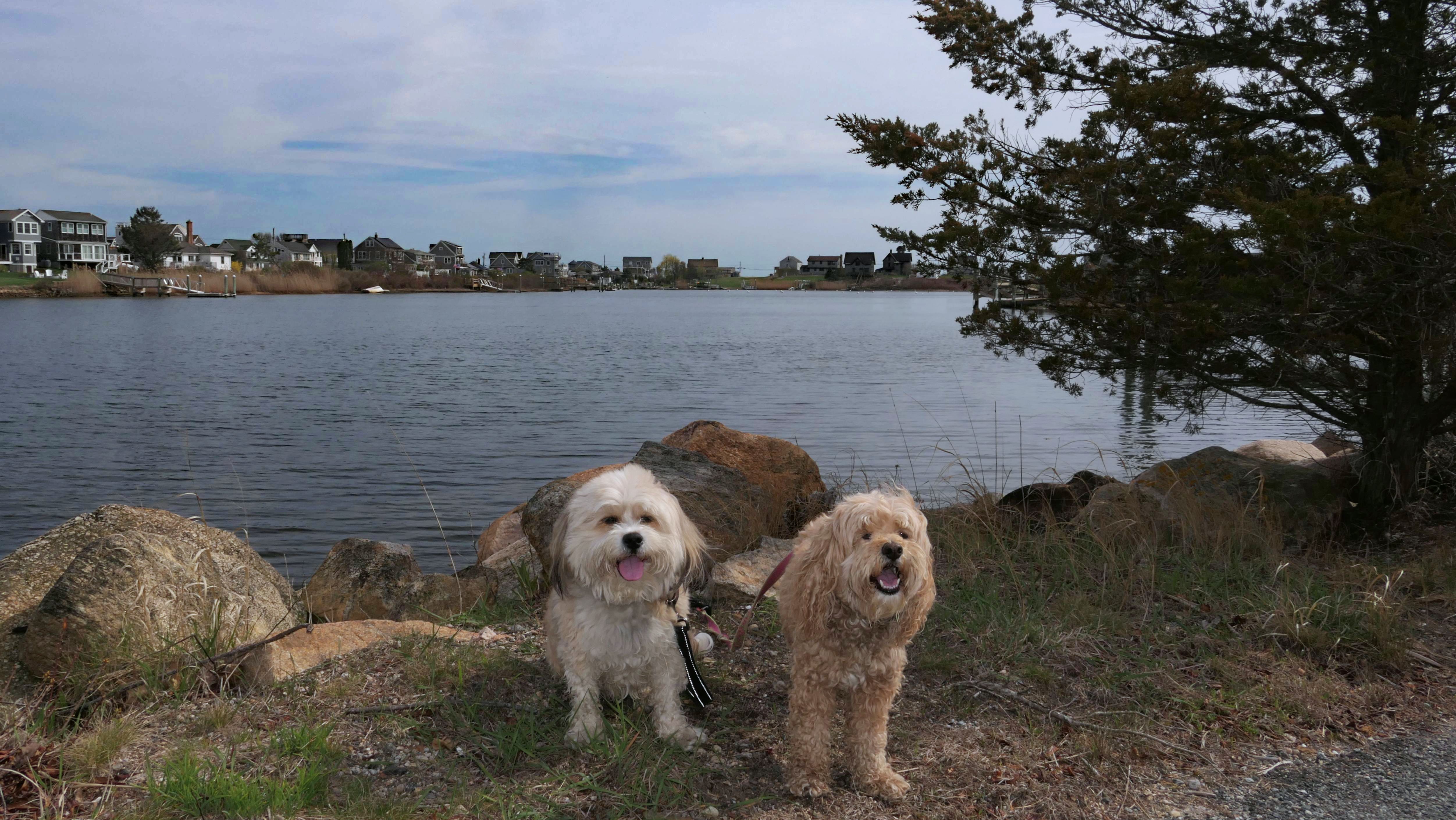
South Kingstown Town Beach
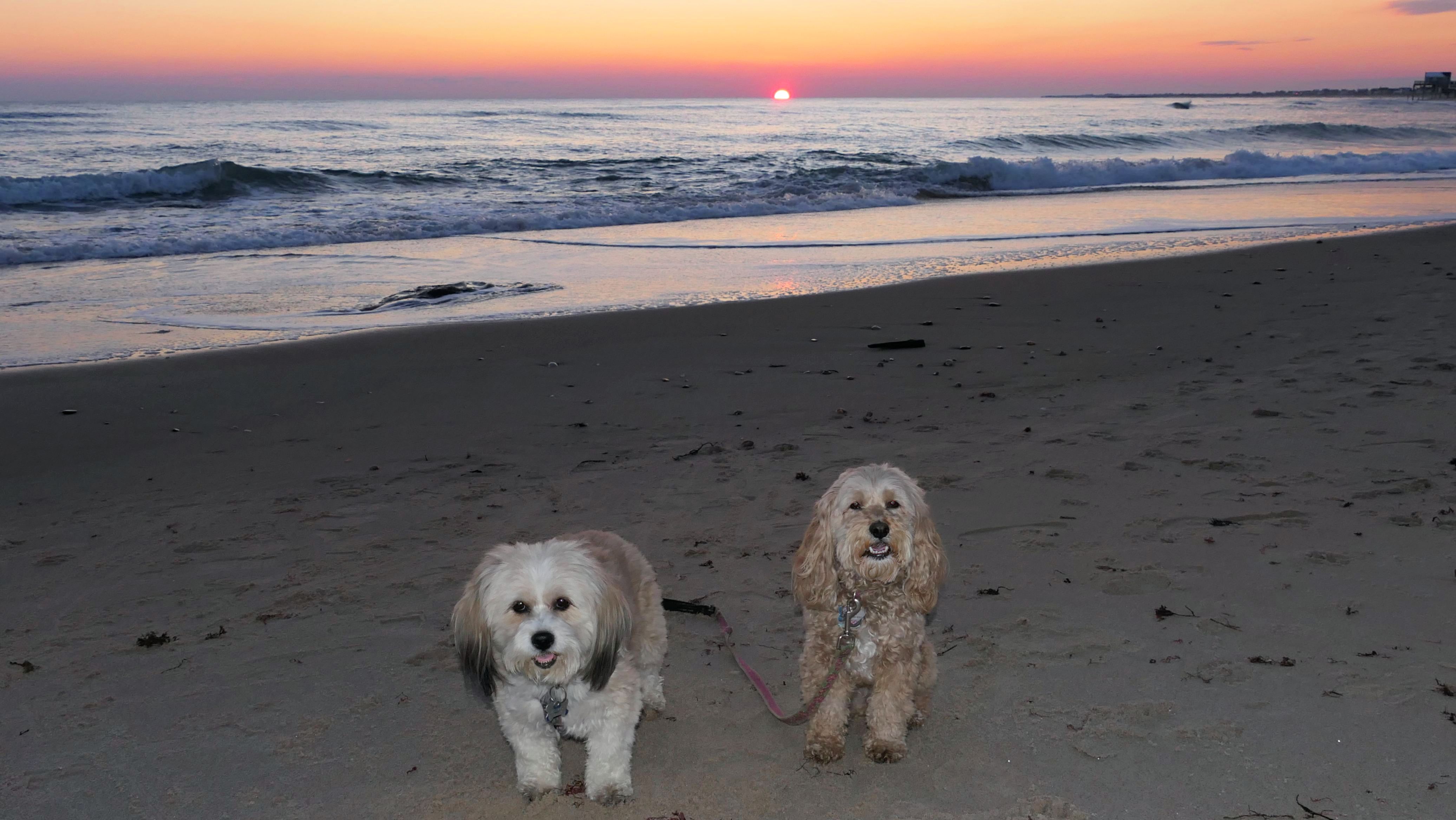
Date visited: 11/19/2024
We were passing through once again while visiting other beaches. Took a few photos as the sun was setting.
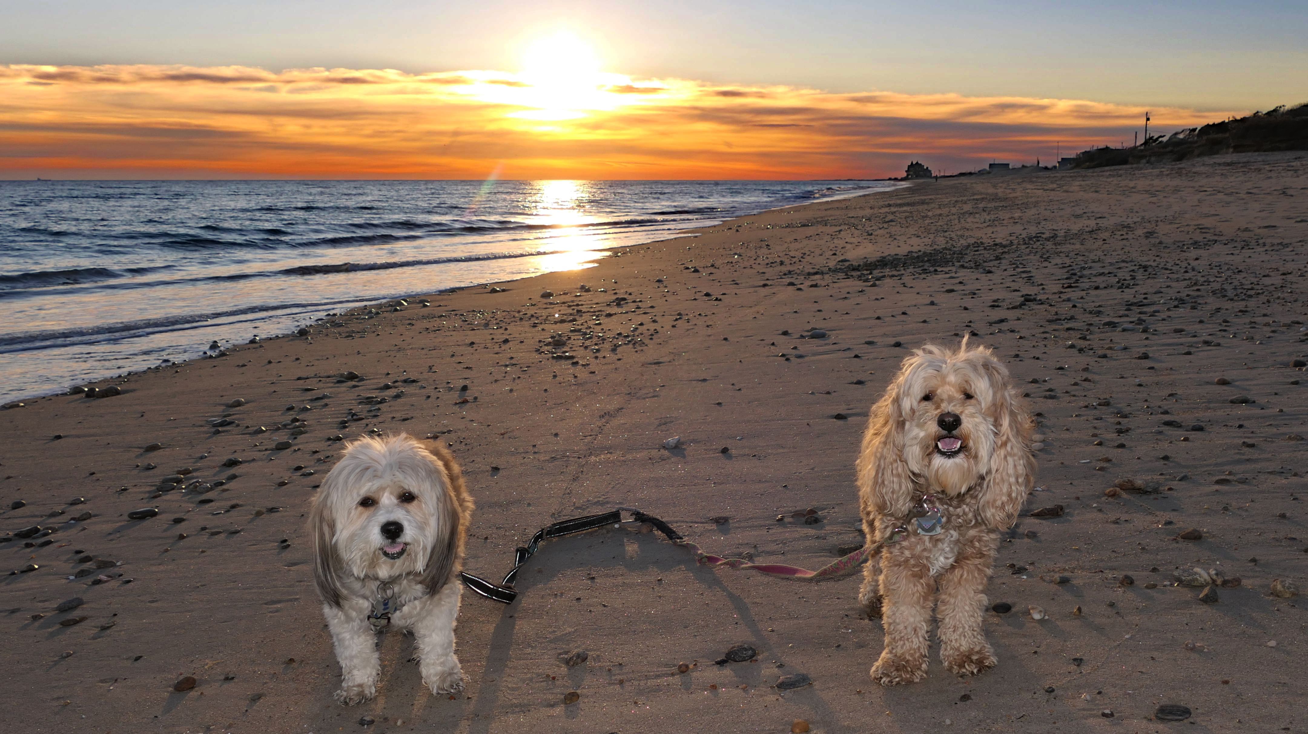
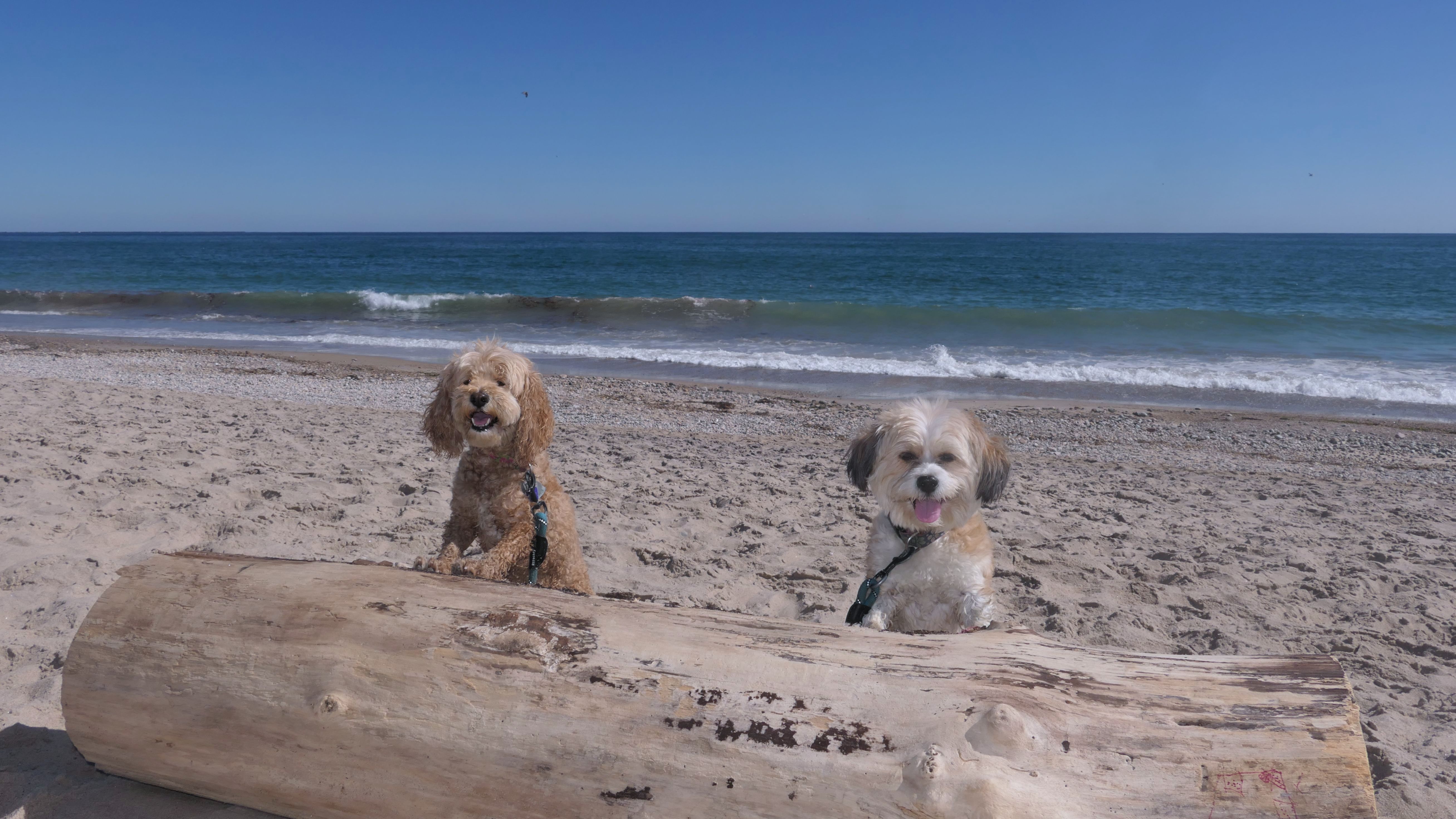
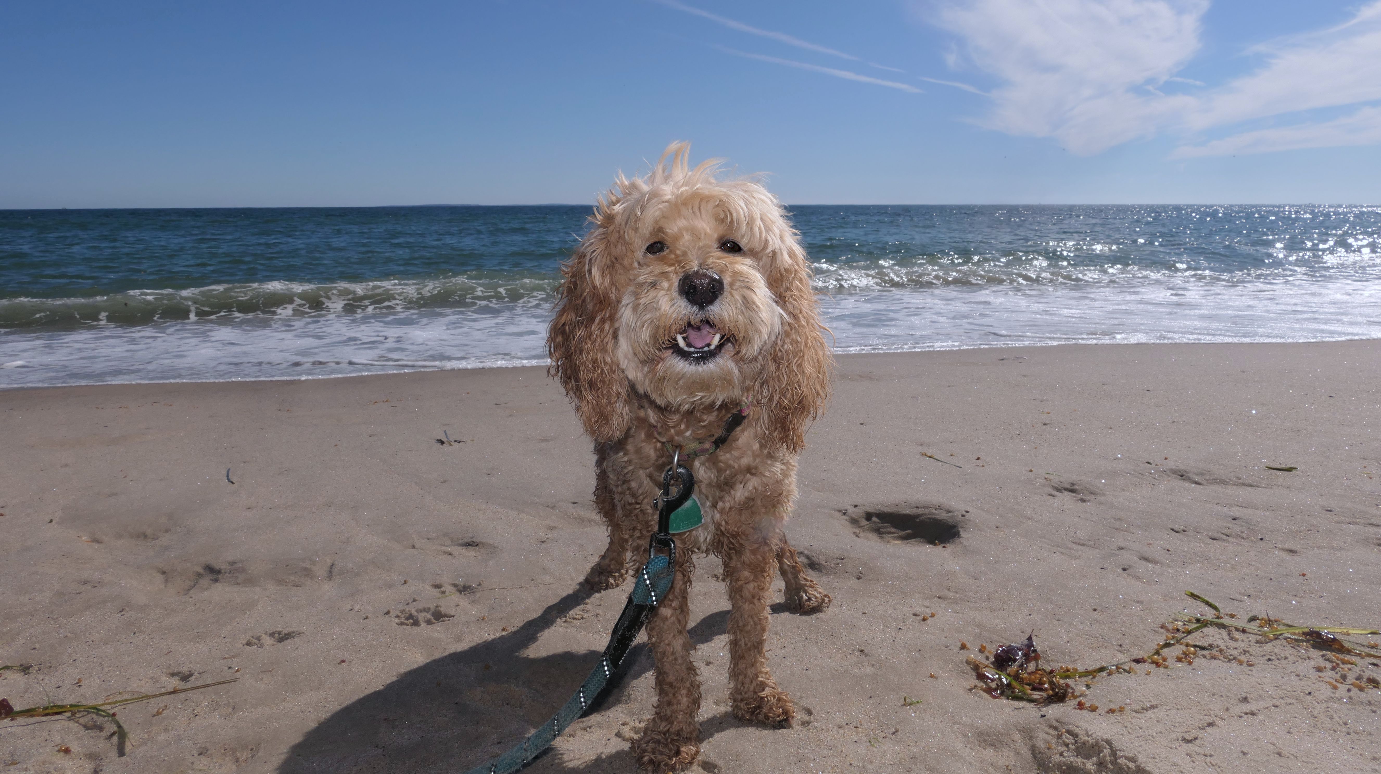
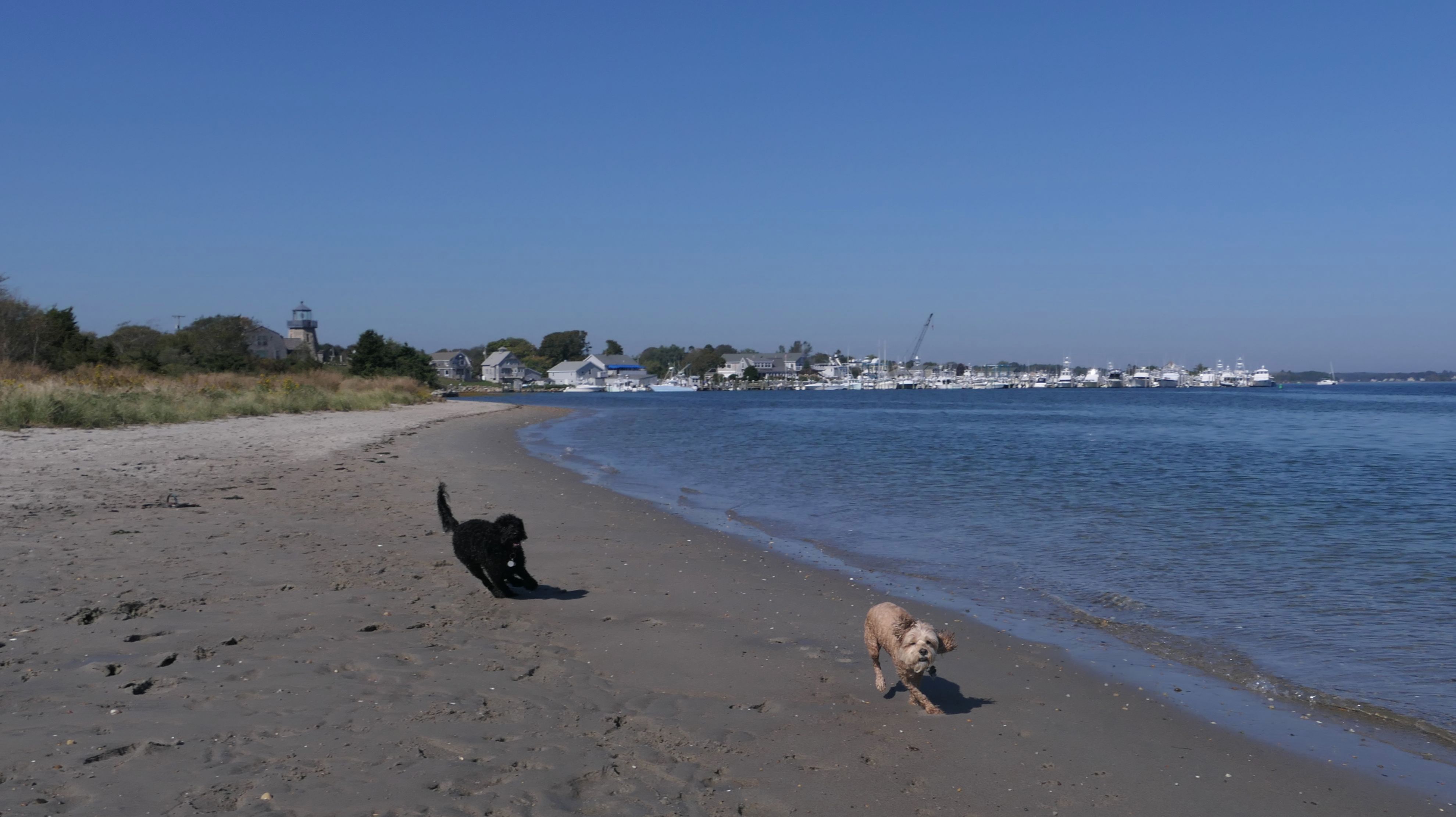
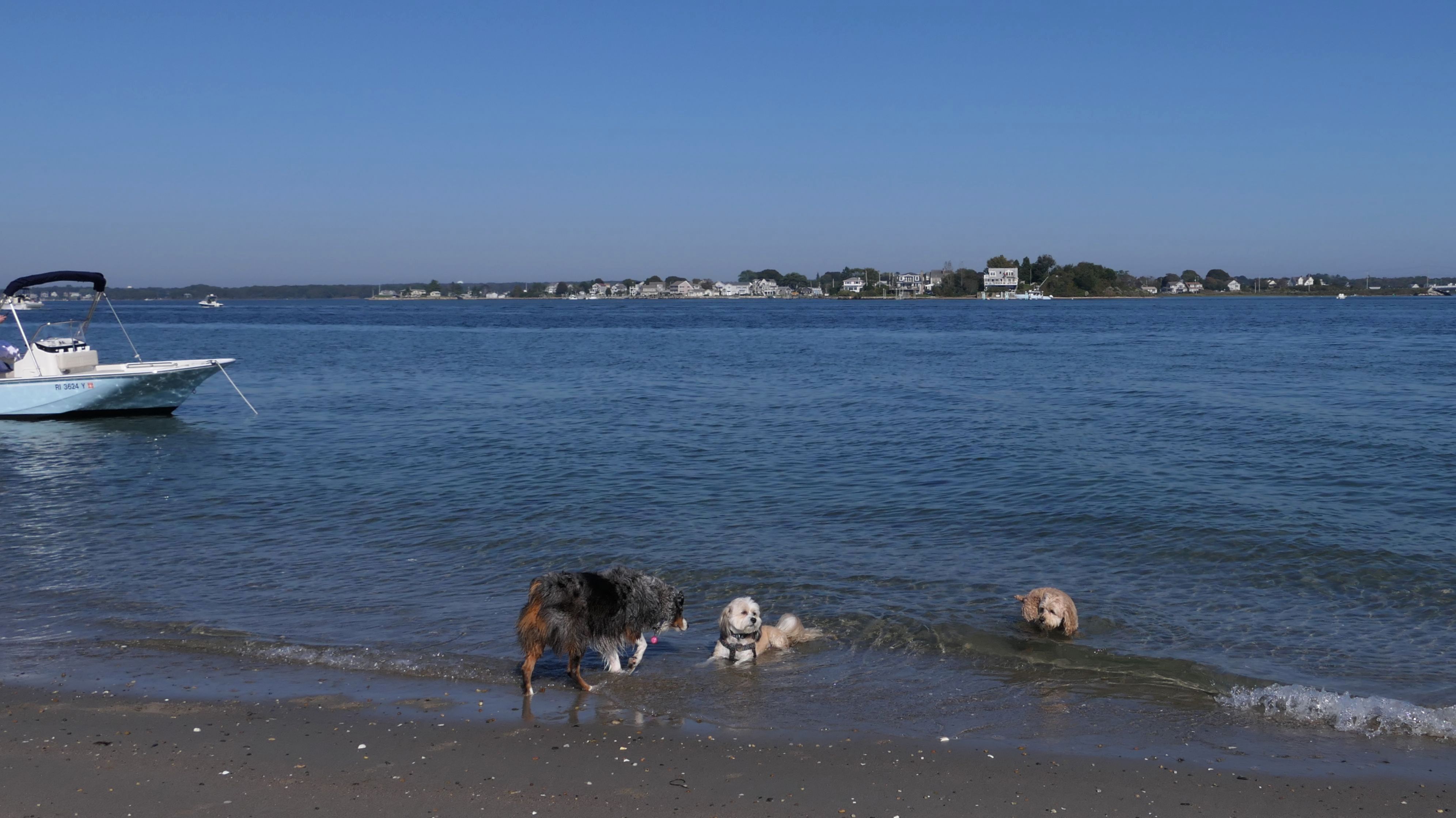
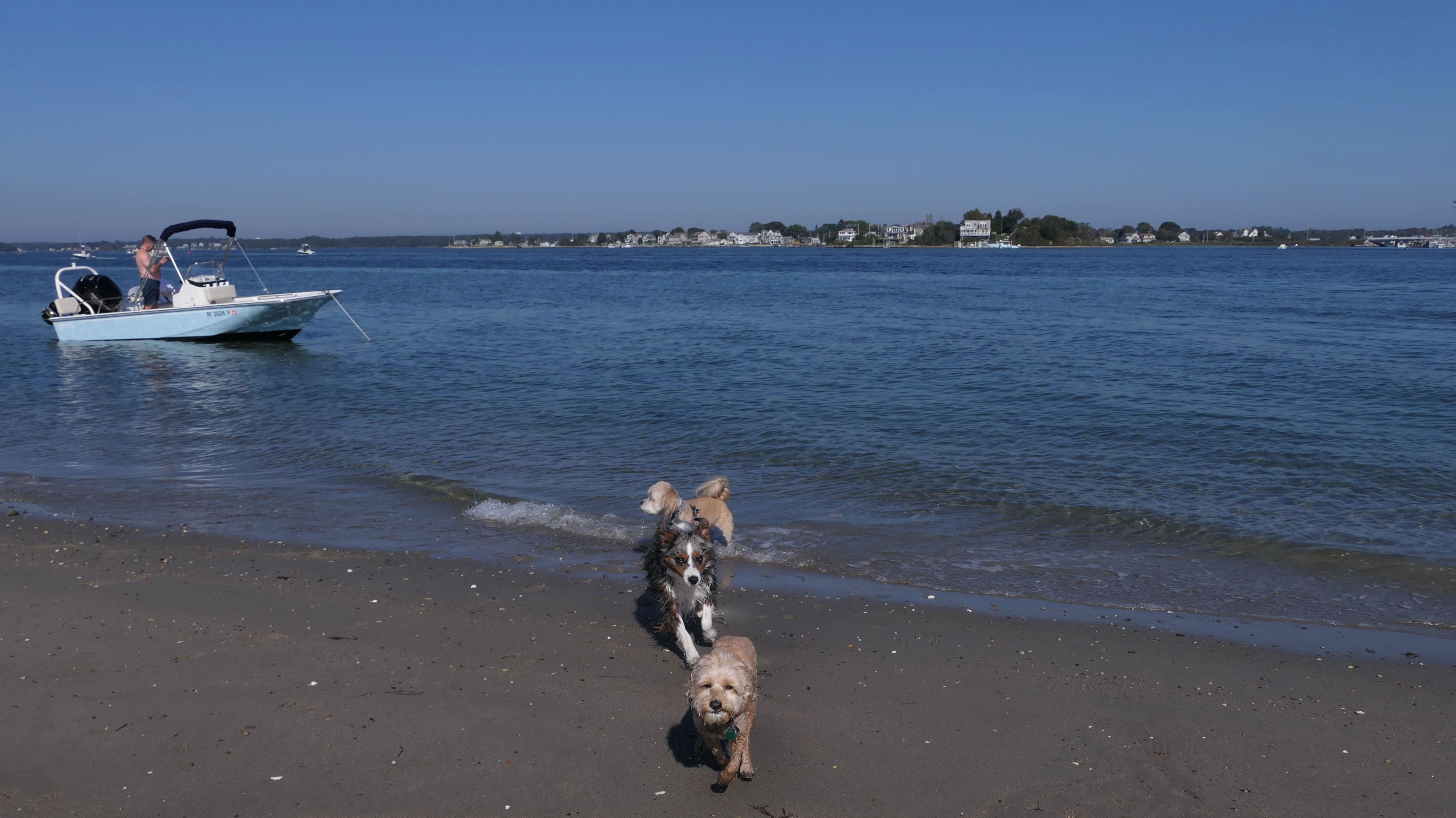
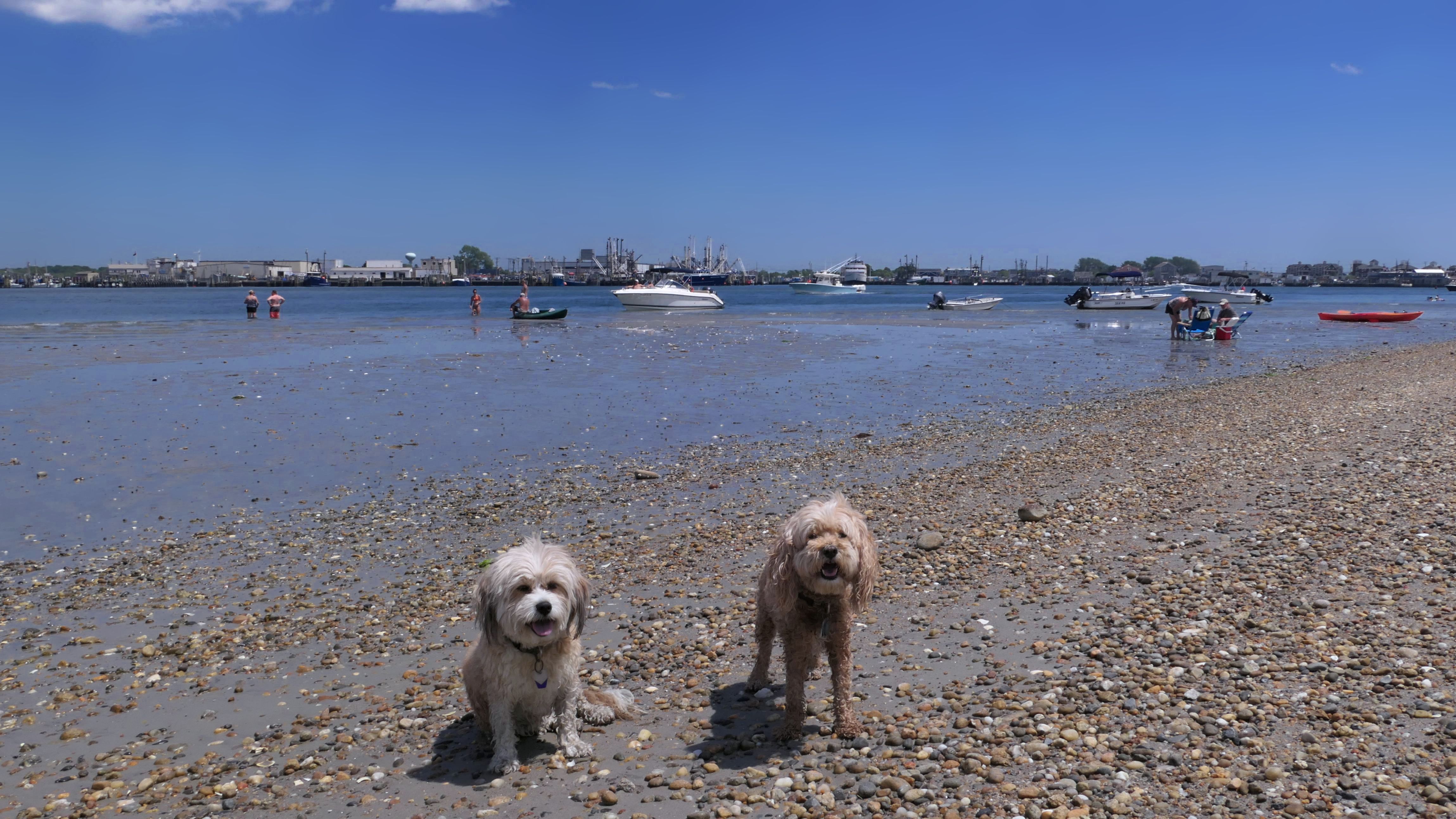
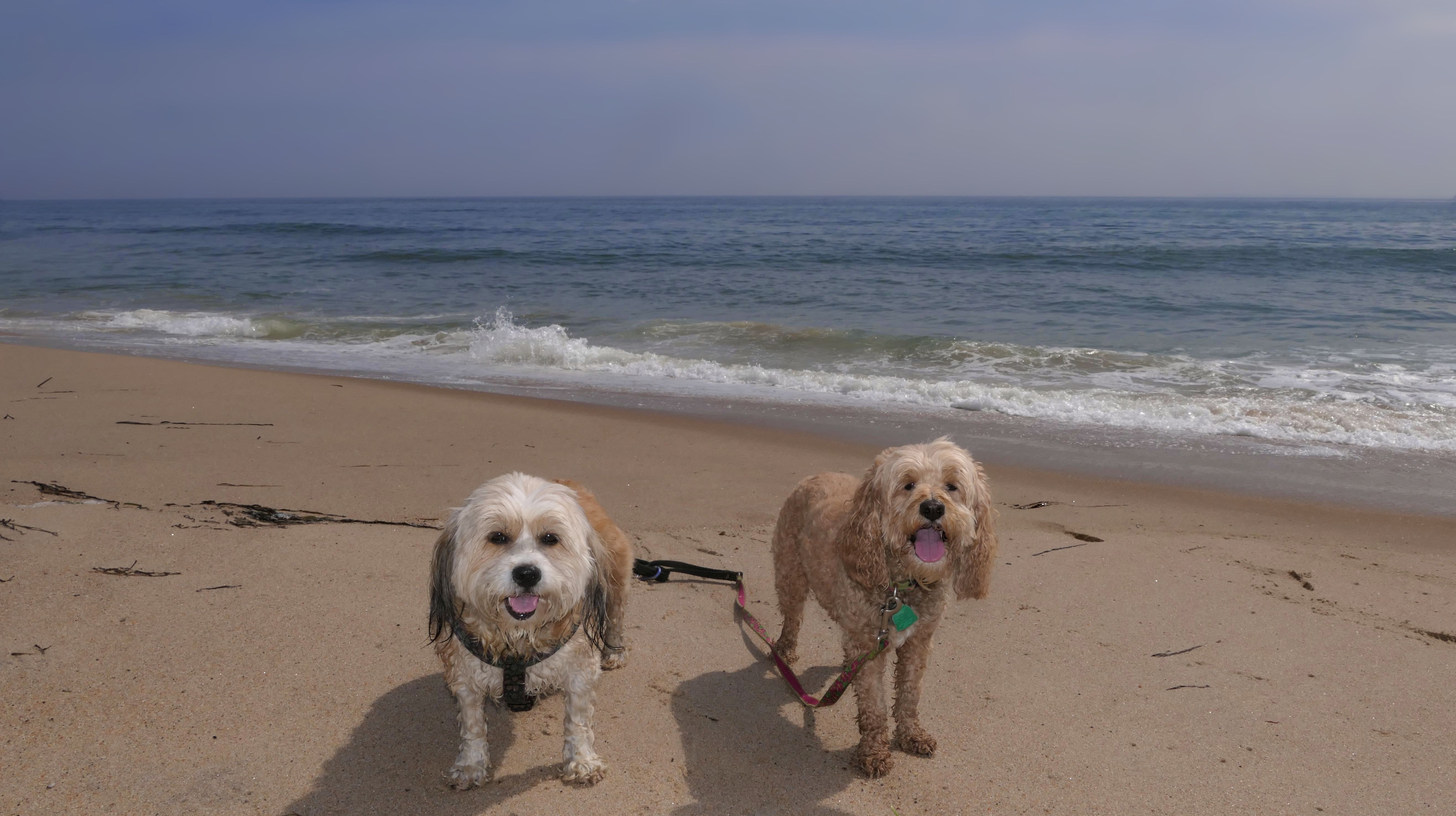
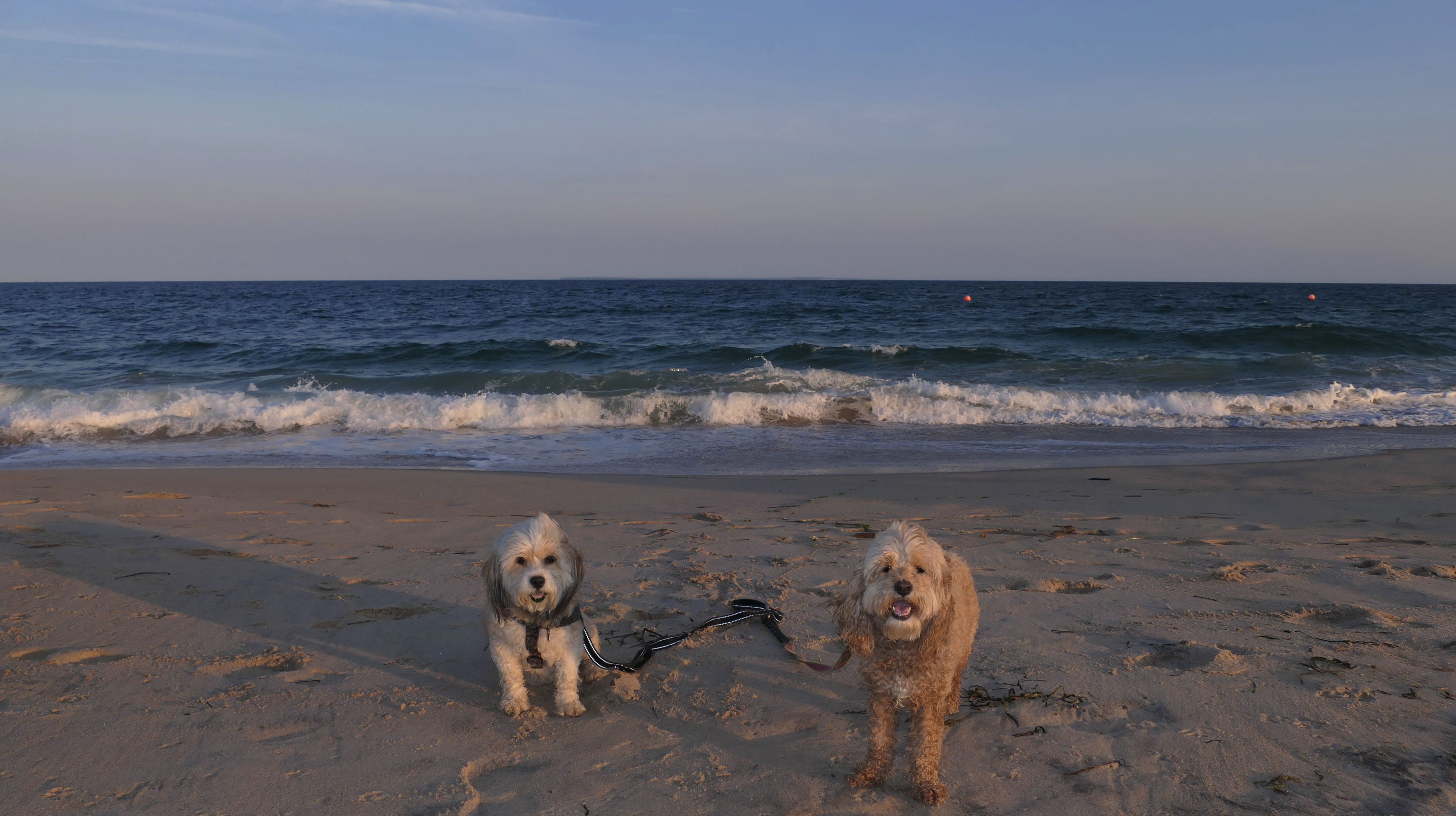
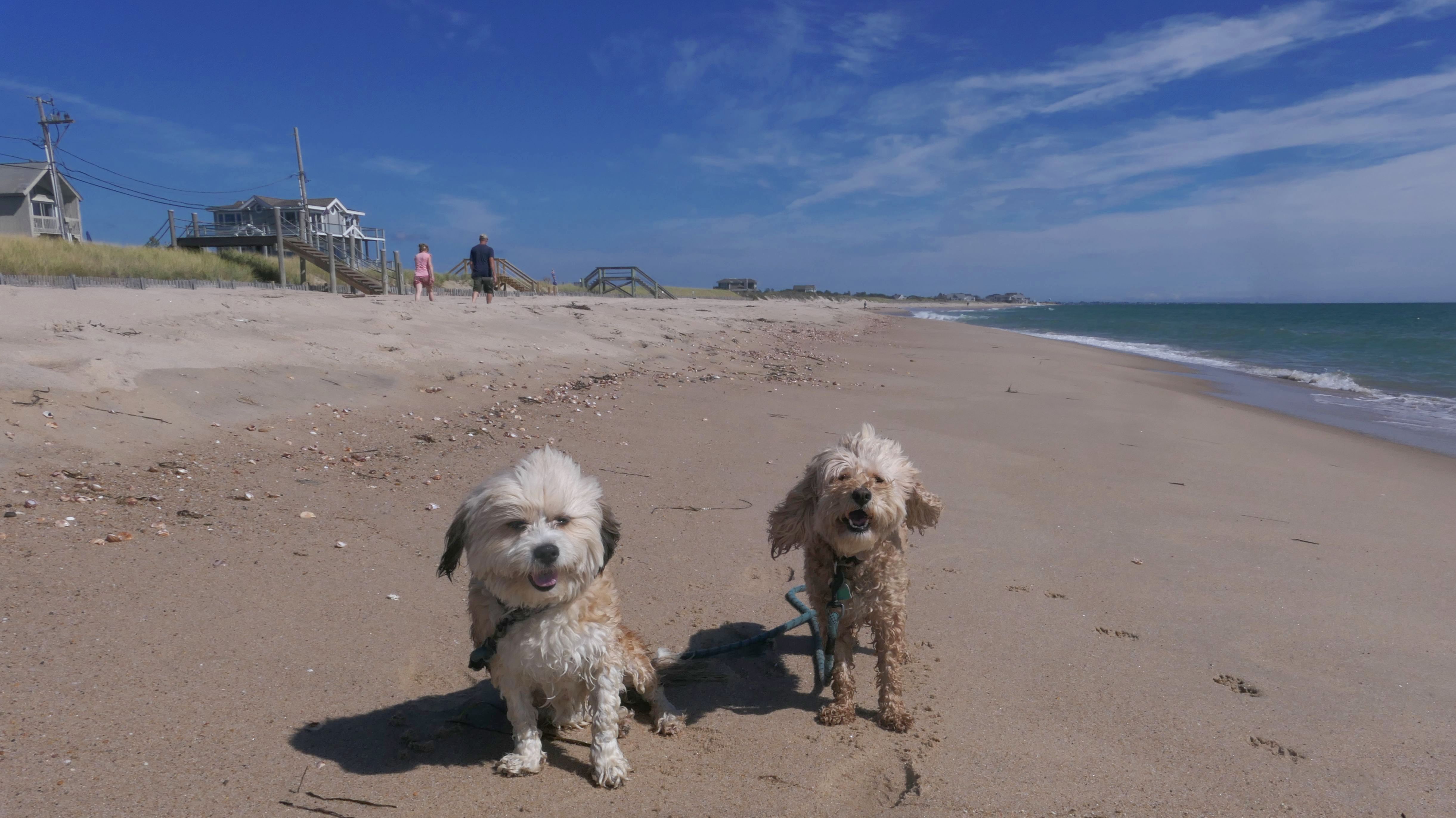
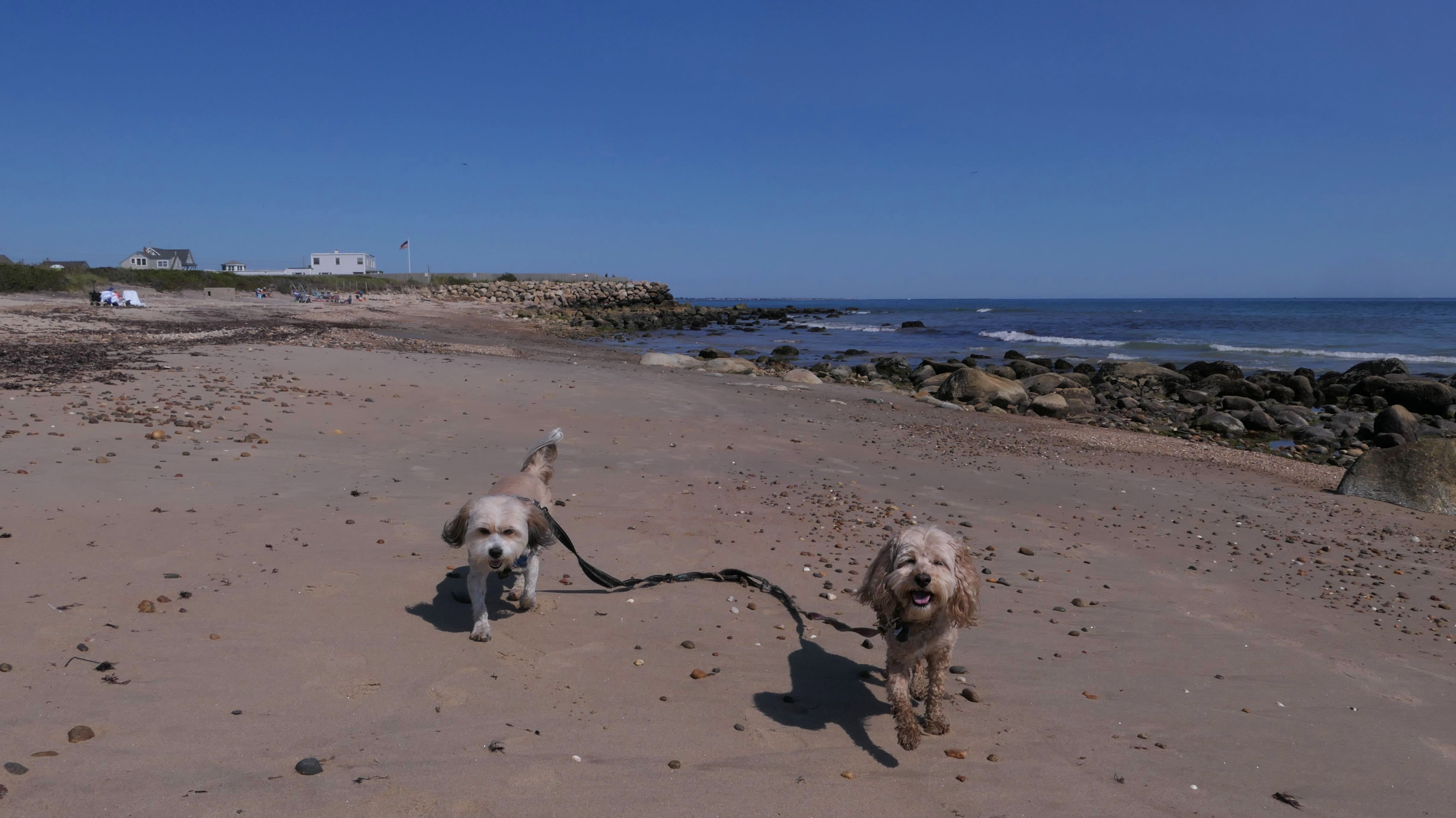
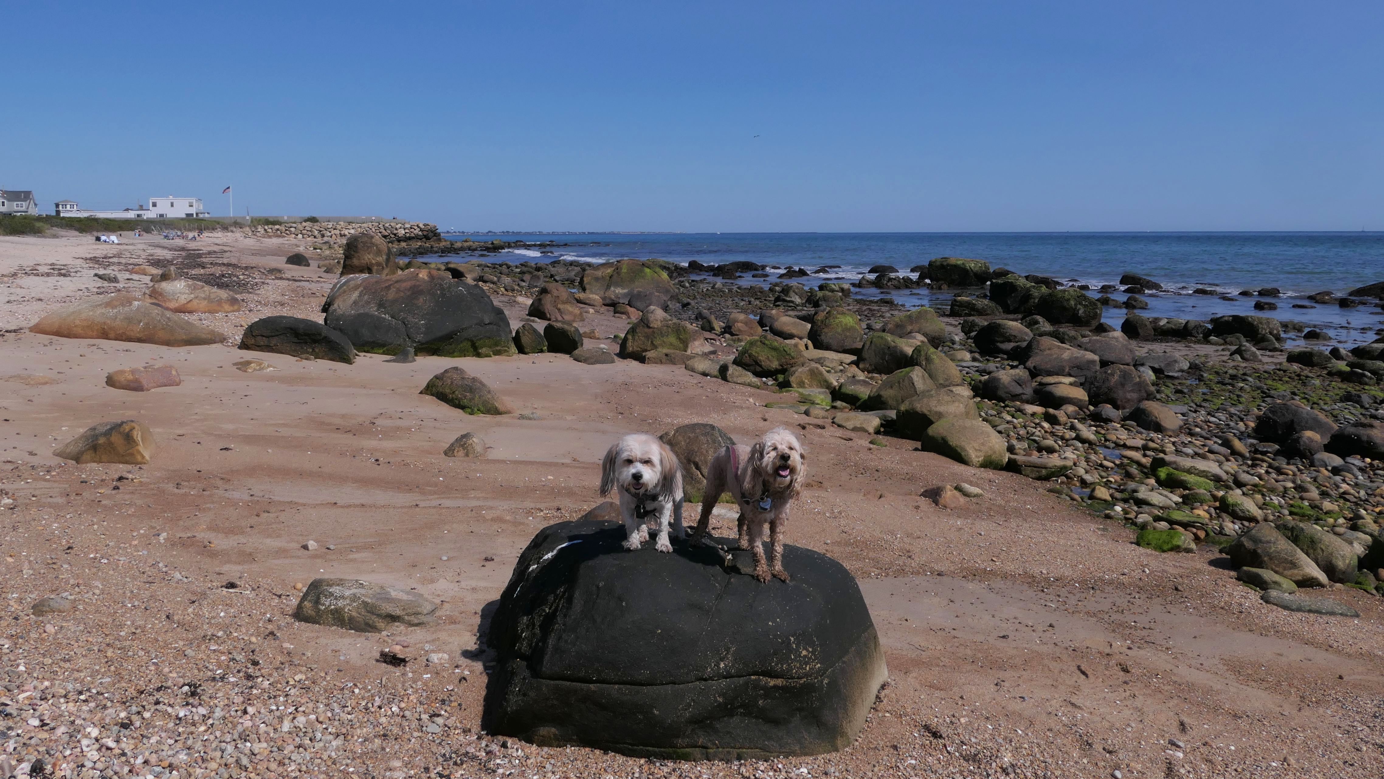
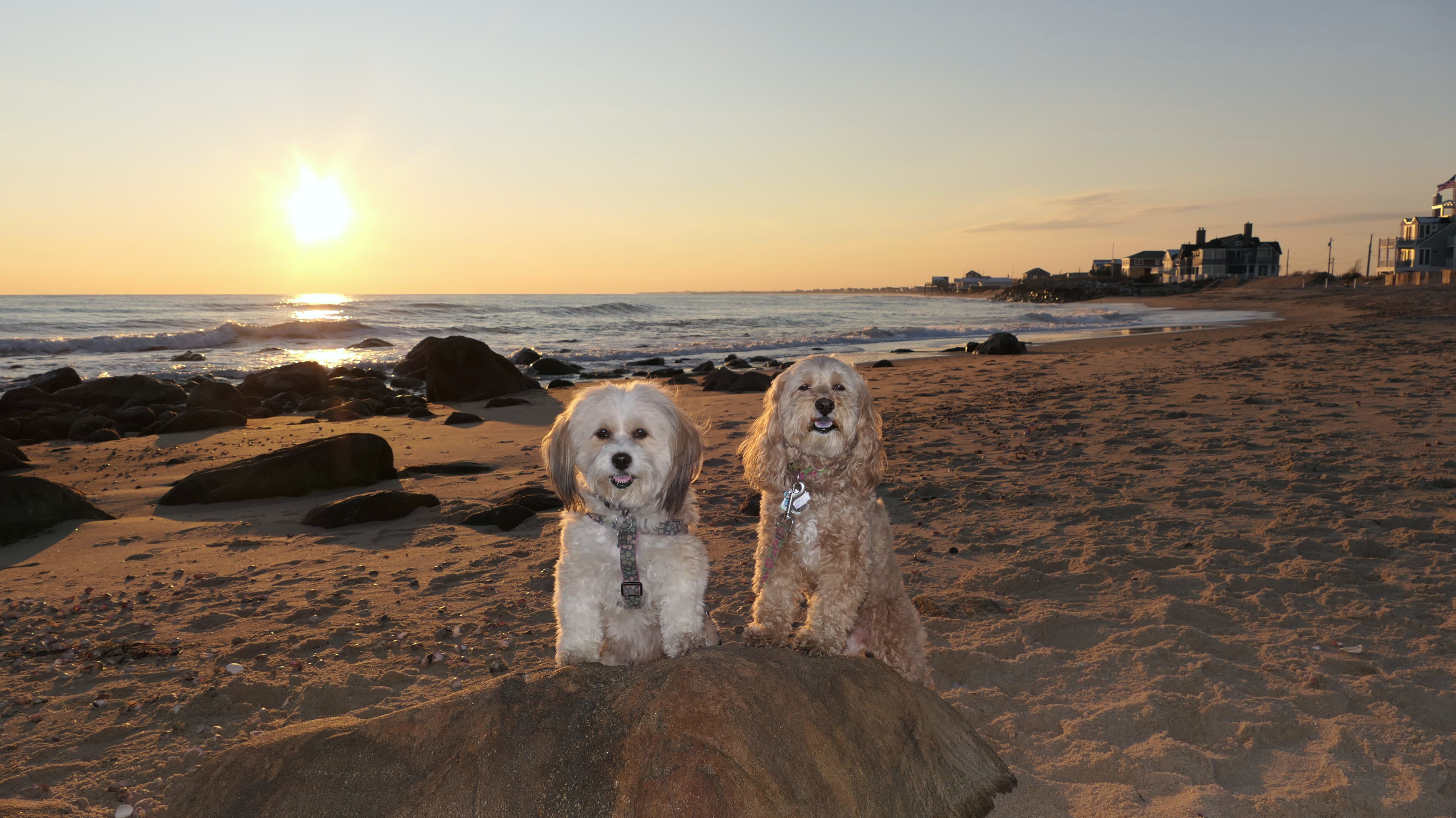
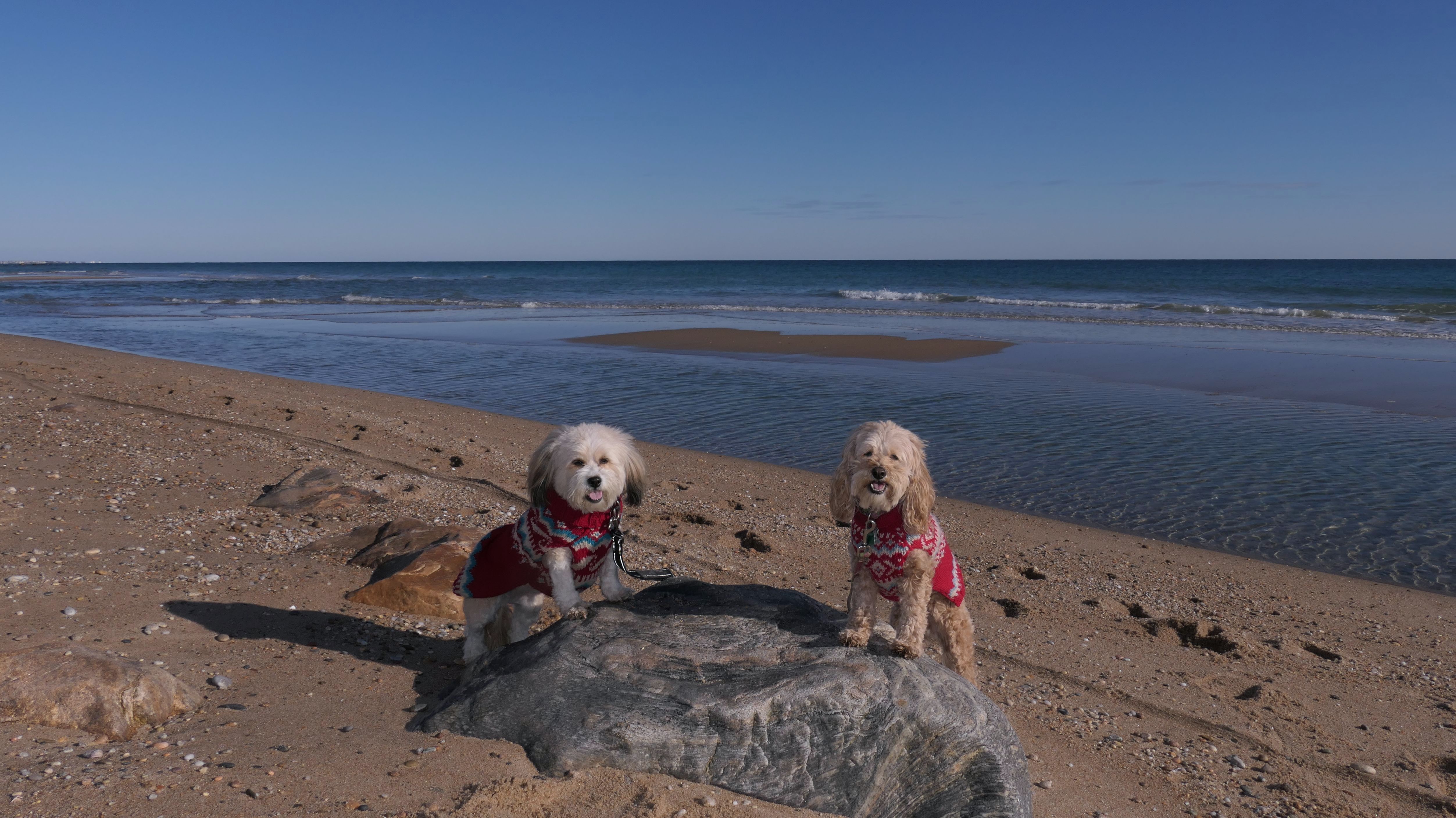
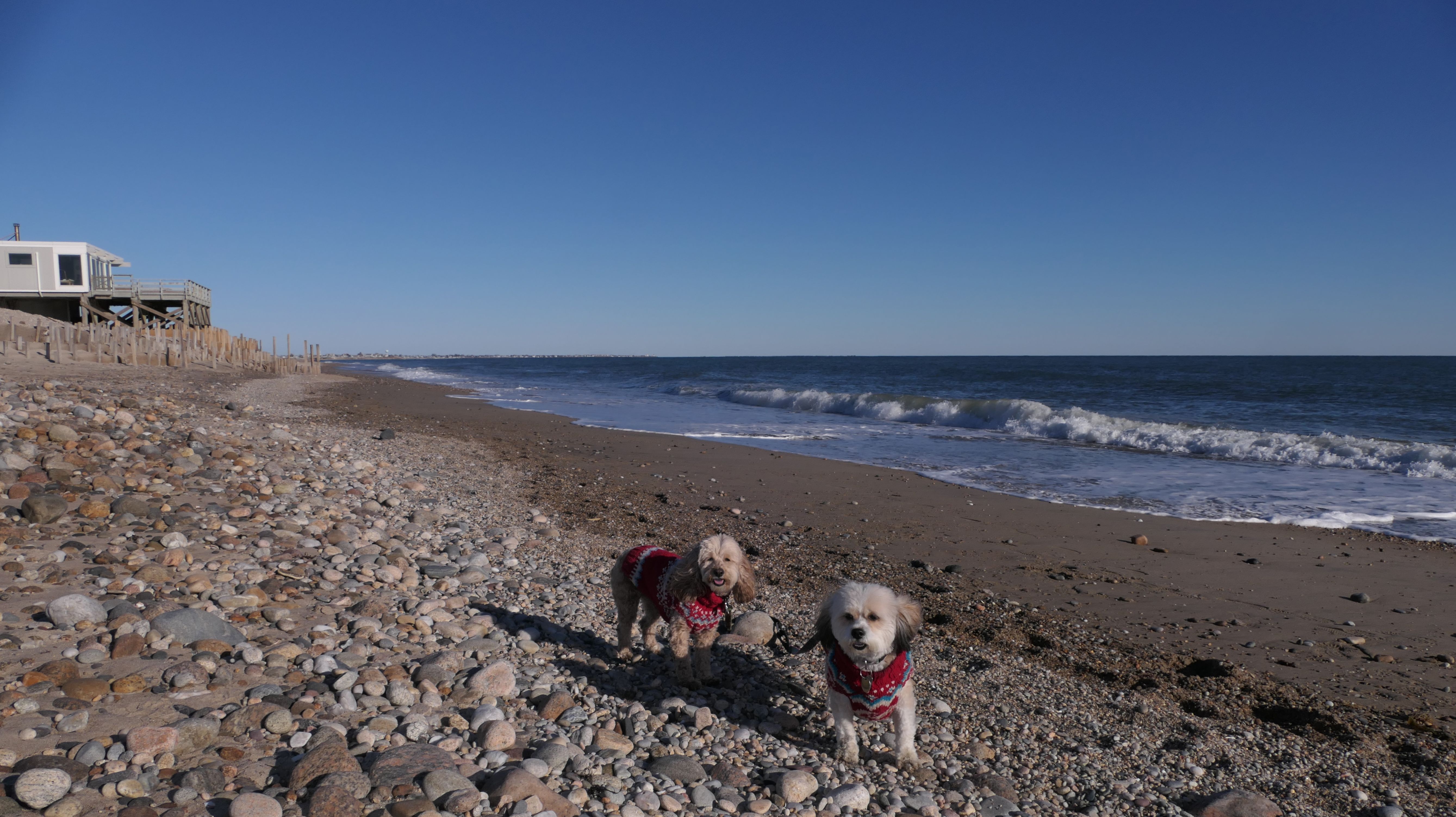
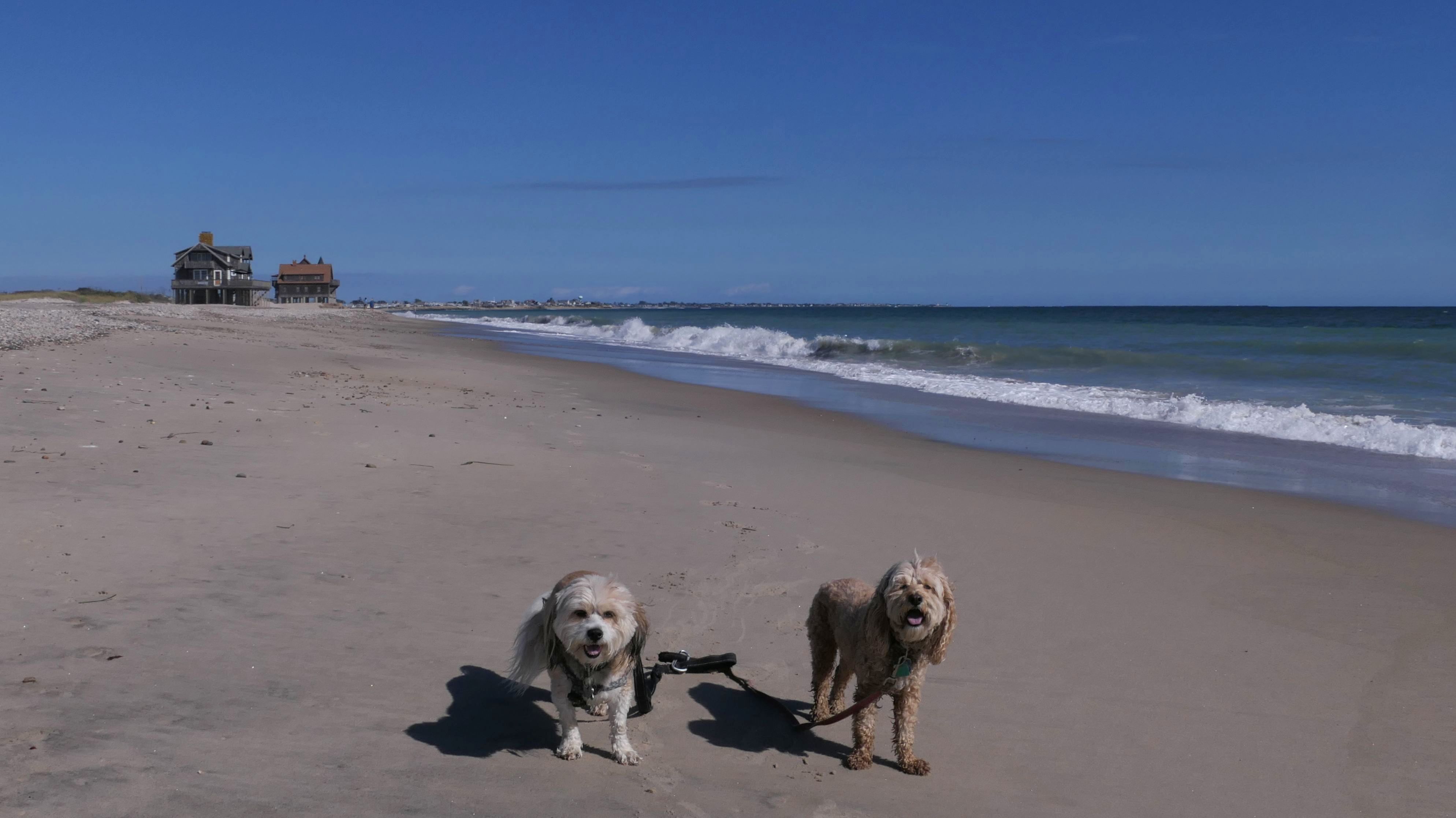
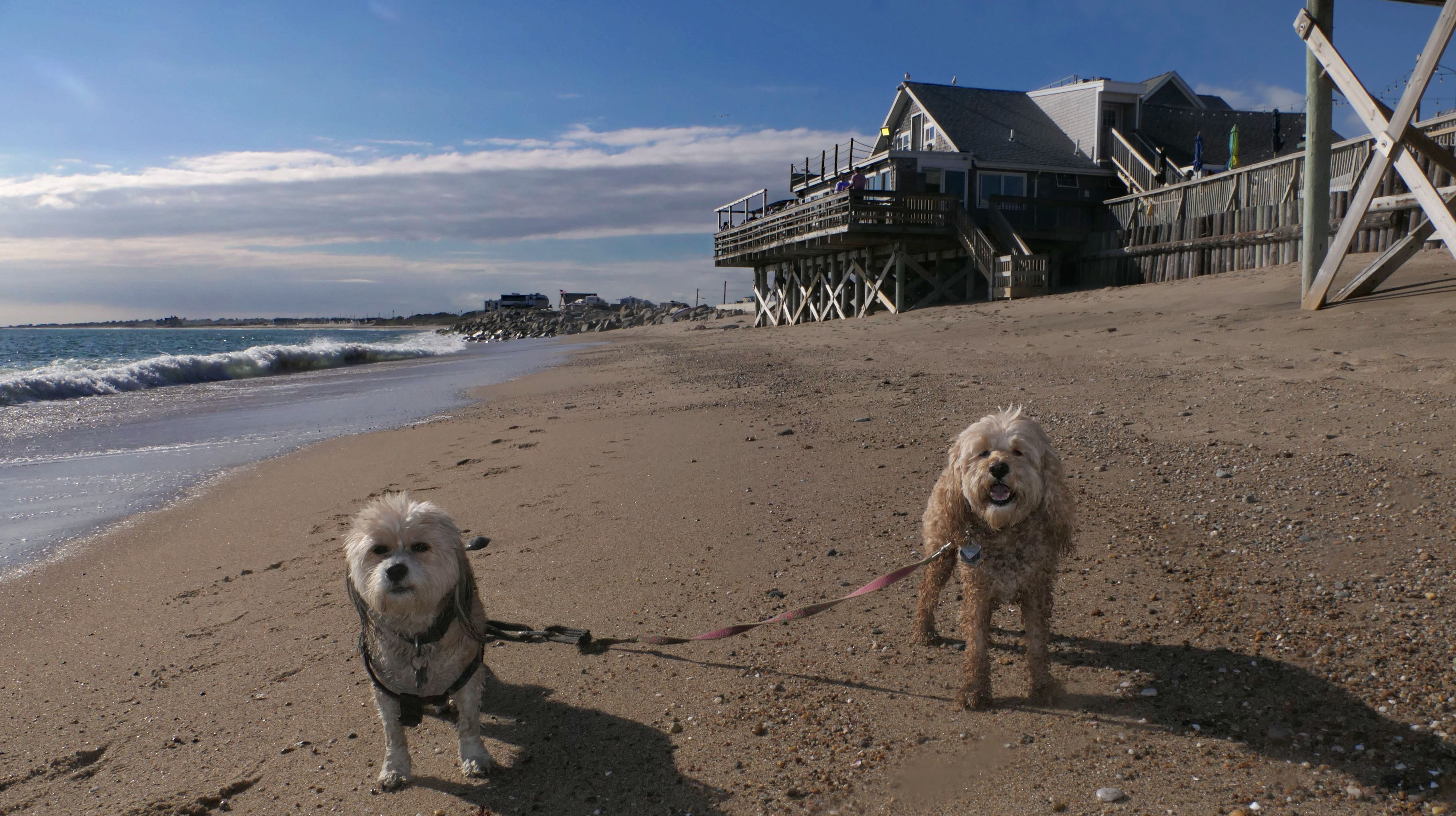
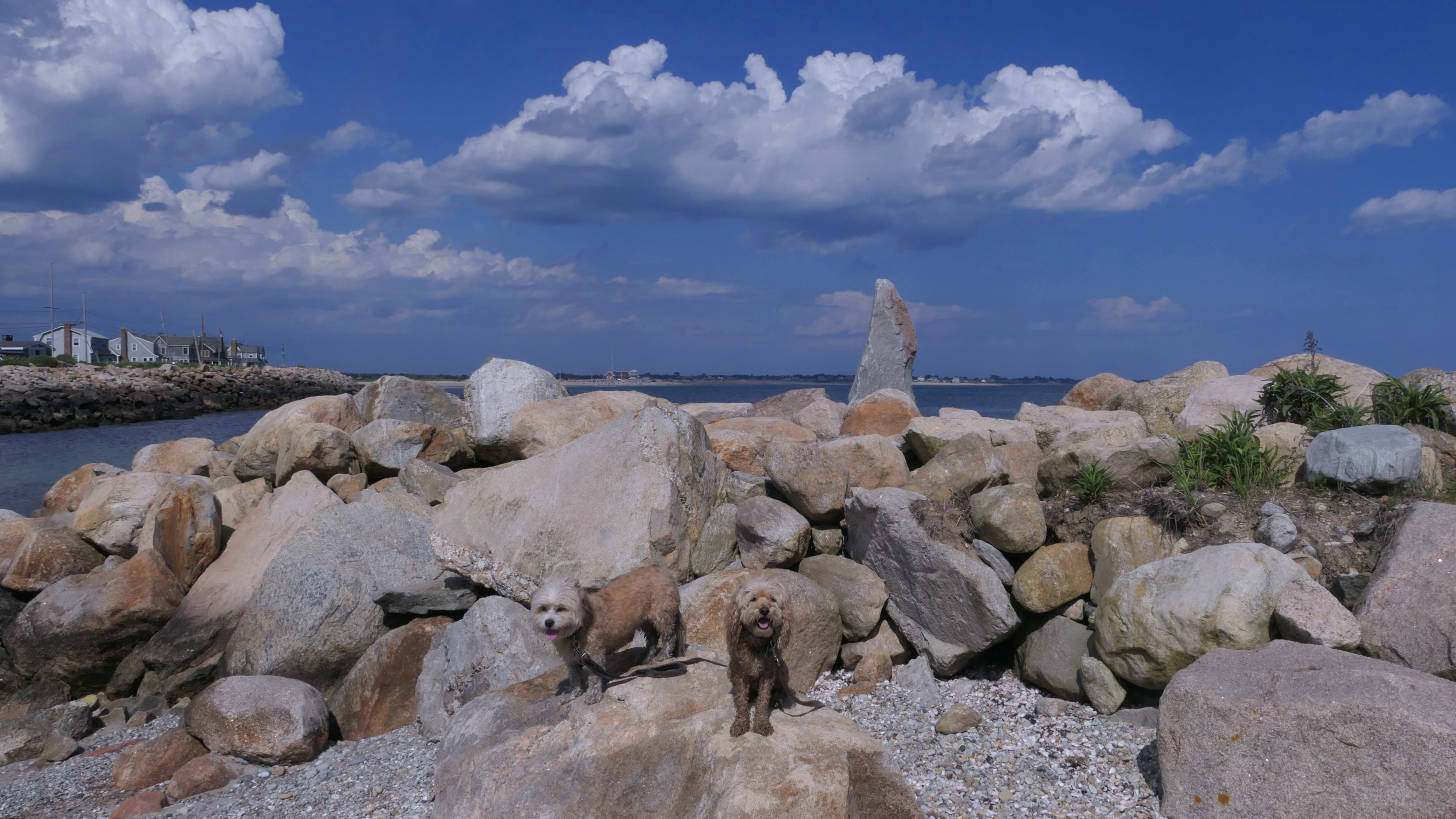
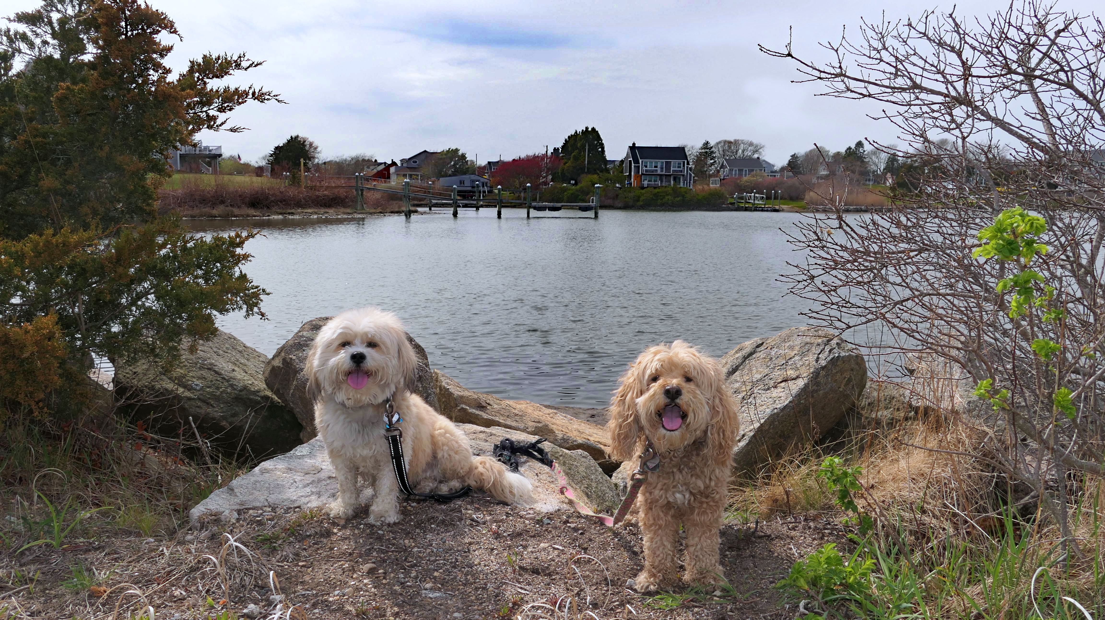
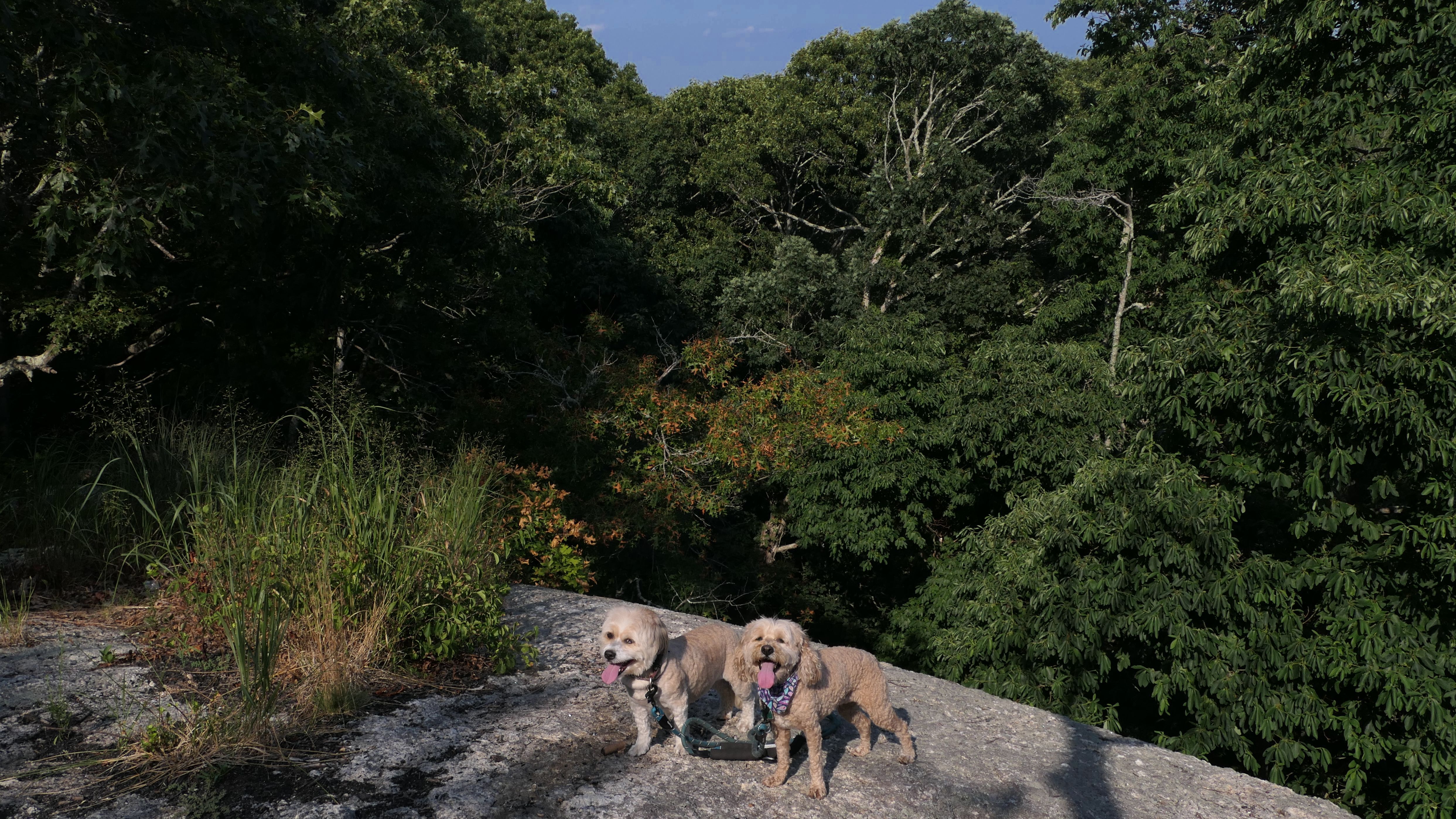
South Kingstown Town Beach
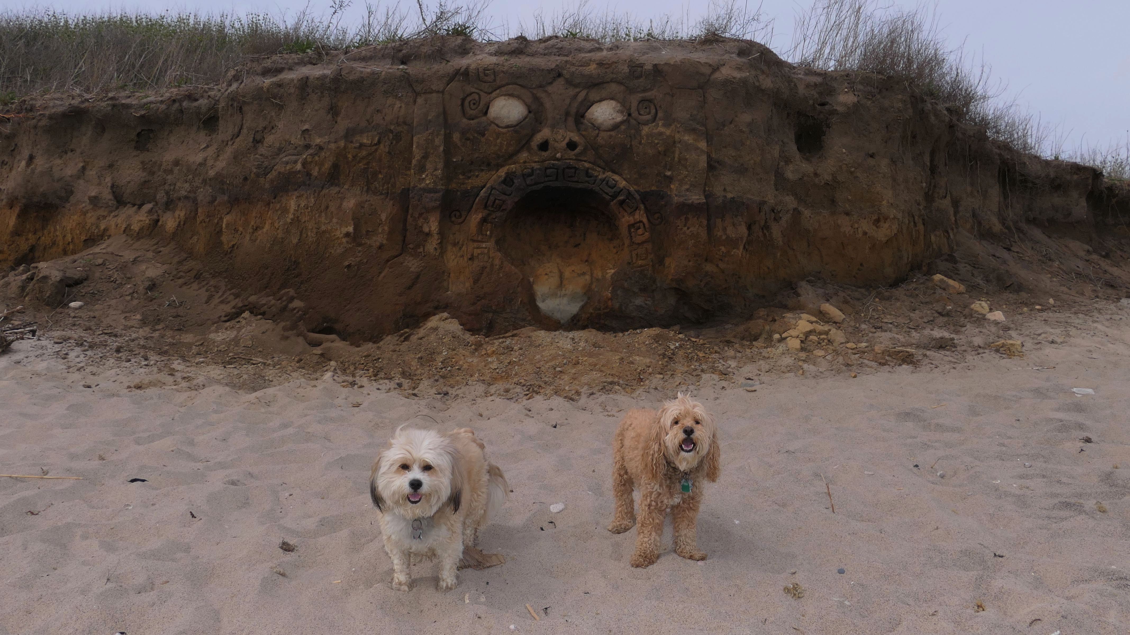
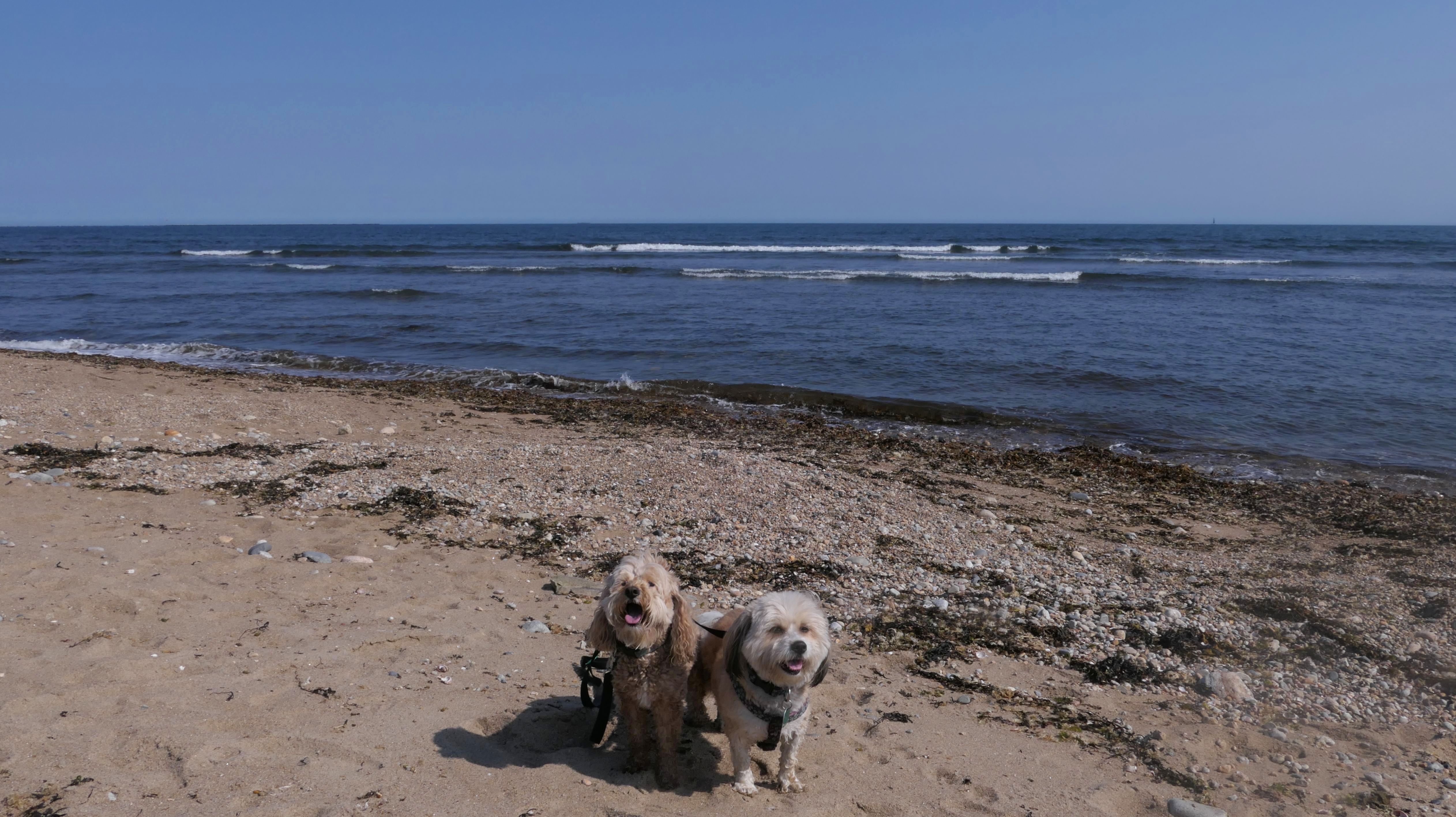
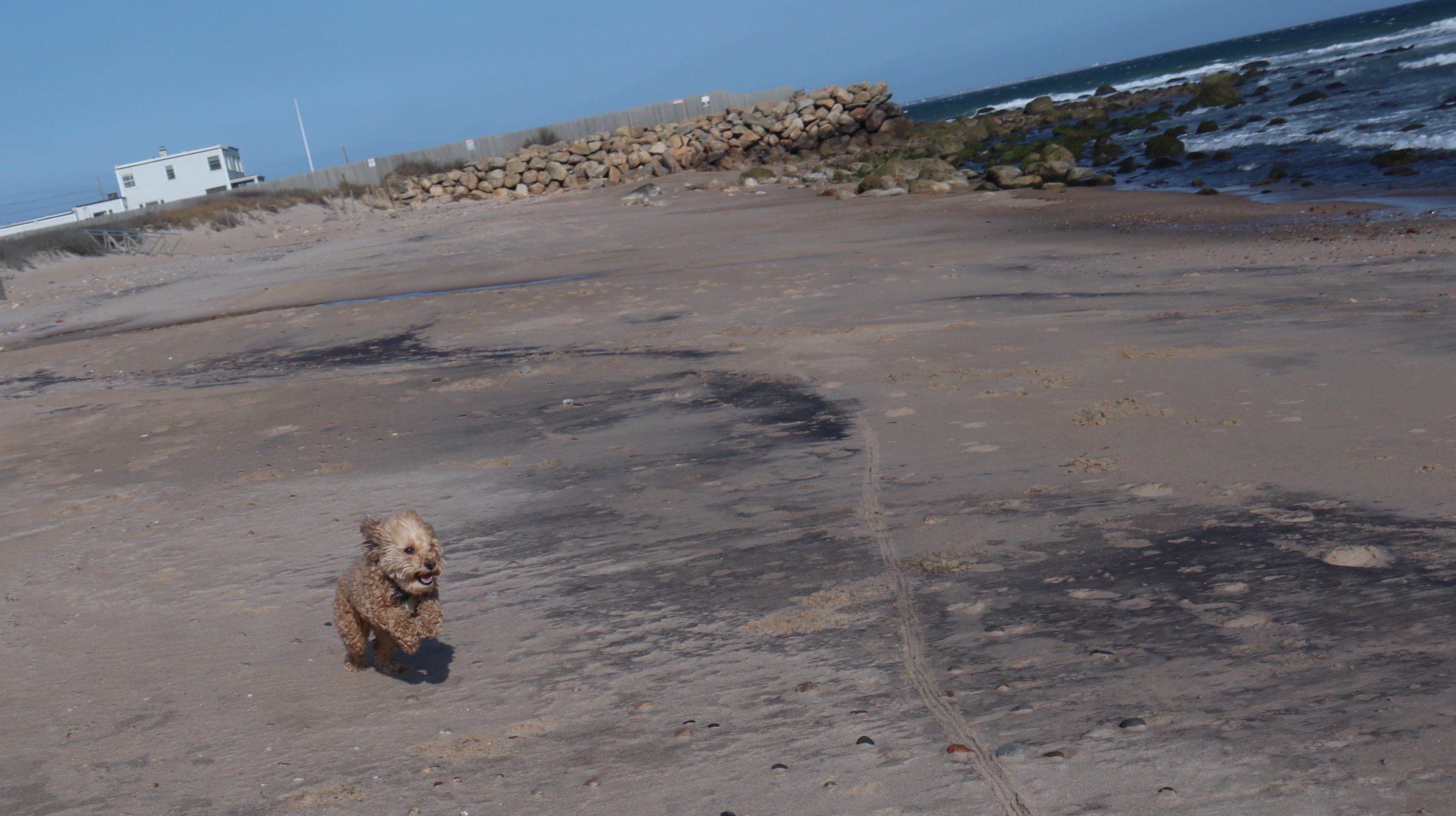
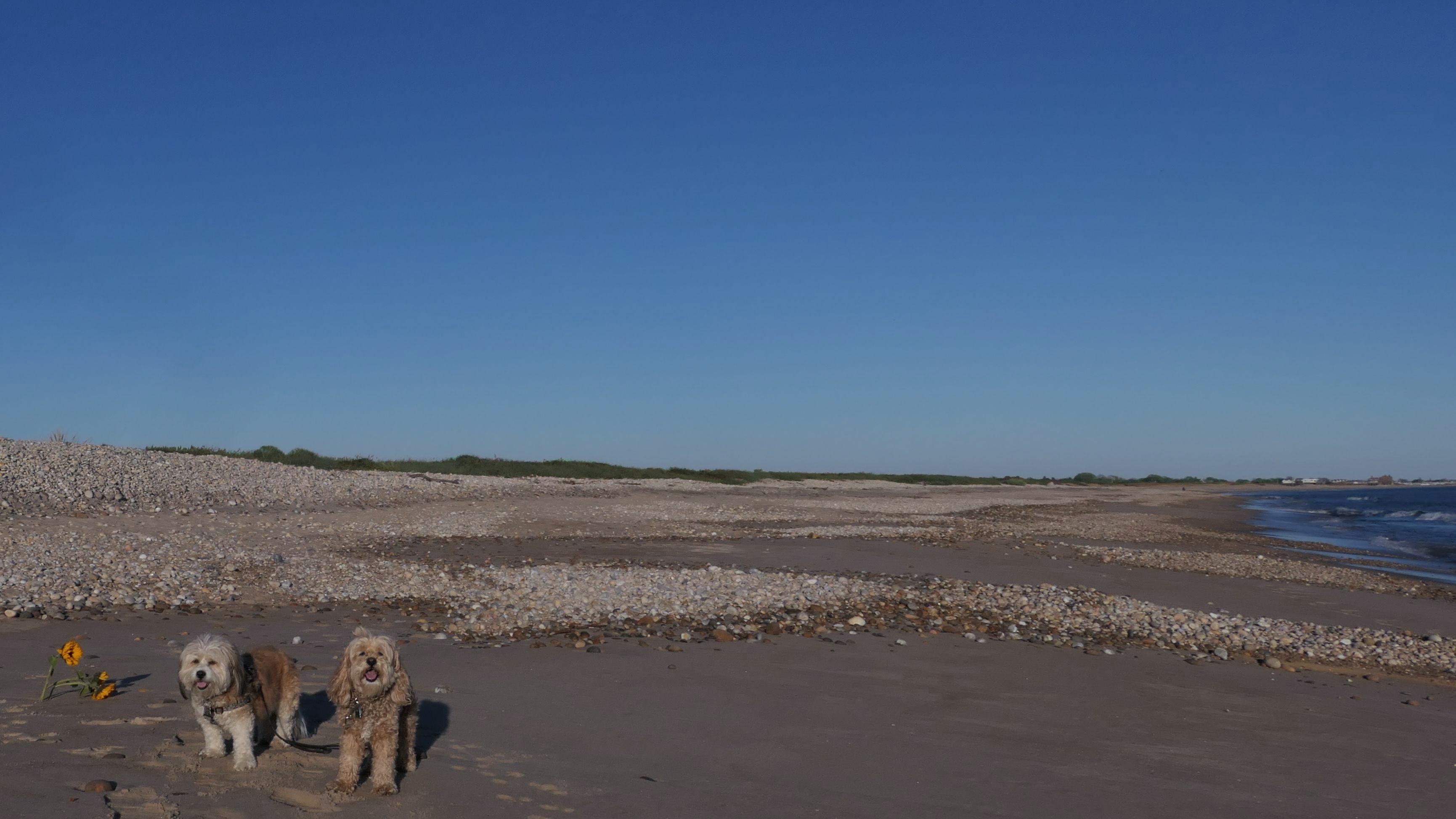
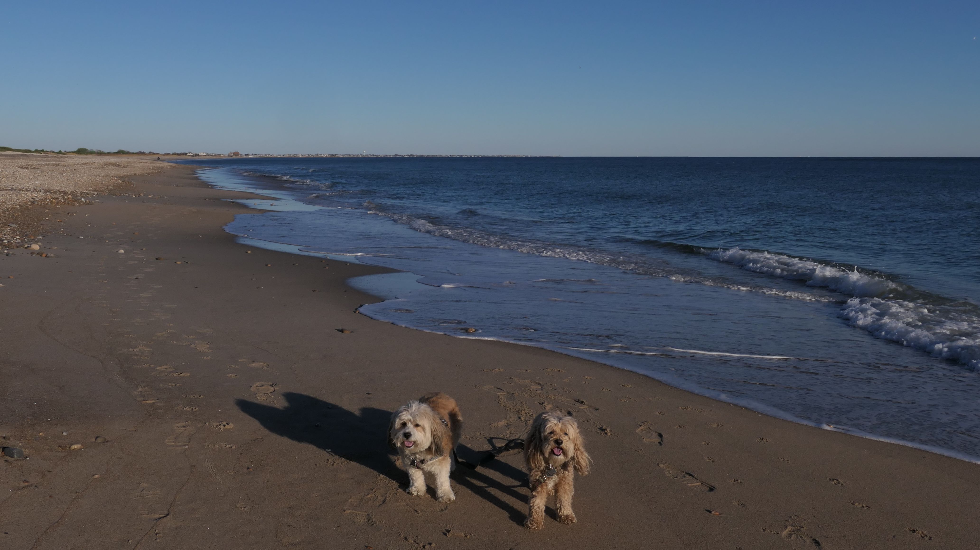
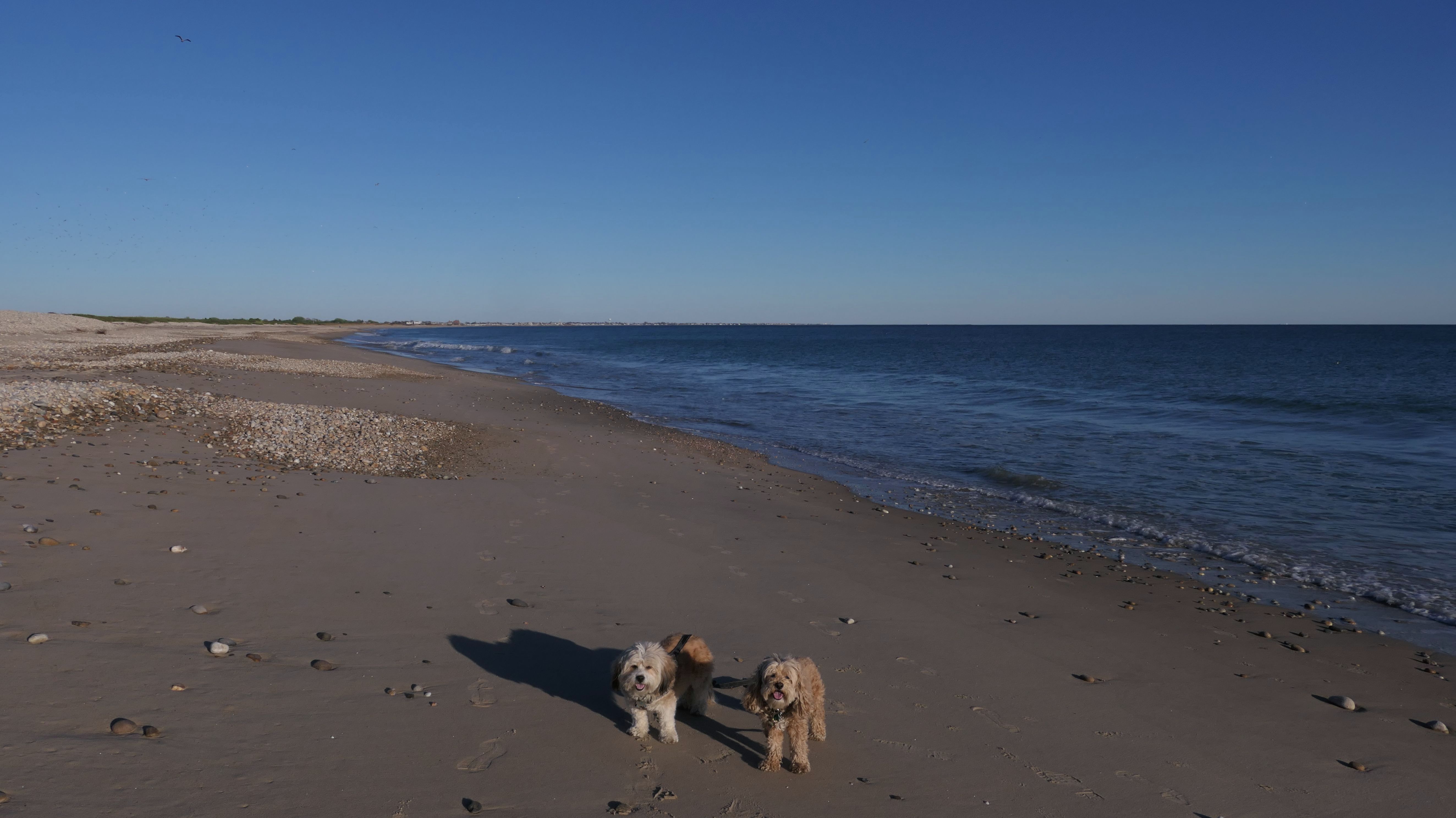
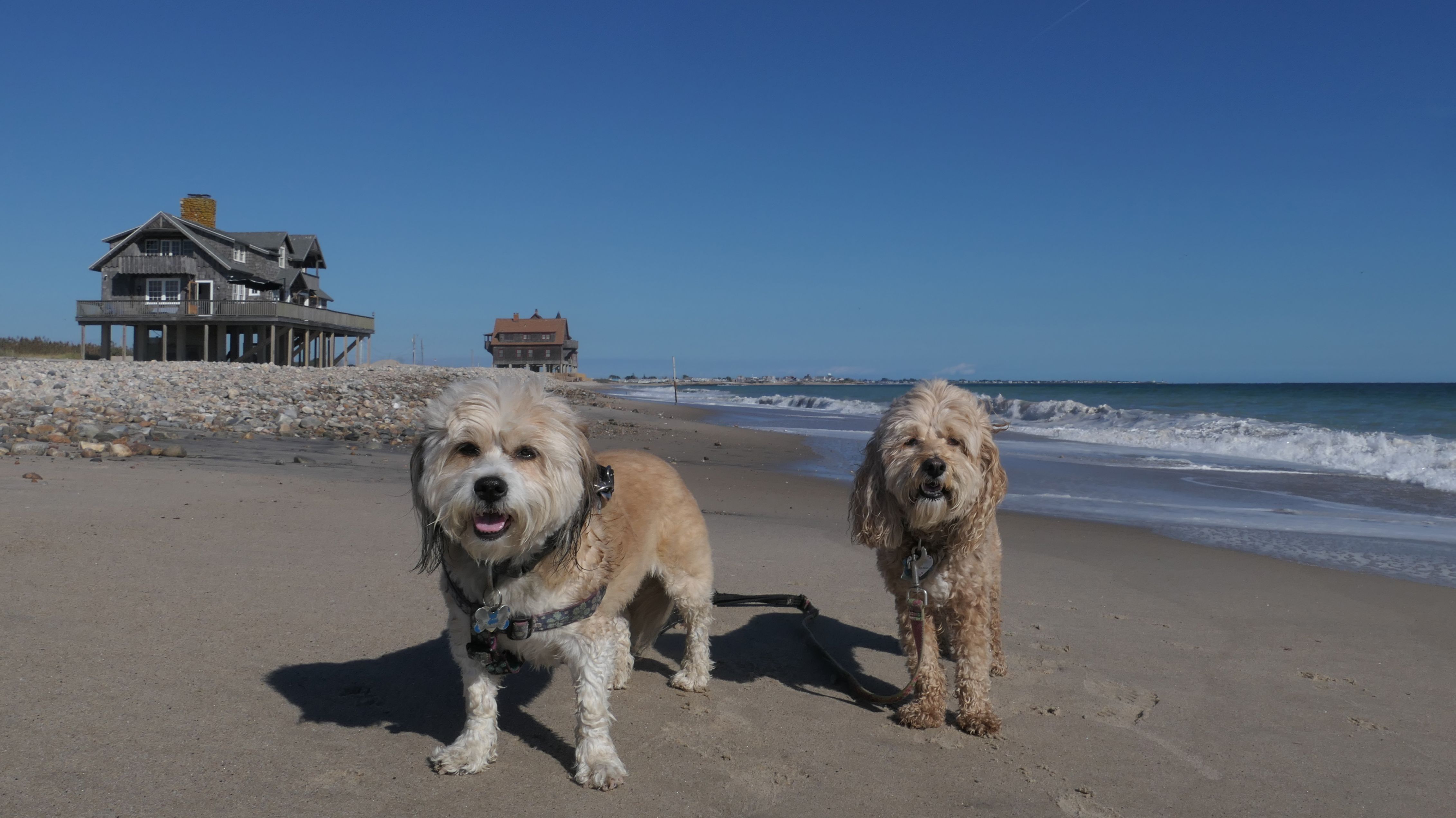
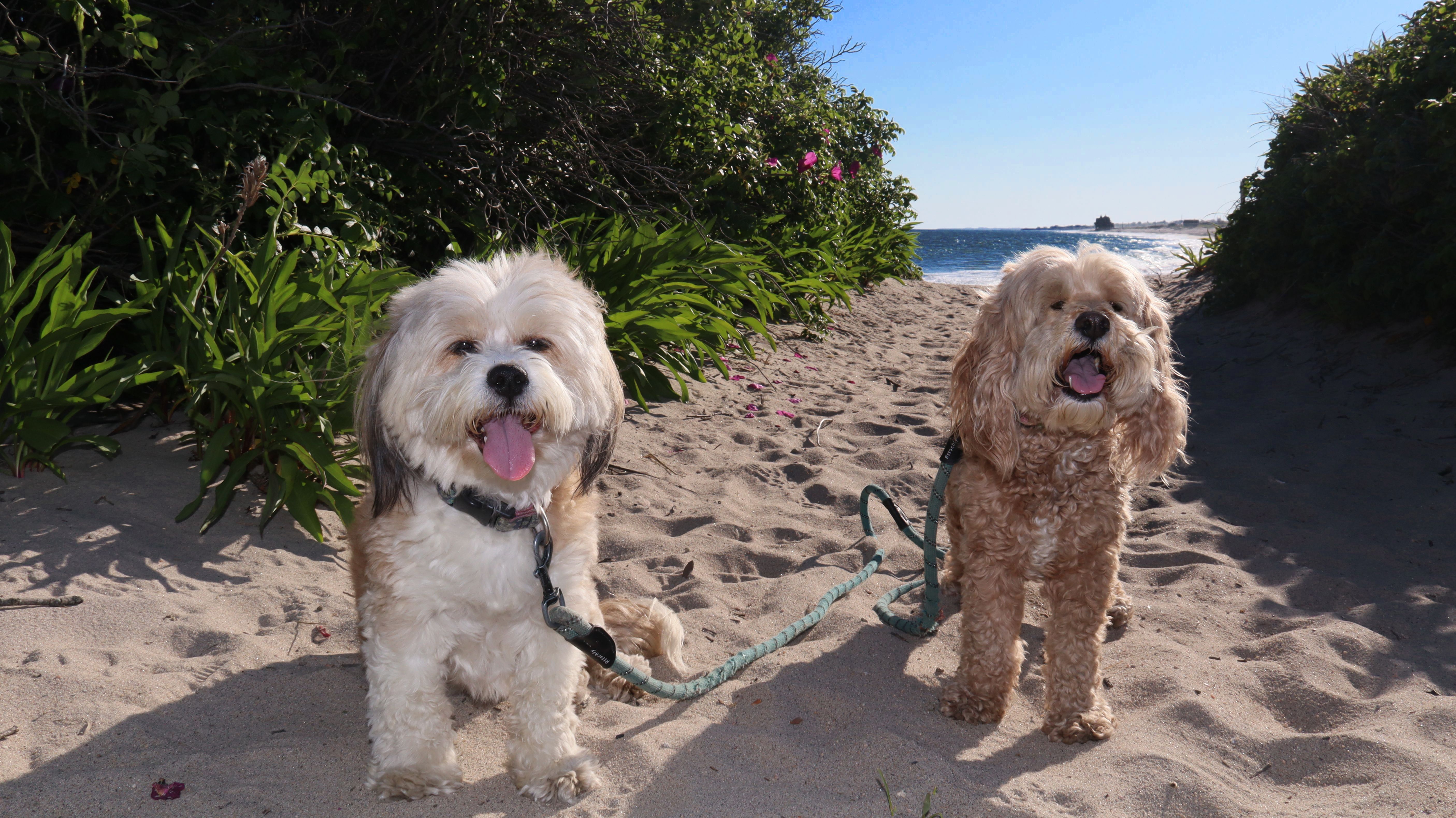
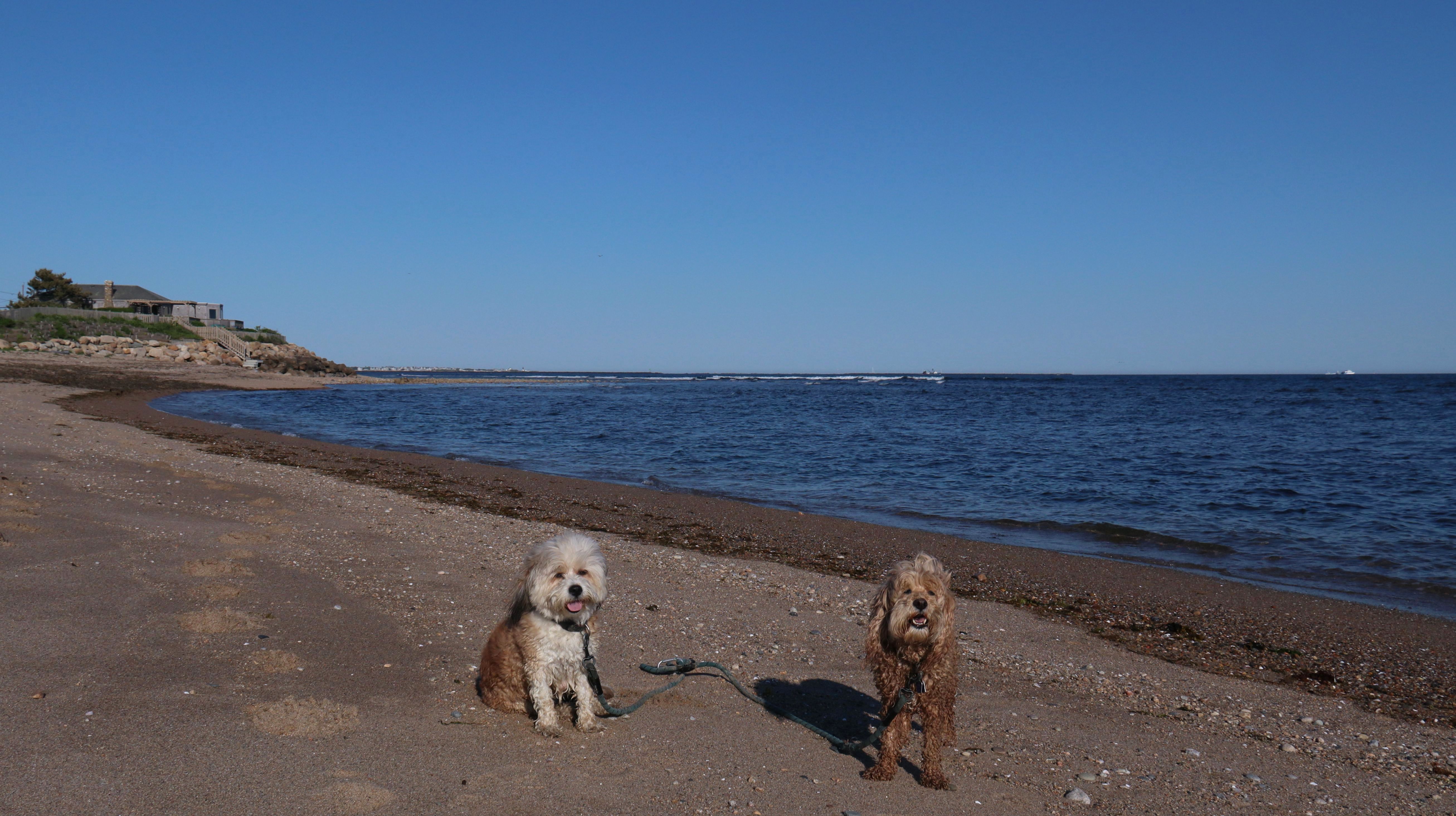
Date visited: 4/25/2025
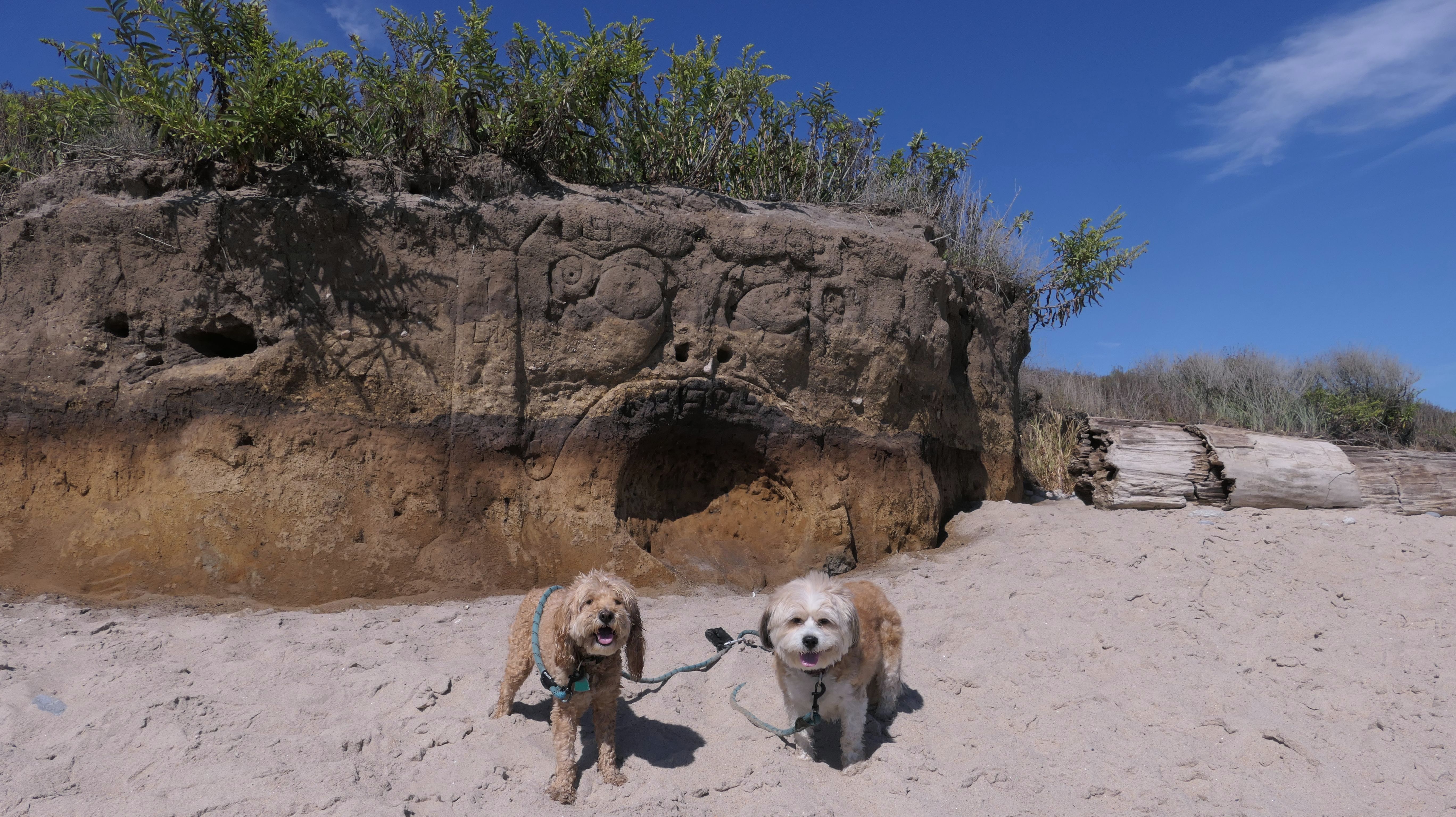
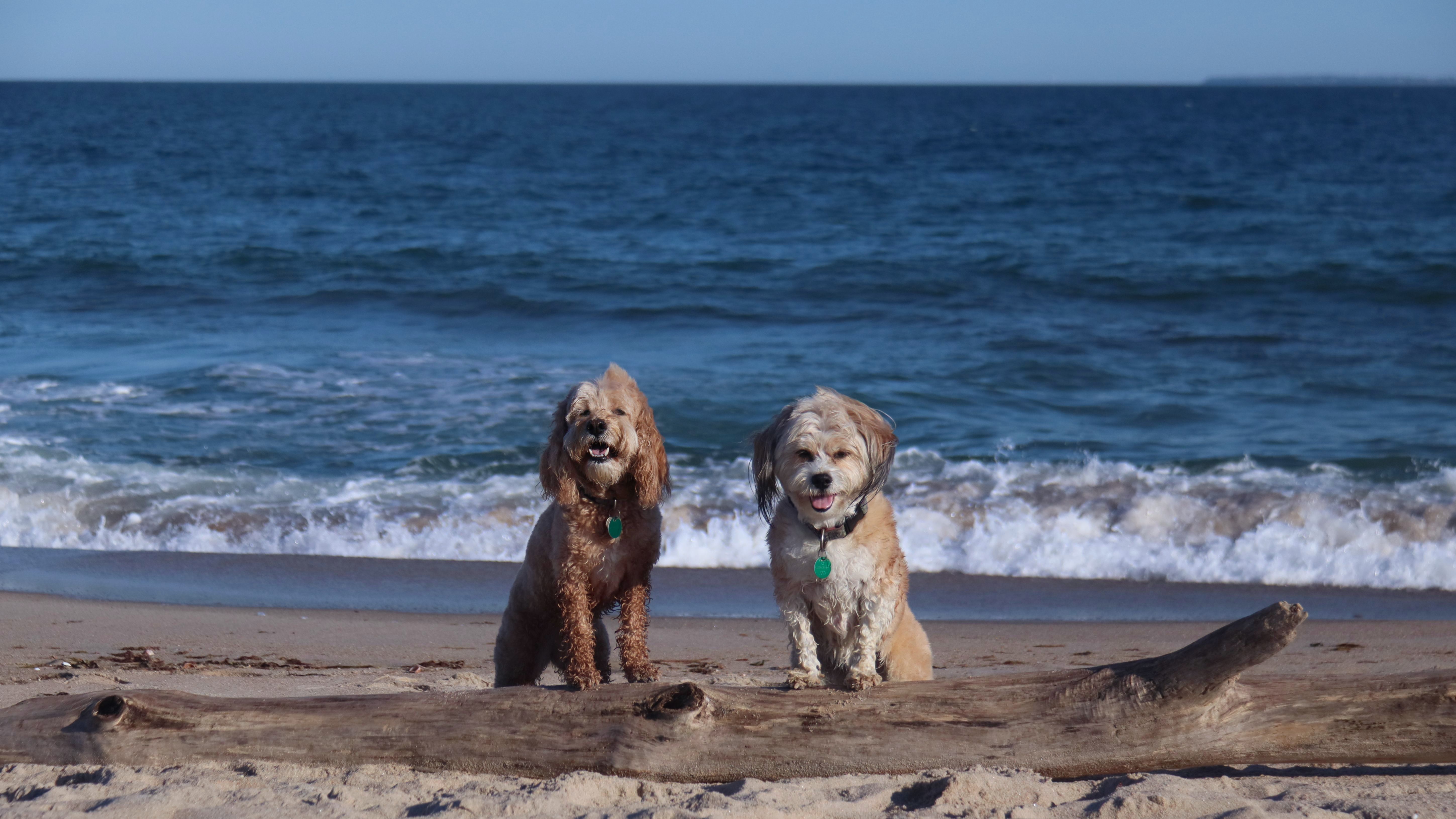
We came down here because the Weather Channel App on my phone indicated that it would be 64 degrees, and Mostly Sunny, with 24% cloud cover at 2PM. Well, the app wasn't close, but it was still a nice trip. We've been to this beach many times, so there's not much new to take photos of. That being said, I don't recall ever noticing the dune with the face carved into it before today. We walked from the main entrance to the houses on stilts at the end of the beach and back, before heading to Matunuck Beach to continue our walk.
More Images
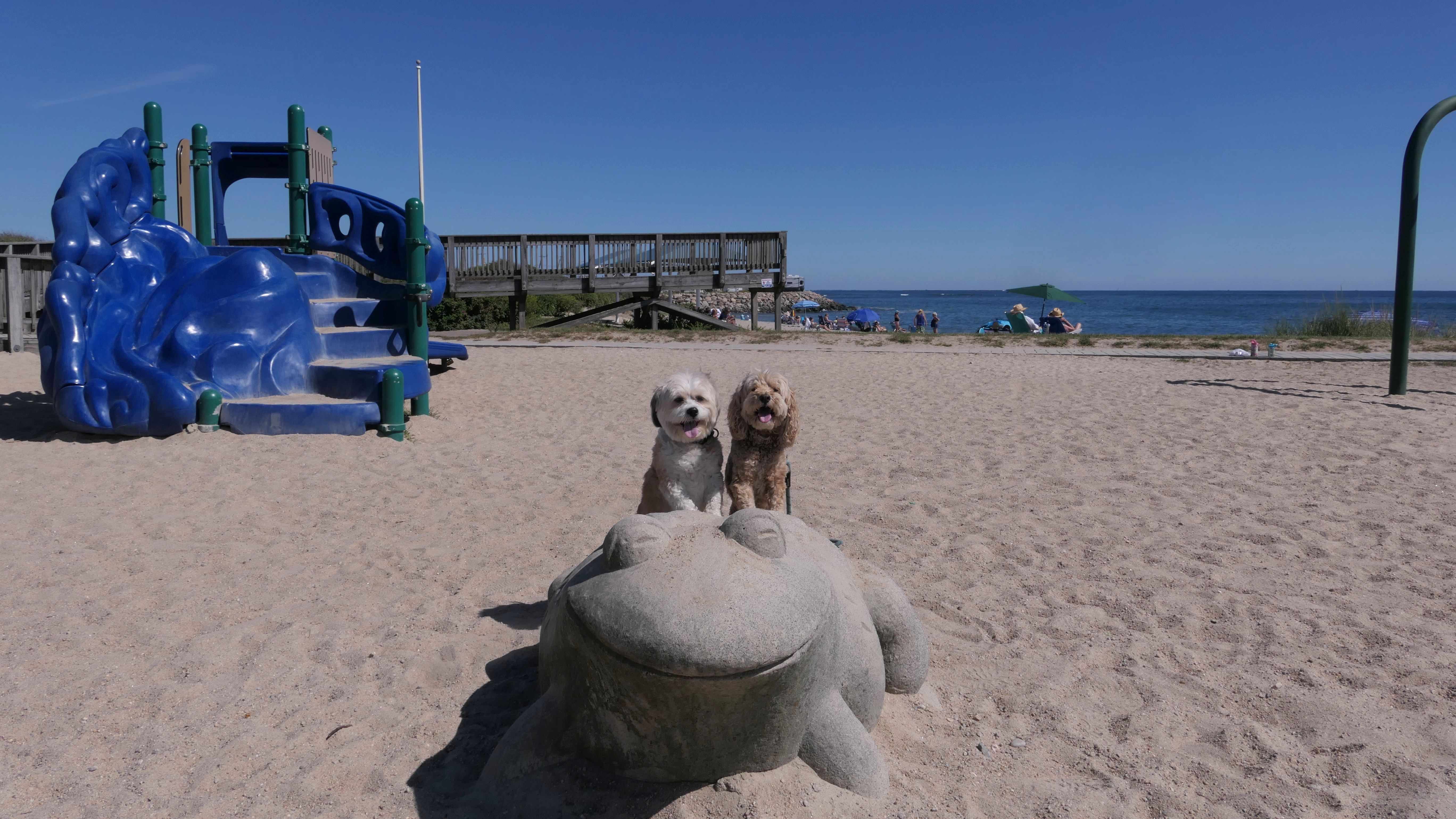
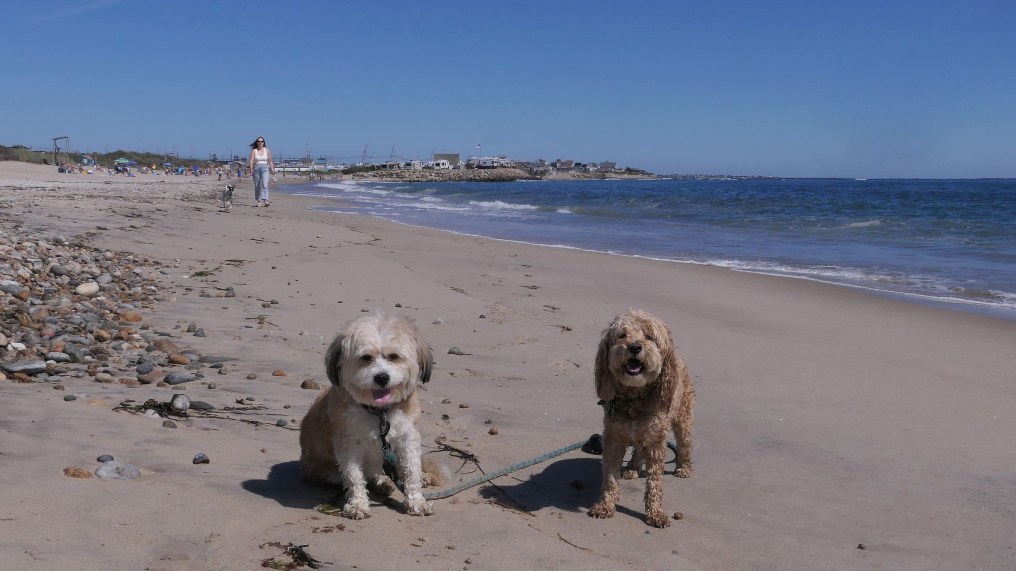
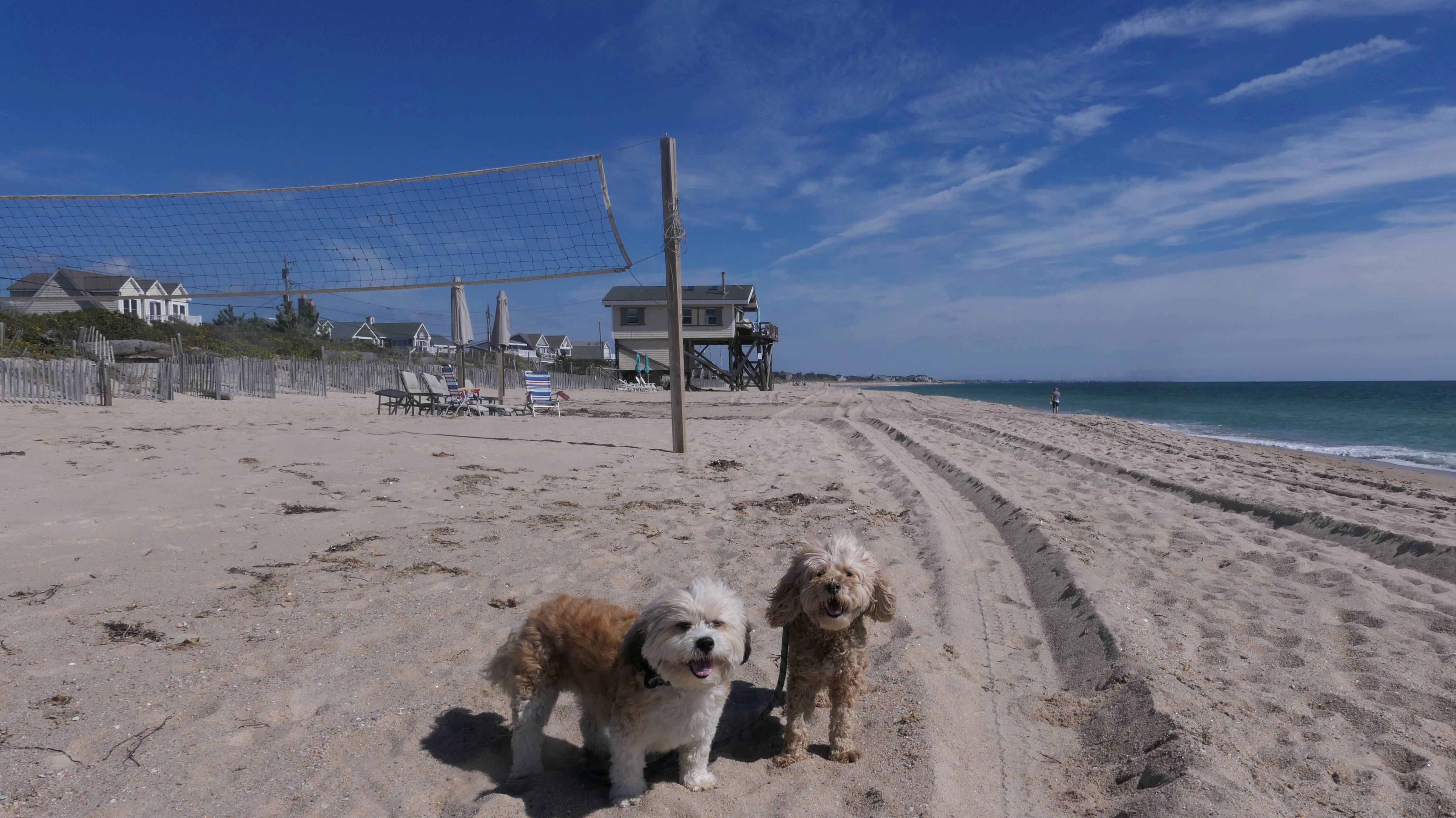
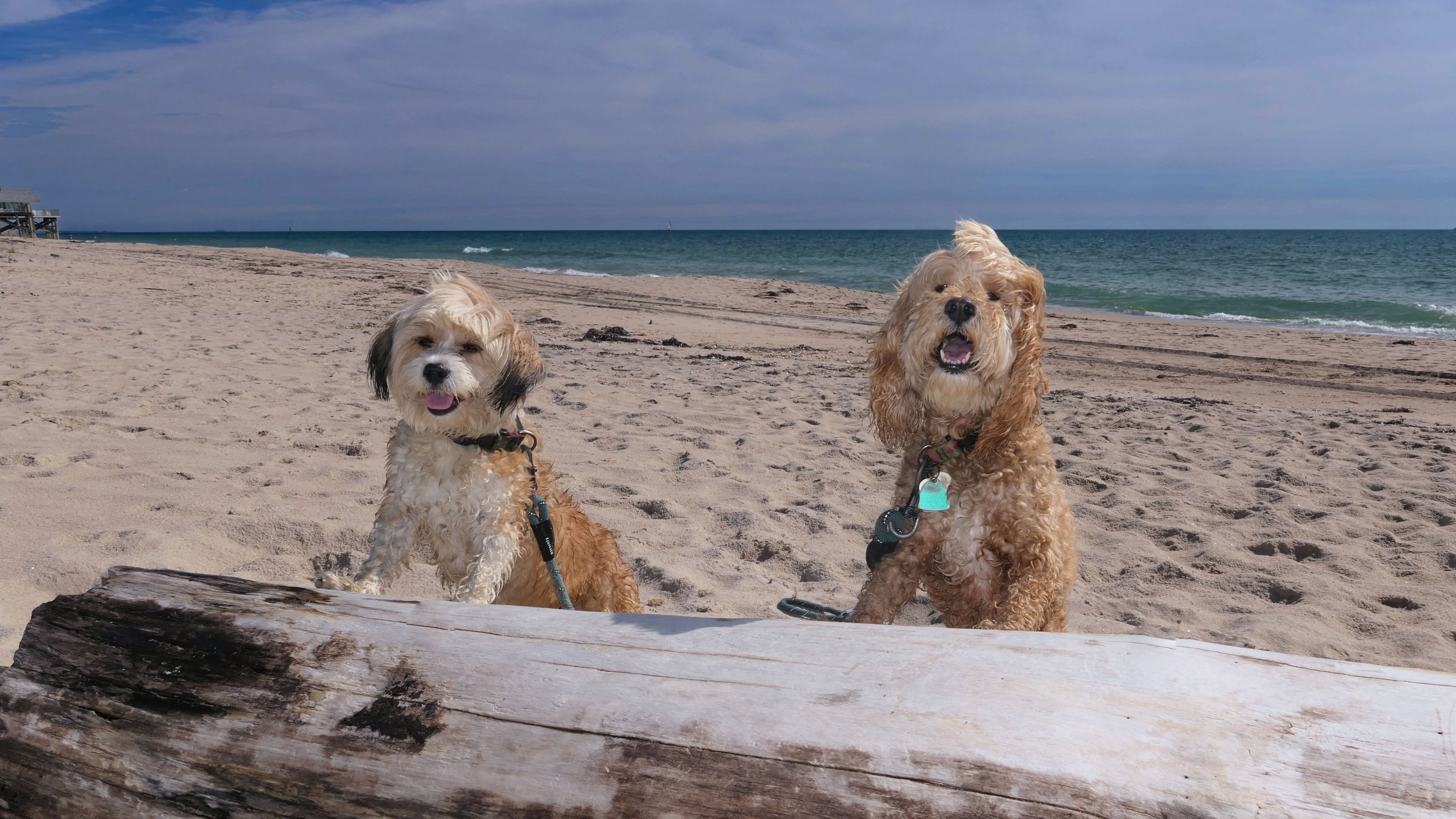
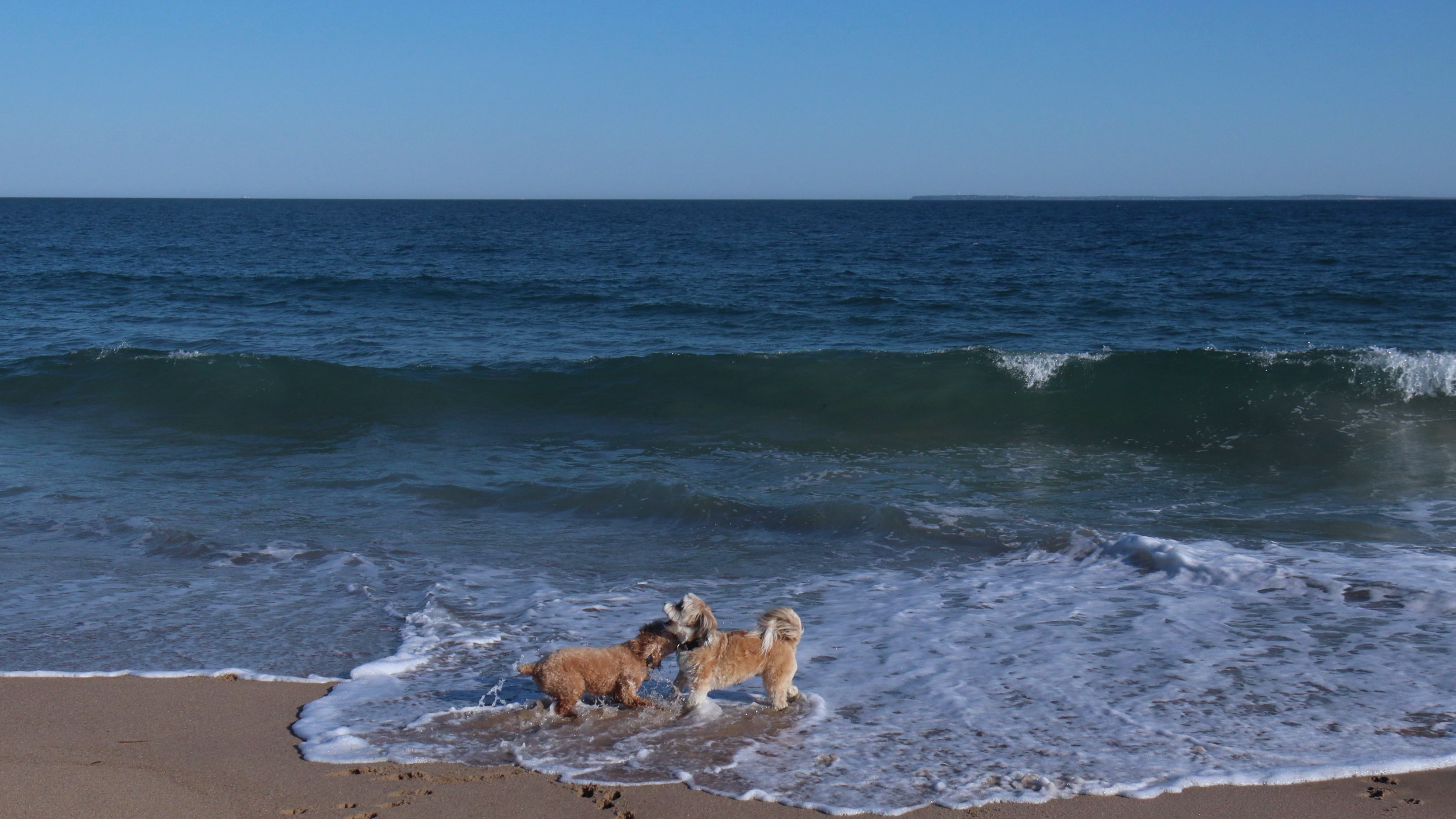
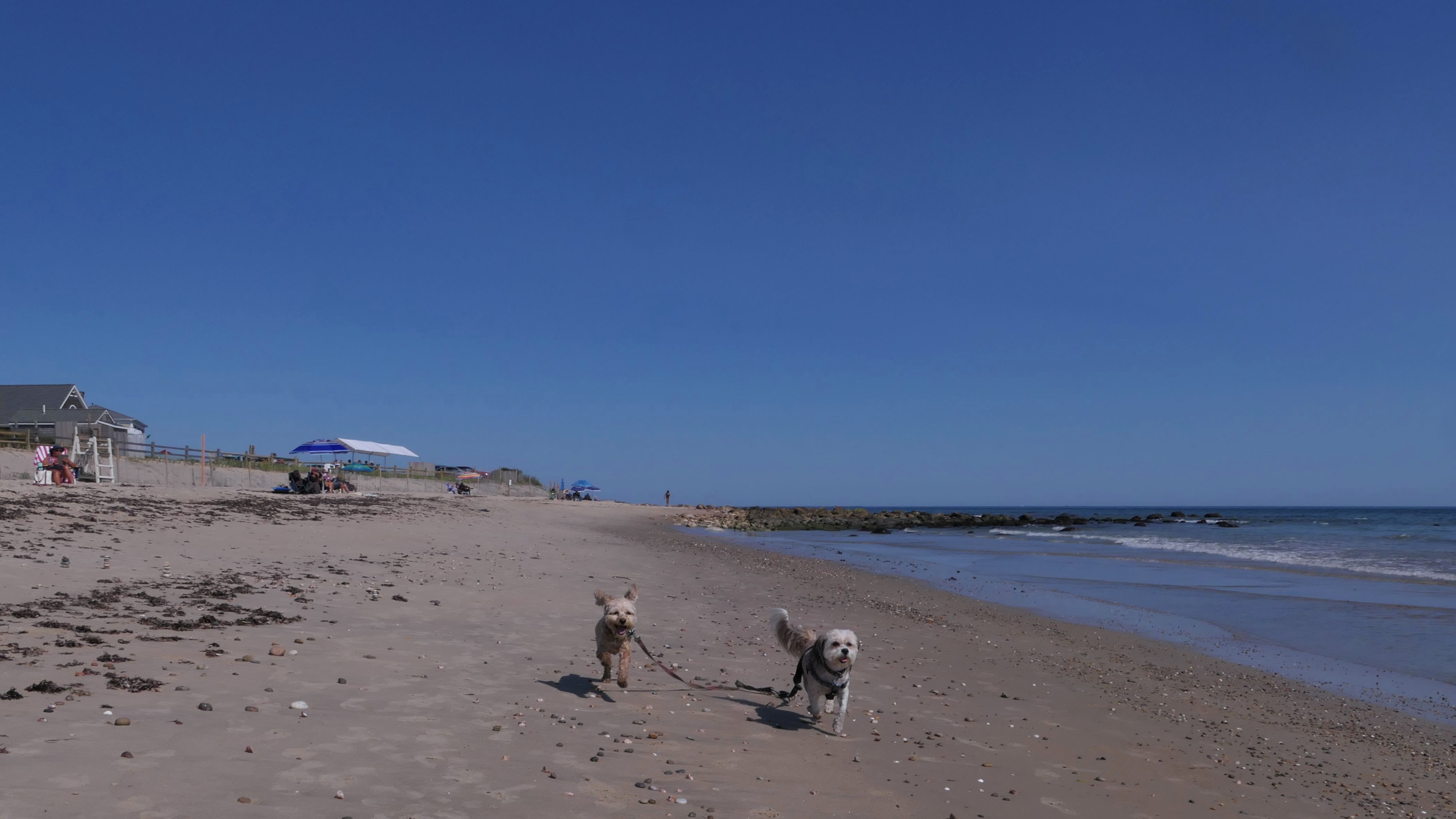
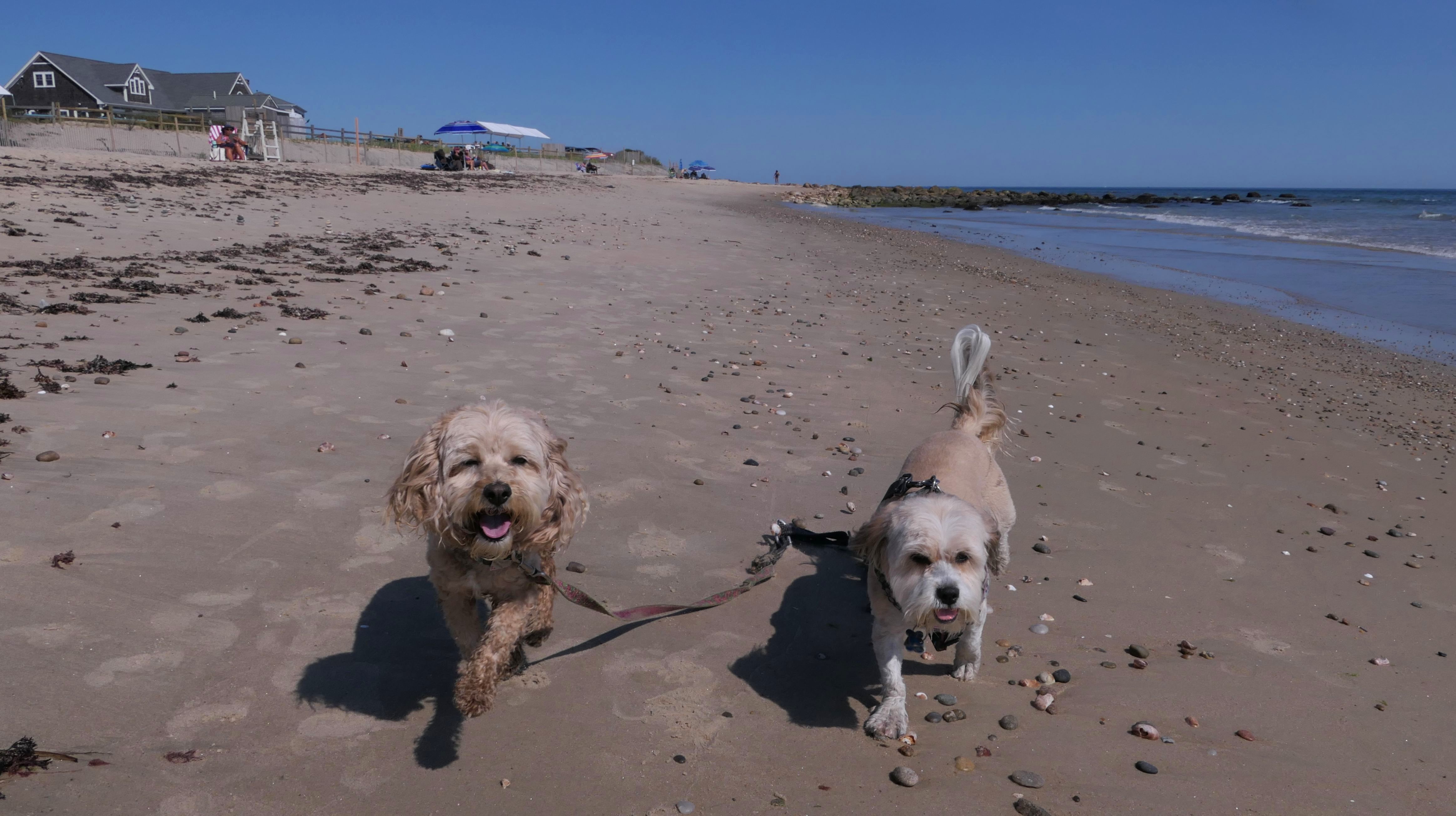
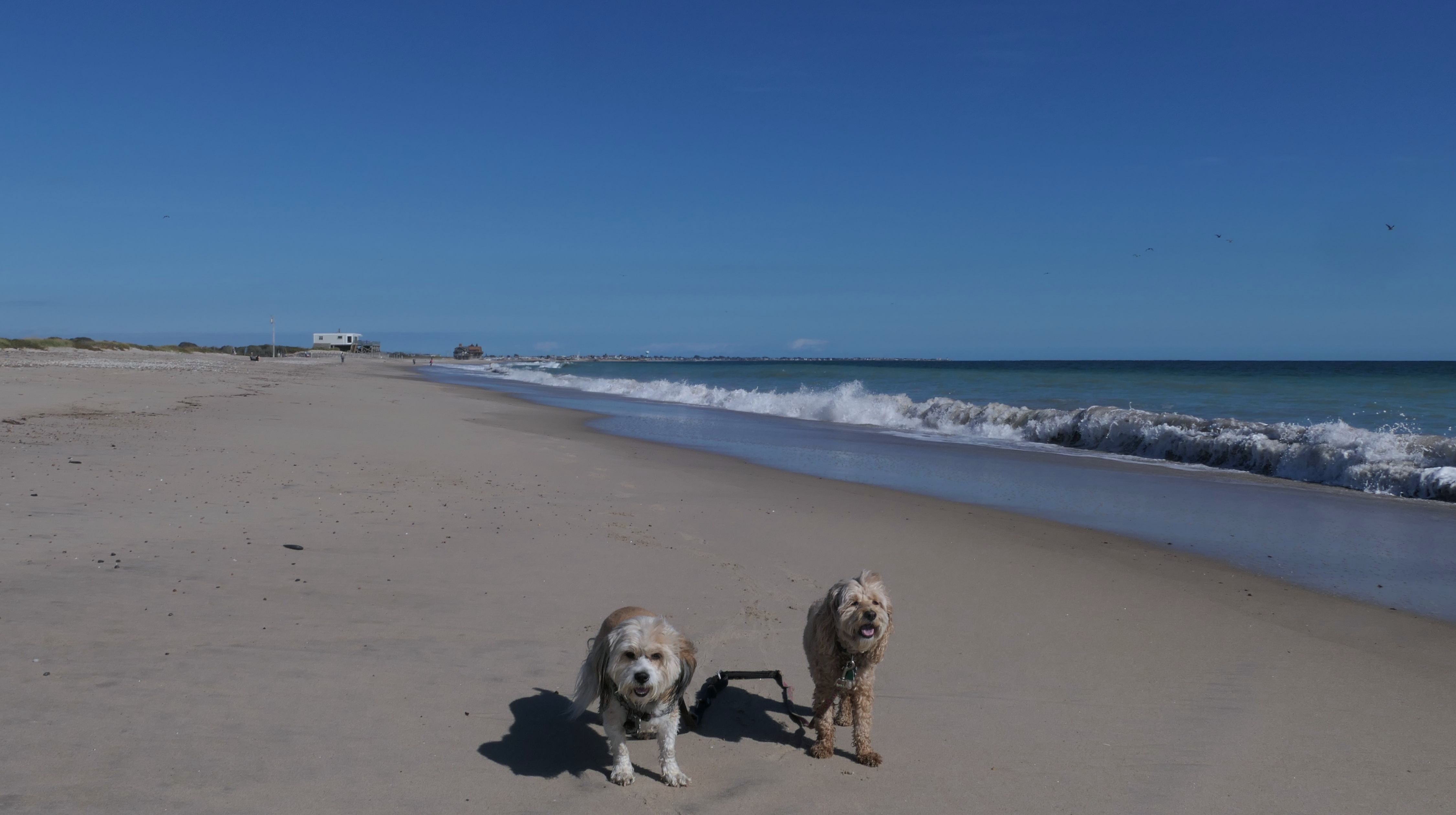
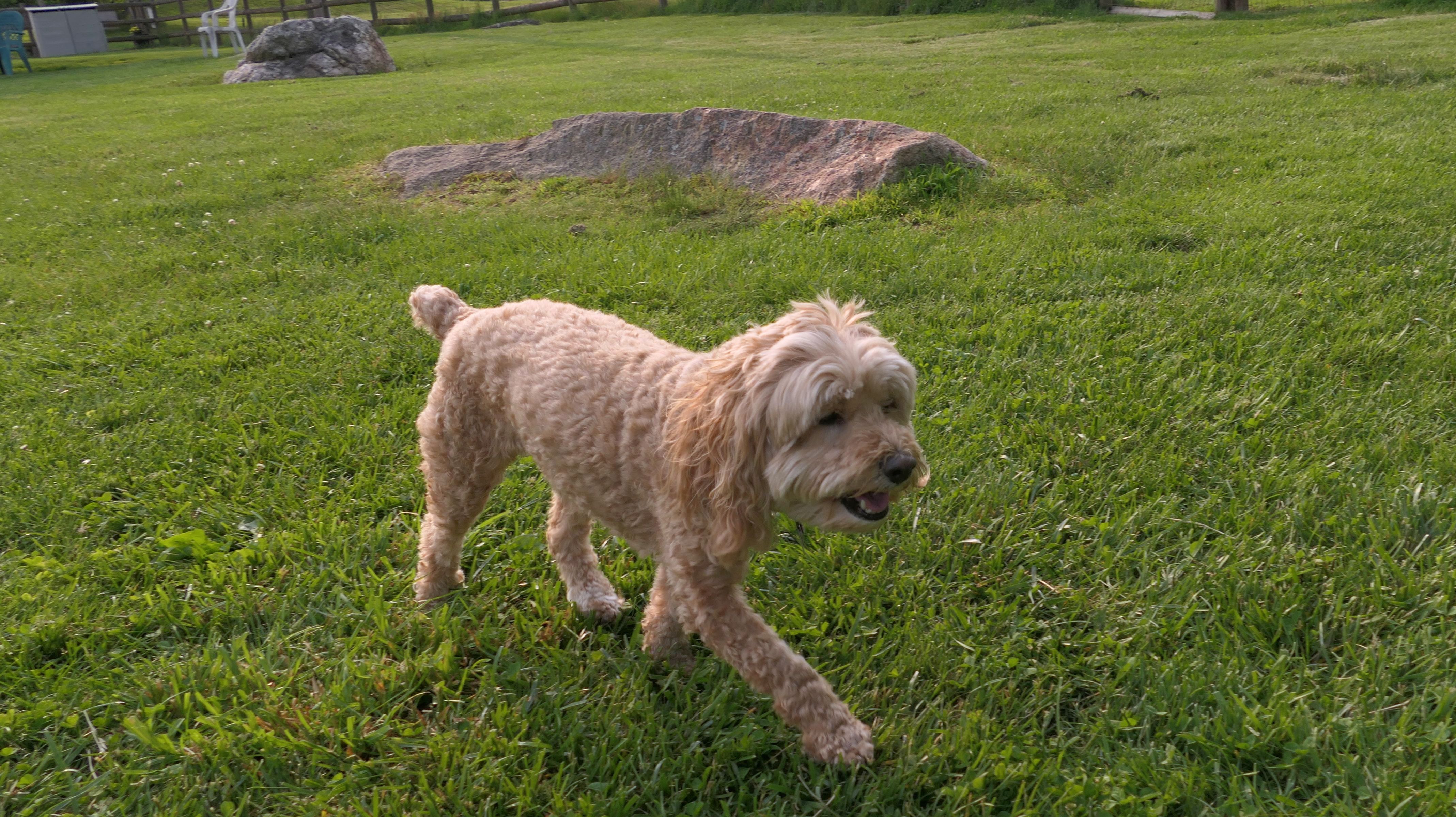
South Kingstown Town Beach
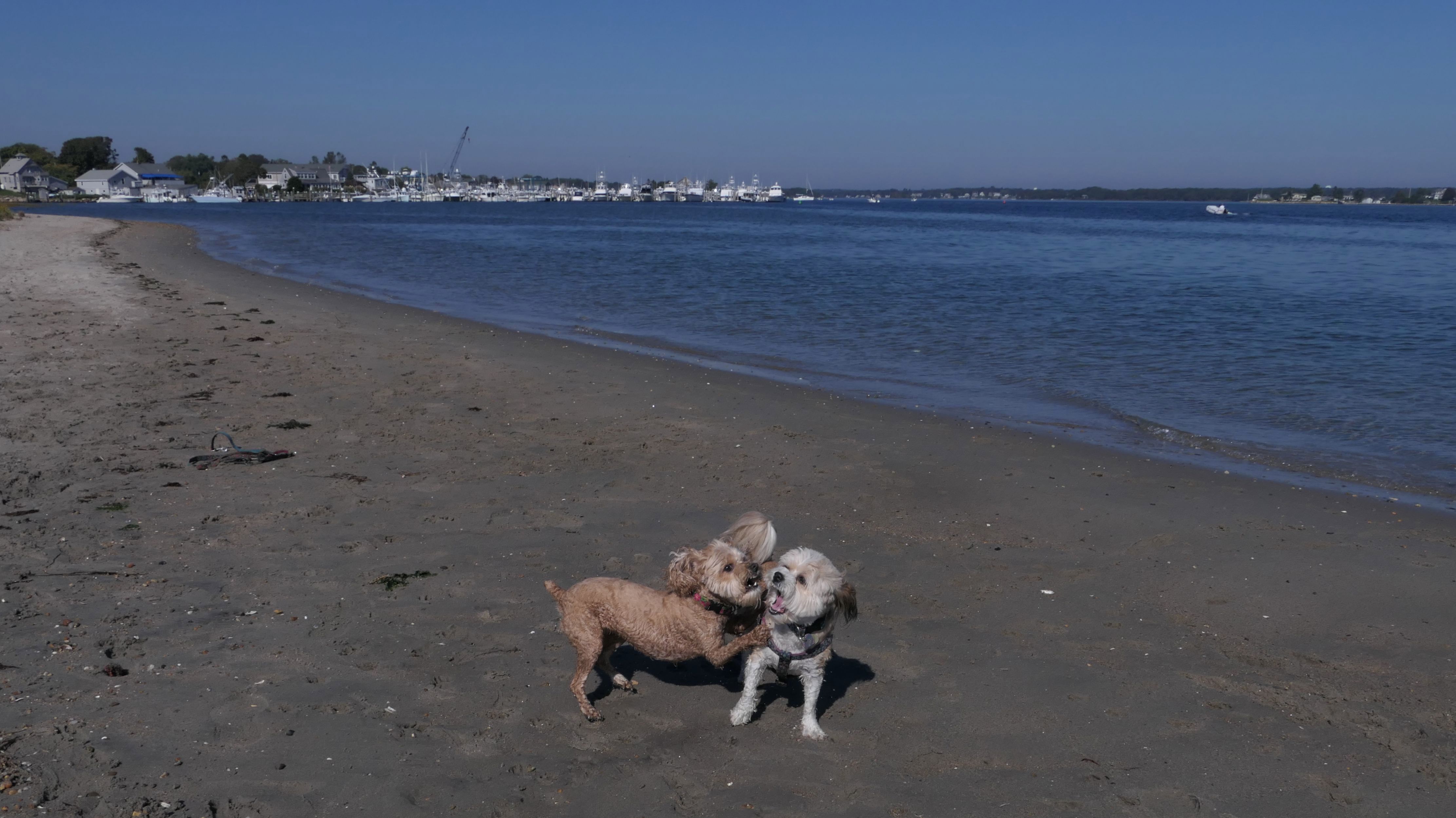
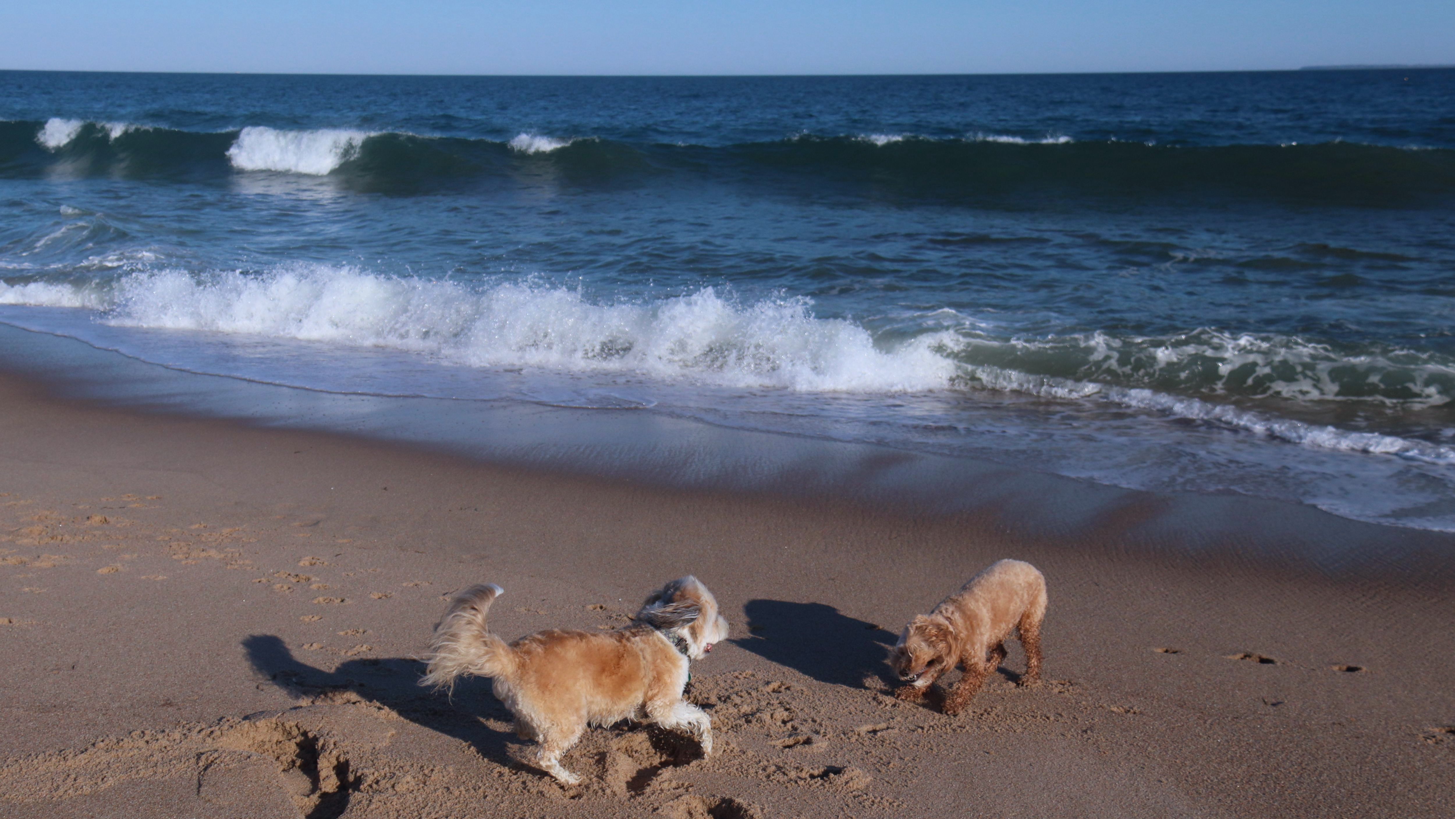
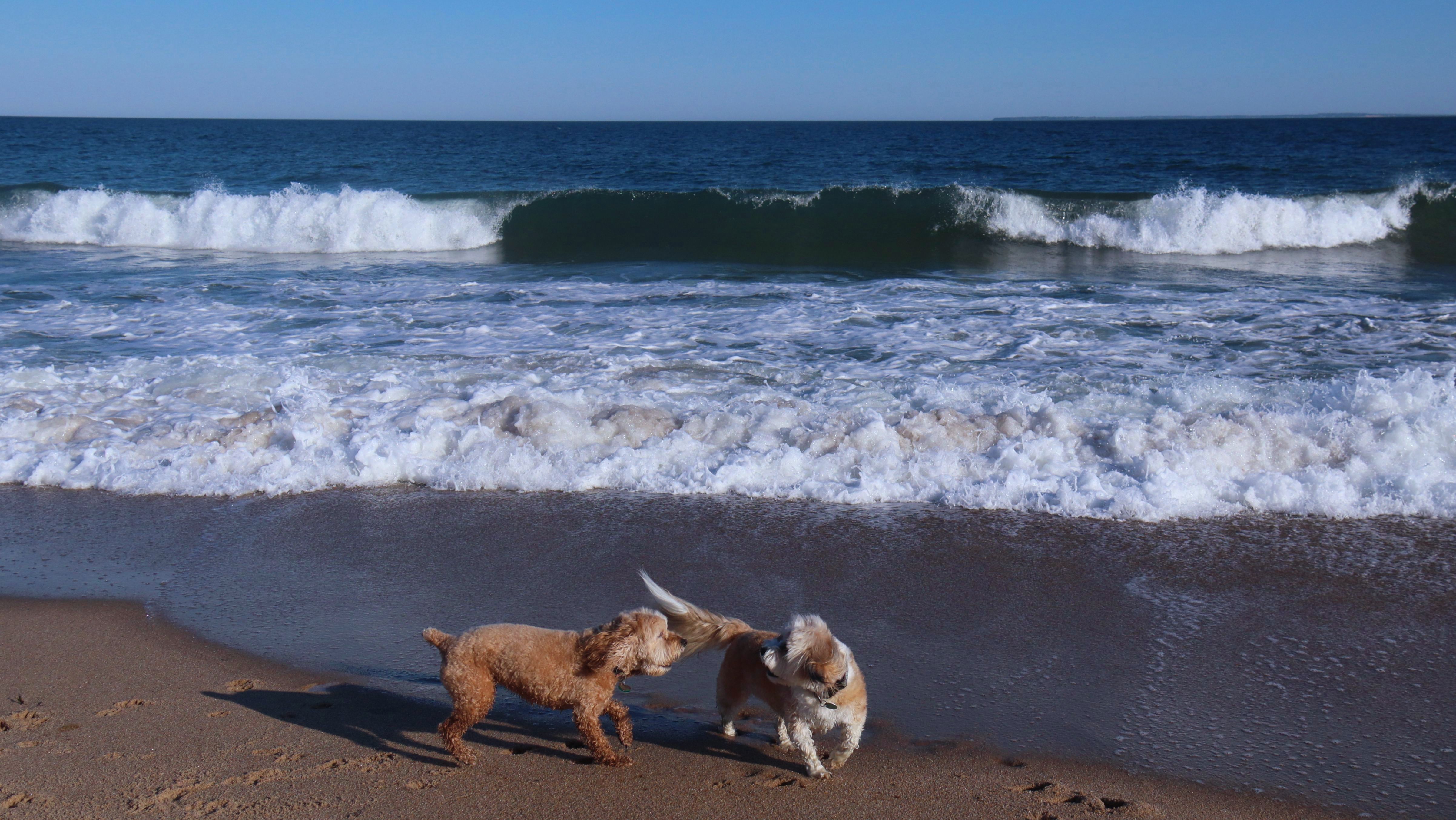
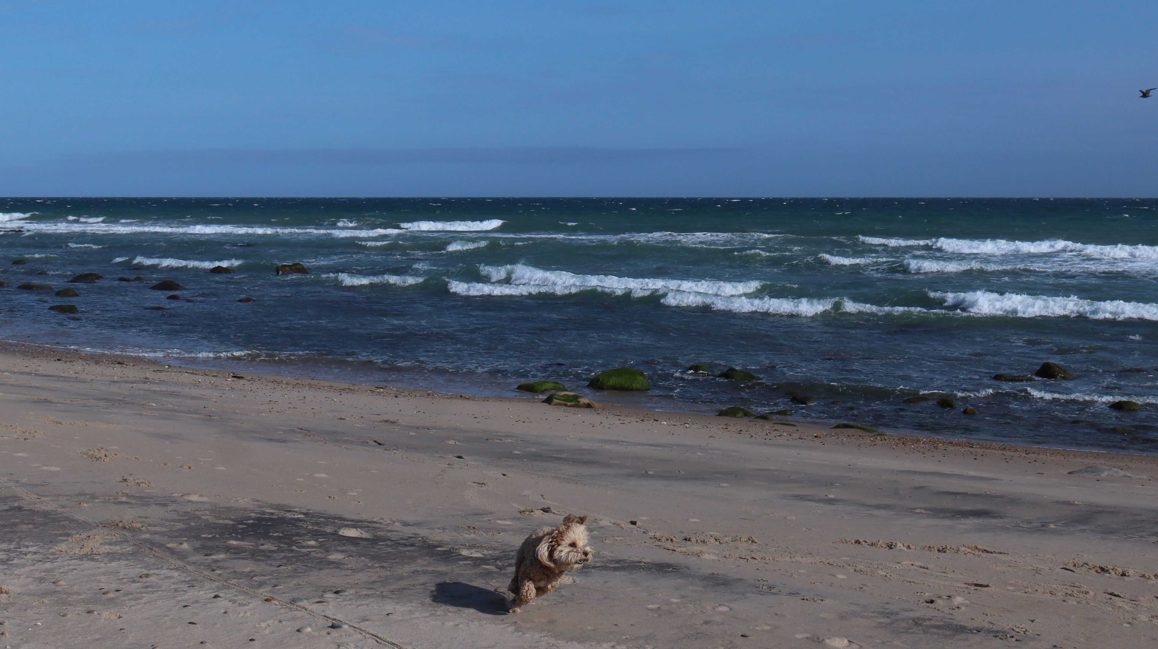
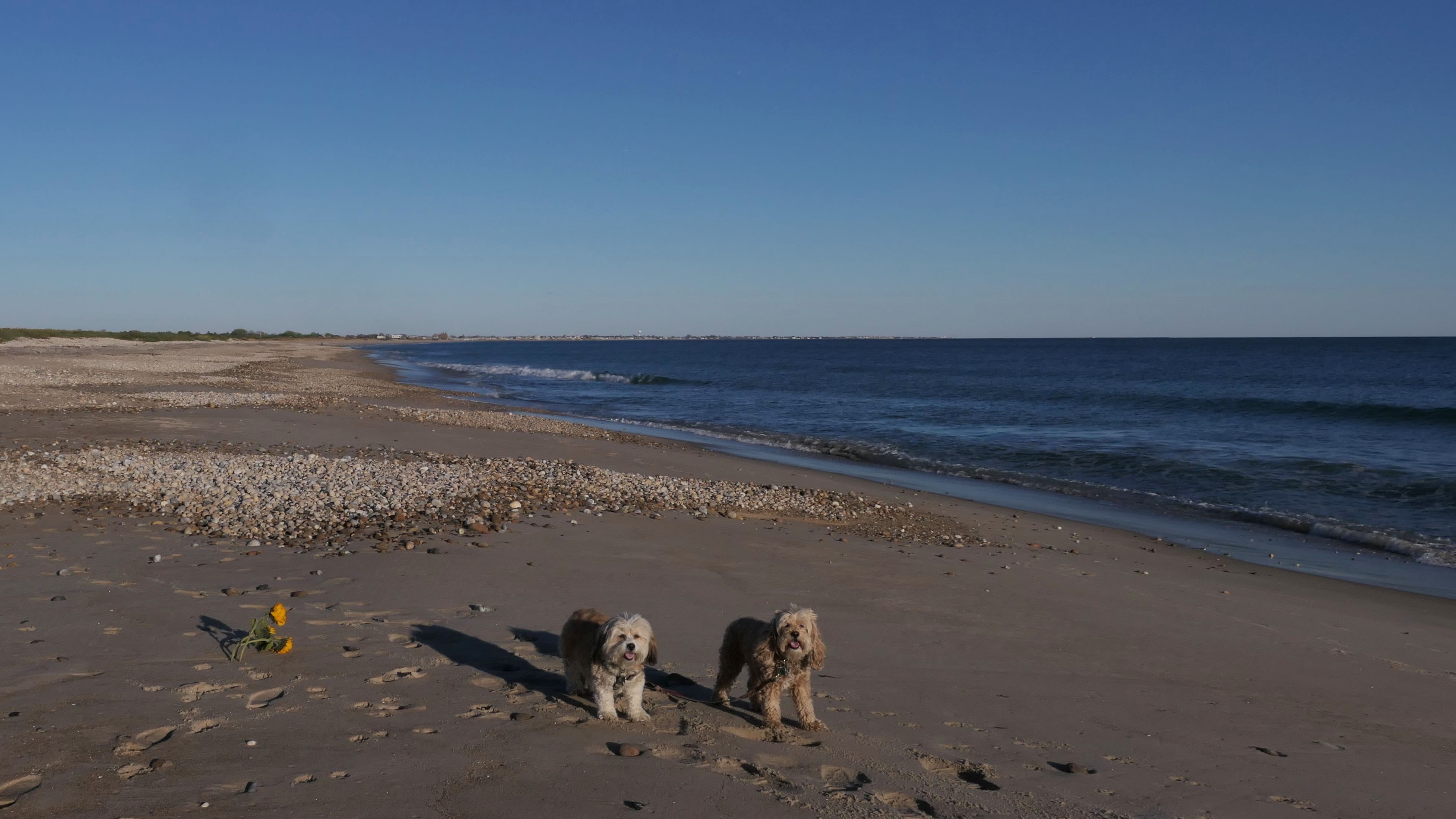
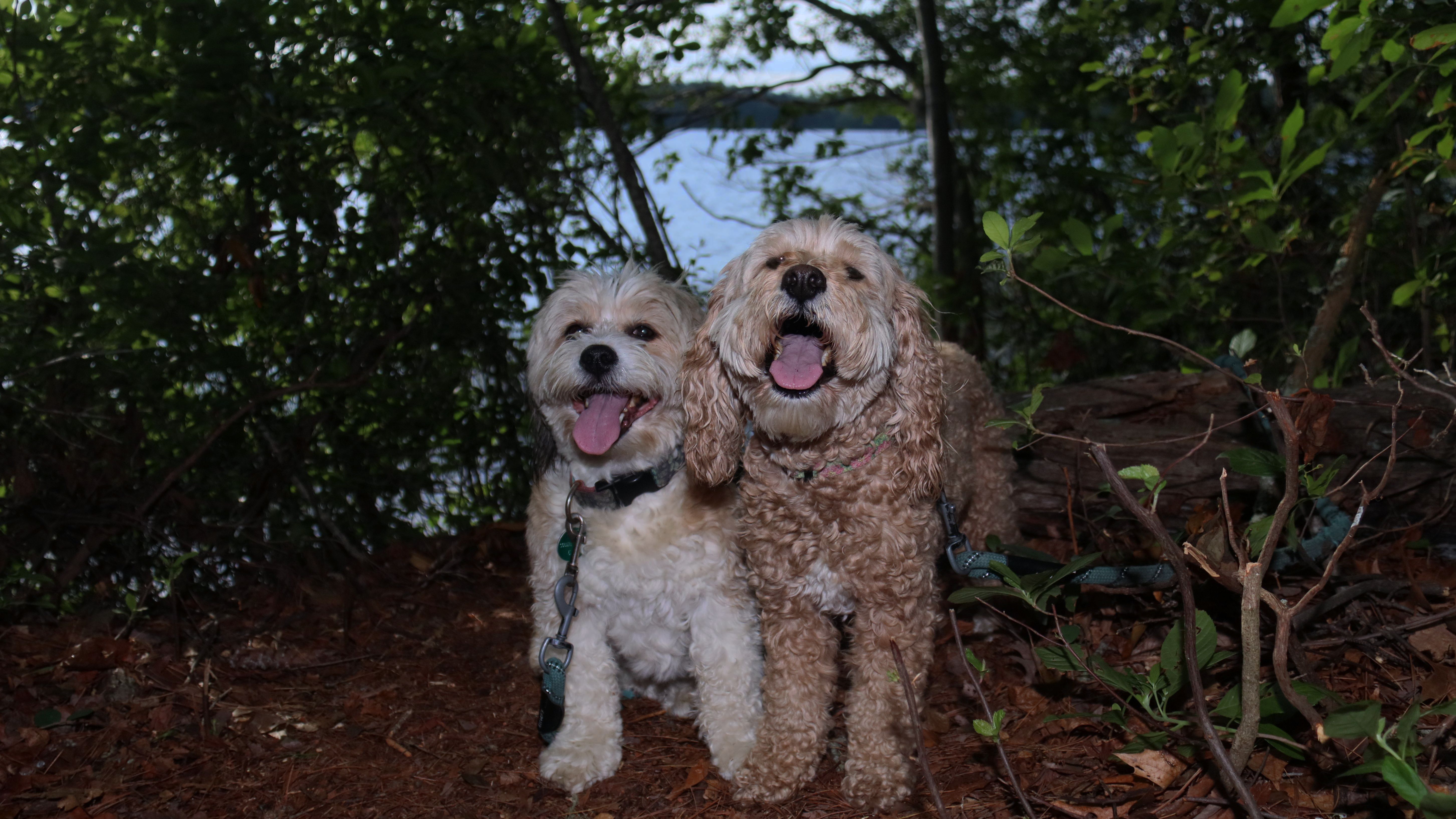
Date visited: 9/3/2025
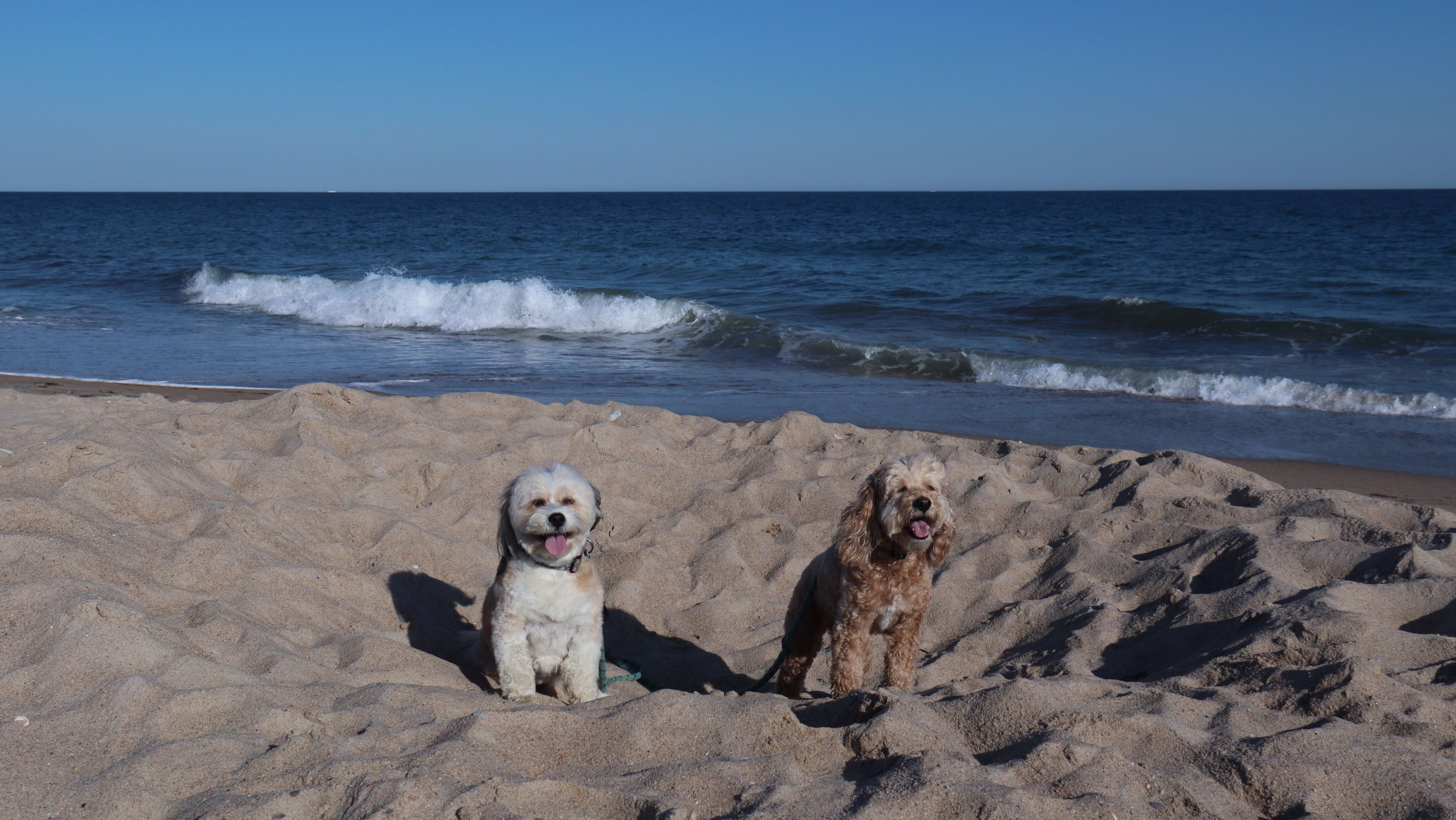
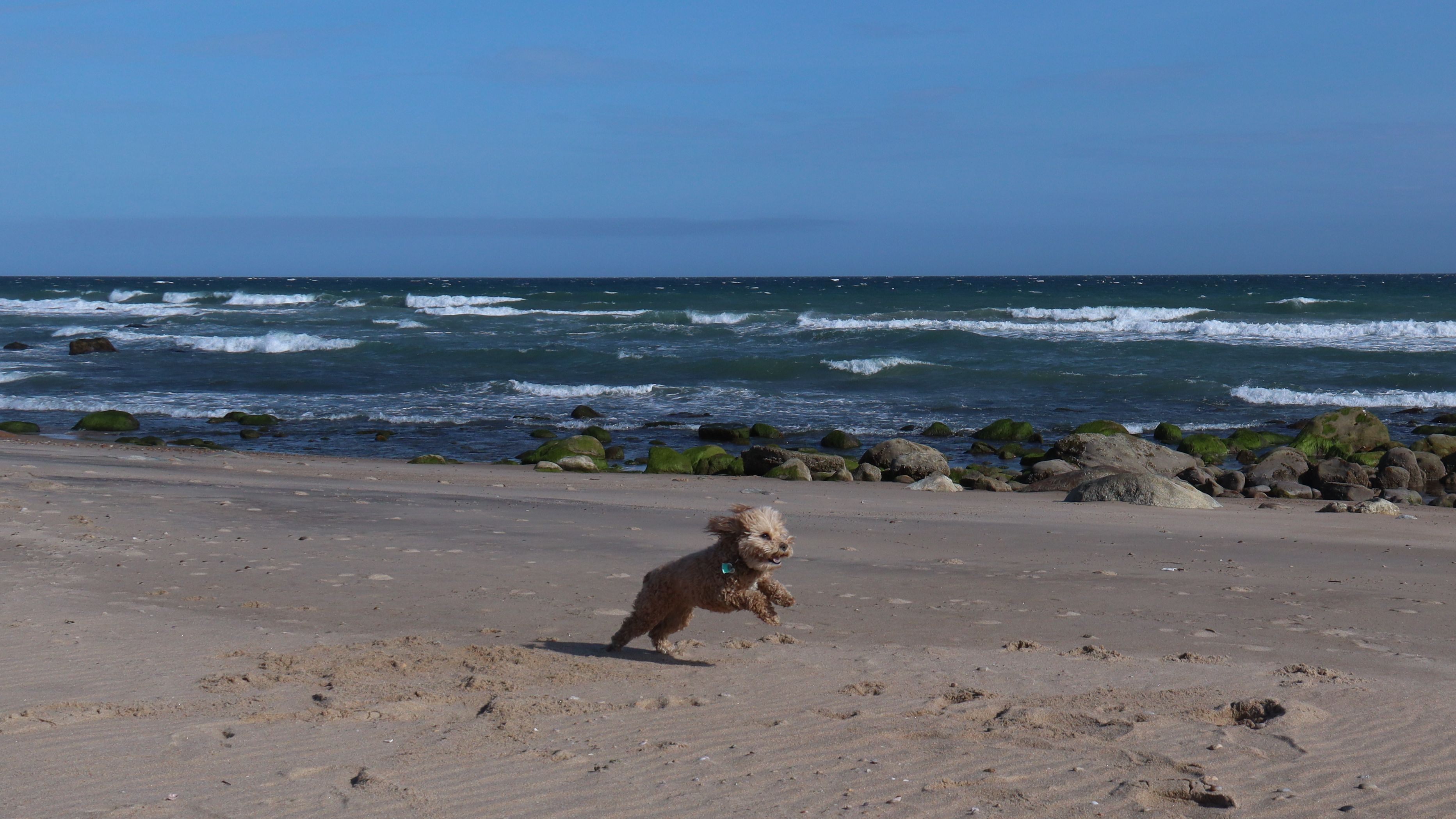
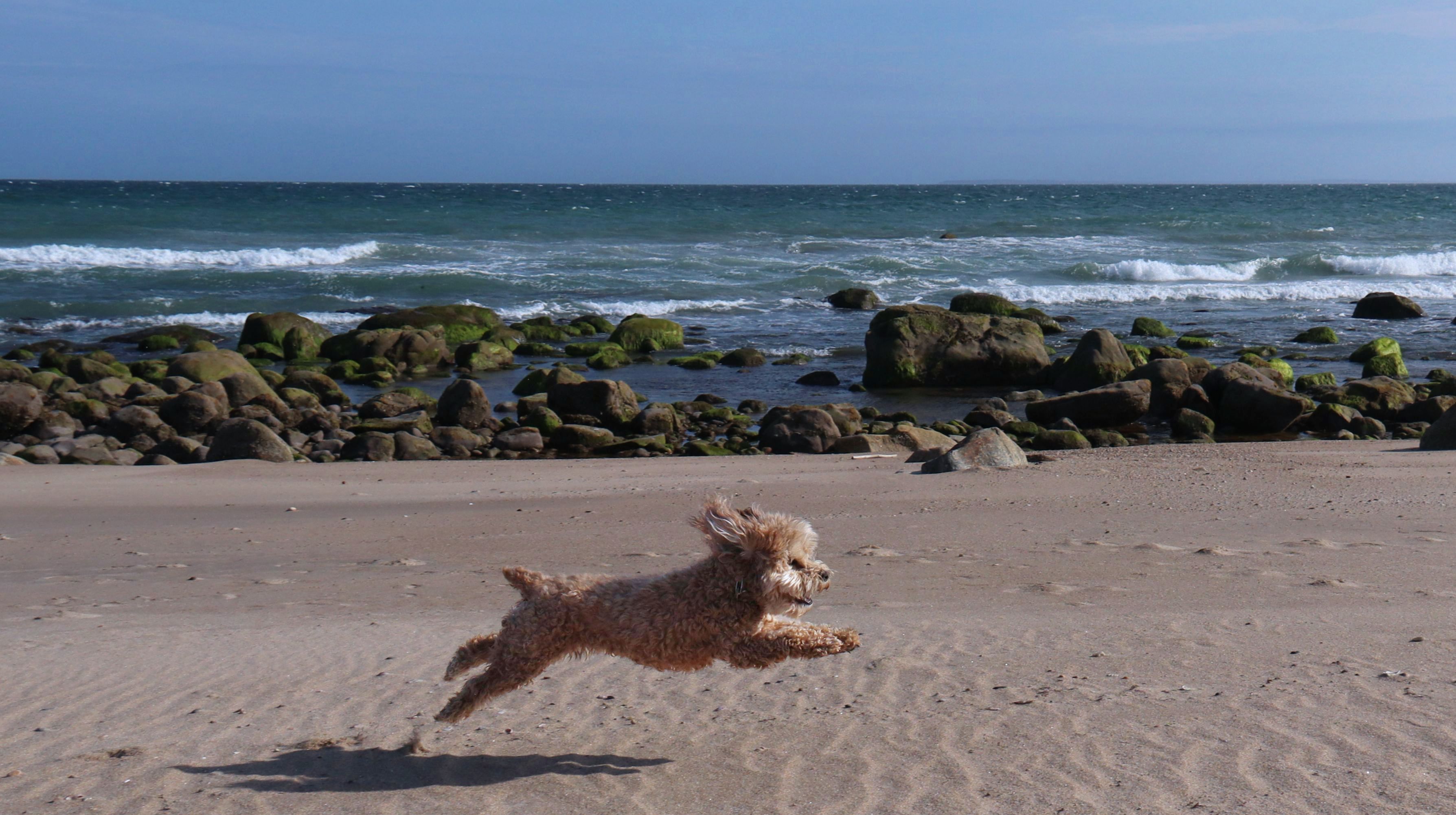
The second day of our self-proclaimed "Beach Week" was spent here! We've visited the beach many times before, even though dogs are only allowed from the day after Labor Day until the day before Memorial Day. This was actually an easy trip for us, and kind of a breather from the long drives to the other places we've been visiting recently. It was a gorgeous day, and a great day to spend on the beach.
More Images
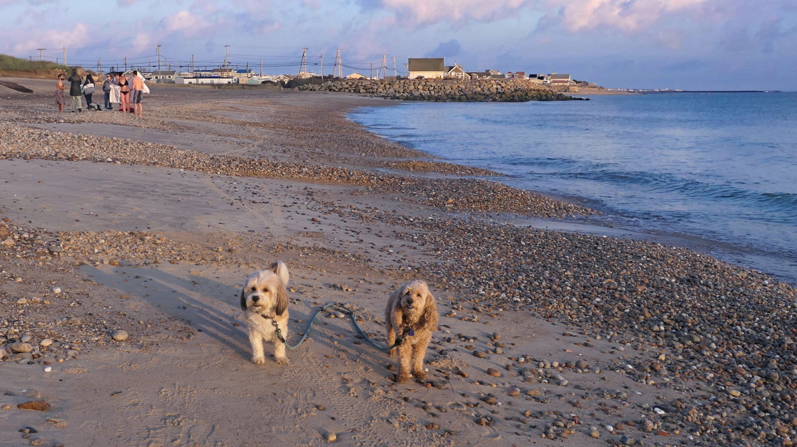
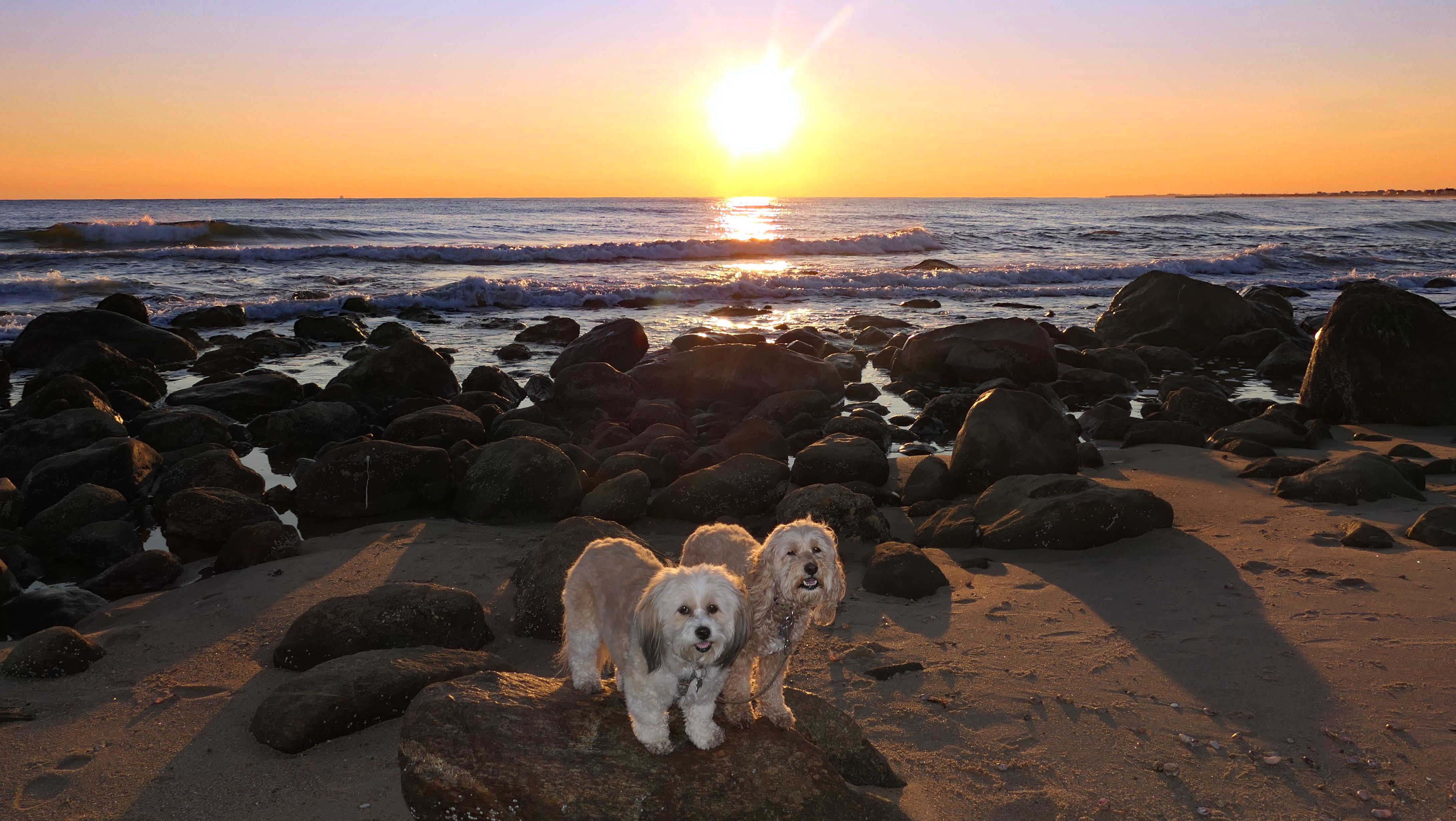
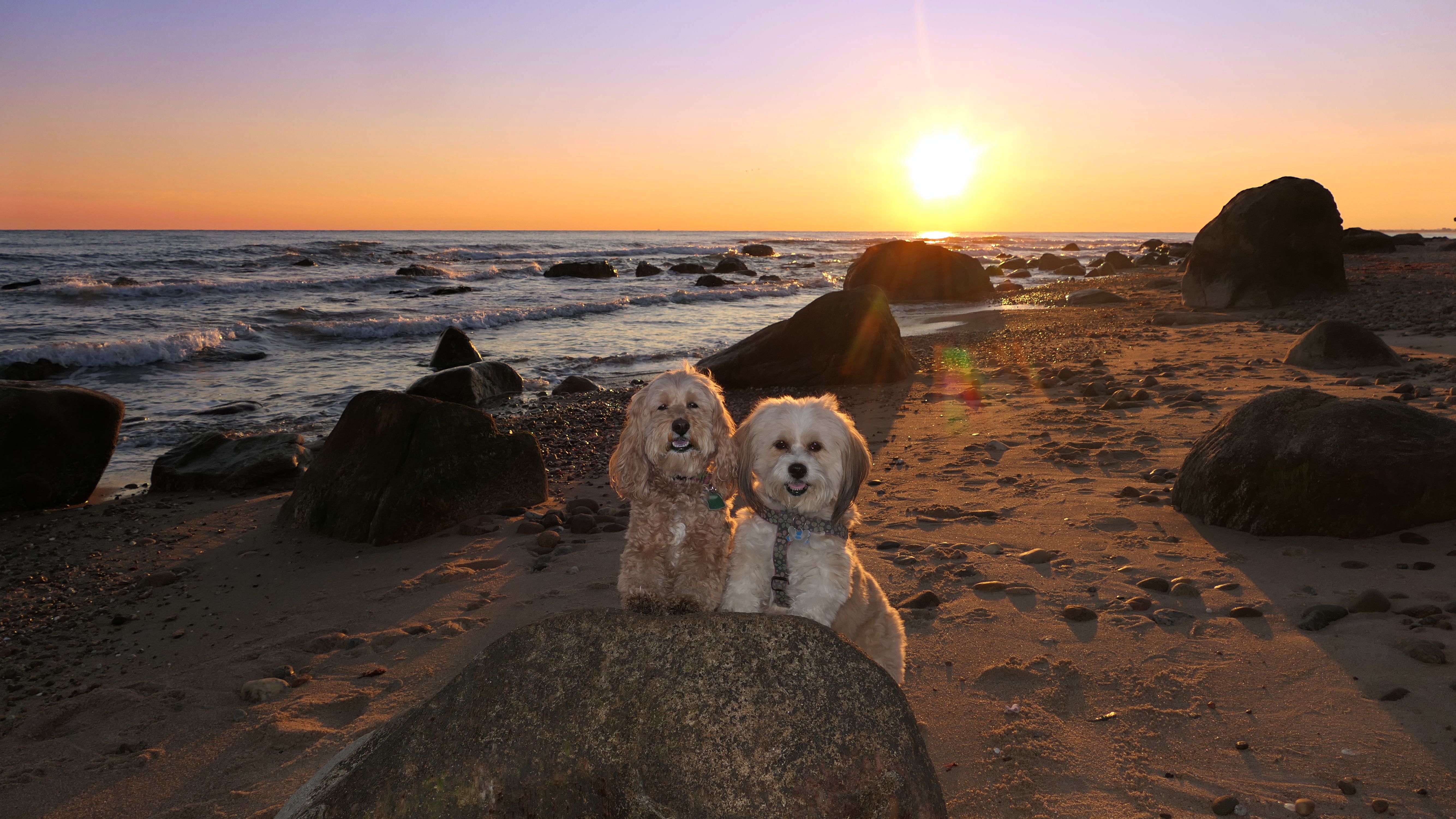
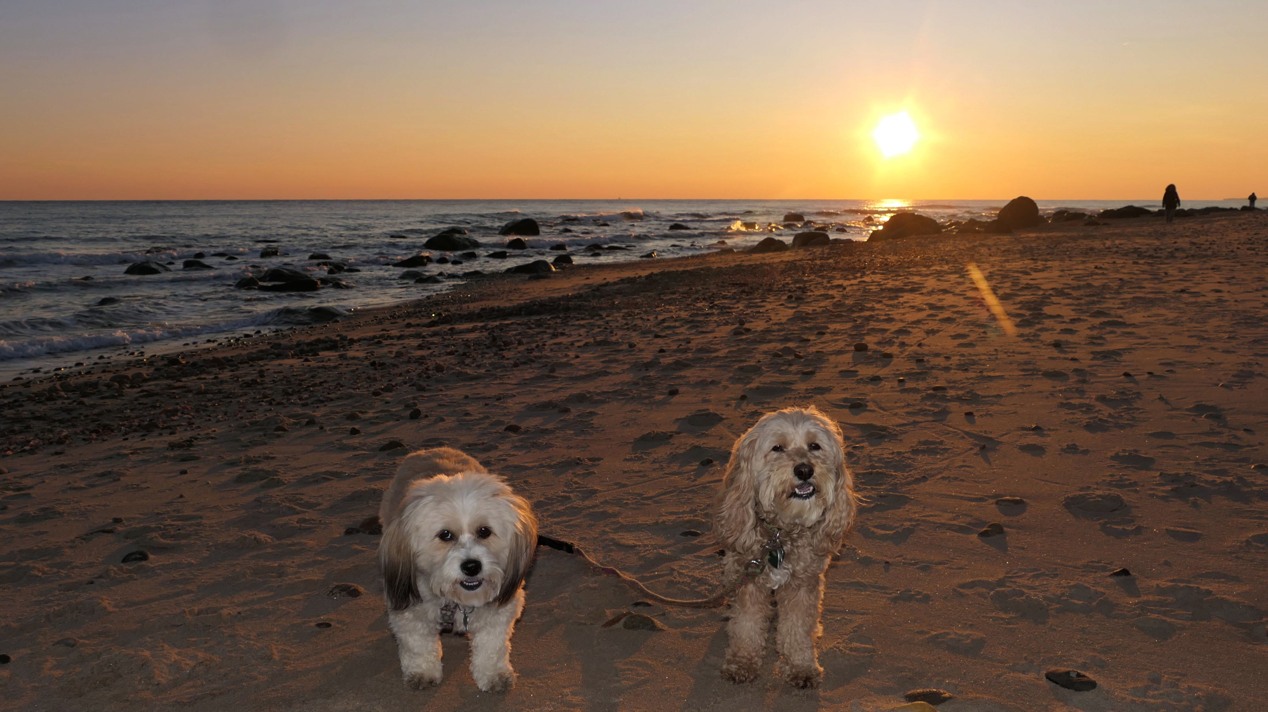
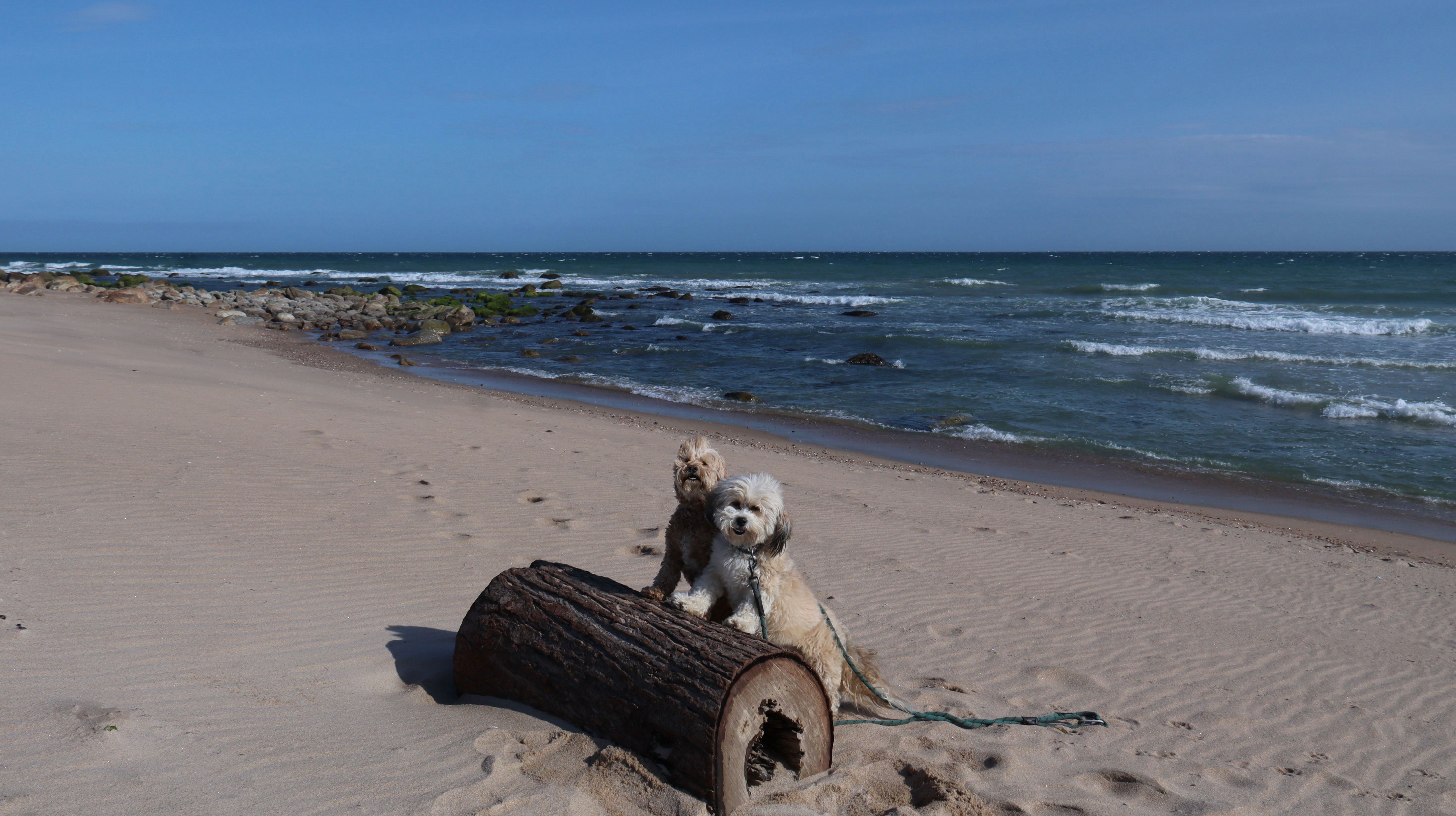
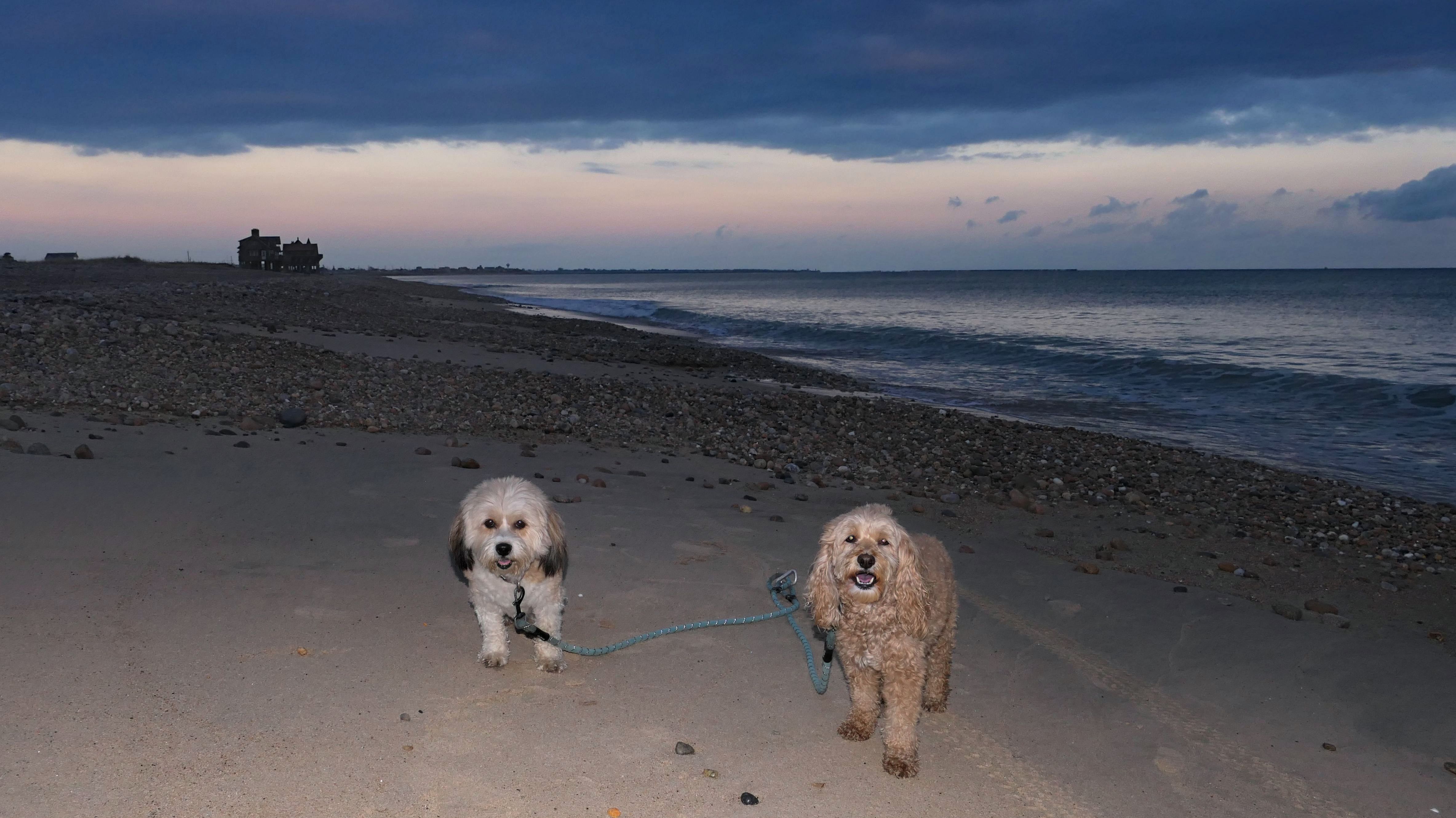
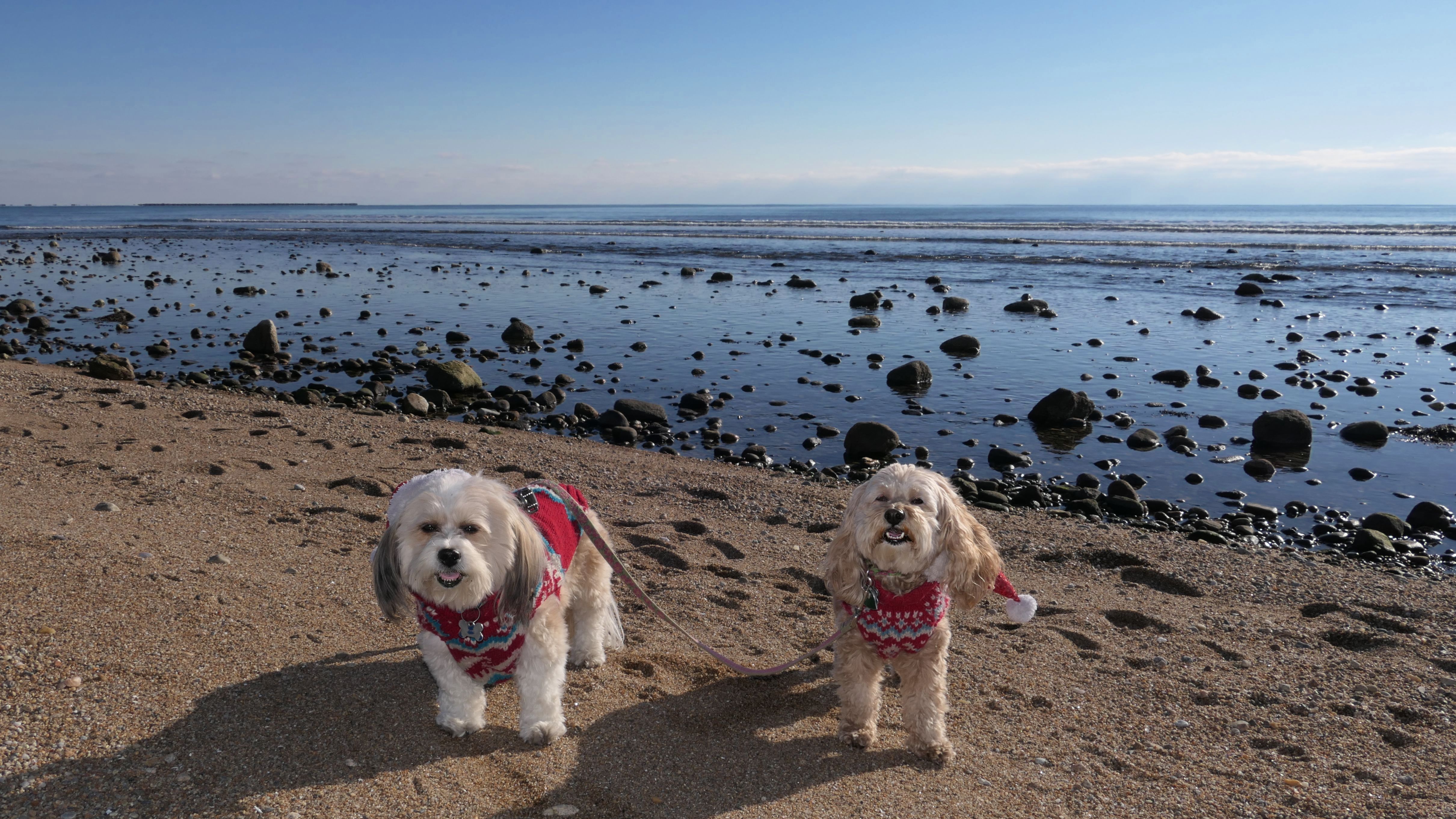
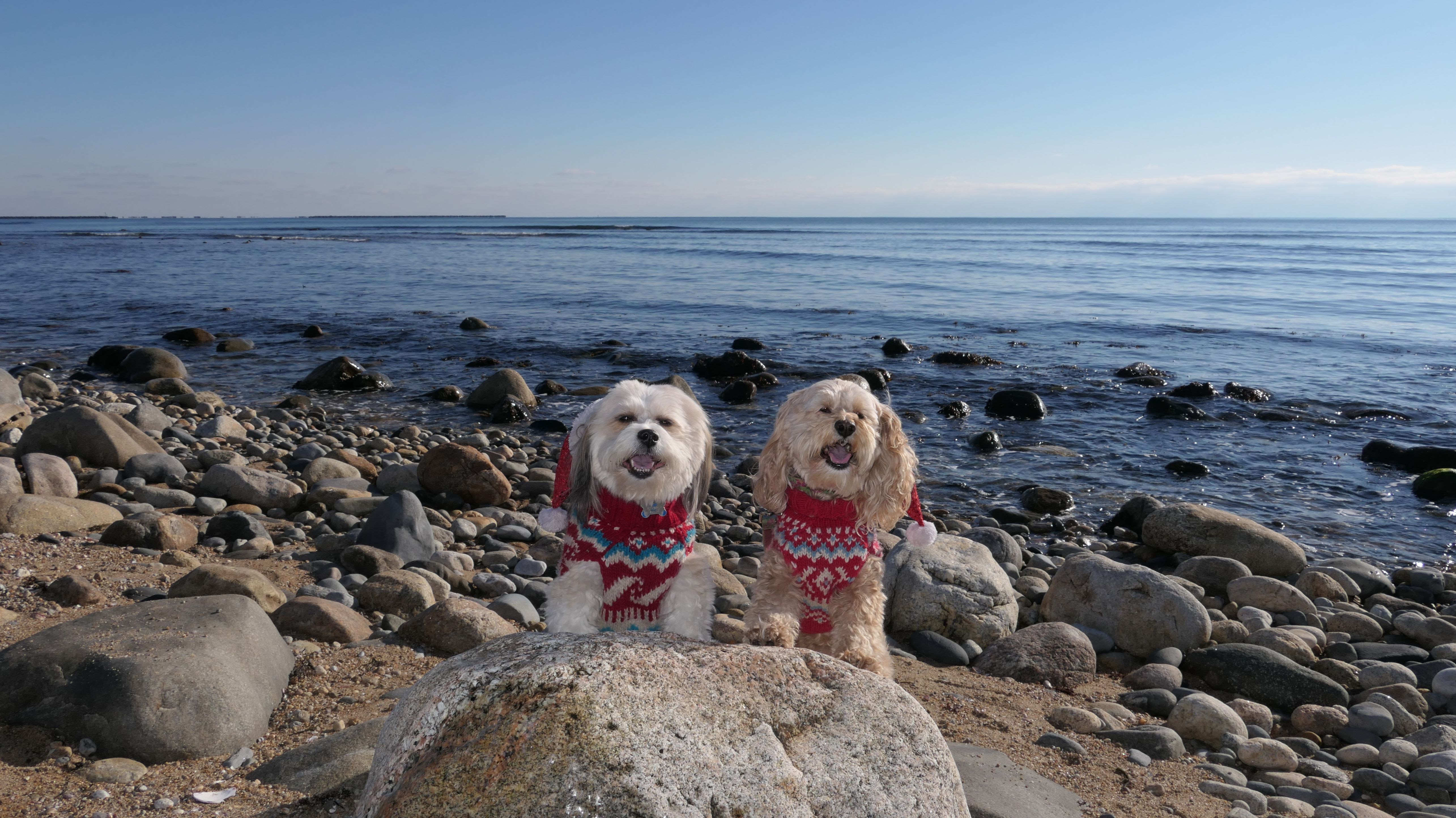
South Kingstown Town Beach
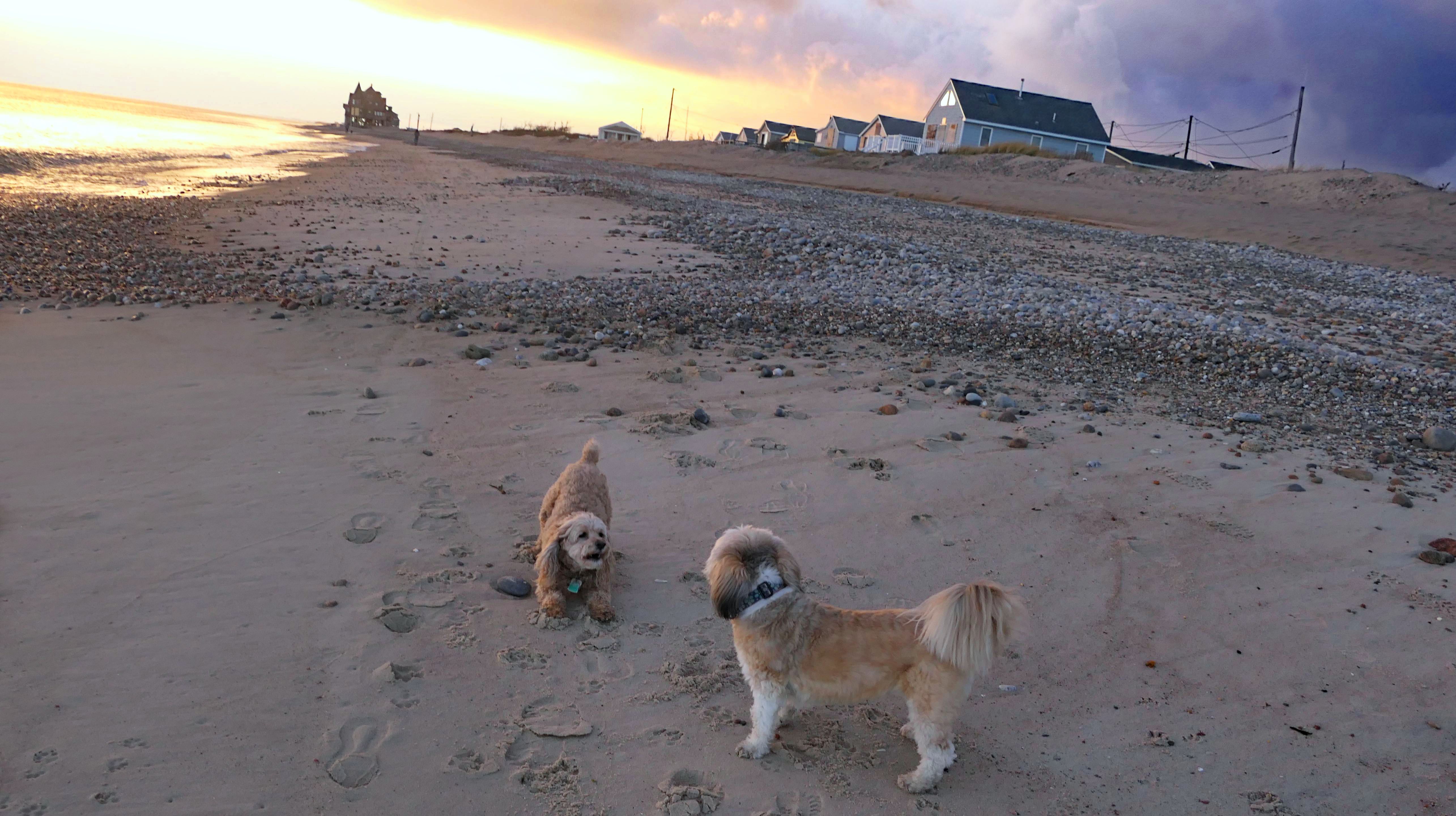
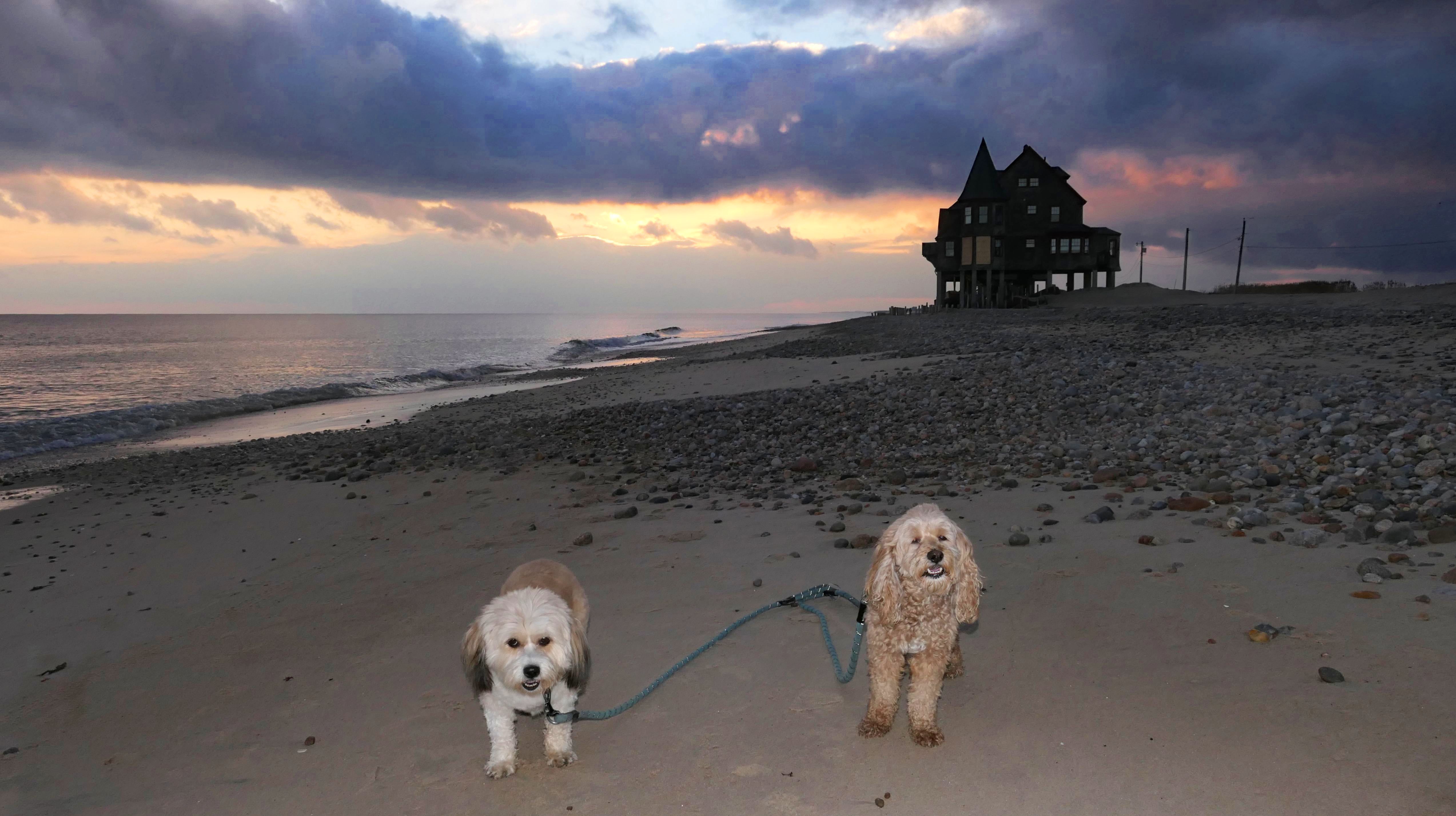
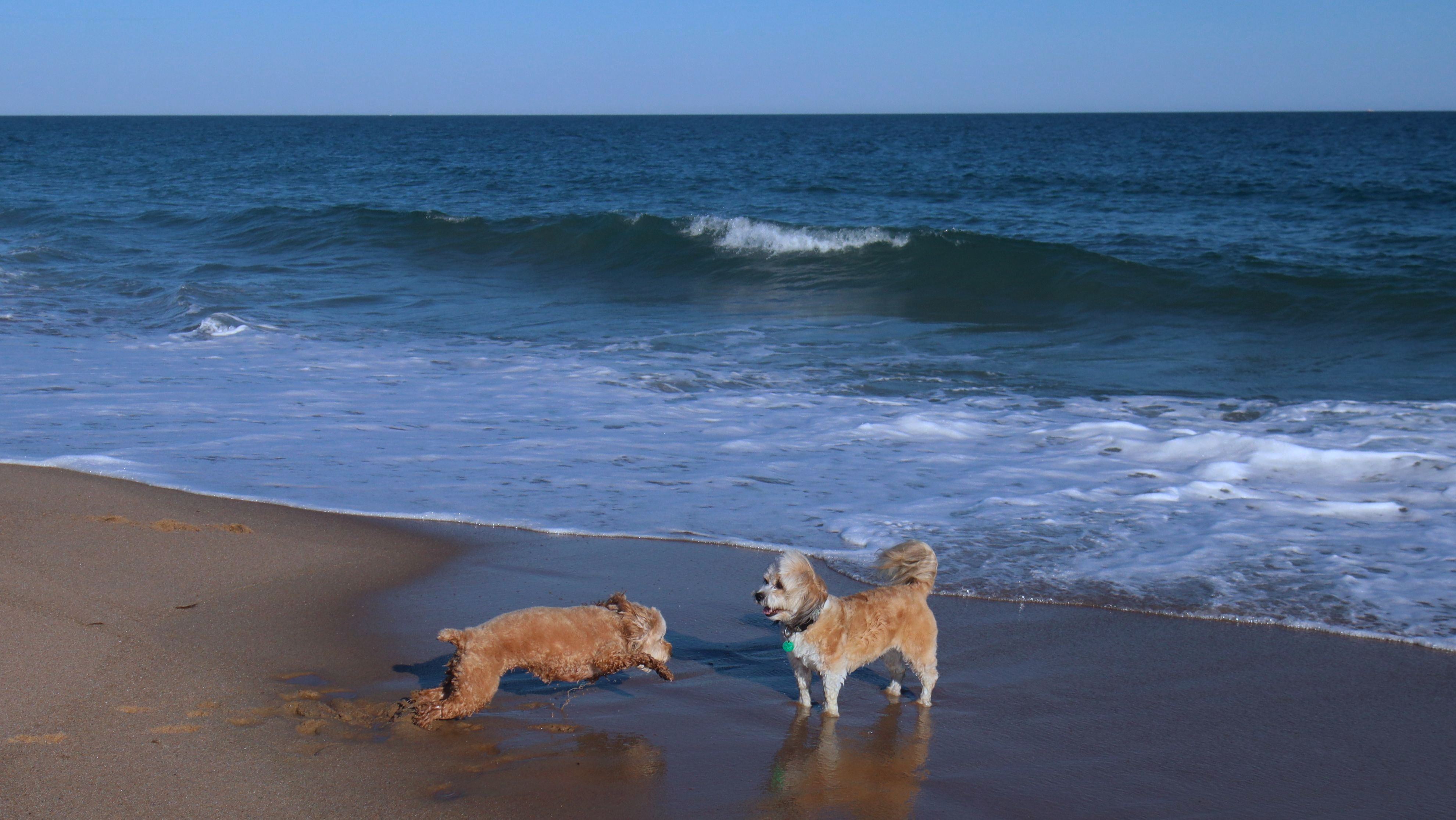
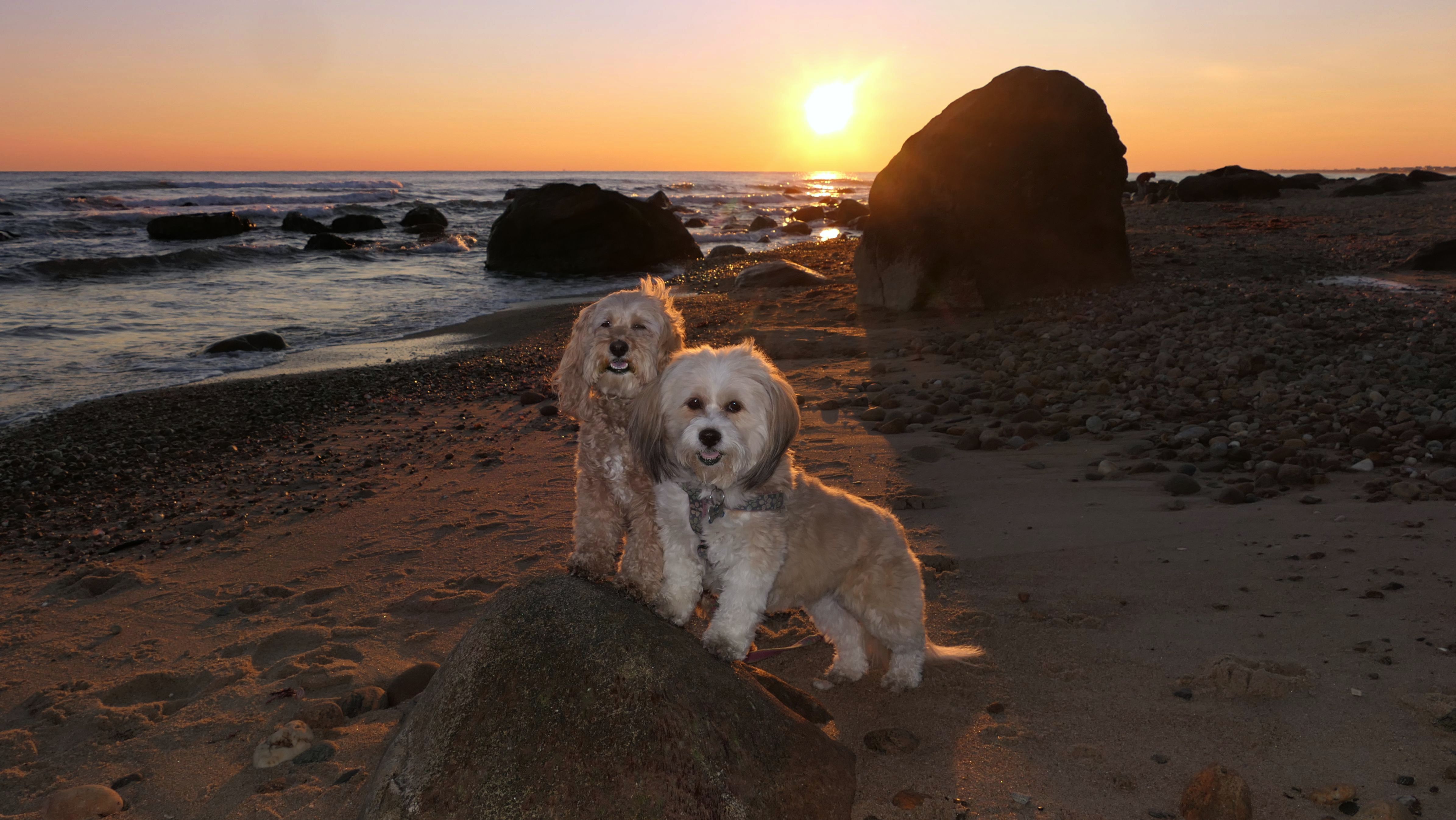
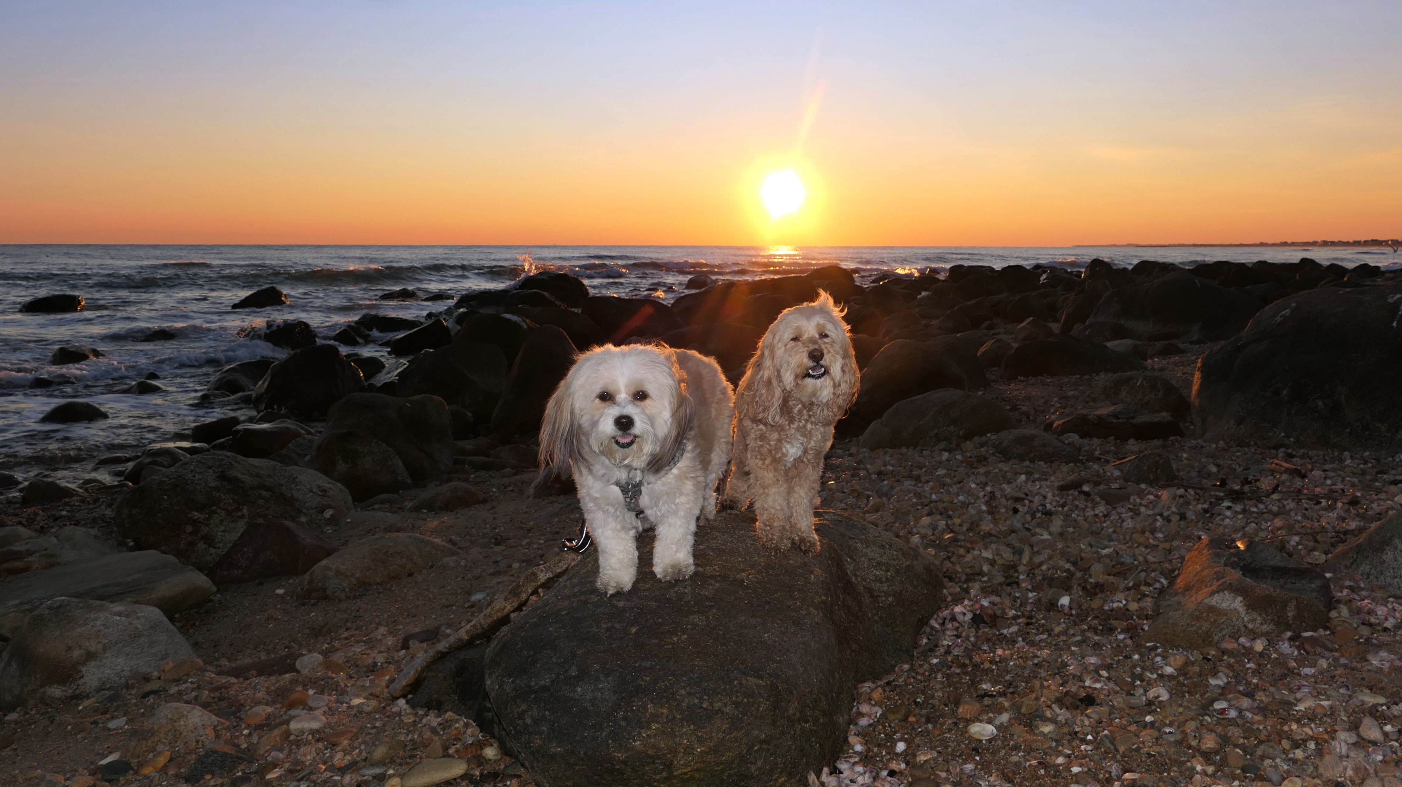
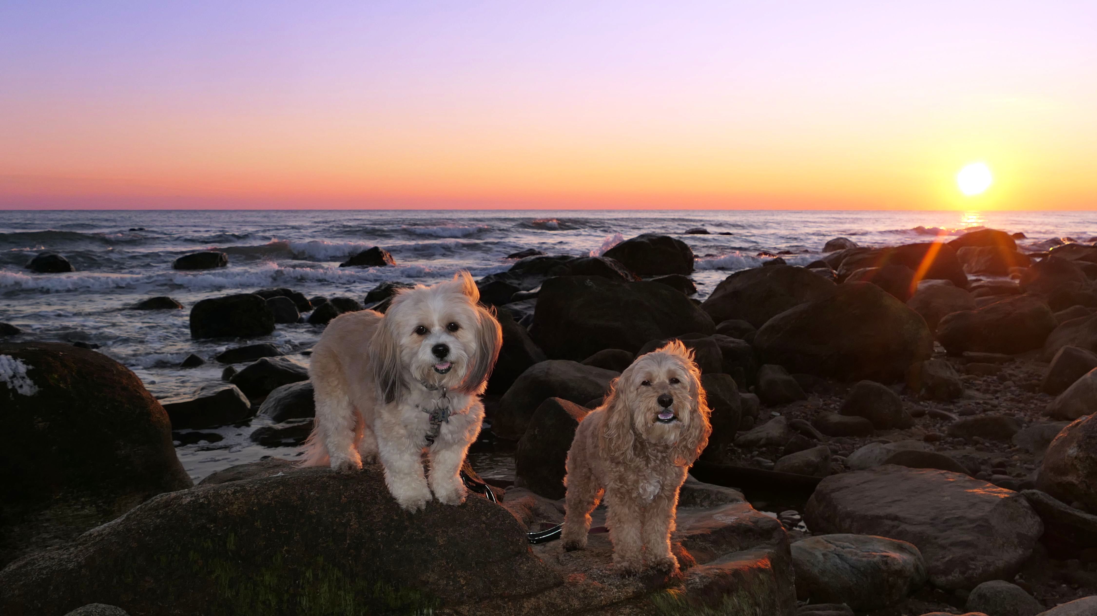
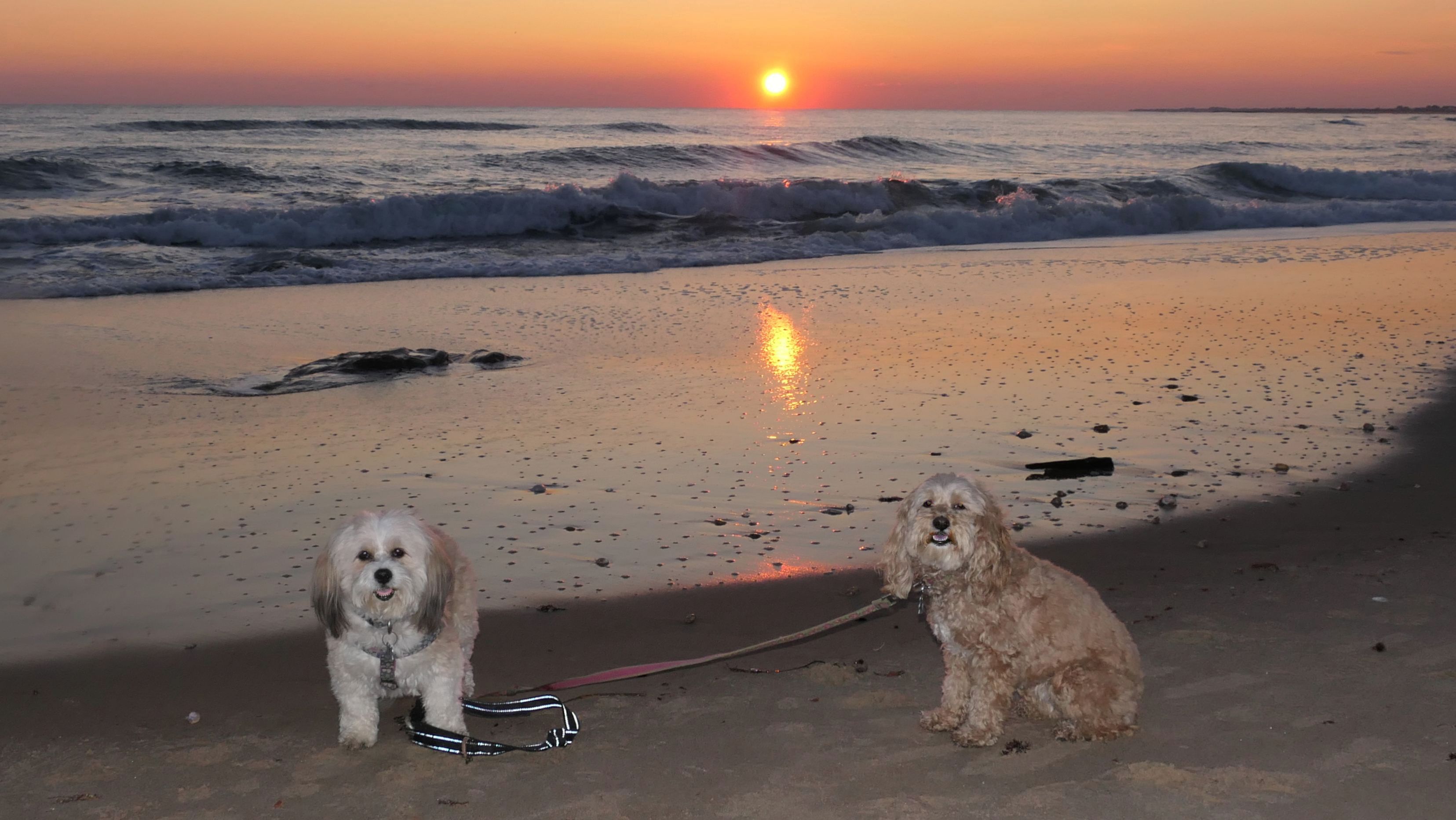
Date visited: 11/22/2025
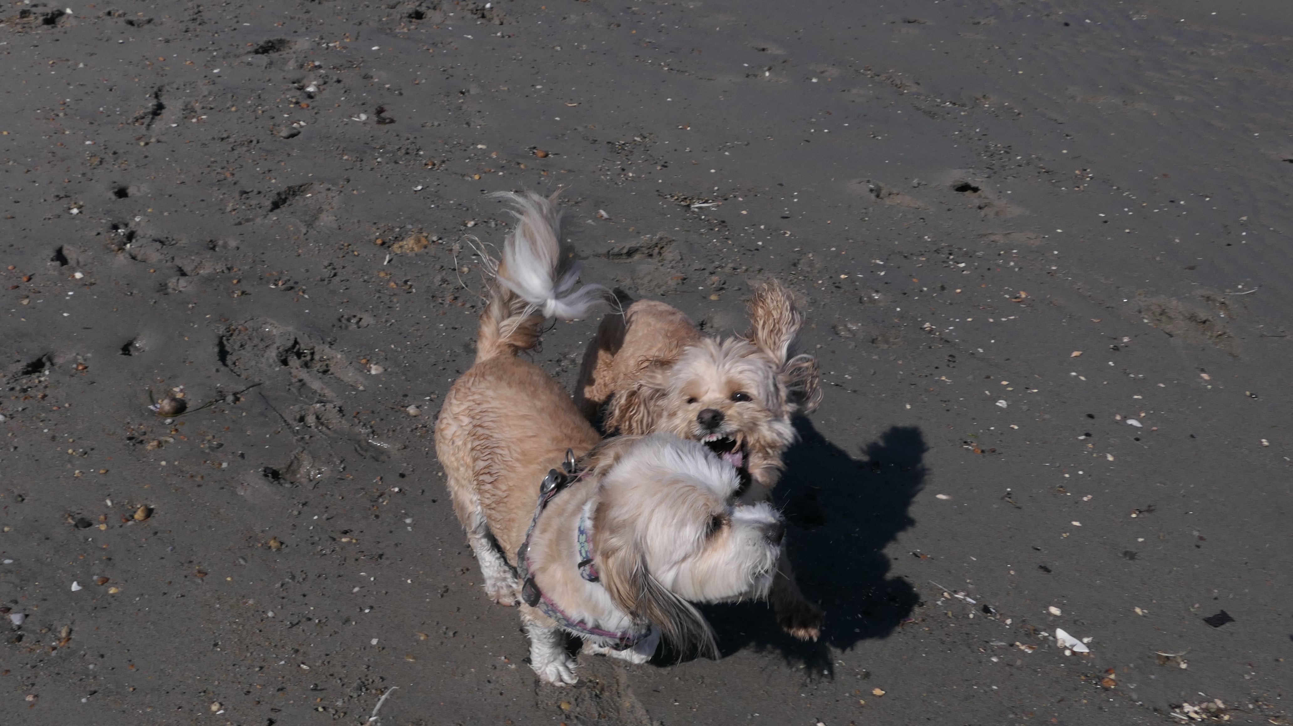
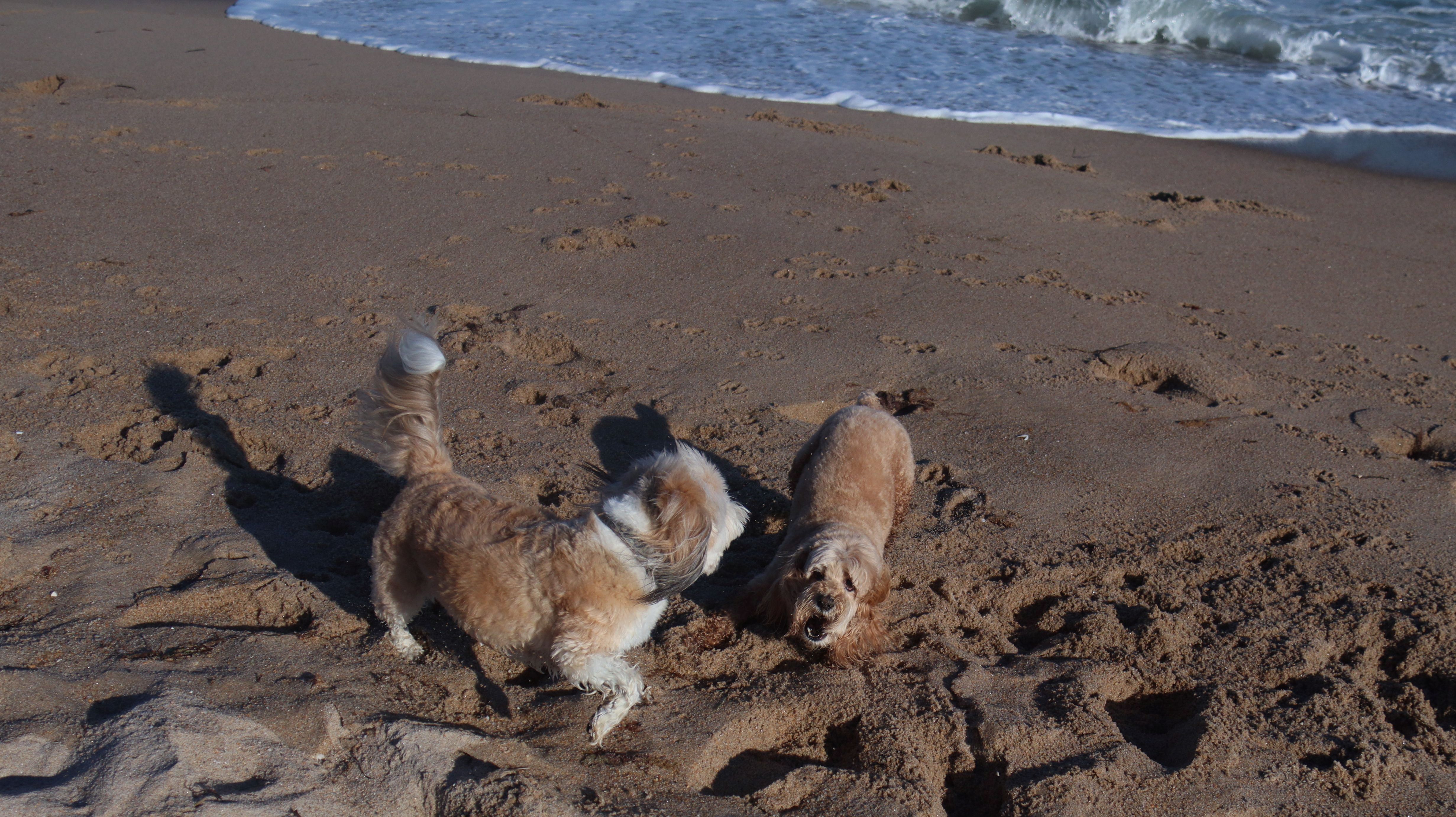
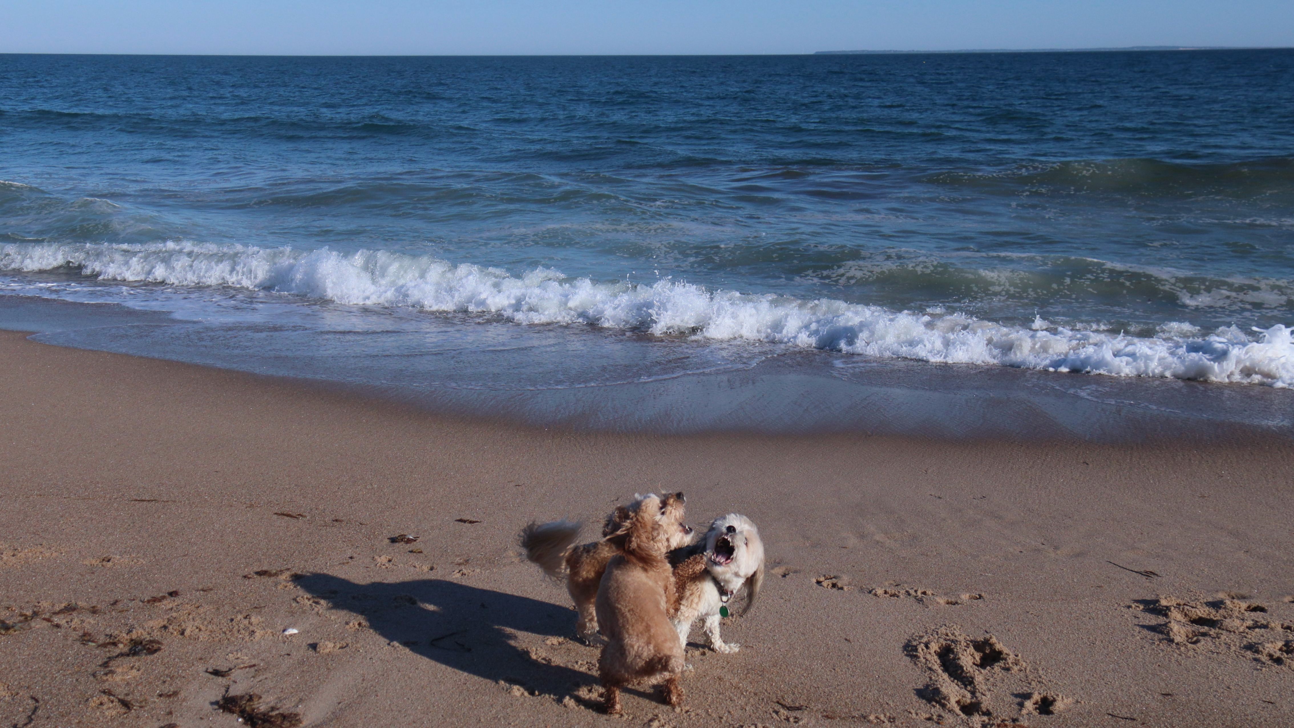
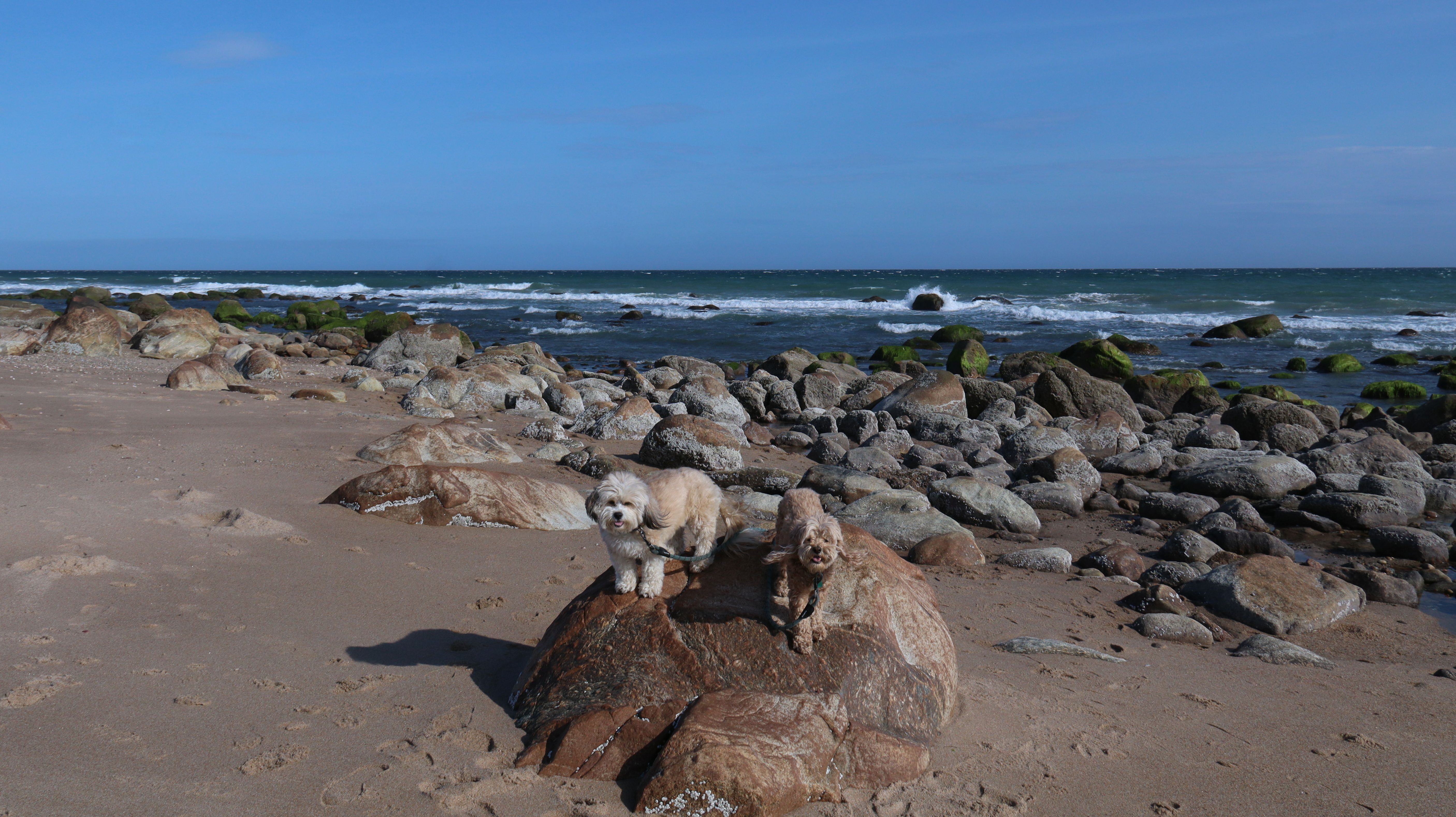
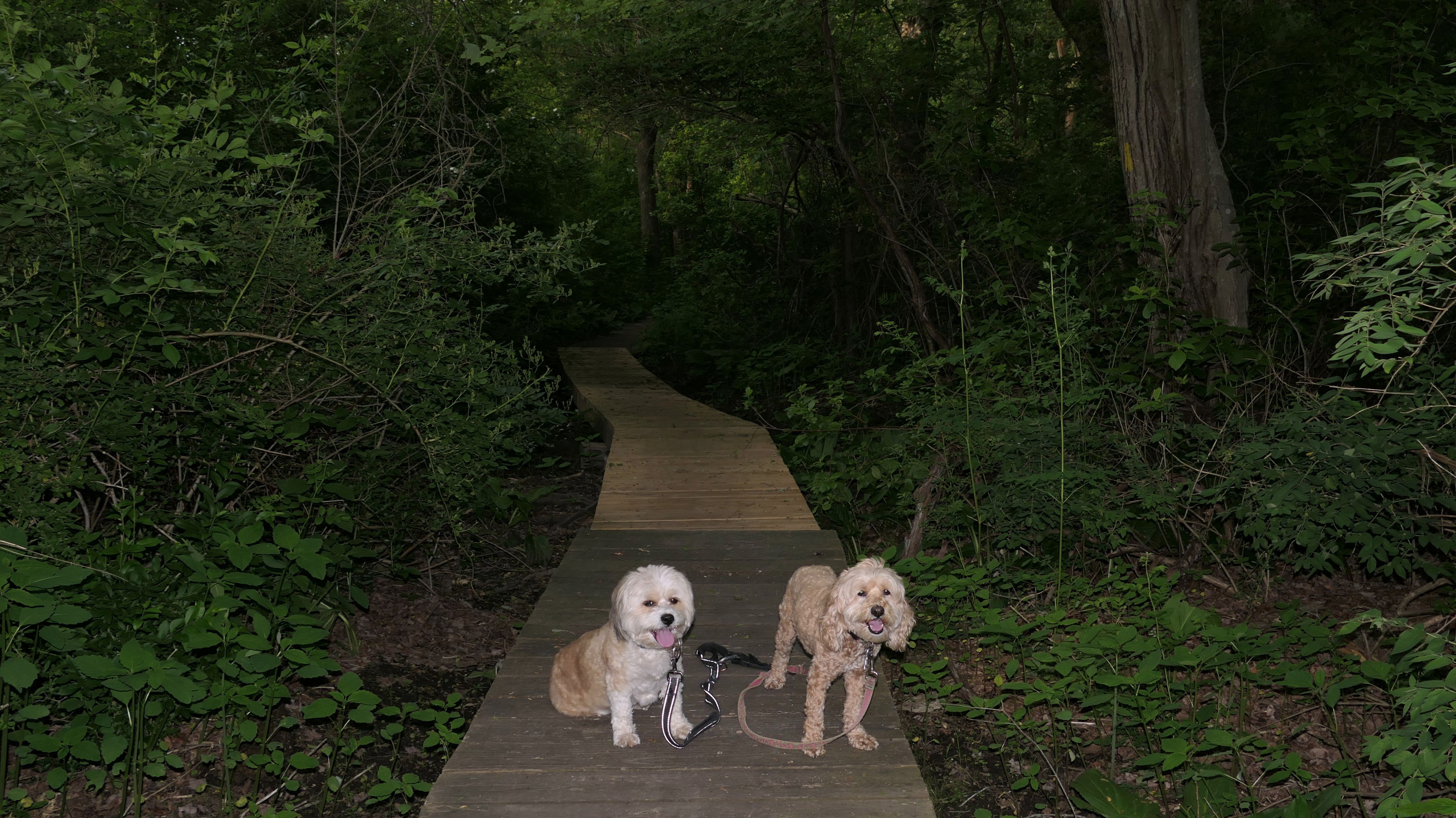
We visited this beach again on a cool fall late afternoon. It's not Photoshop - you are seeing it correctly. There were a few people in bathing suits who just finished their swim. It was about 40 degrees out, but that doesn't seem to phase New Englanders! This isn't the first time we've witnessed winter swims at the beach! We walked the length of the beach, and even continued on to Moonstone Beach, since the tide was low enough for us to get around the three houses on stilts. About halfway through our walk, Lexi came down with a case of the zoomies, so I let the dogs off-leash to run a bit. The clouds made for a dramatic sunset, but it also caused difficult lighting conditions for photos, but we did the best we could.
More Images
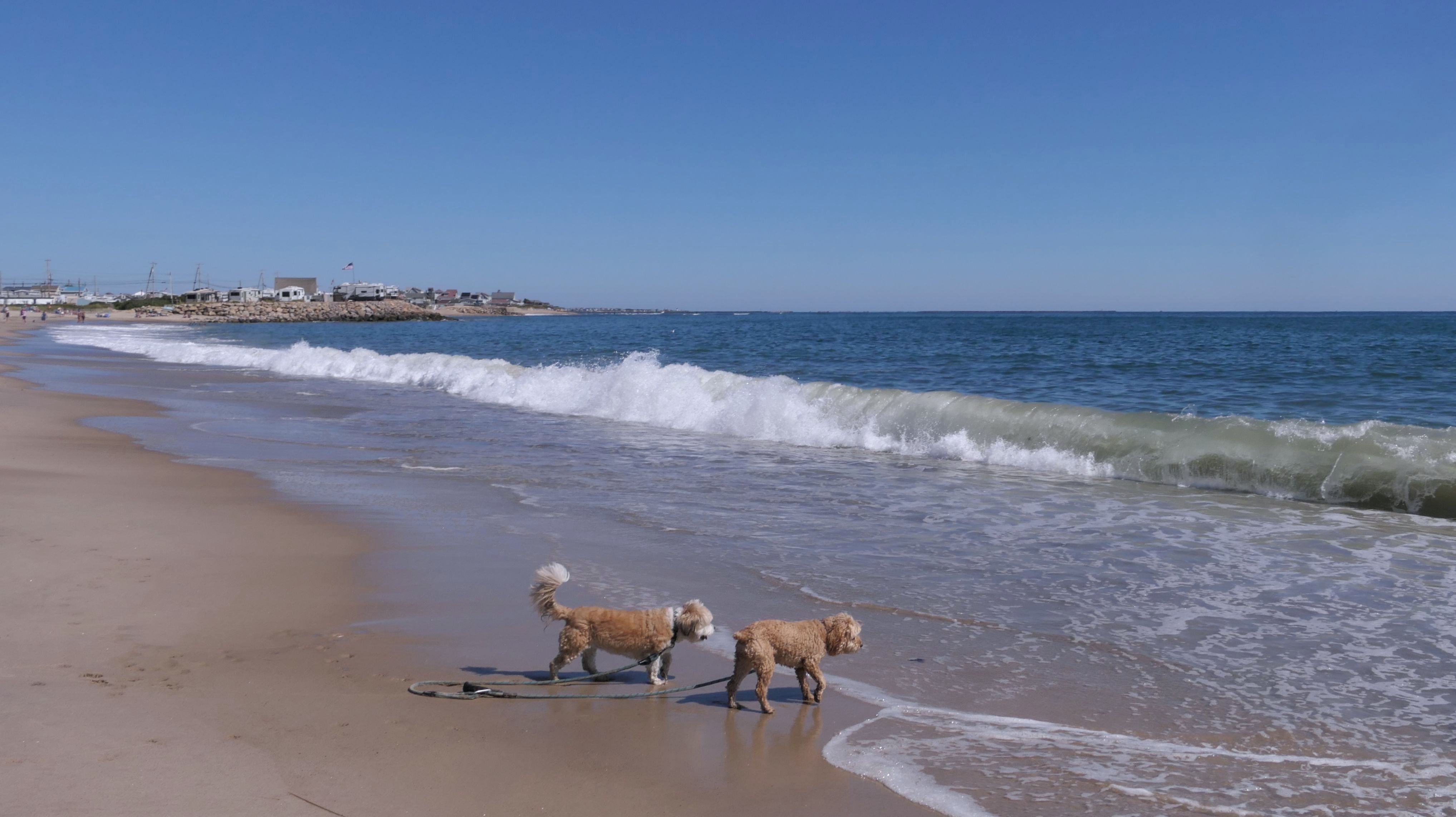
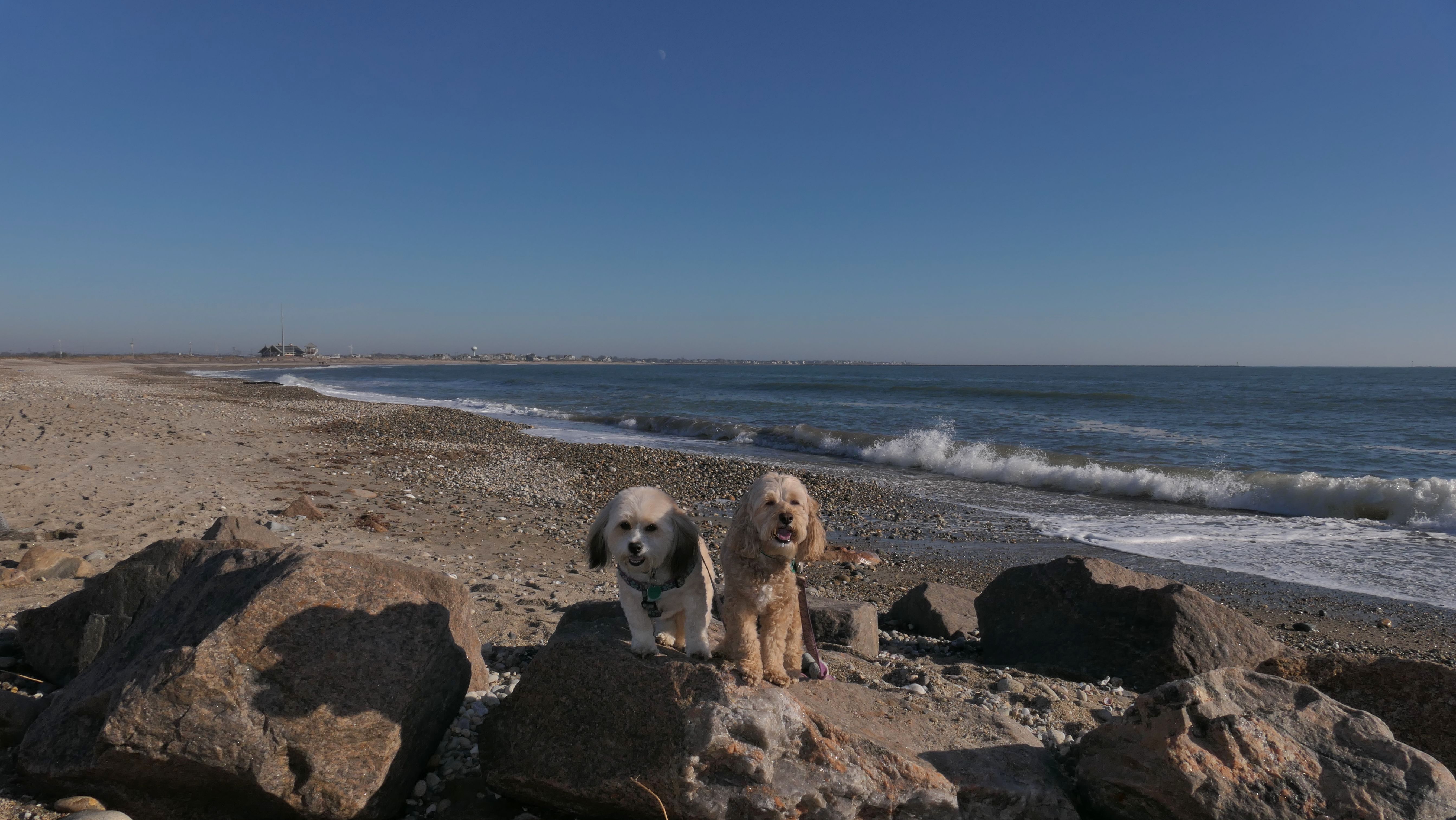
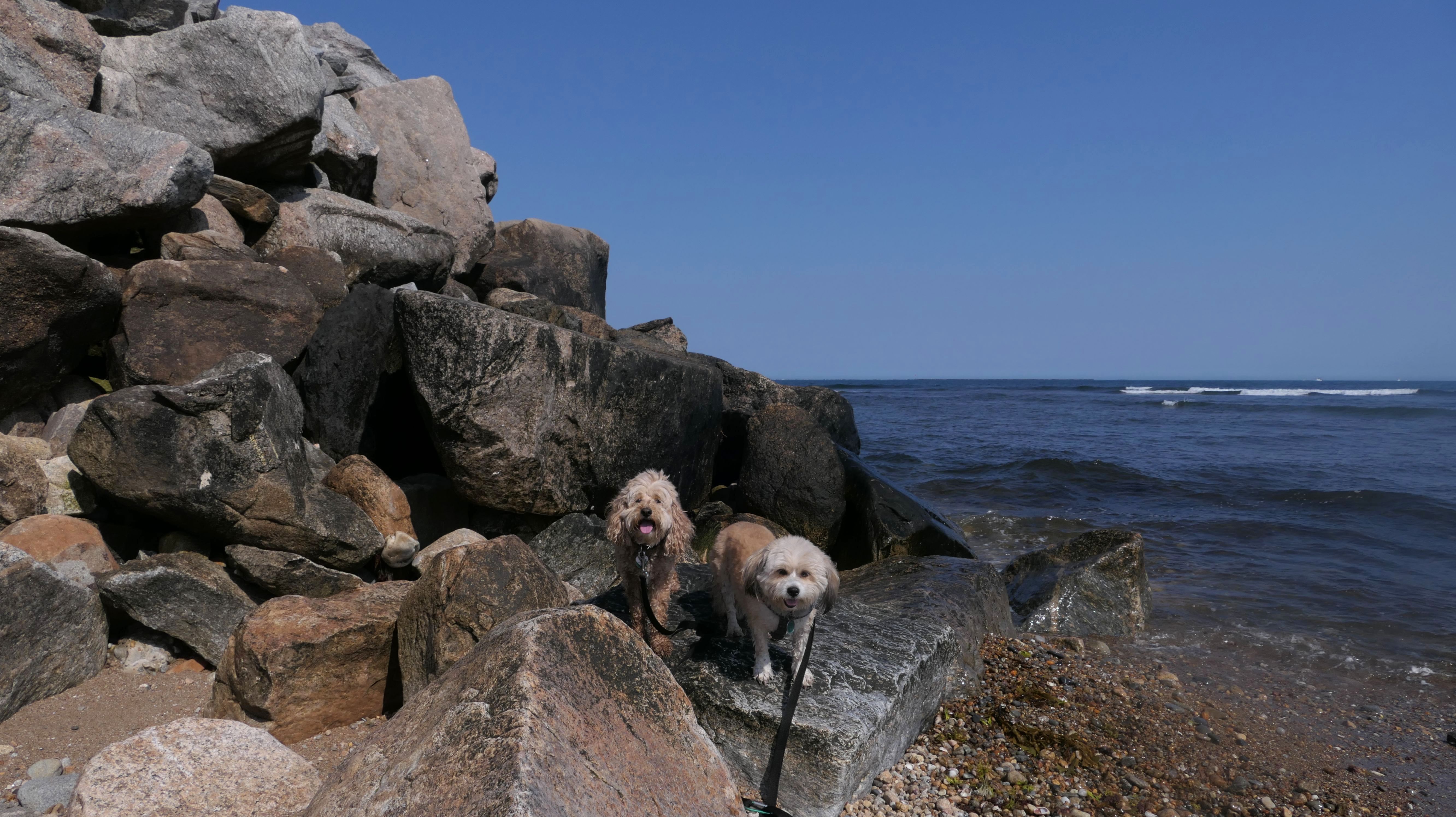
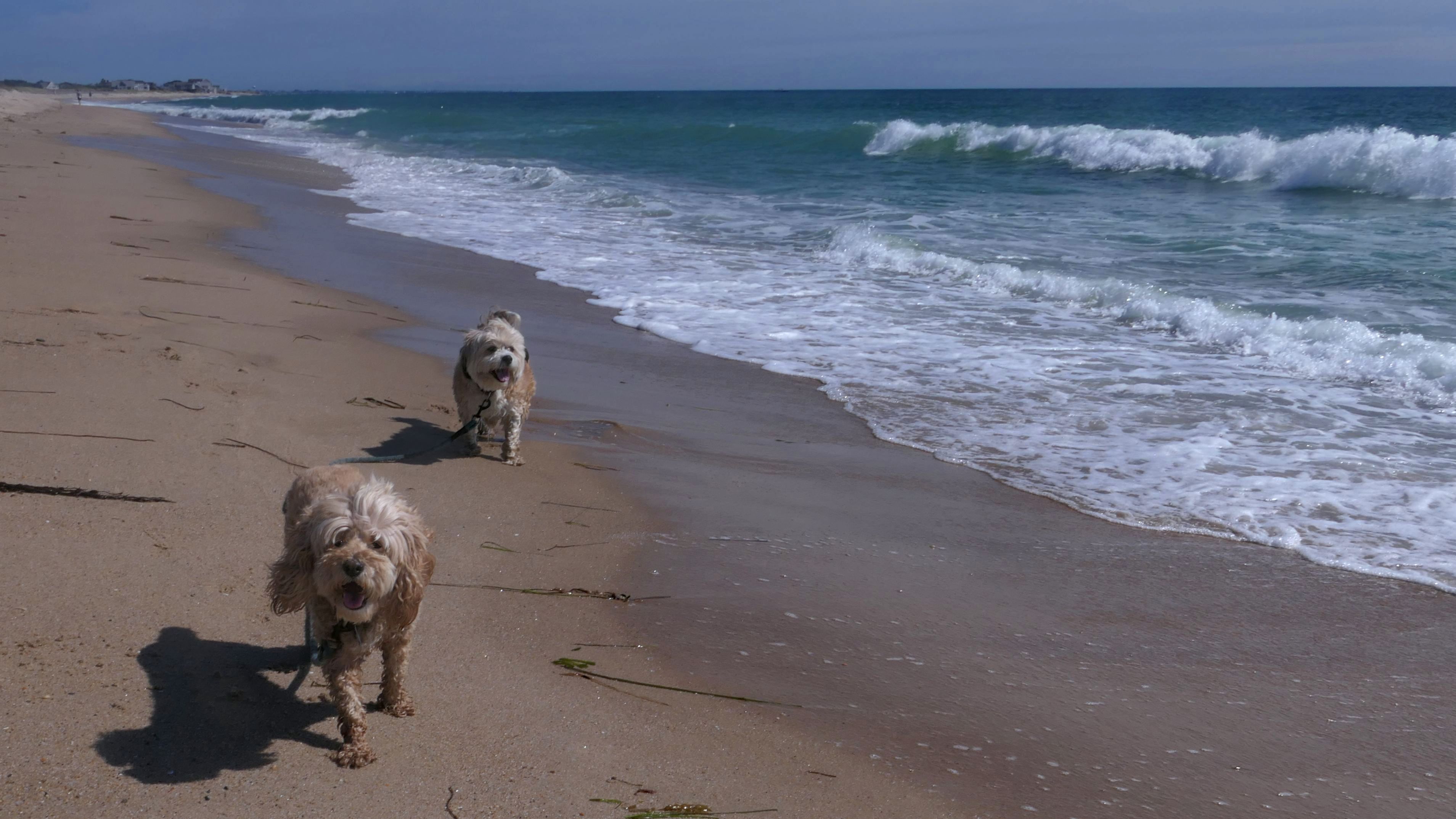
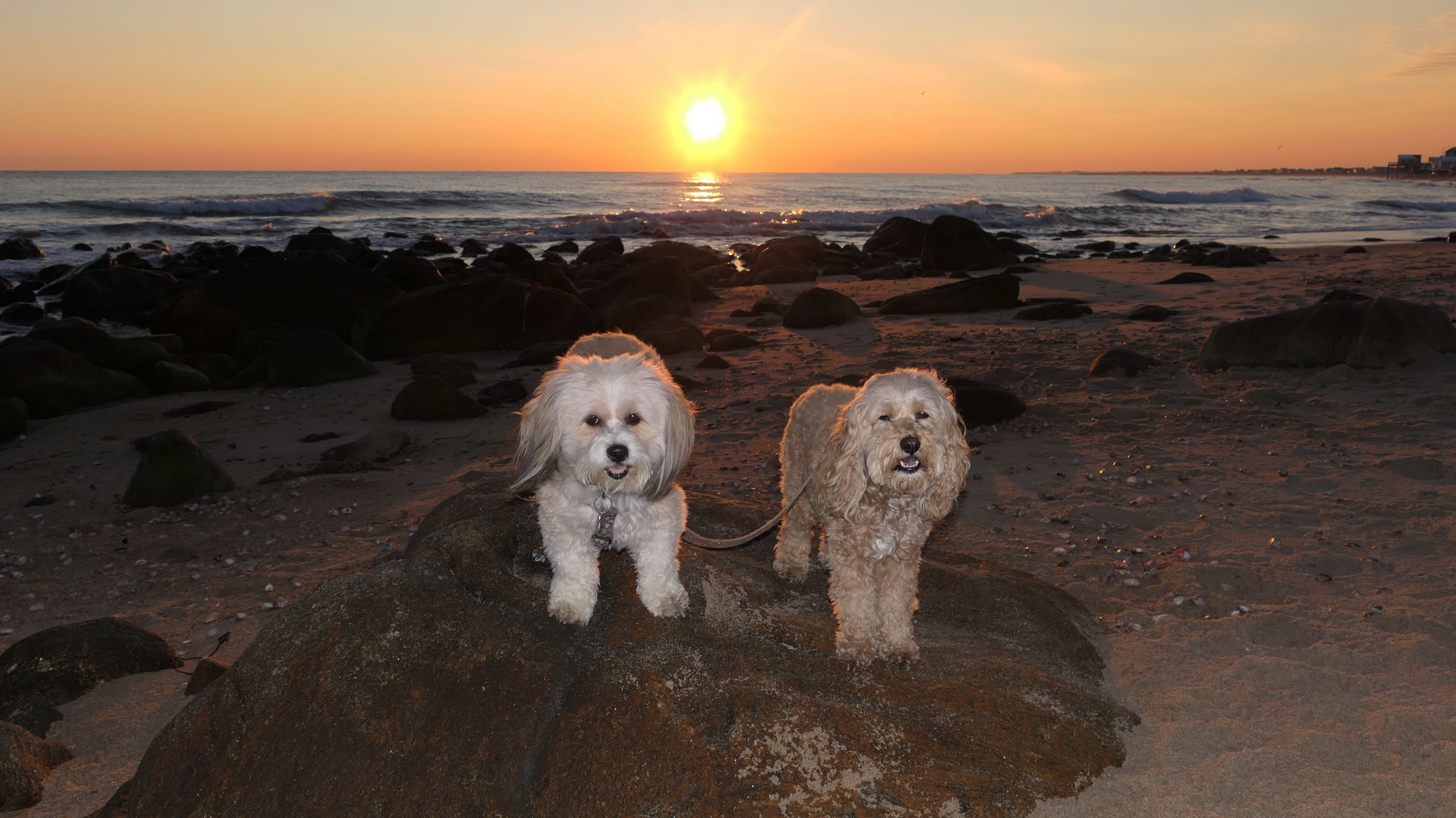
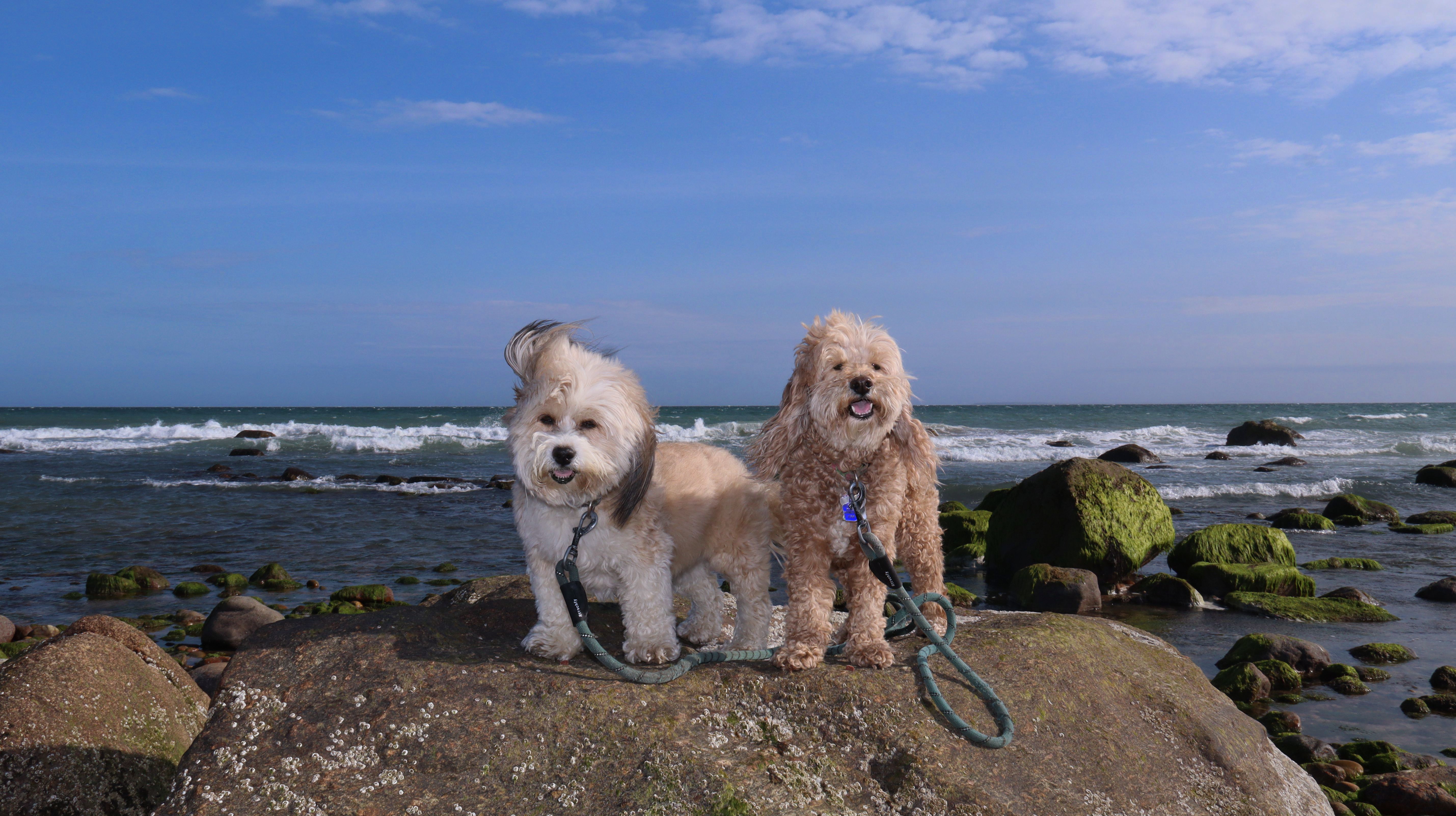
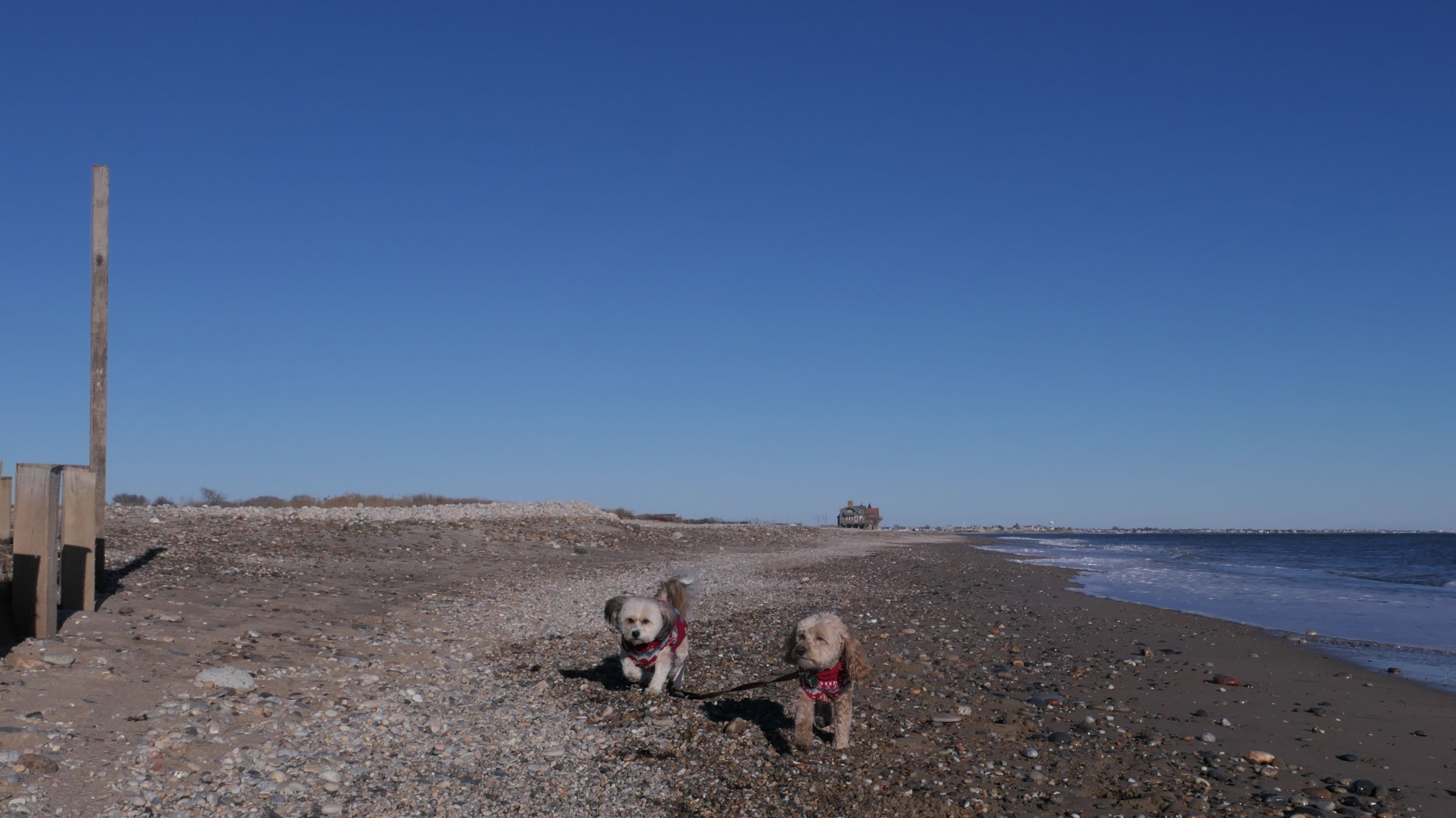
South Kingstown Town Beach
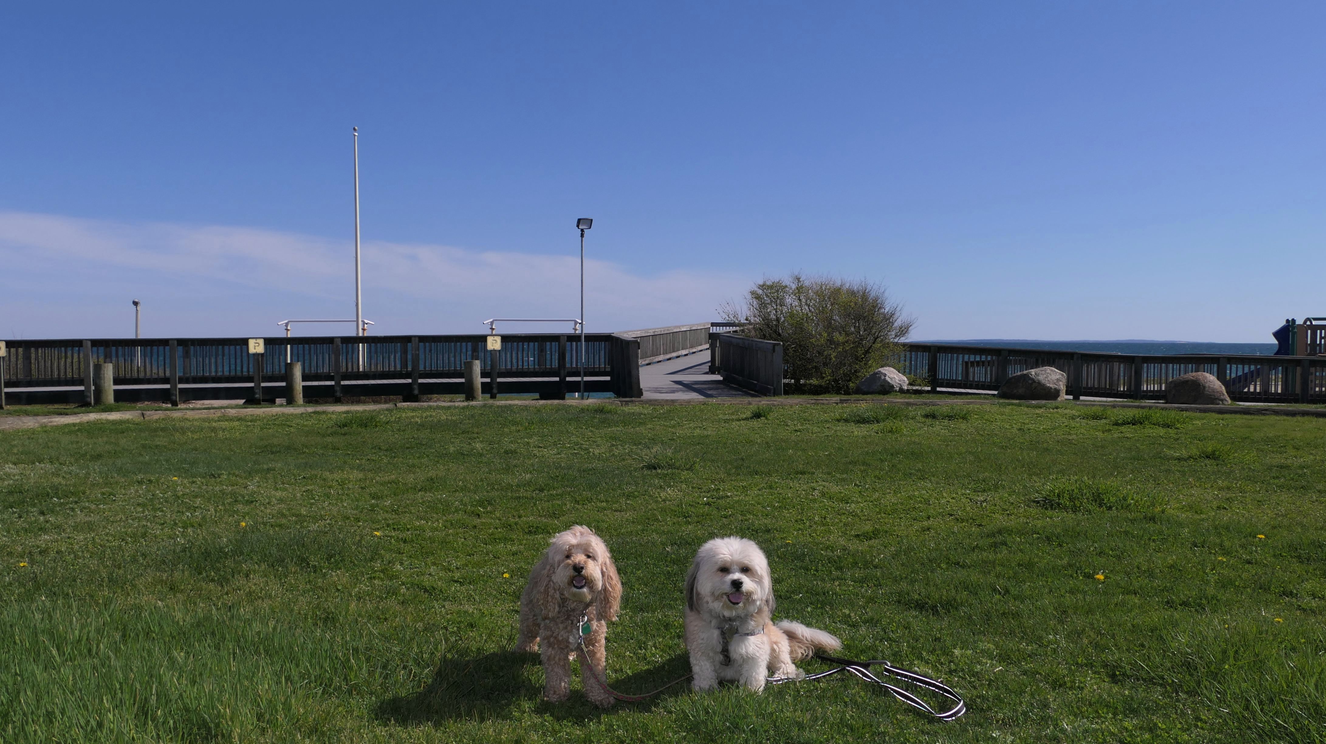
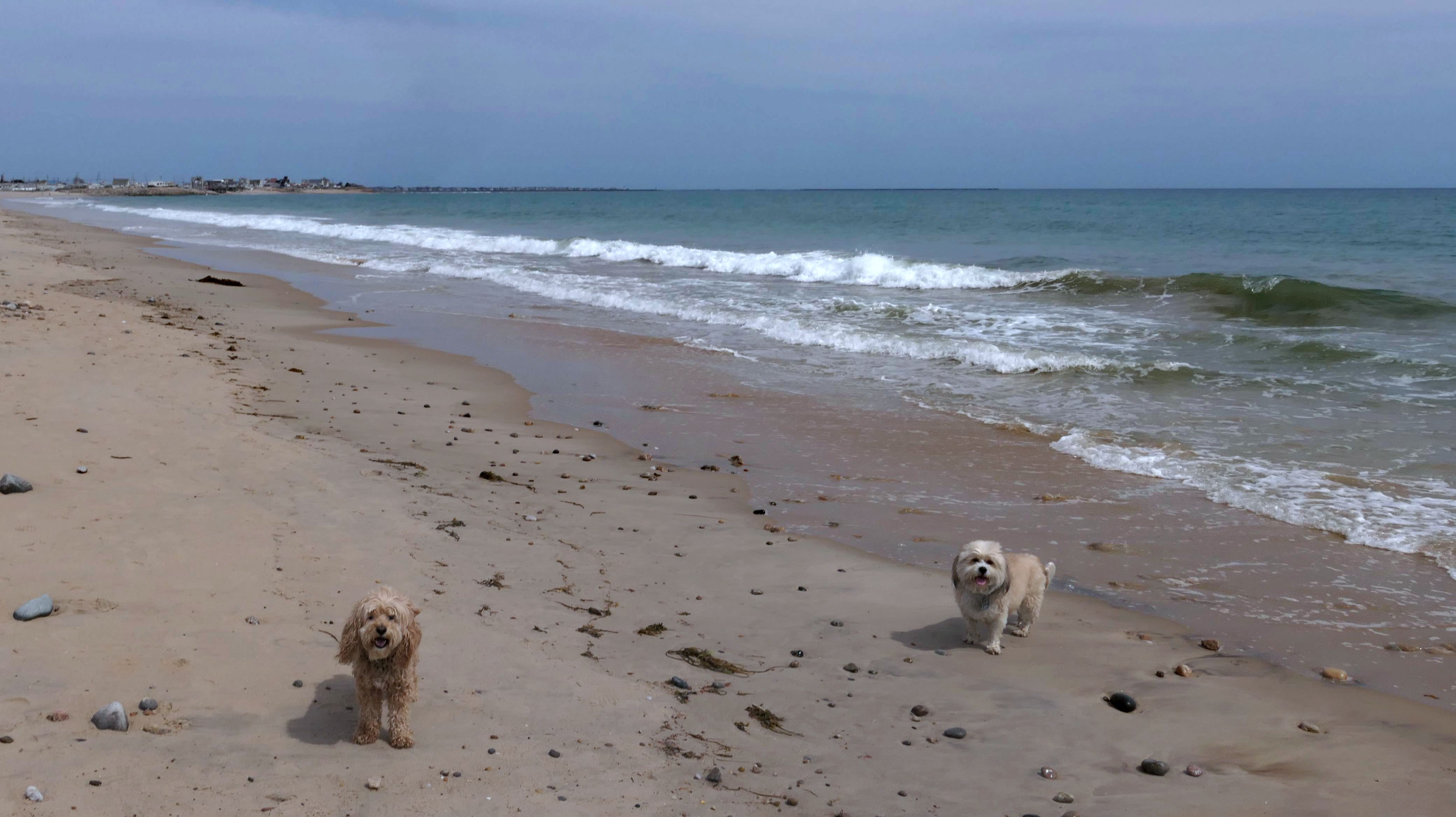
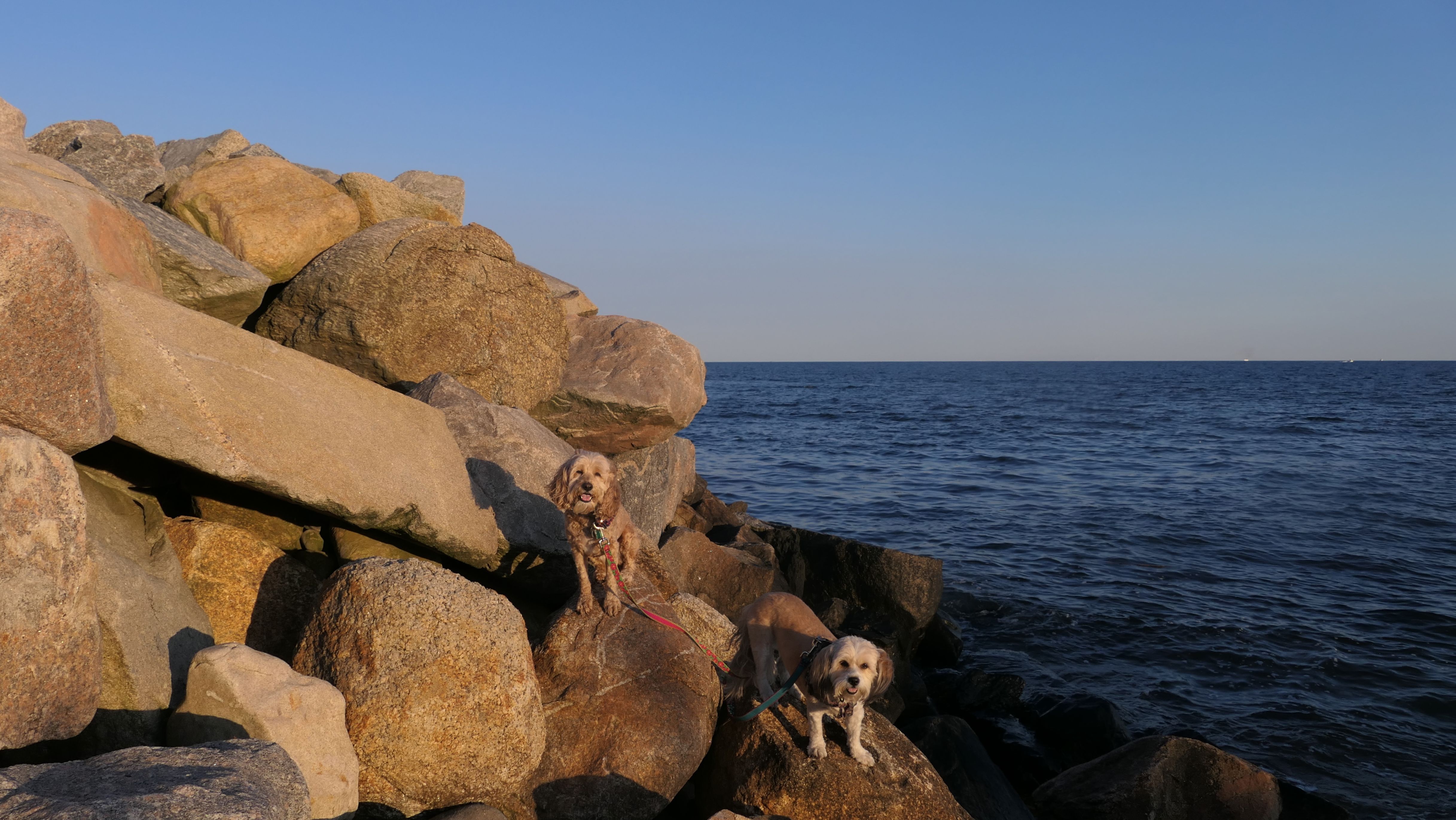
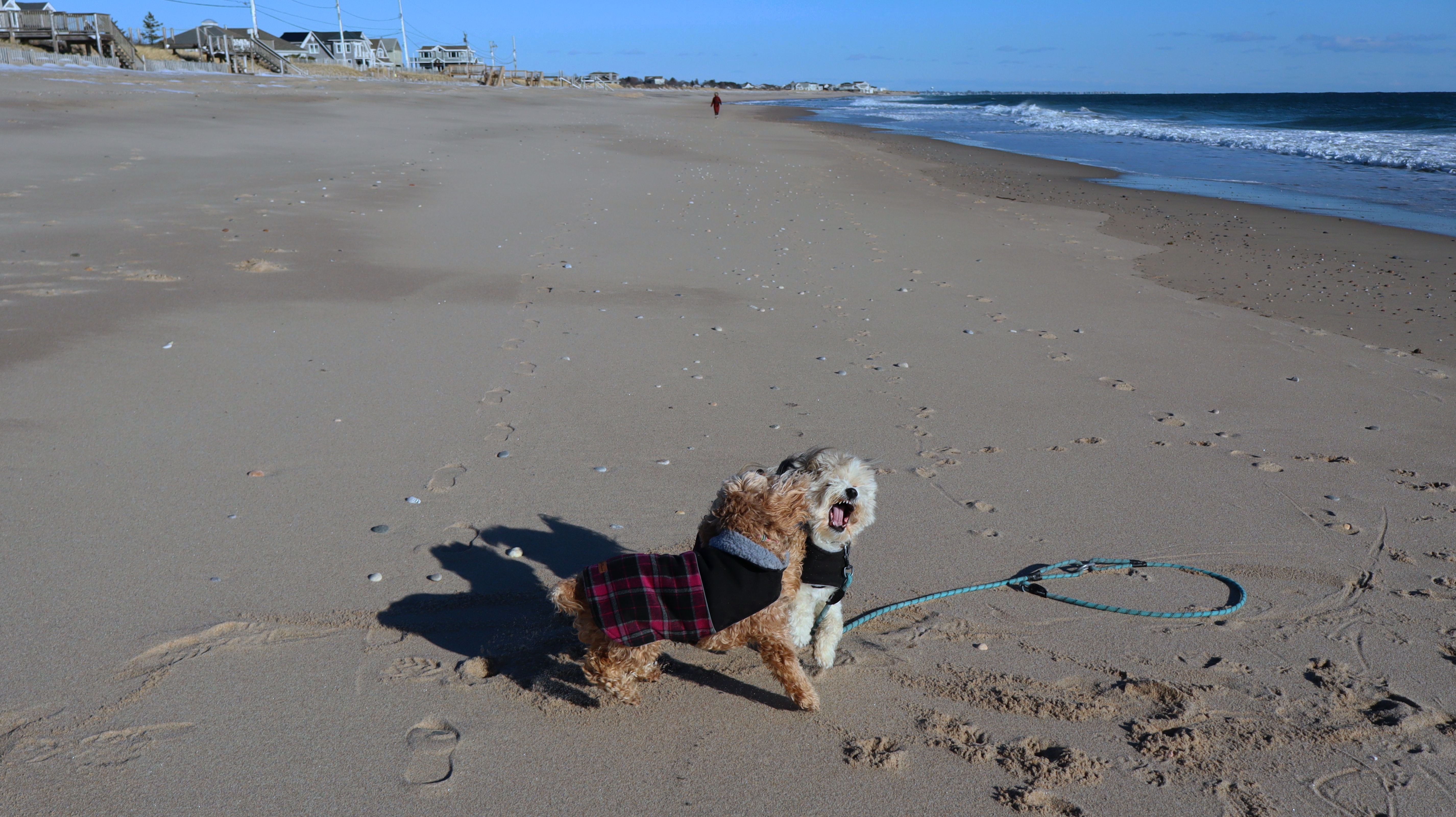
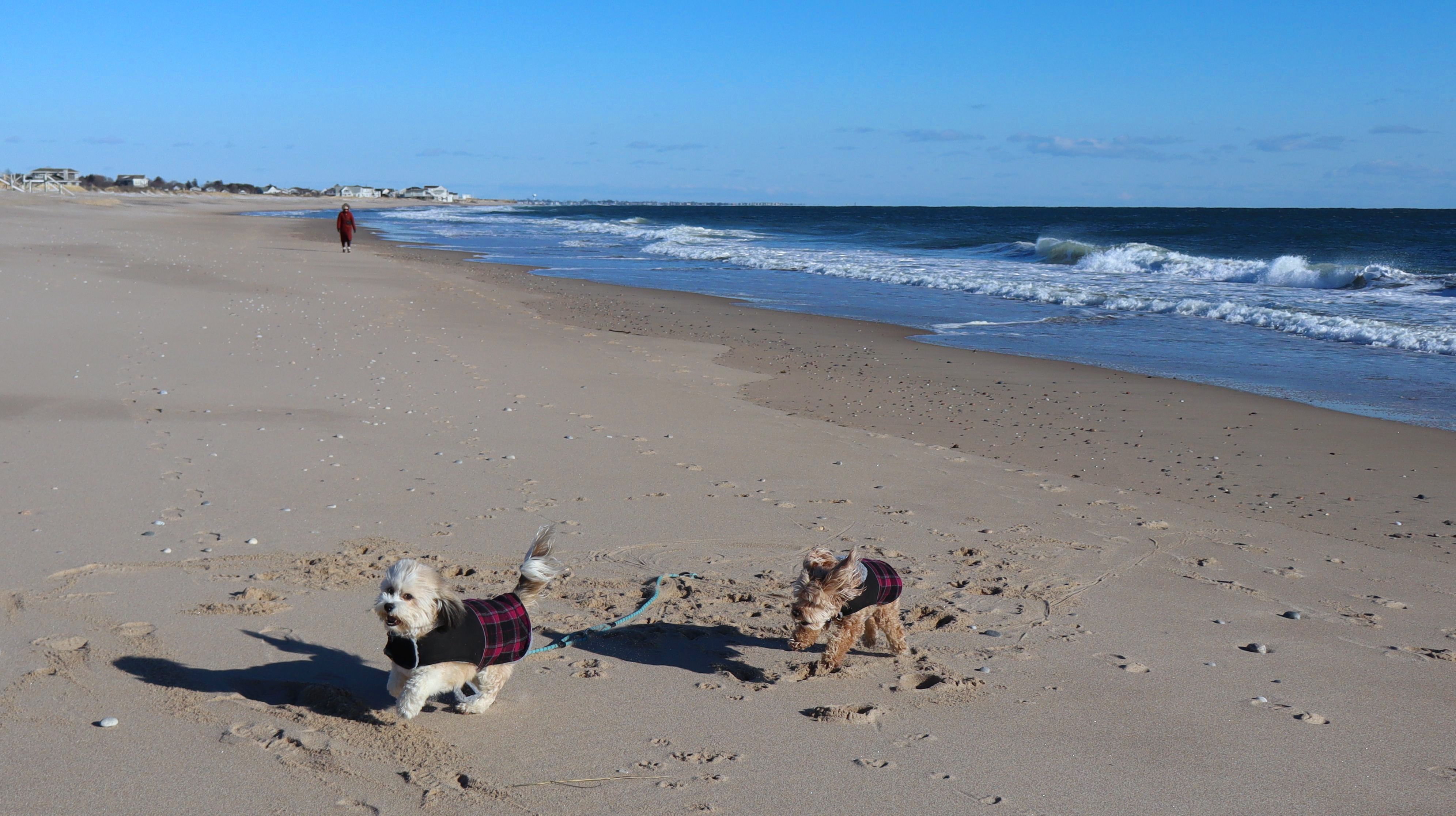
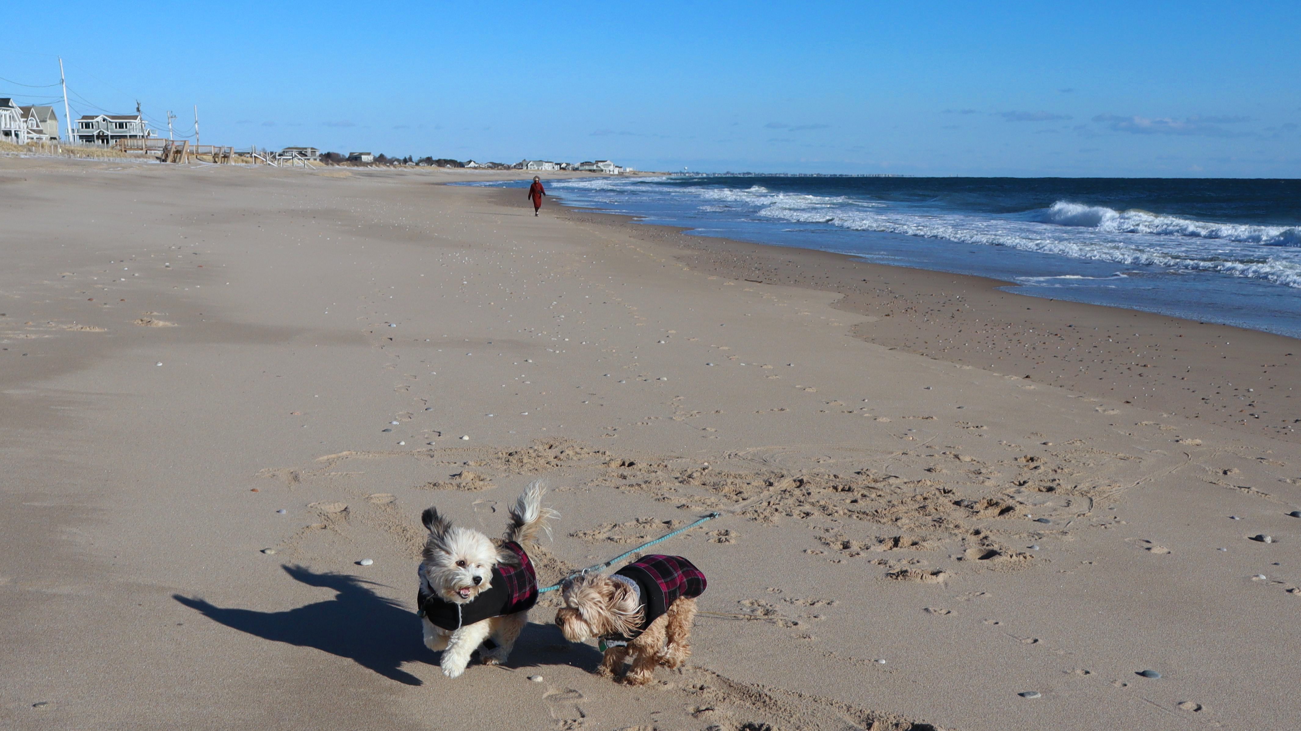
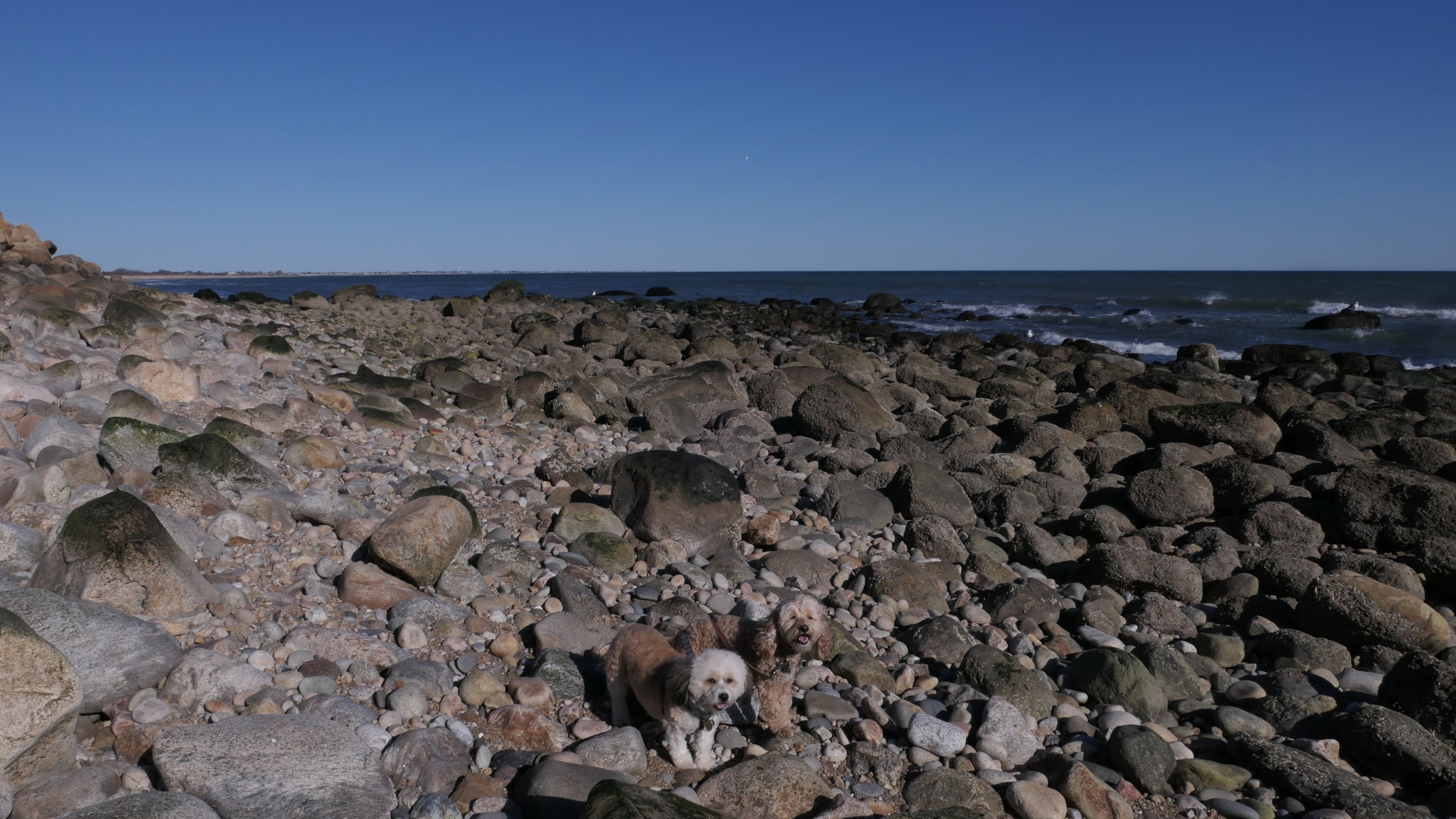
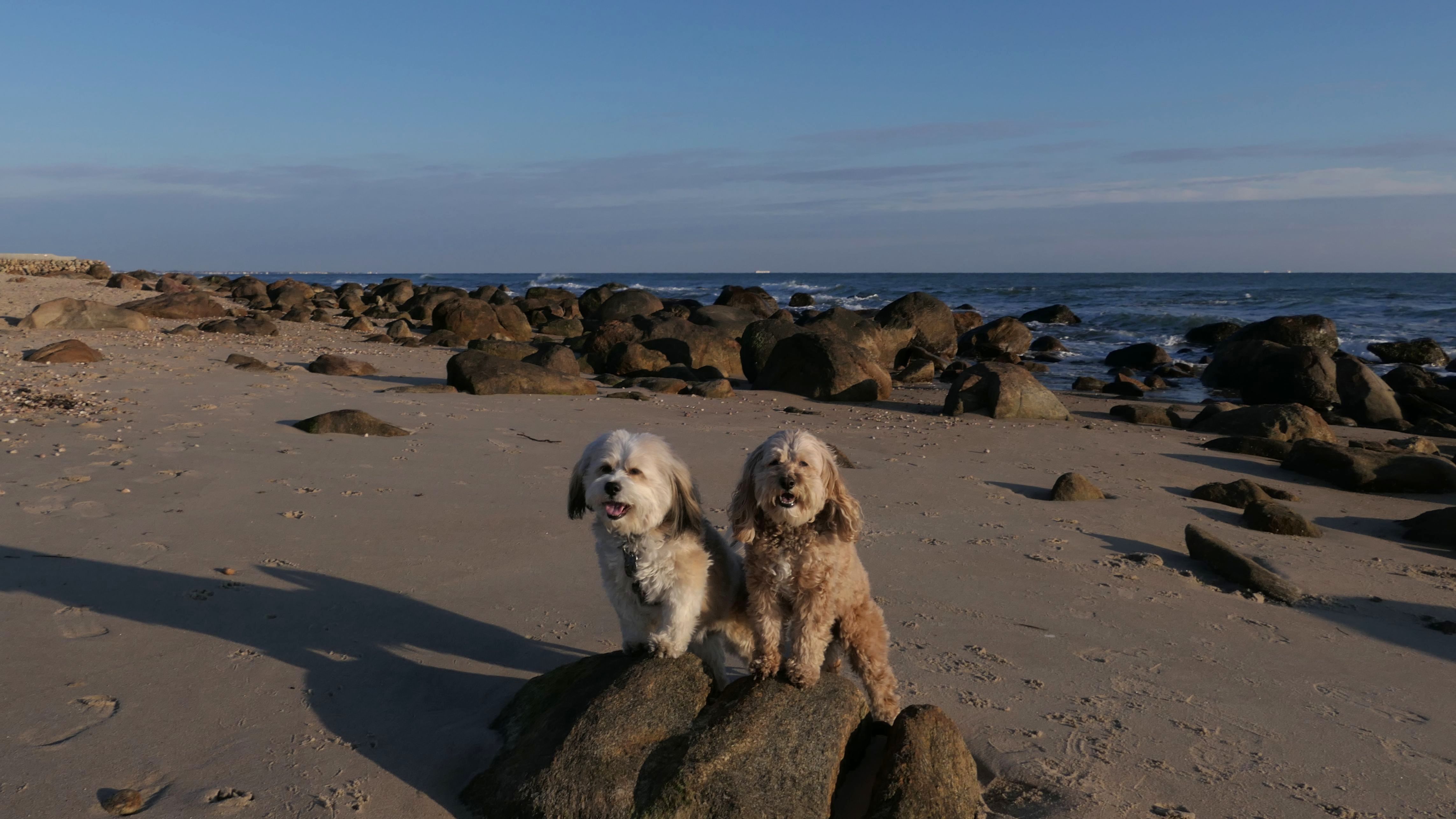
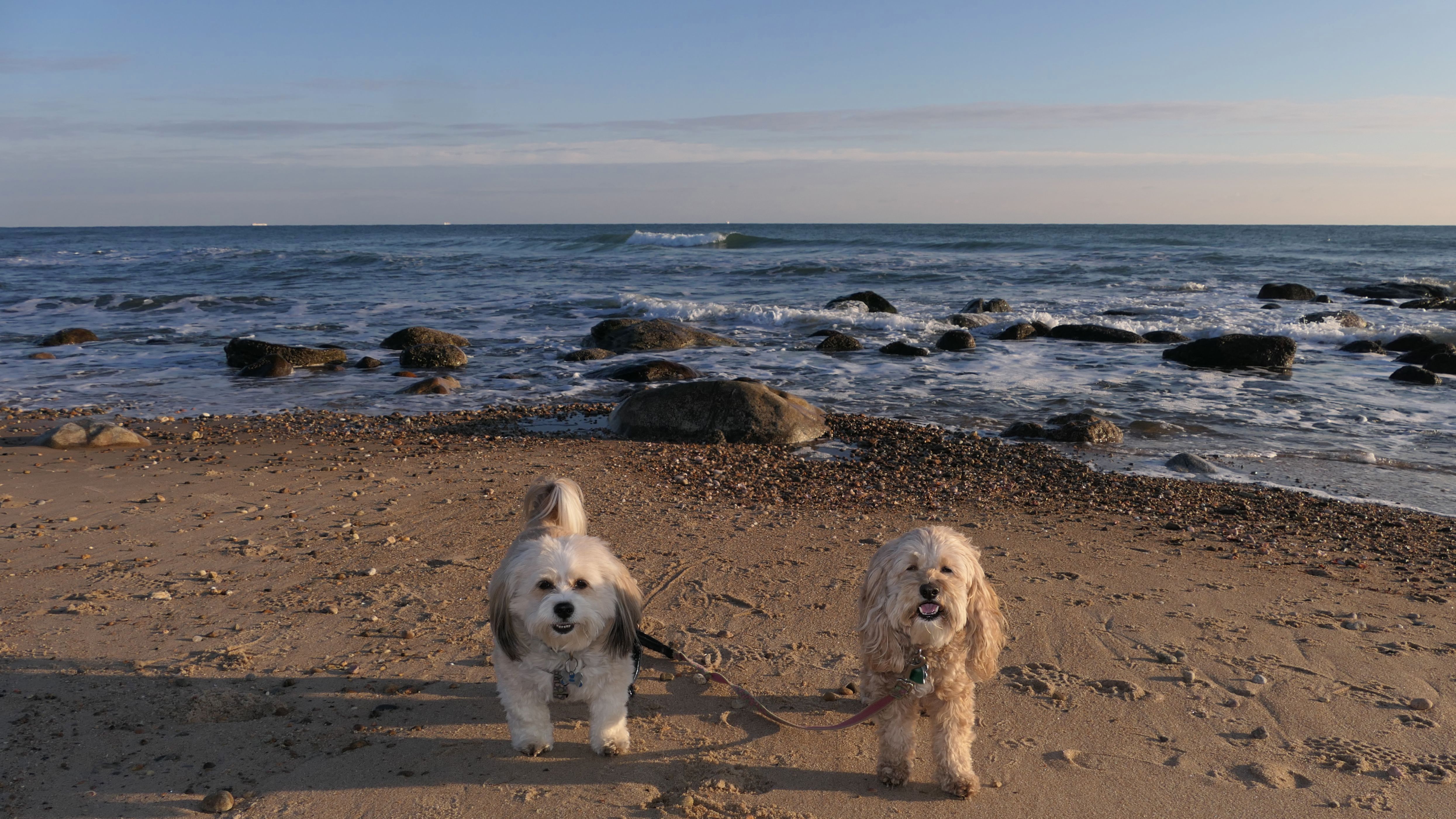
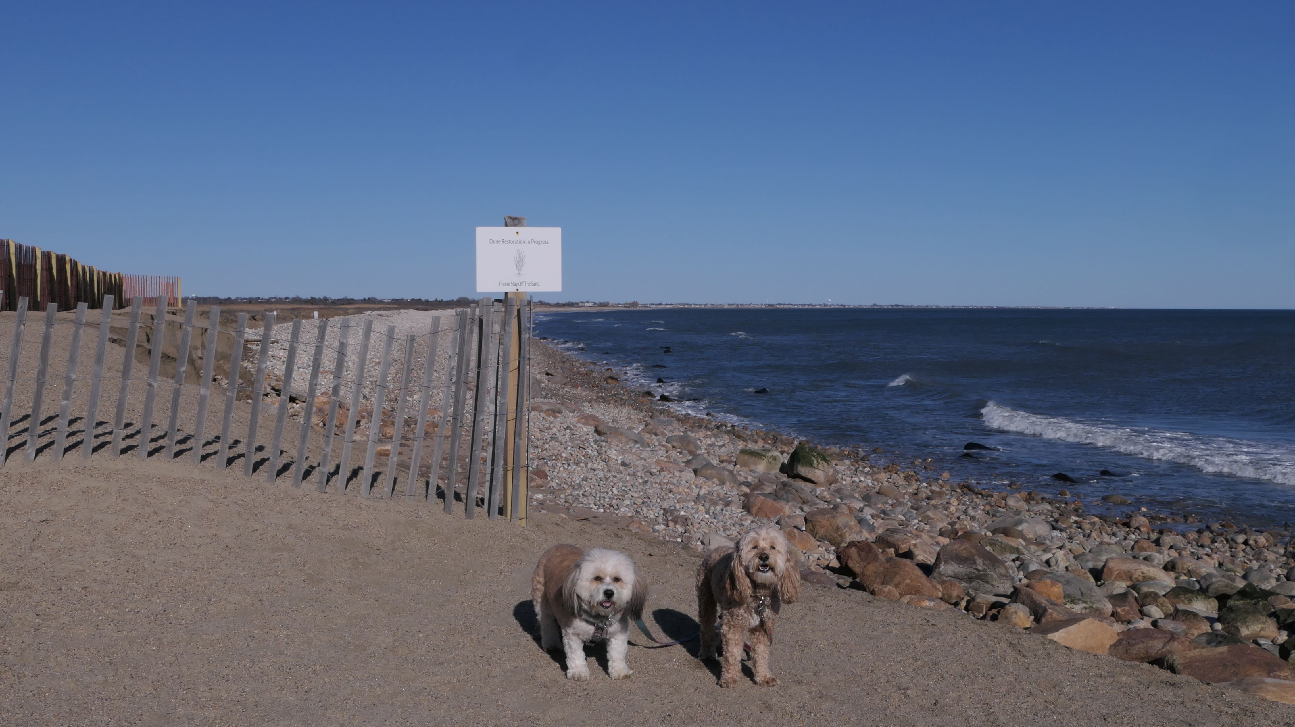
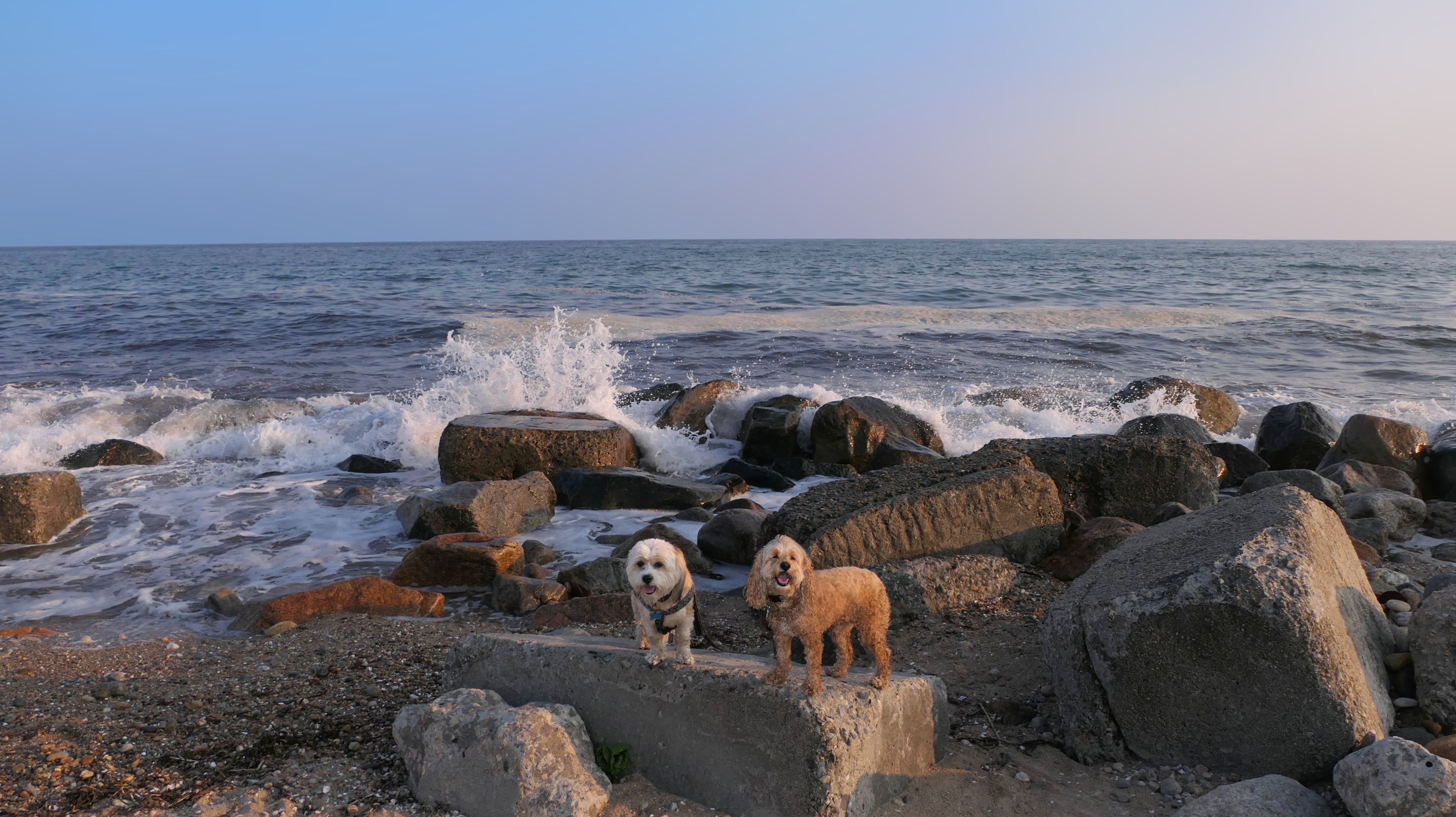
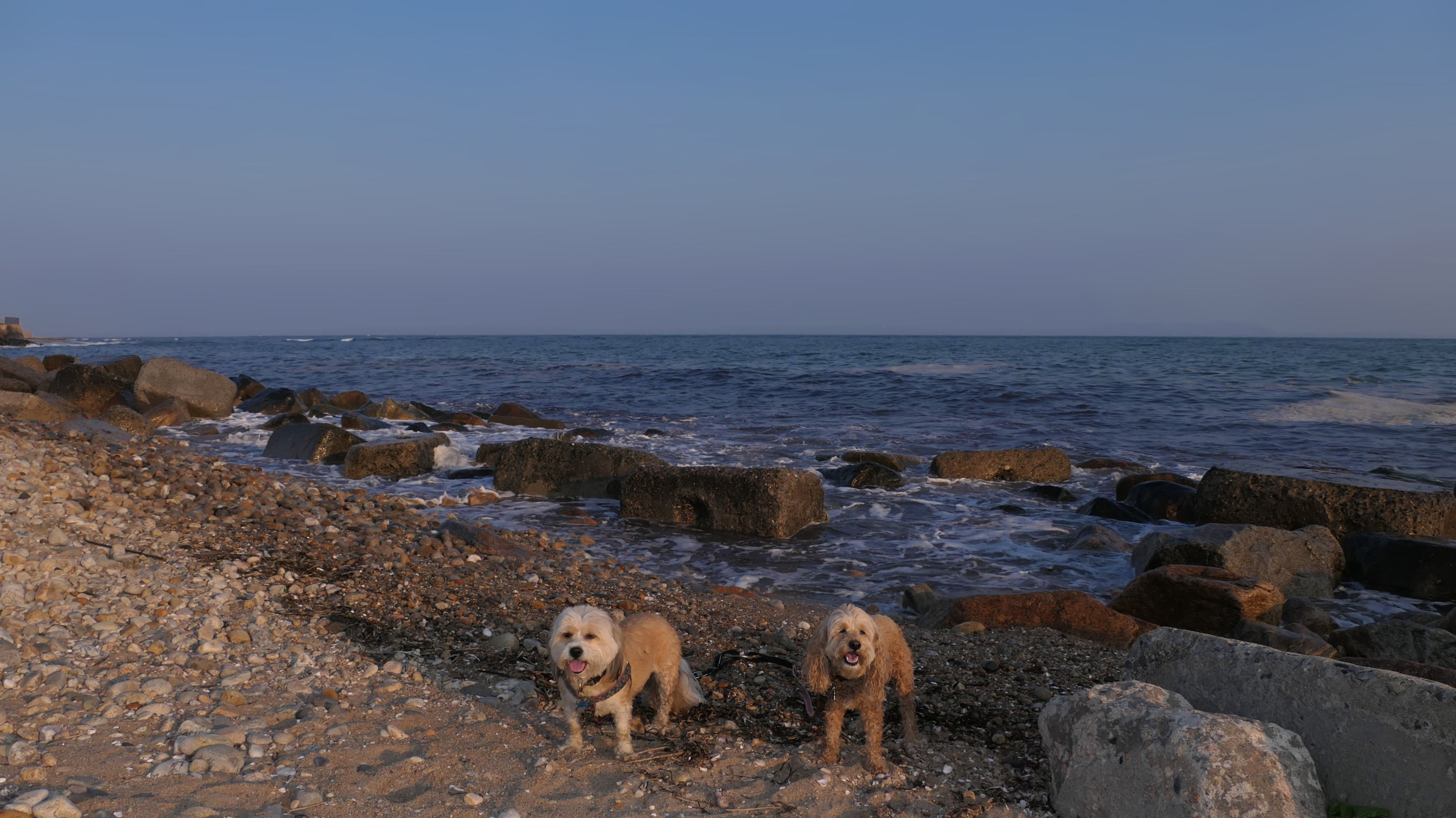
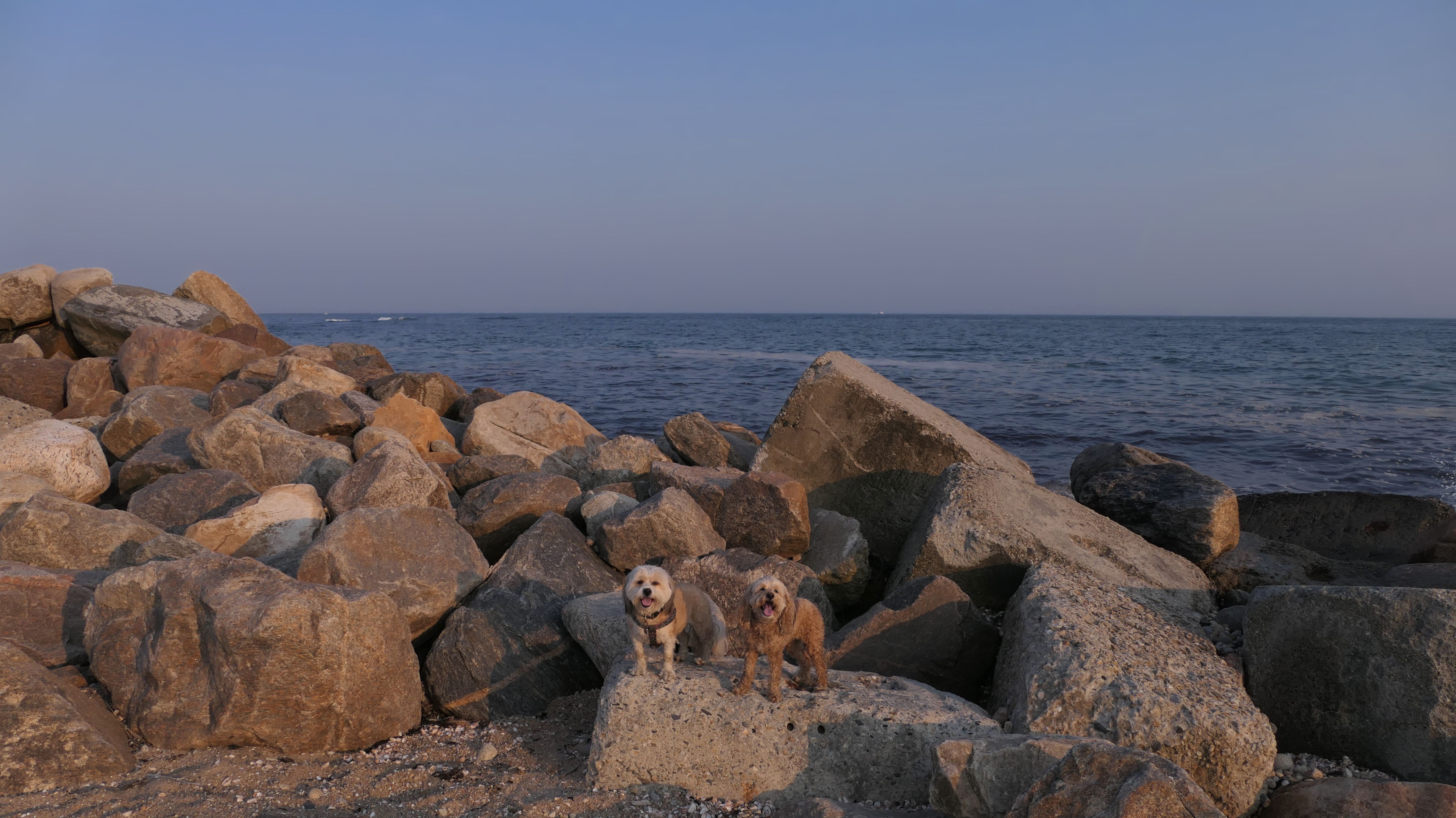
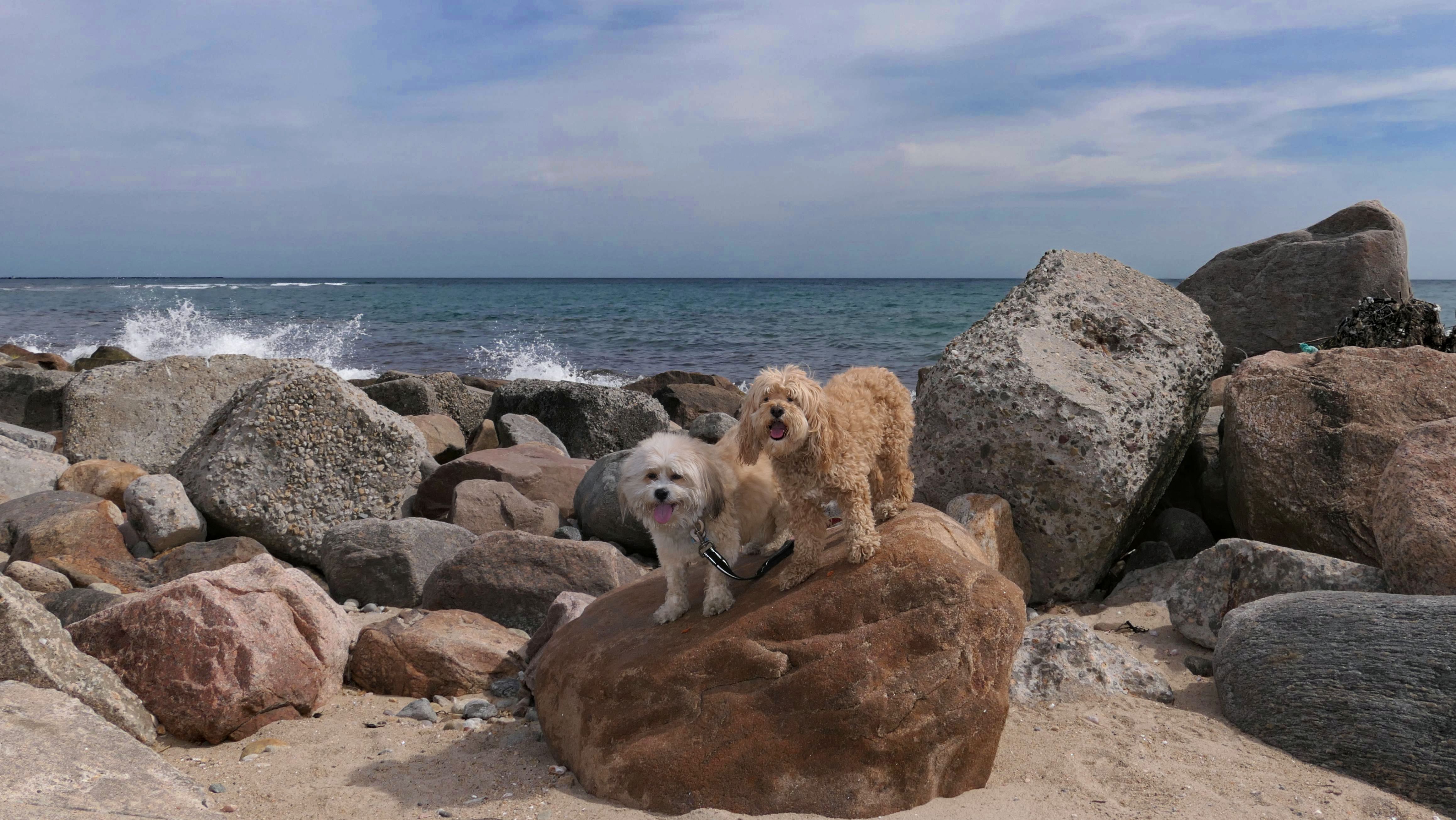
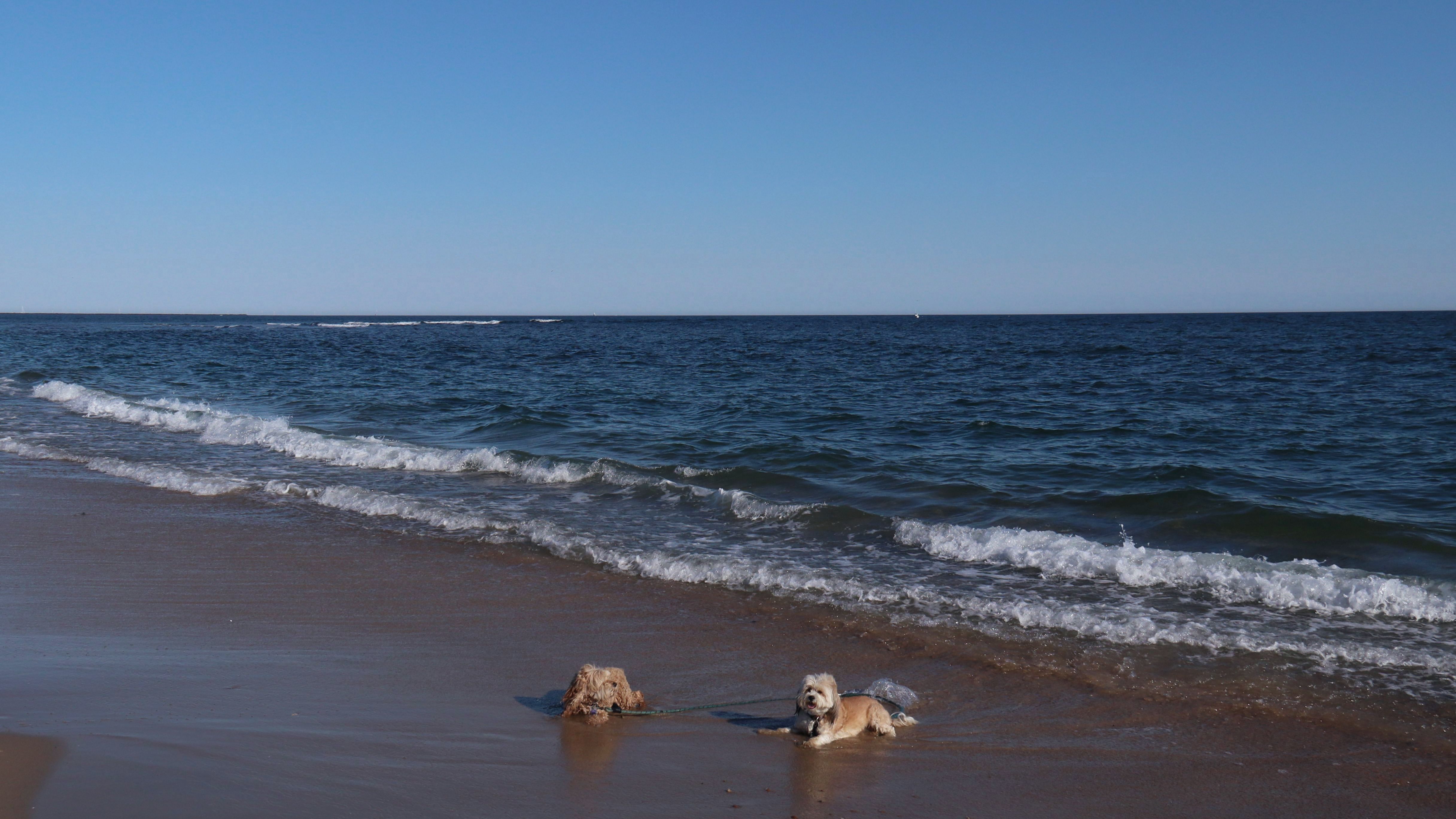
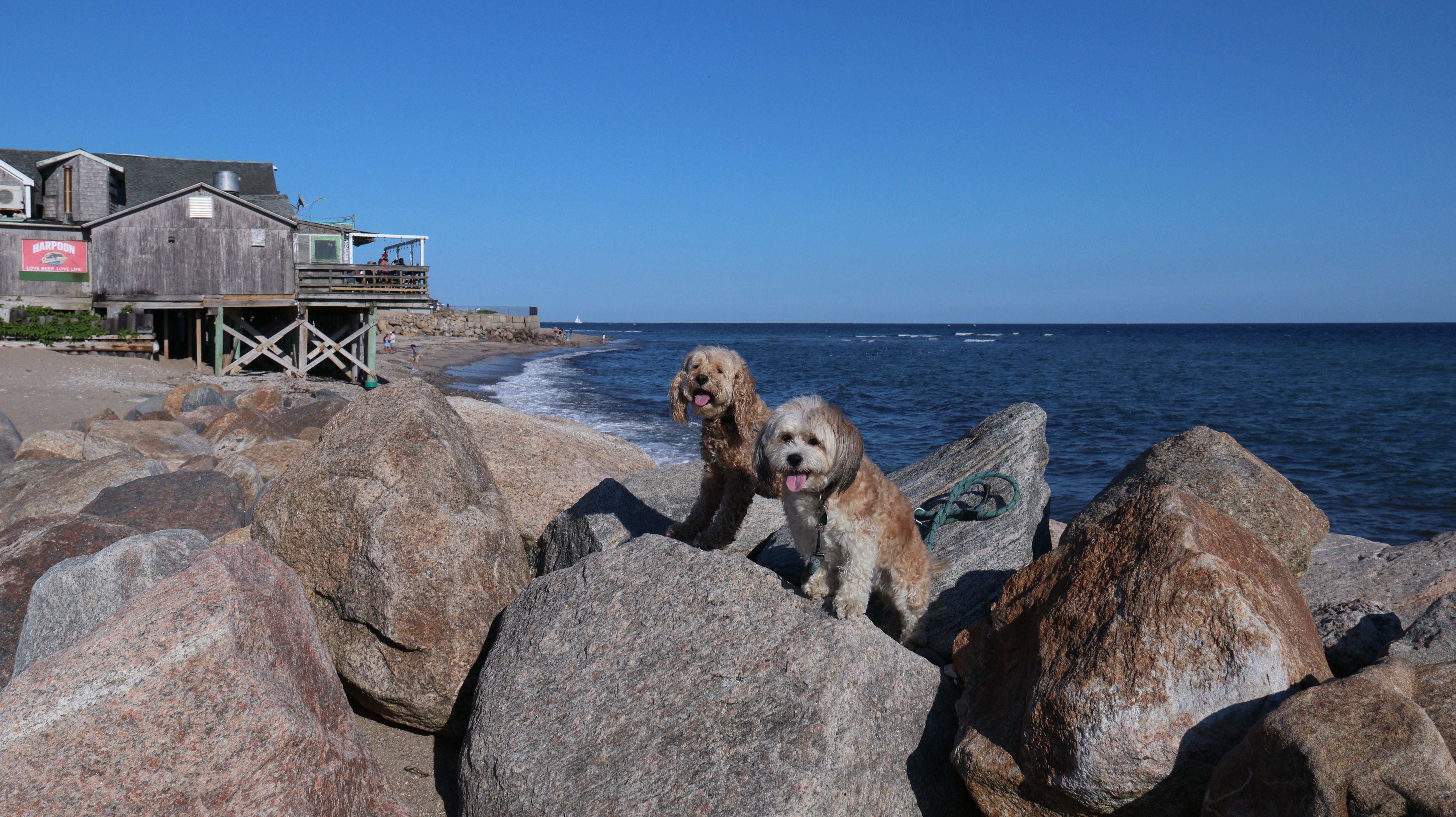
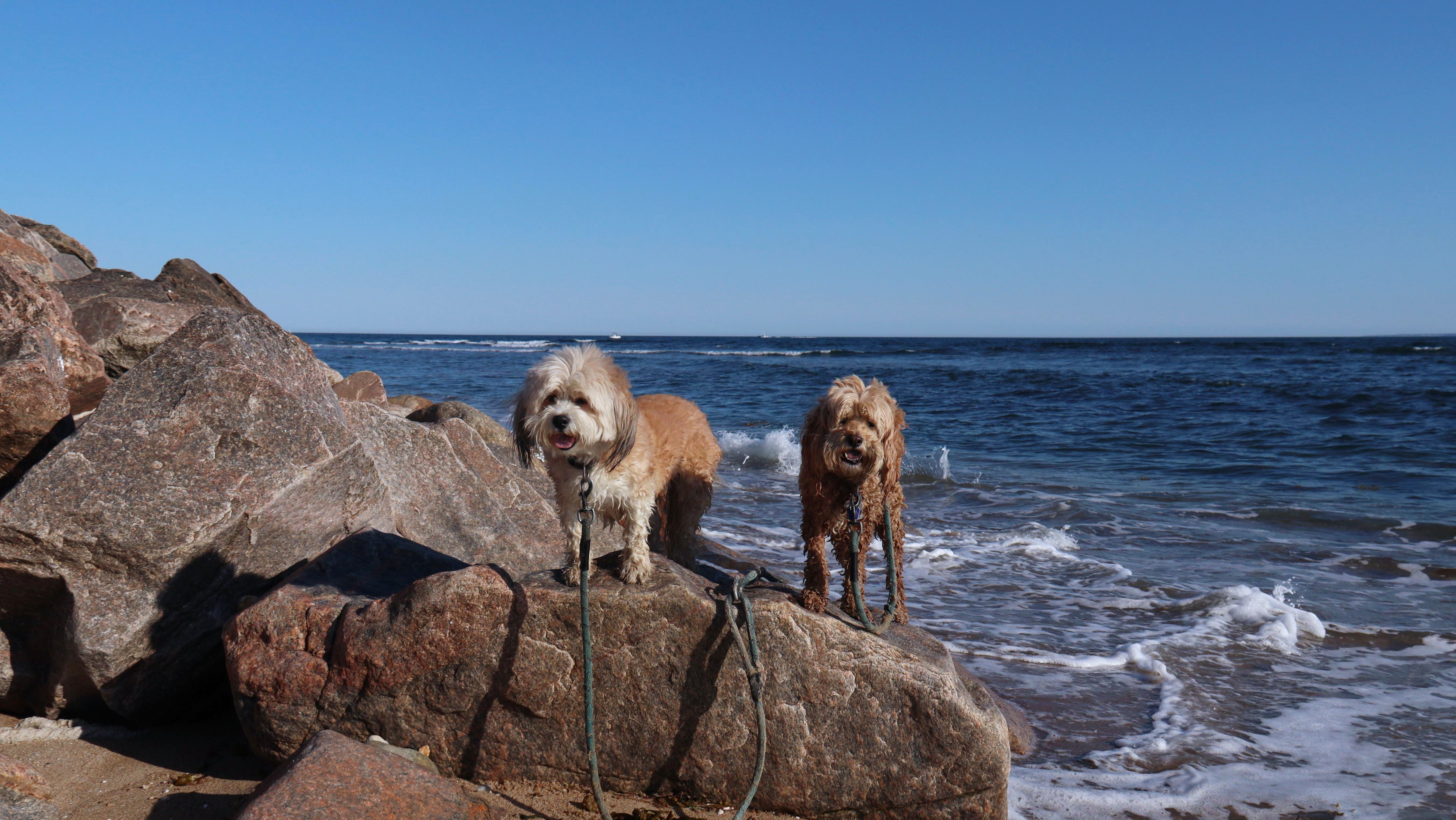
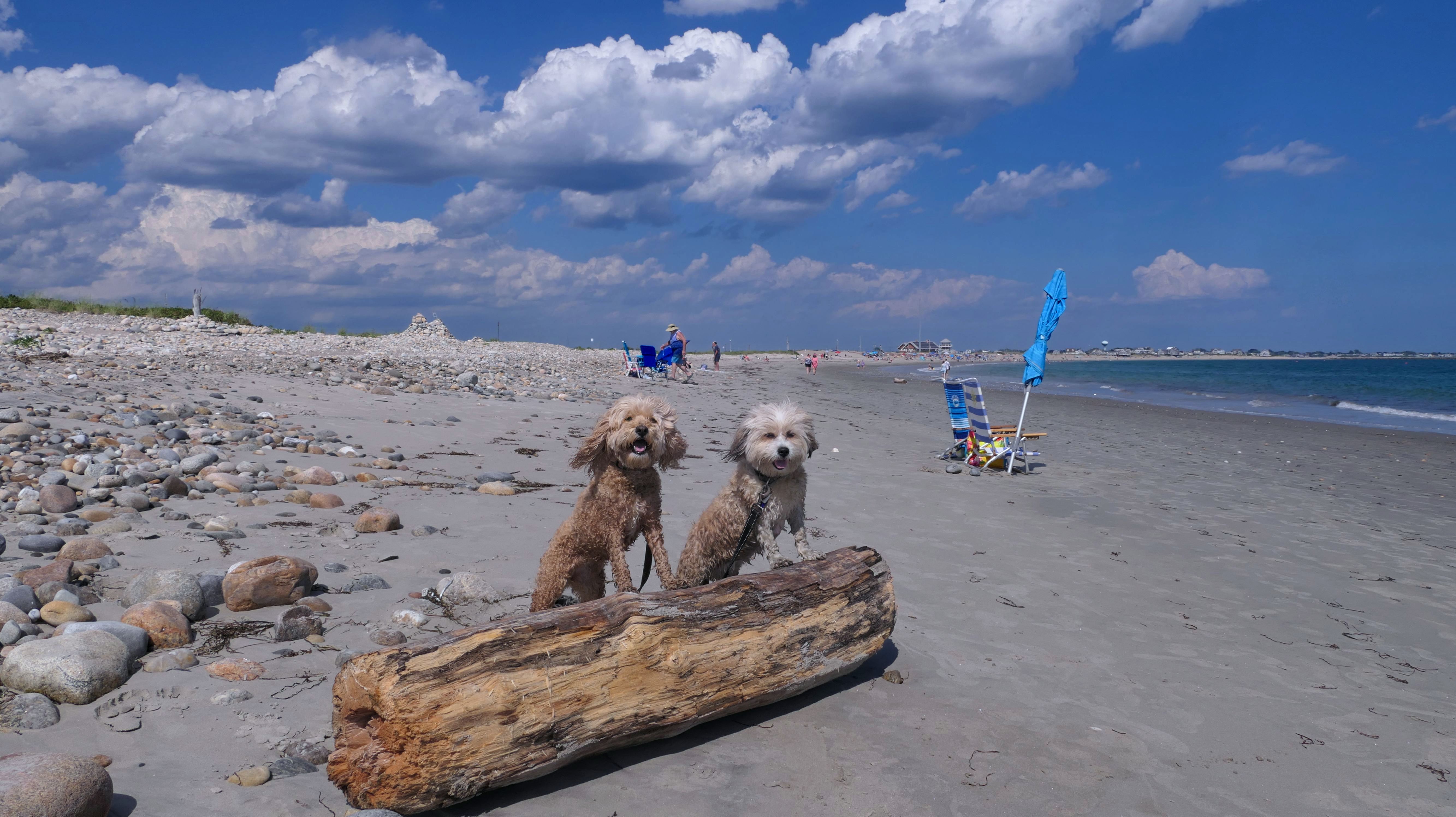
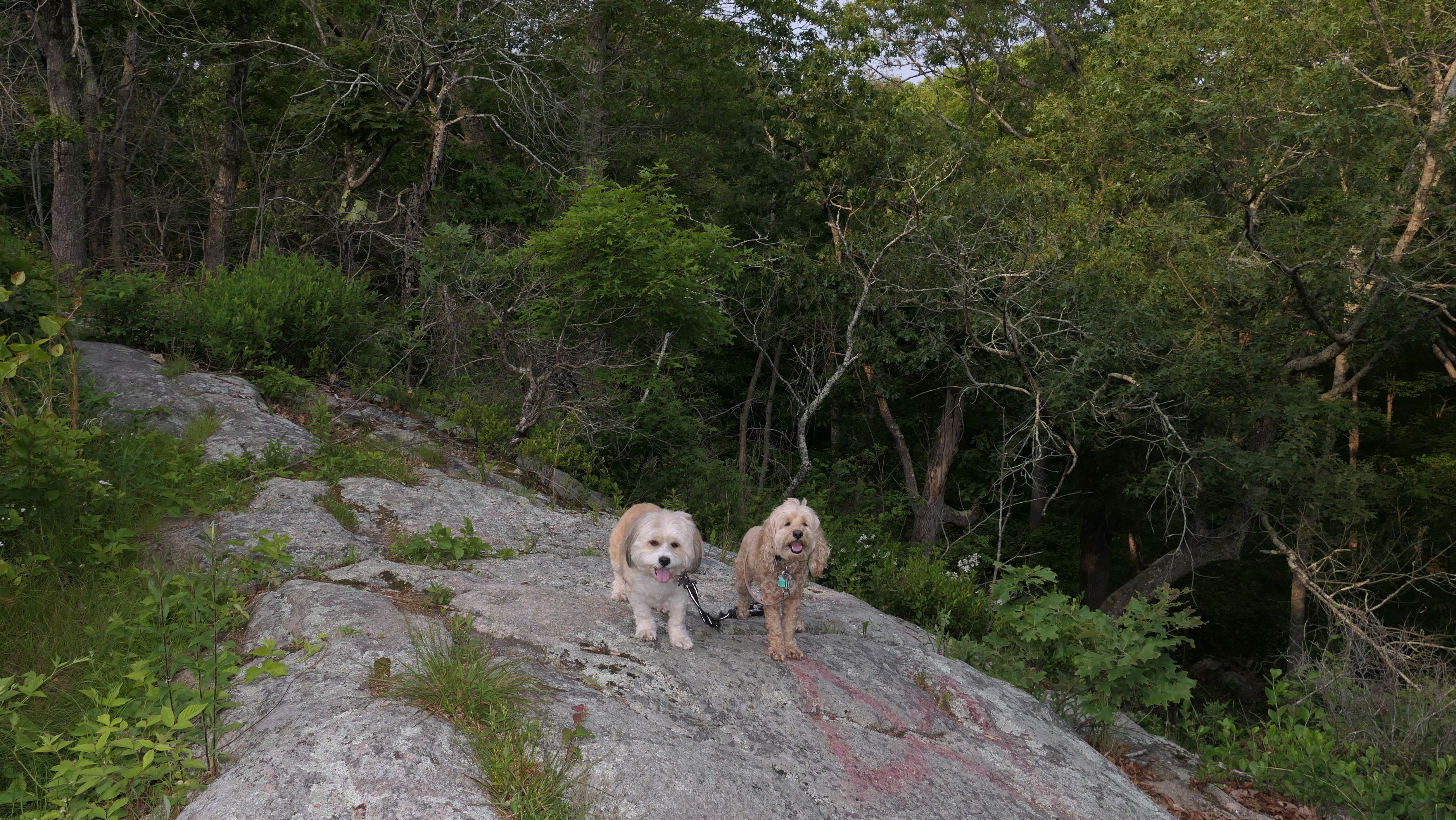
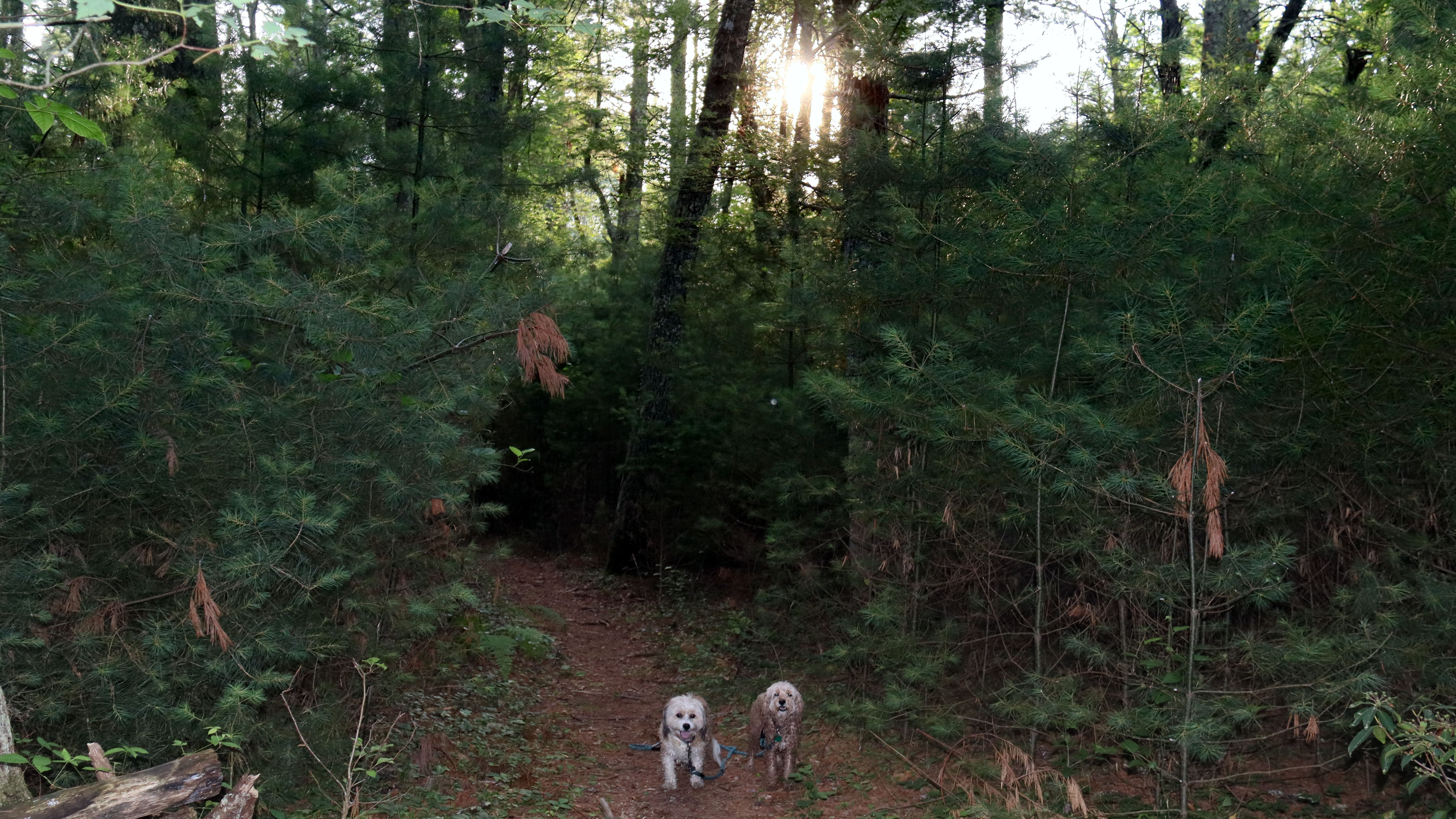
Date visited: 3/4/2026
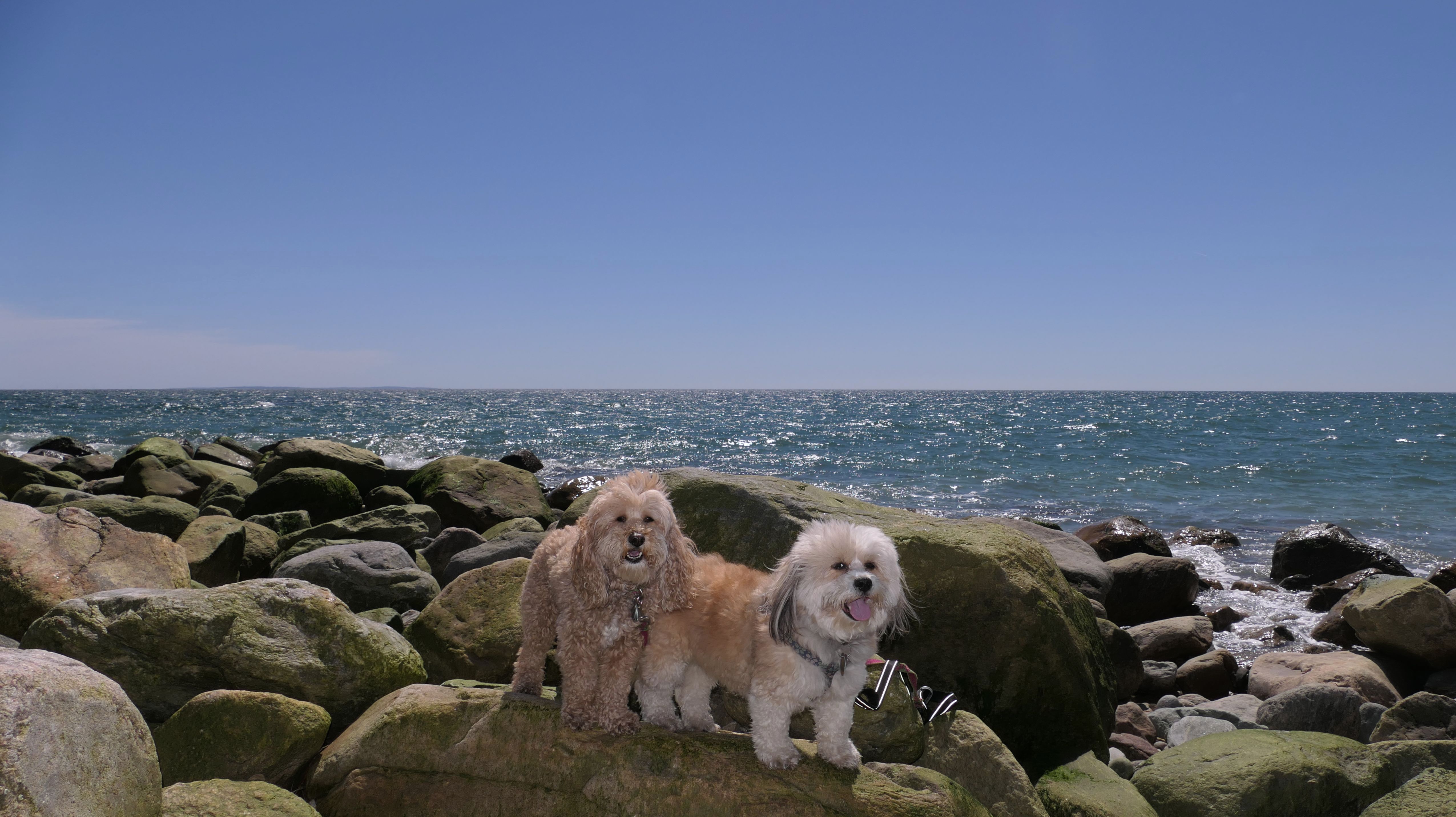
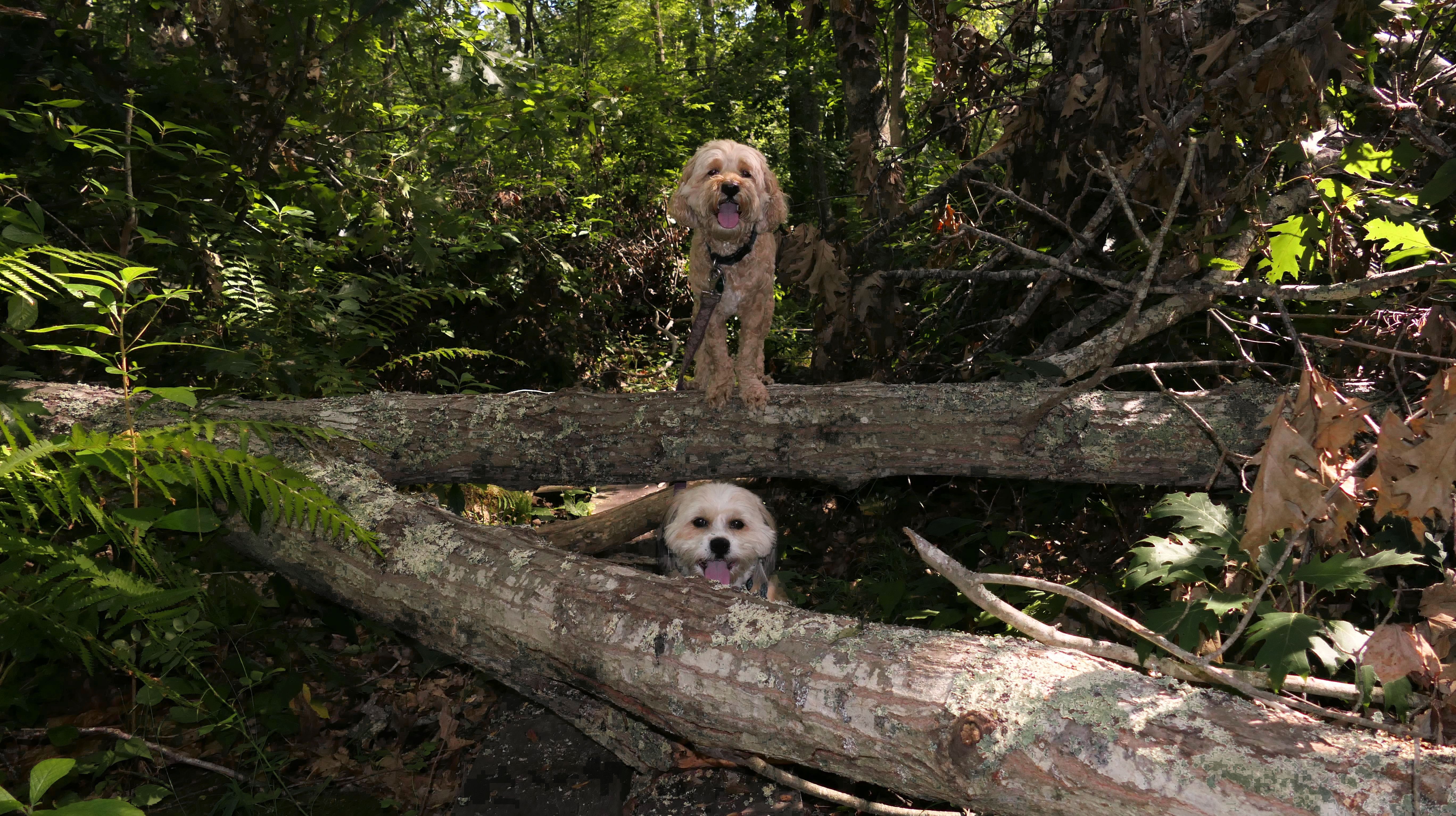
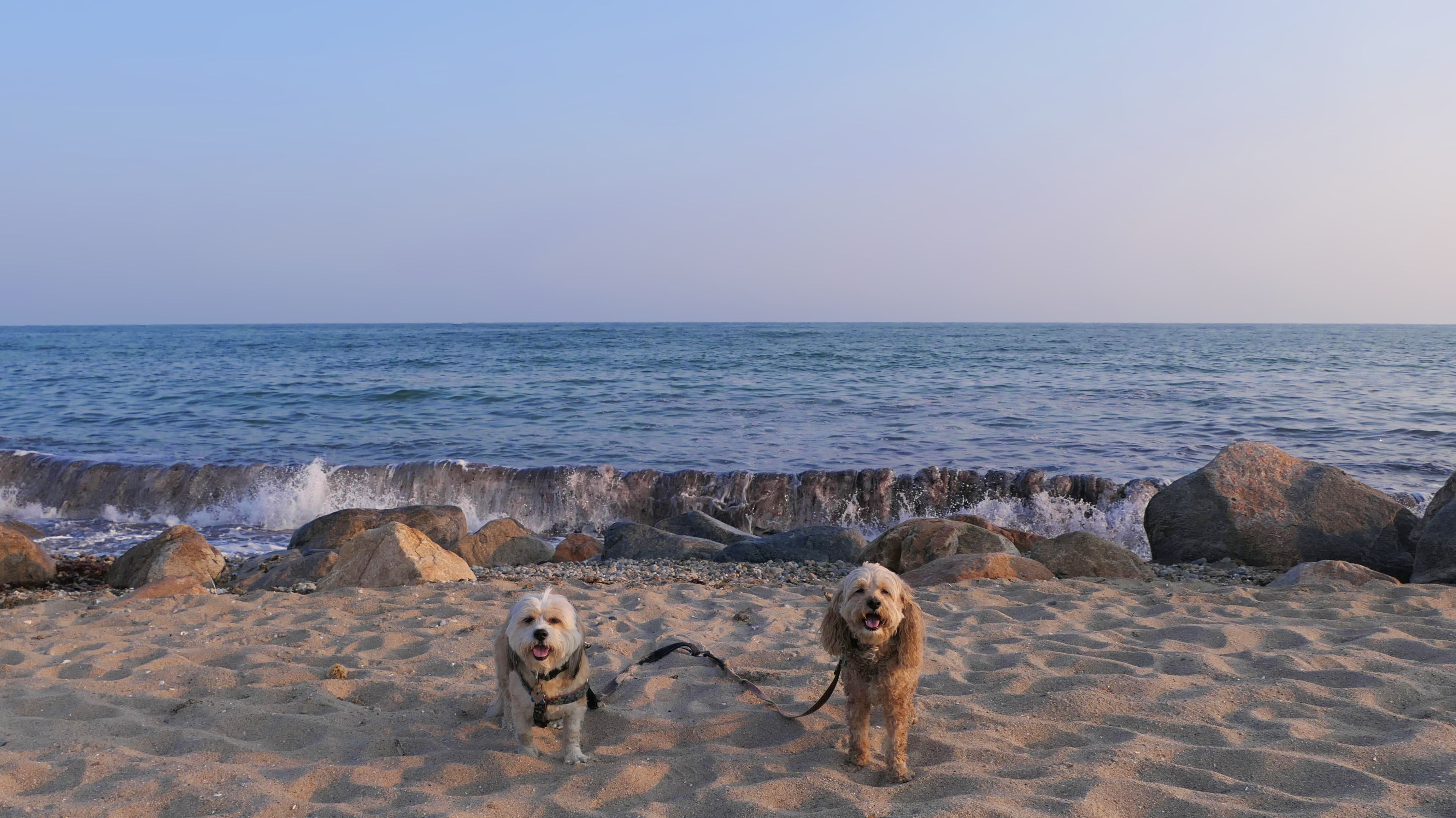
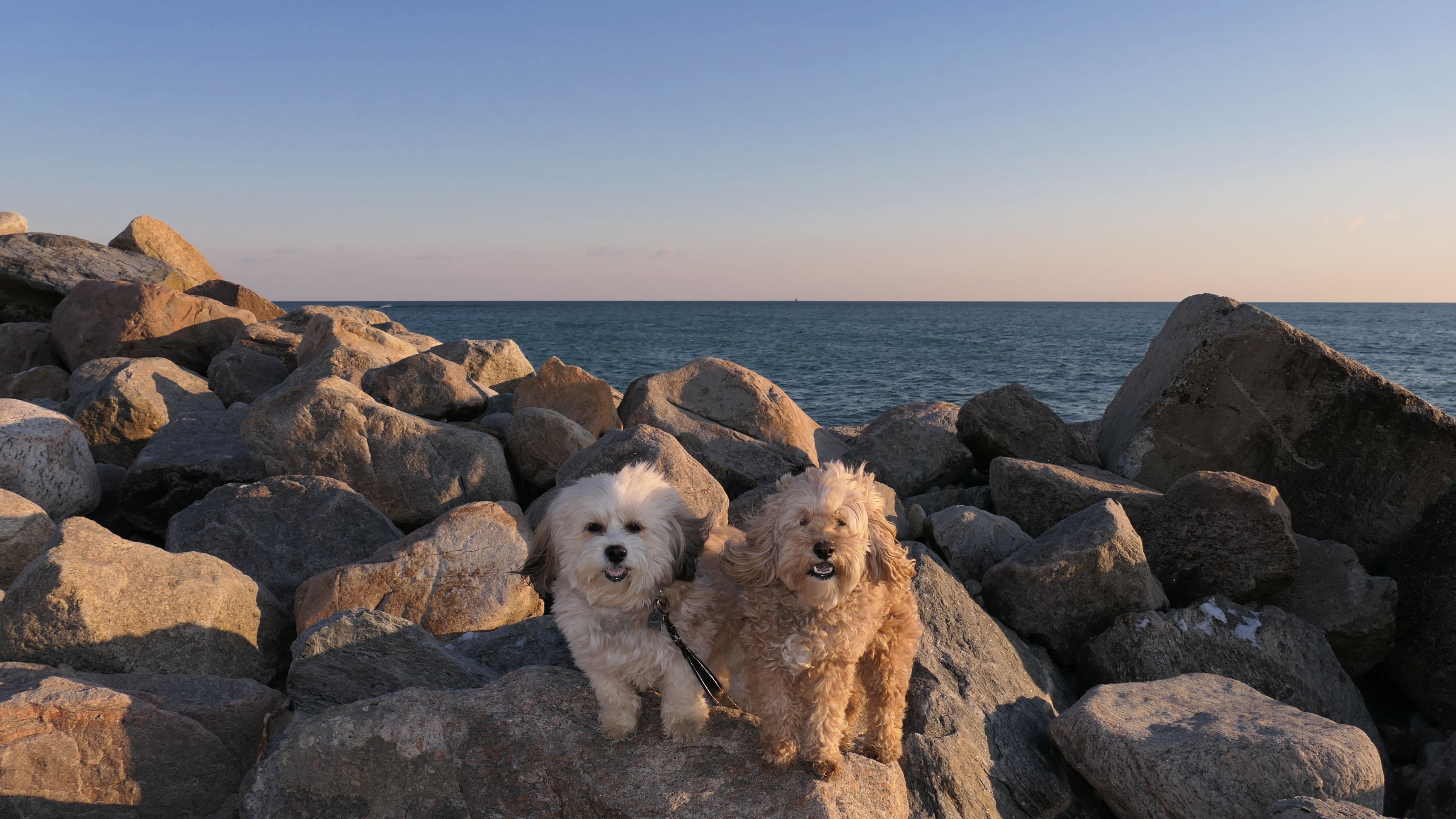
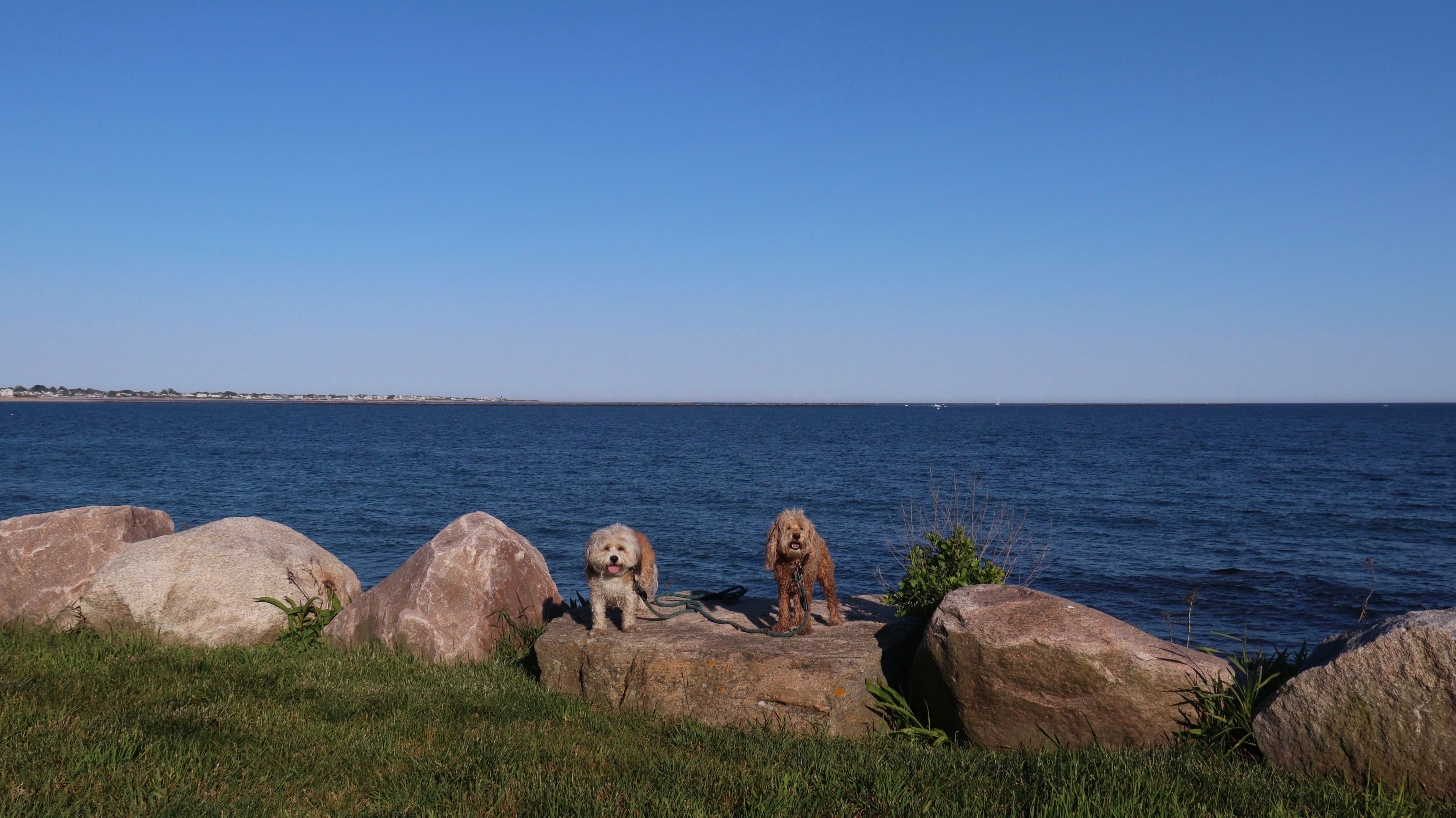
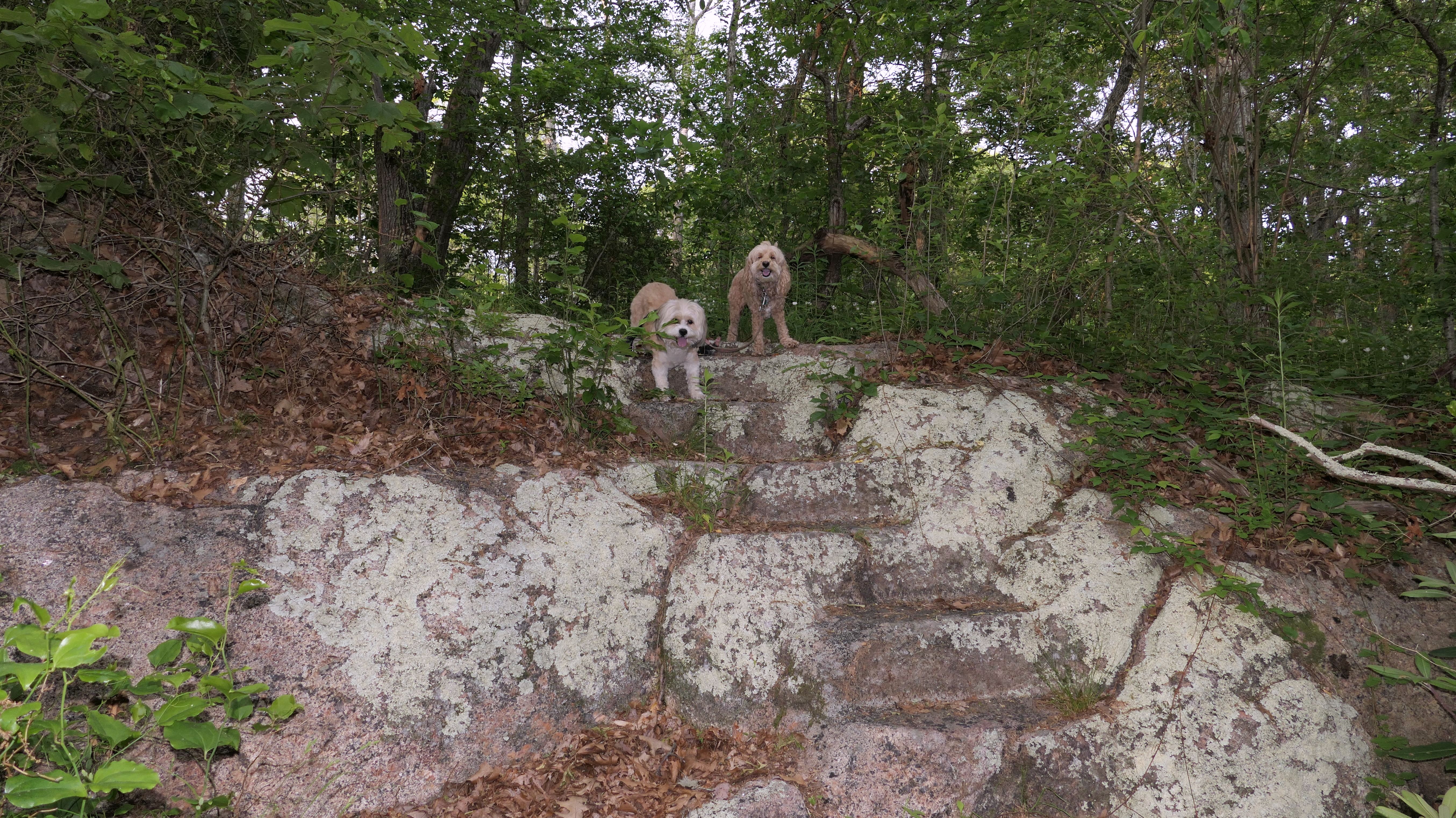
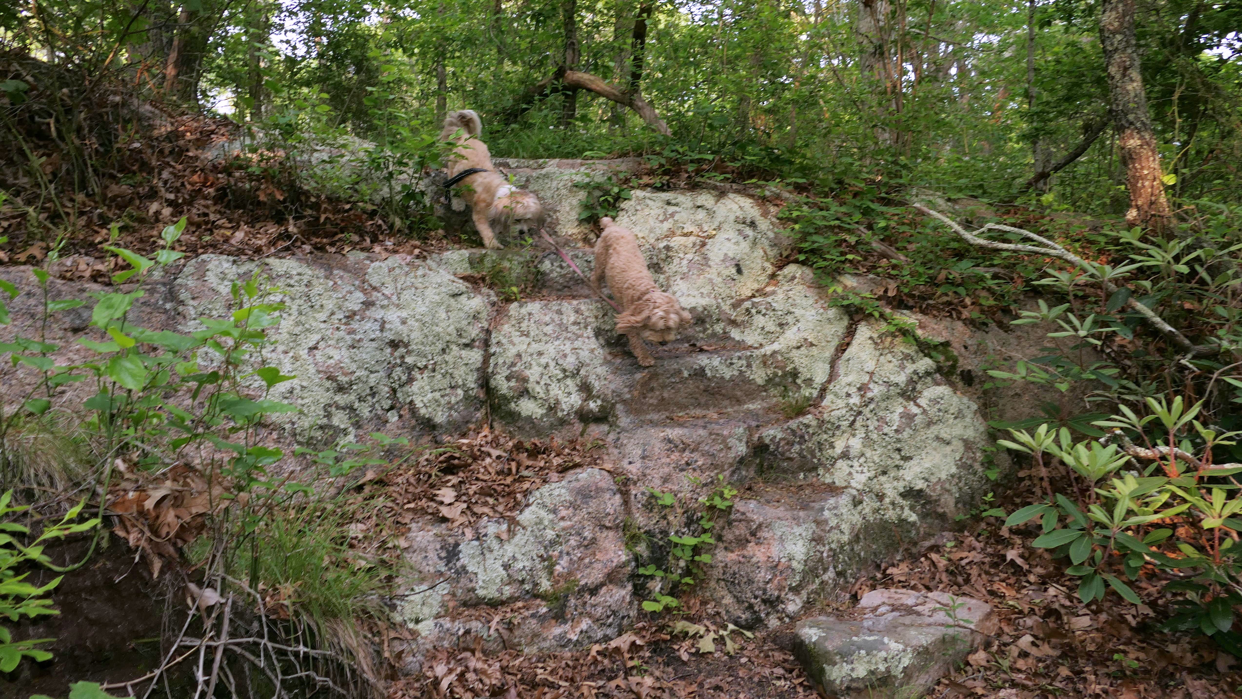
This was the middle section of our four and a half mile walk along the Matunuck shoreline, that also included the beach areas to the east and west of this beach. We've been through here many times before, so there was not much opportunity for new and unique pictures. We did get up on the rocks at the east end of the beach, in front of the RV camp for the first time since our very first visit to this beach back in 2022.


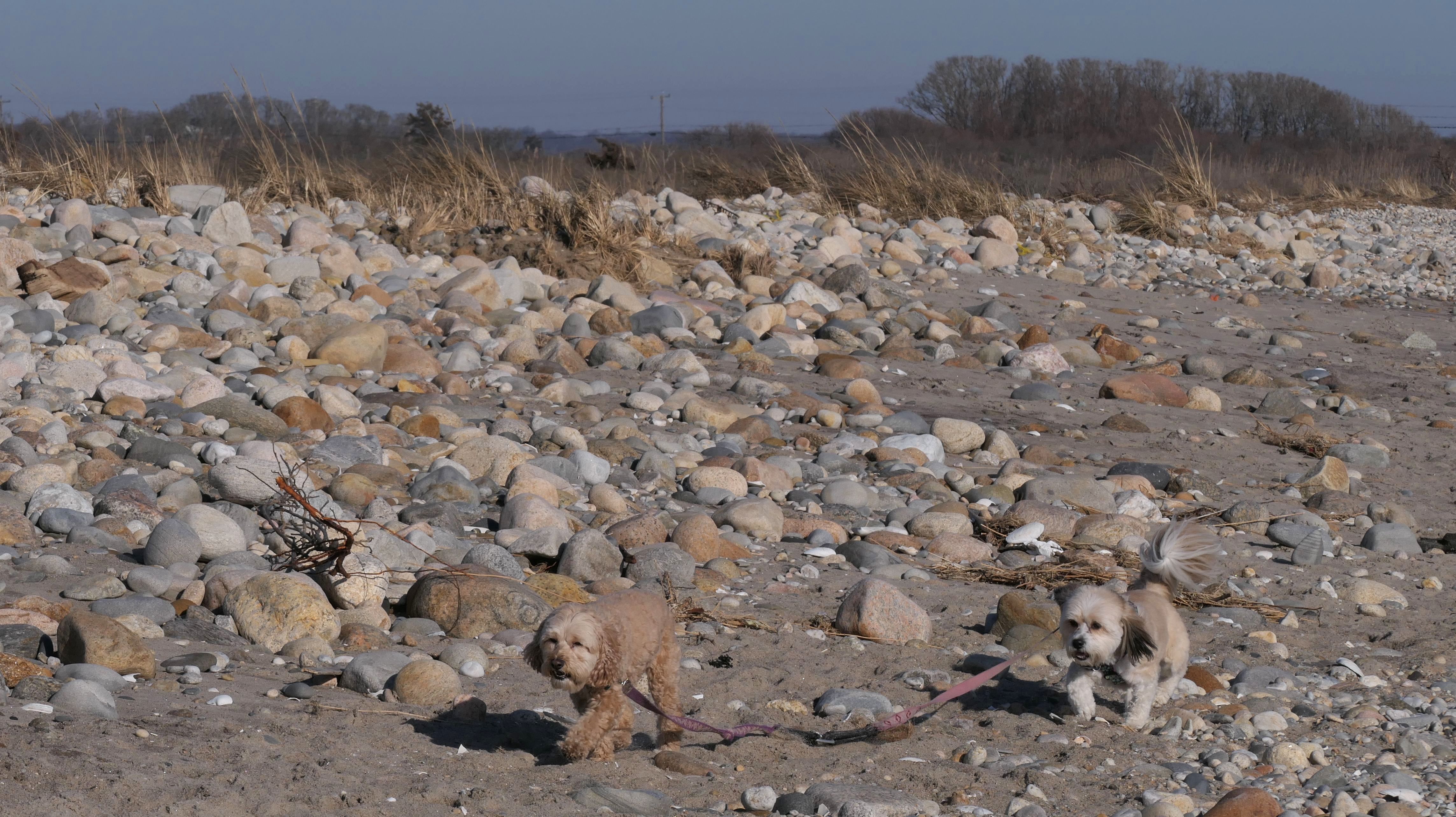
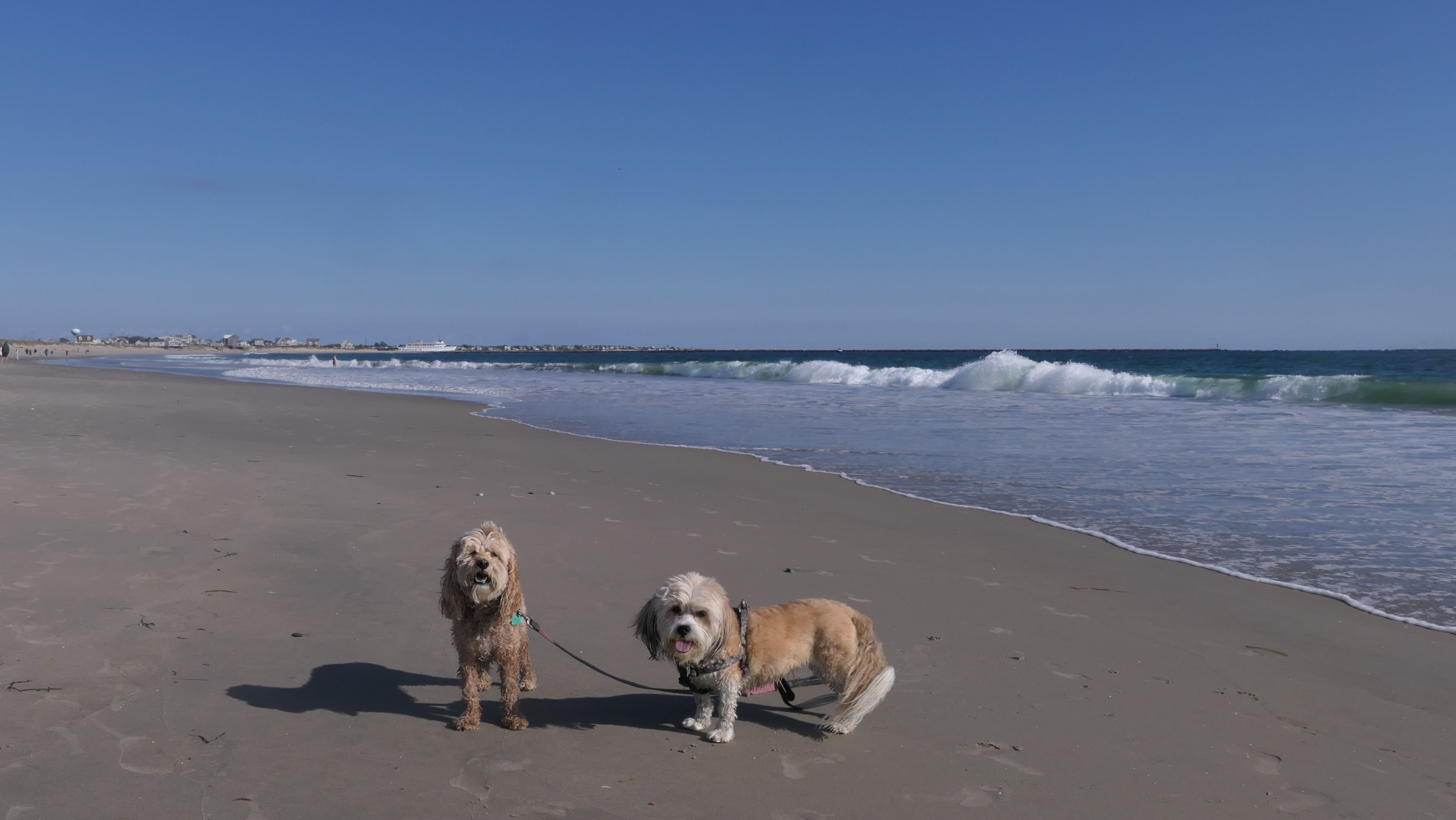
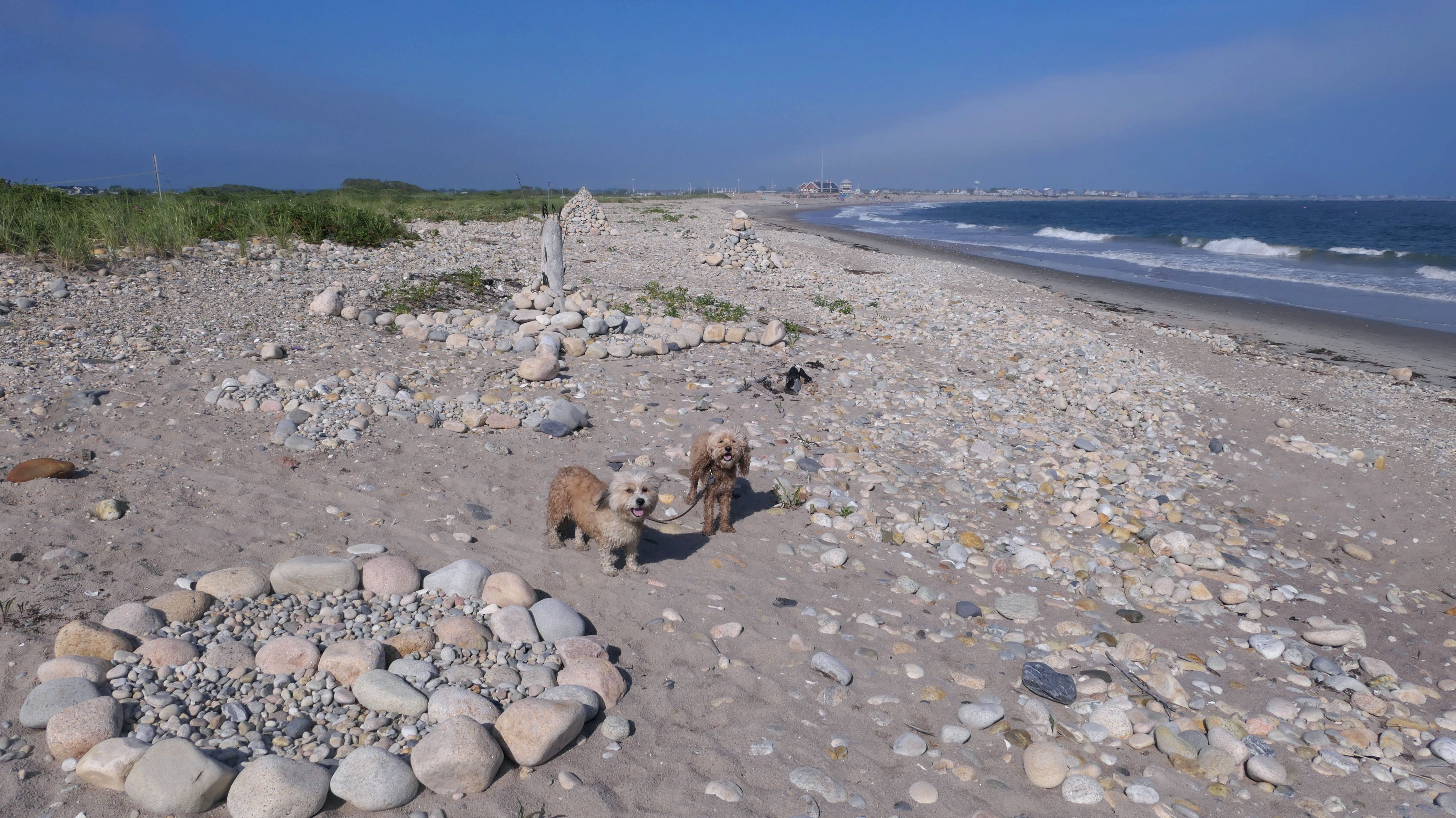
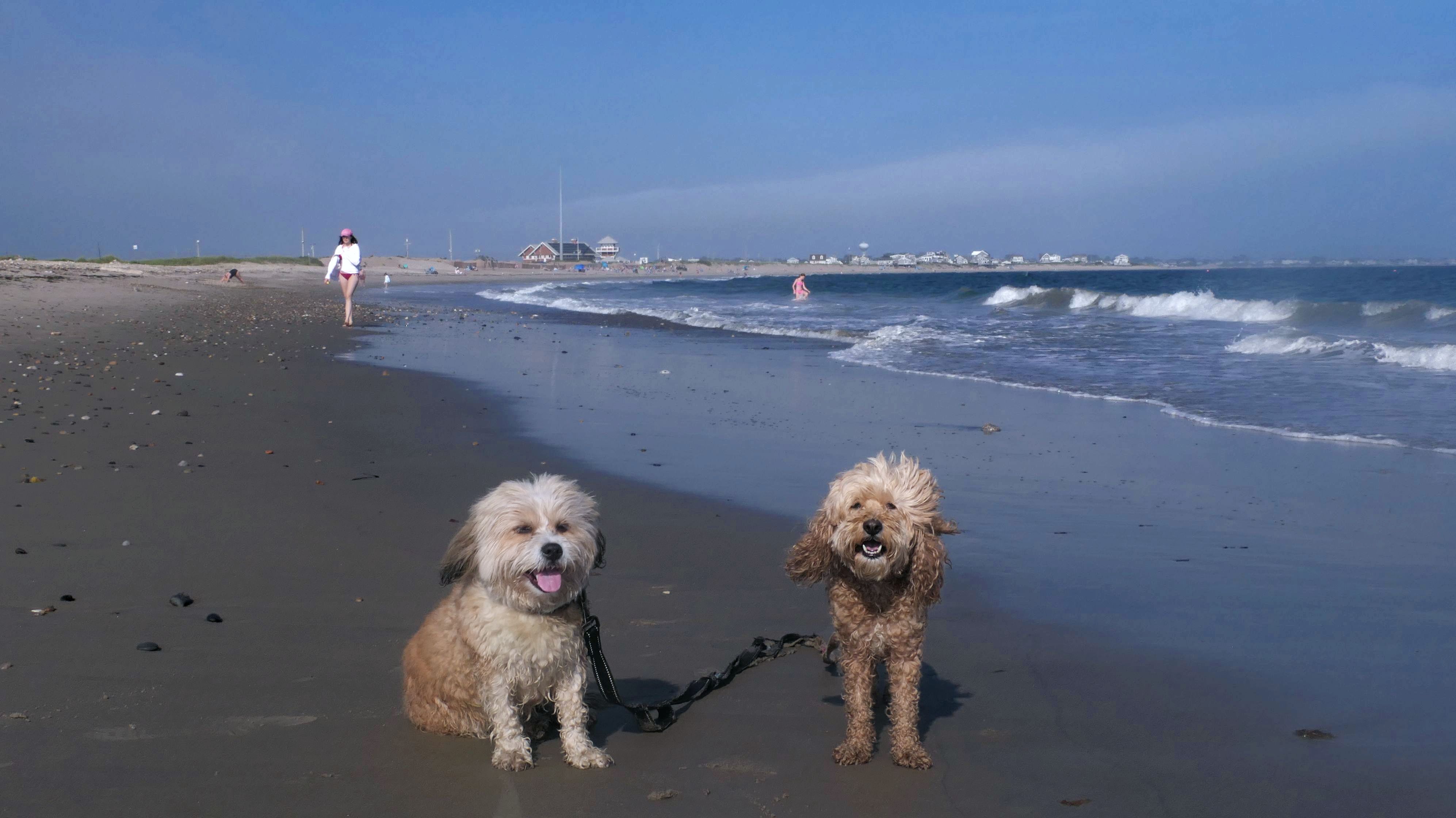
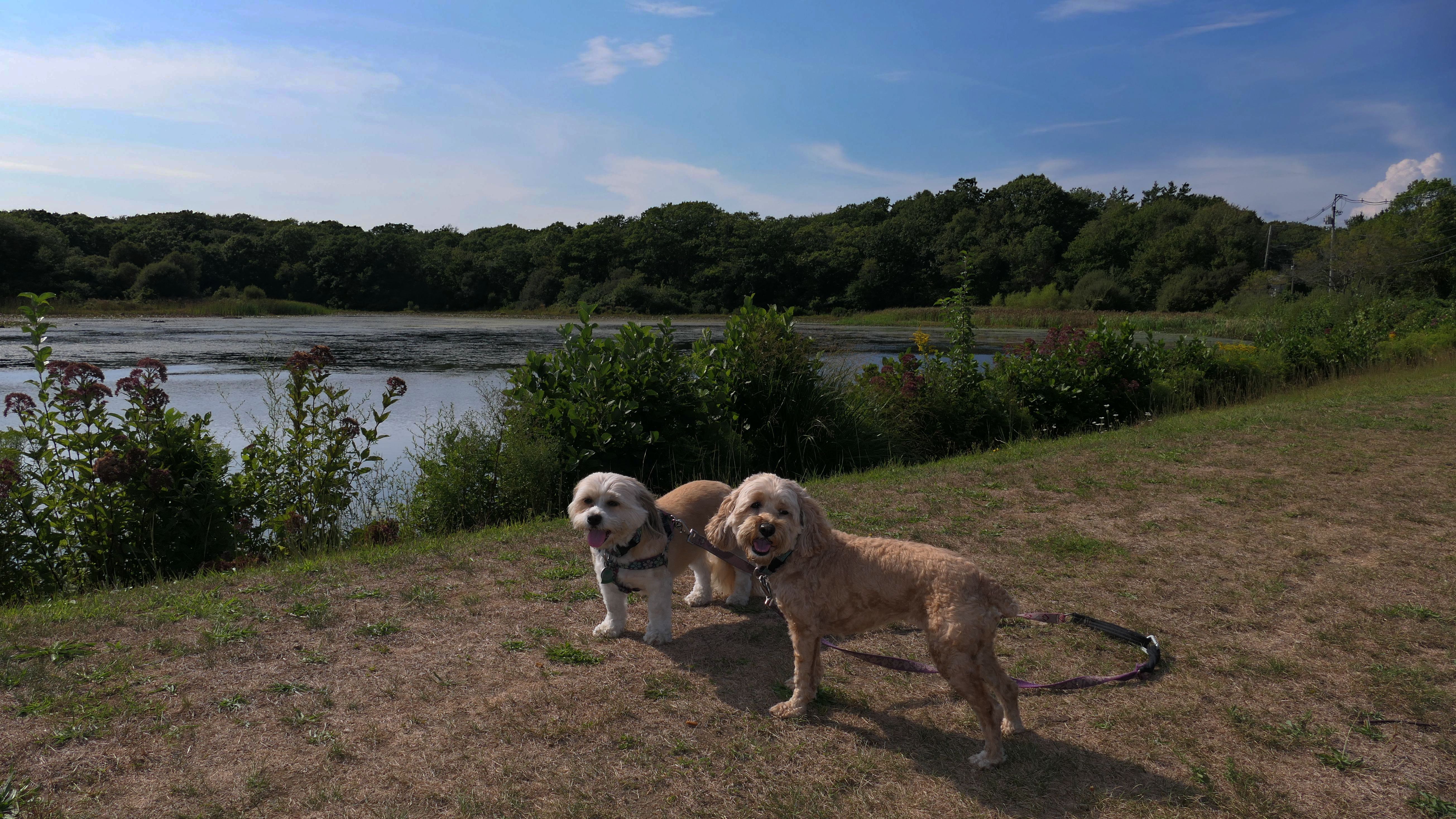
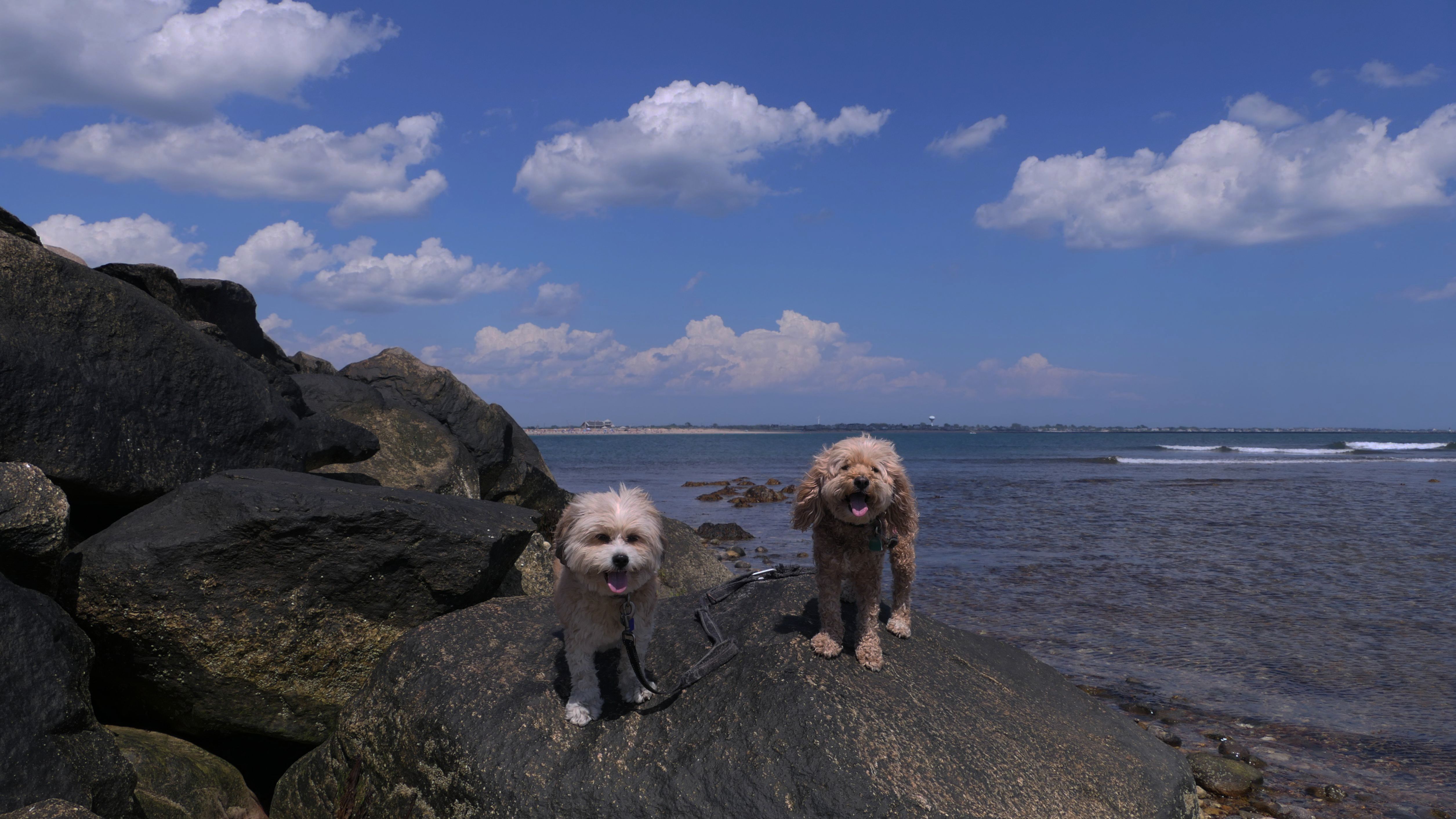
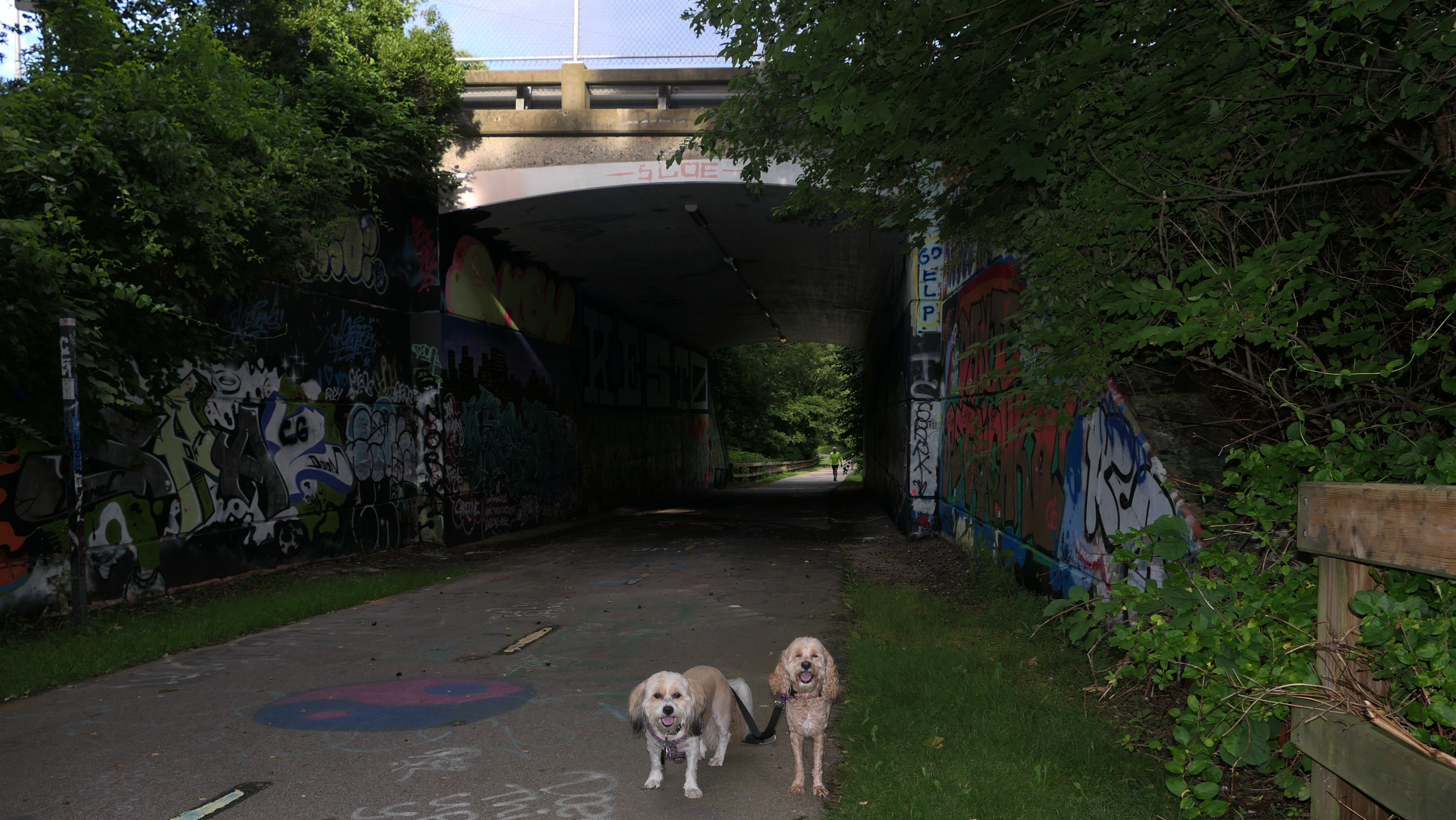
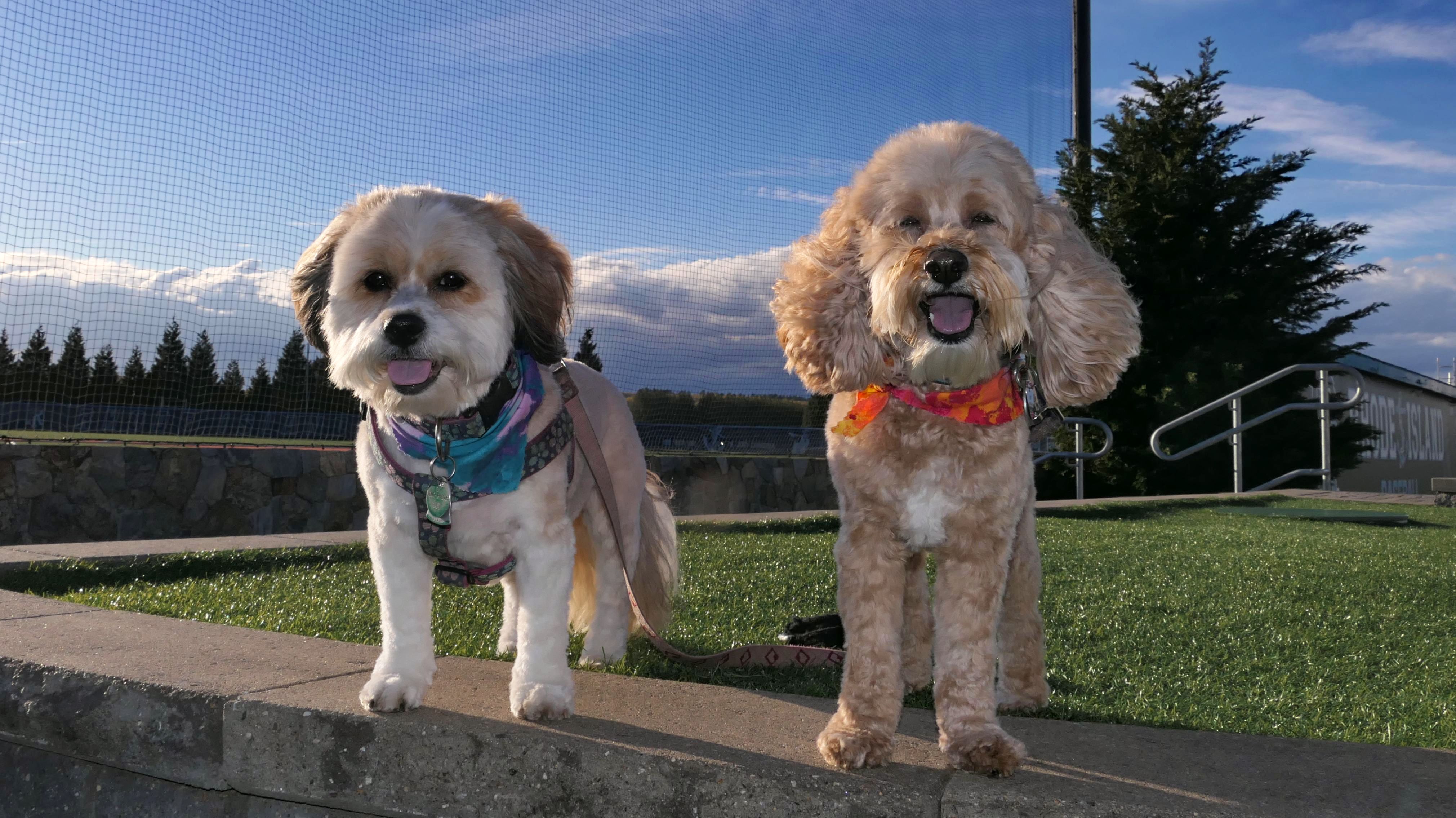
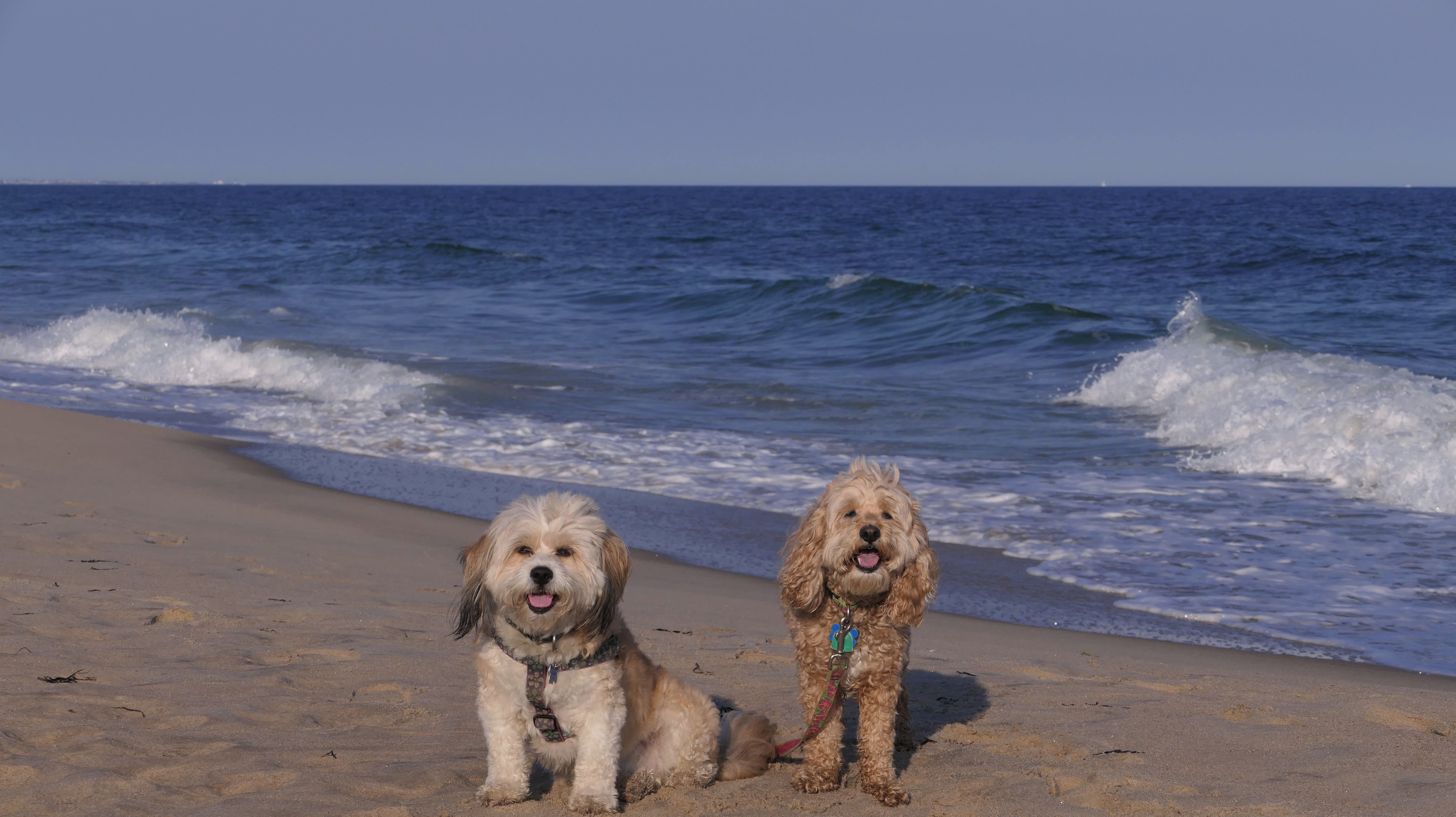
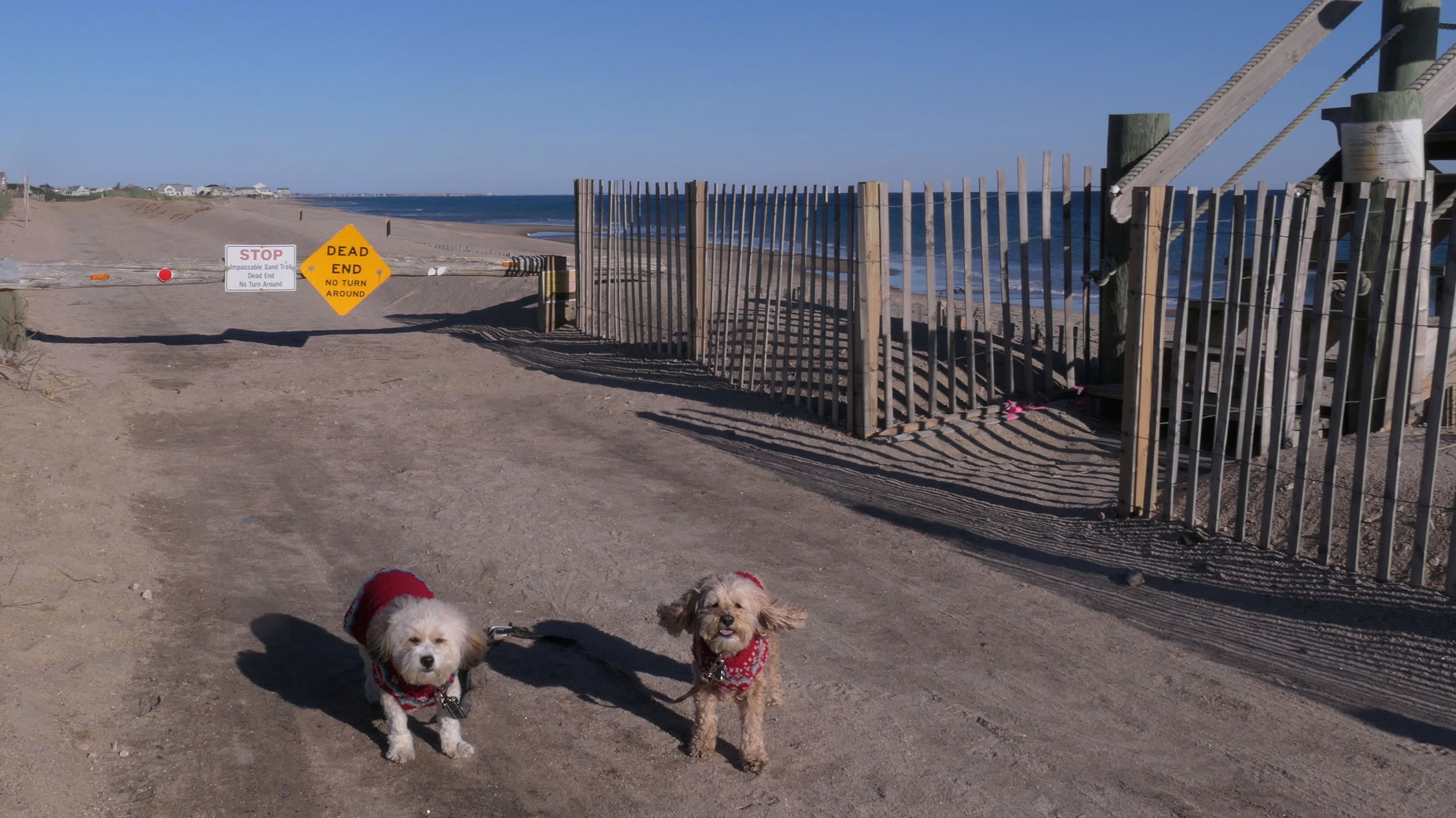
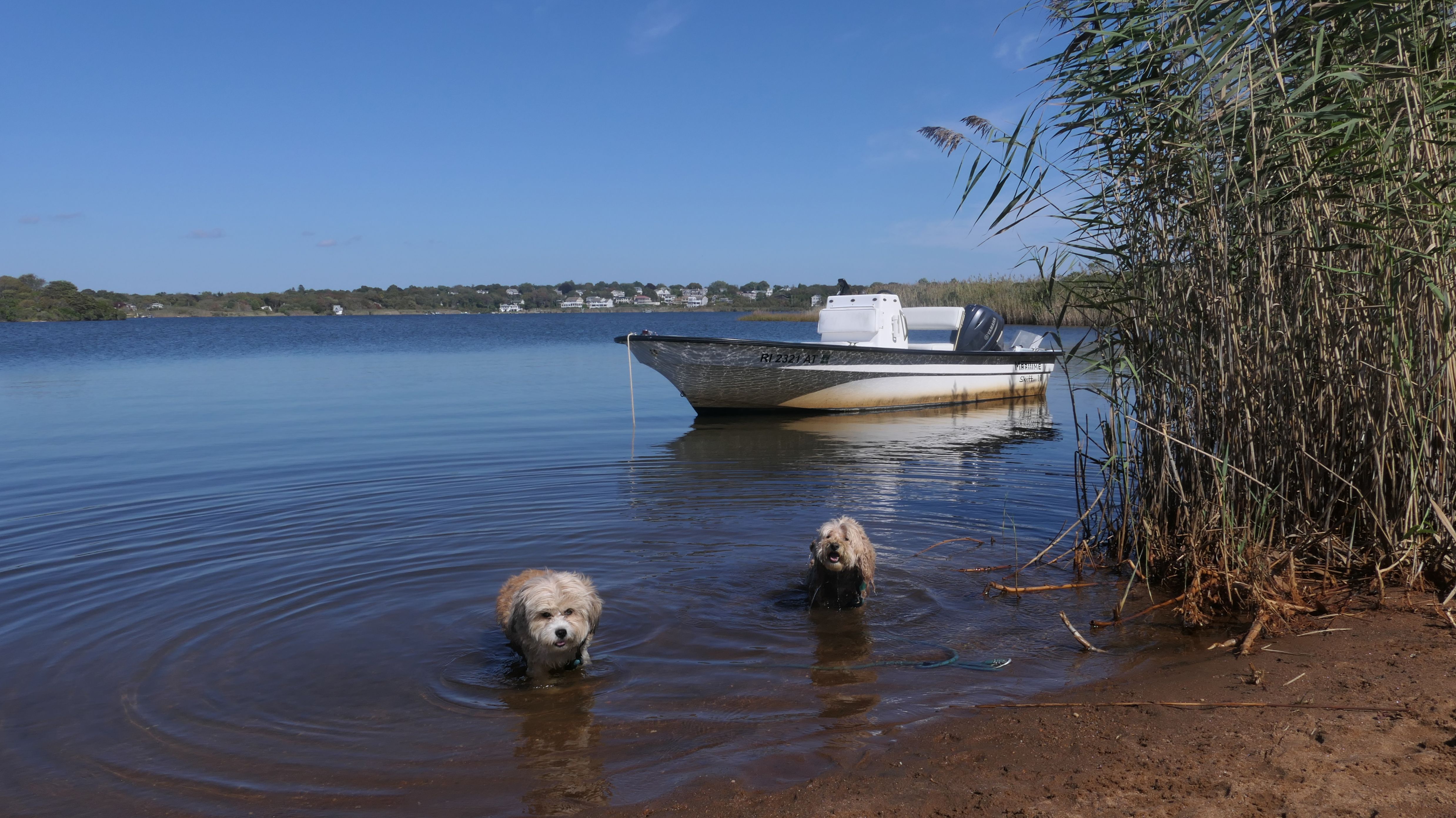
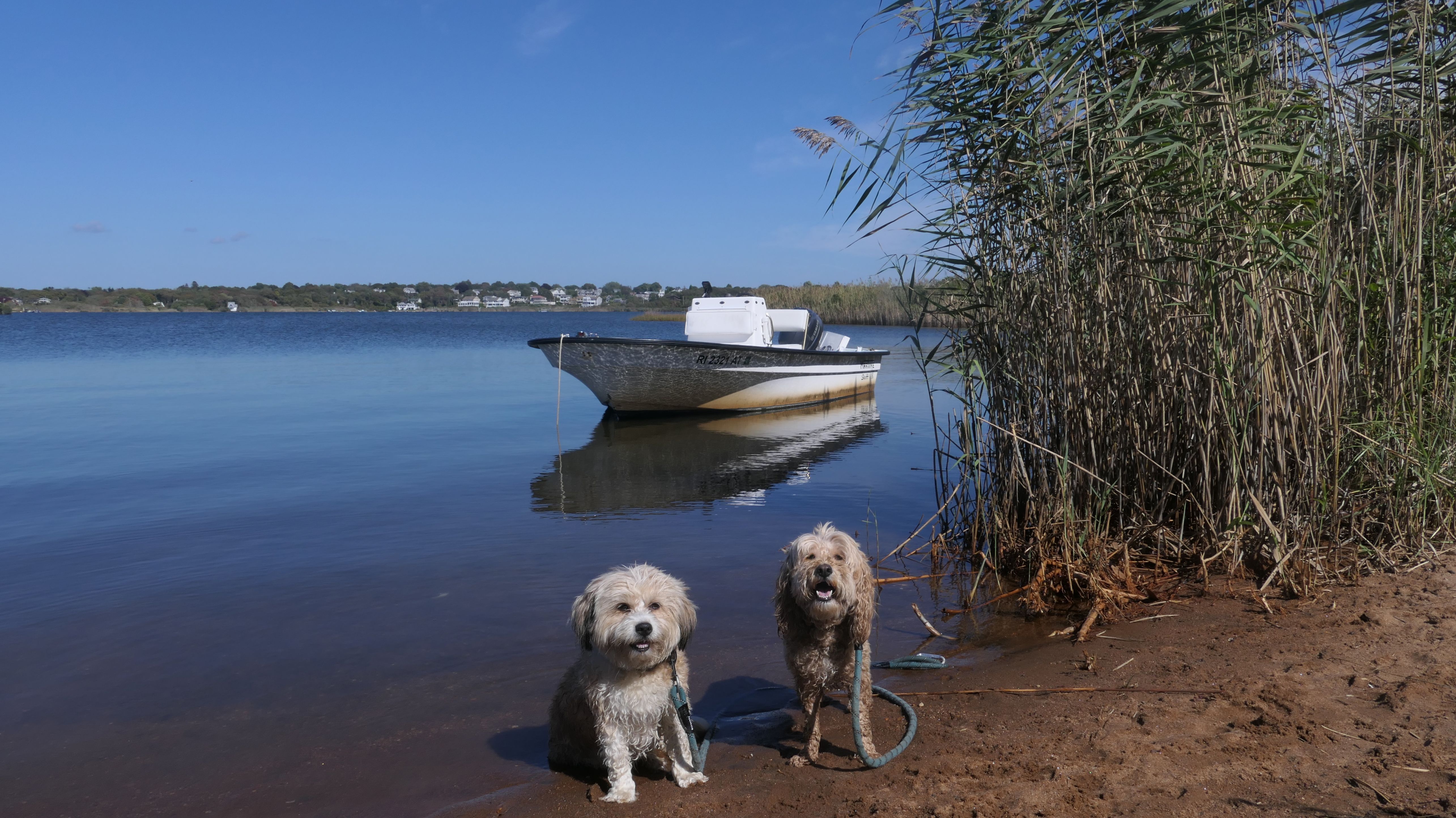
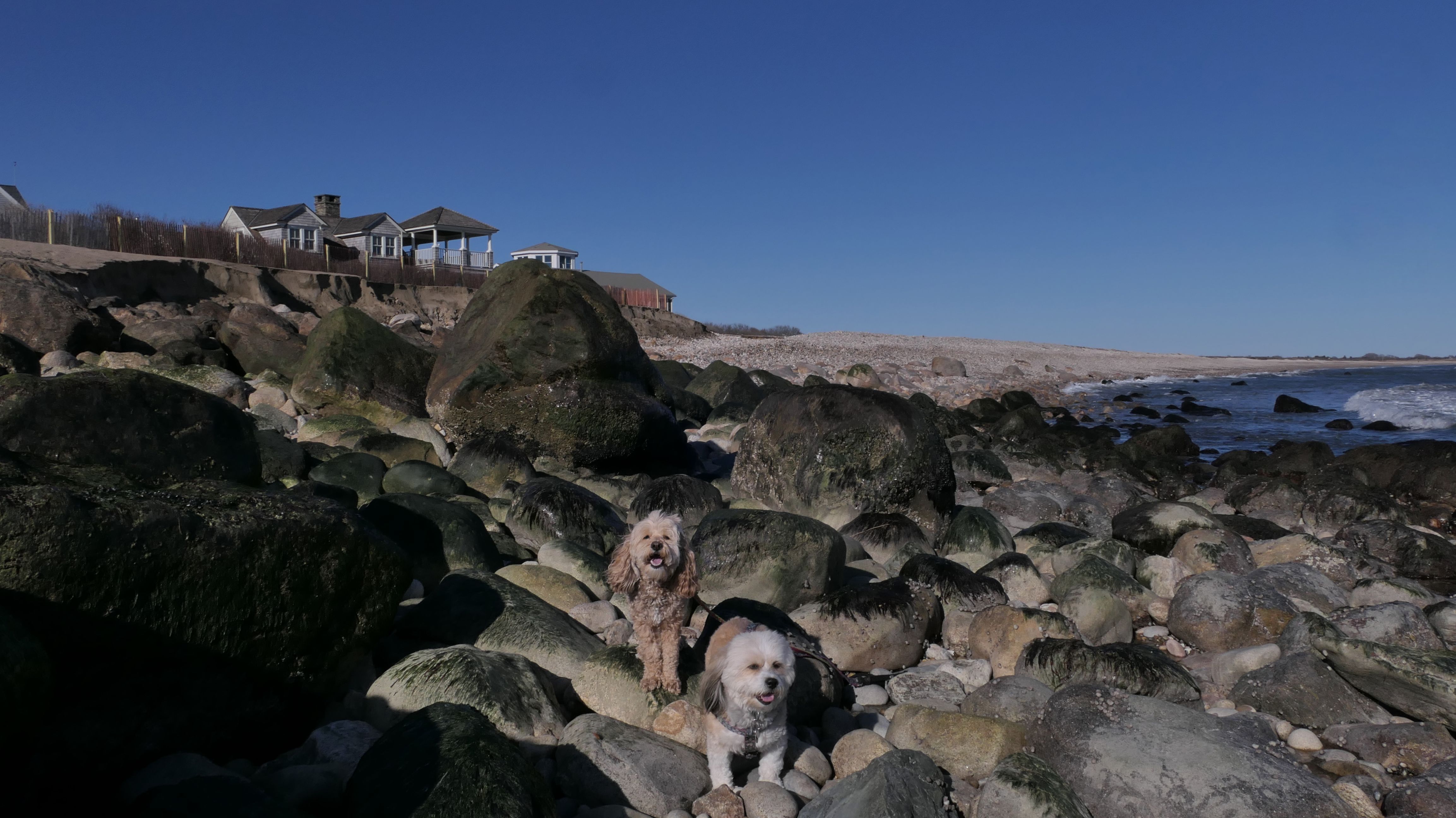
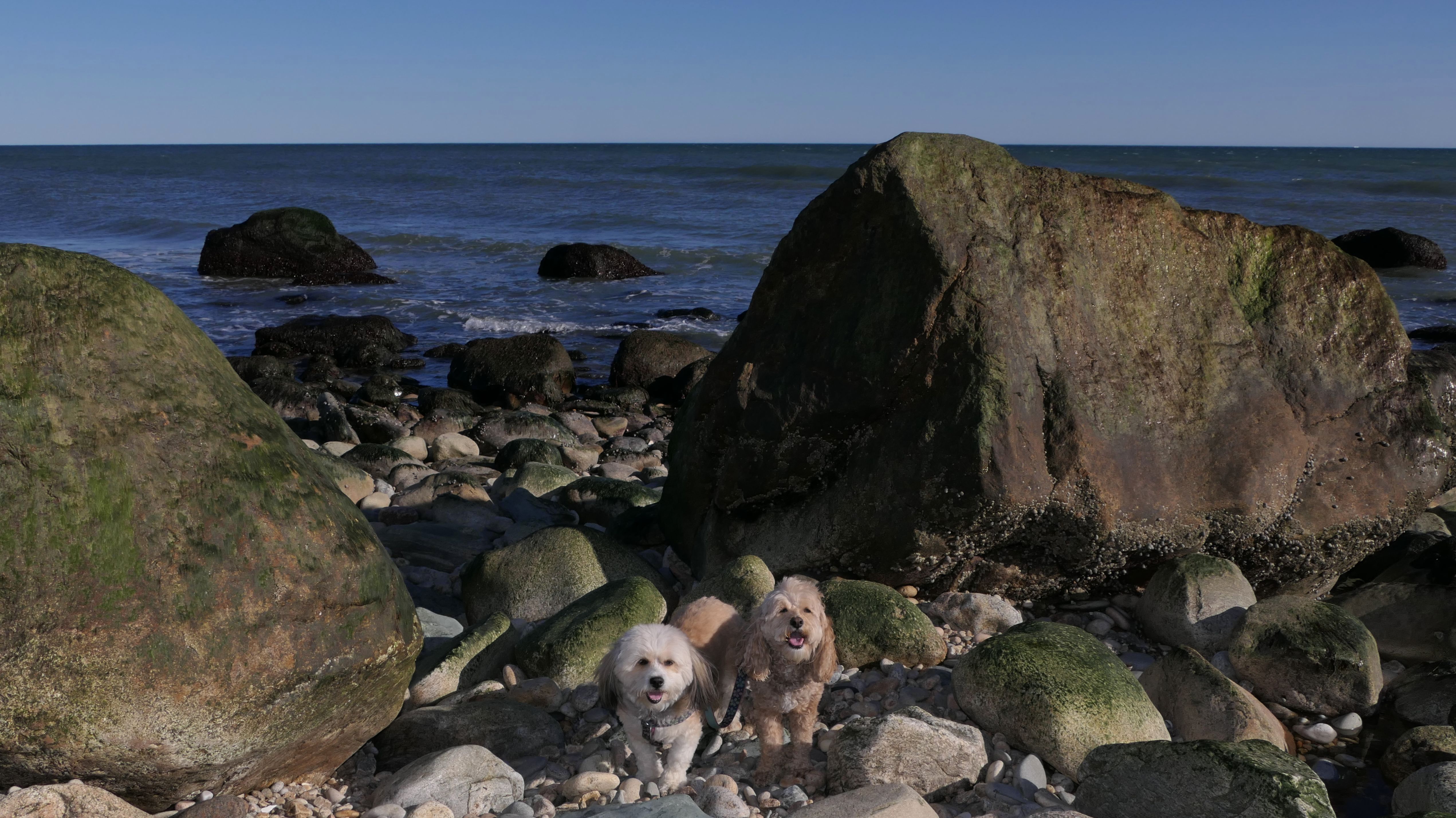
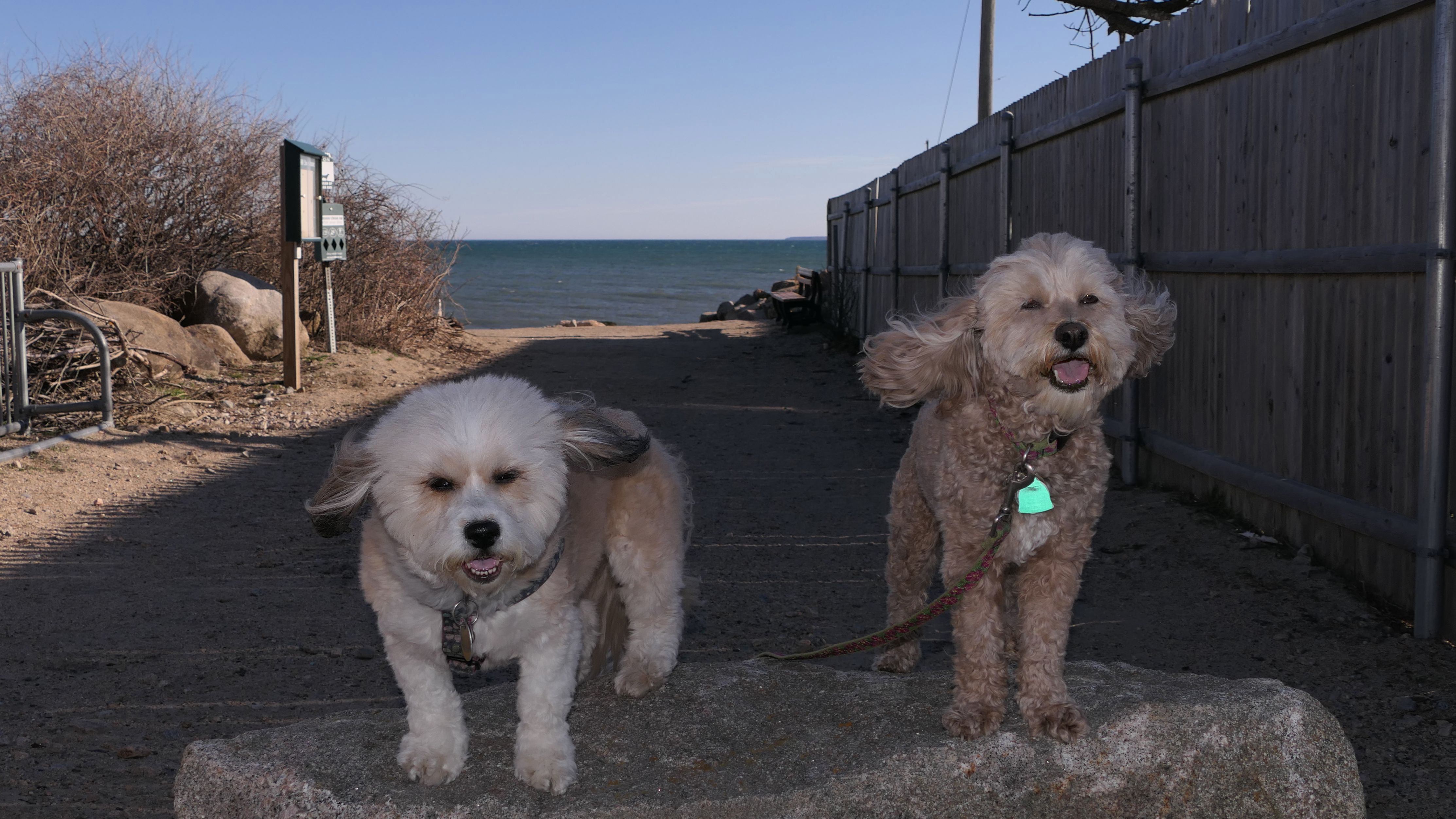
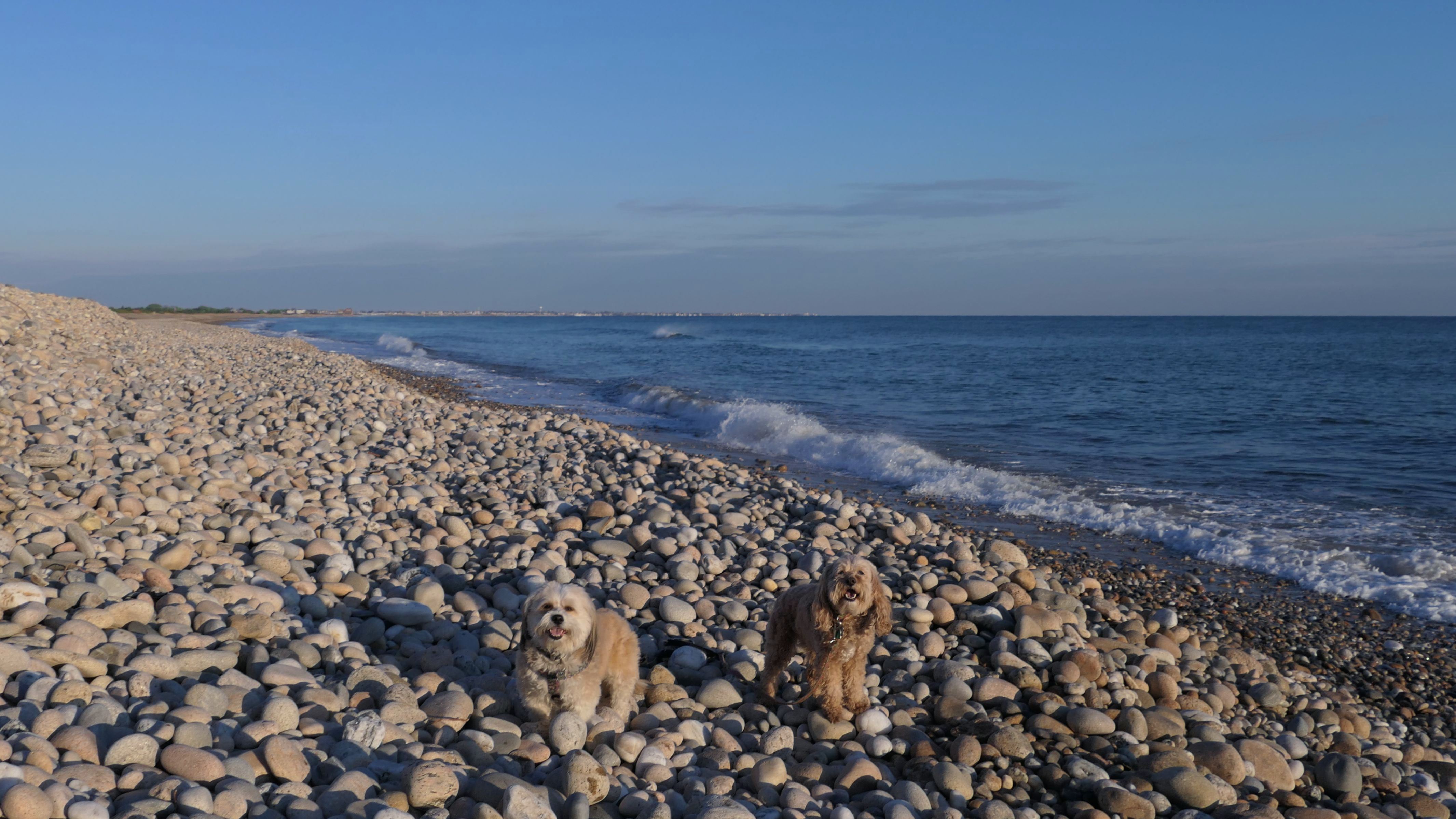
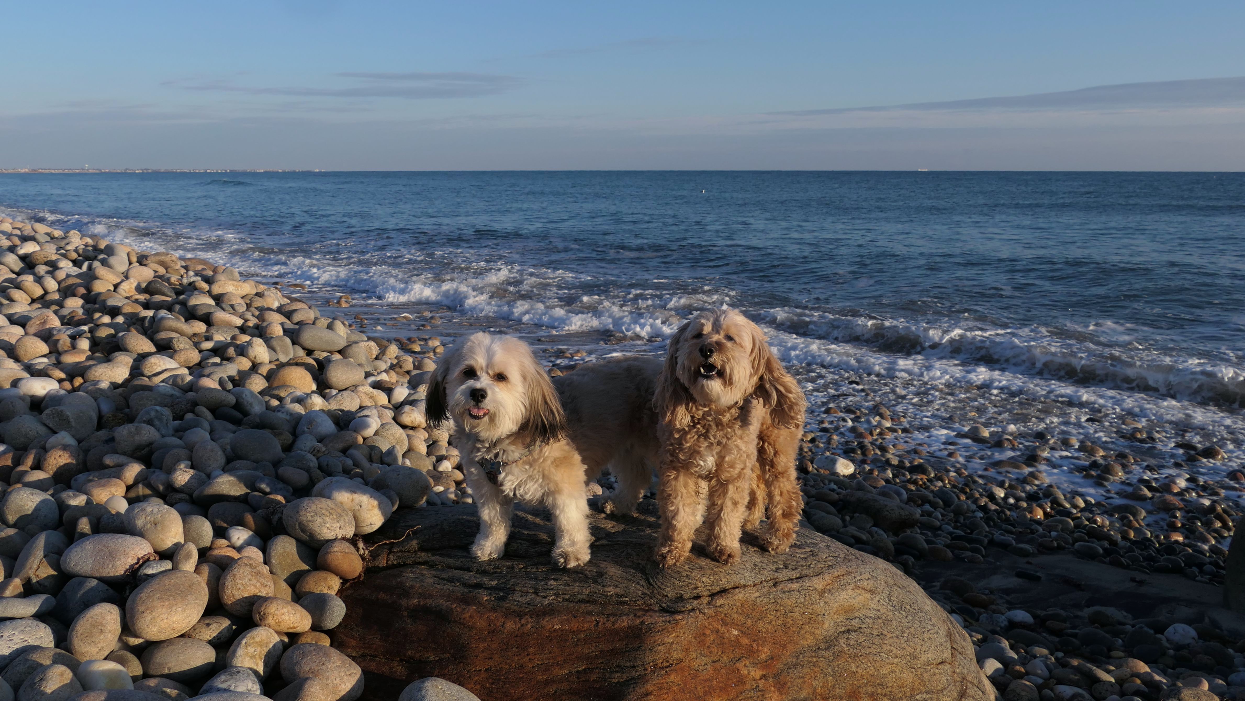
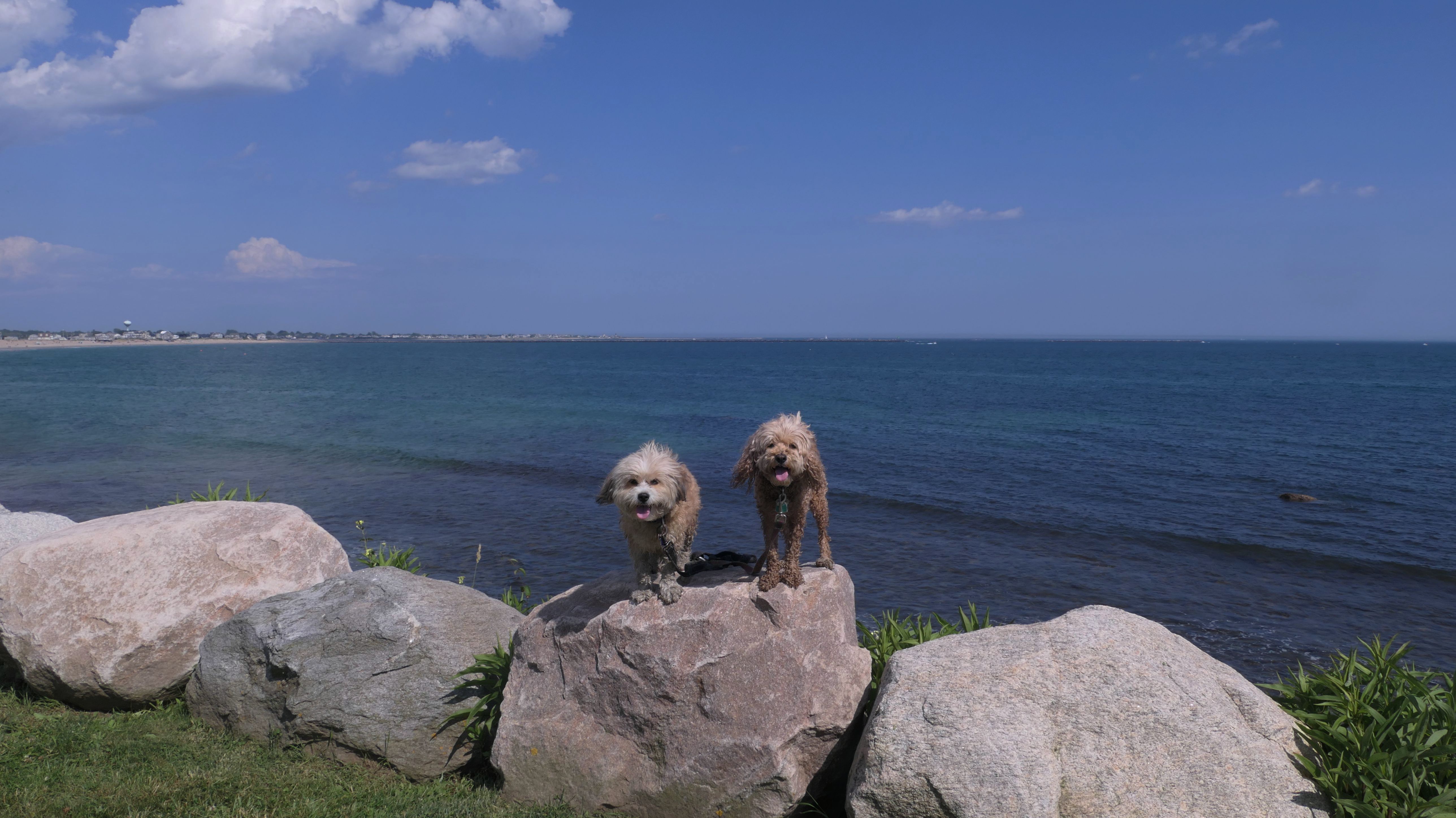
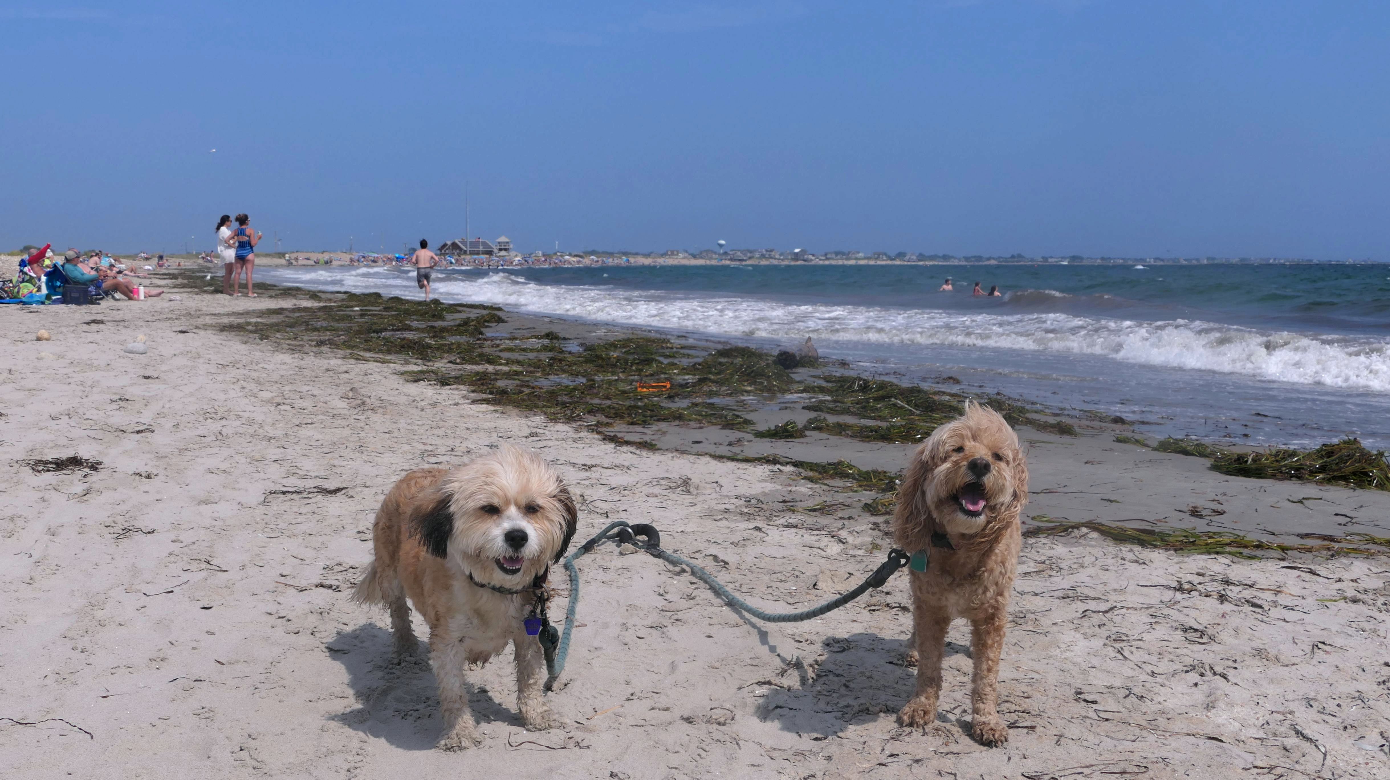
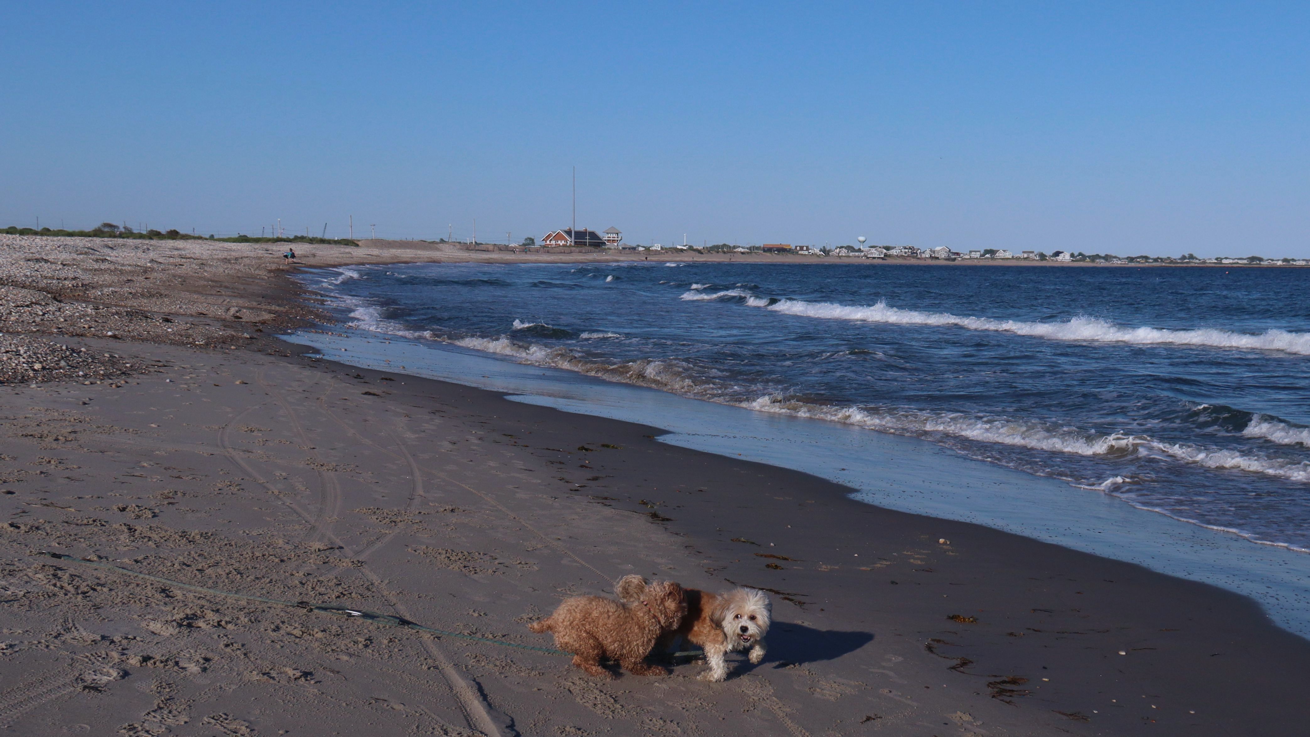
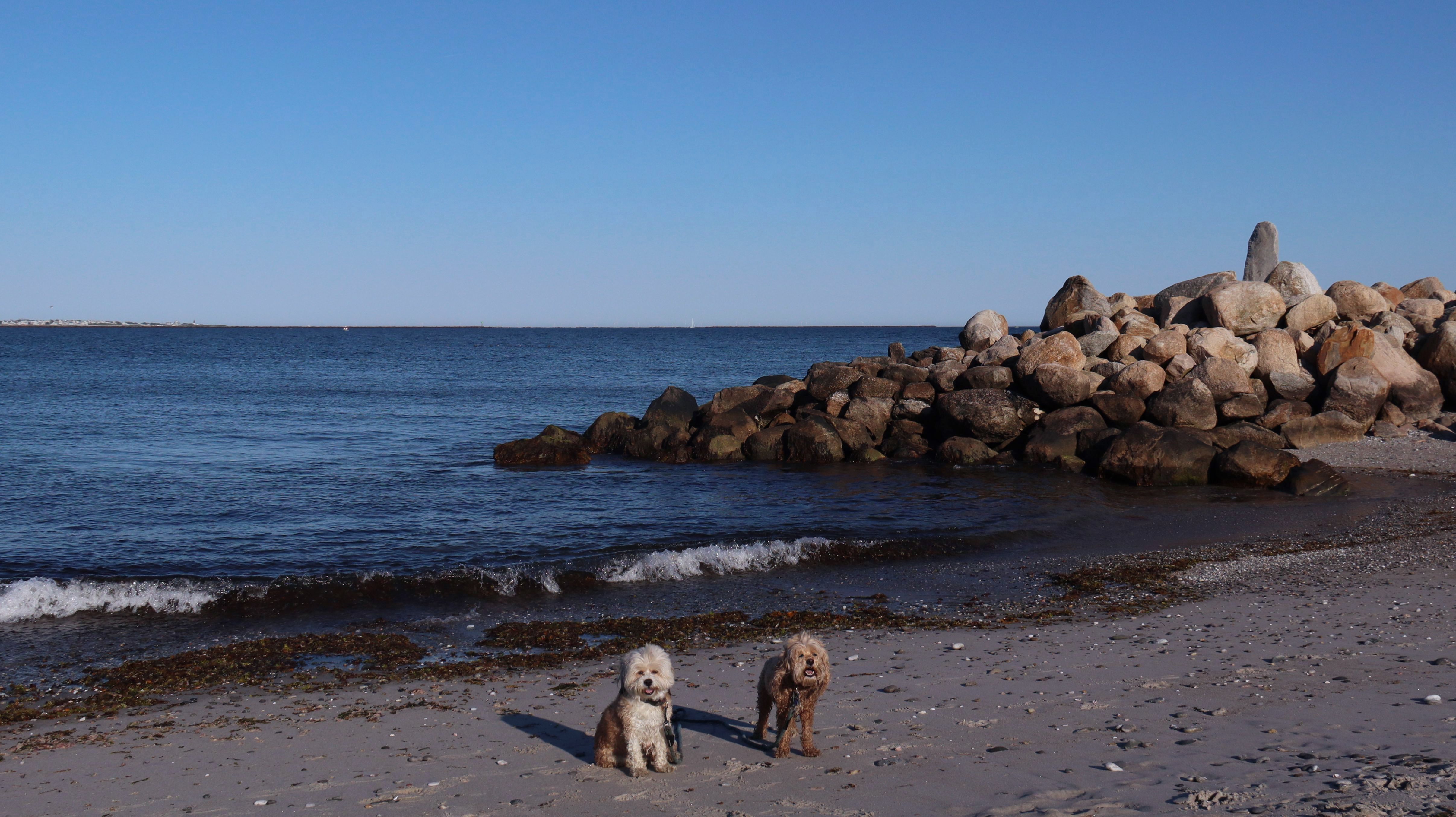
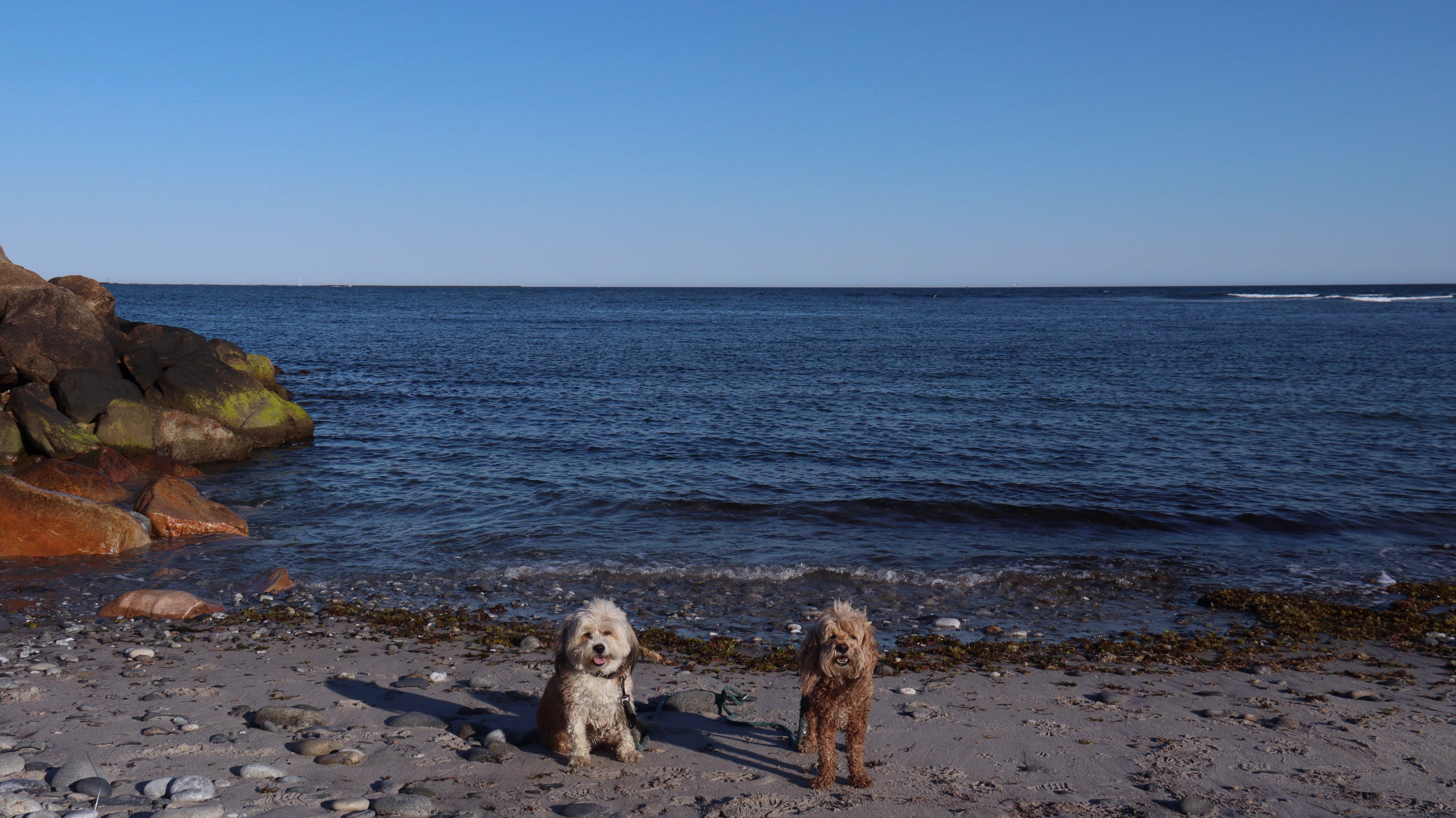
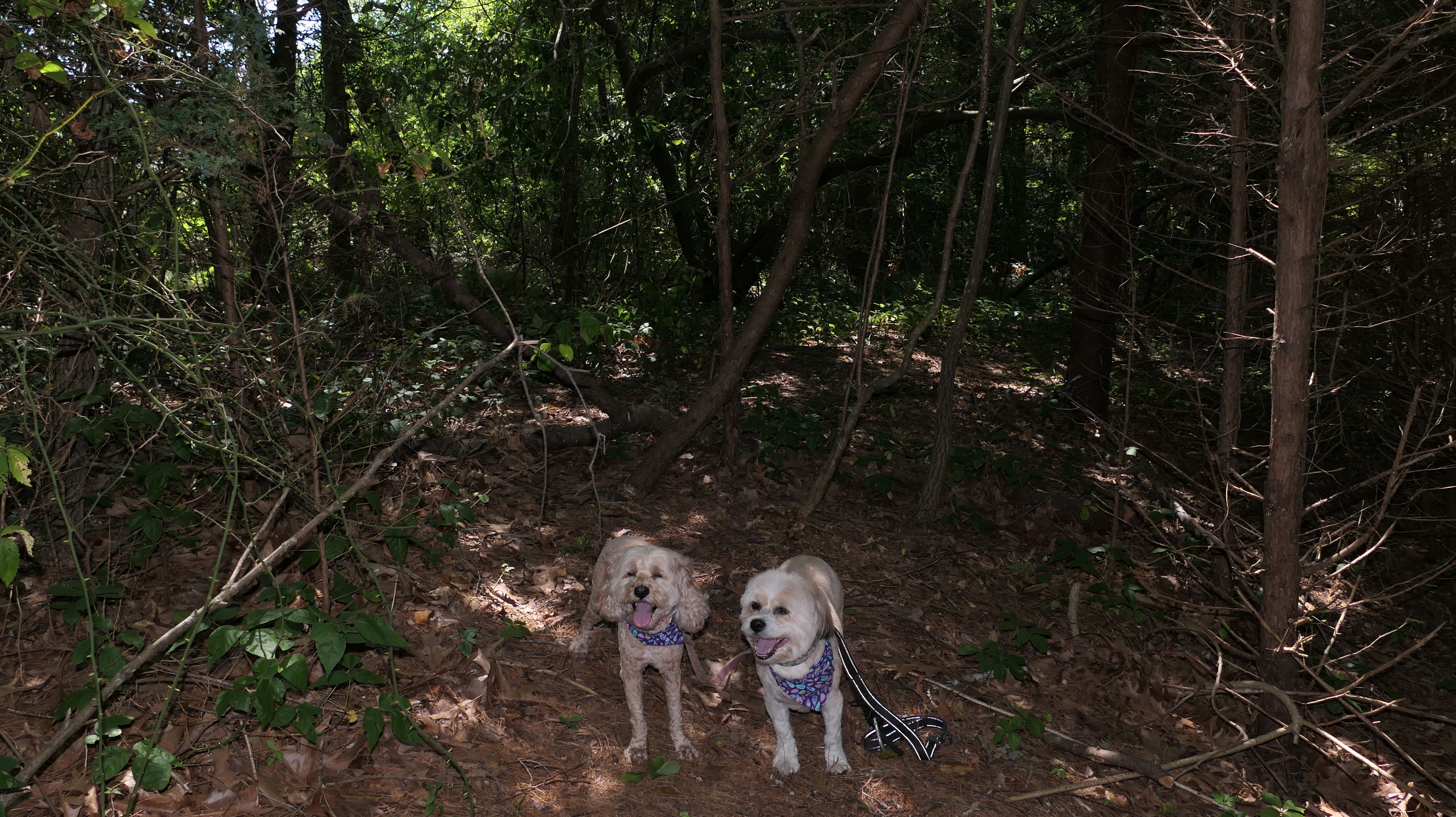
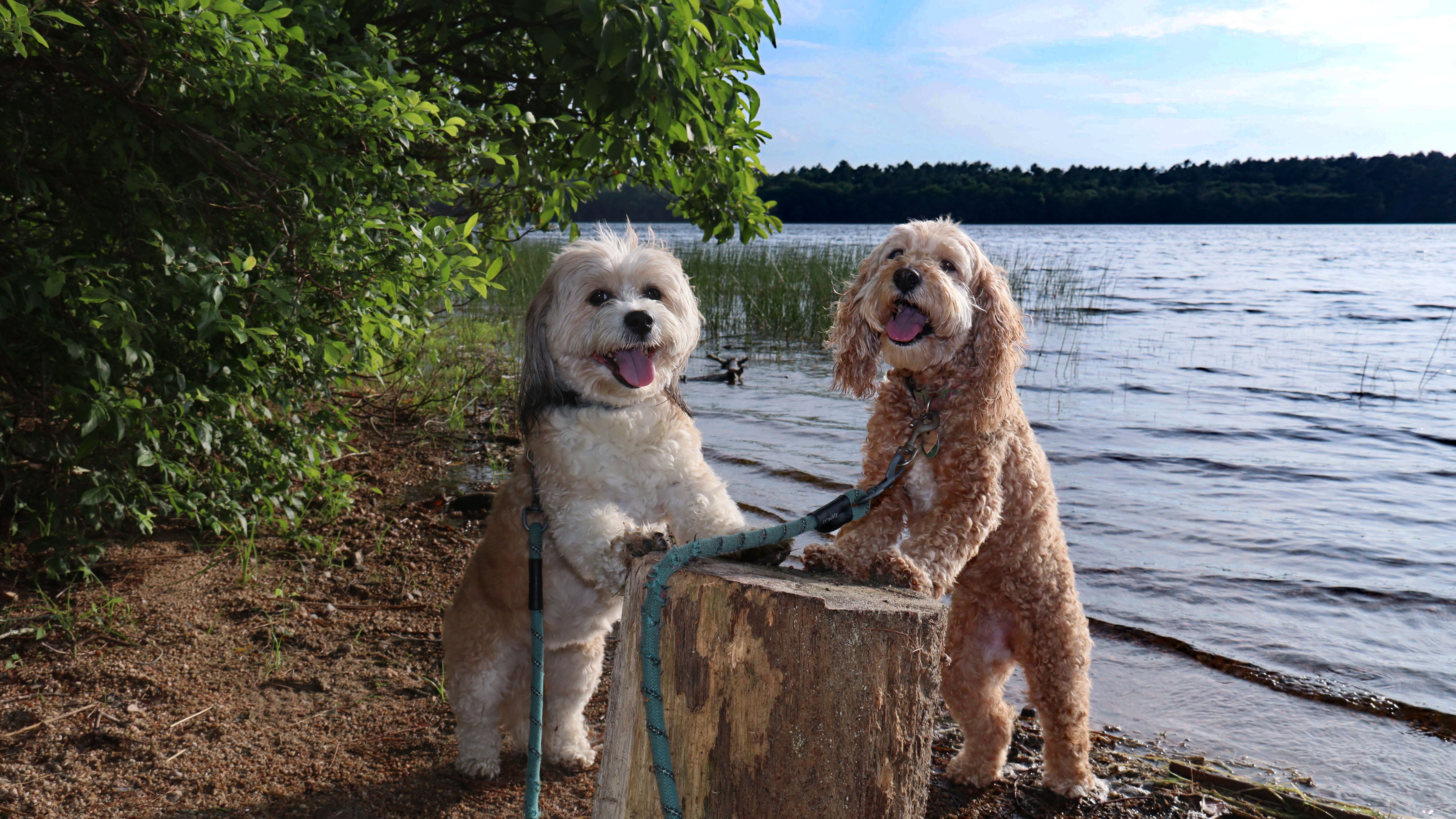
East Matunuck State Beach
Date visited: 12/30/2022
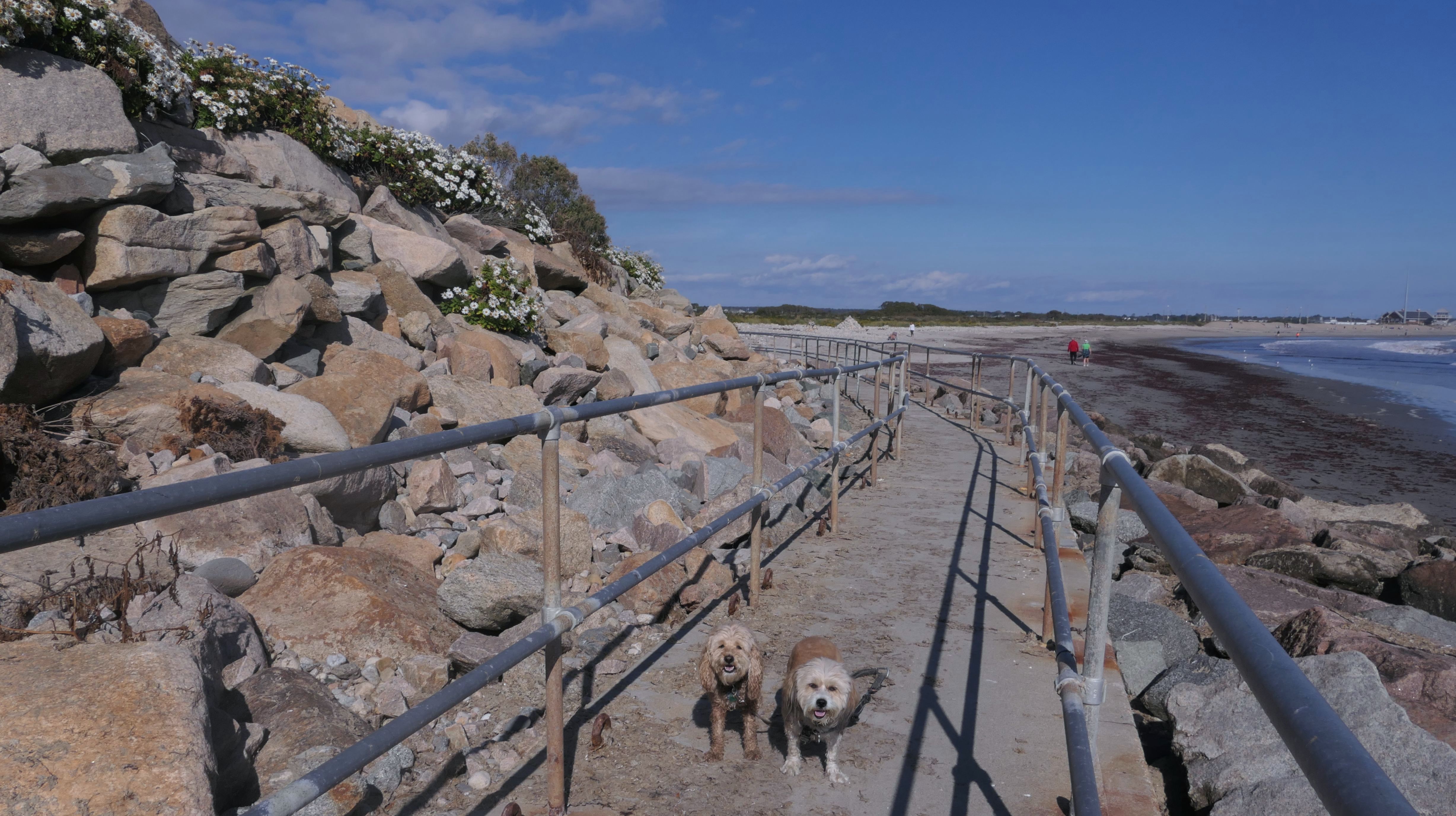
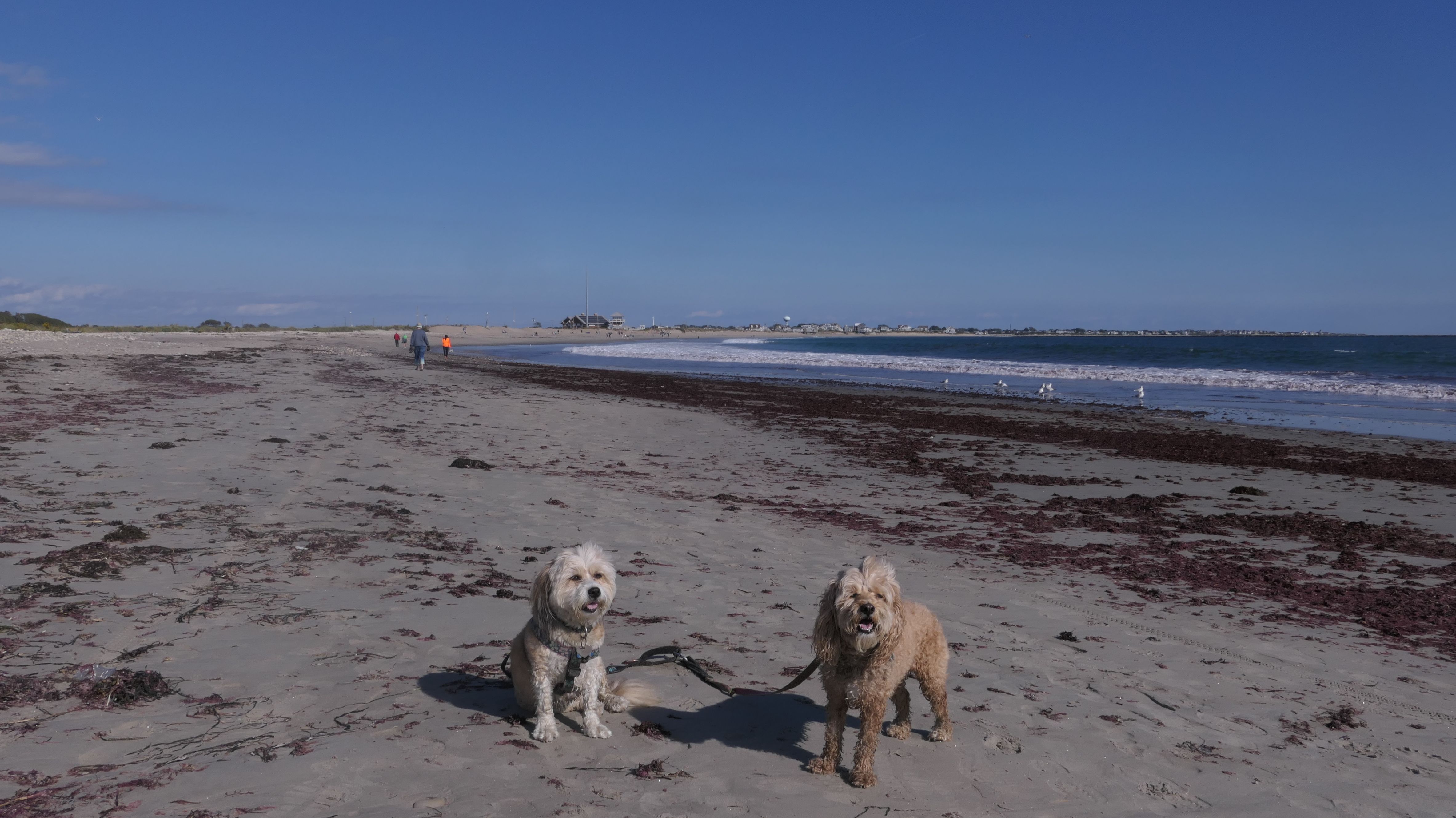
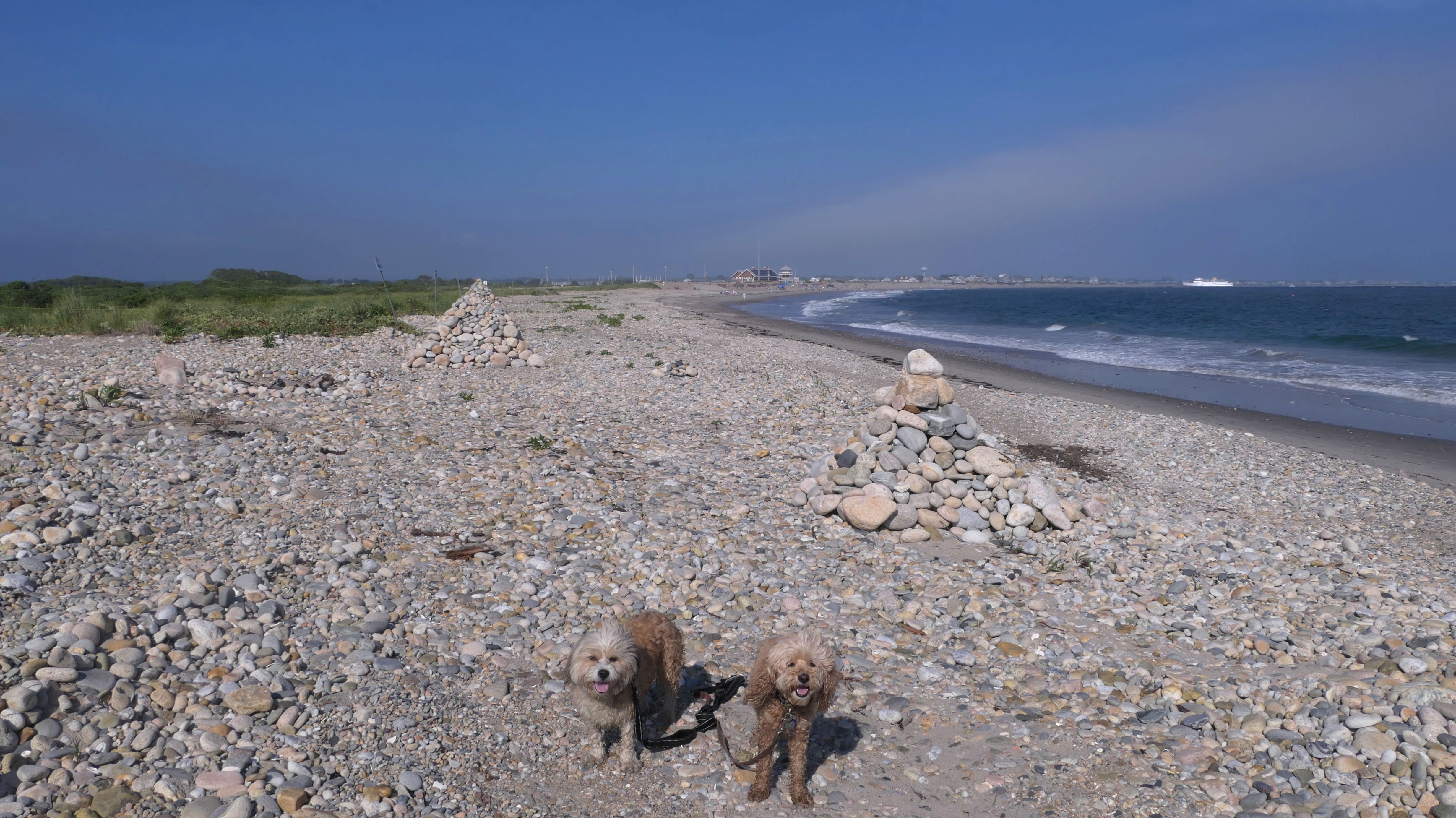
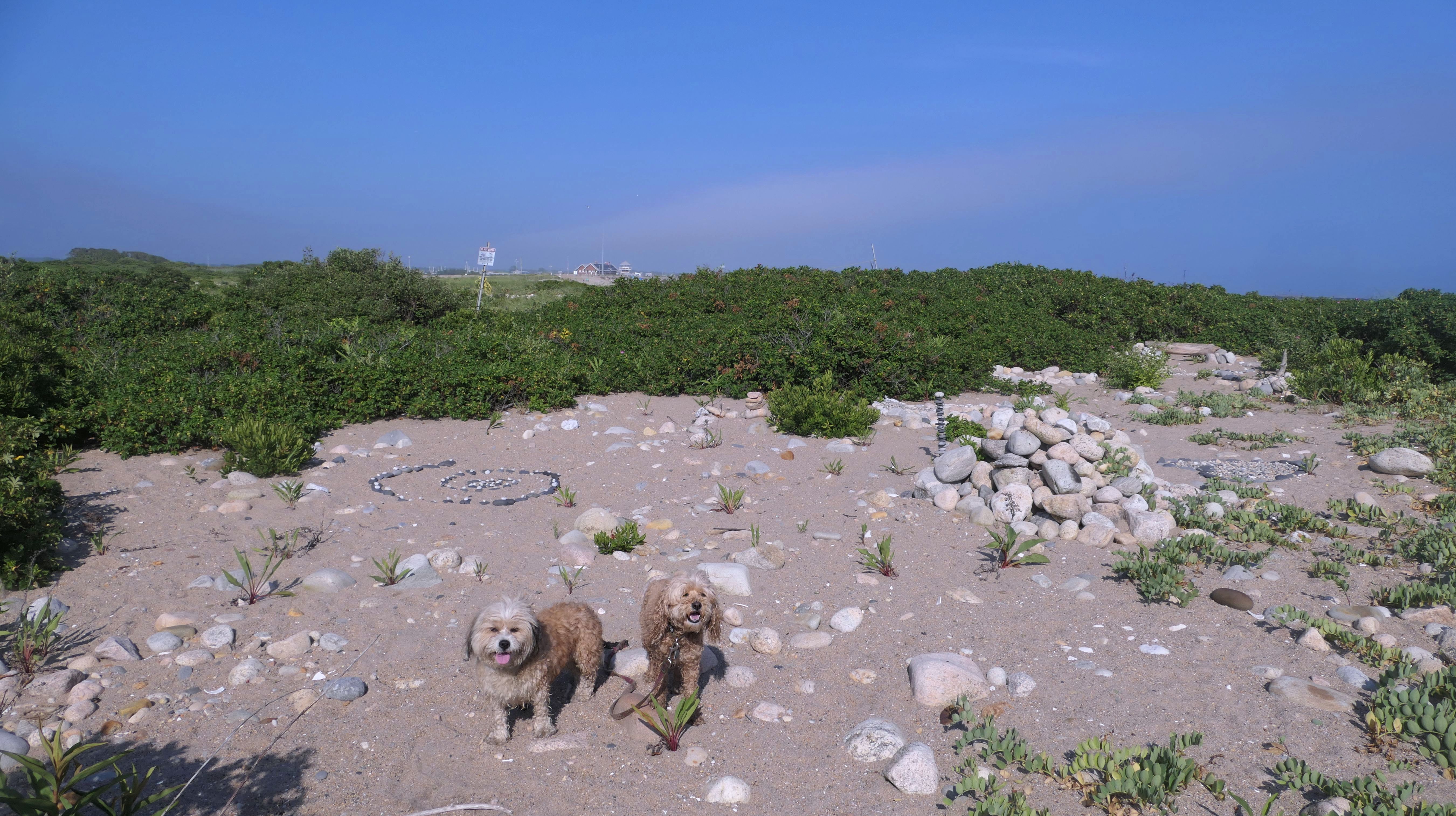
This was our 66th and final visit to Rhode Island for the year. It's been a wild ride! This beach is located mostly in South Kingstown, but the east end of the beach stretches into Narragansett. We actually tried to visit this beach back in November, but the parking lot was closed for construction (It has only re-opened temporarily for the winter). It worked out okay because this way we had a new beach to visit on an unusually warm late December afternoon. Temps were in the mid 50's. I can't complain about that. The beach was okay, but maybe not quite as nice as some of the other beaches in the area. Like all the State Beaches in Rhode Island, dogs are only allowed on the beach in the off season. The west end featured a lot of stones and was more difficult to walk on. We walked the length of the beach twice, and a little more for a total of three miles. This was a fun way to enjoy the mild temperatures and sunshine on one of the last days of the year. Pictures from the South Kingstown section are below. Visit the Narragansett page for pictures from that section of the beach.

More Images


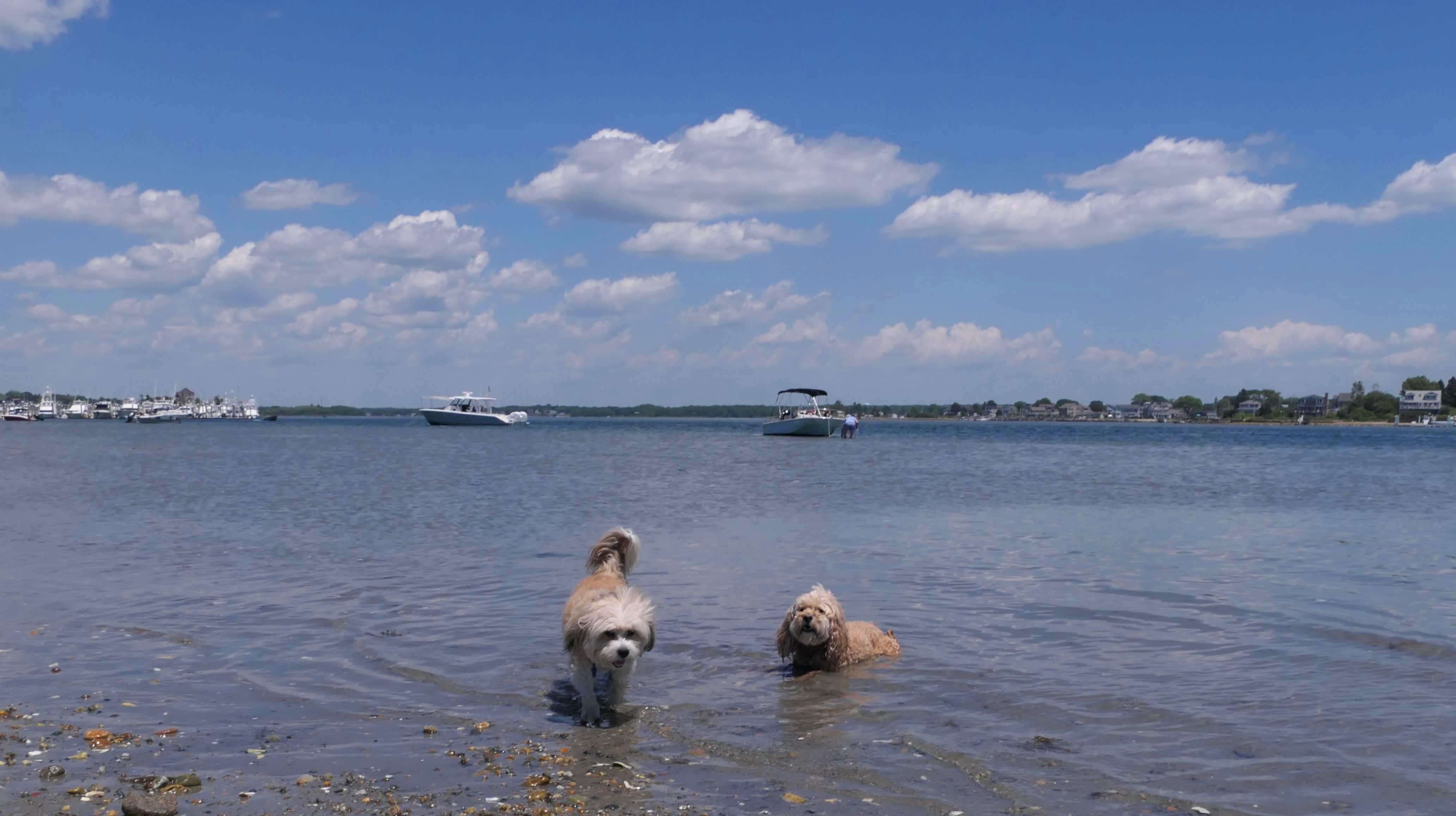
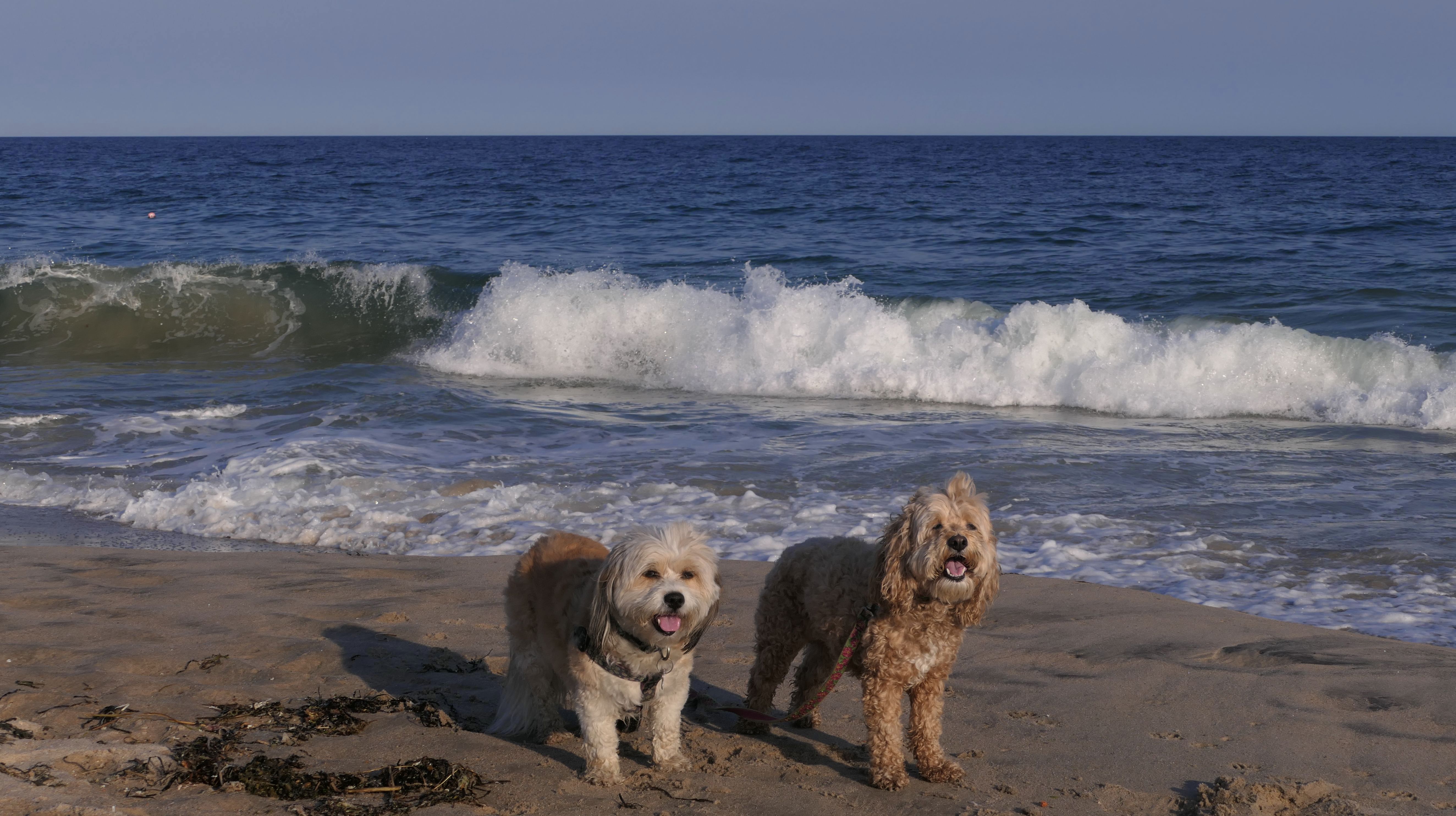
East Matunuck State Beach
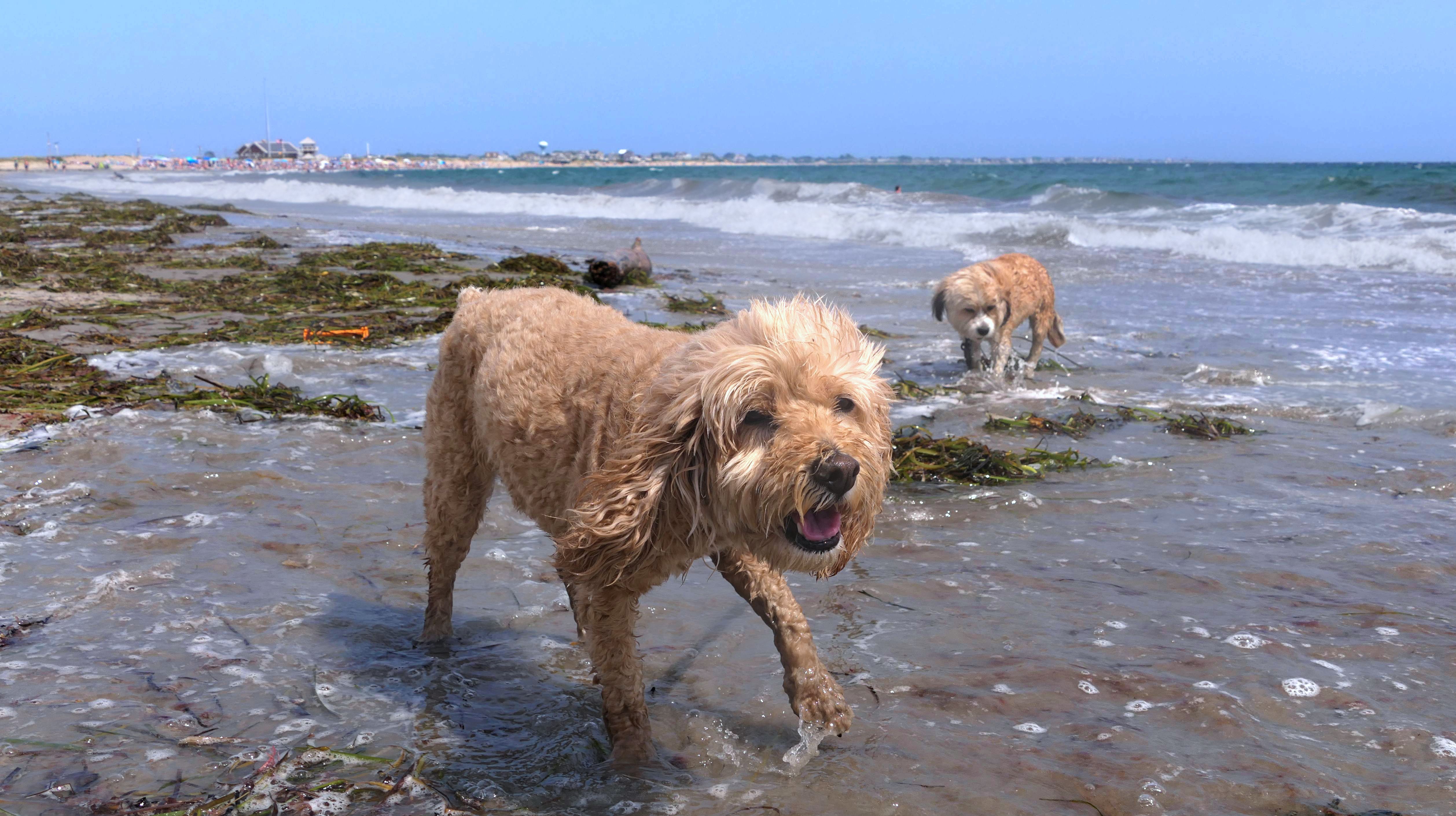
Date visited: 10/6/2024
This was our second visit to this beach. We once again walked the length of the beach, including the eastern end that crosses the town line into Narragansett. We also walked to the western end that leads to Ocean Avenue. The walkway was open today, but closed back in April when we tried to access it from the other side. It was on the cool side for a beach walk. Temps were in the mid 60's, but we still waded through the edge of the water. All of the beaches along the southern shore of Rhode Island are real nice, and this is one is no different.
More Images
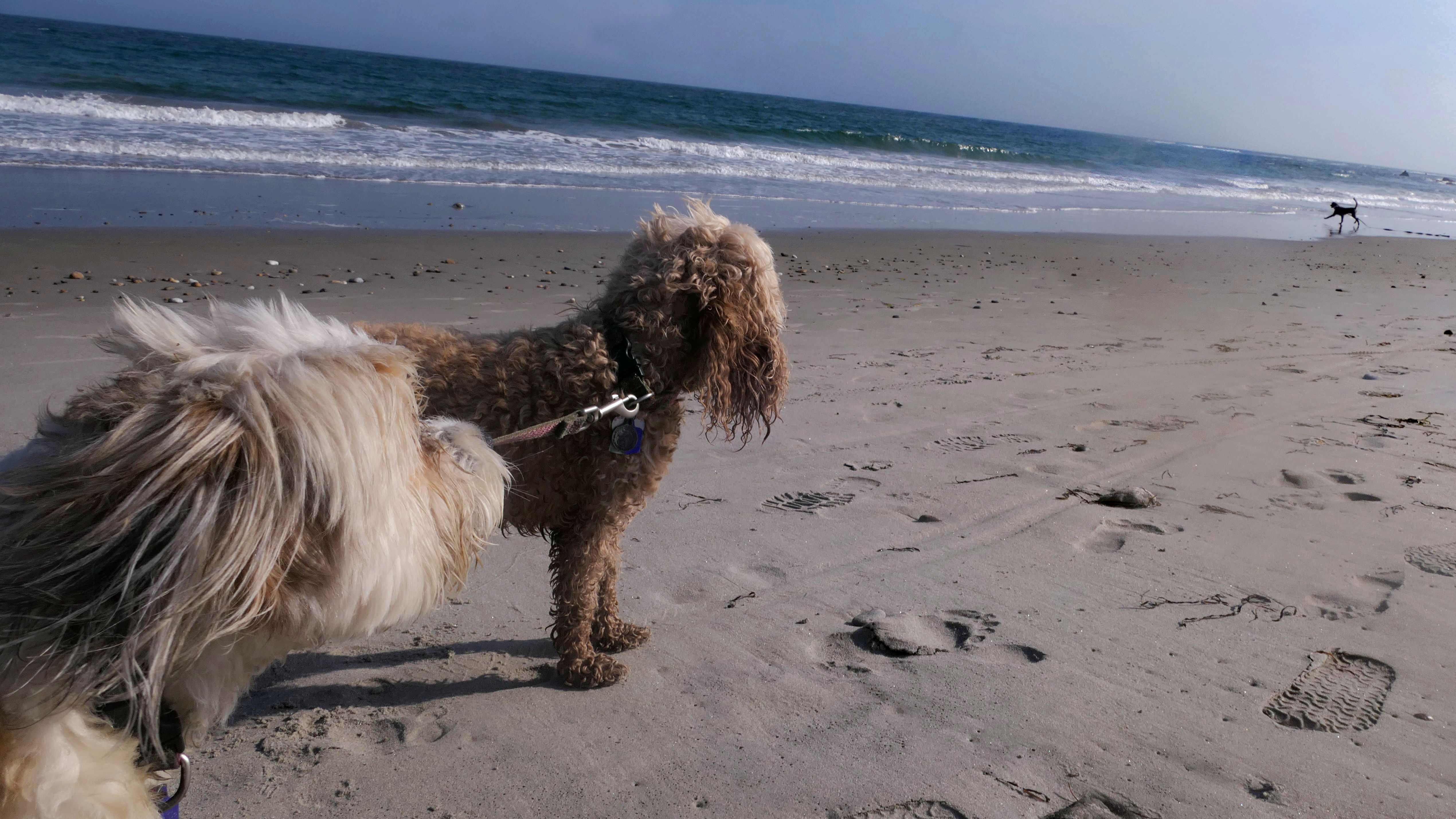
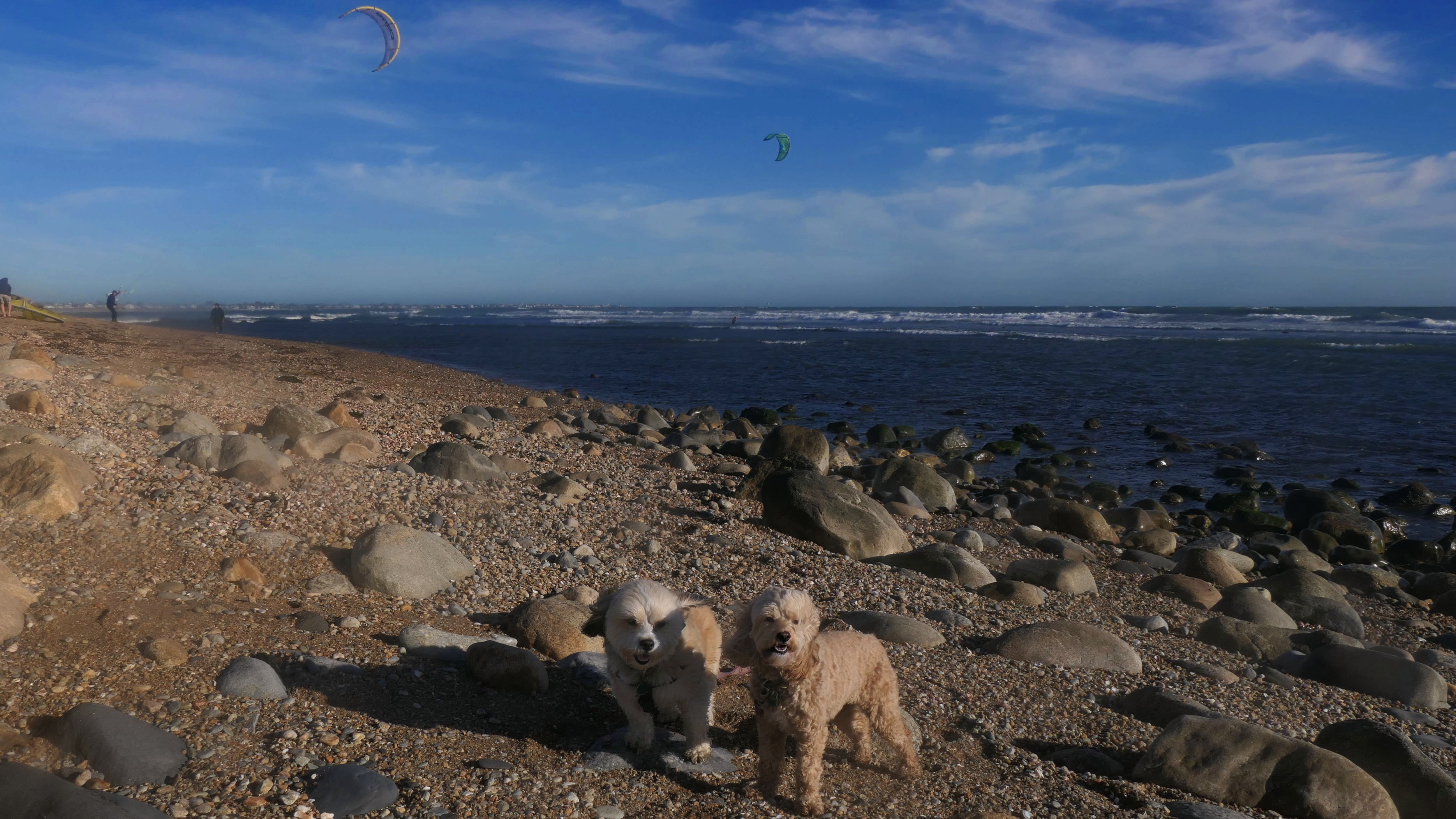
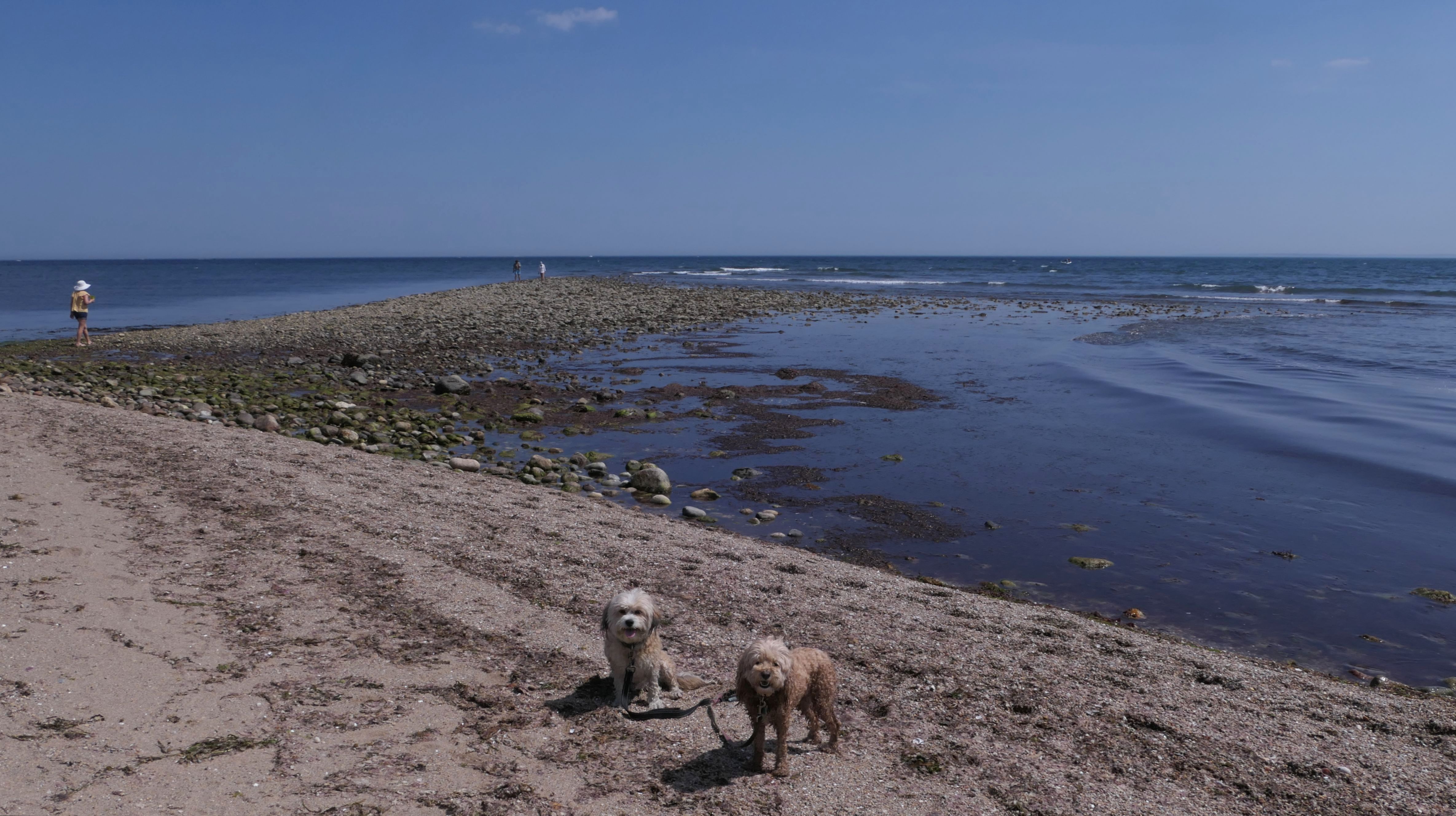
East Matunuck State Beach
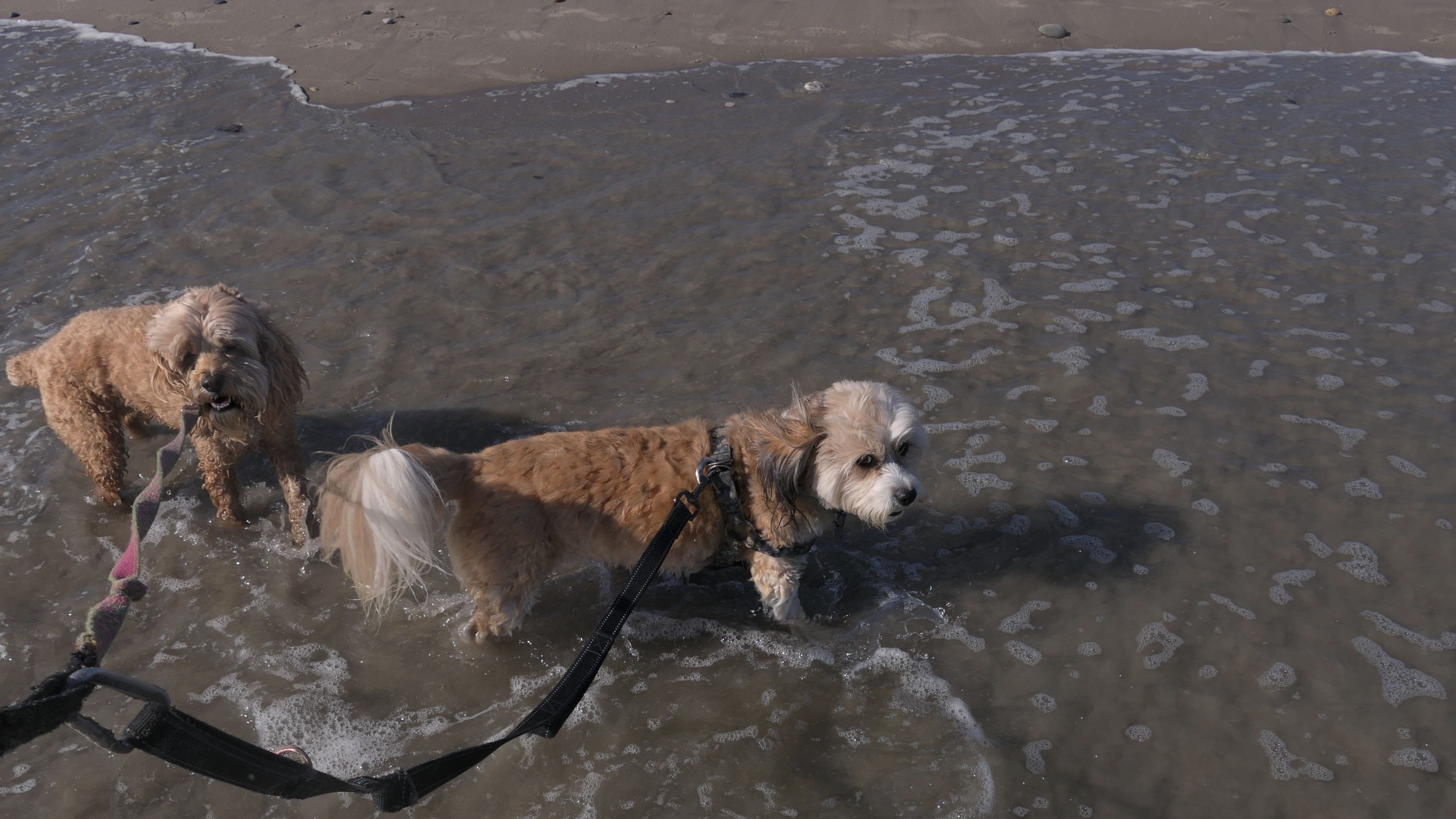
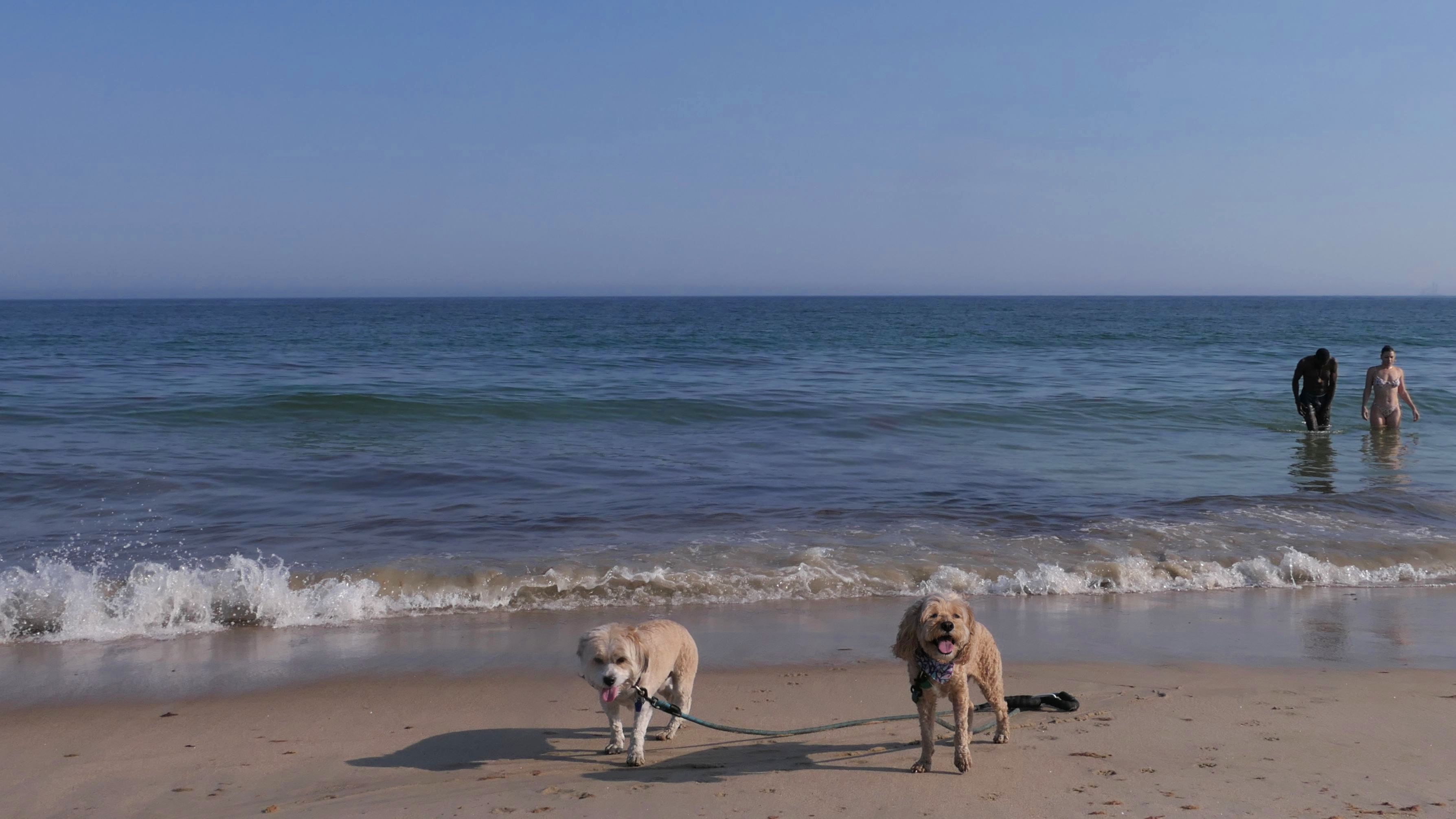
Date visited: 7/1/2025
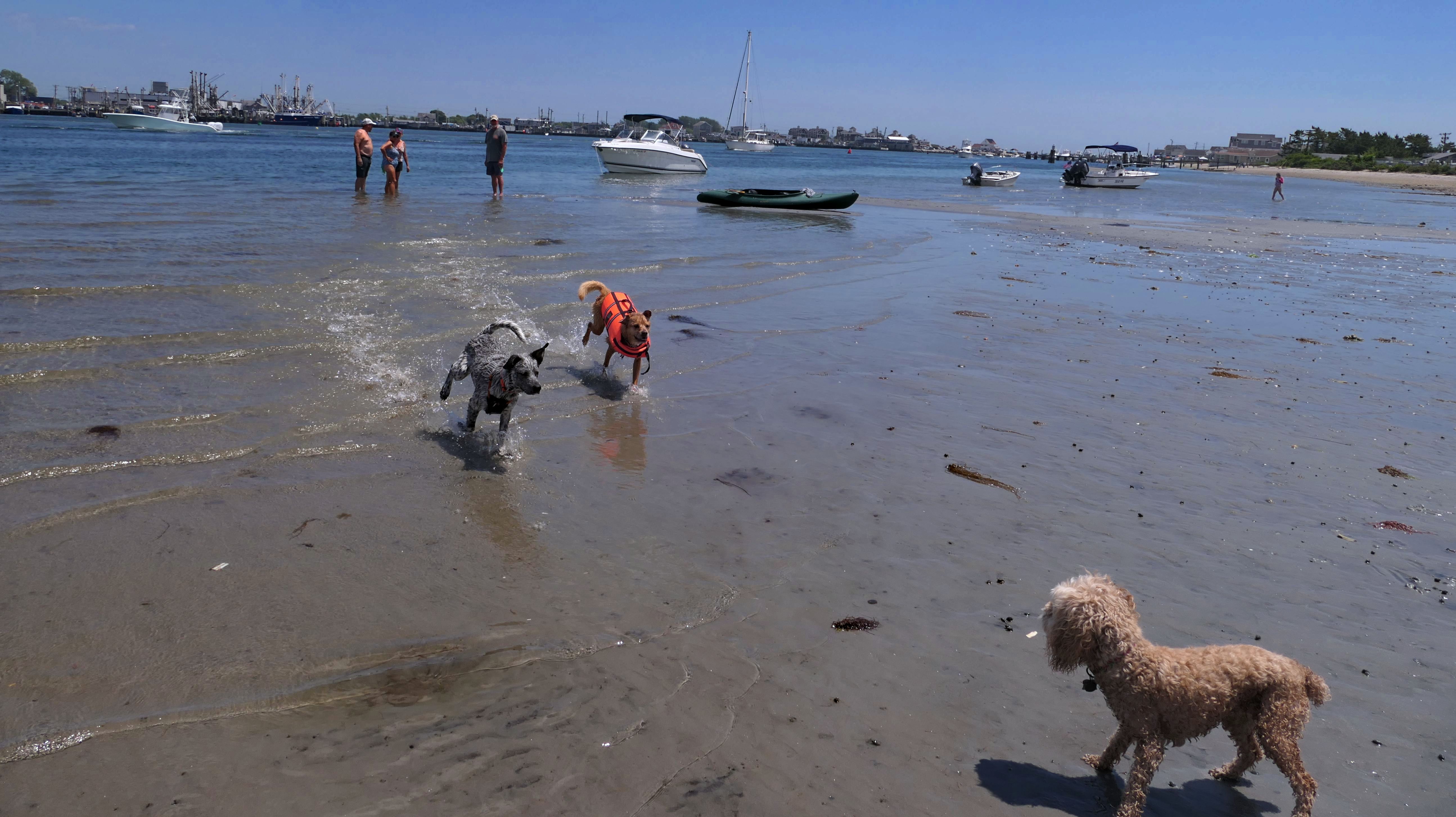
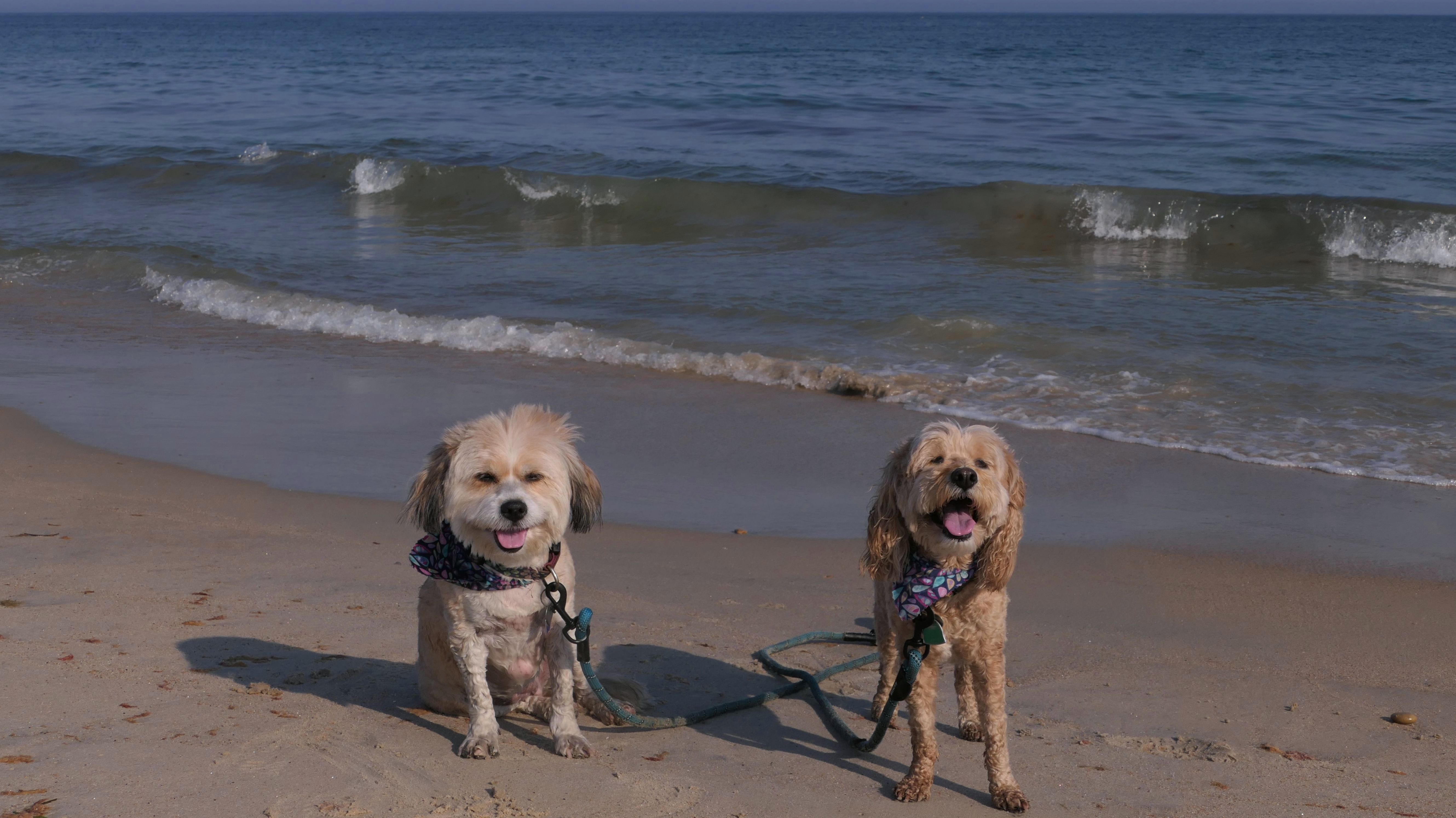
This is a rare summer time visit to a state beach. Technically, dogs are not allowed here this time of year, but we were barely on the state beach. We entered via the Ocean Avenue Shoreline Access Point, and headed down the ramp. There is a small section of beach that is town property where dogs are allowed, before the state beach starts. We did cross over into the state beach this time around to check out the rock garden. Someone has constructed some pretty elaborate stone piles. I know that generally environmentalists frown upon stacking up stones like this, as it damages the natural geography of the area. However, these were already there, and are impressive, so we checked them out, careful not to damage them in anyway. The dogs were also able to cool off in the water, and even bark at another dog (also on the state beach side), playing fetch in the waves with his owner.
More Images
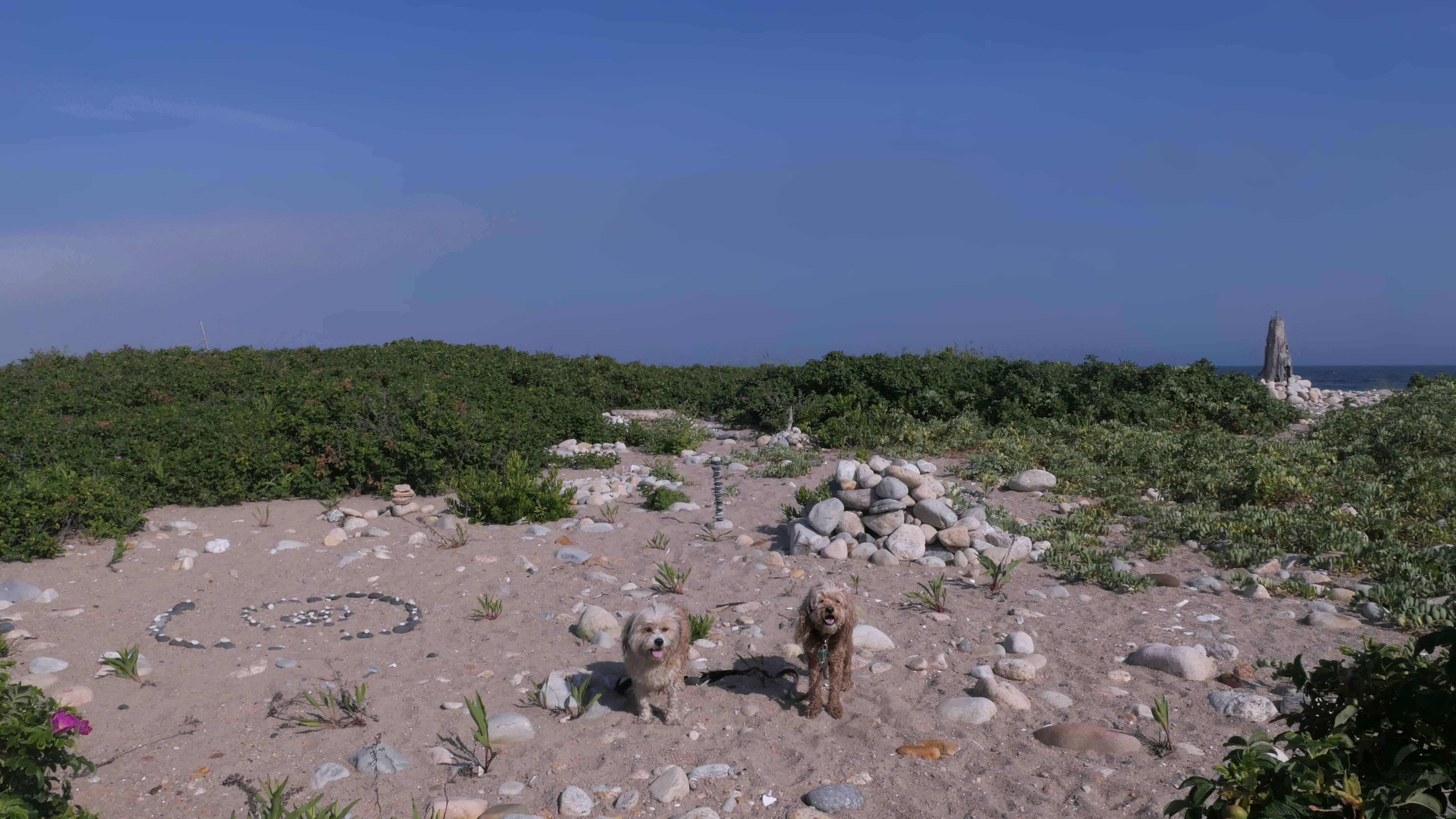
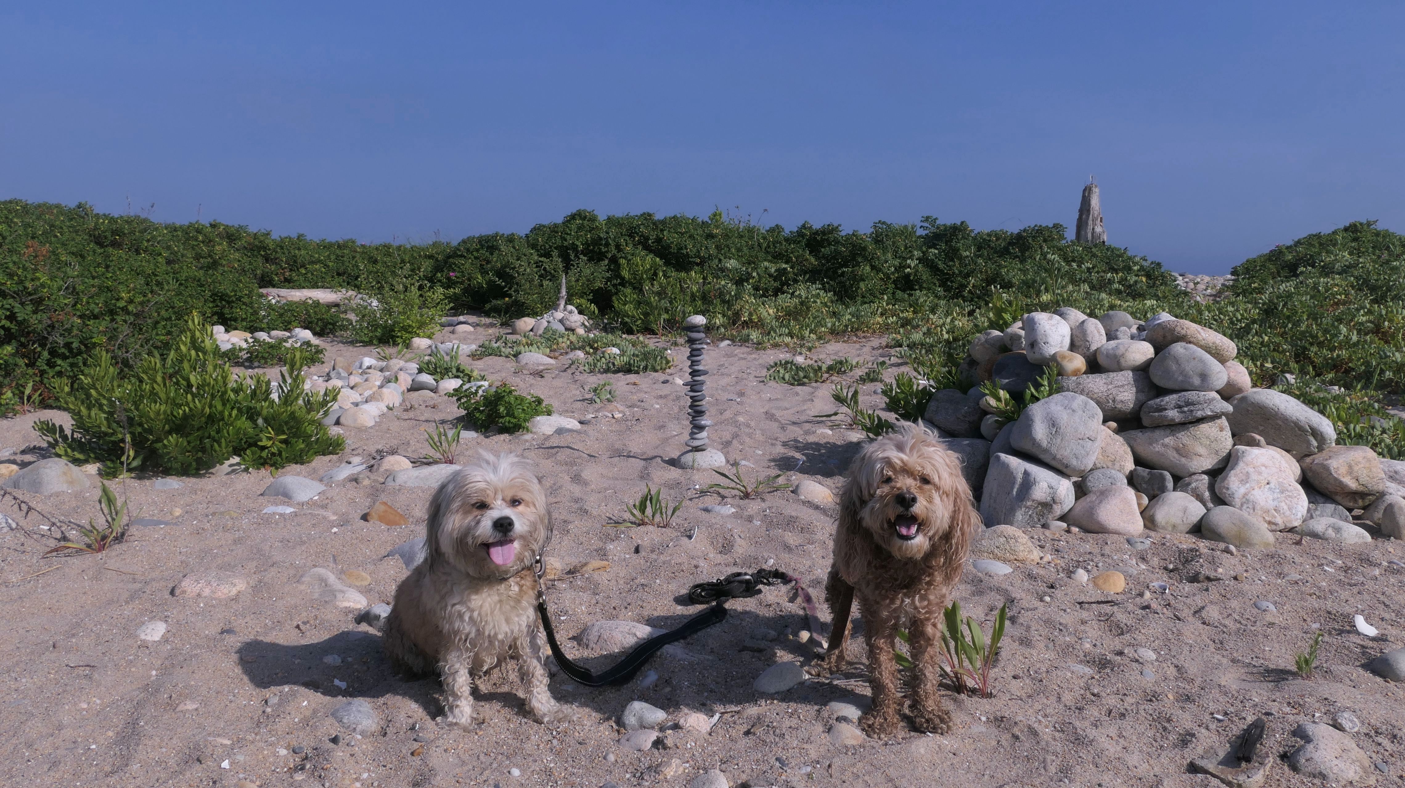
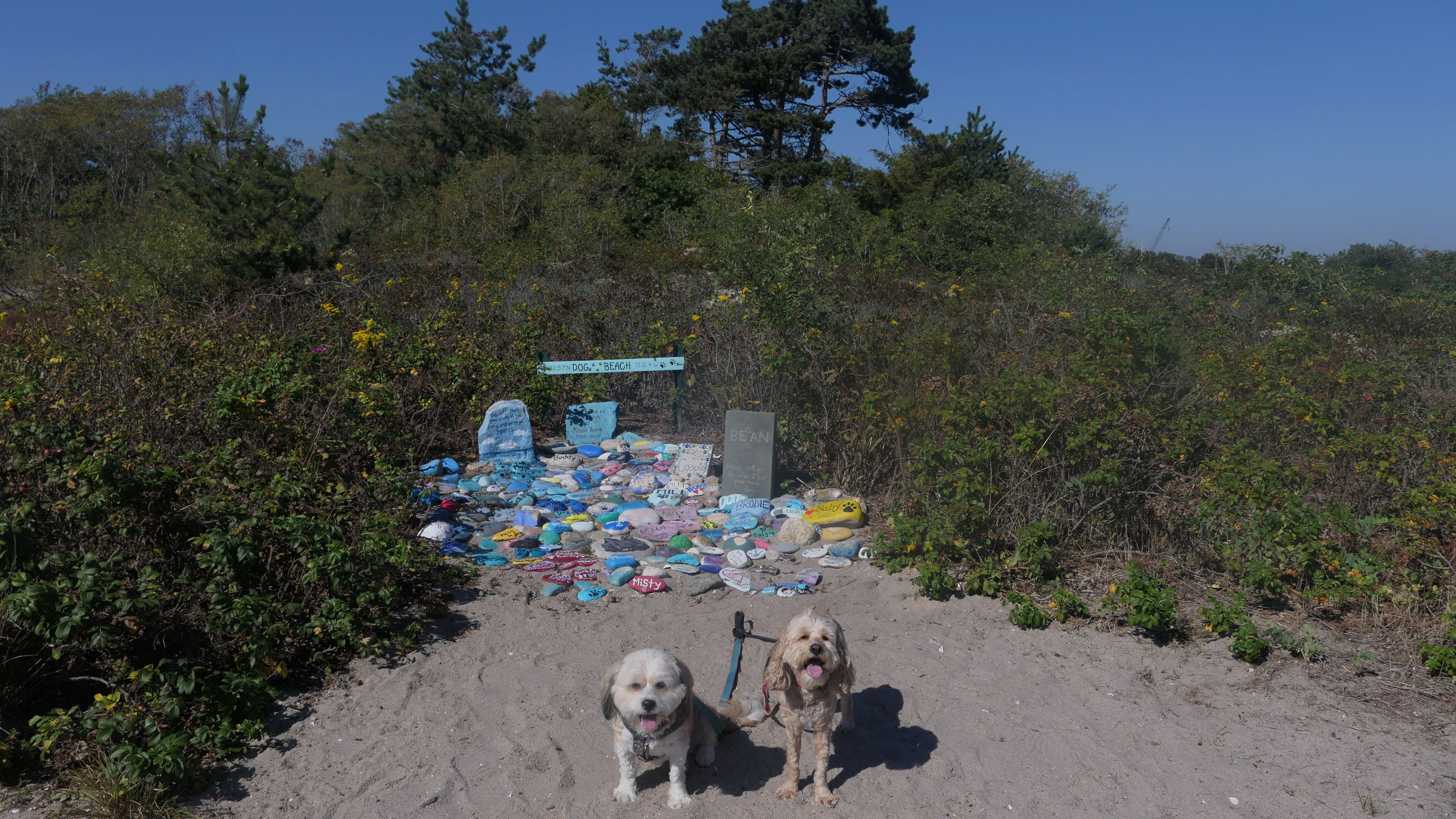
Dog Beach
Date visited: 10/4/2023
It's hard to believe that it took me this long to find this place! There's no real information on the interwebs about this place. I only found out about it because a nice woman that I met on a different adventure told me about it. It's called "Dog Beach", and as the name suggests, it's a beach for dogs. Locals bring their dogs here, and they are allowed off-leash. The beach opens out to the west side of Point Judith Pond, north of the breachway, so the waves are mild. The area is actually part of Succotash Marsh Wildlife Management Area. It's accessible at the end of Succotash road, after it turns into a dirt road after passing through the Jerusalem fishing village. There's a monument near the parking area dedicated to dogs that have passed who used to visit the beach. Owners put their names on painted rocks. It's kind of neat, but kind of sad as well. Mandy and Lexi loved running around and playing on the beach. They also played with two other dogs they met, Max and Blue. The beach is also used by locals just to hang out, so be aware, parking is limited. We were here on a Wednesday afternoon on a hot day in October, and there were only a couple parking spots available. I imagine it could fill up quickly on weekends in the summer!


More Images


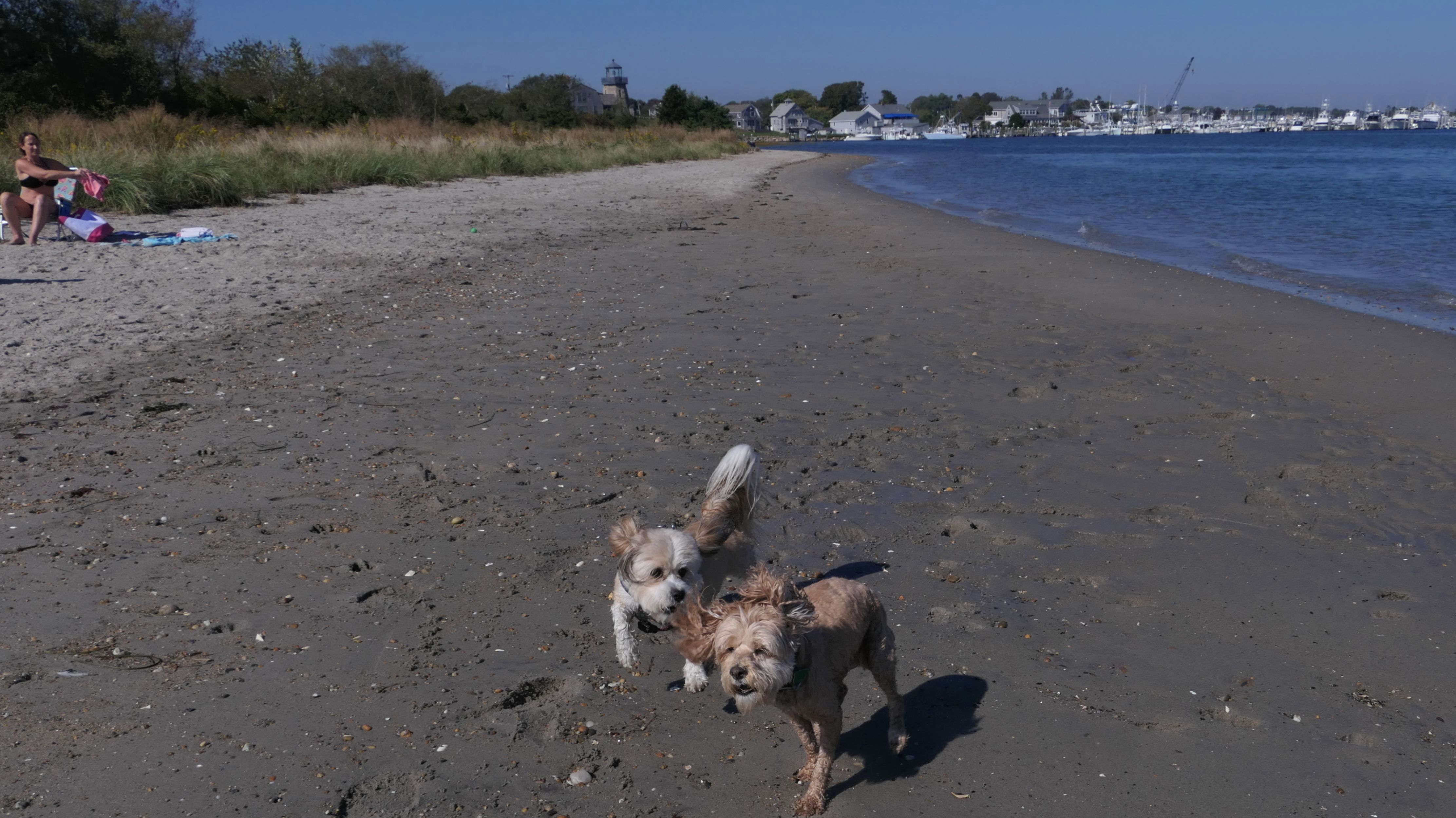
Dog Beach
Date visited: 6/25/2024
This was the fourth and final day of our late June heatwave. It wasn't as hot as the day before, but still plenty warm. We actually tried to come here the day before, but there wasn't any parking available. Today we were able to find a spot. This is surprisingly only our second visit to this dog-friendly beach, where dogs can be off-leash. The beach faces the Point Judith Salt Pond. The Block Island Ferry launching spot is directly across the pond. The waters on this side were real shallow. I walked pretty far out, and the water was still only up to my knees. The dogs didn't want to go that far out. The water was also very warm. There wasn't many other dogs here. Mandy and Lexi never really got to play, but they did meet a couple of dogs. We sat on the beach for a while, and also walked south along the beach, passing into Narragansett briefly. We stayed here a little over an hour before heading to the Matunuck Beach area.
More Images
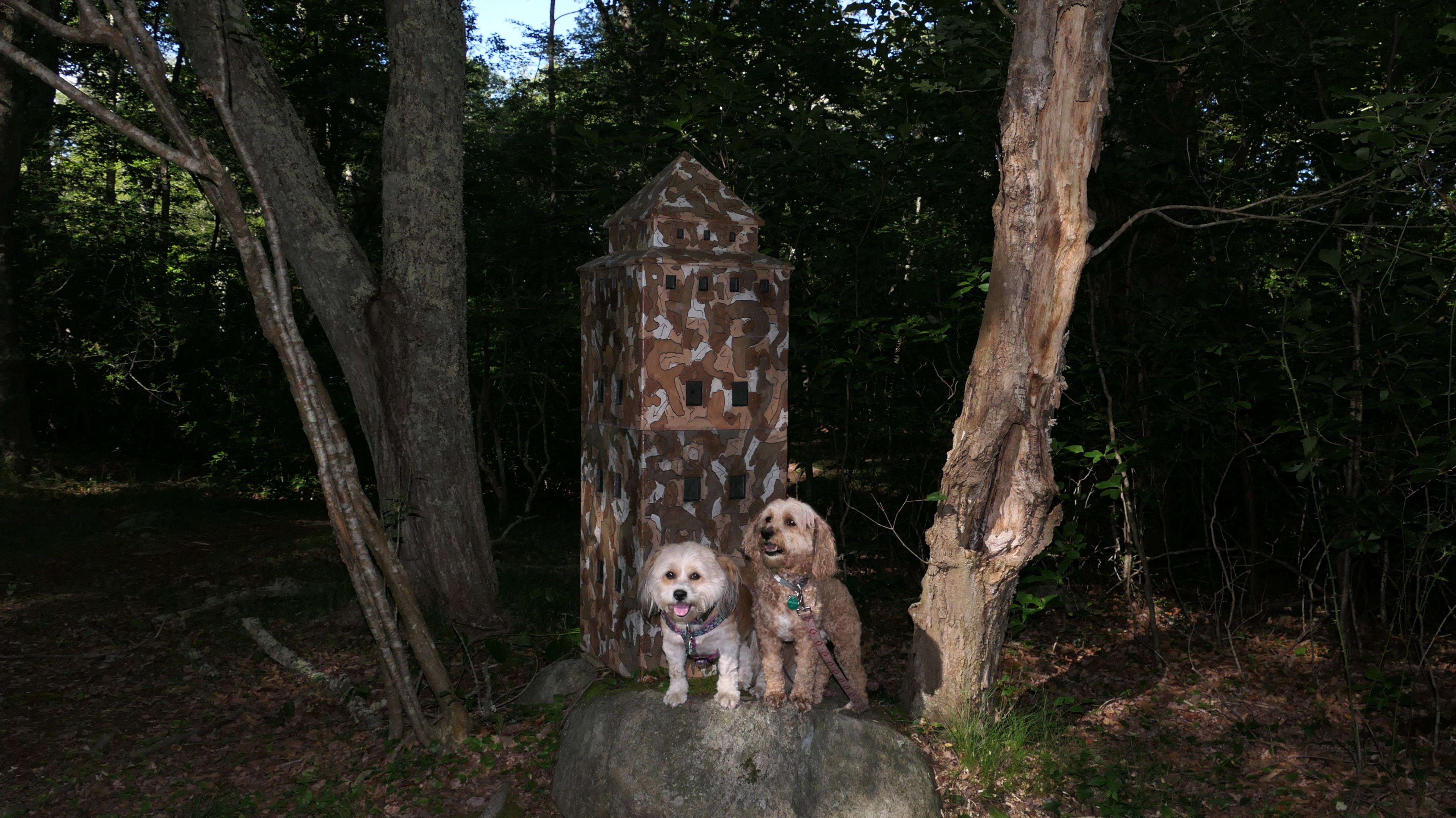
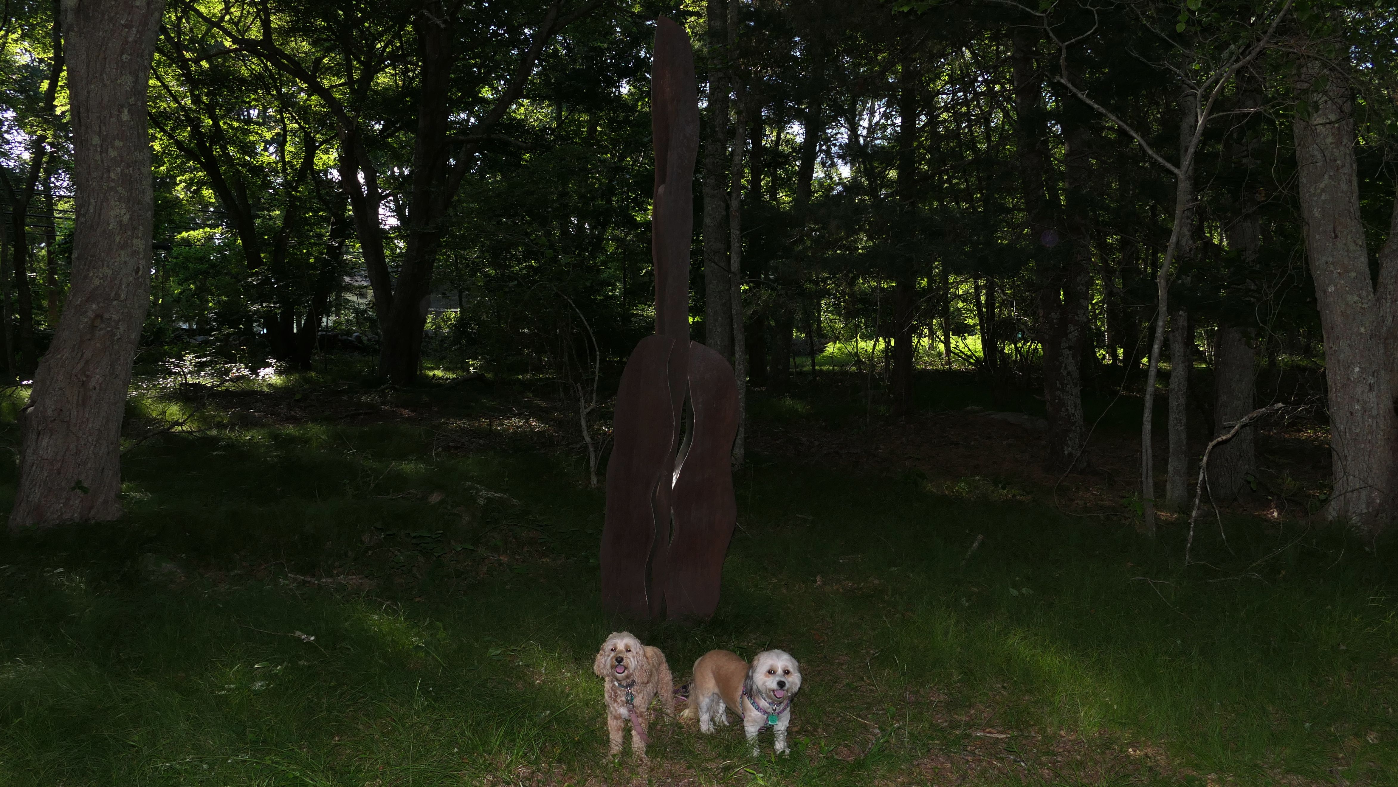
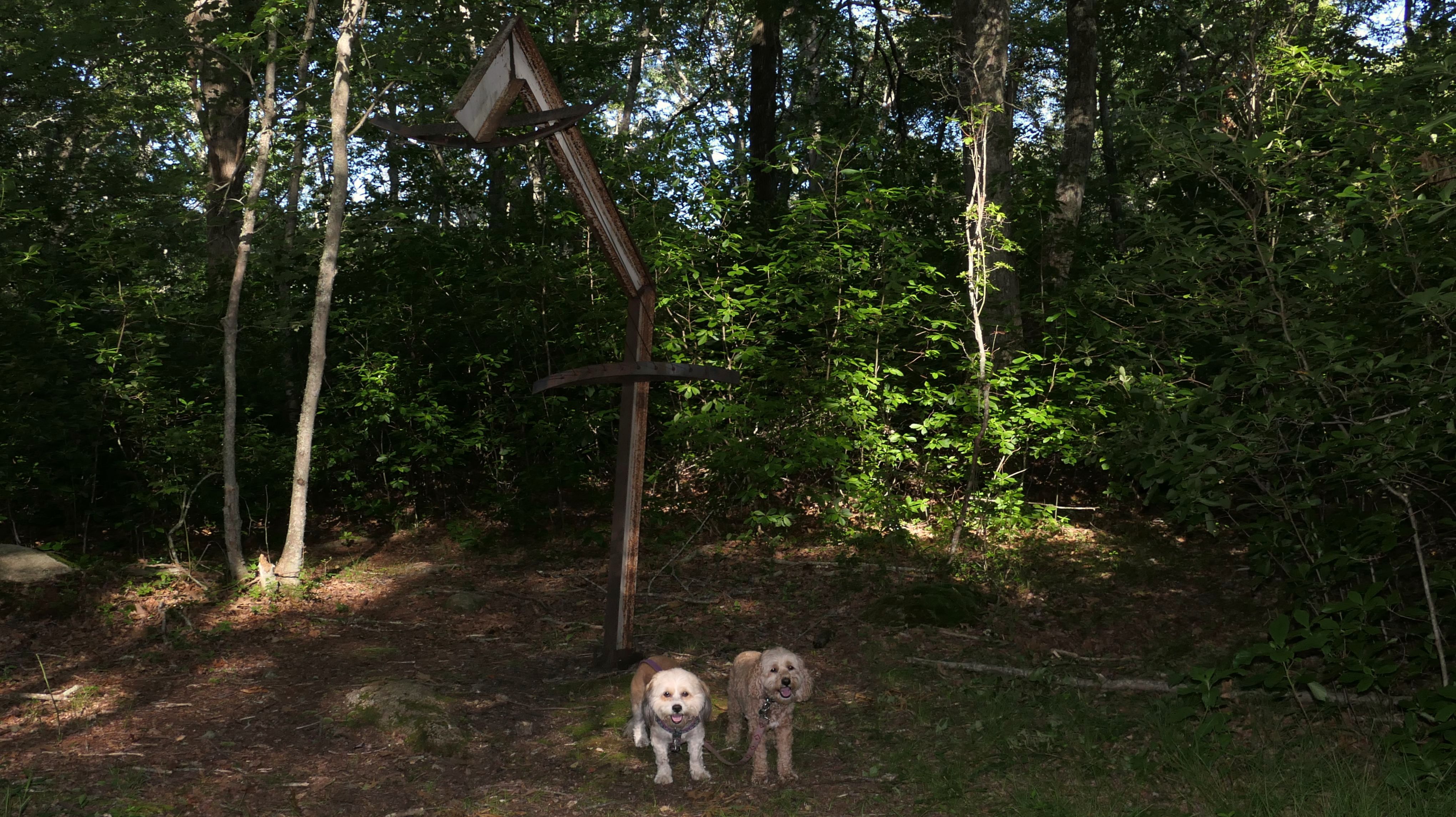
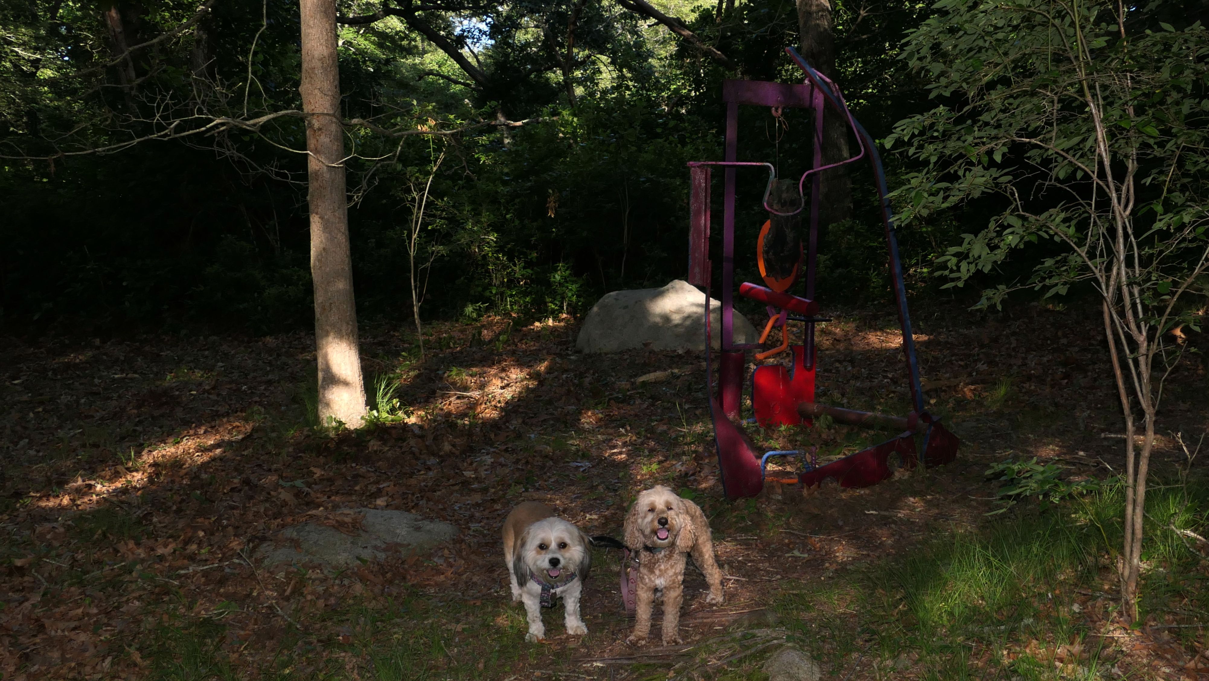
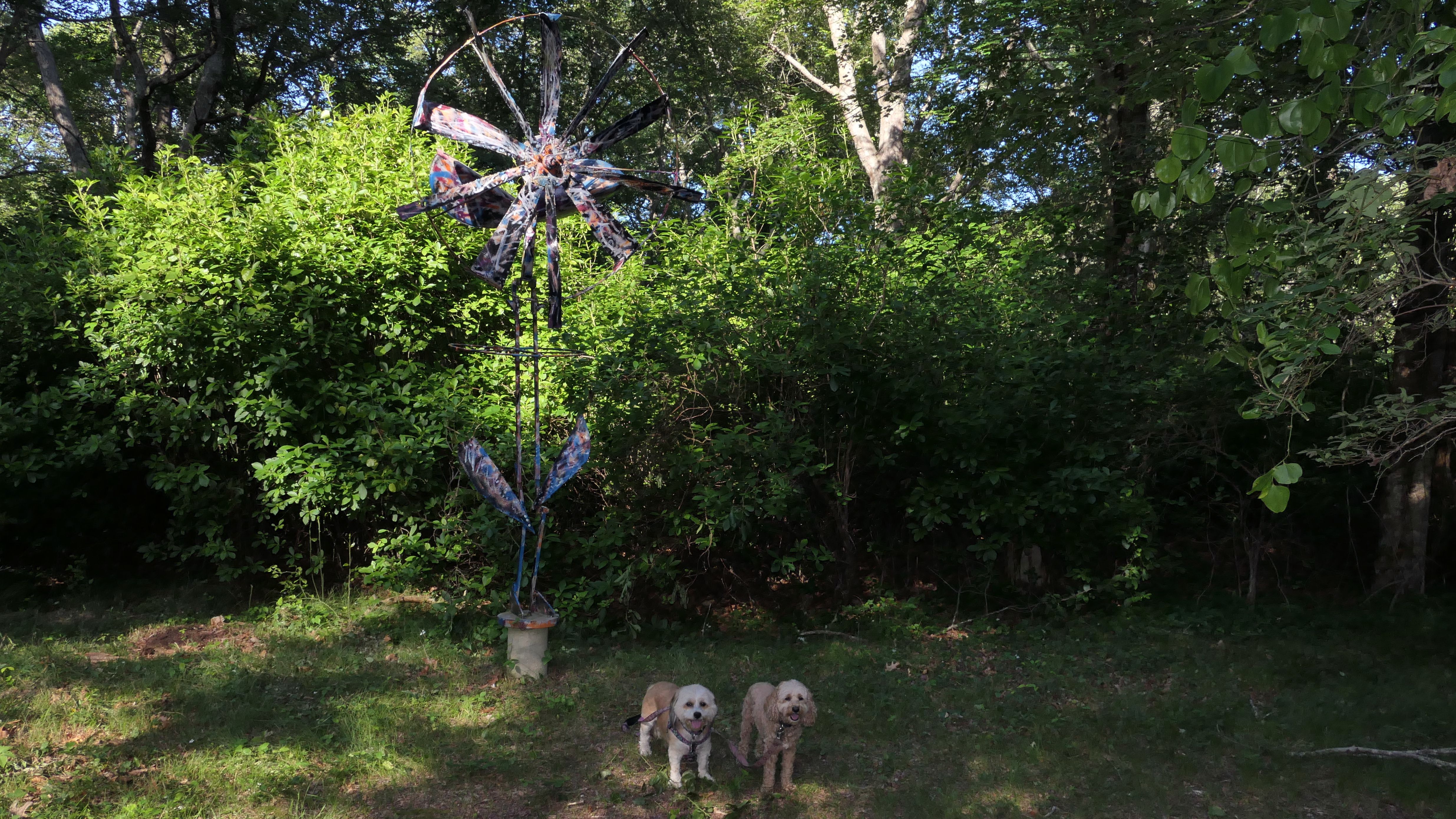
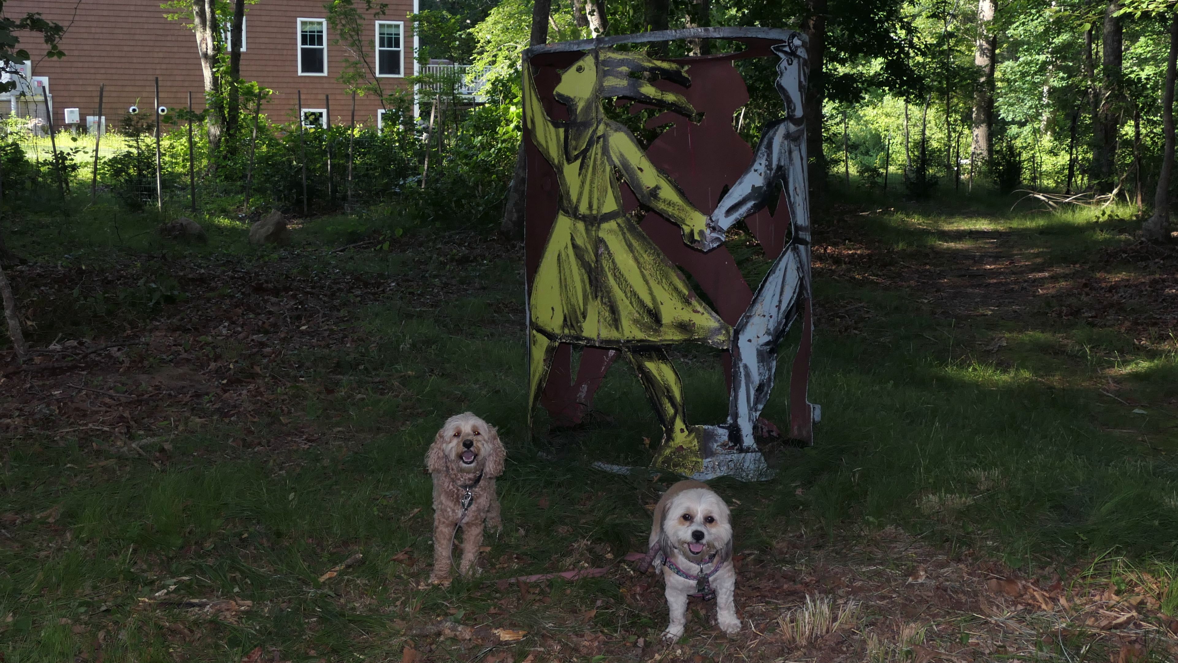
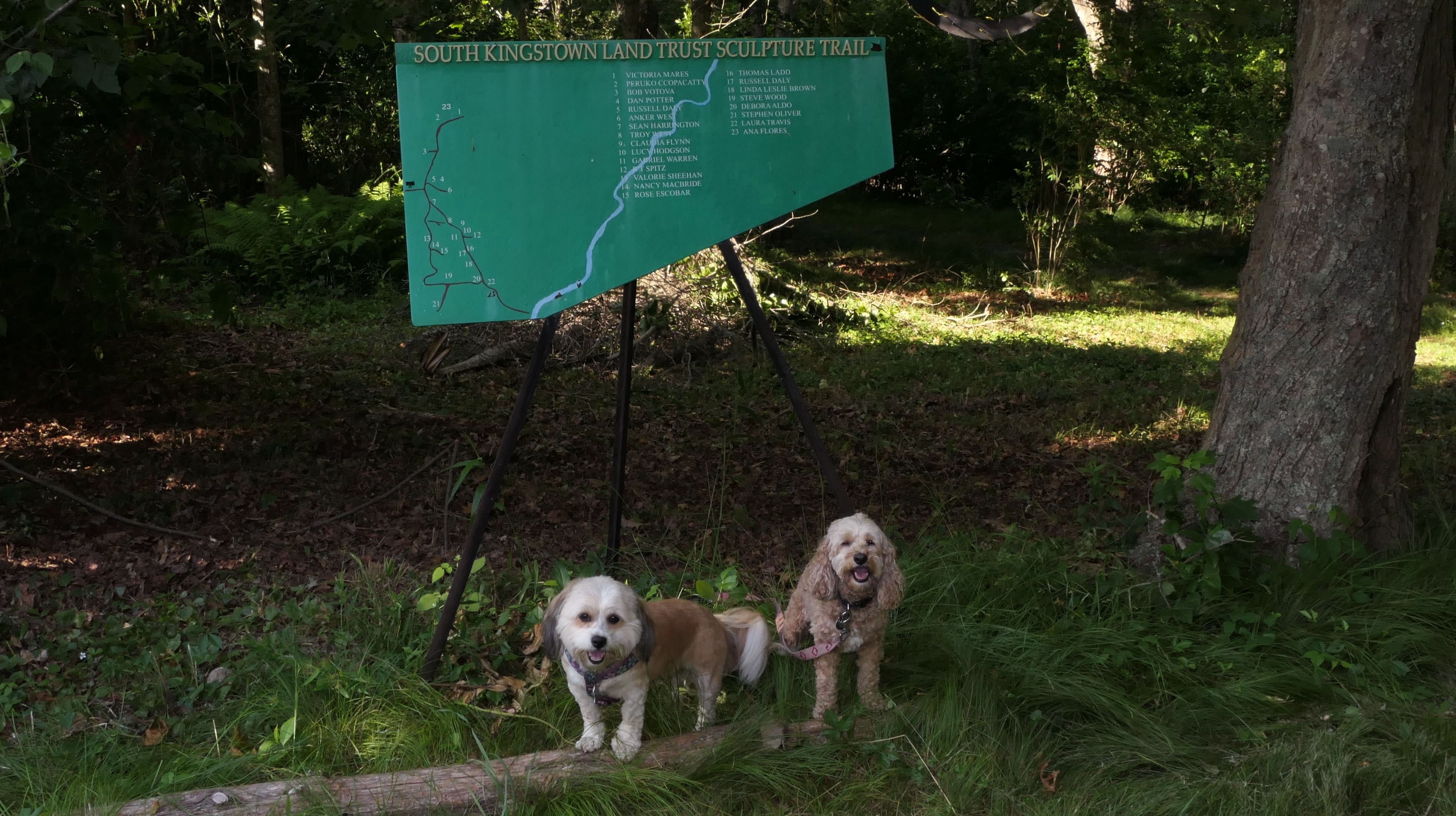
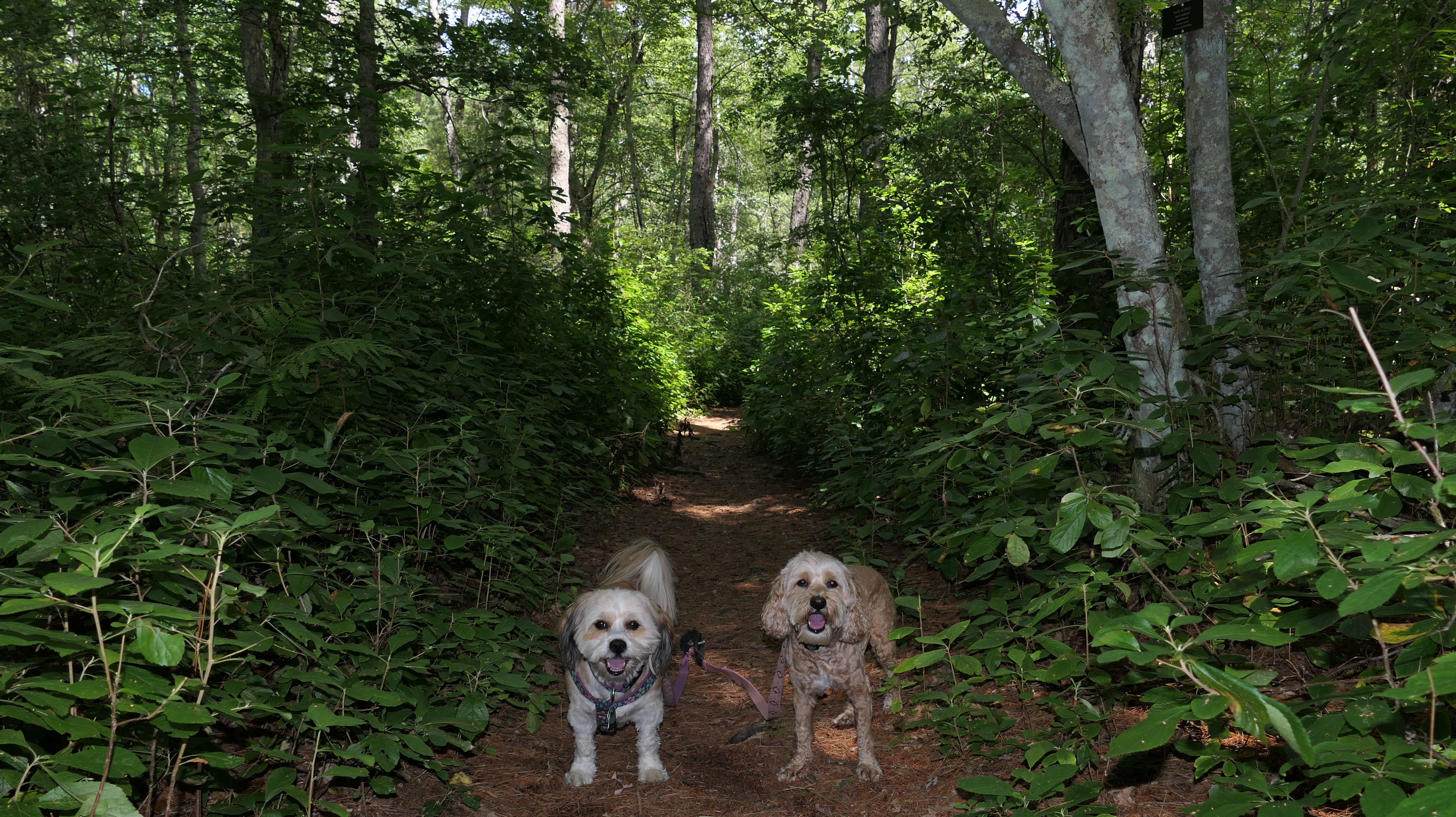
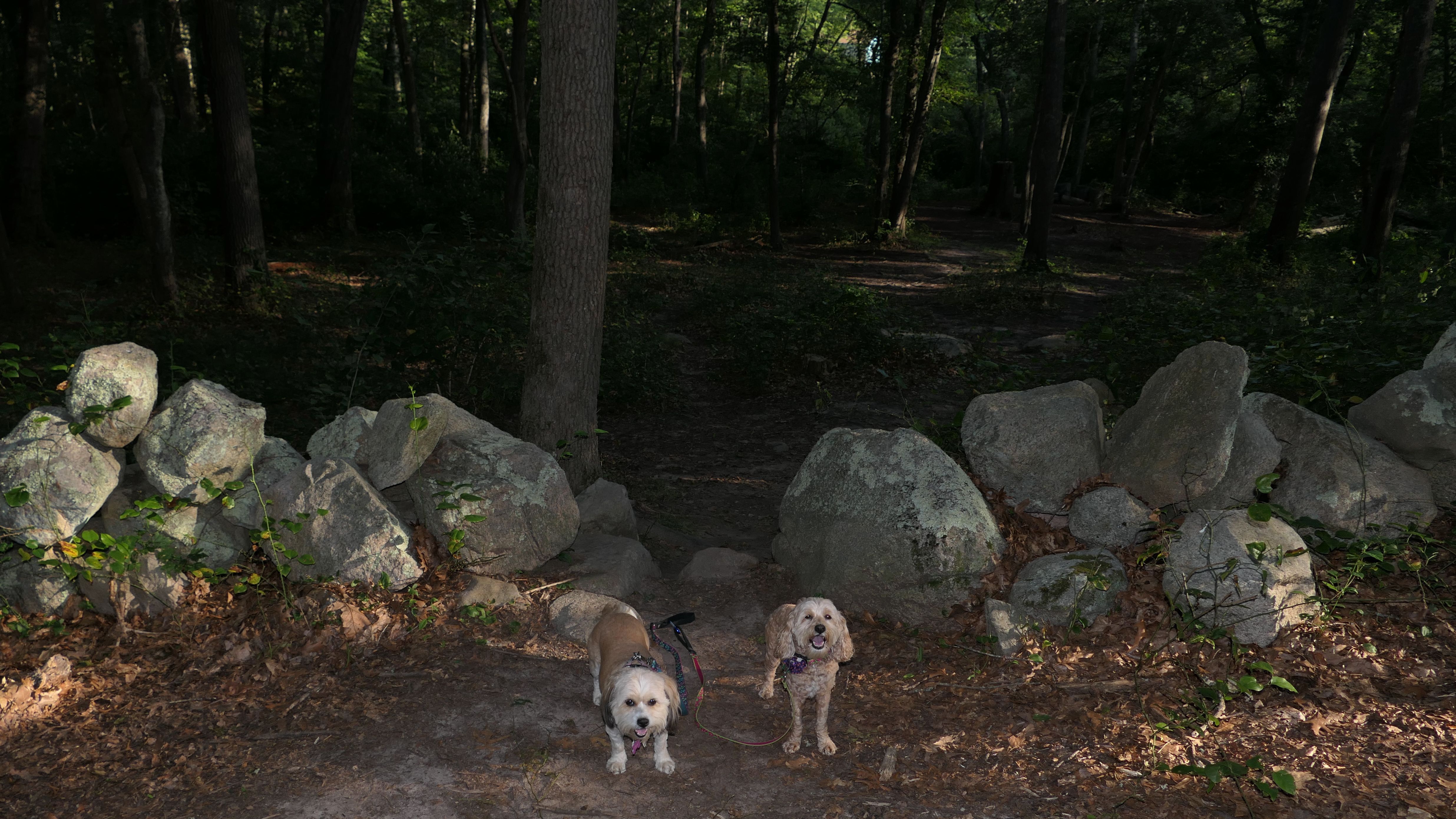
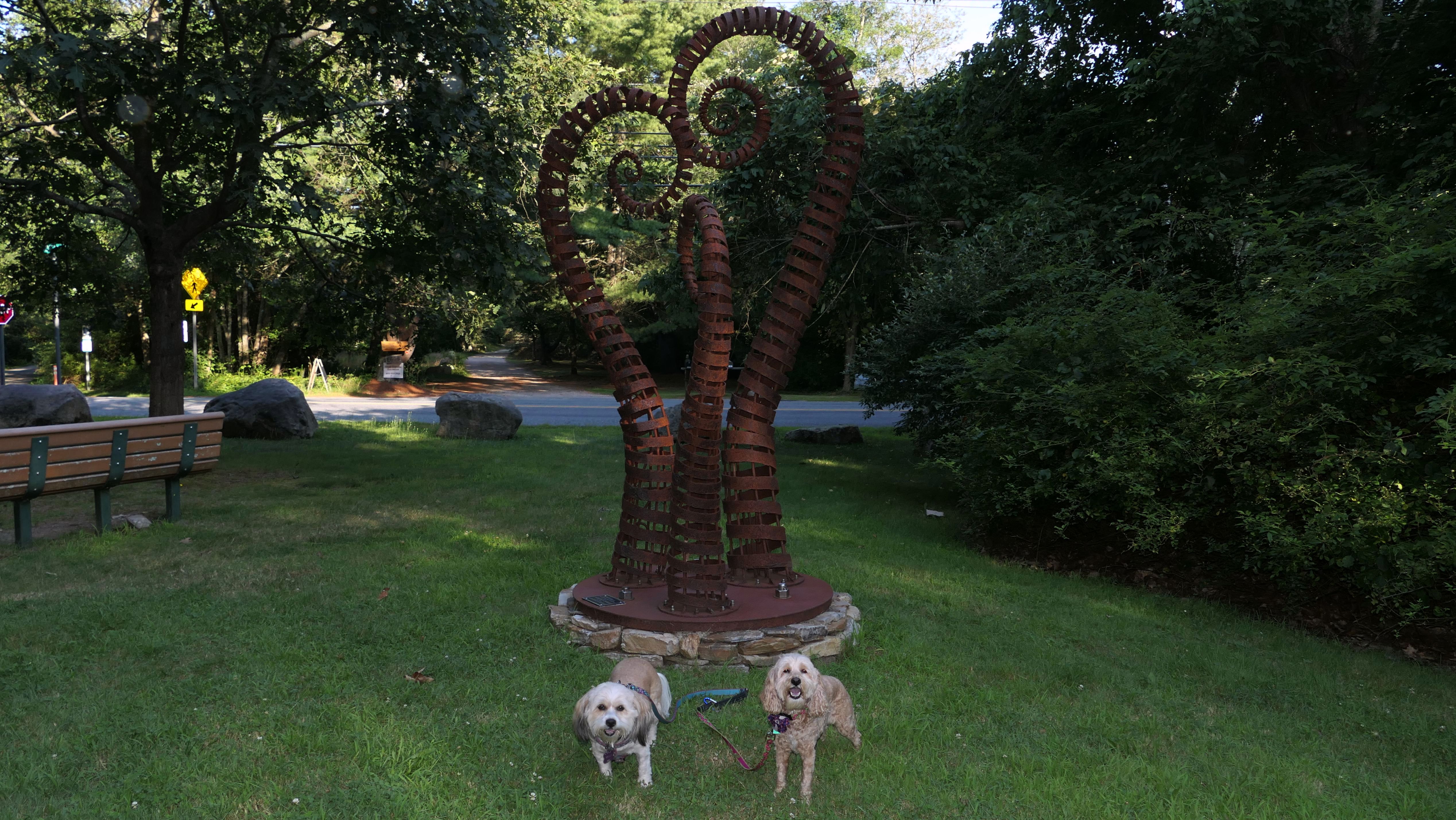
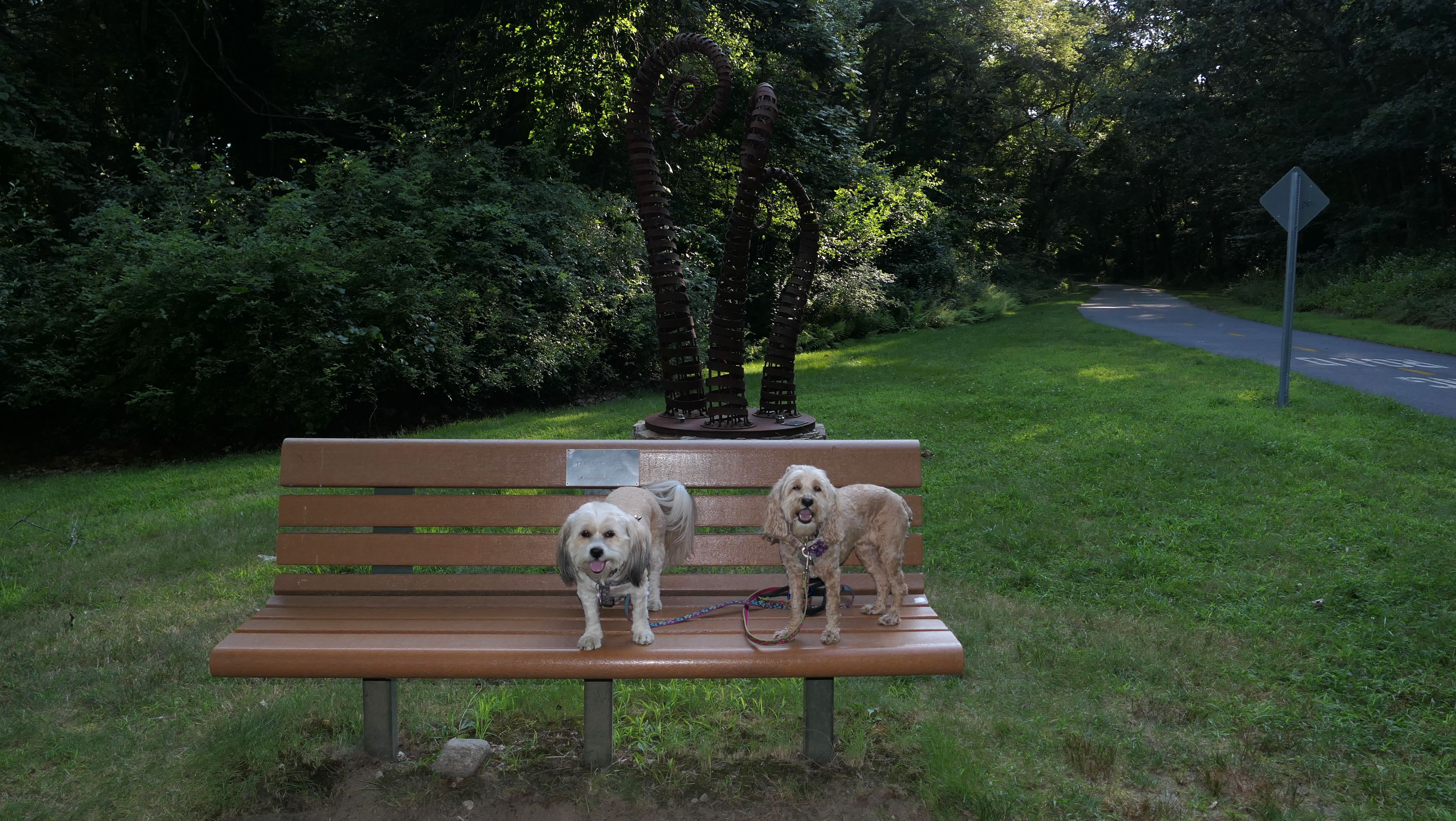
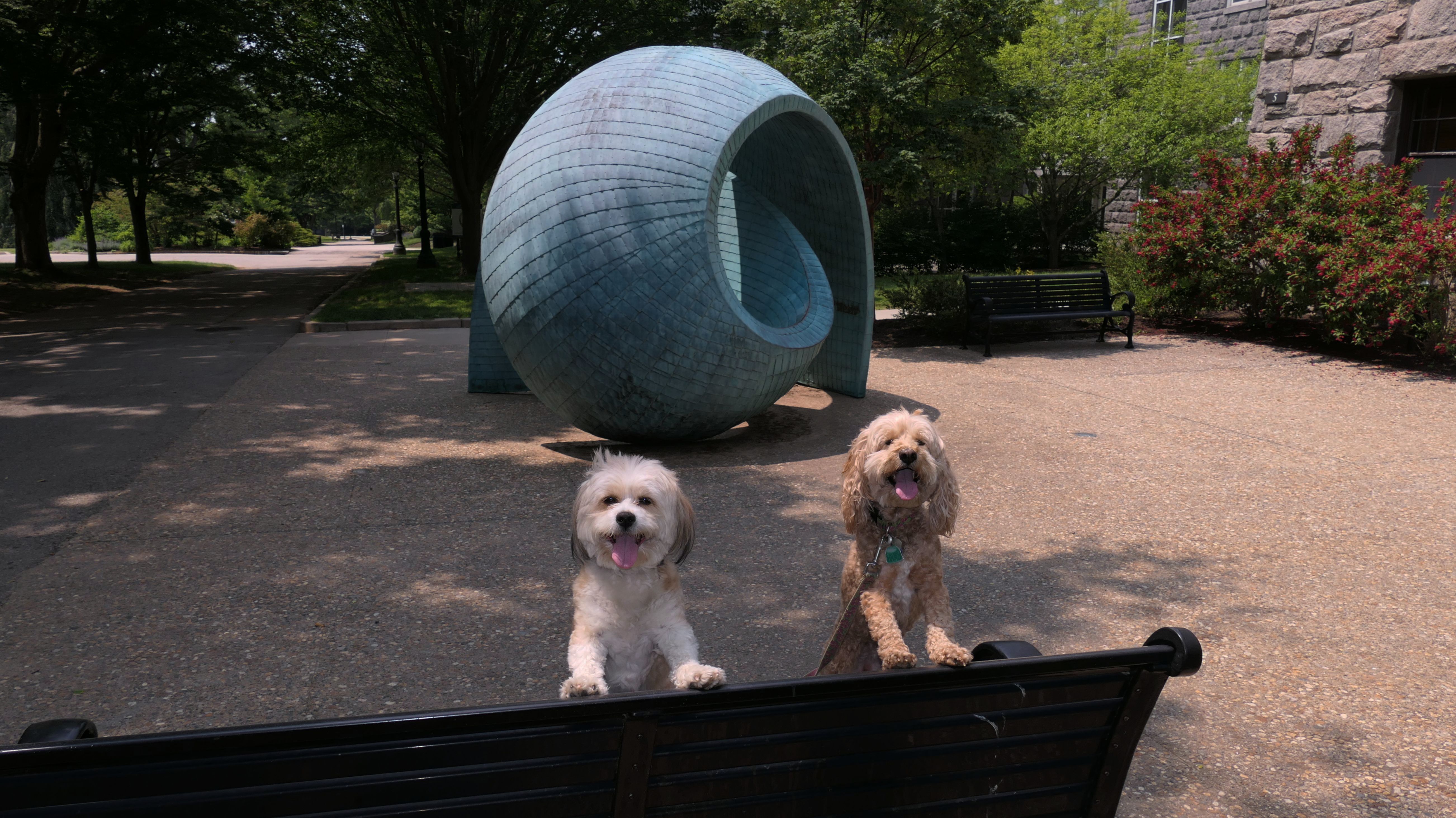
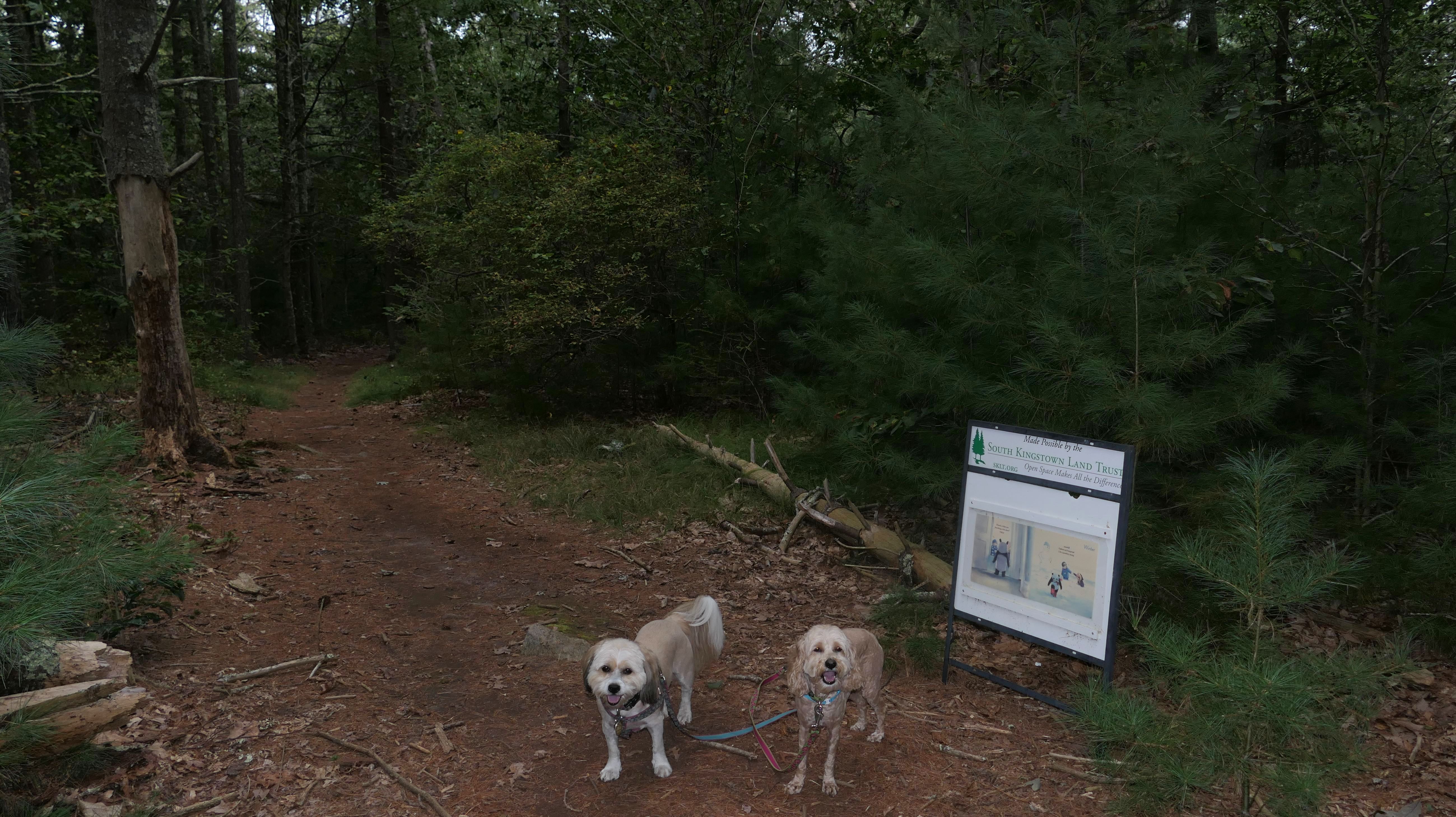
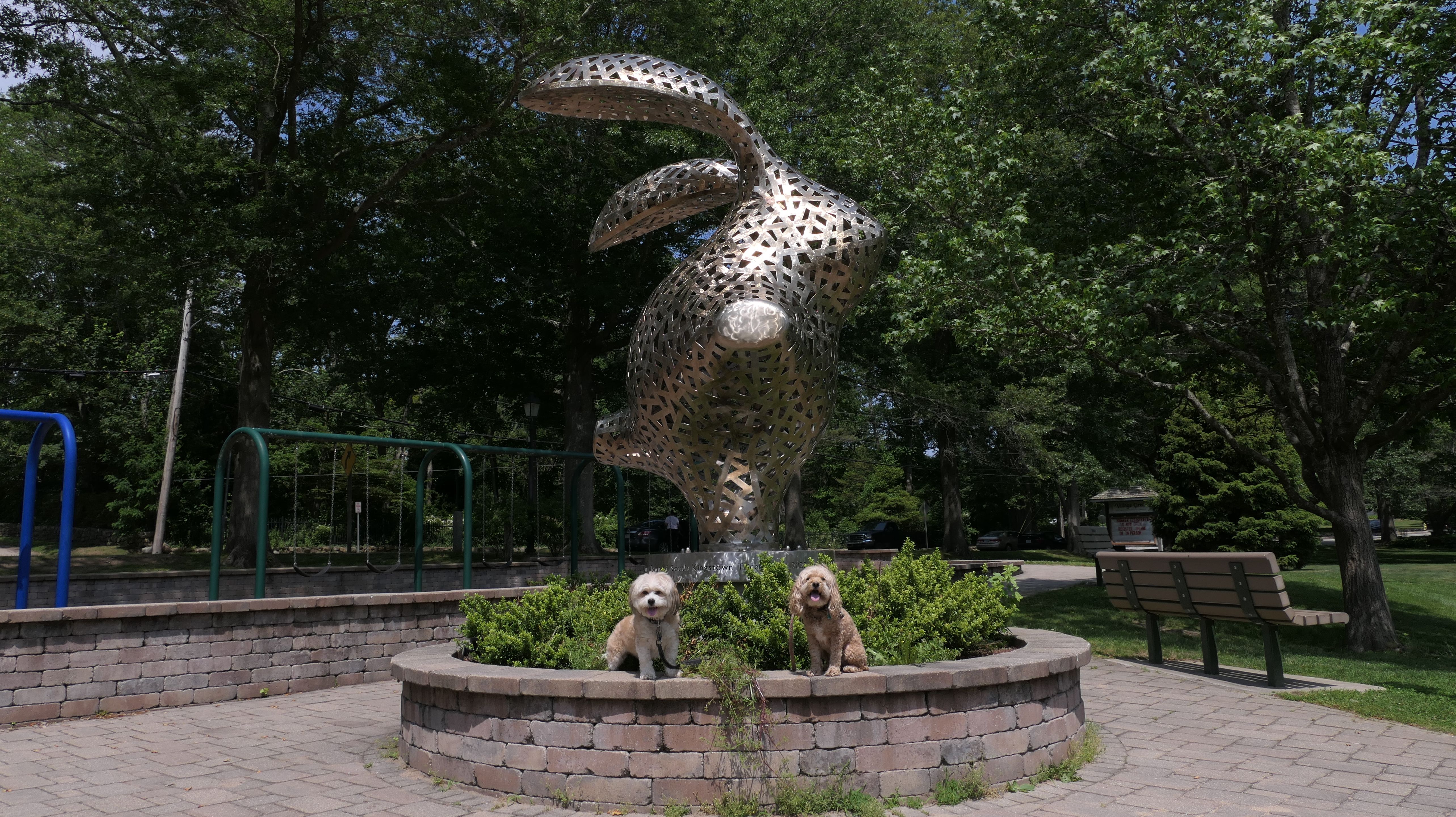
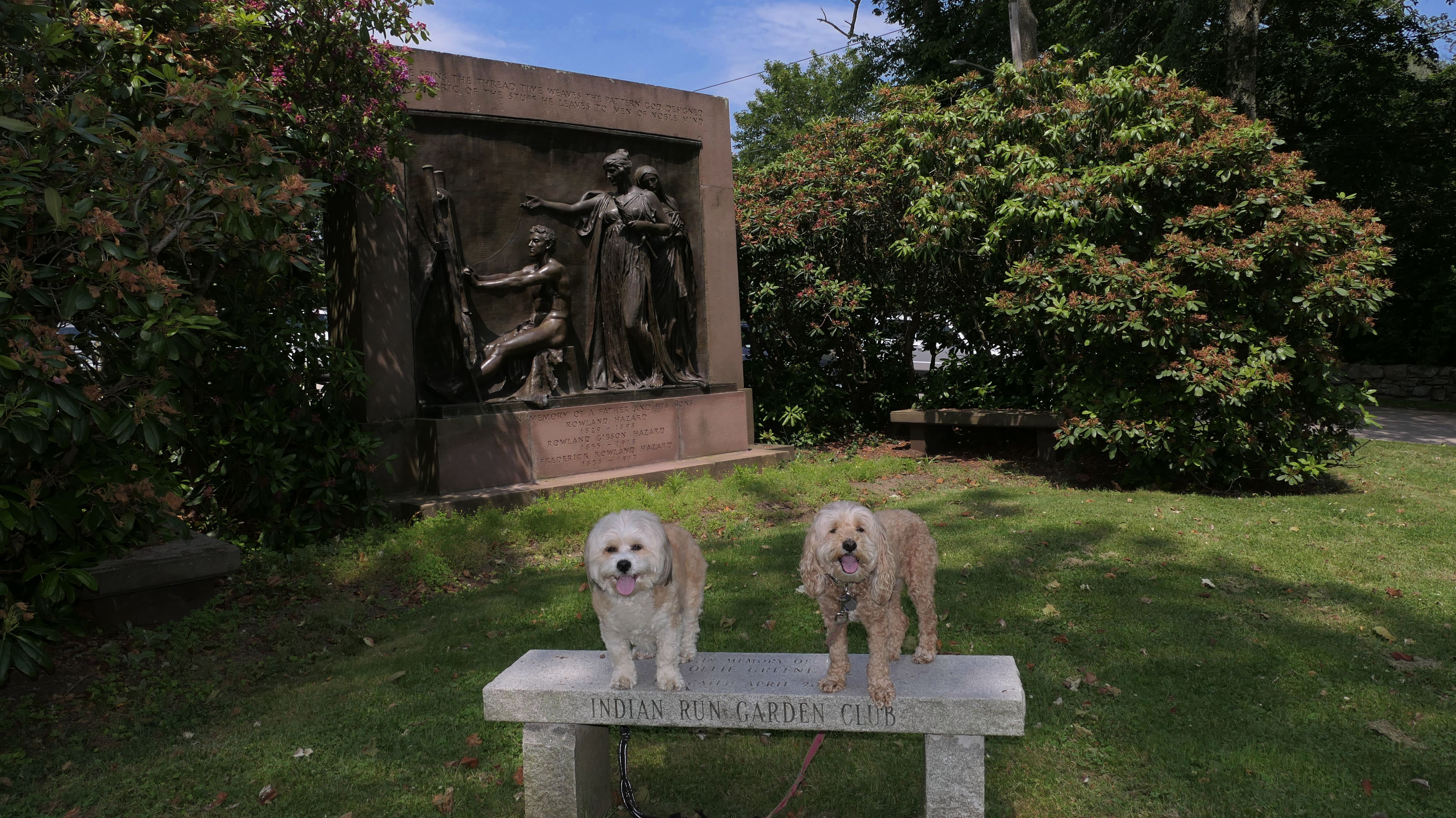
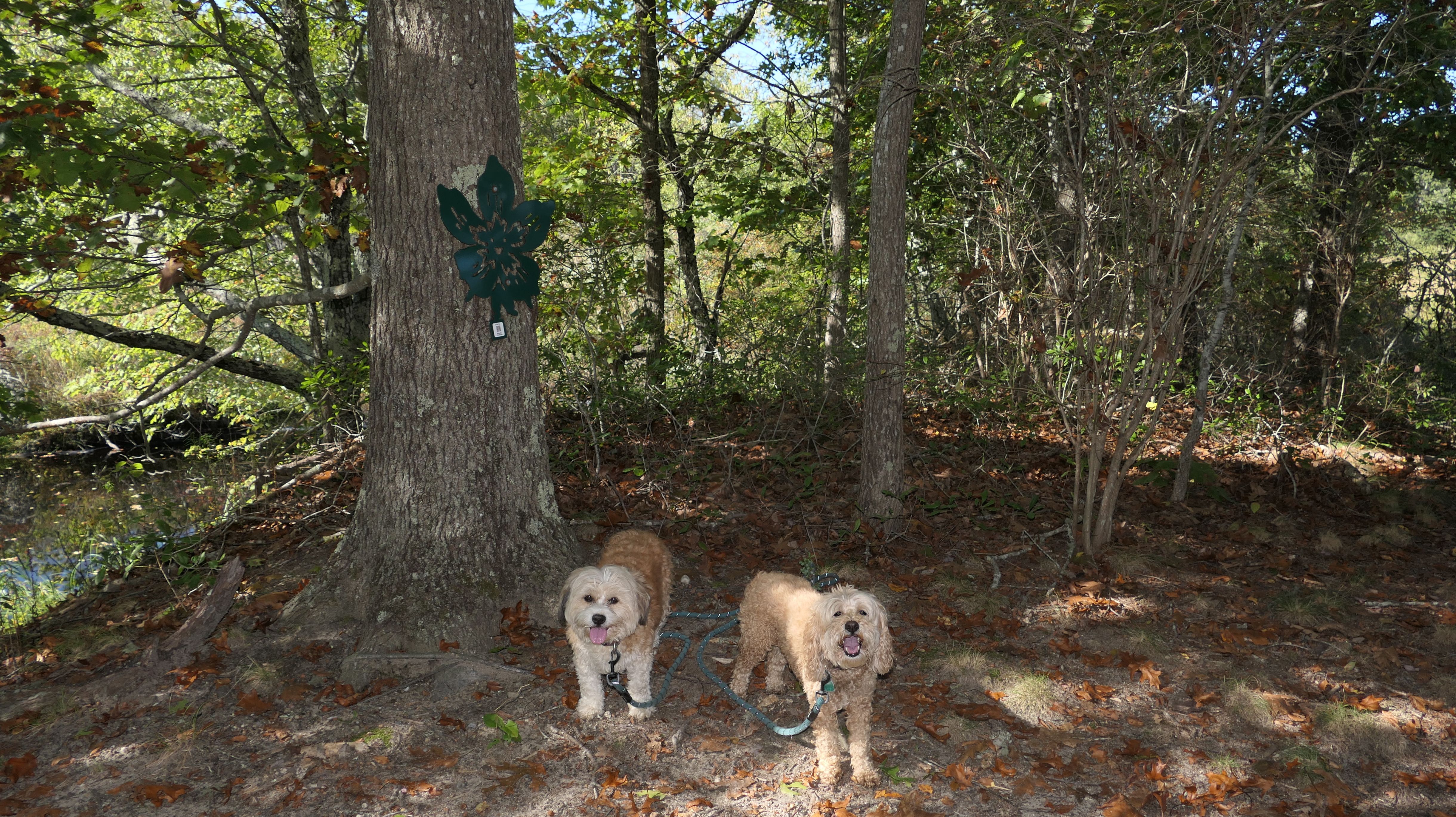
Sculpture Trail
Date visited: 6/30/2022
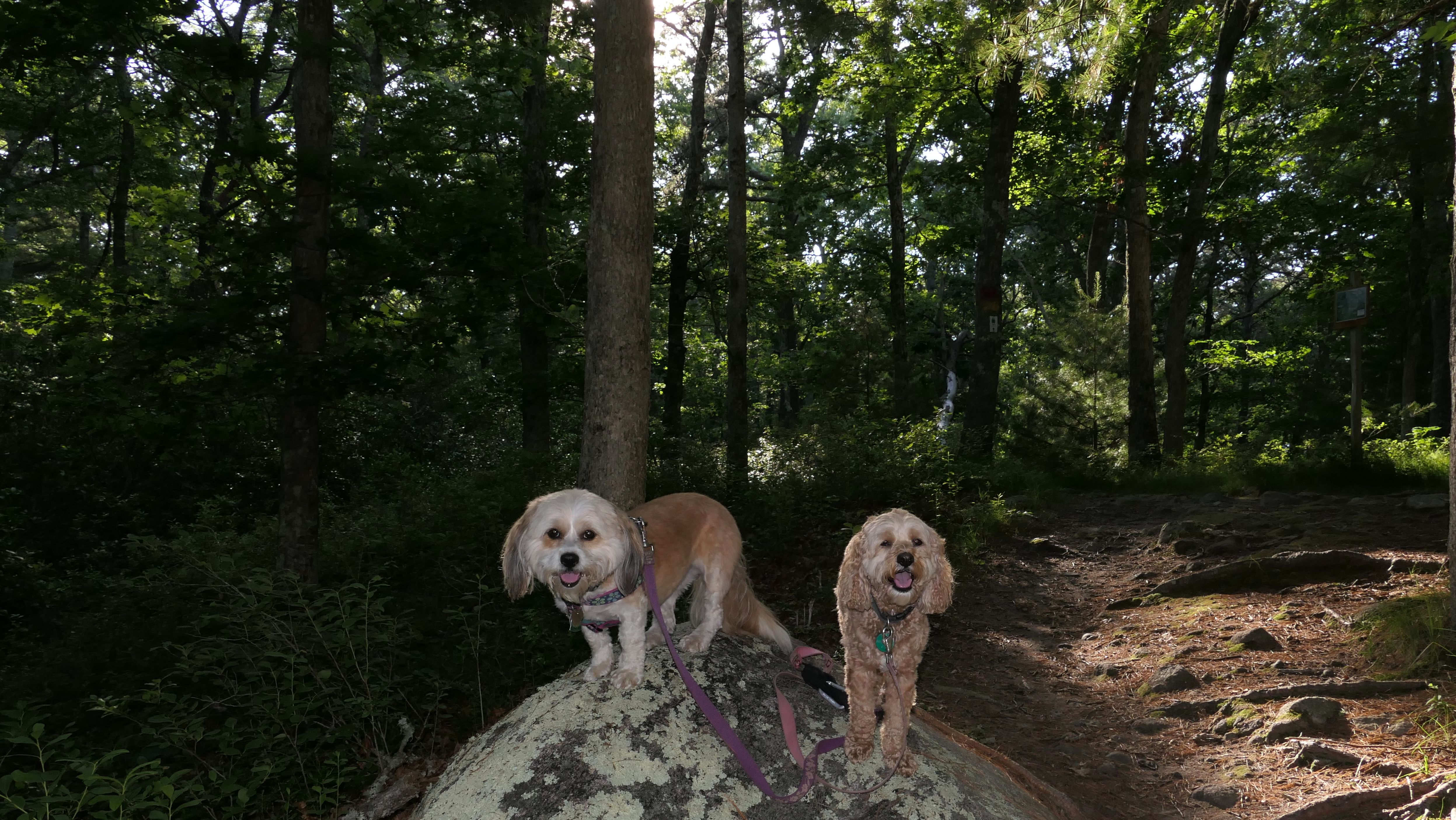
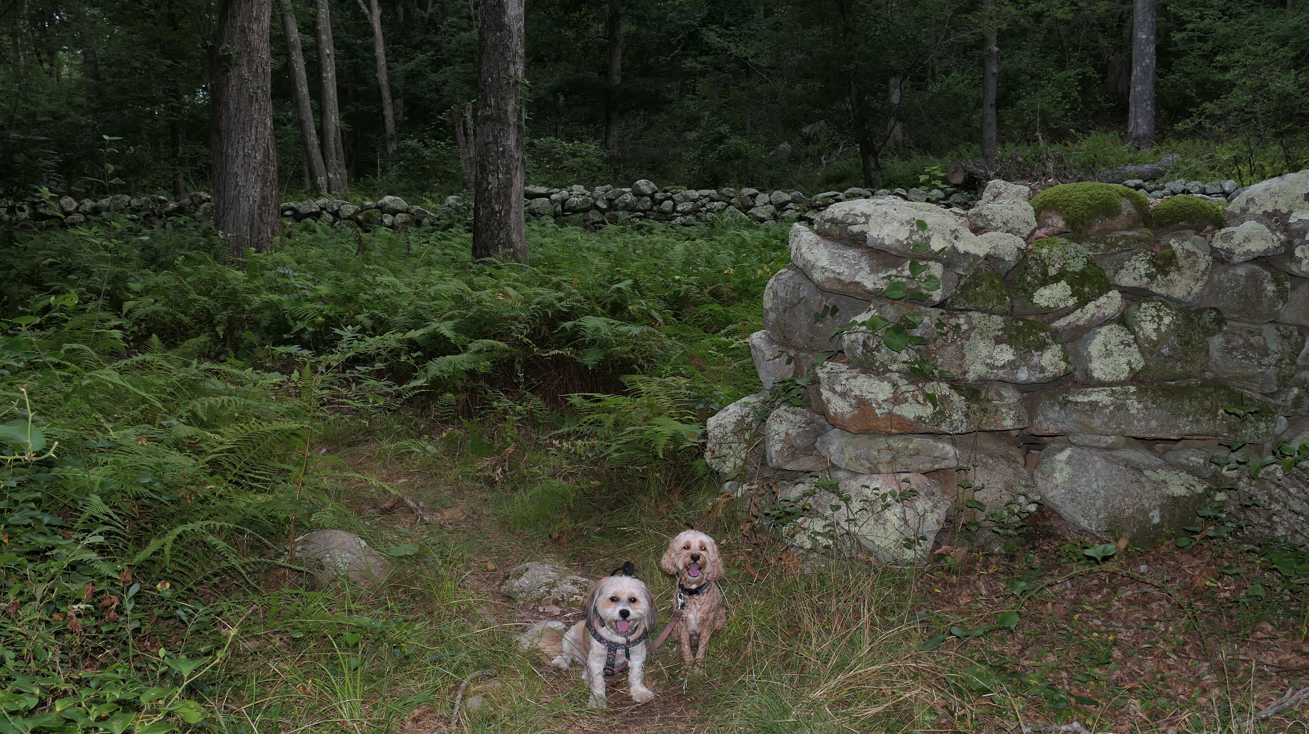
This is very short trail maintained by the South Kingstown Land Trust. The trail features sculptures from different artists. Most looked like they were assembled from objects that would proably be found in a landfill somewhere if not used for the sculptures. My favorite is the bull. According to Facebook, he has a name, "Sir Loin, Barbecue Bull". There's no real hike here, the trail is less than a half mile long, but the scupltures make it interesting.
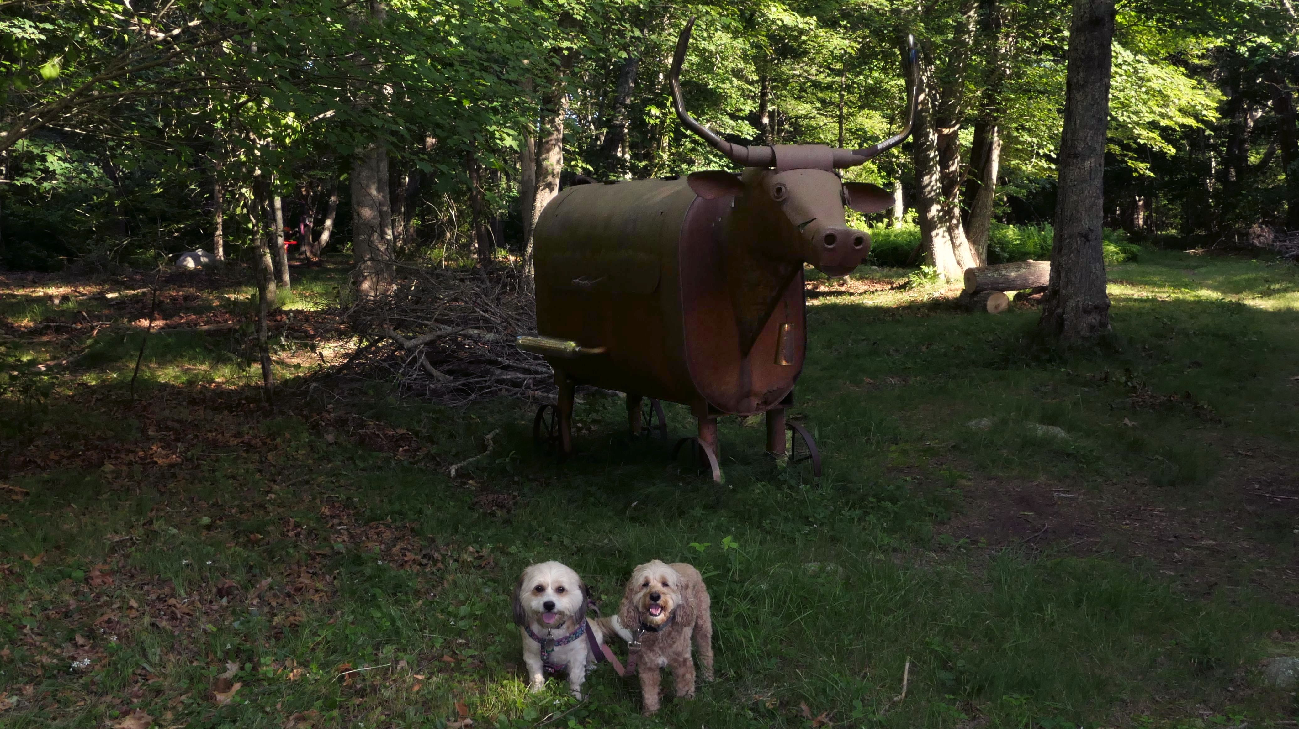
More Images


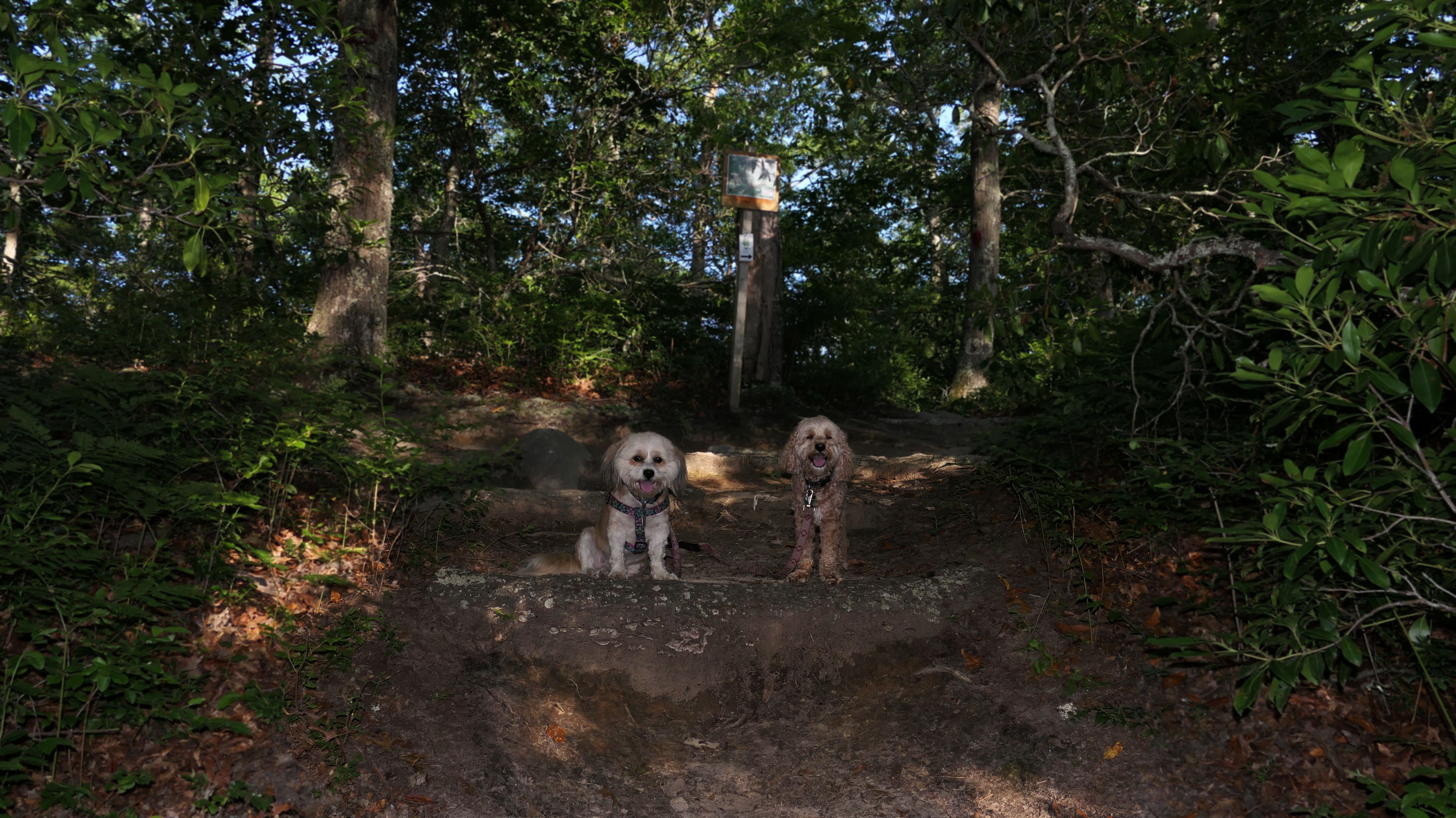
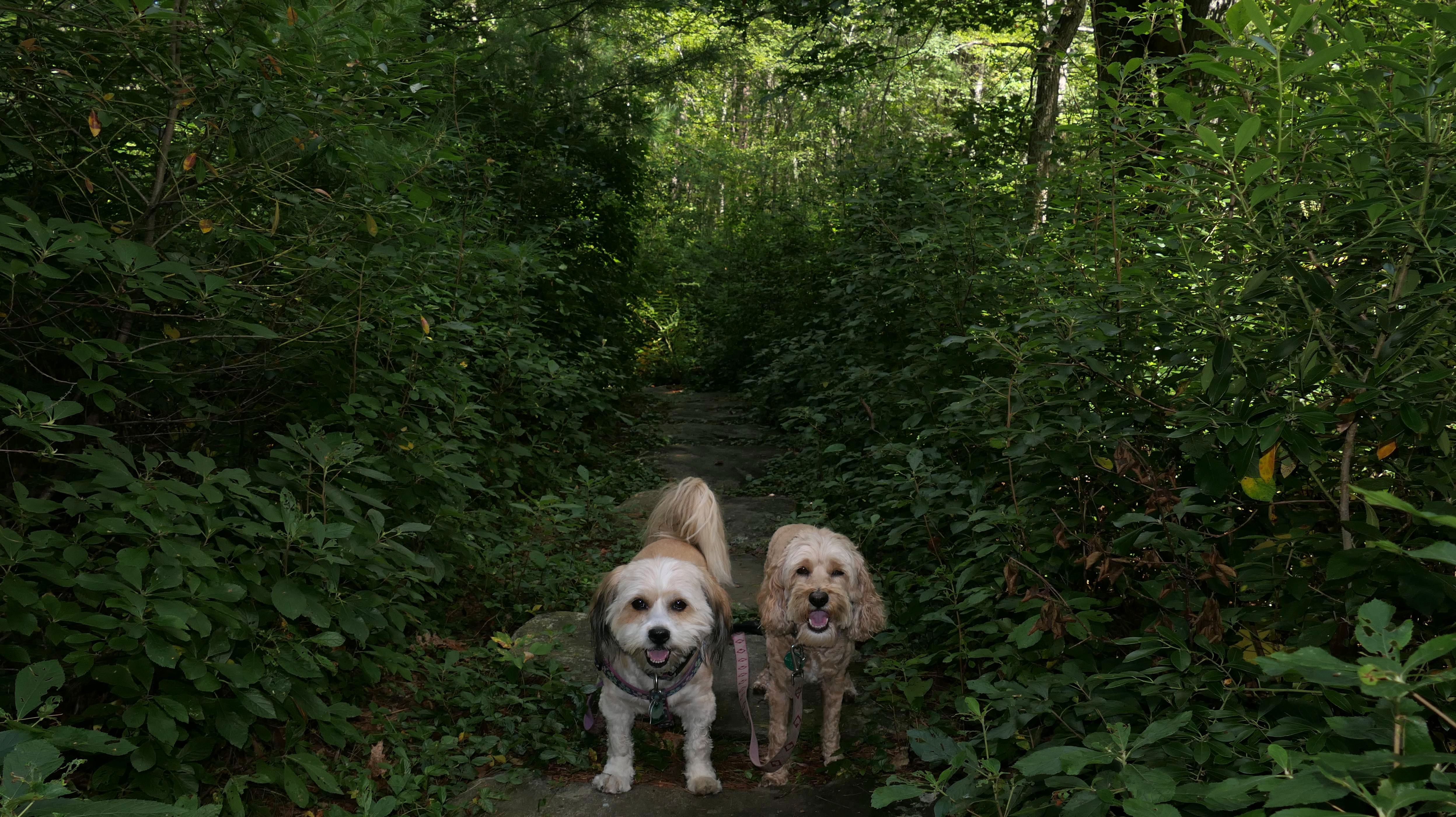
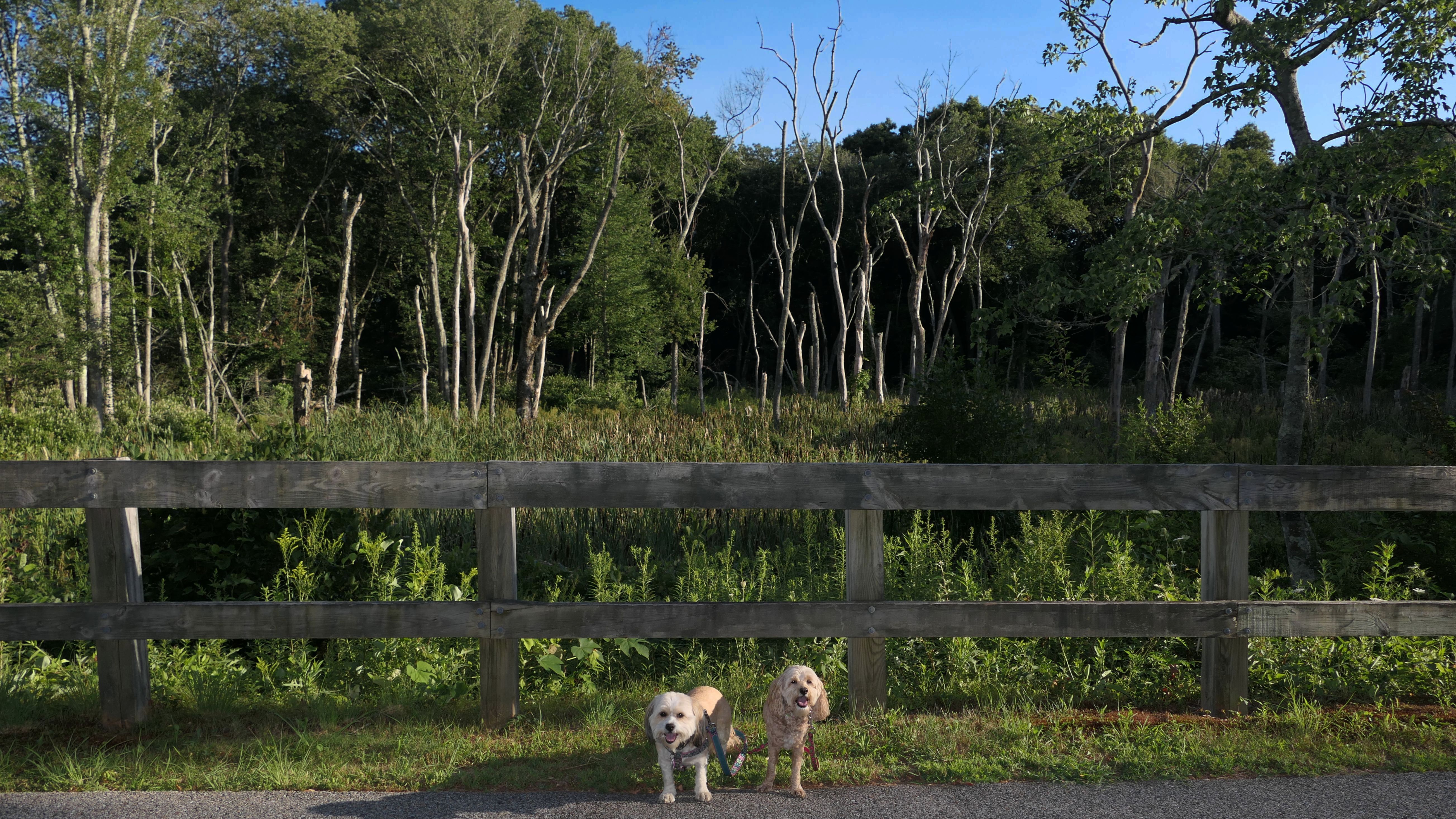
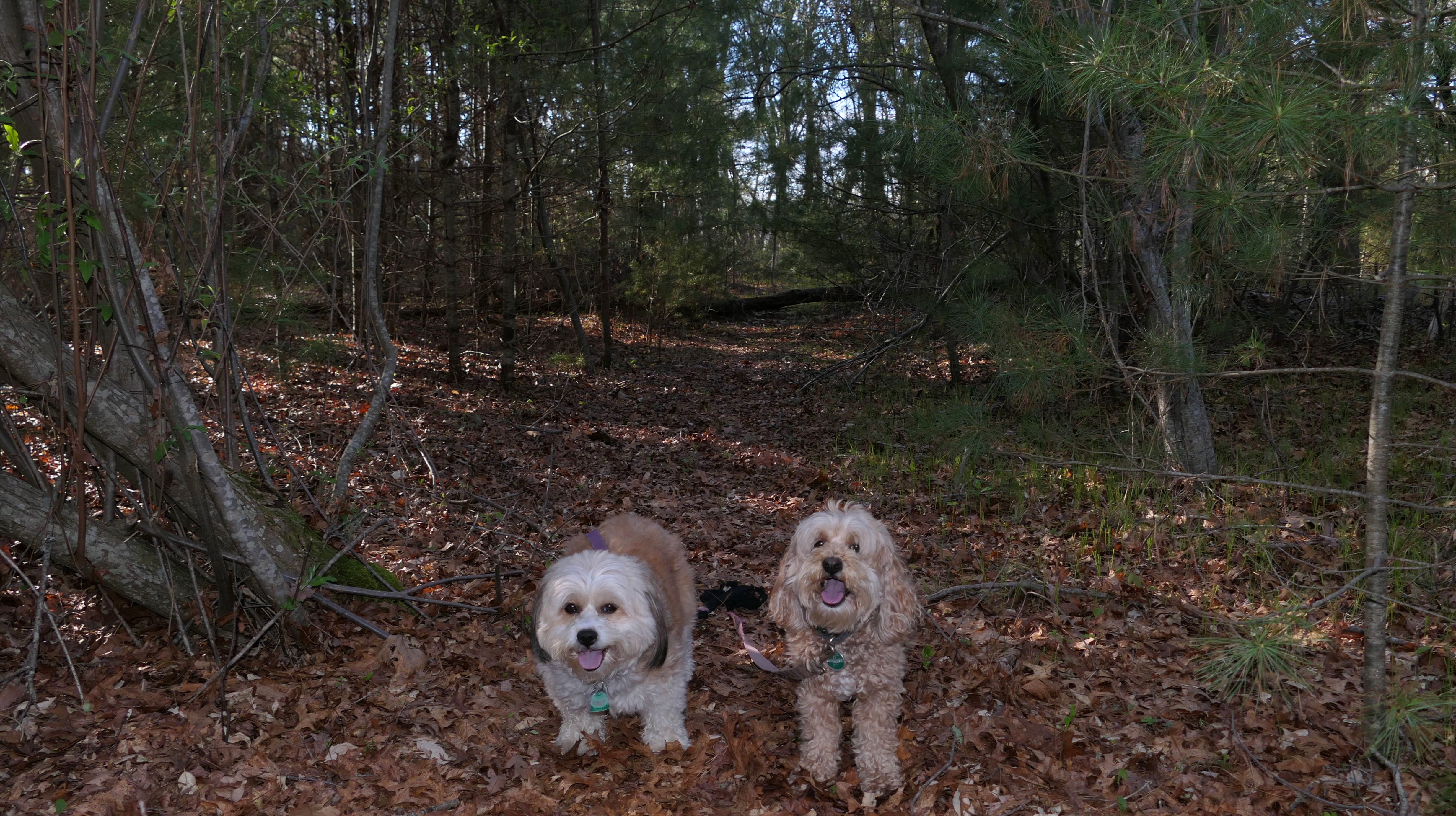
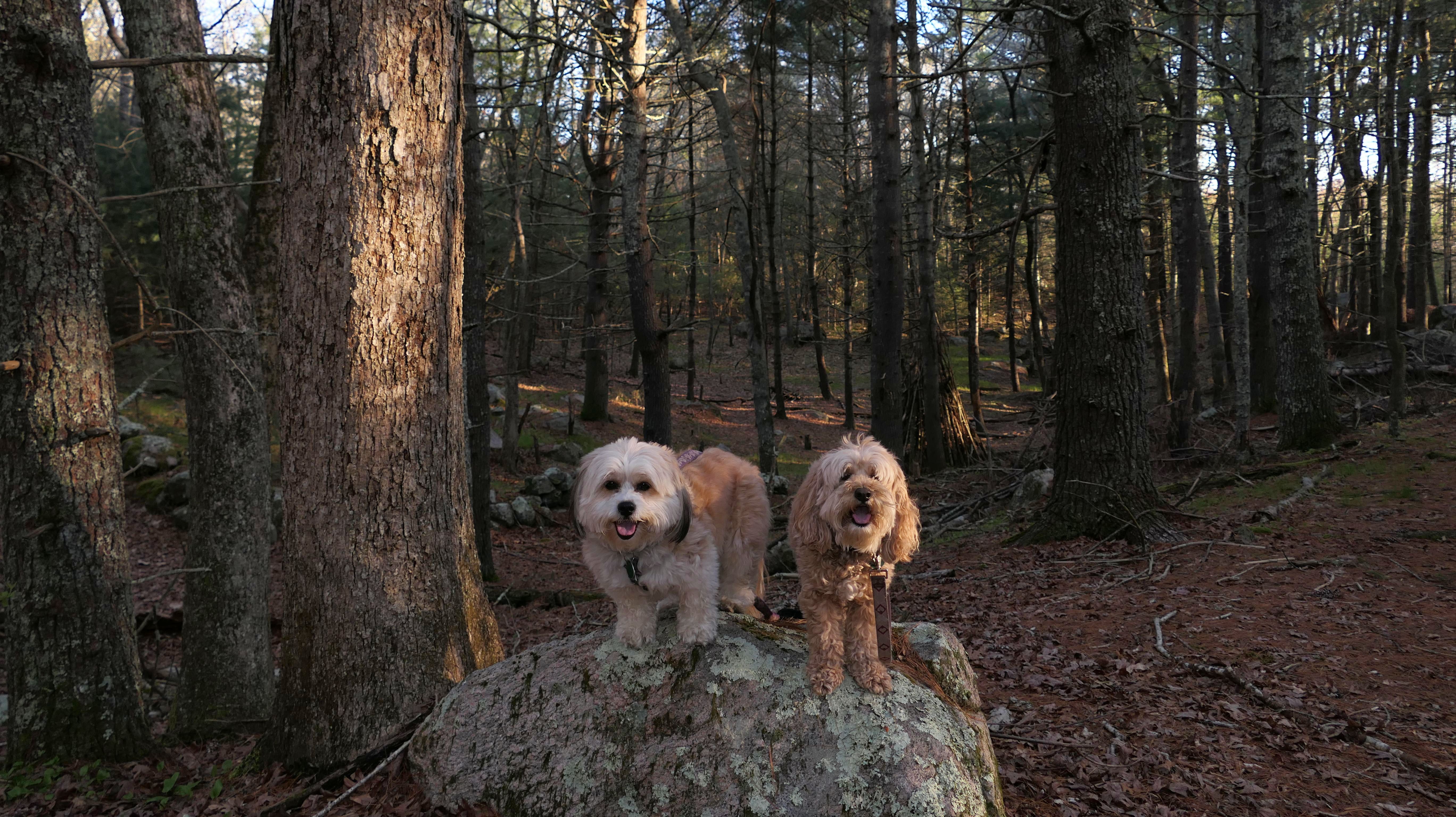
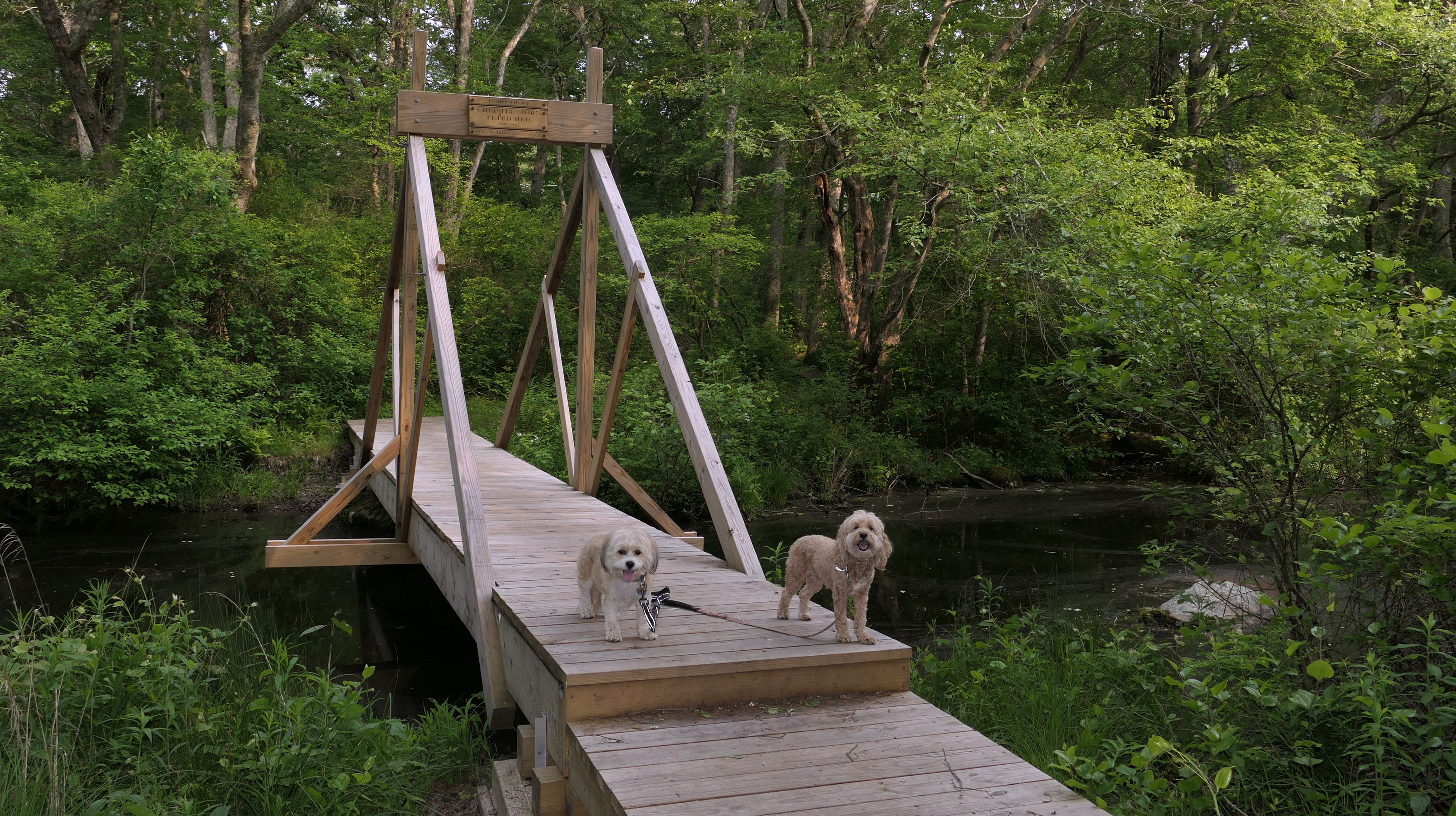
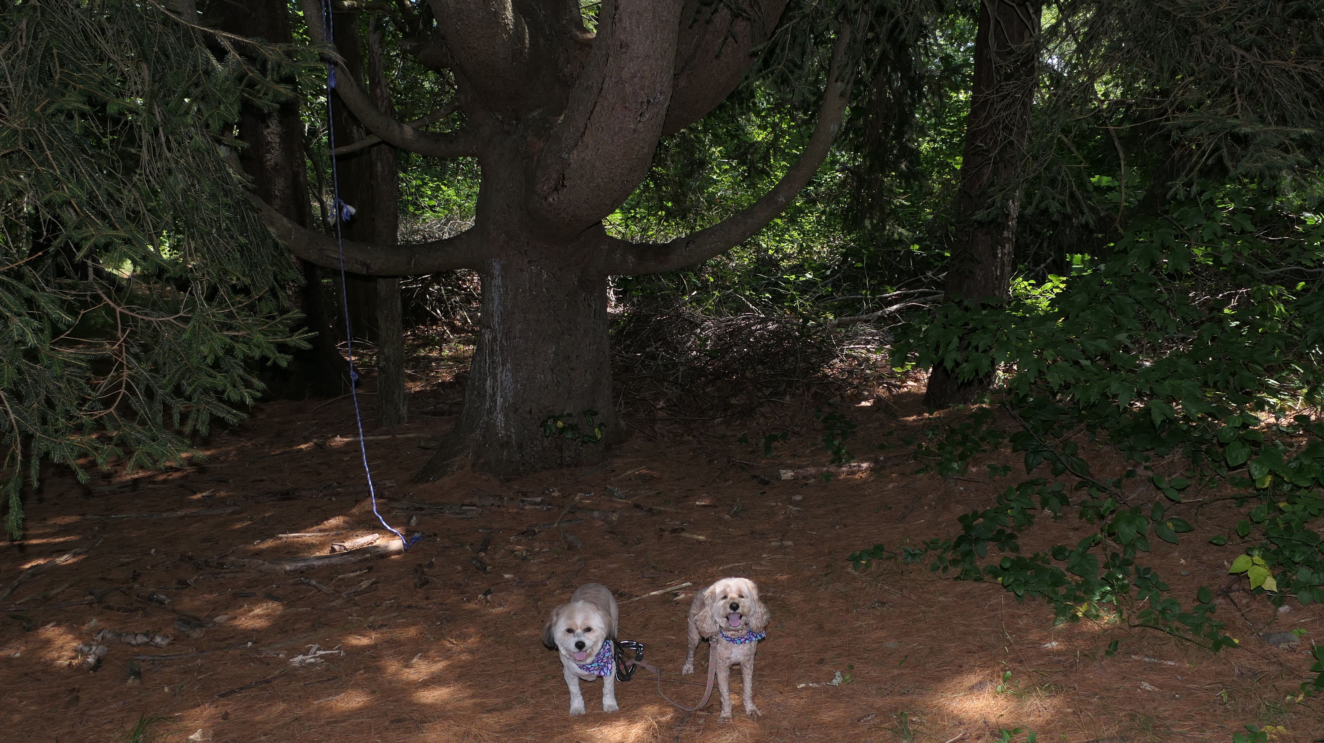
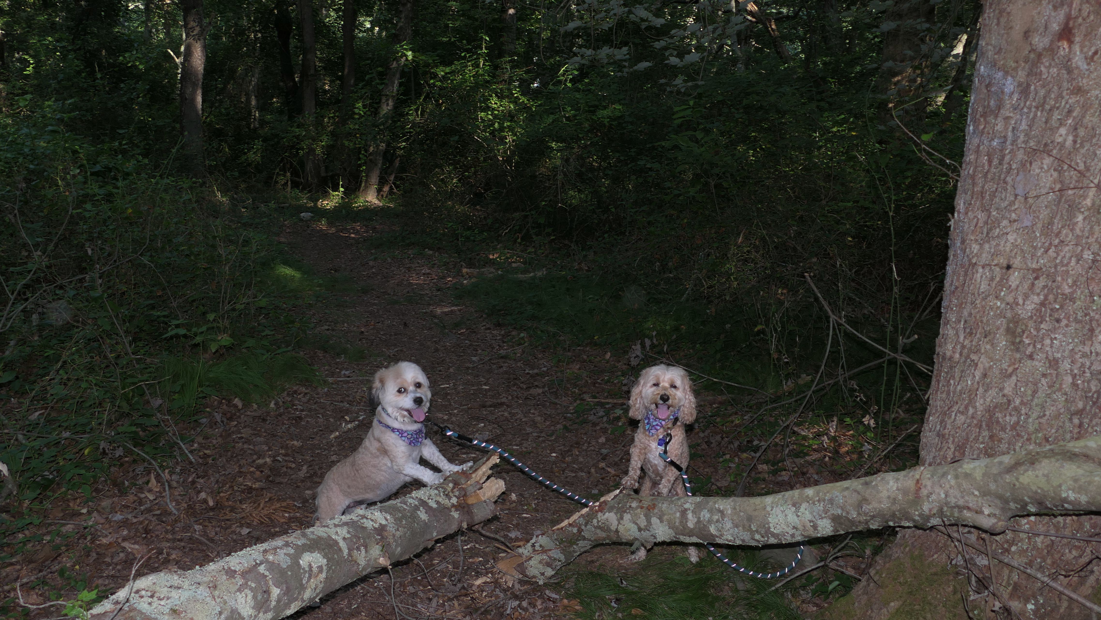
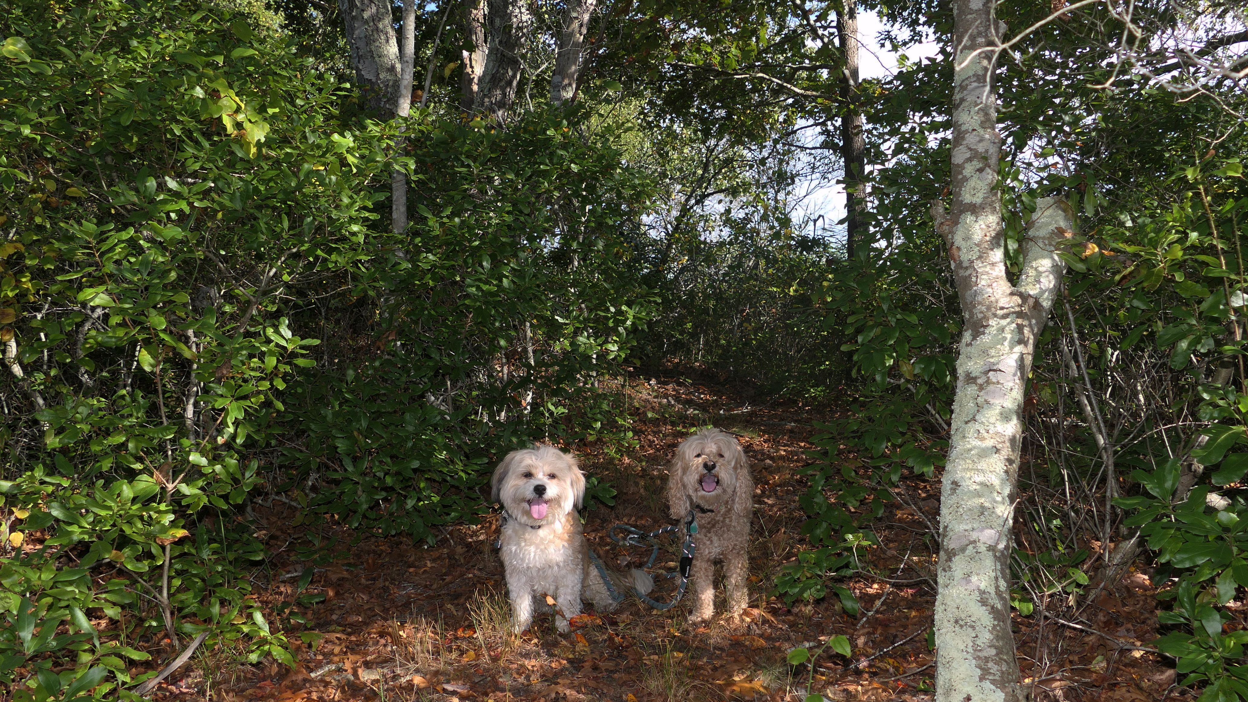
DuVal Trail System
Date visited: 6/30/2022
This is an impeccably well maintained system of trails courtesy the South Kingstown Land Trust. We hiked a mile loop trail that featured some ups and downs, but was generally pretty easy. It's a basic walk in the woods, but it was a very nice walk in the woods.

More Images

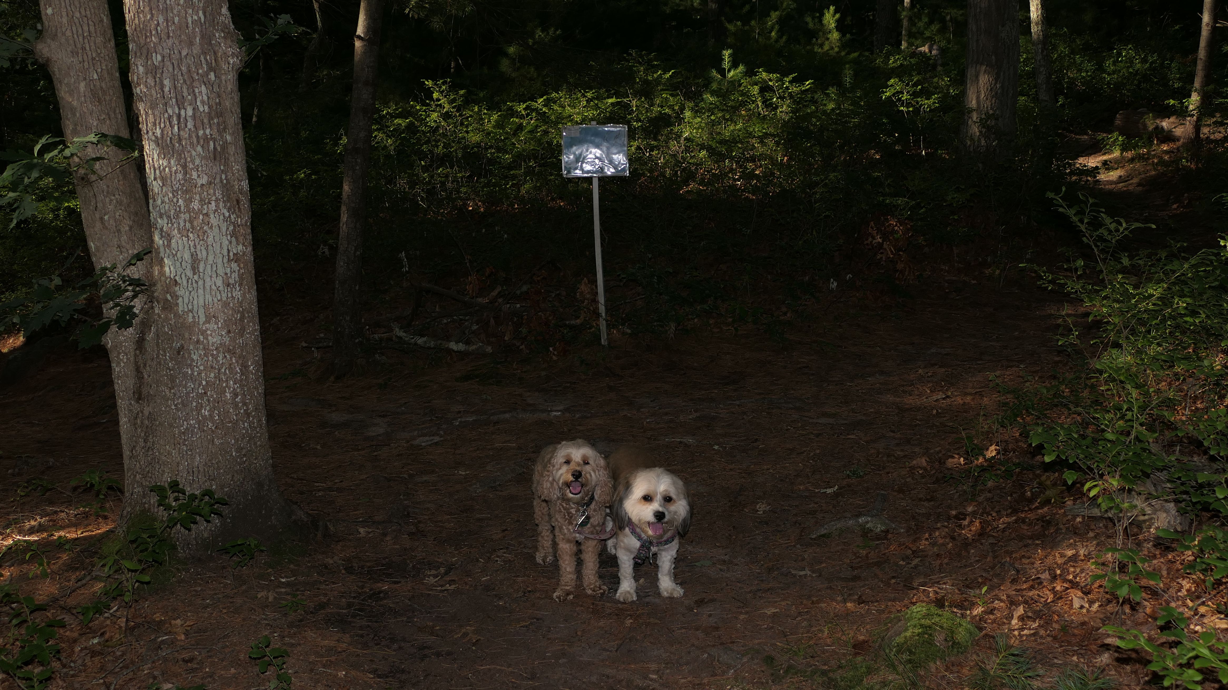
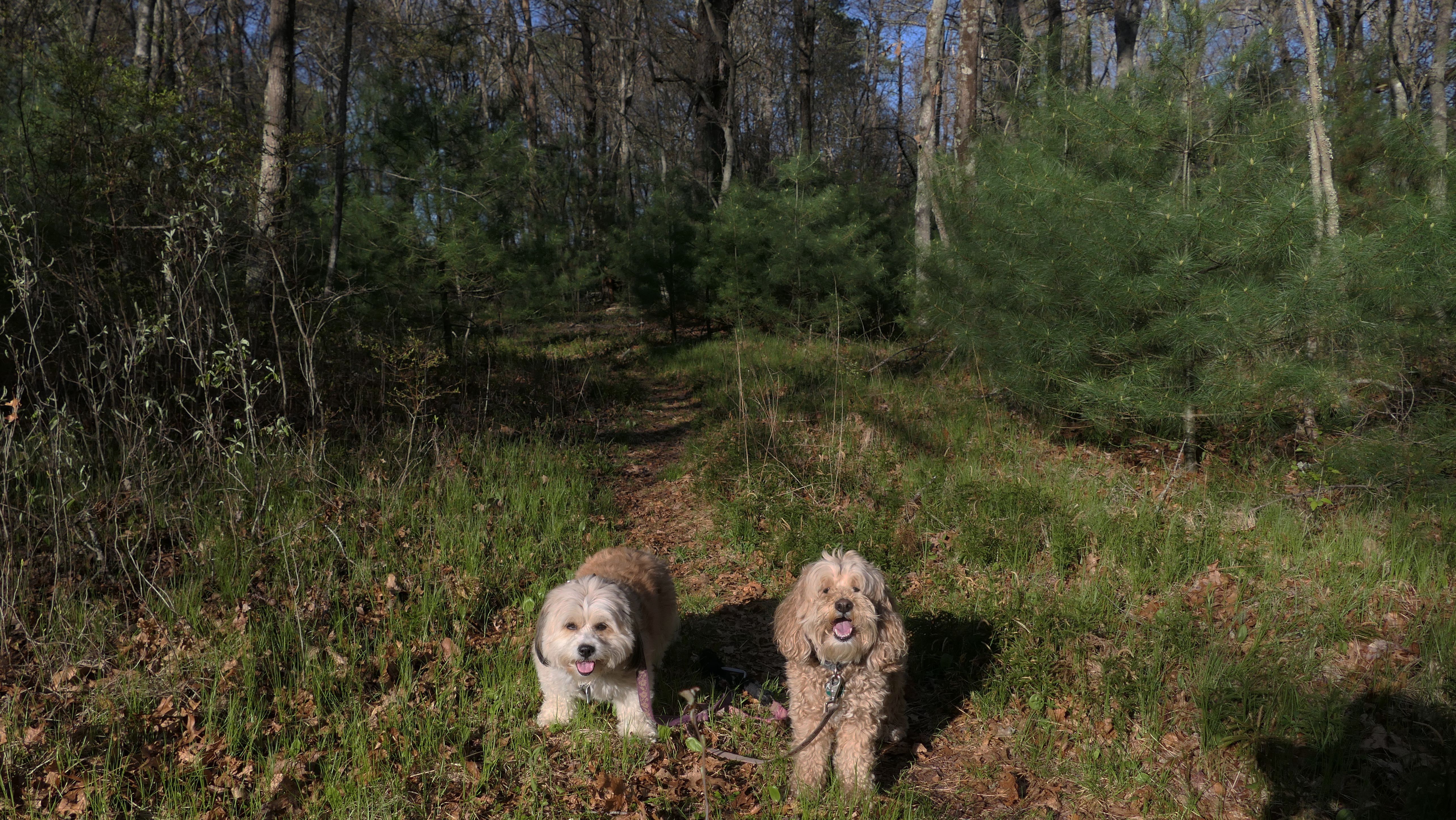
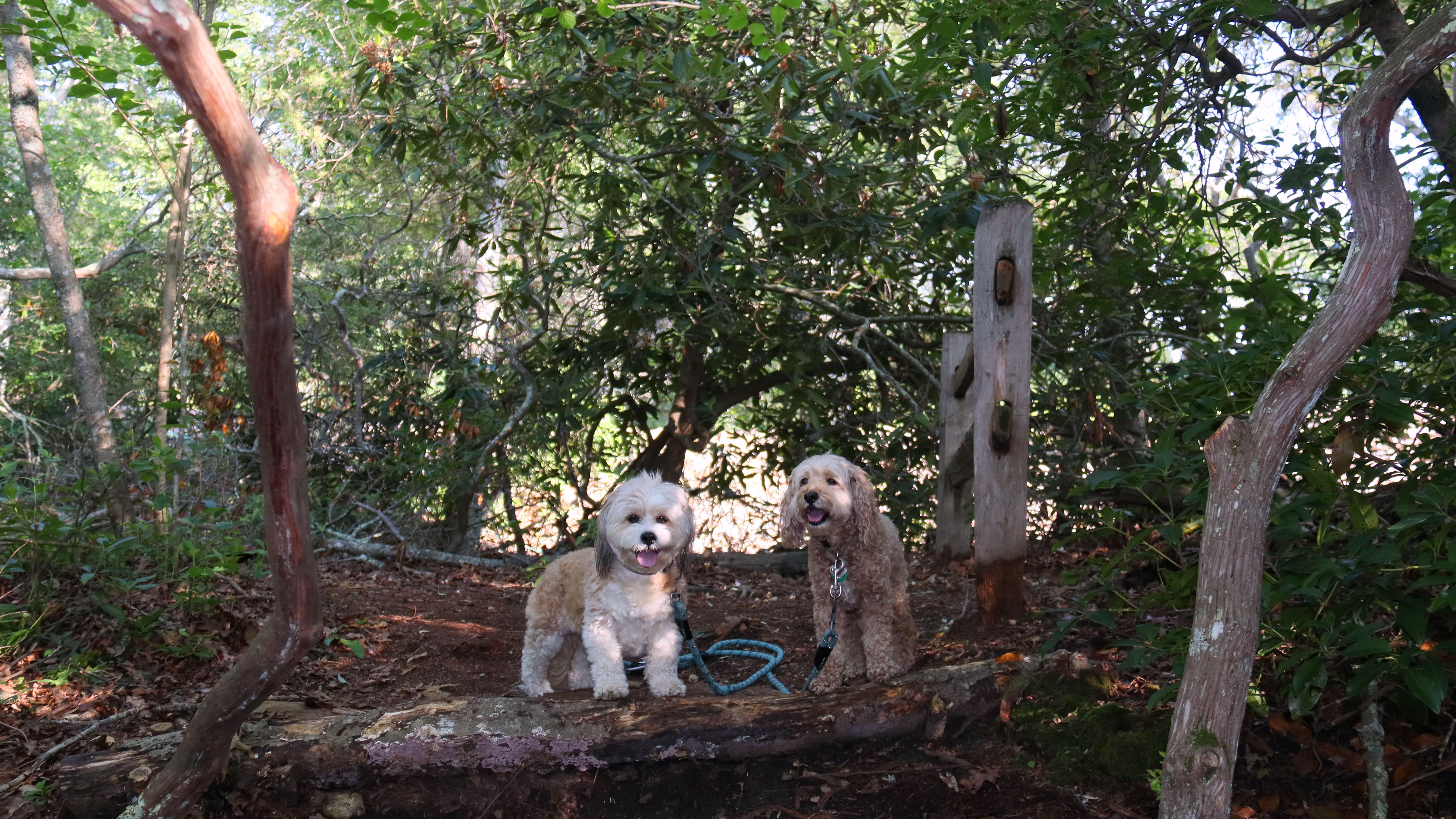
Browning Woods Farm Trail
Date visited: 8/24/2022
We walked a 3+ mile loop trail through the woods here. There is nothing unique that differentiates this trail from any other trail in the woods. When I pulled into the parking lot, I had to double check that we hadn't been here before because the parking lot looked familiar to me. A lot of these places are starting to look the same to me these days. There is a sign at one point on the trail that said the Browning Homestead was 0.3 miles away. When we got to the spot, the sign was blank and all I saw was a pile of rocks, so I'm guessing that is what's left of the Browning Homestead. Also, I don't know why it is called a "farm trail". I saw no evidence of a farm.
More Images


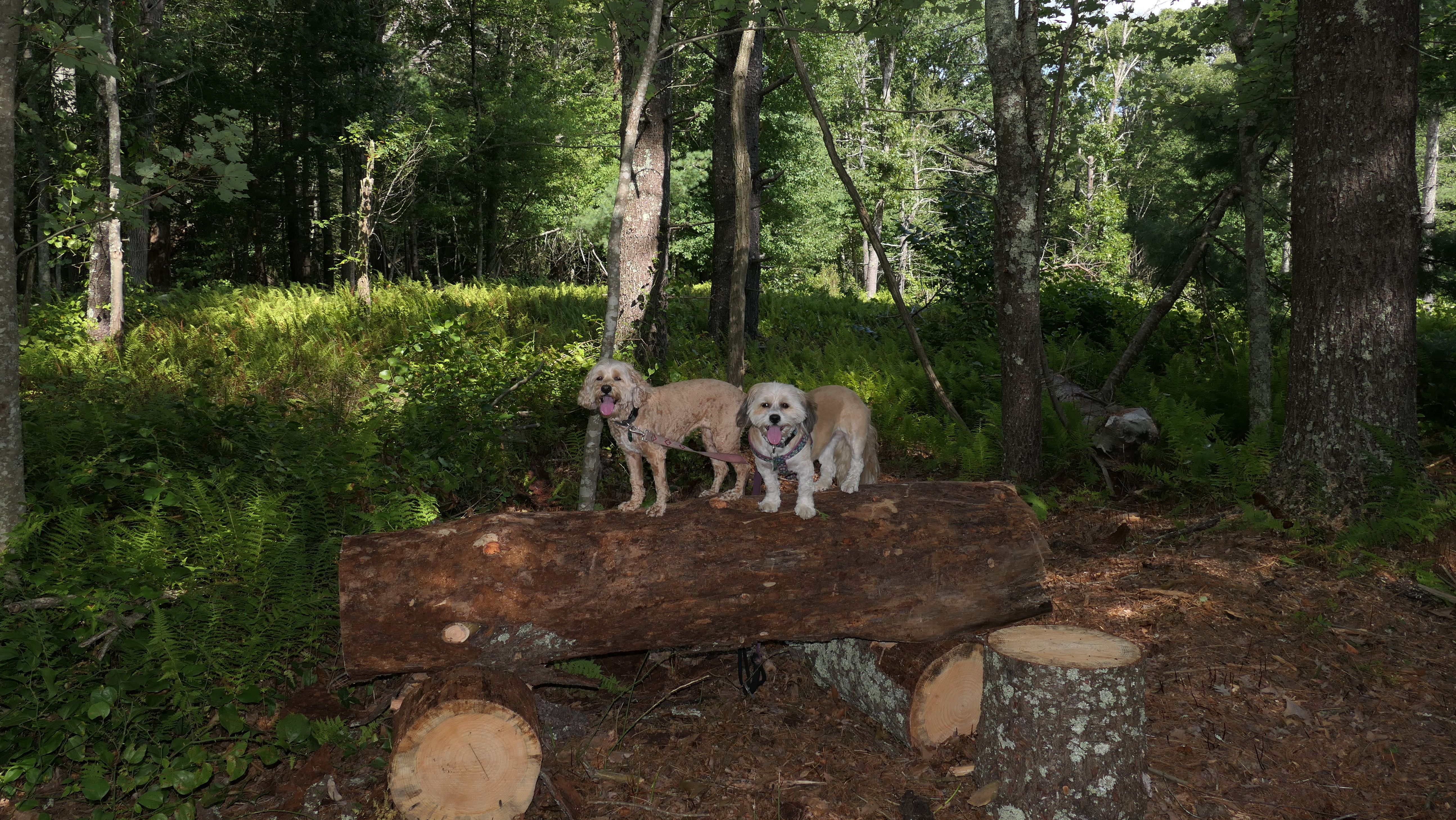
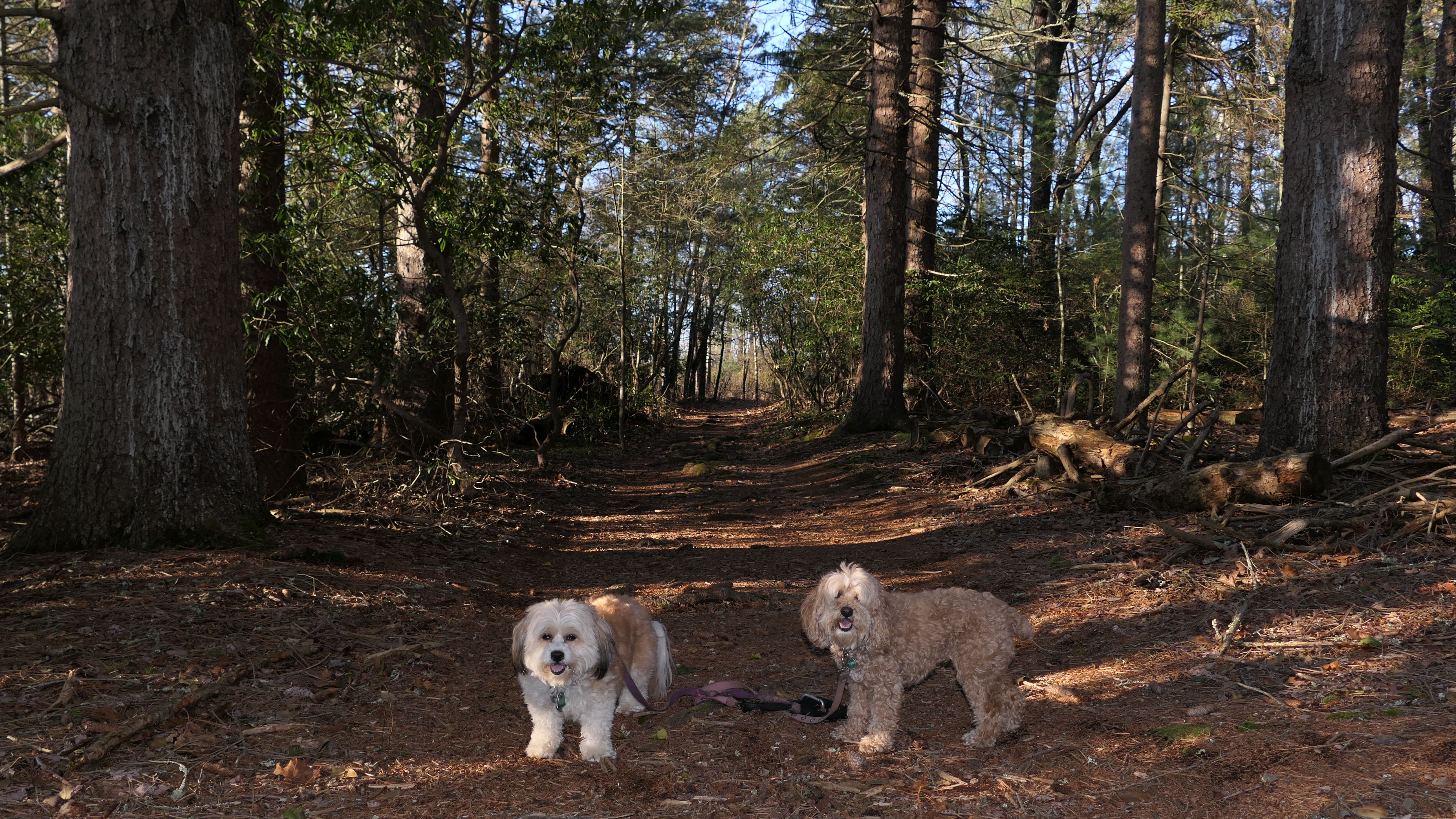
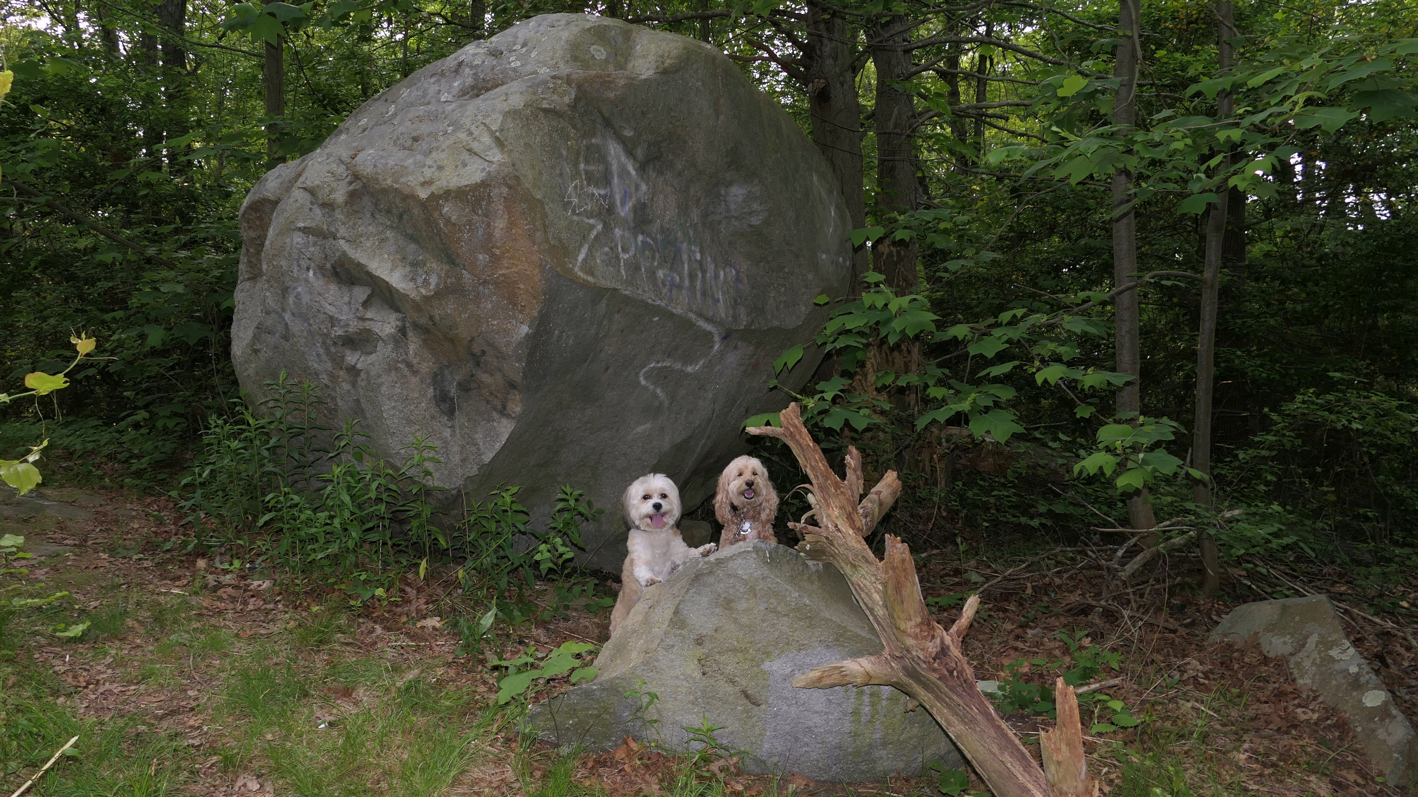
Potter Wood
Date visited: 9/4/2022
We once again ventured to Rhode Island to escape unpleasant Connecticut weather. It was sunny and in the low 80's in South Kingstown for this hike. The park has a series of trails, not all of them are on the All-Trails map. We stuck mostly to the wide loop path that was on the map. We also crossed Biscuit City Road and continued on to Biscuit City Preserve, before completing the remainder of the Potter Wood loop.

More Images


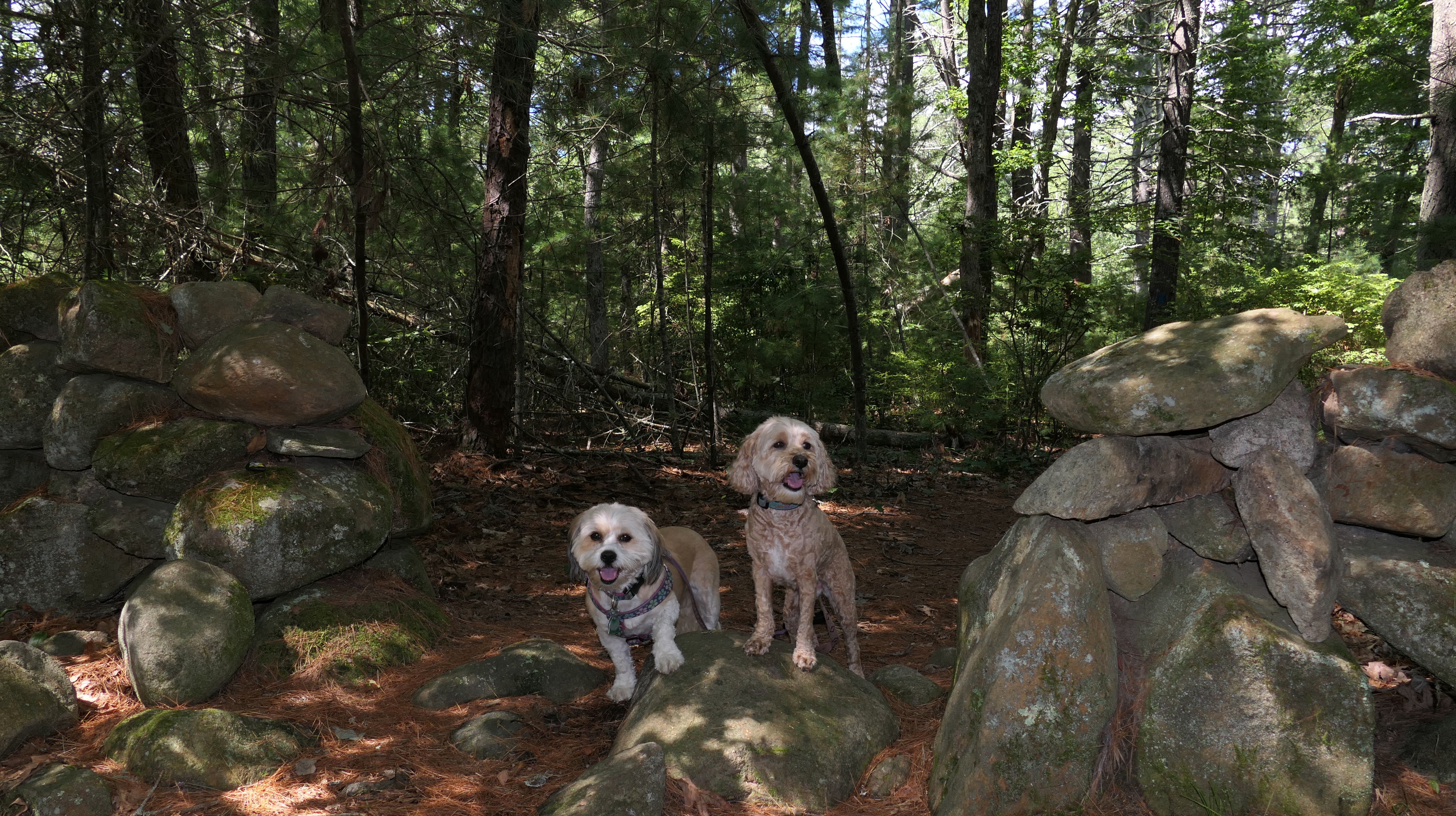
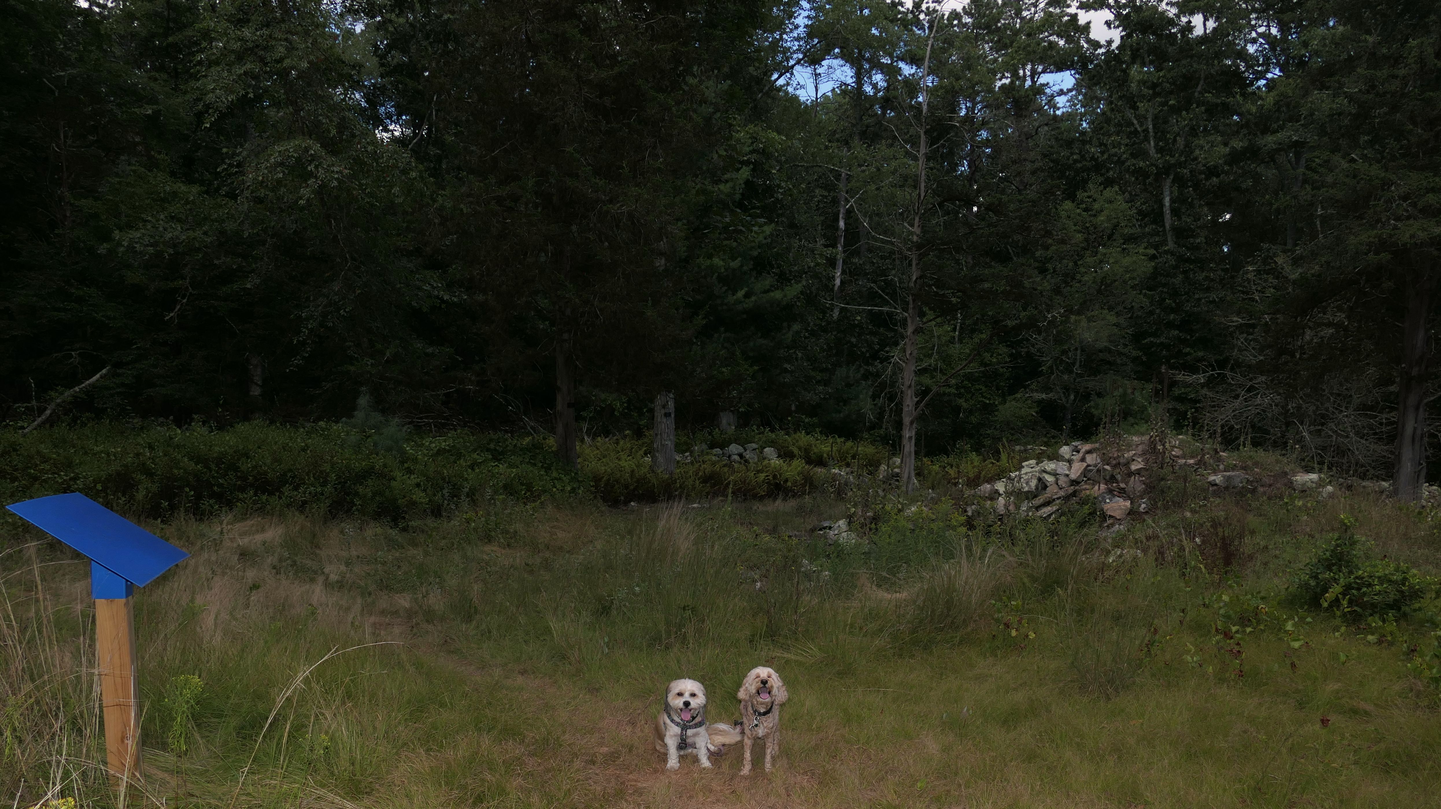
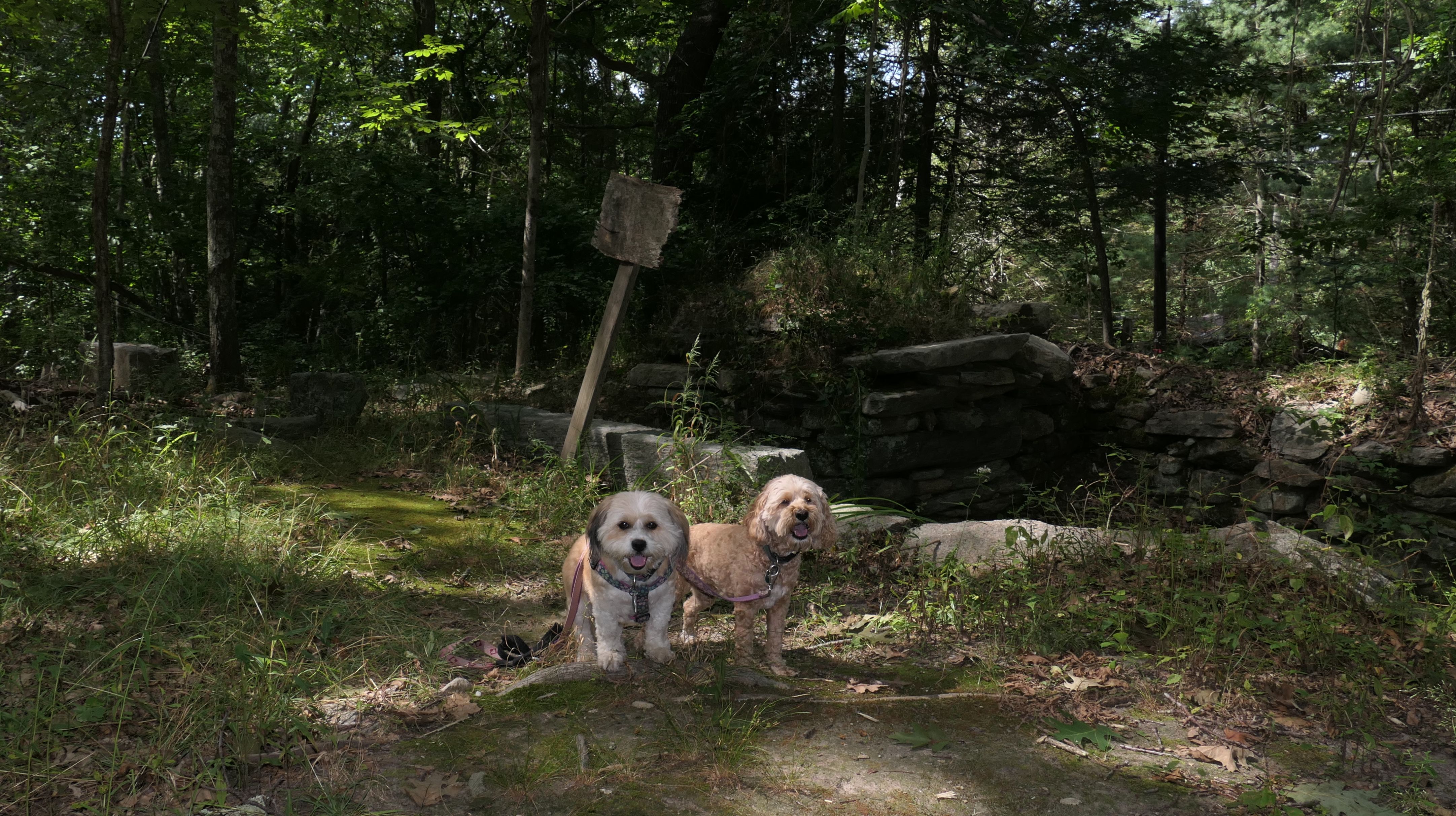
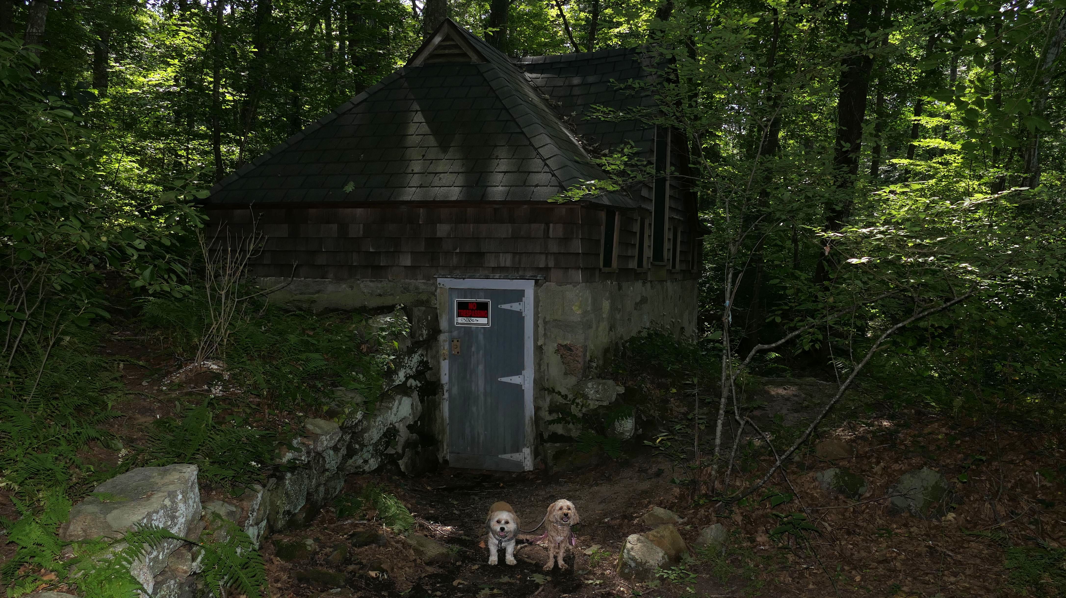
Biscuit City Preserve
Date visited: 9/4/2022
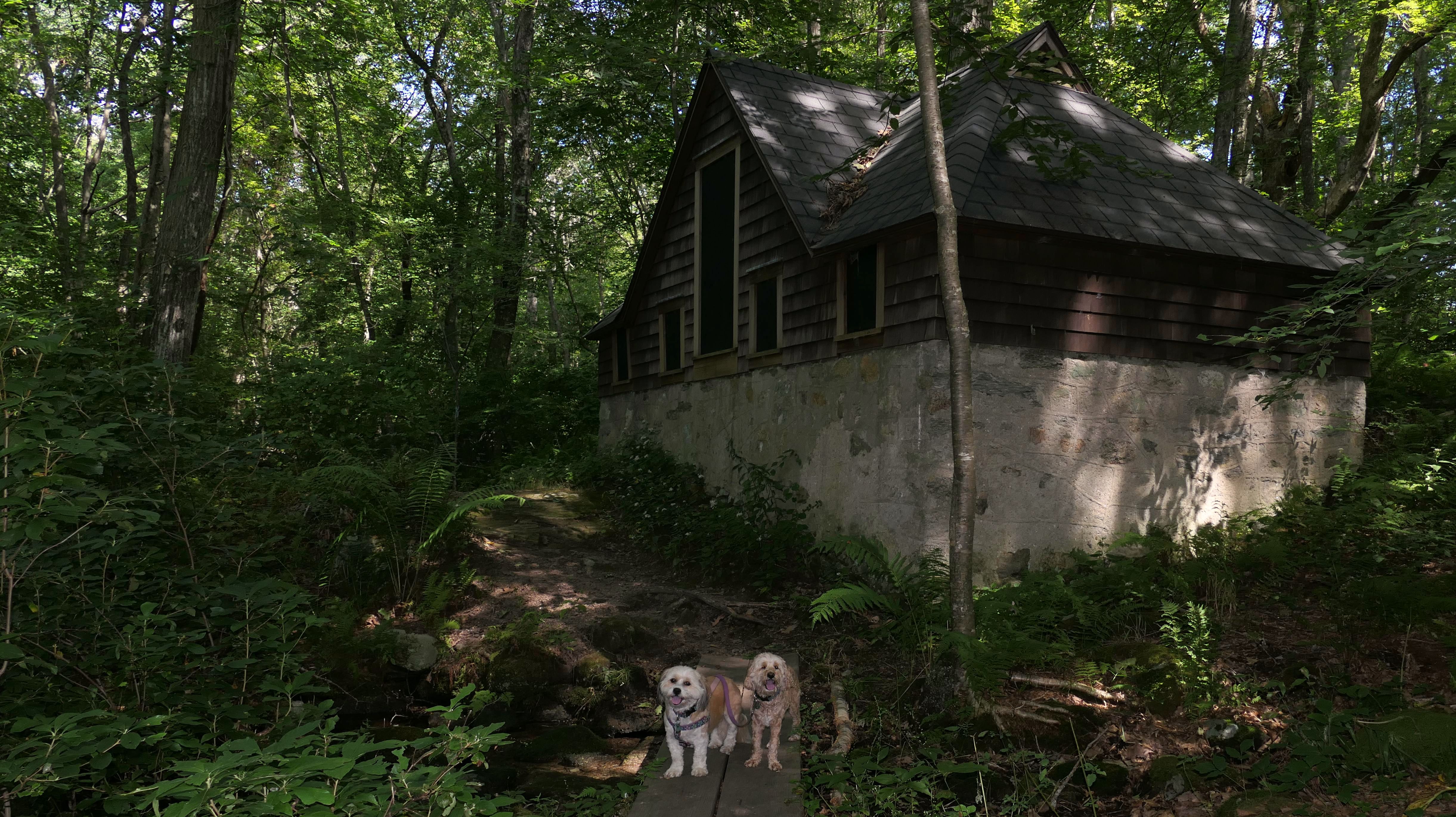
We reached this South Kingston Land Trust property via Potter Wood, which is on the other side of Biscuit City Road. This is the site of the old Biscuit City Mill. I read the historical placard about the mill, but it didn't explain why it was called "Biscuit City". It was an old cotton mill that exchanged hands over the years, and was eventually destroyed in a fire. That seems to be the same story as all of the other mill ruins we visited. The hike was an interesting loop trail. There is a pond with a fishing area, but only for children 14 years old or younger! There are ruins of the old mill, a rocky and rooty portion with boardwalks over muddy areas, and a strange little house, which sits right on the trail but is locked with a "No Trespassing" sign.
More Images


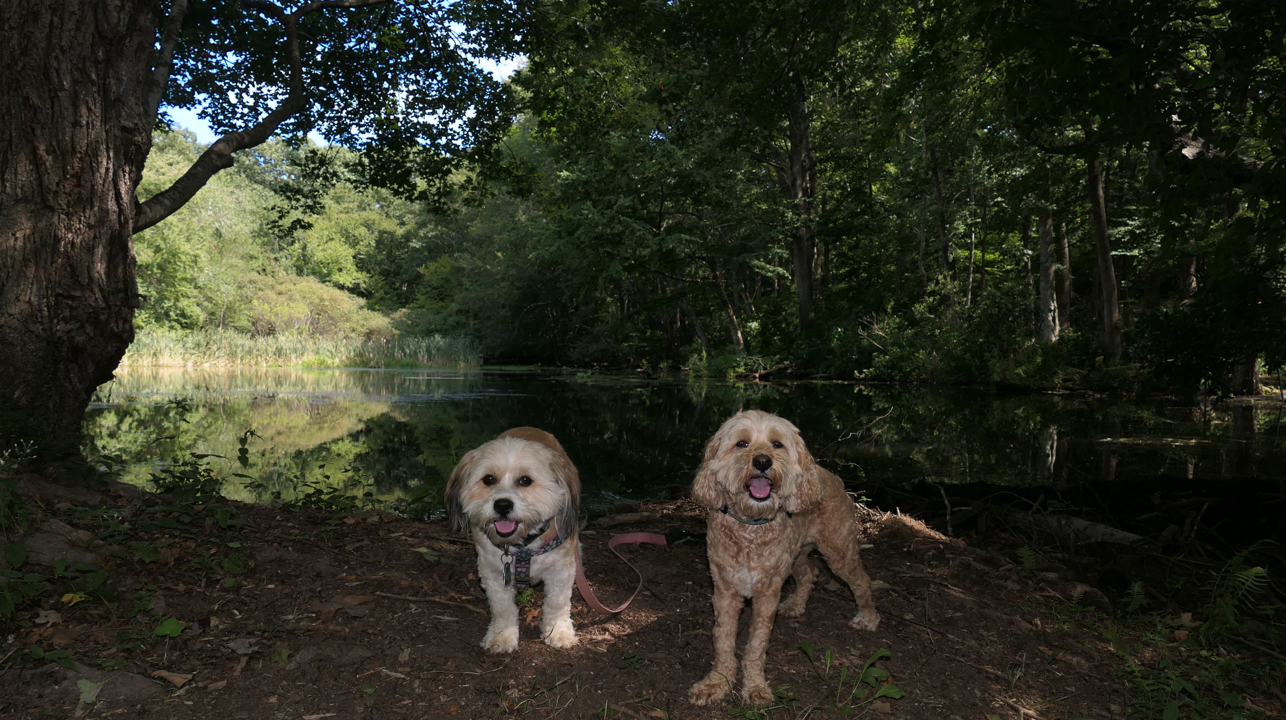


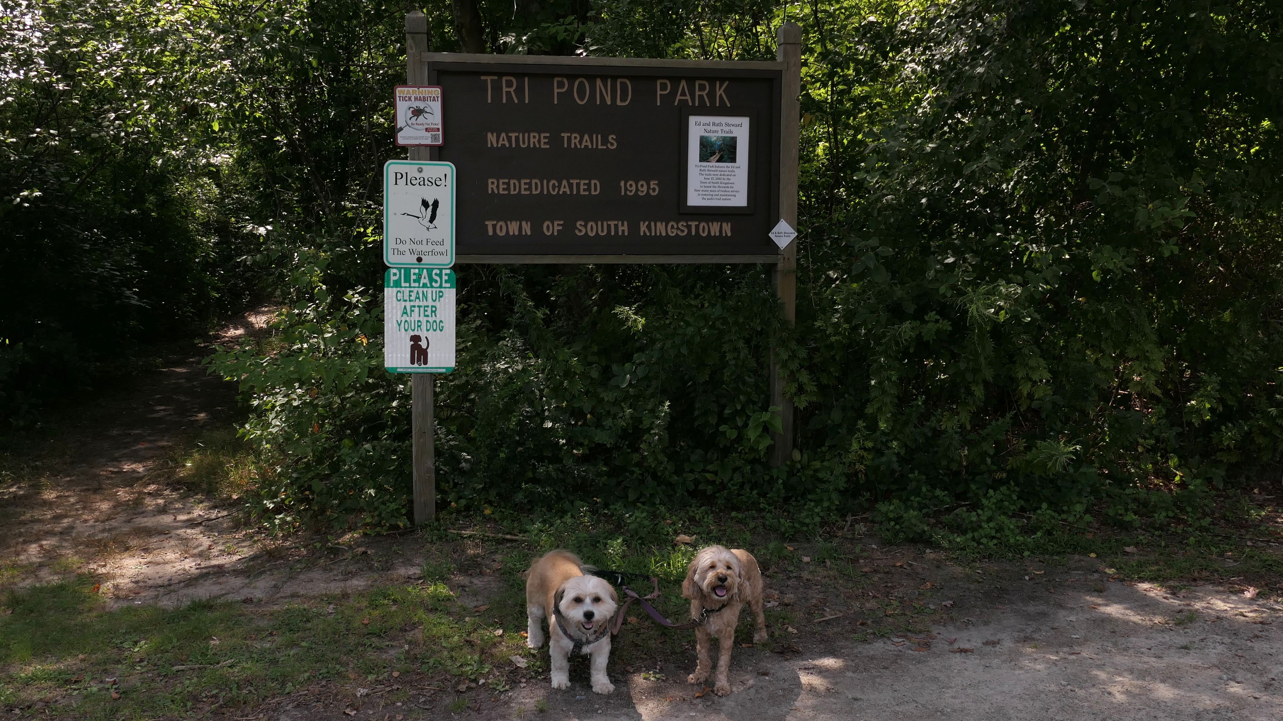
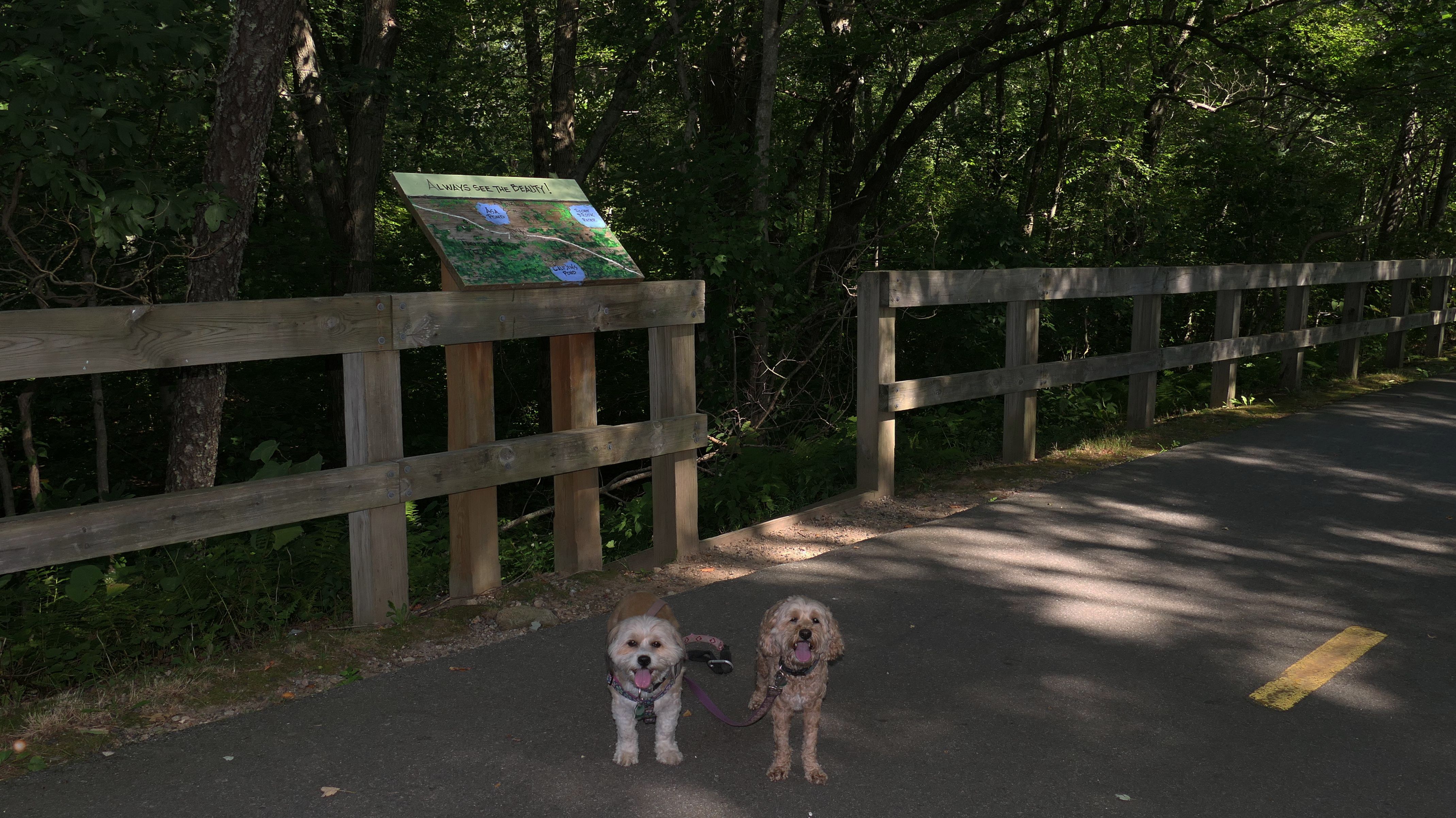
Tri Pond Park
Date visited: 9/4/2022
We started out hiking the trail laid out in the All-Trails app, which is basically a loop around Rocky Brook Reservoir, and then an out and back to Asa Pond. The terrain on the out and back portion was a bit rough. There are no hills, but it was very rocky and rooty, with sections of wooden boardwalk over muddy spots. At one point, some trees were down blocking the trail. Mandy decided to go under, while Lexi went over. This presented a problem because their leashes are always connected together! It wasn't really that rough, and we were able to navigate it with little problem, but when we reached Asa Pond, I decided to take another route back that utilized a section of the South County Bike Path, before re-connecting with our loop. It lengthened the trip, but it was a nice day and I needed additional steps anyway. I know it was called "Tri Pond Park", but none of the trails we walked made it out to a third pond. It looks like the third pond is on the opposite side of the bike path, so we'll have to visit it some other day.

More Images


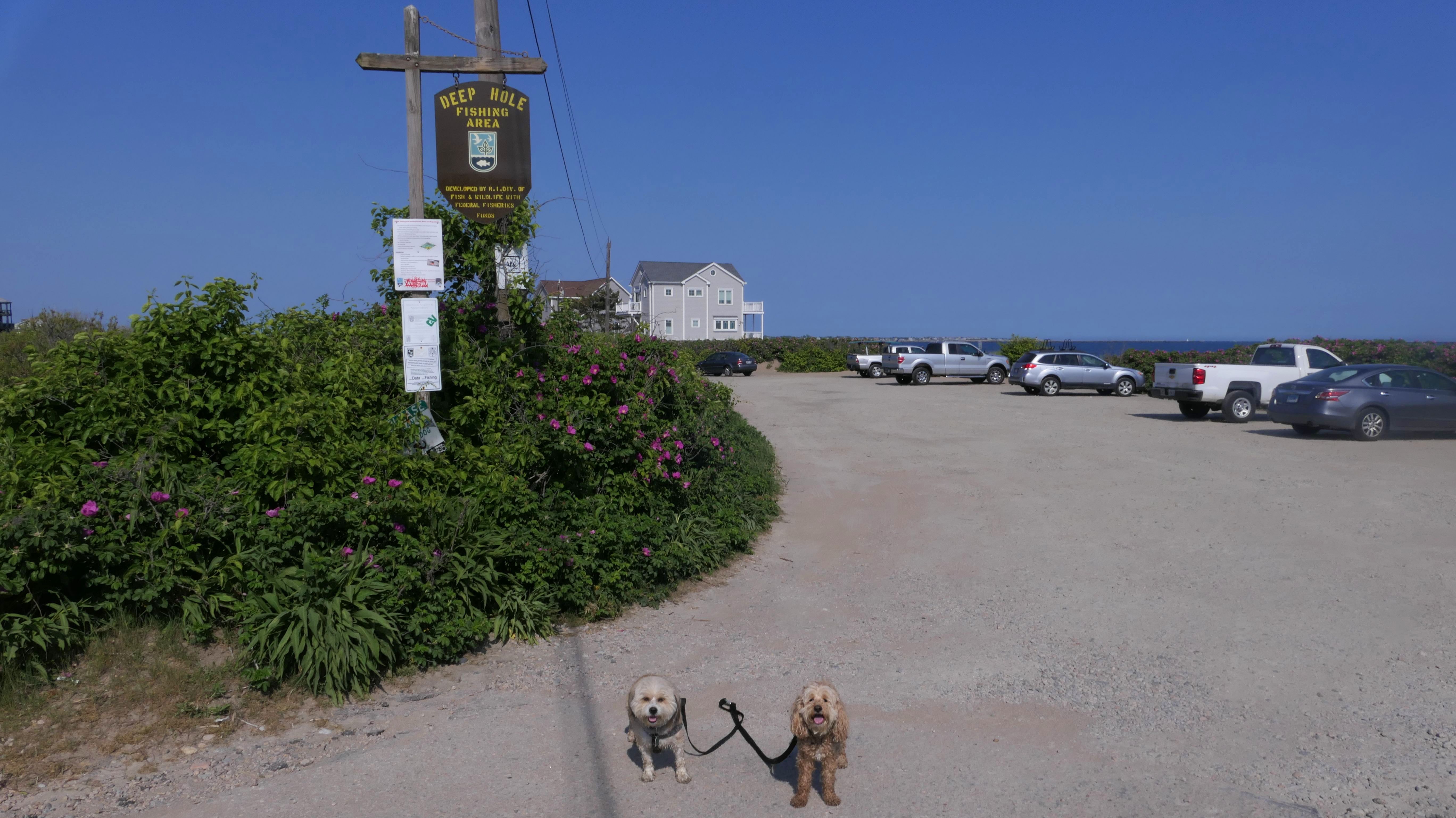
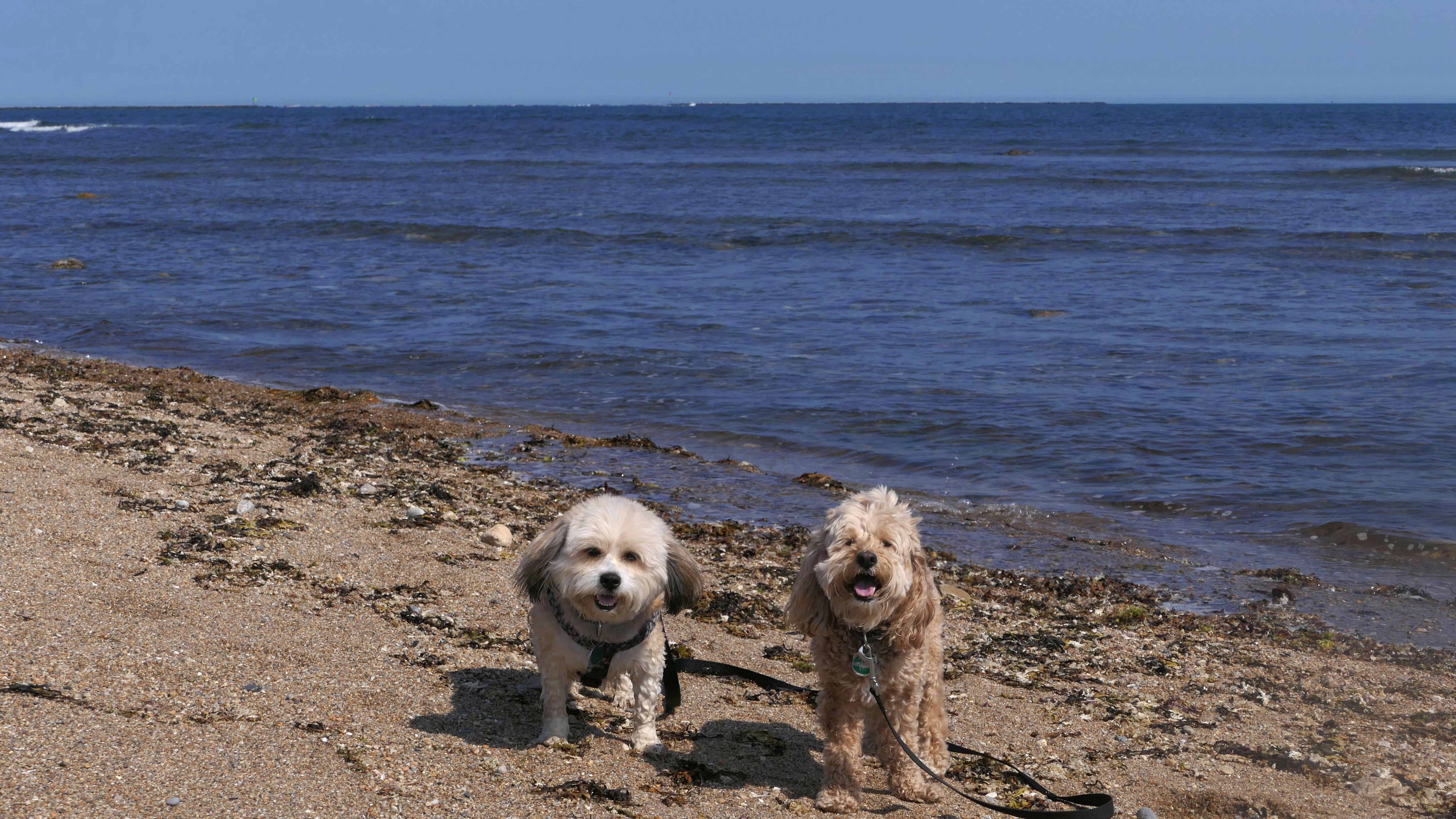
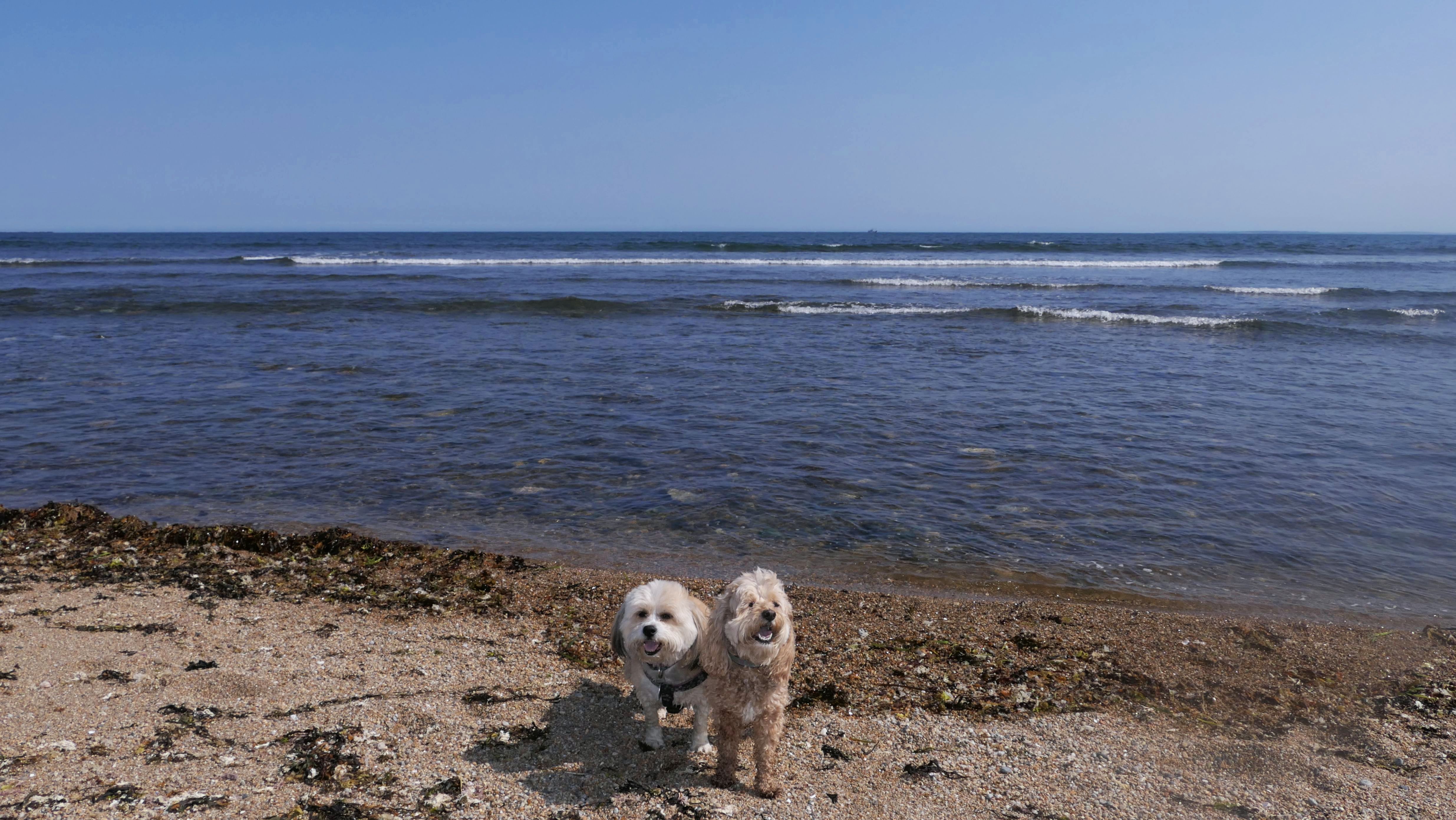
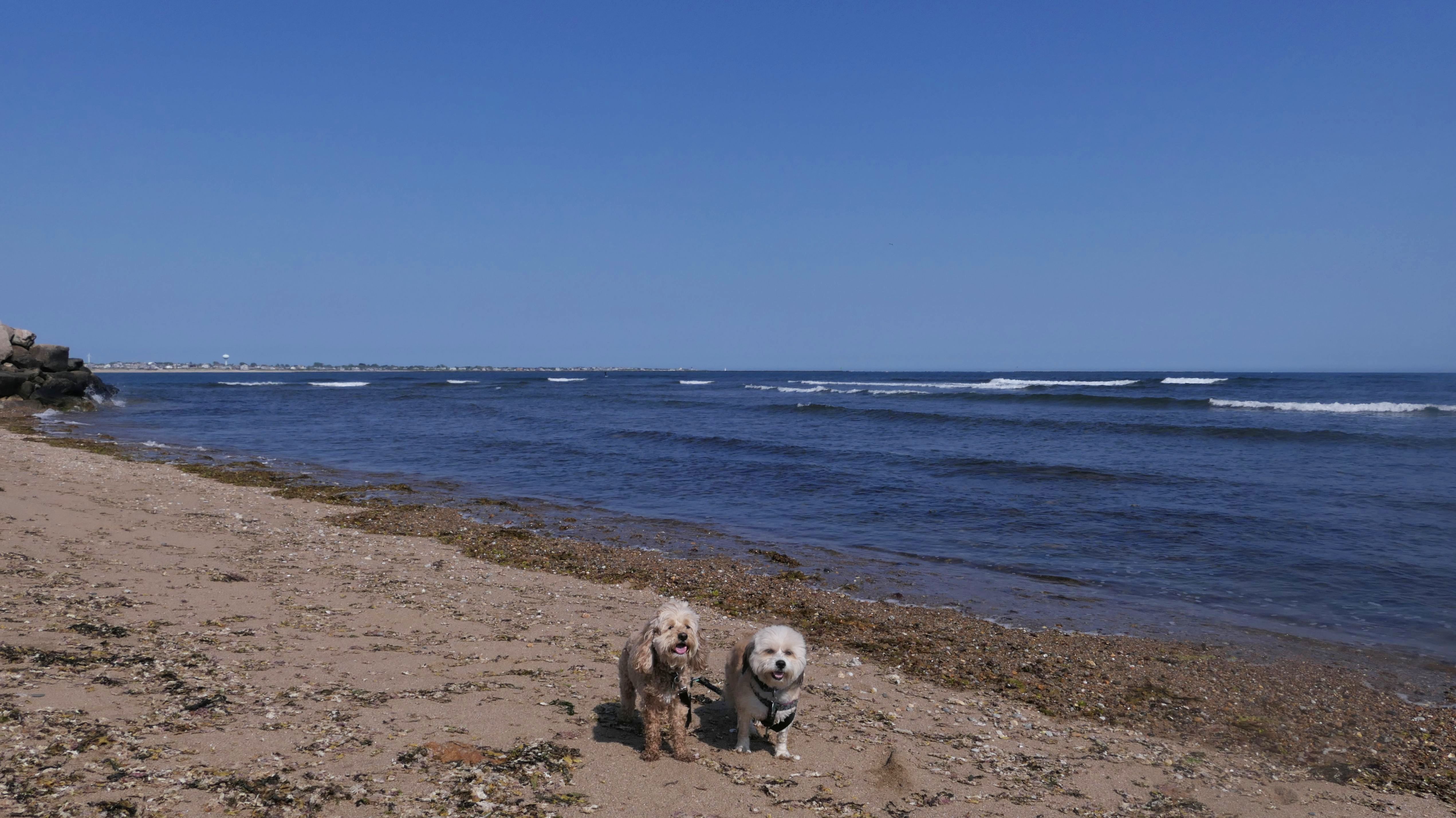
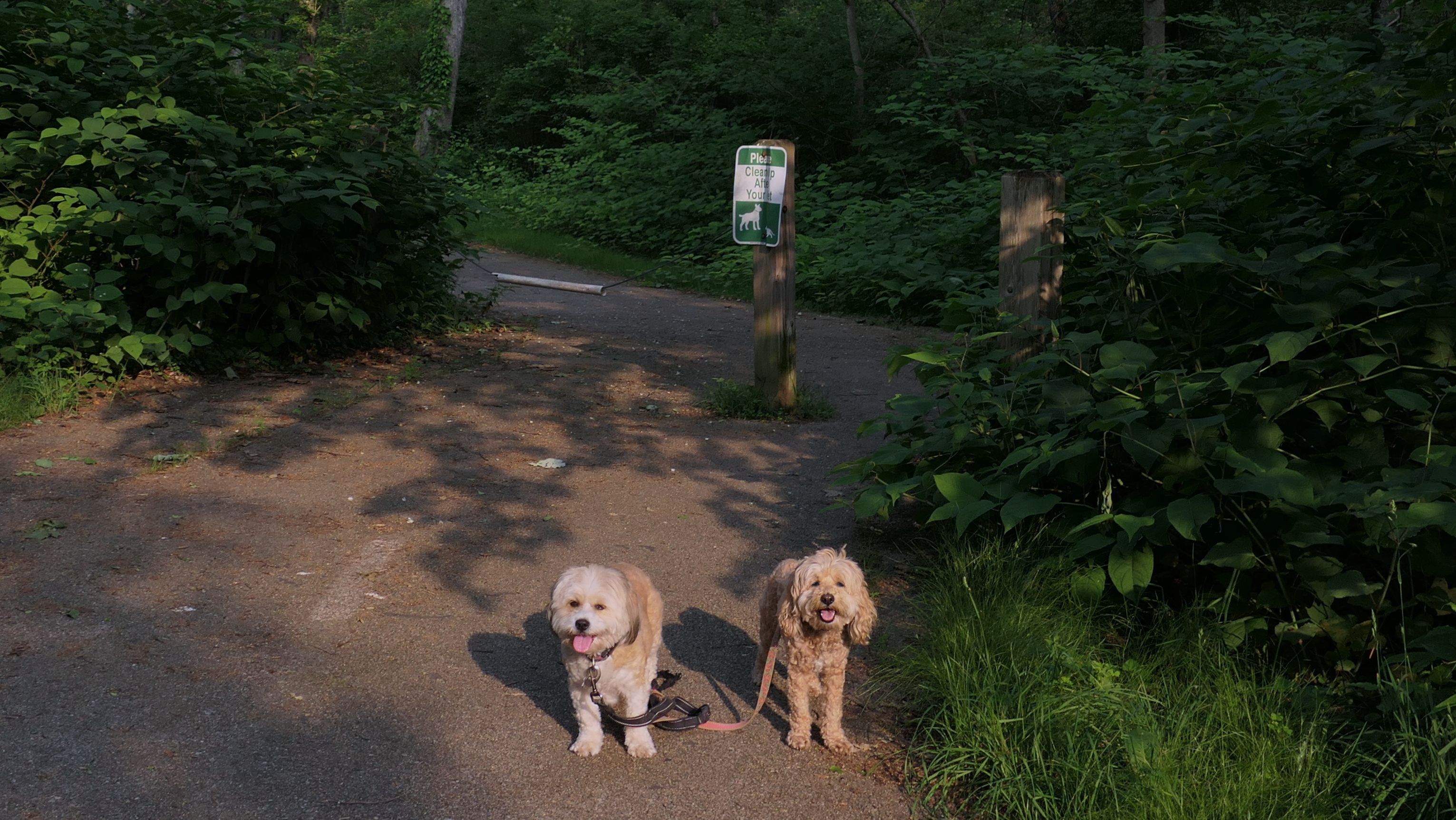
Deep Hole
Dates visited: 11/12/2022, 6/2/2023 & 8/2/2023
This is primarily a fishing spot, with a small rocky beach. I learned of this place from an article online about Rhode Island's secret beaches. There's not much here. People use it for fishing, surfing, and para-sailing. Dogs are allowed here. There is a sign that says "Please Clean Up After Your Dog". We've visited three time and it hasn't been real busy during any of our visits. Our first visit was on a warm and windy day in November. People were para-sailing that day. We visited again the following June on a hot beach type day, and there were only a handful of people sitting in lawn chairs on the beach. We also made a brief stop in August when we were in the area. While it's far from the best beach in the area, it has the benefit of being relatively unknown, free, and dog-friendly!


More Images


Deep Hole
Date visited: 6/24/2025
We parked here for a walk around the Matunuck Beach area. It was shocking how low the water level was on this day. Usually, the water comes right up the rocks, but it was all dried up. We've been to this area many times, and I've never seen the water so low. We headed along the shore to Ocean Mist and back, before continuing along Ocean Avenue to the access point at the end of the road.
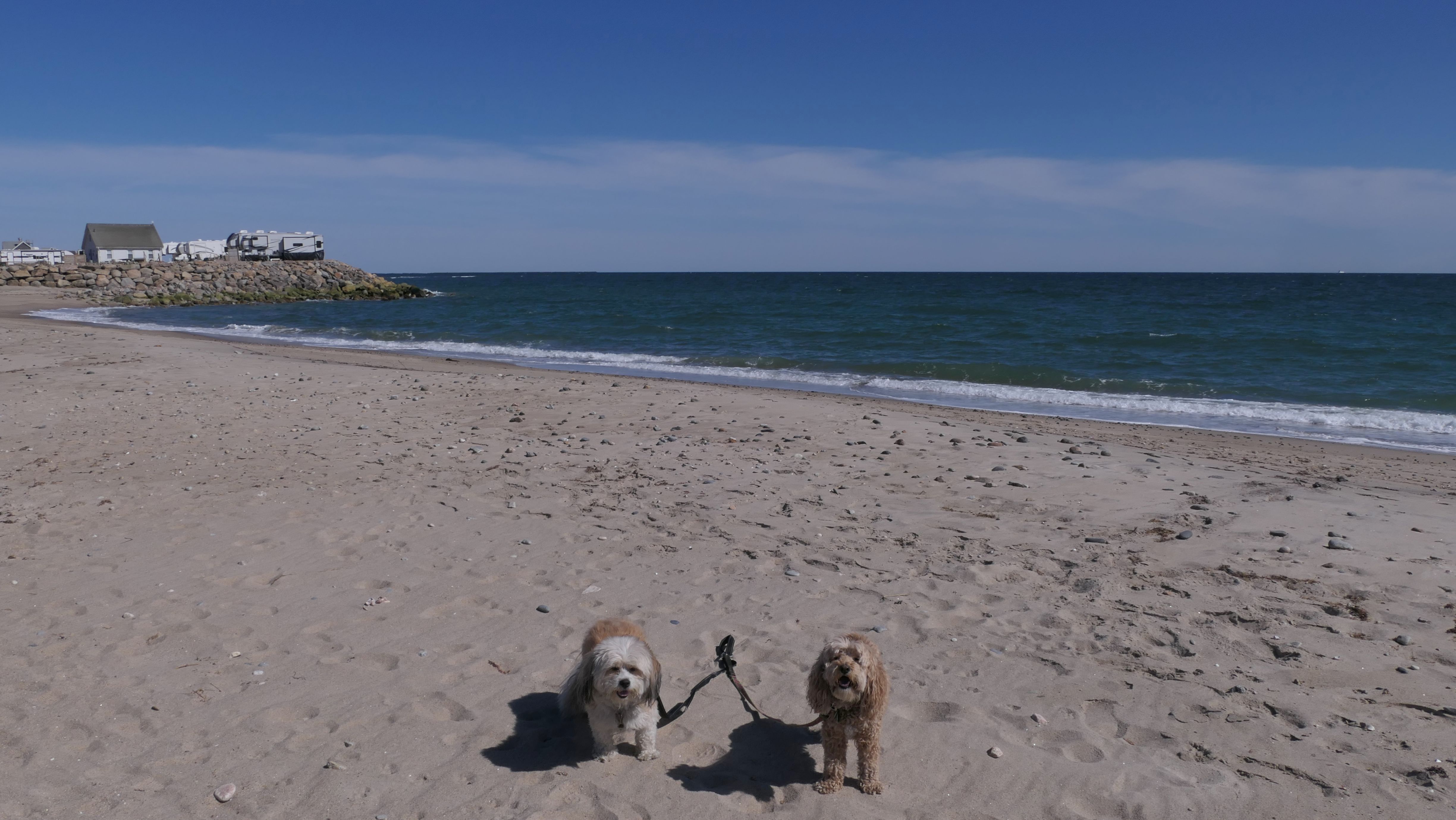
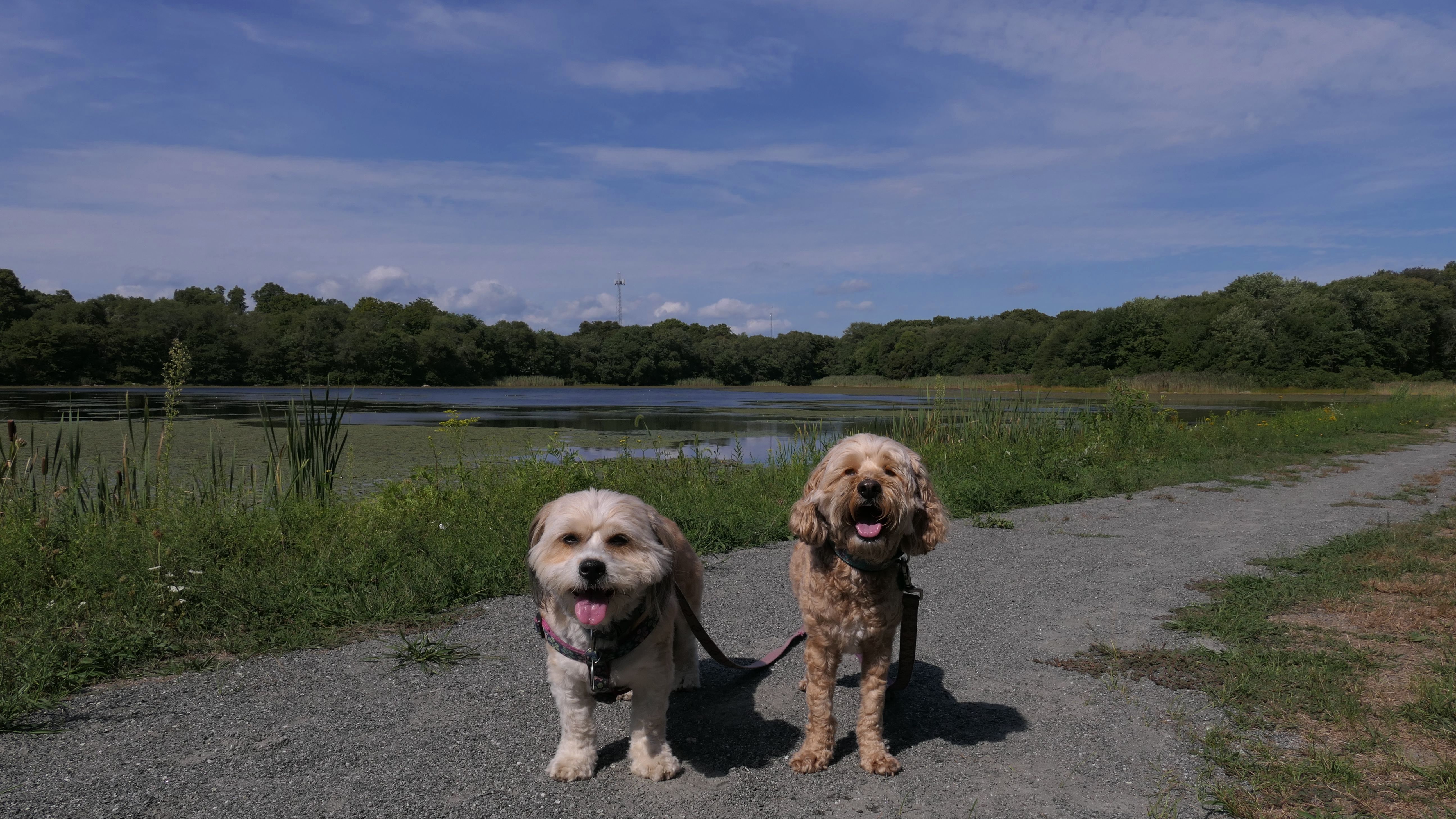
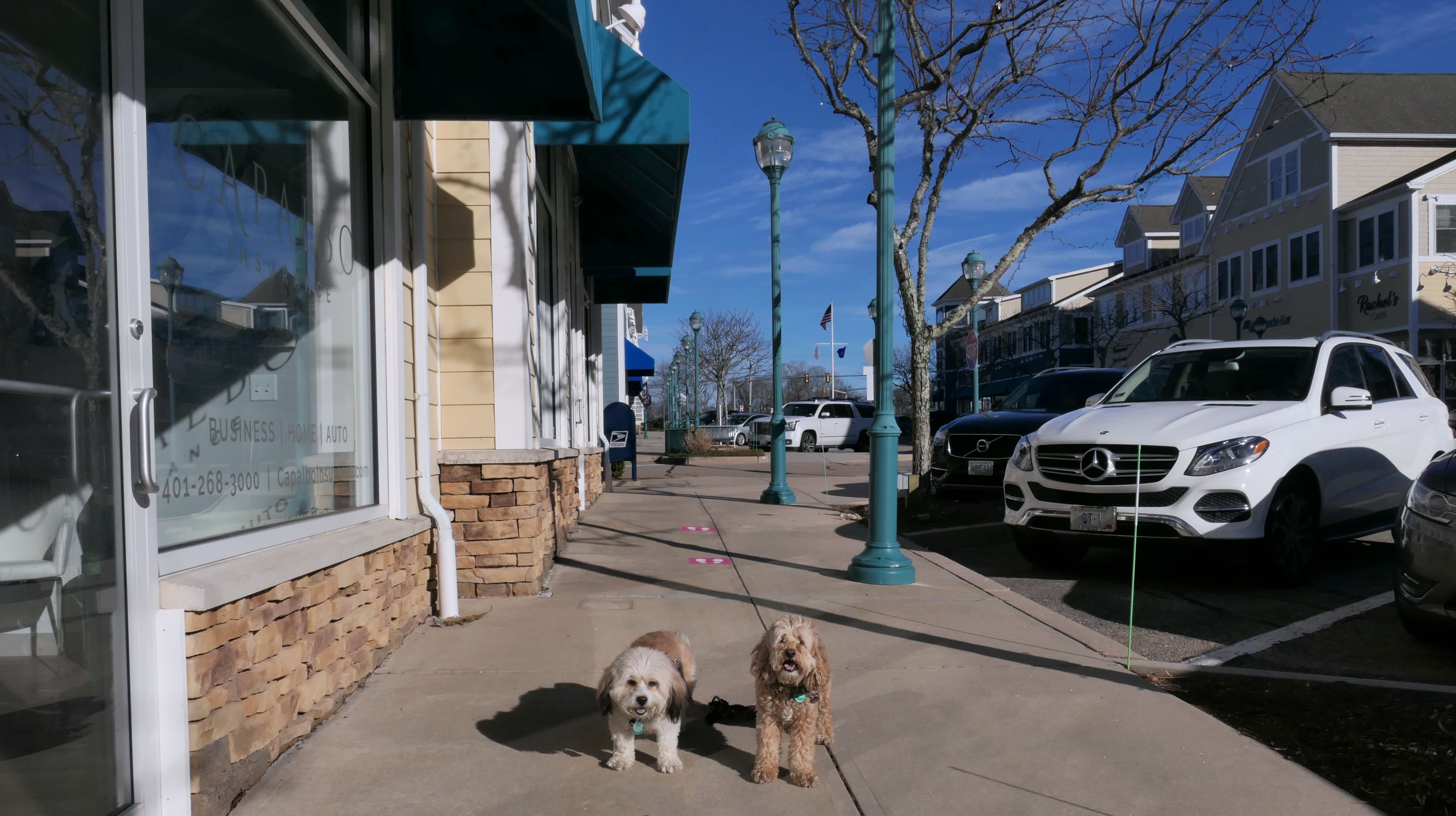
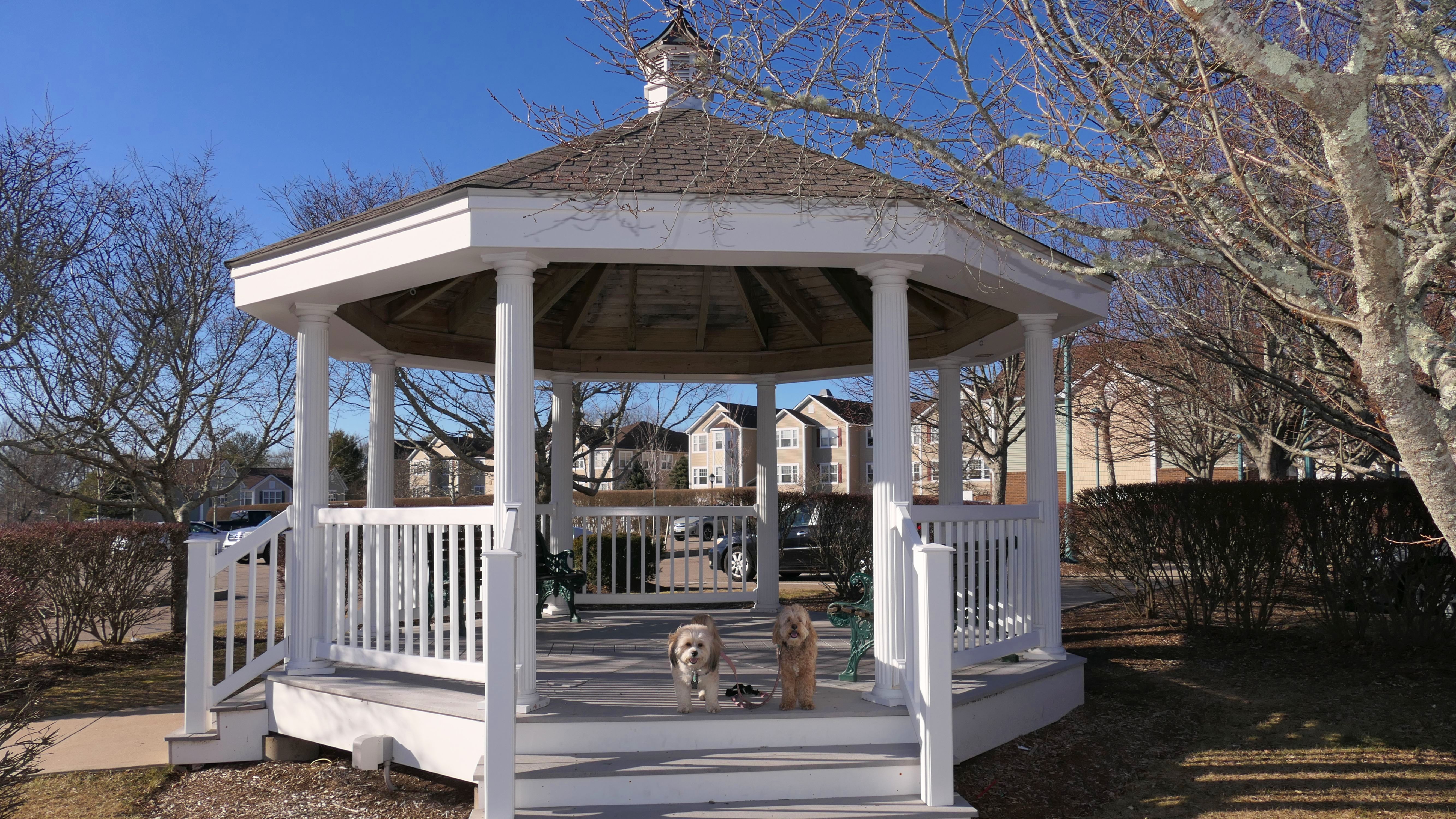
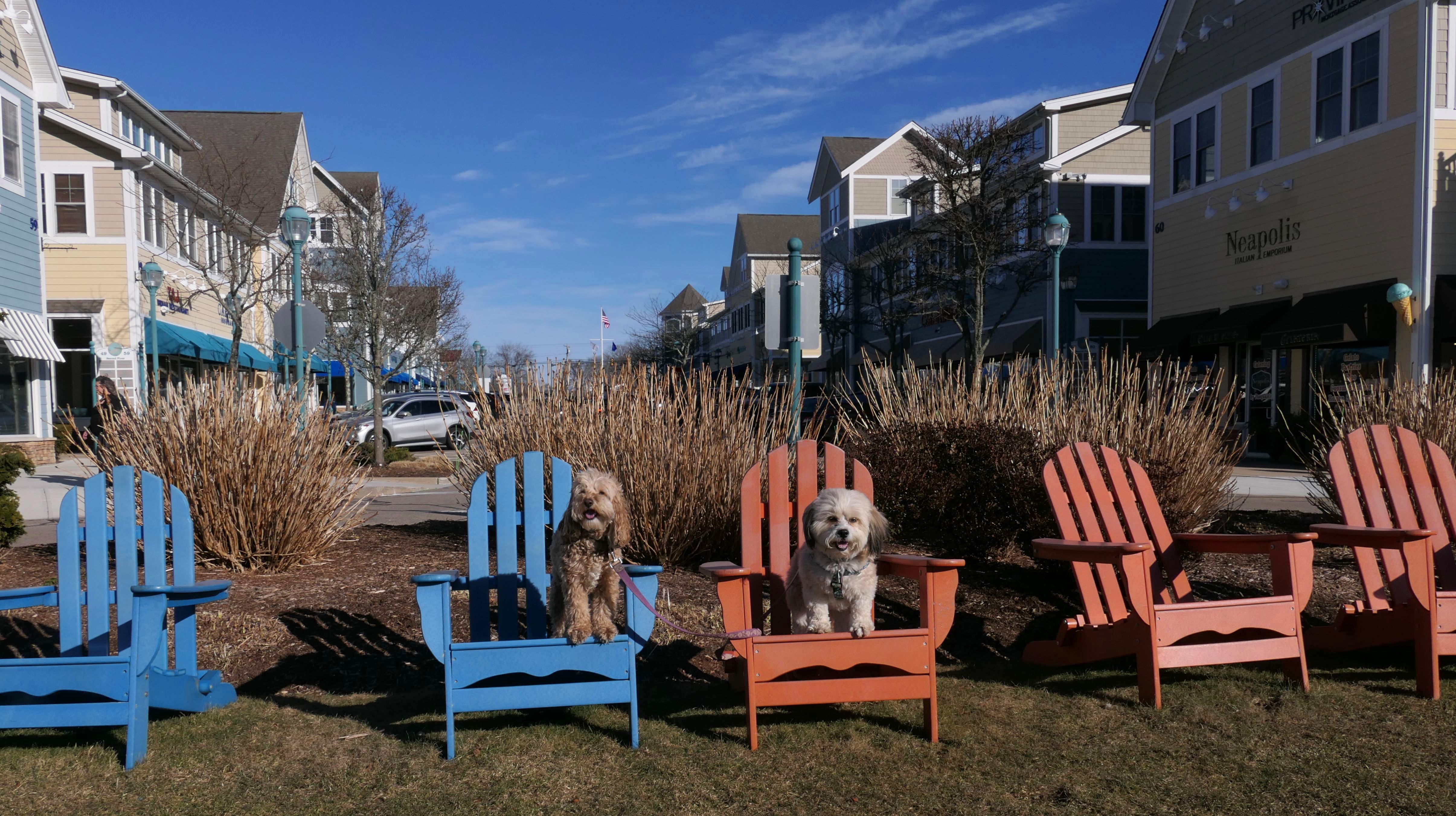
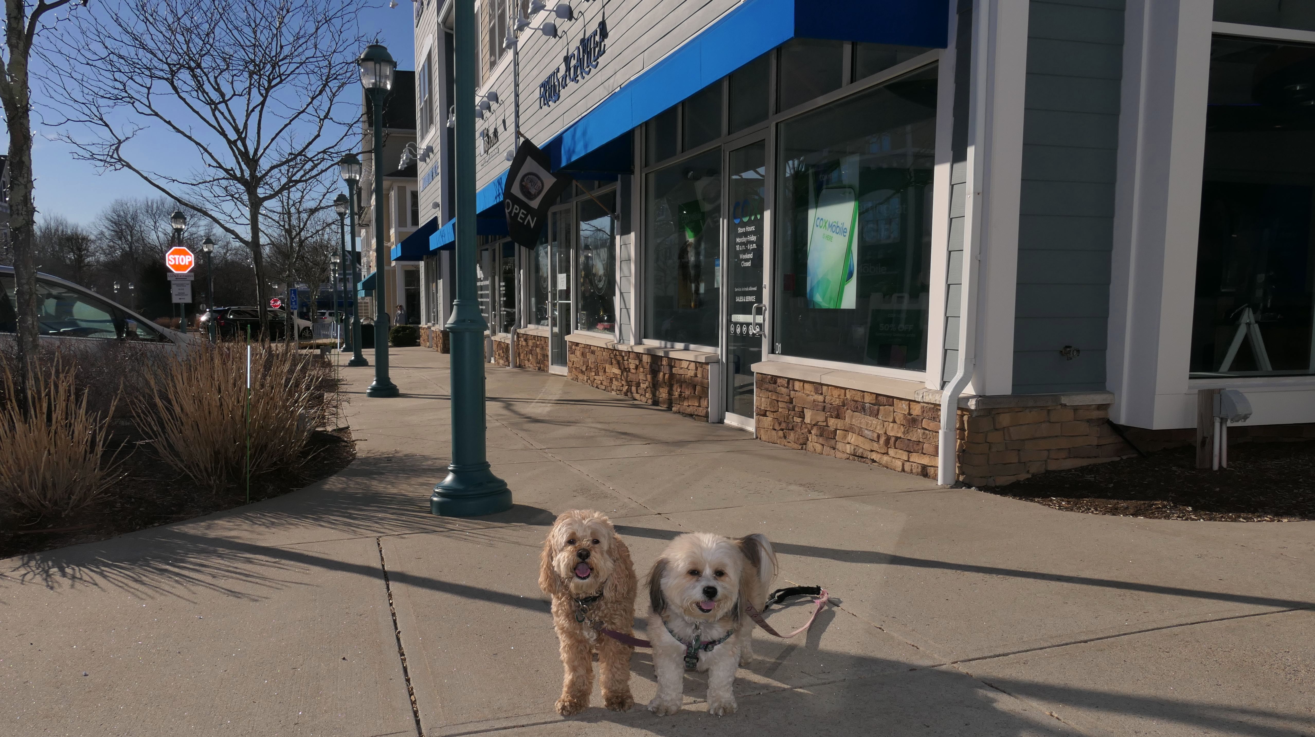
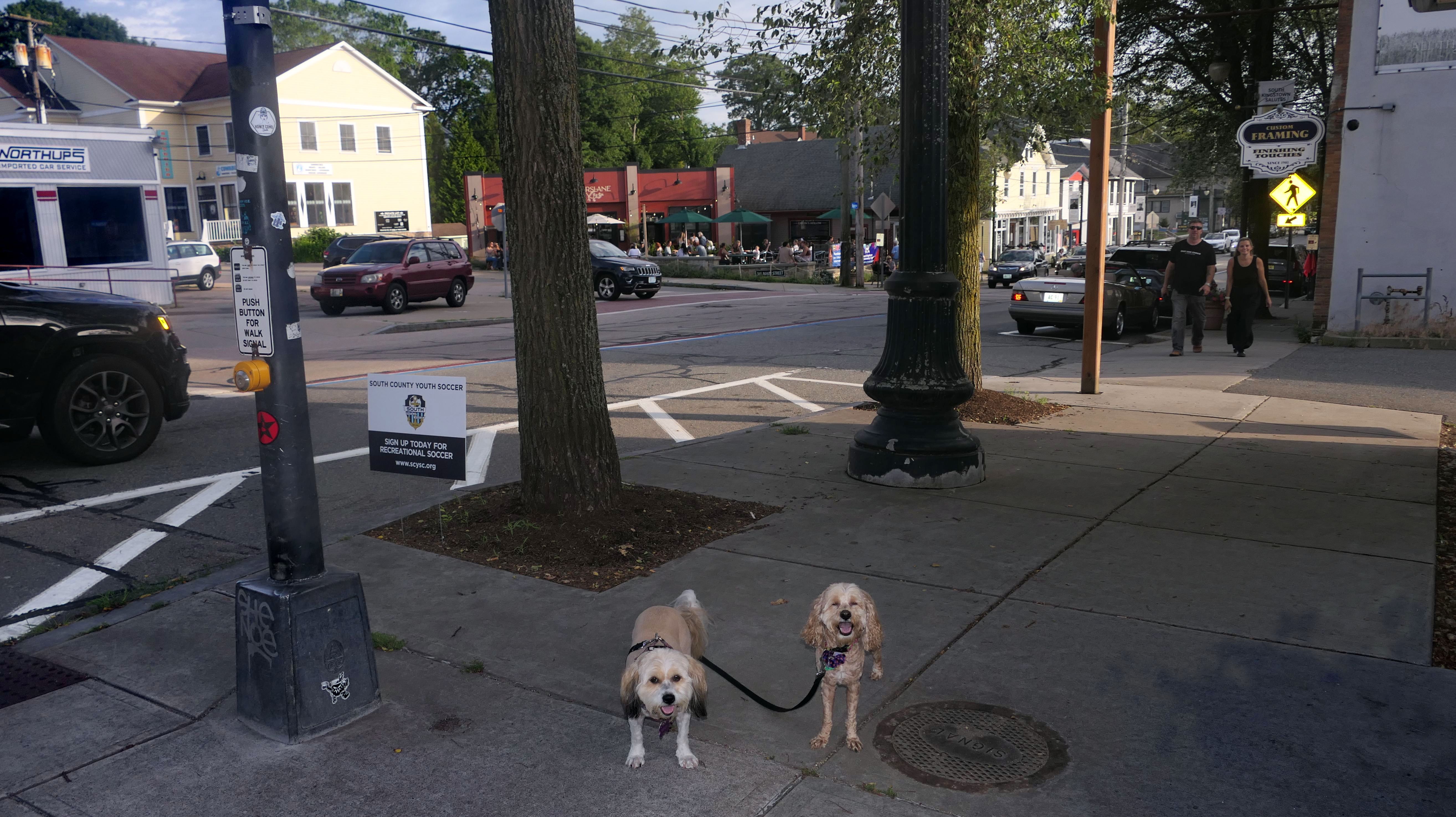
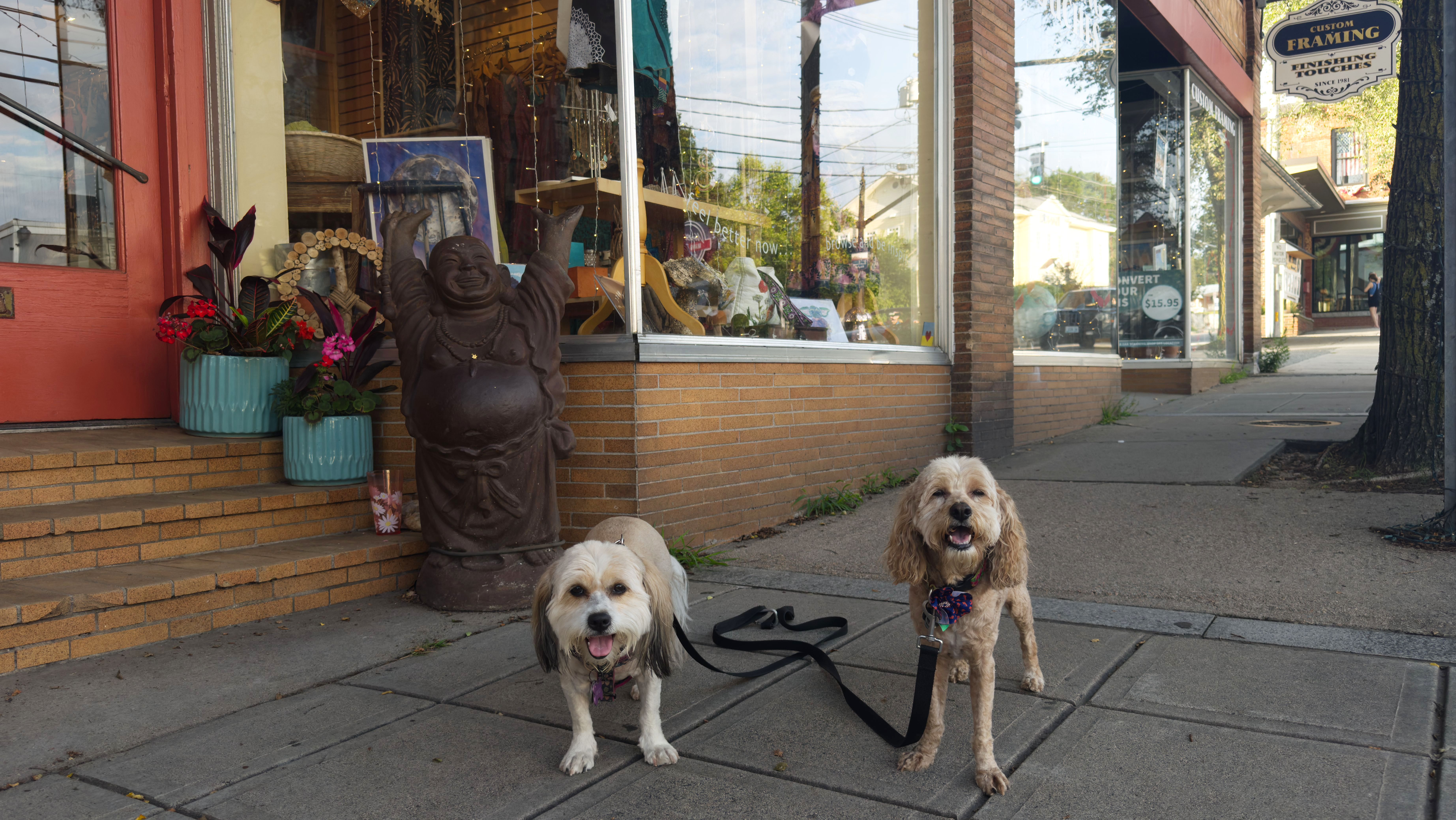
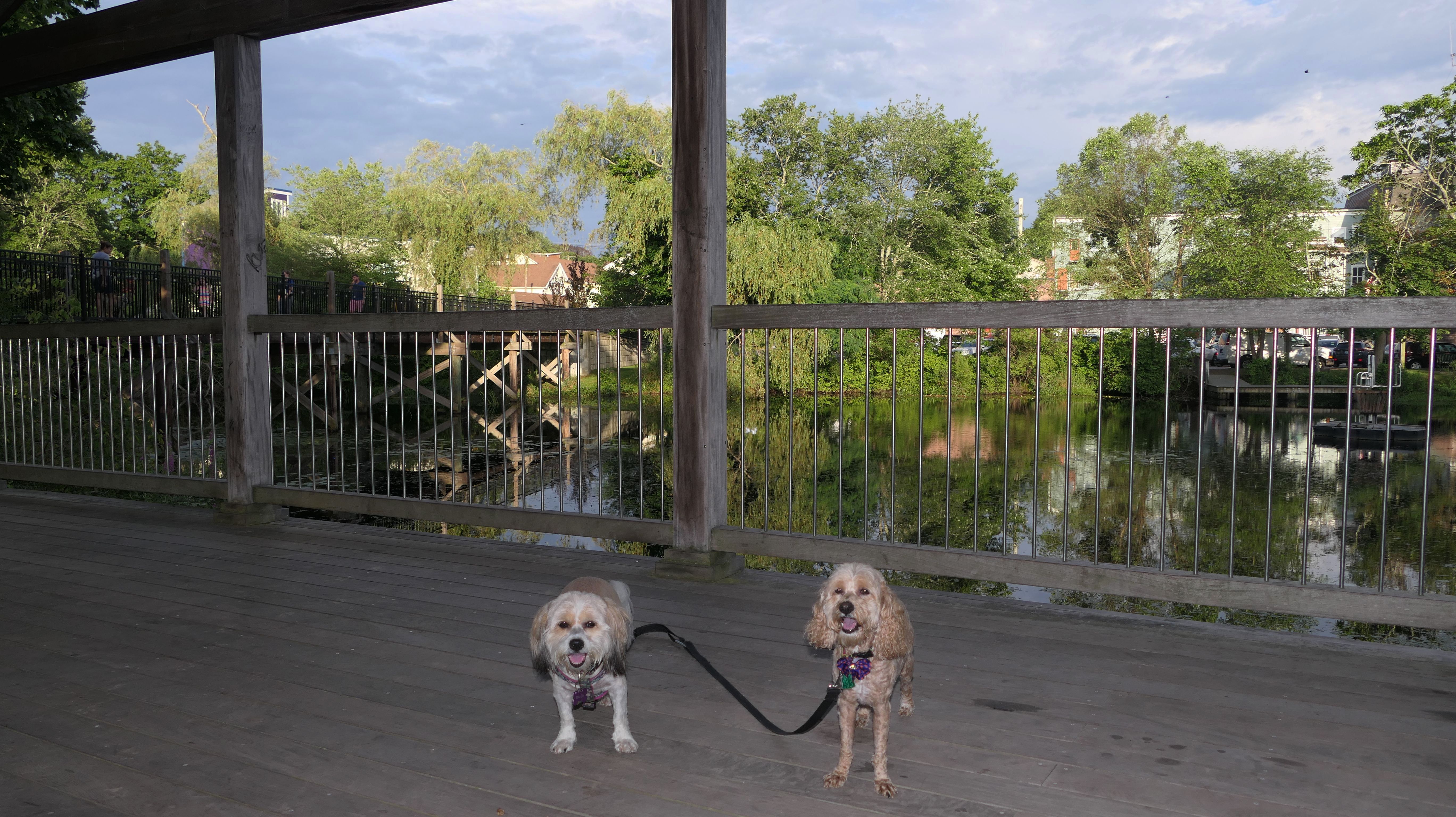
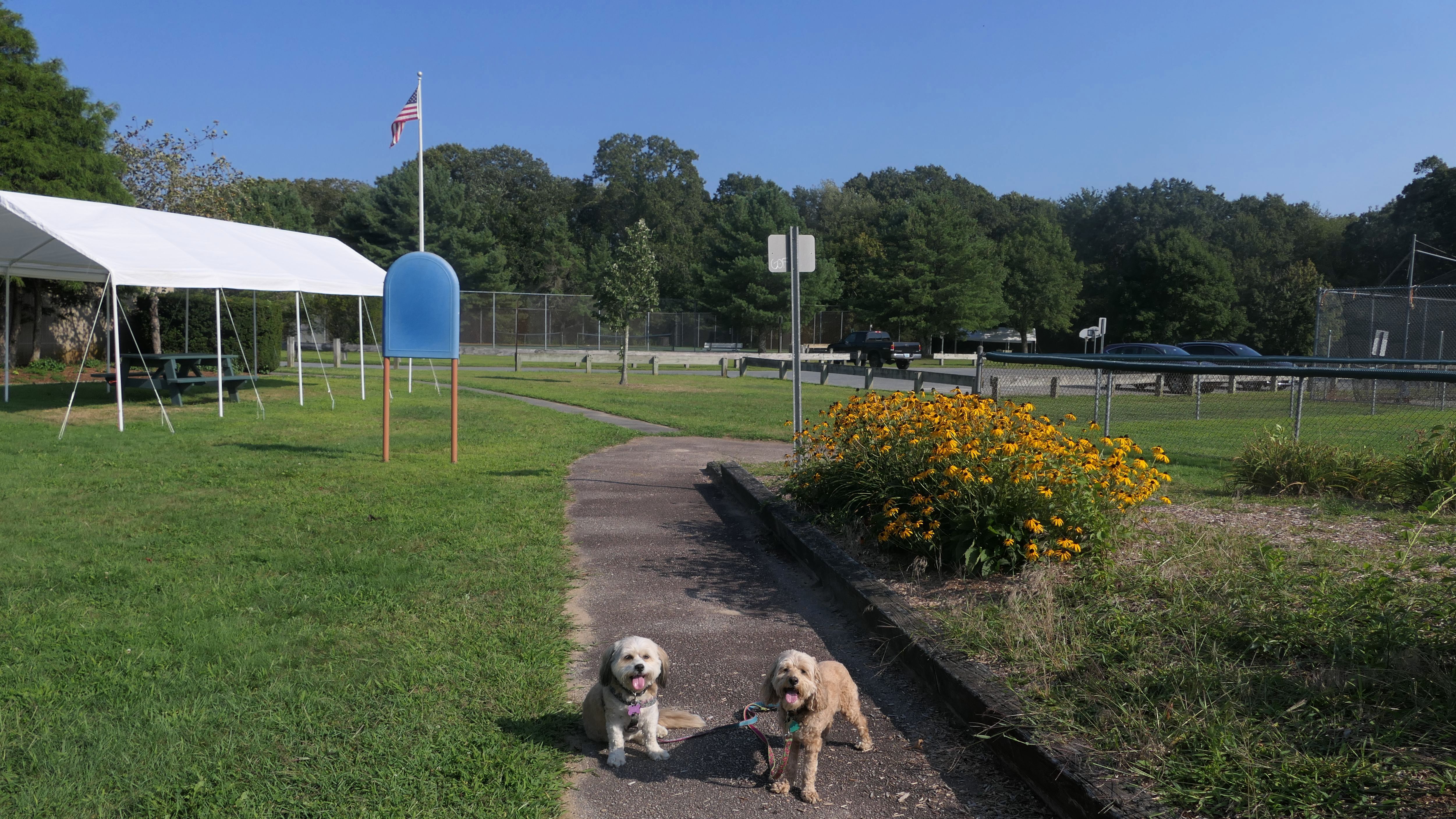
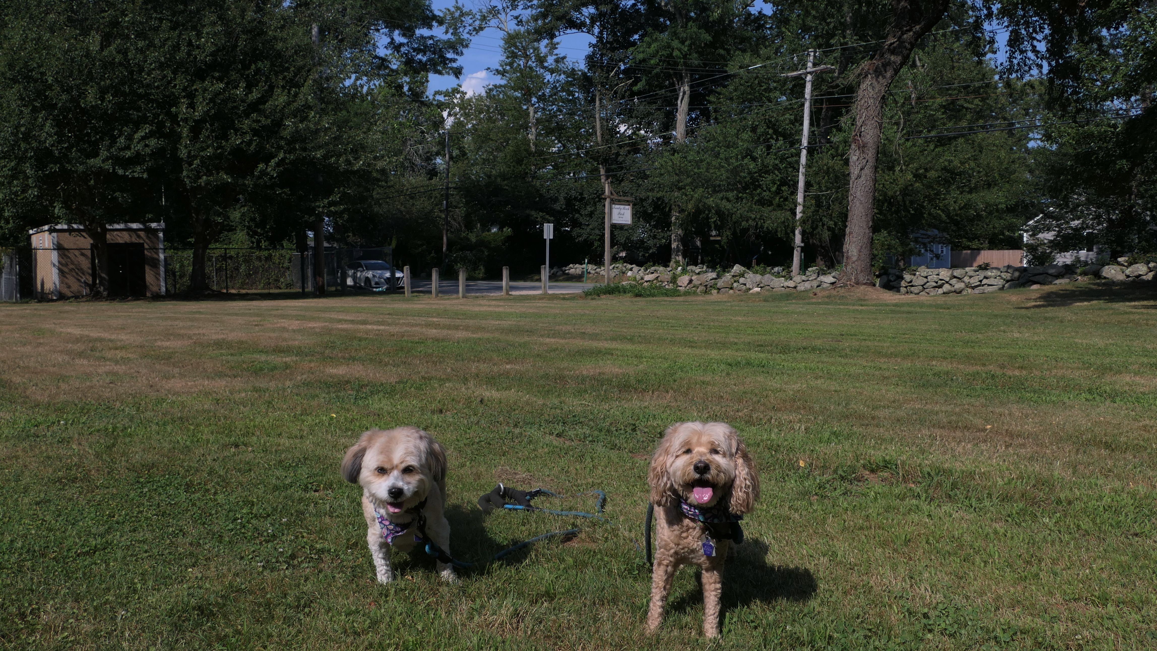
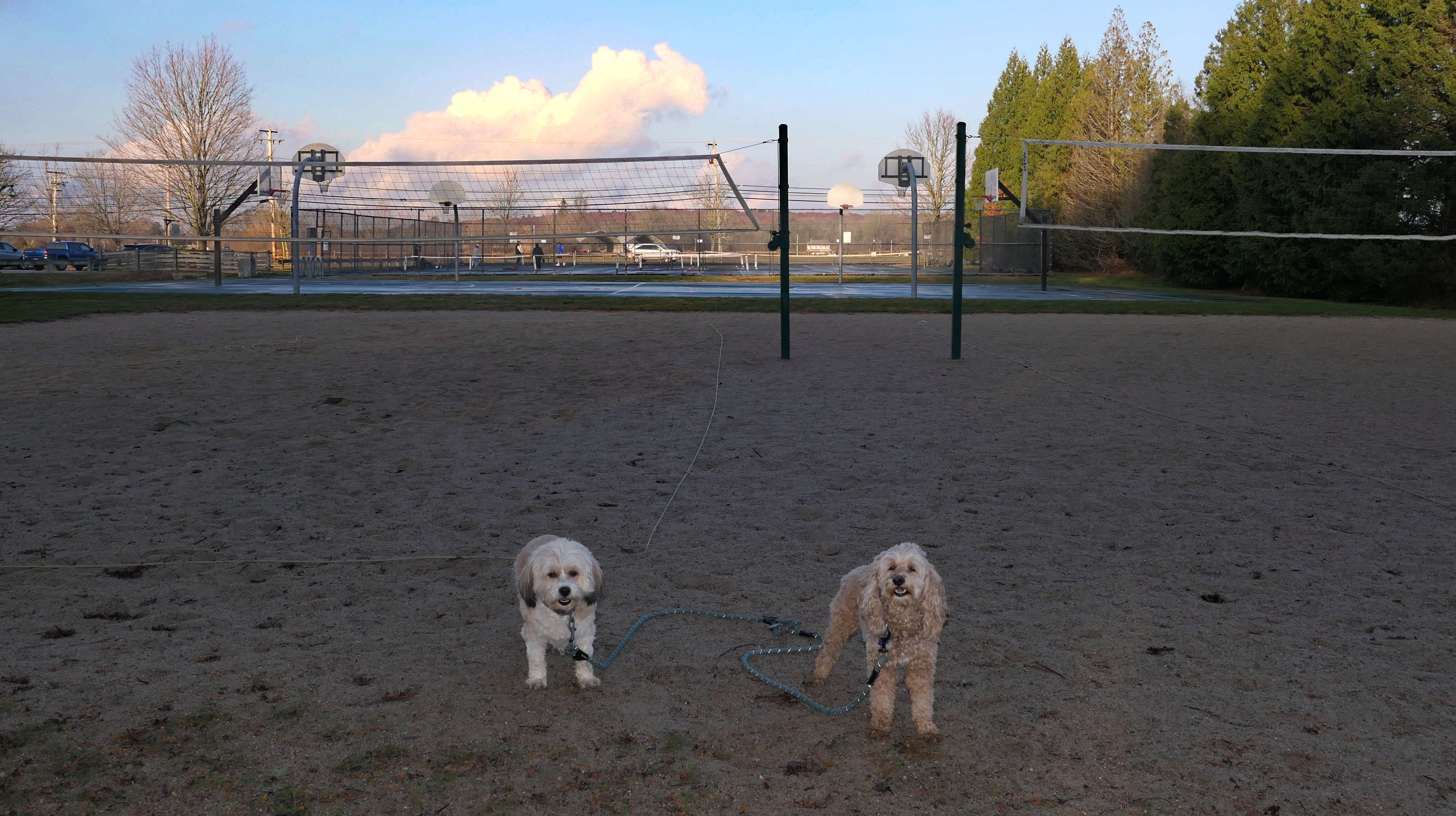
South County Commons
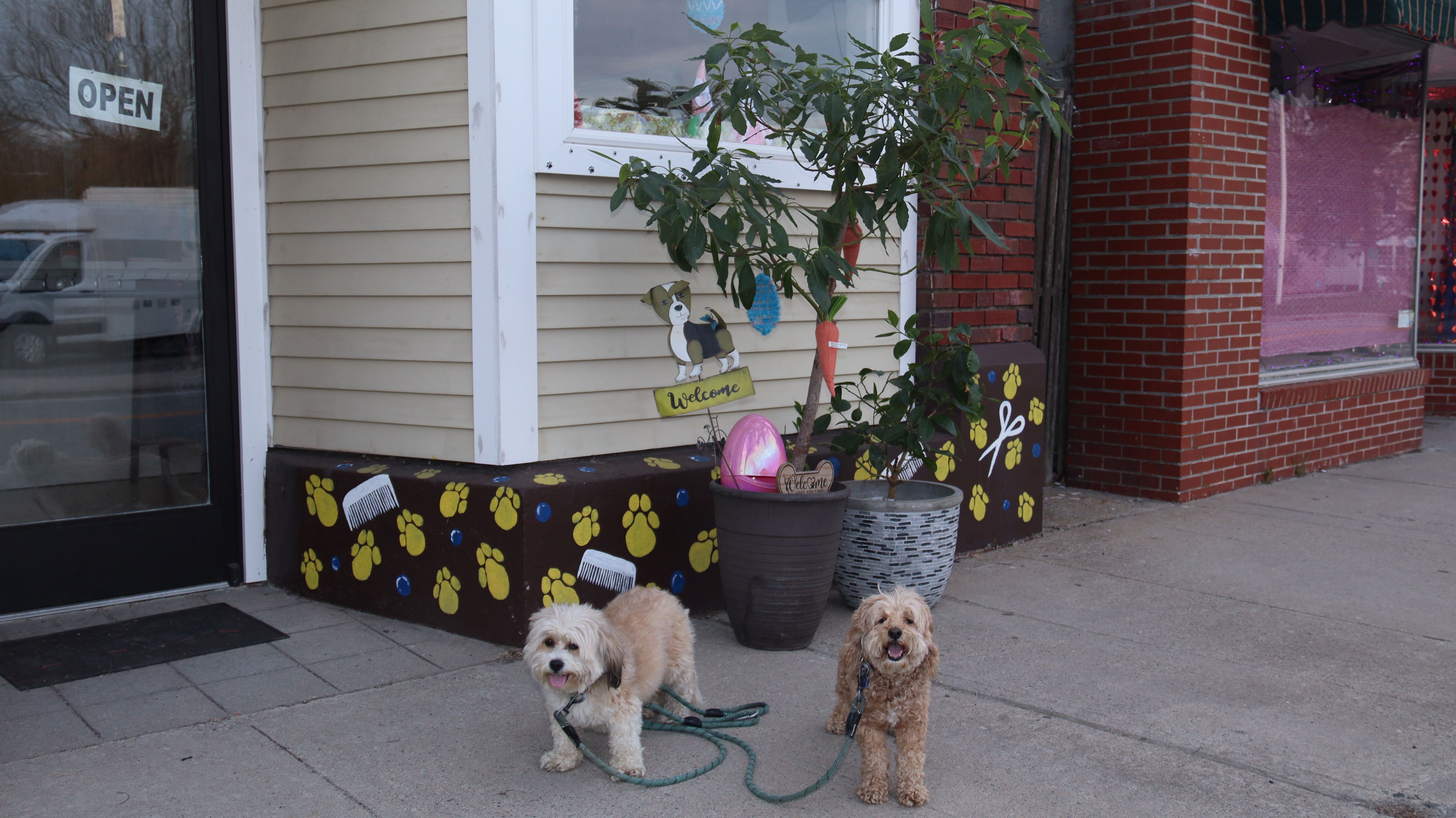
Date visited: 2/10/2023
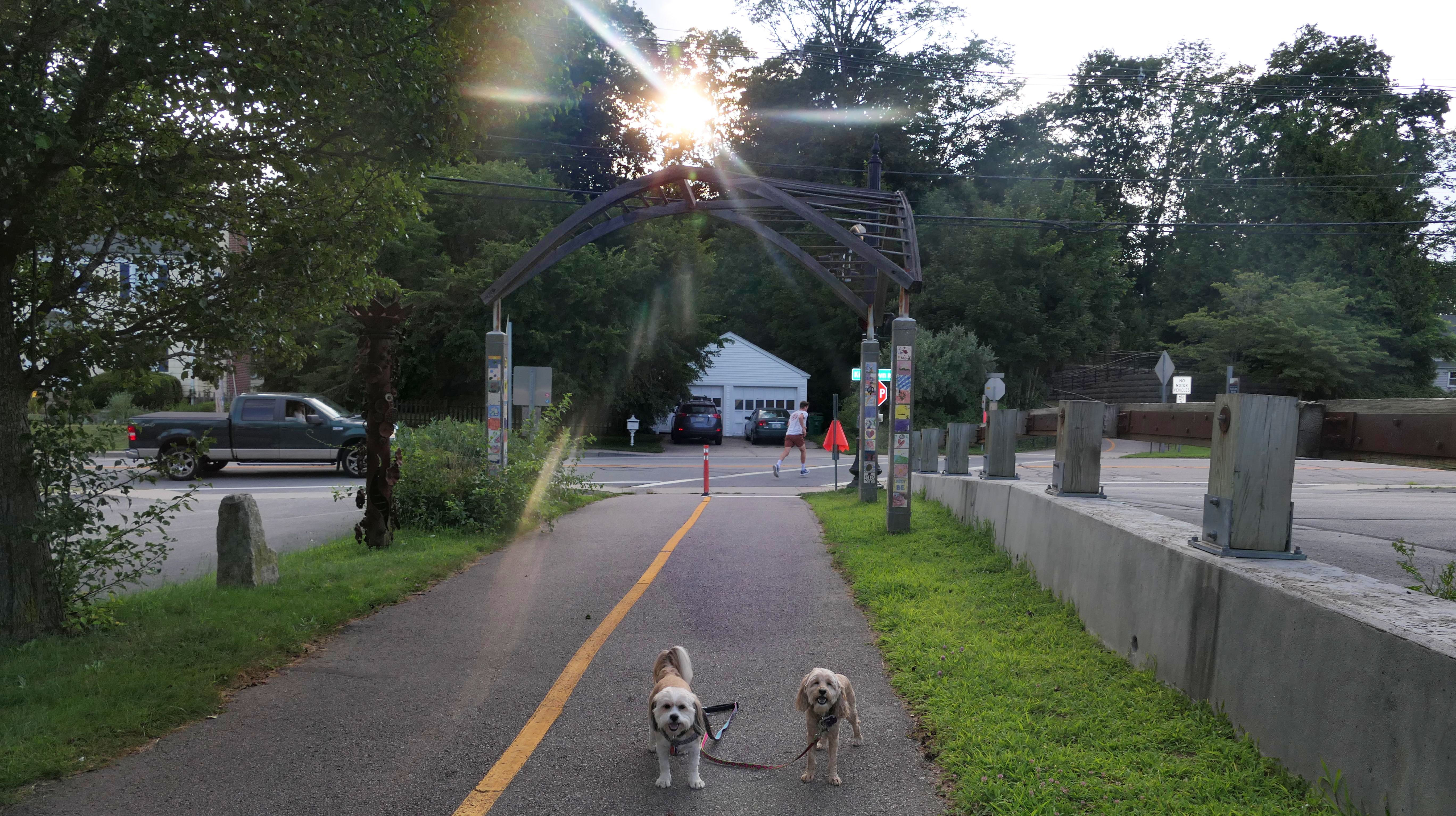
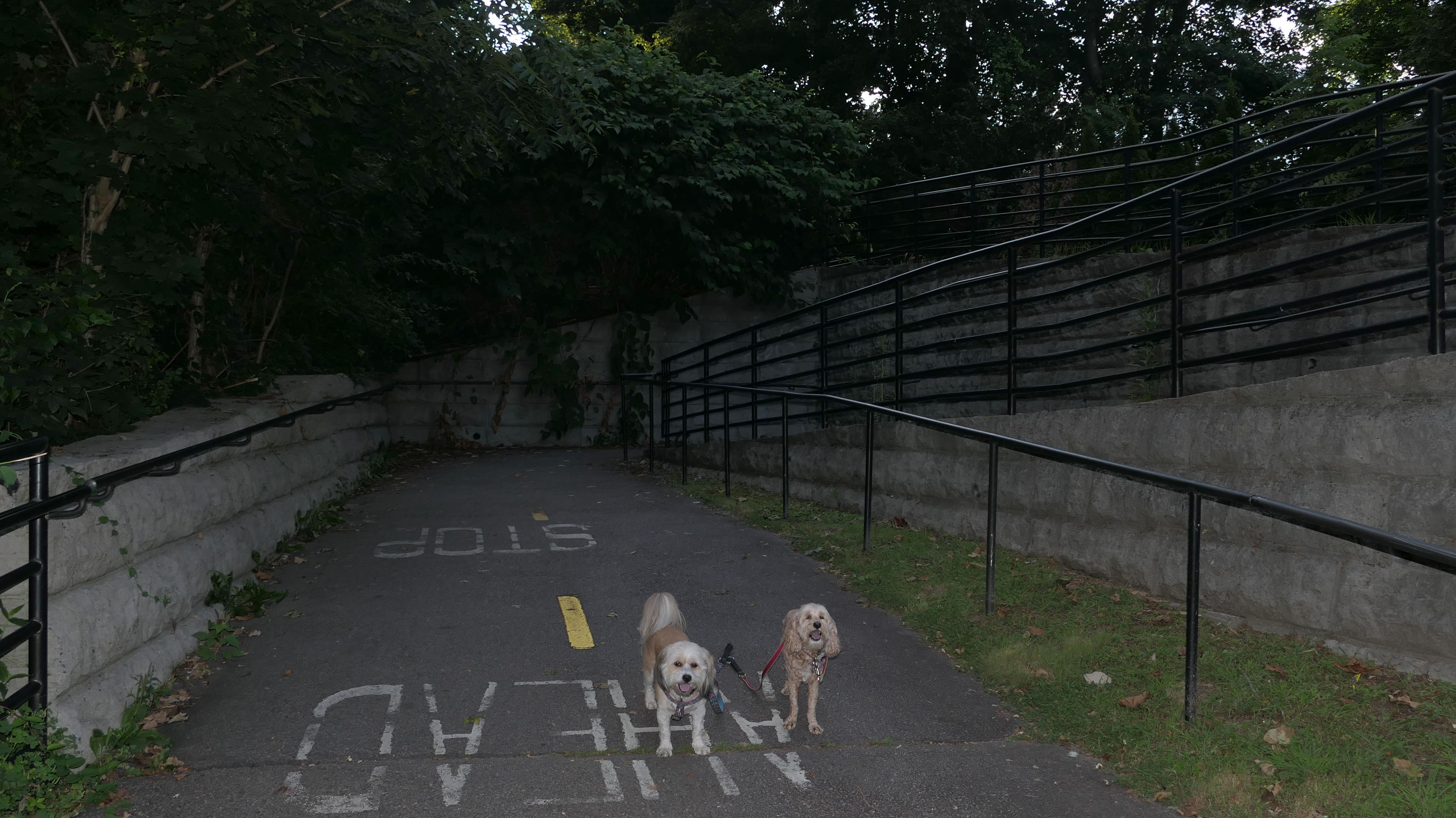
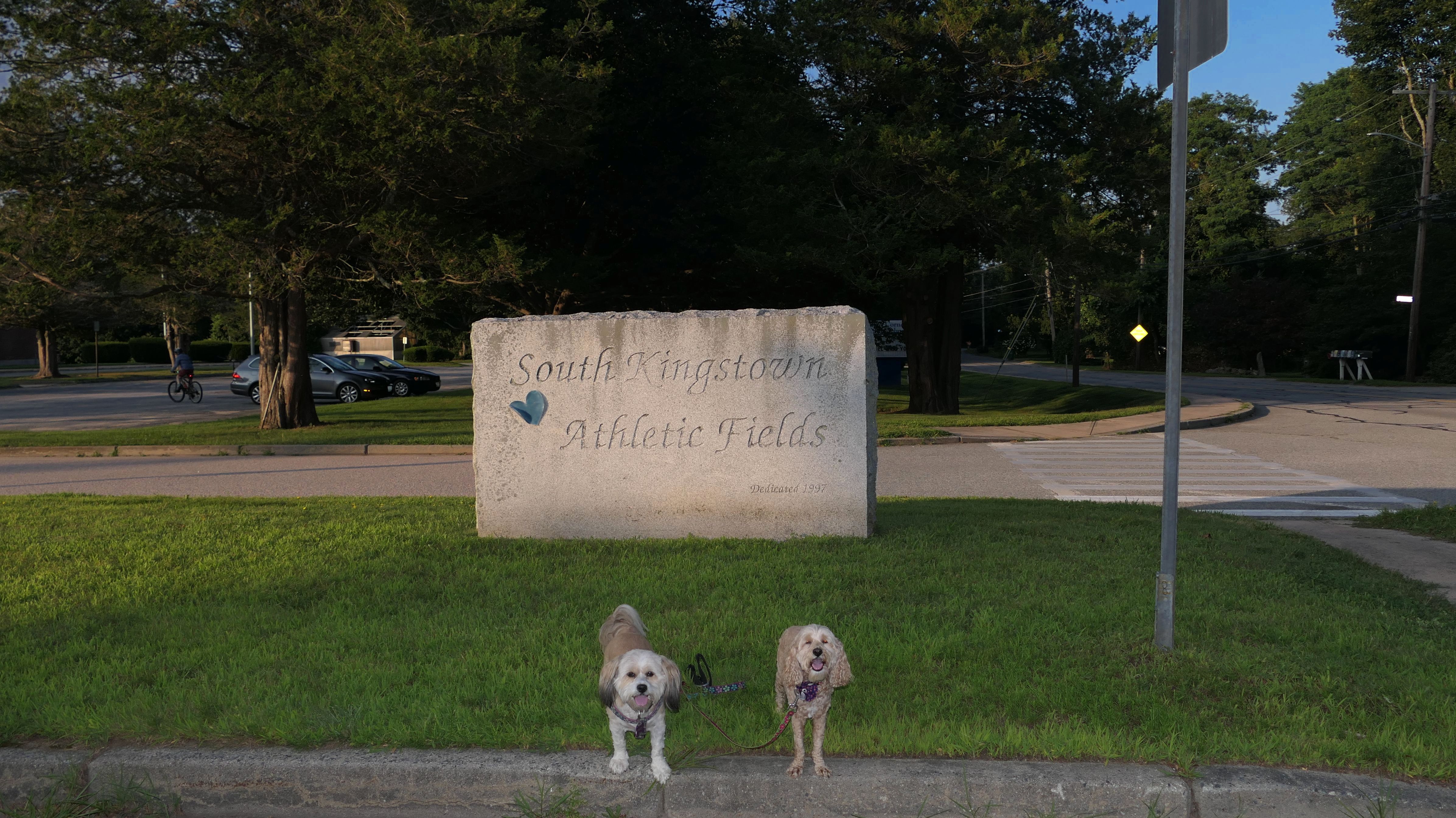
It was 63 degrees on February 10th, and since it was such a gorgeous day I stopped to take the dogs for another walk after completing our other adventures. This is a fancy outdoor shopping area, along the lines of Evergreen Walk in South Windsor, CT. There are little shops, restaurants, offices, apartments and even a hotel in this complex. There is also a gathering area with the colored chairs and another area with a gazebo. The place wasn't as dog friendly as Evergreen Walk, it did not look like the dogs were allowed in any of the stores. As we were leaving, I spotted a bike trail that starts at the rear of the lot, called the "South County Commons Bike Trail", so we walked that trail as well. It is about a half mile in length and leads to the Broad Rock Athletic Fields, the Senior Center, the YMCA and the dog park.
More Images


Curtis Corner Middle School Trail
Date visited: 8/2/2023
I don't know if this spot has an official name, but for the sake of this page, I am calling it the "Curtis Corner Middle School Trail", since the trail is behind Curtis Corner Middle School. There's a well maintained loop around a small pond. It's short, but sweet. There is also a disc golf course here too. The trail also connects to the South County Bike Trail, which is where we went next.
More Images


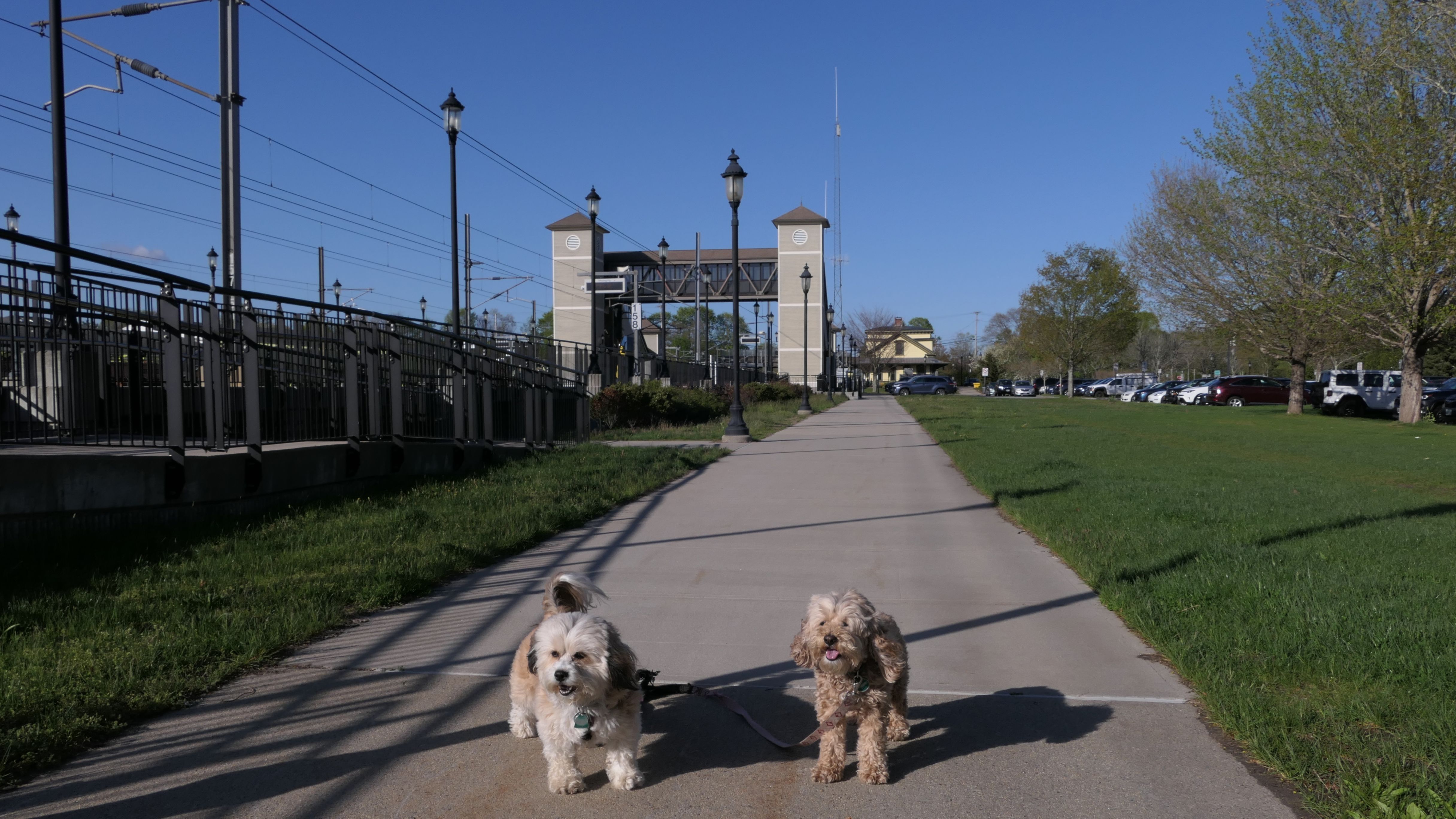
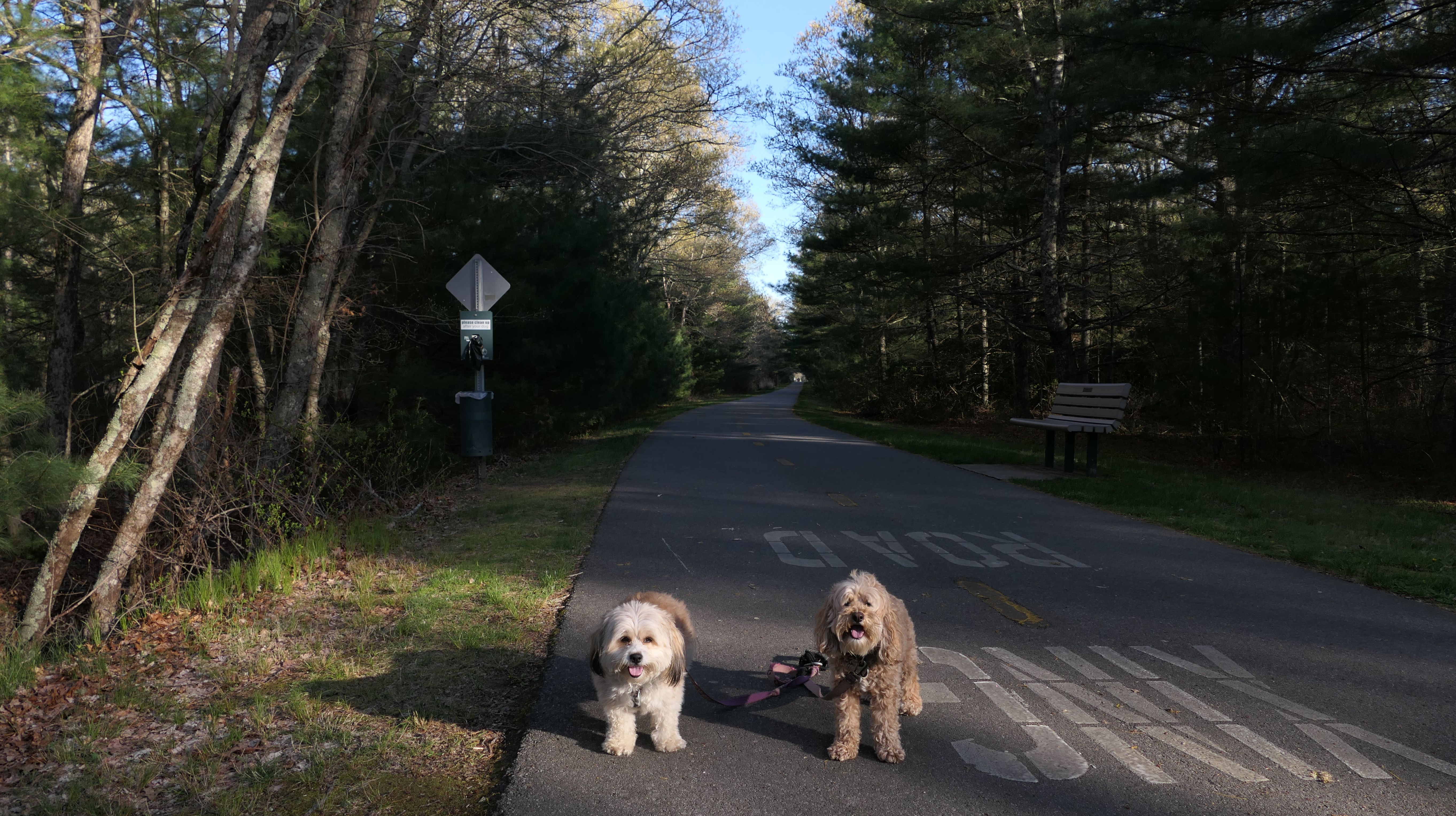
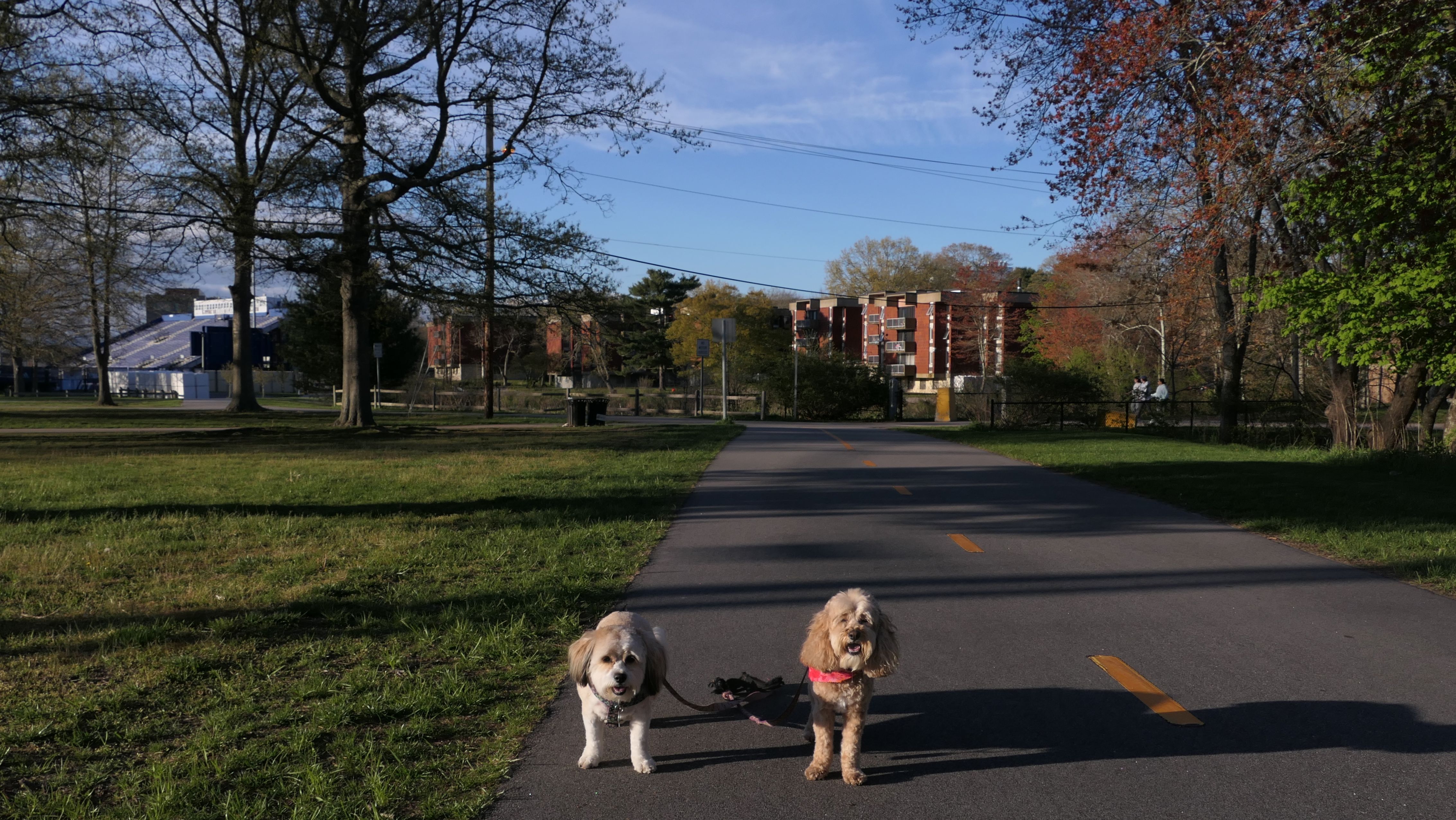
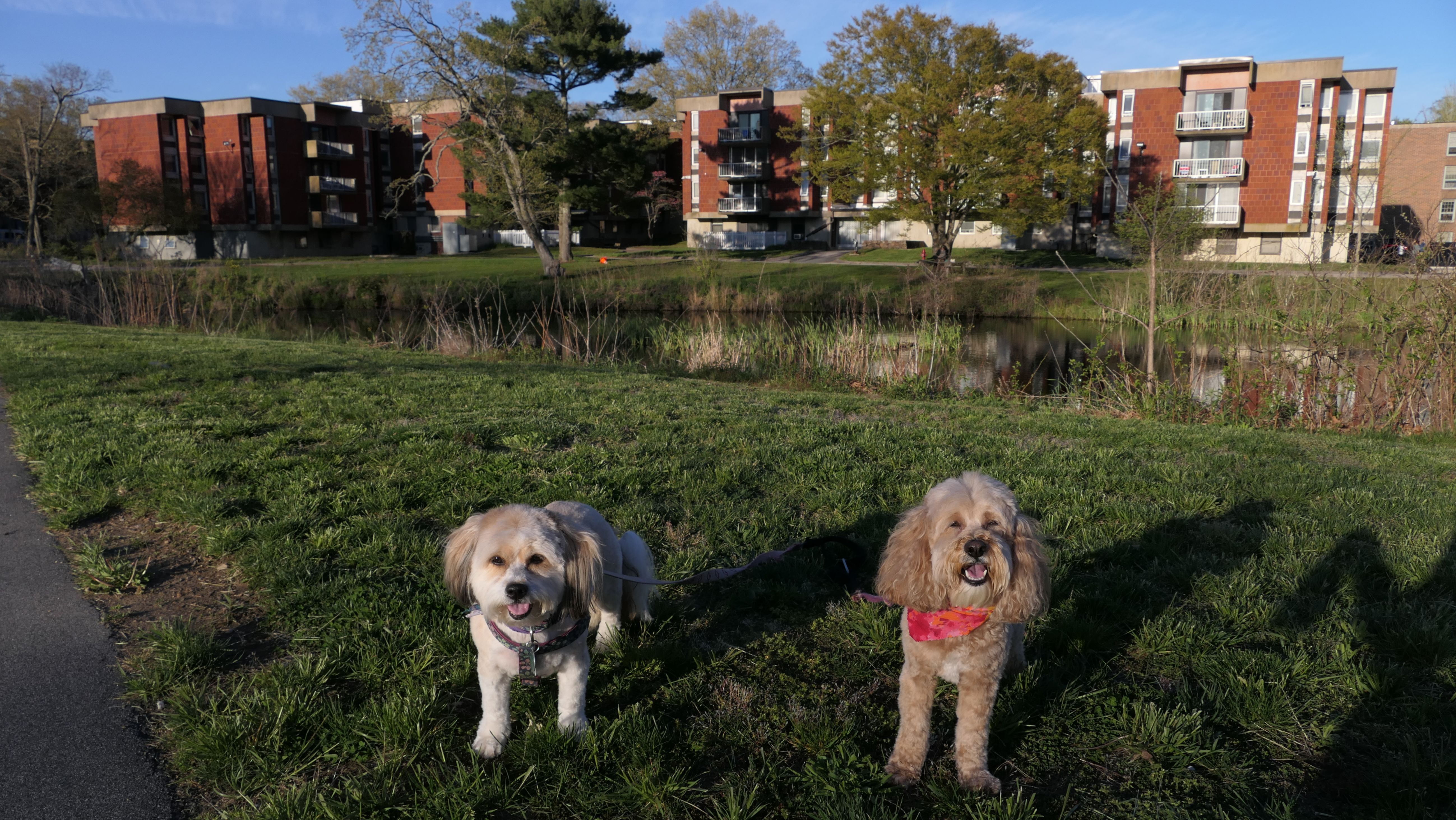
South County Bike Path
Date visited: 9/4/2022
This is a 7.8 mile rail trail through South Kingstown, also known as the William C. O'Neill Bike Path. It starts at the Kingston Train Station and ends near the Narragansett Town Beach. On our first visit, we only walked a small section from the Tri Pond Park trail to Fagan Park, which connected back to the Tri Pond trails via Dam Street.

South County Bike Path
Dates visited: 5/1/2023
Our second visit to this trail was in May of 2023. We walked the beginning of the trail starting at the train station, to the Tefft Historical Park Trails.
More Images

South County Bike Path
Date visited: 7/14/2023
Our next visit was couple months later. We started at the other end of the trail in Narragansett, and walked up to the Wakefield Historic District. This was a fun section, with some nice benches and different views along the way.

More Images


South County Bike Path
Date visited: 7/20/2023
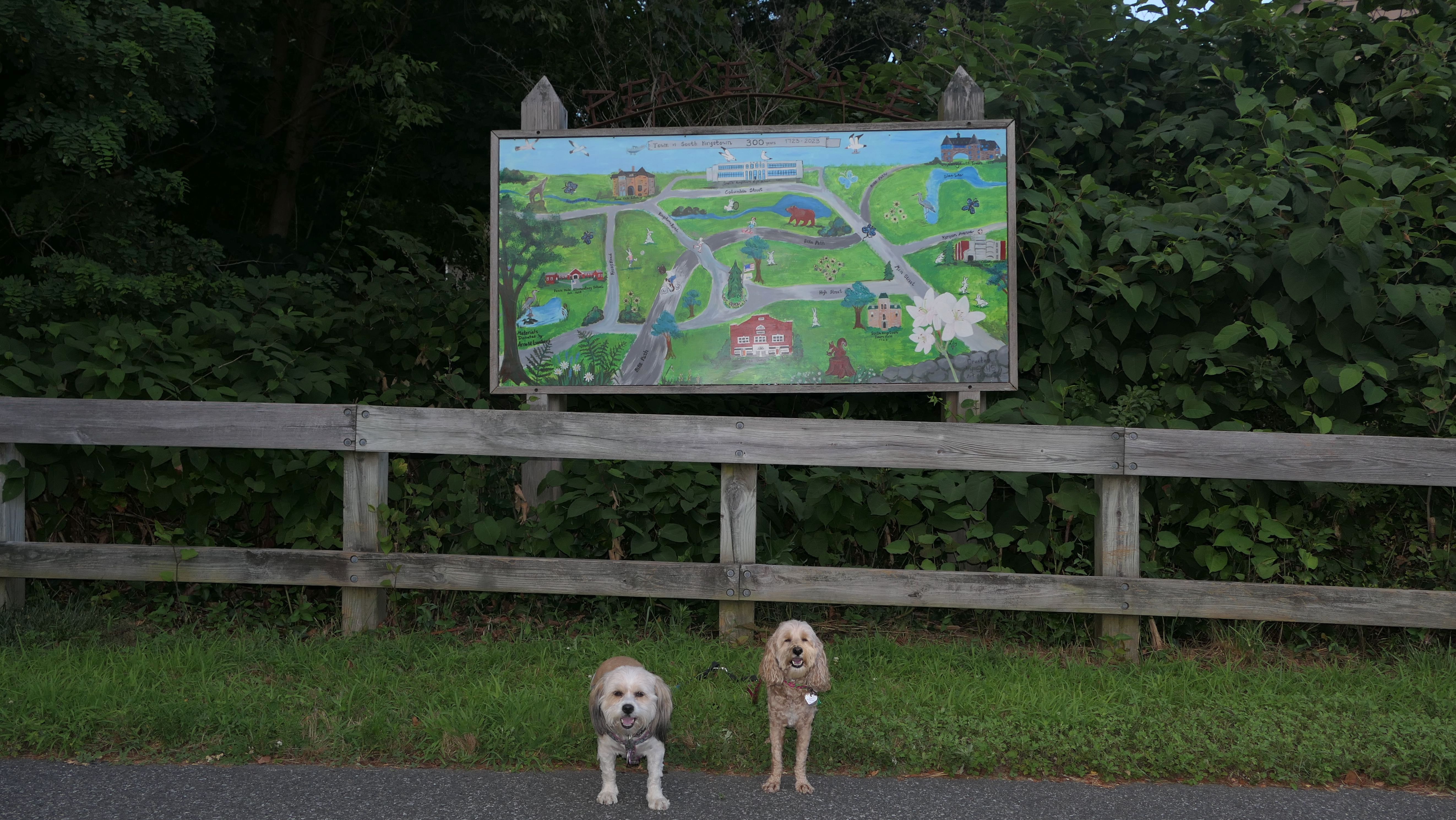
We continued where we left off the following week, starting at Wakefield Center, and making our way to Railroad Street. This is a short section that passes next to a large cemetery. Once the trail reaches the intersection of Church Street an Railroad Street, it continues on road (with a sidewalk for people on foot), as it heads to the Peacedale section of town. We stopped here and headed back to Wakefield, where the weekly RiverFire fest was occurring.

More Images

South County Bike Path
Date visited: 7/31/2023
The next section we walked started from where we left off last time on Railroad Street, to Curtis Corner Middle School. This stretch was a bit over a mile and a half, so out and back we walked three miles total here. The begining part in the Peacedale Section of town was real nice. It featured some "artsy" displays. There is an uphill incline on this section, so it was much easier coming back. A little less than half this section we had already covered on our first visit here last September, so I didn't take any additional photos of that part of the trail.
More Images


South County Bike Path
Date visited: 8/2/2023
We finished the trail on our next trip, walking the section between Curtis Corner Middle School, and where we left off in May near Tefft Historical Park. There is not as much to see on this stretch, but it was an enjoyable walk anyway. It was a gorgeous evening, with temps in the low 70's. It was a good way to finish up a very nice bike trail.
More Images


Great Swamp Management Area
Date visited: 5/1/2023
We only explored a small section of this place. We took some side trails off the South County Bike Path that looped around through a section of baby pine trees.

More Images
Tefft Historical Park Trail
Date visited: 5/1/2023
This is another area we reached via the South County Bike Path. We walked a small loop trail that connected back to the bike trail. There is a great section of trail that goes by an area surrounded by rock walls that includes a teepee! There's a historical cemetery and a cool staircase leading back to the bike trail.

More Images


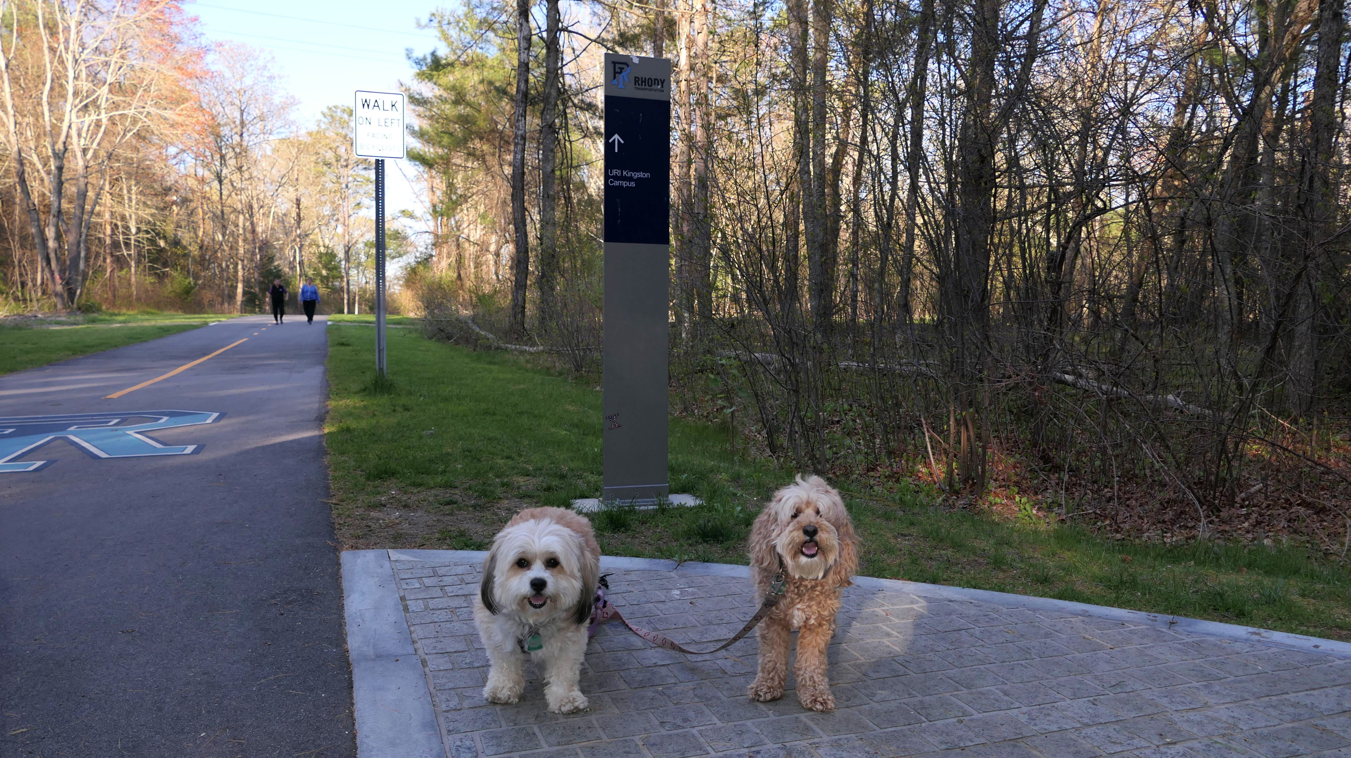
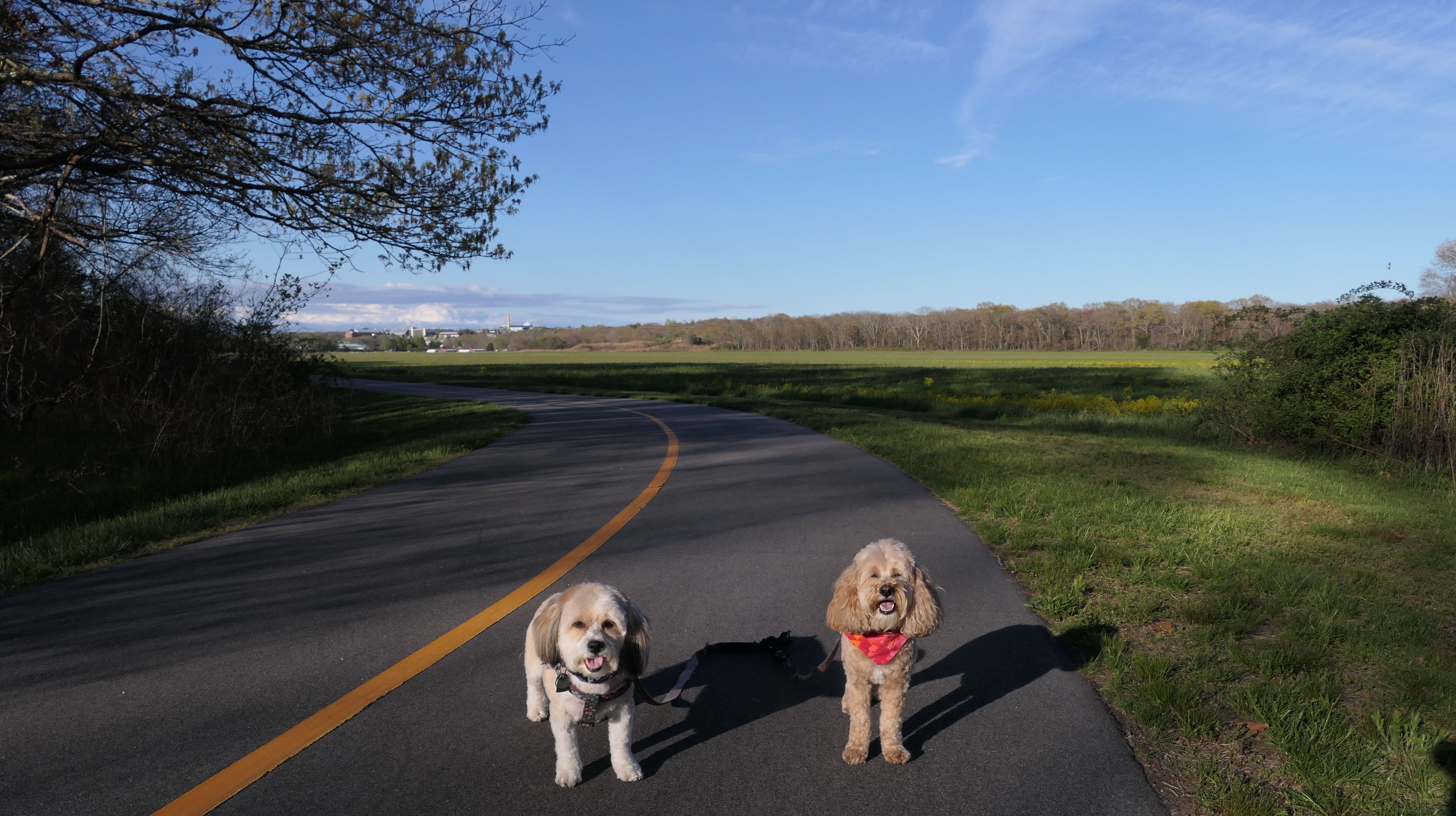
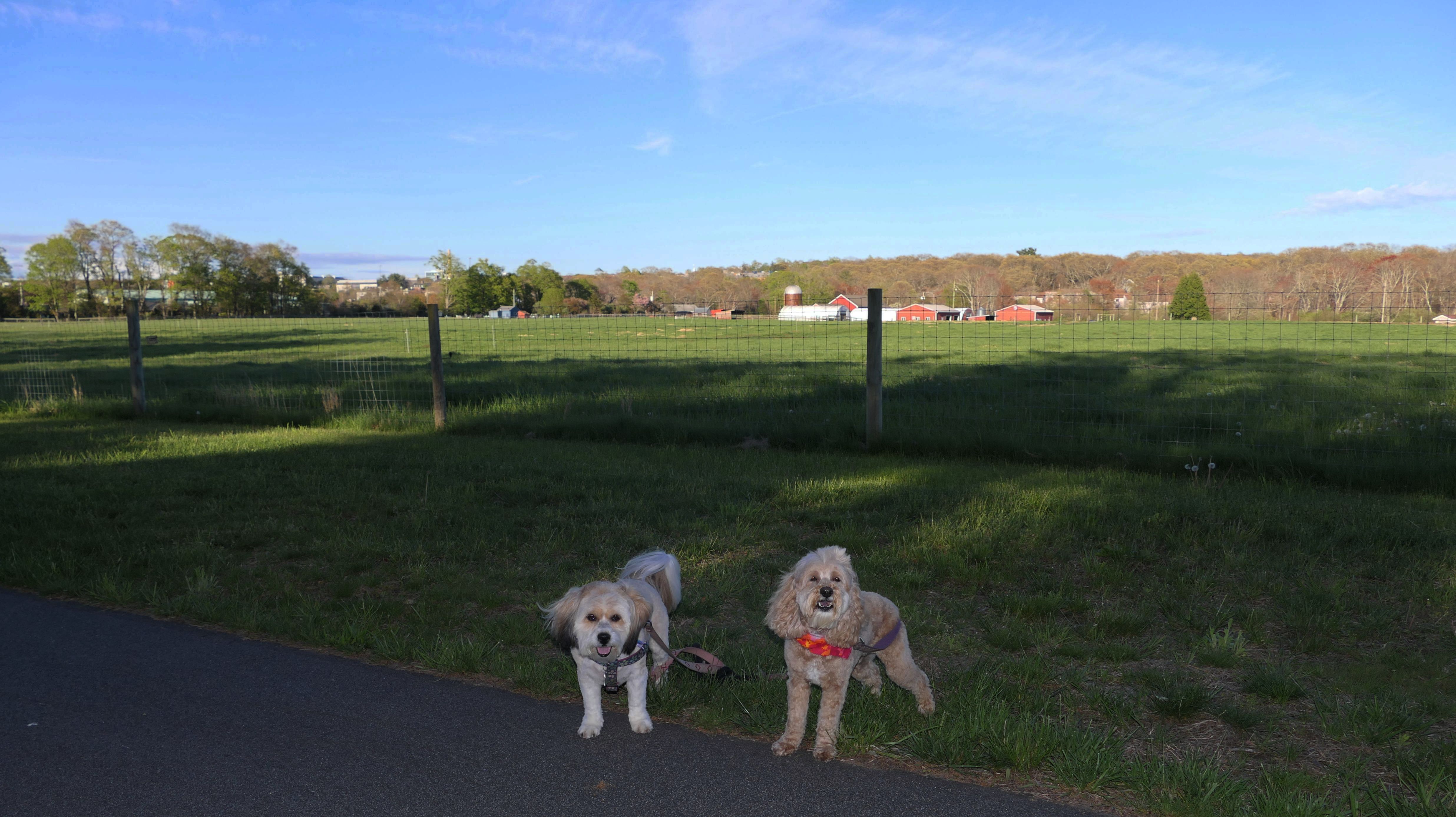
URI Connector Path
Date visited: 5/3/2023
This trail is a spur off the South County Bike Path starting about a tenth of a mile east of where the main bike path intersects Route 110. It proceeds for about two miles leading to the University Of Rhode Island campus. It runs along side an open field, and then some farmland before crossing Route 138 and then passing by the college's athletic fields. It continues right into the heart of the campus.
More Images
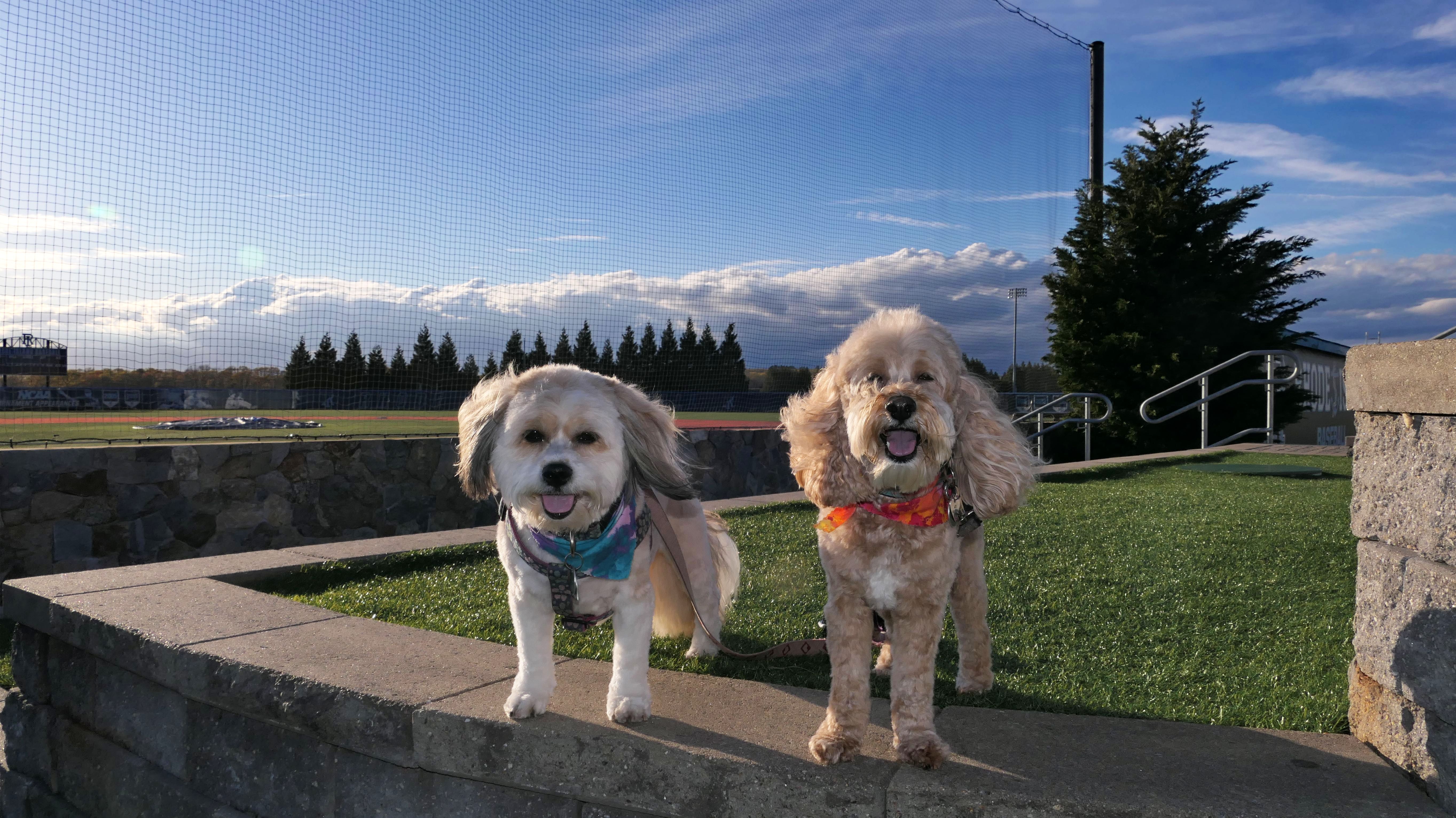
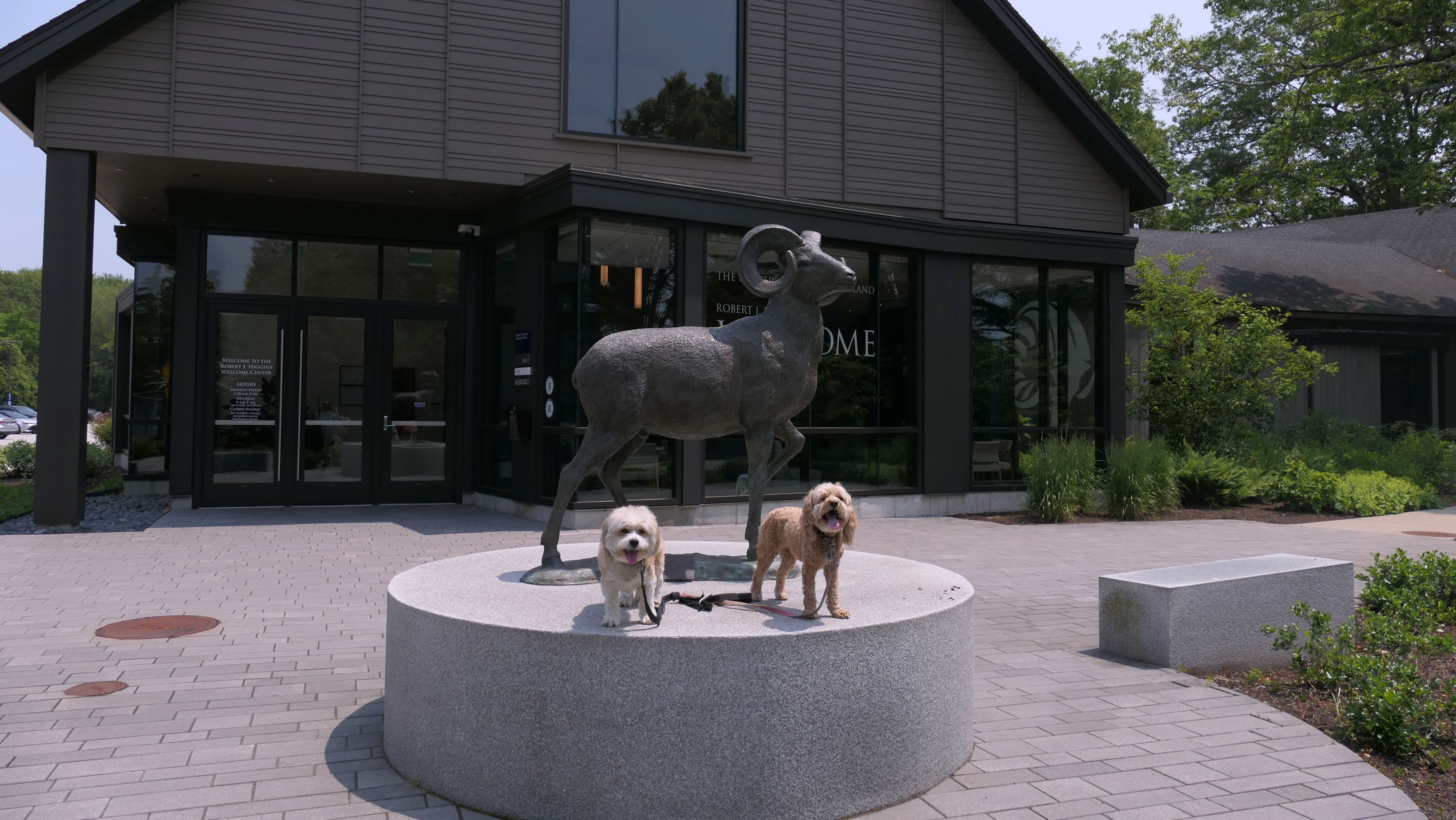
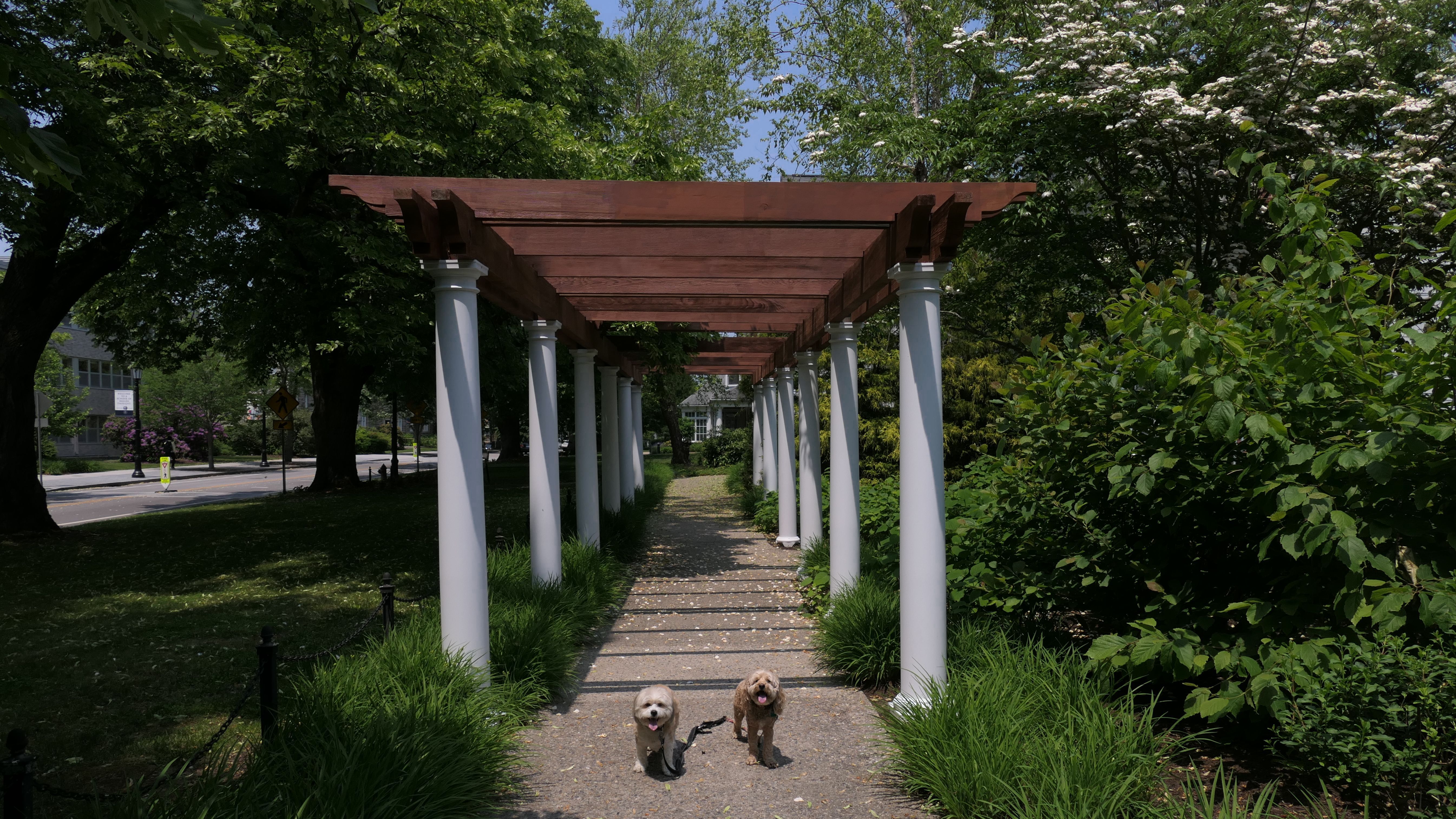
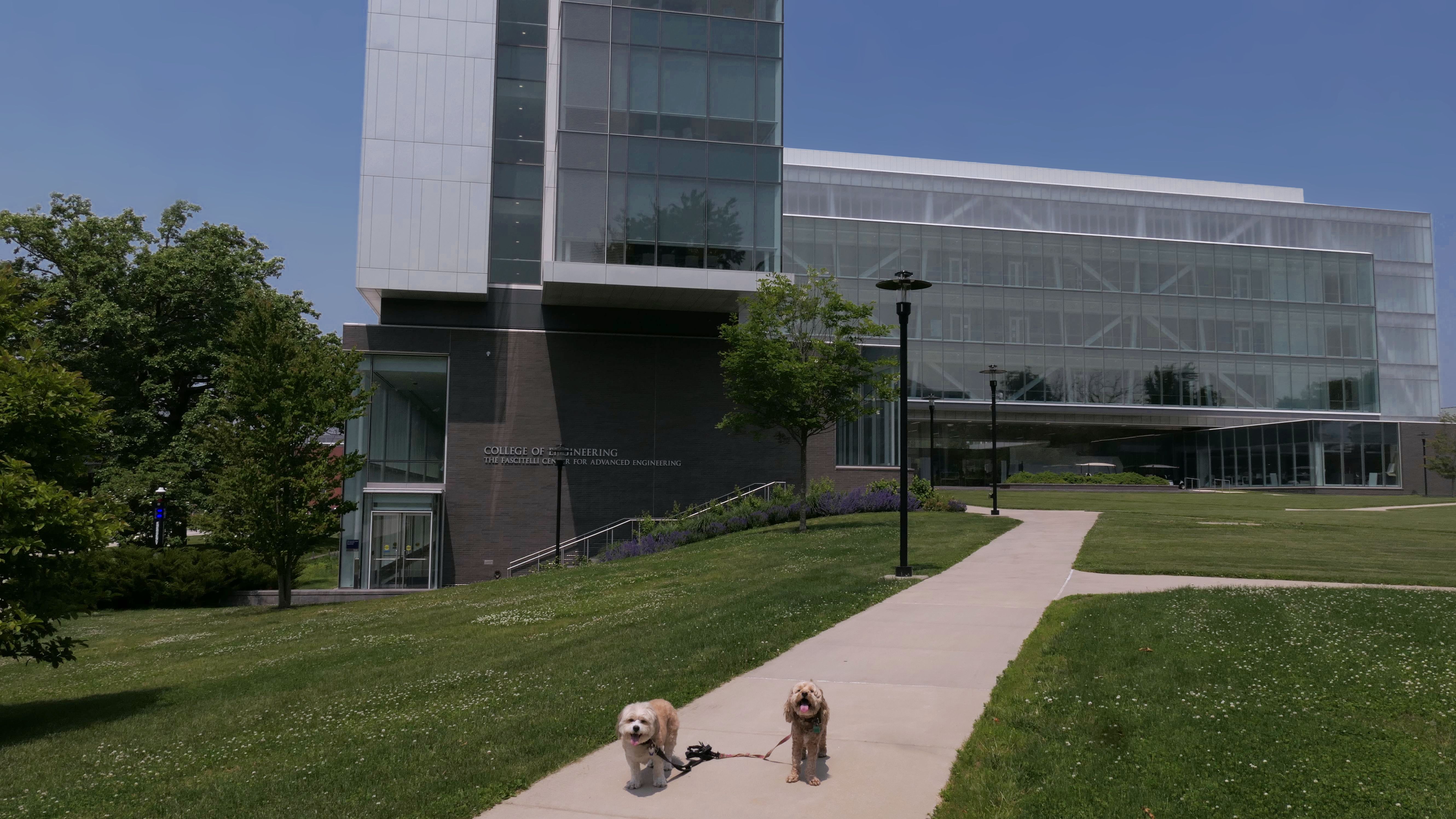
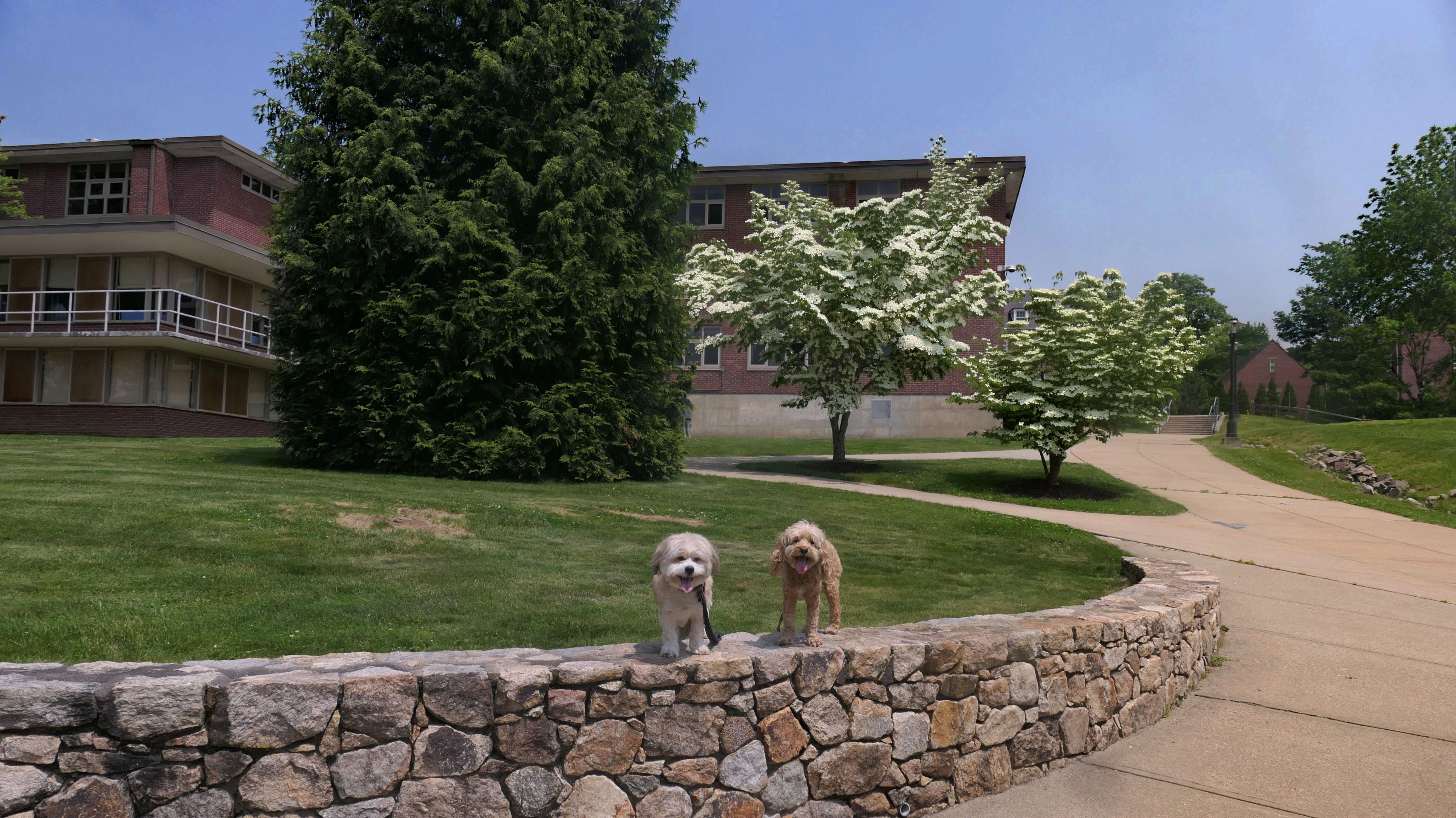
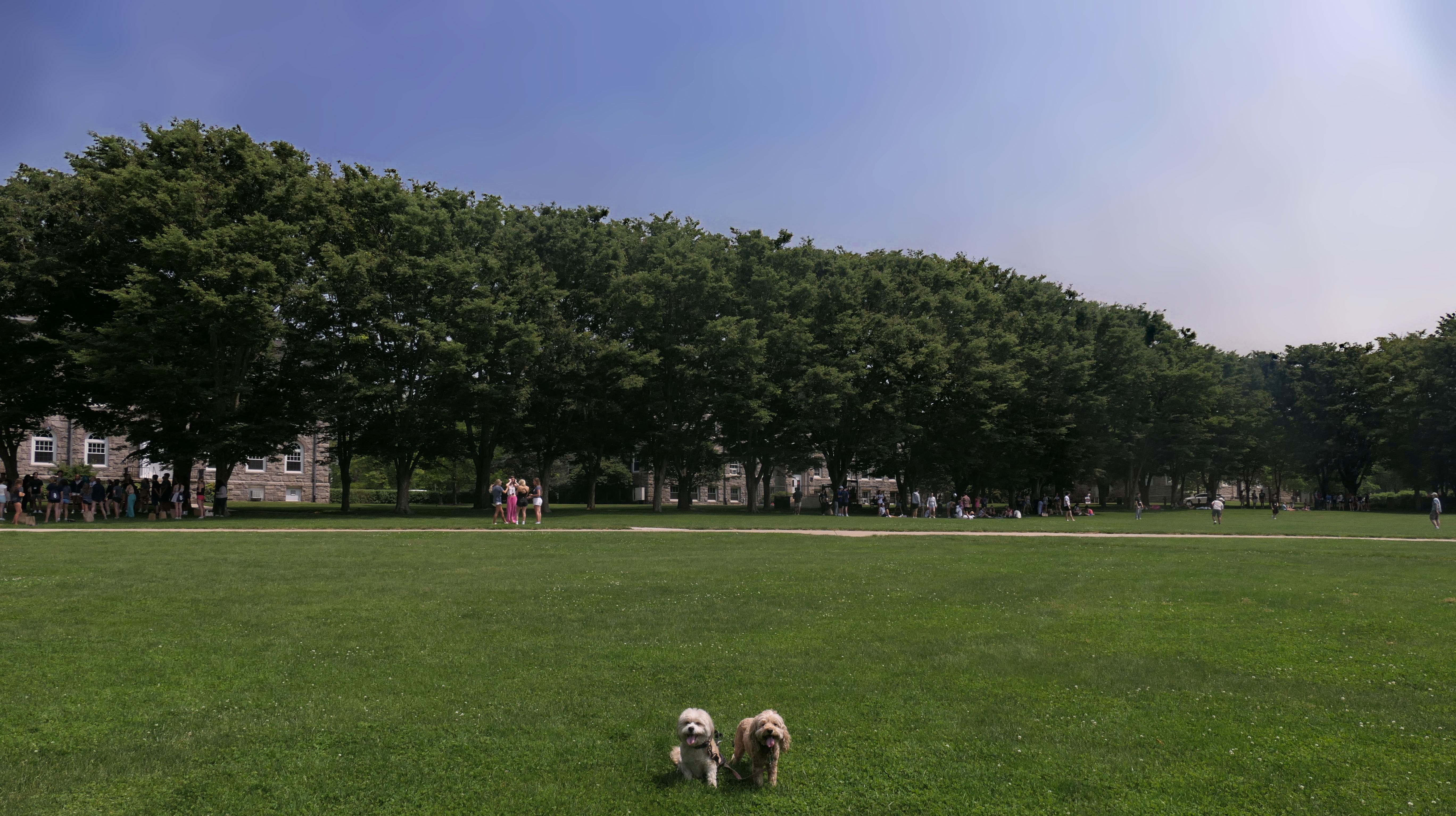
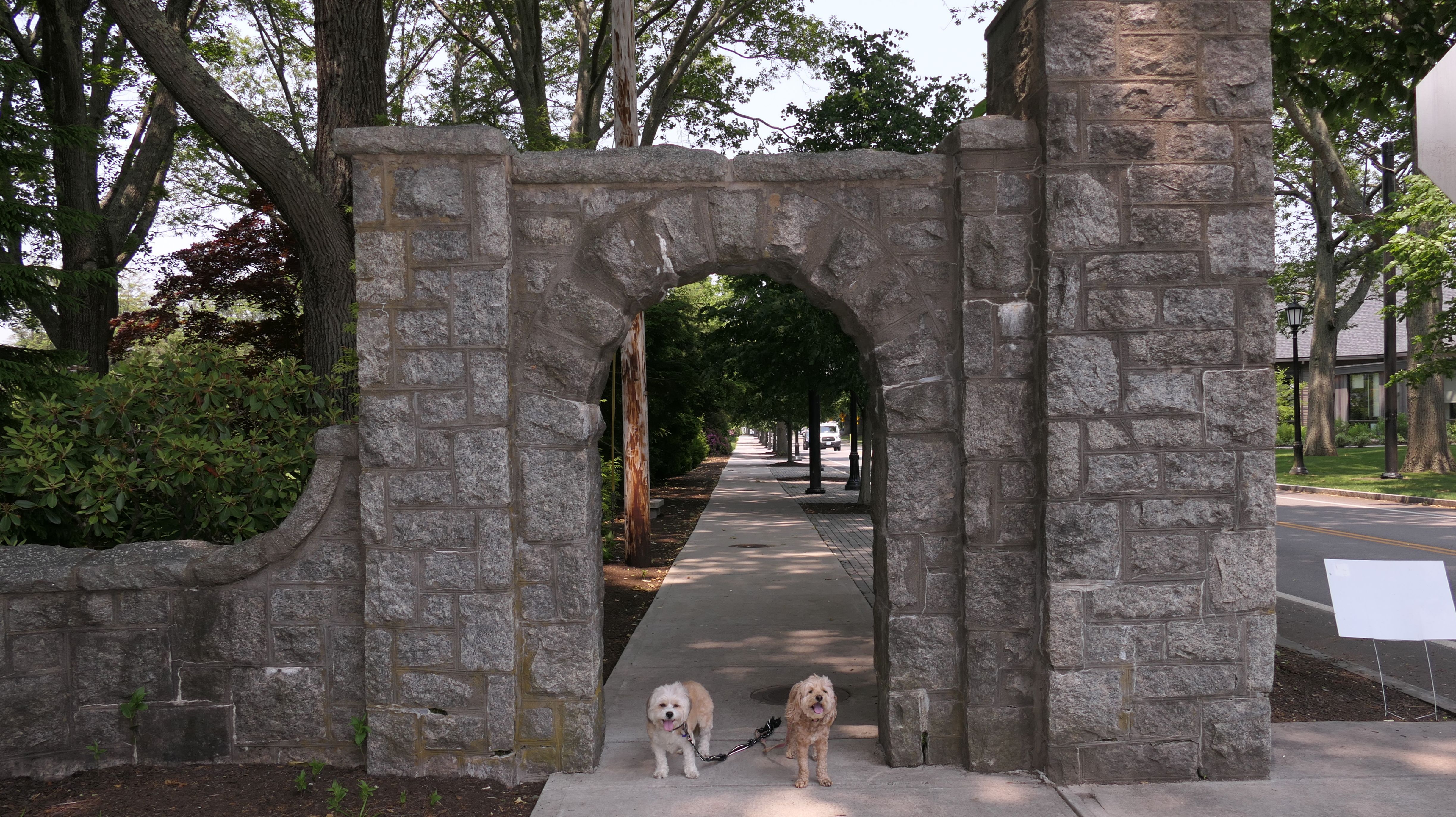
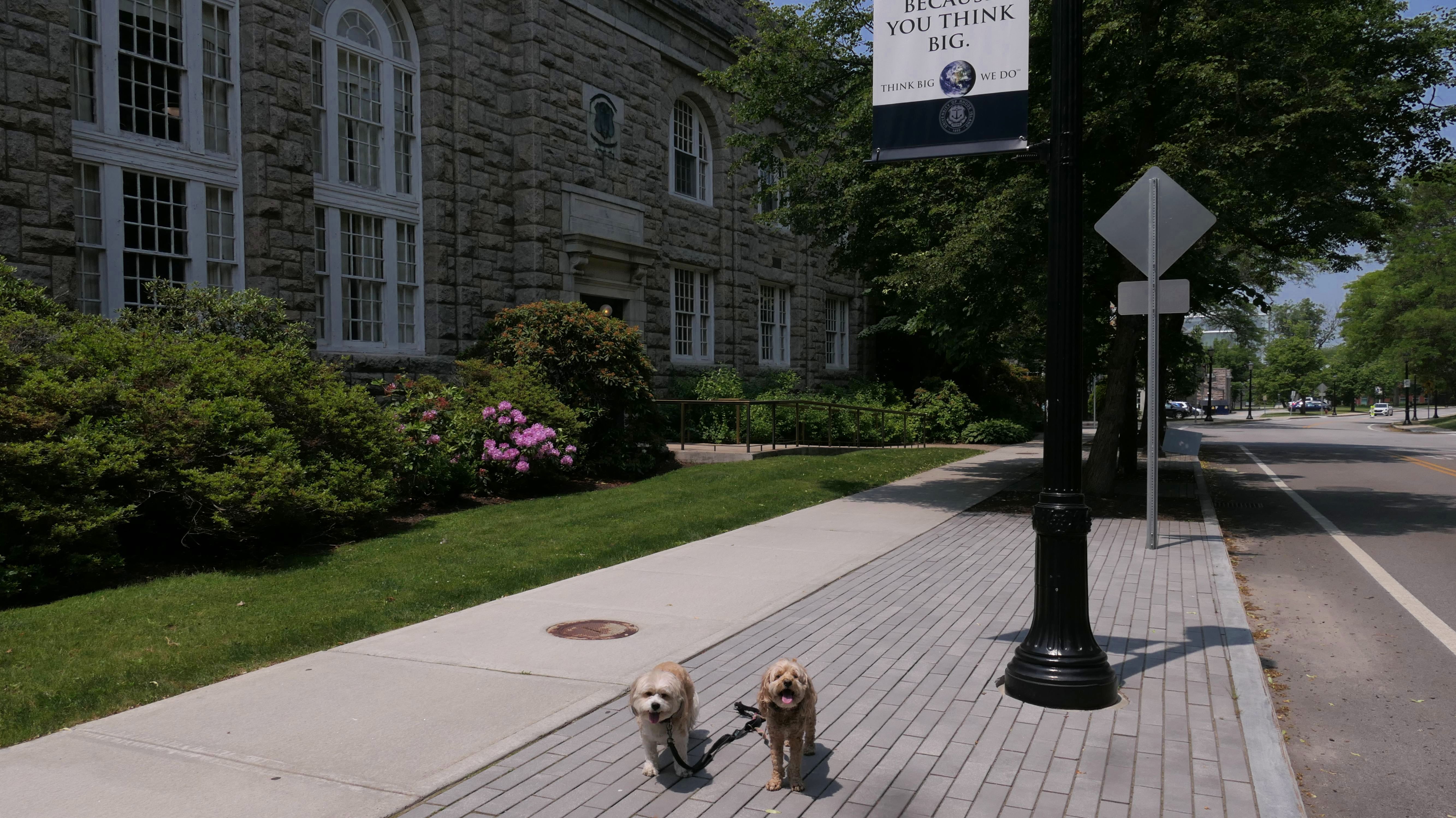
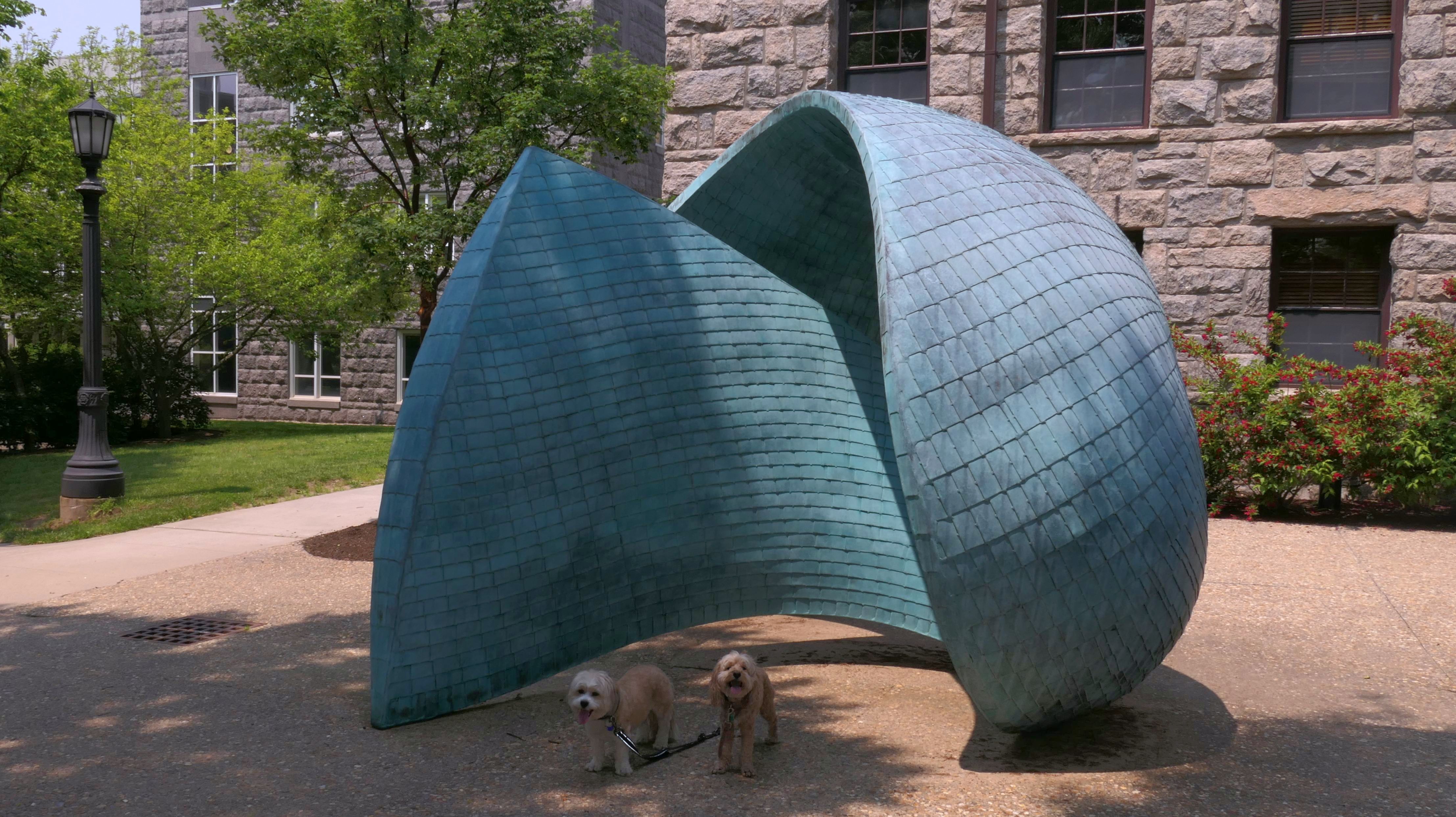
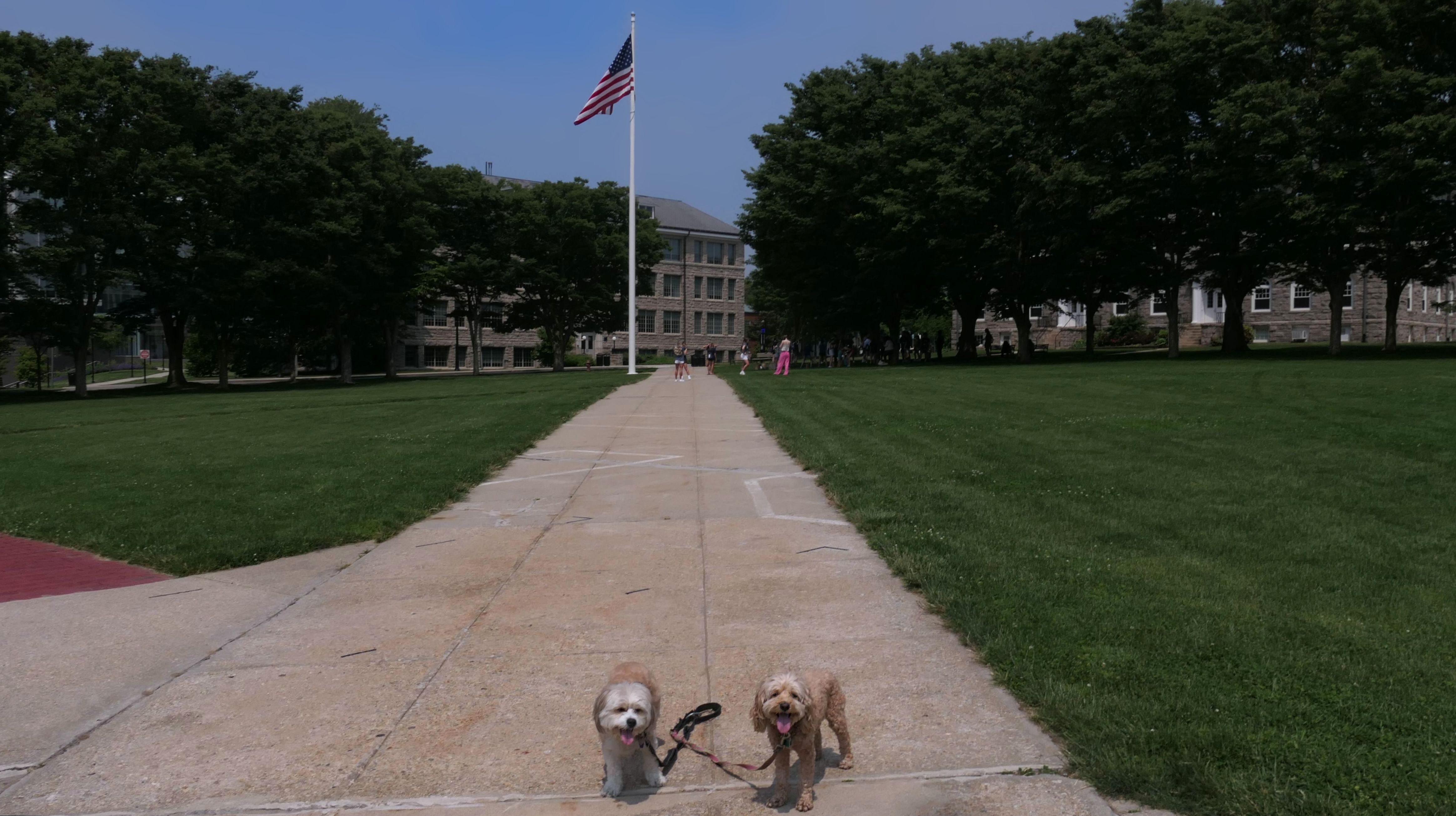
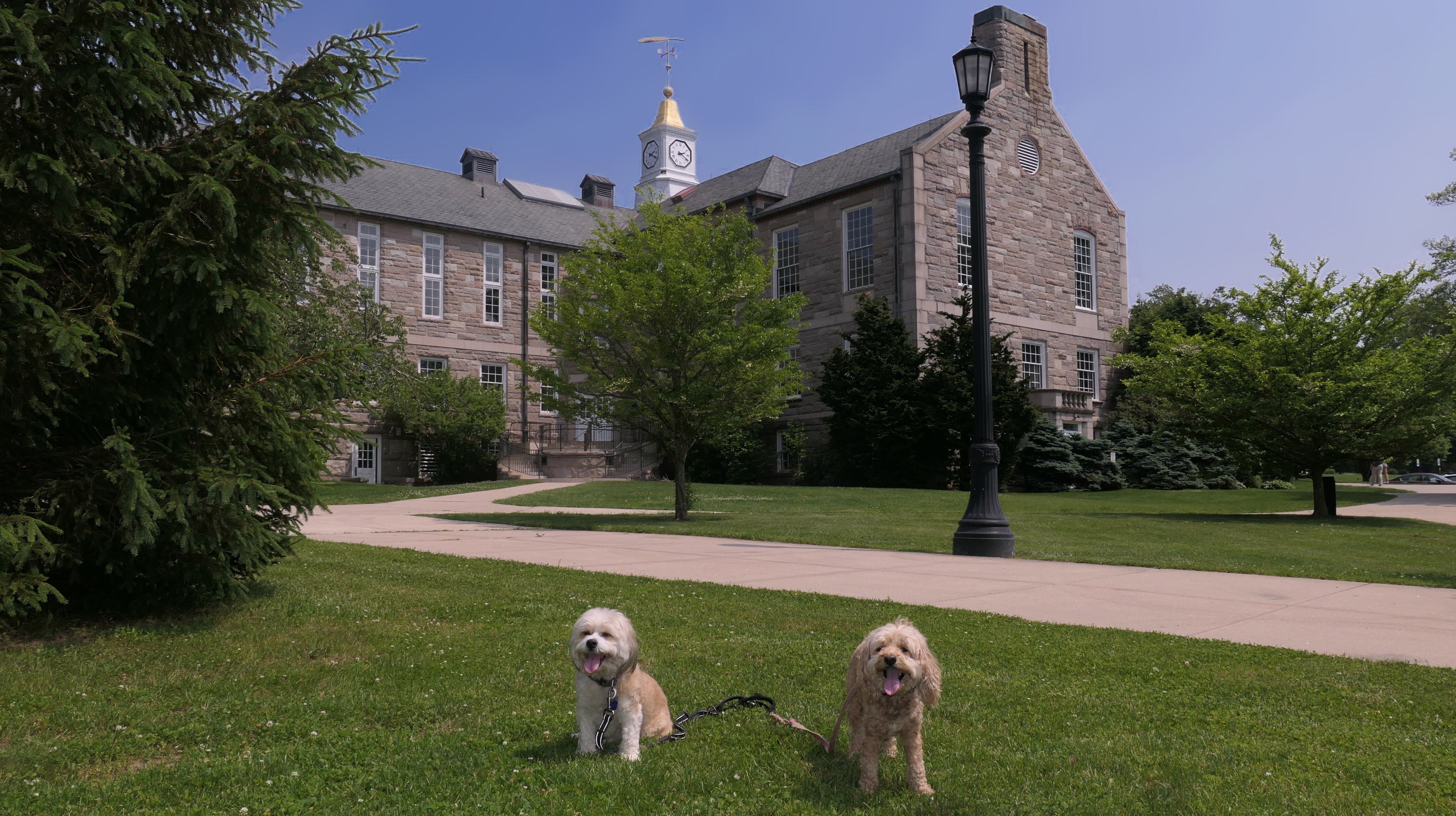
University of Rhode Island
Date visited: 6/6/2025
We've been visiting a few college campuses lately. We've actually been to part of this campus before when we walked here on the bike trail. This time we visited the main campus. It's a very nice campus, with a lot of different courtyards and grassy areas. The mascot is Rhody the Ram, and Mandy and Lexi got to take a picture with his statue! The school was holding a new student orientation, so the quad area was filled with kids, despite the college being on summer break. It was warm and hazy, but quite a bit cooler than the more inland areas. We still kept the walk to just about two miles because of the heat. I didn't think the college was quite as nice as Brown, or Bryant, but was still a very nice place to take a walk with the dogs.

More Images
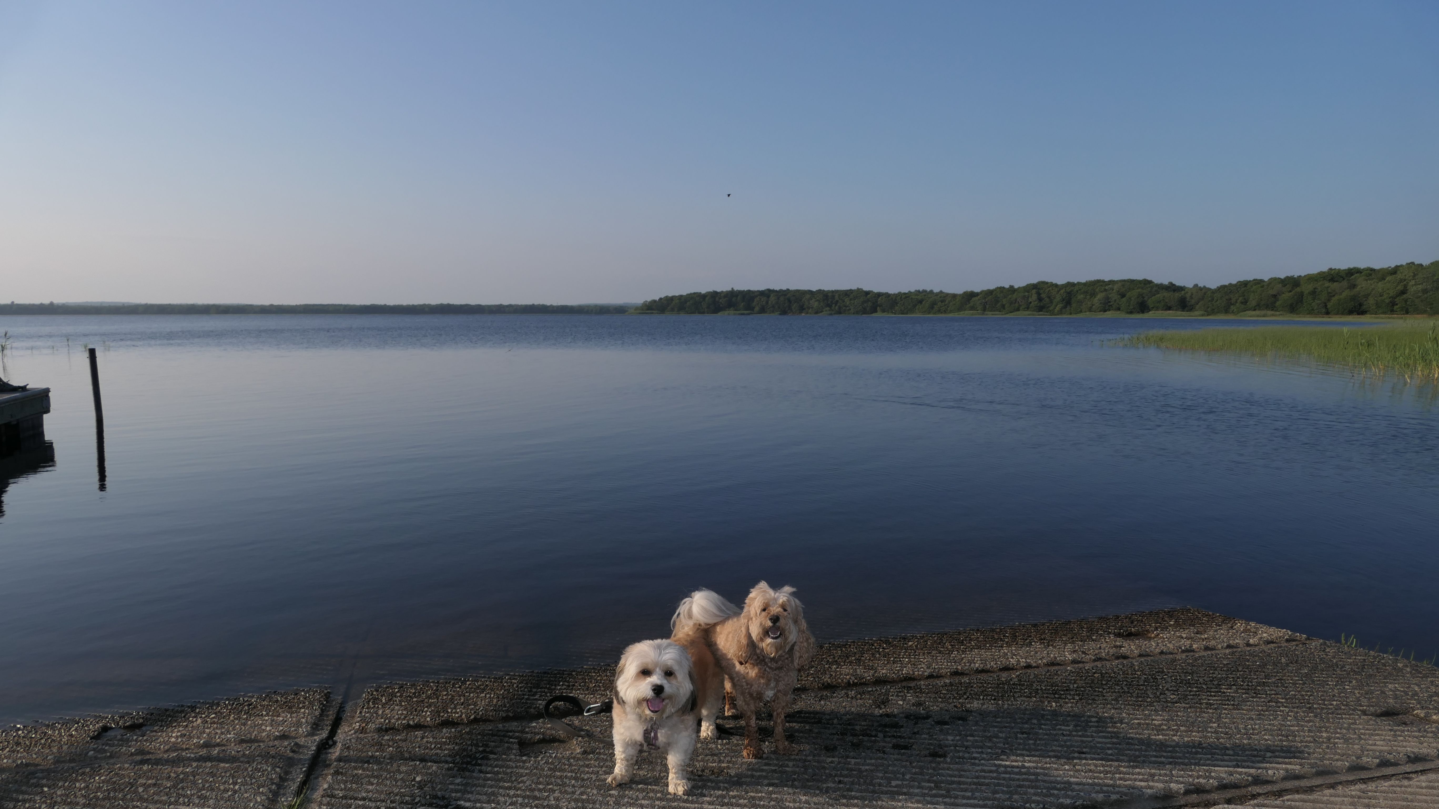
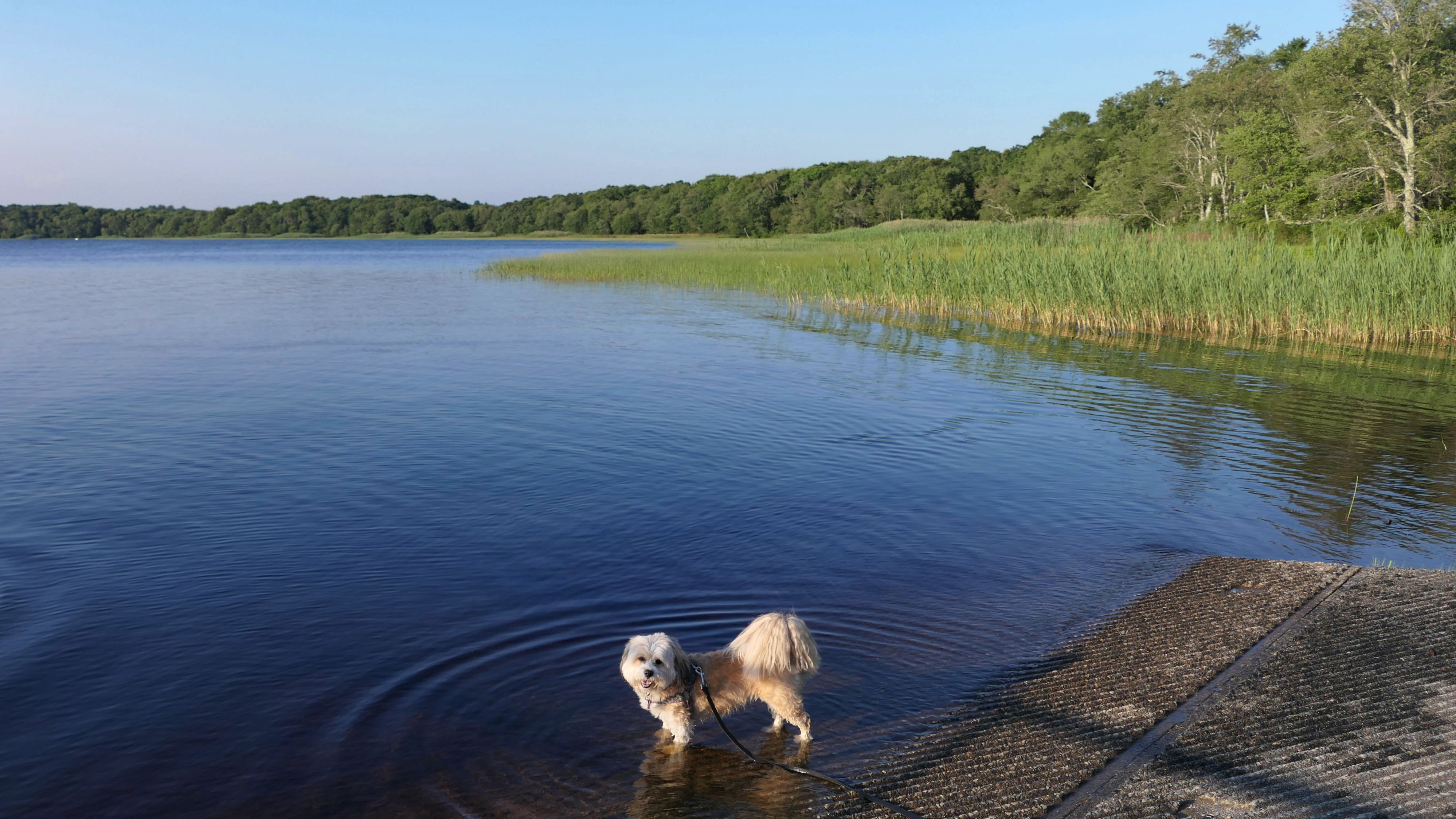
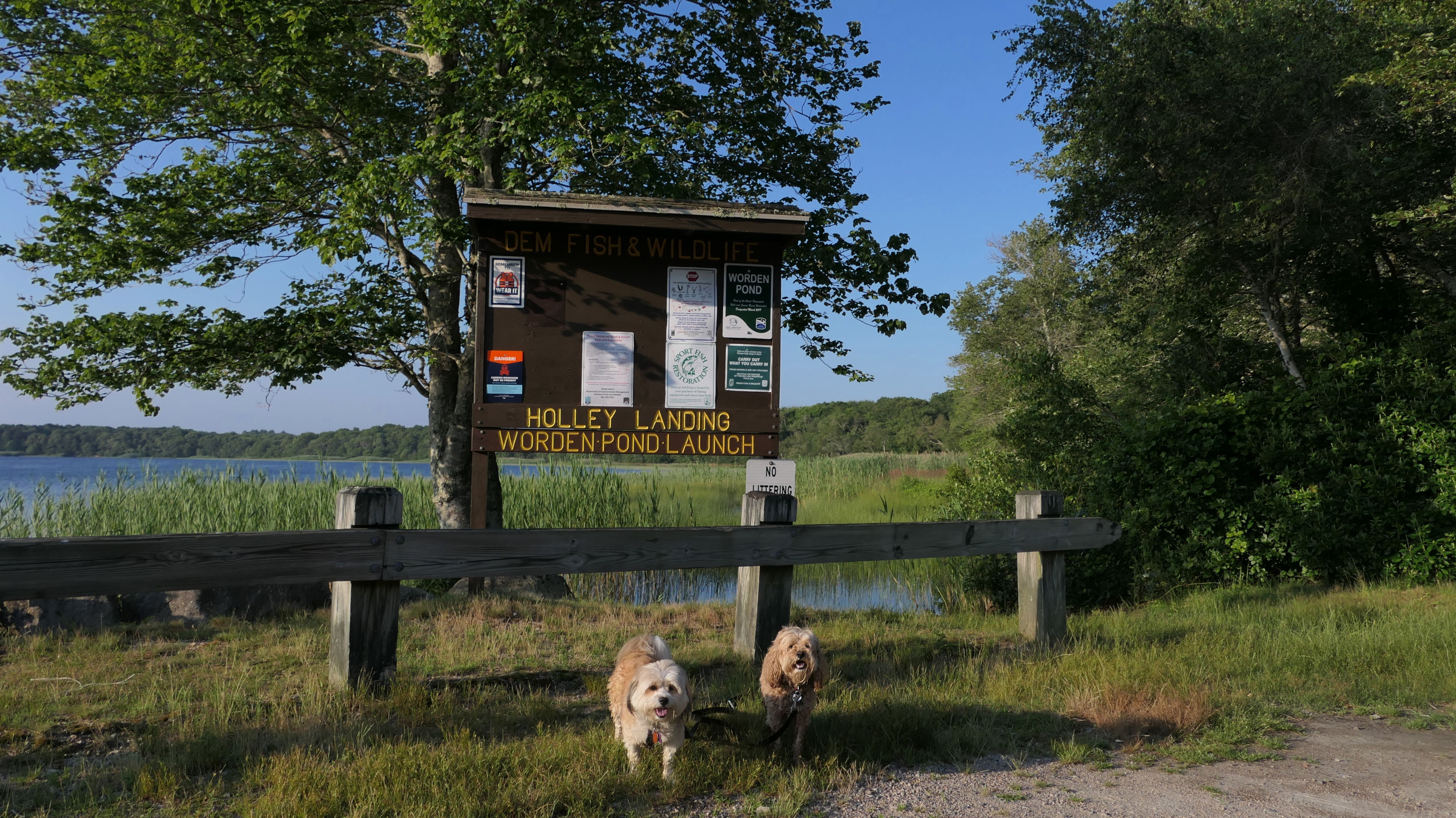
Worden Pond
Date visited: 6/29/2023
This is actually the state boat launch. We were driving by, and I decided to stop so the dogs could cool off in the water. I wasn't the only one with this idea, as another dog showed up to go for a swim as well. There's no trail here or anything... It's just the boat launch, but it did the job providing the dogs with a spot to cool off.
More Images


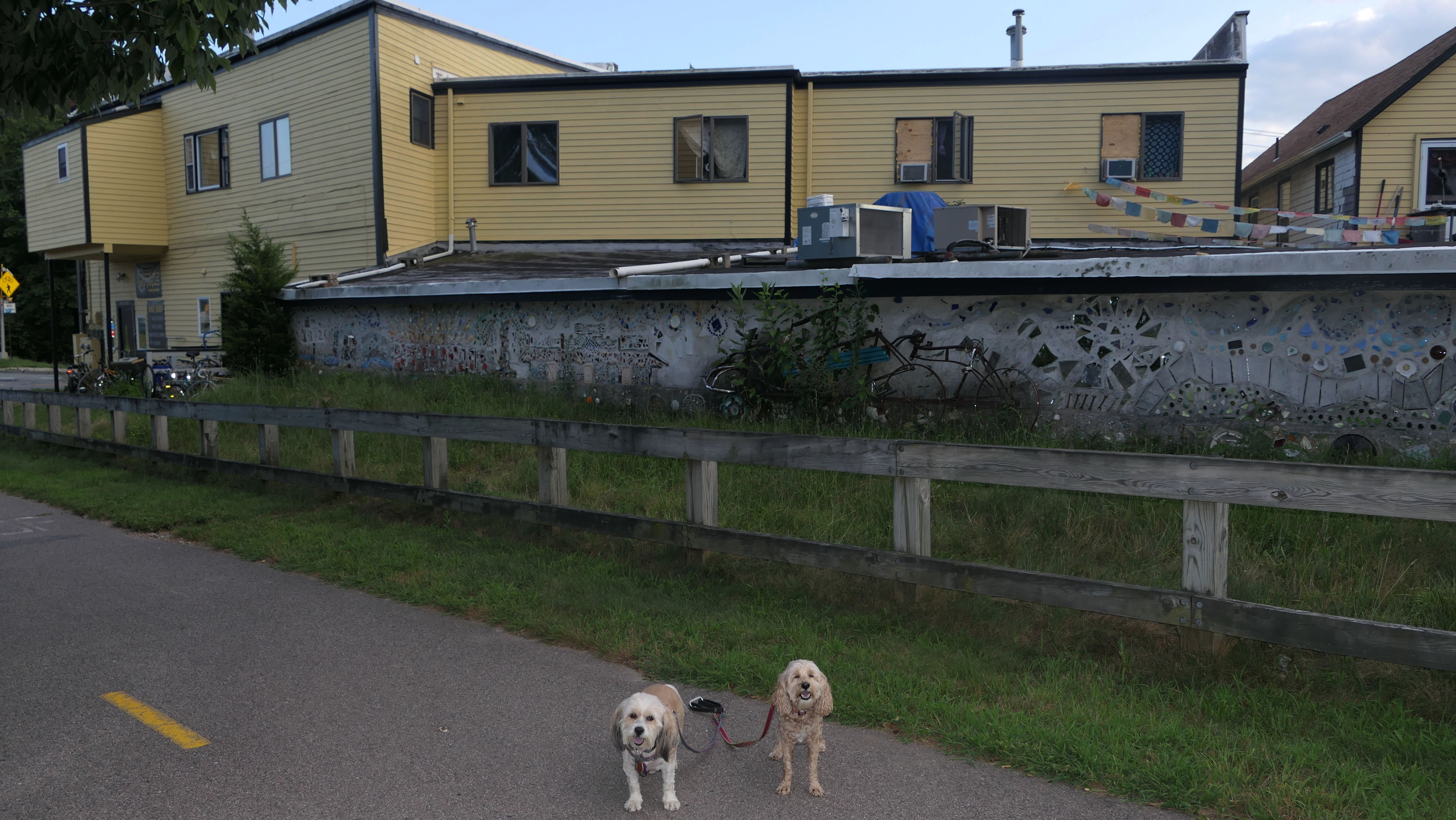
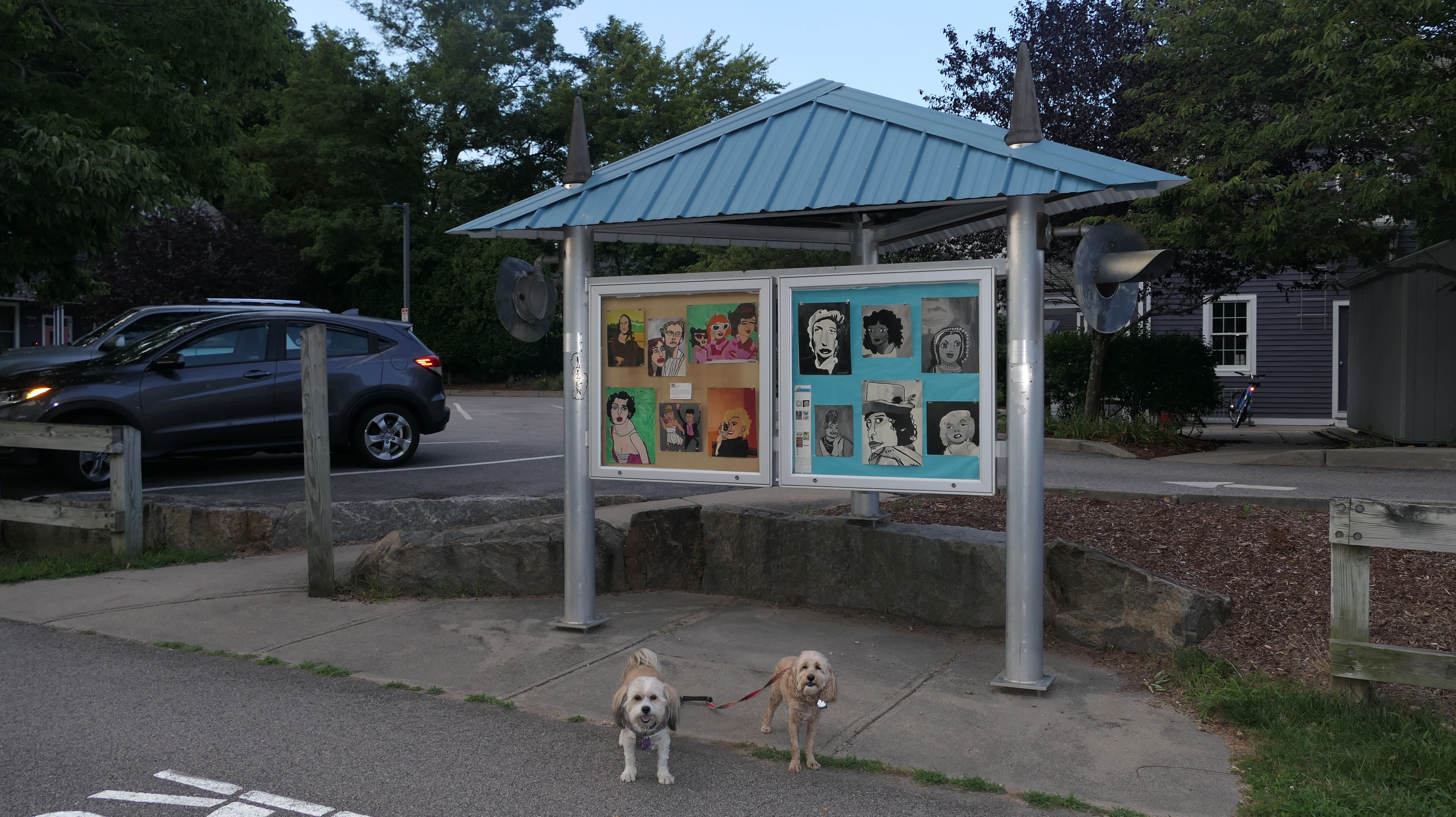
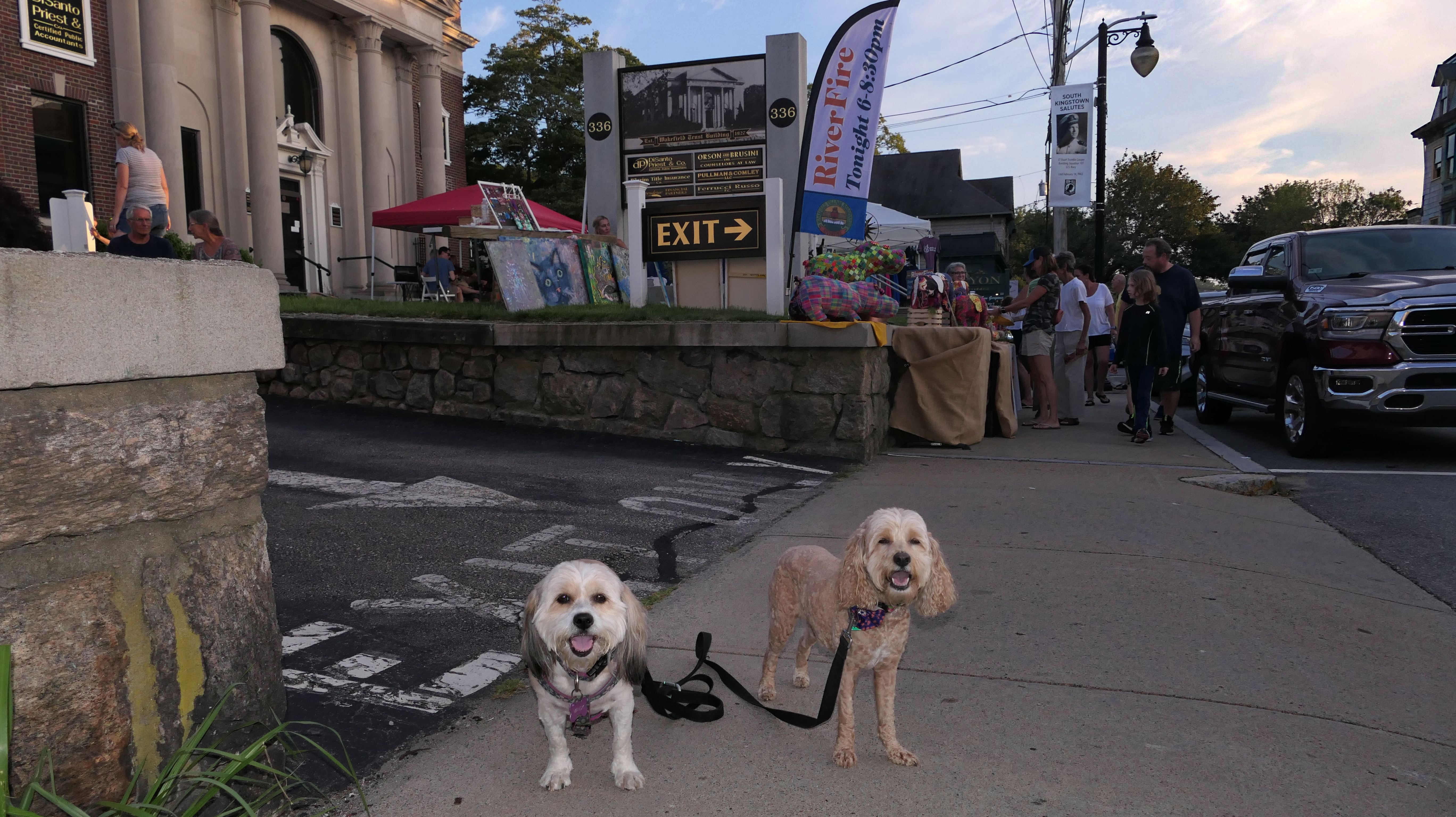
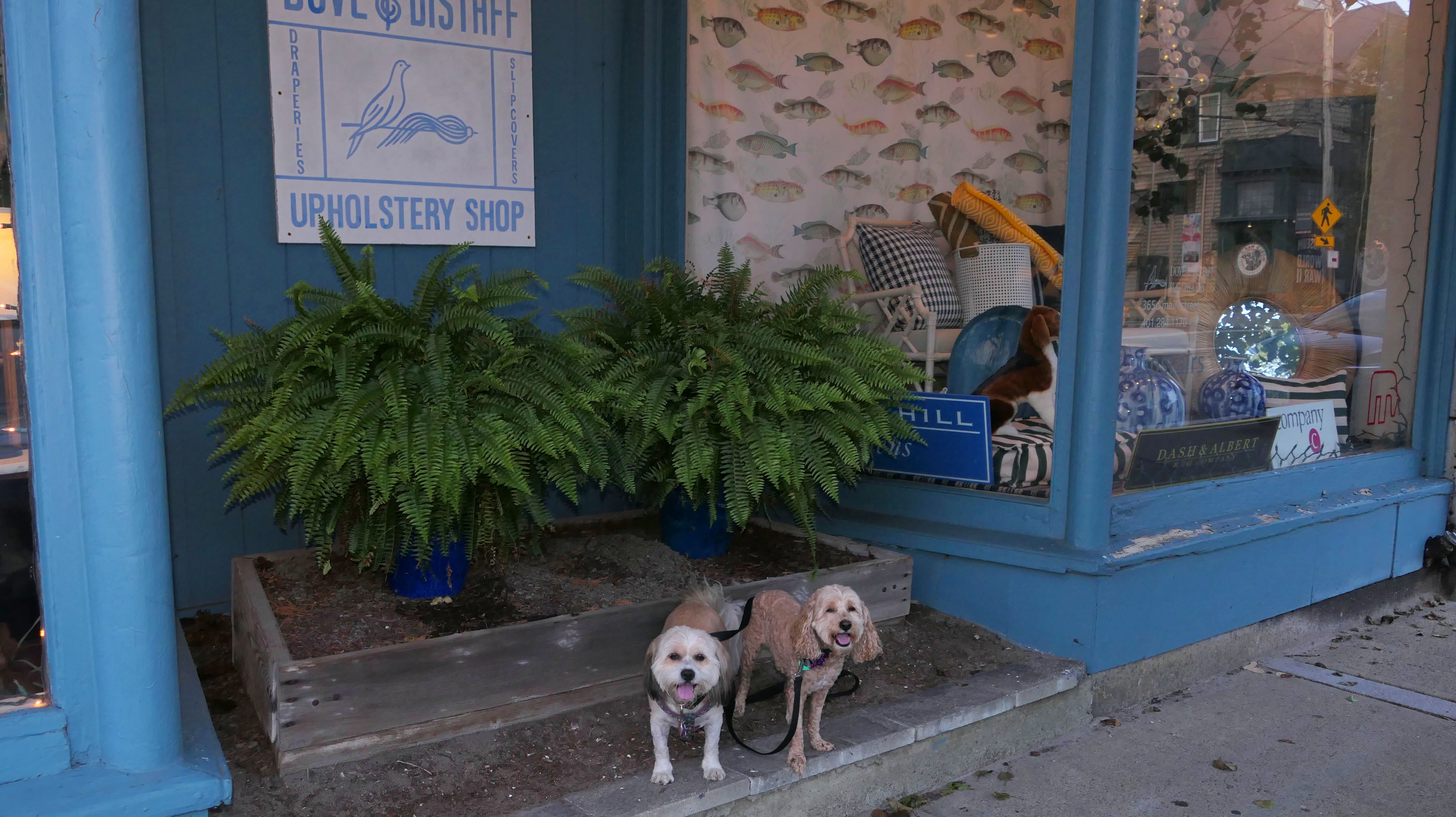
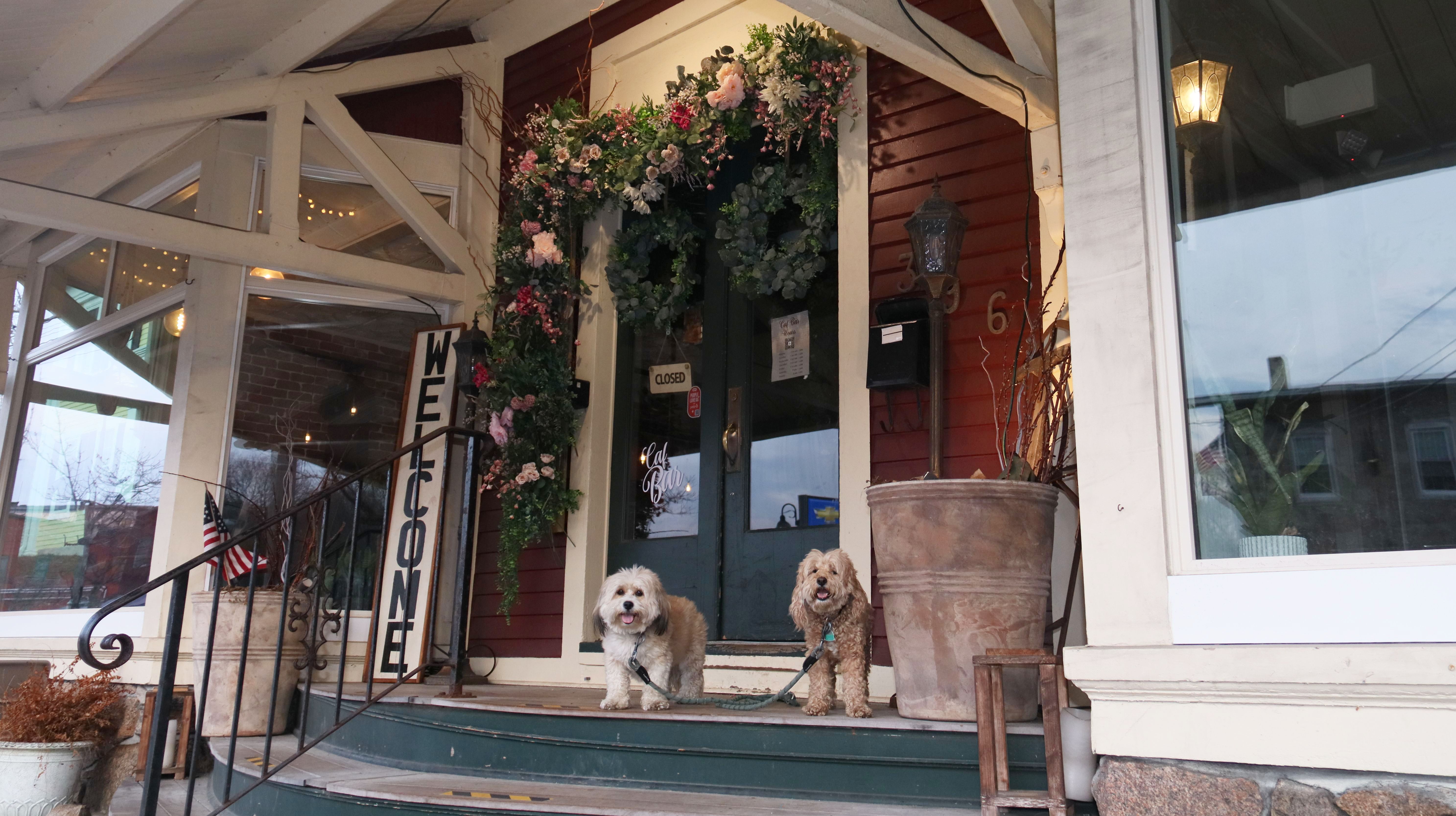
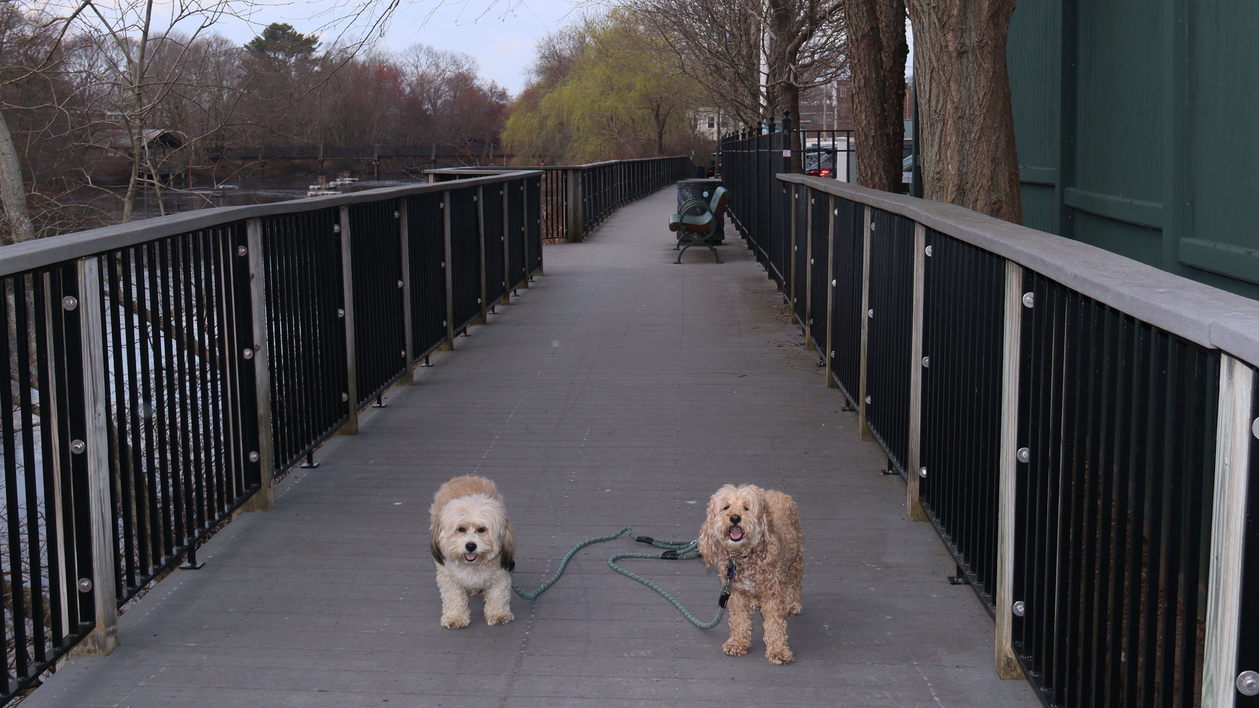
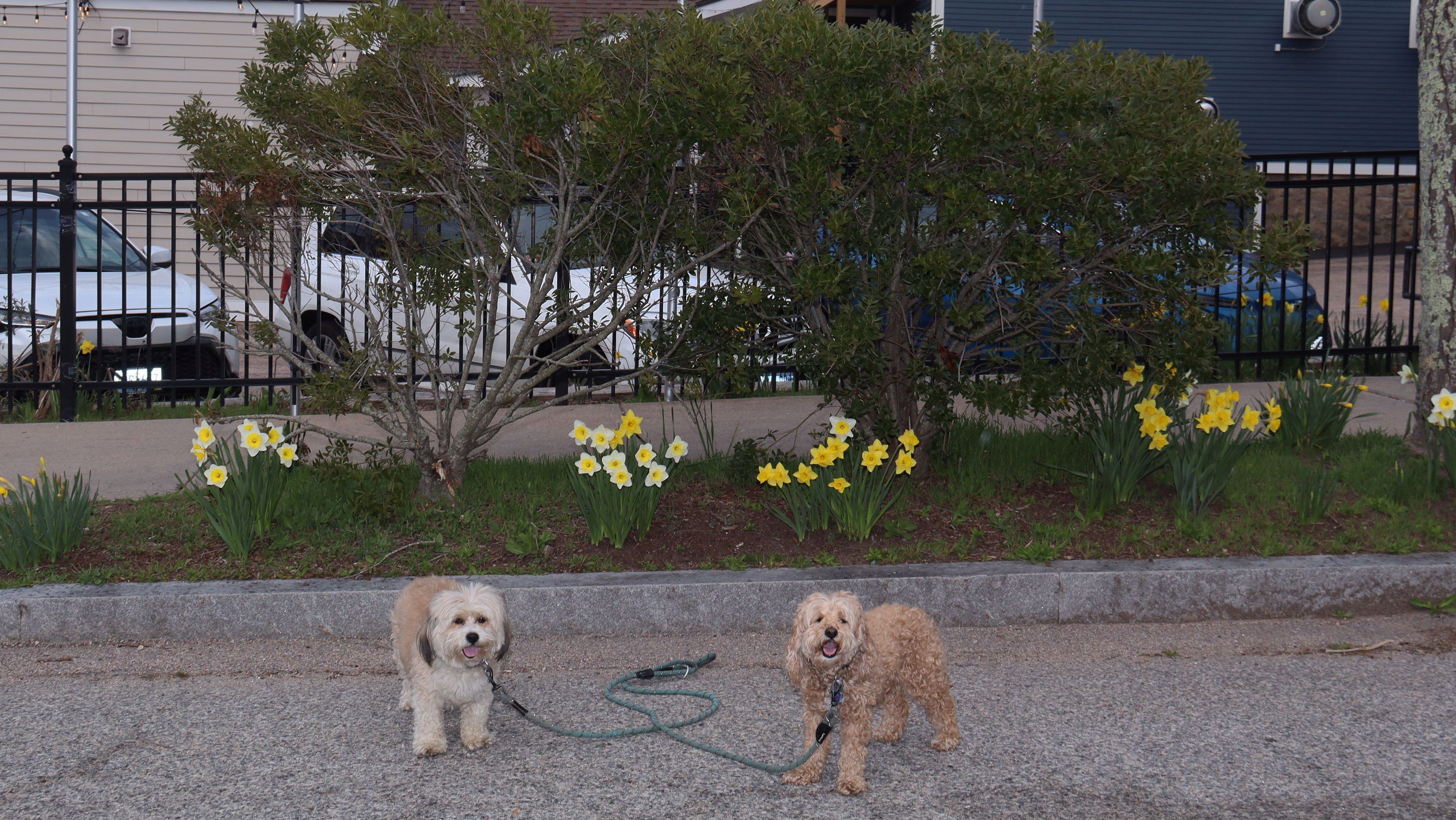
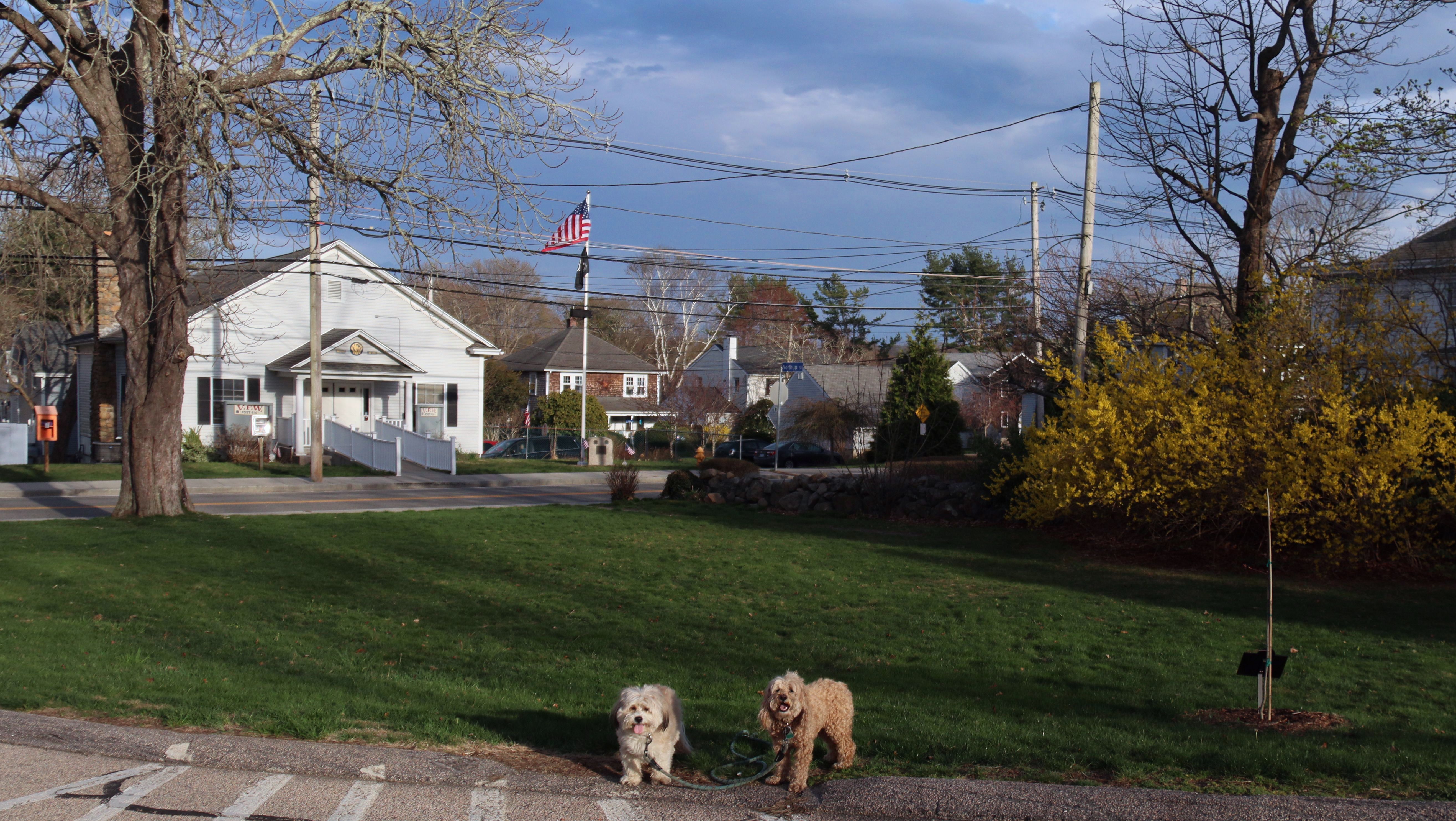
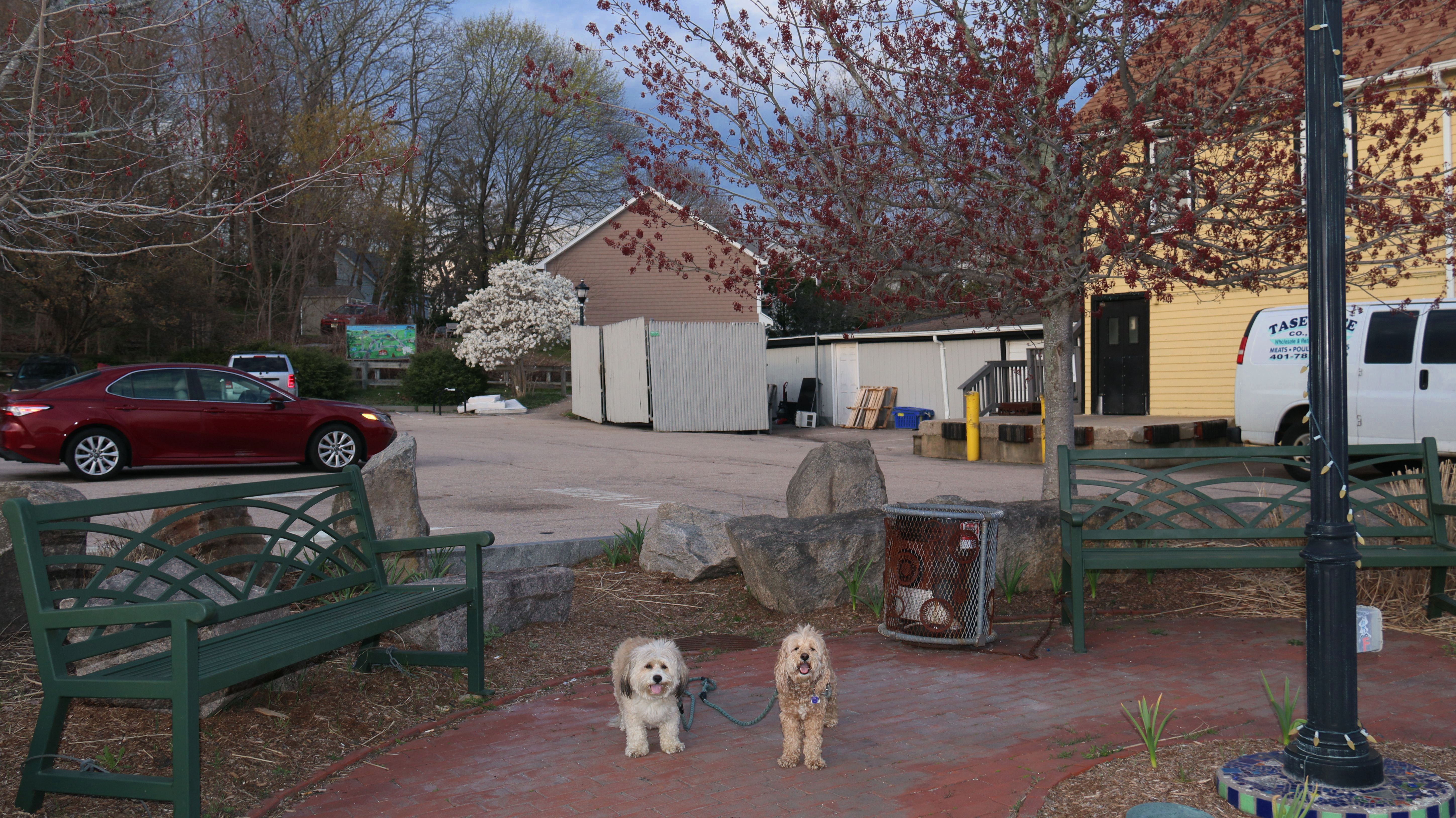
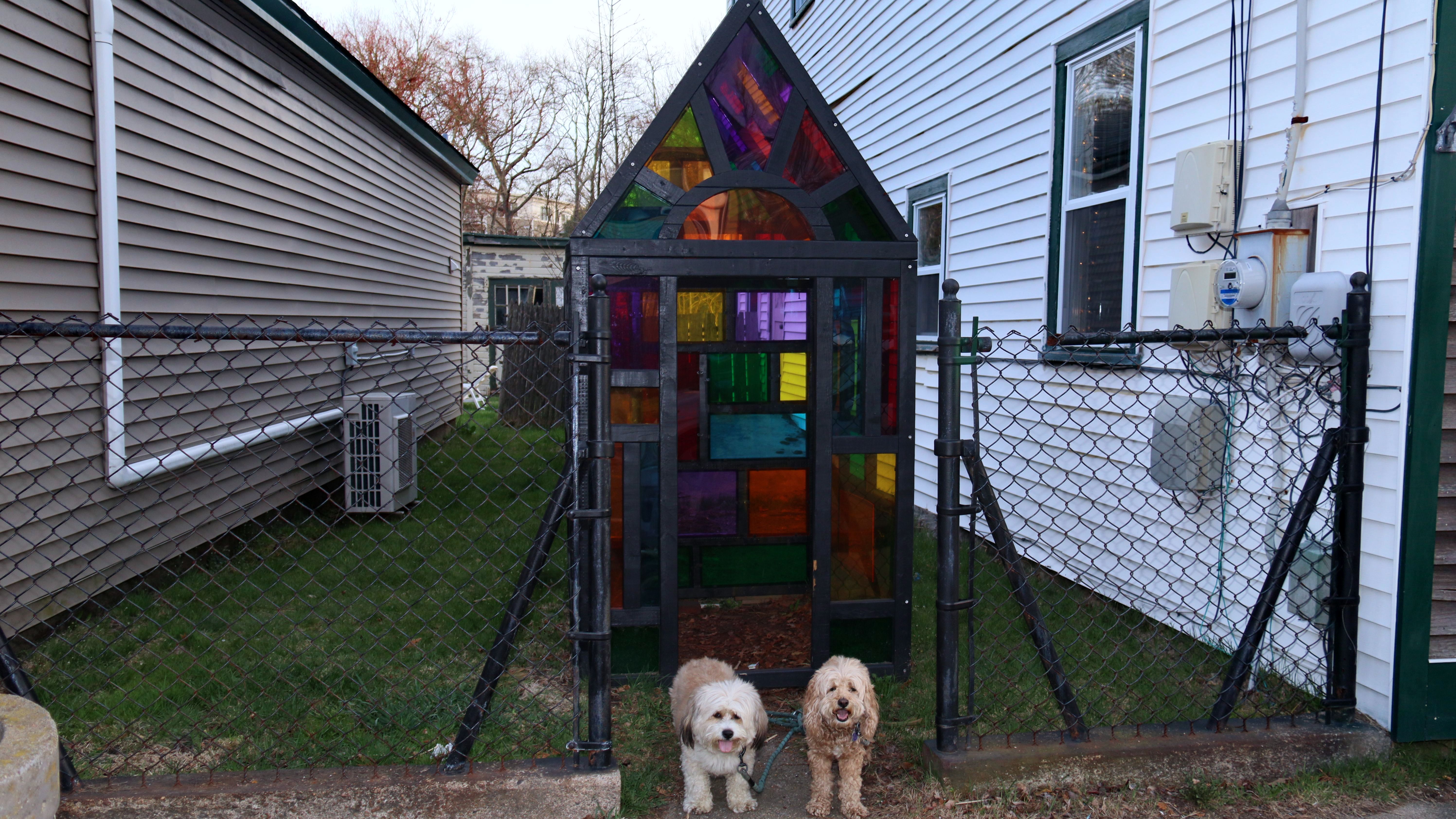
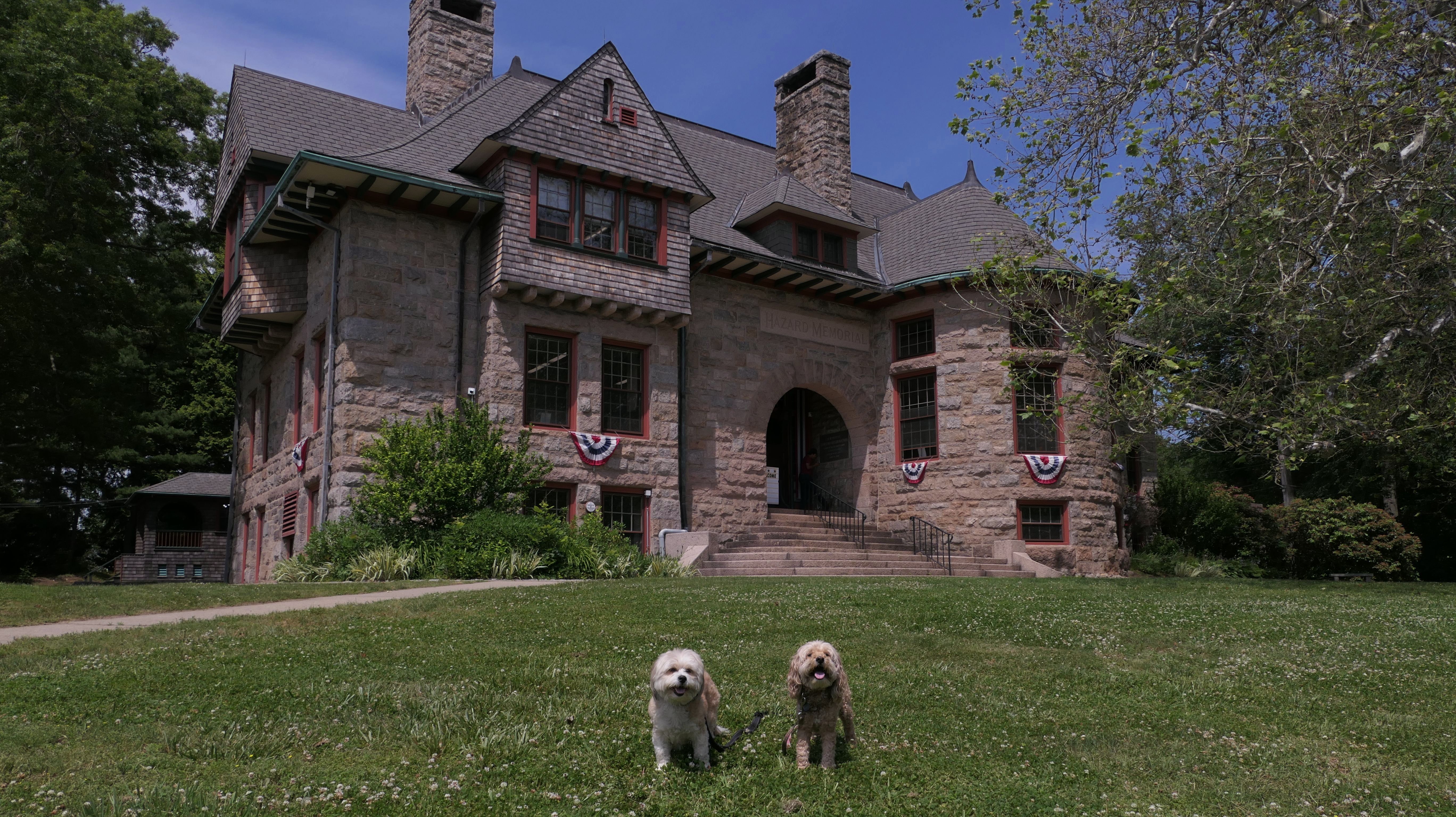
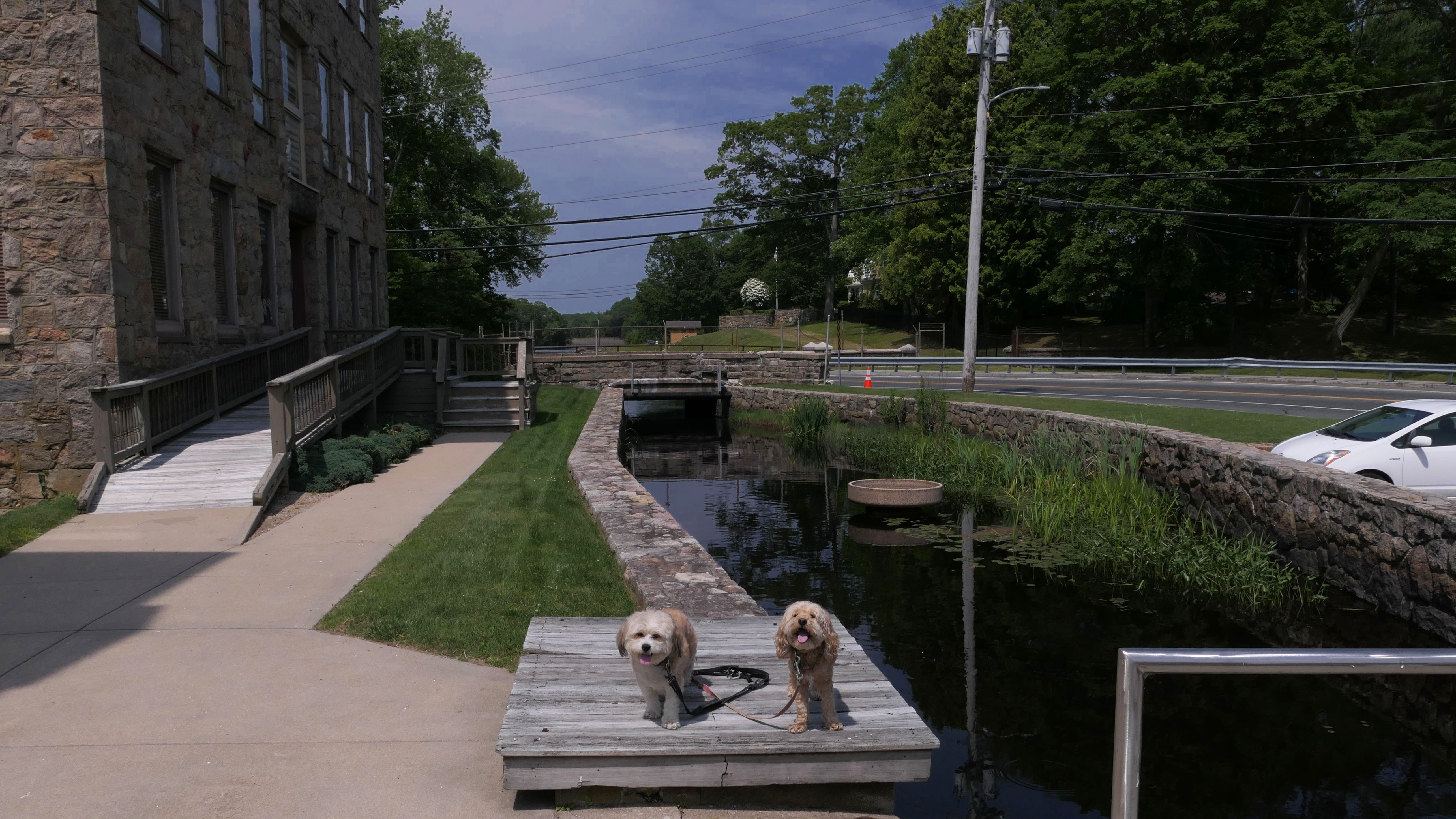
Wakefield Historic District
Date visited: 7/14/2023
This is the artsy neighborhood in the center of town that we reached via the South County Bike path. This is a bustling area, with lots of little shops, as well as some parks that you can walk through.
More Images


Wakefield Historic District
Date visited: 7/20/2023
On Thursday evenings in the summer they have "RiverFire" festival. We returned the next week to continue where we left off on the bike trail, but also took the time to walk around the festival. Torches are lit on the river, hence the name, "RiverFire". There is a "Farmers Market" with a few vendors and food trucks (but not much in the way of actual "farm" products). There is also live music. On our visit, there was a band playing at the Contemporary Theater Company, as well as a three piece string band in front of the church. There are hundreds of people (and dogs) jammed into a small space. It's not the easiest time moving around. The public parking lot was filled, so we had to park at the nearby elementary school. With so many people, it is difficult to find good spots to take photos, but we did the best we could.

More Images


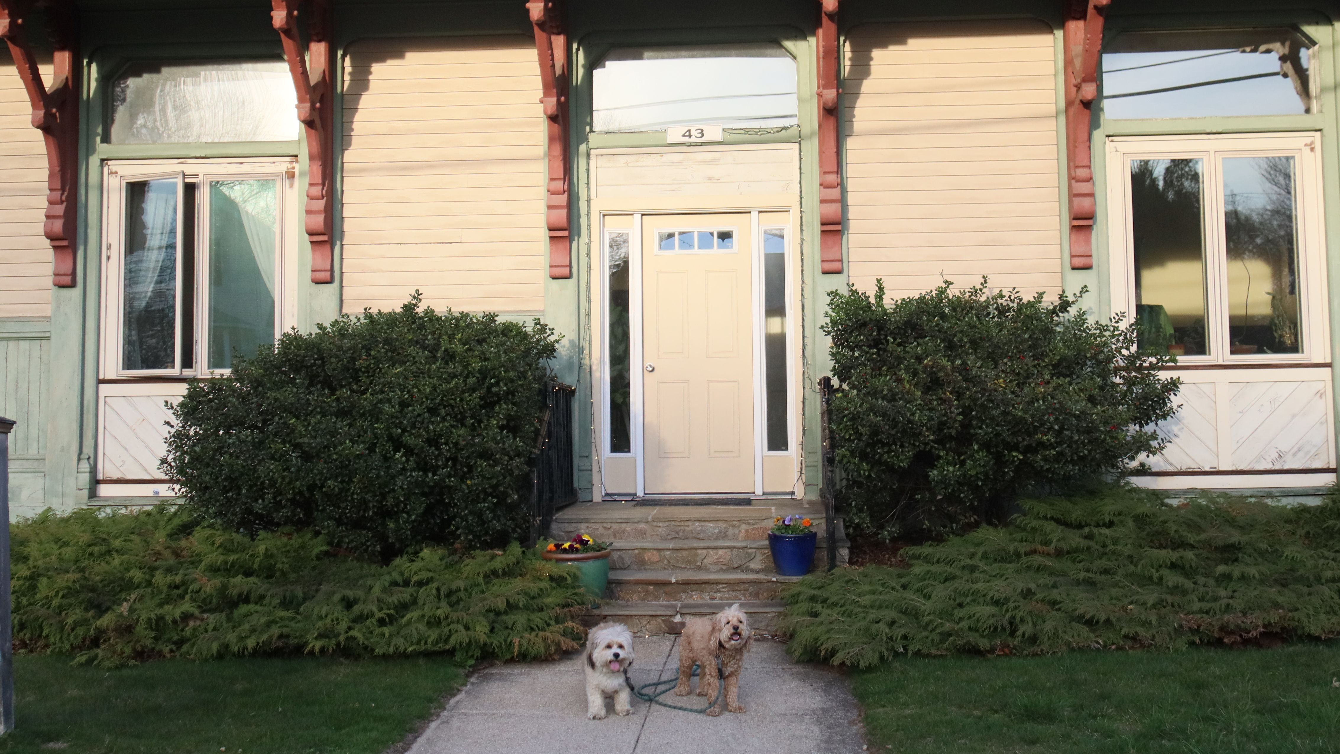
Wakefield Historic District
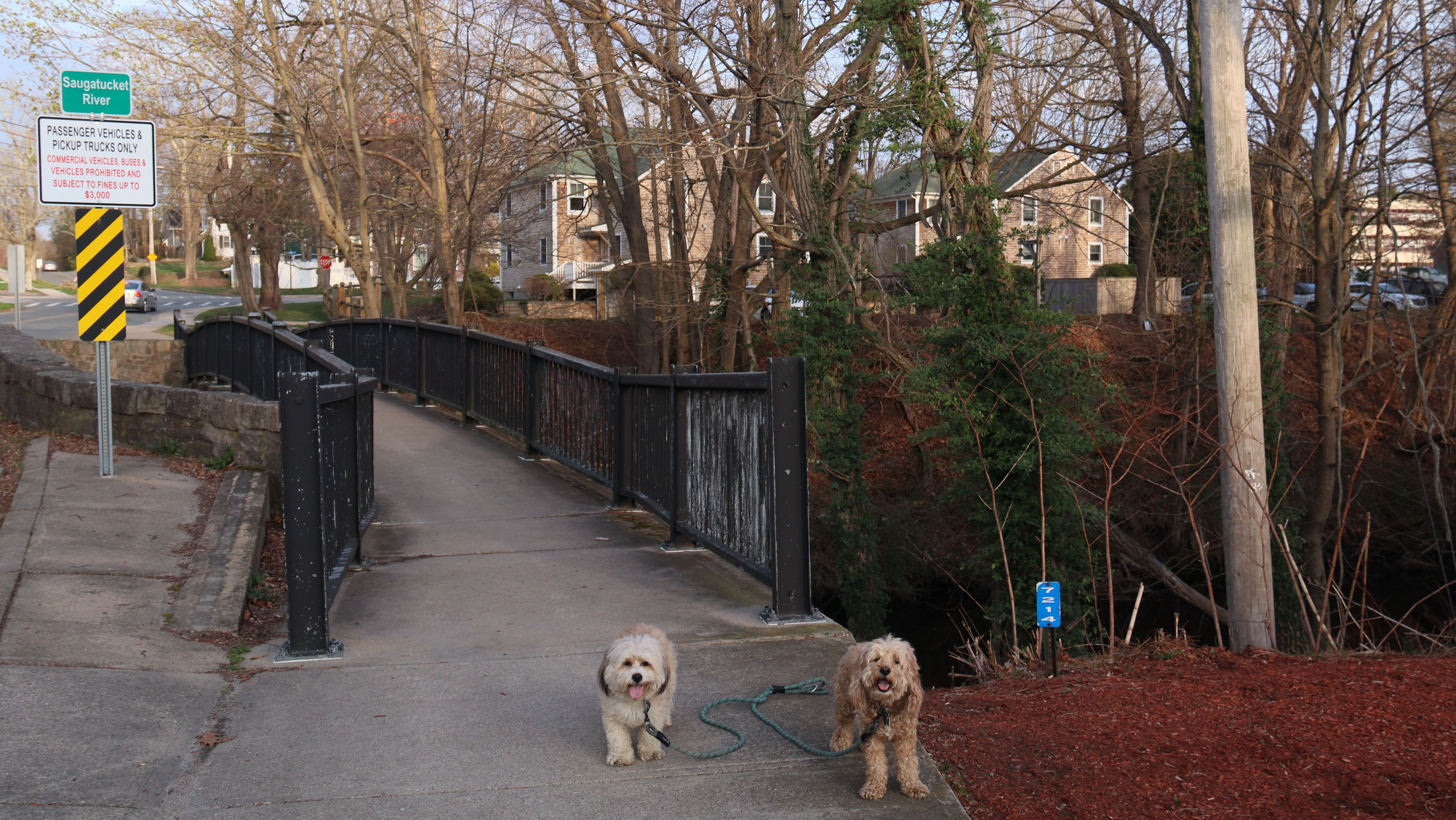
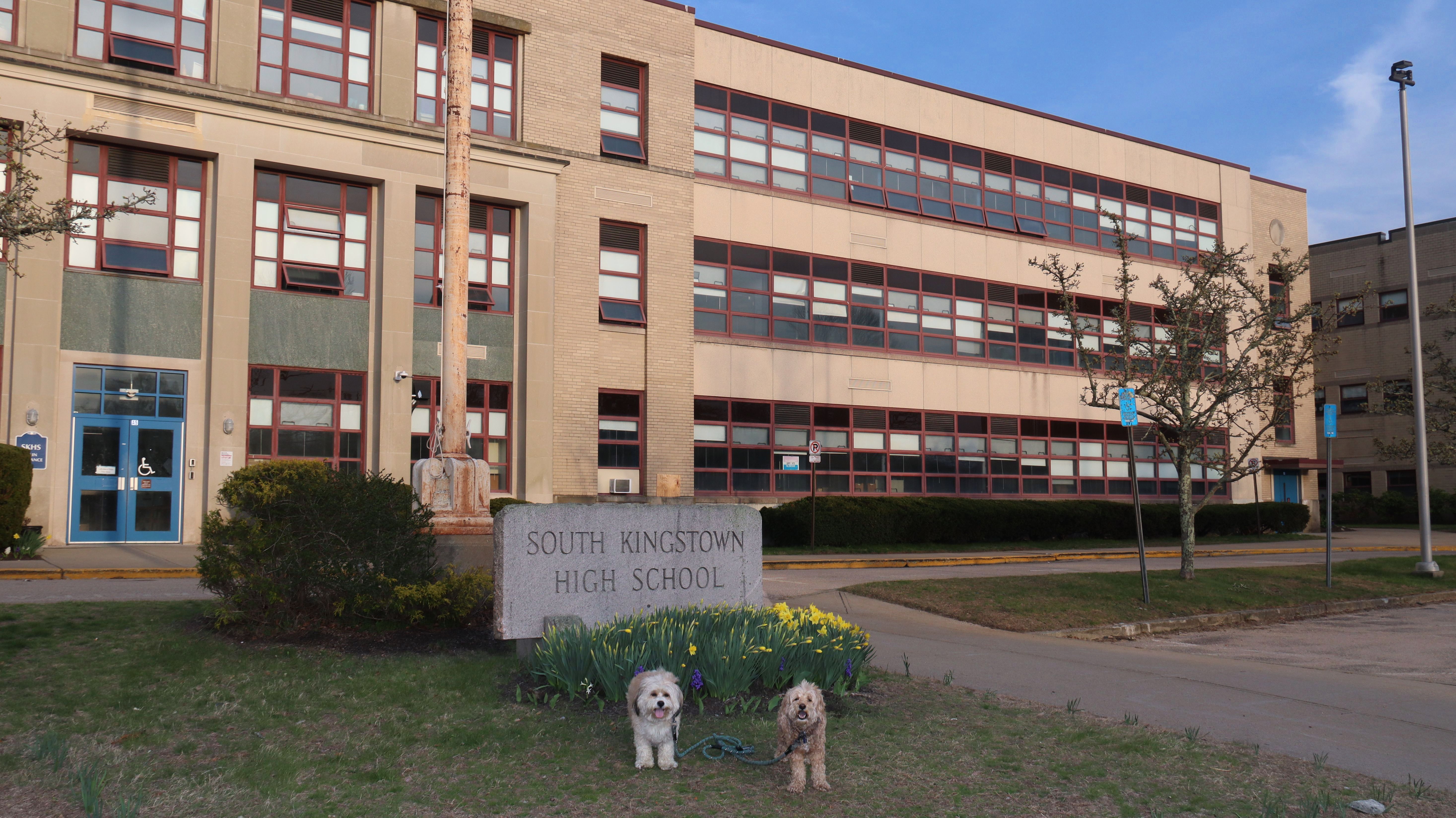
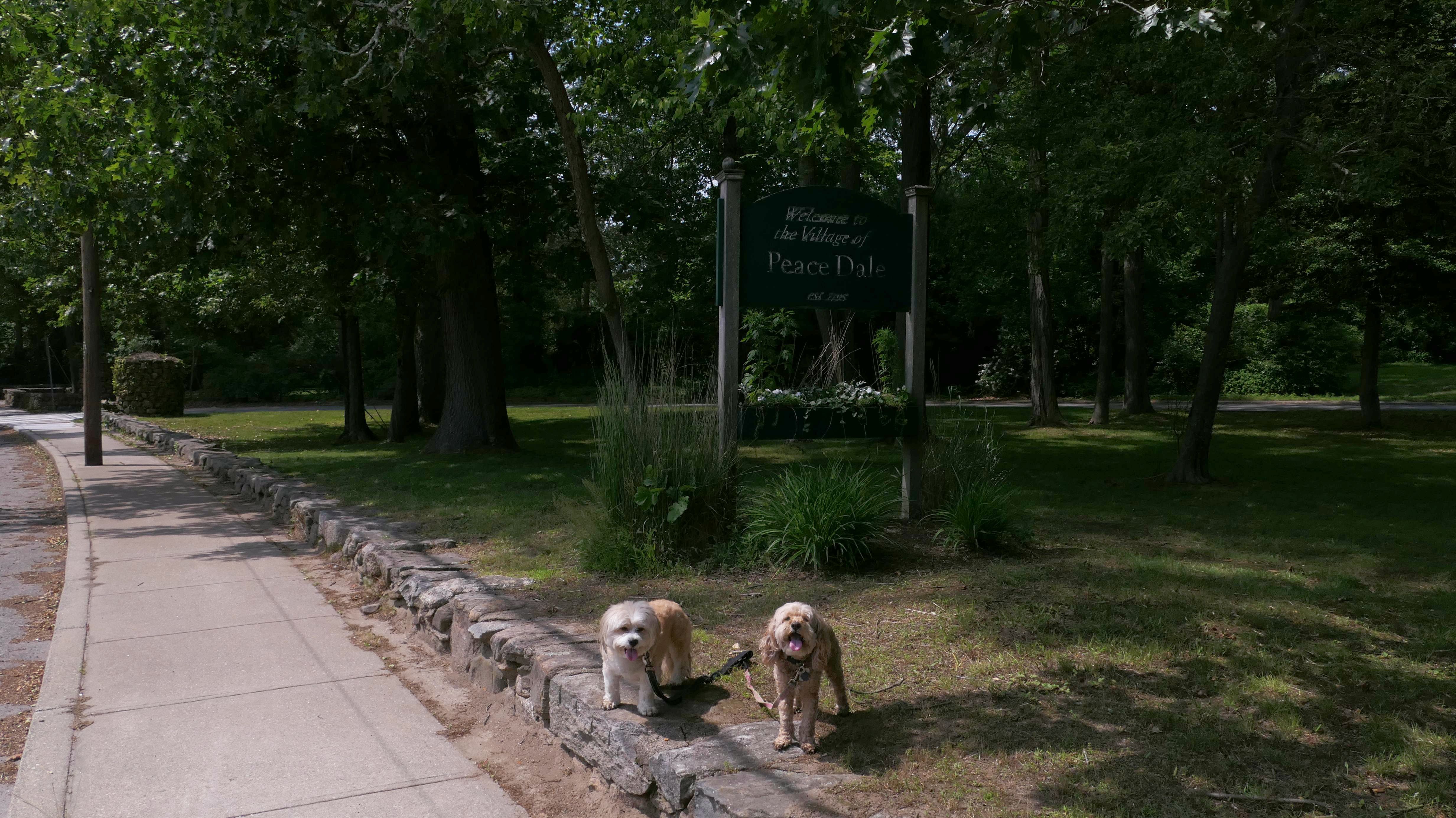
Date visited: 4/15/2026
We came here because the weather forecast indicated that the rain and storms would miss this area. Of course, when we arrived it was sprinkling, but the rain subsided quickly and we were able to get in a nice walk. It was about 70 degrees when we started, which was much cooler than the mid 80's more inland. We tried to walk around different areas than our previous visits. We started near the center of Wakefield Village on Main Street, and went to Saugatucket Park first. We then headed up High Street, past a beautiful old church, and the South Kingstown Town Hall, to Peacedale Village. From there, we headed back to Wakefield via Railroad Street, Church Street, Columbia Street, River Street, and finally back to Main Street. Along the way we crossed the pedestrian portion of the Church Street Bridge, and passed South Kingstown High School. It actually turned out to be a very pleasant three mile walk, and we were able to avoid the heat and the storms that were hitting other parts of the region.
More Images

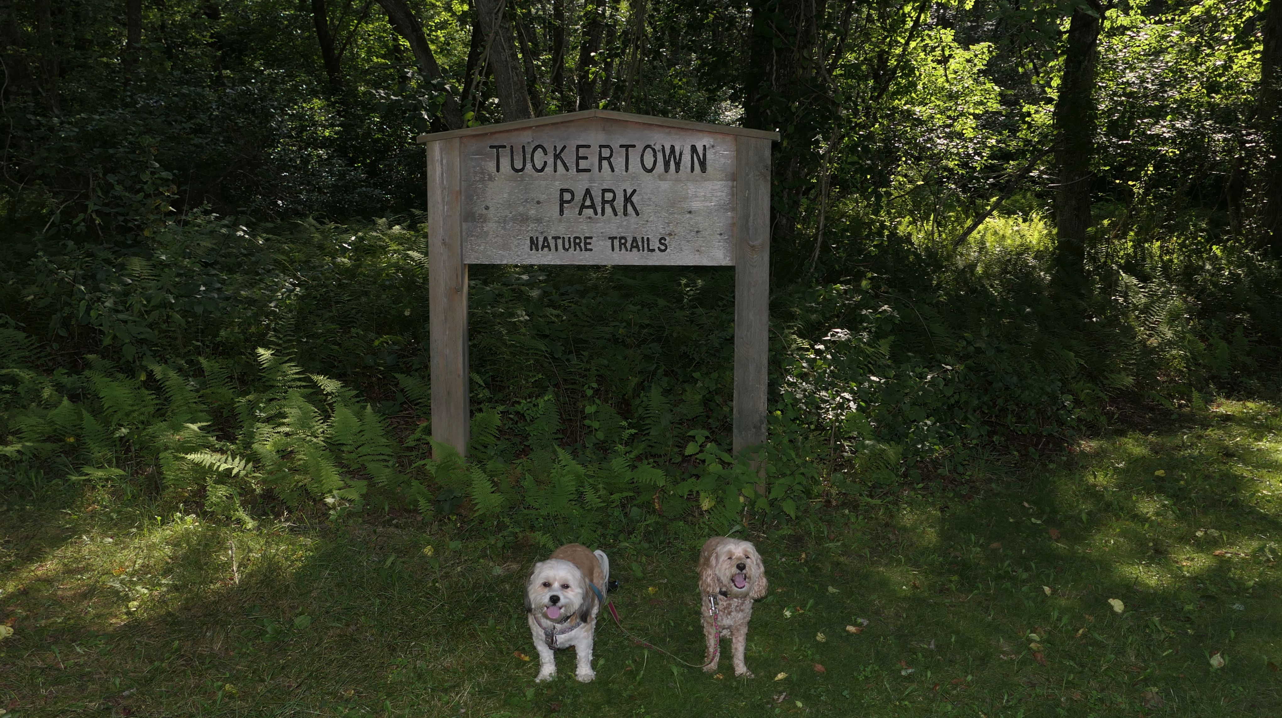
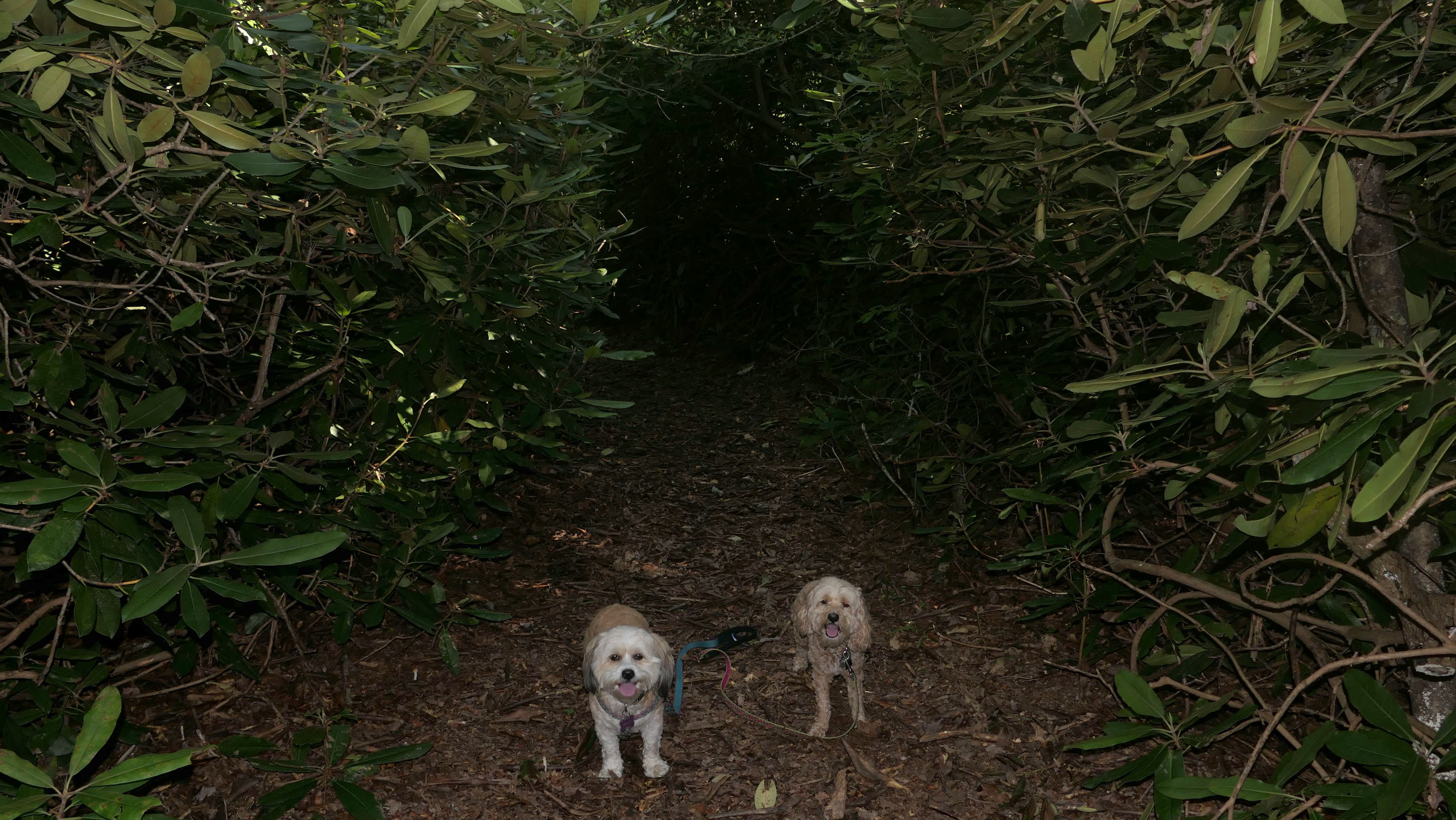
Tuckertown Park
Date visited: 8/20/2023
This is a town park with athletic fields and a playground. There is also a very short "Nature Trail" in the woods. We walked the Nature Trail and also looped the park. Tuckertown Pond is also nearby, but there isn't really any access to the pond from the park. There's a state run fishing area down the road that has access to the pond, but it was busy so we didn't go there.

More Images


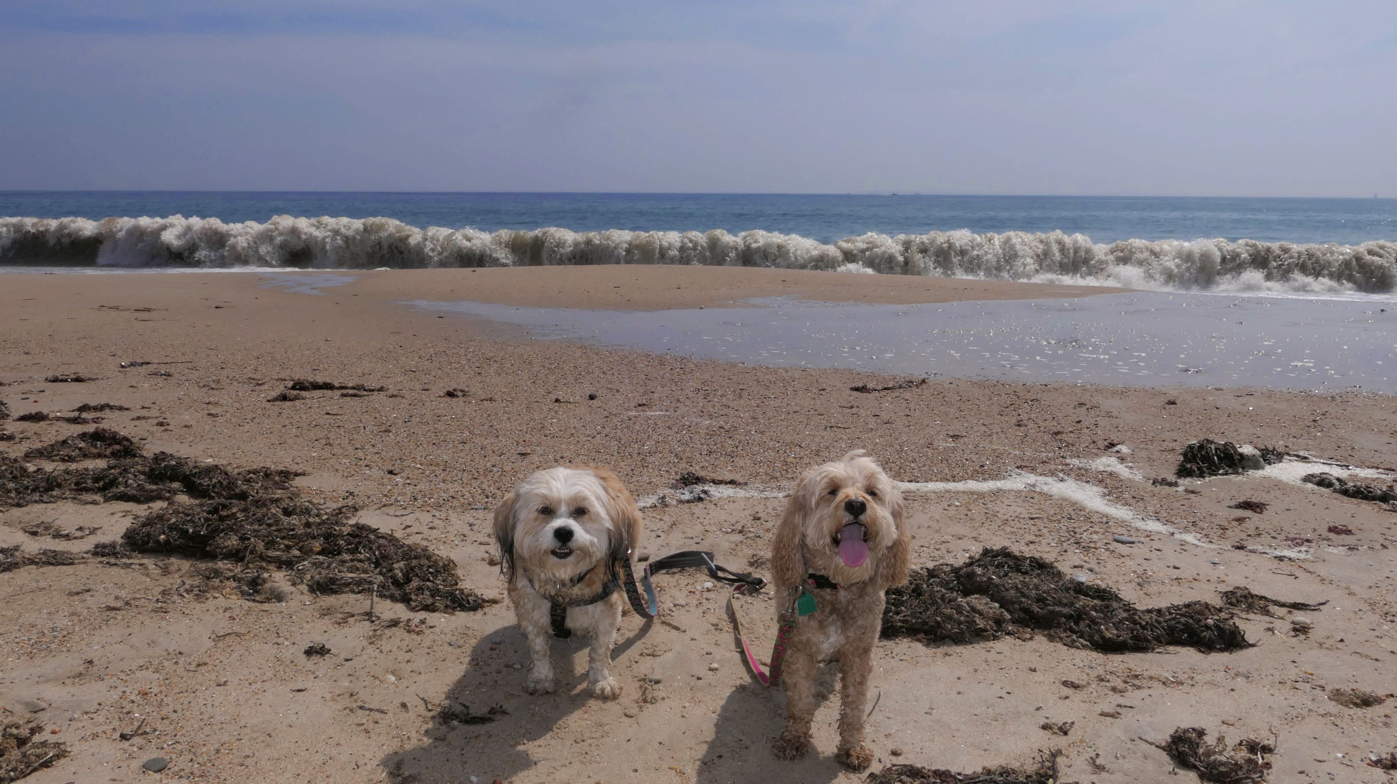
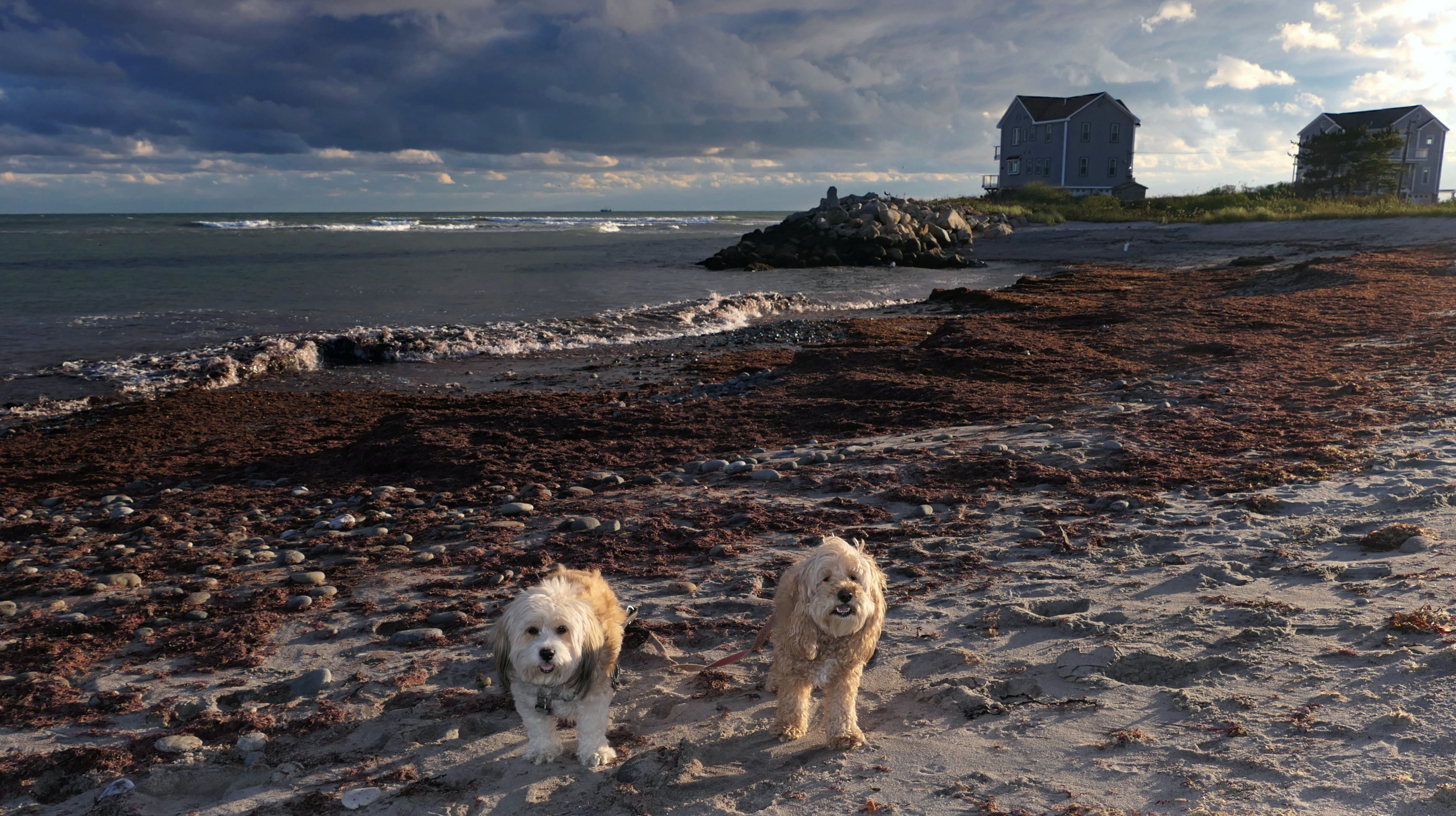
Charlestown Beach
Date visited: 9/5/2023
We crossed over from Charlestown Town Beach into South Kingstown. I guess this stretch of beach is named "Charlestown Beach" despite it being in South Kingstown, and it is at the heart of the controversy around Rhode Island's public shoreline law, passed a couple years ago. All the shore up to the 10 feet past the high tide line in Rhode Island is considered public property. The property owners have sued the state, and a judge in July of 2024 seems to side with the property owners. No final judgement has been made yet, but beach access could be changing soon. At any rate, we stayed within the high tide line...which was a bit challenging since it was just after high tide and the waves were ripping! It was hot and hazy today. It was a good day to be on the beach from a temperature standpoint, but I always think my photos come out better on sunnier days. I had taken today off from work to extend my Labor Day weekend, so this was a nice way to end the un-official summer season. Combined with the small section of Charlestown Town Beach, we walked four and a half miles here on this trip.
More Images

Charlestown Beach
Date visited: 6/18/2024
We returned to this beach to escape the 90+ degree heat inland. Once again, we parked at Charlestown Town Beach, and quickly crossed into South Kingstown. The cooler weather here made for a refreshing walk. I know it's late in the day, but I was really surprised there was so few people here. We walked about three miles here, and it was a good way to escape the heat!
More Images
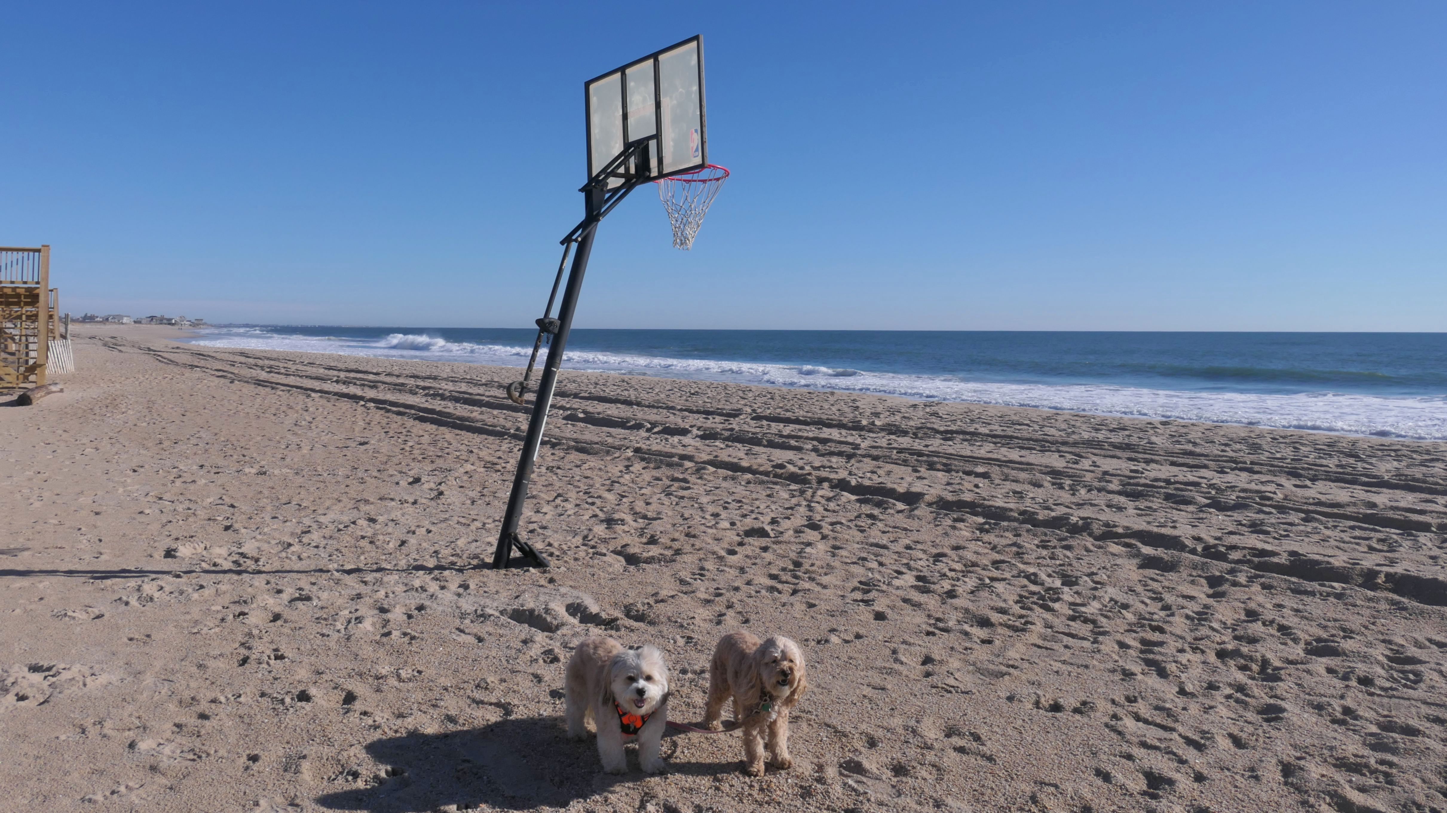
Charlestown Beach
Date visited: 12/31/2024
We once again walked the length of this beach. This time, it was a very mild New Years Eve day. We didn't take too many photos, since we've been here a couple times before. I thought the basketball hoop on the beach was odd. We walked the Charlestown section too, and also went out to the Charlestown Breachway State Park.
Charlestown Beach
Date visited: 3/3/2025
We were back here on a bright sunny day in early March, and walked the length of the beach on our way to Mautucket By-The-Sea. It was quite breezy, and on our way back we were walking against the wind, so we took the Charlestown Beach Road Sand Trail instead.
Charlestown Beach
Date visited: 7/30/2025
We finished our day with a walk on the beach. It was warm and hazy, so it felt good walking through the edge of the waves. It was bright and sunny upon our arrival, but the clouds moved in quick right before we left.
Charlestown Beach
Date visited: 9/28/2025
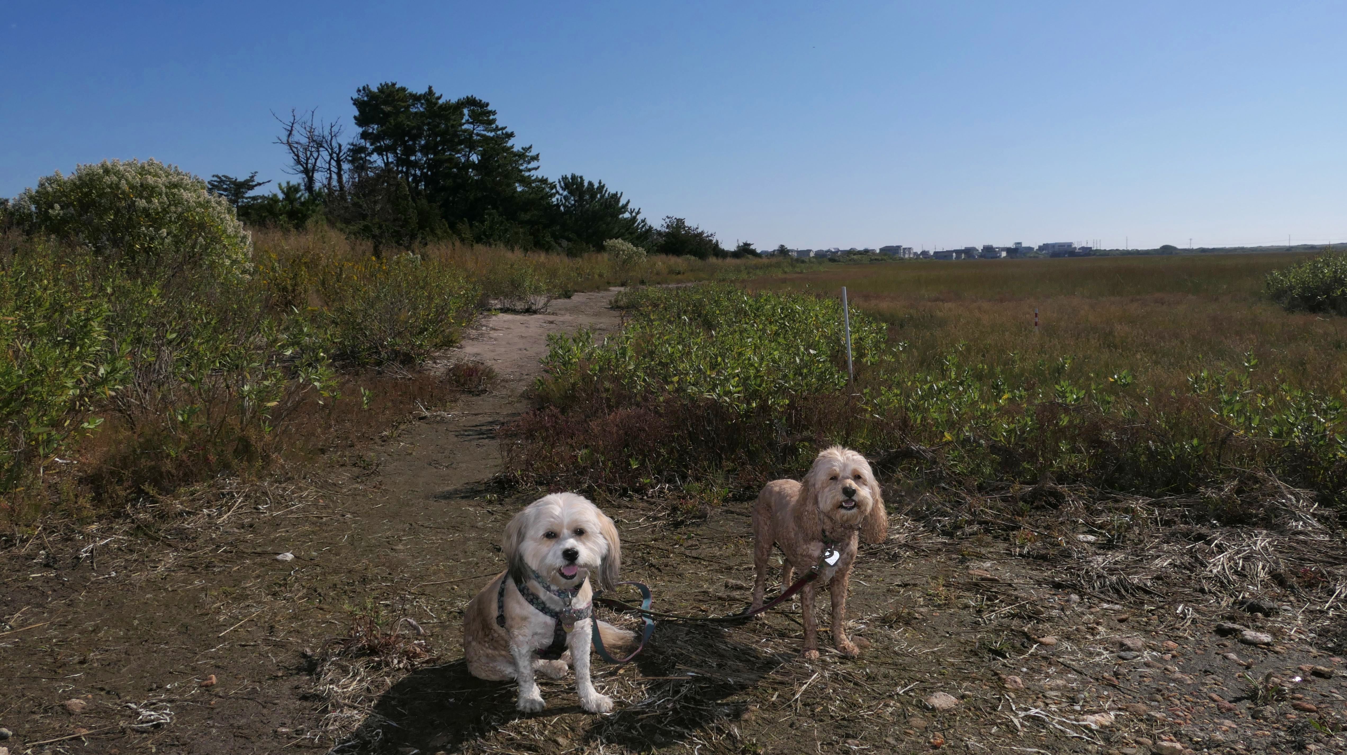
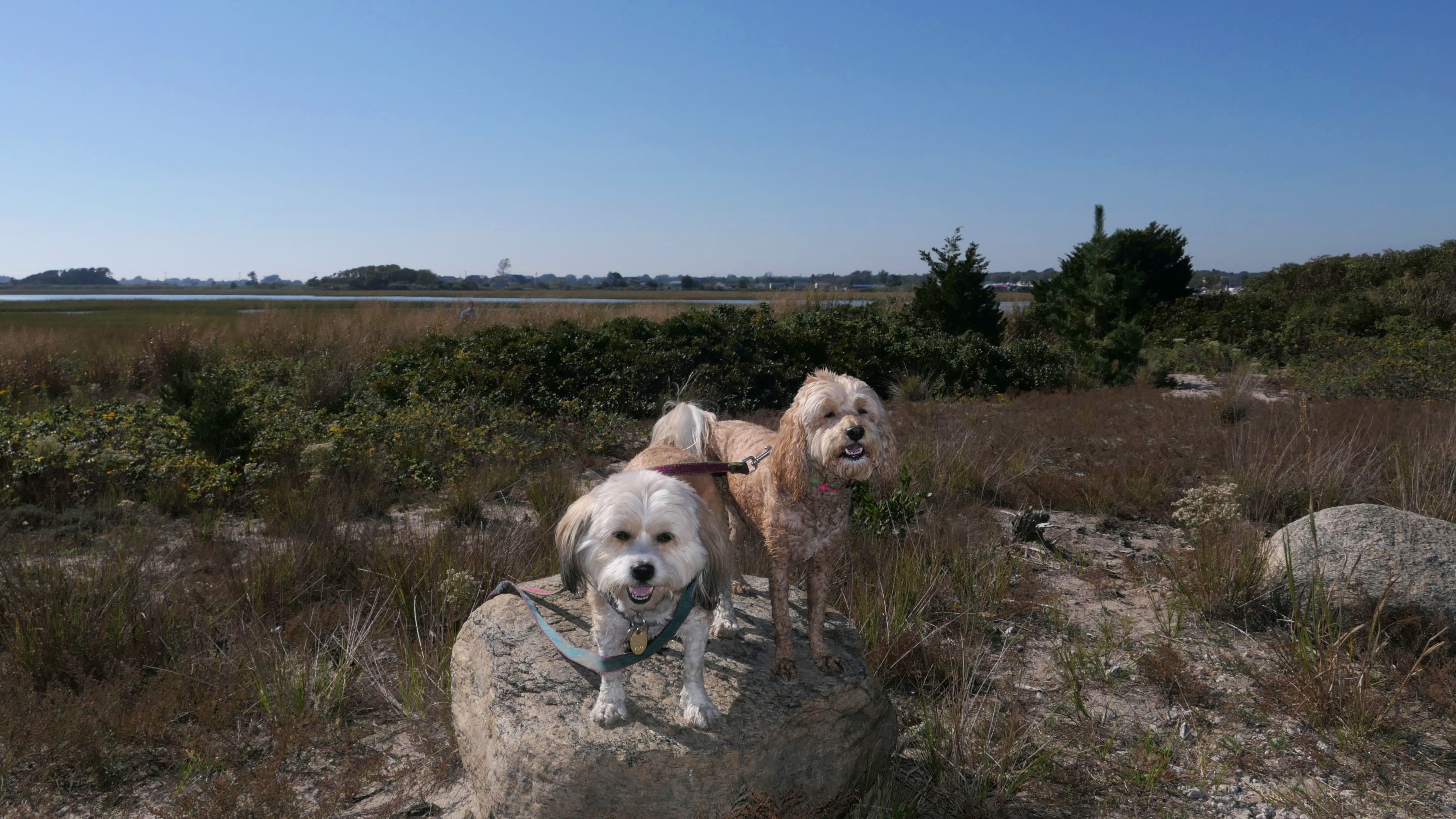
This was a simple walk along the beach on a warm day. We walked the length of the South Kingstown portion of the beach. I wanted to continue along Green Hill Beach, but the tides were too high to get around the rocks, and there is no public access to get over to Green Hill Ocean Drive without trespassing through people's property, so we just turned around. We did explore the part of the sand trail that leads to Green Hill Pond. It was bright and sunny inland, but a weird line of clouds right over the ocean. There was still enough sunshine to enjoy this nice day on the beach!
More Images
Charlestown Beach
Date visited: 1/1/2026
Happy New Year! Here's our first adventure of 2026! This was a five mile beach walk that also included Green Hill Beach and the section of Charlestown Beach in Charlestown. It was cold and windy, but that didn't stop Mandy and Lexi from running and playing on the beach. I was also field testing a new camera for the first time, a Canon EOS R100. The photos were okay, but I definitely need to get more used to the controls. I couldn't fool with them too much, since my hands were very cold without gloves on!
More Images
Charlestown Beach
Date visited: 6/24/2026
This is another favorite beach of ours. We're fortunate to be able to visit it in the evening during the summer. I'm really surprised there's not more people here in the evening. We had most of the beach to ourselves despite it being a warm and sunny evening. We walked about 2.5 miles here, but more importantly, the dogs were able to play for a bit. It had rained for two days straight, so they had some built up energy to let out!
More Images

Charlestown Beach Road Sand Trail
Date visited: 3/3/2025
Charlestown Beach Road in South Kingstown, is a dirt road that runs parallel to Charlestown Beach. If you follow the road from the beach entrance for about half a mile, you will encounter a gate with a warning sign that the road beyond that point is a sand trail and impassible. The "trail" is wide enough for one vehicle at that point, and continues for about 1400 feet or so, since there are two houses that are only accessible from this "trail". The path actually continues after that or another 700 feet or so, as a standard narrow sand trail that leads to the beach. We actually took this path back from the beach on our walk, because it was a little less windy, and we had never walked on this path before. Once the road widens, there are a few access points that cross the dunes and lead back to the beach. Some are public, but others are private.
Charlestown Beach Road Sand Trail
Date visited: 9/28/2025
There's a continuation of the sand trail that leads out to a small beach at Green Hill Pond. We took a brief detour from our beach walk to check it out. Mandy and Lexi prefer cooling off in the calm salt ponds, rather than the crazy waves of the ocean facing beaches!
More Images
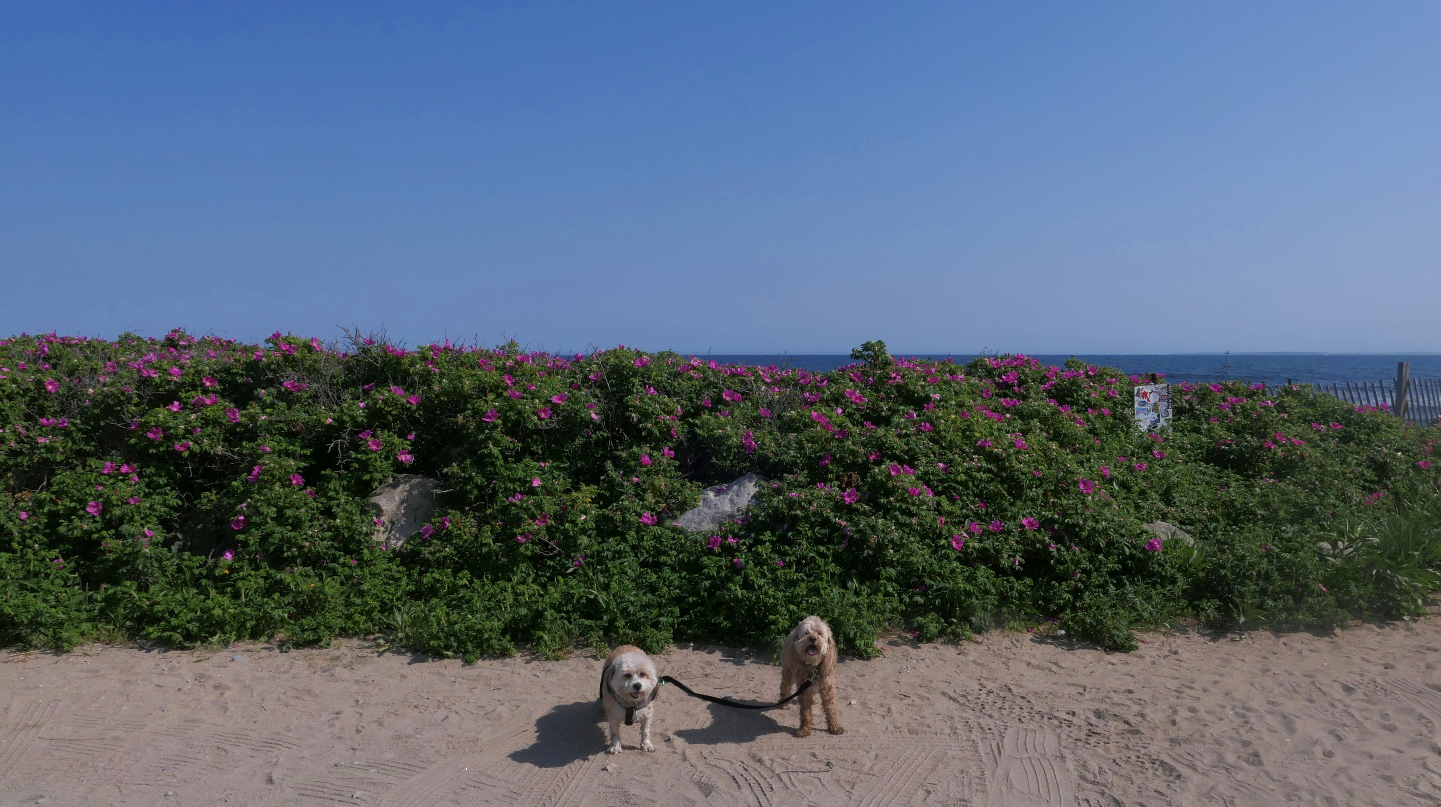
Green Hill Beach
Date visited: 3/12/2024
I had previously mis-labeled the beach directly west of this one as "Green Hill Beach", but this is the real Green Hill Beach. There is only a direct connection to the other beach from this one during low tide. This is a small beach, with very limited parking at the end of a cul-de-sac. We headed east toward another out-cropping of rocks. This was very scenic, but difficult to walk over. On the other sides of these rocks, is a public access path that leads to Green Hill Avenue. We made the difficult trek over the rocks to that access point, but then returned via the streets. This make shift beach and street loop was just under one mile total.
Green Hill Beach
Date visited: 9/4/2024
Our second visit to this beach was in the summer time, well a couple days after Labor Day, so still technically summer. Since there's only about 7 or 8 parking spots on the road, we walked from Green Hill Park. This time it was low tide, so we were able to explore more of the beach to the west. We were able to get around the rocks and to the portion of beach that is labeled "Mautucket by the Sea" on the Google Maps, and all the way down to where we left off at the South Kingstown section of Charlestown Beach. It was a gorgeous afternoon for a walk on the beach!
More Images
Green Hill Beach
Date visited: 12/24/2024
We visited this beach again, this time on Christmas Eve. We were here late in the day, and were able to get some beautiful sunset photos. We also walked over to Green Hill Shoreline Access as well.
More Images
Green Hill Beach
Date visited: 3/3/2025
We visited here again in early March. We arrived near low tide, but couldn't access the "Mautucket-by-the-Sea" section just west of the rocks, so we just headed west and walked the length of the beach and back. After this, we drove to Charlestown Beach, and reached that area beyond the rocks coming in from that beach instead.
More Images
Green Hill Beach
Date visited: 1/1/2026
This was a continuation of our New Years Day walk along the beach that started at Charlestown Beach. The dogs posed on the rocks near the eastern end of the beach, before we headed back the way we came.
More Images
Green Hill Beach
Date visited: 4/4/2026
It's hard for me to be in this section of Rhode Island on a sunny day and not stop at the beach. We stopped for a quick visit after our adventure at the Kettle Pond Visitor Center and the Burlingame State Park Campground. It was chilly and very windy, but Lexi loves the beach, and had a case of the zoomies! We didn't really stay too long, but we did get some nice photos, and Lexi got to run around and have fun!
More Images
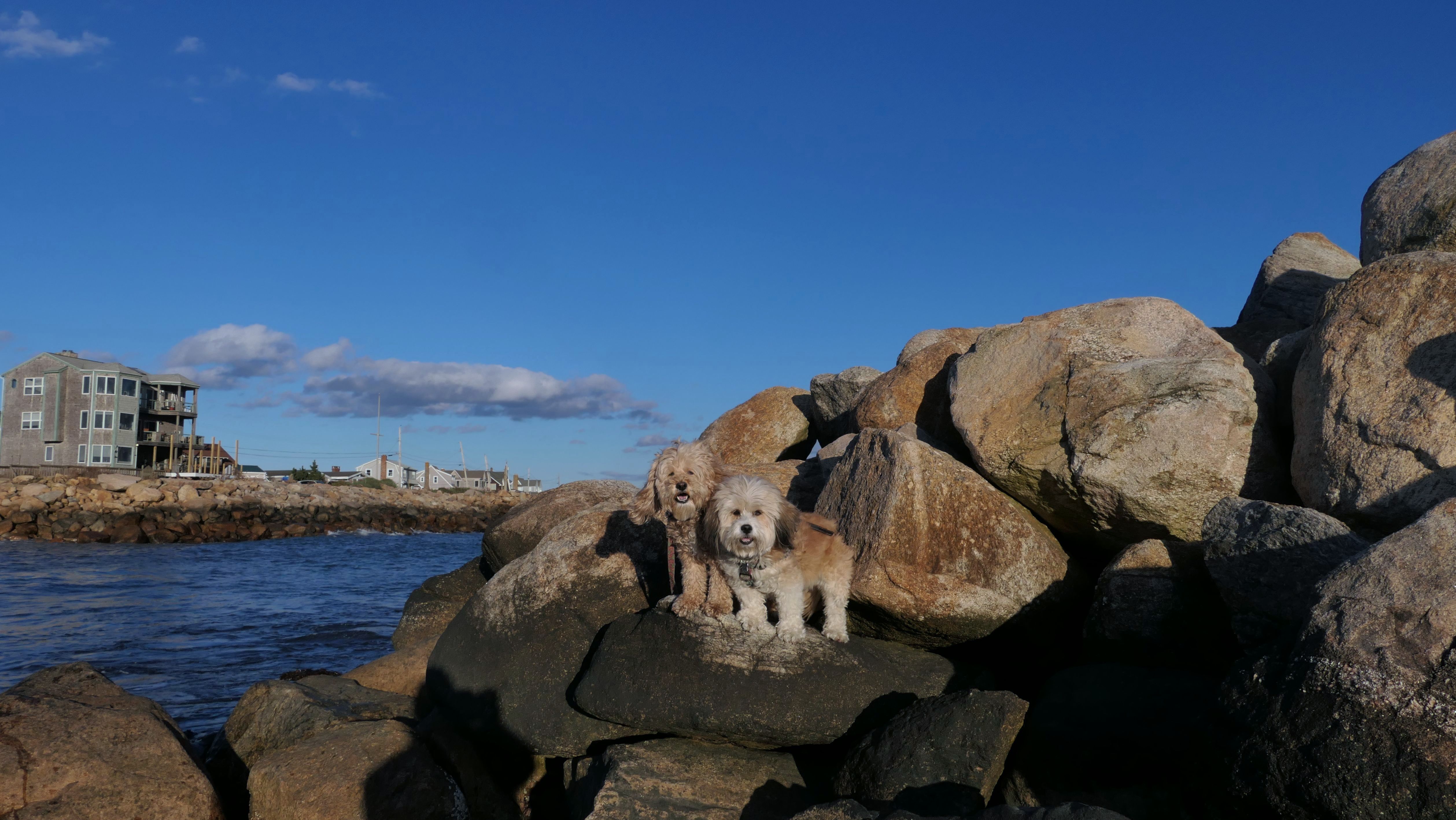
Green Hill Avenue Shoreline Access
Date visited: 3/12/2024
There's a public waterfront access point at the end of Green Hill Avenue that leads to this spot. There is a rocky area that separates this spot from Green Hill Beach to the west. For this visit, we climbed the rocky area on the east end of Green Hill Beach. There is another beach area to the east of the point. There is a "Please Pick Up After Your Pet" sign, as well as a poop bag dispenser, so it would appear dogs are allowed here.
More Images
Green Hill Avenue Shoreline Access
Date visited: 11/19/2024
We were able to use this access point to get down to the beach and walk the last three quarters of mile of shore line that we haven't covered in South Kingstown before. We continued all the way to South Kingstown Town Beach on this trip. The weather was great for mid-November, 60's with with a light breeze. It made for a very pleasant walk. Oh, and today was Lexi's 9th birthday...Happy Birthday Lexi!
More Images
Green Hill Avenue Shoreline Access
Date visited: 12/24/2024
This was part of our Christmas Eve stroll on the beach, that also included Green Hill Beach. We didn't get too far on this portion of the beach. It was much rockier than last time we were here, and Mandy was having some trouble walking on the lose stones. I think the tide was much higher this time around, with most of the sand under water, but there were definitely more stones than when we visited the previous month.
Green Hill Avenue Shoreline Access
Date visited: 10/26/2025
It was such a nice afternoon, we had to stop at a beach! We actually started at Green Hill Beach, and walked over to this access point. This beach area is covered in small stones, like it was on on our last visit. This time we made it past the stones, and walked about a mile along the shore. At this point, Mandy and Lexi went into the water, despite it only being about 60 degrees. After that, we headed back to Green Hill Beach and wrapped up our latest beach walk.
More Images
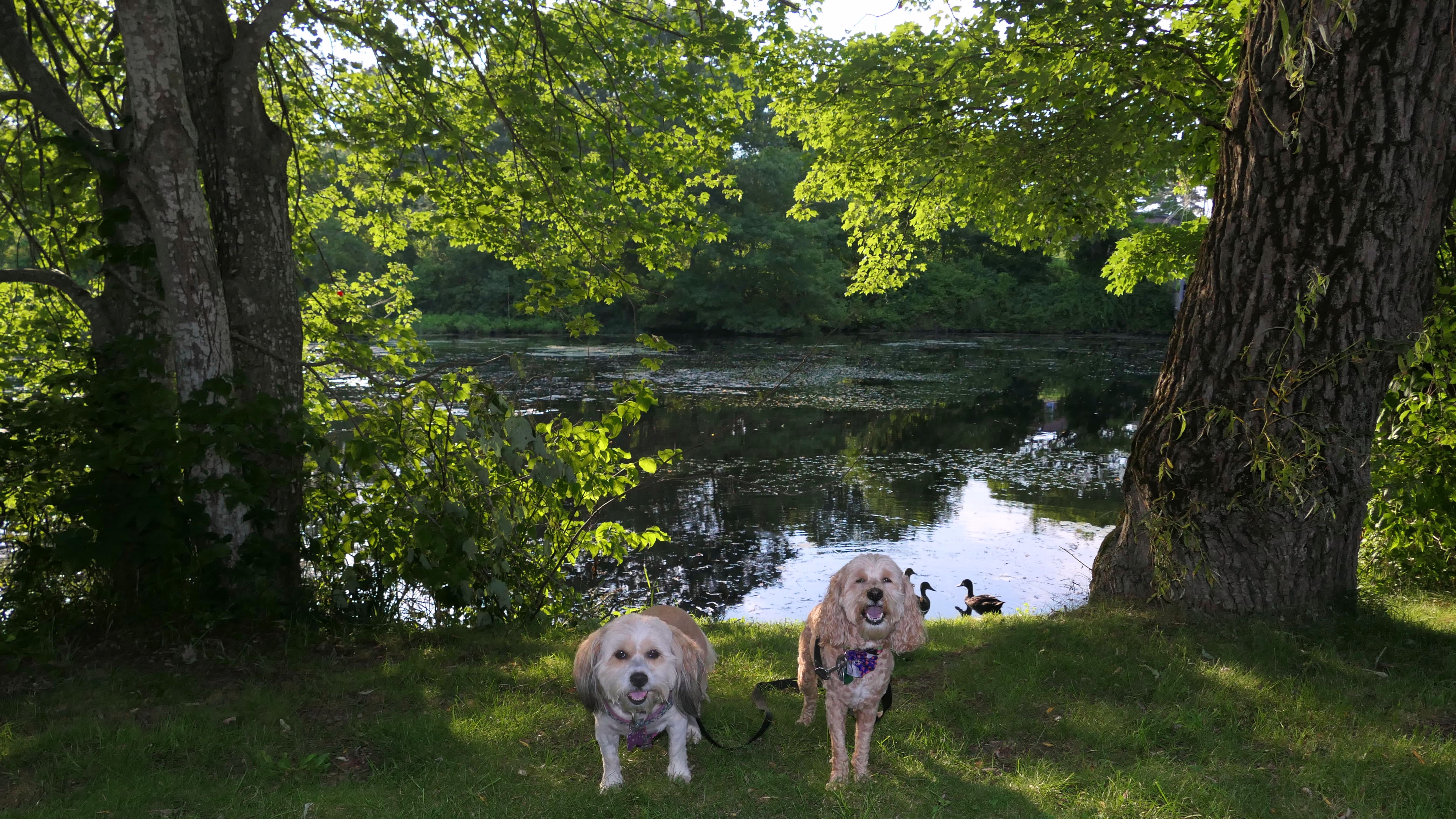
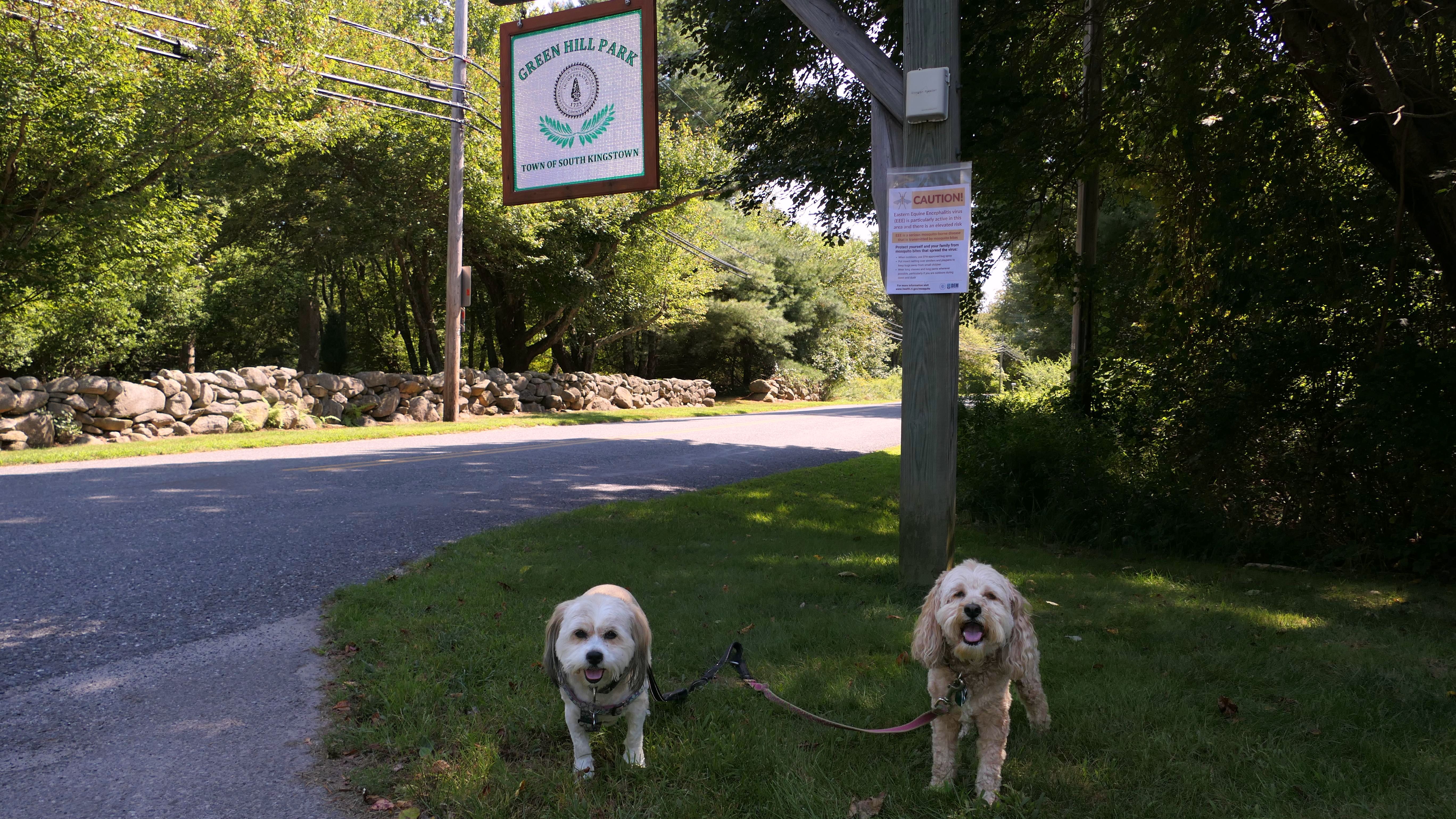
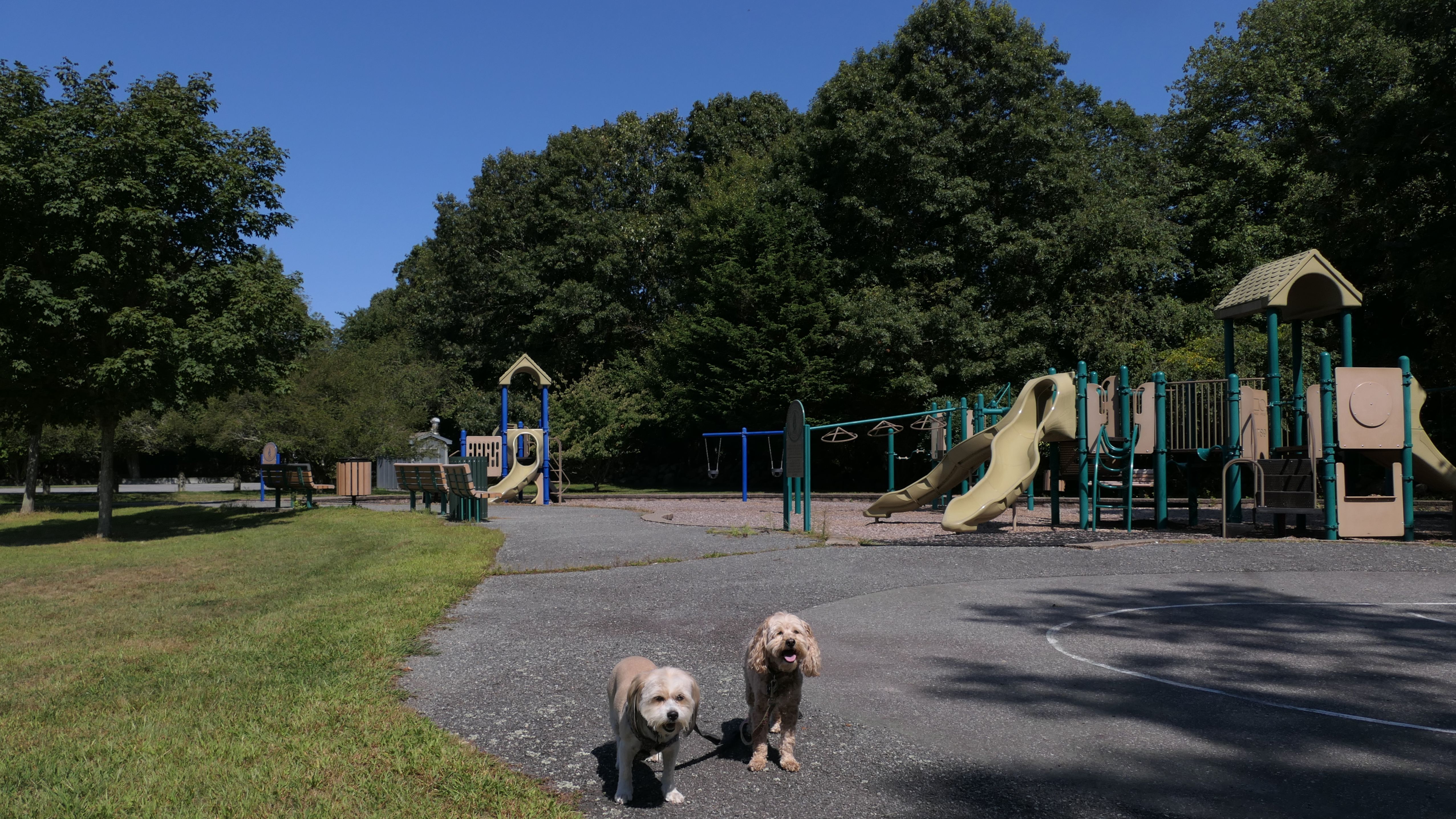
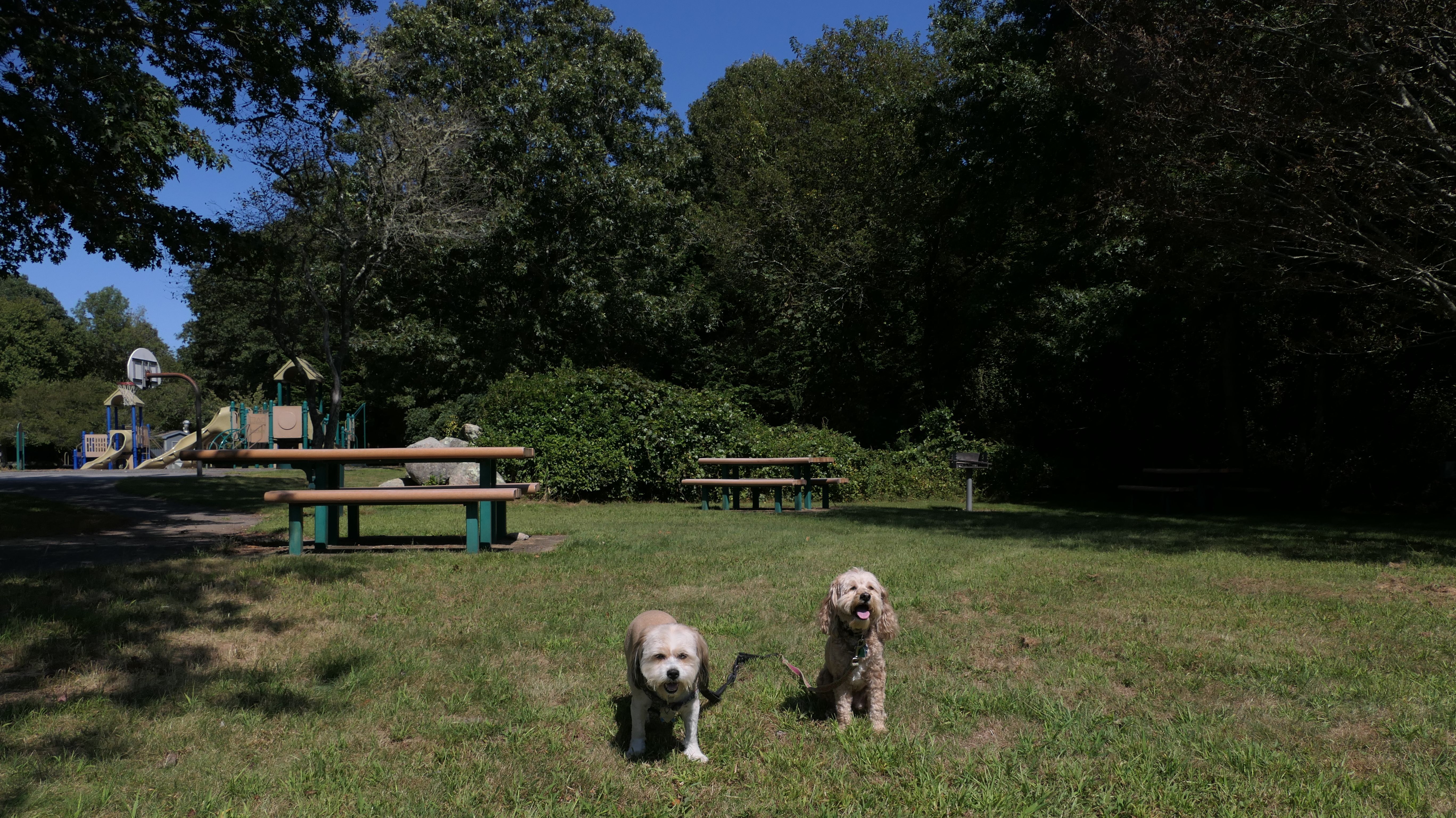
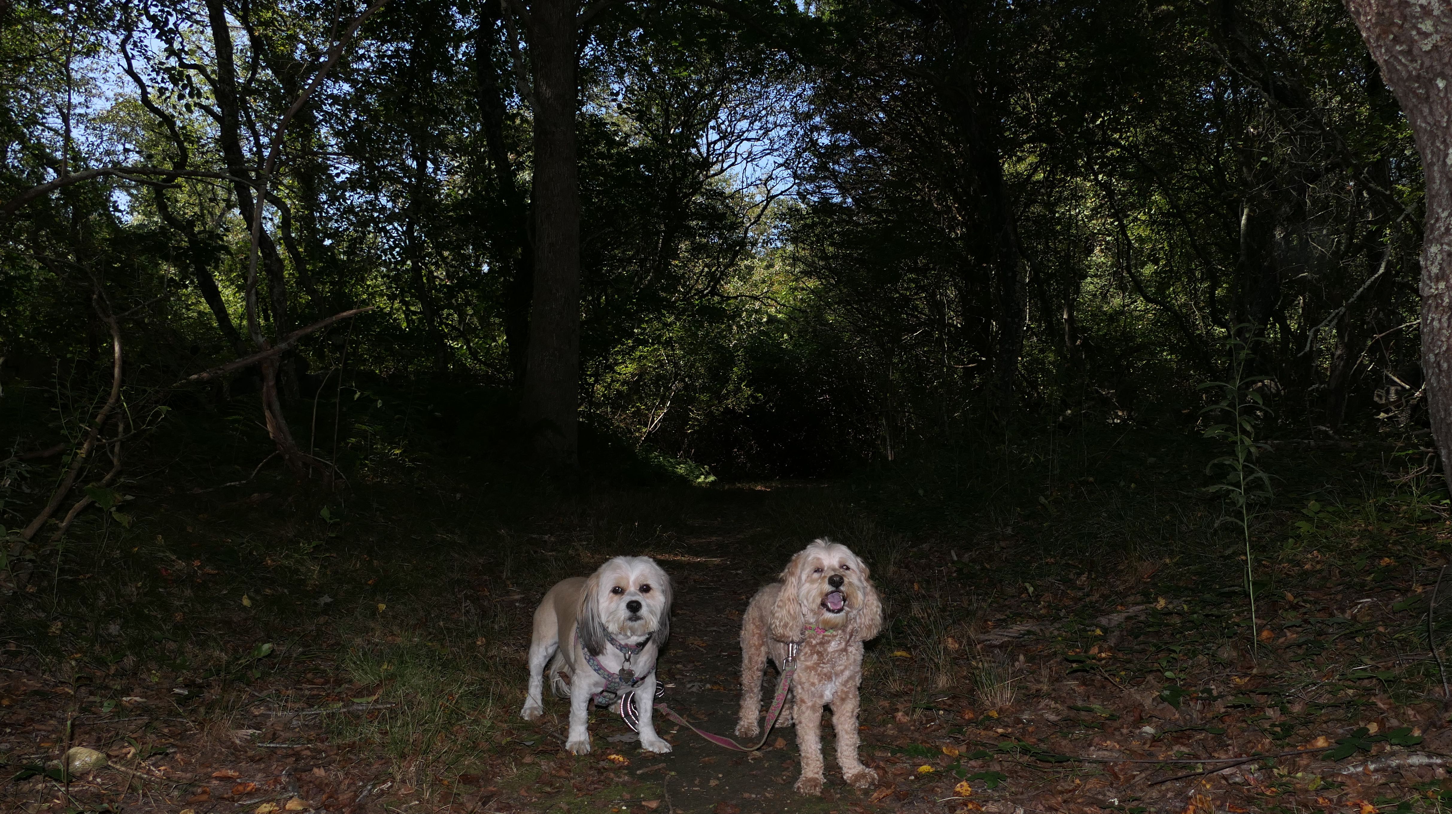
Green Hill Park
Date visited: 9/4/2024
This is a small town park off Green Hill Beach Road. There are tennis/pickle ball courts, a playground, picnic areas, and a short loop trail through the woods here. After exploring the park, we walked down Green Hill Beach Road, about seven tenths of a mile to Green Hill Beach to continue our adventure.
More Images

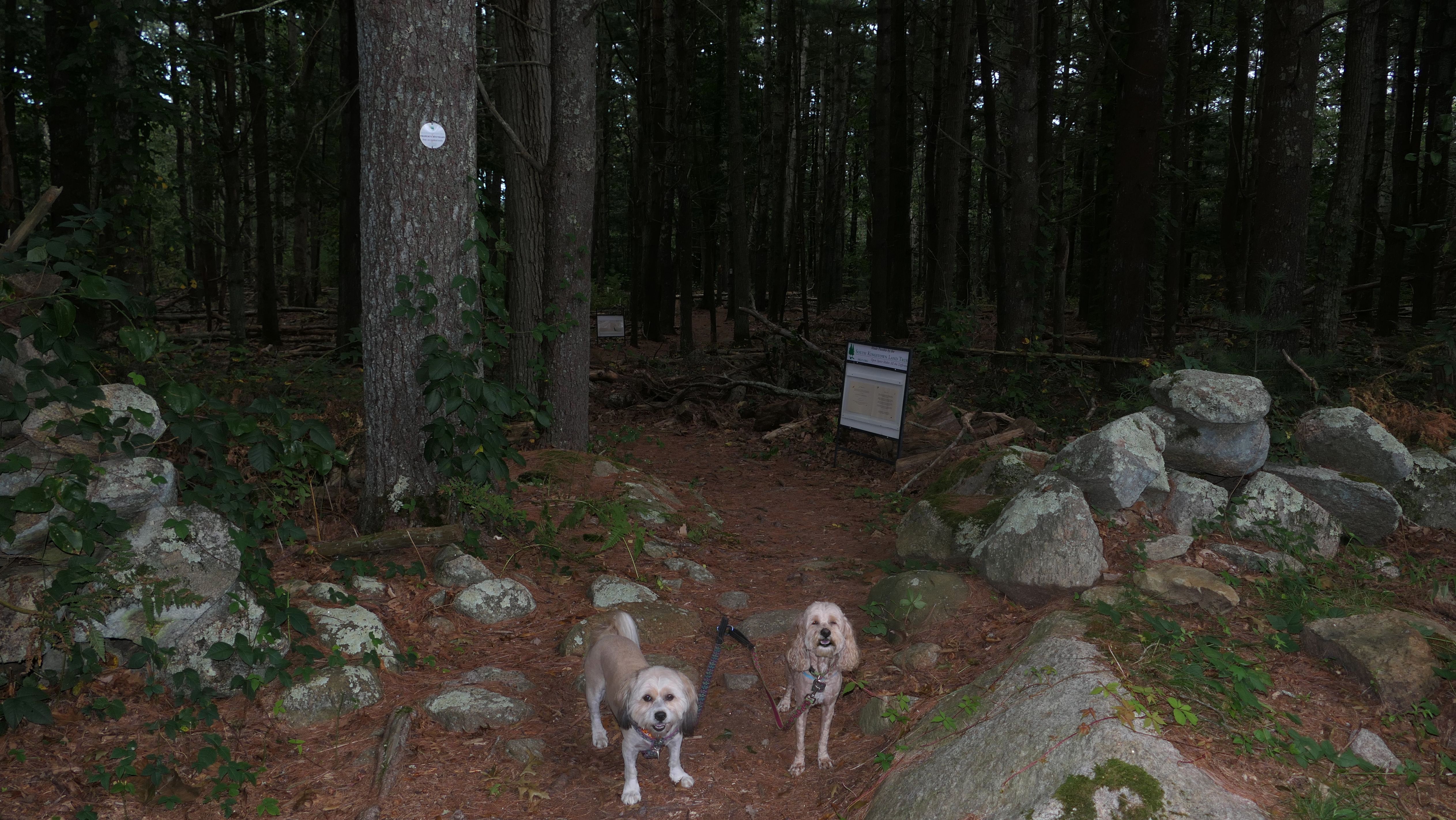
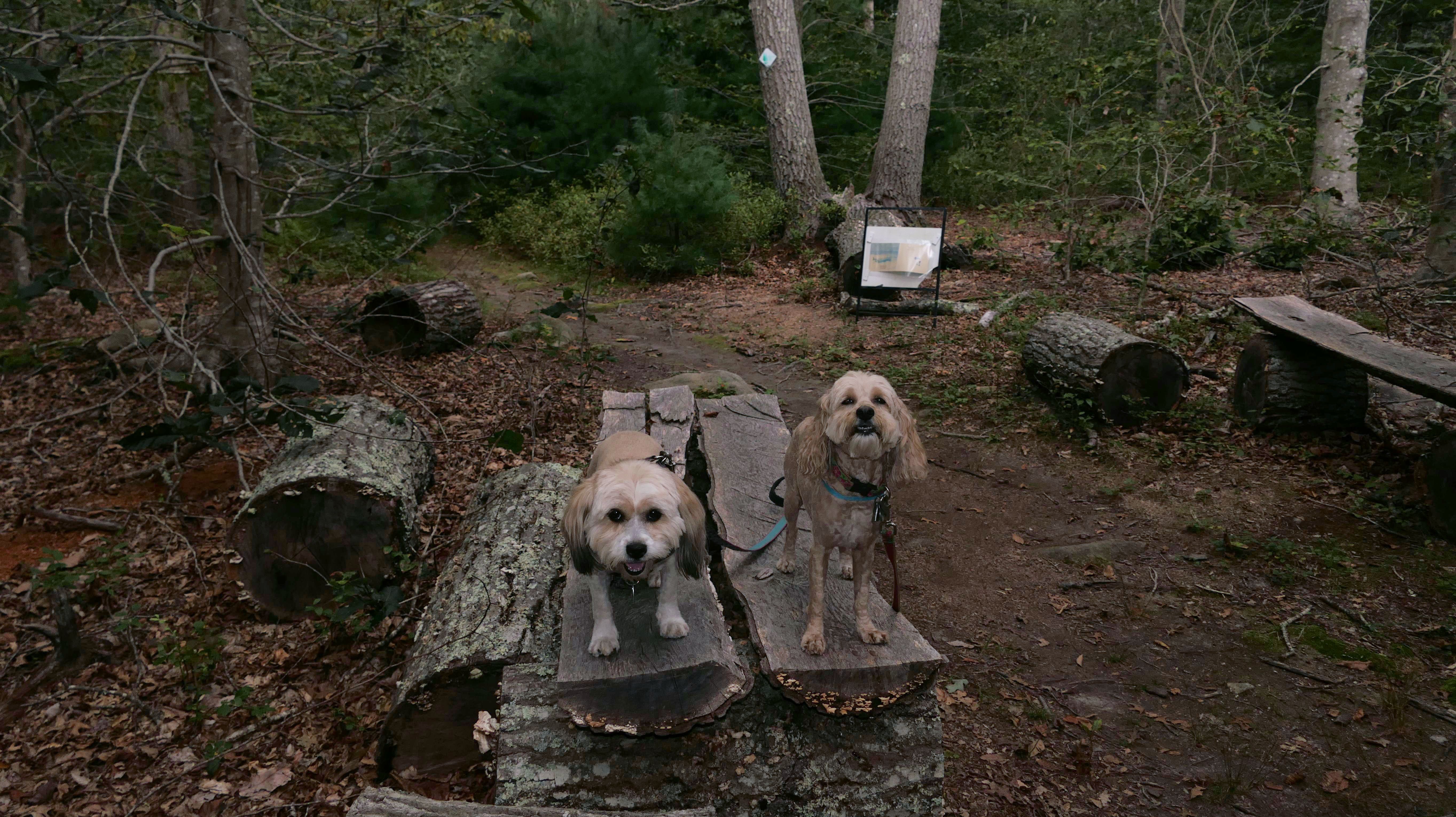
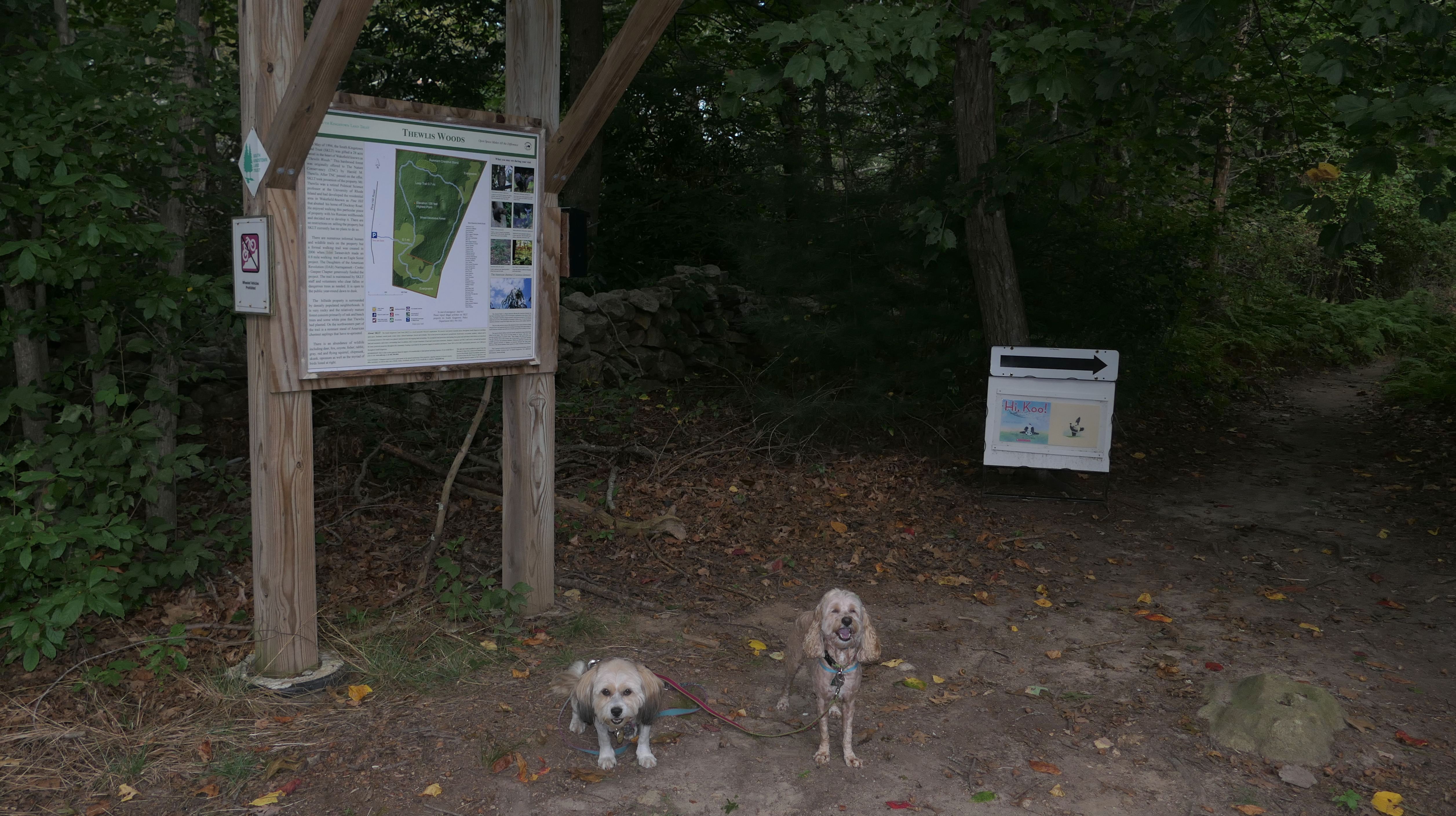
Thewlis Woods
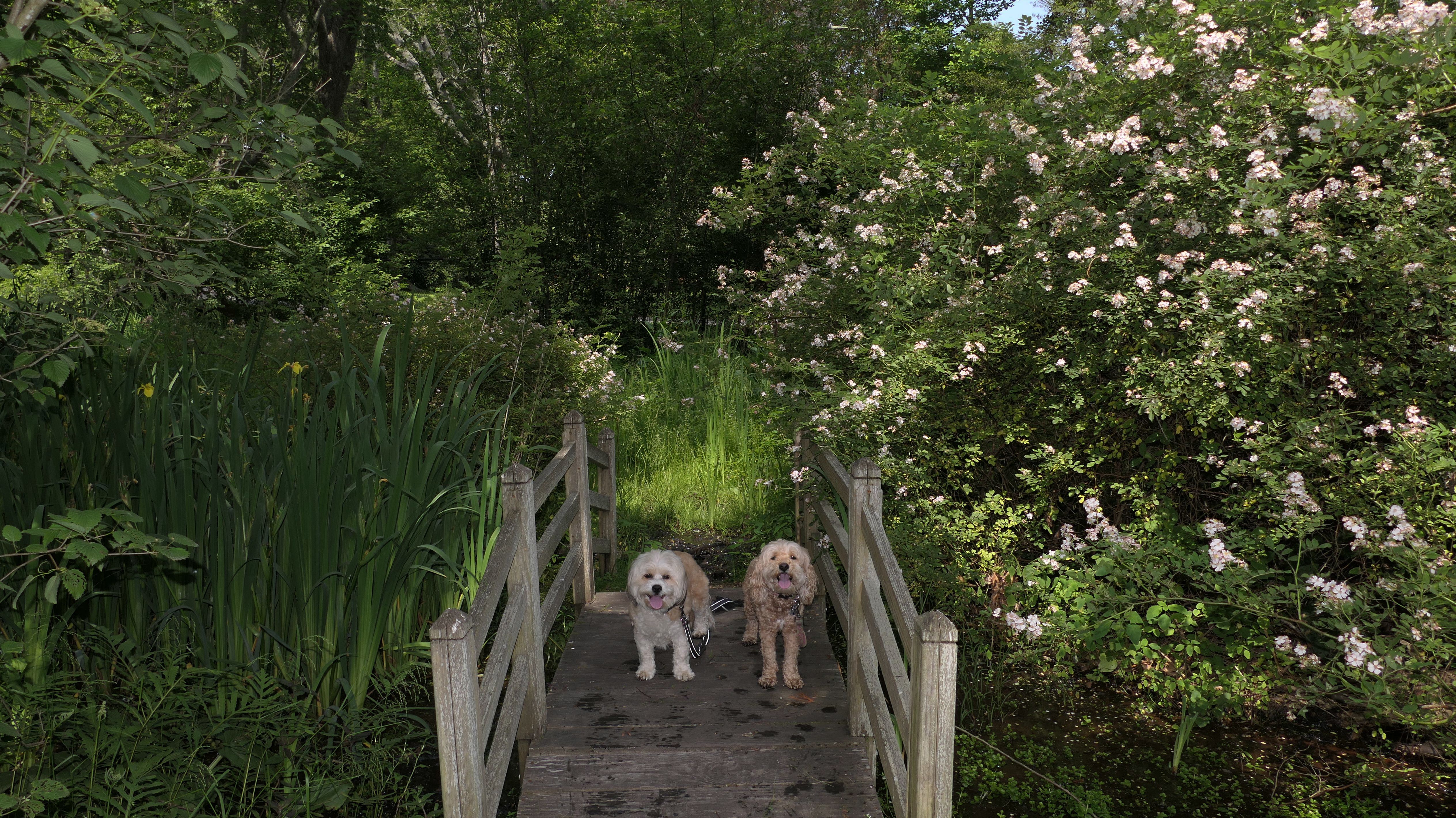
Date visited: 9/10/2023
We stopped here while I was waiting for a thunderstorm to pass through west of us blocking our journey home. The short loop trail is actually called "DAR Freedom Trail." I don't know why it's called that, and didn't notice any signage calling it such. This South Kingstown Land Trust property is tucked away in a small neighborhood. The beginning of the walk is a "story book trail", with pages of a kid's book displayed on signs along the way. We didn't take that many pictures here, because the skies started to darken. It looked like the rain, which was supposed to miss this area, was headed our way. In fact, it started to pour just minutes after we completed the loop and got back into the car!
More Images
Succotash Marsh Wildlife Management Area
Date visited: 10/4/2023
This is the area at the end of Succotash Road, after it passes the Jerusalem fishing village. The Dog Beach, is on the east side of the dirt road, and the salt marsh is on the west side. There are some unmarked trails that go out to the salt marsh. We explored the area a bit during our visit to the Dog Beach. Jerusalem is actually part of Narragansett, even though this section of Narragansett is not accessible from the rest of the town without going through South Kingstown first. The marsh spans both towns. The pictures below are from the South Kingstown section, there are a couple pictures from the Narragansett section on that page.
More Images

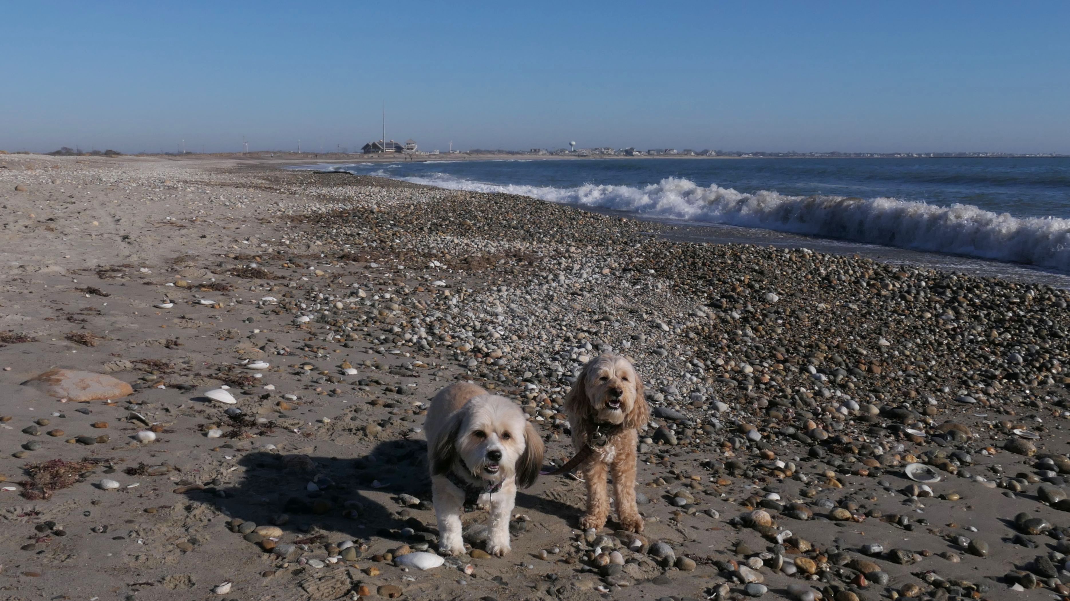
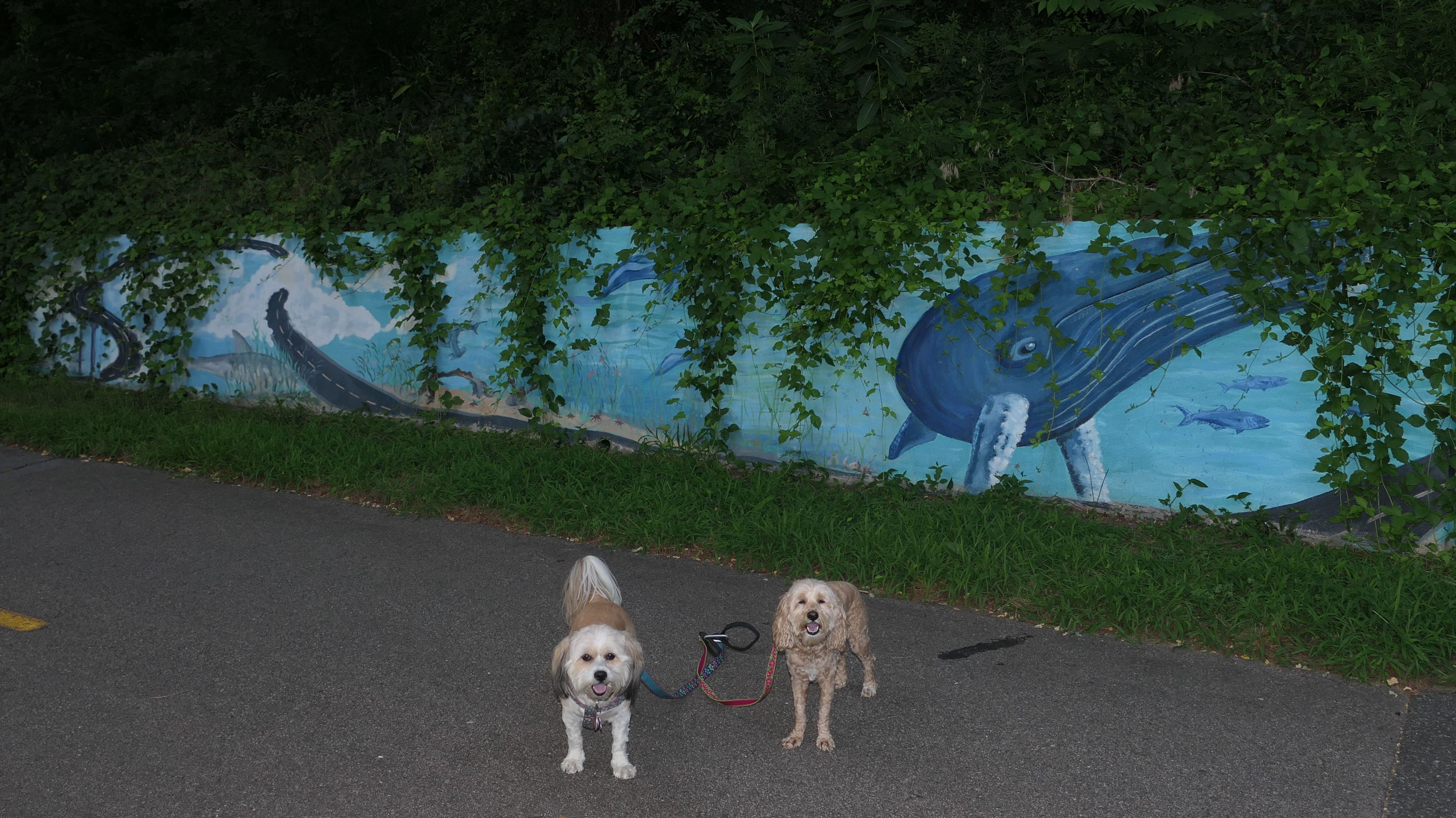
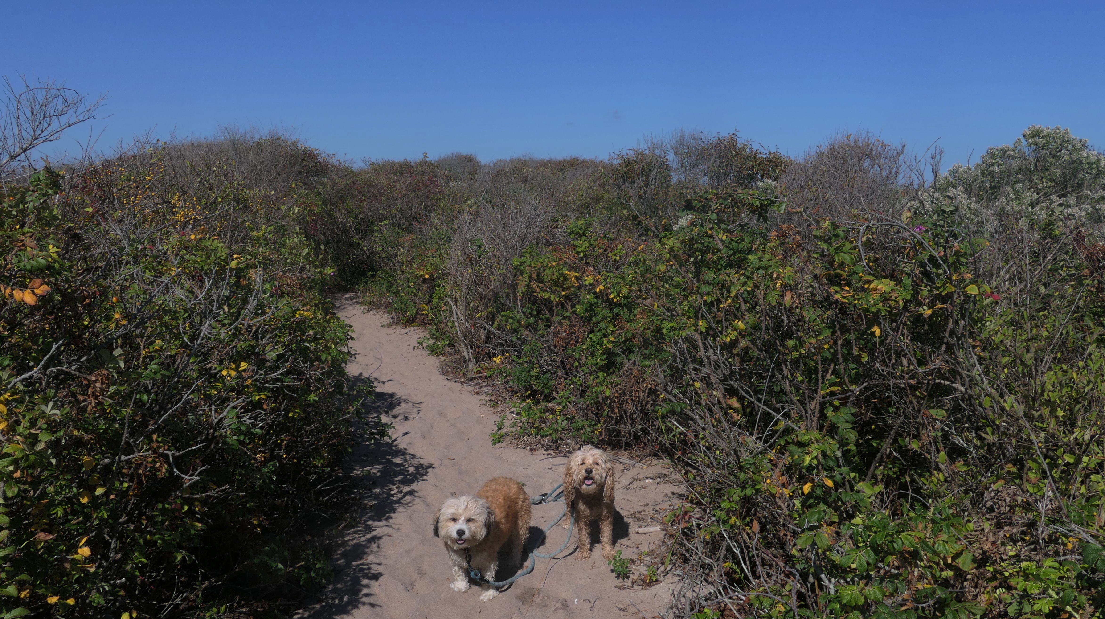
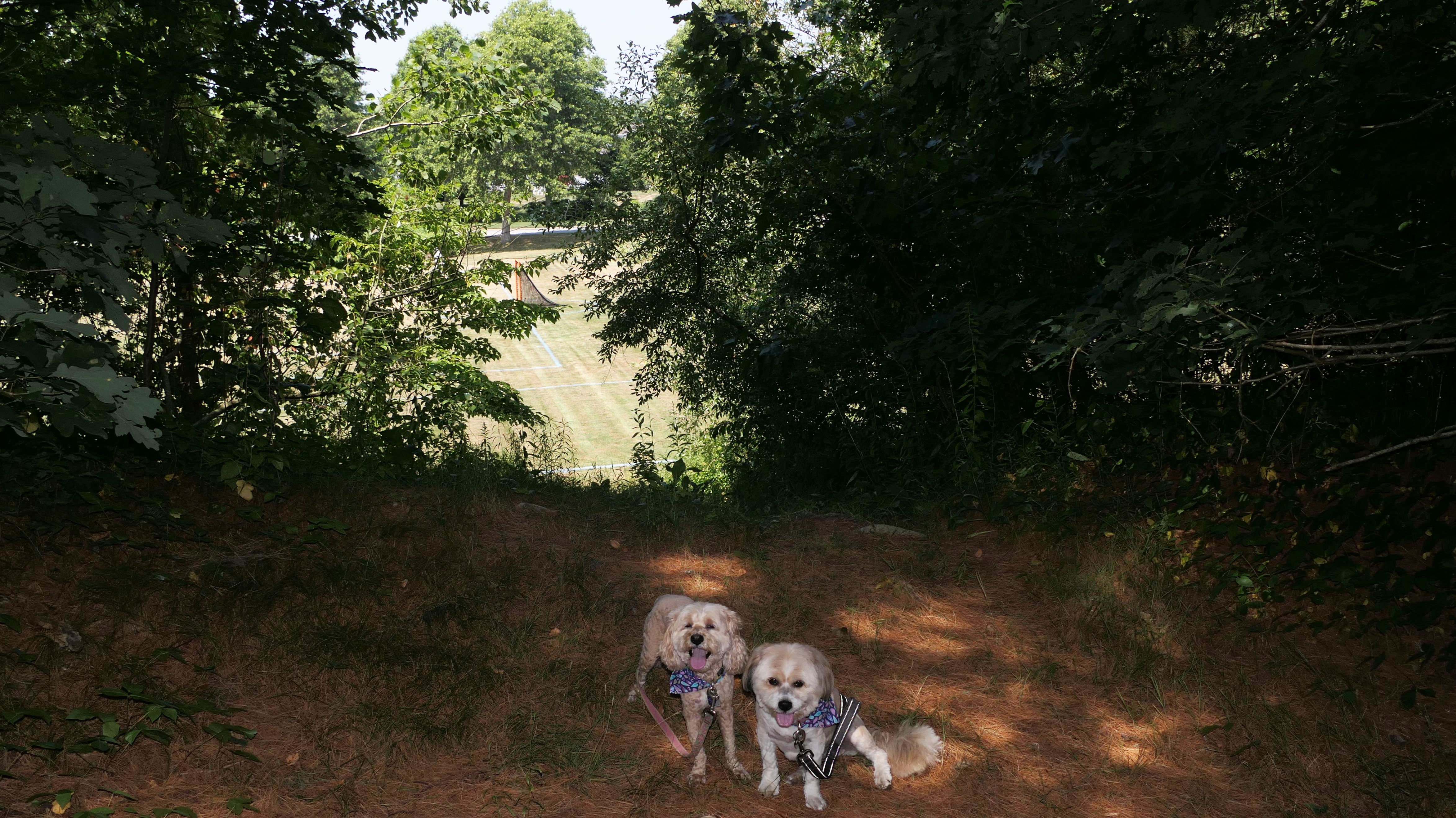
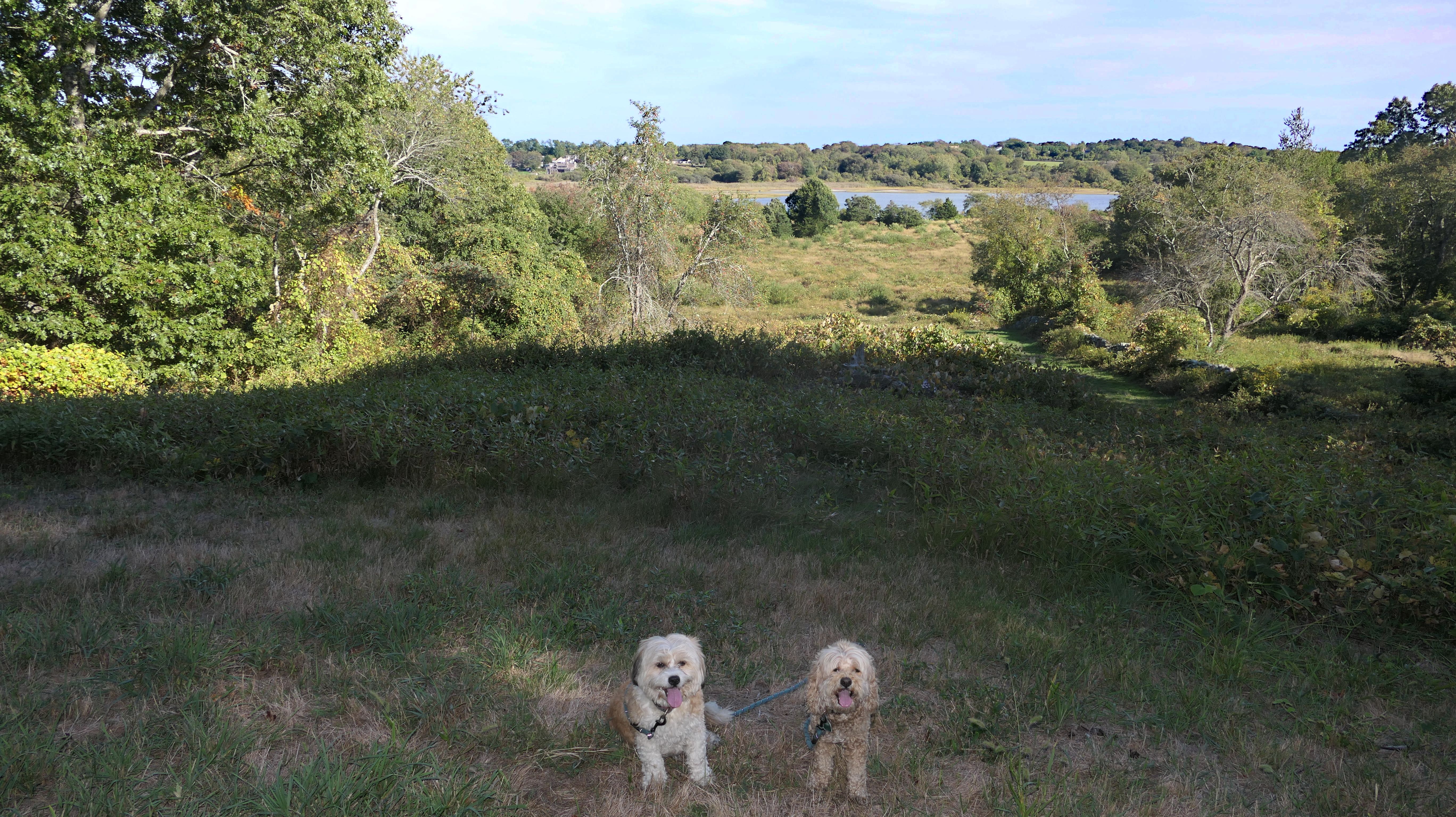
Moonstone Beach
Date visited: 2/19/2024
Evidently dogs are not allowed here. After getting out of the car, I spotted a sign with a number of different items listed as "prohibited" in small print. One of them was "Pets (Dogs and Horses)". Does that mean that cats are allowed? Also listed was "Nudity". Well, Mandy & Lexi had their sweaters on, so at least they didn't violate that one! Seriously, I guess years ago this was a nude beach. Now most of it is closed in the summer months because of Piping Plovers. A small section is open for residents for sunbathing and swimming, but the entire beach is open from September 16 to March 31st each year for the public. Since we were already out of the car, we did take a few pictures of the beach near the entrance. Like most beaches in this area, it is quite beautiful. It was the middle of February and temps were in the mid 30's, so I'm pretty sure we didn't disturb any birds. We only stayed about 10 minutes, but I guess this is not a place to bring your dogs, even in the winter.


More Images
Moonstone Beach
Date visited: 10/3/2024
We wound up back on this beach a second time. This time we just kept walking west from South Kingstown Town Beach. It was low tide and we were able to pass around the series of houses on stilts. It was a beautiful afternoon, so we kept walking until we reached the army of birds. I've never seen so many birds in one spot on the beach in my life. We didn't want to disturb them, so we turned around. Not only that, I'm pretty sure those birds could take us!.
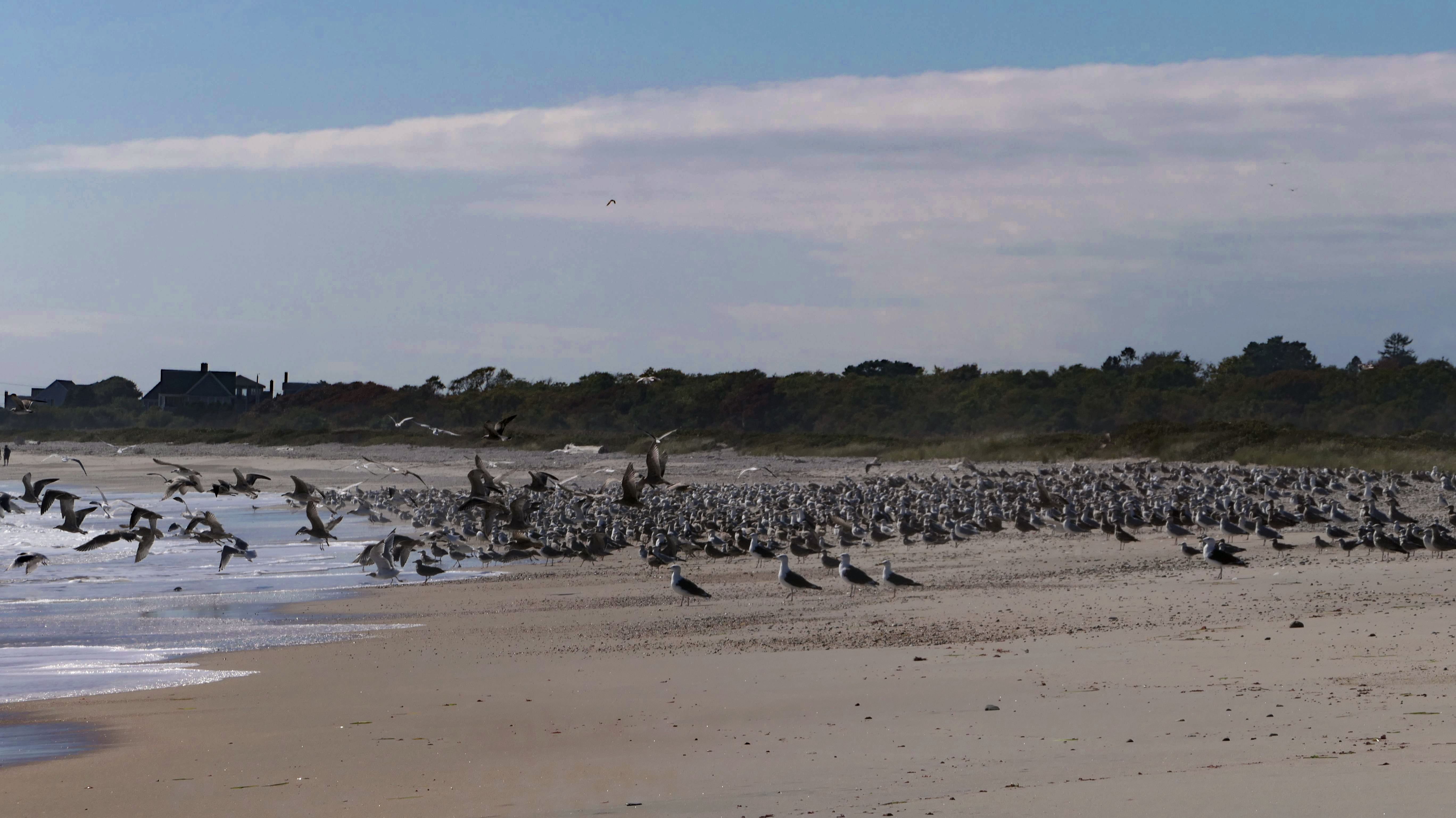
More Images
Moonstone Beach
Date visited: 11/22/2025
We continued our walk along the shore, heading west from South Kingstown Town Beach. We walked to about the point we left off a few weeks earlier. We stopped to take a couple pictures of the sunset before turning around and heading back the way we came.
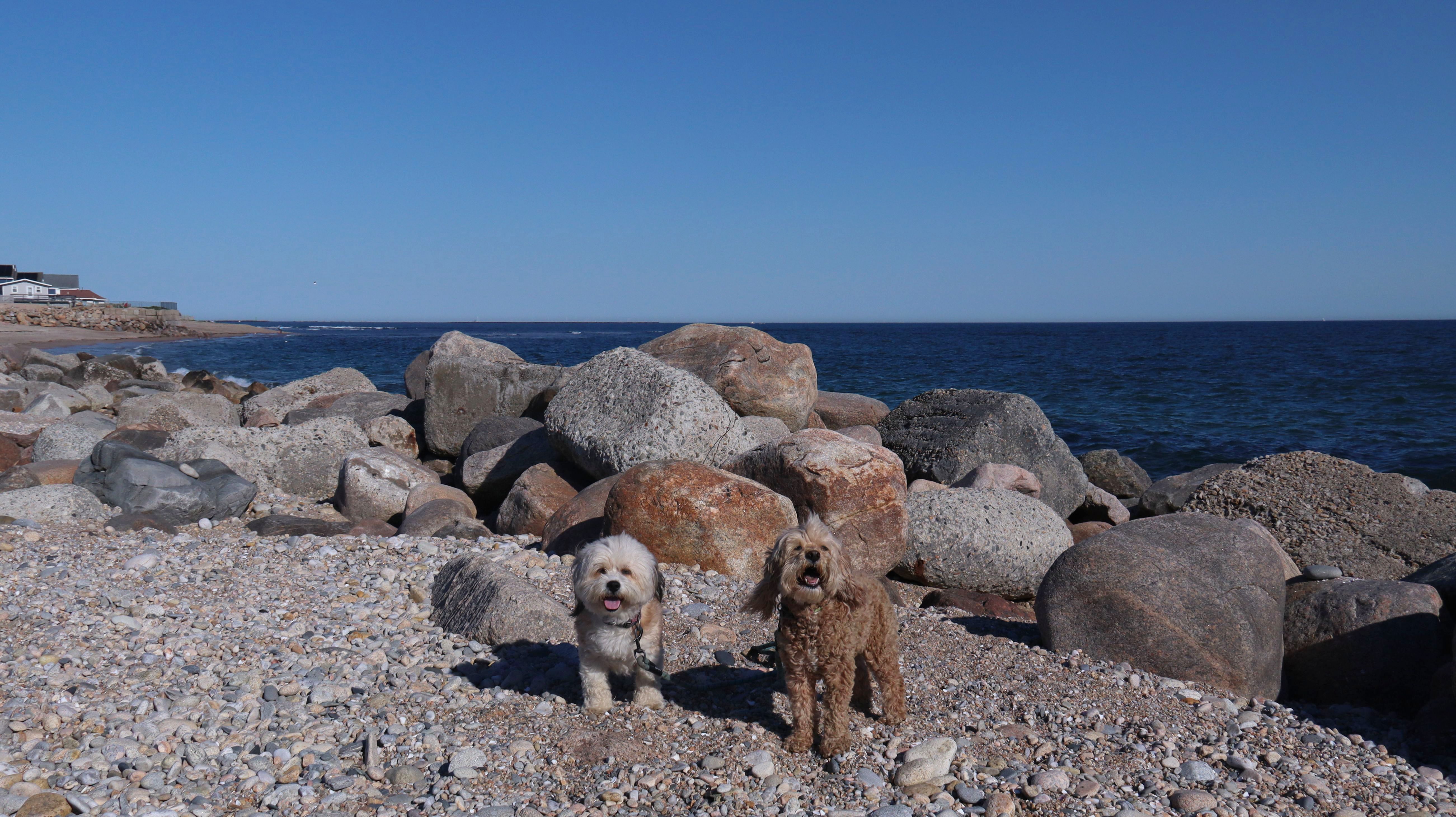
Moonstone Beach
Date visited: 3/4/2026
This was part of our four and a half mile walk along the Matunuck area shoreline, that also included Matunuck Beach and the town beach.


More Images


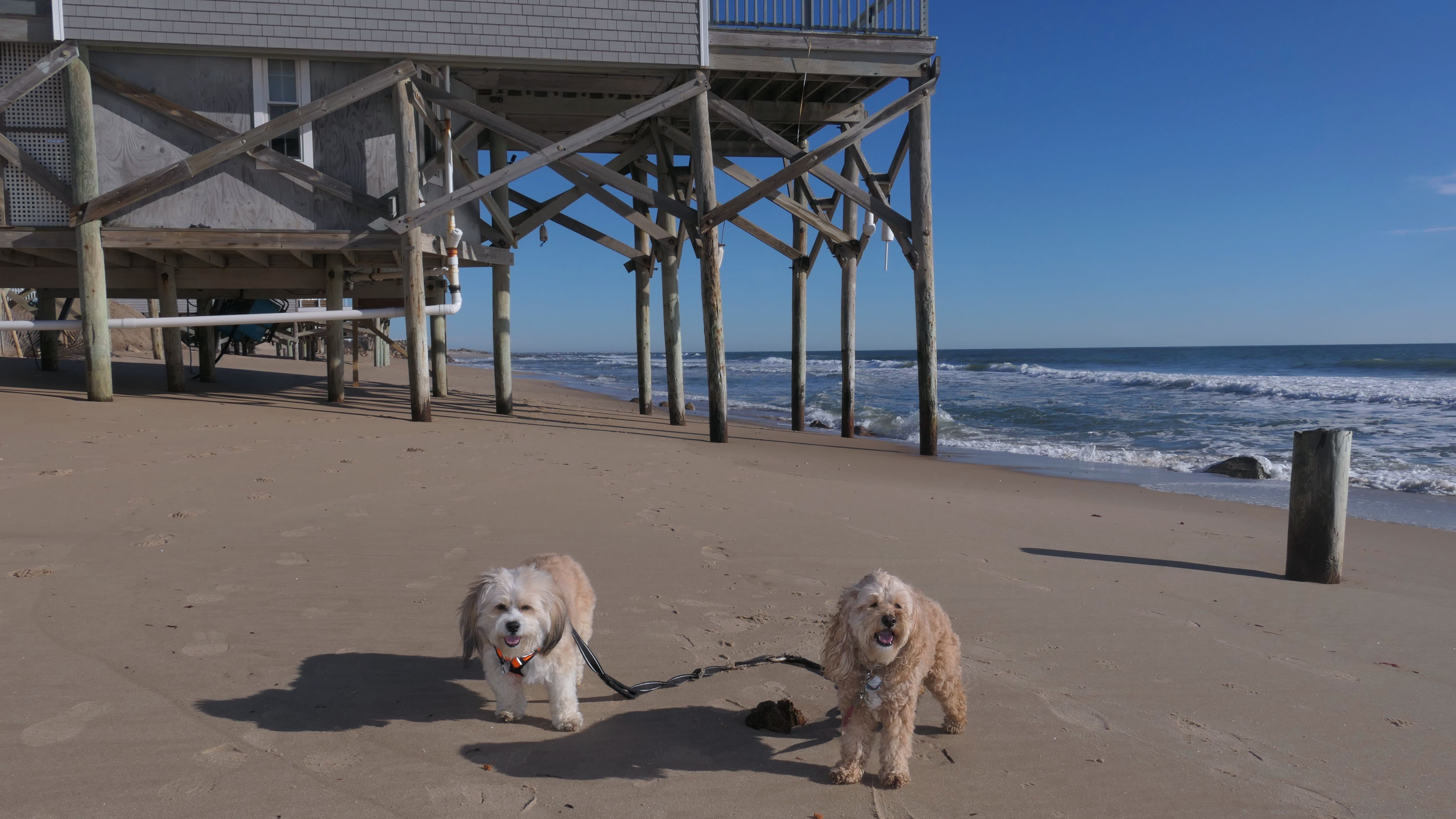
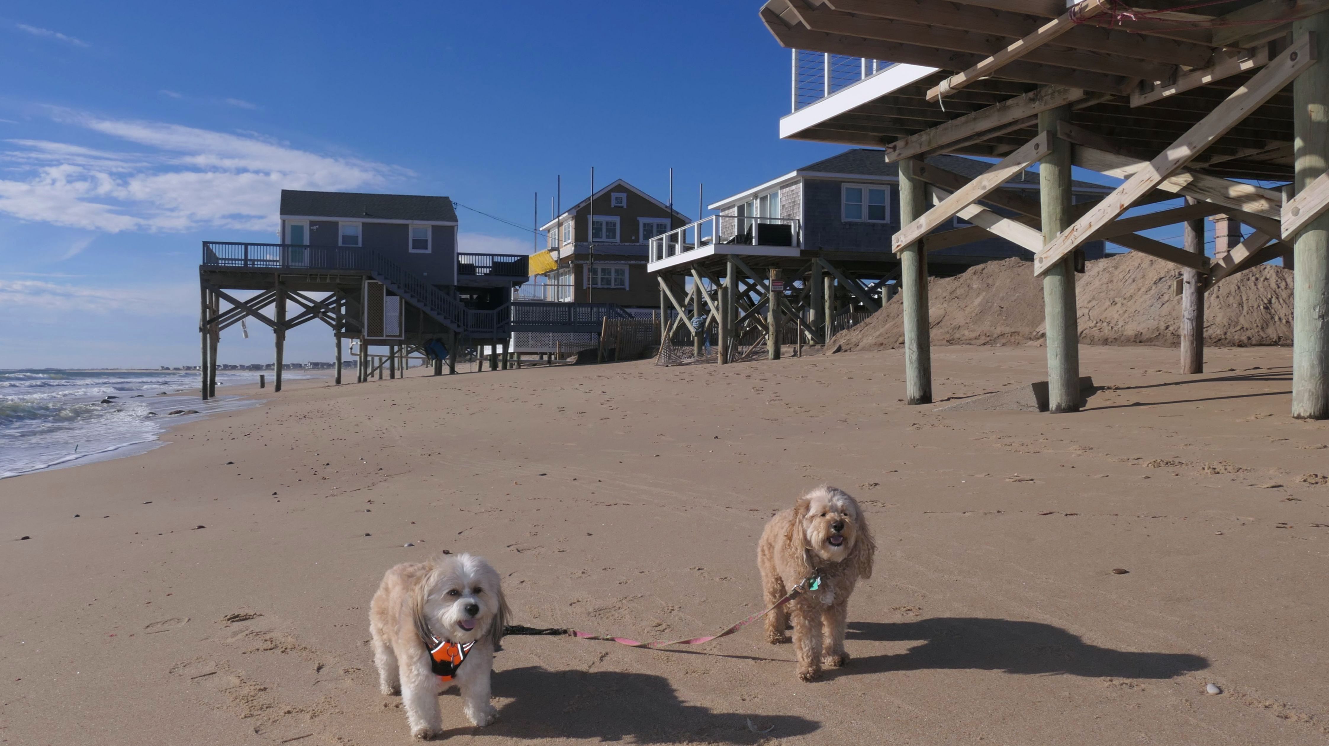
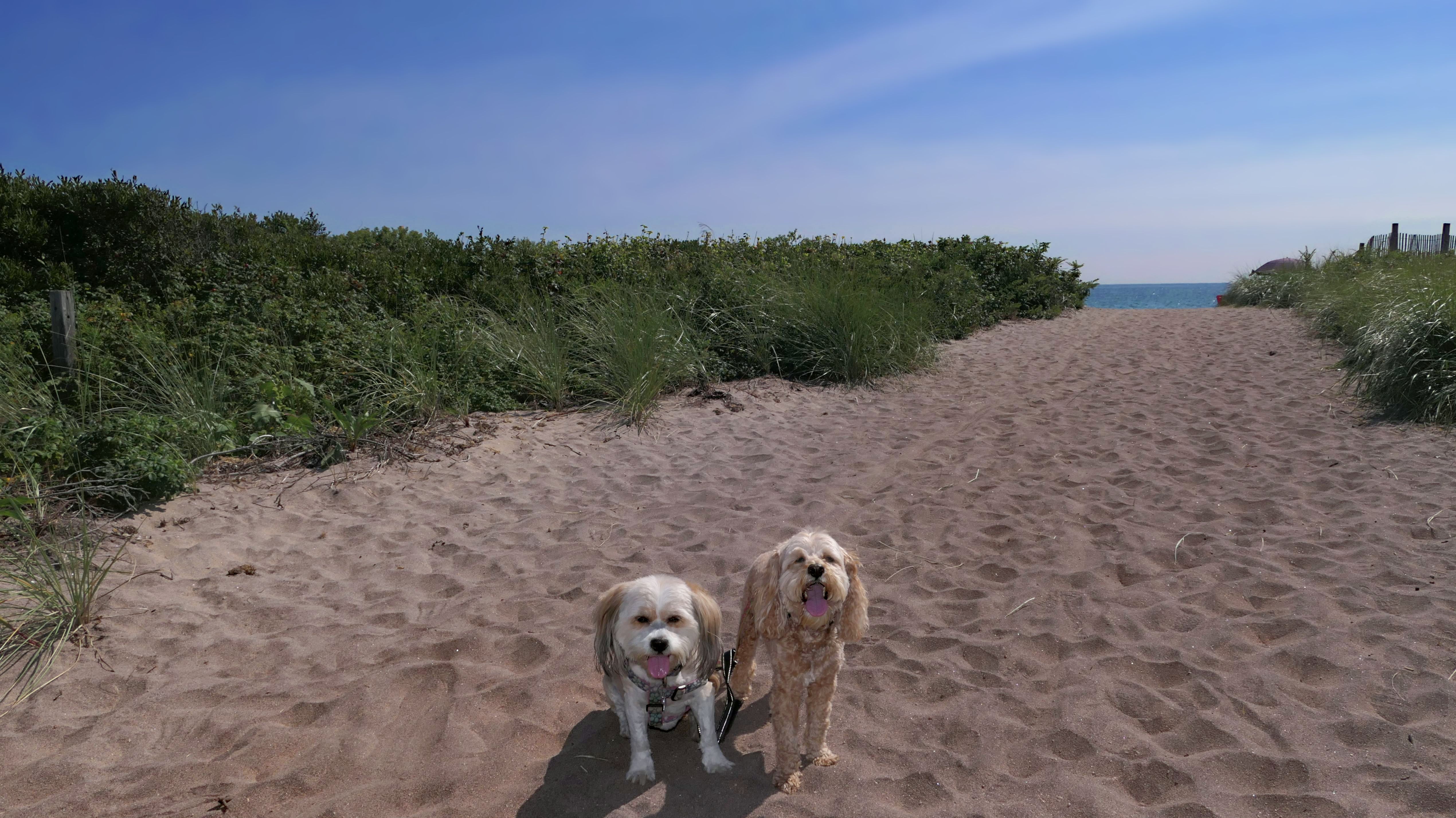
Matunuck Beach - Ocean Mist Beach
Date visited: 4/23/2024
This is a new section of beach for us that we had not visited on our previous trips to the area. This beach is sandwiched between Deep Hole Beach and the Ocean Mist Restaurant. We accessed this from Deep Hole. On our previous visits, the waves were too high, and you could not get to this beach from that beach because of a rock barrier, but this time there was enough sand to walk around it. I also discovered a public access point from Matunuck Beach Road that can also be used to access this area. This stretch of beach is rocky, and we stopped just shy of Ocean Mist. There is a rock barrier here that we could not get around, and in fact, we got real wet trying to do so! I imagine the barrier was probably strategically placed to stop people from walking on the beach in front of the restaurant, like we were trying to do!


More Images
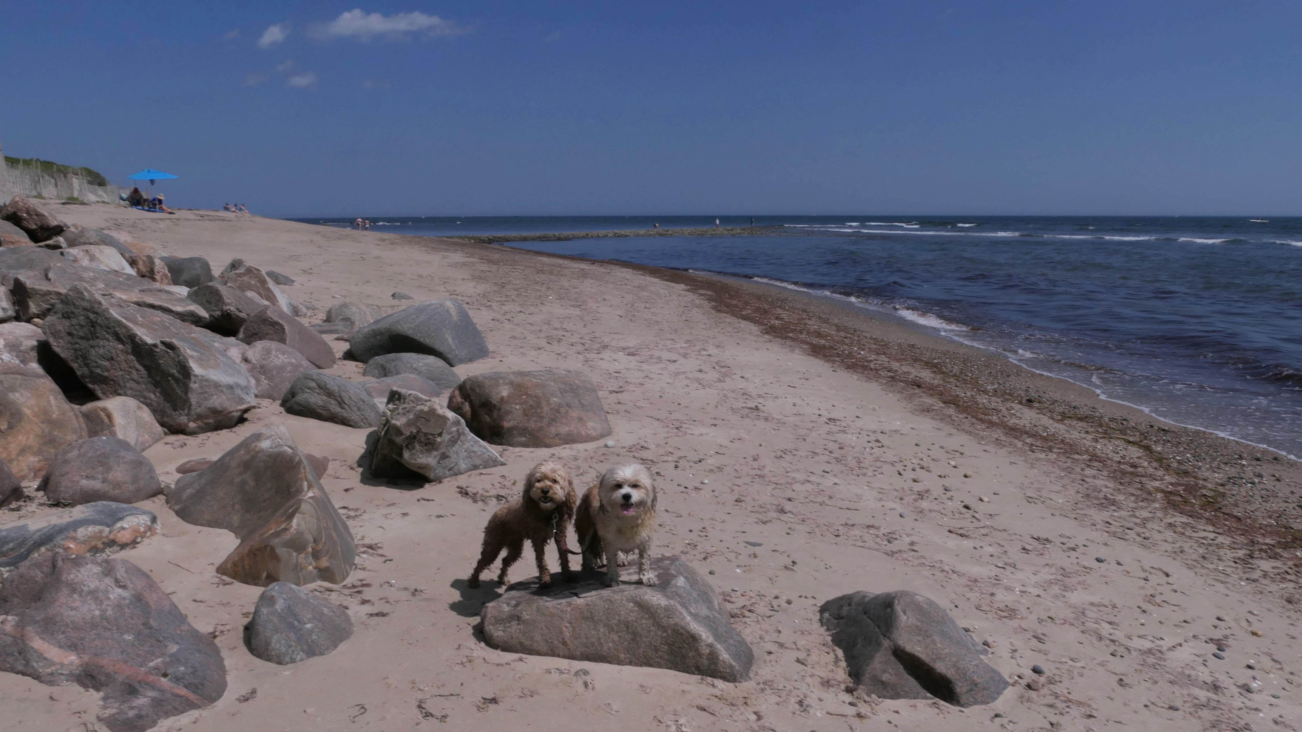
Matunuck Beach - Ocean Mist Beach
Dates visited: 8/1/2024
This is the beach on the west side of Ocean Mist, between the restaurant and the trailer park. We walked by this beach in the spring, while it was being constructed. They were building a new cement sea-wall, and had sand mounds piled up that would later be spread around evenly. Now the work is finished. There's a gap in the seawall that allows access. Large stones have been placed near the shoreline, but there is full access to the water closer to the restaurant. It was high tide when we were here, so the surf was pretty rough. Every time we are in this area, there is always a long line of cars parked along the street for the bars in this area. It's a crazy place, especially in the summer. I'm not sure if this beach area is truly public or not, but nobody gave us any issue while we were visiting.
More Images
Matunuck Beach - Ocean Mist Beach
Date visited: 10/3/2024
We came here to get a few more steps after our Town Beach walk. The tide was lower than last time, so we were able to get down past the rocks to the area in front of the restaurant.
Matunuck Beach - Ocean Mist Beach
Date visited: 12/25/2024
Last year we visited a beach on Christmas Day, so I thought maybe we could make this a tradition. It wasn't as warm this year, and this beach wasn't as nice as the one we went to last year. We didn't take that many photos, and some of the ones we did take didn't come out that well for various reasons...mostly because I forgot the good dog treats at home, and Mandy and Lexi weren't as cooperative posing with the emergency treats I keep in the car. (They are so spoiled!) After walking down the beach, we wound up walking up Cards Pond Road to the Theatre By-The-Sea, before heading back to the car and calling it a day.
Matunuck Beach - Ocean Mist Beach
Date visited: 1/24/2025
We were in the area and I needed some additional steps, so we stopped at South Kingstown Town Beach, and walked to this beach once again. We only took a few photos this time around.
Matunuck Beach - Ocean Mist Beach
Date visited: 4/25/2025
We passed through this beach area, after walking along the Town Beach. Even though we took photos on these rocks before, we took a few more. The sun came out briefly while we were here, and the ocean waves seemed to employ multiple colors, looking both aqua and purple.
More Images
Matunuck Beach - Ocean Mist Beach
Date visited: 6/25/2025
This was part of our Matunuck Beach walk that included Deep Hole, Ocean Avenue and Matunuck Point. The tide was real low so we had no issues on the walk getting around the rocks. I could actually see ourselves on the Ocean Mist Surf Cam.
Matunuck Beach - Ocean Mist Beach
Date visited: 3/4/2026
This was the second stop of the day, and the start of our Matunuck Beach adventure. We parked on the street near Ocean Mist, and began what wound up being a four and a half mile walk along the shore. We first walked the section of beach between Ocean Mist and Deep Hole and back. Mandy and Lexi got to run and play for a bit during this part of the adventure. We continued from here along the shore to Town Beach and beyond.


More Images


Matunuck Beach - Ocean Mist Beach
Dates visited: 6/3/2026, 6/21/2026 & 7/20/2026
In 2025 we established a standard walk through this area, usually starting at Ocean Mist, and walking the shoreline to Deep Hole, and then heading down Ocean Avenue to the Shoreline Access point, at the end of the street. As we will probably visit this area multiple time this summer, this section will be dedicated to any trip we take to this area during the year, instead of making a new entry for each trip.
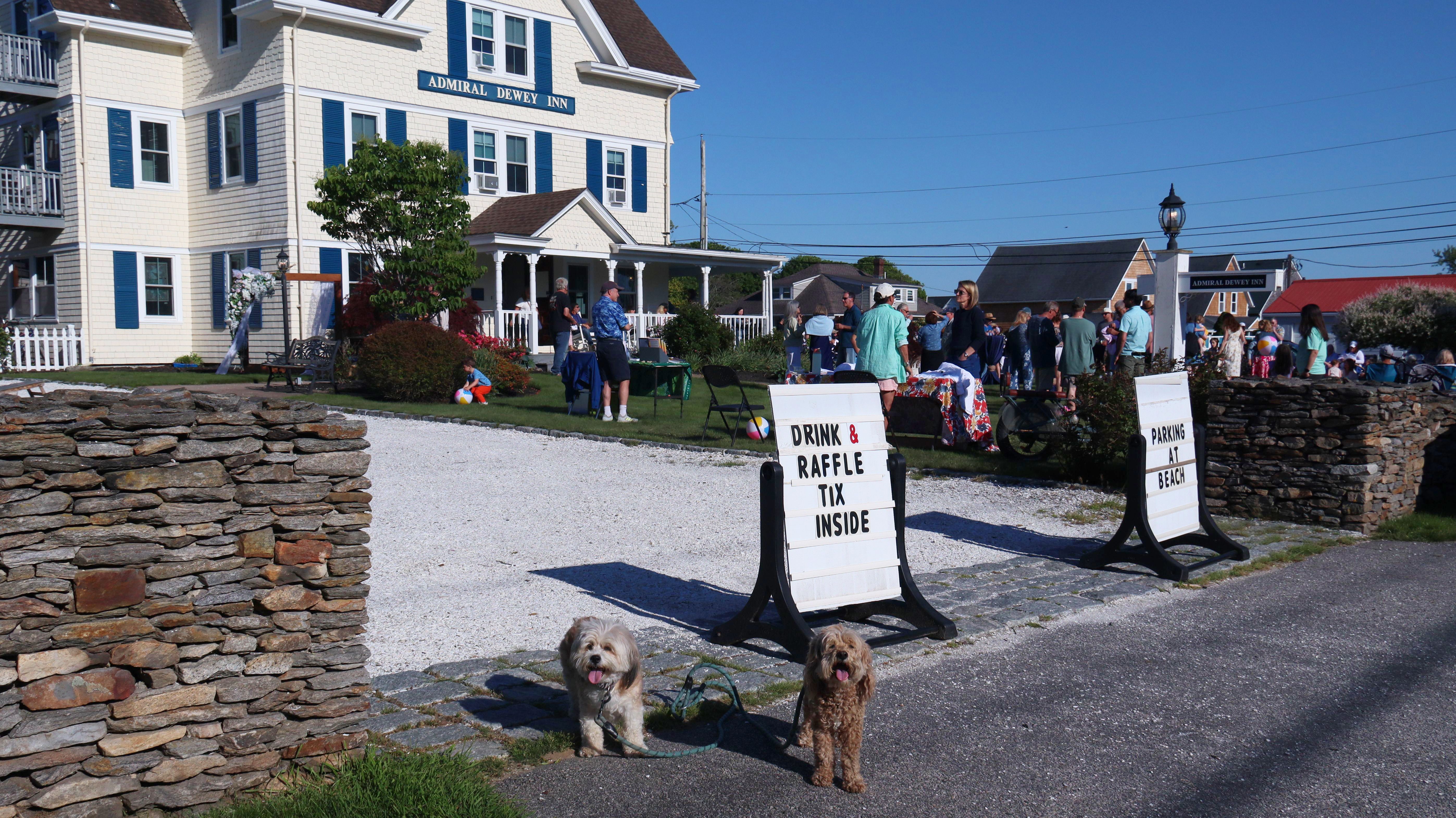
More Images 6/3/2026
The only thing unique about this trip was that there was some sort of event happening at Admiral Dewey Inn. There was live music and a crowd of people, so we walked over and checked it out, before continuing on our standard walk through the area.
More Images 6/21/2026
We were here on the first day of summer, which also happened to be Fathers Day. The area was busy and we were lucky to find an open parking space on the road near Ocean Mist. The lot at Deep Hole full. I'm not sure we ever visited this area on a sunny weekend beach day before. We usually walk the whole way along the shoreline from Ocean Mist to Deep Hole, but the tide was too high, and we had to walk along the road for part of the trip. We also walked to the access point at the end of Ocean Avenue.
More Images 7/20/2026

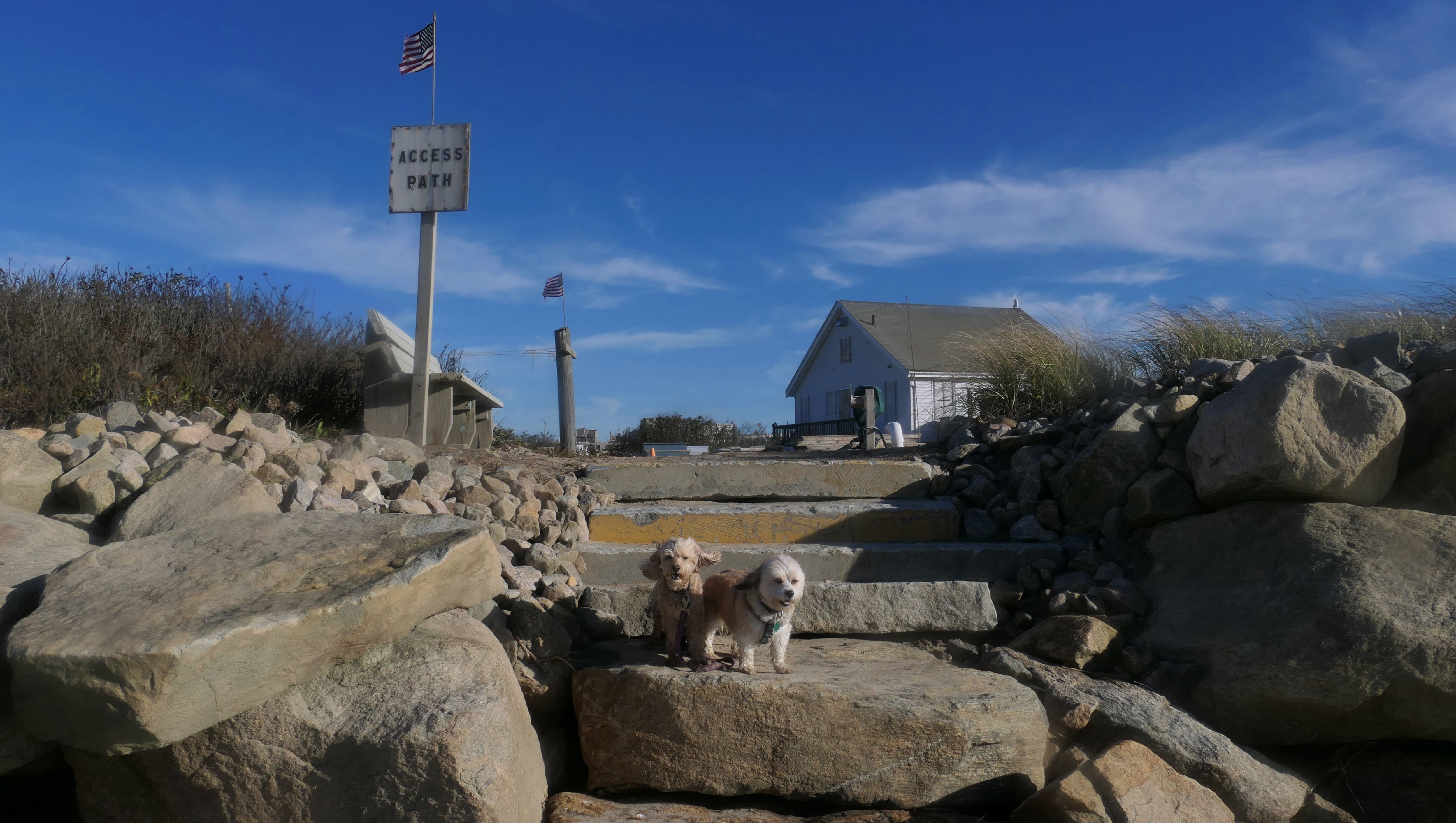
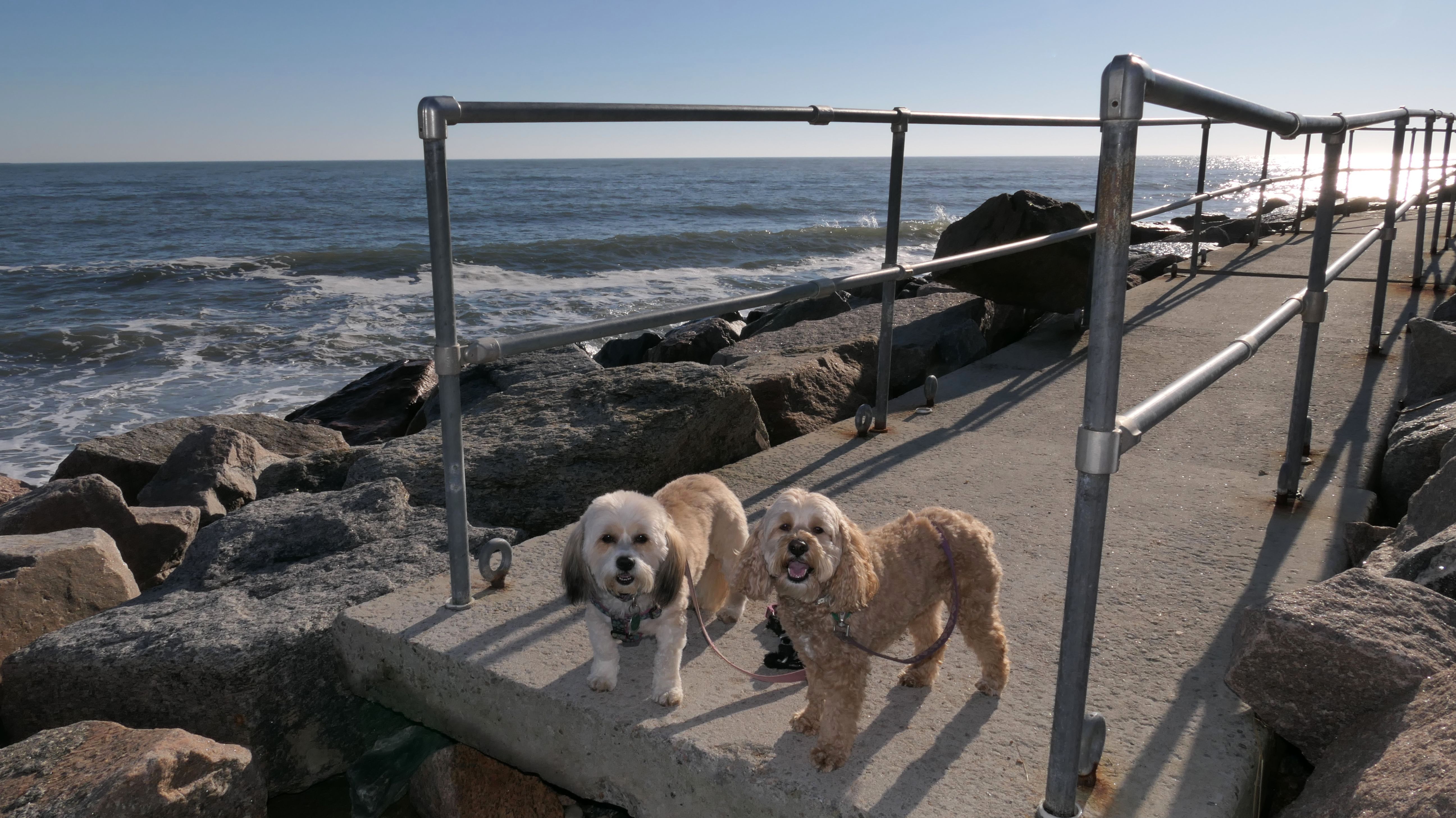
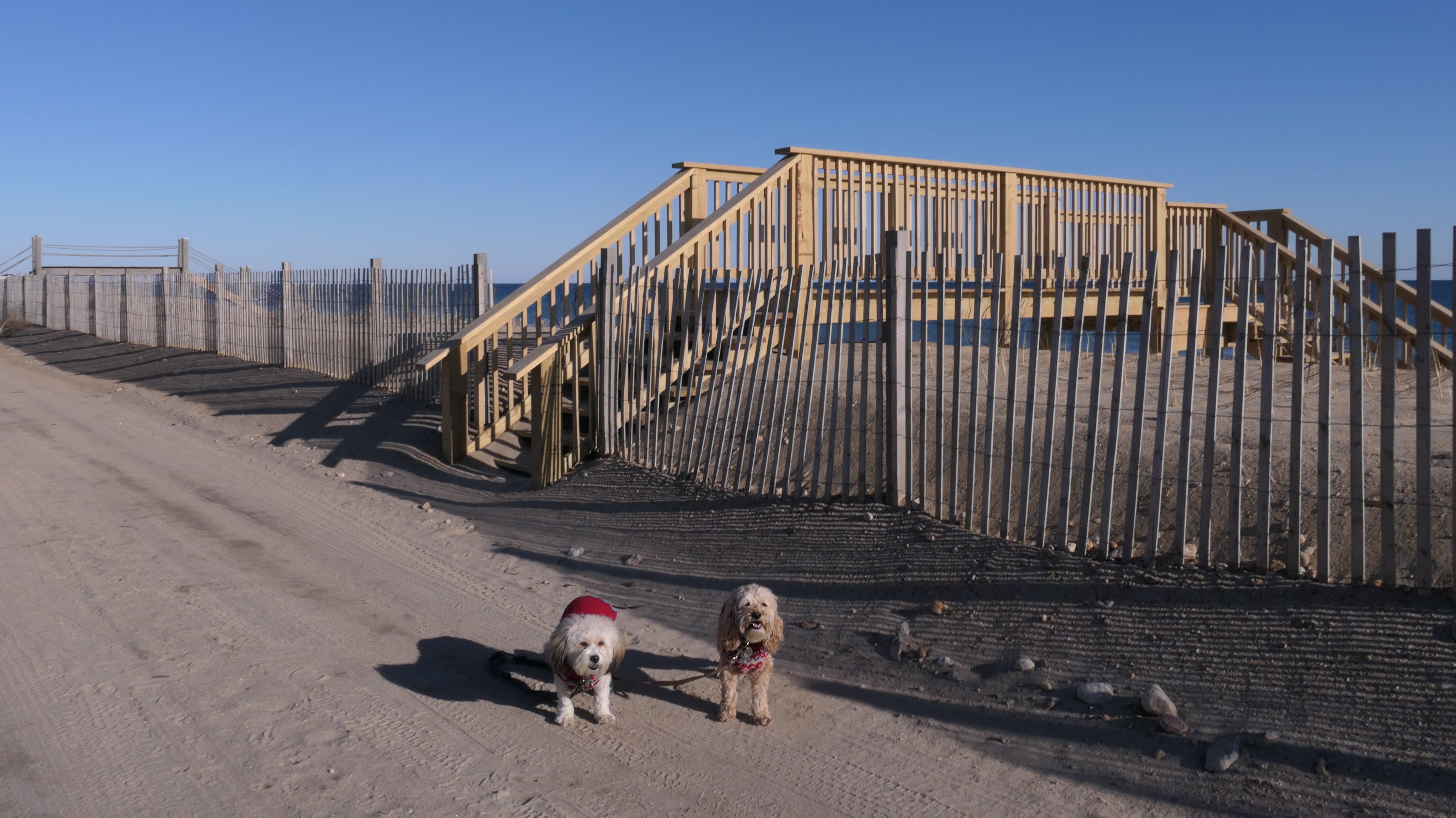
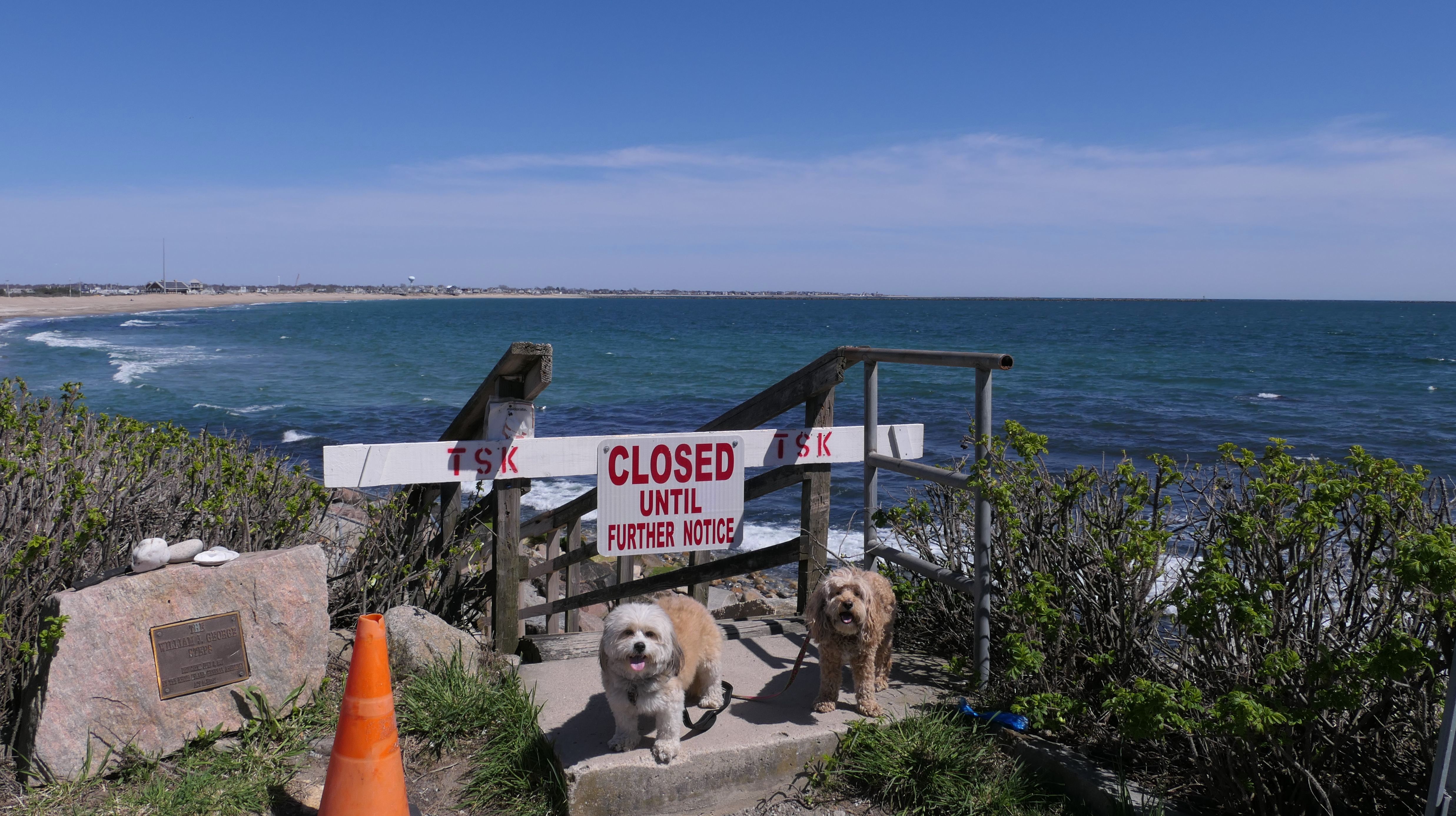
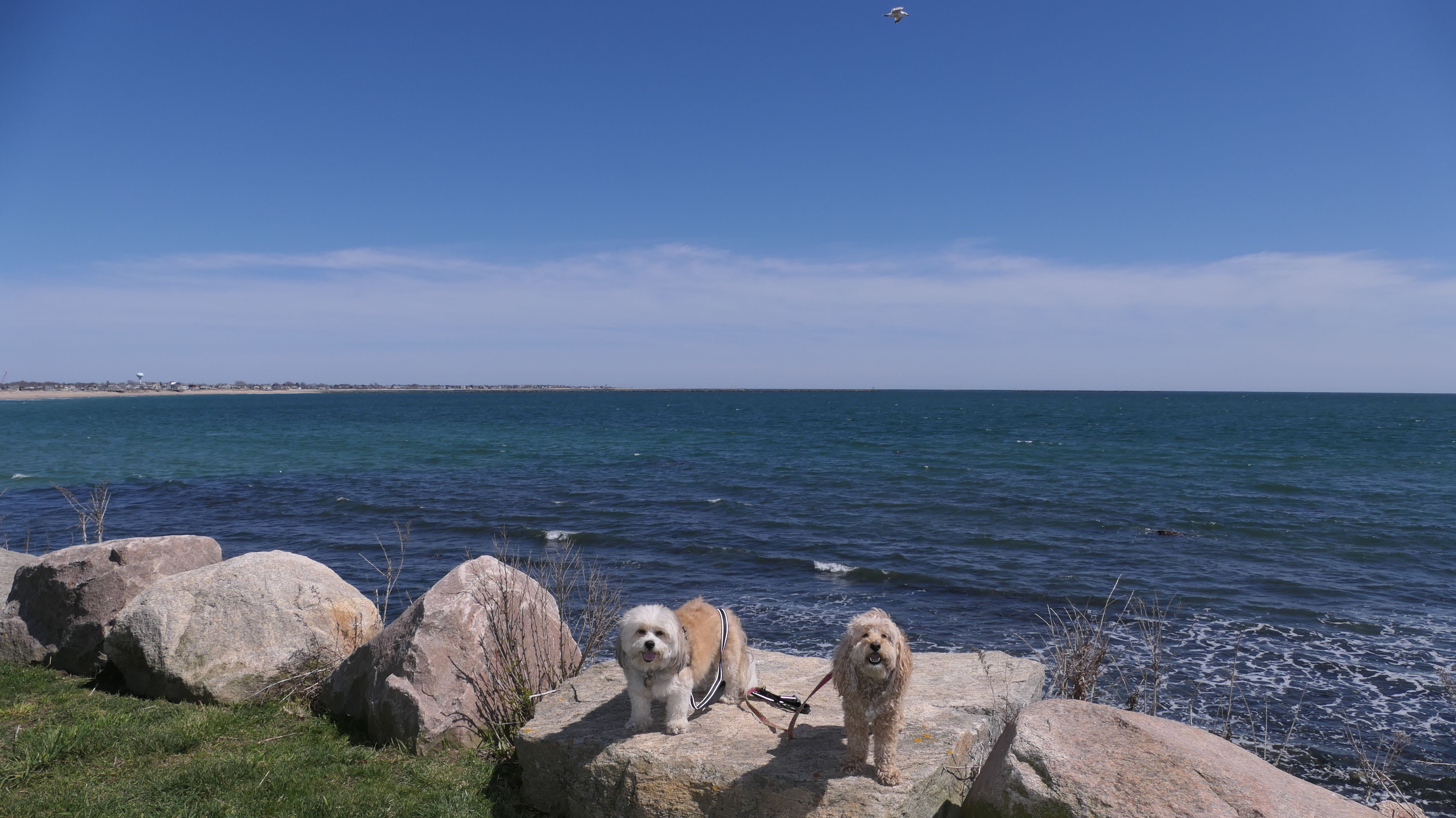
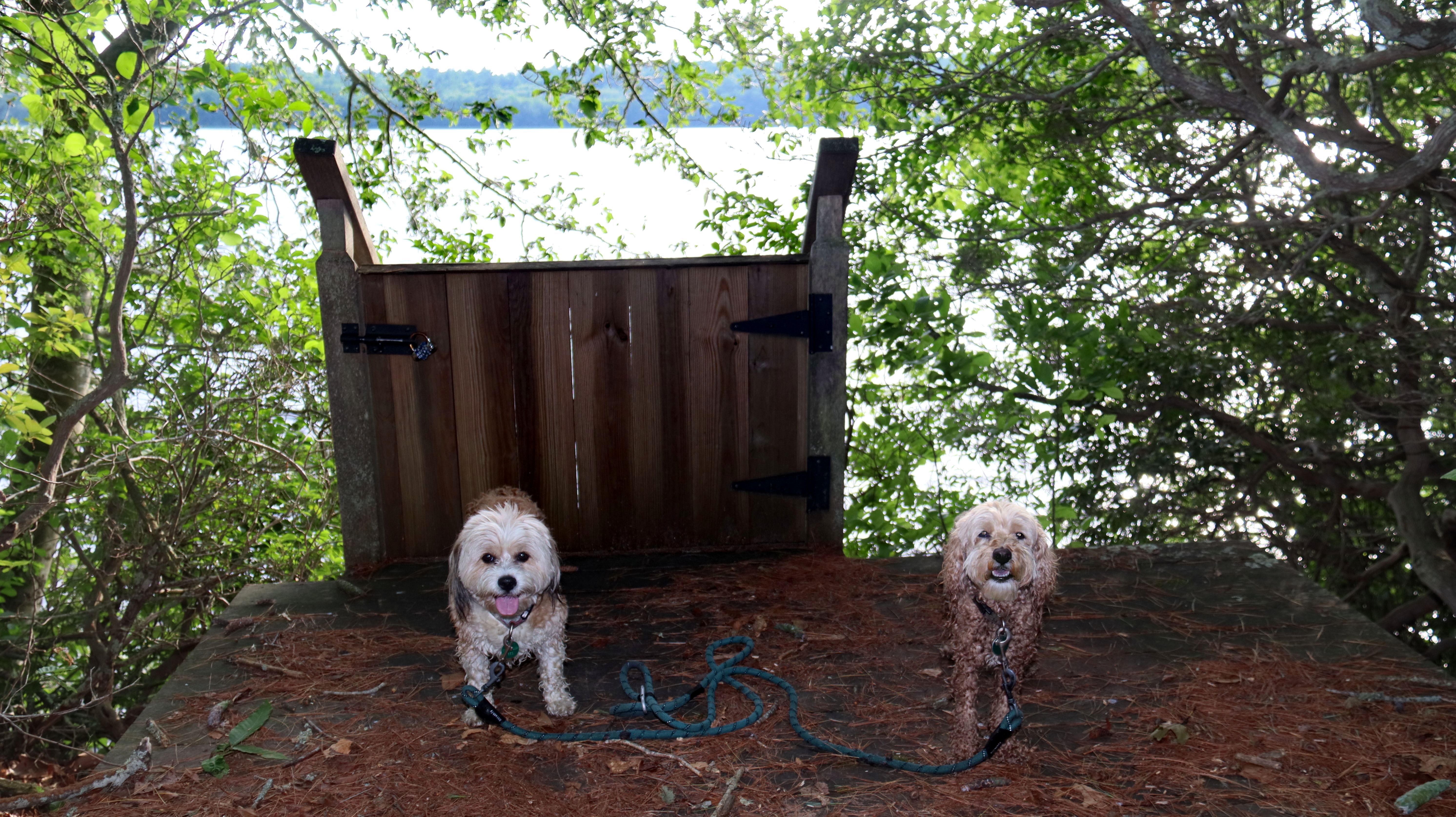
Ocean Avenue Shoreline Access
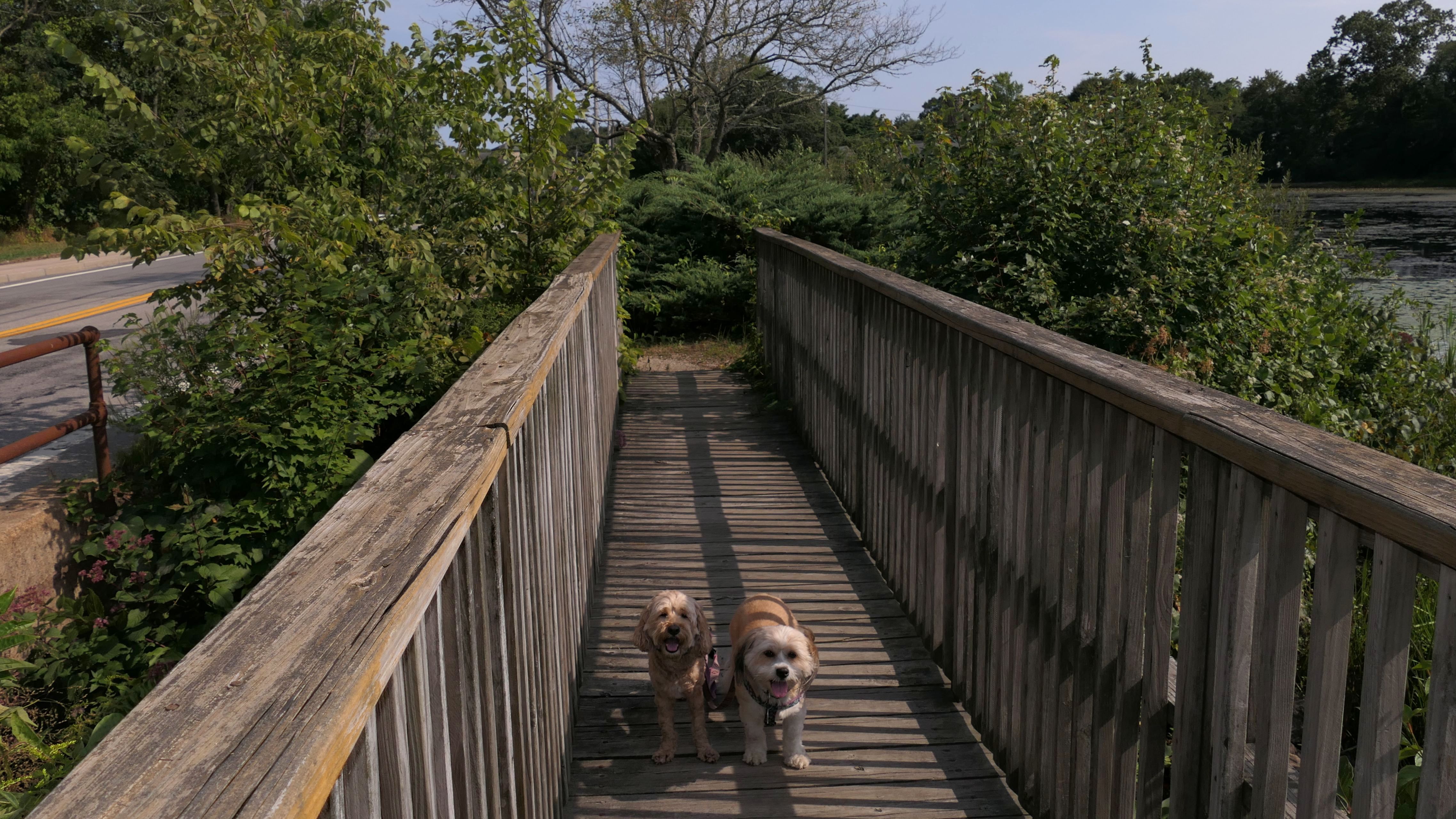
Dates visited: 4/23/2024
I saw this Public Shoreline Access point on a map. There is no parking area, so we walked here from South Kingstown Town Beach. As you can see from the photo below, the access point is closed. The stairs, which are named the "William J. George Steps", go down to a cement walkway that leads to East Matunuck State Beach, a beach we already visited anyway. While we walked a couple miles only to find the access point was closed, it wasn't a total loss. The walk down Matunuck Beach Road and Ocean Avenue is actually quite nice. We also discovered a way to get to Matunuck Beach, that we was a new beach for us to explore.
Ocean Avenue Shoreline Access
Date visited: 11/29/2024
We came back once the access point was re-opened. Instead of walking to East Matunuck State Beach, we walked around the rocks down by the shore parallel to Ocean Avenue. We went as far as we could until the shore was no longer passable by foot. After turning around and heading back, we headed to the secret beach at Matunuck Point.
Ocean Avenue Shoreline Access
Date visited: 6/25/2025
This was another stop on our walk through the Matunuck Beach area. The ramp and walkway lead to the west end of East Matunuck State Beach. There is a small area on the extreme west end of the beach that is town-owned. We stayed on that side because the dogs aren't allowed on the state beach in the summer. We cooled off here, before heading to the secret beach at Matunuck Point.
More Images
Ocean Avenue Shoreline Access
Date visited: 8/17/2025
It was a warm afternoon, so we stopped at the Matunuck Beach area for what has become our standard walk down Matunuck Beach Road and Ocean Avenue. It was a Sunday afternoon, and the area was very busy. We were lucky to find a parking spot! It was high tide and windy, with a number of kite surfers out in the ocean. Because of the high tide, we couldn't walk along Matunuck Beach like we usually do, but we did stop at our usual access points, including this one. We stayed on the "town side", where dogs are allowed, and enjoyed the beach for a bit before continuing our walk.
Ocean Avenue Shoreline Access
Dates visited: 6/3/2026, 6/21/2026 & 7/20/2026
This is part of our standard walk through the Matunuck Beach area. The section below will document any trips to this dog-friendly access point through the year.
More Images 6/3/2026
During this visit, the dogs ran and played for a bit, before cooling off in the water.

More Images 6/21/2026

More Images 7/20/2026
For this trip, we also included some photos from our walk over to the access point along Ocean Avenue. Some of the action shots of the dogs playing got overexposed. I tried to fix them after the fact, but the final product is not up to my usual standards.


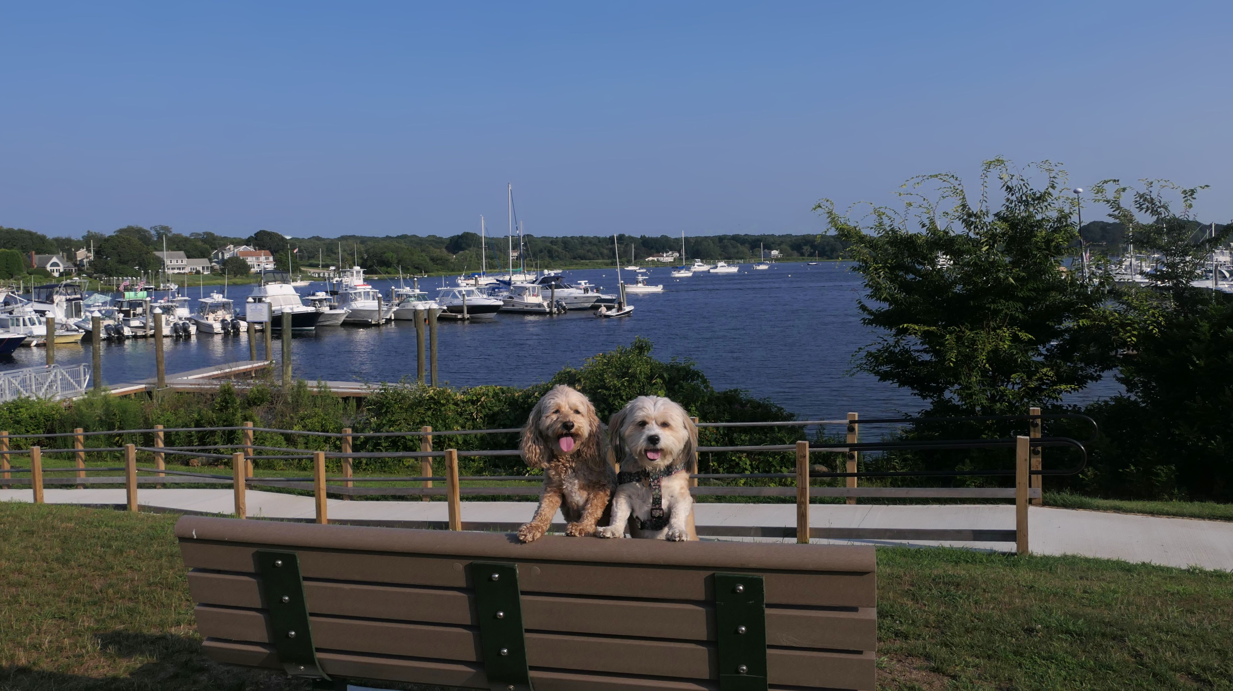
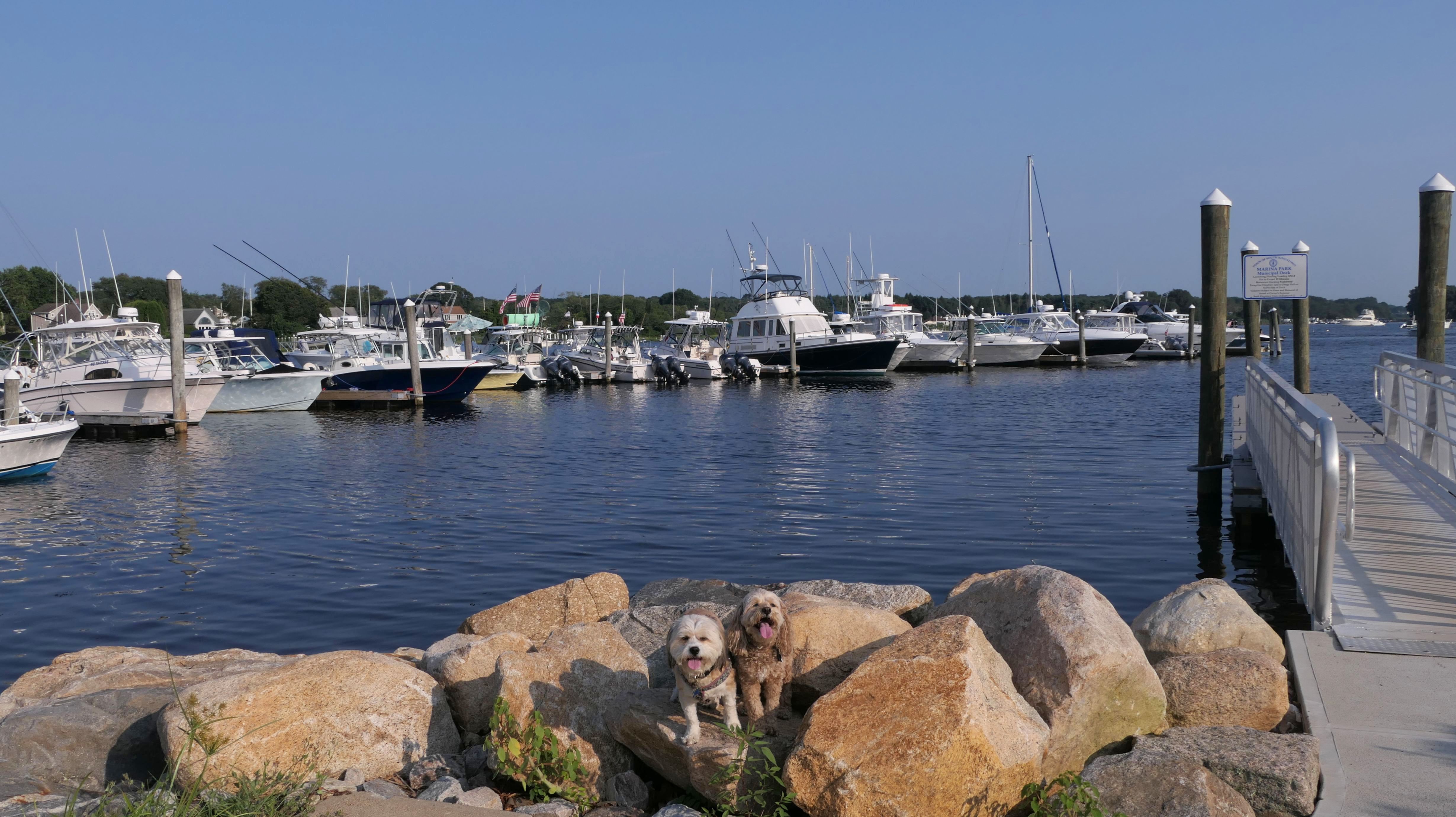
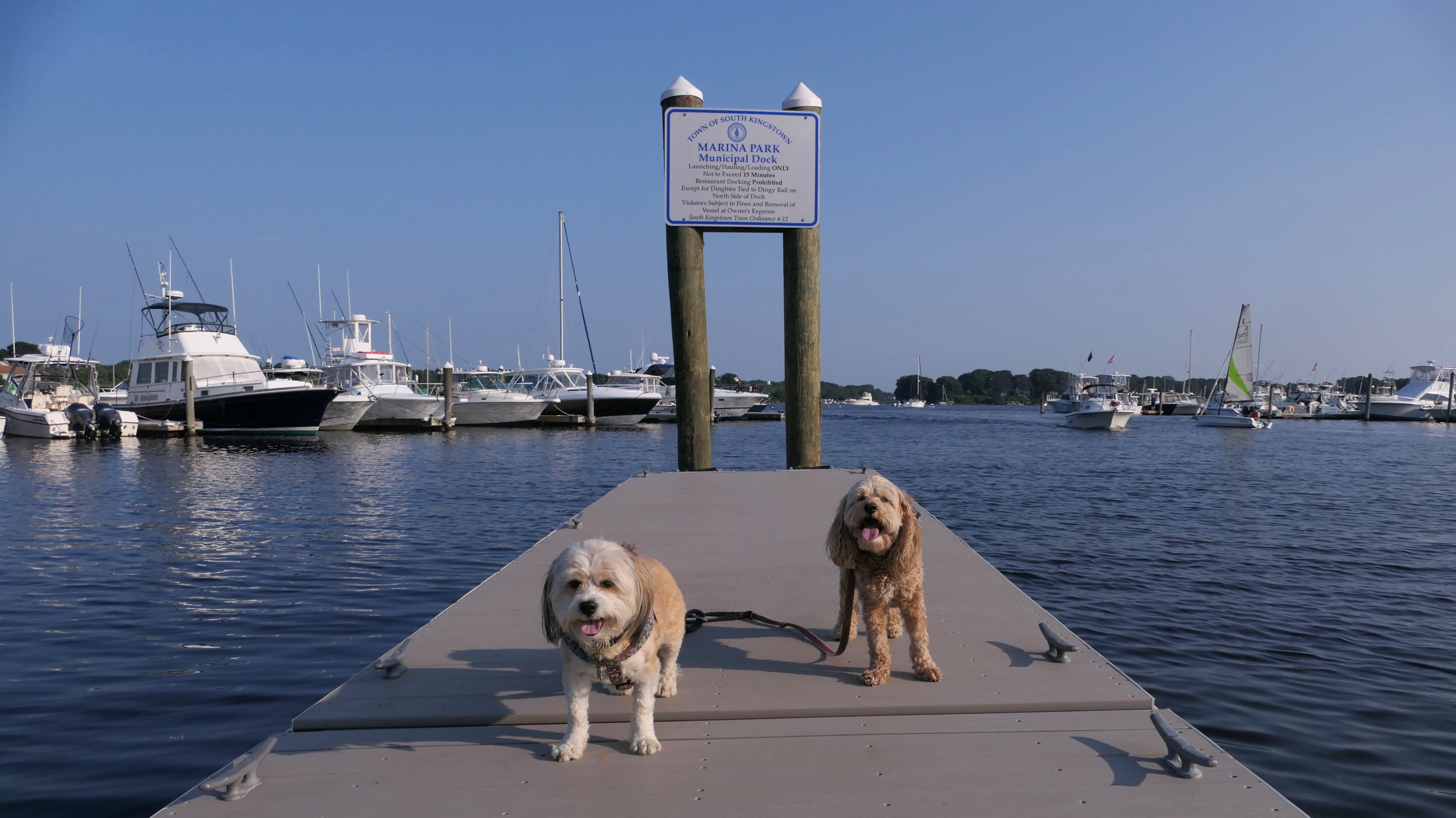
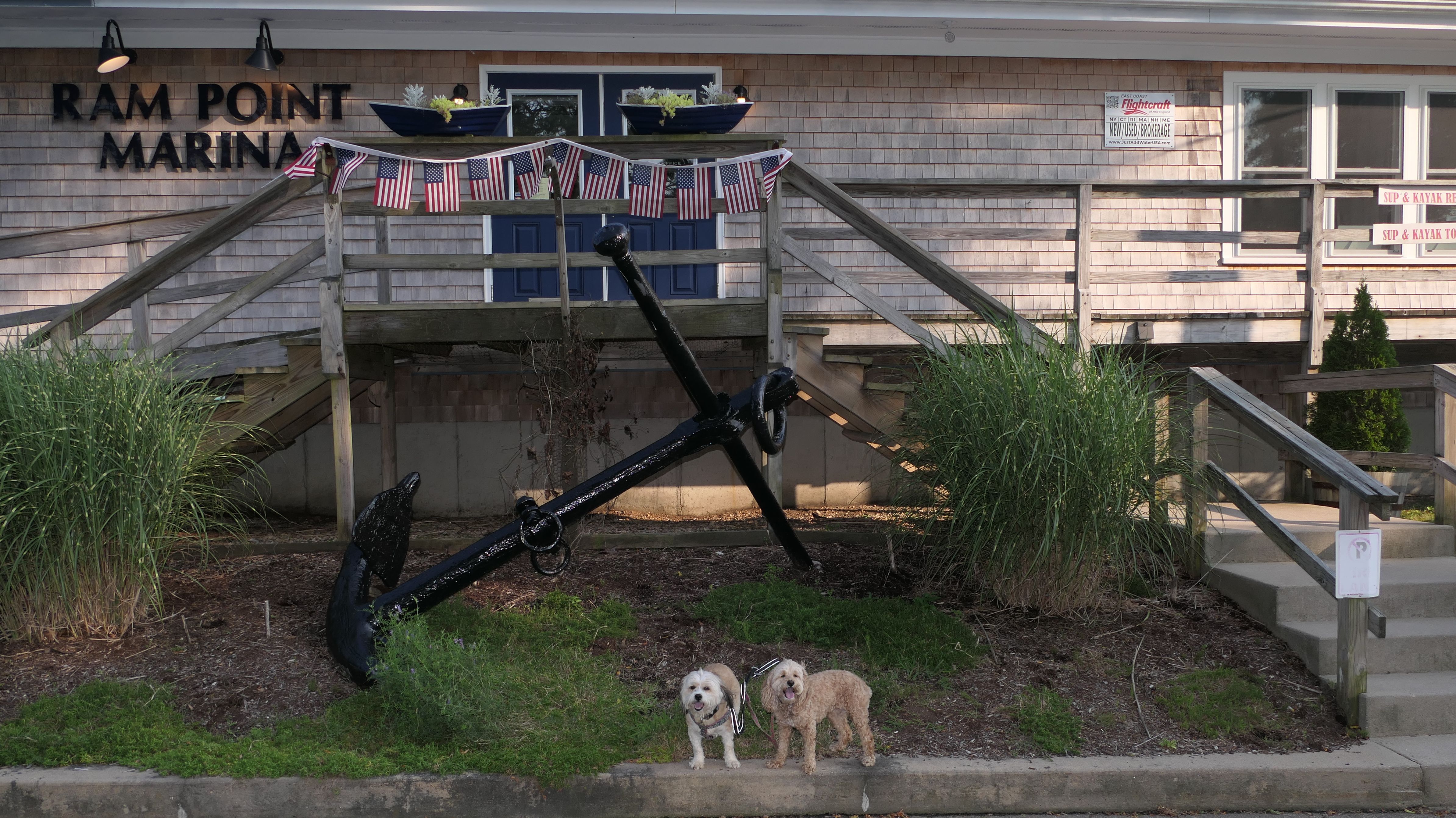
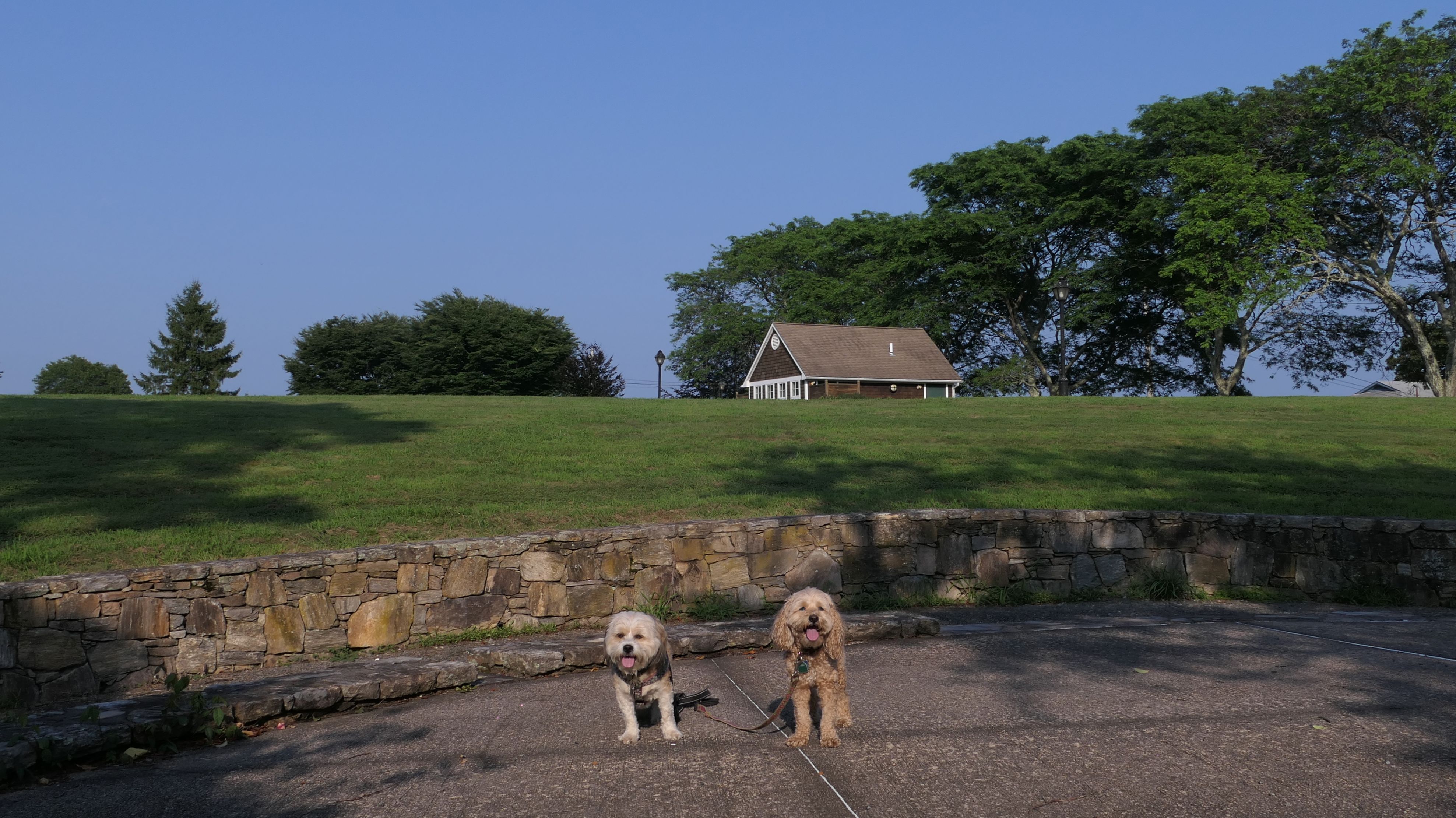
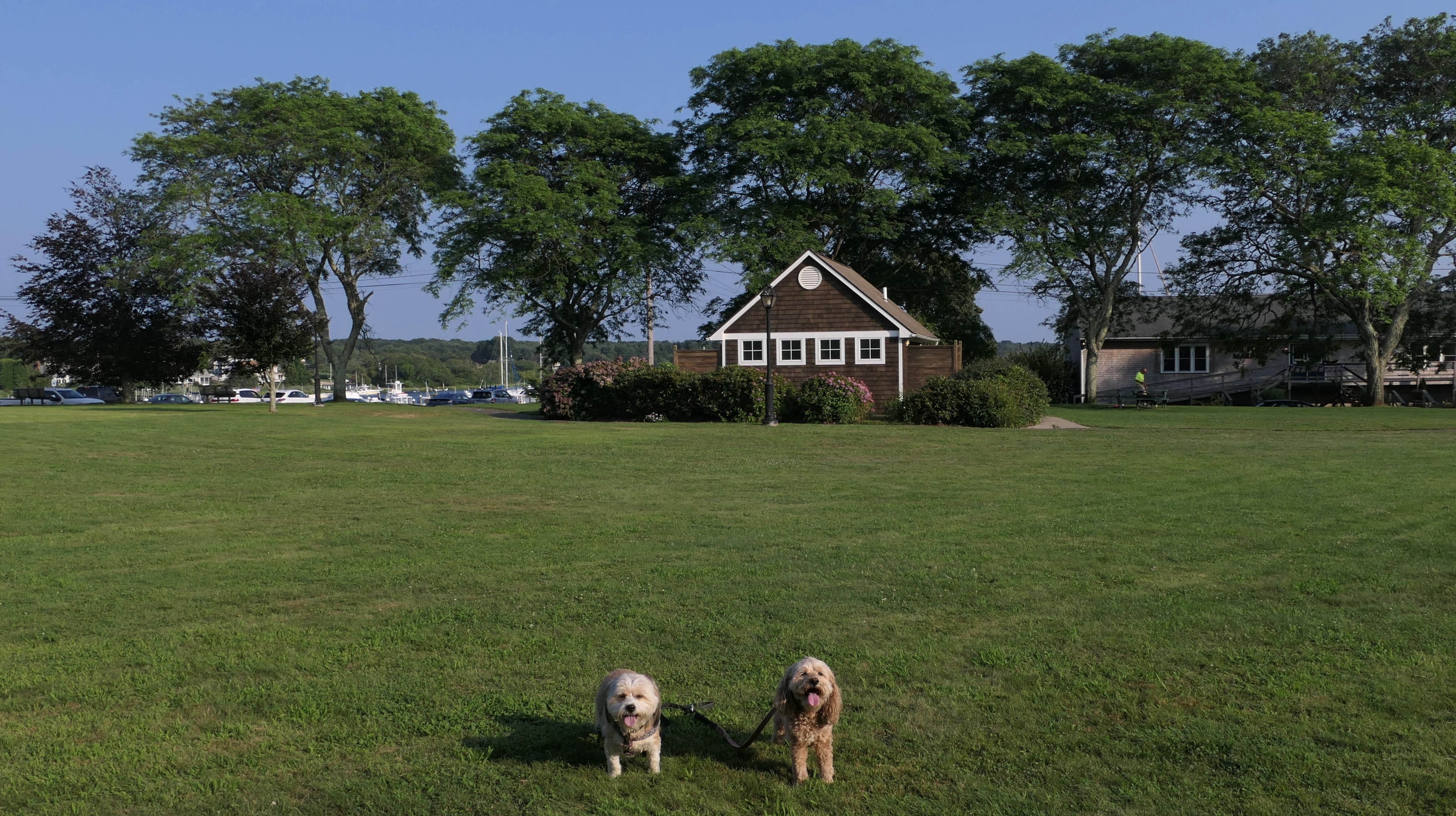
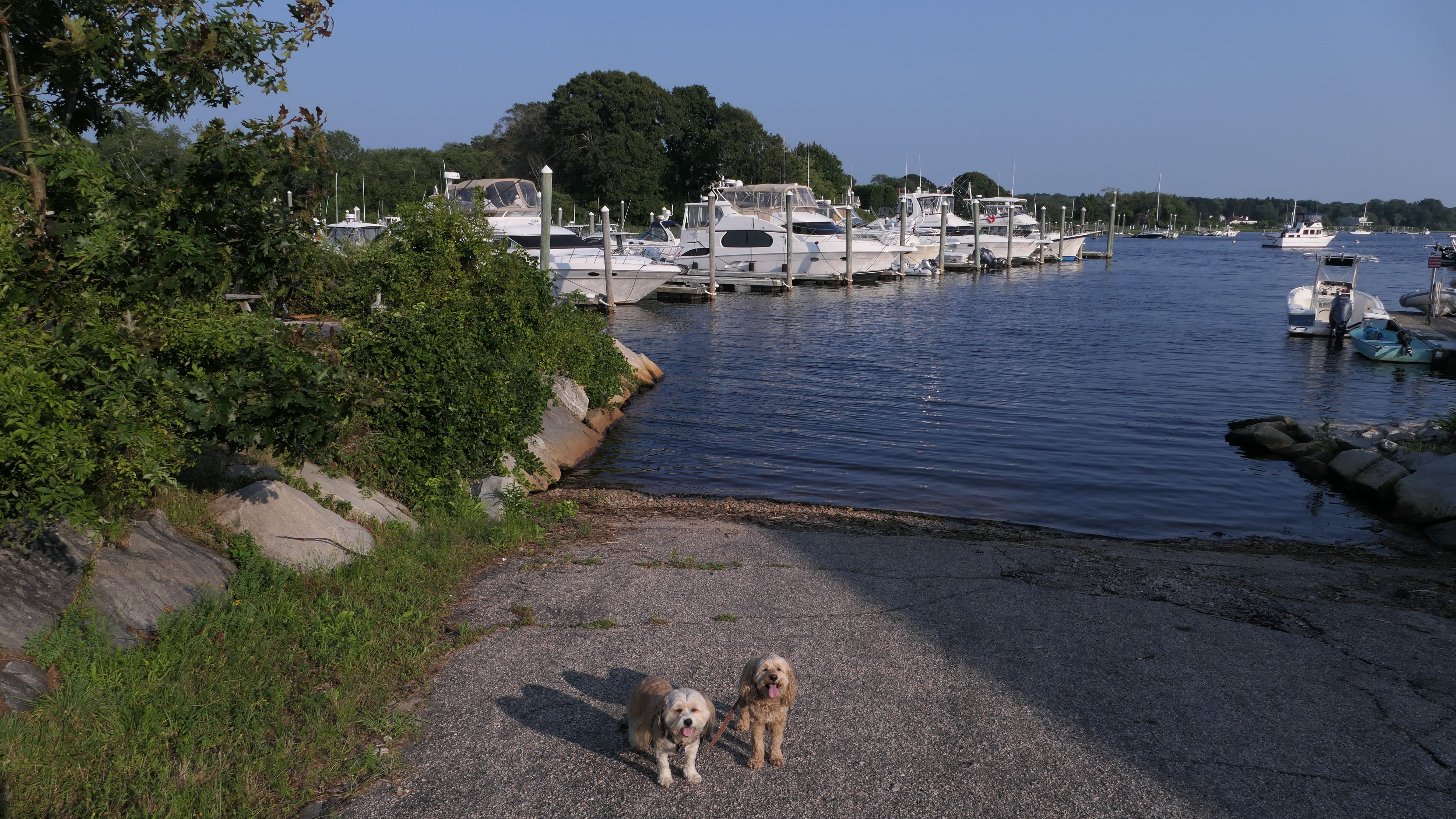
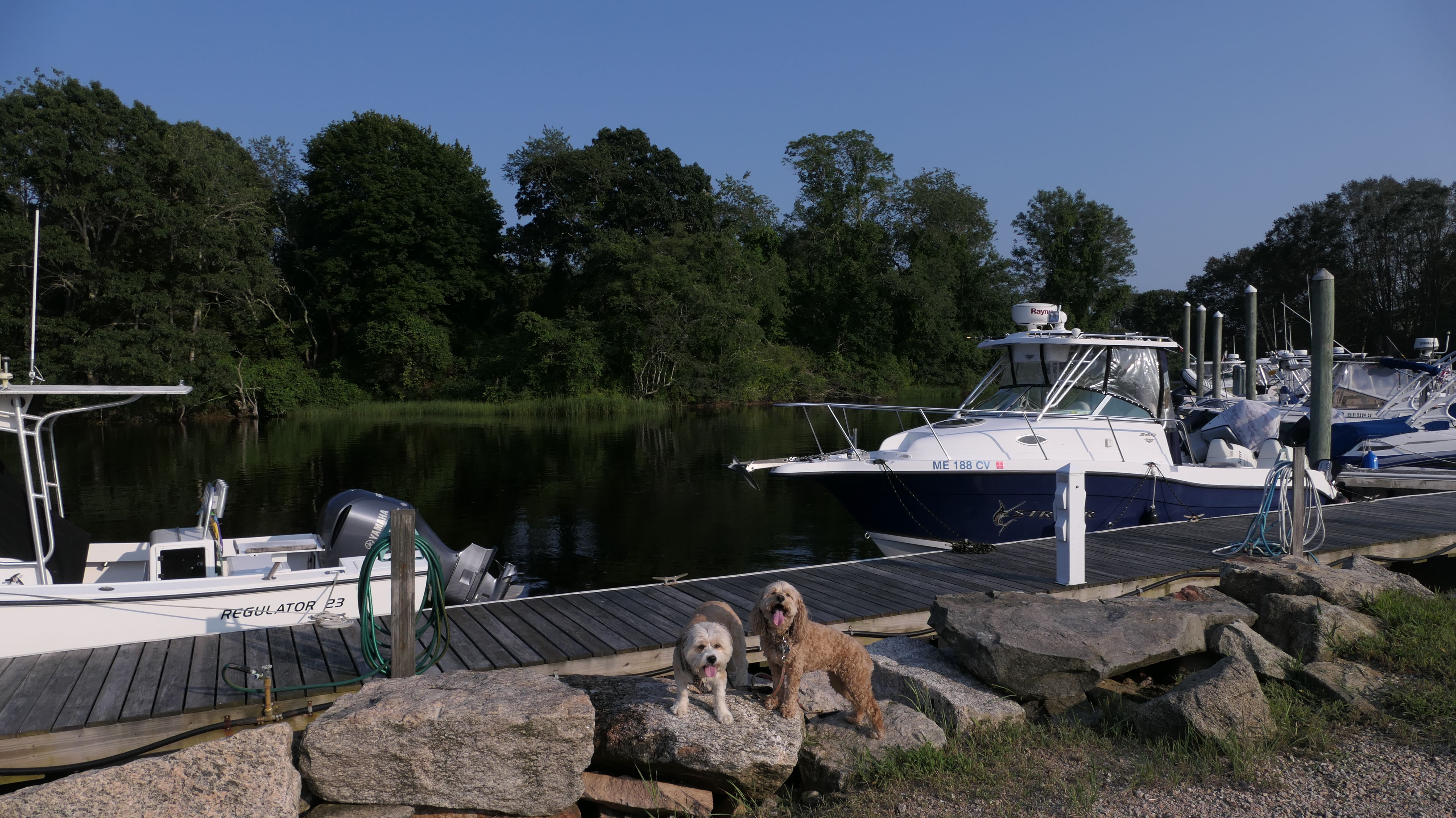
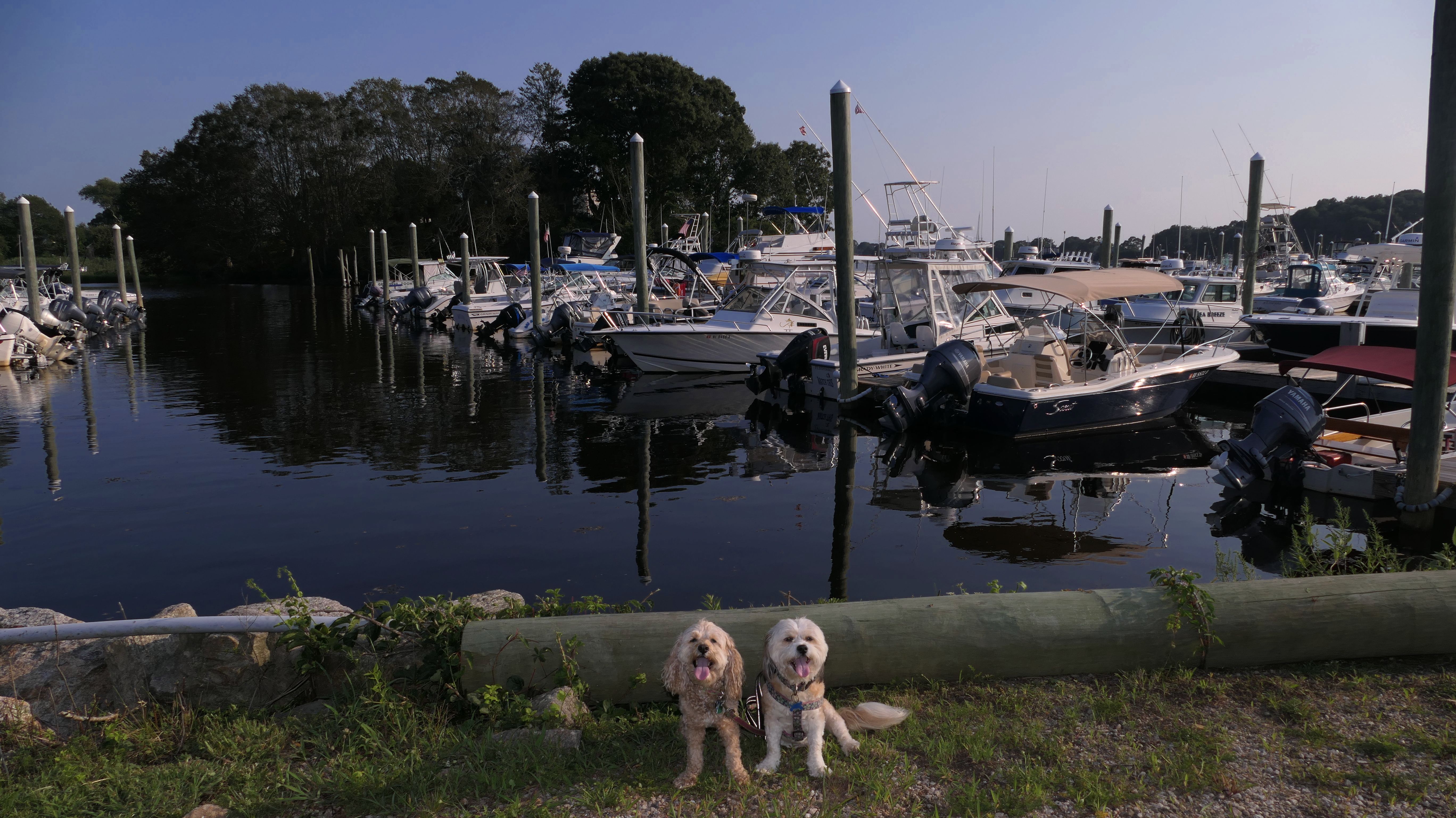
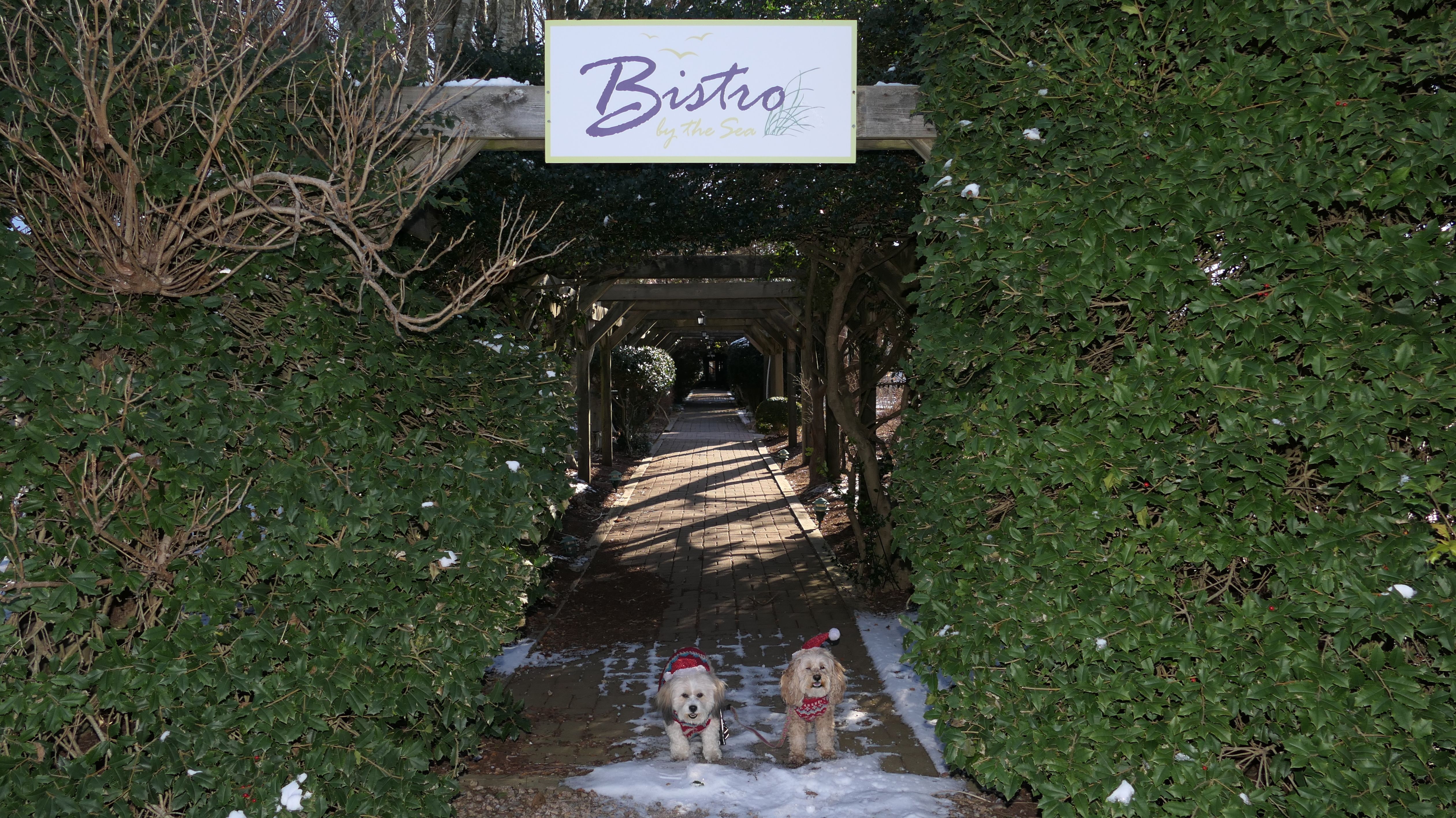
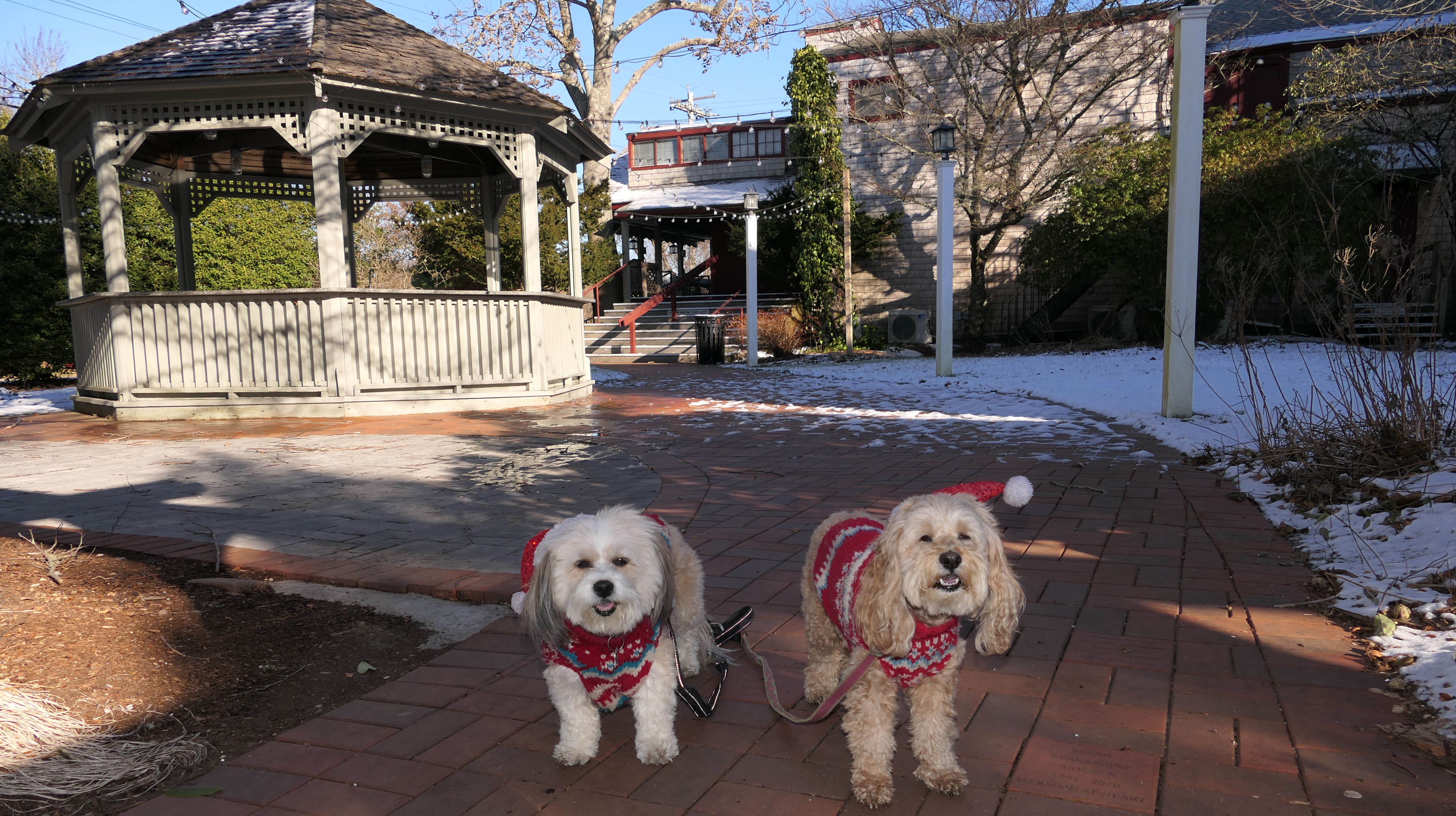
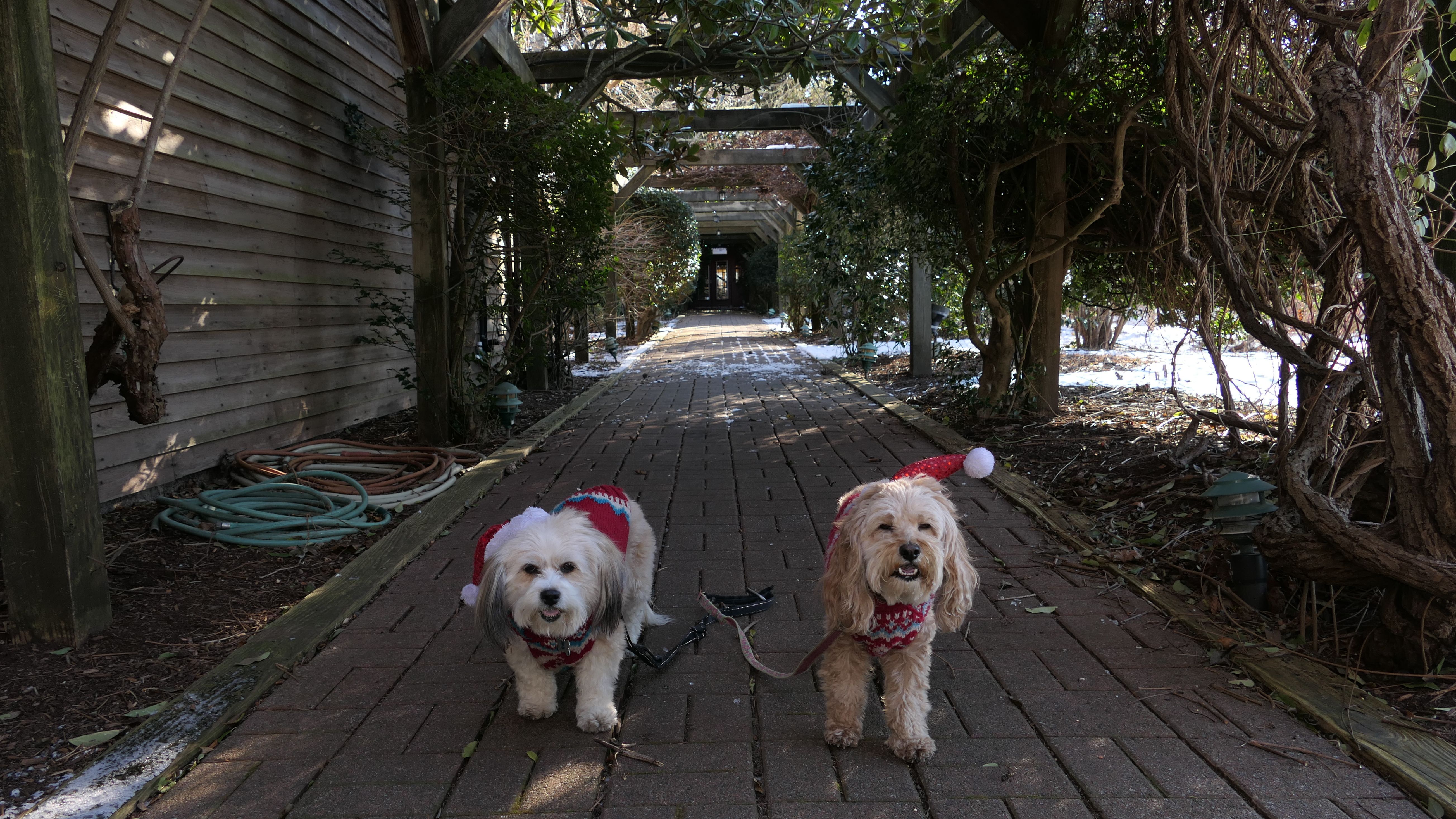
Marina Park
Date visited: 8/1/2024
This is a small park near the marina. There's a very short walking trail across the street from the marina, and some benches near the docks. We walked through the park and the actual marina, covering about one mile total. This is a small, but scenic spot, and a nice place to take the dogs for a quick walk.
More Images
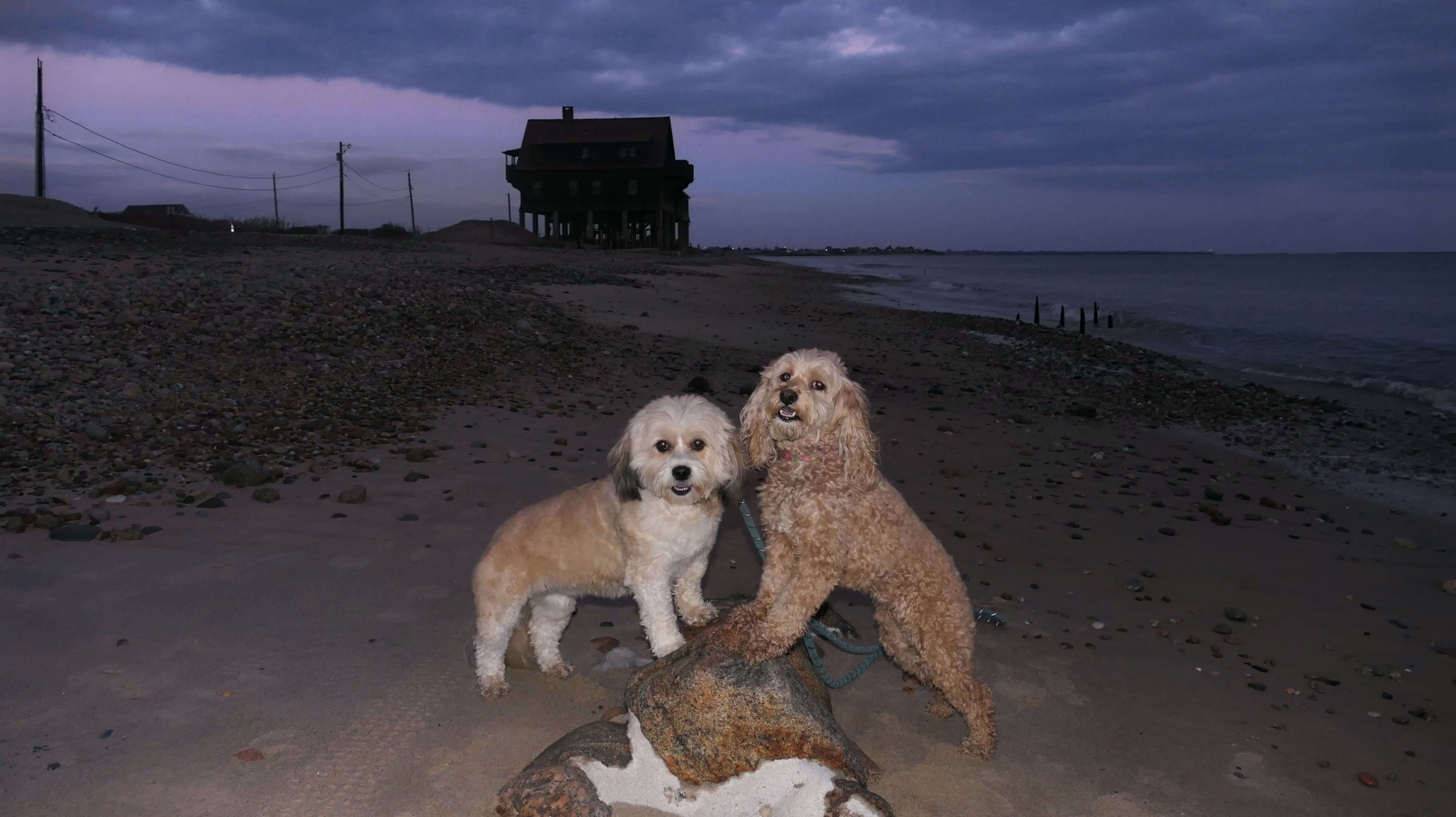
Matunuck Point Beach
Date visited: 11/29/2024
This might be the most "secret" of all the secret beaches we've discovered in Rhode Island. It's so secret, it doesn't even have a name. I called it "Matunuck Point Beach" because the beach is situated right next to Matunuck Point. (That's what Google Maps calls the area). There is a short path from Ocean Avenue that leads to the small beach. To be honest, I'm not sure if the path to the beach is public property or not. There was no "Public Access Point" sign, but there also wasn't any "No Trespassing" signs either. There was some seaweed build up on the beach, with some sandy and rocky areas as well. It's probably used mostly by the locals in the summer time I imagine. It's probably also used as a fishing spot. This was the last piece of walkable beach area in South Kingstown that we hadn't visited. Now we've walked just about every foot of the 25 mile shoreline from Napatree Point in Westerly to just past the Point Judith lighthouse in Narragansett.
Matunuck Point Beach
Date visited: 6/25/2025
This was our second visit to this "secret" beach. We visited at the end of November last time, but this time it was a hot summer day in June! We stopped here while walking back to our car parked at Deep Hole, returning from the Ocean Avenue Shoreline Access Point. There's plenty of seaweed and muck at the edge of the beach, so it's not a great spot for the dogs to go into the water. We found a clean area near the rocks, where Mandy and Lexi were able to cool off. This is a neat spot for photos, but not a great beach for swimming or wading.
Matunuck Point Beach
Date visited: 6/3/2026
We stopped here again during our standard walk through the Matunuck Beach area. There was not as much seaweed build up as there was during our previous visit. The area is small, so we didn't stay here long. We took a few photos, and then continued on our walk.
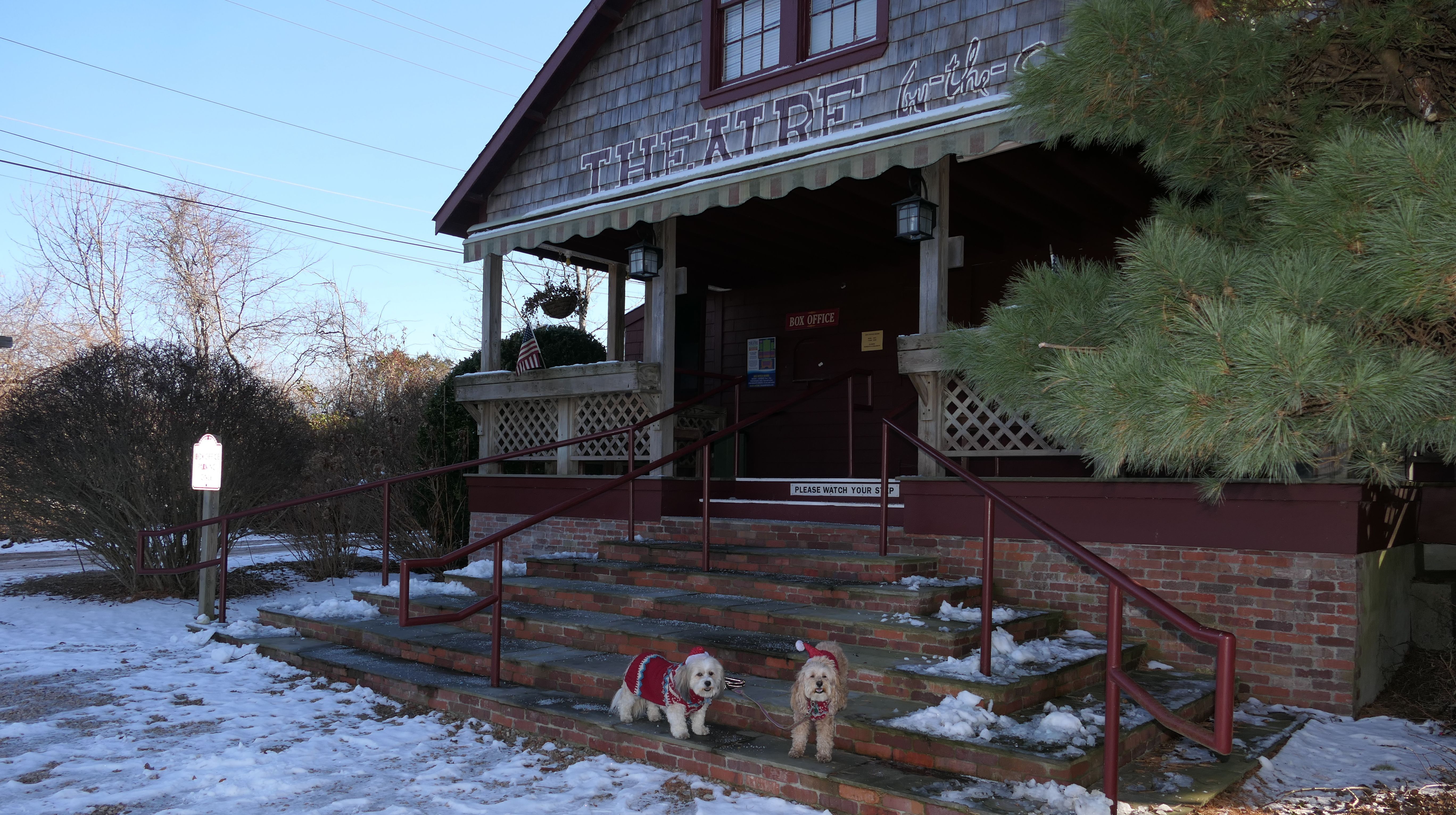
Theatre By-The-Sea
Date visited: 12/25/2024
We walked here from Matunuck Beach on Christmas Day. I've seen signs for this theatre, but have never driven by, so I was curious what it looked like. It actually looks real nice. It's not really a place to take dogs for a walk, but it was Christmas Day and nobody was around, so we walked through the grounds. Maybe someday I'll be back to see a show here.
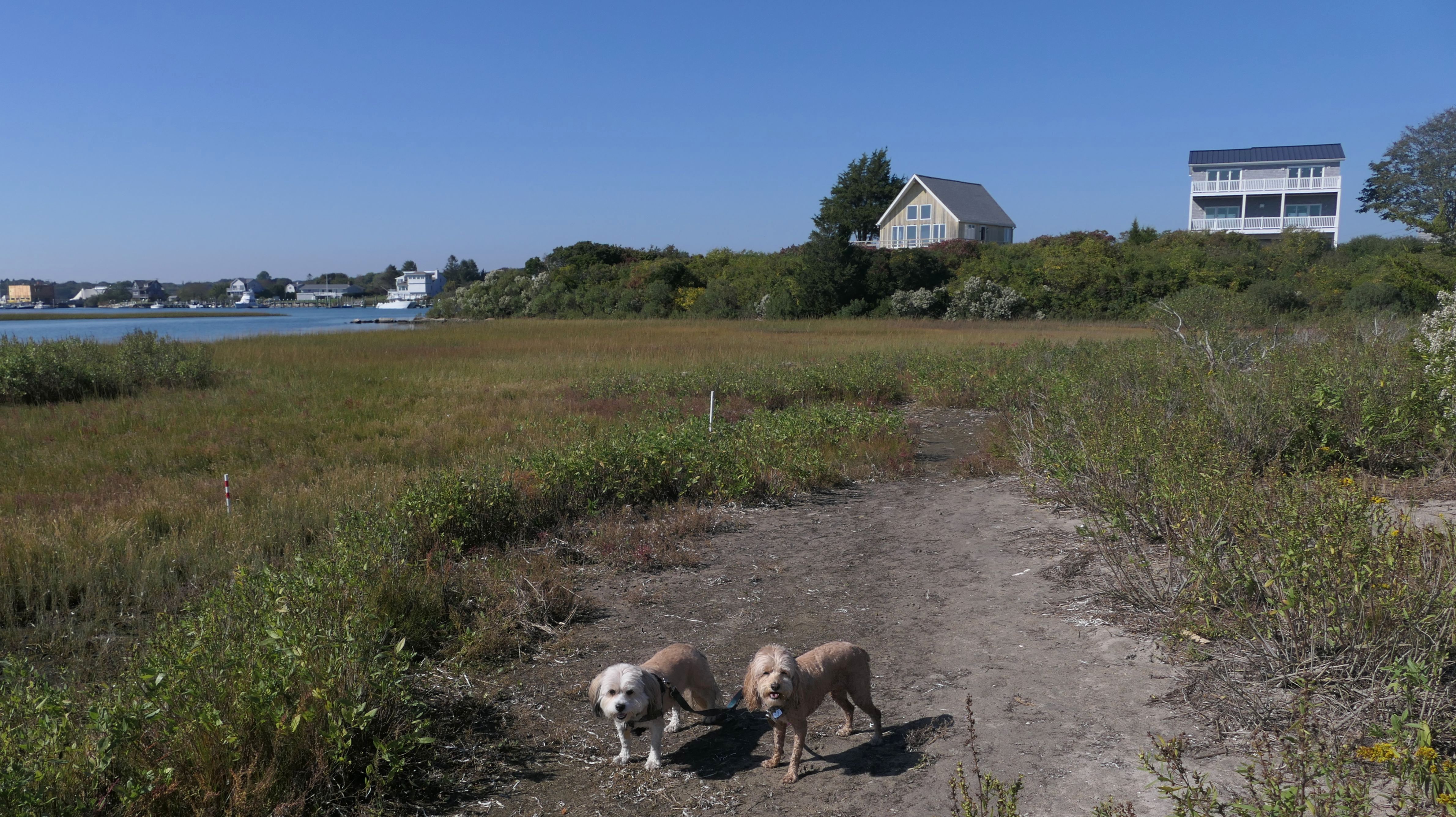
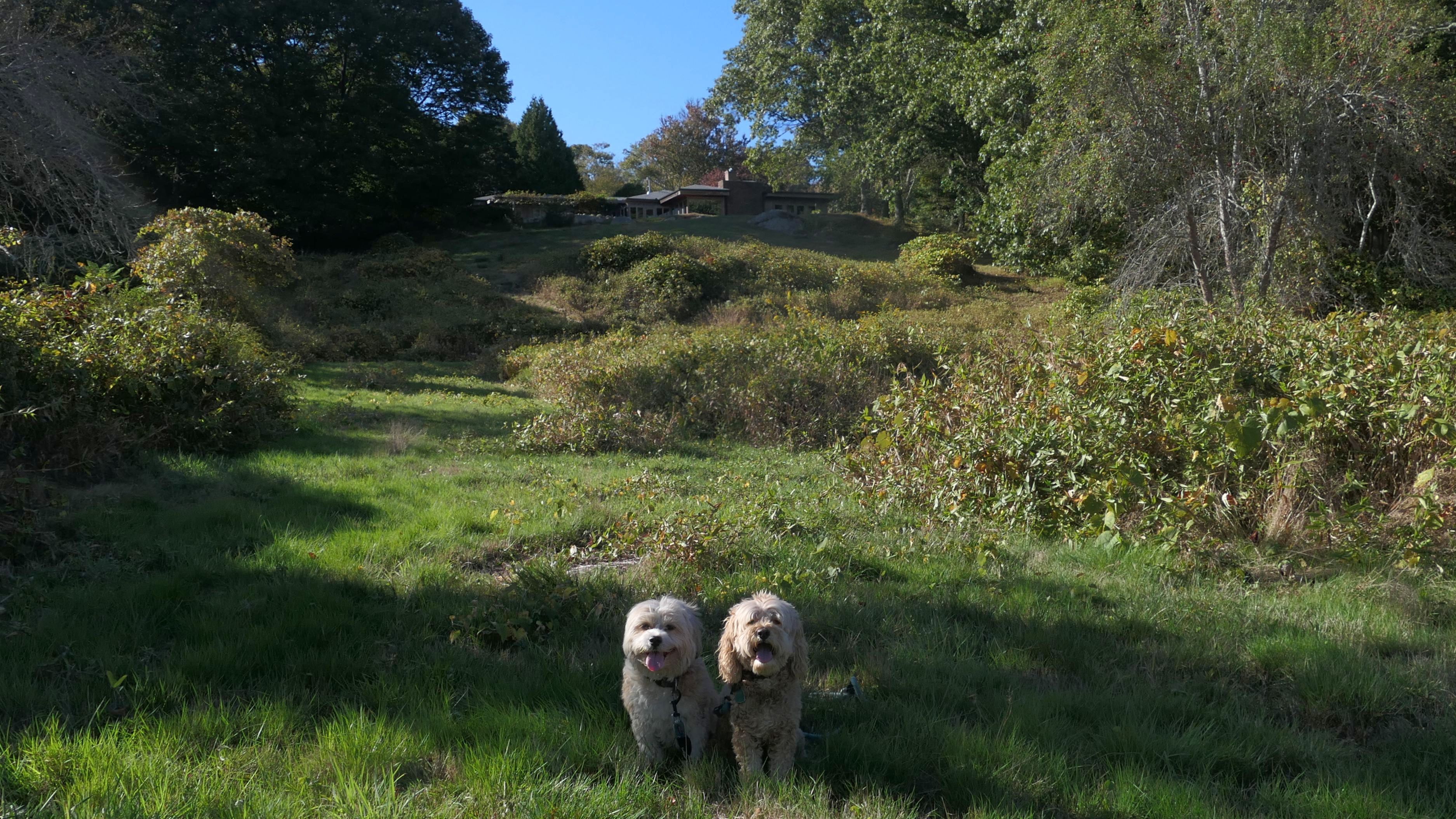
Gardner Island
Date visited: 4/25/2025
On our way back to our car after visiting the various beaches along Matunuck Beach Road, we decided to take a detour down Prospect Road. This area is called "Gardner Island" on maps, but it's more of a peninsula. Maybe it was an island at one time, but now Prospect Road leads over a narrow strip of land to the "island". The strip of land is all residential, with Segar Cove on the west side, and Seaweed Cove on the east. Both coves are part of Potter Pond. There are no real public spots, other than what looks like fishing platforms just off the road at the narrow point. That's where the pictures below were taken. Other than that, there's not much to see here, except for some really nice houses that I would never be able to afford!
More Images
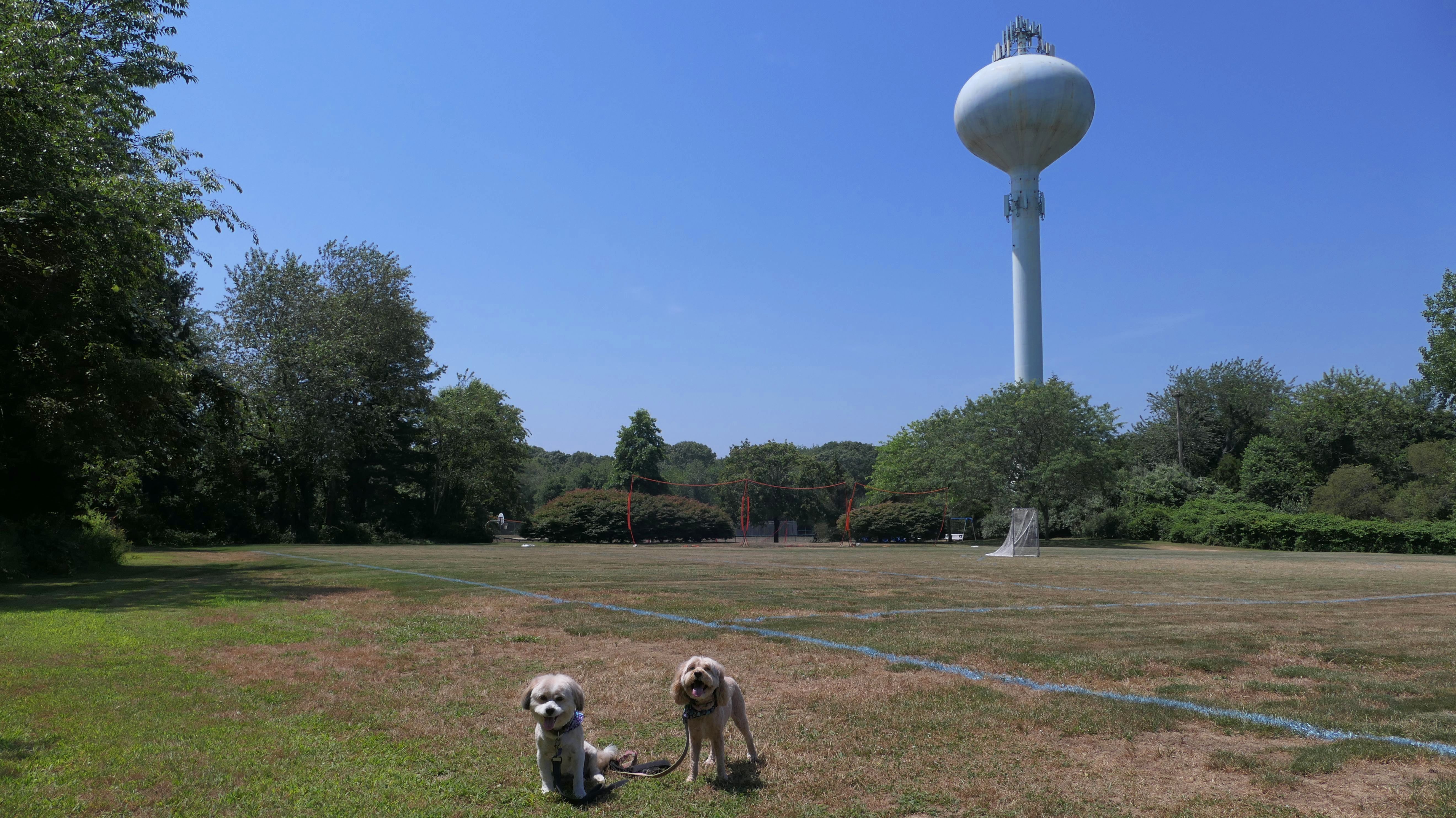
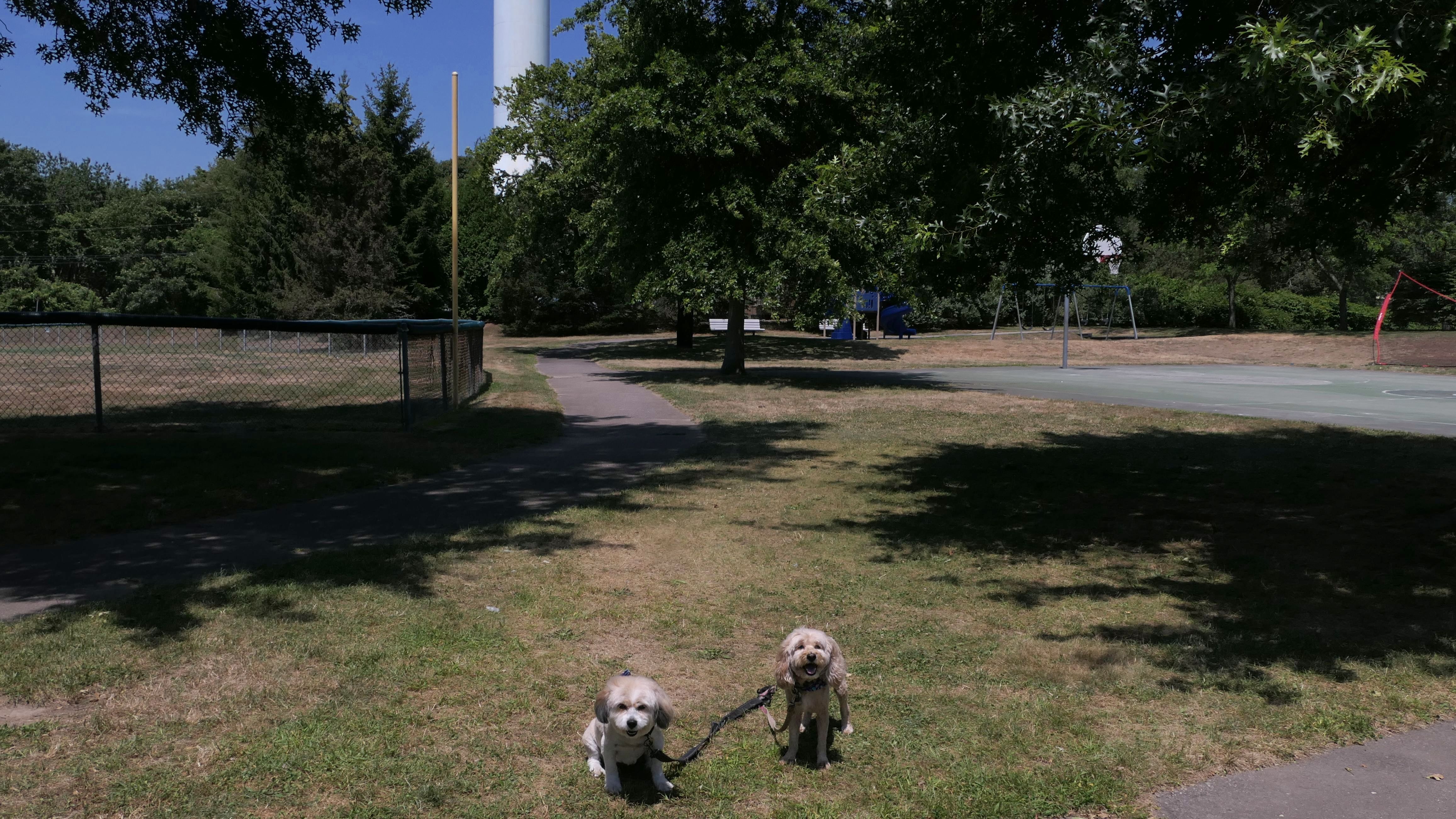
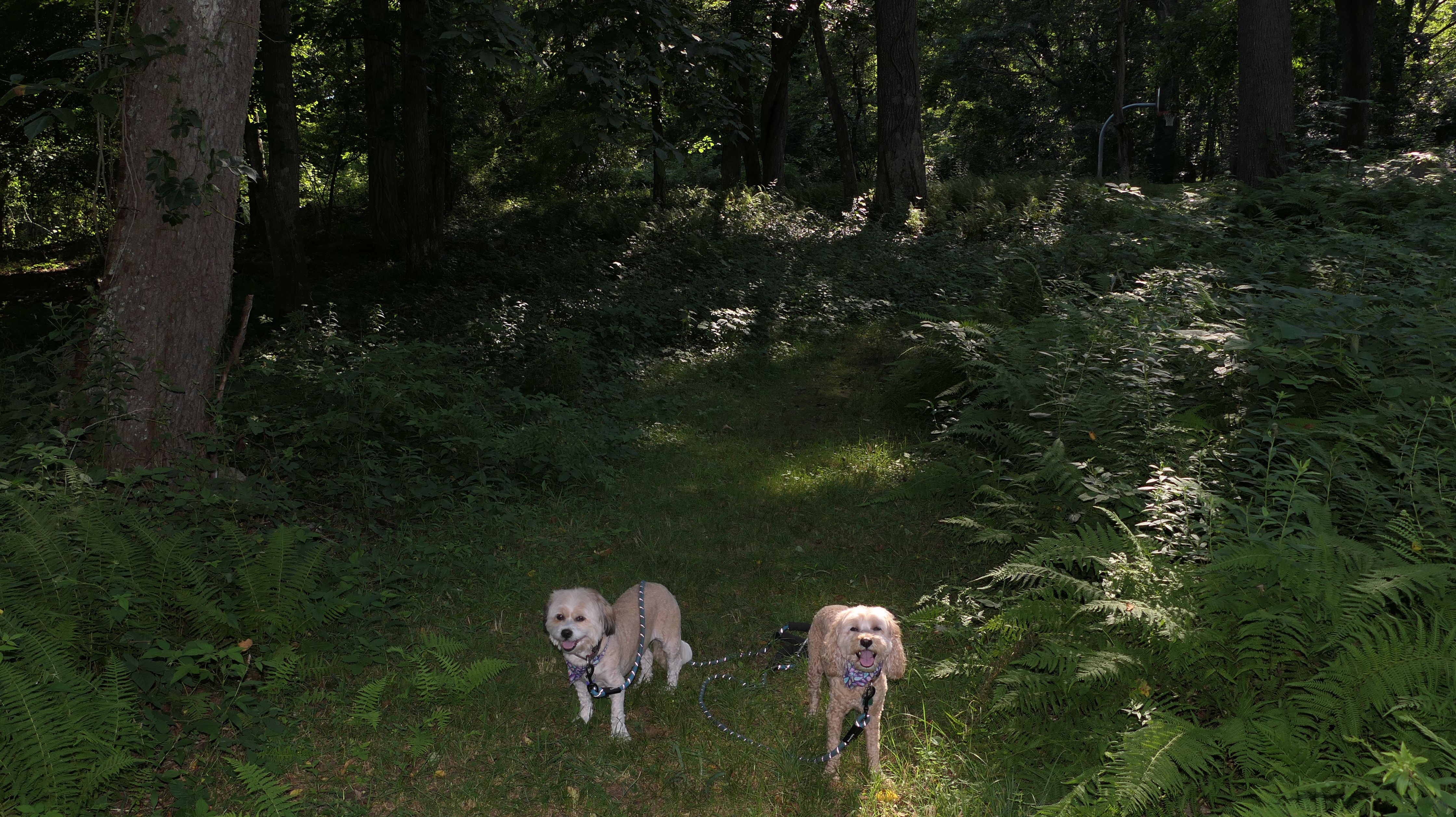
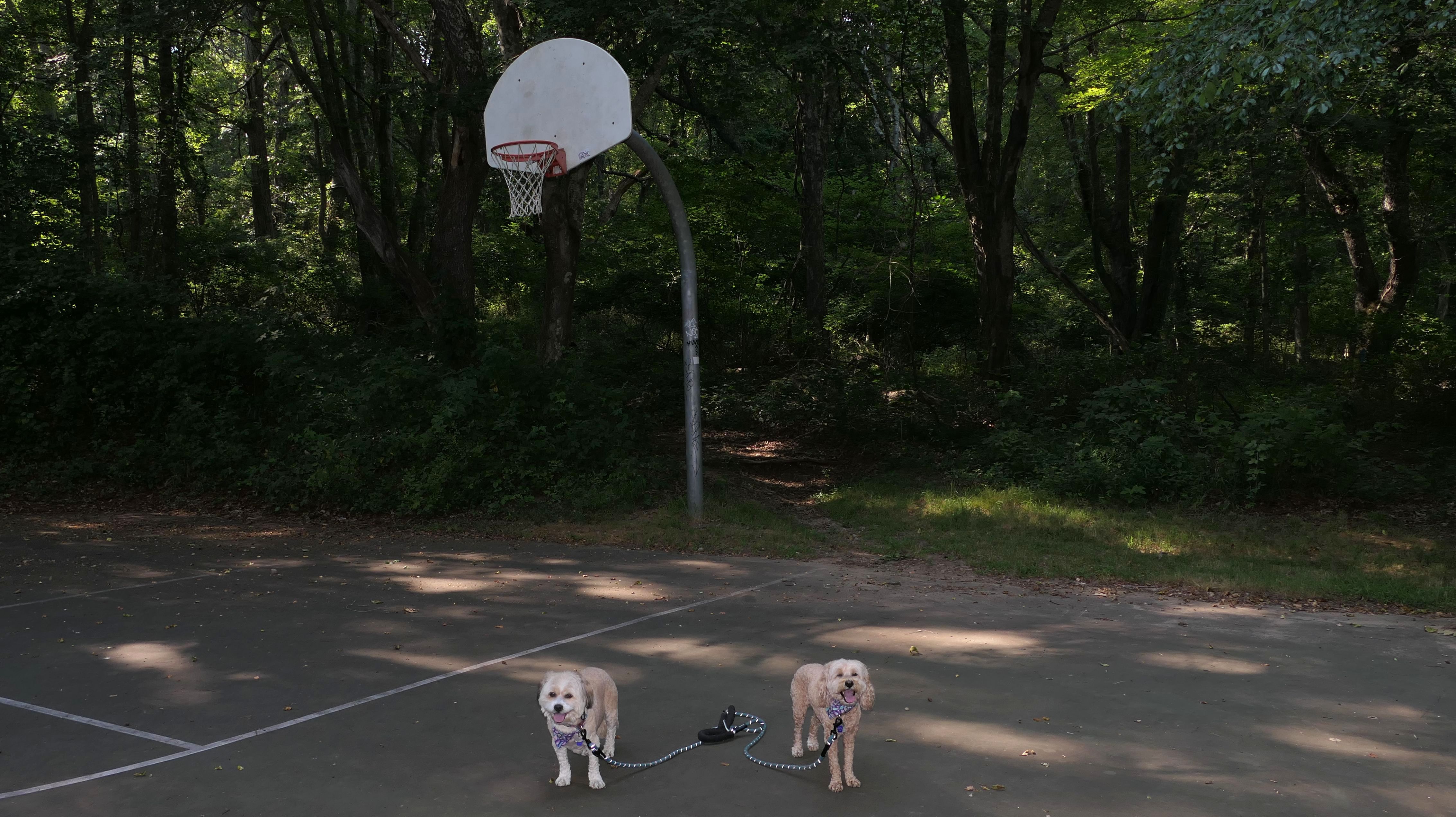
Old Mountain Field Trails
Dates visited: 6/4/2025
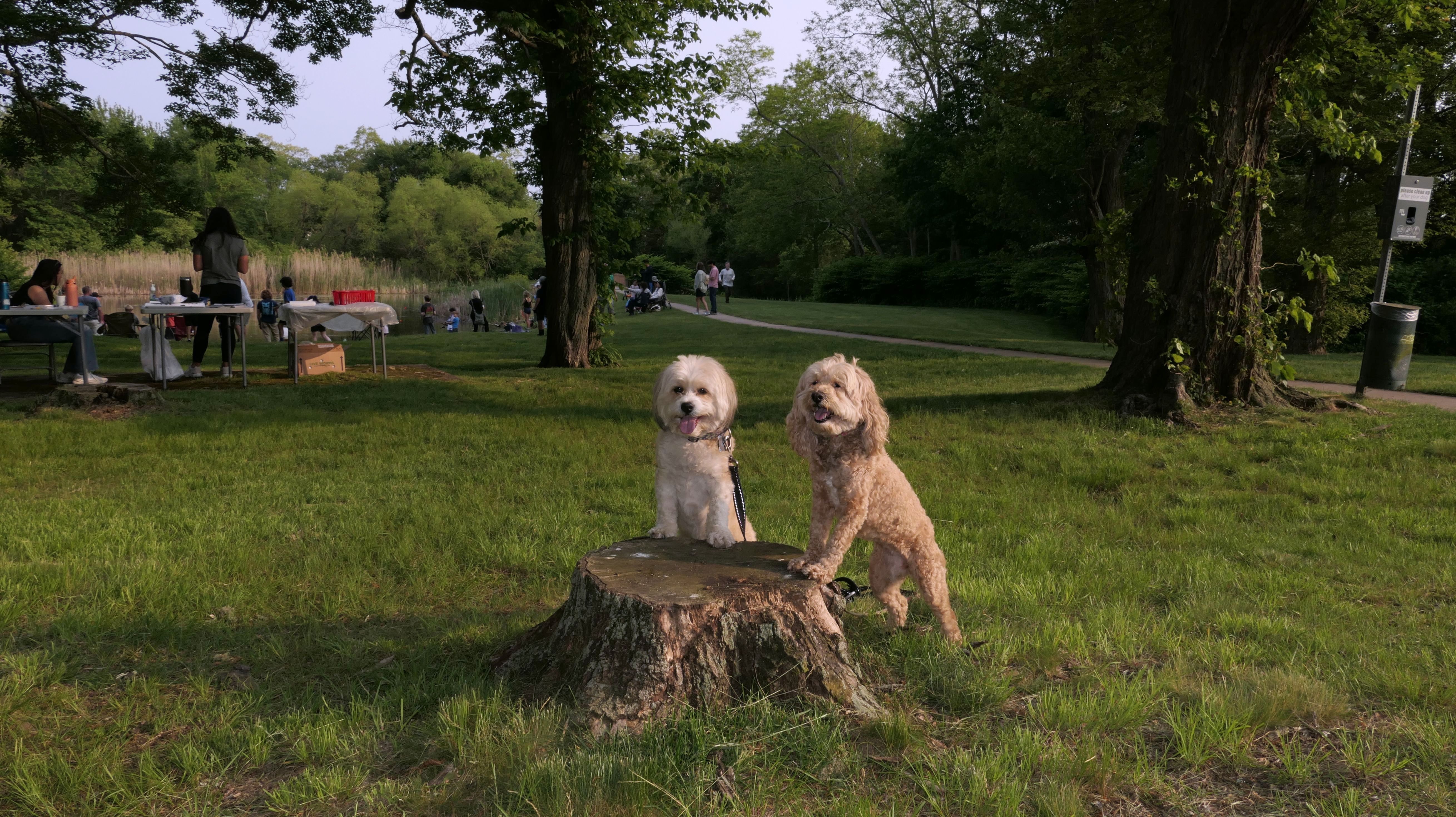
According to the town website, Old Mountain Field is South Kingstown's oldest park, established in 1938. In the rear of the park are a series of trails around Indian Run Reservoir. Surprisingly, these trails are not in the All-Trails app, which is why we hadn't found them sooner. One of the trails leads to a bike trail, that connects to the Broad Rock Playfields as well as Dog Park. We walked most of the loop around the reservoir, as well as the bike trail, before visiting the Dog Park. There is another bike trail near the Broad Rock Playfields that leads to South County Commons, but we already walked that one a few years back so we didn't walk that one again. Even with the hazy sky from the Canadian wildfires, it was a pleasant two mile walk.
More Images
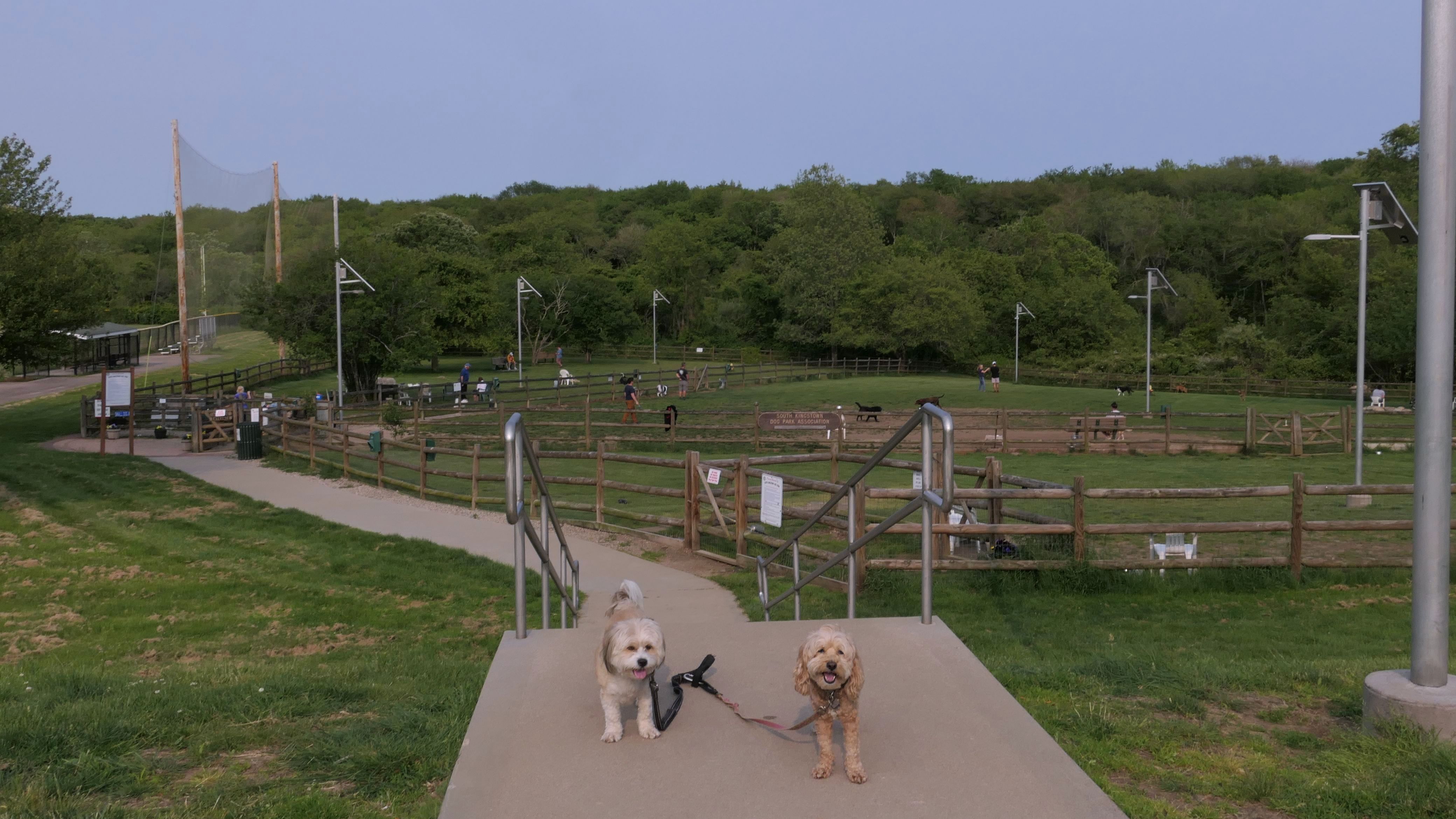
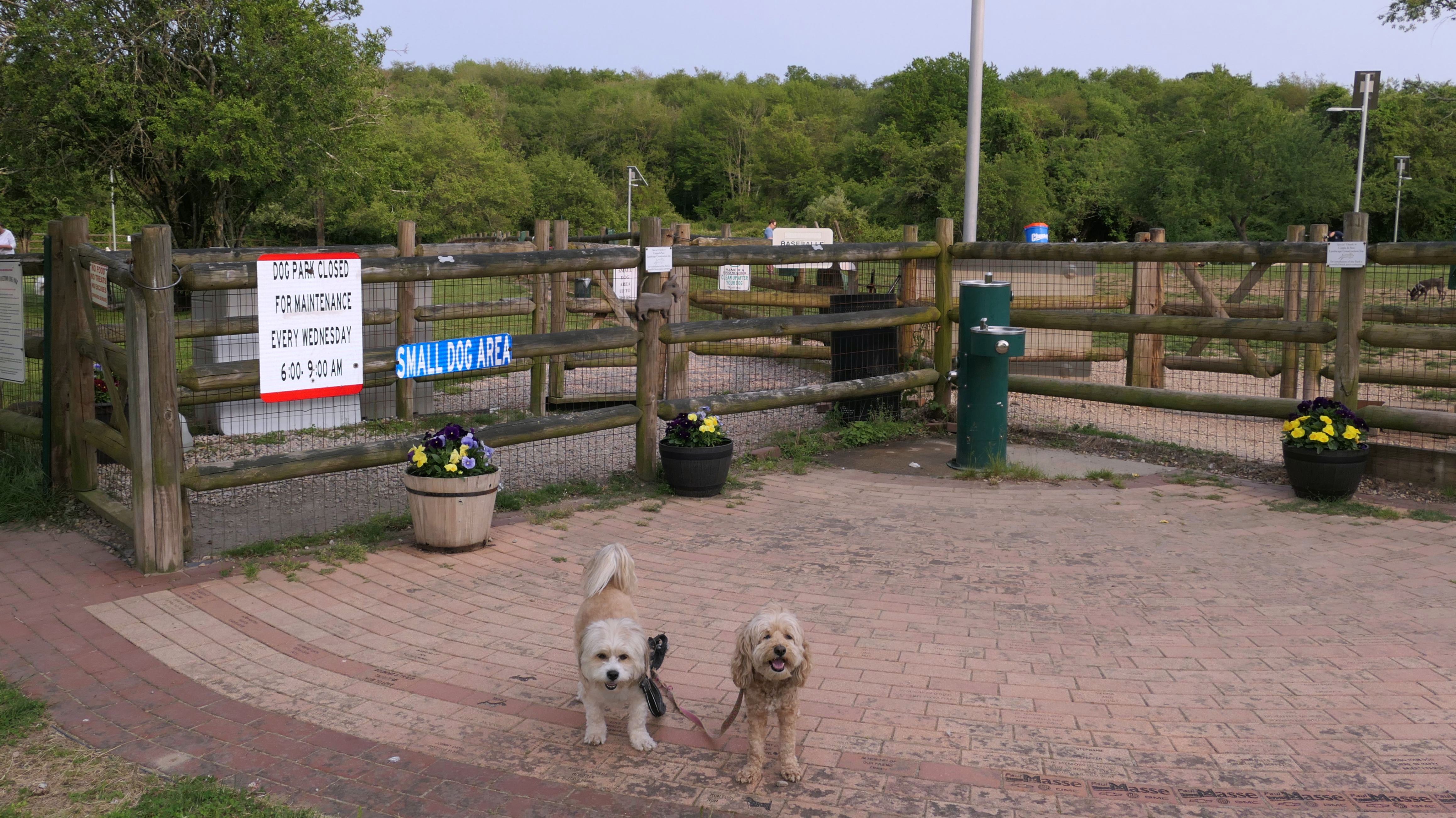
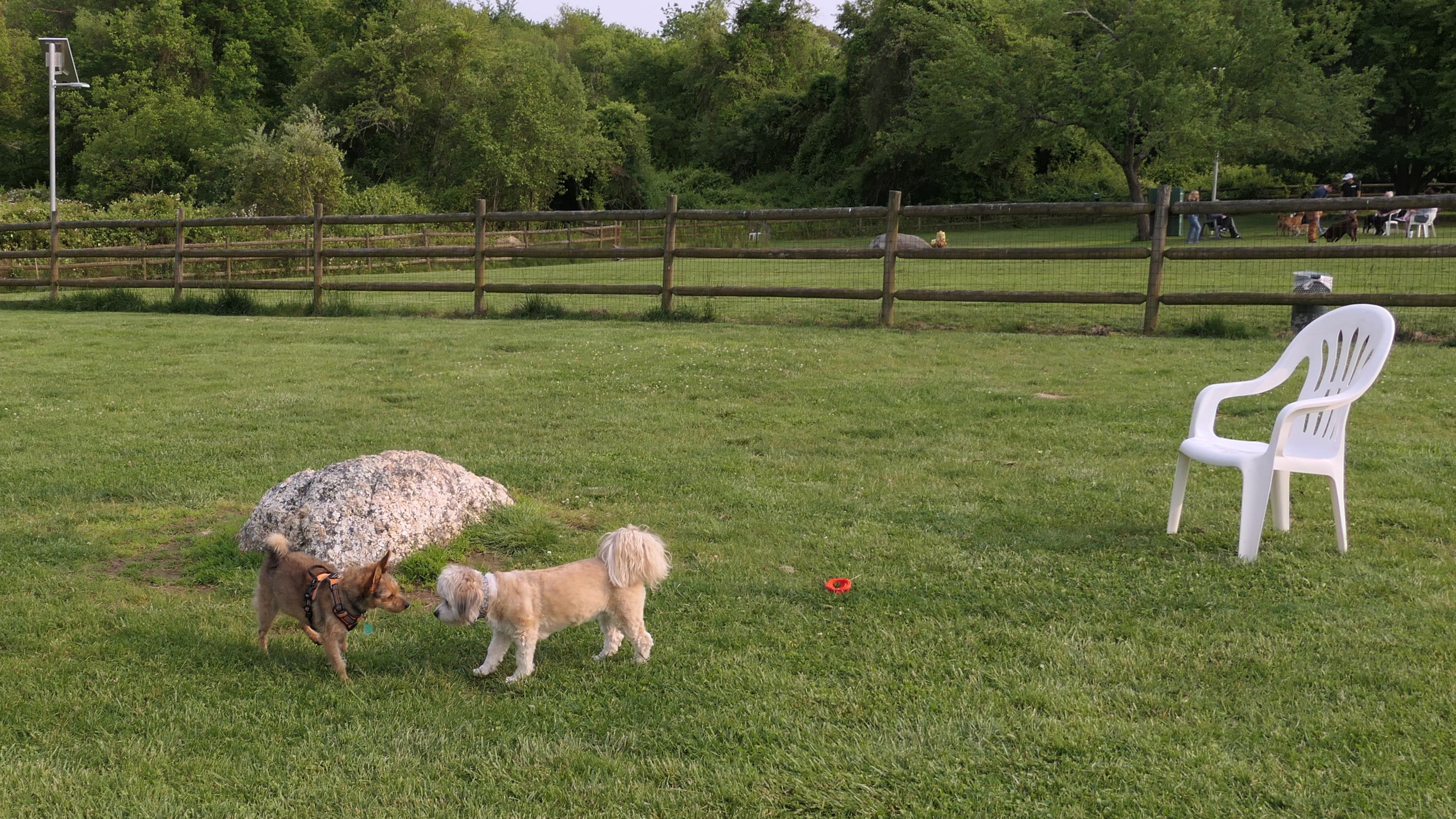
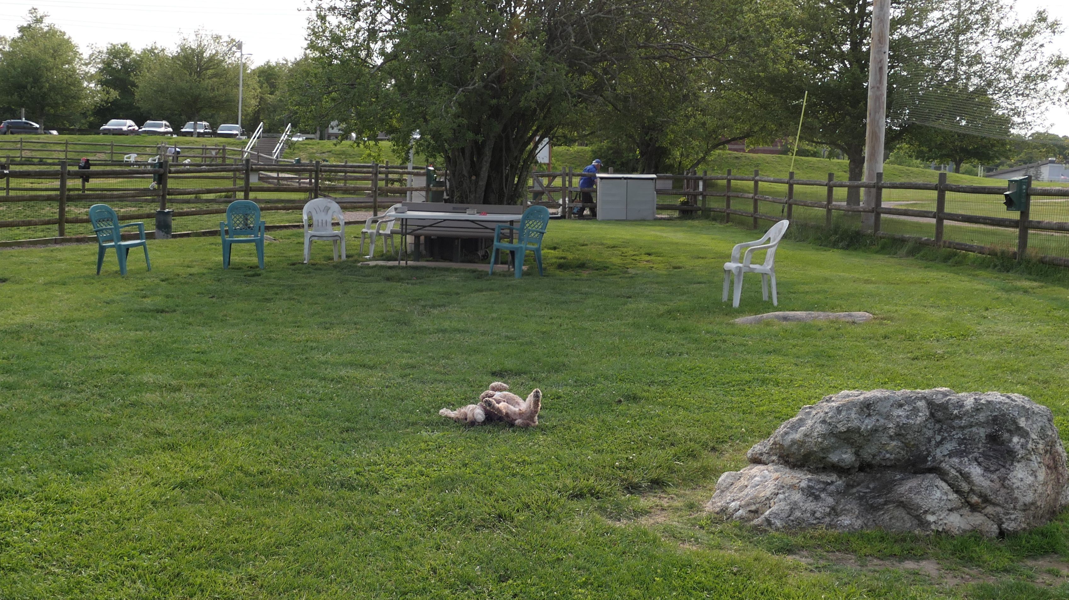
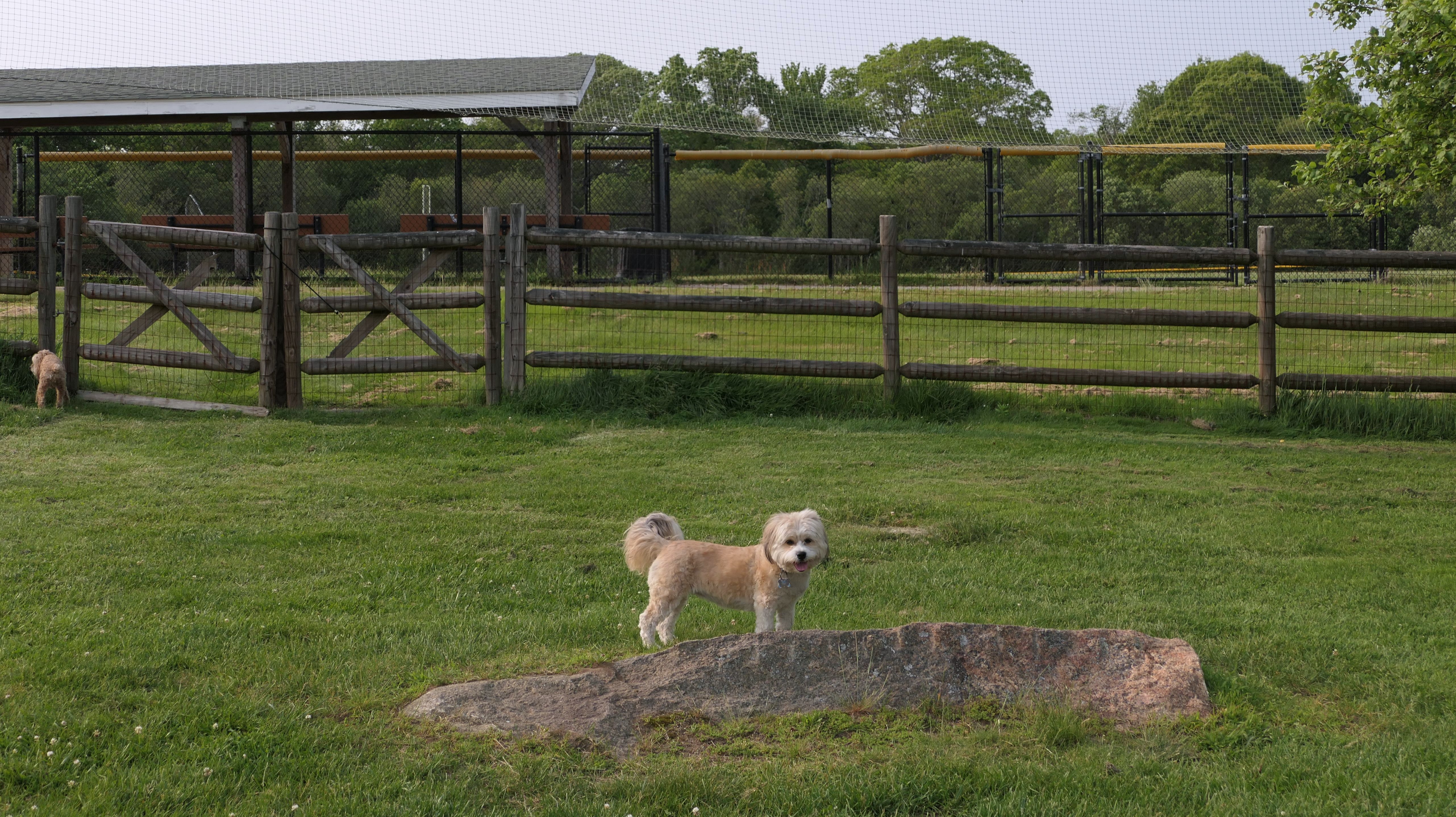
South Kingstown Dog Park
Dates visited: 6/4/2025
This is a very beautiful dog park, one of the better ones we've come across on our adventures. We arrived here via the bike trail from Old Mountain Field. We took a break from our hike and spent about 20 minutes here, before heading back to Old Mountain Field via the bike path.
More Images
Peacedale Village Green
Dates visited: 6/13/2025
This was a nice walk through the Peacedale Village Green and the surrounding area.
More Images
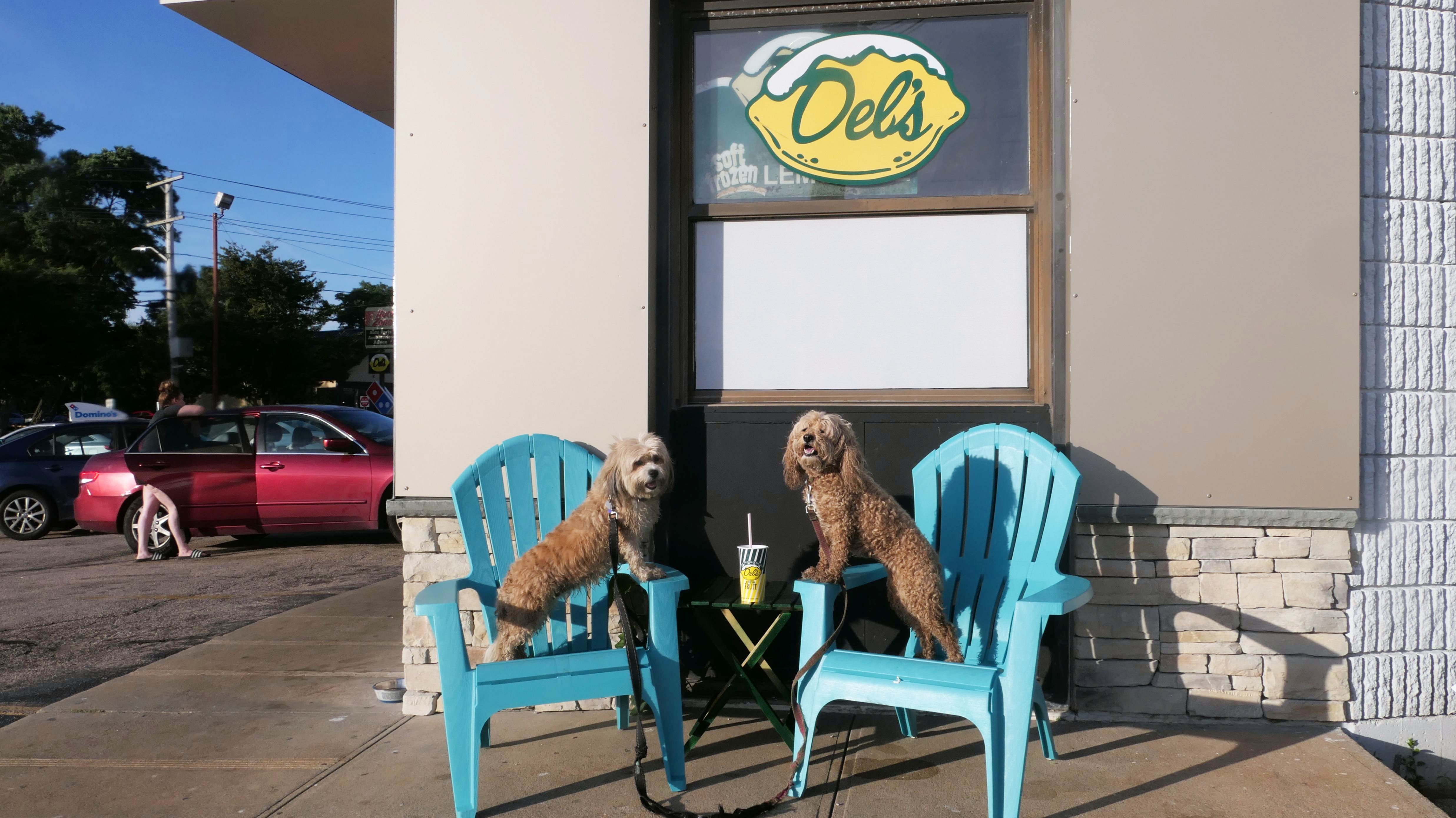
Del's Lemonade Of South County
Date visited: 7/19/2025
We've stopped here a bunch of times over the years. For this visit, I was waiting for a pizza from Domino's next door, so I killed some time by making Mandy and Lexi pose for photos after I got my Del's!
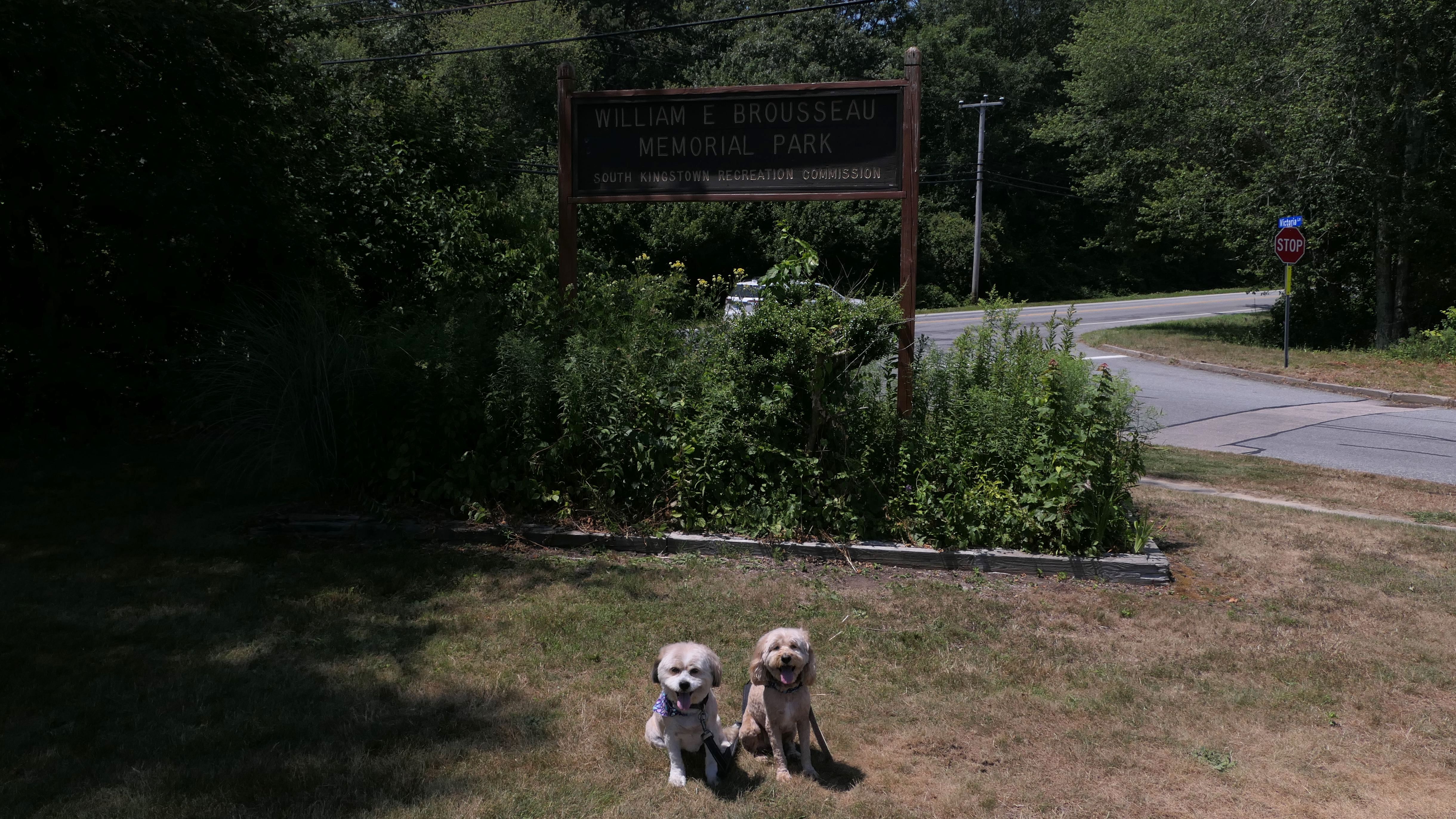
William Brousseau Park
Dates visited: 7/25/2025
This is a typical town park with athletic fields and a playground. We circled the entire park, and also checked out a very short trail that featured a broken tree swing, but led to nowhere.
More Images
Treaty Rock Park
Dates visited: 7/30/2025
This park doesn't look like much from the road. There's a small open, grassy area and a shaded playground. In the back of the park is a mowed trail that leads up a small hill to a basketball court. Behind the basketball court, is a wooded trail that leads to Pettaquamscutt Rock. Historically, the rock was the site where colonial settlers signed various treaties with the Native Americans. We made it to the top of the rock, where there are views of tree tops, but you can't really see much else. A word of caution - on one side of the rock, there was lots of broken glass. Be careful here with your pups!
More Images
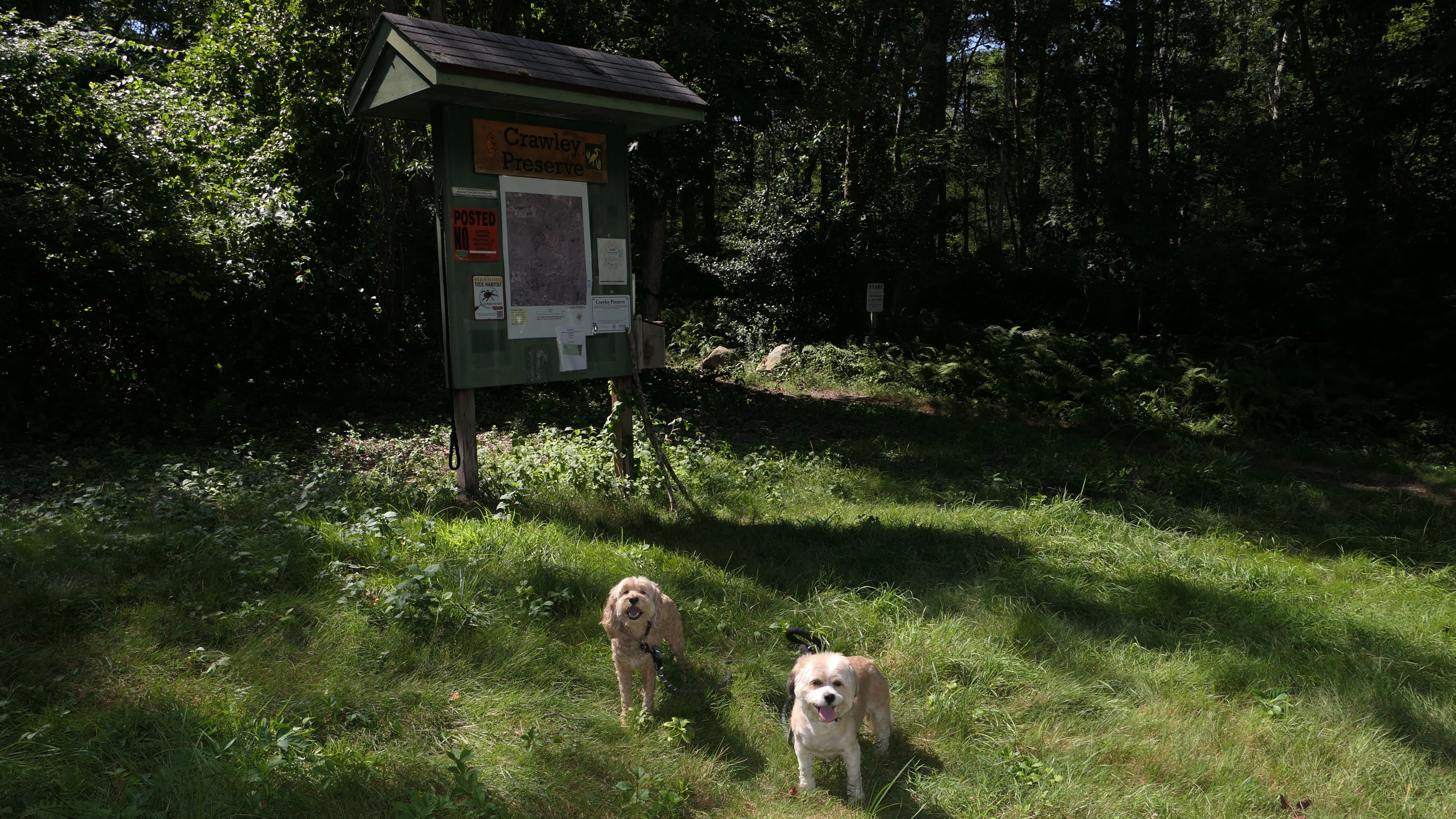
Crawley Preserve
Date visited: 8/7/2025
The parking area and trail head for this 100 acre preserve are in South Kingstown, but most of the preserve land is over the border in Richmond. The two photos here are from the South Kingstown section. Read more about the rest of this adventure on the Richmond page.
Garrison House Acres
Date visited: 9/28/2025
This is a nature preserve maintained by the Narrow River Land Trust, located on the west side of the Narrow River off Middlebridge Road. There are mowed trails that lead to a meadow, but access to the river itself is quite overgrown. The trail continues through the woods and loops back around, but this section eventually became too overgrown to pass. The mowed sections are nice, but I wouldn't walk this trail on a super hot day because there is no shade. The trail passes closely to a house up at the top of the hill. I assume that is the "Garrison House", but I really don't know anything about it. Along with the open space area on the east side of the bridge in Narragansett, we walked about 1.3 miles here total.
More Images
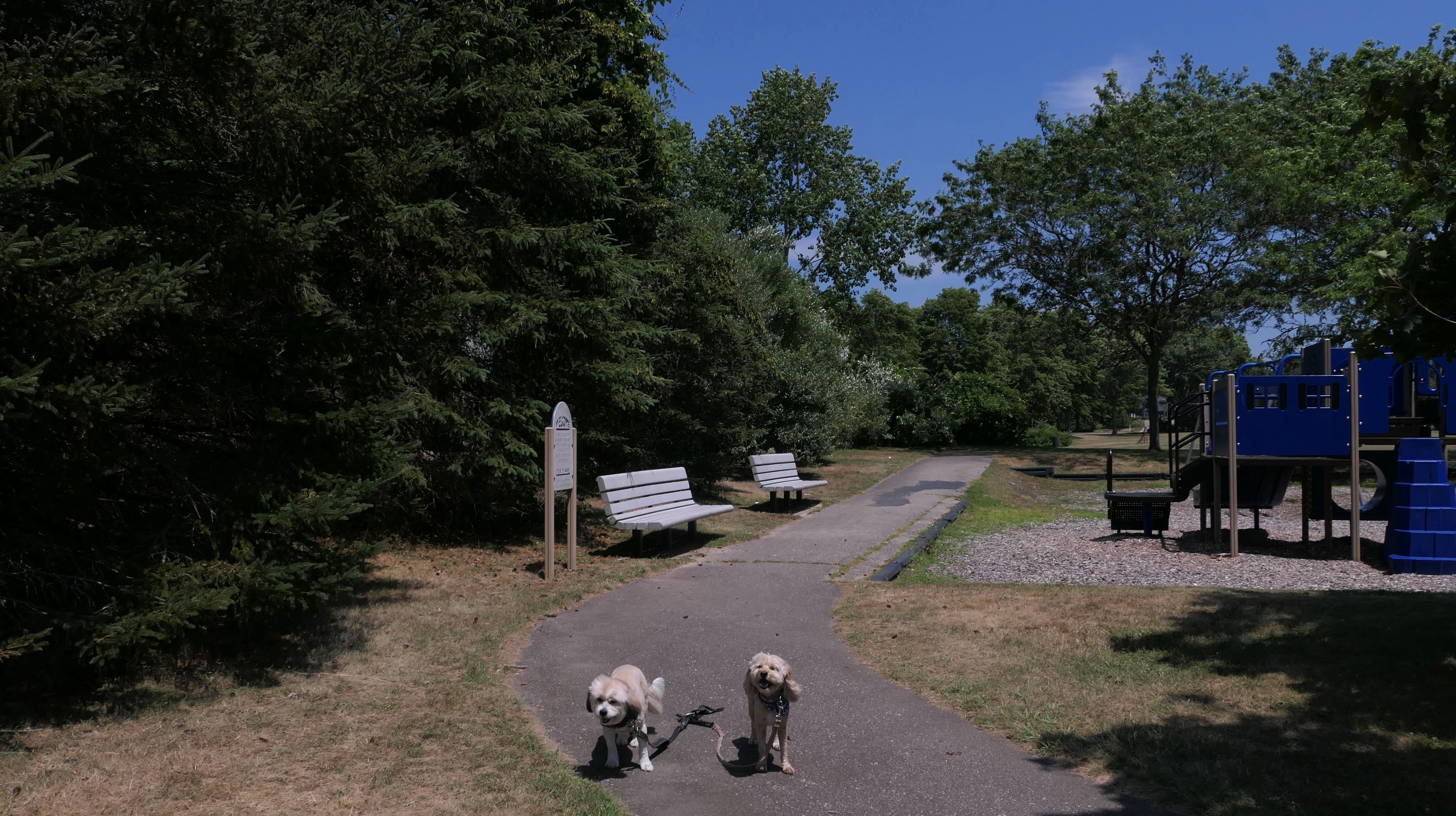
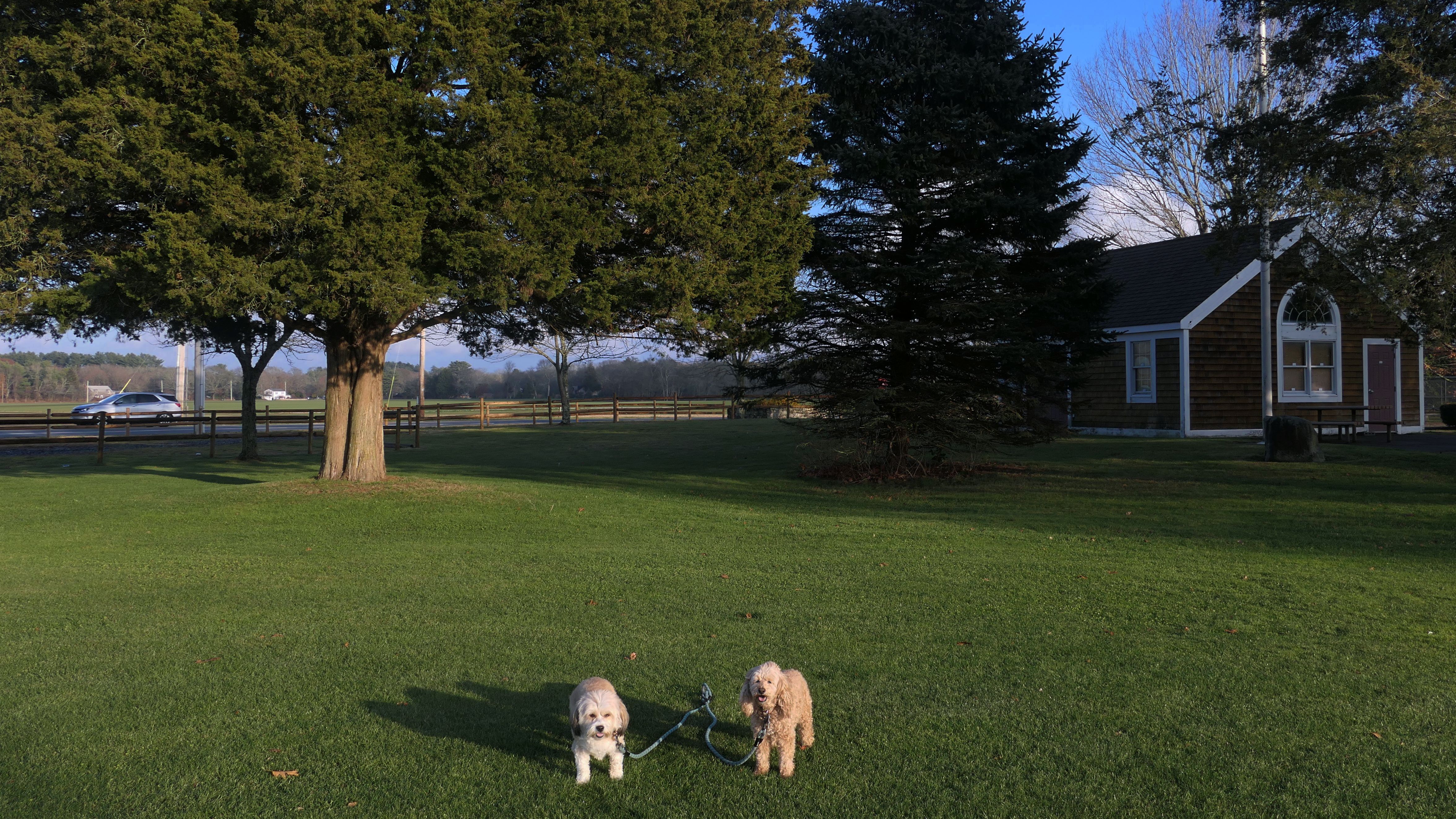
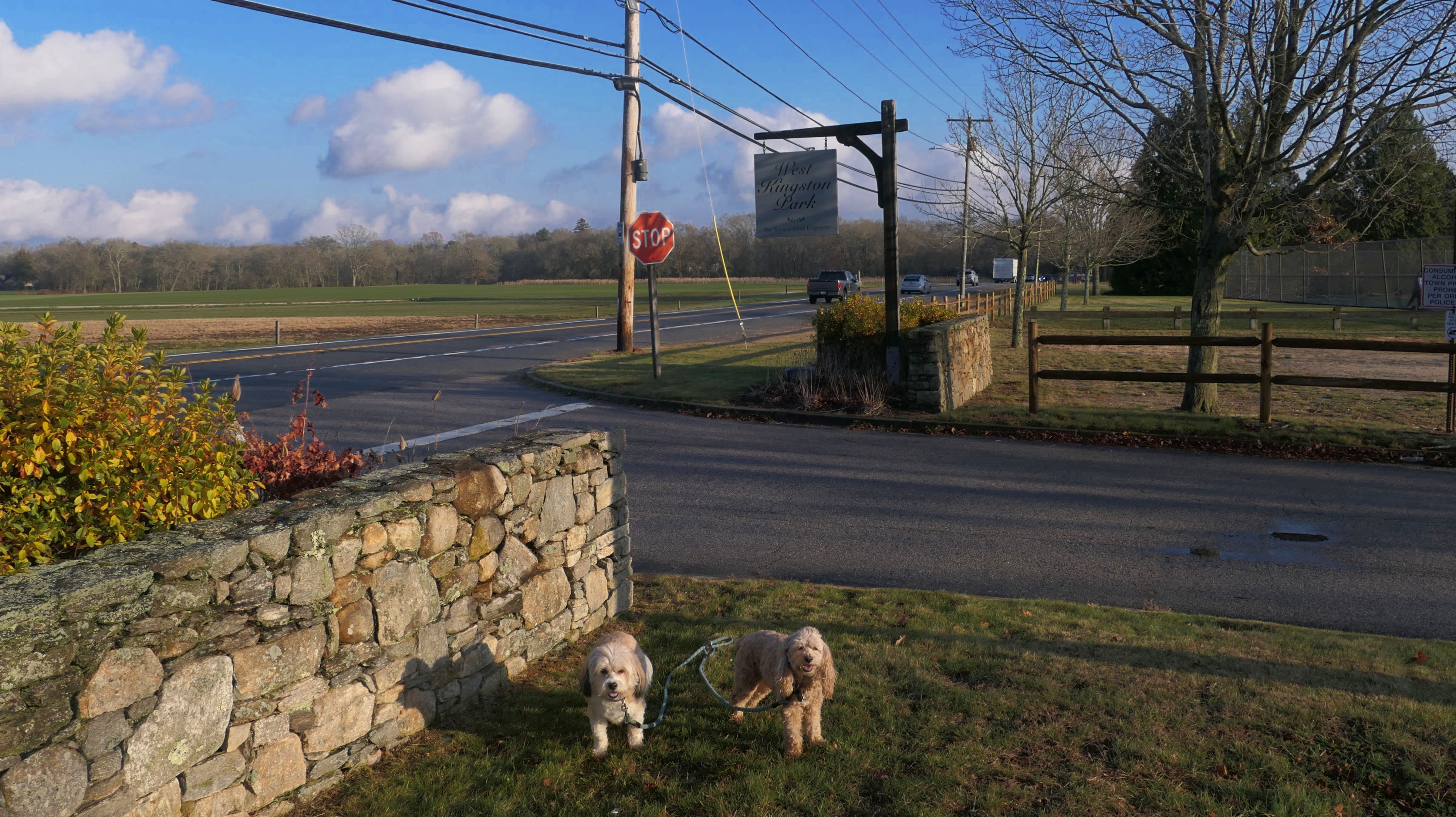
West Kingston Park
Date visited: 11/22/2025
This is a town park with athletic fields, pickle ball and tennis courts, a volley ball court, playgrounds, and even real restrooms. Dogs are allowed in the park, but not on the athletic fields, although there was a man with two dogs playing fetch on one of the fields as we were leaving. We looped the edge of the park, but the walk was only about three quarters of a mile long, including a brief stop at the farm next door. It's a nice, clean park, but not one with a lot of walking space for dogs.
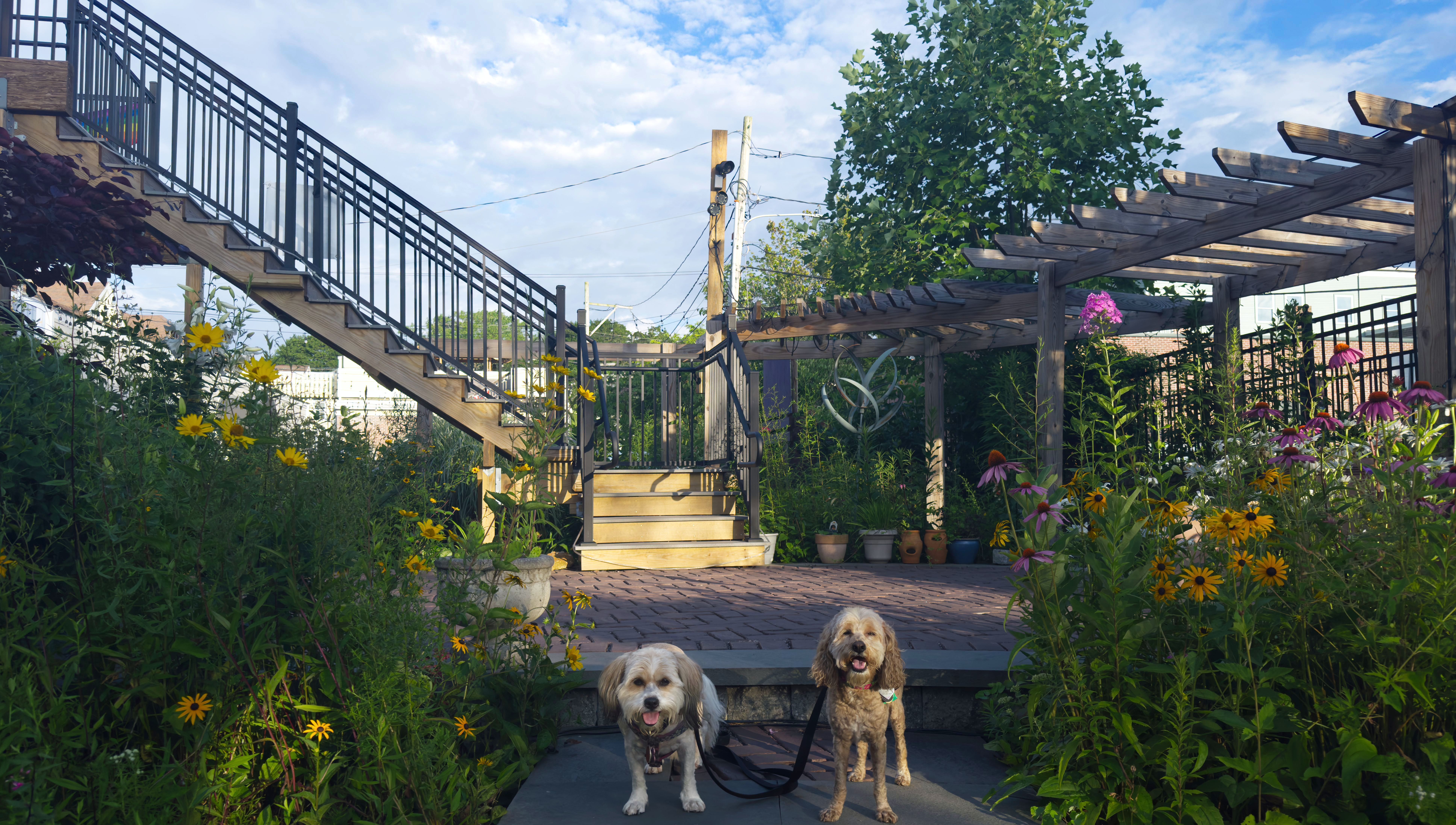
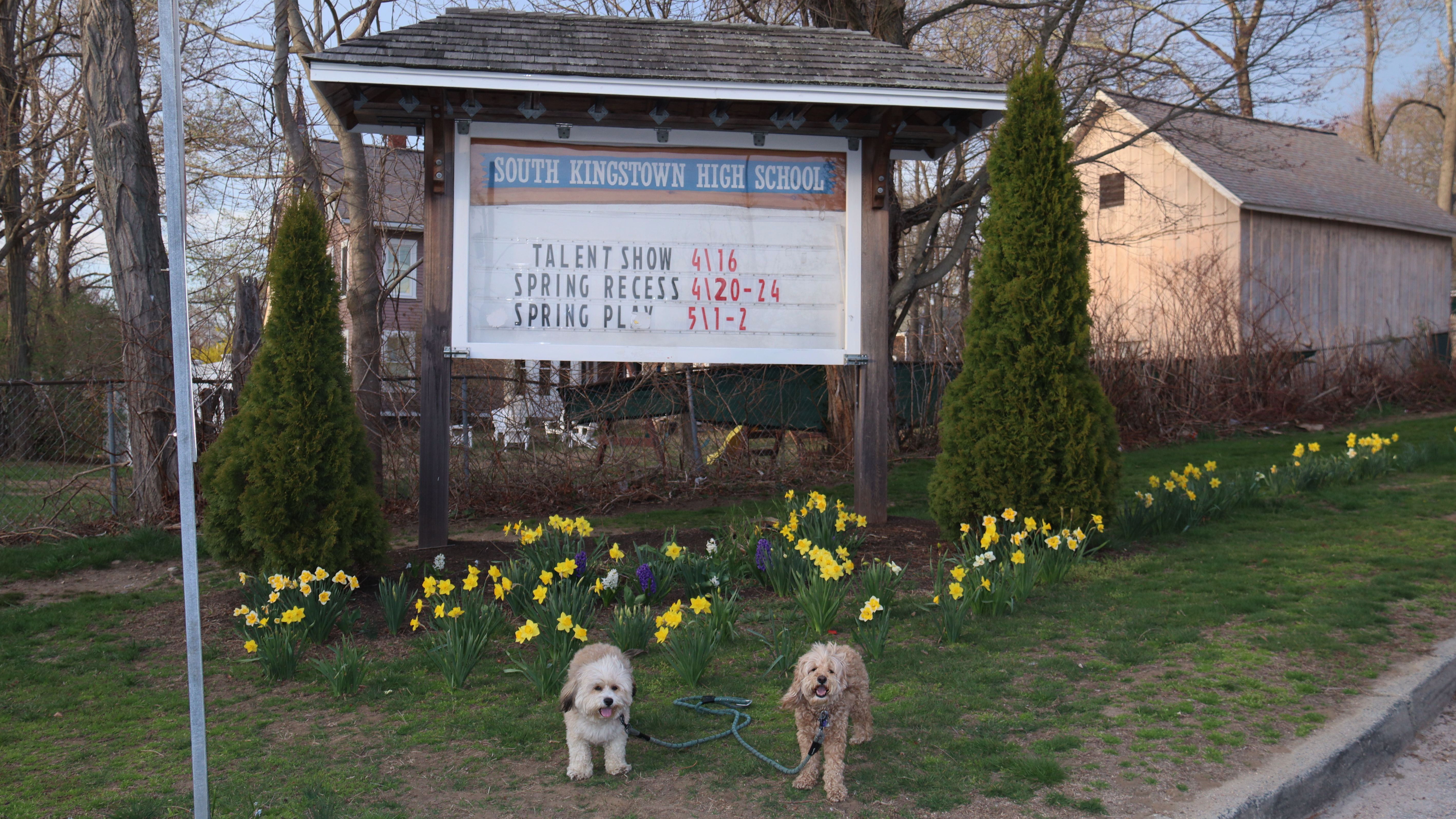
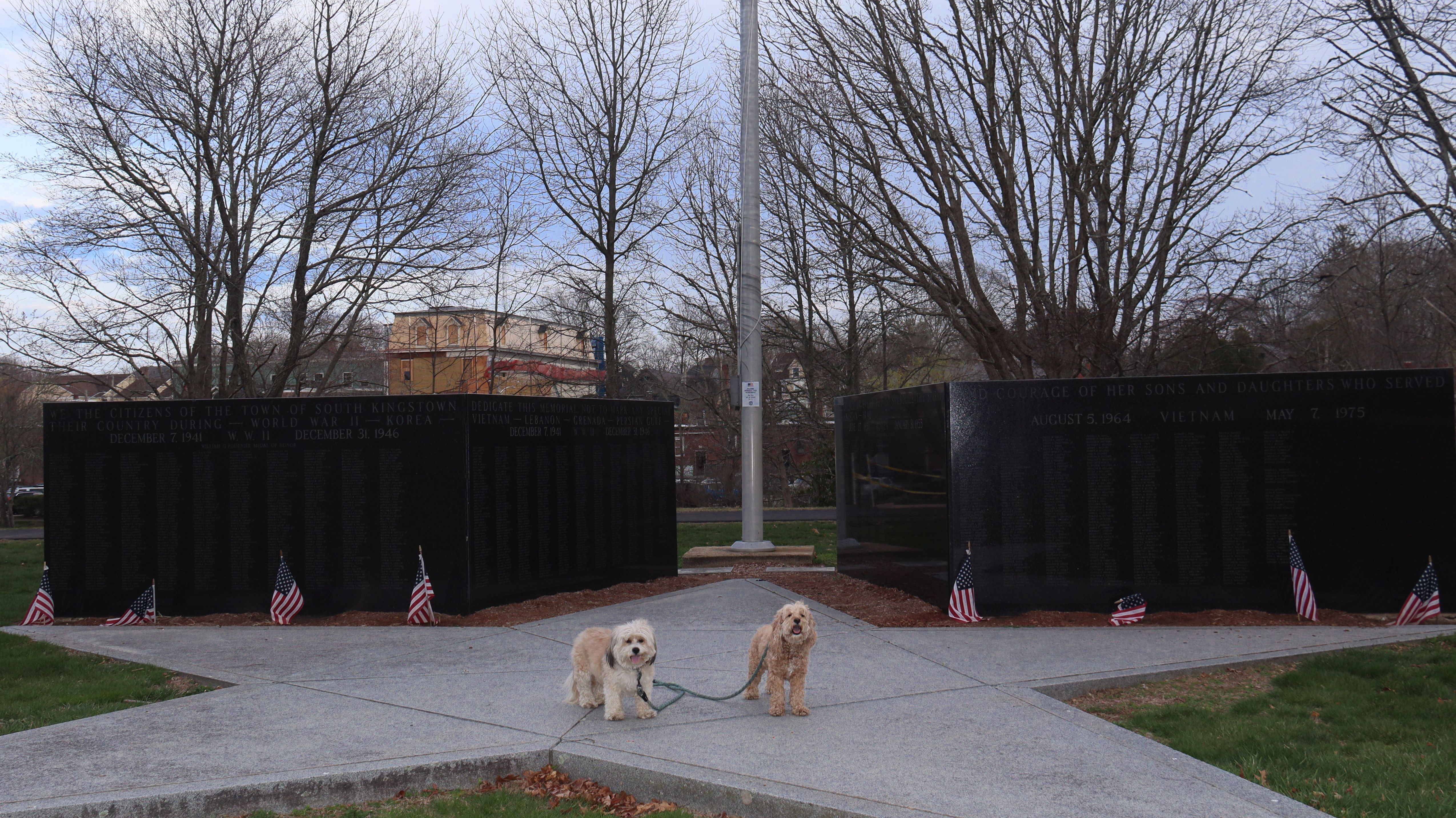
Saugatucket Park
Date visited: 4/15/2026
This is a small park located in Wakefield village, near the Saugatucket River. We visited the park as we were walking through the Wakefield Village area. Besides the short, paved walking trail, there are a few picnic tables, a small playground between the park and the elementary school, and a large war monument.
More Images
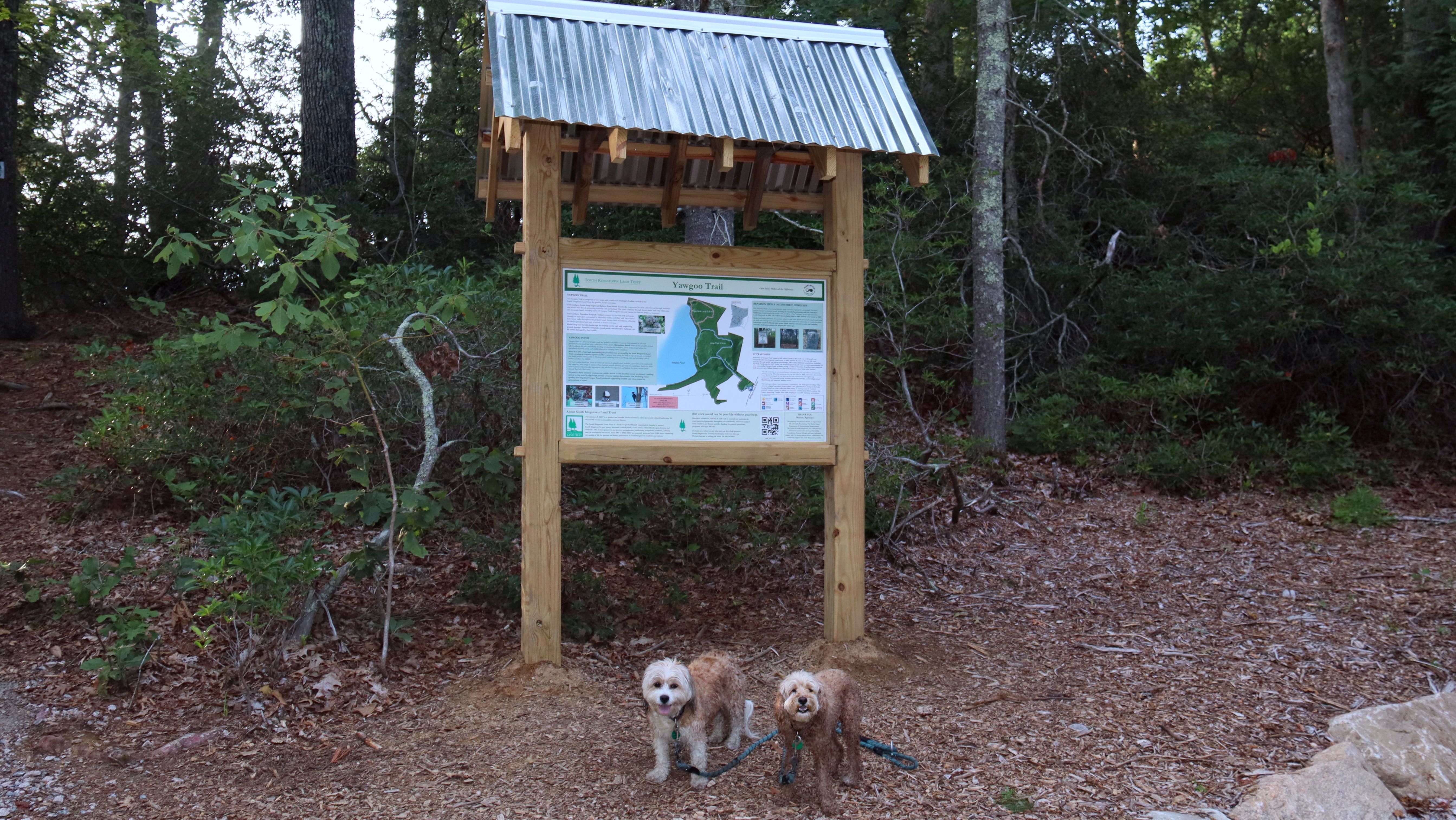
Yawgoo Trail
Date visited: 7/9/2026
This trail had been closed for six years, and on 6/12/2026, the South Kingstown Land Trust held a ribbon-cutting ceremony to celebrate its reopening. We made it to the trail less than a month later! It's clear that a significant amount of work went into restoring it, with efforts focused on “restor[ing] safe public access while protecting the surrounding wetlands and shoreline habitats.” The highlights are the new boardwalks near the beginning of the trail. They're so new that the wood still has that “new wood” smell! It also appears that parts of the trail were slightly re-routed to incorporate these boardwalk sections. There are two connected loops, totaling about two miles, and the trails are easy and well-marked. We haven't been doing many “hike in the woods” style outings lately for various reasons, but this one was definitely worth it. It made for a very pleasant evening walk.
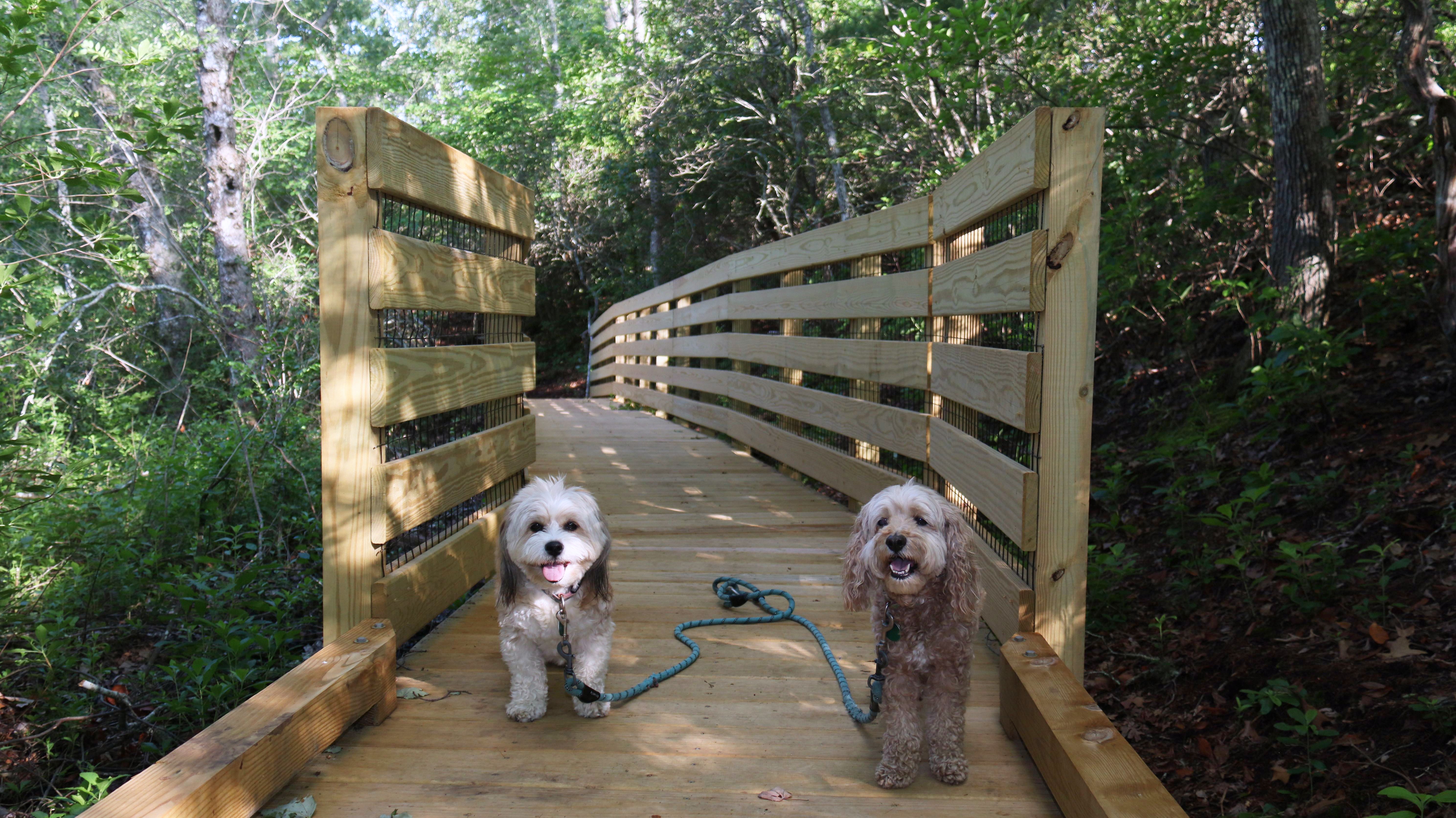
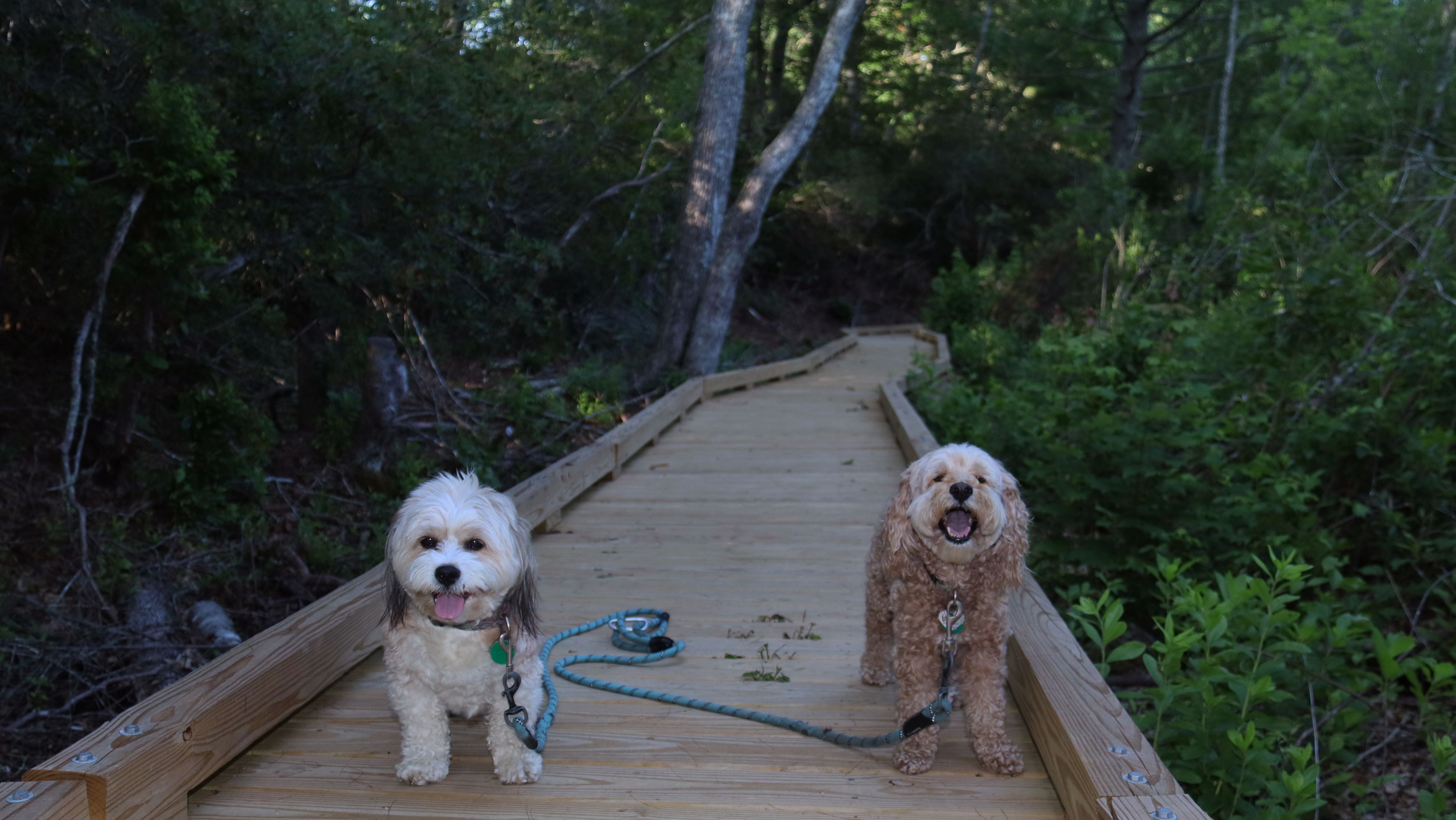


More Images

Narrow River Fishing Area
Date visited: 1/3/2026
We decided to check out this state run fishing area along the Narrow River. This one's main purpose is a boat launch, but we saw people using it as a starting point for paddle boarding along the river today. These fishing areas are often good places that dogs can take a quick dip to cool off. Some of them, like the one at Black Point, connect to trails, but most are just water access. This is a good spot to bring your dogs for a quick dip, but you'll have to look elsewhere to take them for a nice walk.