Connecticut
Massachusetts
Rhode Island
New York
New Jersey
Other States
Latest Adventures
About Mandy & Lexi
Beach Guide
FAQ
◂︎ Mandy & Lexi's Rhode Island Adventures
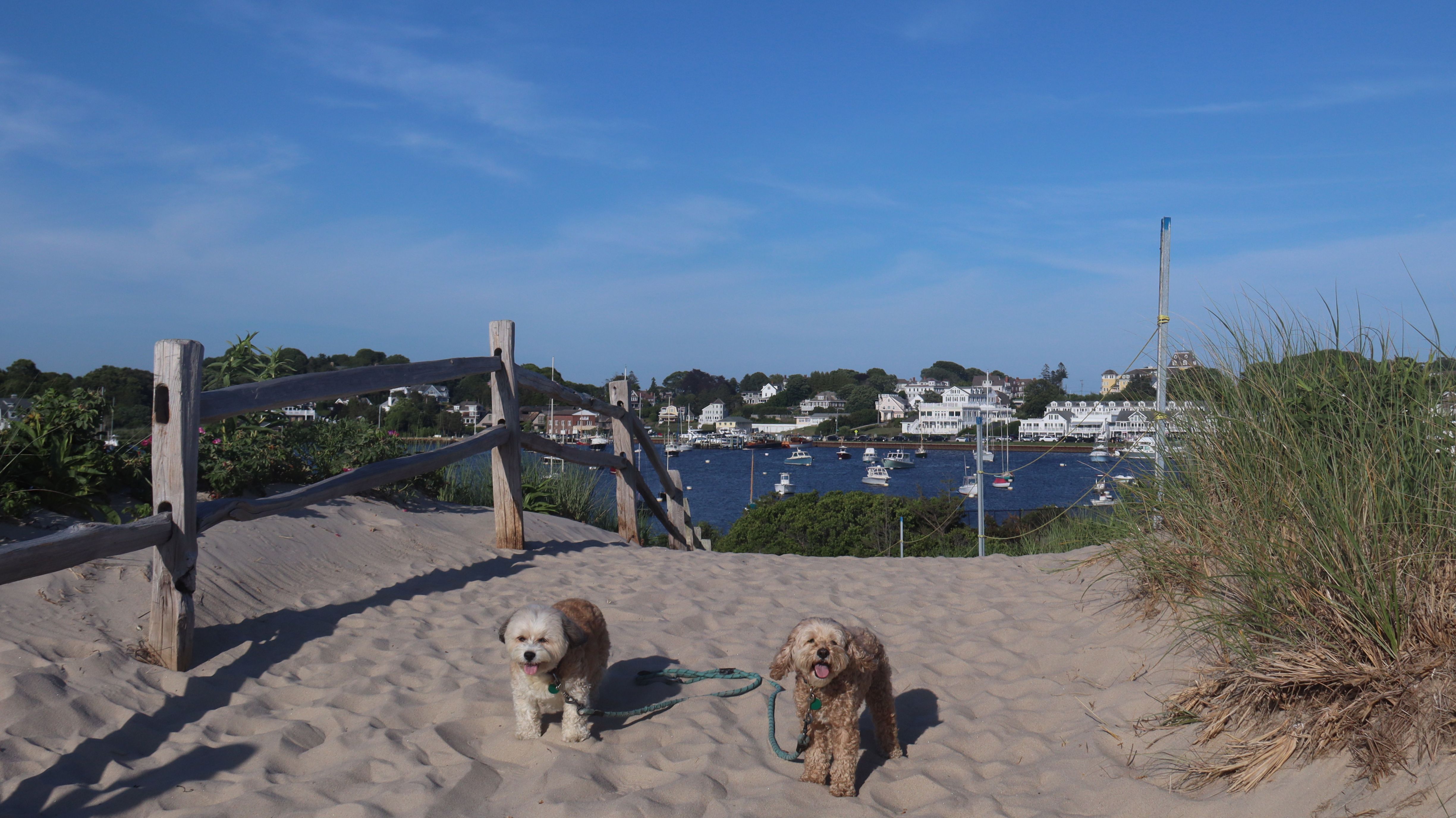
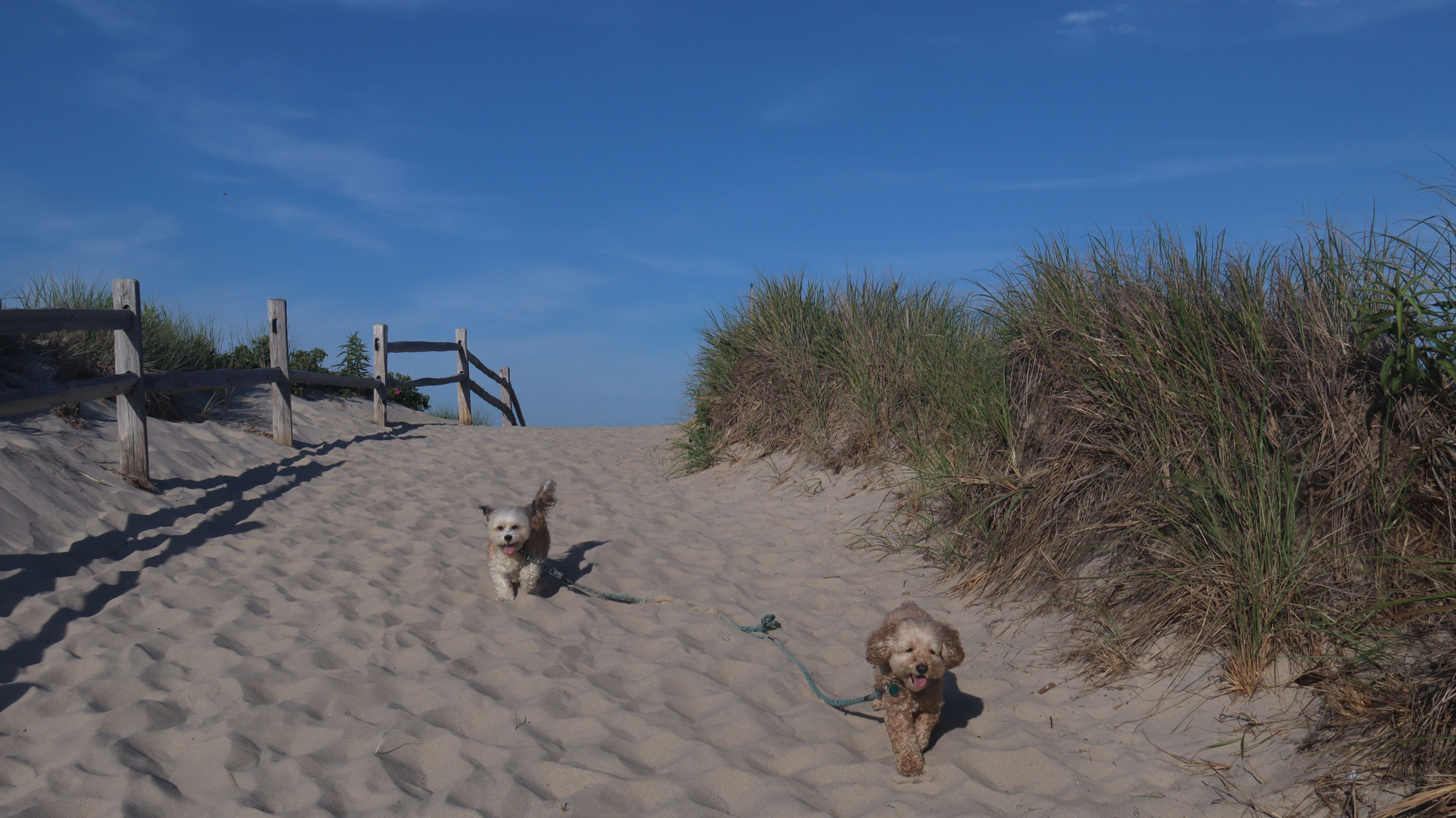
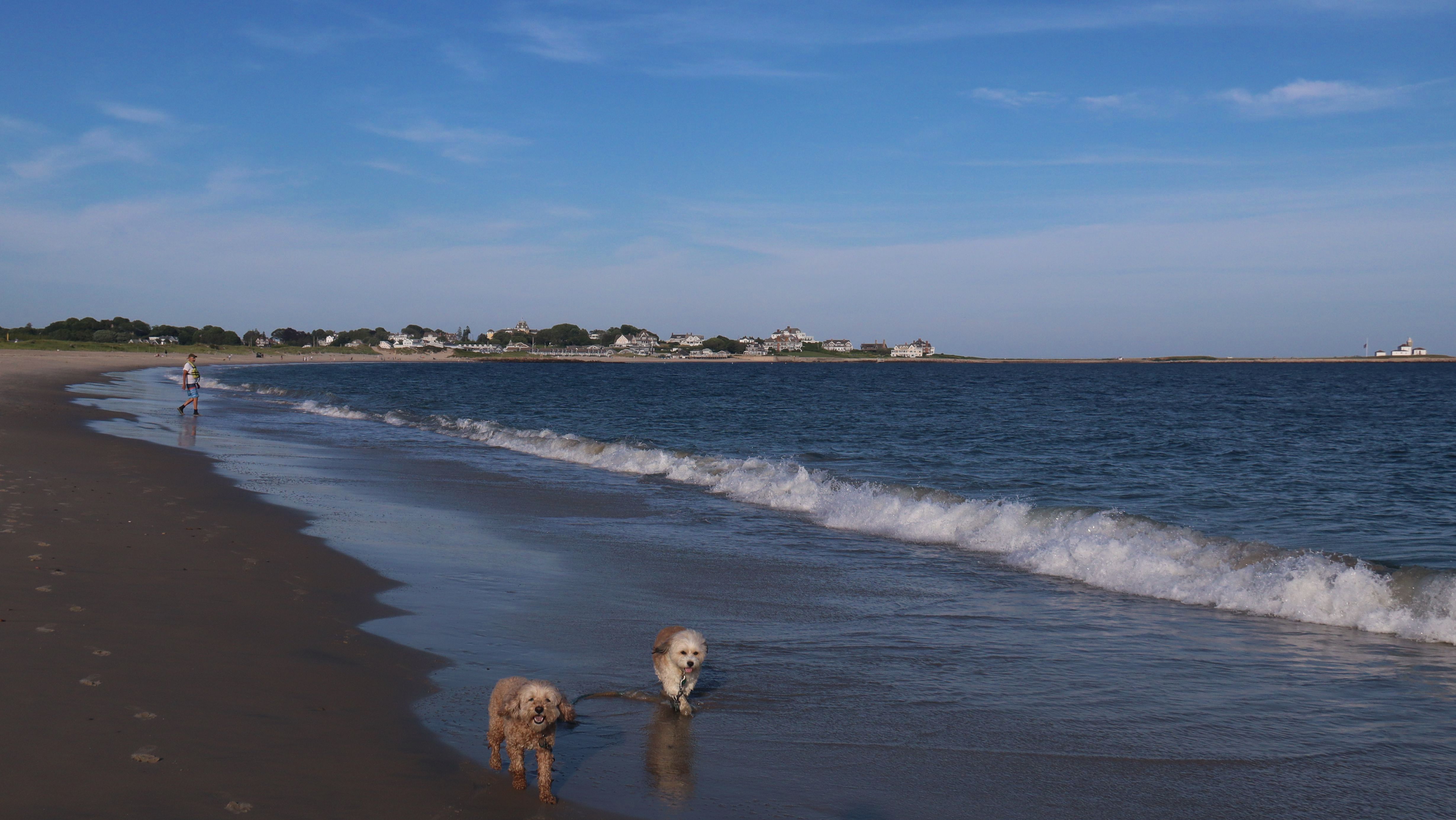
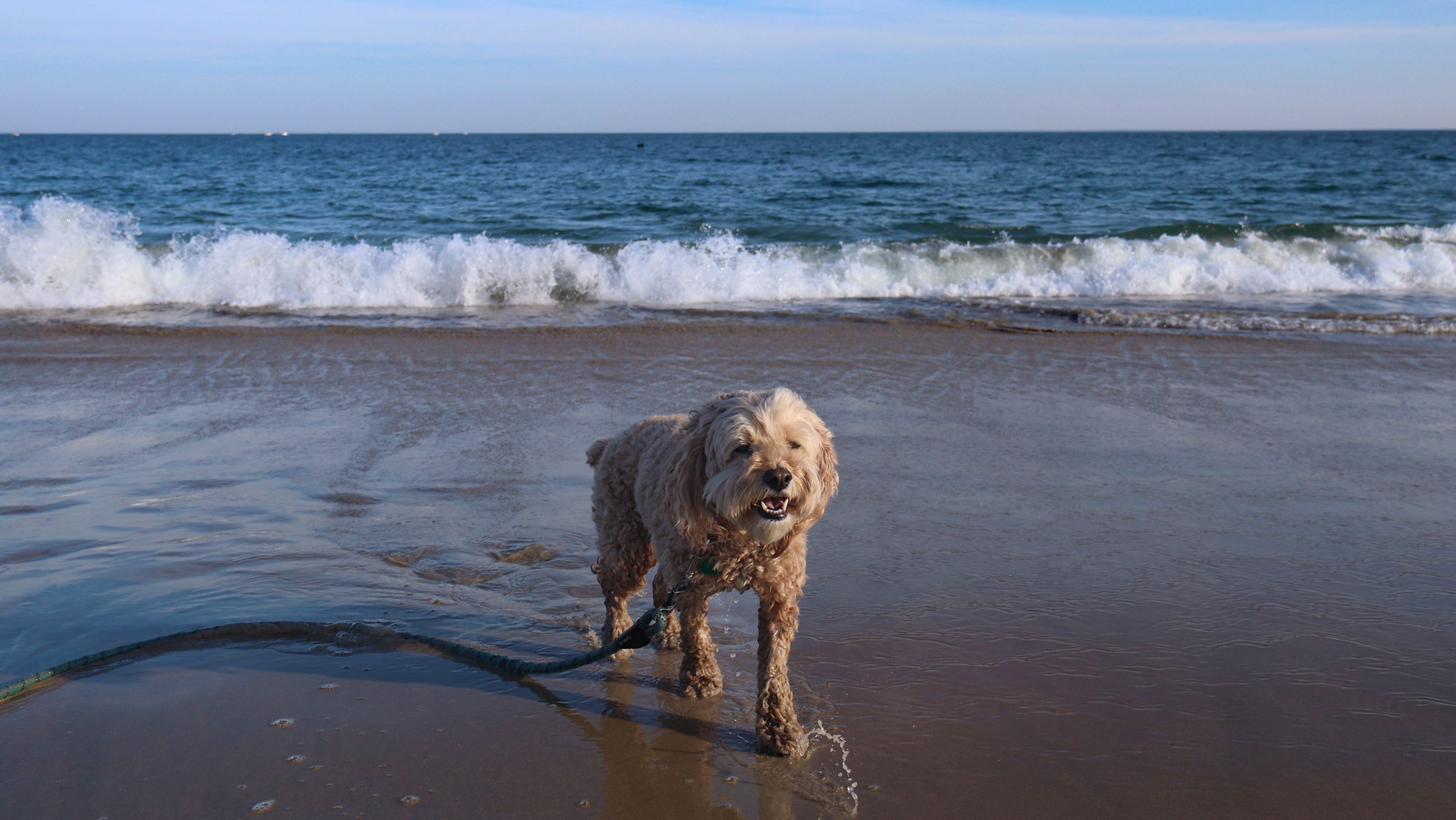
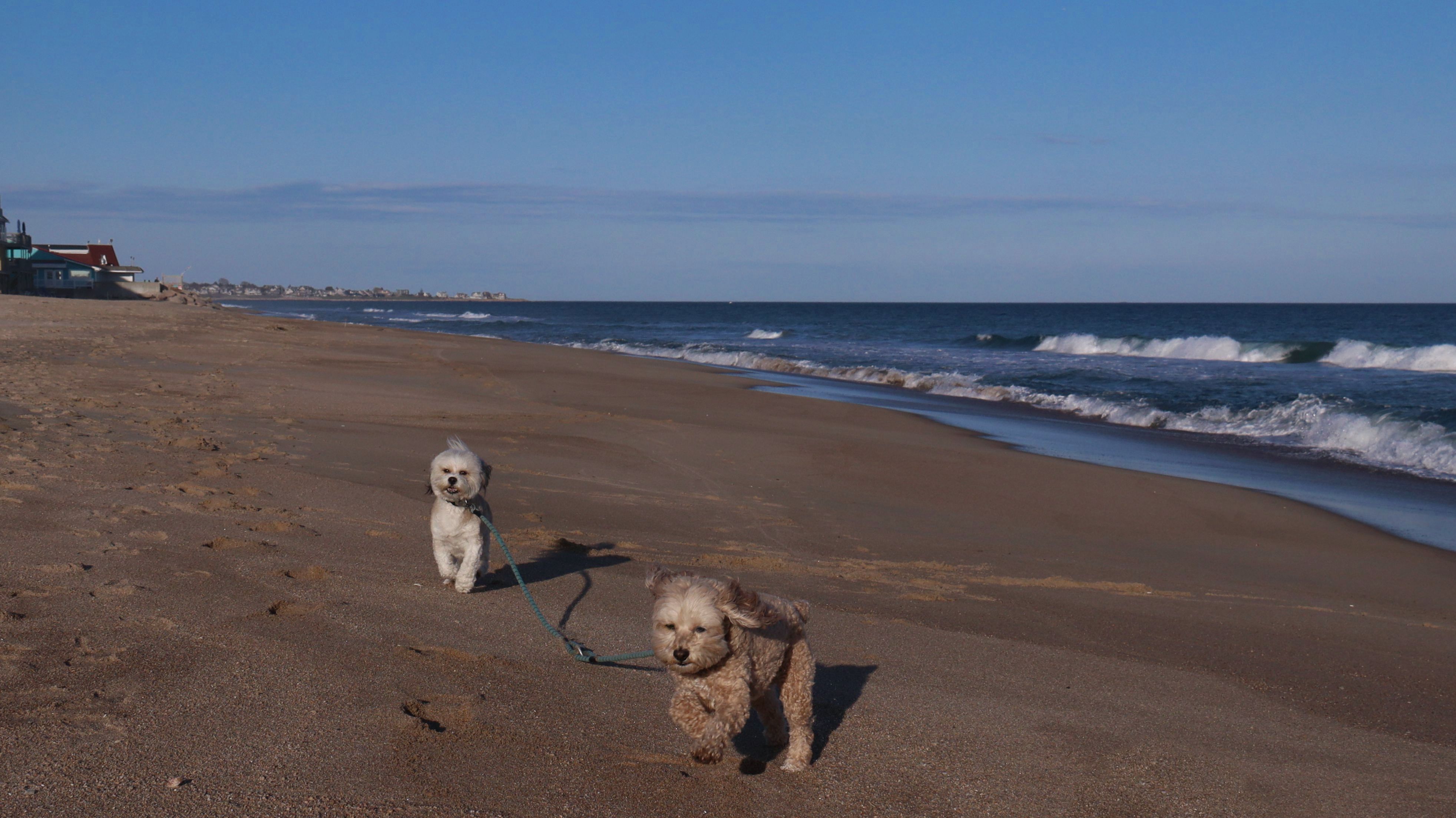
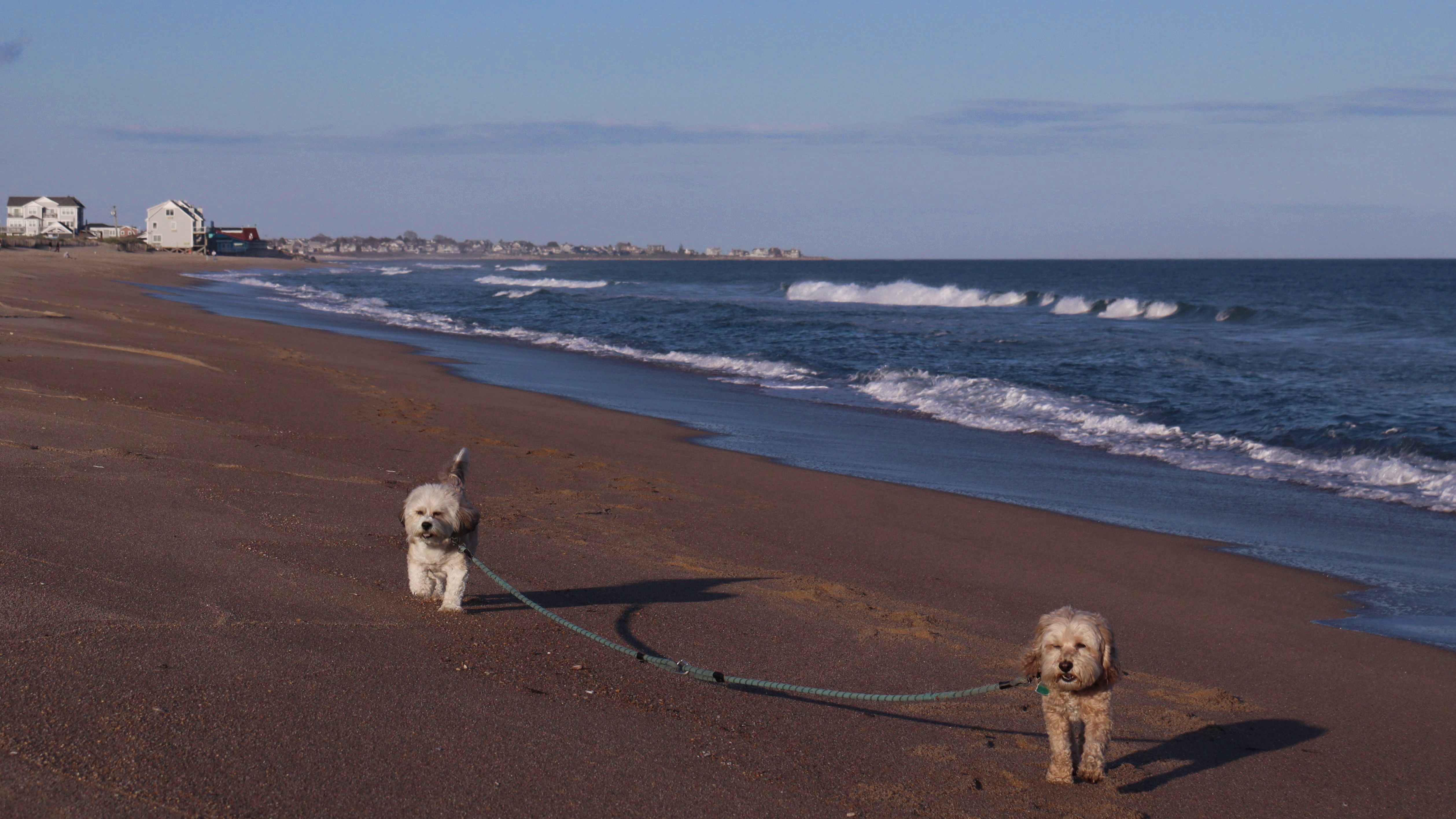
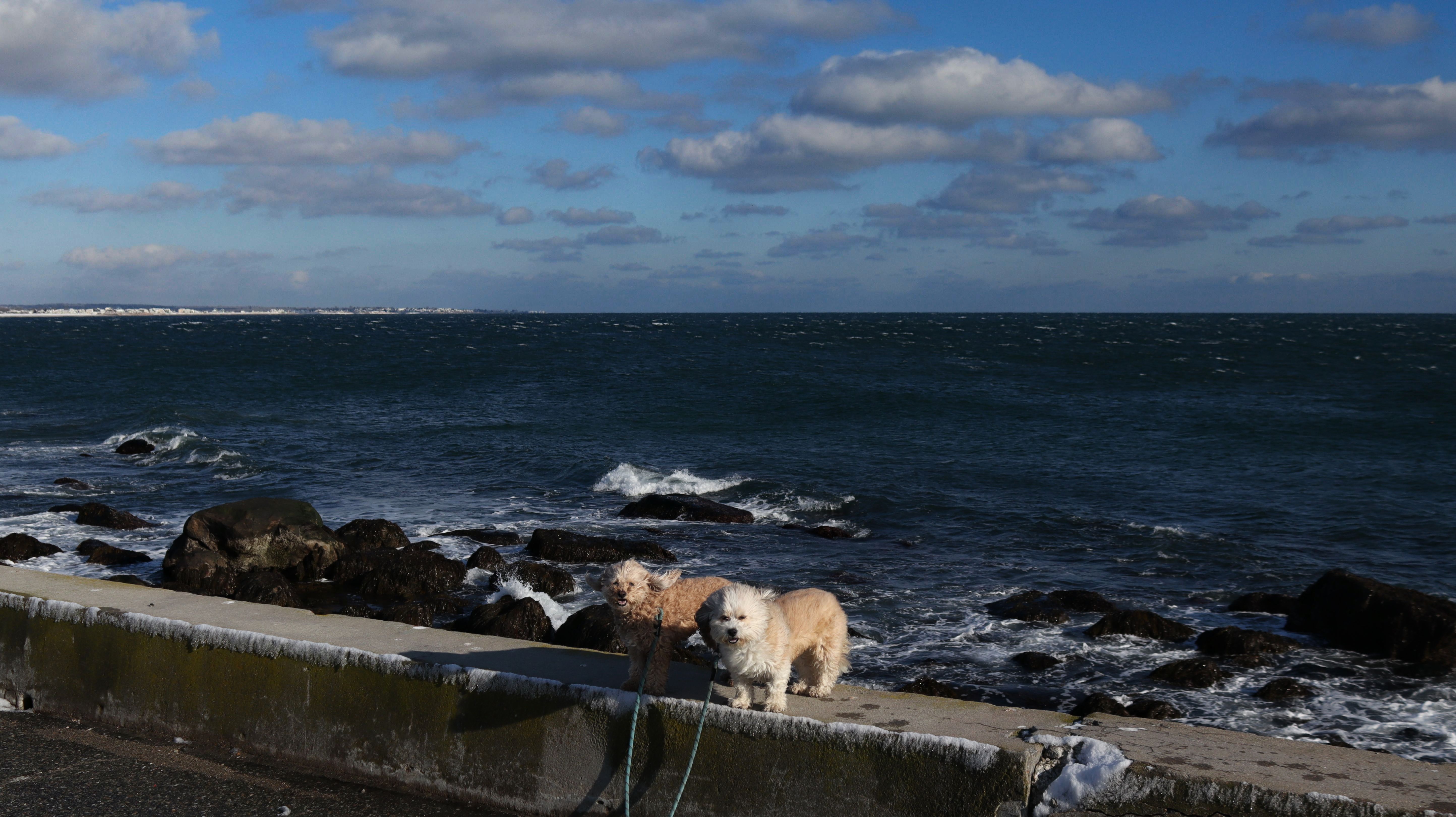
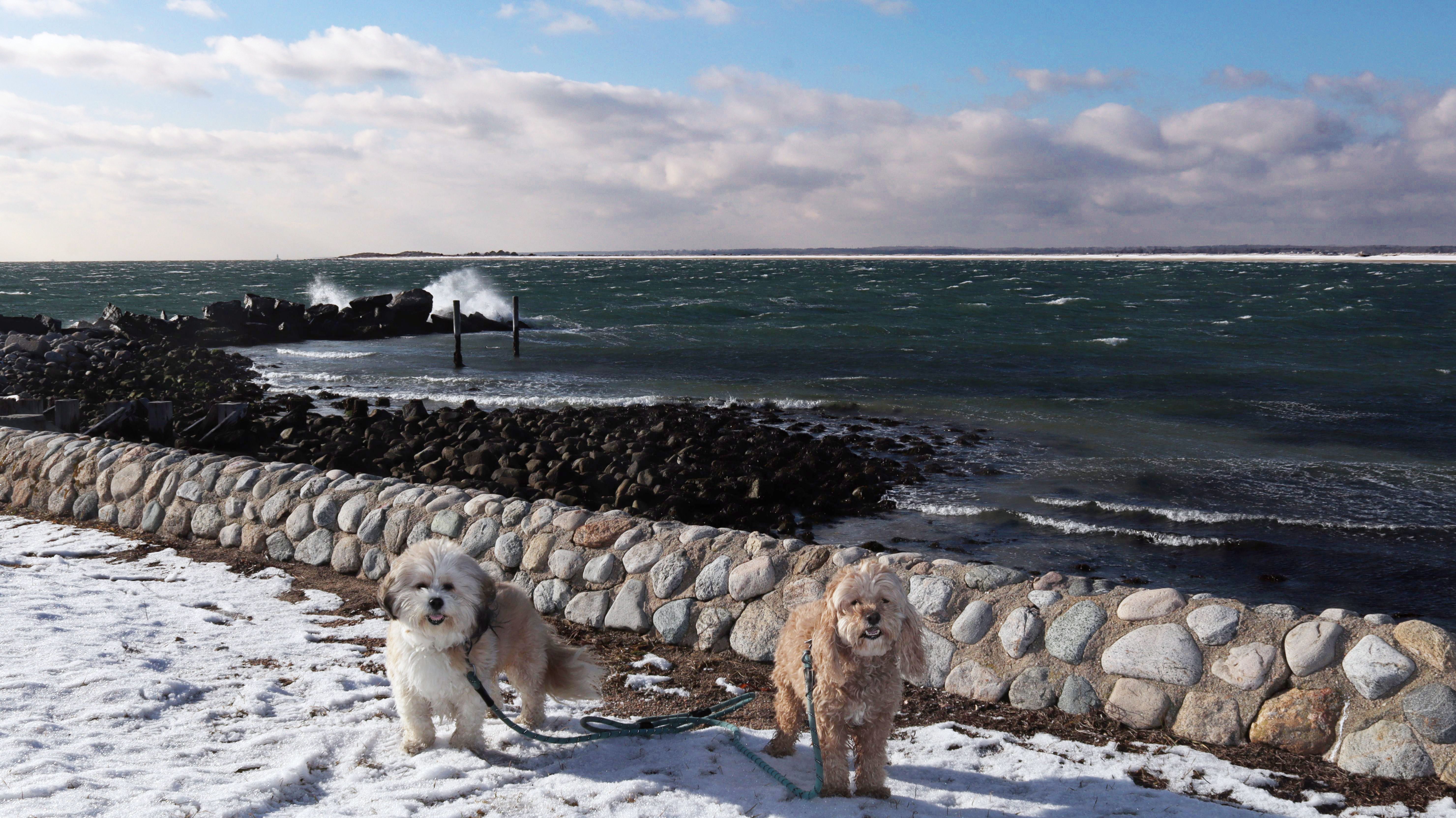
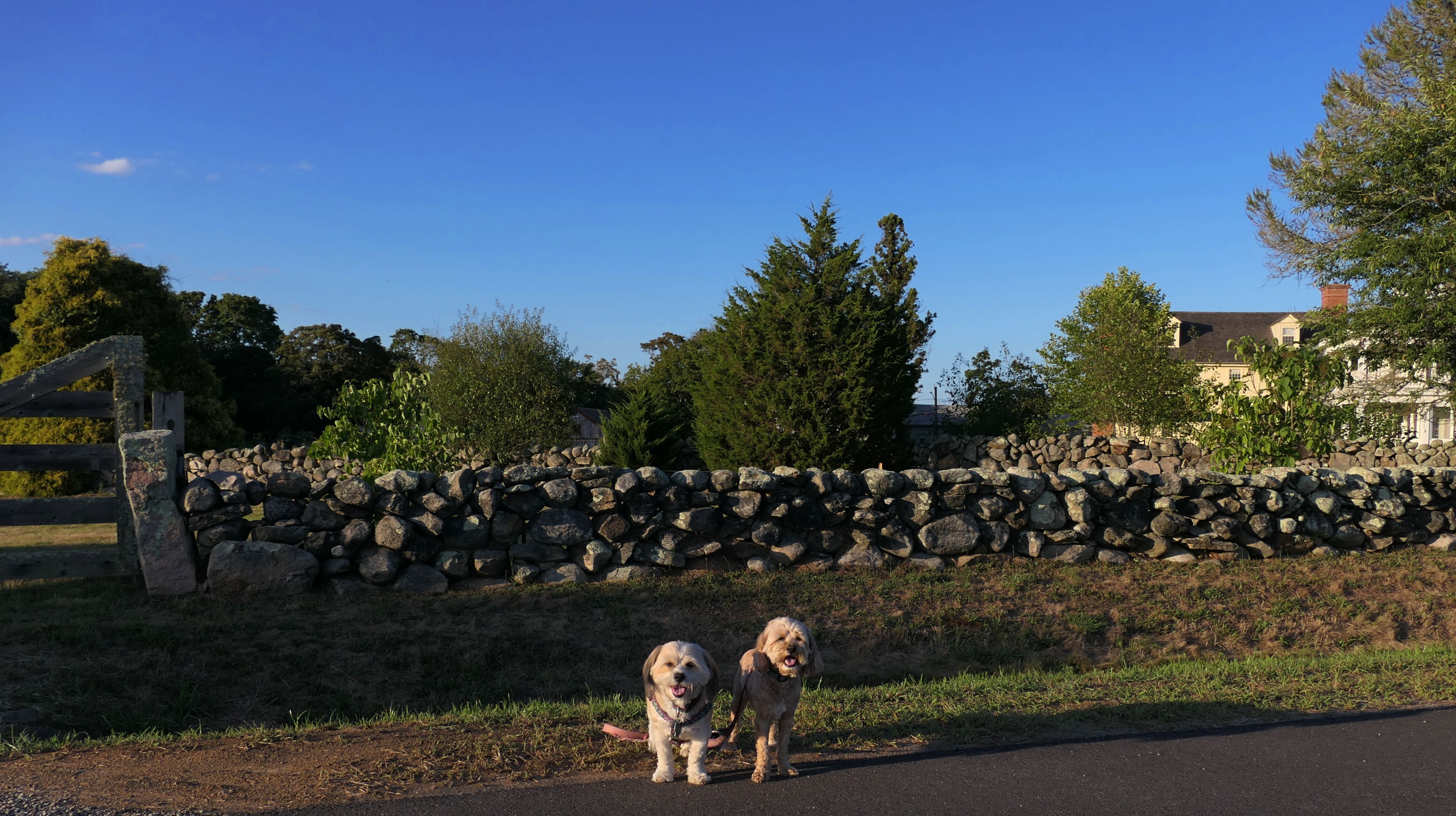
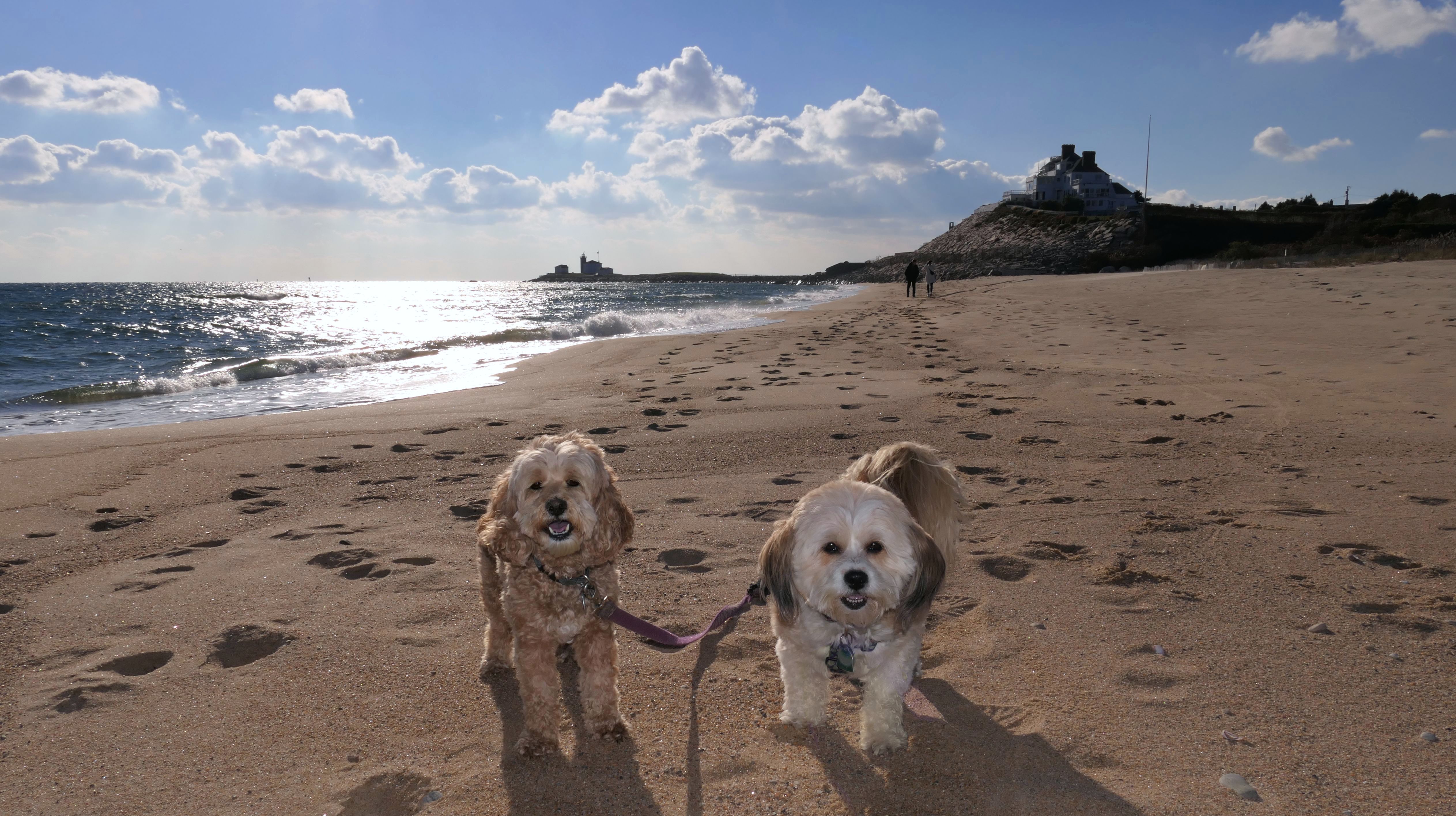
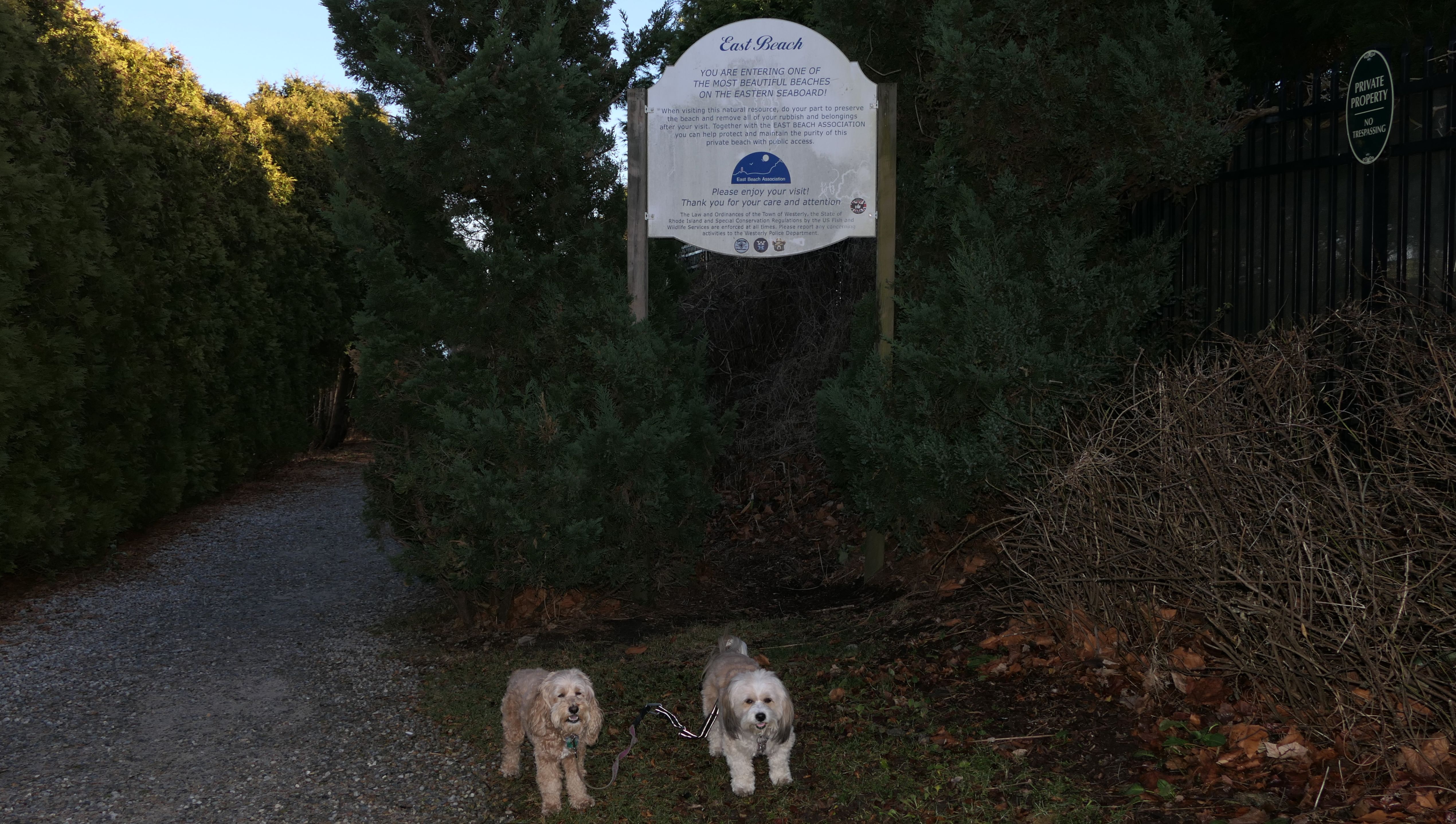
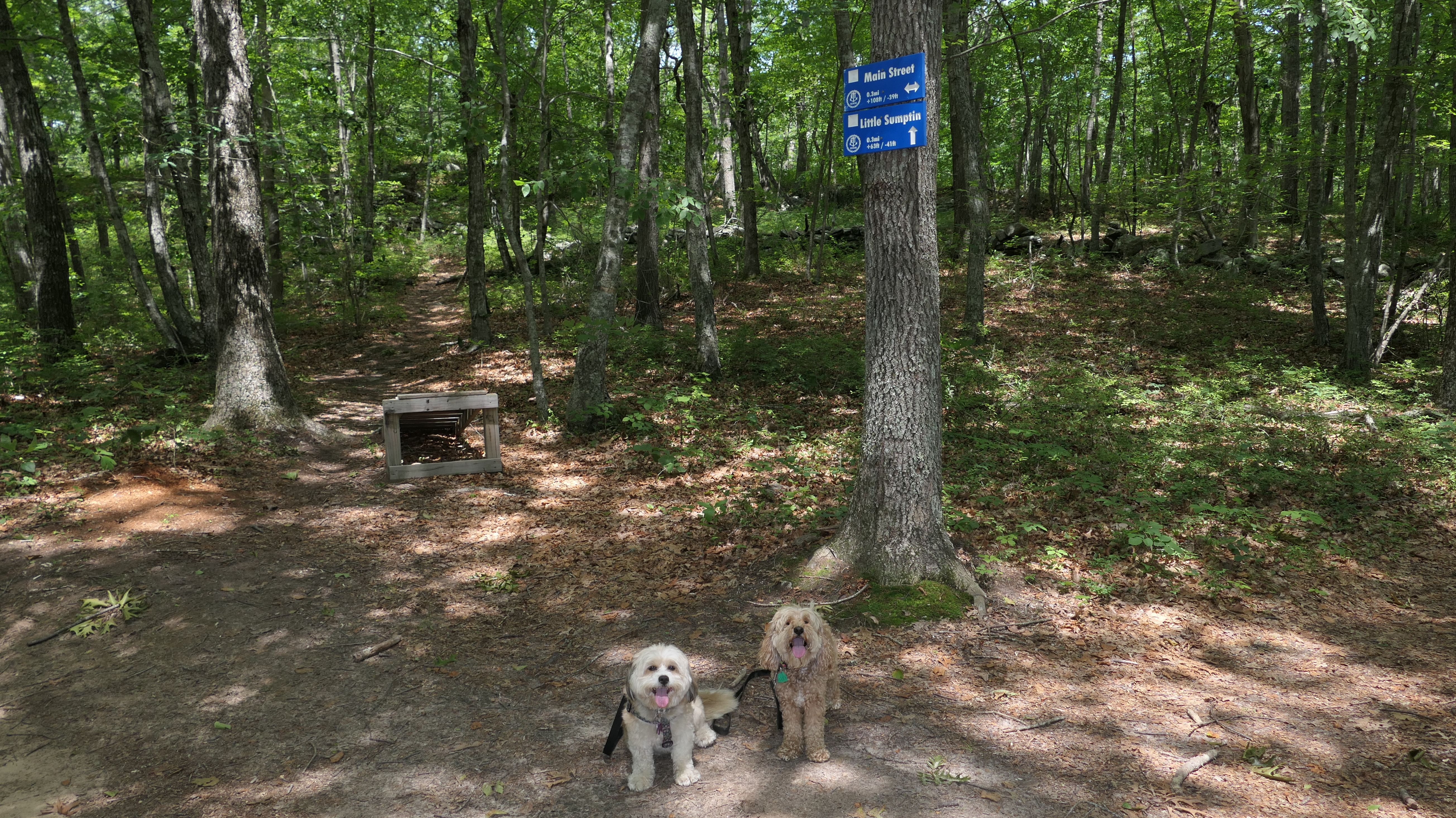
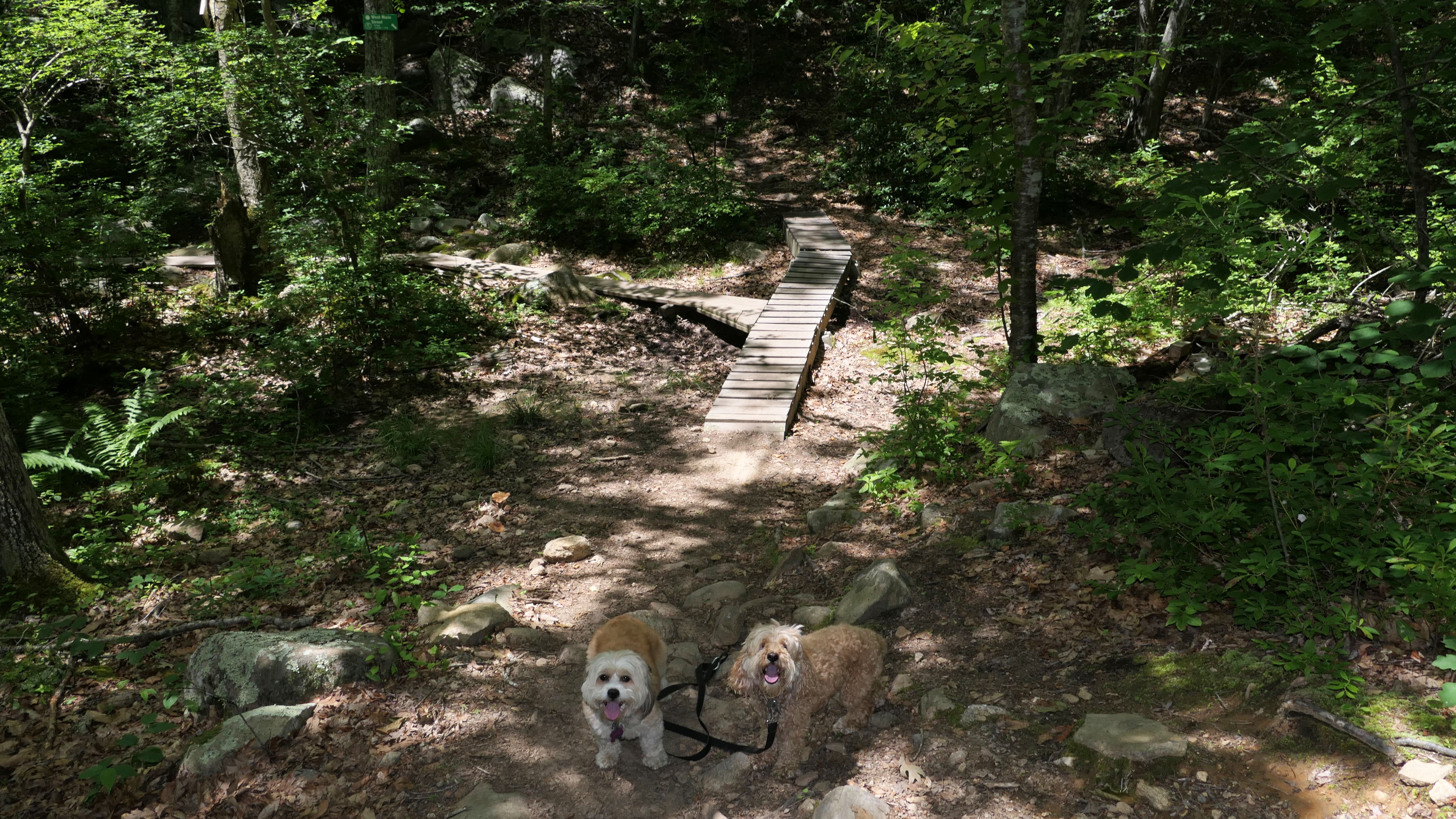
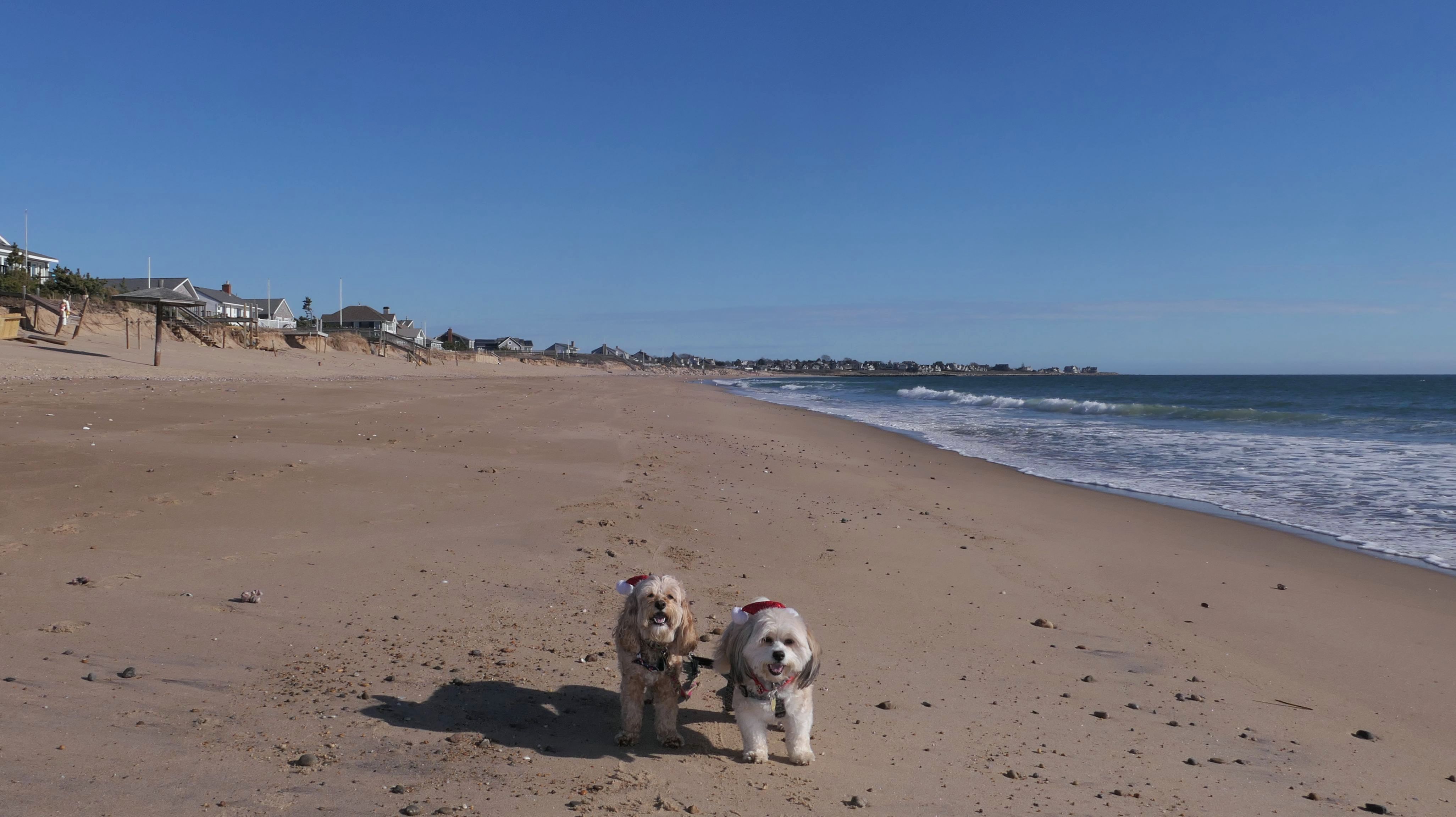
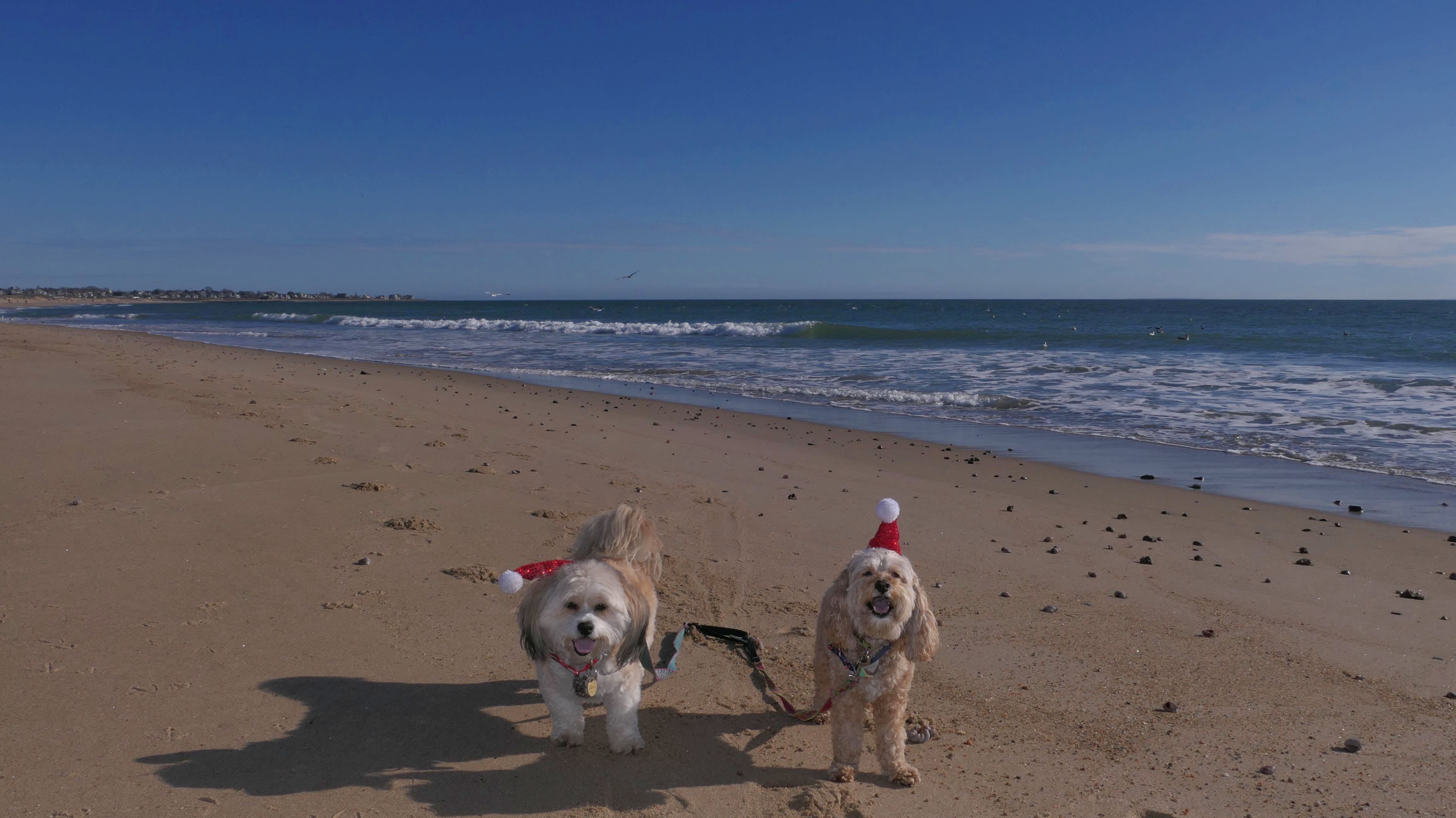
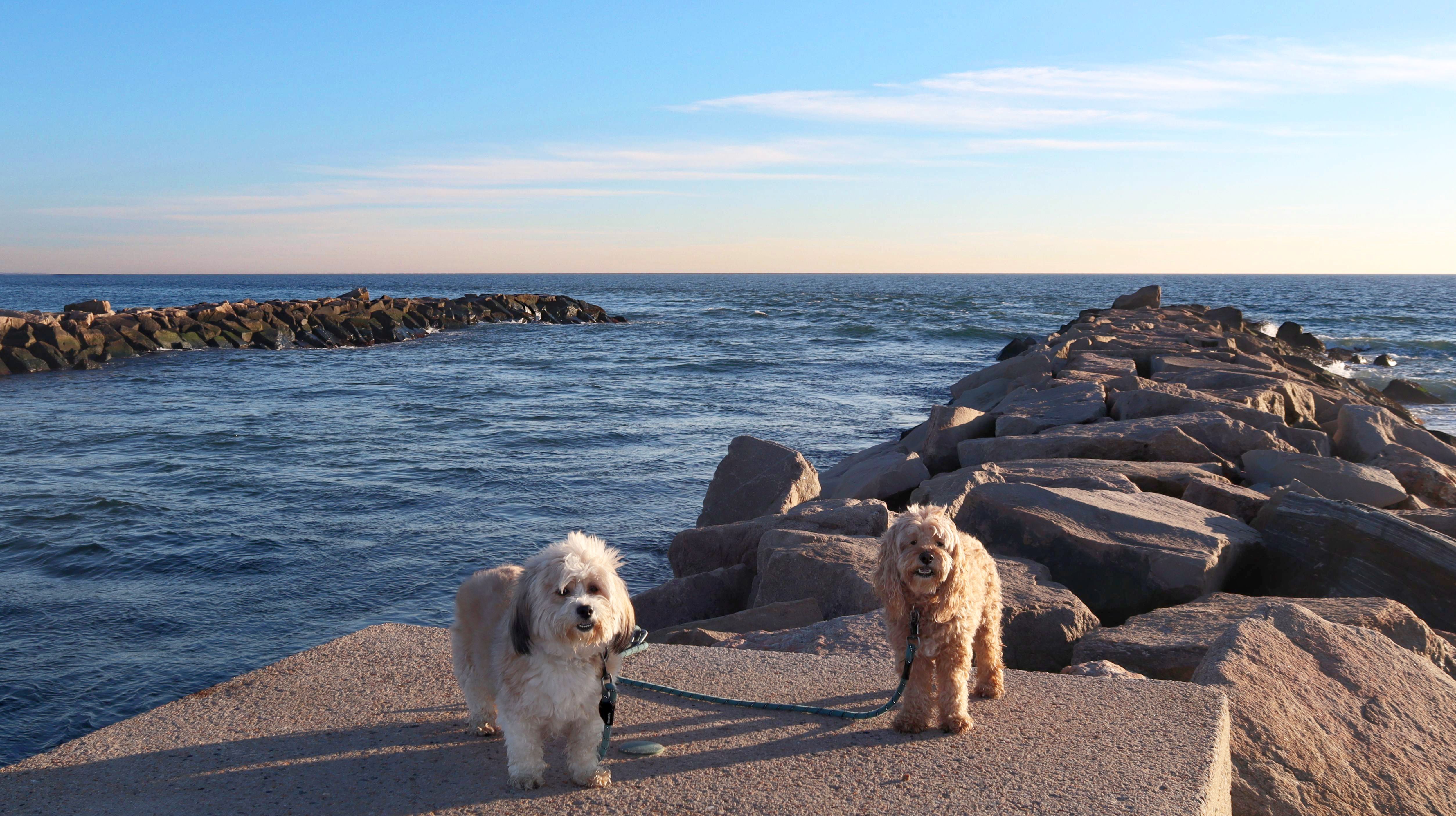
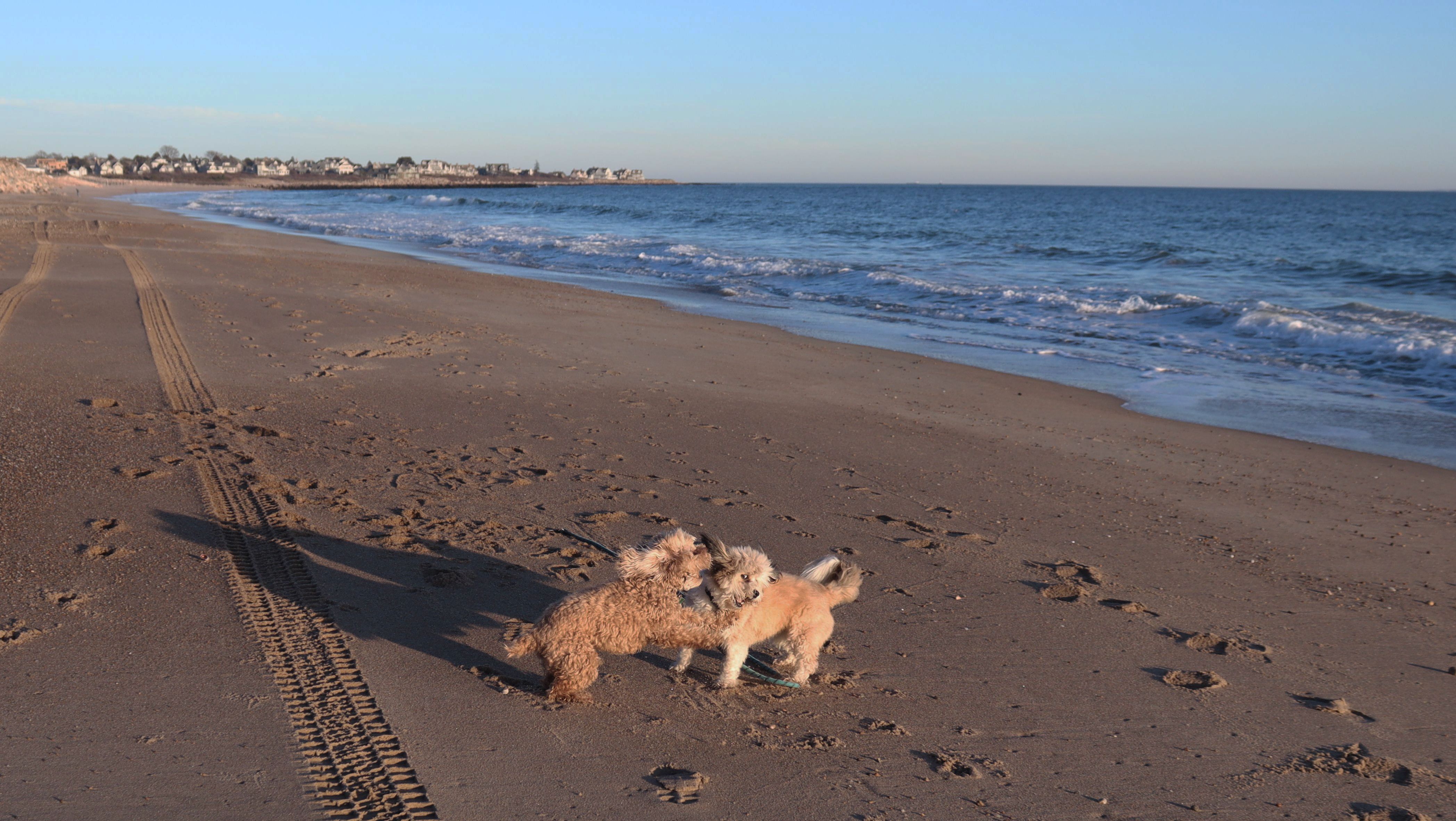
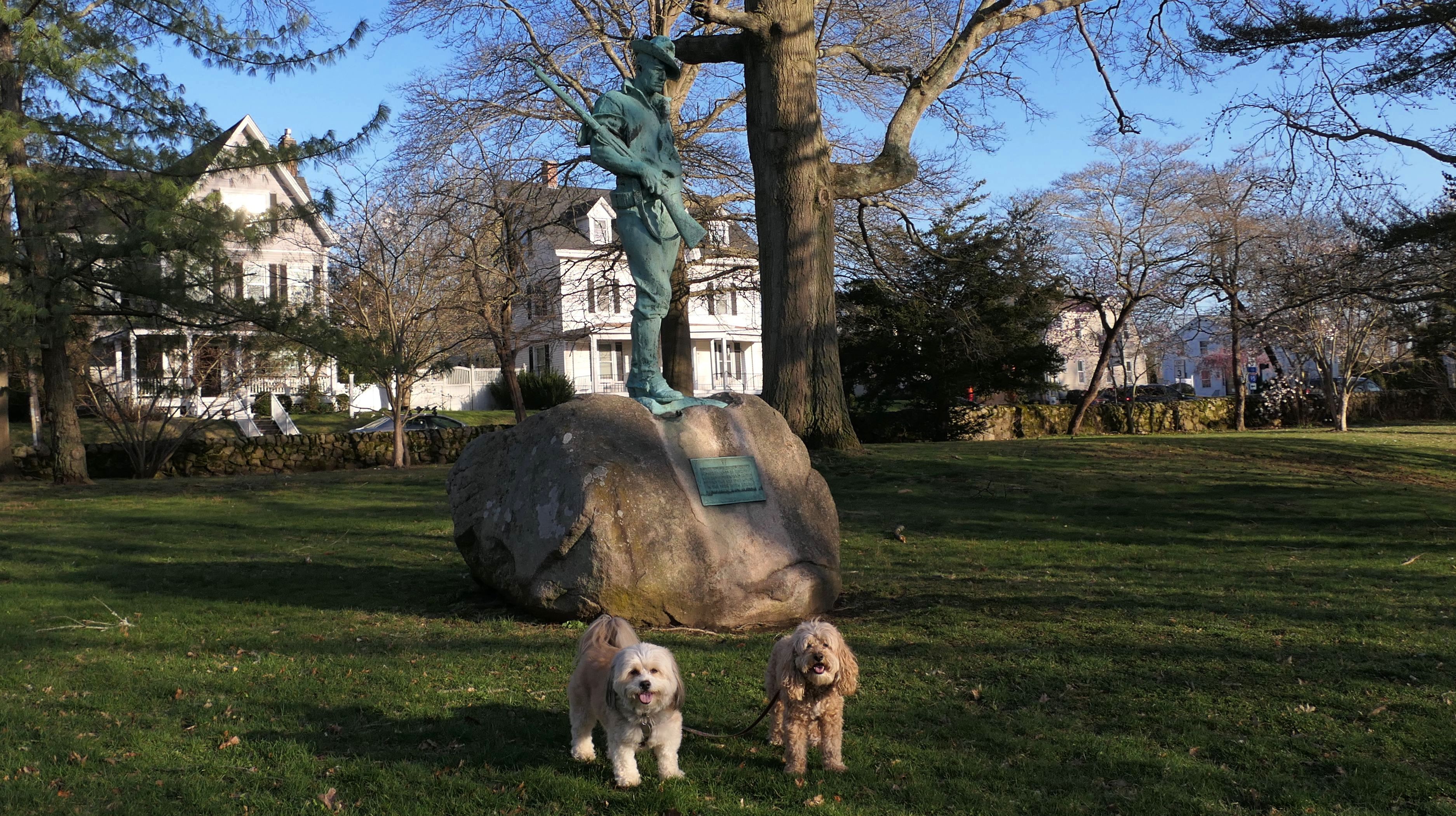
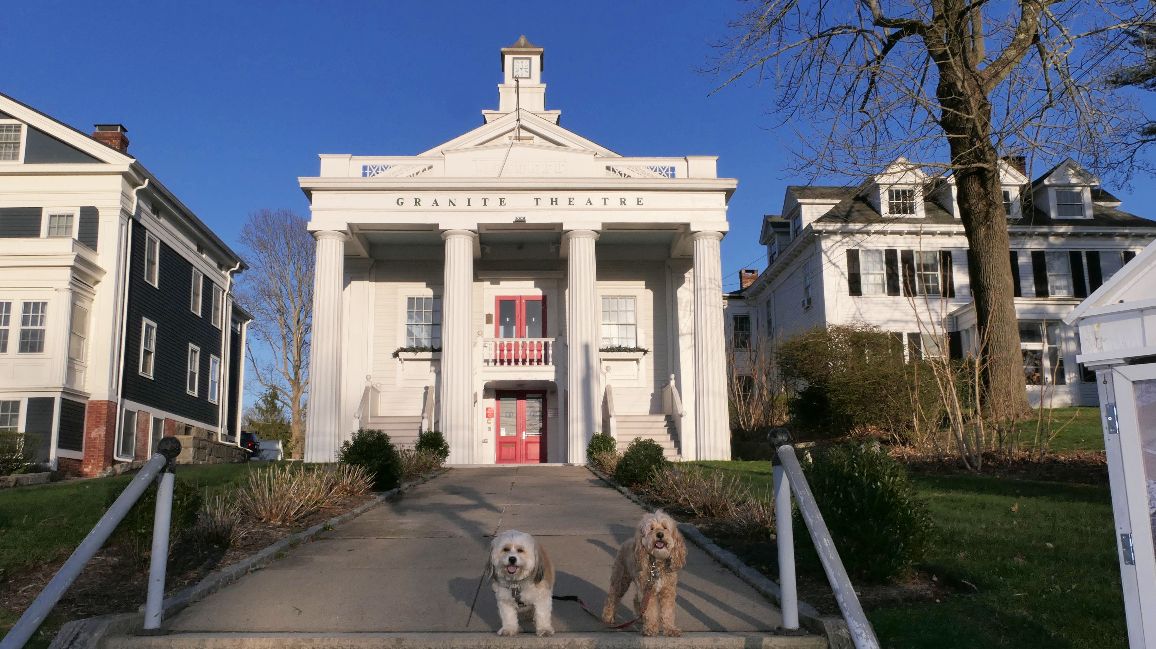
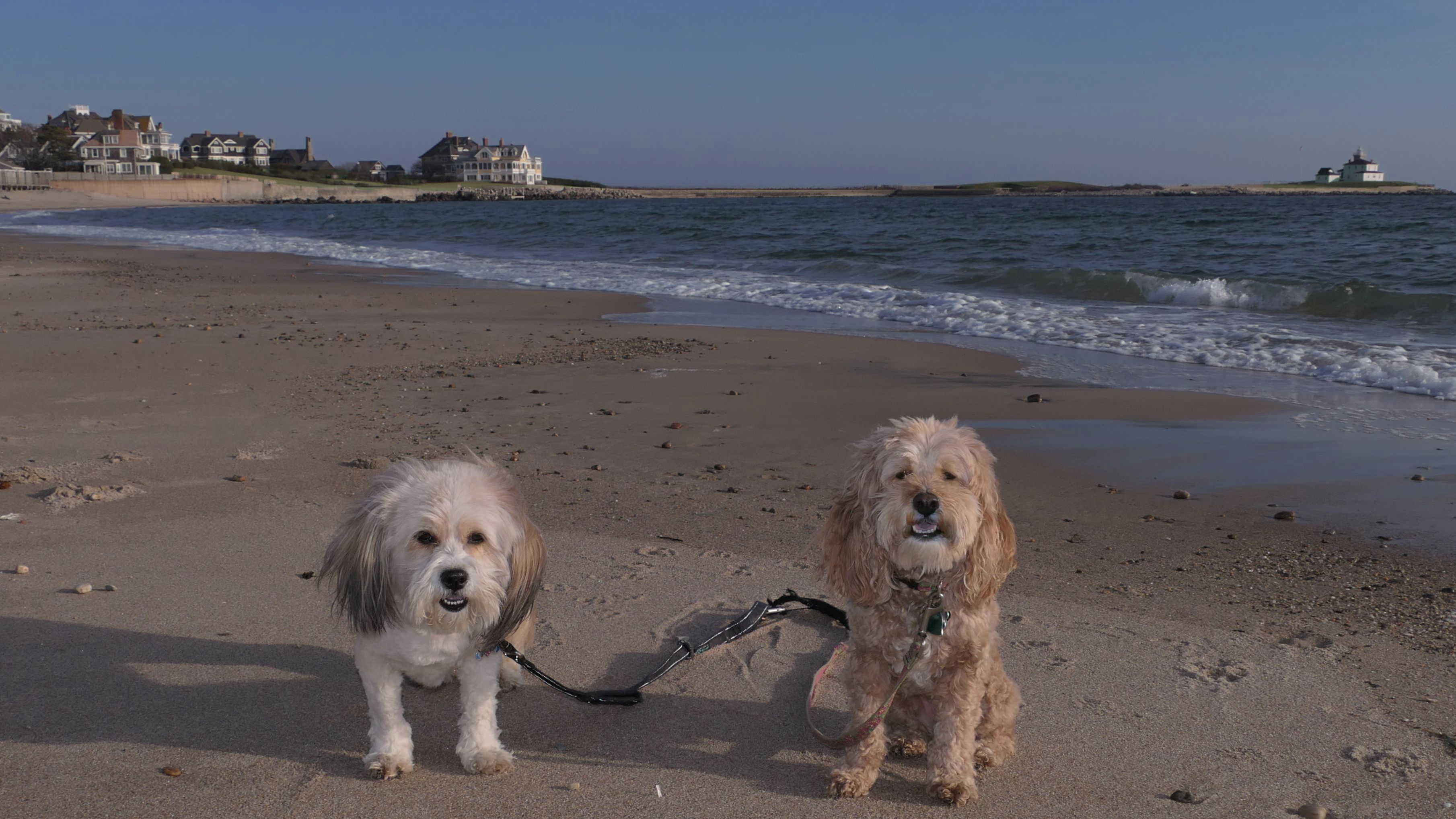
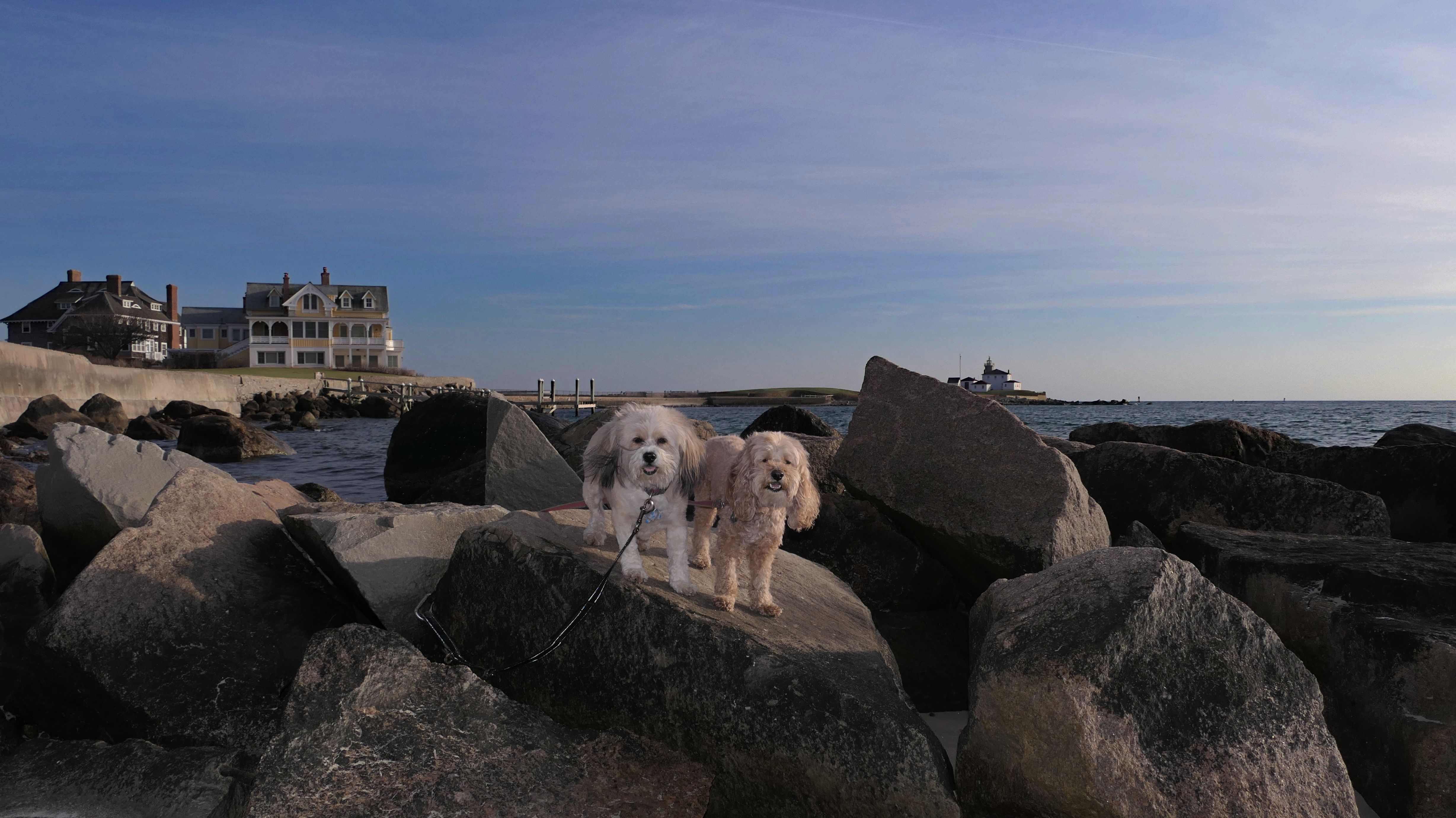
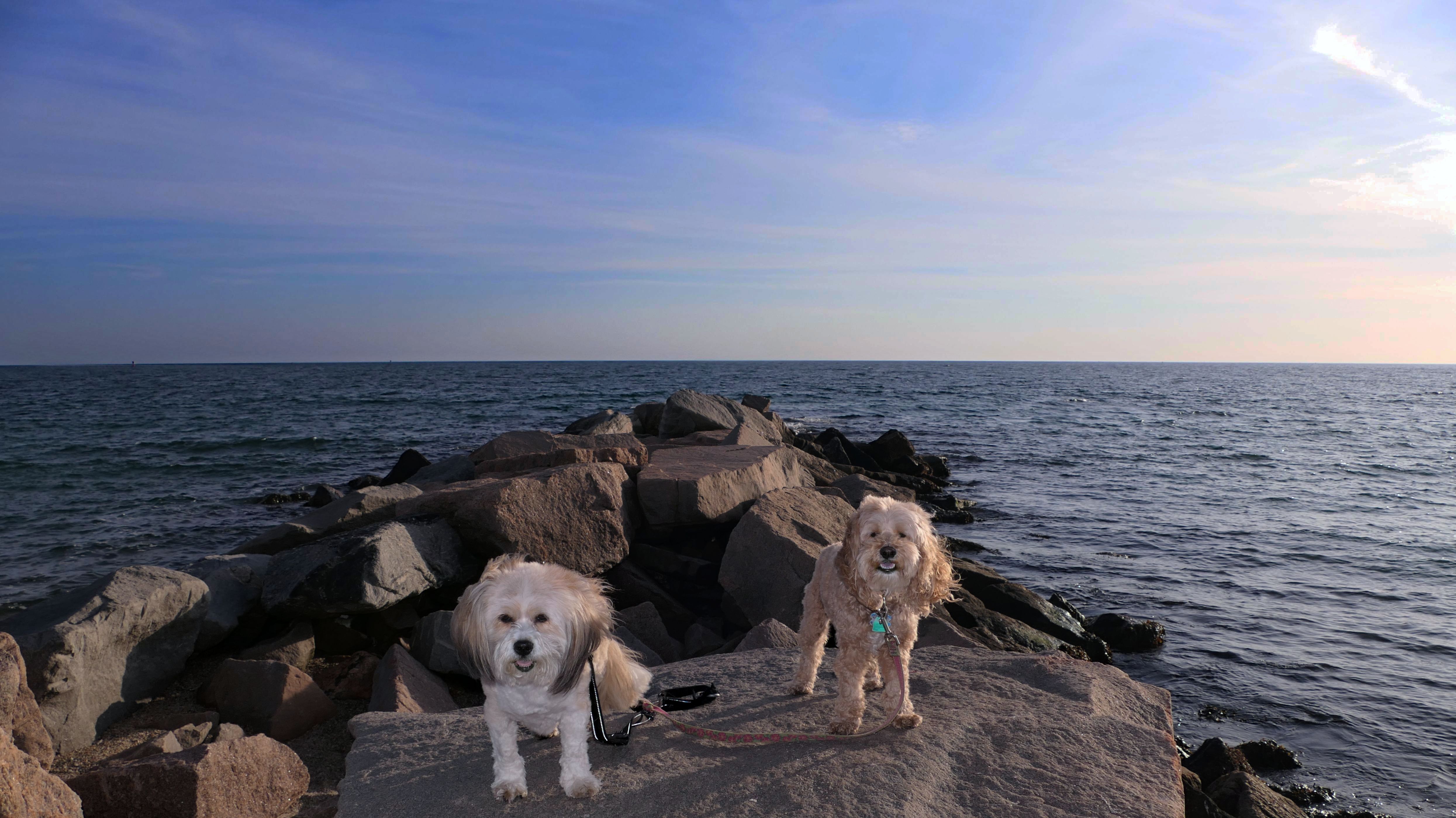
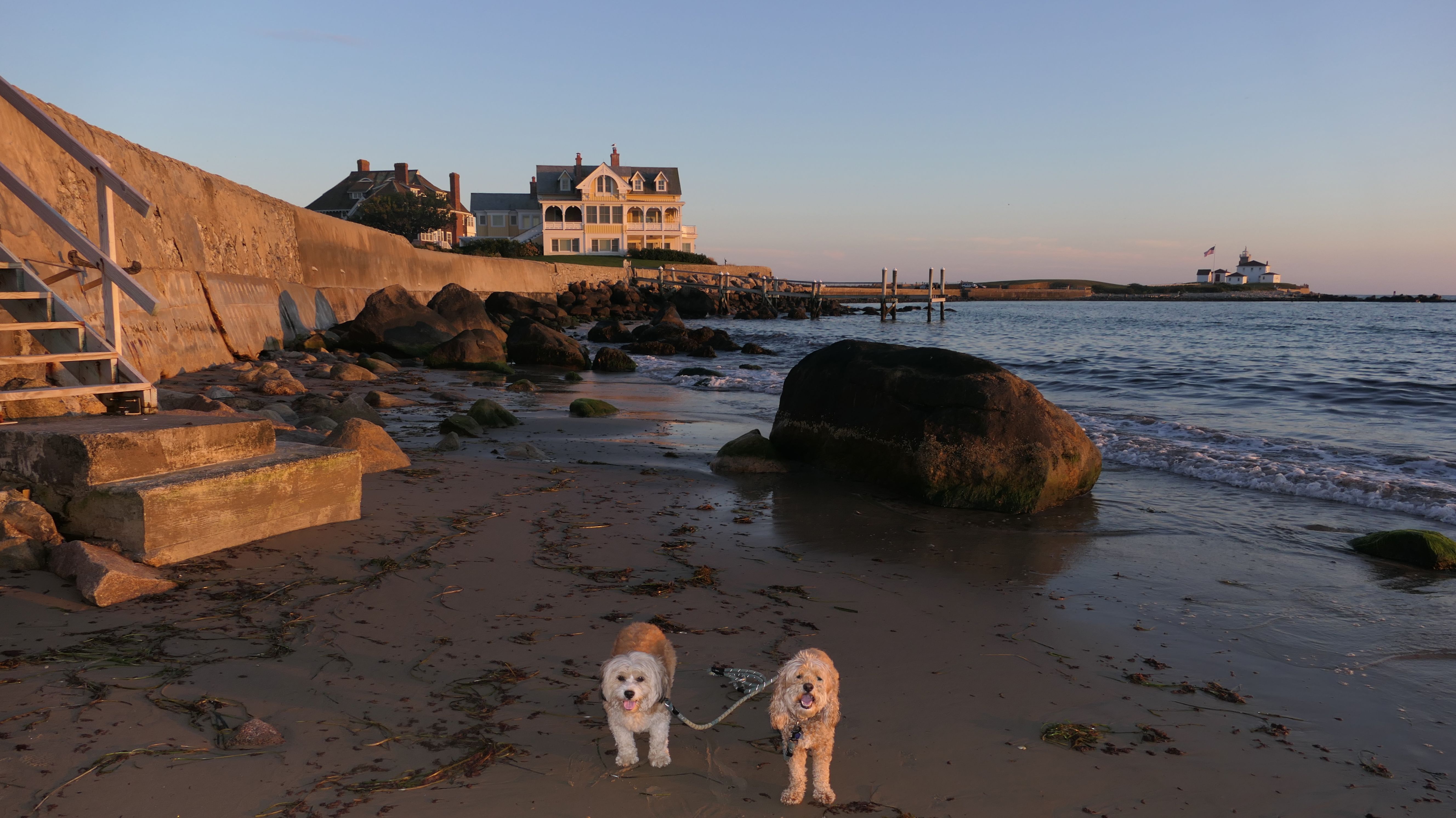
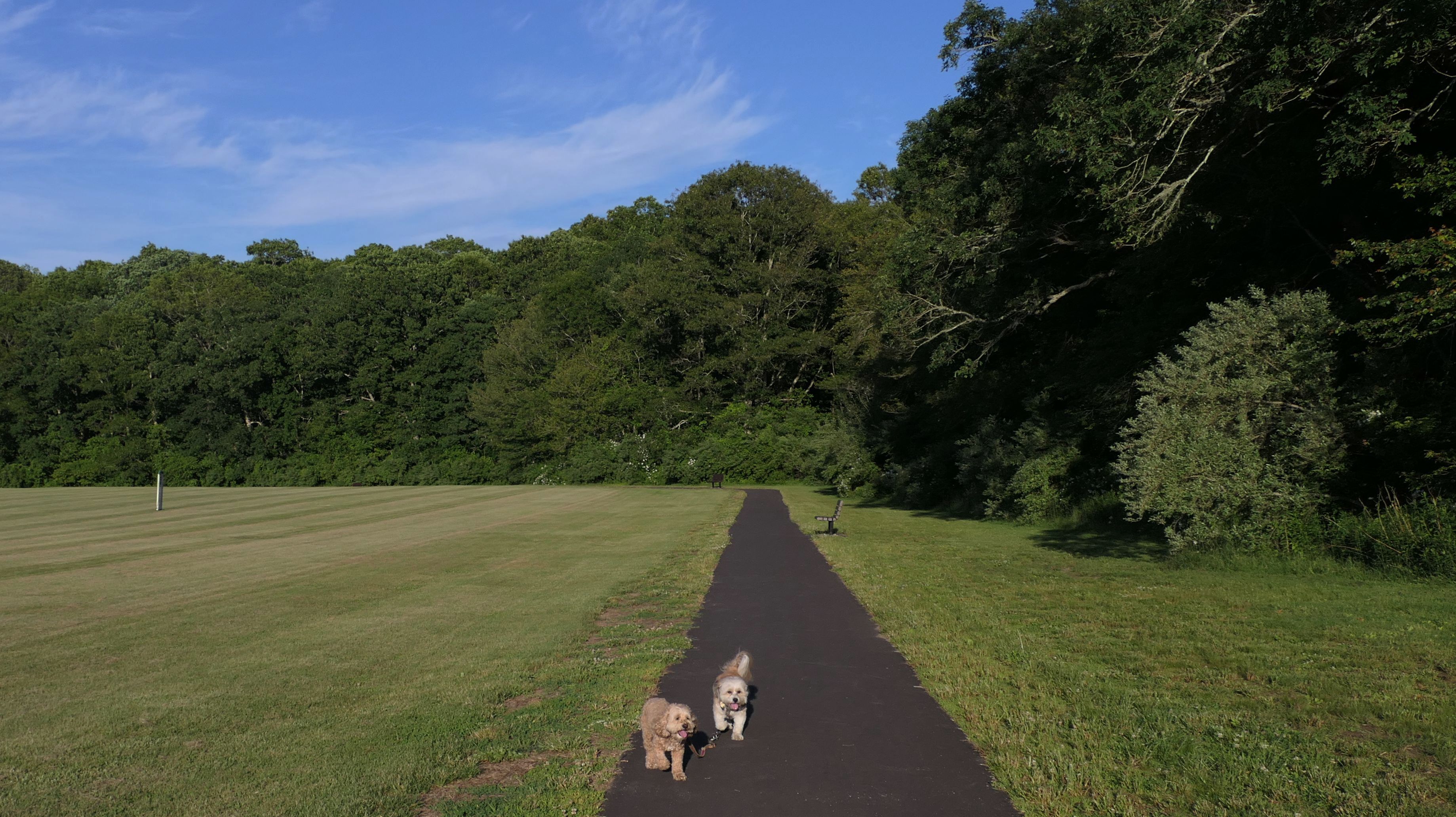
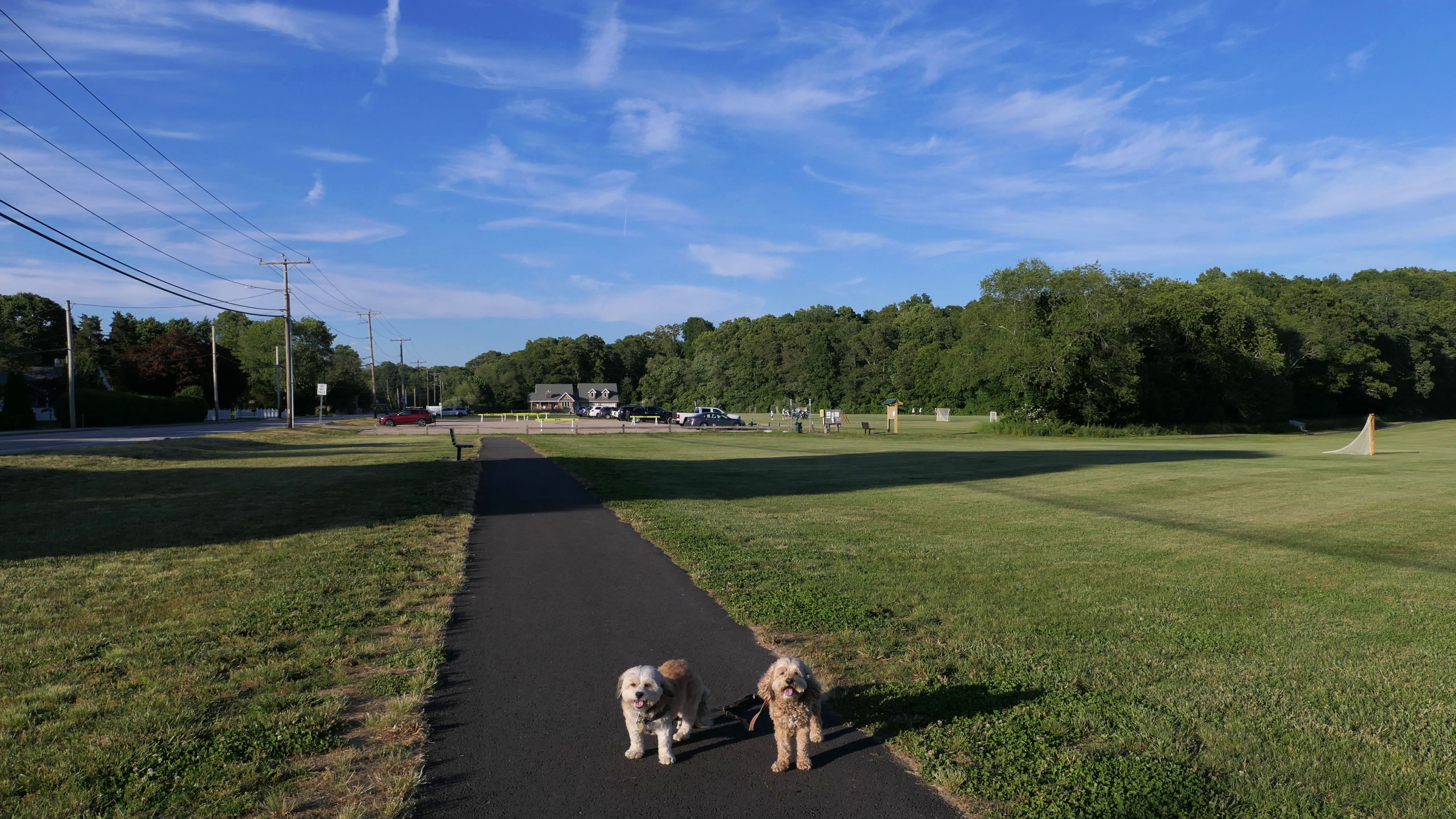
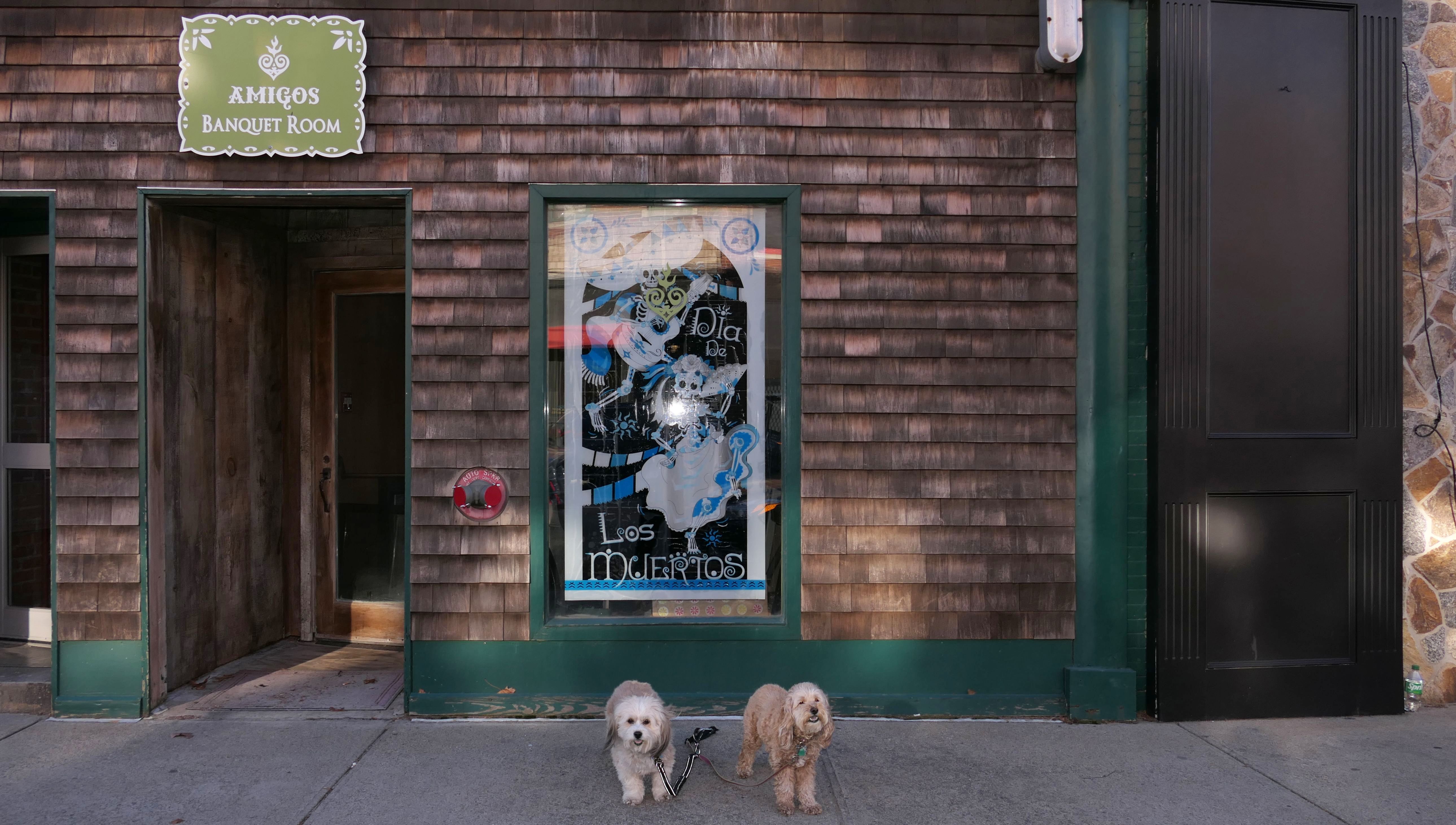
Westerly
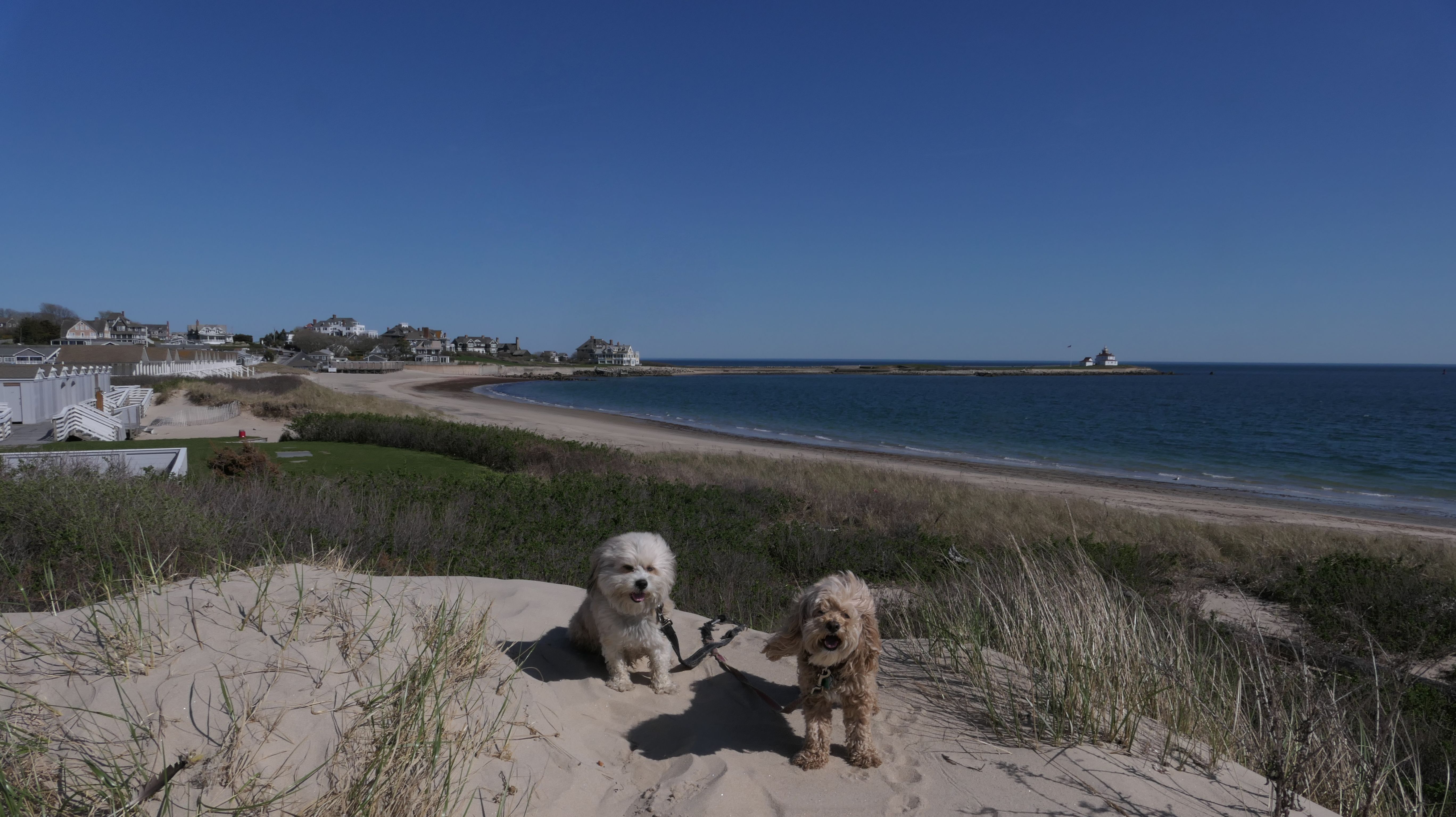
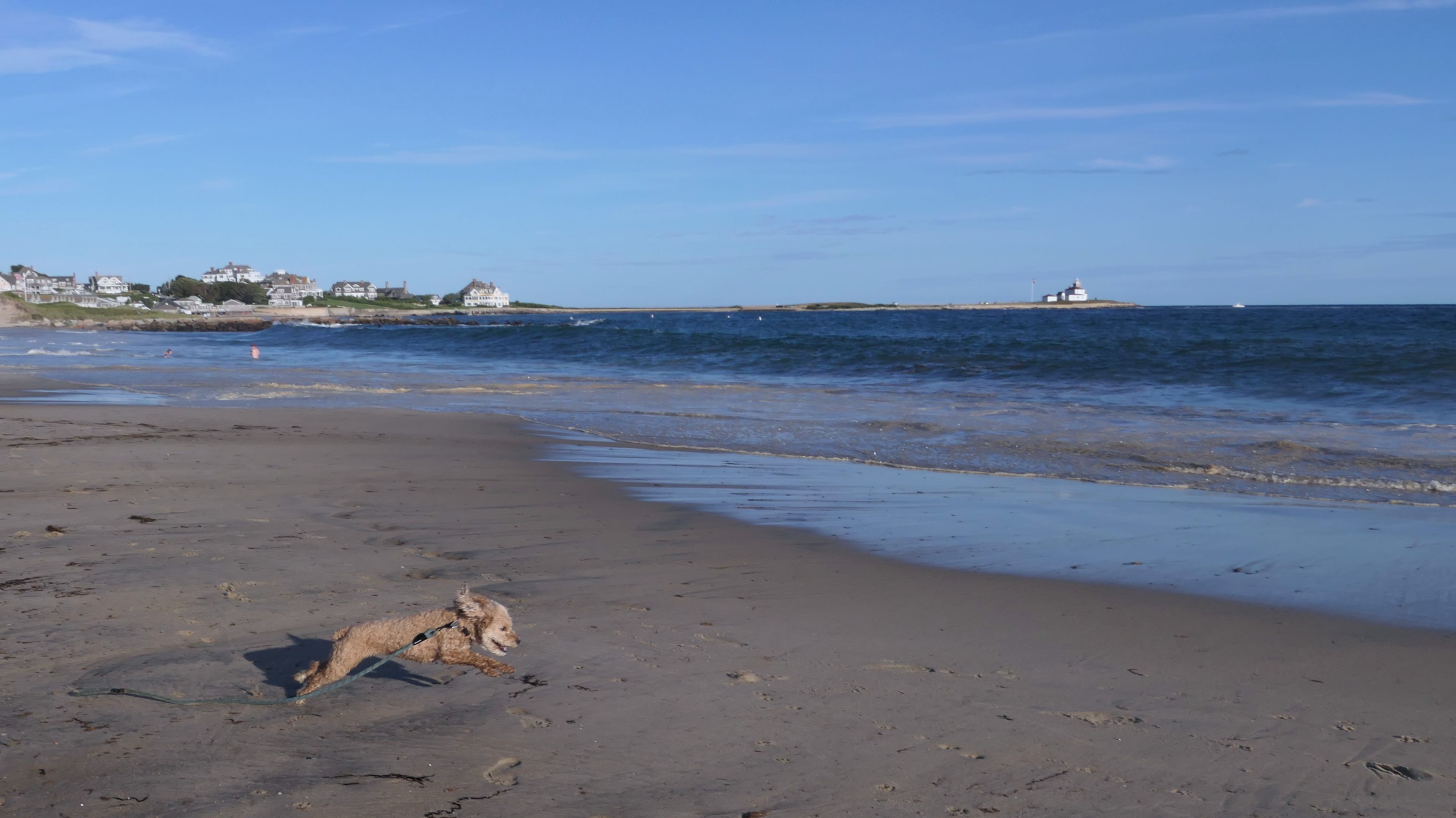
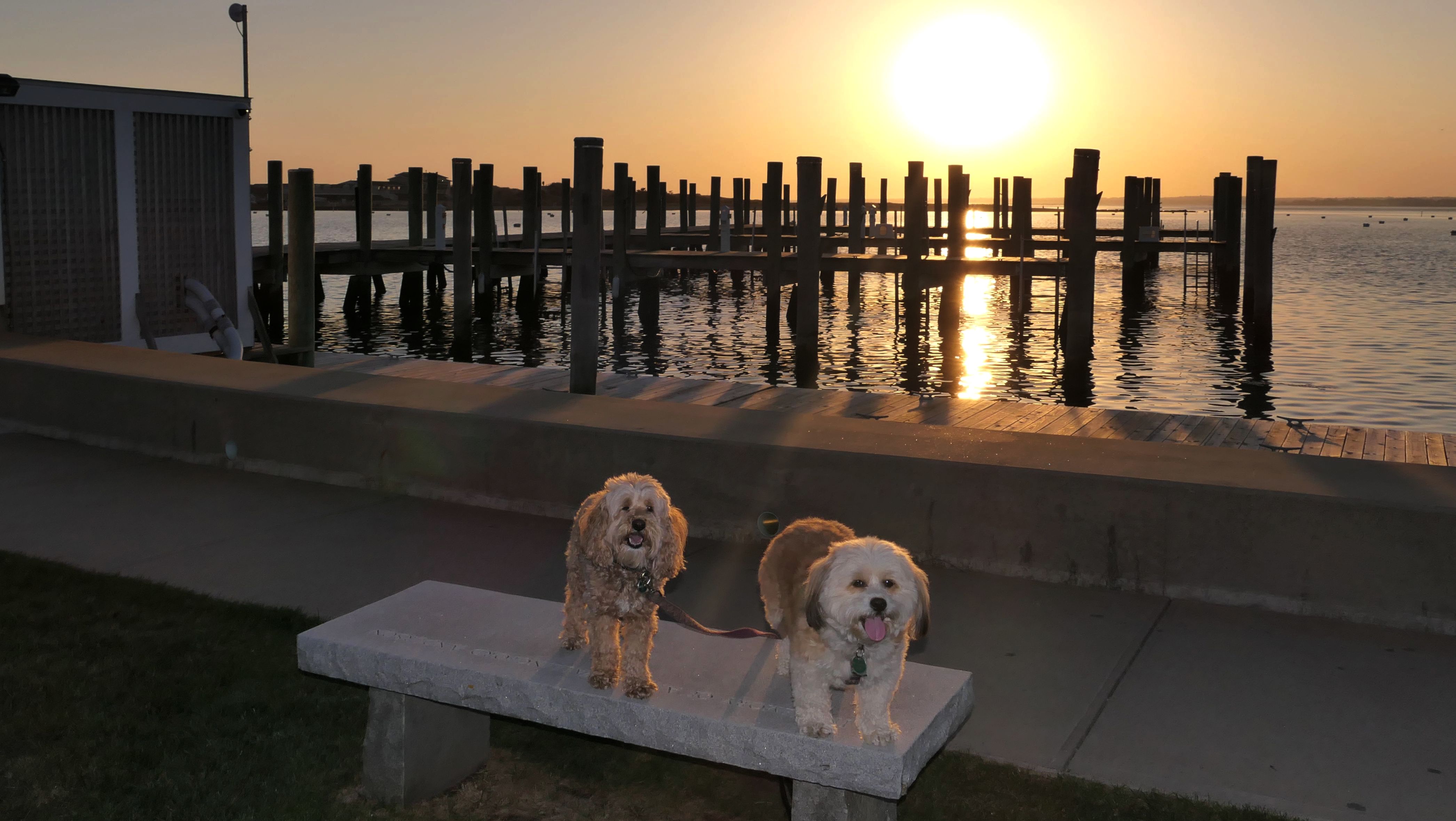
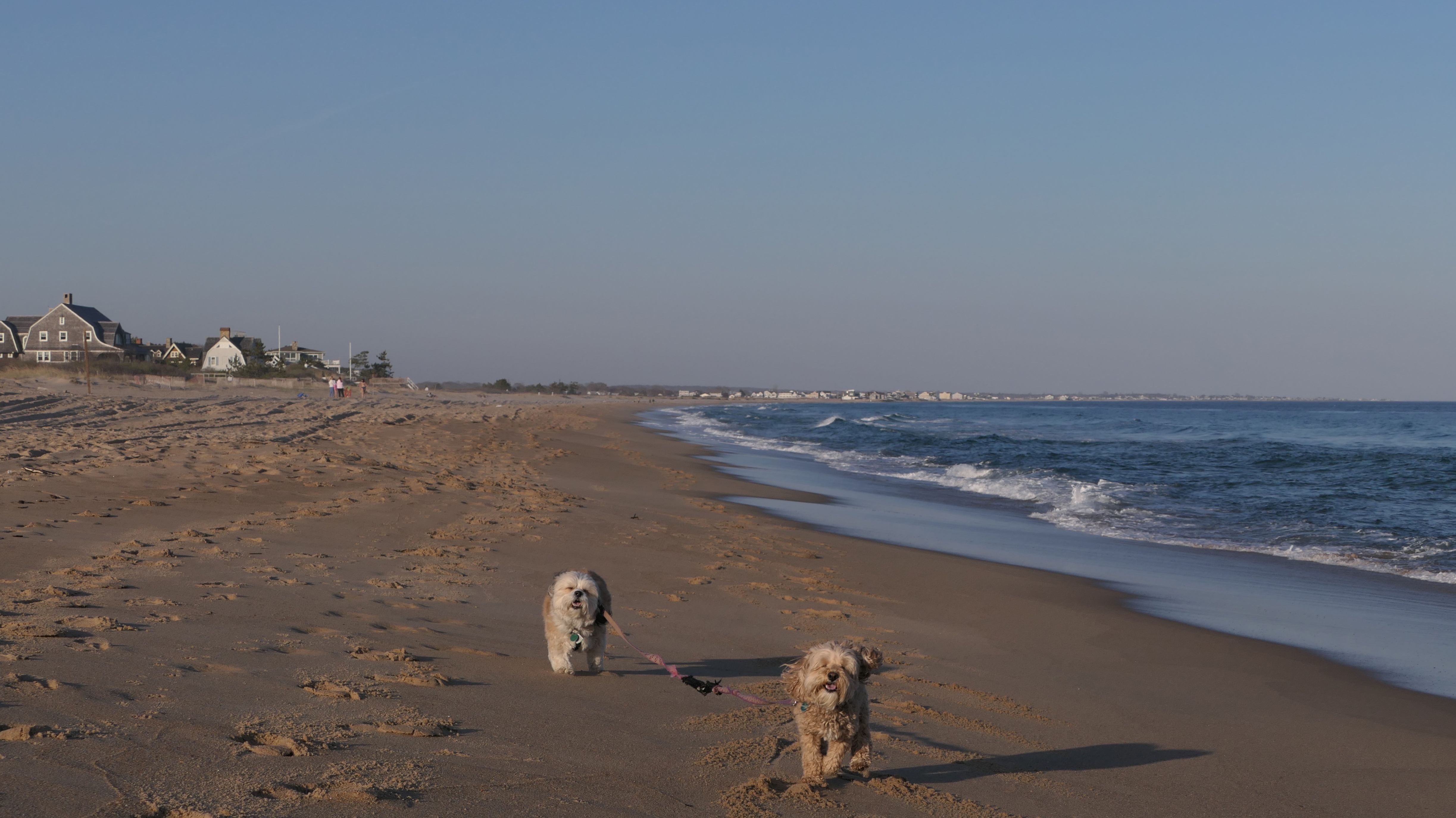
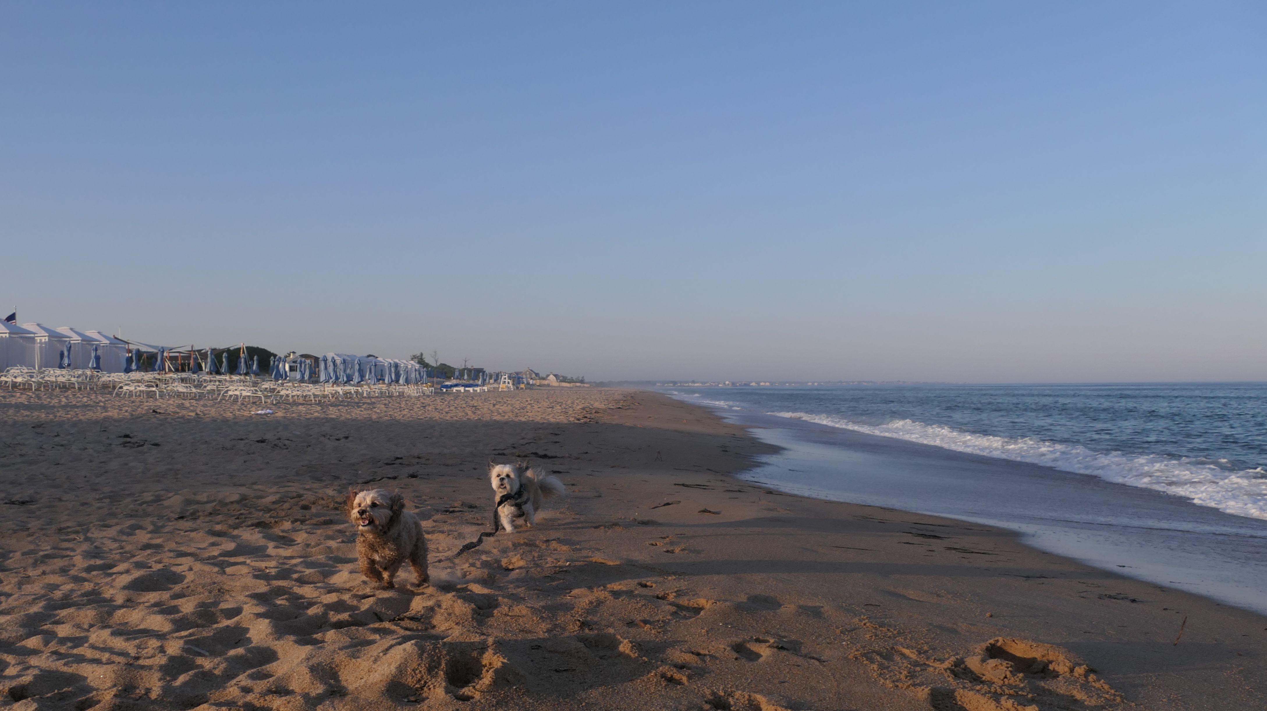
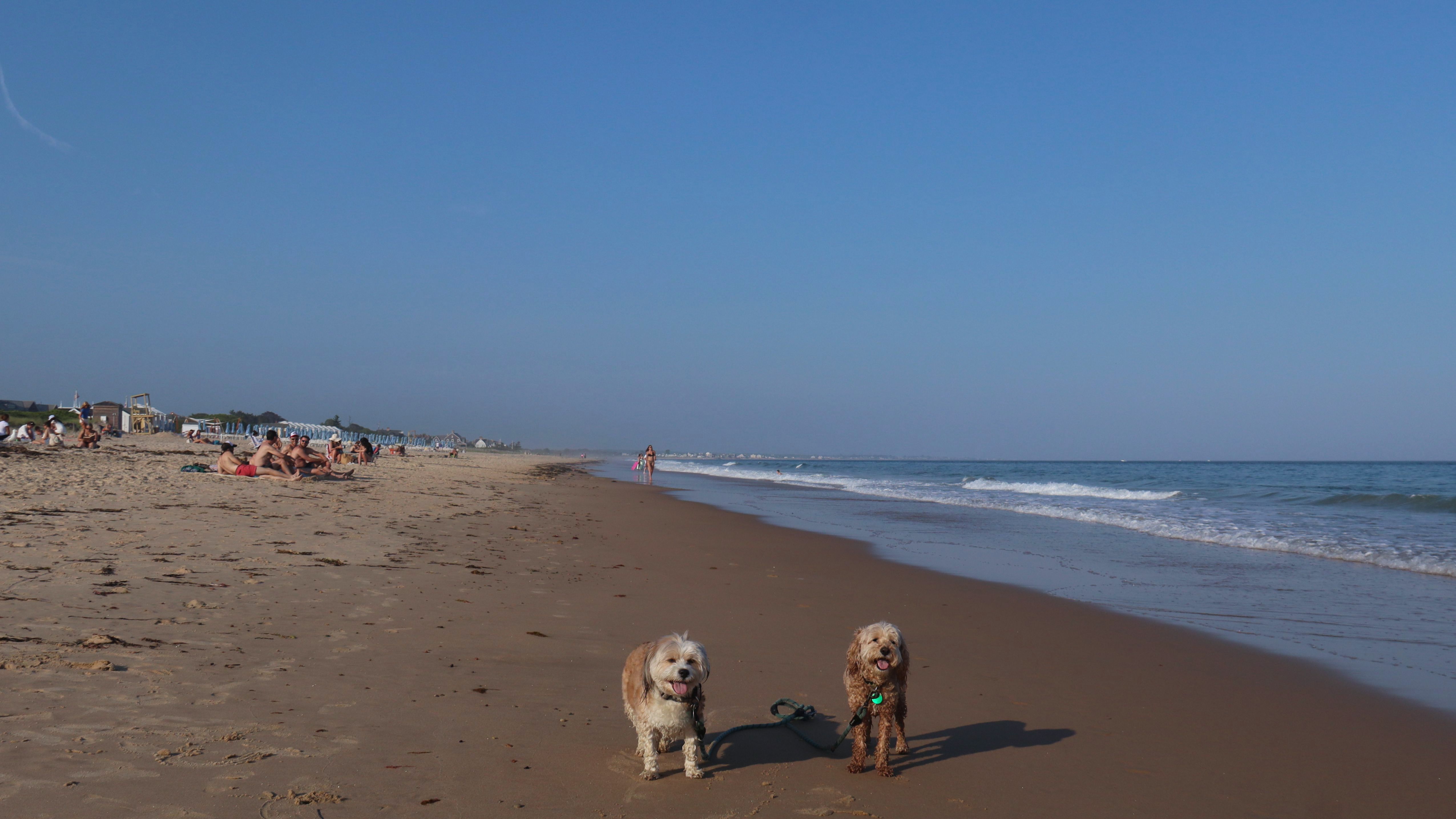
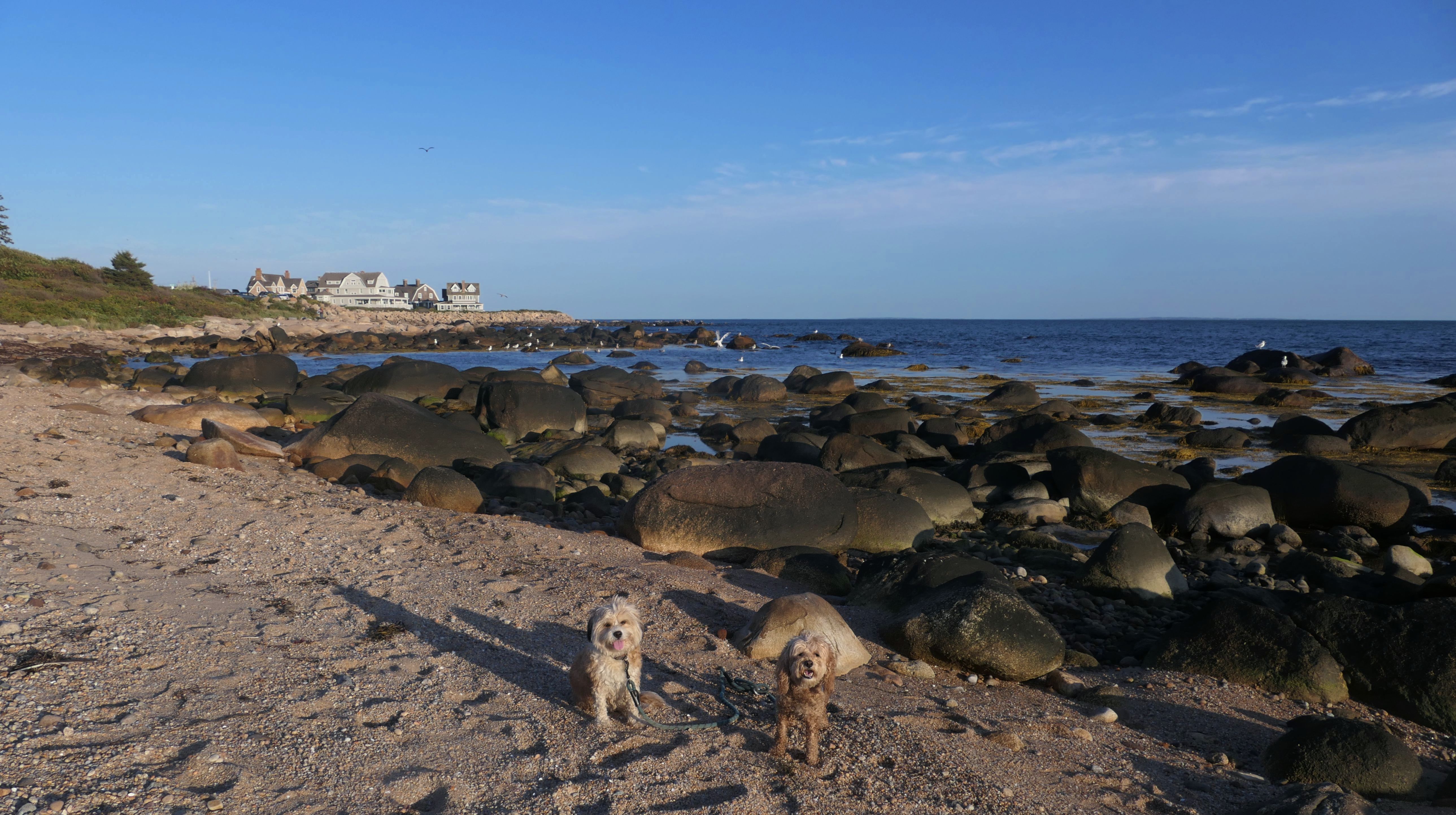
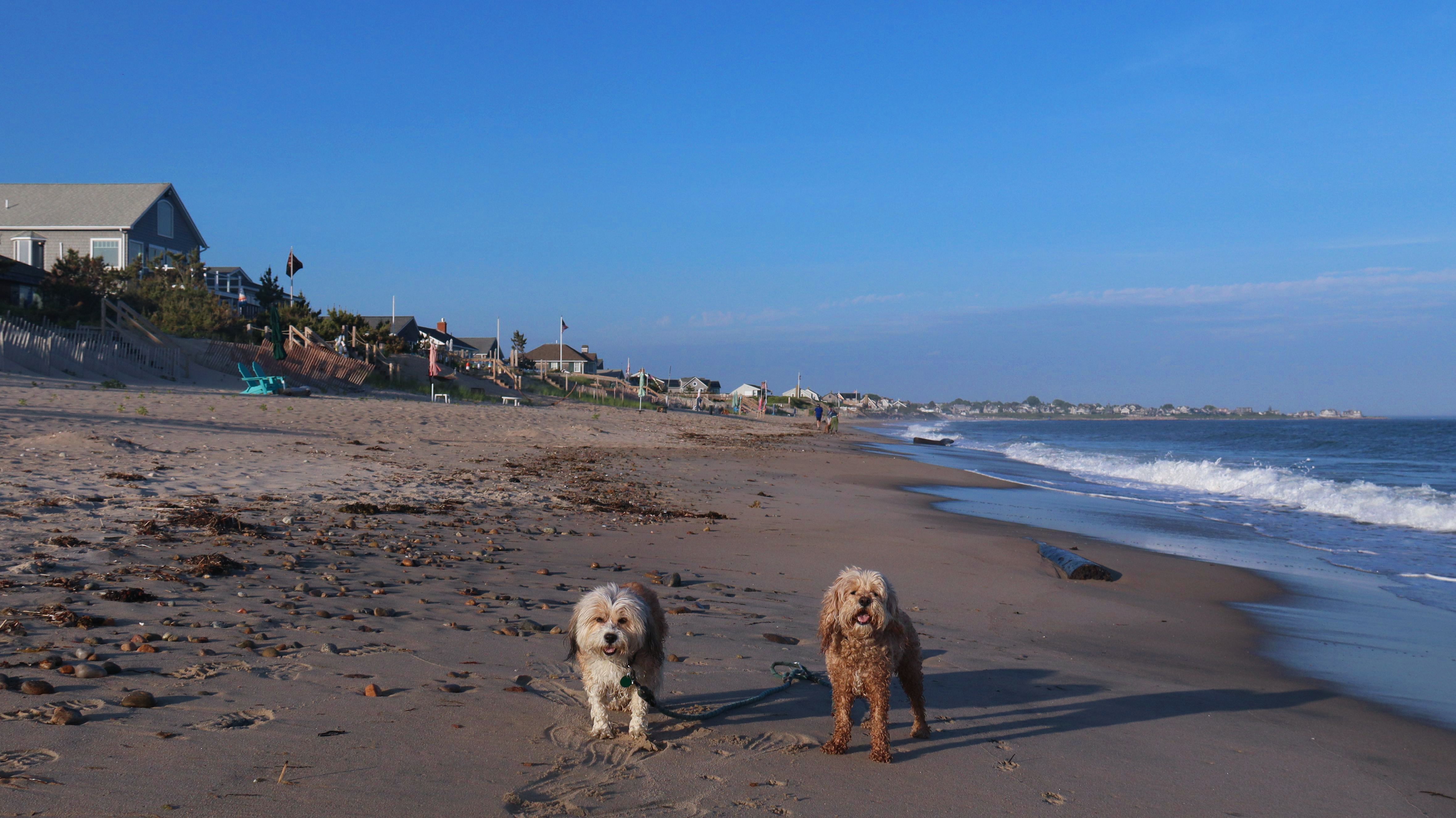
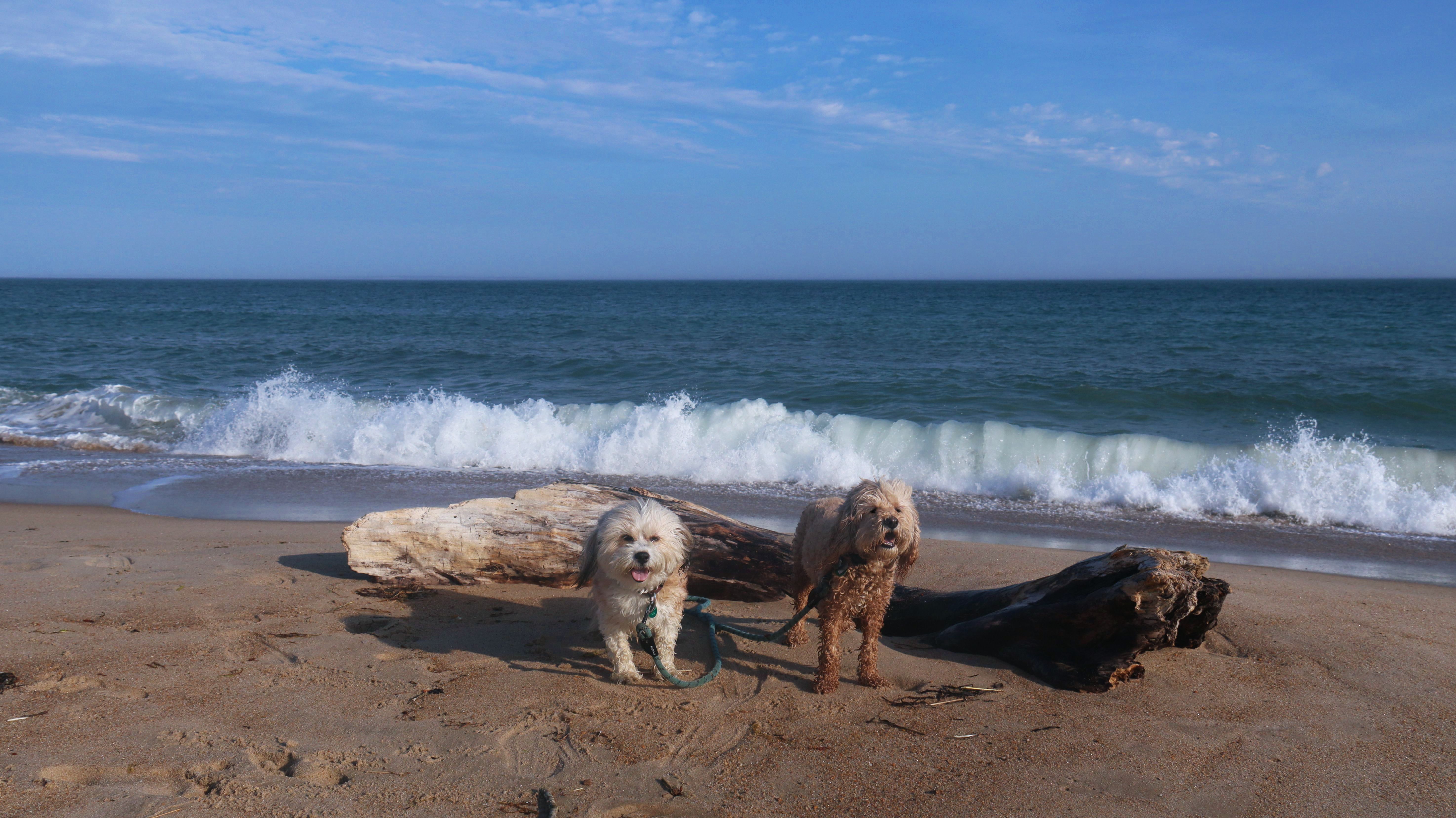
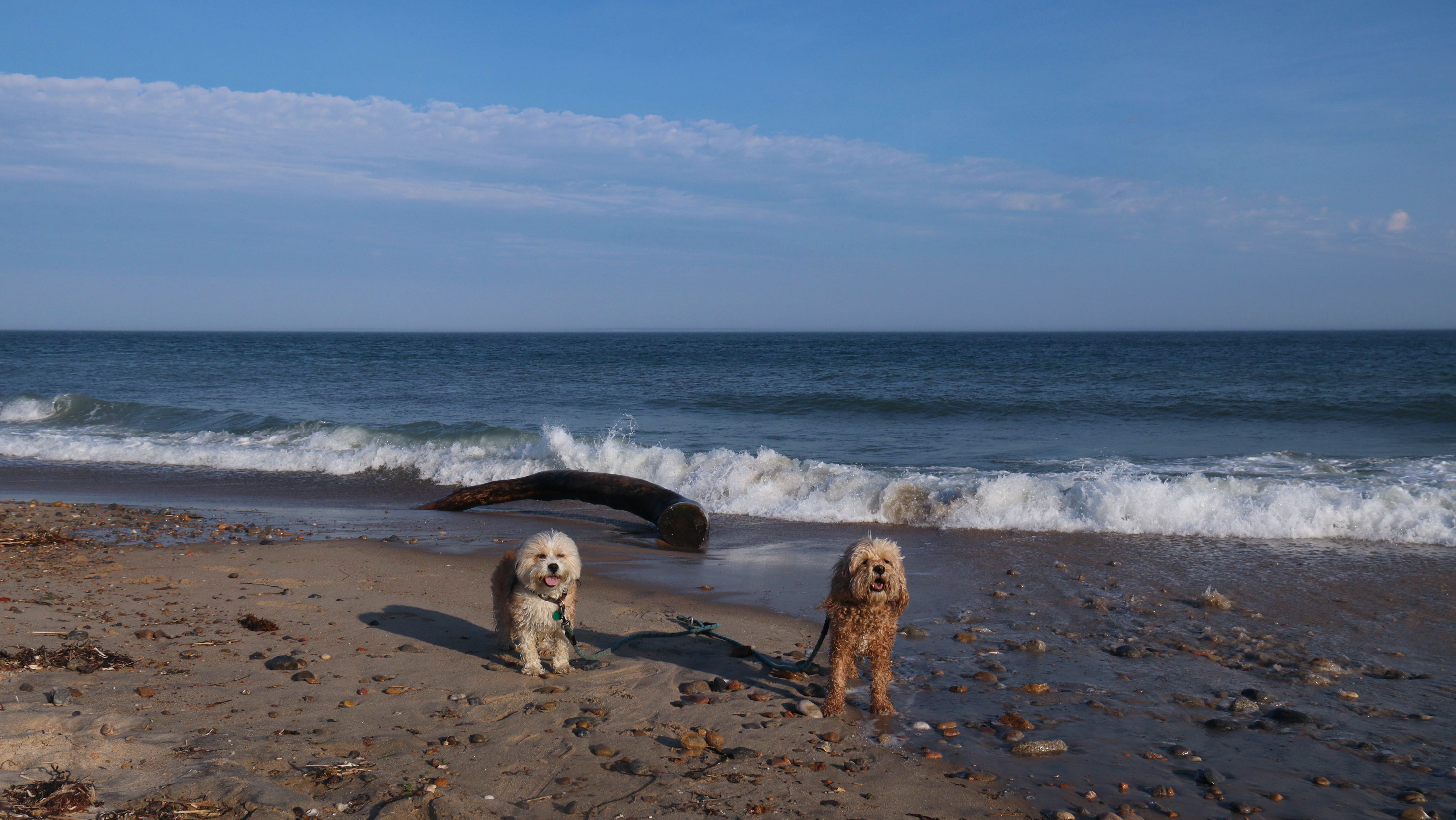
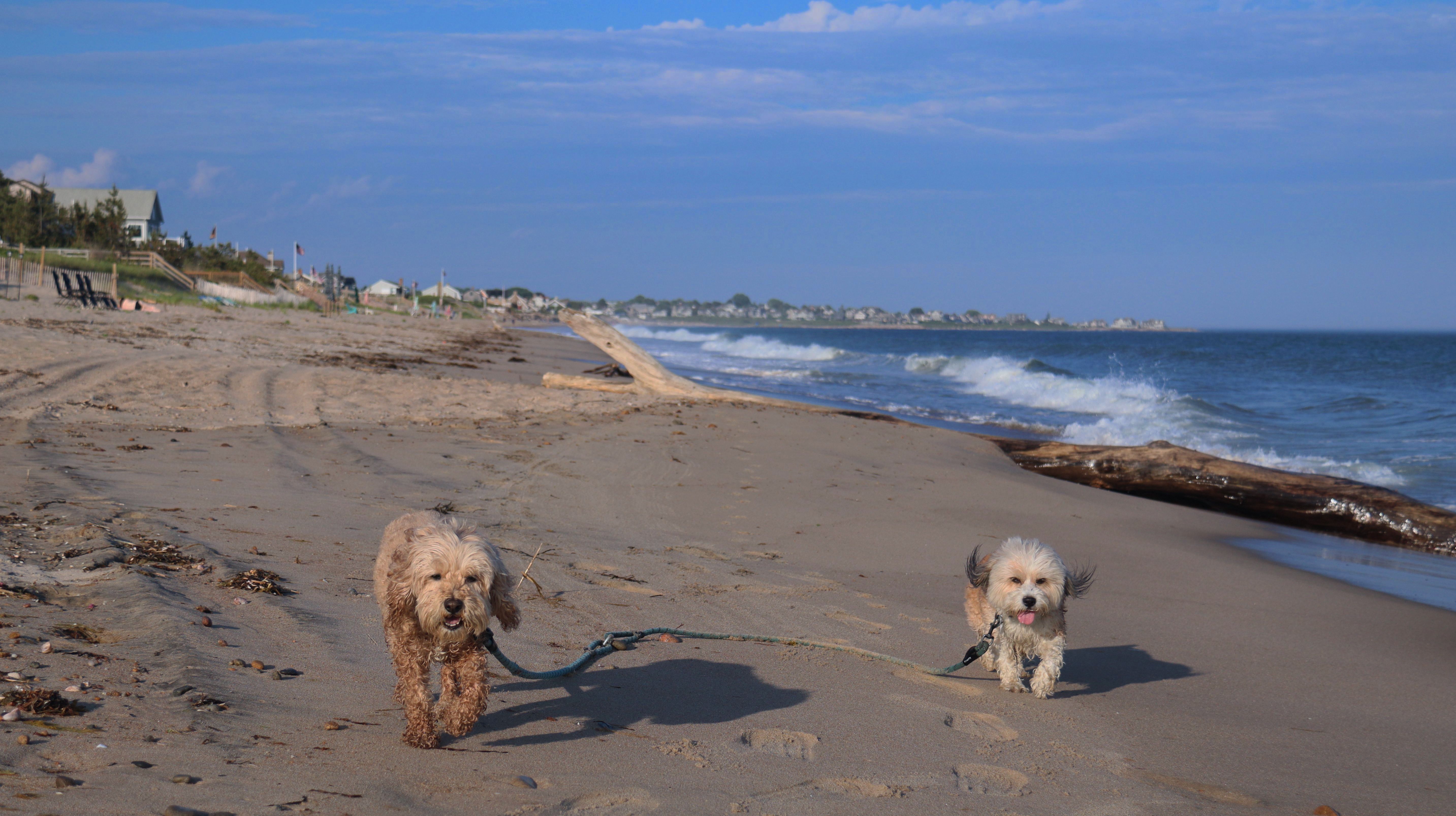
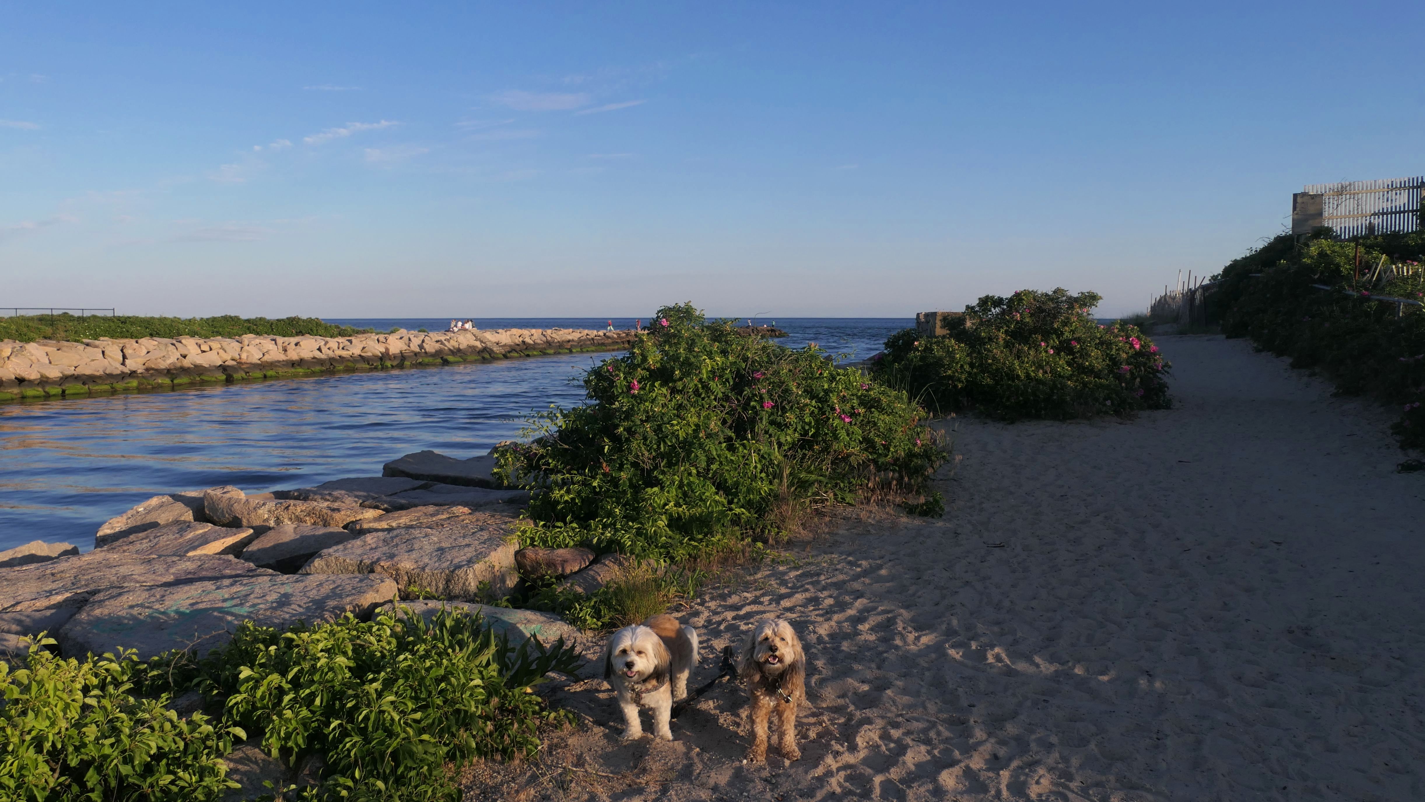
Napatree Point Conservation Area
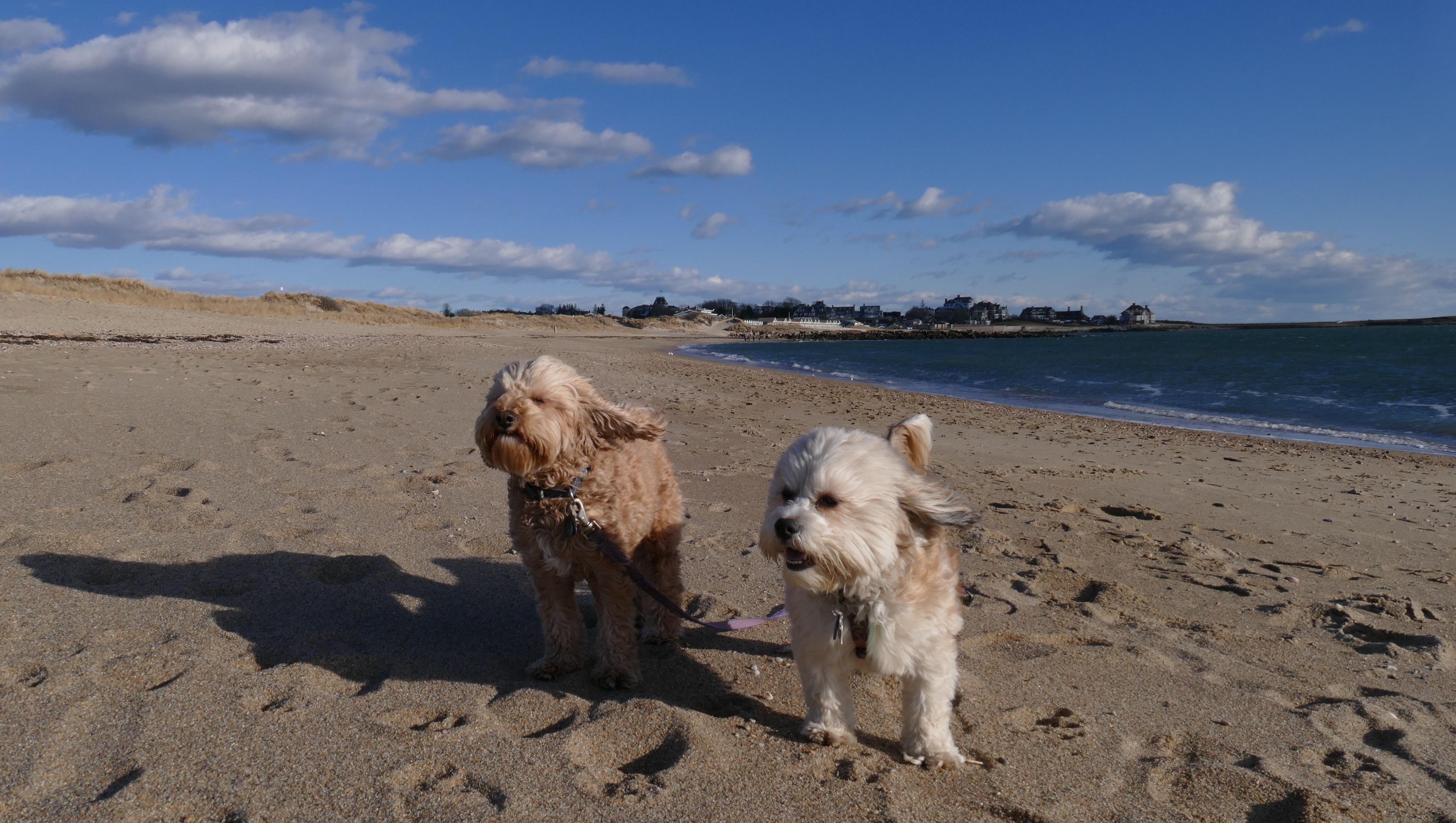
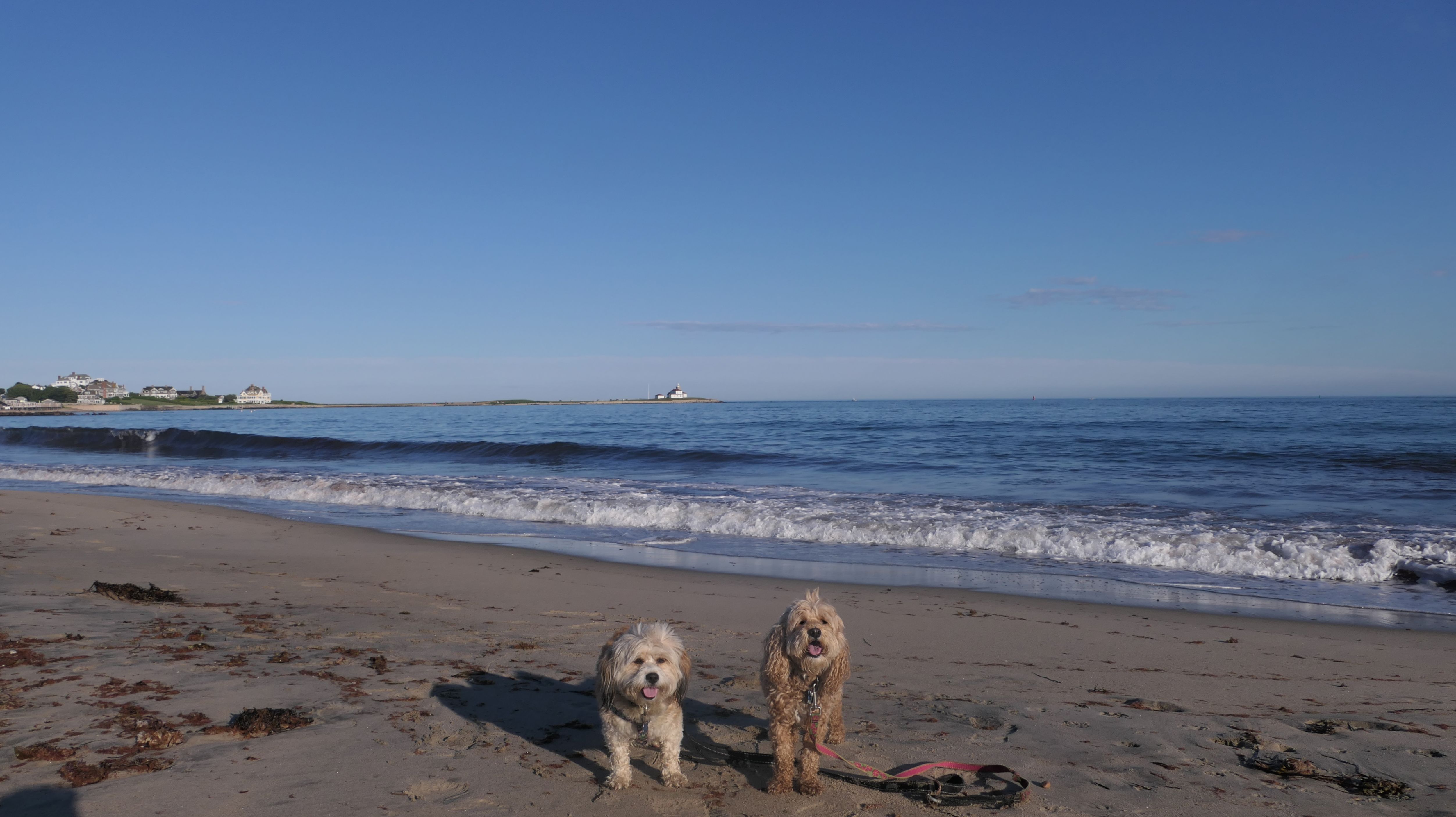
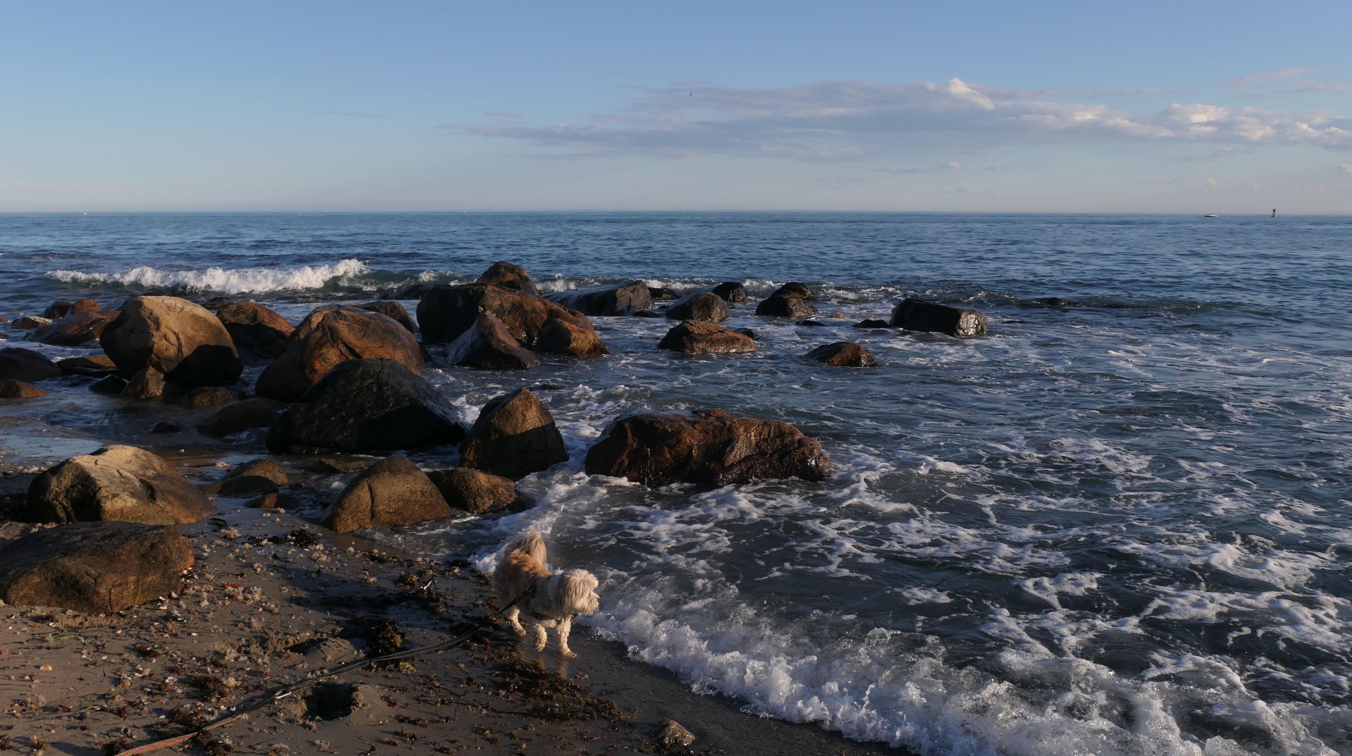
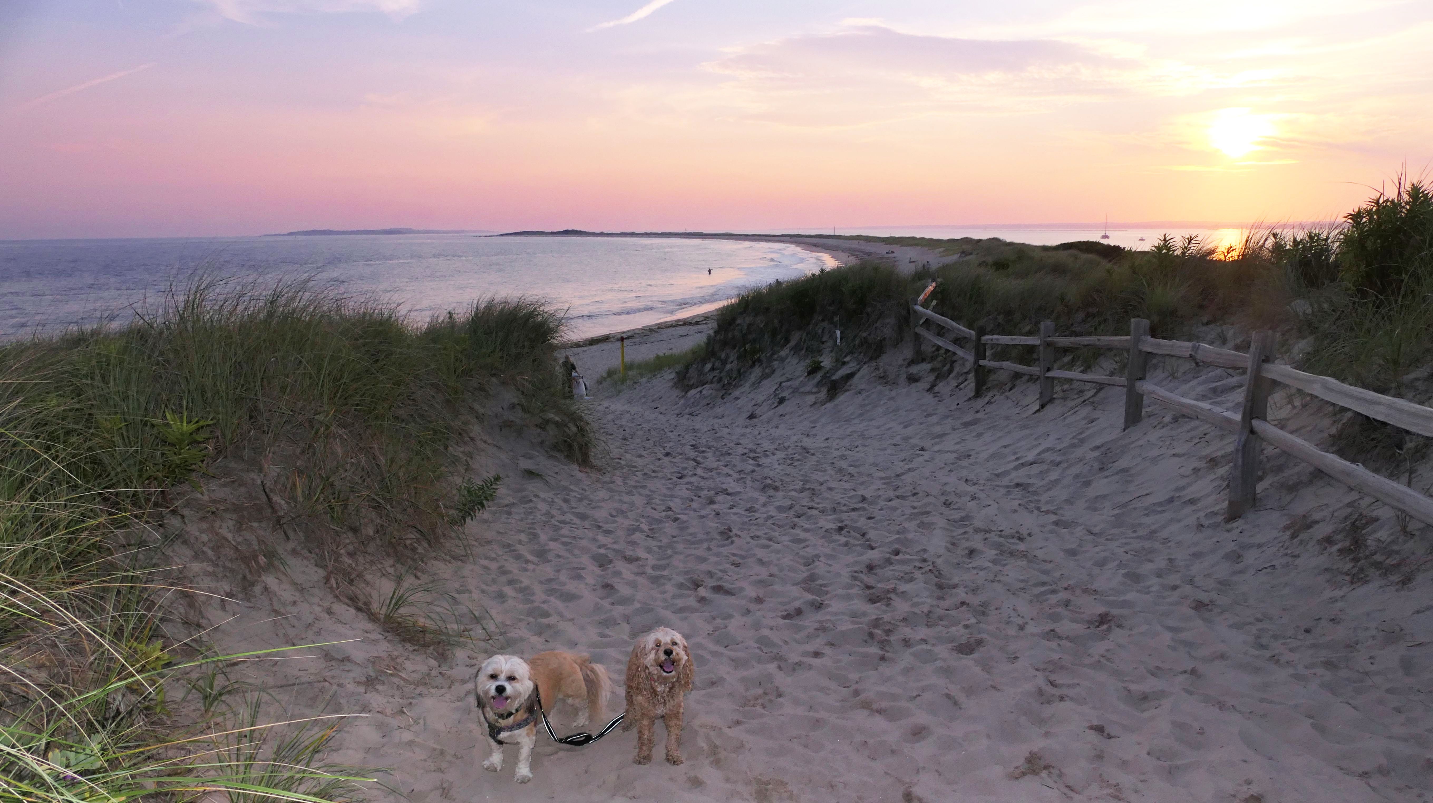
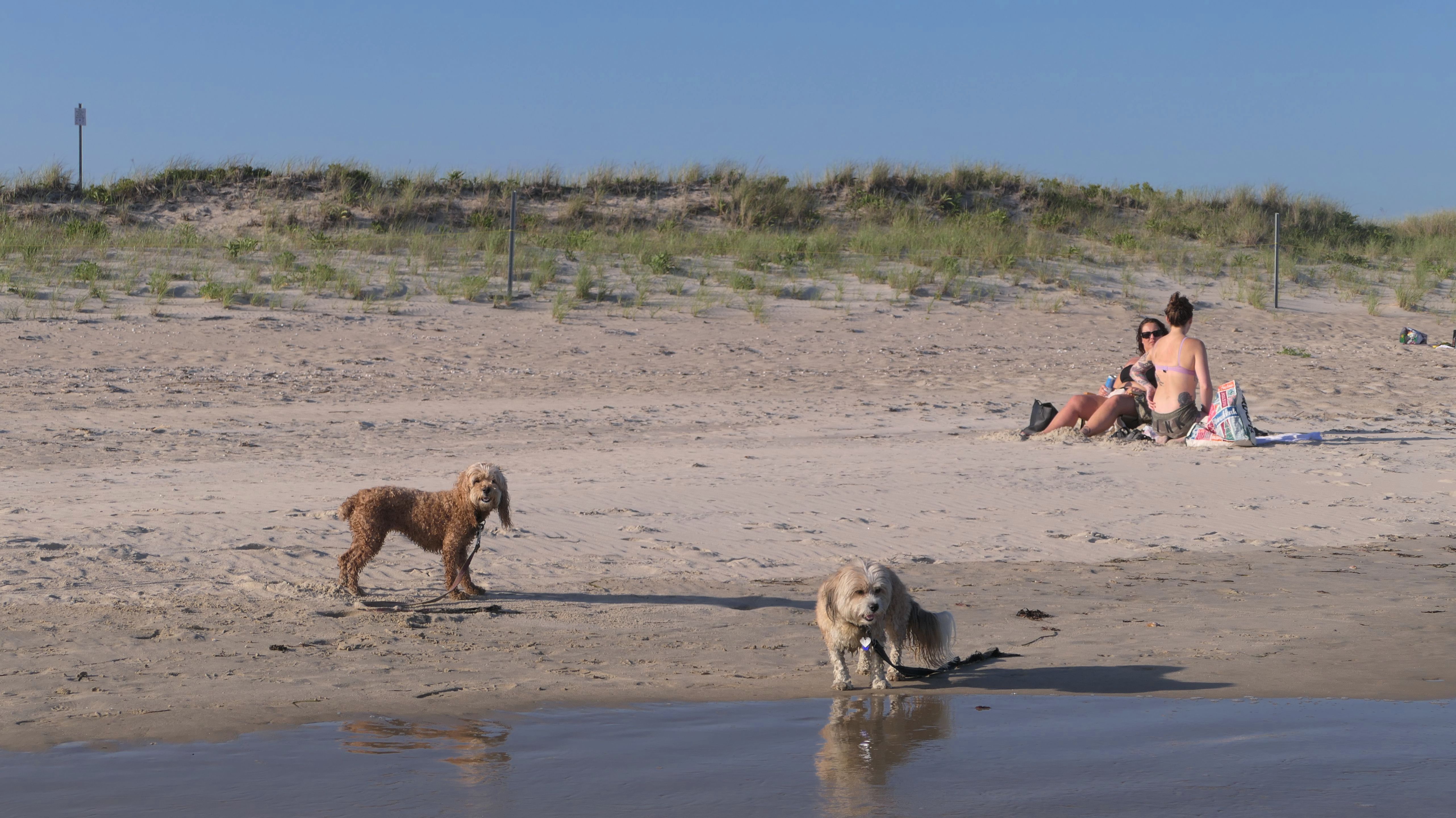
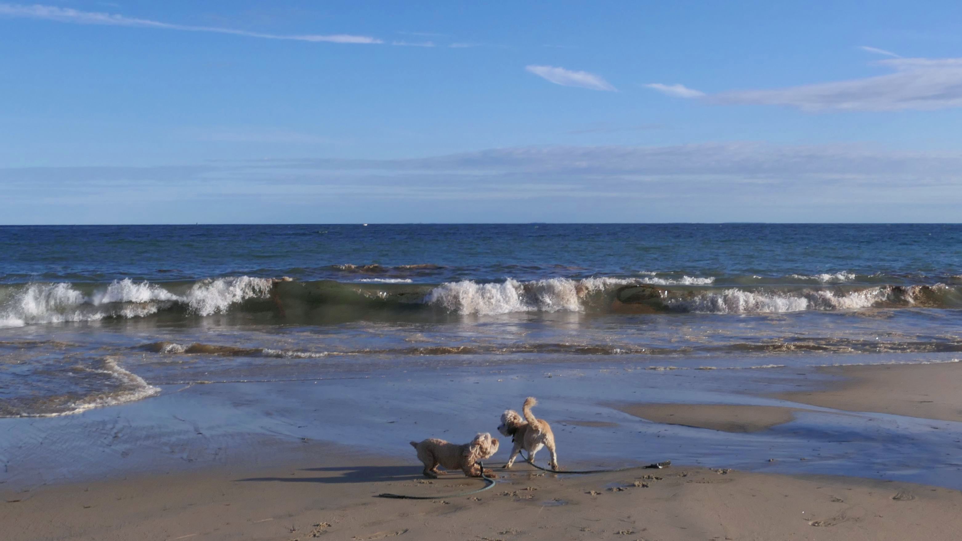
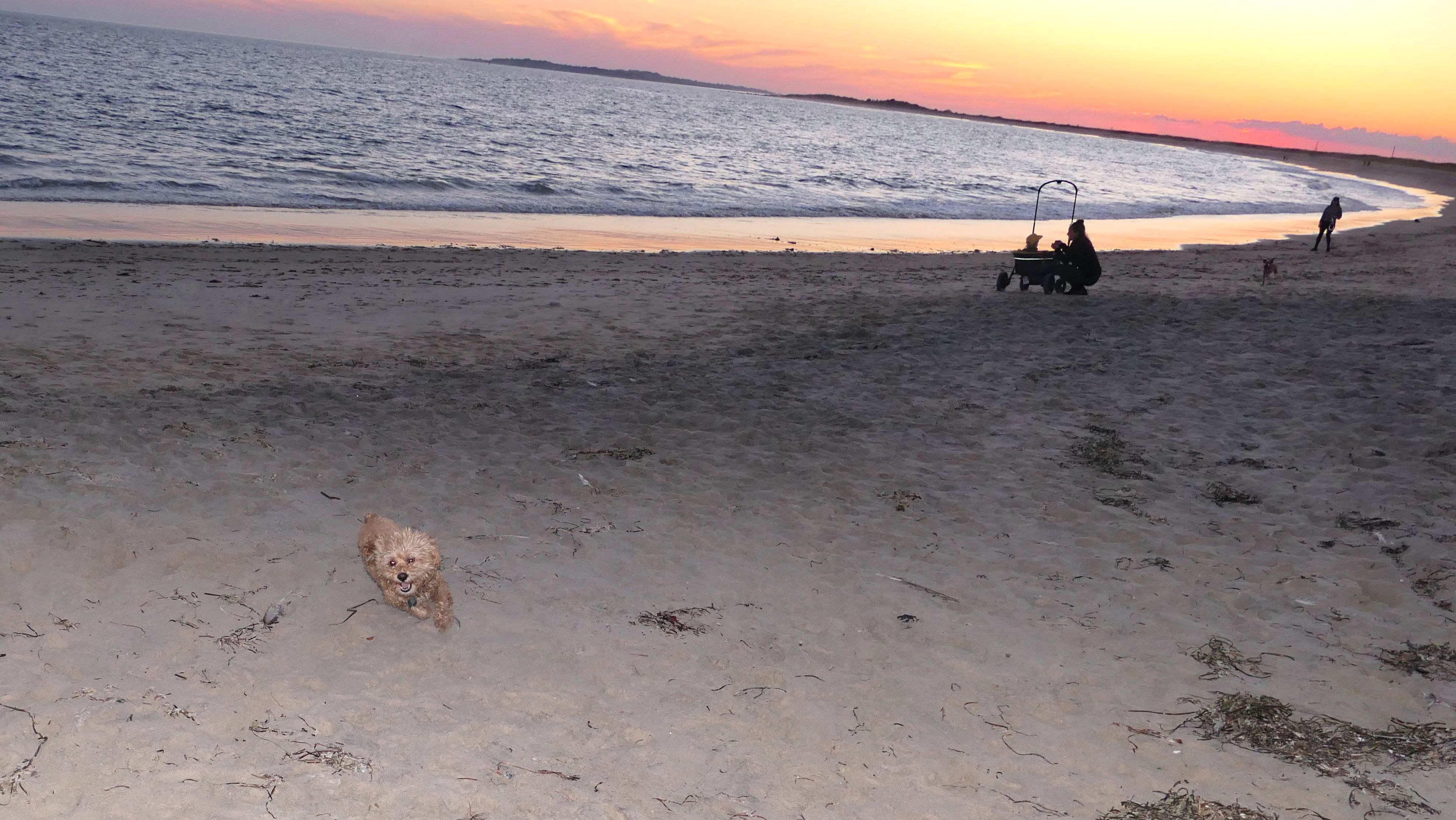
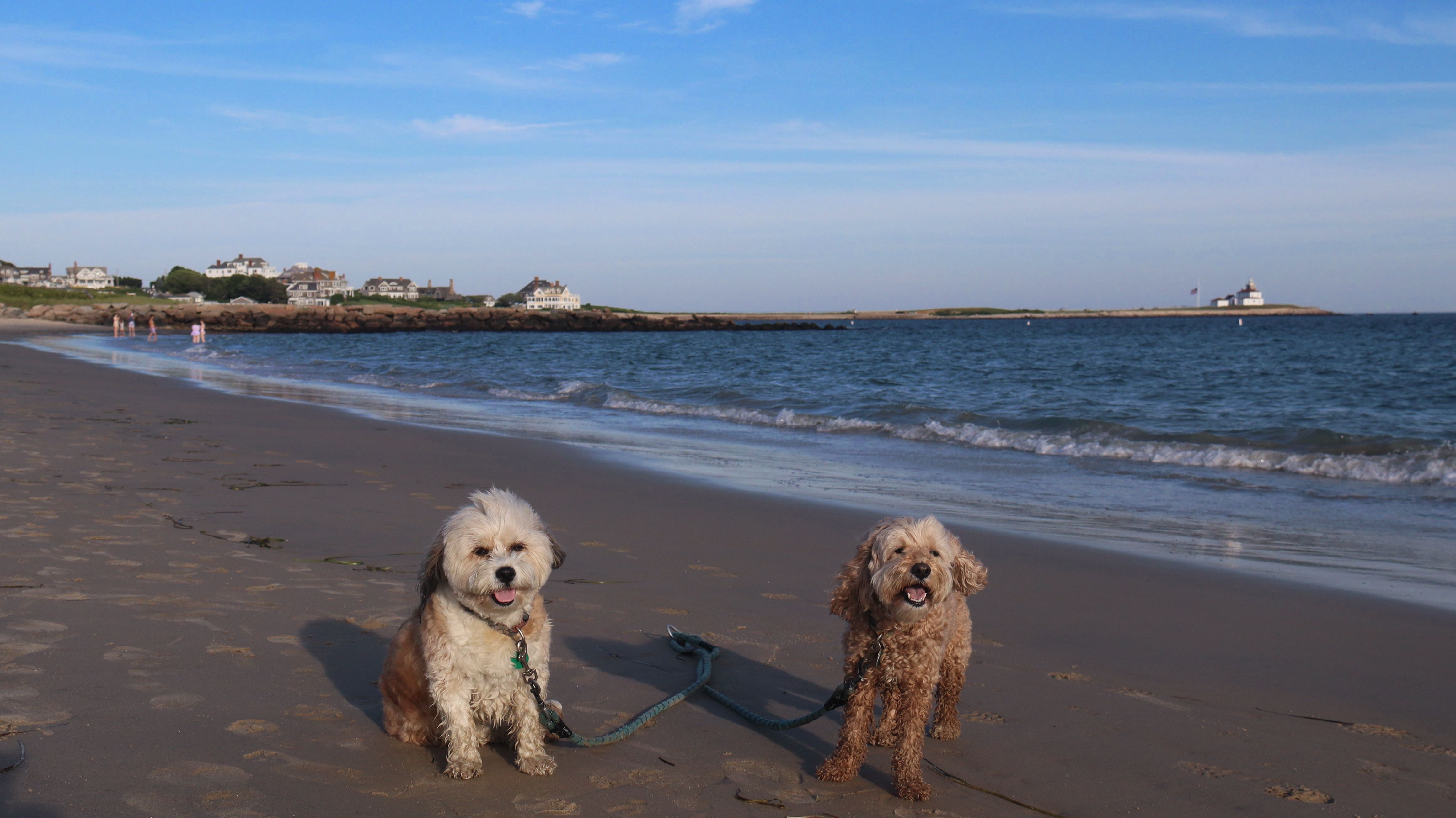
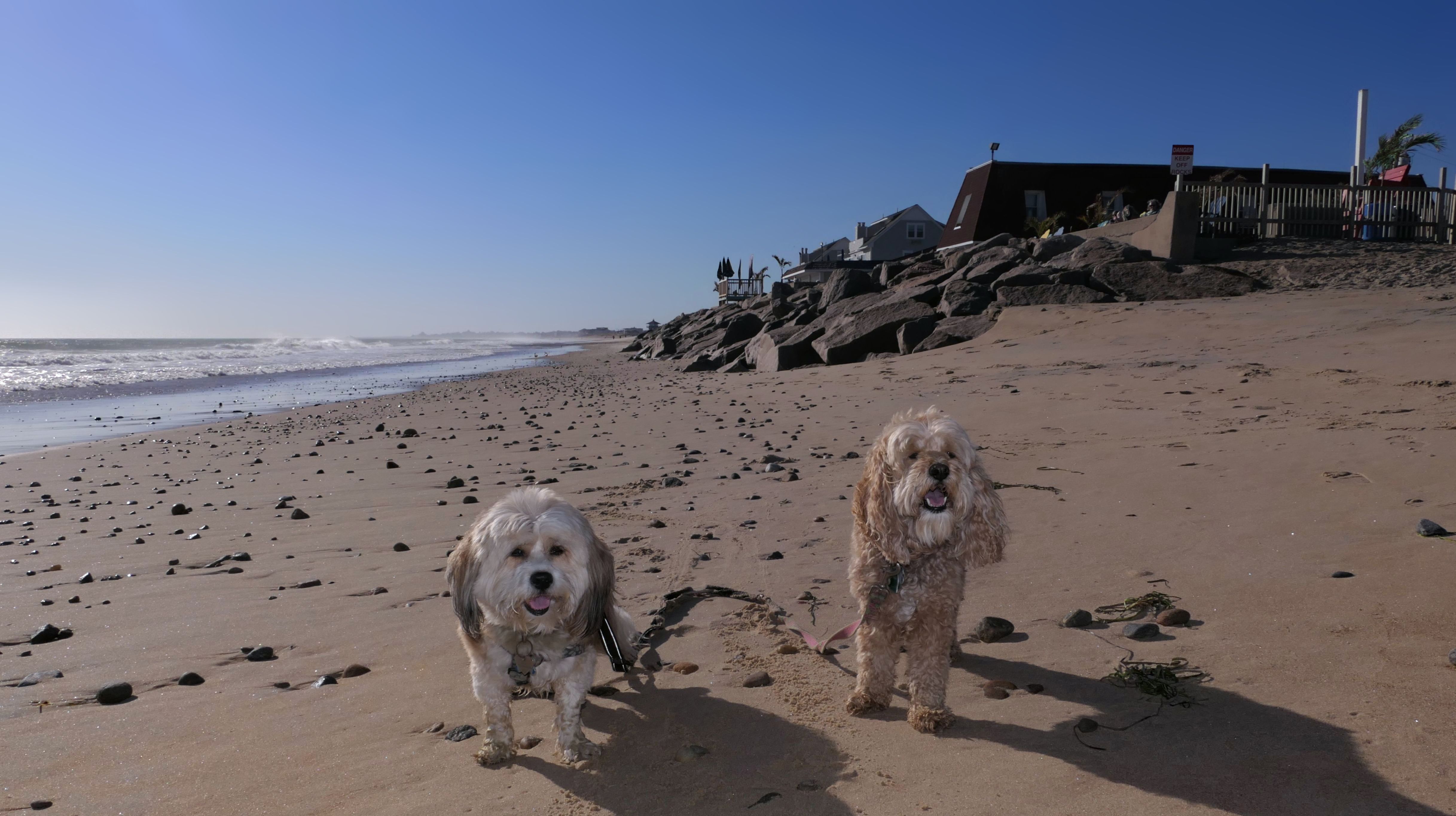
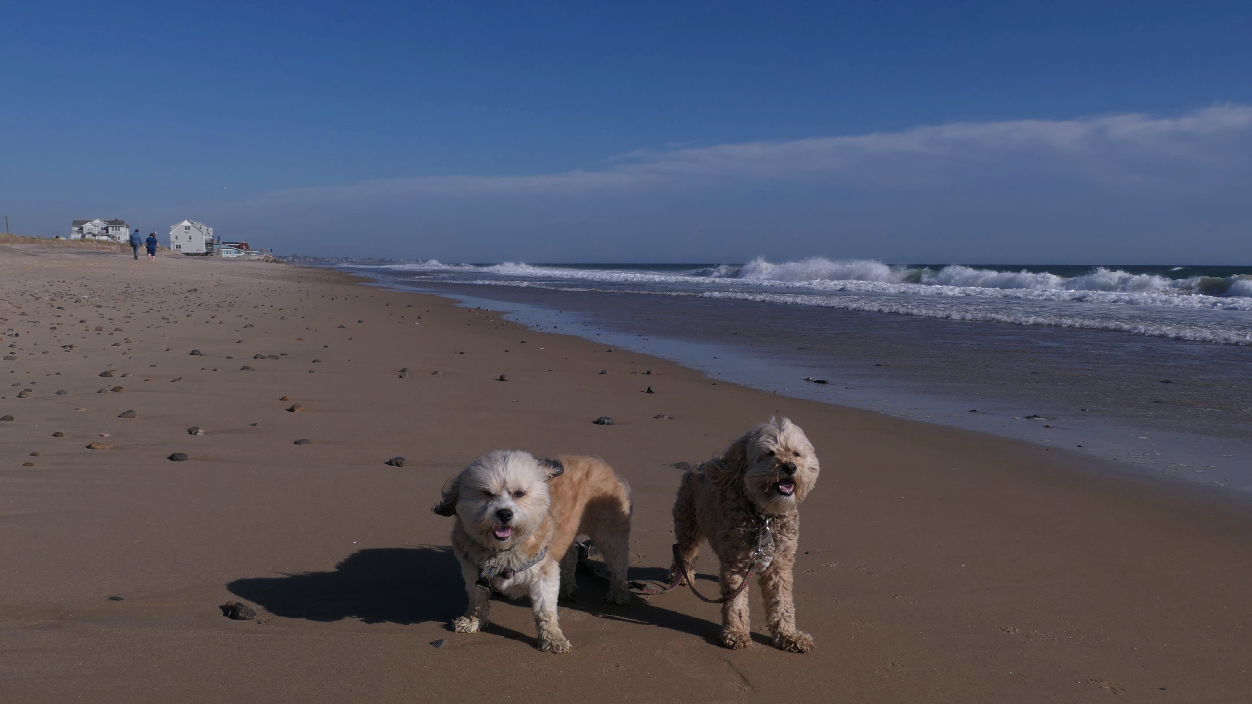
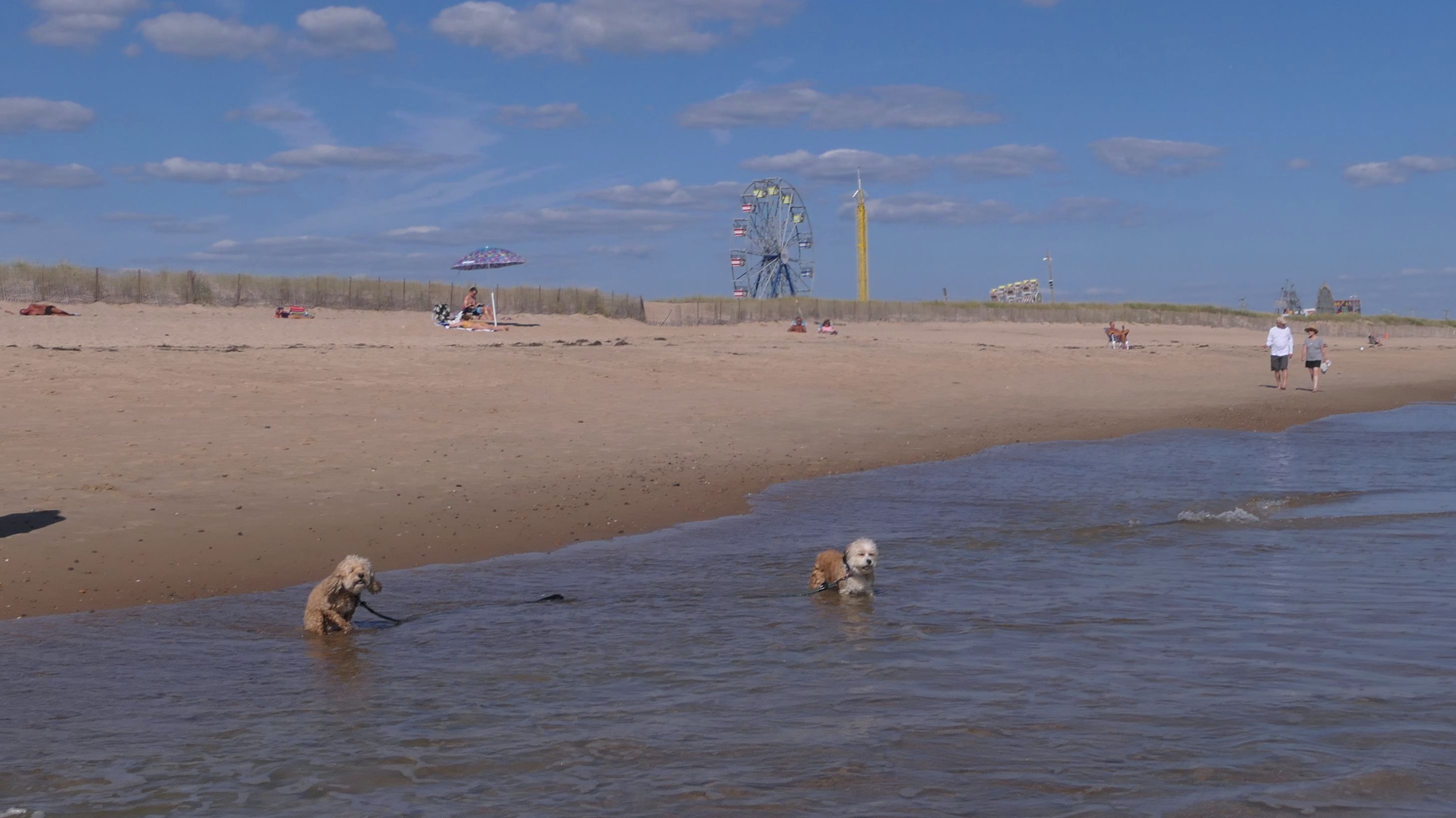
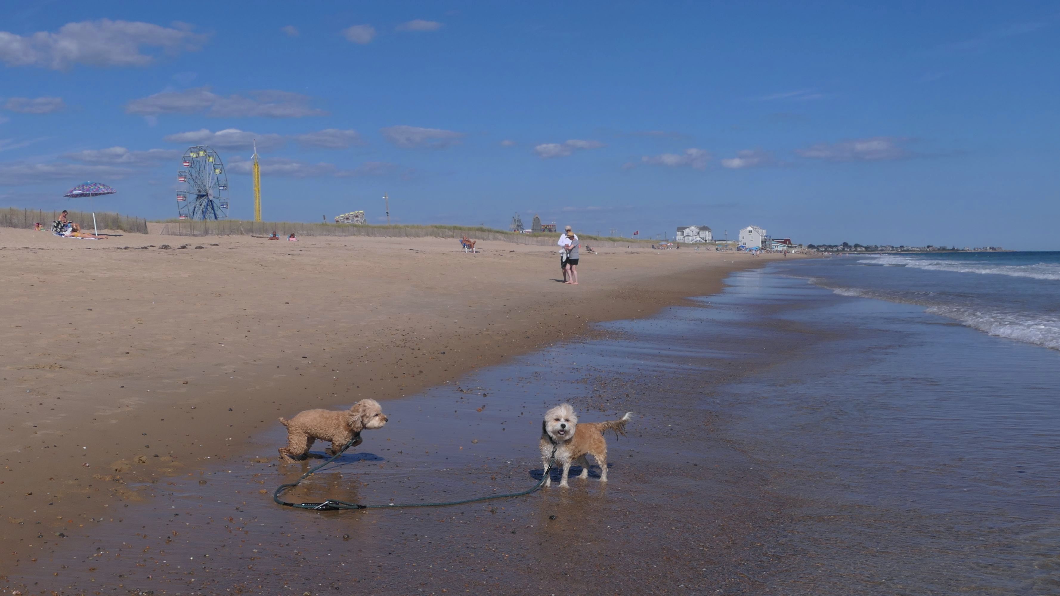
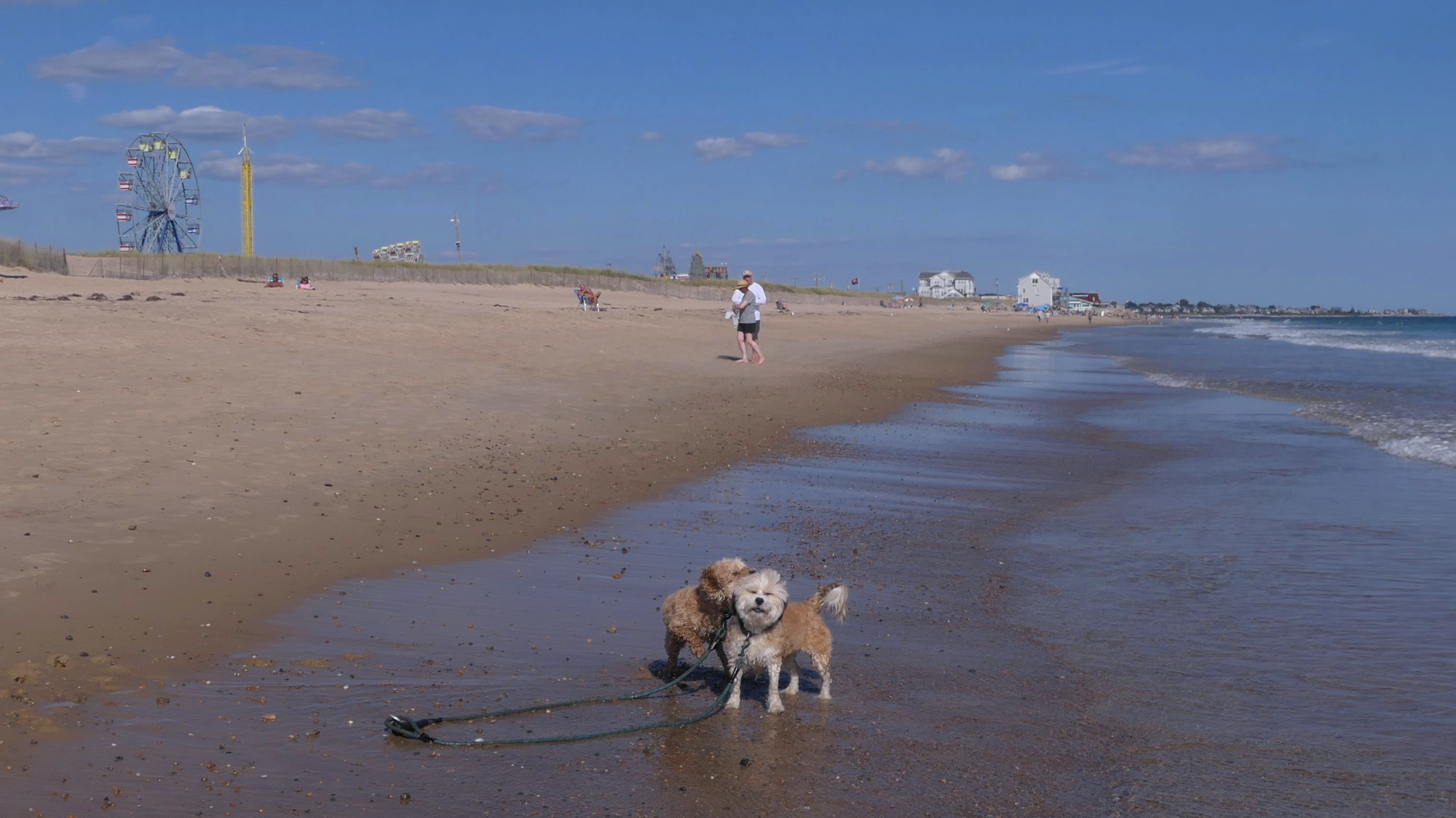
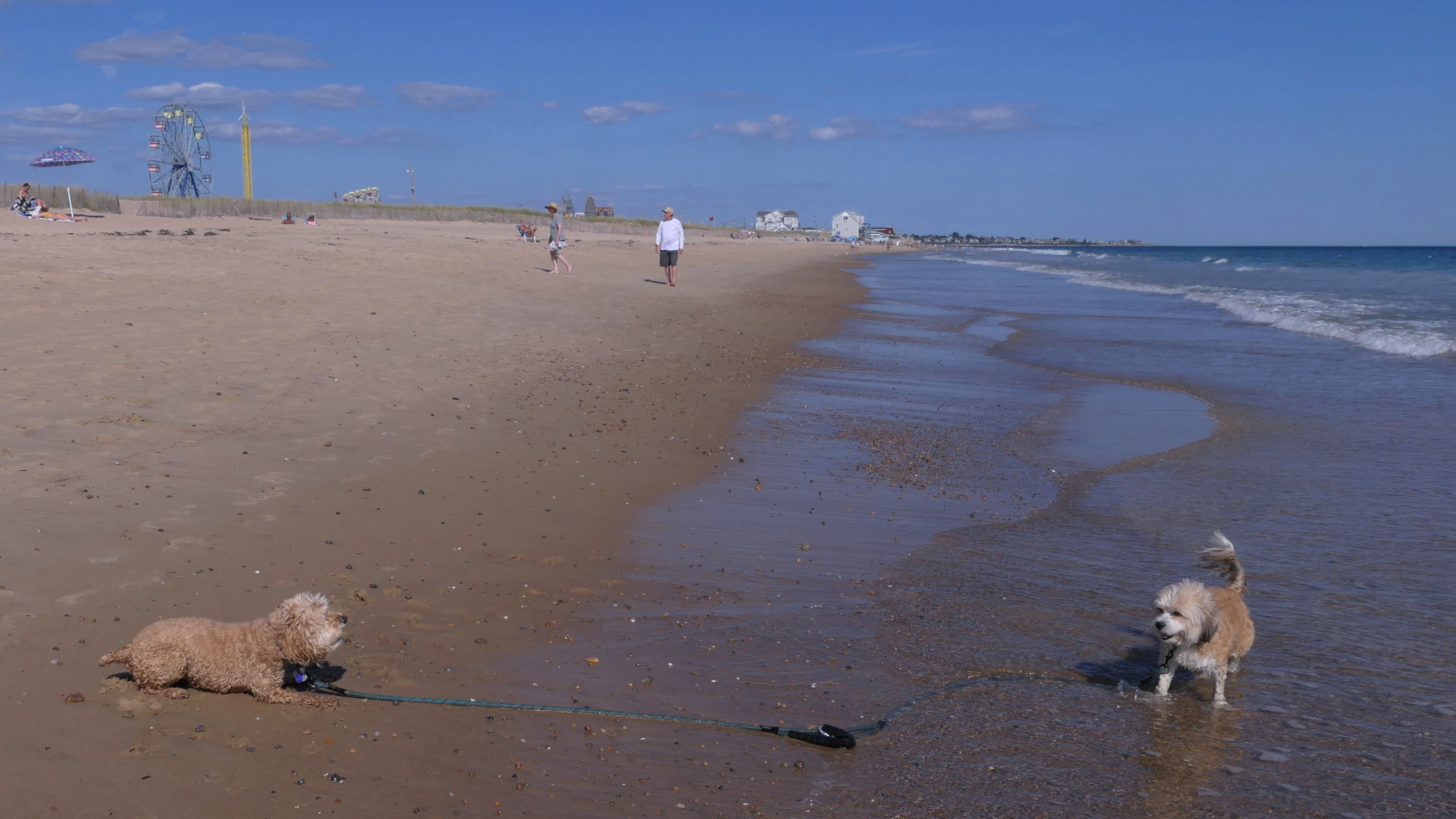
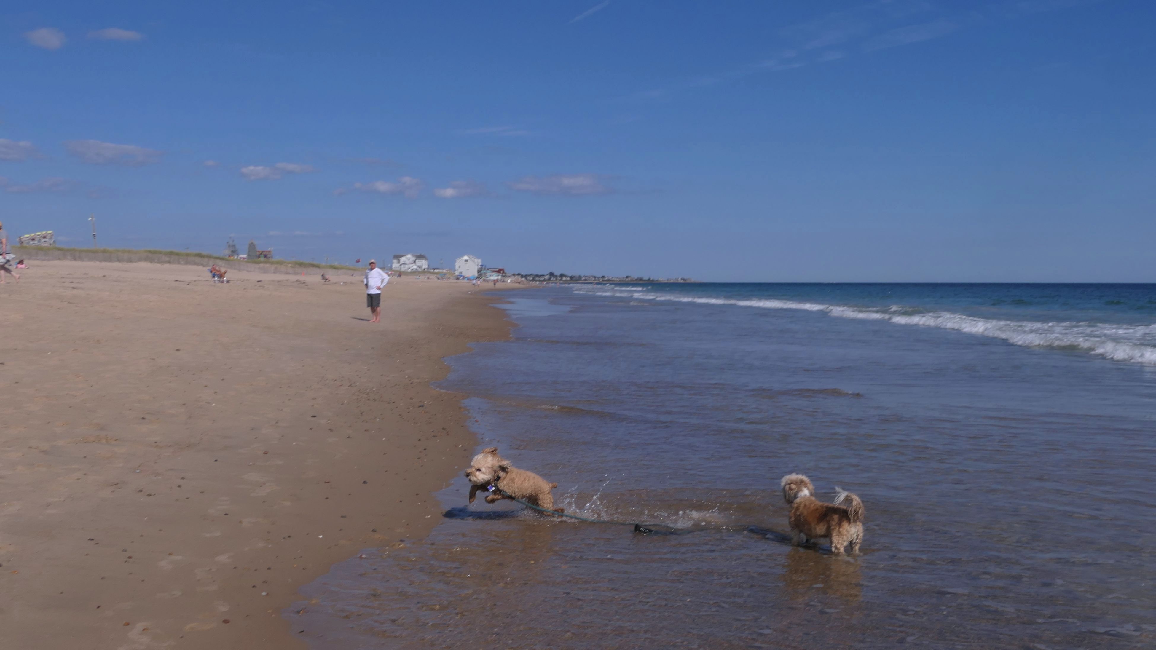
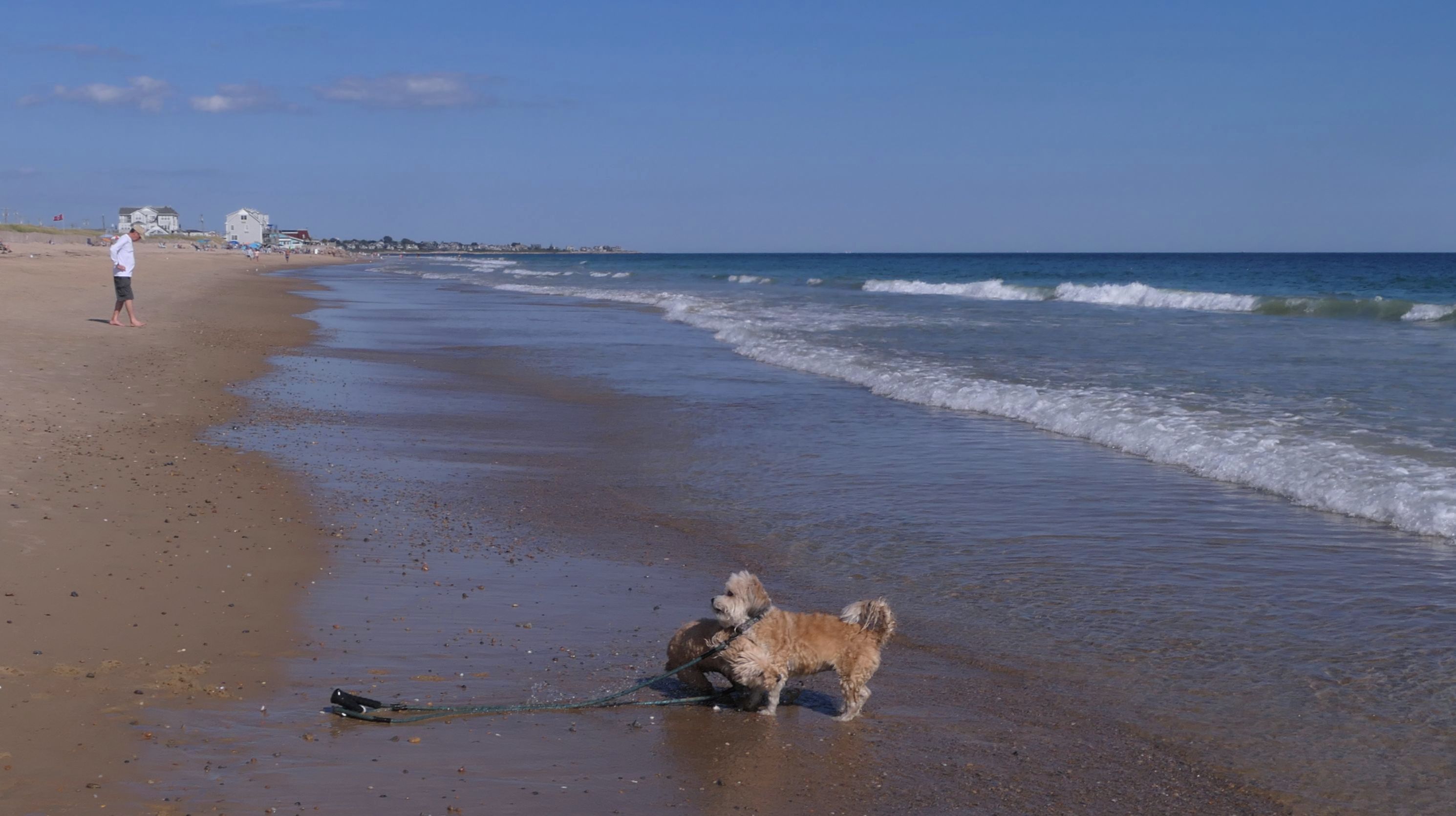
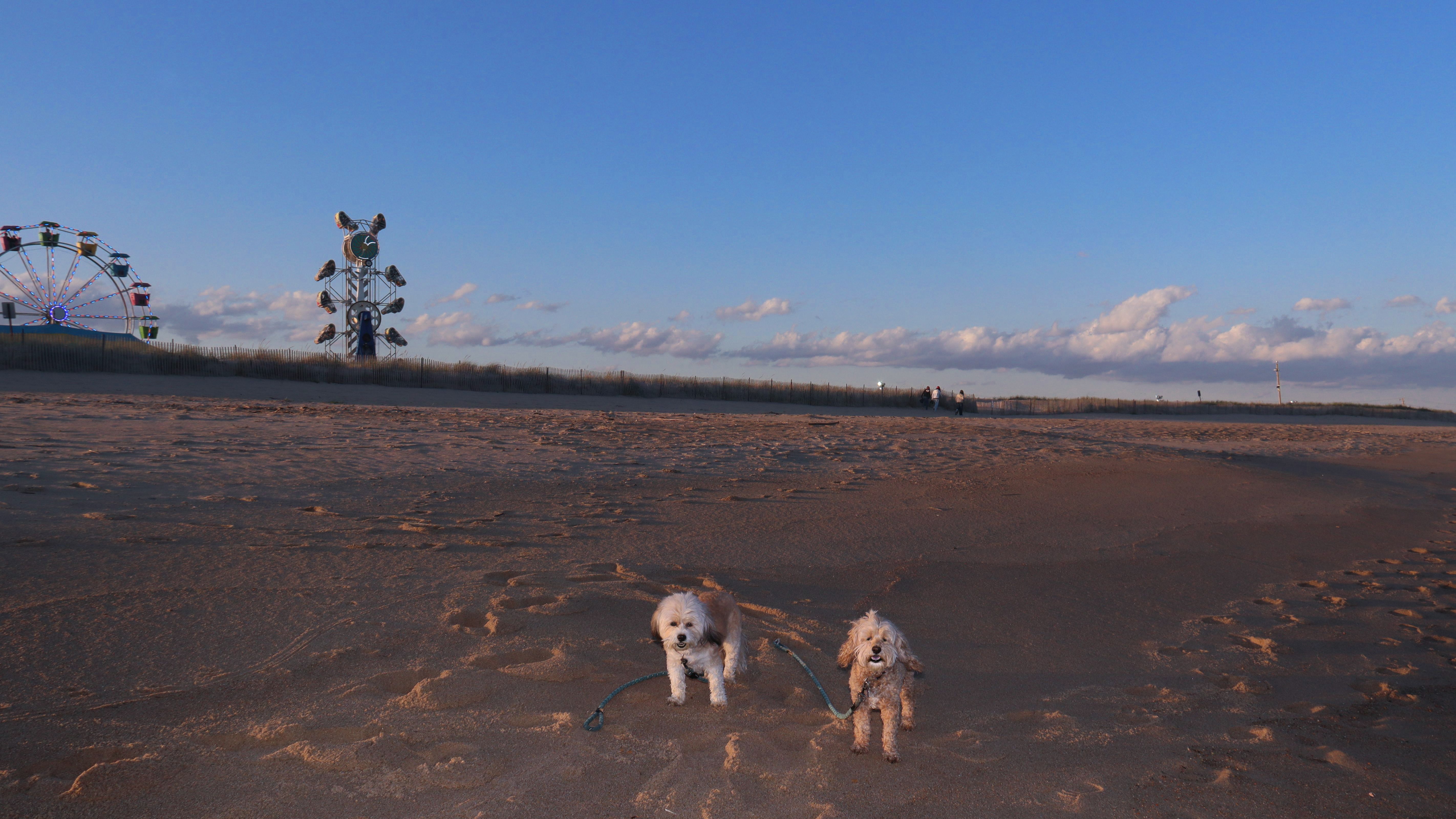
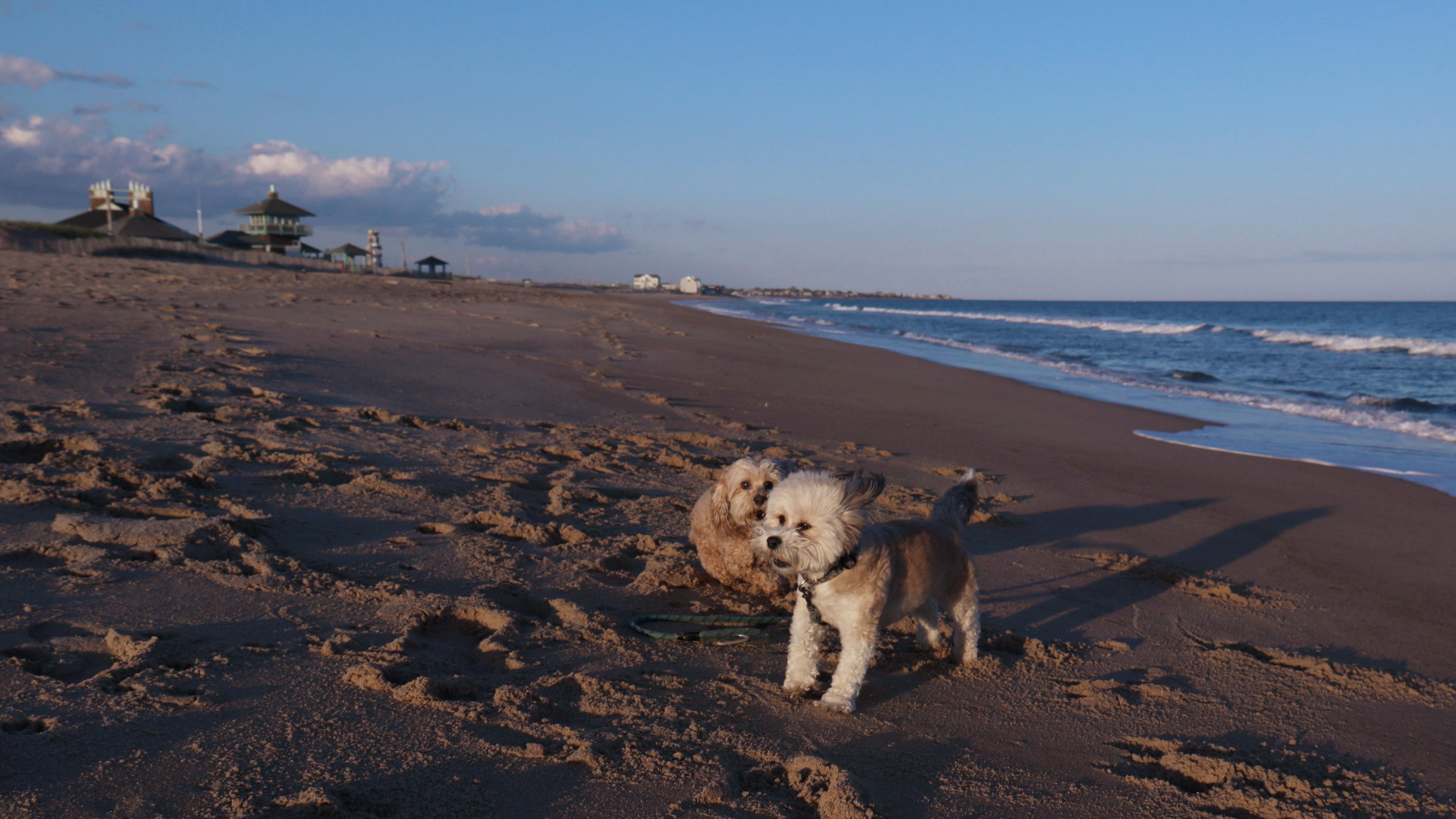
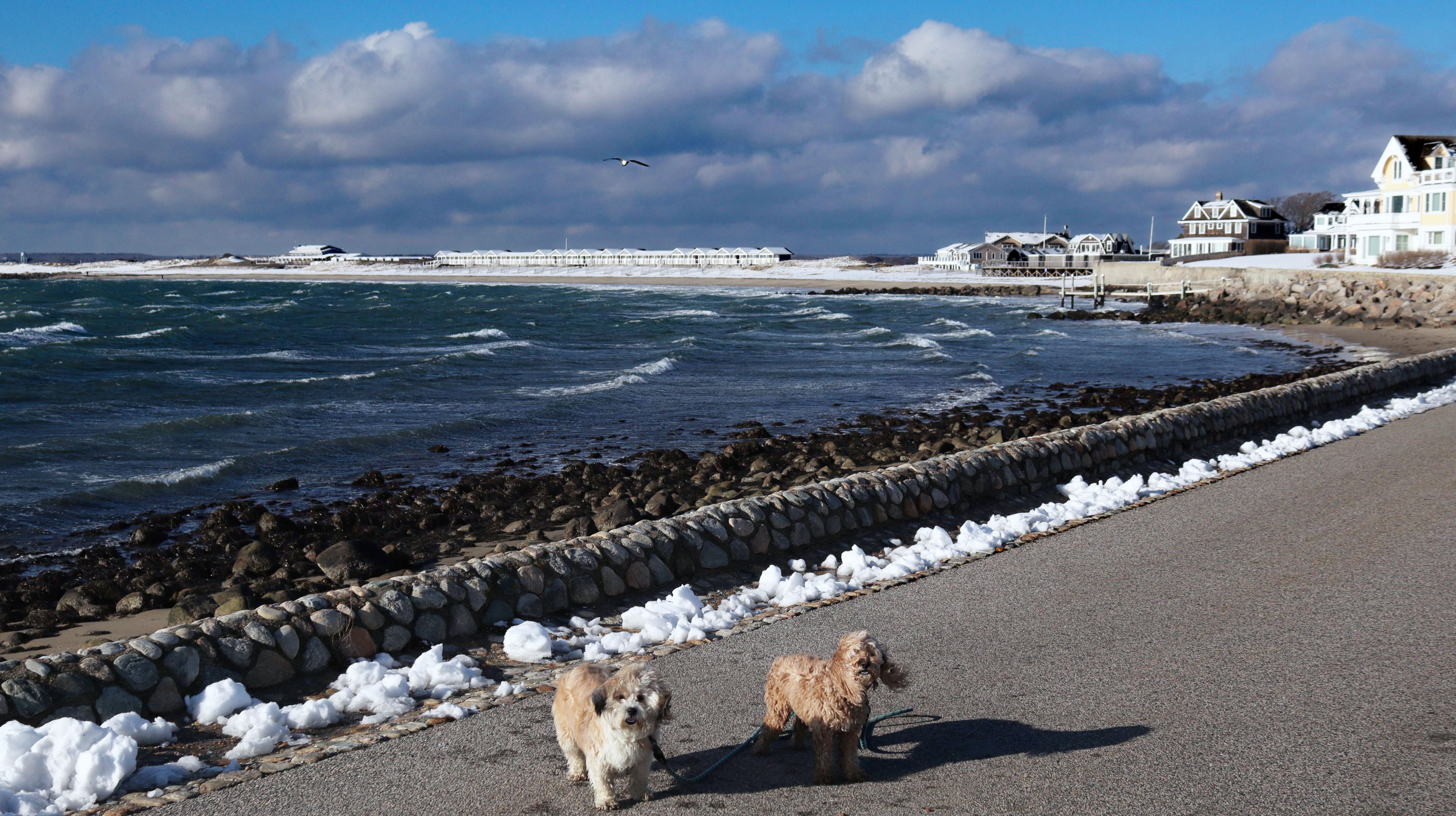
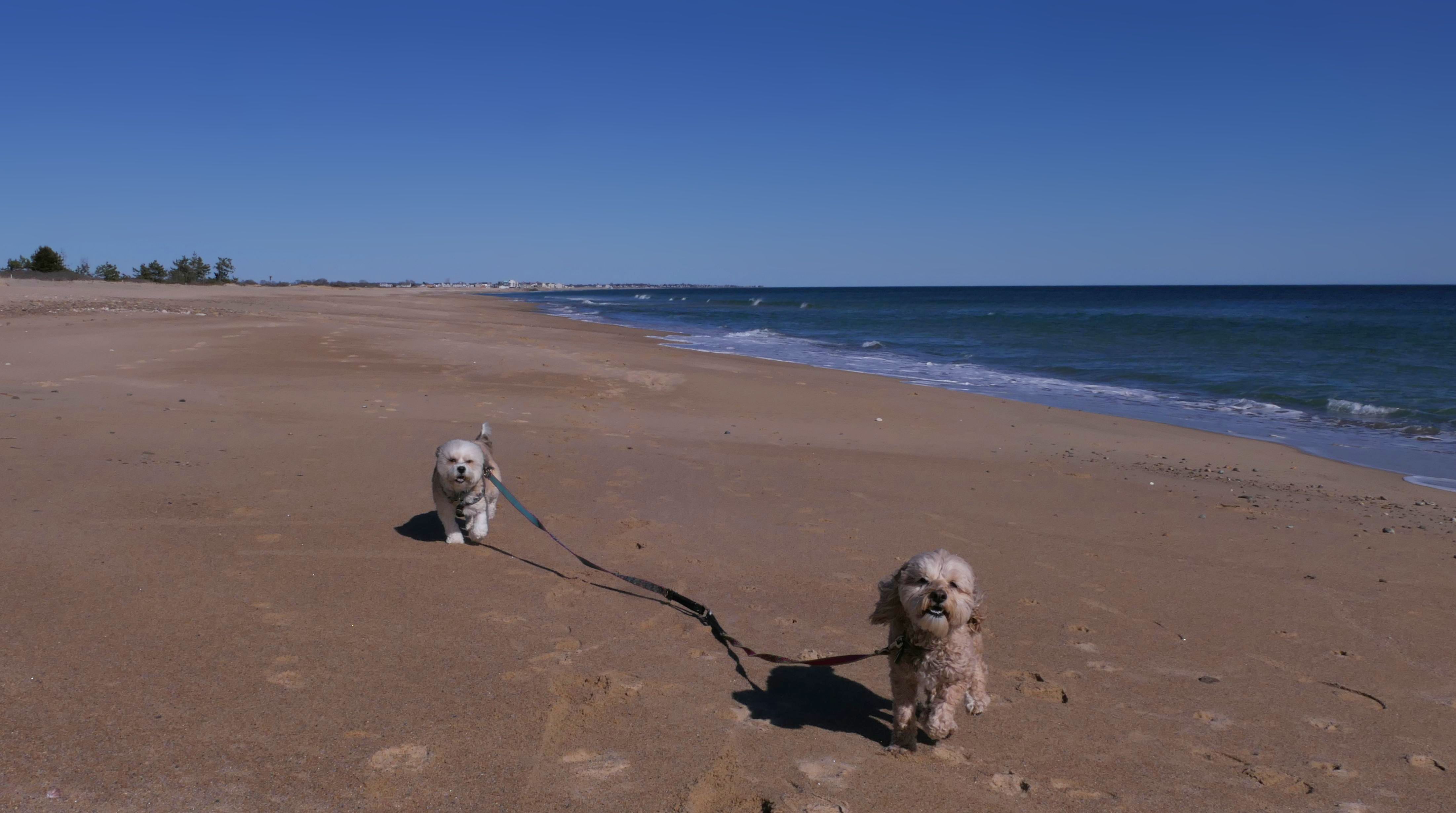
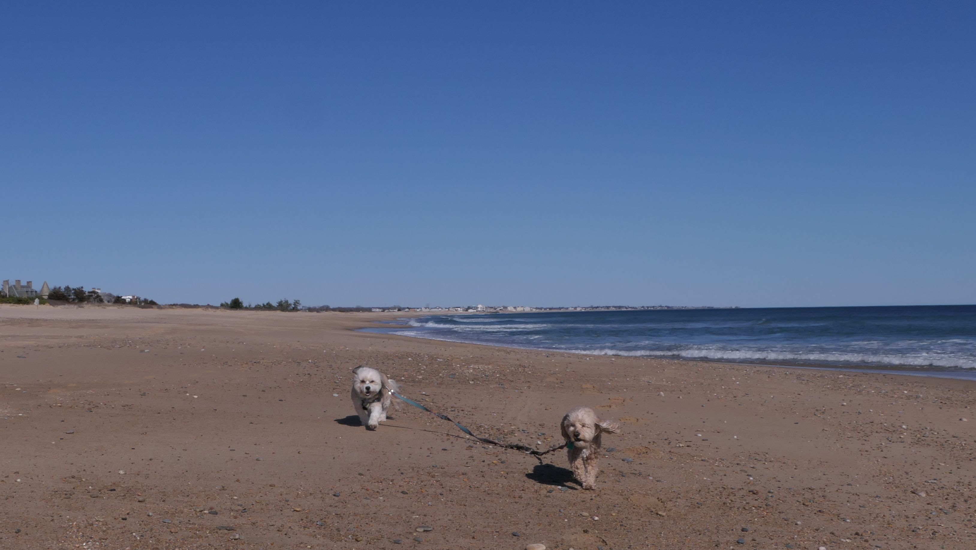
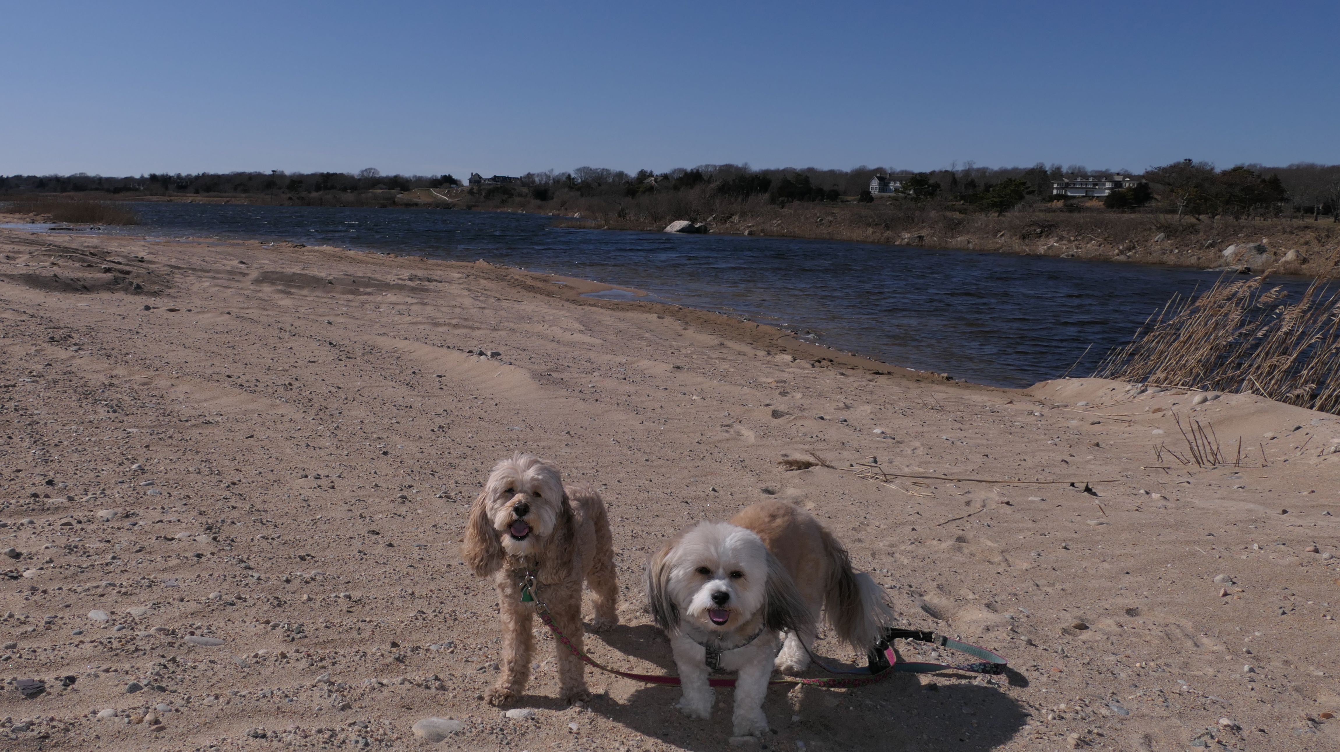
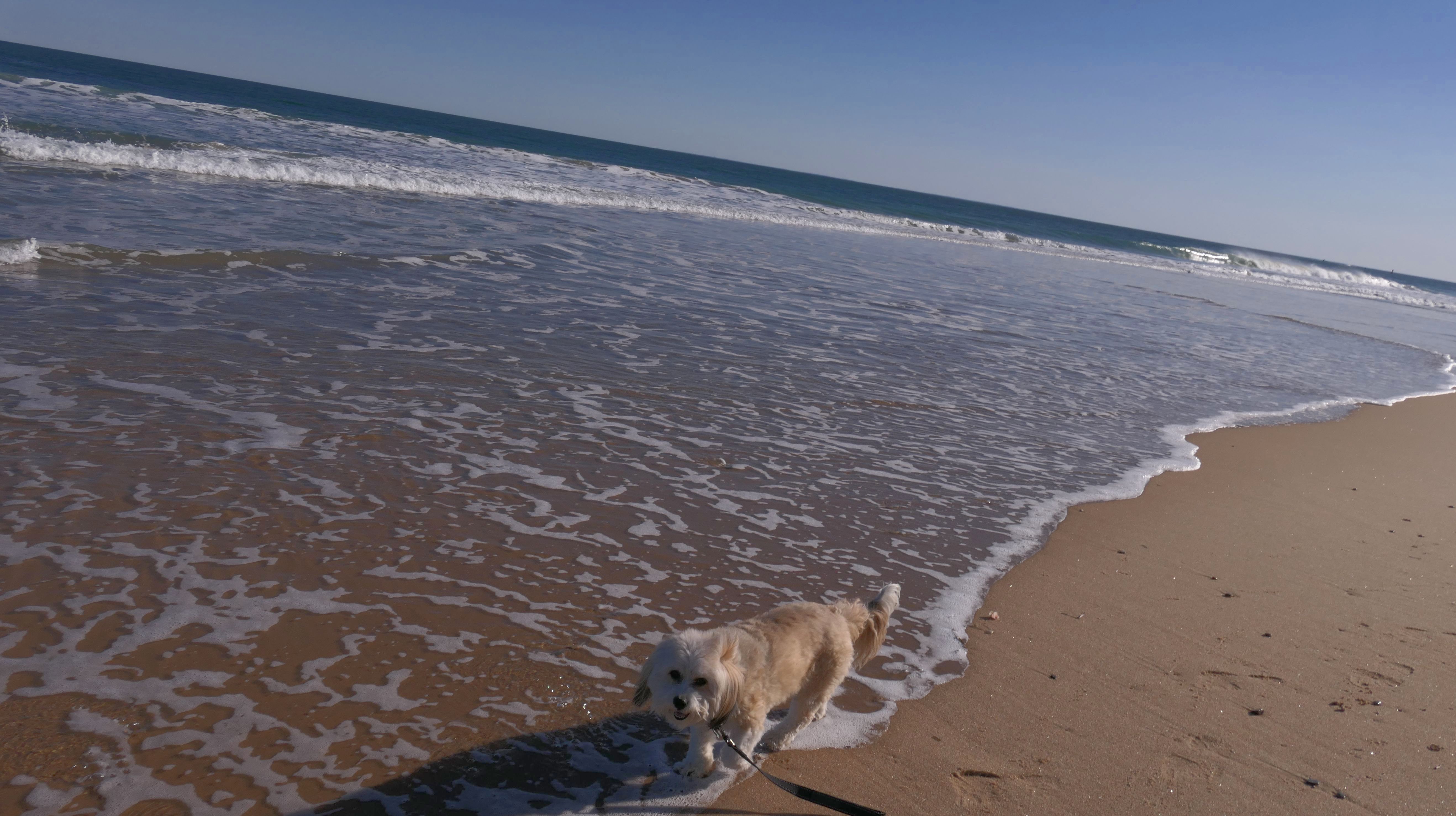
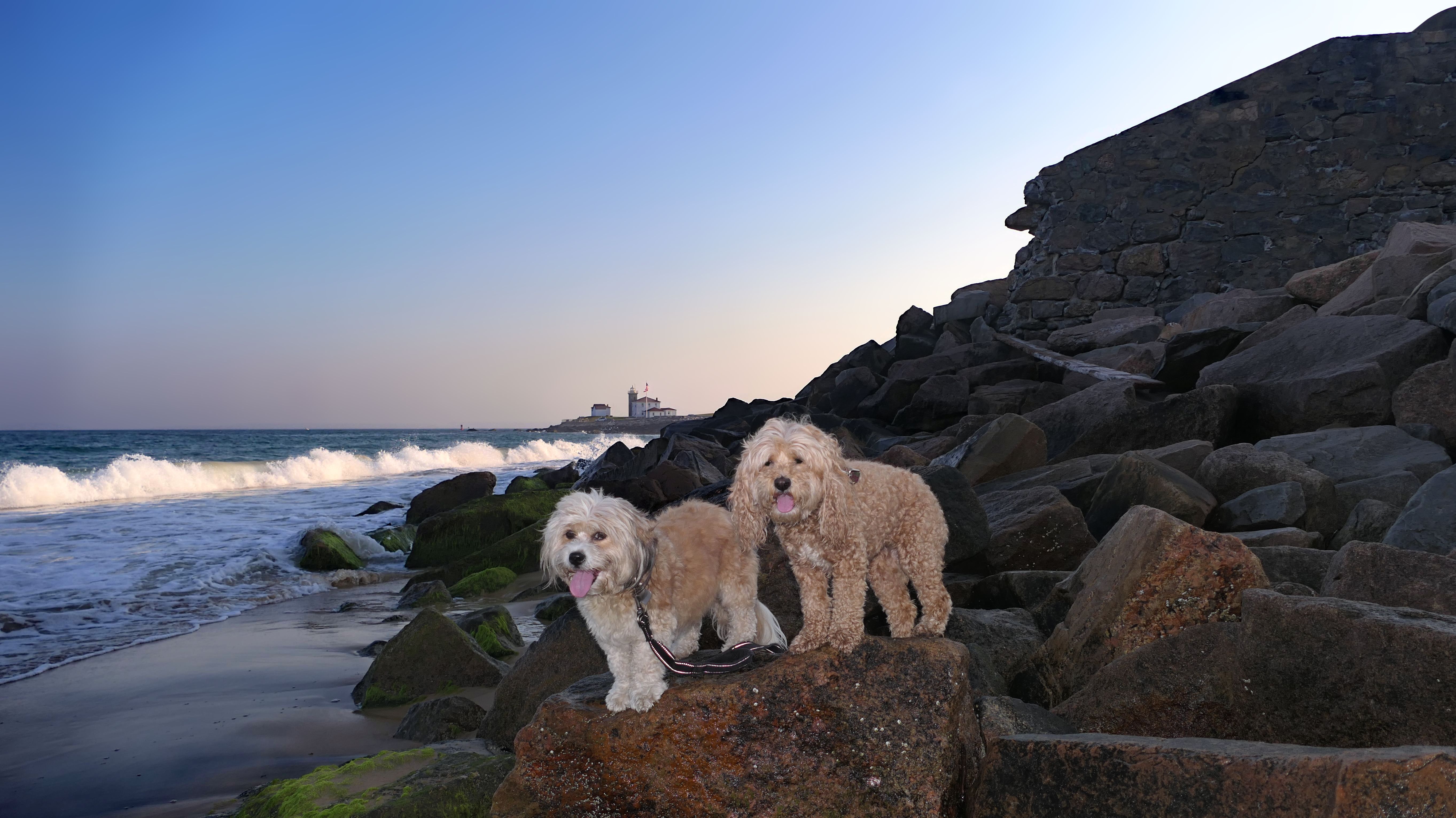
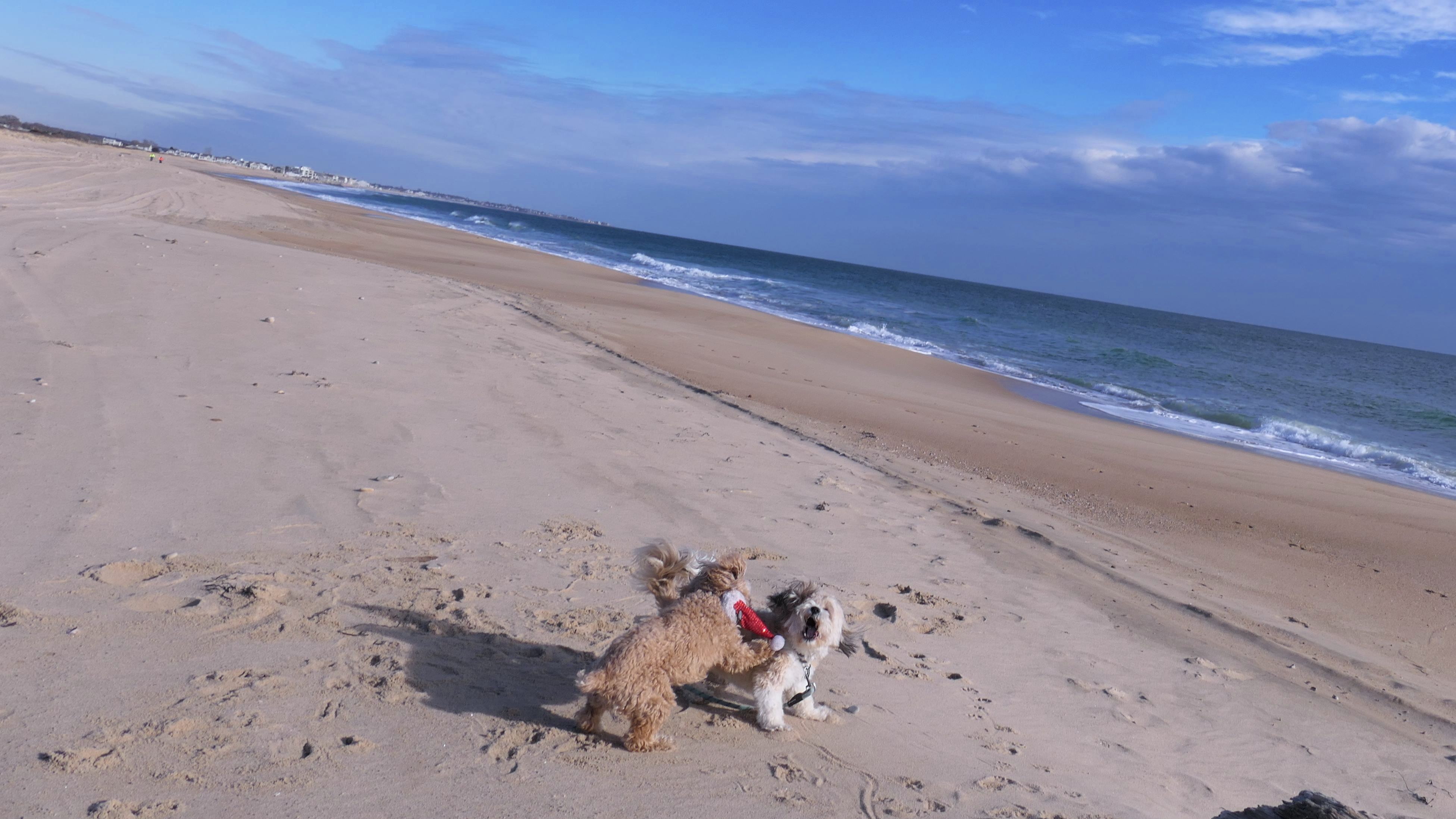
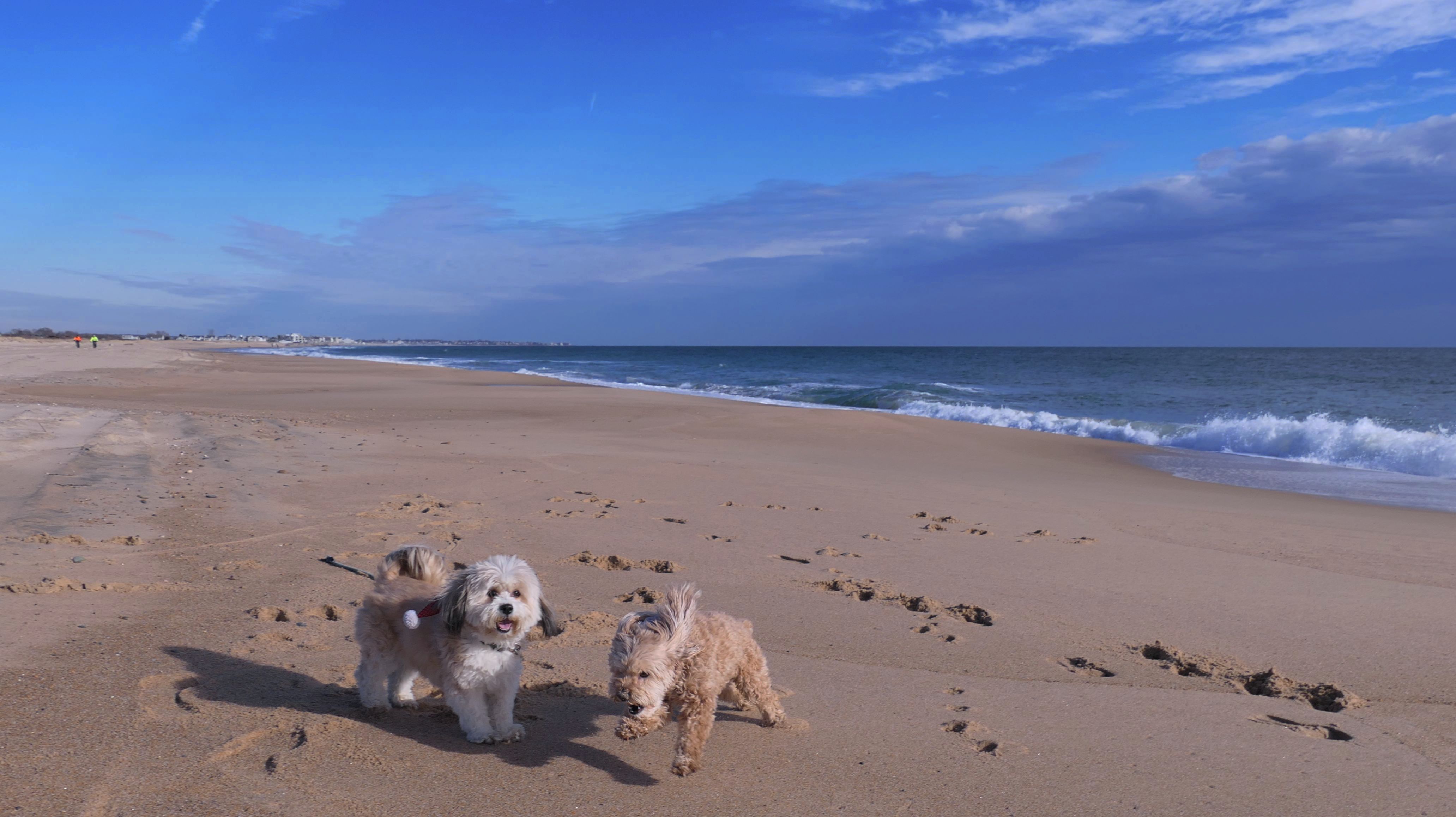
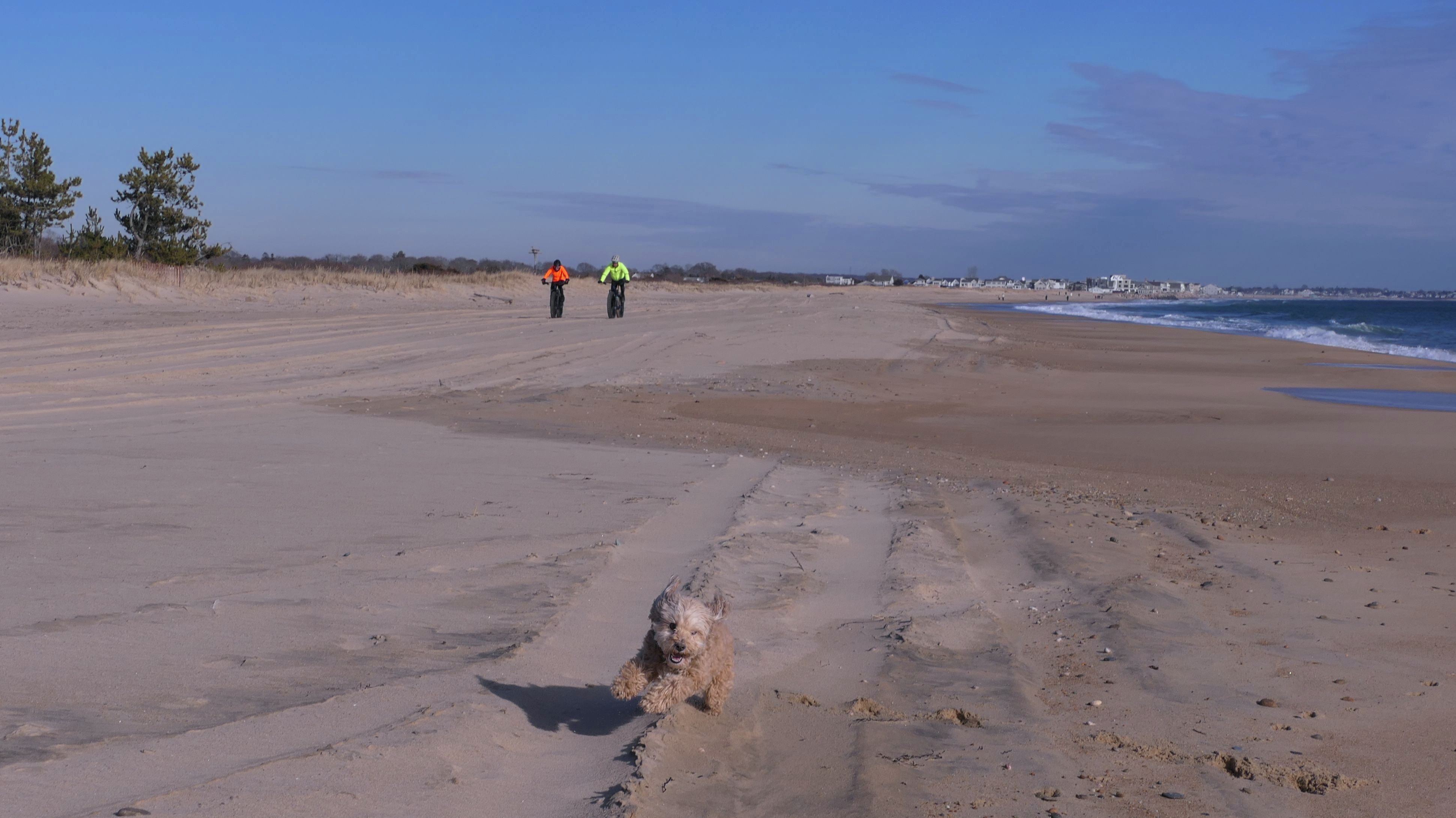
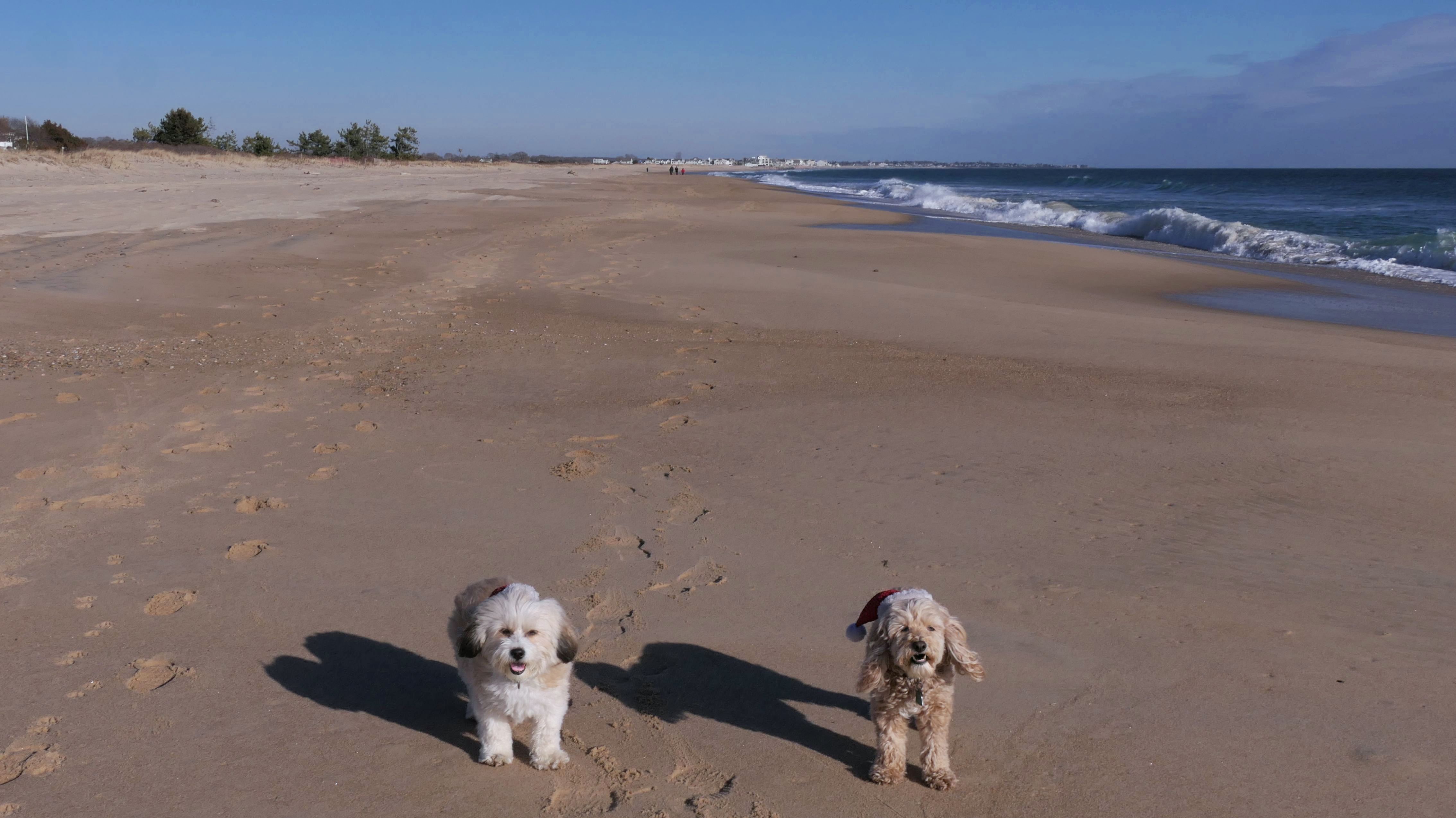
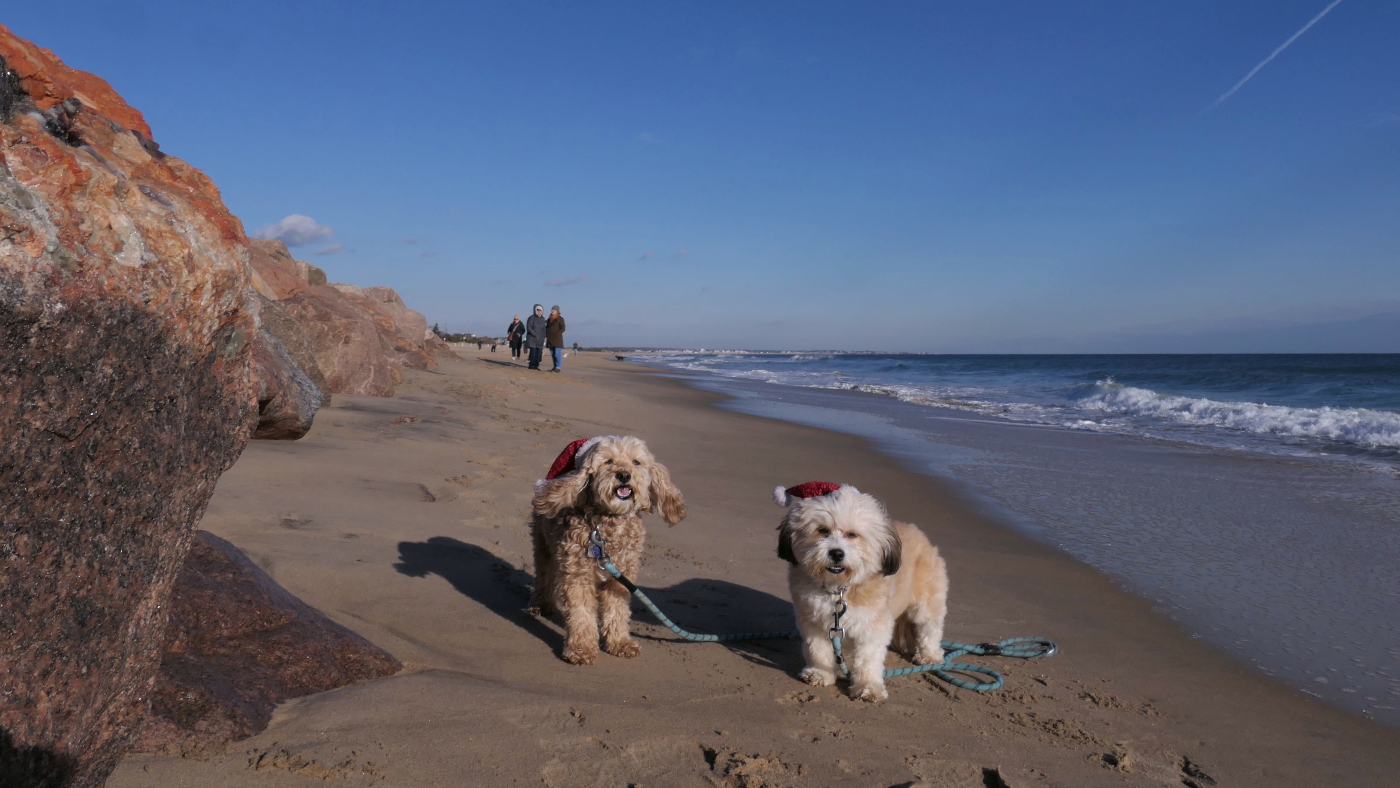
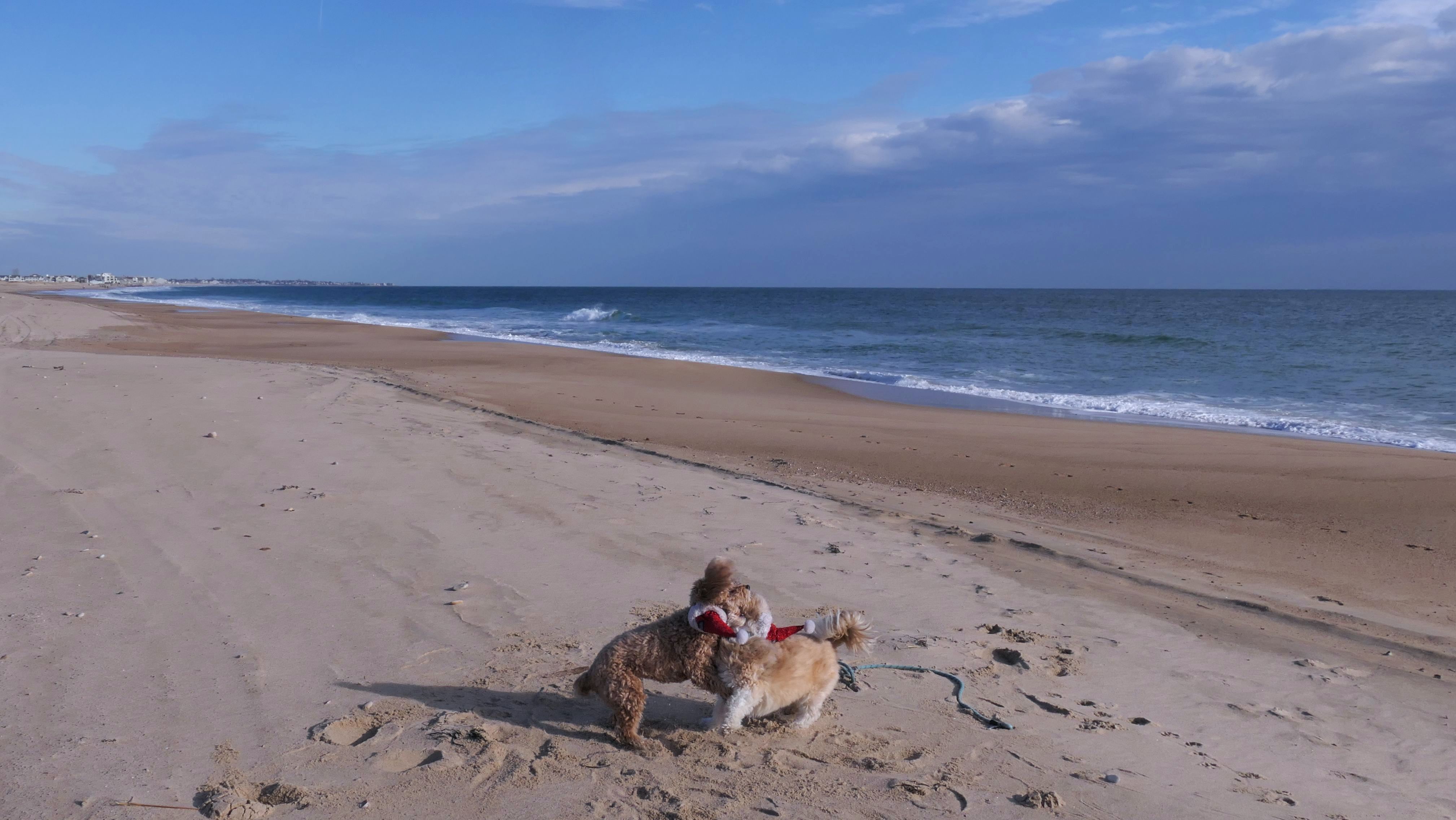
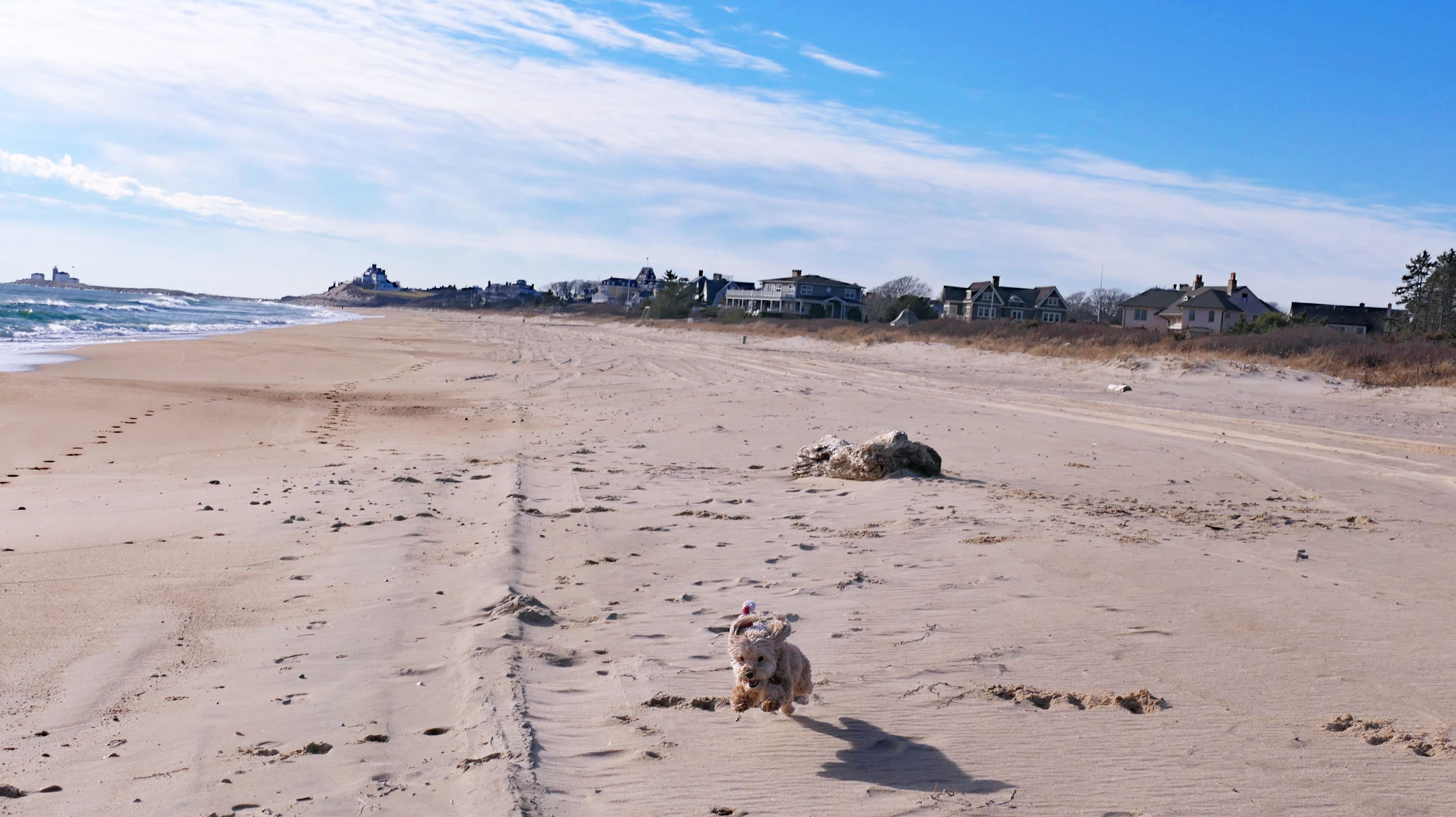
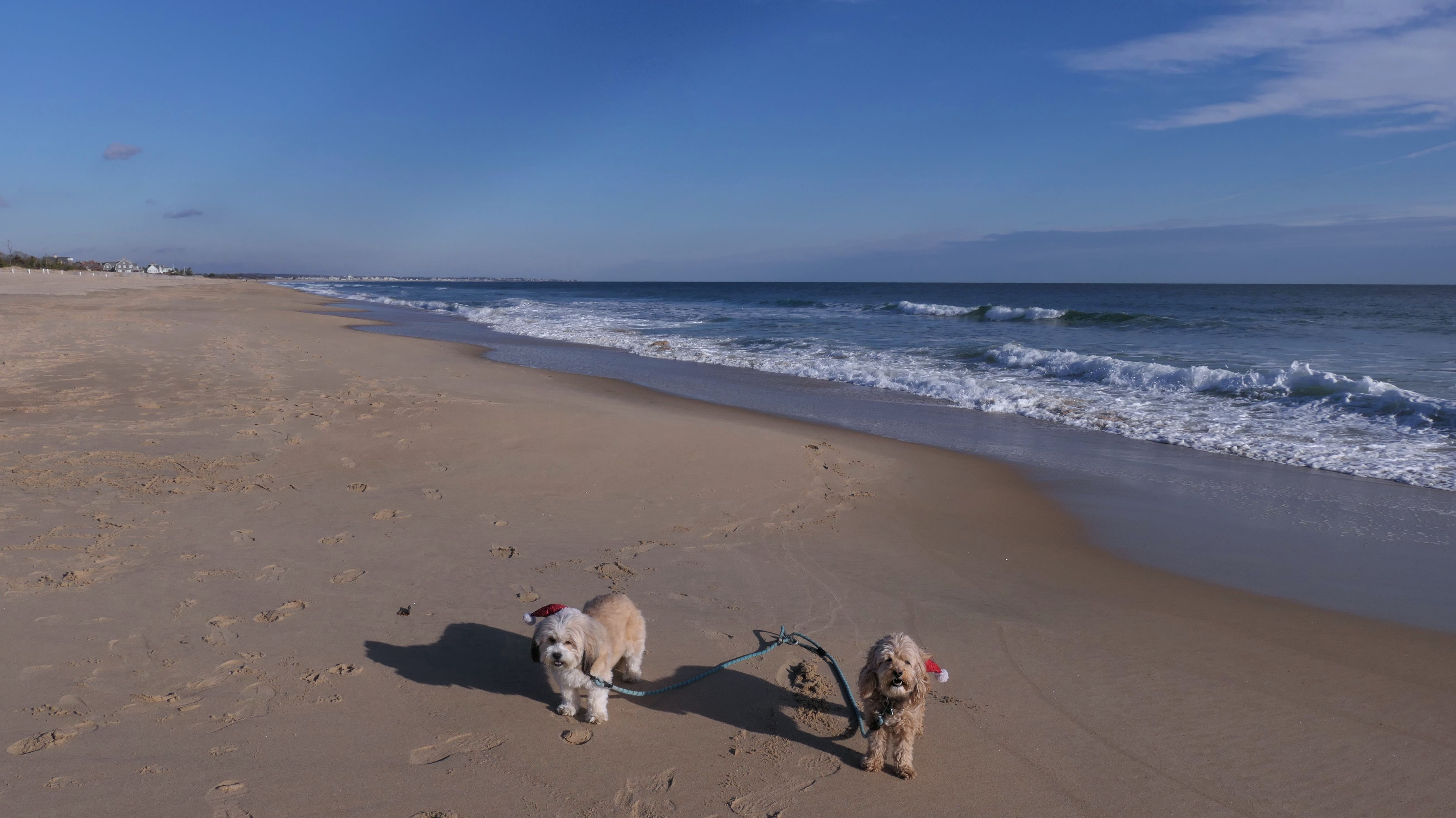
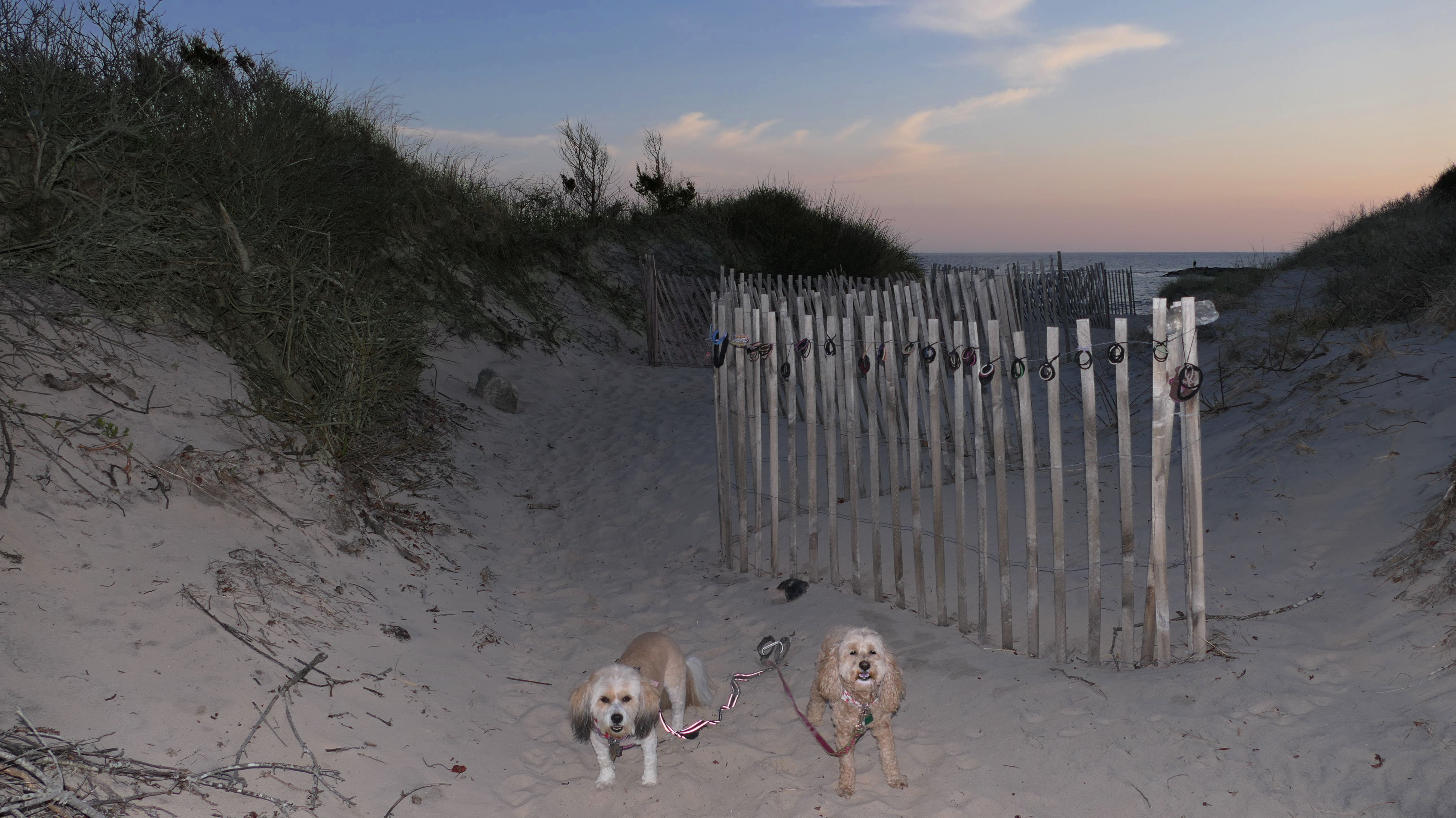
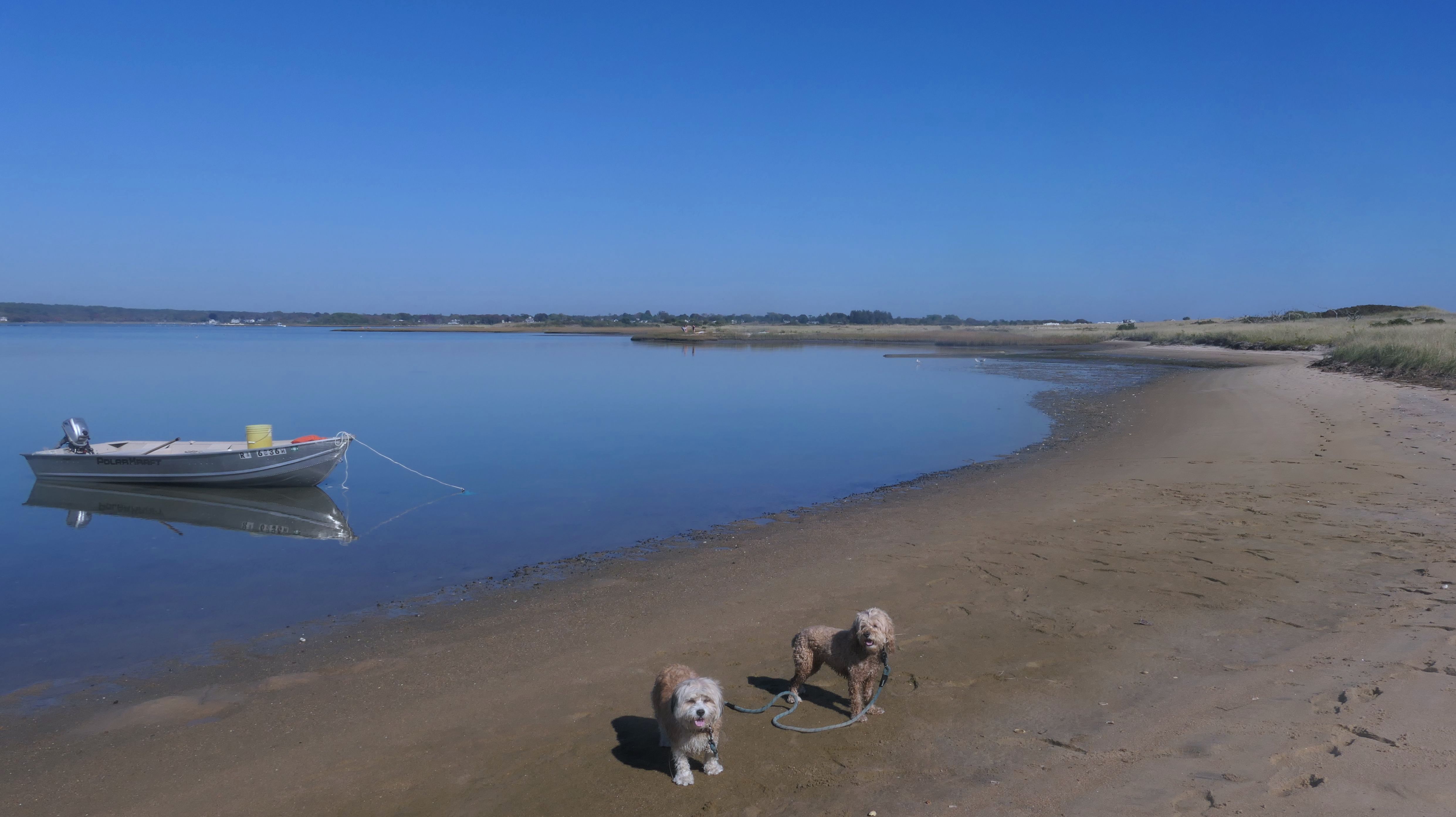
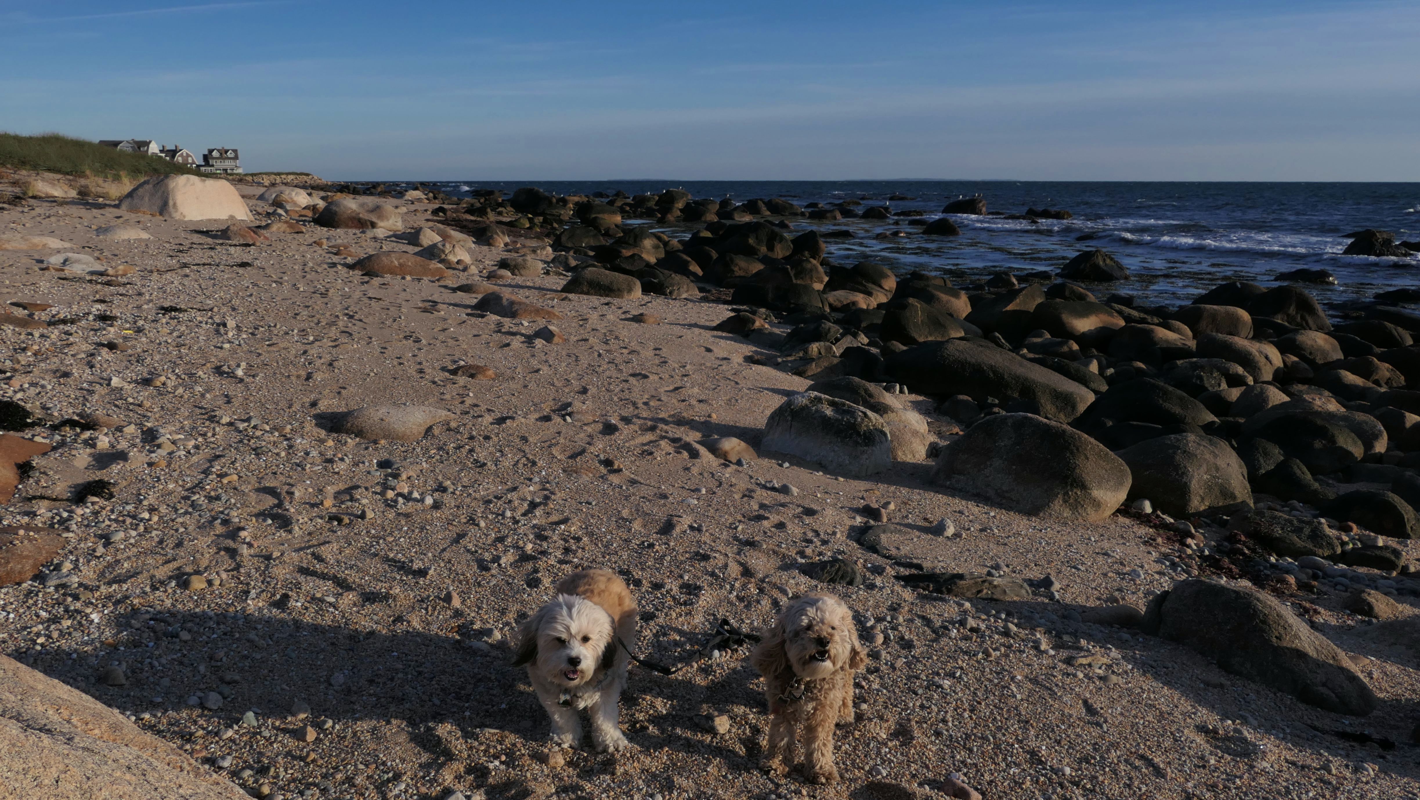
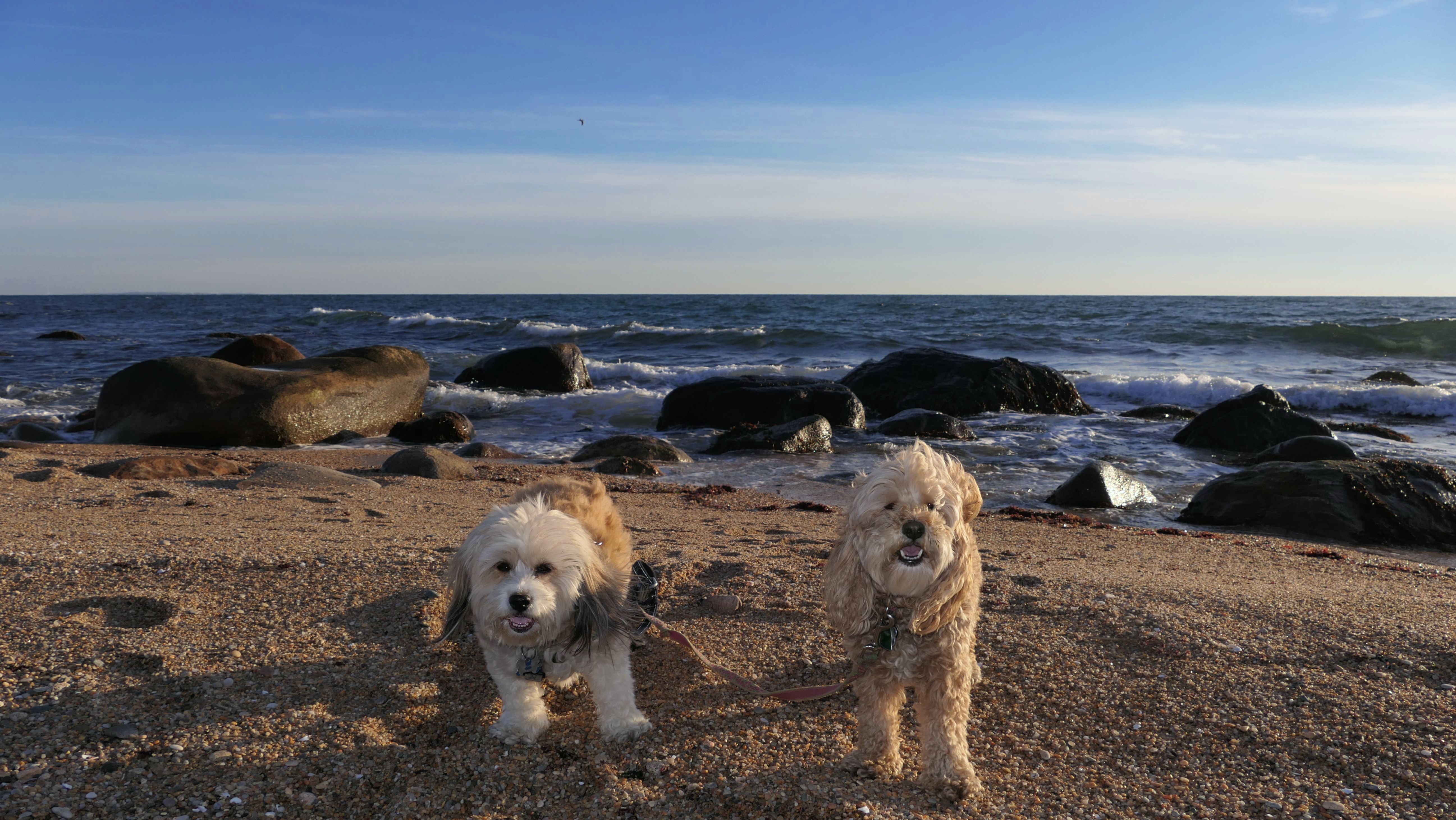
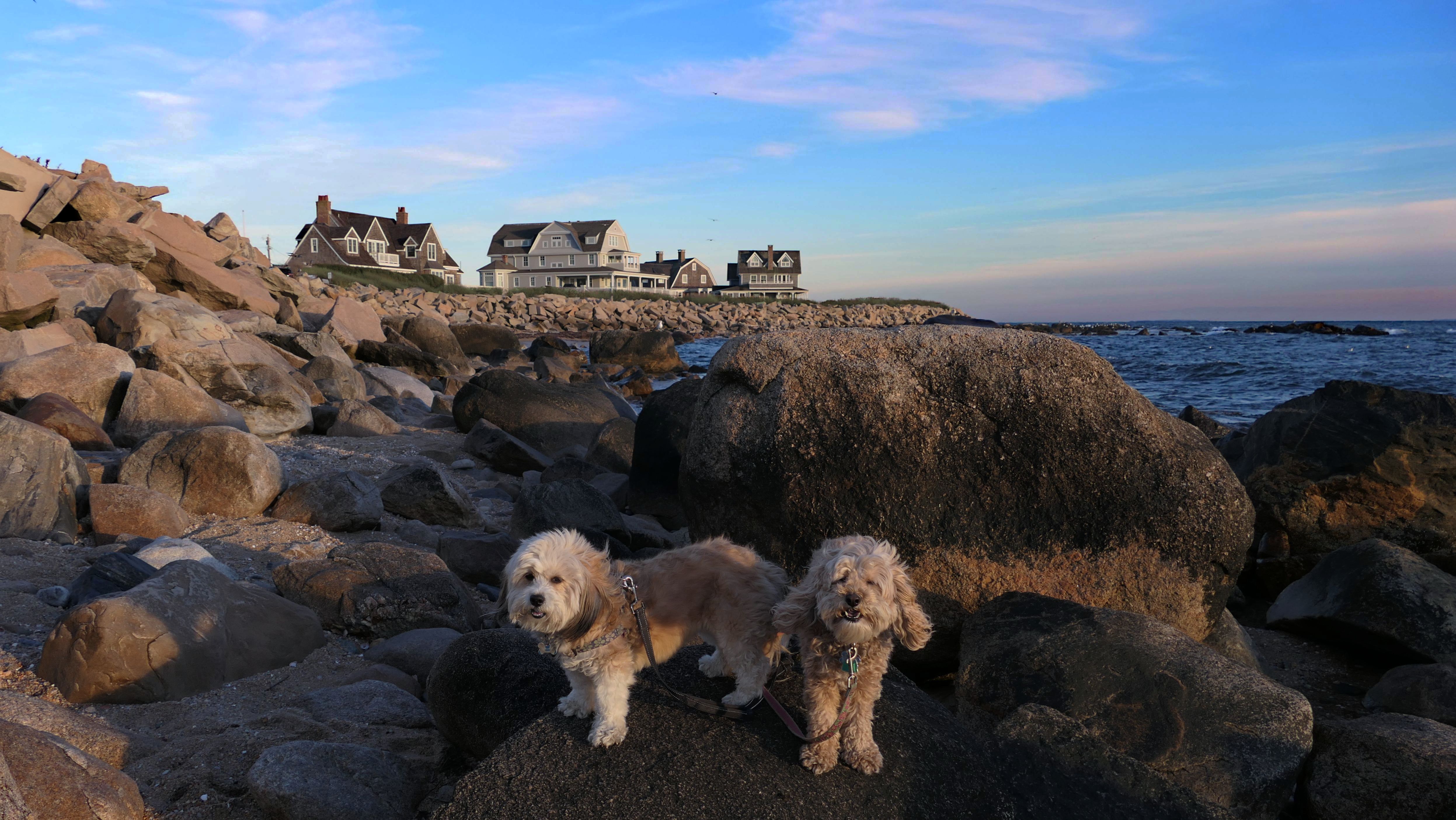
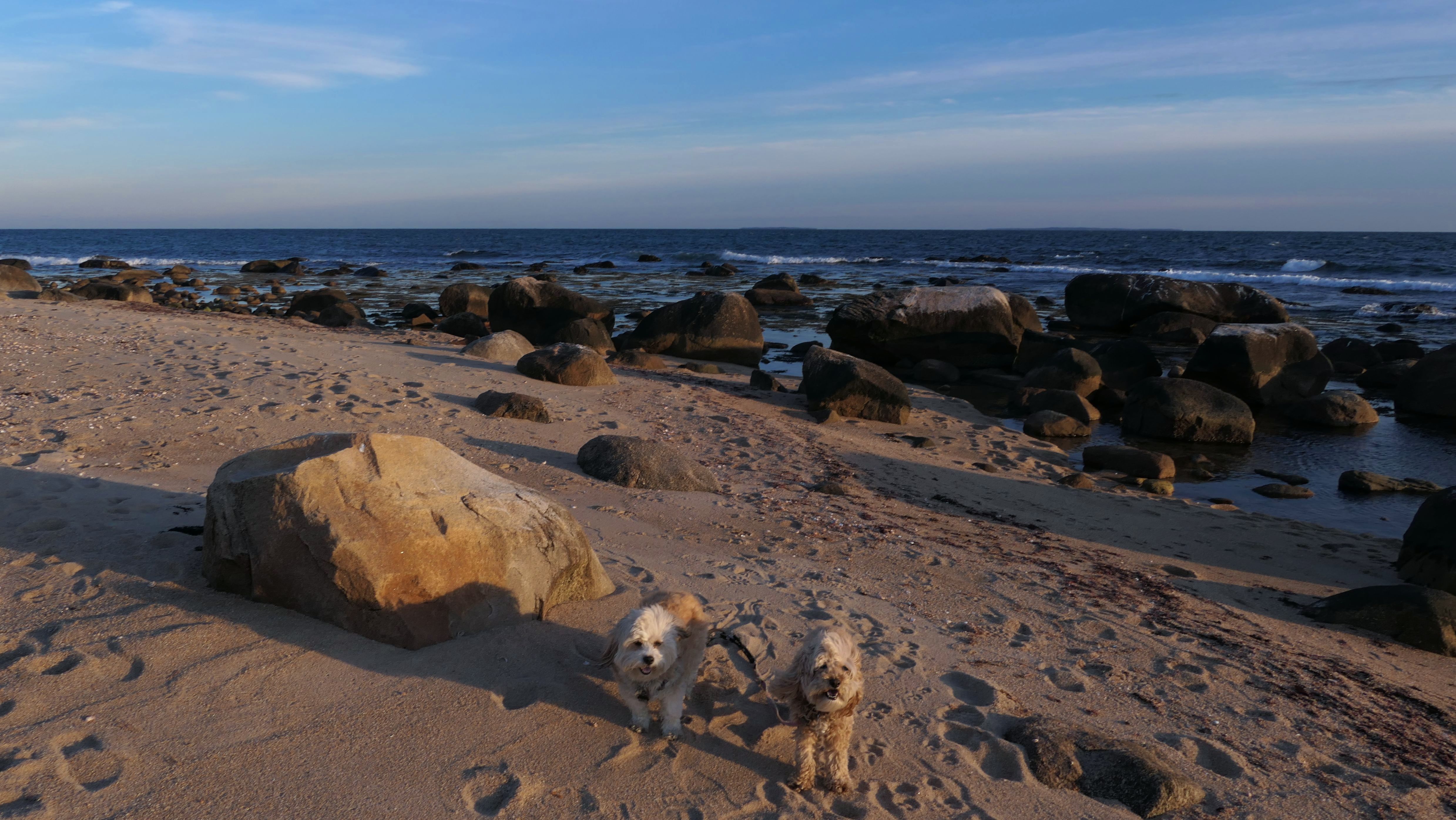
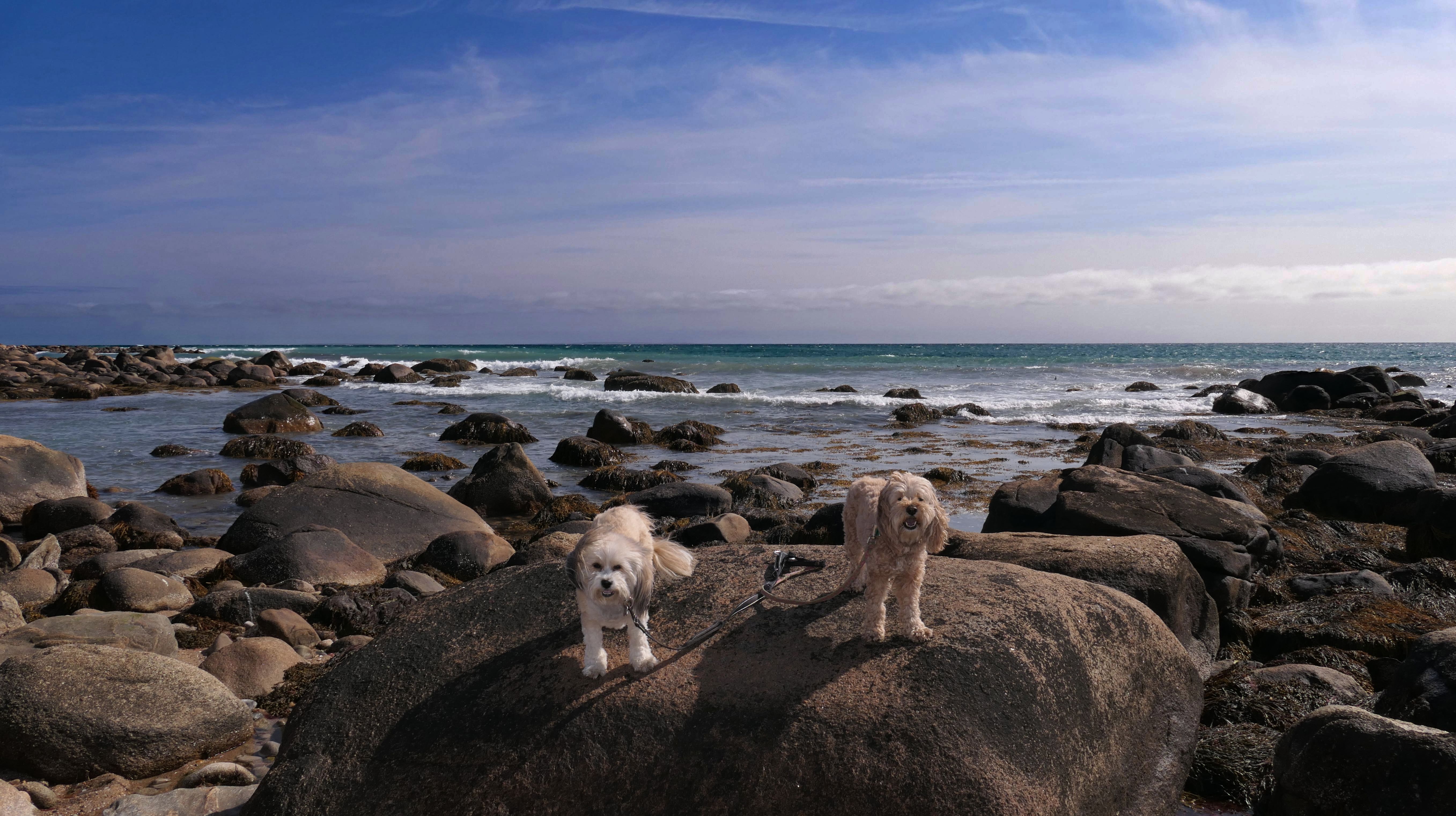
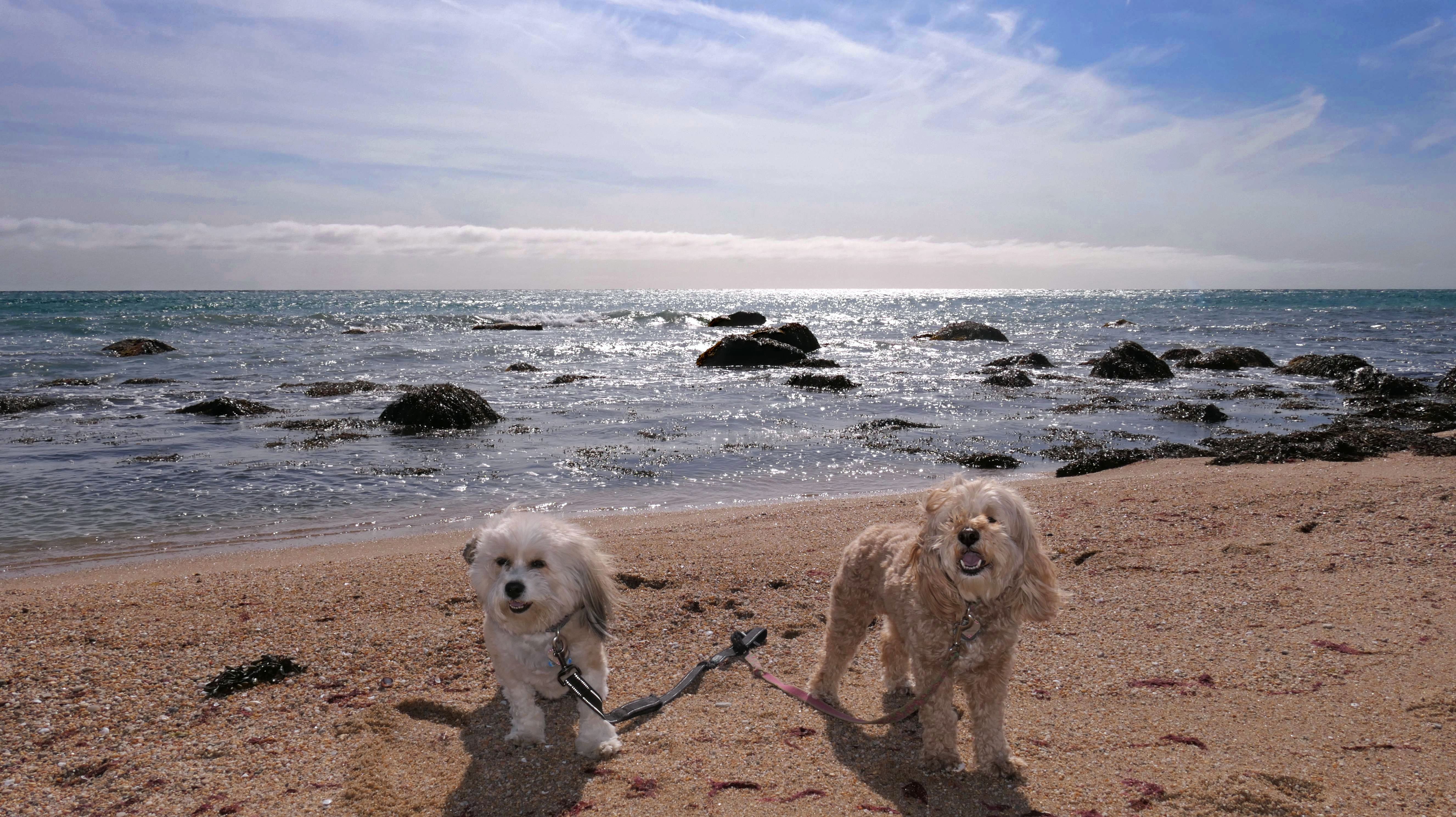
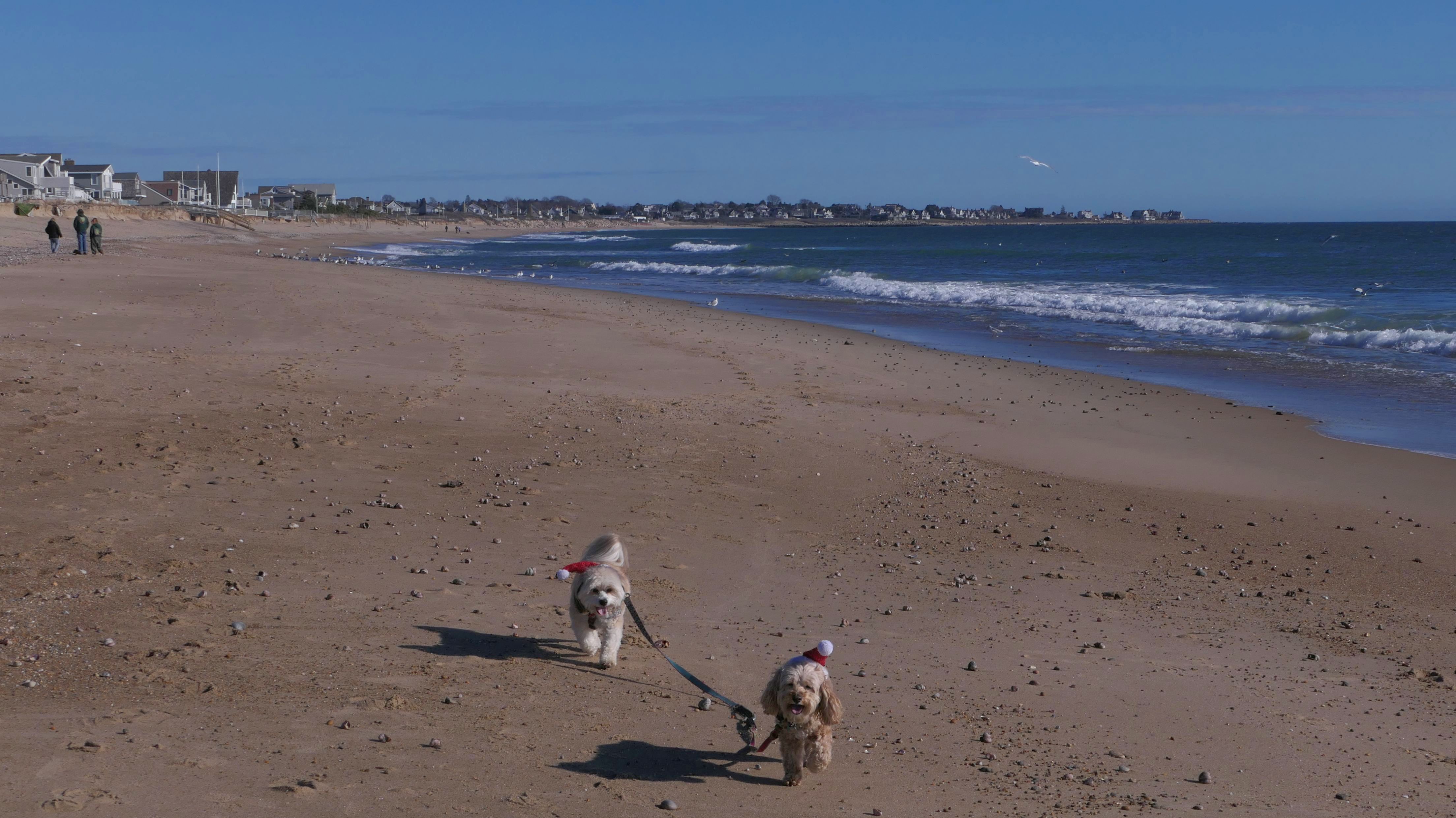
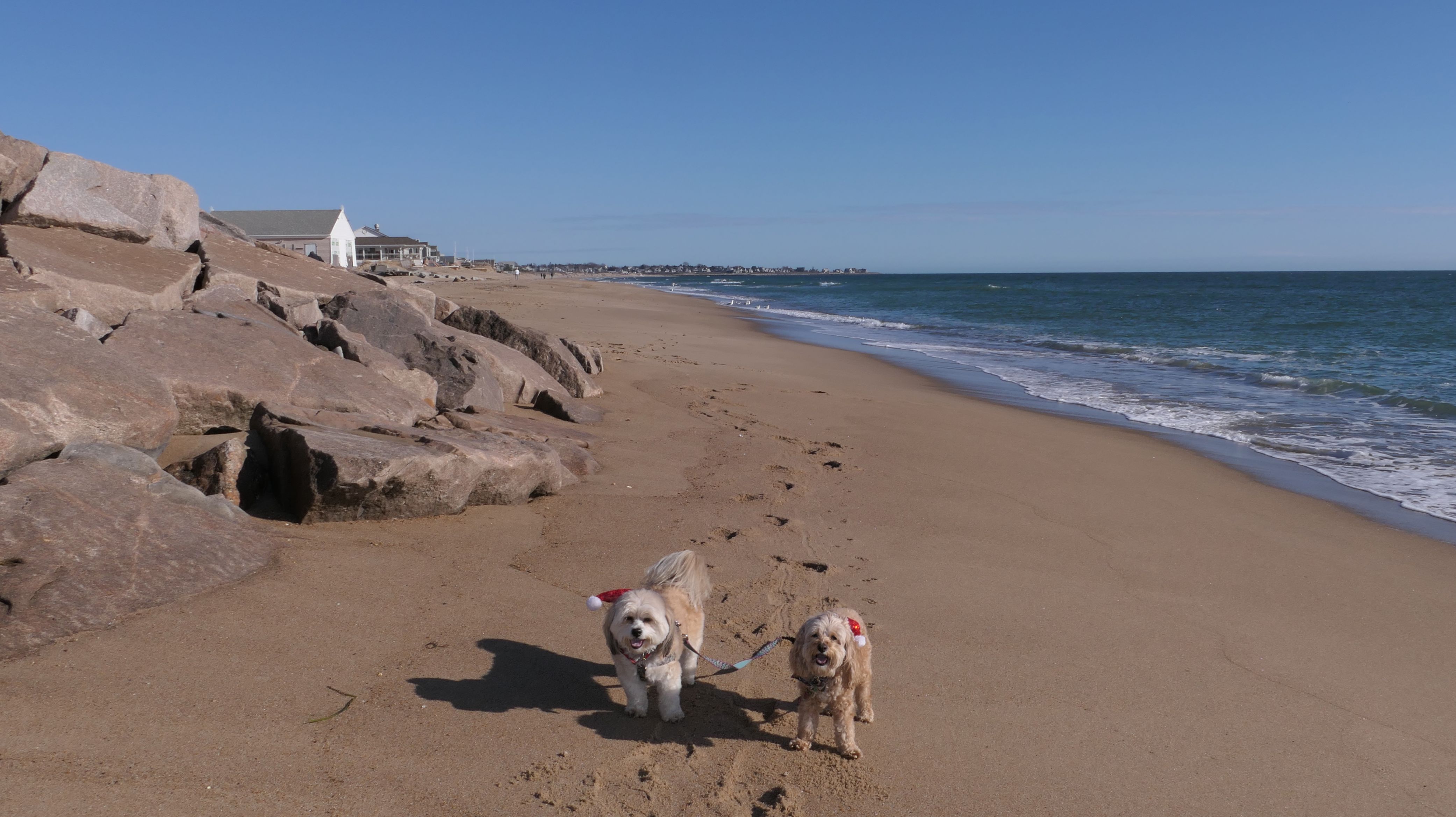
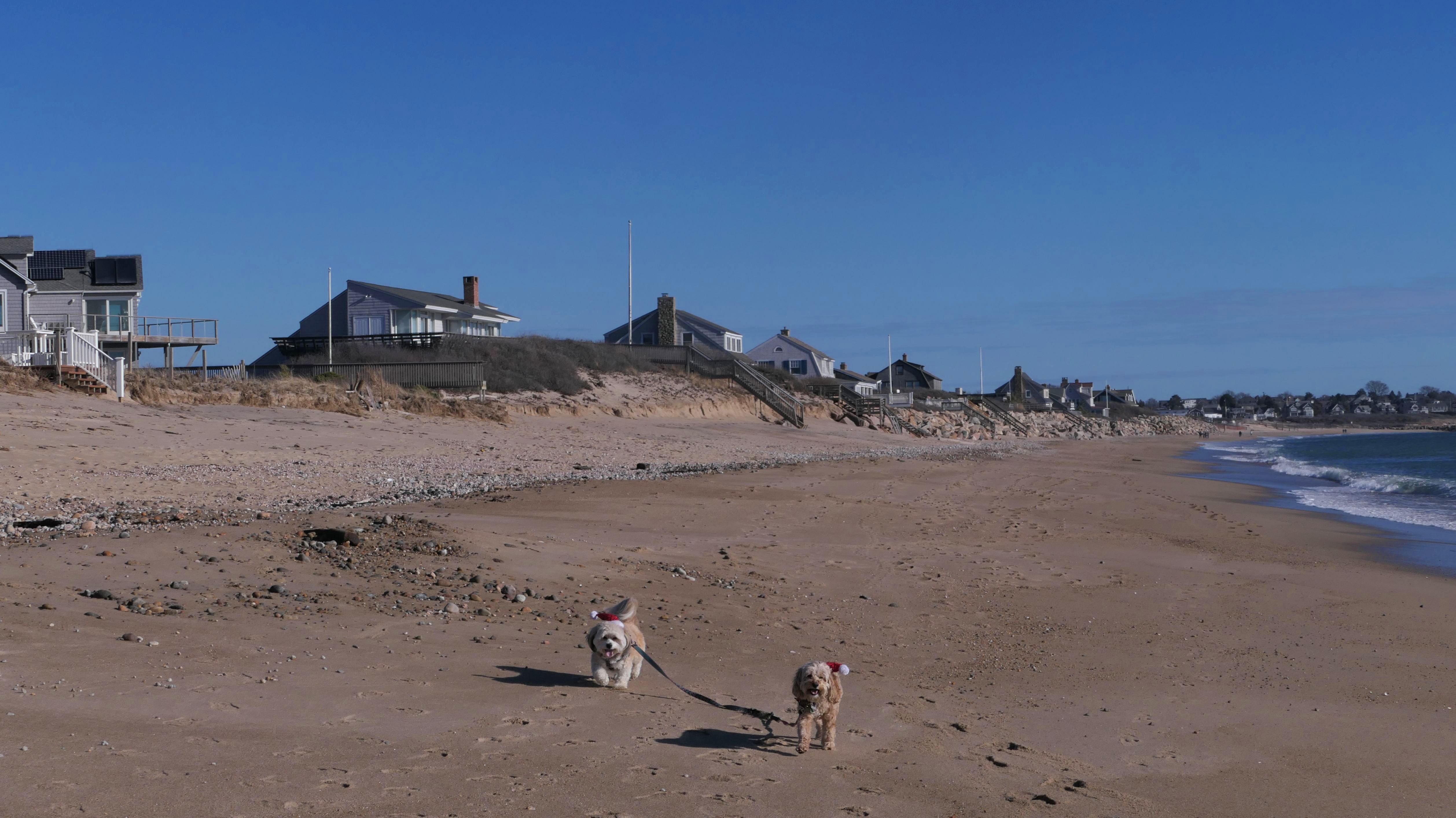
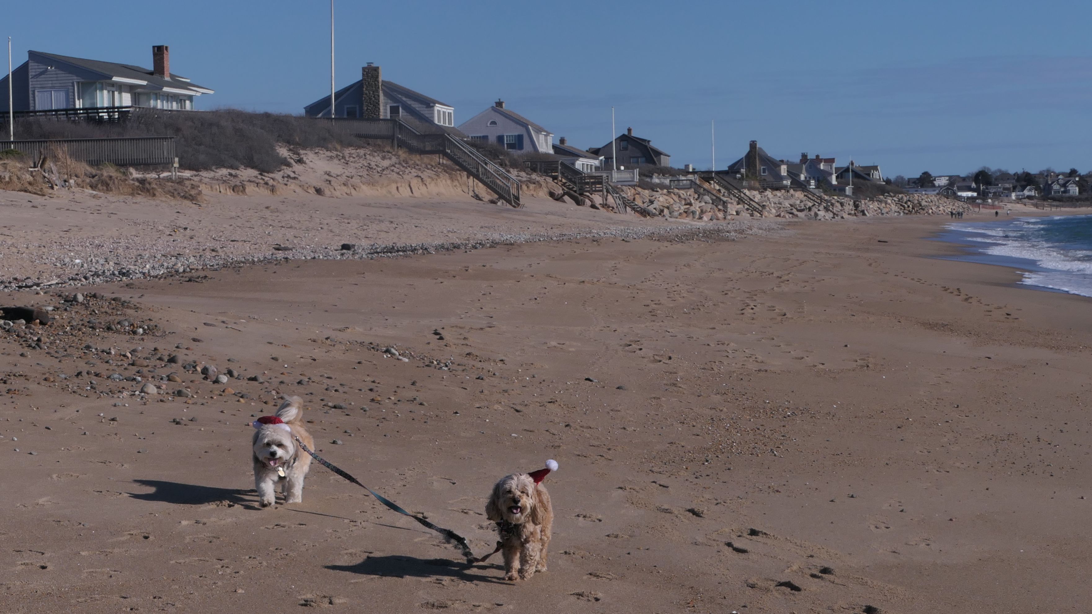
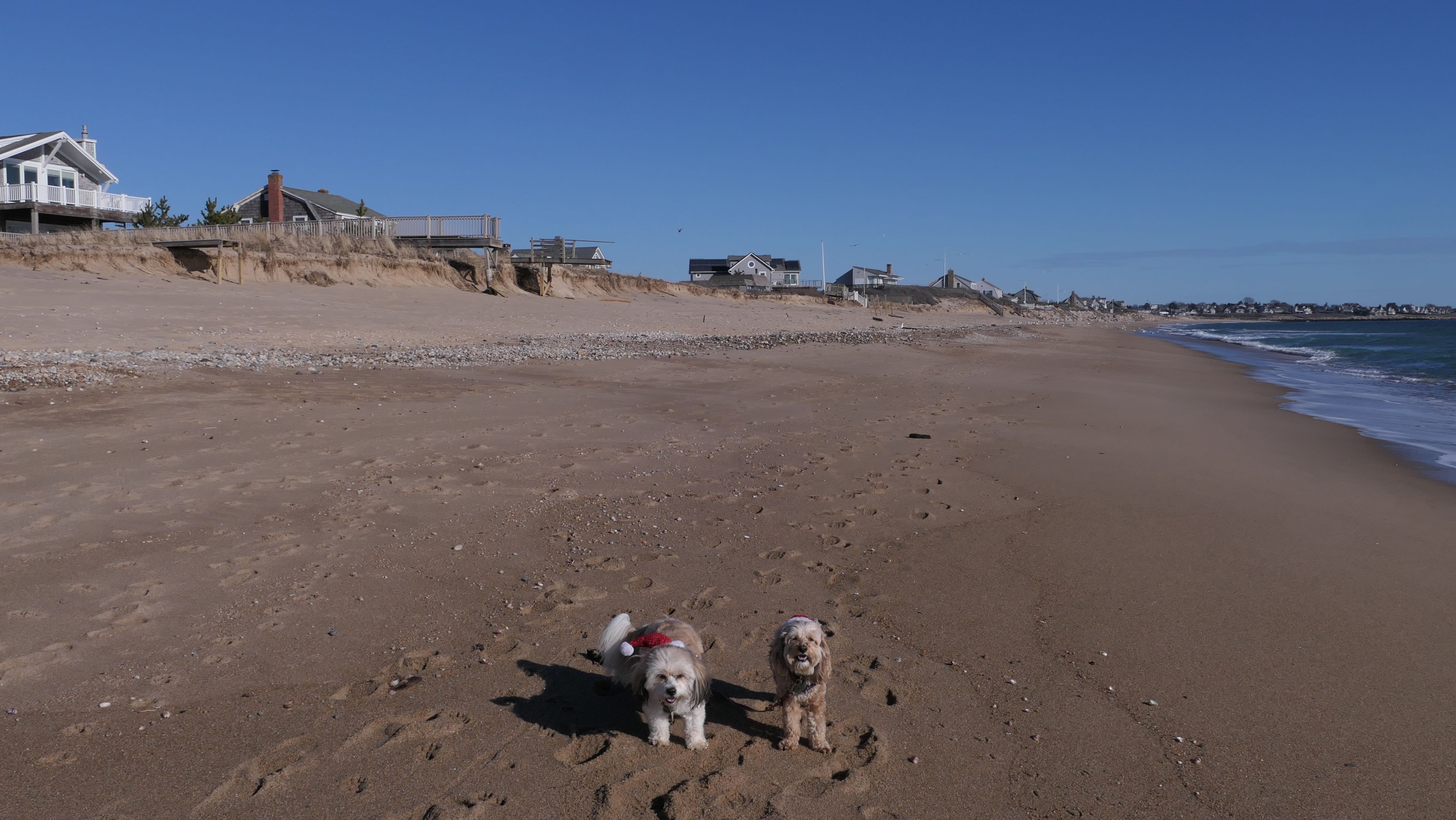
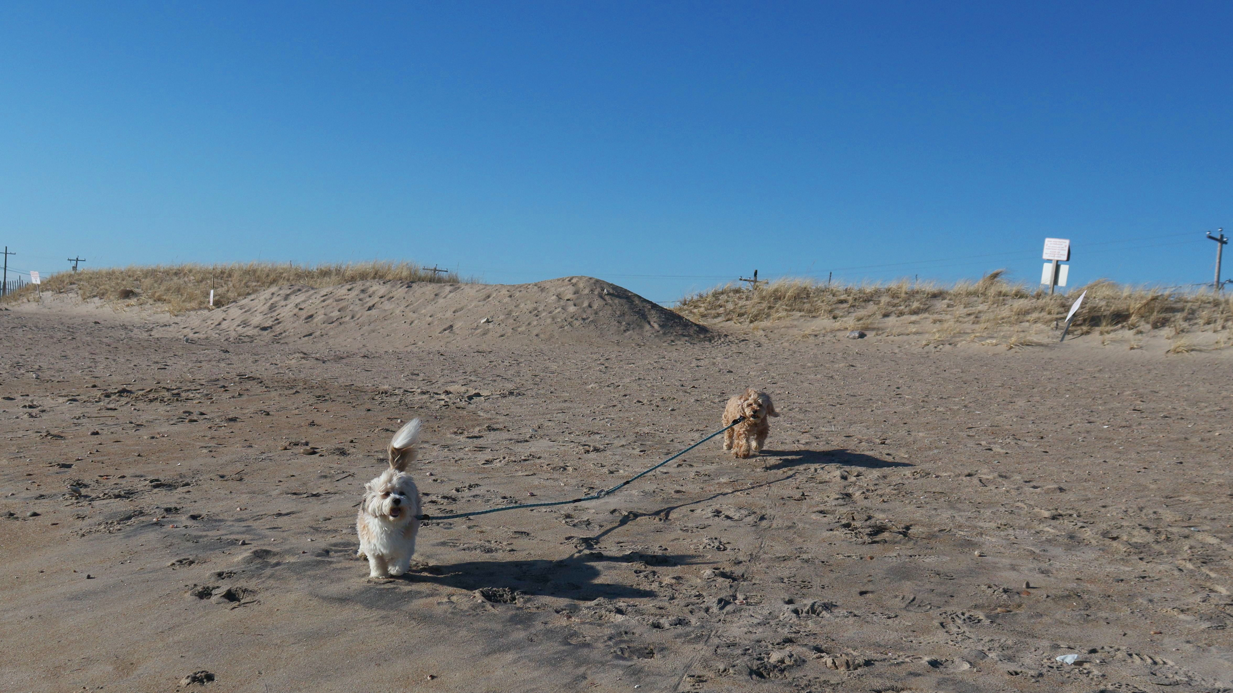
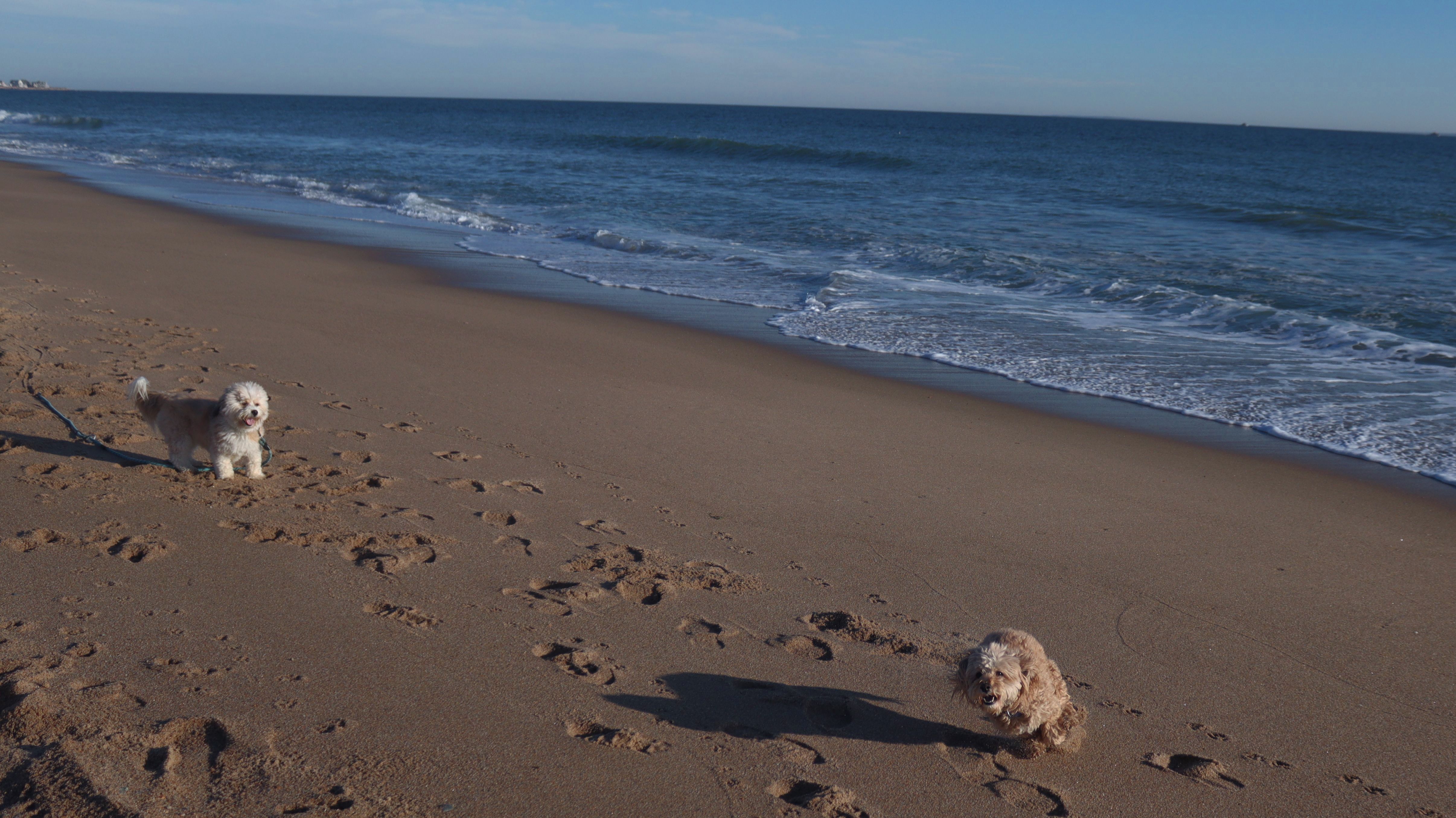
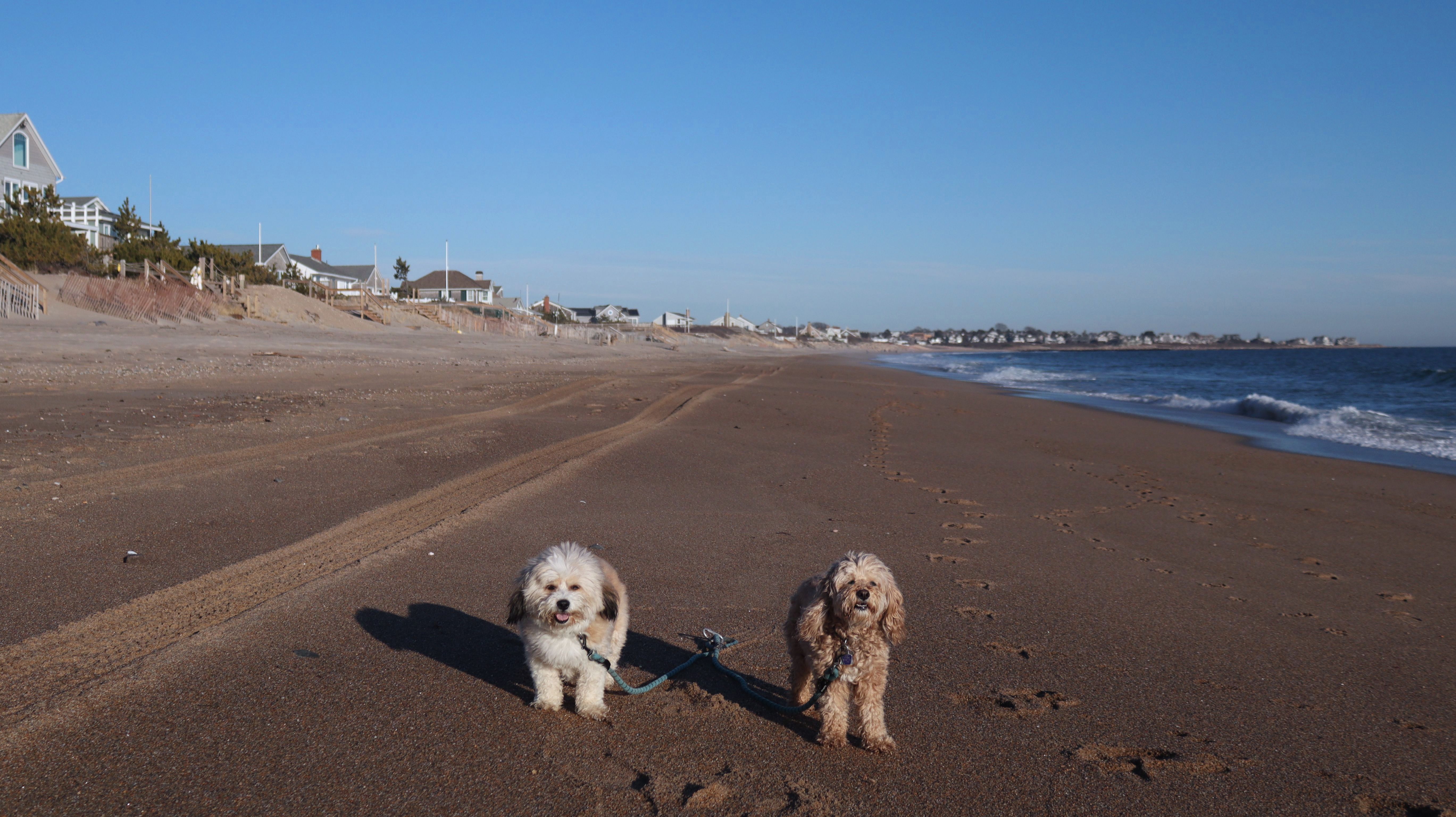
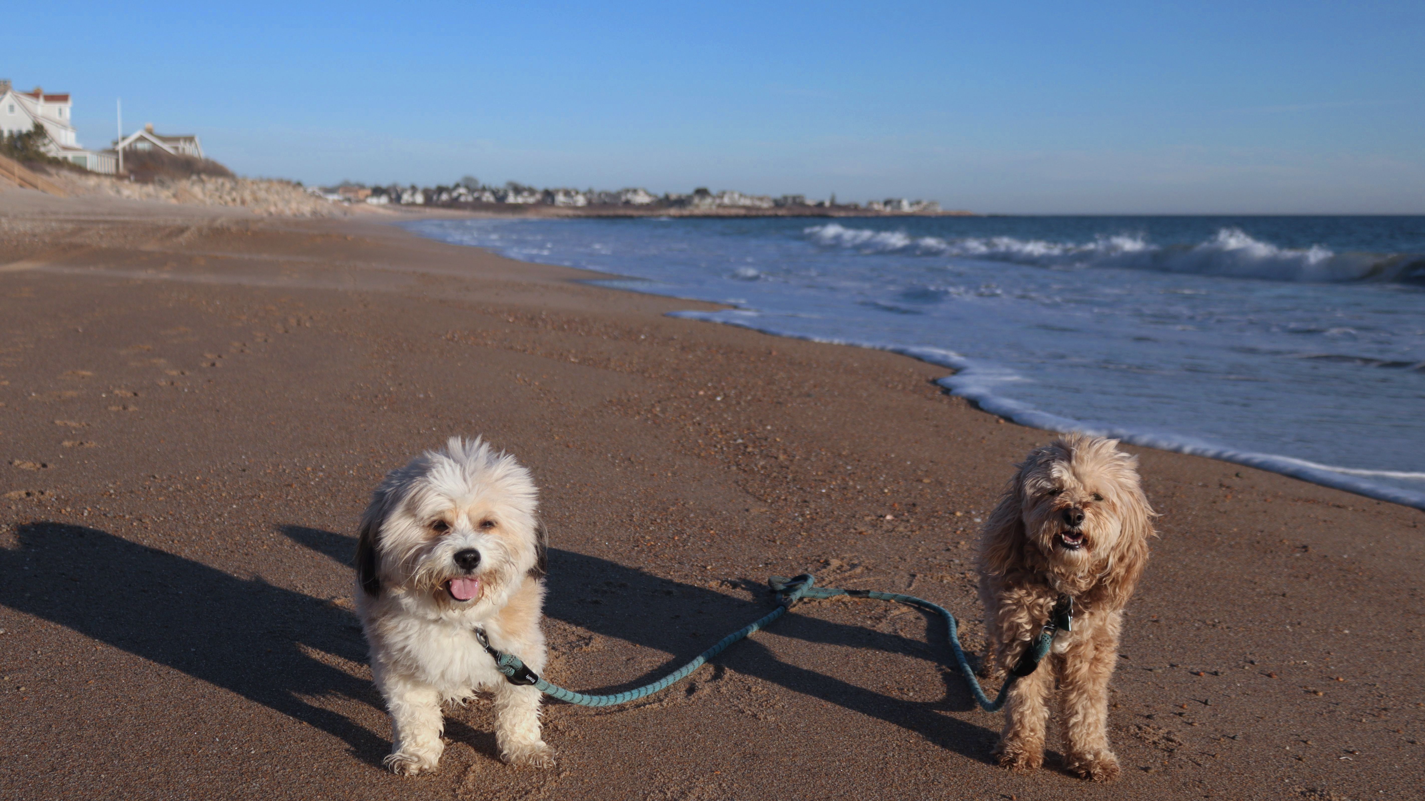
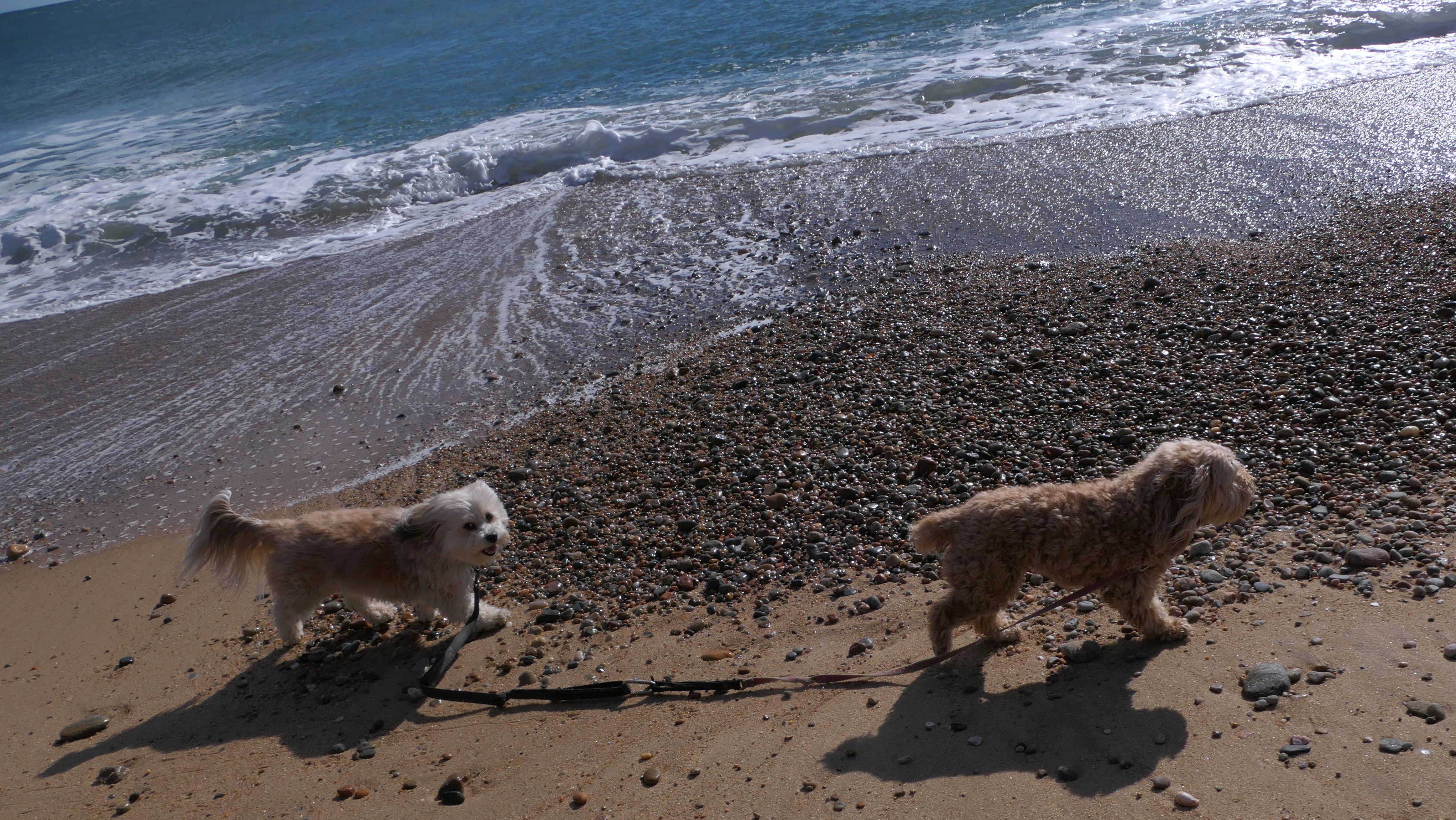
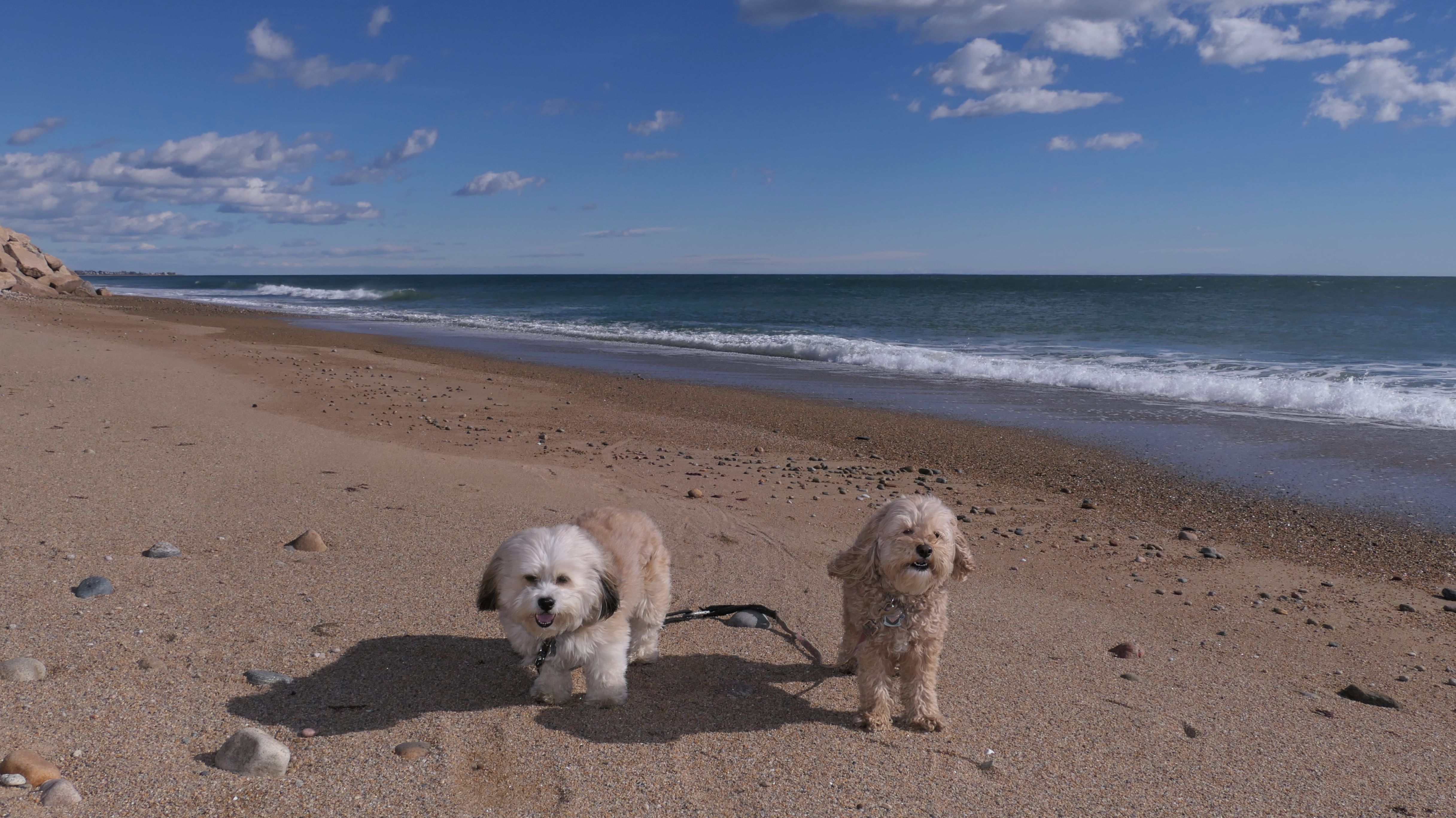
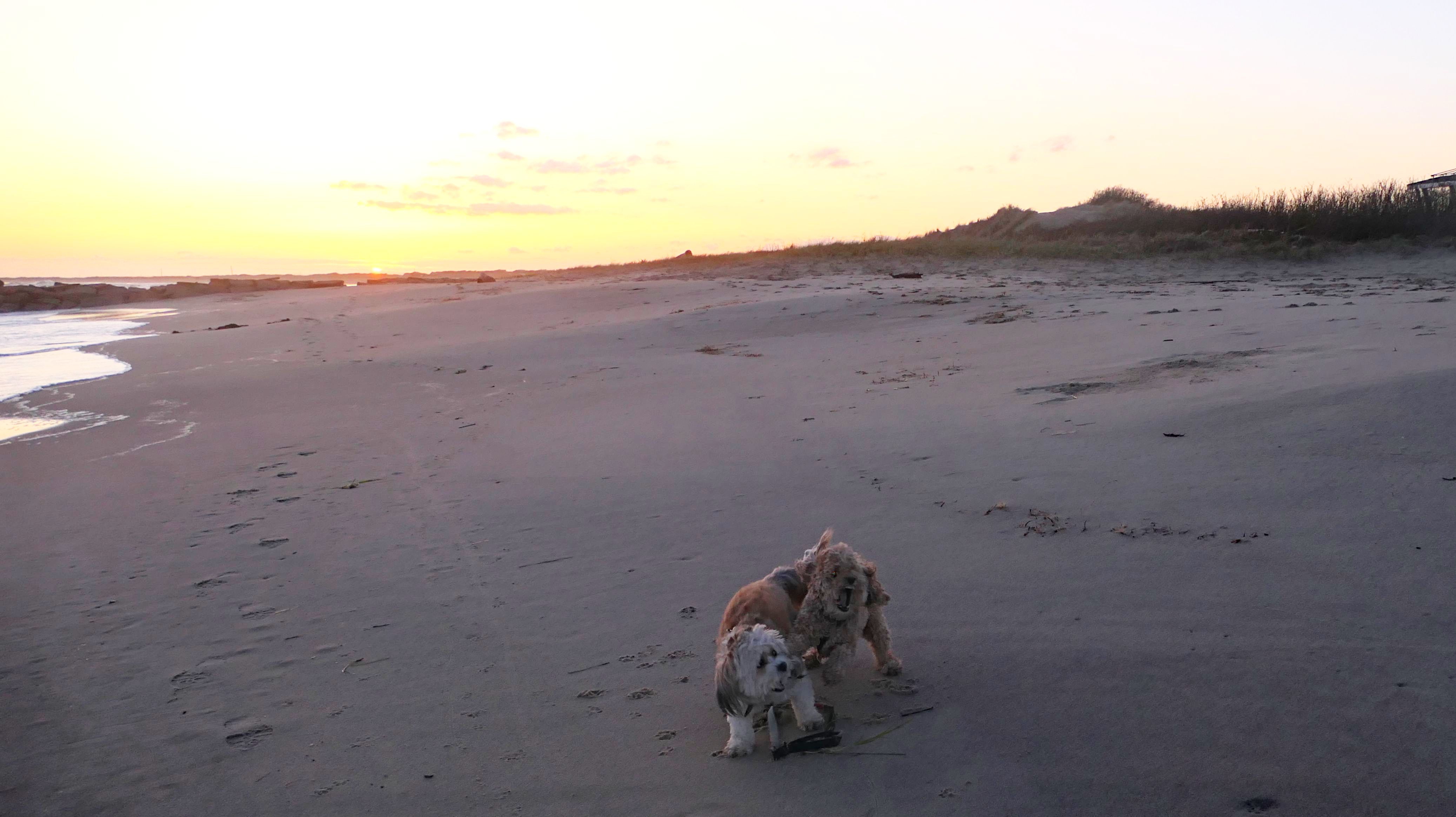
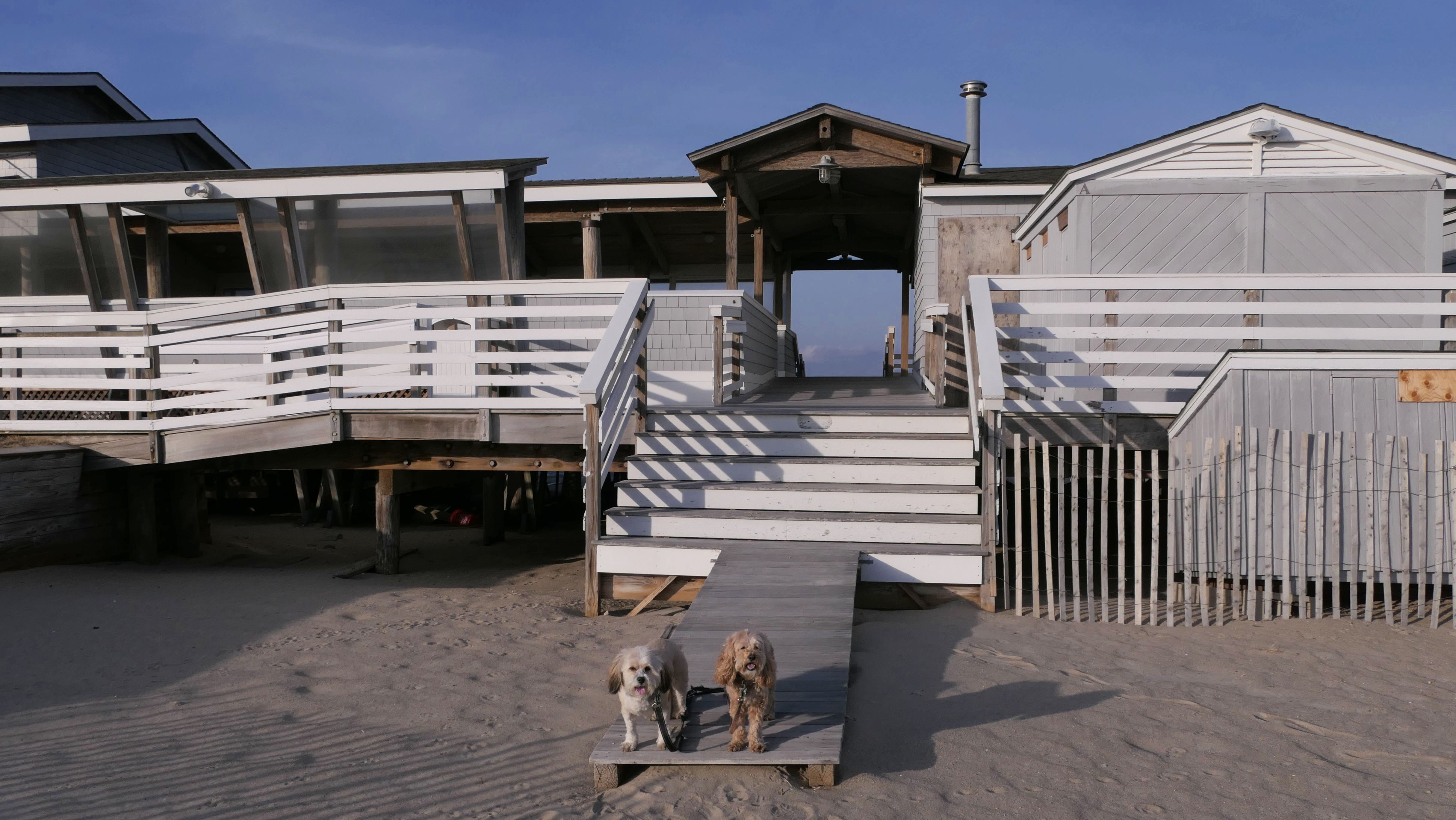
Date visited: 12/29/2020
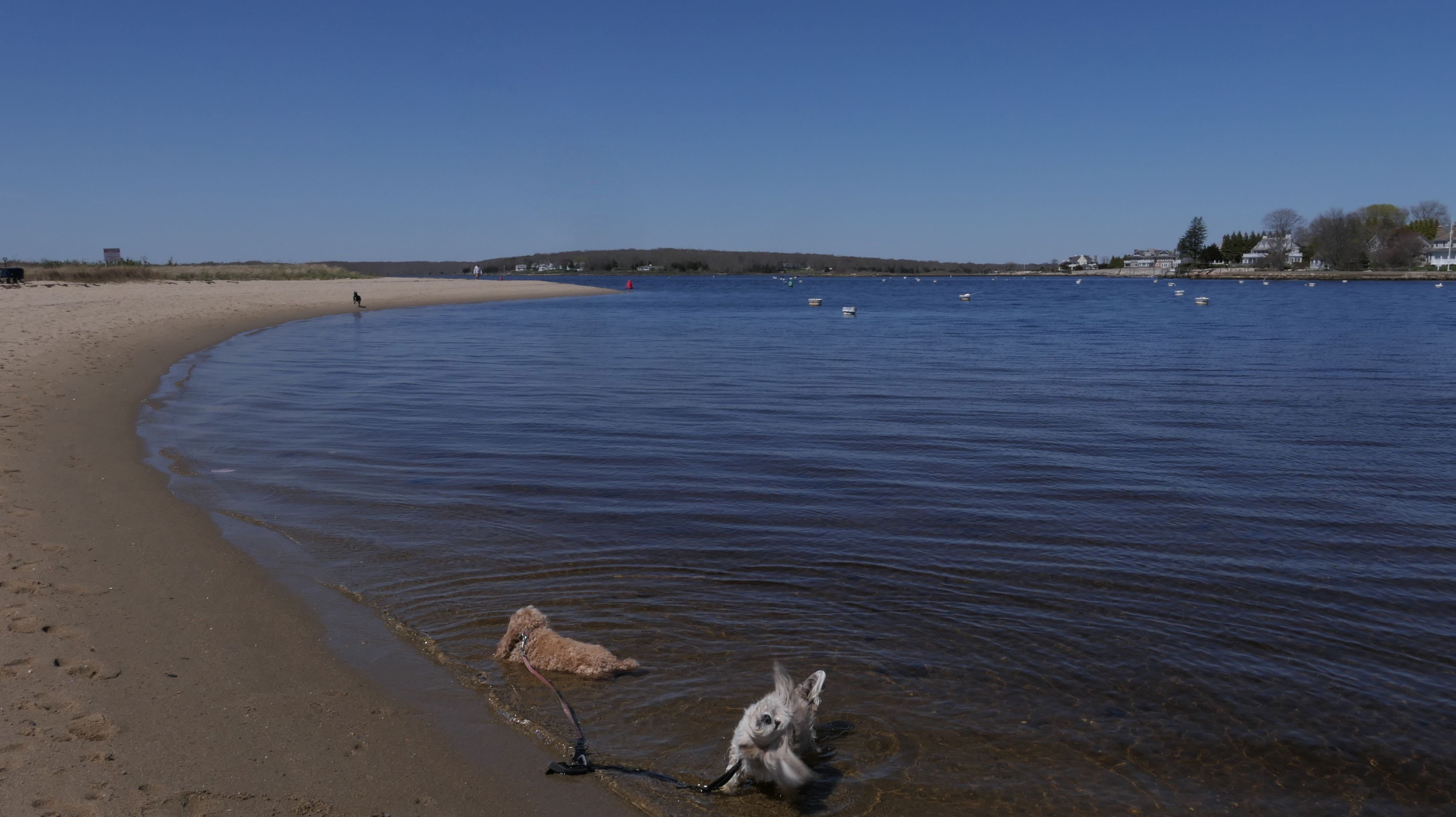
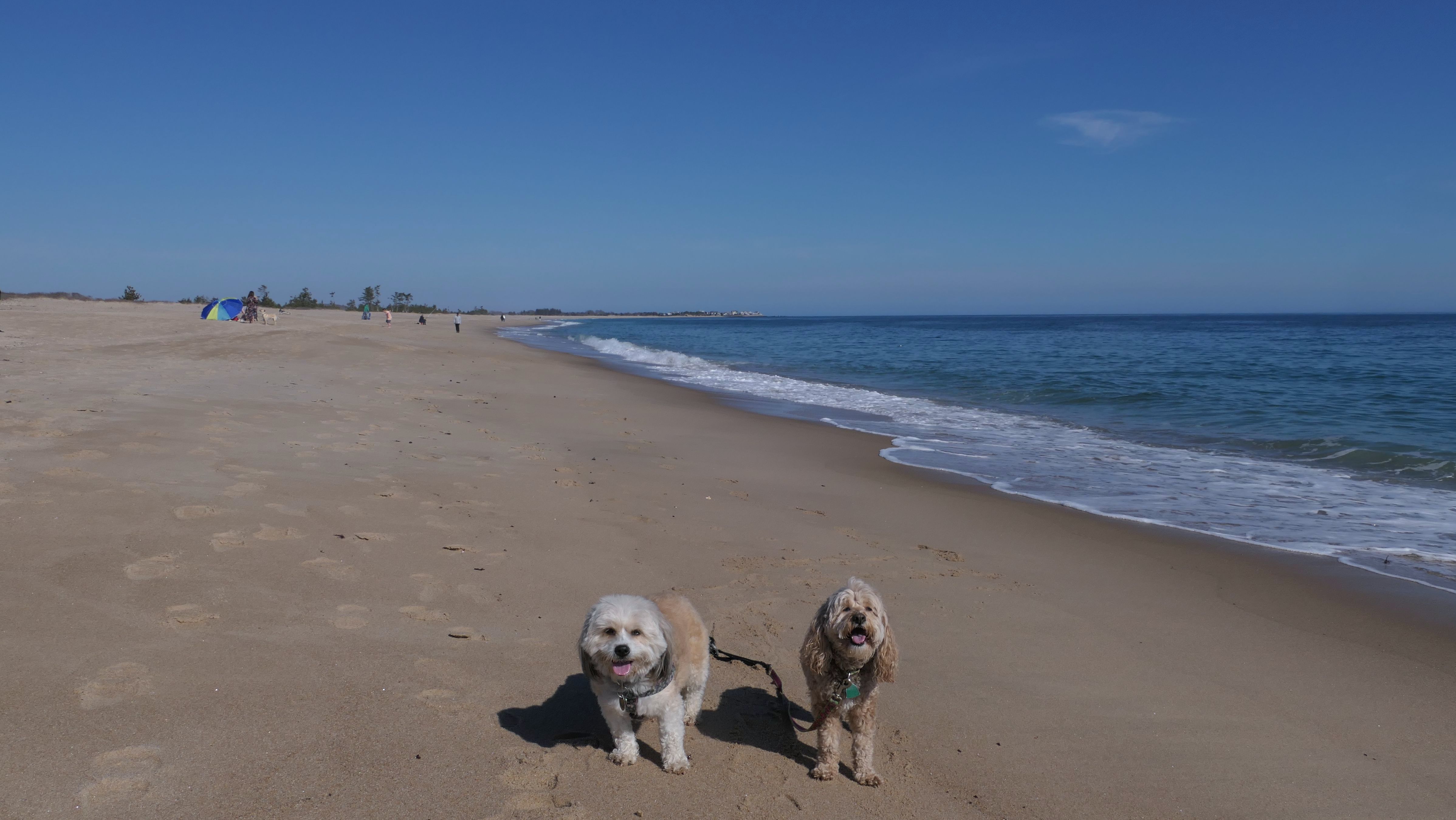
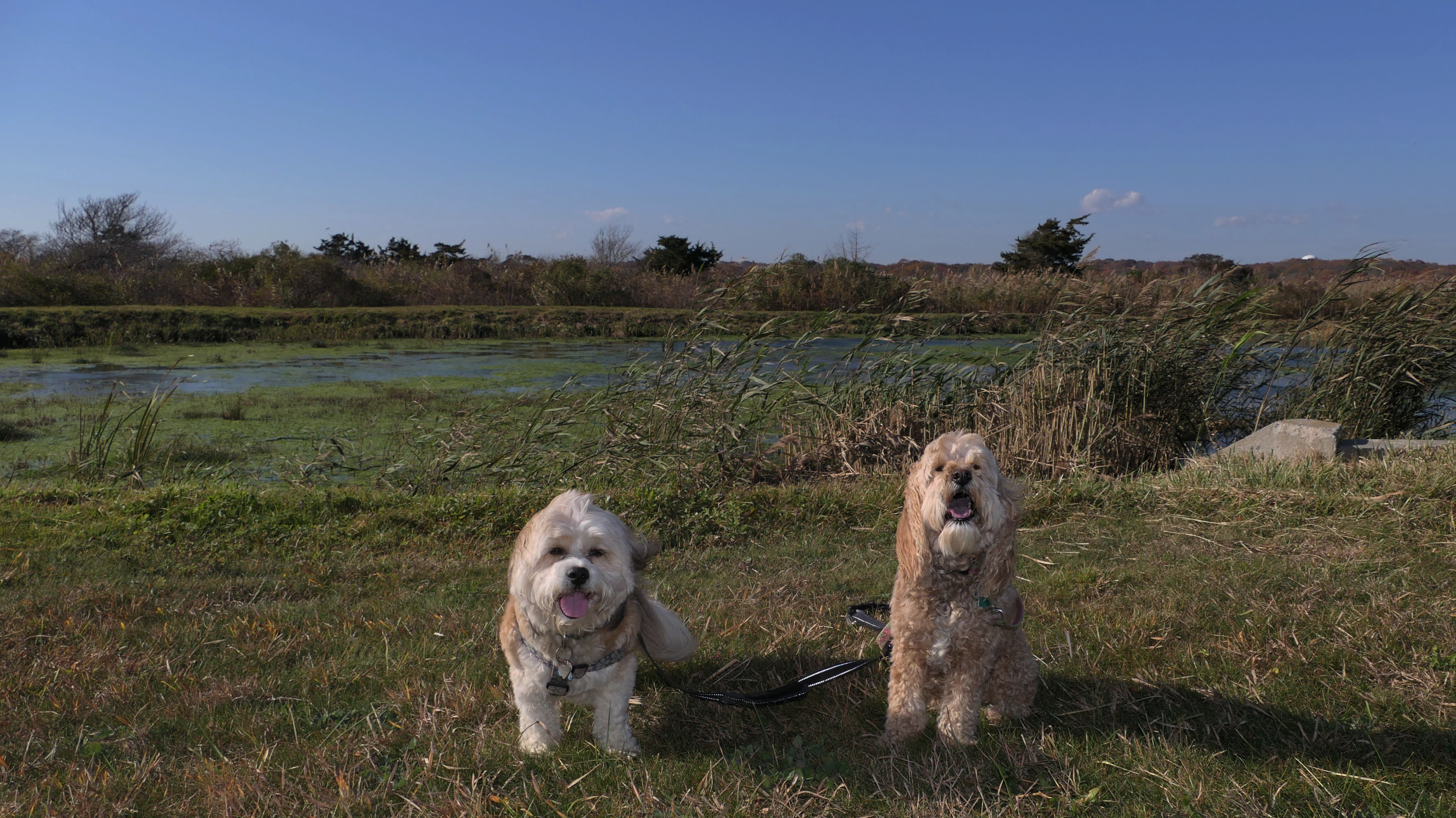
This was a cold and windy day at the beach. We walked the loop around the beach. We got two thirds of the way through the loop, and came to a point where we either had to pass through an inlet, or turn around and go back. Keep in mind, it was about 30 degrees and windy, so naturally we walked through the inlet. The dogs didn't seem to care. I was wearing sneakers, but fortunately had wool socks that kept my feet from freezing. The first picture below is one of my all time favorite pictures I've taken of the dogs.

More Images


Napatree Point Conservation Area
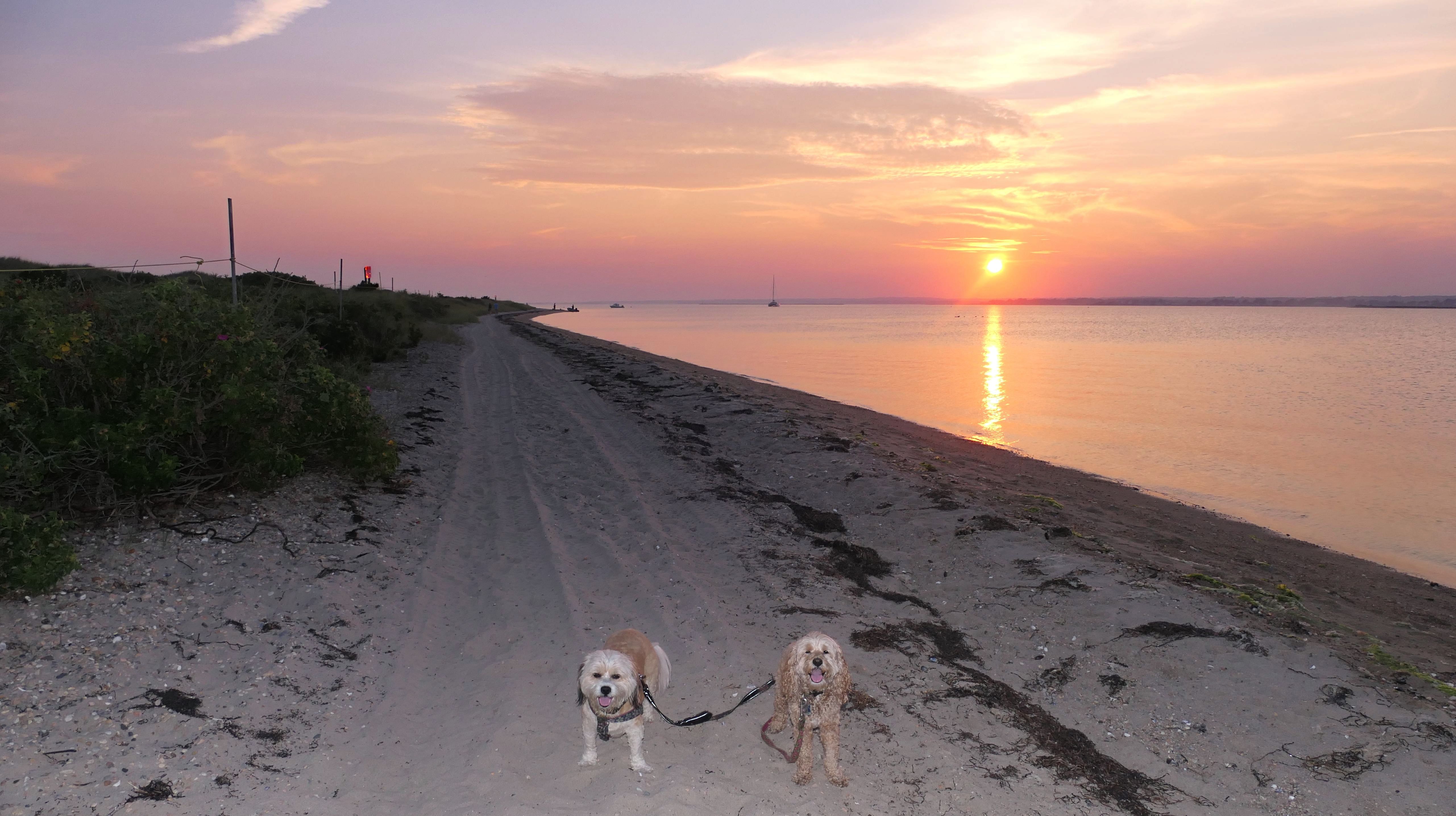
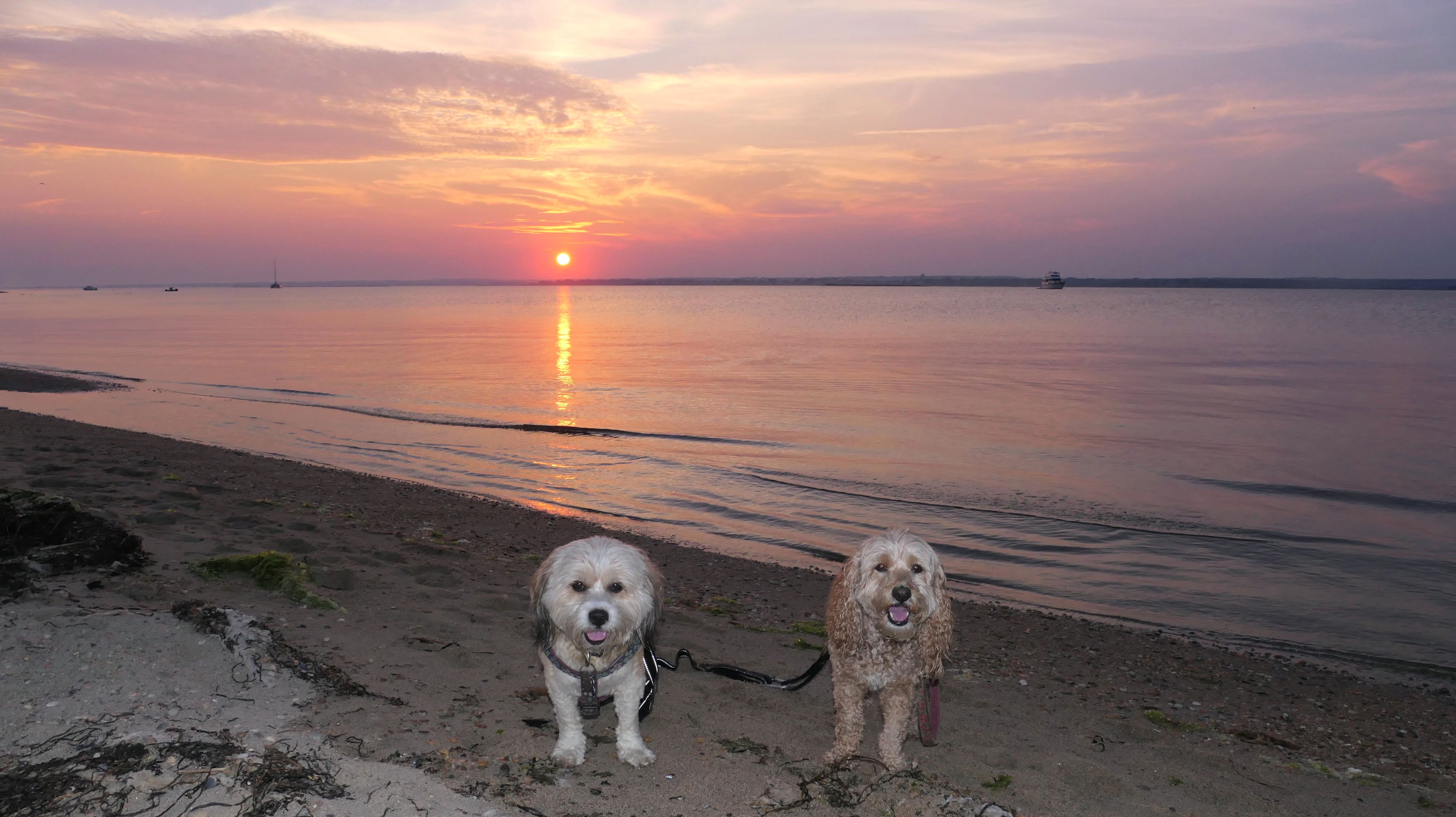
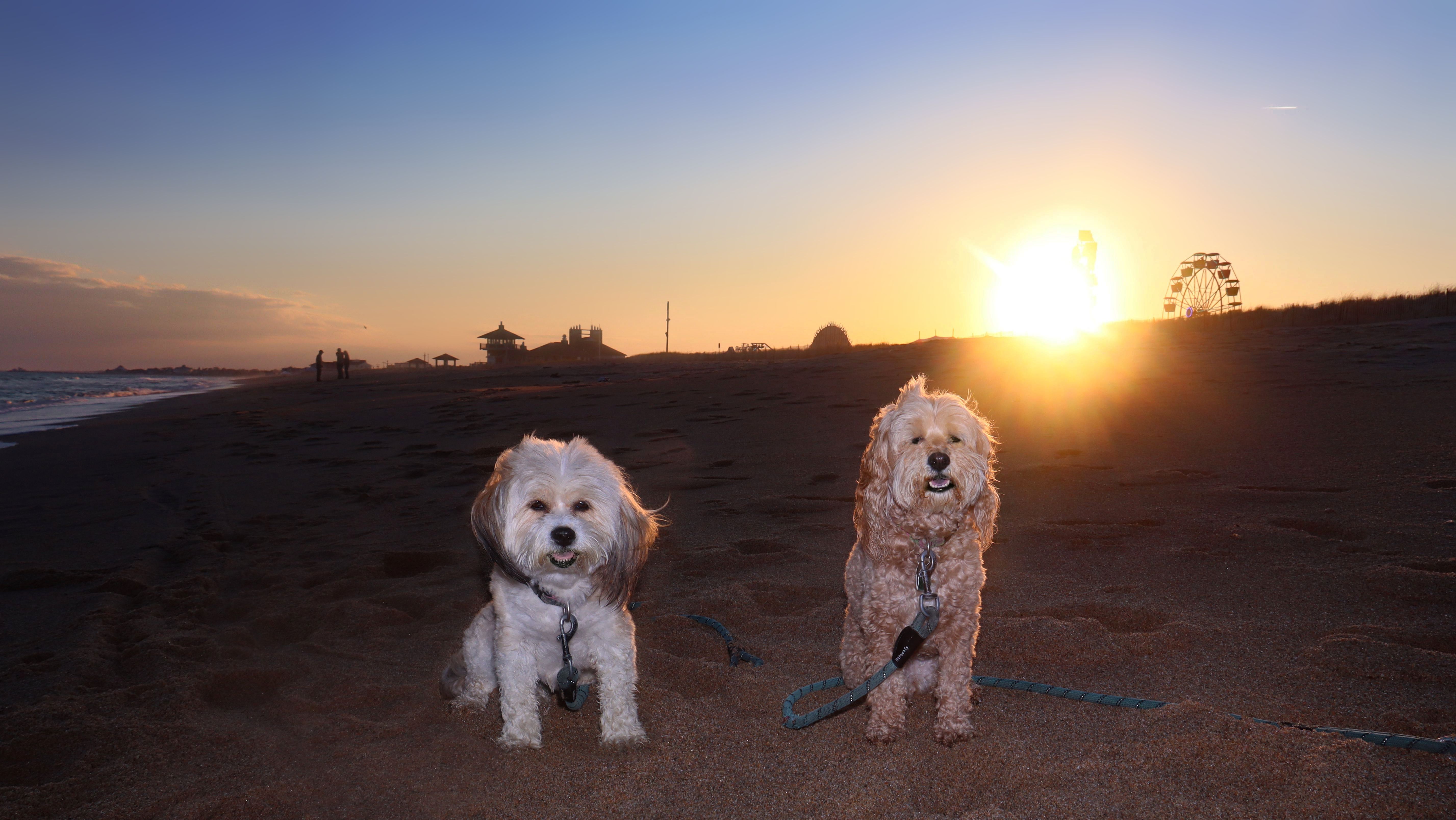
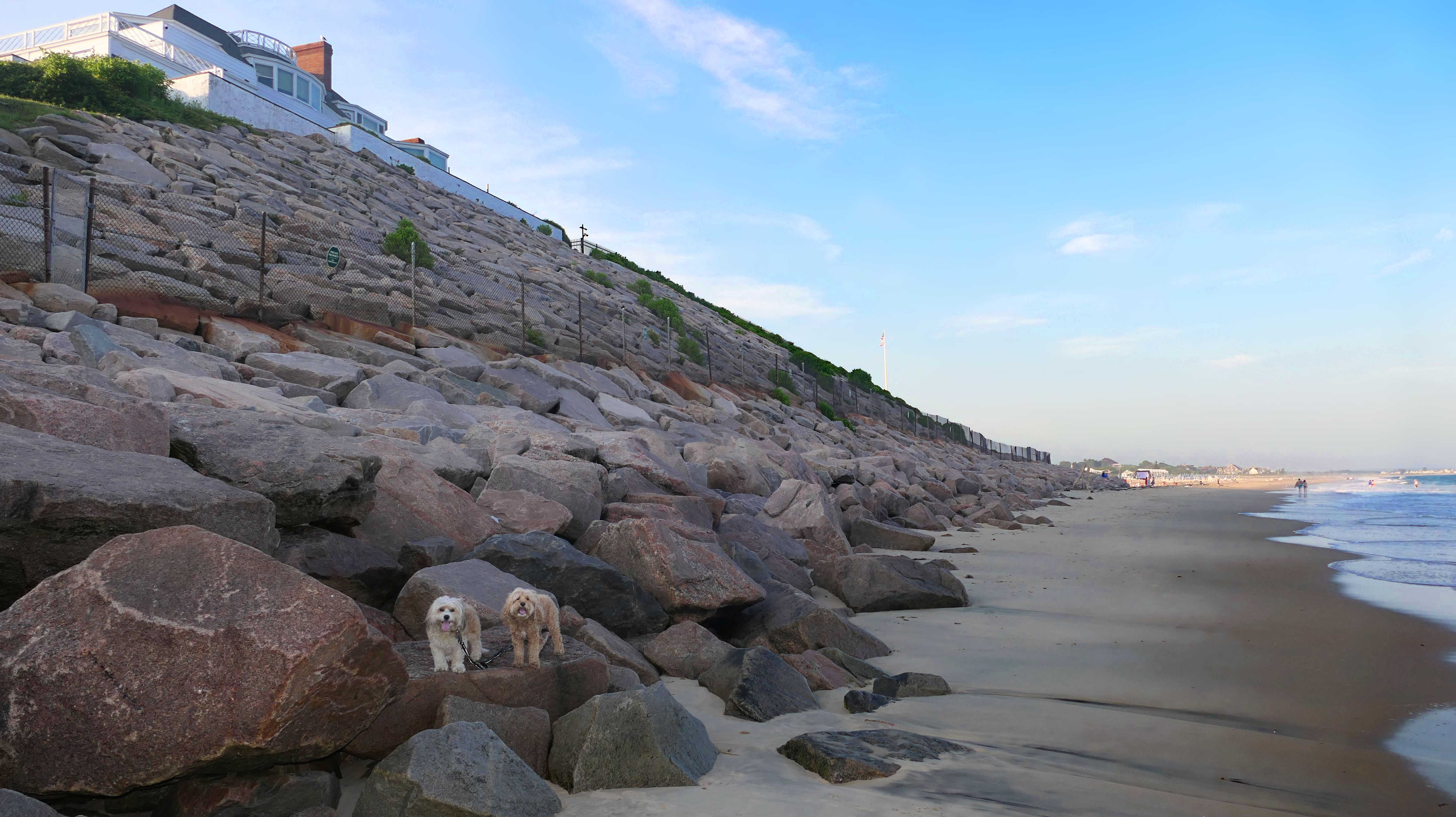
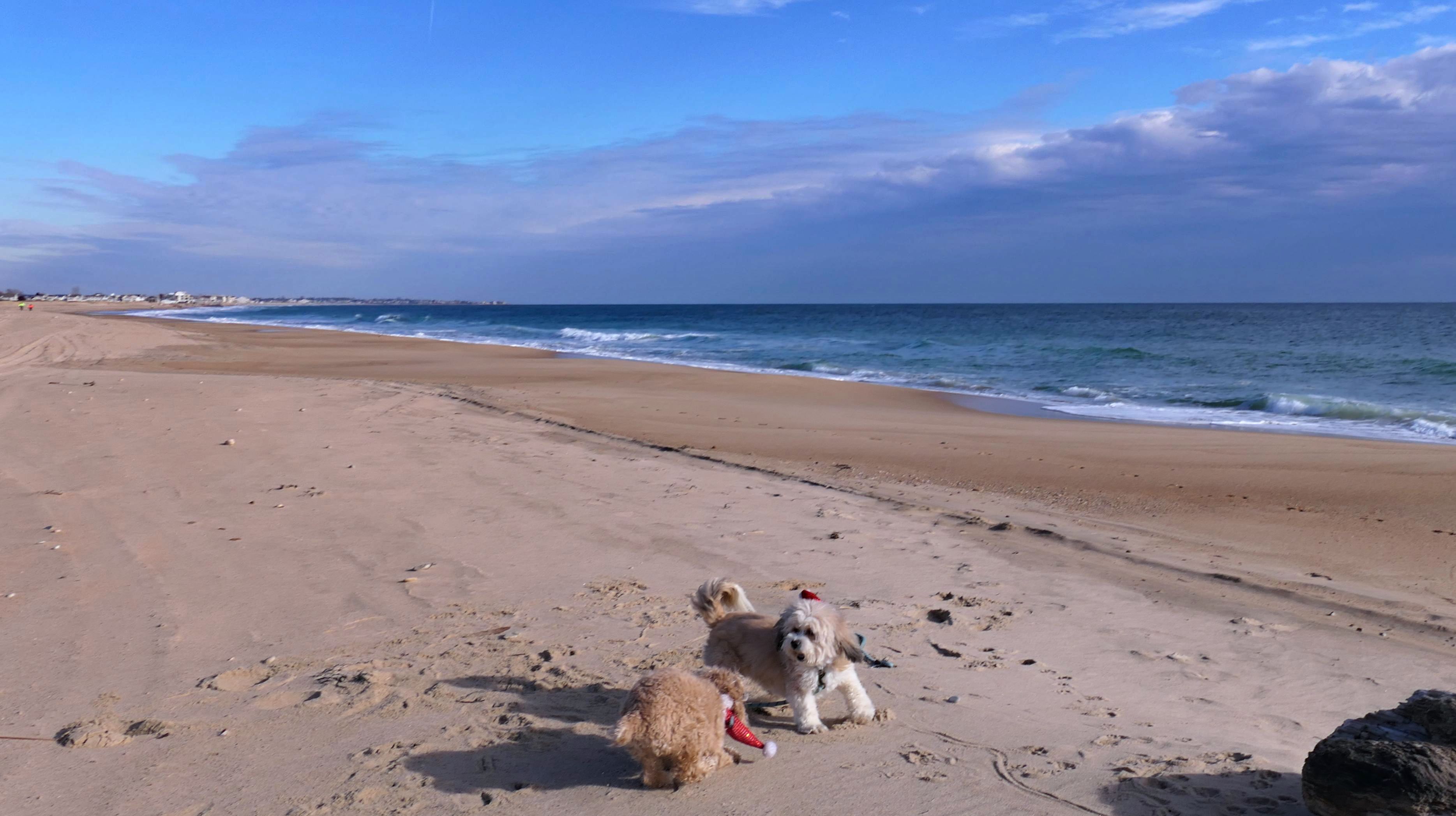
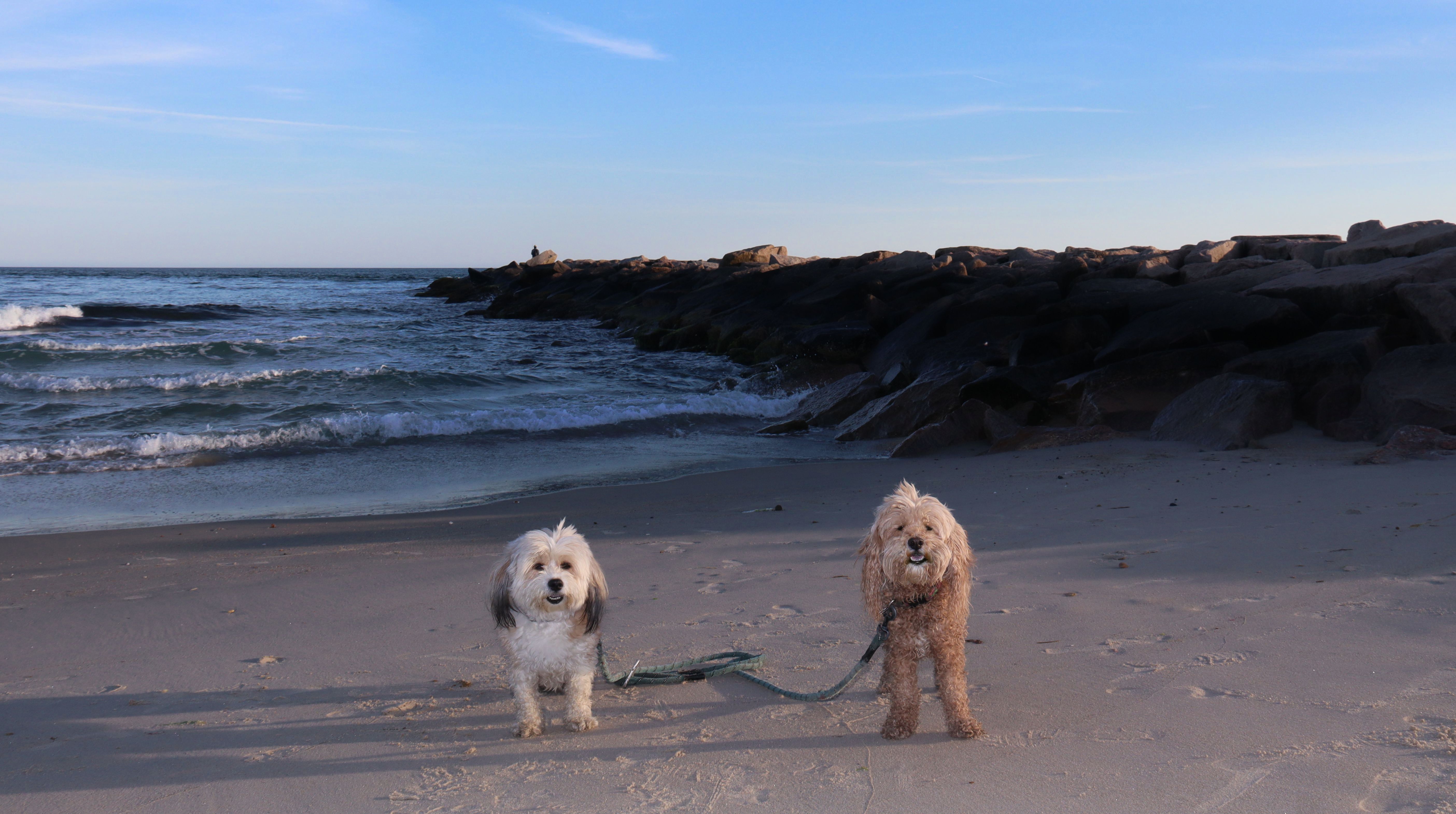
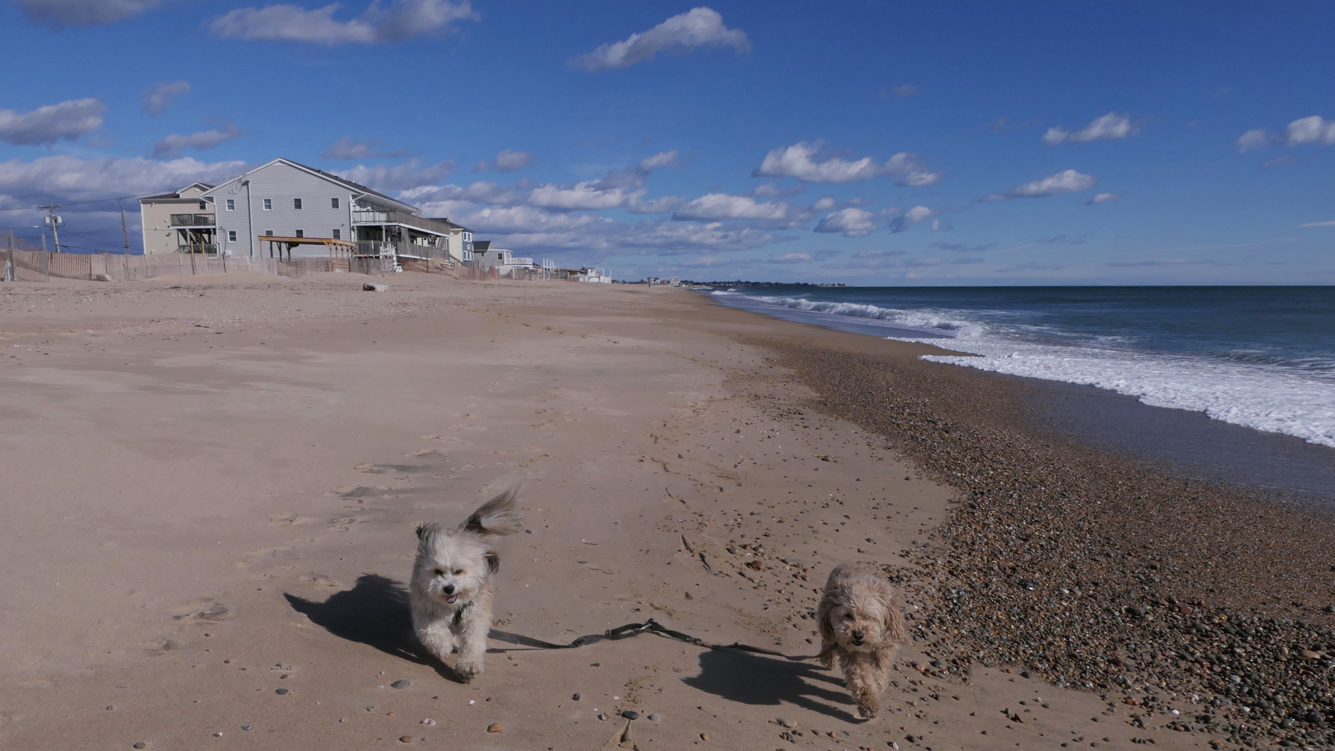
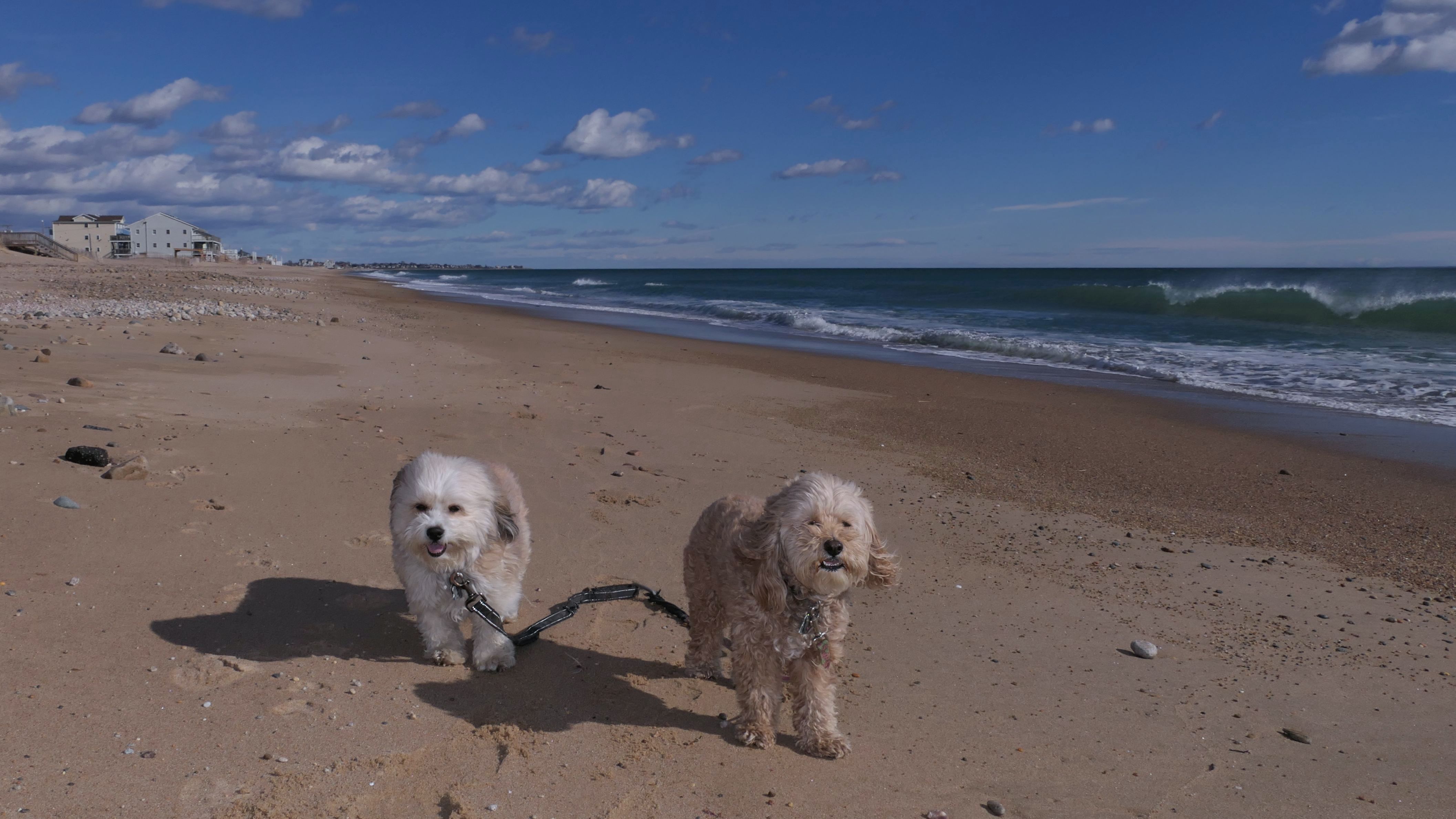
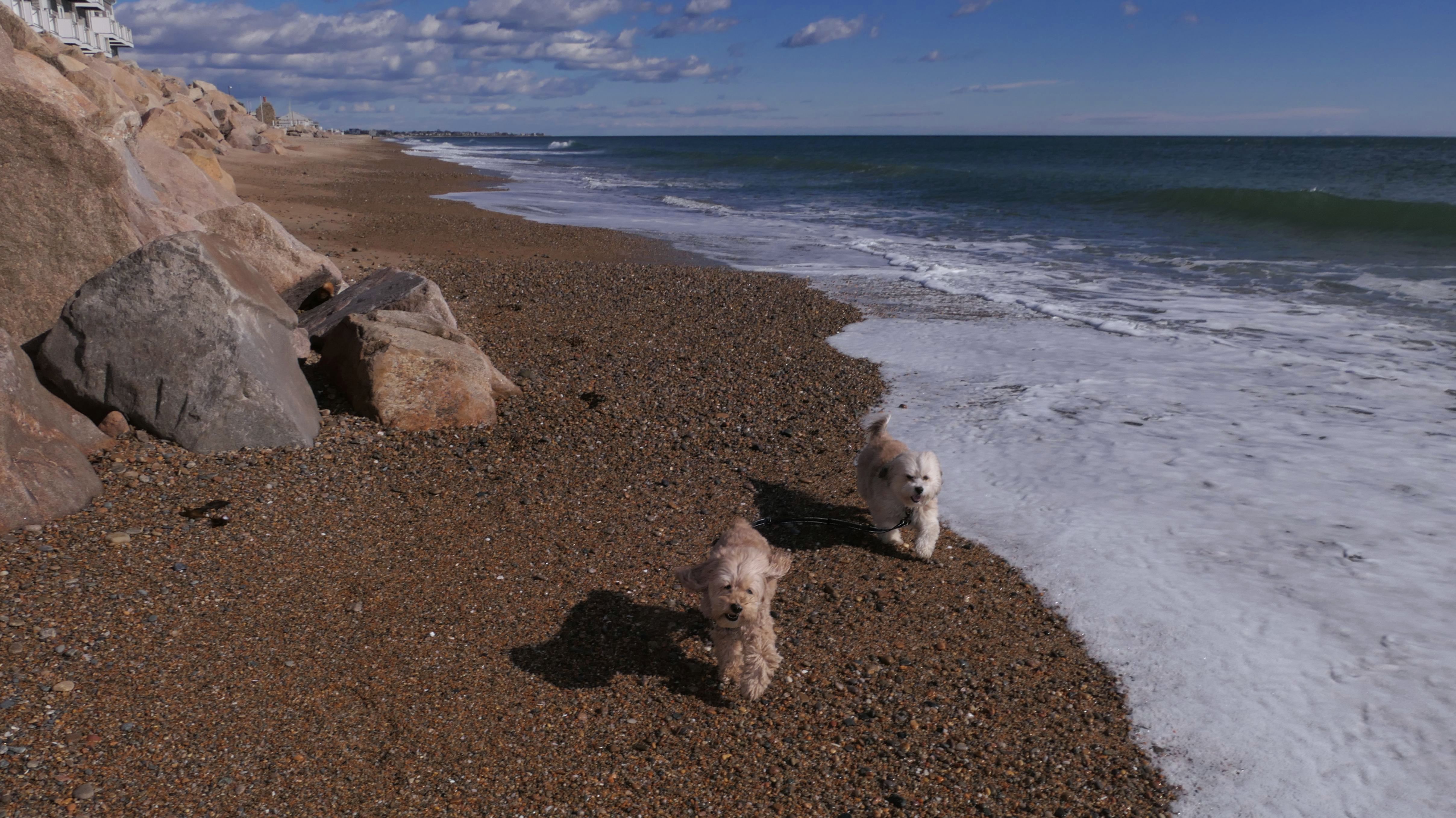
Dates visited: 8/31/2022
It was much warmer for our second visit, 20 months later. We came after our trip to Avondale Farm Preserve. During the summer months, dogs are only allowed after 6PM and before 8AM. We arrived just before sunset. We didn't walk the entire loop this time, we only walked about a mile up the beach. It was nice watching the sunset on the beach.

More Images


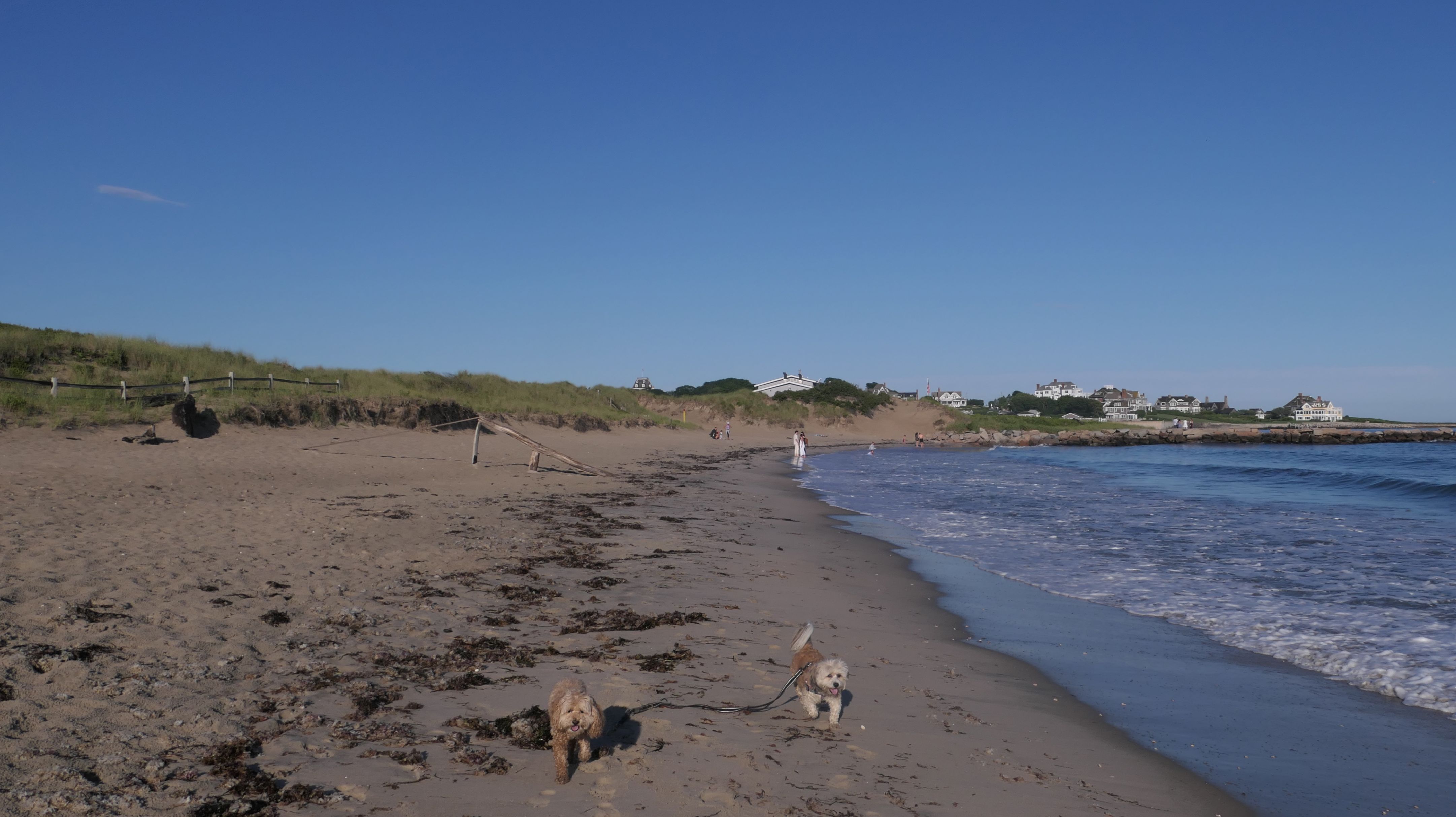
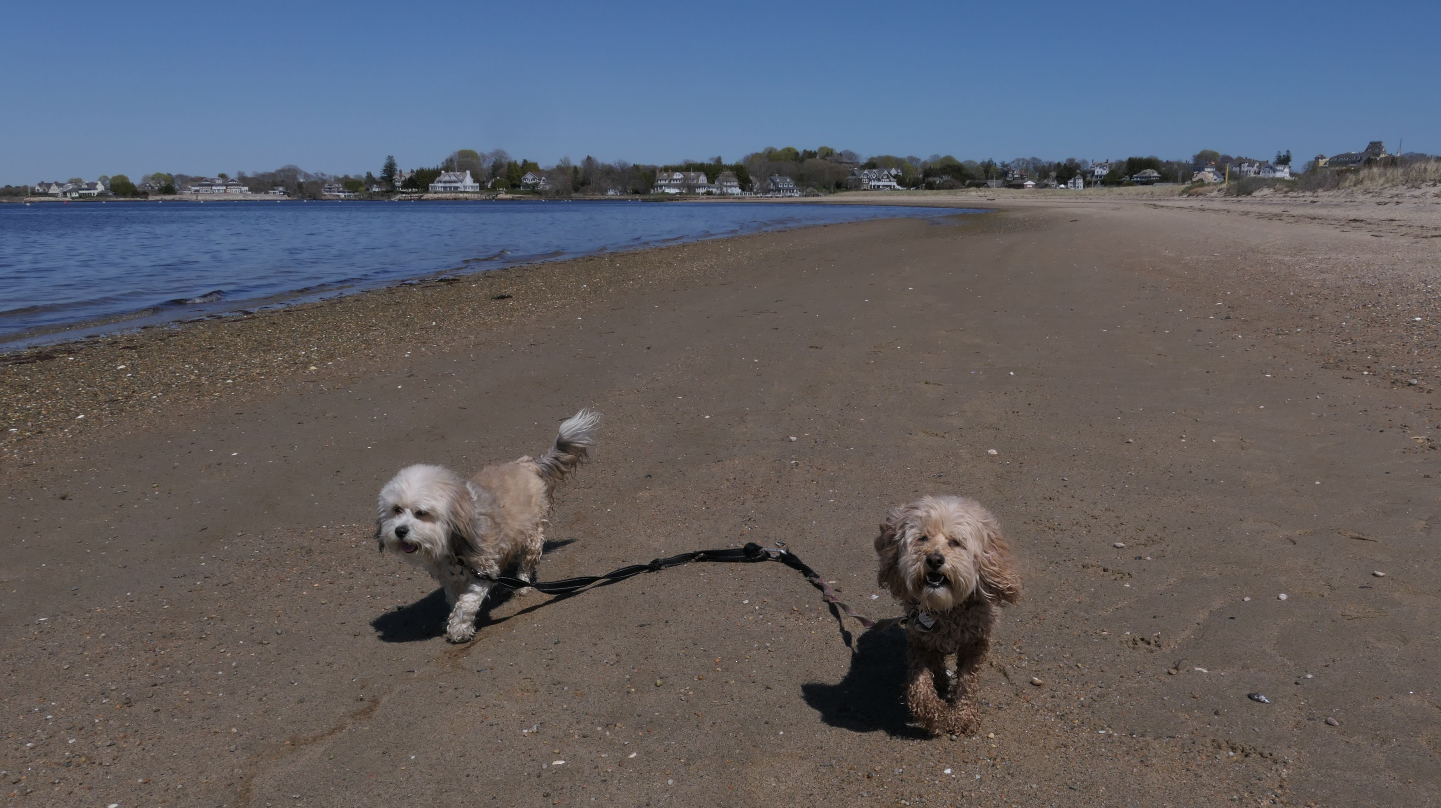
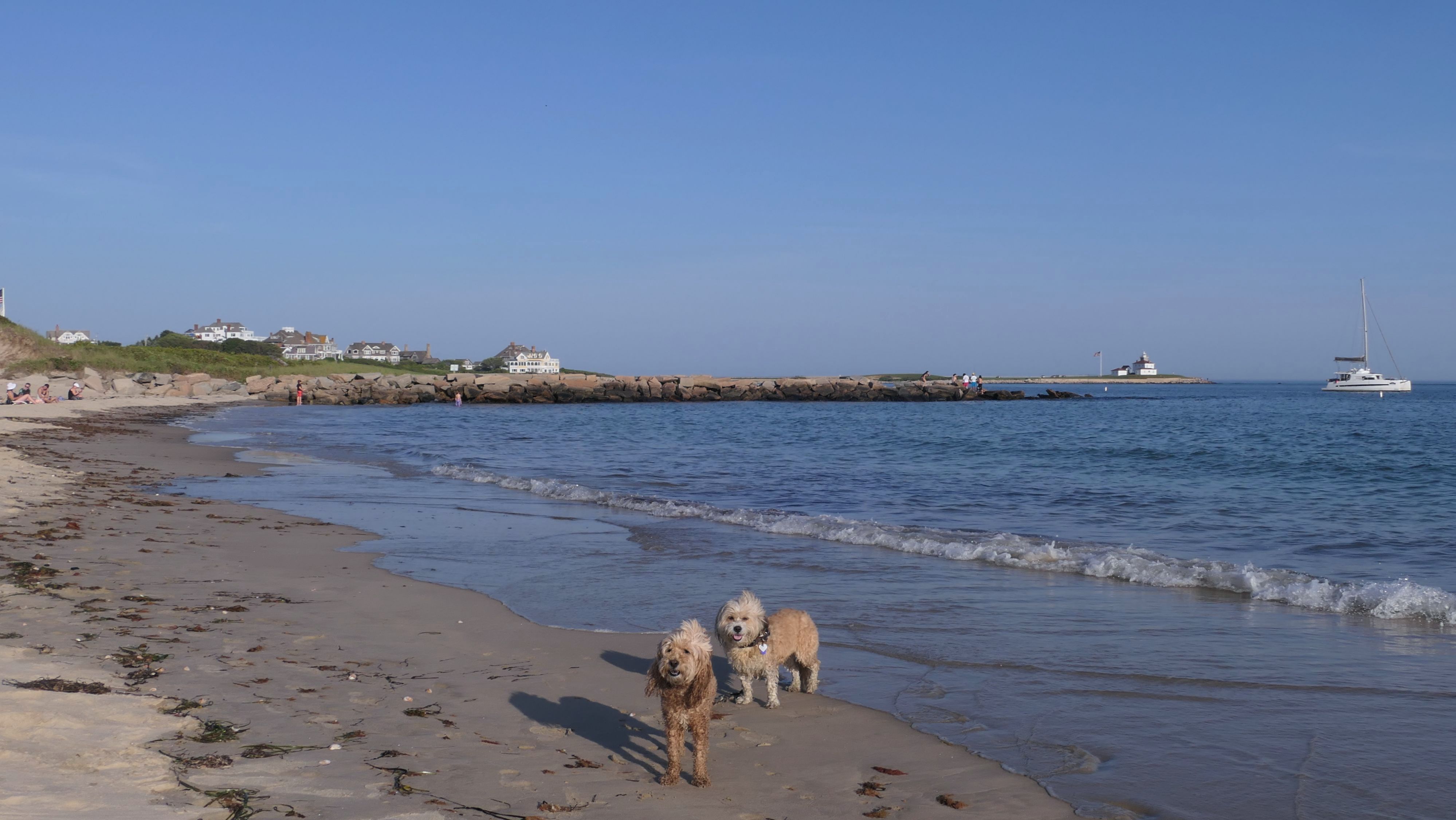
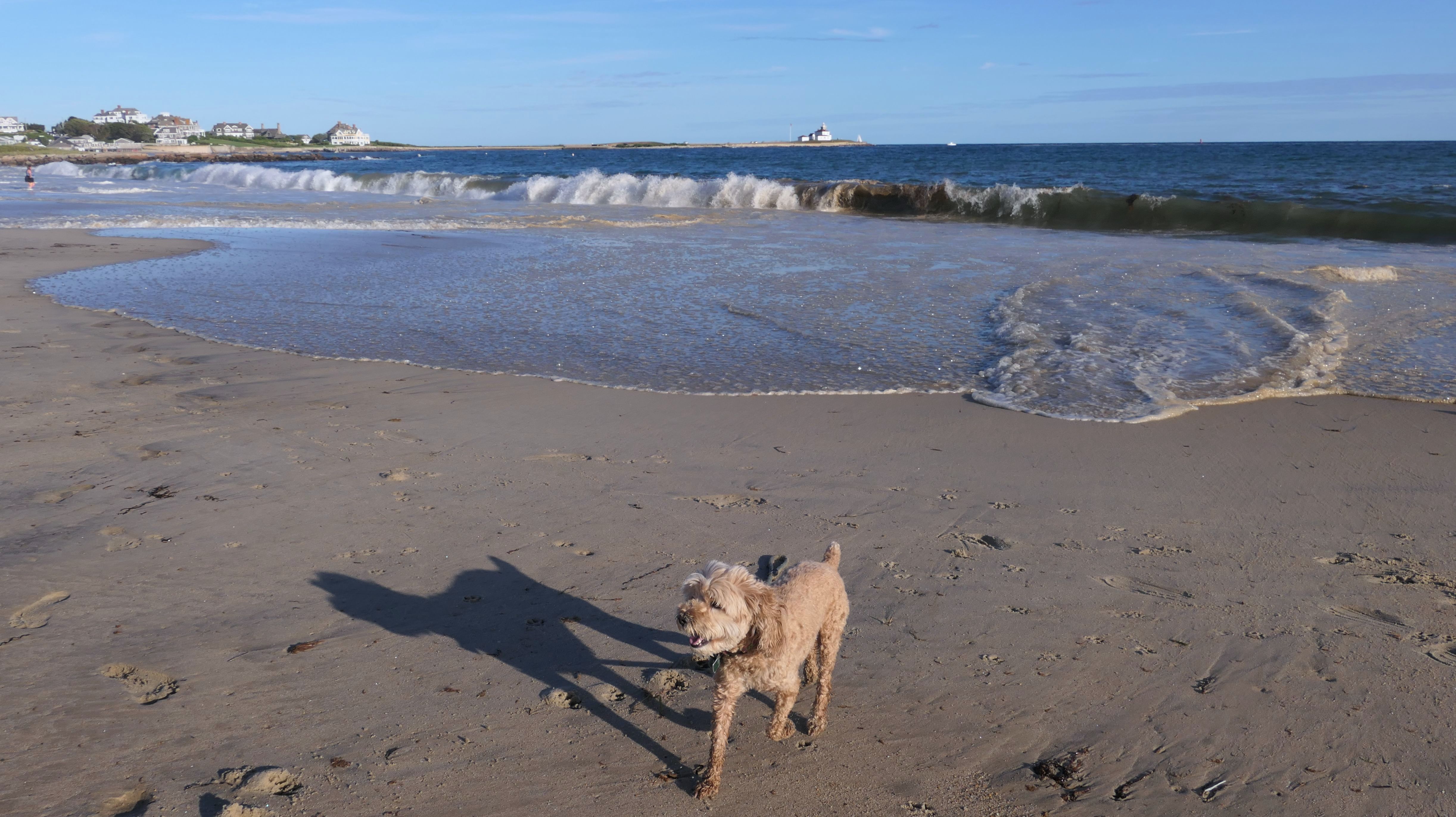
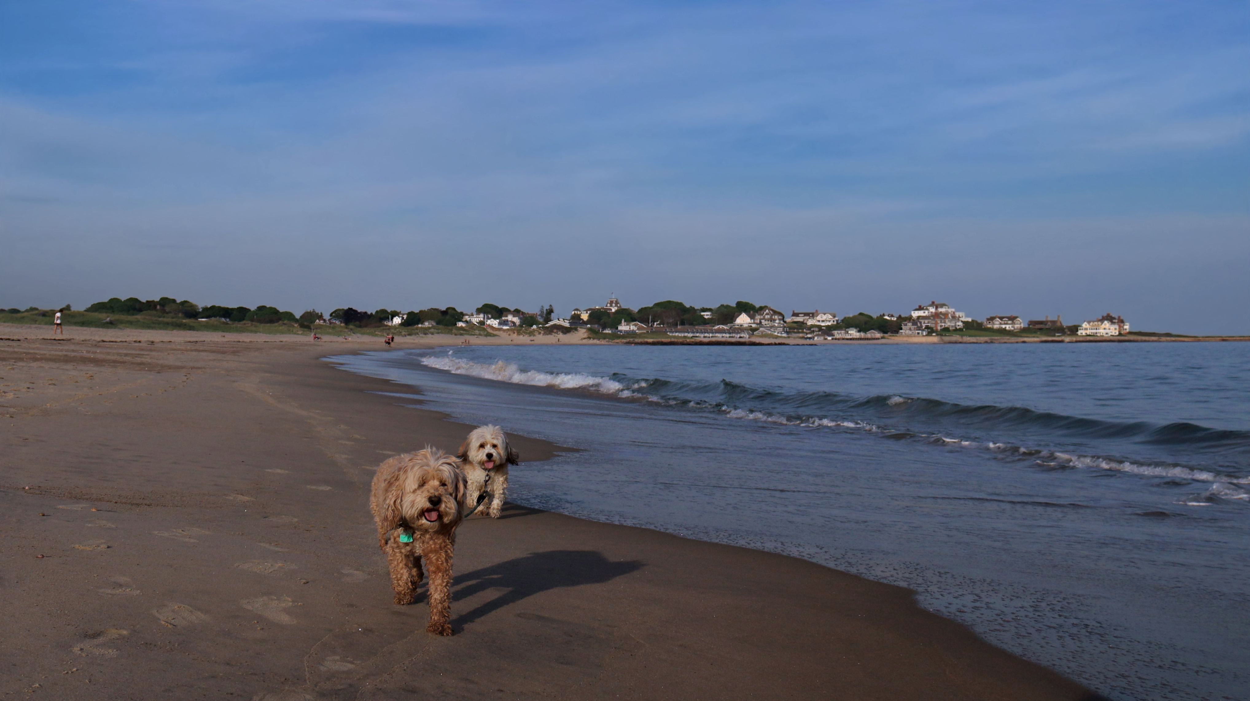
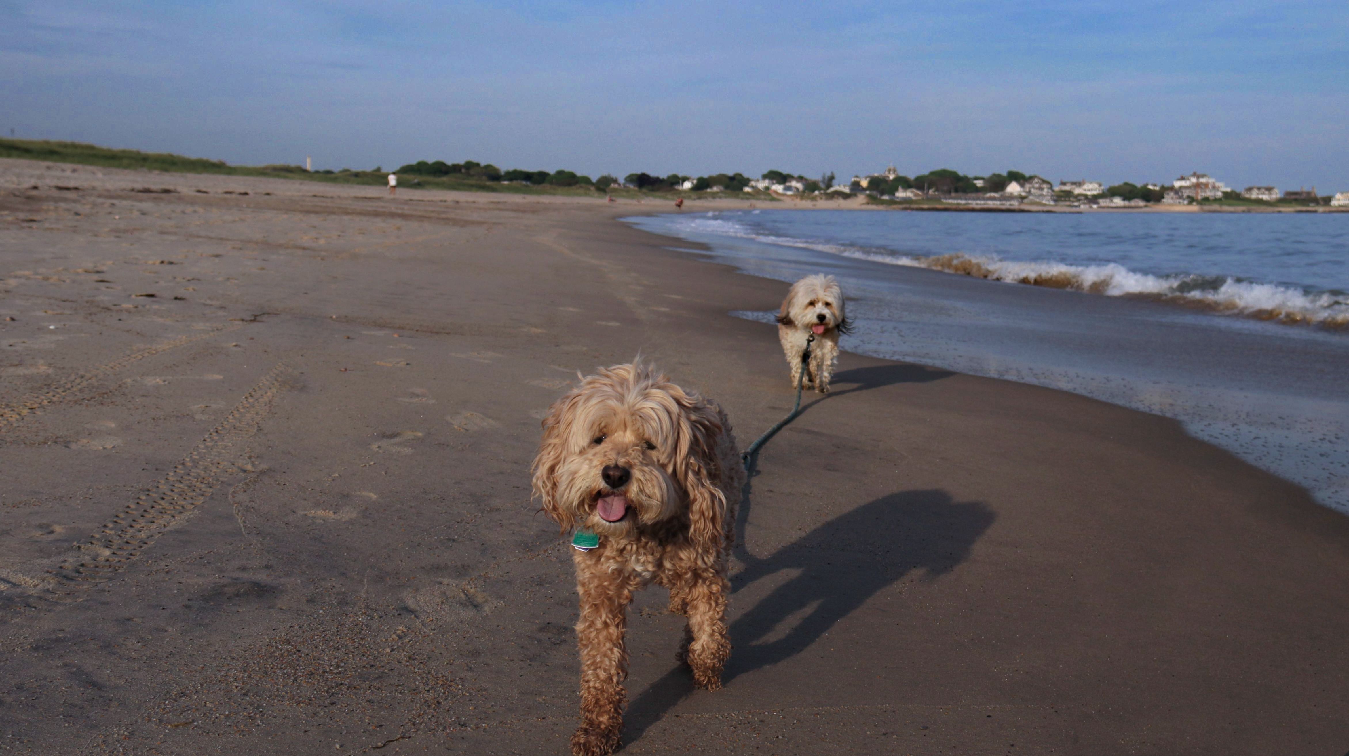
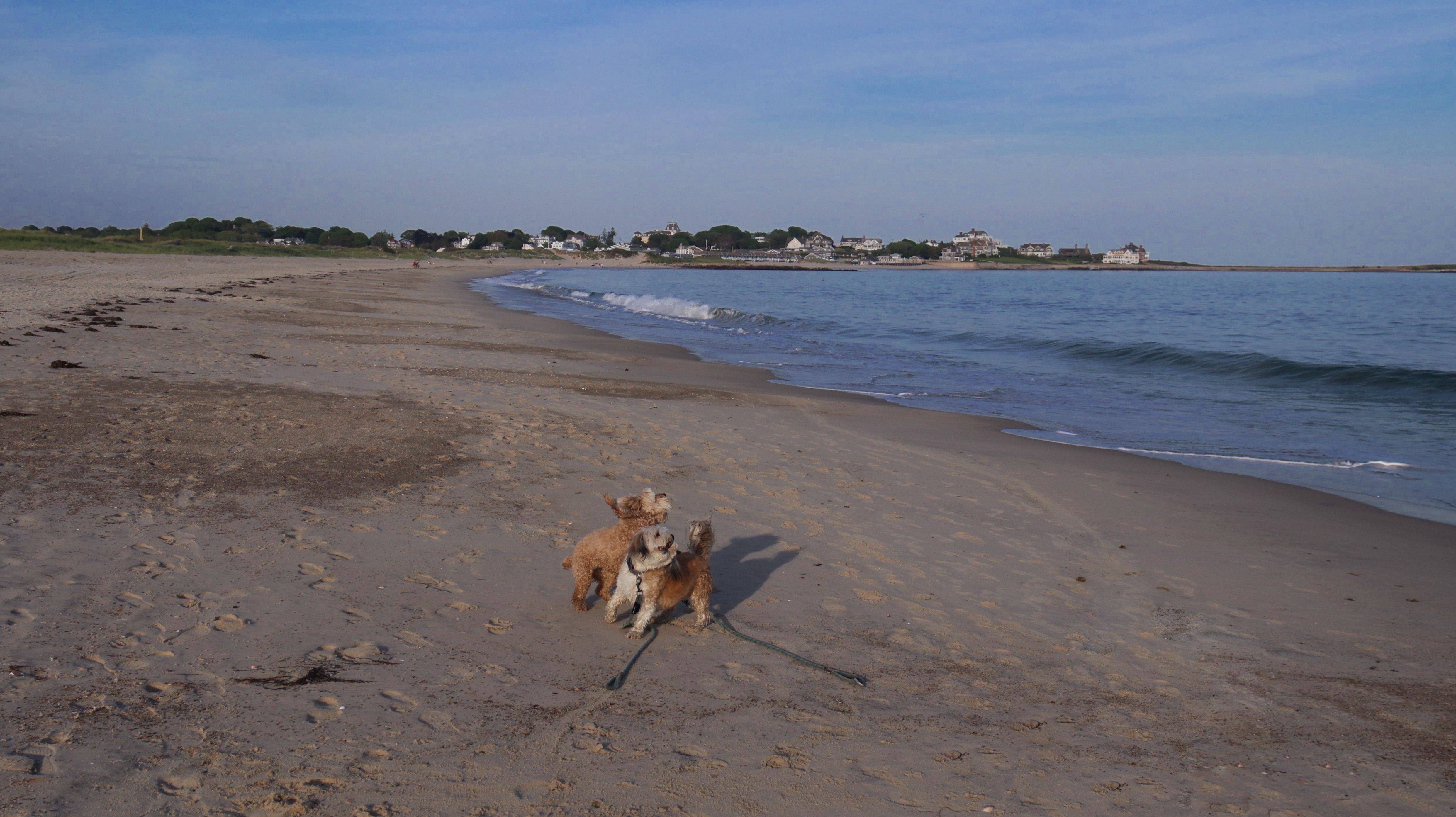
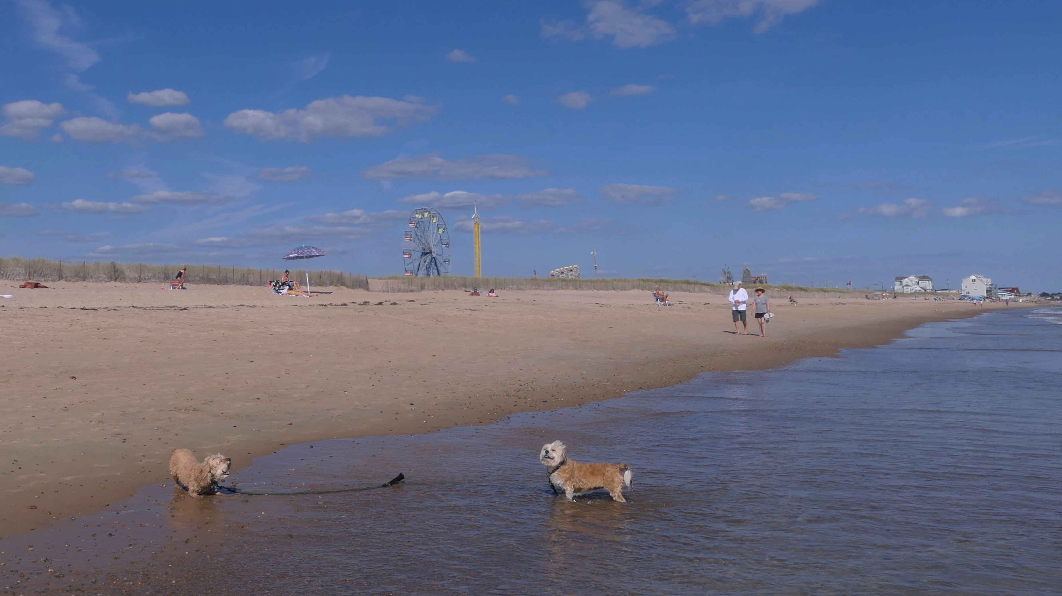
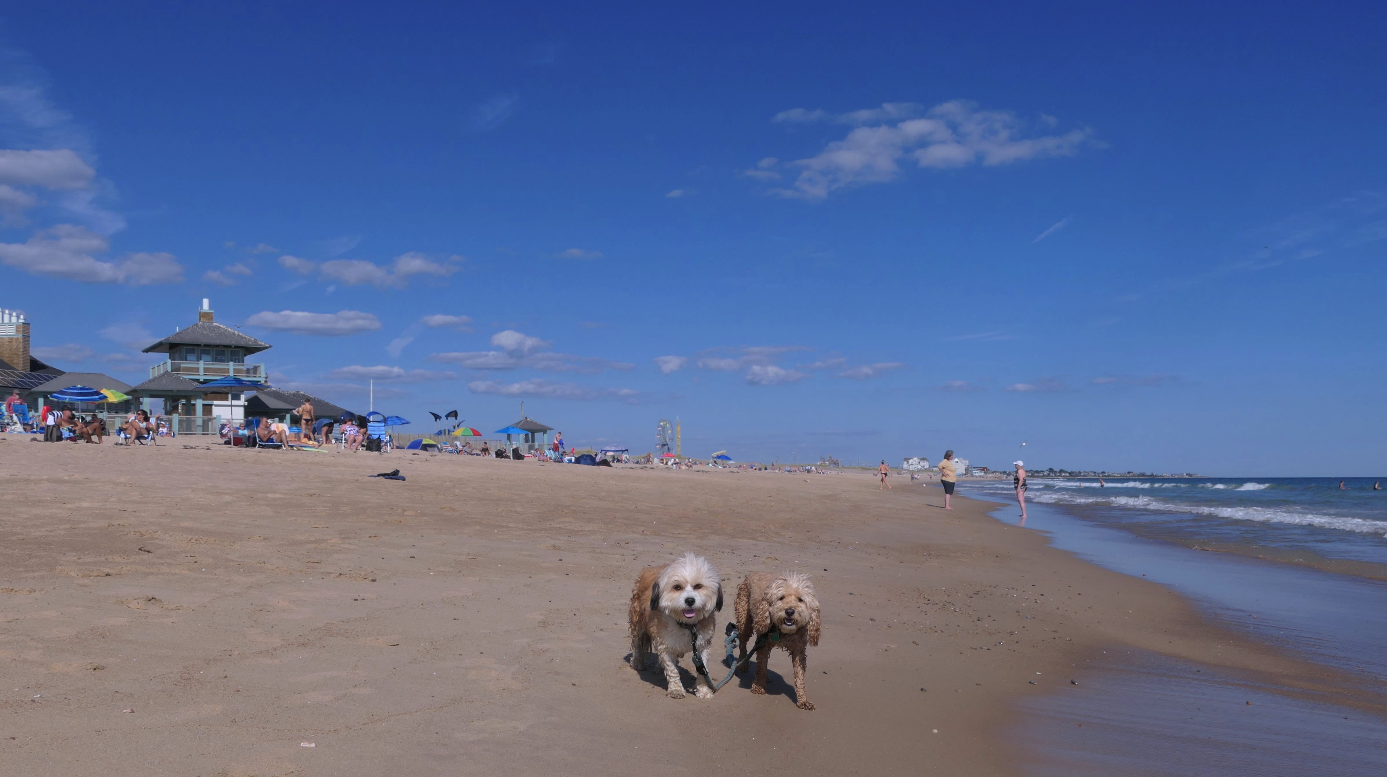
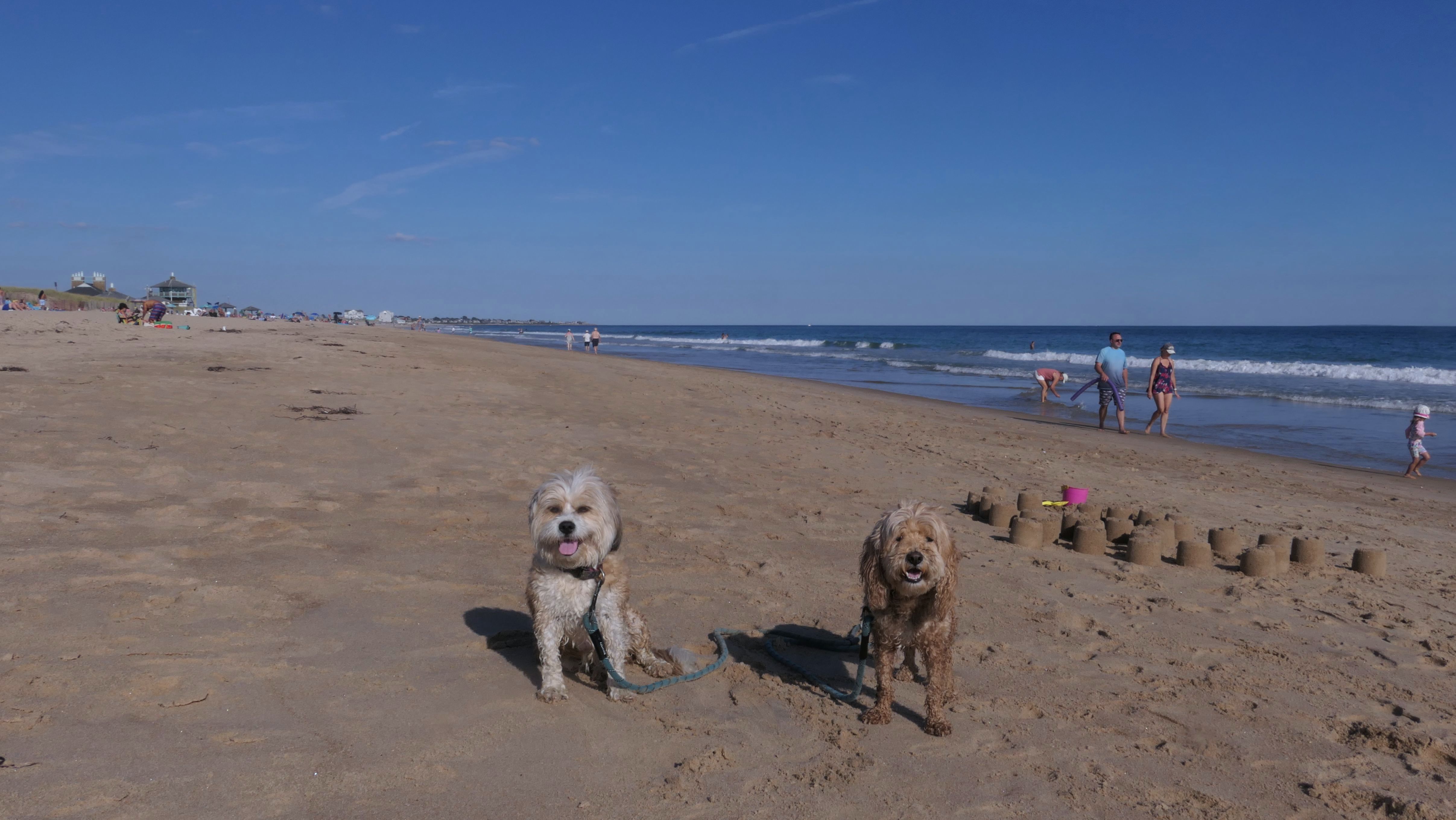
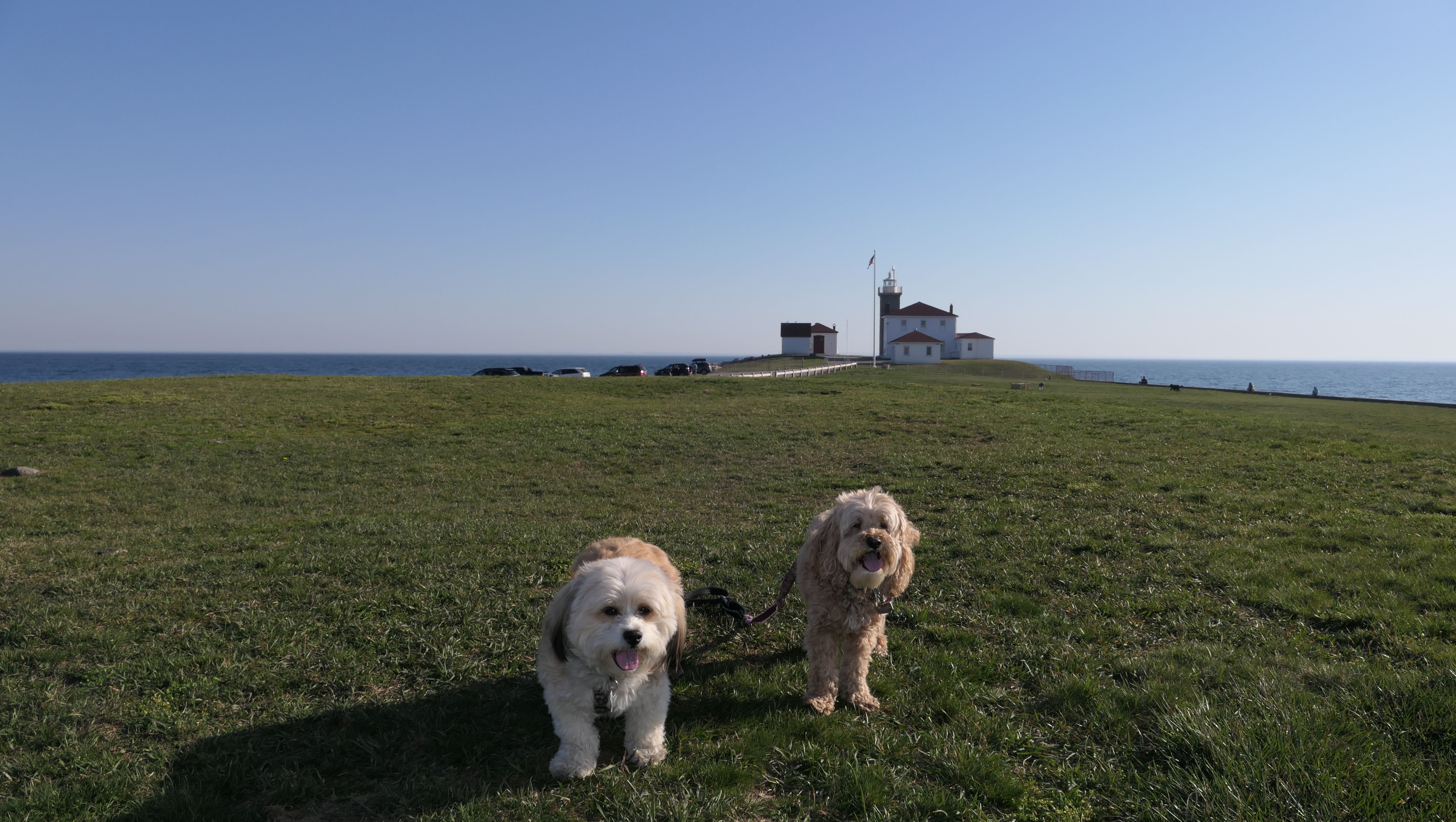
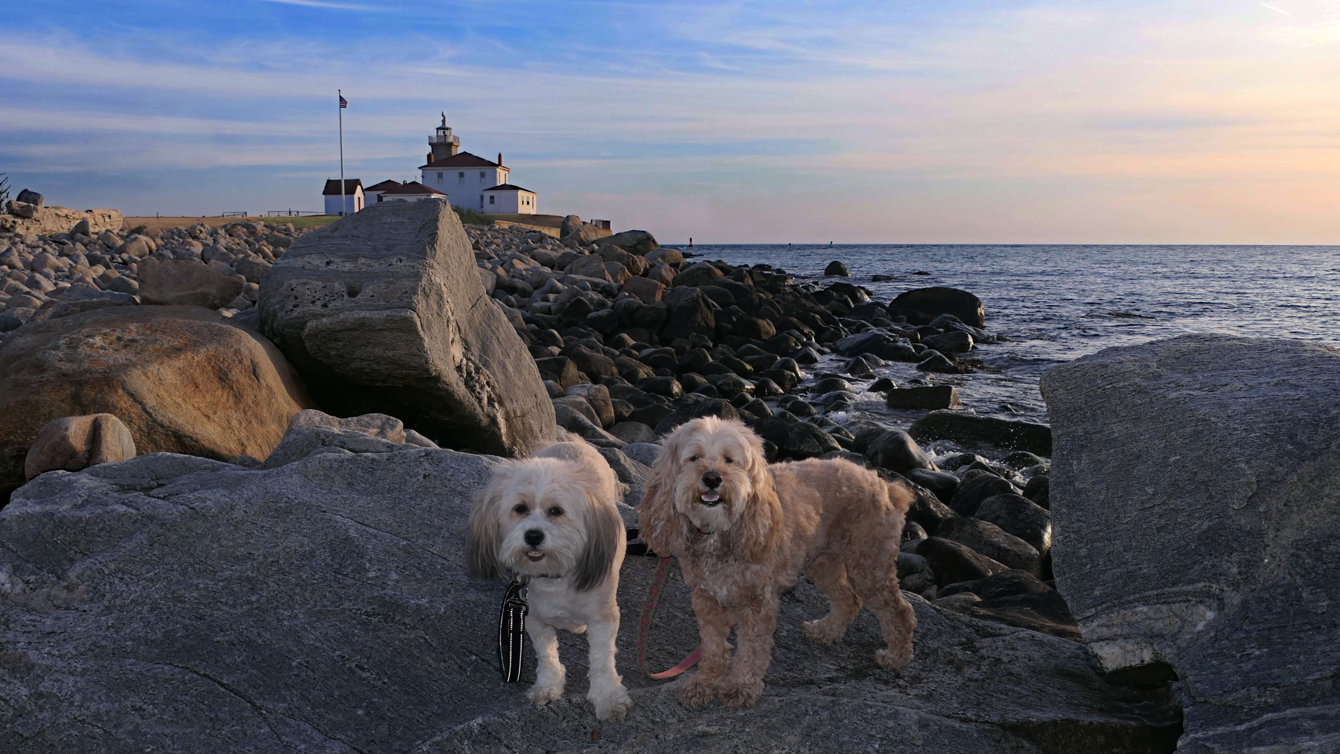
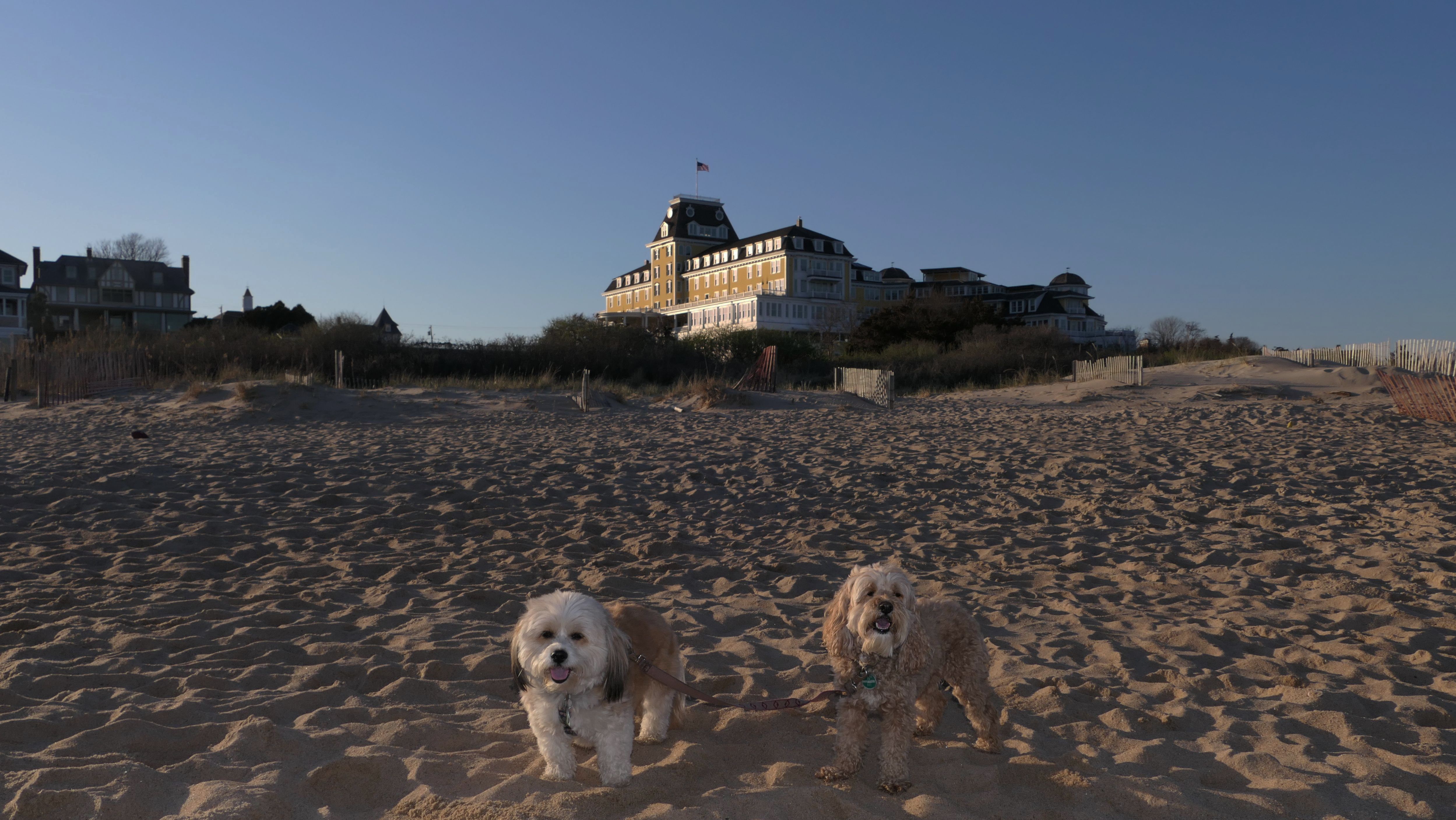
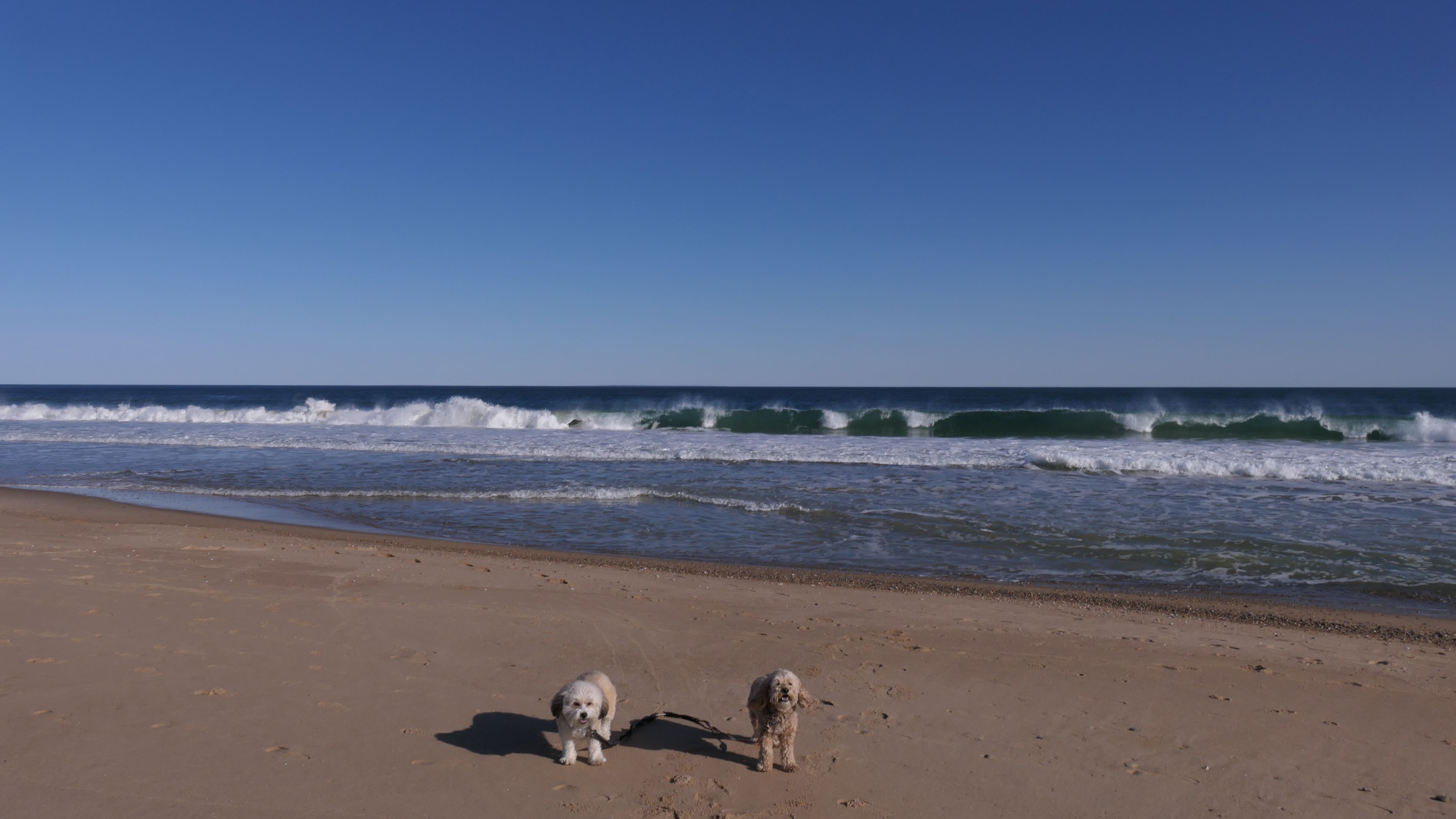
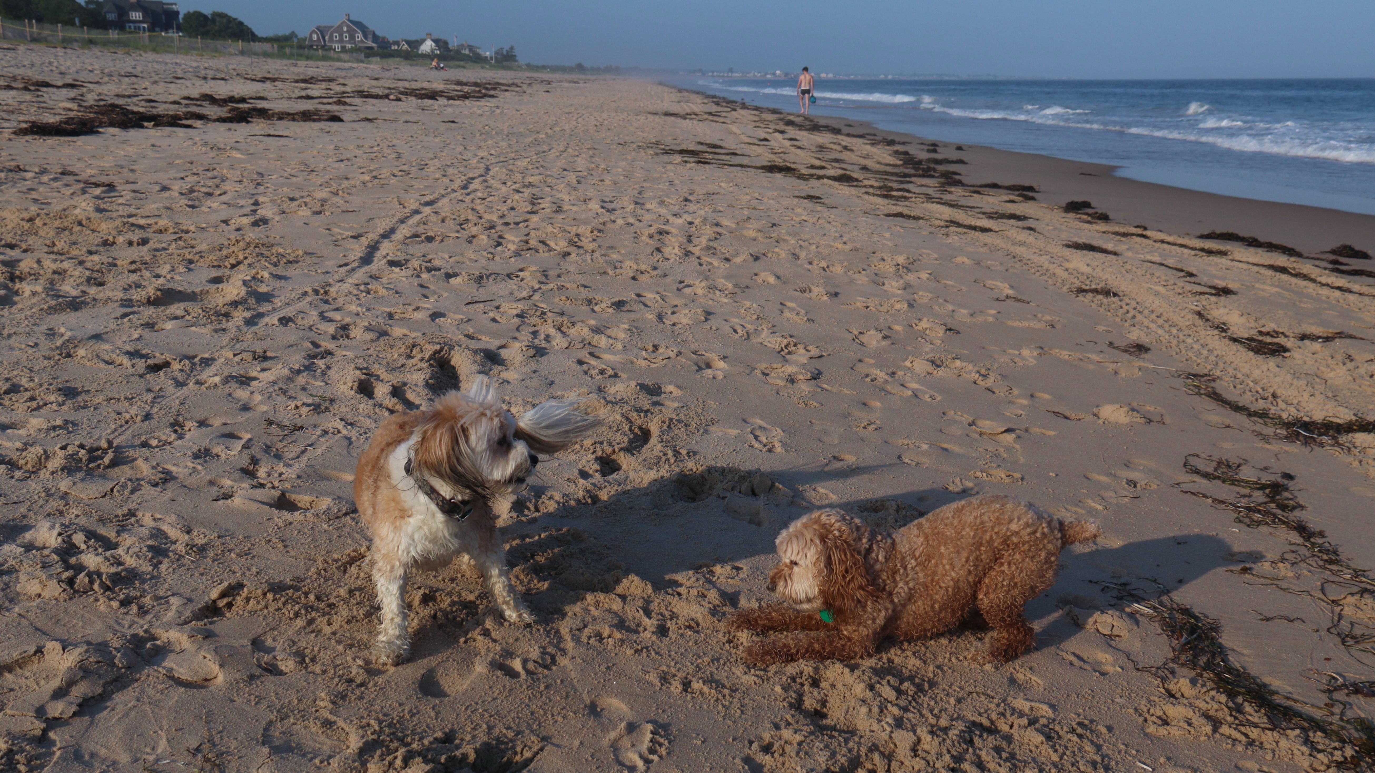
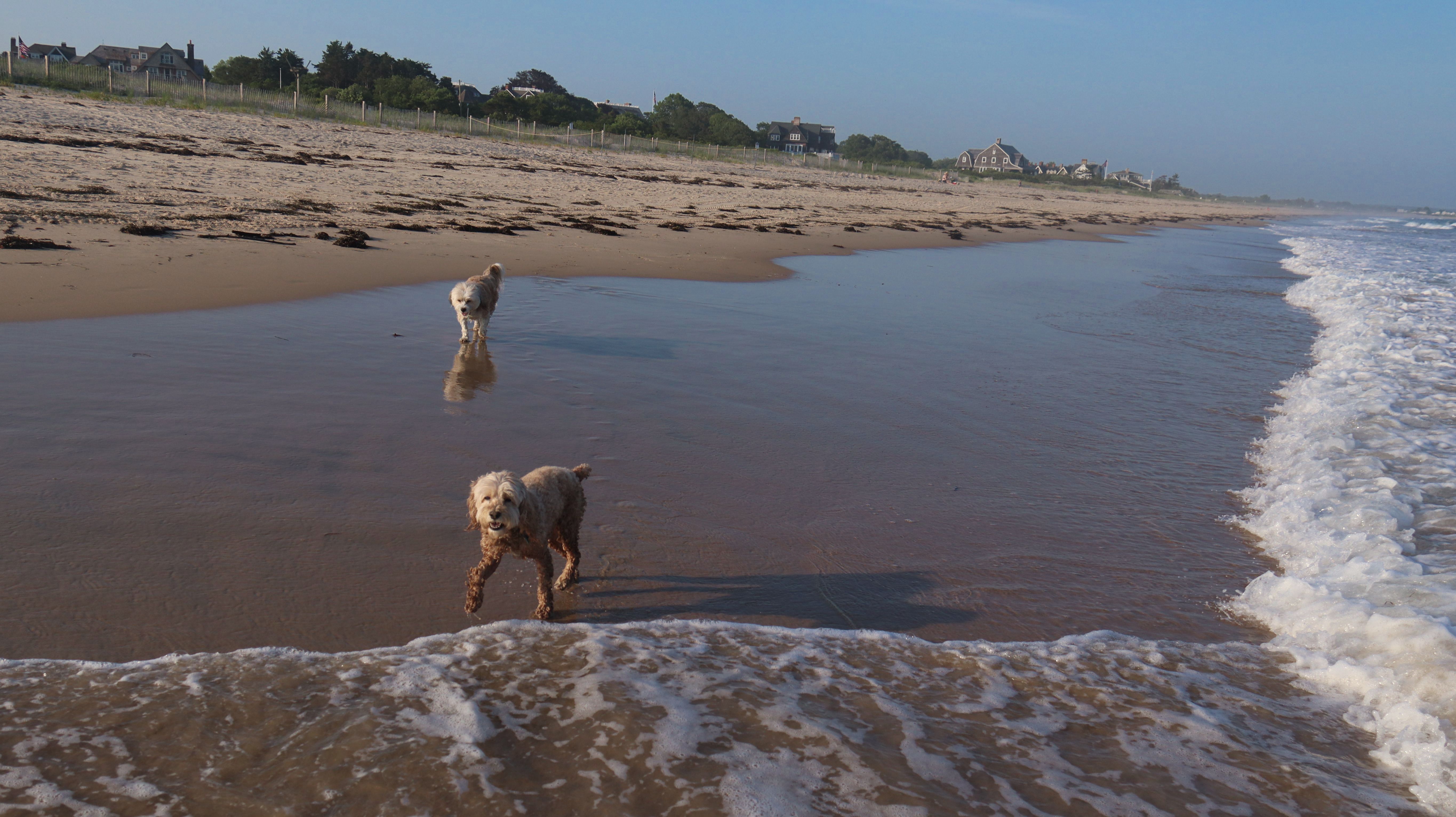
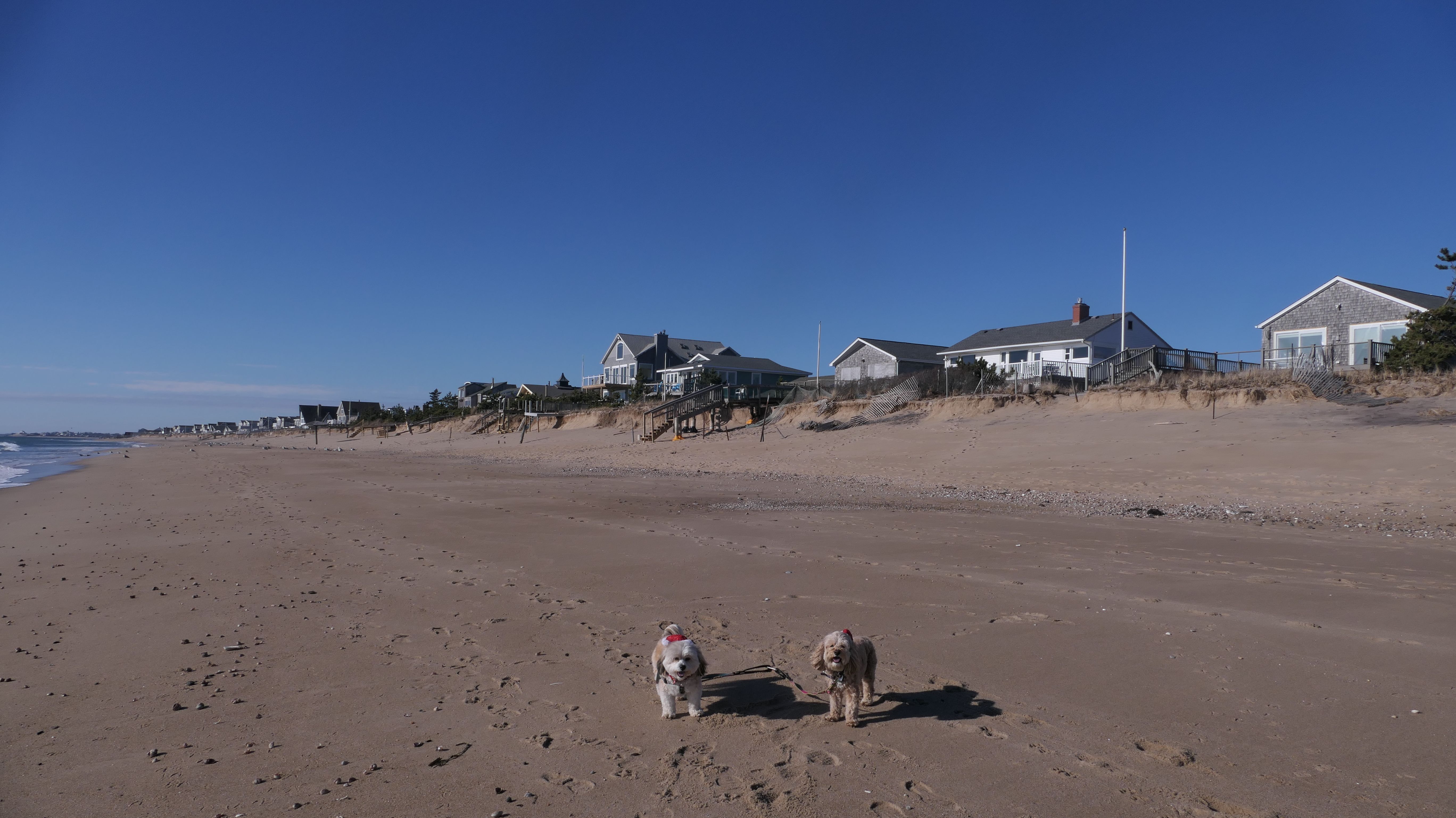
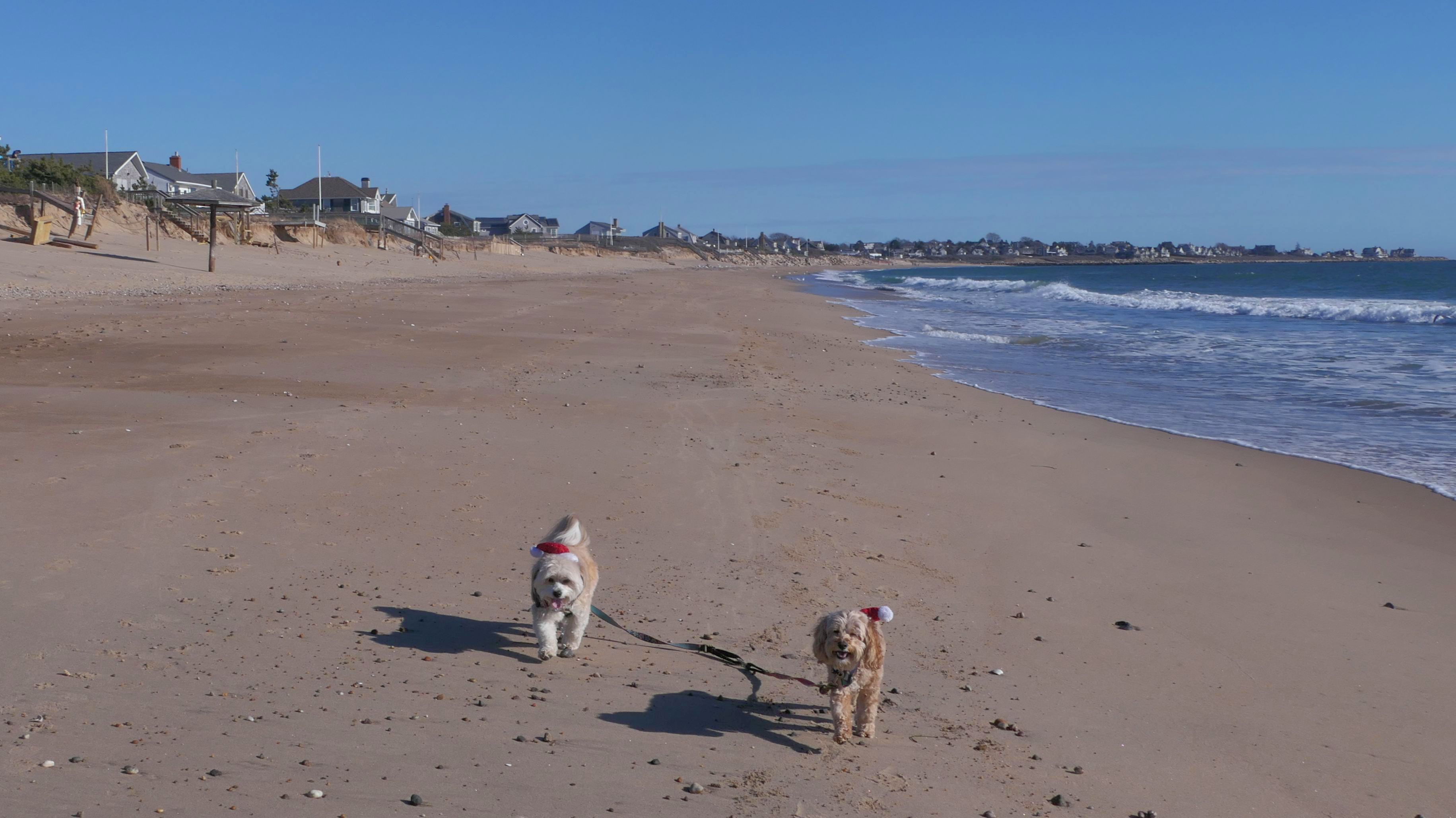
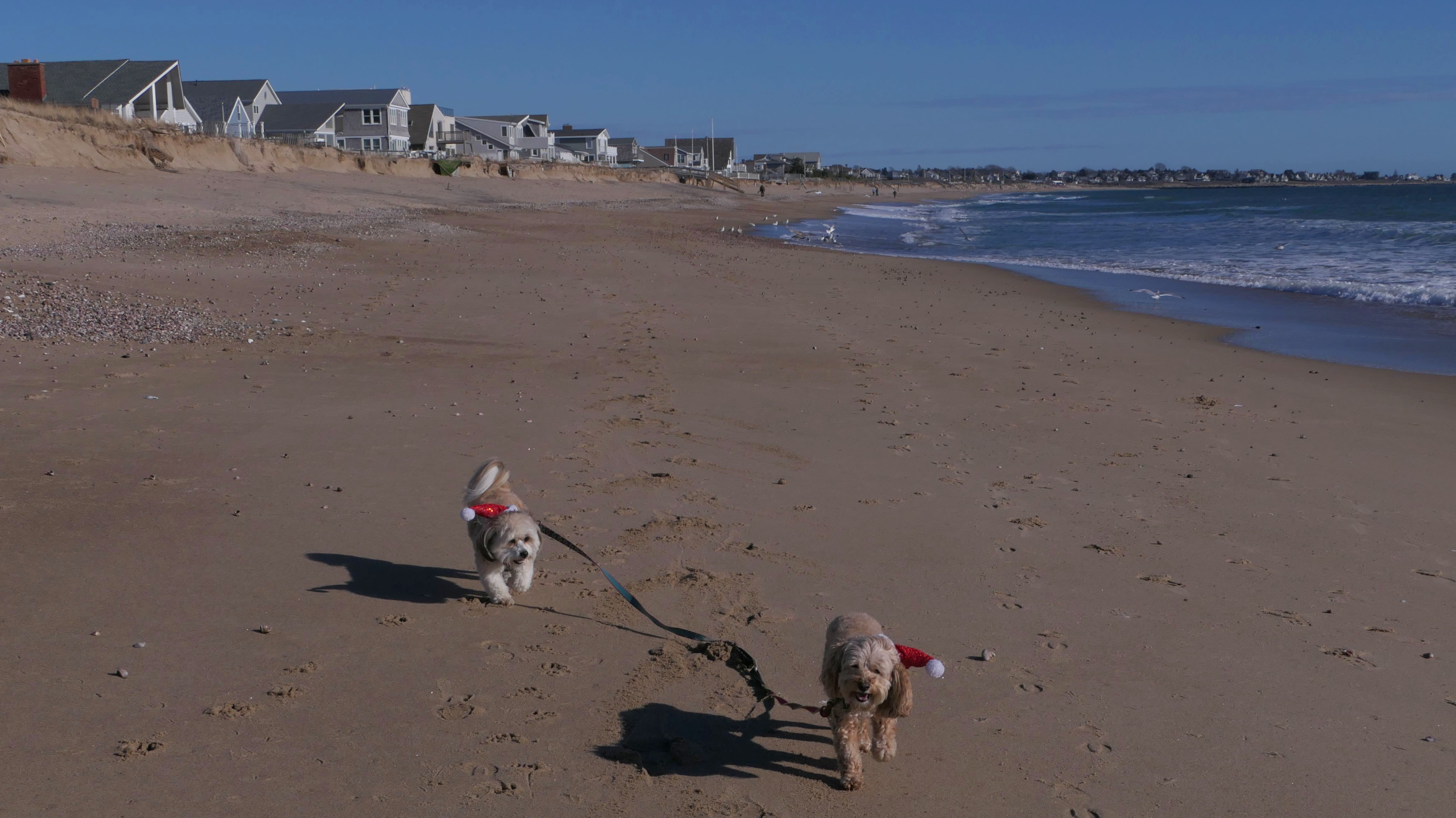
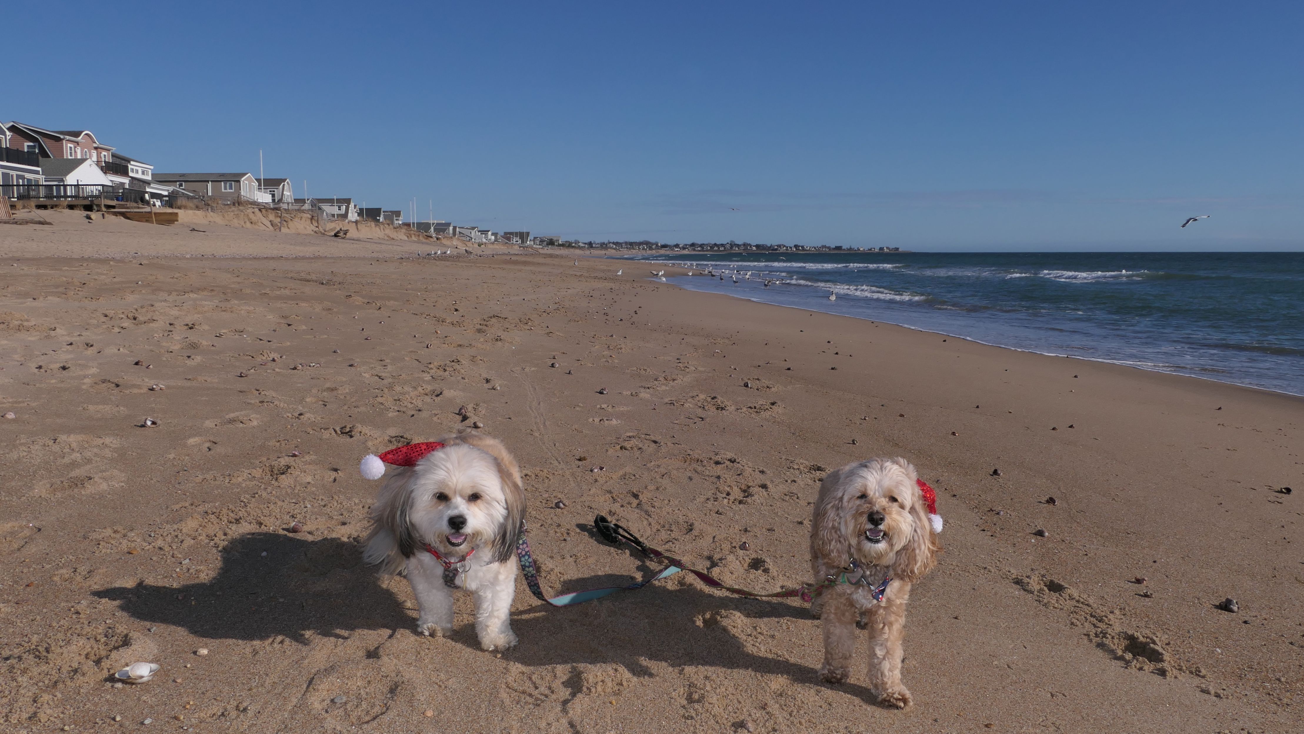
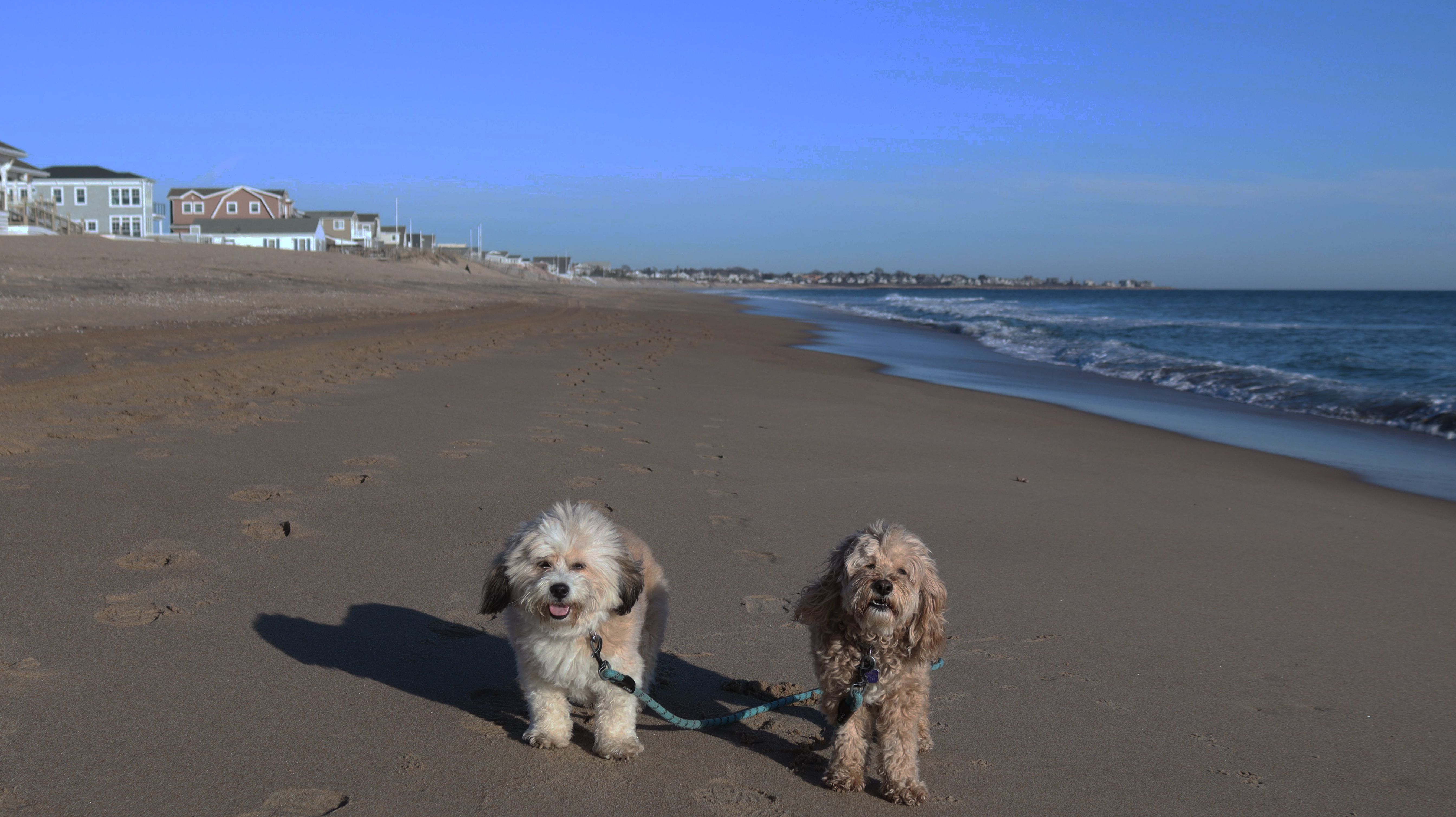
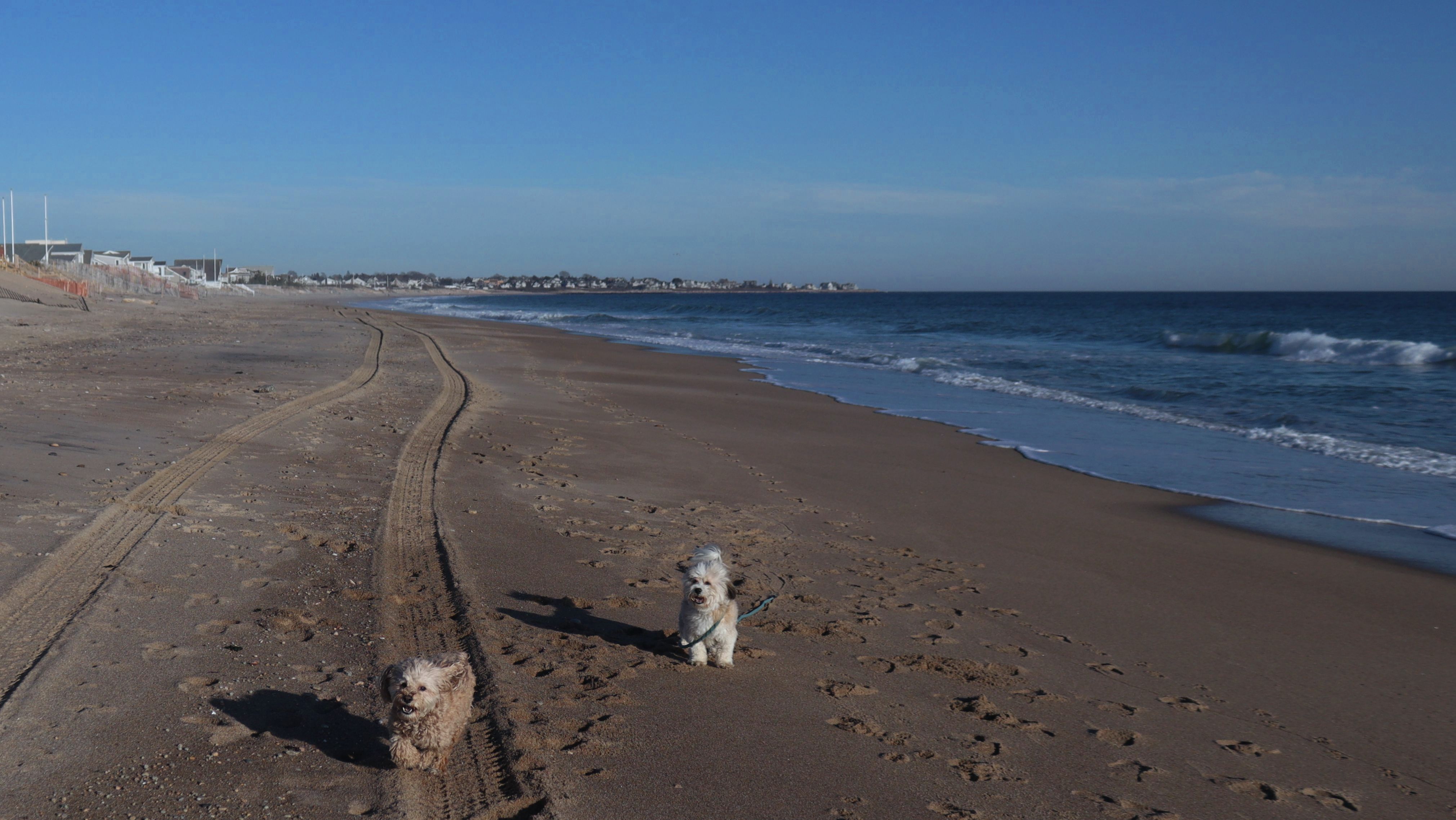
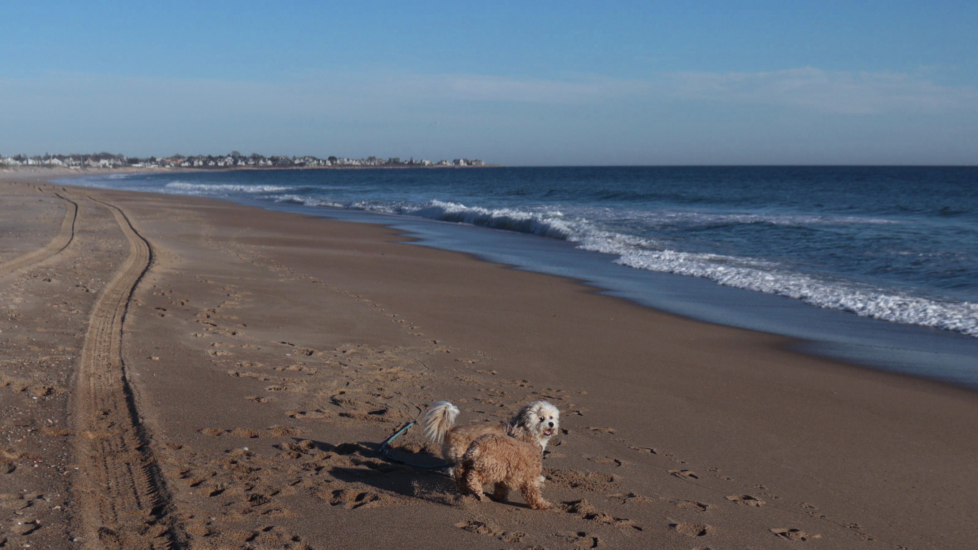
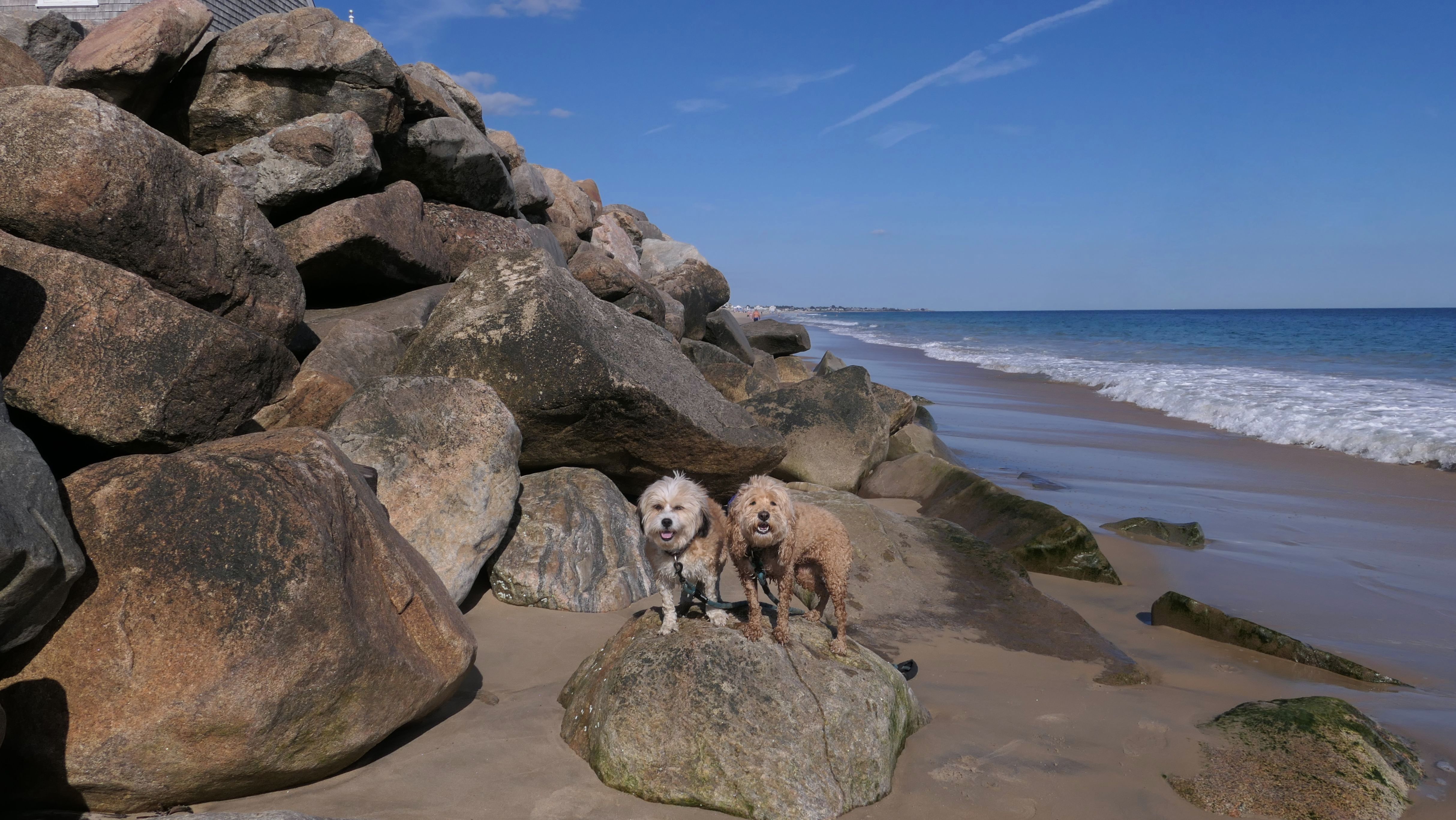
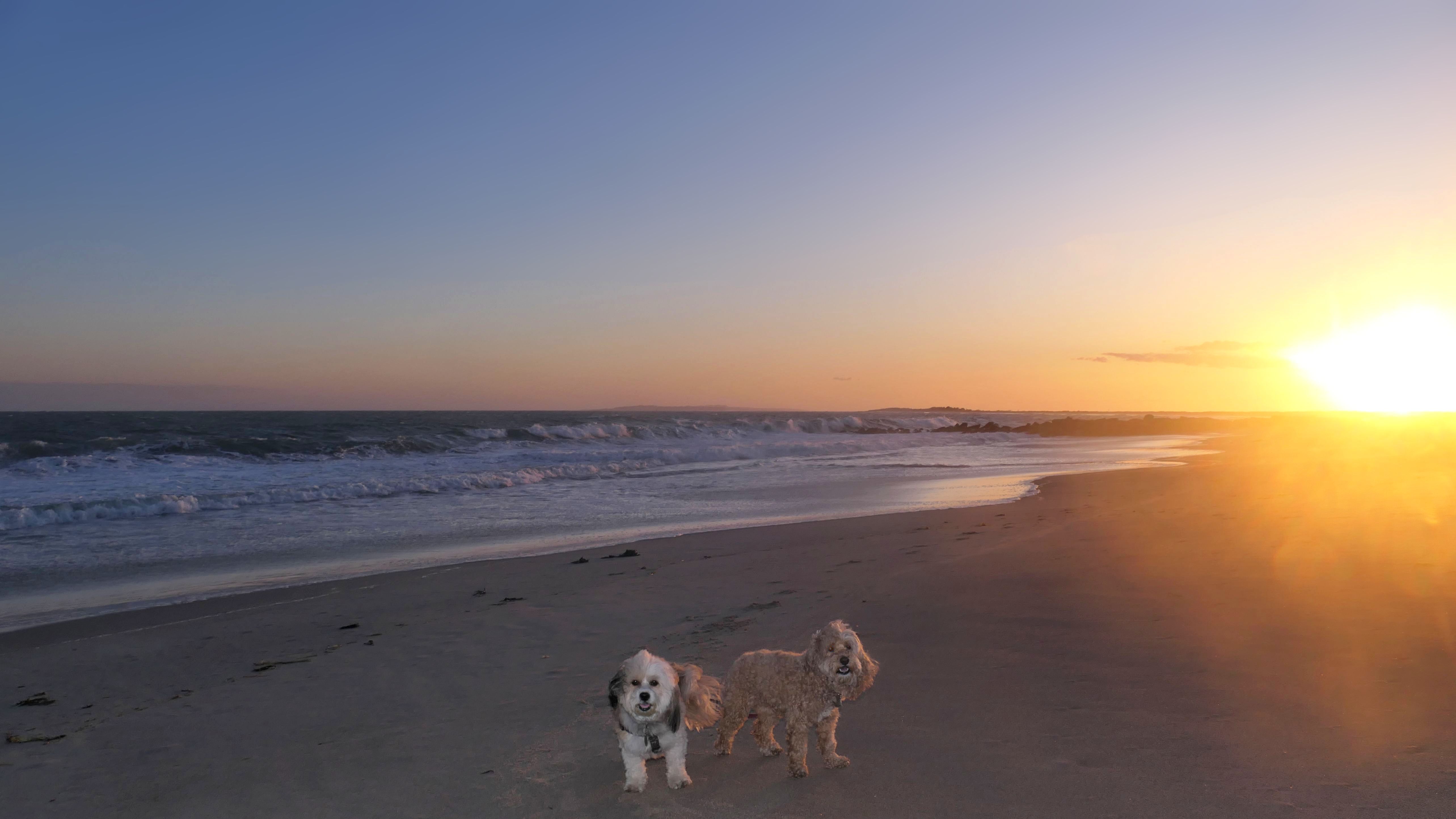
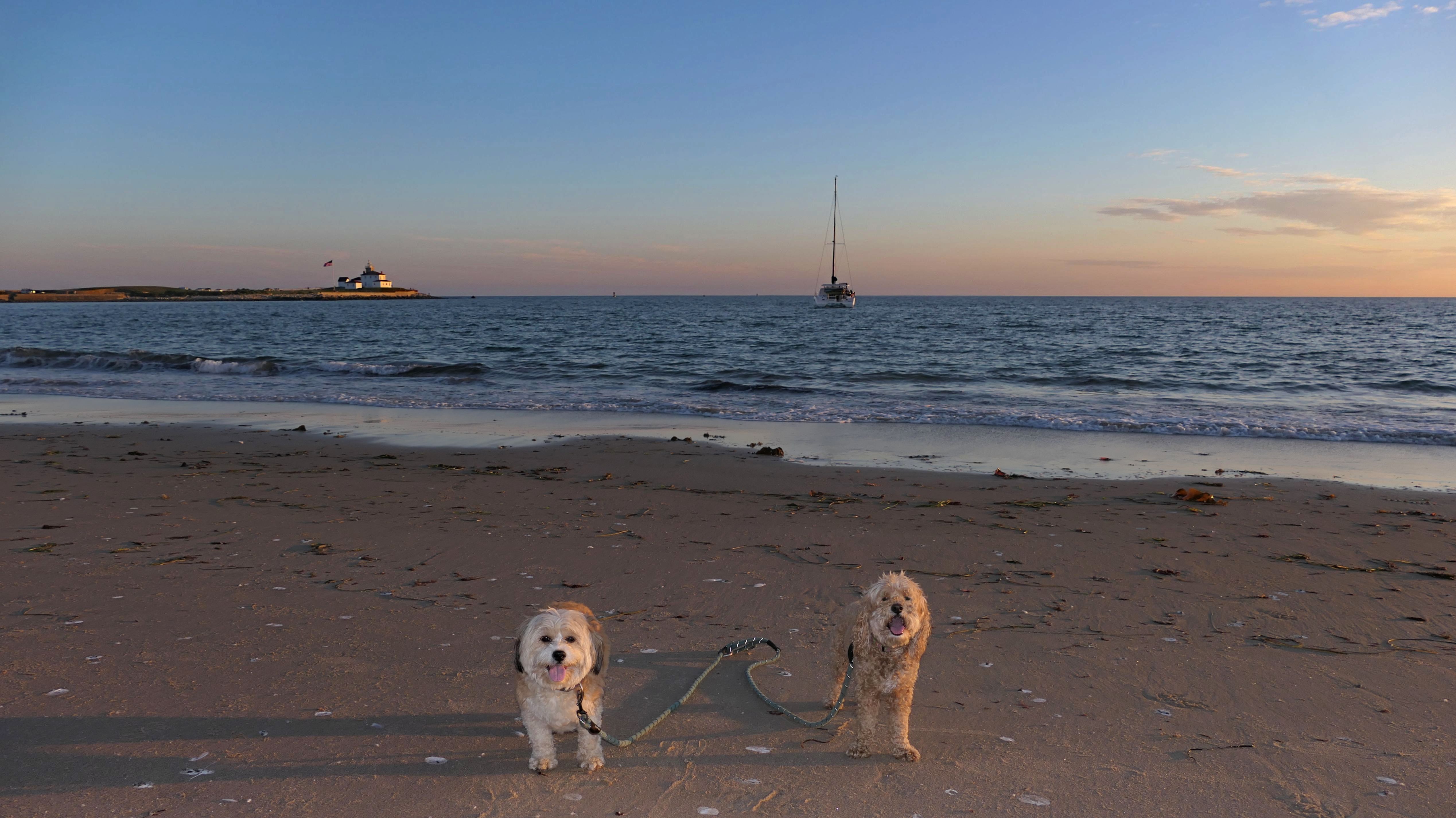
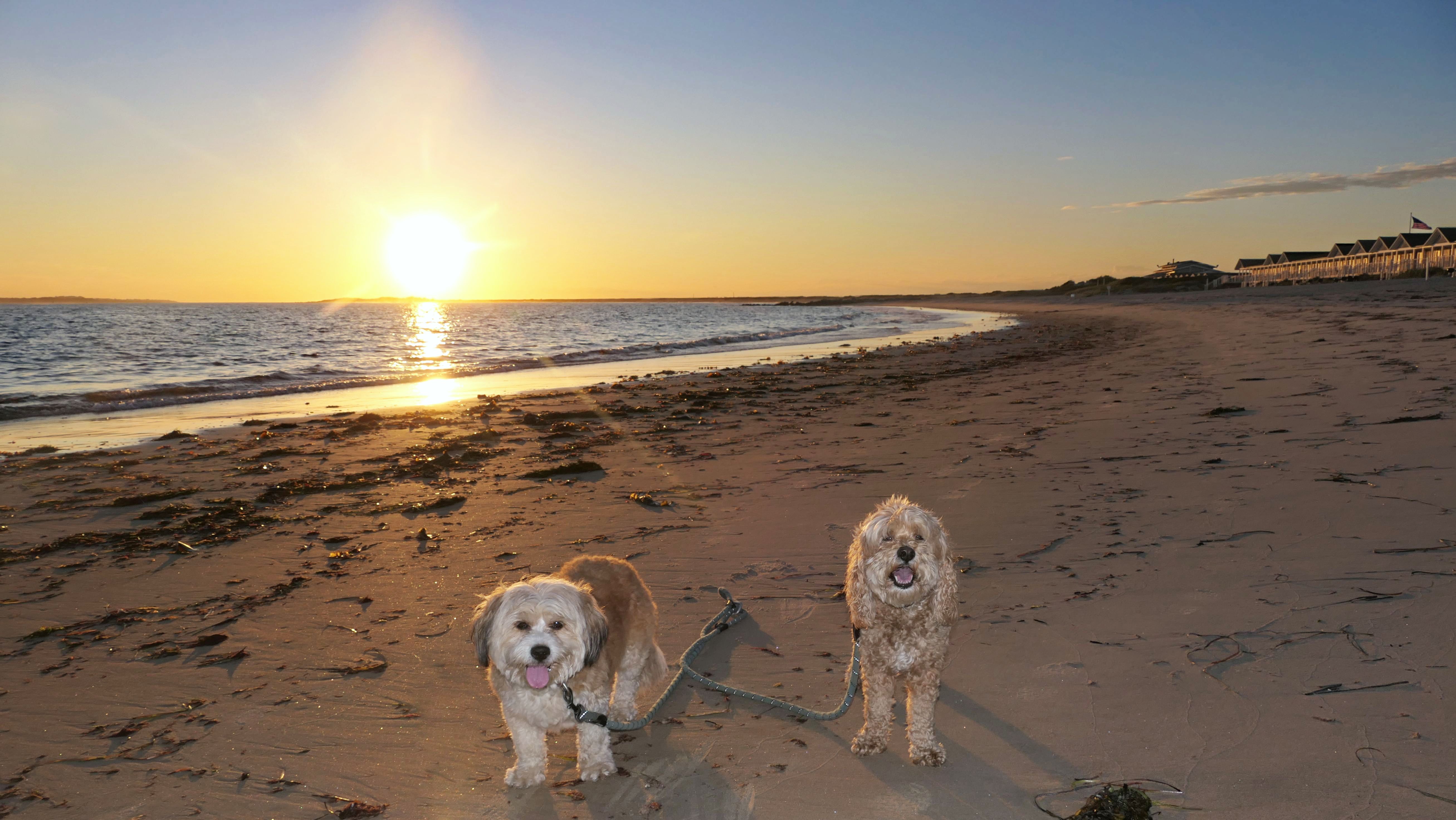
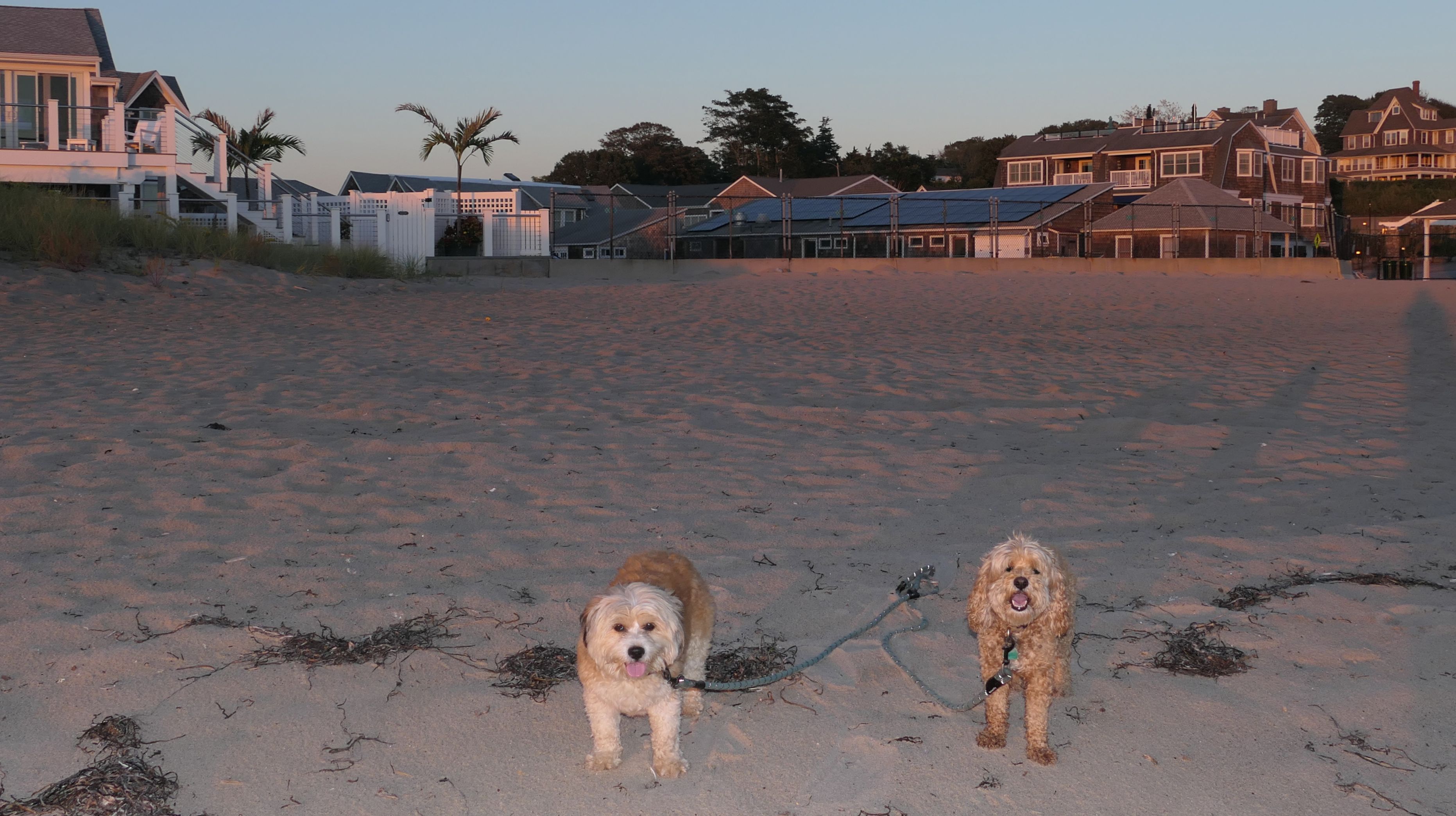
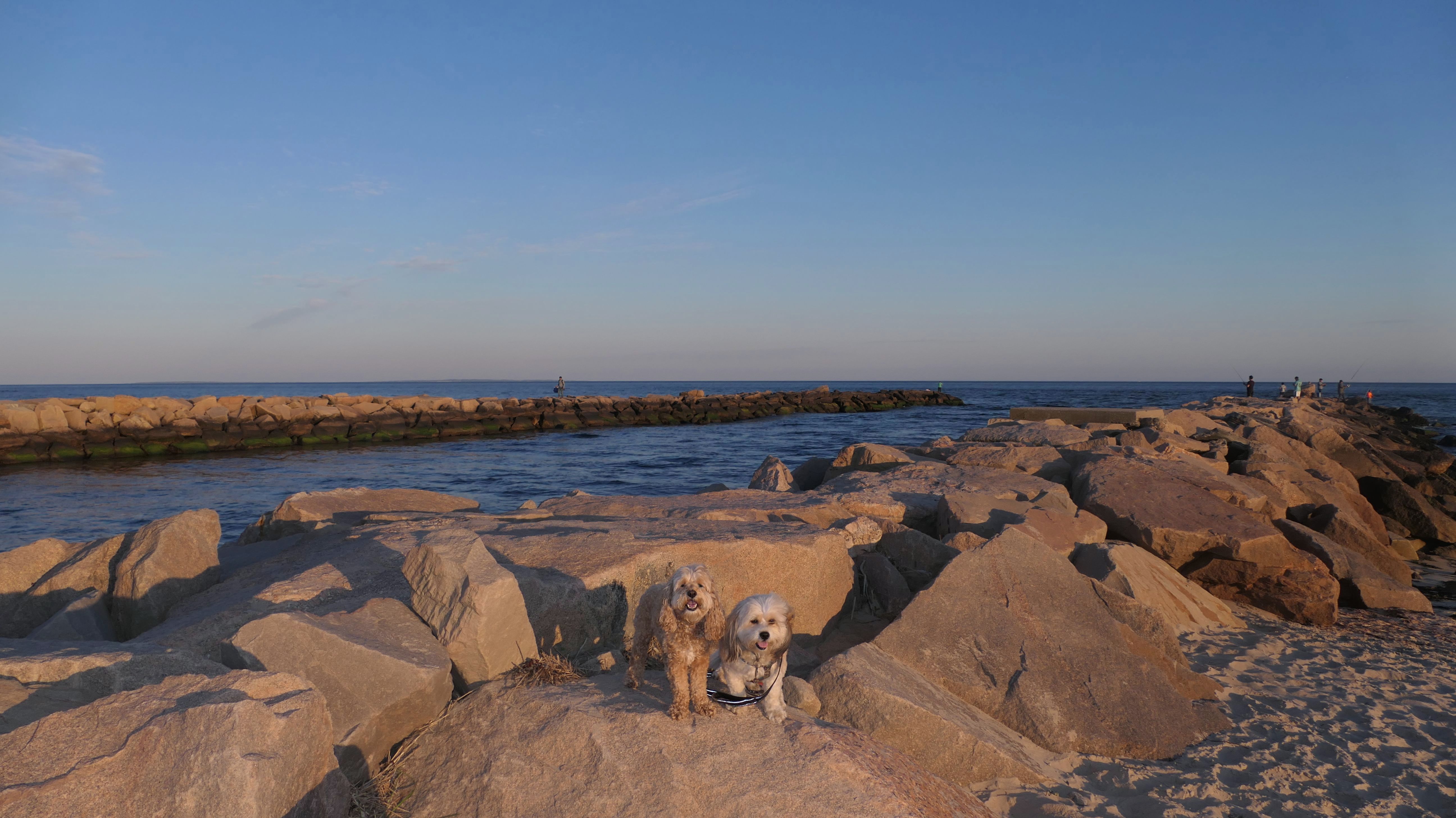
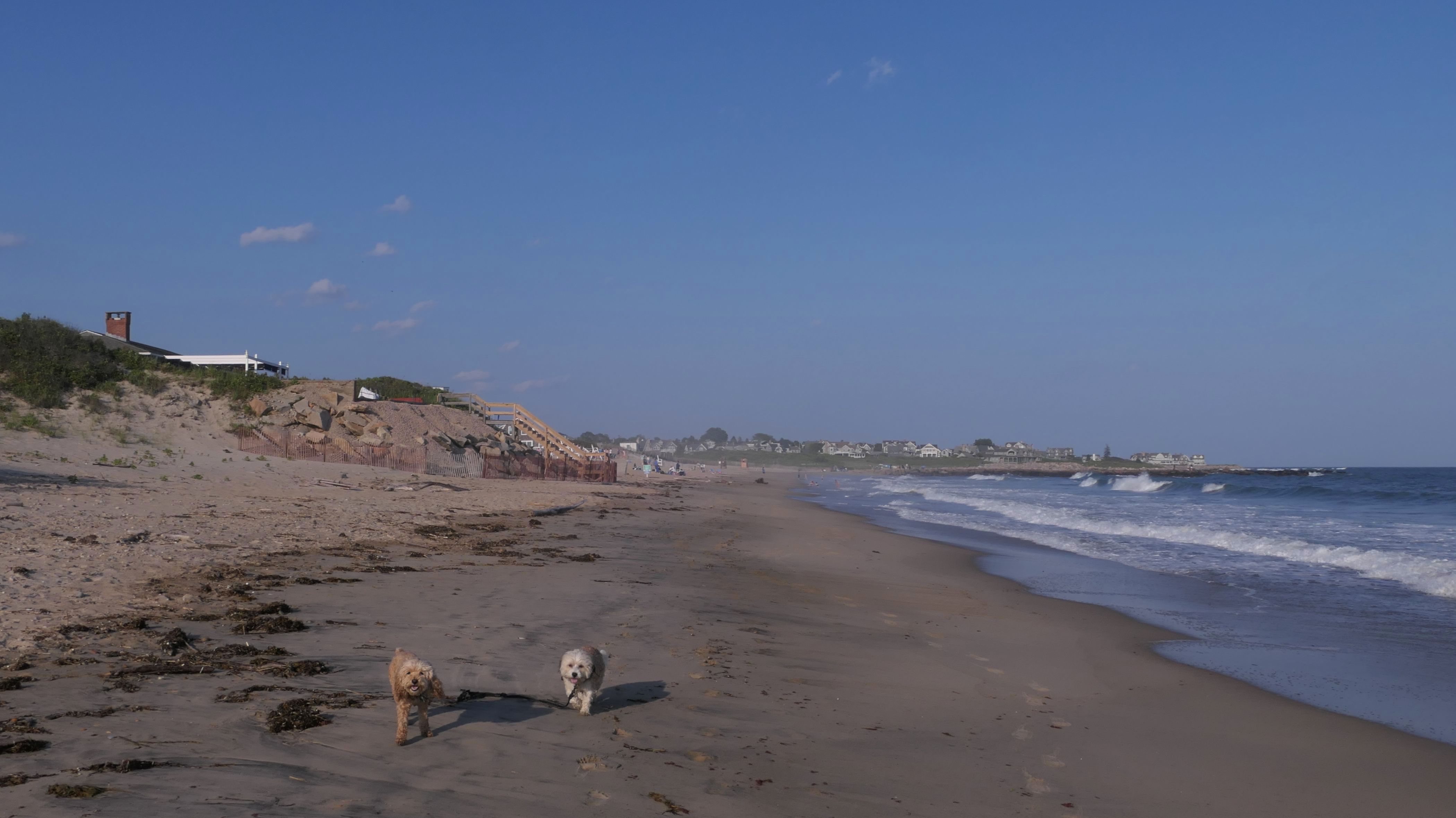
Napatree Point Conservation Area
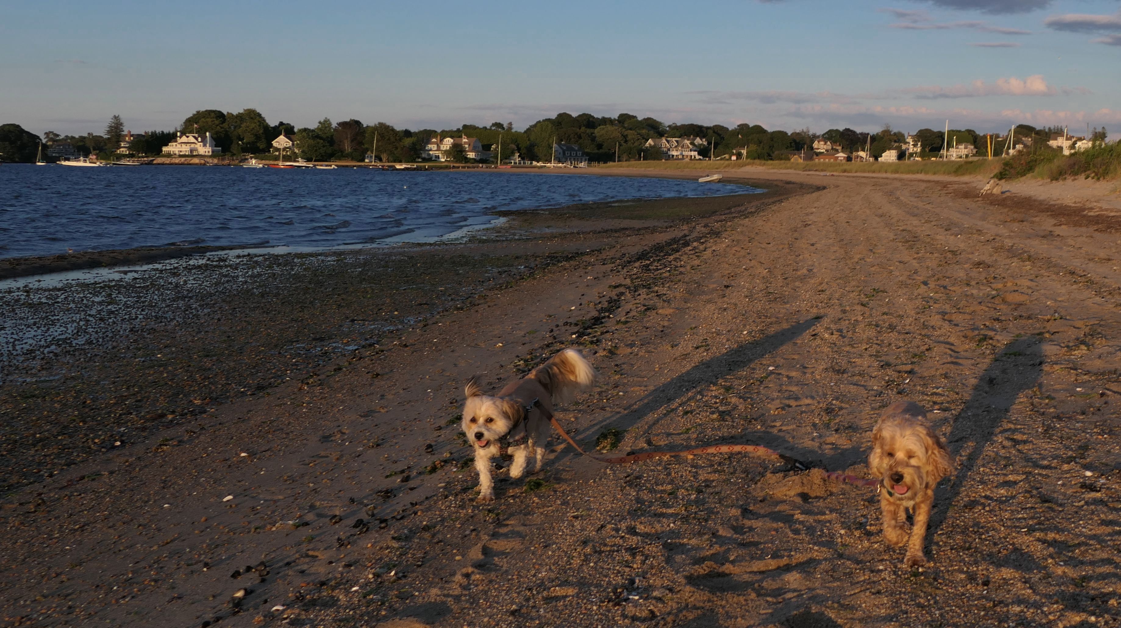
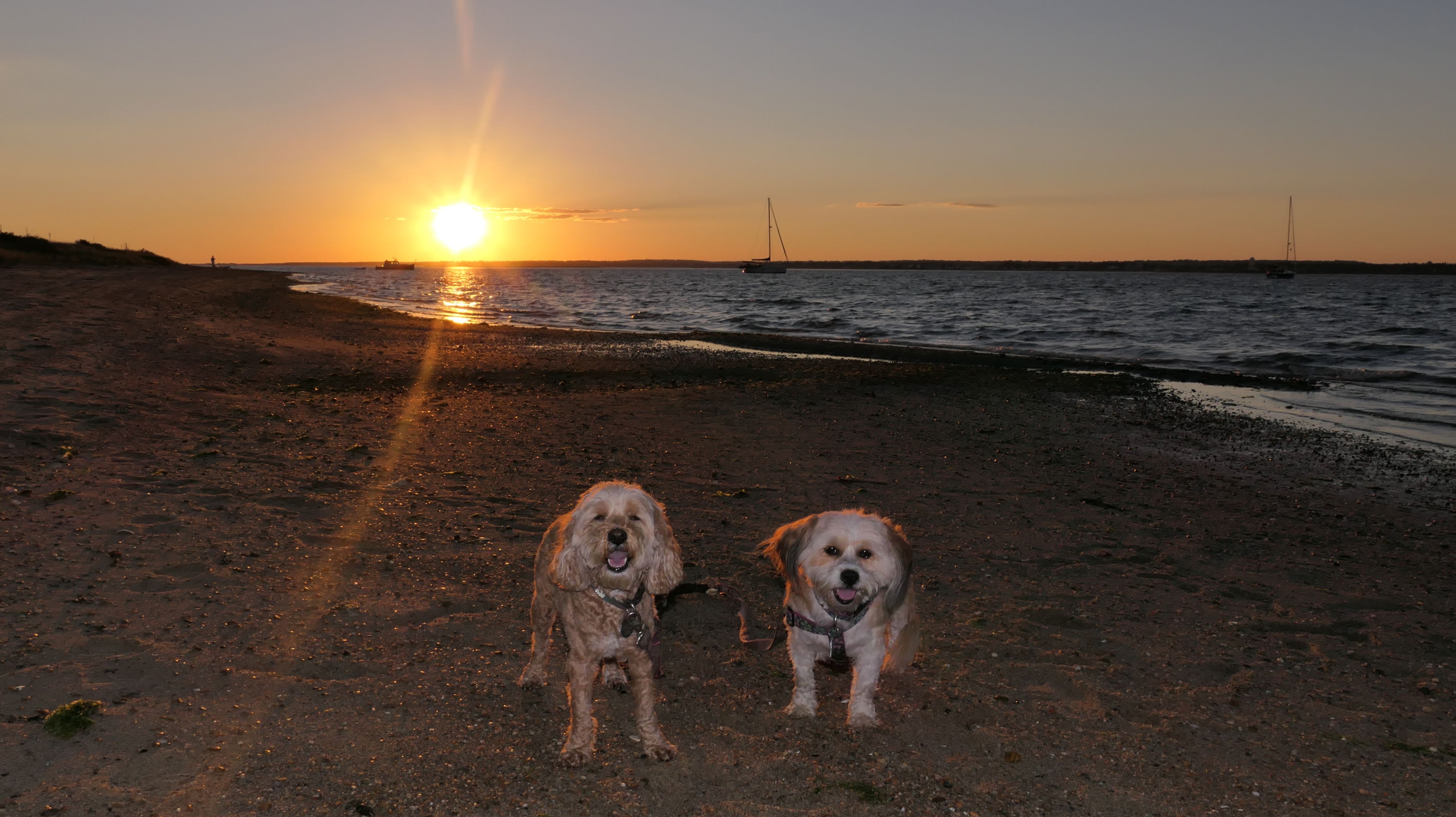
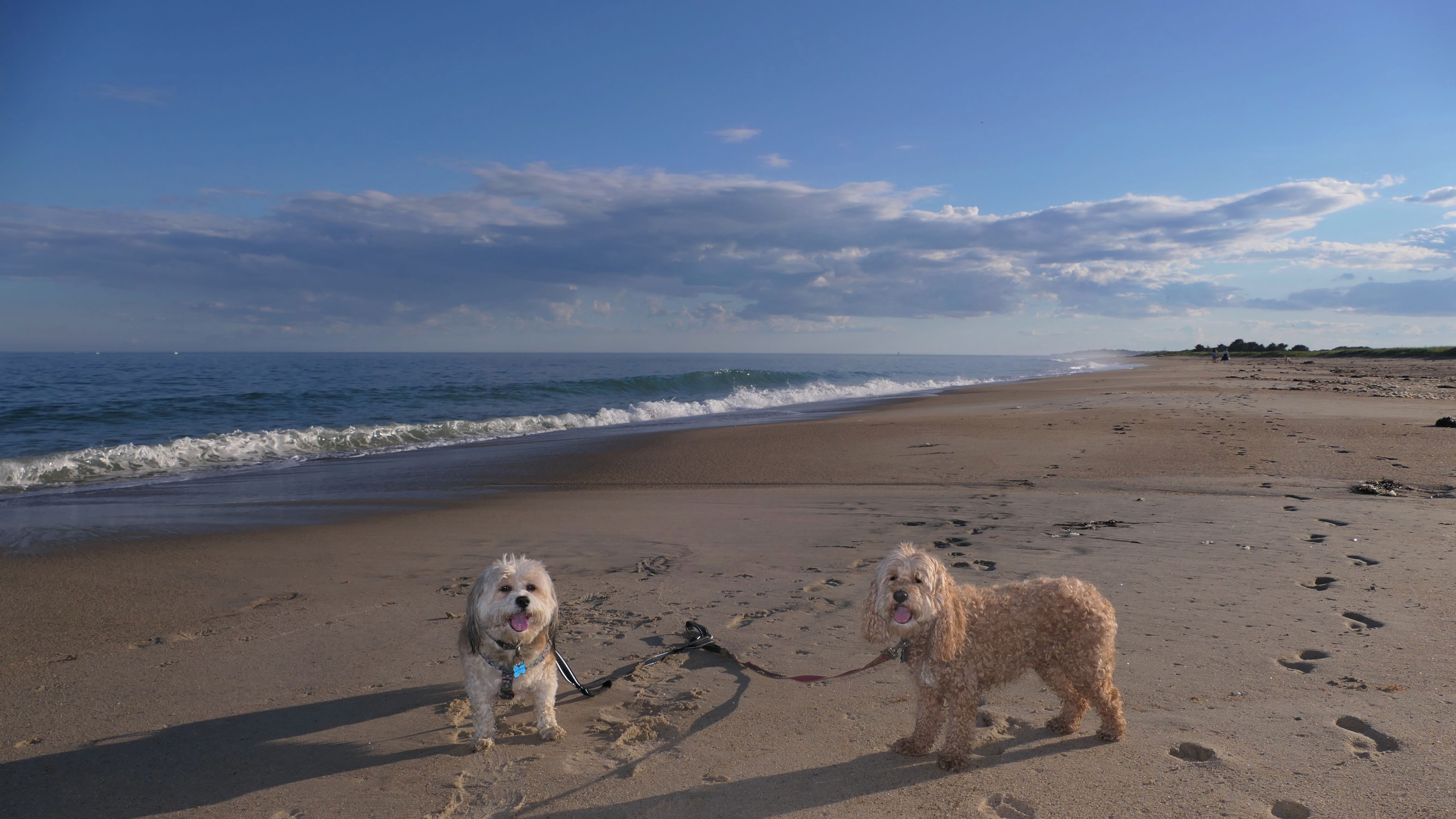
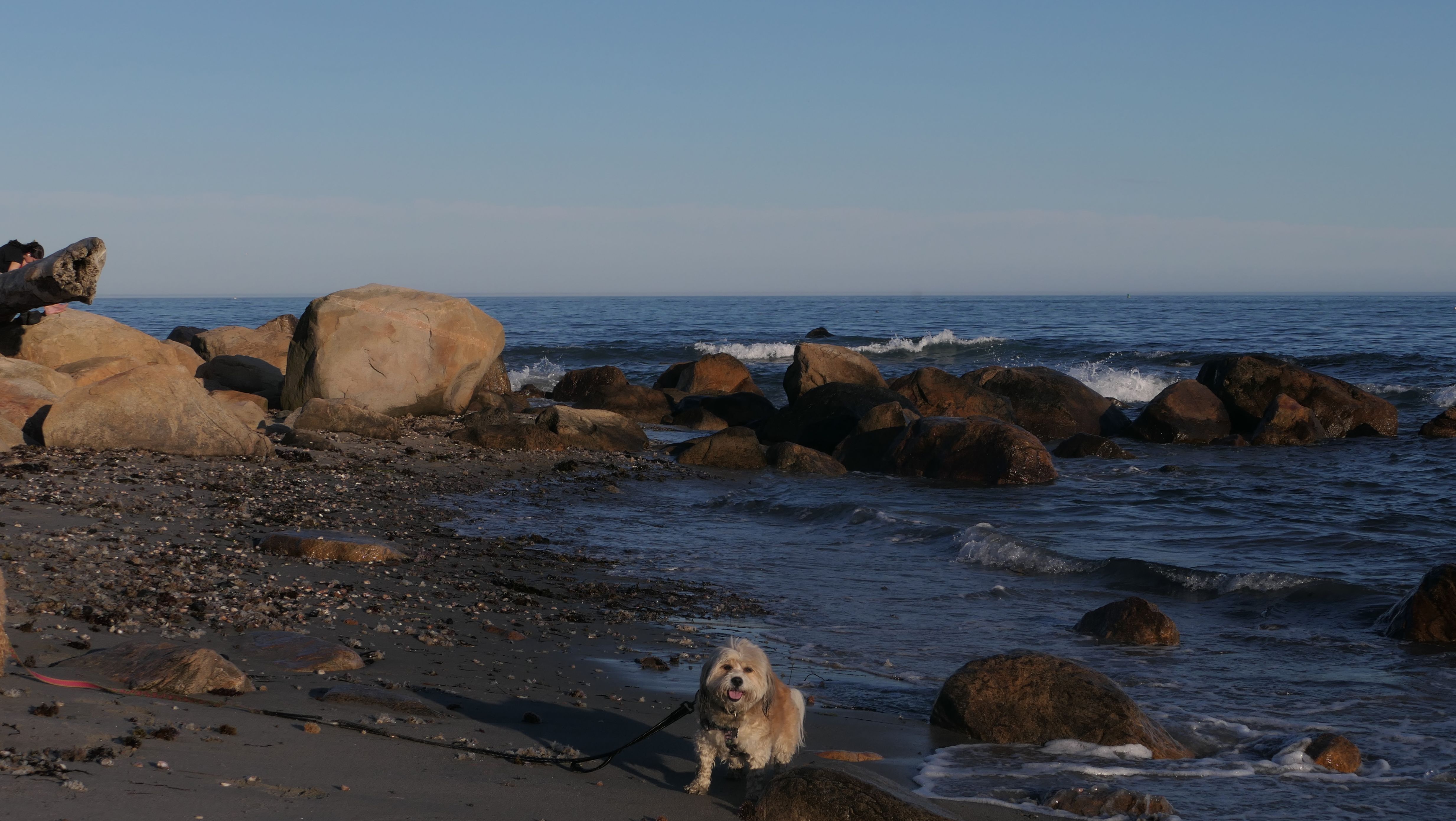
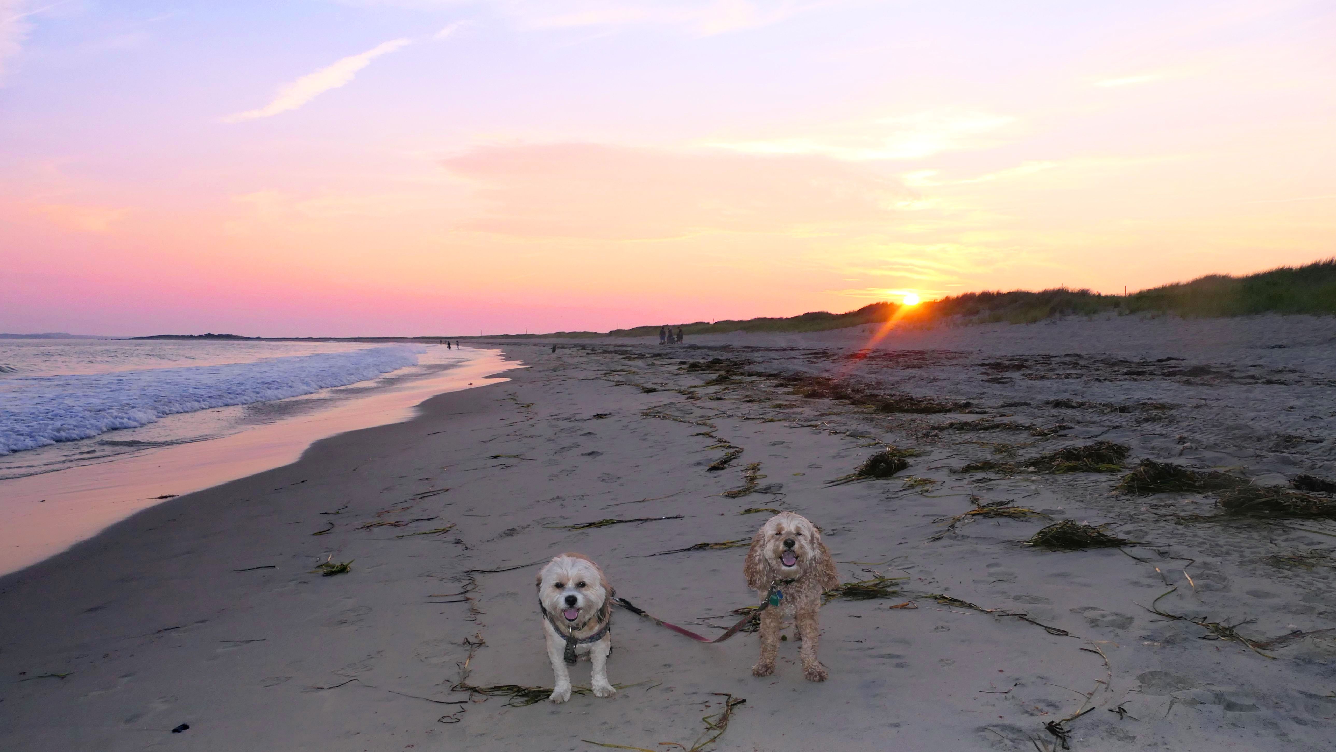
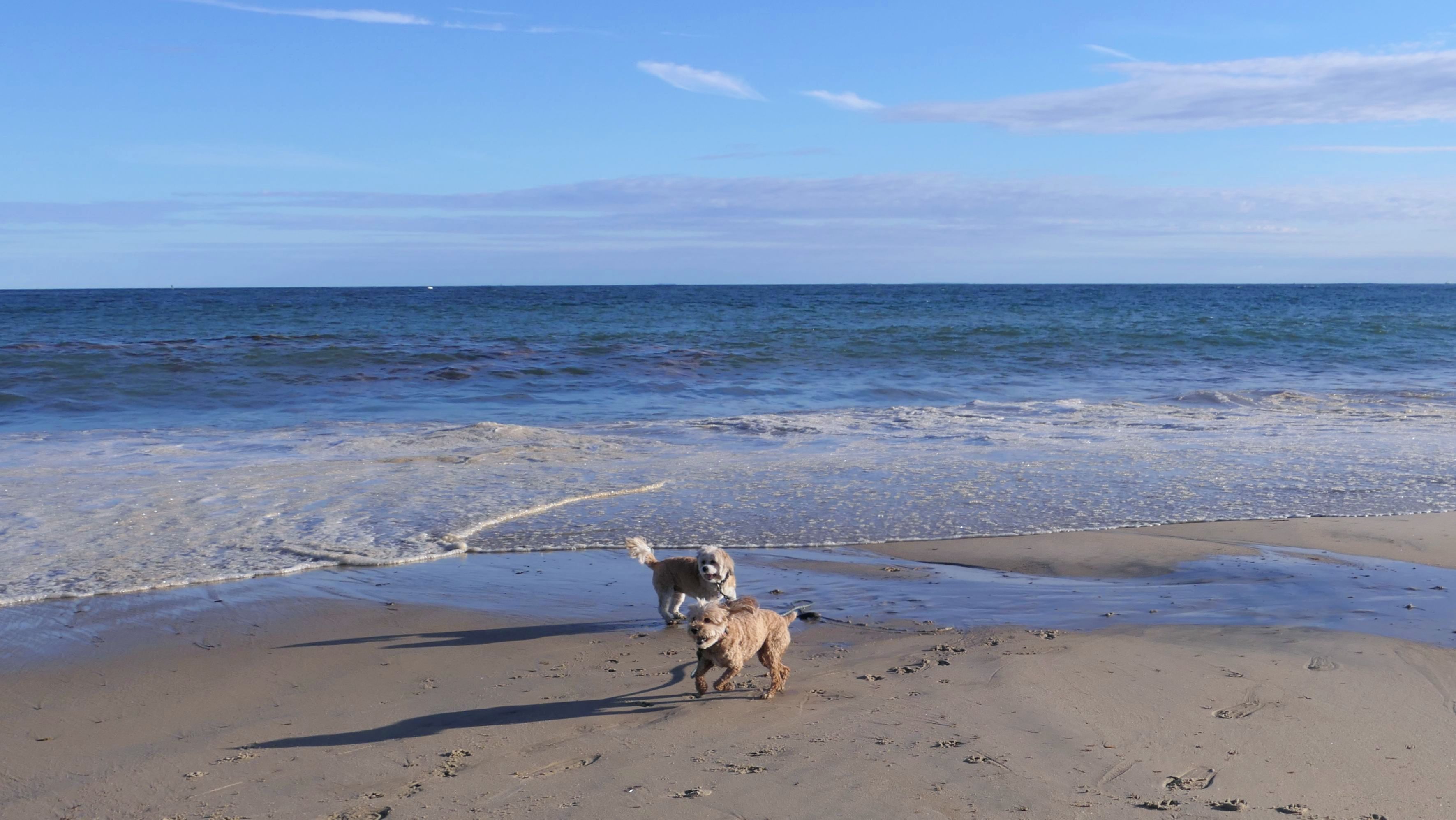
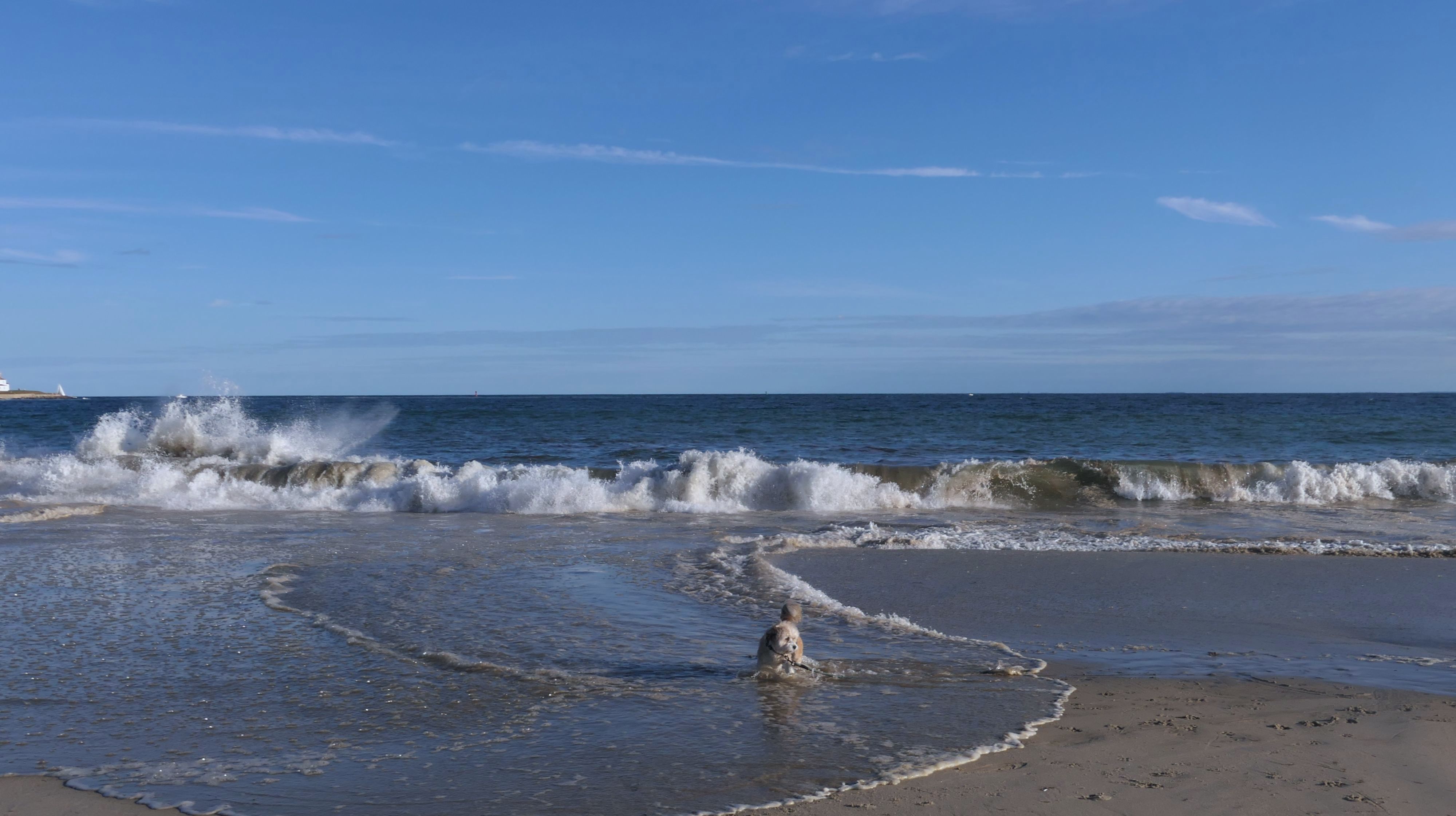
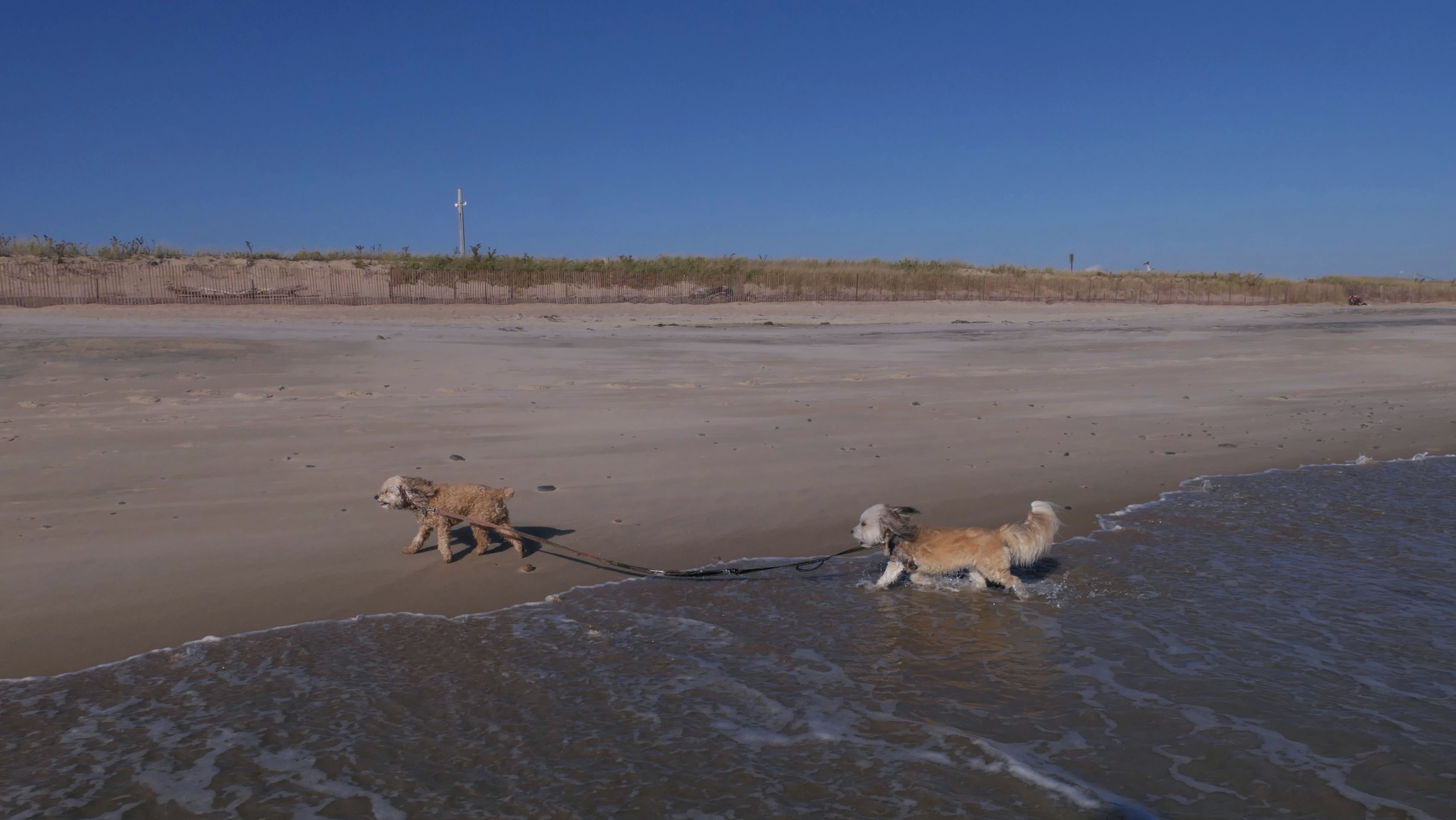
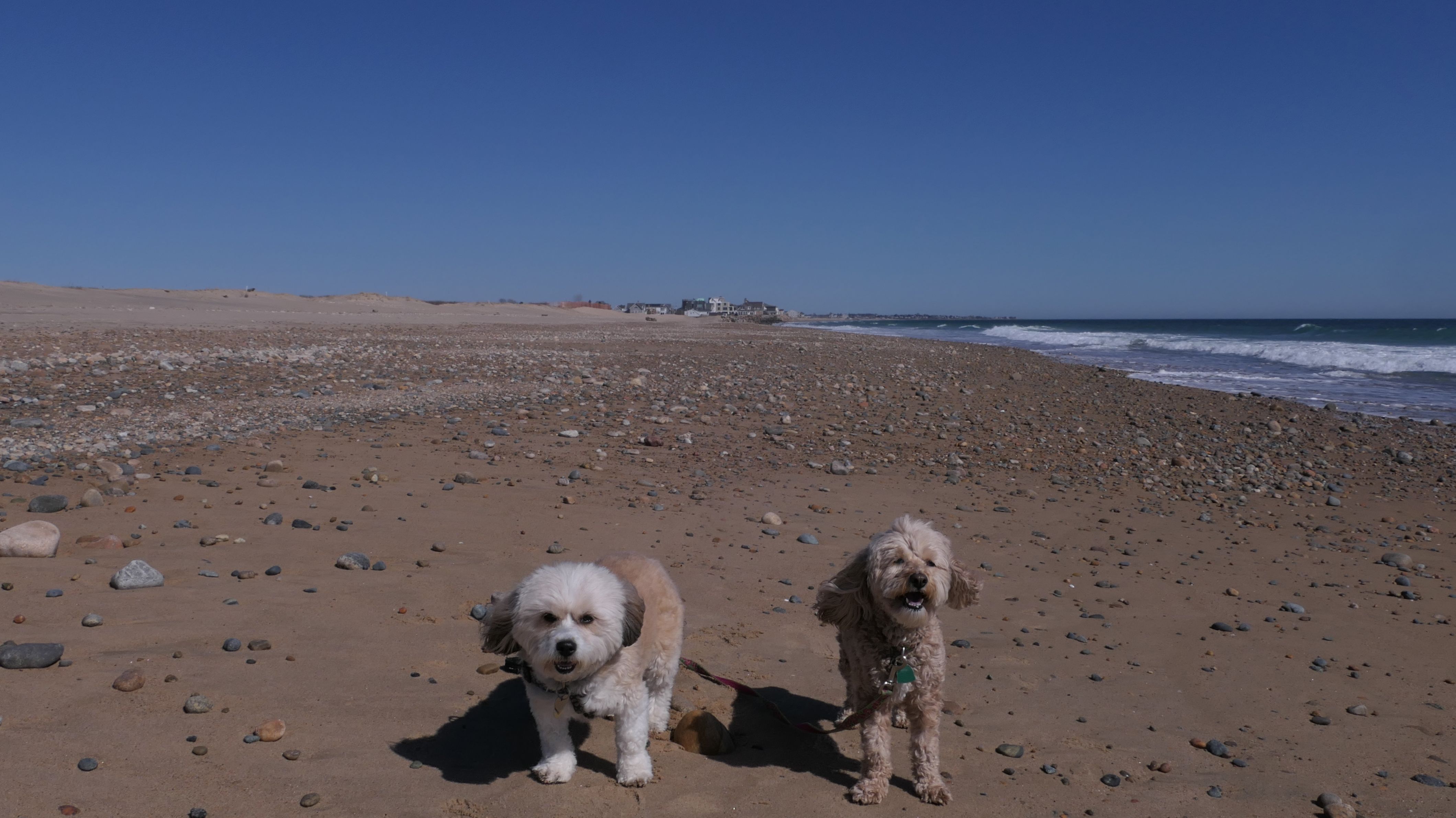
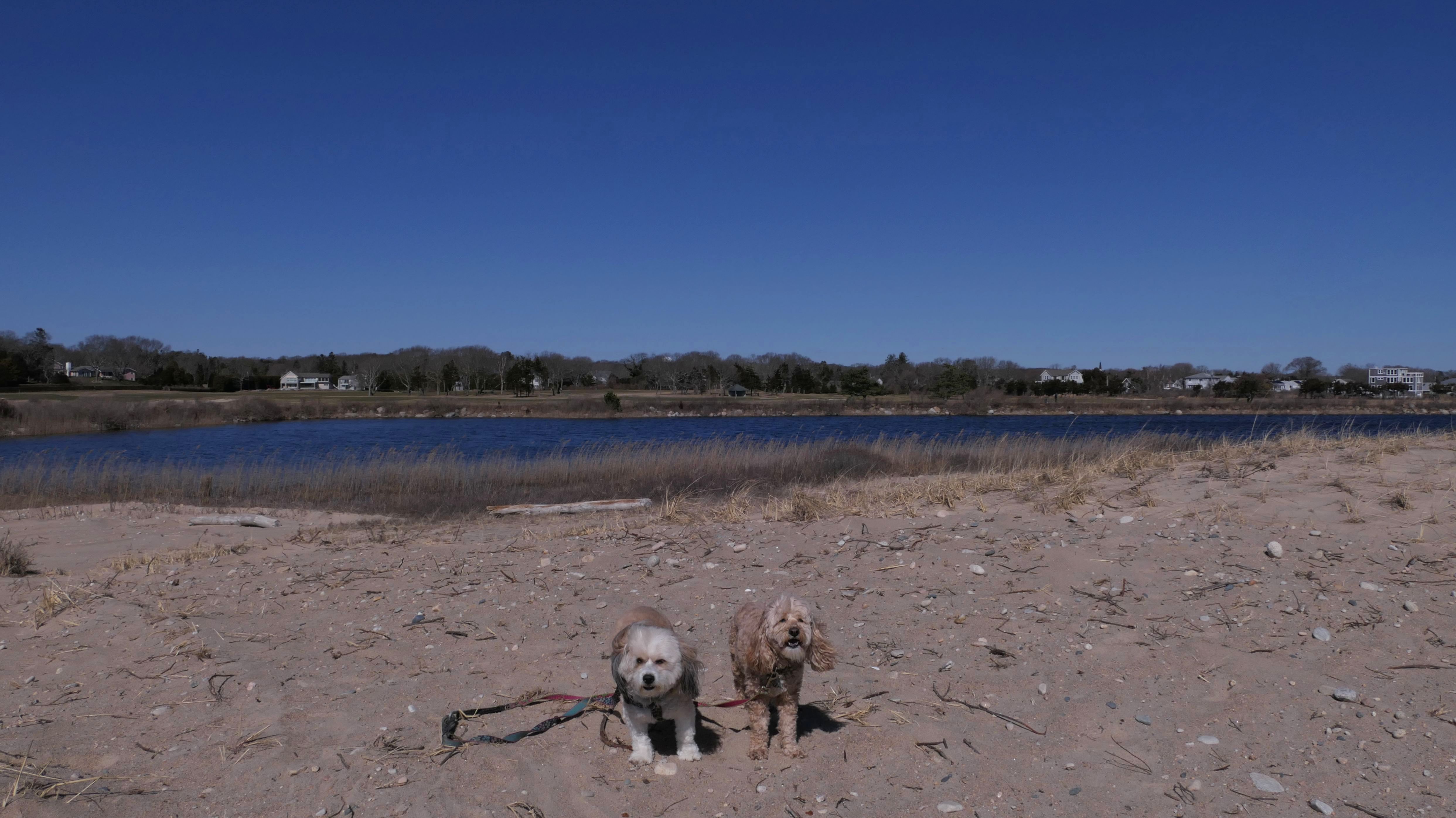
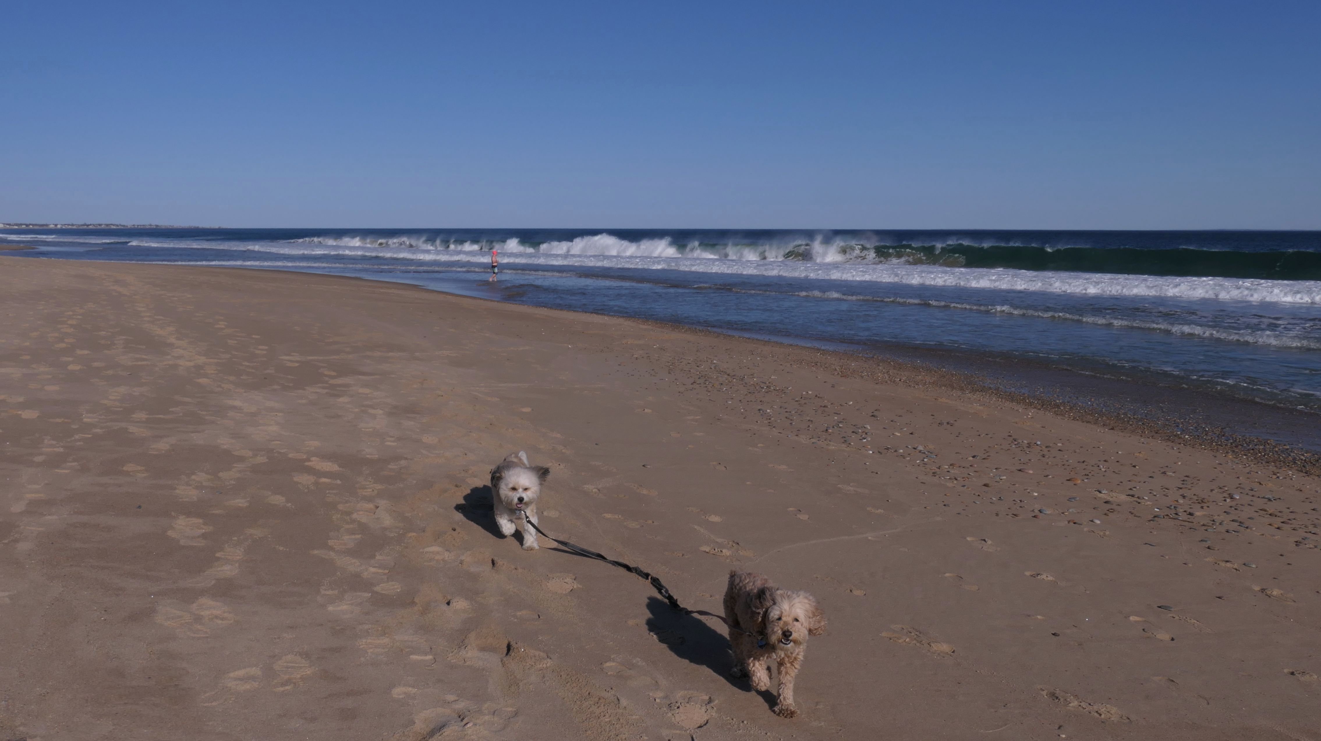
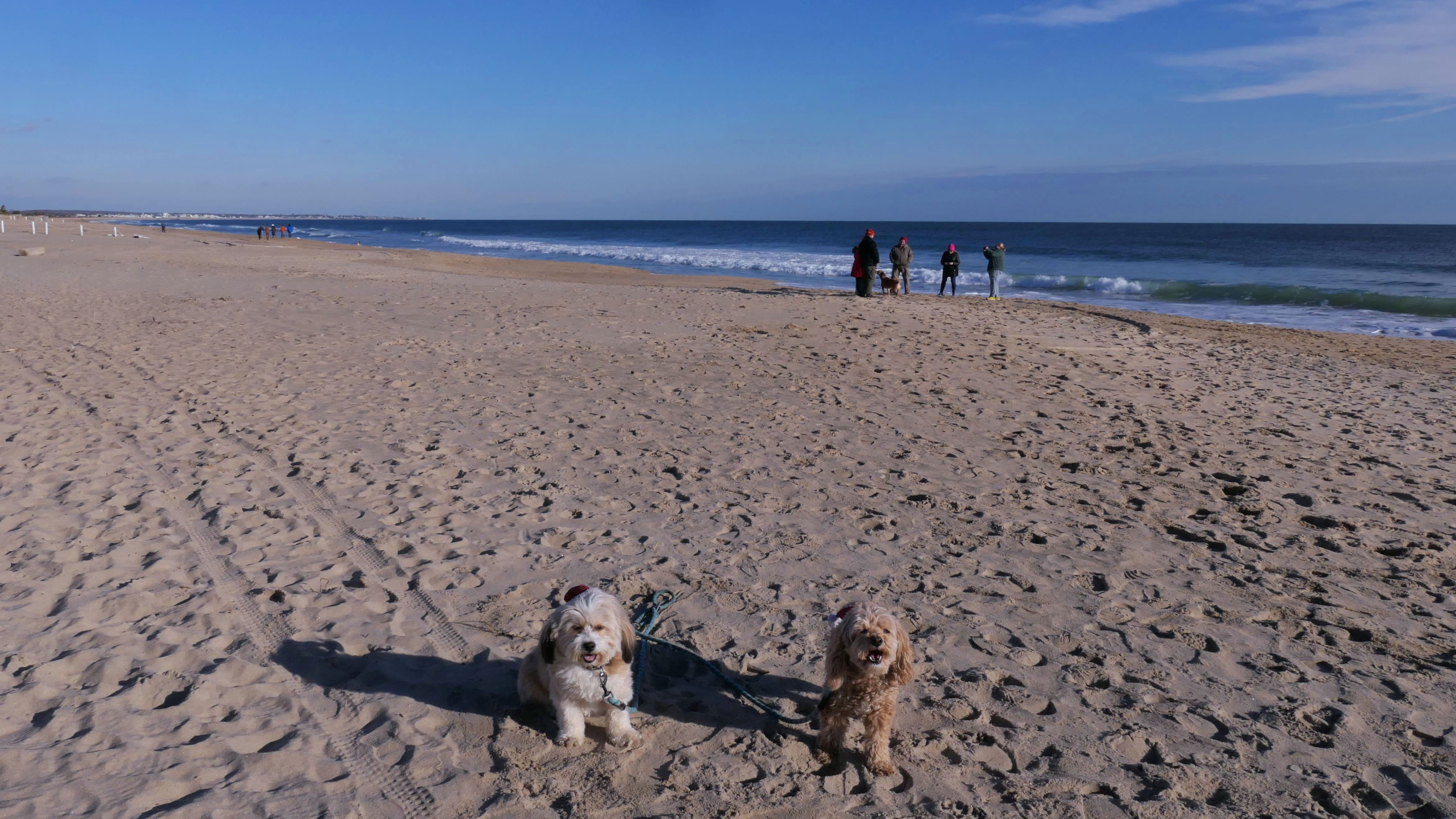
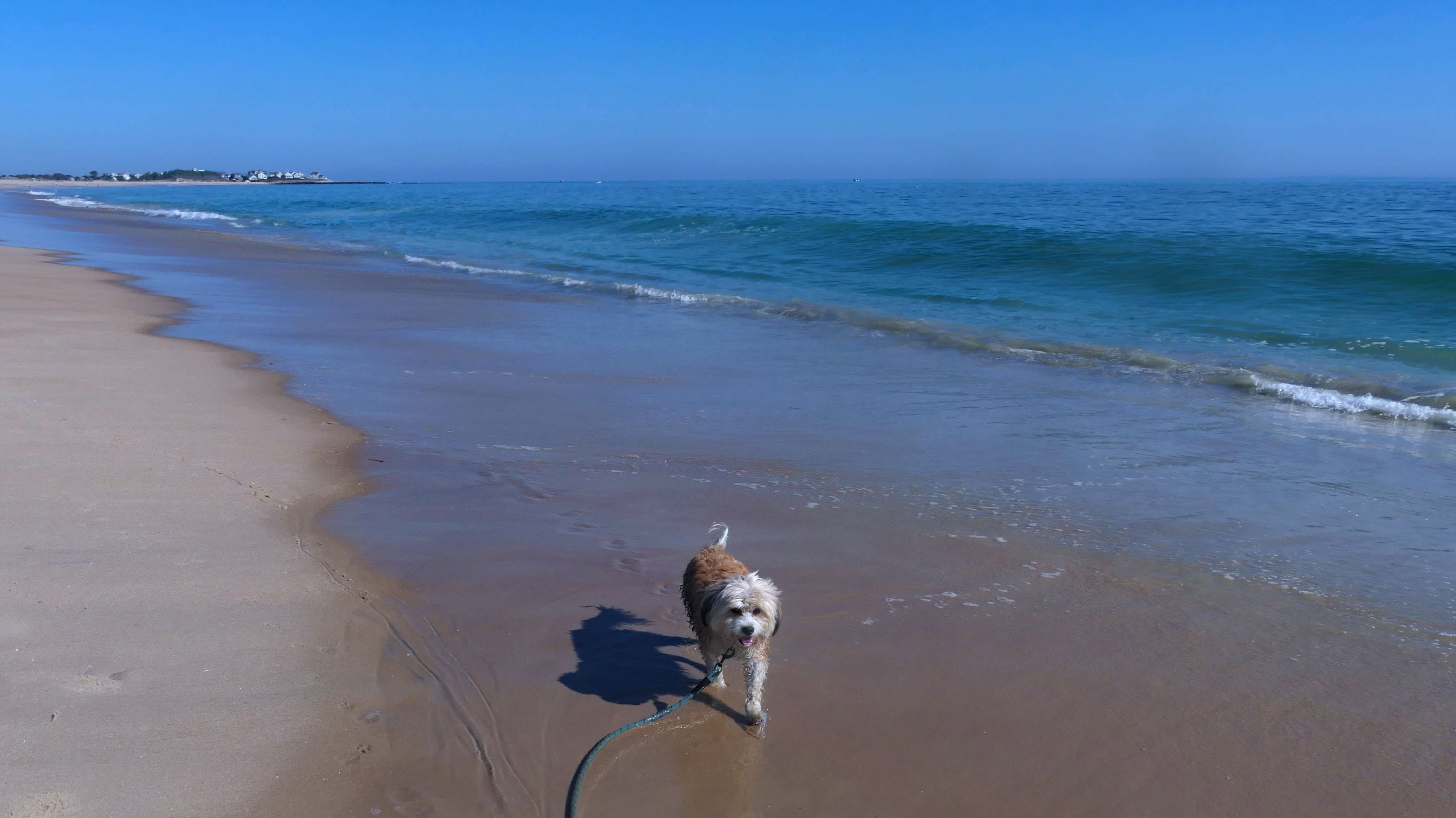
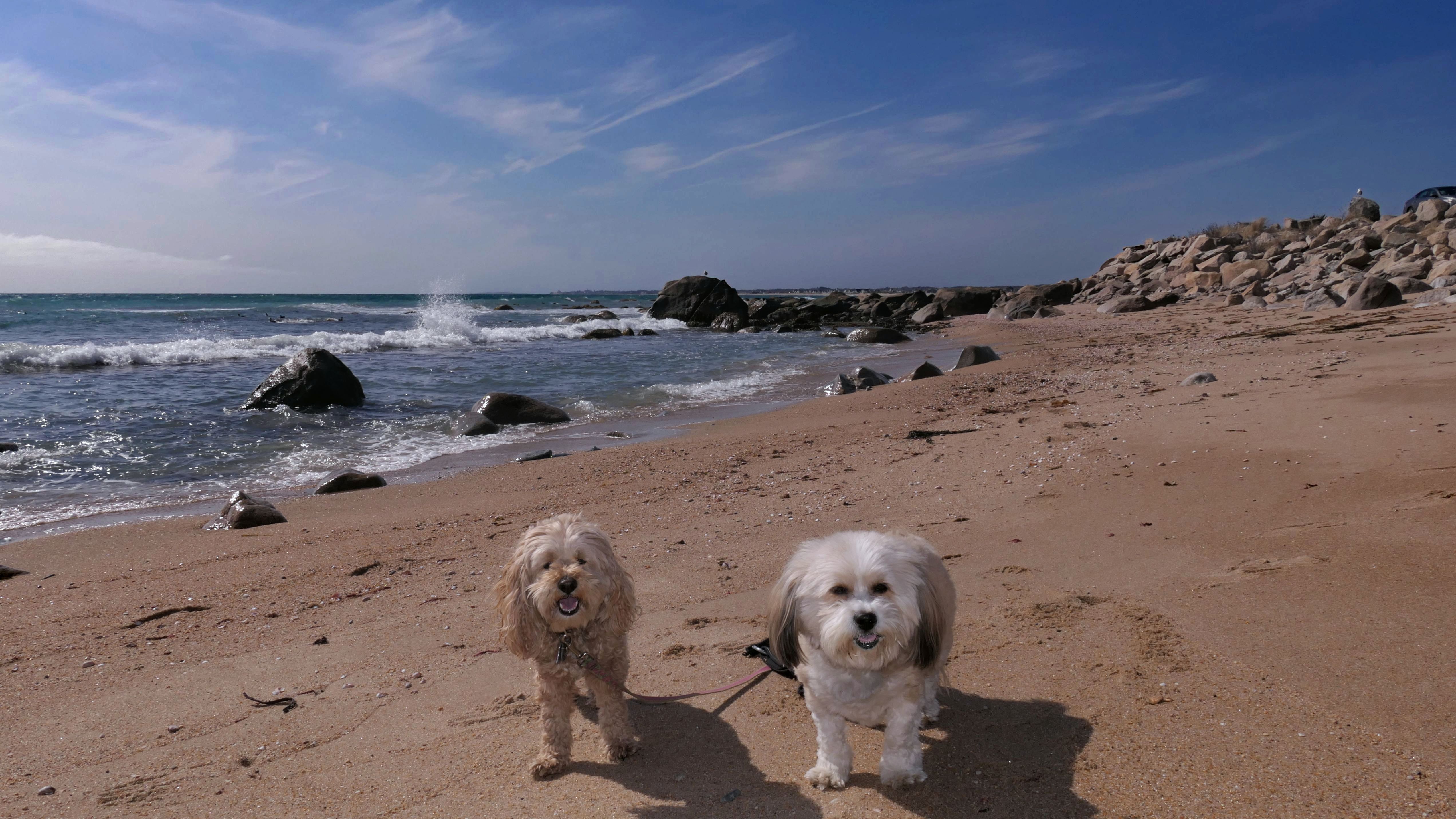
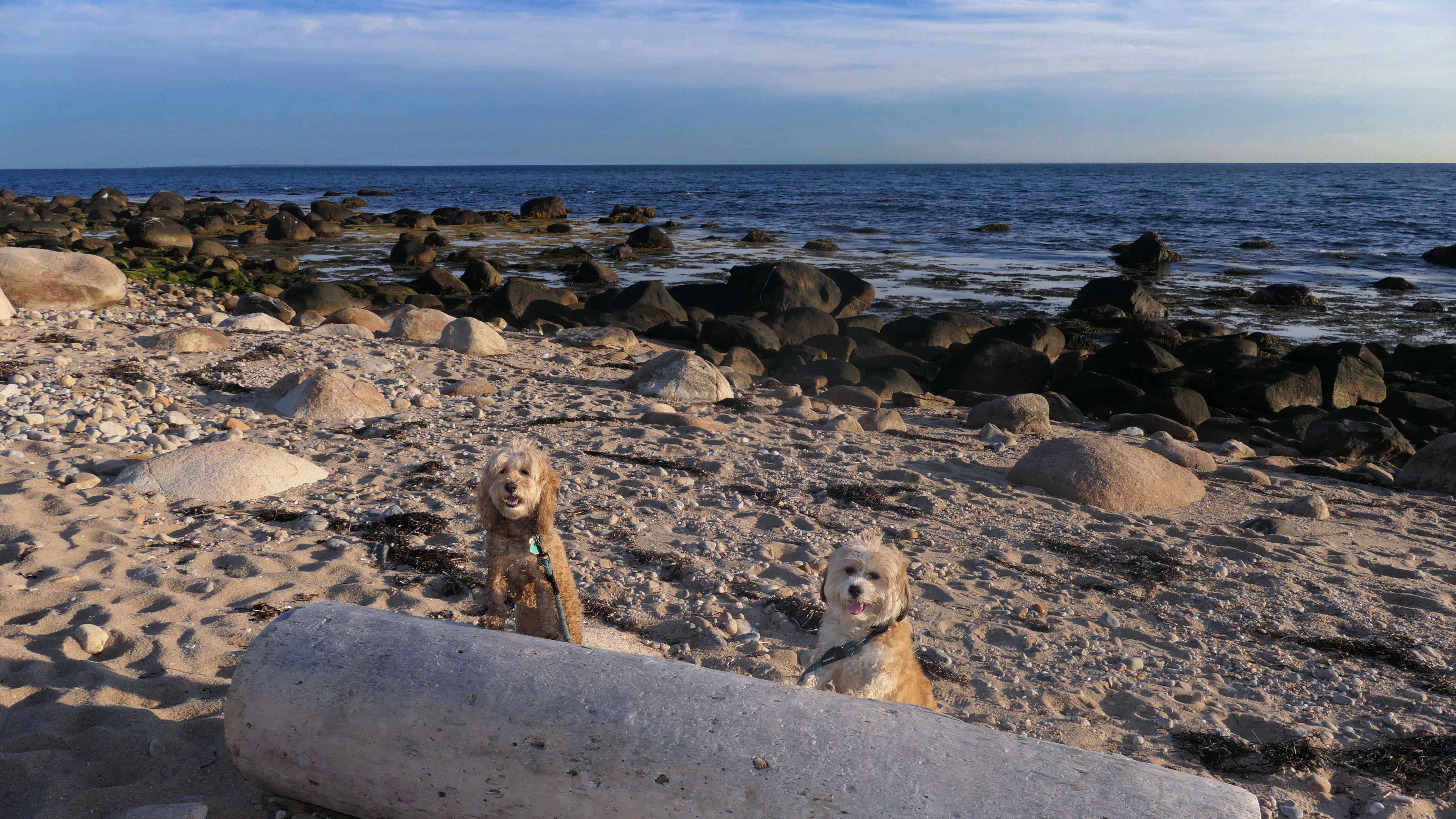
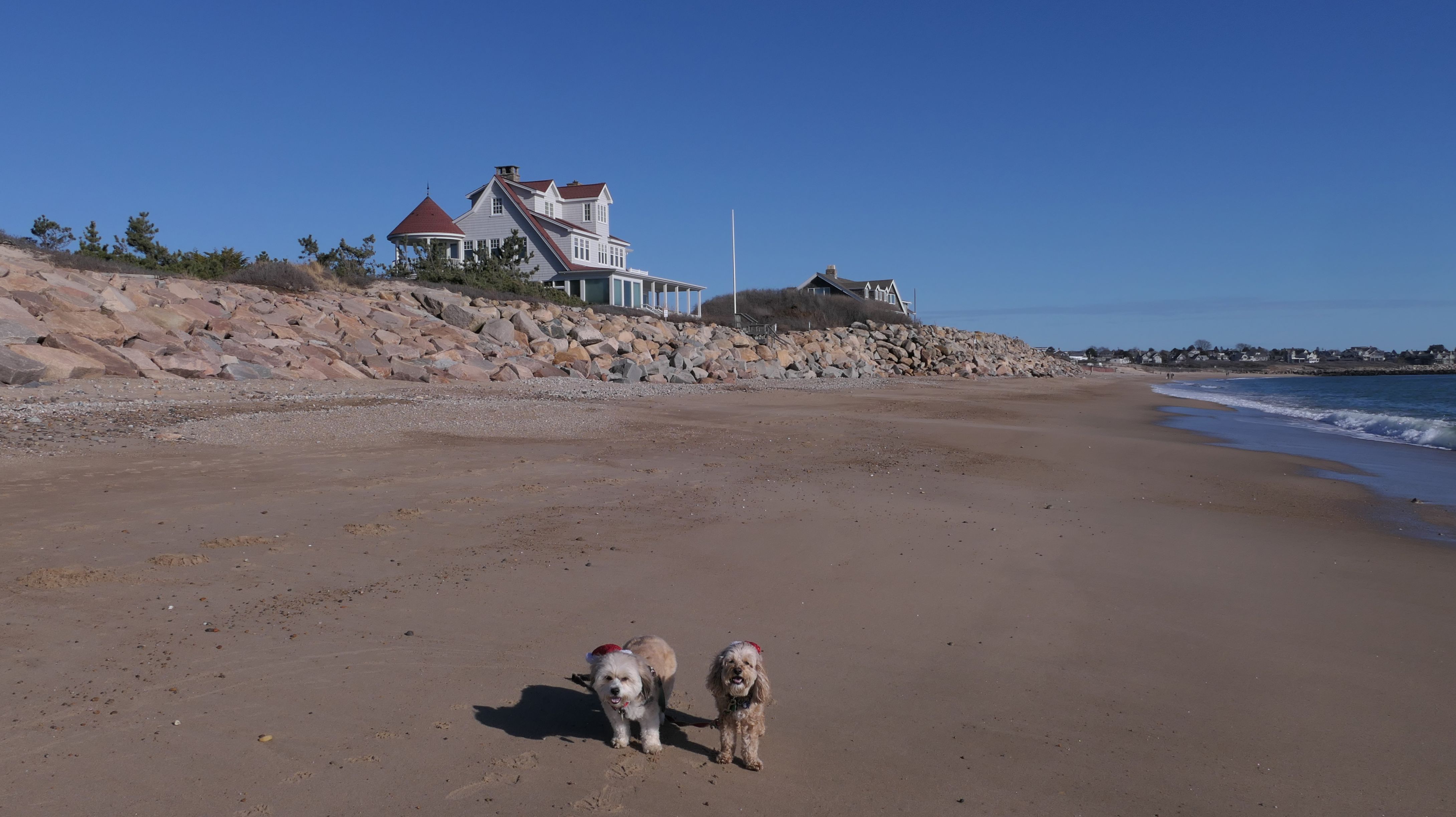
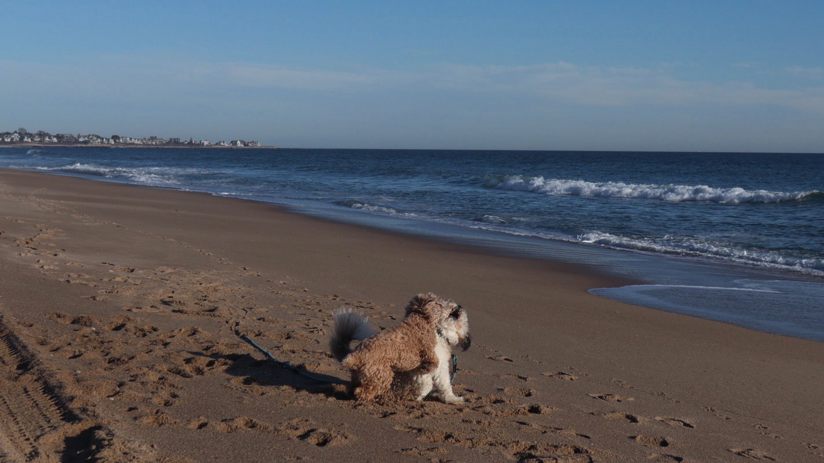
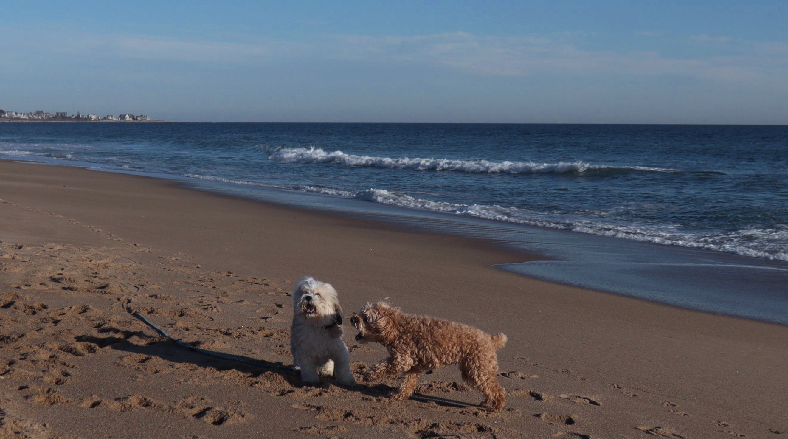
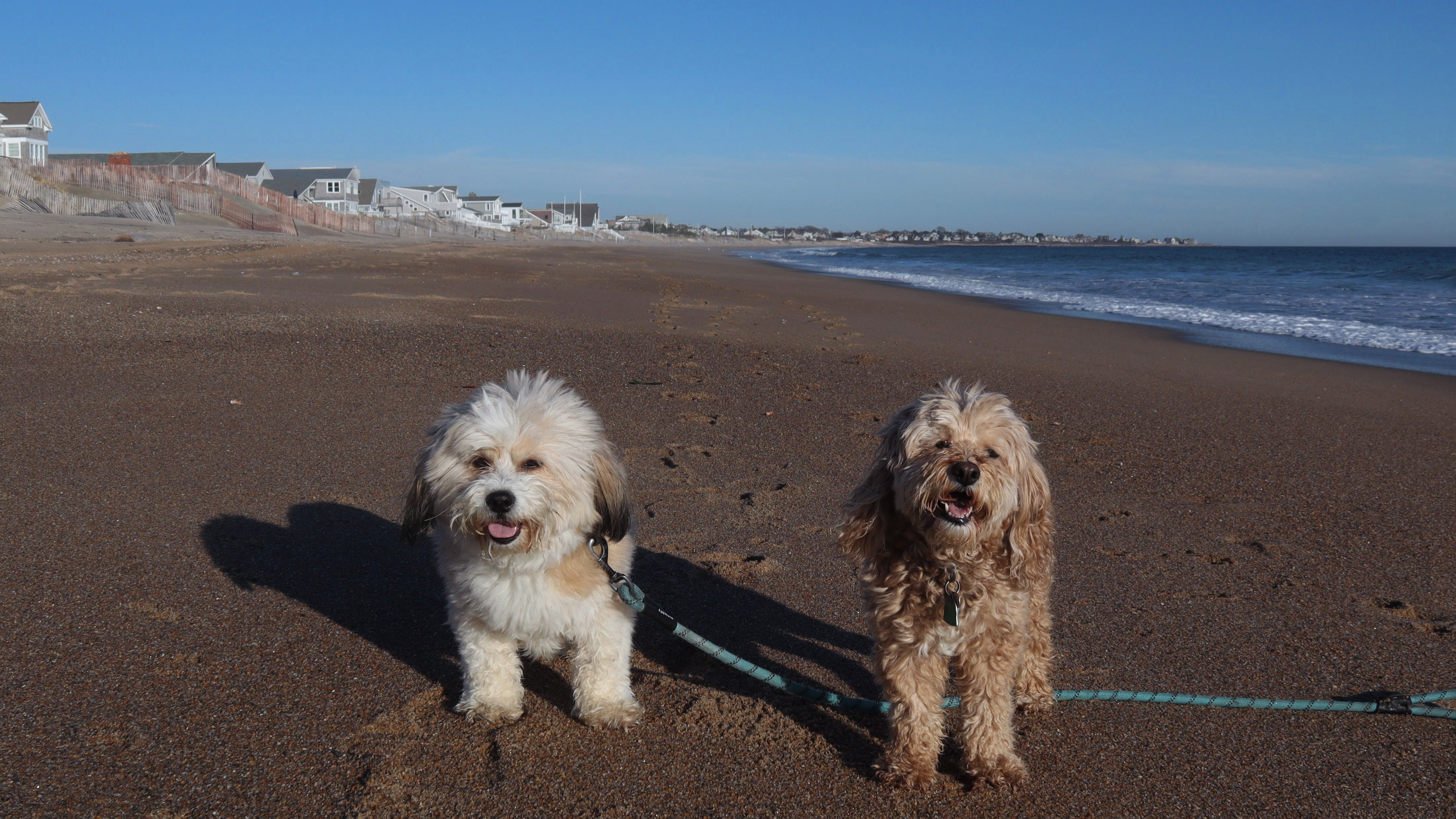
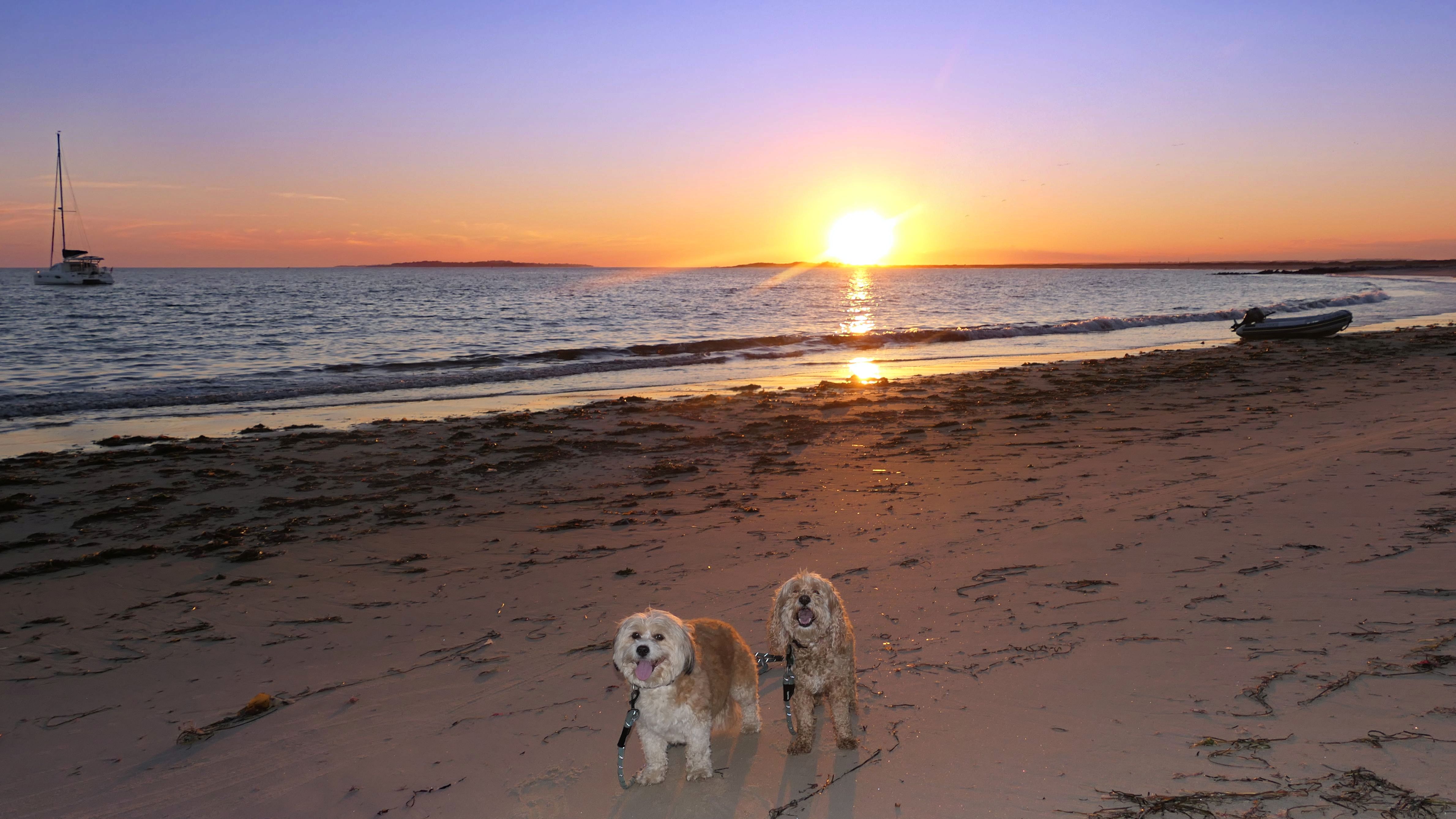
Dates visited: 7/1/2024
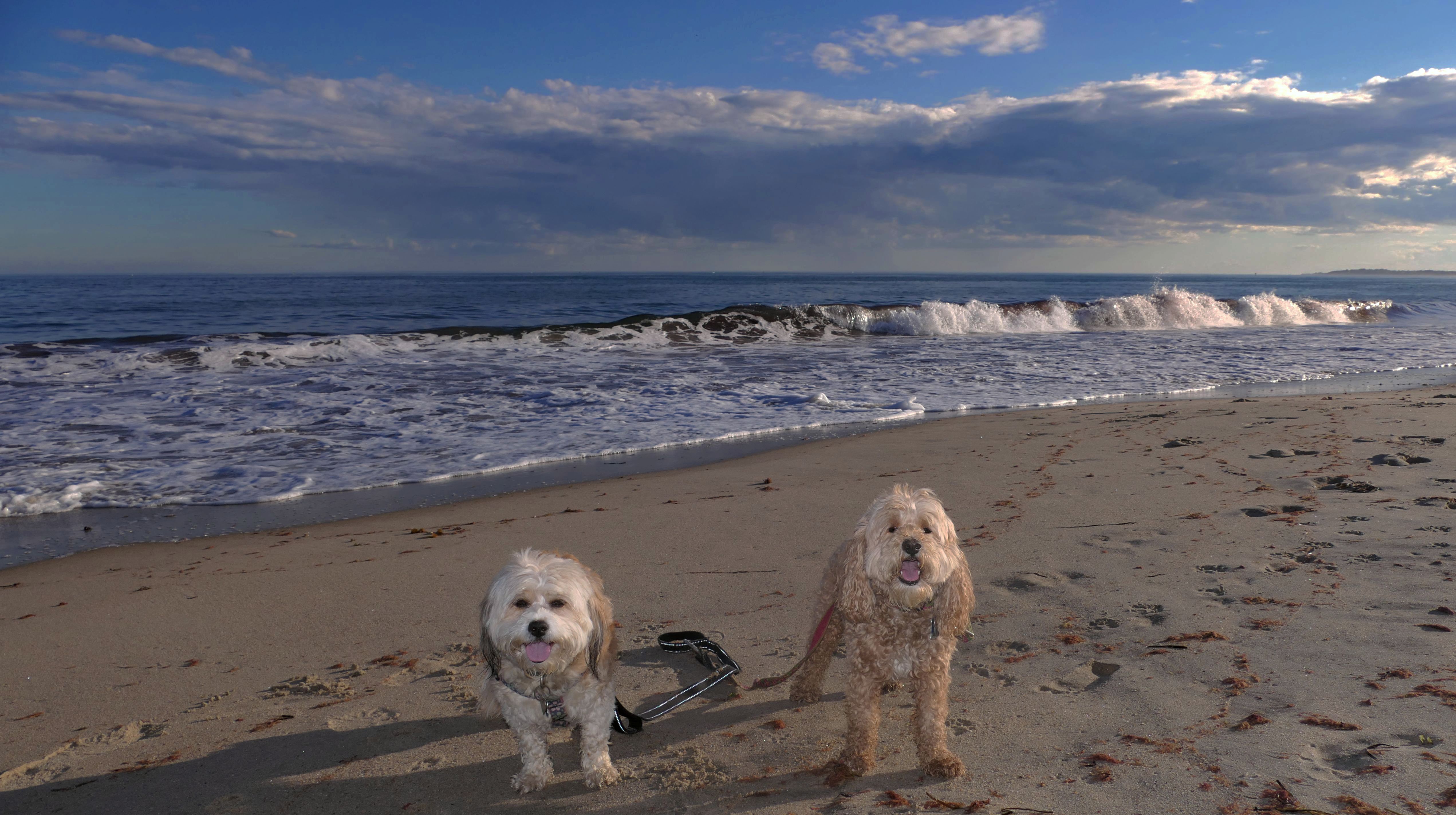
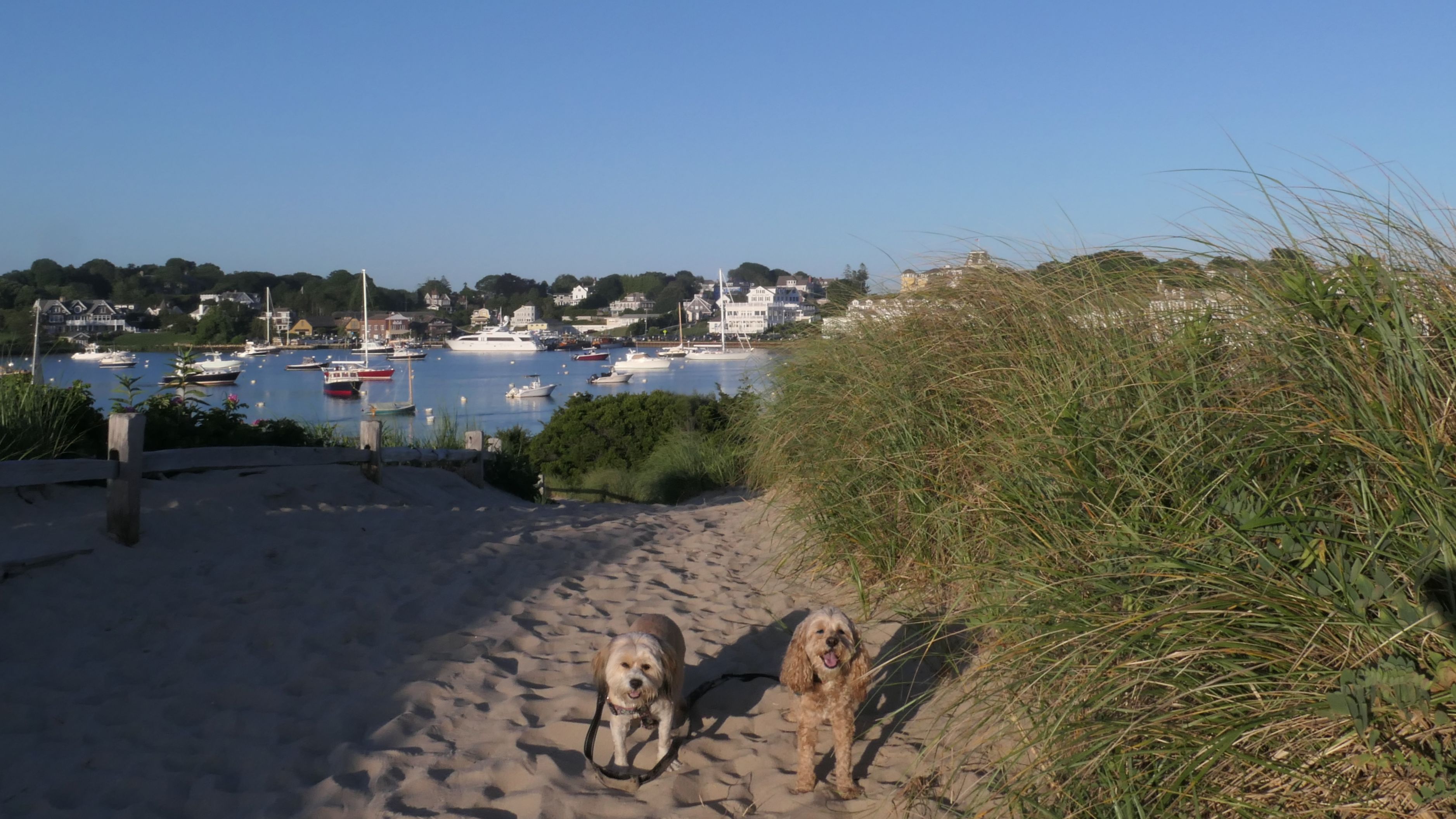
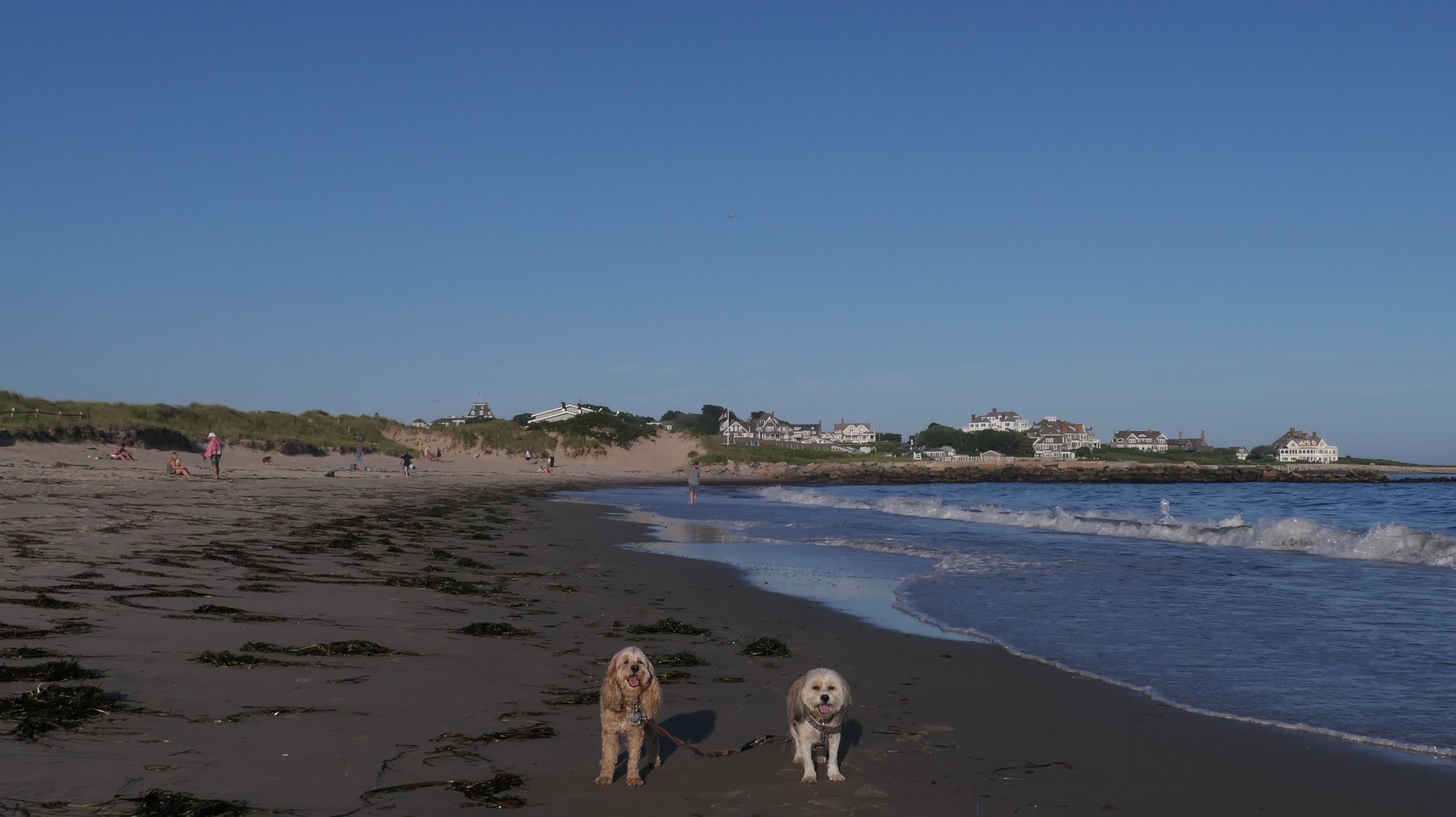
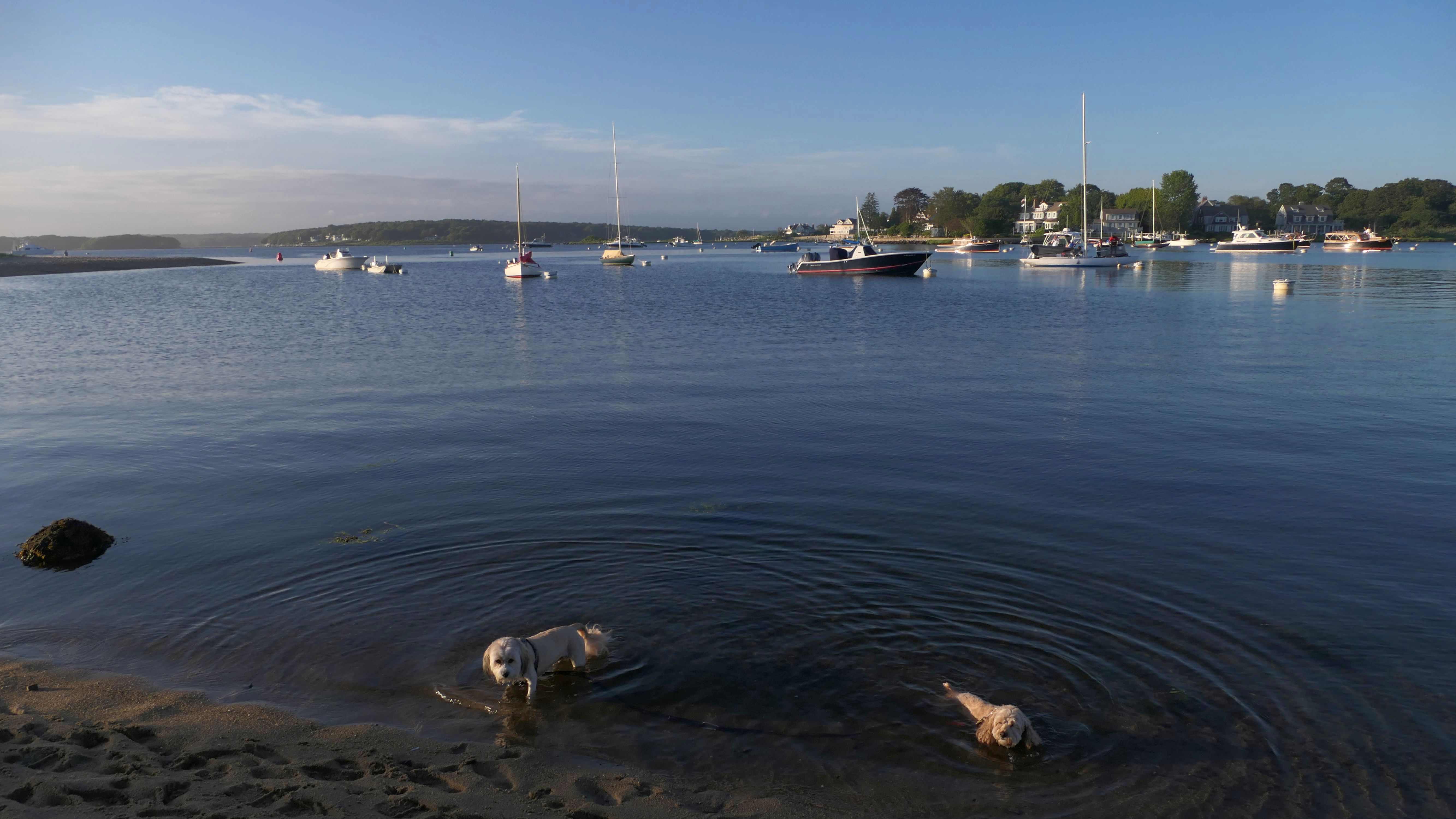
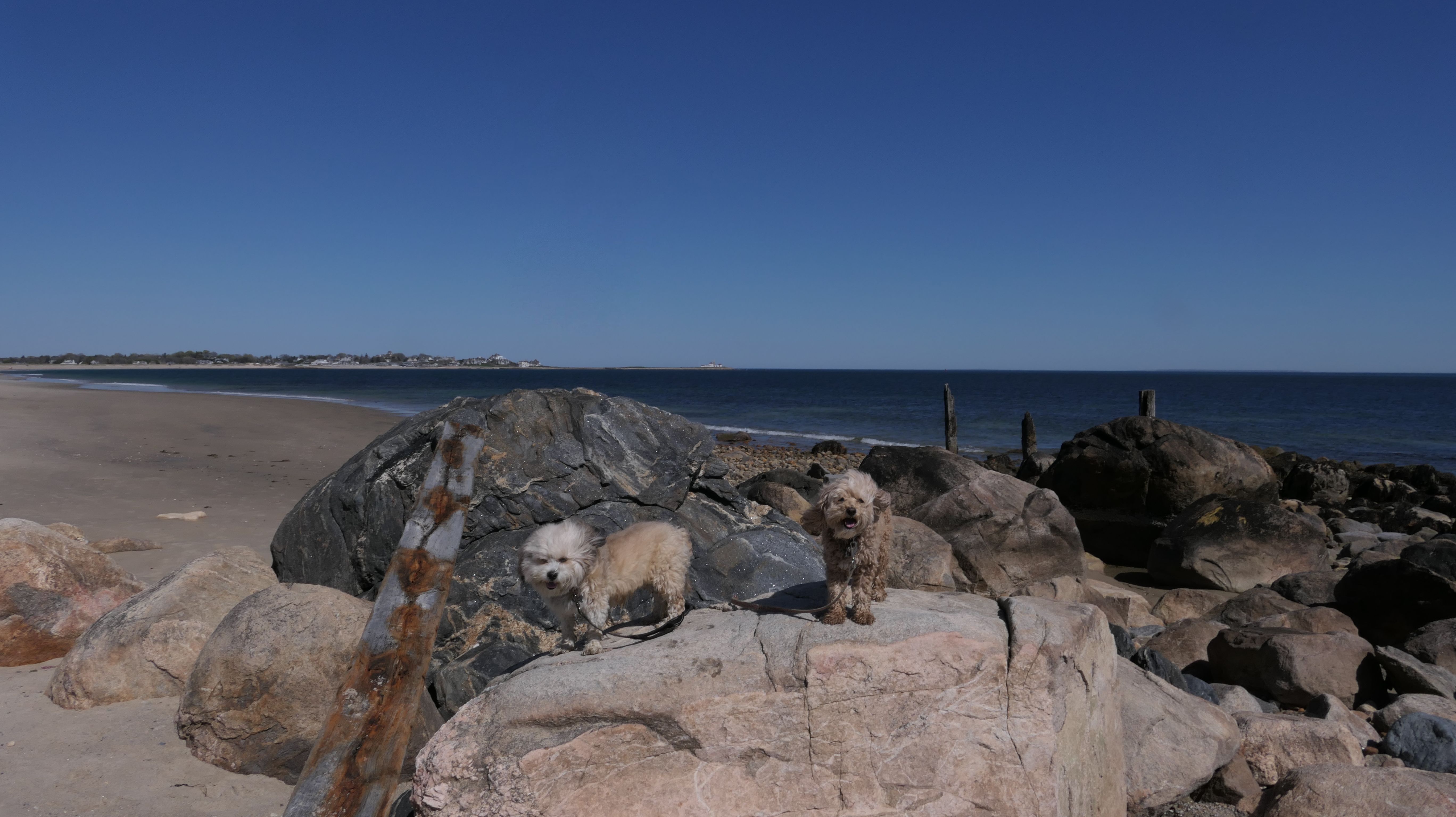
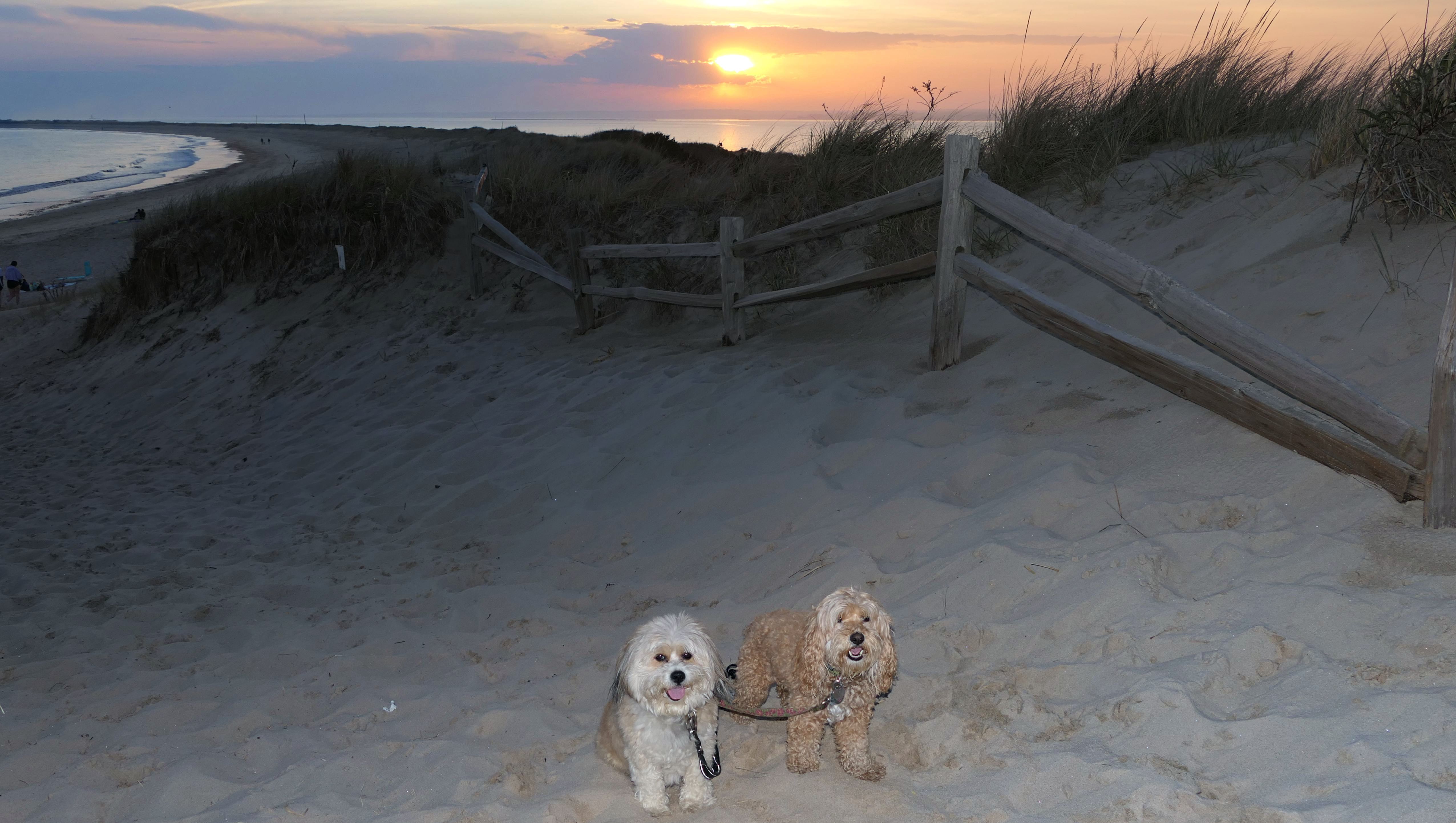
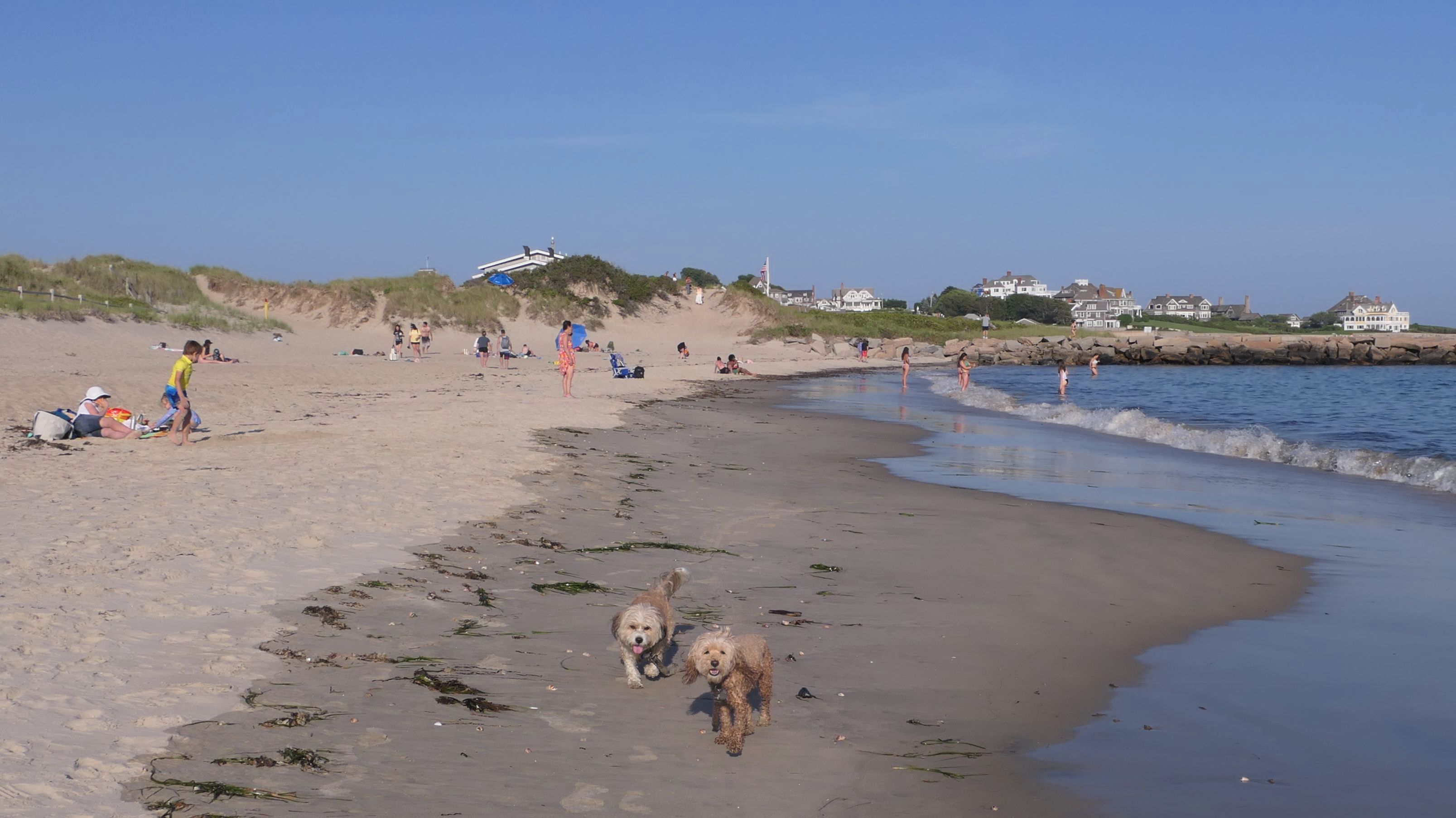
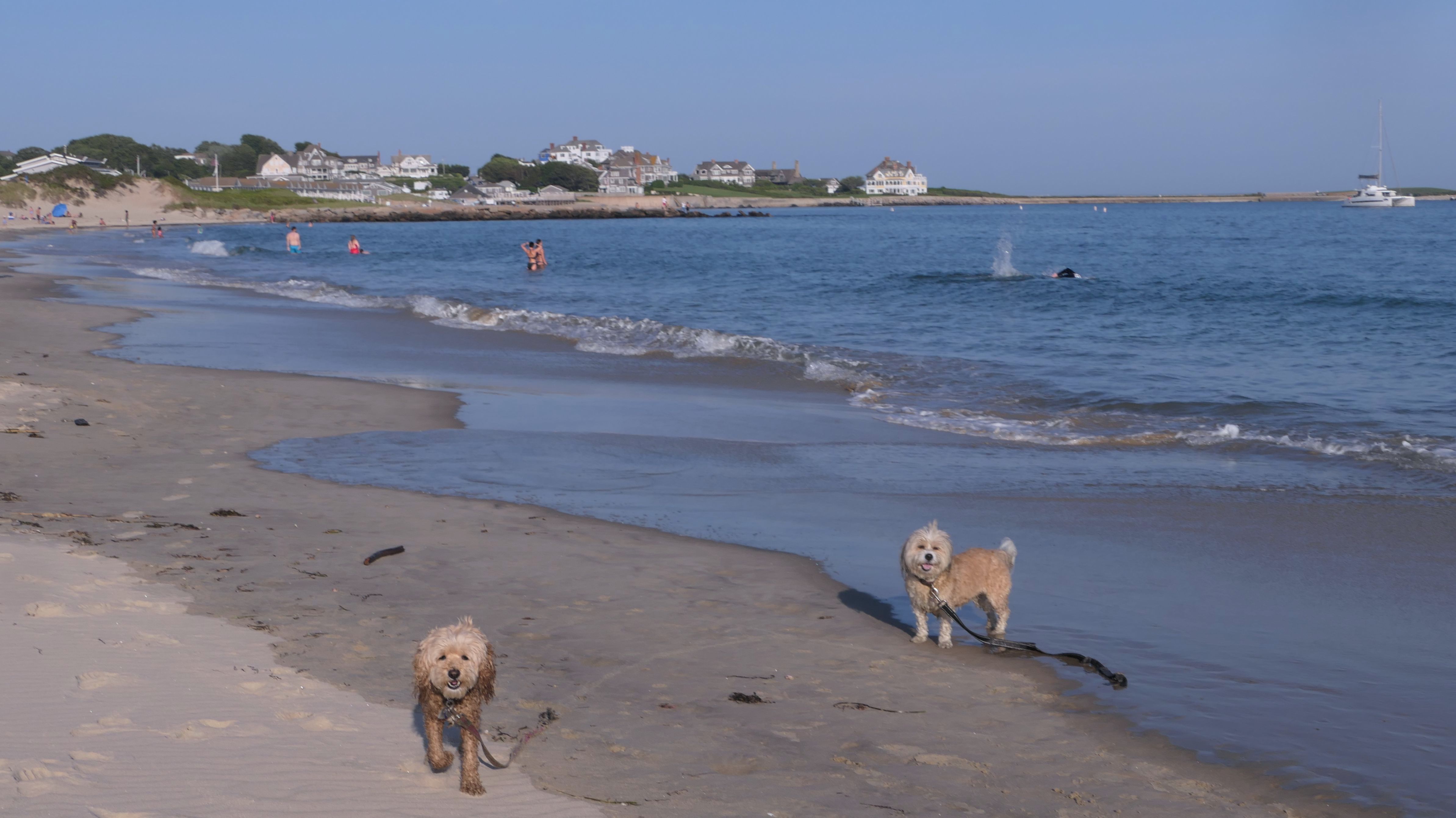
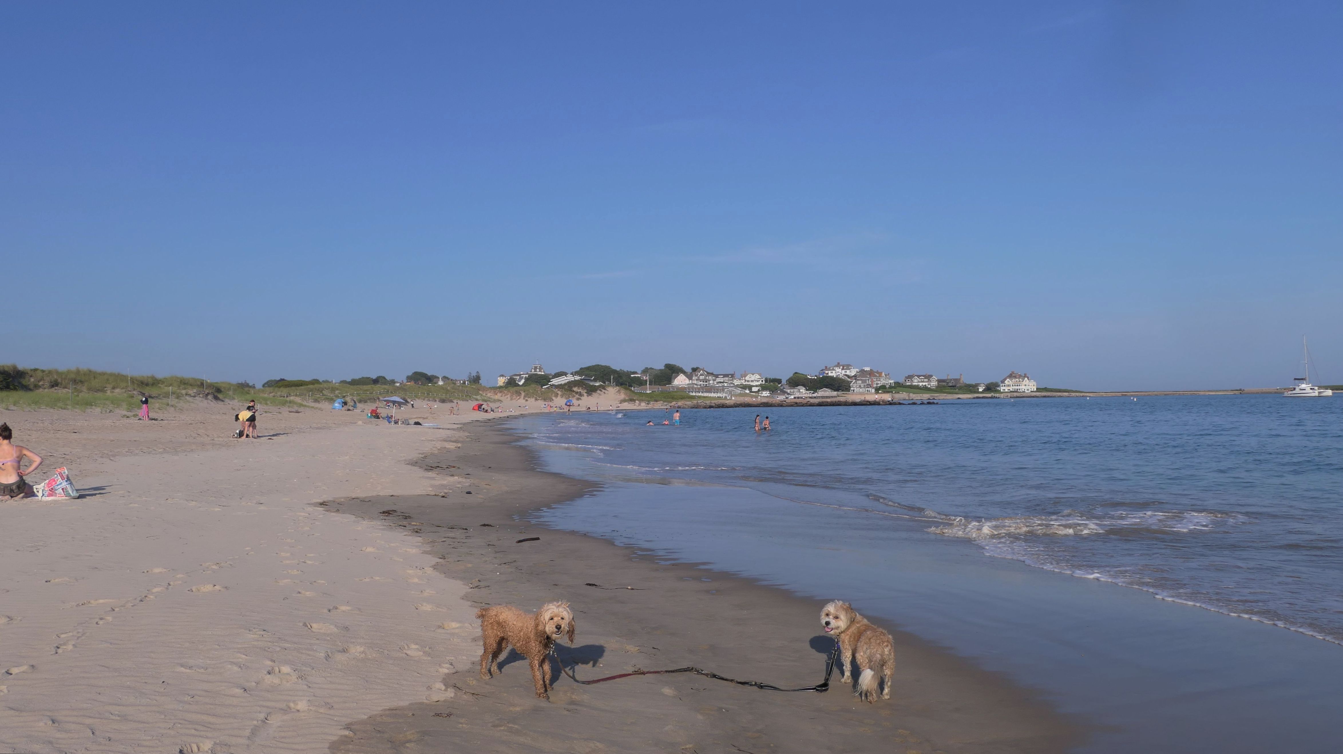
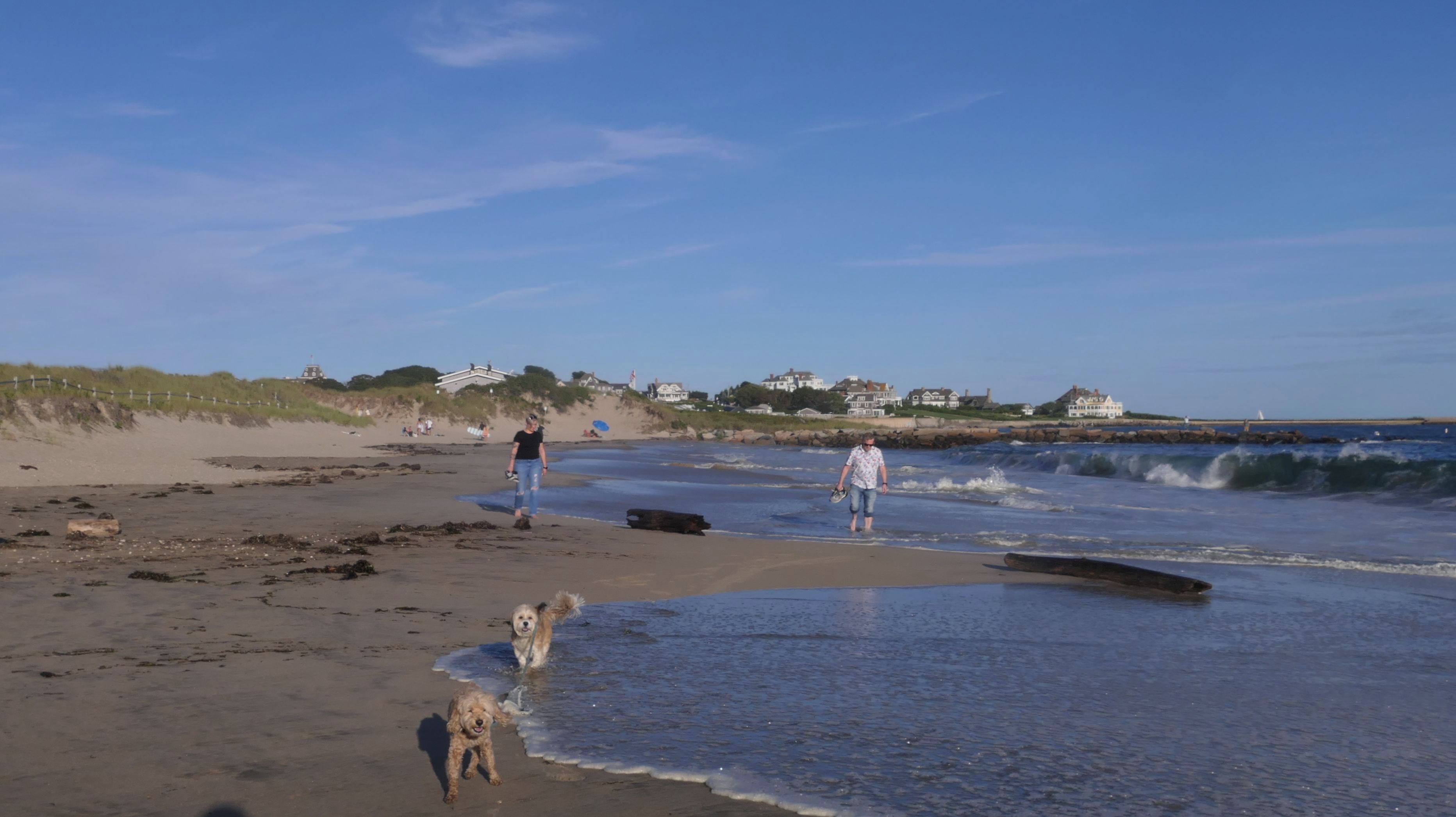
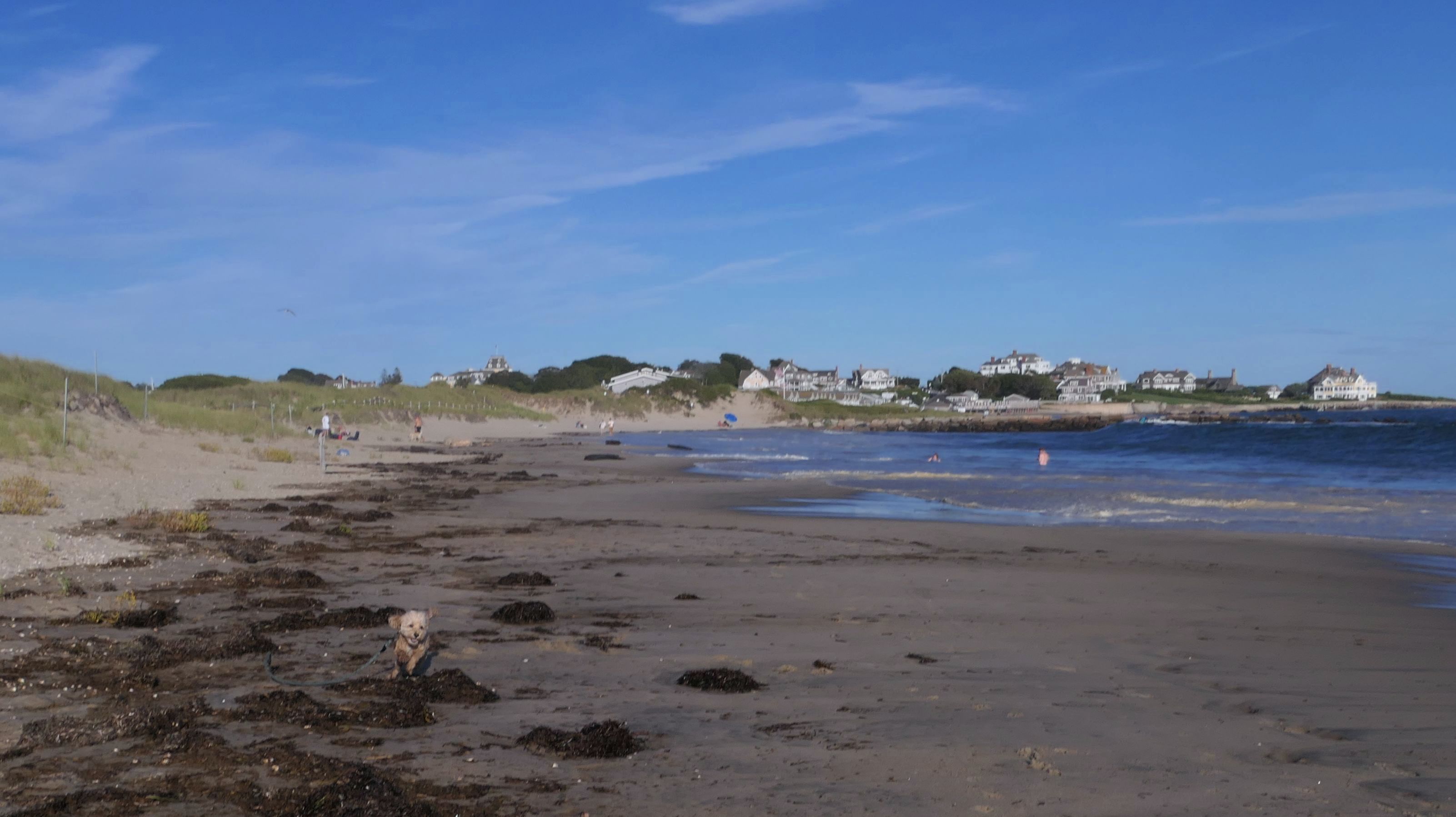
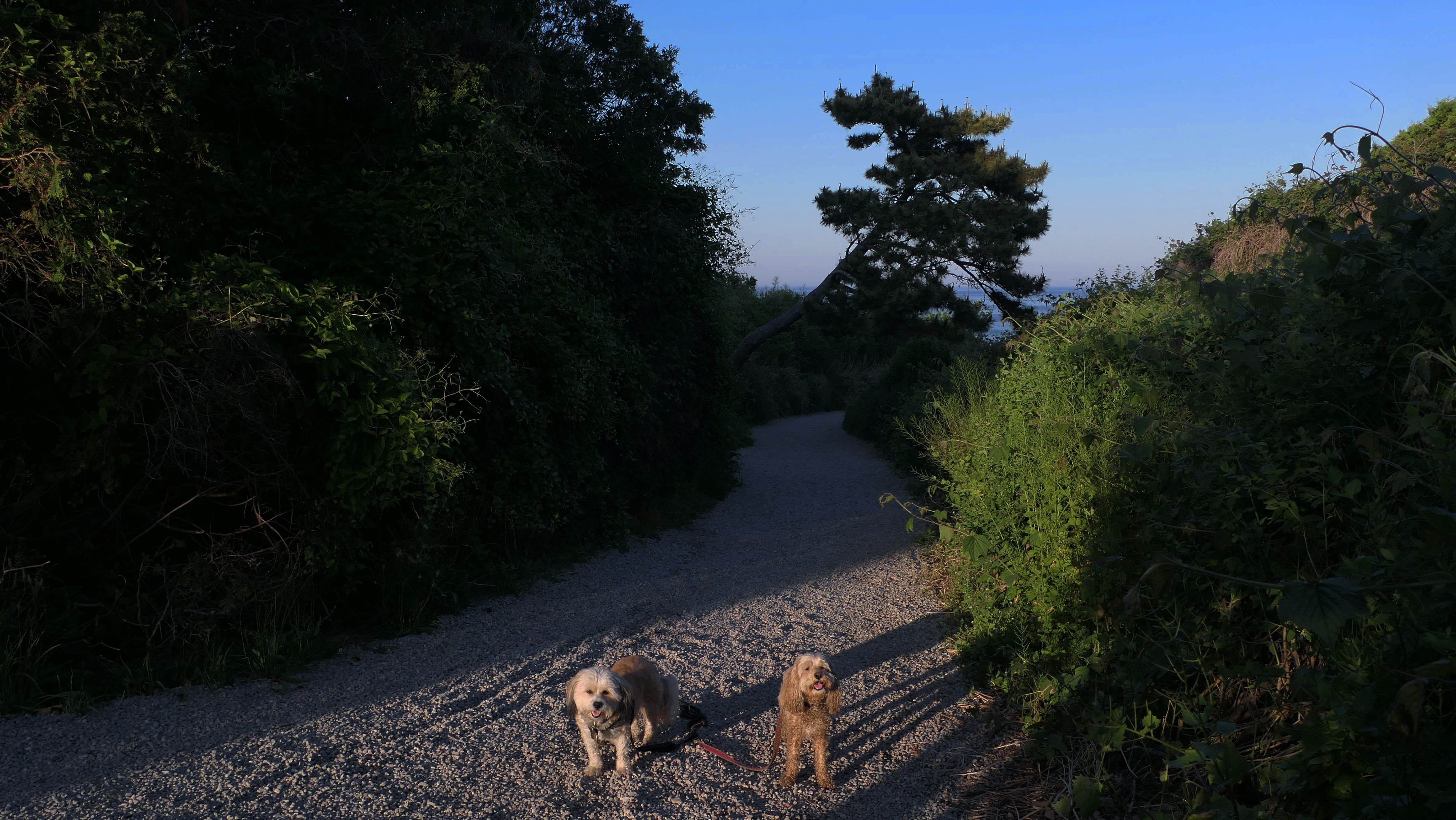
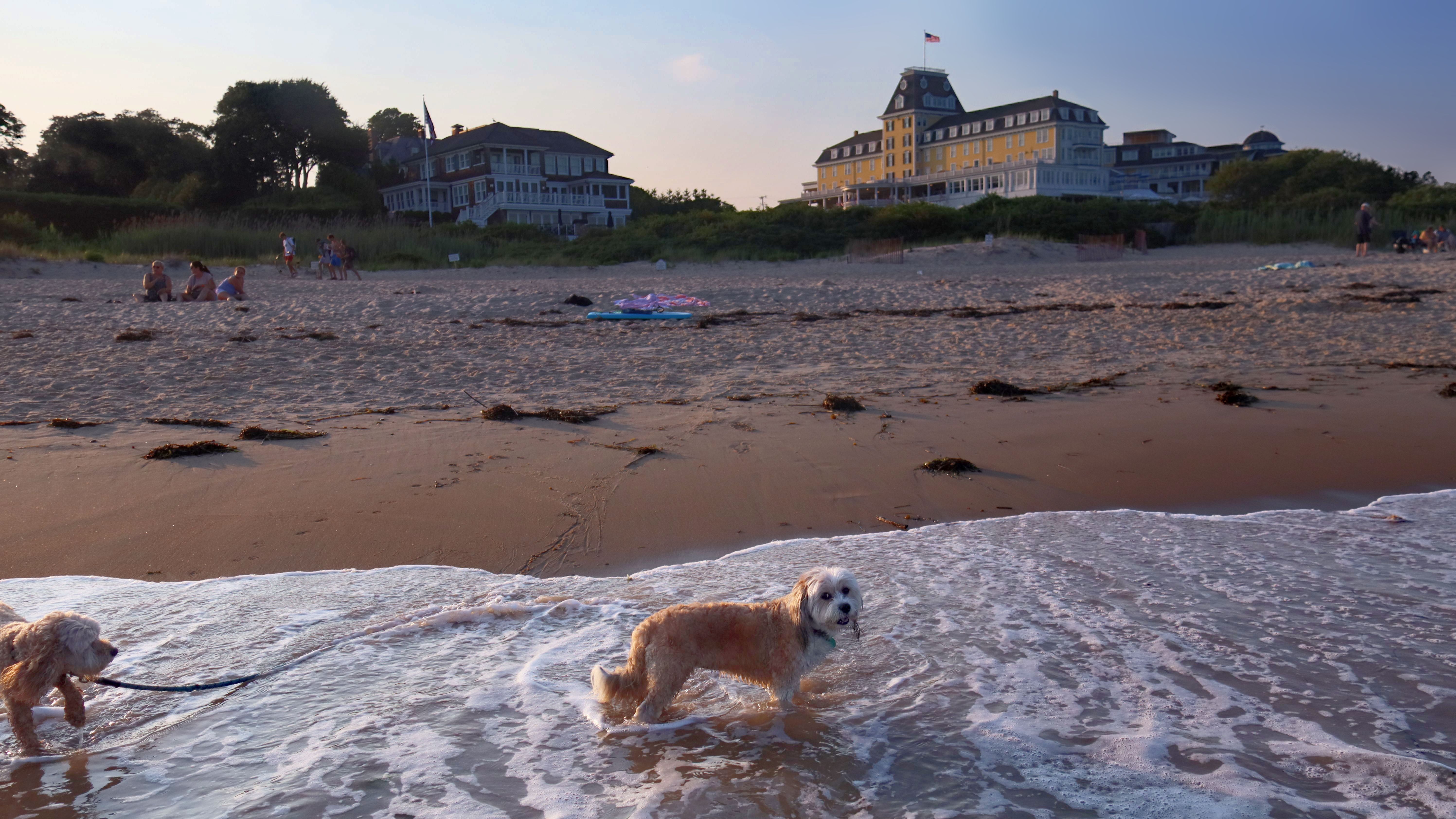
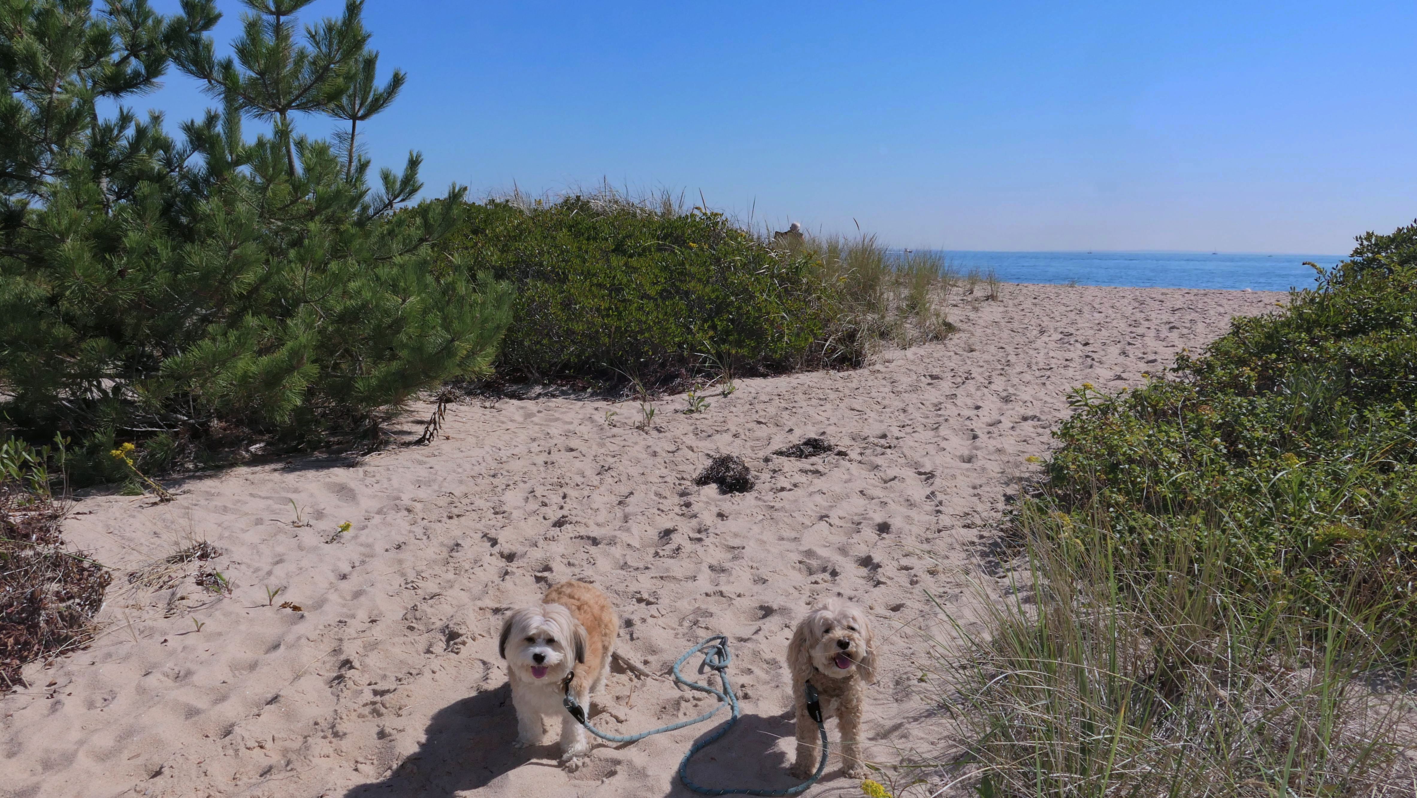
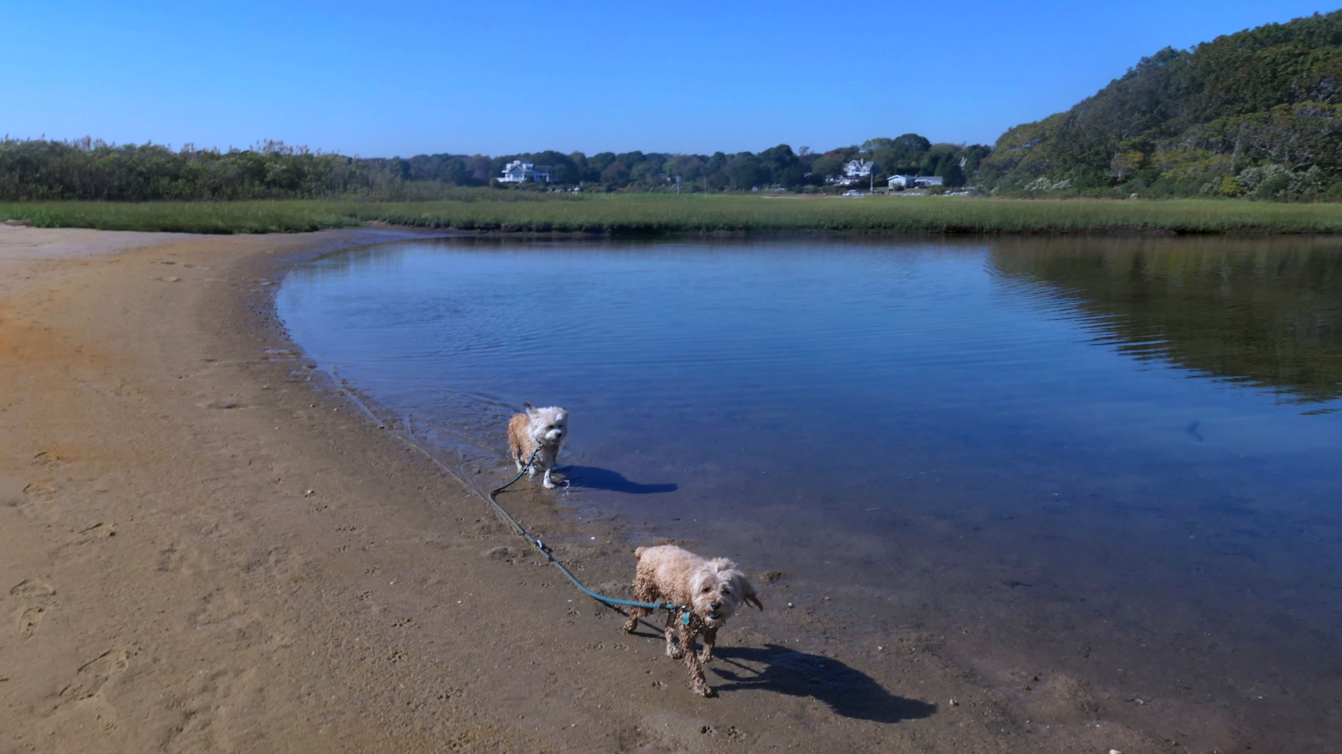
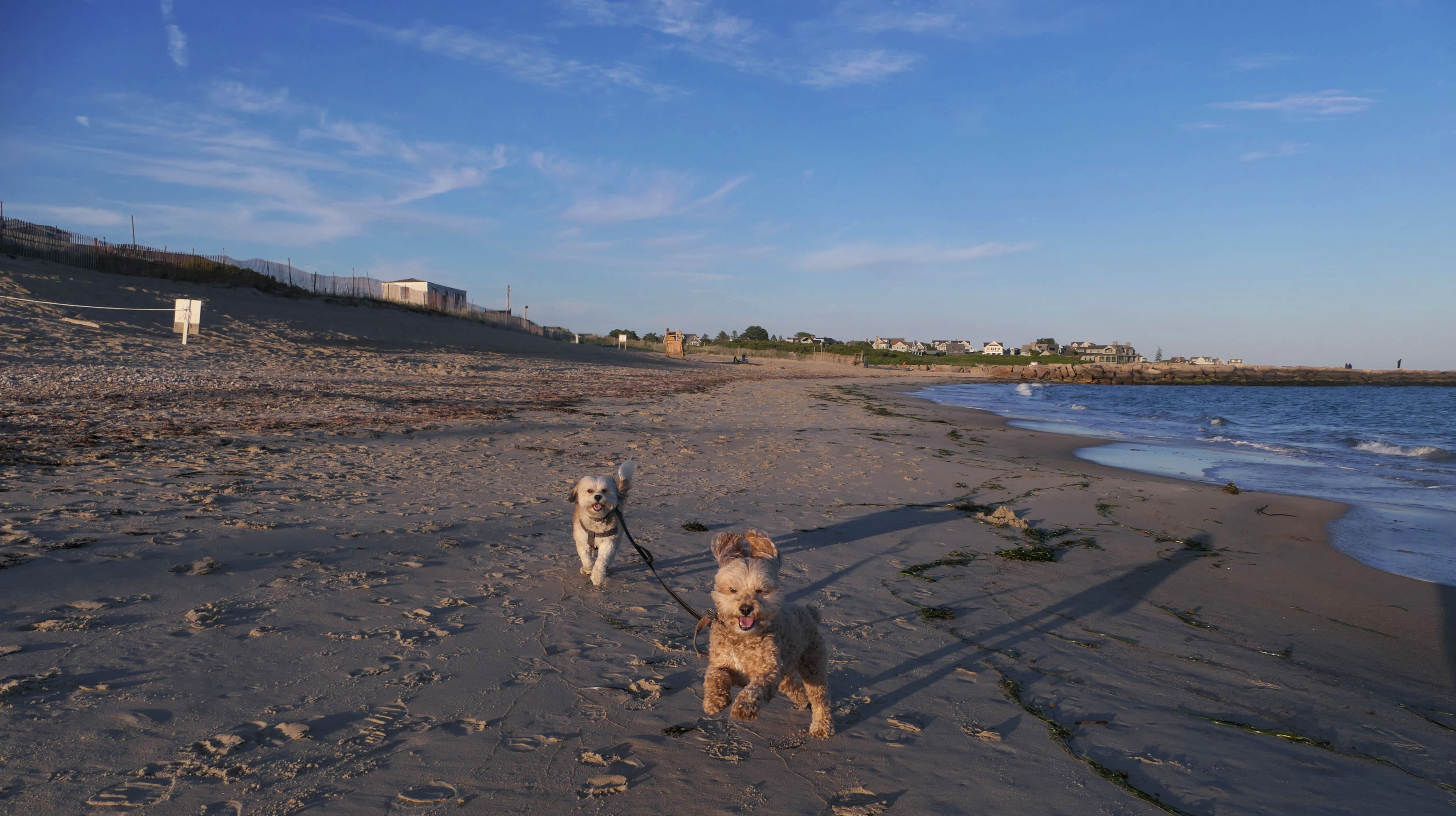
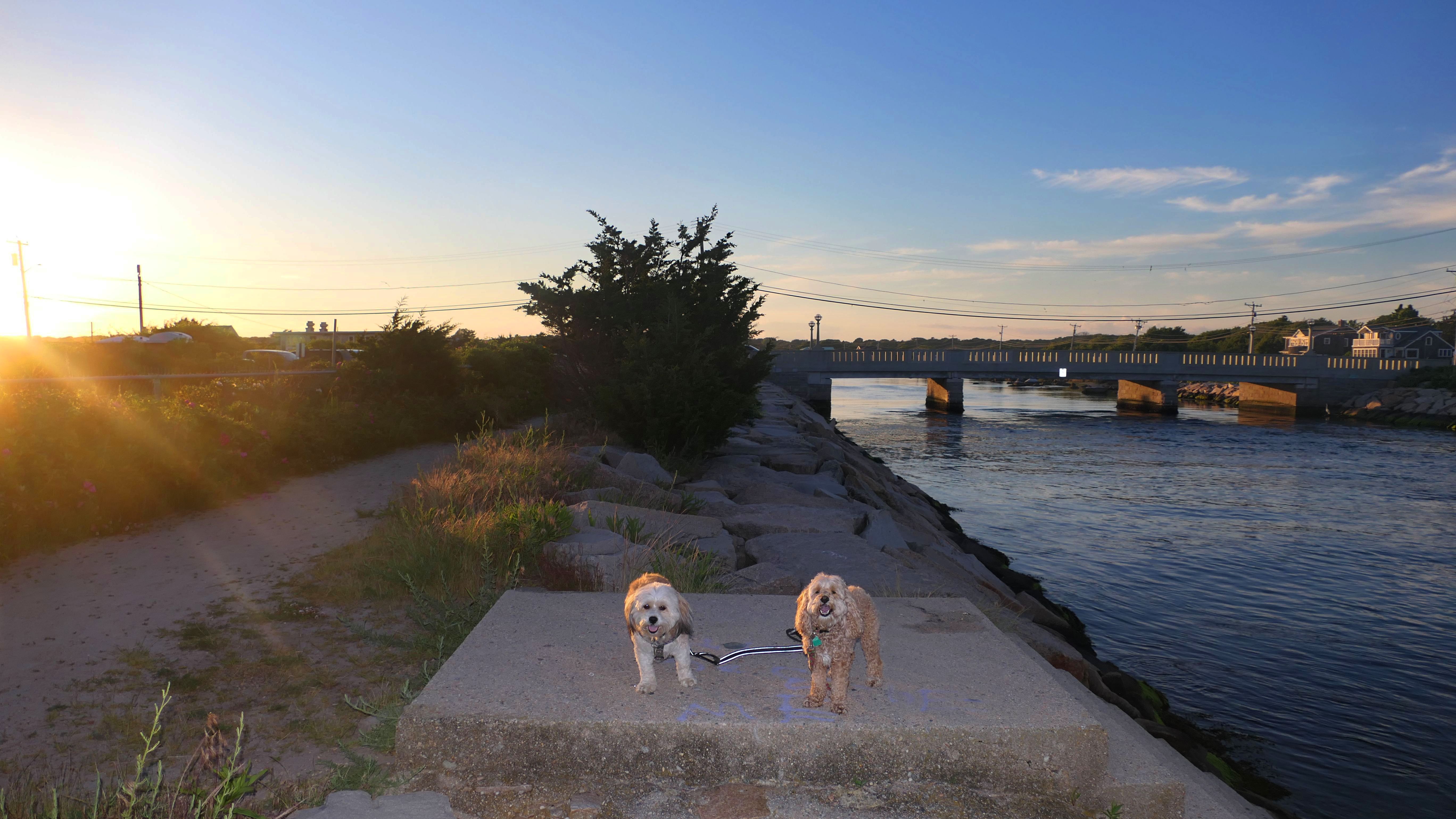
Since it had been three and a half years since the last time we walked the full loop here, it seemed like a good time to revisit this fantastic spot. The first time it was 30 degrees in December, so I thought going in the middle of summer might be a nice change! Dogs are allowed here in the summer time after 6PM, and we got started around 6:15PM, shortly after a considerable rain storm had moved through the area. Napatree Point is a small peninsula that sticks out of the southwest end of Westerly, blocking Stonington, CT from the open waters of the Atlantic. We started on the ocean side, which is pretty must just a nice walk on the beach. It was just after high tide, and the waves were pretty strong. Once we got to the rocks at the tip of the peninsula, there wasn't a way I could find to safely get to the other side of the point. There are a few cross-over trails along the way, but they were roped off due to piping plovers nesting, so we couldn't walk the same loop that we did back in December of 2020. We had to head back along the beach the way we came, and cross over to the bay side much closer to our starting point. We made it just in time for the sunset, which was barely visible between the few clouds that had moved through. Since the waves are tame on the bay side, the dogs enjoy the water much more on this side! This was a wonderful evening hike, even if we couldn't walk the entire route as planned.


More Images


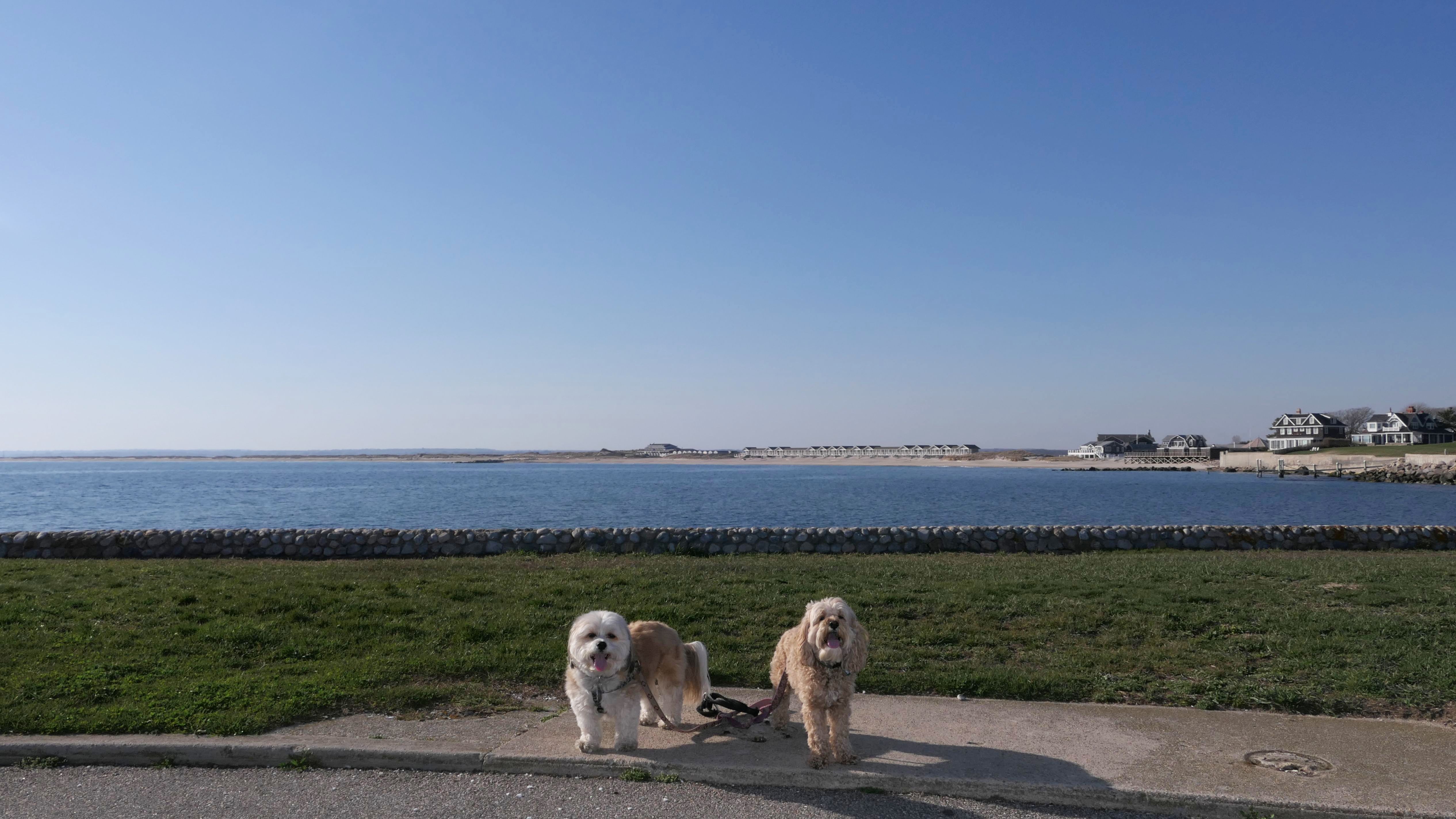
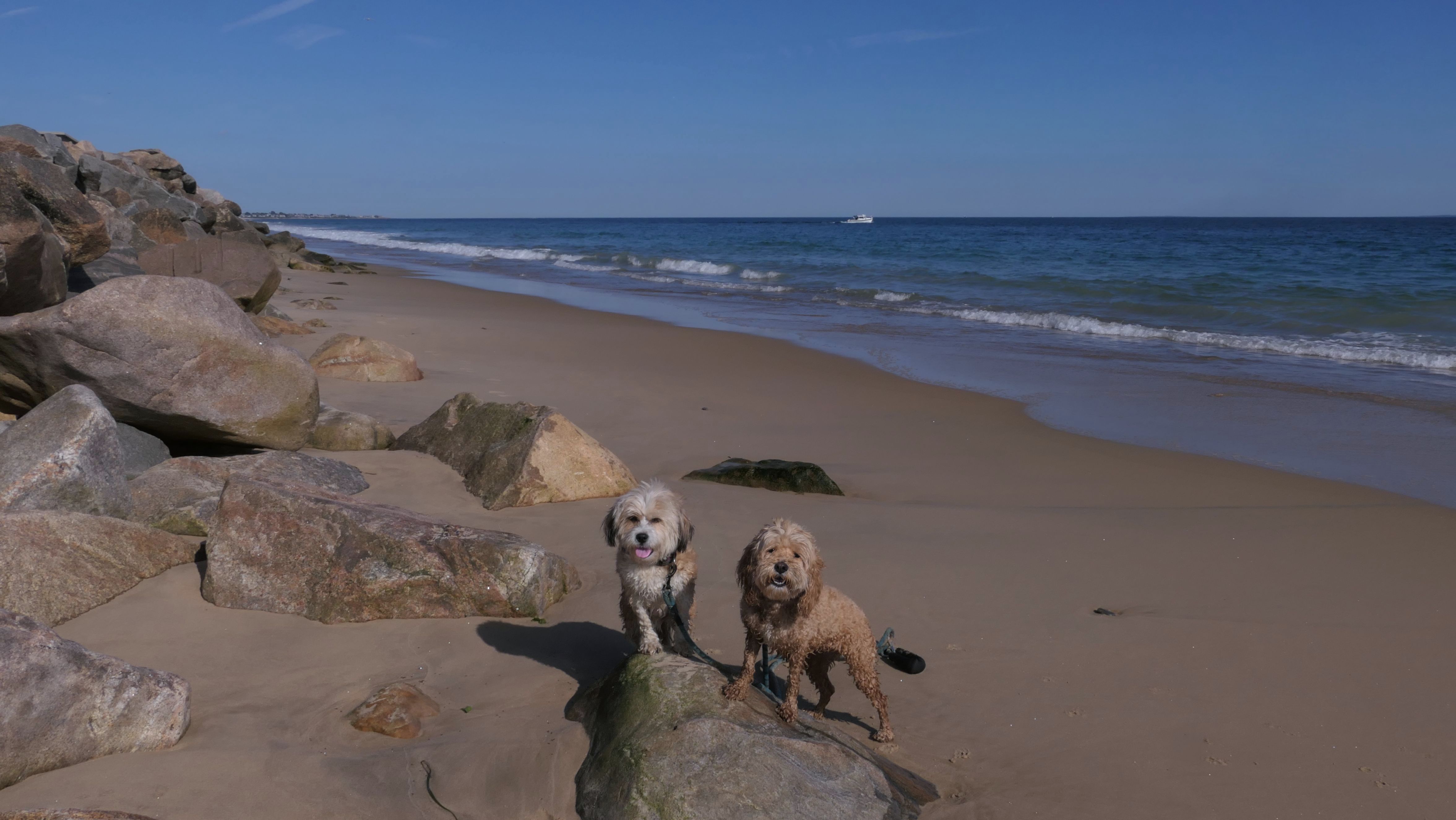
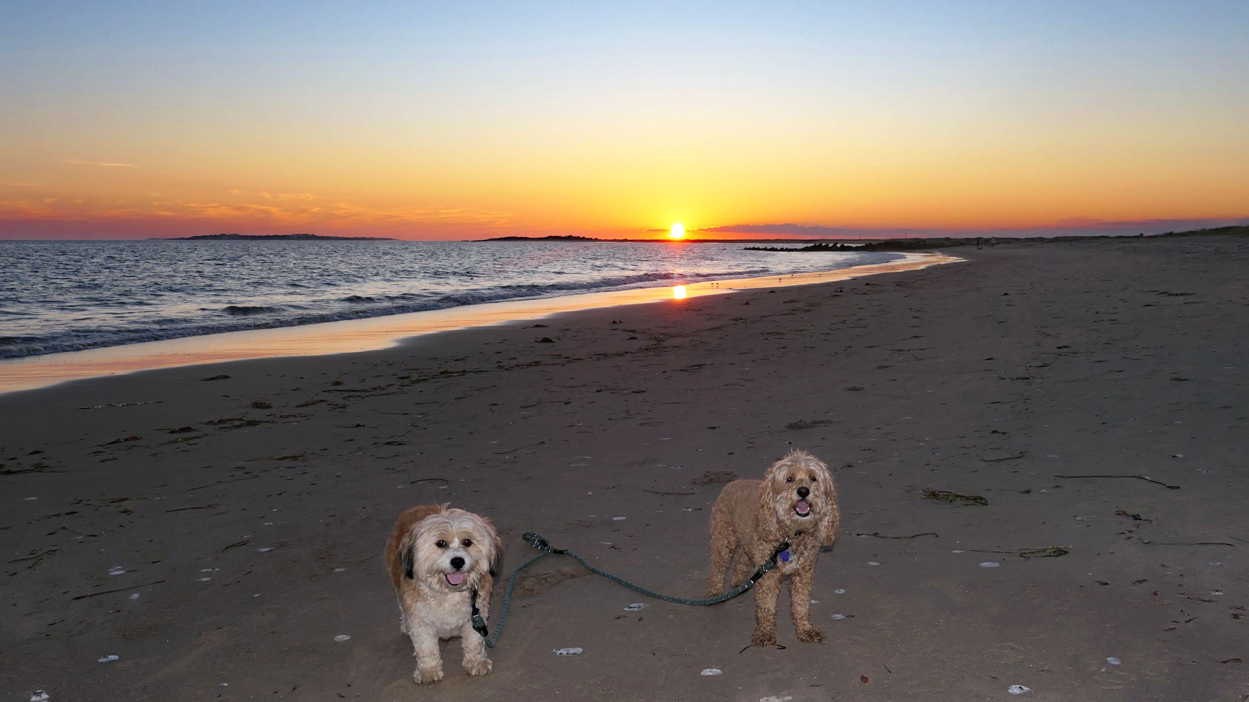
Napatree Point Conservation Area
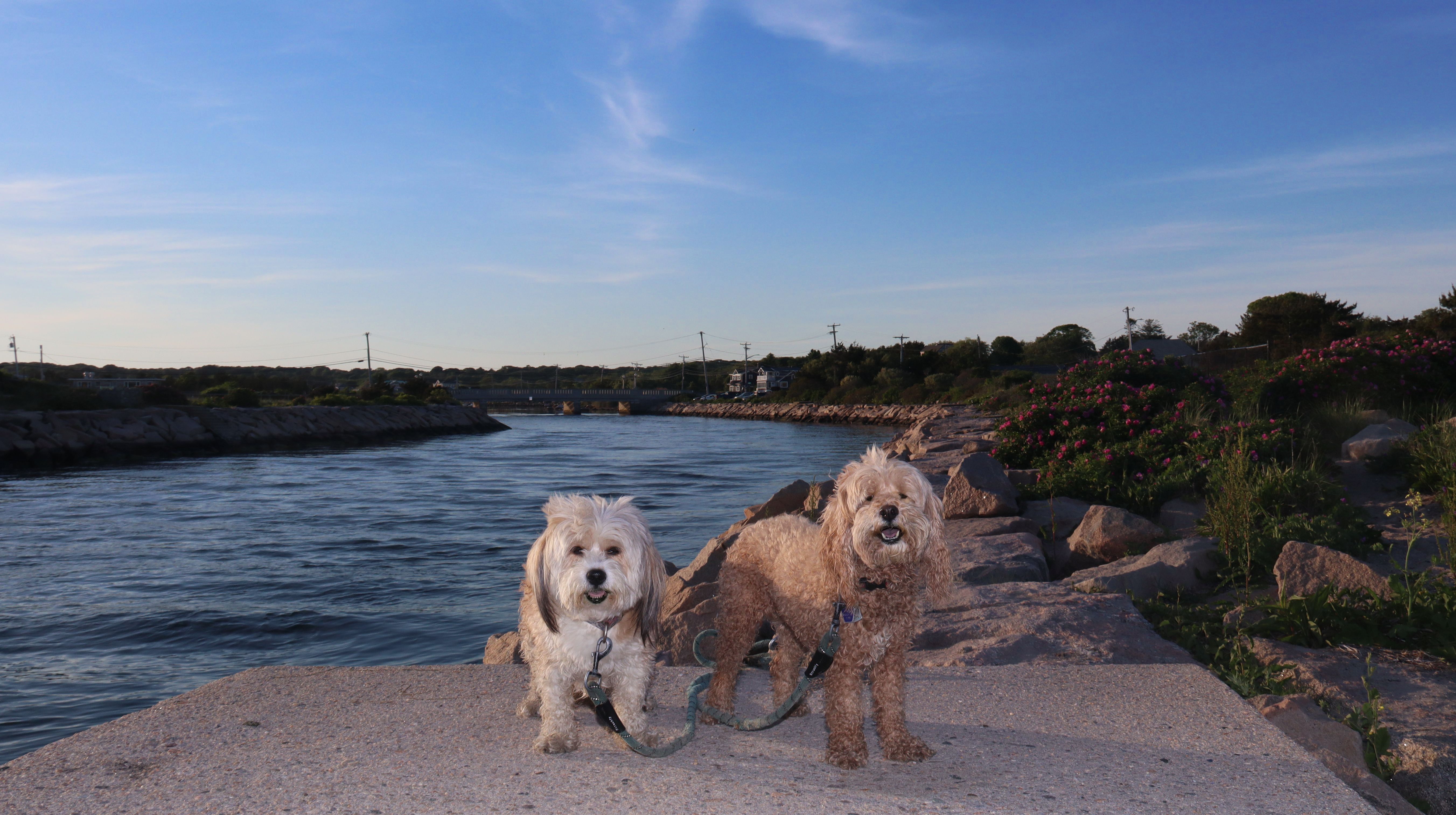
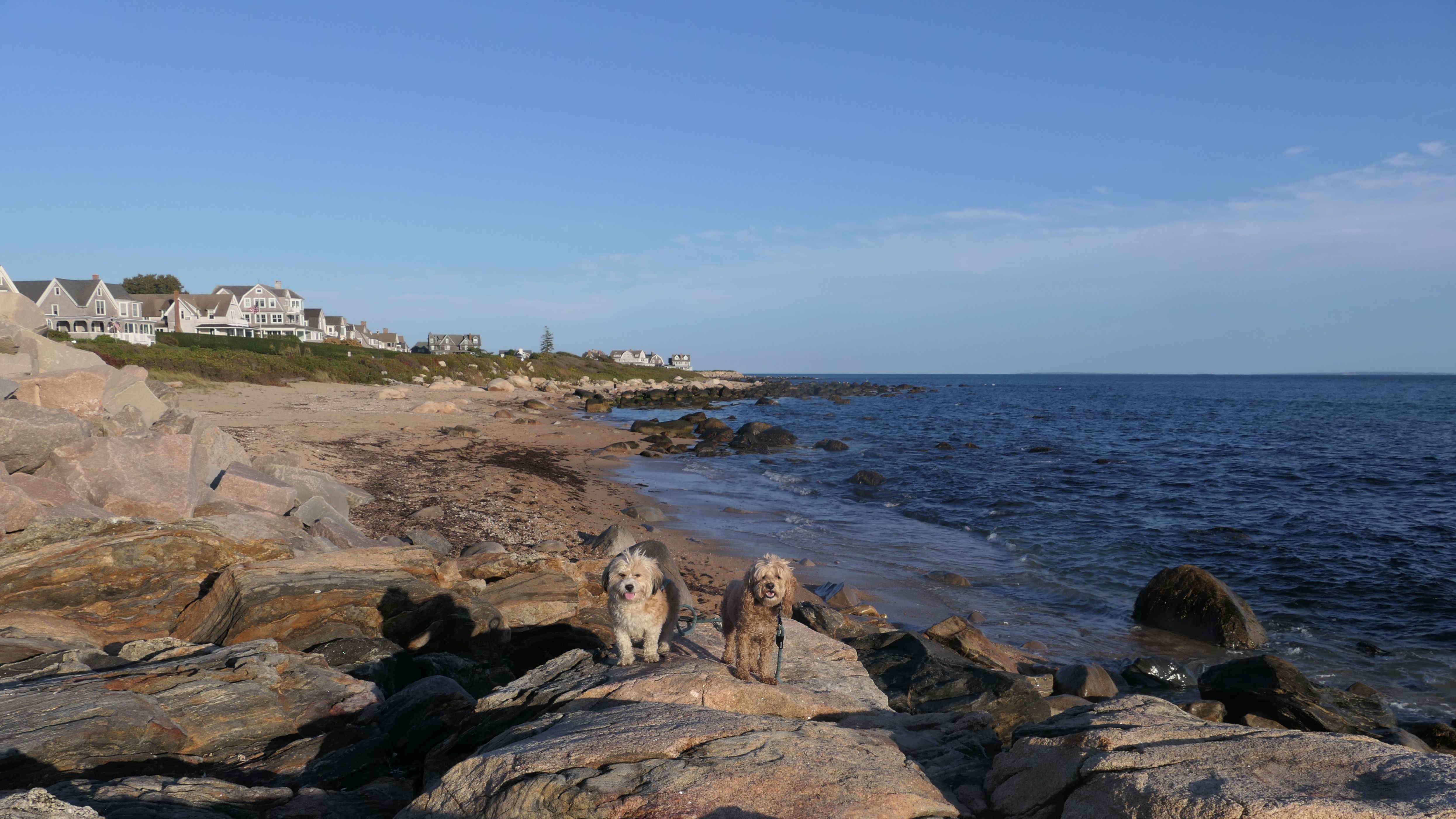
Date visited: 7/10/2024
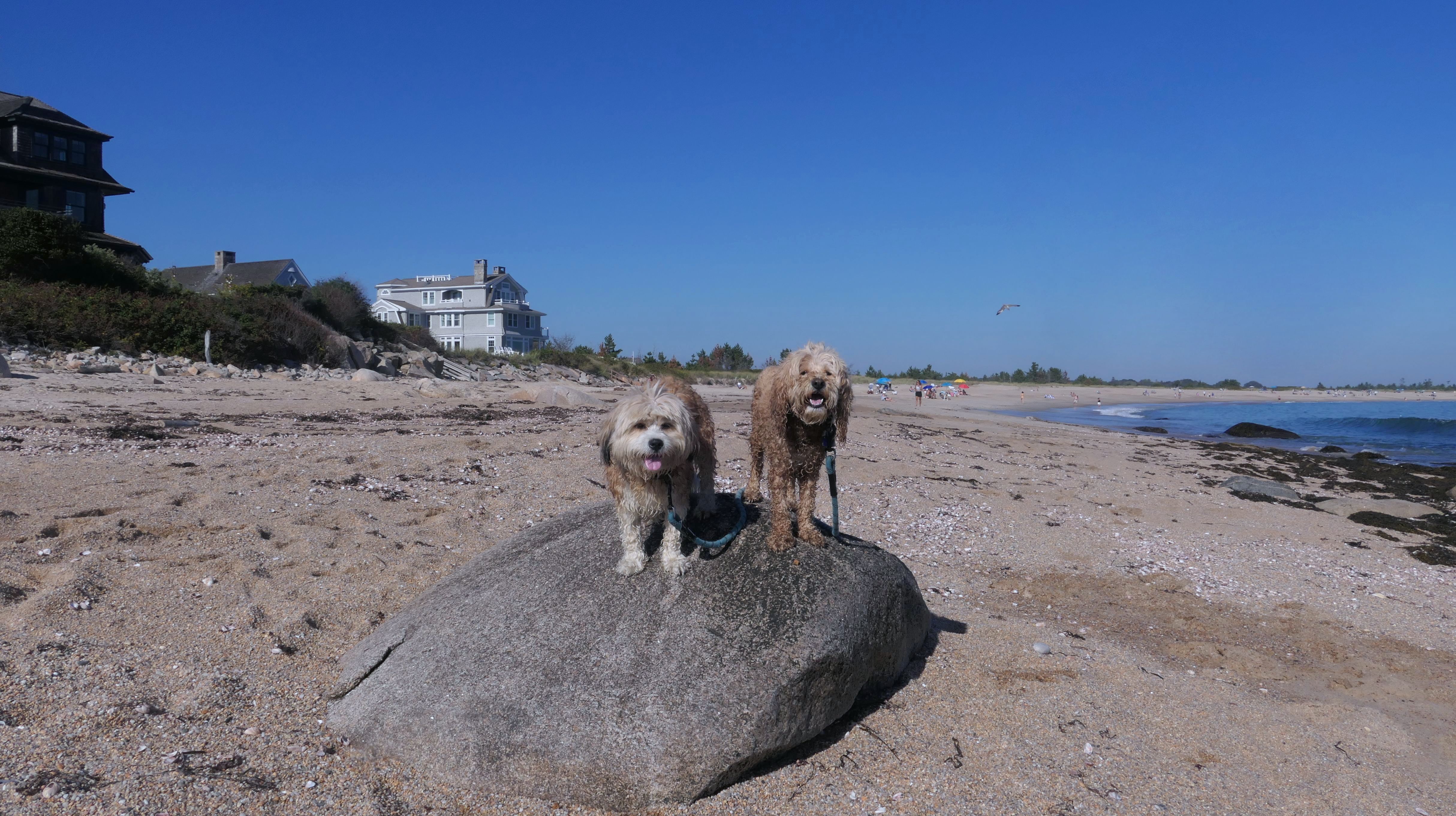
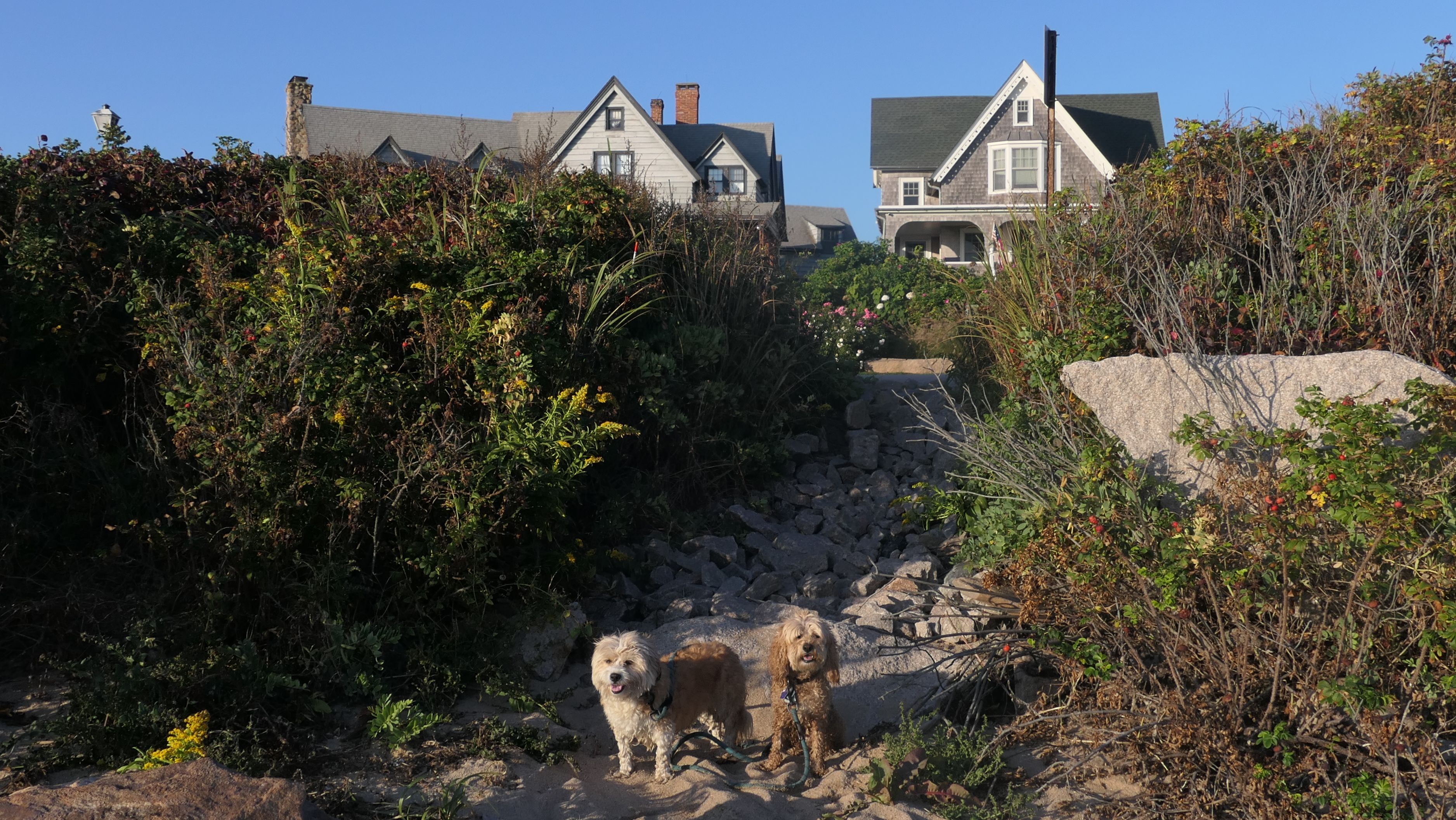
We usually don't revisit a place so soon after our previous visit. We hiked a trail in Stonington, and afterward headed to Westerly to get a Del's Lemonade. It was a cloudy and dreary day, but I noticed some clearing off in the distance and decided to follow it, and wound up back at Watch Hill! It turned out to be such a beautiful evening. We walked around Watch Hill for a bit. As part of our adventure, we were back here at Napatree, and took a few photos.


More Images

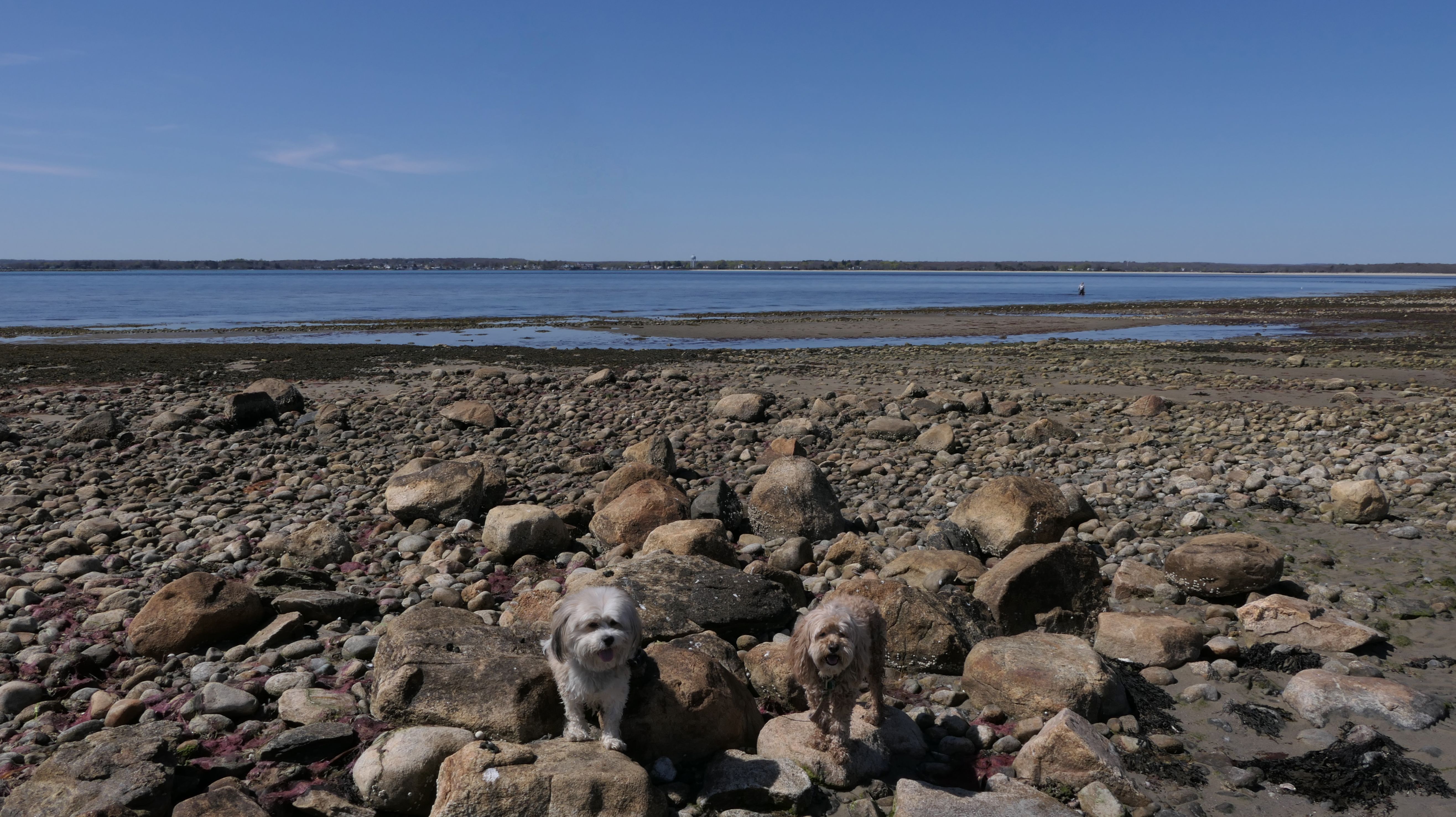
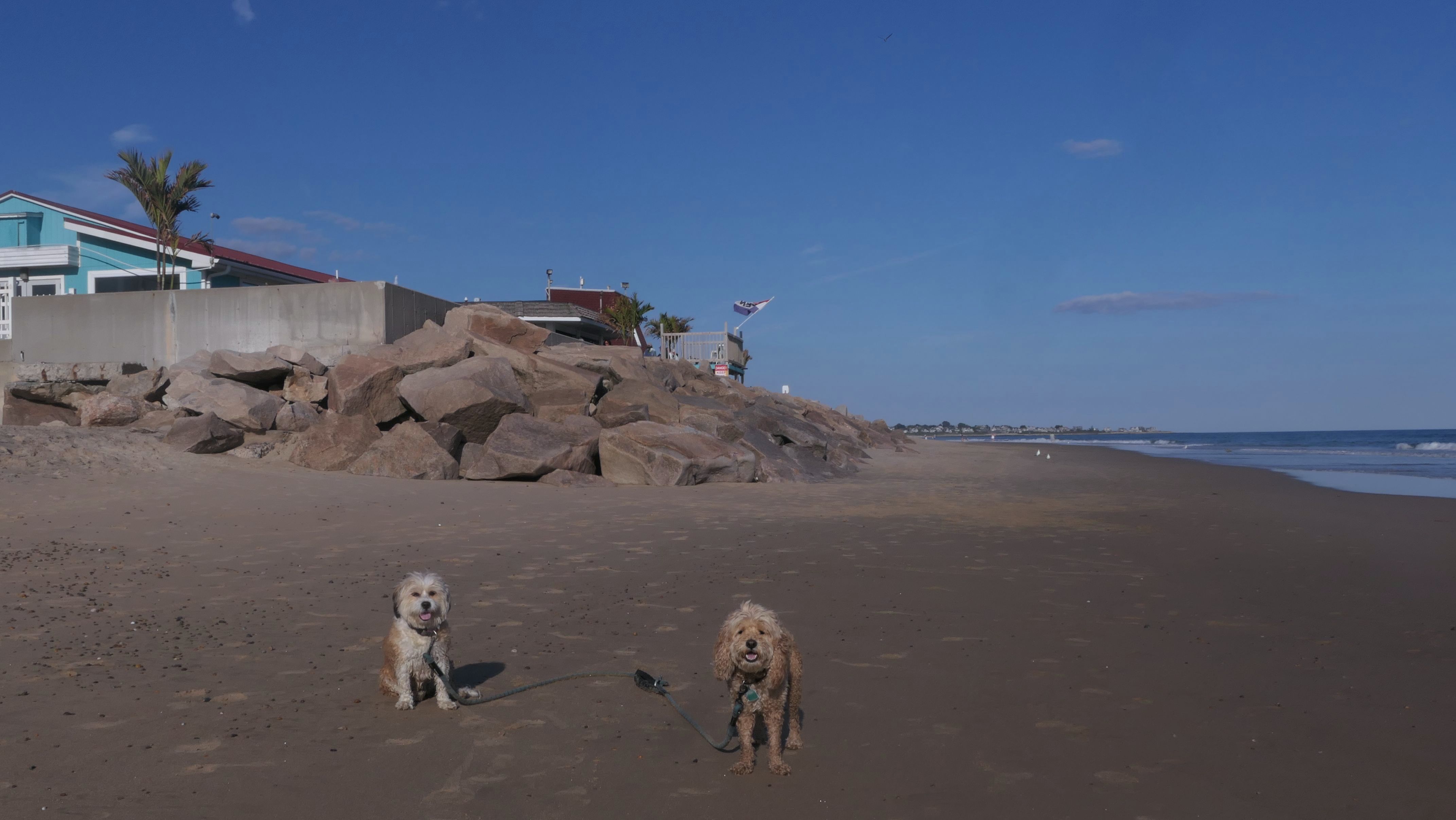
Napatree Point Conservation Area
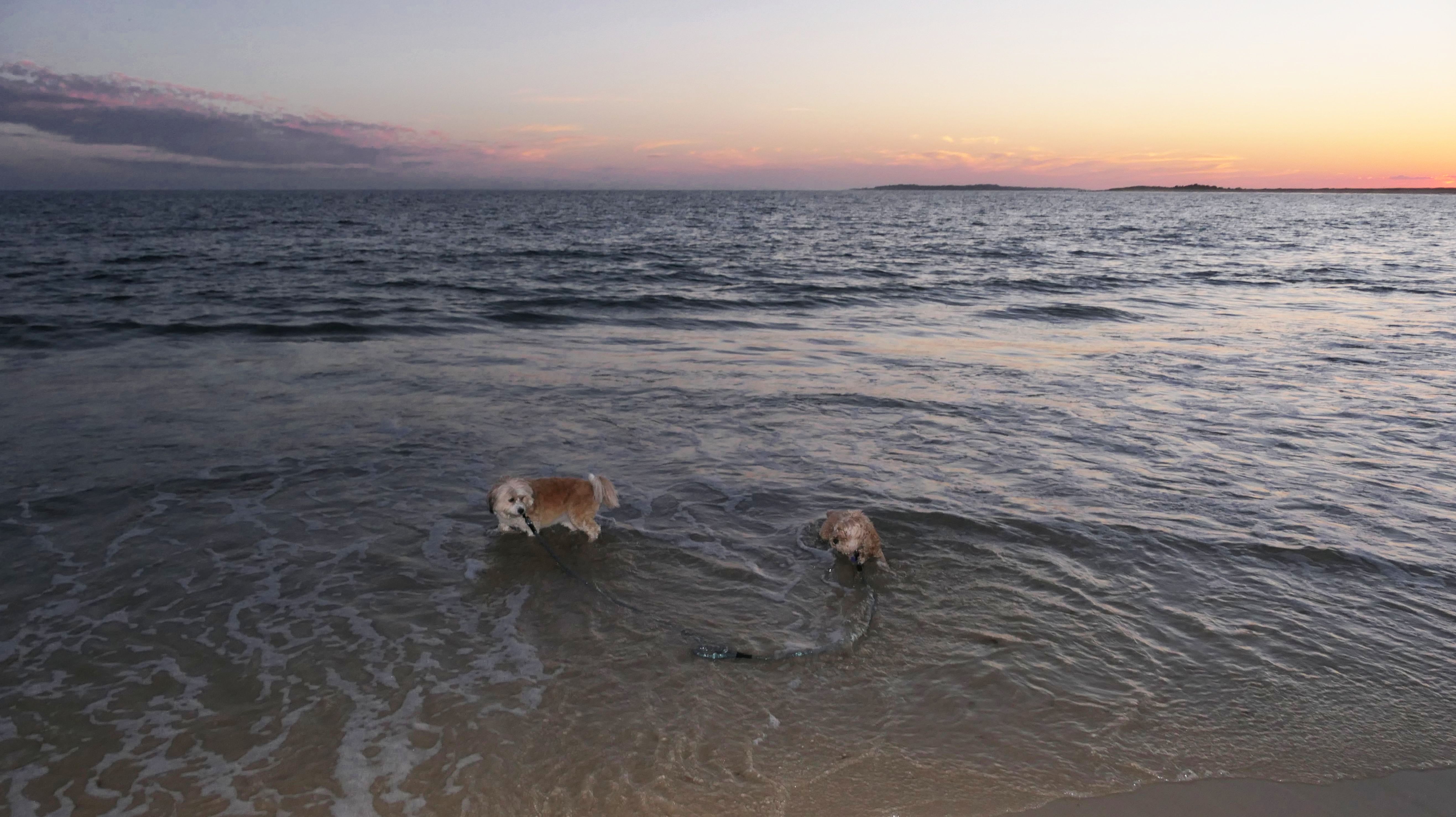
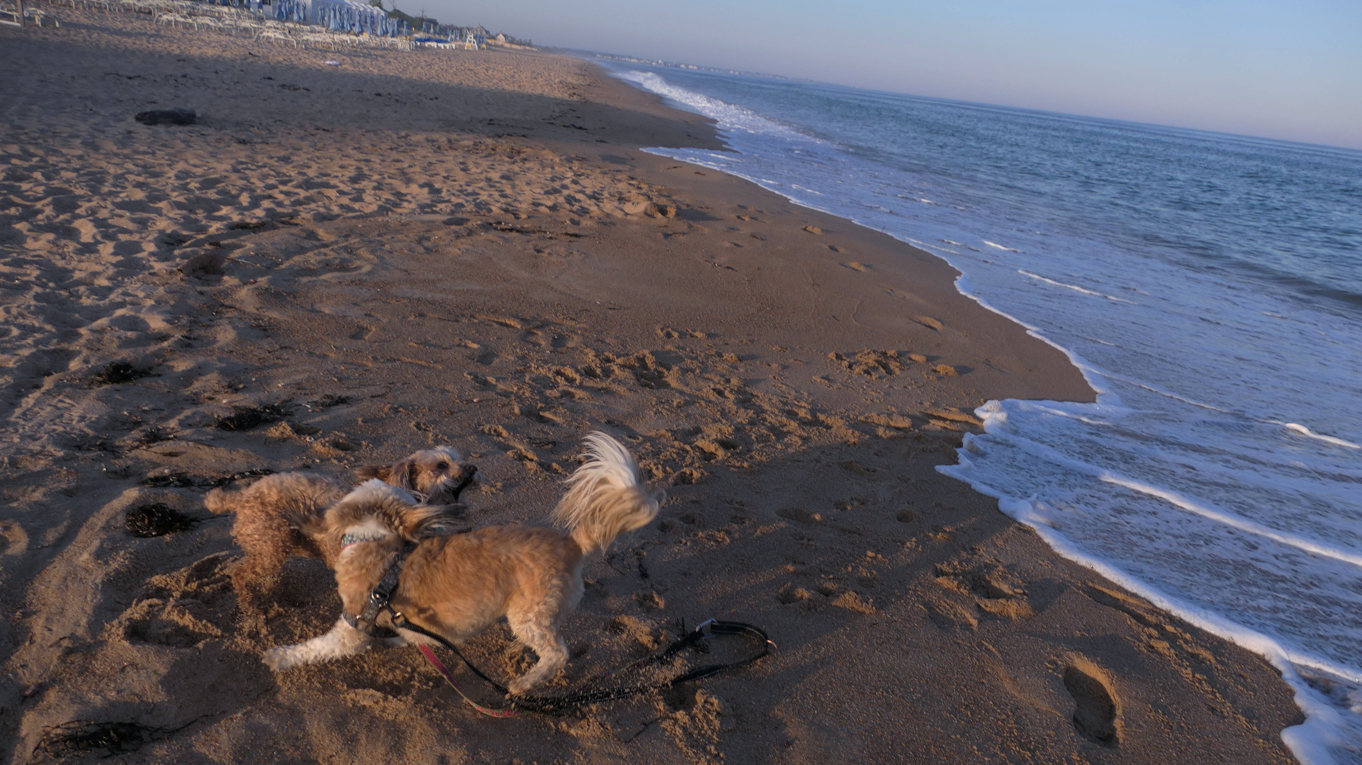
Date visited: 7/30/2024
We were in the area after another adventure, so we stopped for some sunset pictures. The high altitude smoke in the air from California wildfires causes some vivid sunsets and sunrises. Even though we've taken sunset photos here in the past, the smoke causes these to look different, with more purple and orange coloring than usual. One thing I observed, is that there is much less beach on the bay side of the point, than there was when we took sunset photos two years ago. Beach erosion has been a real problem in Rhode Island of late.


More Images


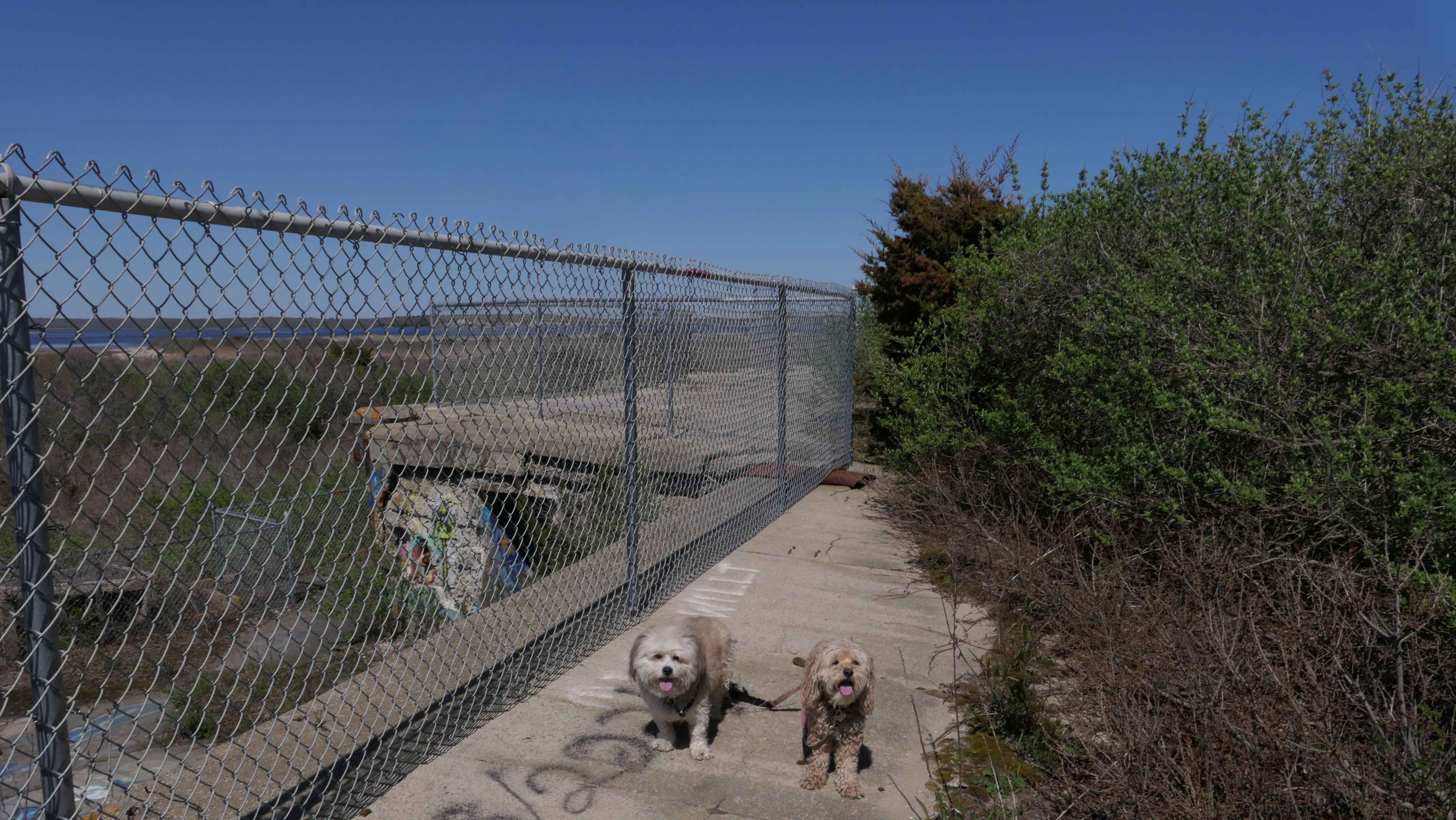
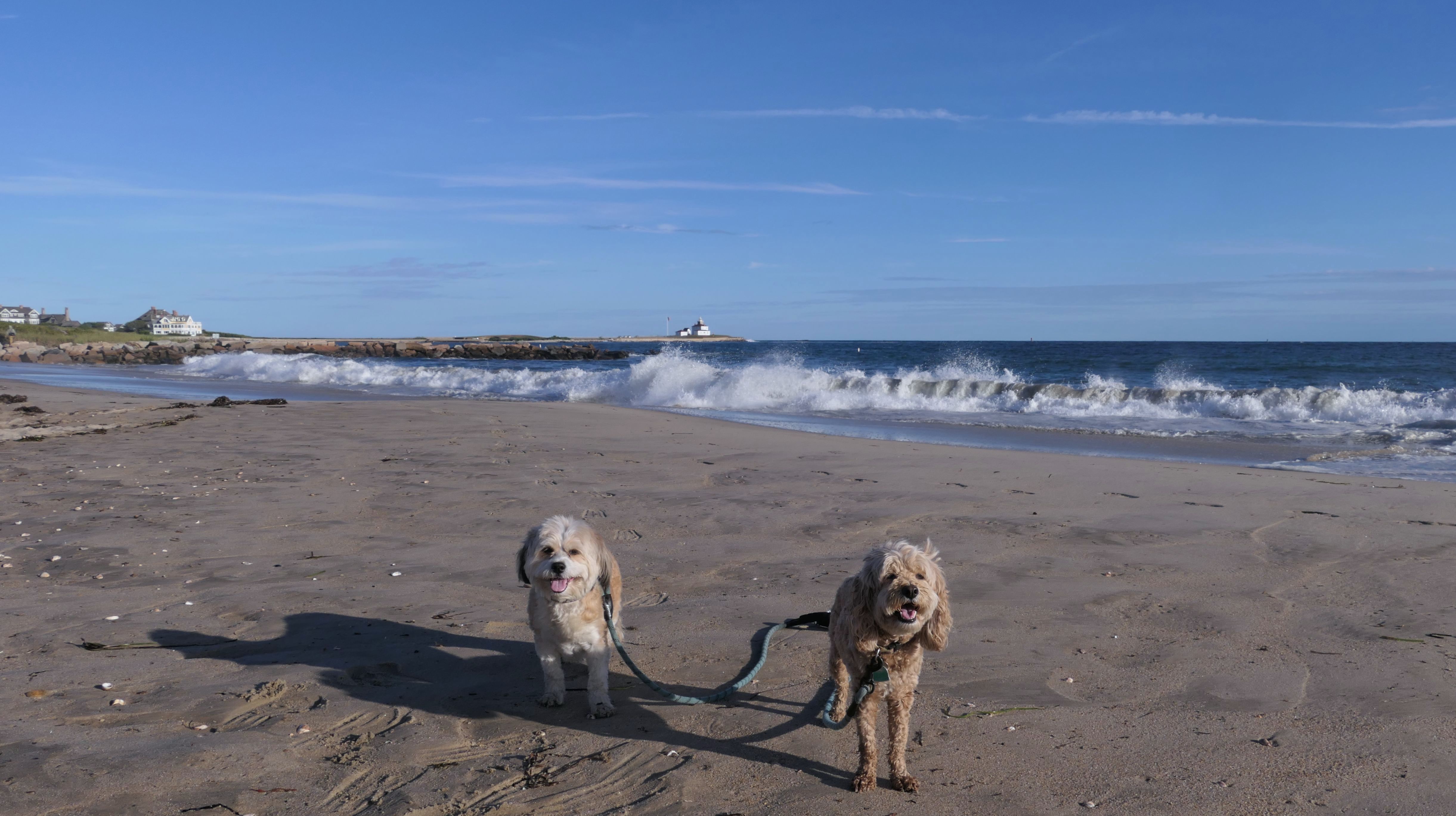
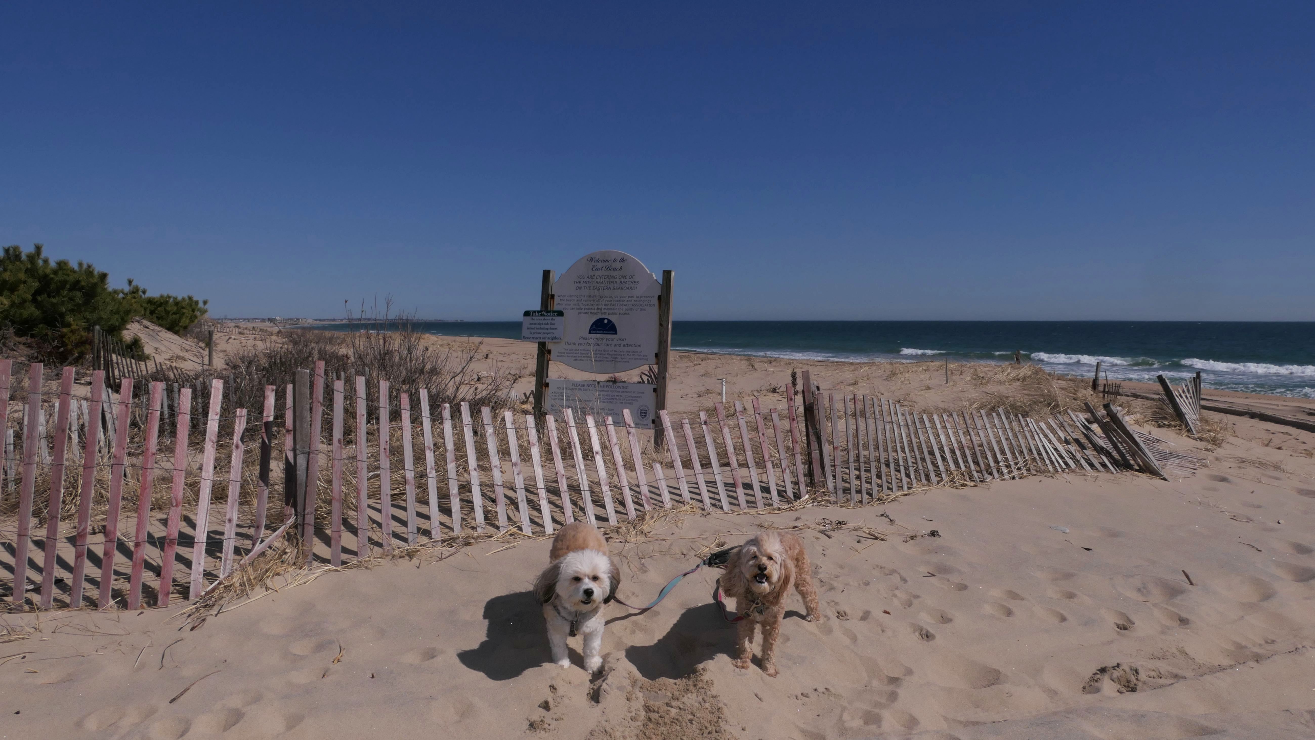
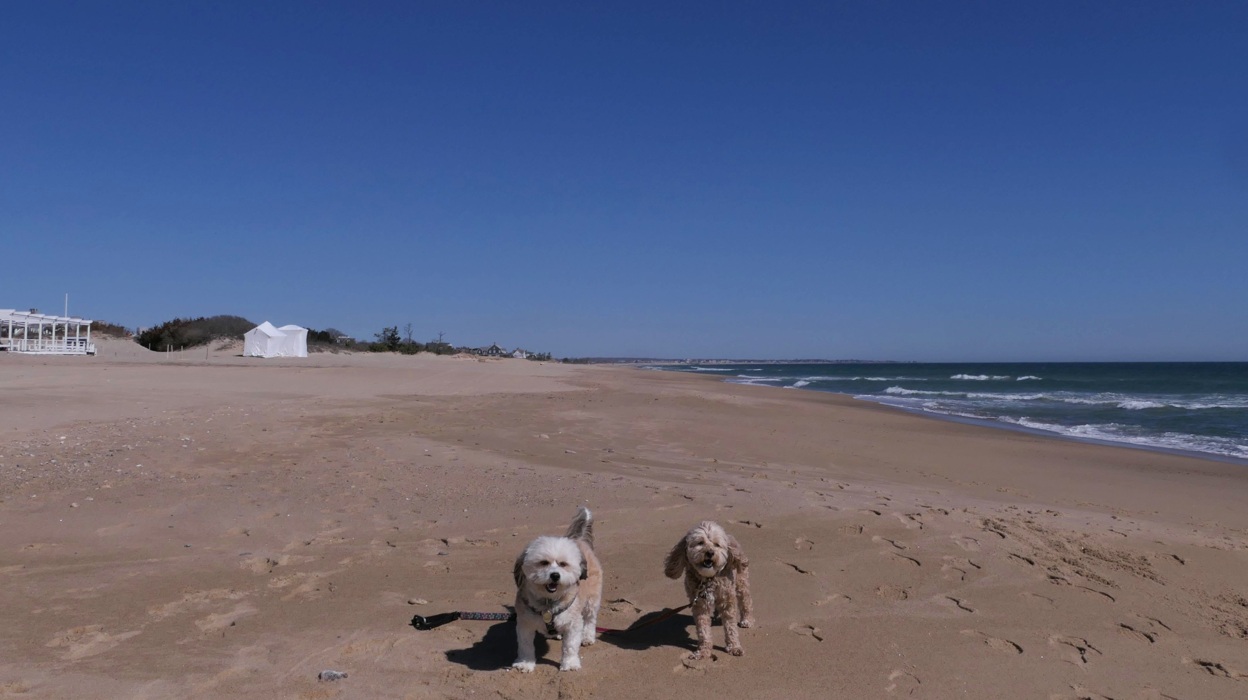
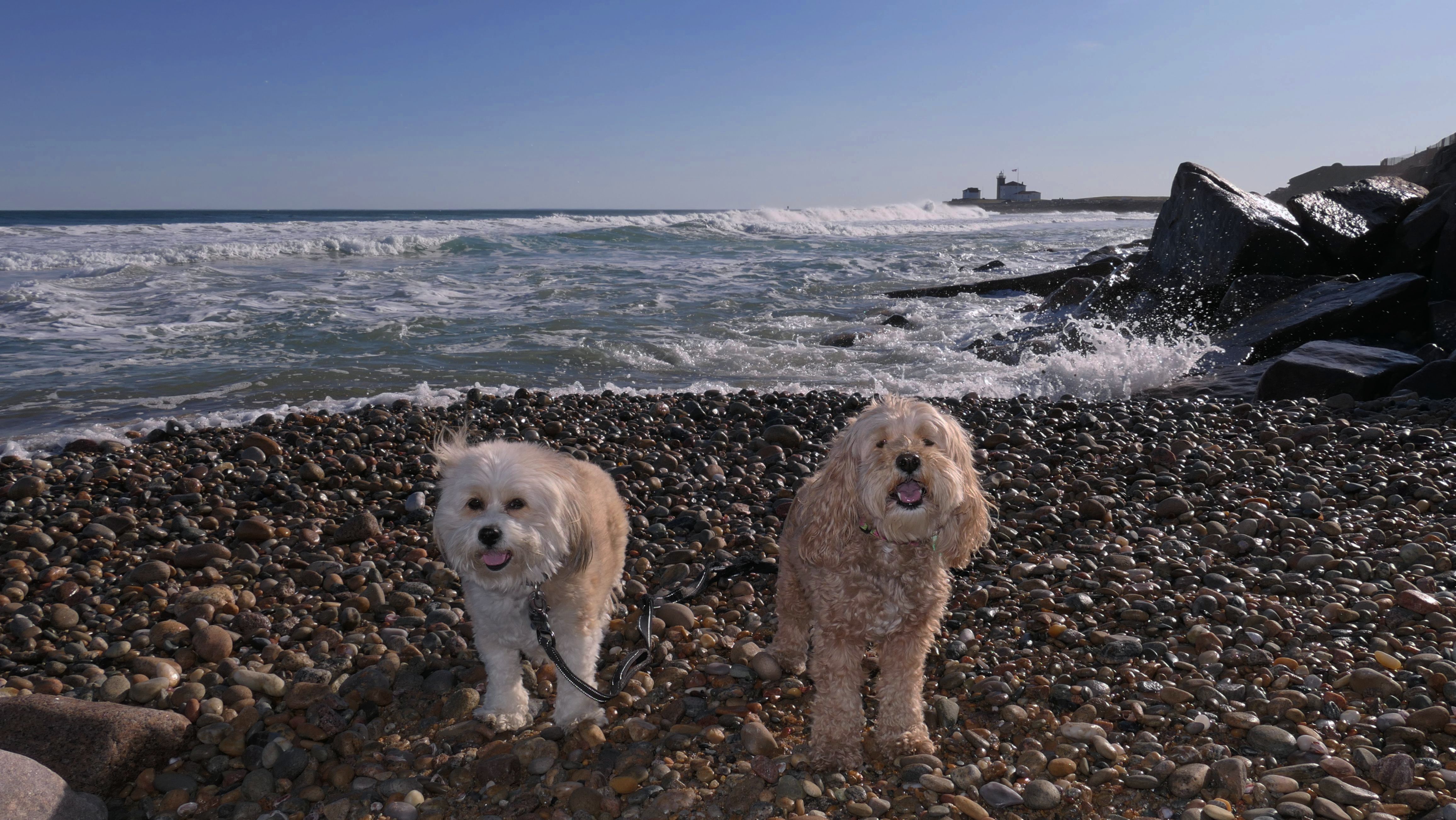
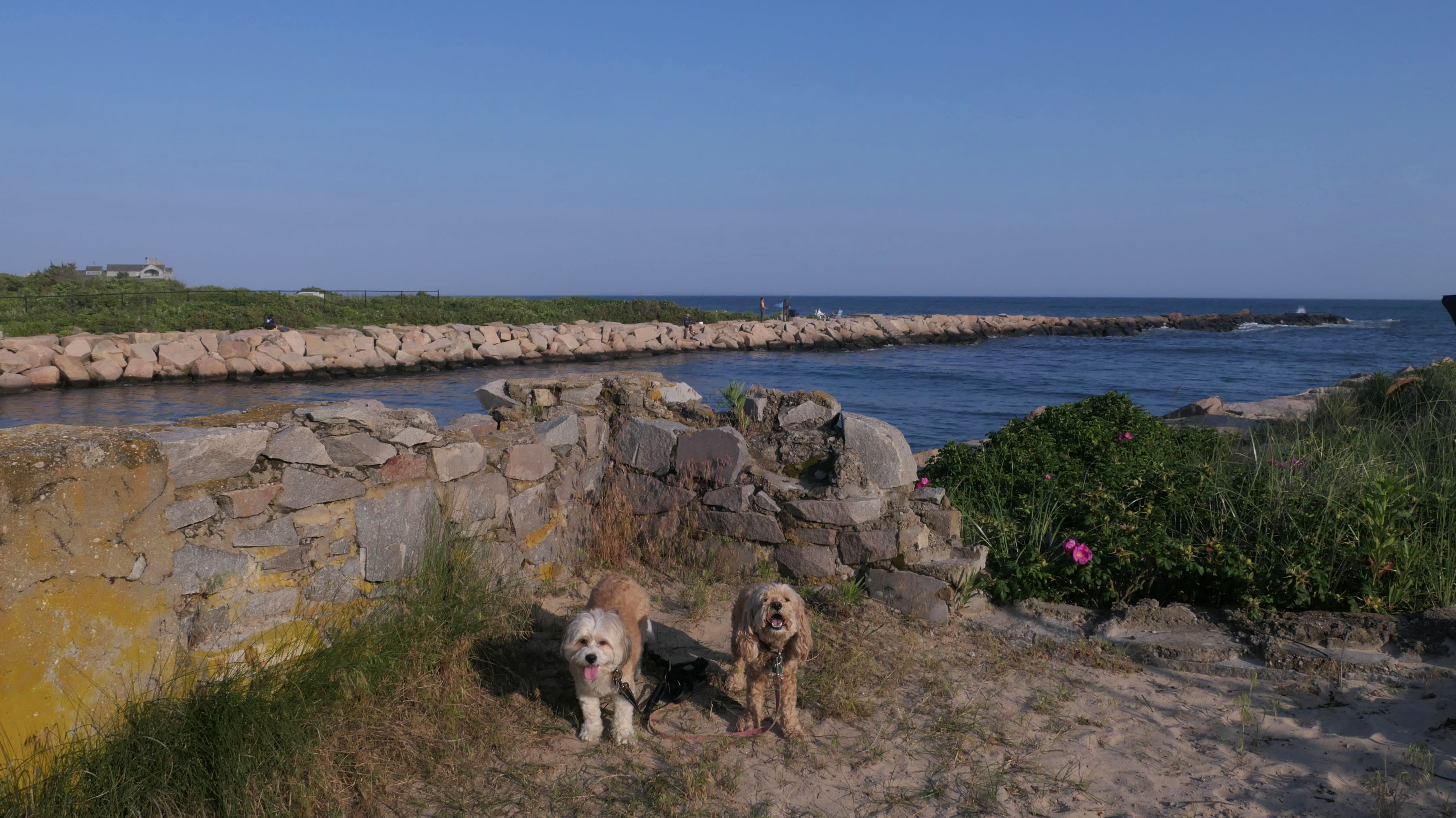
Napatree Point Conservation Area
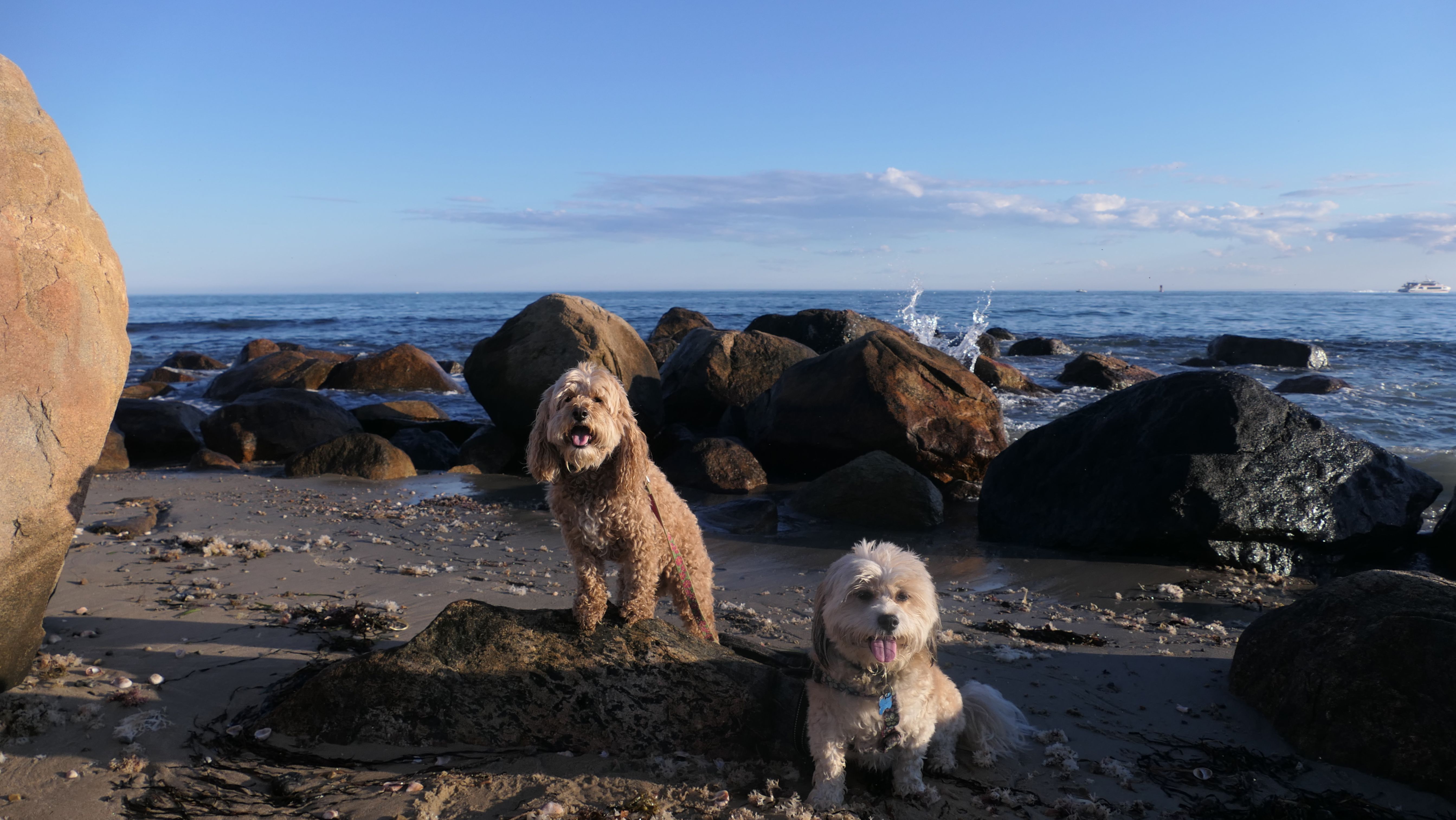
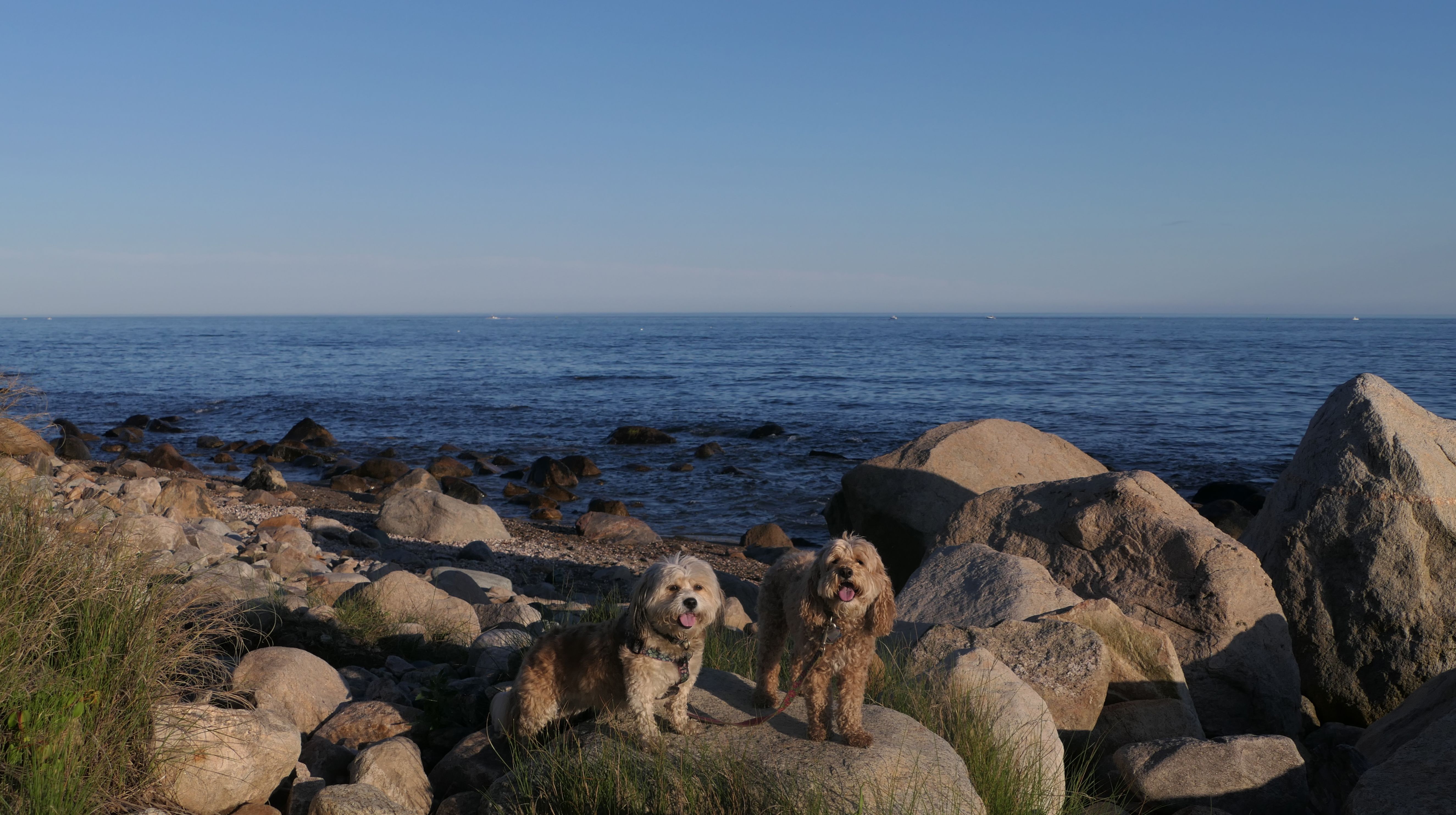
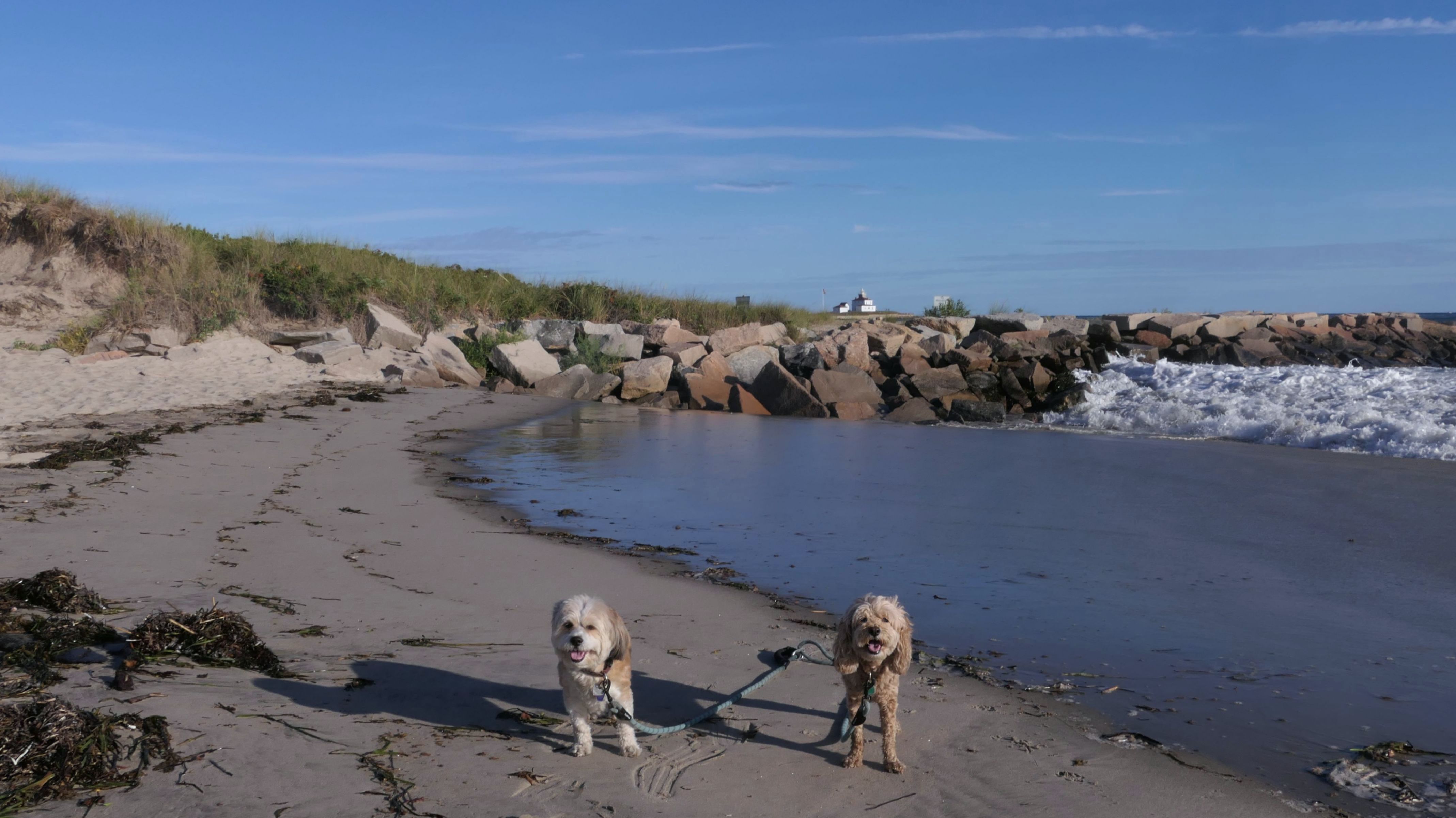
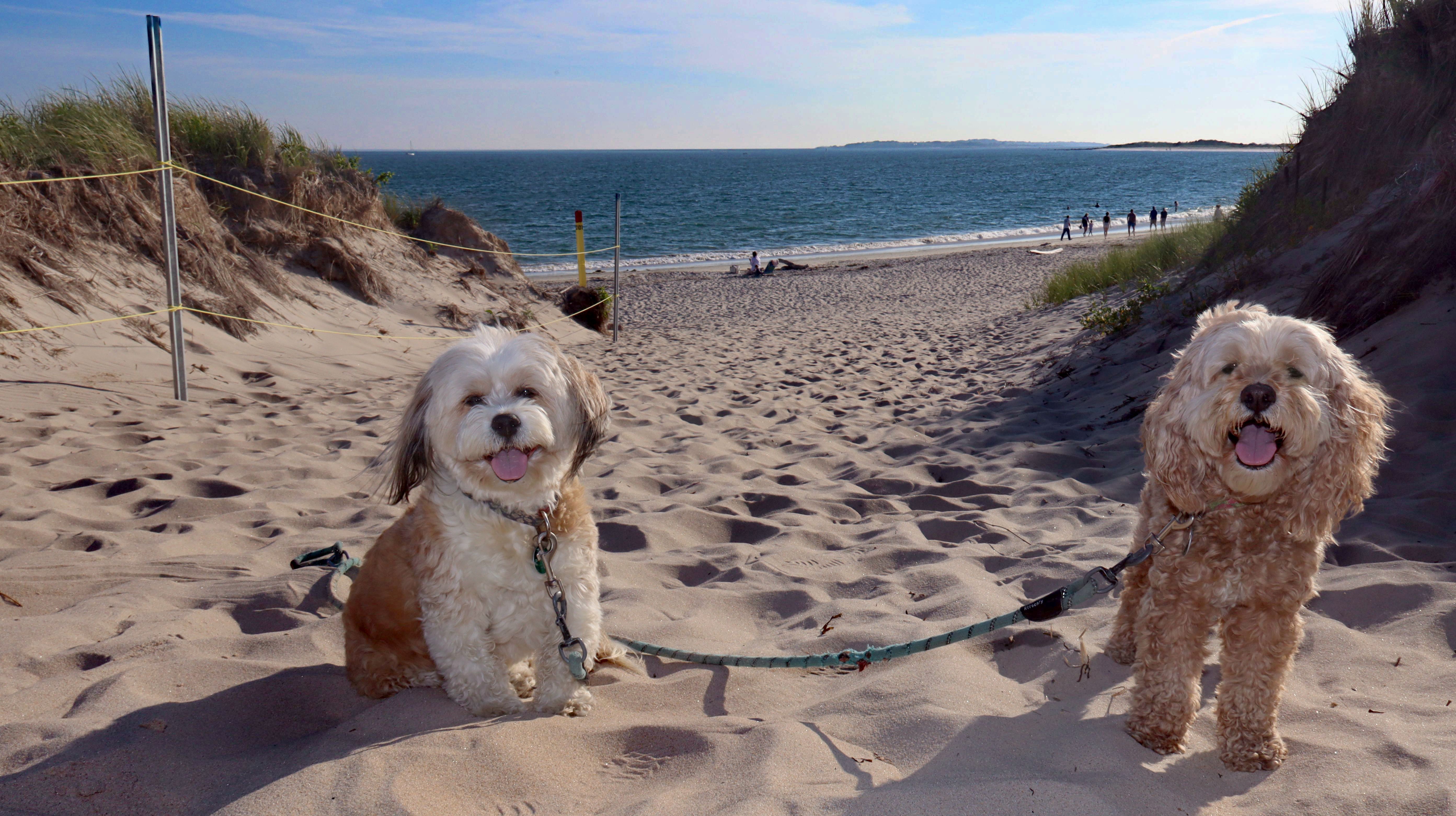
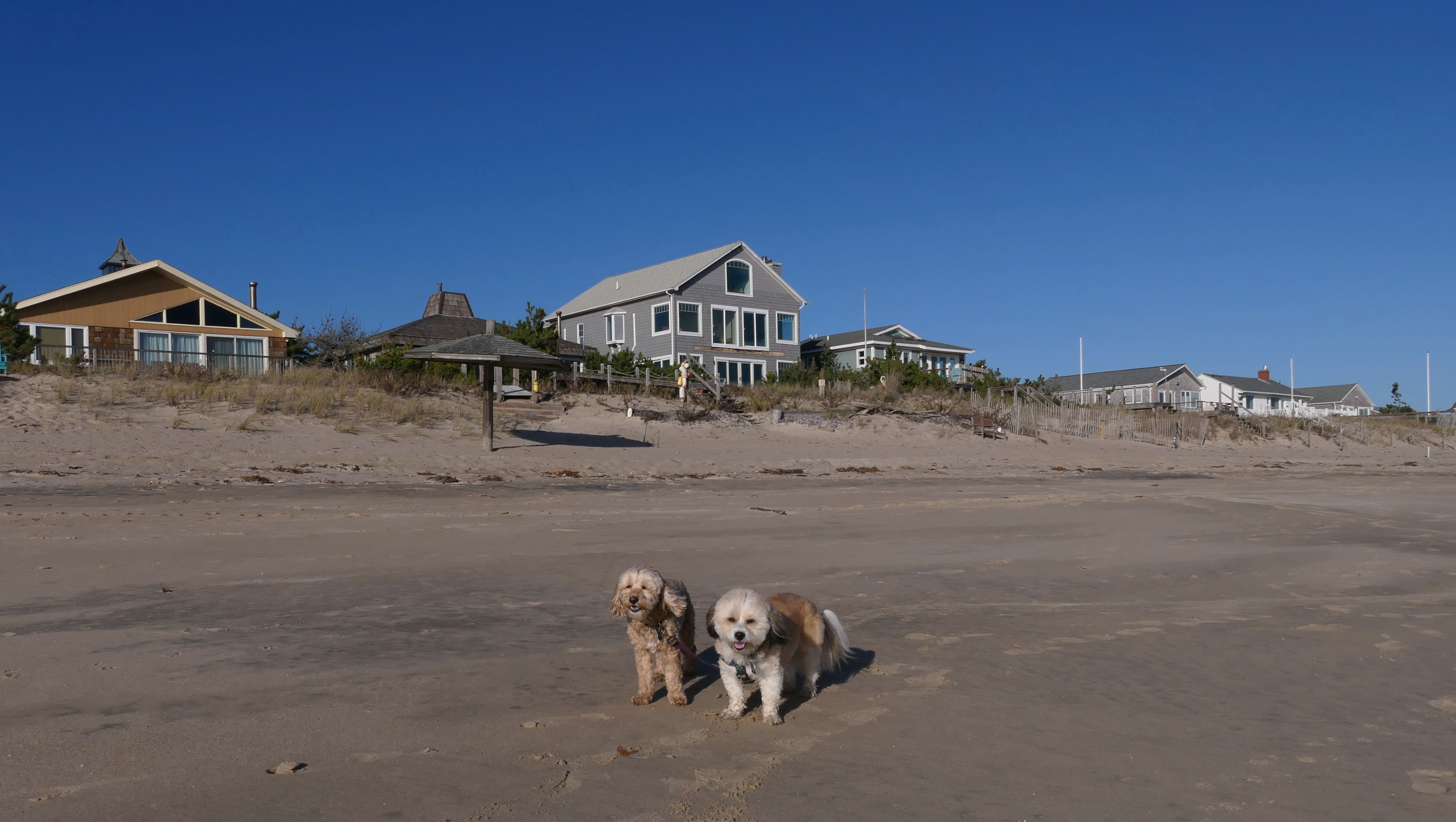
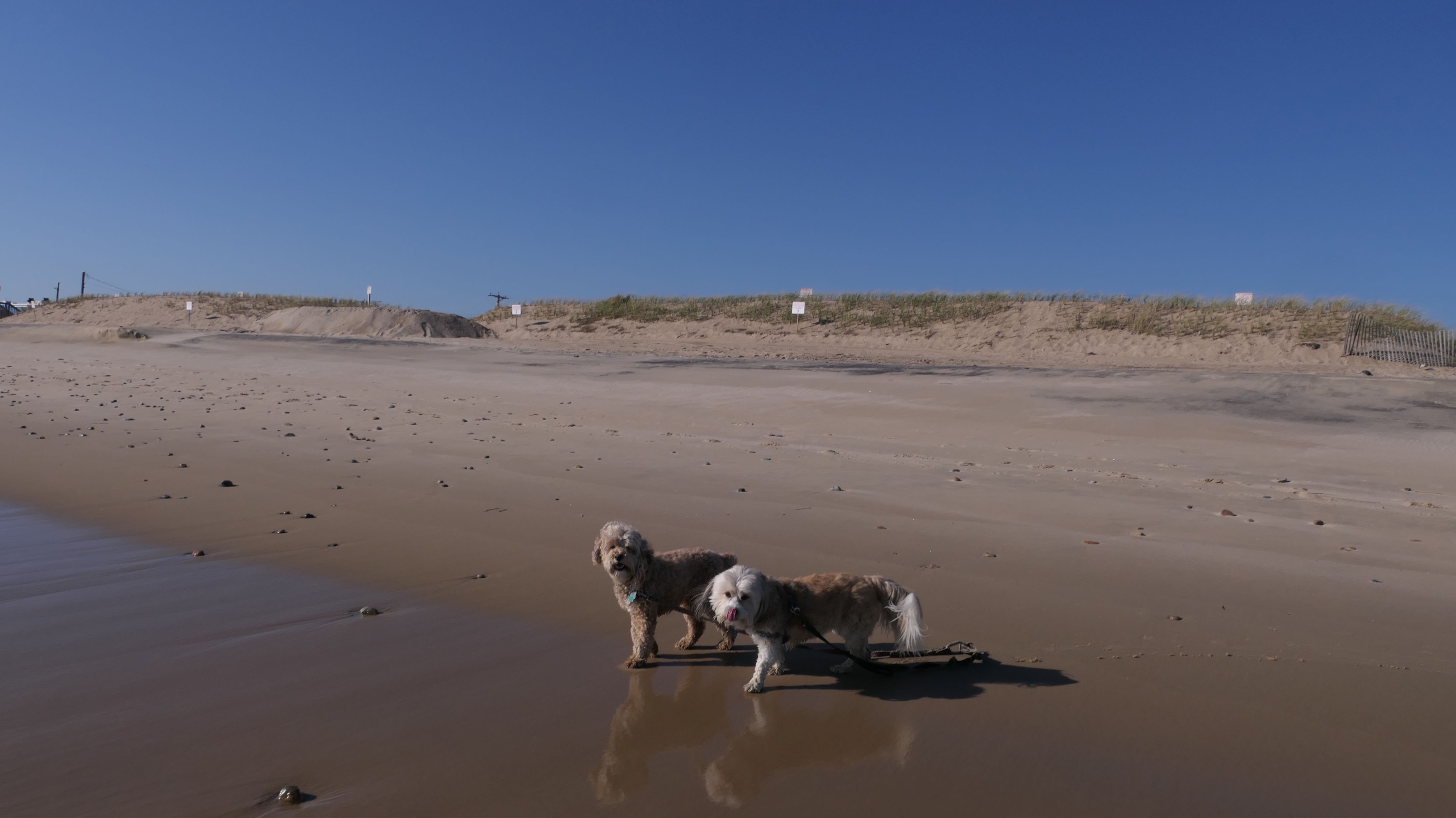
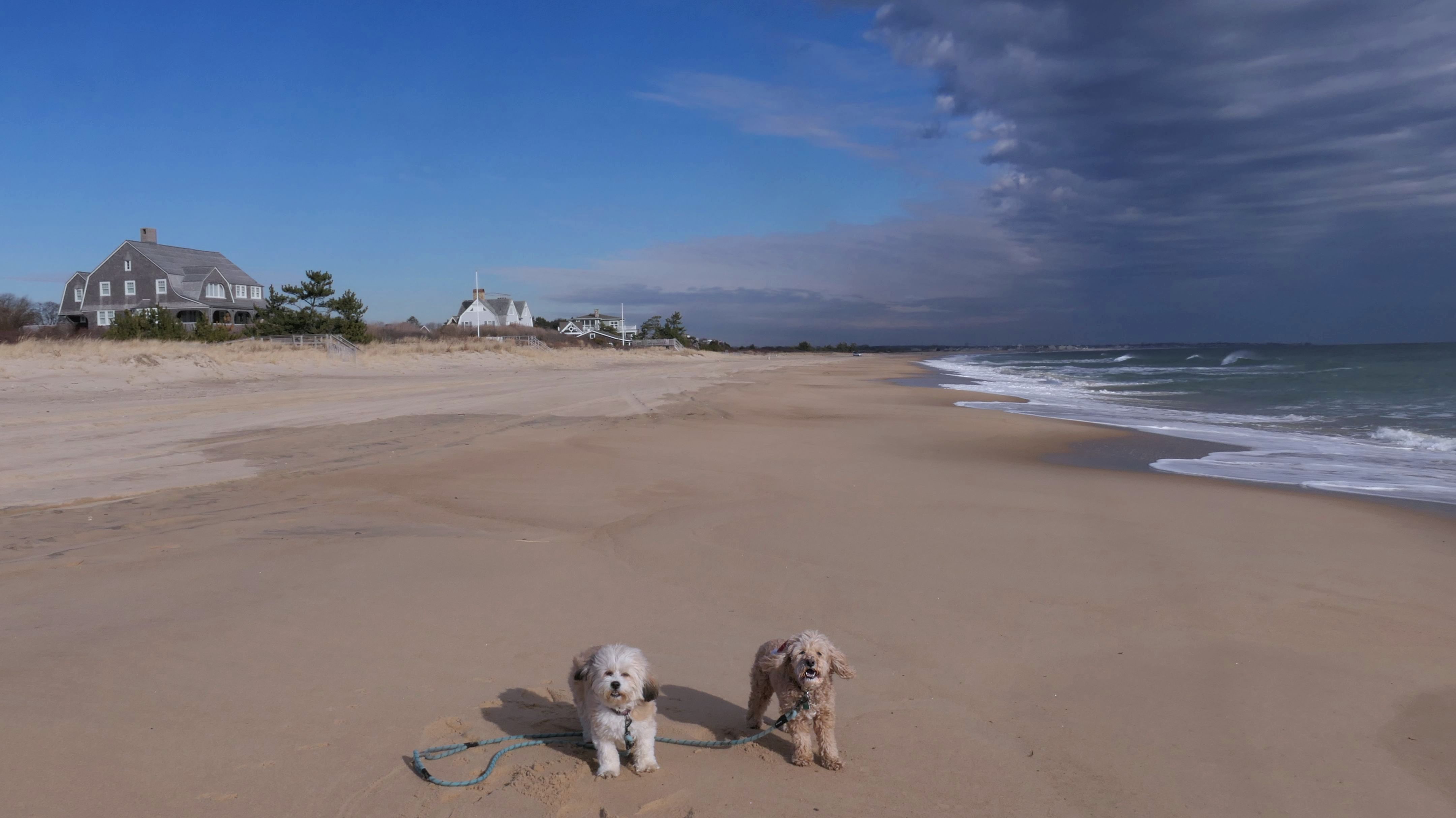
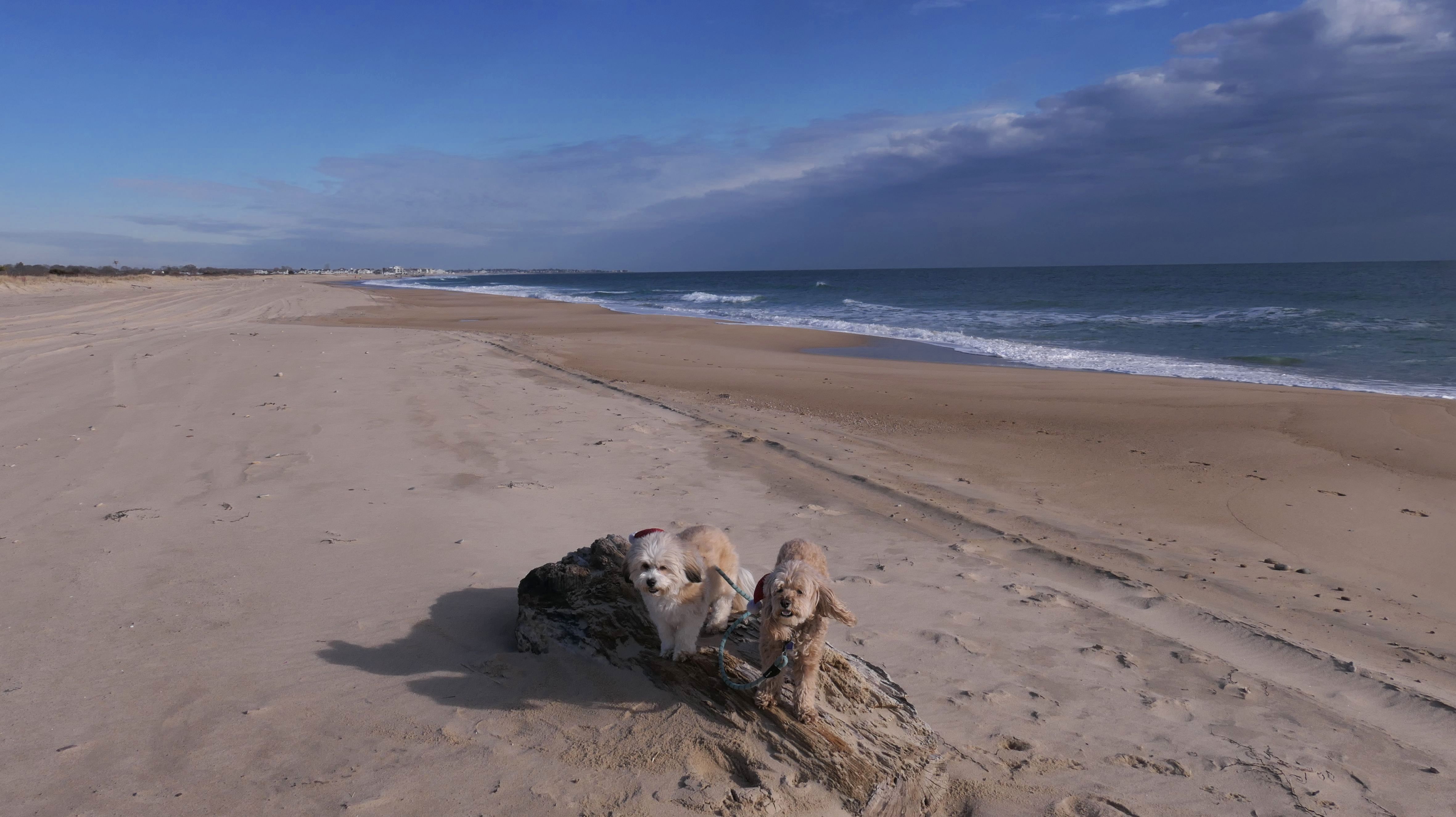
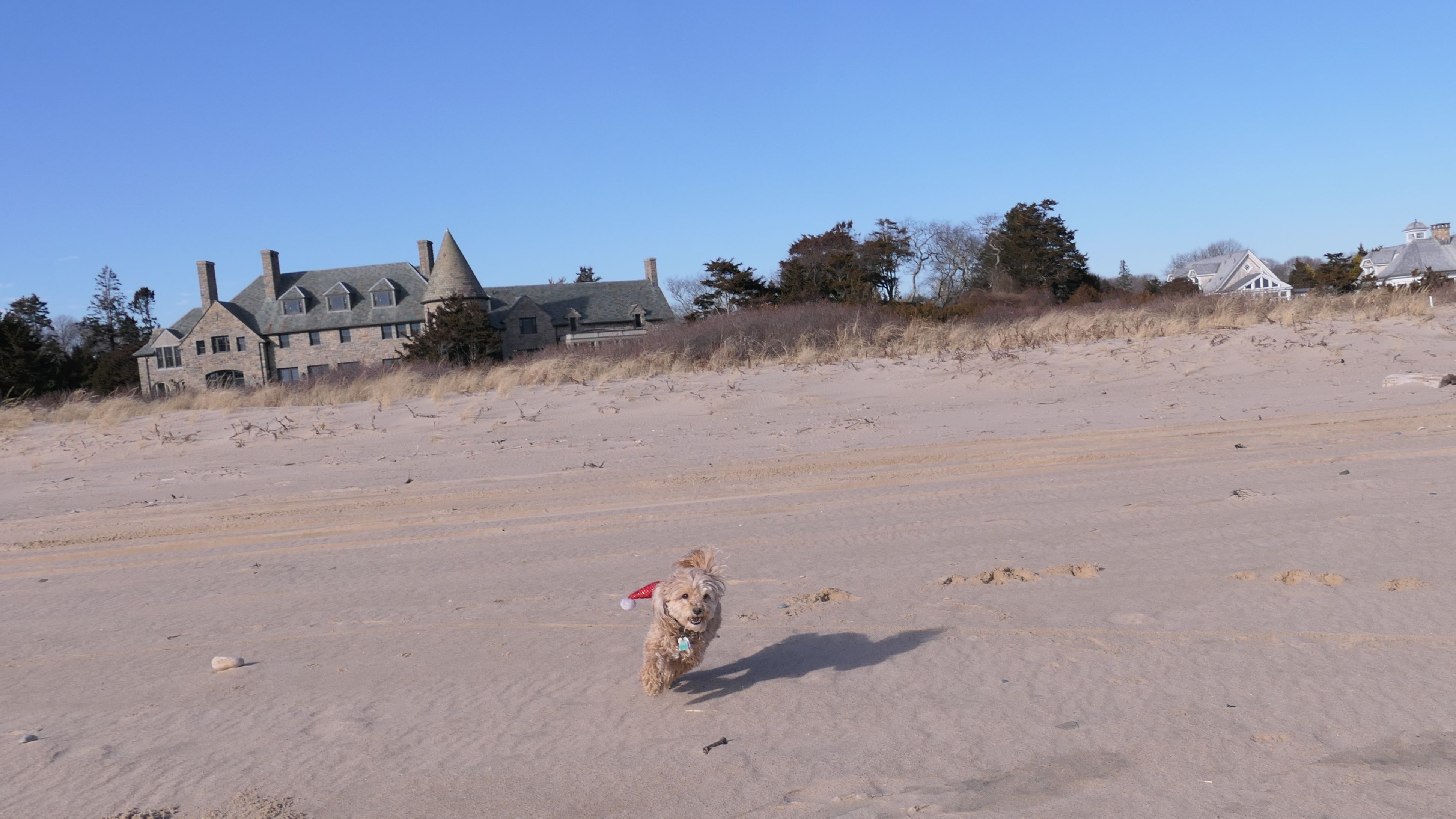
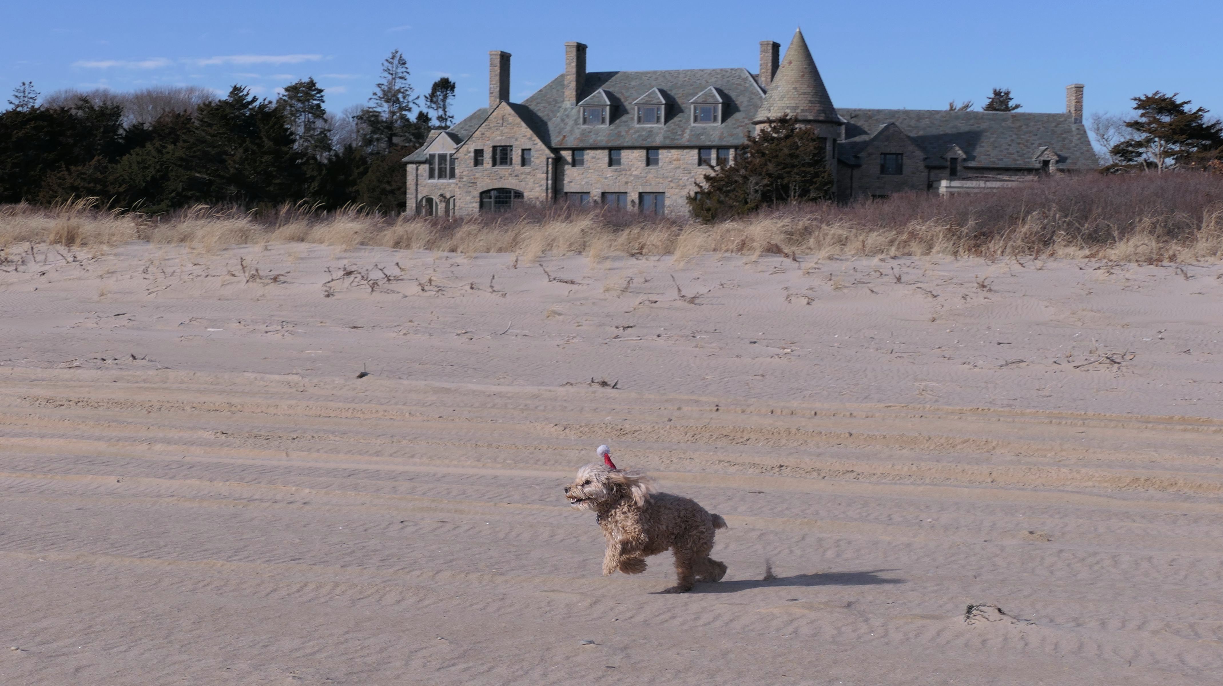
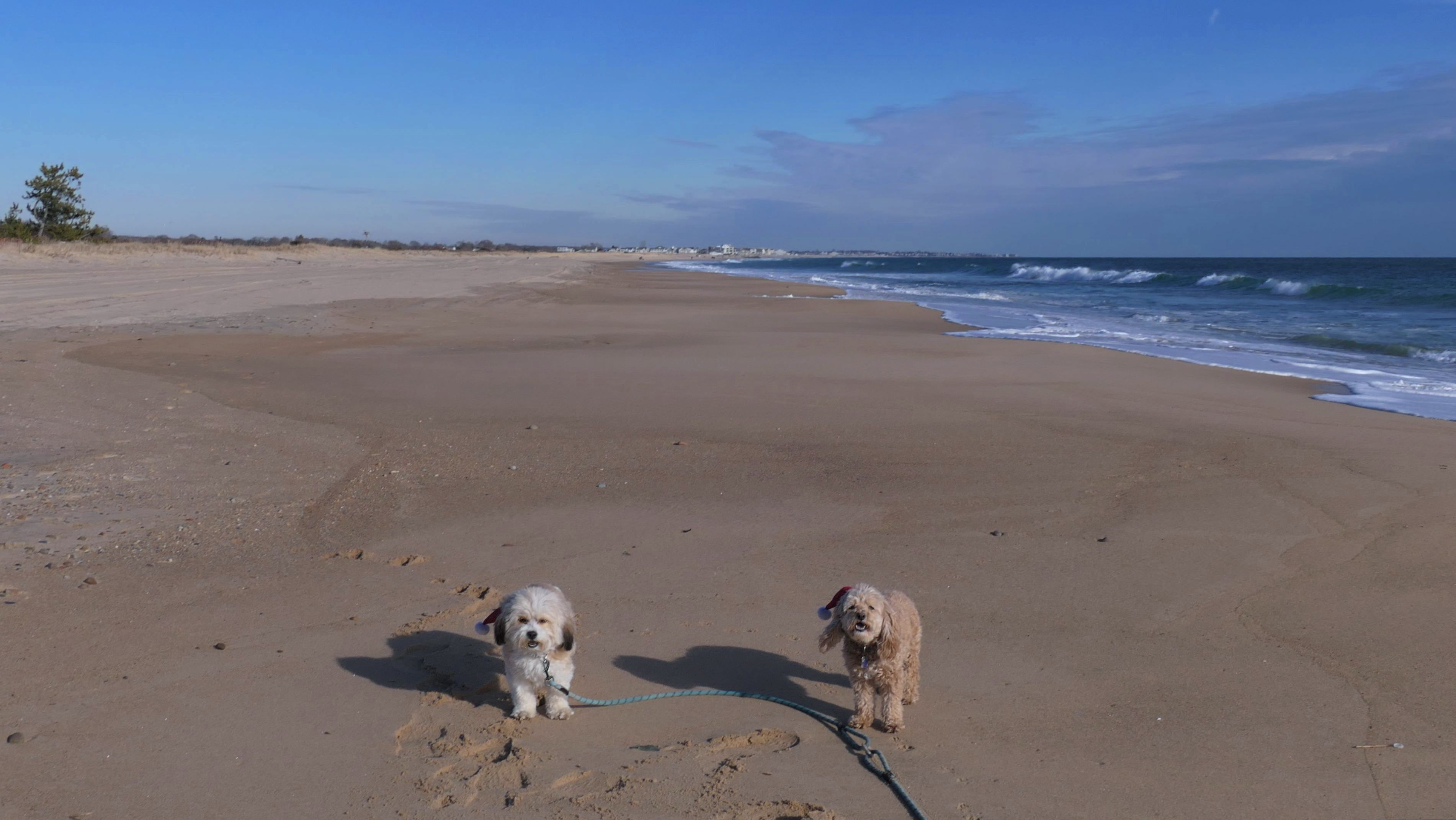
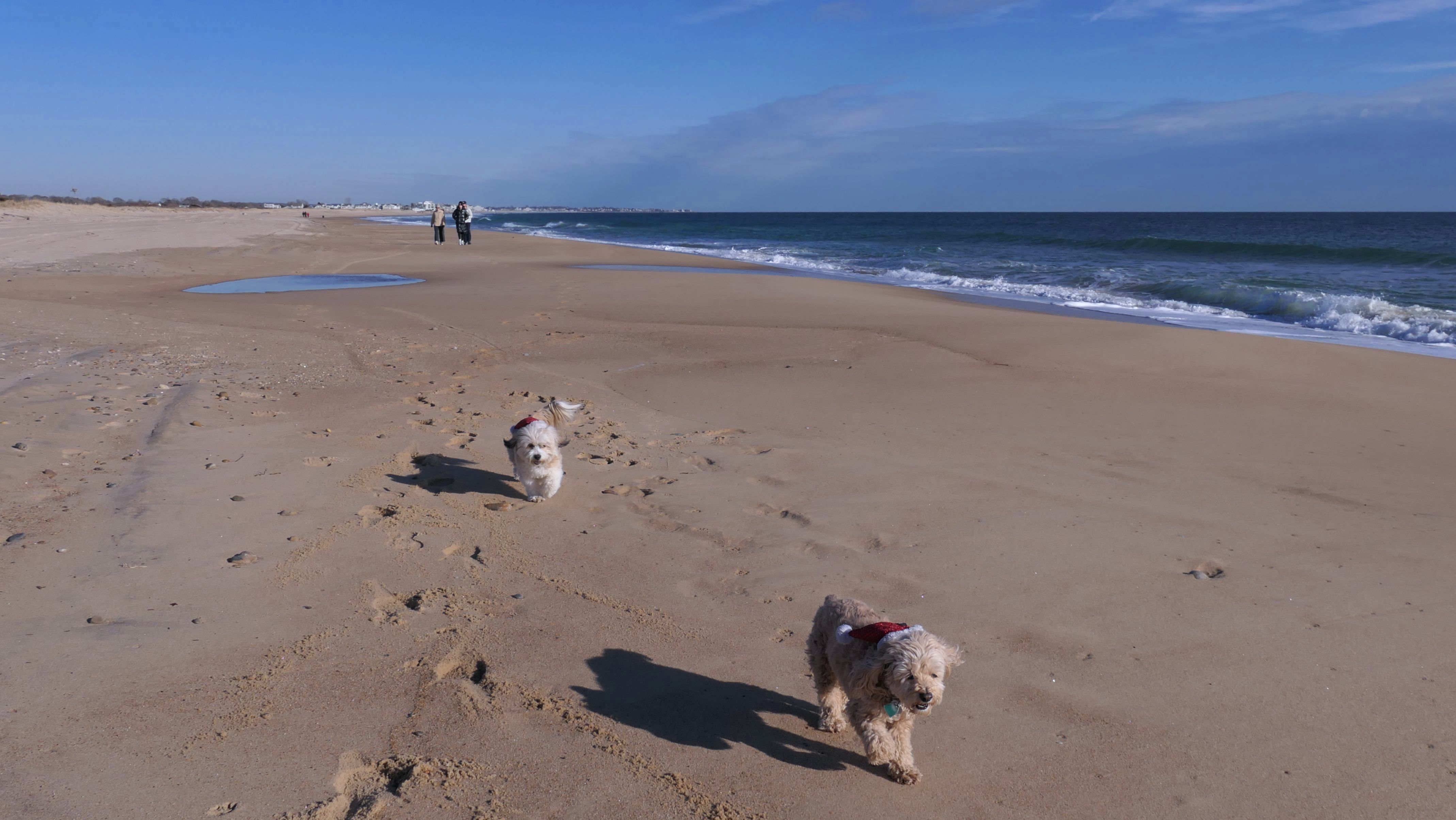
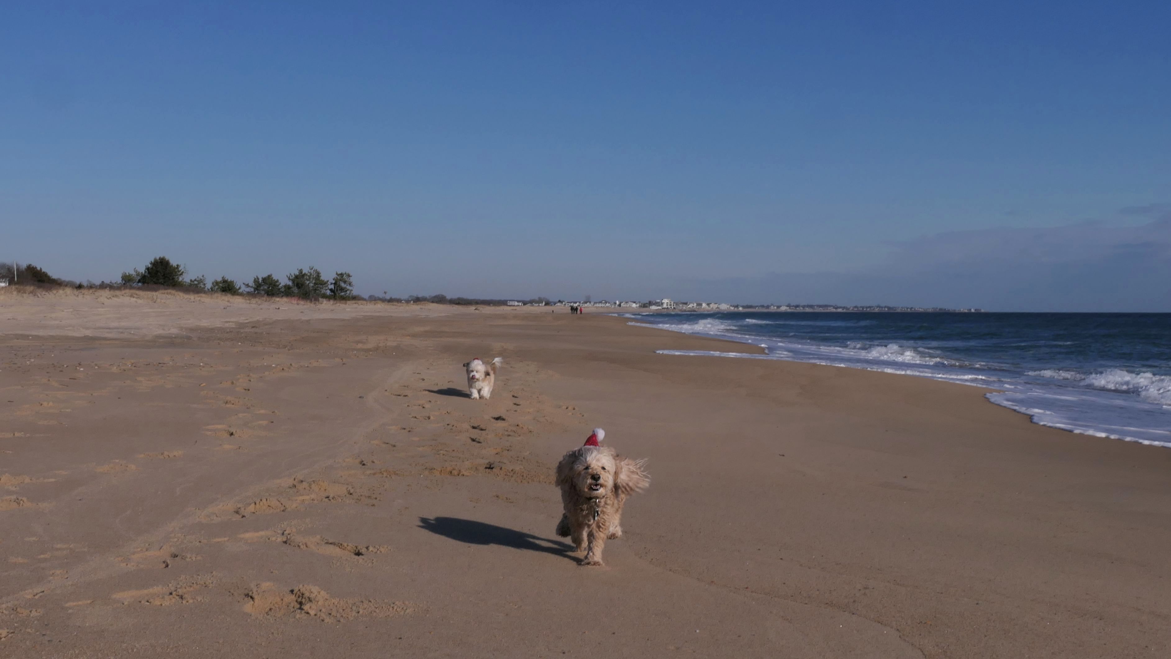
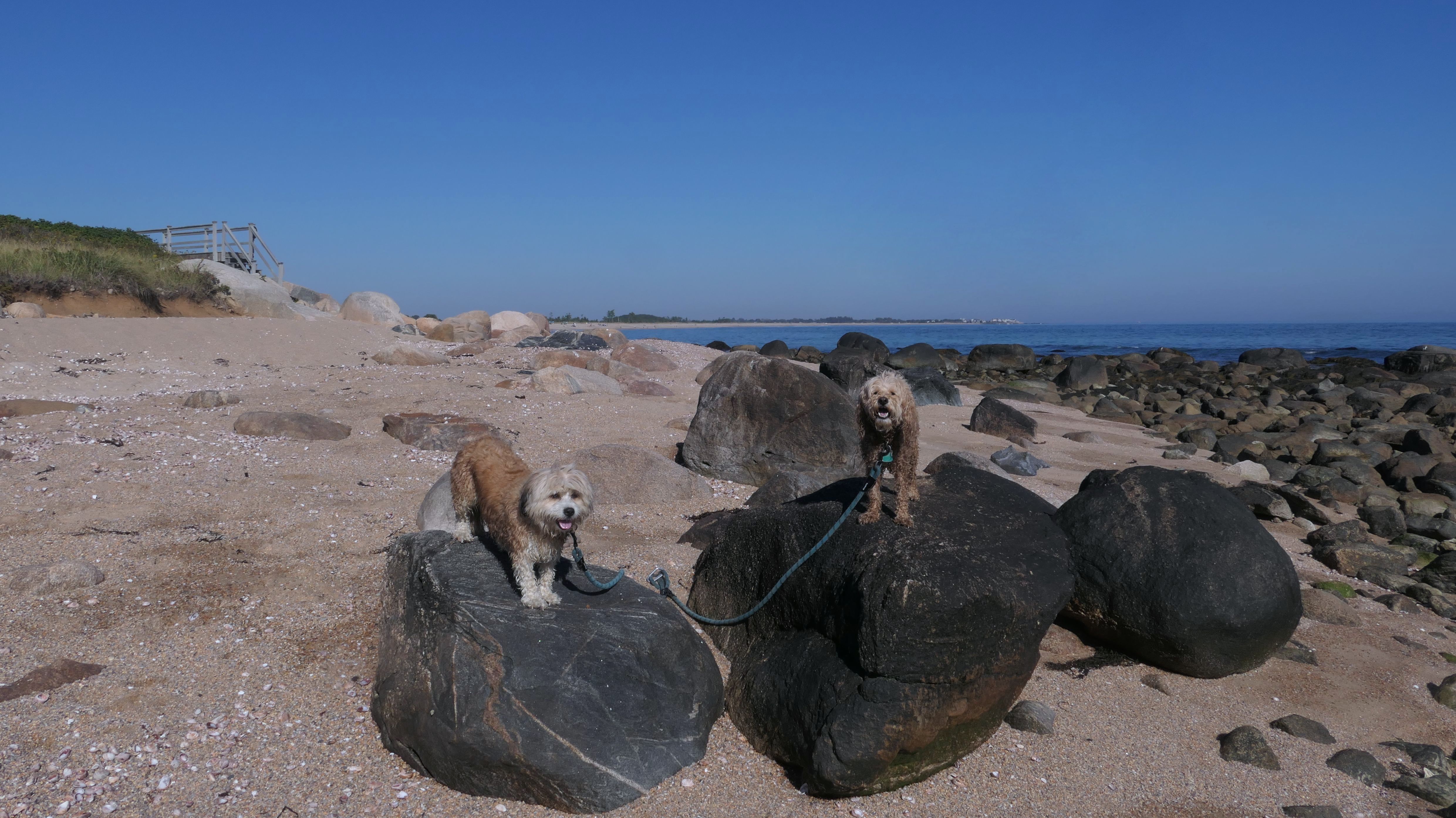
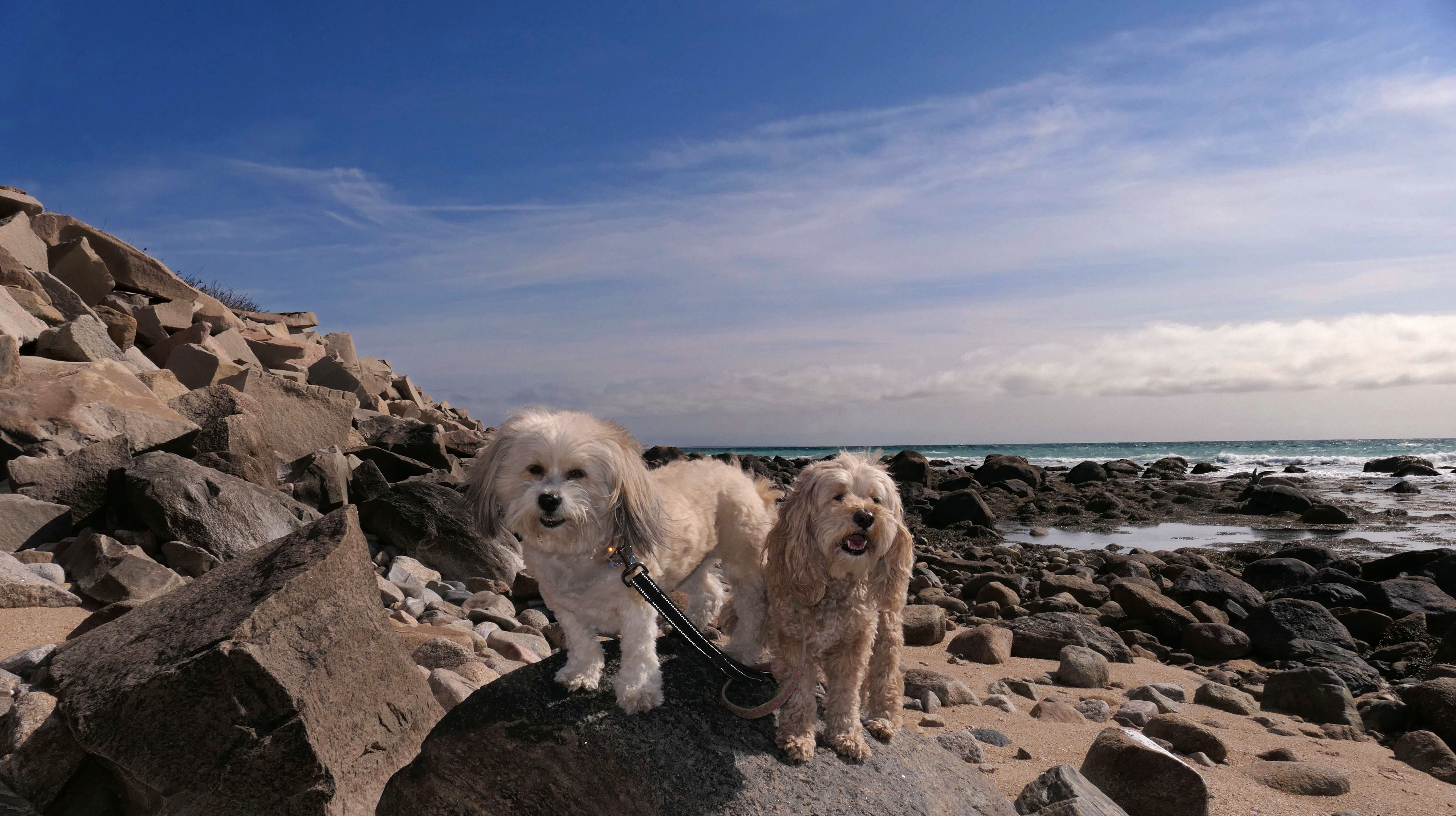
Date visited: 4/28/2025
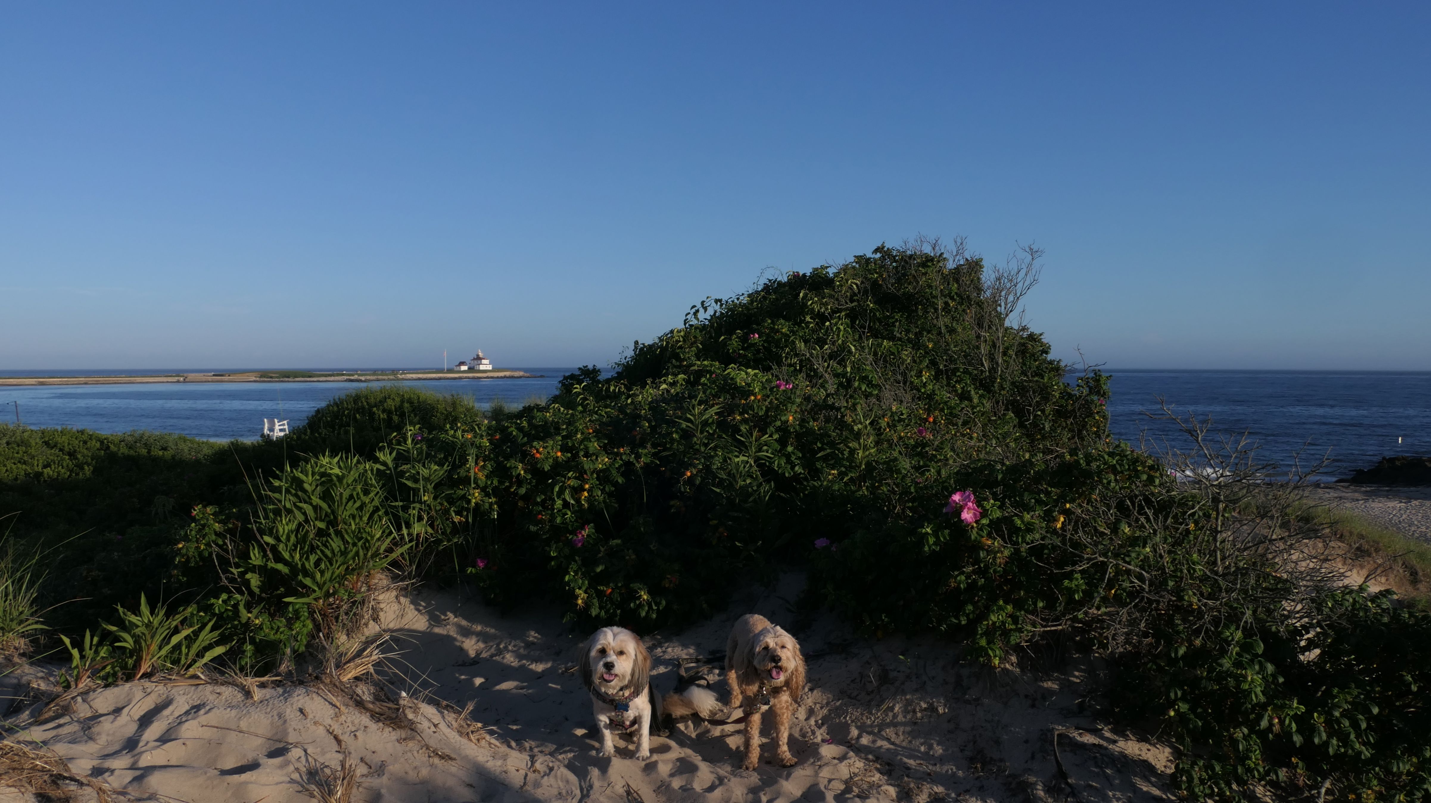
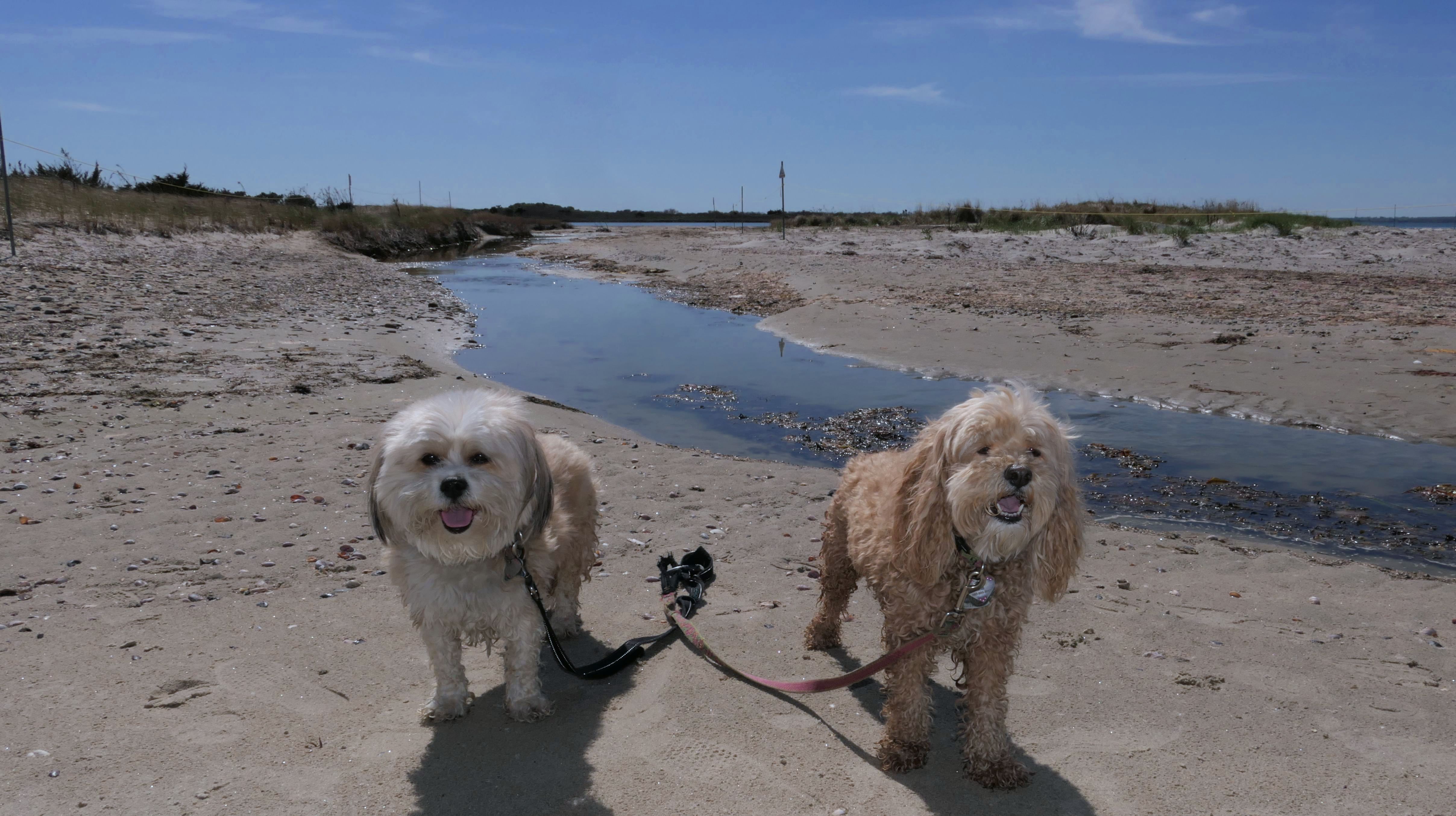
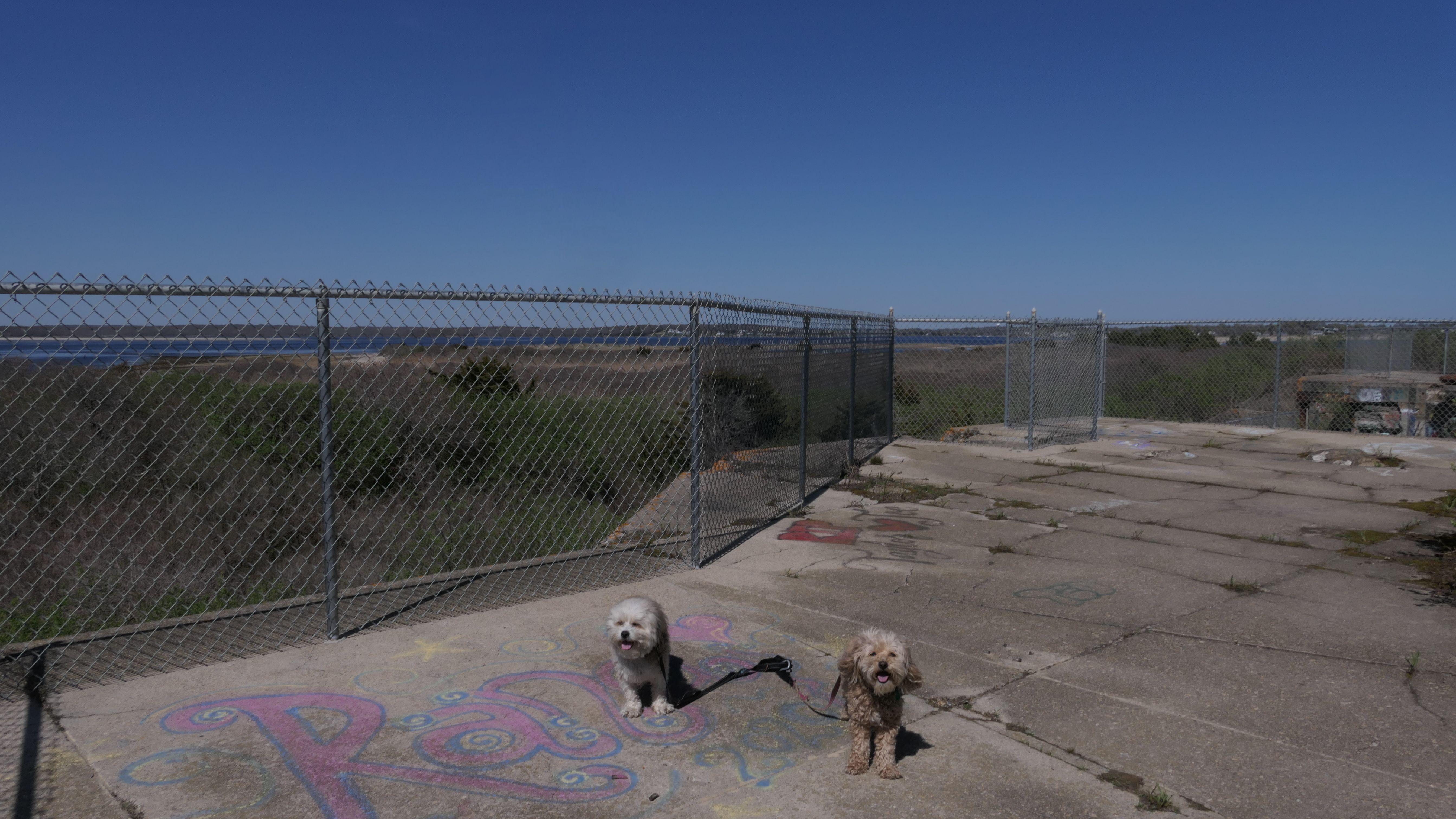
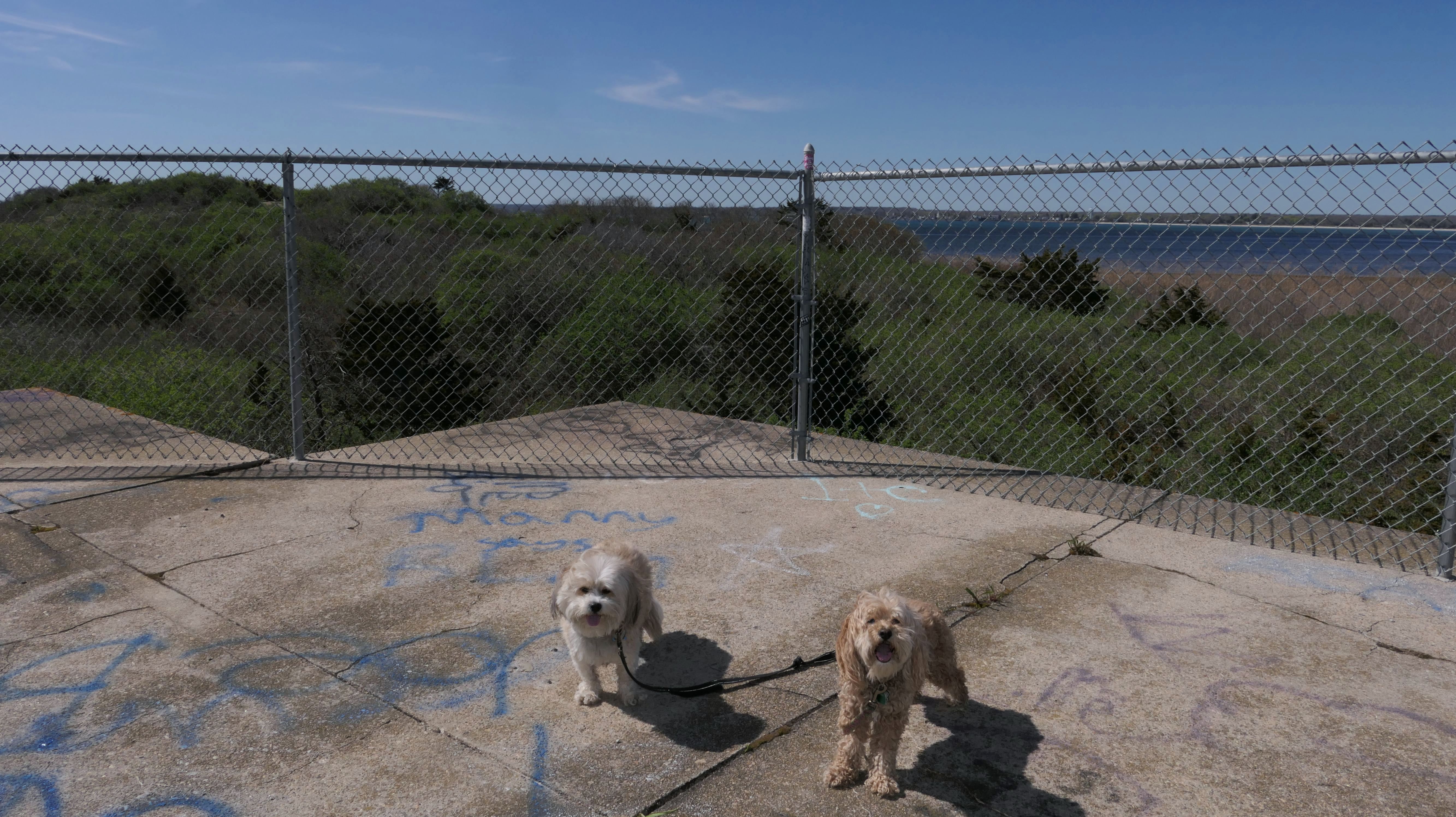
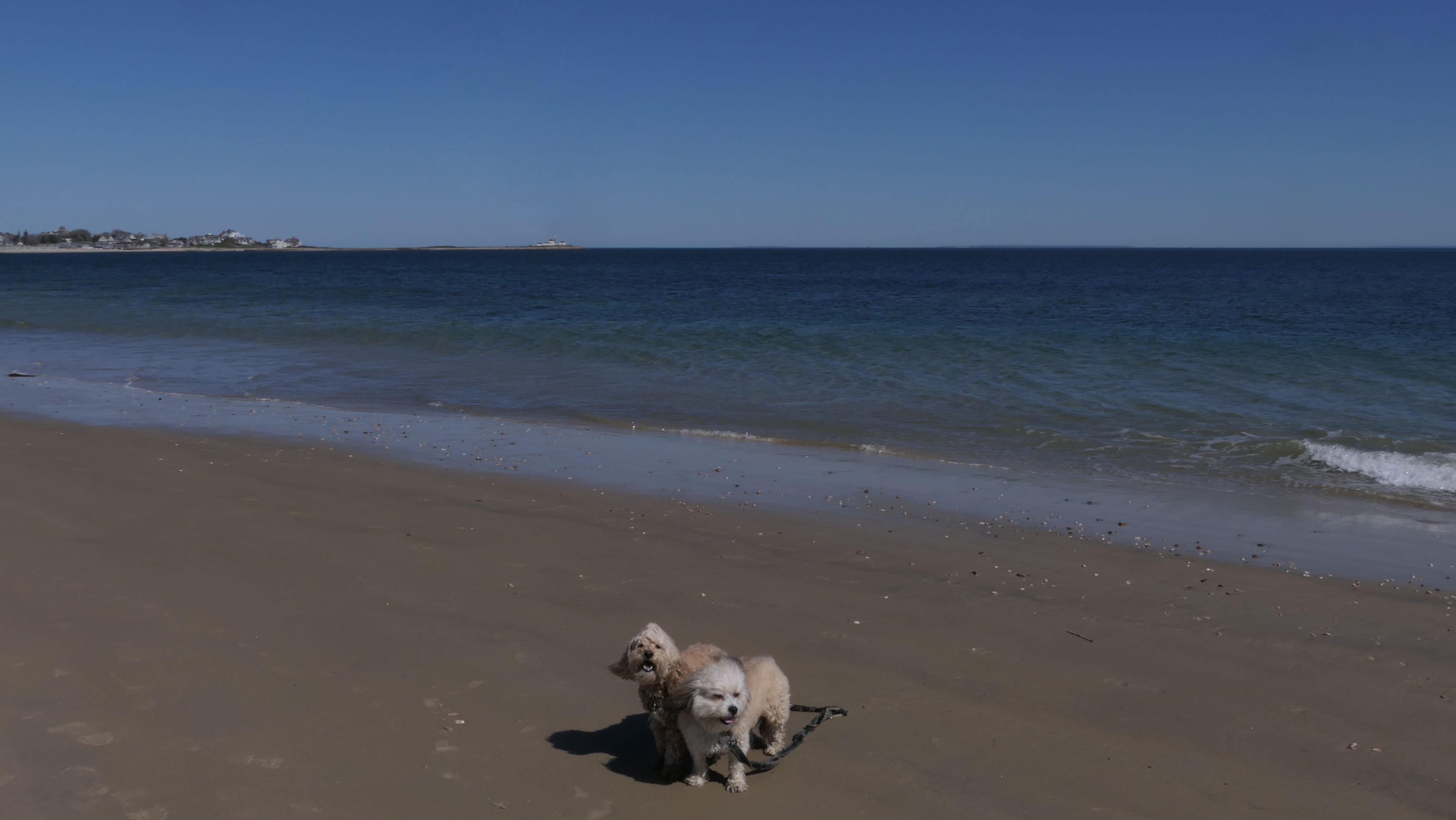
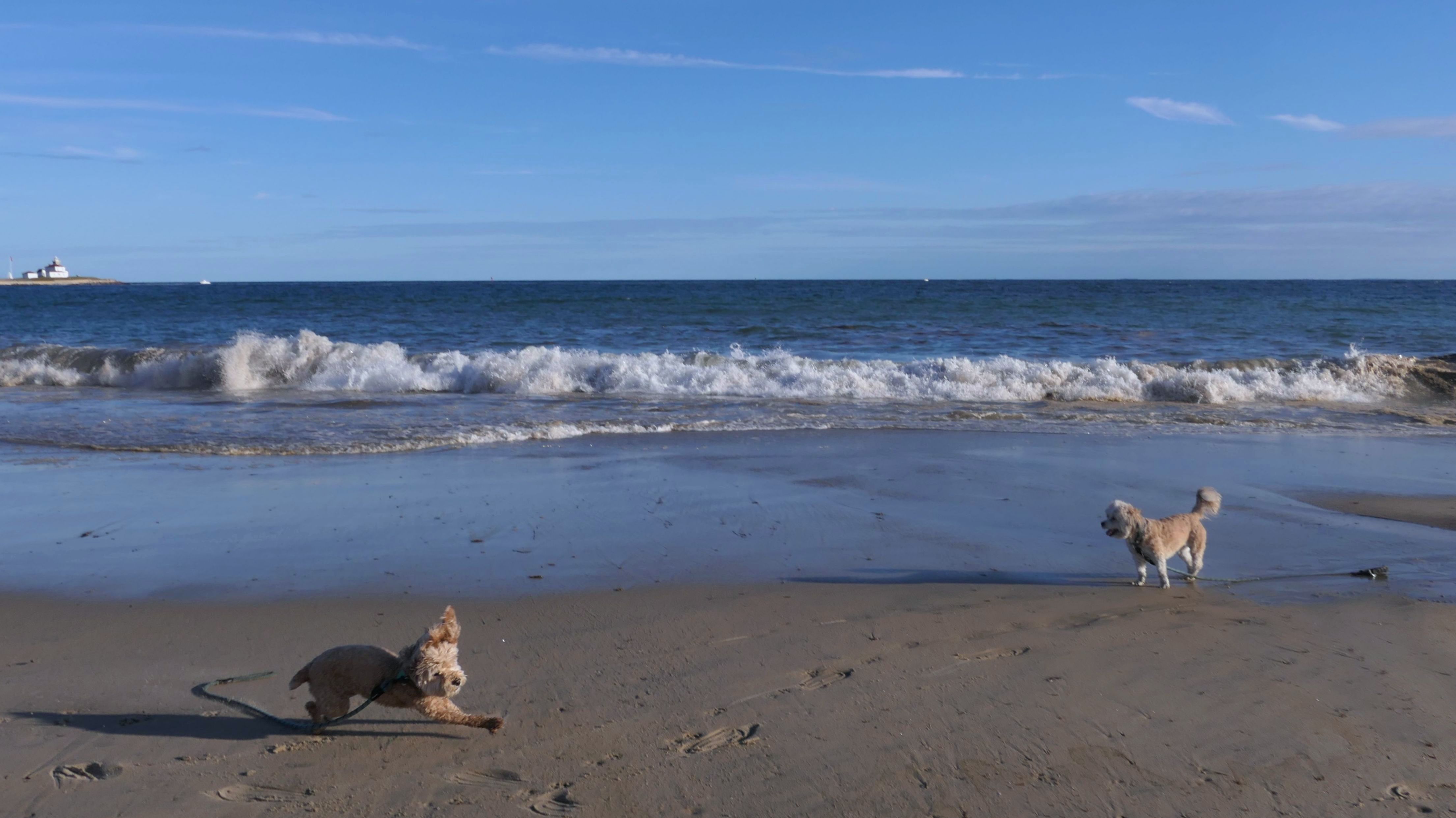
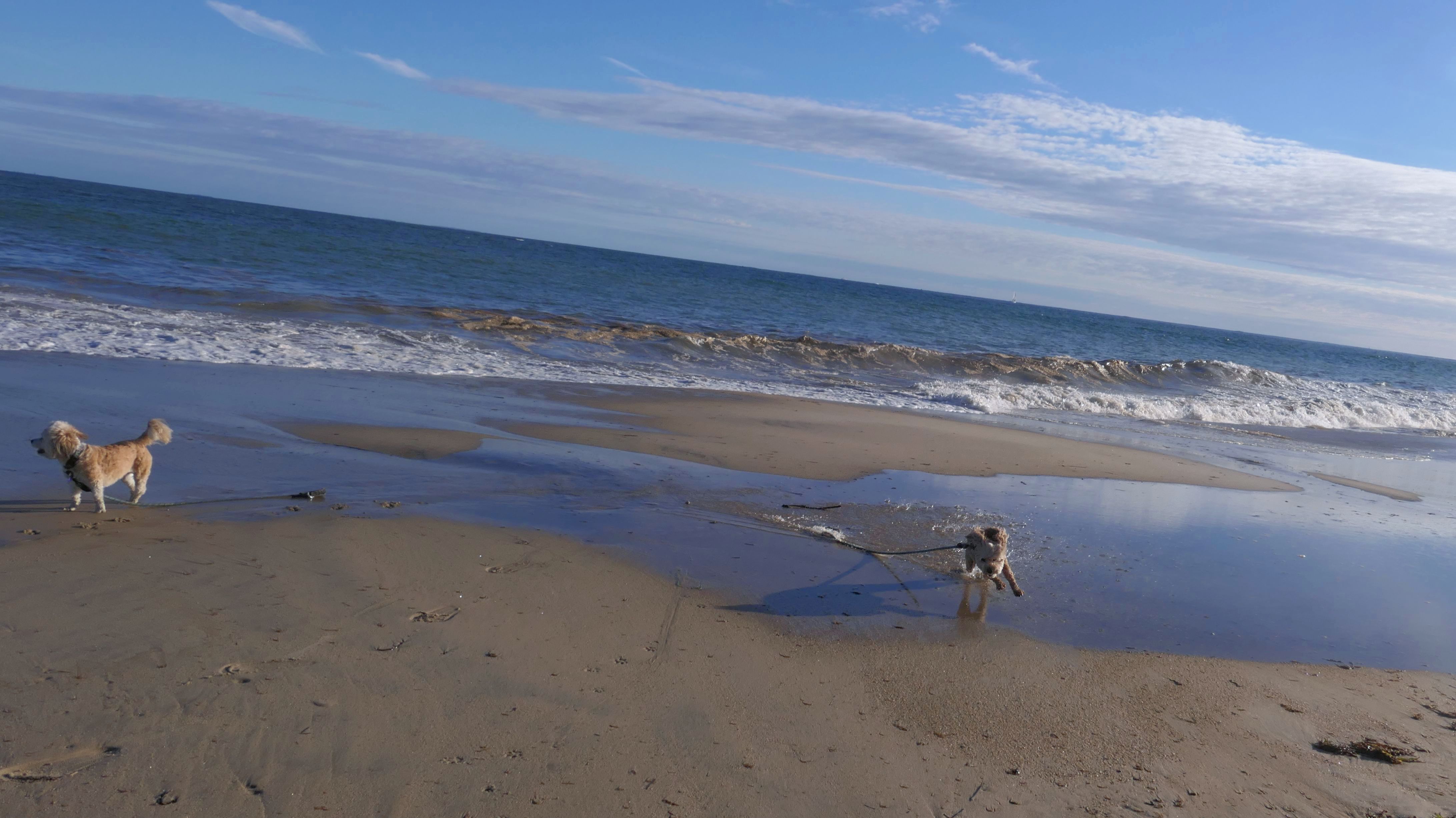
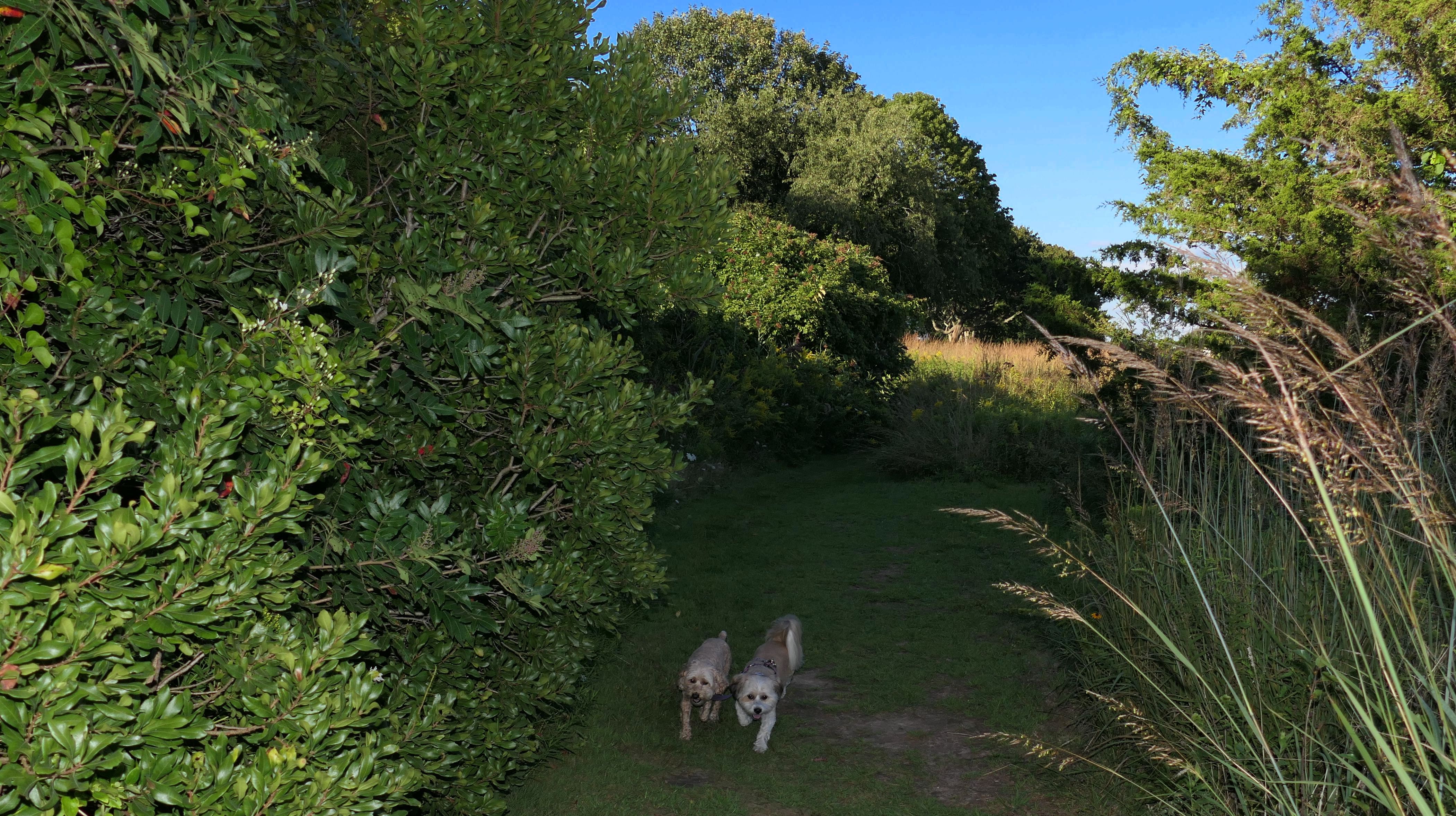
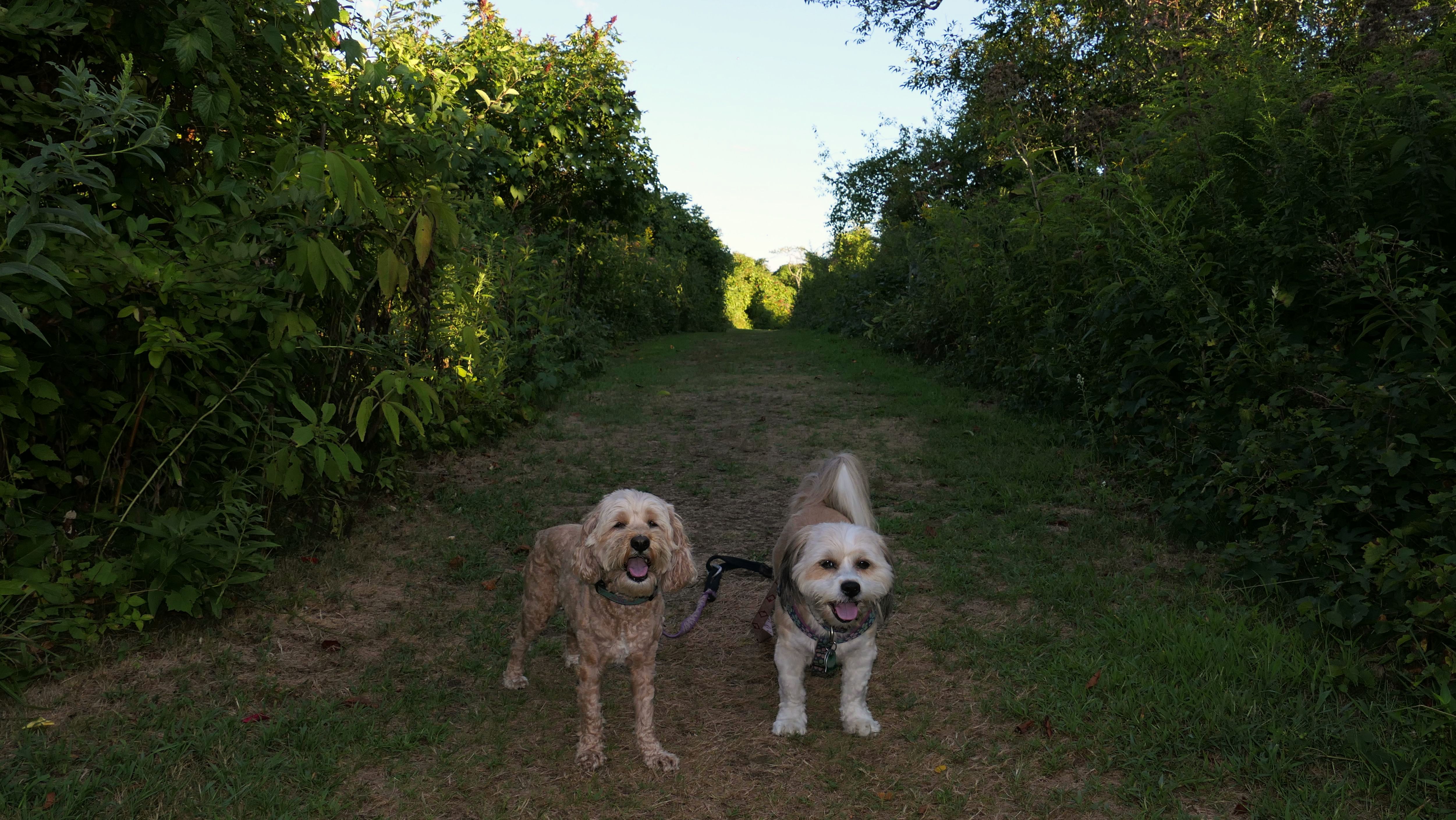
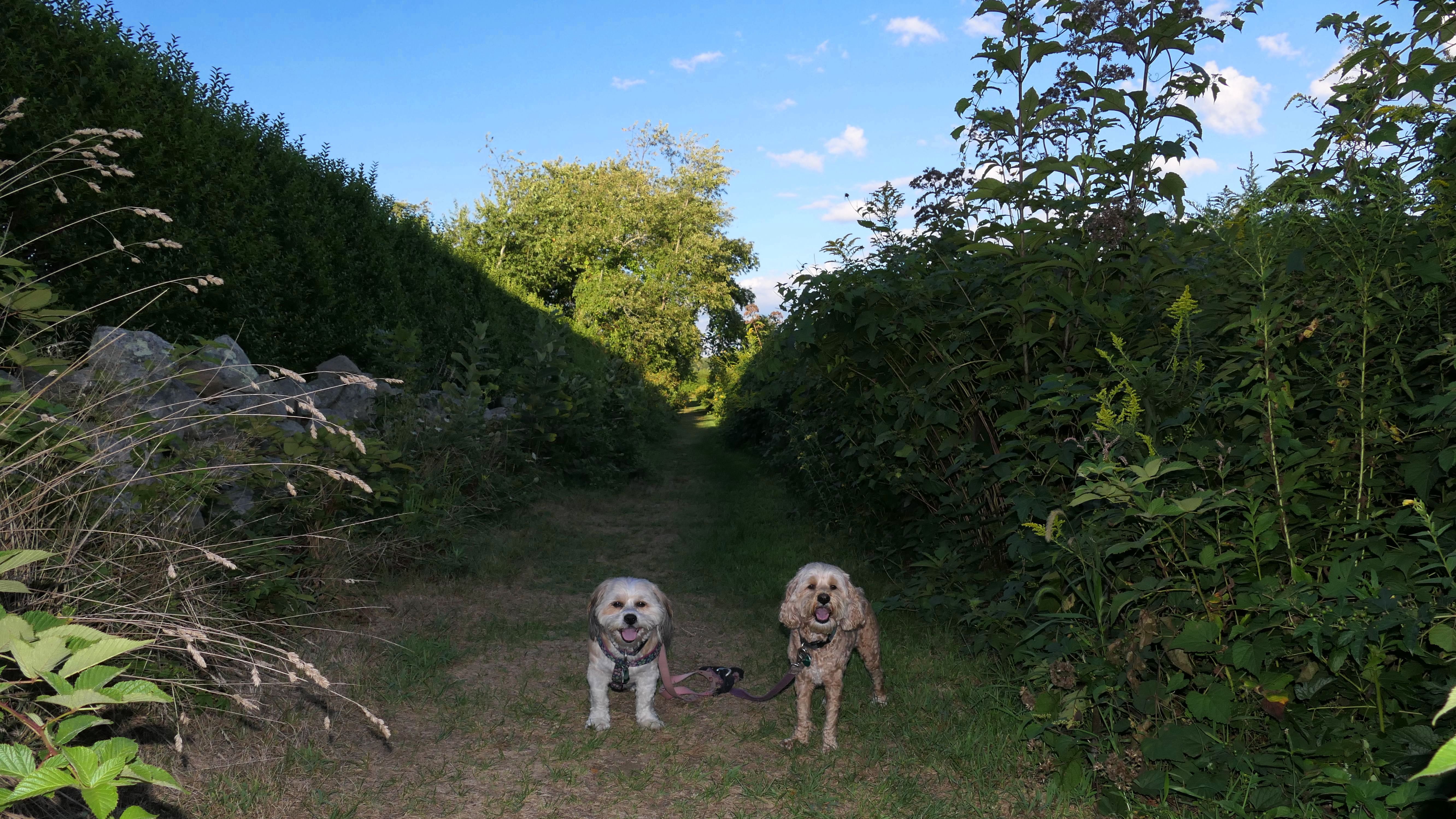
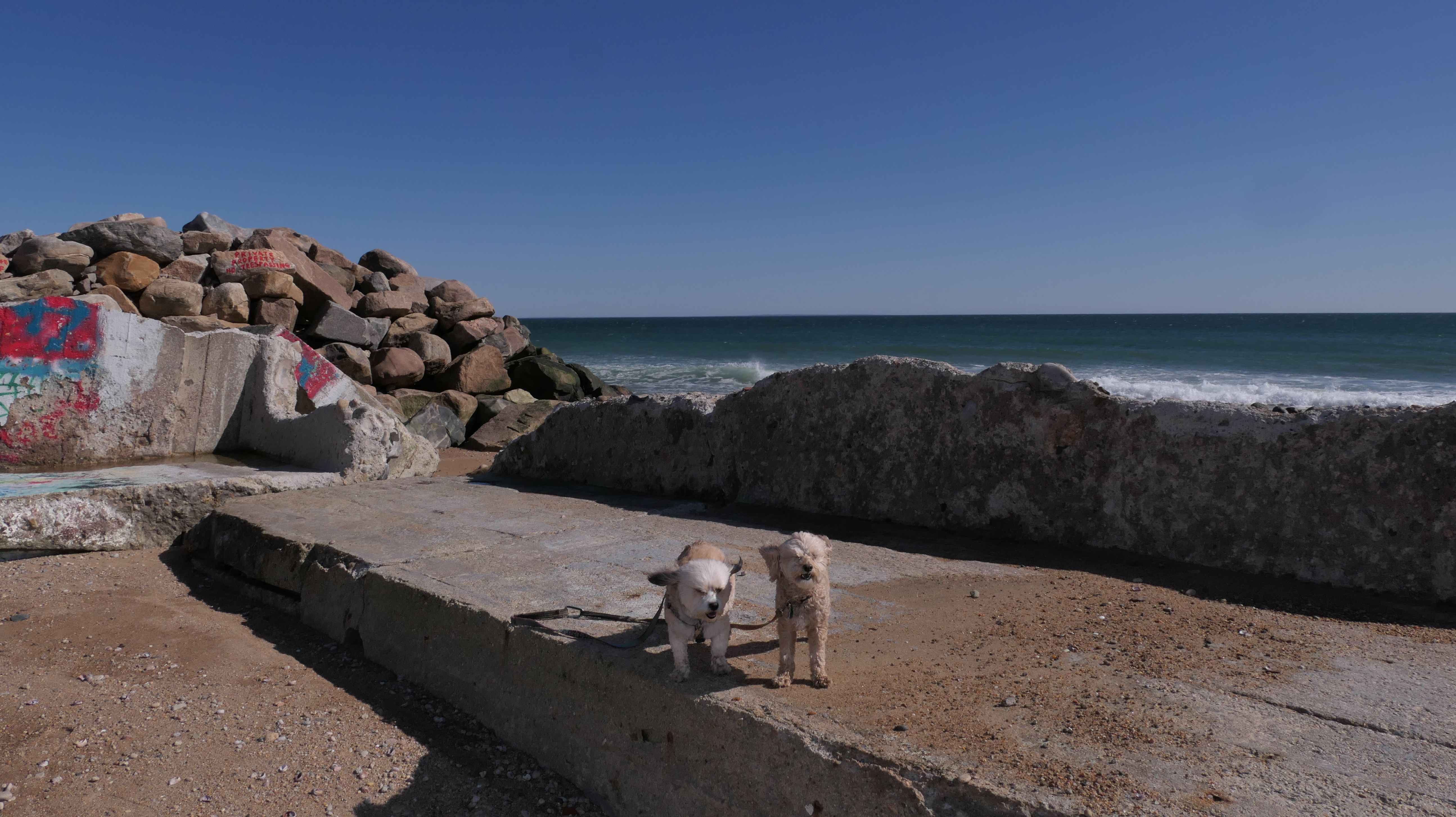
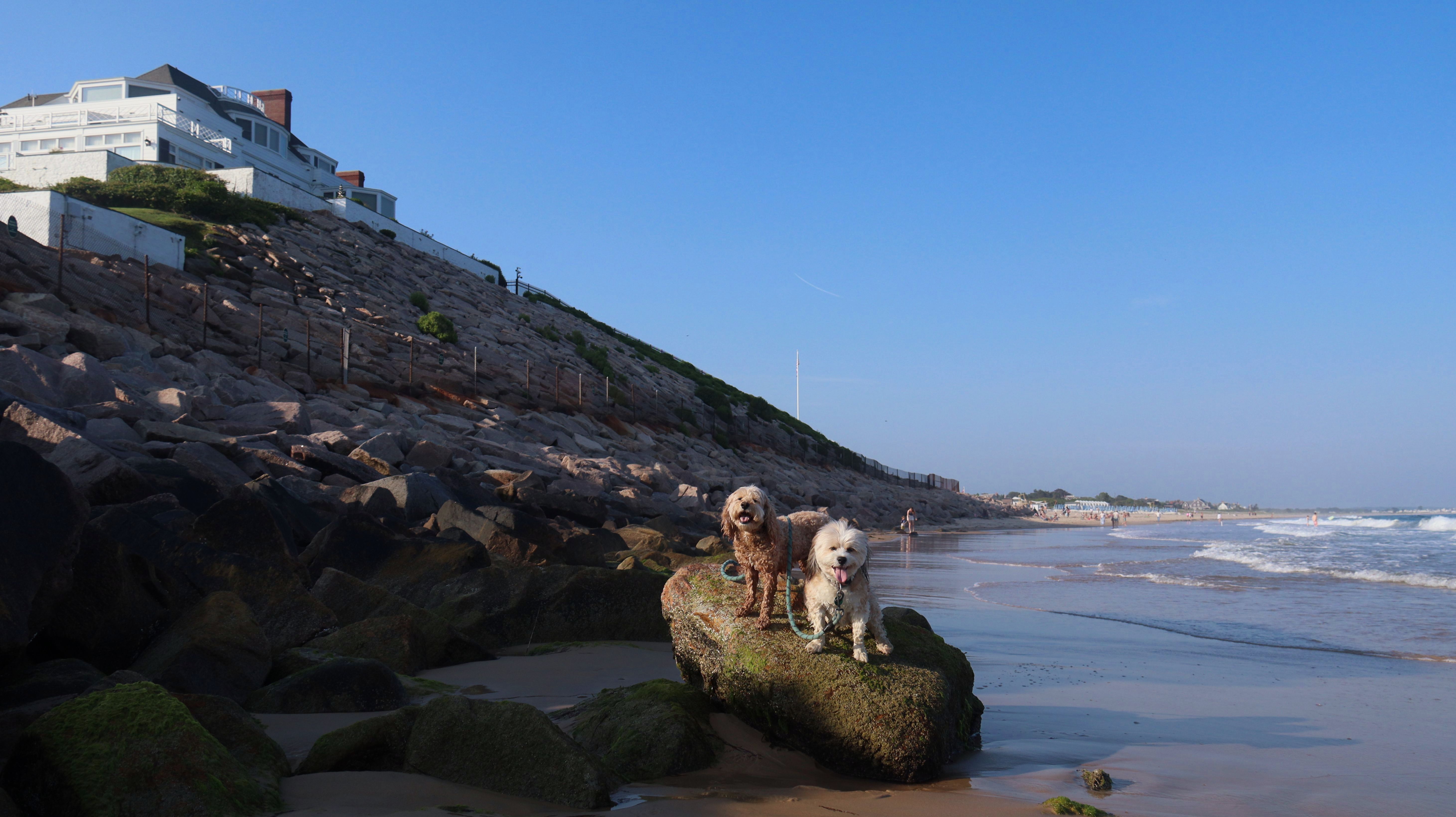
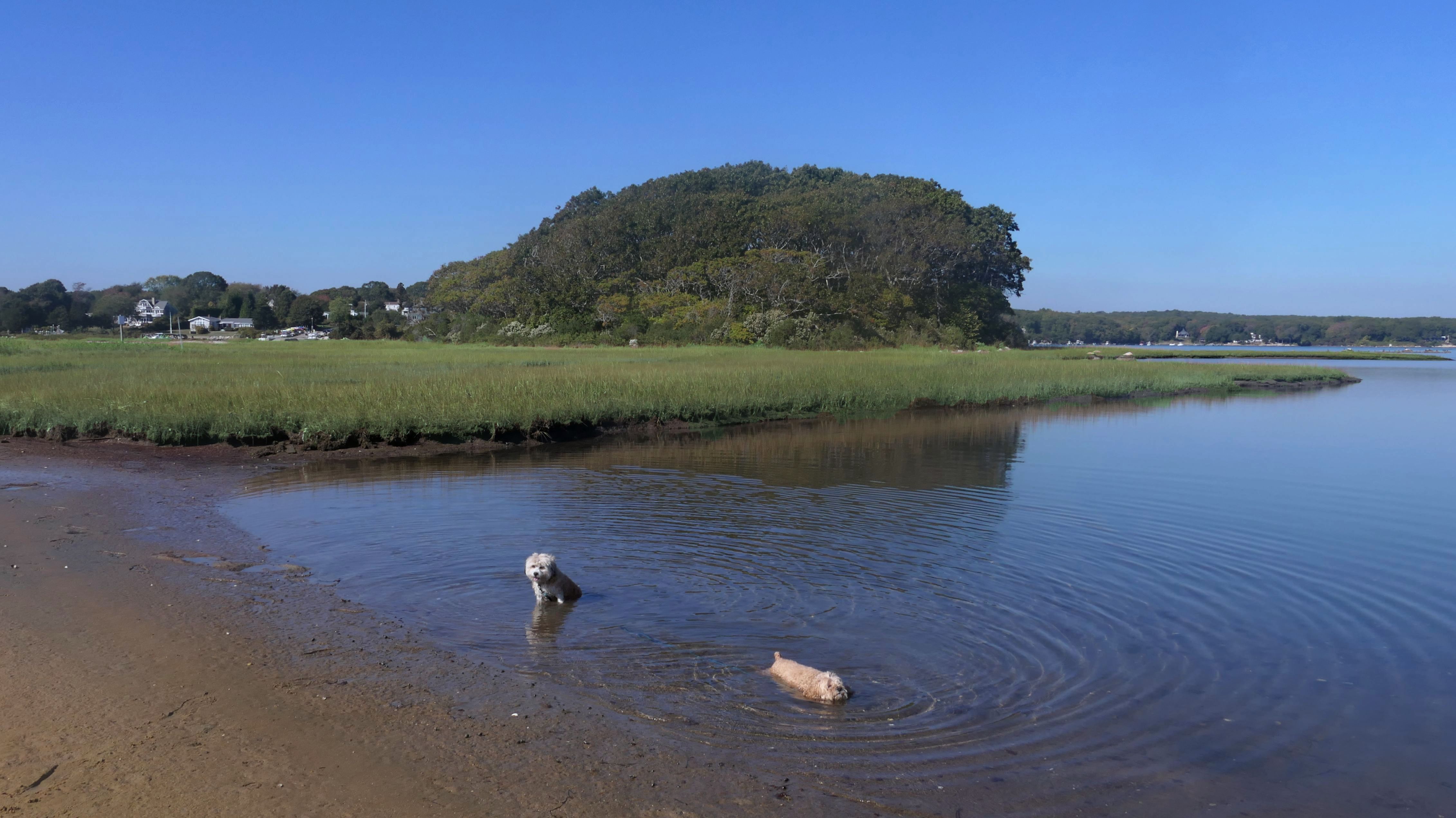
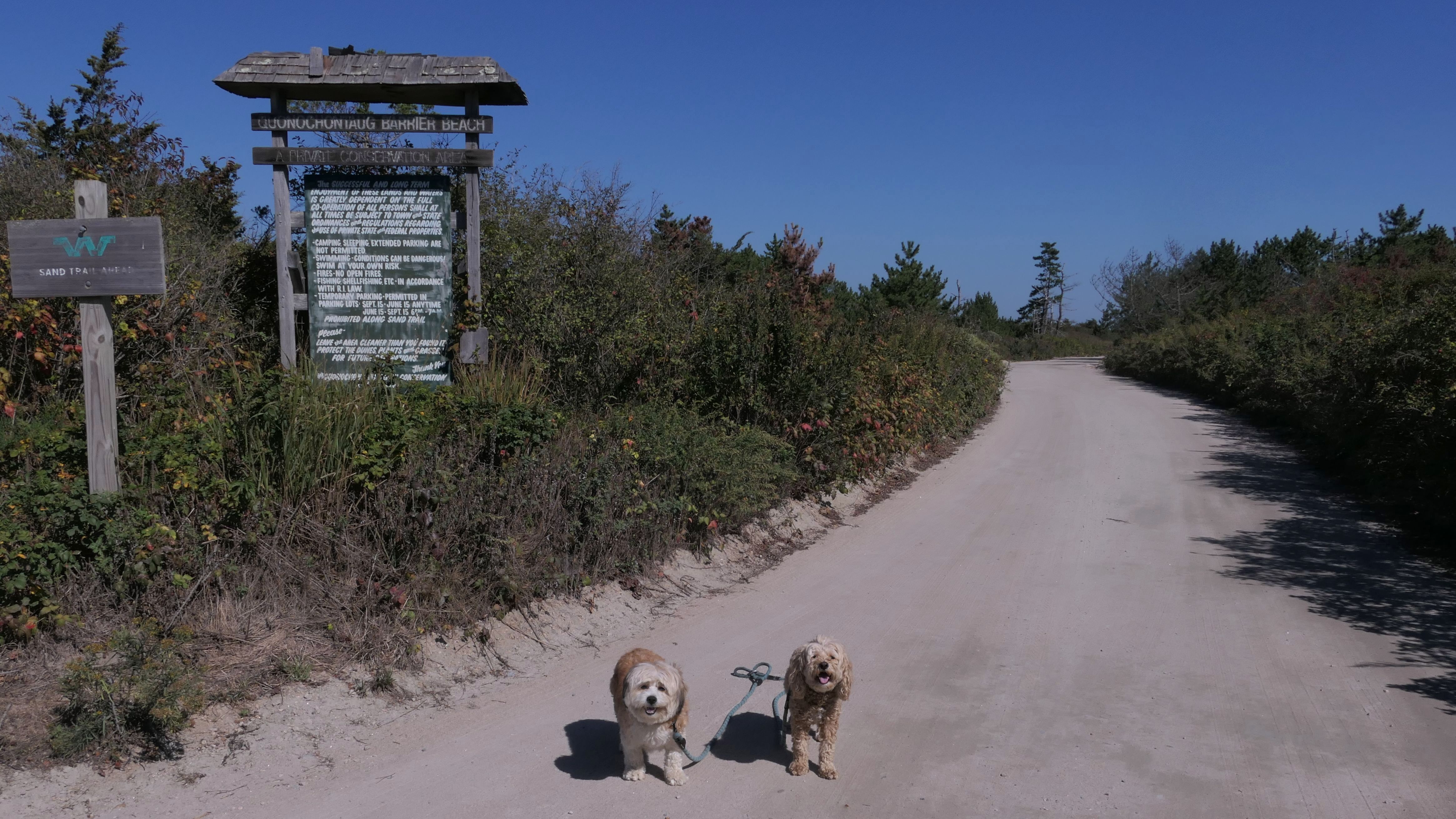
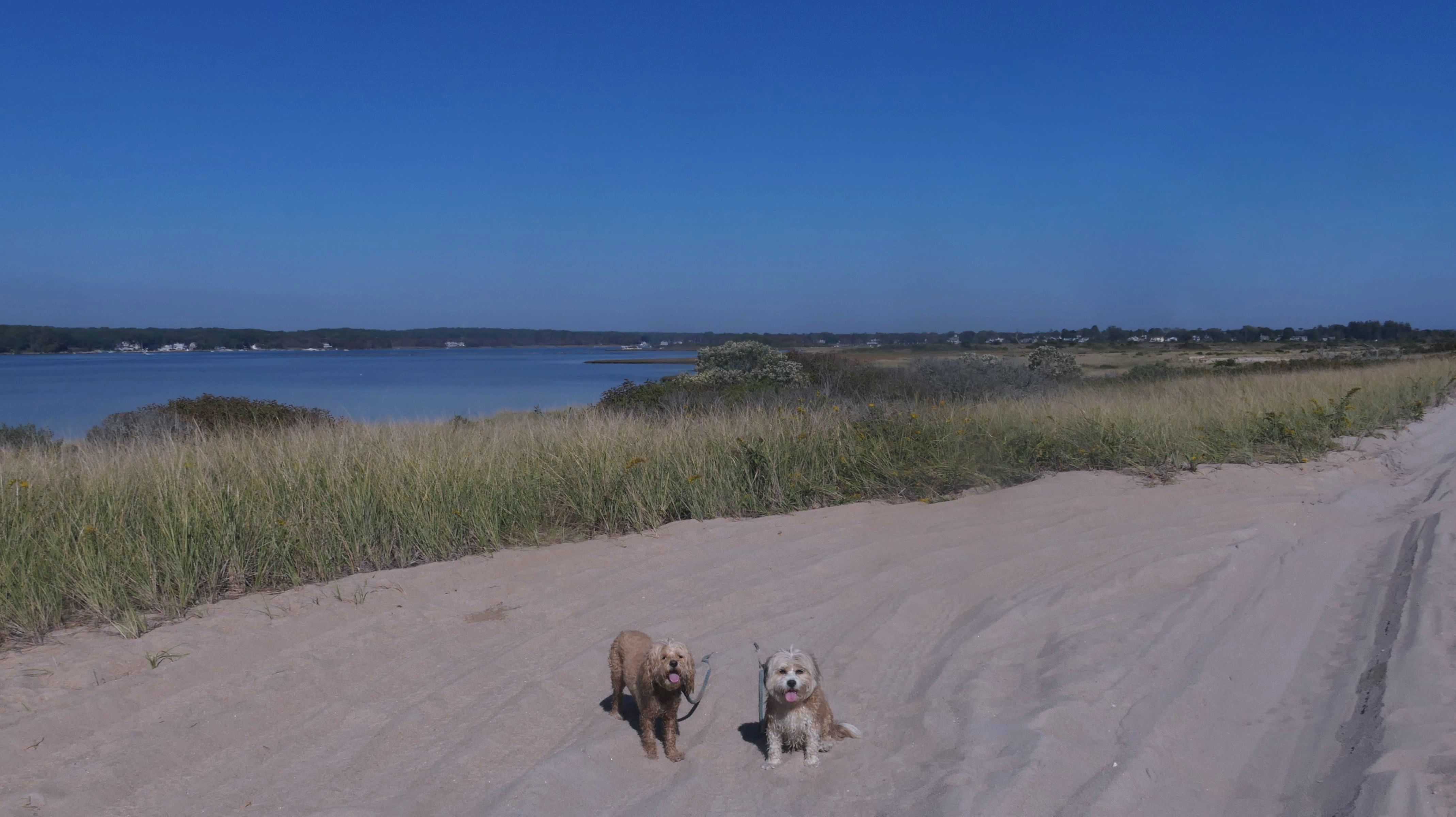
We've been here many times before, but this was only the second time we managed to complete the full loop. The first was during our very first trip to Westerly, way back in December 2020. We attempted it again last summer, but high tide and overgrown trails around the rocks stopped us short. This time, we arrived right at low tide and started out on the bay side. The dogs love this part—it's calm, and they enjoy splashing around in the gentle water. Near the tip of the point, there's a small stream we have to cross to finish the loop. Back in 2020, it was cold and windy, and I had to wade through the stream to avoid turning back. Today, I still had to cross it, but the water was so low it felt more like stepping through a puddle. For the first time, we made it up to the ruins—remnants of an old military fort hidden among the dunes. The narrow trails leading there were just barely passable, and they'll be even tougher to navigate later in the summer when growth thickens. It was exciting to explore something new in a place we thought we knew well. (In 2020, we had skirted the rocks to complete the loop—I didn't even know the ruins existed then.) We wrapped up the walk along the ocean side, where the views of Block Island were strikingly clear. Usually, the waves on that side are pounding, but today the sea was surprisingly calm. With the seasonal dog restrictions starting May 2nd—when pups are only allowed after 6 PM—this was one of the last afternoons we could enjoy this walk freely. All in all, it was a great three mile loop on a beautiful spring day.


More Images


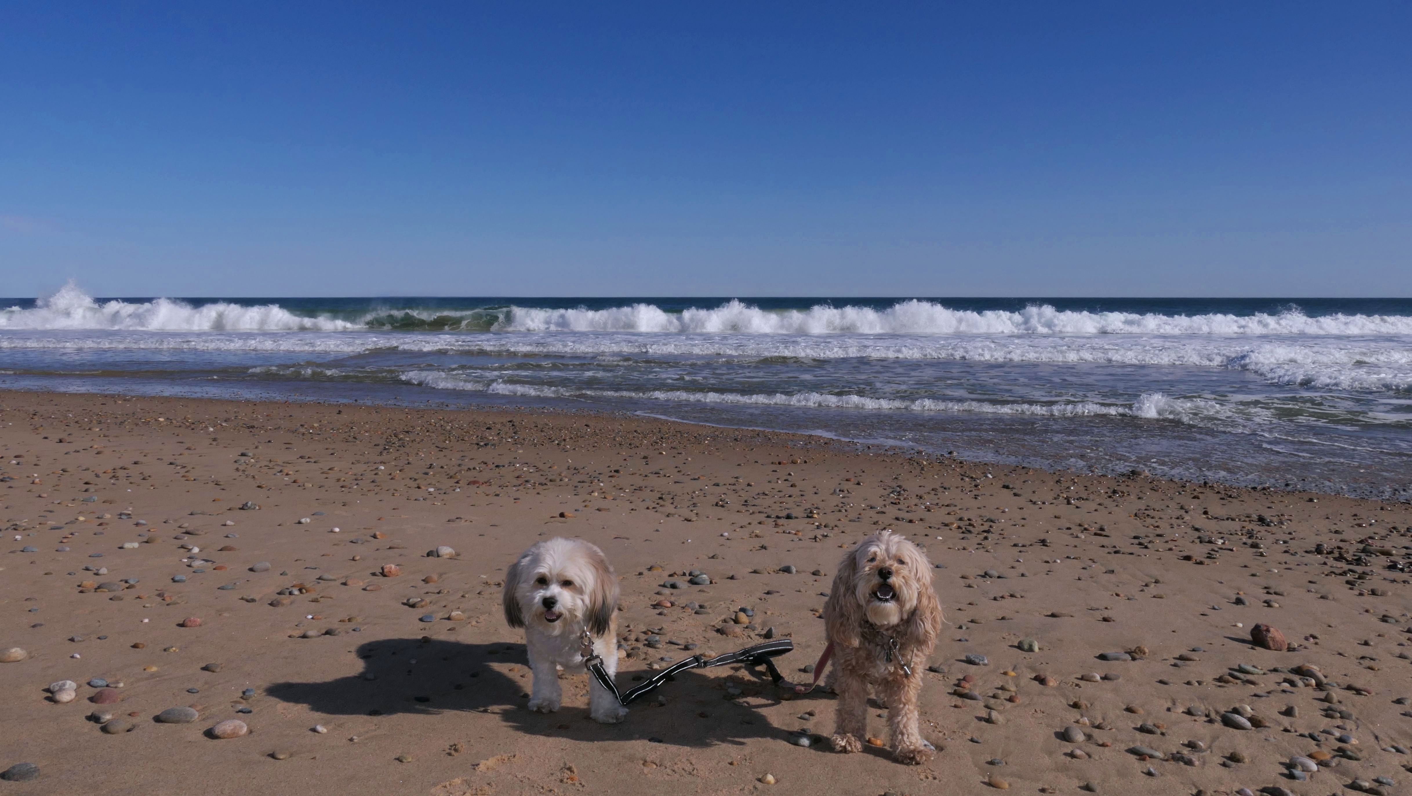
Napatree Point Conservation Area
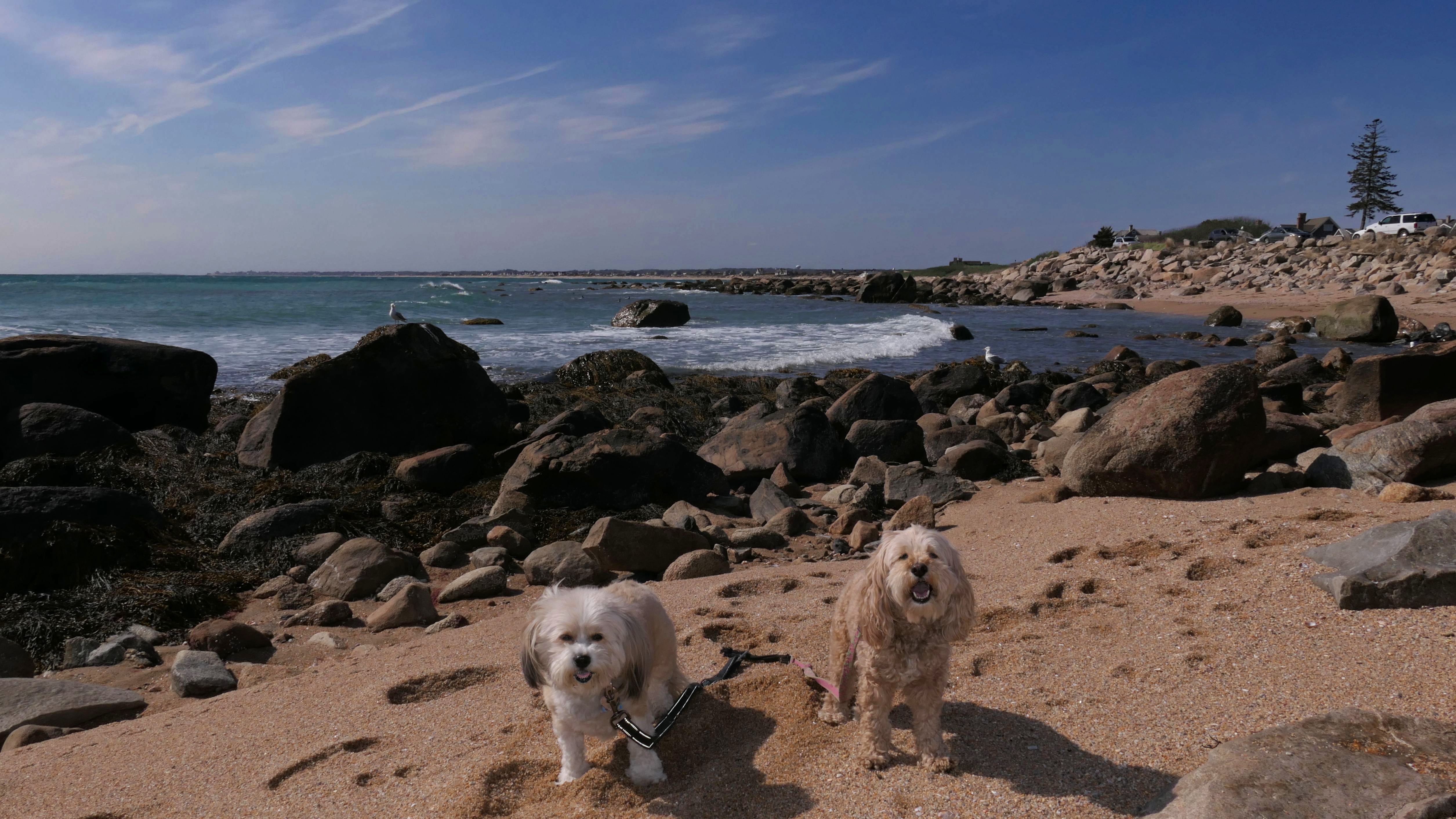
Date visited: 5/2/2025
We wound up back here a few days after our previous visit. It was sort of a spur of a moment thing, and I wasn't even going to update the page with this trip, but the first picture below came out so nice, it needed to be added to this page!

More Images

Napatree Point Conservation Area
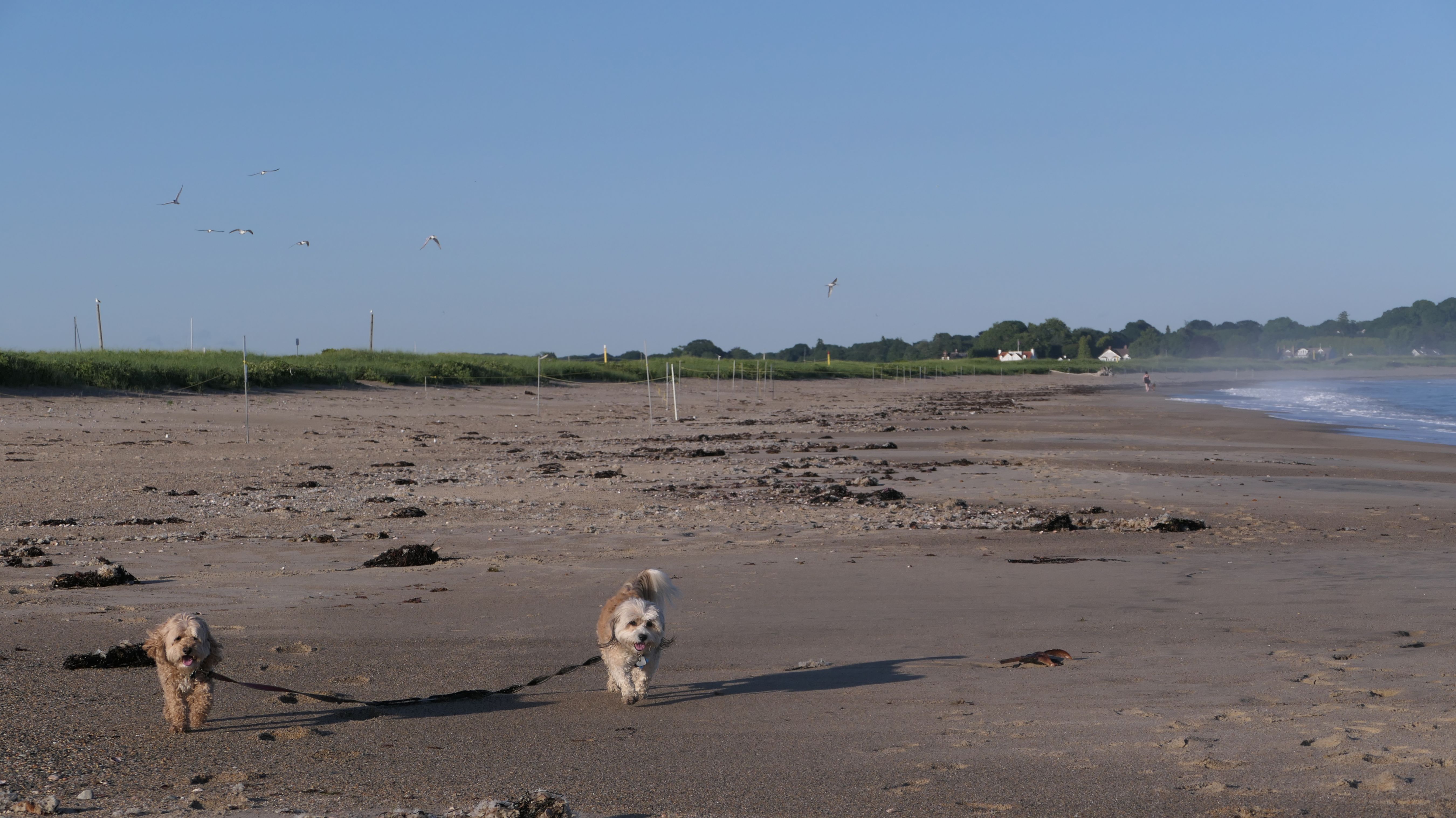
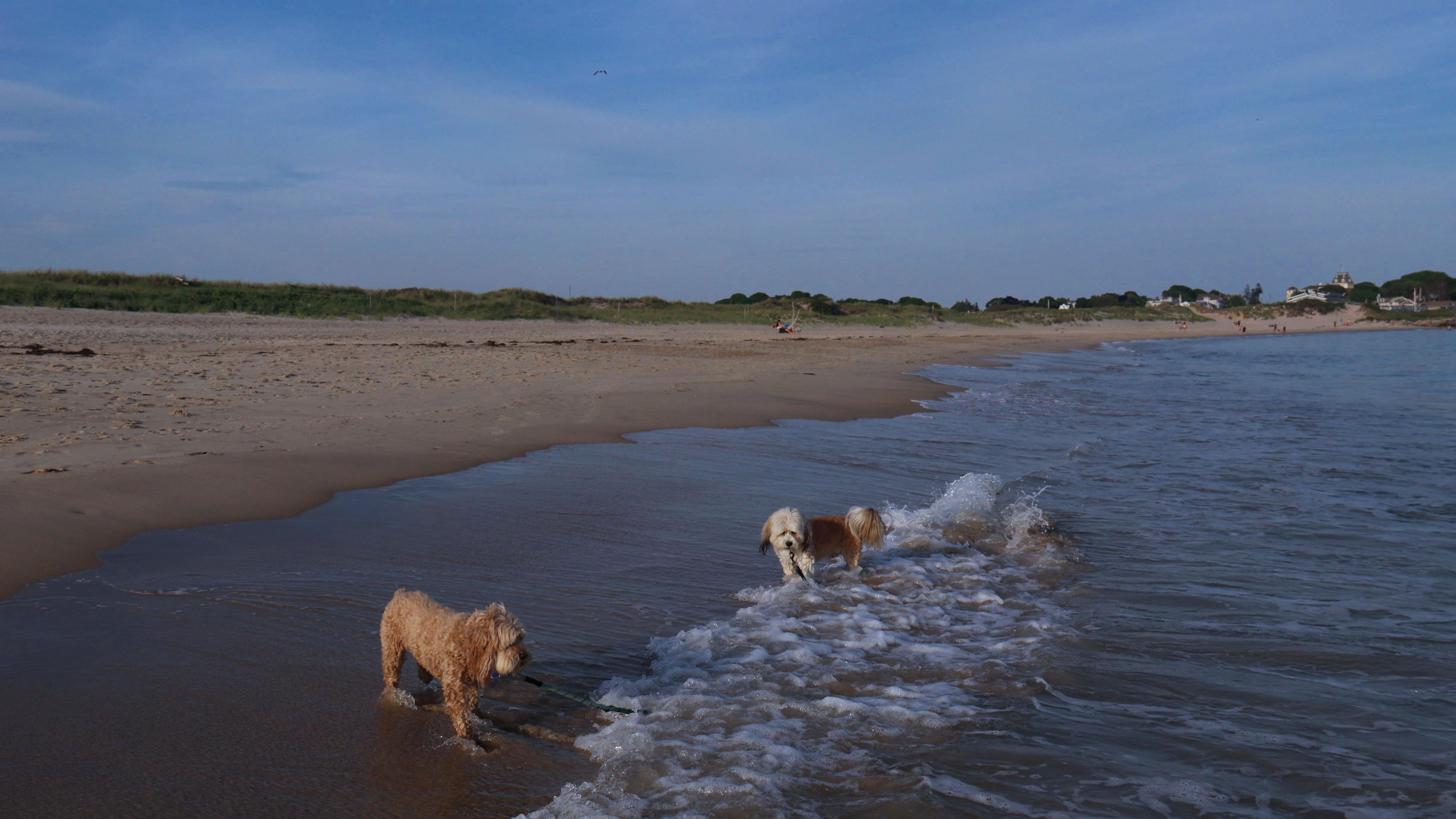
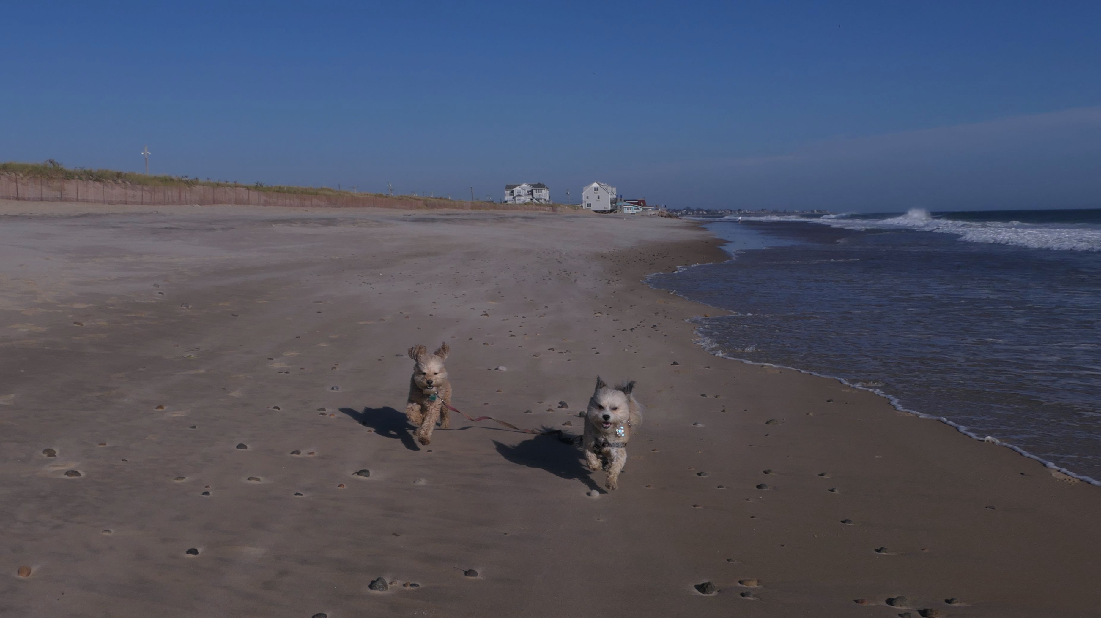
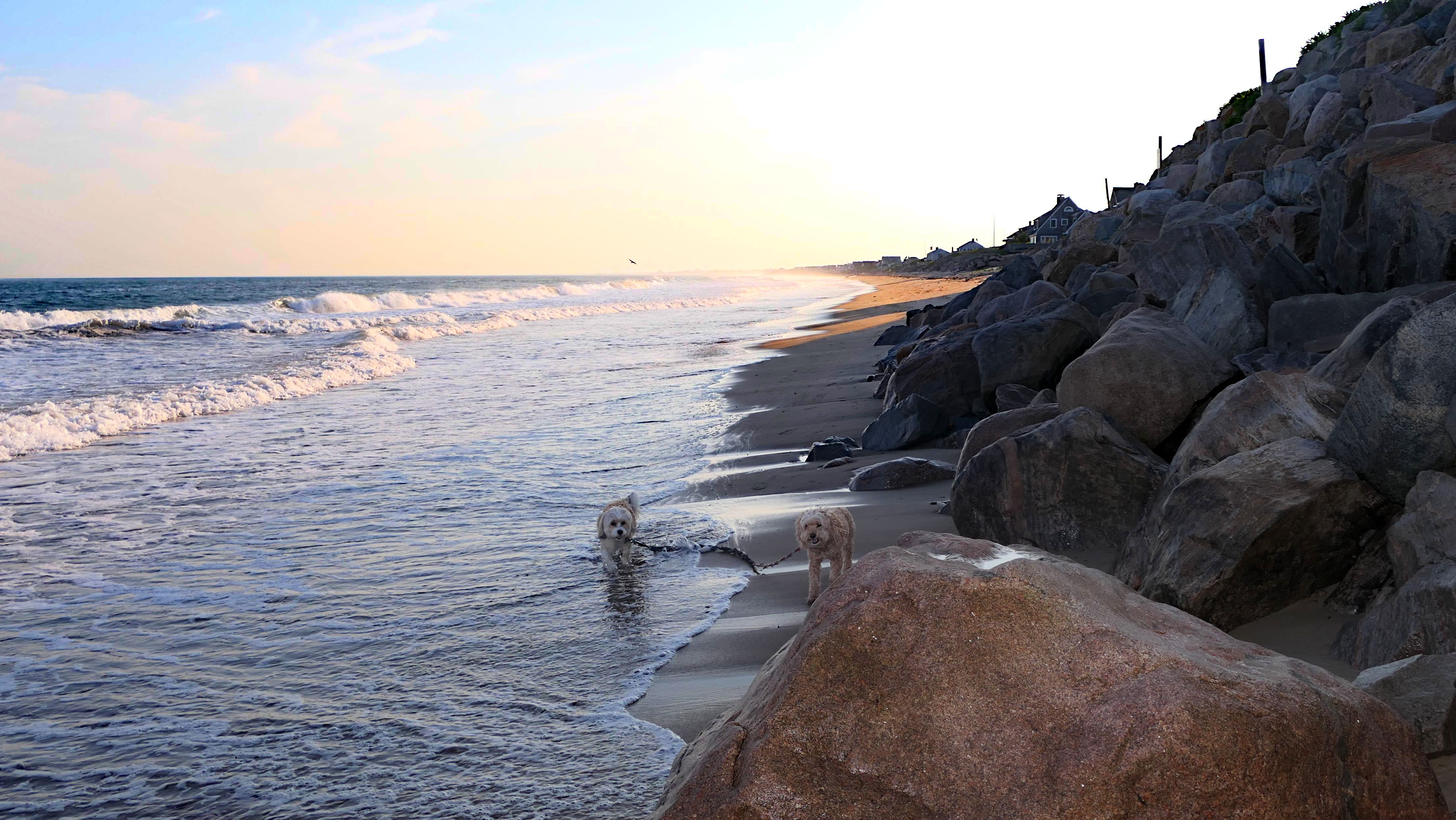
Date visited: 6/24/2025
It was the hottest day of the year, and this was our final stop. We waded through the edge of the waves, walking about a half mile up the beach before turing around and heading back to Watch Hill. We've been here a bunch of times before. It's one of our favorite places, and dogs are allowed after 6PM during the summer months. This was a nice way to wrap up a very busy day that started in Narragansett and ended here.
More Images
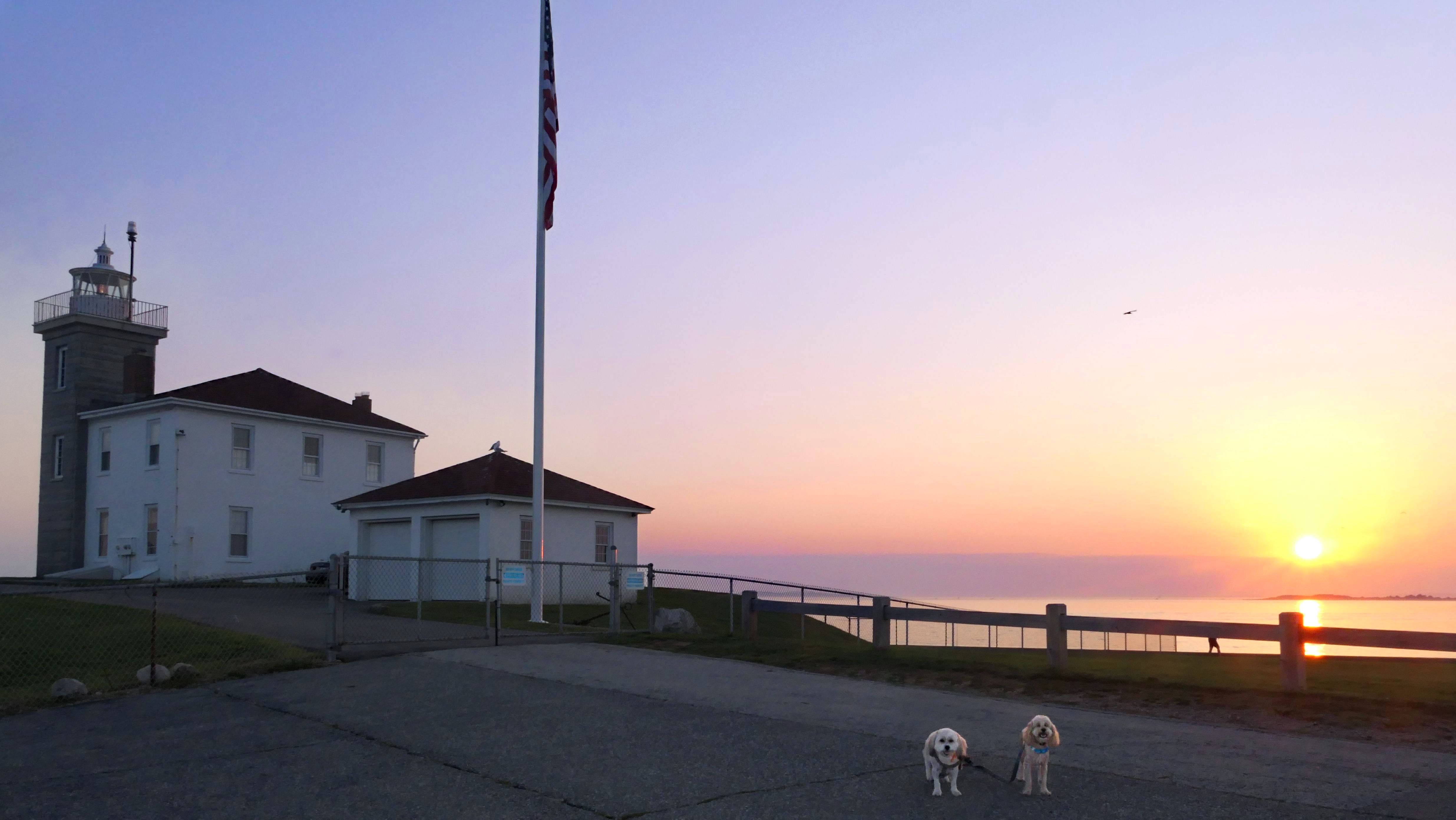
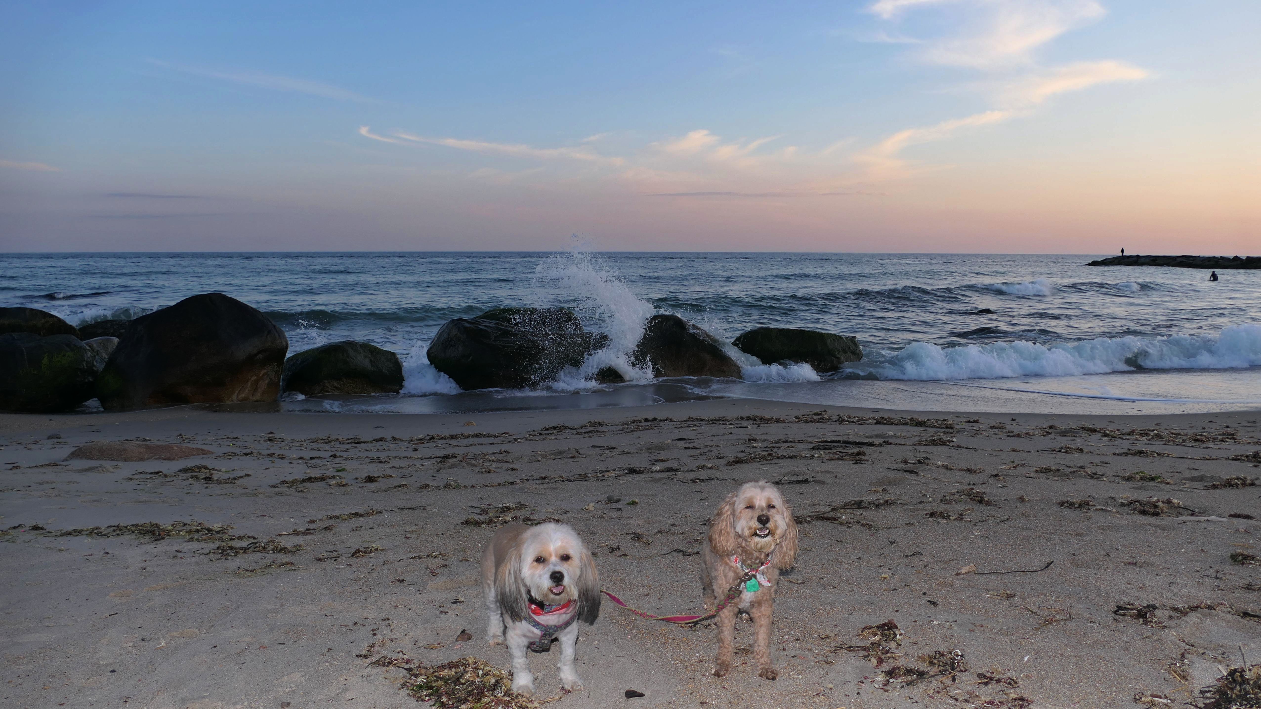
Napatree Point Conservation Area
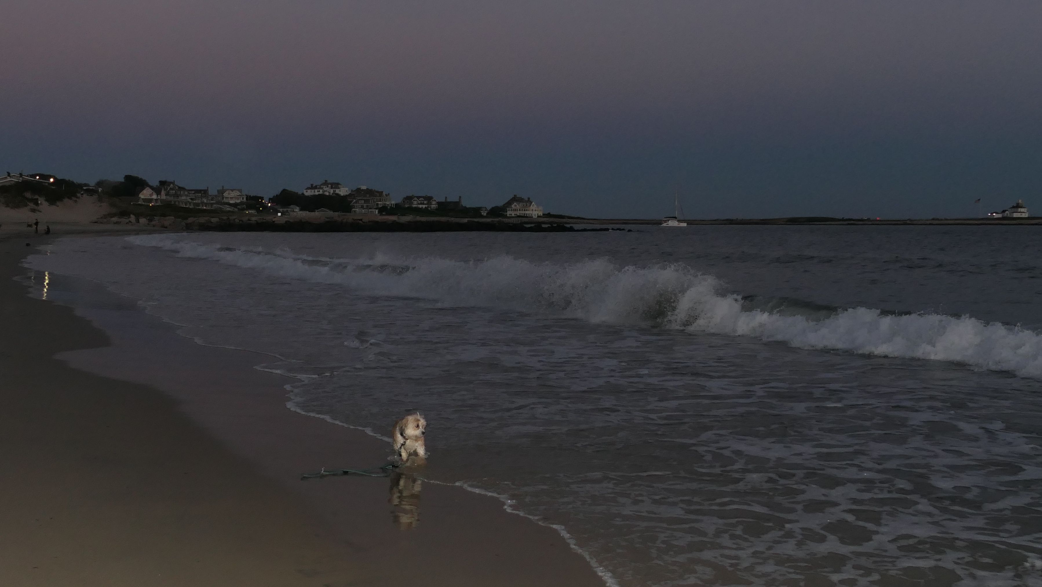
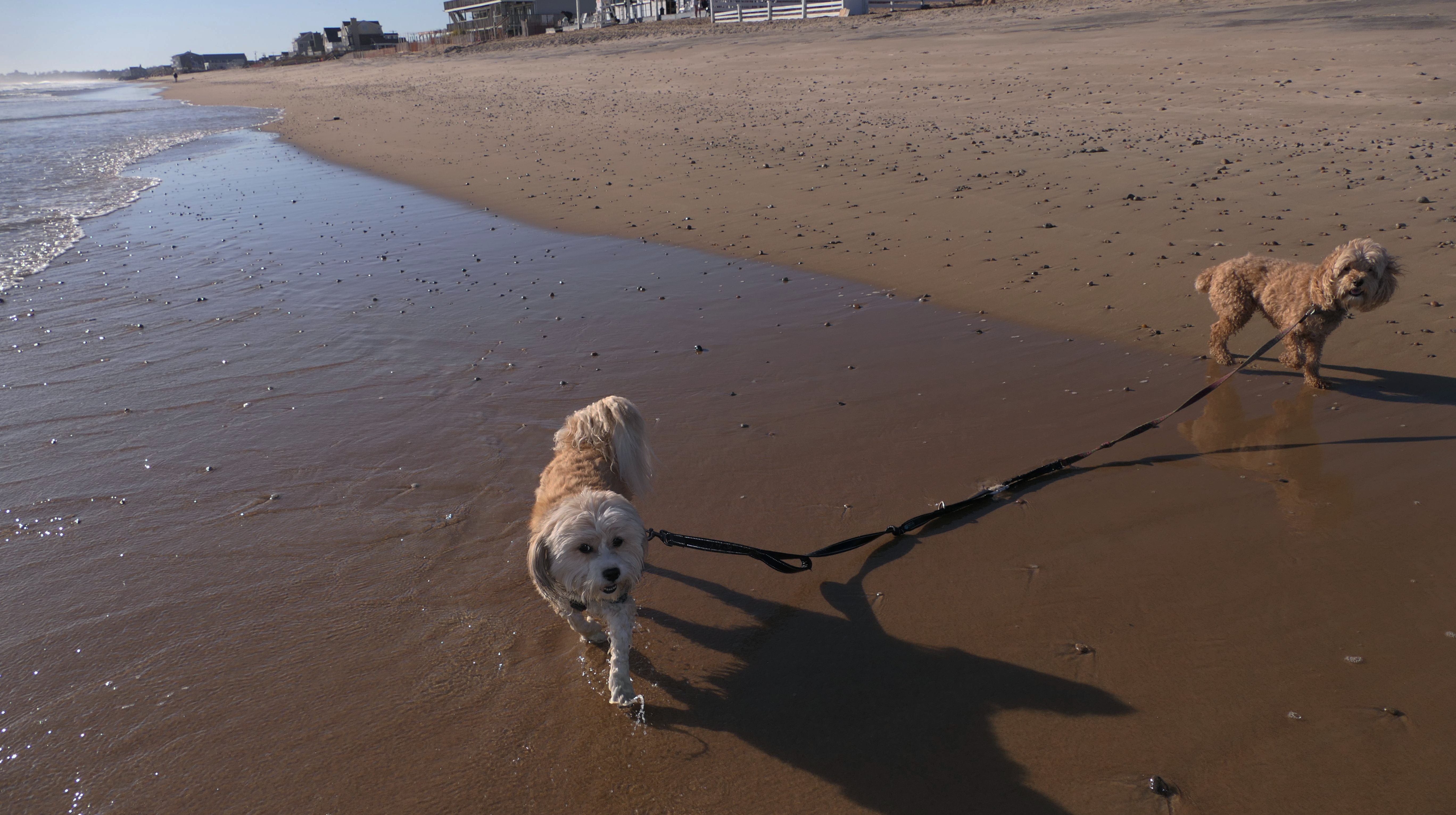
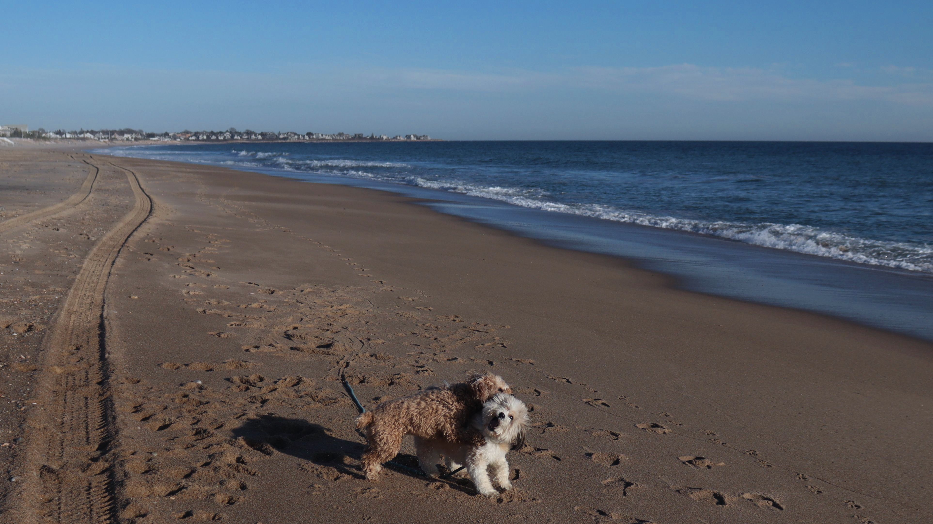
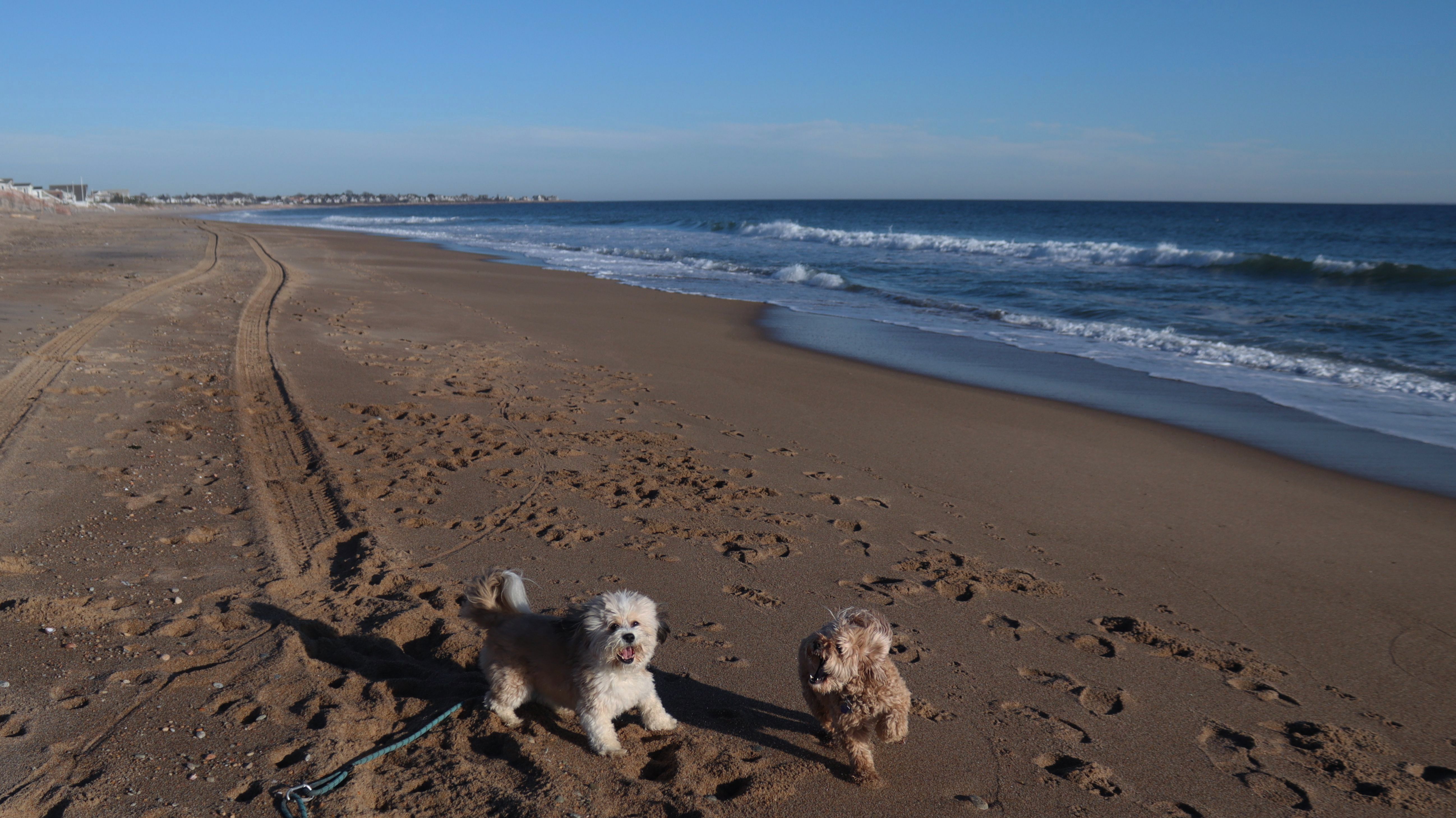
Date visited: 8/19/2025
We arrived here right at high tide. Even though Hurricane Erin was still far away, it was already starting to causing higher than normal tides in Southern New England. We actually had to walk through water just to get to the beach. Even on the bay side where the entrance to the conservation area is, water had overtaken most of the sand. Not only that, the parking lot was flooding as well. Of course, that didn't stop Mandy & Lexi from playing on the beach! The tides are only supposed to get worse the next few days, but at least the dogs got to run around and play on this day.


More Images

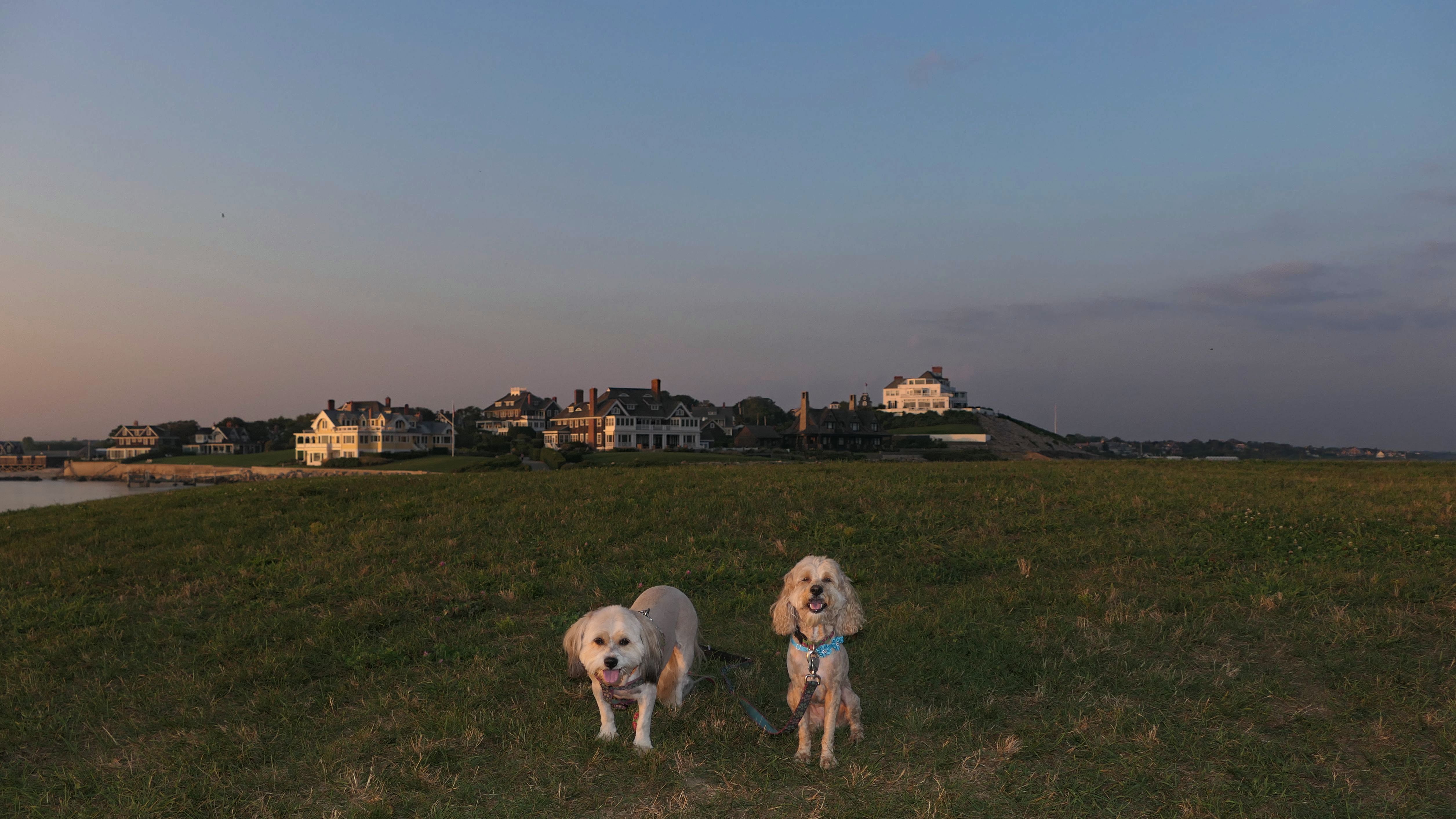
Napatree Point Conservation Area
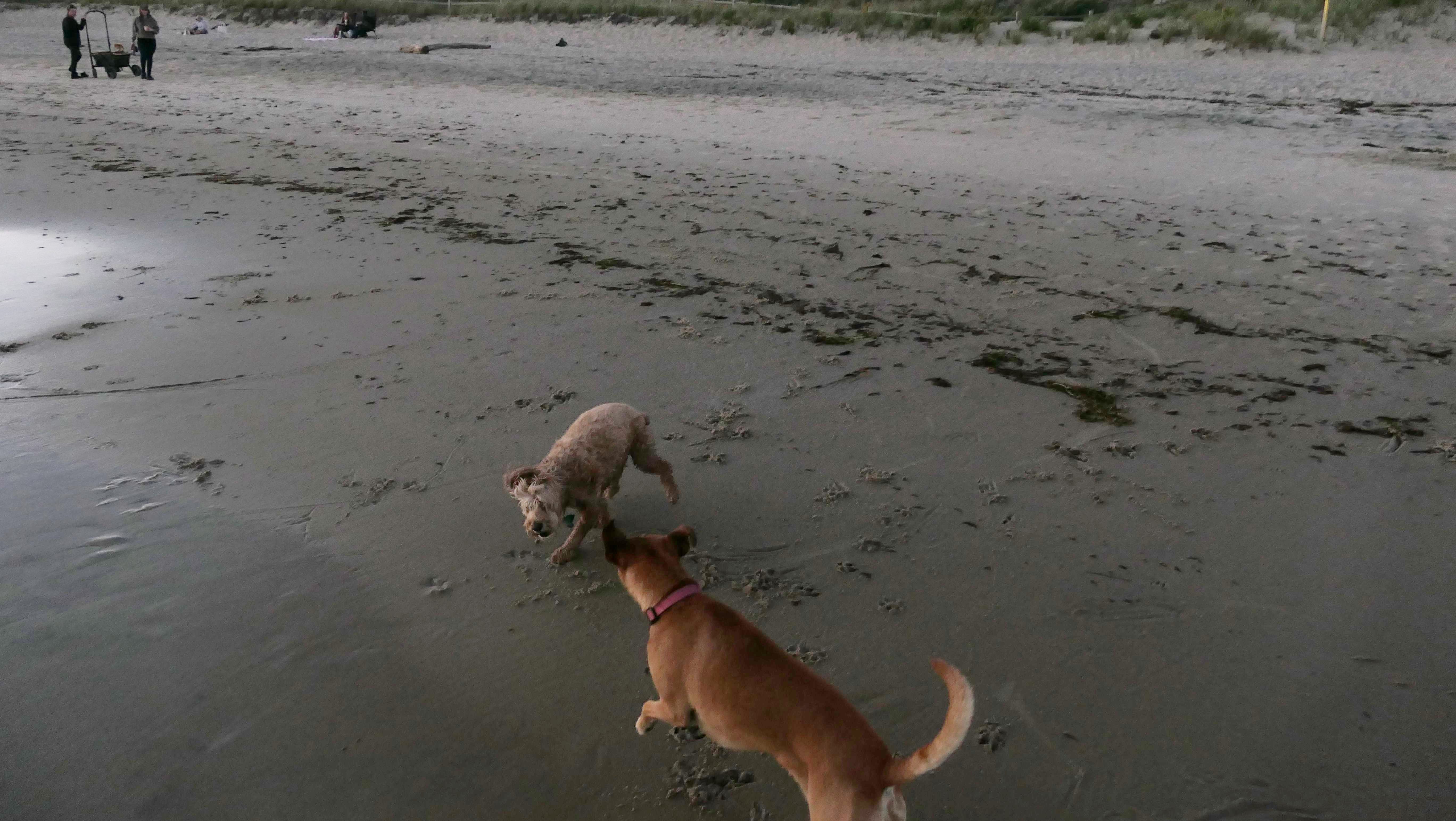
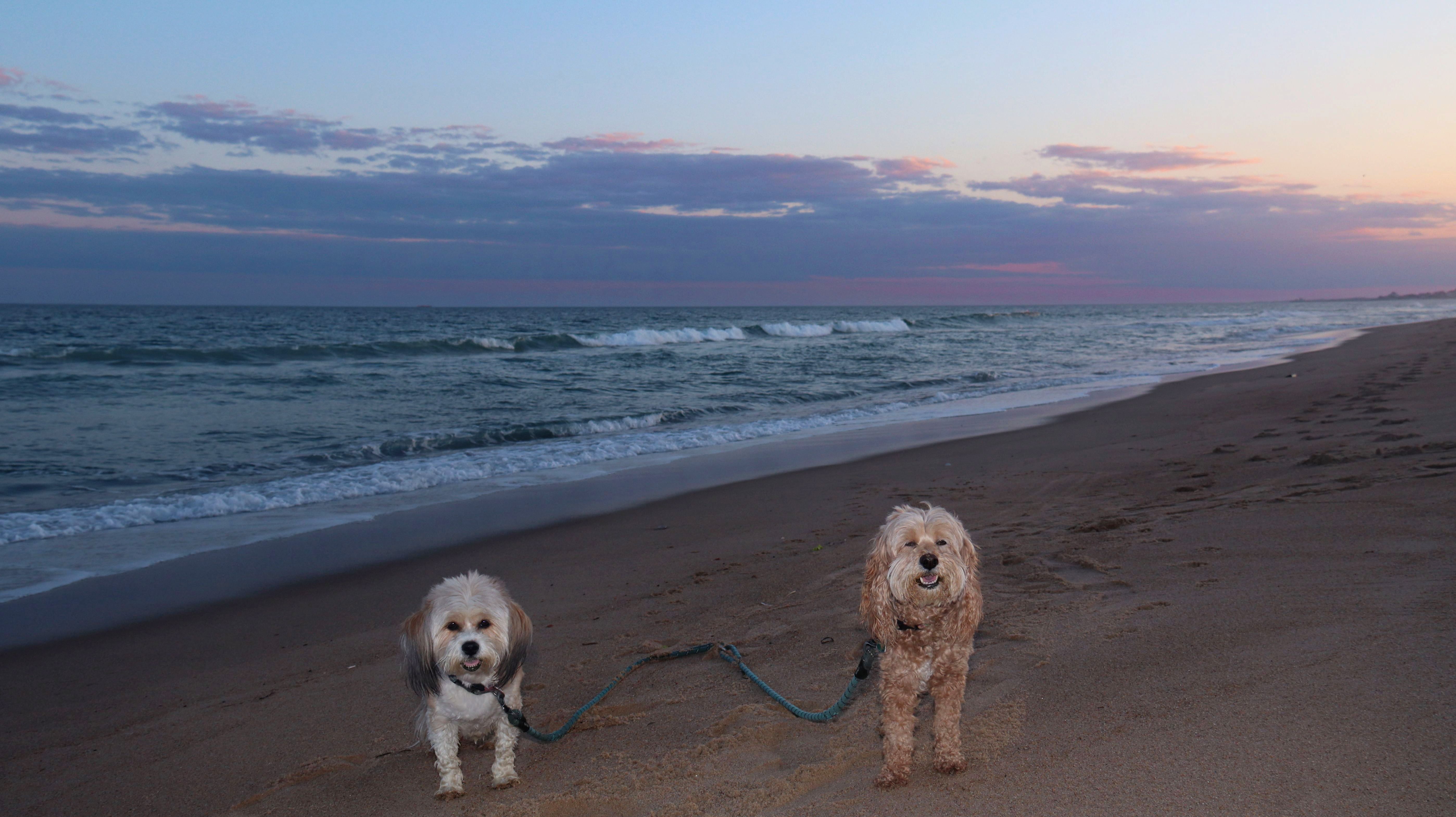
Date visited: 9/26/2025
After our sunset walk at neighboring Watch Hill Beach, we started our twilight walk along the beach here. It was a beautiful evening, and Mandy and Lexi were happy to run around and play for a bit. Taking action photos with this lighting was challenging, but I was pleasantly surprised that many of them actually came out well. It was completely dark out by the time we finished our three mile walk along these beautiful beaches.


More Images


Napatree Point Conservation Area
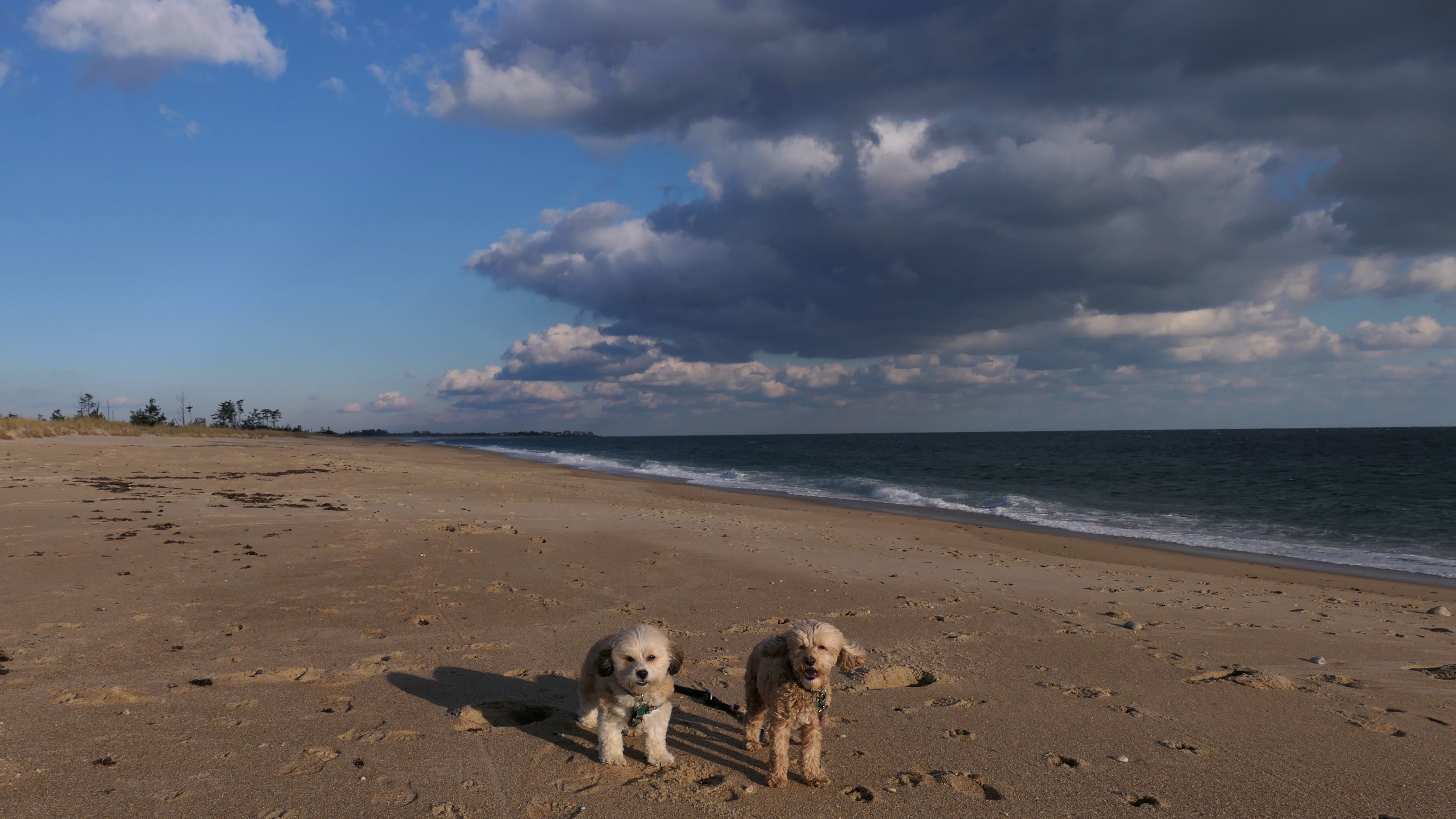
Date visited: 3/12/2026
It was another spring-like day in the Northeast, though it was cooler and breezier near the shore. For this visit, we walked on the beach side out to the point and back. The clouds made their way through on our return walk, but it was still a pleasant walk along the shore.


More Images


Napatree Point Conservation Area
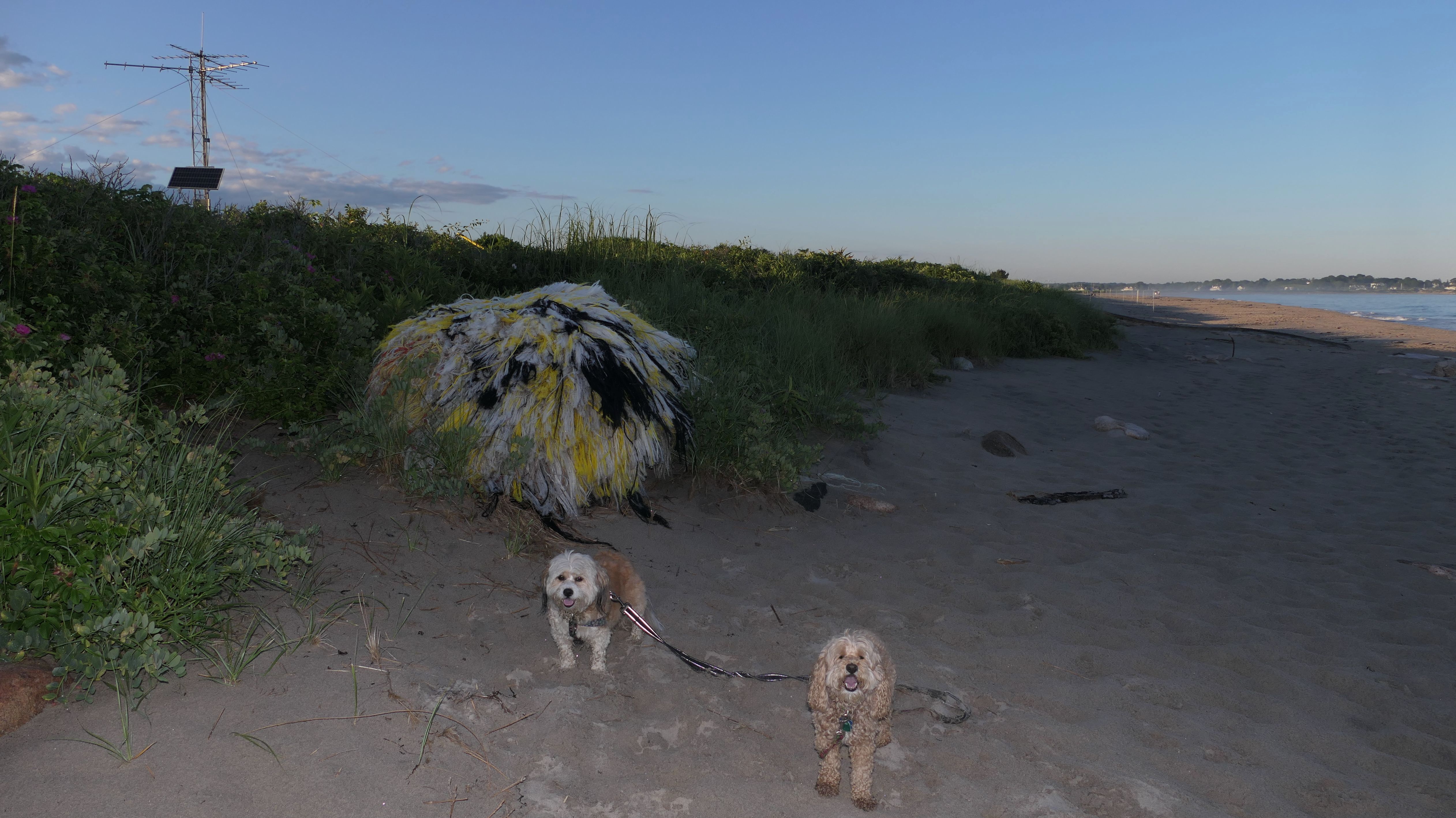
Dates visited: 6/5/2026 & 7/17/2026
This is one of our favorite places, and we go here often in the summer months. Dogs are allowed here after 6PM during the summer months. We've been here so many times, there's not much more to say about it. This section will include photos from our visits in 2026. You can read about all our previous visits here.

More Images 6/5/2026


More Images 7/17/2026
After a few days of heavy smoke, it was so nice to see bright sunny blue skies! So we came down to one of our favorite beaches so we could enjoy the evening.

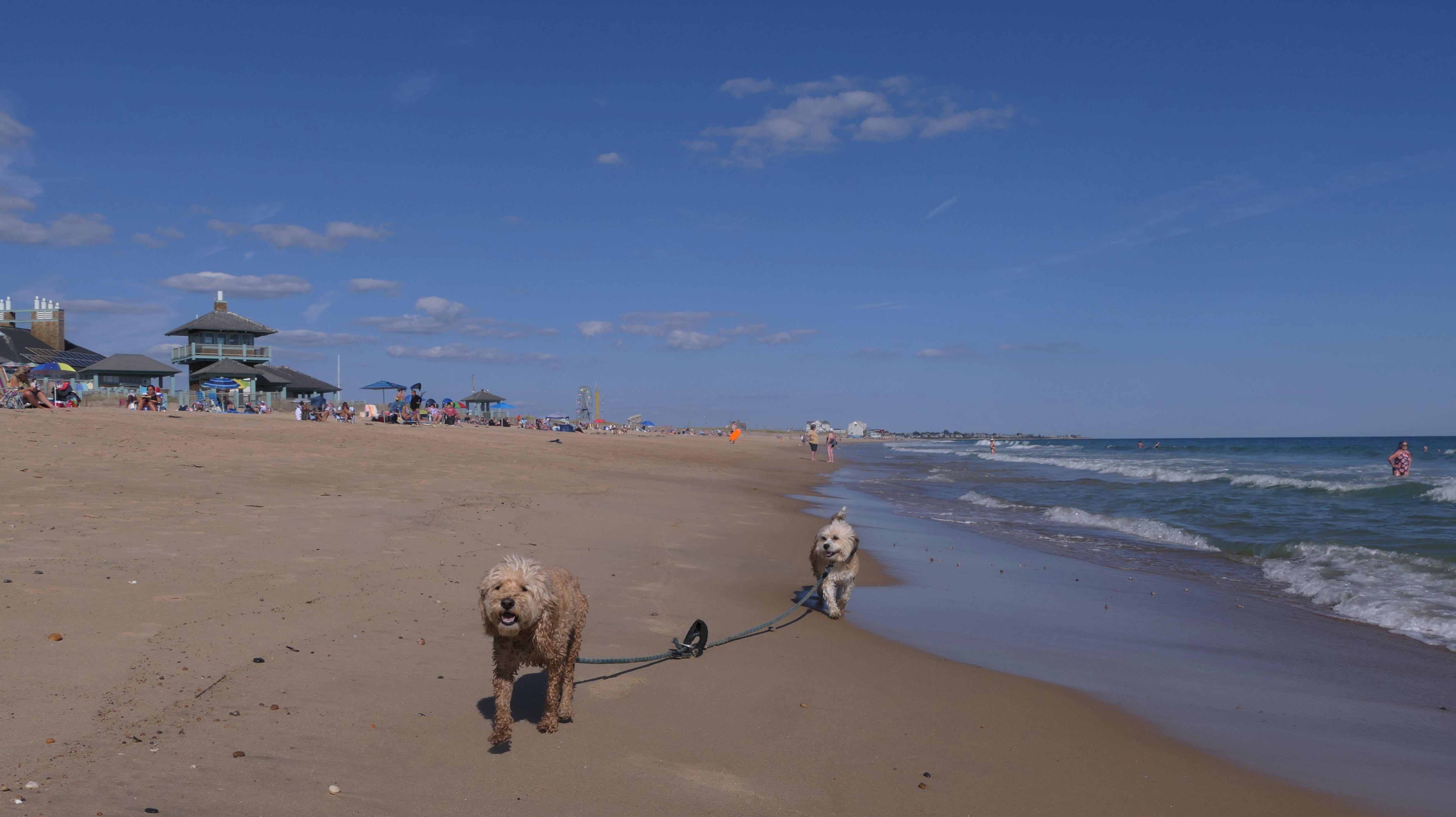
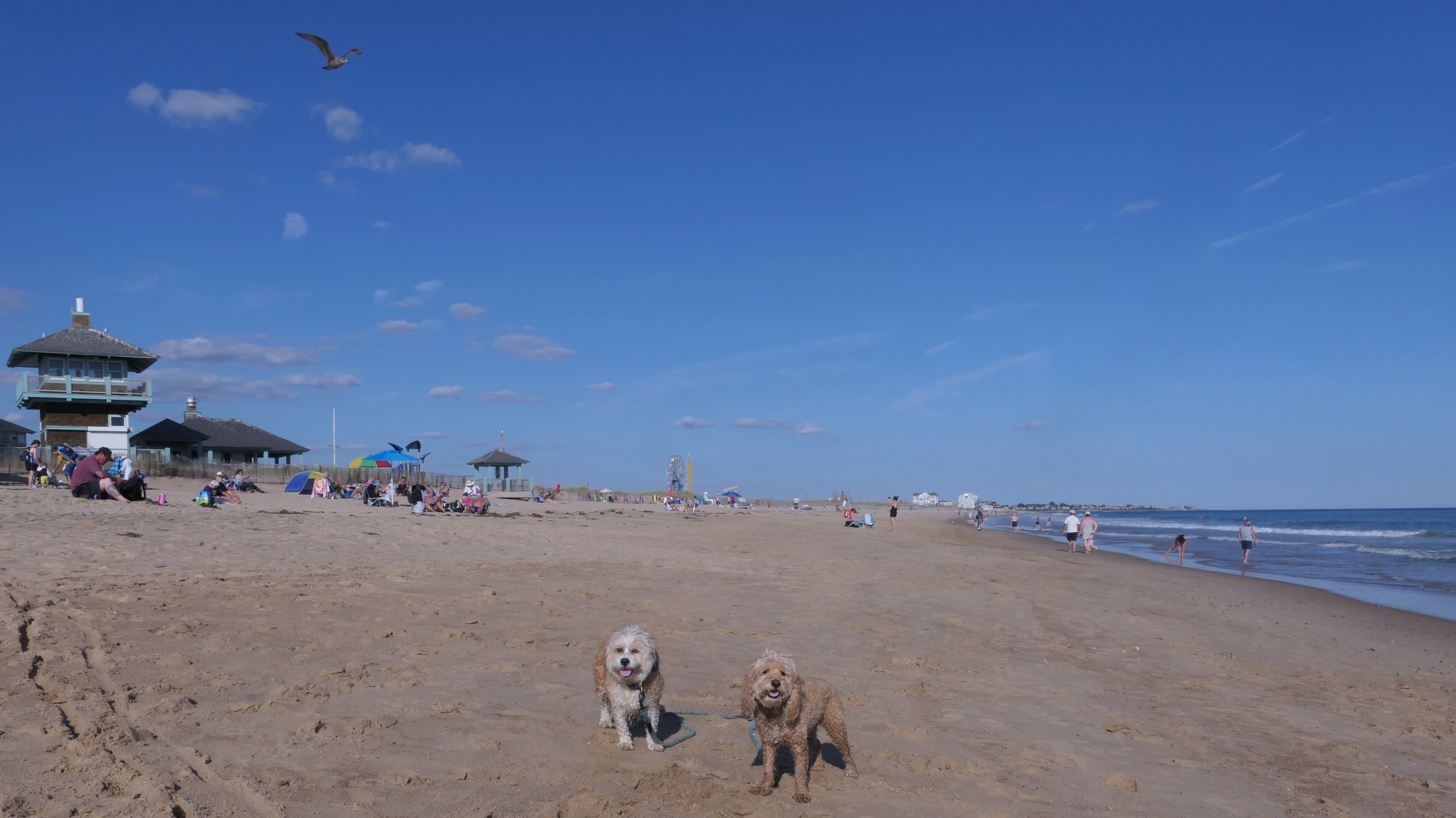
Misquamicut Beach
Dates visited: 11/10/2022
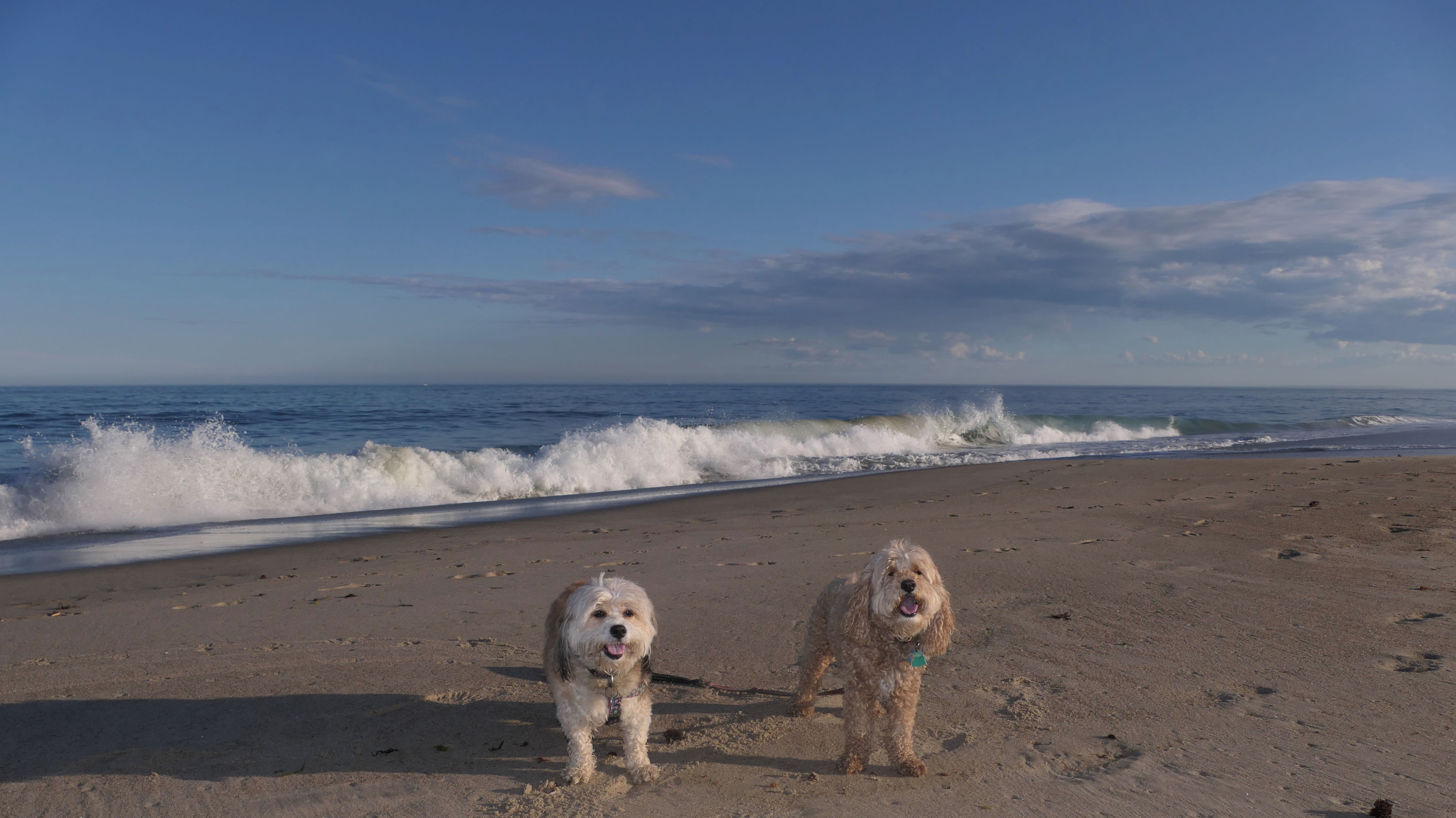
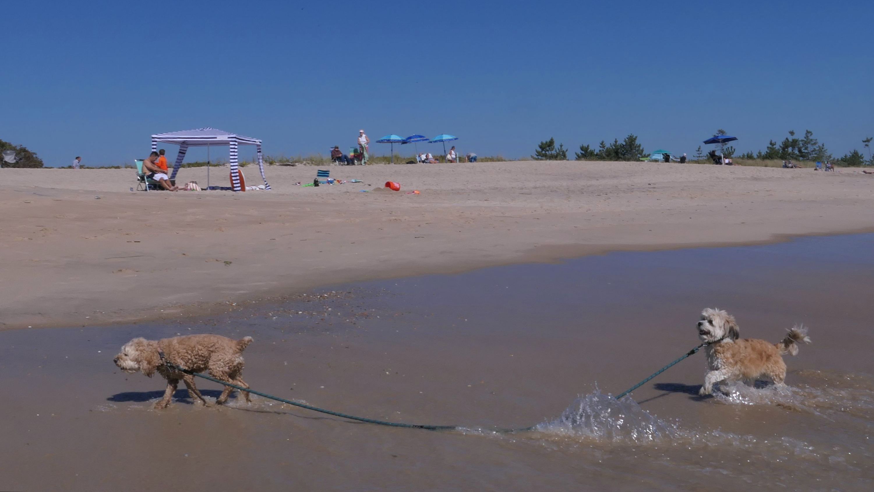
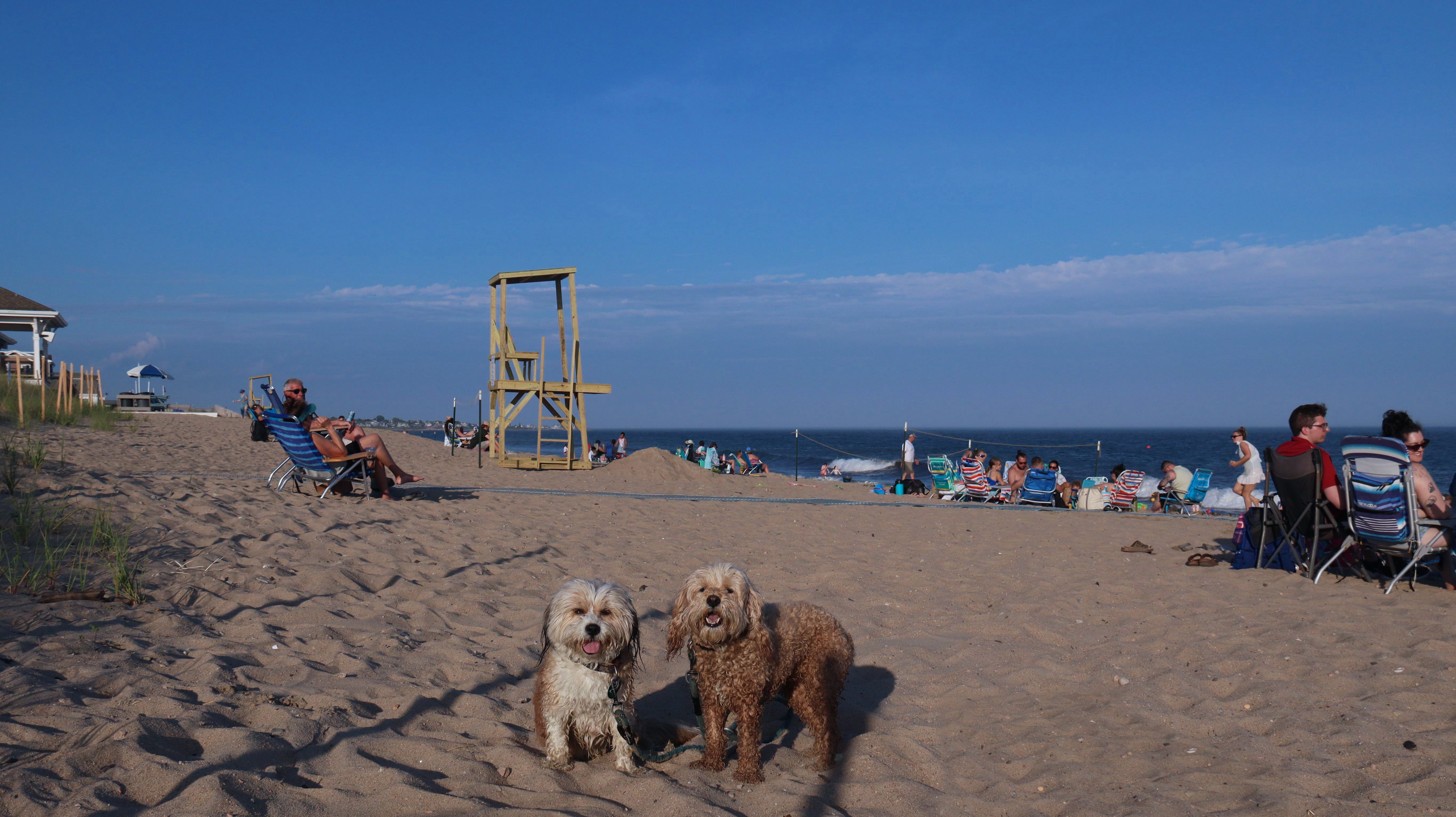
This is actually a combination of three named beaches, Misquamicut State Beach, Westerly Town Beach and Atlantic Beach. It's hard to know where one beach starts and the other one ends, as they are all connected. There is a sign at Westerly Town Beach that notes dogs are allowed after Labor Day, but I really don't know about the other beaches. It didn't seem to matter as there was plenty of people walking their dogs. This was another unusually mild November day, not quite as mild as a few days before, but still very nice. This is an extremely popular beach in the summer. Many people from Connecticut make their way here since it's not far over the border. It has much nicer sand than most of the Connecticut beaches, which all seem to be pretty rocky. We walked over 4 miles, and probably only covered about half the beach area. Looking at the upcoming forecast, and this being November, this might have been our last day with really nice weather for the year.


More Images


Misquamicut Beach
Date visited: 11/1/2024
We had record temperatures inland, approaching the mid-80's, so we of course went to a beach! I didn't feel like driving to New Jersey for the 3rd straight day, so we made a return visit to Misquamicut. It wasn't as warm here, probably low to mid 70's, but very breezy. I suspect the wind kept people away. We explored some of the surrounding area before walking the beach. The waves were really ripping here. Mandy kept trying to walk in the water, but Lexi would pull her away. It was a fun adventure, despite the windy conditions.


More Images


Misquamicut Beach
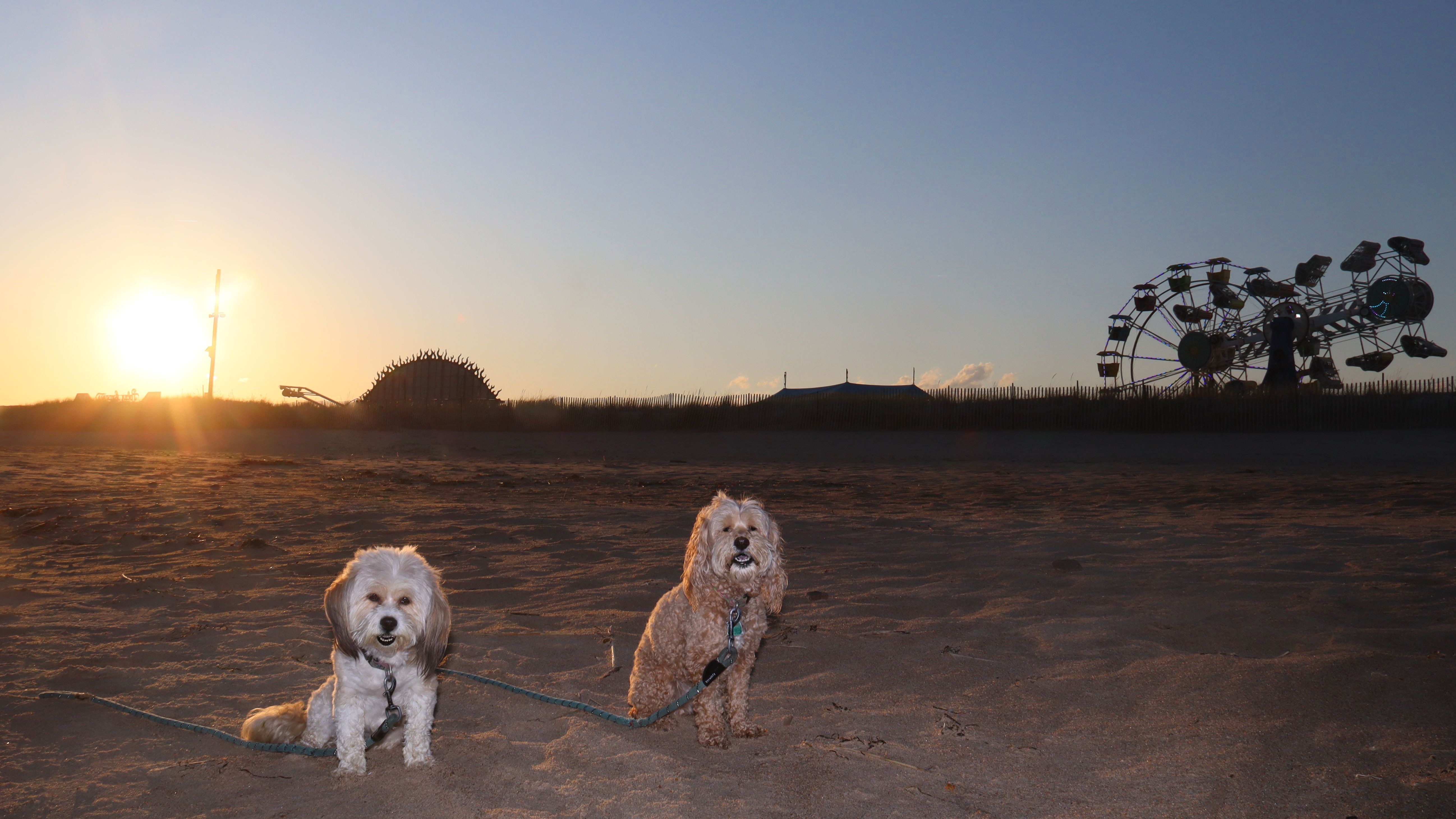
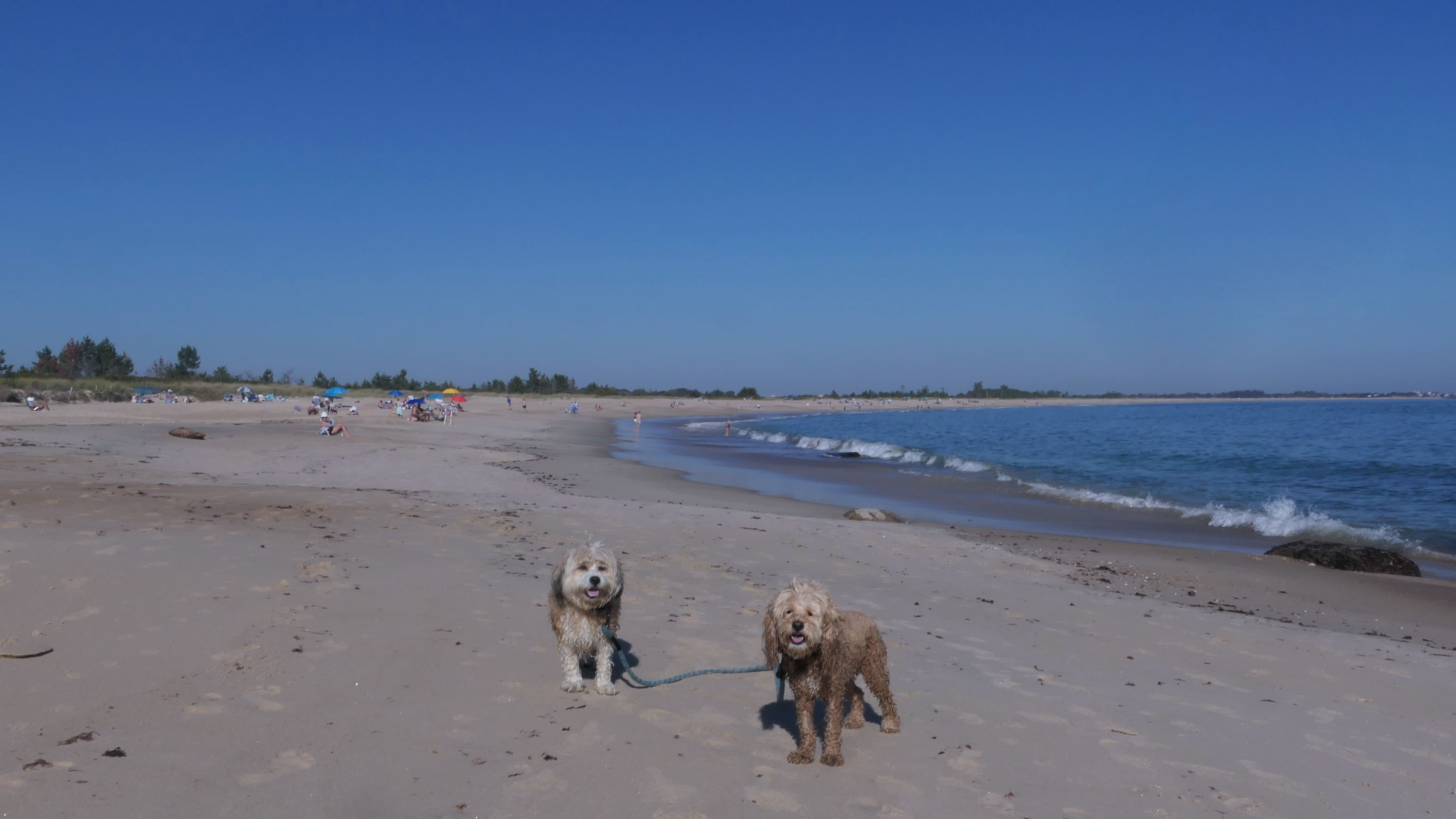
Date visited: 9/11/2025
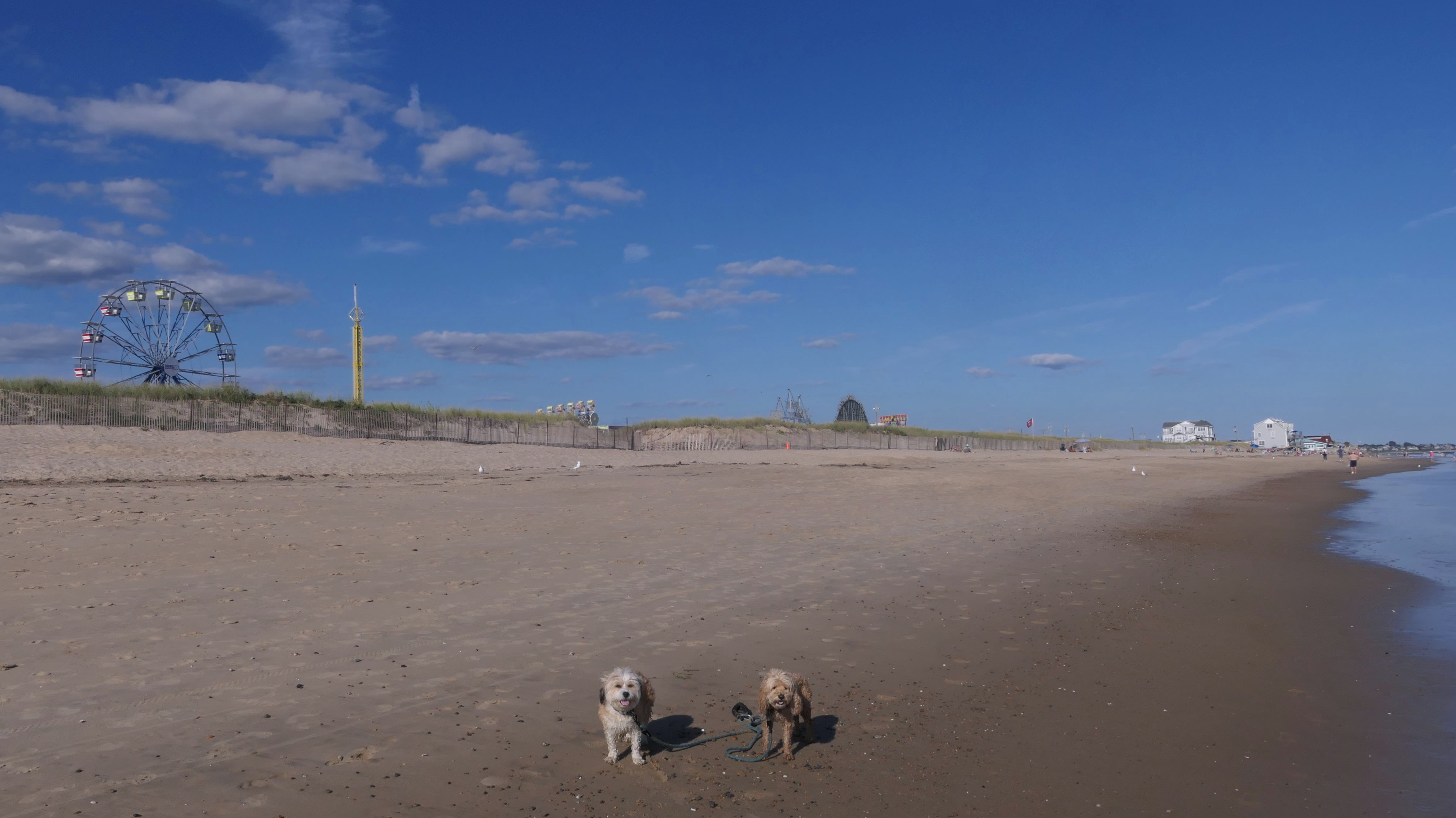
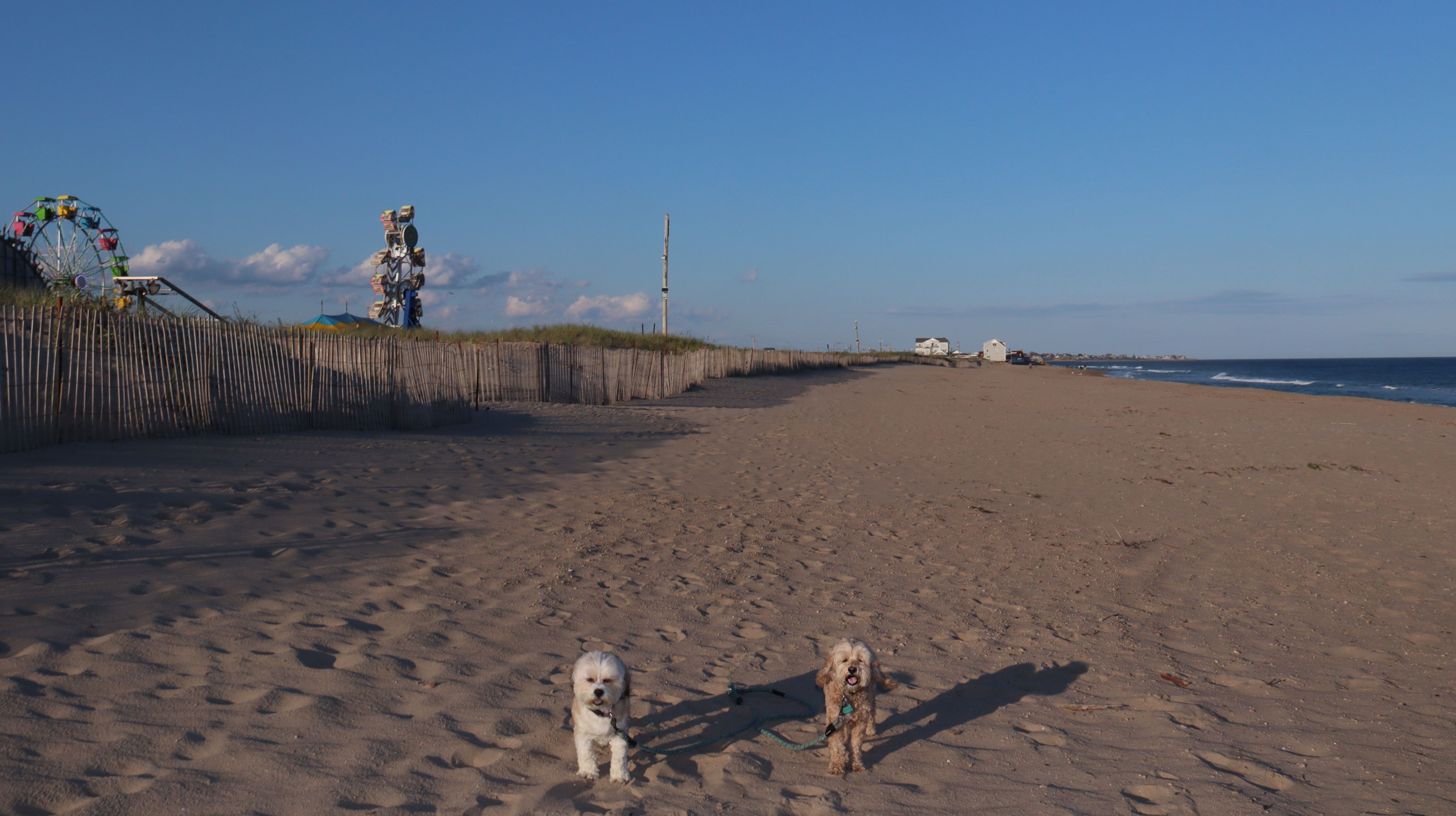
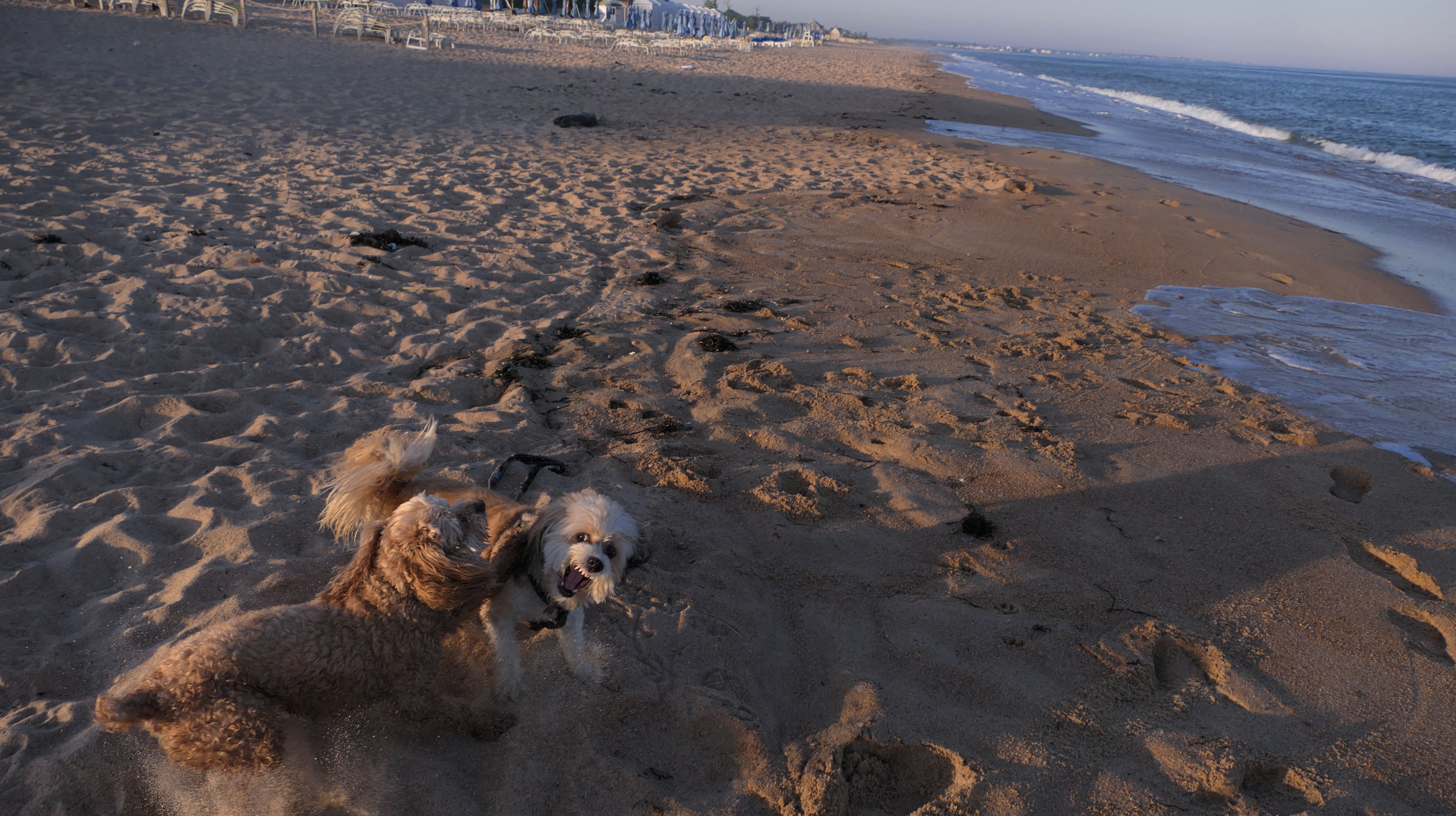
This was a wonderful late summer walk on the beach. Although dogs are technically allowed on the state beach until October, the town beaches on either side allow dogs after Labor Day. It's unclear where the borders are, so we basically just walked from Westerly Town Beach through the main tourist beach, and over to Misquamicut Fire District Beach, and back. The beach was moderately busy. It was a Thursday afternoon during the week, so even though it was a warm day, crowds weren't anything like what you'd see here during the summer peak. There were actually a good deal of people with their dogs here as well. We were here a day before the annual Fall Fest, so you can see the amusement park rides in the background of some of the photos. Lexi tried to get Mandy to play a couple times, but all Mandy wanted to do was relax in the water!


More Images

Misquamicut Beach
Date visited: 5/8/2026
I had a difficult time deciding where to go after work for our adventure. It was one of those days where it could be sunny one minute and pouring rain the next. We ended up here on the beach, but we got a late start and didn't arrive until after 6:30PM. We're at the time of the year where dogs aren't allowed on the town beaches in Westerly until after 6PM anyway. We parked at Westerly Town Beach, but as I've explained many times before, once you make it to the sand, it's difficult to know where one named beach ends and the next one starts. I think most of our walk was actually on the main touristy state beach, which is why I put this entry here. This was actually the first day of "Spring Fest", which like "Fall Fest" that we saw last year, is just a carnival set up on the grassy area on the other side of the dunes. There's actually no real access to the beach from the fest. You could hear the kids screaming from the rides, and also the live band playing. It was on the chilly side, but Mandy still walked through the waves, and we found a quiet spot where the dogs could play for a bit. The weather held out, and it was a pretty nice three mile walk on the beach.


More Images


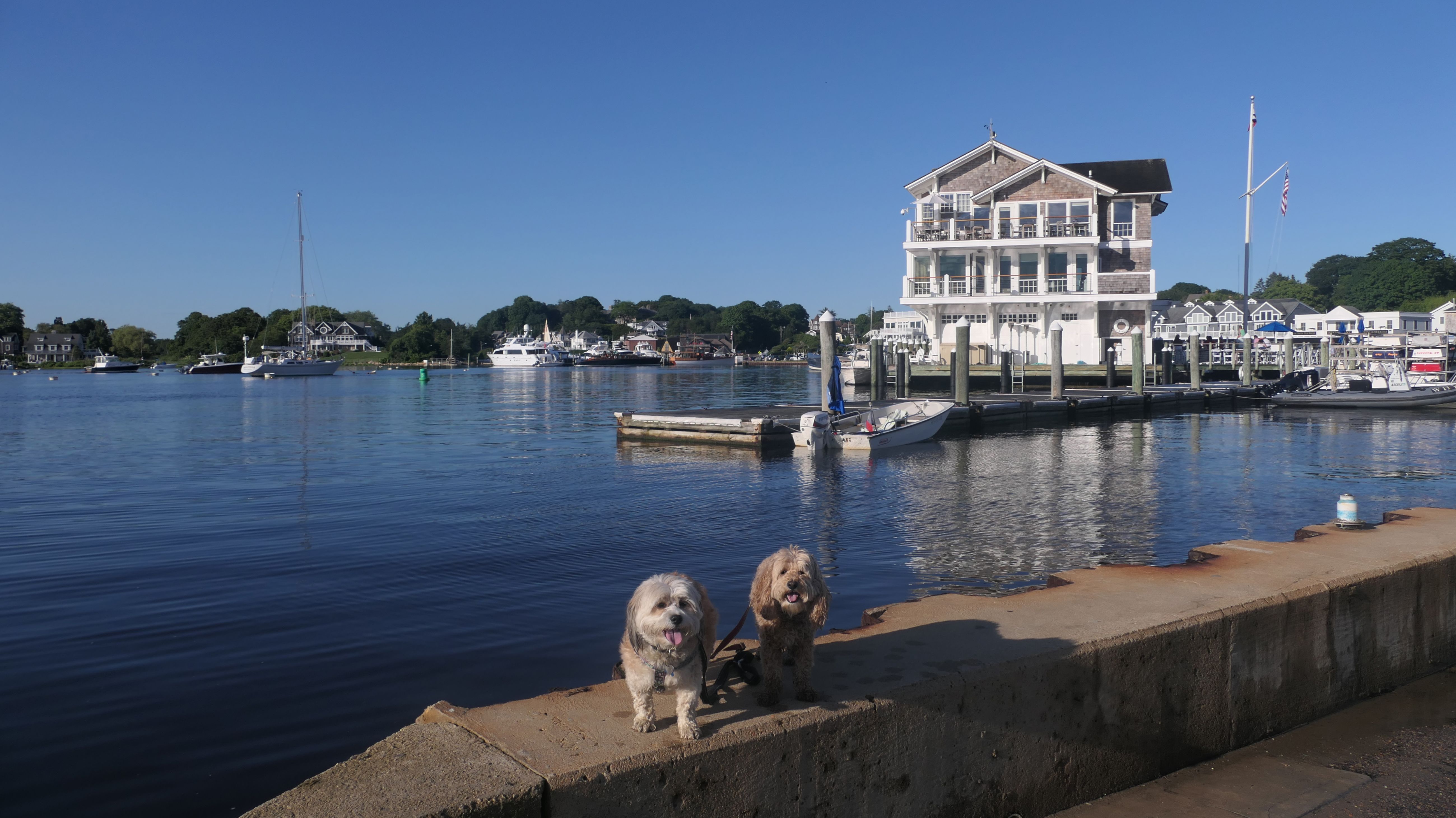
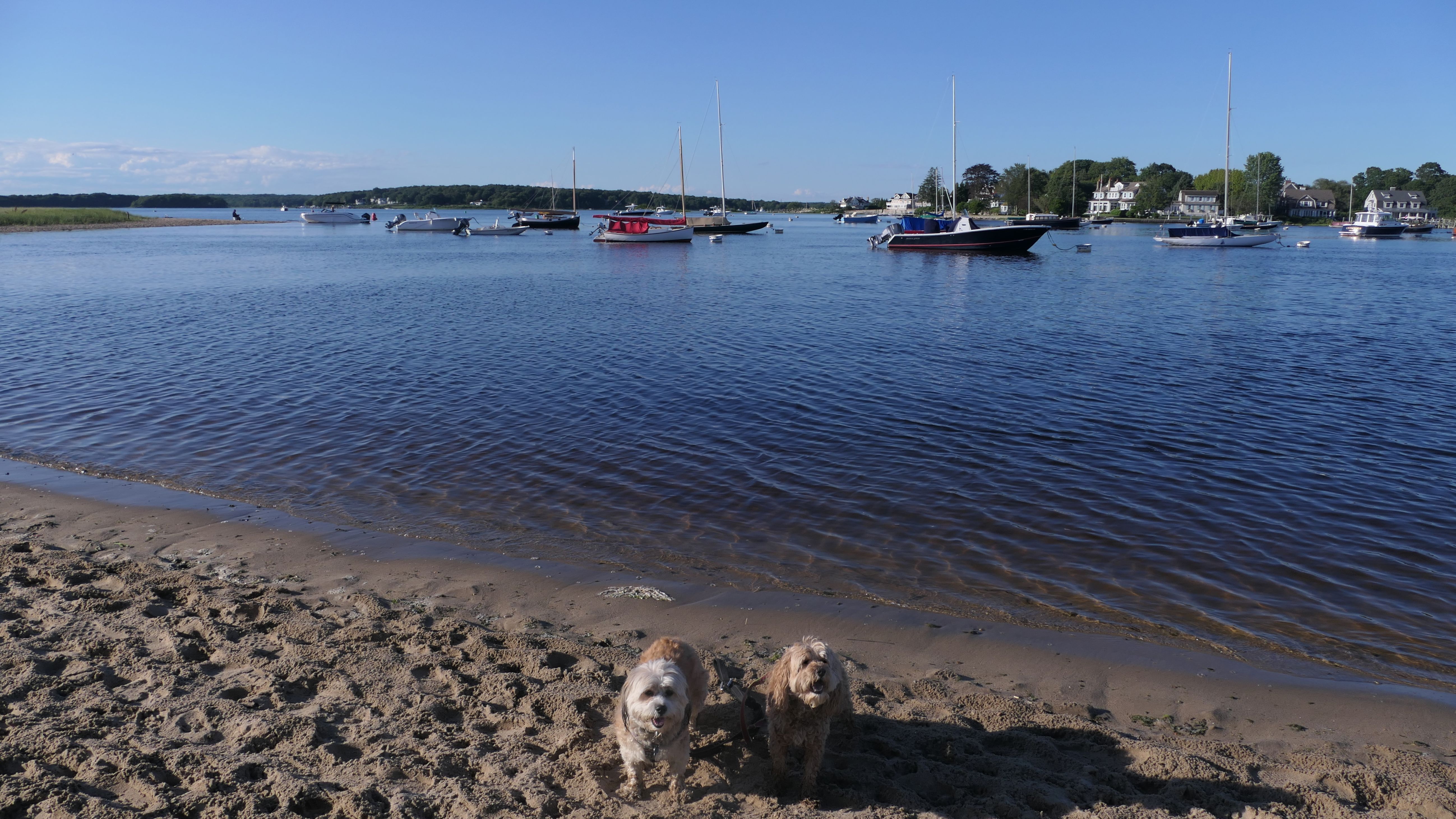
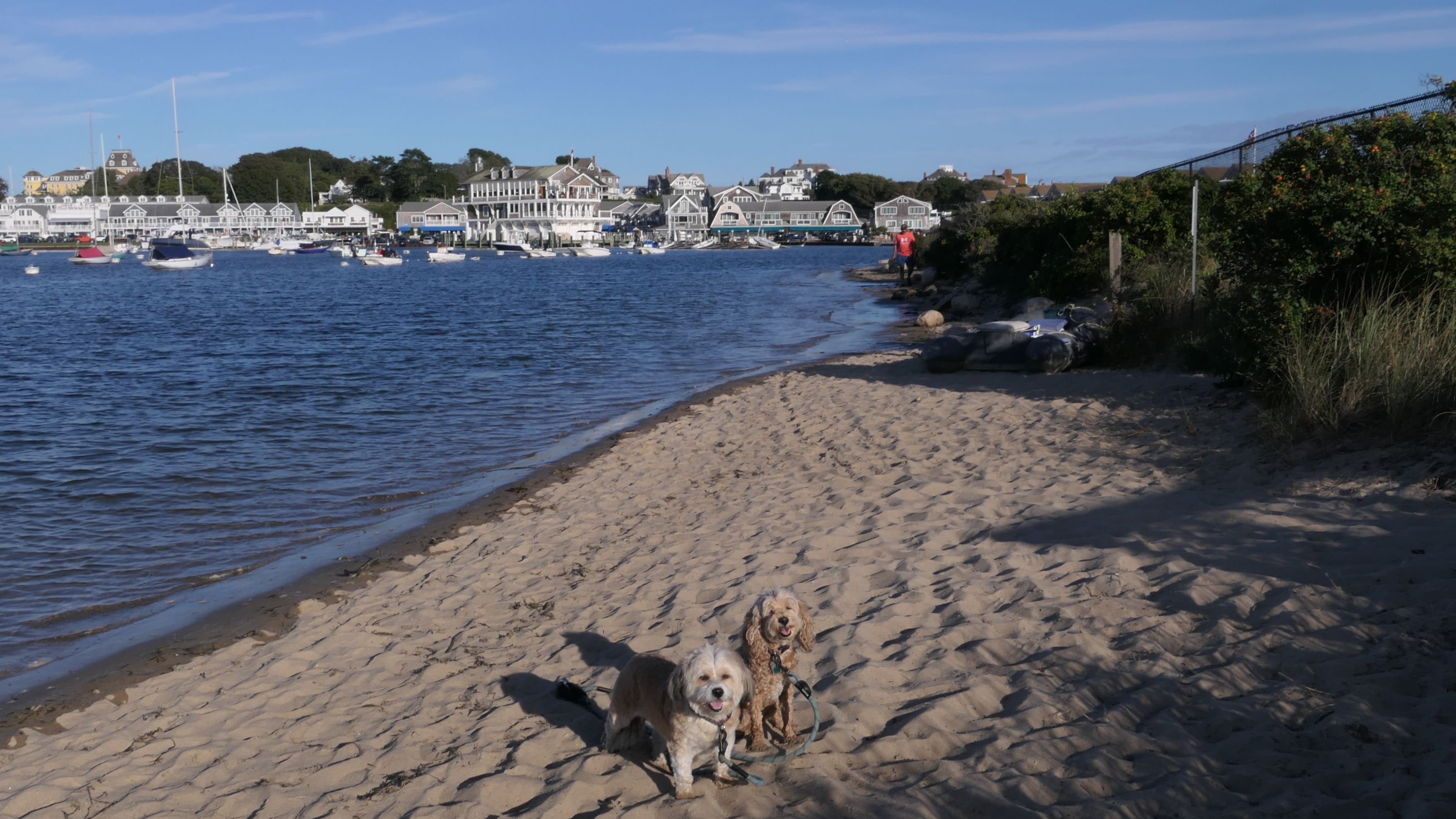
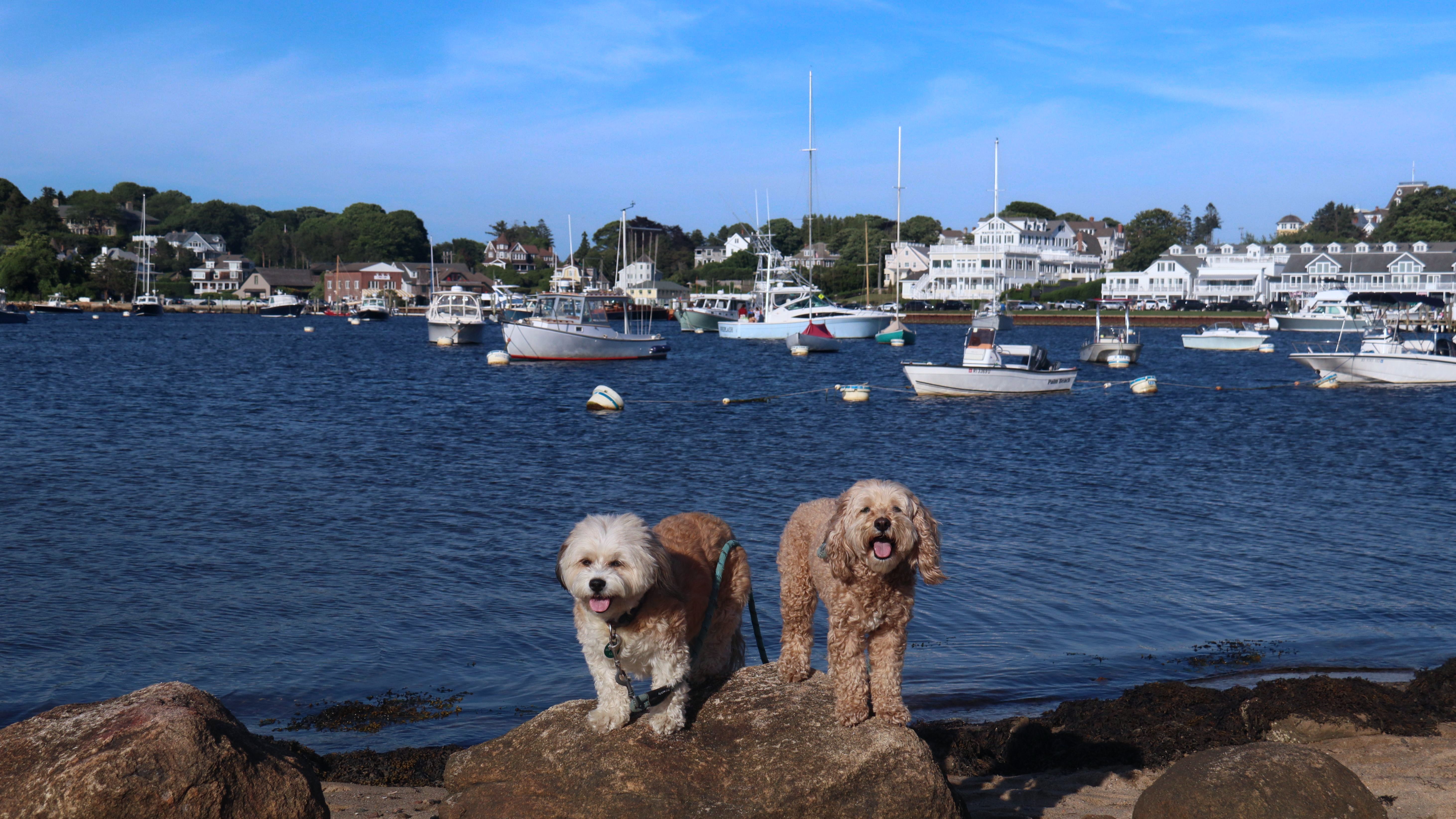
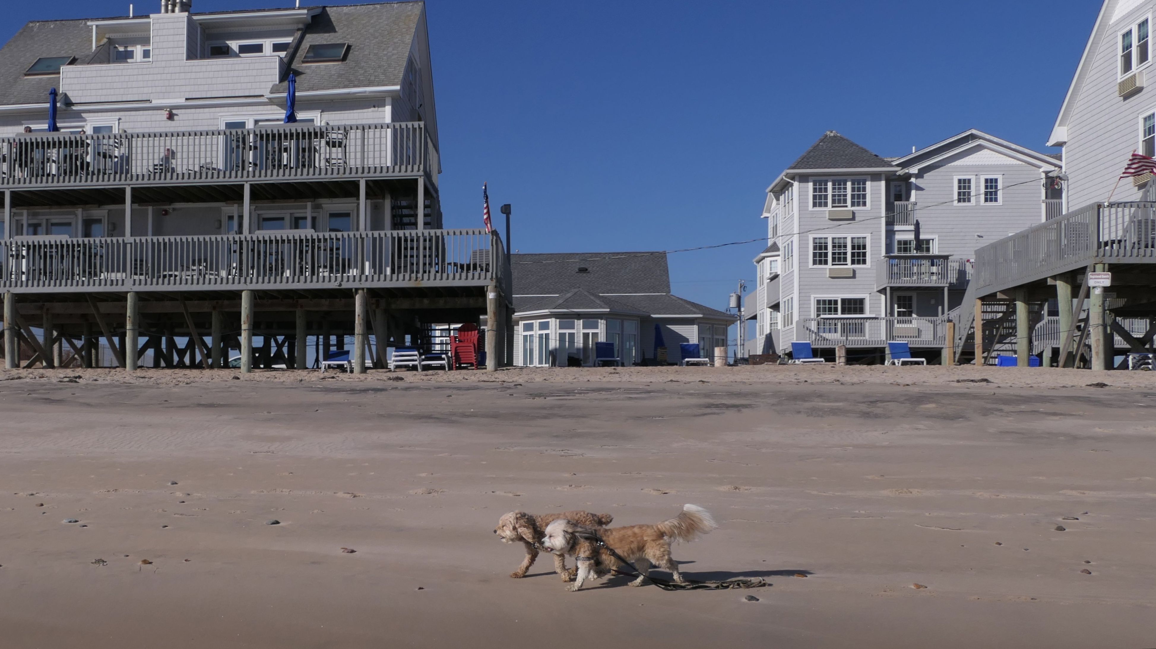
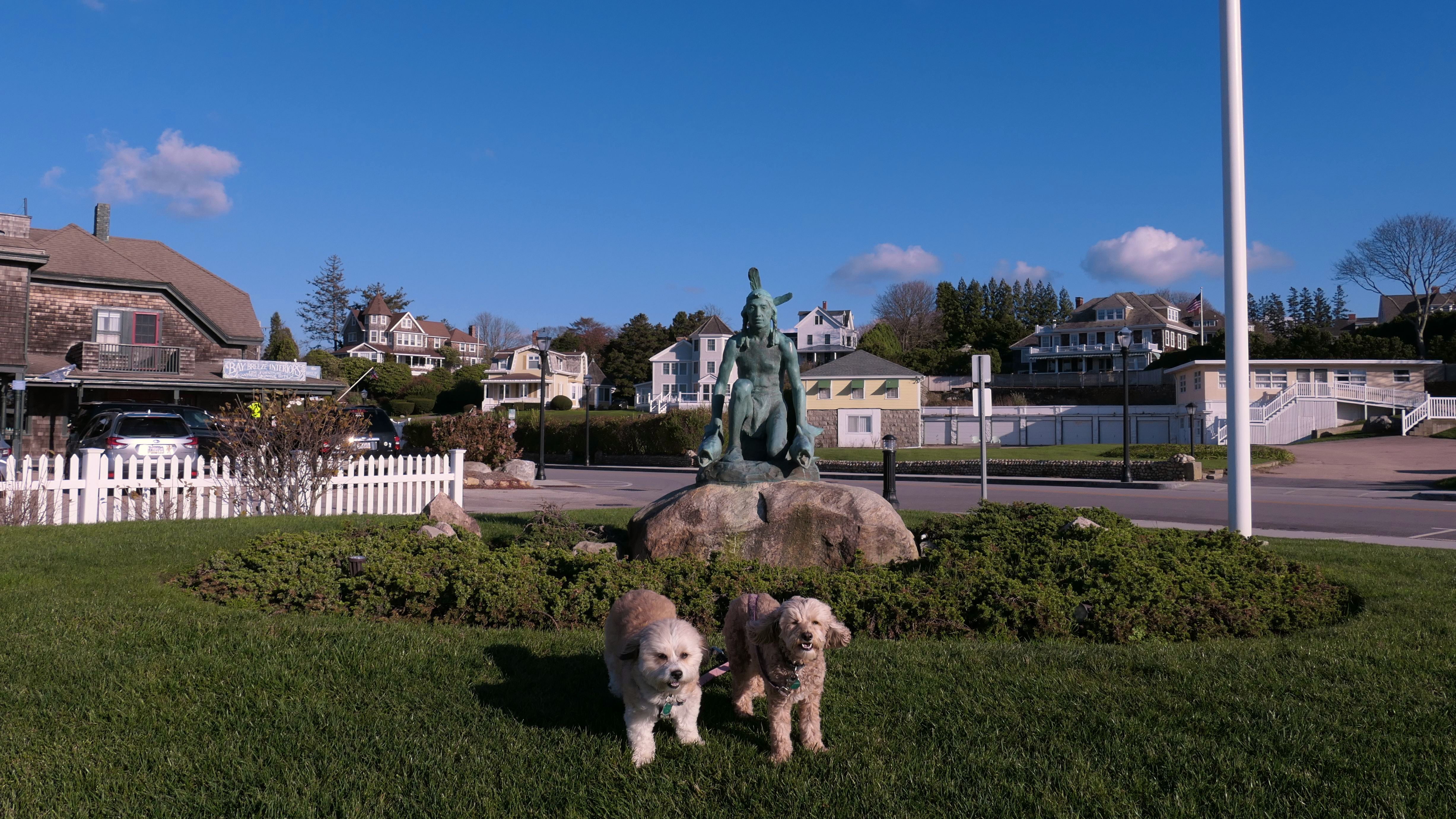
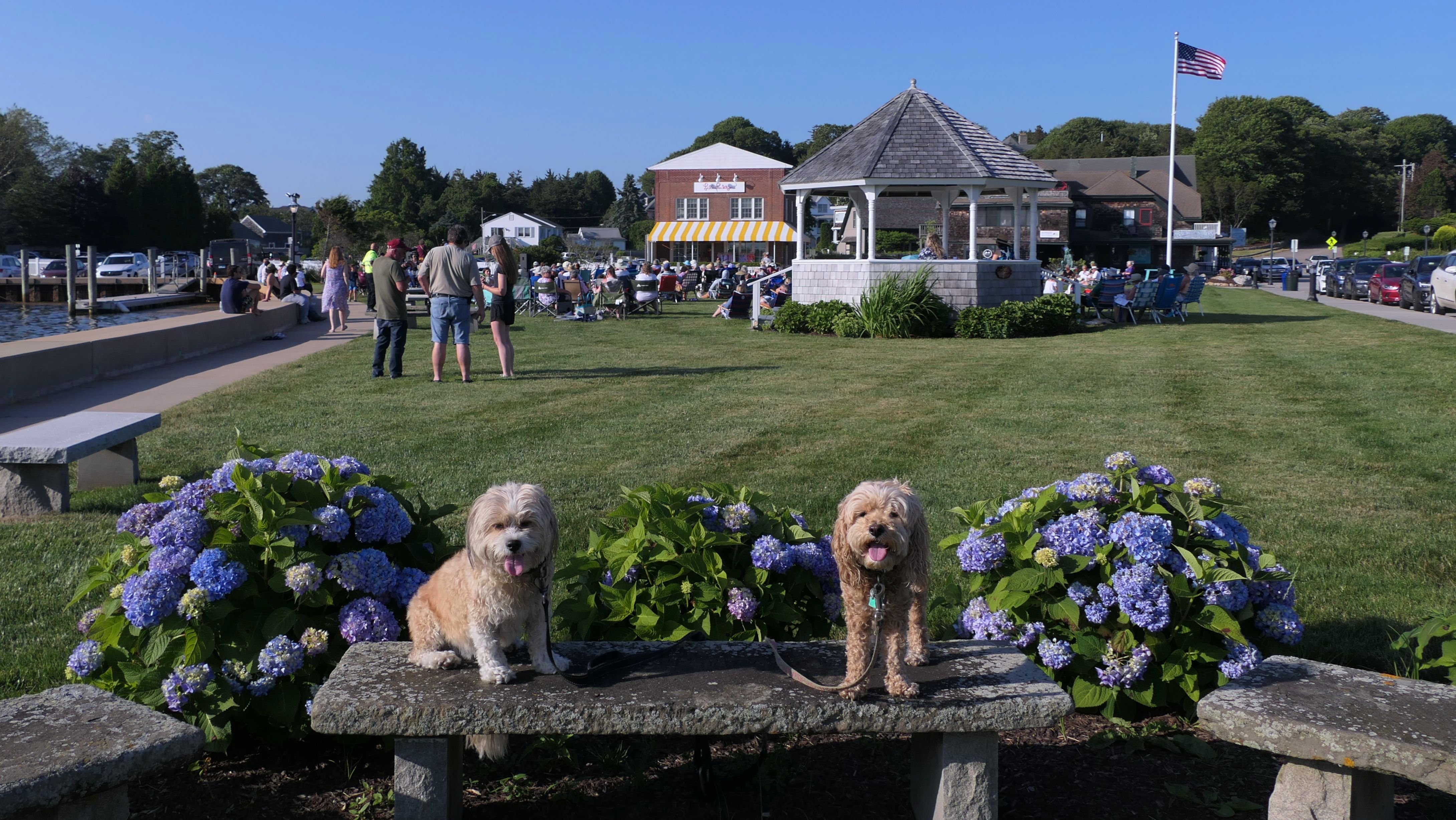
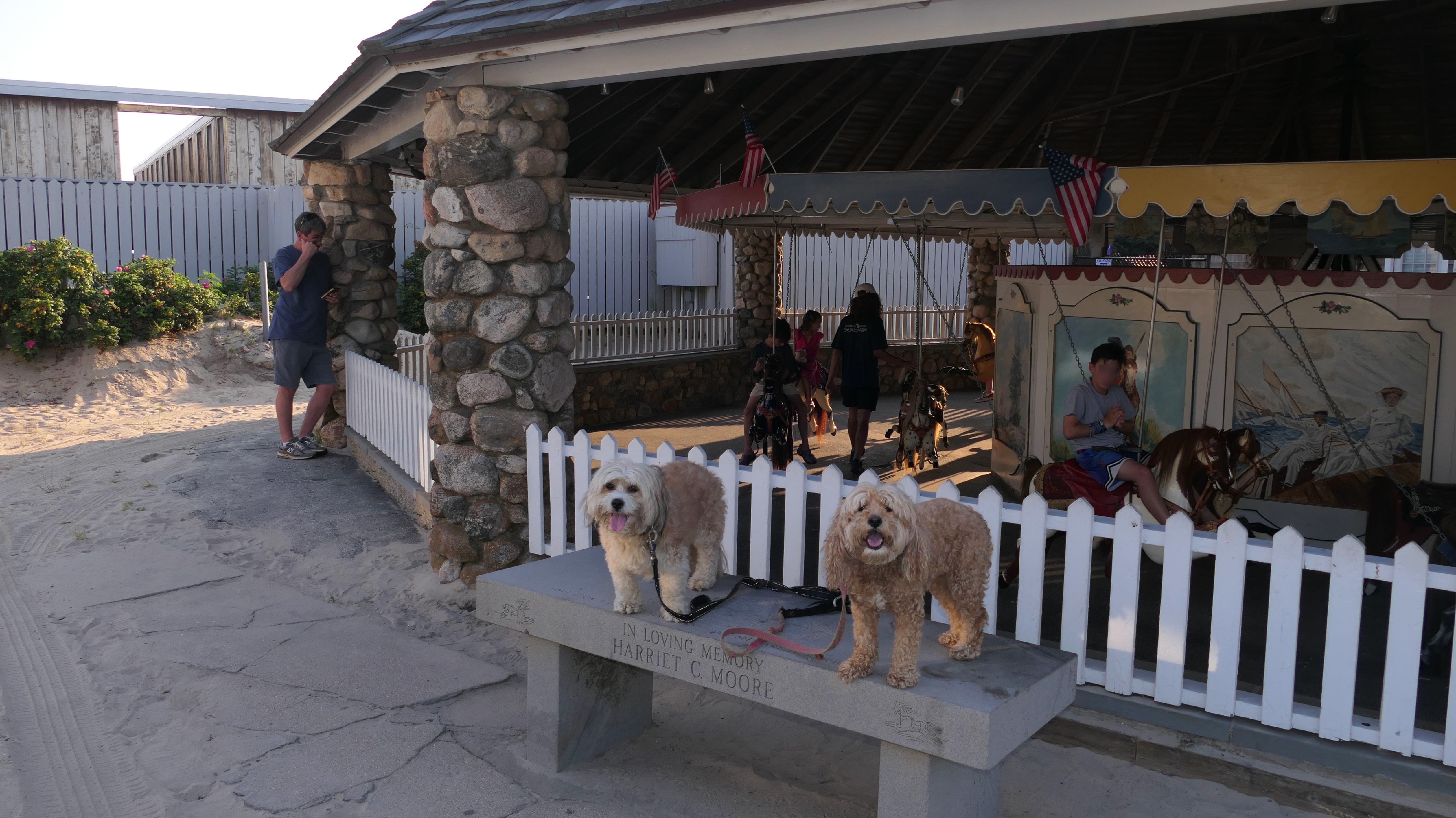
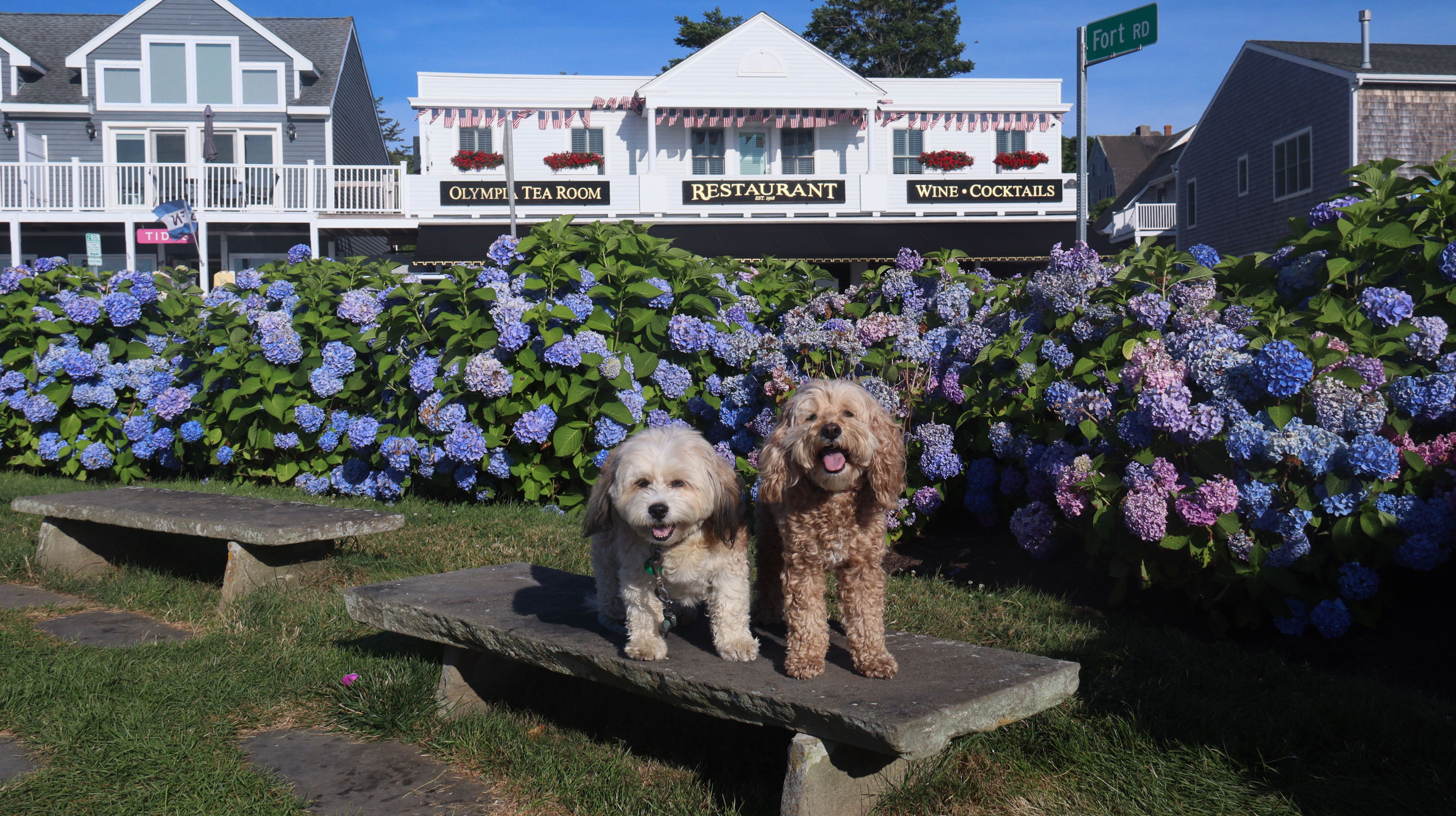
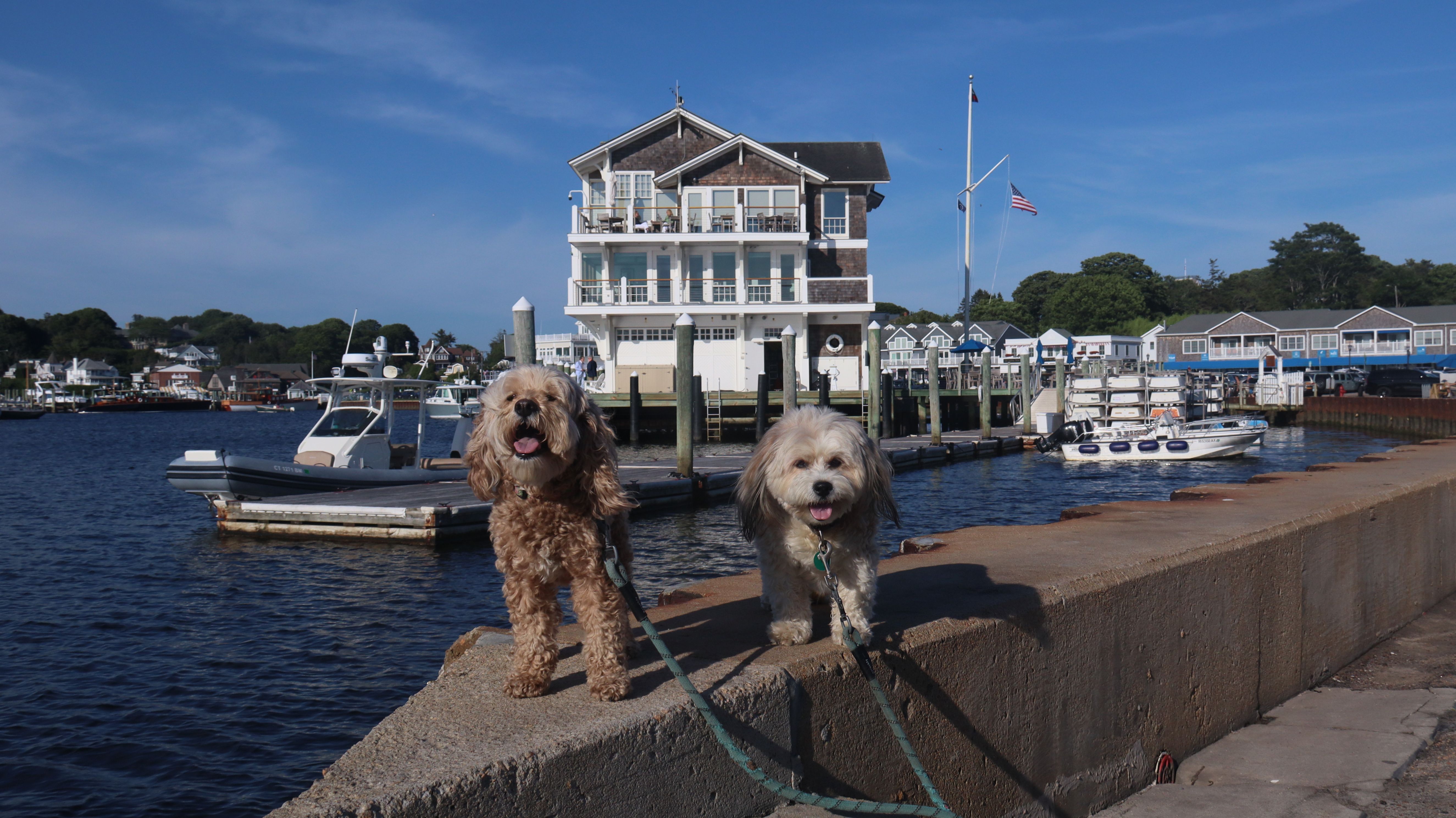
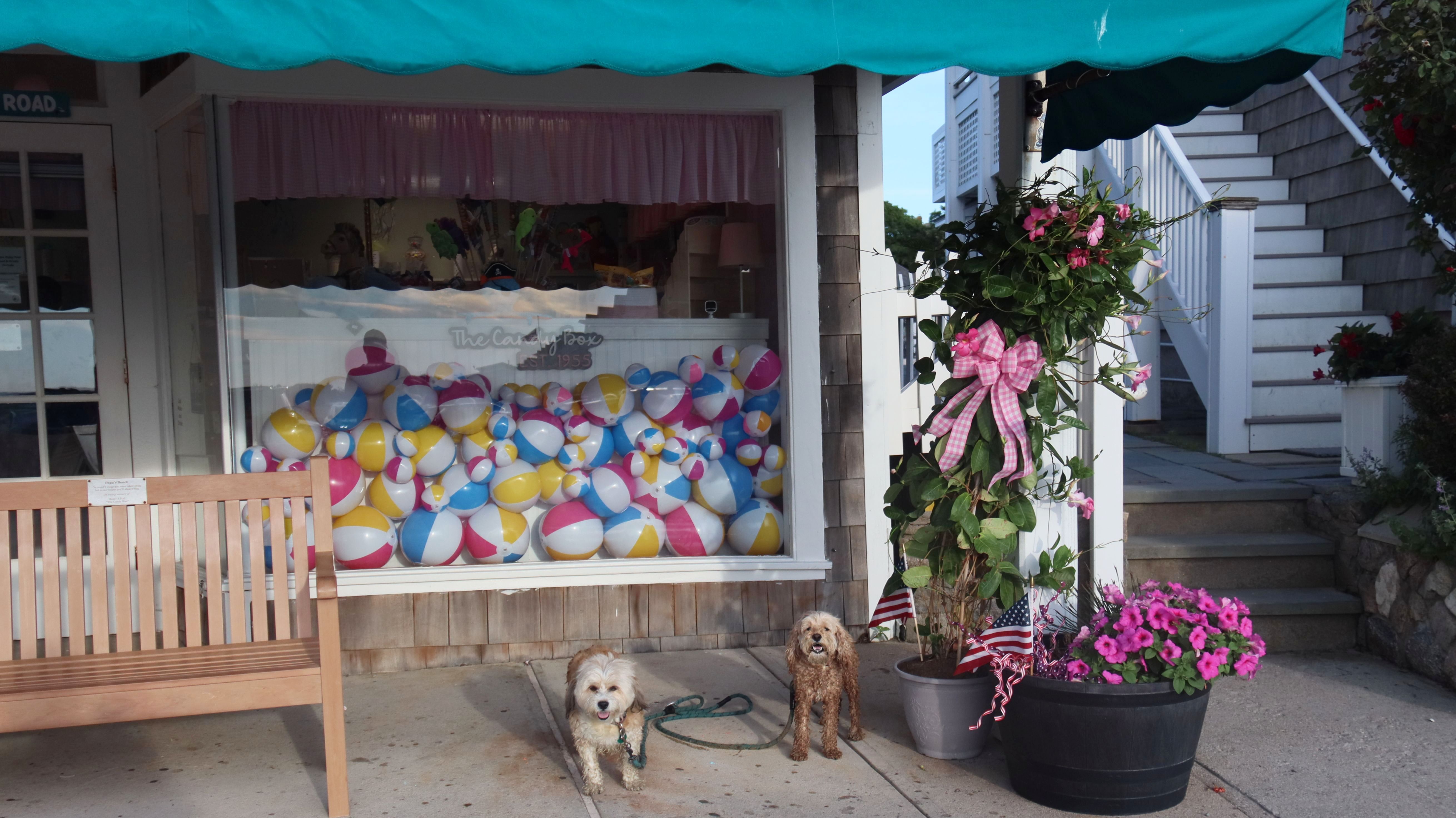
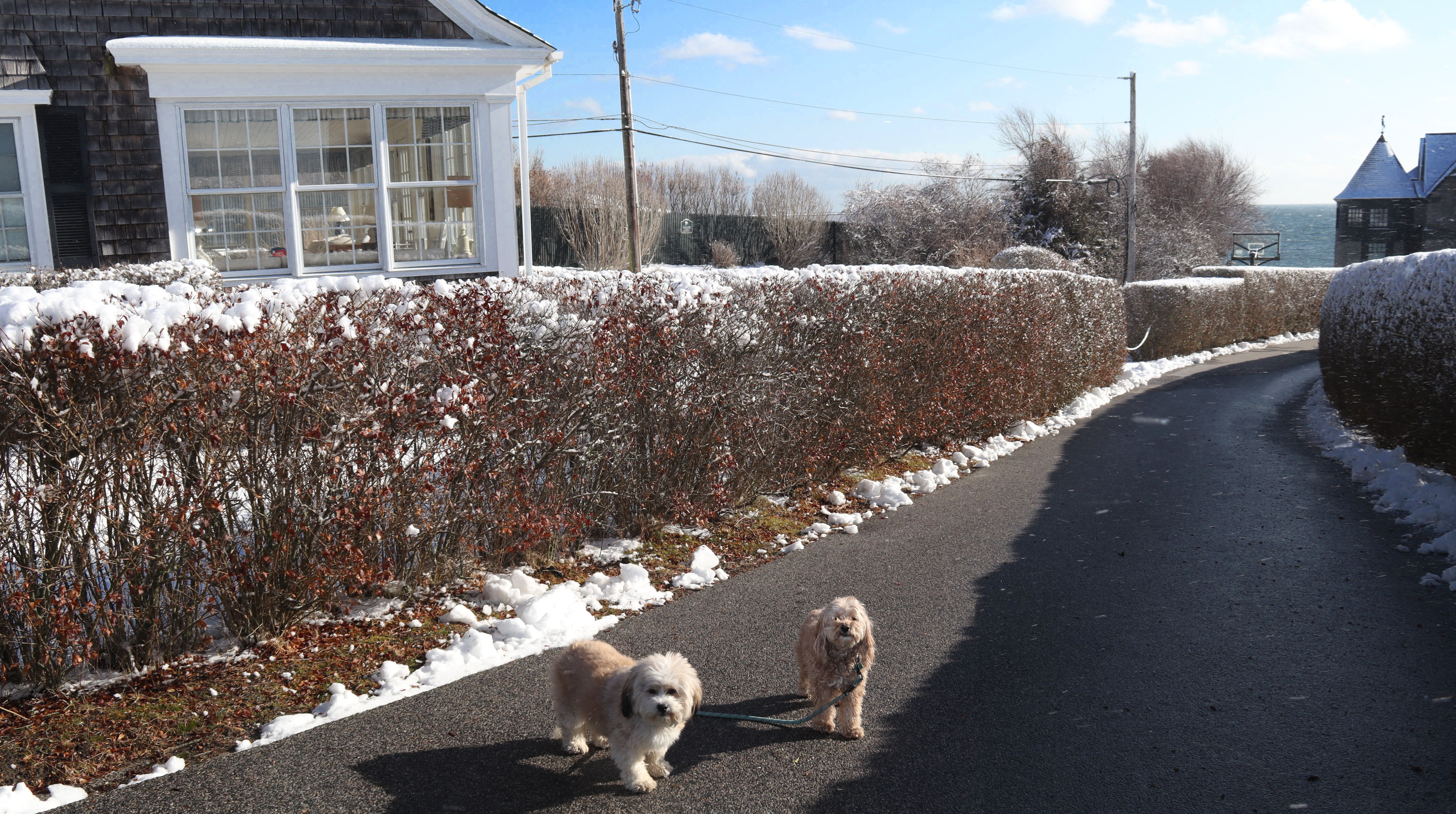
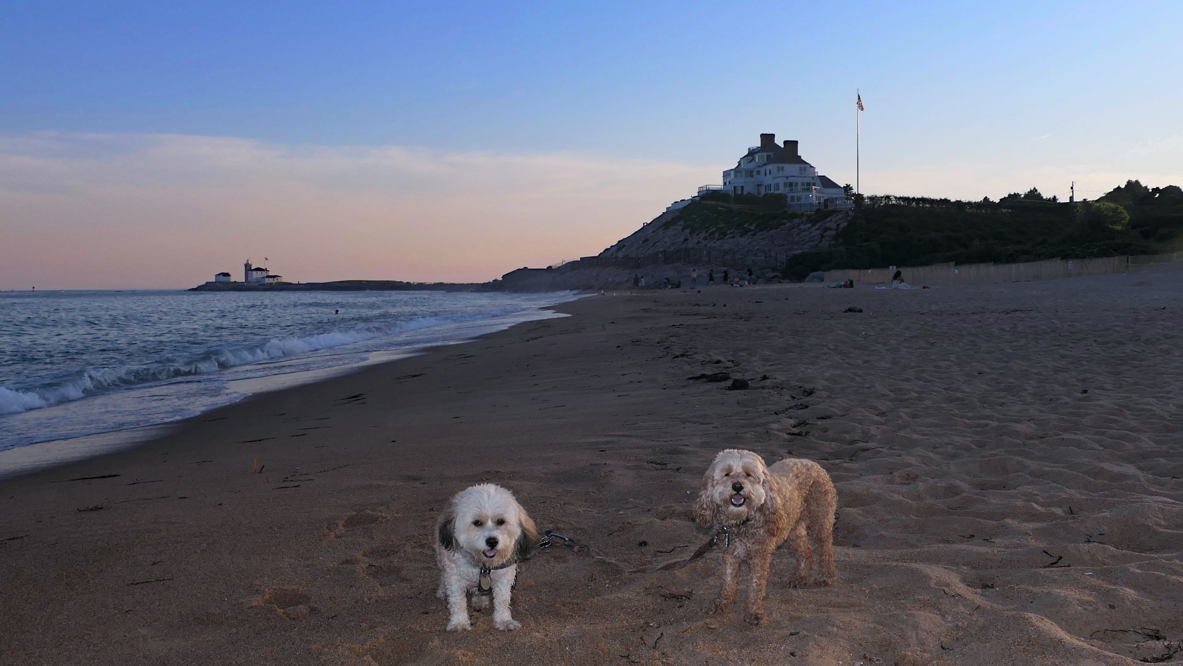
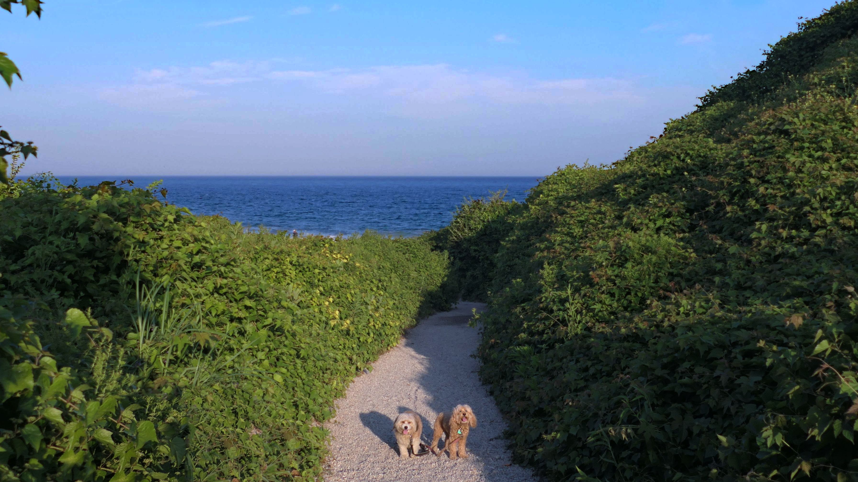
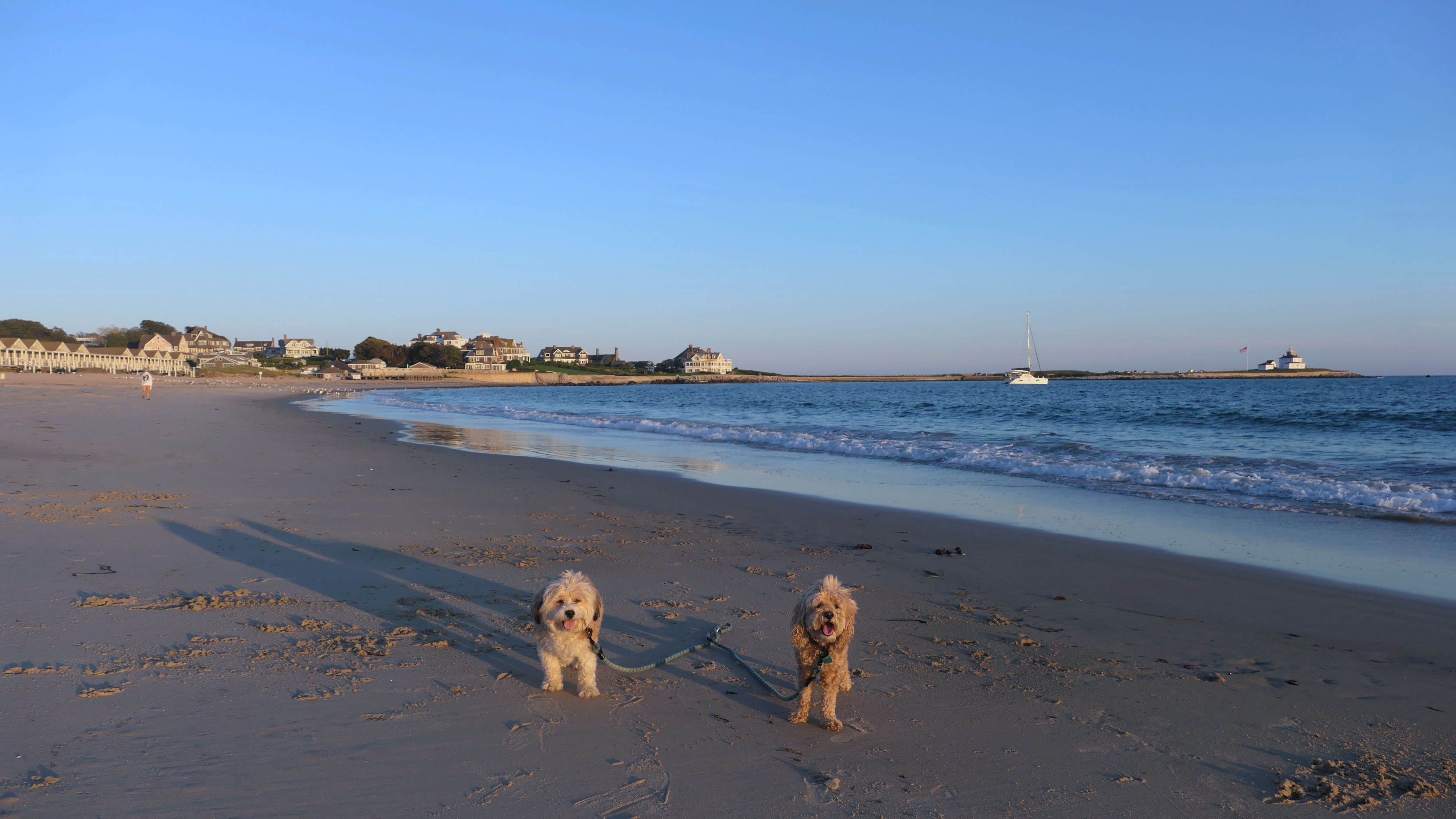
Watch Hill Historic District
Dates visited: 12/29/2020, 11/18/2022, 4/13/2023, 7/1/2024 & 2/24/2025
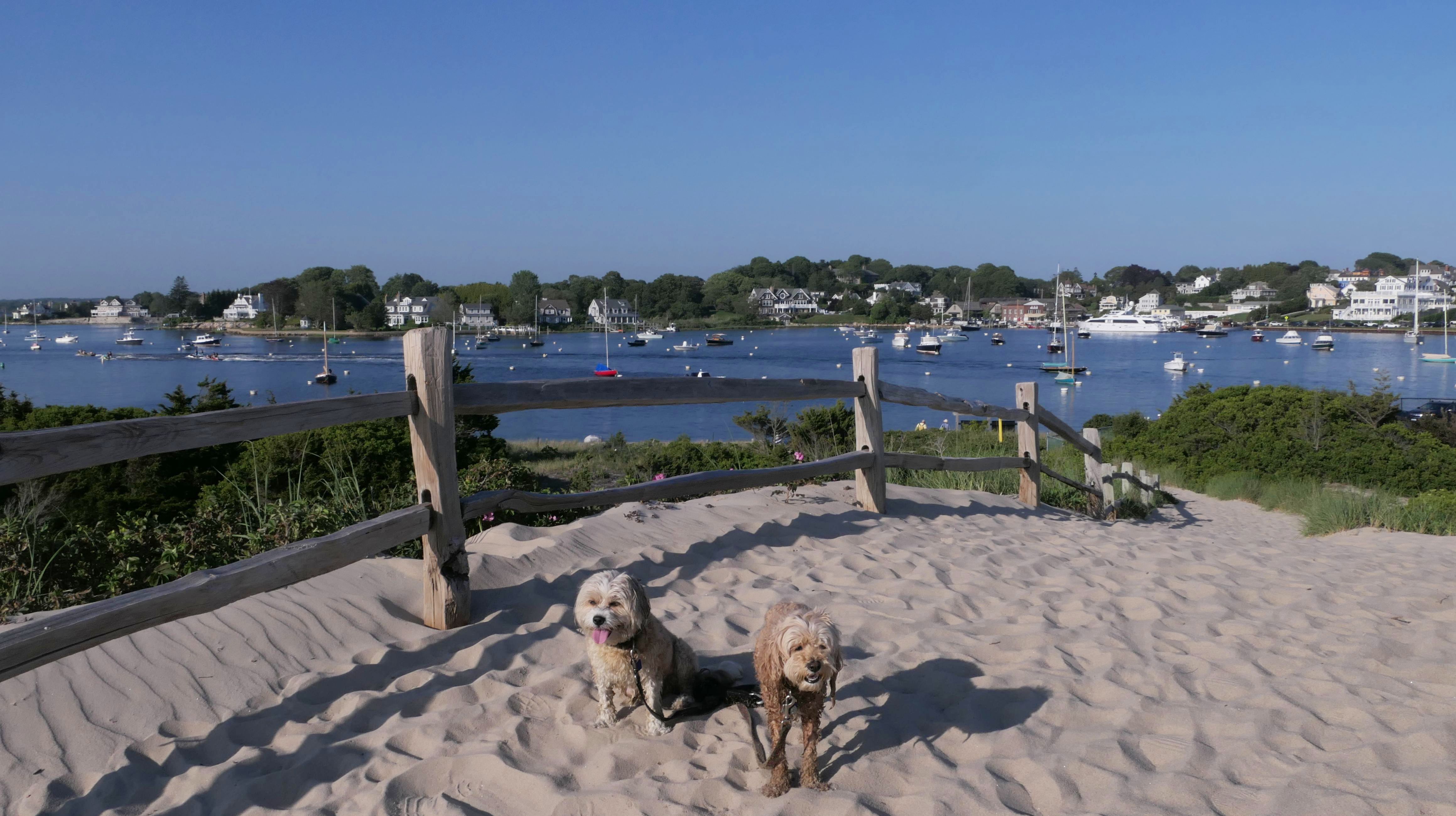
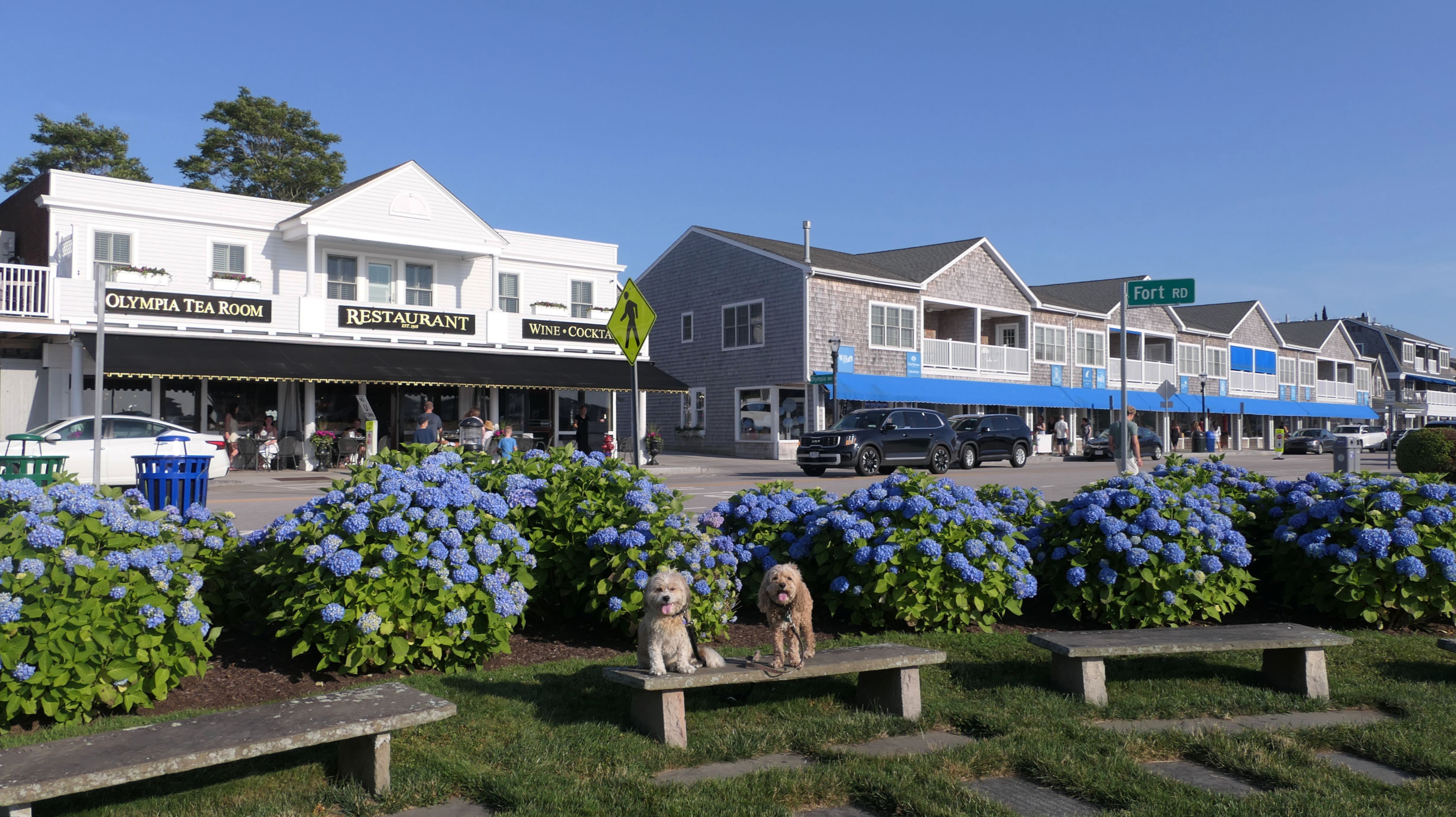
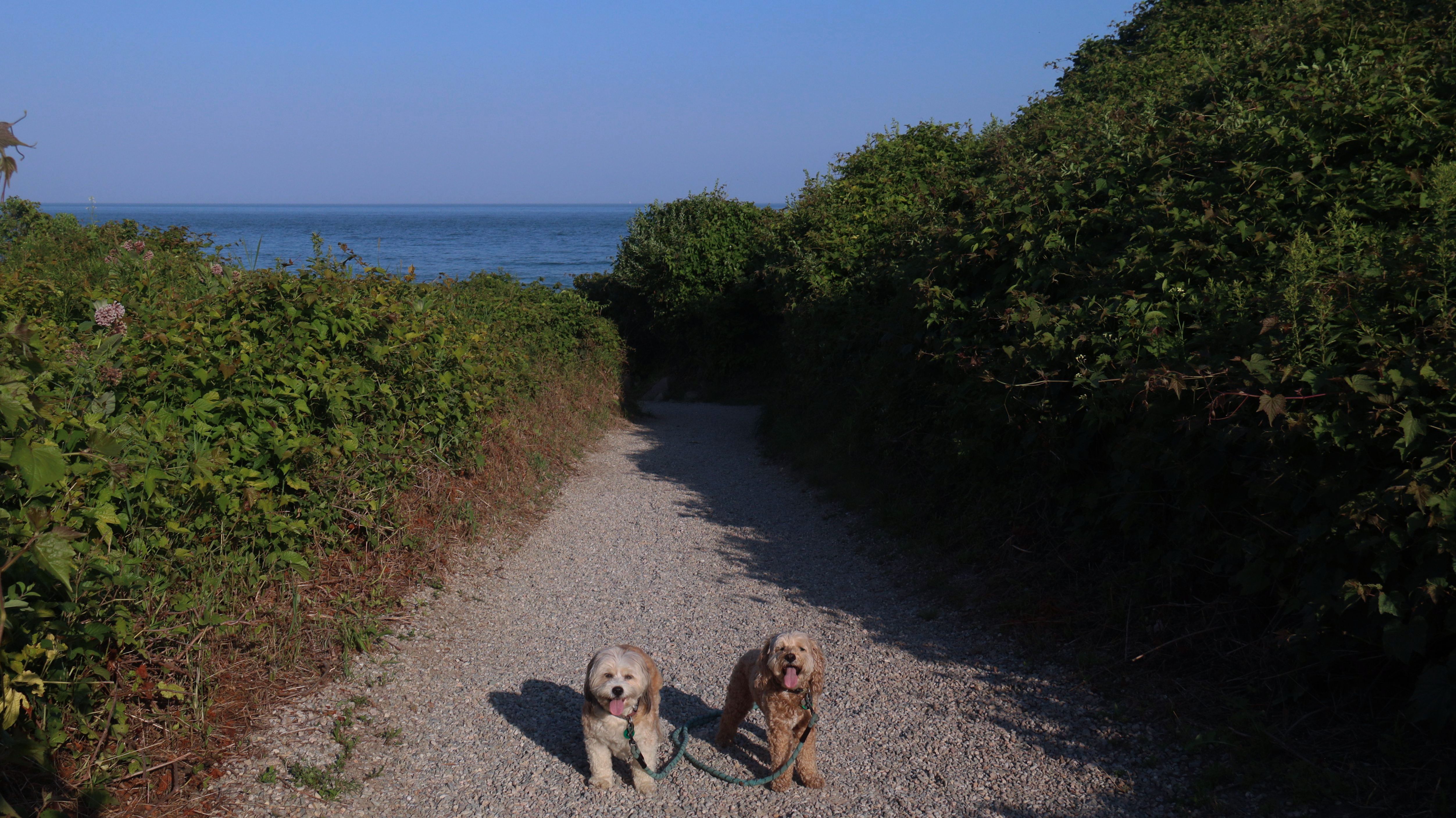
Watch Hill is a historic touristy area in Westerly, RI. We've visisted mostly in the off-season, when most of the shops are closed. Of course, this means that it is actually possible to find a parking spot, which can be a real challenge here. This is the area you would park to access Napatree Point Conservation Area, and East Beach. We've been to those places multiple times, so we've been to this area often. In addition to the East Beach access, there's a walk way that leads down to the lighthouse, which is a very nice walk that we've done multiple times. Also, the area by the boat docks is quite scenic, and offers a nice backdrop for photos.


More Images


Watch Hill Historic District
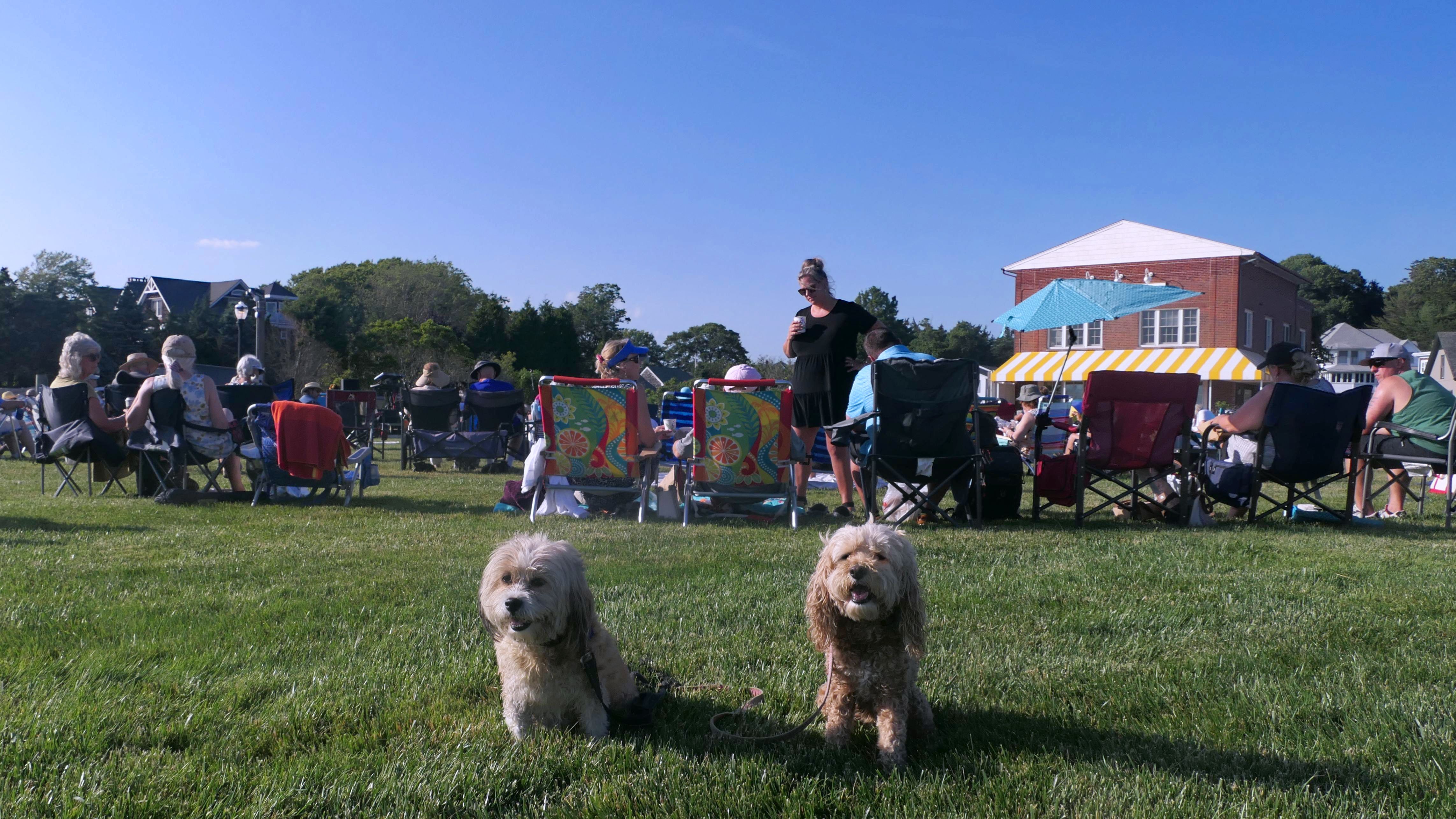
Date visited: 6/24/2025
This was our fourth stop on this very hot day. We got here just after 6PM, and there was a concert near the Ninigret Statue. We sat in the grass and relaxed for a couple of songs before heading to the beach at Napatree Point.
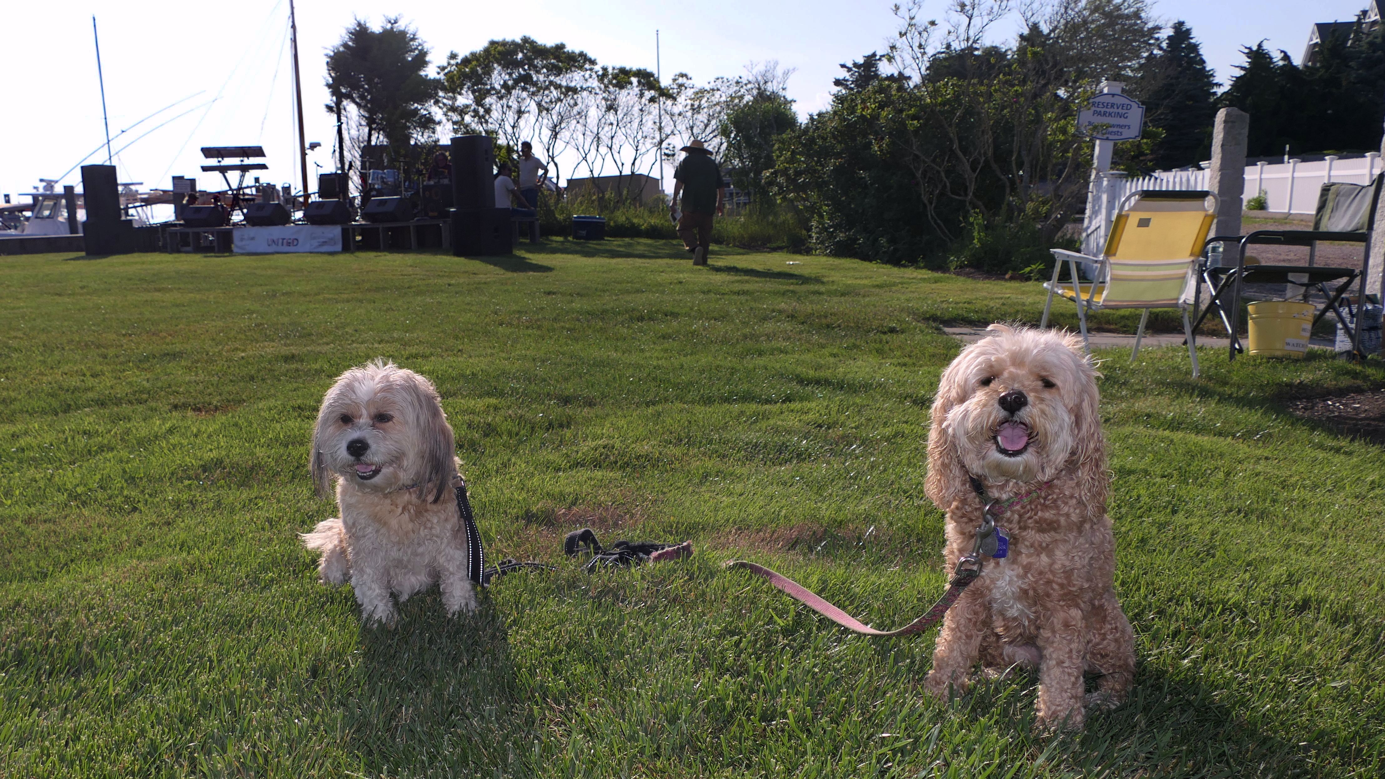
Watch Hill Historic District
Date visited: 7/17/2025
We walked through here on our way to and from East Beach. We've passed through this area many times over the past few years. This was the first opportunity I've head to get good photos of the Watch Hill Carousel. It's usually not open when we visit. The area seemed busier than usual. I was lucky to find a place to park. What I did not realize was that this was the night of the annual Karl E. Kenyon Smokey Bear Parade. A parade of fire trucks and first responder vehicles made it's way through, right as we were headed back to the car. Fire trucks from a number of different nearby communities participated. The sirens were loud, and I don't think Mandy and Lexi liked them all that much. This was the end of the parade route, and the trucks parked for a bit, so we weren't able to leave until they filed out. My photos didn't come out that great. Both the lenses on my camera and phone kept steaming up, so unfortunately the photos aren't the best.


Watch Hill Historic District
Date visited: 7/17/2026
We walk through this area every time we come to Watch Hill. In the summer months, we get here right around 6PM, and walk to one of the nearby beaches. I don't always update this section every time we visit. Since it's been exactly a year since I've added mew photos from here, it seemed like a good time to add some new ones. After walking through here, we headed to Napatree for the rest of our adventure.

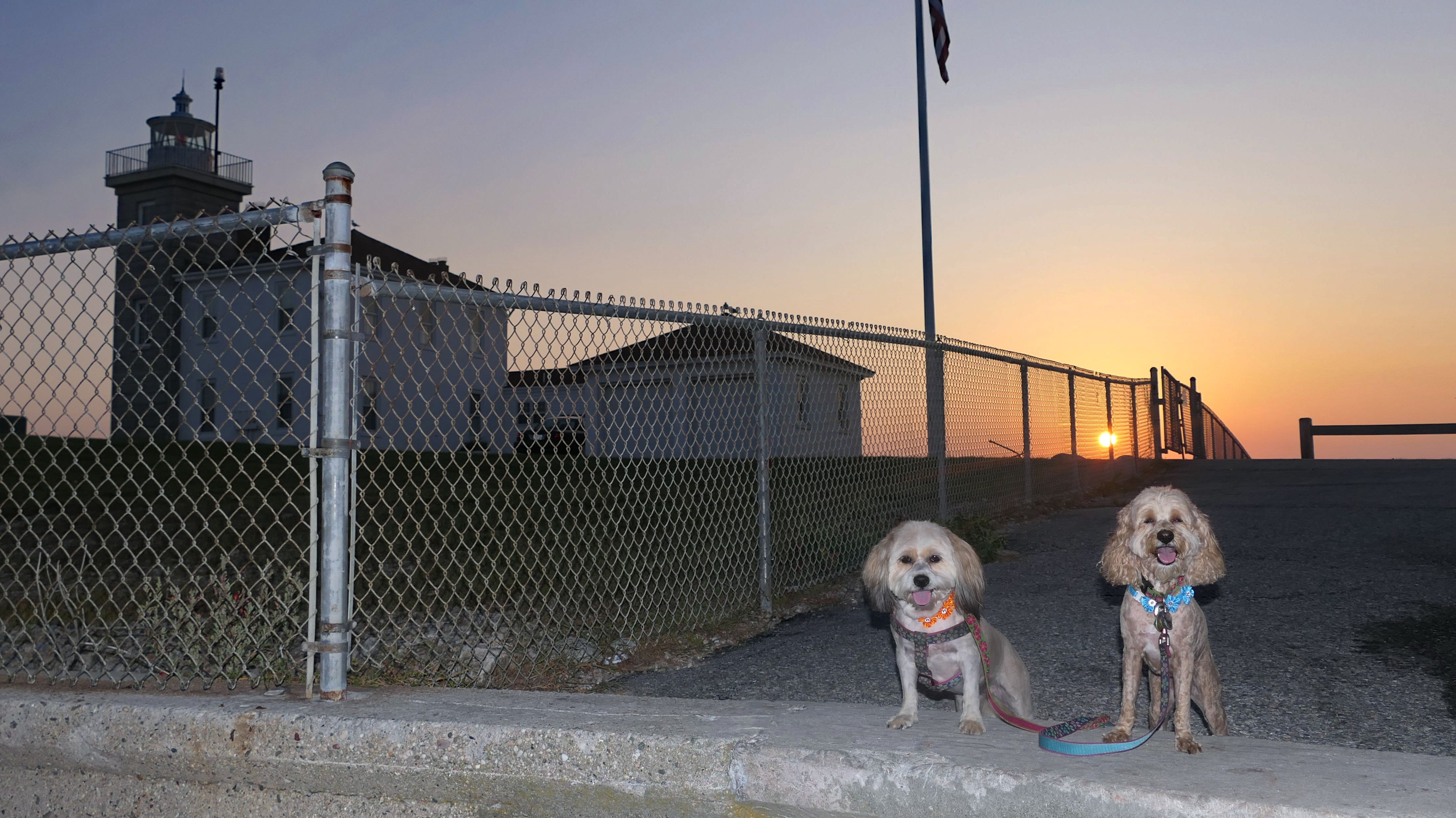
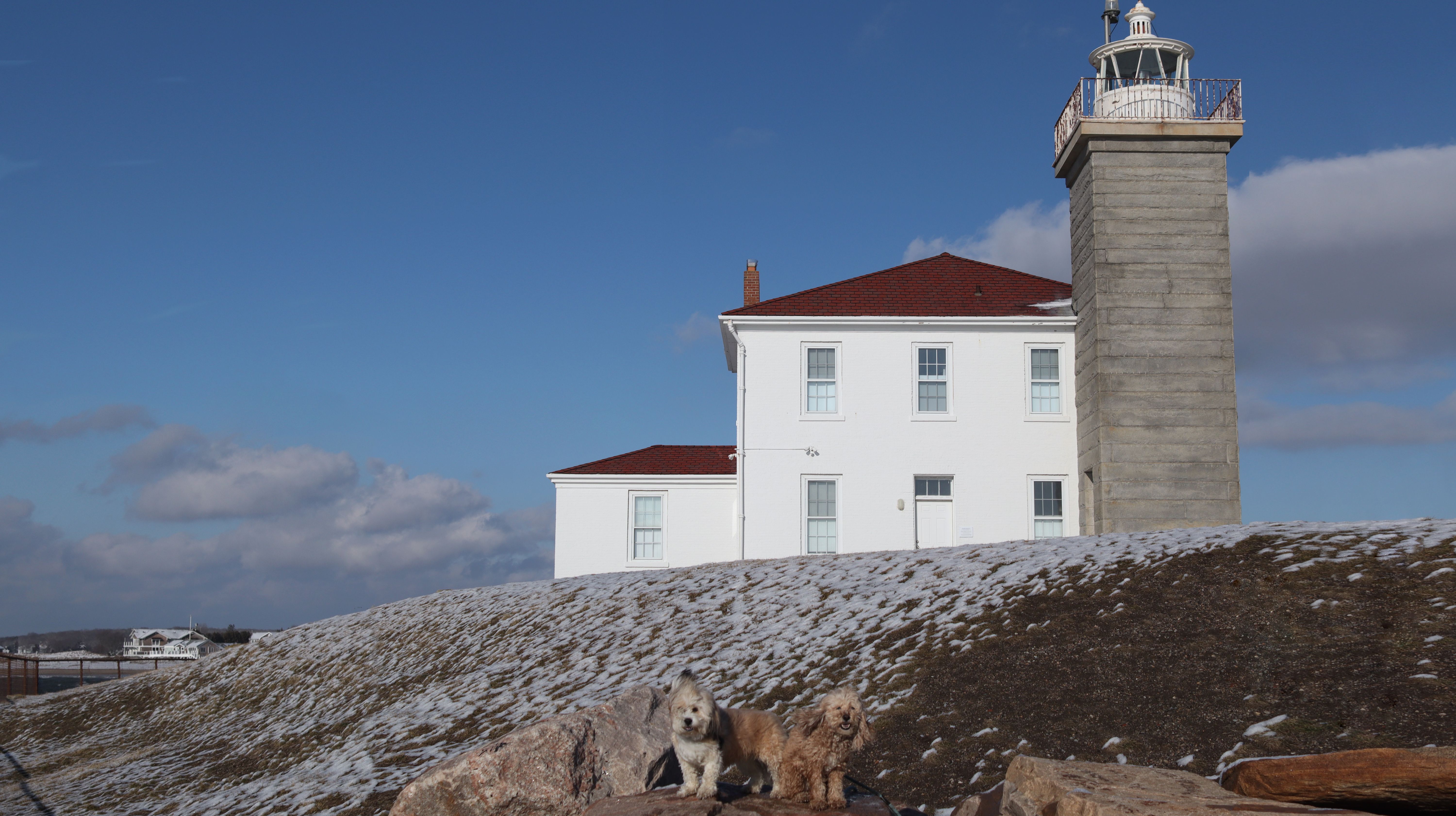
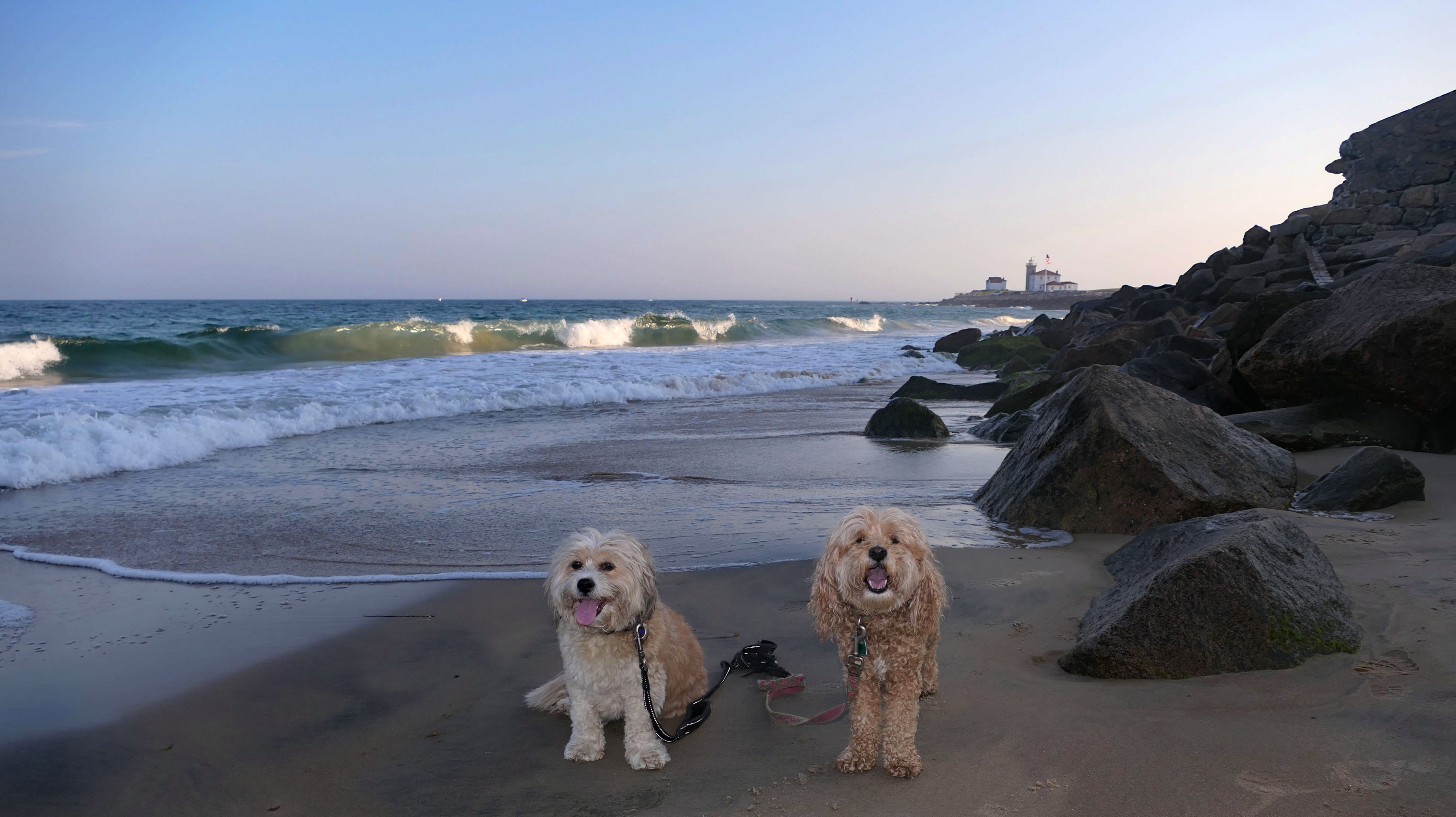
Watch Hill Lighthouse
Dates visited: 3/7/2021 & 4/13/2023
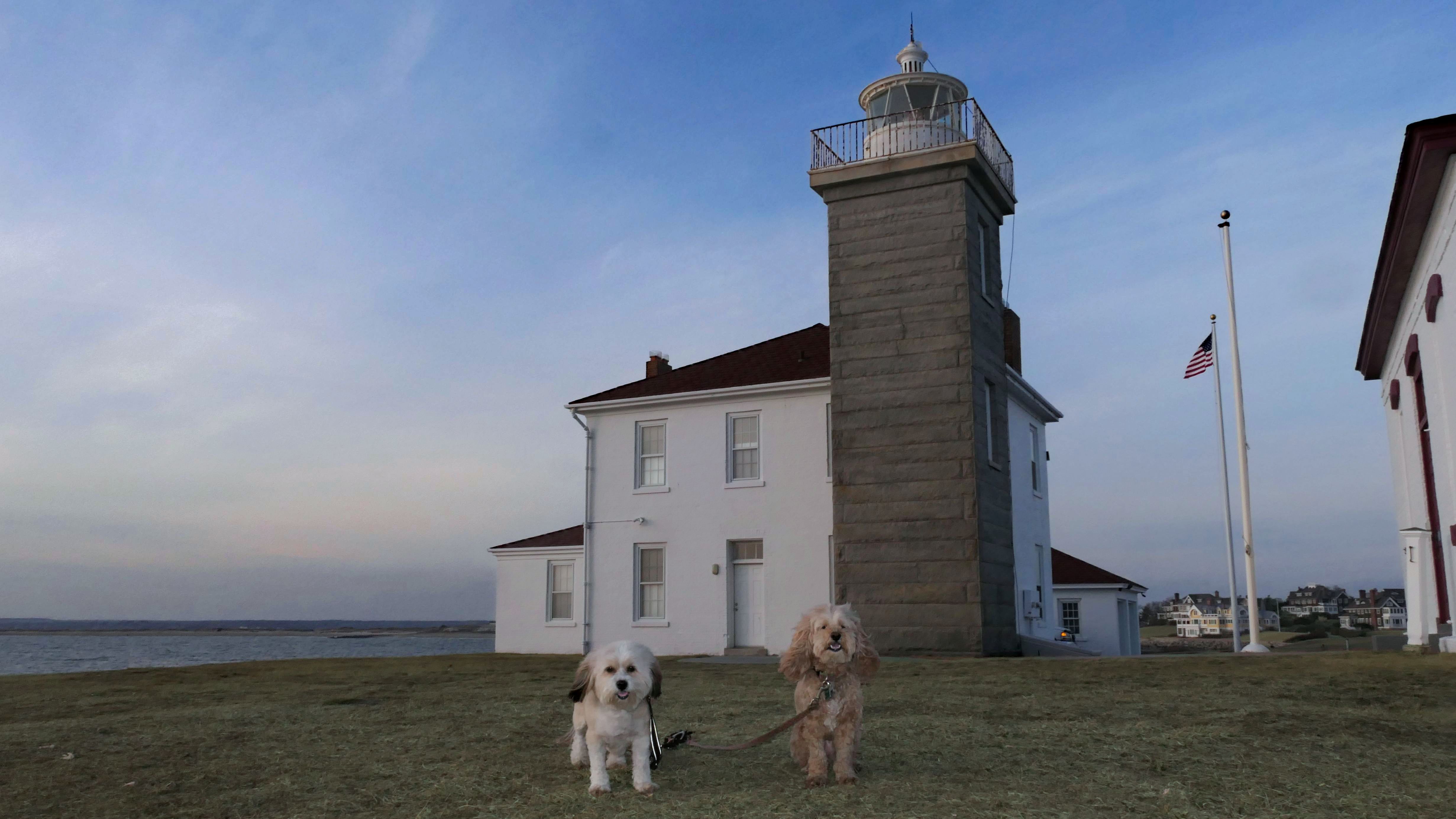
We visited here on some of our Watch Hill excursions. There's a "trail" in the All-Trails app which covers the walk to the lighthouse down Lighthouse Road. It's a narrow road, but it's not completely closed off to vehicles. The road passes by a number of mansions before reaching the lighthouse. There's a large grassy area in front of the lighthouse. The lighthouse itself is protected by a chain link fence and not accesible. It's a nice spot for photos for sure. Most of the pictures below are from our April 2023 visit, but there is one from our first version in March 2021.
More Images


Watch Hill Lighthouse
Date visited: 9/6/2023
We came back a third time on a very hot and humid early September day. Like always, it was cooler here than the inland areas. We arrived late because the dogs were at the dog groomers getting cleaned up. The sun had already started to set by the time we walked down the road to the lighthouse. I had the idea in my head to get a picture of the sunset behind the lighthouse with the dogs in front of it, but the chain link fence around the lighthouse itself makes it impossible to get close enough to the lighthouse to do that. I did get a couple photos with both the lighthouse and the sunset in the same shot, so it wasn't a total loss!


More Images


Watch Hill Lighthouse
Date visited: 2/24/2025
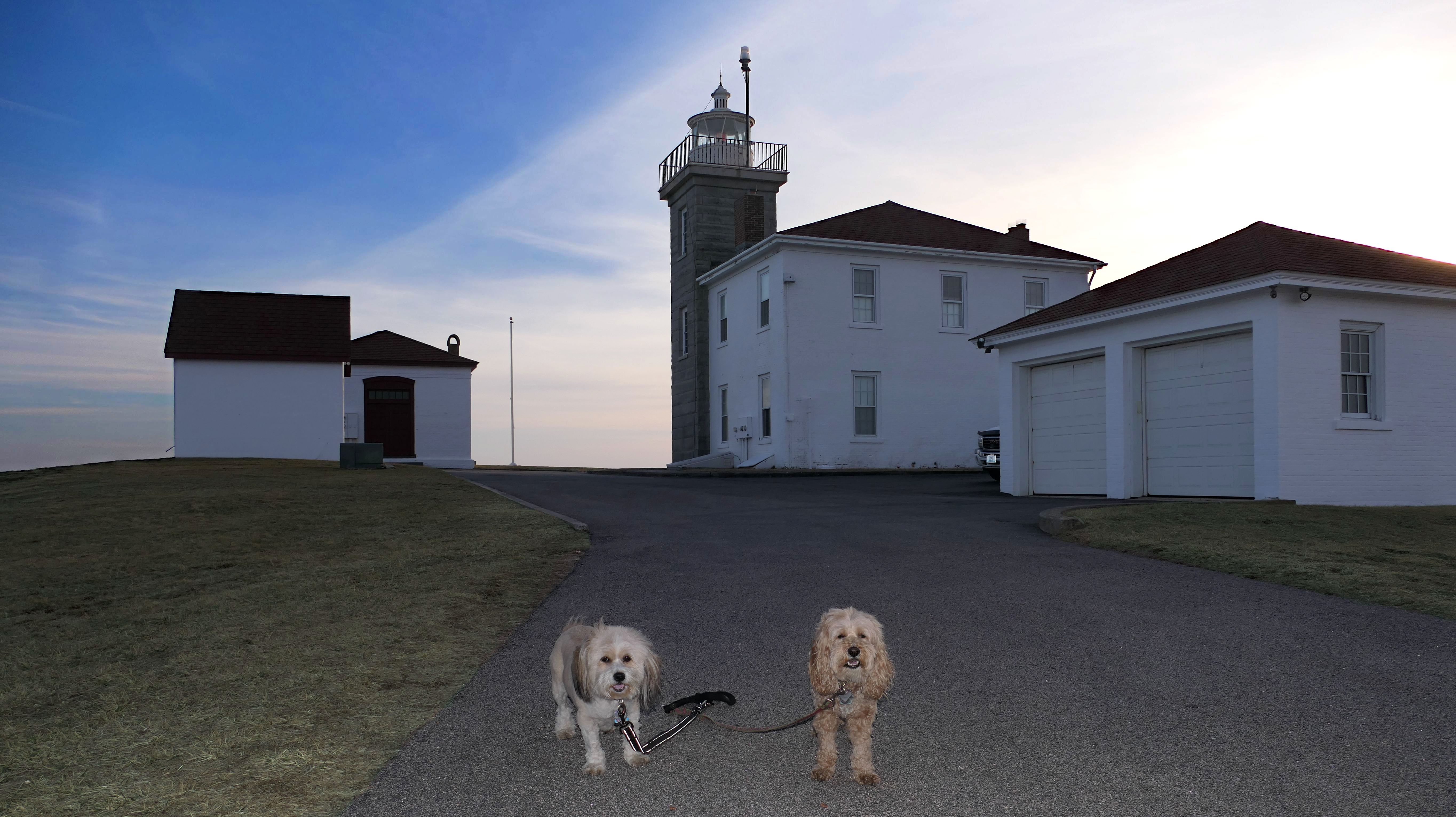
Since our last visit here, the US Government sold the lighthouse to the Watch Hill Lighthouse Keepers Asscociation for $1. That group had been maintaining the lighthouse since 1986, but now they own the property as well. With the new ownership in place, there appears to be more public access to the property now. The actual lighthouse had been gated off via a chain link fence with a "private property" sign. This time, the gate was open and the sign had been removed. We were able to walk right up to the lighthouse, and actually take a photo from the front of the lighthouse, something we couldn't do before.
Watch Hill Lighthouse
Date visited: 1/19/2026
It had snowed for two days straight, but we were able to salvage the last day of the long weekend. There wasn't as much snow right on the shore as there was inland, so I thought this would be a good place to take the dogs for a walk. I pictured taking a photograph of them in front of a scenic, snowy lighthouse... it all seemed great in my mind. In reality, there wasn't much snow and the conditions were brutal! While there was very little wind inland, it was about as windy as I've ever experienced here! That made taking any photos a real challenge. We did get a few okay pictures, and while I got plenty of exercise shoveling snow over the weekend, it was good to get the dogs out. We took a short walk around Watch Hill after walking down the road to the lighthouse. That being said, it might have been better remaining inland.
More Images
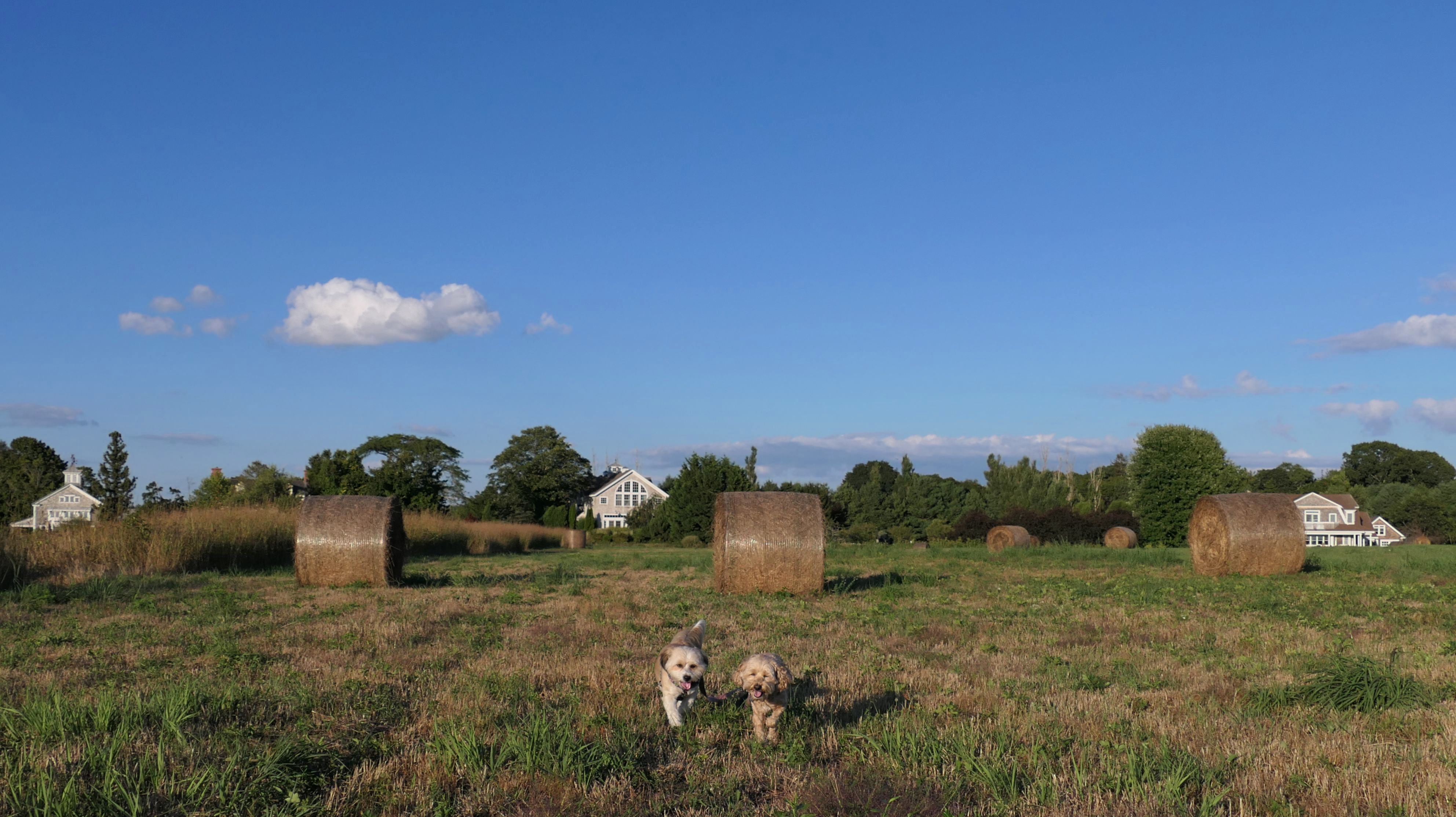
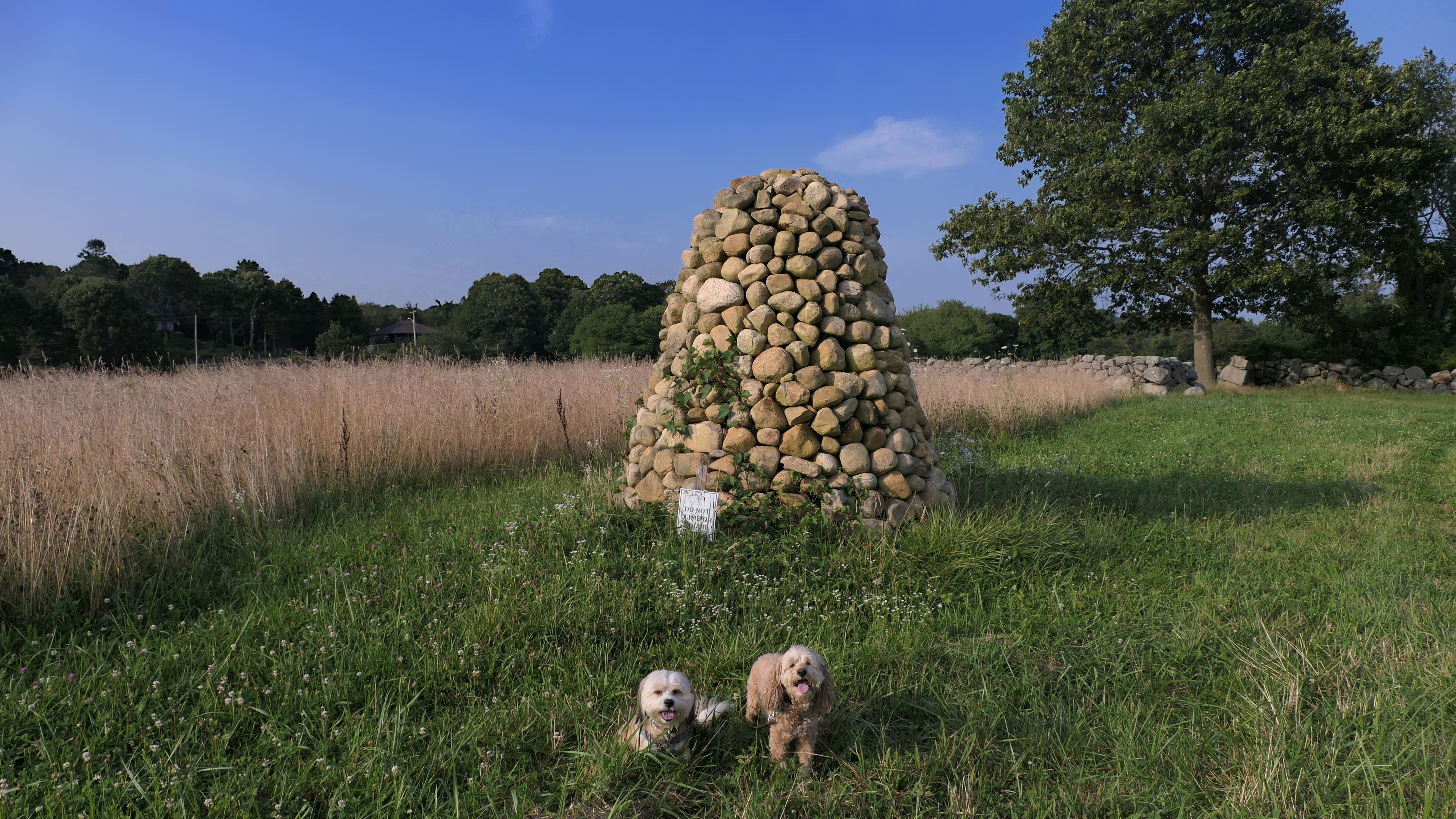
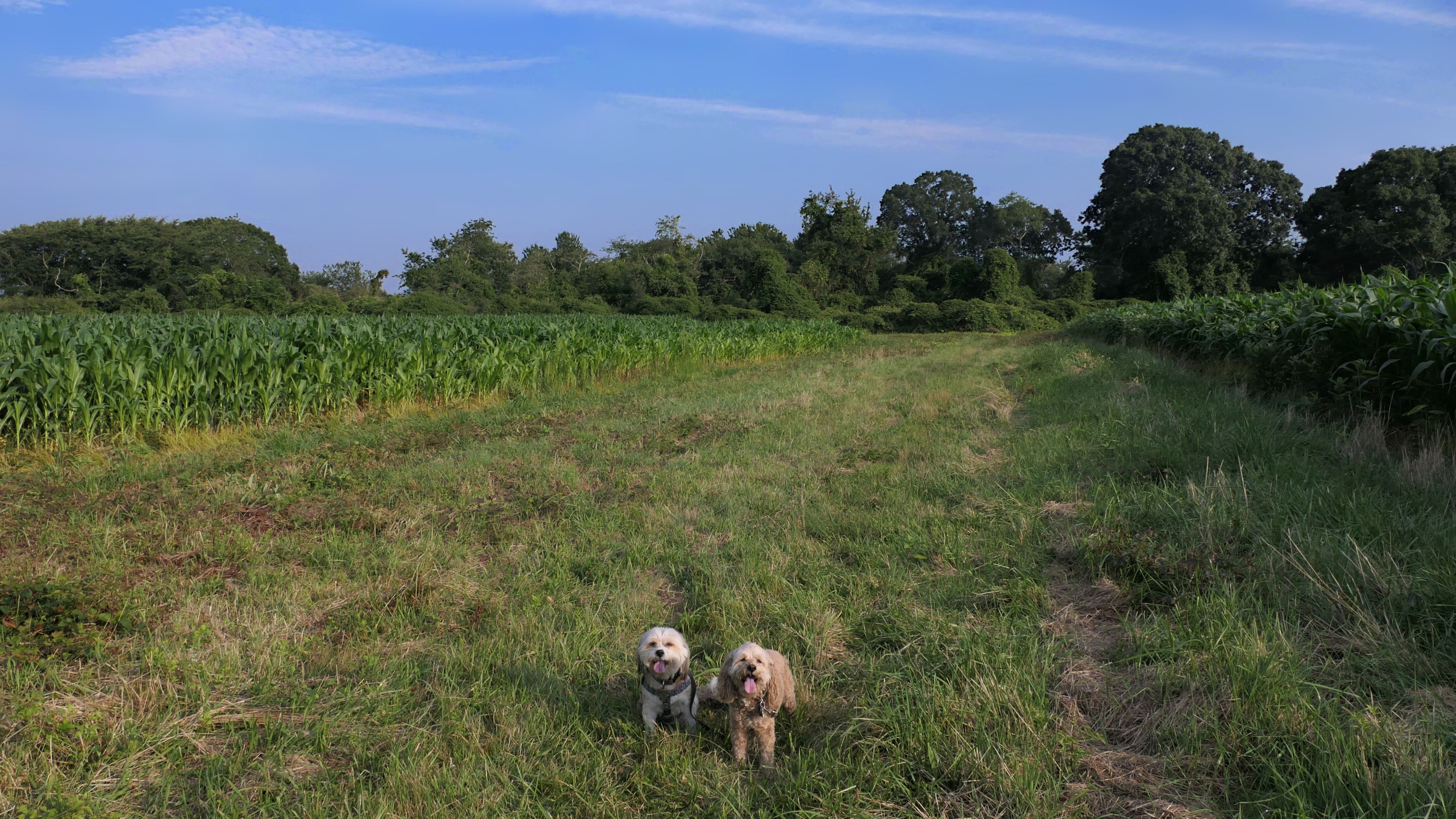
Avondale Farm Preserve
Date visited: 8/31/2022
This is a great trail through mostly open fields surrounded by wildflowers. Most of the trail is unshaded, but we were here late in the day and the sun was low in the sky. It's the end of August and the sun is starting to set much earlier. We walked a loop that was just over a mile. We saw a fox and a bunny. I'm guessing that the fox was hunting the bunny. There are also farm animals toward the start of the trail.

More Images


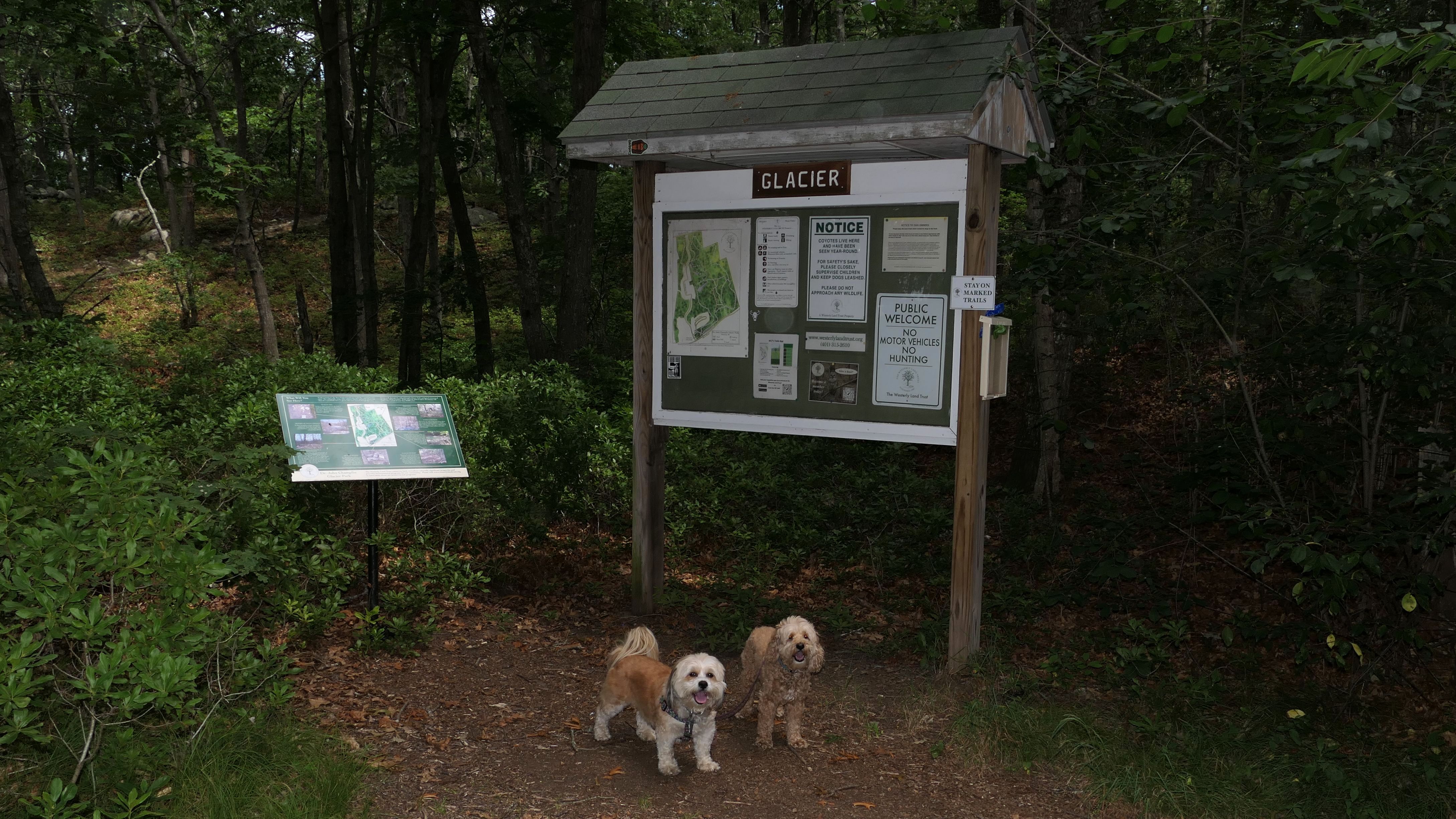
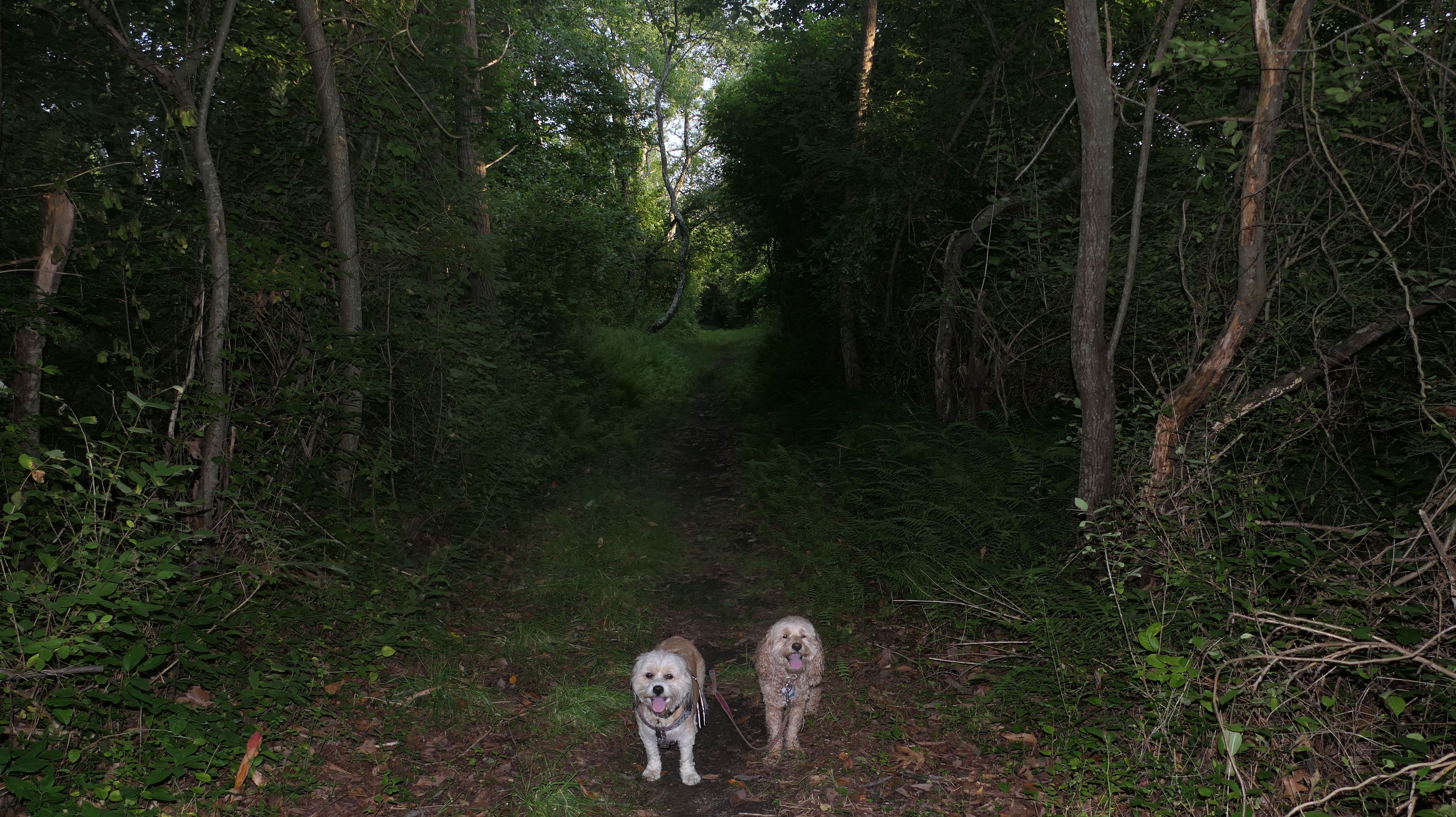
Dr. John Champlin Glacier Park
Date visited: 7/29/2022
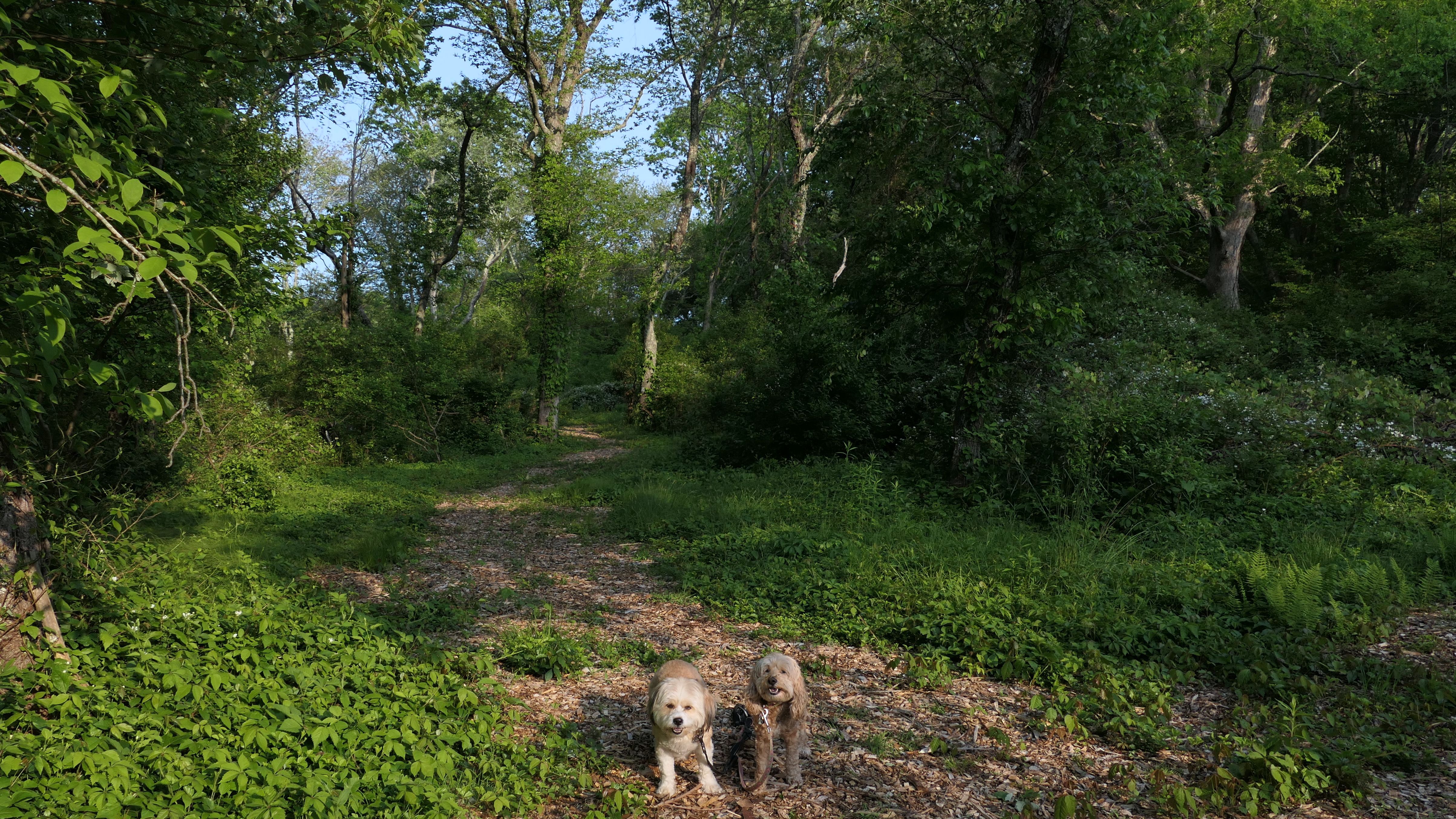
This is a nice set of well maintained and marked trails managed by Westerly Land Trust. The trails feature a lot of ups and downs, as well as a lot of stone walls. It is basically just a nice walk in the woods. We hiked a 2.5 mile loop around the perimeter of the property.
More Images


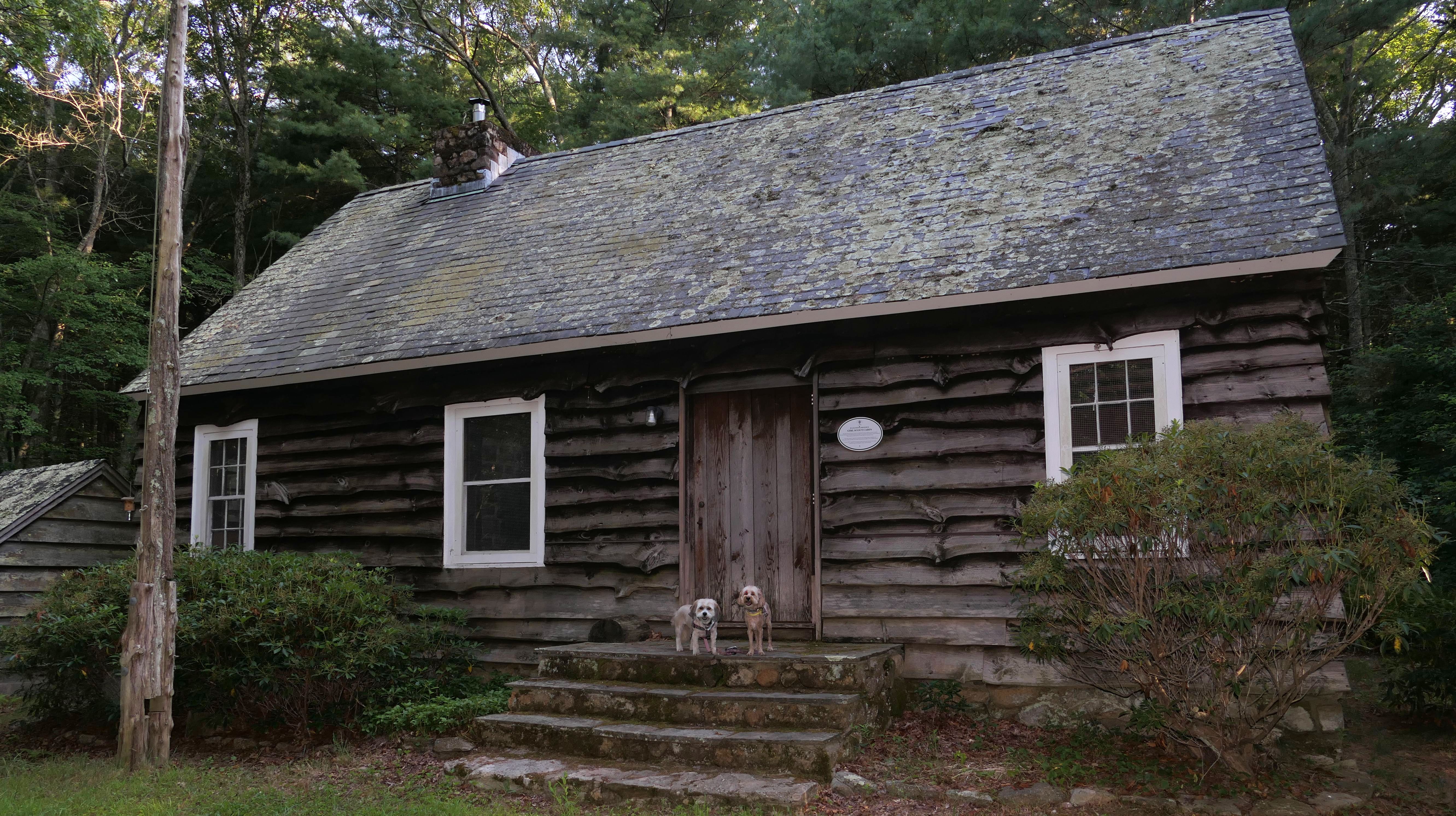
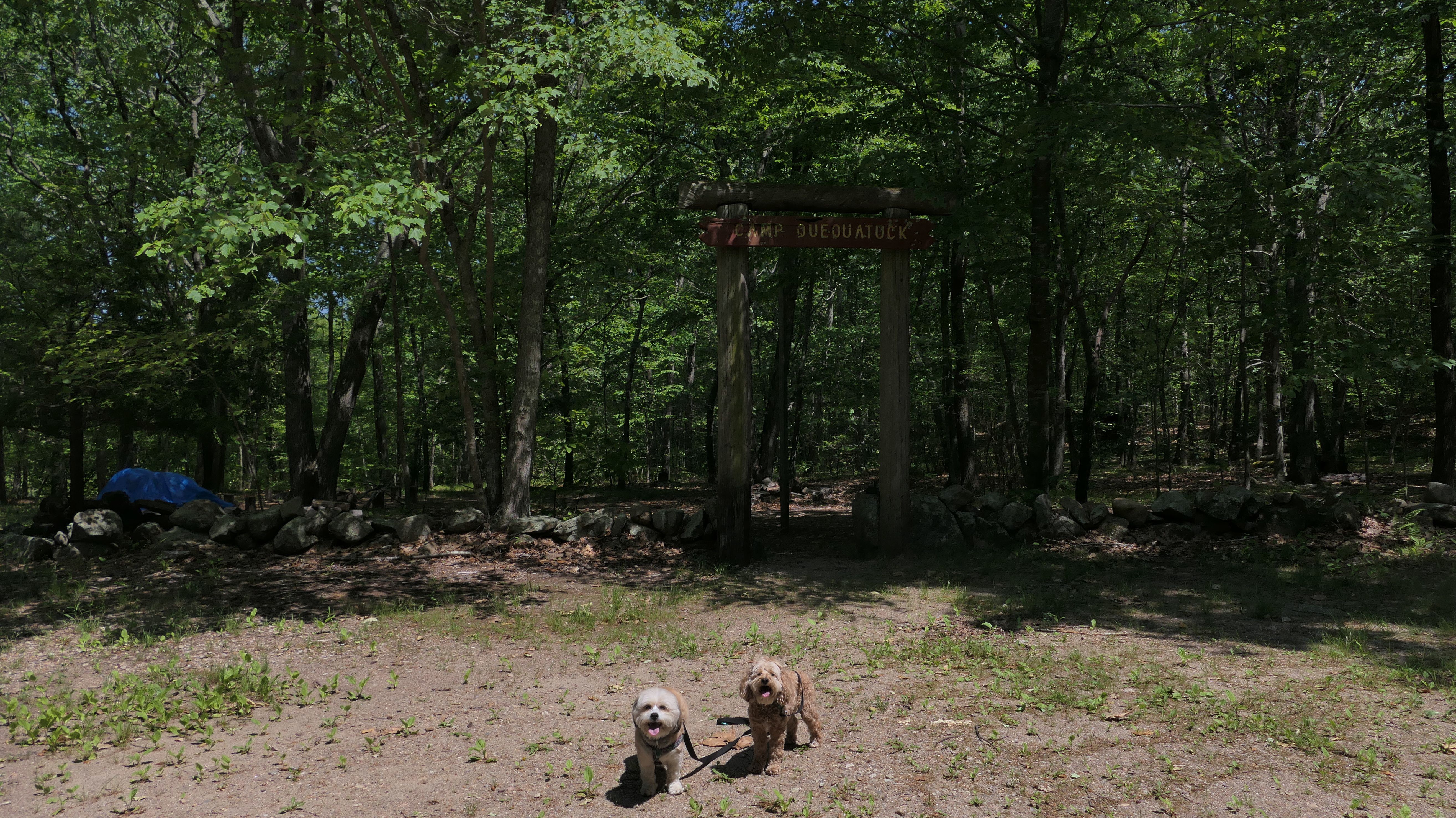
Wahaneeta Preserve
Date visited: 8/4/2022
This is the site of an old Girl Scout Camp. We hiked what was supposed to be a 2 mile trail, but about a third of the trail was closed so our walk was cut short. An award winning tree is also found on the trail. The Rhode Island Tree Council recognized a Sweet Black Birch Tree as one of the largest of it's kind in Rhode Island, as part of the Helen Walker Raleigh Champion Tree Program. This trail also featured many many bugs, and my bug spray didn't seem to do any good whatsoever.
More Images


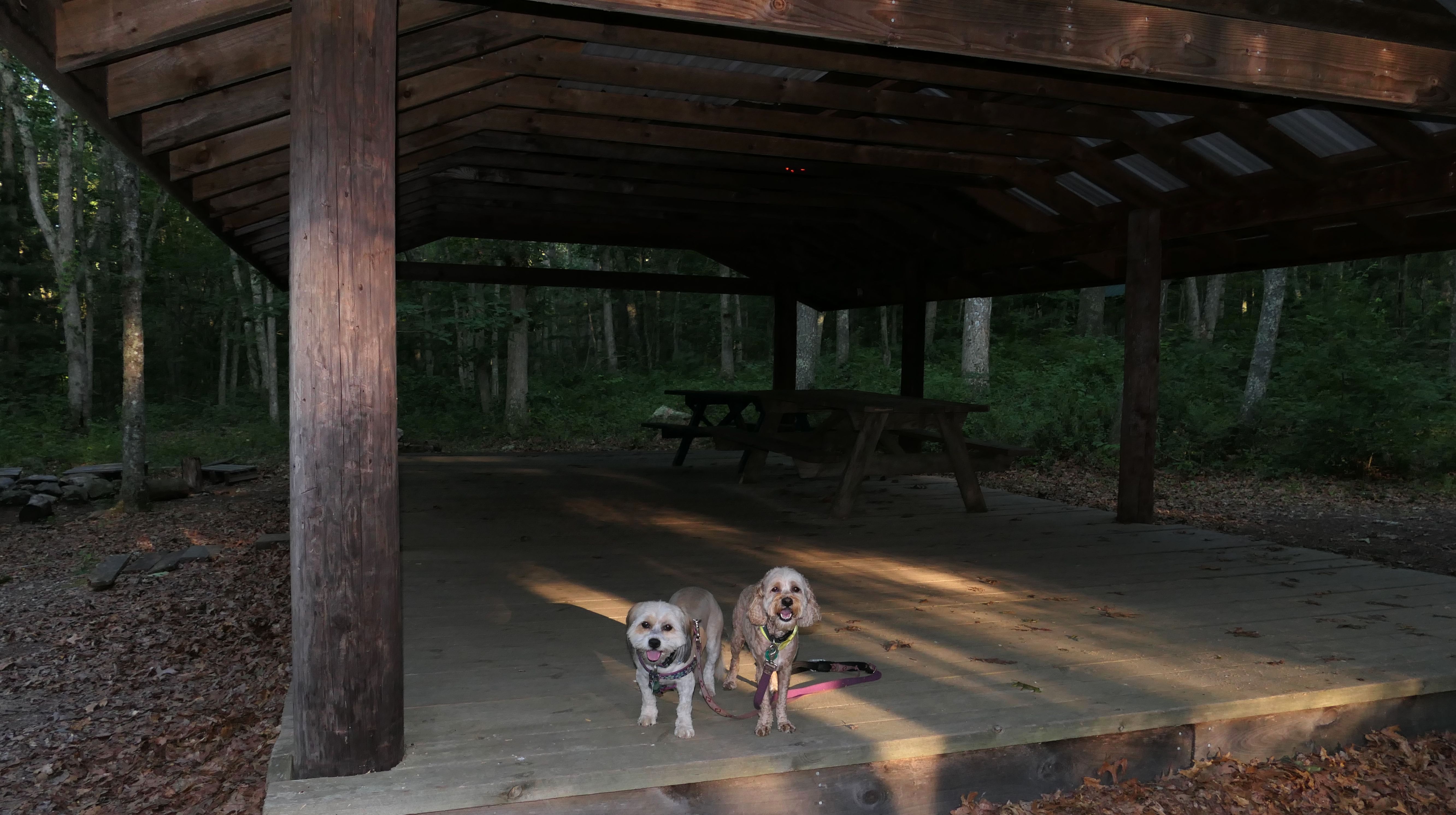
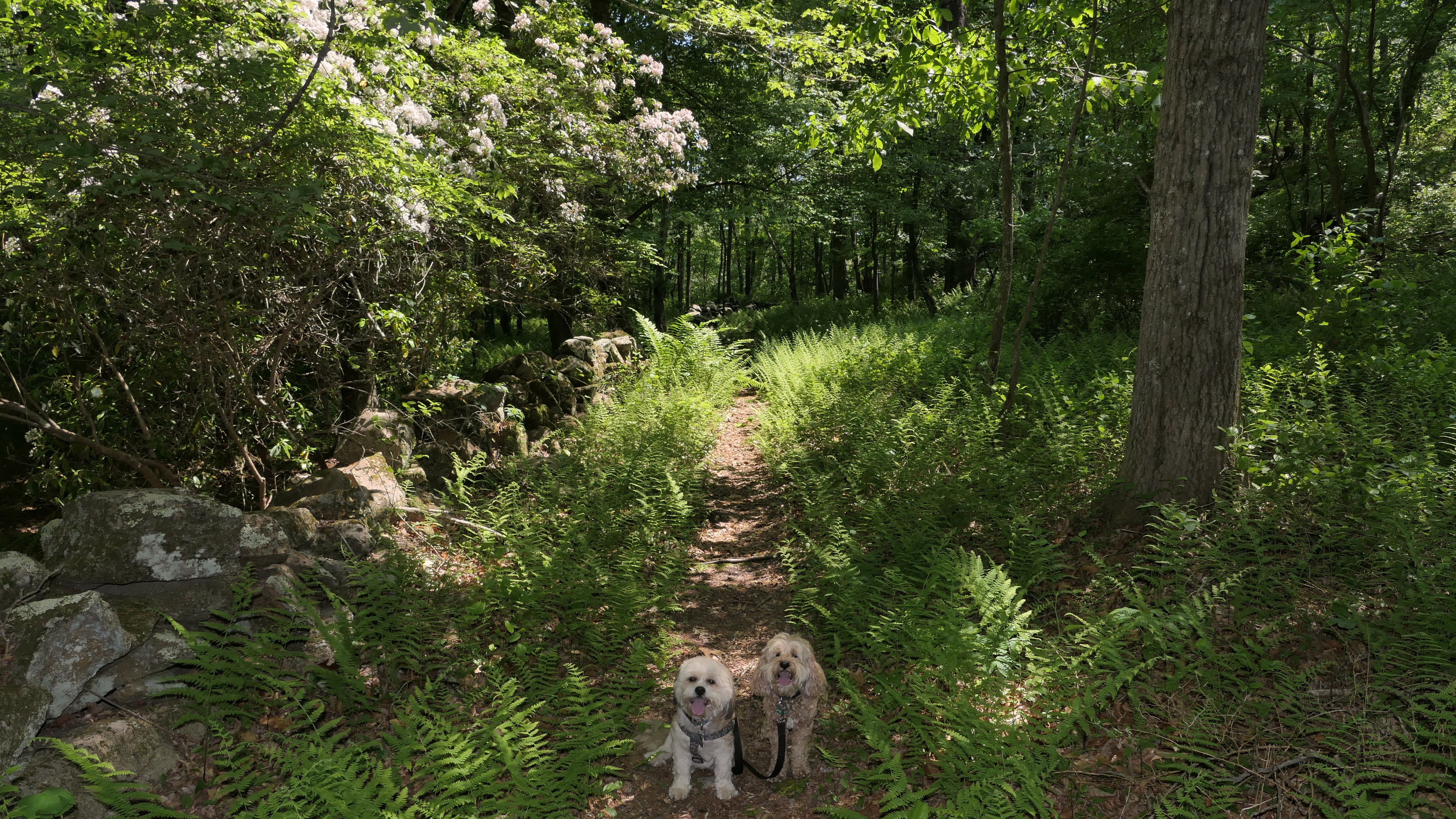
Riverwood Preserve
Date visited: 6/2/2023
This one is on the site of an old Boy Scout Camp. Do Scouts even have camps anymore? The interesting part of this preserve, is the path you have to take to get there. You have to park on Old Hopkinton Rd, and walk a half mile up Boy Scout Drive to reach the preserve. You cannot park on Boy Scout Drive. I get the impression that the residents don't want you here at all. There are conflicting signs on the same sign post. One reads "Private Driveway No Tresspassing", and another sign reads "Riverwood Preserve. Visitors Welcome On Foot". It does seem like you're walking on someone's driveway to get to the preserve. It passes really close to one of the houses. When you reach the preserve, there are a series of camp shelters, with the trails behind them. We hiked the orange blaze trail that loops the perimeter of the preserve. There are other trails through the center, that we did not traverse. The trail is well maintained. It is pretty easy, with a few rocky sections. The whole route, along with the walk back and forth on Boy Scout Drive is about 3 miles.
More Images


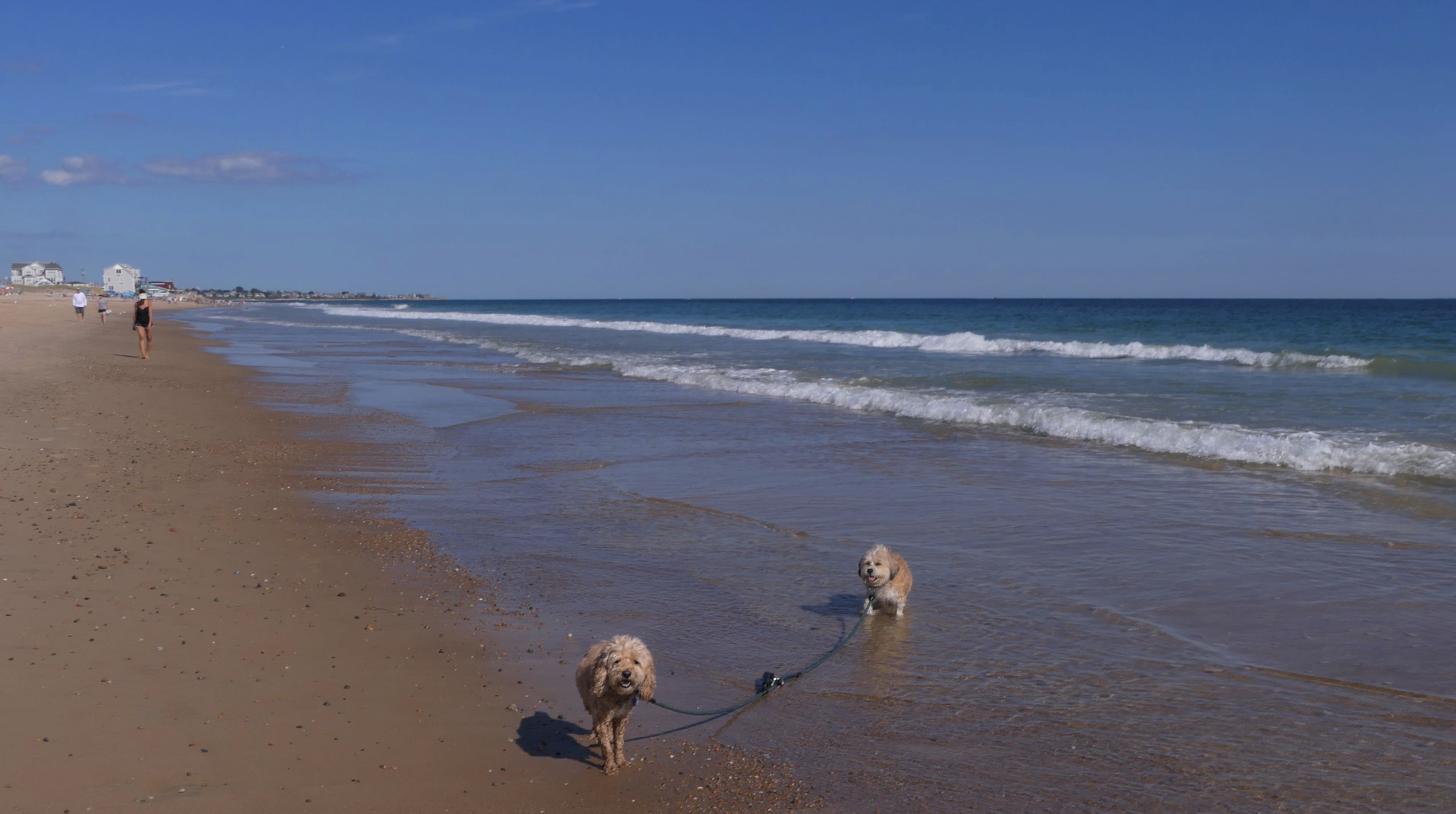
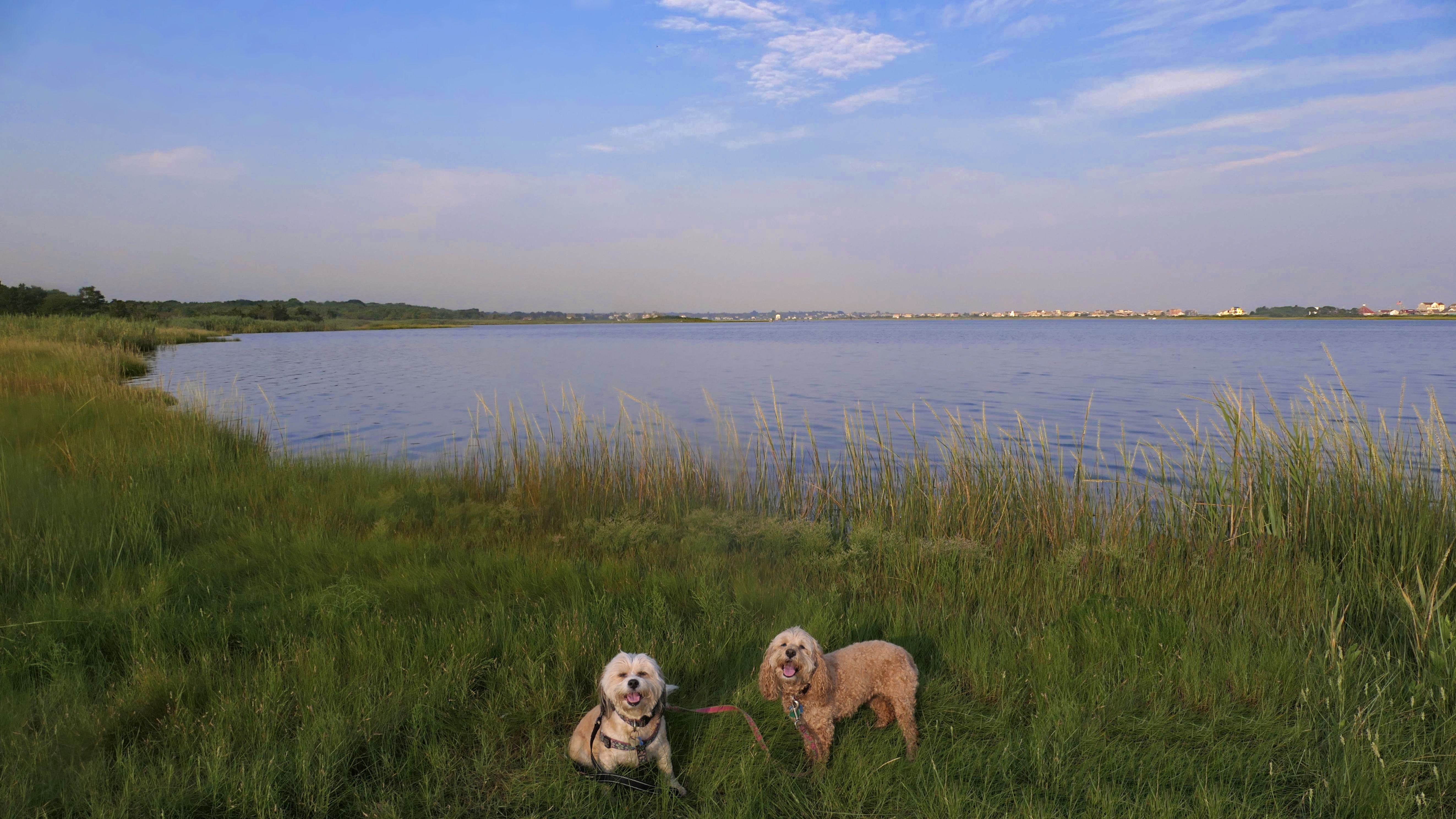
East Beach
Date visited: 11/18/2022 & 4/13/2023
This is a public beach in the Watch Hill section of Westerly. The "Watch Hill Lighthouse Village Loop" in the All-Trails app utilizes a short section of this beach. There's a sign that says "No Pets", but you can ignore it. There is another sign that specifies that dogs are allowed in the off-season any time, and before 8 AM and after 6 PM during the summer months (May 2nd through Labor Day). This corresponds to what it says on the Town of Westerly's website. There's no dedicated parking for this beach. You have to park at Watch Hill and then access it through one of the right-of-way paths. We visited here a second time, and walked more of the beach. It's about two miles long and we probably walked about half of the total length before turning around. This time, it was an usually warm day in April. It had made it up to 90 degrees inland, but down here it was about 15 degrees cooler (just like the summer), and was very nice.


More Images


East Beach
Date visited: 3/12/2024
On our third visit here, we walked the entire beach. The beach is about two miles long, and this was the first time we made it to the east end of the beach. There are two salt ponds, with a strip of land in between the ponds and the ocean. This part of the the beach leaves the Watch Hill neighborhood and enters the Misquamicut section of town. We walked along the ocean side for the length of this beach, exiting at the public access point at the far west end of Atlantic Avenue. This section is littered with small rocks. We took a couple of brief detours to the ponds, where Mandy was able to get into the water to cool off without dealing with the heavy waves on the ocean side. Toward the east end, is ruins of an old structure, and a seawall built up on rocks with some private property on the other side. We continued east from here, walking along Atlantic Avenue briefly until we hit the next access point that leads to the Misquamicut Fire District Beaches.


More Images


East Beach
Date visited: 6/3/2024
We were in the area, so we came back to this great beach again. This is the first time we were here "in season". Dogs are allowed on the beach here after 6PM in the summer time, but we didn't get here until well after 7PM. Mandy and Lexi decided to run and play on this beach this time around, which is always fun to see.


More Images


East Beach
Date visited: 12/18/2024
We got back late from our trip the previous day, and I didn't really have time to plan our trip for this day. It was another beautiful and mild day, which is hard to come by in December, so I wanted to make sure we got out and did something... so we returned here to this very beautiful beach. We pretty much repeated one of our trips from March, by walking the entire length of the beach. There's nothing new and exciting here, just the same very beautiful stretch of beach that we've visited four times previously!


More Images


East Beach
Date visited: 4/1/2025
It was a nice day, so we stopped here once again for a brief walk on the beach. The waves were really ripping today.


More Images


East Beach
Date visited: 5/2/2025
No real story here! We've been to this beach so many times before, there's not much left to say. Just a couple of photos to document this visit.


East Beach
Date visited: 7/17/2025
We were in the area after our trip to Rotary Park, so we had to stop at a beach! We've been to this one many times before. It's one of my favorites. Dogs are allowed on Westerly town beaches after 6PM on the summer. This time, there was actually a sandy area in front of the famous person's house. Usually, the water goes right up to the rocks. This is the first time I ever saw that much of a beach present! We were able to walk all the way past the house on the beach, and take some photos of the lighthouse from a new angle. We also did our standard beach walk, with Mandy enjoying walking through the edge of the waves.


East Beach
Date visited: 12/25/2025
This marked our third consecutive Christmas Day visit to a Rhode Island beach. It's become a tradition for us. We usually arrive earlier in the morning, but this year we didn't make it there until about 12:45 PM. The forecast had promised clearing skies around 1 PM, yet the clouds were still hanging on when we arrived. About twenty minutes later, though, they finally broke apart and the day turned beautiful. With family visiting later, we only had about an hour for our outing—but it was just enough time for a refreshing two-mile walk and for Lexi to get all her zoomies out.

More Images


East Beach
Date visited: 7/1/2026
It's hard to believe that this was our first visit to East Beach in 2026. Our last visit was on Christmas Day of 2025! The weather was a lot different this time around. Temps in the mid-90's inland, and a bit cooler here. It was actually a beautiful evening on the beach. We walked about three miles total here, and Mandy and Lexi had a great time running around and playing in the waves.


More Images


Fenway Beach
Dates visited: 11/18/2022 & 5/1/2024
This is a short access path for fishing access on the east side of the Weekapug Breachway. The end of the path also leads to Fenway Beach, a private beach for Weekapaug Fire District residents. But not really... keep in mind, that all beach front in Rhode Island, up to ten feet past the high tide line is legally considered public property. The beach is also a very popular surf location. We briefly checked this spot out in November of 2022, but didn't stay too long. We came back a year and a half later in May of 2024, and enjoyed a beautiful sunset.


More Images


Fenway Beach
Date visited: 6/8/2026
This was a quick walk down the path at Weekapaug Fishing Area to the beach. It was a beautiful evening and a nice, short walk.


More Images

Weekapaug Beach & Sand Trail
Date visited: 11/18/2022
Our intention was to walk the Sand Trail. It was boring, so we only walked a little over half-way, and then turned around and walked back on the beach. We probably weren't supposed to be on the beach here, it's for Weekapaug Fire District Residents only, but nobody else was using it and the dogs wanted to play. While it was sunny all day, storm clouds developed while we were here, so it was probably a good thing we didn't finish the trail, since by the time we got back to car it had started to sleet.


More Images


Weekapaug Beach & Sand Trail
Date visited: 3/14/2024
This was our second trip here. This time I intended to walk the entire Sand Trail, but we wound up on the beach because Mandy didn't want to walk through the heavy sand anymore. I don't remember seeing the "No Dogs" signs last time I was here, but maybe they were there and I just didn't notice. It didn't seem to matter because there was at least a dozen other dogs there, some off-leash. We actually did reach the end of the Sand Trail, as both the trail and the Weekapaug Beach lead to Quonochontaug Beach in Charlestown. The weather was much better this time around. It was nearly 60 degrees and sunny, where as last time we had to turn around because a sleet storm was coming!


More Images


Weekapaug Beach & Sand Trail
Date visited: 10/5/2025
It was National Rhode Island Day! We celebrated by re-visiting this wonderful beach. This was our third visit here, but the second time we walked the entire length of the beach, including the Quonochontaug Beach portion in Charlestown. While it was a nice day the the last time we were here, this was the first time we visited on a warm day where we could enjoy the water! We walked a bit of the sand trail too, following a side trail that led to the salt pond, but we primarily stayed on the beach for most of the walk. I don't know how many more days like this we'll have this year, so we made sure we enjoyed this summer-like weather one more time.


More Images


Weekapaug Beach
Date visited: 2/27/2026
After the weather we've had the last few weeks, it was great to get out on a mild afternoon. We walked over to this beach from Weekapug Overlook. We walked almost three miles total, and Mandy and Lexi got to run and play on the beach. It was a fun afternoon.


More Images


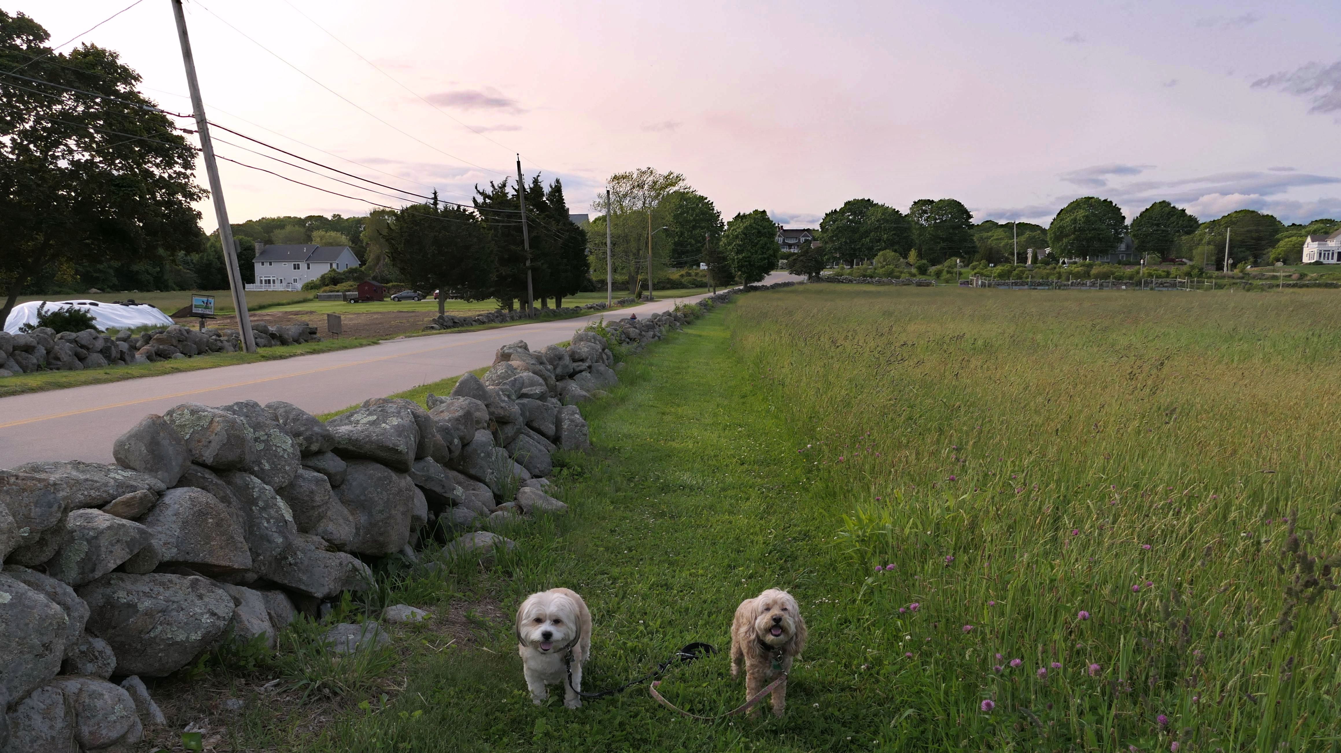
Weekapaug Overlook & Spray Rock Road Access Point
Date visited: 11/18/2022
This is the scenic overlook off of the aptly named Spray Rock Road. There's a small parking area. You're only allowed 30 minutes to park during the summer months. We stopped to takes some photos of the dogs on the rocks. The combination of the sunset and the approaching storm clouds made for a very nice backdrop.


More Images


Weekapaug Overlook & Spray Rock Road Access Point
Date visited: 11/27/2024
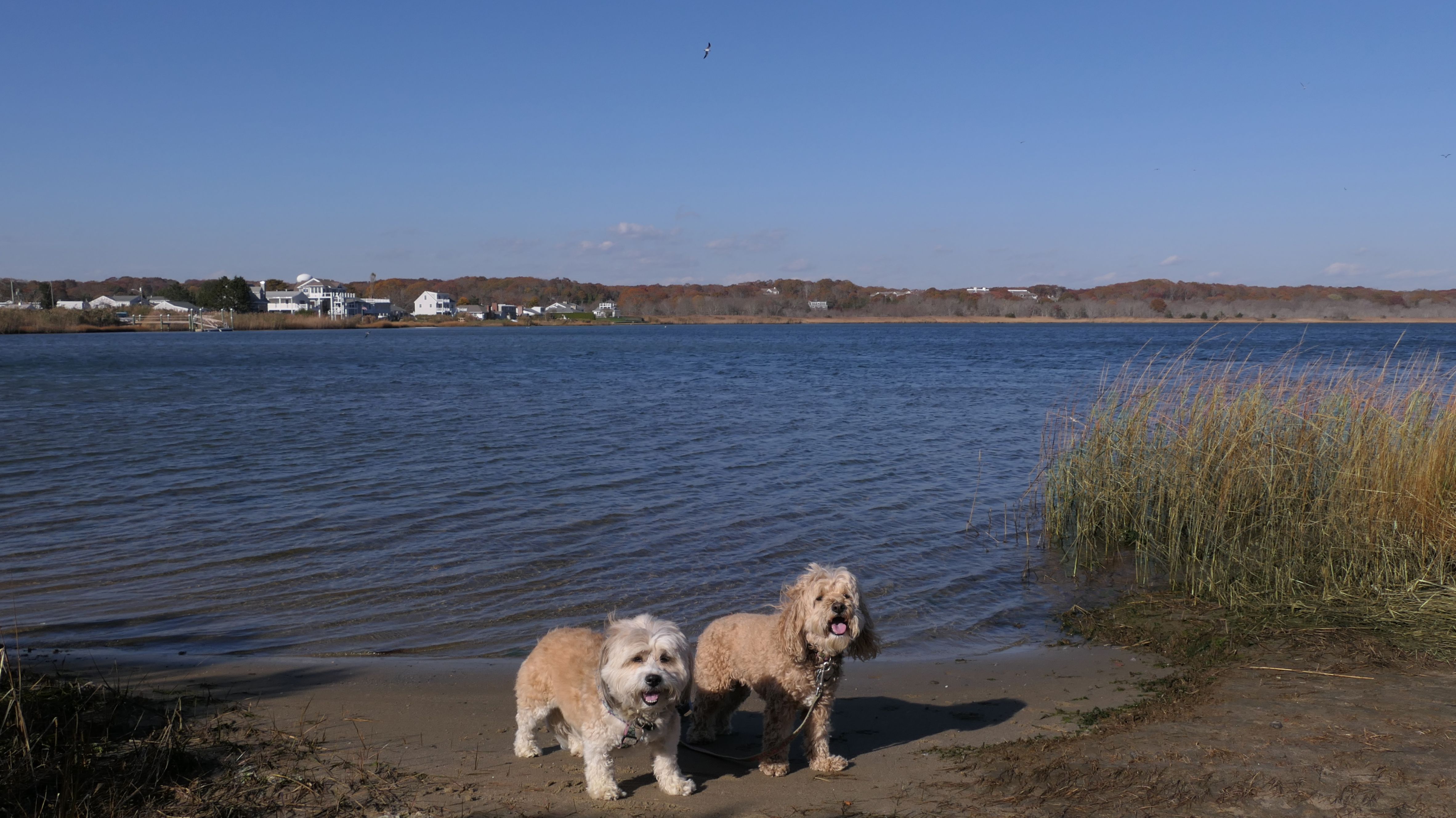
There's a short path that leads down to a beach near the parking area. The beach runs from Fenway Beach to the west to Weekapaug Beach to the east. The beach is for Weekapaug Fire District residents, but there is no signage indicating as such at this access point. As you know by now, the shoreline is public in Rhode Island, so everyone has access to this stretch of sand. It's a nice stretch of sand at that! We were here just before sunset, and it was a beautiful walk on this half mile stretch of beach. With this adventure, we've now walked all of the walkable Westerly shore line.


More Images


Weekapaug Overlook & Spray Rock Road Access Point
Date visited: 3/13/2025
It's hard for me to visit this part of Rhode Island and not go to the ocean. We stopped here after our short walk in the woods. It was windy here at the shore, but that made for some nice photos. We've only been able to walk the beach part here once before. The sandy area here is only present during low tide, but it was low tide during our visit, so we were able to get in a short walk.


More Images

Weekapaug Overlook & Spray Rock Road Access Point
Date visited: 9/28/2025
We already had a full day of adventures under our belt, but the weather was so nice I stopped here for a quick walk along the sandy and rocky shoreline before calling it a day!


More Images


Weekapaug Overlook & Spray Rock Road Access Point
Date visited: 2/27/2026
This was our first trip to Rhode Island since the biggest blizzard in the state's history. I made sure to pick a town where parking bans were lifted, and most of the cleanup had been done. The street parking was cleared, and the path down to the rocky beach was packed snow. We walked along the shore and enjoyed the waves, before walking over to Weekapaug Beach to continue our walk.


More Images


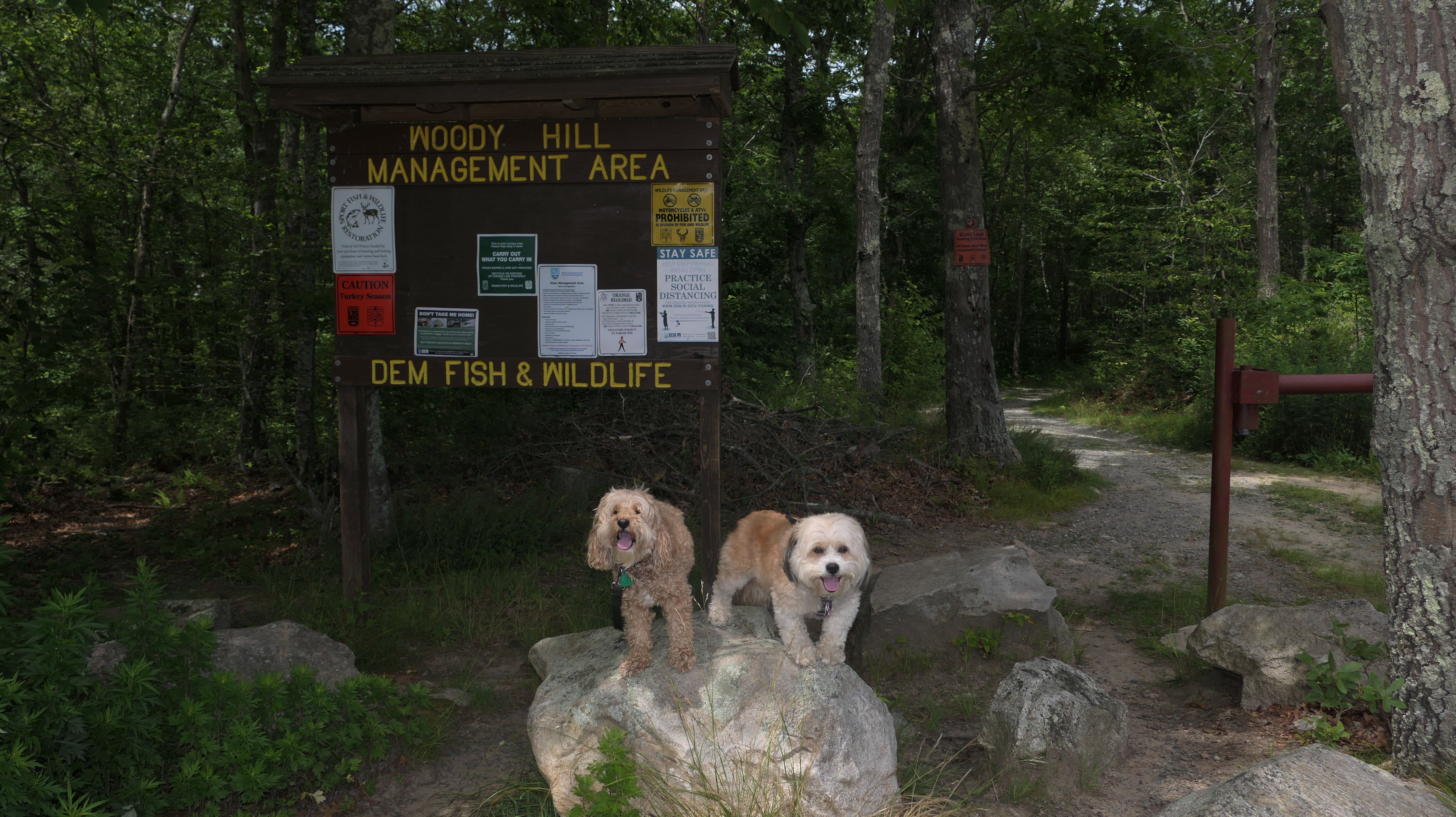
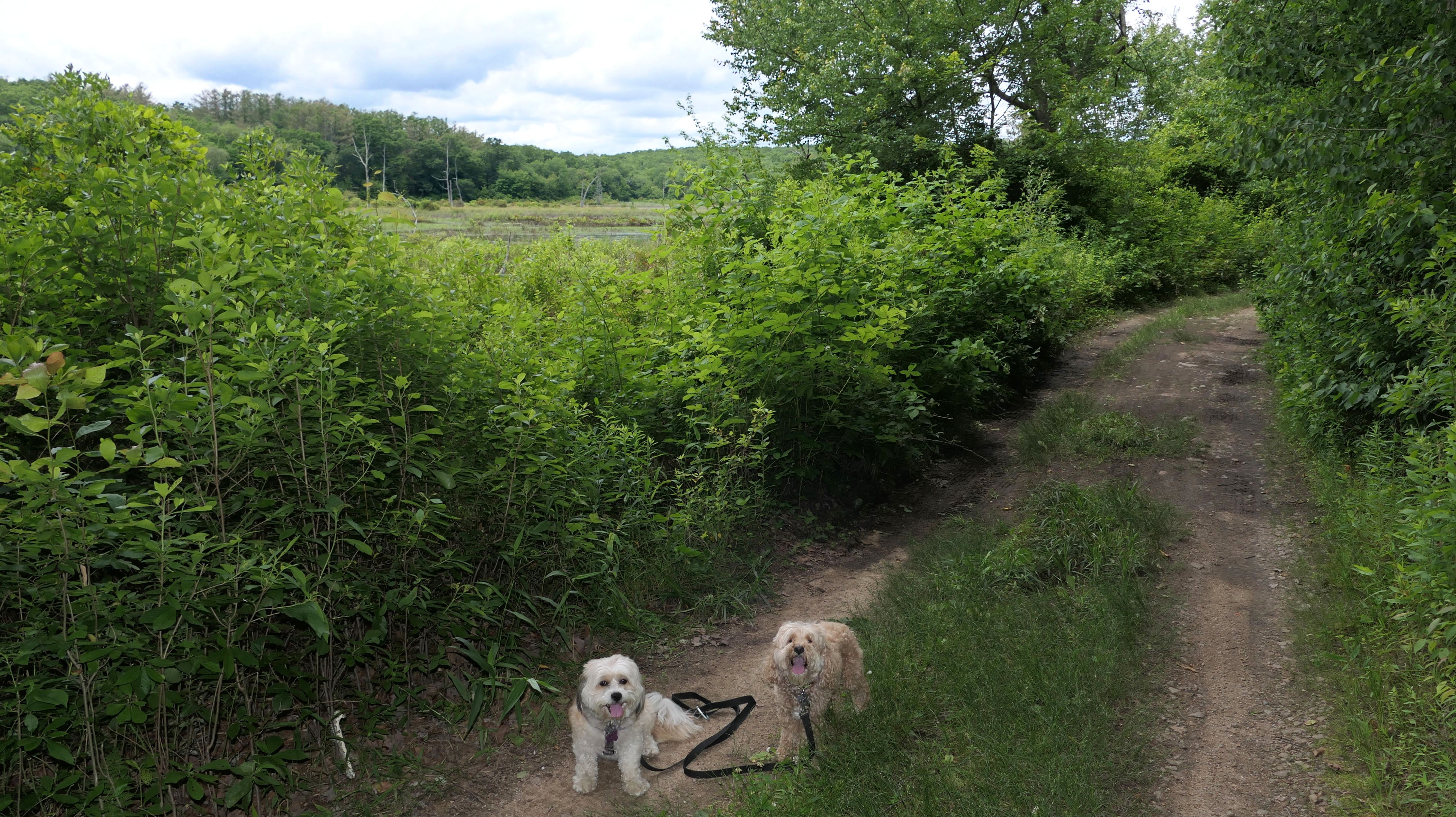
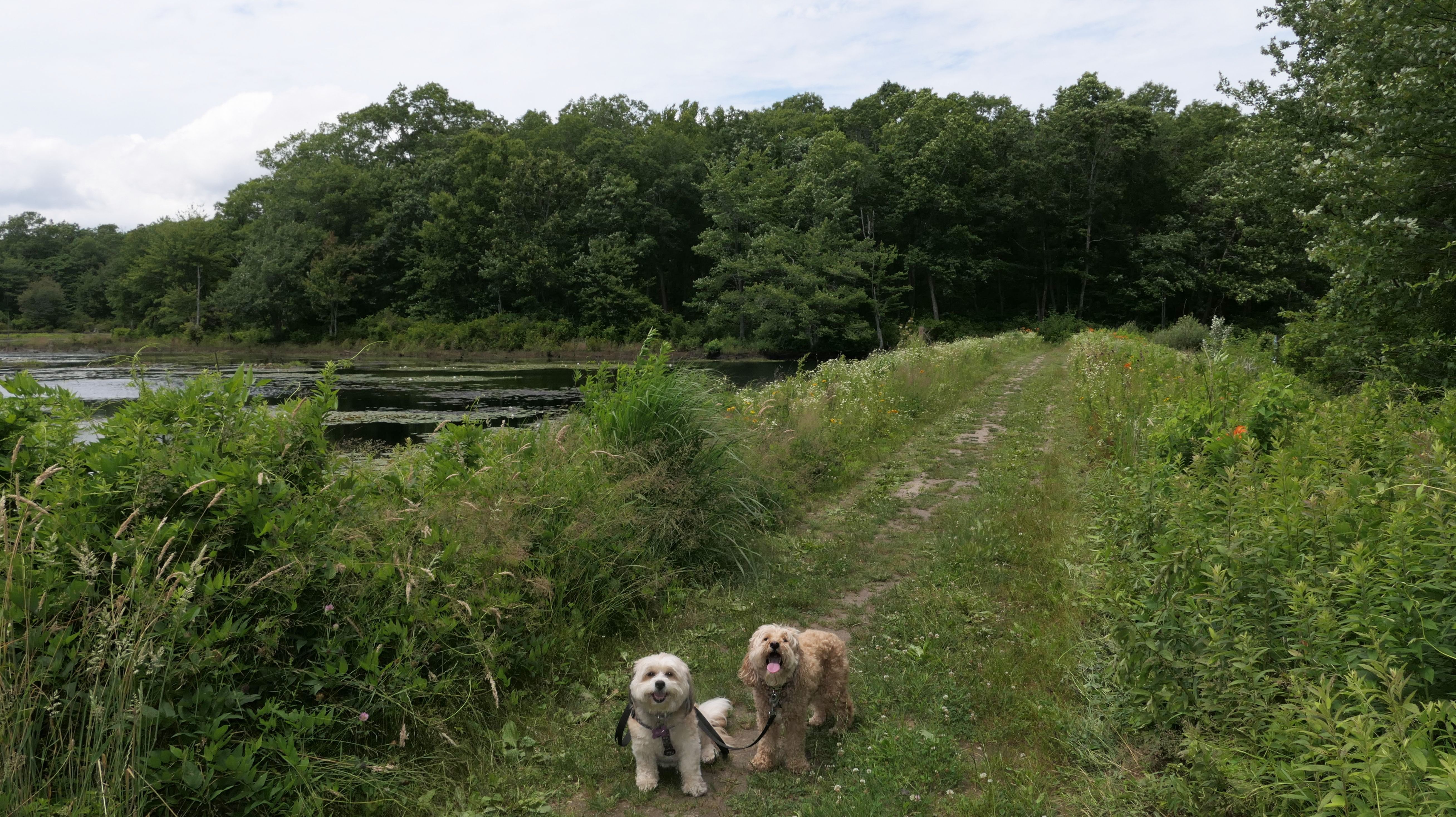
Woody Hill Management Area
Date visited: 7/3/2023
Hunting seems to be huge in this state and this is one of many management areas in Rhode Island. I think the hunting season goes for nine months of the year in Rhode Island. We visited outside of hunting season, but could still here gun fire off in the distance. Aside from hunting, this is a popular area for mountain bikes. Many of the trails here are geared toward mountain biking. As for our hike, we hiked a 2.5 mile loop trail that wasn't very interesting. I was hoping the pond I saw on the map would be better, and that maybe the dogs could cool off in it, but it was more of a swamp than a pond and pretty mucky. The trail was an okay walk in the woods, but not particularly memorable.

More Images


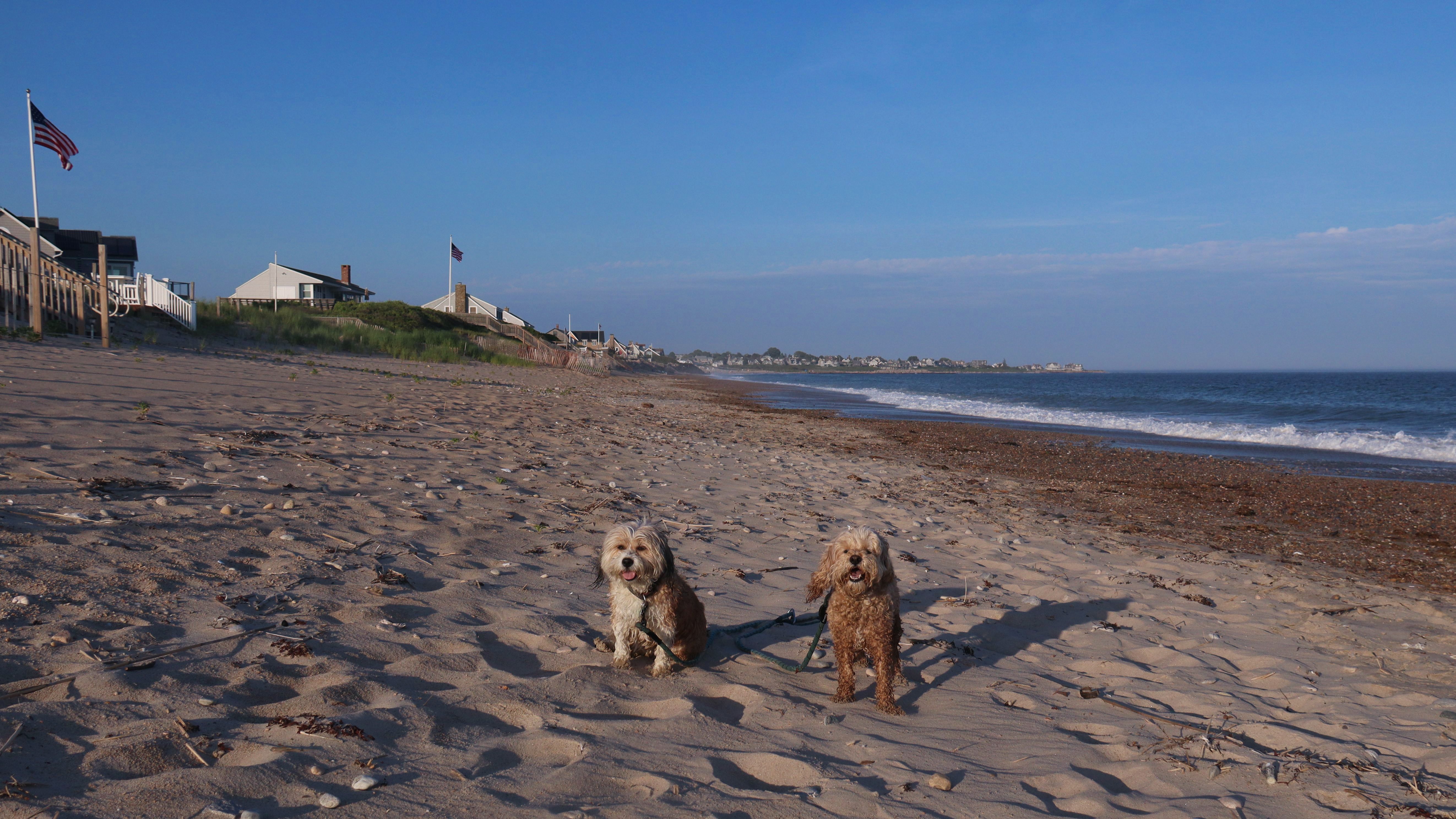
Westerly Town Beach
Date visited: 12/25/2023
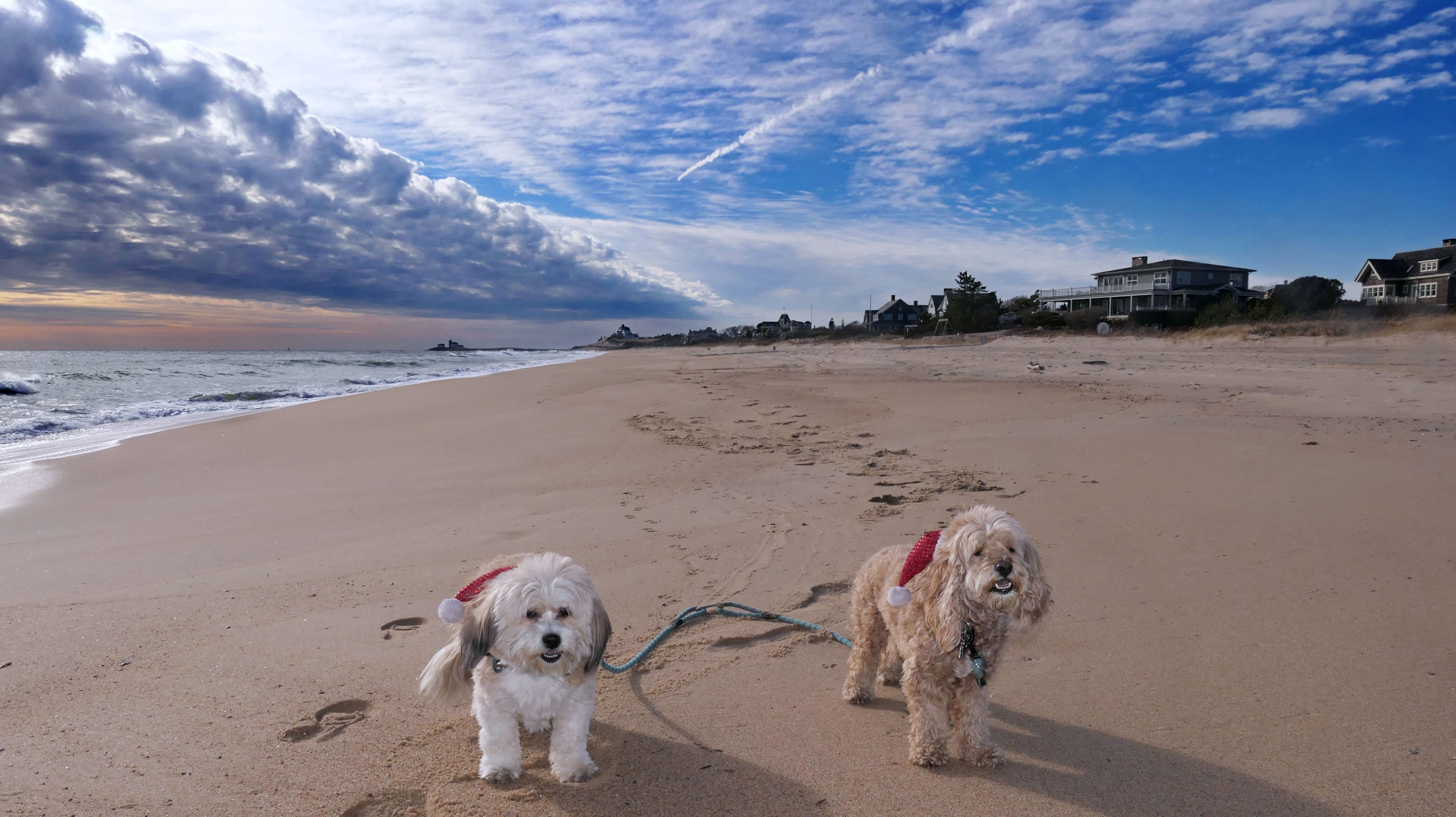
Nothing says Christmas in New England like a trip to the beach! We had a great four mile walk on Christmas Morning. It was damp, dreary, cloudy and foggy in the Hartford Connecticut area, but sunny and near 60 in Westerly. We couldn't park at the main lot since Atlantic Avenue was still flooded from the storm the week before. We parked at Dunes Park just to the west of the breachway, and walked west along the beach. Our route overlapped a bit with a section of the beach we we walked when we were at Misquamicut last year. The dogs were great sports with their Santa hats! And with the hats, we can tell these photos were taken on Christmas and not some day in July!


More Images


Westerly Town Beach
Date visited: 1/8/2026
According to this website, this was only the second time we've visited this beach. That's not entirely true, though, since we've been to the beaches on either end—Misquamicut and Dunes Park—multiple times, with some overlap along the way. Still, about half of our walk covered ground we hadn’t visited since Christmas Morning 2023. This beach is also known as "Wuskenau Beach", and part of it is also known as "Atlantic Beach". I've combined them here since it's hard to know where one ends and the other begins. It was a spring-like day in early January, with inland temperatures nearing 50 degrees and slightly cooler air along the shore. It turned out to be a perfect afternoon for a sunny beach walk, and Mandy and Lexi thoroughly enjoyed letting loose for a while. I'm still getting the hang of my new camera, but most of the photos came out well. It was wonderful to get outside on such a nice day before winter settles back in.


More Images


Westerly Town Beach
Date visited: 6/12/2026
Dogs are allowed on the Westerly Town Beaches after 6PM during the summer months, and after a few really hot and muggy days, it was nice to have a place to bring Mandy and Lexi. We started at the fishing area access near Dunes Park Beach and walked along the beach about a mile and a half to the main Town Beach access point before heading back the same way. While we've walked parts of this route in the summer before, this was the first time doing the whole stretch when it wasn't winter, and it definitely felt different on a hot day. It was high tide with large waves that were actually pretty refreshing when we let them hit us. We like checking out new places, but on days like this, we tend to stick to familiar spots where the dogs can stay cool and still get a safe, easy walk.


More Images


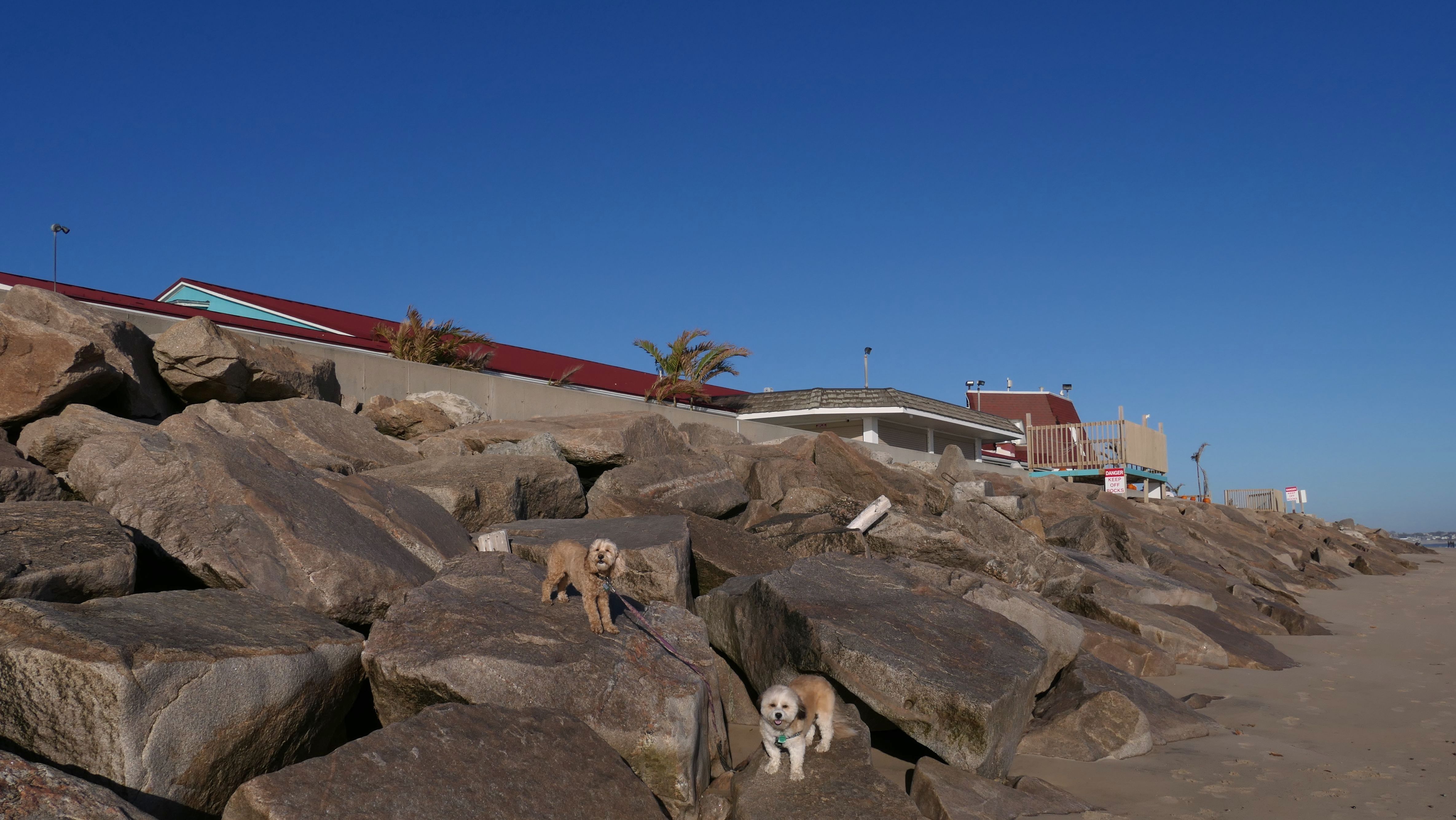
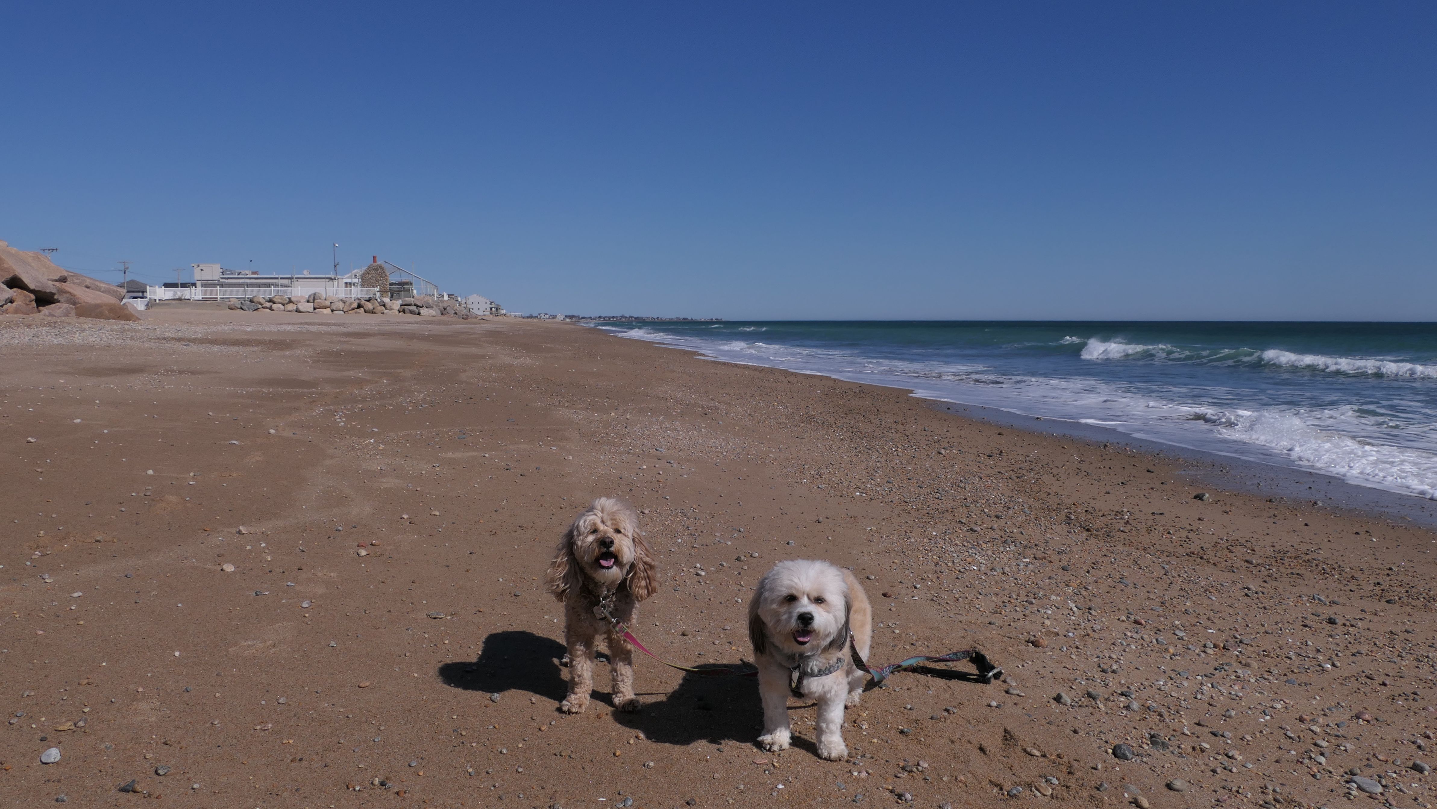
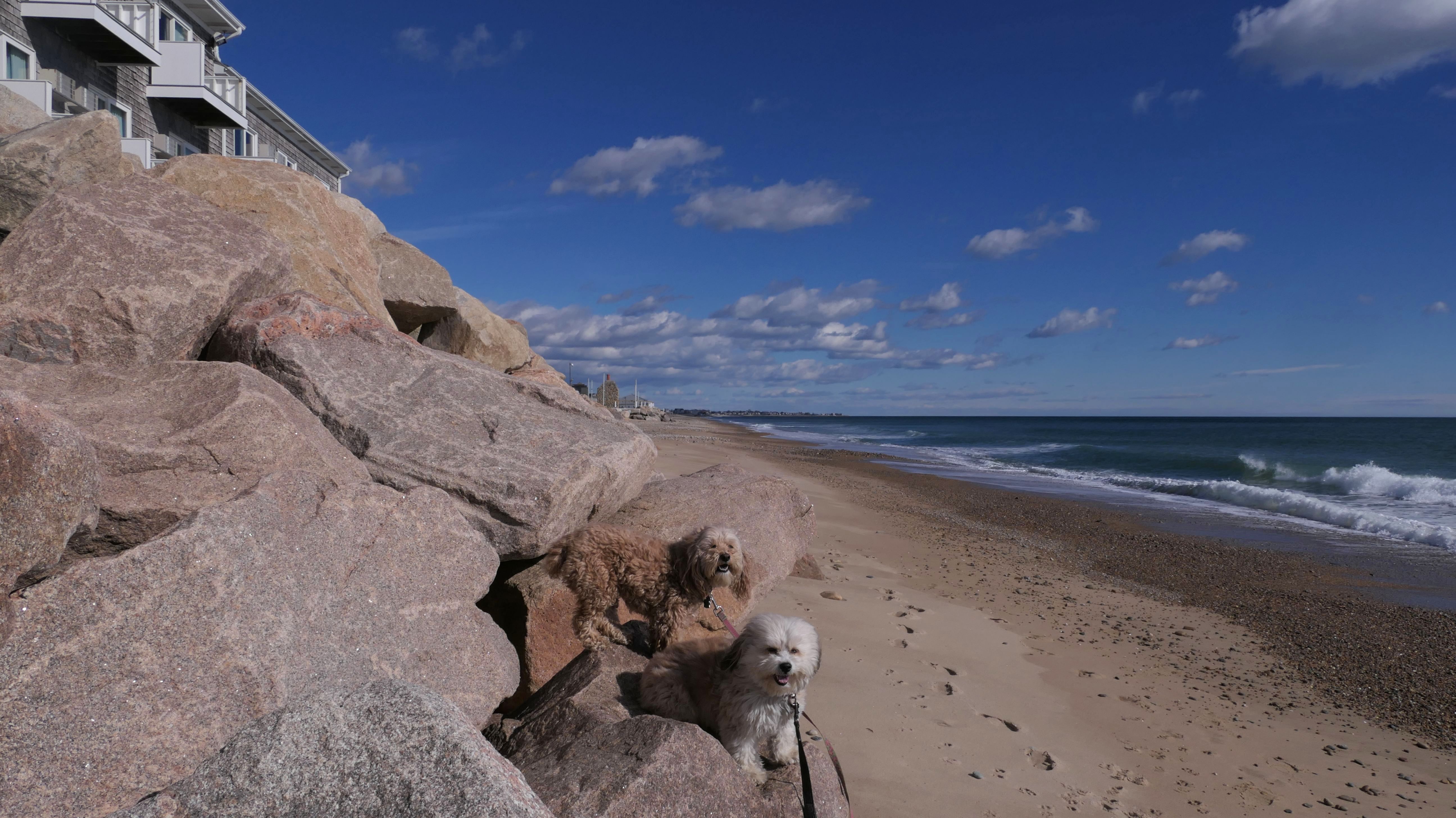
Misquamicut Fire District Beach
Date visited: 3/12/2024
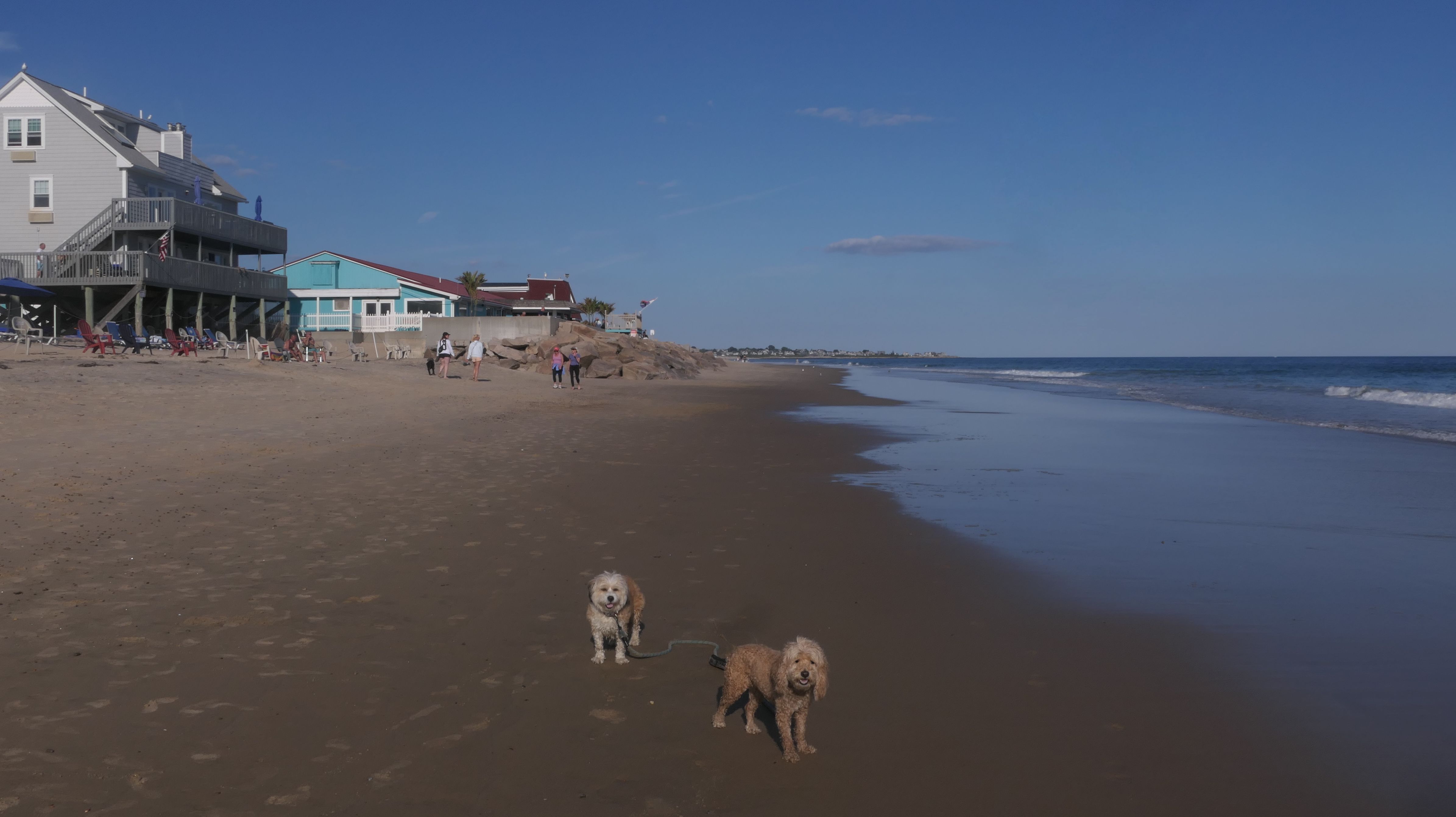
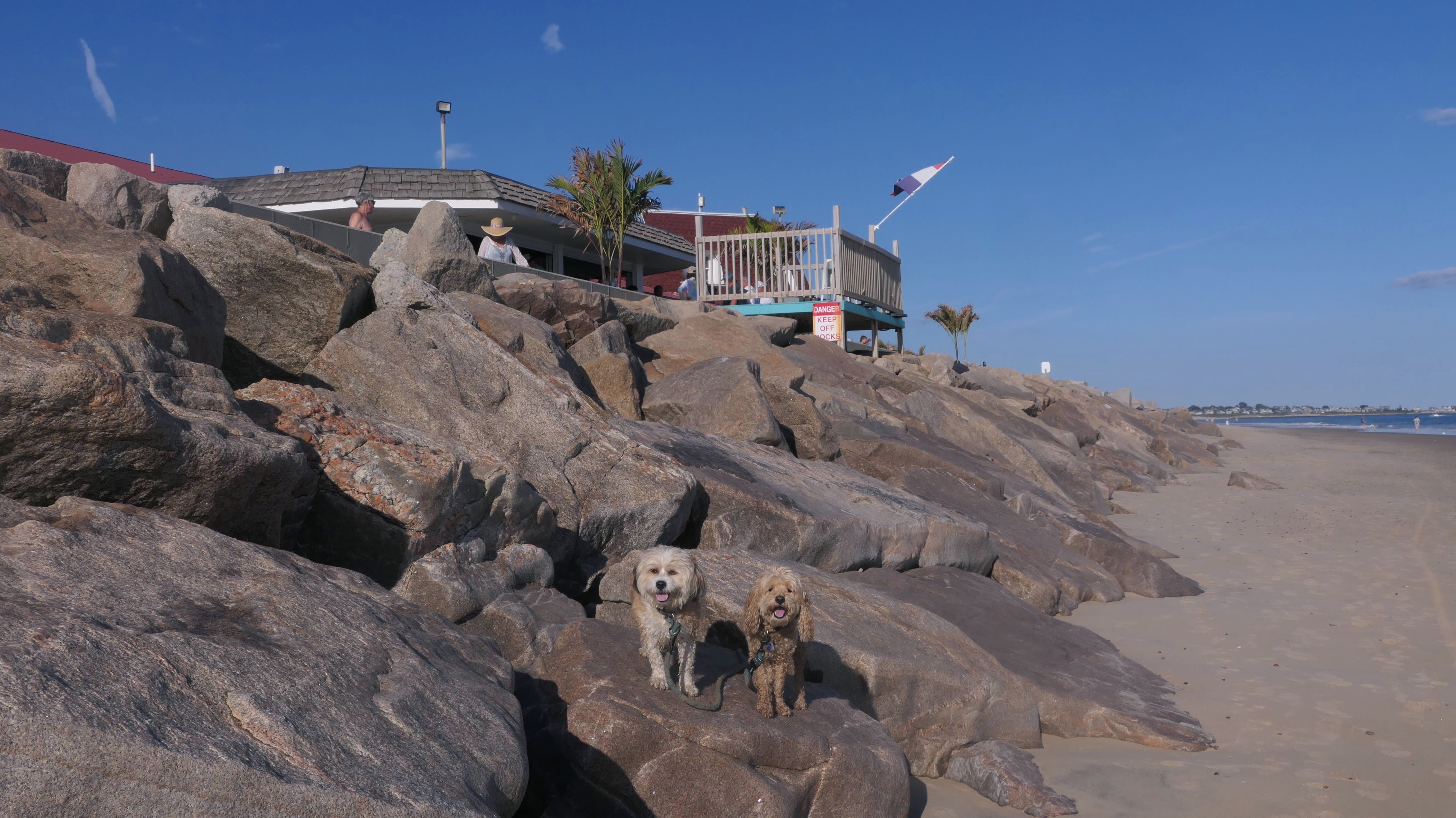
This was the last stop on our Westerly Beach adventure this day. After walking from East Beach, we hit this beach, direct to the west of Misquamicut State Park. This area is a "private beach", for the residents of the Misquamicut Fire District and their guests, but not really, as all of the shoreline in Rhode Island, up to ten feet passed the high tide line is considered public property. This isn't a large area, and leads directly to the state park. After our brief walk here, we took a break and stopped for some water, before heading back to the Watch Hill area the way we came, walking over 5 1/2 miles in the process.


More Images


Misquamicut Fire District Beach
Date visited: 2/4/2025
Our second visit here was on a very breezy day in early February. We actually started at the state beach, and headed west to the town beach. We walked the length of the beach, and also walked through the surrounding neighborhood as well. After circling back, we walked a bit of the state beach too for some added steps.


More Images


Misquamicut Fire District Beach
Date visited: 9/11/2025
This was a continuation of our walk that started at Misquamicut State Beach. It was low tide, so we could walk on the ocean side of the rocks at the western end of the beach, right before it connects to East Beach.

More Images

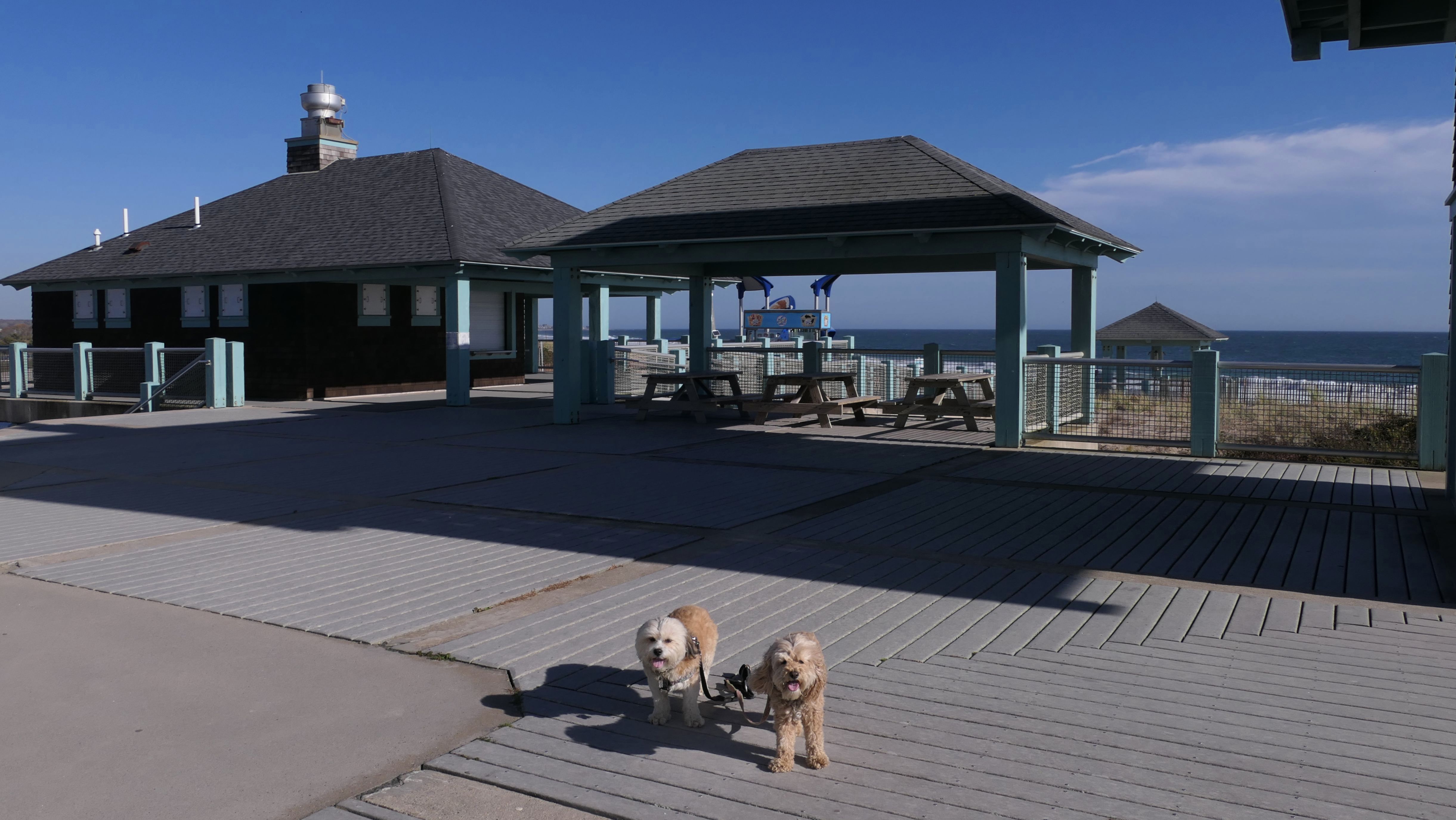
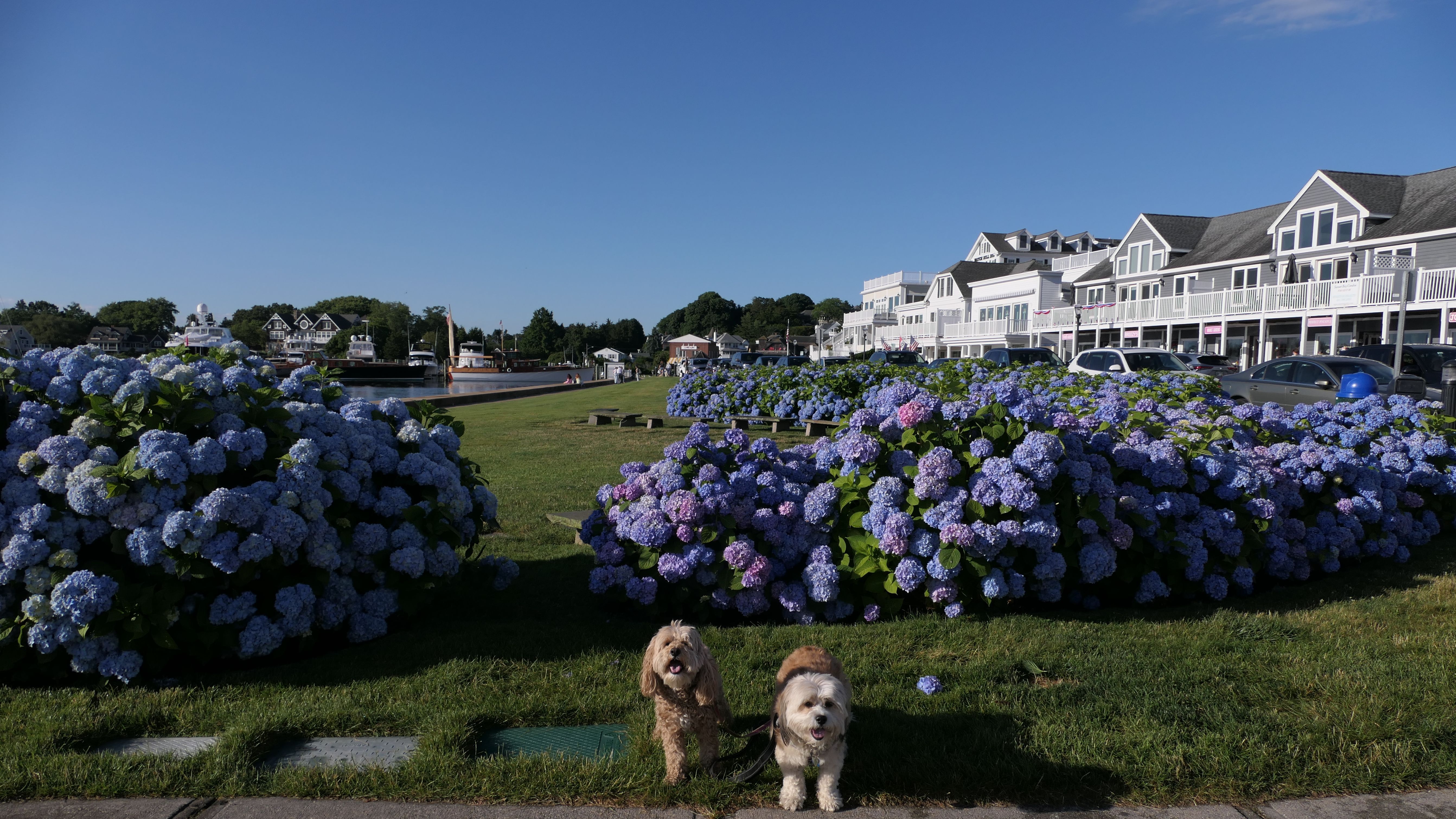
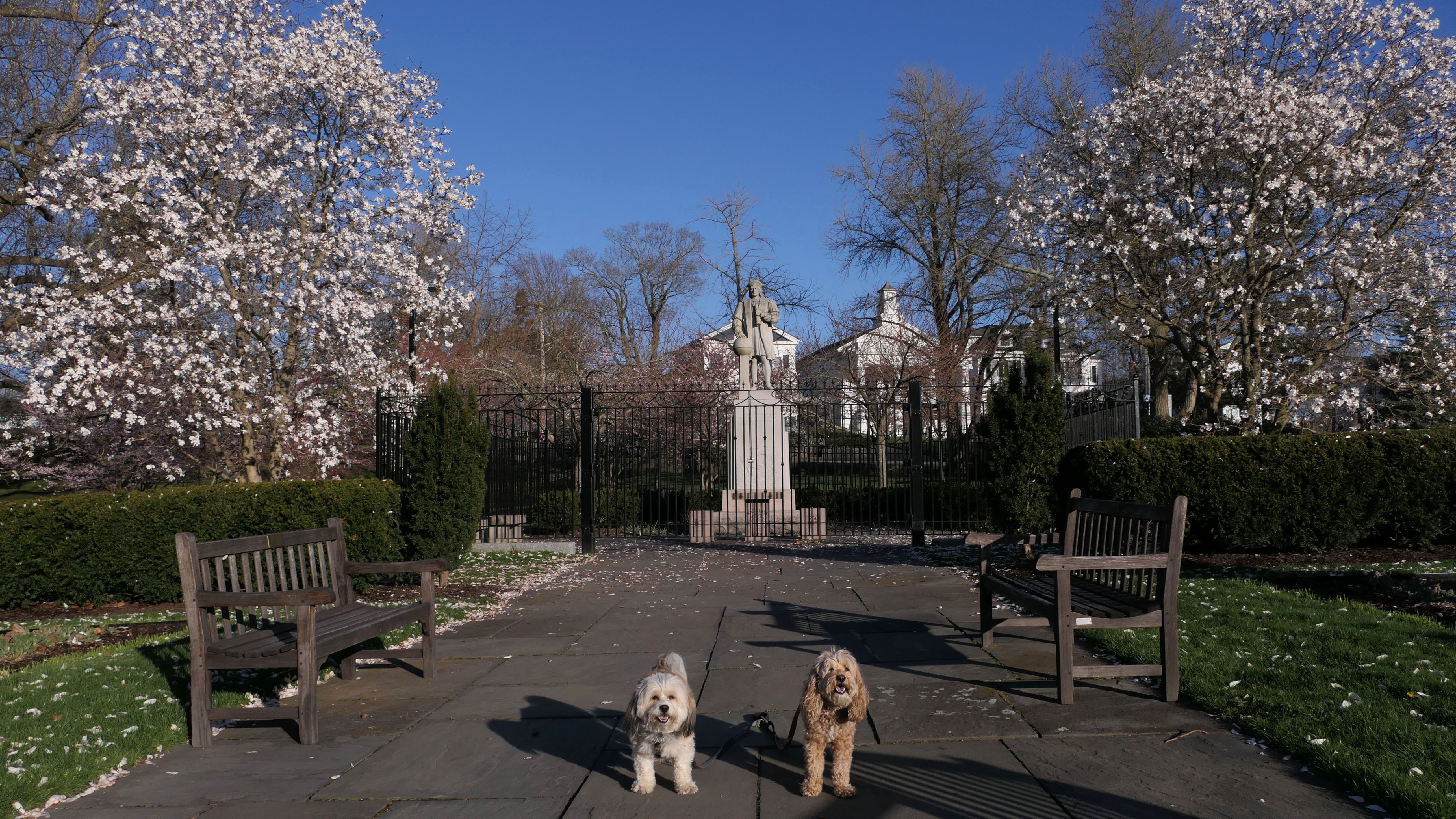
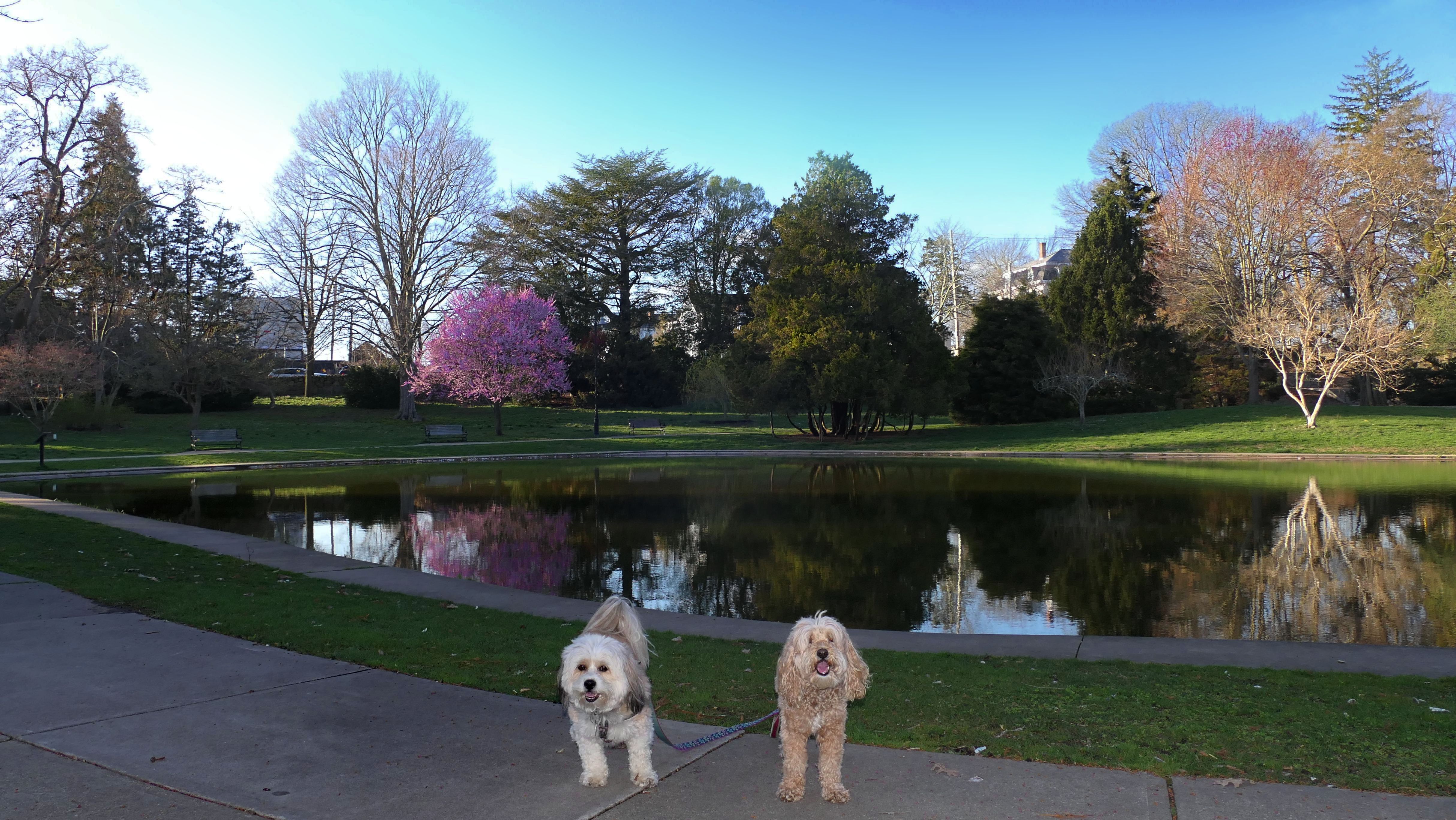
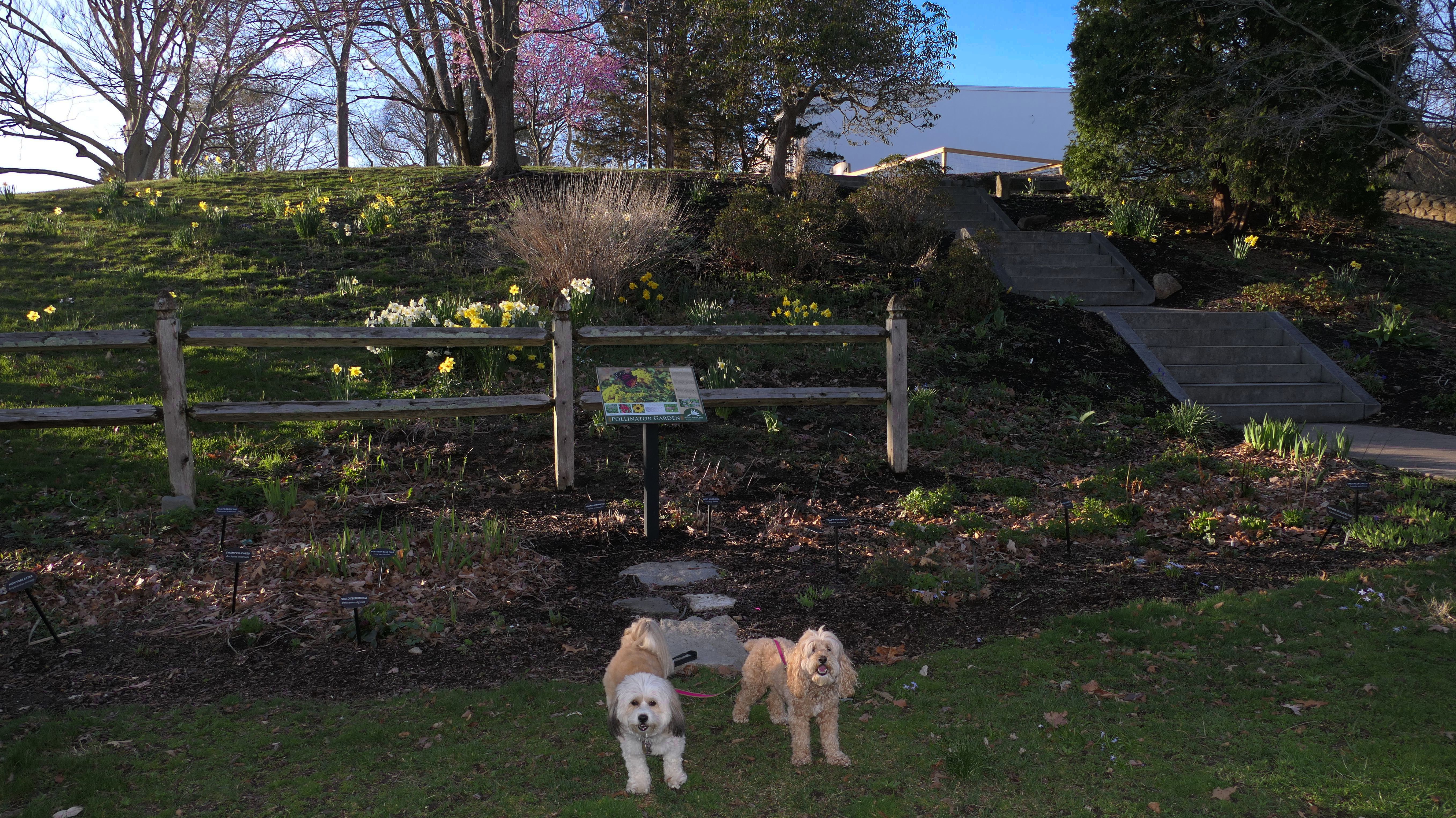
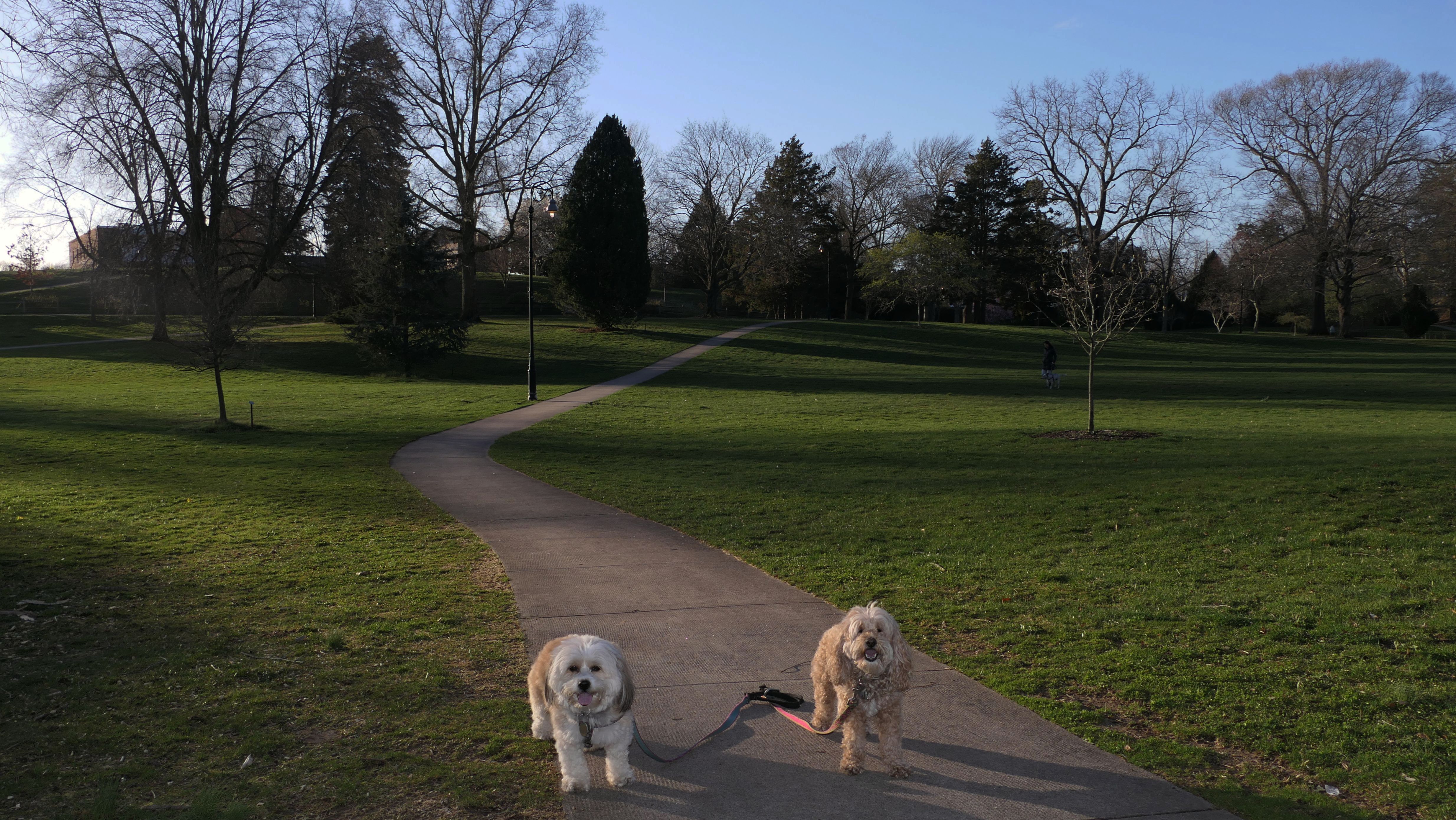
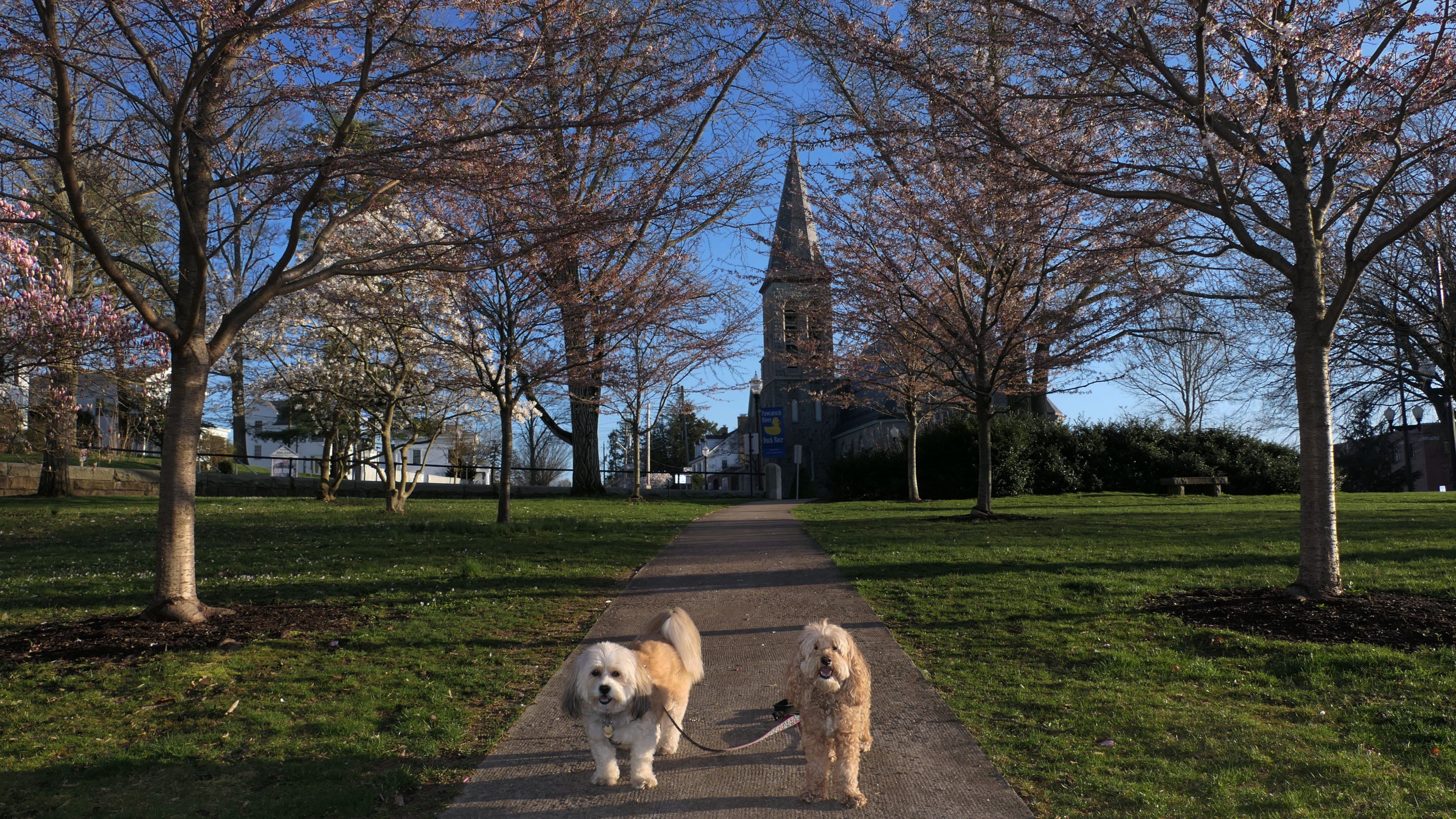
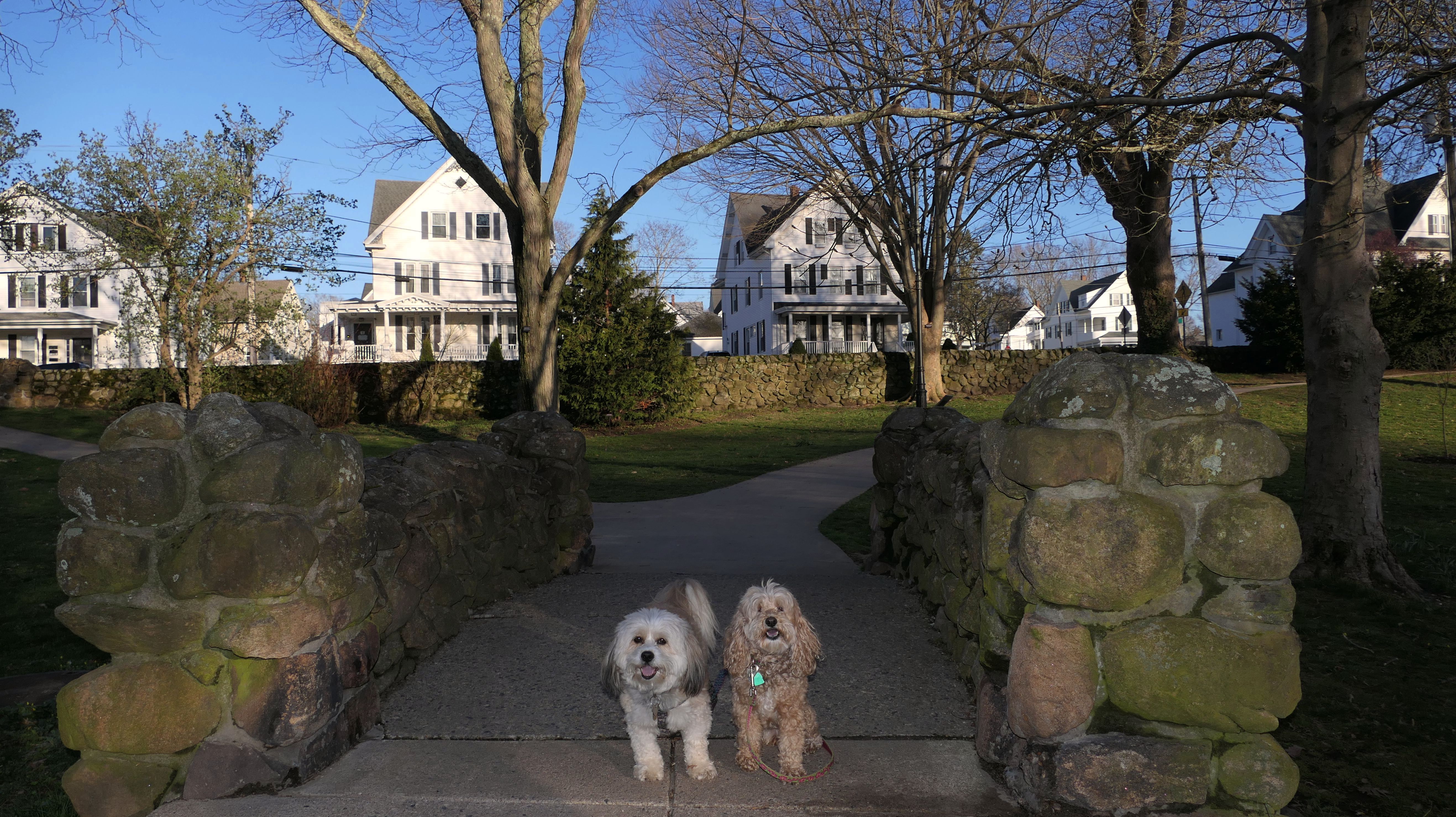
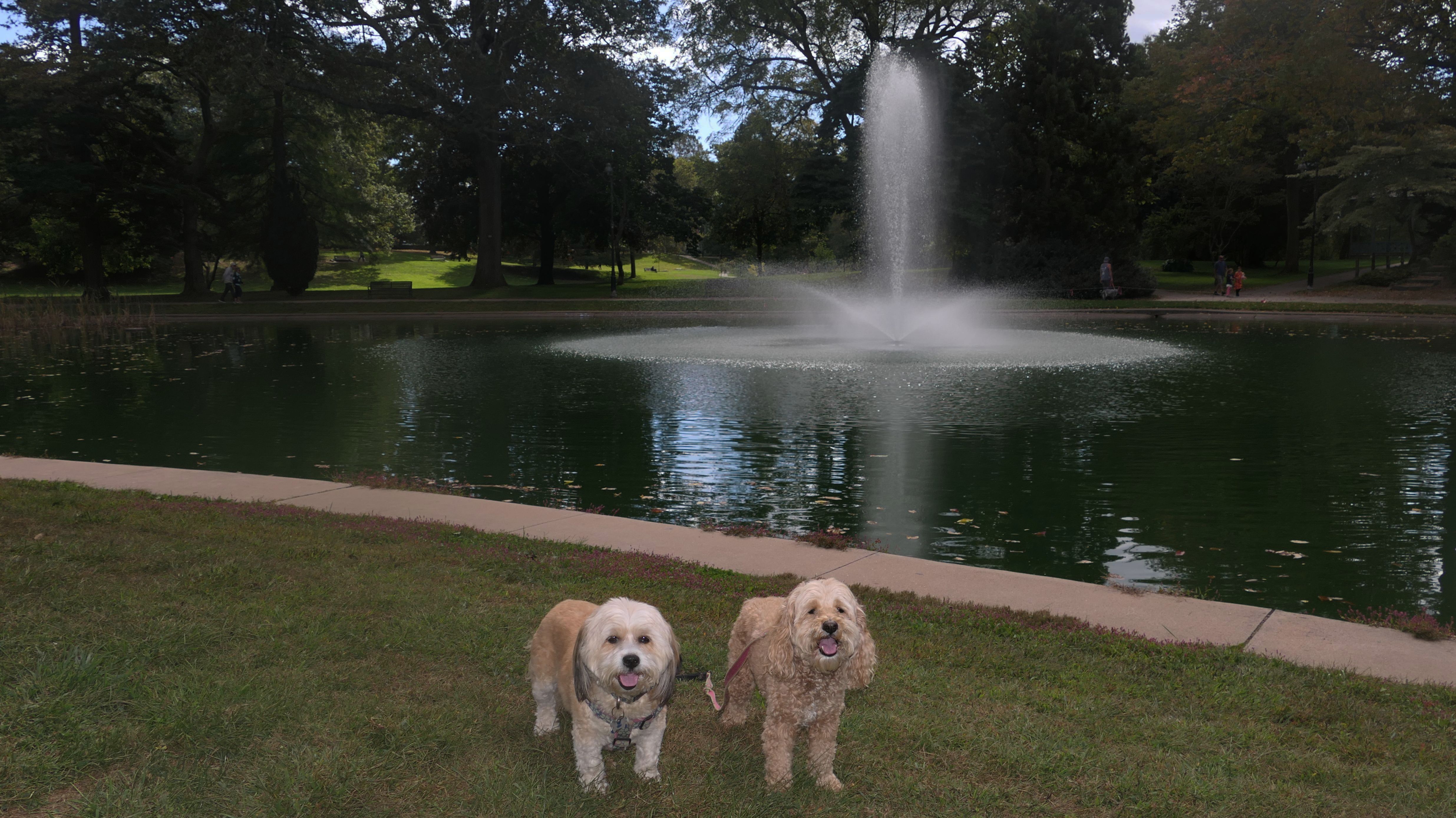
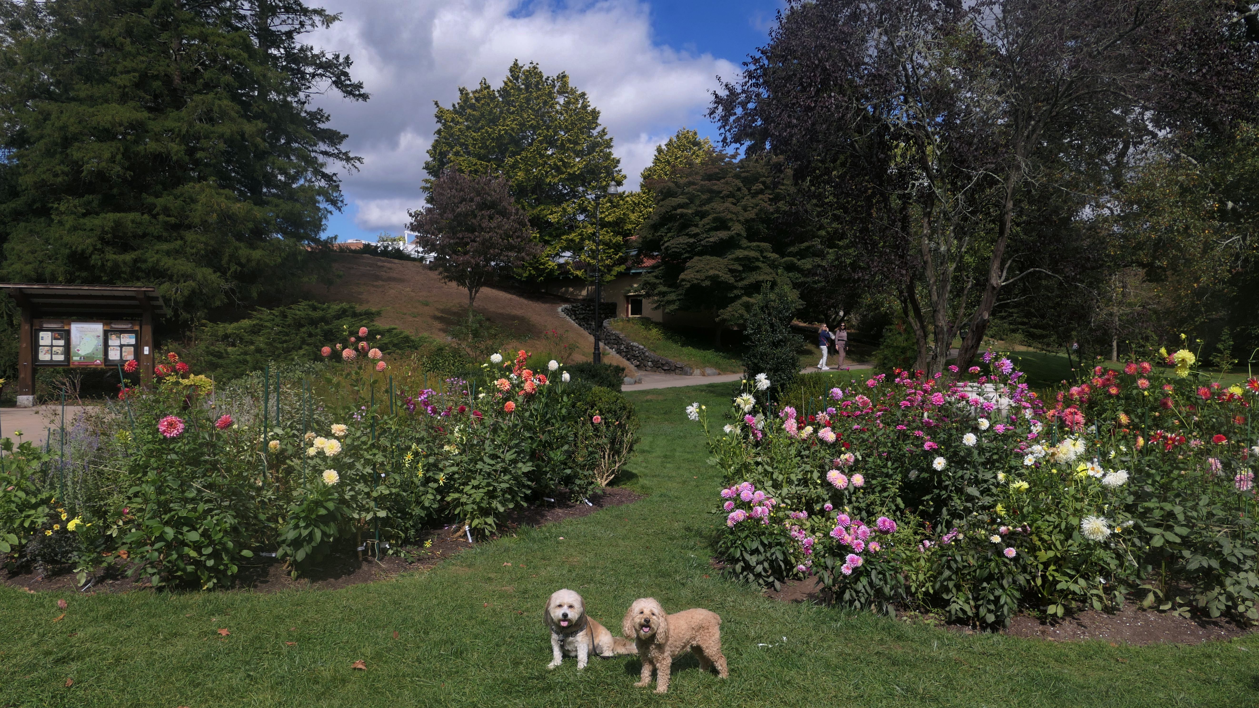
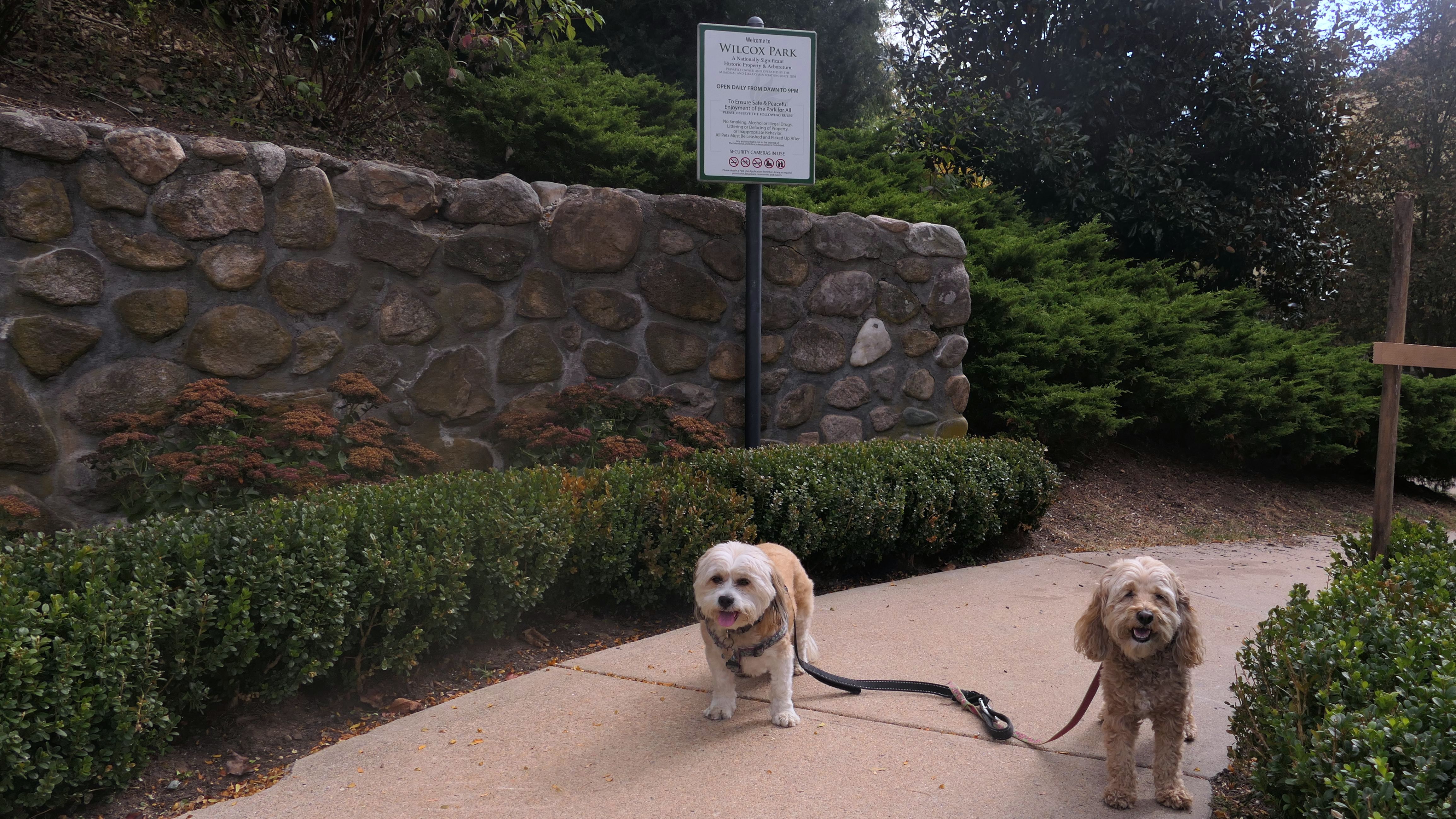
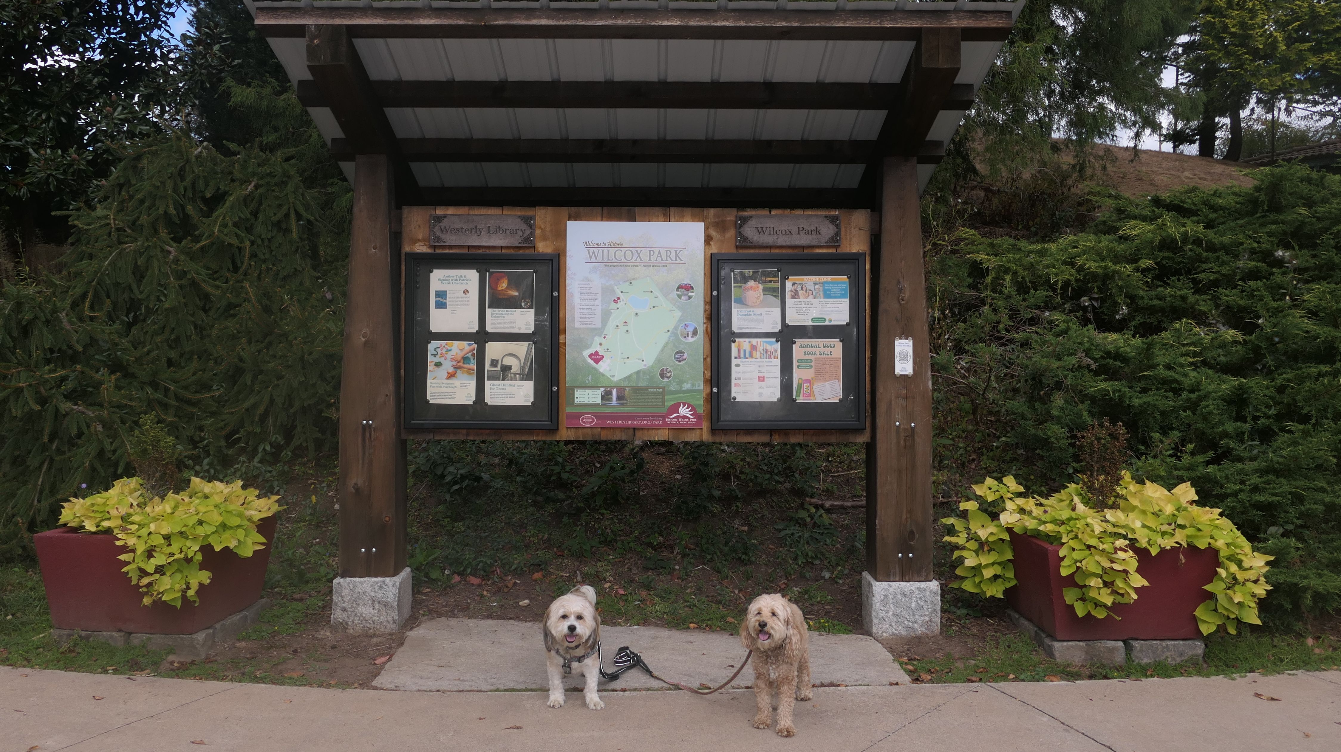
Wilcox Park
Date visited: 4/12/2024
It's hard to believe with all the trips we made to Rhode Island over the last few years, that we haven't been to this park yet. This is a beautiful park, in the historic downtown section of Westerly. This area is just over the Pawcatuck River bridge, that connects Westerly to the Pawcatuck section of Stonington, CT. The park is privately owned by the Memorial and Library Association of Westerly. It looks really wonderful in the spring time, with all sorts of trees and flowers blooming. In addition to the pictures in the park, some pictures below are from the area immediately surrounding the park. We lucked out with the weather. It had poured all day, even during our drive here, but by the time reached the park, there wasn't a cloud in the sky. This was a fun walk on what turned out to be a beautiful spring evening.


More Images


Wilcox Park
Date visited: 10/6/2024
We returned to this park about six months after our first visit. It was "Sunday Fun Day" in downtown Westerly, but there wasn't much for us to do there, so we walked around this park while waiting for my wife, who was checking out one of the shops.

More Images

Watch Hill Beach
Date visited: 4/12/2024
This is a small beach, wedged in between Napatree Point Conservation Area and the Watch Hill Lighthouse. I'm pretty sure this is a "private" beach for Watch Hill Association members. There is an entrance near the carousel that is completely closed off and gated in the off-season. We reached the beach via a short trail from Napatree. The waves were absolutely ripping, as it had stormed most of the day and was still very windy at the shore. We came here after our Wilcox Park adventure, and arrived just in time to enjoy a beautiful sunset. On our walk back, the dogs decided it was playtime. They seem to enjoy the beach so much!


More Images


Watch Hill Beach
Date visited: 2/24/2025
Lexi had a vet appointment, and I had to get the battery replaced in my car, so I didn't have time to plan an adventure for this mild spring-like day. We got off to a late start, so we just came to Watch Hill and walked around the town, including this beach. You really can't go wrong with Watch Hill! We once again accessed it via the connecting trail from Naptree Point. After this, we headed to the lighthouse.
More Images

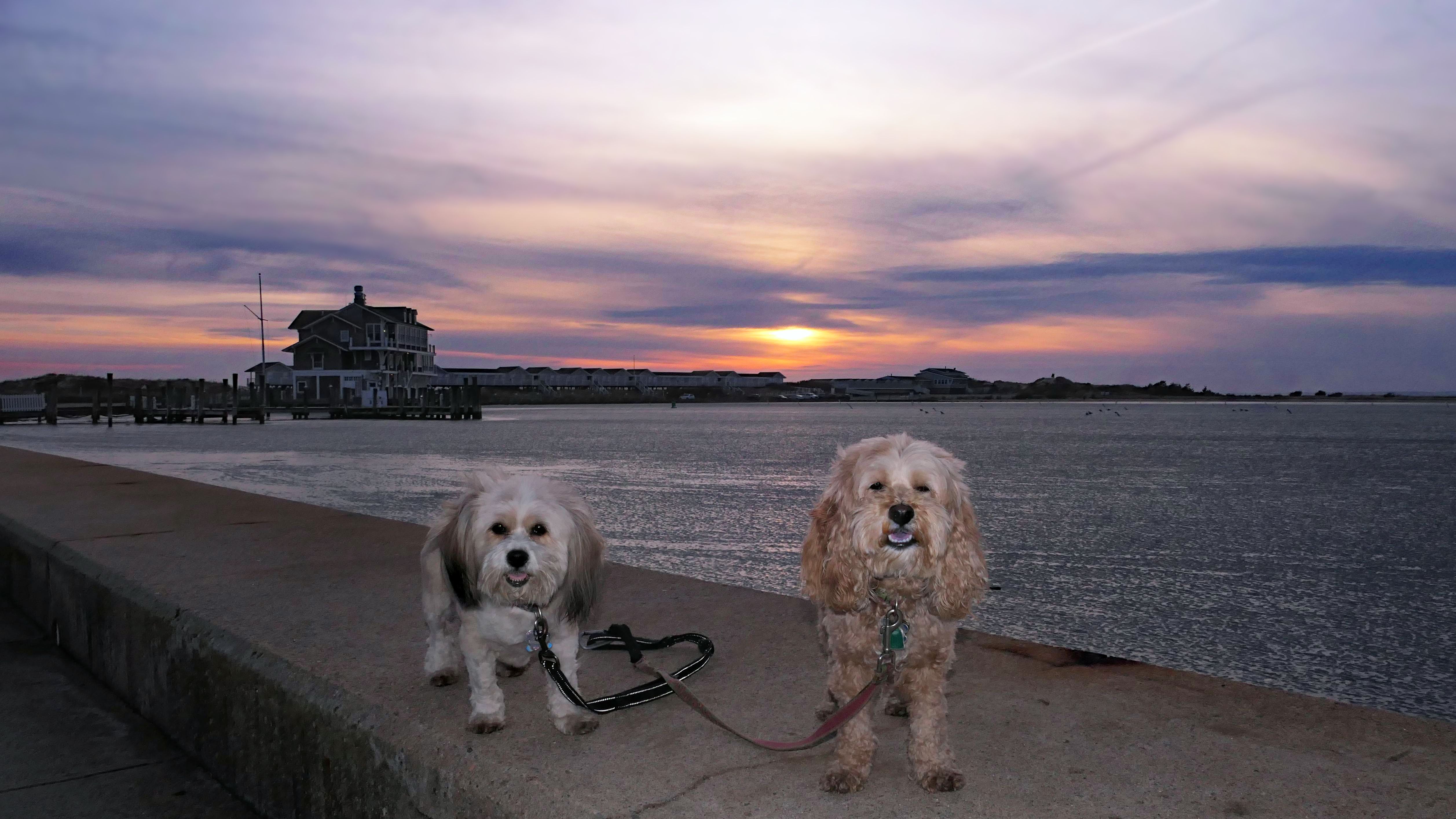
Watch Hill Beach
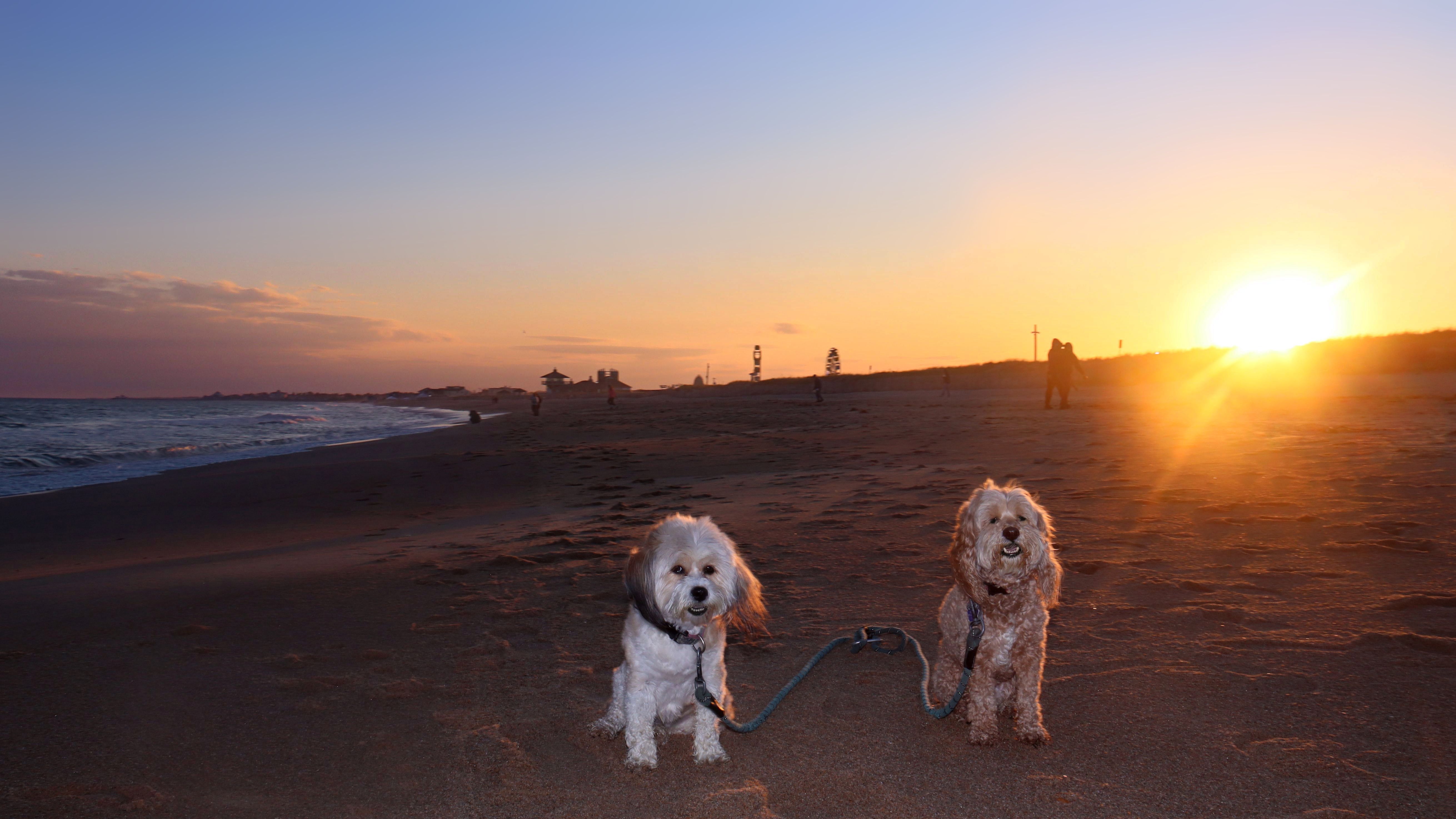
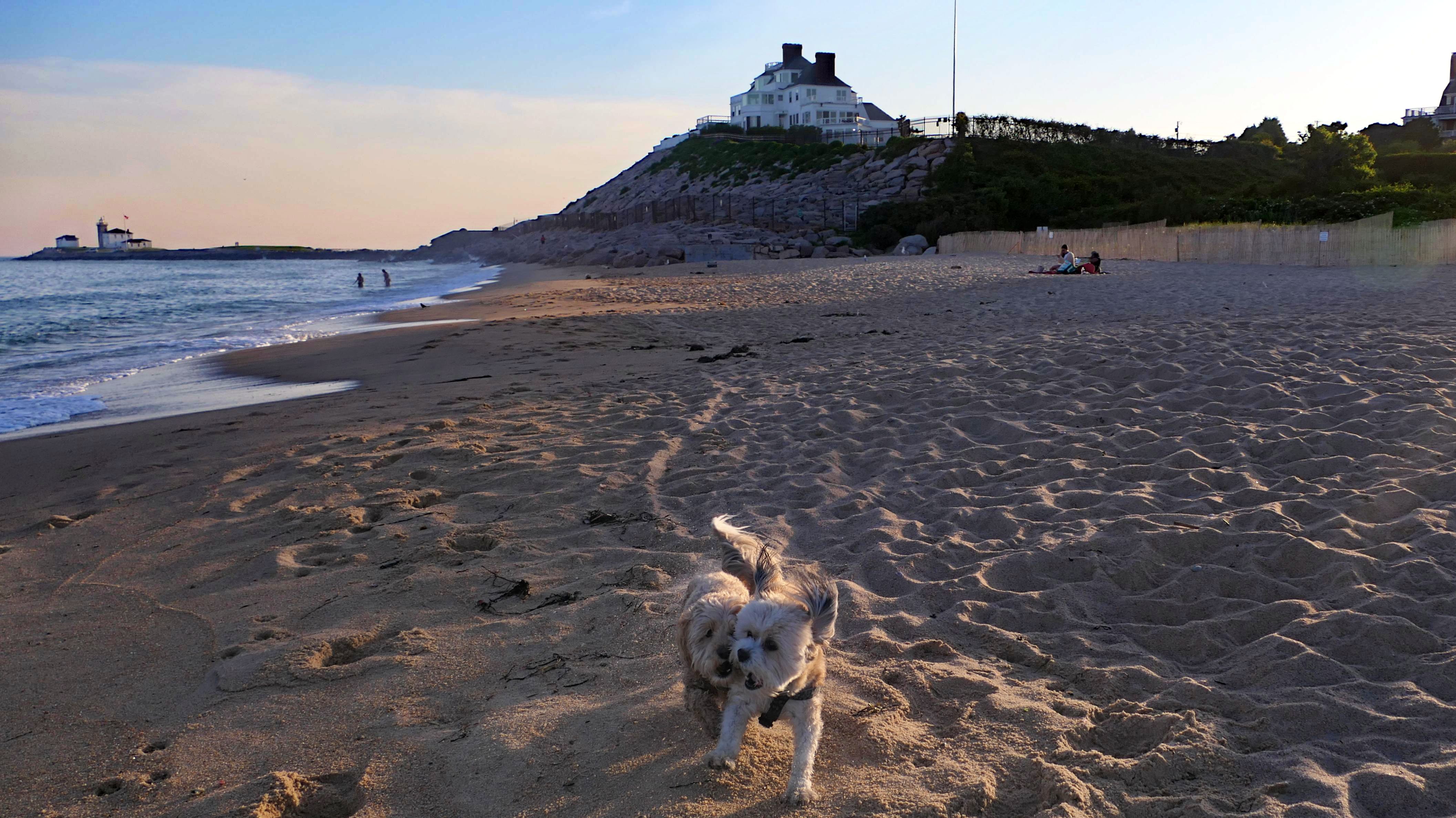
Date visited: 9/26/2025
We made it here after work just in time for a beautiful sunset! It gets dark early now, so this is likely the last time this year we'll make it down to a Rhode Island beach after work. It was a warm, summer-like day, and I'm glad we were able to enjoy at least a little bit of it with such beautiful scenery. We stayed at this small beach until the sun was completely set, and then went on a twilight walk at Napatree Beach, walking a bit over three miles total on this wonderful early autumn evening.


More Images


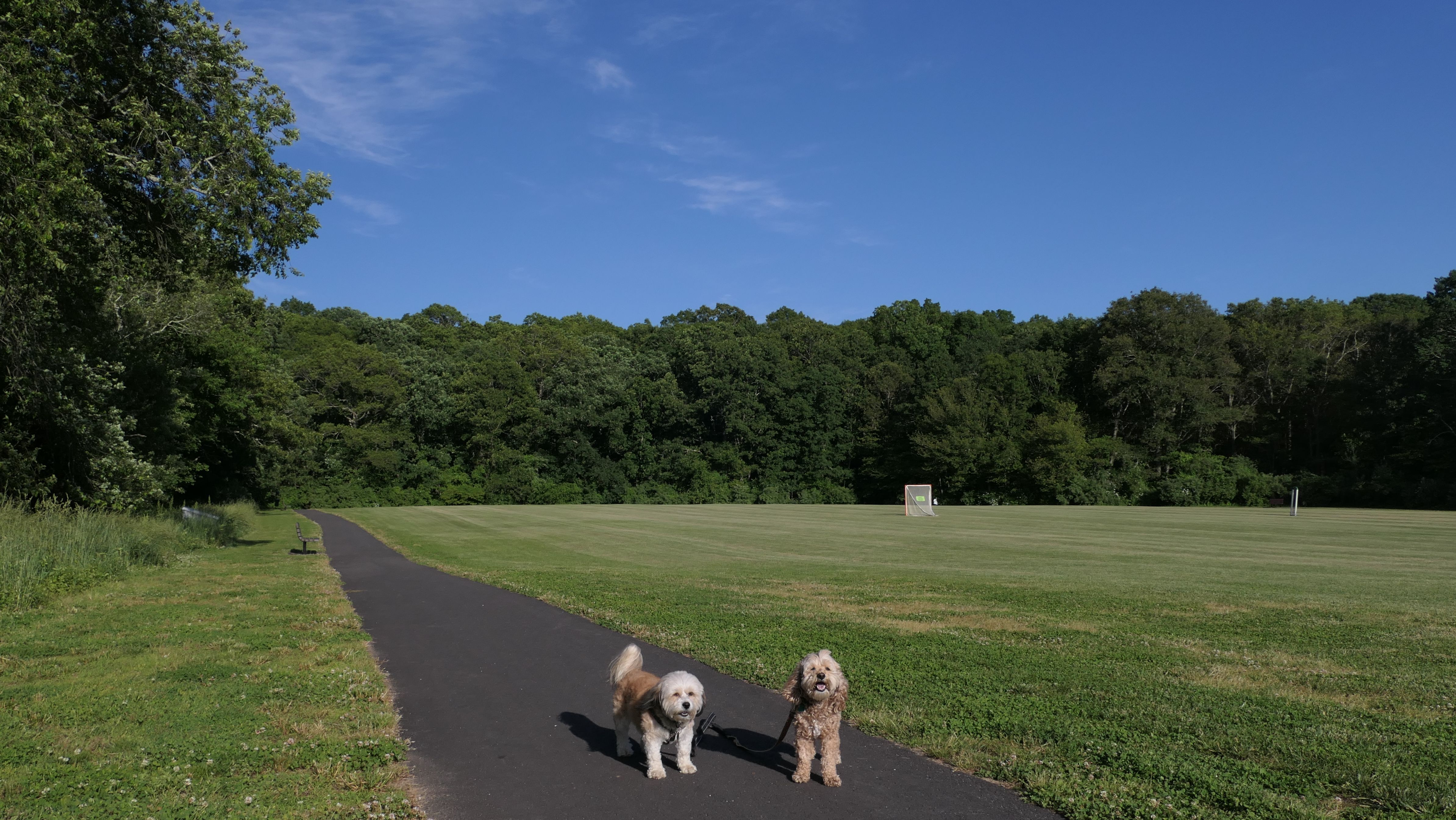
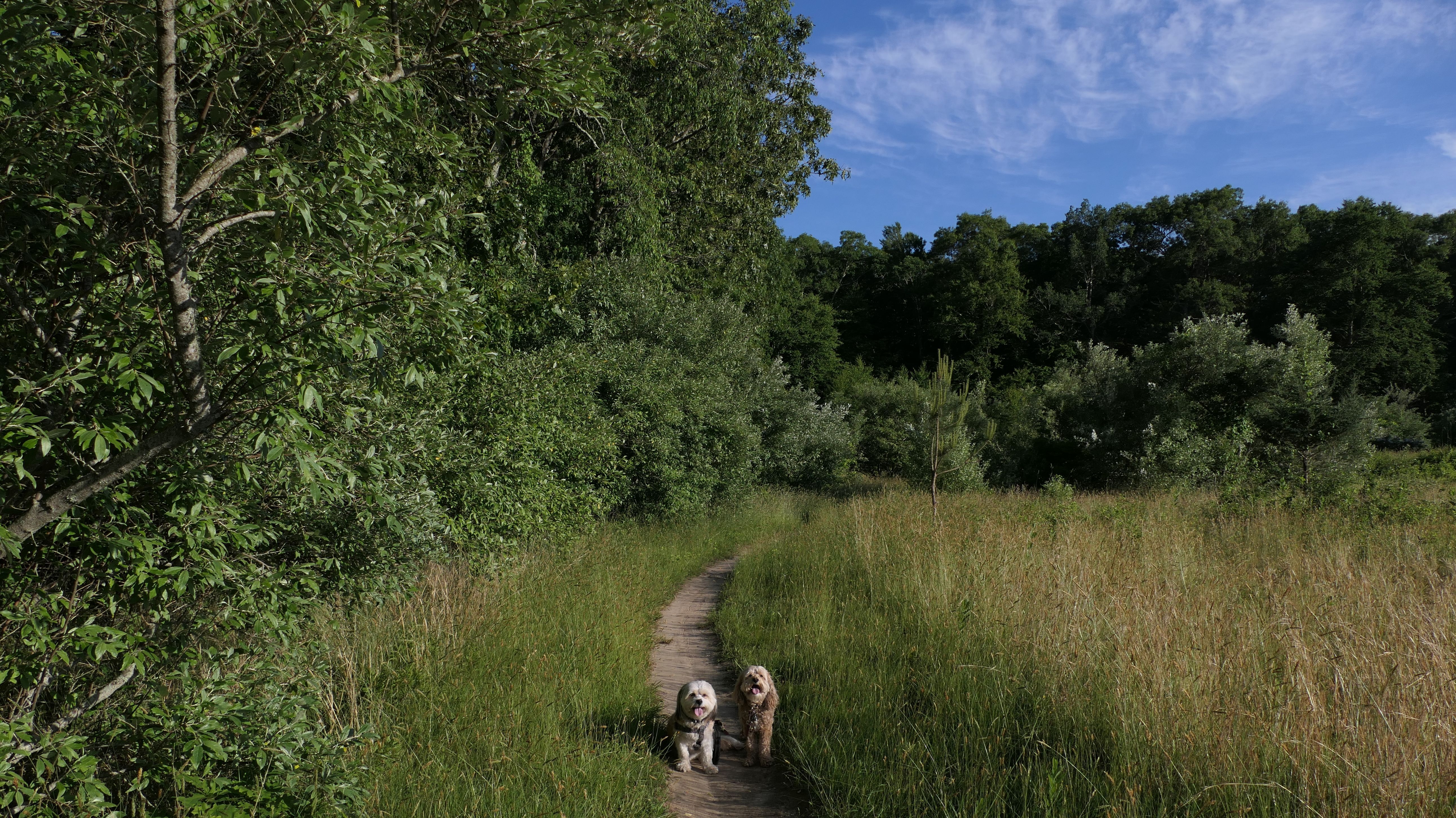
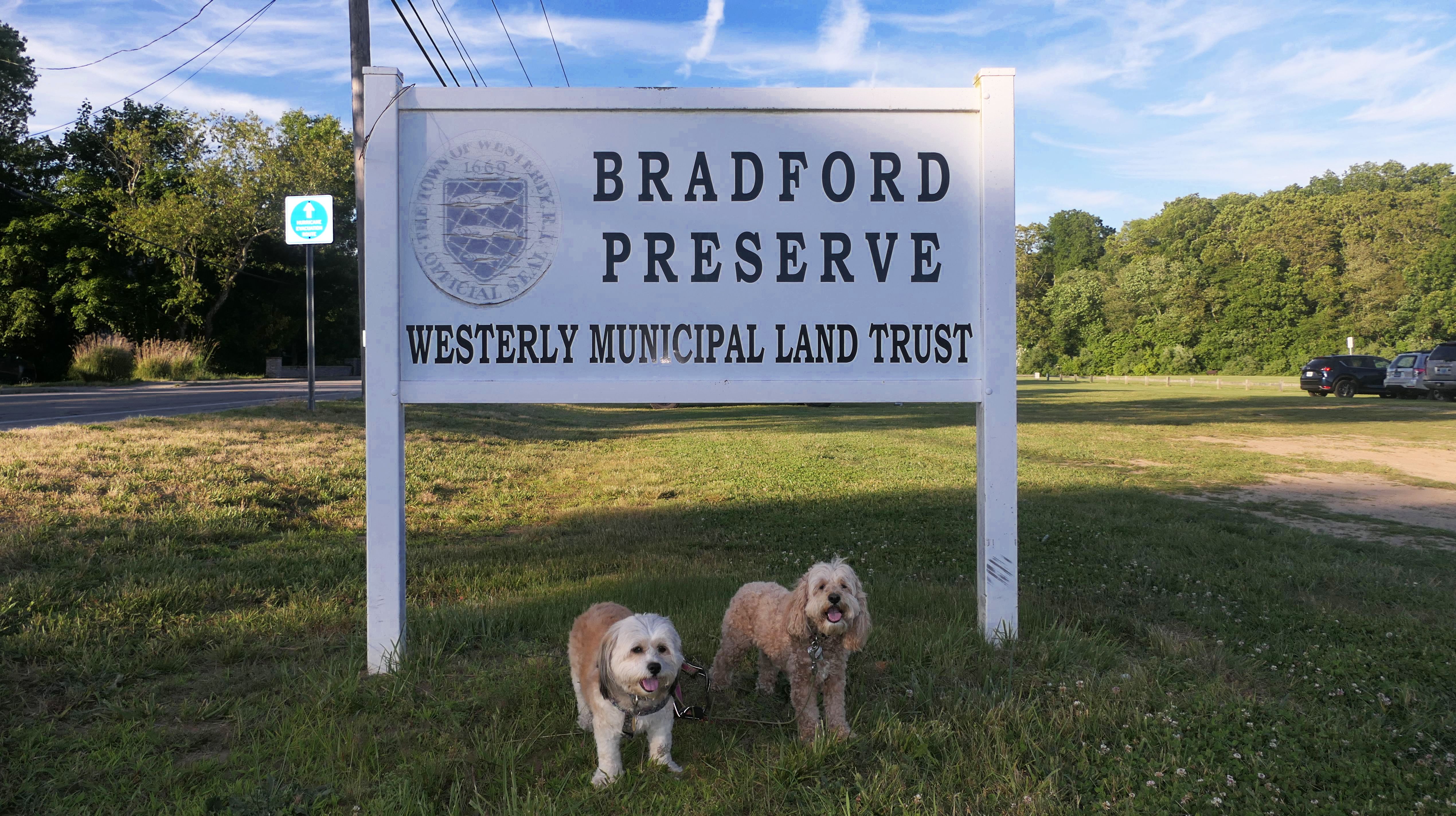
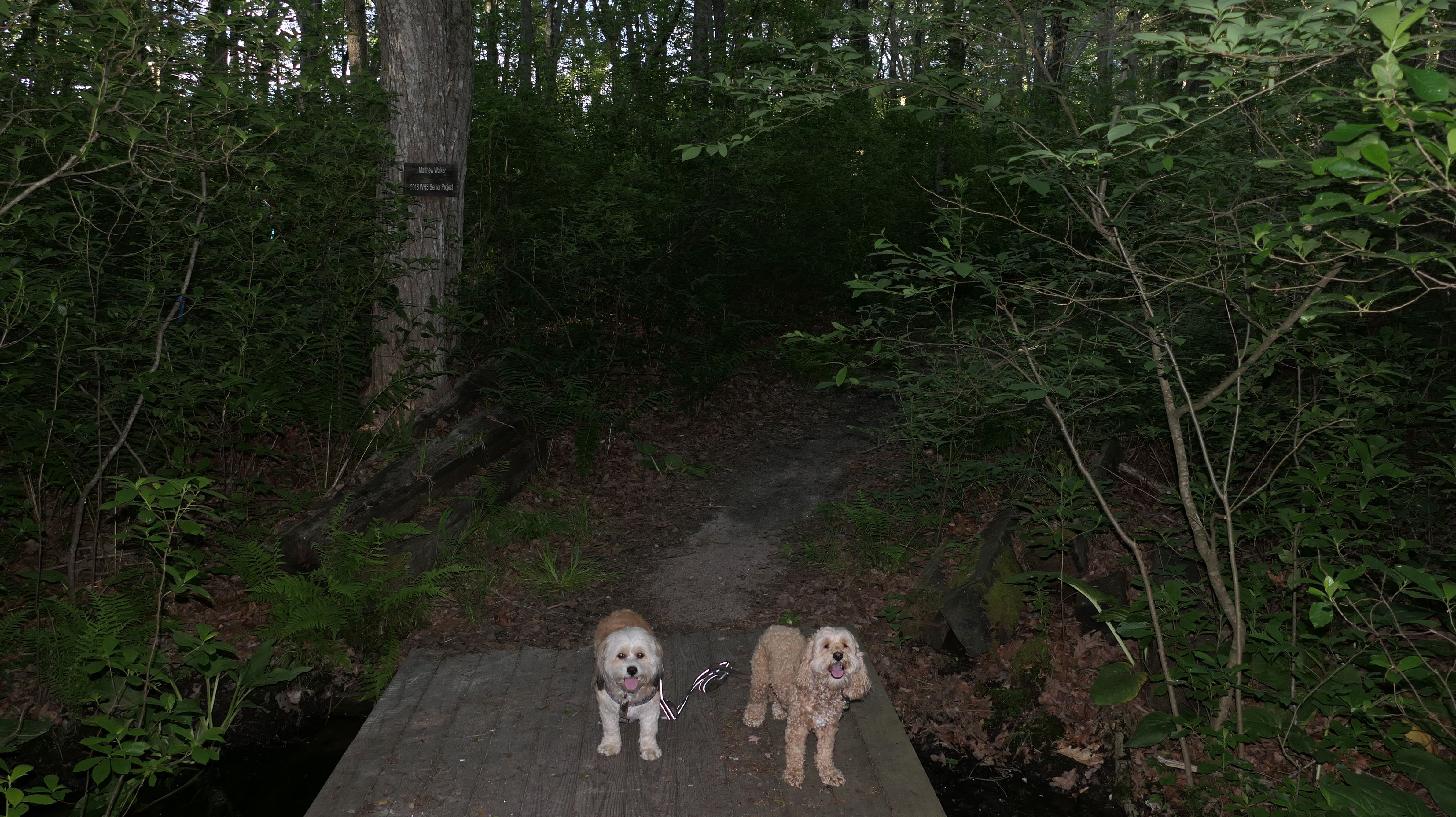
Bradford Preserve
Date visited: 6/12/2024
This is a nature preserve and hiking area located in the Bradford section of Westerly. There's a short paved loop that circles a lacrosse field. The main trails are accessed from the far side of the paved loop. We followed a two mile loop, heading clockwise up a steady incline through mostly woods, and some more open areas. Mountain Laurel's are plentiful along the trail, and this is the perfect time of year to see them in bloom. Once past the open field area, the incline down is steeper and shorter than the way up. The trails are also used for mountain biking, and there are connecting trails that lead to Woody Hill Management Area. The trail was well marked and maintained. It's not a super memorable hike. Other than the Mountain Laurels, there's nothing very remarkable here, but it's a nice walk in the woods.


More Images


Dunes Park Beach
Date visited: 6/12/2024
We came here after our Bradford Preserve adventure. It's hard for me to visit Westerly and not at least make a short trip to a beach! We've actually been here before. We passed through this beach on our Westerly Town Beach Christmas Day Adventure. This time we went for a short walk, not venturing much past the Dunes Park section of beach. There's a state run fishing area with a small parking area on either side of the breachway. We parked at the one on the west side of the breachway, and accessed the beach via a short trail that runs along side the breachway. Dogs are allowed on Westerly Town Beaches in the summer time after 6PM, but it was nearly 7:30 when we arrived. We were only here for a little less than a half hour, but it's always nice to take a stroll on a beach!


More Images


Dunes Park Beach
Date visited: 6/20/2025
It was a beautiful evening, so we couldn't resist another walk on the beach. This is actually a series of different connected town beaches, but we started near Dunes Park, so that's the category I'm using for these photos. We actually parked at the fisherman's lot just to the west of the breachway, and headed west, most likely overlapping with Westerly Town Beach. Dogs are allowed on the Westerly town beaches after 6PM during the summer months, and we arrived about 20 minutes after 6. It was actually breezy, and felt kind of cool on the beach, despite it being a hot day. There were a lot of kids playing on the beach, and a number of them asked to pet Mandy and Lexi, who were more than happy to oblige! The waves were crazy this evening. Mandy walked through the edge of the waves a few times, but Lexi avoided them for the most part. We walked about a half mile, before turning around and heading back.


More Images


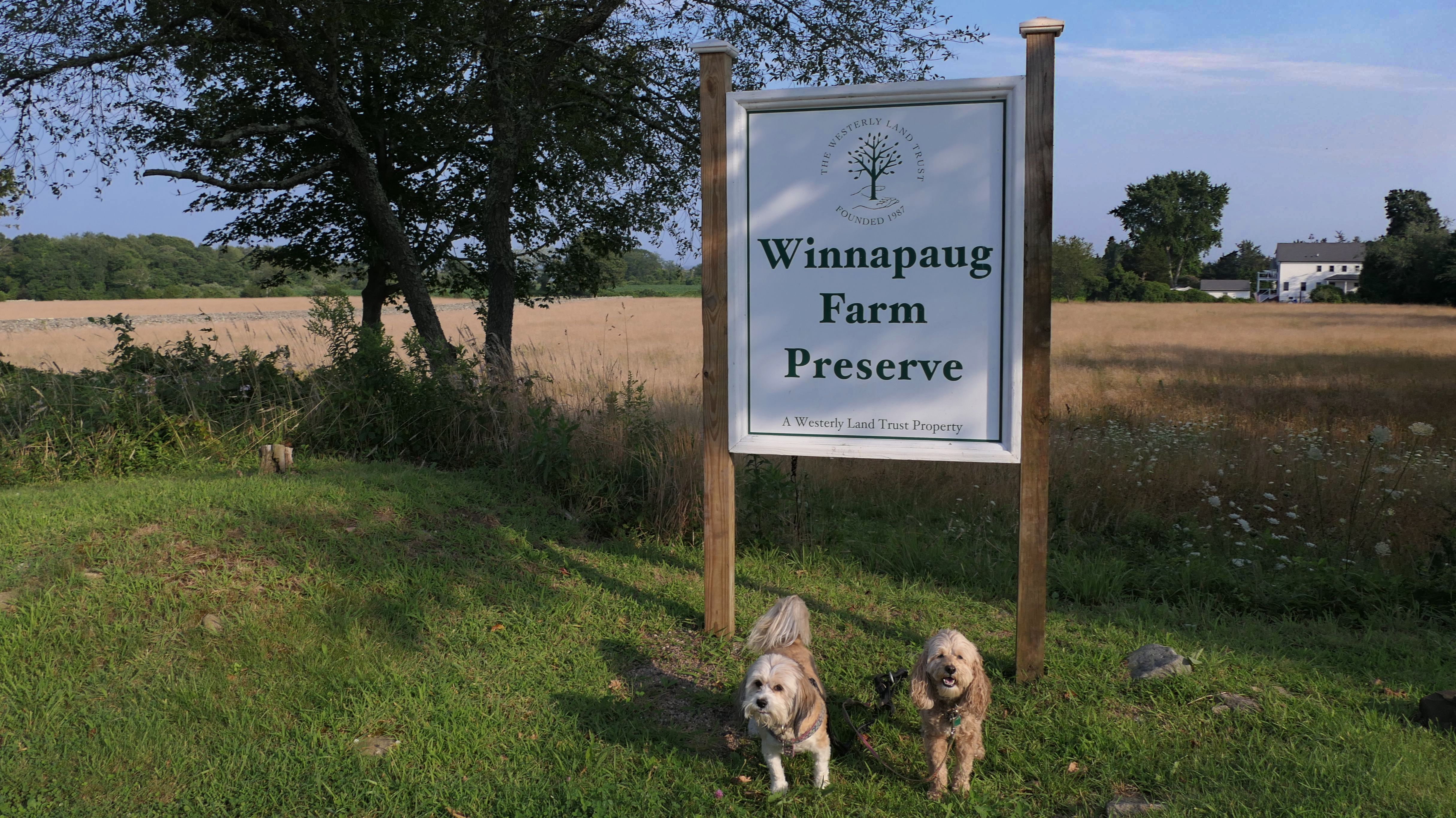
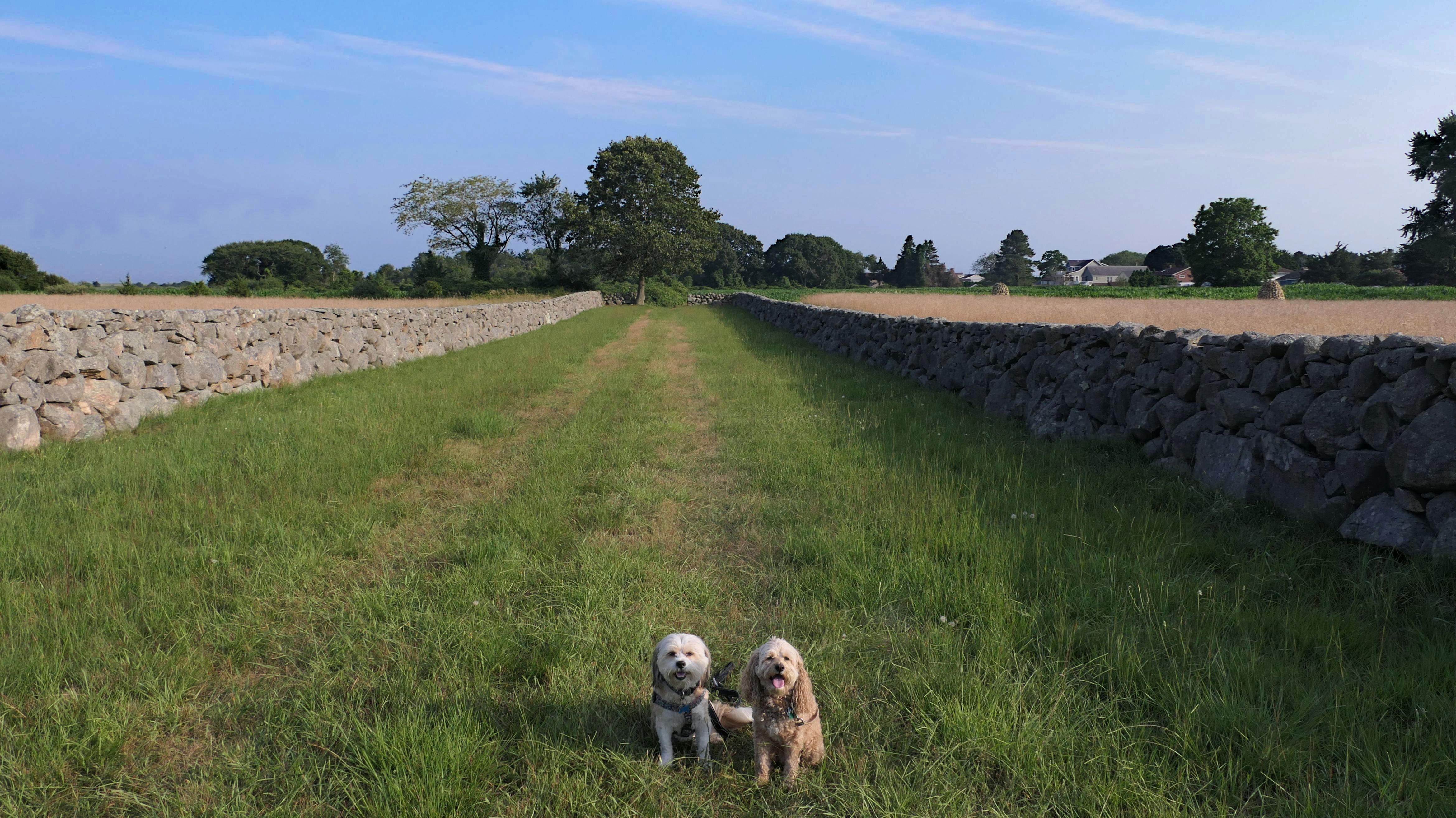
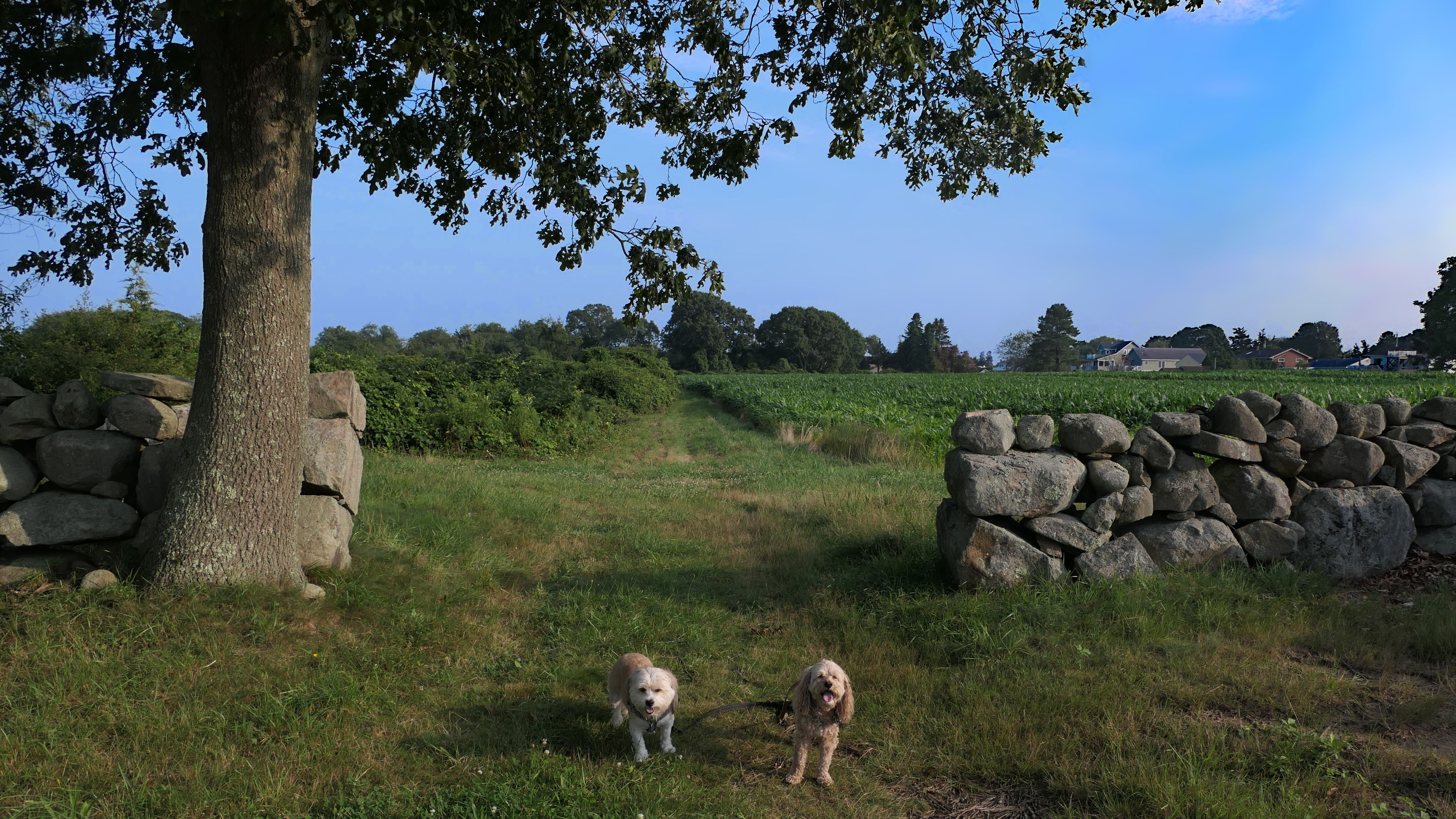
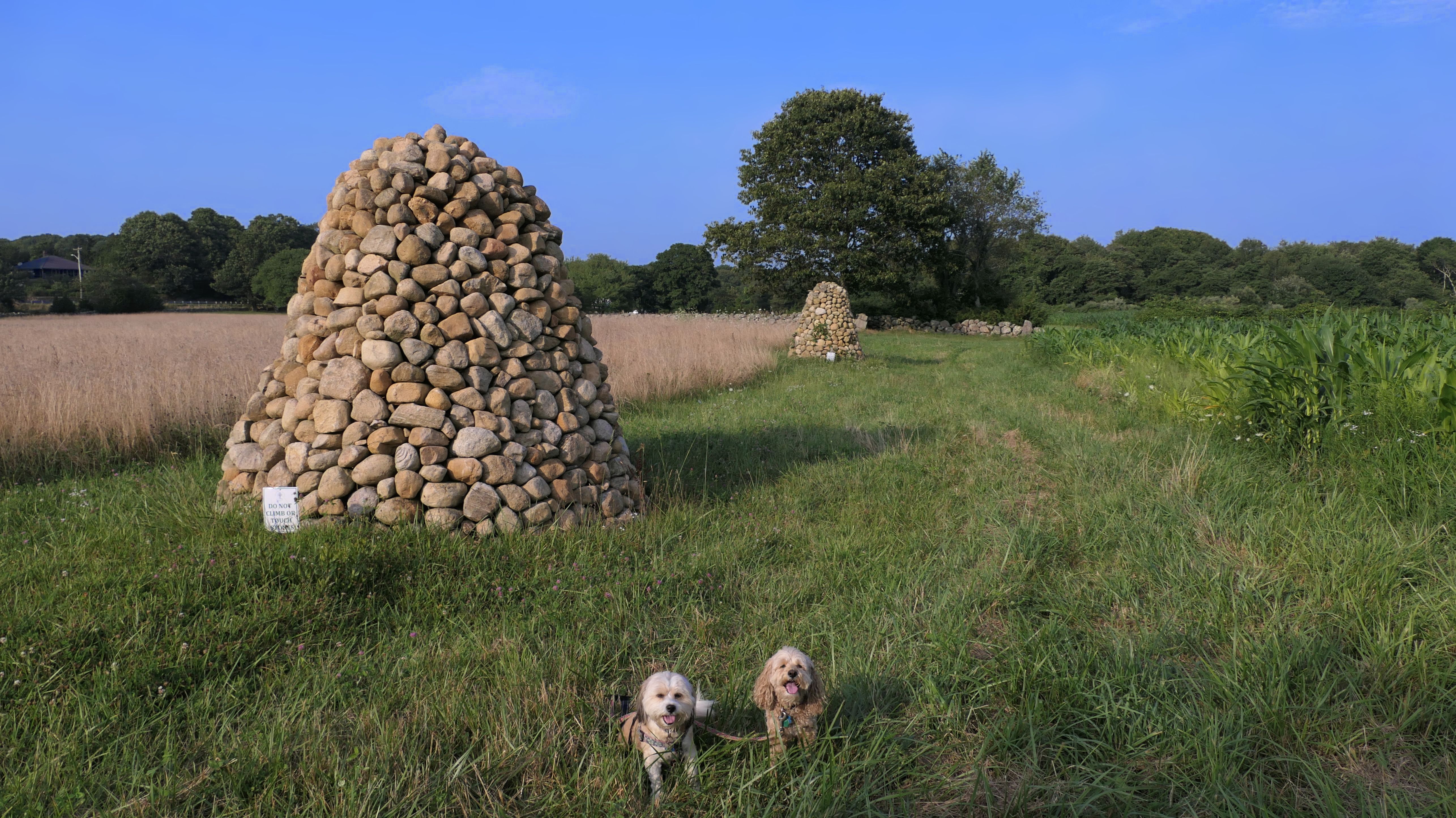
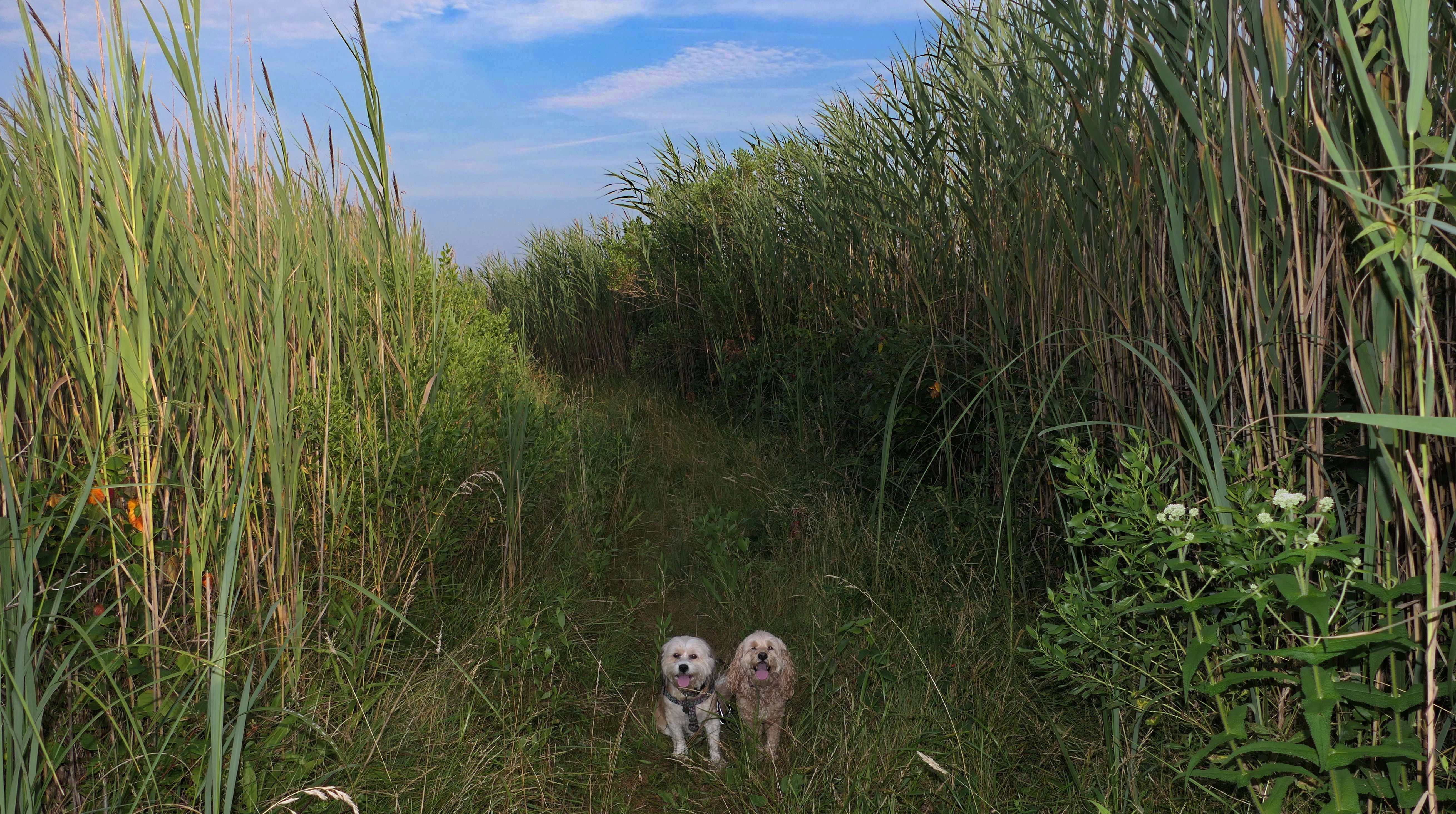
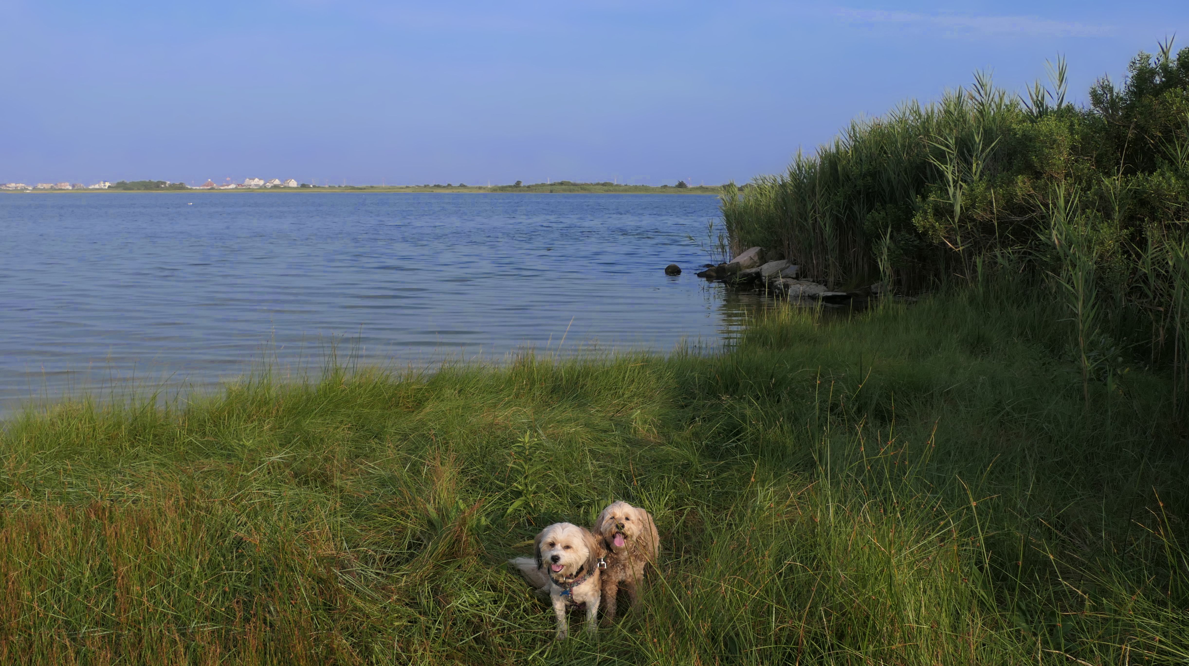
Winnapaug Farm Preserve
Date visited: 7/30/2024
This looks like a nice place, with the stone walls and the cairns, and the salt pond, but this was a rough two mile hike. The trail is in the shape of a three prong fork, with the three prongs going out to the salt pond. The problem was that the kind of trails here need to be mowed, and they haven't been mowed in a while. Most of the trails were overgrown. The first part of the trail, sort of the handle of the fork if you will, is easy enough to traverse, despite the long grass, but each of three prongs caused challenges. The first one was the most overgrown, but the also the driest, with only a little bit of mud. We were able to get the closest to Winnapaug Pond here. The second and third trails were easy at the start, but got muddier and more overgrown the closer to the pond we got. I wound up carrying the dogs over long stretches on the 2nd trail, and we simply turned around when we reached the mud on the 3rd trail. I also had to pull a few ticks off both myself and the dogs when we got back to the car. The long grass is a breeding ground for ticks. While there was only a few ticks on us this time, I wouldn't advise coming here earlier in the season, when tick season is at it's peak. This seems like it could be a wonderful spot, but it needs a bit more maintenance.


More Images


Ocean Community Chamber of Commerce
Date visited: 9/4/2024
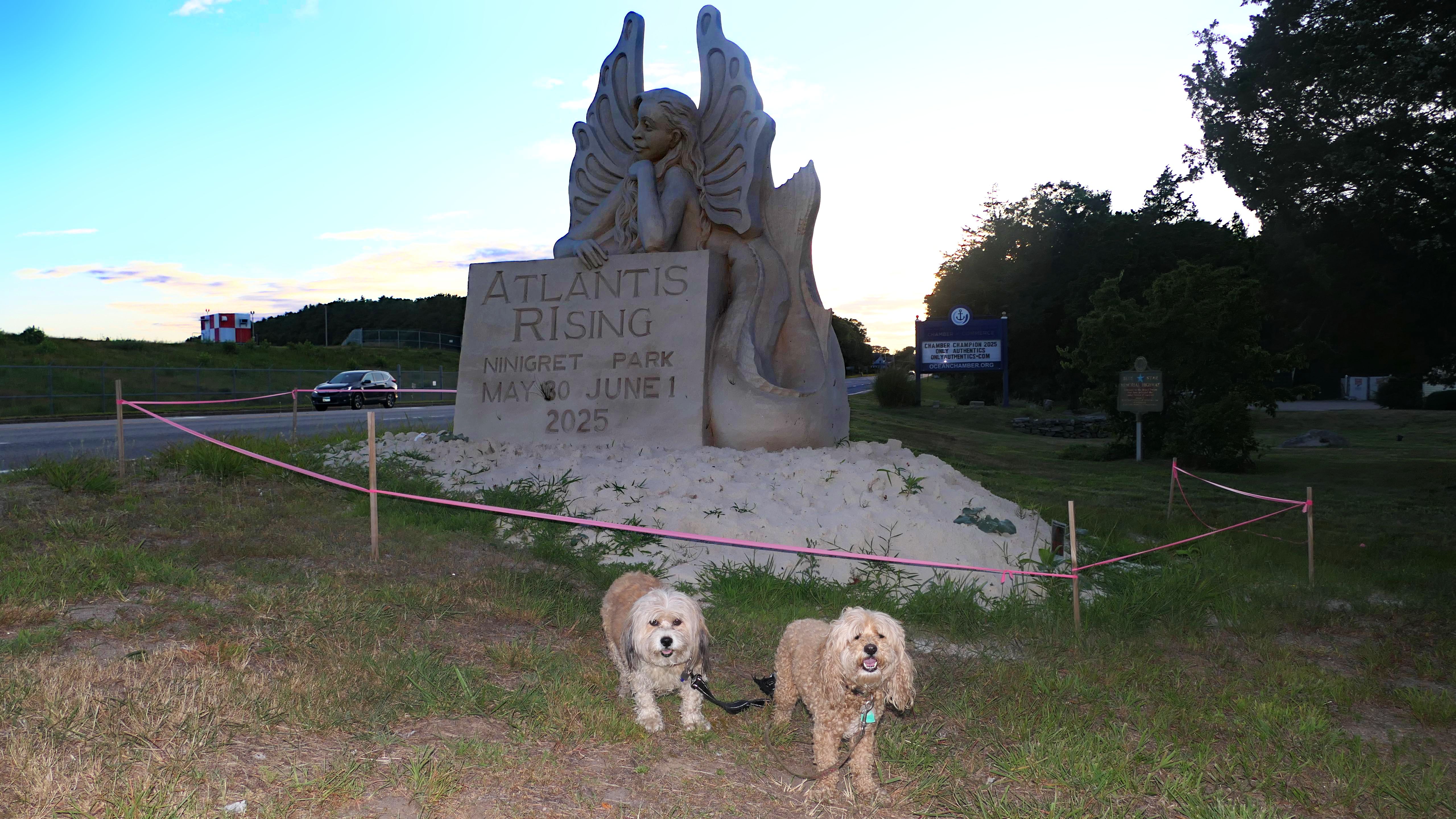
This is a building with public restrooms and tourist information located off Route 1. This unique statue called "Atlantis Rising" appeared between the building and road at some point this year, and thought I'd stop to check it out. No real adventure here, just a photo in front of the statue!
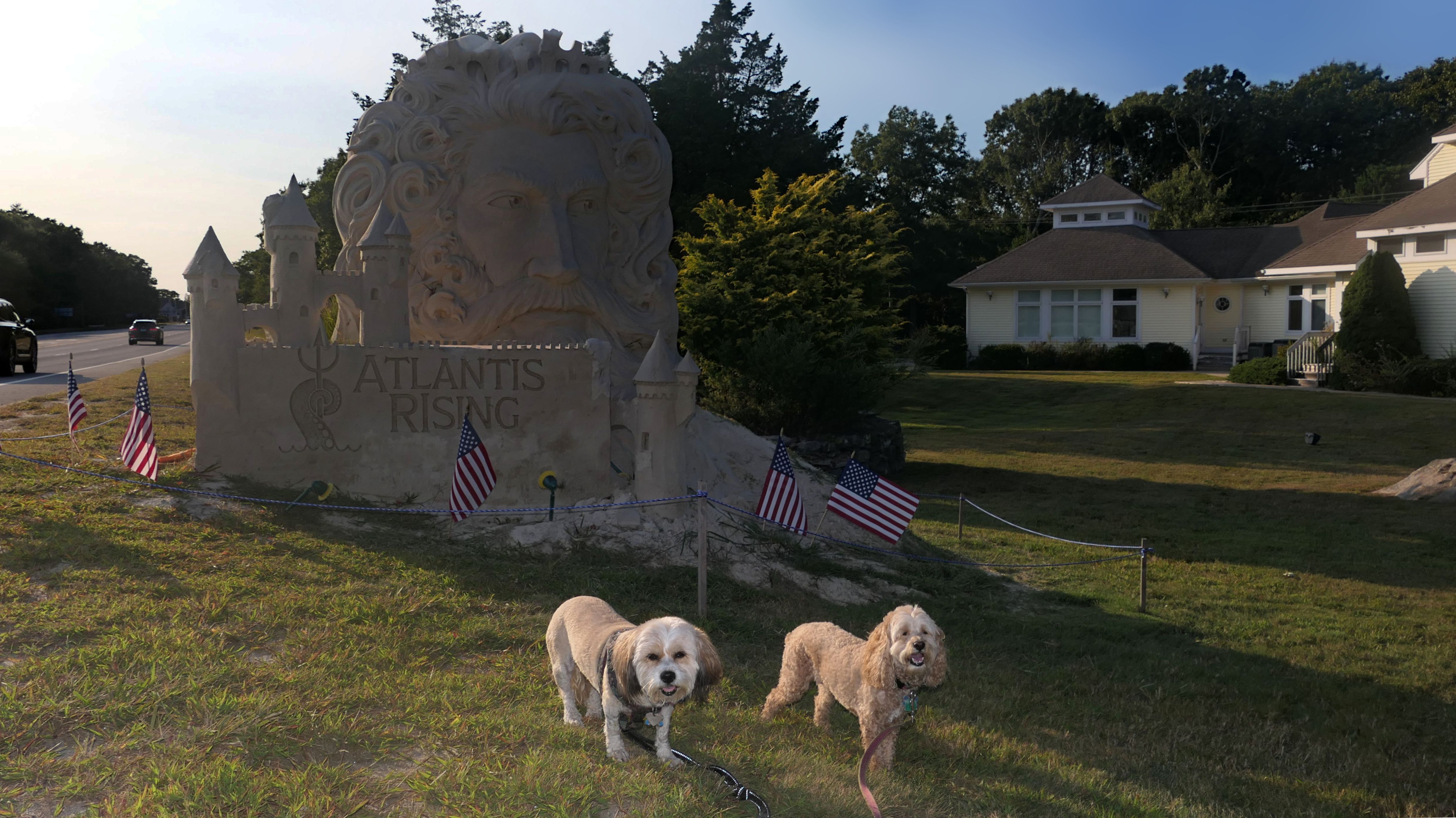
Ocean Community Chamber of Commerce
Date visited: 7/19/2025
It looks like the statue gets replaced every year. We took a picture with last year's statue, so we stopped again this year to take a photo with the new statue. Evidently there is a sand statue contest every year at Ninigret Park. The statue here, visible off the very busy Route 1, is used to promote the event.
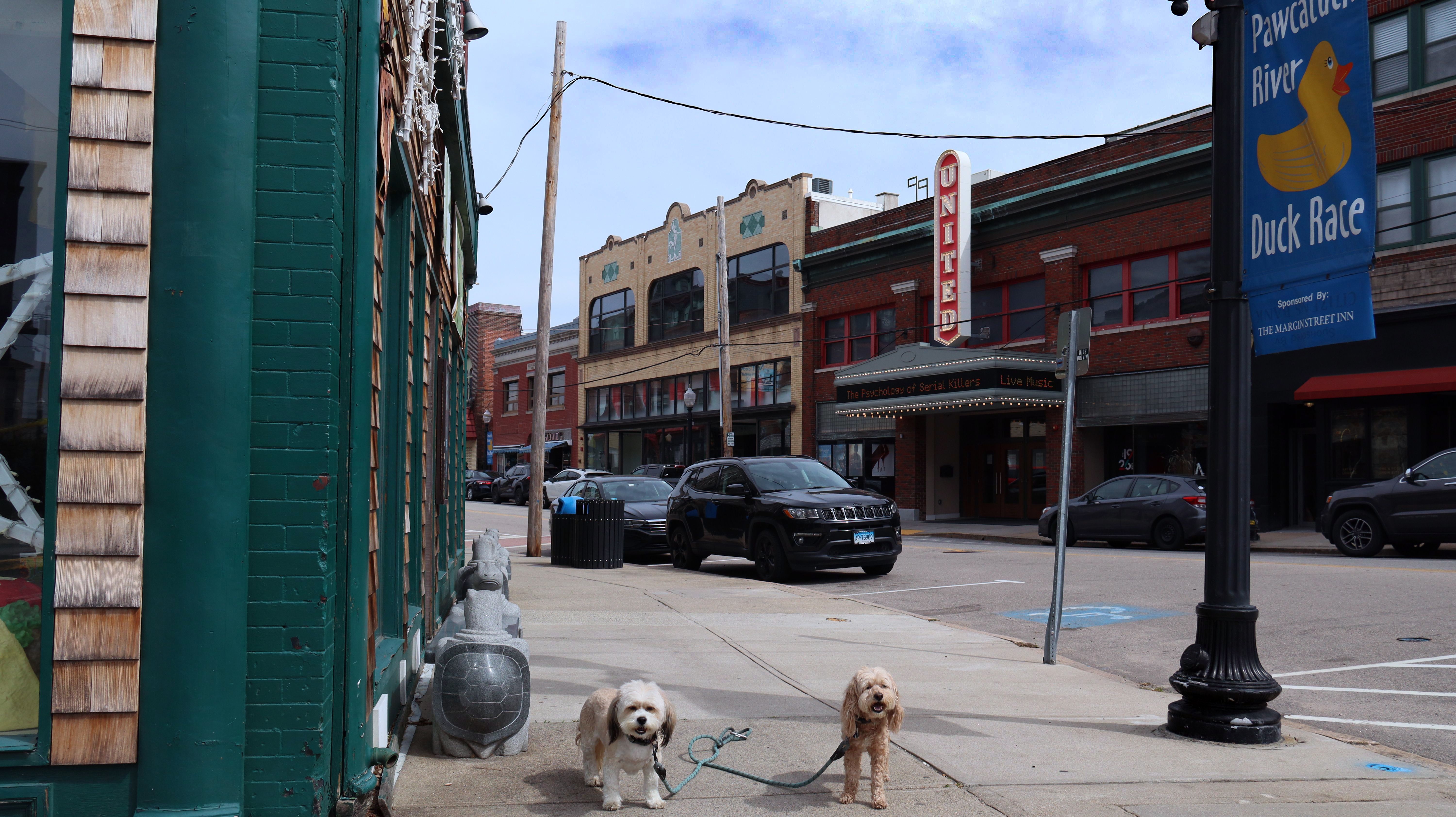
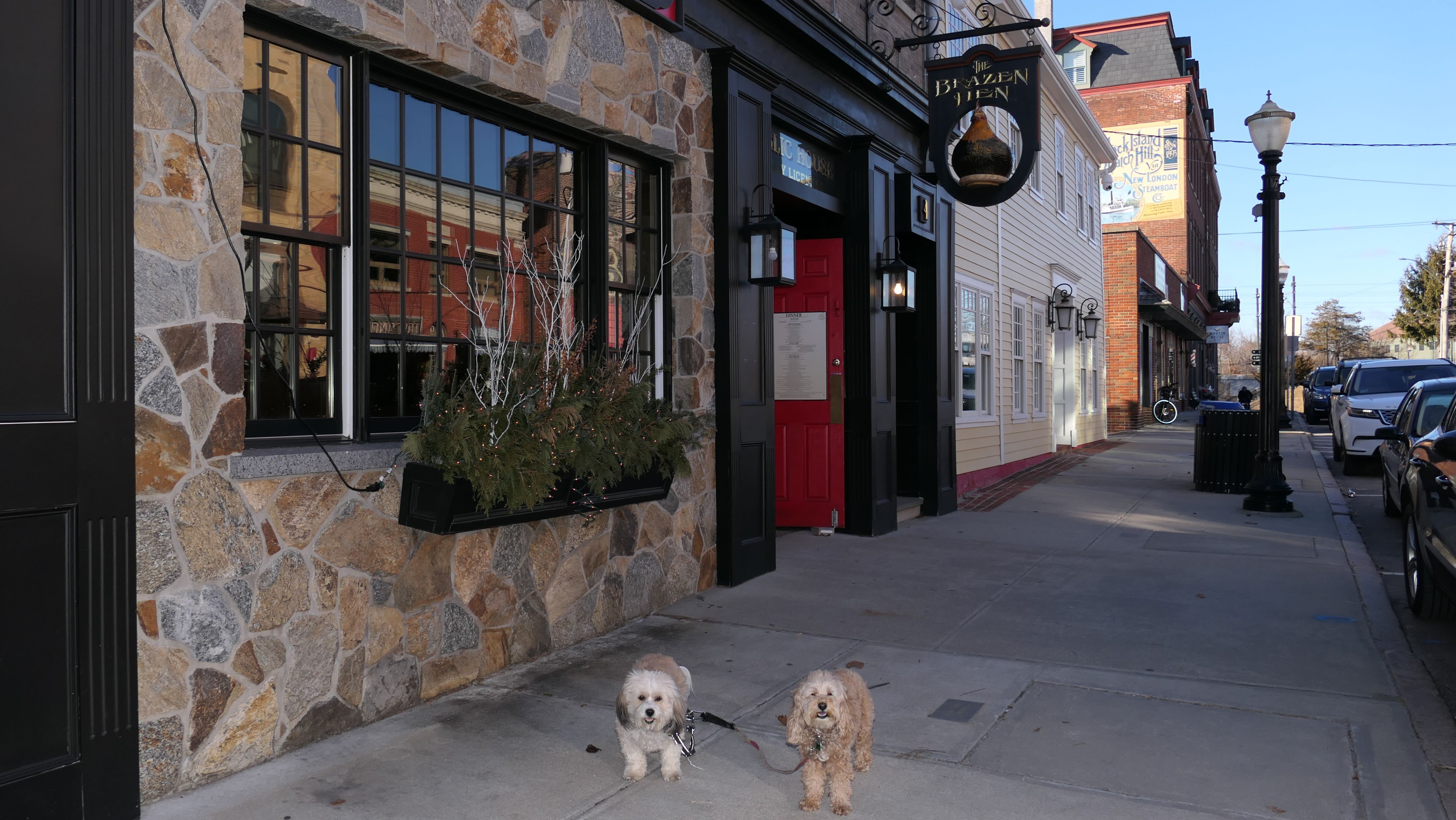
Westerly Downtown Historic District
Date visited: 10/6/2024
This was "Westerly Sunday Fun Day", one of three Sunday's in the fall where High Street is closed to traffic, and becomes a pedestrian walkway with vendors and different activities. It sounded like a "fun day", but the whole thing was a lot smaller than I thought it would be. There really wasn't much here for us to do. We covered the entire area in about 10 minutes, and wound up walking over to Wilcox Park while my wife went into a couple shops.


More Images


Westerly Downtown Historic District
Date visited: 11/22/2025
We finished our day in Rhode Island with a Christmas Tree lighting at Dixon Square in downtown Westerly. It was the weekend before Thanksgiving, and it seemed a bit early for a tree lighting, but here we are! The entire downtown area is already decked out with holiday lights as the season seems to get longer and longer each year!


Westerly Downtown Historic District
Date visited: 4/25/2026
We walked through the downtown section of Westerly while waiting for the start of the 26th Annual Pawcatuck River Duck Race. You can see the bulldozer with the all the rubber ducks ready for launch!

More Images


Minabaug Trail
Date visited: 11/1/2024
Minabaug Trail is a paved bike trail along the north side of Atlantic Avenue, across the streat from Misquamicut State Beach. We actually didn't walk that much of the trail. The trail itself isn't very interesting. It runs along side the roadway, but it also provides access to Winnapaug Pond. We also explored the area around the western end of the trail, near the Atlantic Avenue and Winnapug Road intersection, where there are some cool tourist attractions. We walked for a bit over a mile, before heading to the beach.
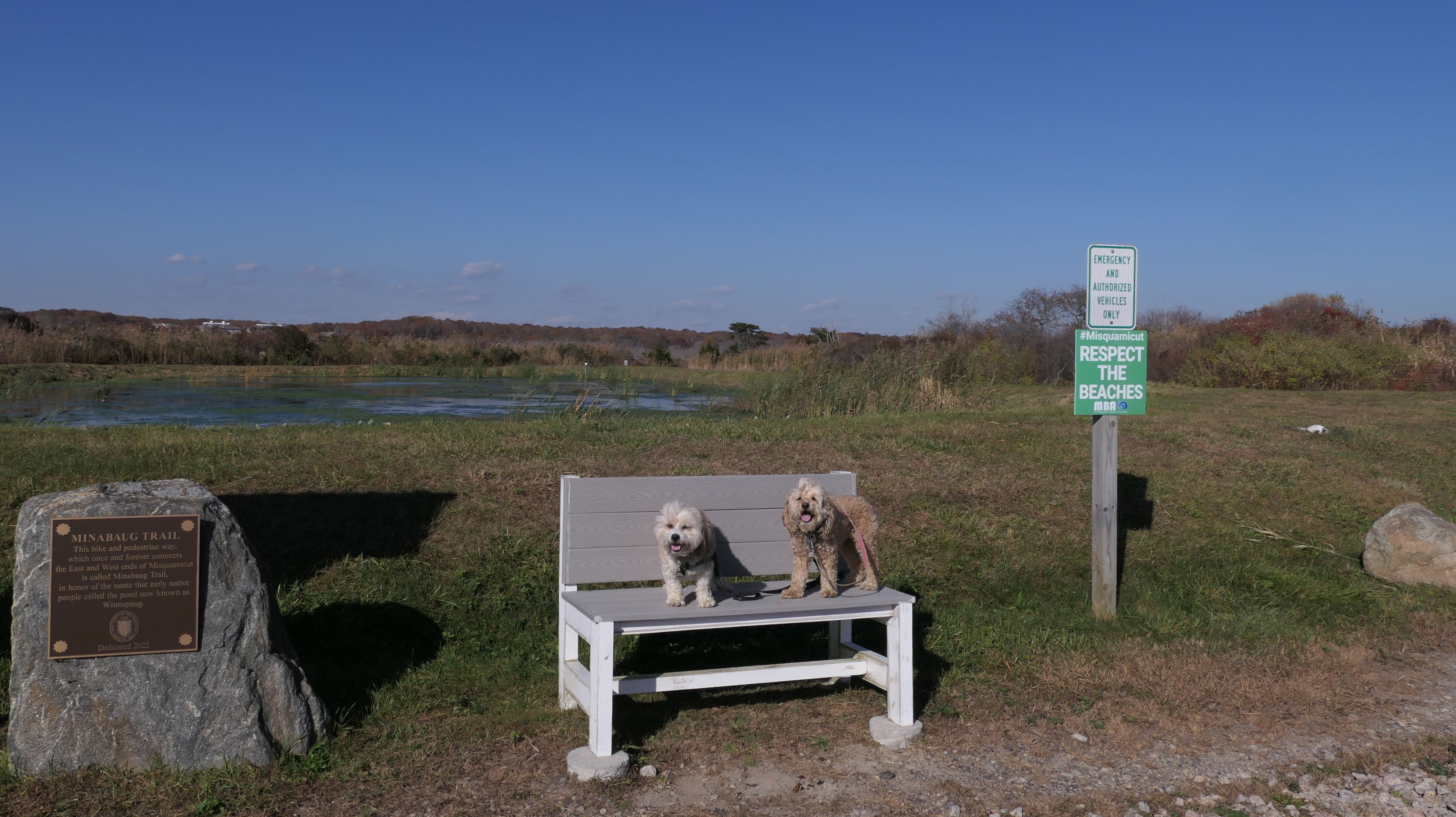


More Images

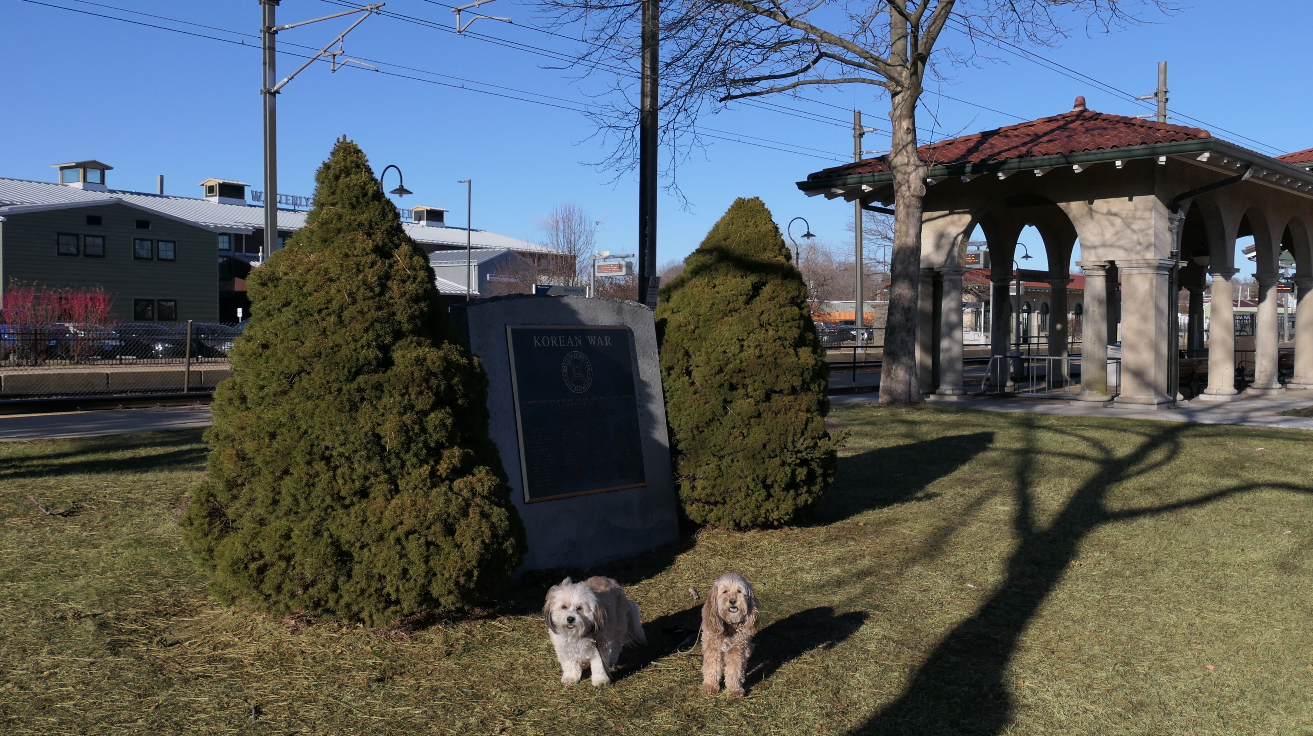
Rooney Park Area
Date visited: 1/8/2025
This adventure covered Rooney Park and the surrounding area. The actual park is basically just a small patch of grass next to the train station turned art gallery. We also walked a loop around the surrounding streets, covering a little over a mile. Our walk also included looping through Wilcox Park, but there's no new entry for that park, since we've covered that park thoroughly on previous trips. We did take pictures around the downtown area, and in front of the Westerly Armory, but kept the walk short because it was a very cold and windy day.
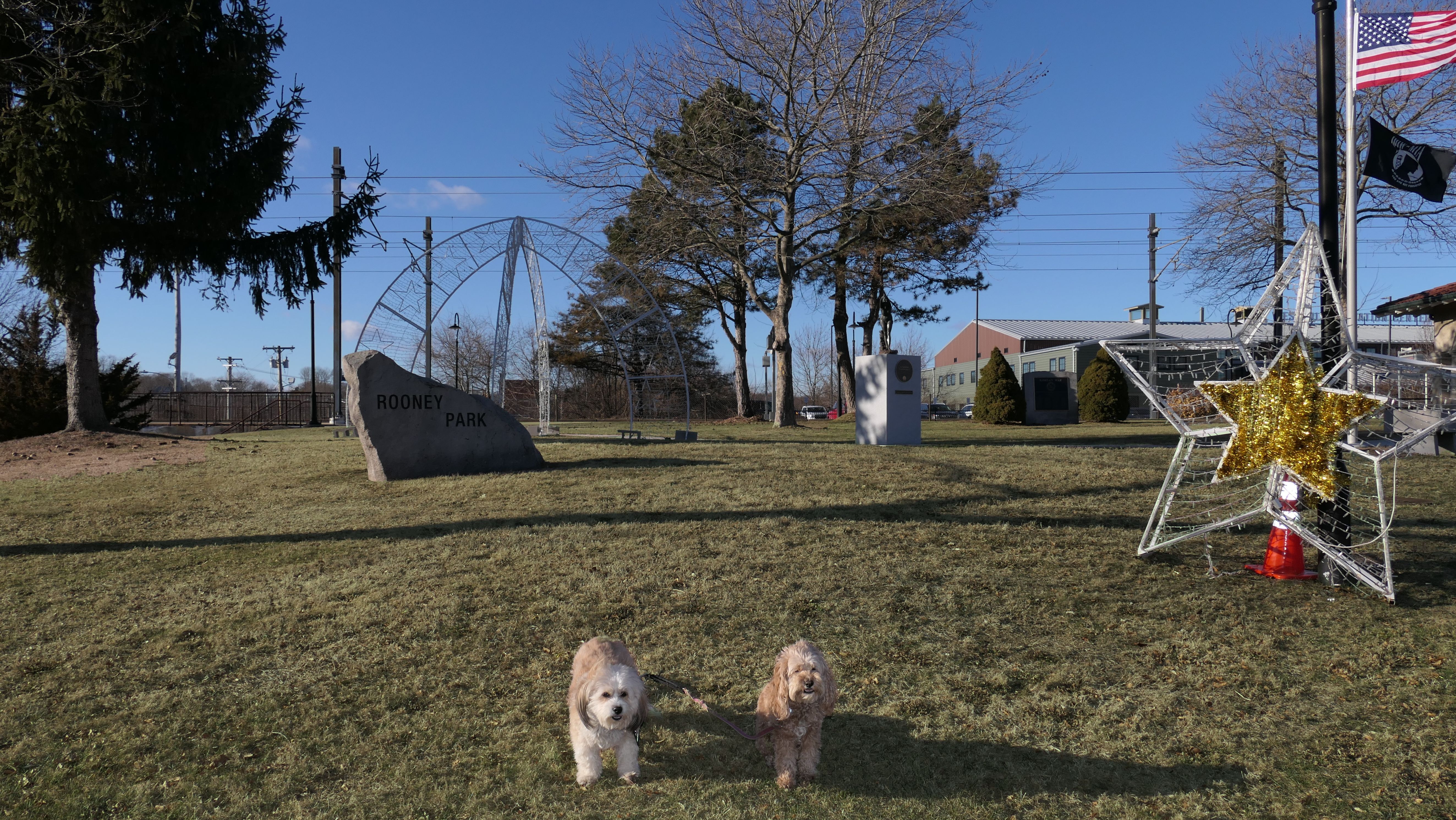


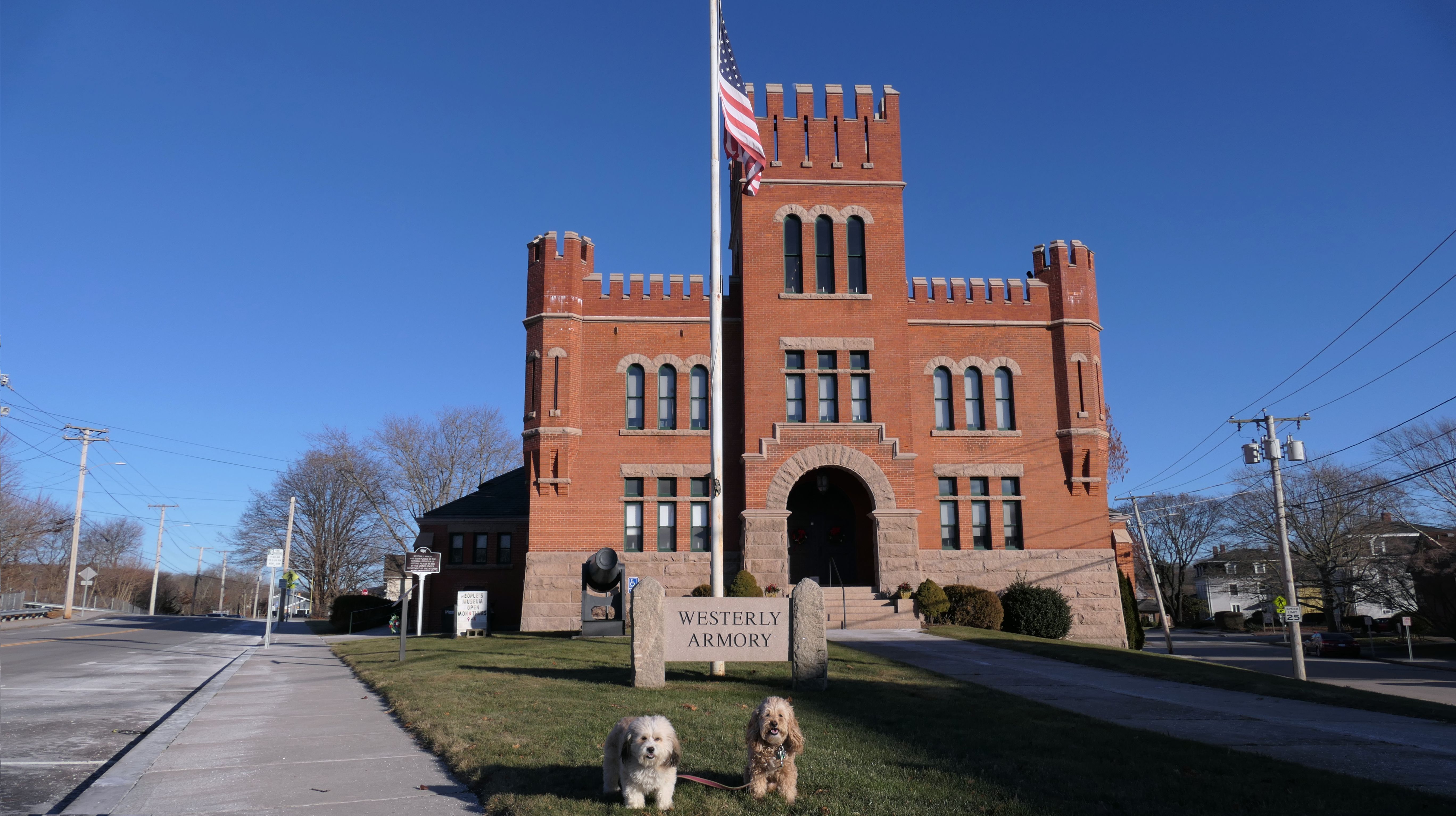

More Images


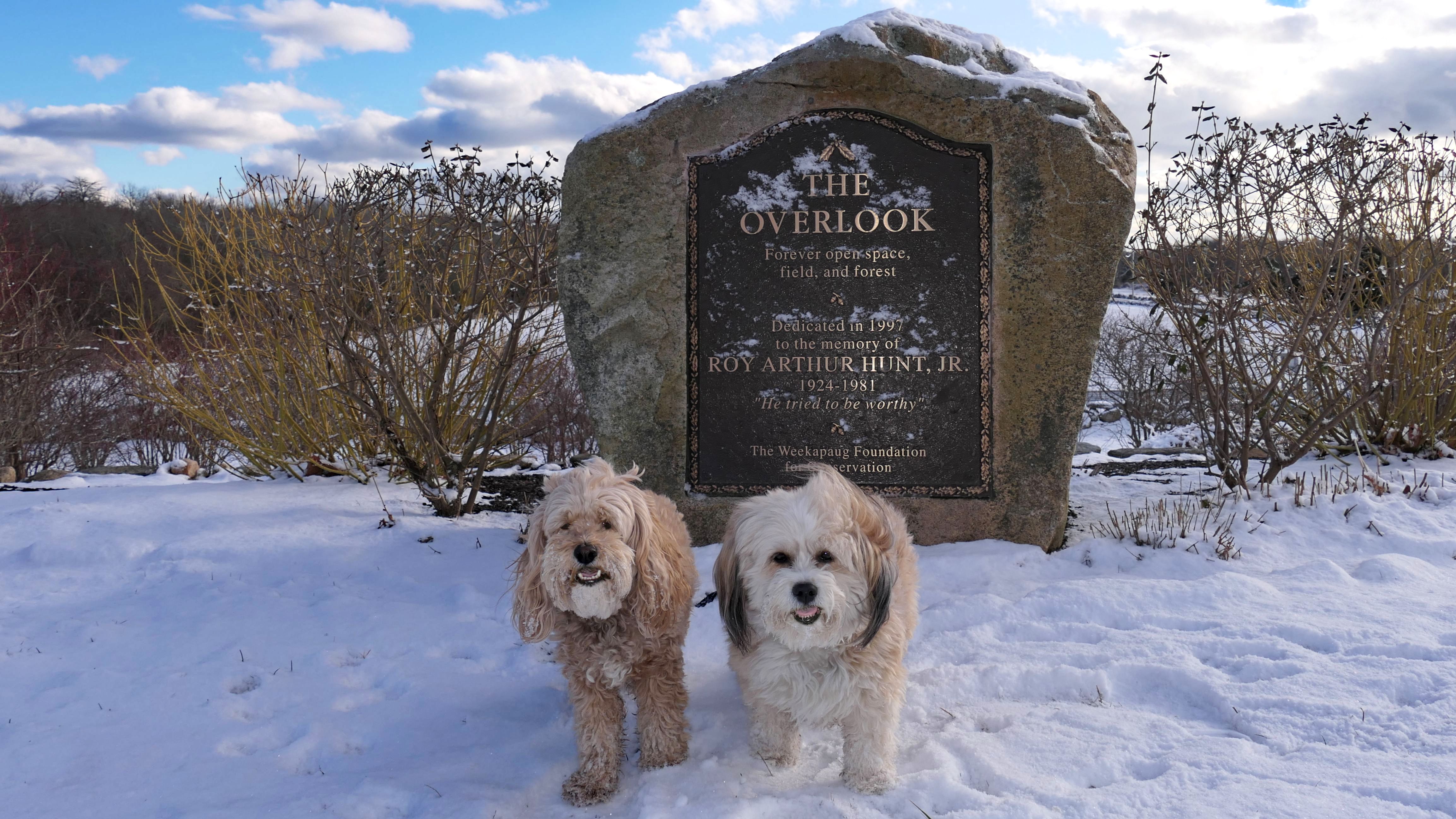
The Overlook
Date visited: 1/20/2025
Not to be confused with Weekapaug Overlook, this "overlook" is also in the Weekapaug section of Westerly, but overlooks the open space at the corner of Shore Road and Noyes Neck Road. Noyes Neck Farm, just beyond "The Overlook" features a community garden and a series of trails. I plan to check it out in the spring or summer. For now, we only took a couple of photos capturing the fresh snowfall.


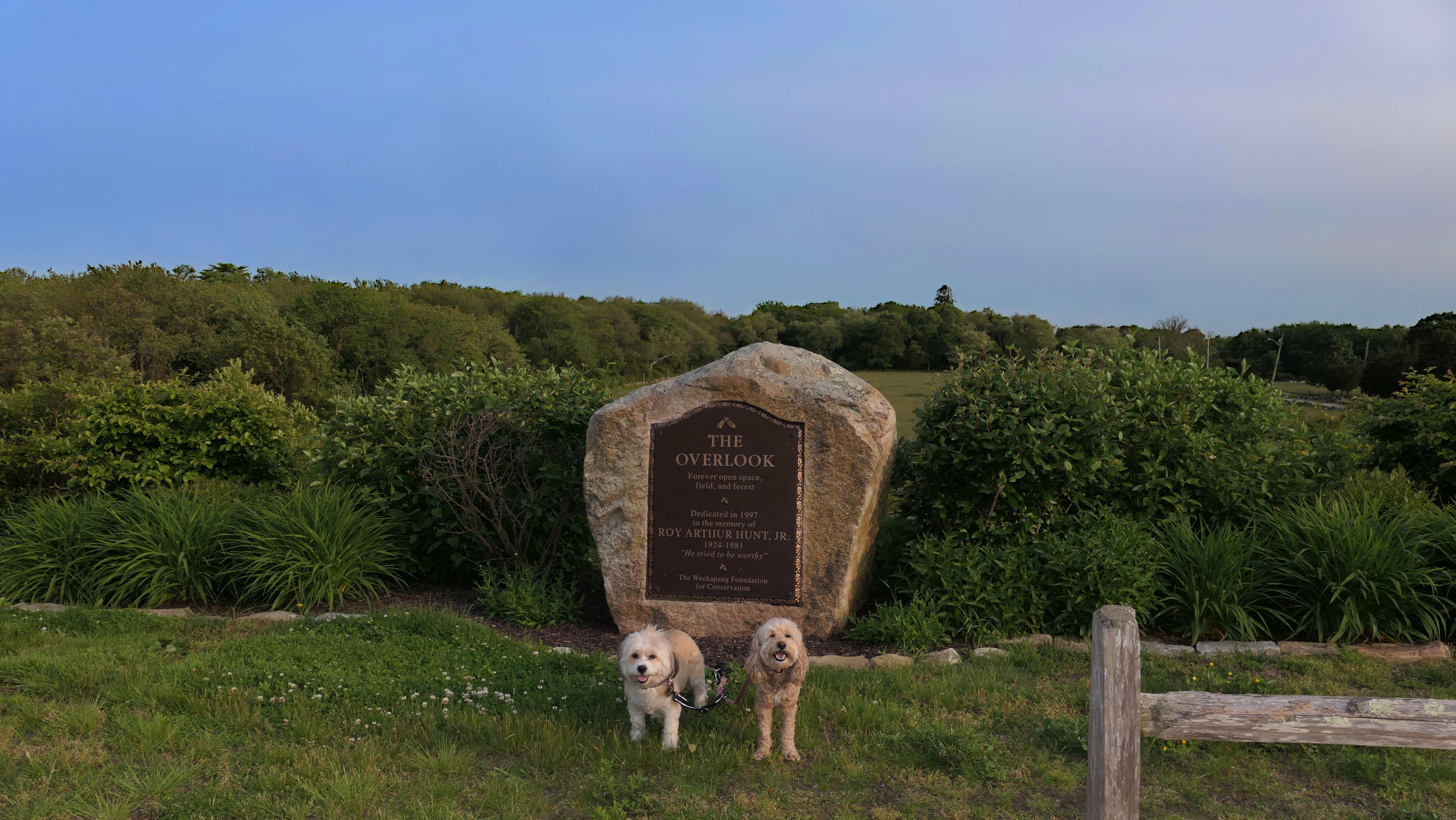
The Overlook
Date visited: 6/1/2025
I had mentioned in the previous write-up that we would return to check out the Noyes Neck Farm trails that are just beyond the overlook area. We did that on this day, but first took some pictures at The Overlook. It looks very different this time of year when compared to our previous winter pictures! One thing I noticed was new signs indicating "One Hour Parking" for the overlook. I wonder if people were parking here and then walking to the beach from here.


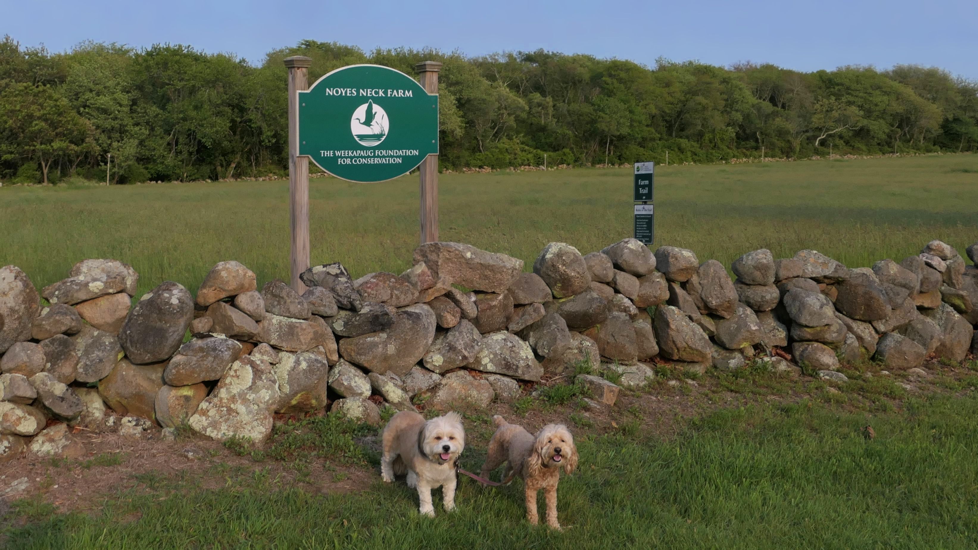
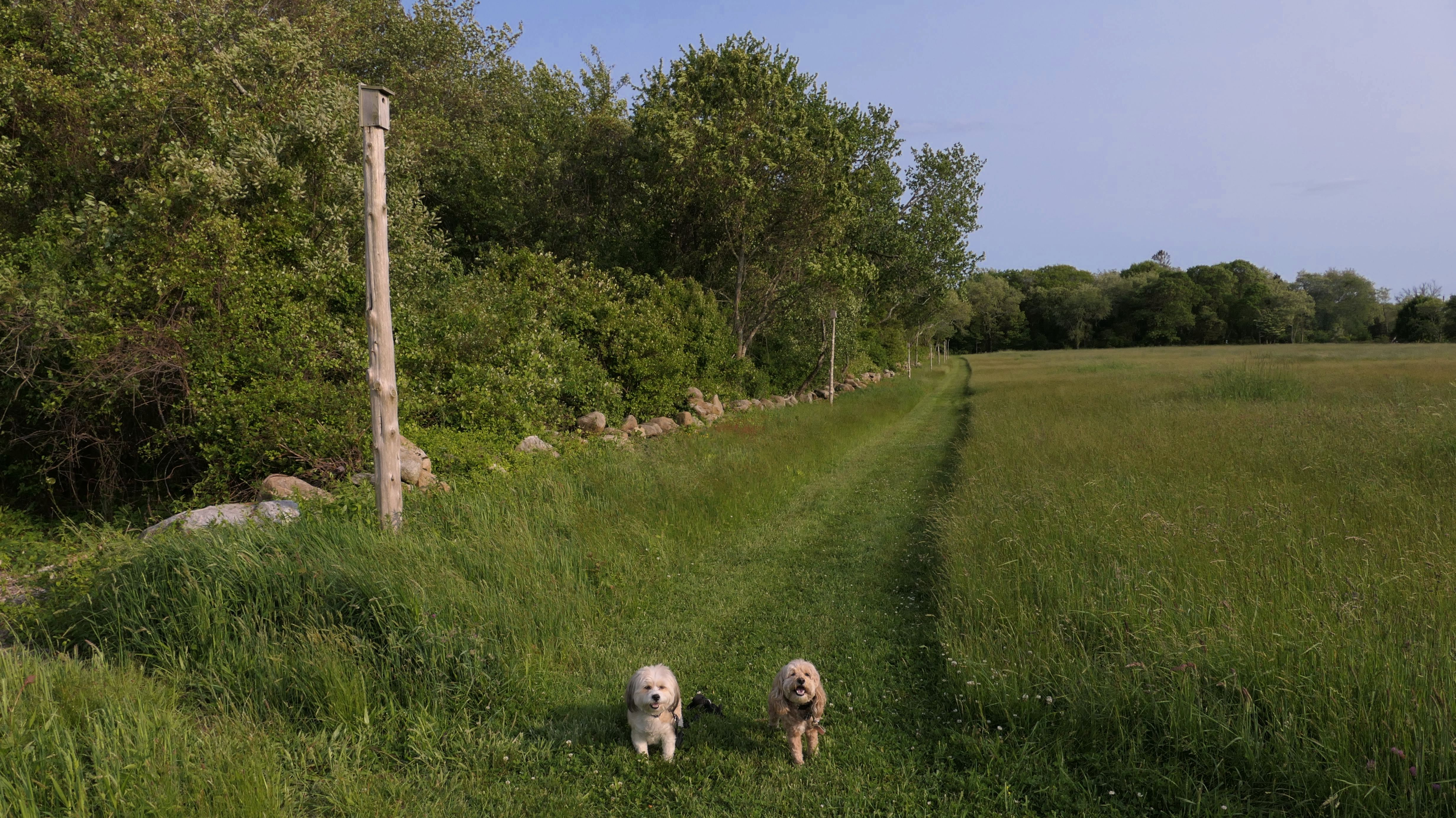
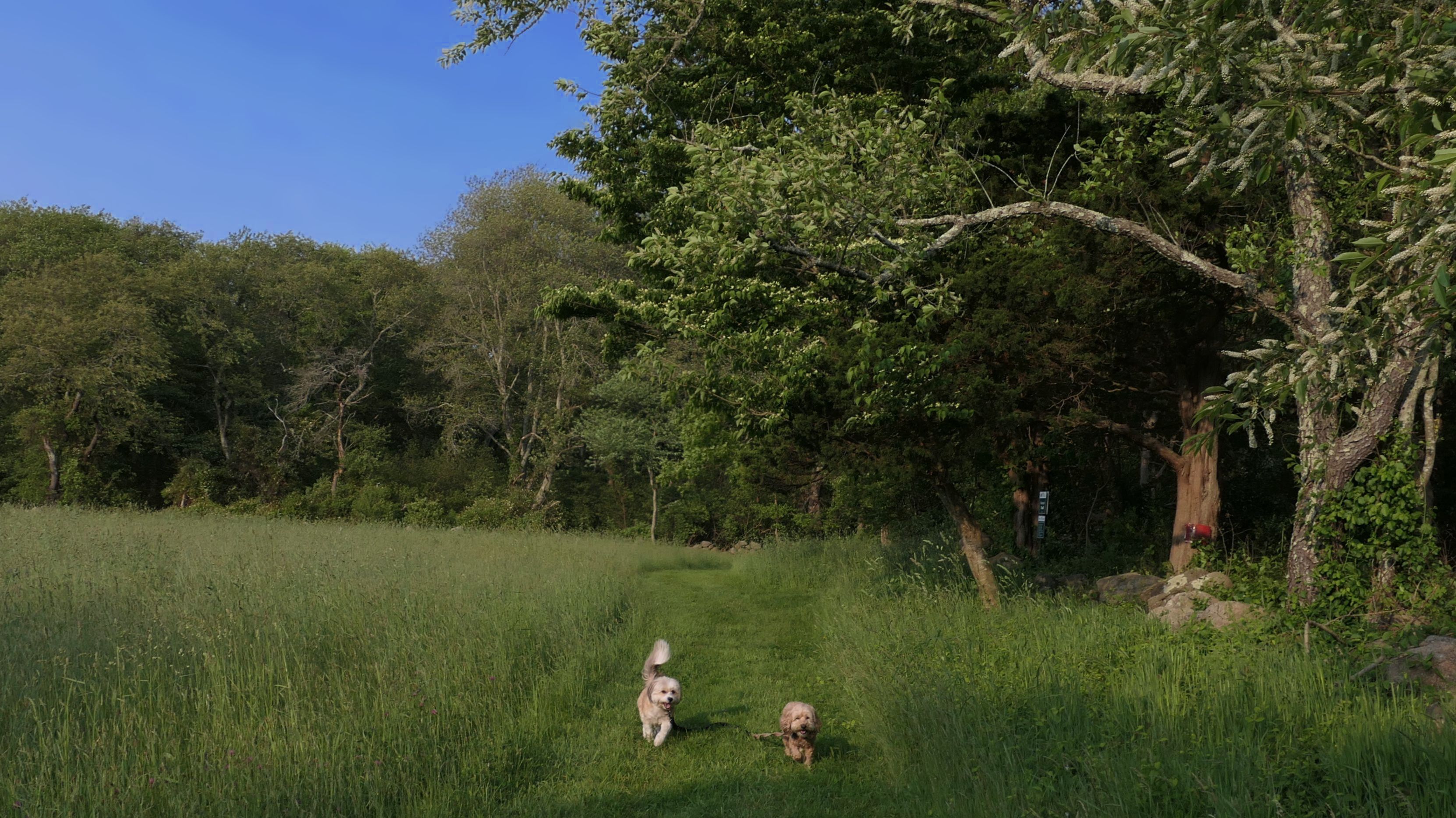
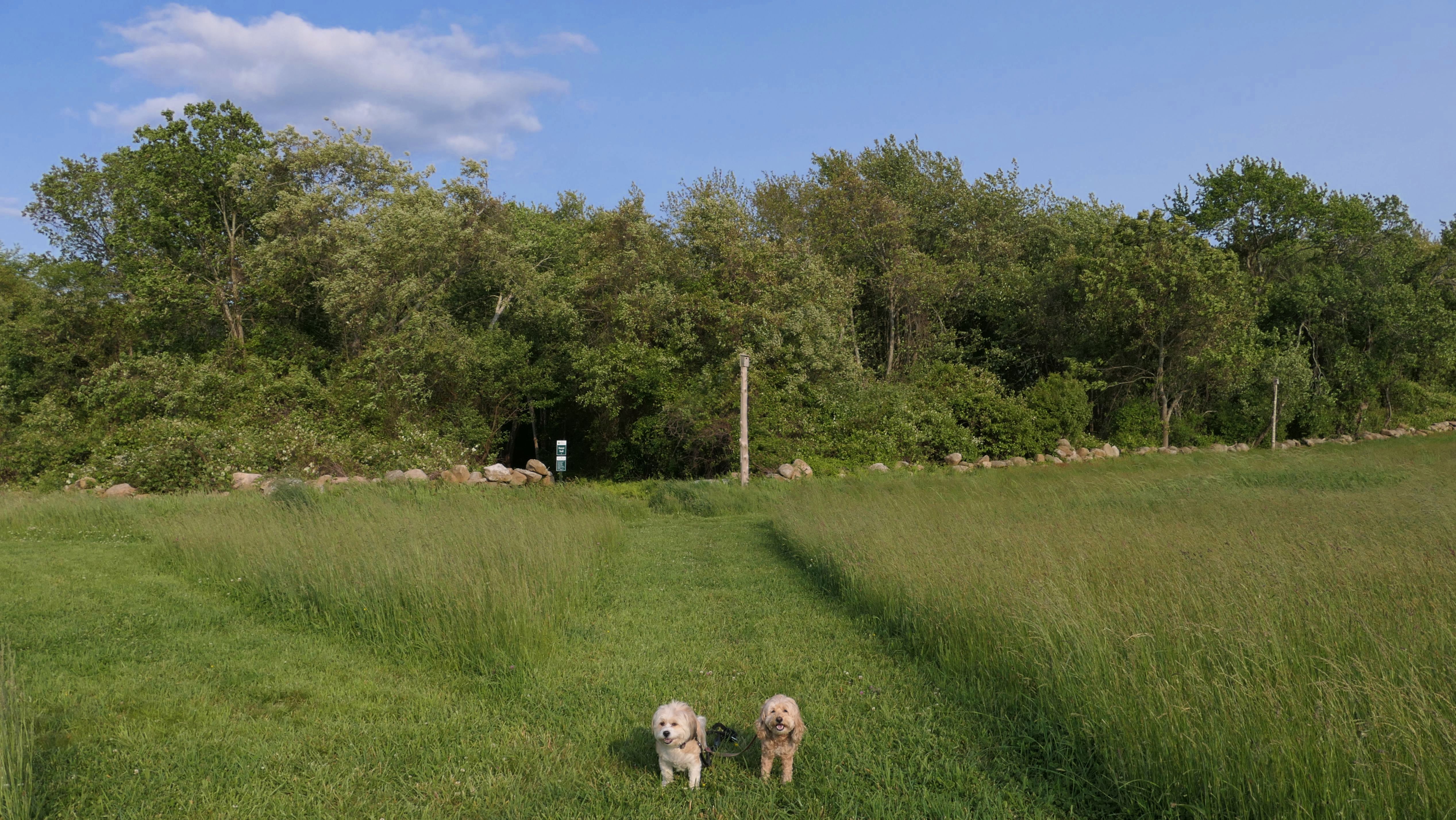
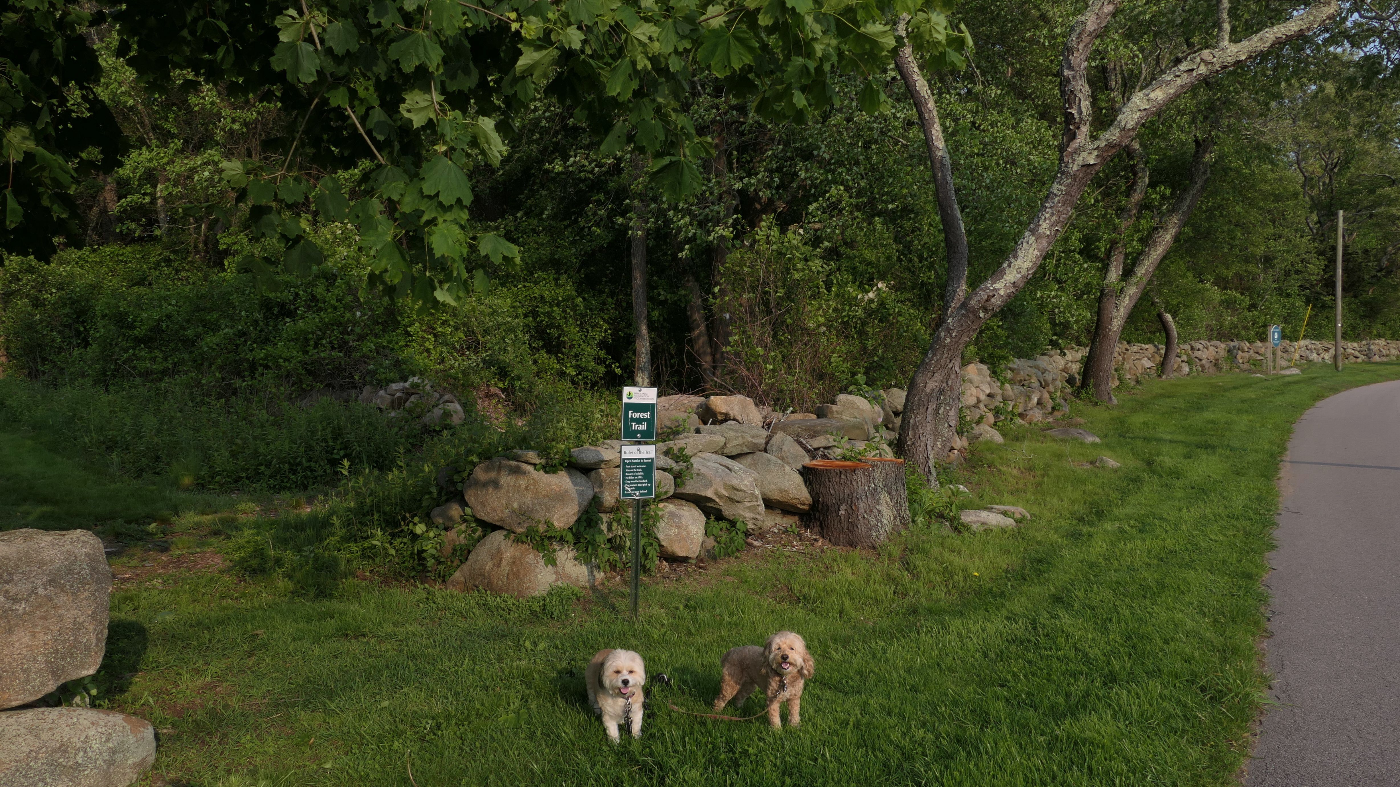
Noyes Neck Farm Preserve
Date visited: 6/1/2025
This the area jut beyond The Overlook. It features 41 acres of land with two trails, the Farm Trail and the Forest Trail. The Farm Trail is a mowed path along the perimeter of a large field area, while the Forest Trail is mostly wood chip surfaced, and runs through a wooded area. There's a little over a mile of trails here total.

More Images


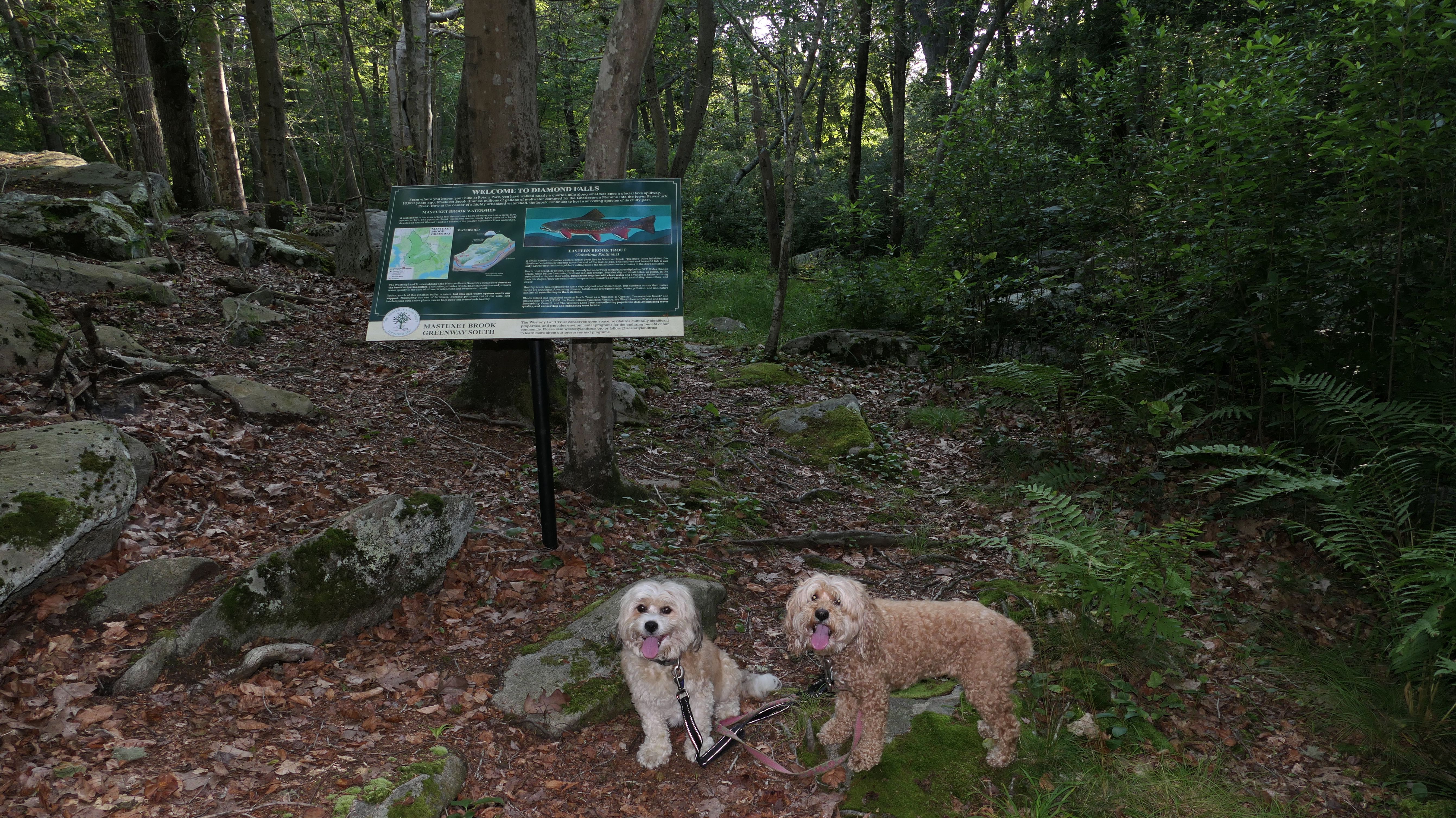
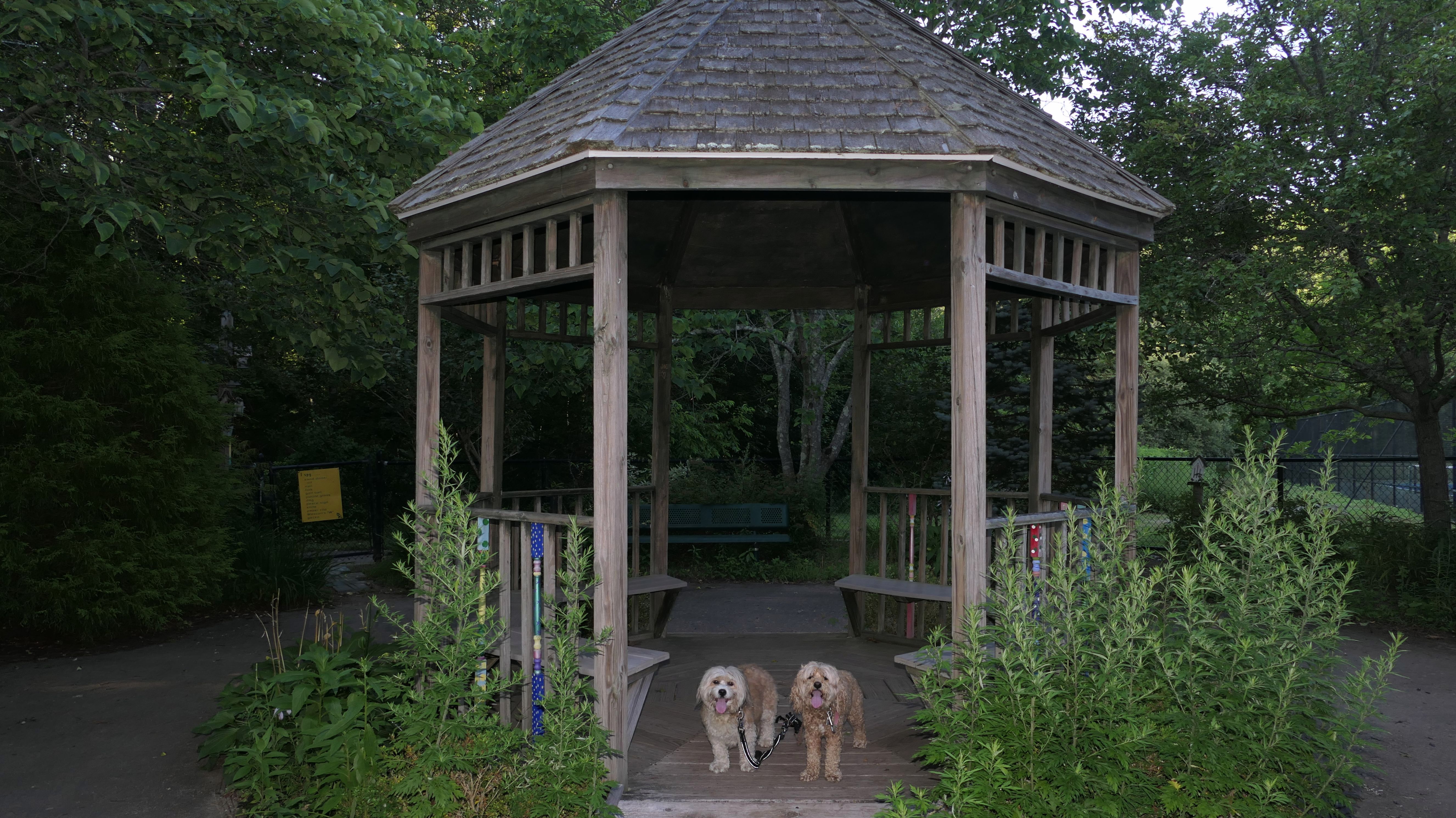
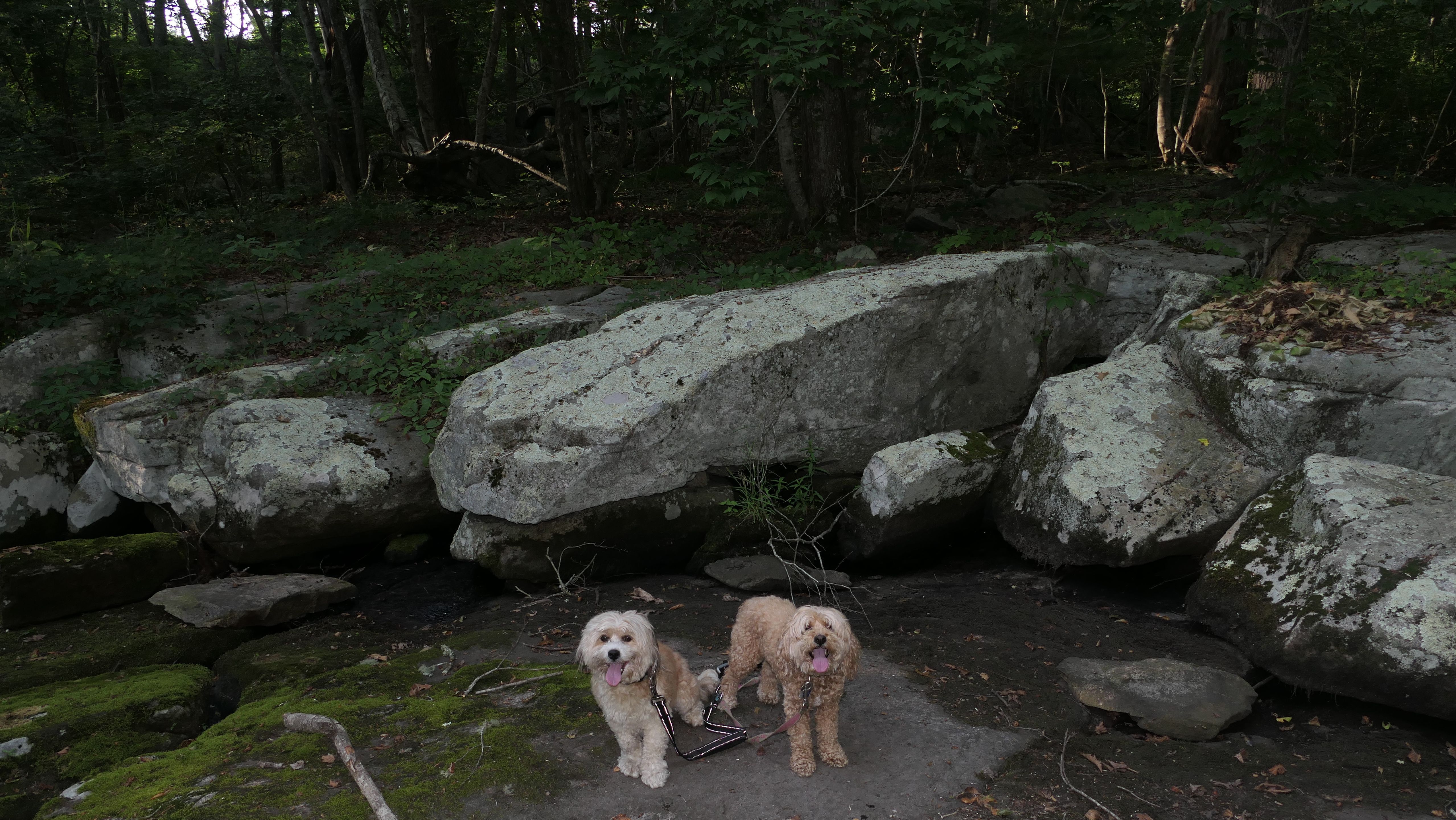
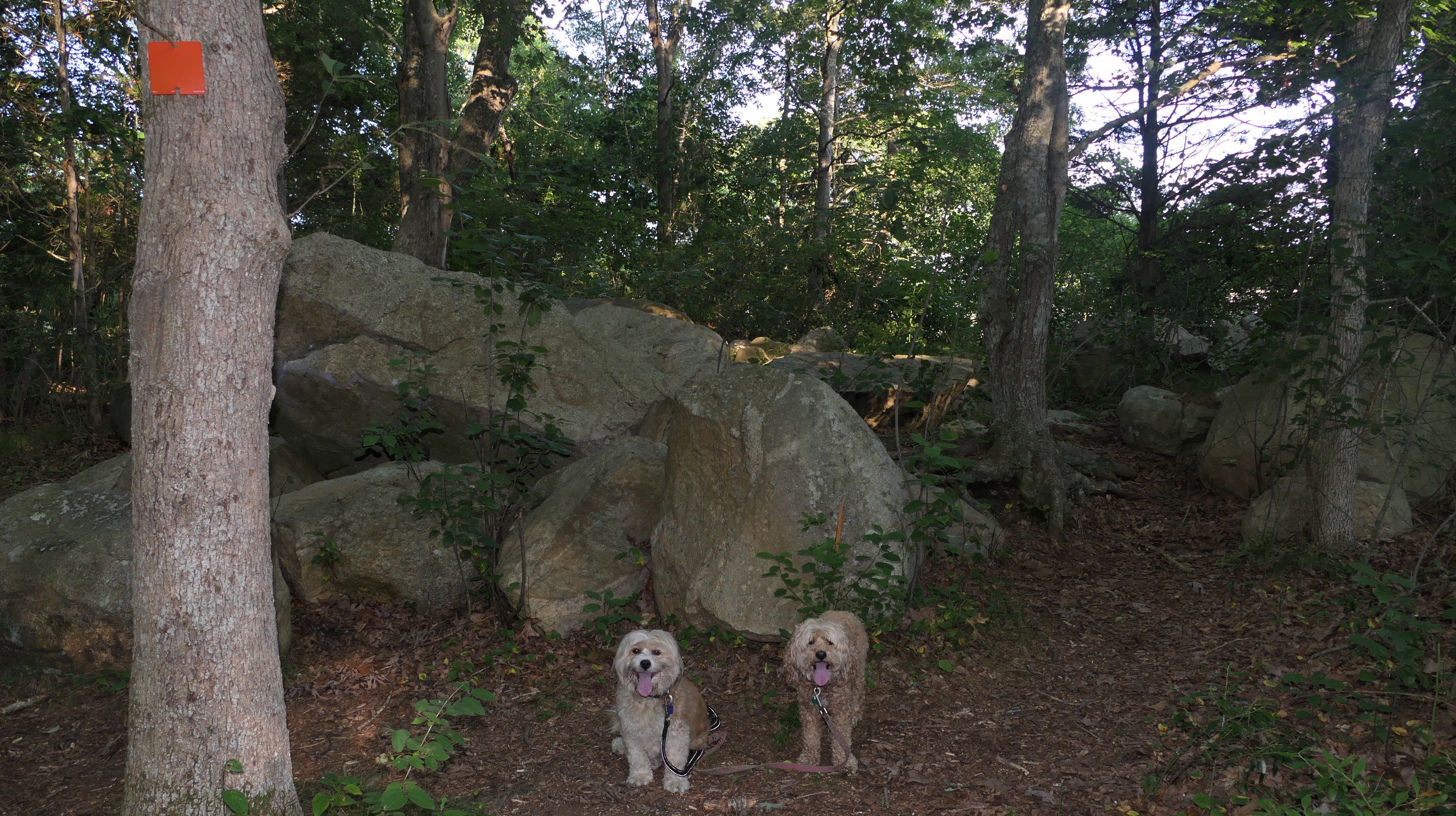
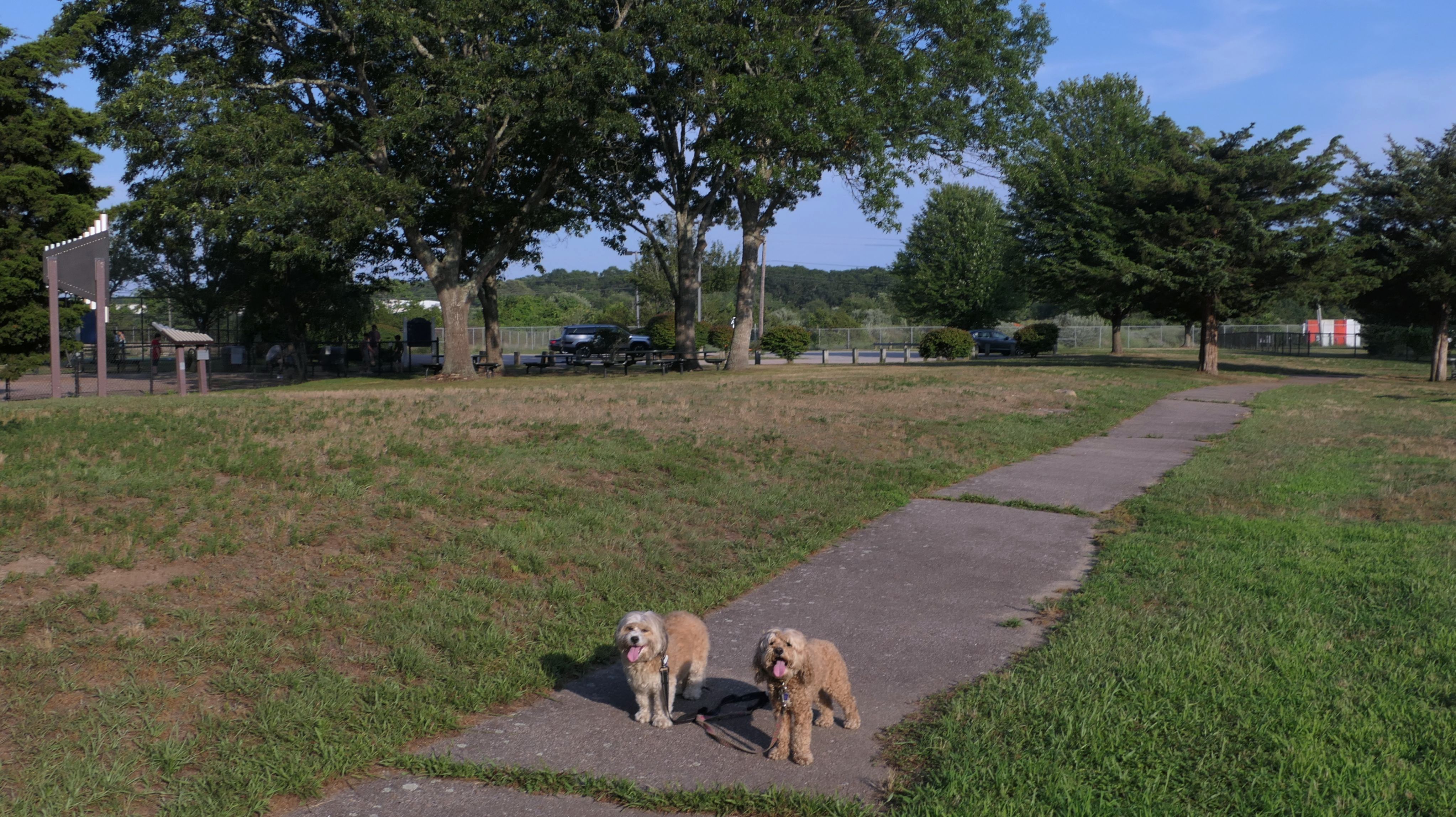
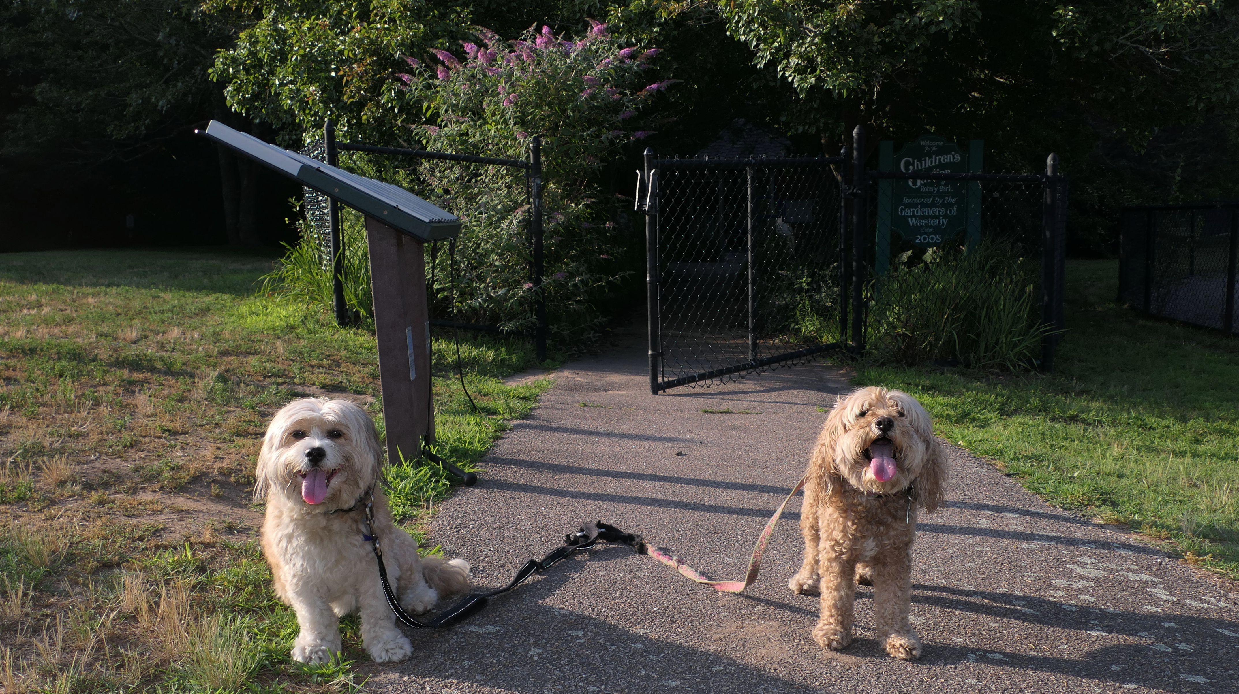
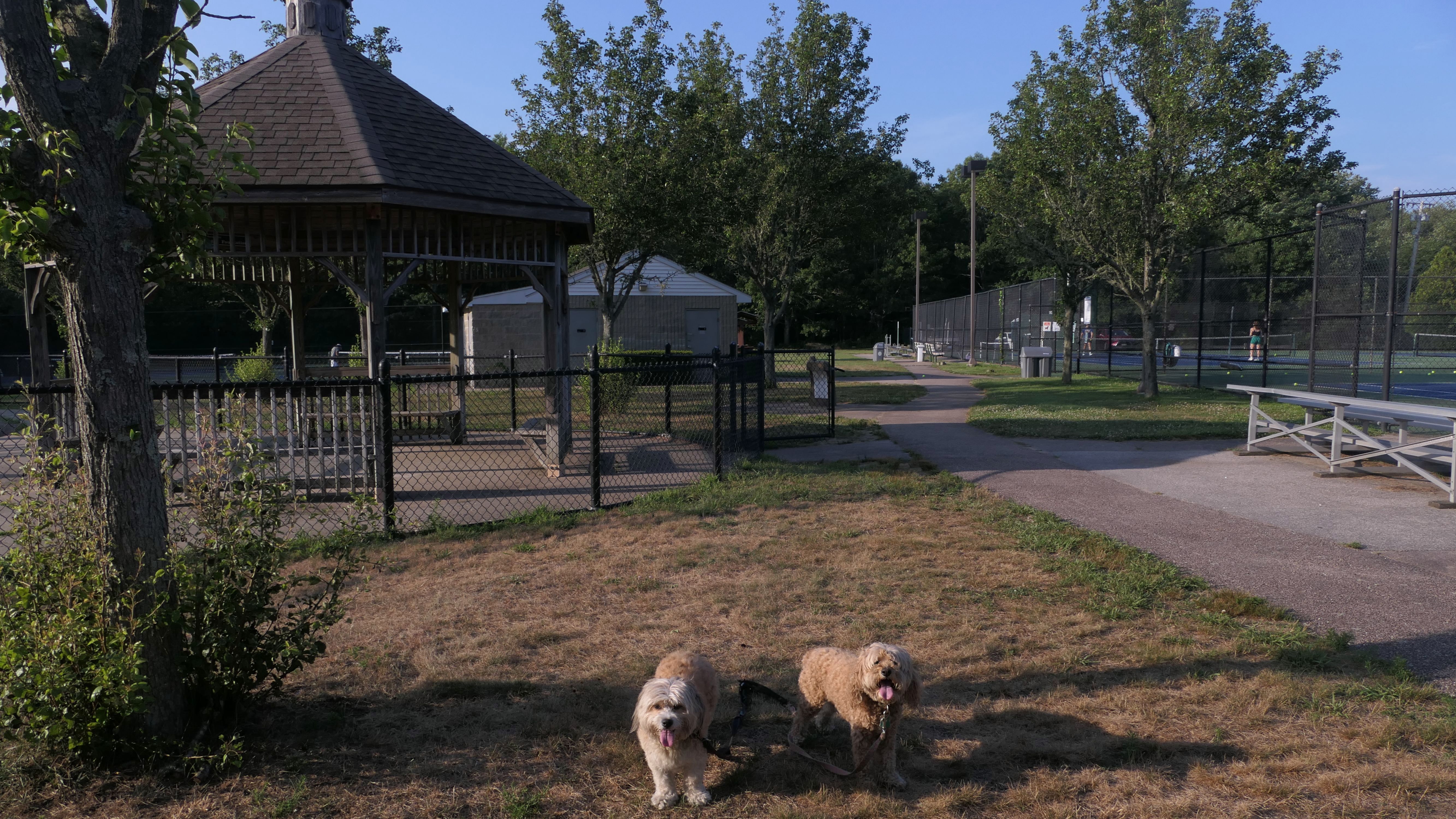
Rotary Park
Date visited: 7/17/2025
We've driven by this place many times, but this is the first time we stopped to check out the park. It's a well kept town park with tennis courts, a playground, a children's garden, and some walking paths. One path leads out to a neighborhood. Off that path is the Matuxet Brook Greenway, a short hiking trail along side the Matuxet Brook. We walked about a mile through the park and the trails, before finishing our day up at Watch Hill and East Beach.


More Images


Dusty's Ice Cream
Date visited: 2/27/2026
We didn't have ice cream here...it's closed in the off-season. I have to say, that the snowman holding an ice cream cone and a lemonade really sends mixed messages, especially a few days after the biggest blizzard in Rhode Island history. We will try to return and enjoy and ice cream or a Del's when the shop is open.

Wuskenau Beach
Date visited: 4/10/2026
It was sunny and warm all day, but I had to wait until after work for our adventure. The fog and the cold rolled in just as we arrived. We walked along the beach for a bit, but it was pretty miserable out, so we didn't stay long, and headed elsewhere. While this is the first time we've listed this beach as a separate entry, we have been here a number of times before. We walked along the beach here during our visits to both Misquamicut State Beach and Westerly Town Beach, but this is the first time we specifically parked at the lot for this beach.