◂︎ Mandy & Lexi's Massachusetts Adventures
Hull
Nantasket Beach Reservation
Date visited: 10/3/2023
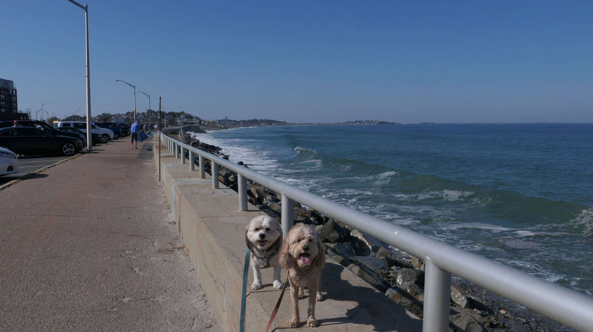
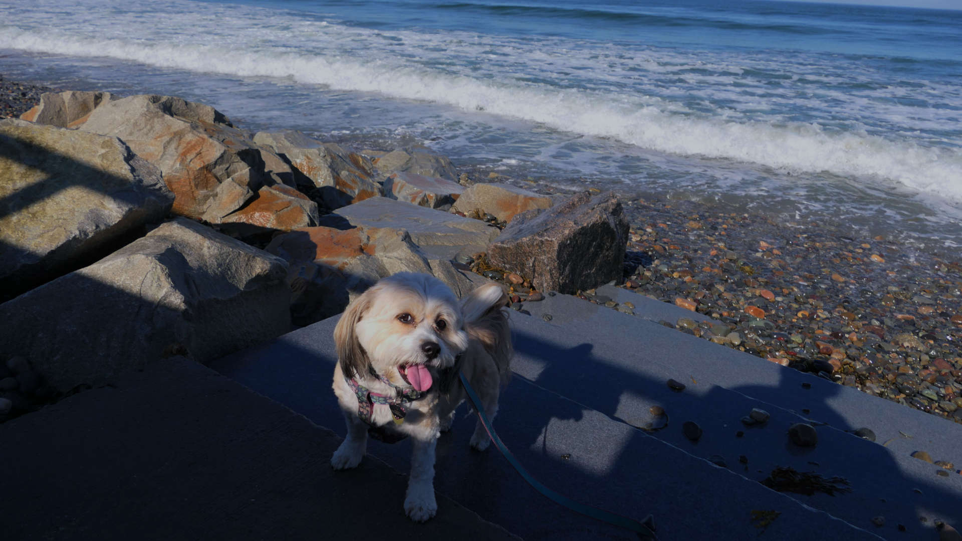
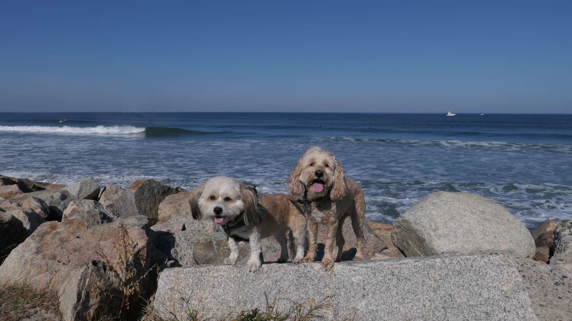
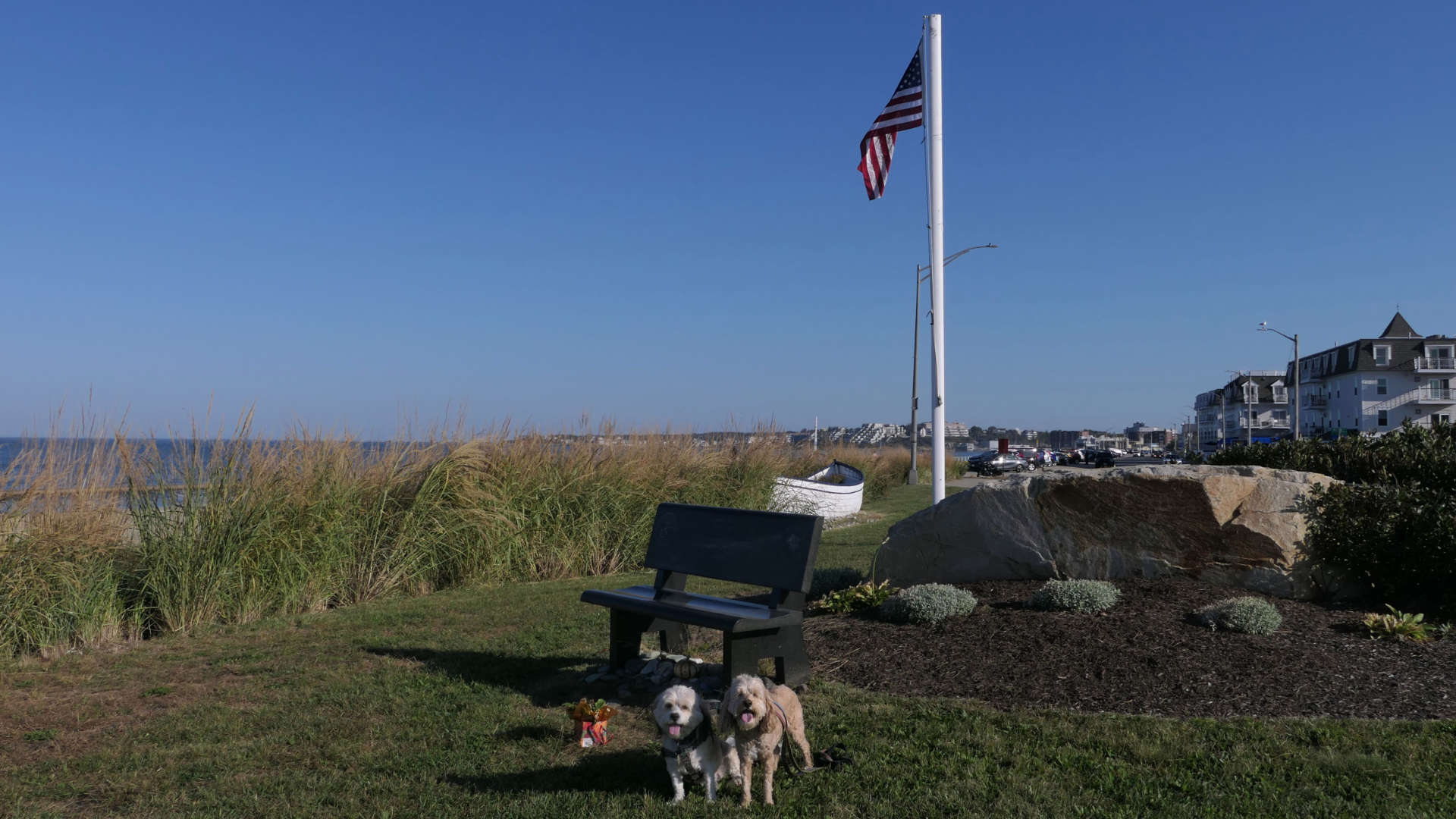
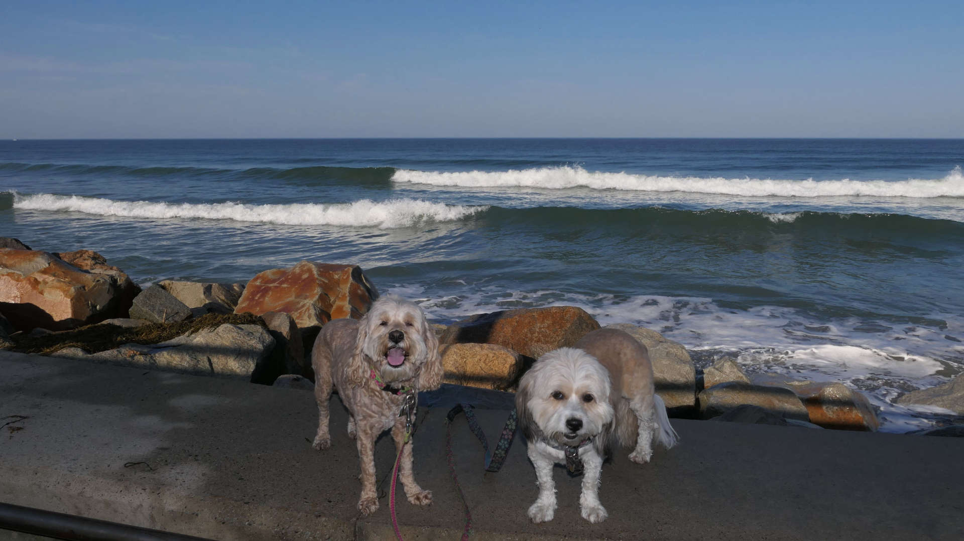
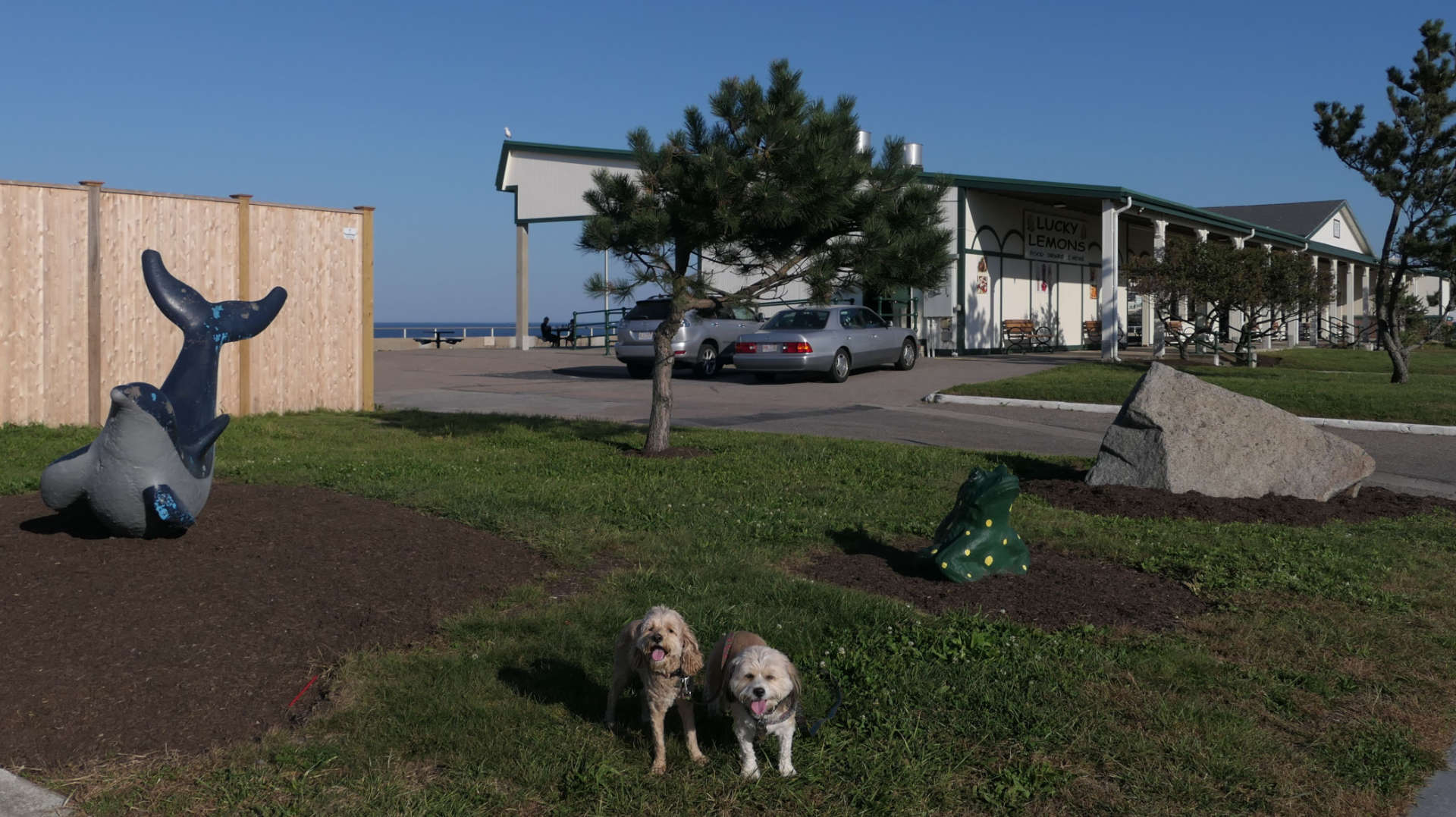
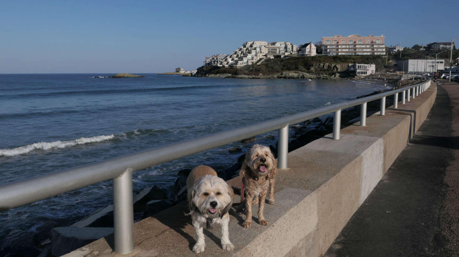
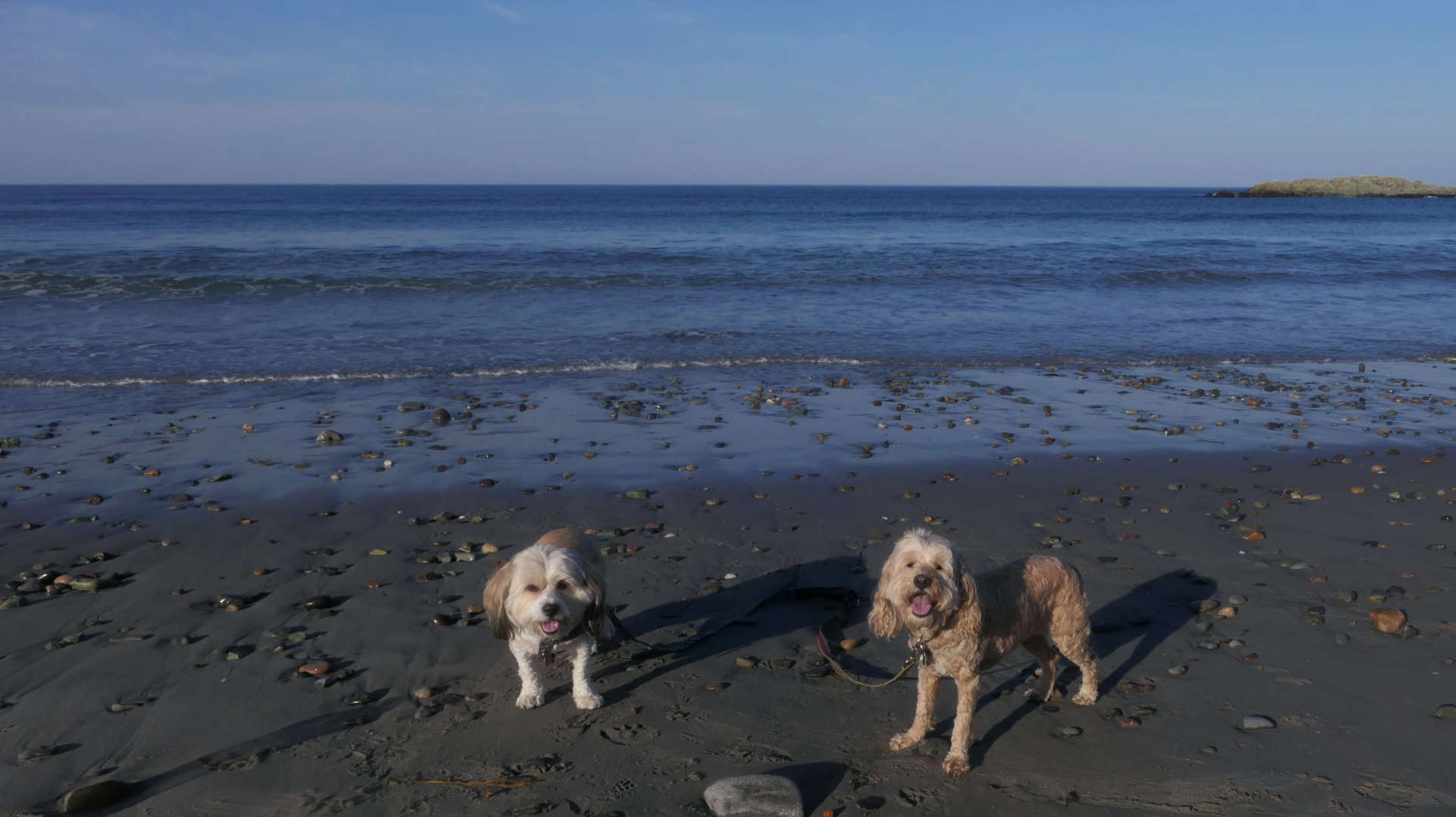
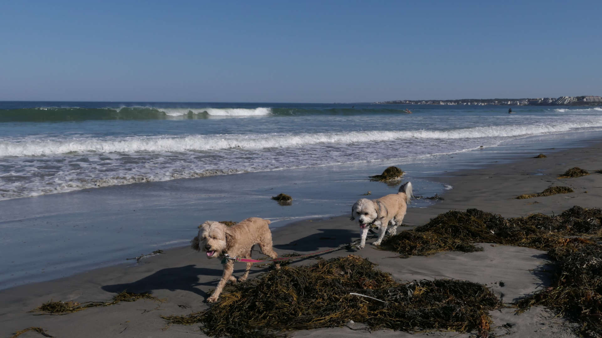
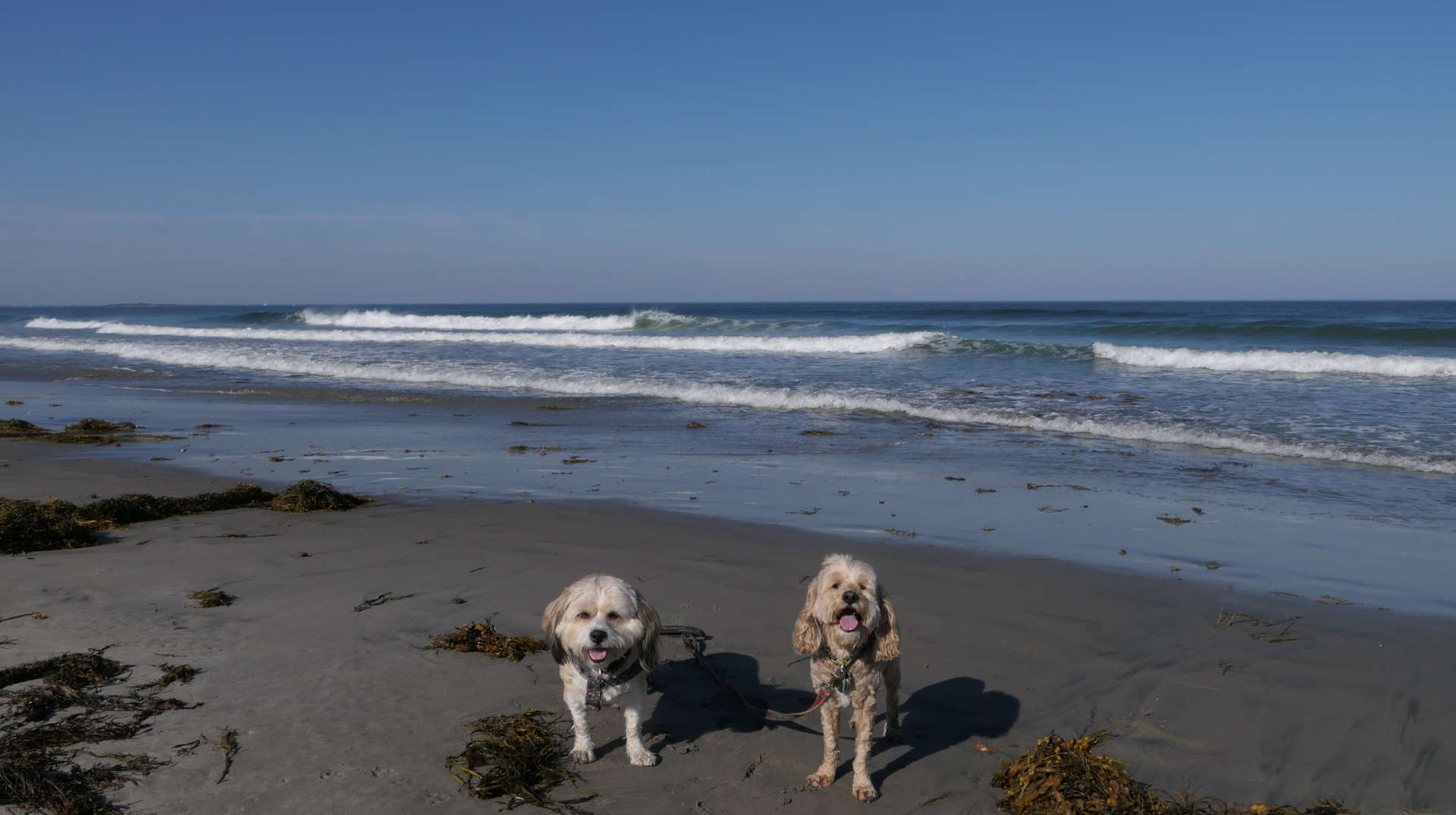
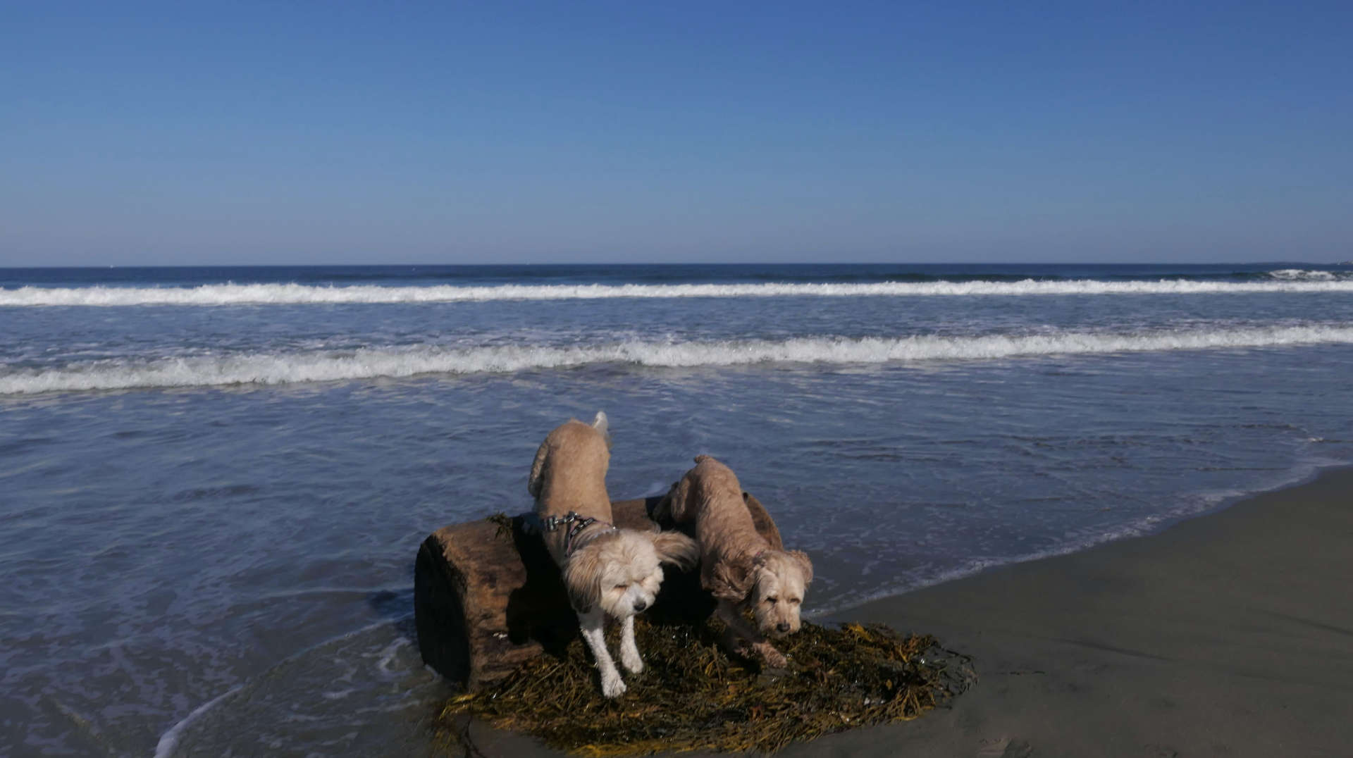
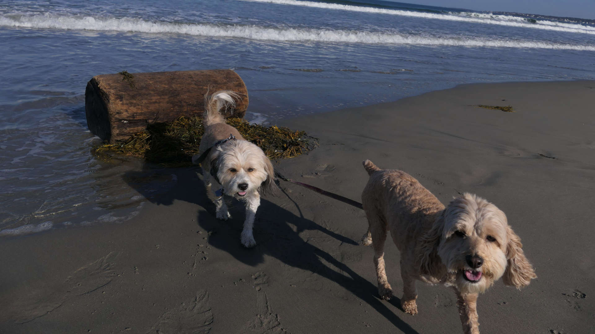
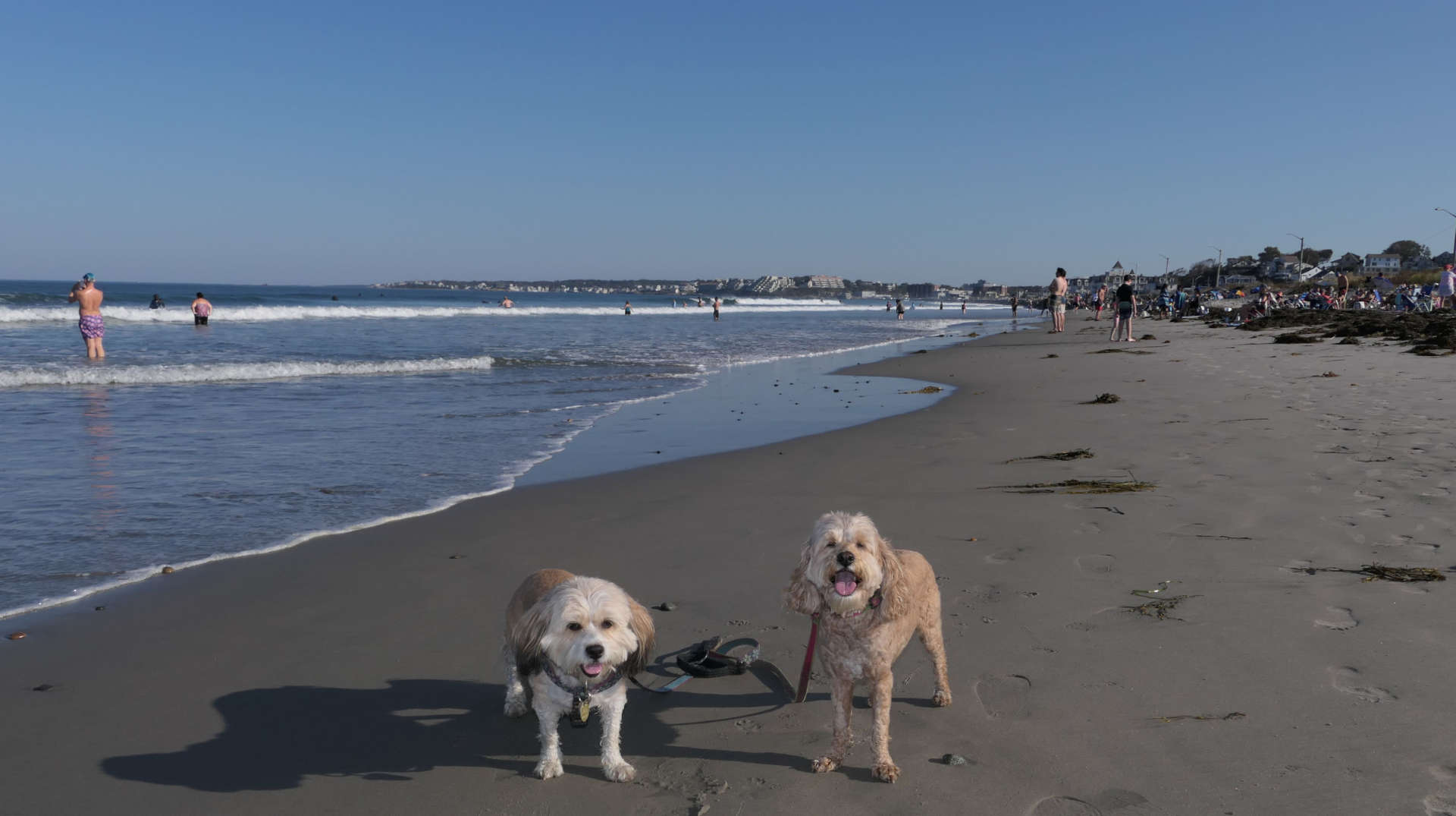
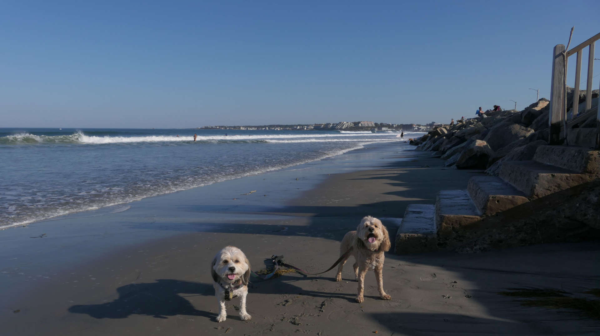
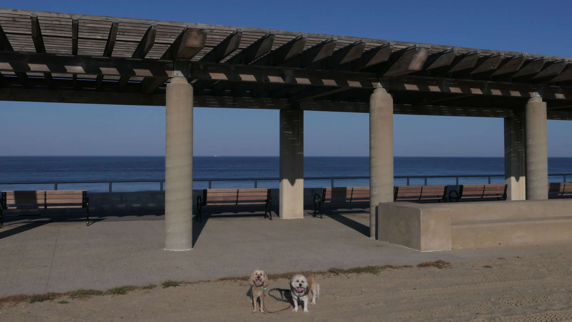
Nantasket Beach is the common name for both this state beach, and the town beach to the north. It's a very popular and busy beach. It was quite busy on a weekday in early in October when temperatures were around 80 degrees! Like most Massachusetts state beaches, dogs are allowed from September 16th through the end of April. The only issue, is that when we arrived, there was no beach! It was 15 minutes before high tide and the entire beach was underwater! We walked the length of the beach on the sidewalk, but the waves were too heavy to get down to the actual beach. There were people camped out on the rocks waiting for the tides to subside. We eventually made our way to the town beach known as North Nantasket Beach. Luckily, that part of the beach had more sand. On our way back, the tides subsided and we were finally able to get down the water on the far southern end of the beach. Was Nantasket fantastic? No, but it was still a nice place to take the dogs for a walk on a very warm October afternoon.


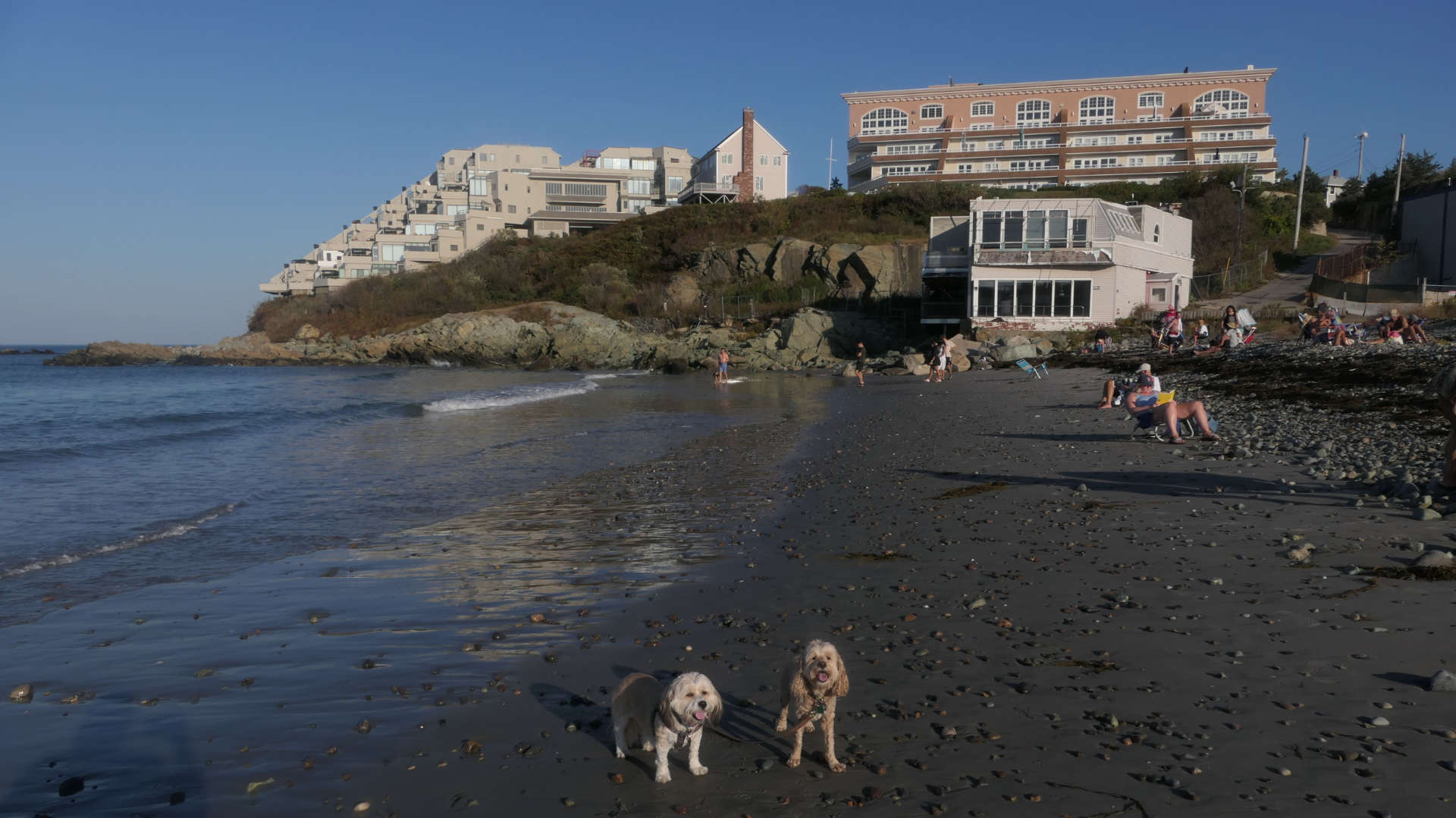
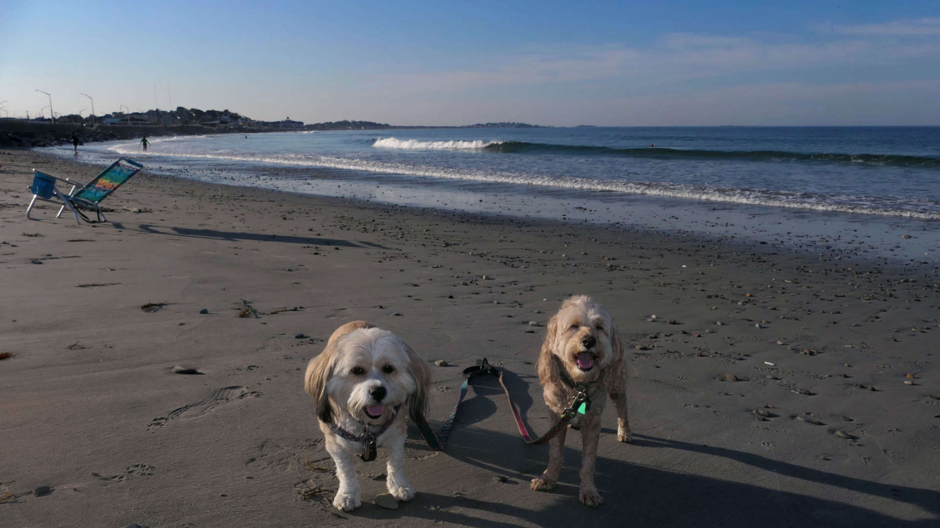
North Nantasket Beach
Date visited: 10/3/2023
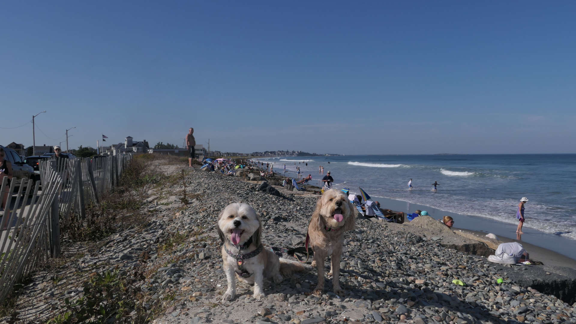
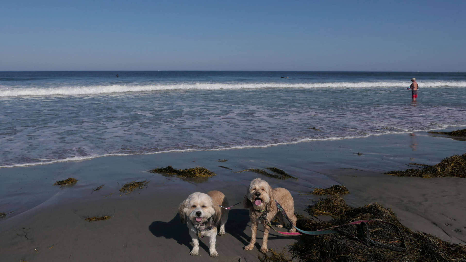
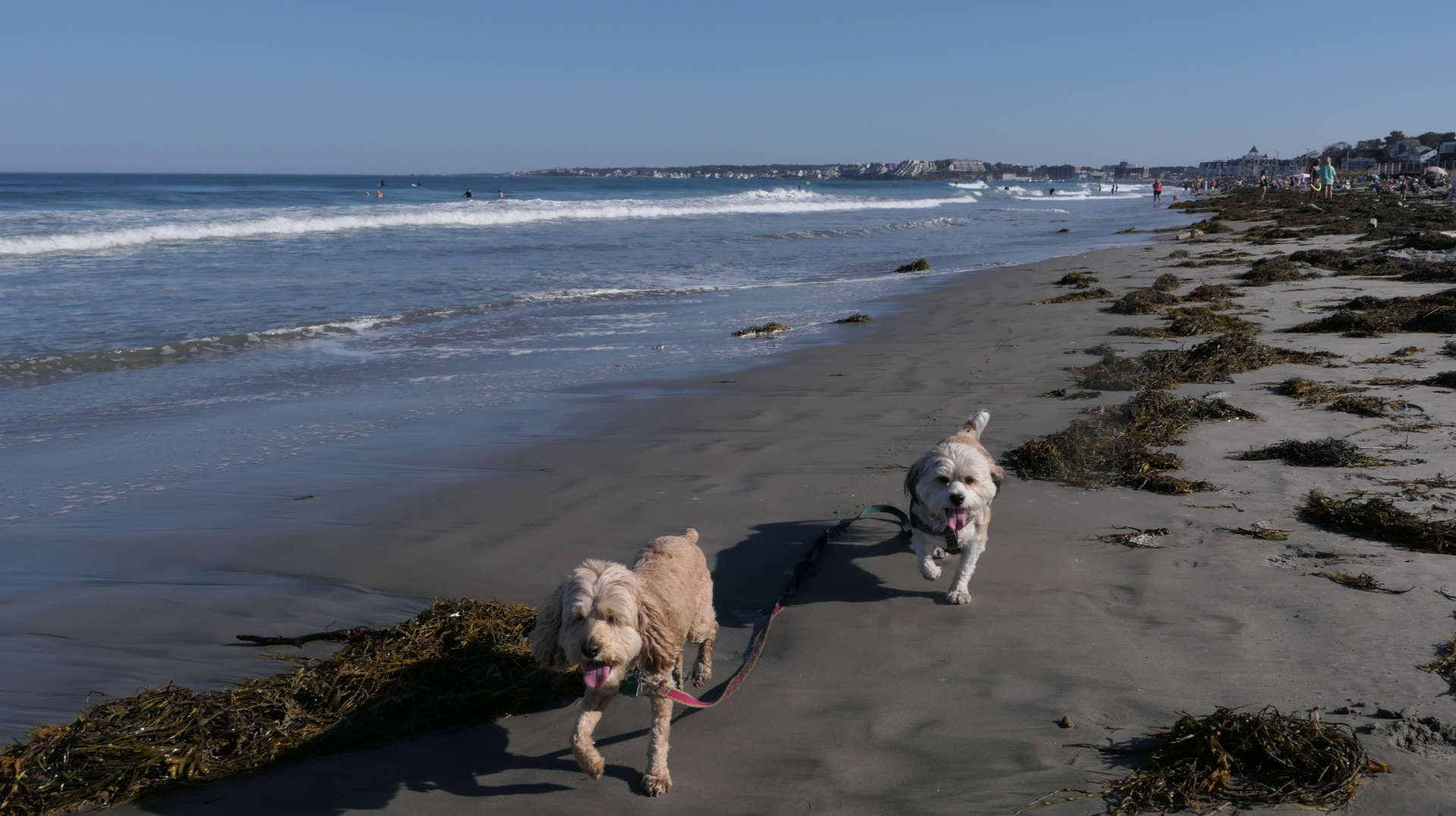
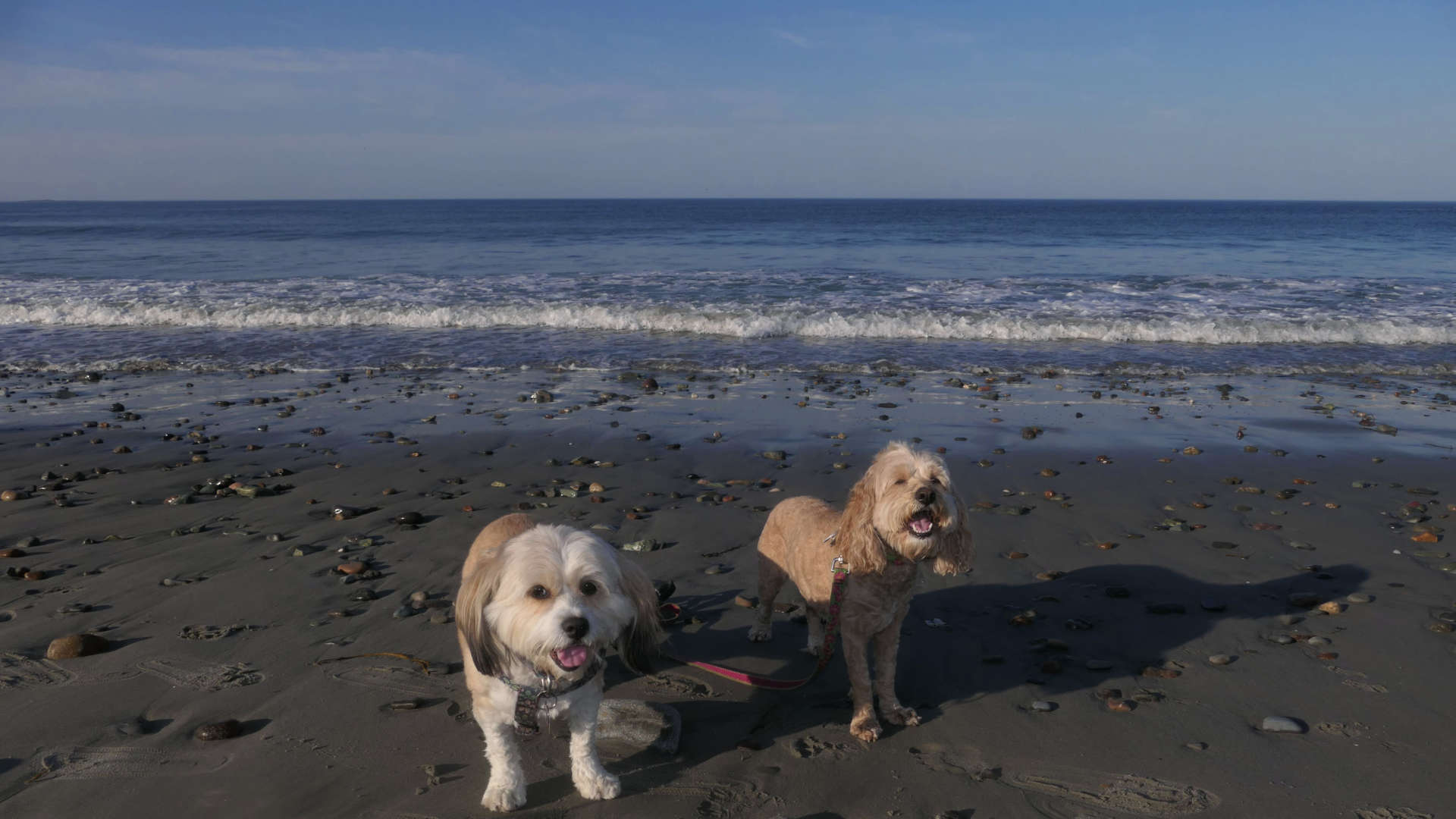
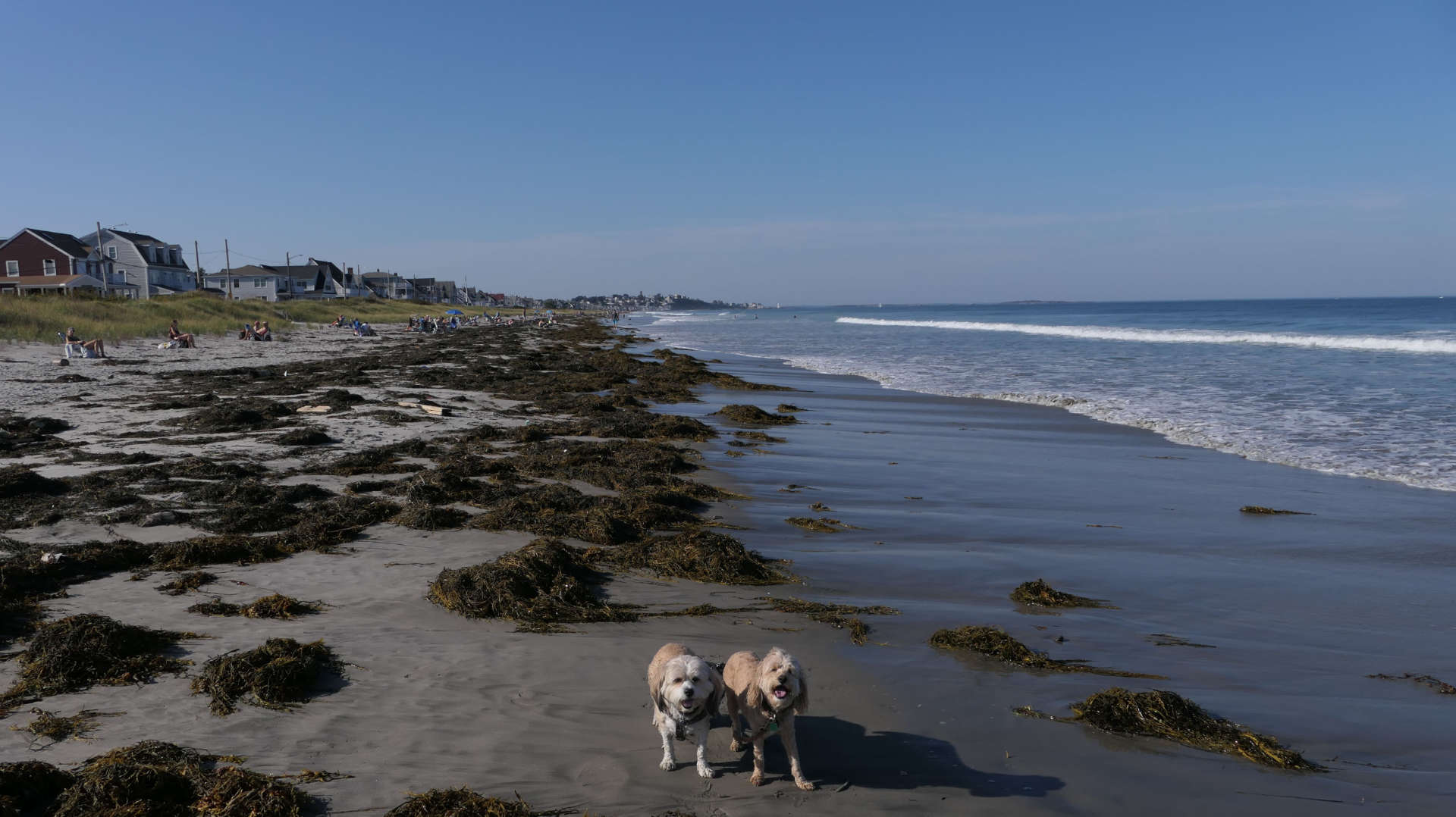
This is town owned portion of Nantasket Beach. We walked the length of the state beach, and we were finally able to get down to the water once we got to the town beach. The dog rules are different from the state beach. Evidently dogs are allowed from September 16th through the end of May on this portion of the beach. As I mentioned on the state beach write up, it was high tide when we arrived. There's more sand here than the state beach, but also tons of seaweed! It is pretty much spread throughout the beach. We only walked about half way up the beach before turning around. Counting the state beach, we walked a total of four and a half miles out and back. Mandy was able to cool off in the waves, but Lexi wanted no part of it. I was surprised at how many people were actually swimming here, since it was October. I figured the water must be cold, but I guess it didn't matter to the people here who wanted to cool off!
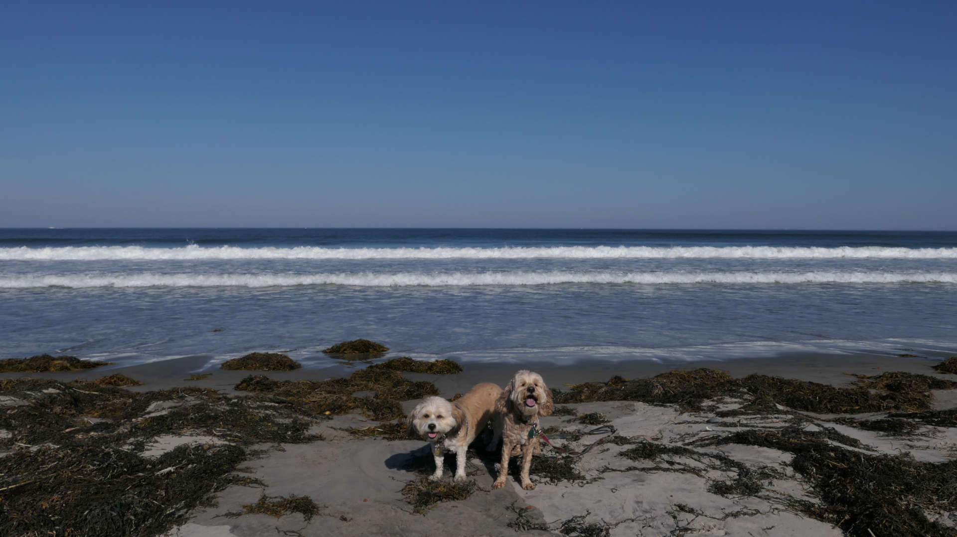
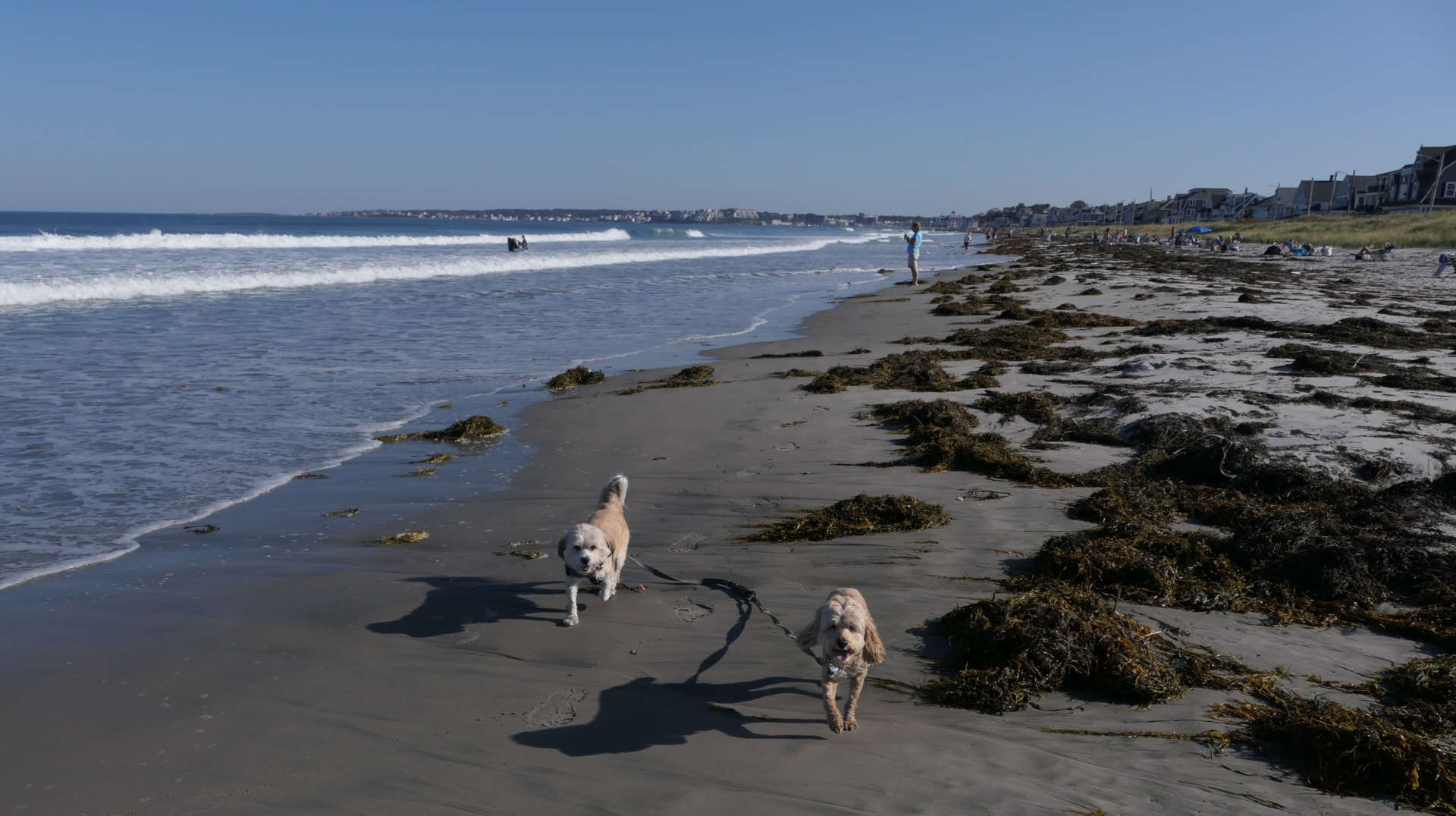
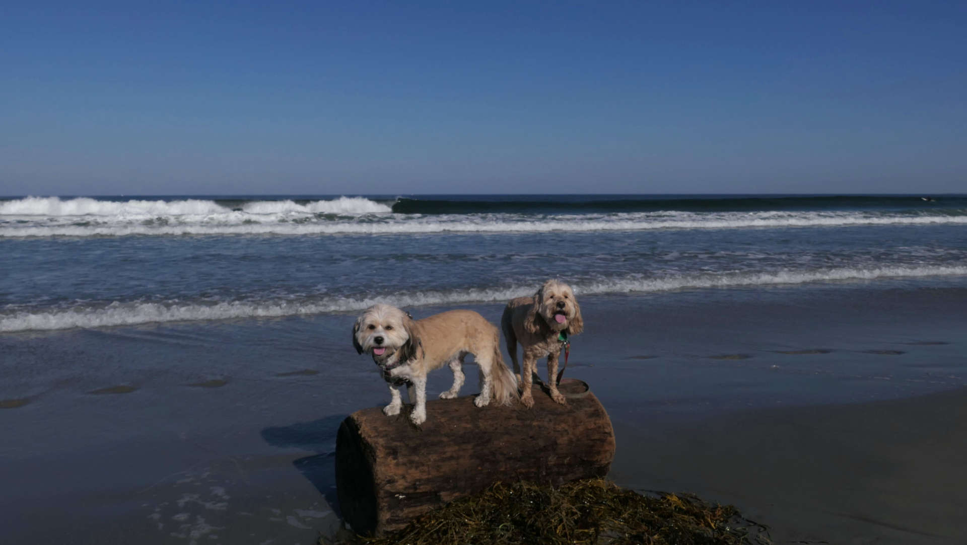

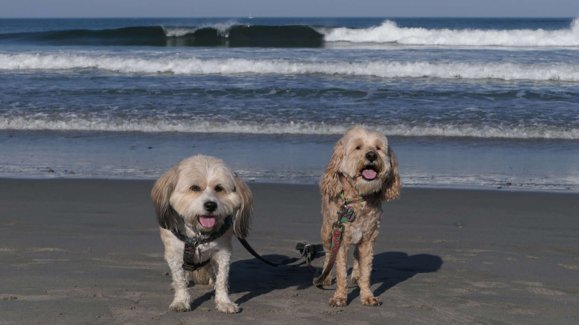
Black Rock Beach
Date visited: 3/30/2024
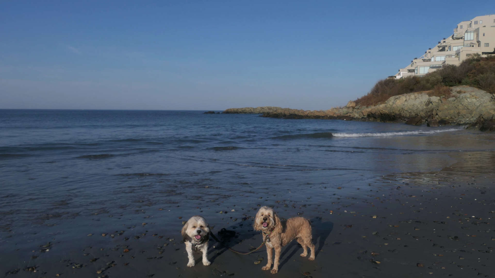
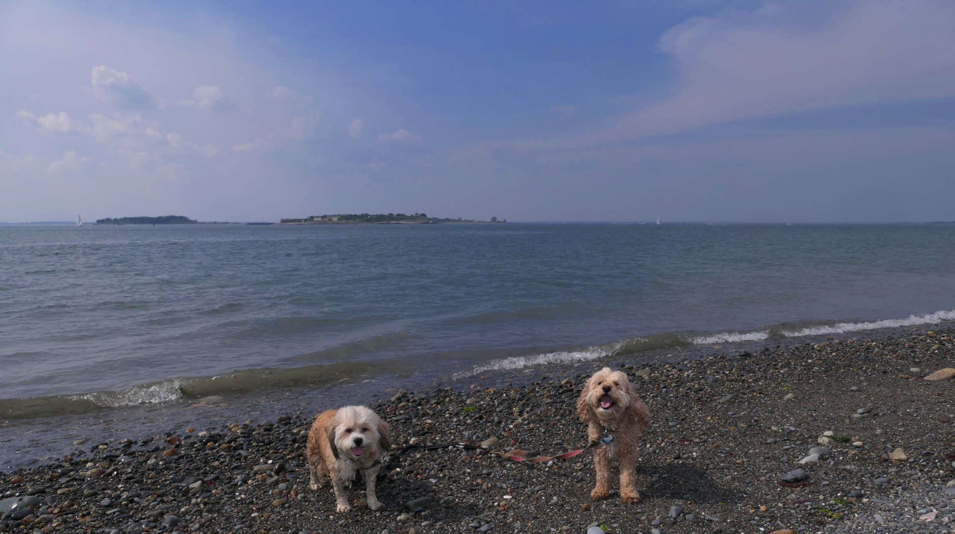
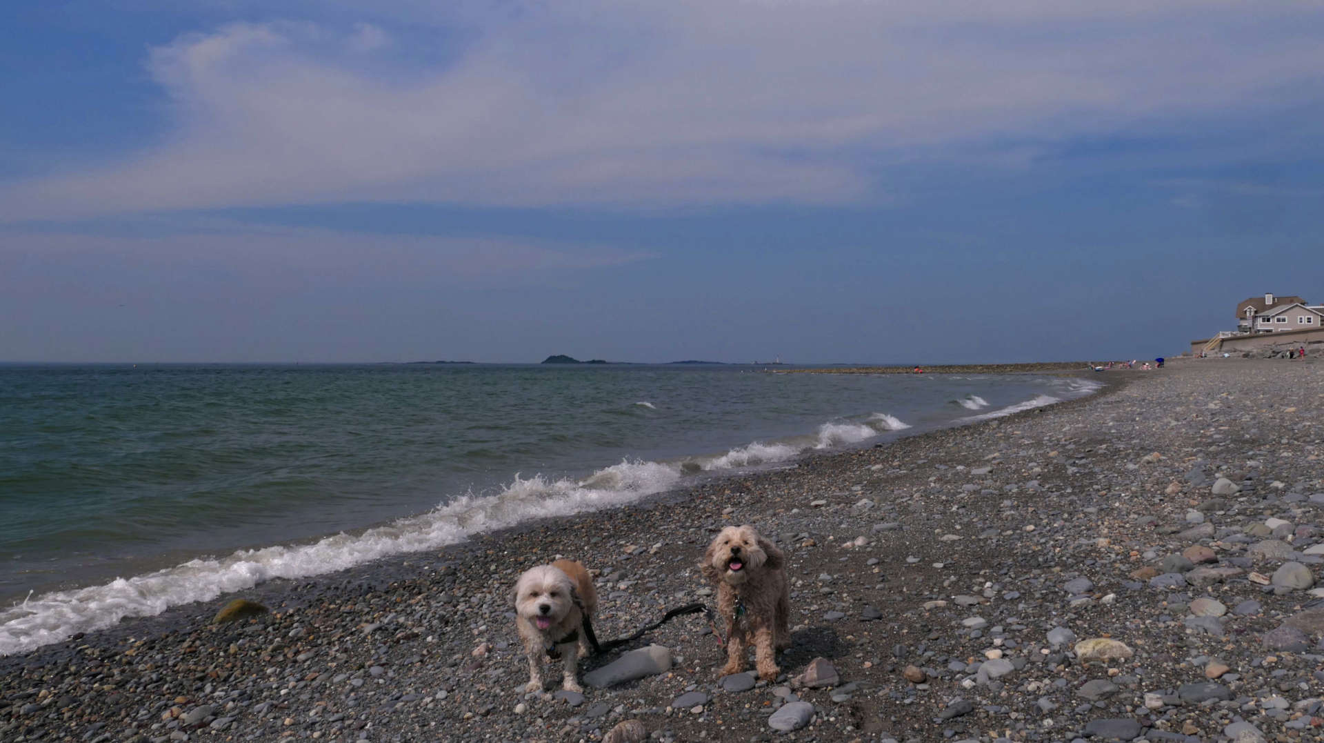
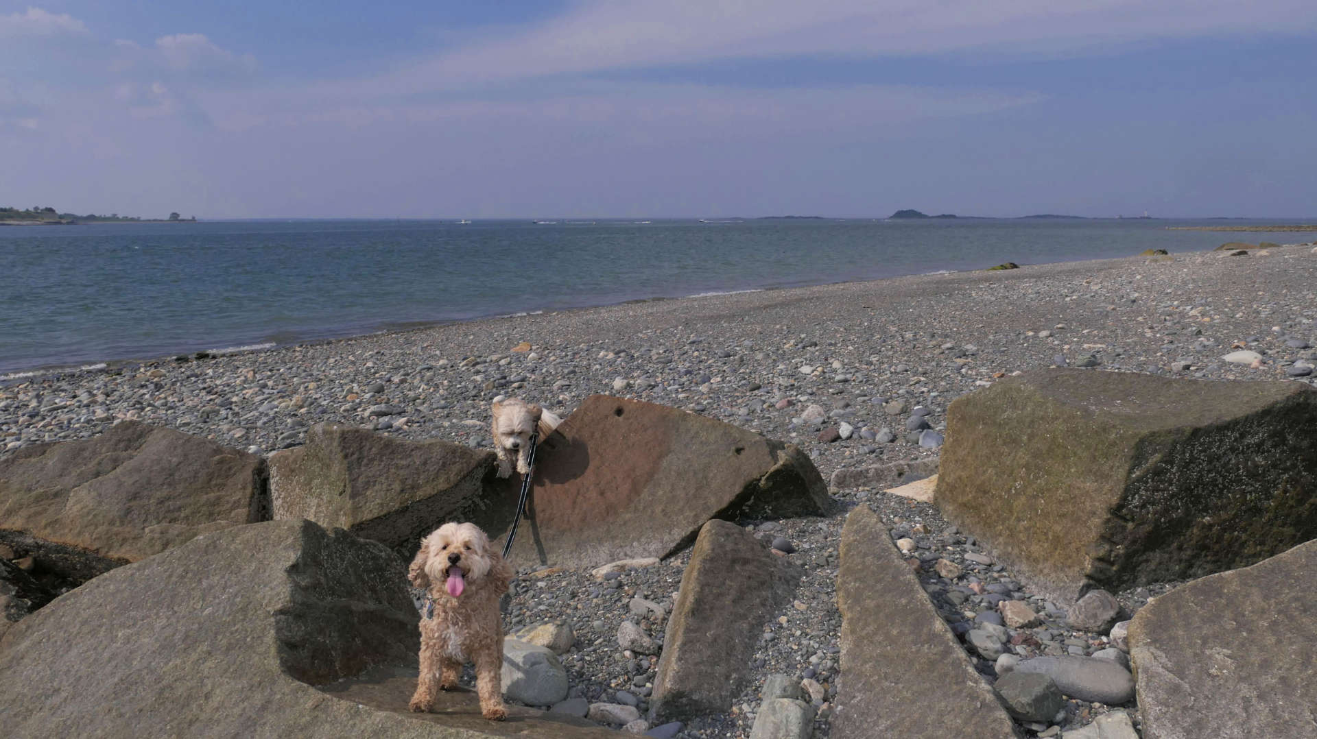
This is a small beach that sits on the town line between Hull and Cohasset. These are the pictures we took from the Hull side of the beach.
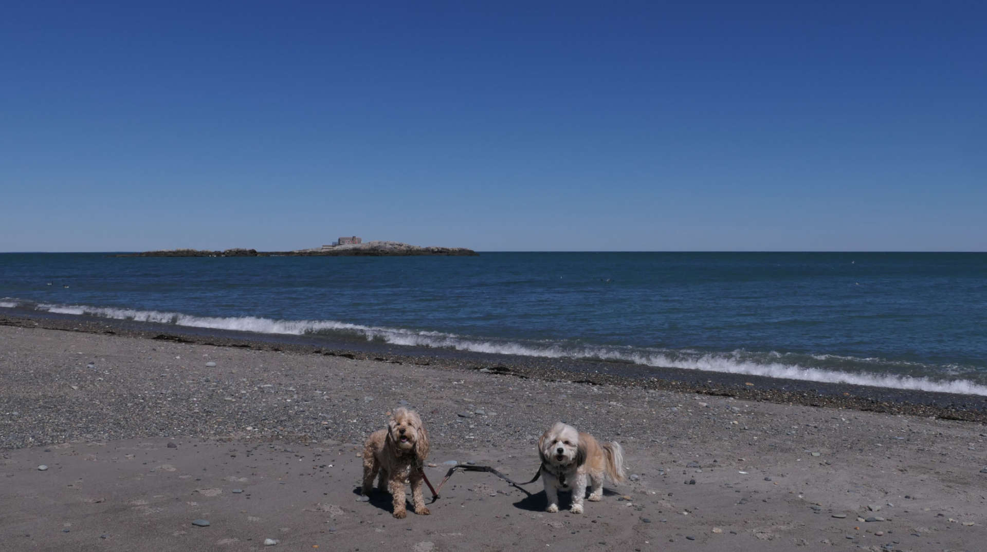
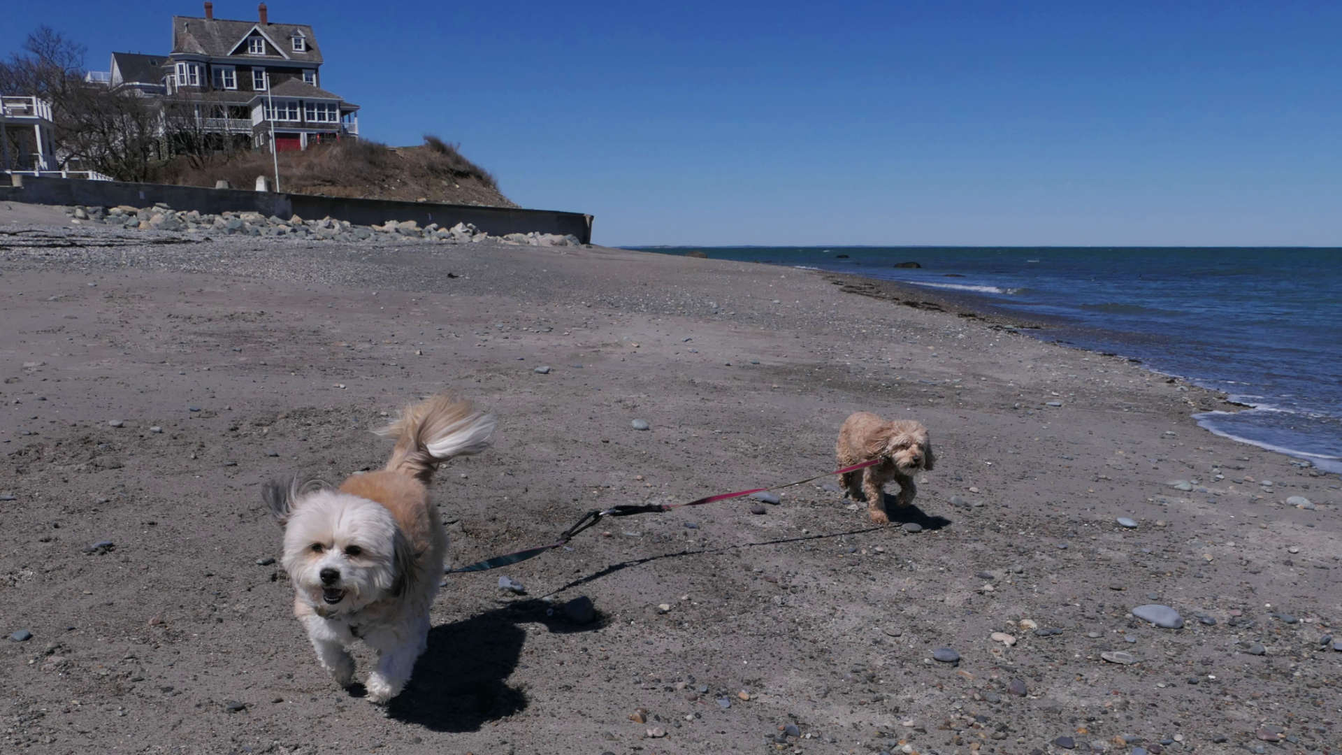
Fort Revere Park
Date visited: 6/19/2024
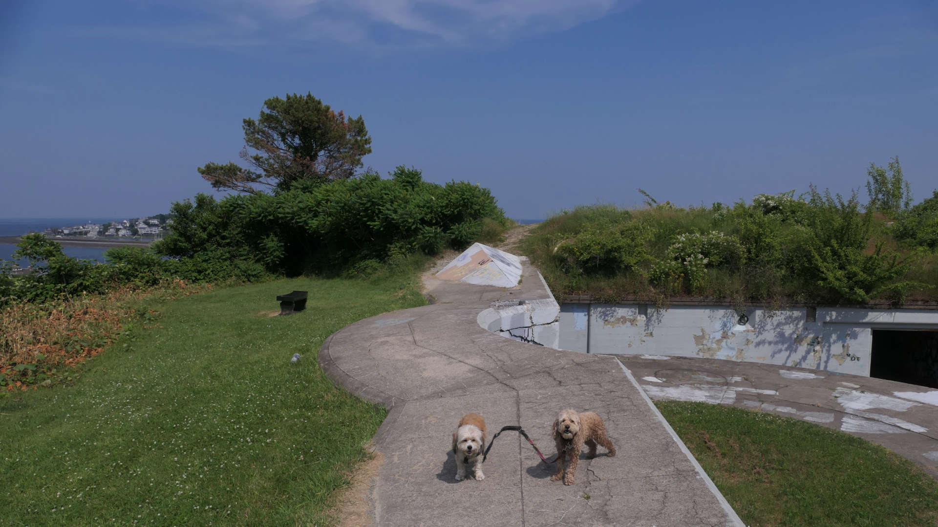
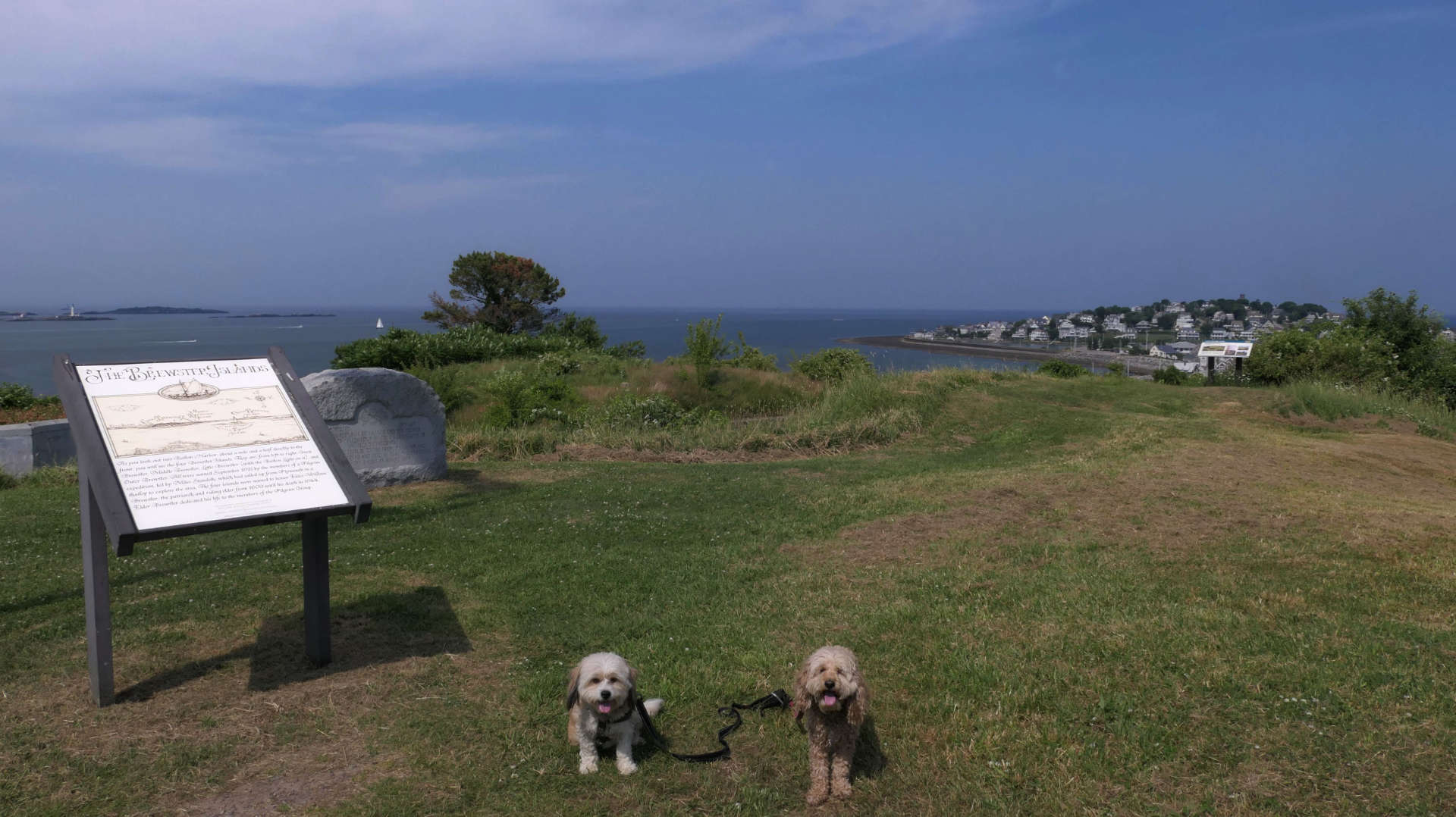
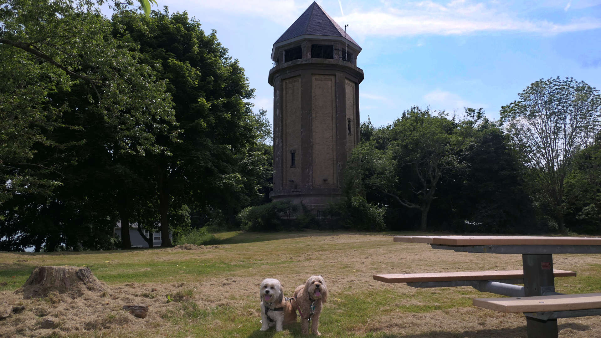
This is a historic landmark on the top of a Telegraph Hull on the Hull peninsula. The fort was originally built during the revolutionary war. The fort was de-commissioned after that war, but re-commissioned a few times after that, until 1947 when it was turned over to the state and is now a state park. You can explore the ruins, both inside and out. There is lots of graffiti here, but not as much as Fort Wetherill in Jamestown, RI, which has a similar history. The graffiti here is limited mostly to the inside of the fort. Speaking of the inside of the fort, it reeked of marijuana! We must have just missed a good time! There are awesome views of Boston Harbor from here. I wish we came here on a better day. It was super hot and very hazy, which limited the amount of time we had to explore, as well as limiting the view. It actually was much cooler on the inside of the fort. There is also a picnic area and an old water tower on site. It's a nice spot for a quick adventure.


Pemberton Point
Date visited: 6/19/2024
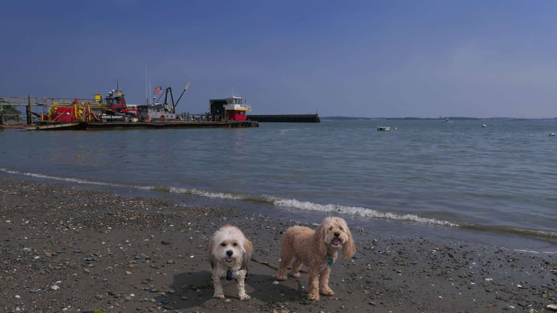
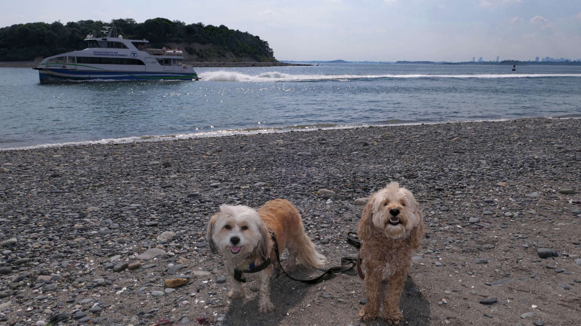
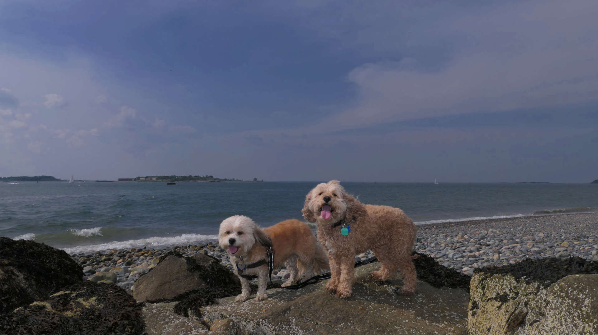
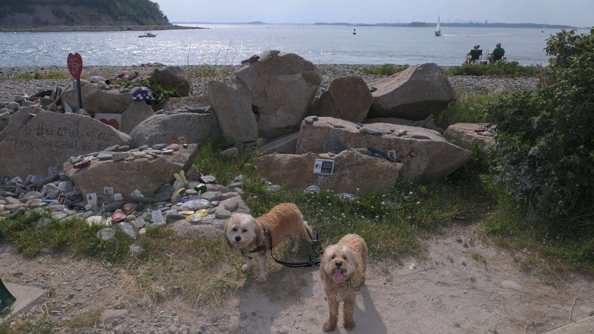
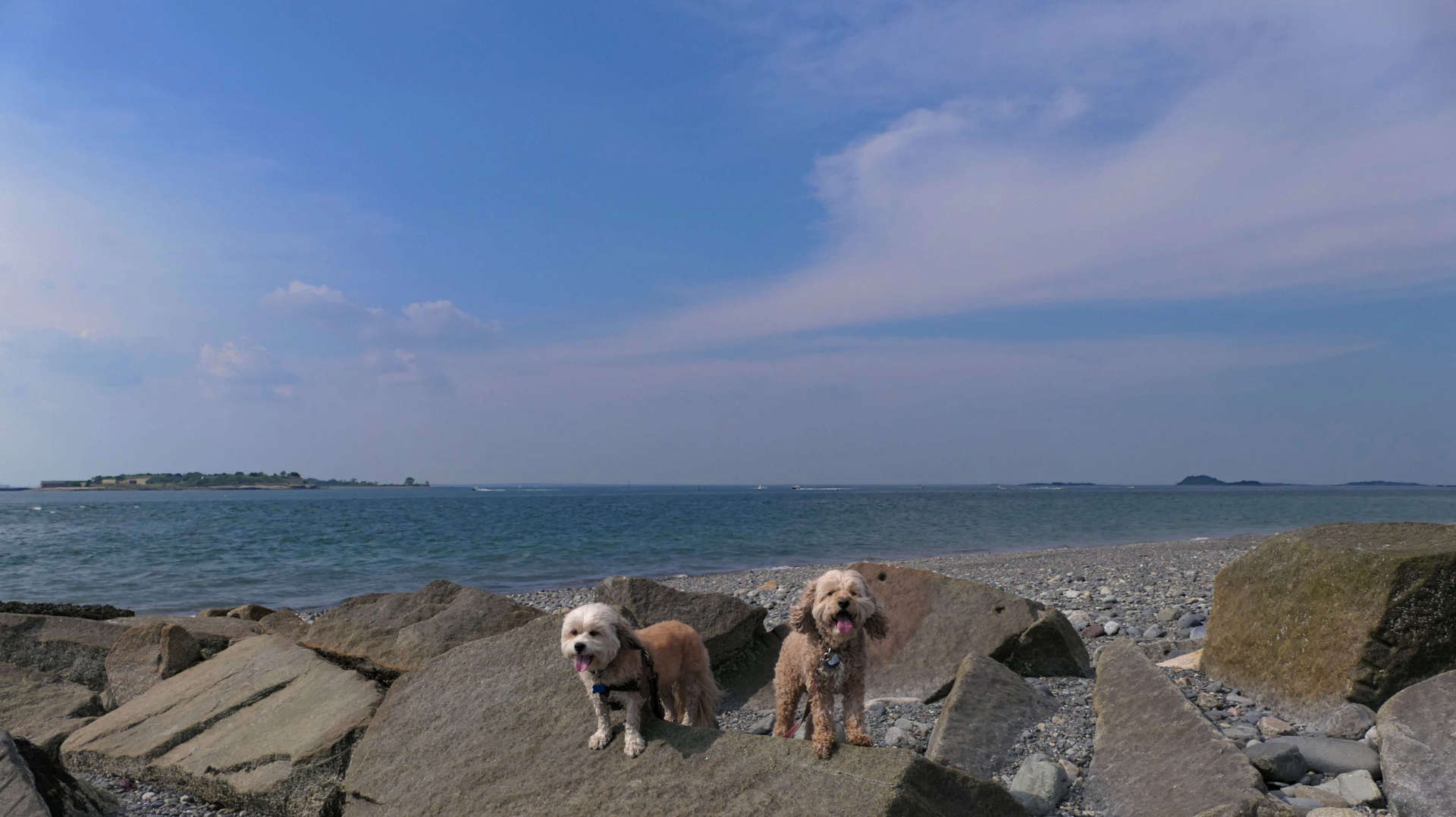
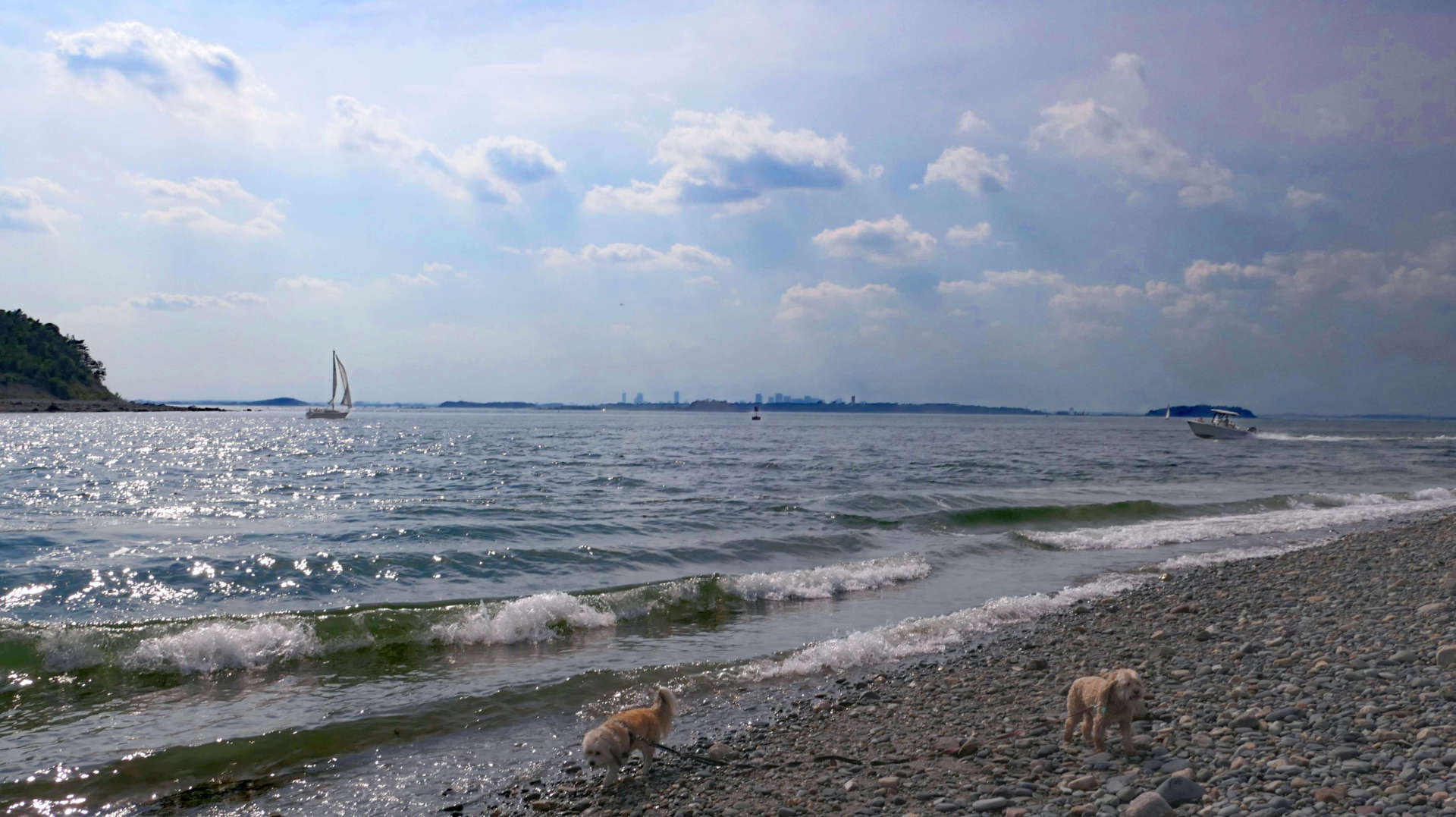
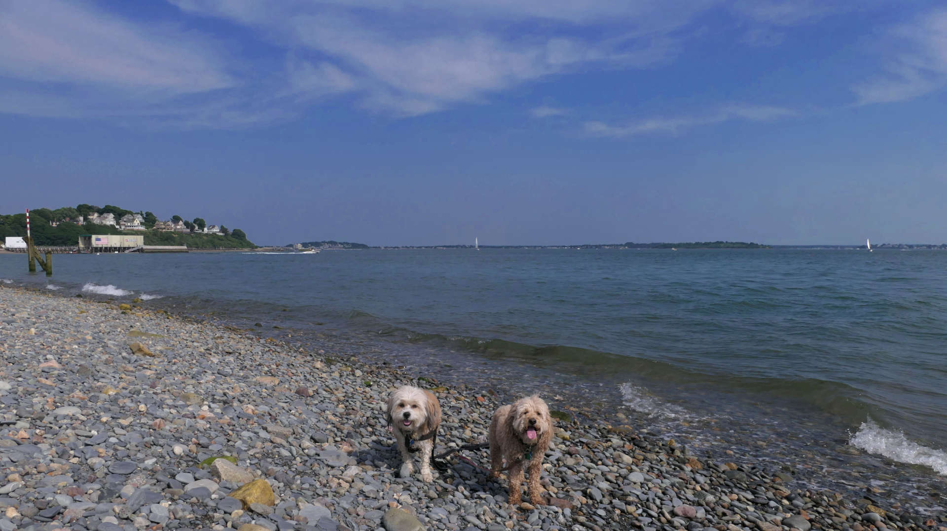
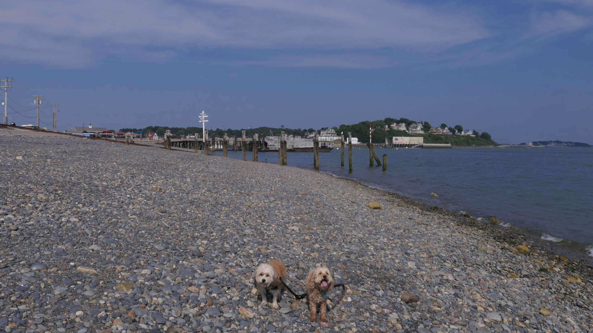
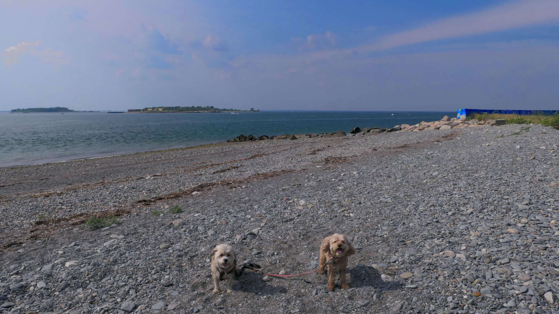
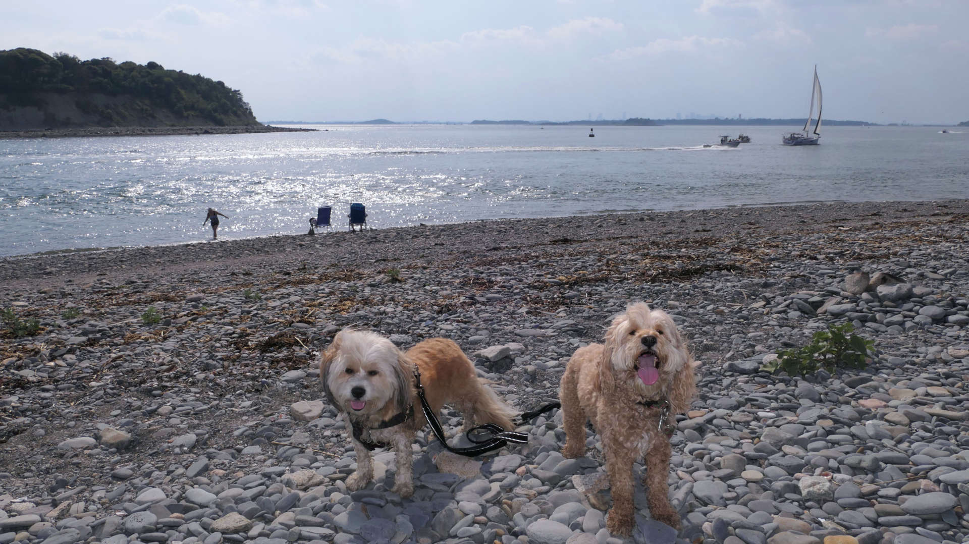
This place is also known as "Windmill Point". It's the area at the very tip of the peninsula. There are views of the Boston Harbor islands, and of Boston itself. It was very hazy while we were here, so the visibility was limited, but you can still make out the skyline. It seems to be a popular spot with the locals. It seemed like I was getting some strange looks from the locals walking the dogs on this rocky shoreline. The North and South Rivers Watershed Association web page does indicate that dogs are allowed here, and there was no signs on-site that indicated otherwise. It was super hot on this day, so this was a good spot for the dogs to cool off. It's also a nice alternative to the craziness of Nantasket Beach, which created an absolute traffic nightmare getting here!
