◂︎ Mandy & Lexi's Massachusetts Adventures
Amherst
Mount Holyoke Range
State Park
Date visited: 6/26/2021
This park contains 30 miles of blazed trails... we hiked the shortest, the Laurel Loop which is about 0.7 miles long. Even the smallest trail included some decent elevation gain. The dogs aren't big on climbing mountains, so I'm not sure there is much else that we can do here.
Emily Dickinson Trail
Date visited: 8/26/2023
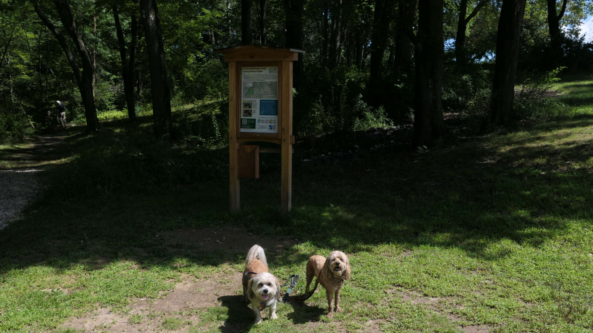
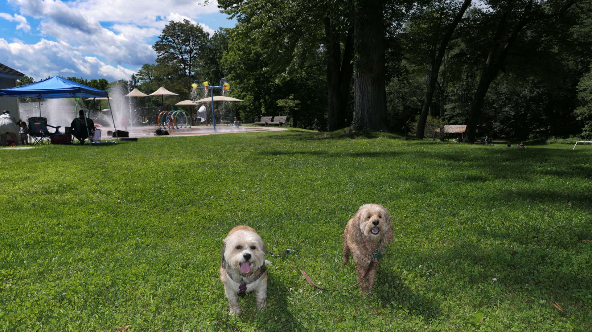
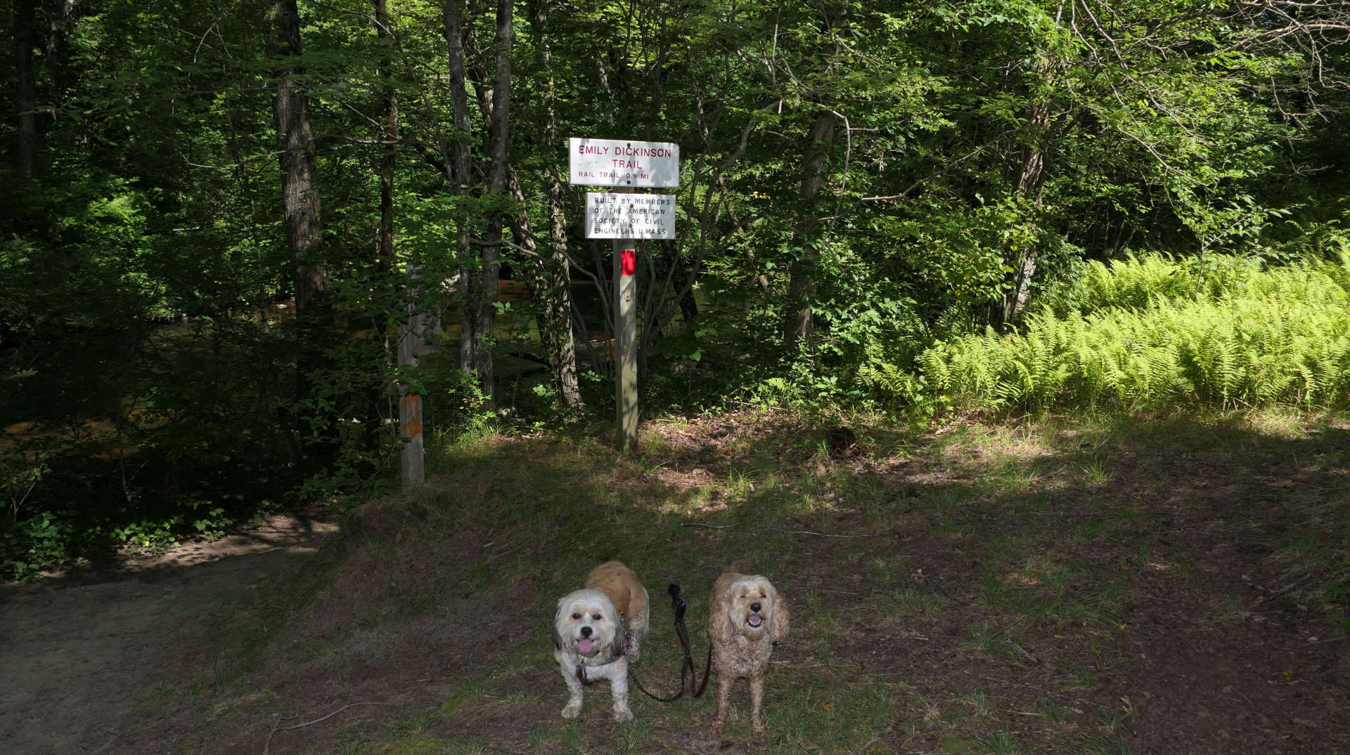
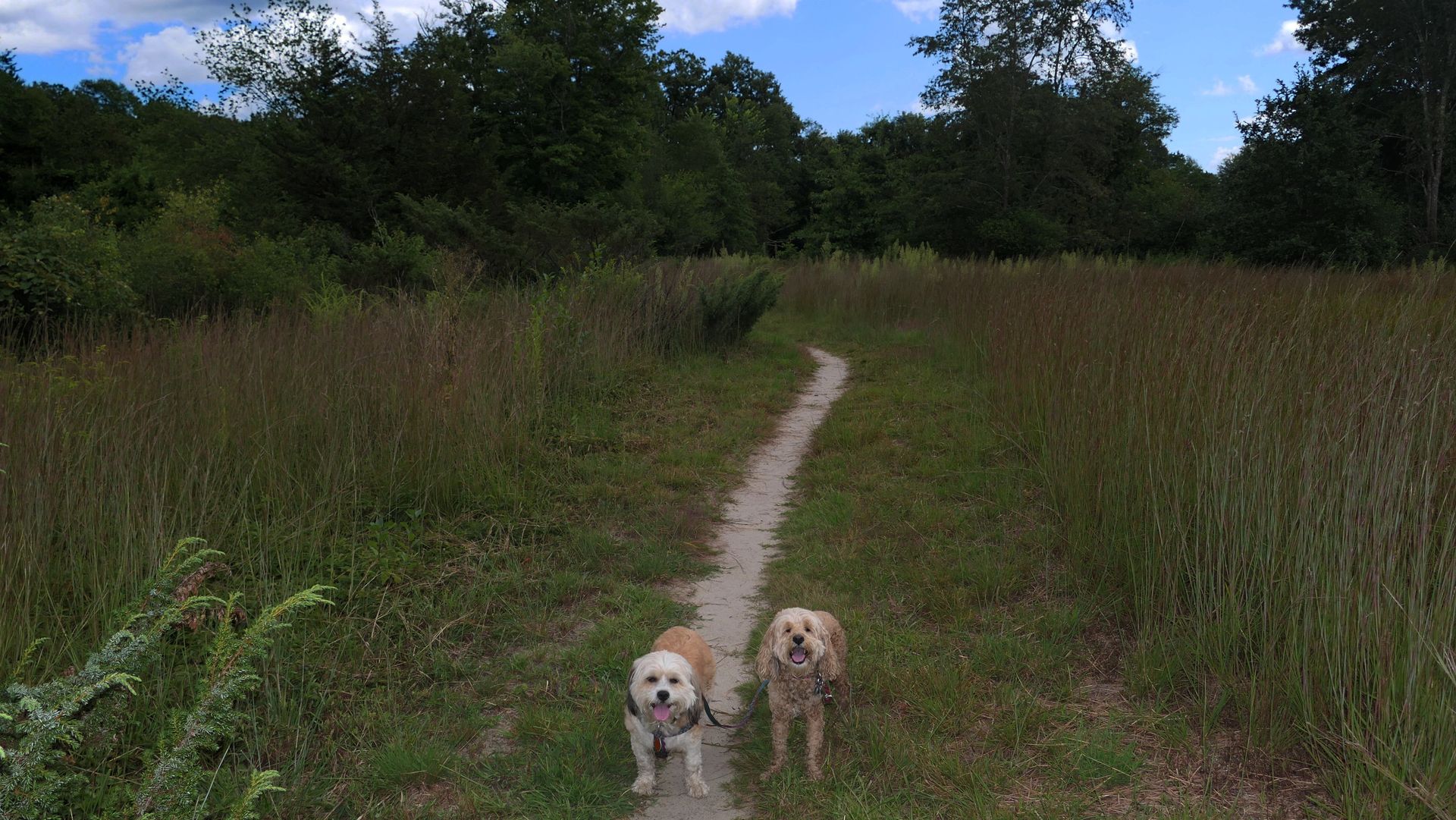
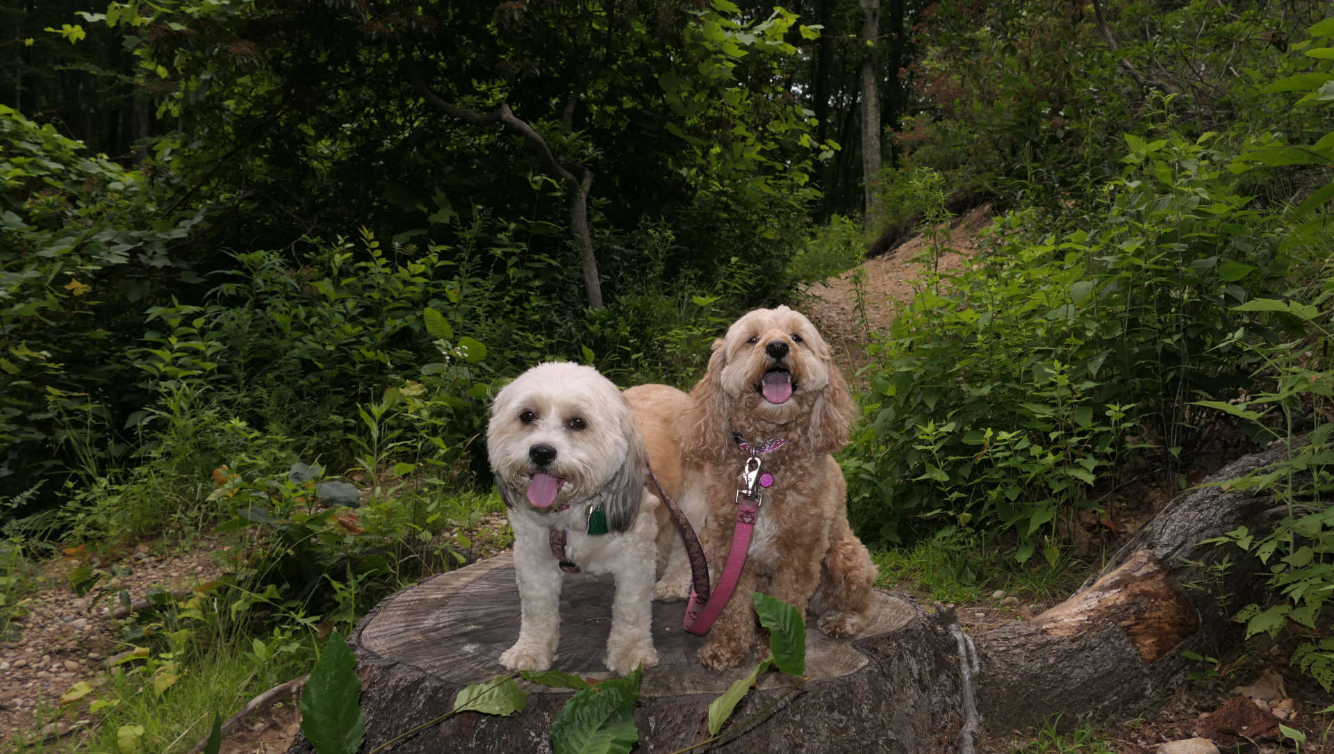
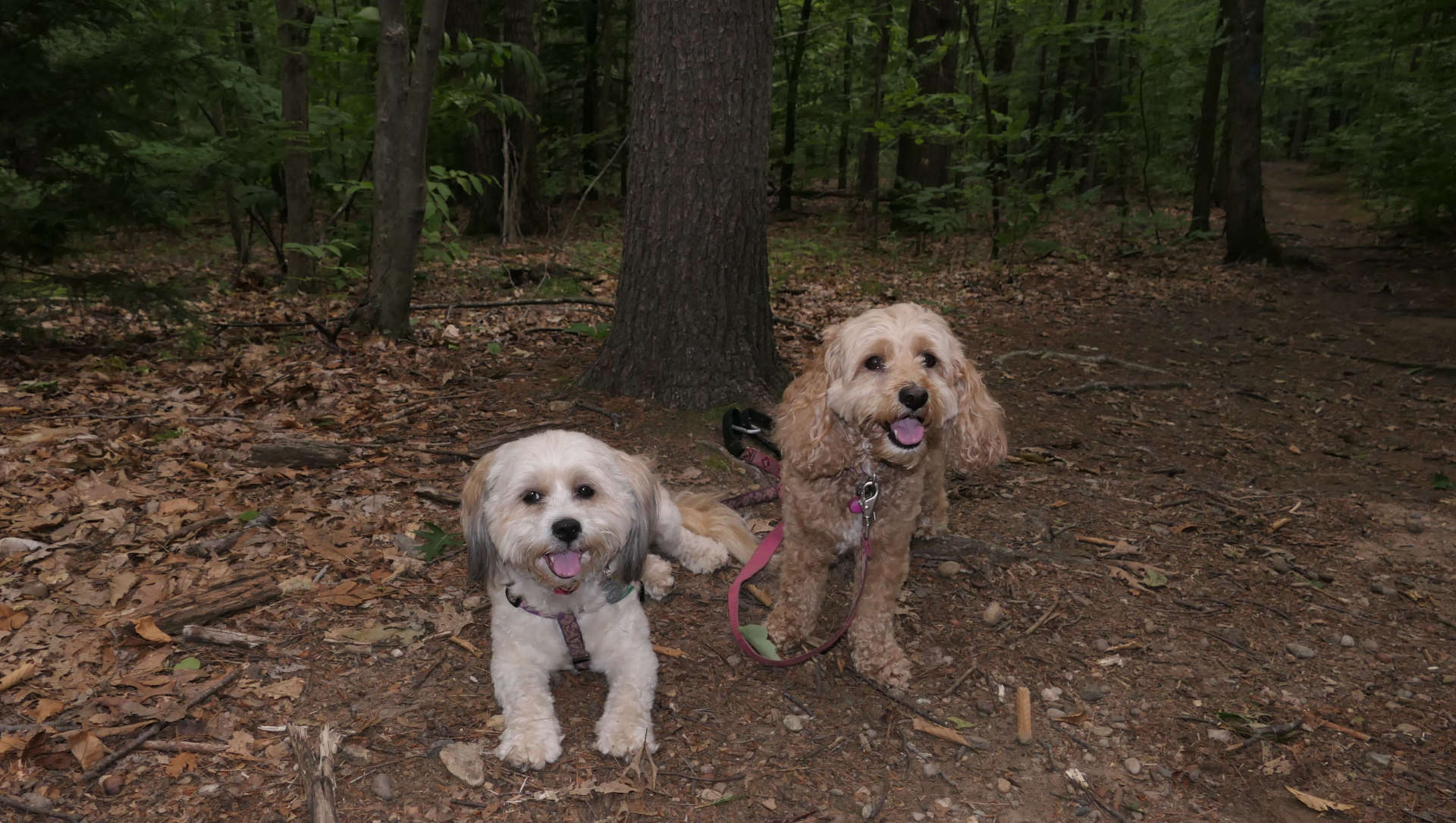
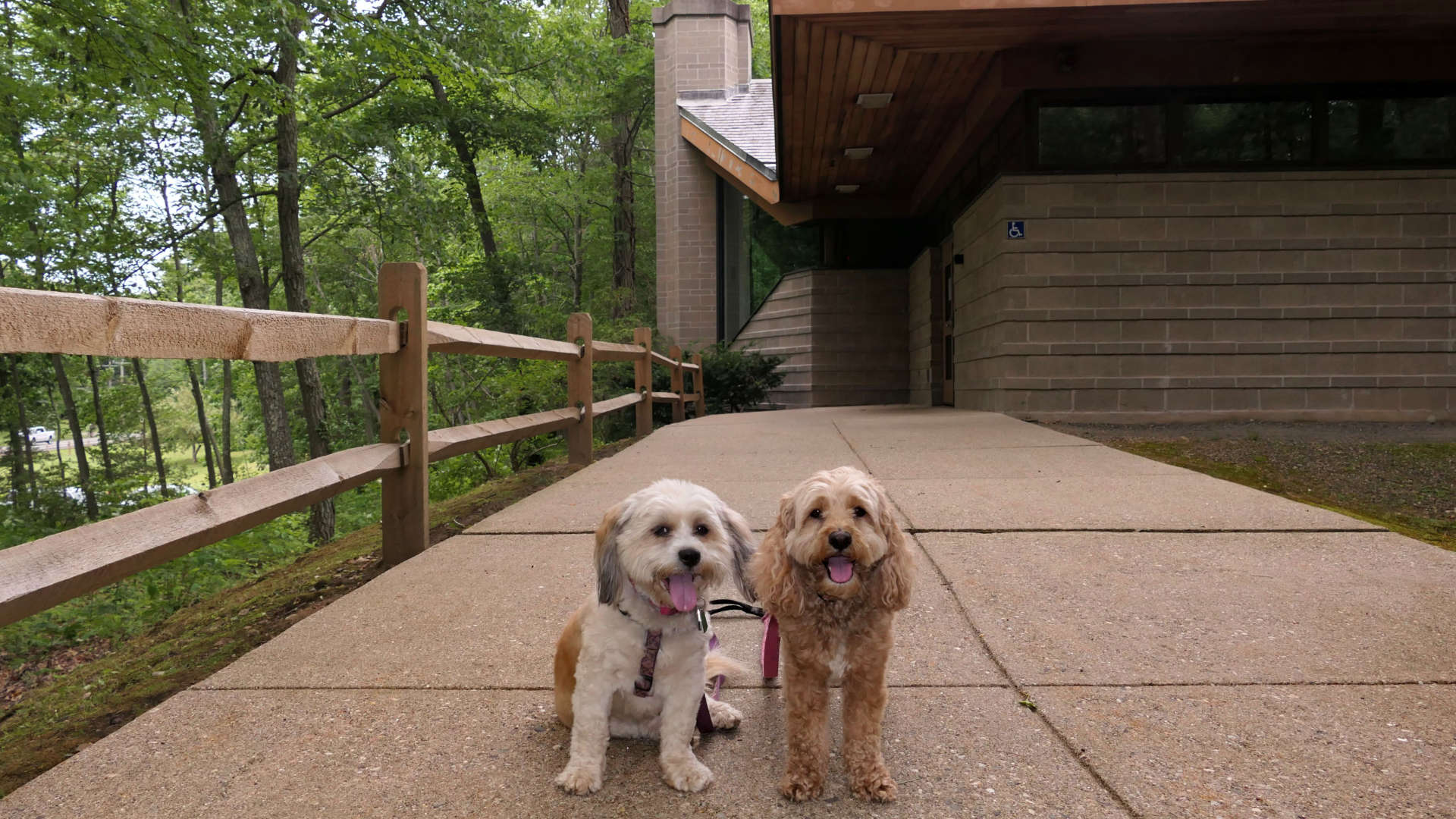
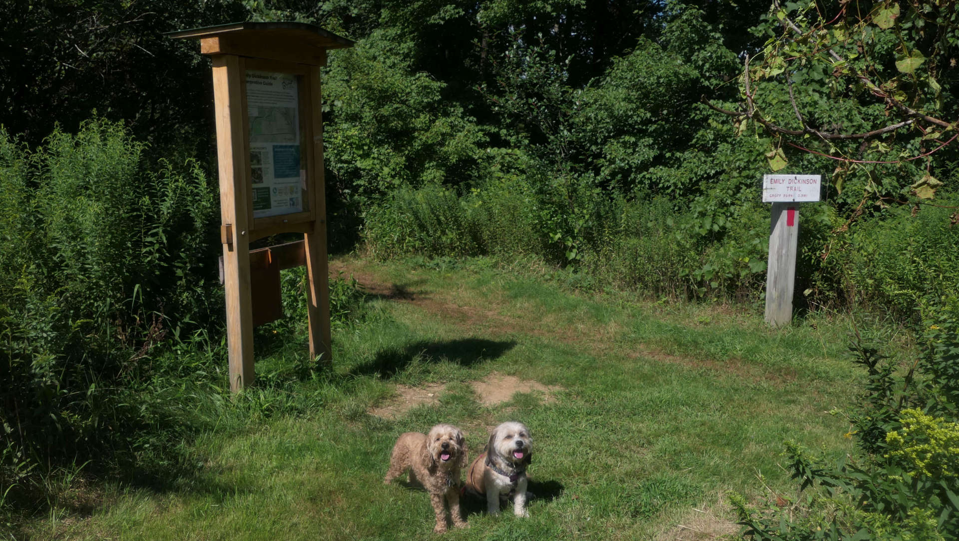
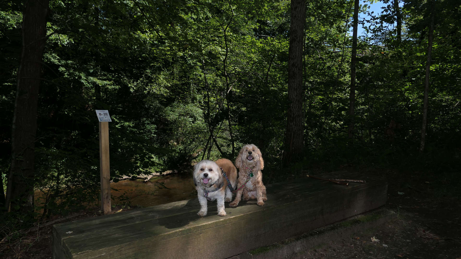
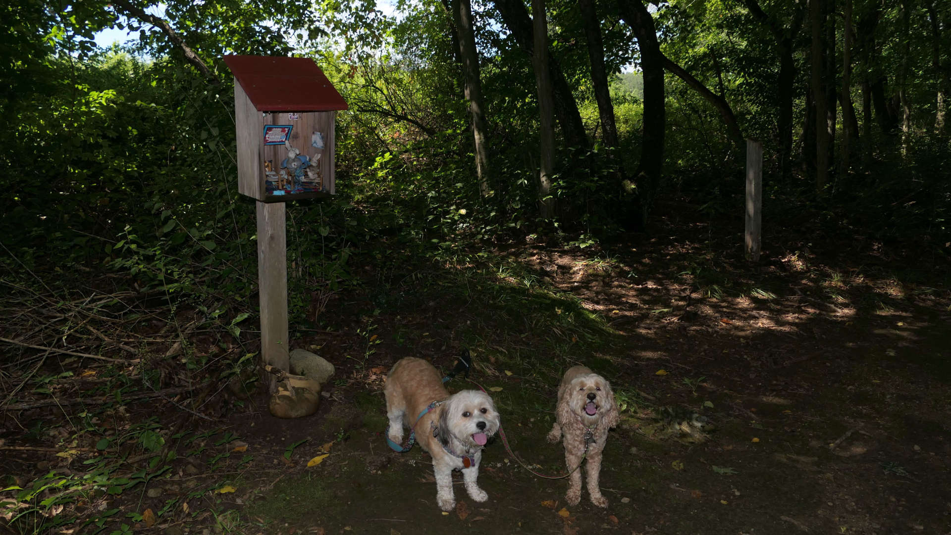
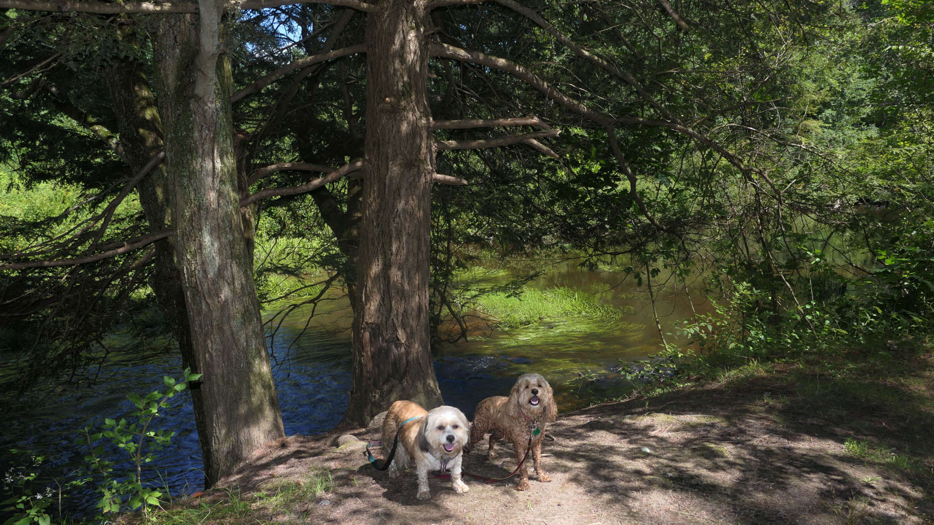
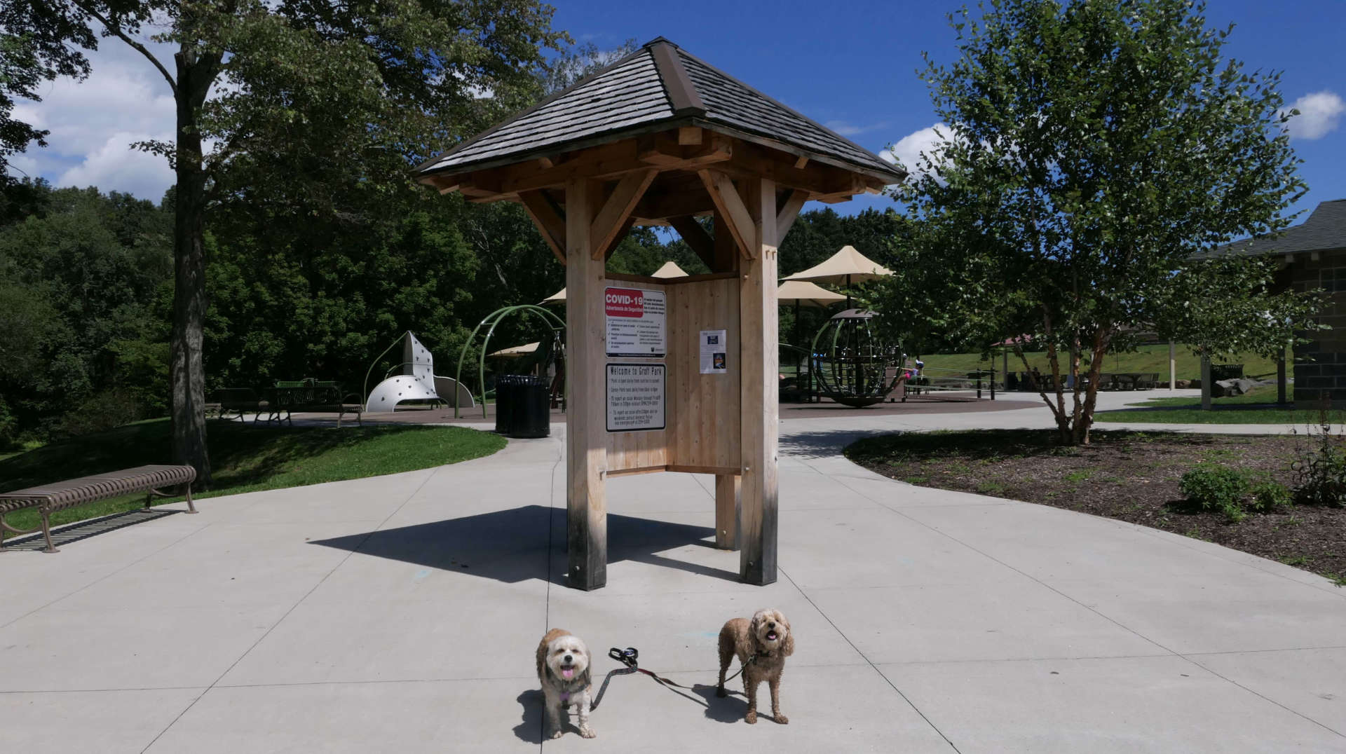
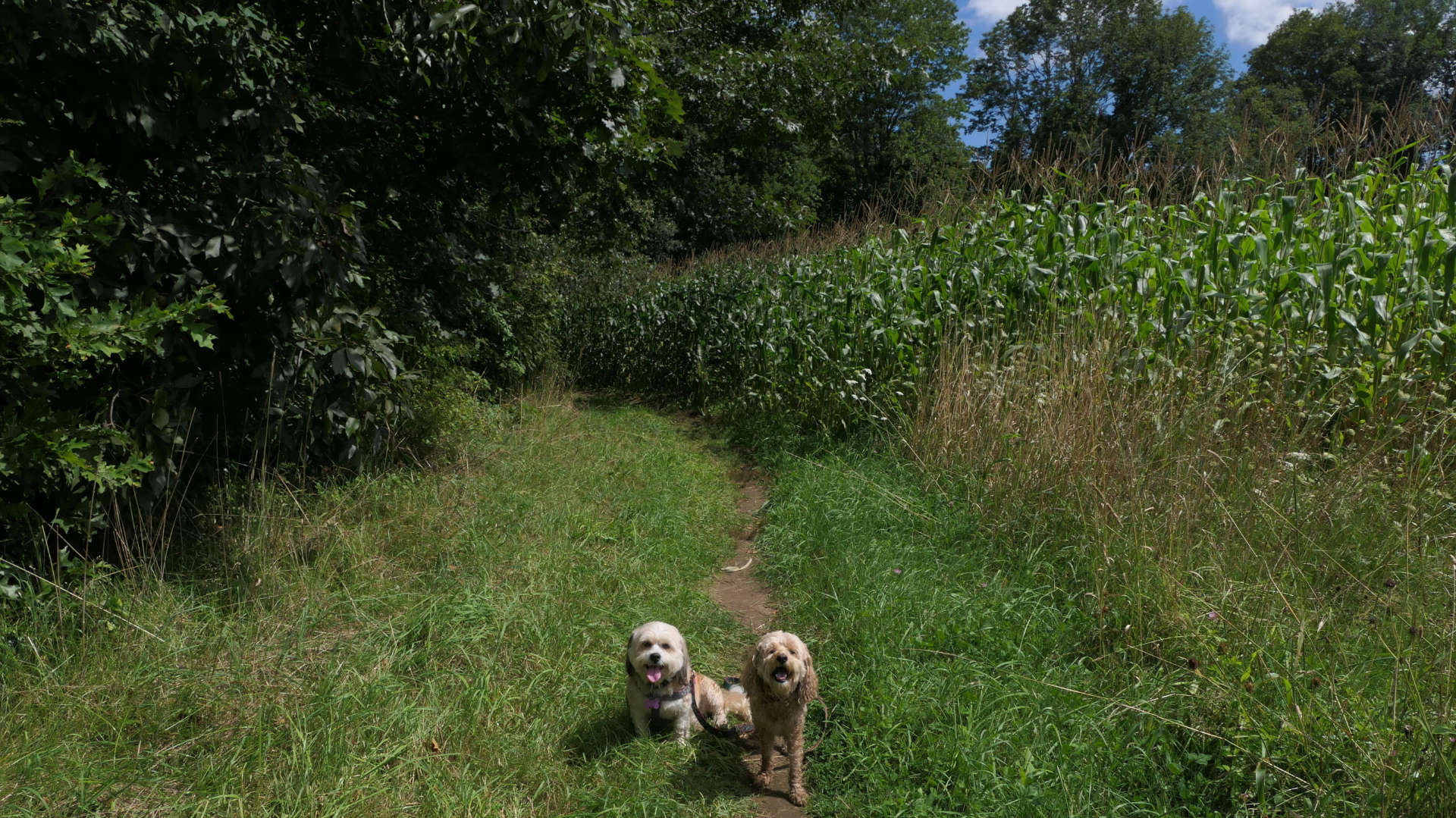
This is a better than average trail through the woods. We started at the trail head near the parking area for the Norwottuck Rail Trail on Mill Lane. We walked the length of the trail, about one mile to the other end at Groff Park. The trail runs along side the Fort River the entire way. In the process, it goes through the woods, and a meadow, and even the edge of a corn field. There is a guided tour with signs and q-codes that you can scan on your phone that provide additional information. Once we reached the park, we walked around for a bit there, before heading back the way we came.
Norwottuck Rail Trail
Dates visited: 8/26/2023
See Also: Northampton, MA, Hadley, MA, Amherst, MA, Belchertown, MA
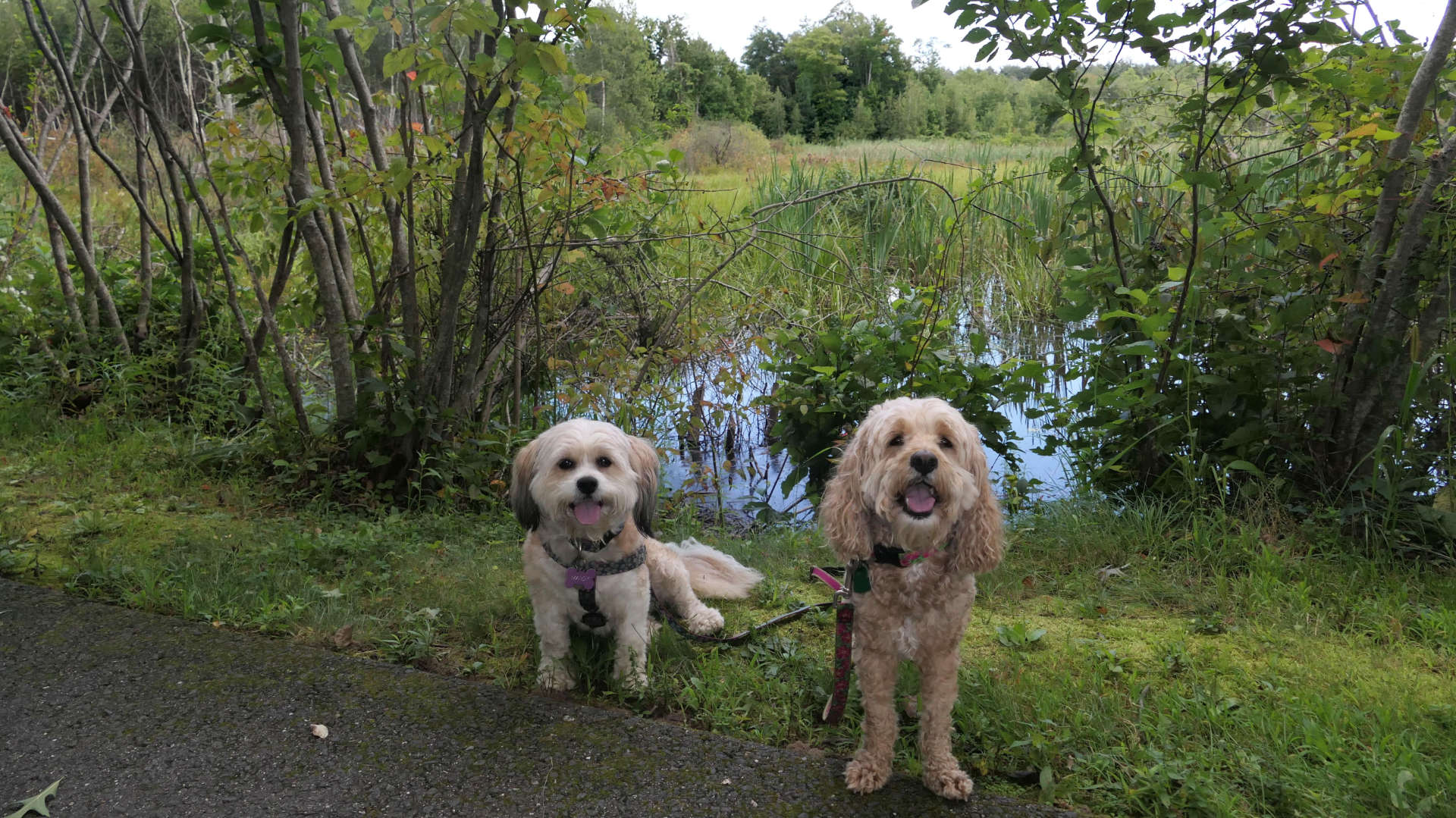
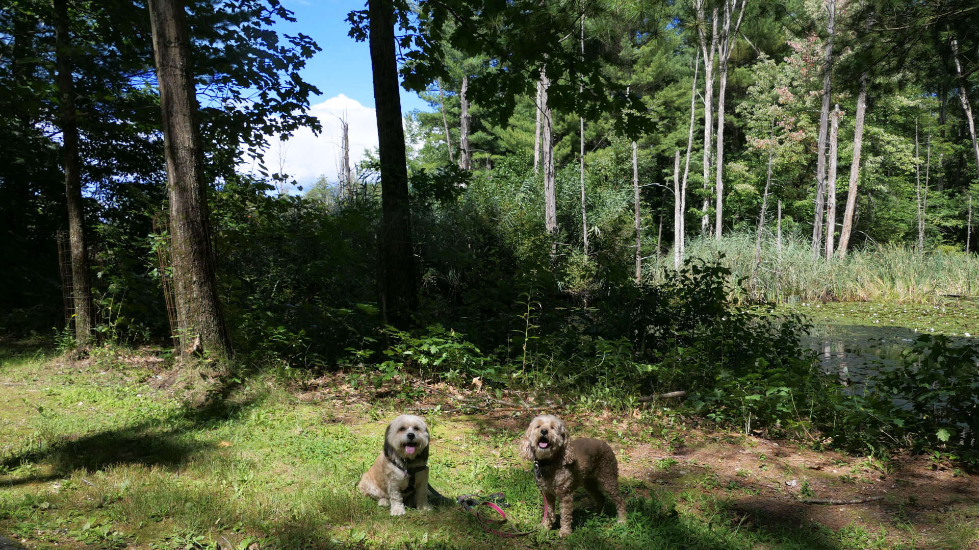
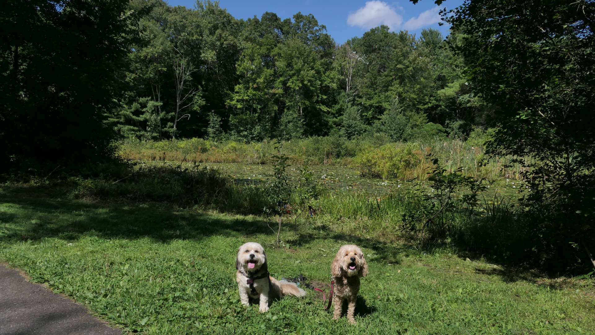
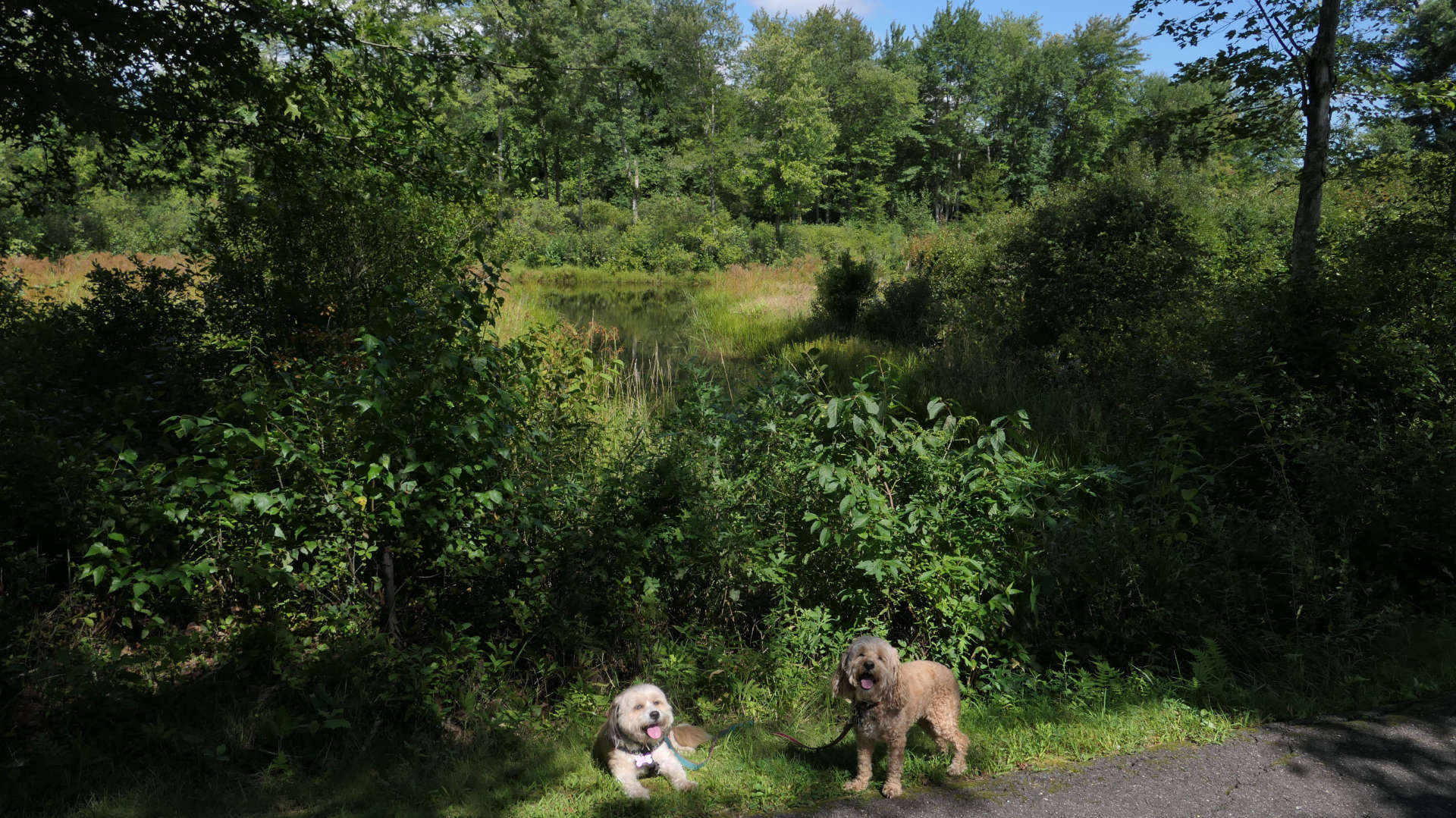
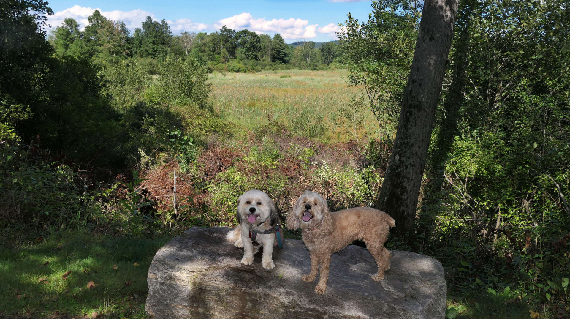
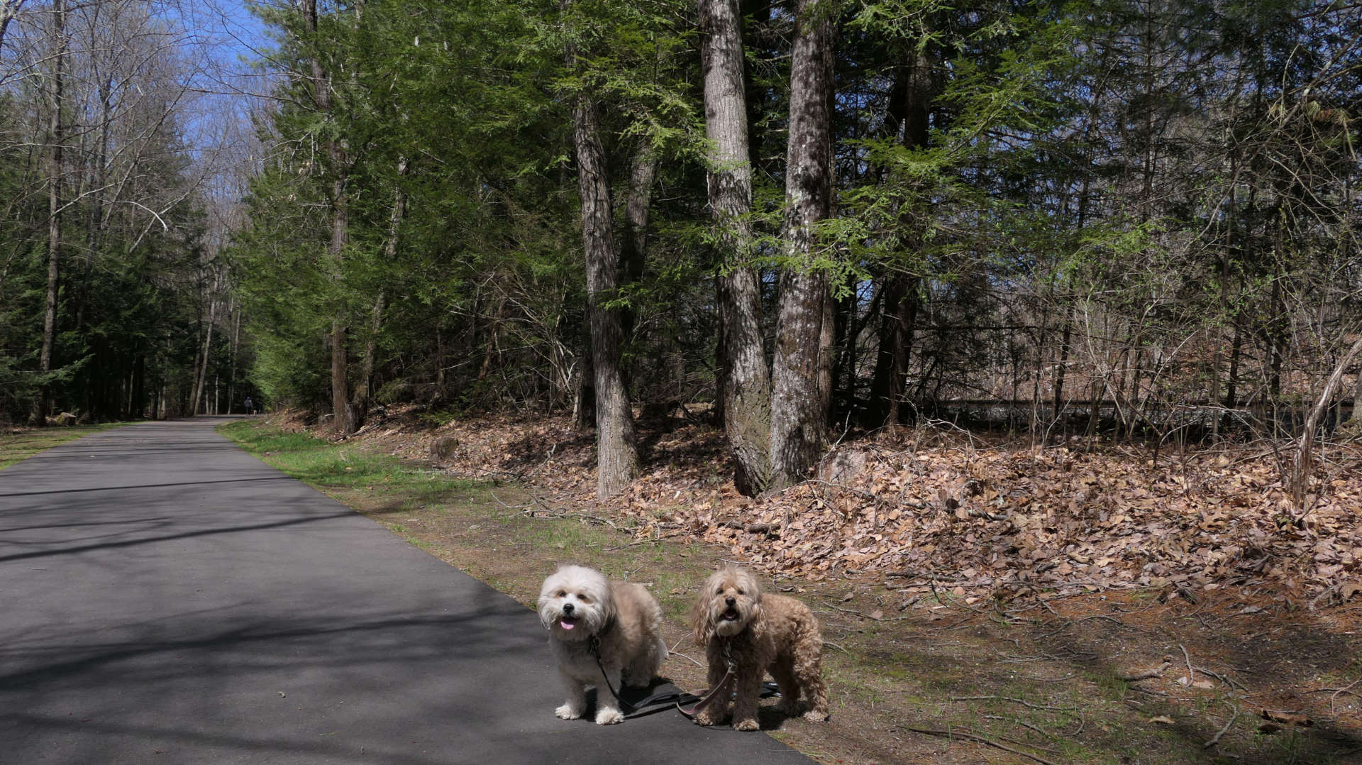
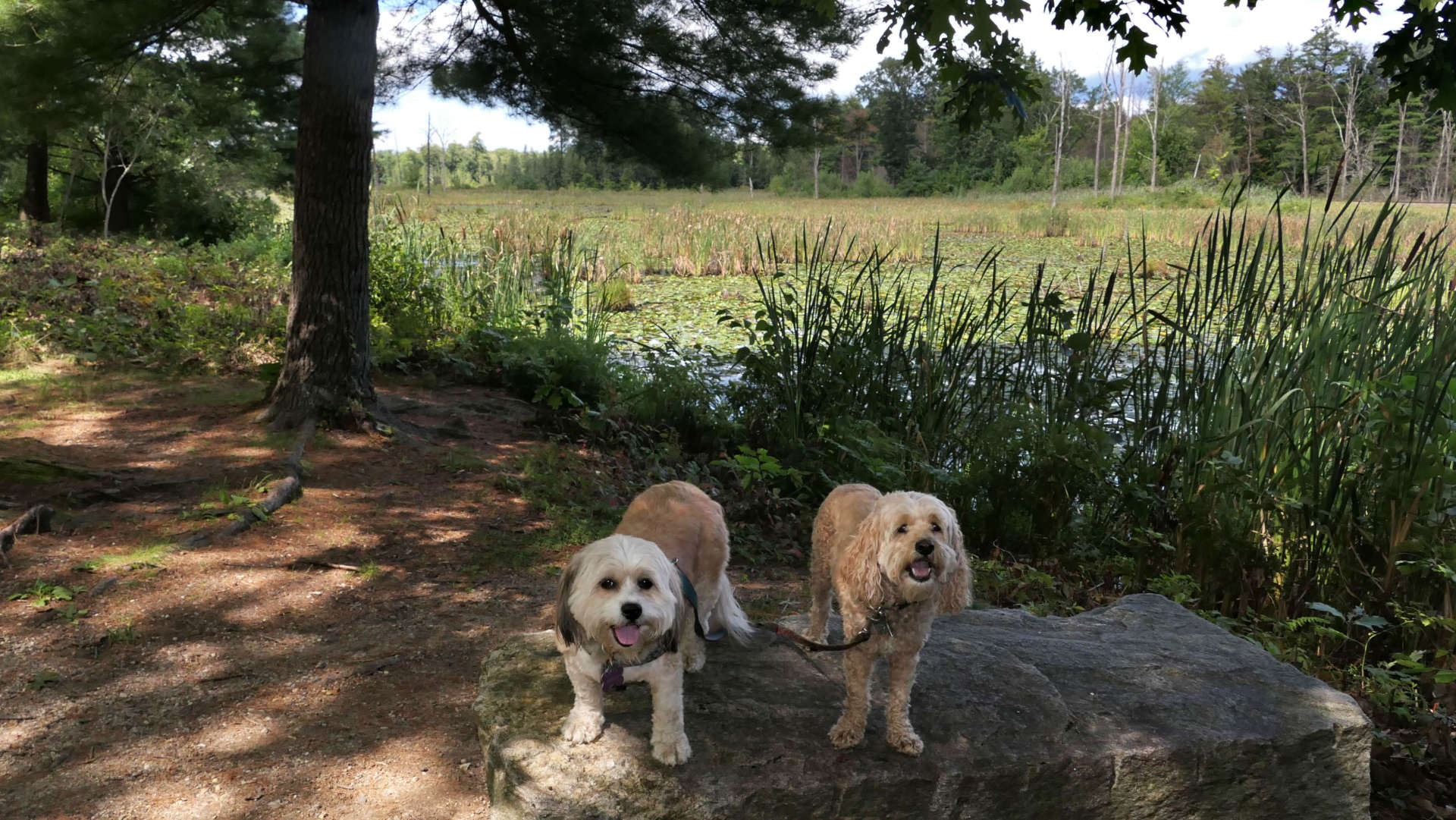
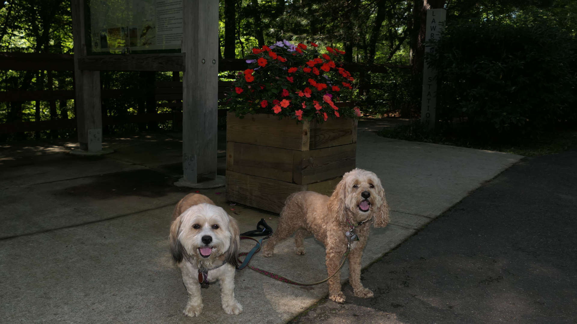
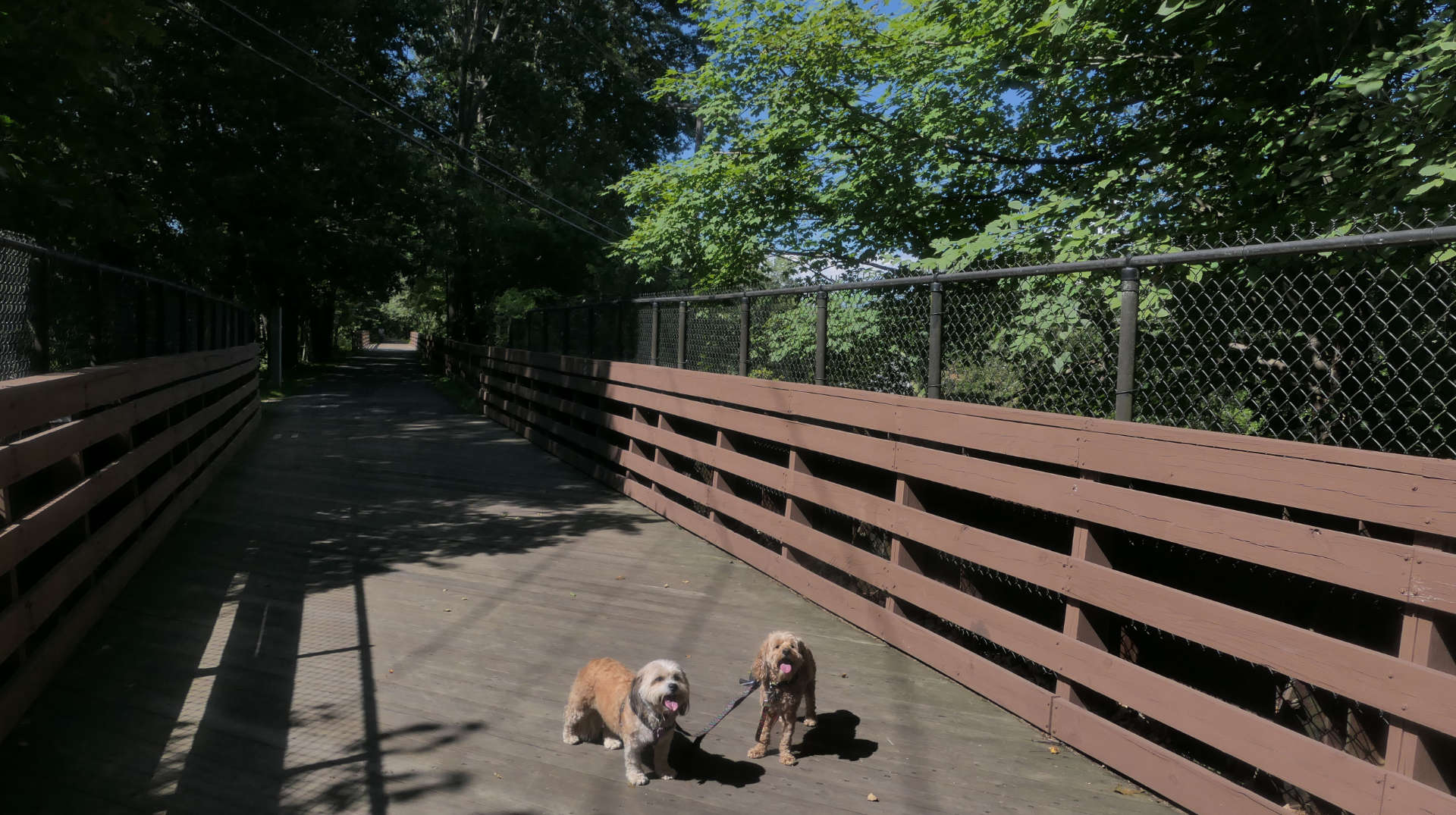
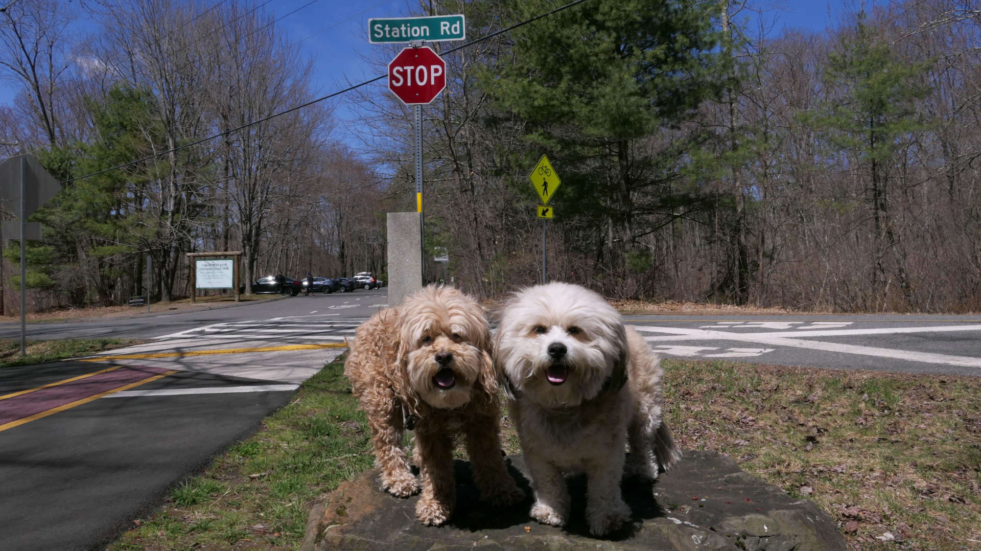
We started at the Mill Lane parking area after hiking the nearby Emily Dickinson Trail, and headed east to the next parking area at Station Road. This is a typical paved rail trail, flat and easy. There are side trails on either side along the way that provide access to various conservation areas. We didn't explore any of them, since we had already walked two miles on the Emily Dickinson Trail before hand. Some of them looked overgrown, and probably weren't that passable anyway. There's some swamp land with various wildlife on the north end of the trail. The Station Road trail head is nice, there is a rest room (porta-potty), and a picnic area. The east end of the trail leading to Belchertown is currently closed passed Station Road. We weren't going to go any farther anyway, but the closure was surprising because there was no mention of it on the State's webpage. We walked three miles total on this section of trail, out and back.
Norwottuck Rail Trail
Date visited: 9/26/2023
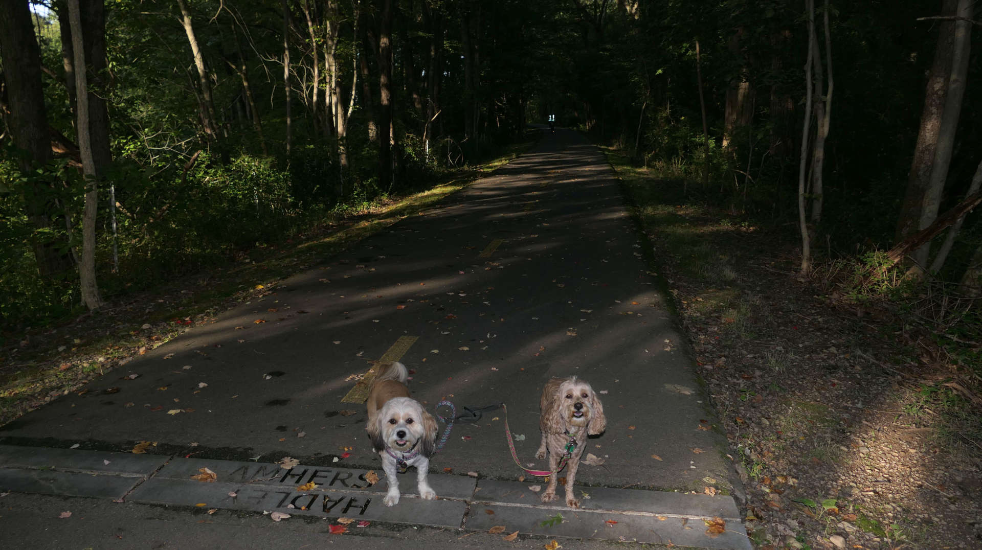
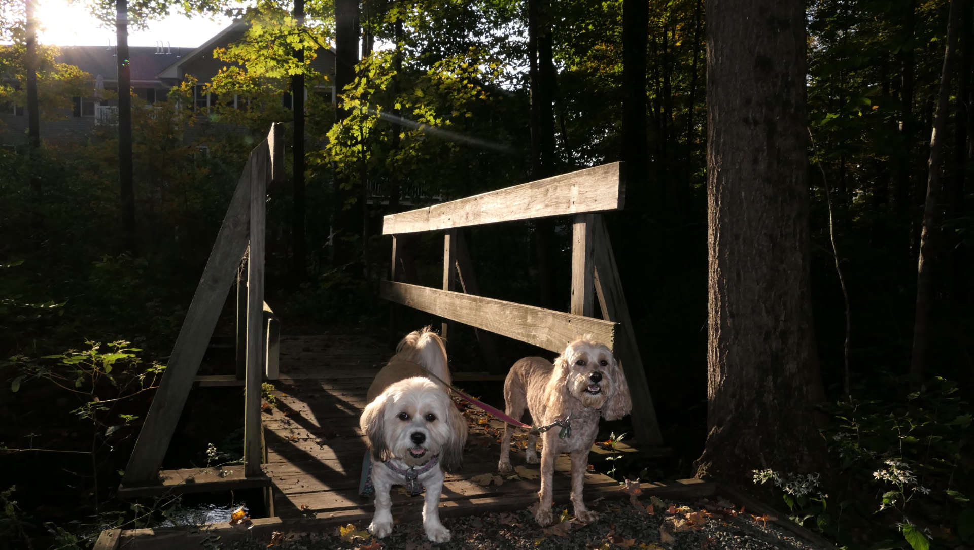
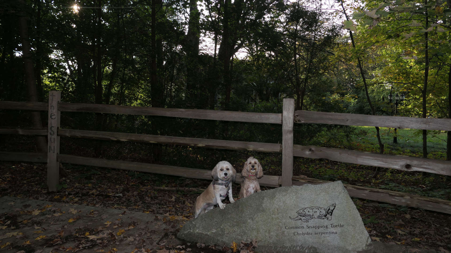
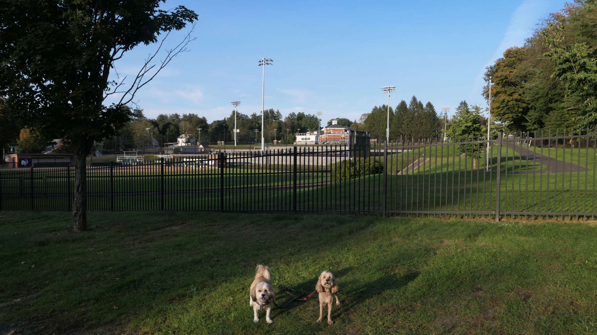
A month after we were on this trail, we returned and walked a different portion. This time we started at the Hadley town line, and made it about a mile to just past the Amherst softball field. We checked out some short side trails as well.
Norwottuck Rail Trail
Date visited: 12/24/2023
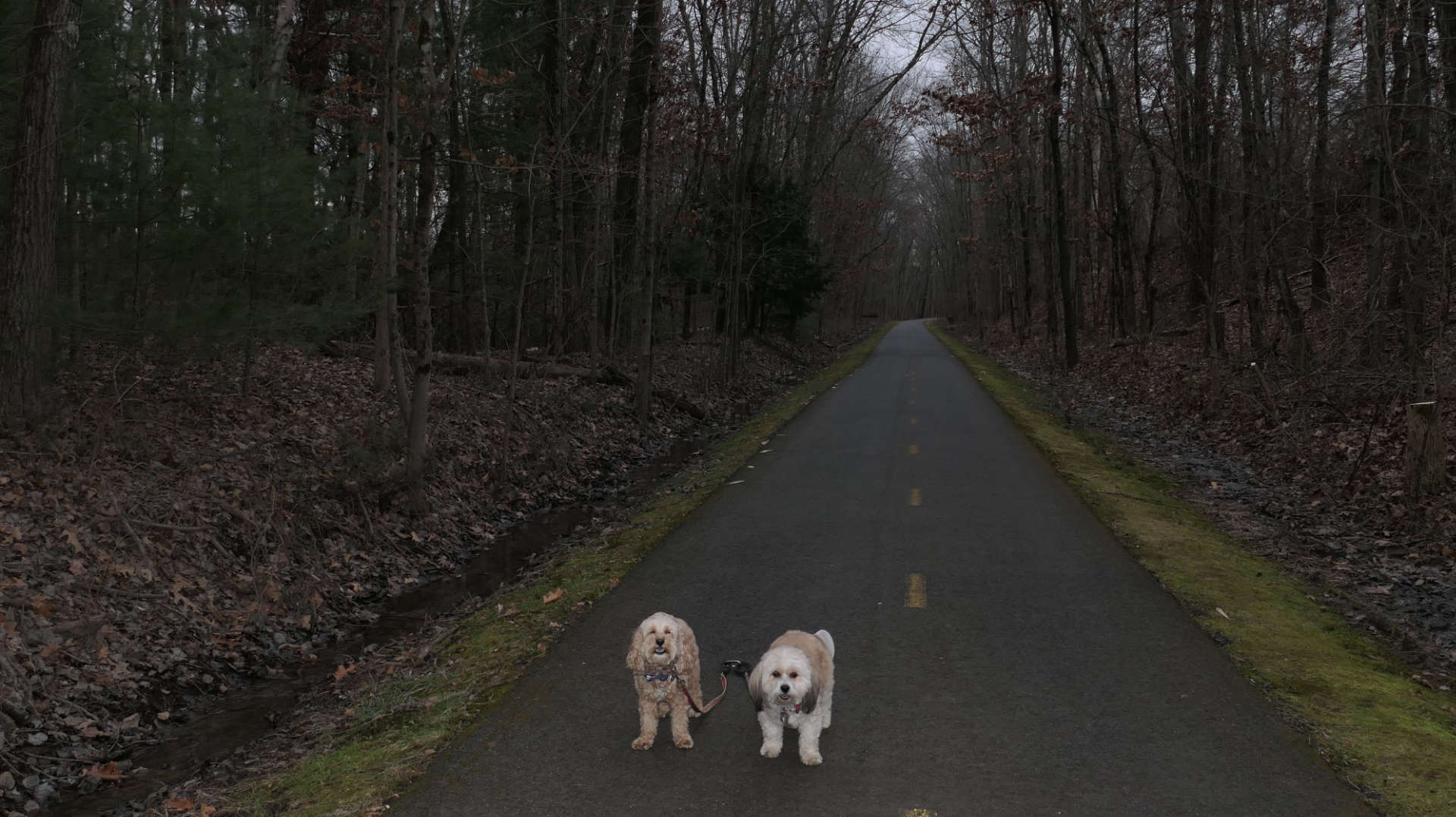
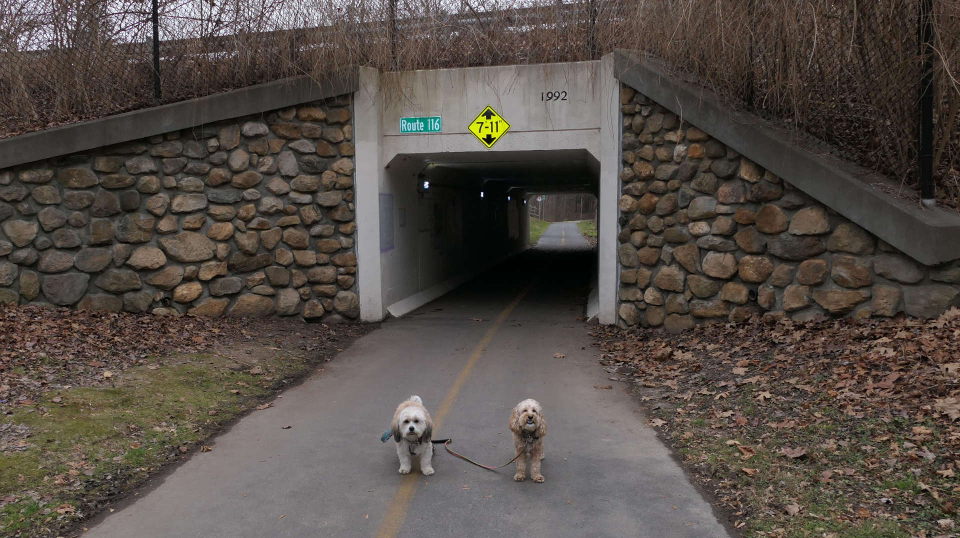
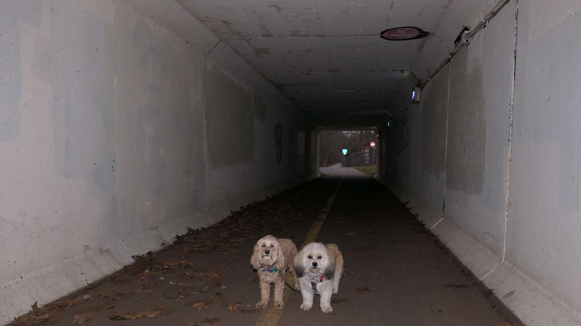
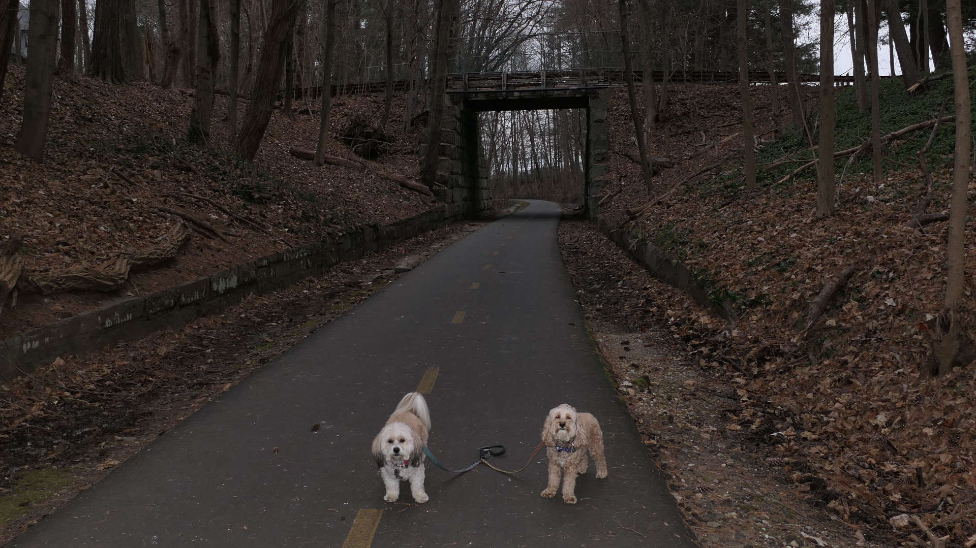
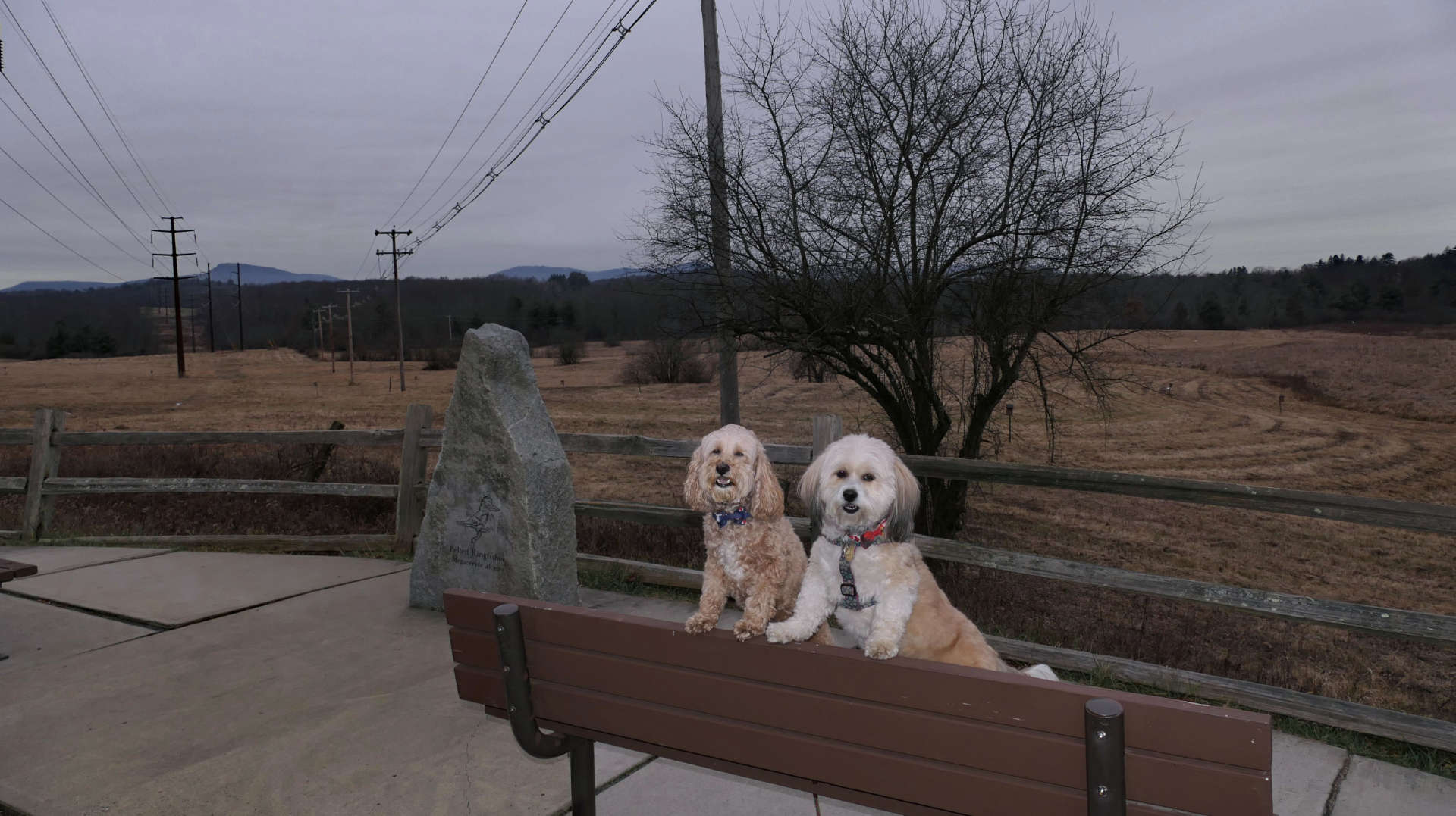
This section connects the two previous sections we walked in Amherst. We've now completed the Norwottuck Rail Trail from it's start in Northampton to the Station Road Trailhead. All that's left for us is the section that goes into Belchertown, but that part is currently closed until the spring of 2024. For this section, we started at the Mill Road trailhead and headed northwest toward Amherst College. It was all uphill, but the incline was gradual. It's not very scenic this time of year, but it got us out of the house. We walked about two miles before turning around, slightly past where we left off last time, by the Amherst College athletic fields. On our way back, we explored some of the Amherst College Sanctuary Trails.
Norwottuck Rail Trail
Date visited: 4/20/2025
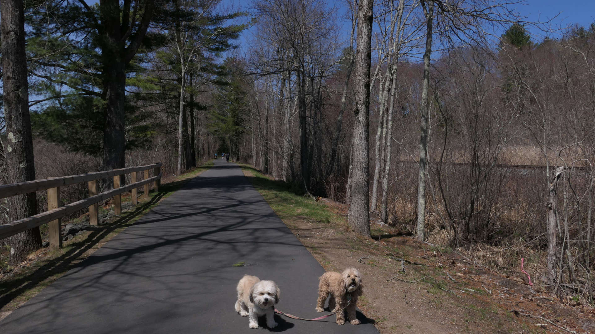
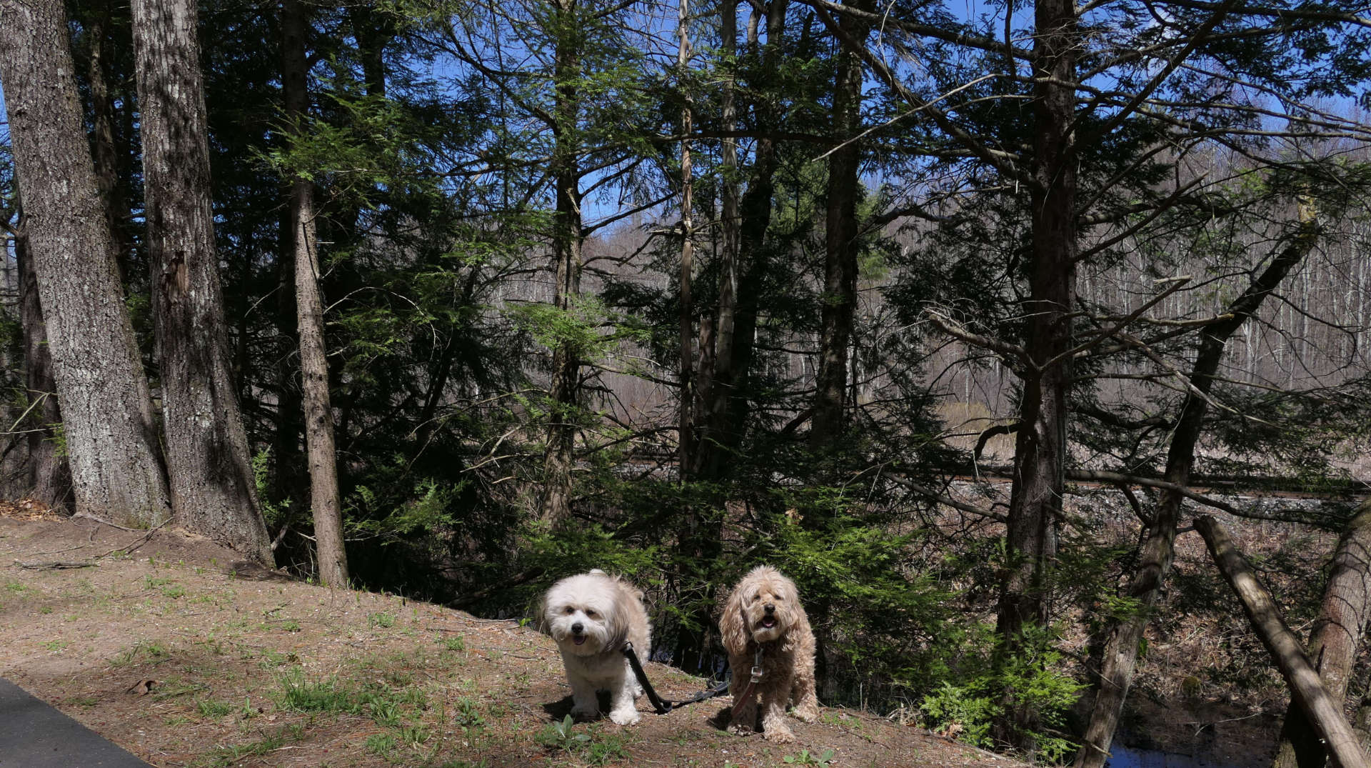
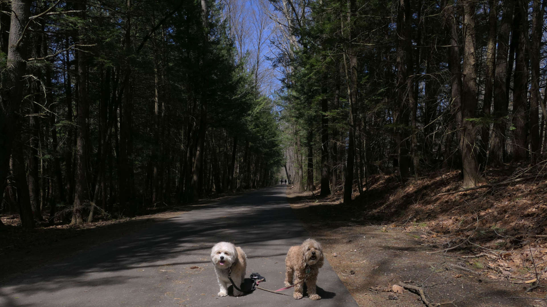
This was the last portion of the trail we had left to complete. We completed the rest of this multi-town trail back in 2023, but this section was closed for repairs at that time. The trail is open now, and we started at the Warren Wright Road trail-head in Belchertown, quickly crossing into Amherst. We walked to the Station Road trail-head, where we left off previously. We also visited nearby Lawrence Swamp Conservation Area before turning around and heading back, walking about three miles total on a very bright and breezy Easter Sunday.
Amherst College Sanctuary Trails
Date visited: 12/24/2023
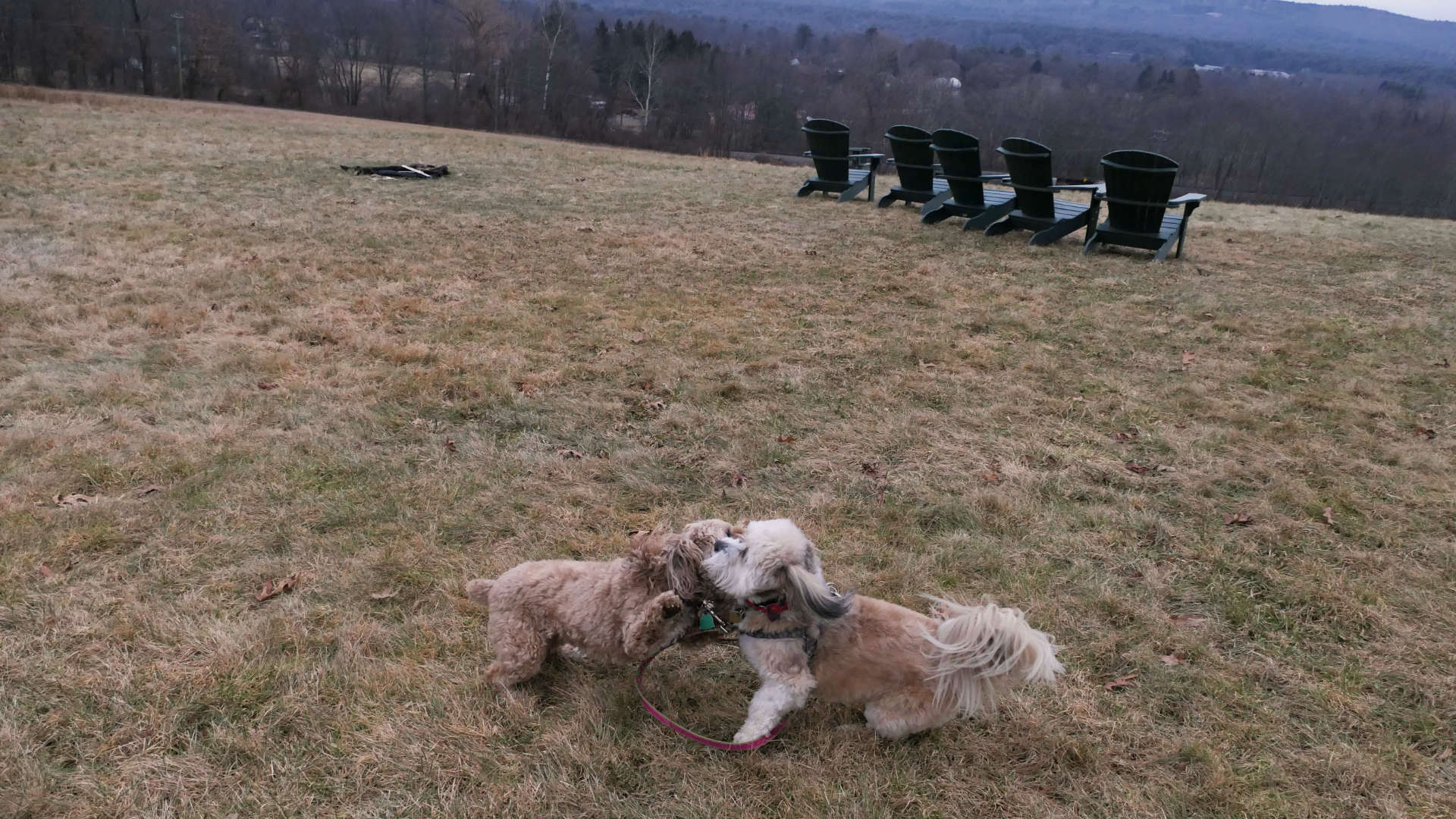
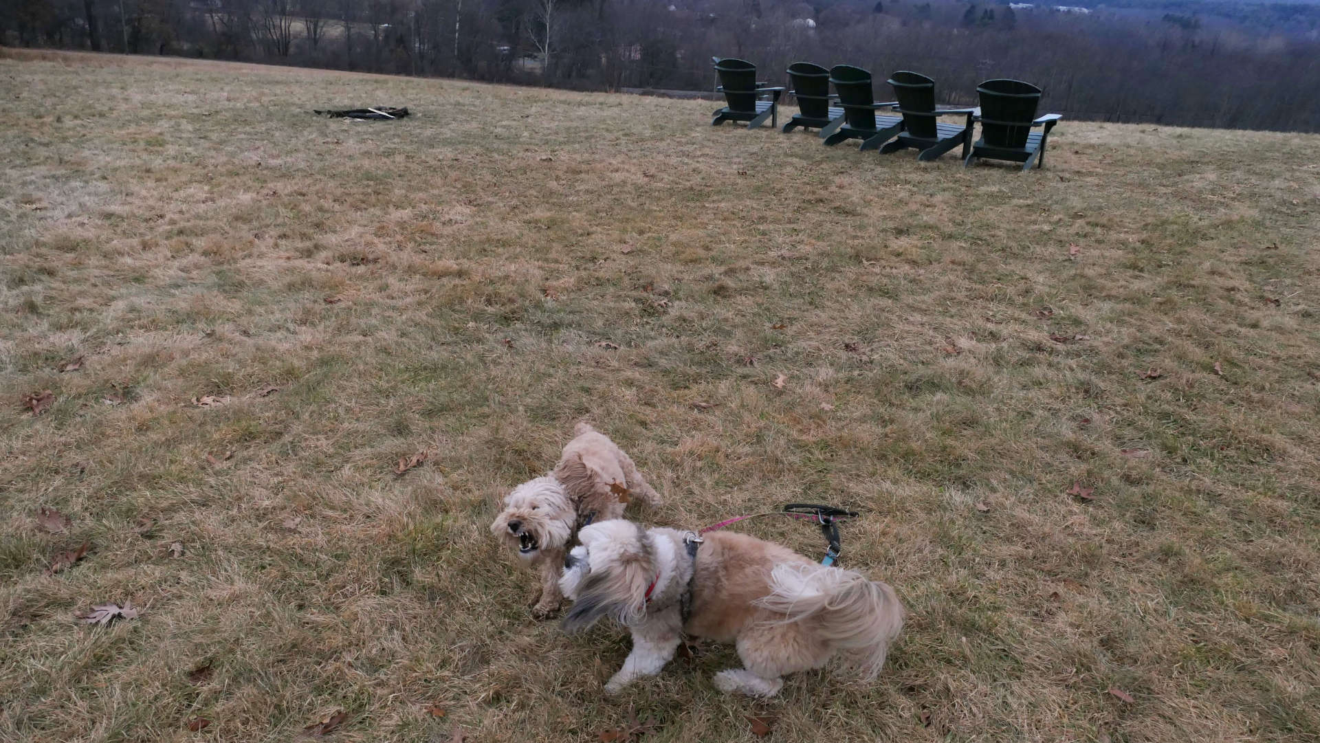
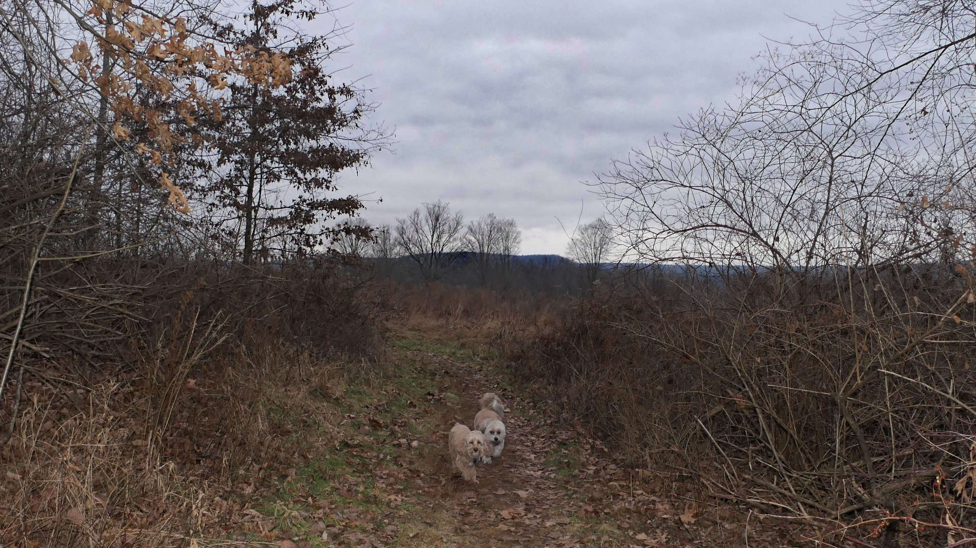
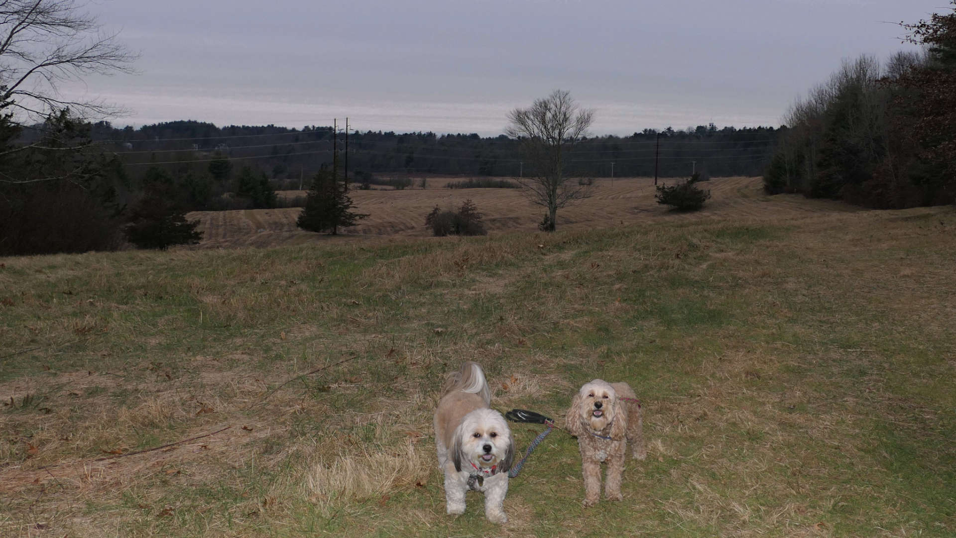
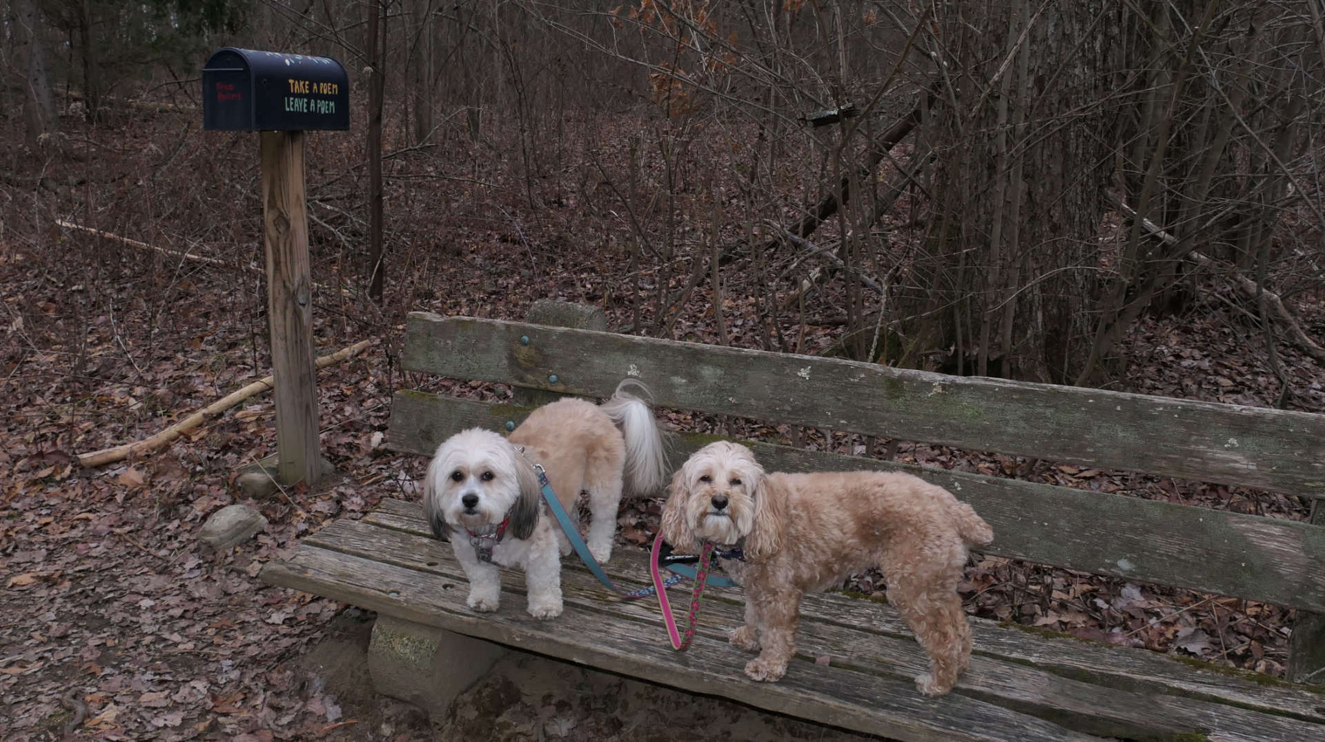
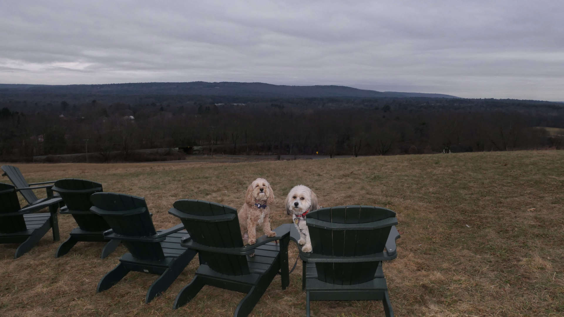
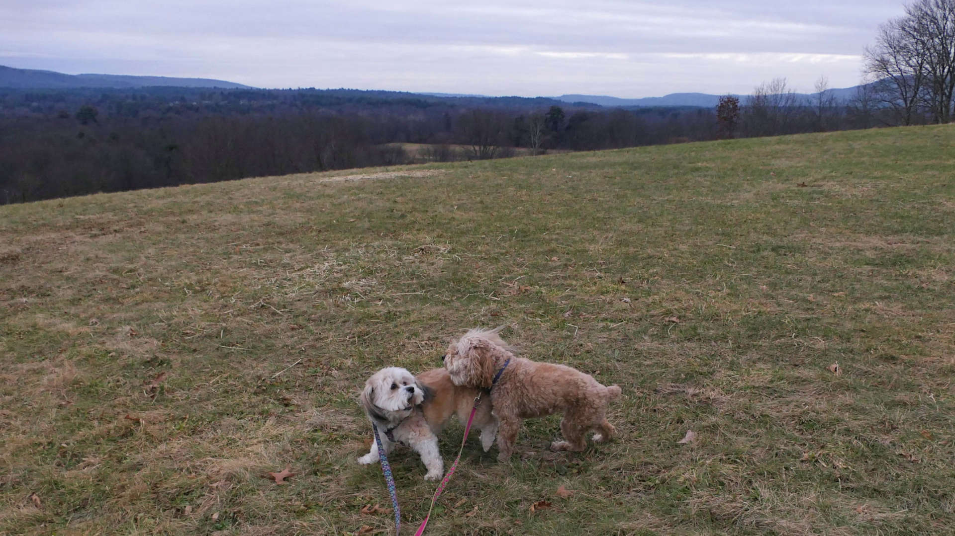
These are a series of trails on Amherst College Property that are open to the public. We connected from the Norwottuck Rail Trail. We briefly visited what my GPS enabled map called the Amherst College Cross Country Trail, and then the trail that leads out to Tuttle Hill on the other side of the rail trail. The trail that goes out to Tuttle Hill features a nice view, but it's probably much nicer any other time of the year than on a gray, damp, and dreary winter day. Mandy and Lexi saw the open field, and decided to have a brief wrestling match.
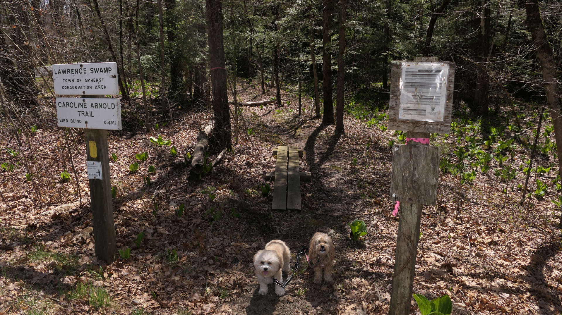
Lawrence Swamp Conservation Area
Date visited: 4/20/2025
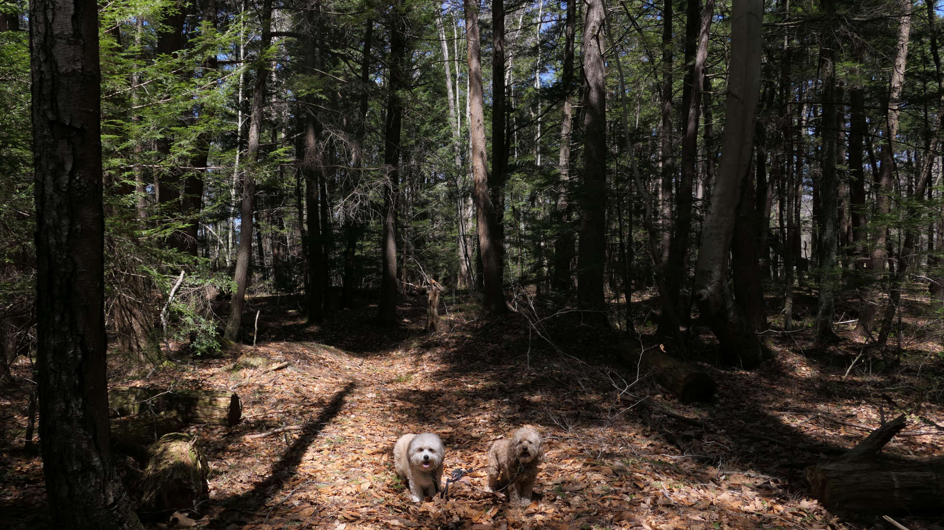
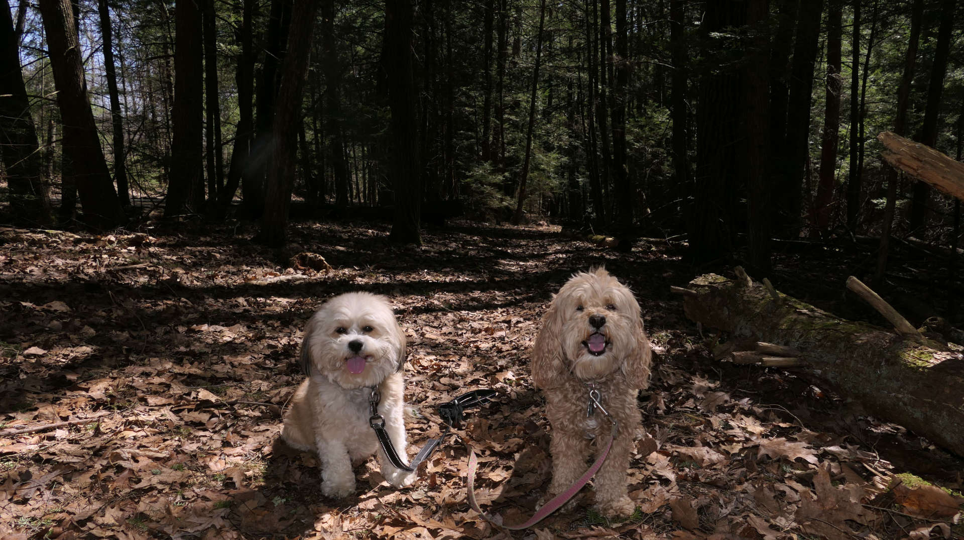
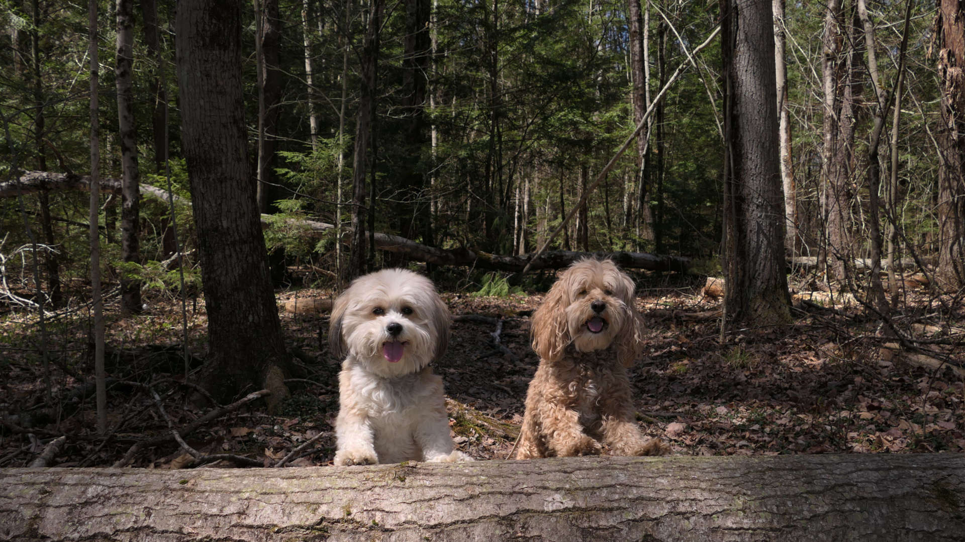
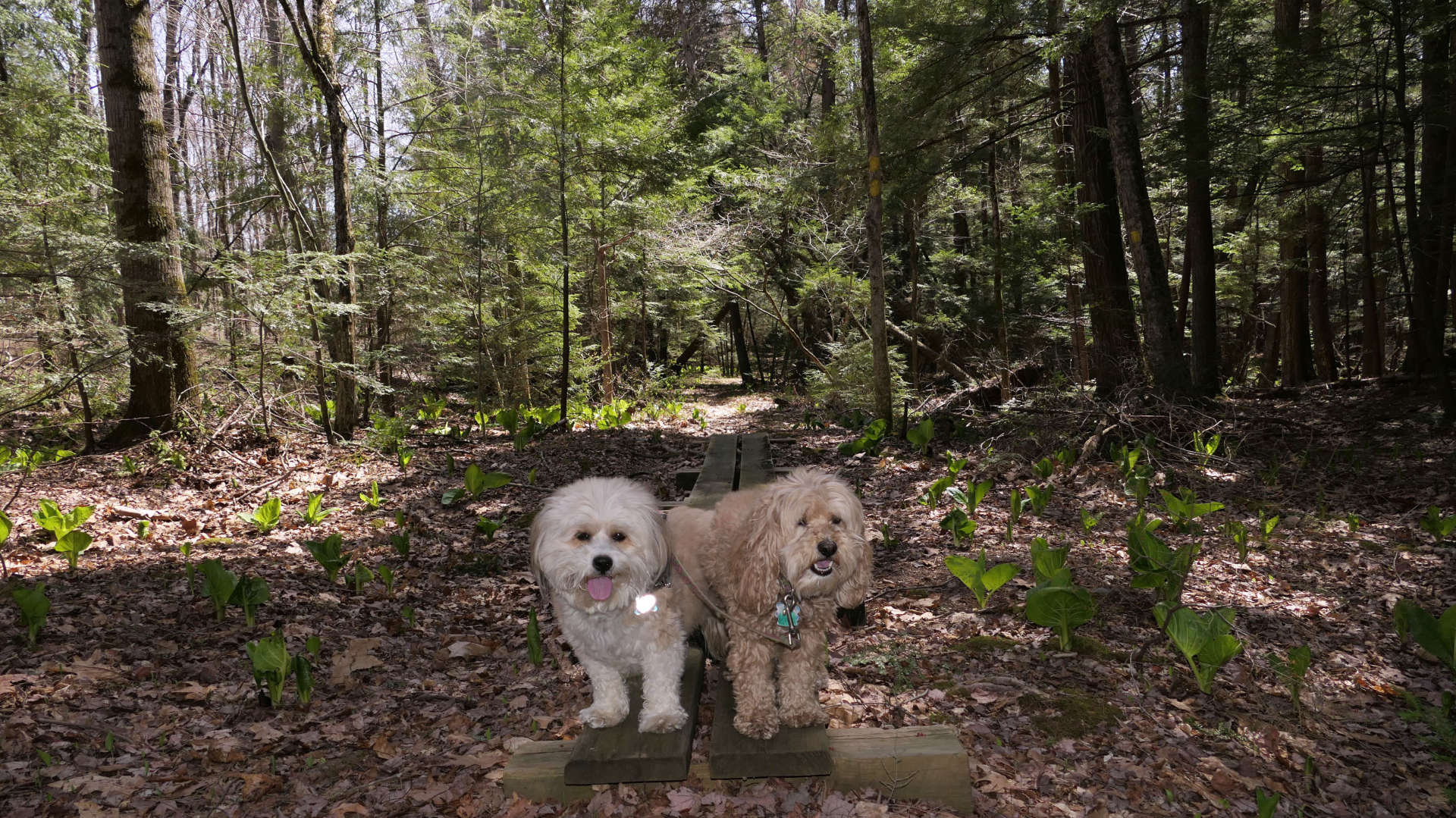
We hiked the yellow blazed "Caroline Arnold Trail". It starts at Station Road, near the Norwottuck Rail Trail trail-head. The trail parallels the rail trail for a short distance, before splitting in two. The right side passes through a dense pine forest, and eventually loops back to Station Road. The left side continues to parallel the rail trail for a bit, and eventually veers off to a "Bird Blind" near the edge of the swampy area. Most of what we hiked was not swamp-like. It was a nice, short loop through the pine trees, with wooden planks for crossing over damp areas. There are other trails that are part of the conservation area, but this trail that we hiked today didn't connect to any of them.
