◂︎ Mandy & Lexi's Connecticut Adventures
Hockanum River Trails - Manchester Part 2
Hockanum River Trail: East Hartford, Manchester Part 1, Manchester Part 2, Vernon, Ellington
Pitkin Trail
Date visited: 7/26/2020
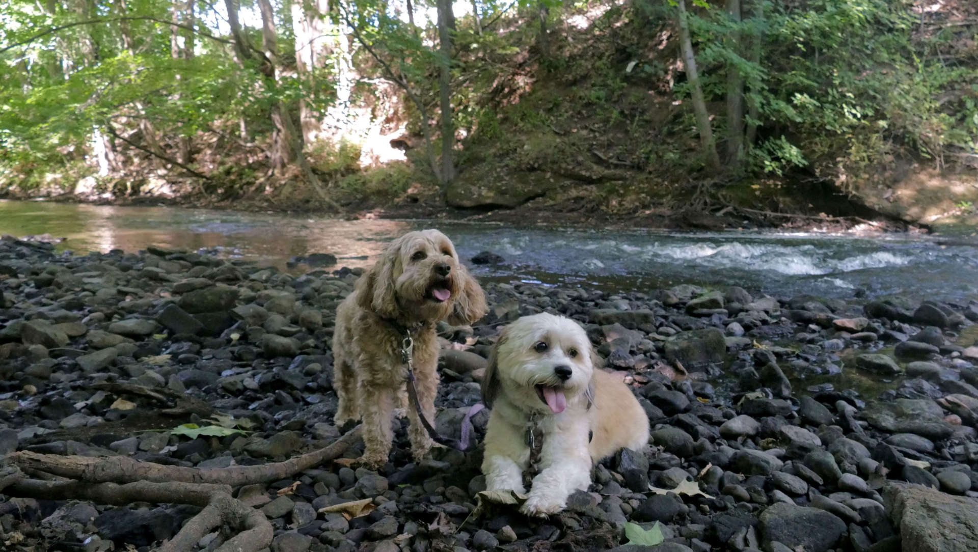
This is a short trail accessible from the parking lot near the Union Pond Dam on Union Street. The trail runs west, and can be accessed by going under the bridge along side the river, or by crossing the street. It does not directly connect to the Union Pond Trail, though that trail is only a short walk away. The Pitkin Trail proceeds west and is pretty much just an out and back type trail that hugs the river. There is an old pipe that was once part of the old mills that the trail goes over and around. The trail ends behind the businesses on North Main Street. There is no trail parking behind the businesses, so you can really only access the trail from the Union Street trail head.
Union Pond Trail
Dates visited: 6/25 2020, 7/18/2020 & 2/15/2021
Things get more interesting with this trail. Like the Laurel Marsh Trail, I hiked this one often in the late 90's. I lived in an apartment off Oakland Street, which provided easy access for both the Union Pond Trail and the Oakland Trail. The two trails connect, though they didn't back in the 90's because the bridge was closed. More on that later.
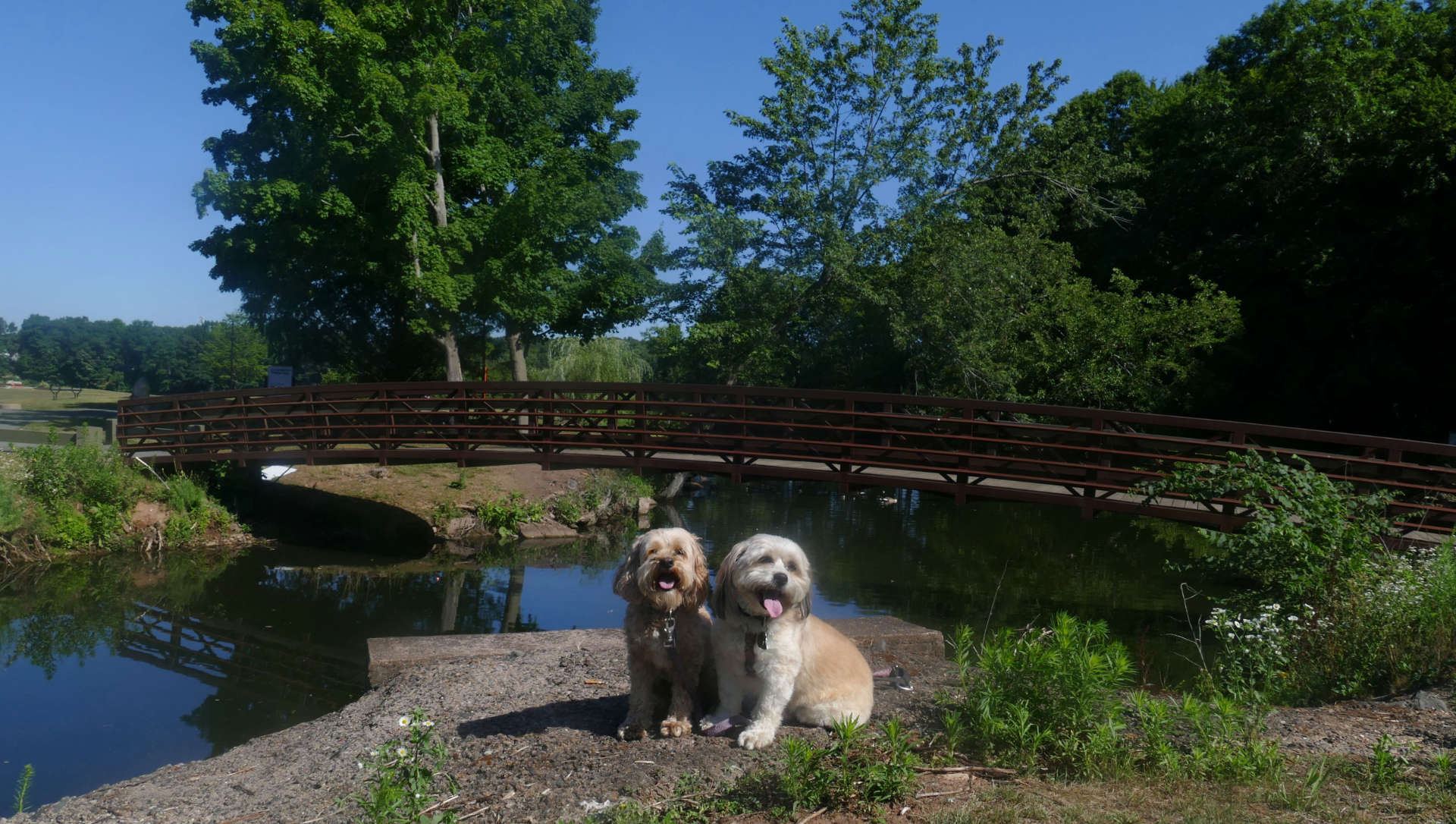
The best access to the trail is right from the Union Pond Park main lot. I actually got married at this park, but didn't do any of the trails that day! The trail follows the east side of the pond, up a hill between the pond on the left and a cemetery on the right. The trail runs parallel with Oakland Street (Rt. 83) and runs behind a number of apartment complexes and businesses. The pond ends, but the river continues as the trail gets narrower as it approaches the Tolland Turnpike bridges. There is access to some of the businesses at this point, including VIP, the Adult Store. This part of the trail requires you to balance on some rocks as it hugs the river as it goes under the Tolland Turnpike bridge.
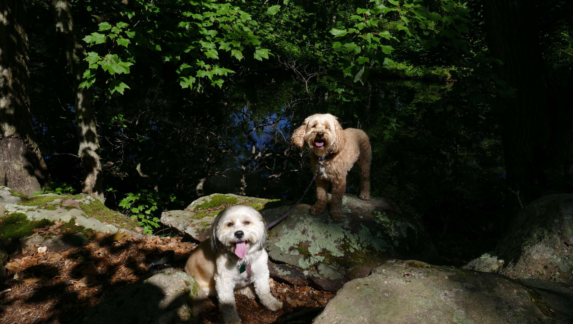
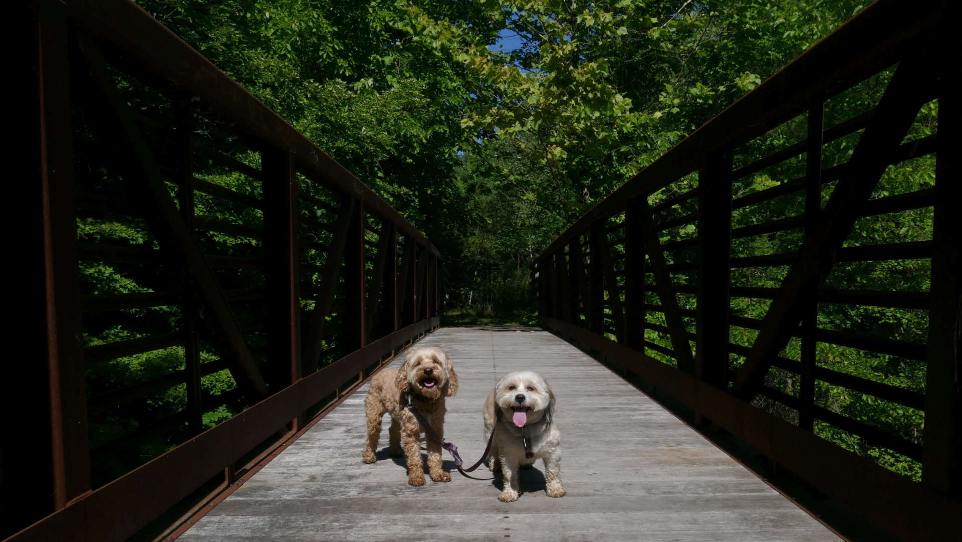
At this point, the trail intersects the Oakland Trail at the new bridge over the river. I call it "new" because it wasn't there in the 90's. The bridge was closed and you had to cross Tolland Turnpike, at a very busy intersection with I-84. The bridge was finally replaced in 2006. They new bridge was built in Minnesota and shipped to Manchester. At this intersection, you can go right, either before crossing or after crossing the bridge to get on the Oakland Trail, or you can turn left after crossing to continue on the Union Pond Trail.
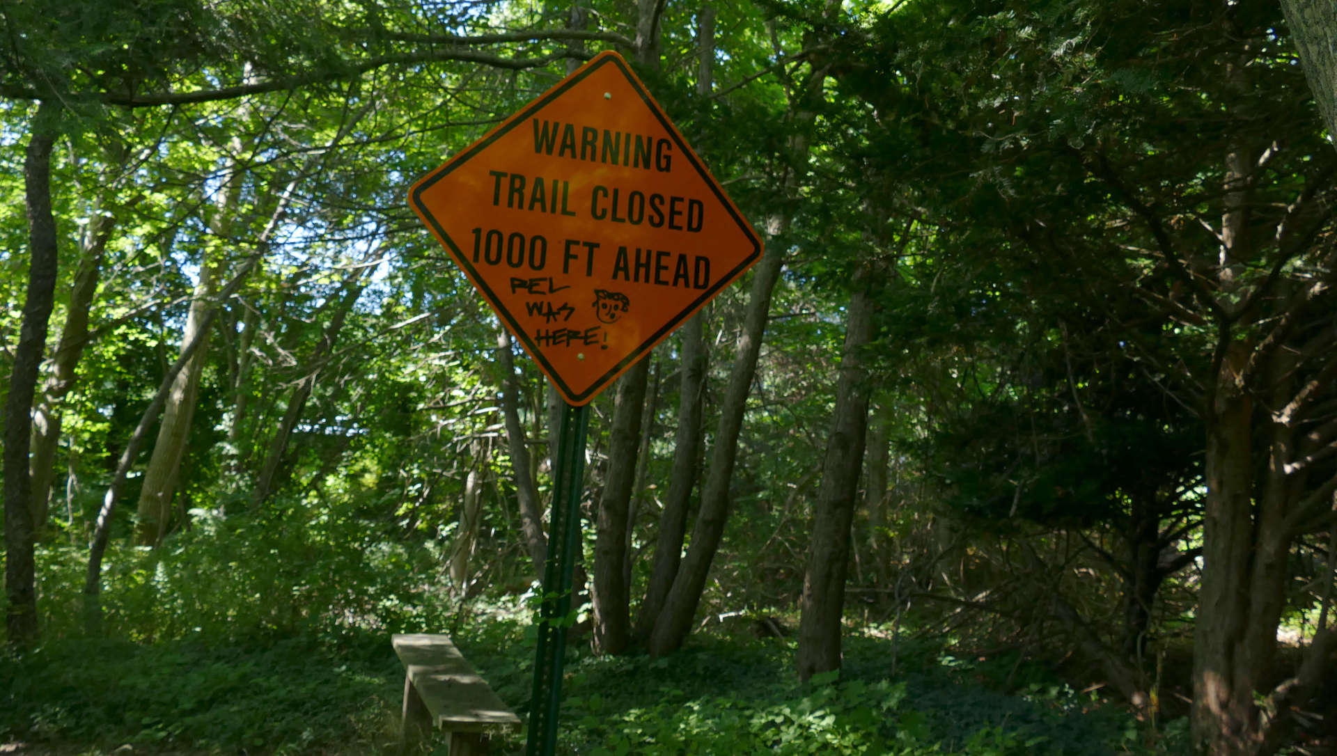
One caveat if you decide to keep going on the Union Pond Trail. The trail is actually officially closed up ahead. This is because the old mill building has deteriorated to the point of the trail not being safe.
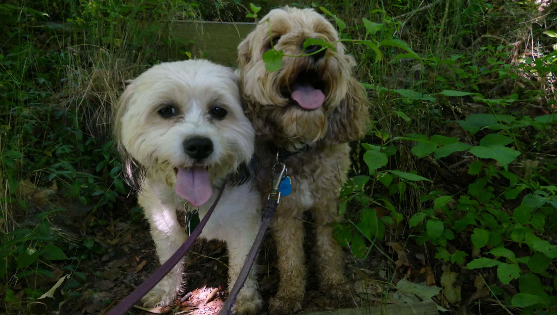
There's no physical barrier preventing you from continuing. If you do decide to keep going, you will go down a slightly overgrown stair case, and then cross under Tolland Turnpike again heading for the old mill building.
I do not recommend going between the mill and the river. It's not safe. But you can pass around the building, though you will go by a very sketchy looking abandoned warehouse. I'm not sure if this is private property or not at this point, so it may be smarter to just turn around here.

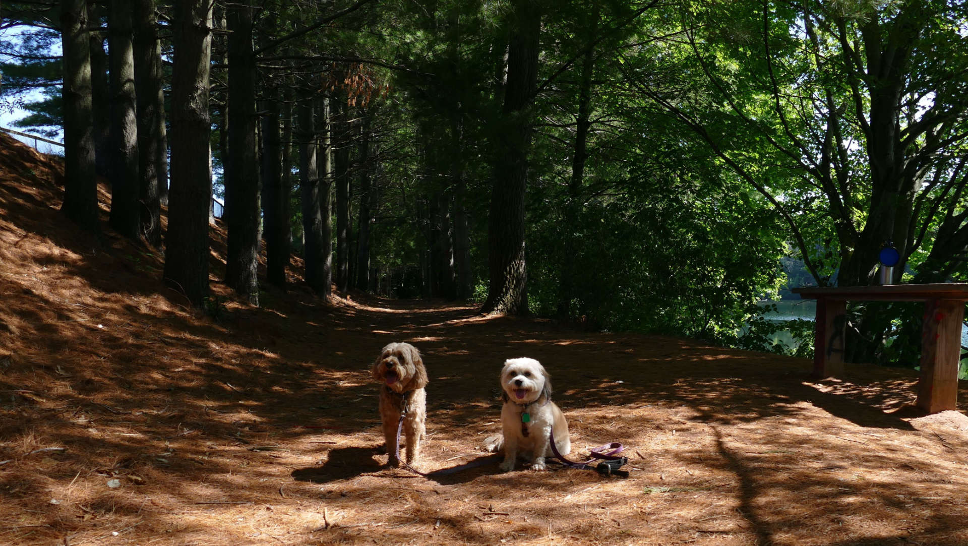
Once you get past this part of the trail, the next section might be the nicest part of the entire Hockanum Trail system. It passes along the west side of Union Pond, heading to Northwest Park. The trail goes through Northwest Park, running by the flower garden, before ending at Union Place. If you want to connect the loop back to Union Pond Park, you have to walk down Union Place, Union Street, Keery Street, North Street, Golway Street and North School Street to get back to the park.
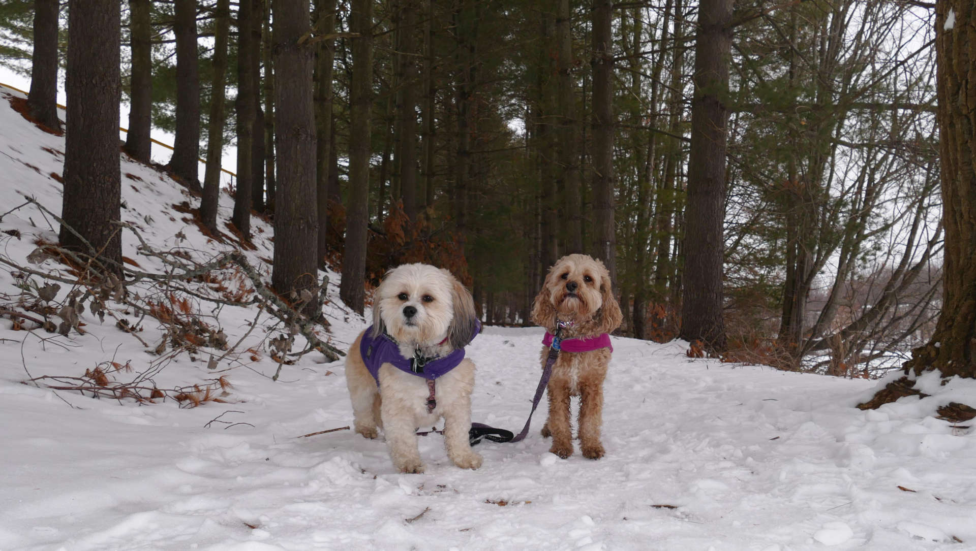
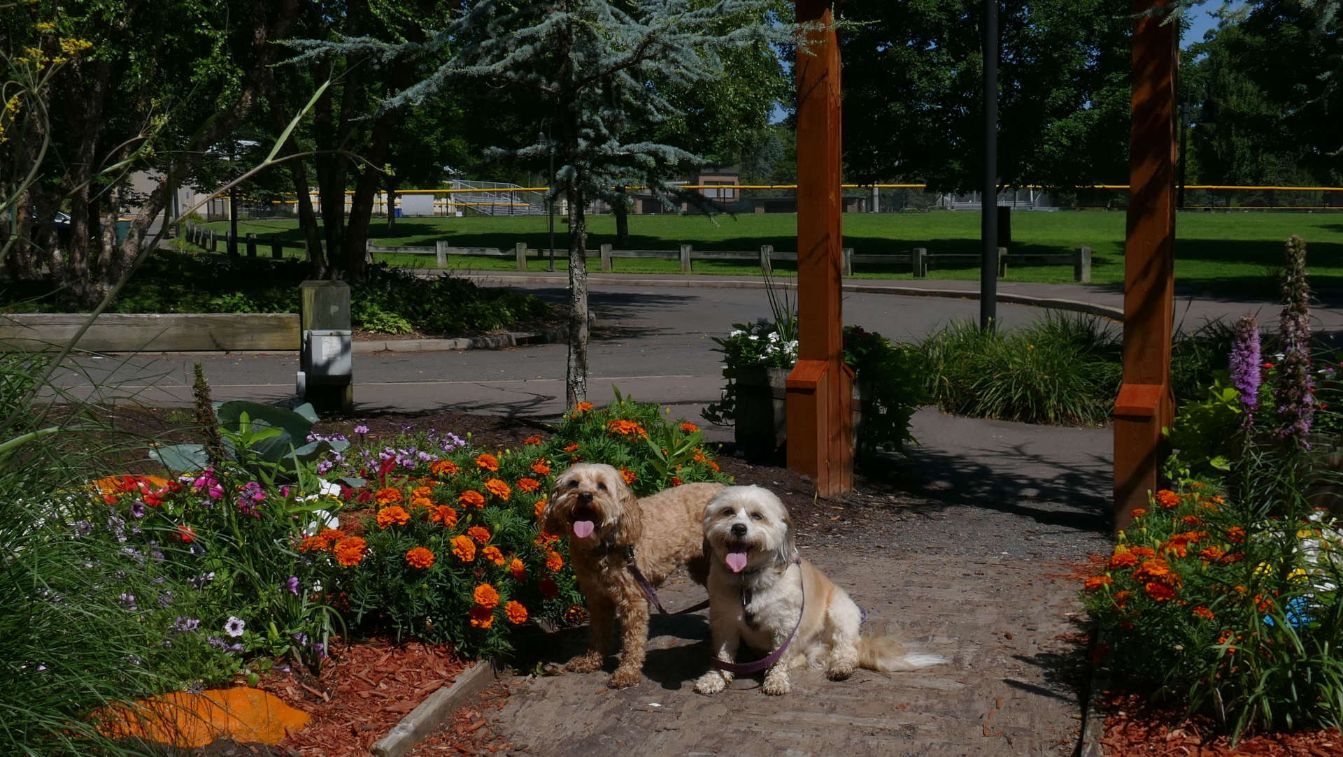
Oakland
Trail
Dates visited: 7/14/2020, 7/18/2020, 2/15/2021, 4/22/2021 & 10/19/2021
This is a fun one. As mentioned above, this trail utilizes the new bridge and can be reached by hiking to it from the Union Pond Trail. A better way to access it, is the newer trail-head behind Kohl's. Yeah, that's right...behind Kohl's. This is another trail I did often in the 90's. Back then, Kohl's didn't exist, and it wasn't a loop then because the bridge was closed. I don't recall the section on the south end of the Hockanum being there in the 90's, but it's possible it was there and I just didn't know about it. This was before the internet as we know it. I only knew about these trails from the signs posted on the road. I don't know how I used to go hiking back then without a phone or GPS. Looking back at it, I'm amazed I didn't get really lost in those days. The building in the first picture below, is actually the rear of Kohl's.
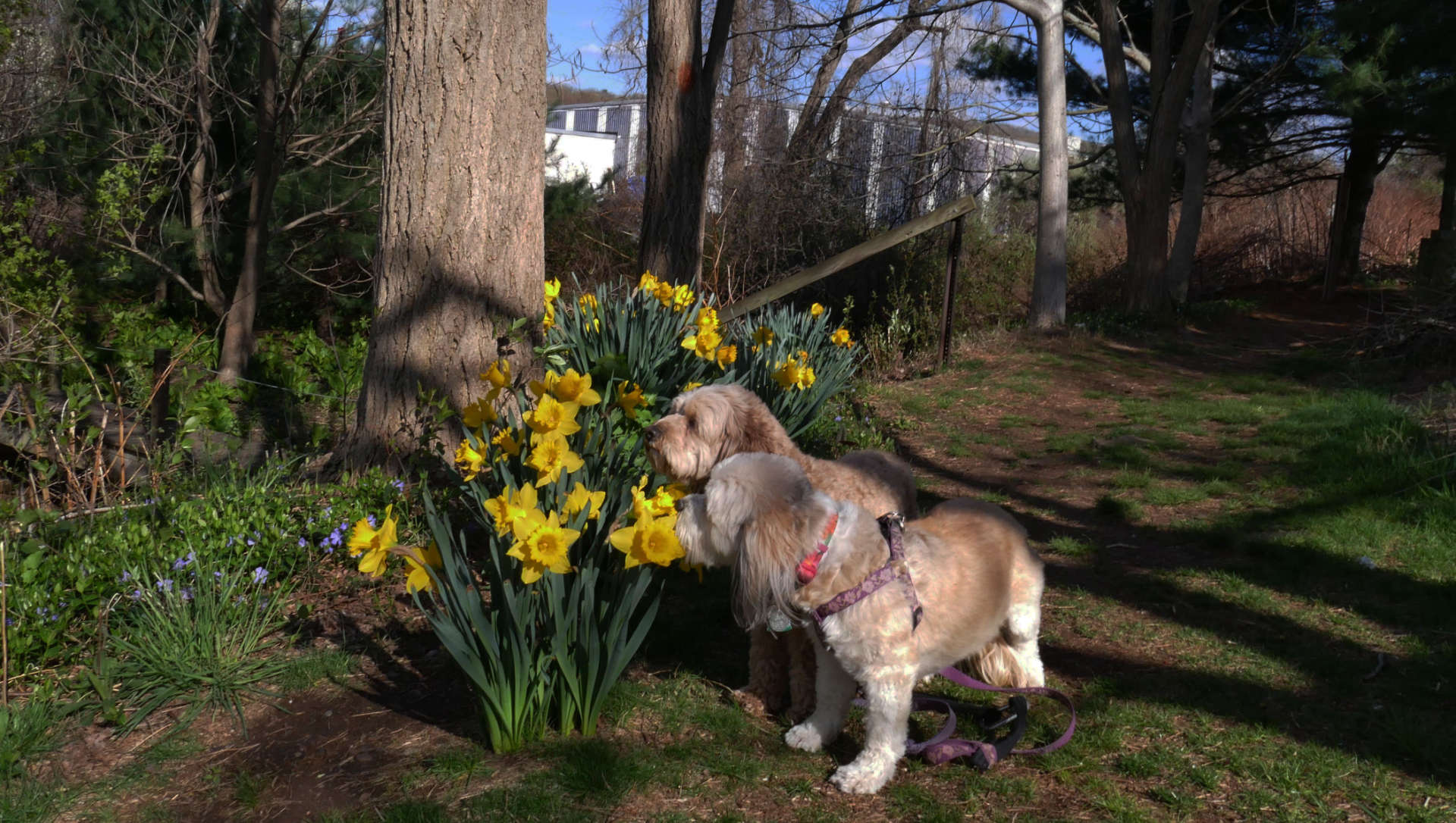
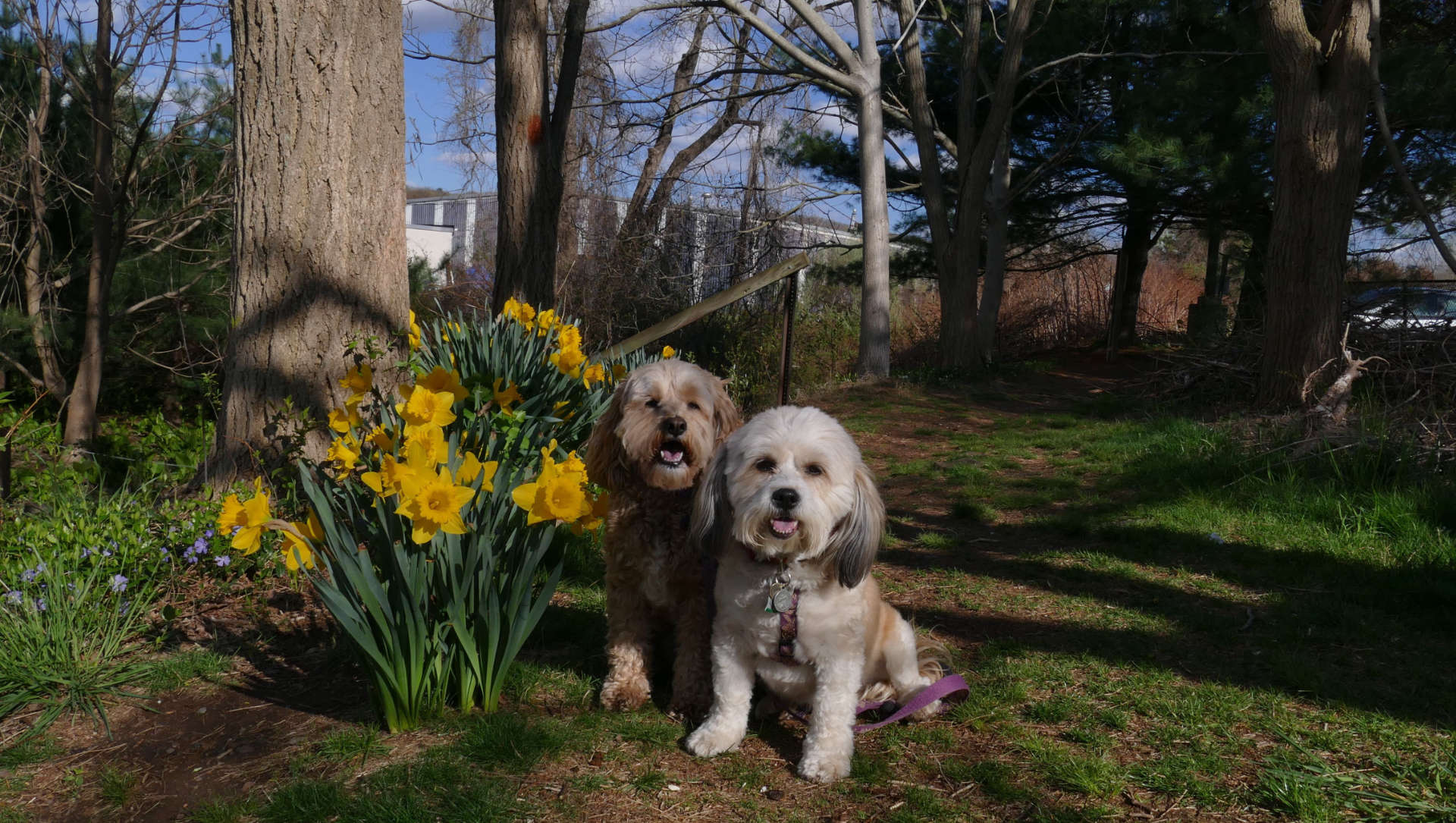
In the spring time, there are nice flowers planted at the trail-head. Here you will be given a choice to do the loop trail, or cross the bridge onto Doug Smith Island. Once across, there is a short loop trail that circles the island. Doug Smith, as the sign says, is one of the pioneers of the Hockanum River Trails. The island (which used to be called Bryan Island) was renamed for him posthumously.
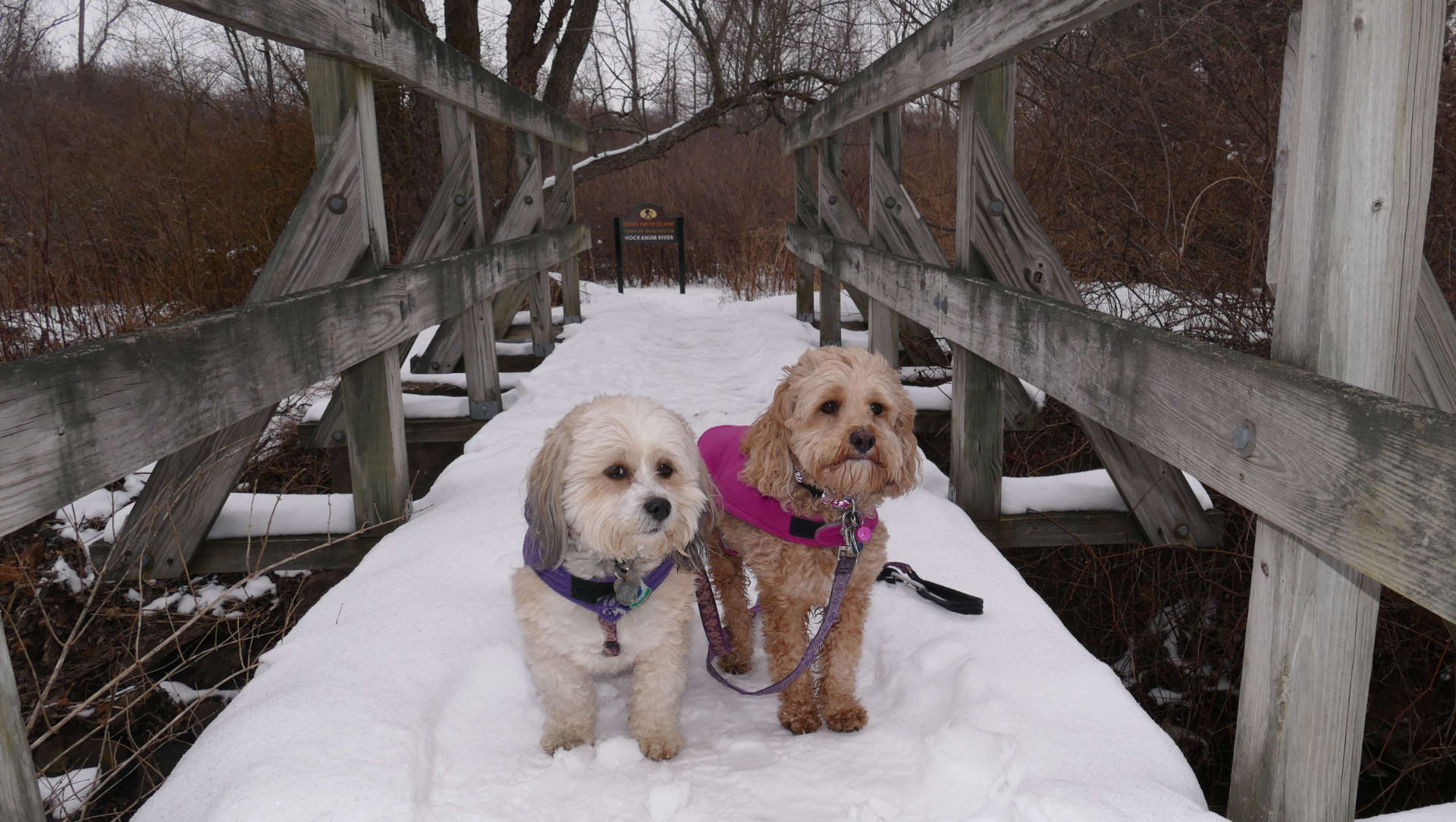
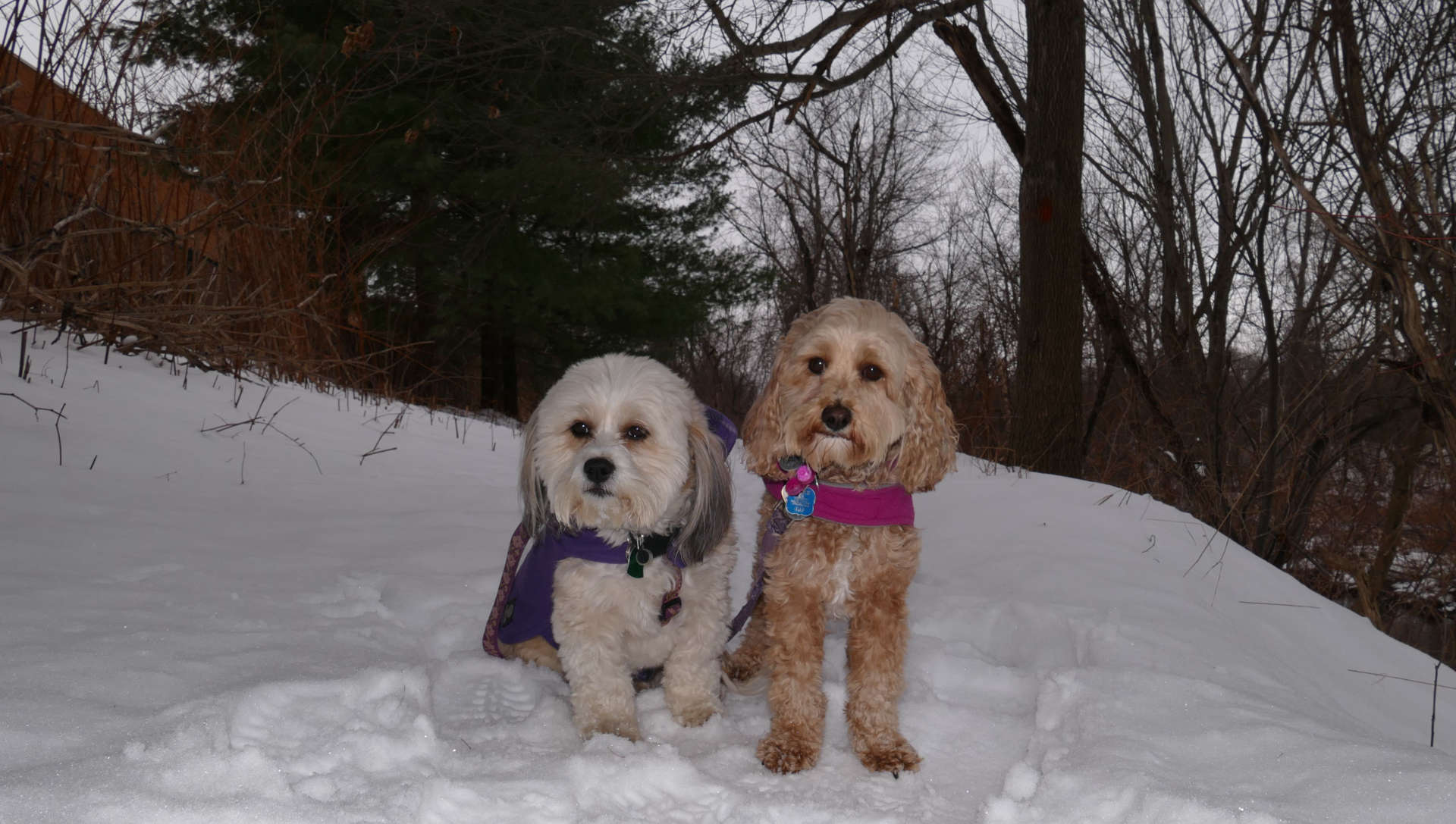
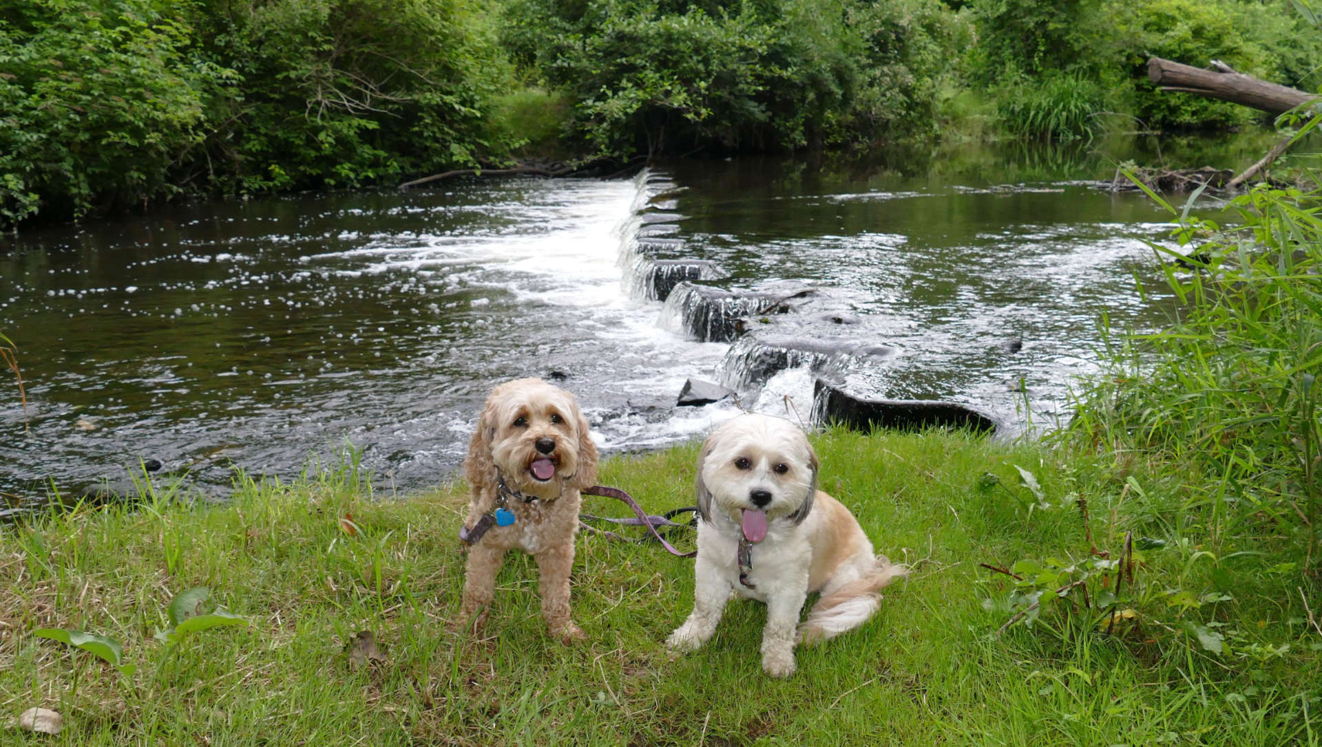
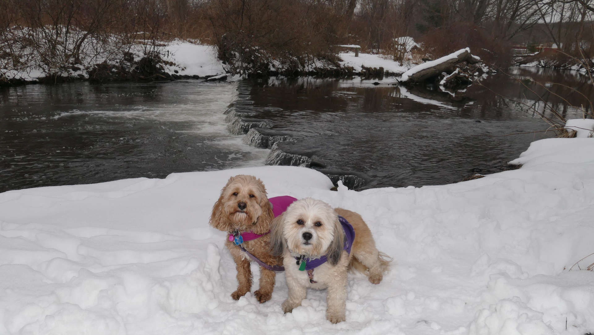
There is a really nice spot for pictures on the tip of Doug Smith Island. I've taken a pic in the summer, winter, spring and fall. The "fall" picture was the last one I took. I don't know where the rocks came from...they weren't there before.
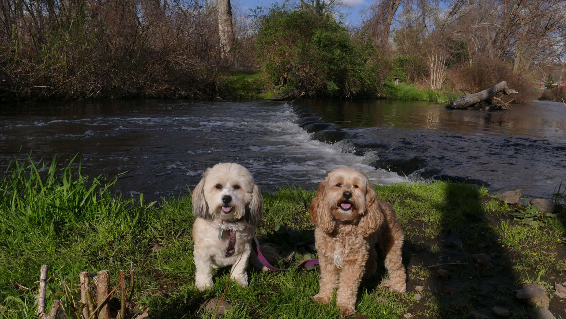
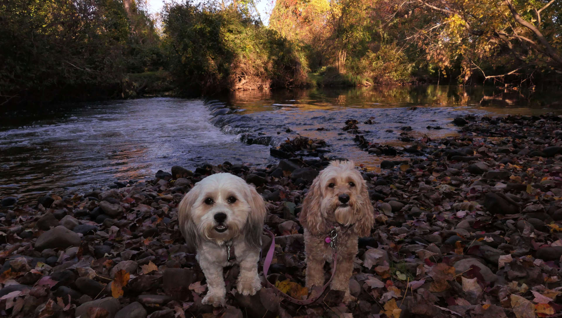
Back on the main trail, and heading west from the Kohl's trail head. The trail passes by Lynch Toyota. I noticed this monument recently, in memory of Frank Lynch. I'm guessing that's a statue of his dog. There's actually signs for the trail here in the Lynch lot.
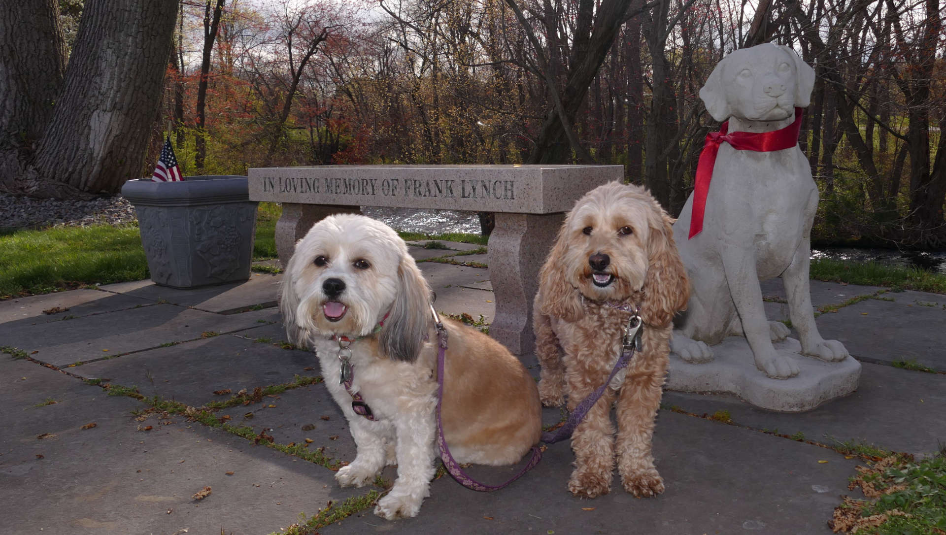
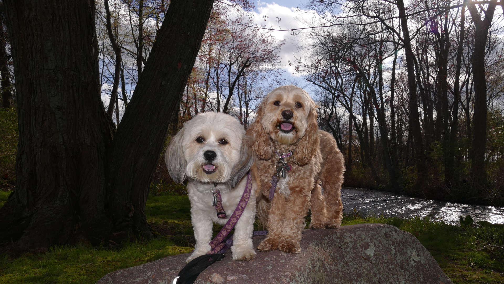
The trail goes under the Exit 63 ramps from I-84, and heads to the new bridge it shares with the Oakland Trail. On the other side of the river, it follows the north side of the river in between I-84 and the river. I was walking this part of the trail in the 90's one day, minding my own business, listening to my headphones, when two police officers came out of nowhere and drew their guns on me. Evidently, they were in pursuit of someone who fled a traffic stop on I-84 into the woods. I convinced them that I was on a public hiking trail, which they realized once I pointed out the nearby bench. They apologized and recommended that I turn around, and that's what I did. I didn't experience anywhere near that level of excitement walking this part of the trail recently with the dogs! There's a cement bridge here that crosses Avery Brook, a Hockanum tributairy that flows into nearby South Windsor.
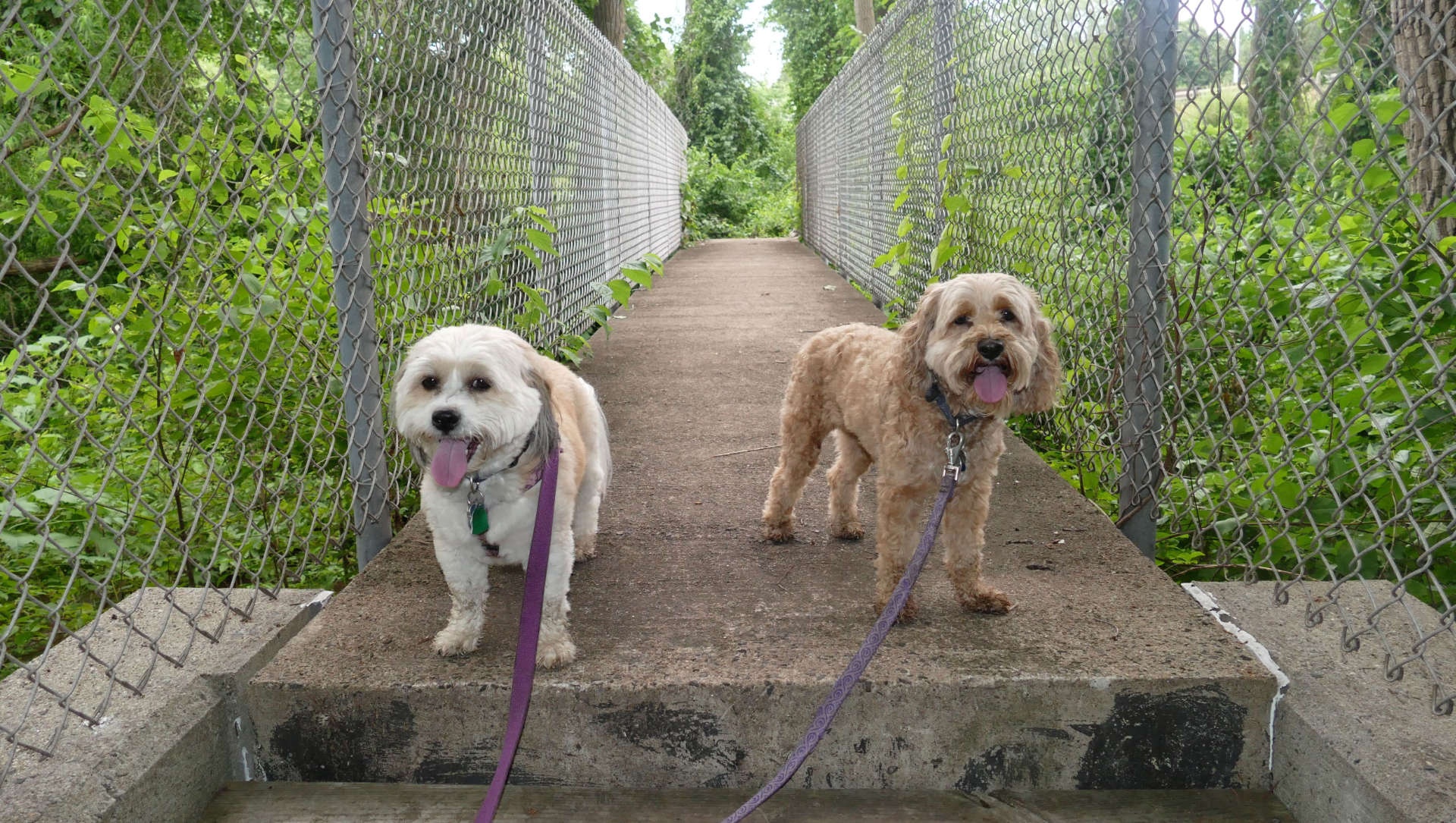
The trail continues and actually crosses into Vernon by Big Sky Fitness and Motel 6. It's actually here, that we encounter my favorite unnecessary bridge on the Hockanum Trail.
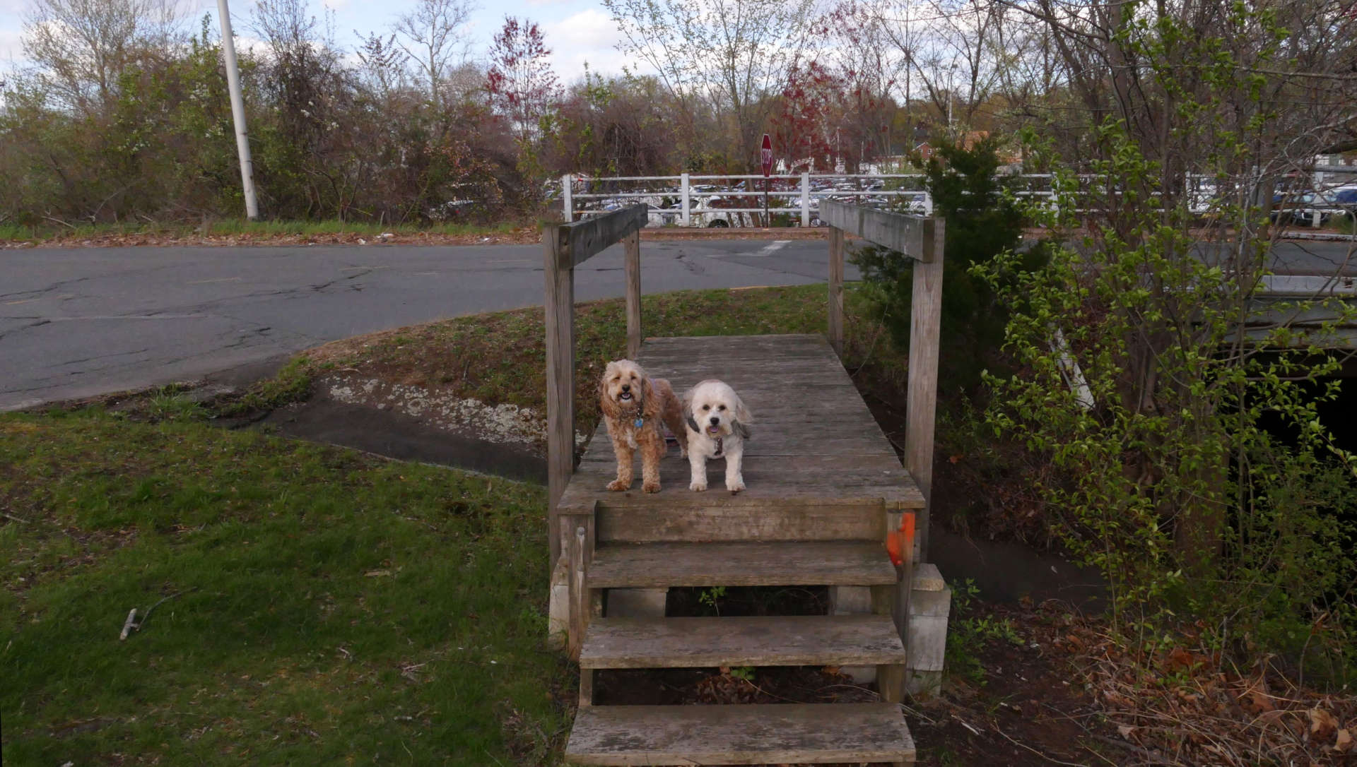
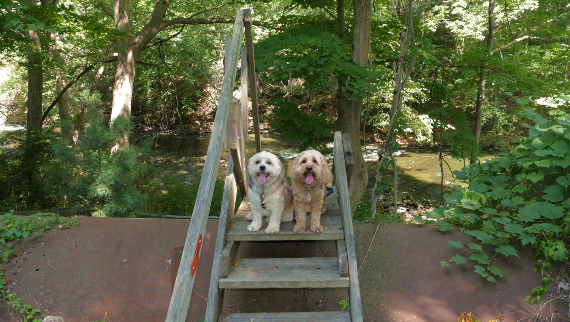
As you can see, this part of the trail ends just up ahead at that road. To continue the loop, you have to cross the river on the paved driveway to the right. Someone found it necessary to build a bridge over that small water run-off. It's not just some simple planks of wood, either. It's an elaborate bridge with steps and railings, painted with the red trail blaze! Nobody would have thought twice if the trail was routed to the pavement to the left, since you have to go on that road anyway to continue the loop. The bridge keeps you off the pavement for an additional 10 feet or so!
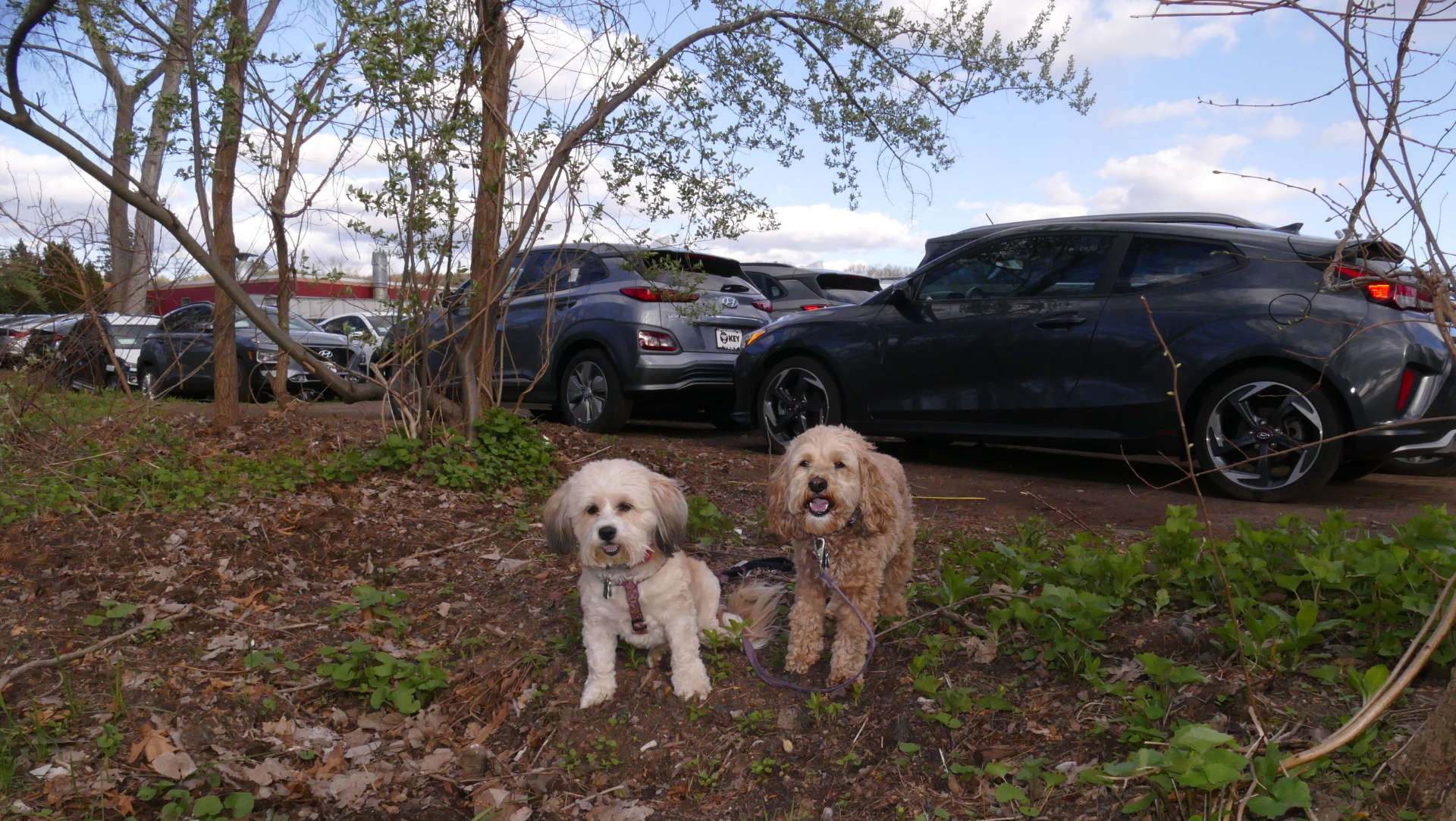
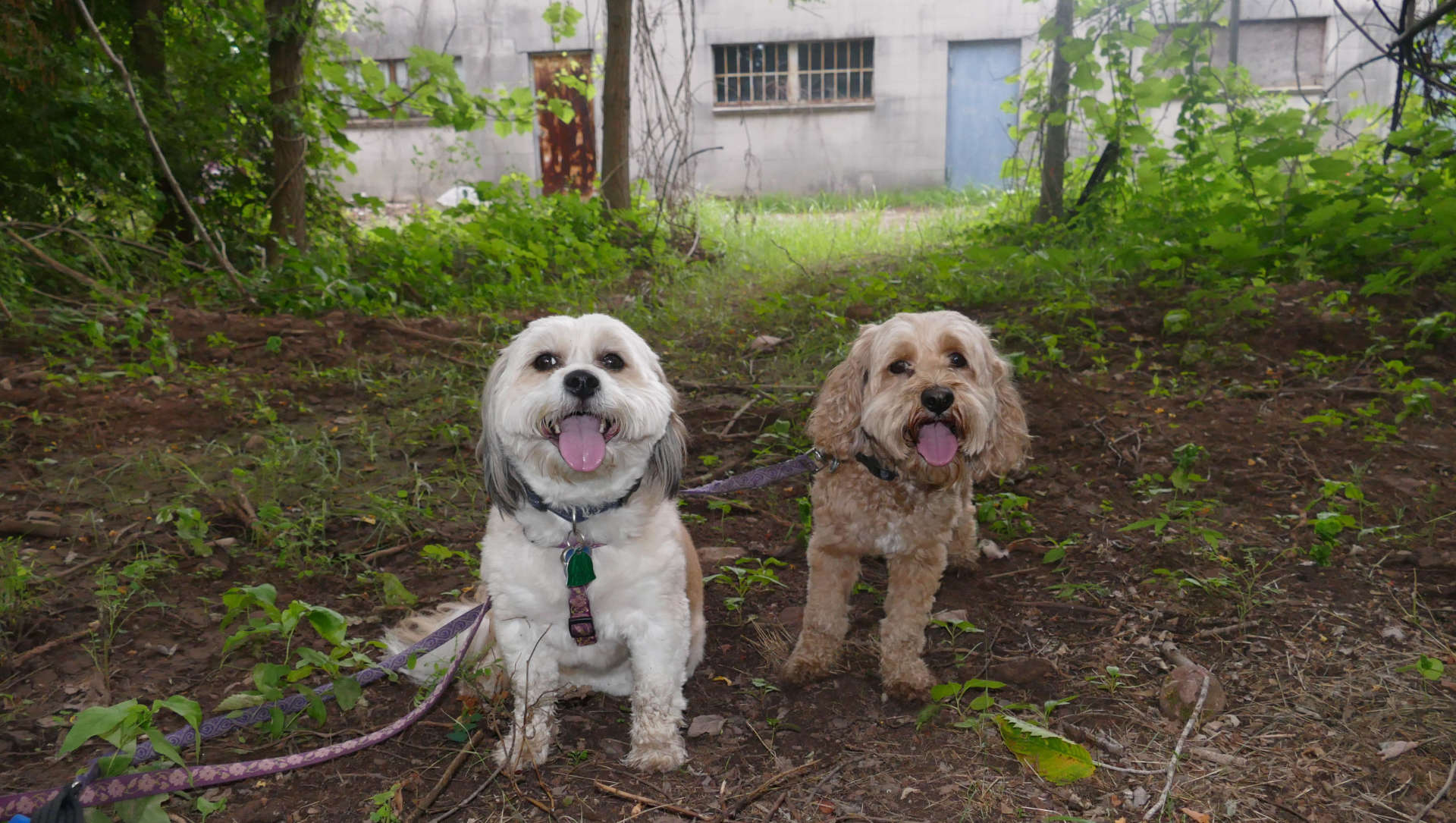
The trail continues on the other side and quickly back into Manchester. Here the trail runs between the businesses on Tolland Turnpike and the river. At one point, the trail runs practically on top of the Key Hyundai dealership. The cars are almost parked on the trail! Evidently they only sell gray cars! The trail continues past some creepy looking warehouse type buildings before ending back at the Kohl's parking lot.
According to meeting minutes of the Vernon Hockanum River Linear Park Committee, there is a plan to connect the Oakland Trail to the Pleasantview Marsh Trail in Vernon. They are still trying to obtain easments from the businesses behind the old Connecticut Golf Land. If this were to happen, the Hockanum River Trail would have a continuos section from Union Pond Park in Manchester, through Vernon, all the way to Windermere Ave in Ellington. I hope I get to add updates to this page when and if that happens.
For now, there is a gap here. The trails pick up again in Vernon.