Connecticut
Massachusetts
Rhode Island
New York
New Jersey
Other States
Latest Adventures
About Mandy & Lexi
Beach Guide
FAQ
◂︎ Mandy & Lexi's Connecticut Adventures
Durham
Mica Ledges
Preserve
Date visited: 11/5/2021
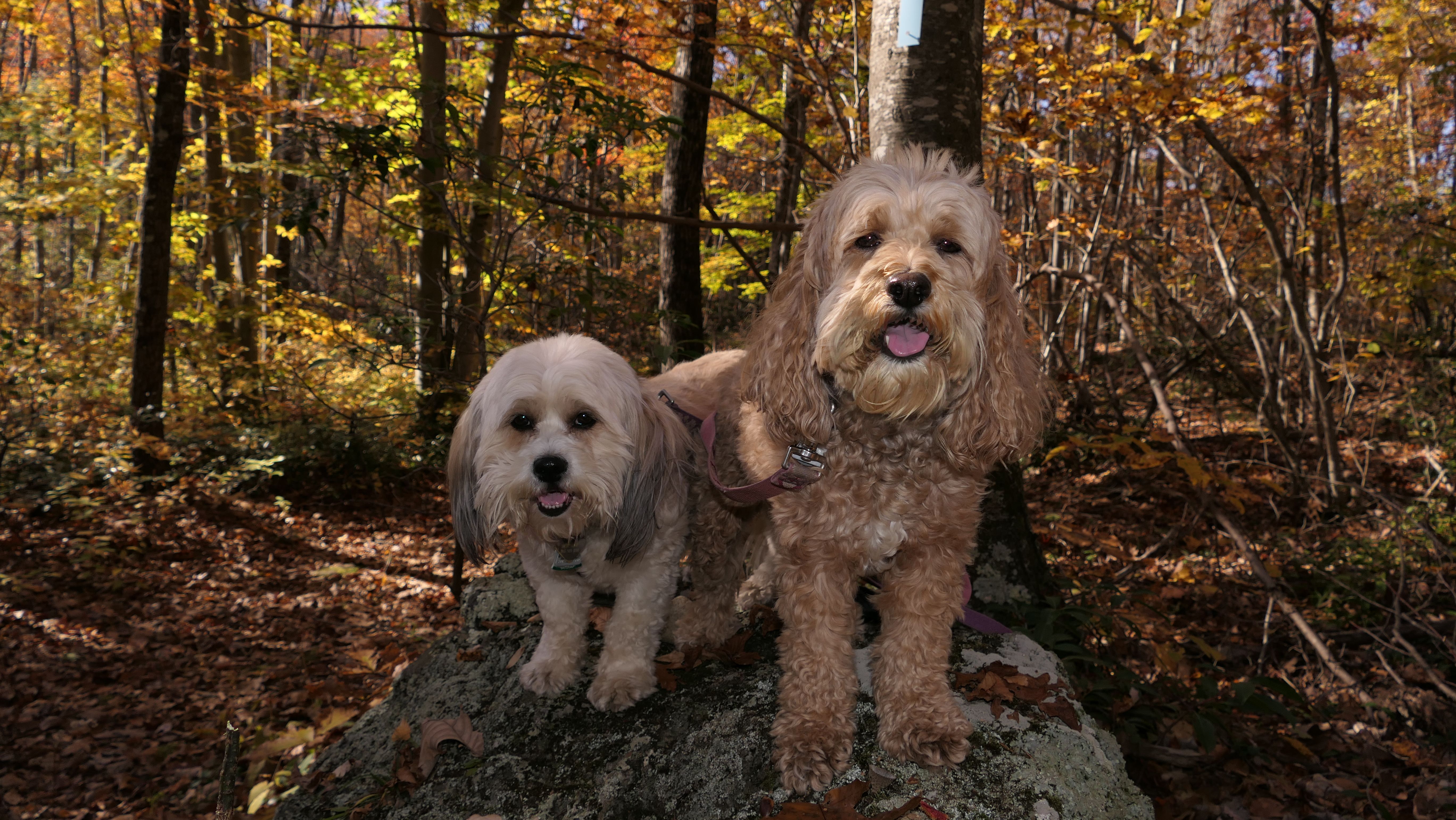
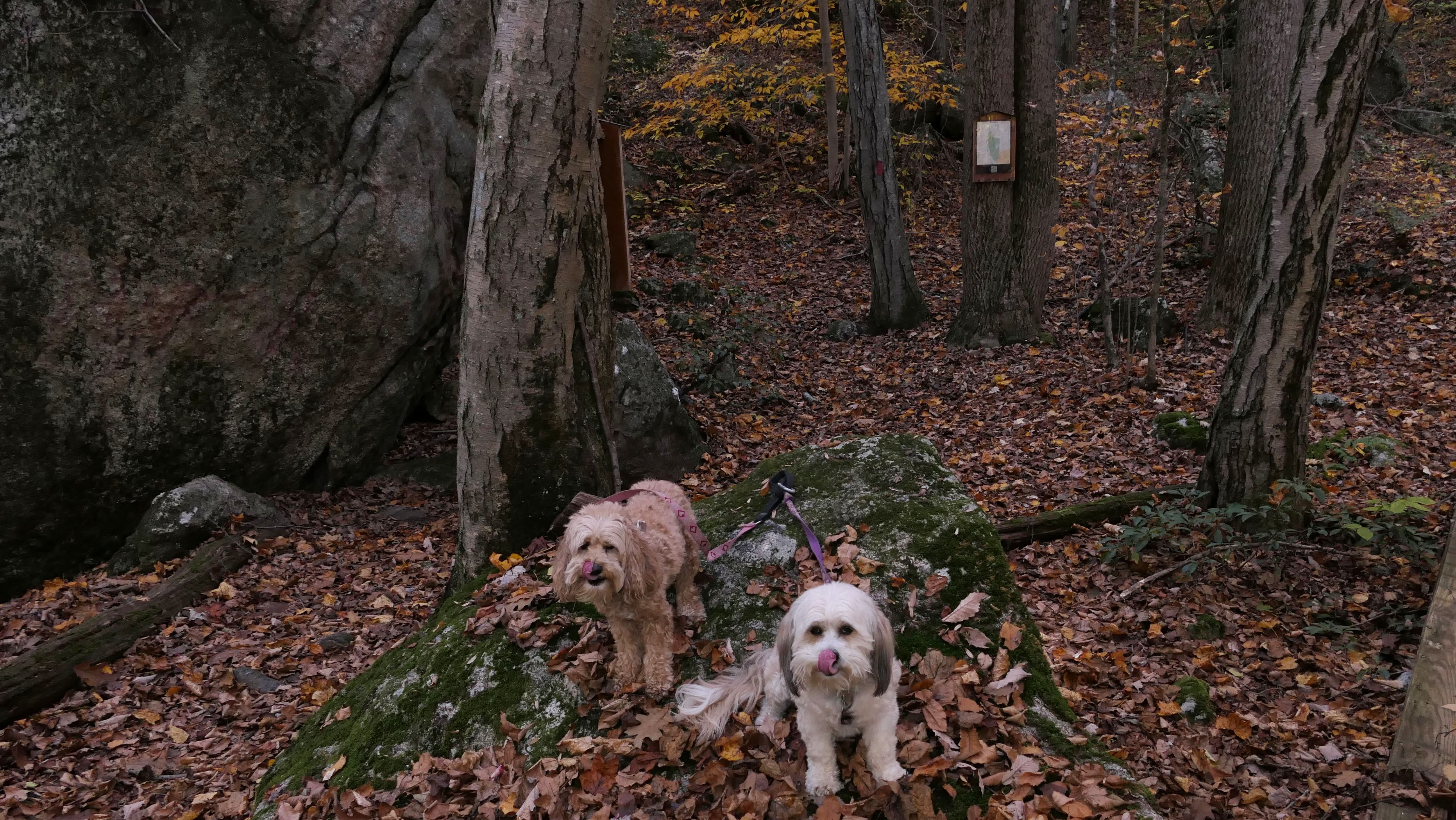
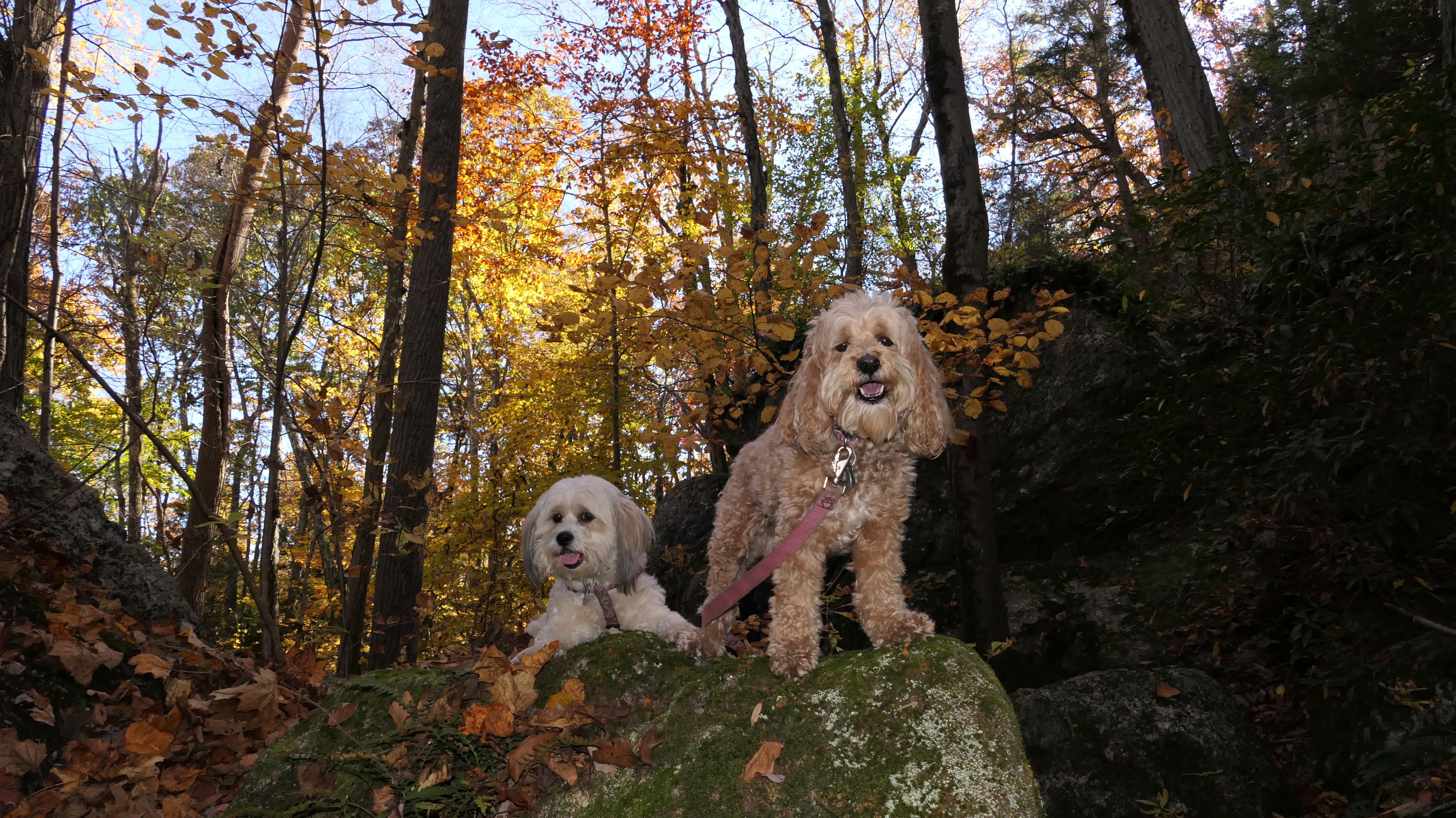
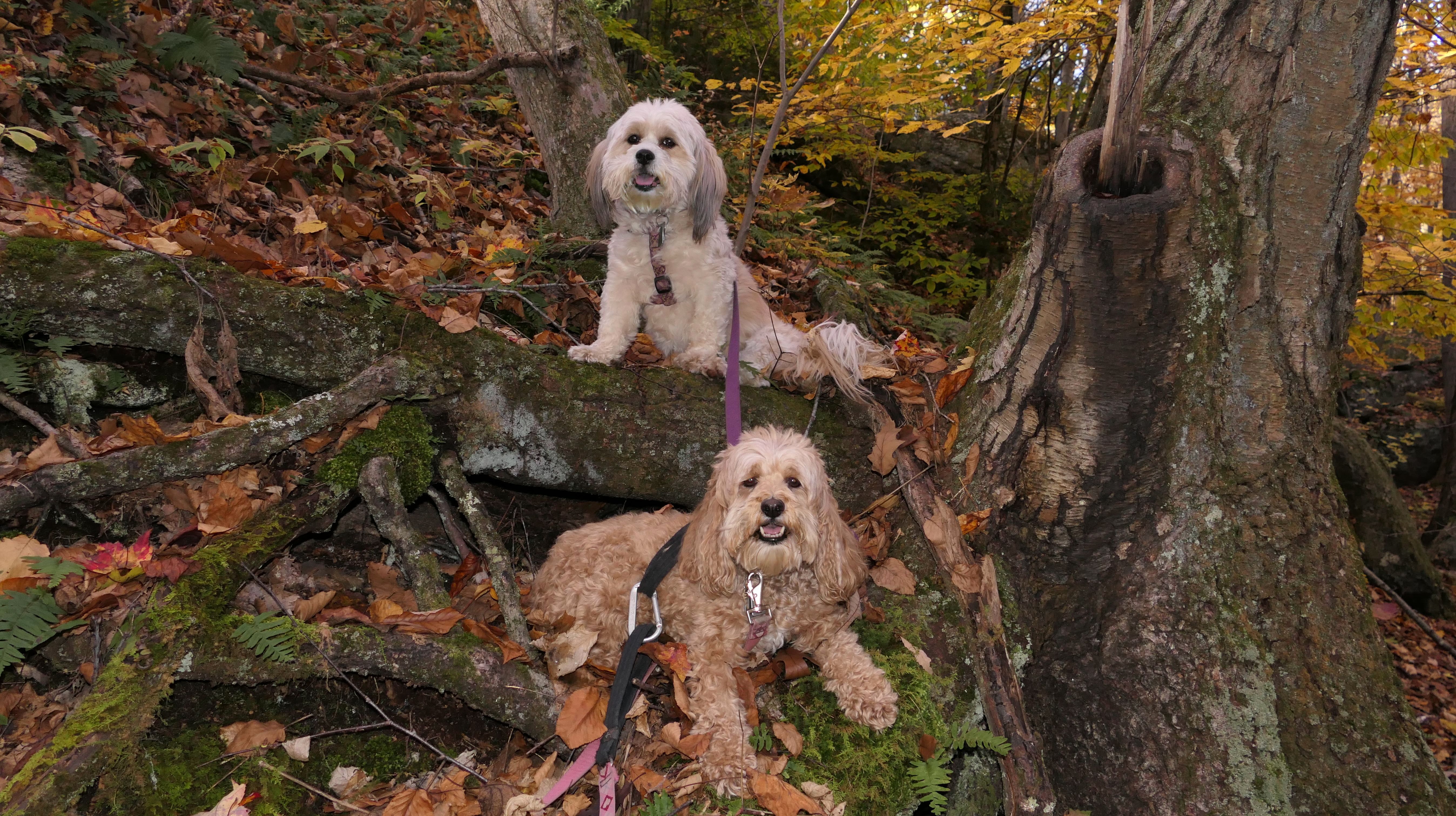
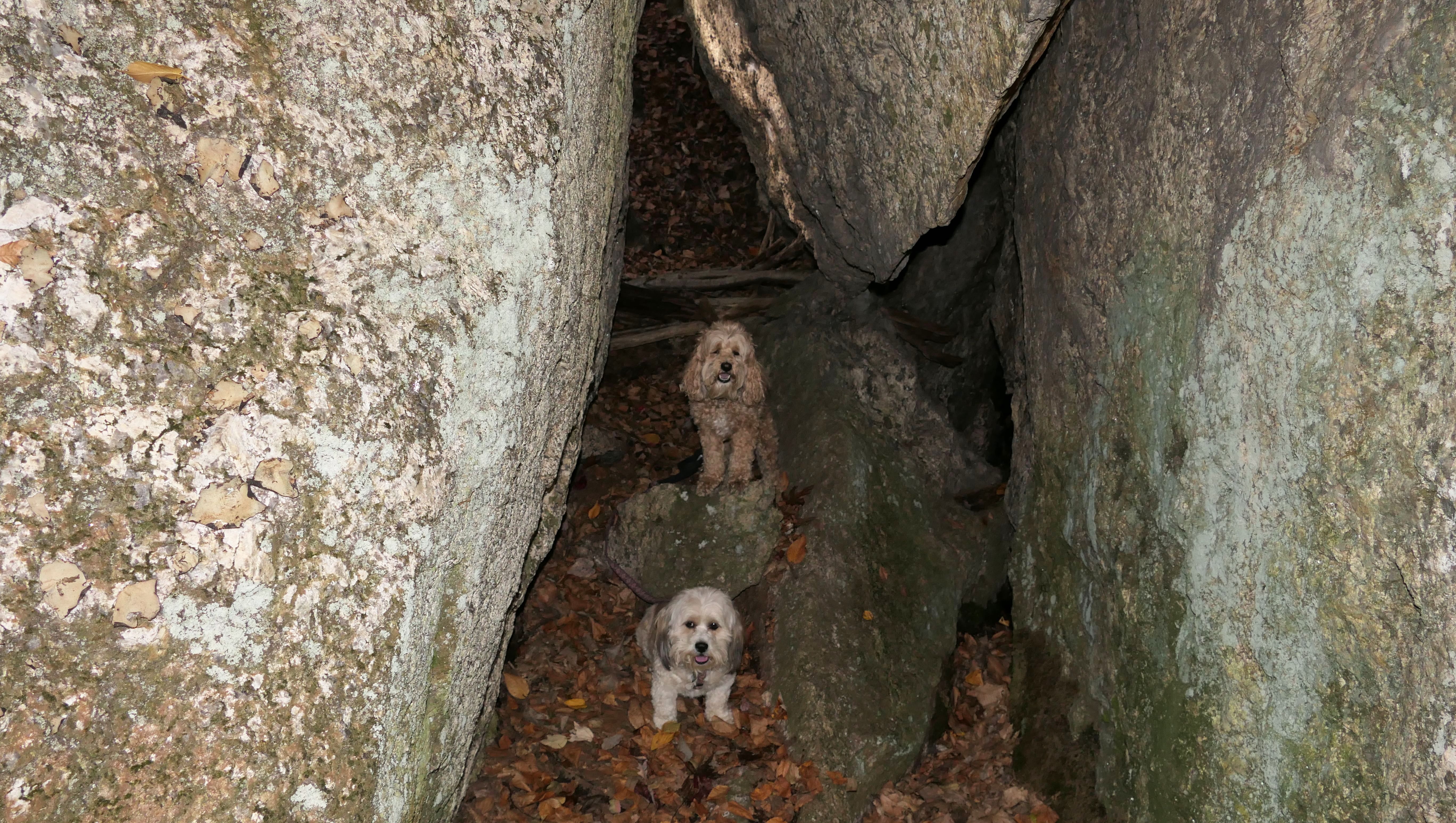
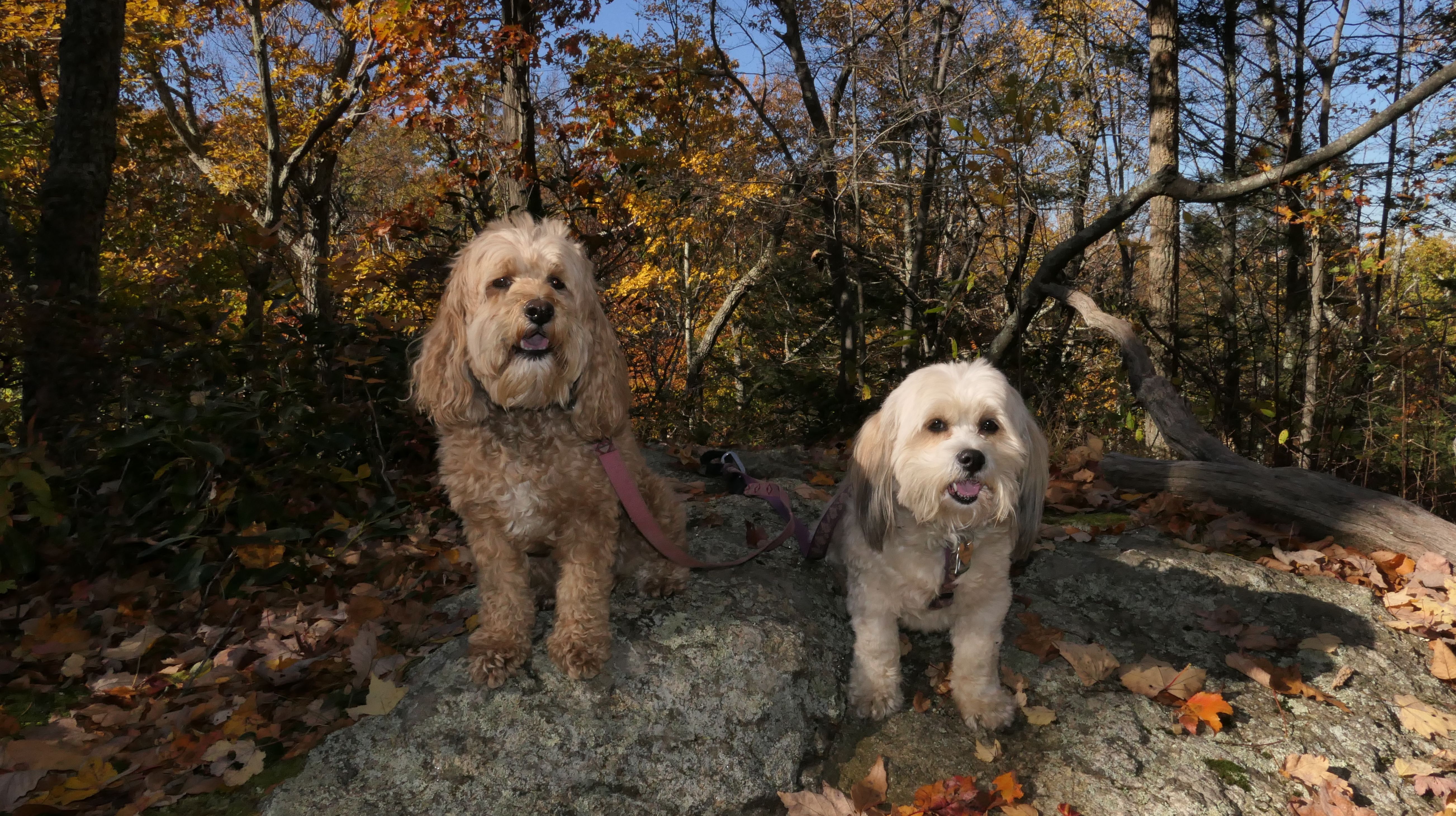
At the end of Cream Pot Road in Durham, is a small parking lot and a trail head that leads to a network of trails. We hiked the "Mica Ledges Loop", which includes part of the blue blazed Mattabasett Trail, the Mica Ledges Trail and Selectman's Path. Despite the name, the trail doesn't get all that close to the ledges. That is probably a good thing, because Lexi gets way too curious at times. We stopped along the path to take pictures at Pyramid Rock and Whitney Lake, as well as some other spots along the trail. The foliage was still pretty nice in this part of the state for the first week in November.

Millers Pond State
Park
Date visited: 2/12/2021
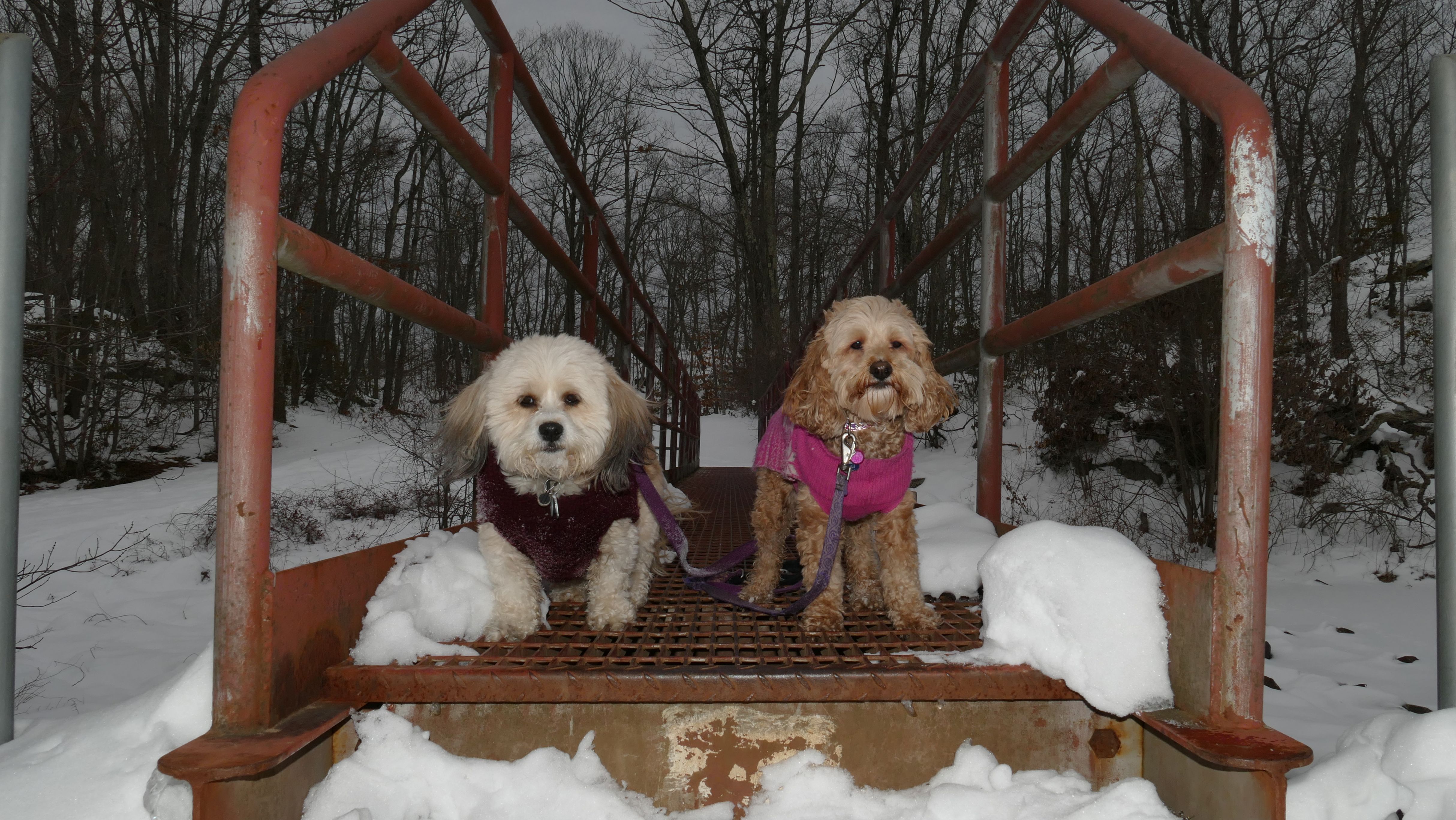
We tackled this on a winter day. Most of the path we followed was well worn down and easy to traverse, but a portion of the trail wasn't packed down so we had to trudge through. The dogs didn't seem too bothered by it. The trail actually starts in Haddam, but the majority of it is located in Durham. The pond itself was frozen over and covered with snow, so you can't really tell it's actually there.



Durham Town Green
Date visited: 9/5/2026
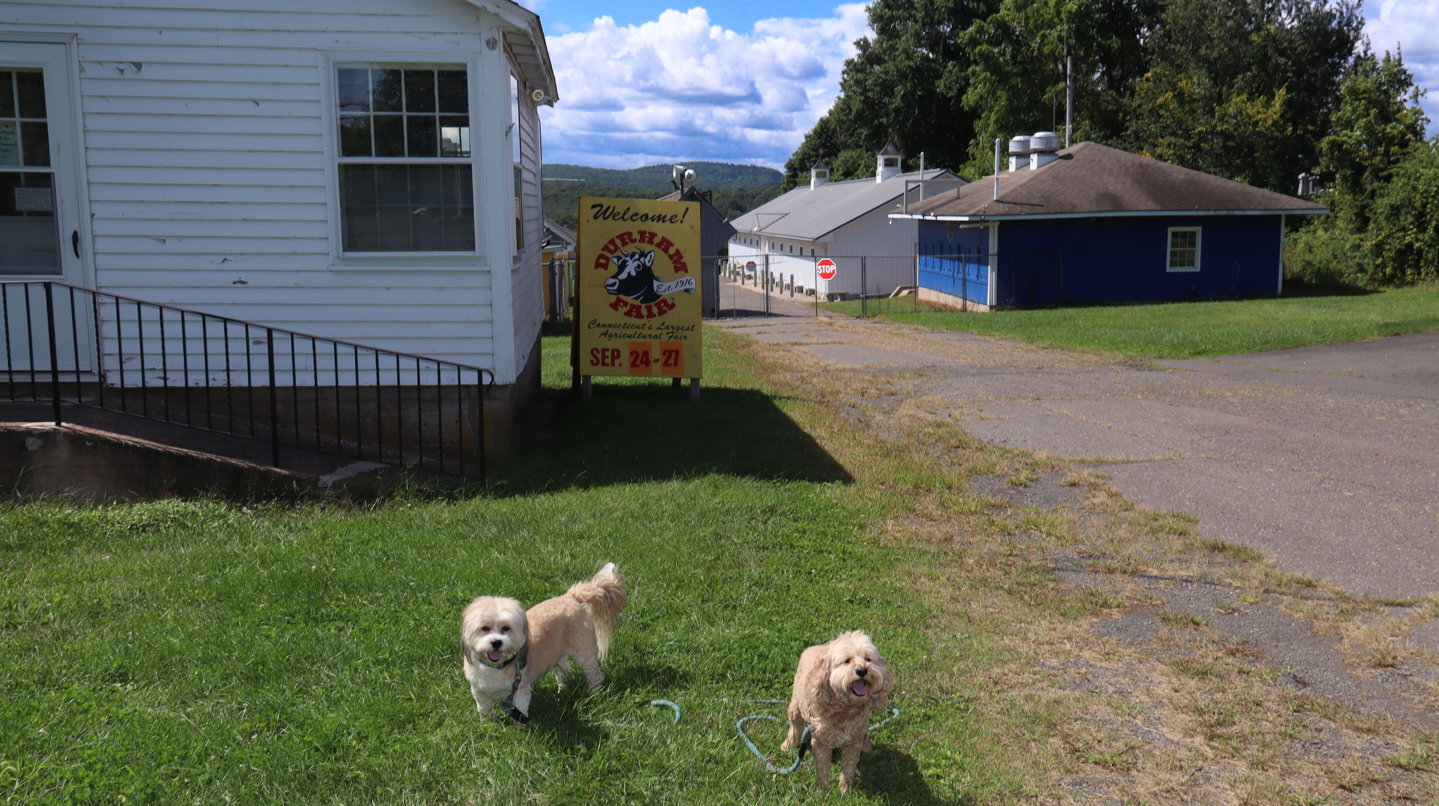
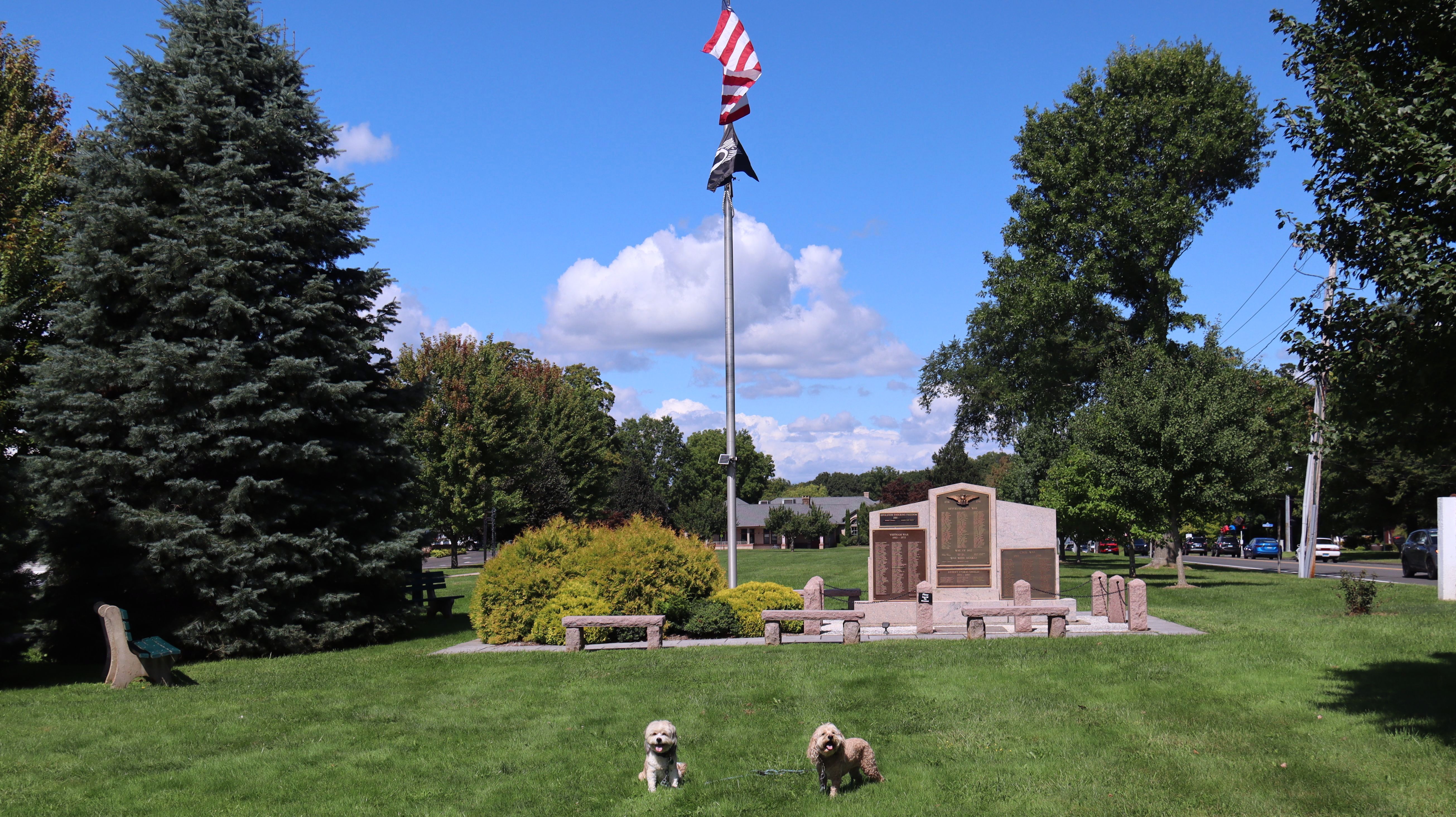
This was a quick walk along the Town Green in Durham. The area is not very large, but there were a couple good photo spots. The annual Durham Fair is held in this area, and the fairgrounds are located just behind the green. The fair is held later in September, but I'm pretty sure dogs are not allowed on the fairgrounds during the fair.




More Images


Bear Rock Trail
Date visited: 9/5/2026
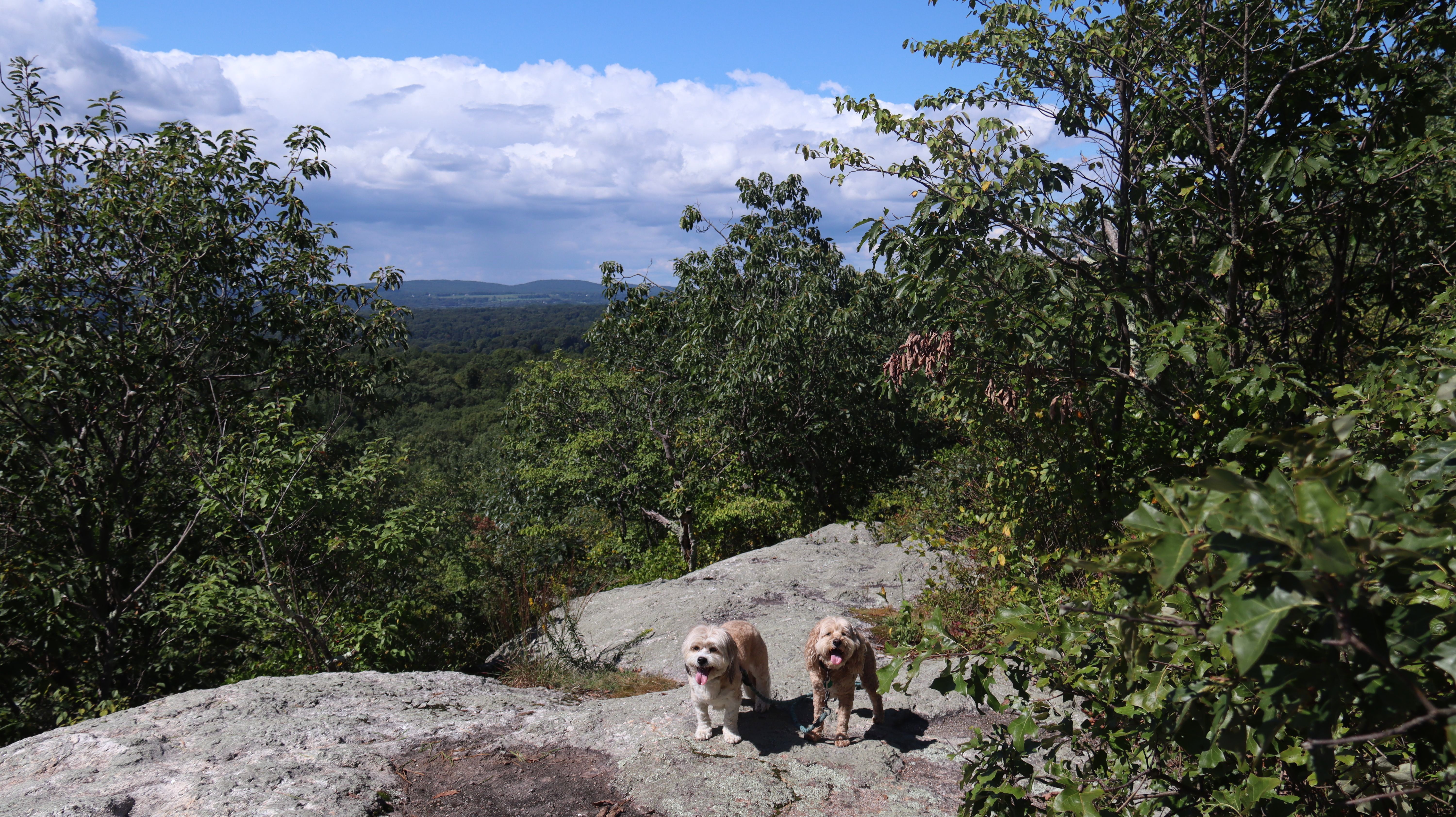
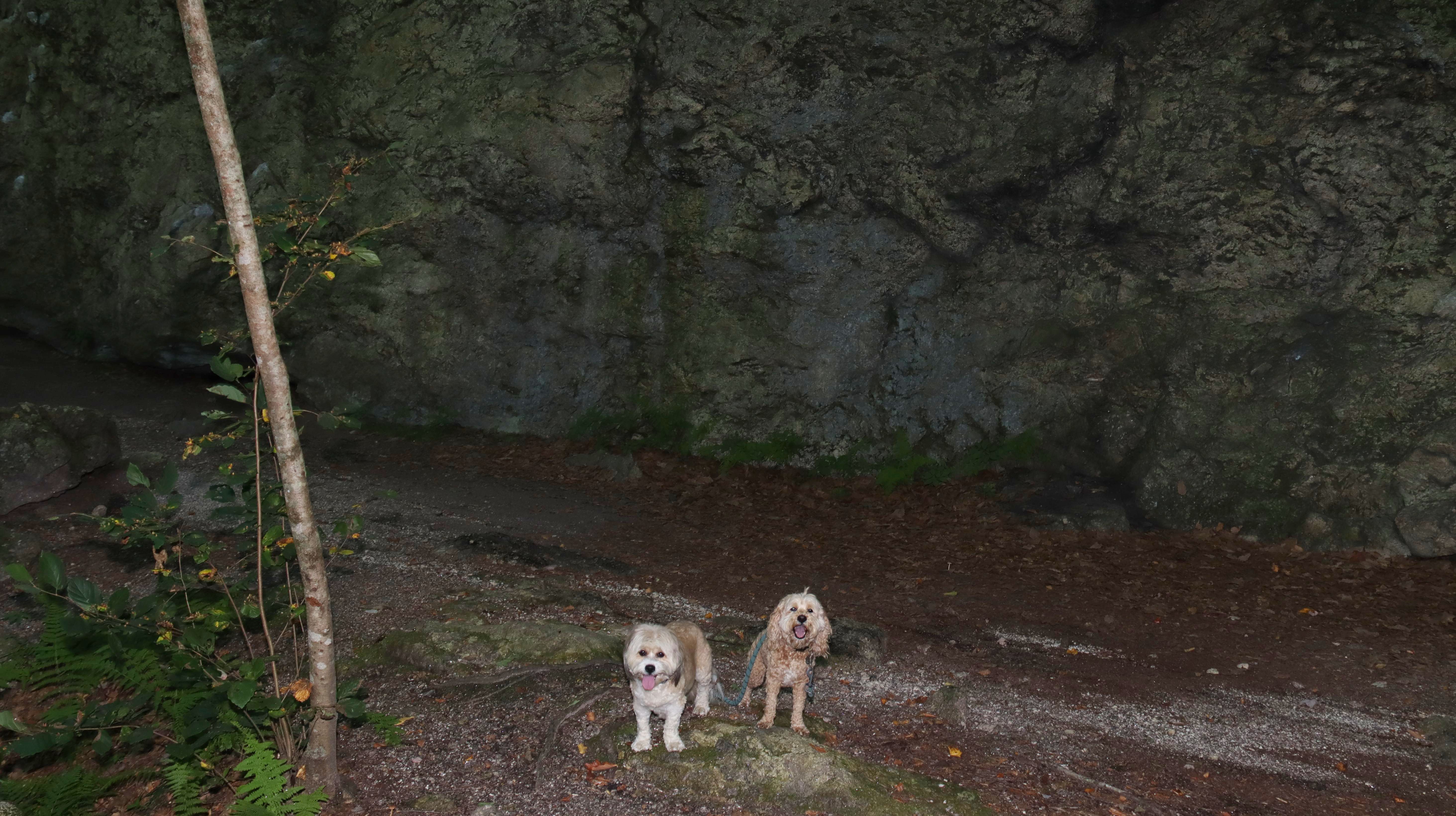
We had already gone to two places on the day, but since the weather was much nicer than expected, I found a nearby trail on the All-Trails app. The Bear Rock Trail is actually part of the Mattabesett Trail, and is part of the Cockaponset State Forest. This is one of Connecticut's blue blazed trails, and the terrain tends to be more rugged than the types of trails we usually hike. This one was challenging in places. In fact, as we approaced the actual "Bear Rock", the trail was too steep for us to climb. Fortunately there was a "Bear Rock Bypass" trail that led back to the main trail and we were able to get to the top of the rock from that direction without any issue. There are nice views from the top of the rock, and it was a good place to take a water break and take in the view. The All-Trails route had us turning around, but I could see on the map that there was a secondary trail that would loop back, so we continued on a bit further. We reached a really cool spot where the trail runs along the side of a large rock formation. It turned out to be a fun little adventure.


More Images