Connecticut
Massachusetts
Rhode Island
New York
New Jersey
Other States
Latest Adventures
About Mandy & Lexi
Beach Guide
FAQ
◂︎ Mandy & Lexi's Connecticut Adventures
Burlington
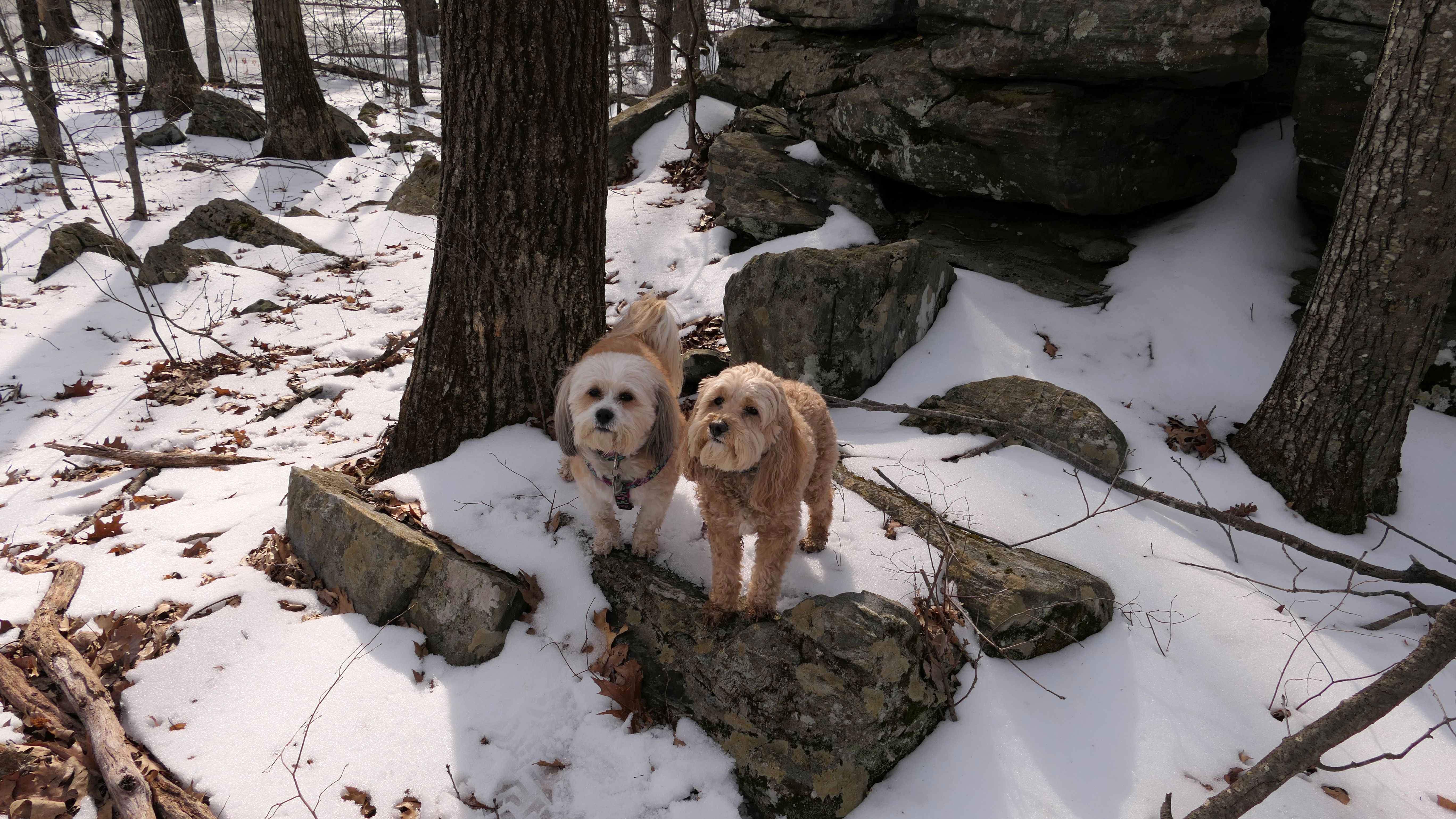
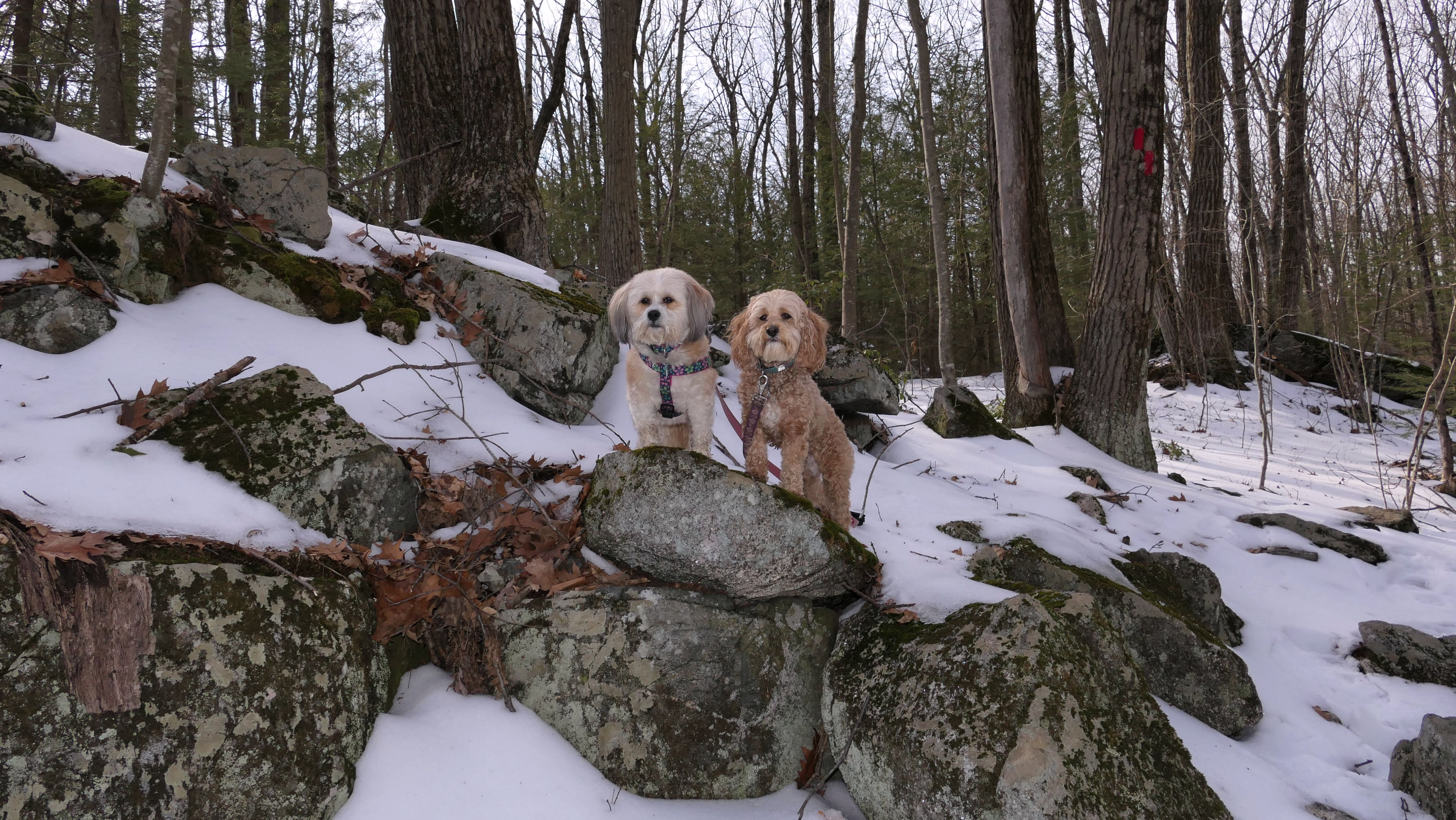
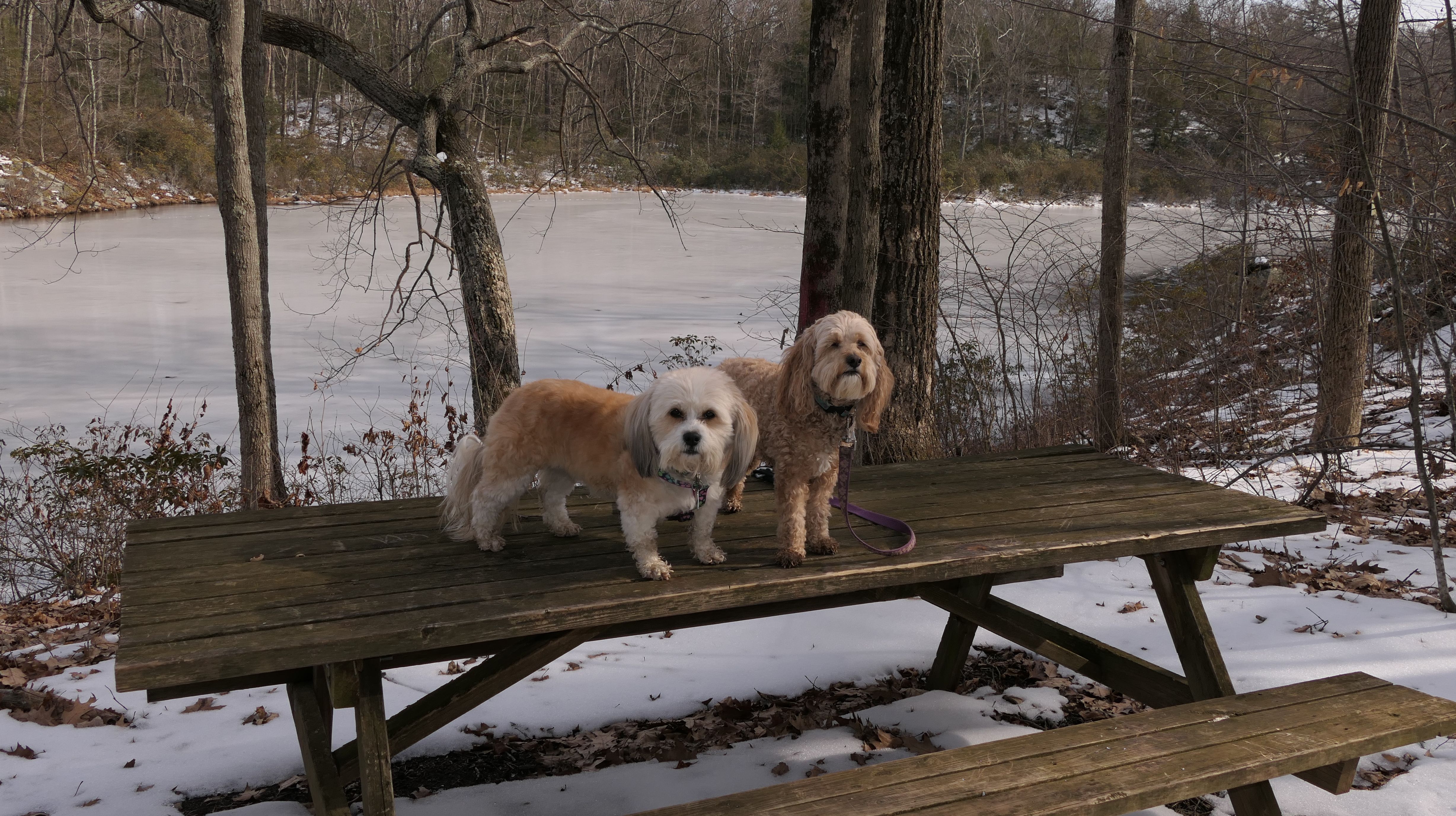
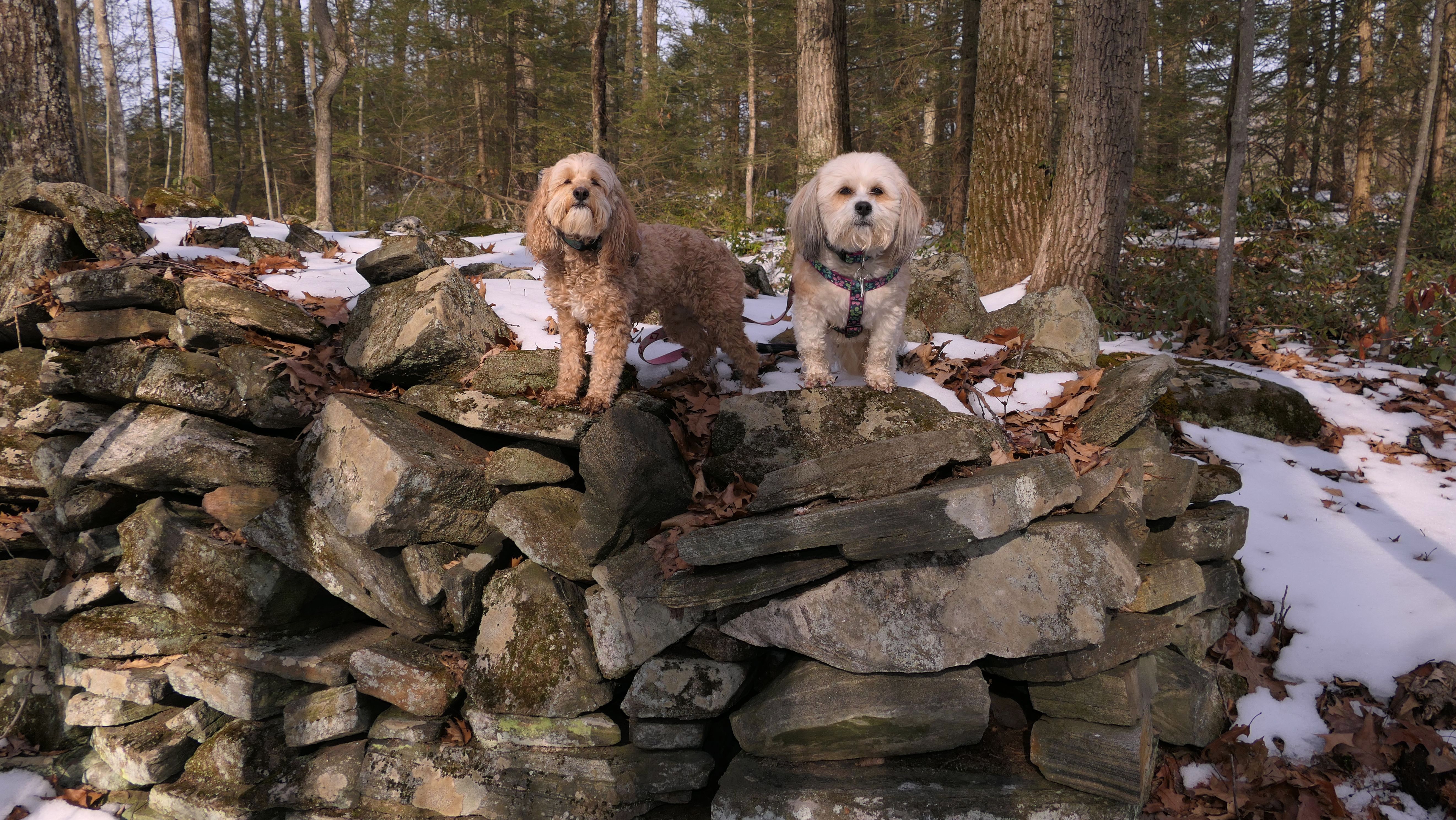
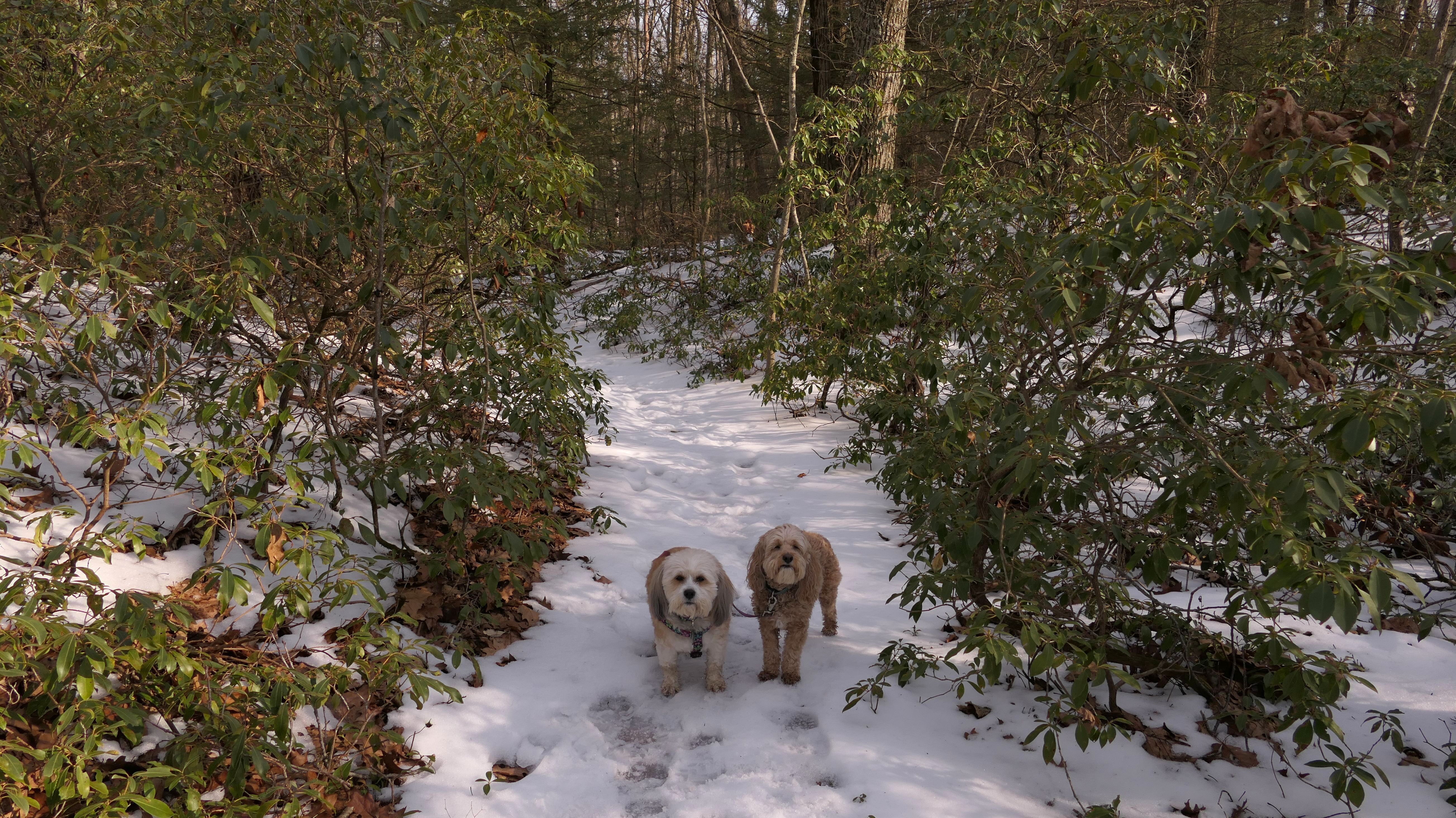
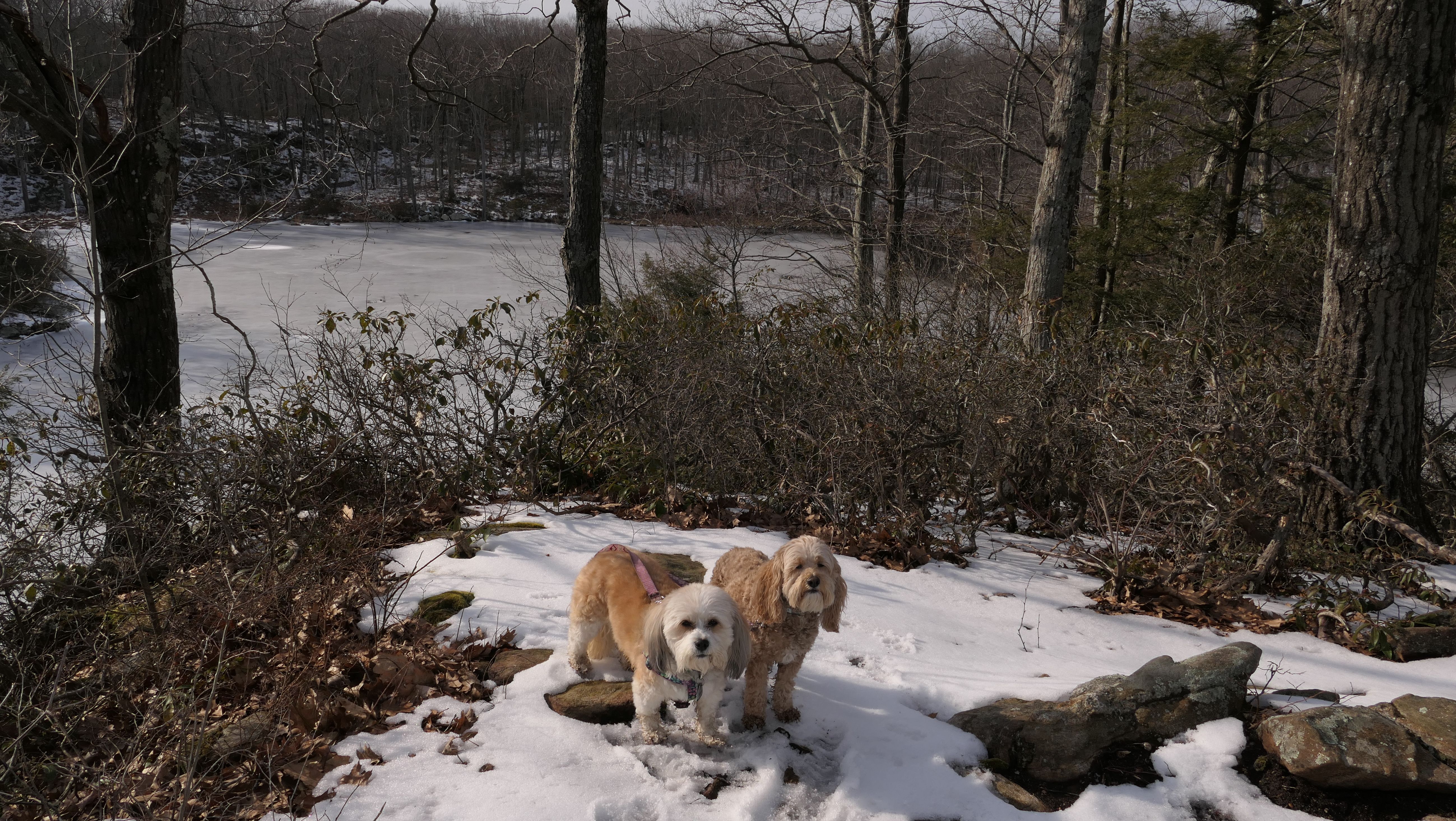
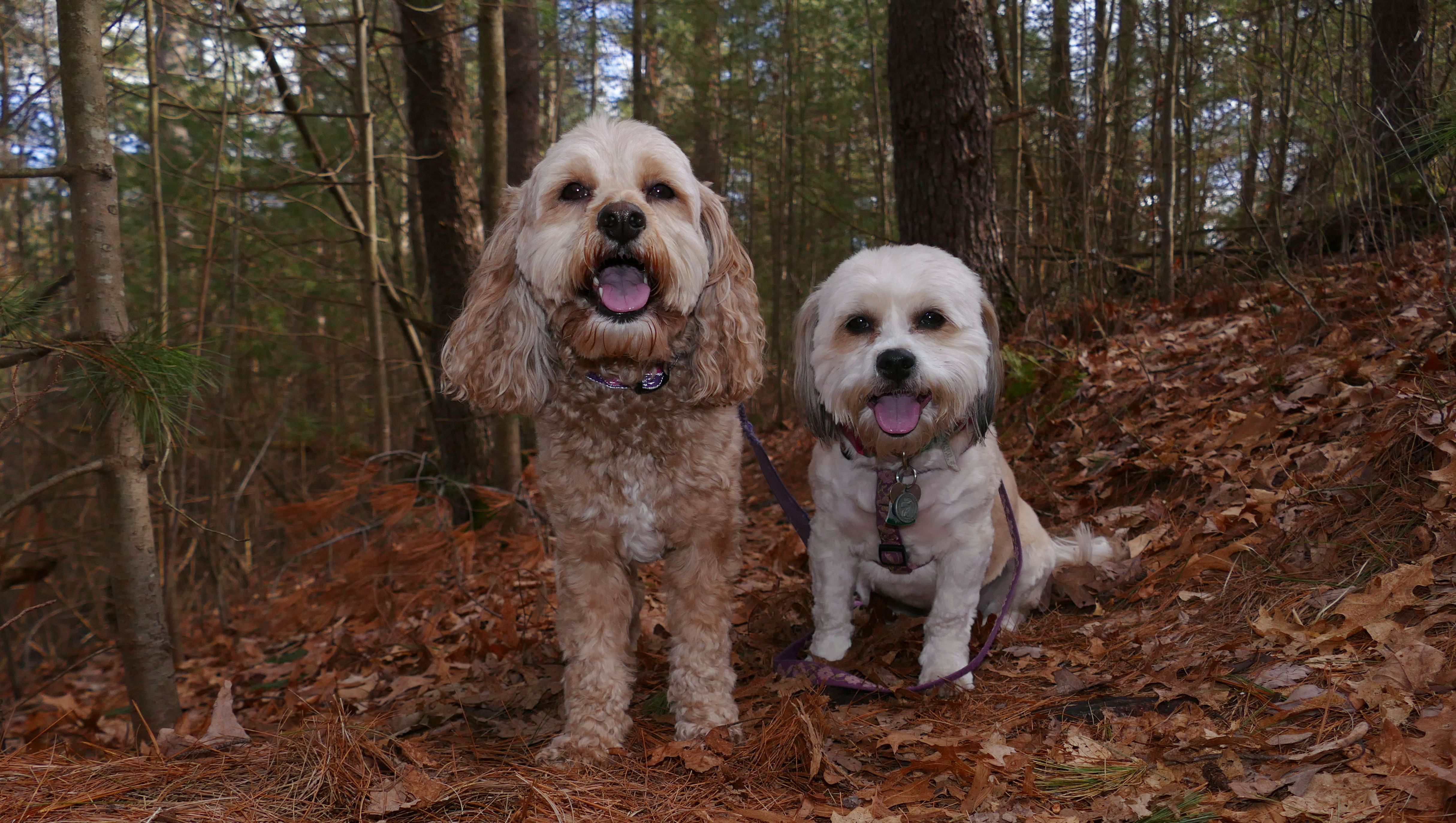
Martha Brower Wildlife Sanctuary
Date visited: 3/5/2022
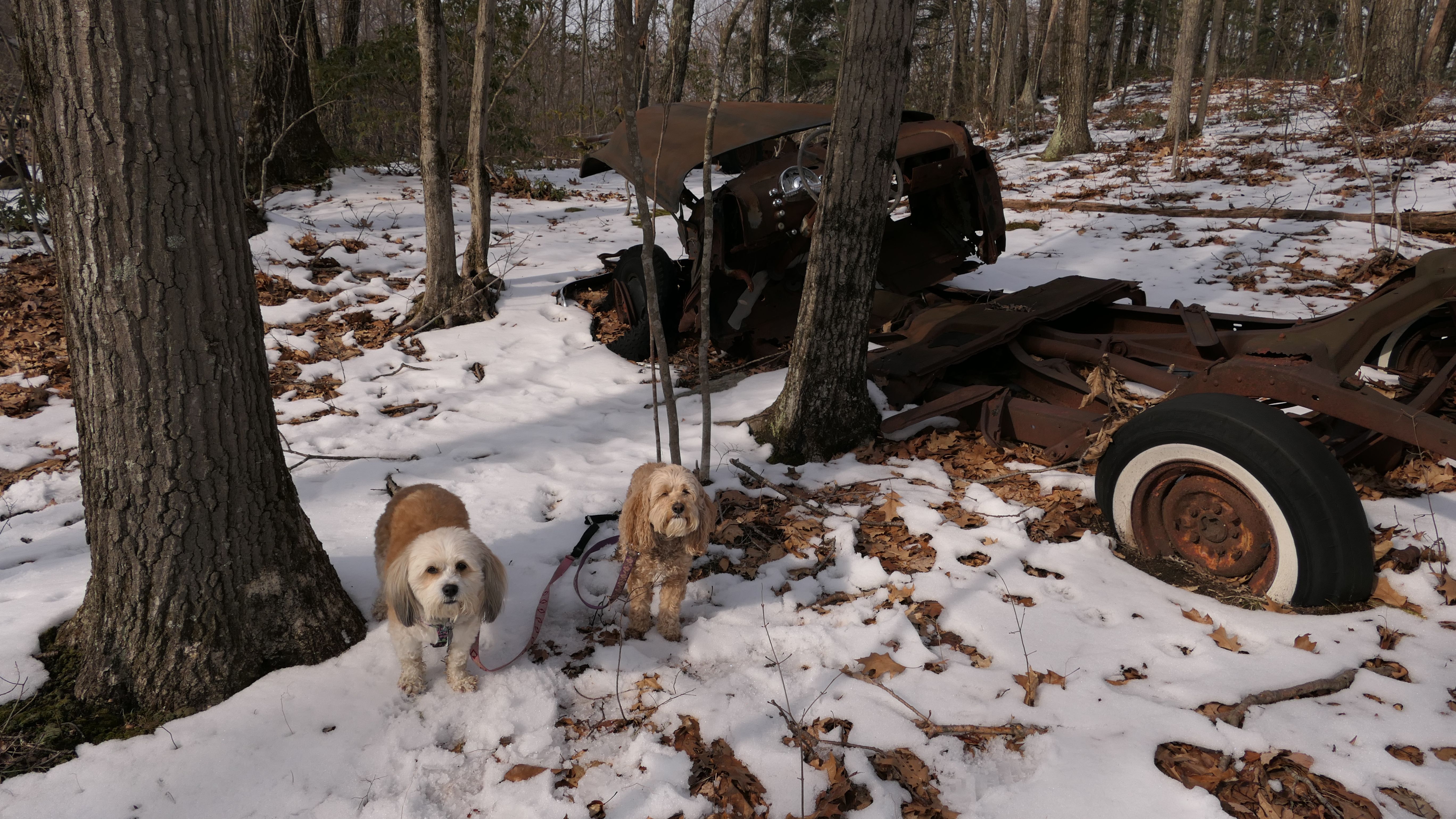
This was a fun hike! The snowy and icy surface, and the rocky terrain made this quite a challenge. Not only that, the scenery was beautiful. We hiked a trail that looped around "Country Pond." From the parking area, we started at the right side of the pond. We took an "extended" route that veered away from the pond. At first, I questioned the All Trails app having me do this, instead of following the trail that hugged the side of the pond. But this was a better, more scenic route. Lot's of nice rocks to climb, and a lot of green plants too. Of course, there were also a couple of rotted out cars, but that just made the whole thing more interesting! The amazing part was, with all the ups and downs, that I was able to stay upright for the entire hike!

More Images


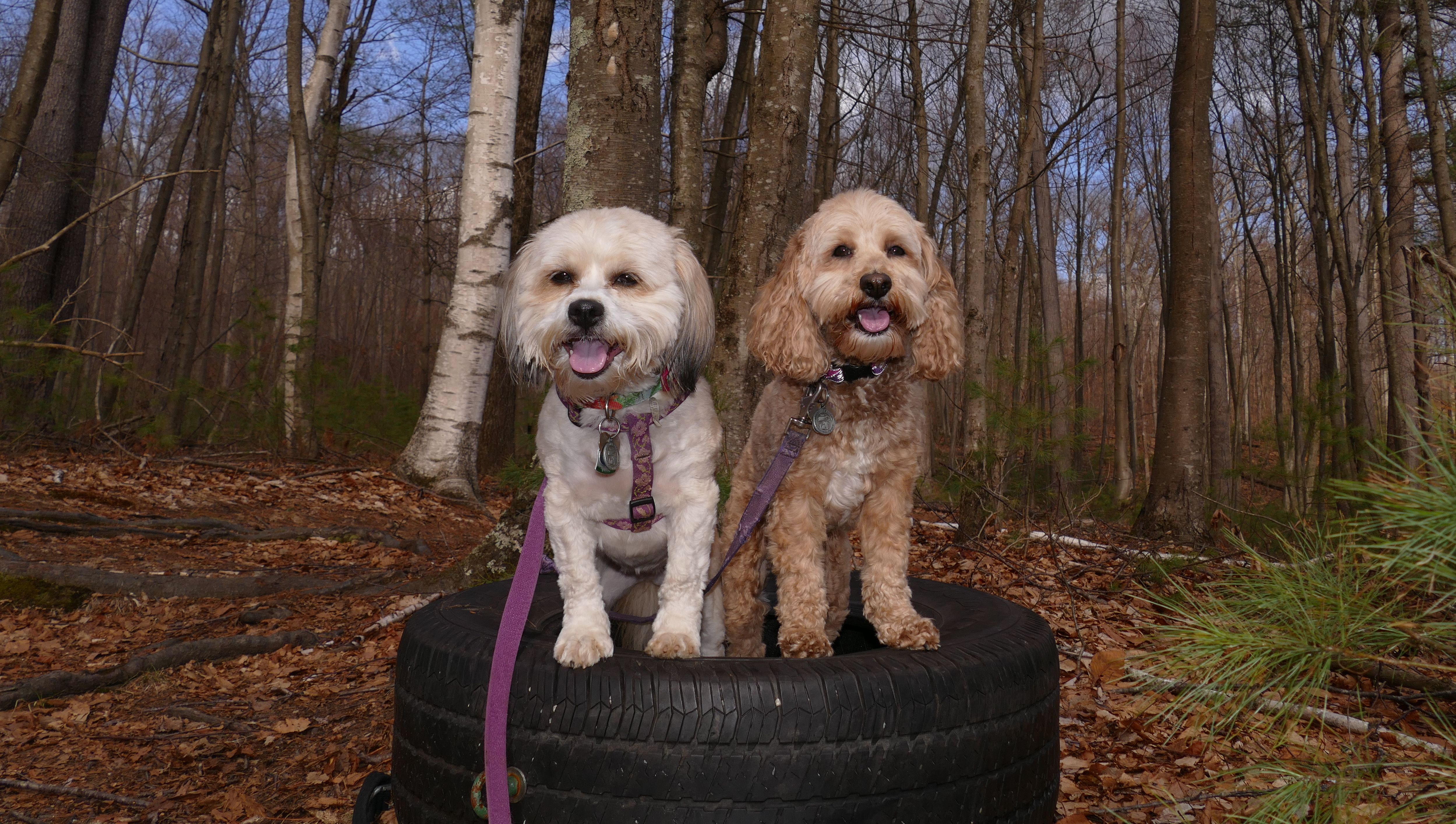
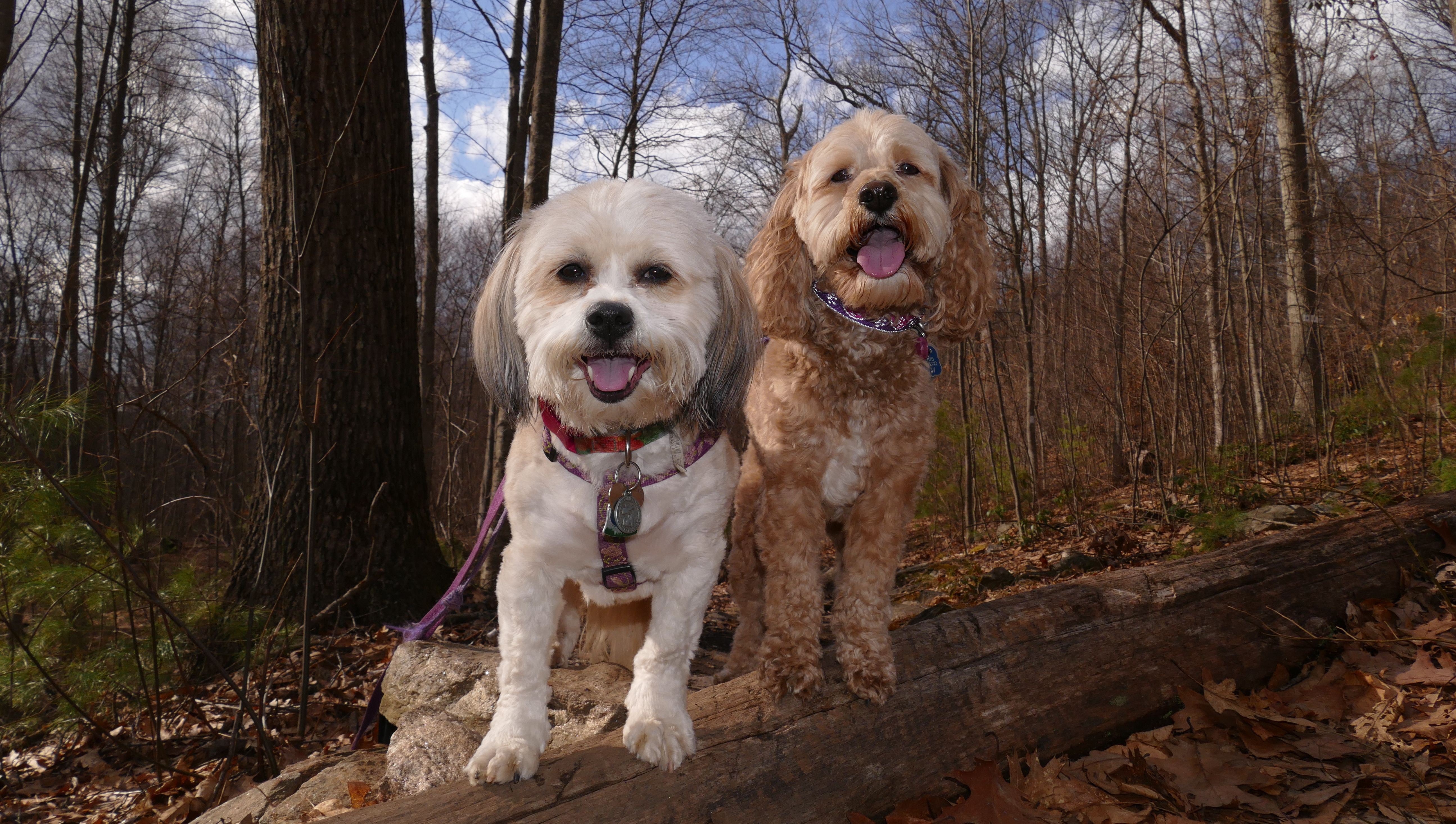
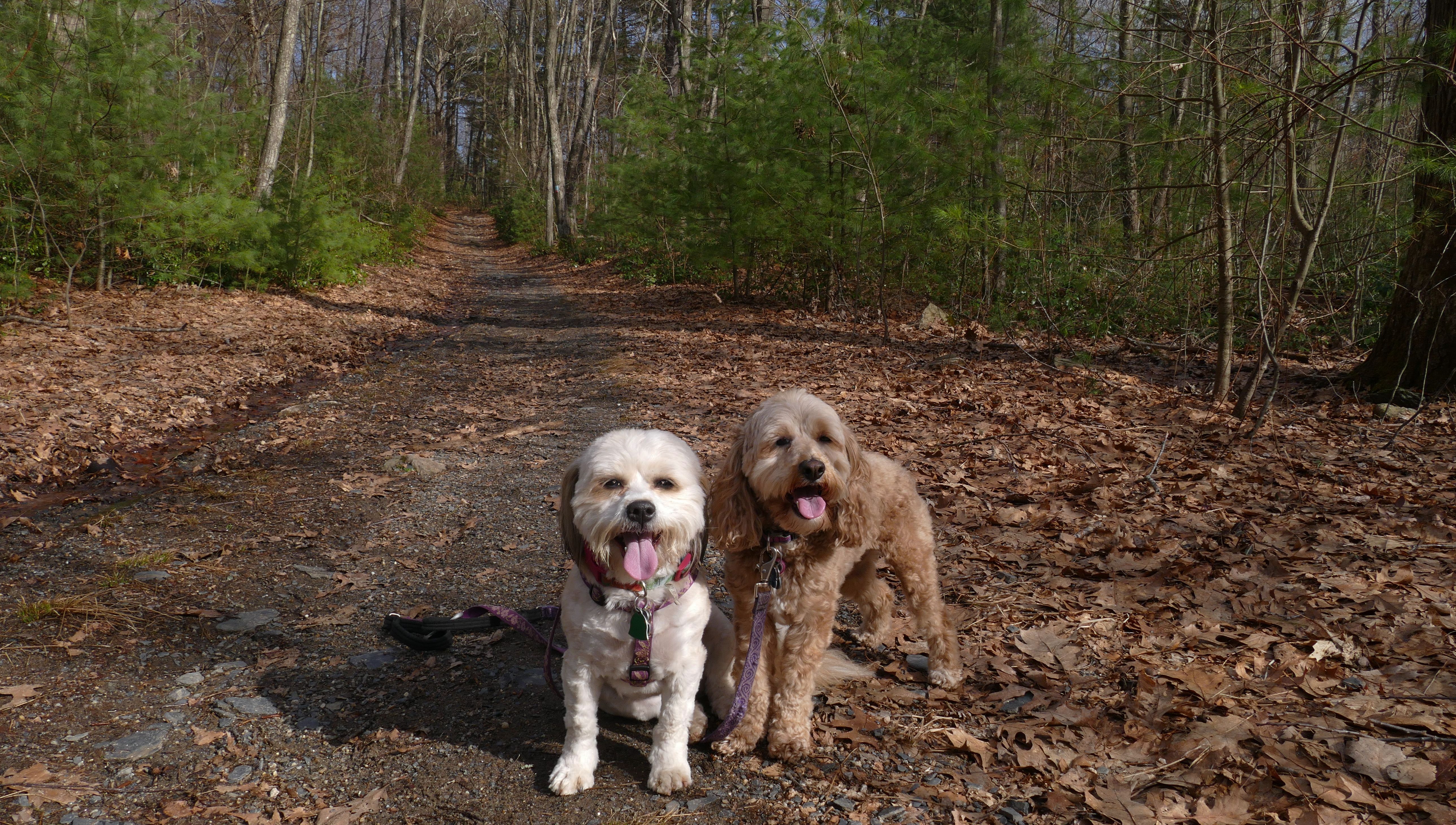
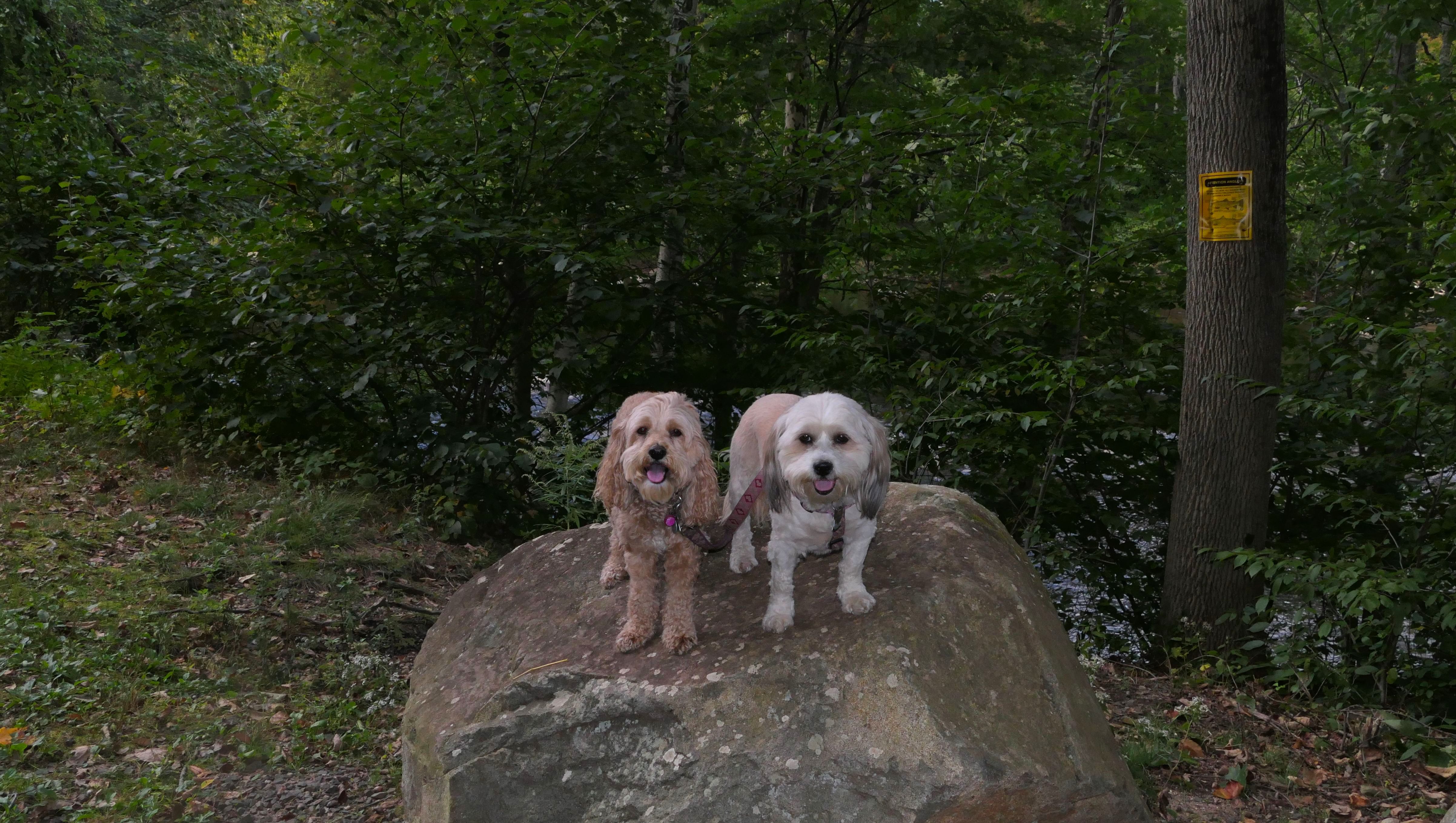
Tunxis Trails
Date visited: 3/26/2021
I don't know the actual name of the trails, but I believe we started on the blue and white Tunxis trail. This portion of the trail was rather wide, straight and muddy in places. It wasn't terribly exciting. About a mile or so down, we took a left on a smaller trail that completes a loop. This one zig-zagged up a hill and was far more interesting. I'm not sure why that tire was out there, but it made for a good photo stop.
More Images
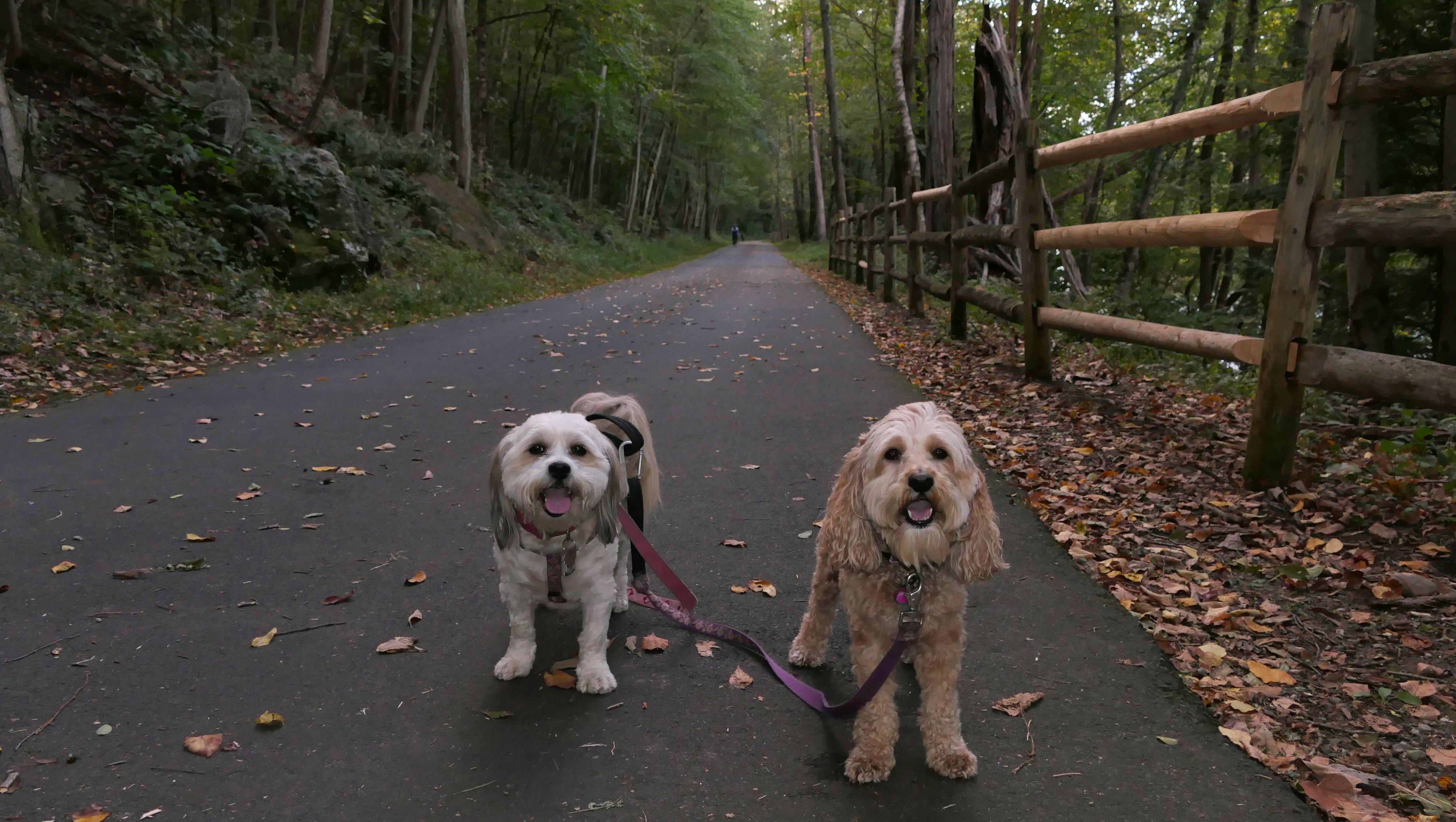
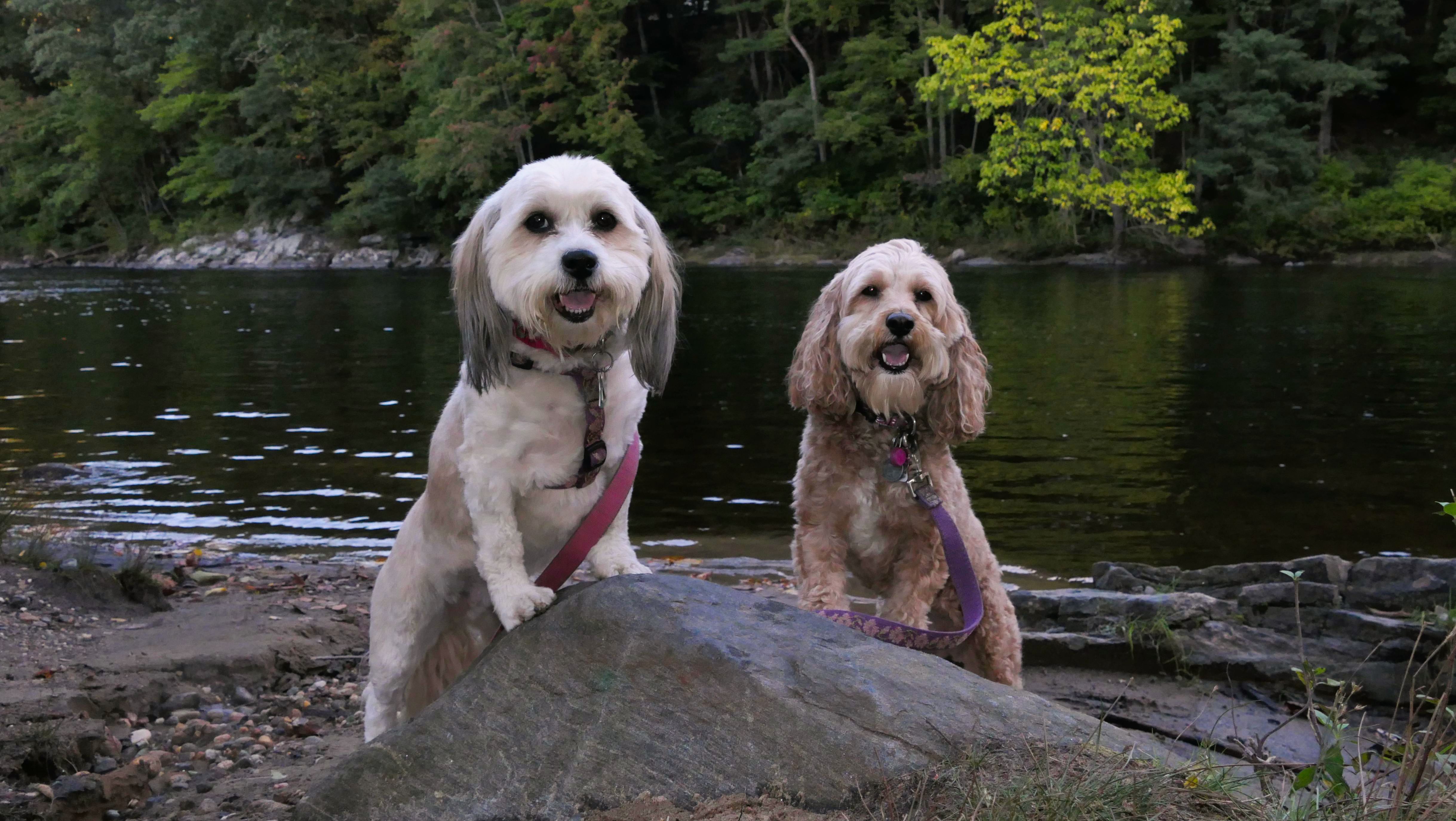
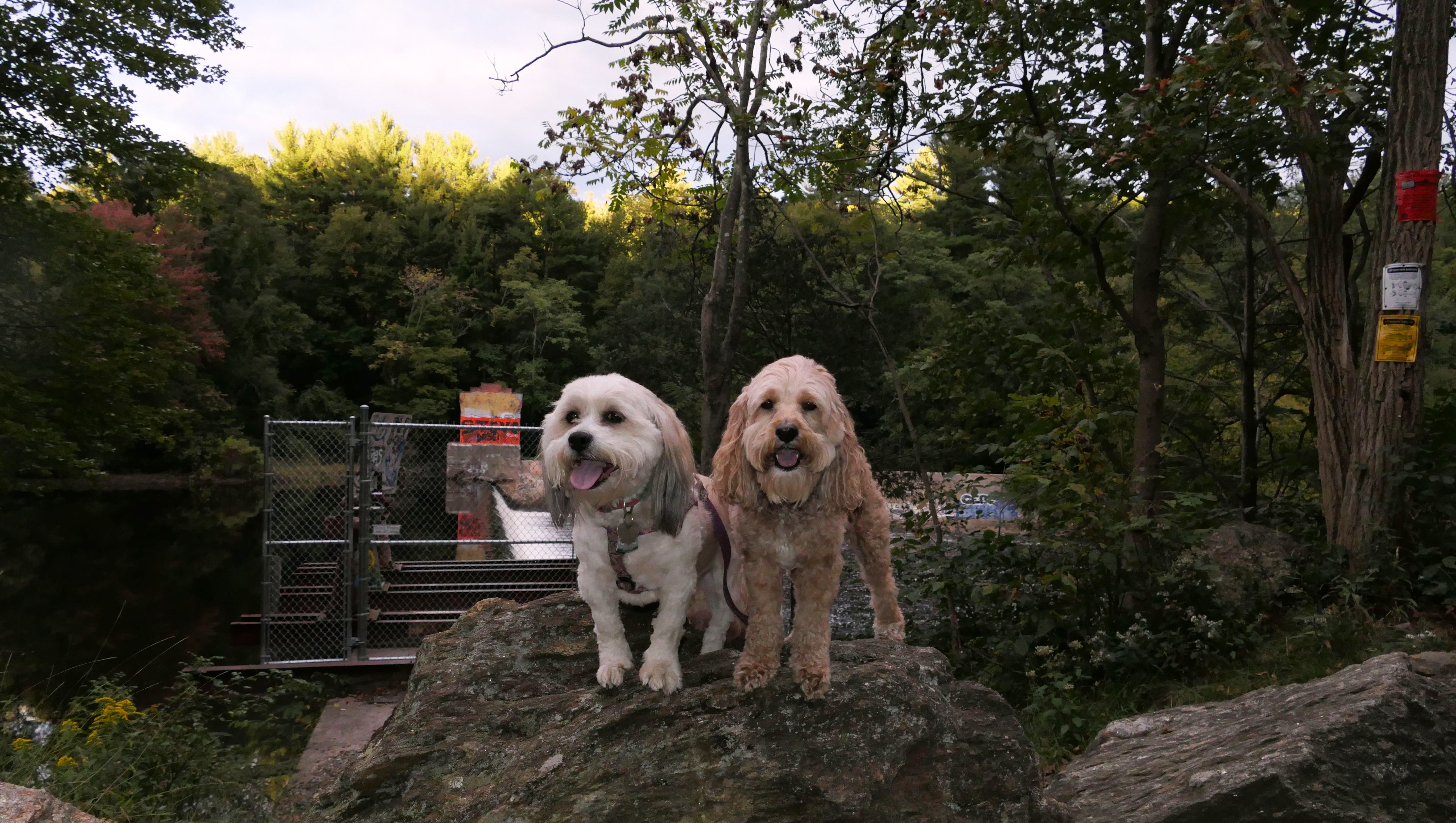
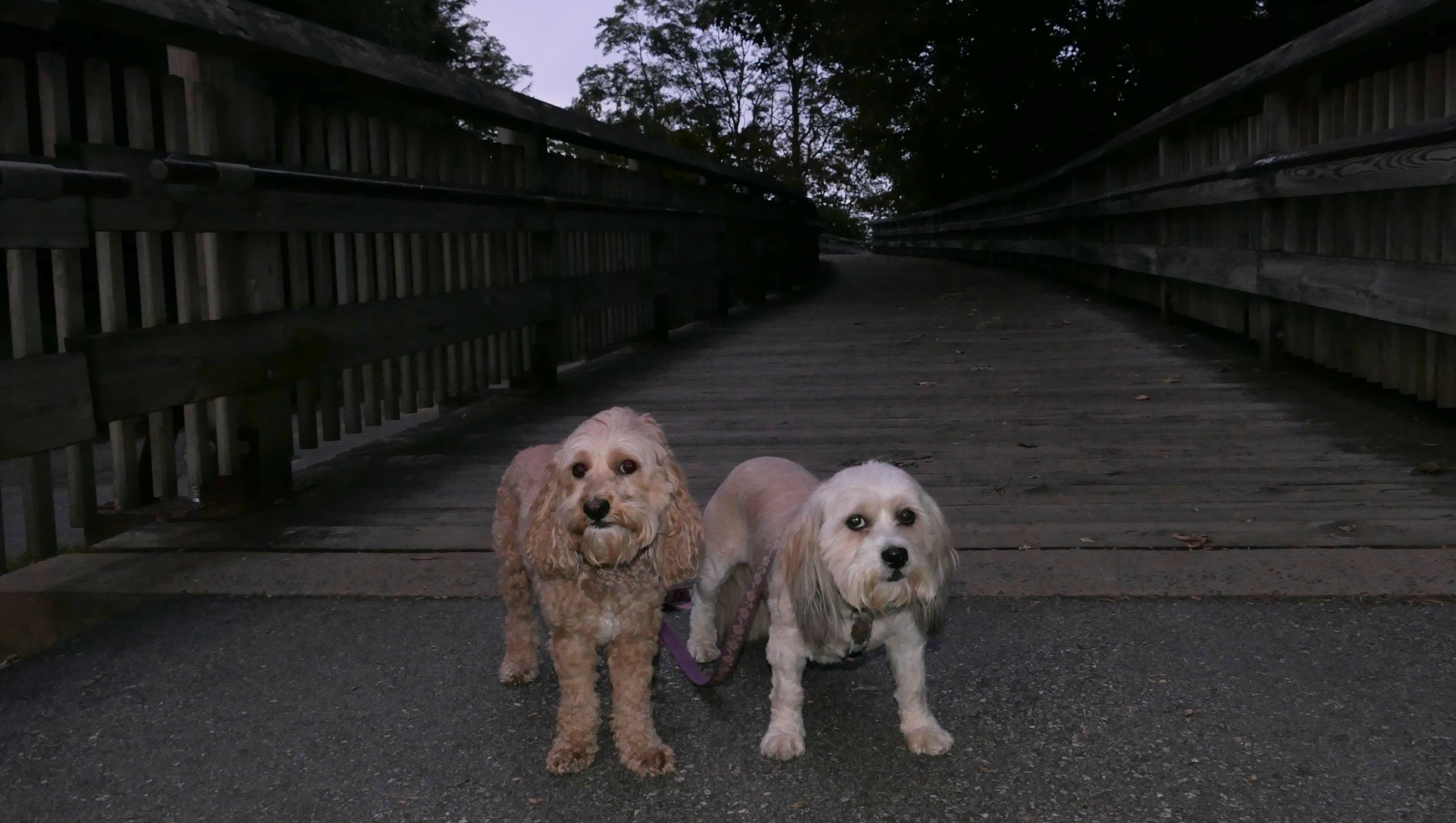
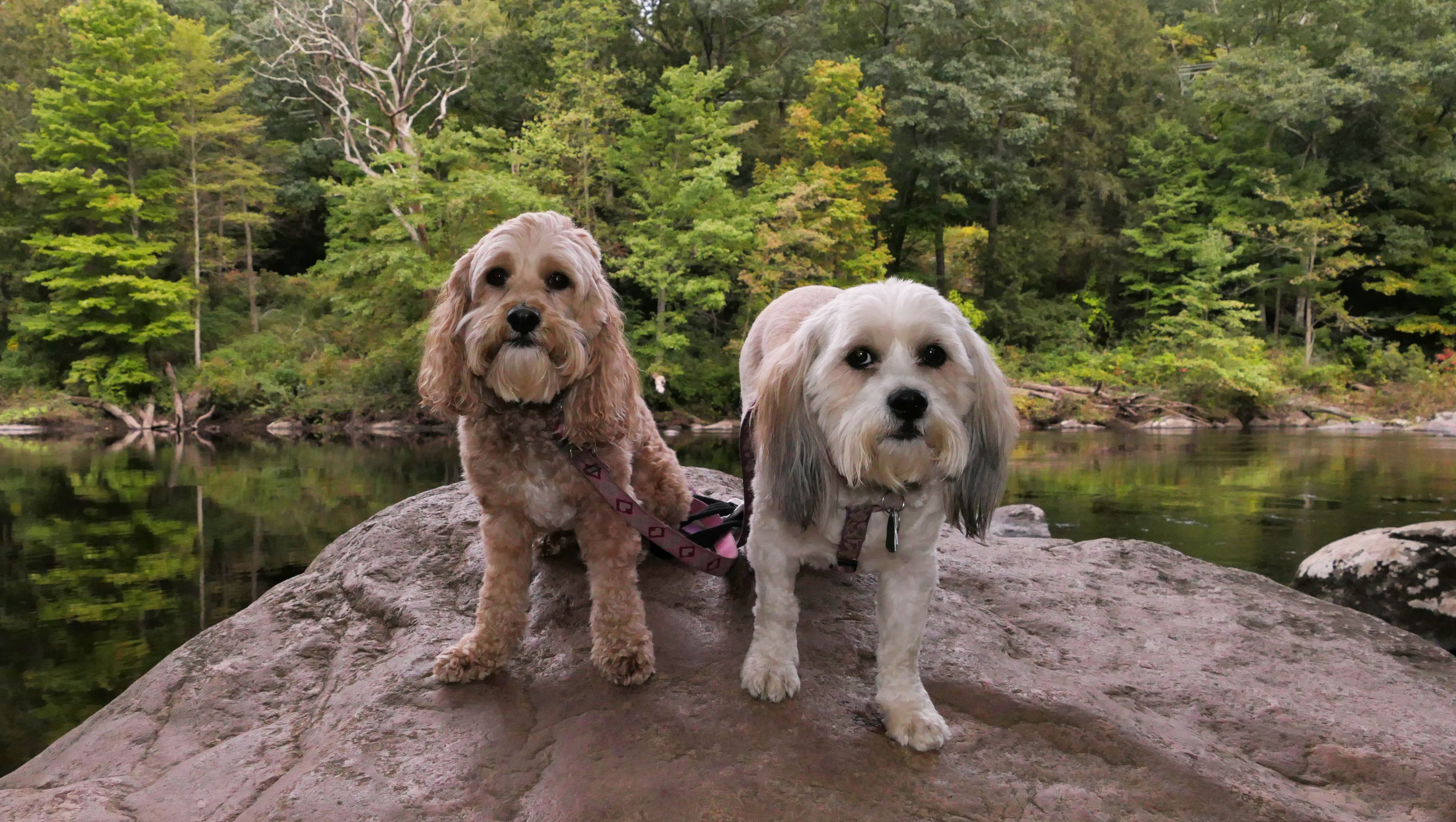
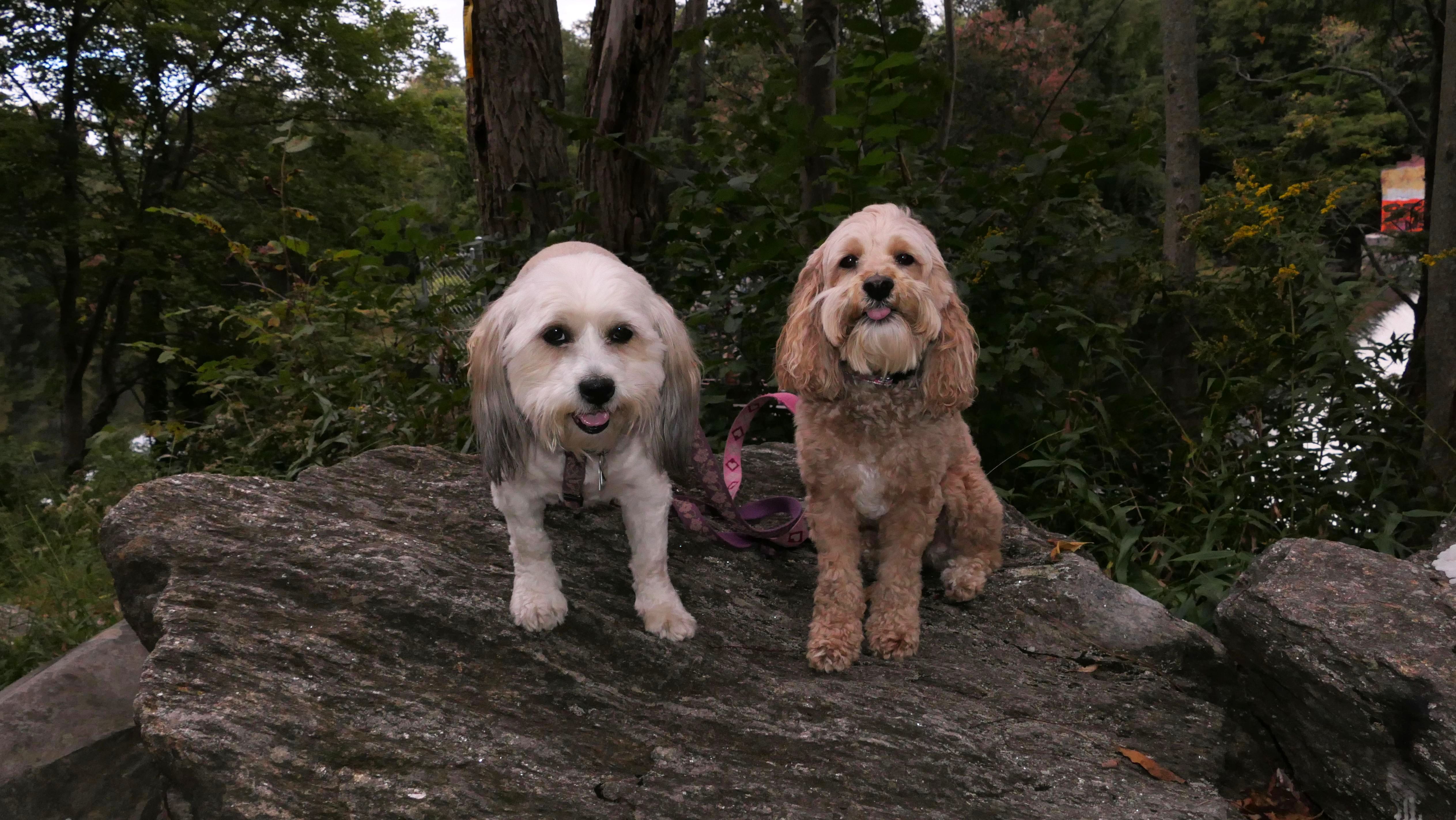
Farmington
River Trail
Dates visited: 9/29/2021 & 9/30/2021
See Also: Farmington, Burlington, Canton, Simsbury
We covered the entire stretch of the trail in Burlington in two days. There's a gap, where the bike trail shares a road, Arch Street. We did not walk the road portion, as there are no sidewalks. In order to do the last section, the old rail bridge over the Farmington River, we parked in Canton, near the museum and walked over the bridge from that side.
More Images
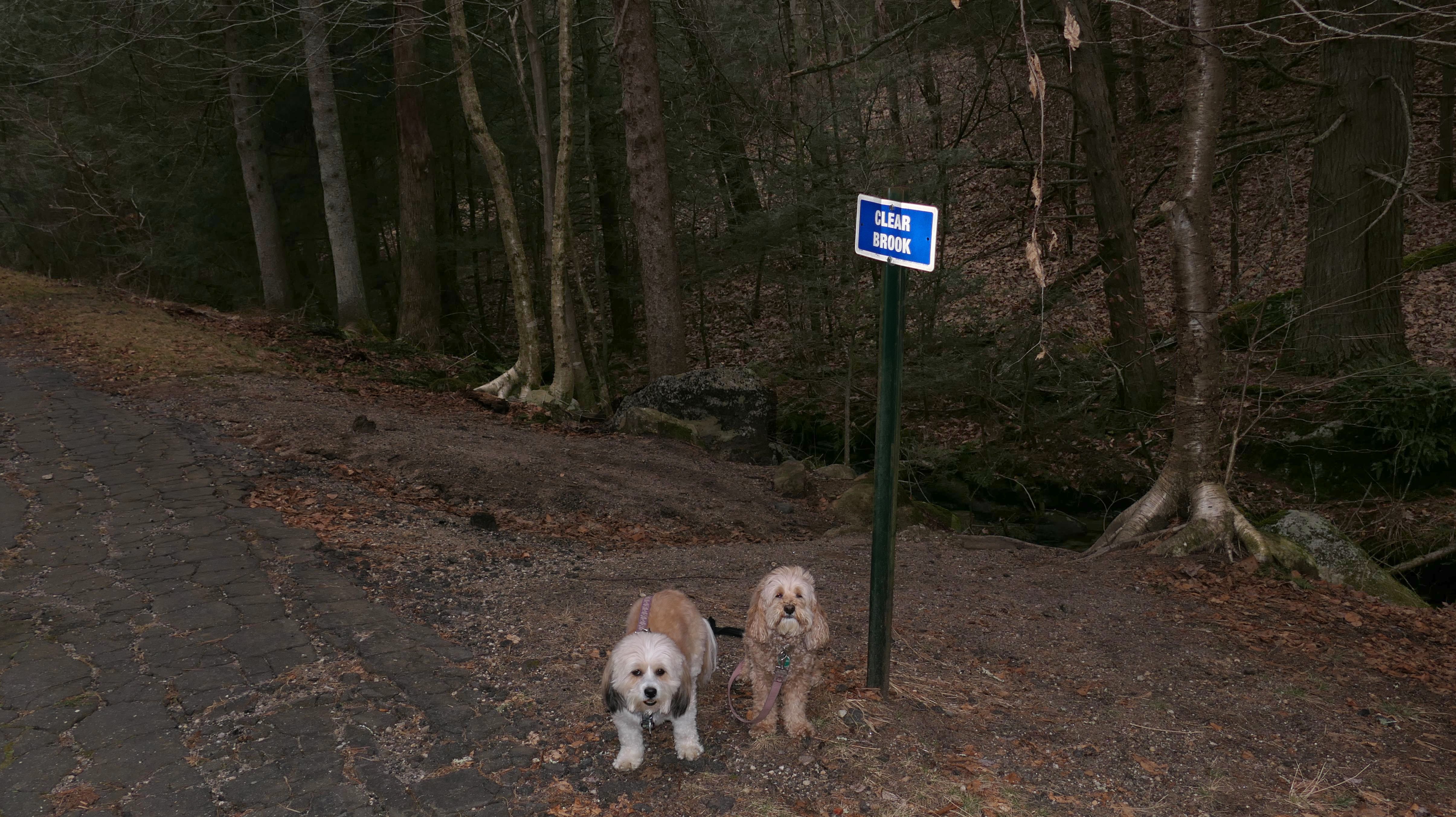
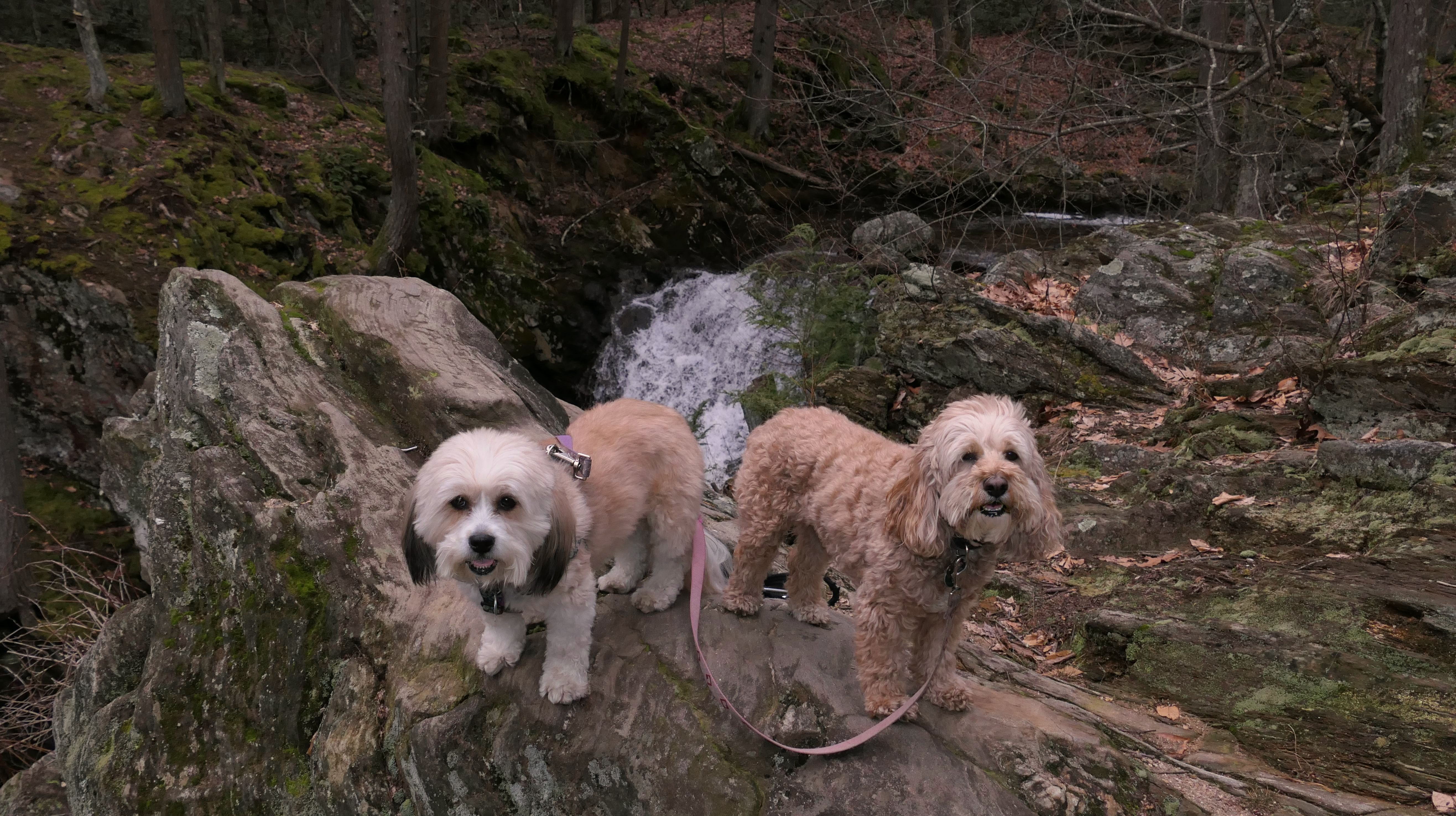
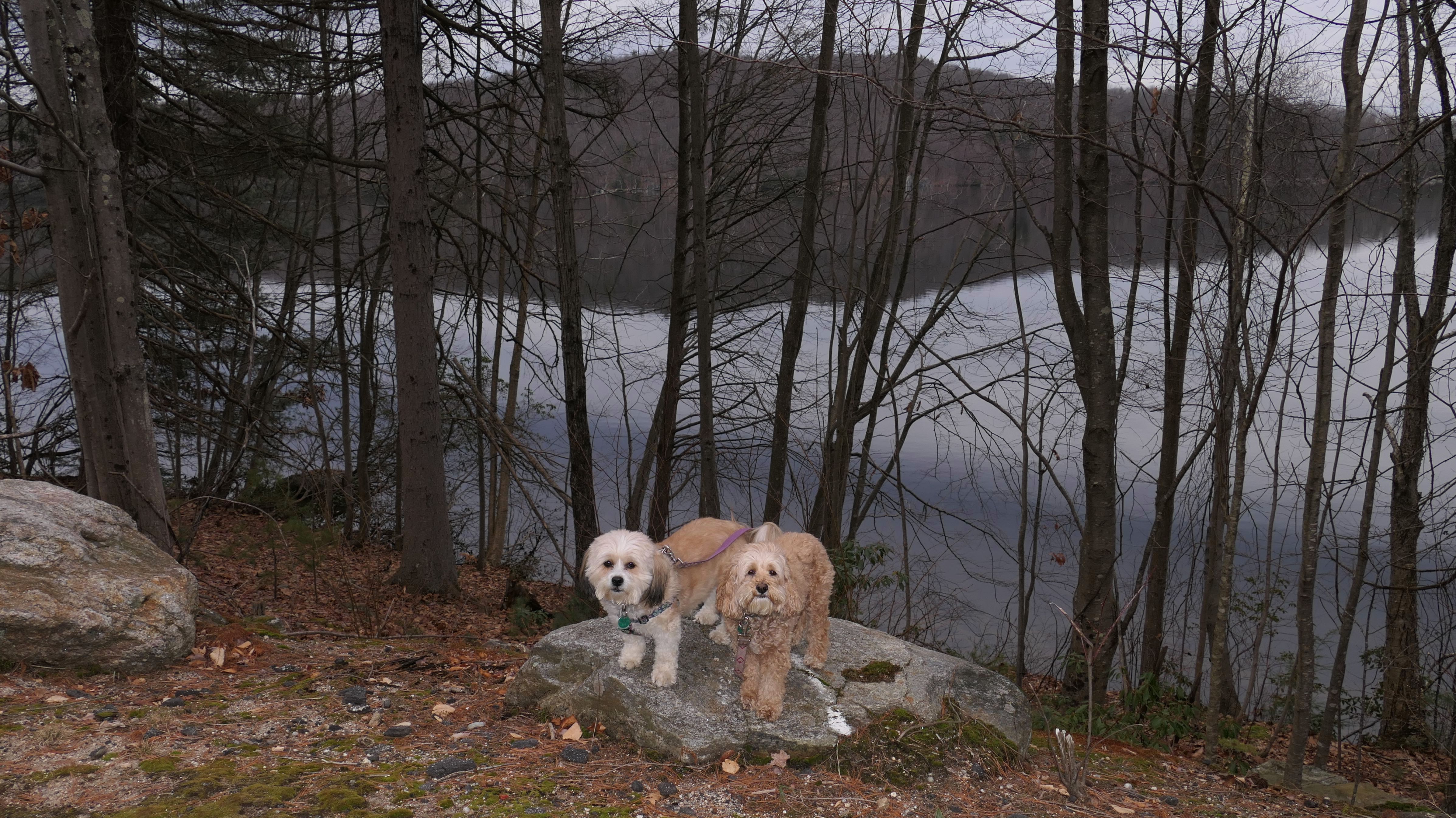
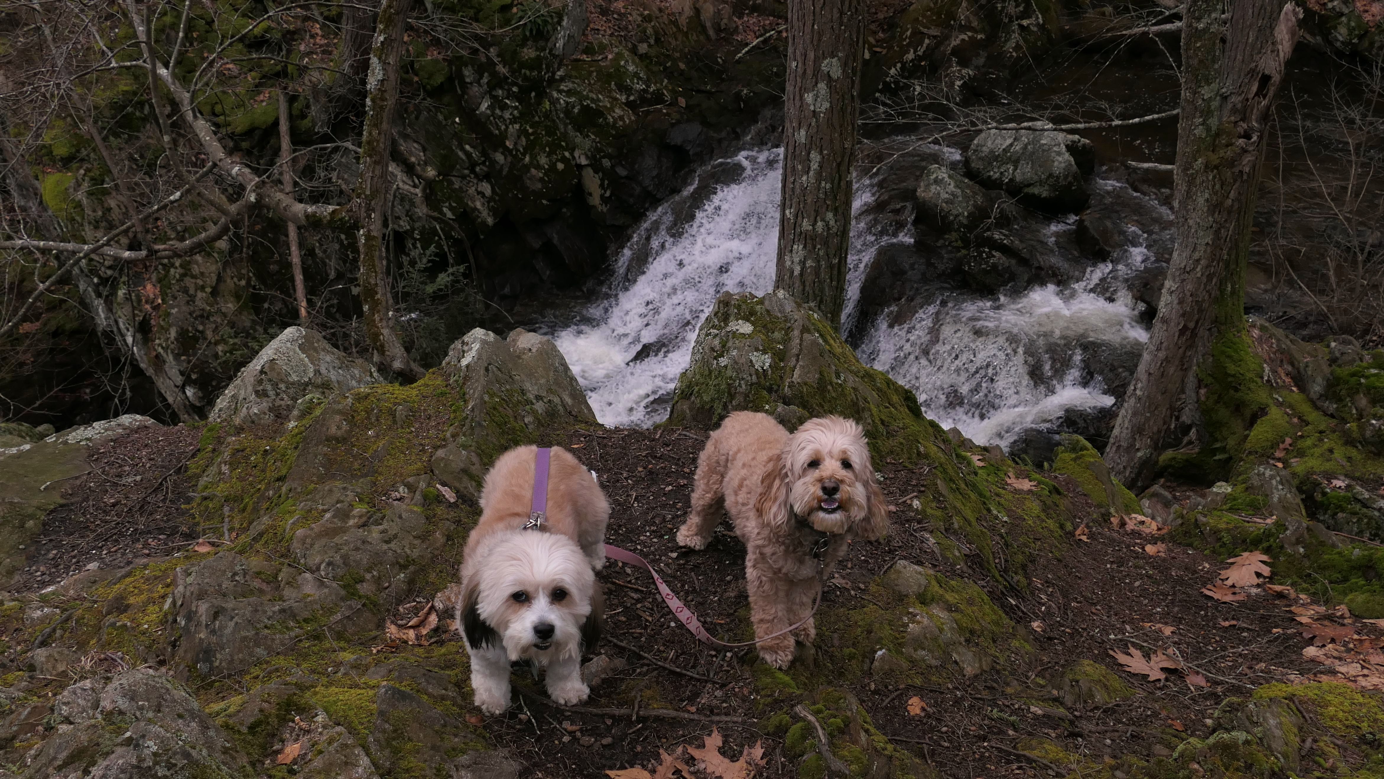
Nepaug Reservoir South Trail
Date visited: 1/29/2023
This 2+ mile trail is actually Clear Brook Road, an old run down paved road that is now is closed to vehicular traffic. There are parking areas on either end of the road. We started at the east end, where the trail runs along side the reservoir for the first mile. There is no access to the actual reservoir. There are plenty of warning signs posted by MDC instructing visitors to stay on the roadway. Since the trees are not leaved right now, you can actually see the reservoir from a few spots on the trail. The second mile veers to the south and is entirely an uphill climb of over 200 feet. The trail ends at the intersection with Hotchkiss Road, and Clear Brook Road becomes a regular road again. Across the street is Burlington Falls, a small waterfall that we checked out as well. There's another Nepuag Reservoir Trail we visited a couple years ago, that runs along side the other side of the reservoir in New Hartford and Canton that is a bit nicer than this one.
More Images