Connecticut
Massachusetts
Rhode Island
New York
New Jersey
Other States
Latest Adventures
About Mandy & Lexi
Beach Guide
FAQ
◂︎ Mandy & Lexi's Rhode Island Adventures
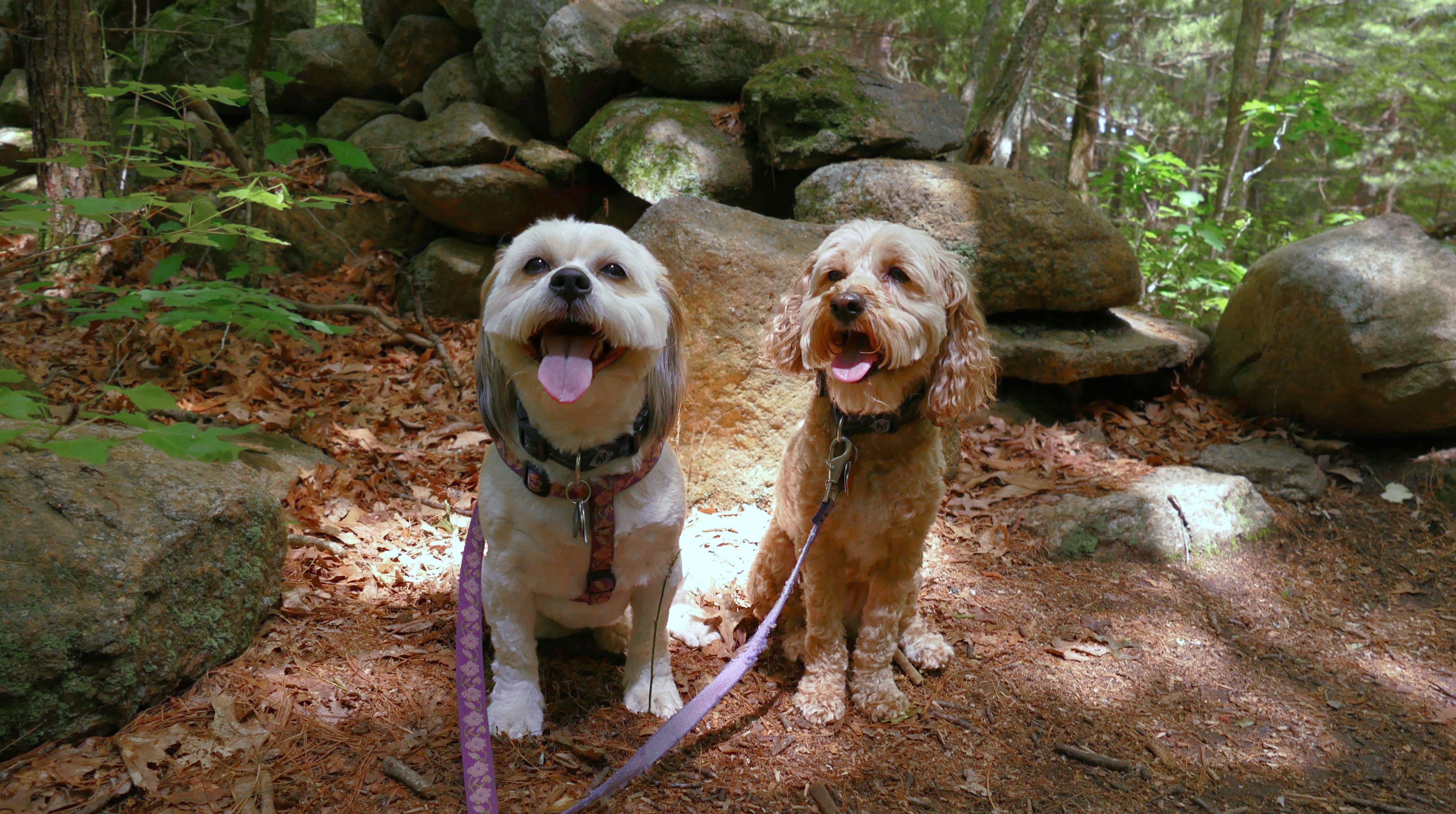
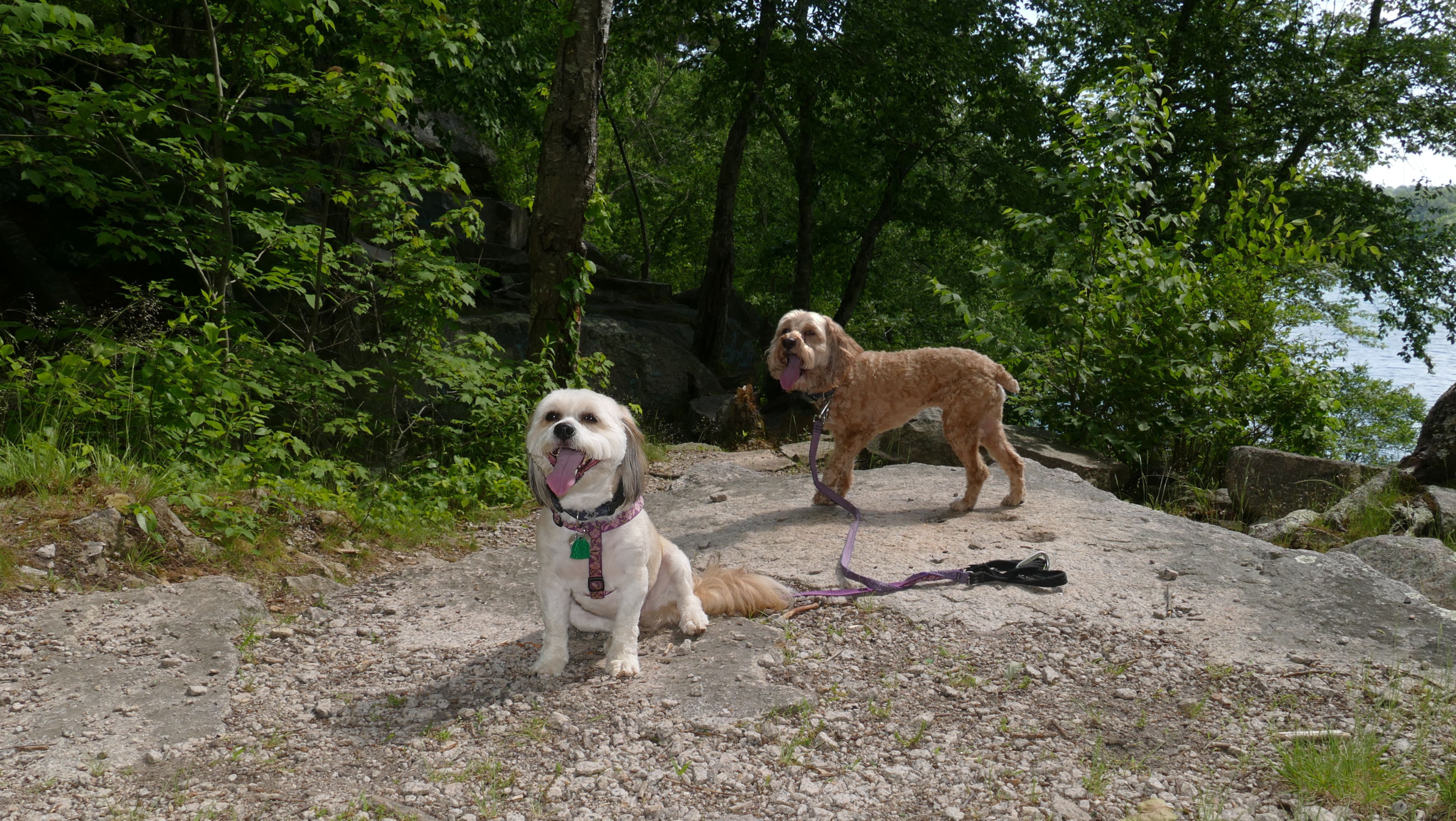
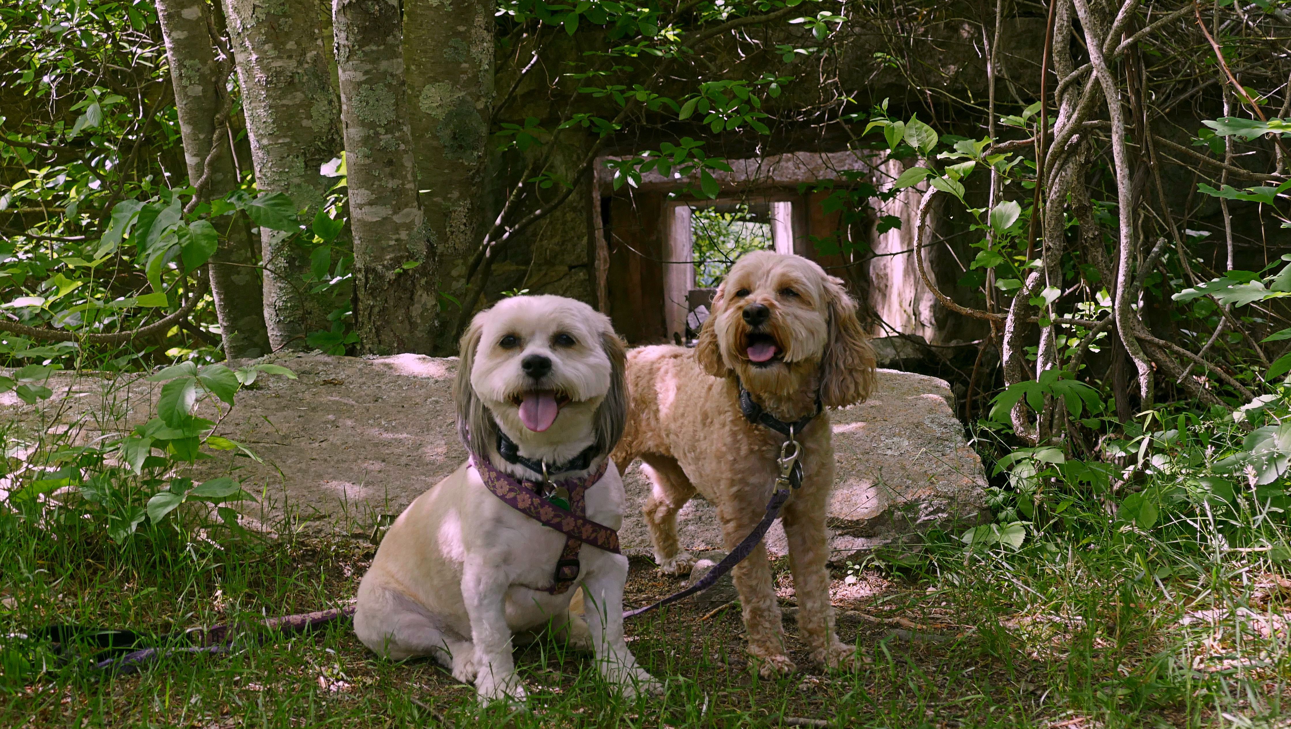
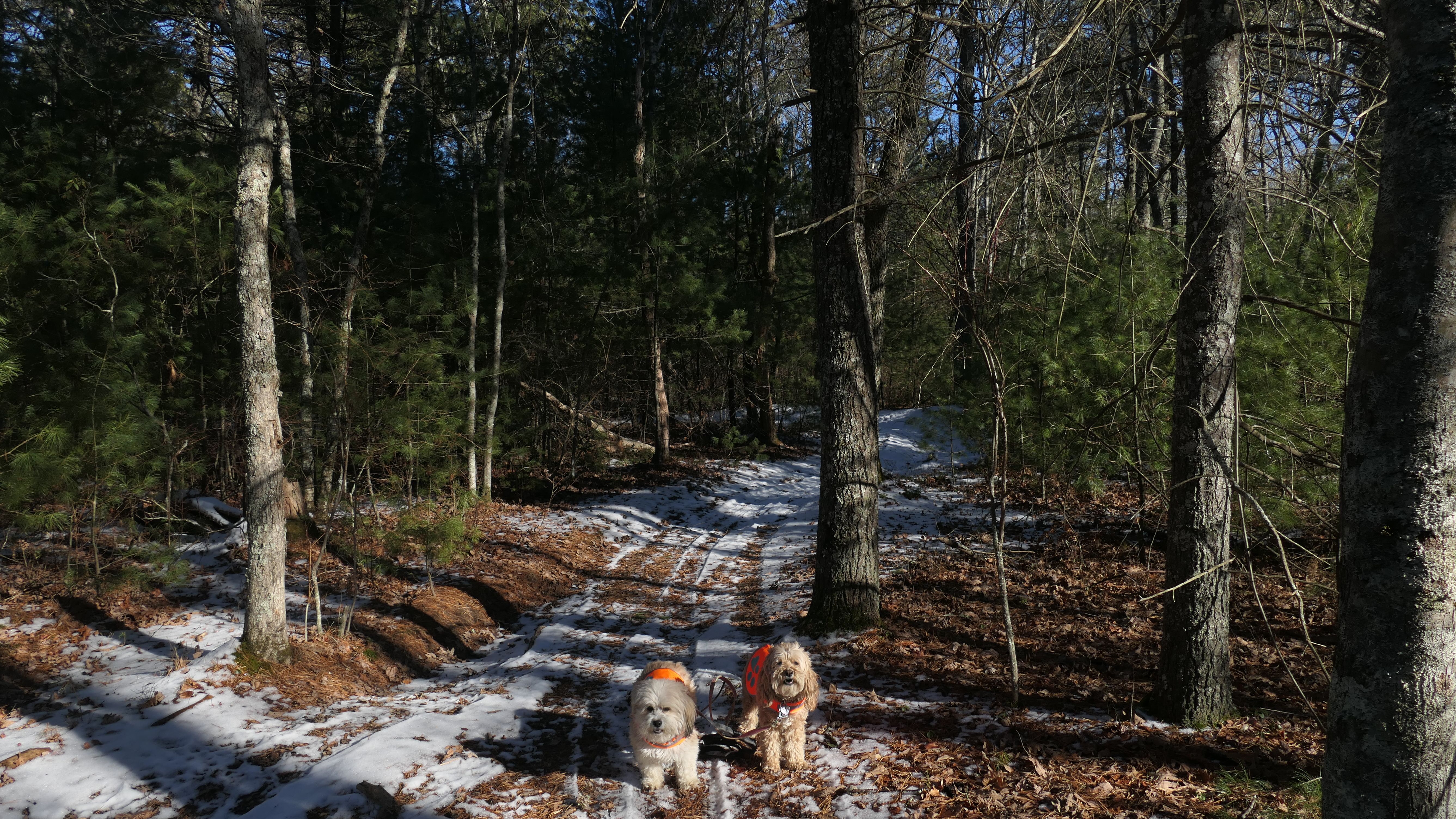
West Greenwich
Big River Management Area - Carr Pond
Date visited: 6/12/2020
This was the first adventure where we really traveled to go on a hike. Up to this point, we had only been visiting the surrounding towns. I decided that it was time to expand, so we headed to Rhode Island for the day. The trail was okay, we did a loop around Carr Pond. The settings were not correct on my camera, and most of my photos didn't come out that well.

Big River Management Area - Shoot The Moon Trail
Date visited: 1/28/2025
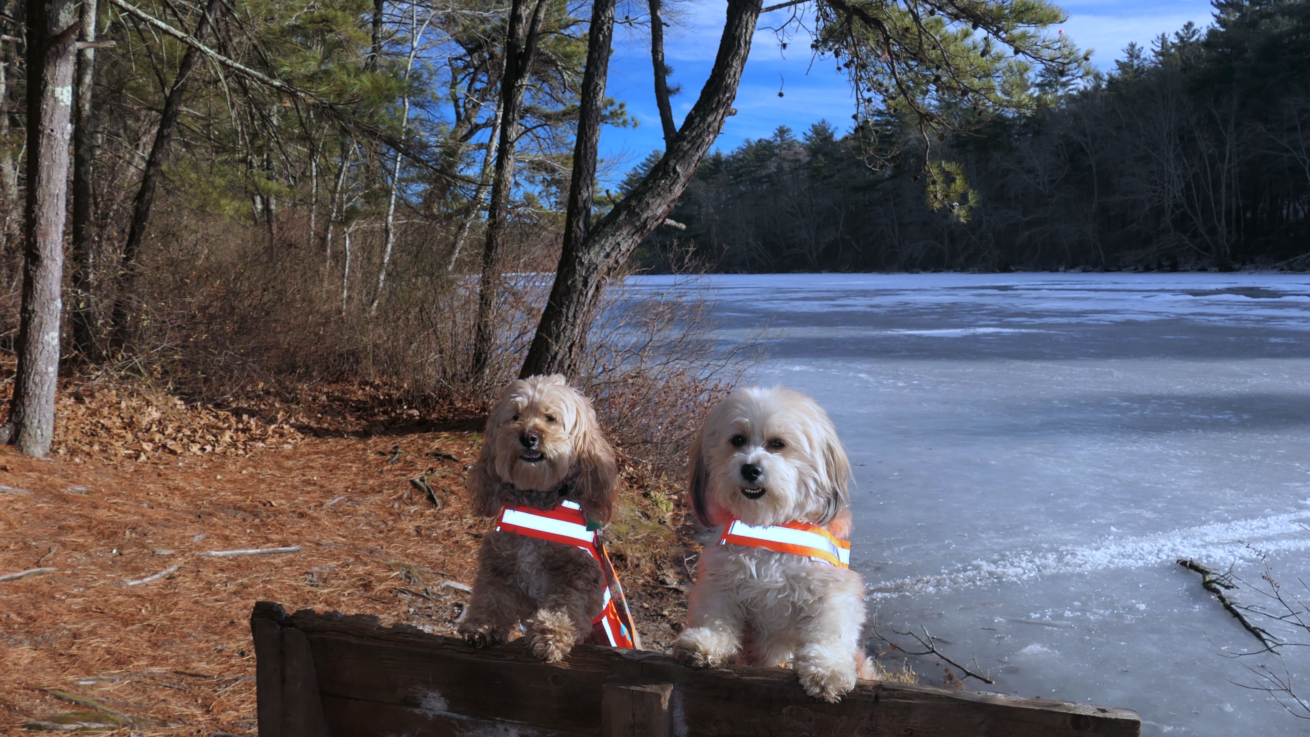
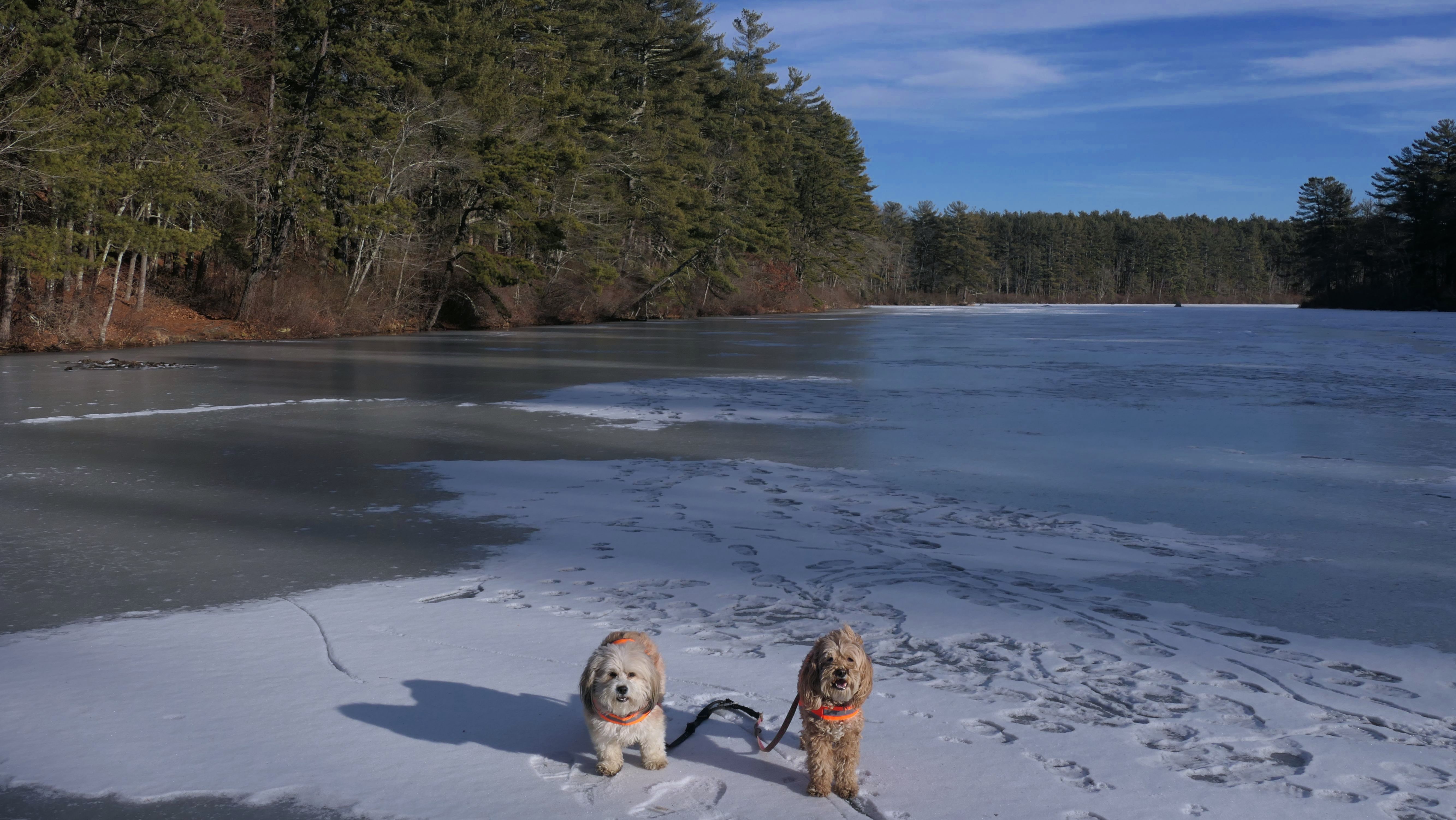
This is a completely different section of the management area than we visited on our previous visits. We hiked a two mile loop trail known as the "Shoot The Moon Trail". I have no idea why it is called that. It does appear that this particular trail is geared more for mountain bikes. It was an easy hike, but wasn't as interesting as some of our other recent winter hikes through pine forests. After completing the loop, we hiked a small trail on the opposite side of Hopkins Hill Road that went out to Tarbox Pond. This was the most scenic part of our adventure.

More Images


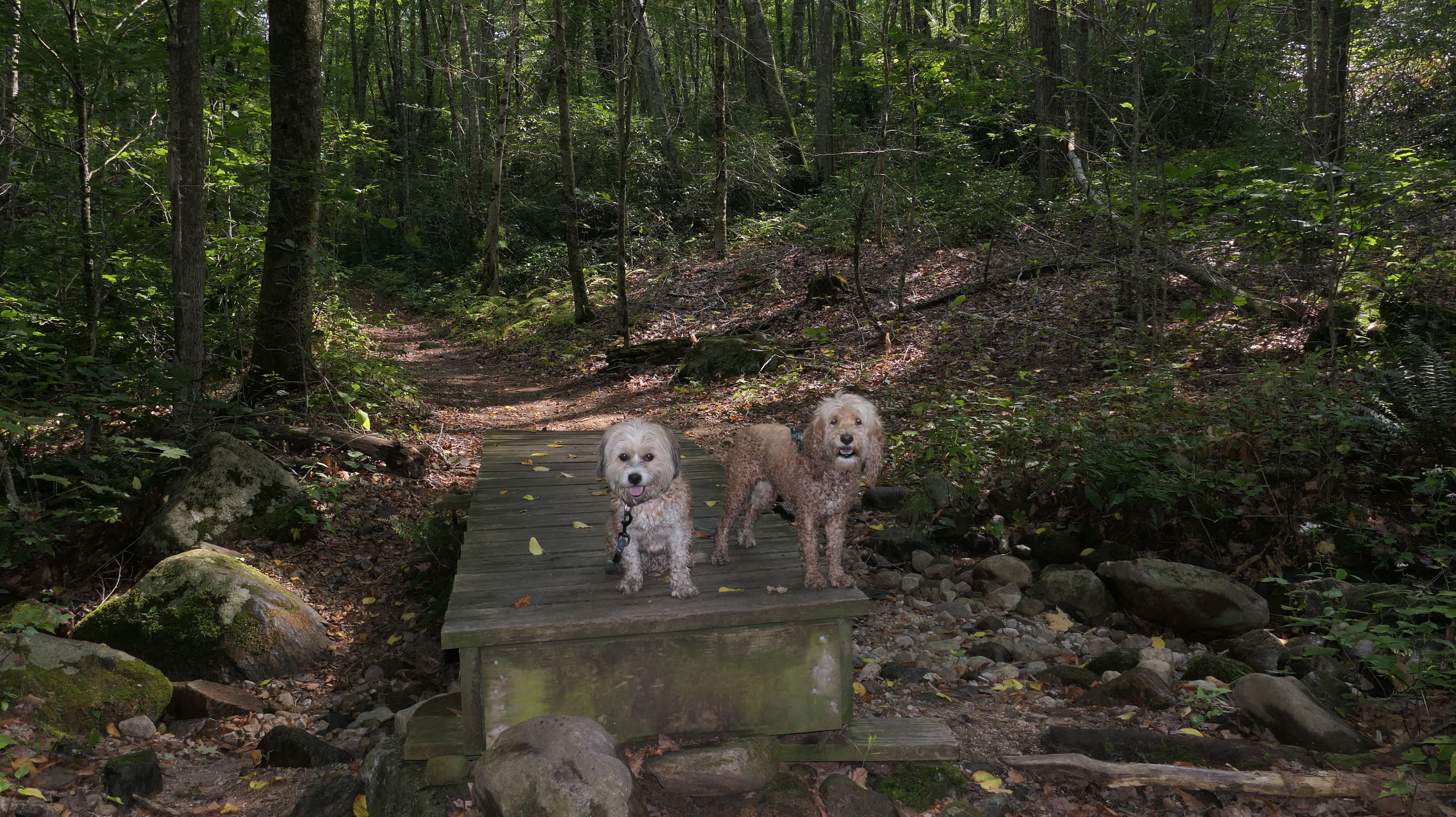
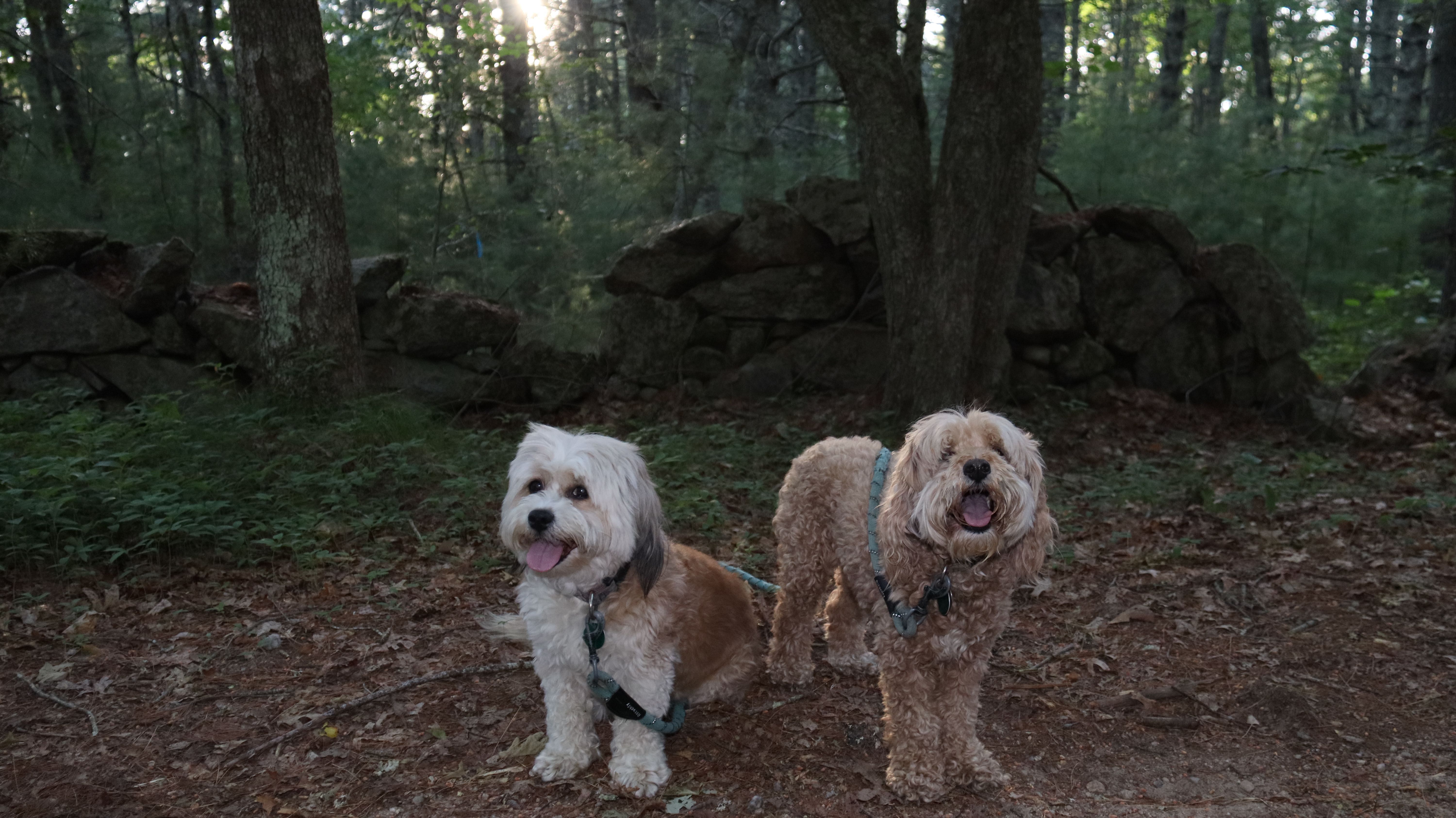
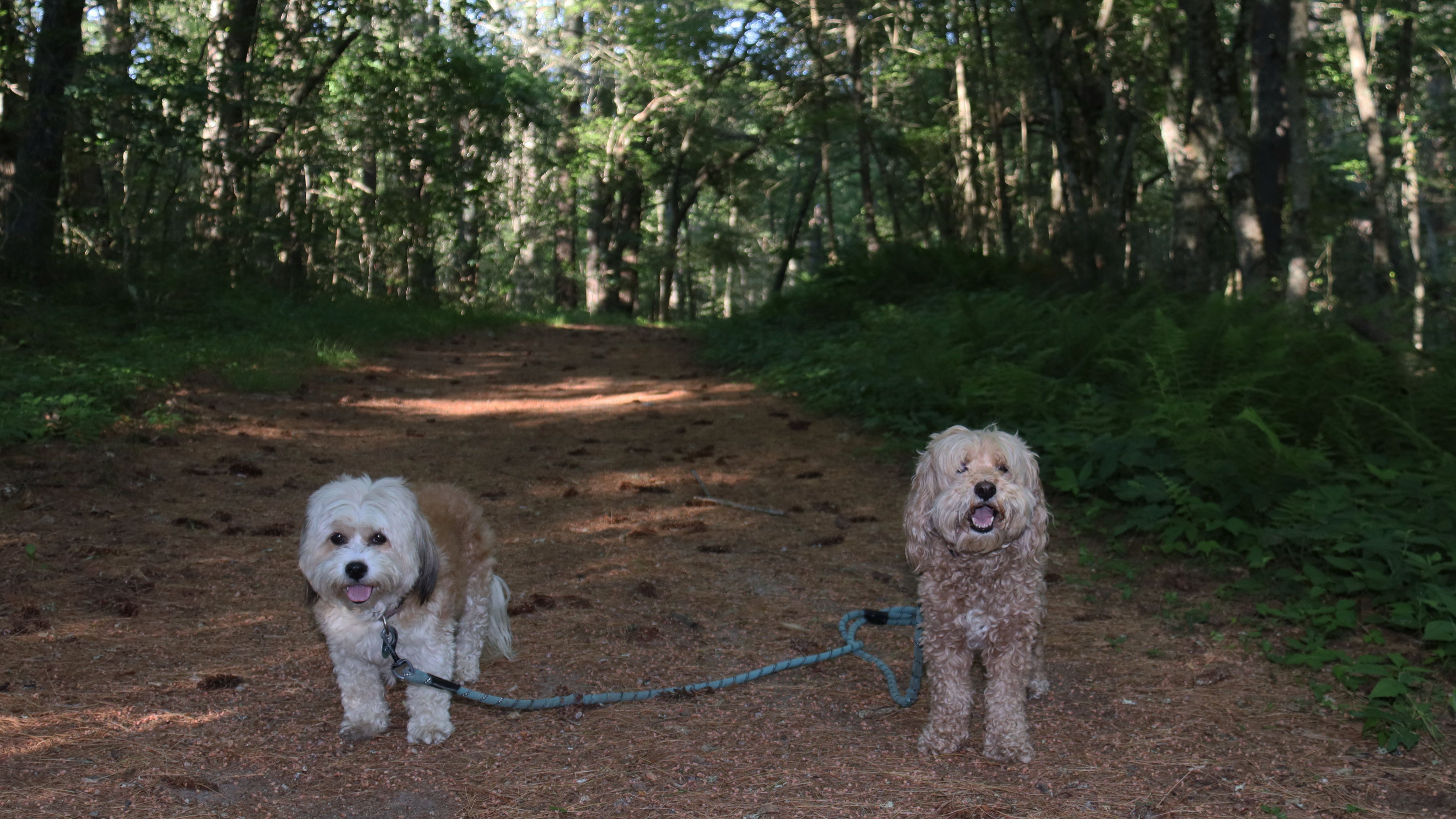
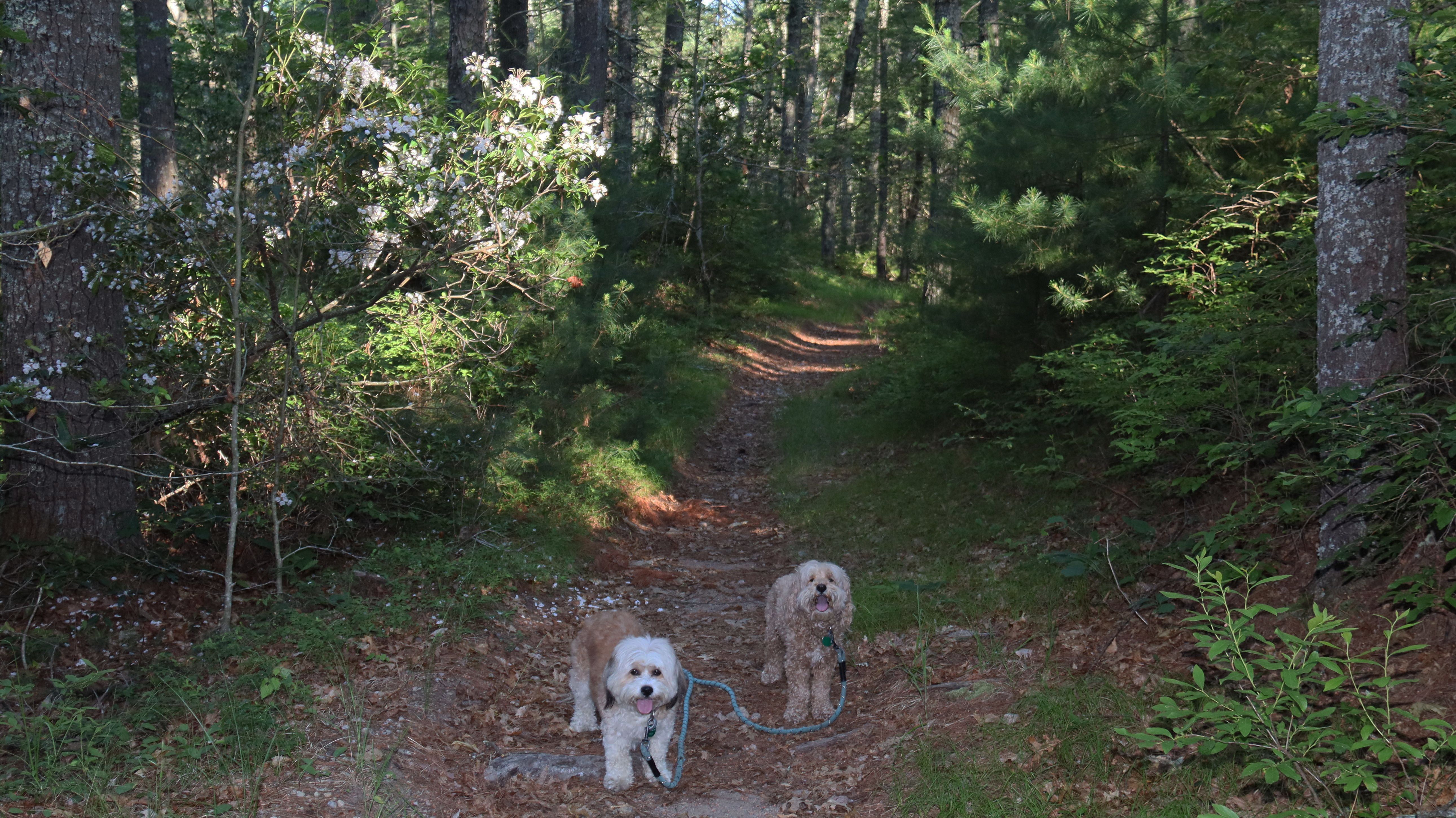
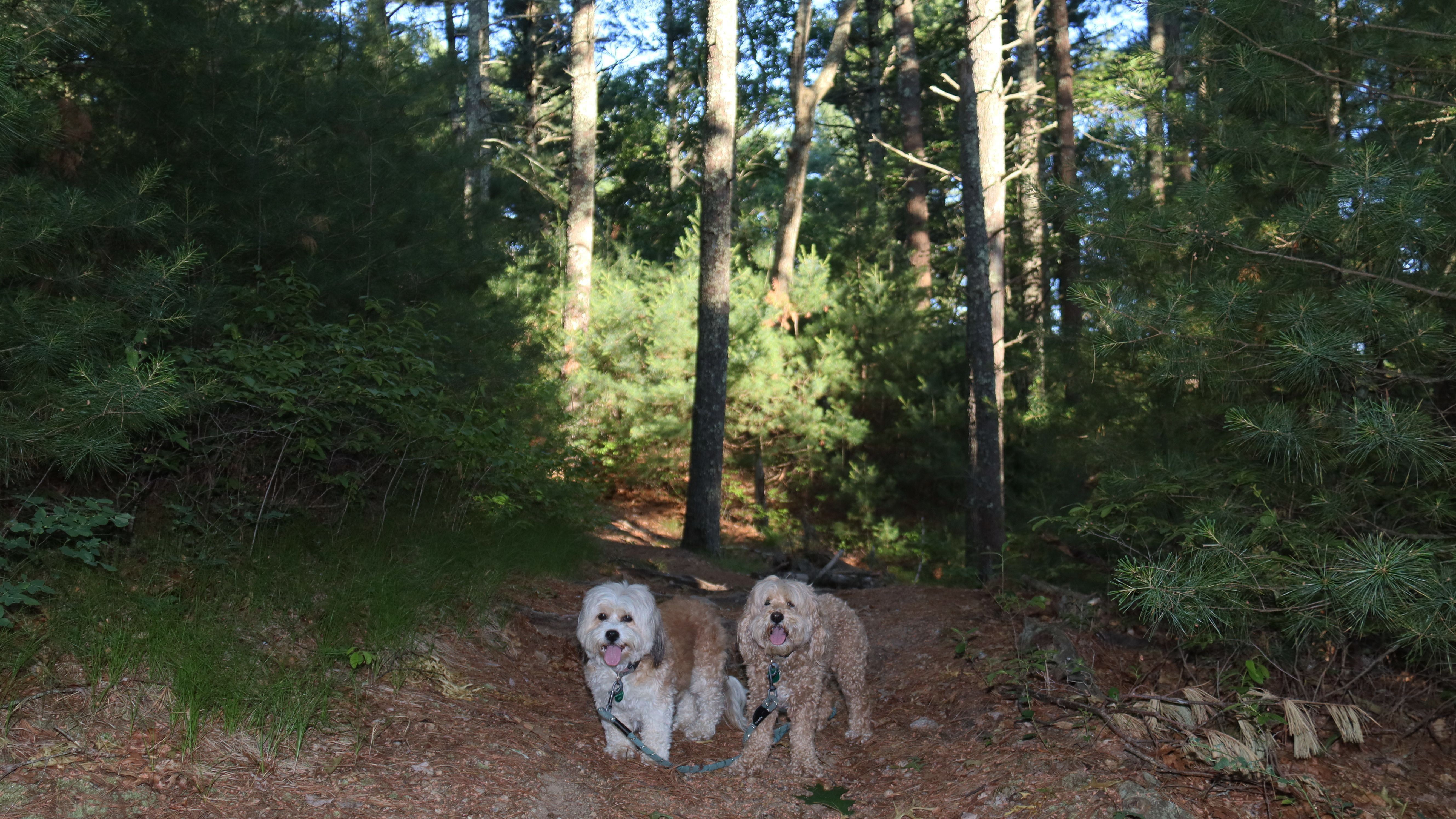
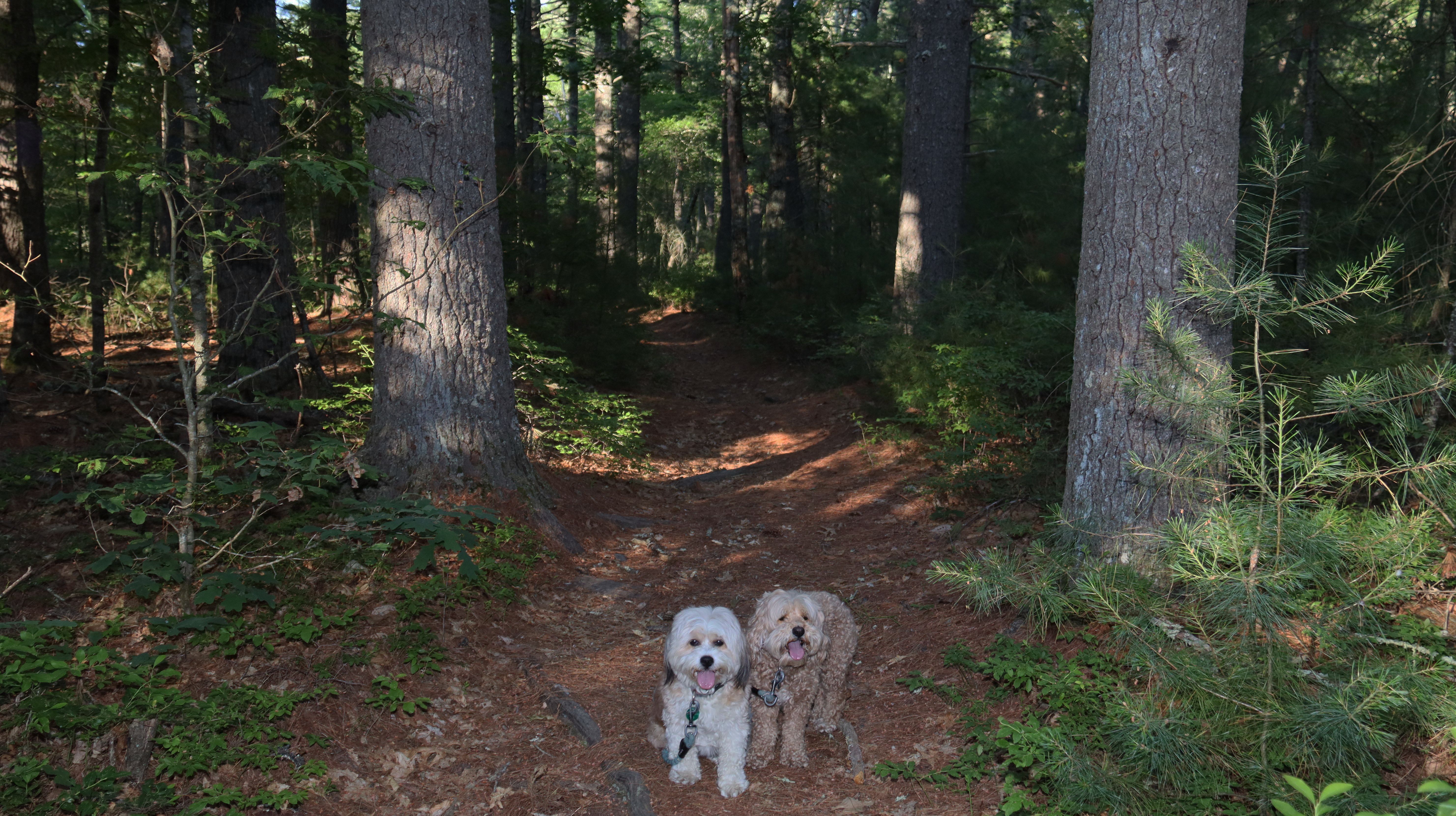
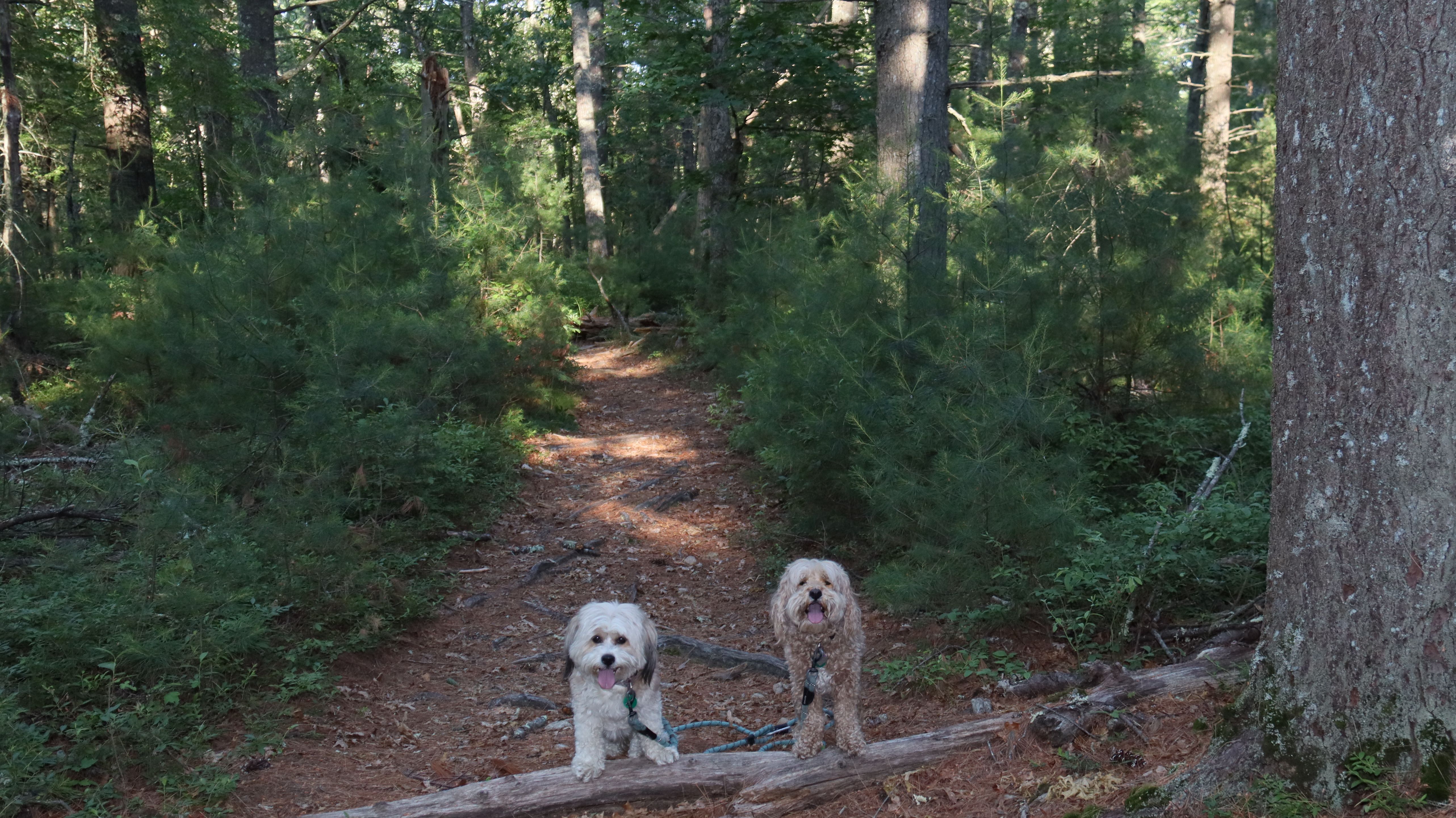
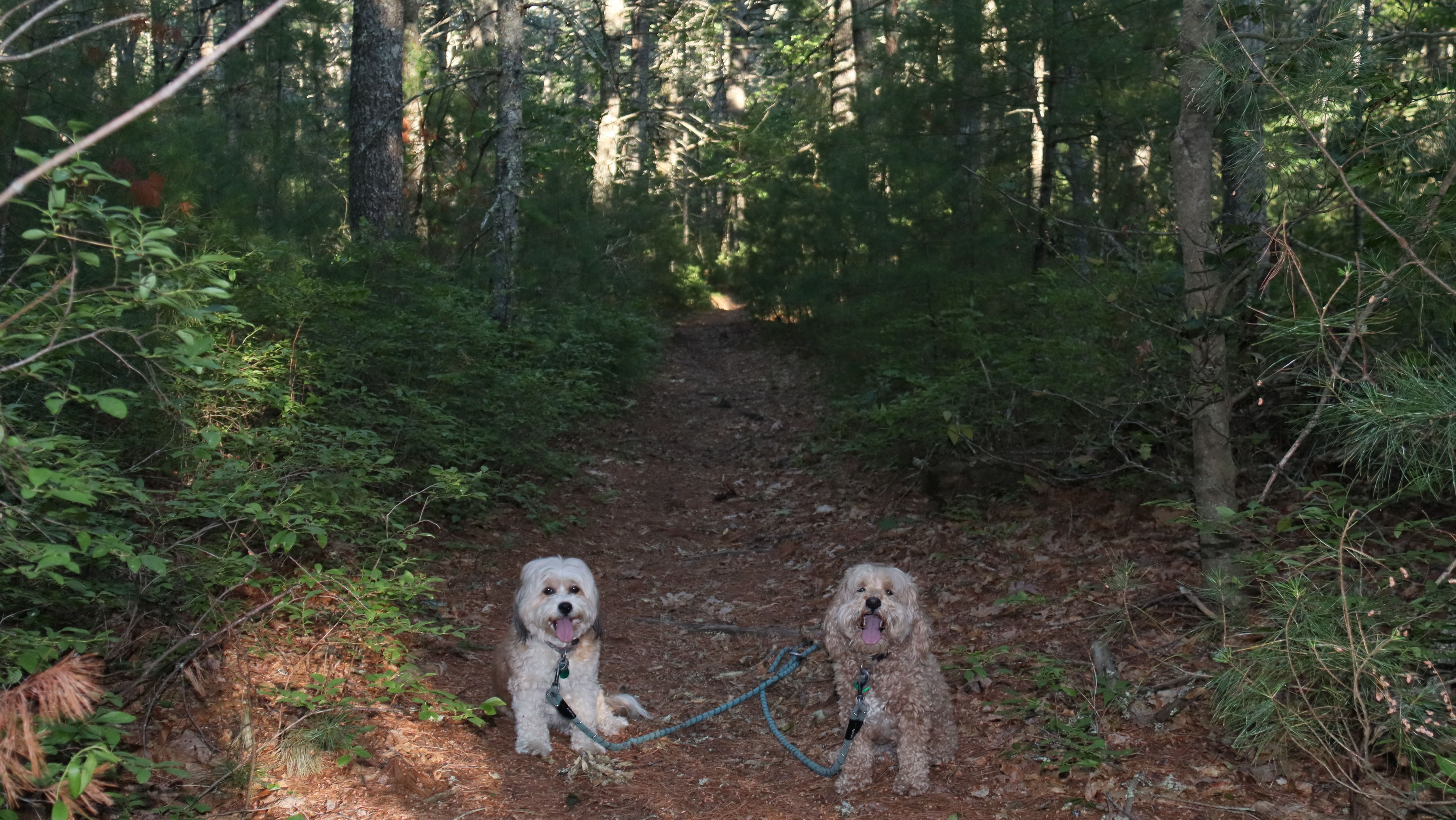
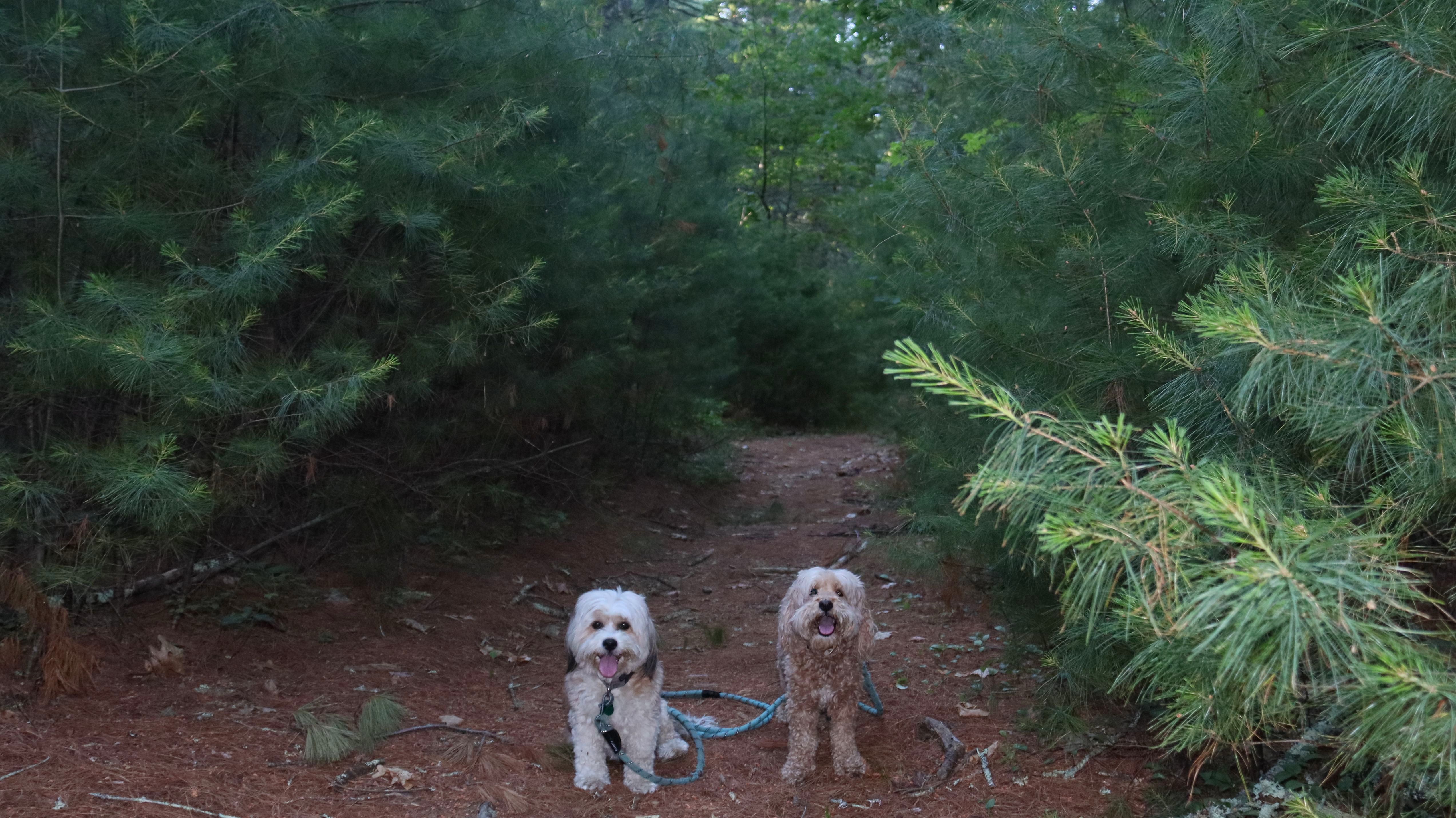
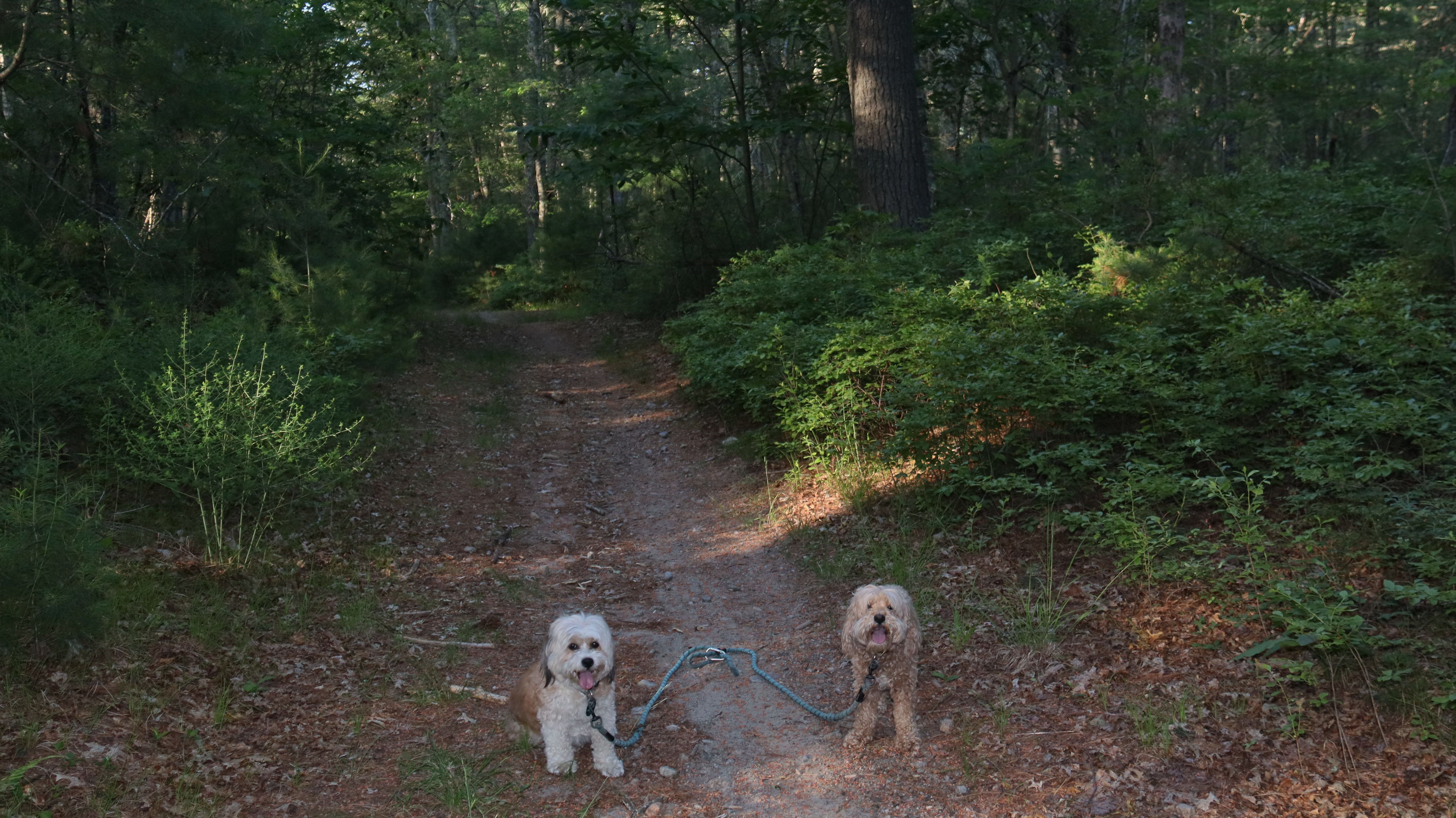
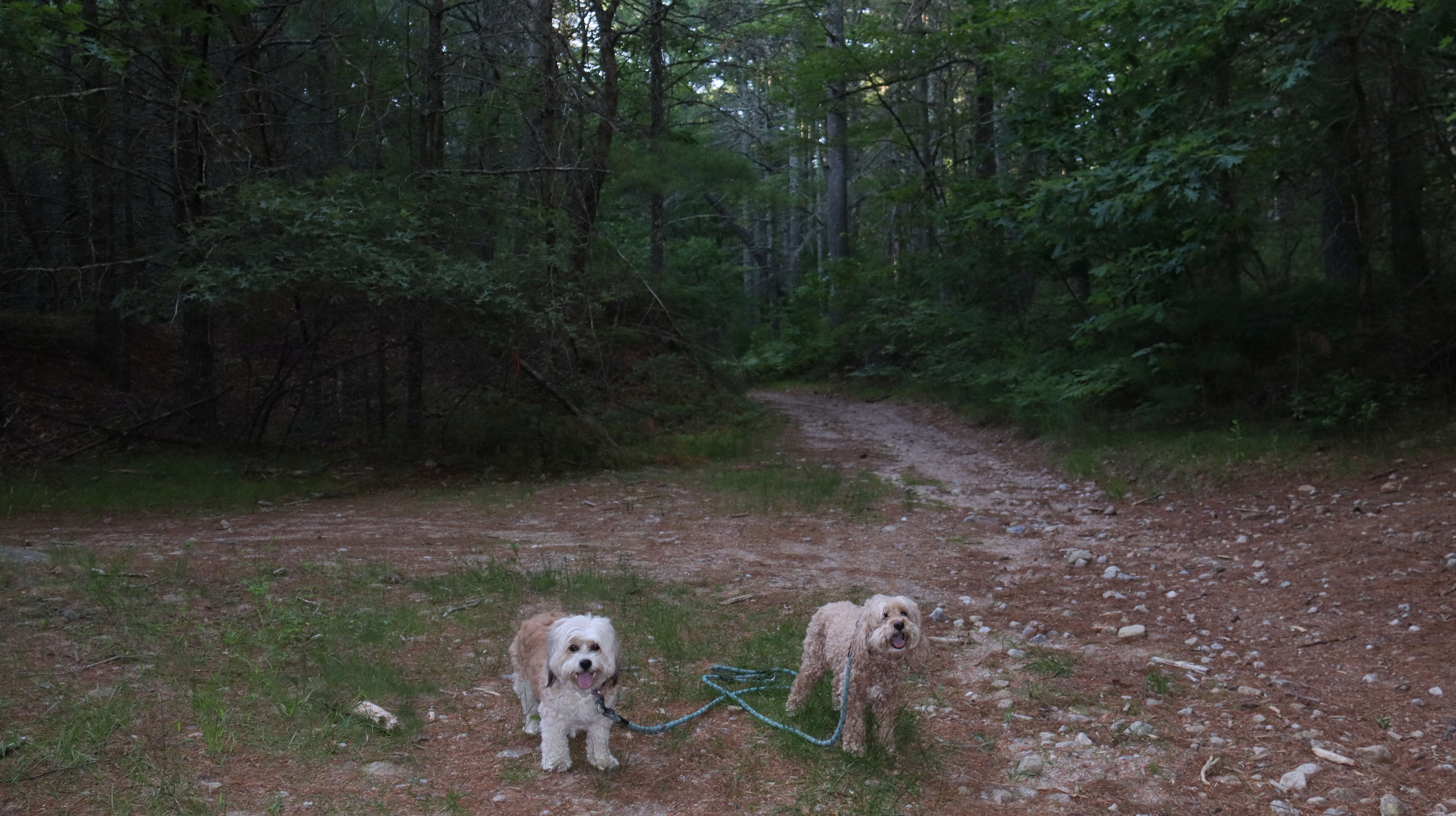
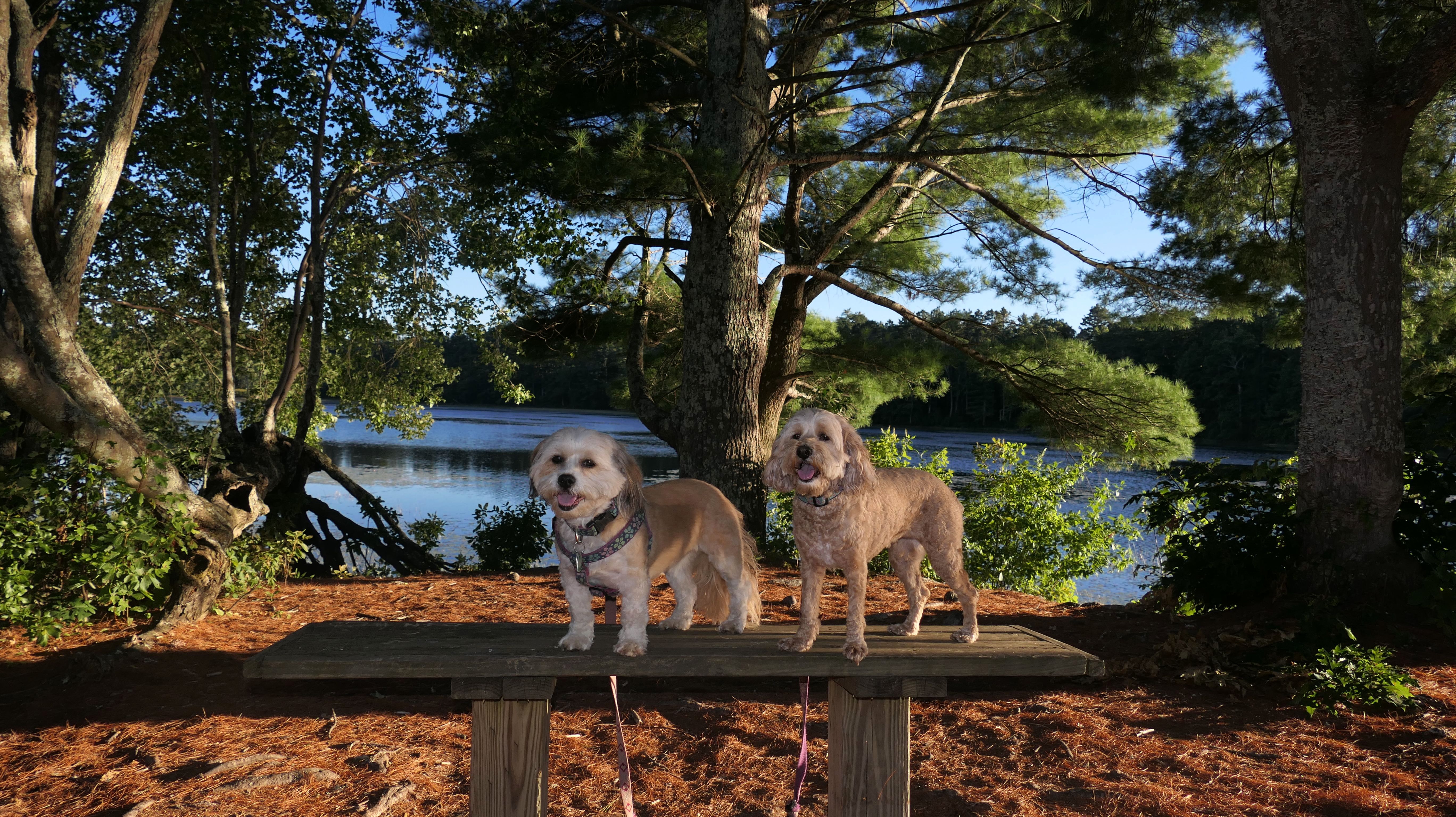
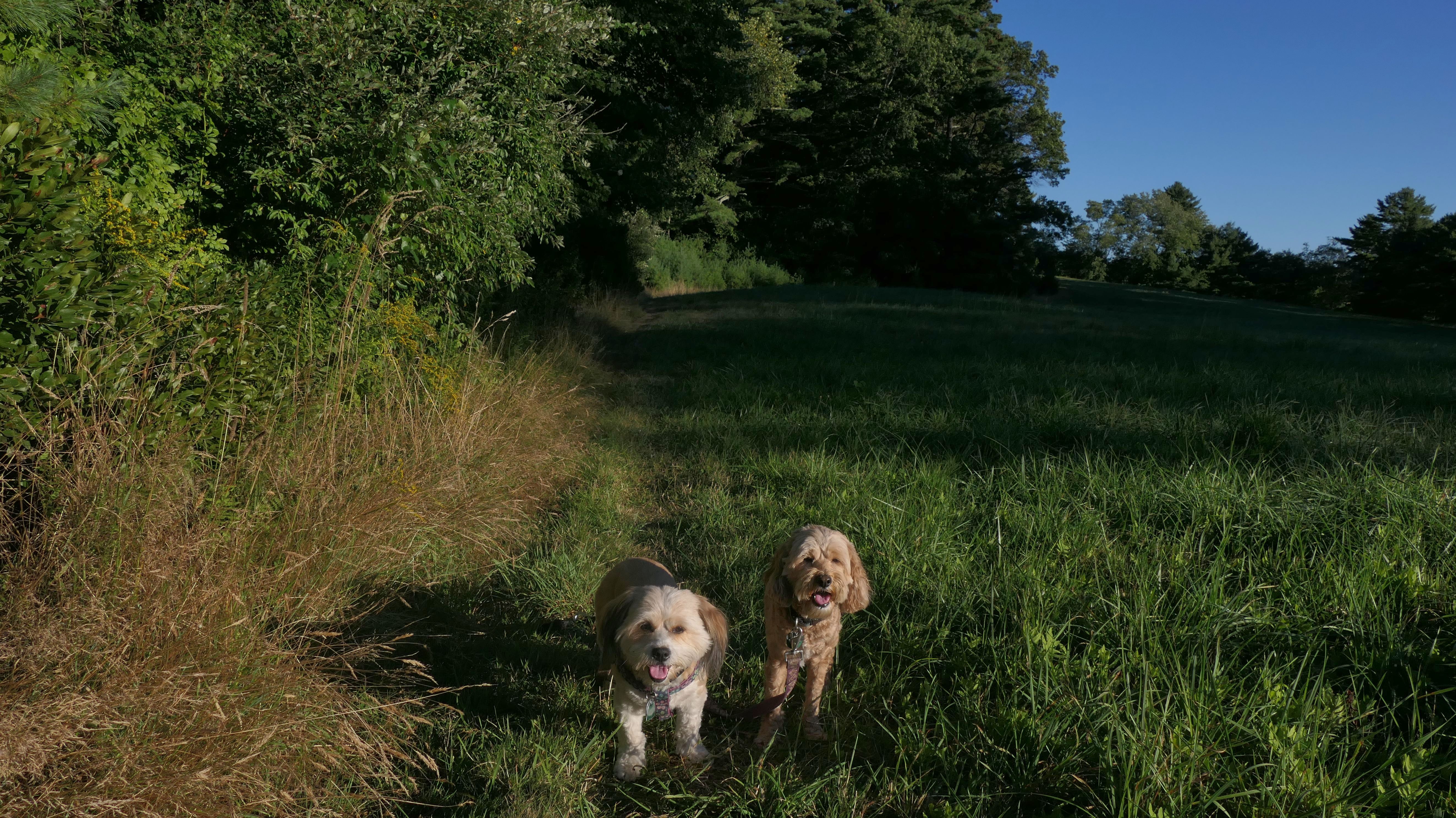
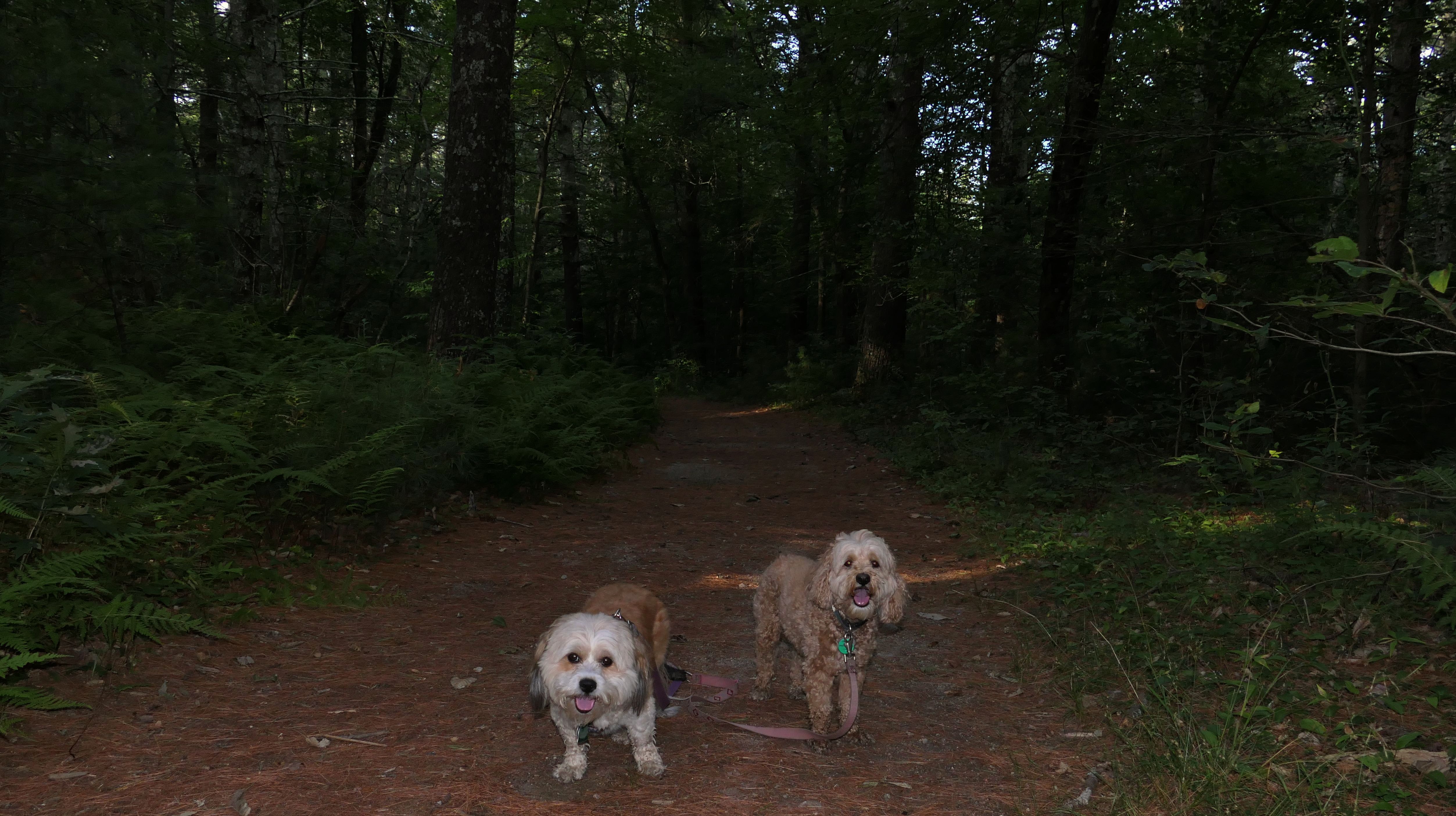
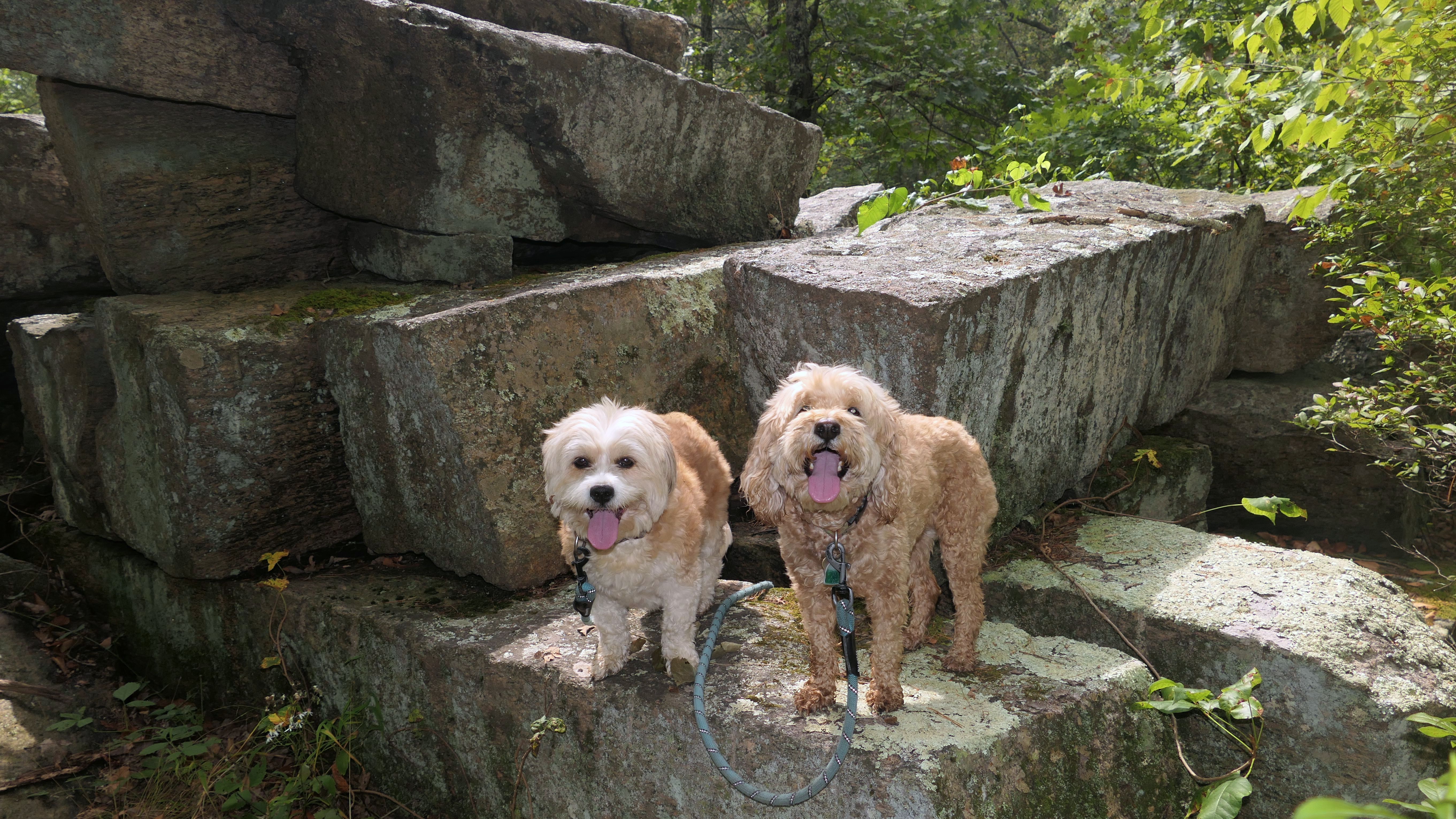
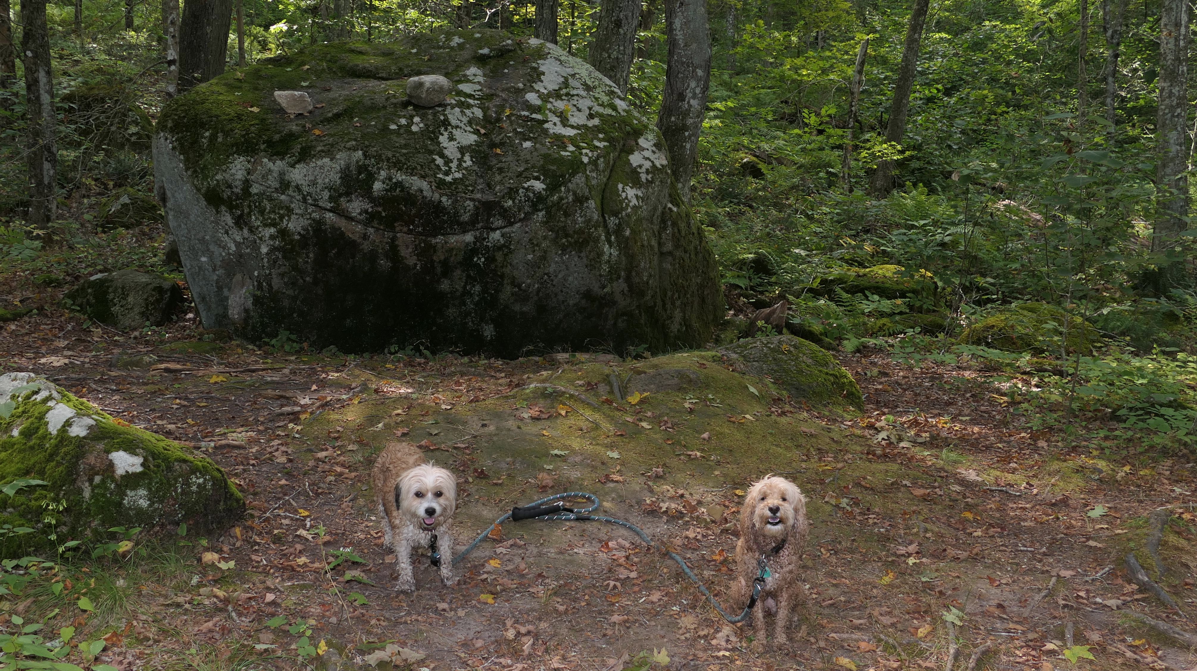
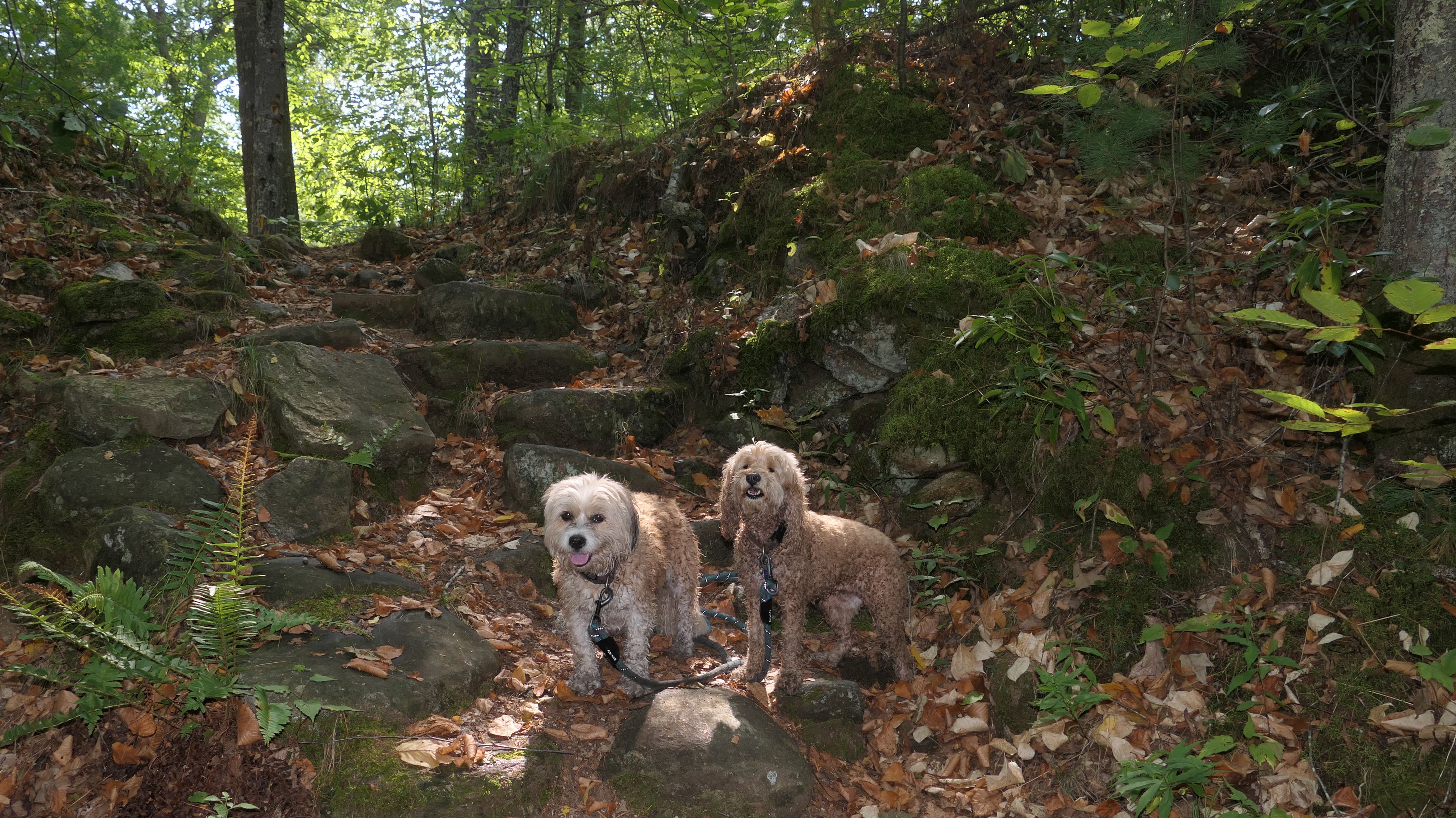
Big River Management Area - Sweet Sawmill Road Trail
Date visited: 6/17/2026
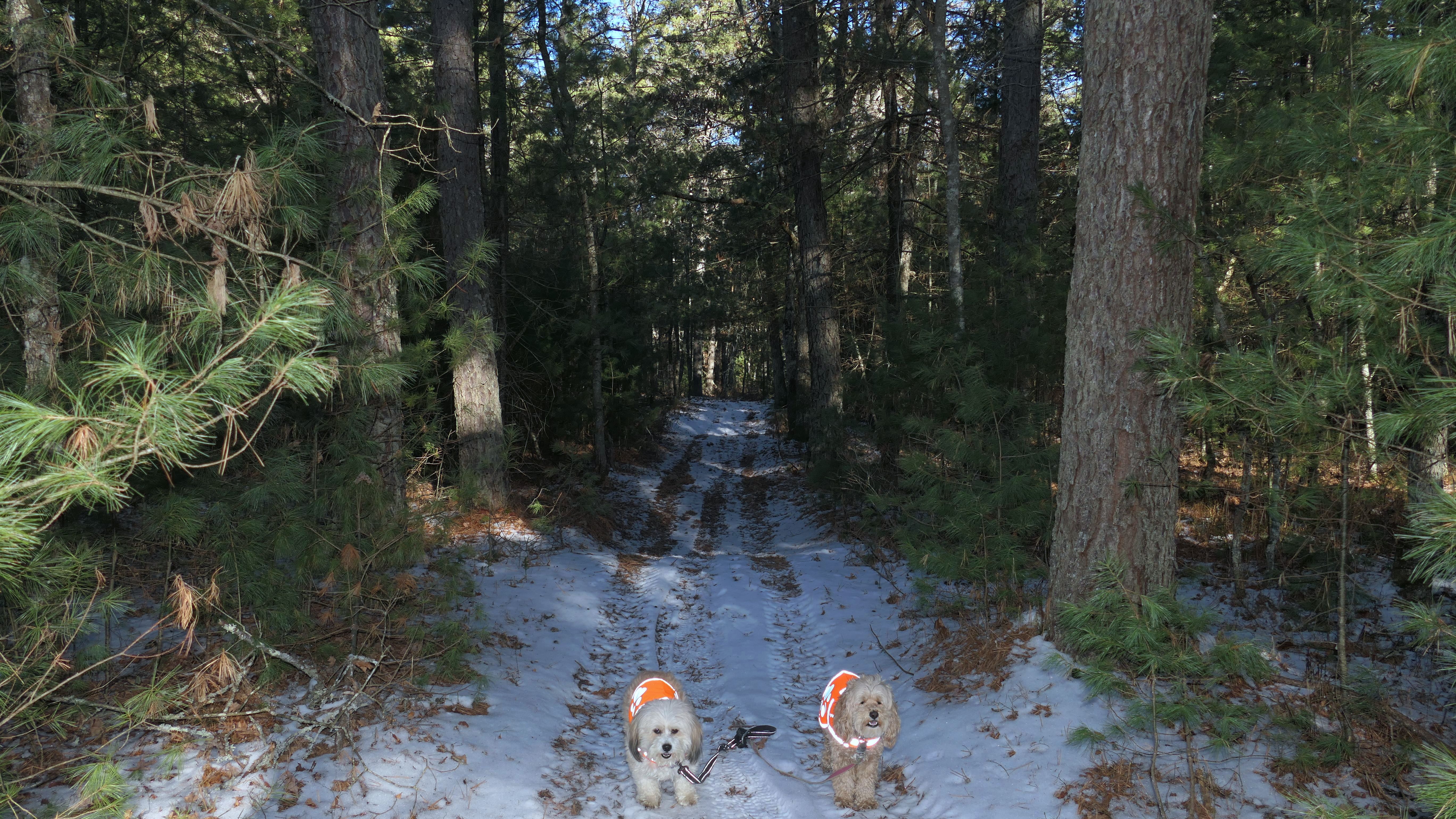
Just over six years ago, Mandy and Lexi's first trip to Rhode Island was at a different trail at Big River Management Area. This time, we hiked a loop trail at the Sweet Sawmill Road trail head near the parking area off Congdon Mill Road. According to the All-Trails app, this loop also included parts of "Hell's Half Acre Trail". It was a pretty basic walk through the woods. The main trail is really wide, but some of the loop narrowed a bit, but there was no real overgrown sections. There's actually a maze of trails, and they aren't blazed very well at all. It's good to have a GPS enabled map on hand. The route was a pretty basic 2.7 miles.
More Images
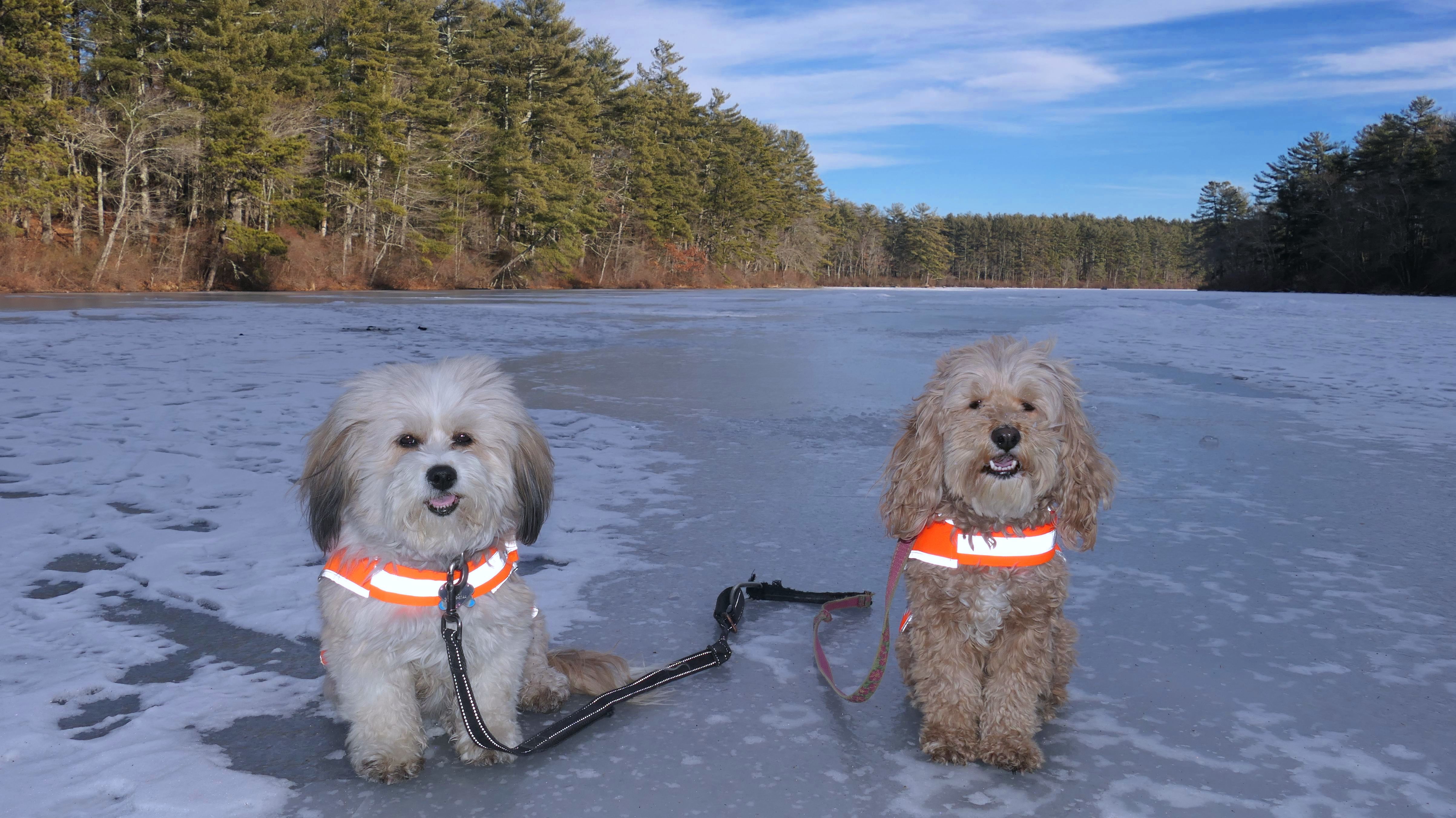
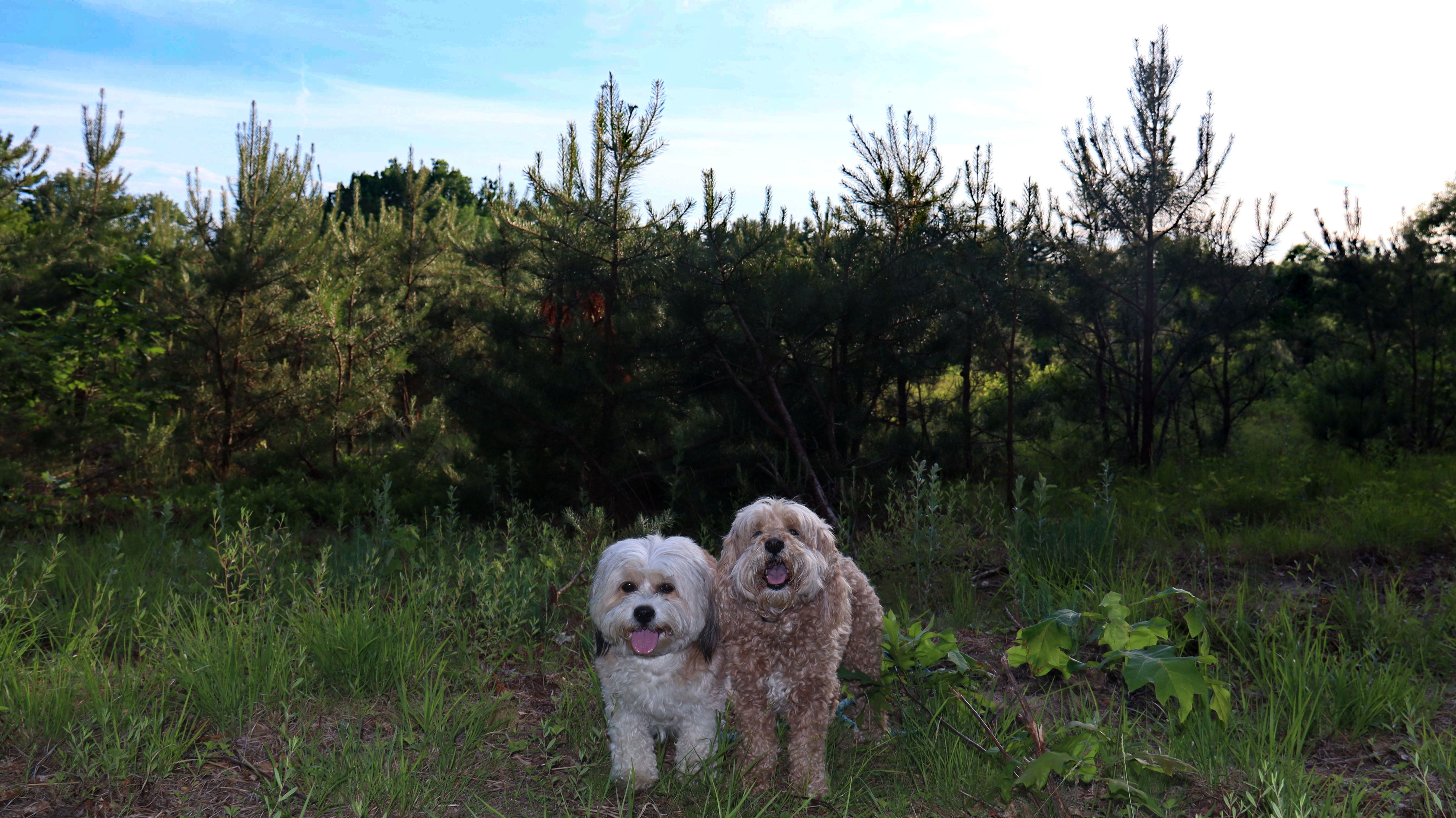
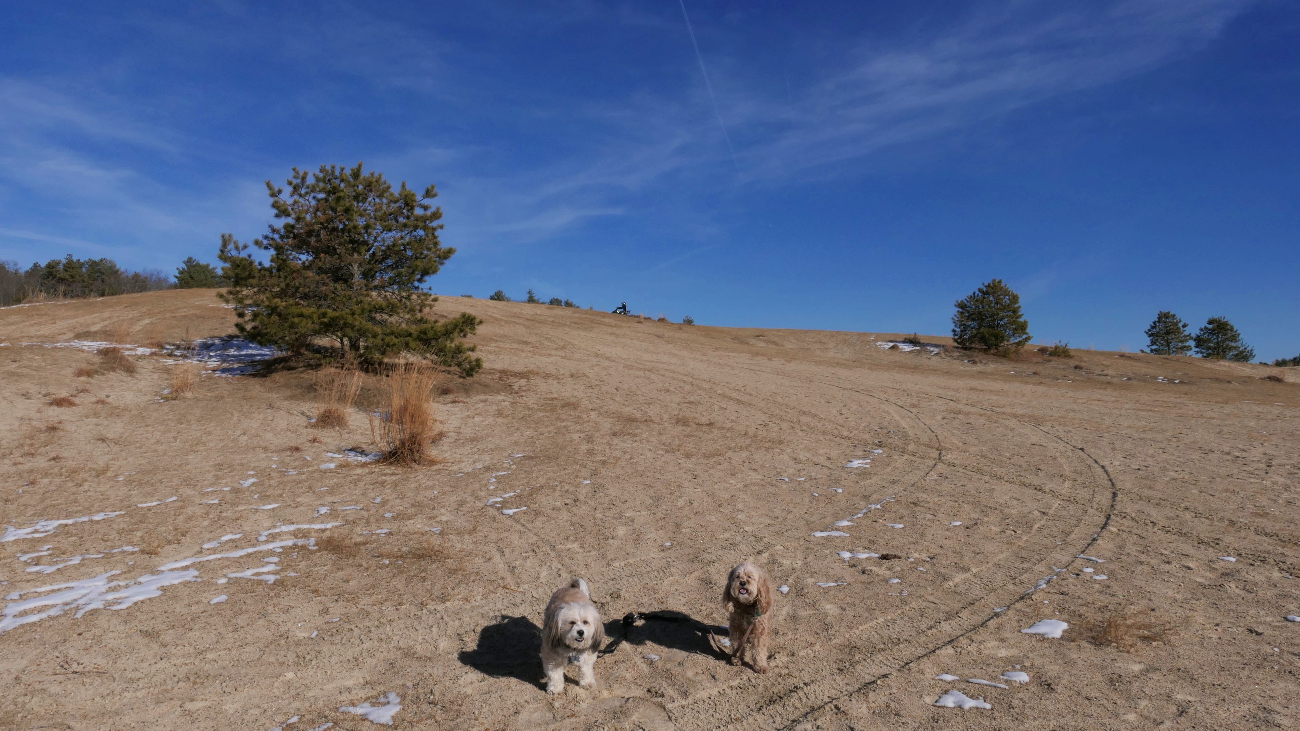
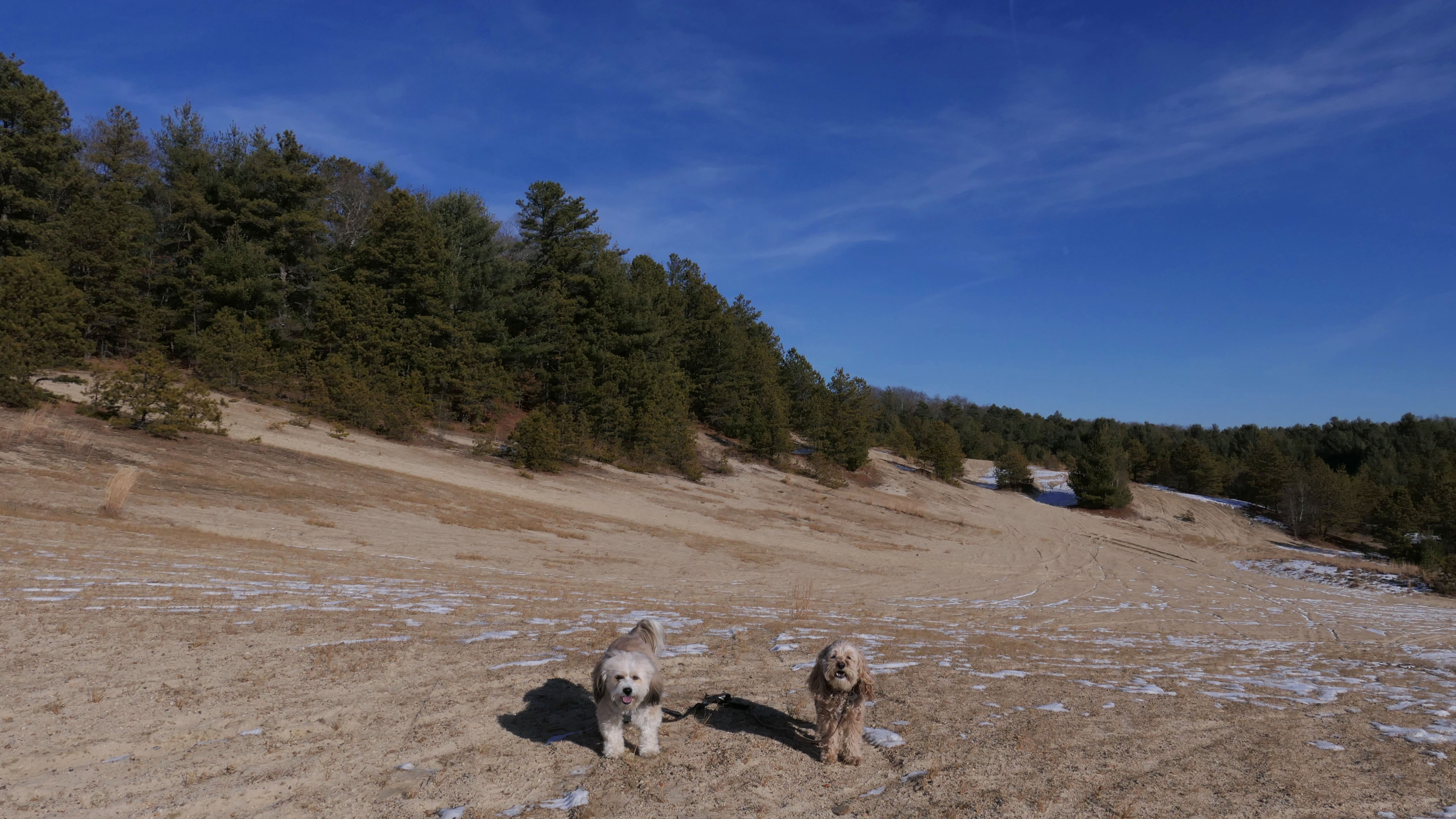
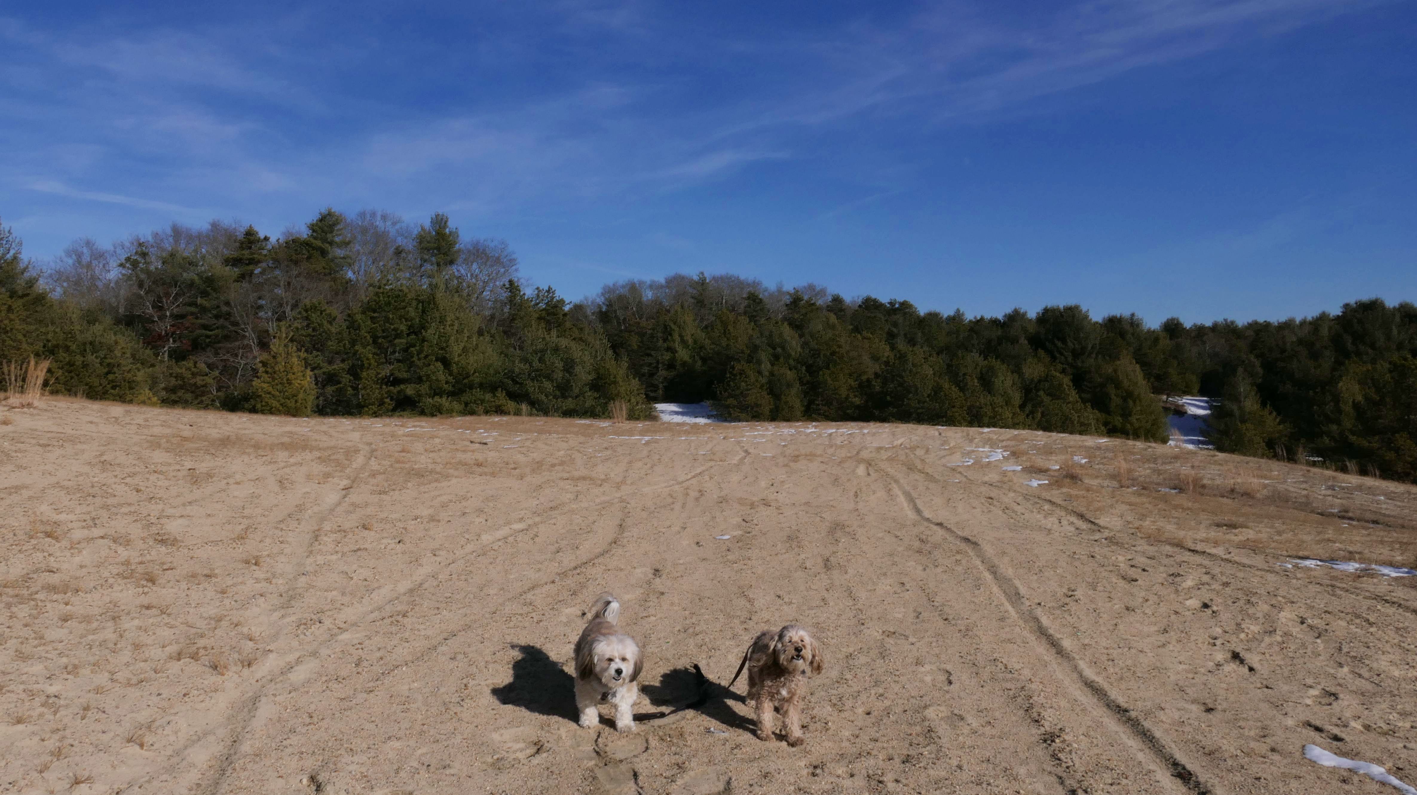
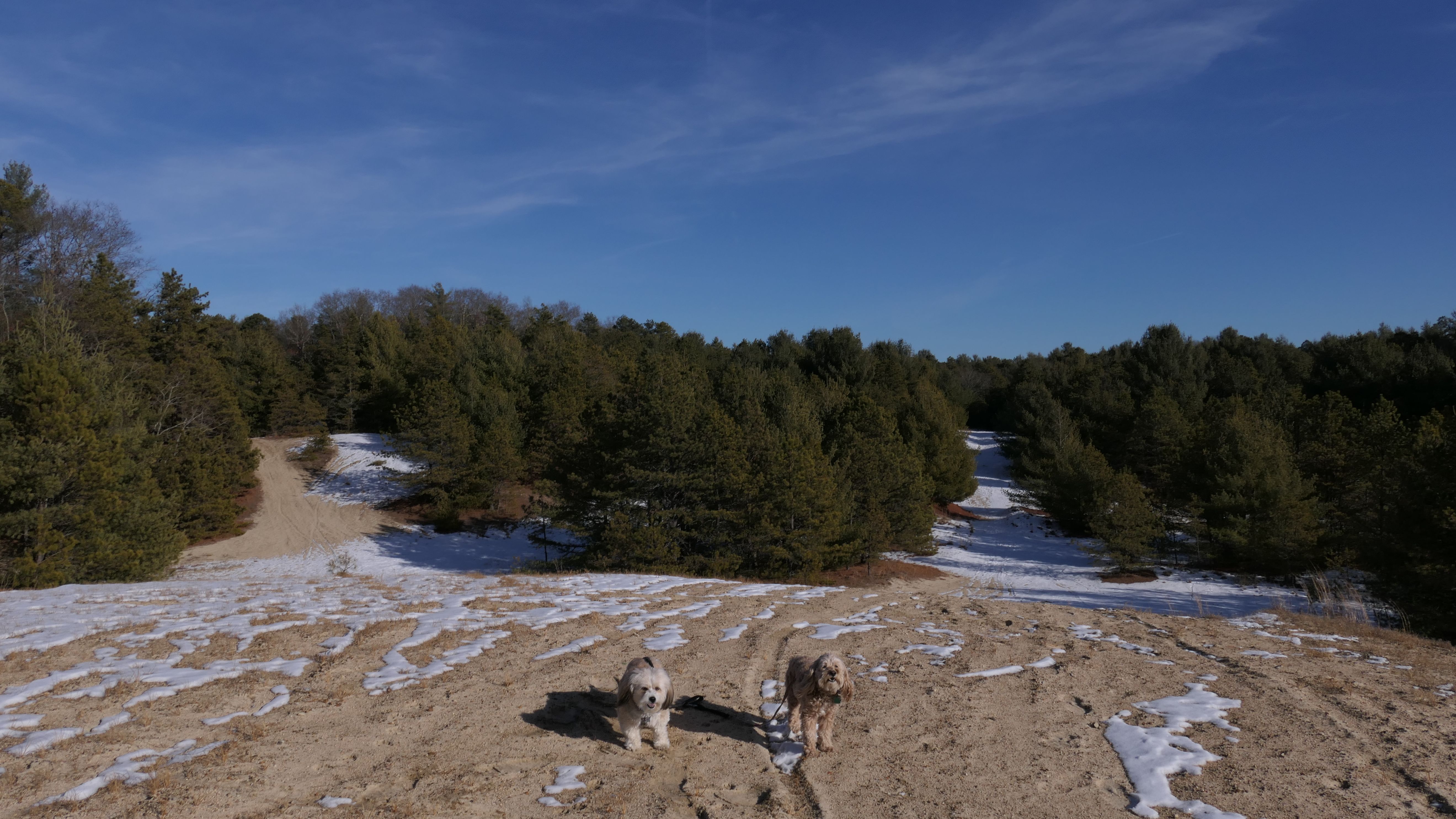
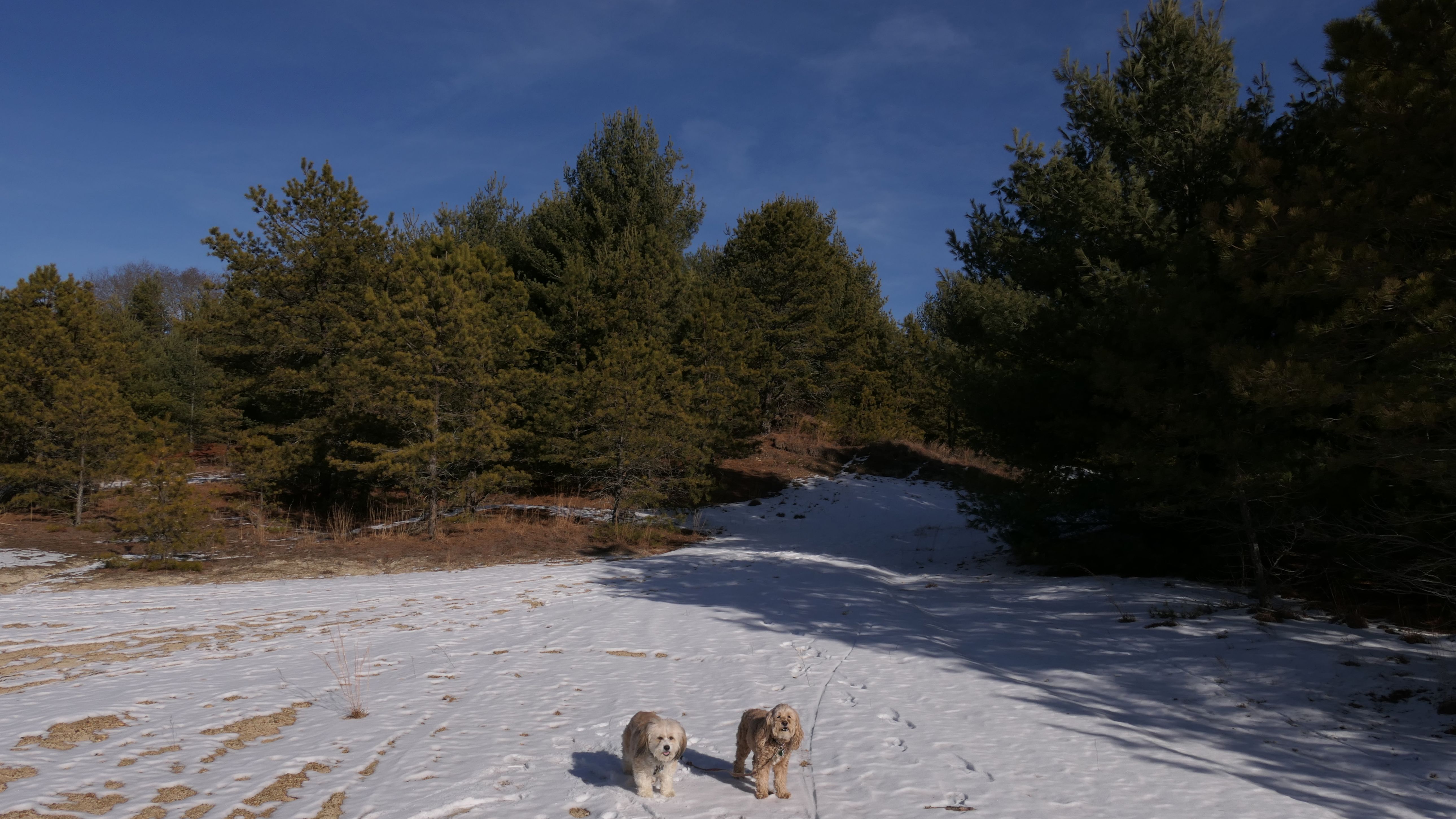
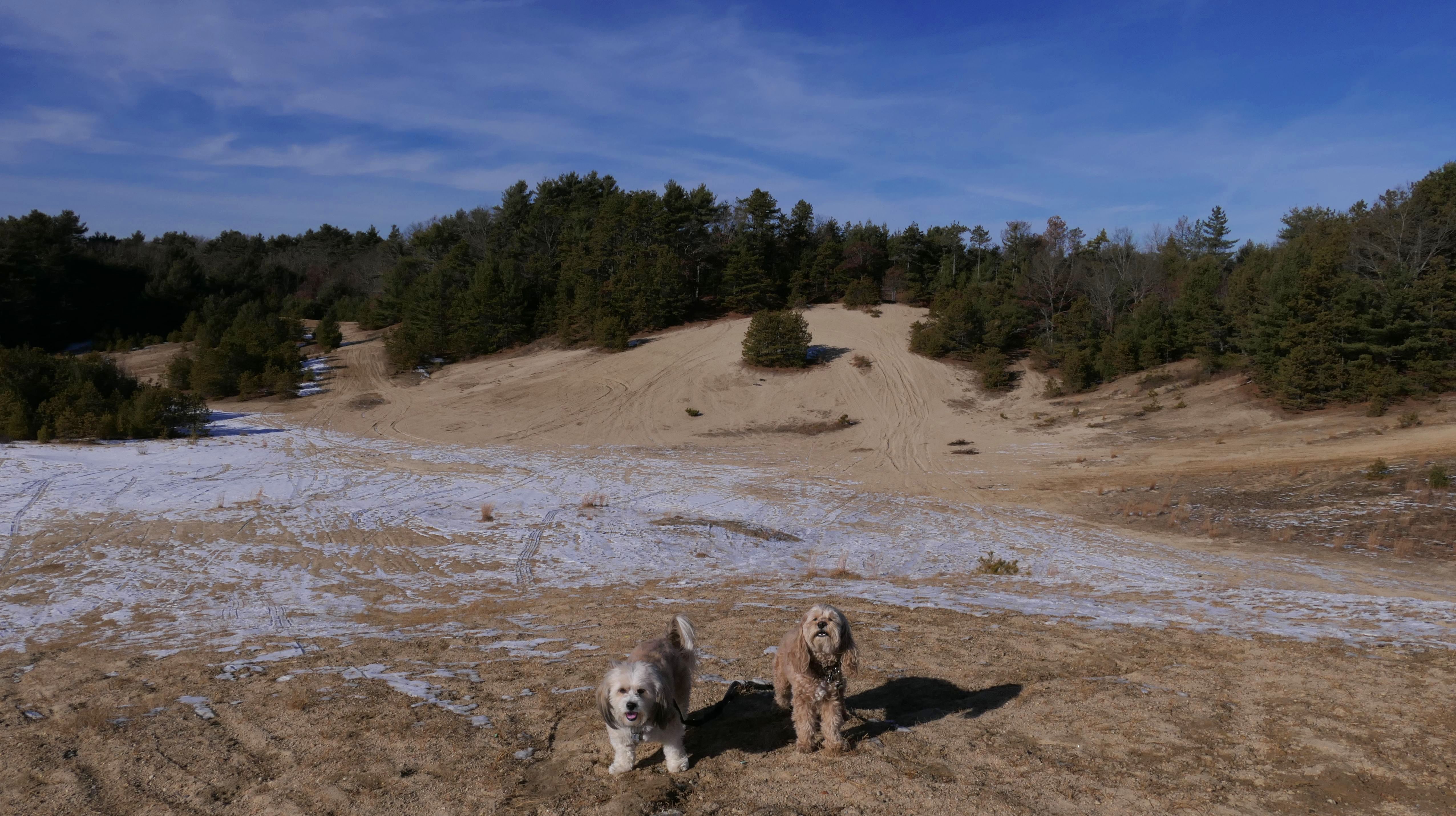
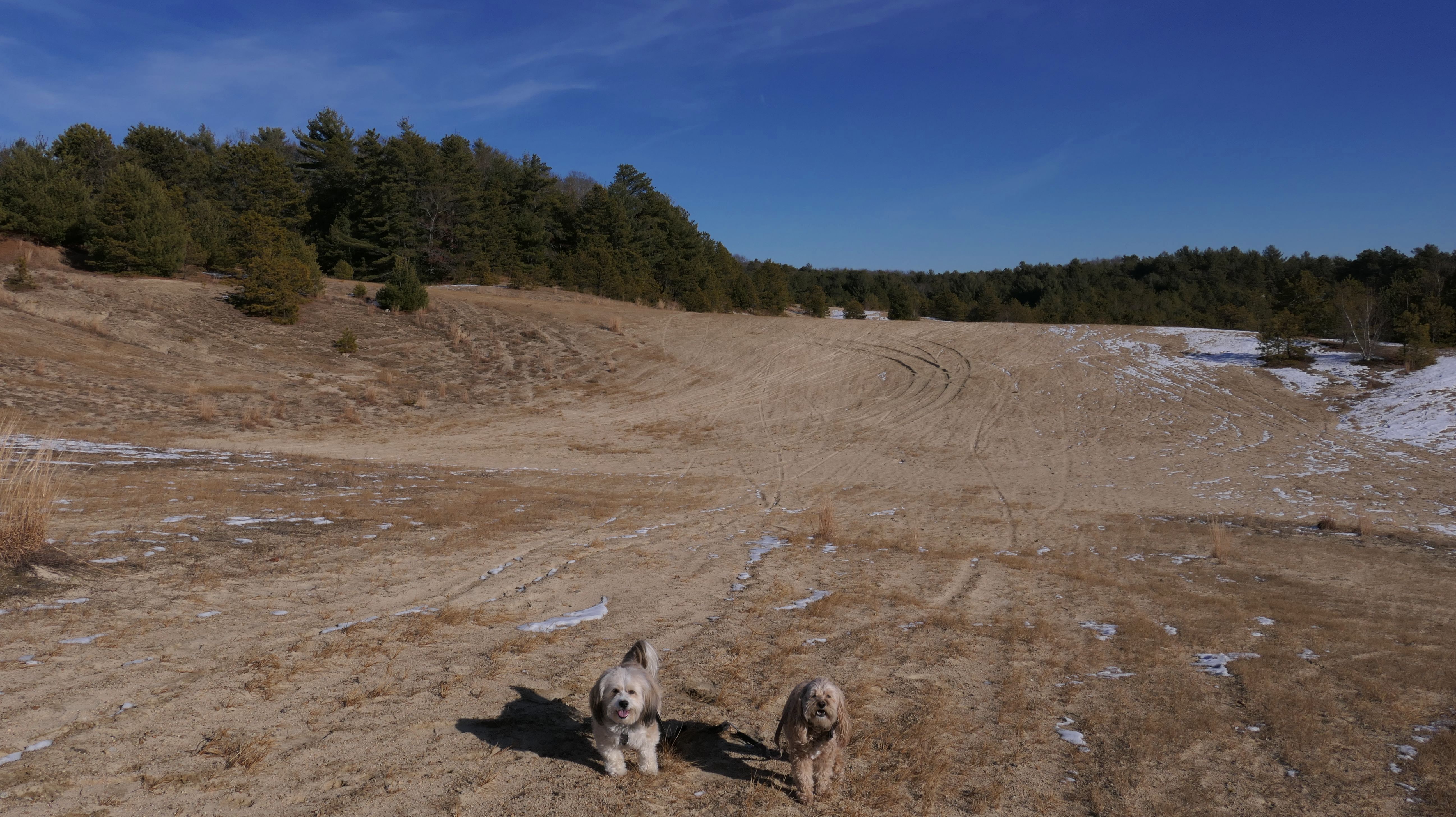
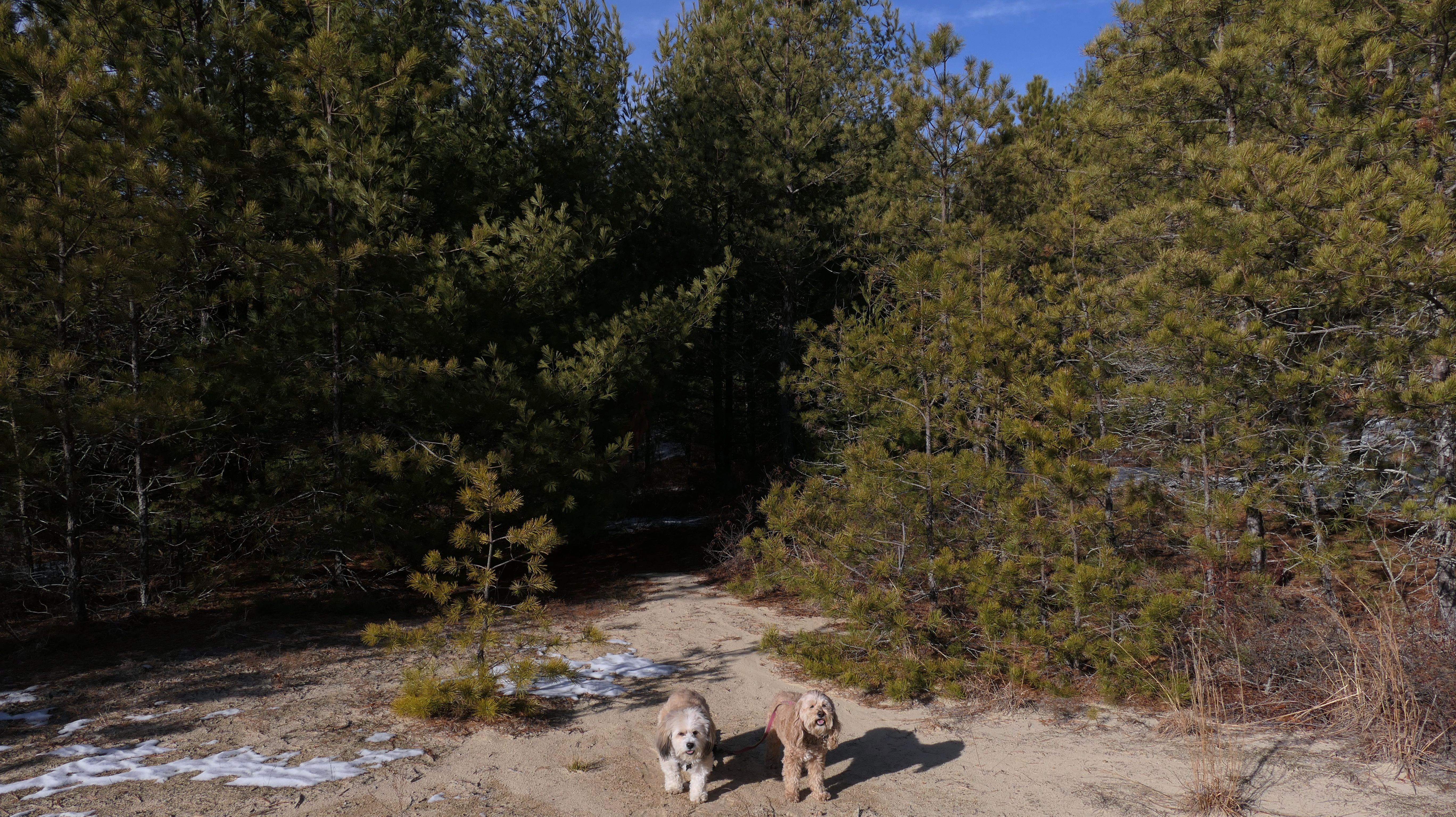
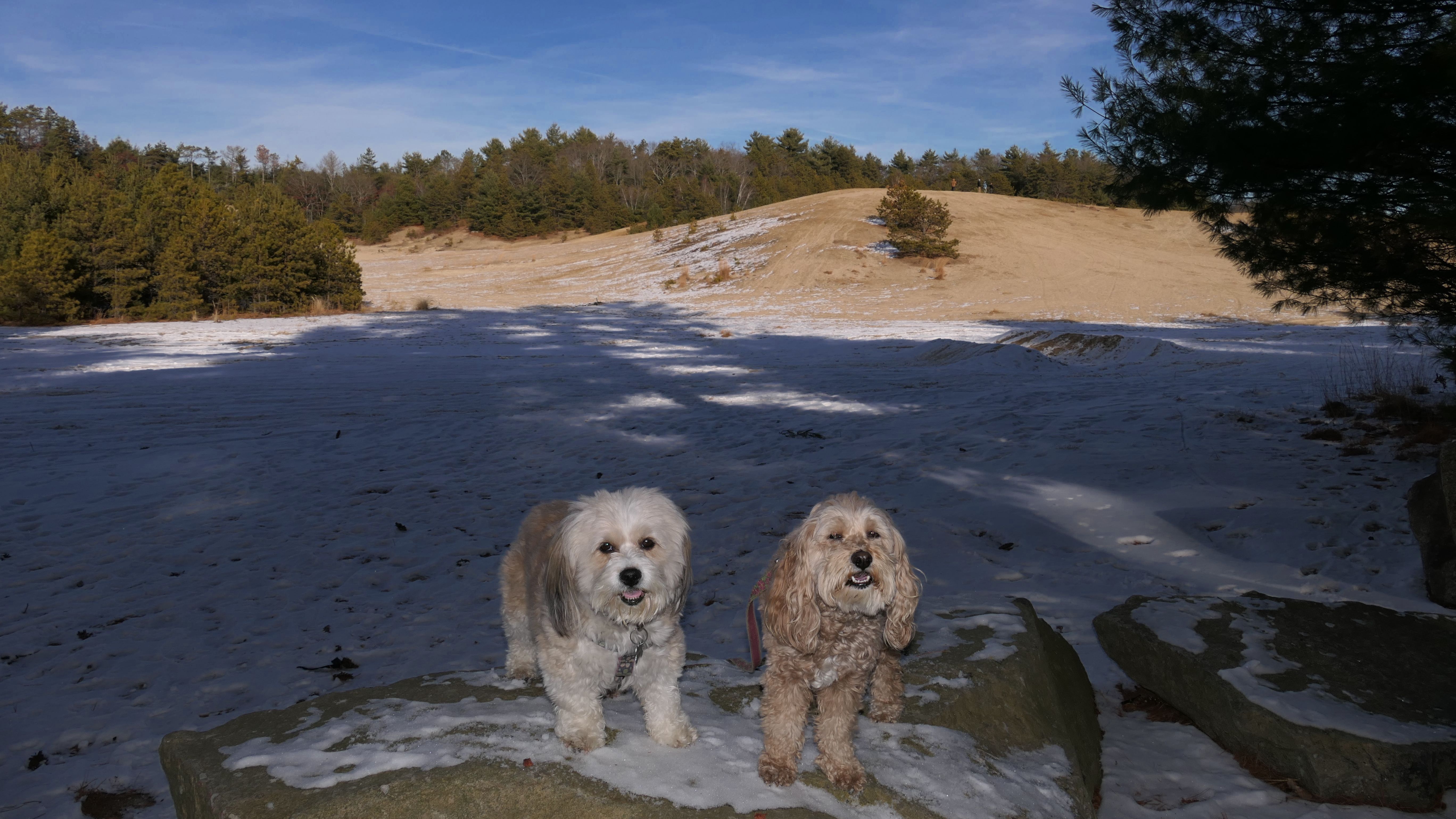
Rhode Island Desert
Date visited: 12/27/2024
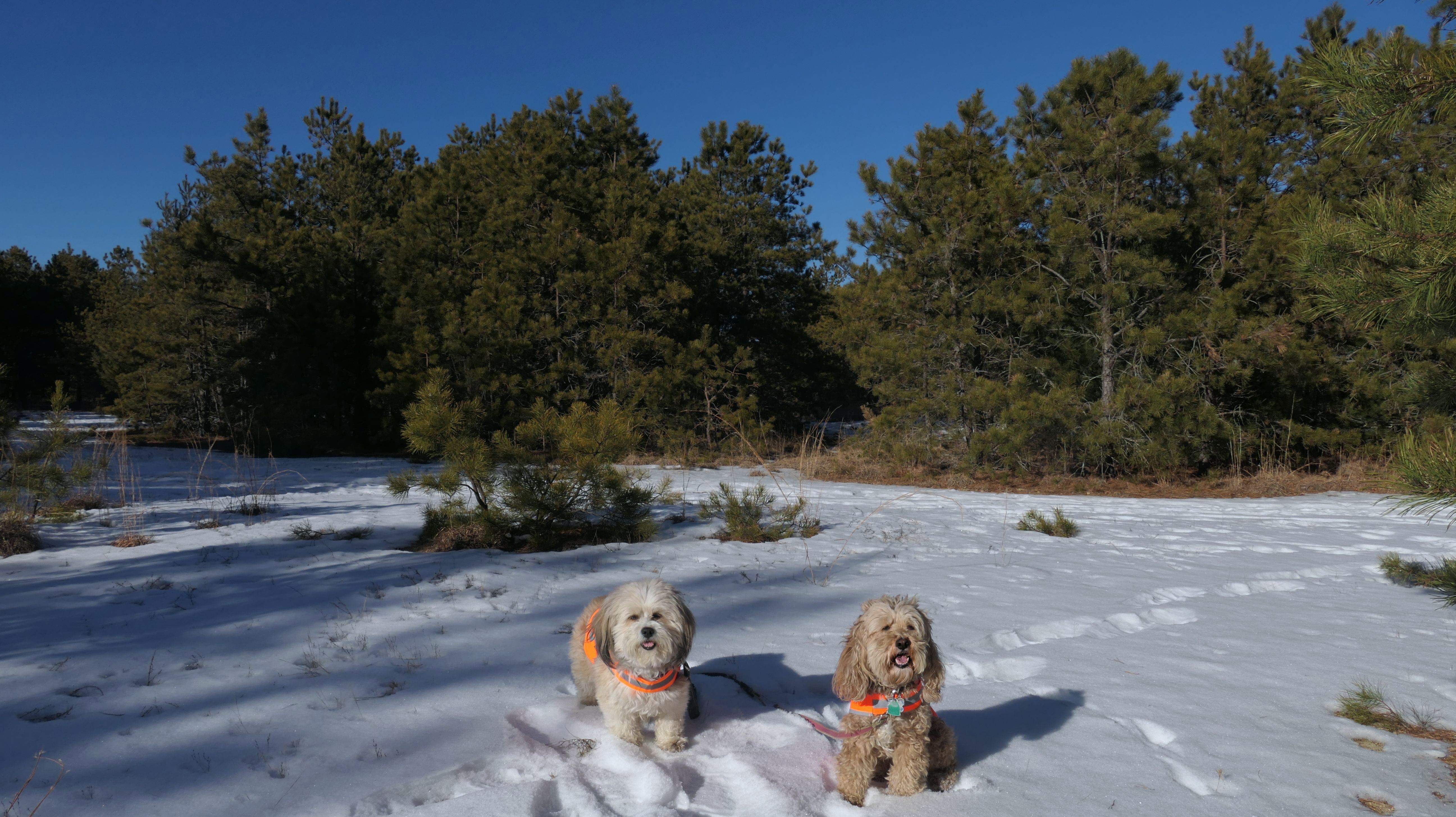
Rhode Island is known for it's sandy beaches, not it's sandy deserts...of course this place really isn't a desert. The locals call it the "Rhode Island Desert", and even Google Maps labels it as such. It's also known as the "West Greenwich Sand Dunes", but it's actually part of Big River Management Area (a different section of the management area than the one we visited on our first ever adventure in Rhode Island, four and a half years prior). There are signs that indicate that ATV's aren't allowed, and orange must be worn during hunting season. There was probably a dozen or so other people we encountered, none were wearing orange, and one was riding an ATV. We walked around the area in a big circle. There look to be a few small trails, and there is a whole series of trails on the other side of Division Street. I actually think the pine trees, along with the dusting in snow in places, made the area look quite scenic. Some of the hills are also used for sledding in the winter, but there wasn't quite enough snow for that. It's not a bad place for a walk in the sand, but I'll take a nice beach over this any day. Still, it was an enjoyable winter walk.
More Images
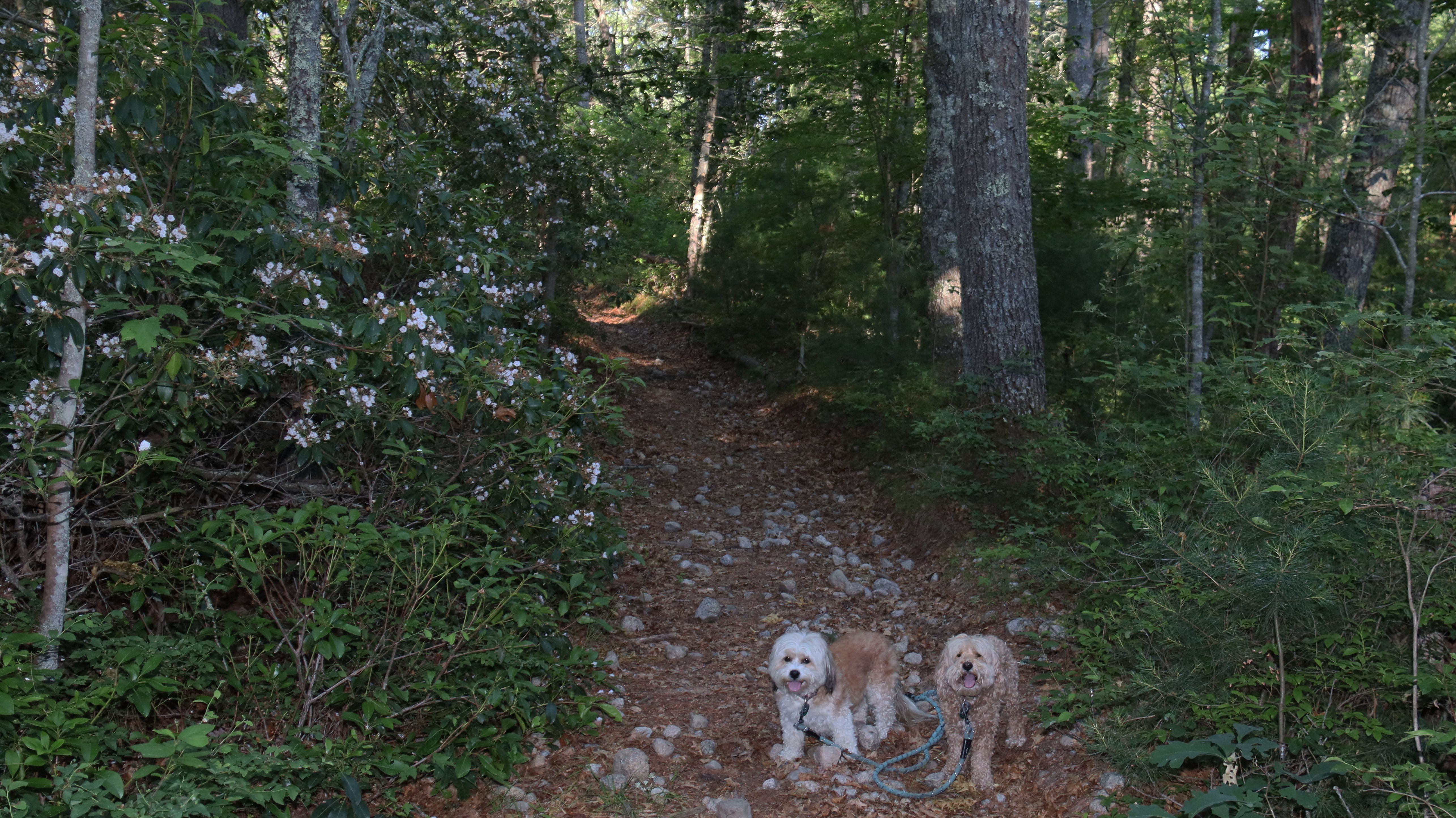
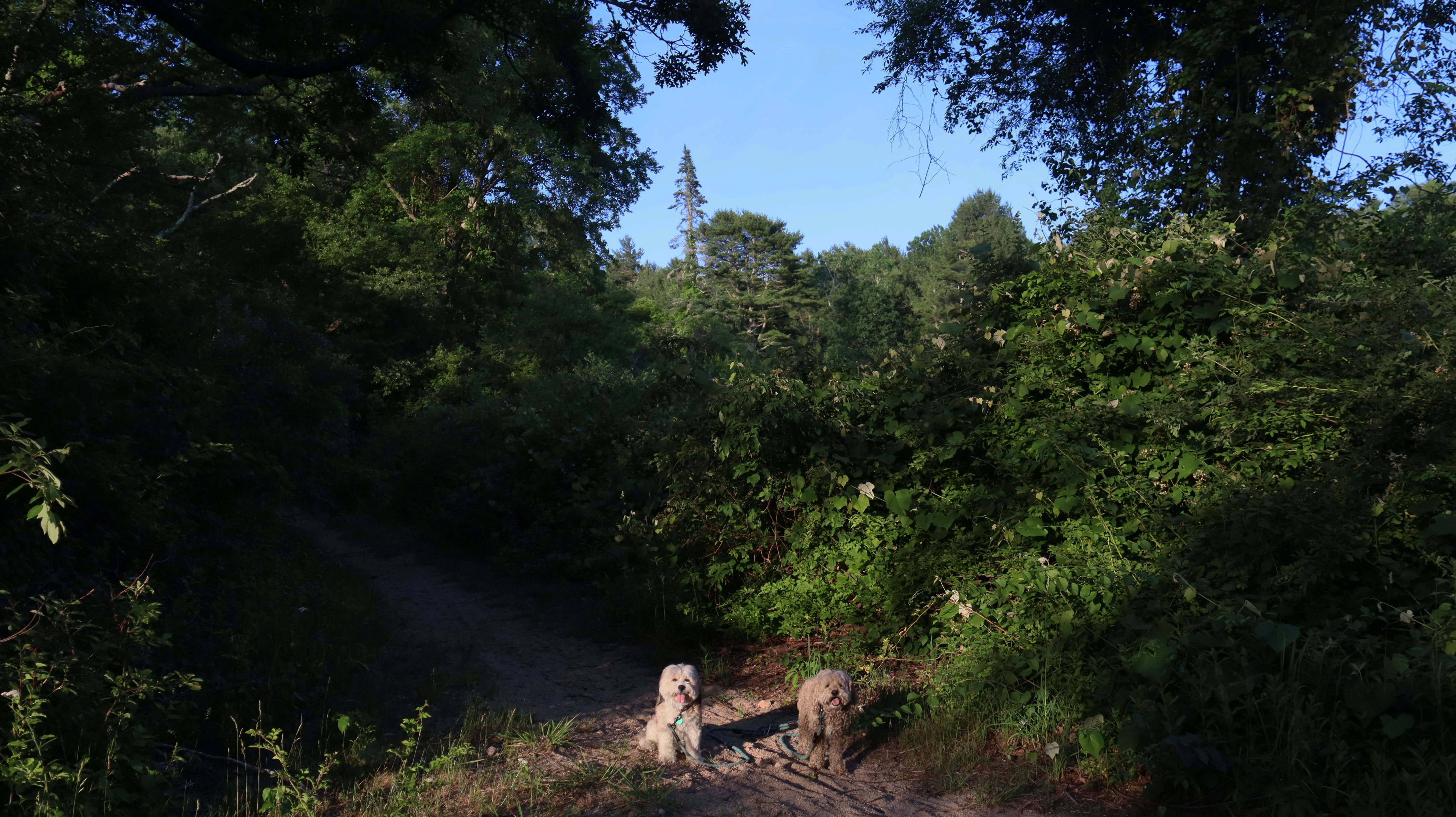
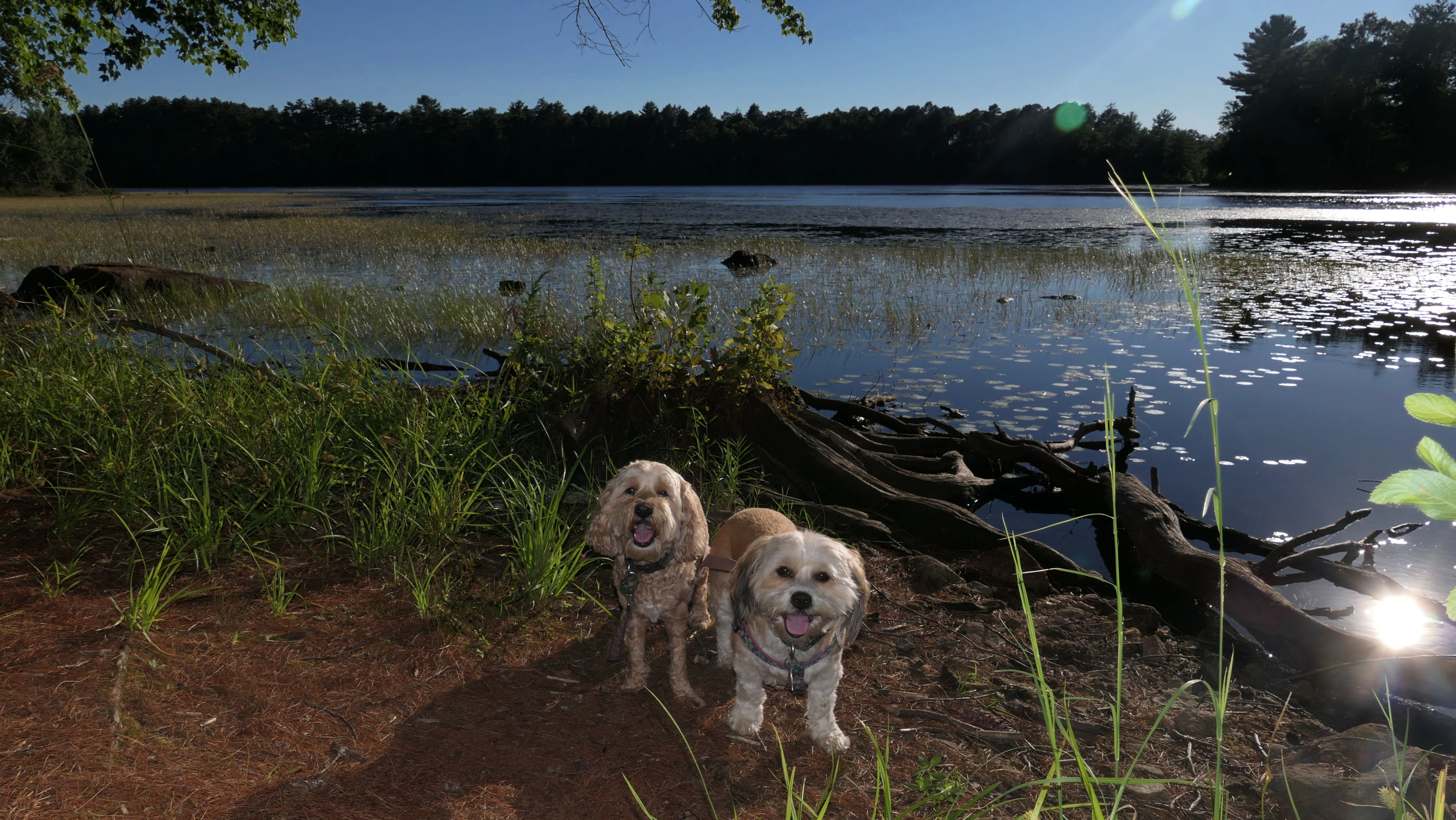
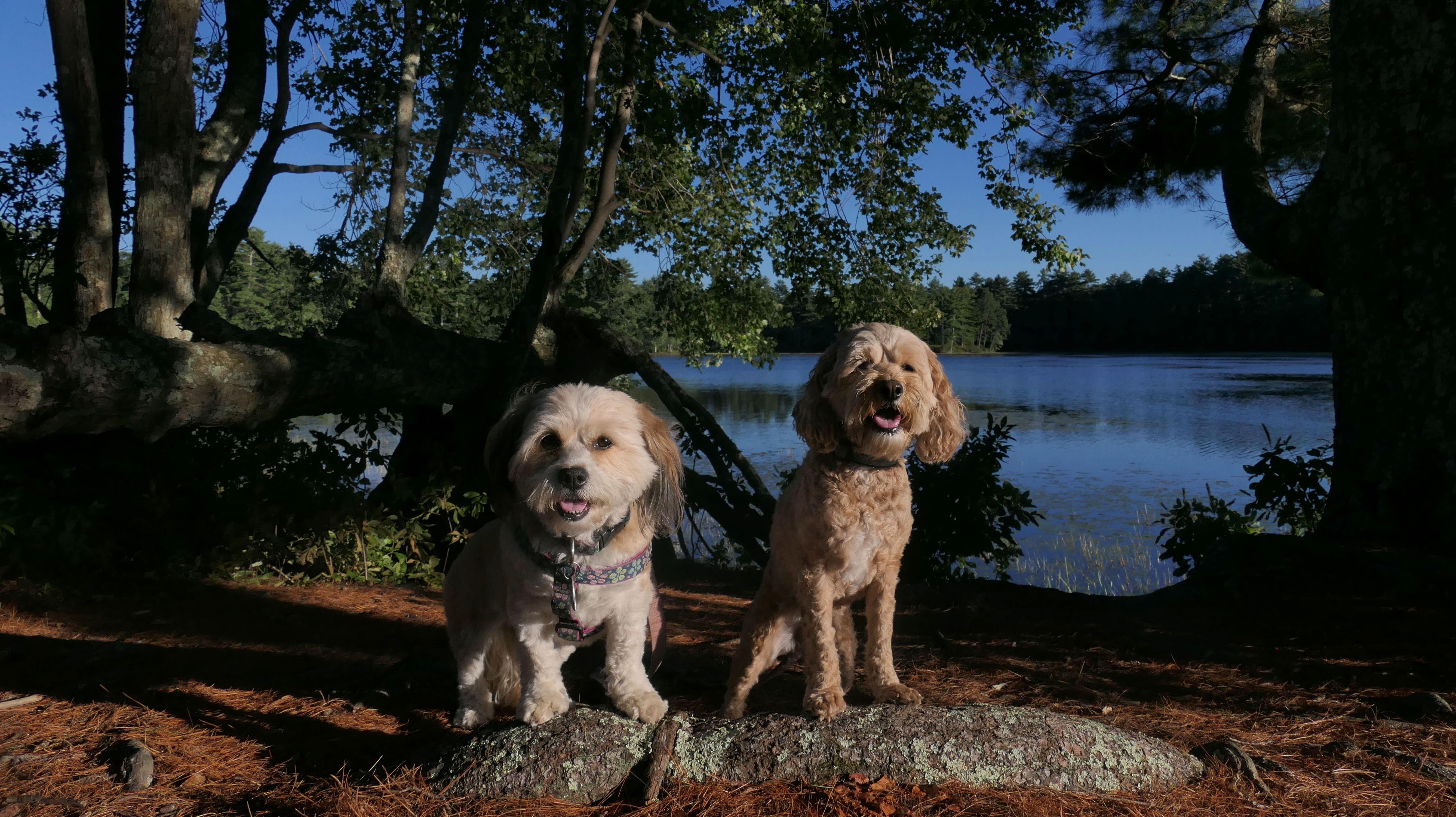
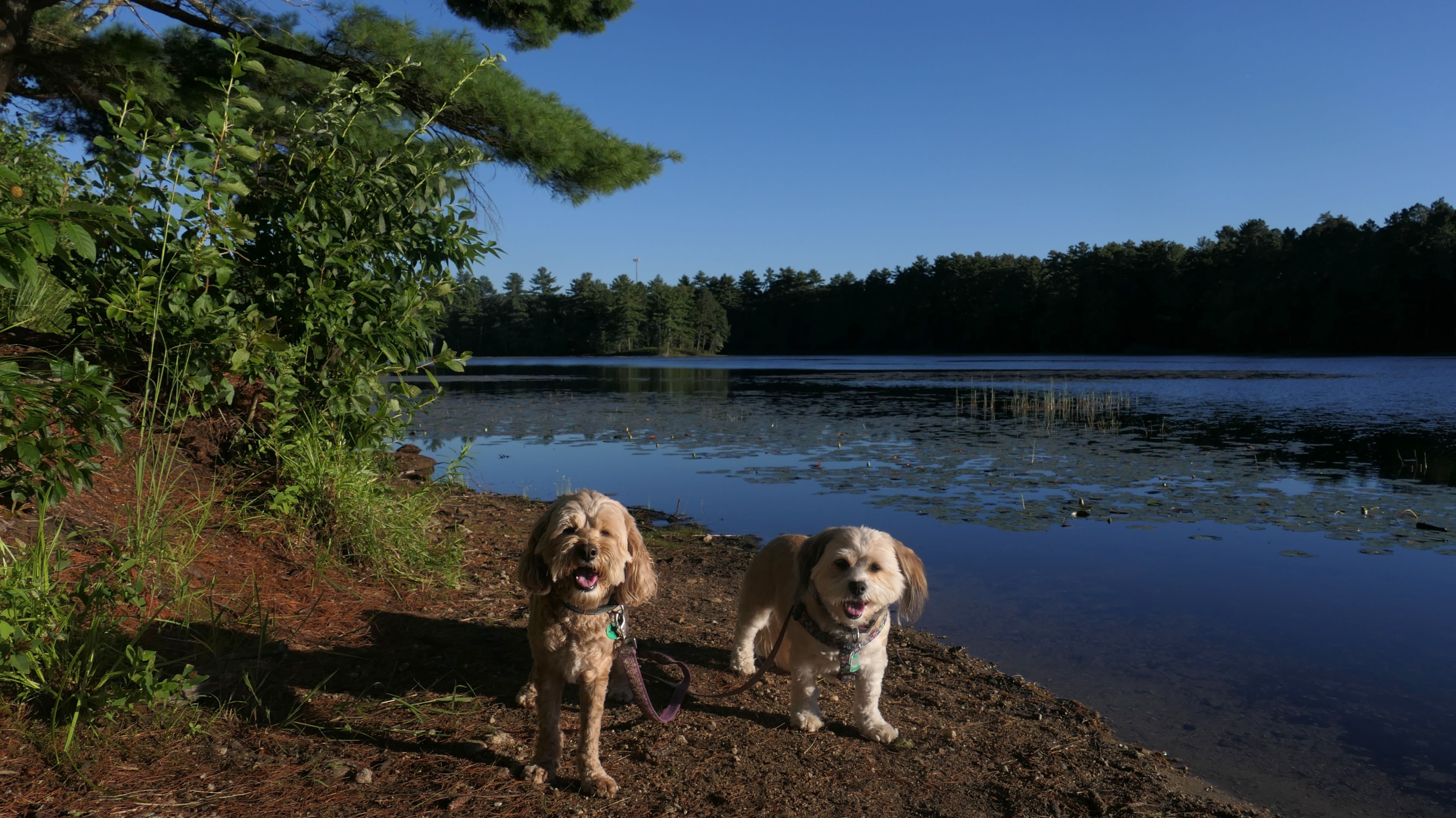
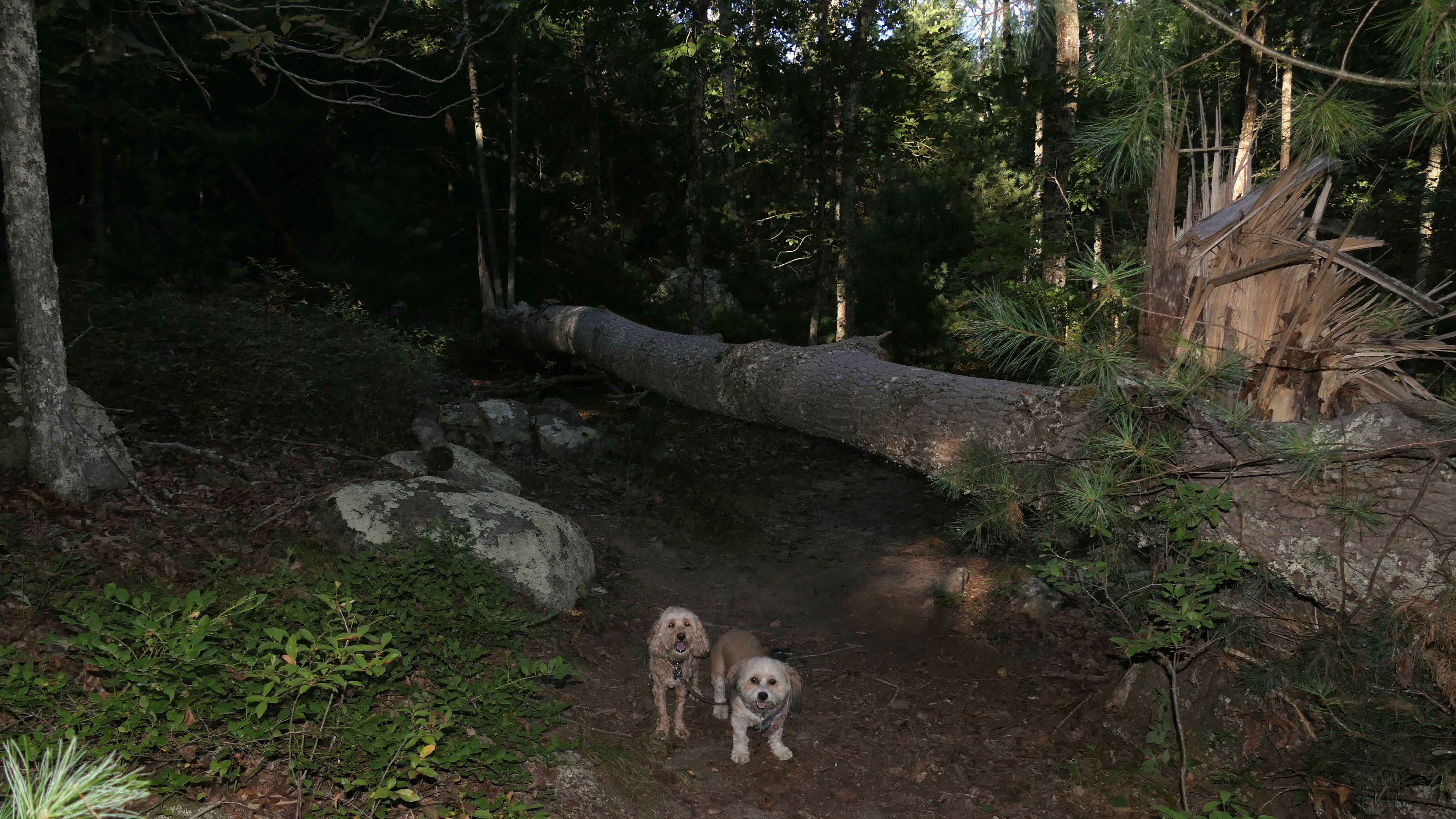
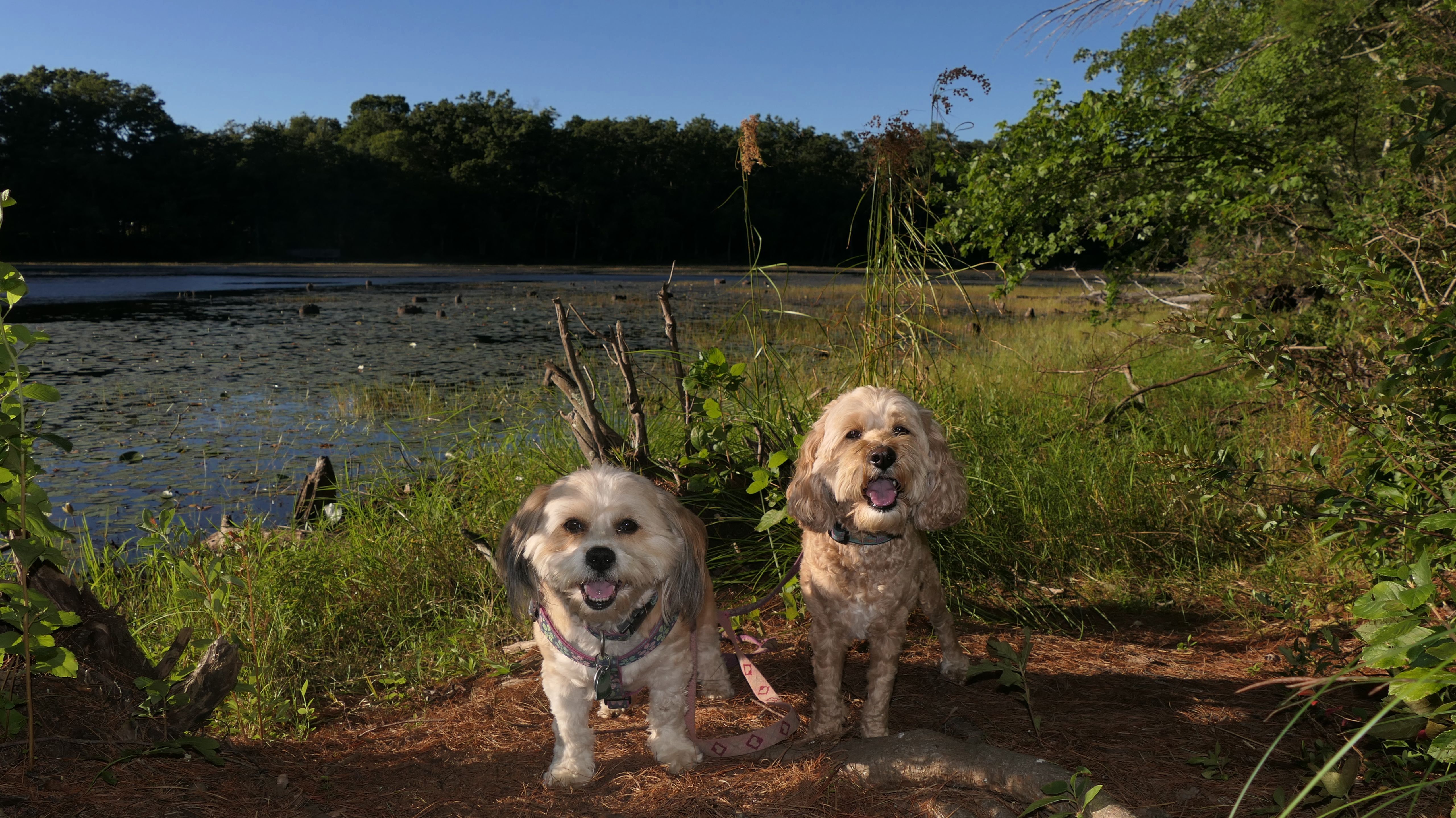
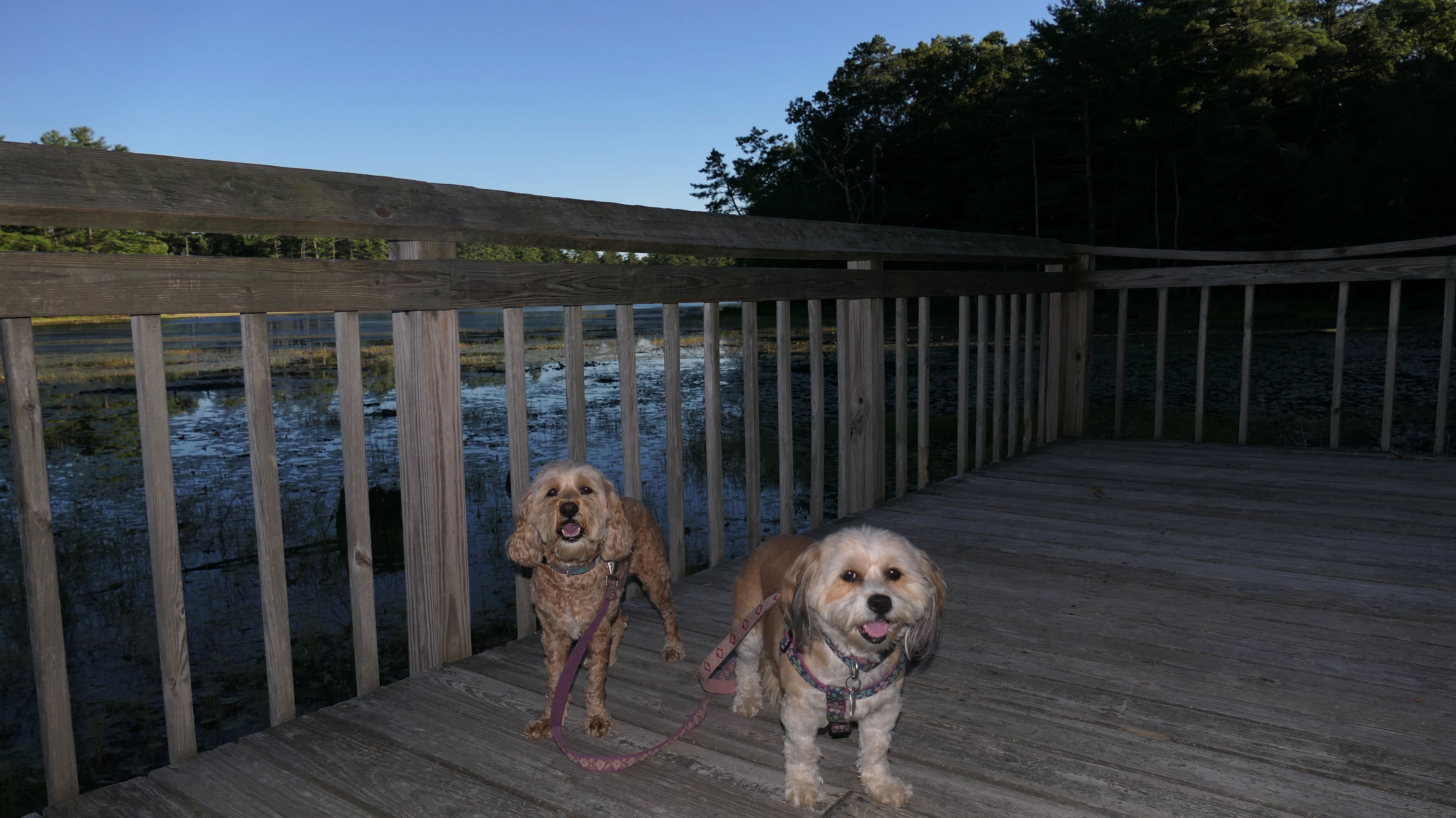
Tillinghast Pond Management Area
Date visited: 9/1/2022
We hiked a 3.5 mile loop trail around Tillinghast Pond. Despite the perfect weather, we didn't encounter another soul on this hike. The trail is well marked, but I did need to limbo under a fallen tree at one point, while Mandy and Lexi were able to just walk under it normally. Due to the drought, the pond level was low. A small section of the loop uses the road, probably less than a quarter of a mile or so. The road is not busy, so it's no big deal. With summer winding down, so are our trips to Rhode Island, at least the after work trips. Also, hunting season starts the second Saturday in September, so we'll be avoiding Management Areas like this one where hunting is allowed until next summer.

More Images


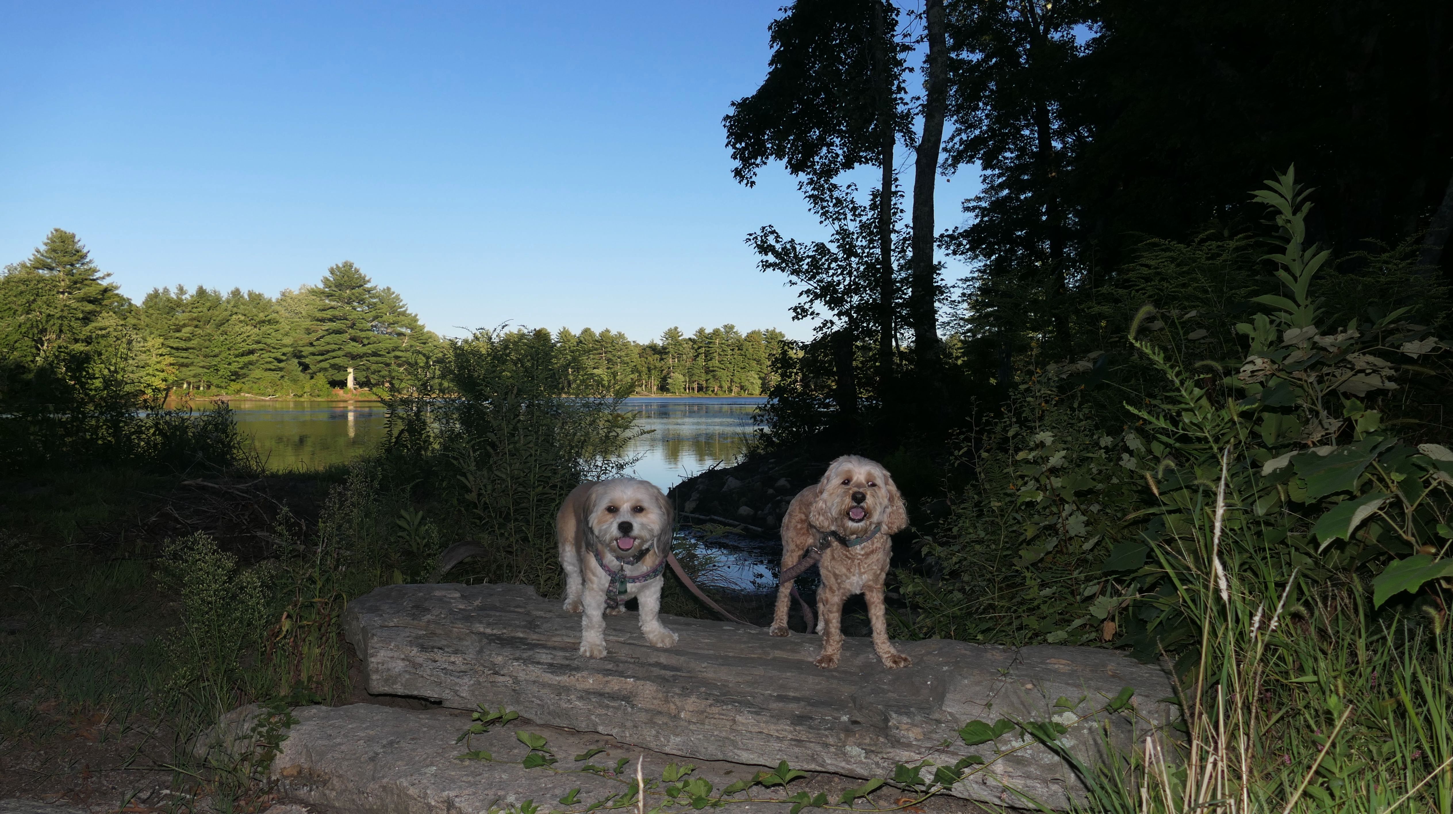
Arcadia Management Area - Breakheart Pond
Date visited: 7/27/2022
Arcadia Management Area is vast, 14,000 acres in fact. It spans parts of four towns. I've driven through on Route 165 many times, but this is the first time we stopped and did a proper hike. Reaching the trail around Breakheart Pond requires a two mile drive down a bumpy dirt road. It really feels like you're in the middle of nowhere. We walked the very wide trails around the pond. This is a great place if you are looking for complete escape into nature. About half the loop is in Exeter, while the other half is in West Greenwich. The pictures below are from the West Greenwich section.


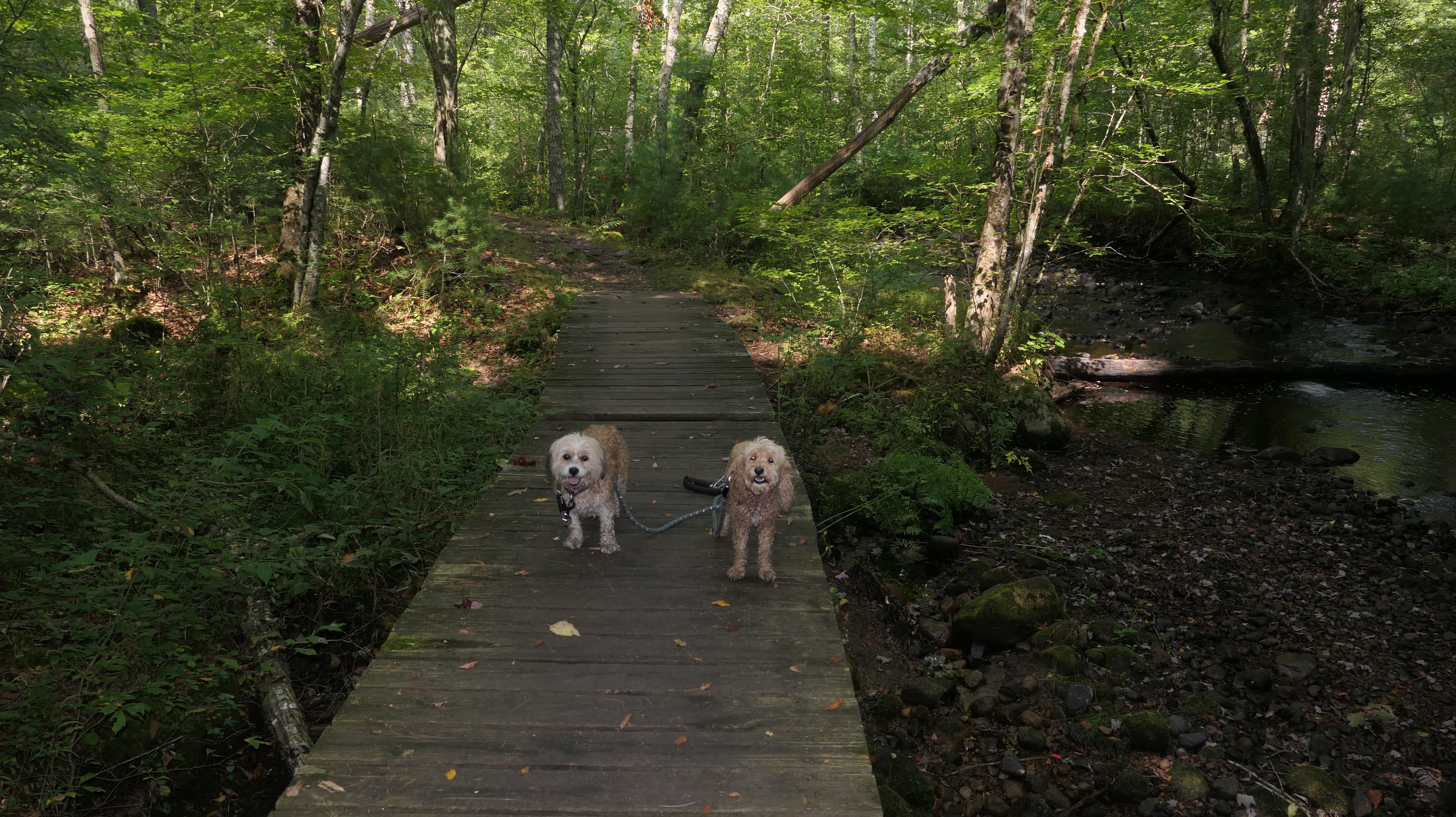
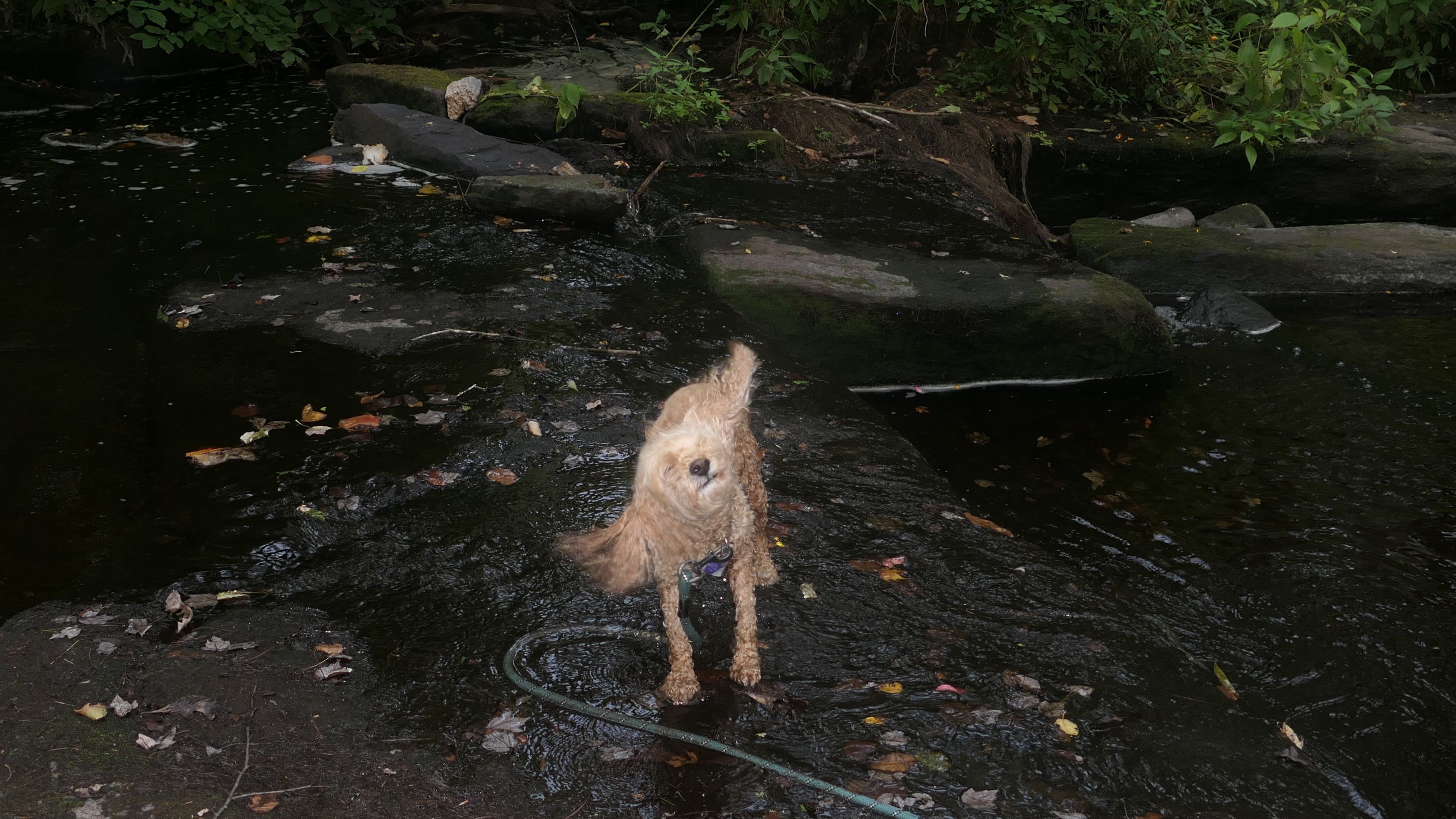
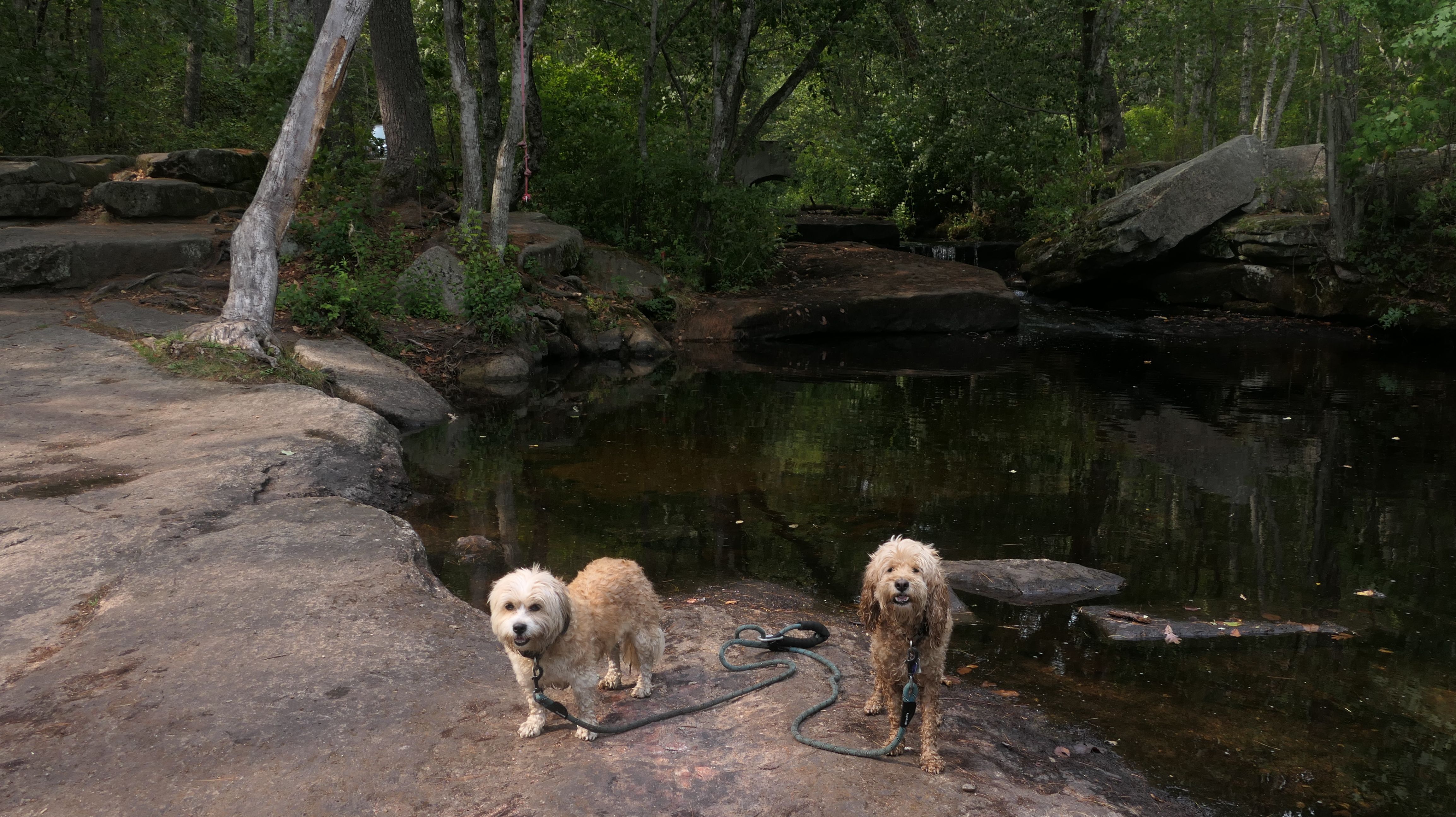
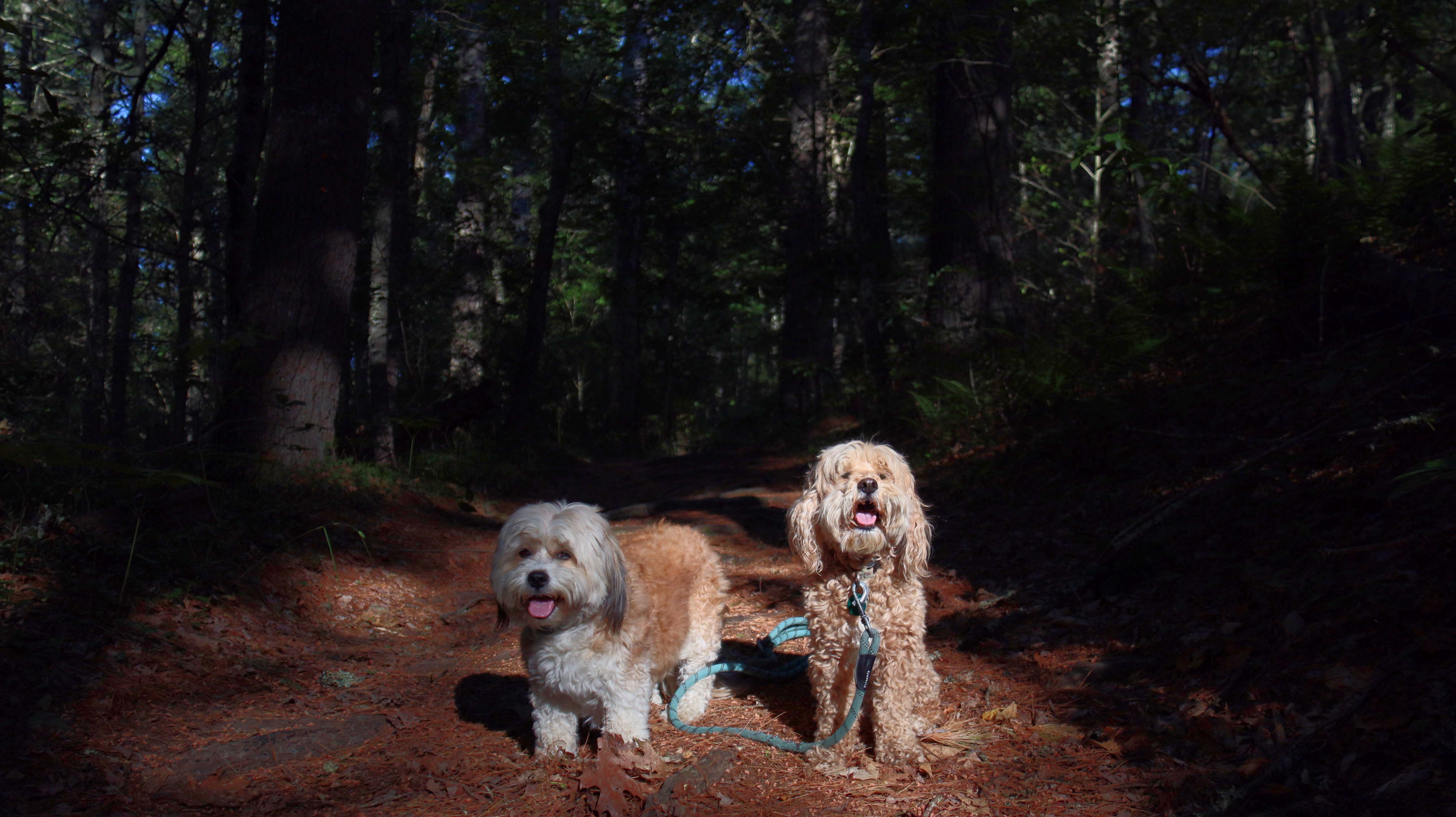
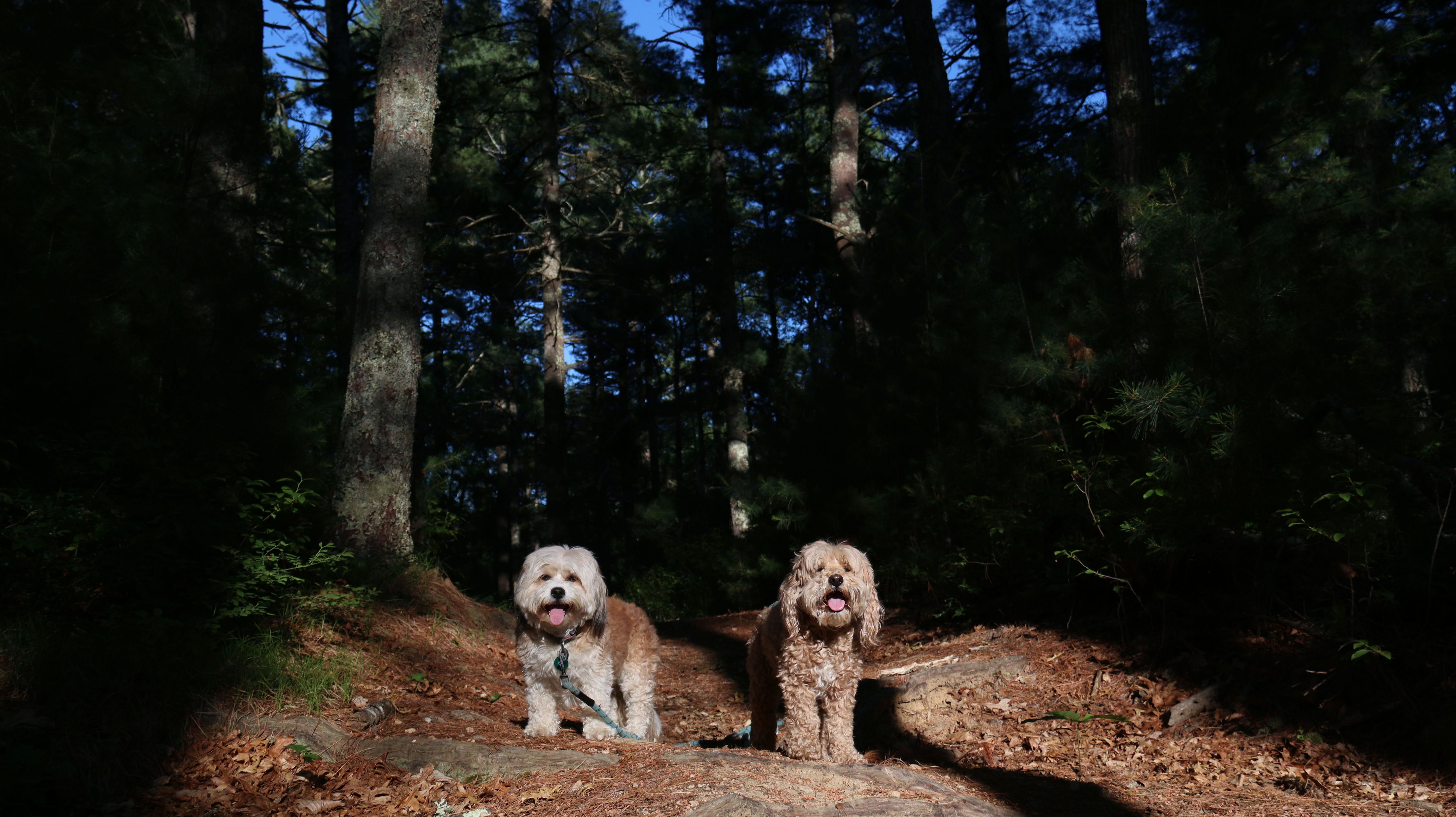
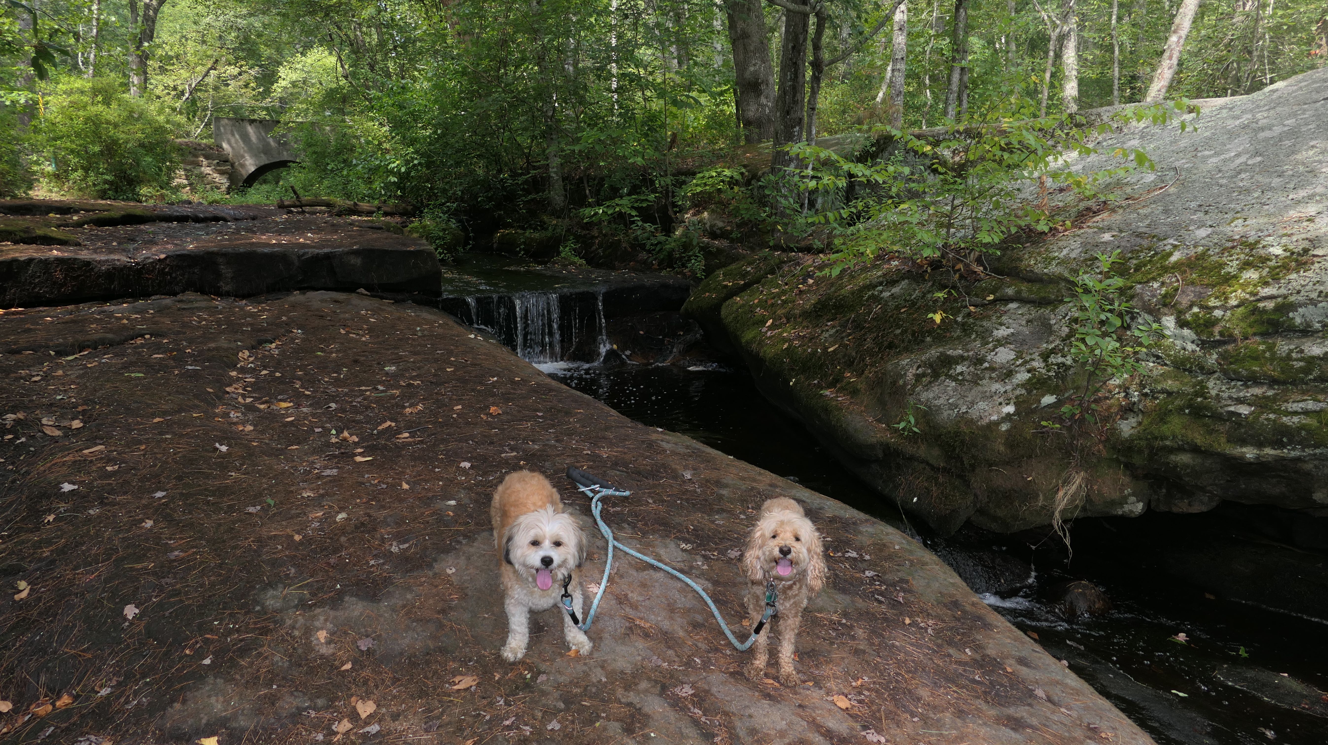
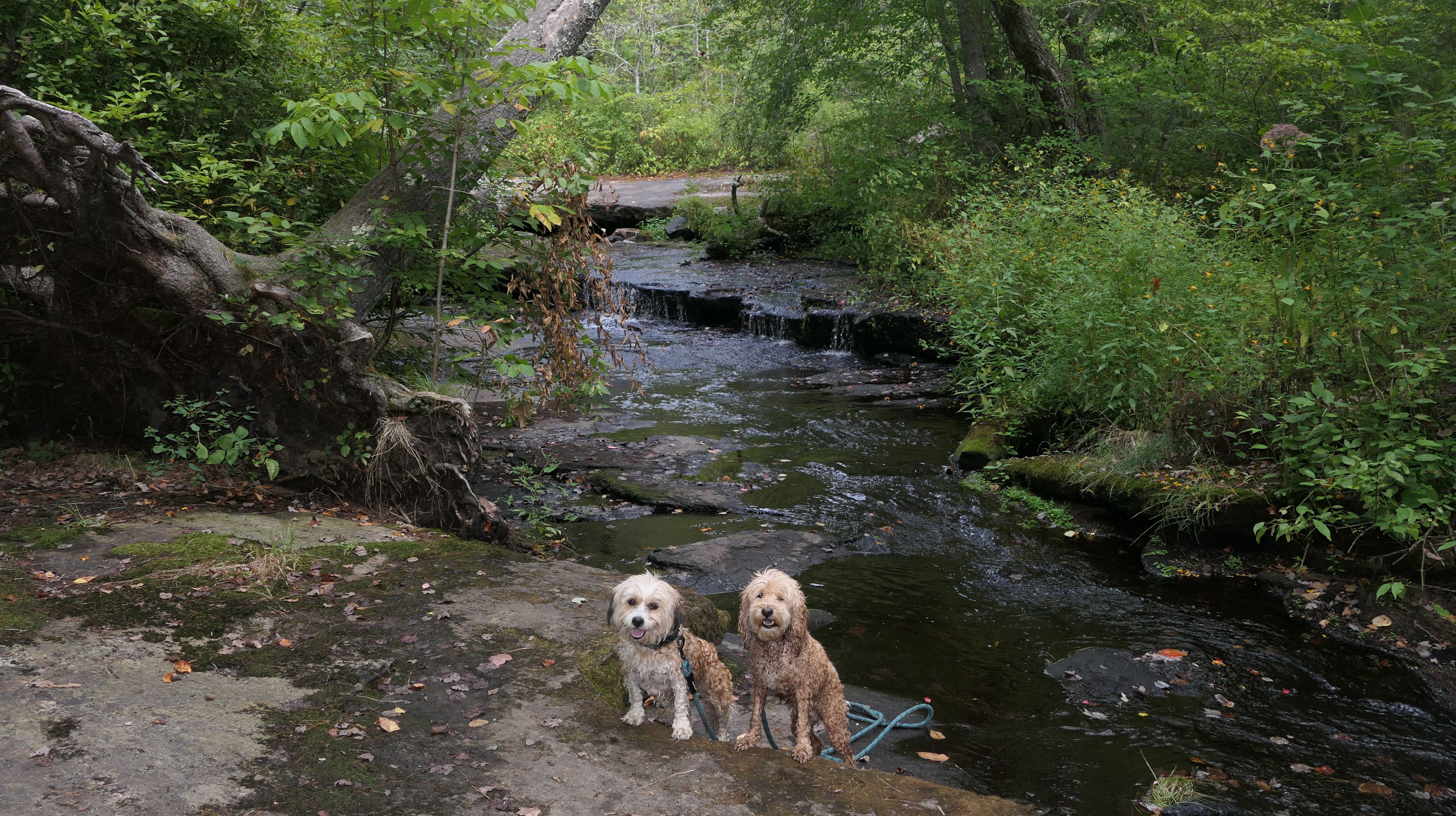
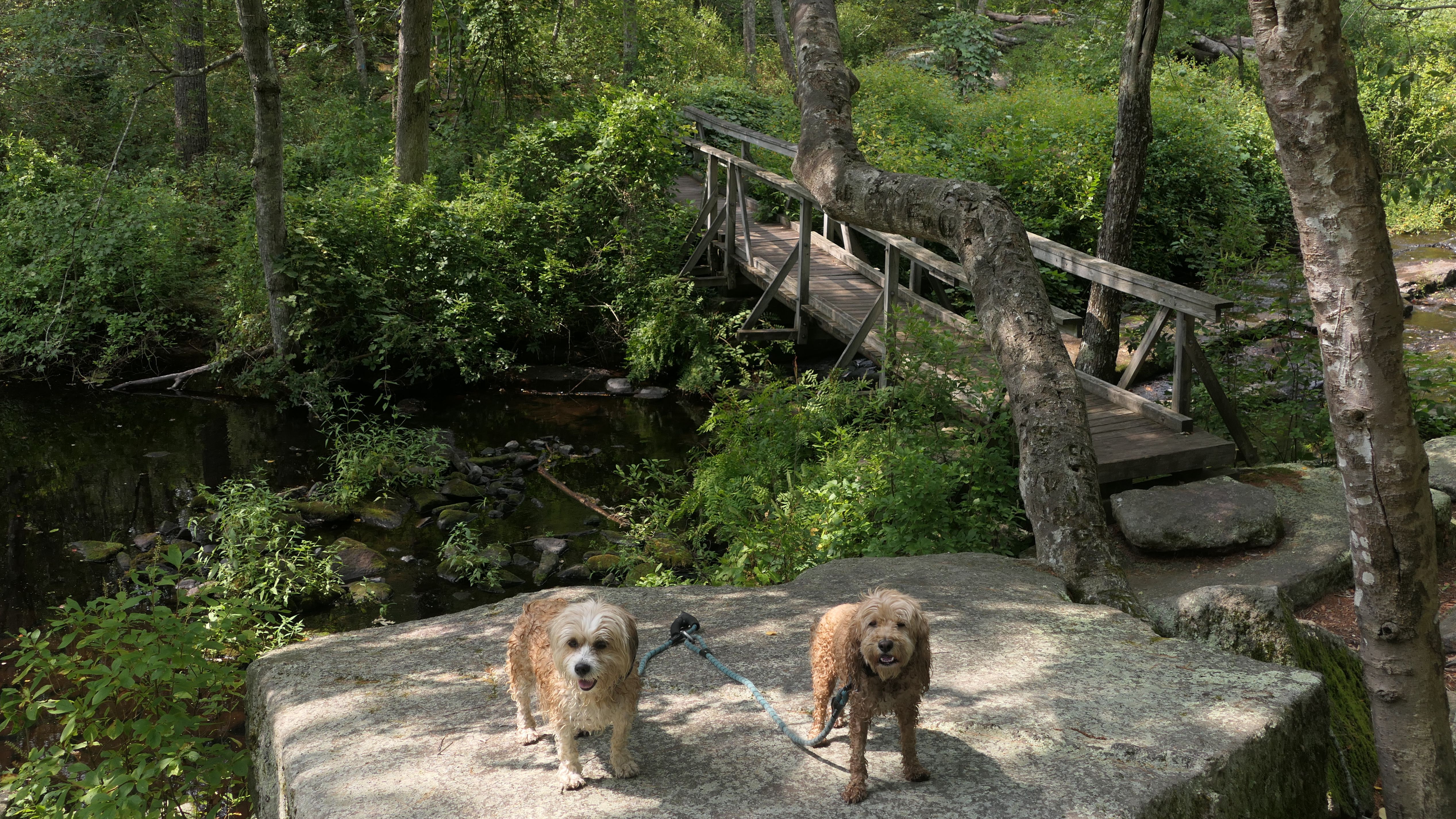
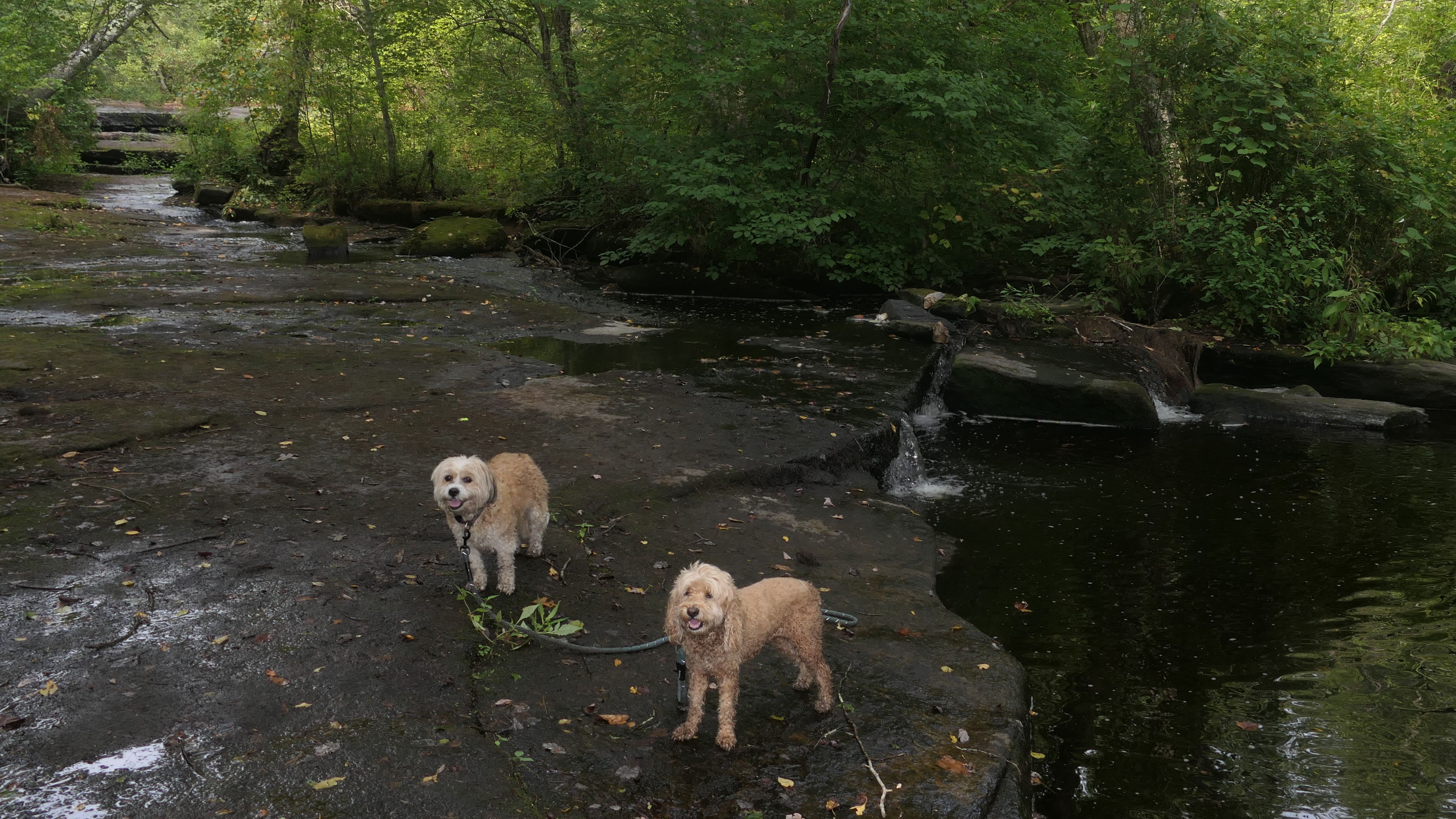
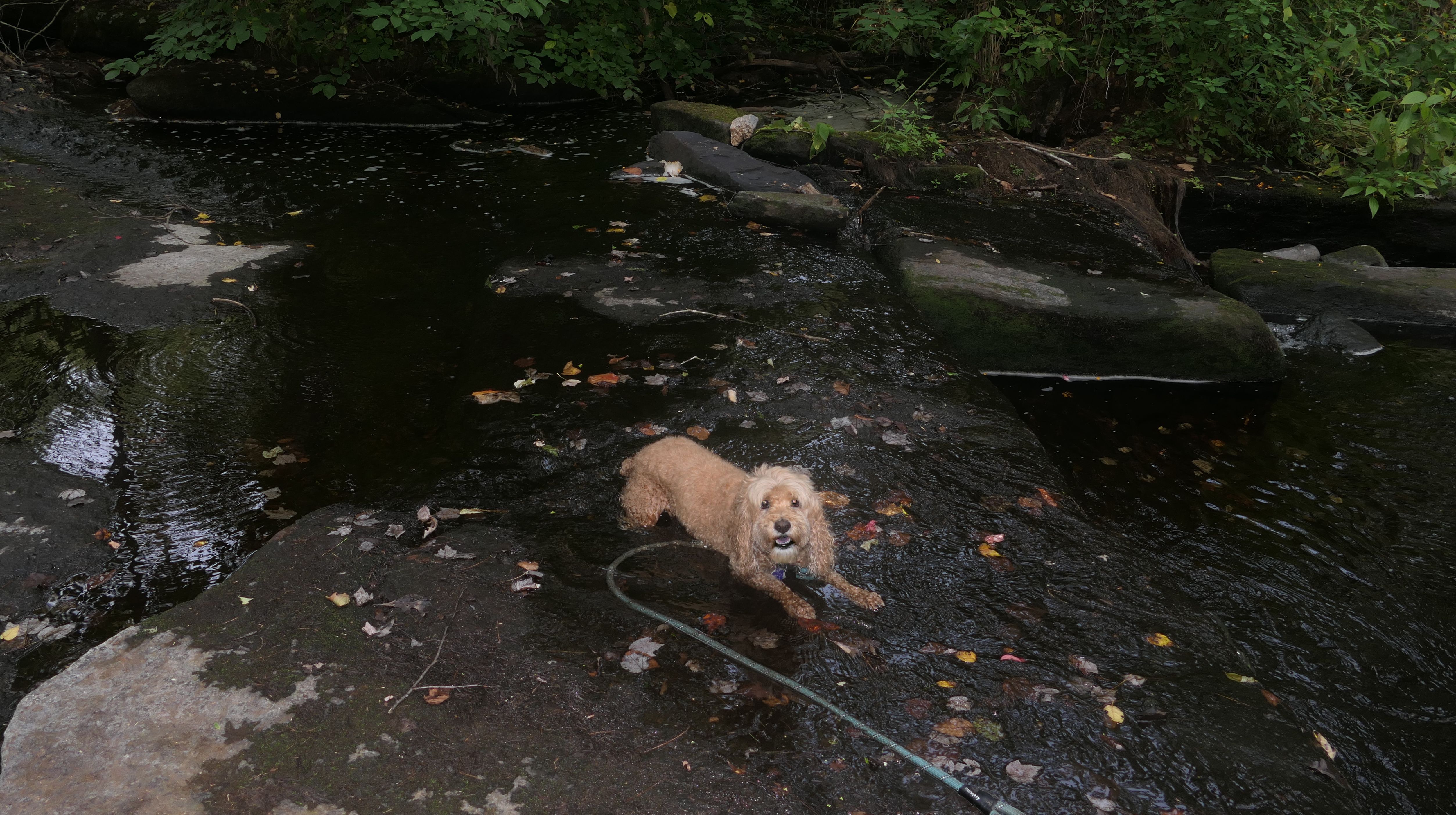
Arcadia Management Area - Ben Utter Trail
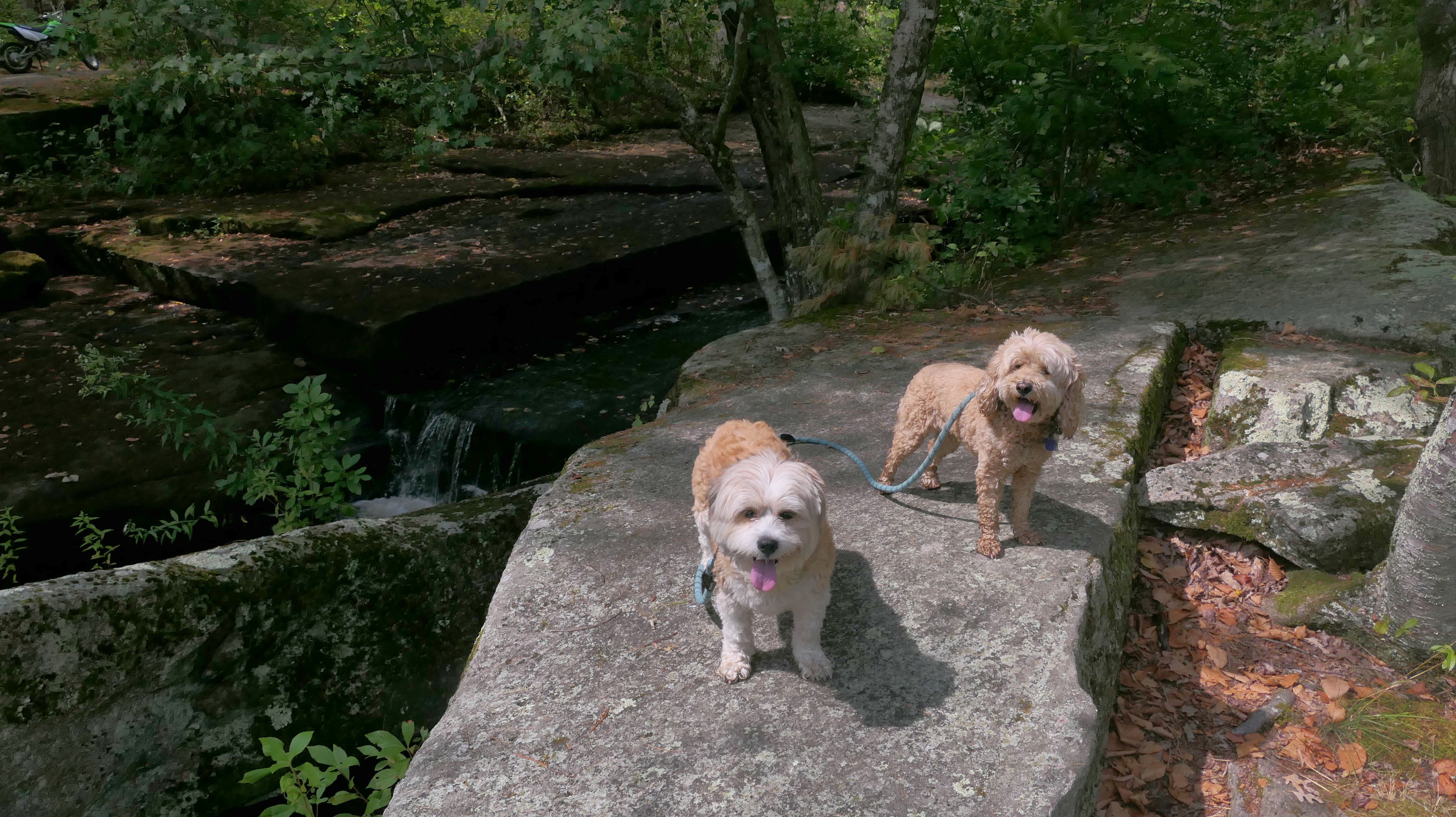
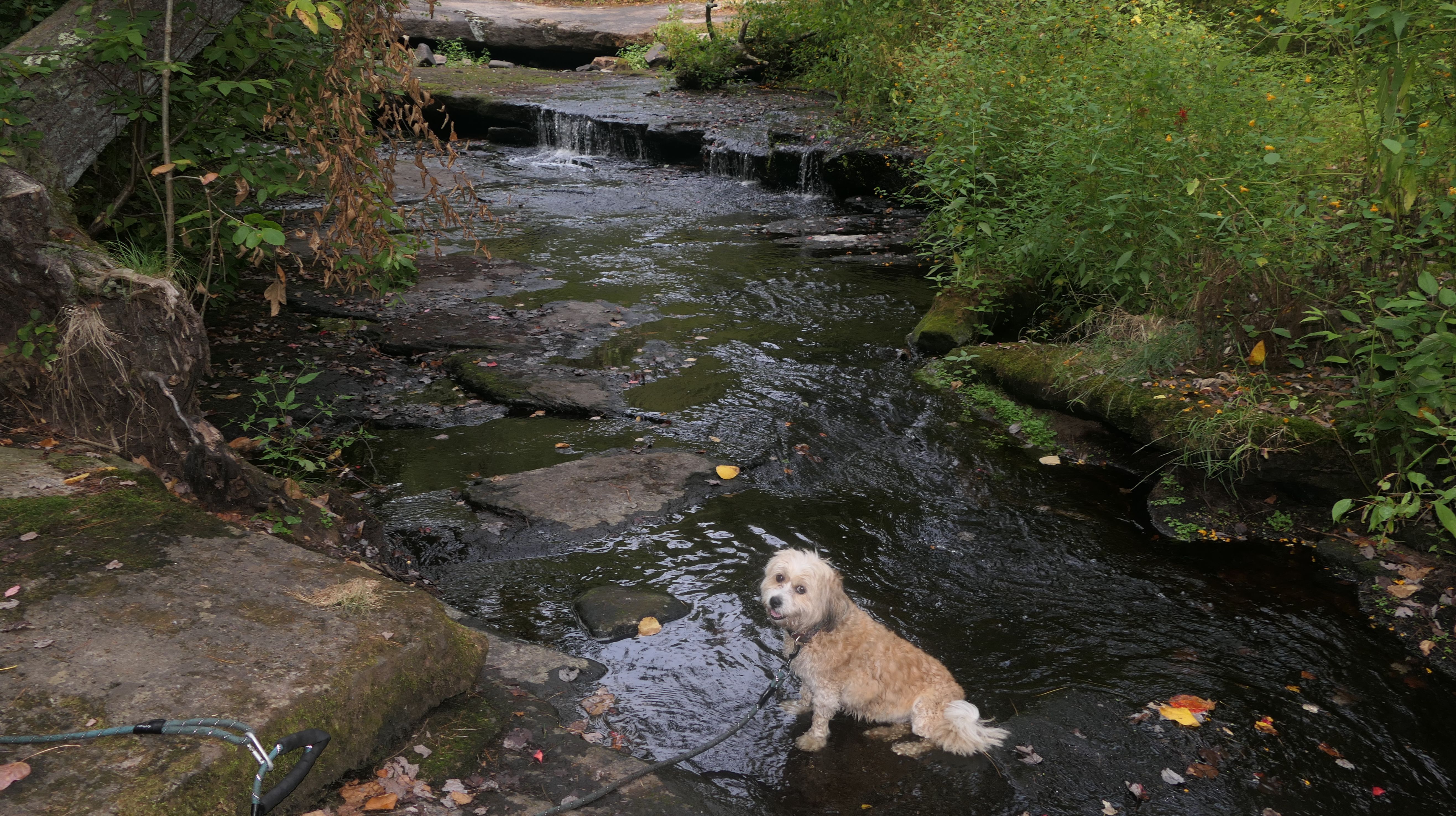
Date visited: 9/6/2025
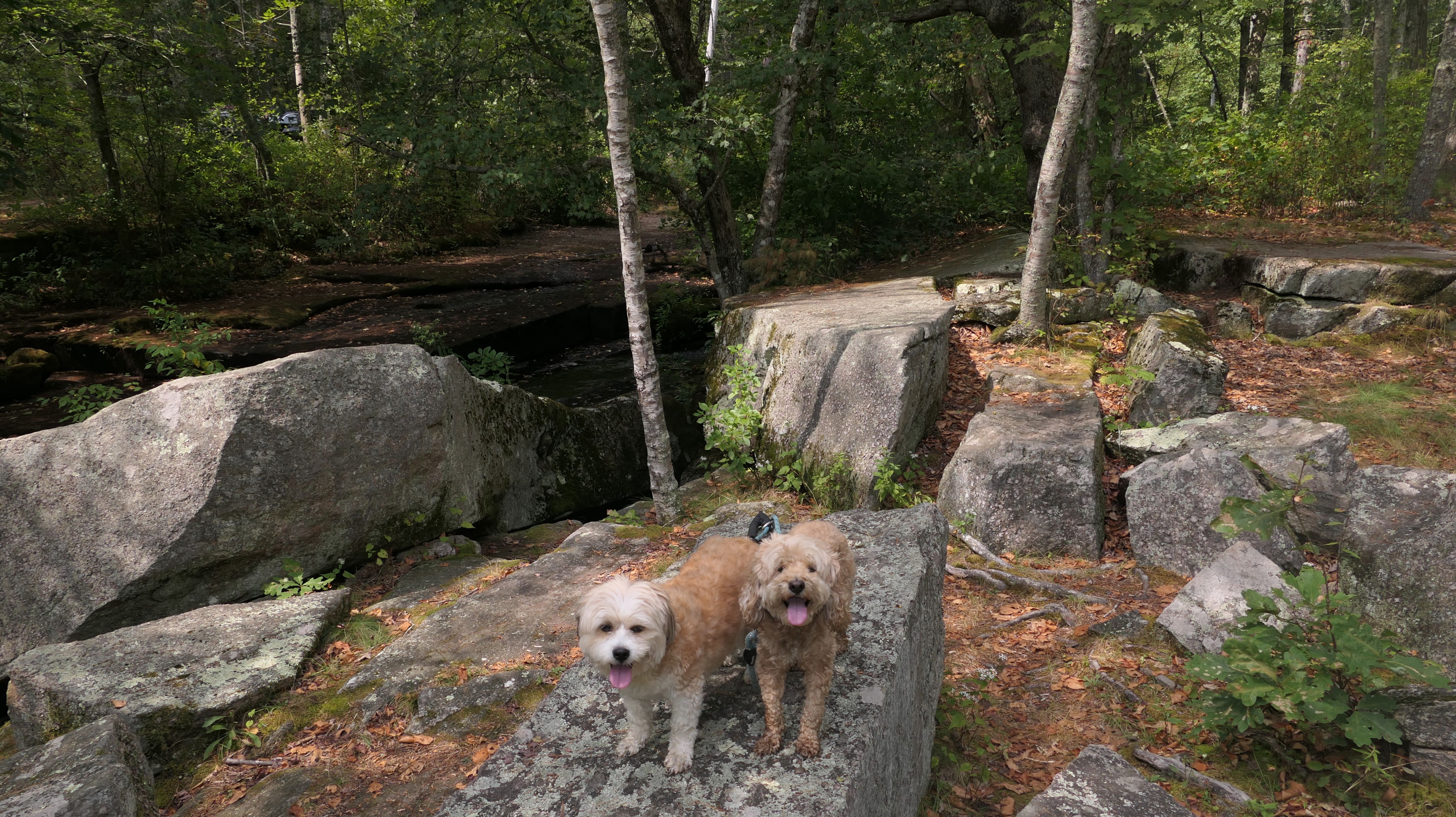
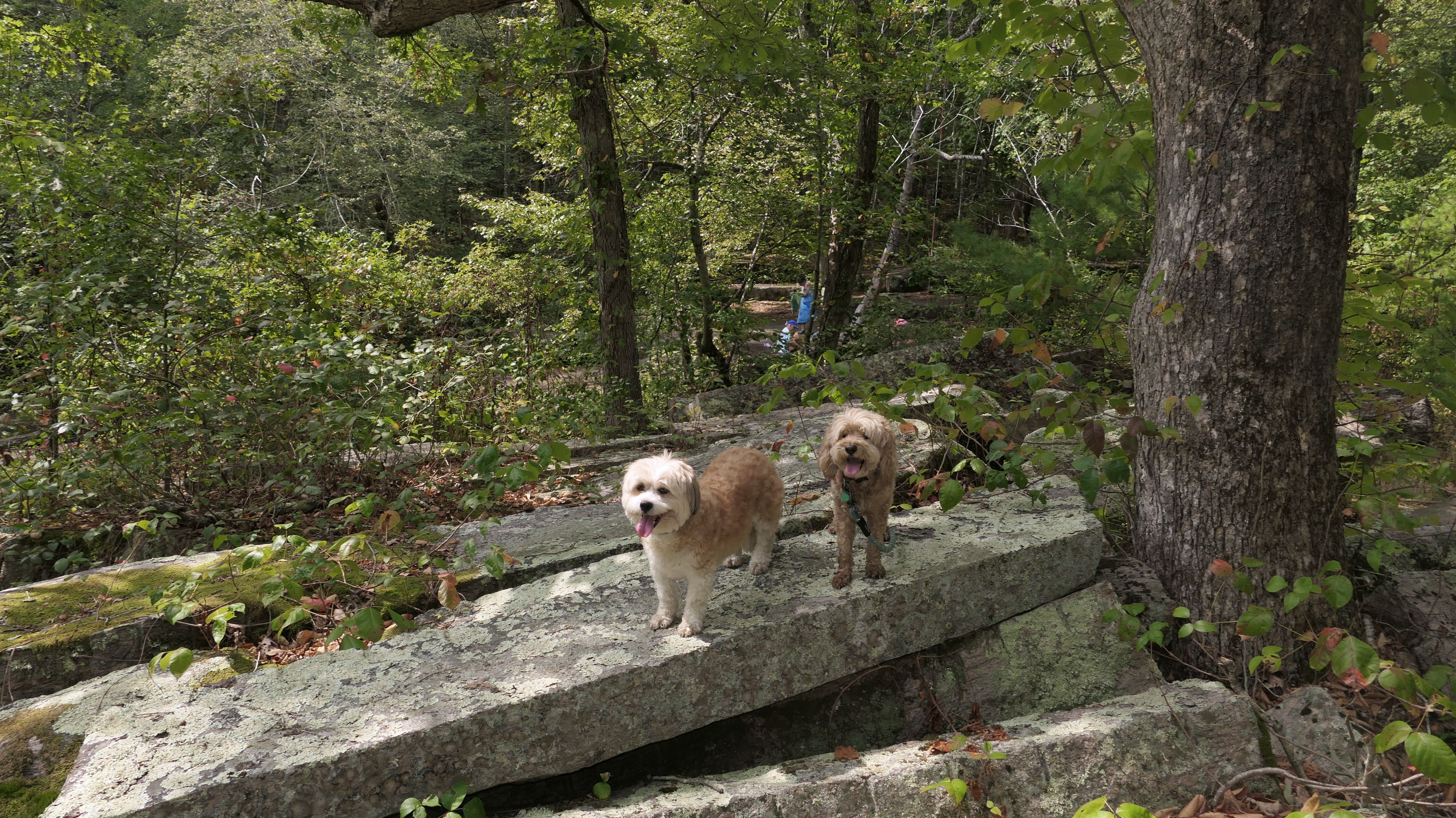
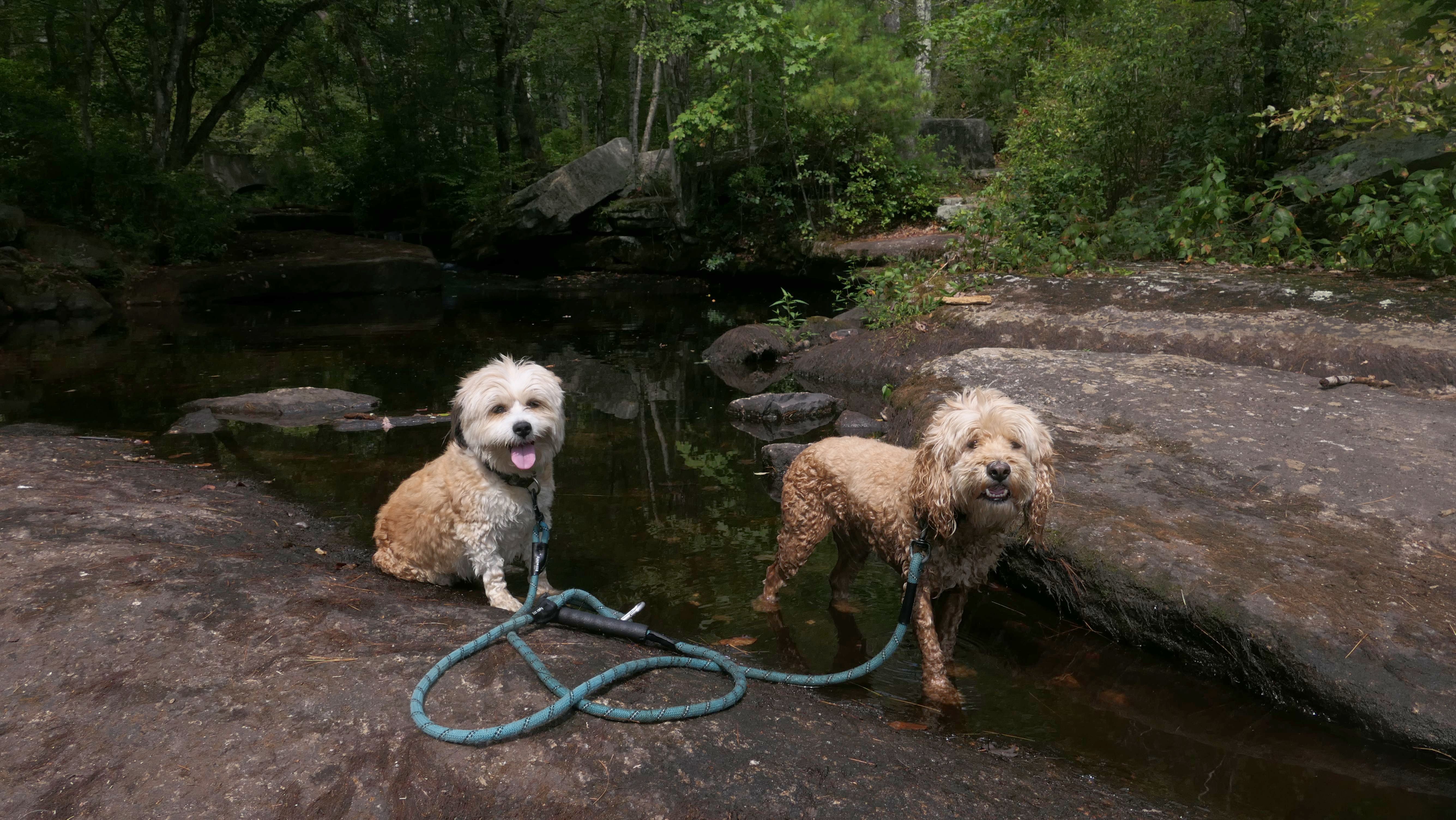
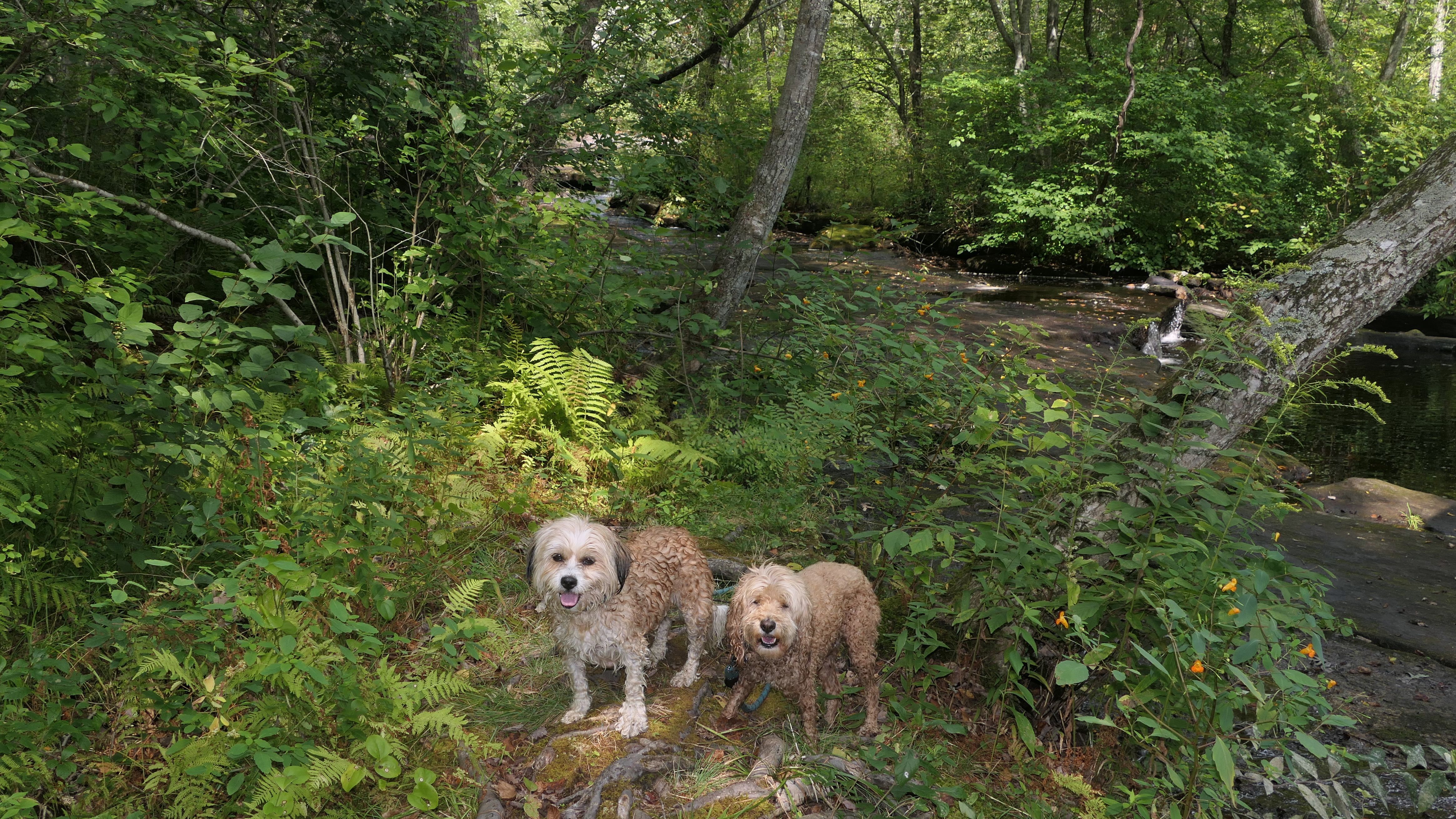
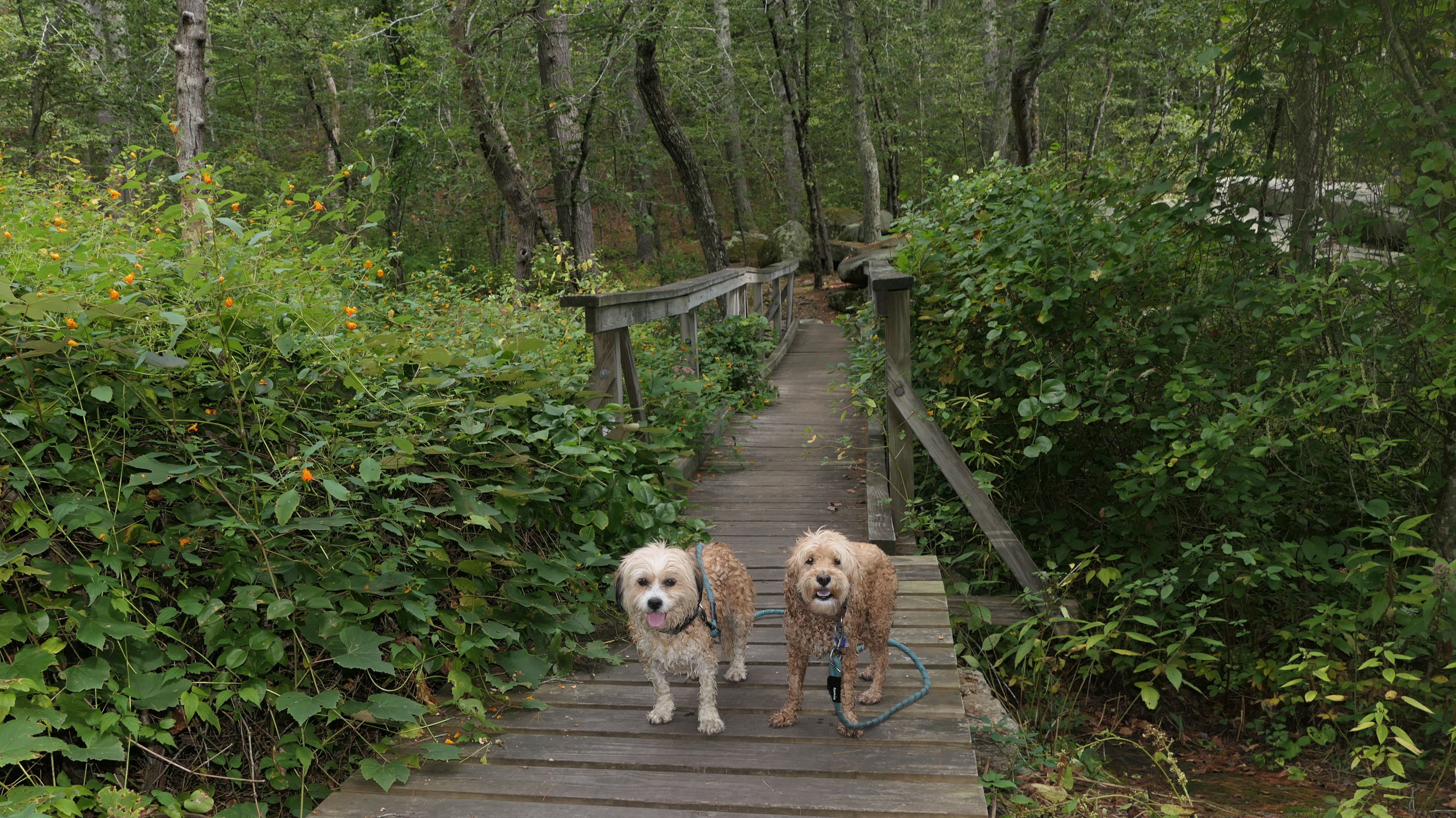
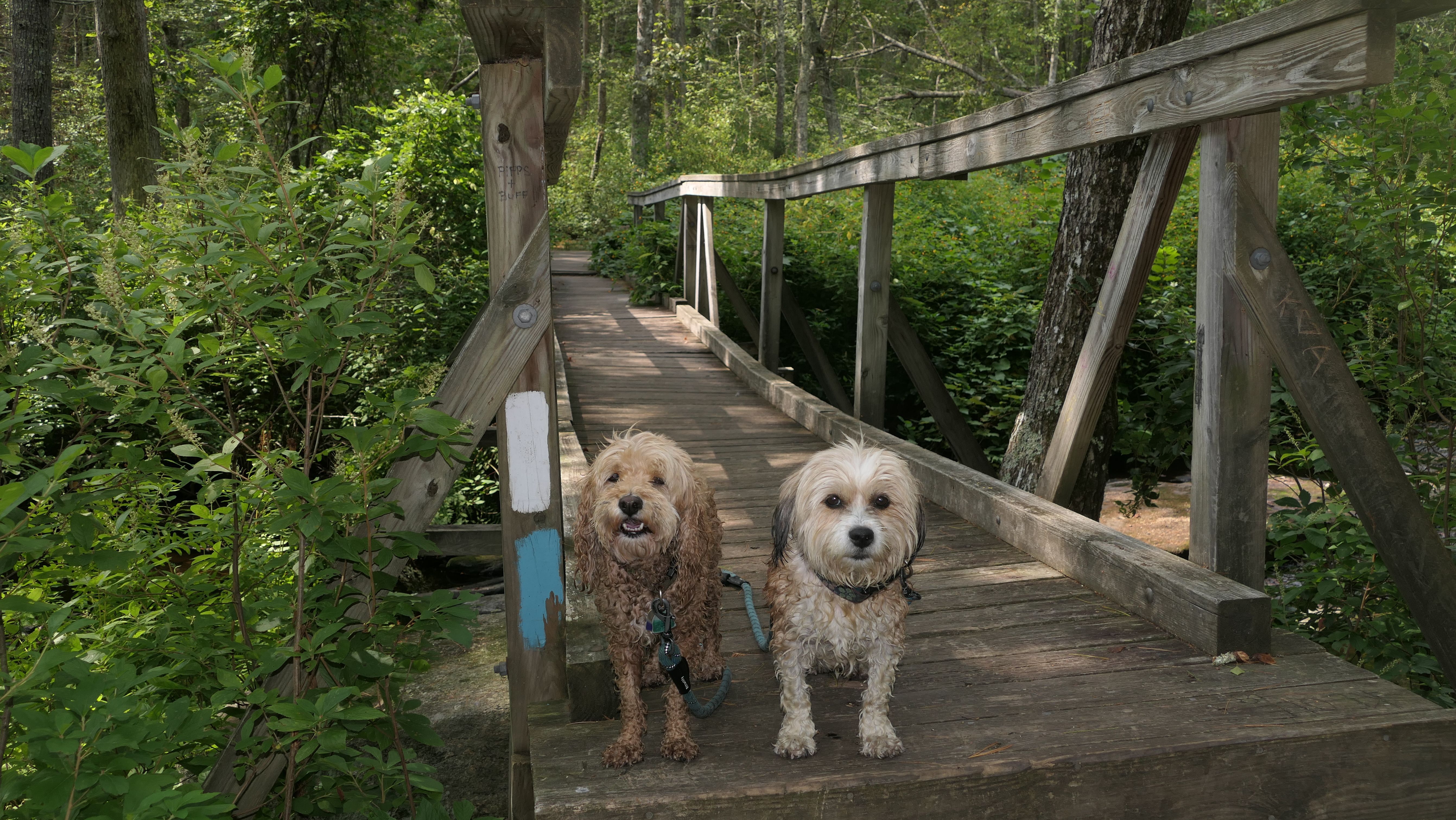
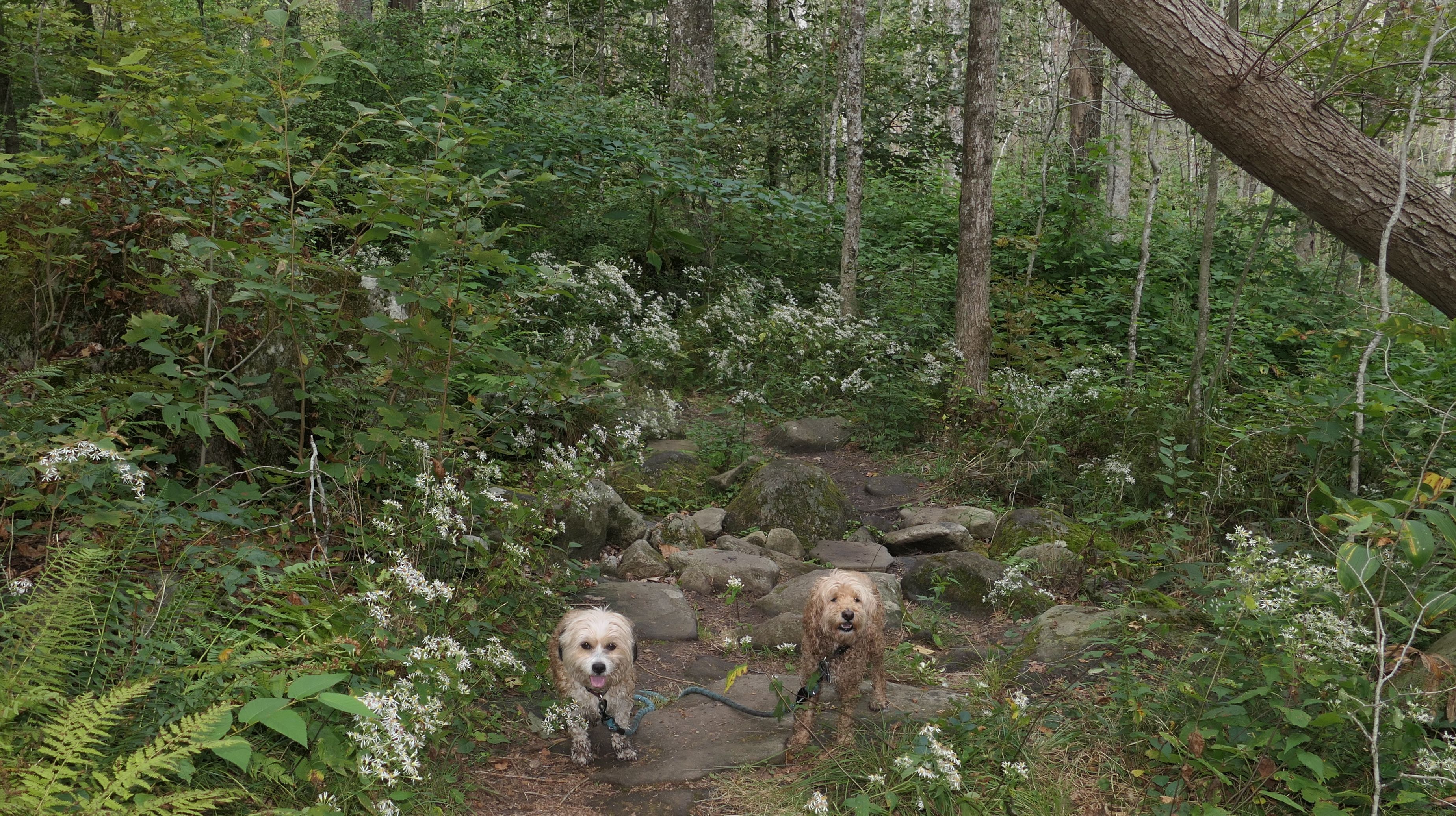
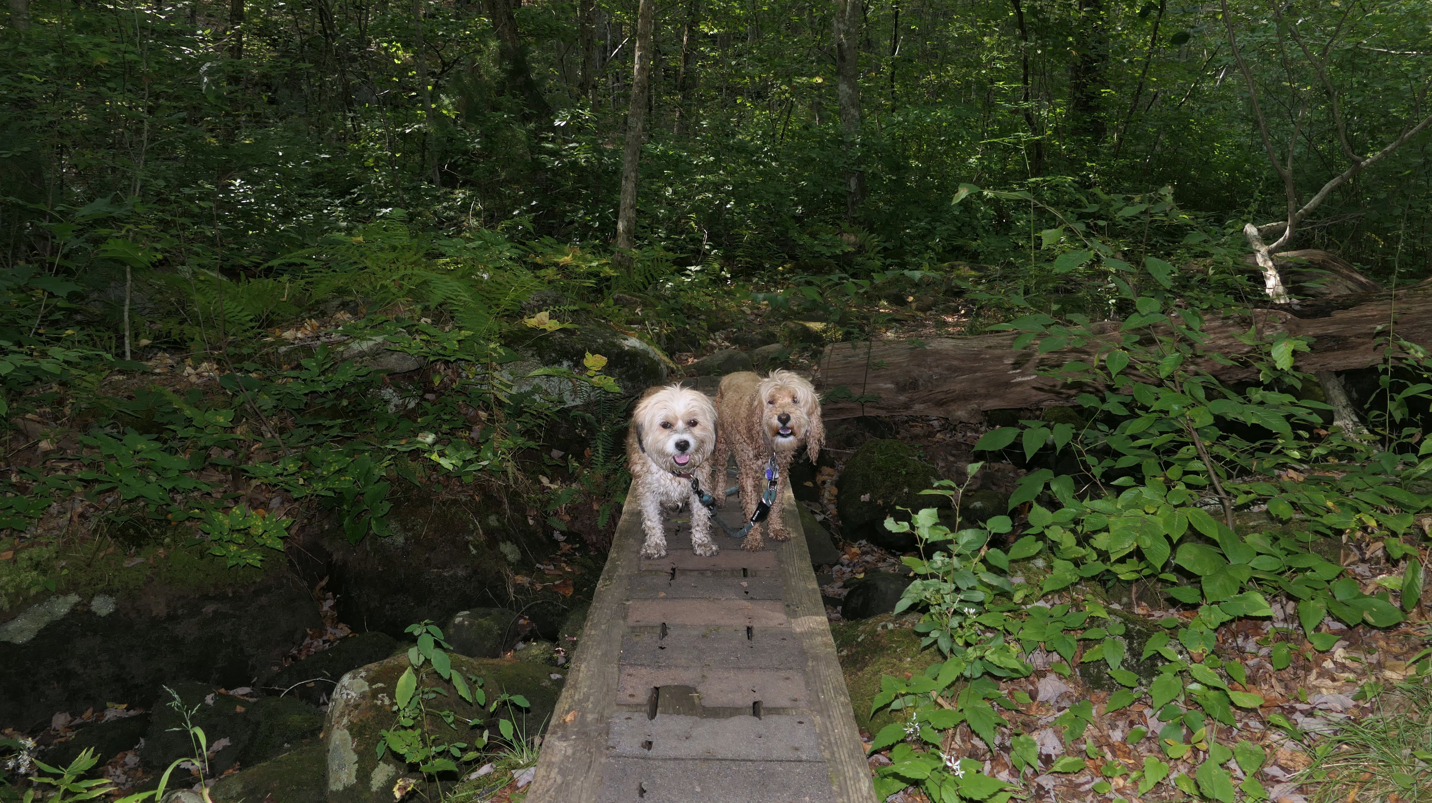
This trail is located in the middle of nowhere! Waze had us drive about 20 minutes down some narrow, bumpy roads through two states to get here. The trail head is just over a narrow bridge on a dirt road. The parking area holds about four cars, and it was full. We had to park a bit down the road. Right near the trail head is Stepstone Falls, a small waterfall area. This was definitely the highlight of the trail. It was a hazy and humid day, and Mandy and Lexi wasted no time by getting right into the pool of water near the waterfall. There are all sorts of rocks that make "stepstones" near the waterfall, hence the name! We continued along the trail, that had some very rocky areas, with a few up and downs. It was actually a fun walk, with a number of cool bridges and stream crossings over stones. We followed the All-Trails route which led us to the trail head off Plain Road in Exeter, where we turned around and headed back, completing a nice 3.3 mike hike.
More Images