◂︎ Mandy & Lexi's Massachusetts Adventures
Palmer
Burleigh Park
Date visited: 6/23/2022
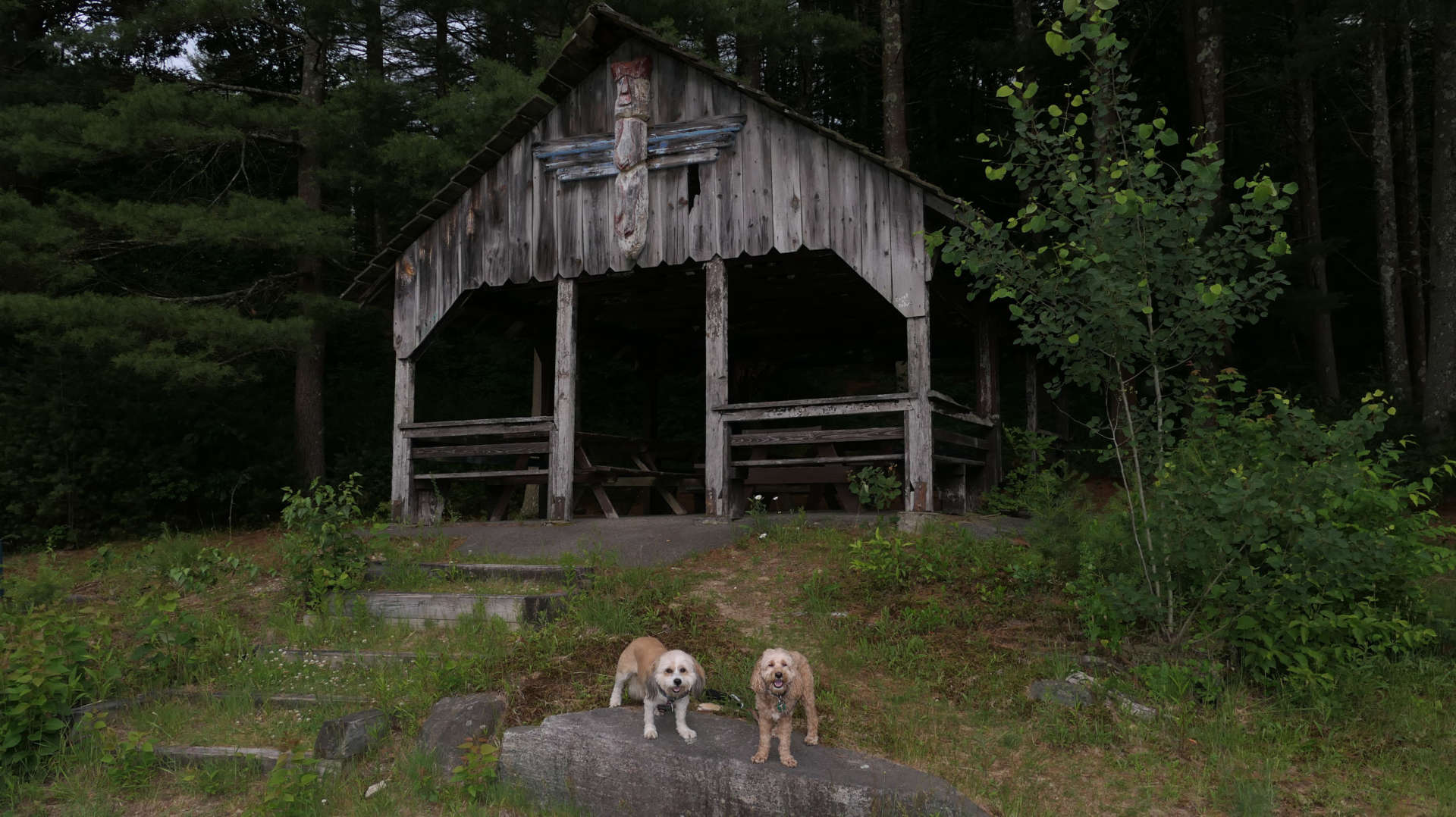
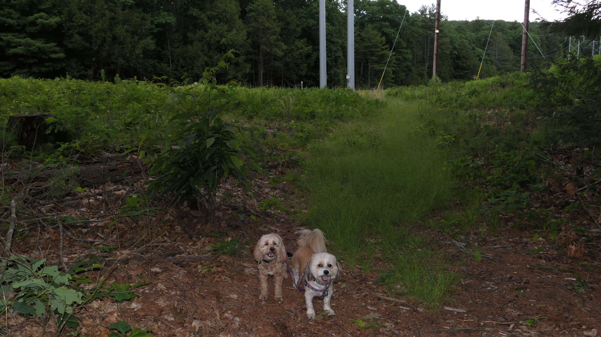
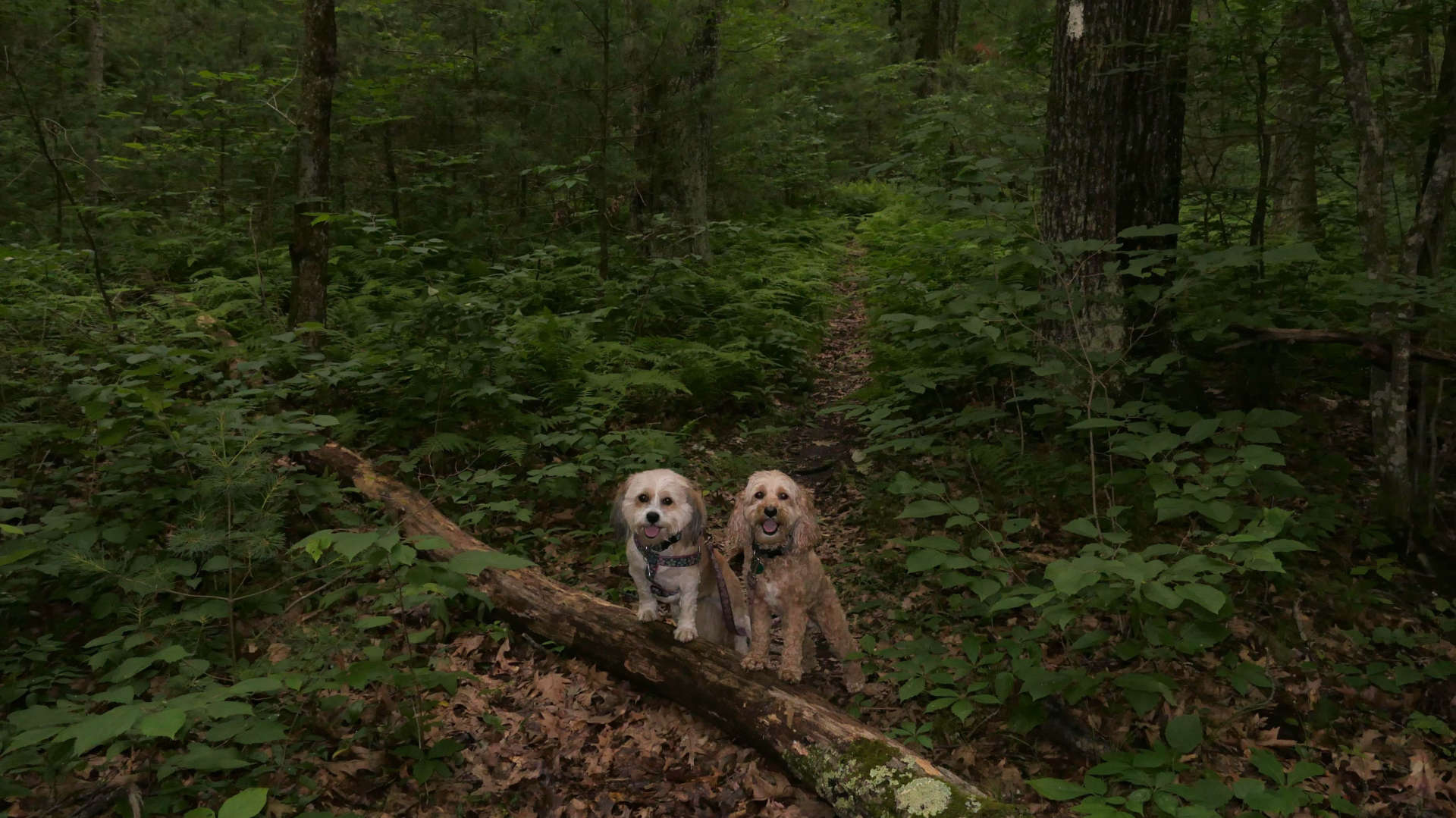
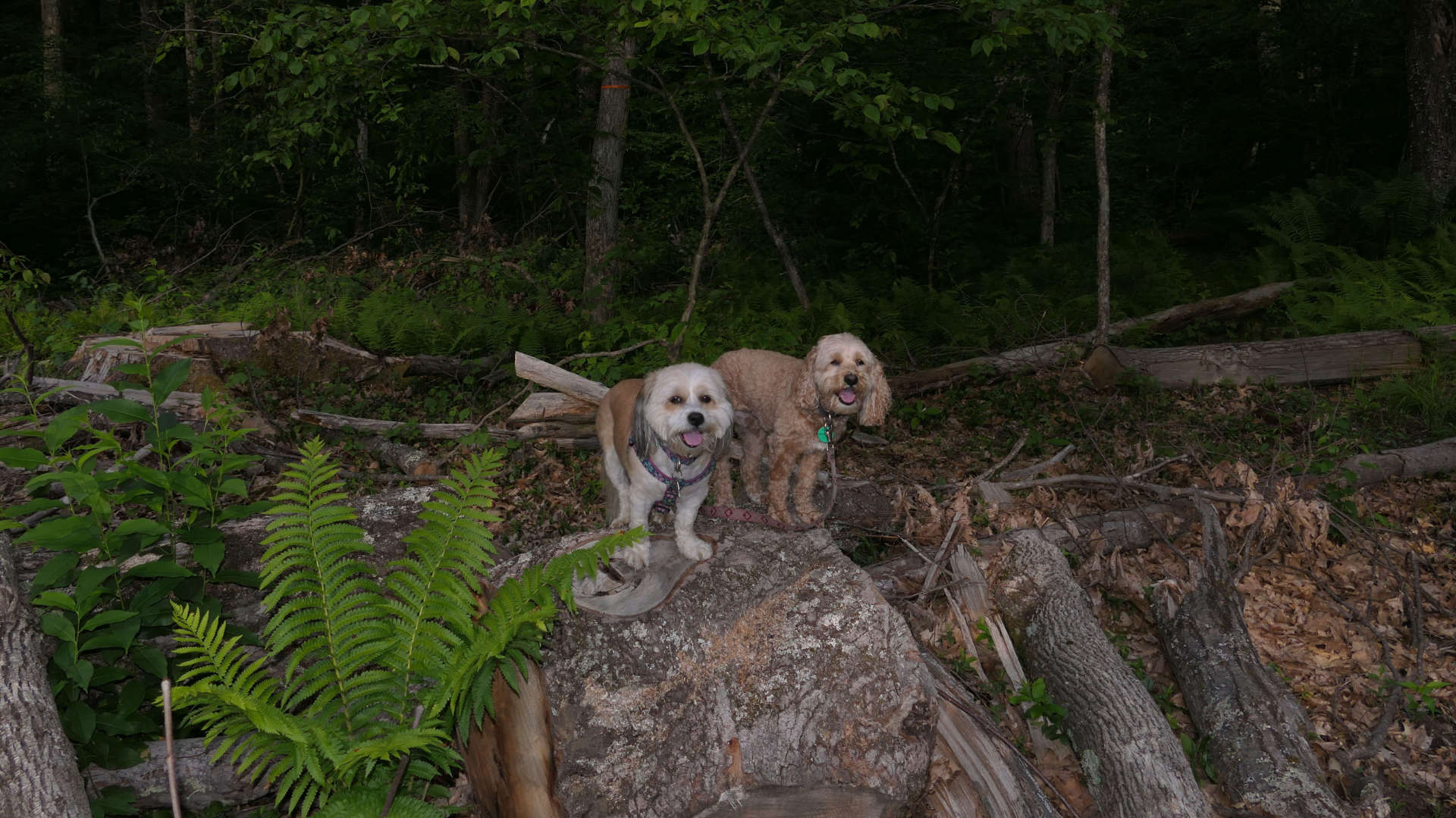
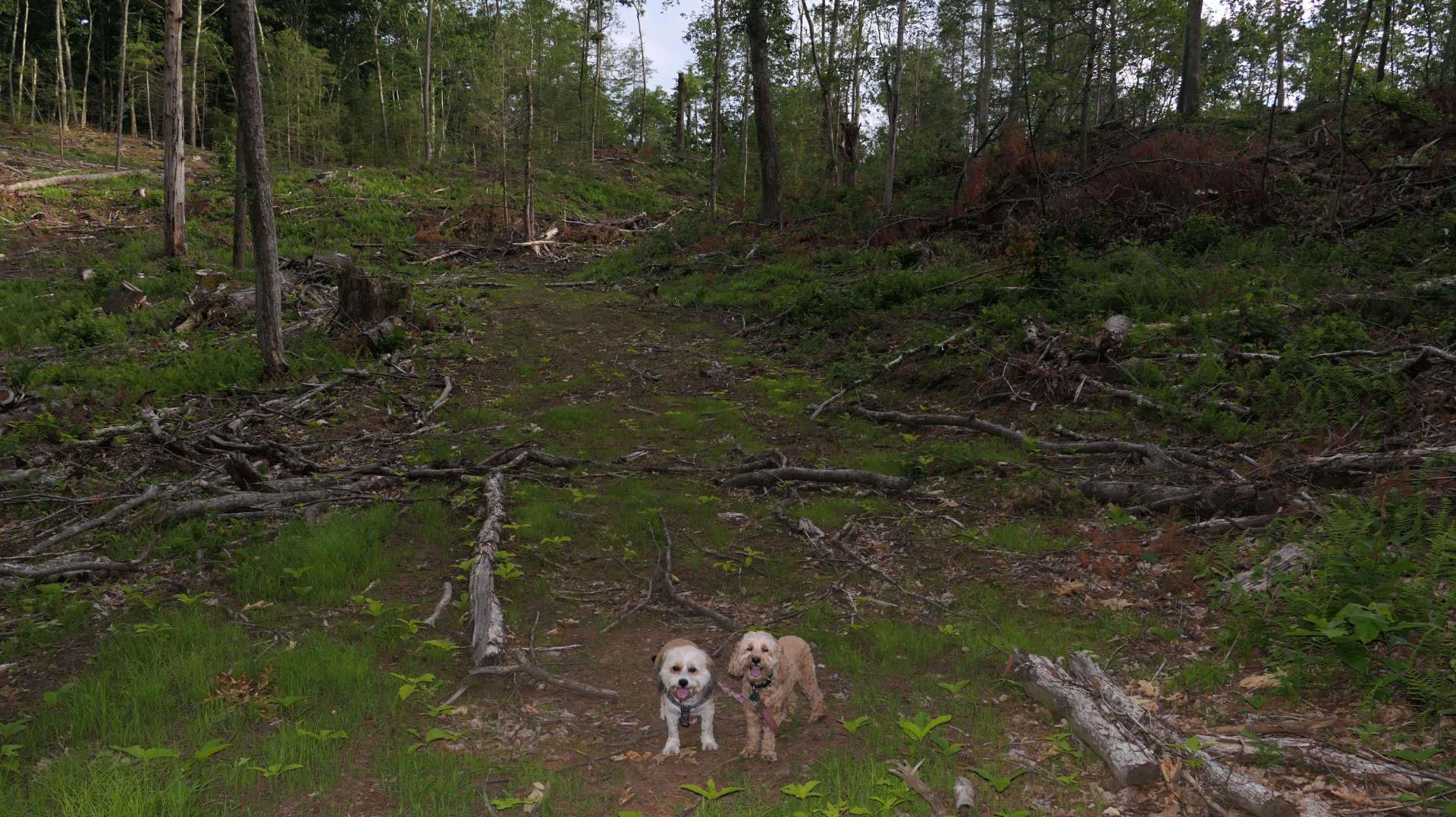
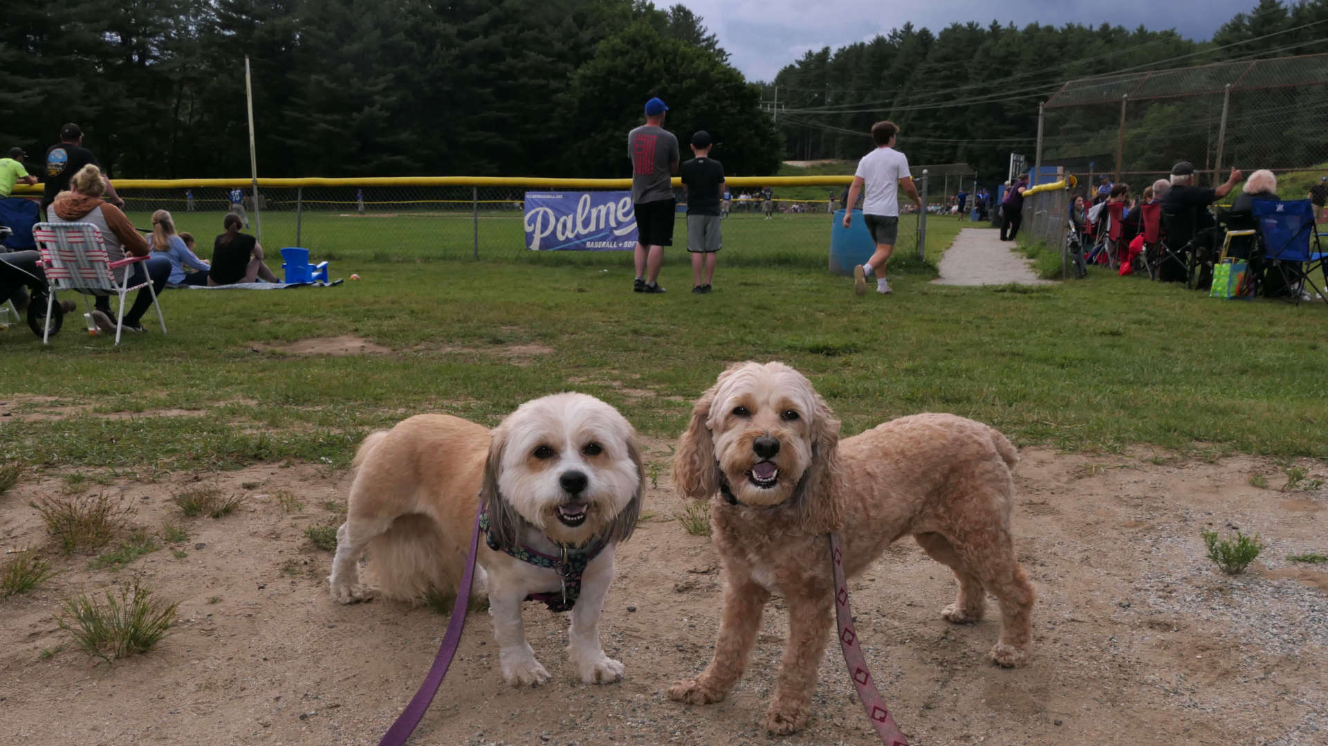
The trails here aren't in the All-Trails app, but the Town of Palmer's website had a pretty good PDF map of the park. Spots on the map are designated by numbers that are painted on the trees, so it was pretty easy to see your location on the map. We tried to hike a figure 8 loop, but we ran into an issue. The white trail on the far loop went out to an area of woods that looked like it was being actively chopped down. There was a "No Tresspassing/Private Property" sign, and so much damage that I could not find where the trail went from that point. After trudging around a bit, we turned around and headed back the way we came. But I'm stubborn and wanted to know where the trail went, so I headed back around the loop from the other direction. I didn't quite reach the point where we turned around, but I could see the spot and was close, but the trail was definitely blocked. Other than the trails, there are also athletic fields and picnic areas at the park. It was a big Little League night, and the area around the fields was packed. We wound up hiking around 2 1/2 miles here.
